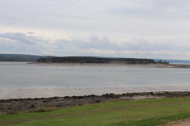
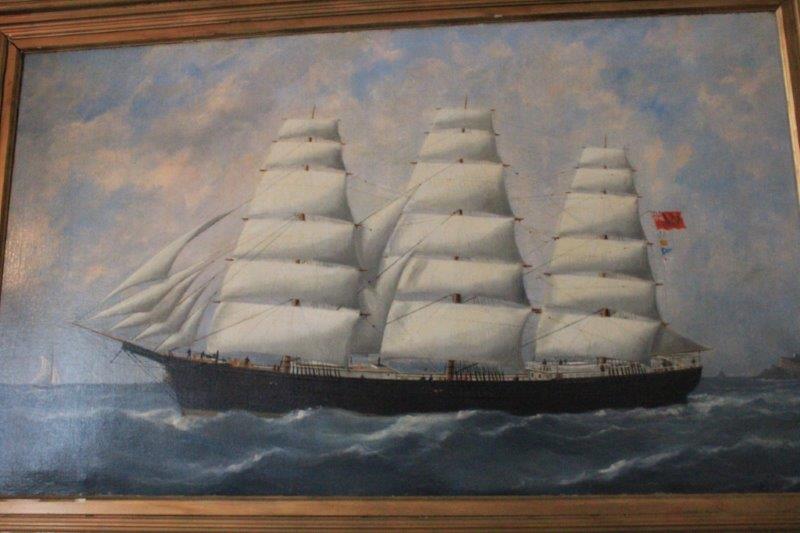
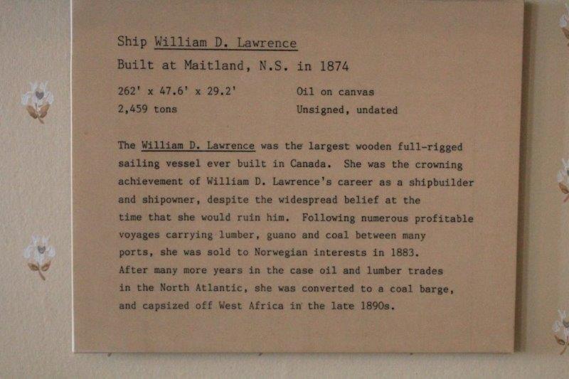
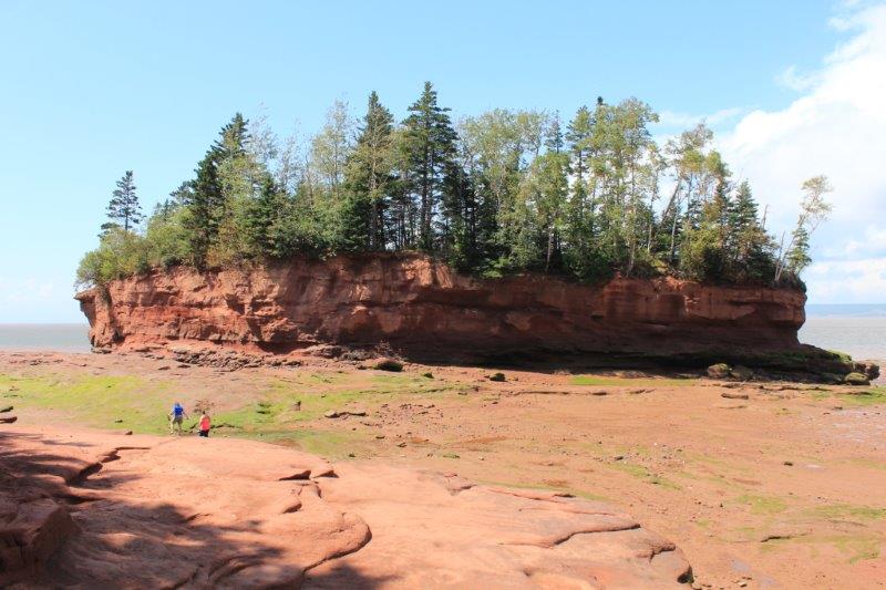
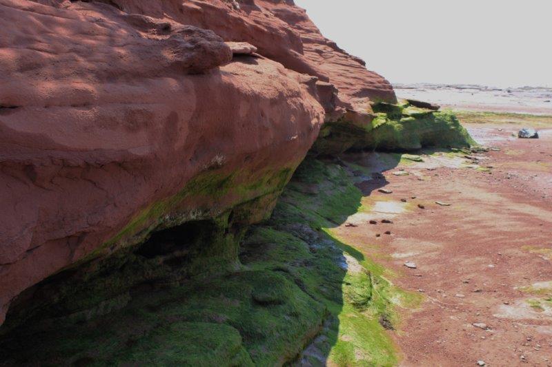
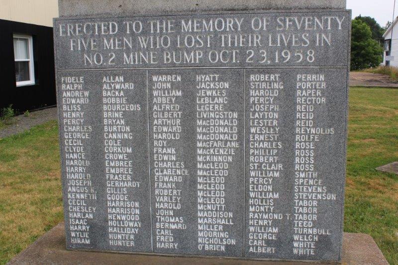
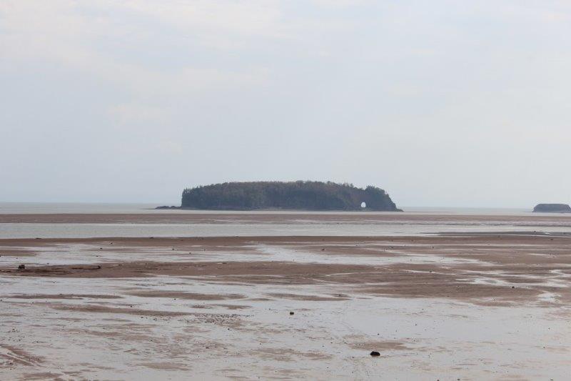
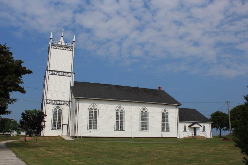
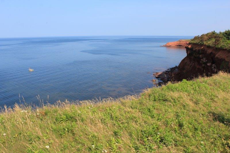
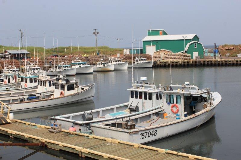
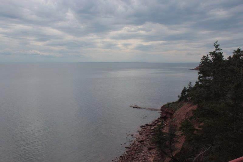
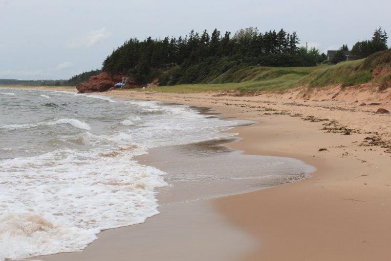
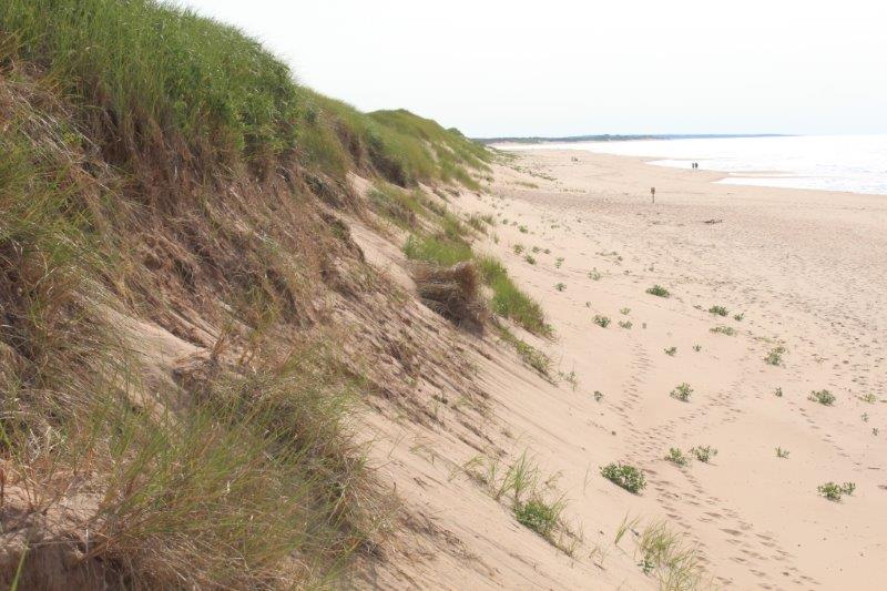
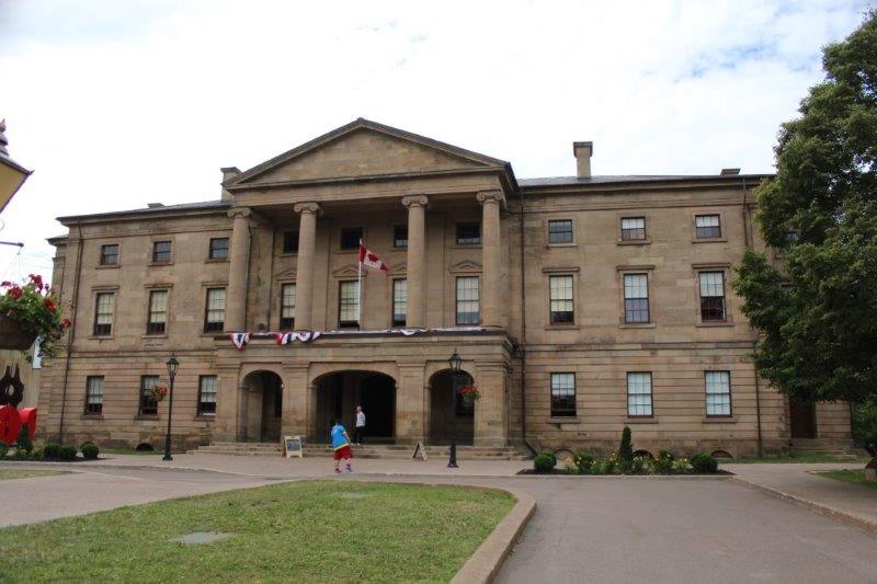
Friday was an overcast day, sadly, as our first two stops were Look Offs as they say here Down East. We left Wolfville and followed Highway 1 west to Greenwich. There we turned off and drove about 20 km north to the top of a hill above Blomidon Provincial Park. From the viewpoint you can see the Minas Basin at the end of the Bay of Fundy, five counties and the valleys of six rivers. On a clear day it would have been spectacular. It was pretty impressive even on a hazy day. I took 12 photos spanning the view to stitch together when I get home. That might give you an idea of the scope of the panorama.
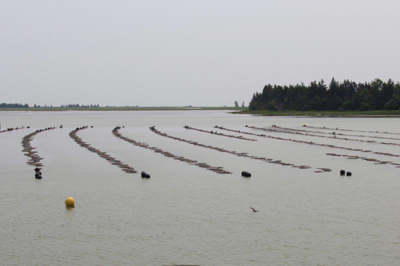
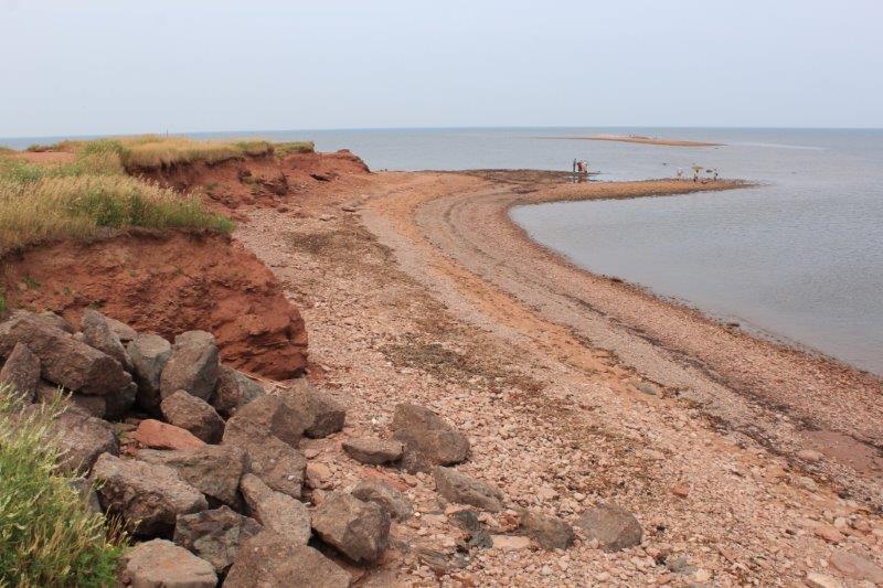
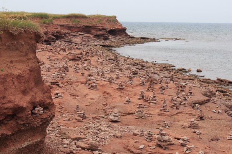
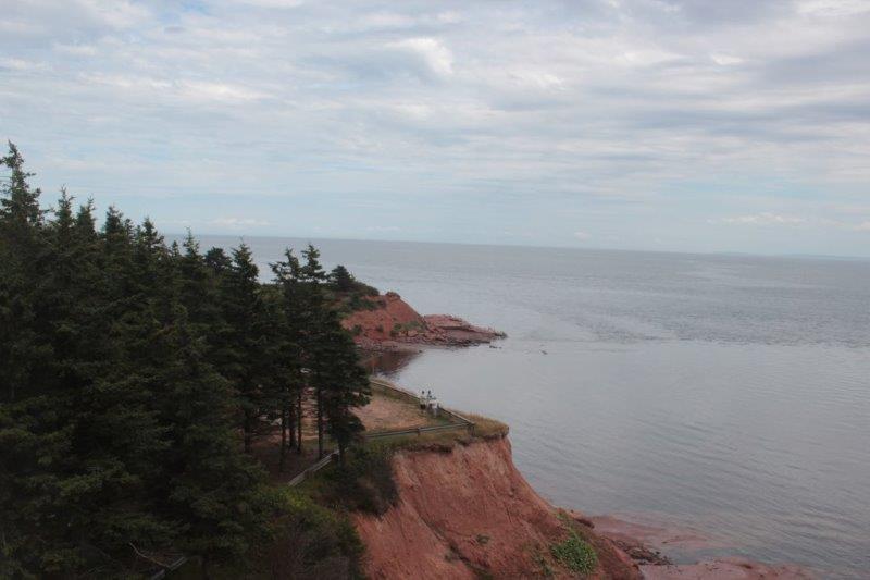
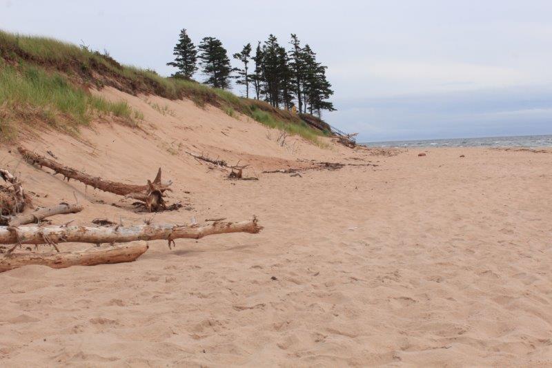
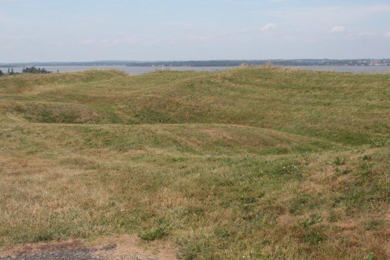
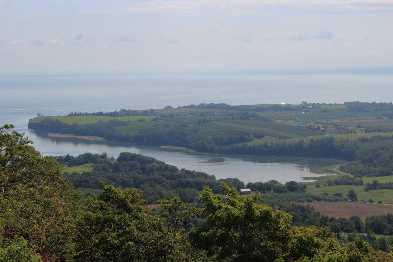 The Minas Basin
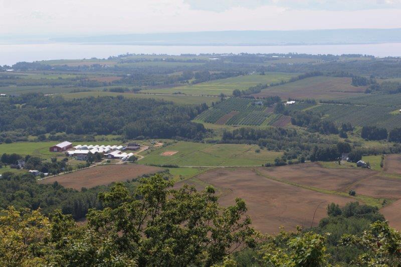

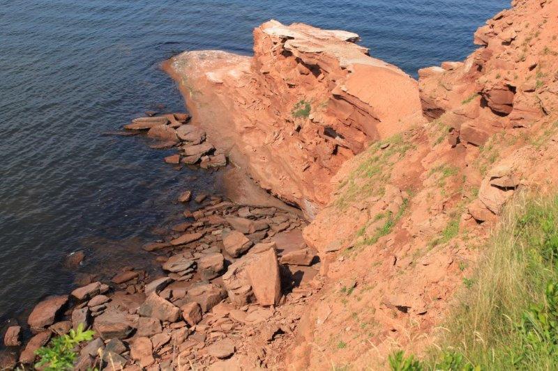
We tried to find the Greenwood Military Aviation museum which is located on the Canadian Forces Base at Greenwood, but the address we had led us to a secured gate with barricades, razor wire and a gate house. The notice said the gate is open 7-8 am and 3-5 pm. Well it really said 15:00-18:00 but I translated for you. Since it wasn’t even two o’clock at this point we turned around and headed to Bridgetown.
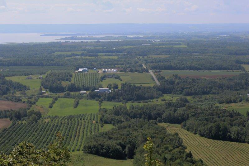
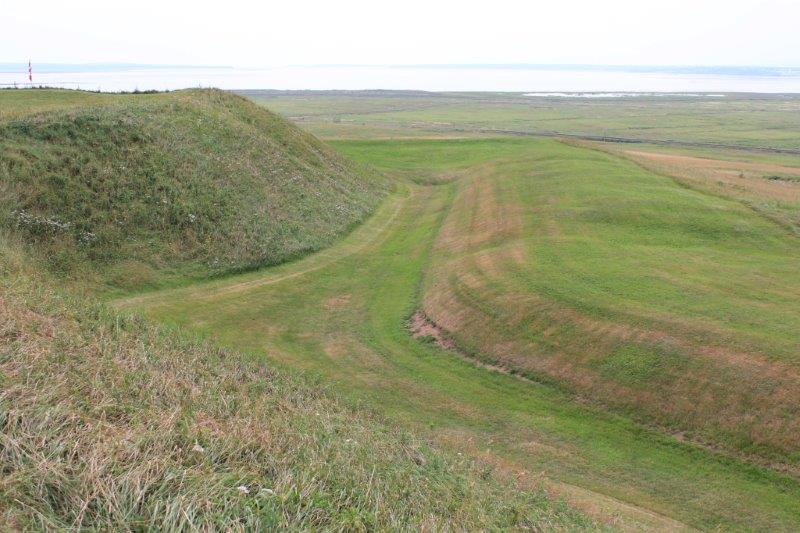
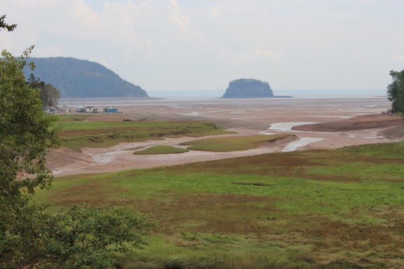
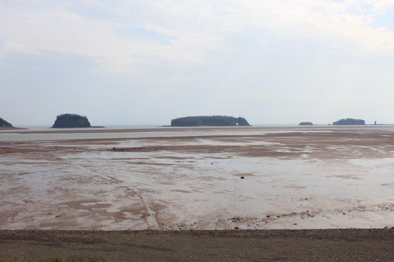
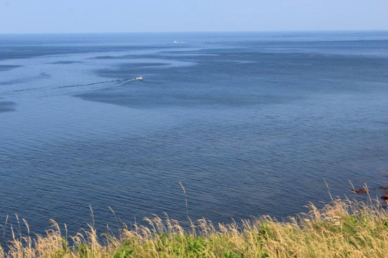
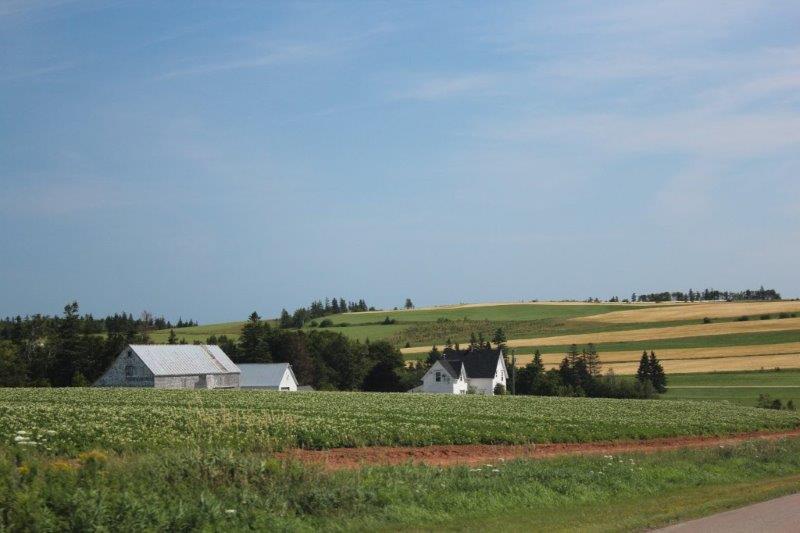
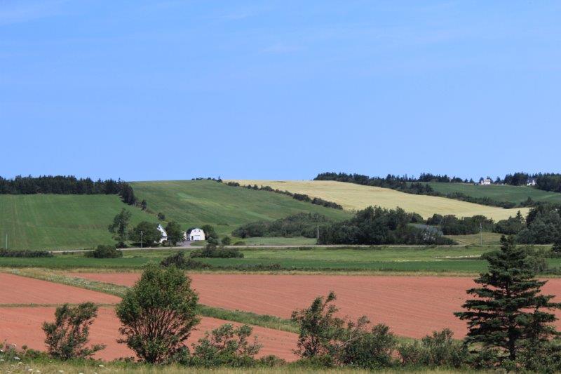
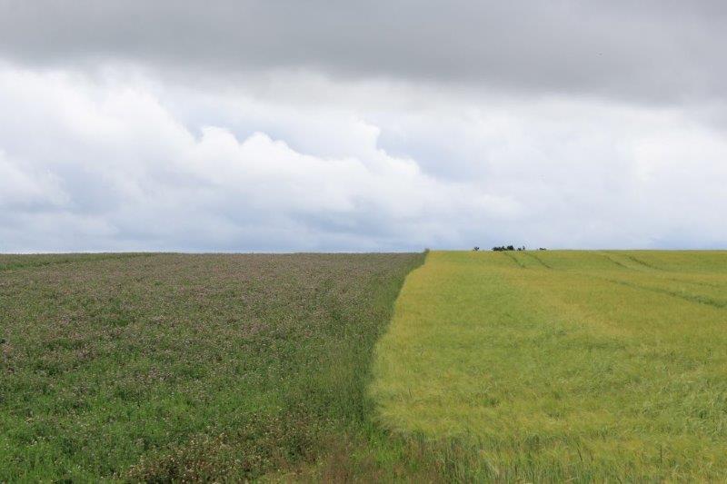
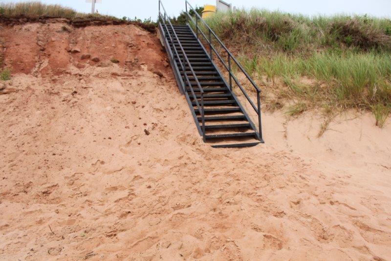
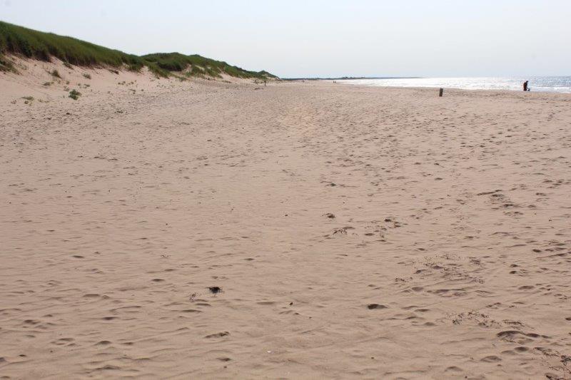
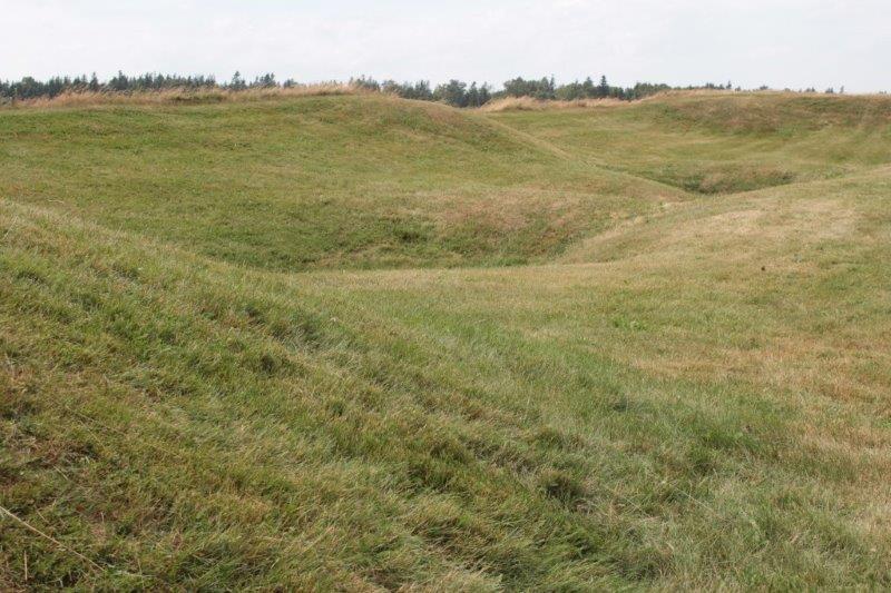
From the Look Off above Valleyview Provincial Park north of Bridgetown you can see for 50 km over the fertile Annapolis Valley. Again a lovely view that would have been fabulous on a brighter day.
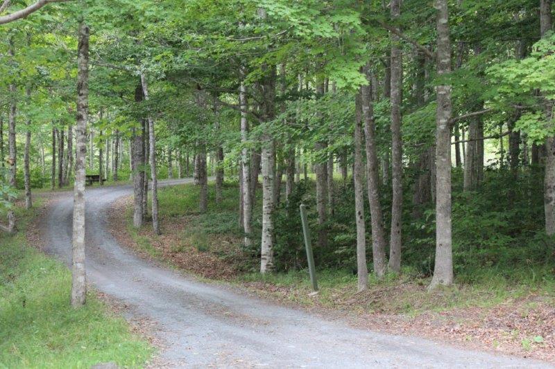
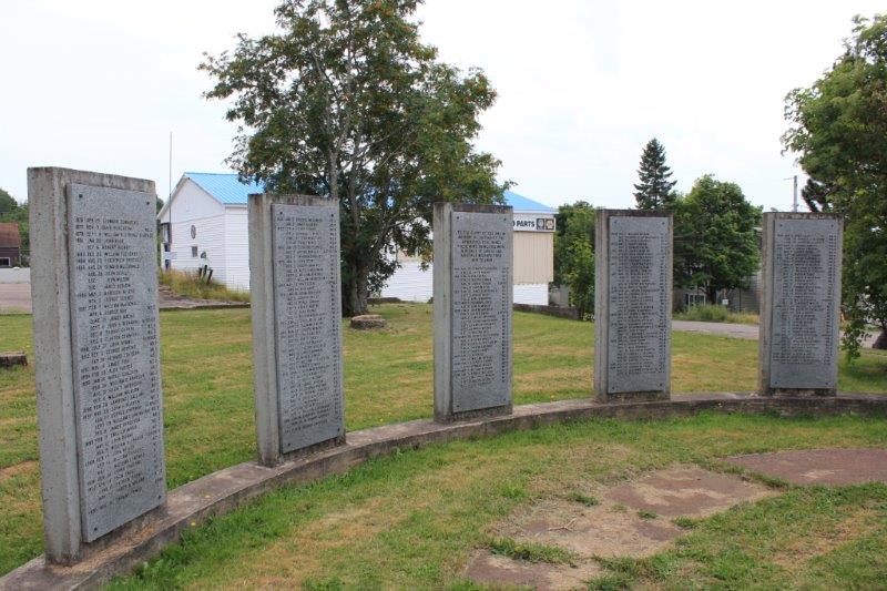
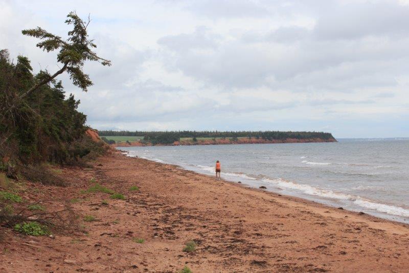
Campsites at Valleyview Provincial Park.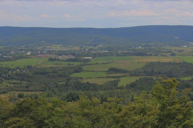
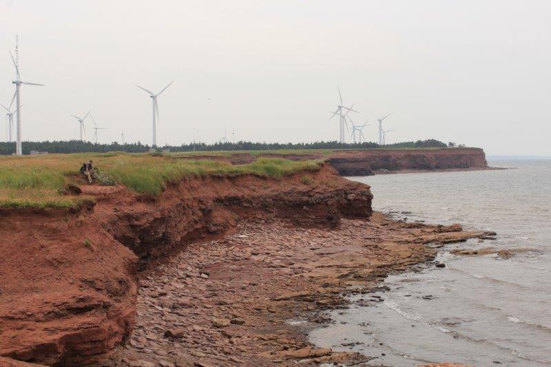
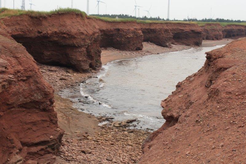
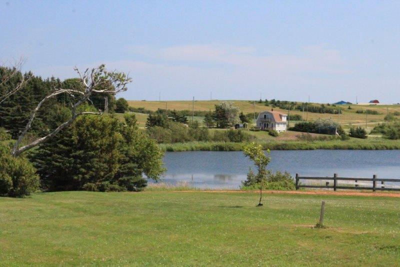
The Annapolis Valley
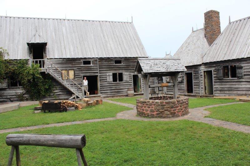
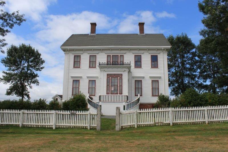
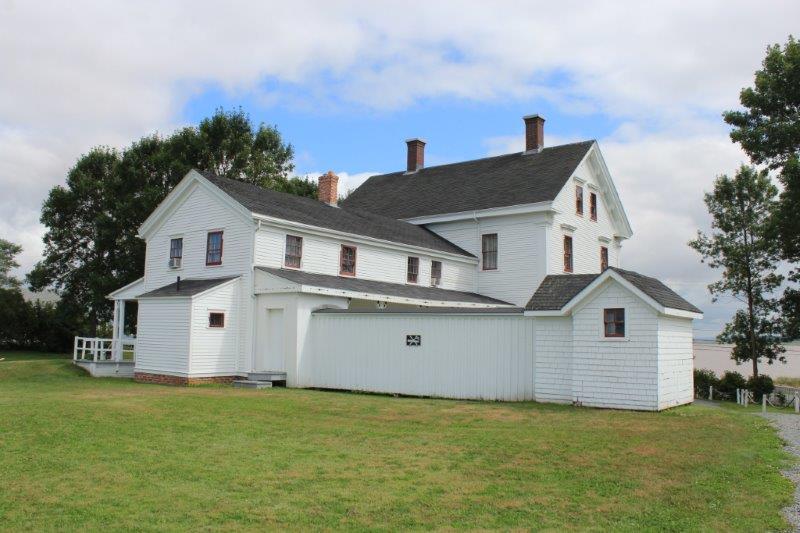
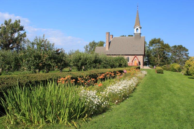
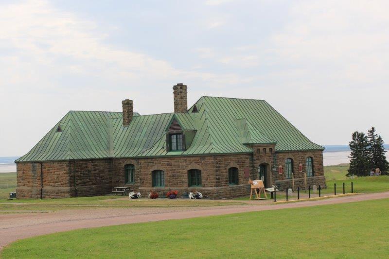
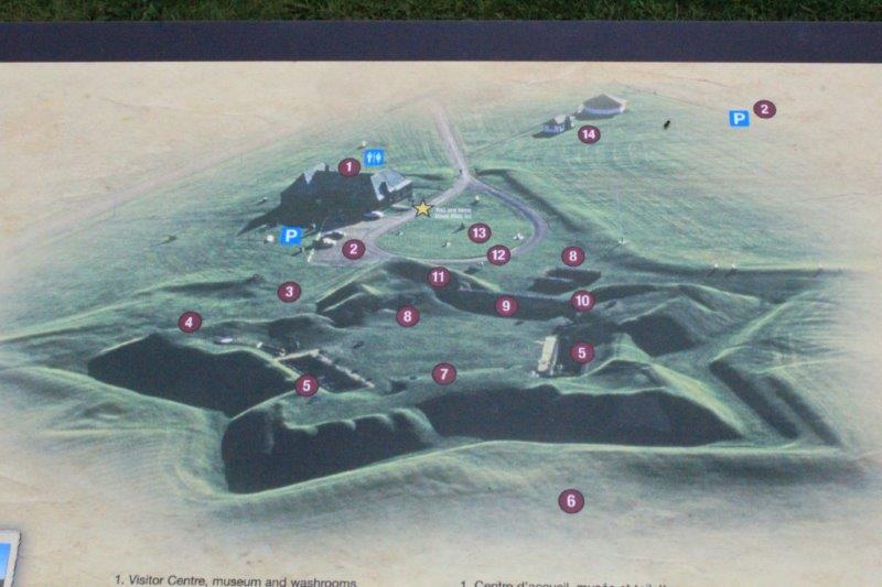
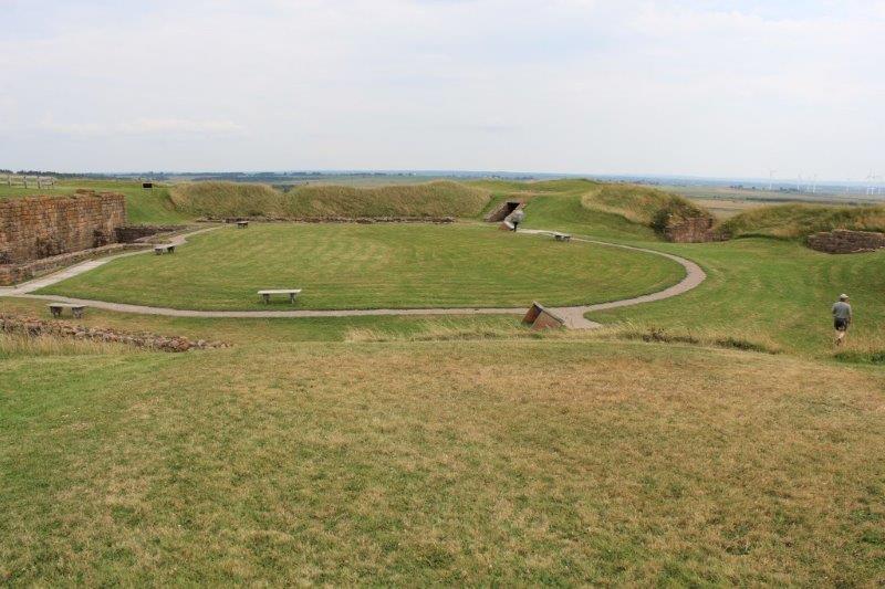
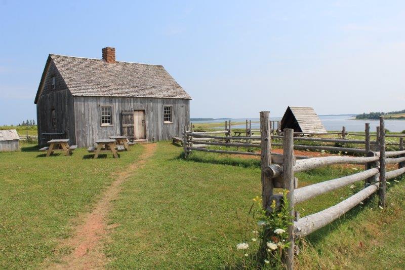
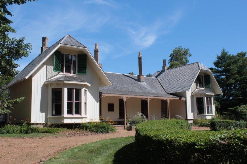
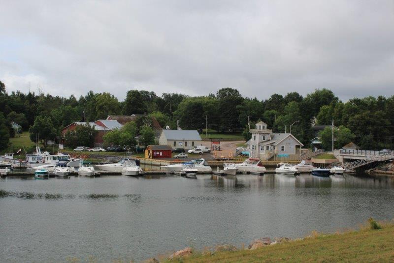
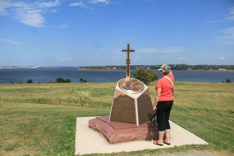
We were hoping to see all three of the historic sites near Annapolis Royal but by the time we got to the first one, Port Royal, it was 4 pm. We spent the hour until closing time before heading to Digby, 25 km down the road for the night.
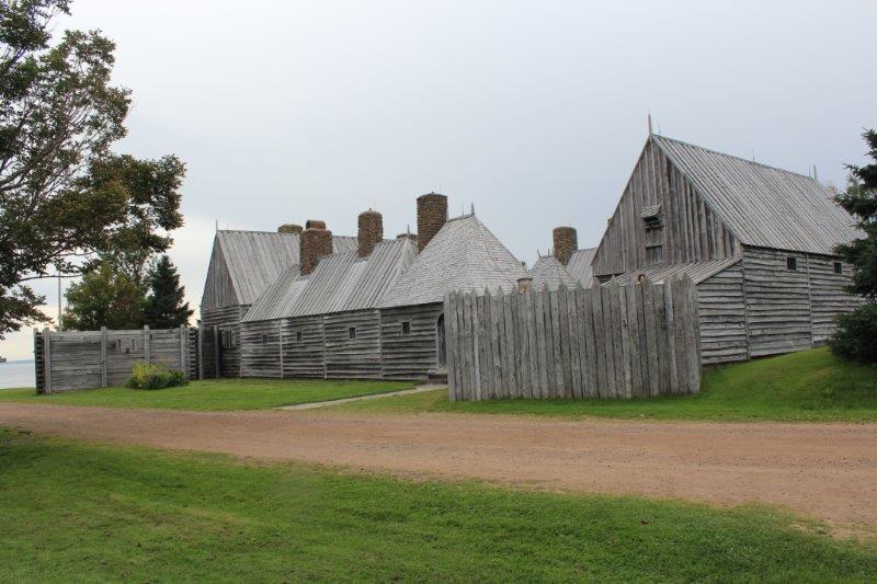
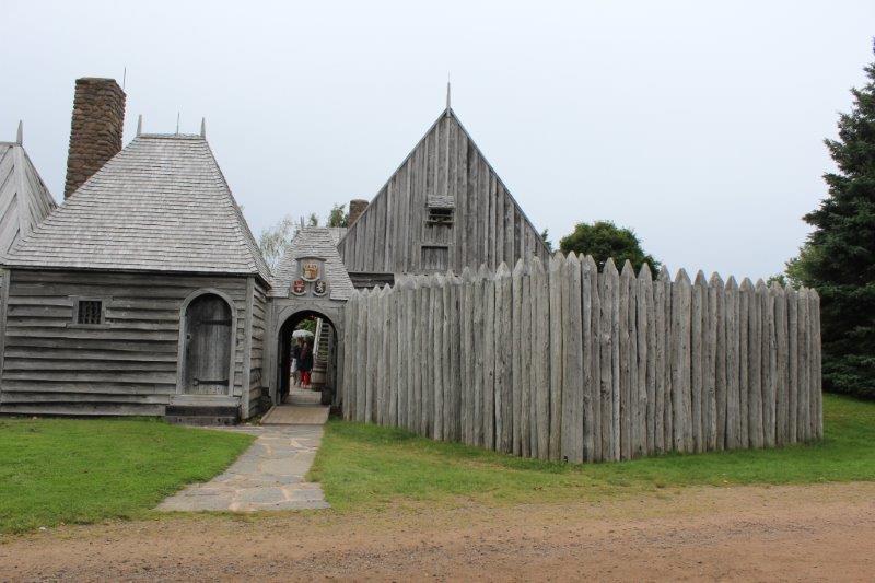
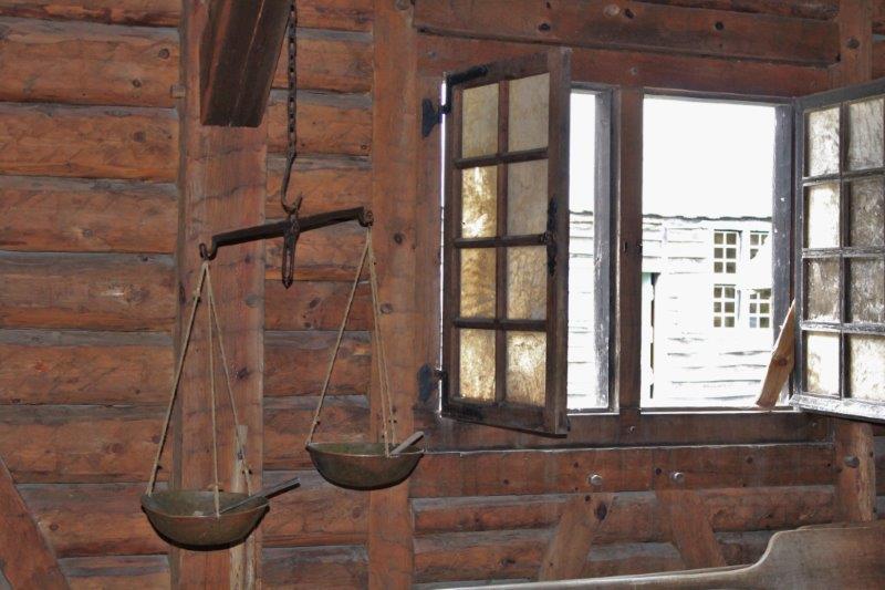
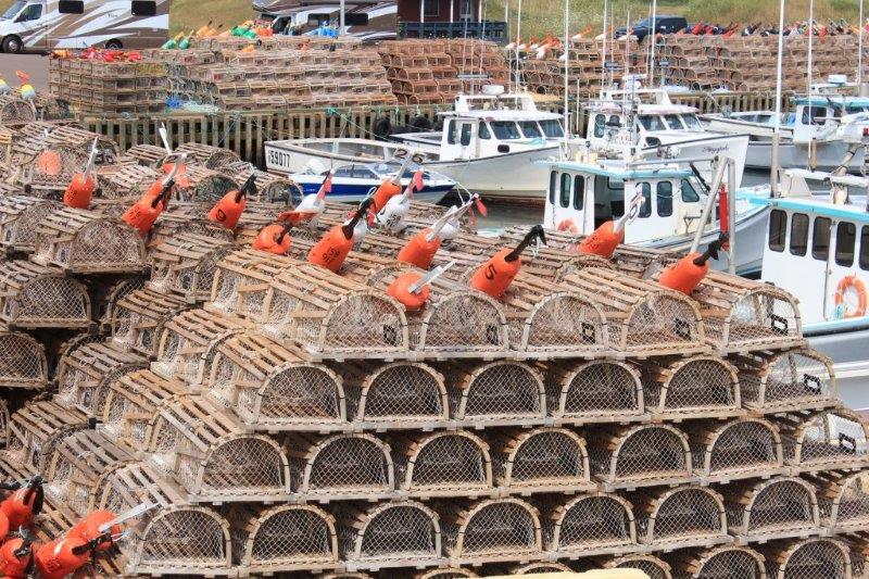
Port Royal was a French fur trading post established in 1605. A gentleman, Pierre Dugua, Sieur de Mons, arrived in the New World with a fur trade monopoly from King Henry IV and cartographer and explorer Samuel de Champlain. They established good relations with the local Mi’kmaq people who helped them learn the land and its trees, berry, roots, etc. The Mi’kmaq traded their beaver, wolf, raccoon and other fur pelts for blankets, iron tools, etc. The two nations established very good relations and were friends and allies for years.
The port was only used for 8 seasons. The French would arrive in the spring, trade with the Mi’kmaq, gather up all the furs and sail for France in the fall. In 1613, while the inhabitants were away, an English expedition from Virginia looted and burned the Habitation (they were starving down at Jamestown). The French survived the winter before sailing back to France and the Habitation was never rebuilt.
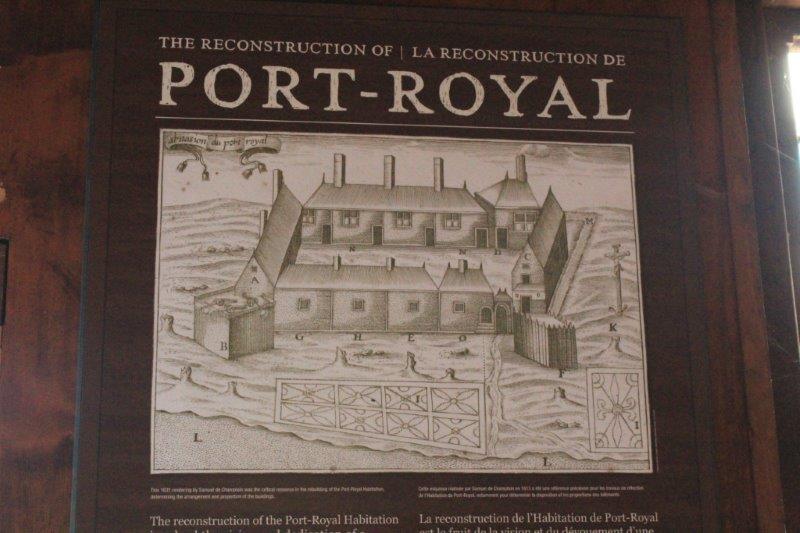
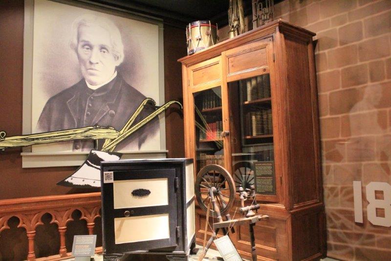
Spurred by the efforts of Harriet Taber Richardson of the Historical Association of Annapolis Royal, the Canadian government rebuilt the Habitation in 1939-1940 based on detailed journal notes from an inhabitant and the drawings and engravings of de Champlain. They used construction methods used in France at the time the Habitation was built, and hired retired shipbuilders to work on it since they were familiar with many of the tools and techniques. This was the first major reconstruction undertaken by the federal government and was a milestone in the preservation movement. Port Royal is considered the second most significant historical site in Canada after the Parliament Buildings in Ottawa.

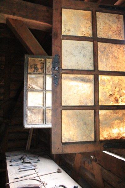
Deer skin window panes.

 A wooden wood lathe
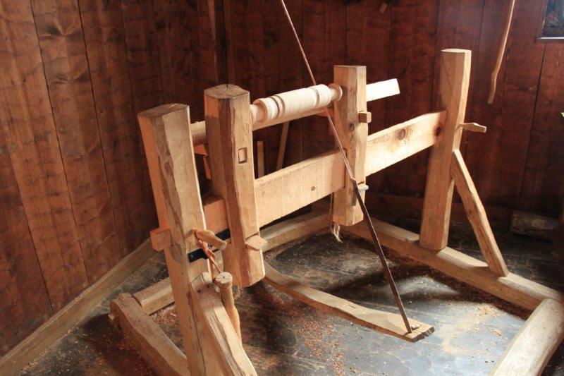
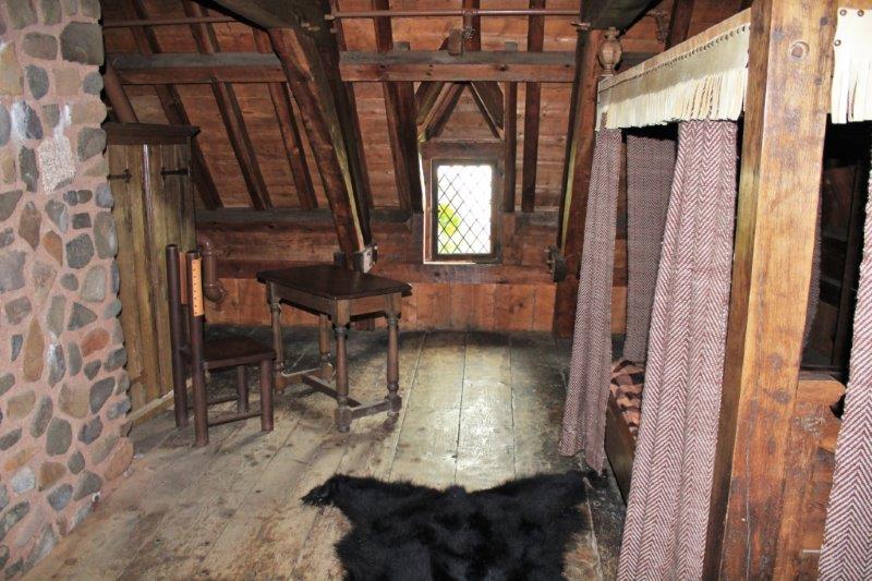
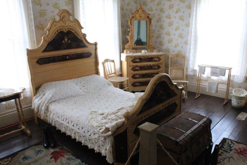
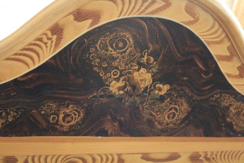
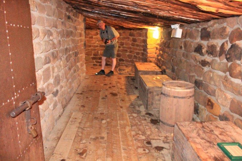
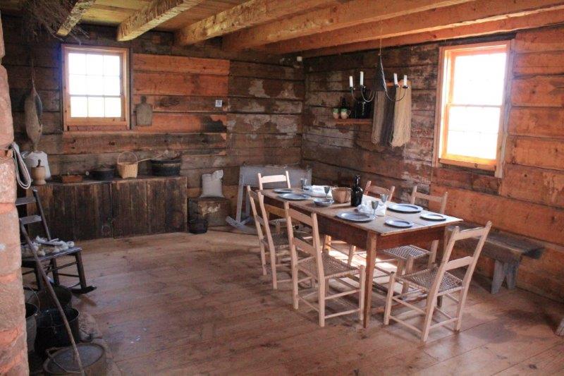
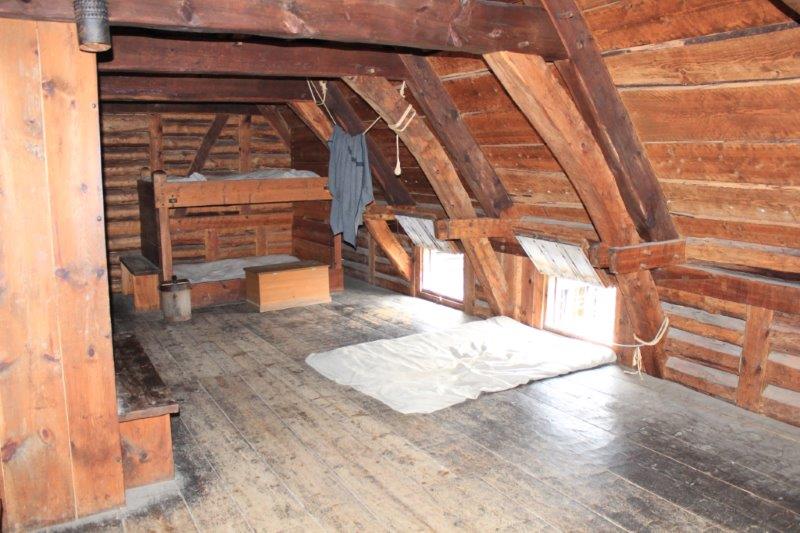 Sleeping quarters
for the fur traders. 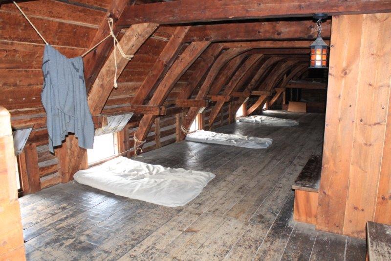
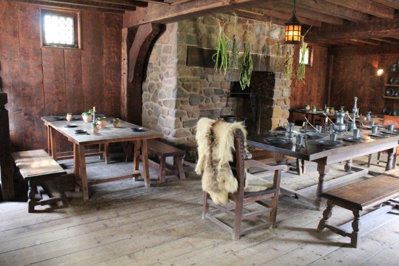
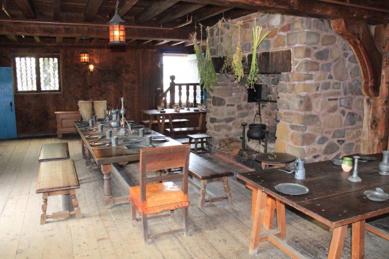
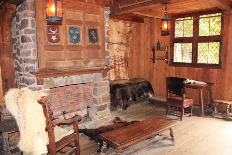 The Sieur de Mons quarters. His bedroom is above the ‘living room’
 I loved the leather bucket
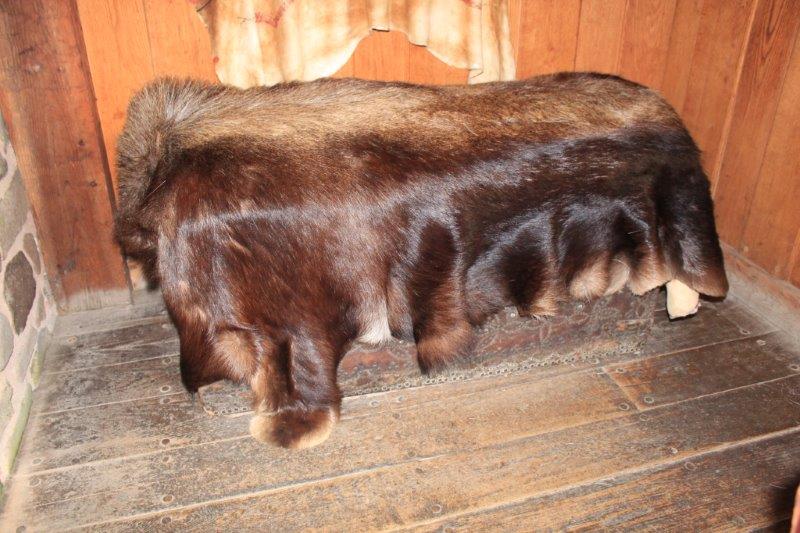 A grizzly hide
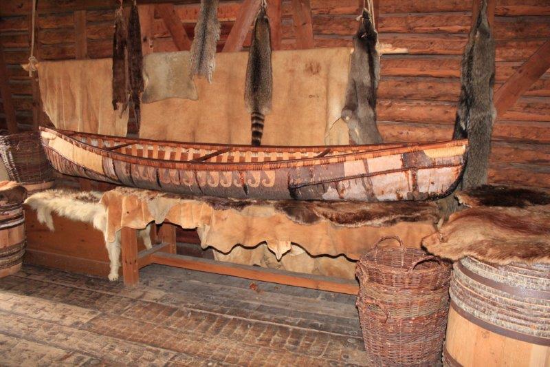

 A nice farewell.
Another great story, another good day.


