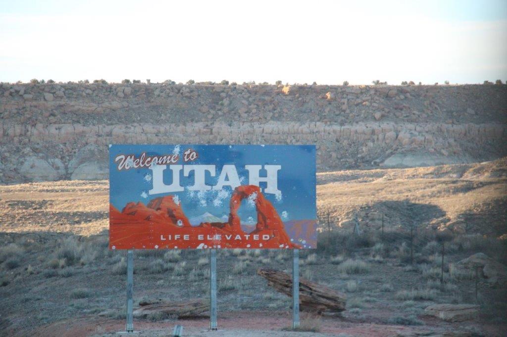
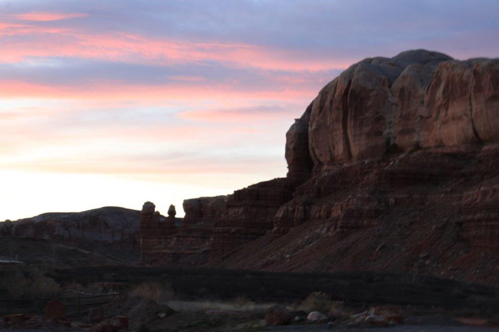
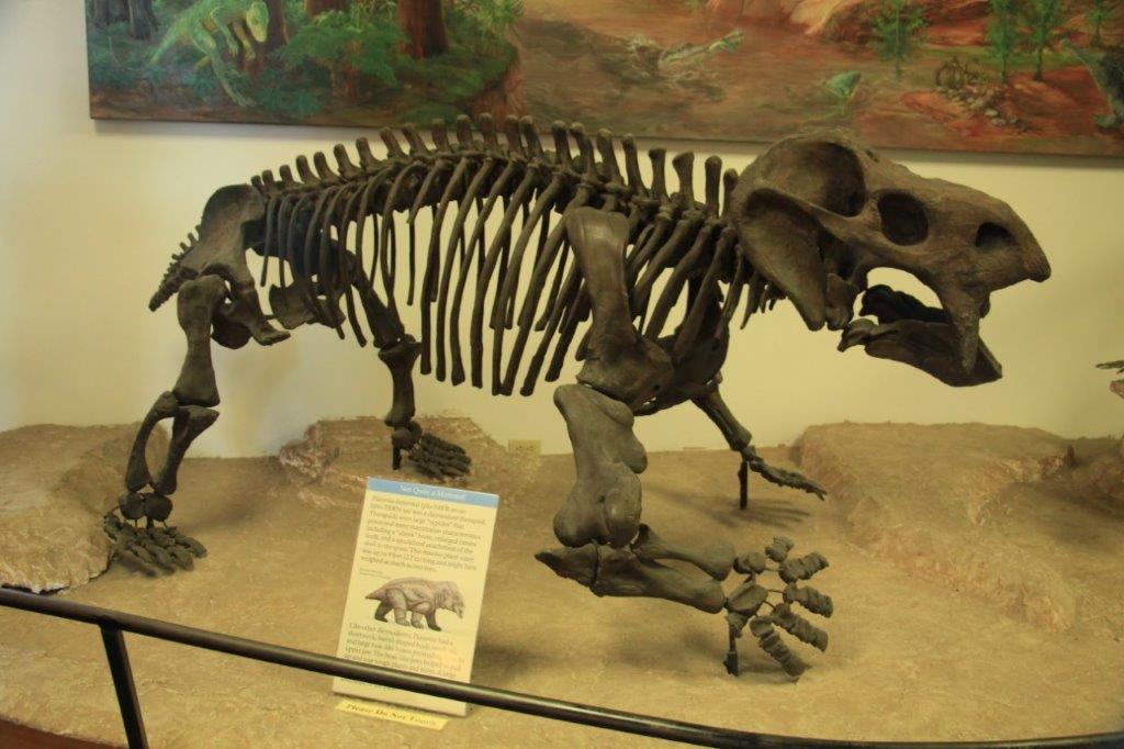
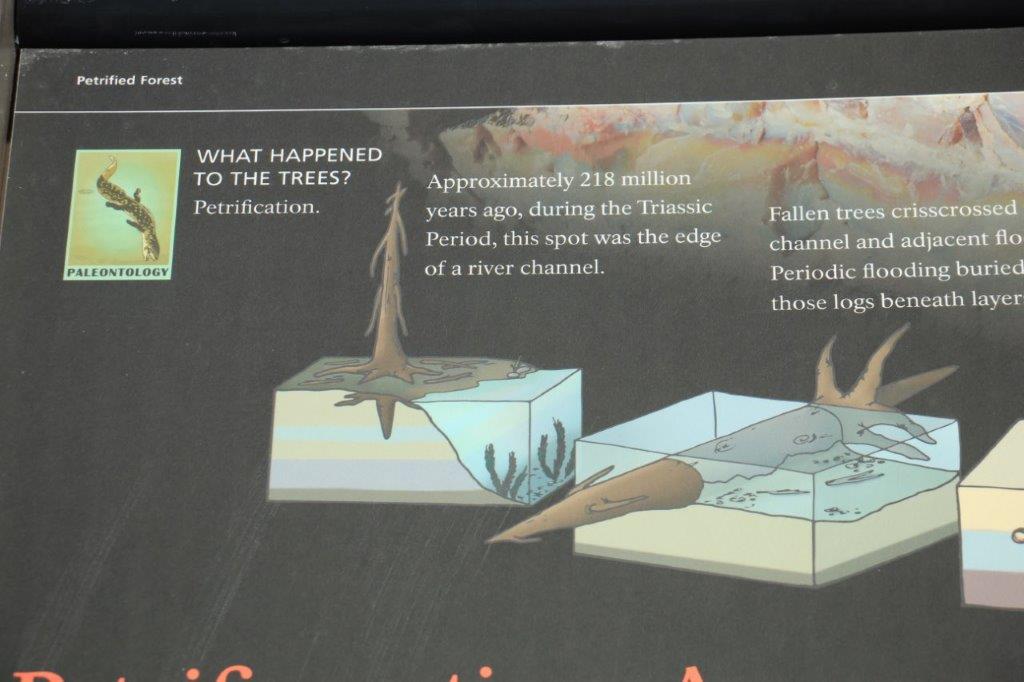
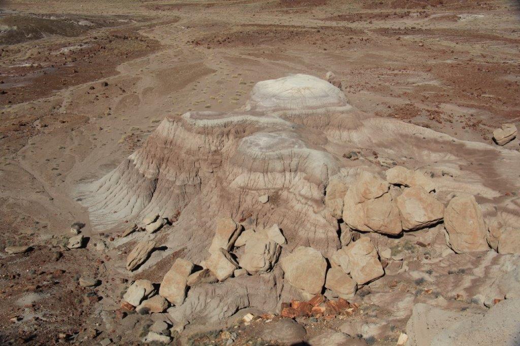
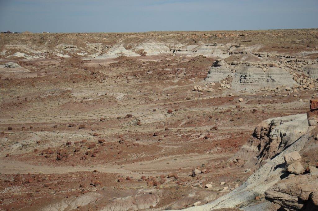
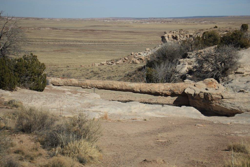
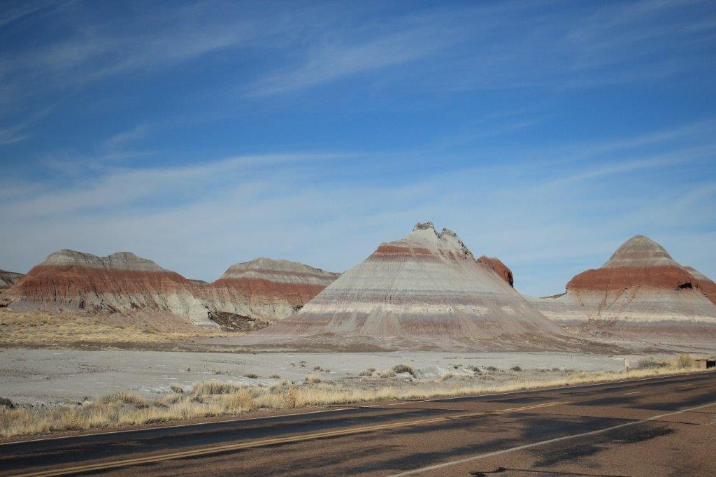
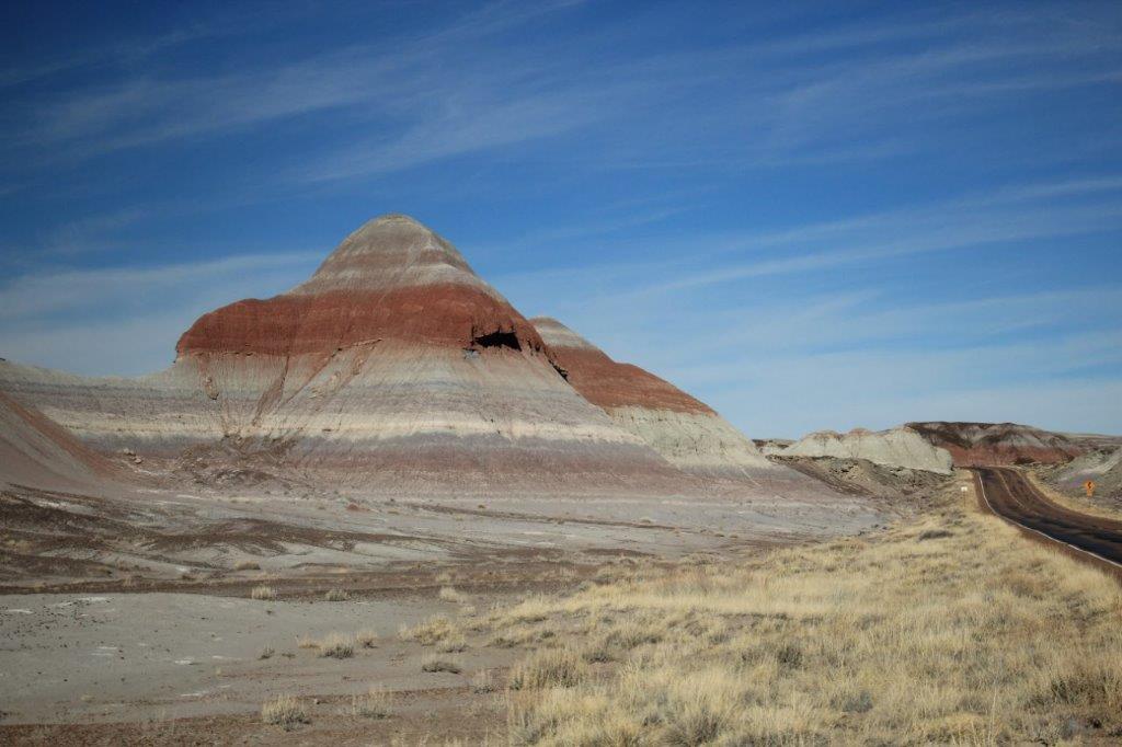
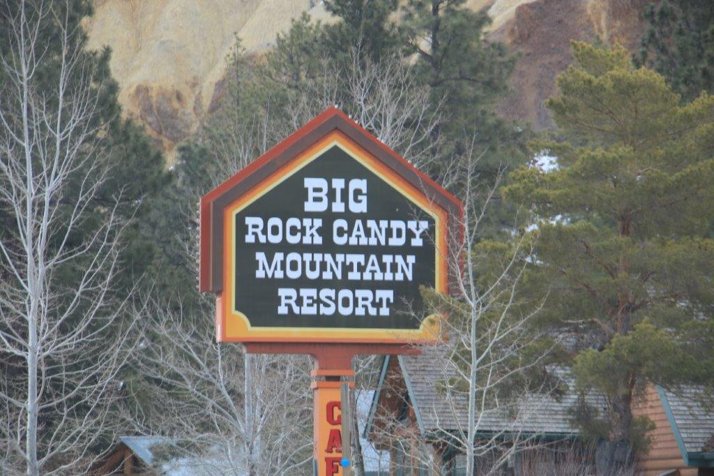
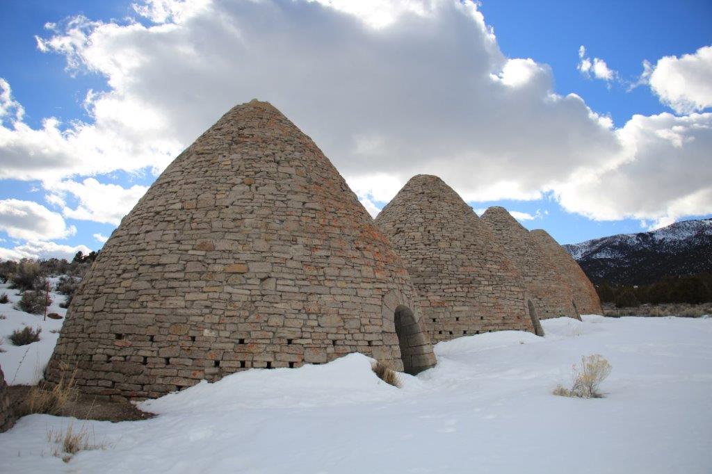
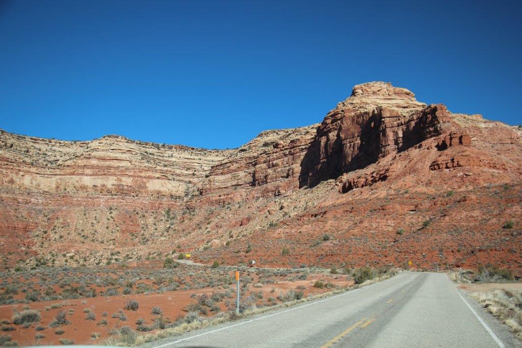
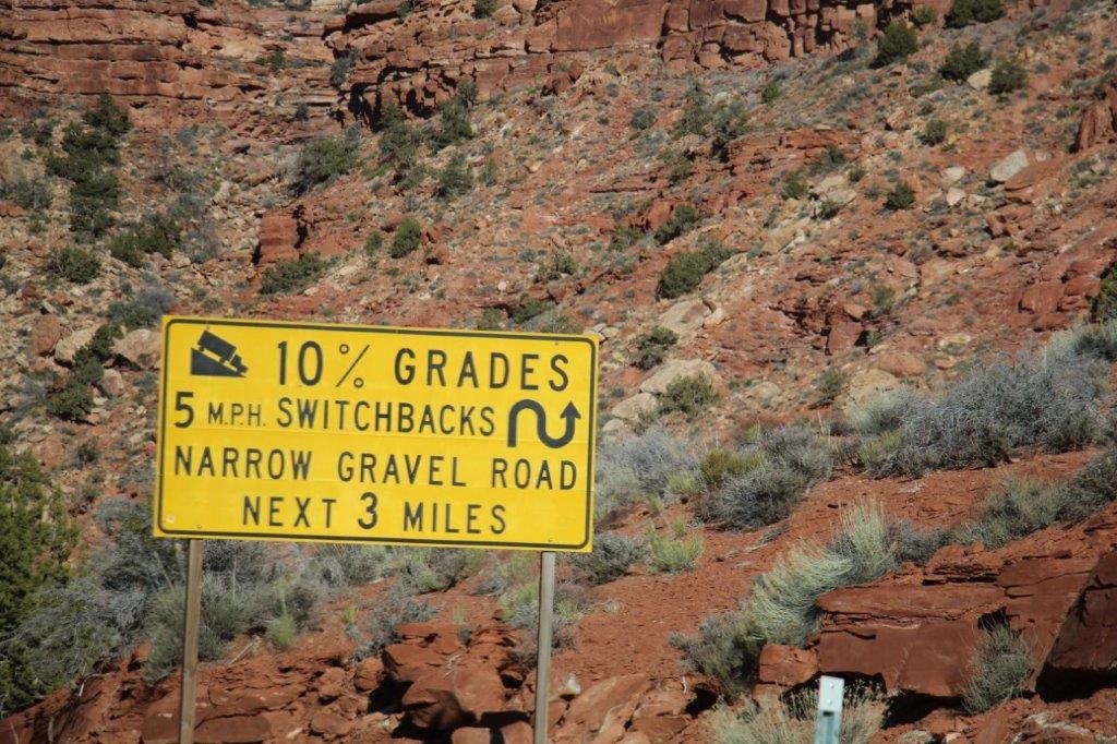
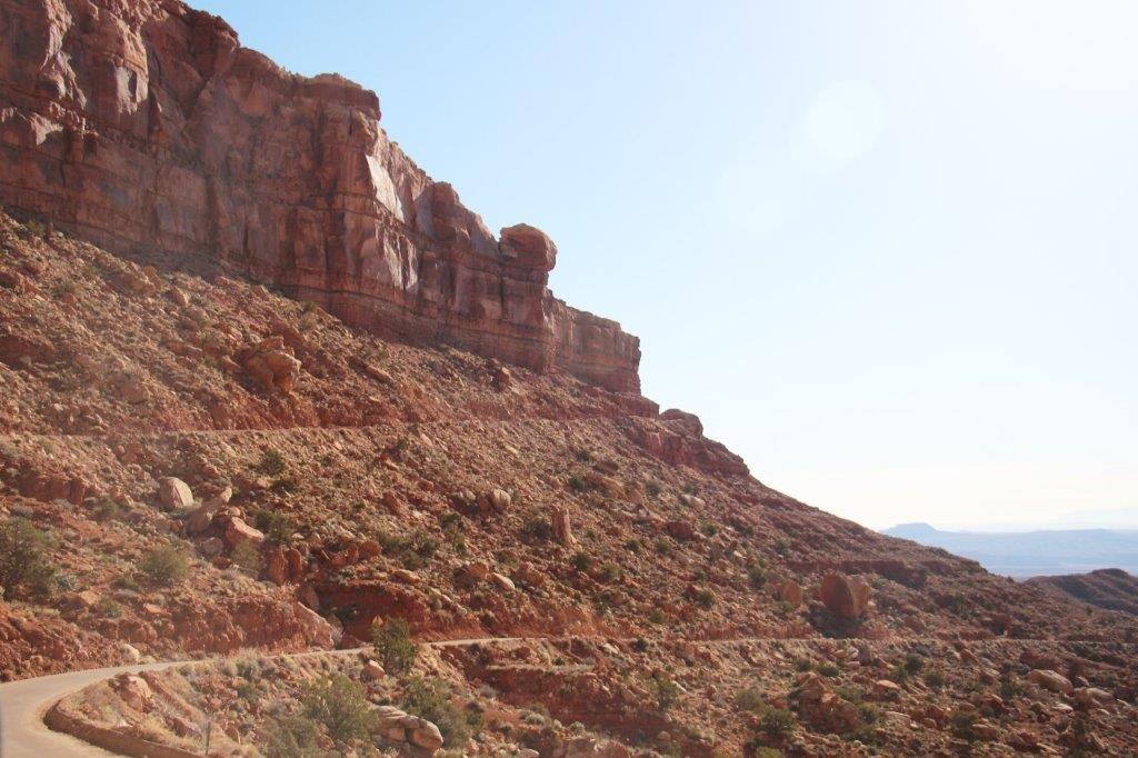
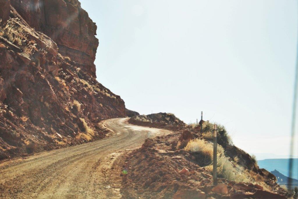
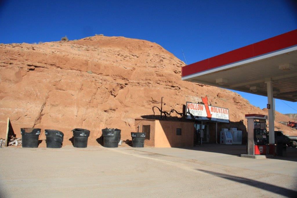
Day 37 – February 16 – Flagstaff to Winslow, AZ
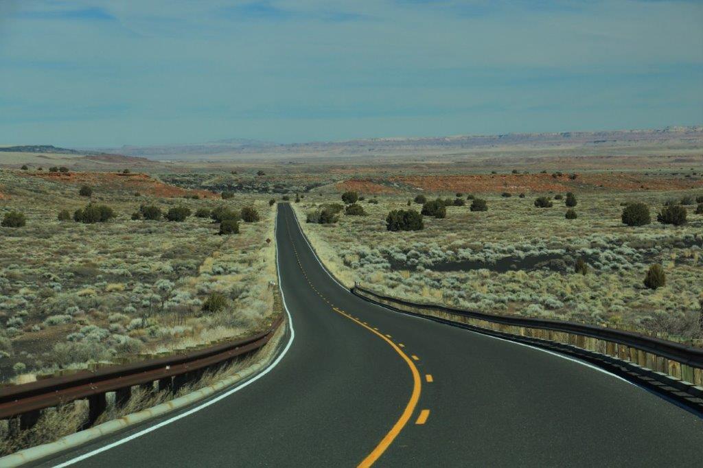
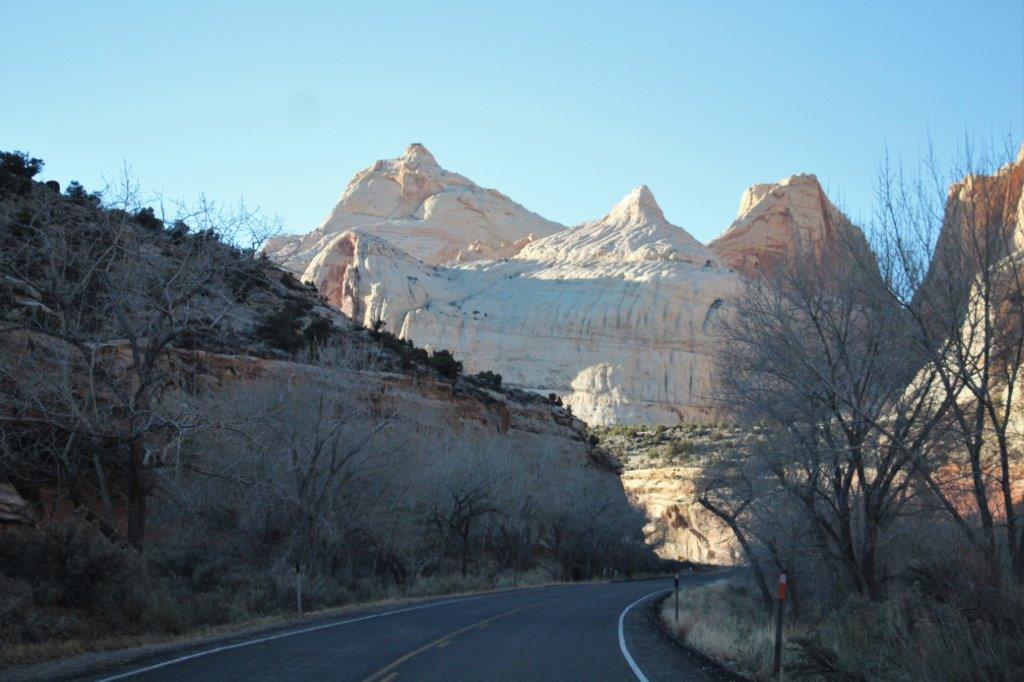
We actually got a relatively early start this morning which was good as we had a number of places to visit before we could get to our next hotel in Winslow so as to have a short drive to Petrified Forest National Park tomorrow.
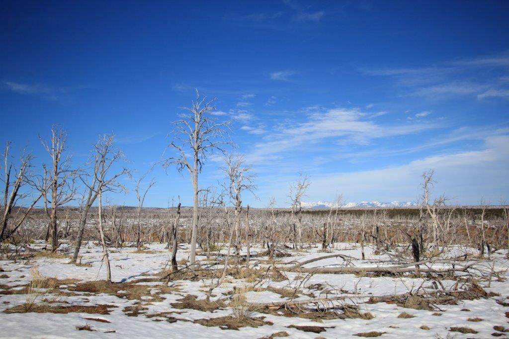
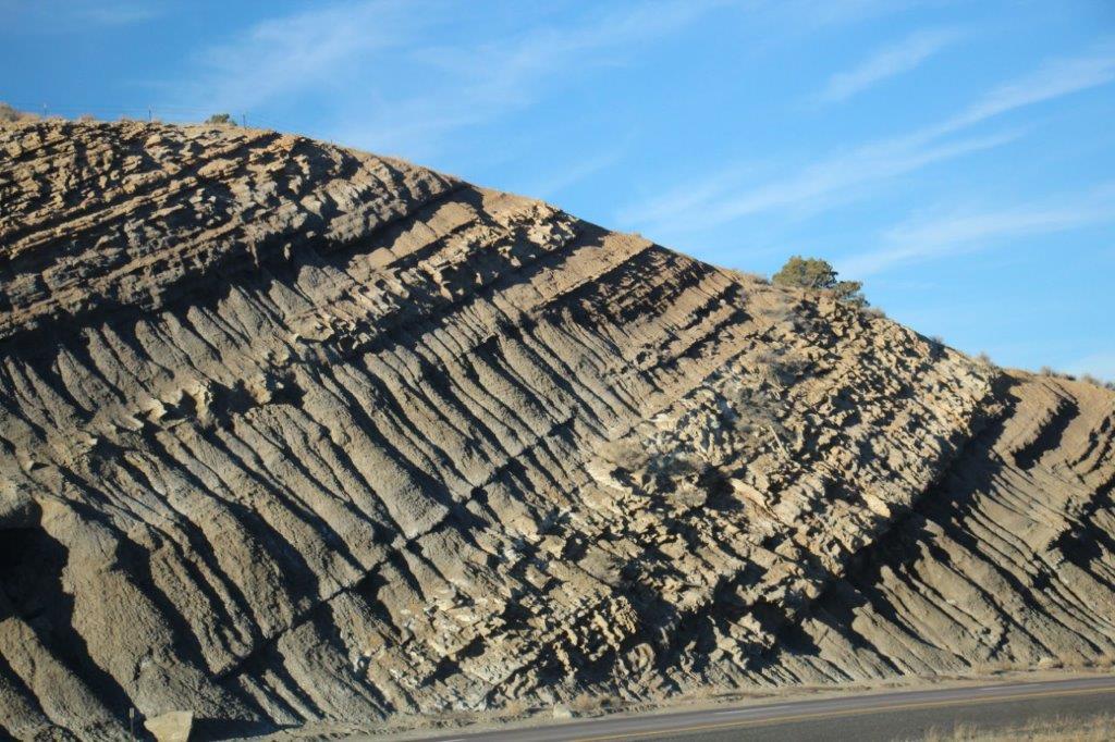
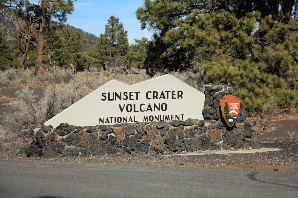
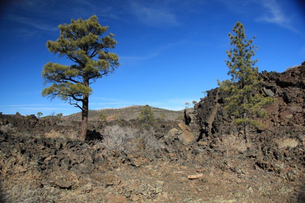
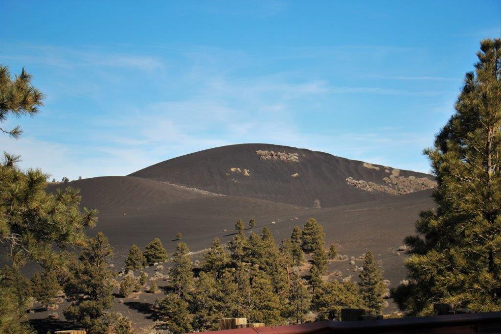
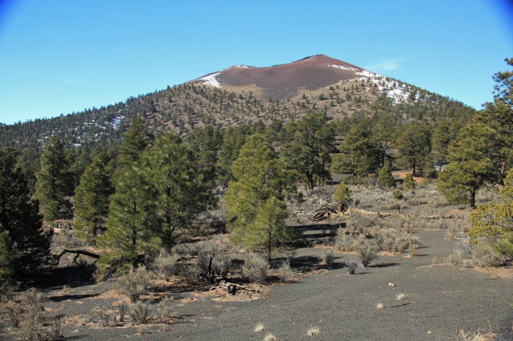
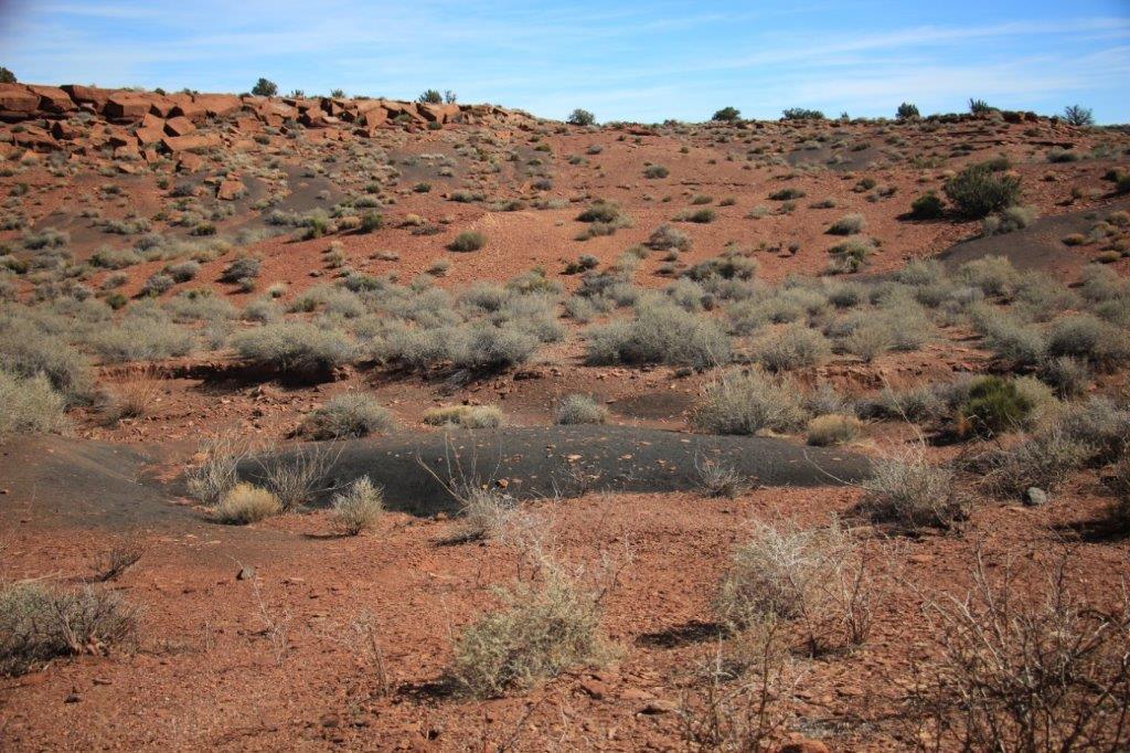
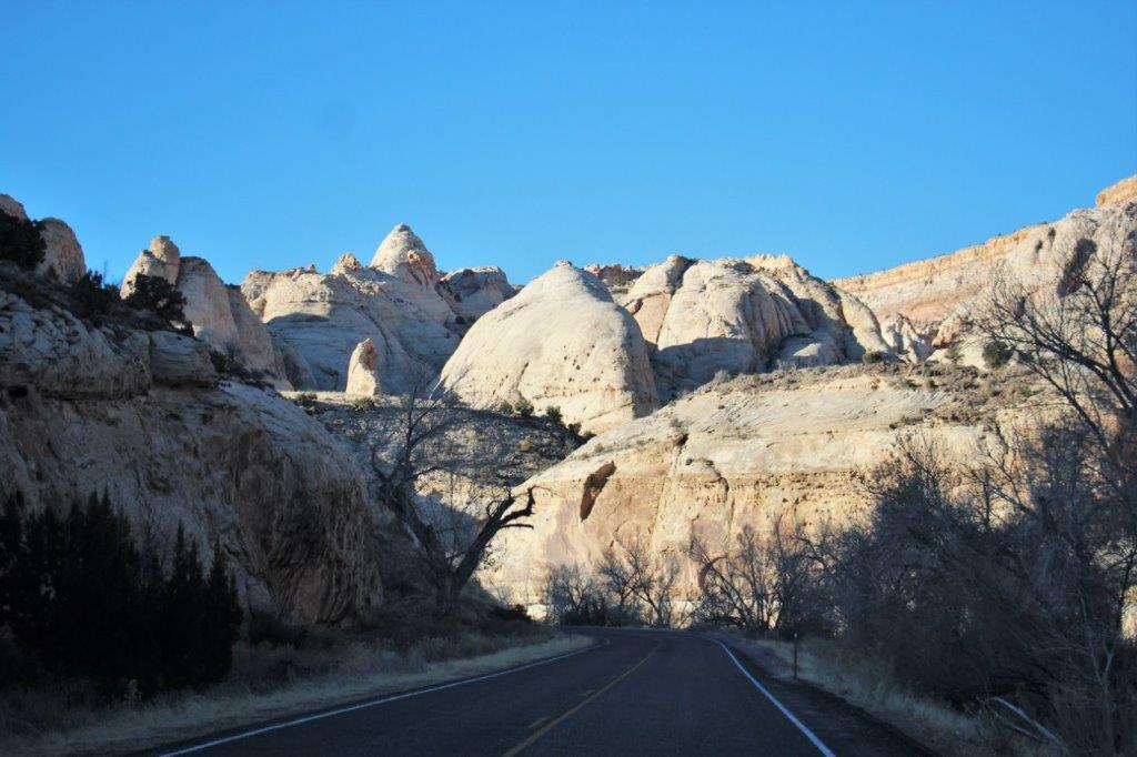
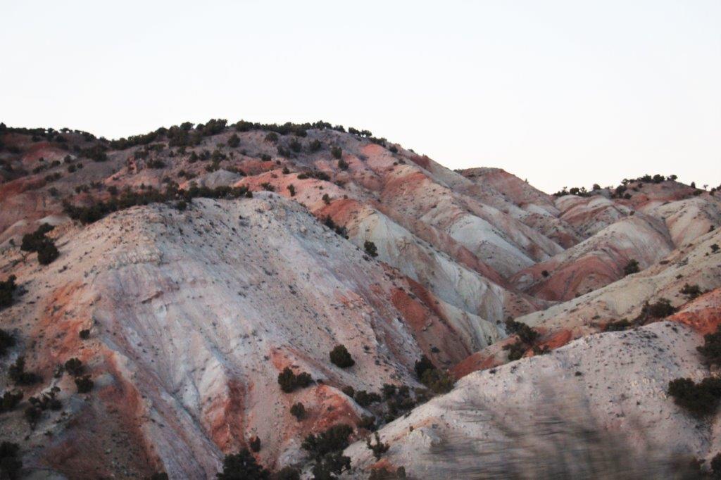
 Our first stop was Sunset Crater Volcano located about 25 miles north of Flagstaff. A huge volcanic eruption took place here 50,000 years ago. You can no longer walk up to the crater or around the rim but we enjoyed the drive and the photo ops. (And John really likes his new camera.)


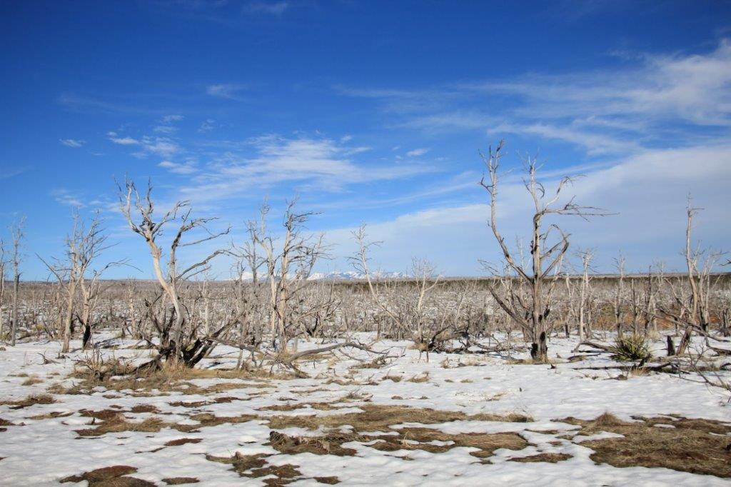
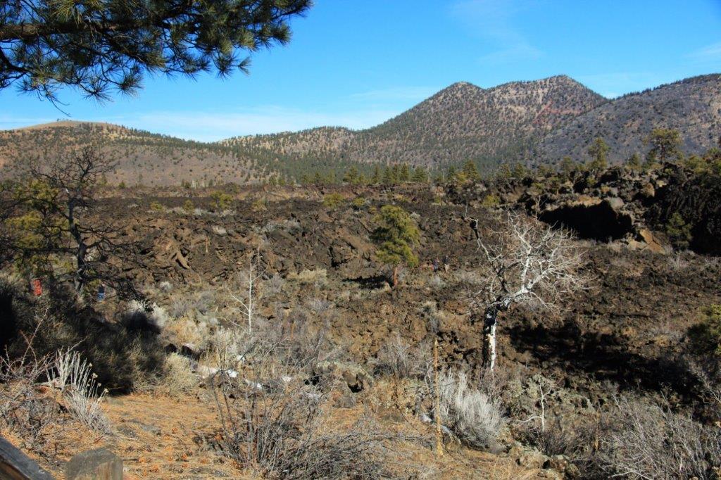
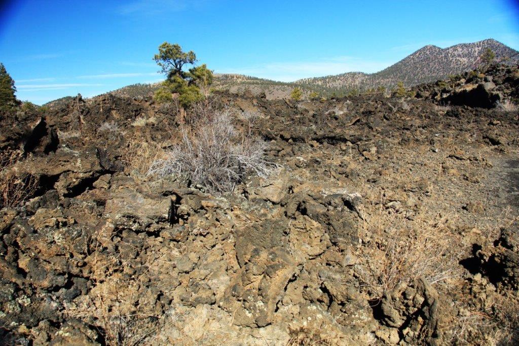
 If you have ever been to the Big Island of Hawai’i you will recognize the A’a lava.


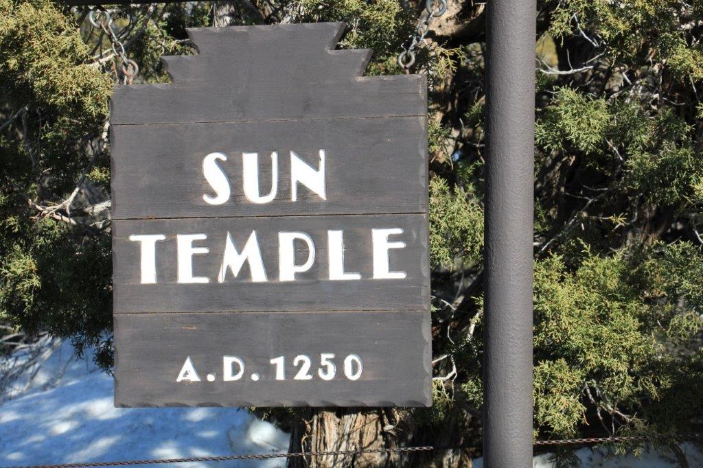
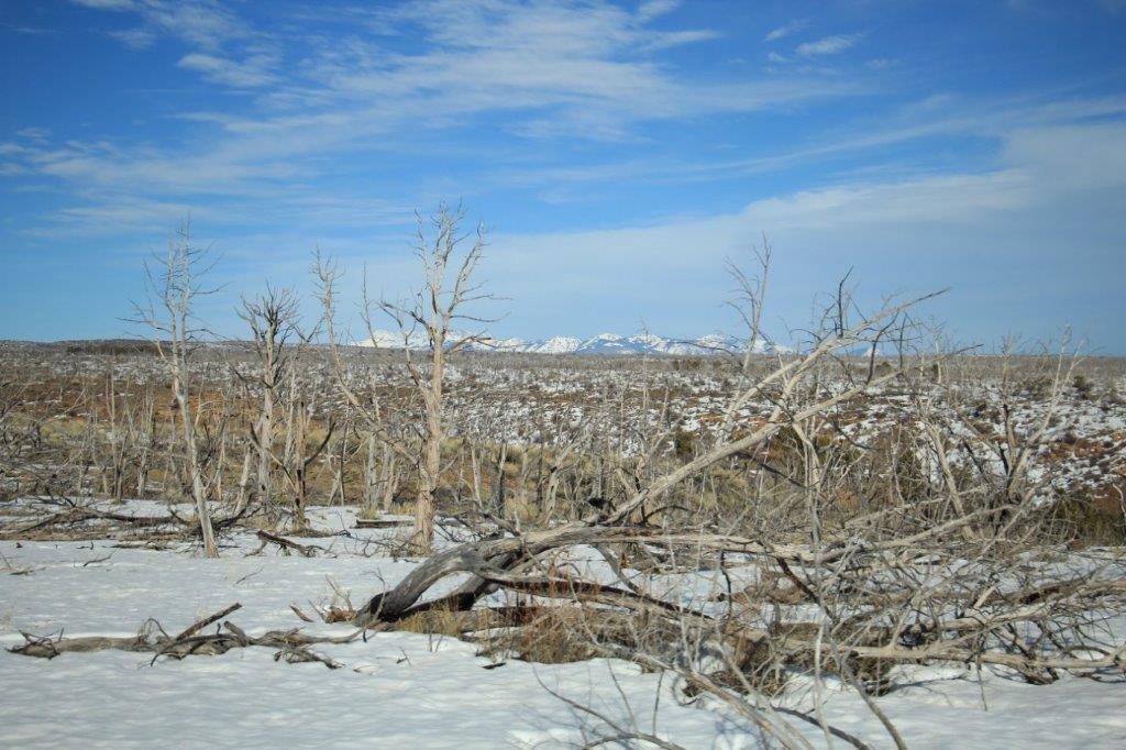
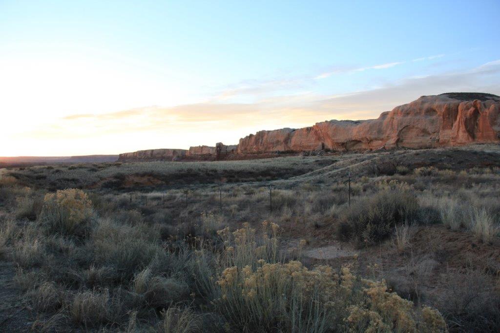
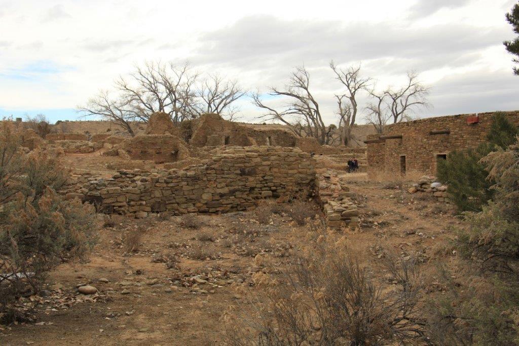
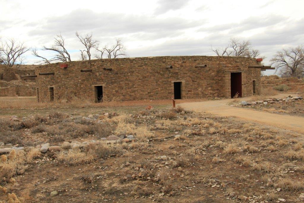
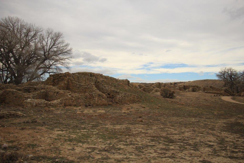
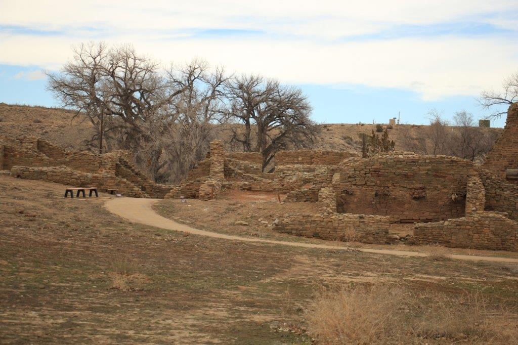
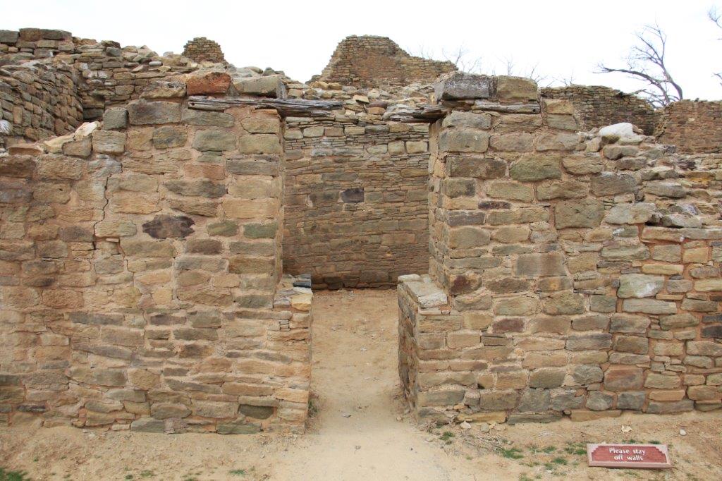
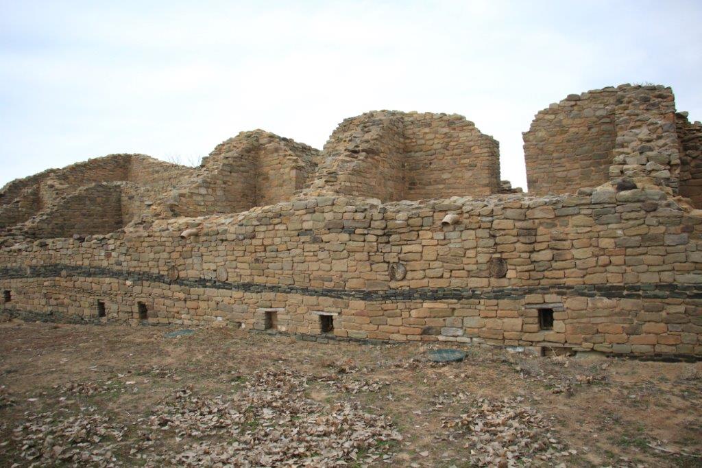
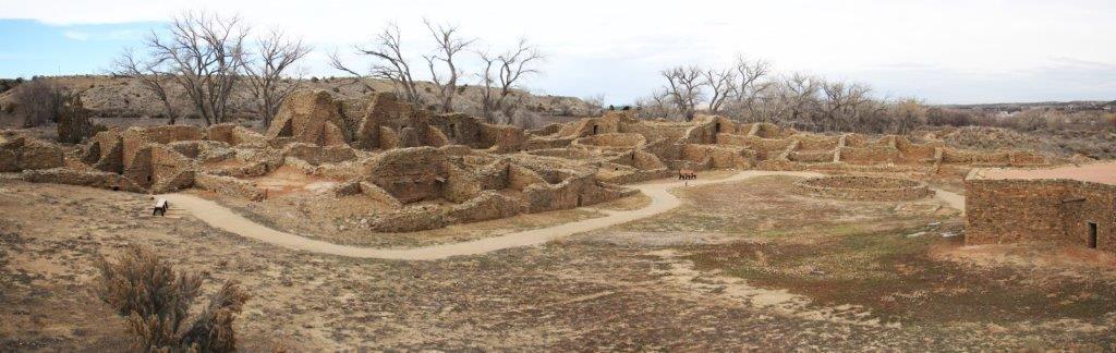
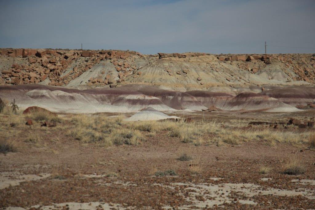
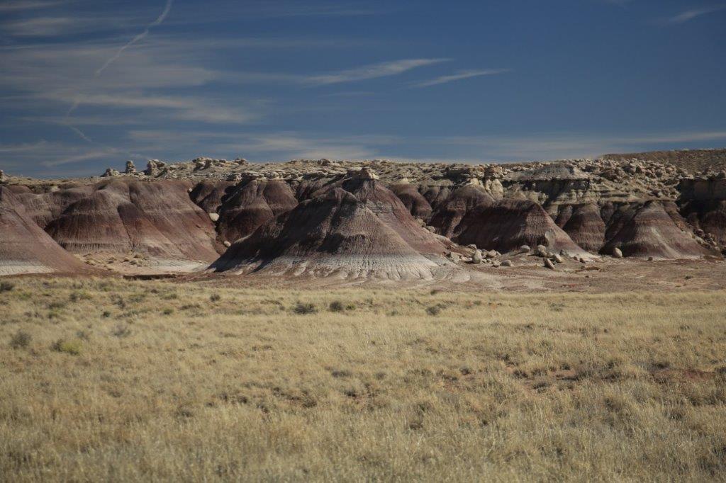
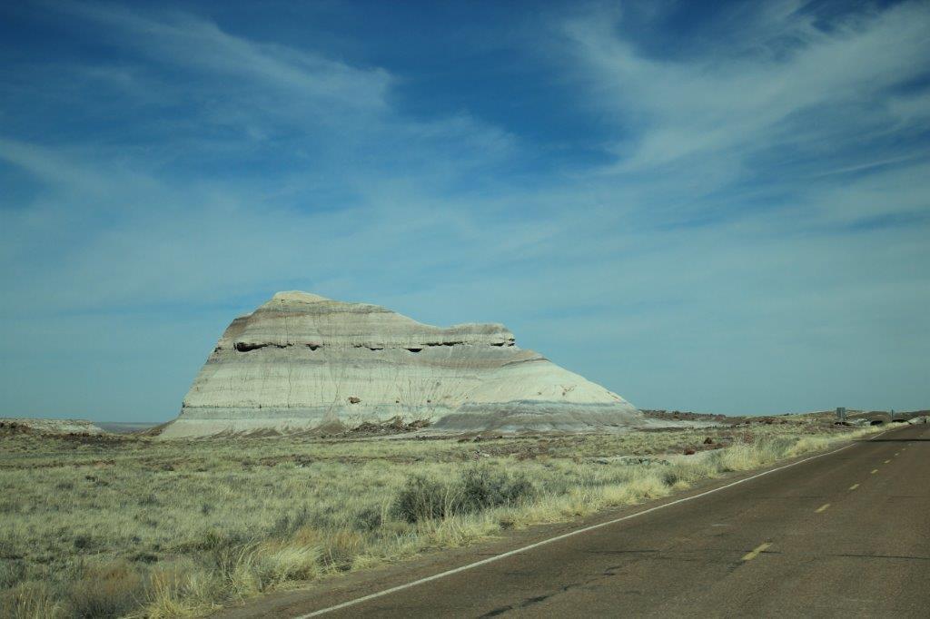
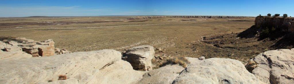
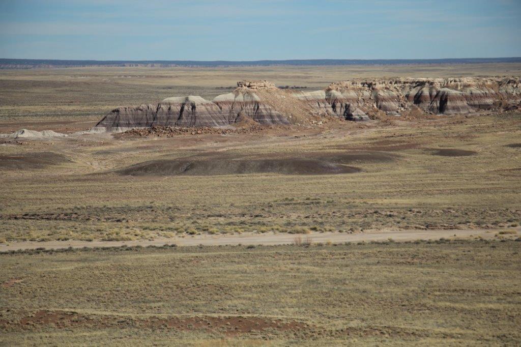
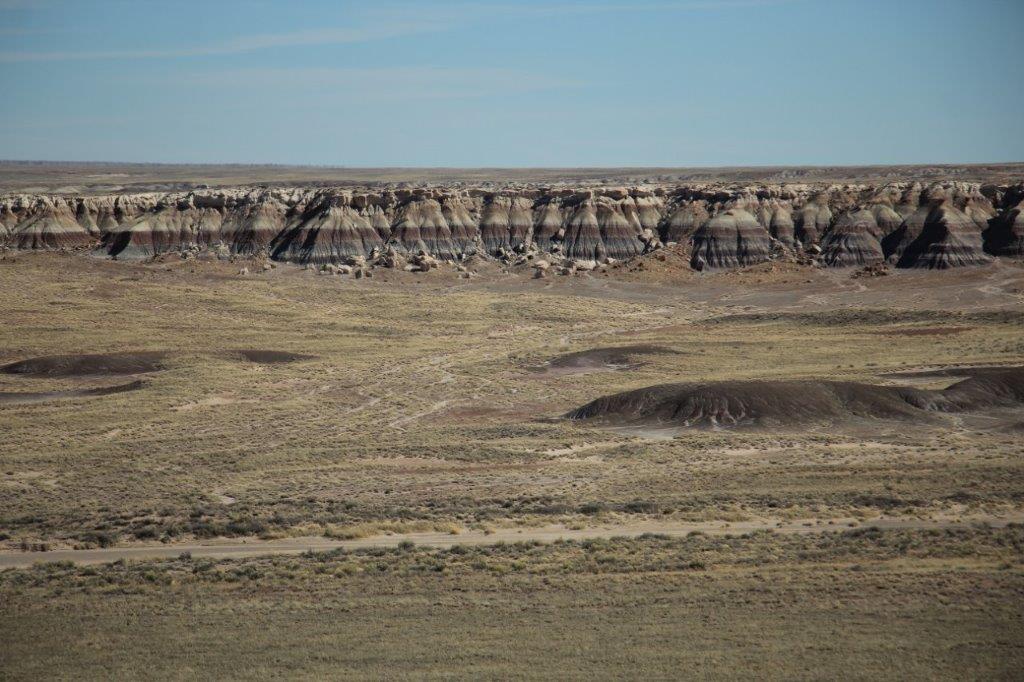
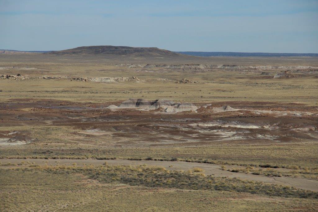
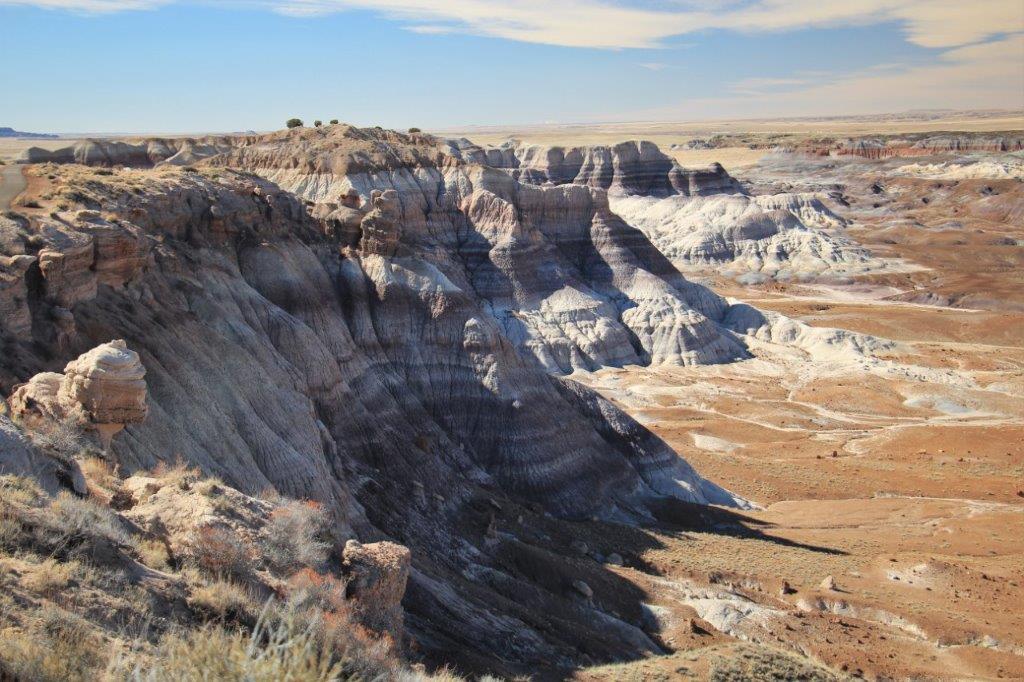
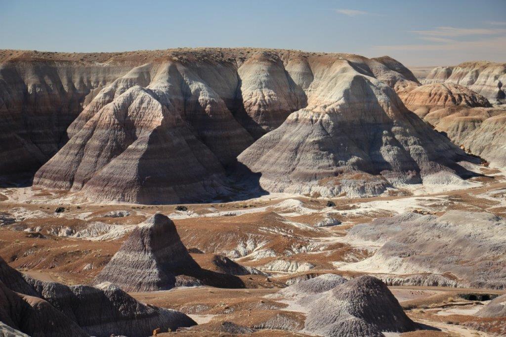
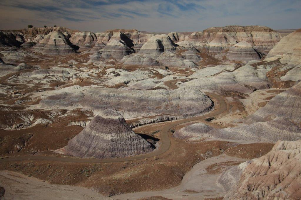
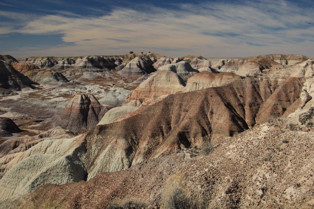
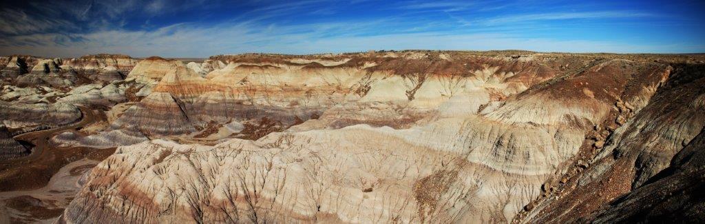
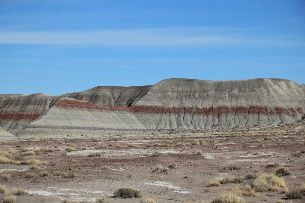
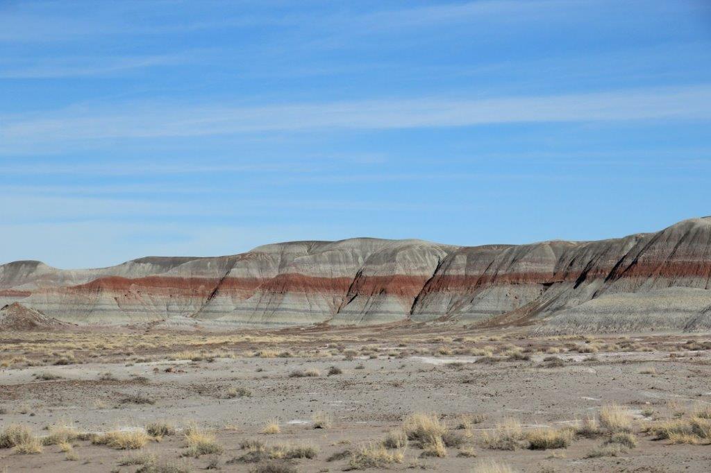
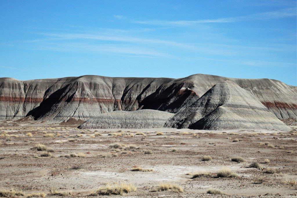
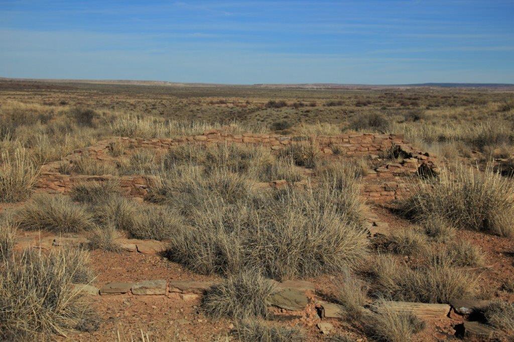
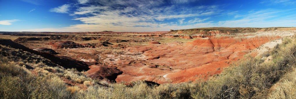
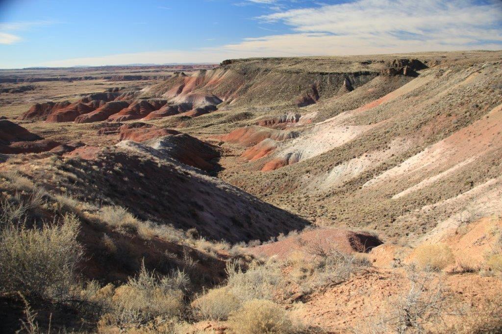
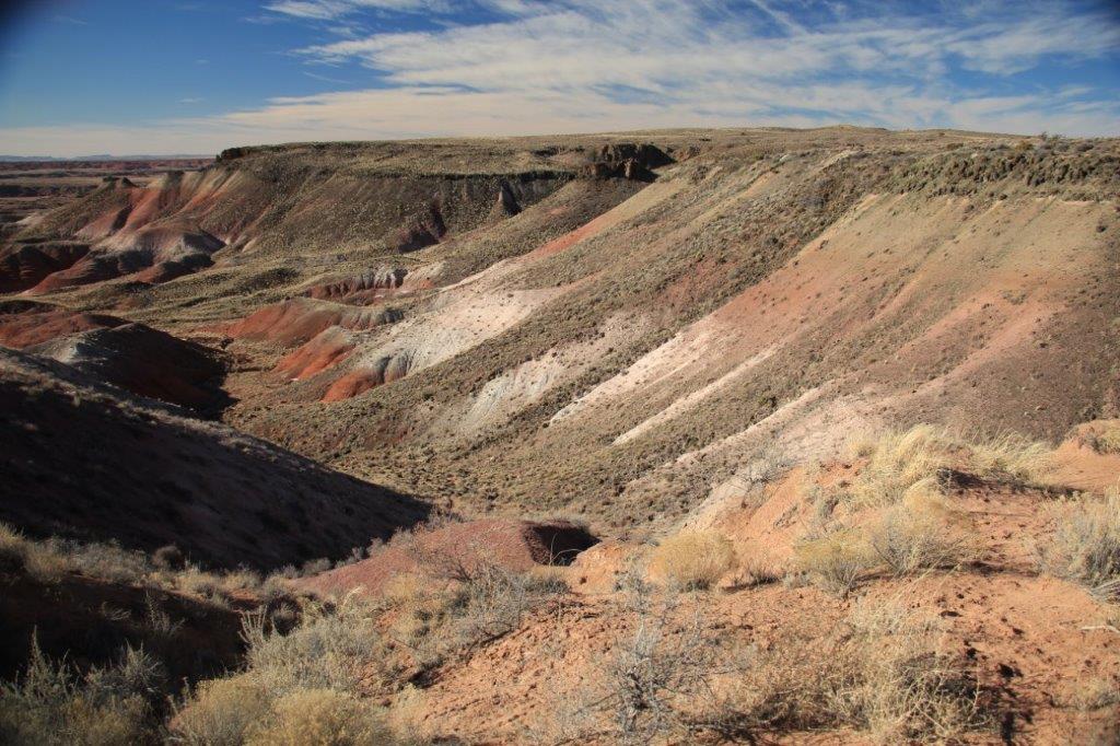
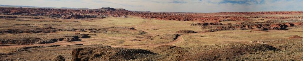
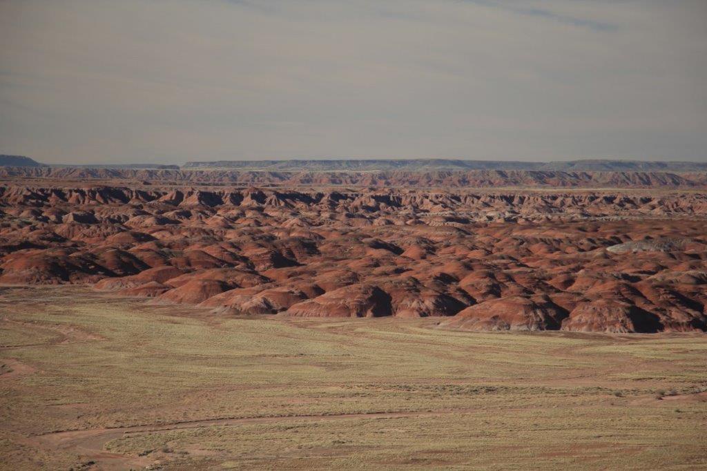
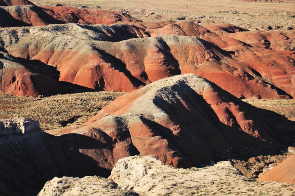
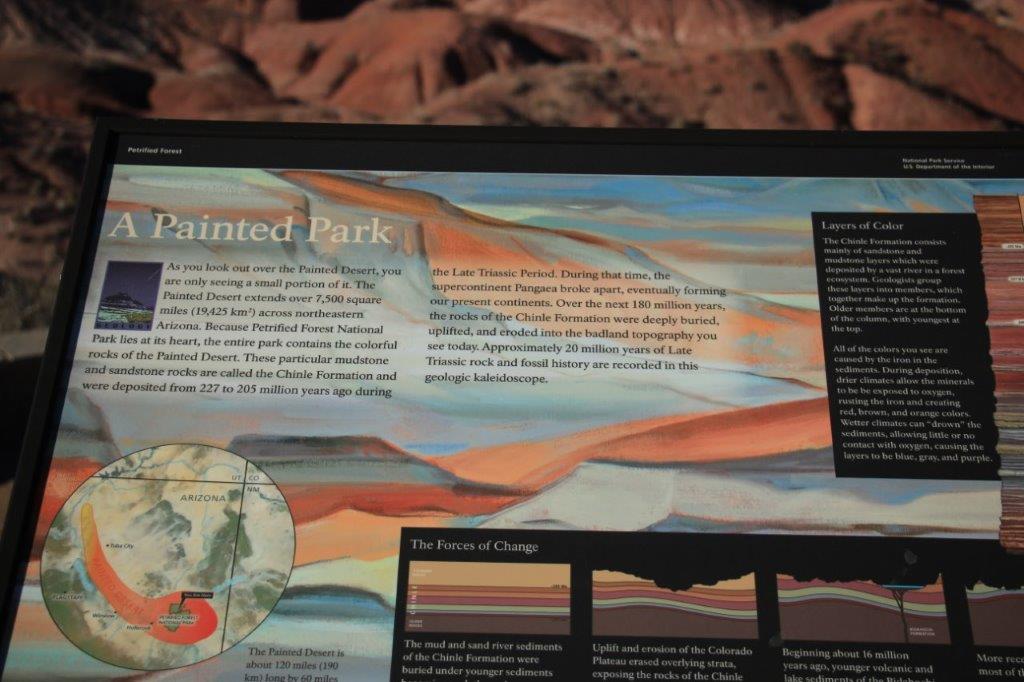
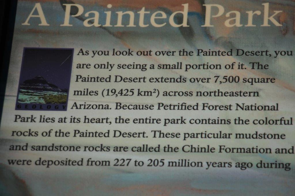
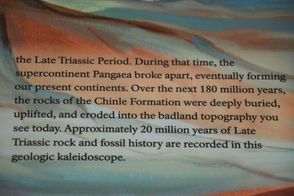
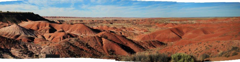
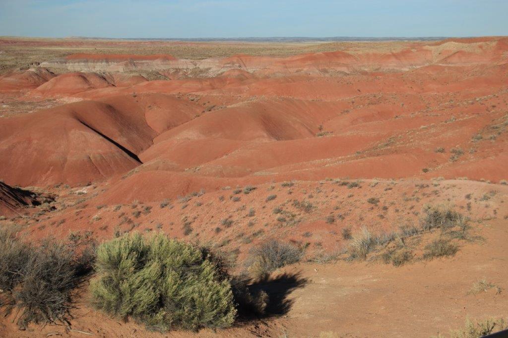
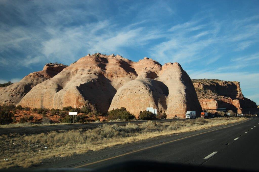
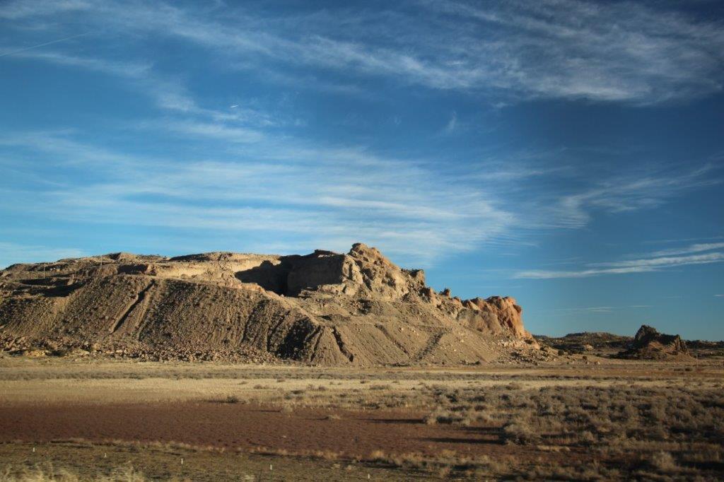
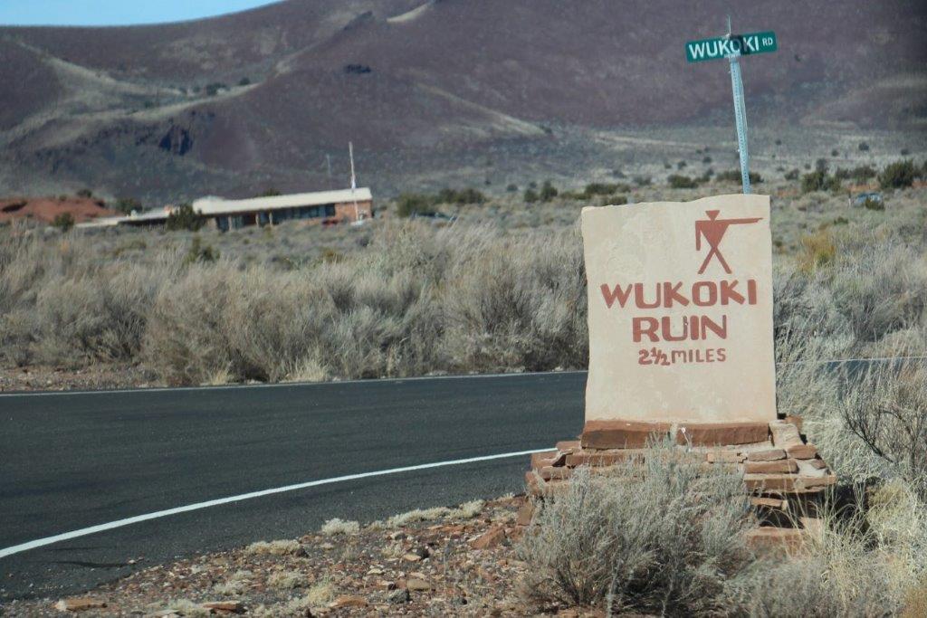
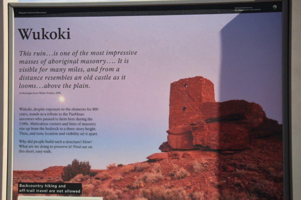
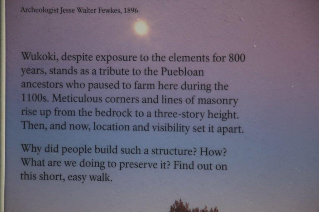
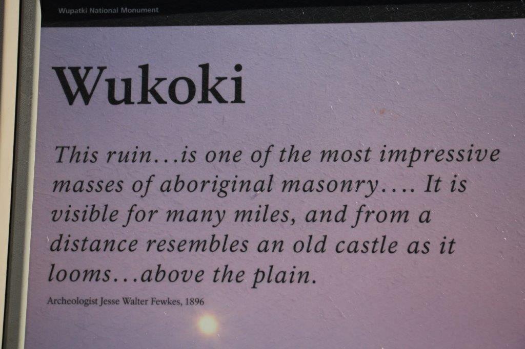
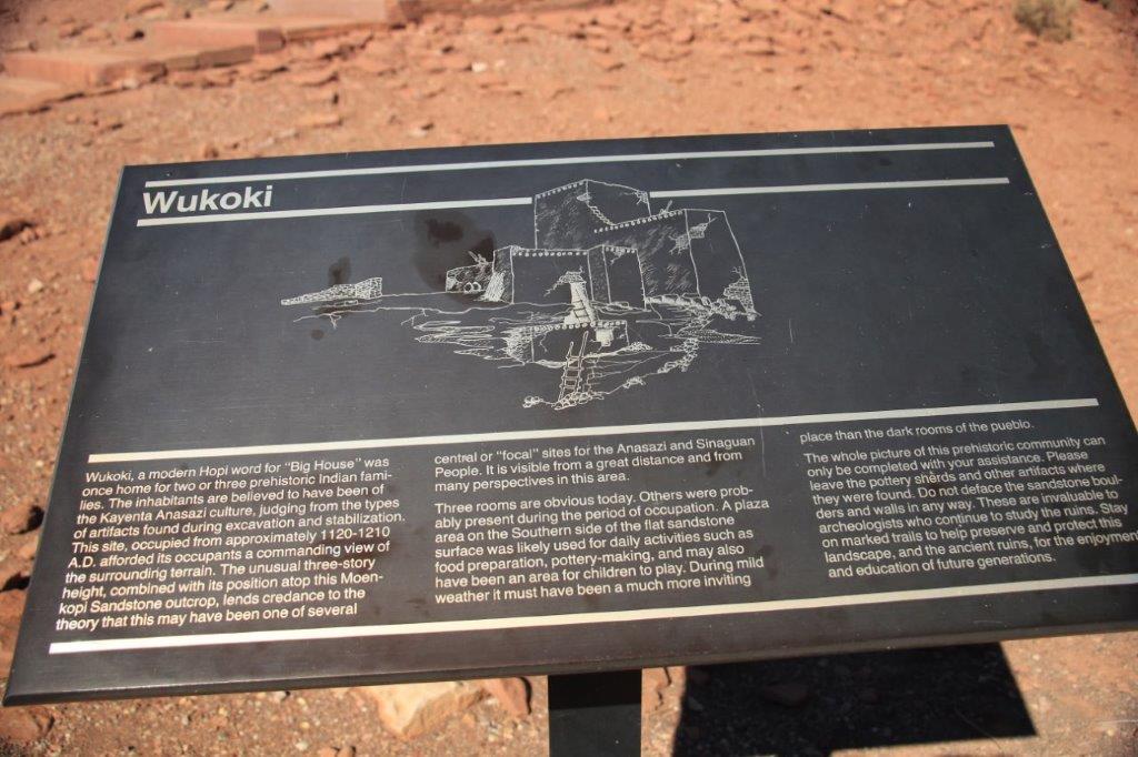
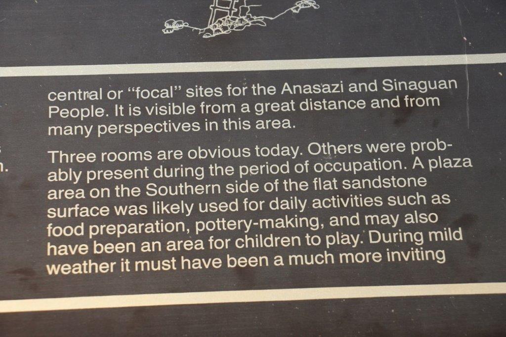
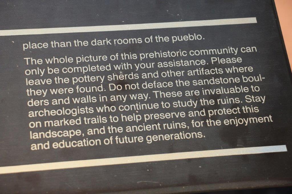
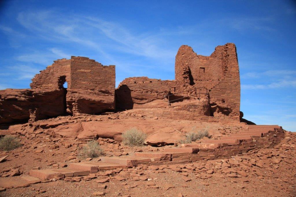
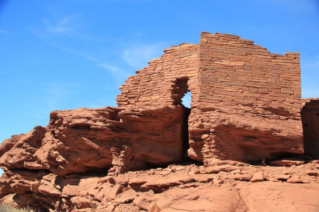
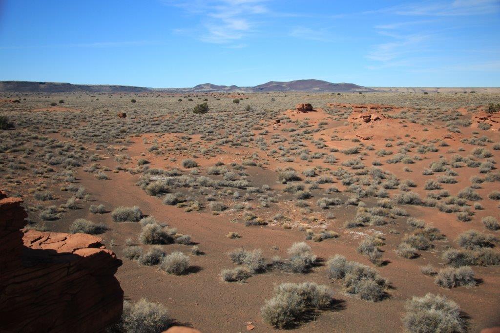
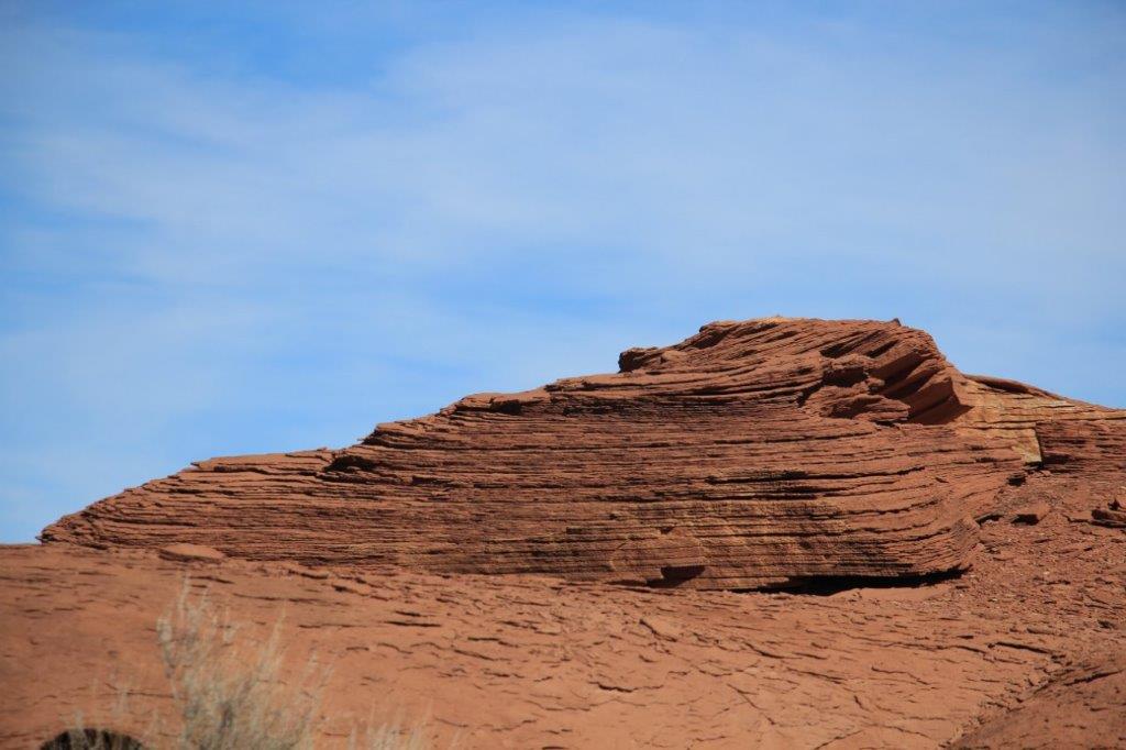
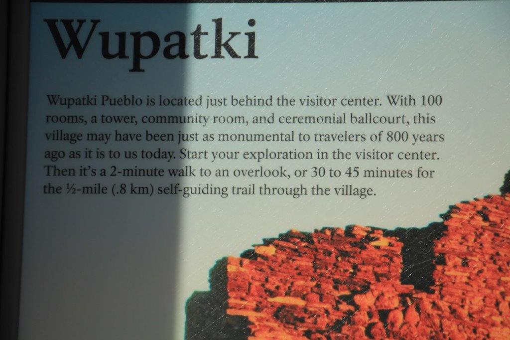
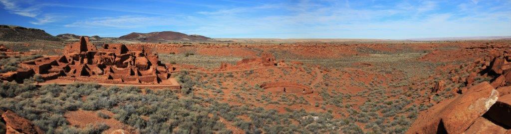
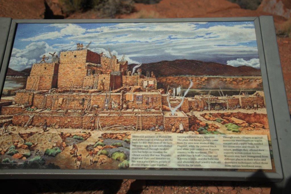
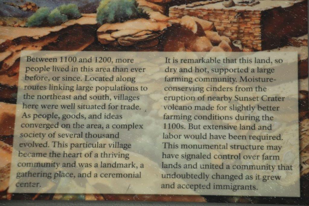
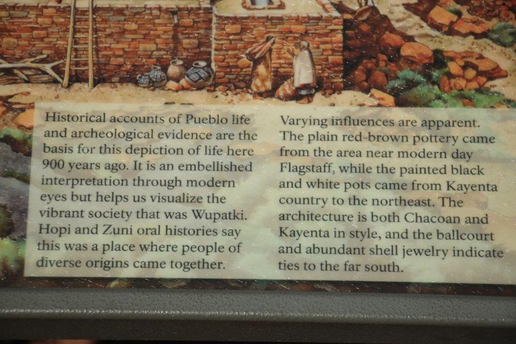
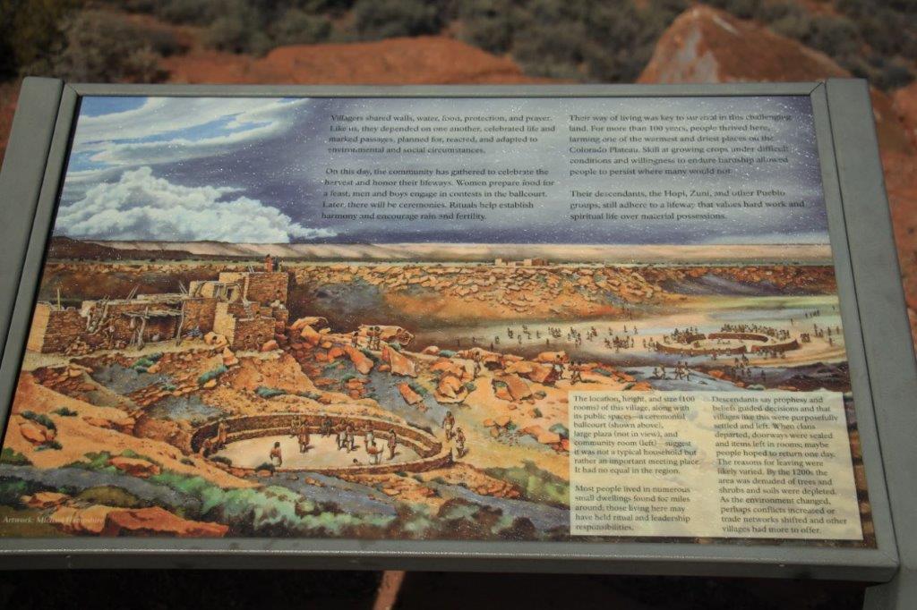
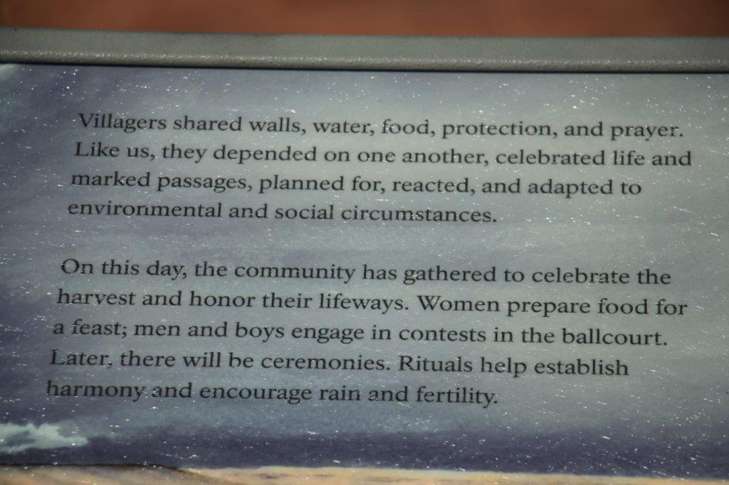
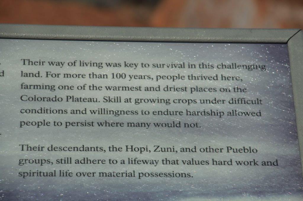
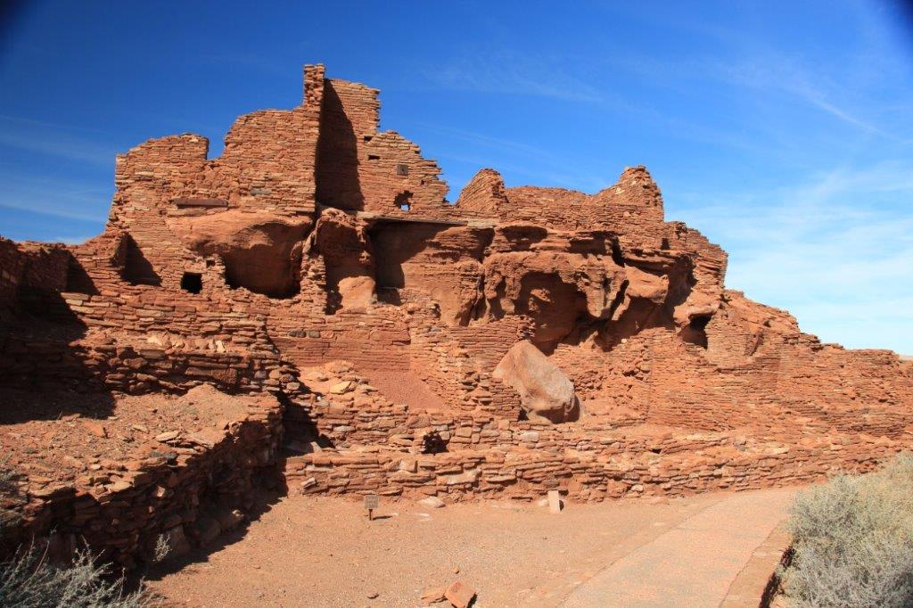
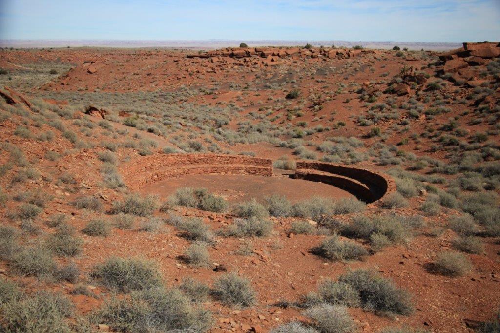
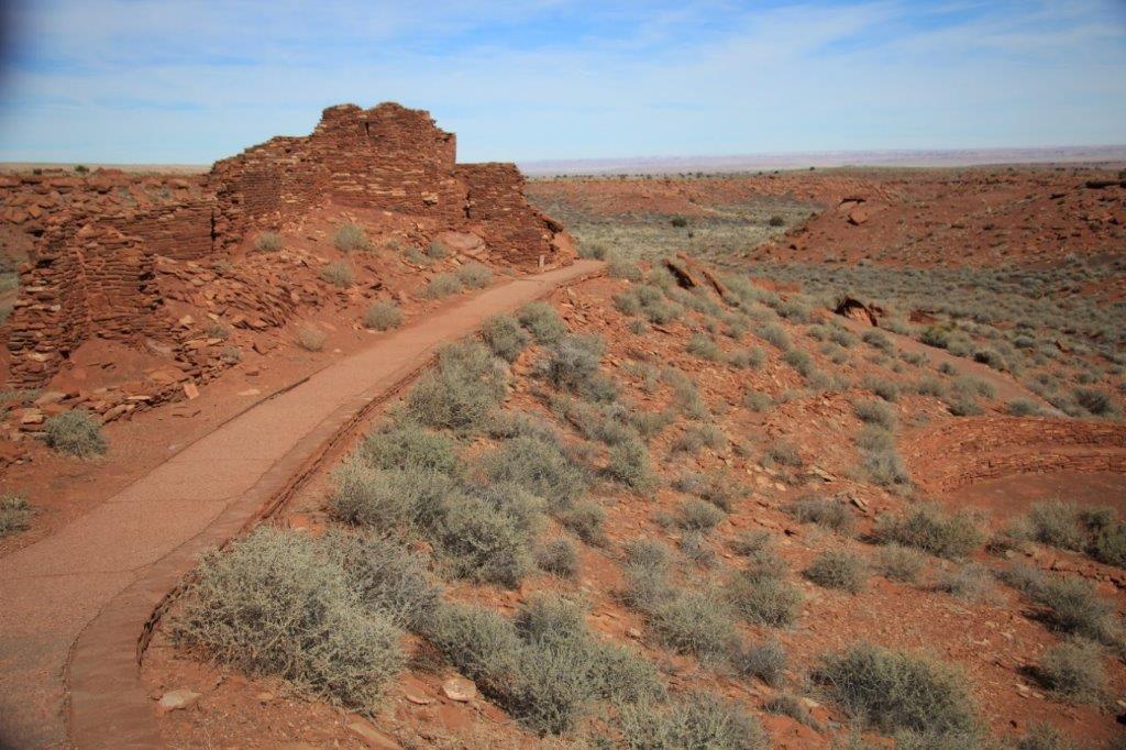
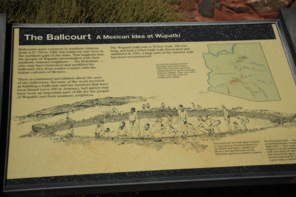
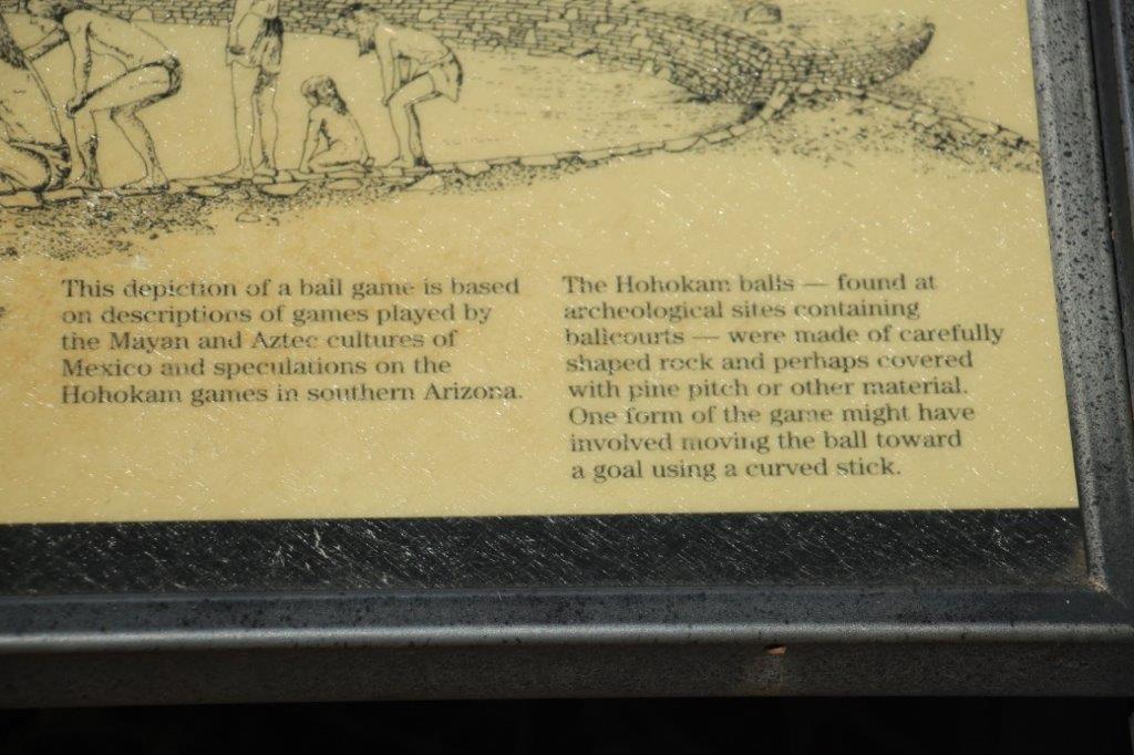
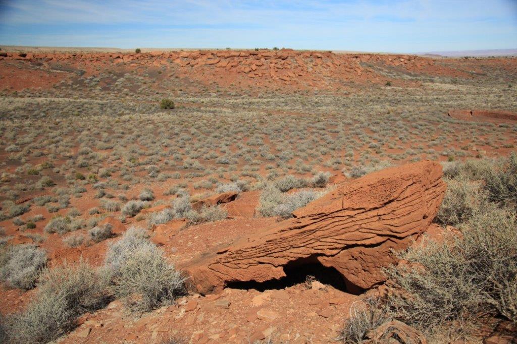
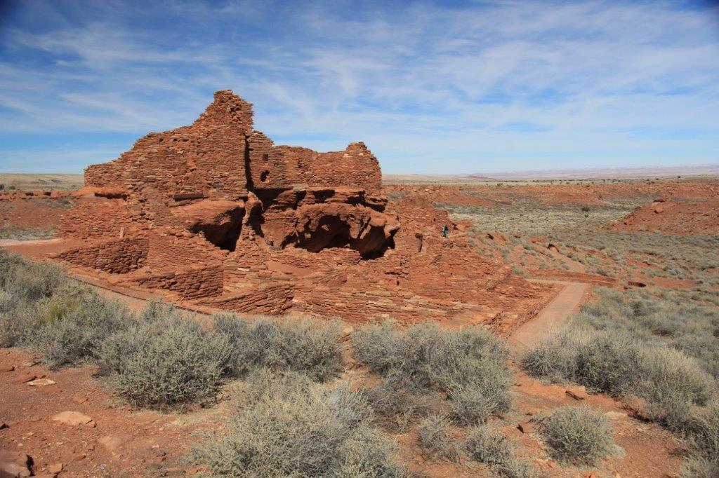
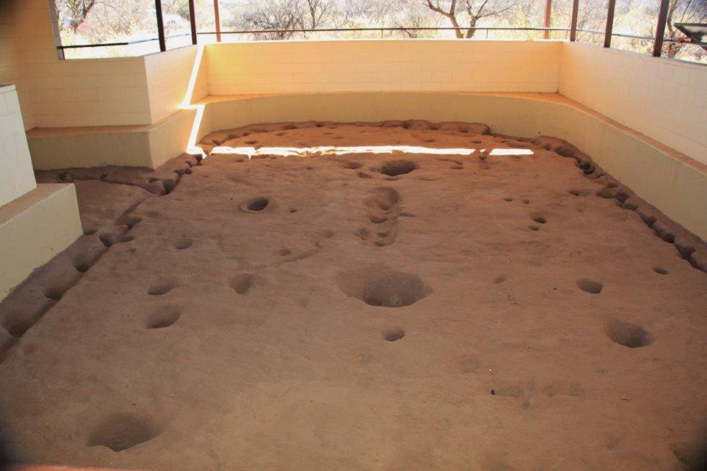
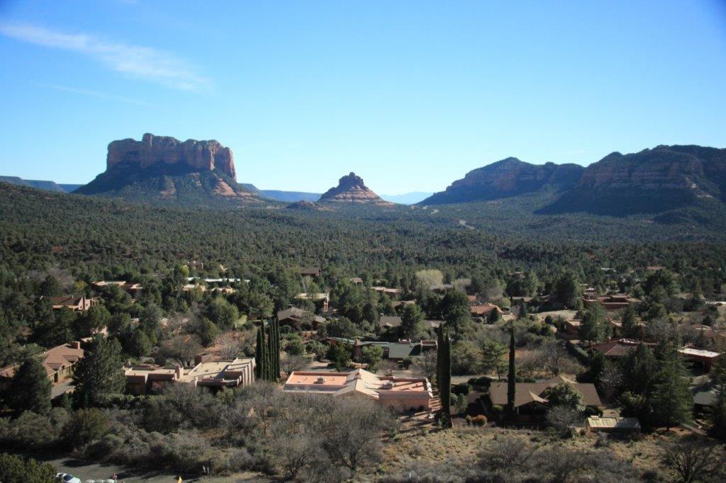
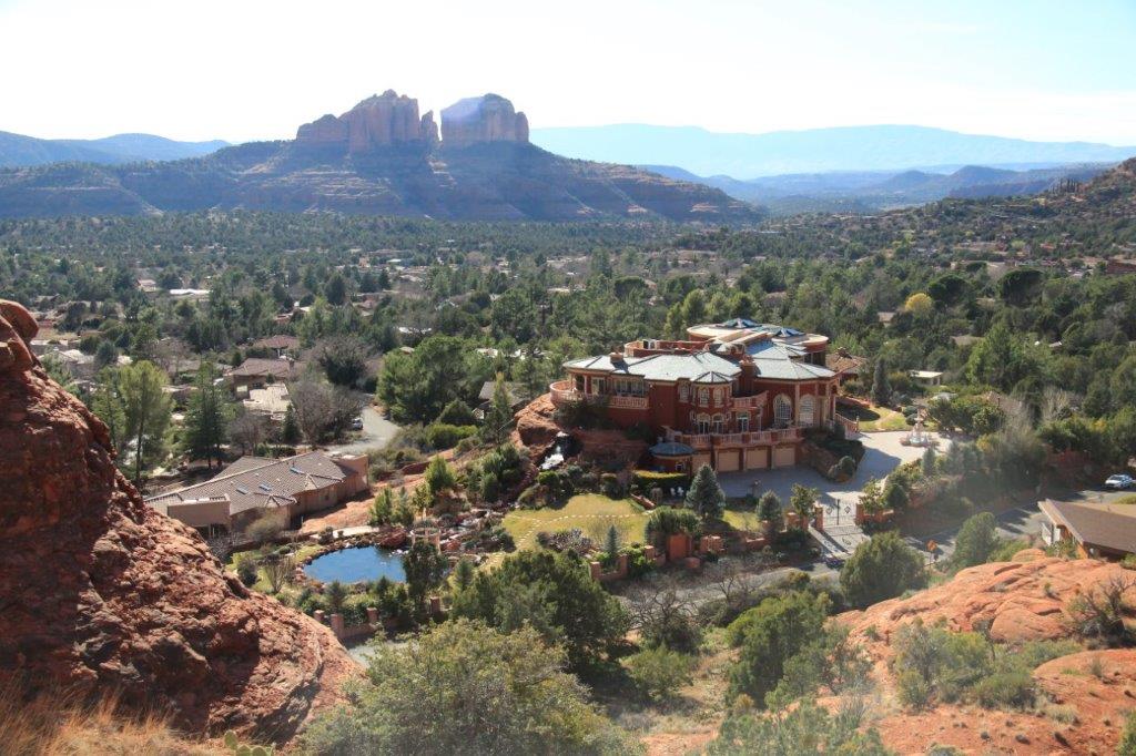
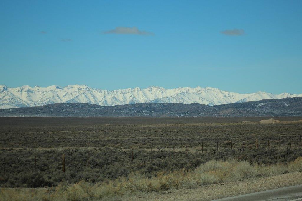
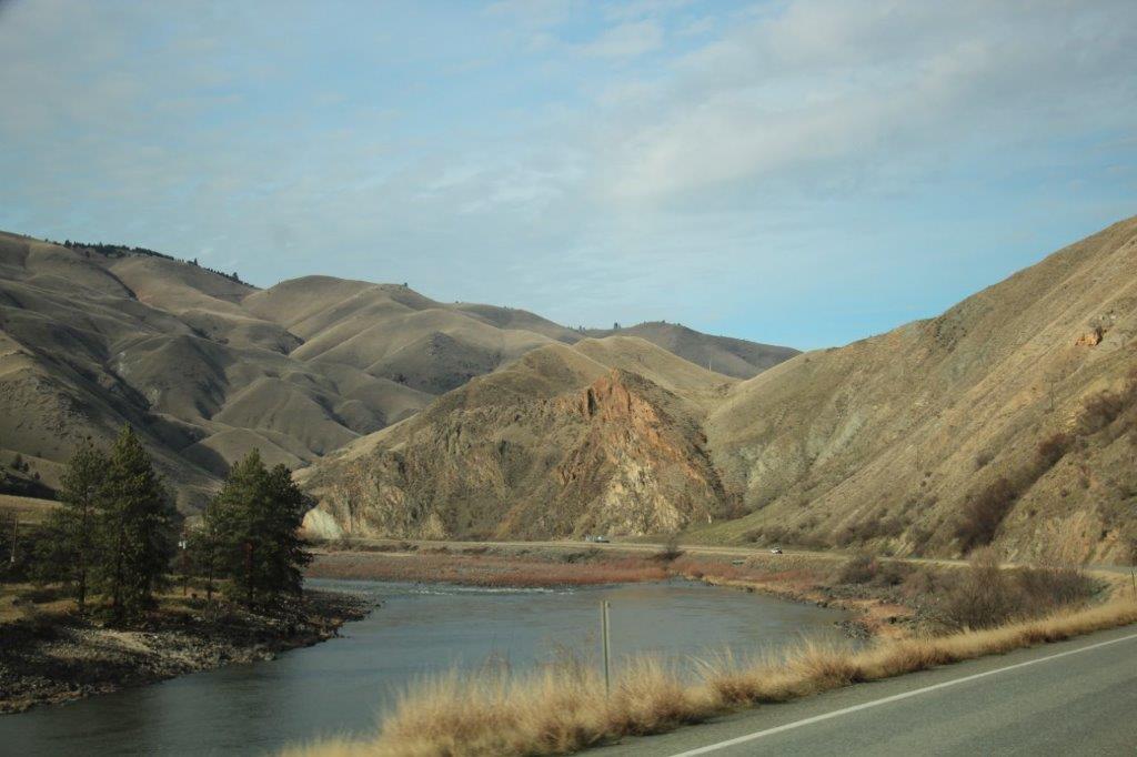
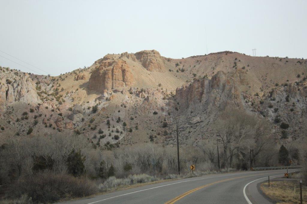
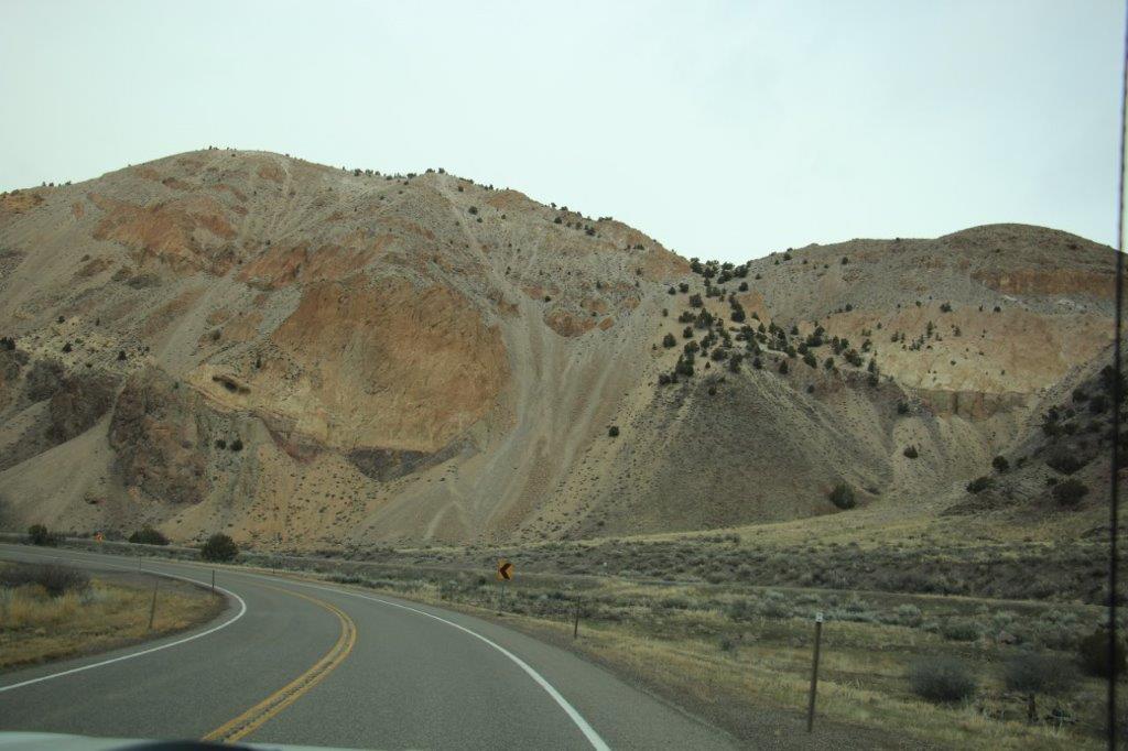
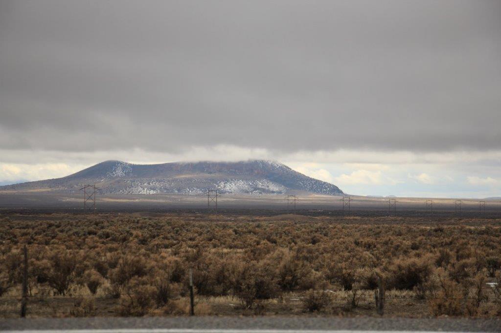
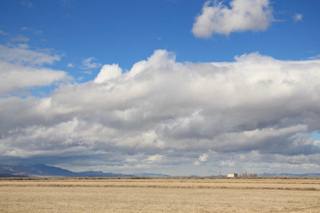
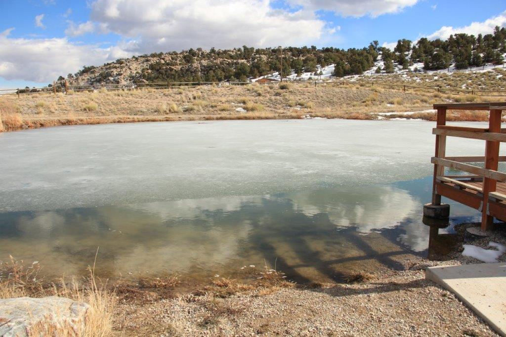
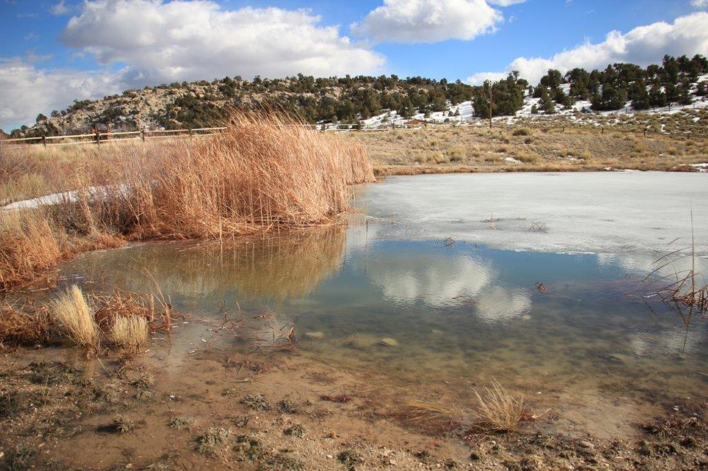
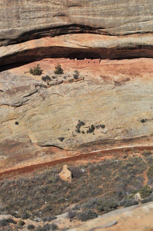
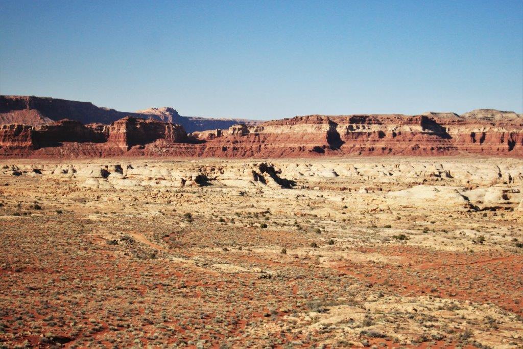
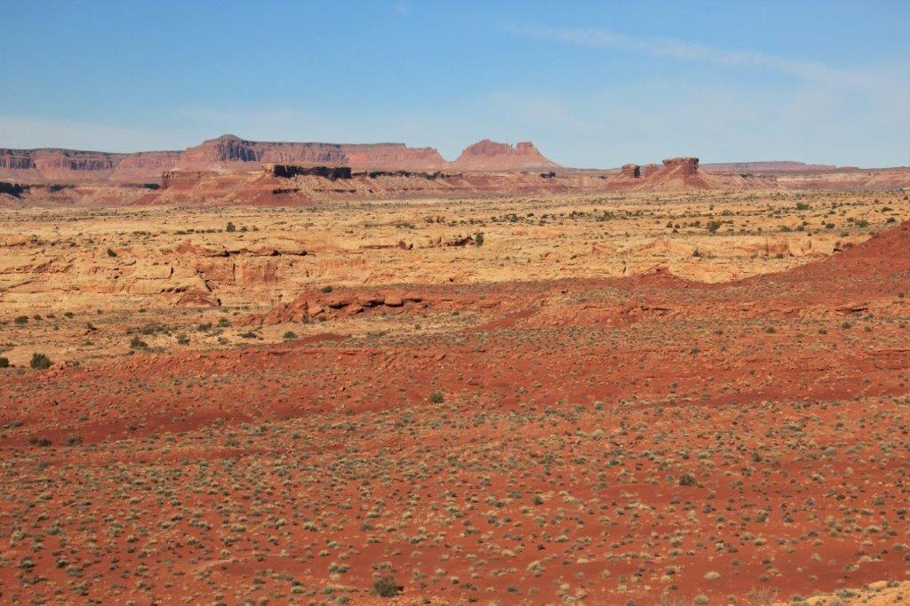
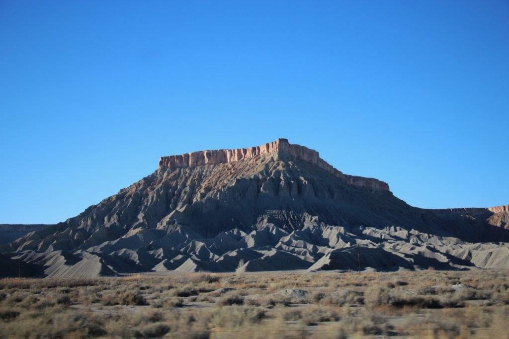
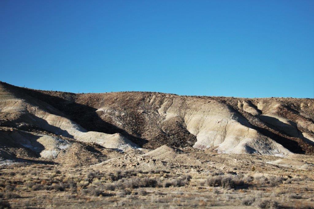
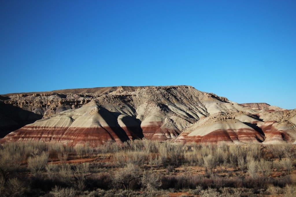
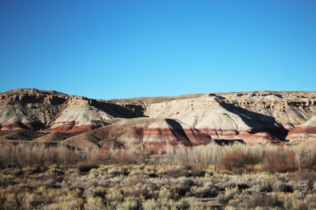
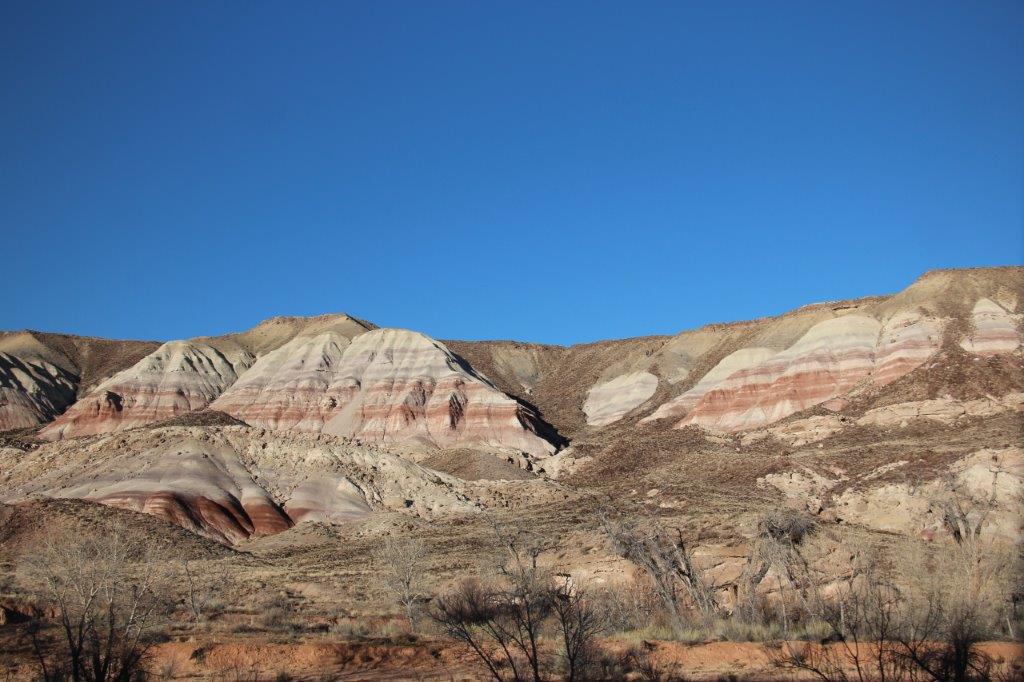
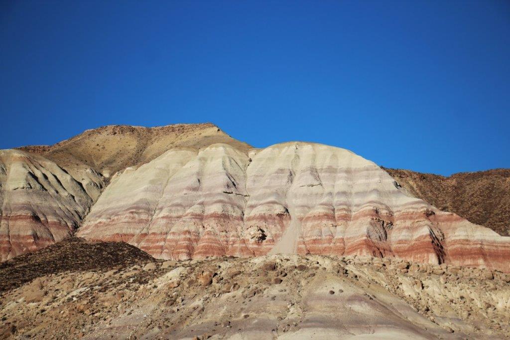
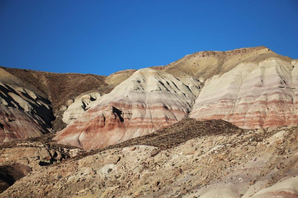
 Sunset Crater National Monument is connected on a 35 mile loop road with Wupatki National Monument so we just drove along, stopped at the Painted Desert Vista (which the morning sun faded out a lot), and went to tour the ancient pueblos of Wukoki and Wupatki.


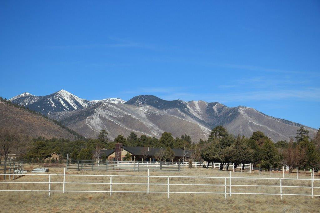
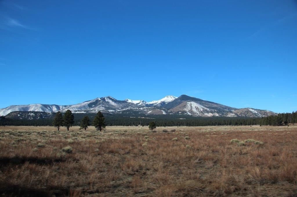
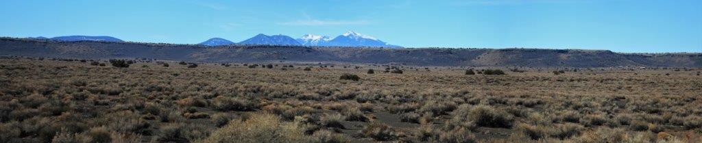
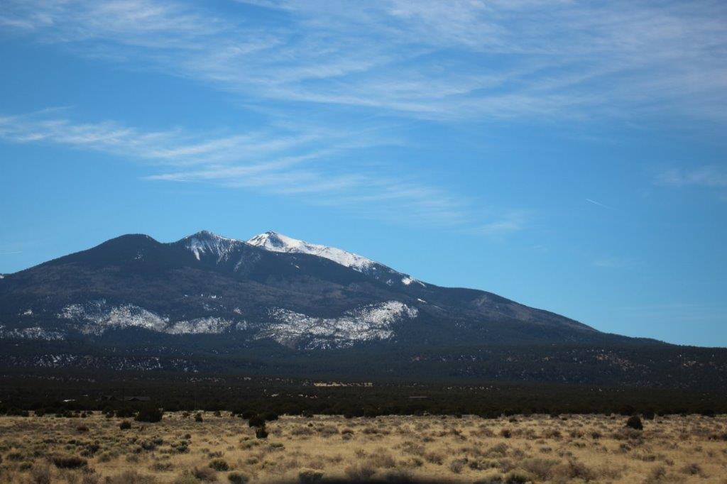
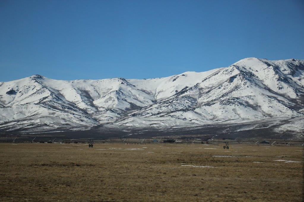
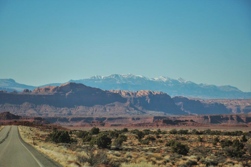
 Humphrey’s Peak, the highest point in Arizona.


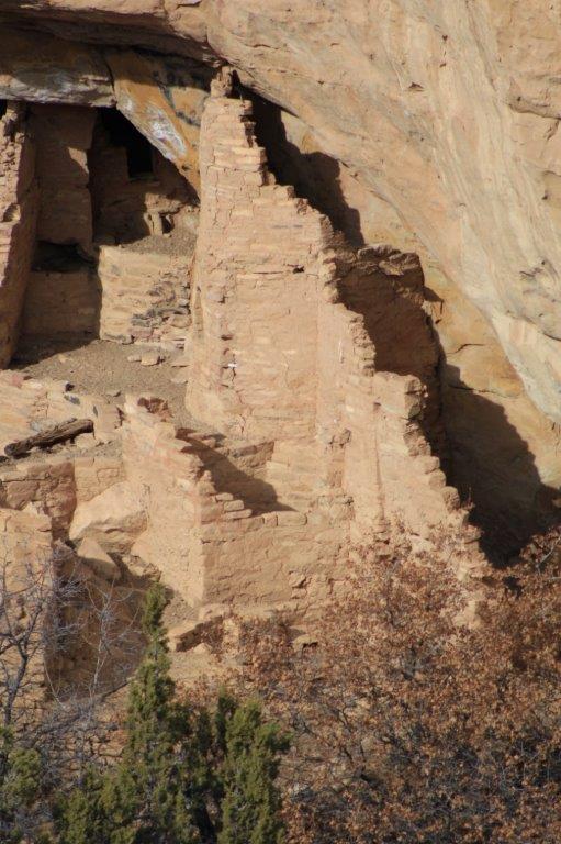
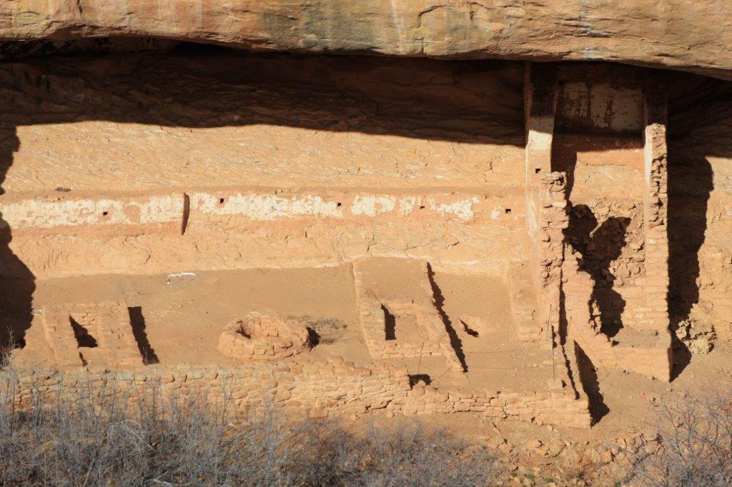
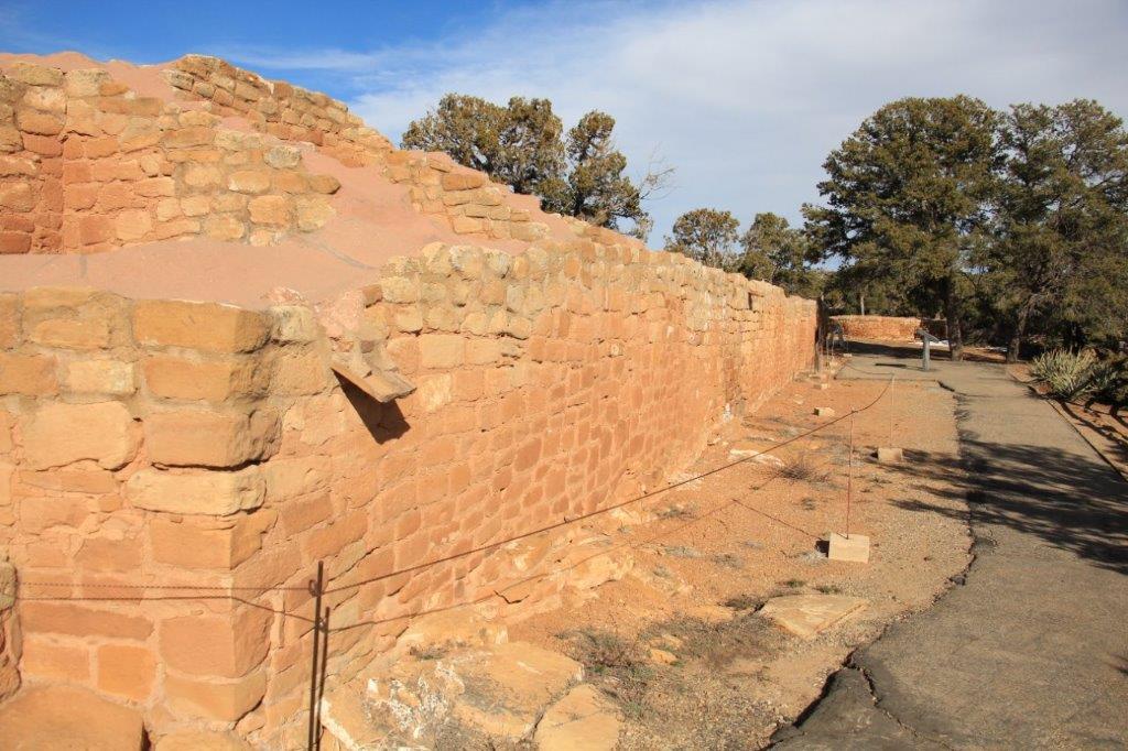
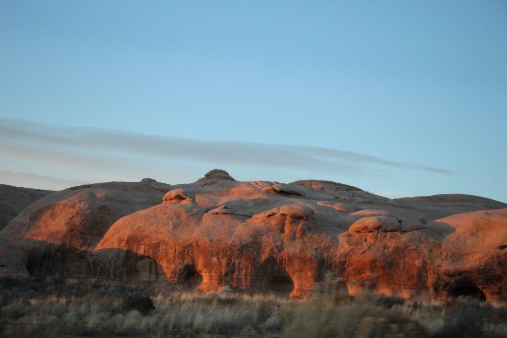
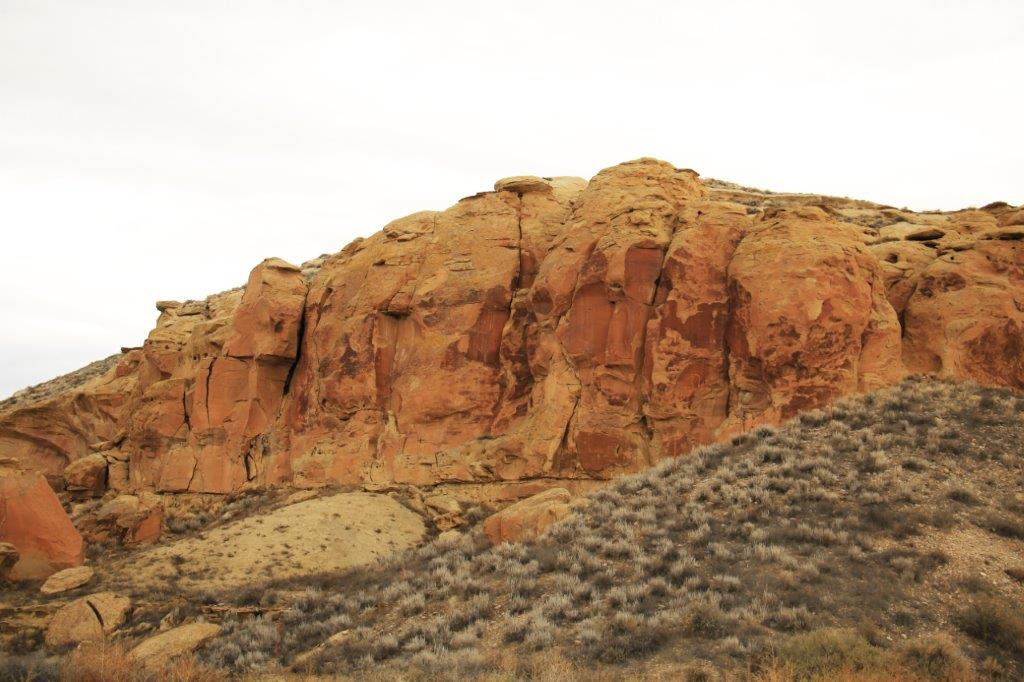
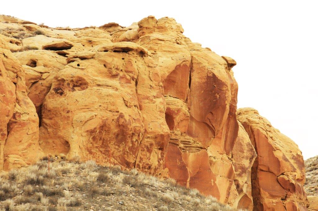
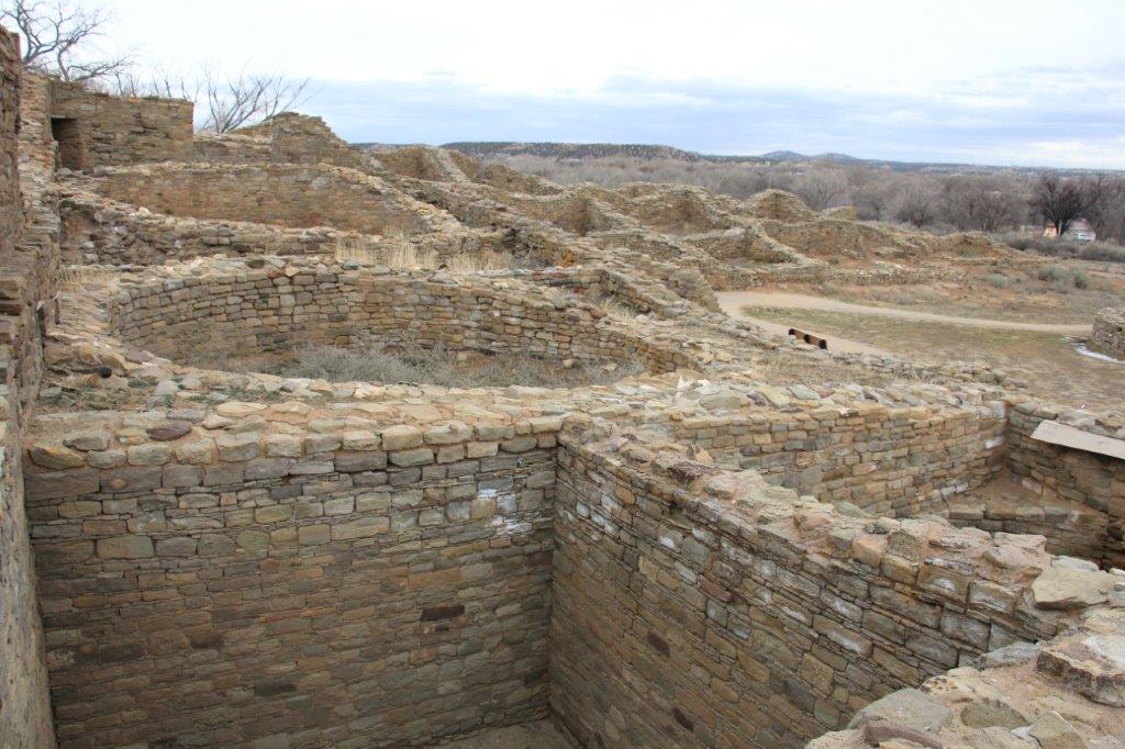
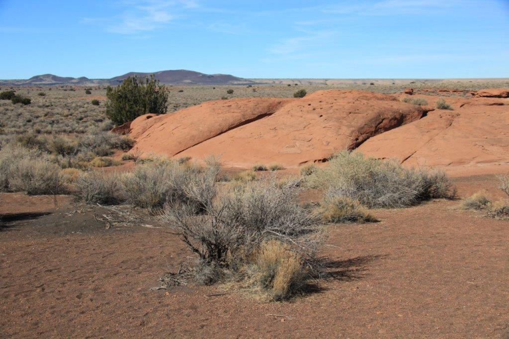
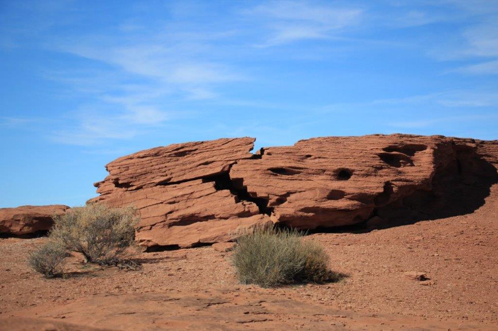
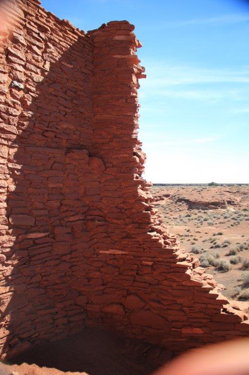
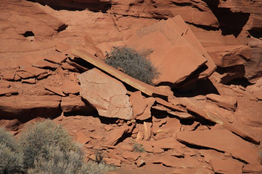
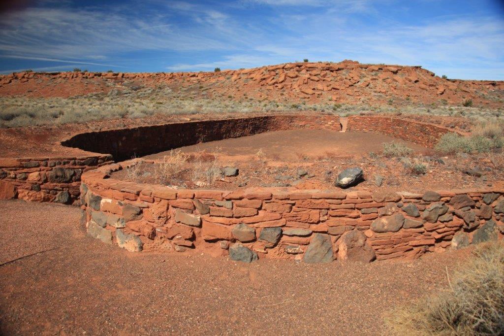
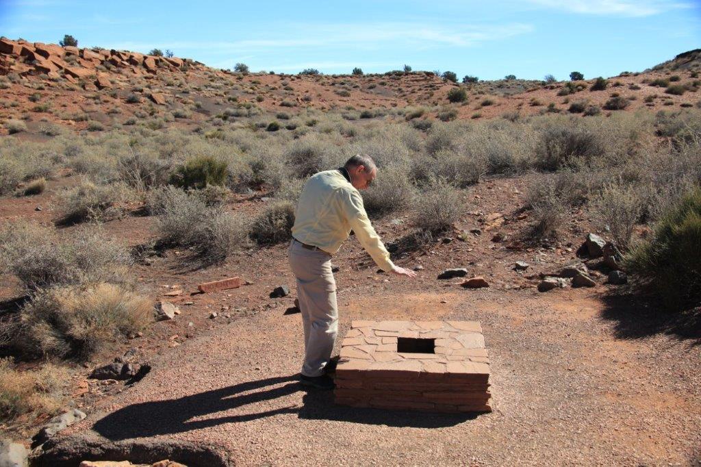
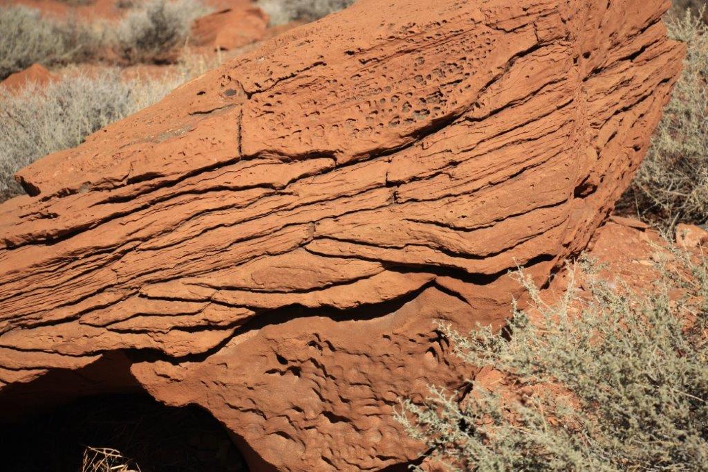
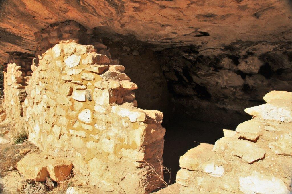
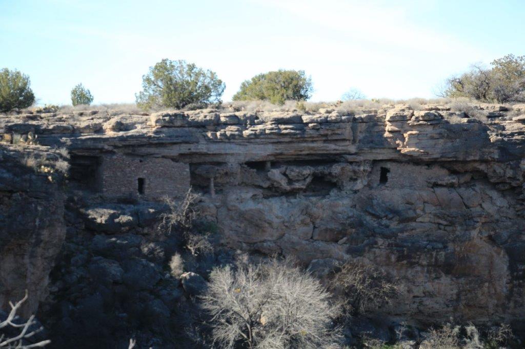
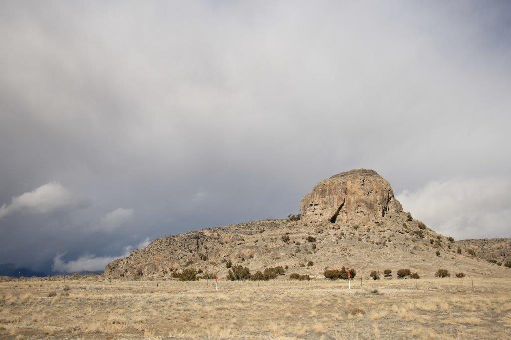
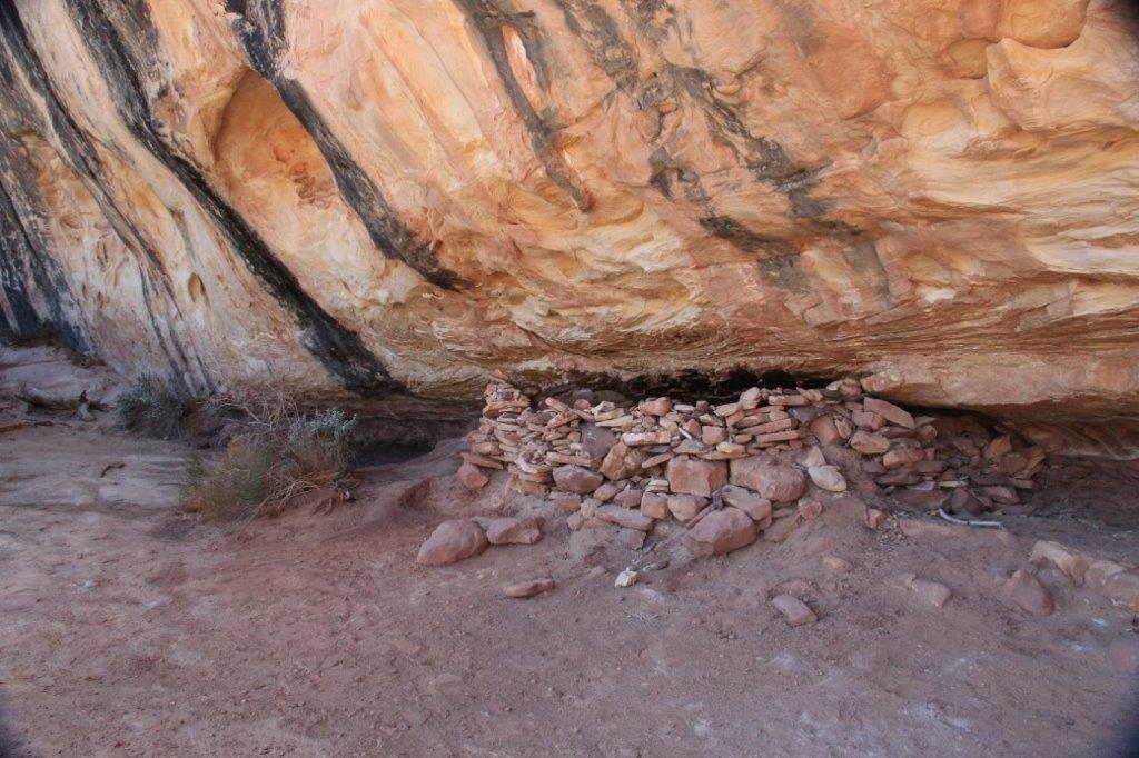
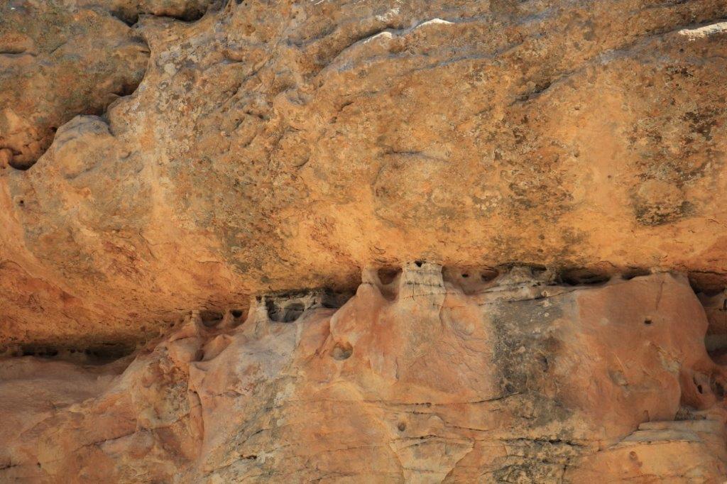
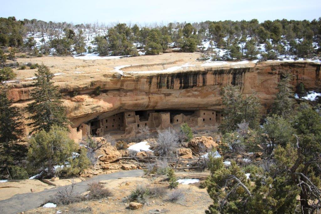
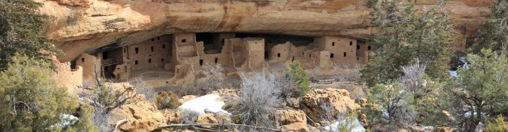
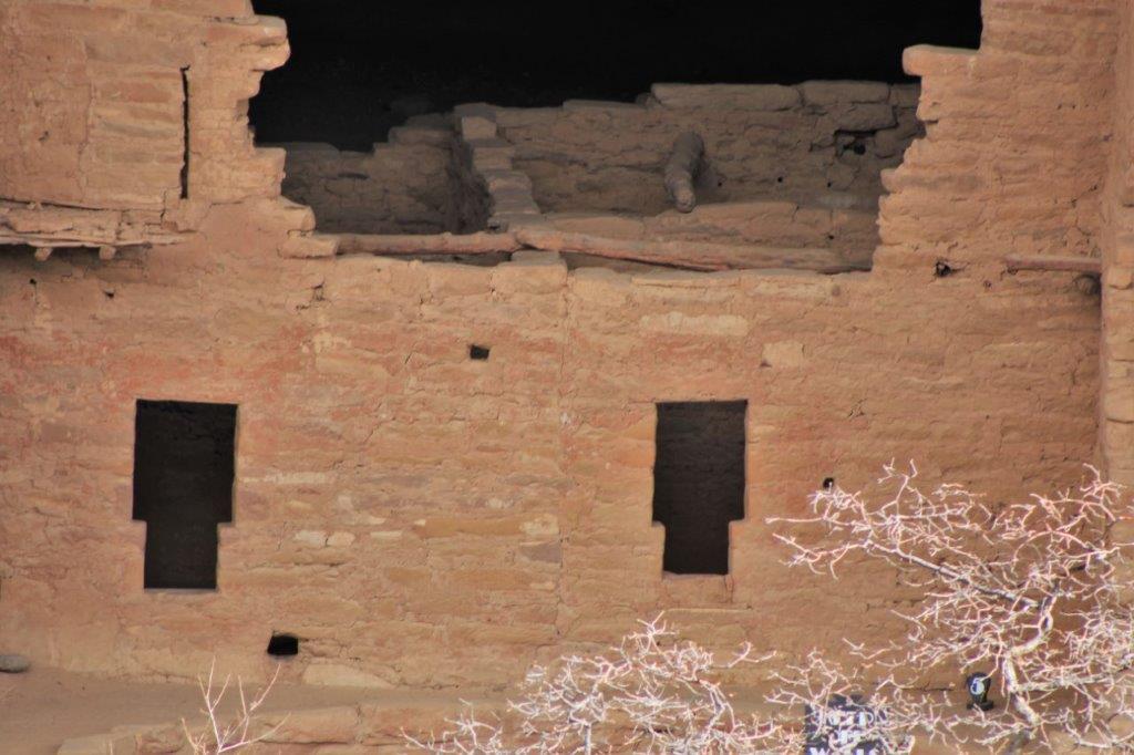
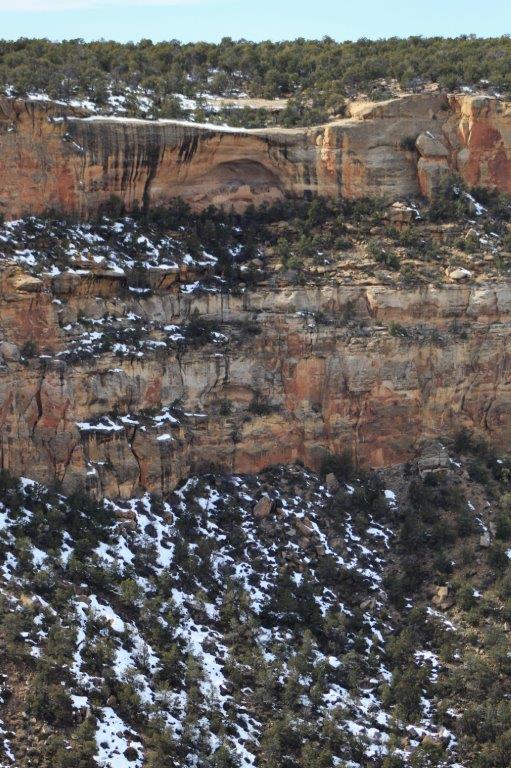
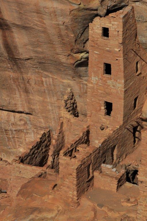
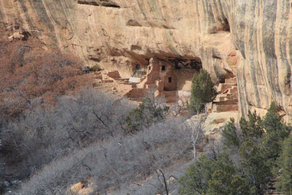
 This is the back side of the rock that the complex is built on.


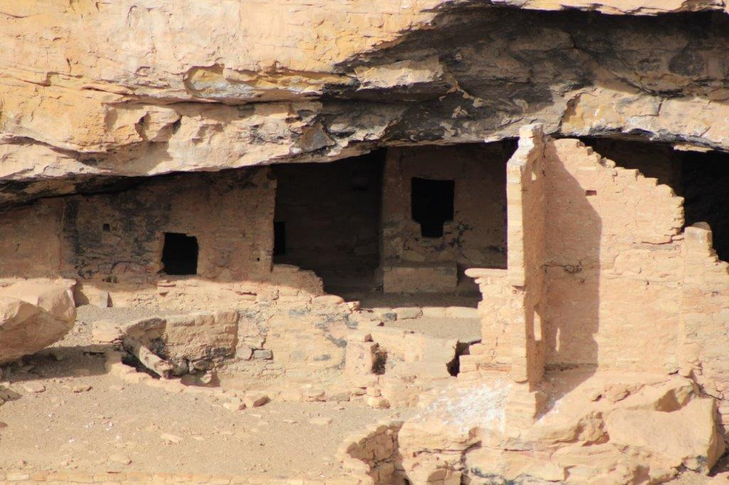
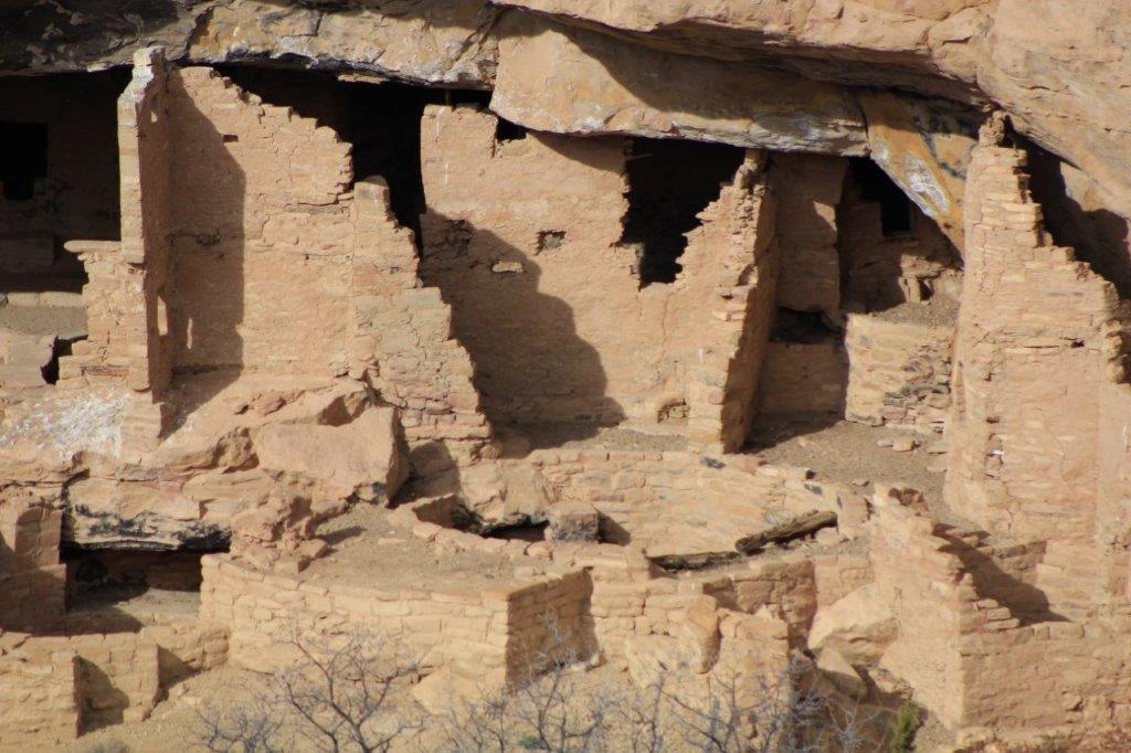
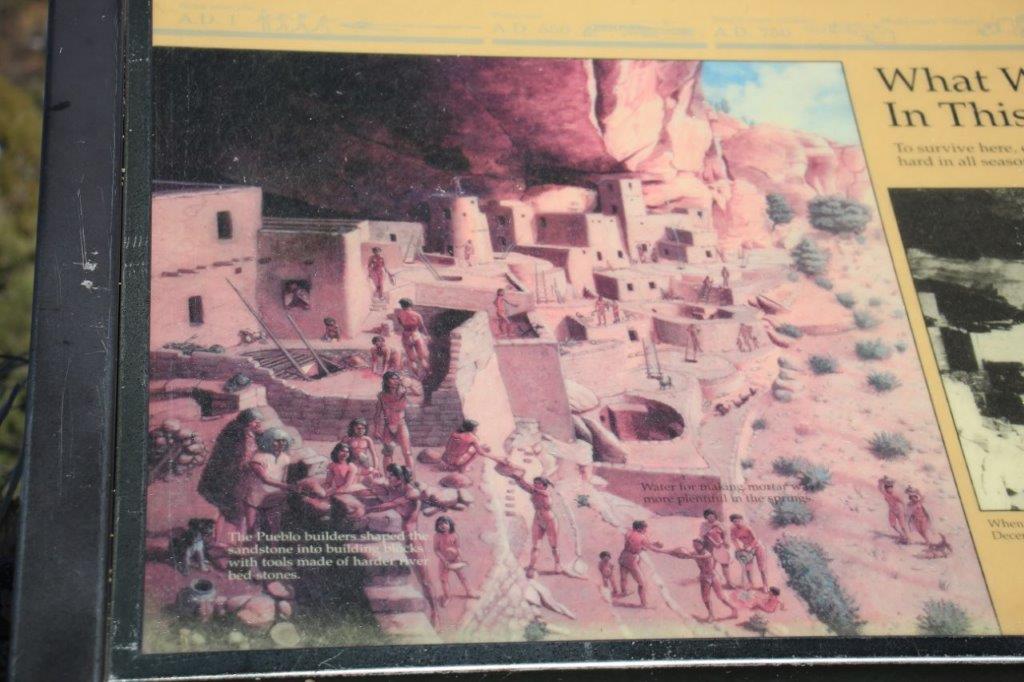
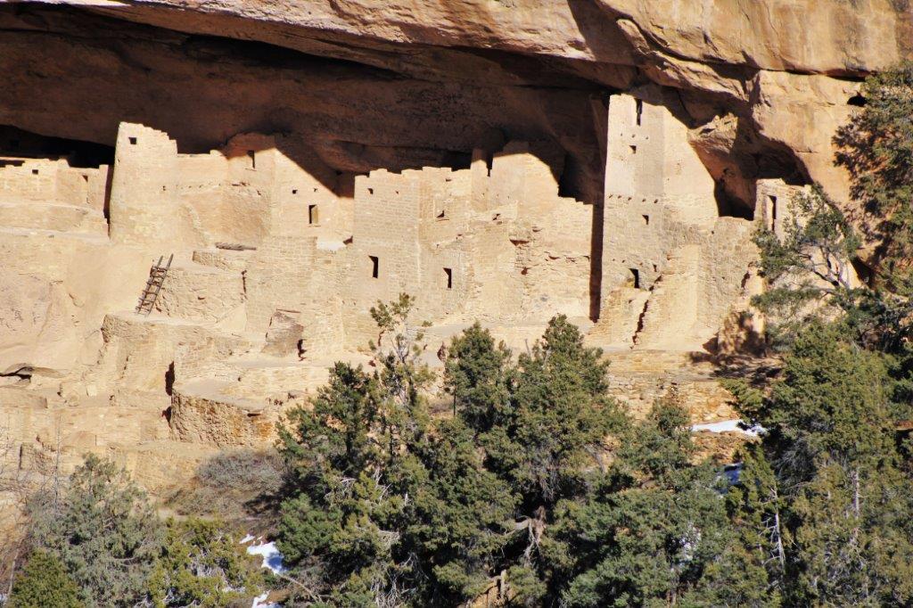
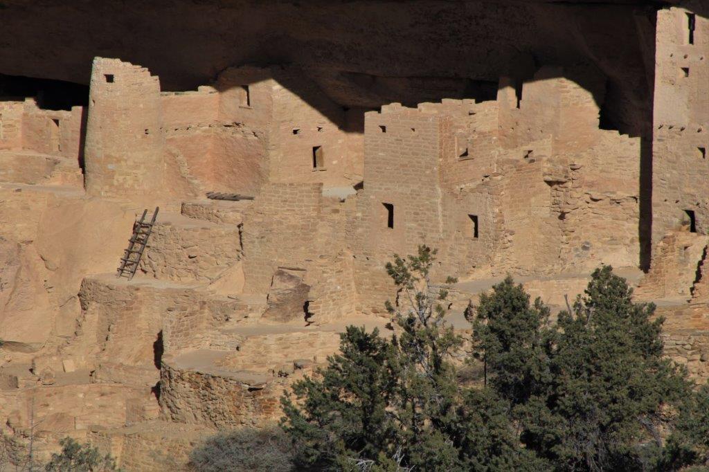
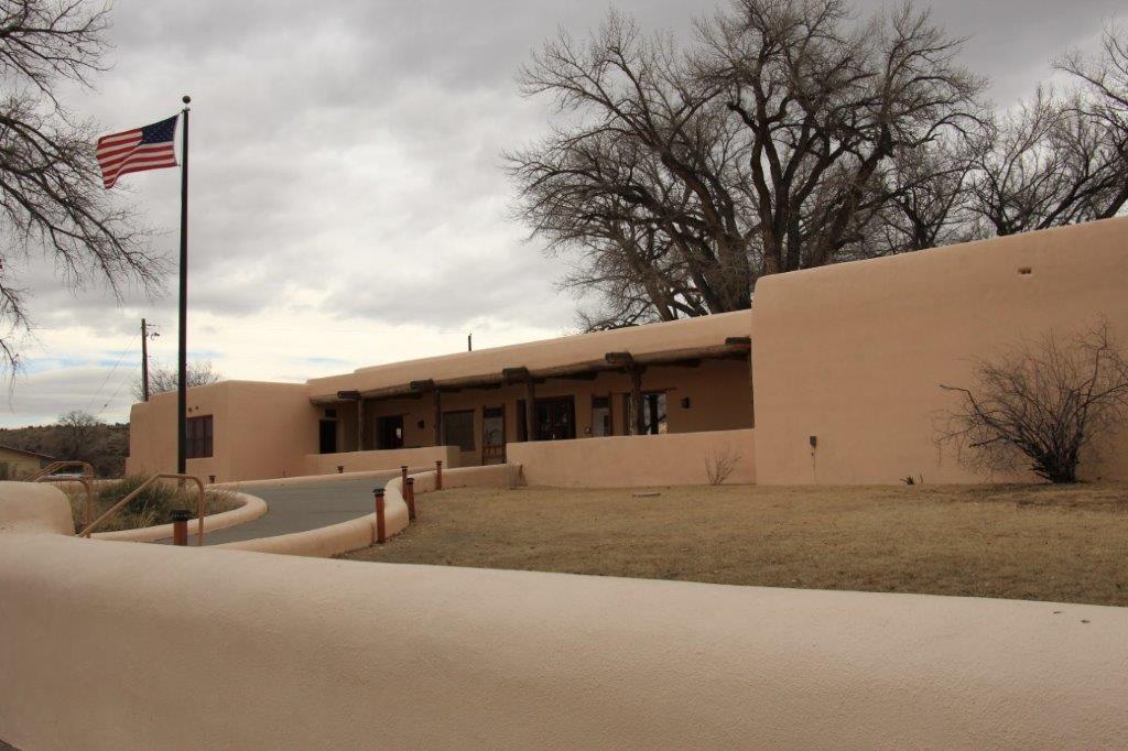
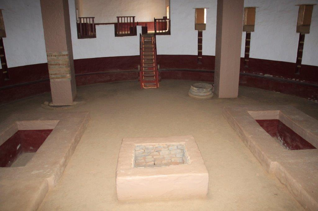
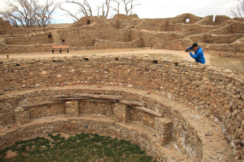
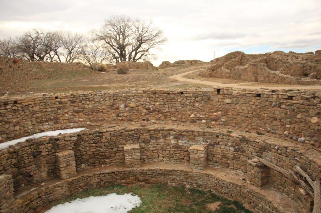
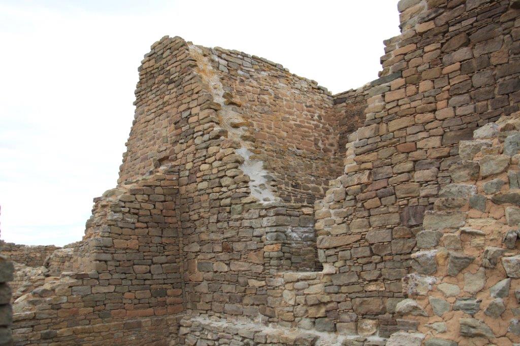
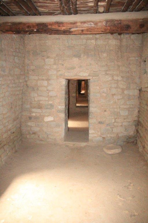
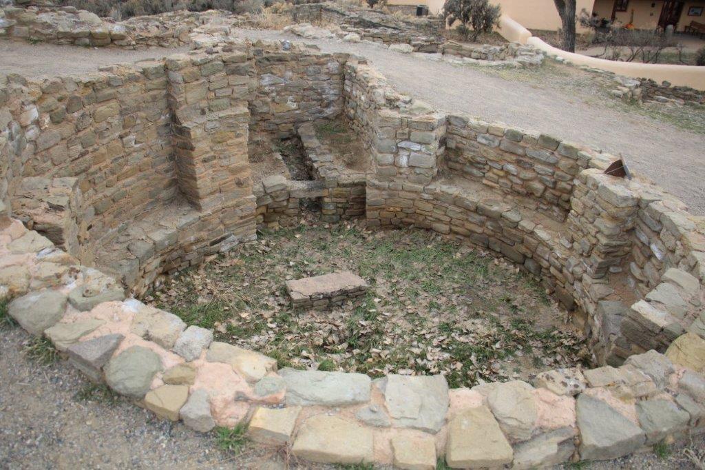
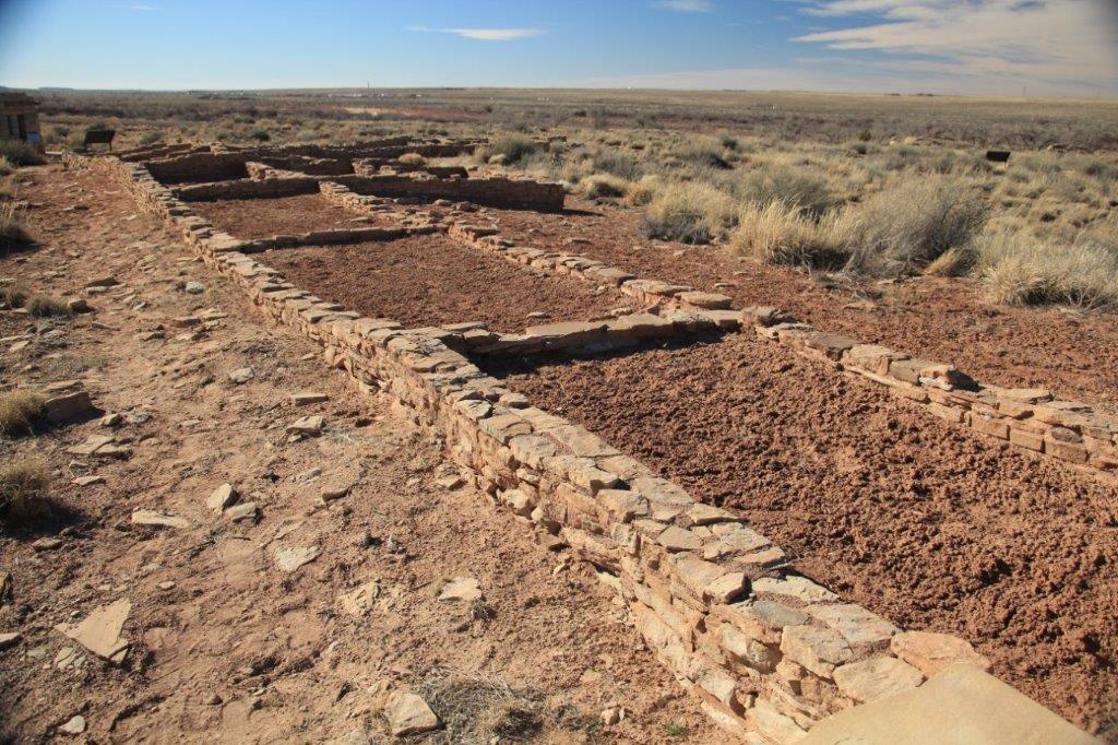
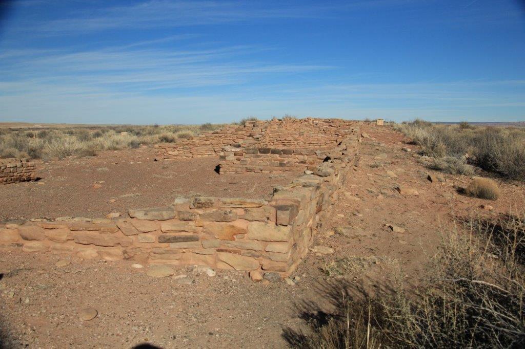
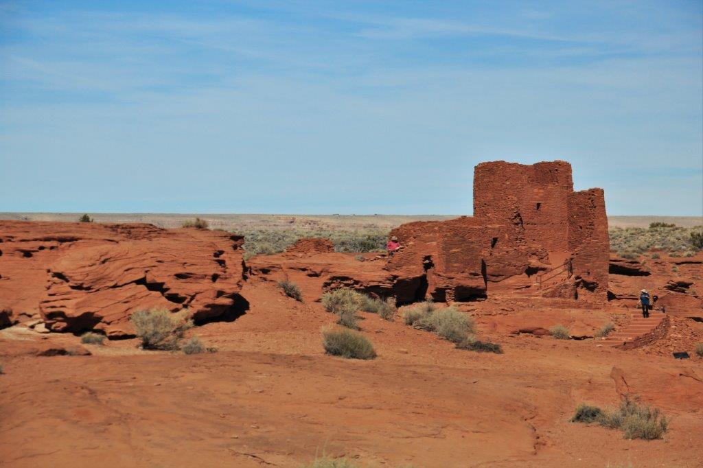
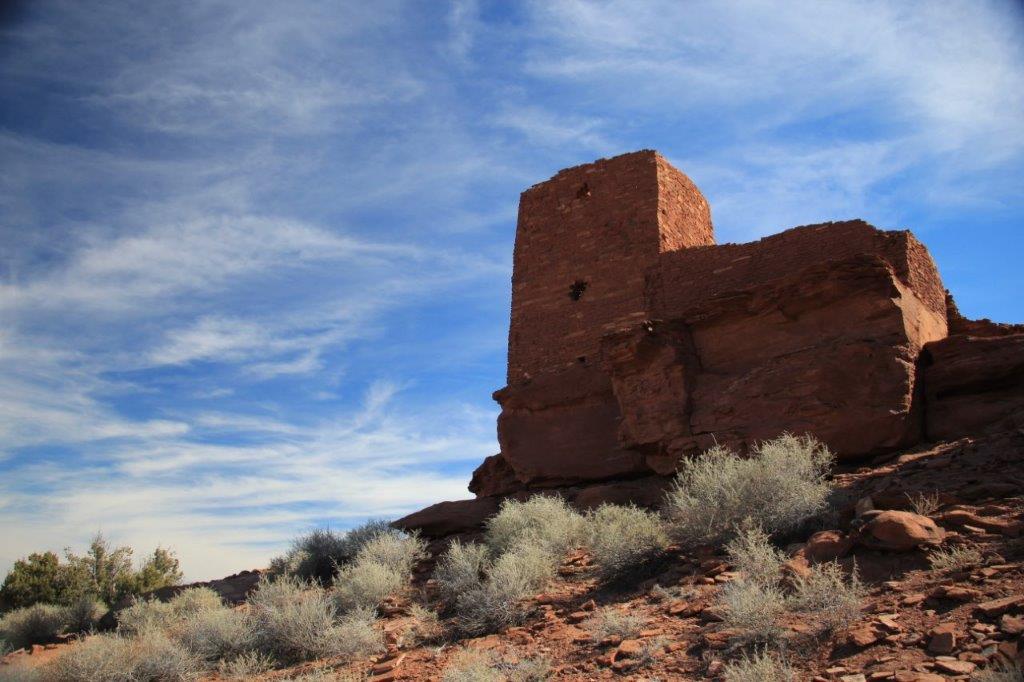
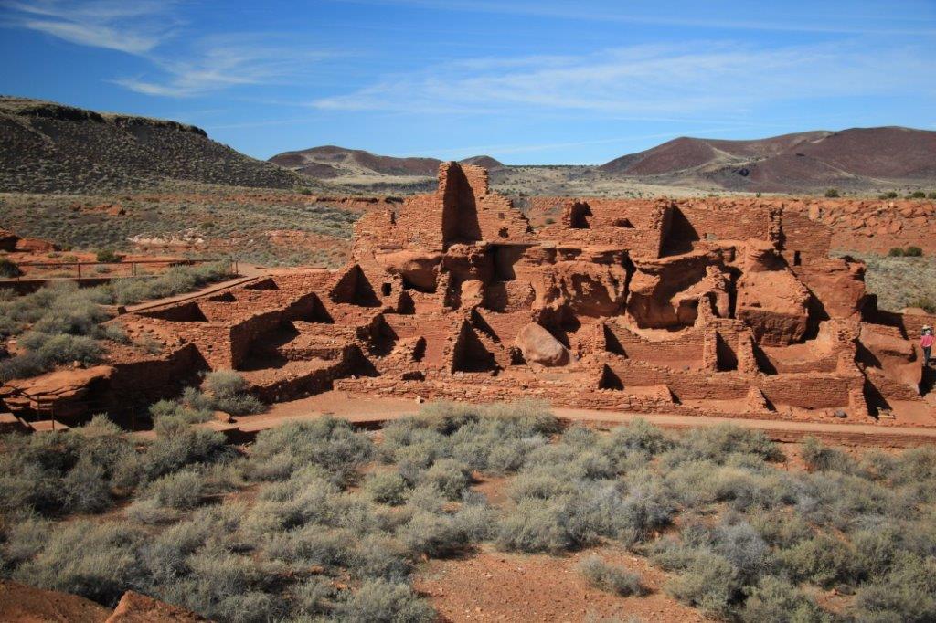
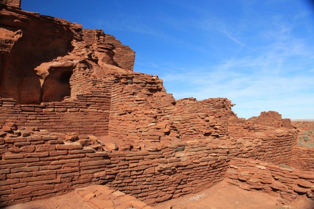
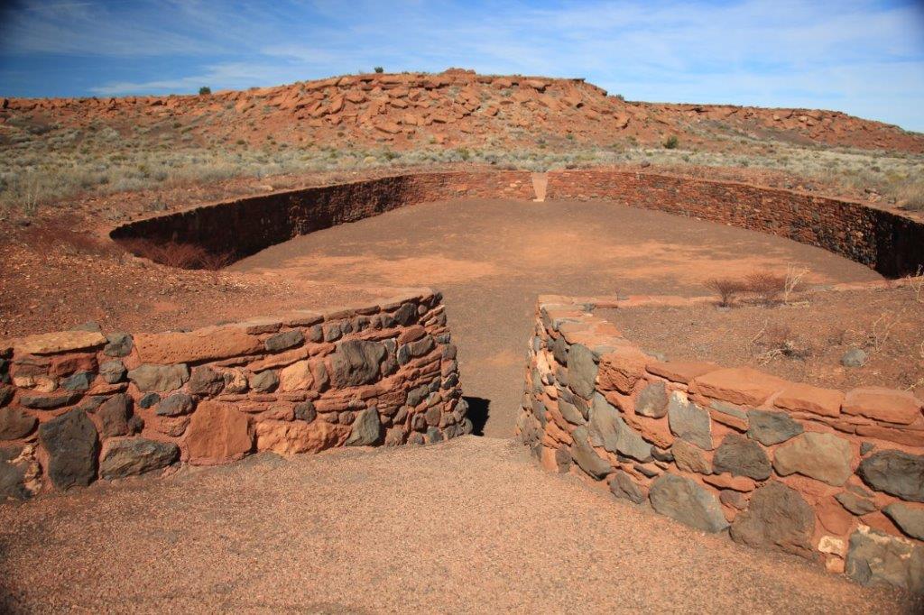
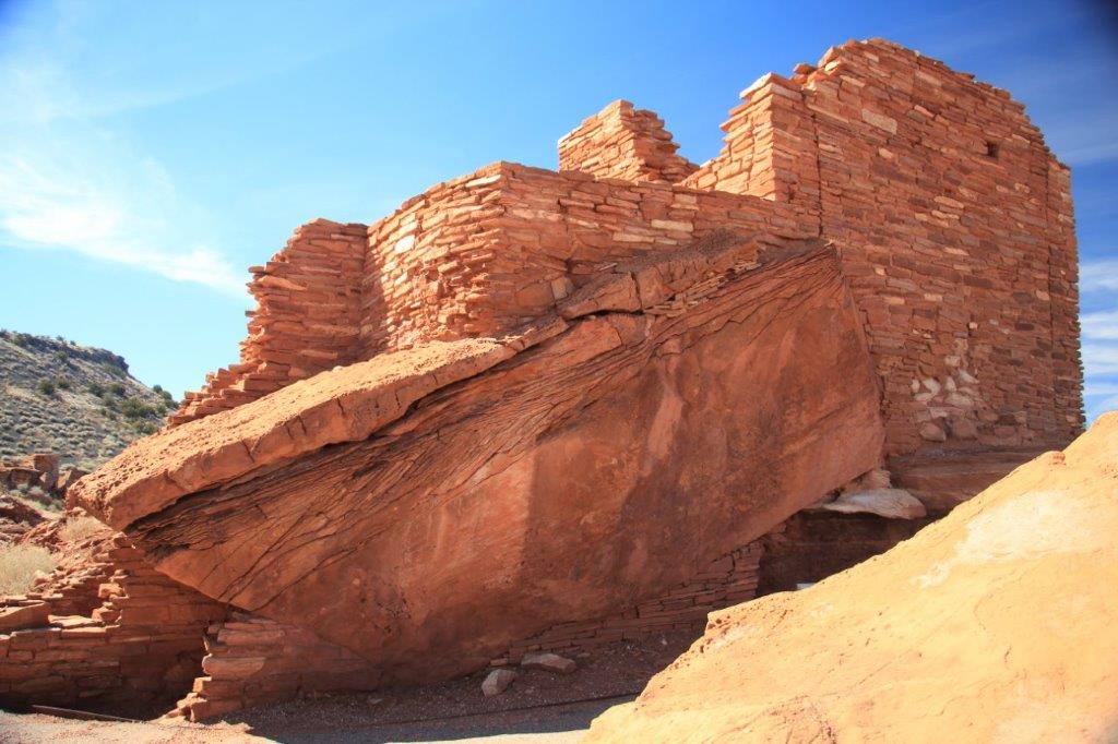
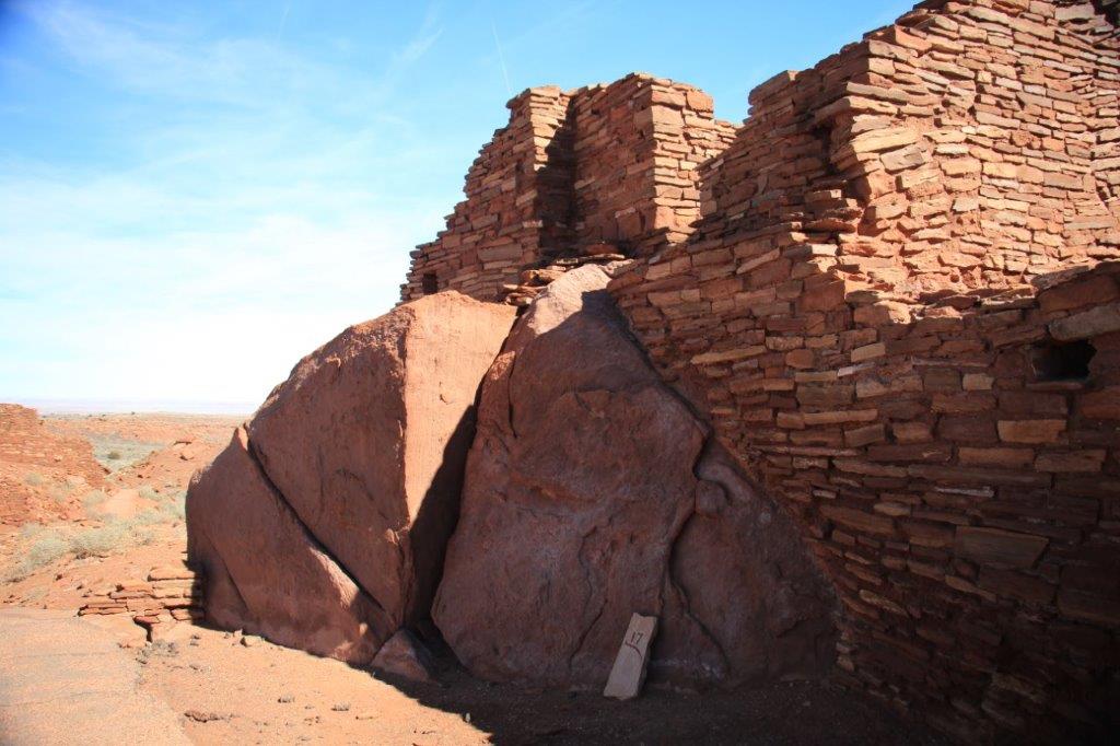
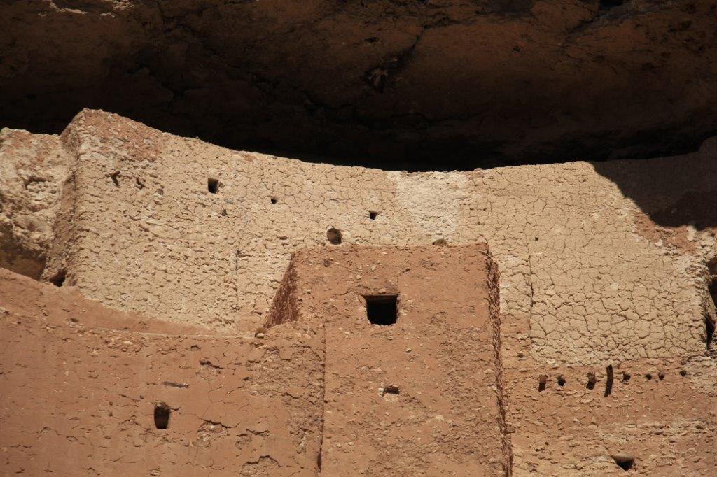
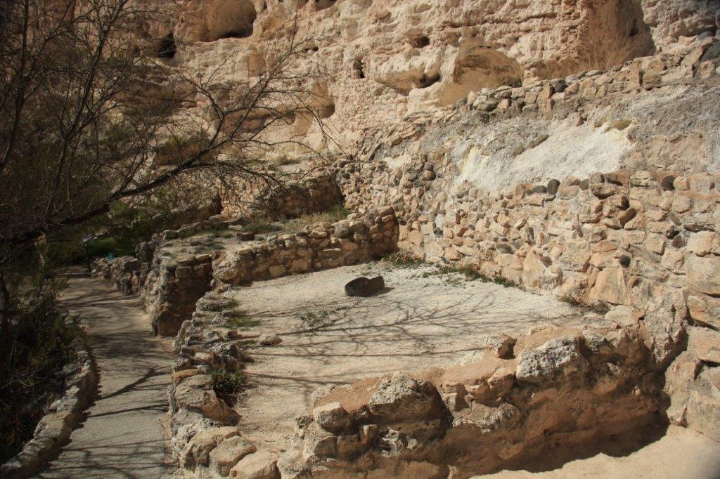
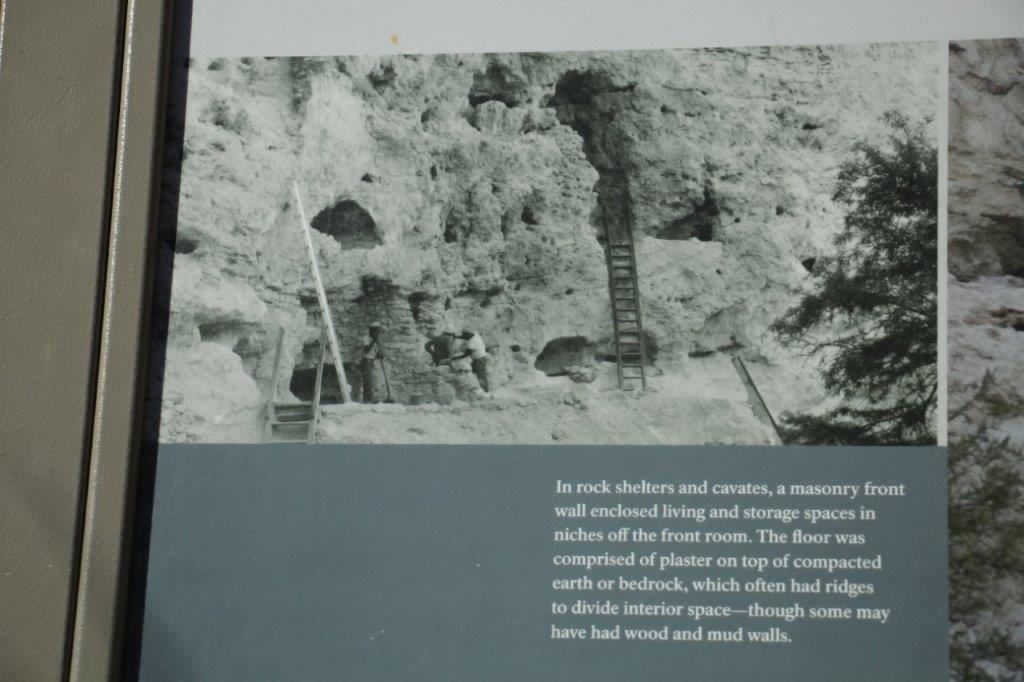
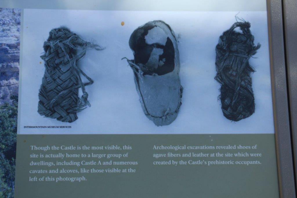
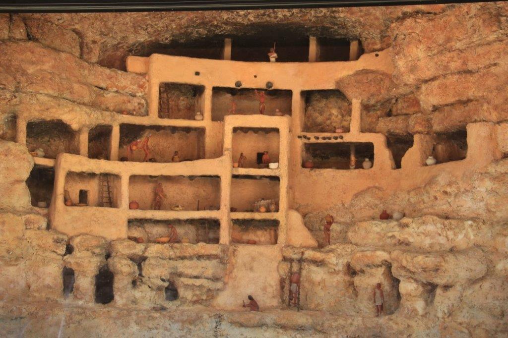
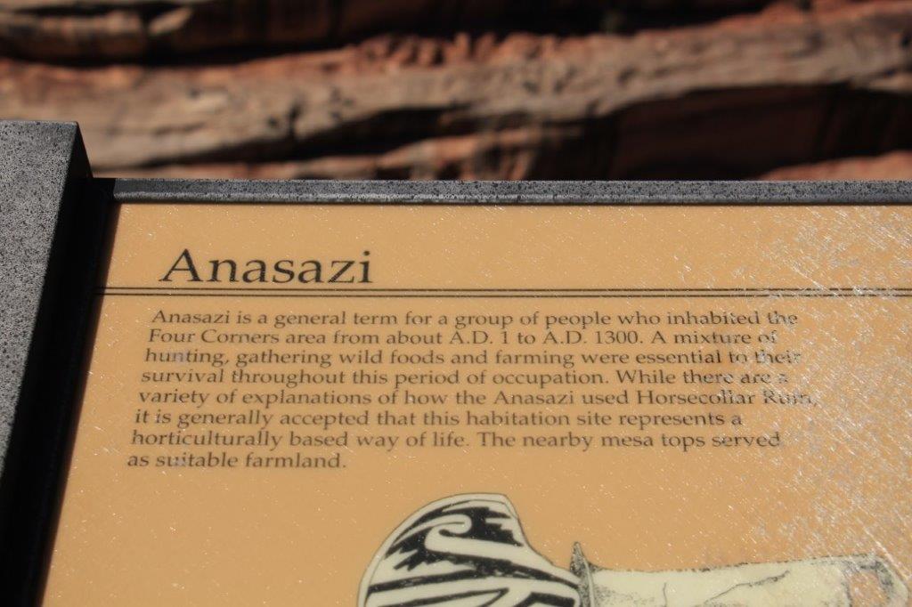
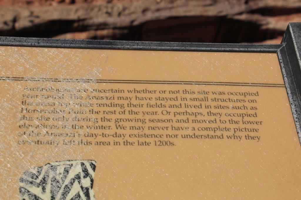
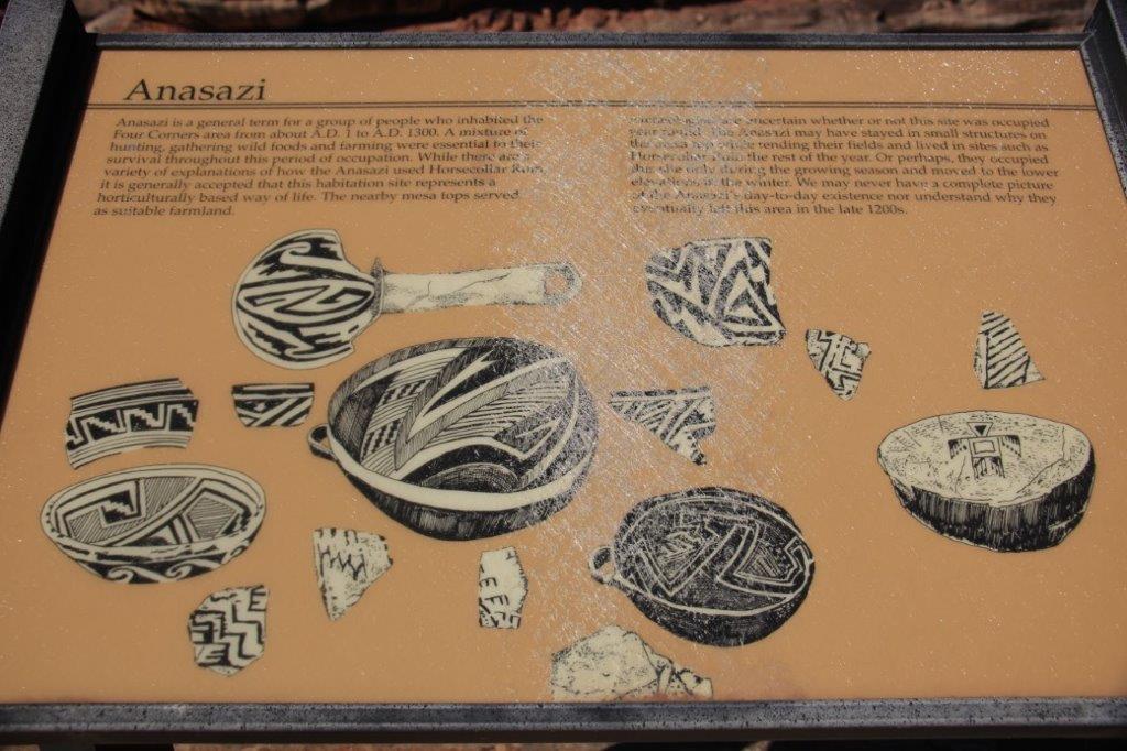
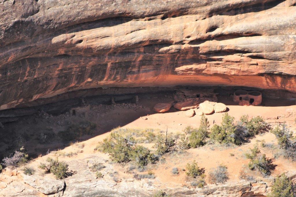
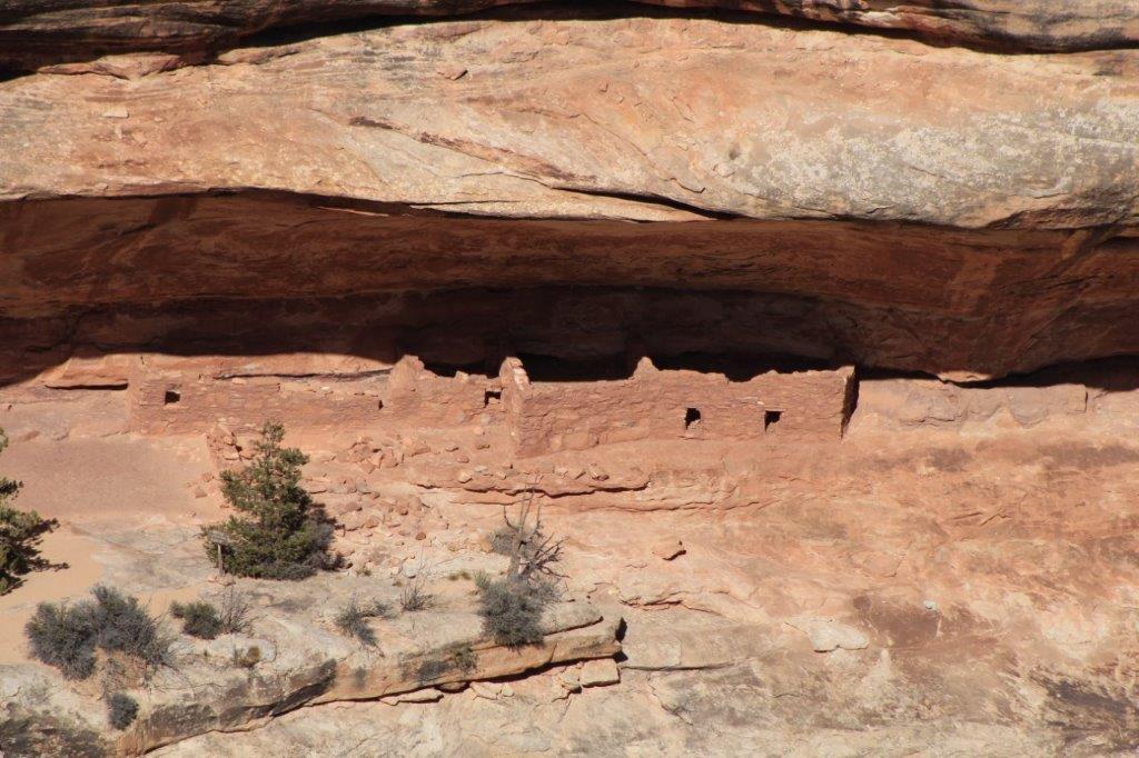
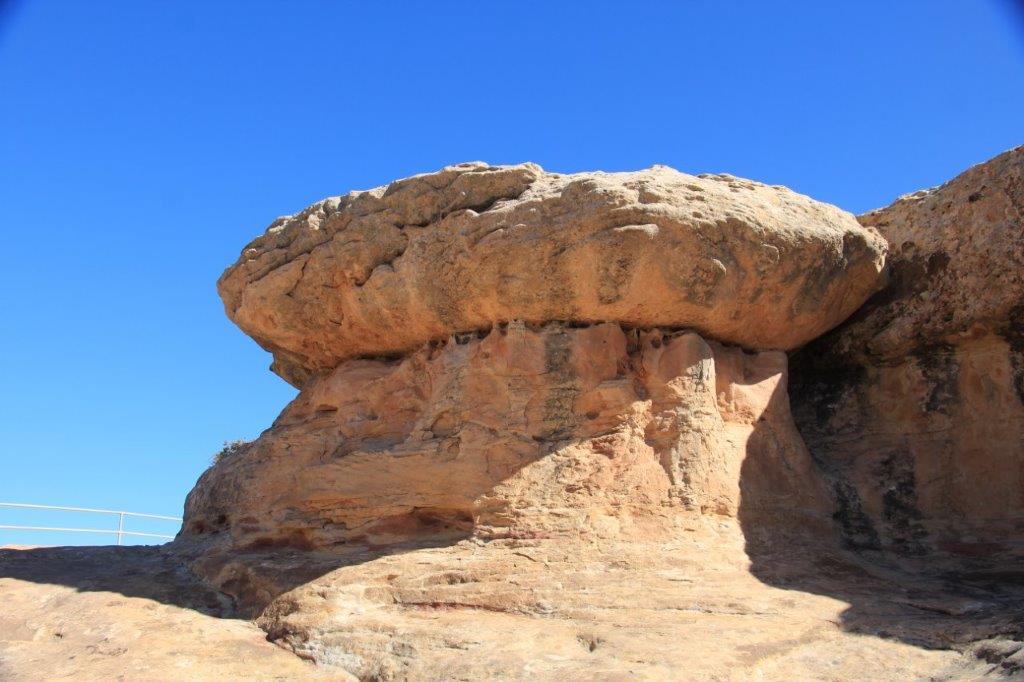
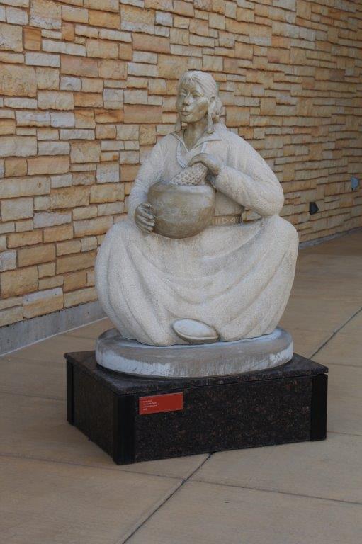
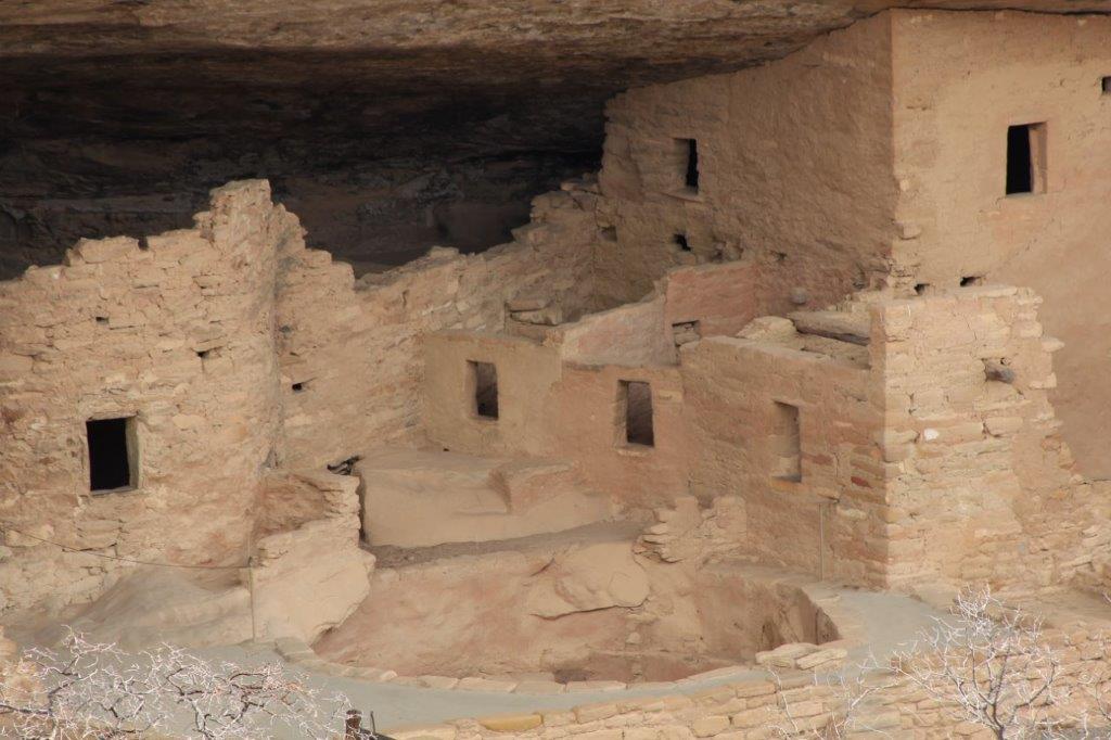
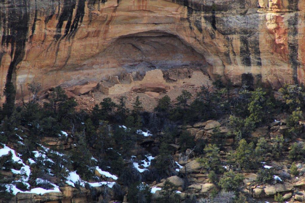
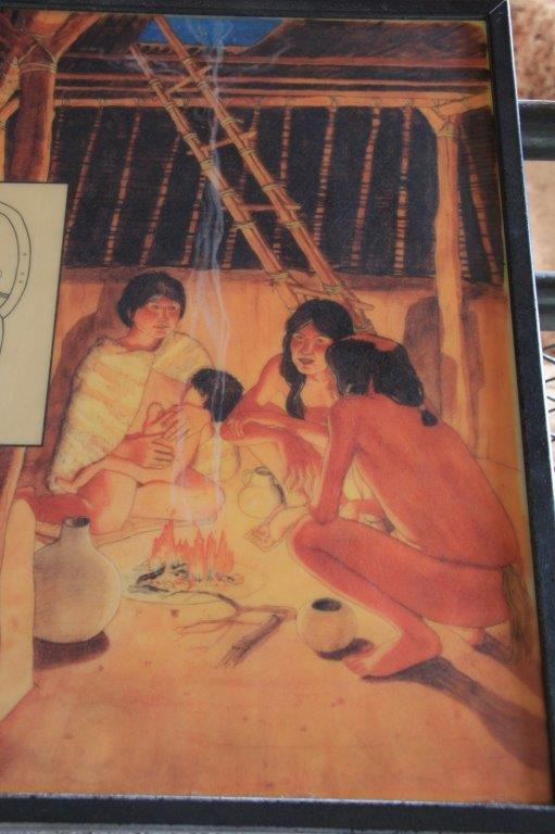
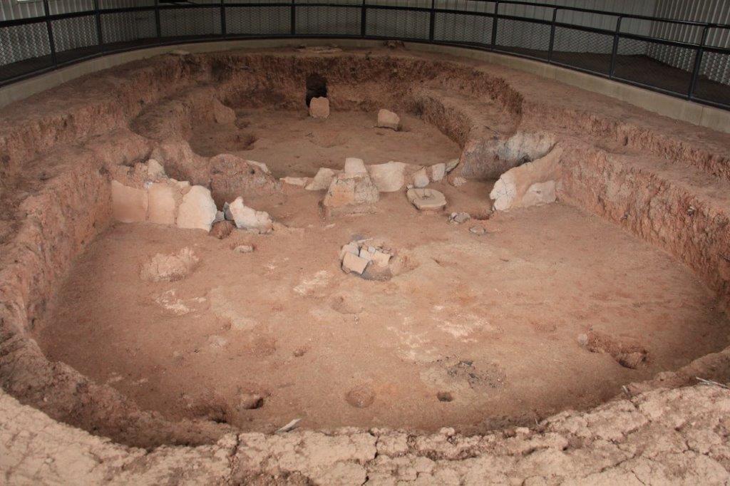
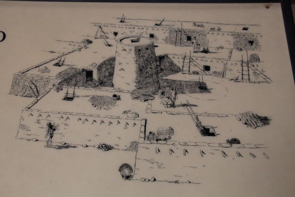
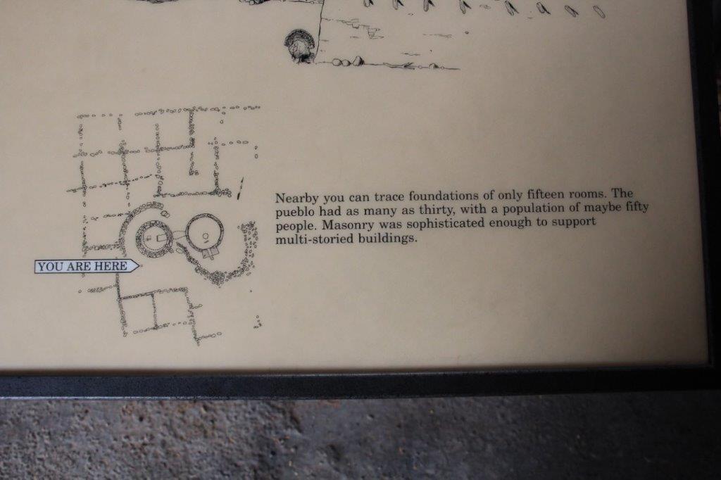
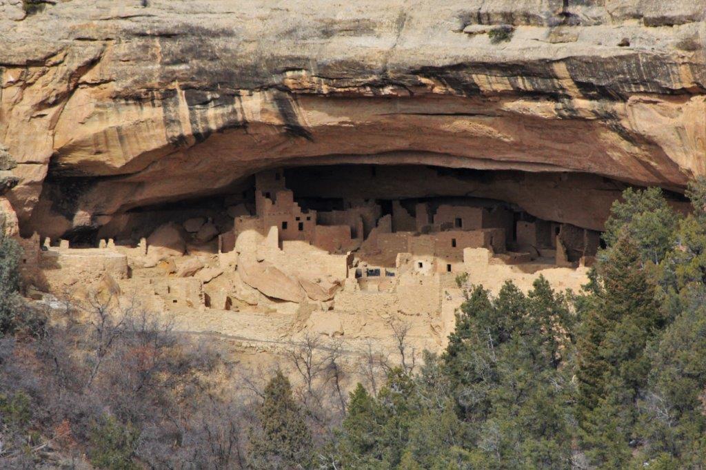
 This complex was so skillfully built on and into the rock bluff it was really amazing. Very clever and very hardworking people.


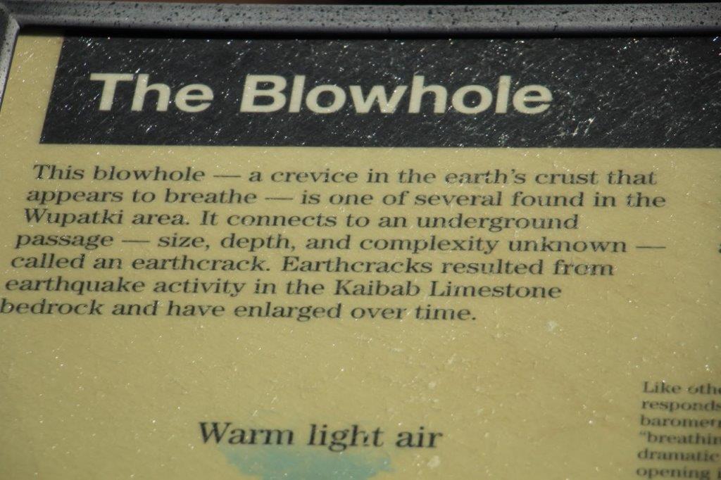
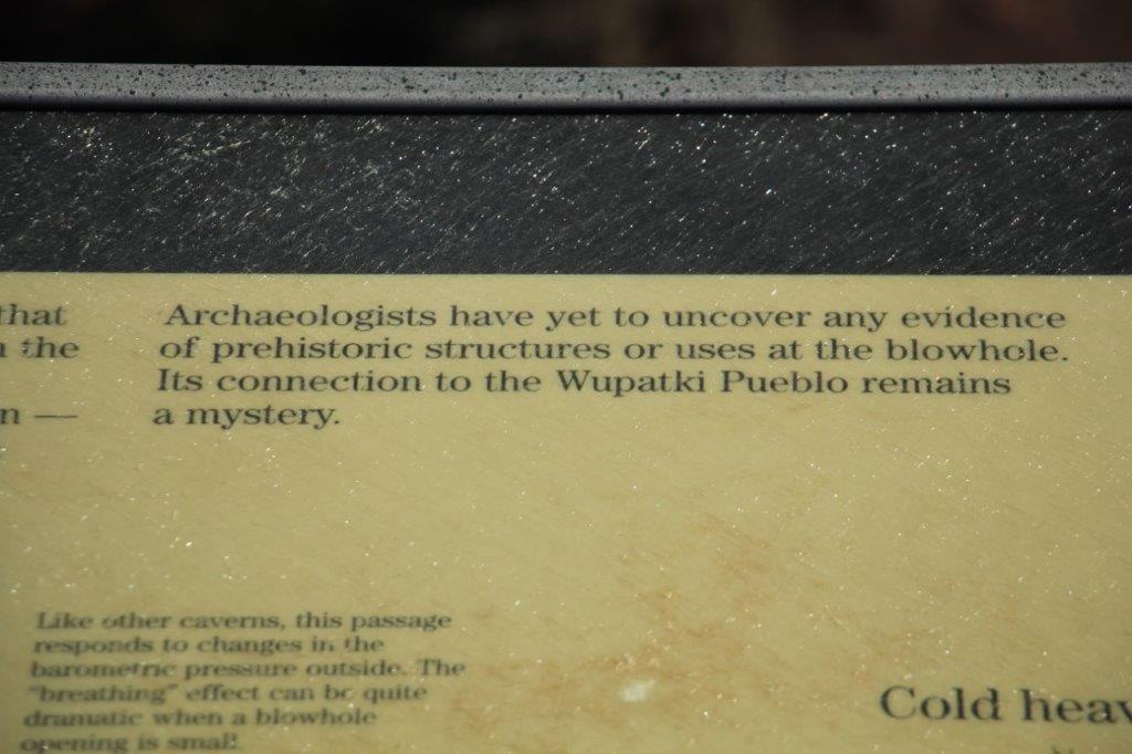
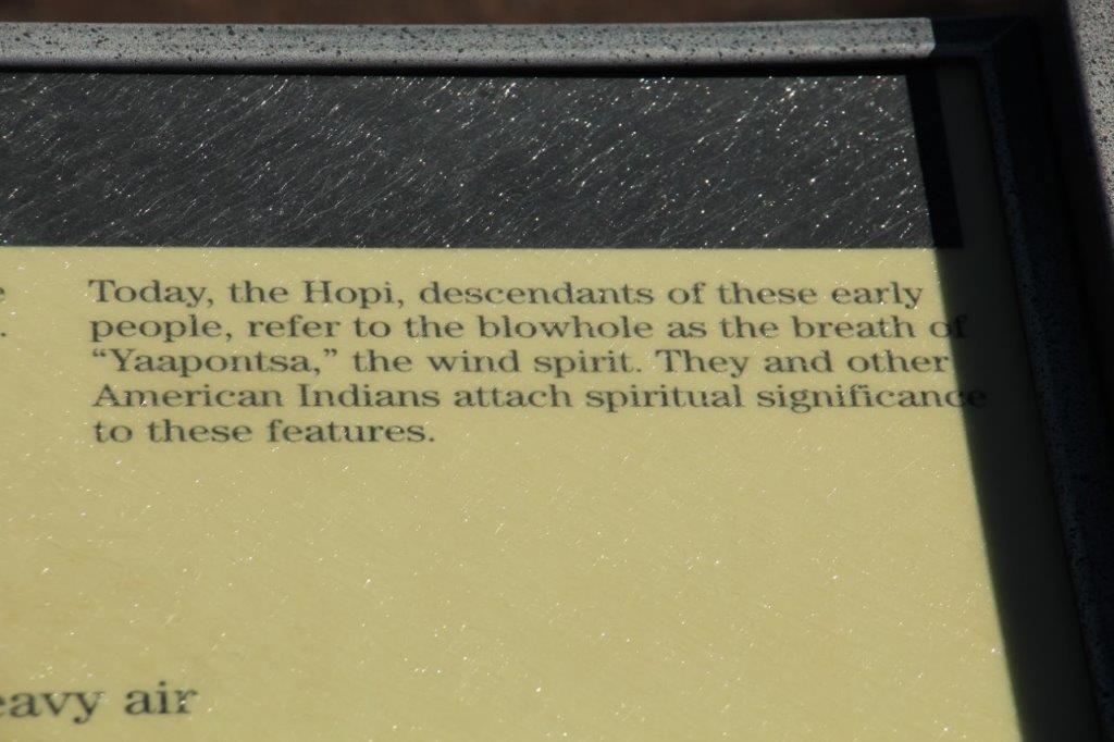
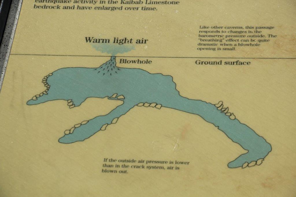
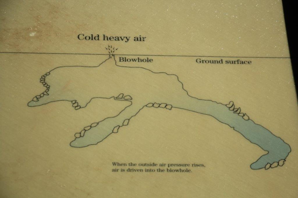
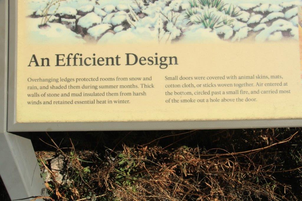
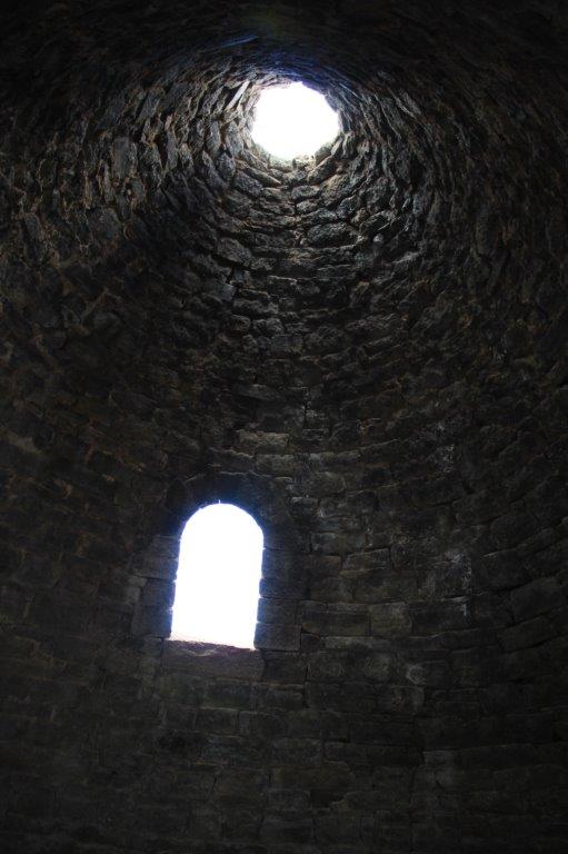
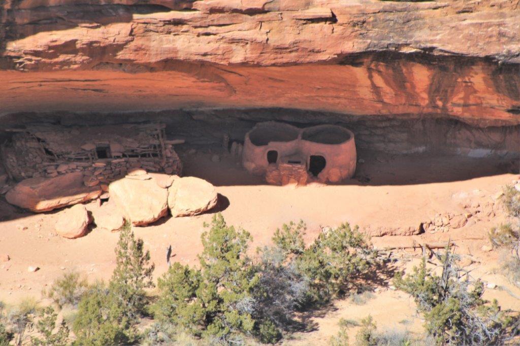
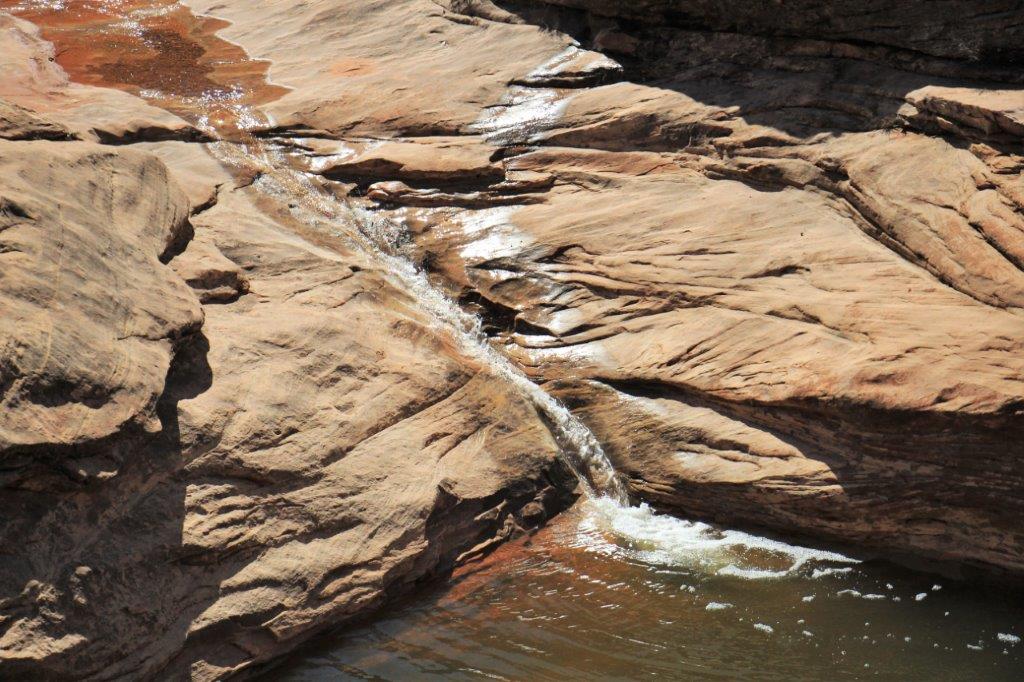
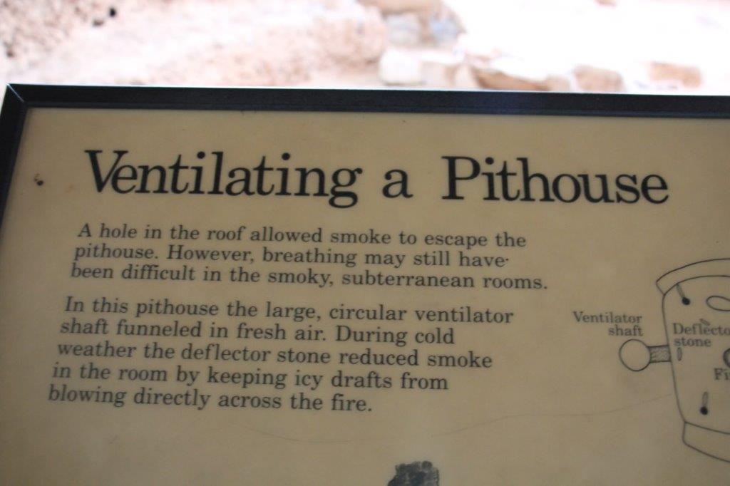
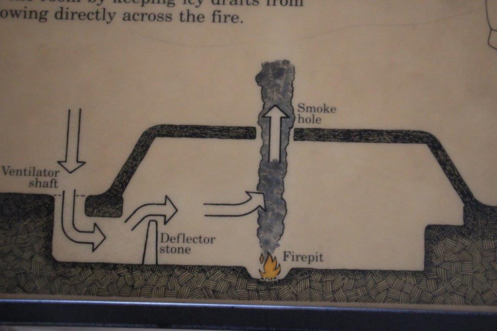
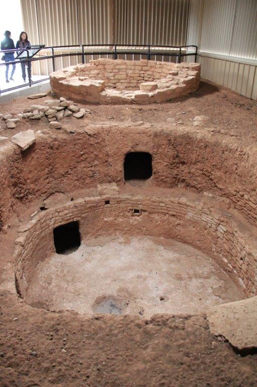
 There was quite a force of cool air blowing up. Would be great on a hot desert day.


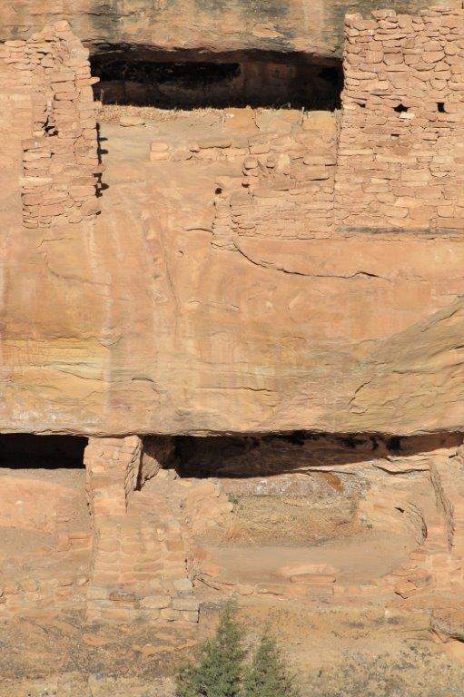
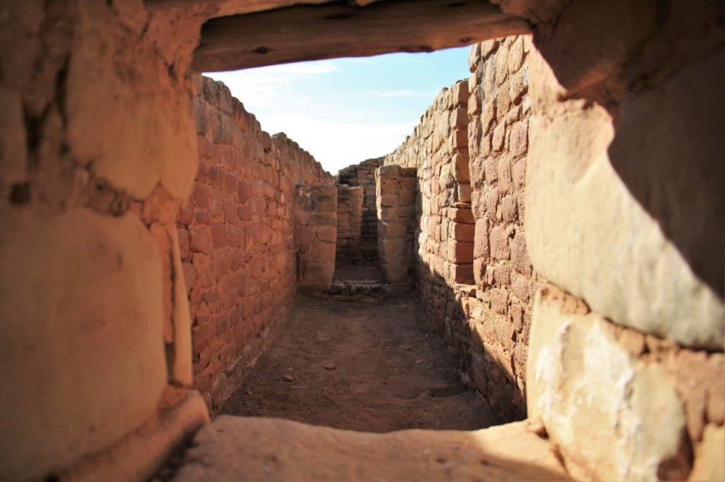
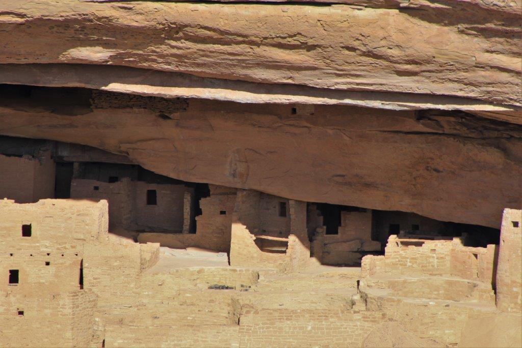
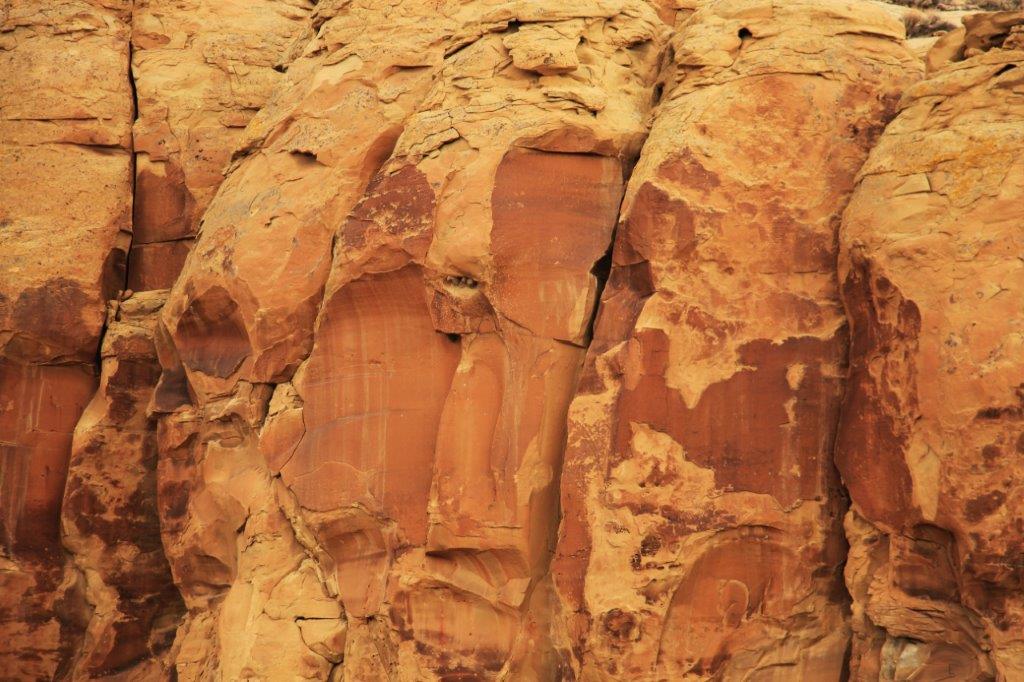
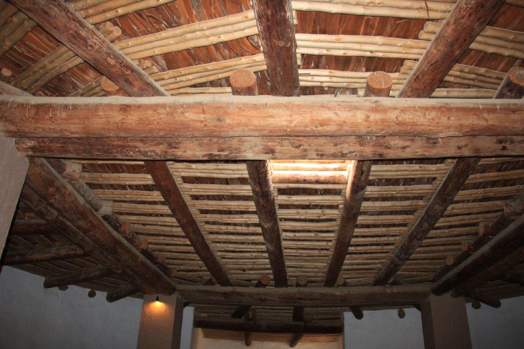
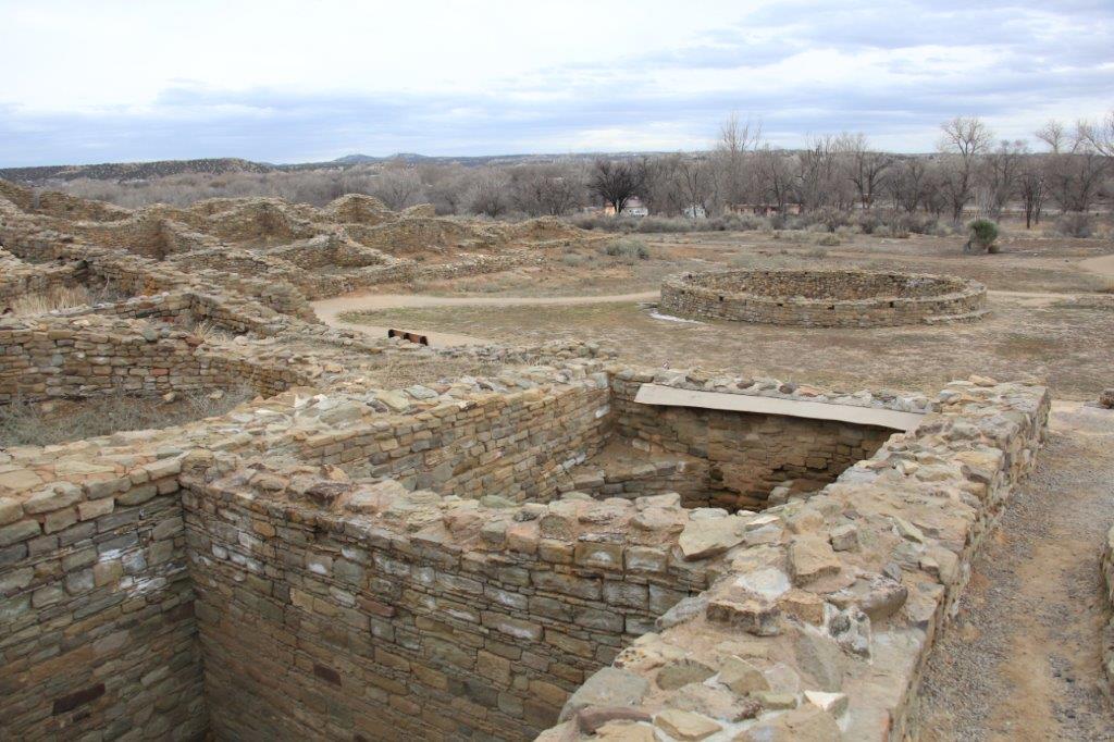
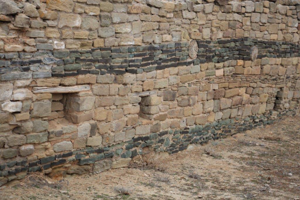
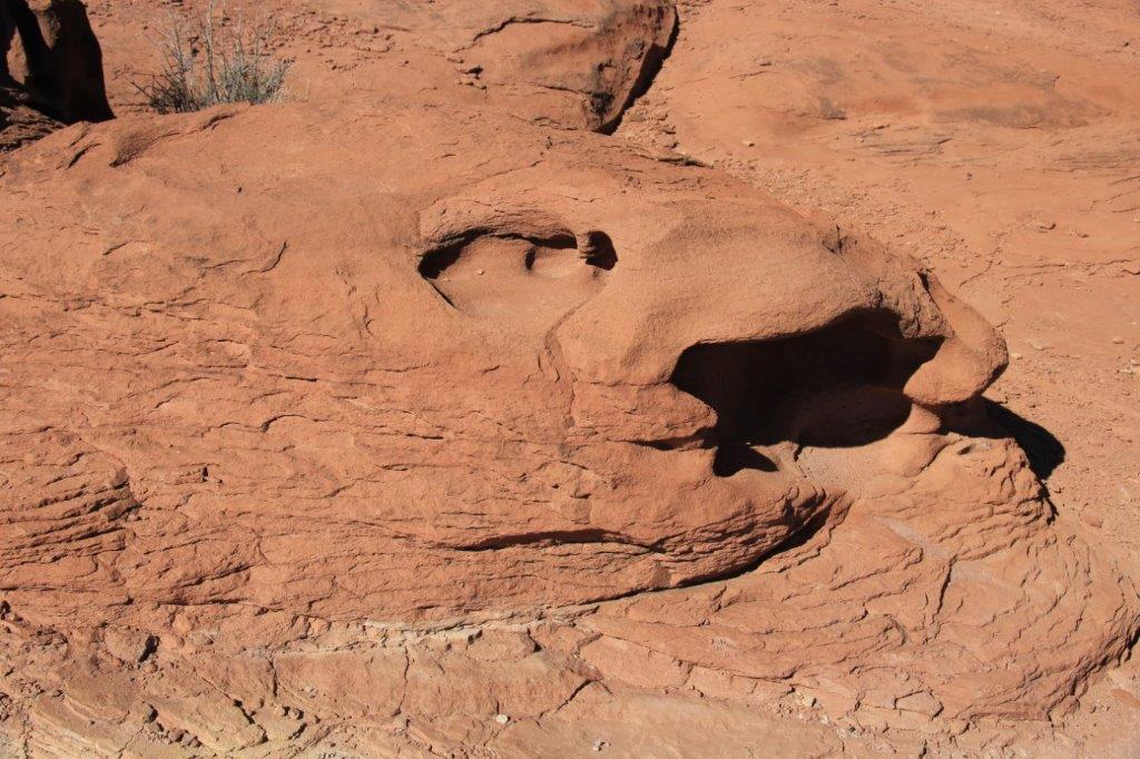
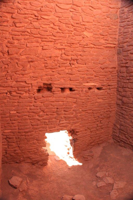
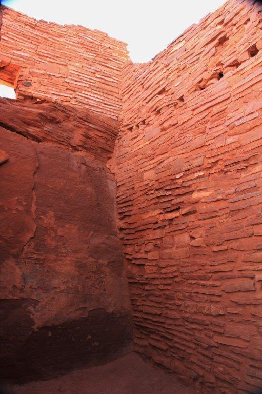
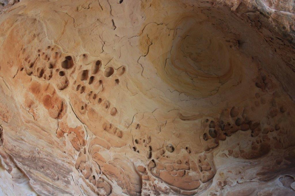
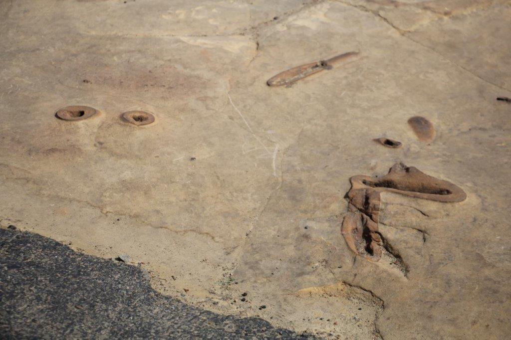
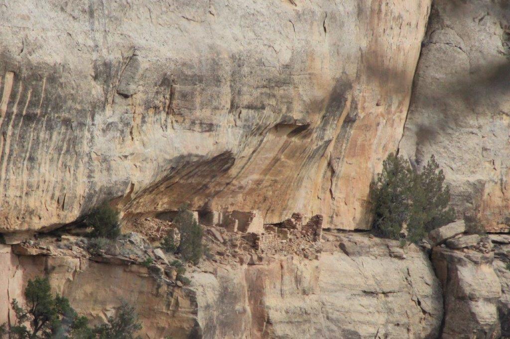
 Almost the entirety of three of the walls in this room were the rock.


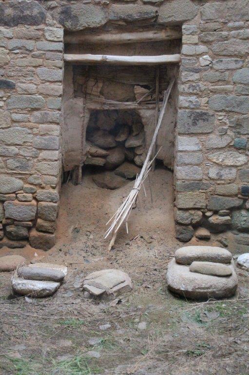
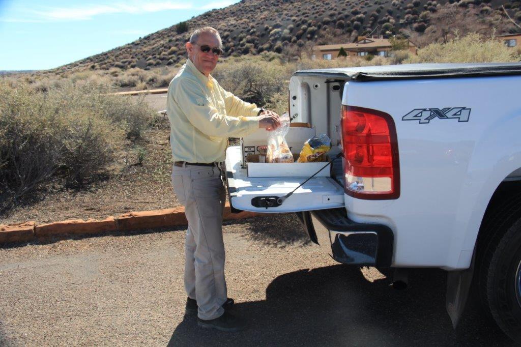
Lunch time.
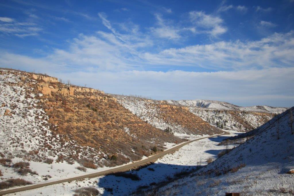
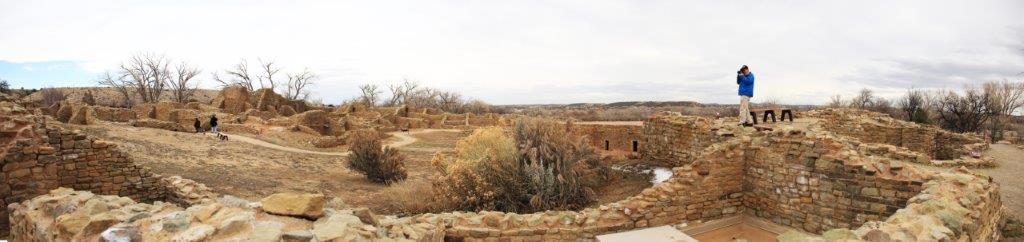
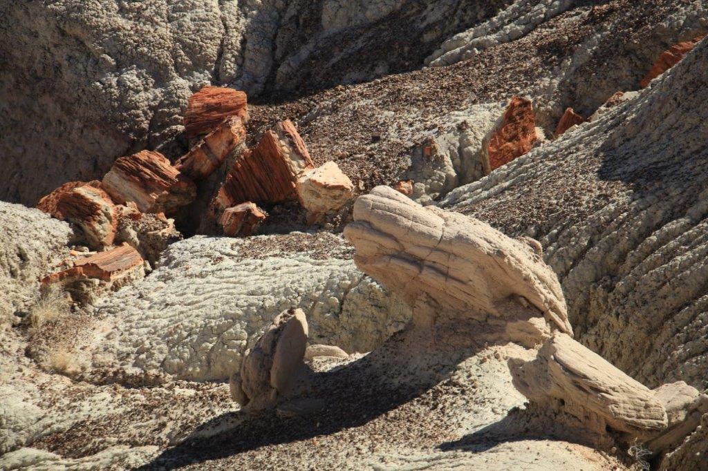
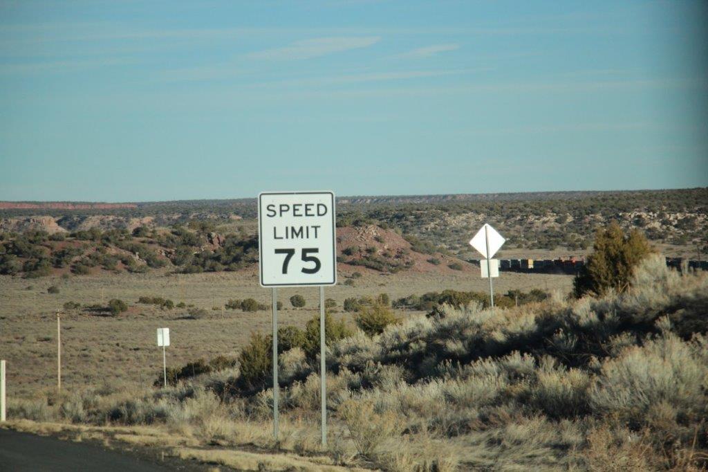
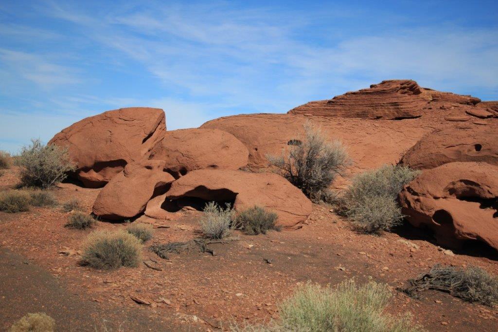
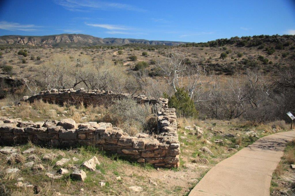
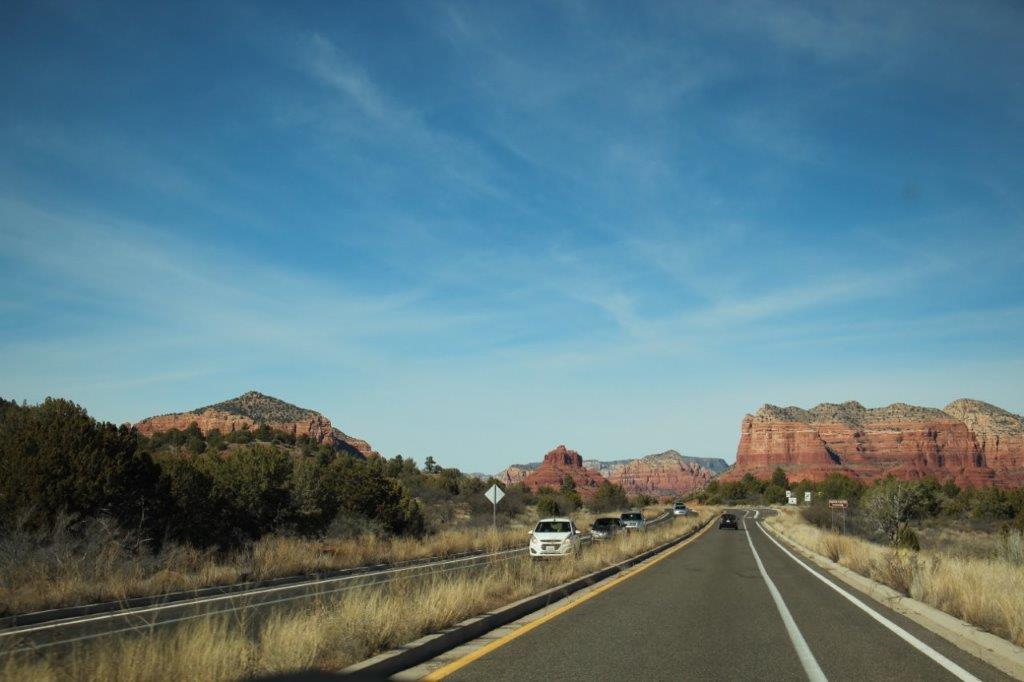
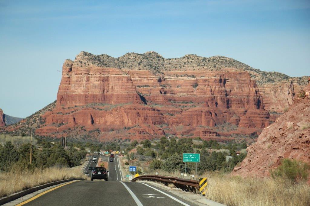
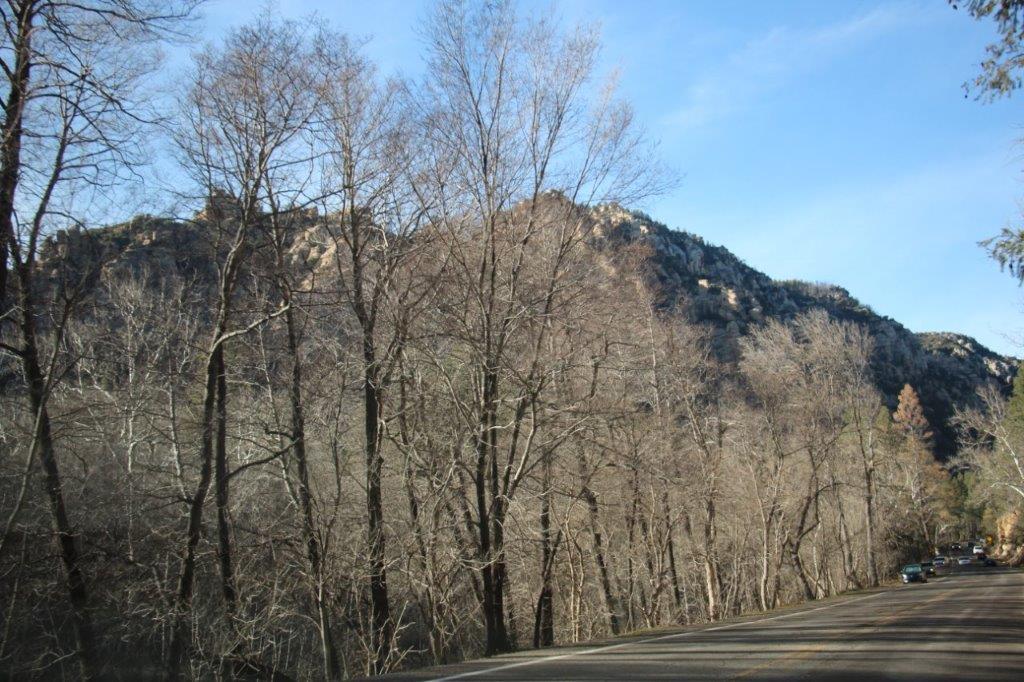
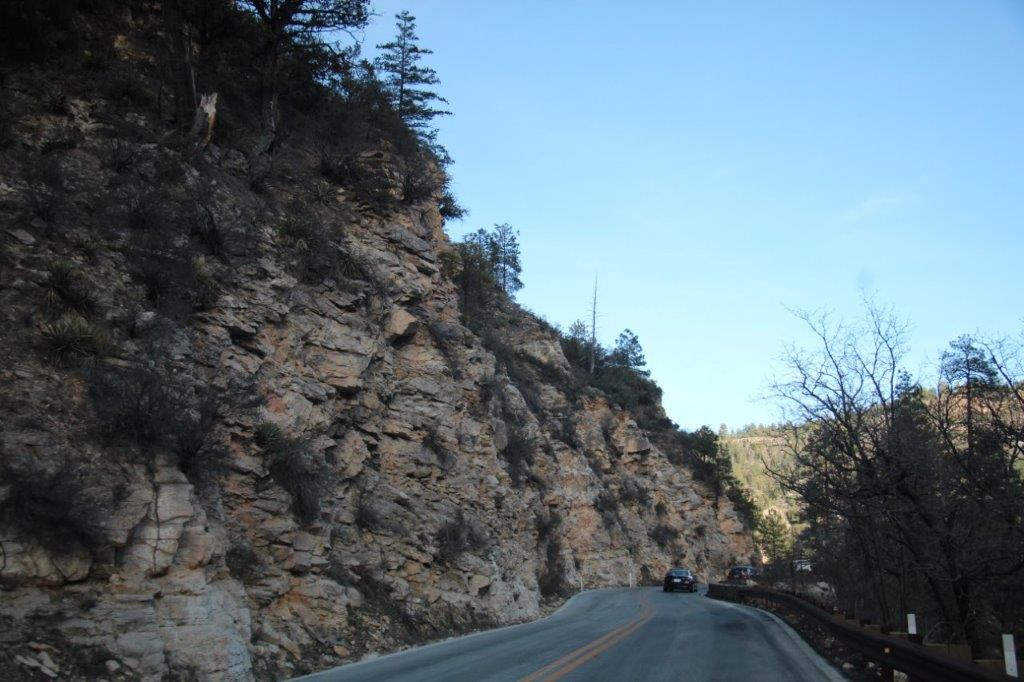
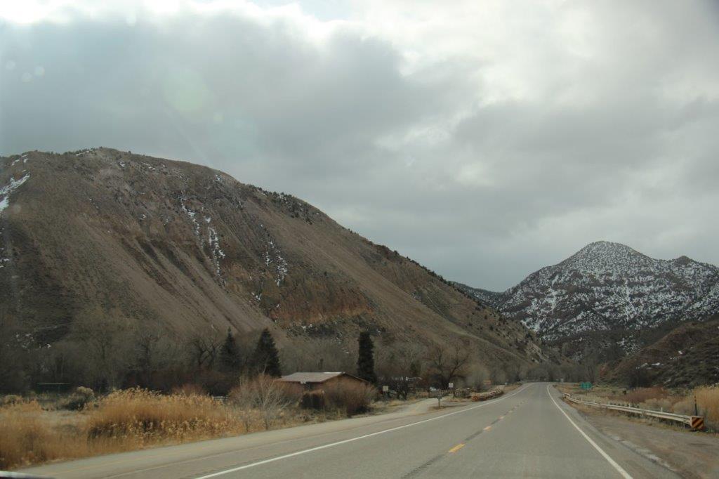
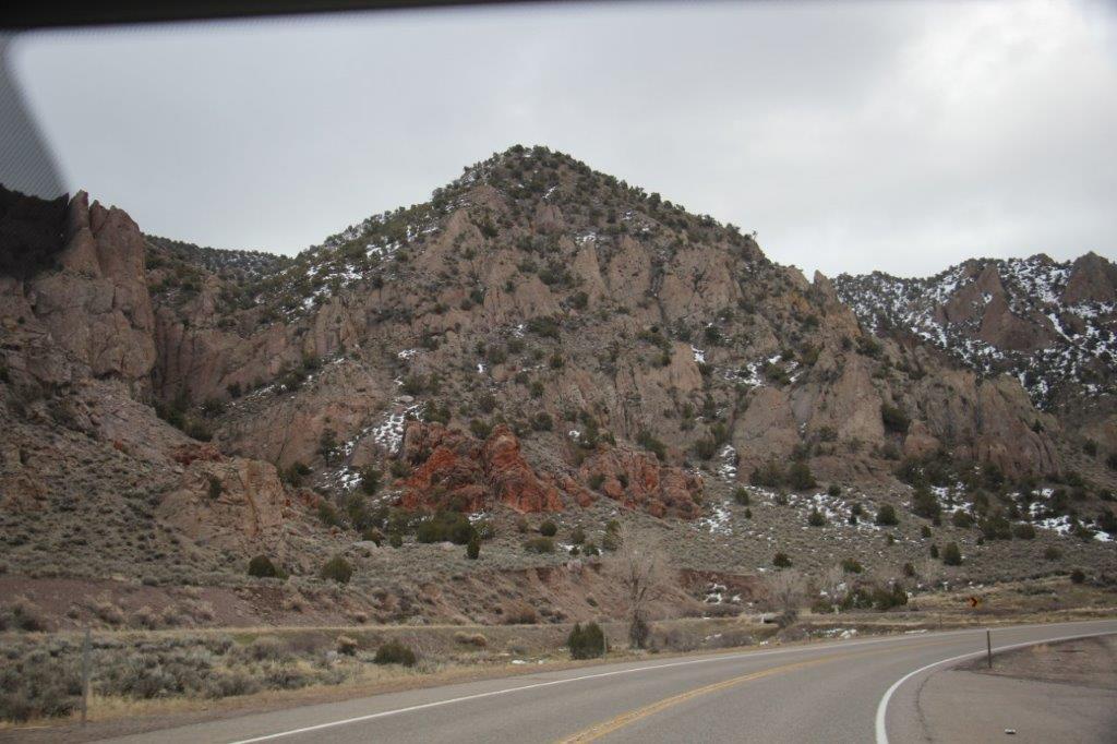
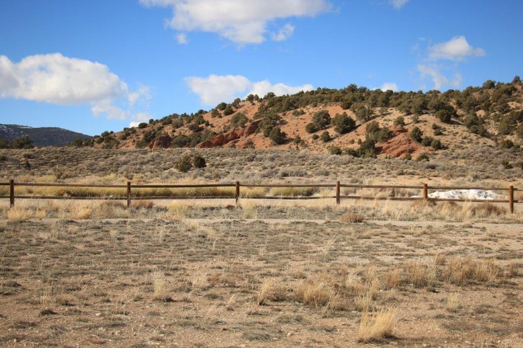
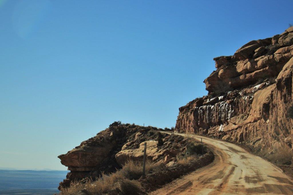
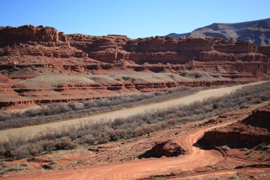
We didn’t stop at all the ancient pueblos at Wupatki National Monument. There were, I think, four more in various stages of ruin. None as nice as Wukoki and Wupatki so we checked them out via slow drives-by. Then it was a return drive to Flagstaff and east on Highway 40.


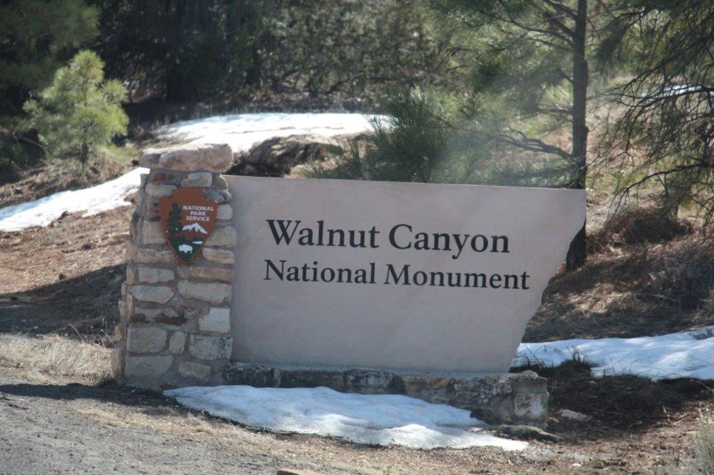
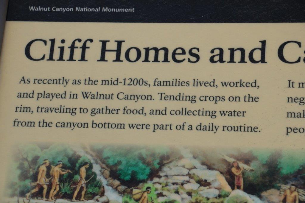
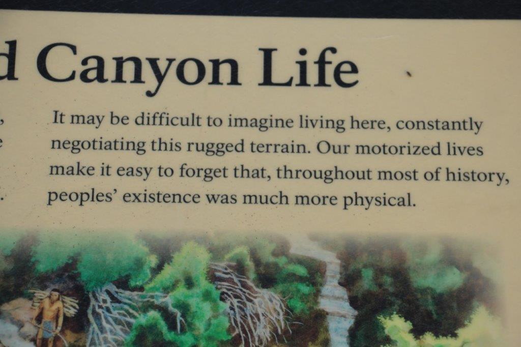
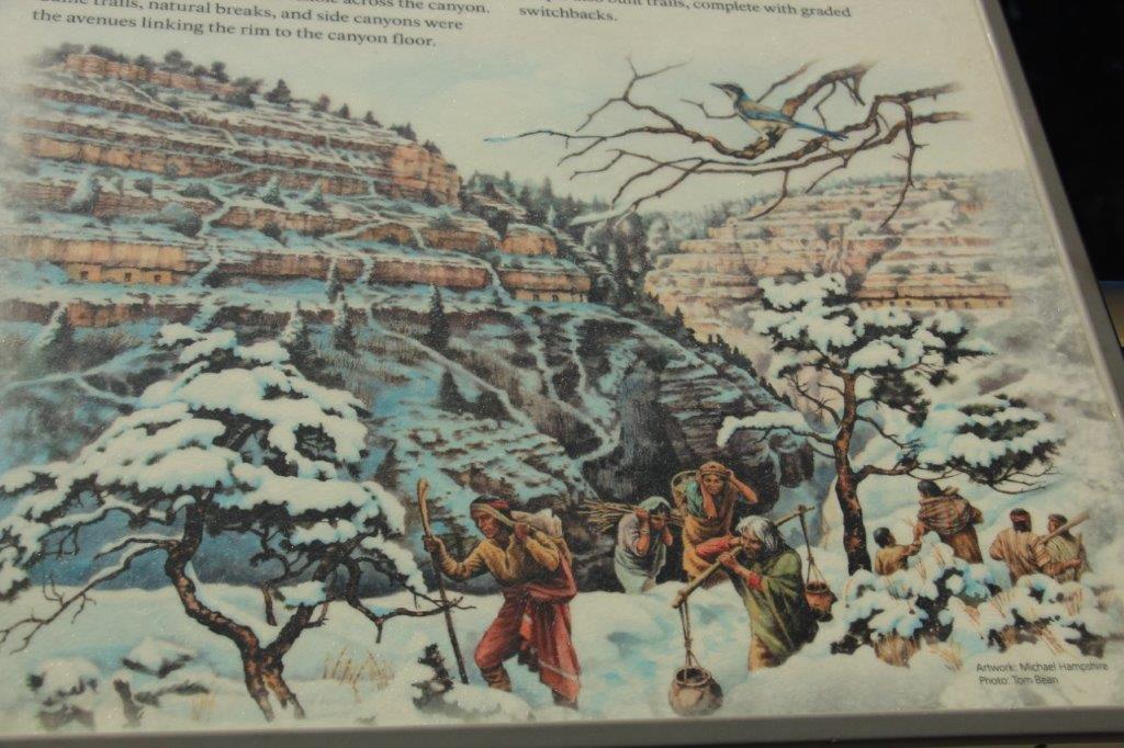
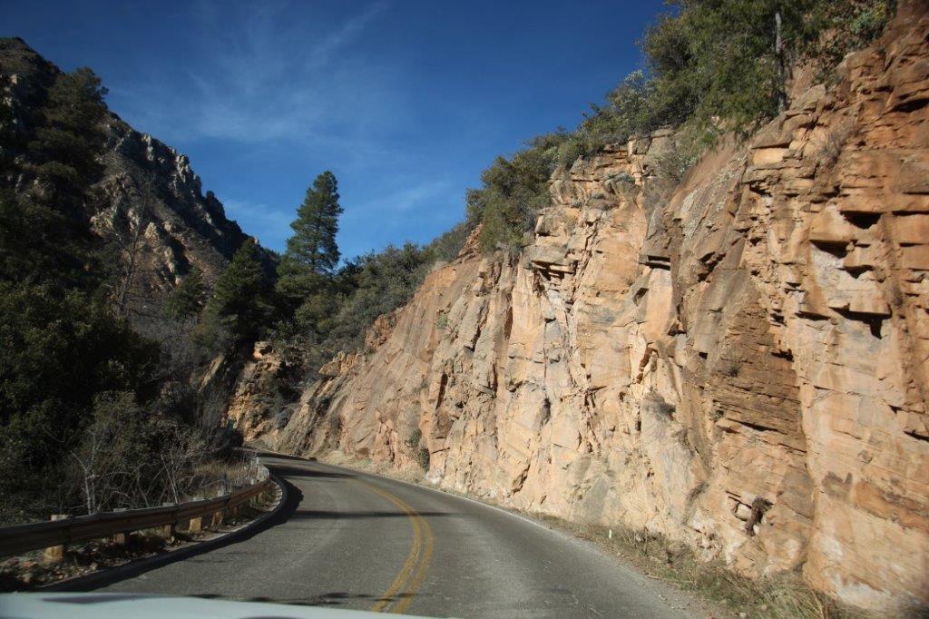
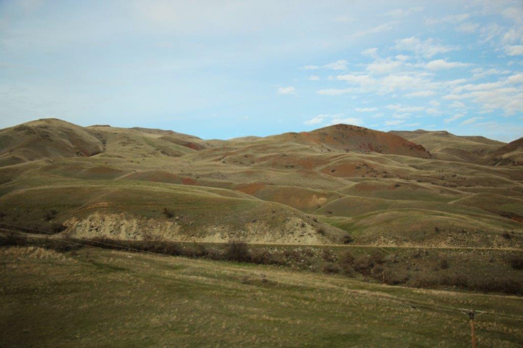
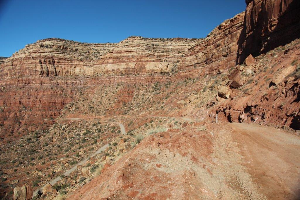
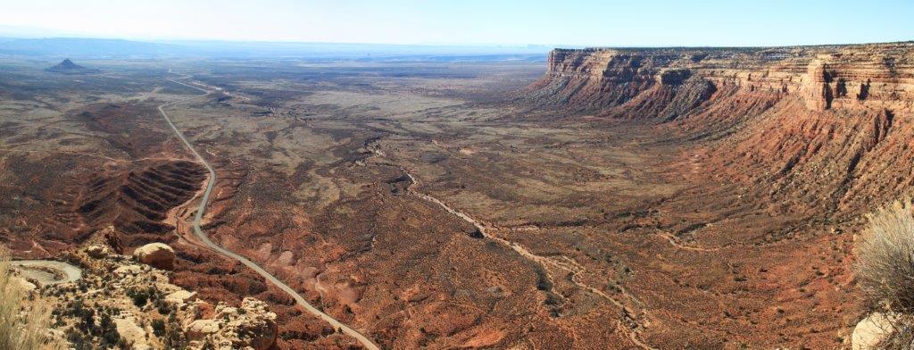
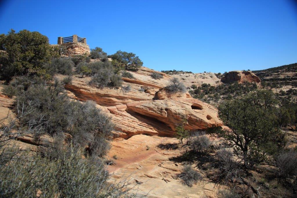
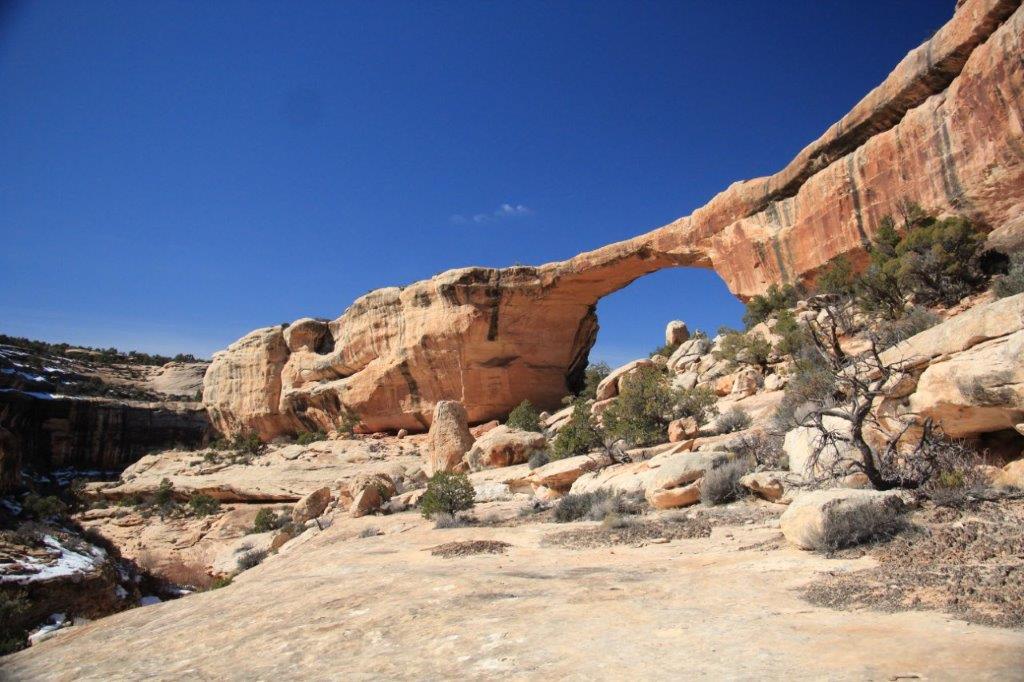
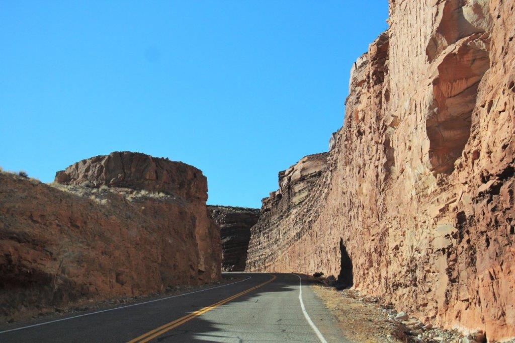
 Walnut Canyon was a surprise. I haven’t done tons of internet, brochure, or tour guide searching about the things along the road; some, but not tons, so I don’t know exactly what everything may be. I knew nothing about Walnut Canyon. We have driven through quite a few canyons; none of them National Monuments I admit, but a canyon is a canyon. Right? Wrong. Well, right and wrong.

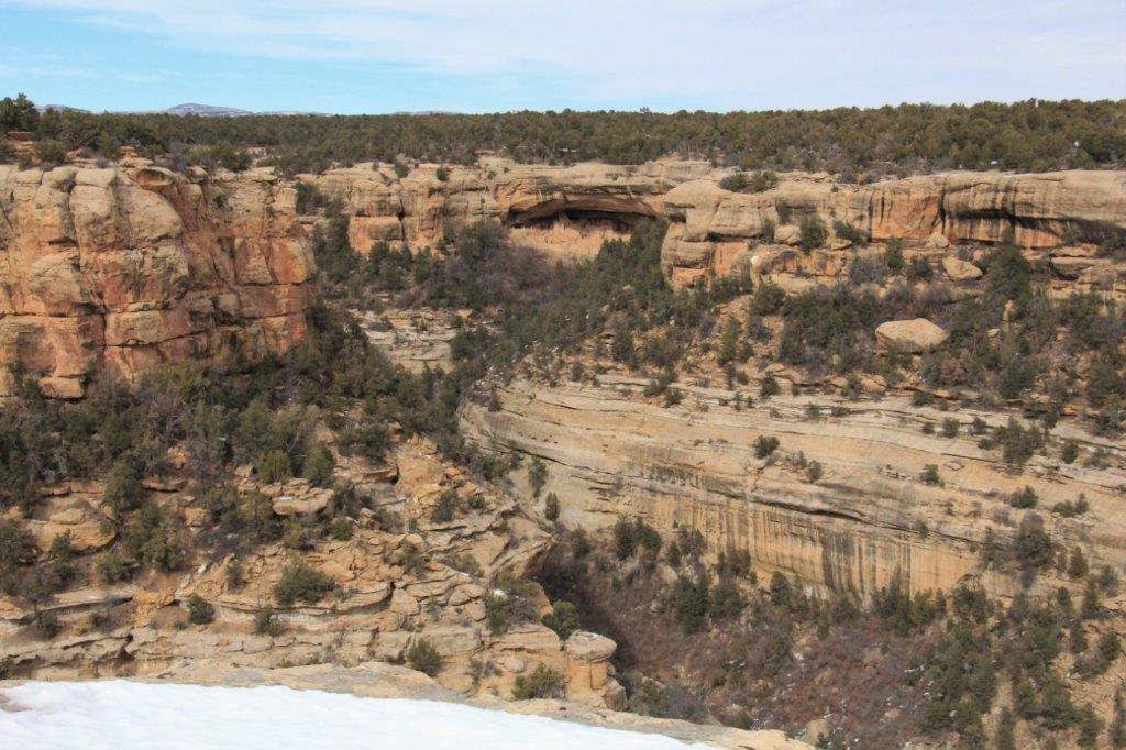
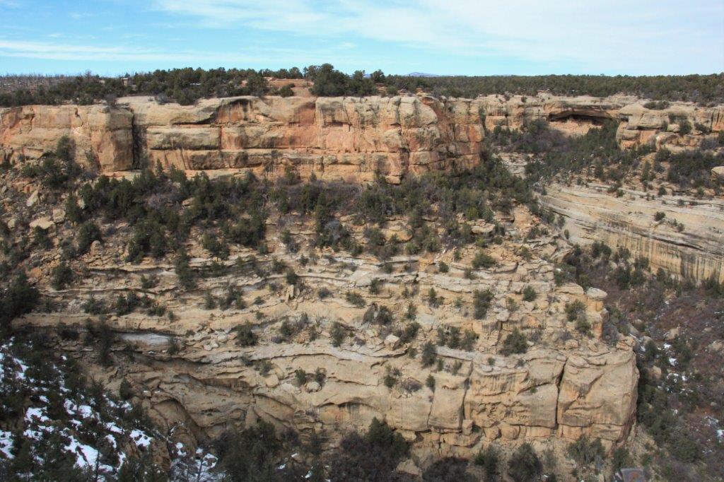
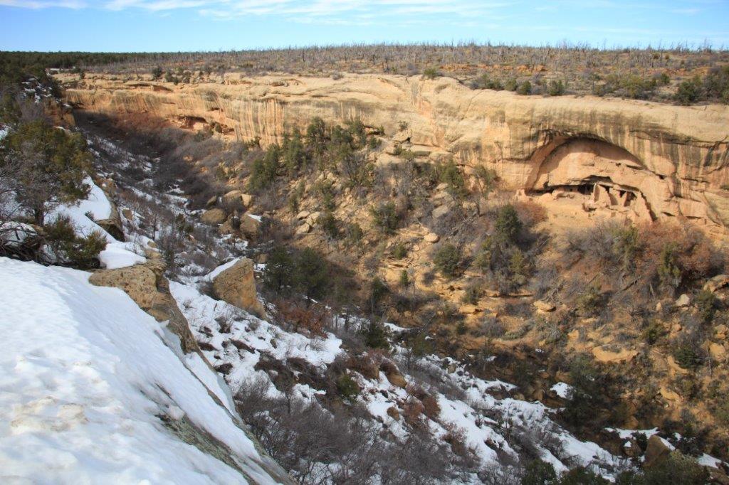
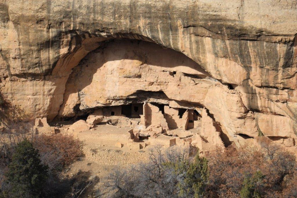
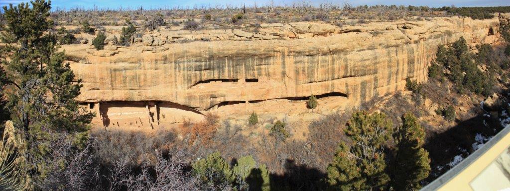
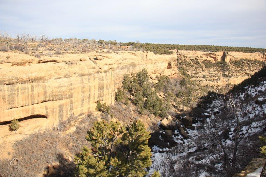
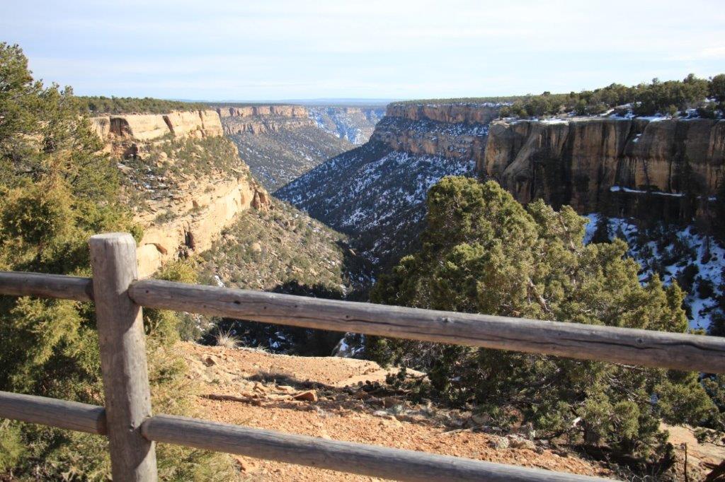
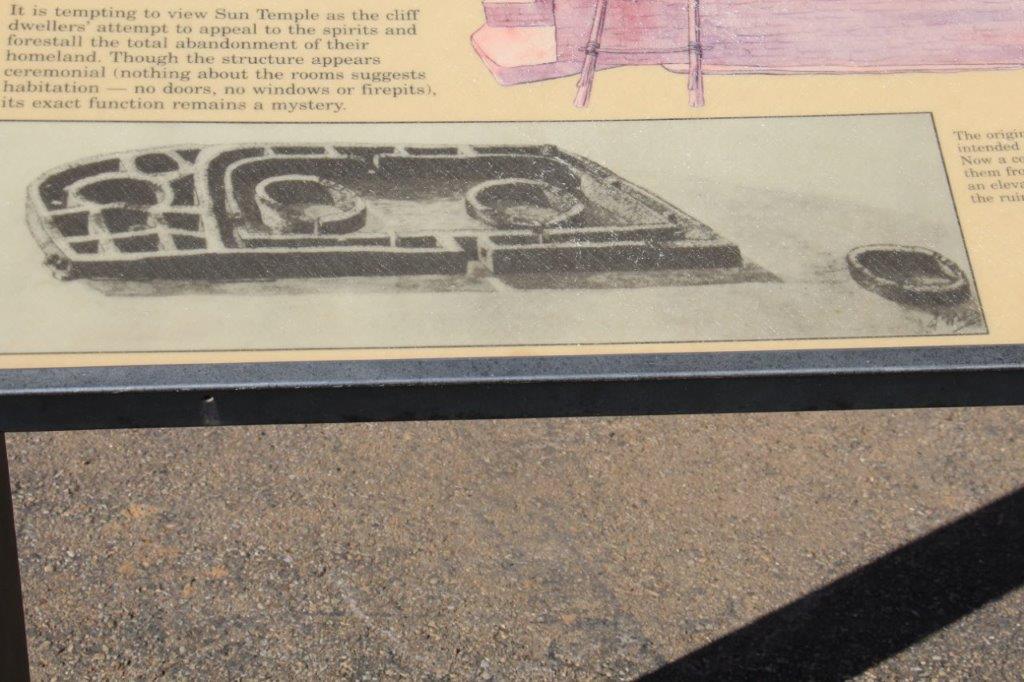
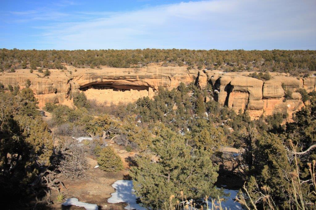
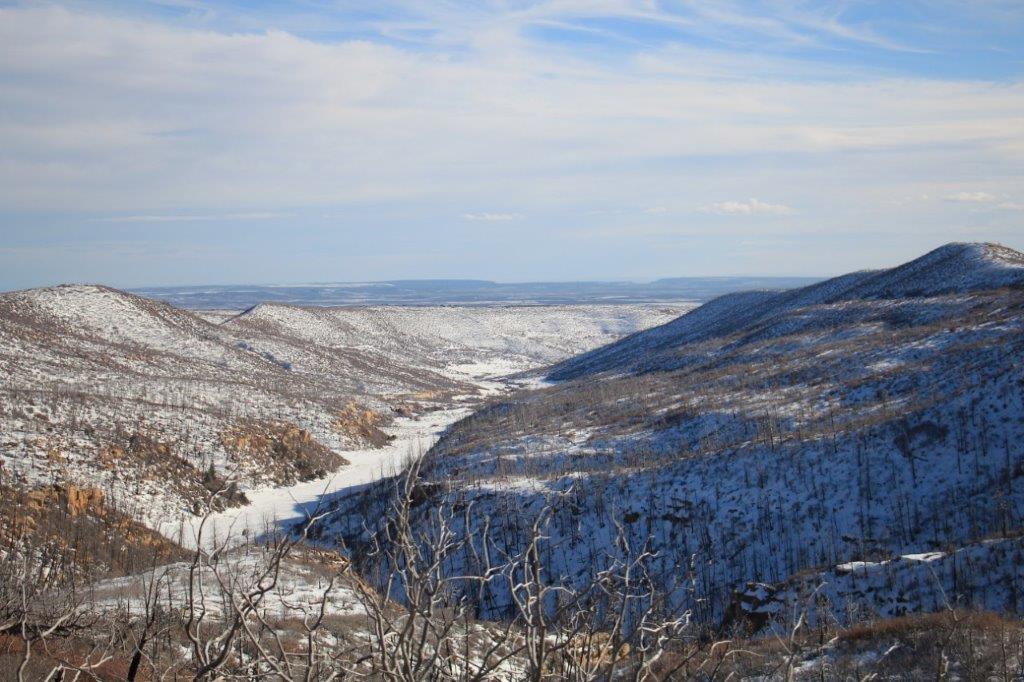
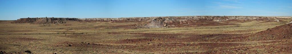
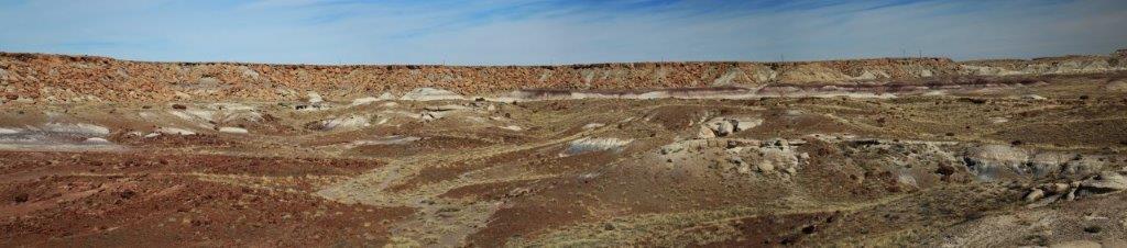
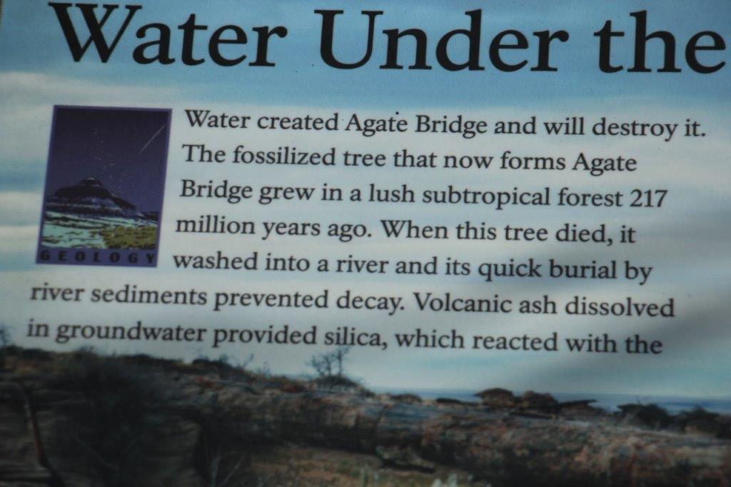
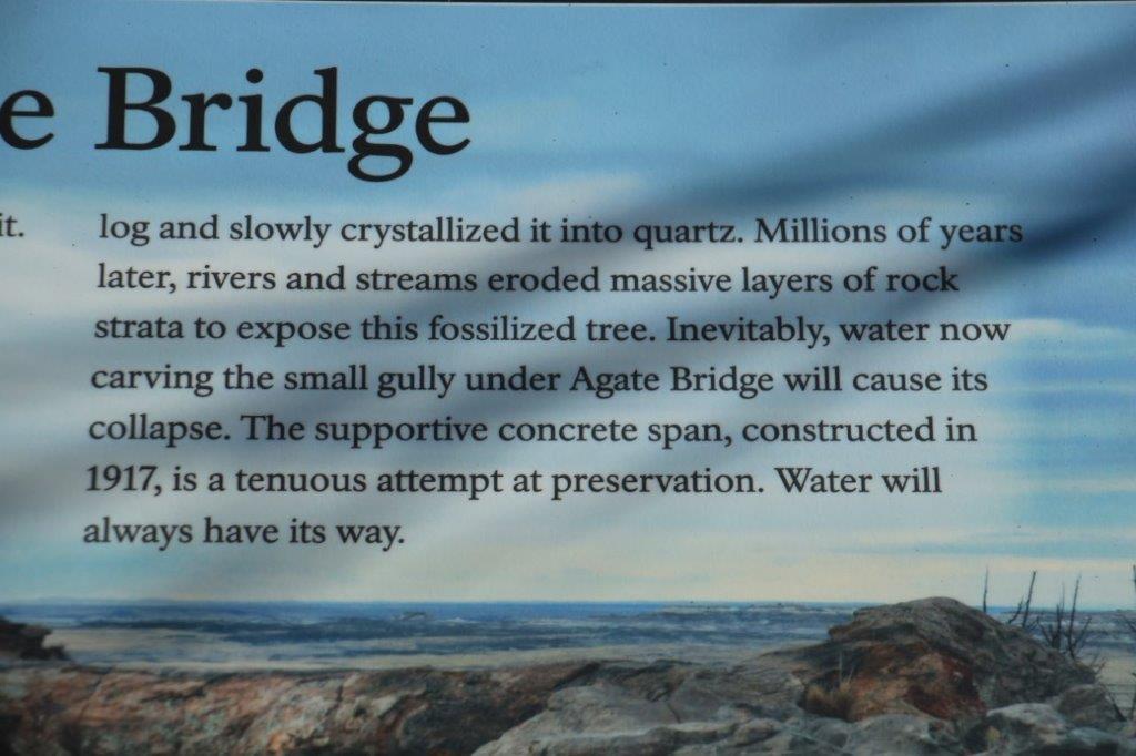
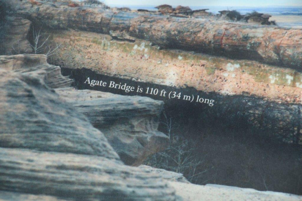
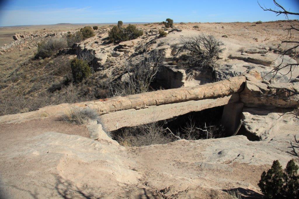
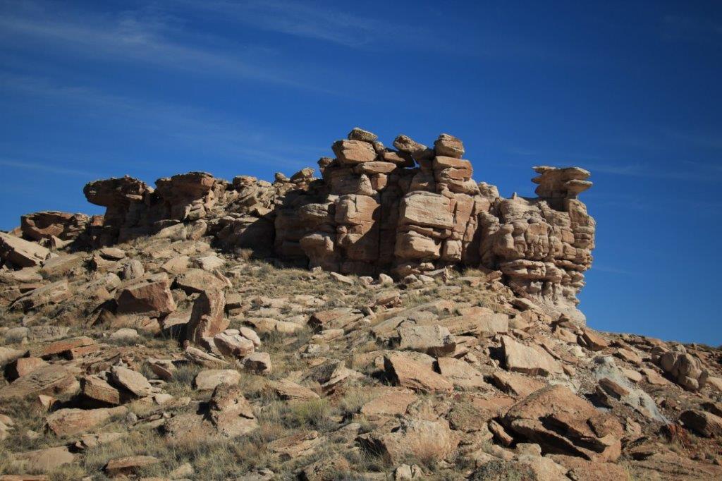
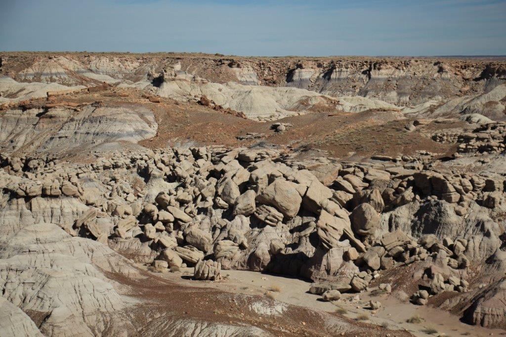
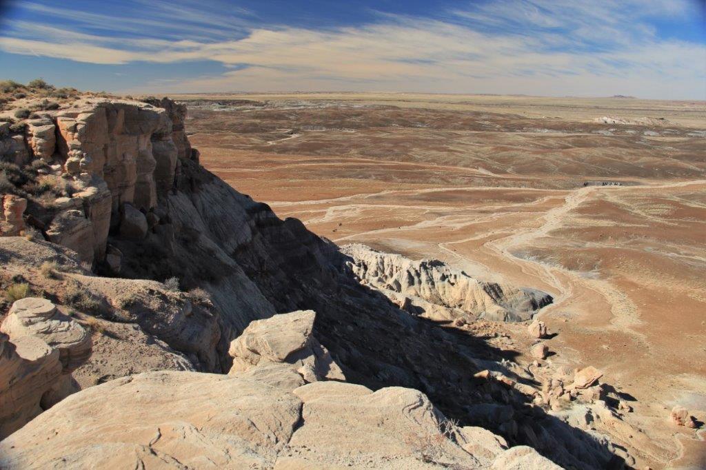
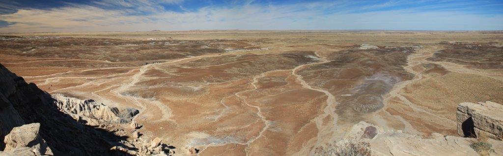
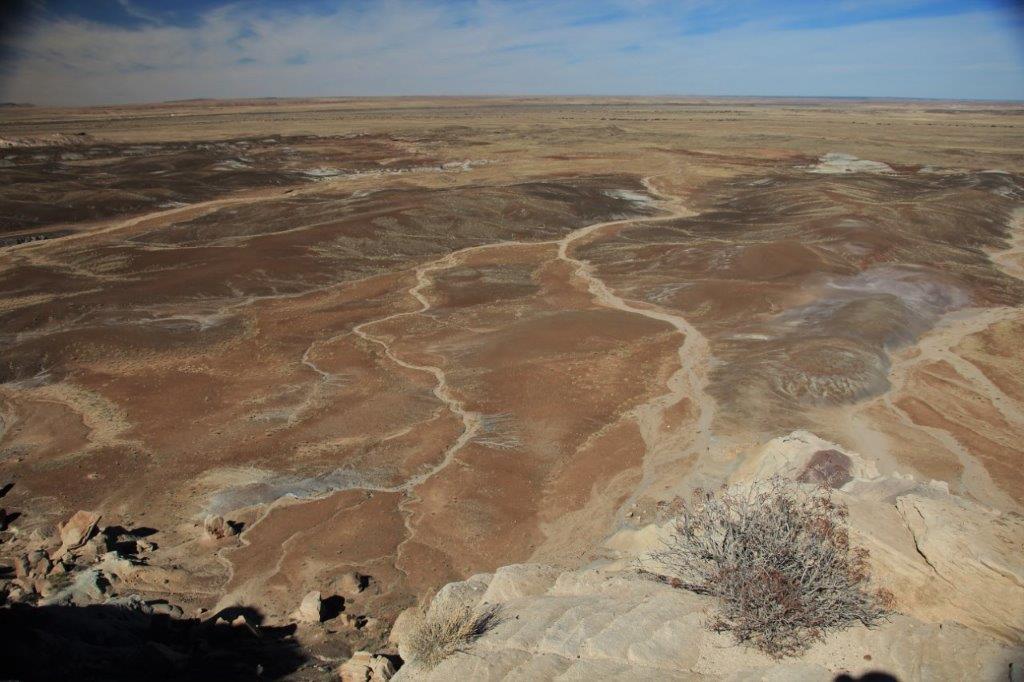
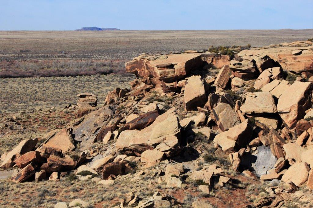
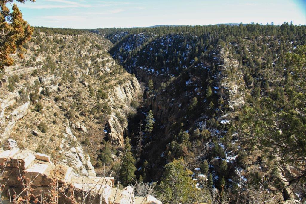
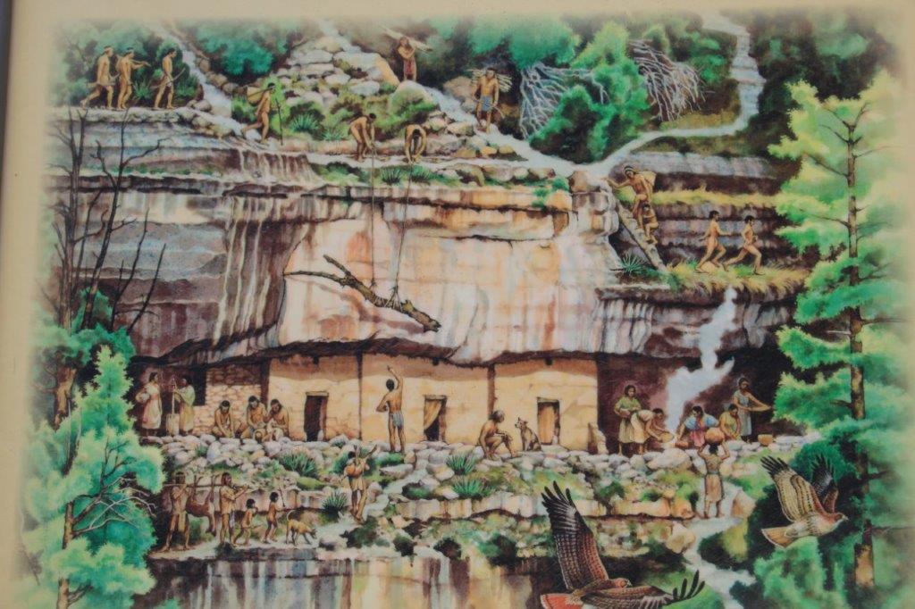
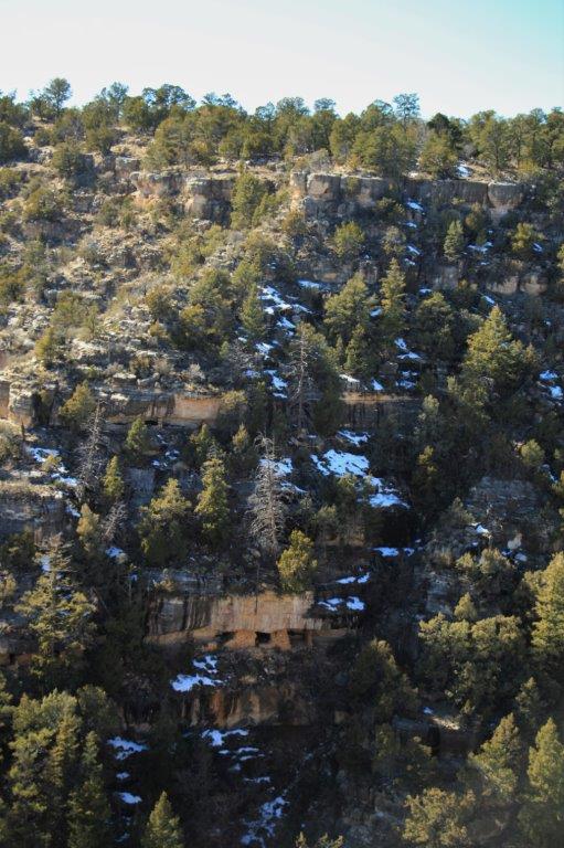
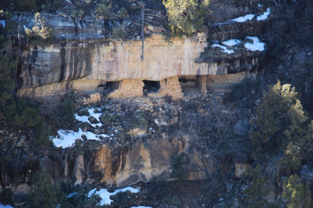
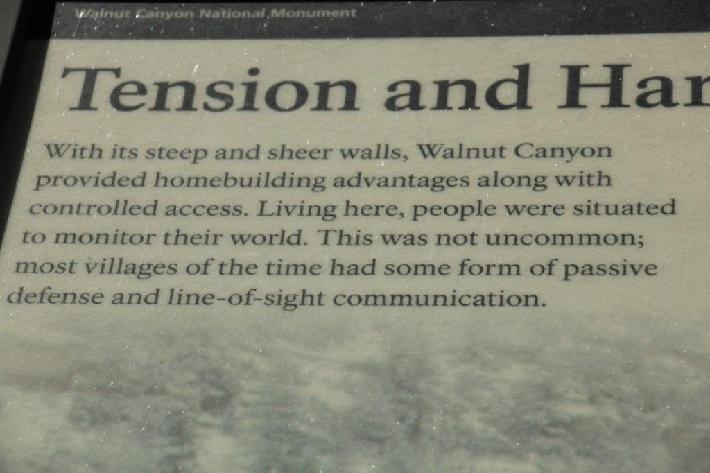
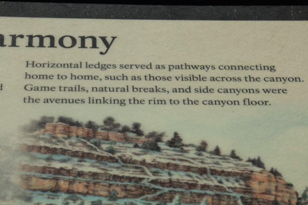
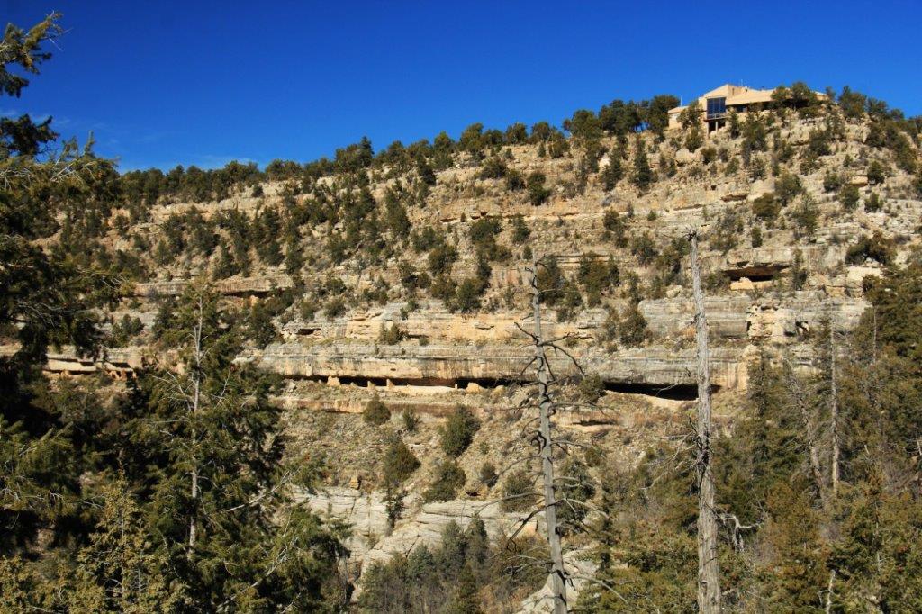
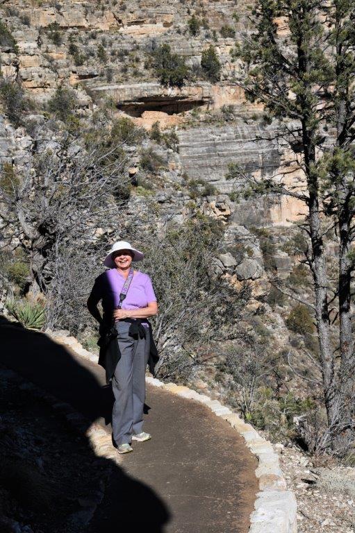
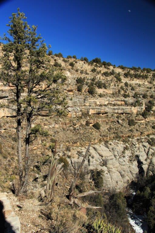
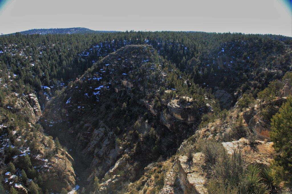
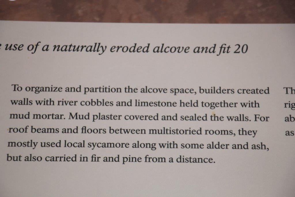
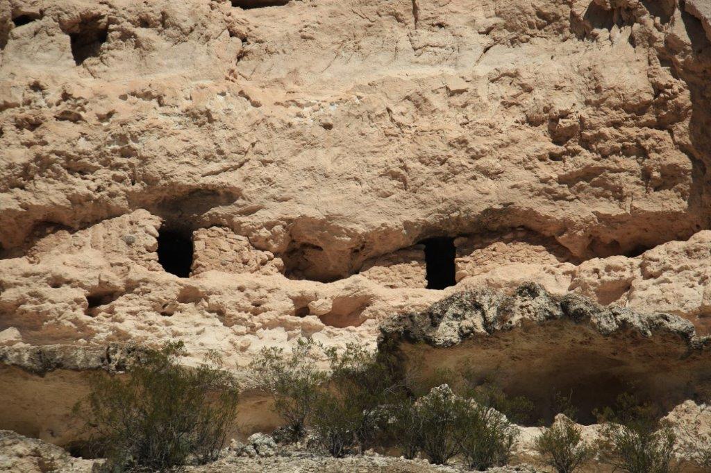
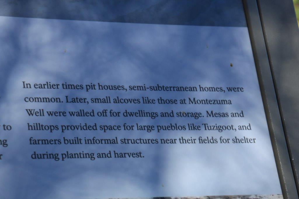
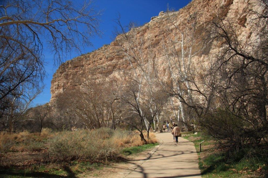
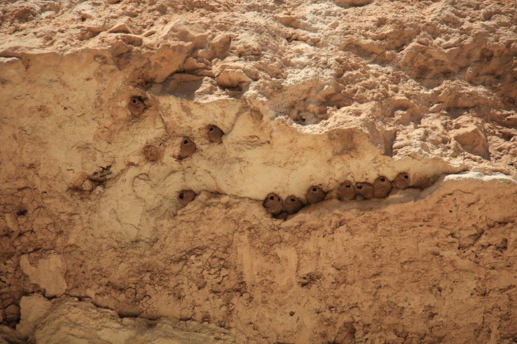
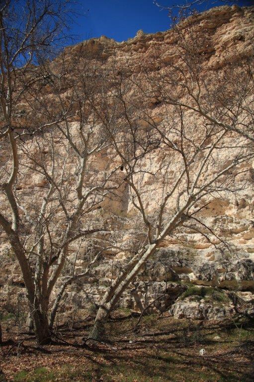
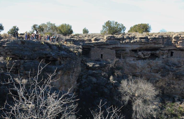
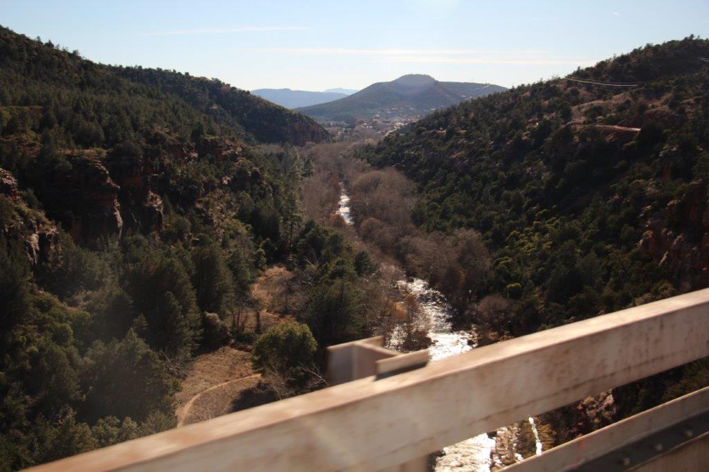
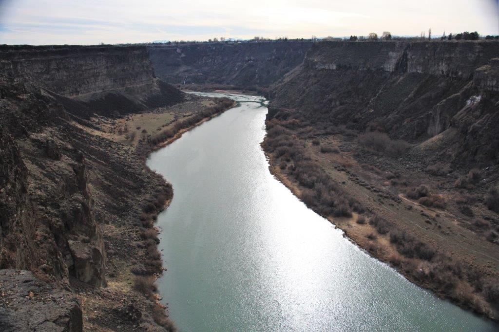
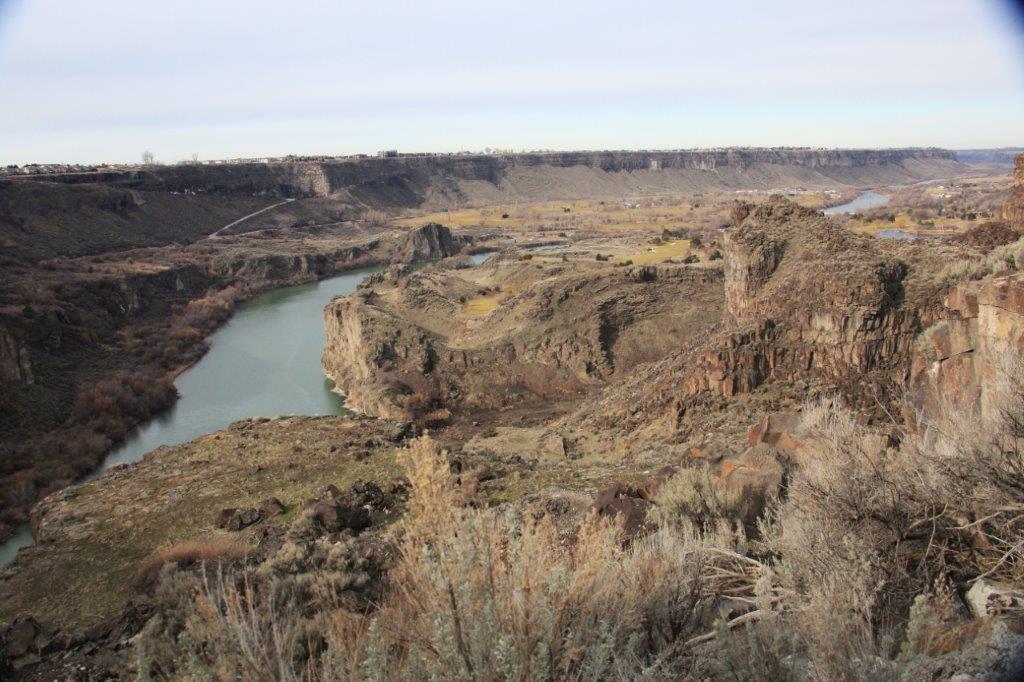
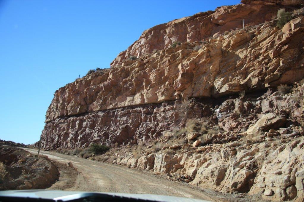
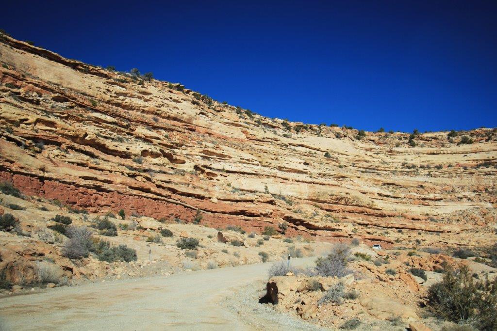
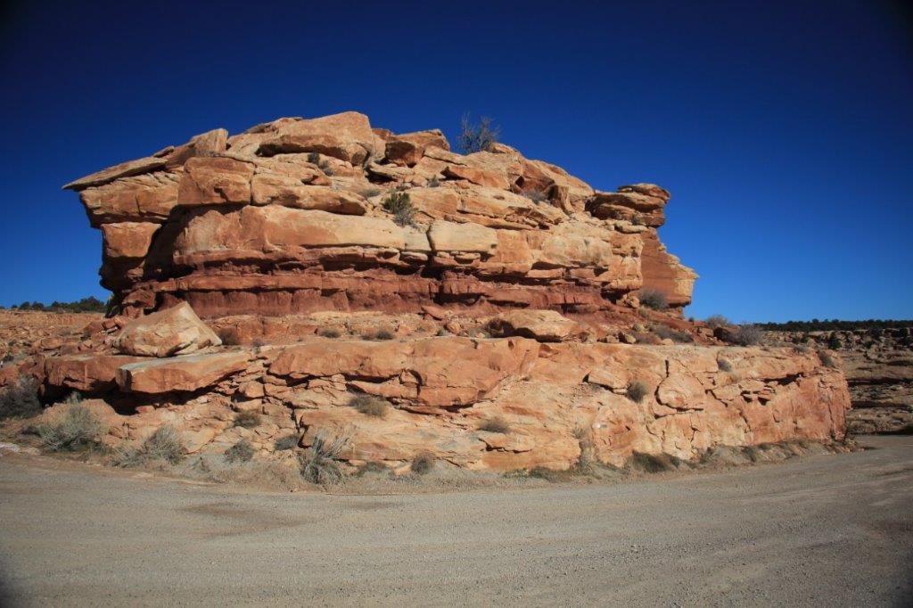
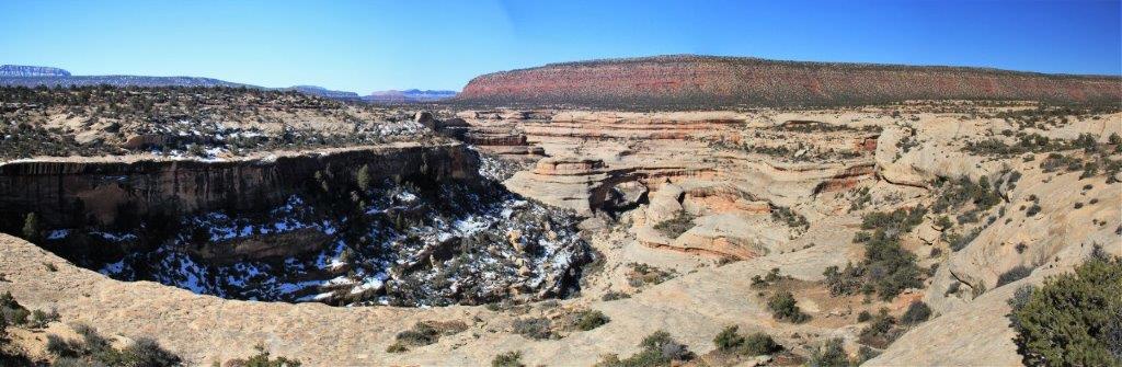
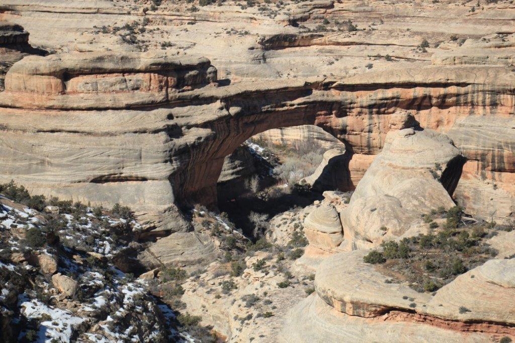
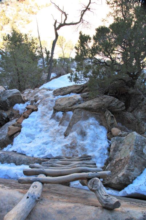
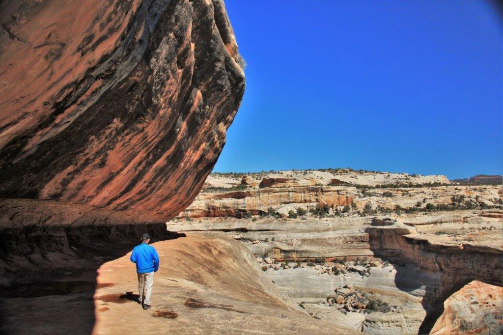
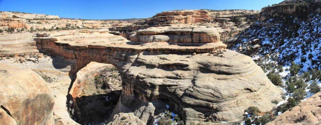
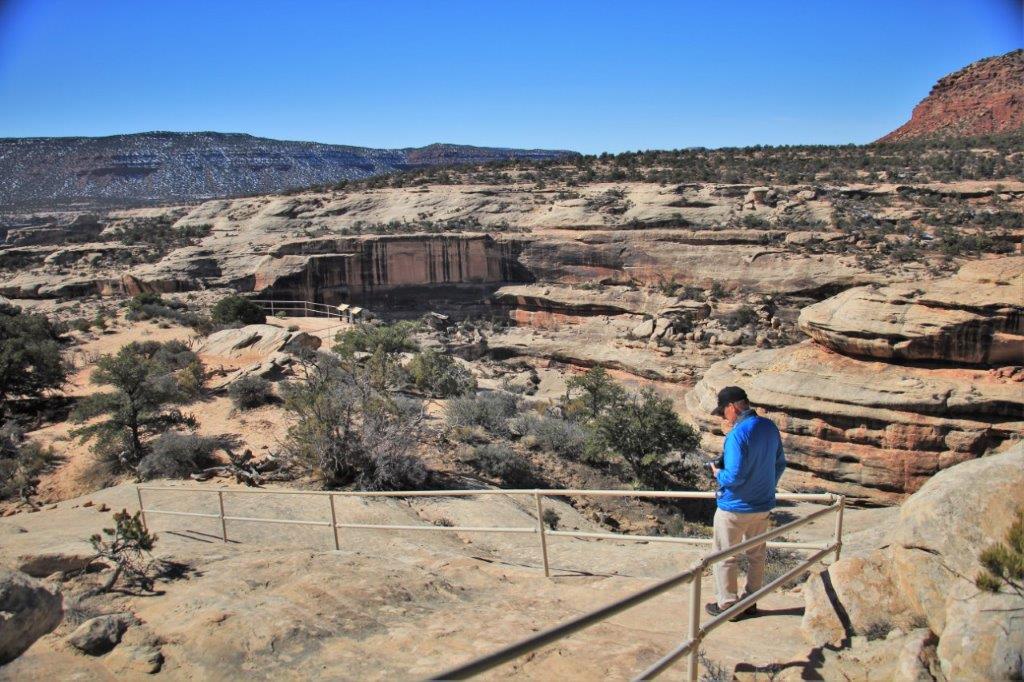
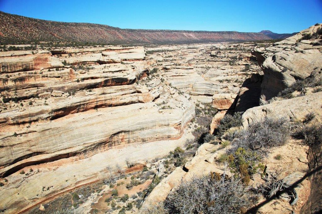
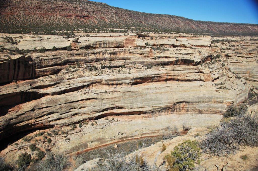
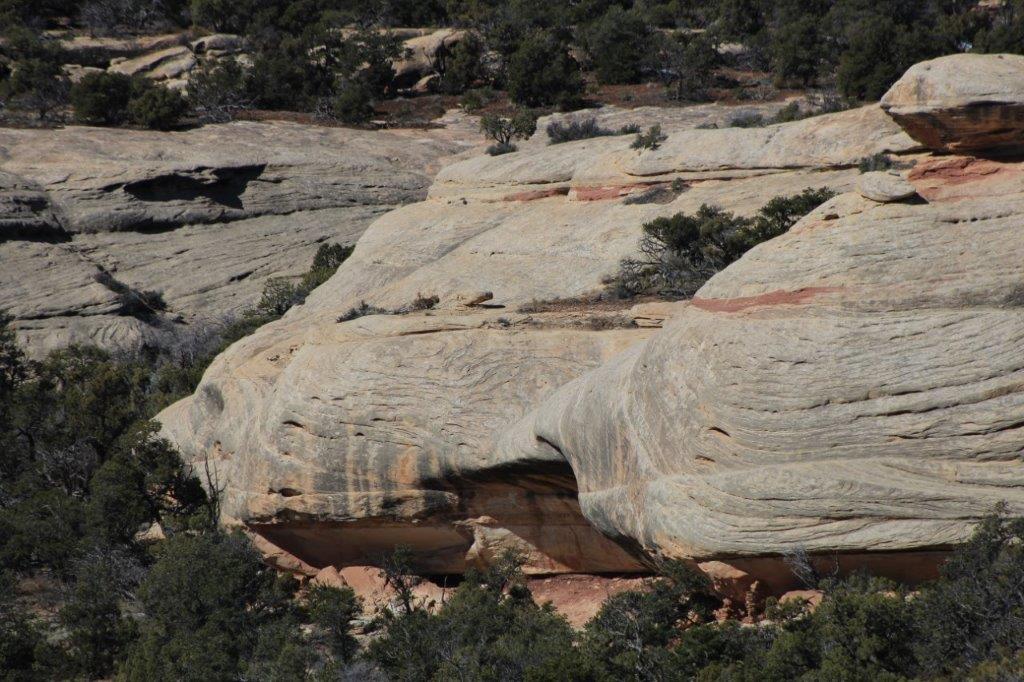
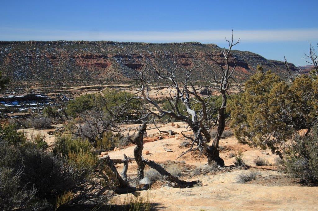
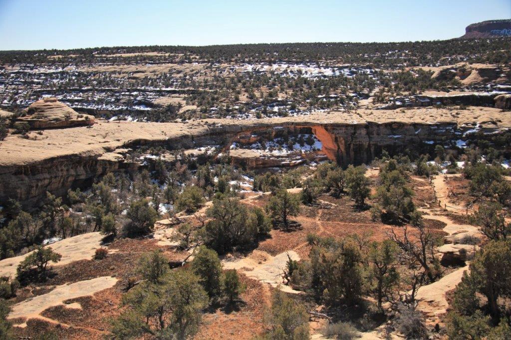
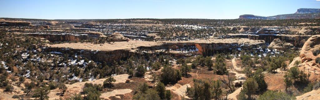
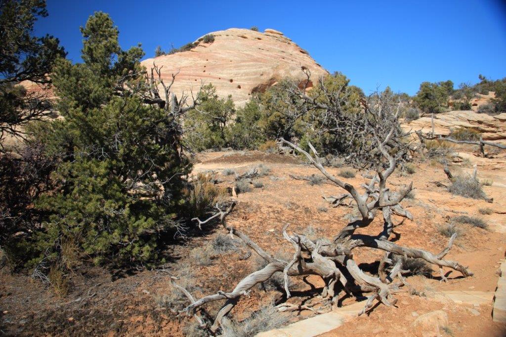
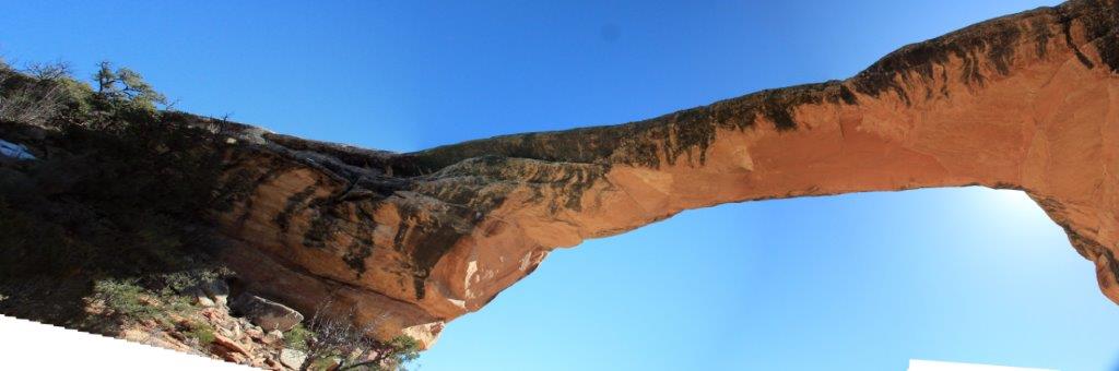
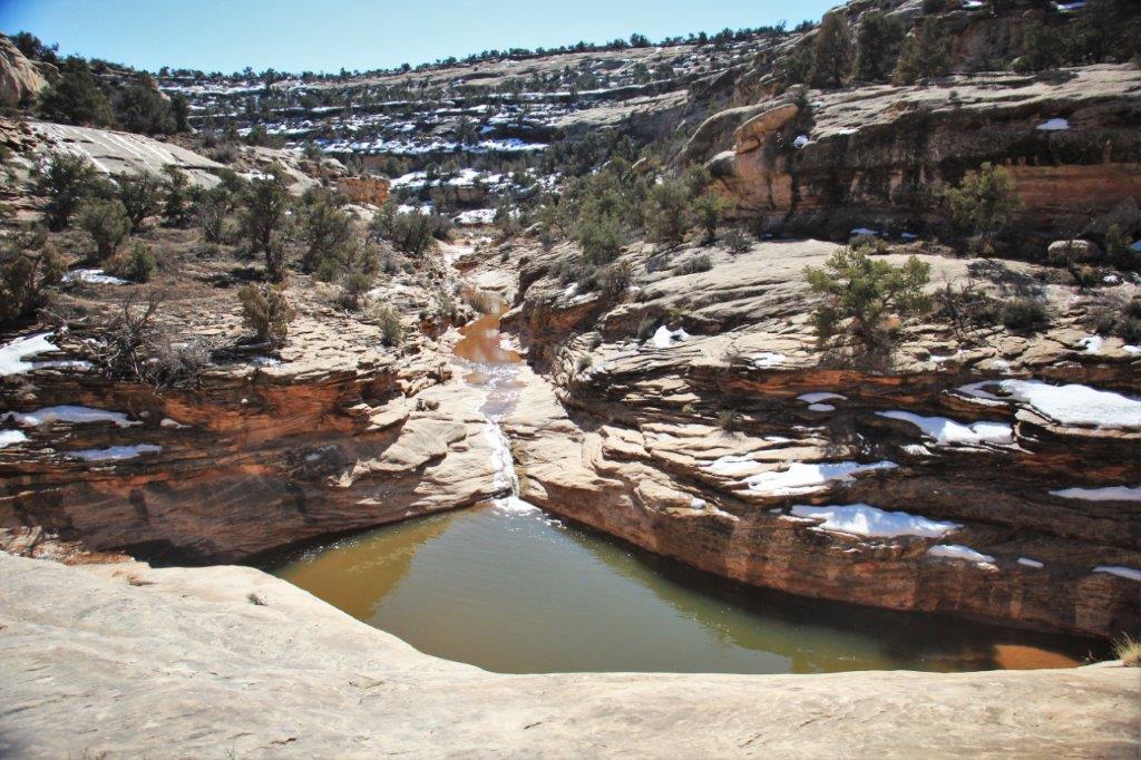
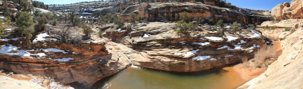
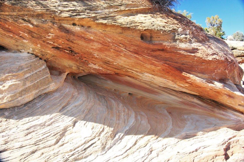
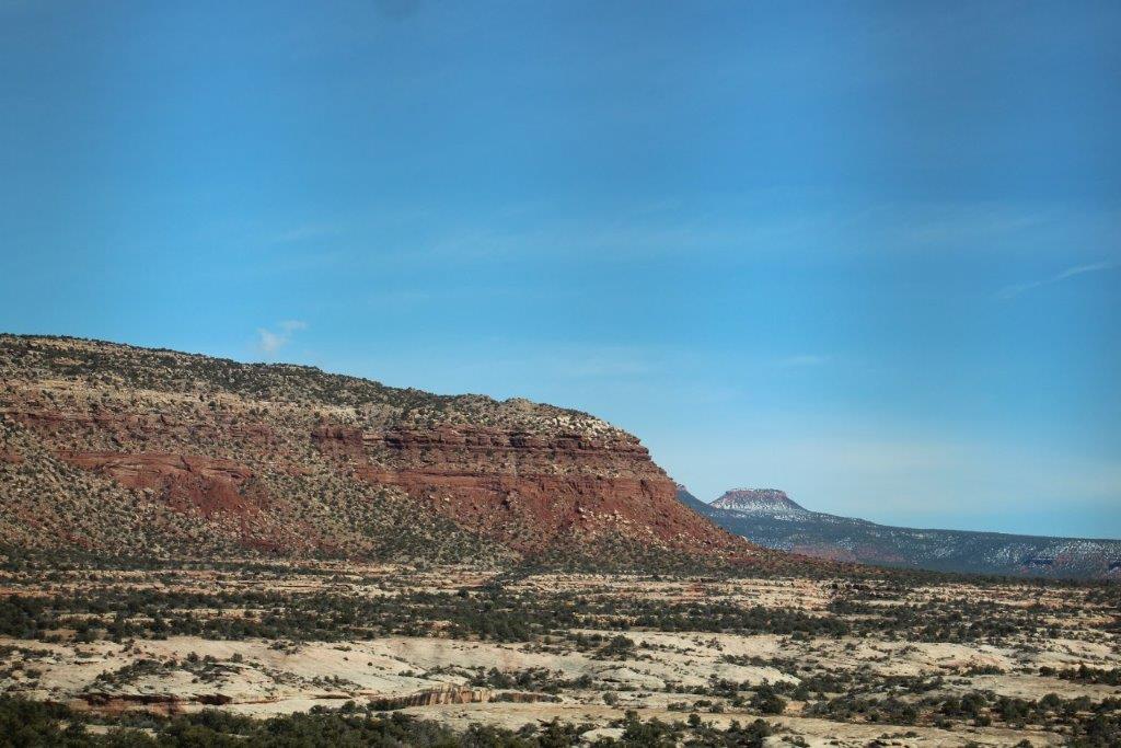
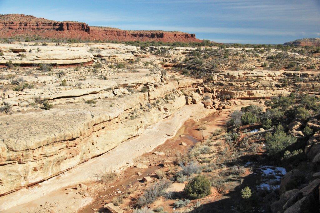
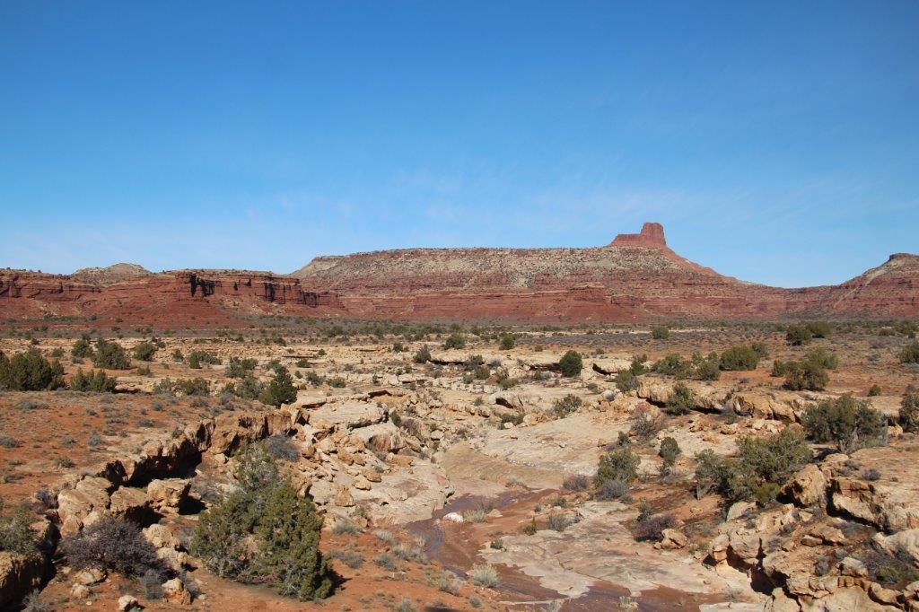
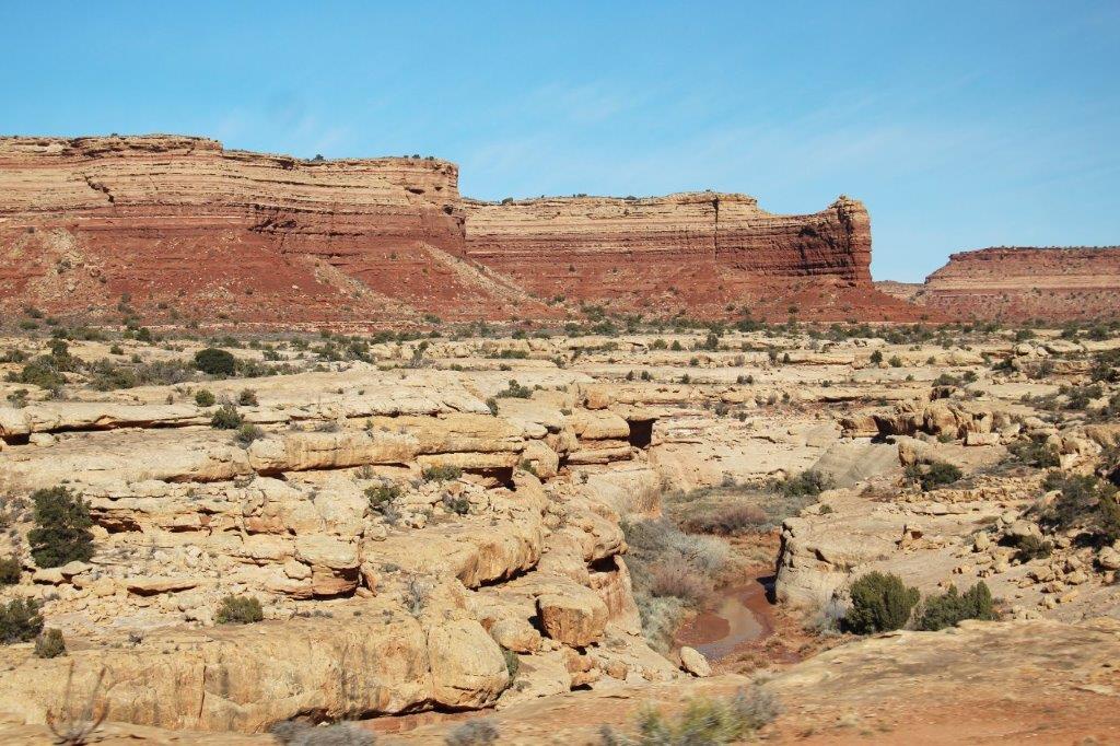
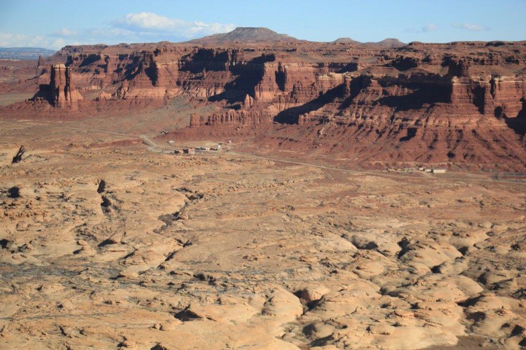
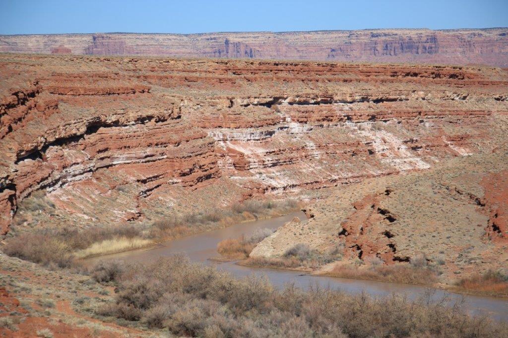
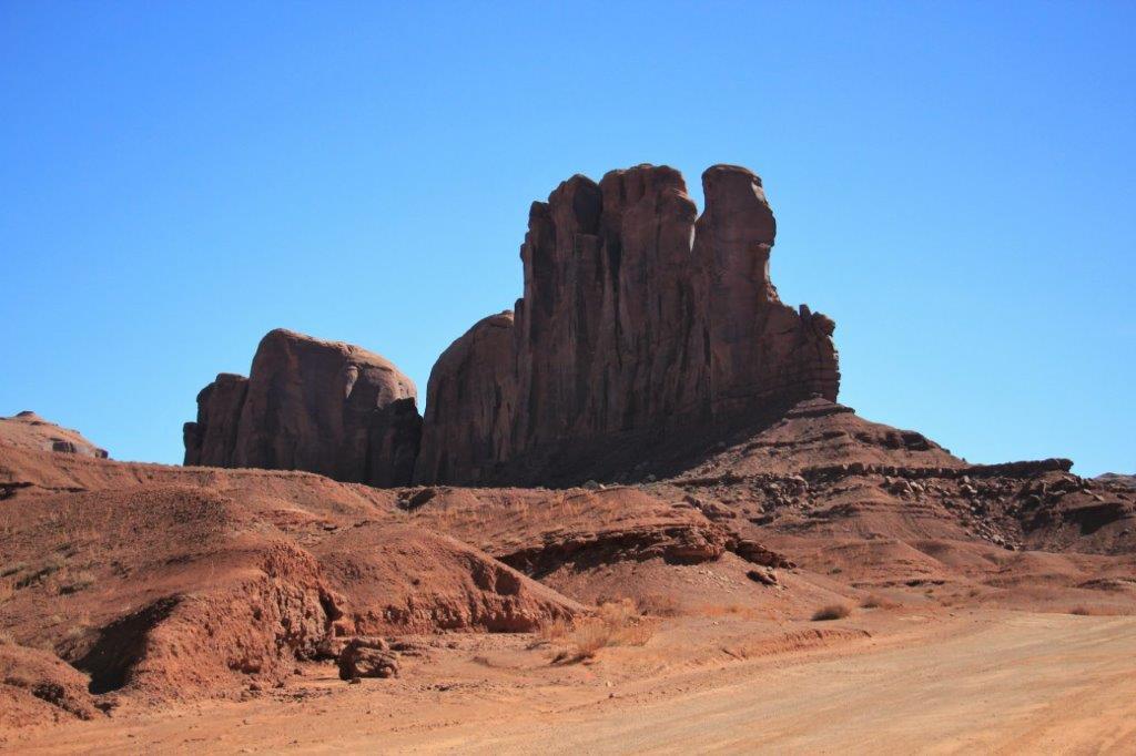
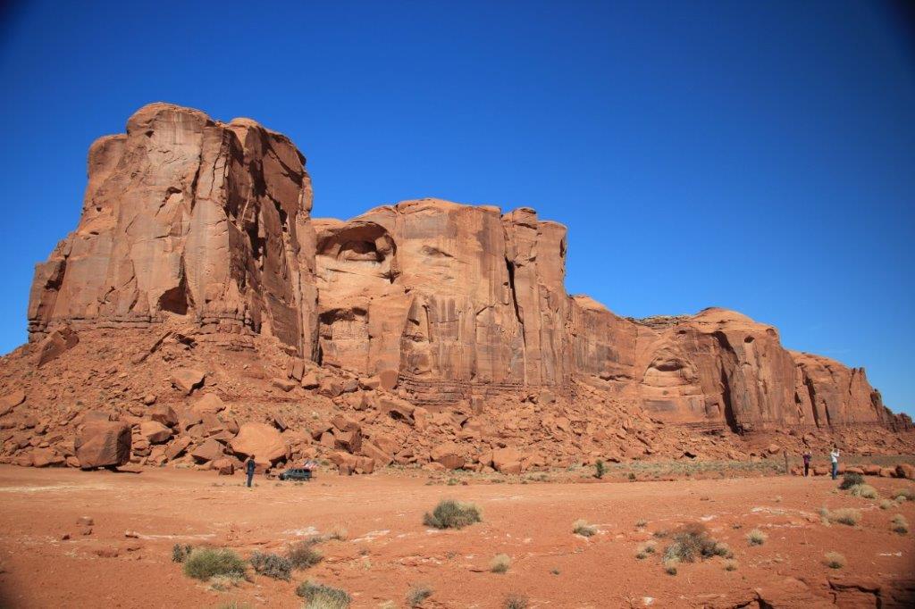
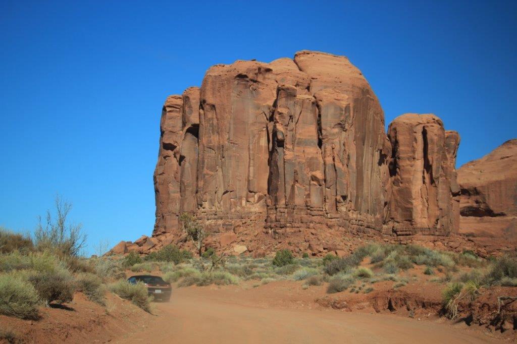
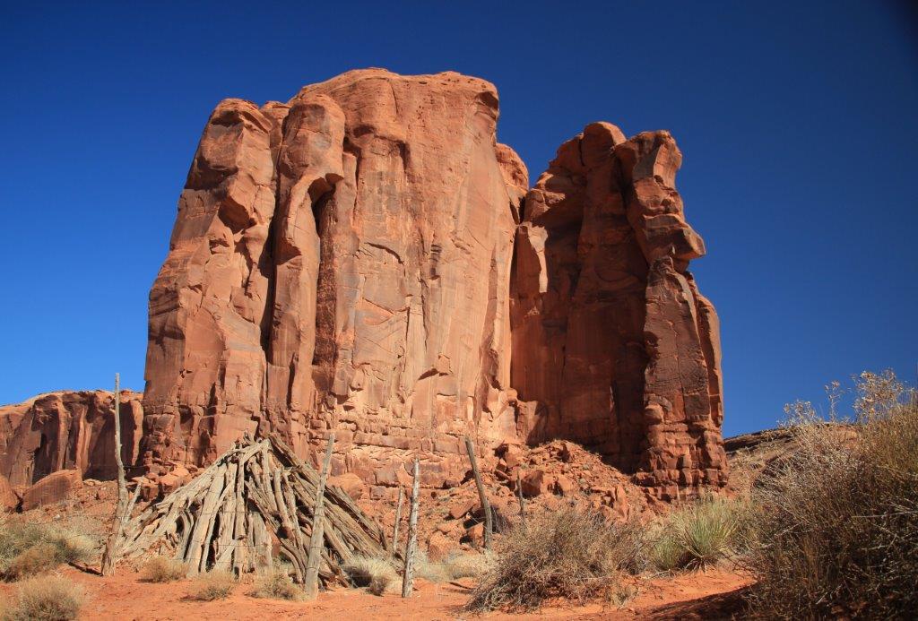
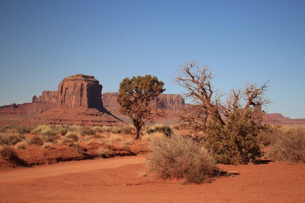
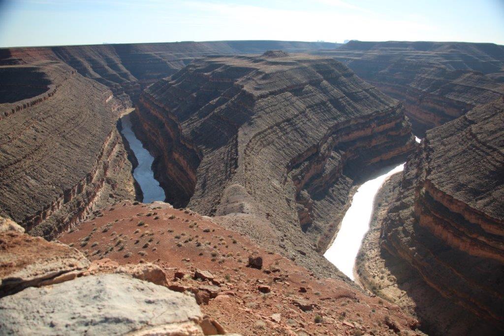
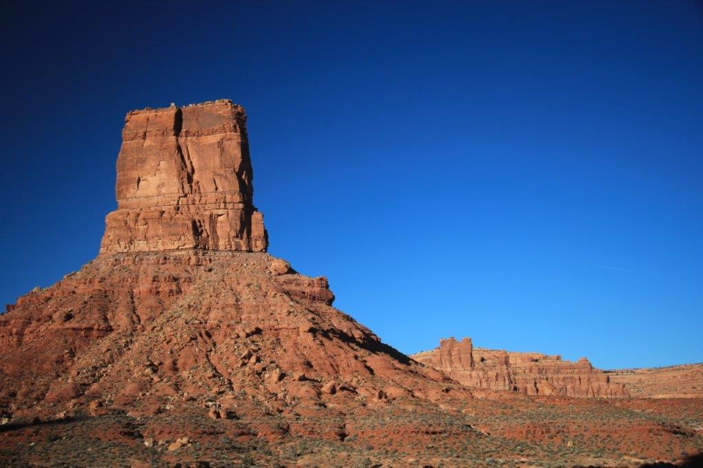
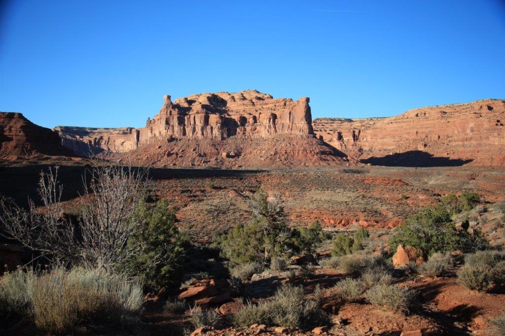
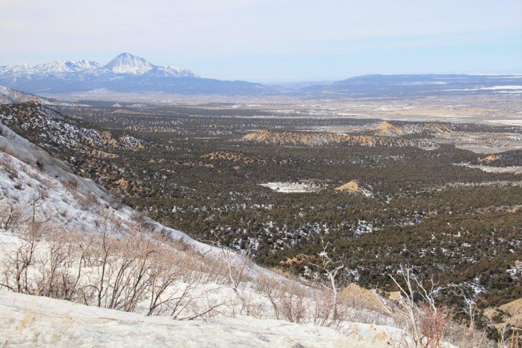
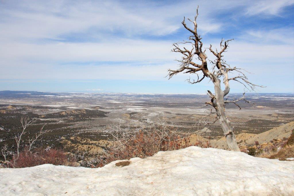
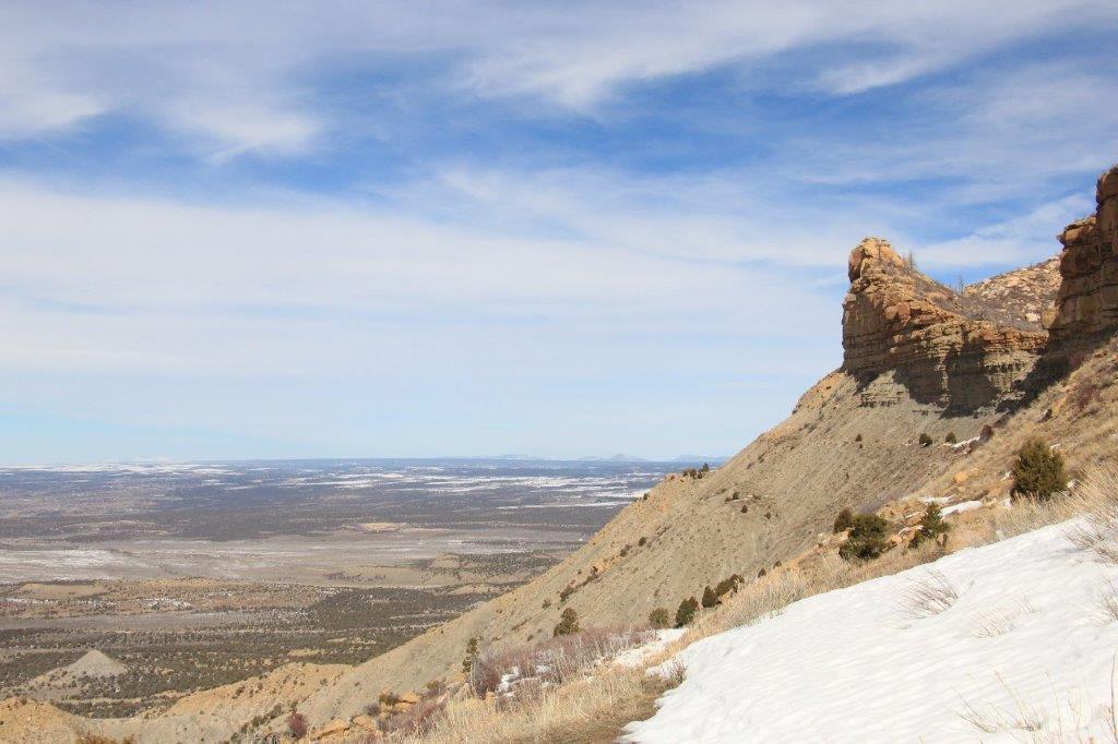
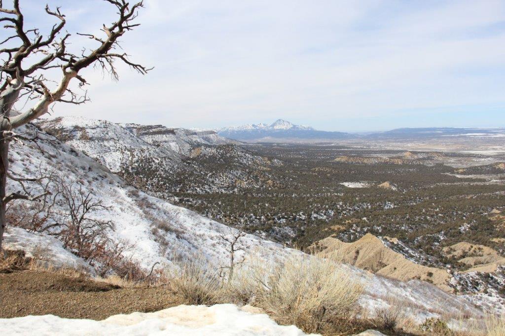
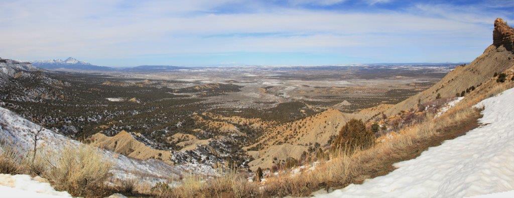
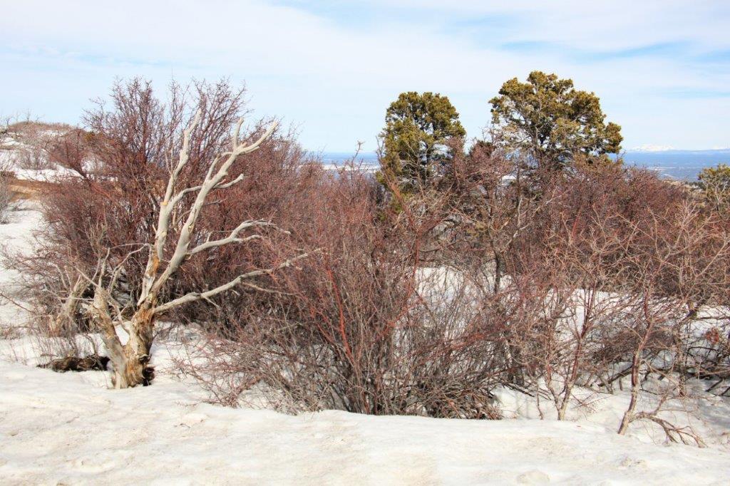
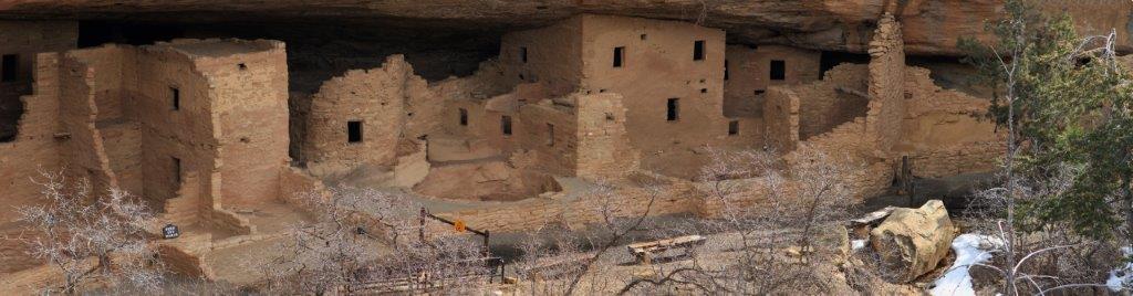
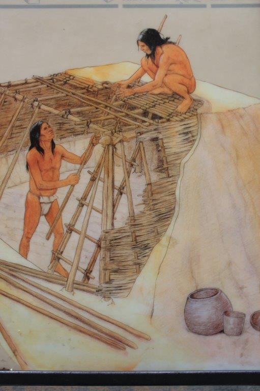
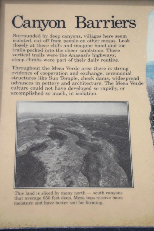
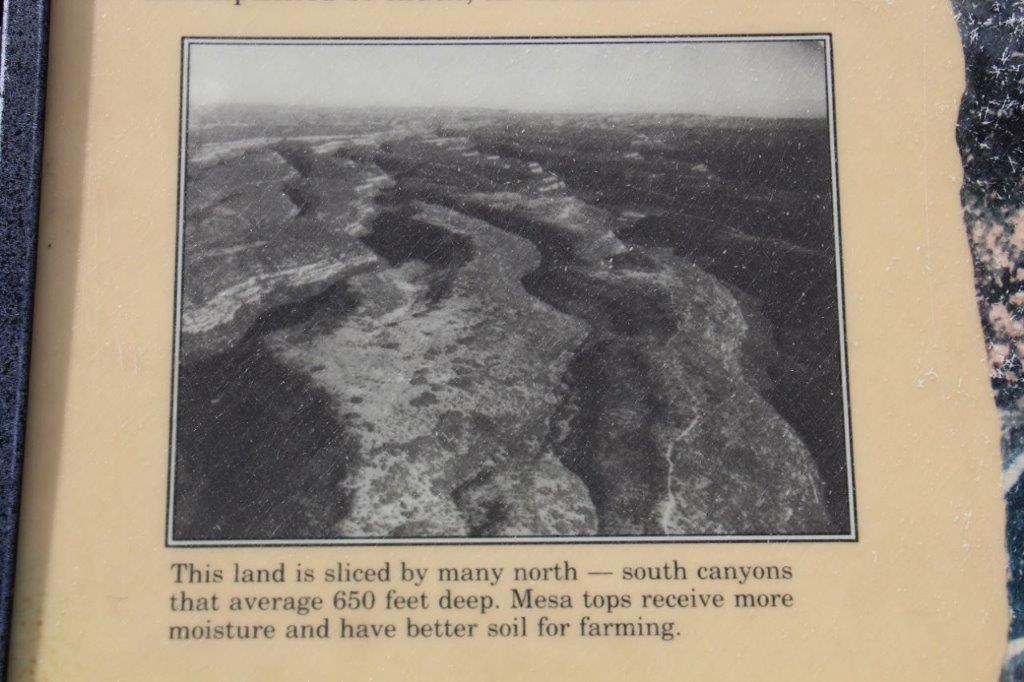
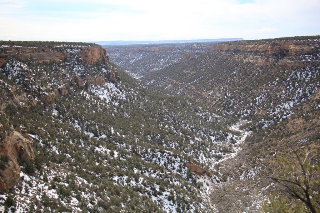
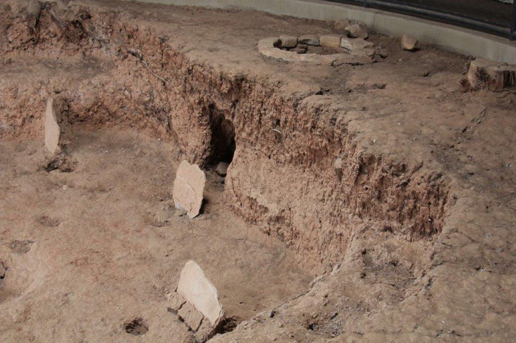
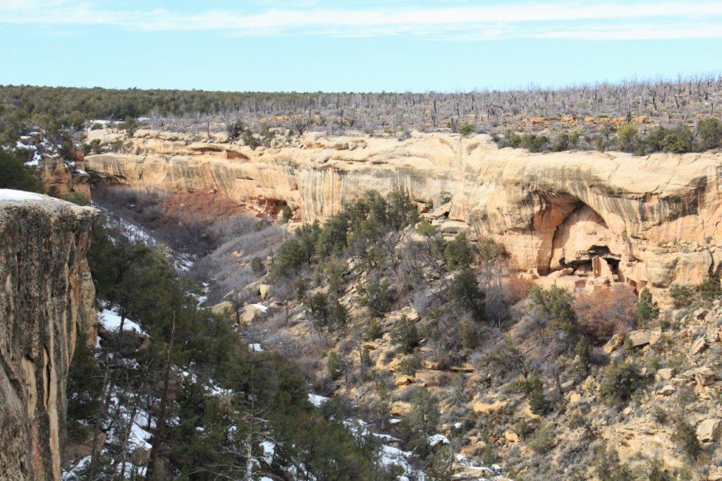
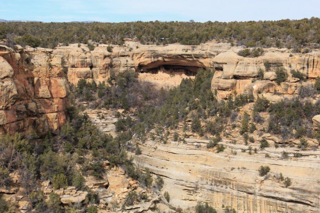
 Walnut Canyon is actually three canyons that converge around a central bluff forming a rock island. None of the photos give a true idea of the depth of the canyon. It is DEEP! And people built houses in the cliff face hundreds of feet above the canyon floor. Amazing.
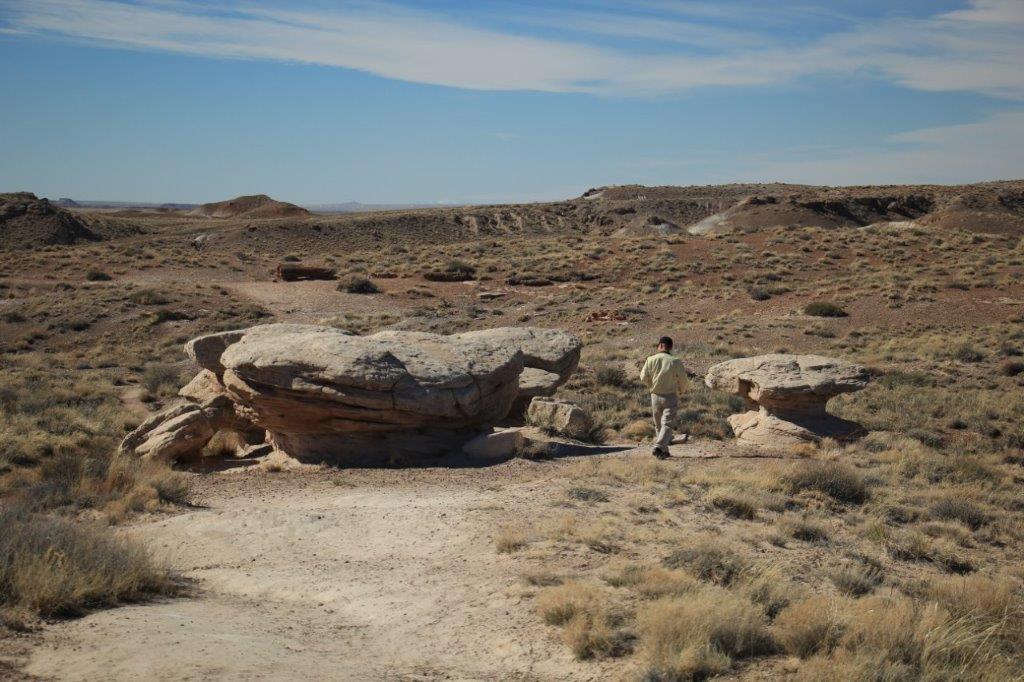
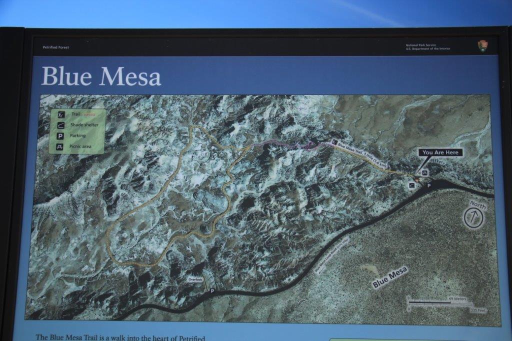
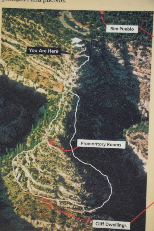
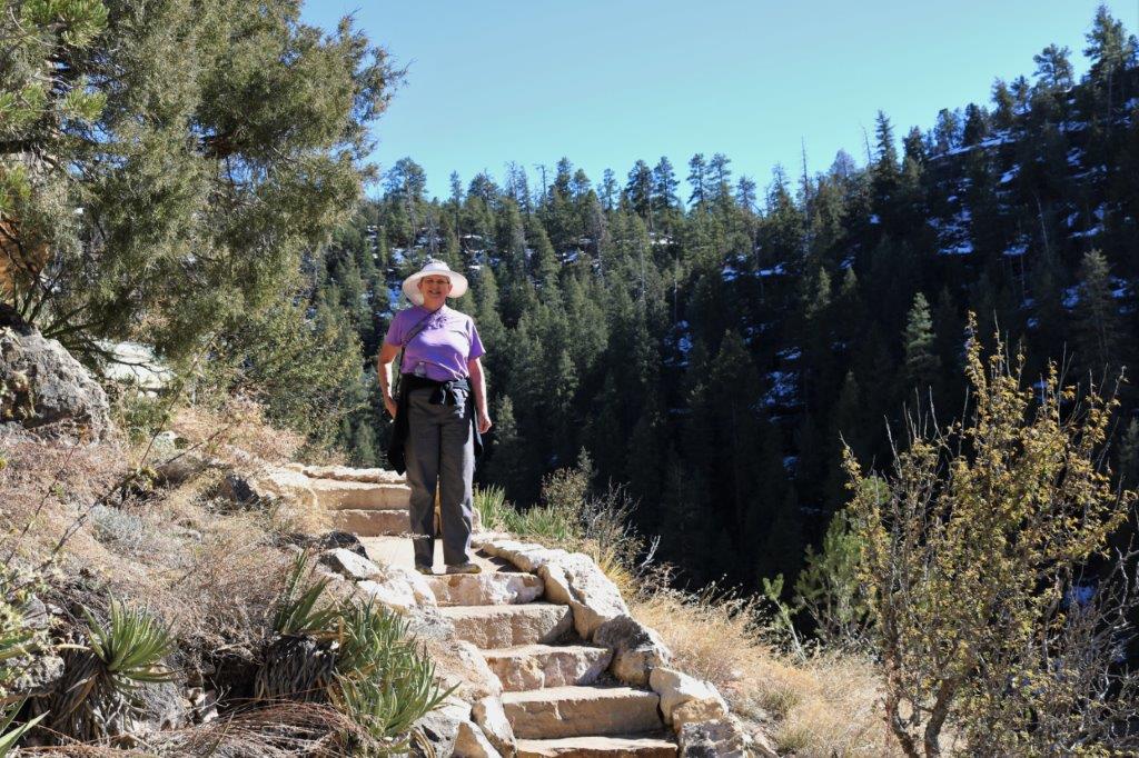
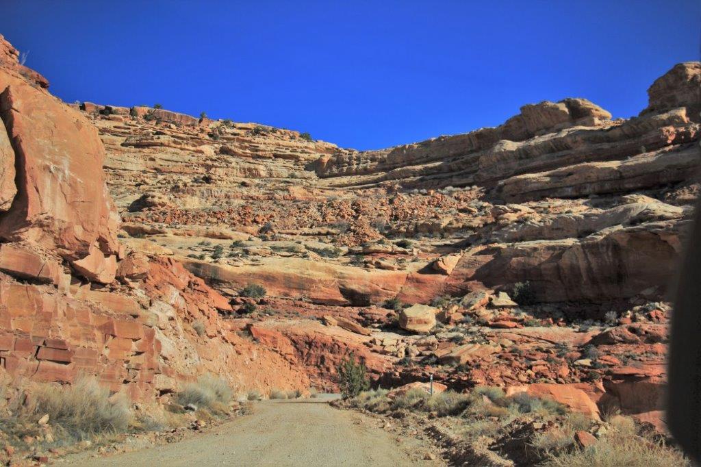
There are two main trails; The Island Trail and the Rim Trail. 


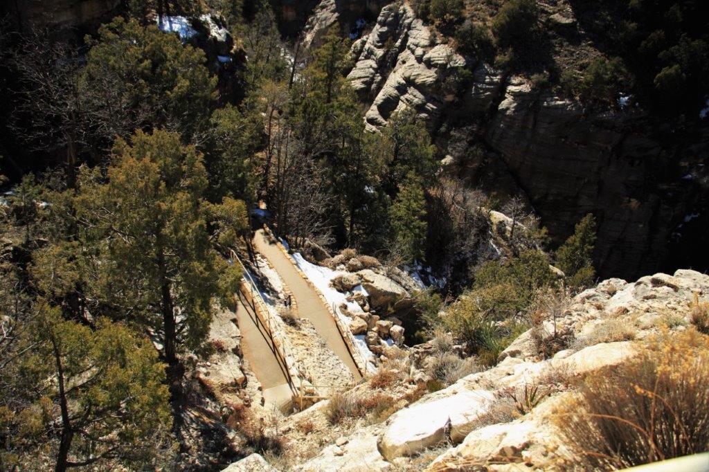
The Island Trail is a loop around the Island with many steps down the steep cliff sides.


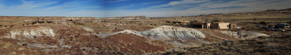
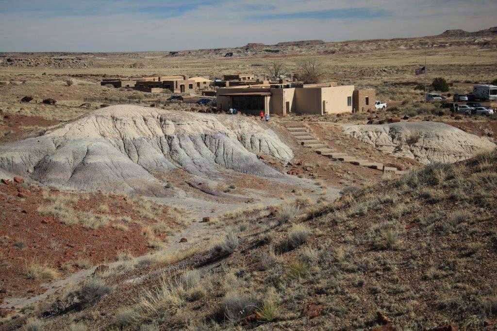
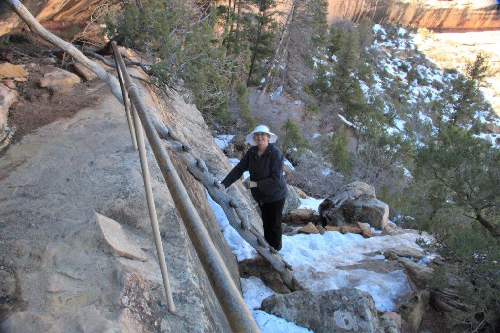
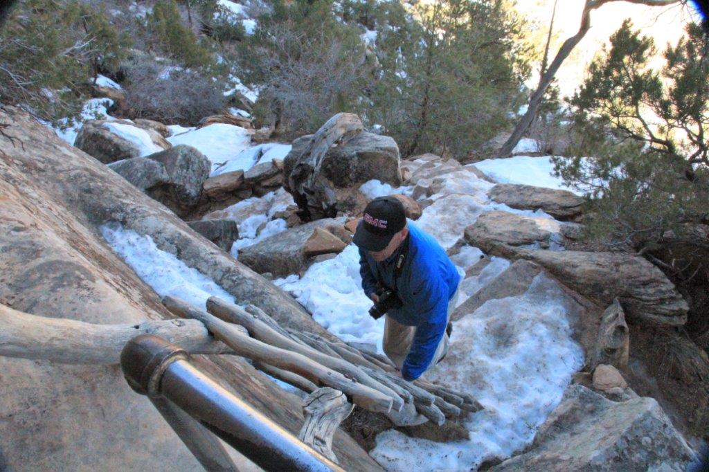
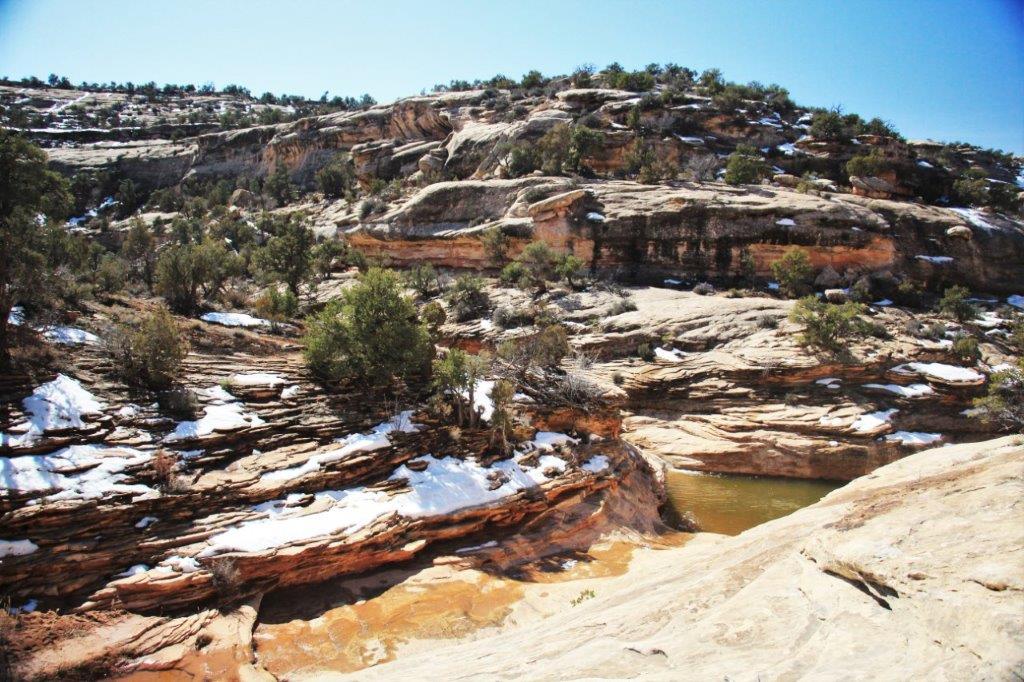
 The Visitor’s Center is up on the hill. That was where we started our hike. The information in the brochure says the Island Trail is a loop – it should have rejoined the downward trail at the bottom of all the stairs from the Visitor’s Center. However not far around this corner the trail was closed due to snow and ice which made too much risk for slipping. Something you would not want to do. It would be a long drop. So, we had to turn around and go back again.


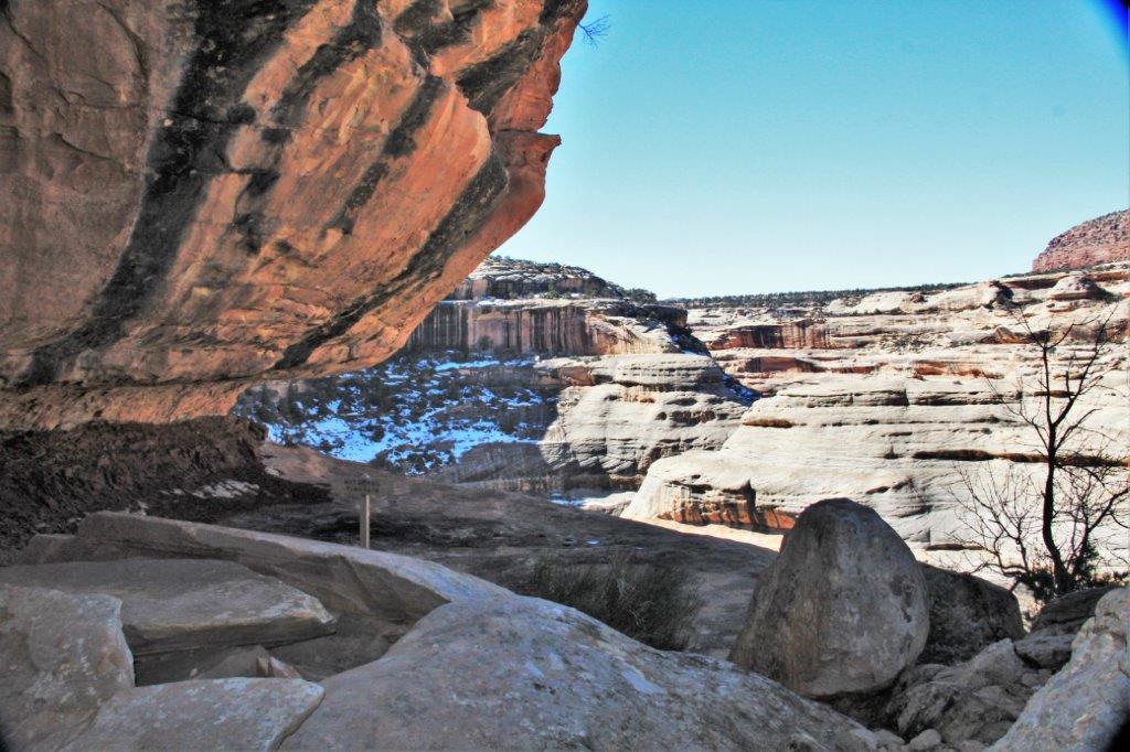
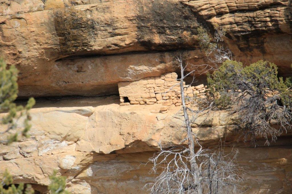
Looking down at lower levels of the trail.
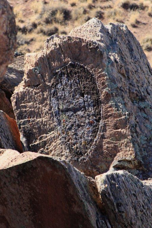
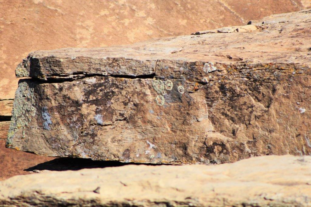
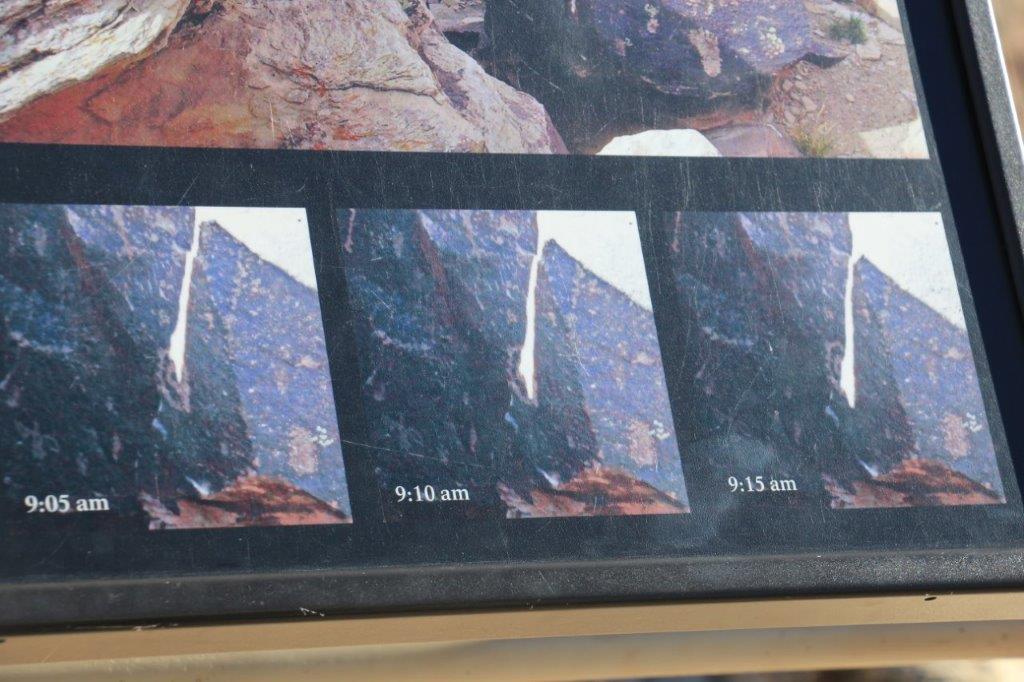
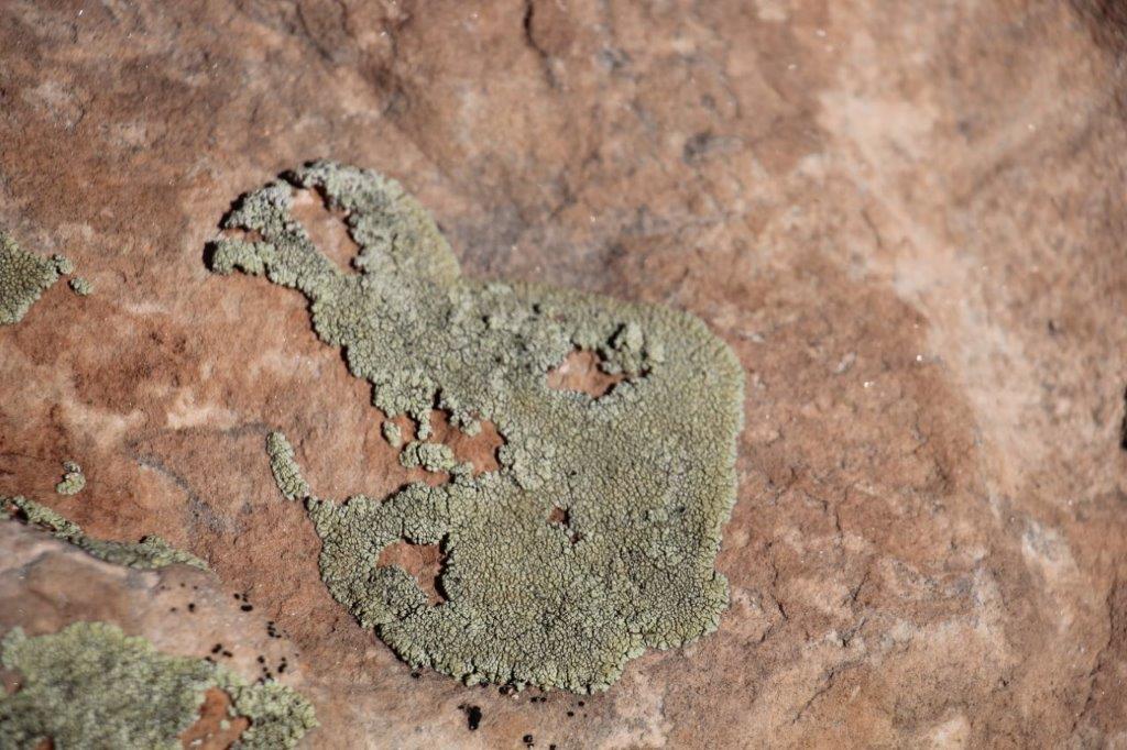
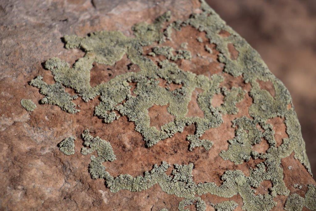
Hardy lichen The trail is visible through the trees along the cliff face. It is a bit dark, but you may be able to make it out.
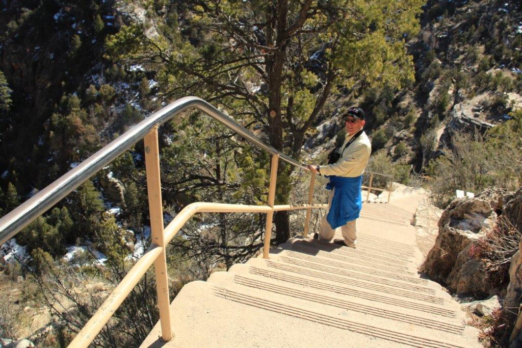
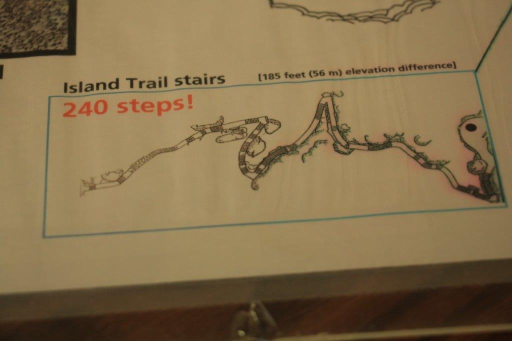
 The trail map at the Visitor’s Center says 240 steps, but since we had to return on almost 2/3 of the trail we did 381 stairs, plus the pathways.
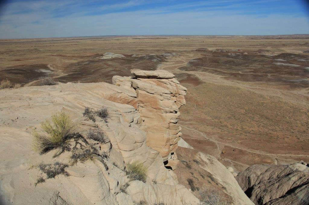
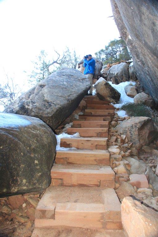
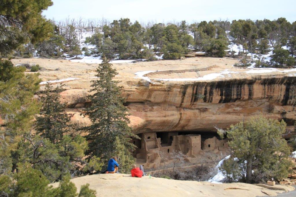
We then walked out to the first lookout along the Rim Trail.
The Island
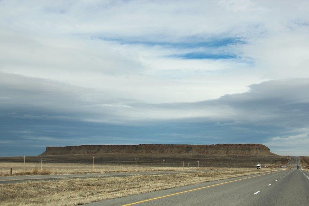
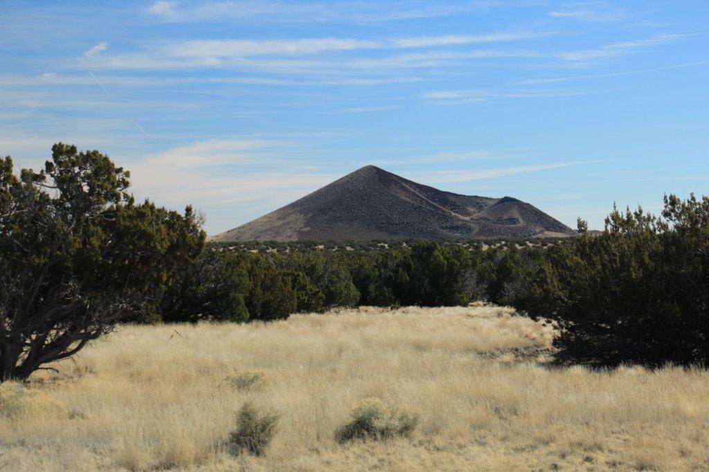
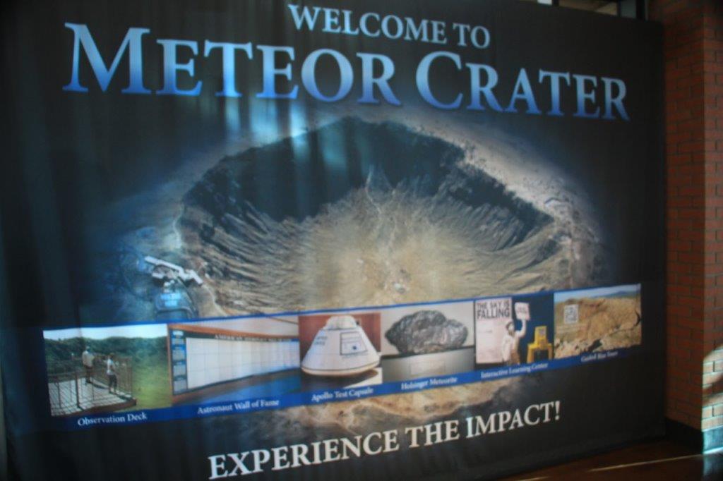
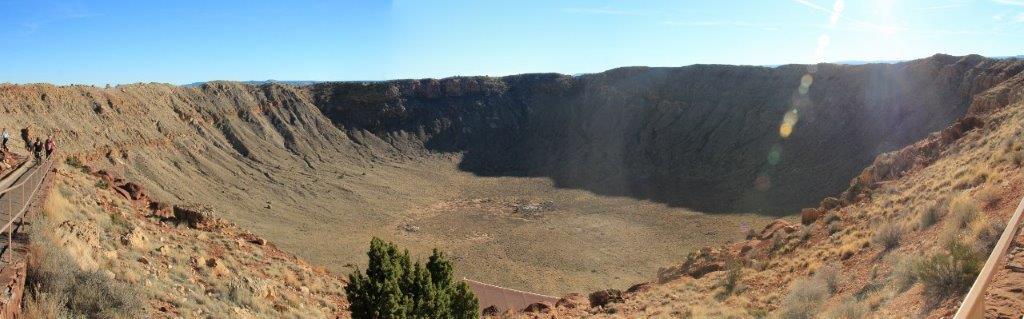
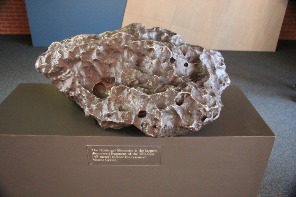
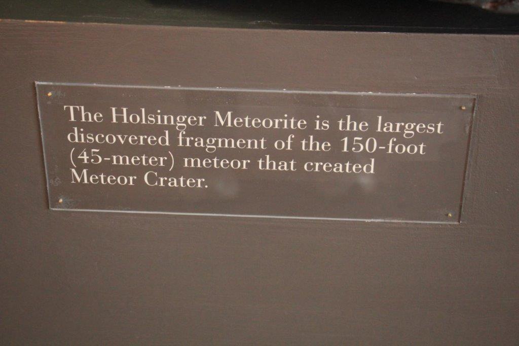
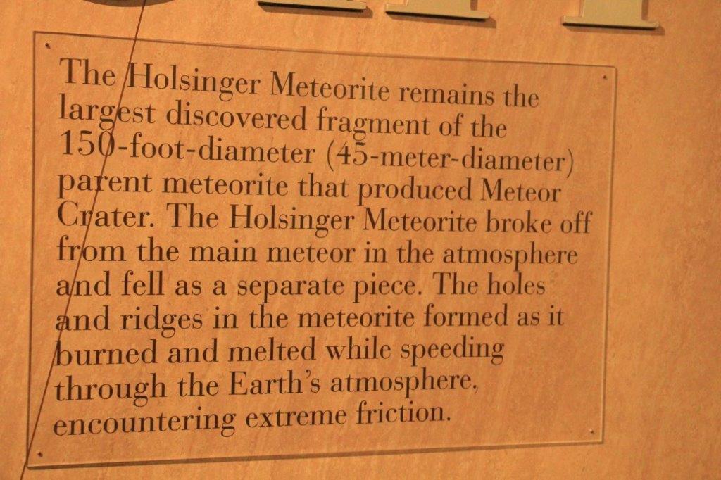
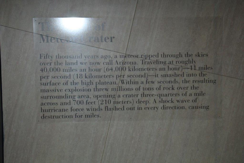
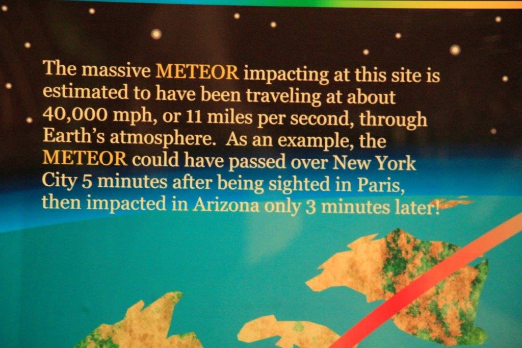
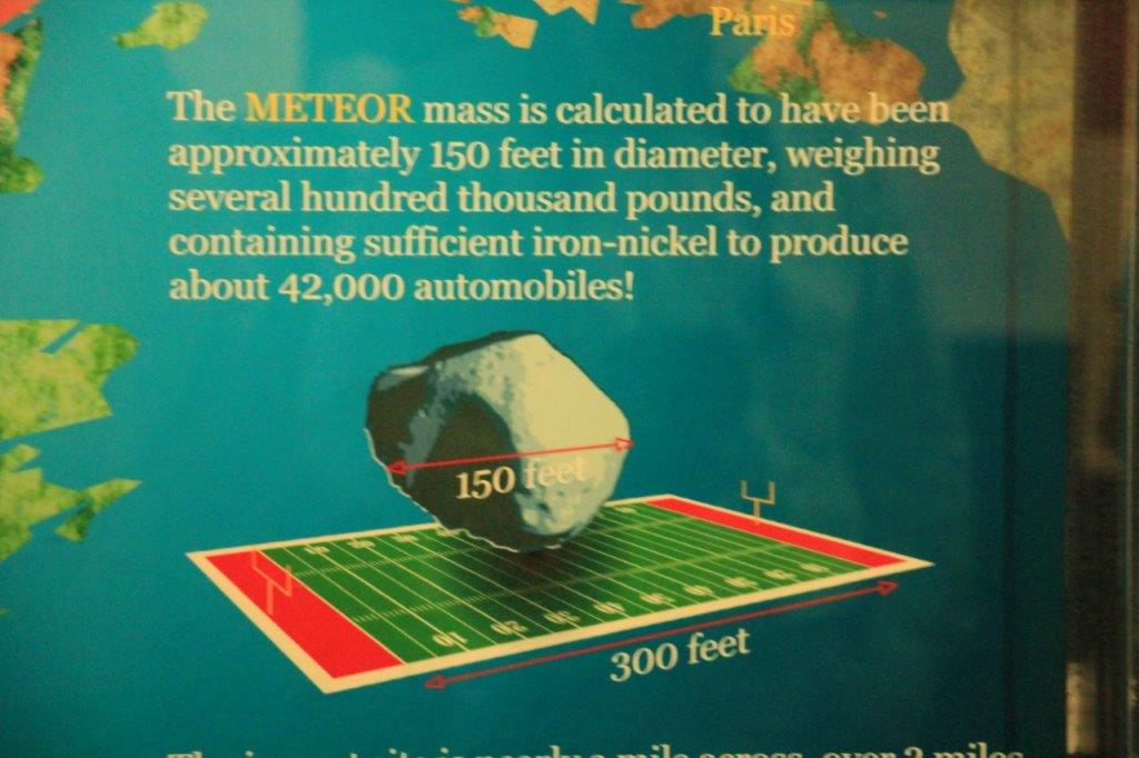
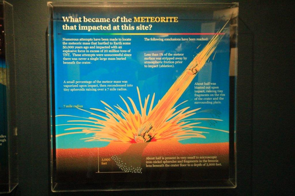
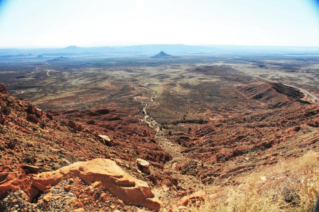
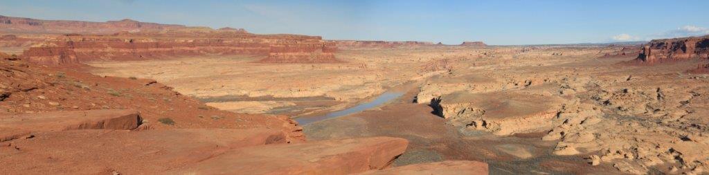
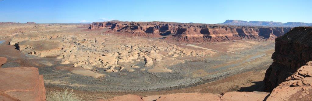
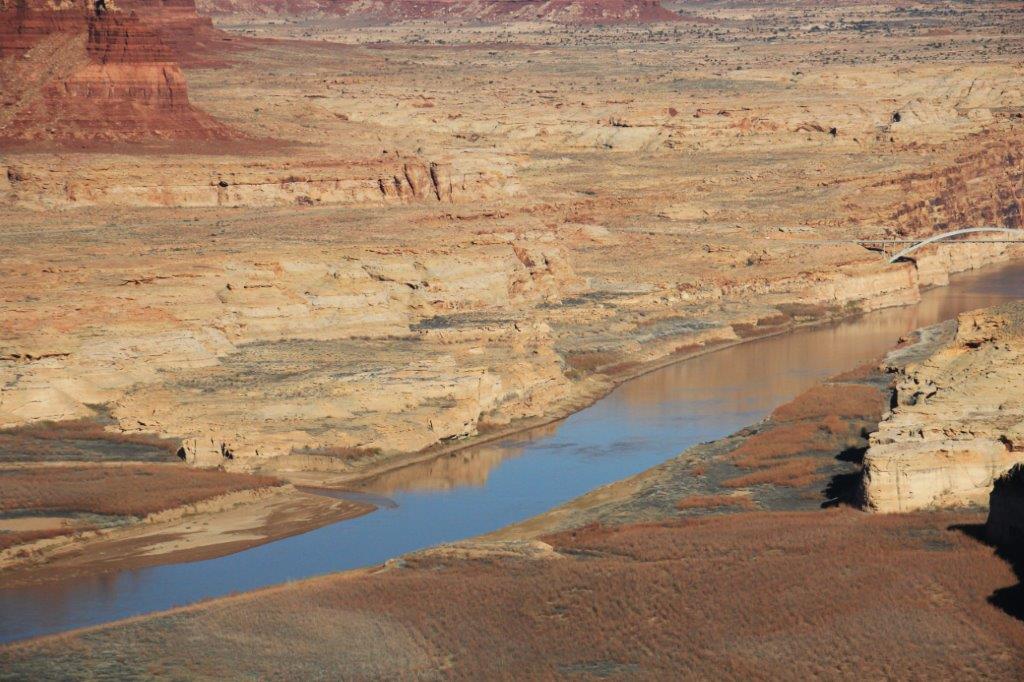
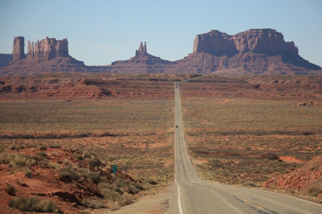
Our final stop of the day was another 22 miles down the road. Meteor Crater is privately owned by the fourth generation family members of the man who determined that this huge hole in the ground was caused by a meteor hitting earth. He had many sceptics and fought a long time to get it recognized as true. This discovery started a whole new branch of science – meteorology.
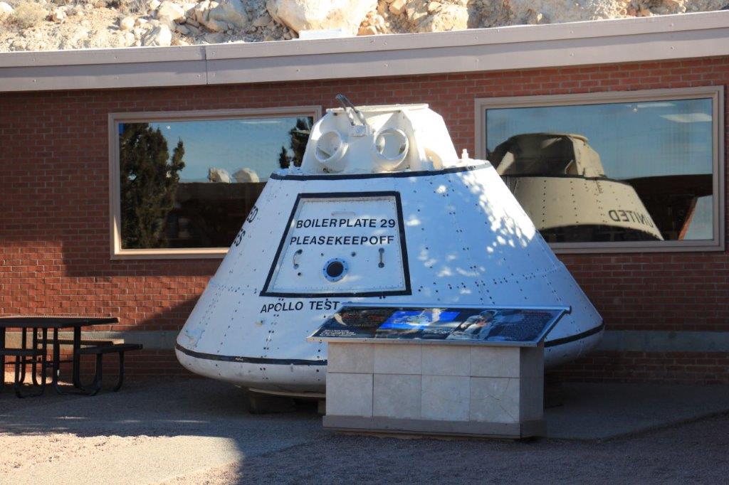
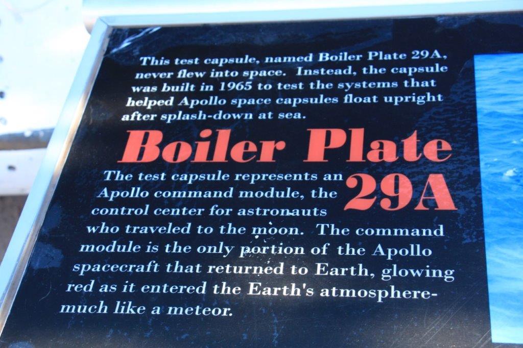
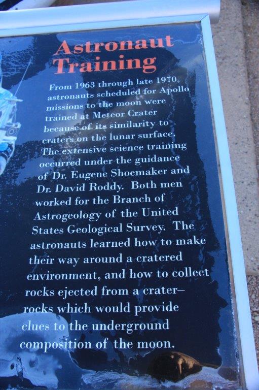
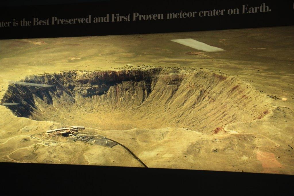
The crater was used by NASA for astronaut training for the moon landings. NASA still does some tests here occasionally.
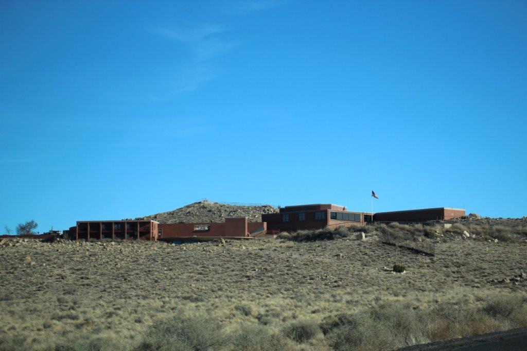
A fellow negotiated a 199 year least with the Barringer family and formed Meteor Crater Company which built the Visitor’s Center with a theater, inter-active displays, and information boards. And all the lookout paths and stairs. It is a really nice facility.
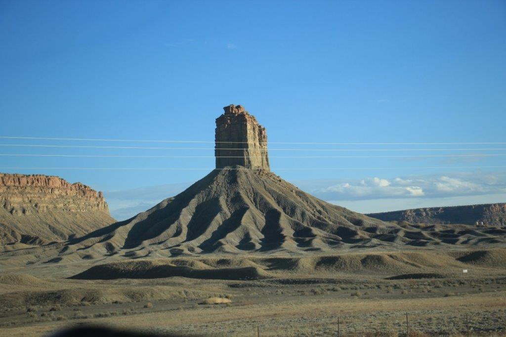
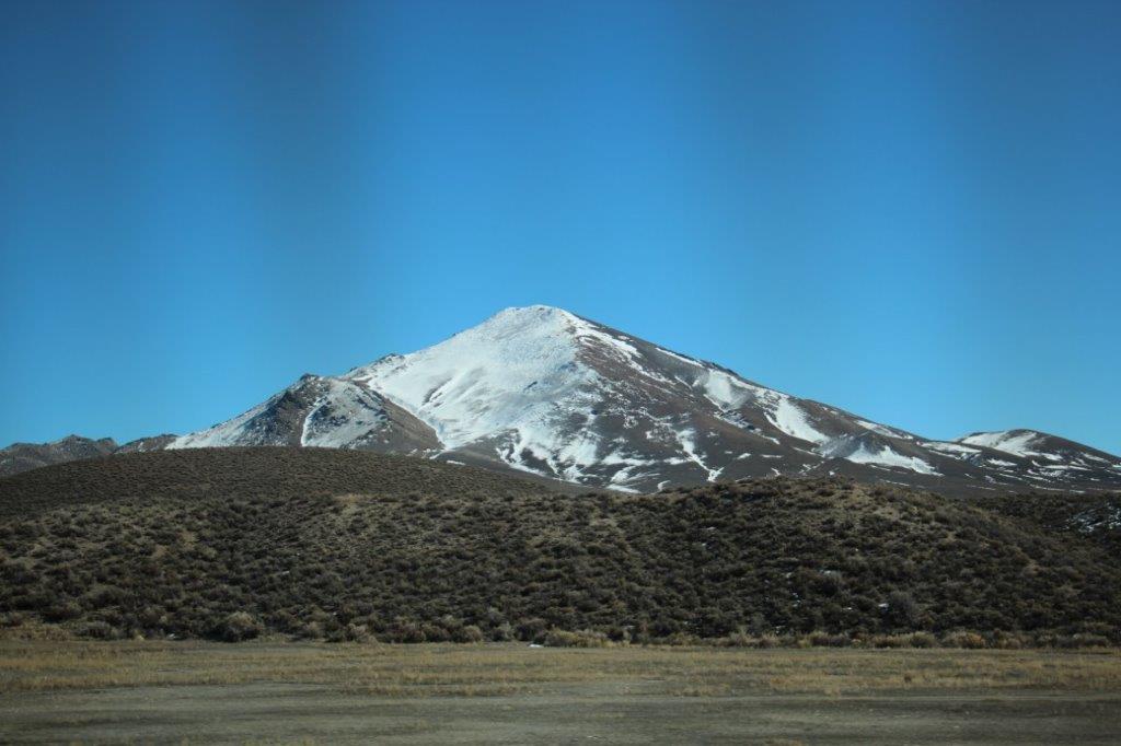
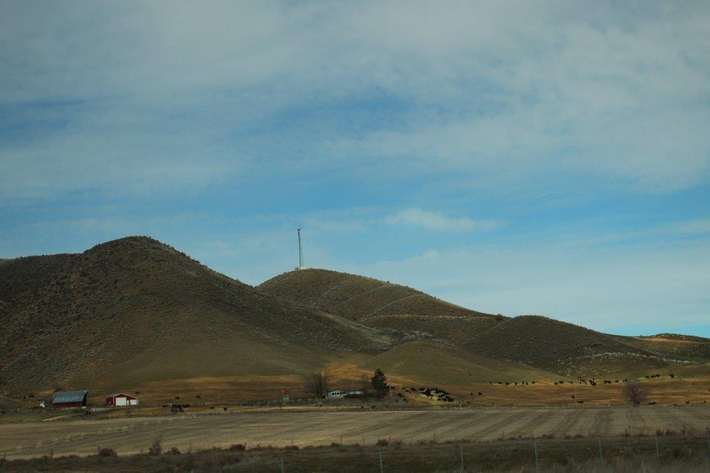
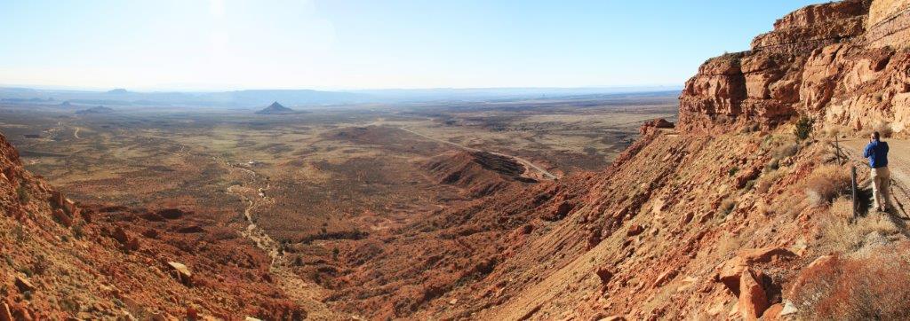
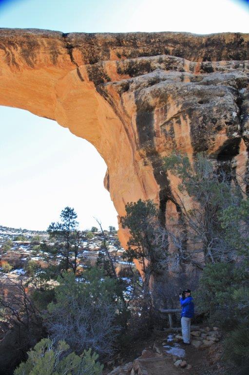
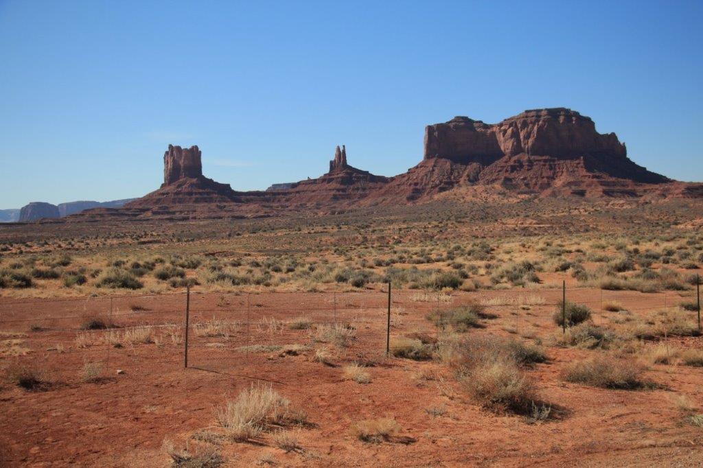
 John correctly figured this to be the crater as we were driving along the highway.


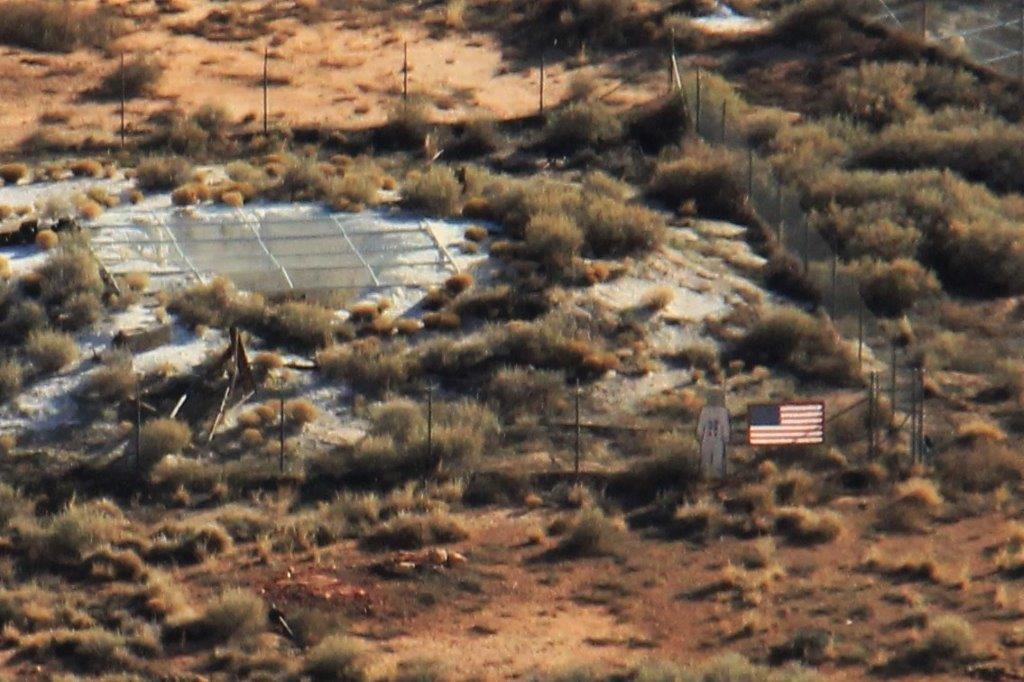
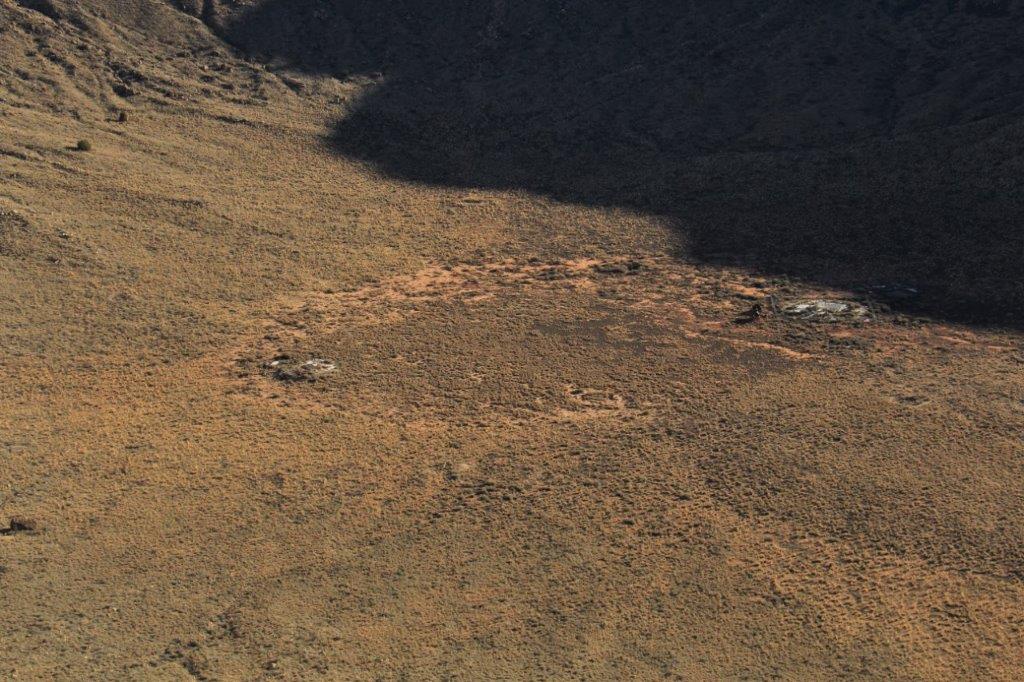
 Look near the lower right in the photo above to see a cardboard cutout of a 6′ astronaut and a 3.5′ flag (the same size they placed on the moon. Can you see where this is in the crater bottom?


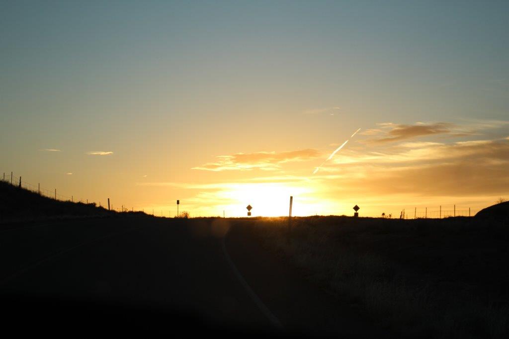
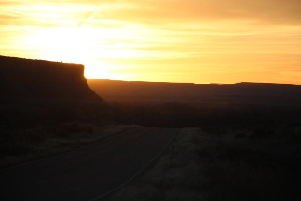
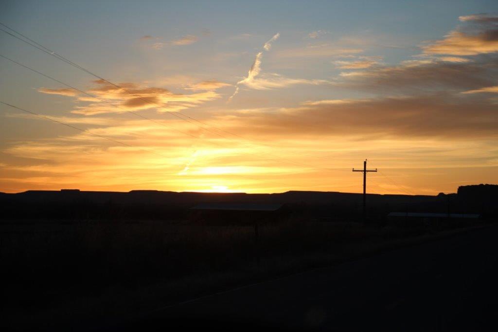
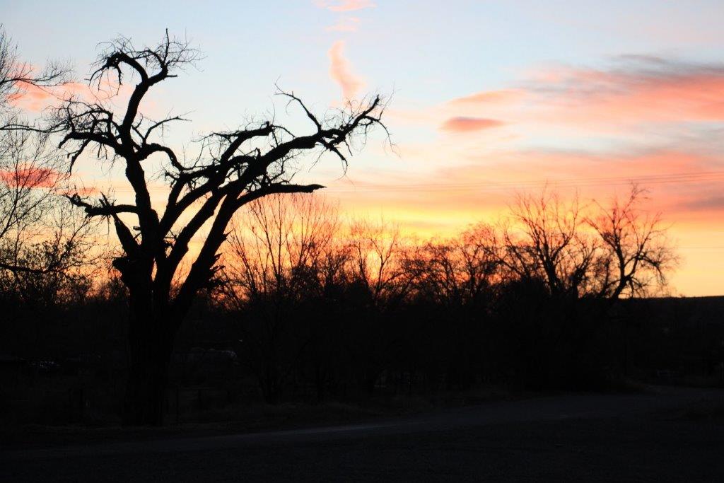
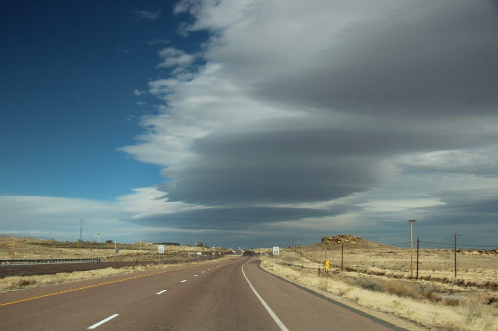
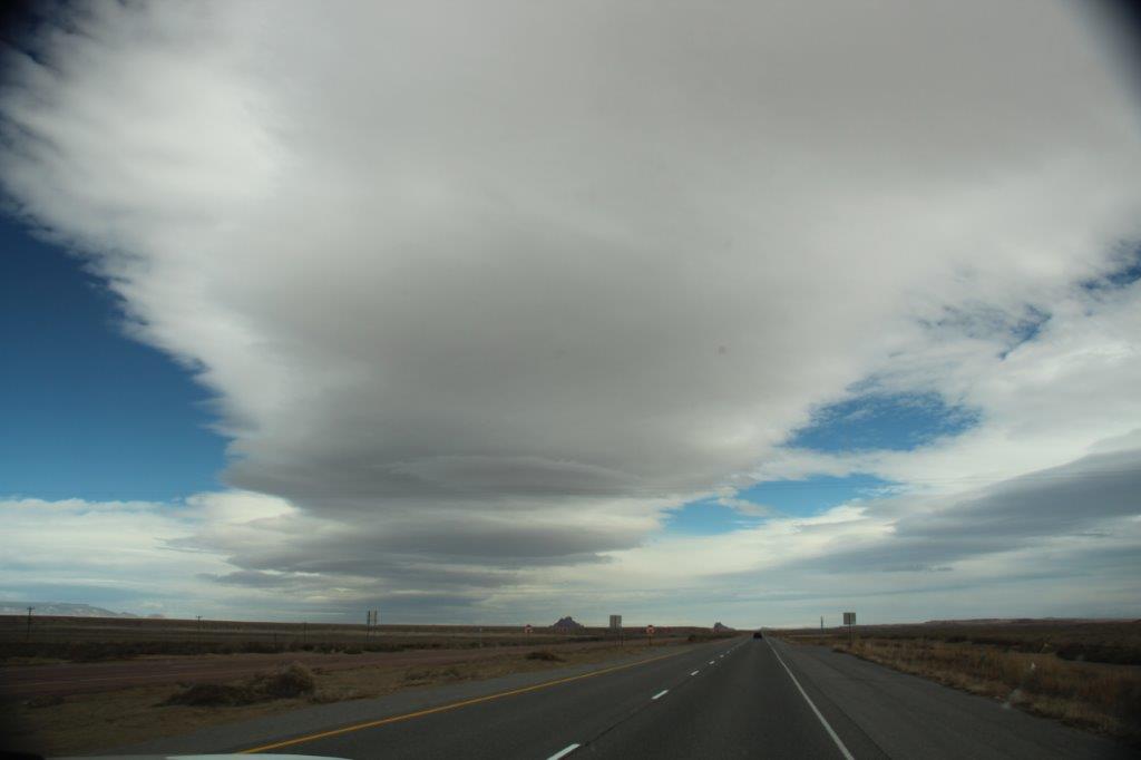
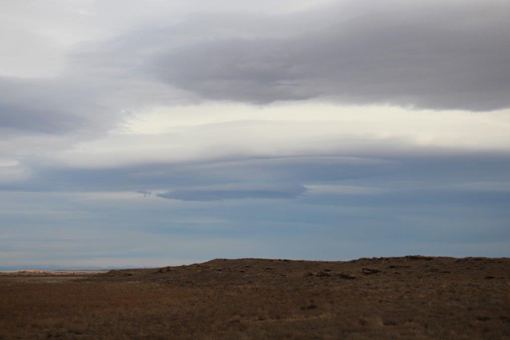
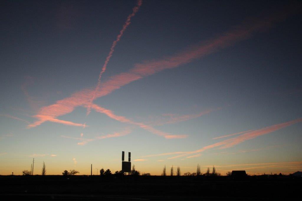
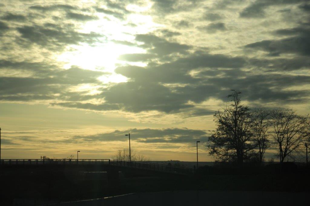
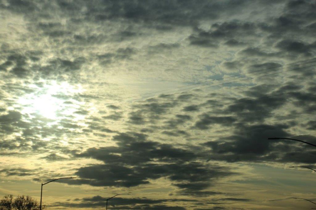
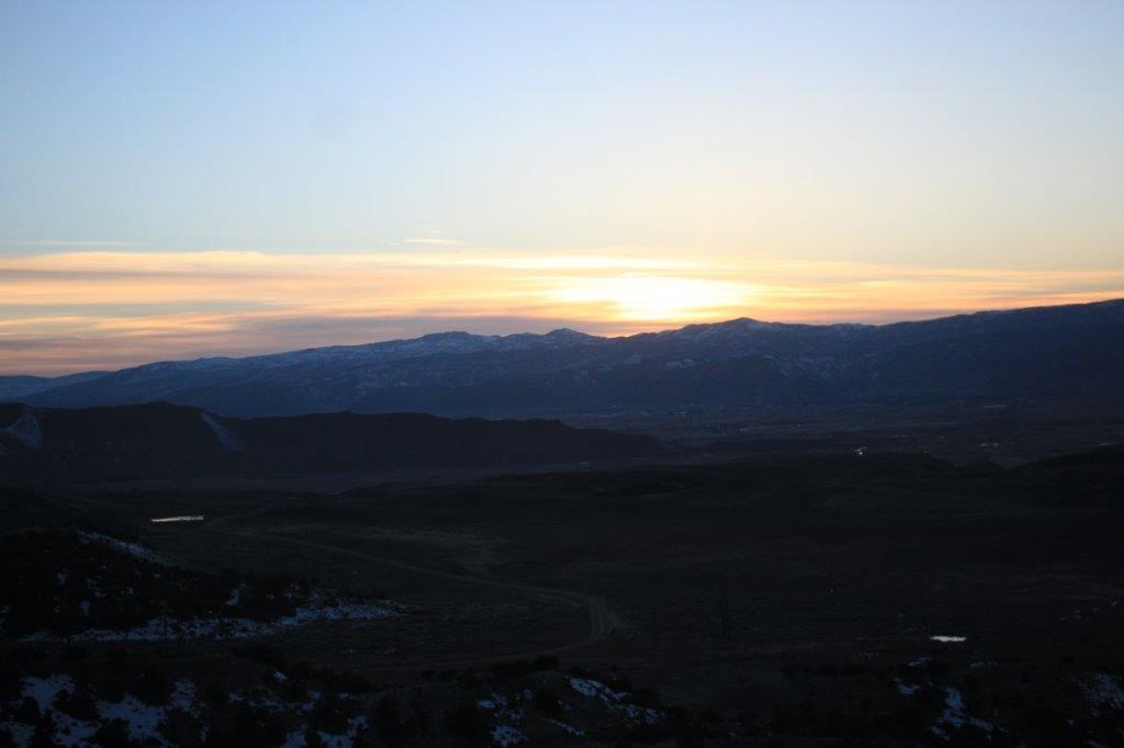
 Jetstreams in the sunset at Winslow, AZ, our stop for the night. It was a full day.
‘
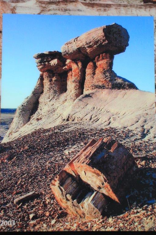
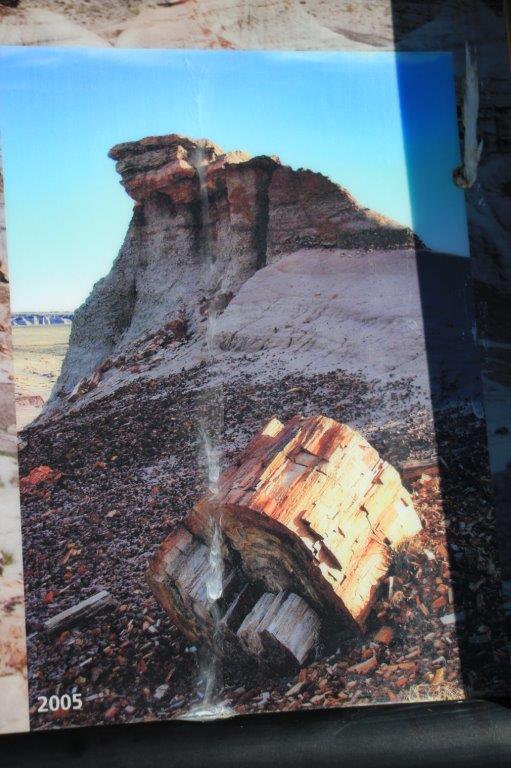
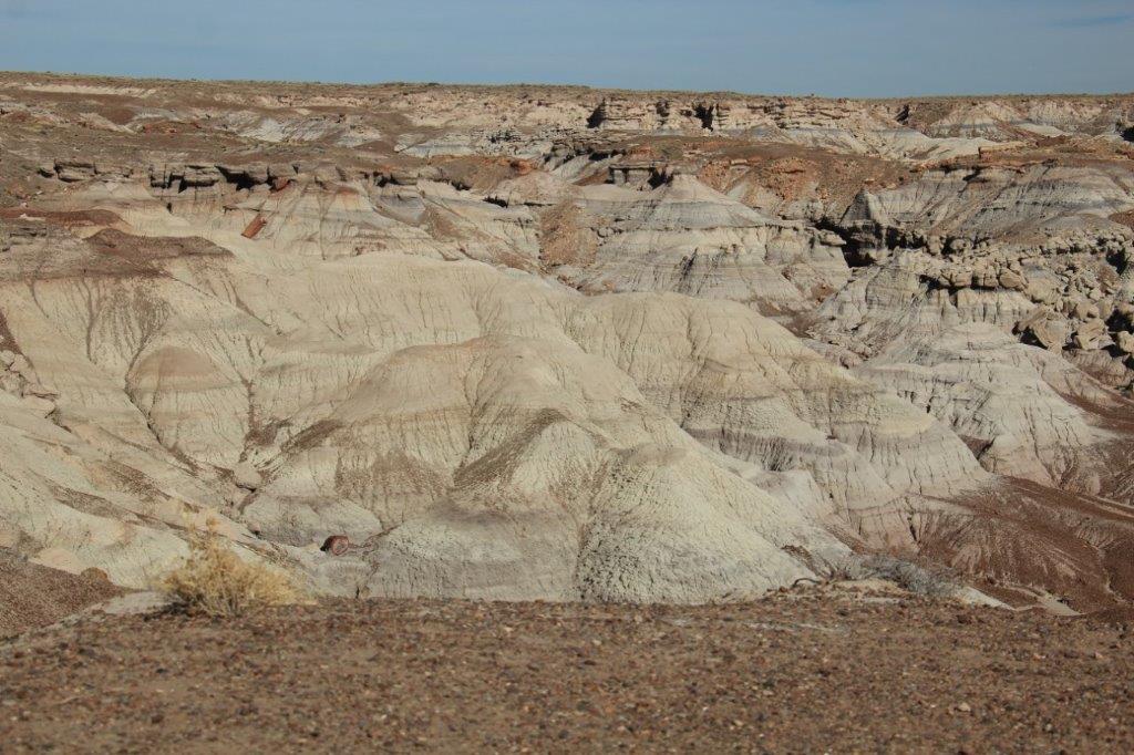
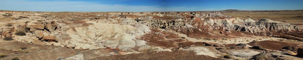
 As I promised my daughter who does not diligently read my blog, here is my quiz about our latest travels. How well can you do? (Don’t let me catch you cheating – you know who you are.)
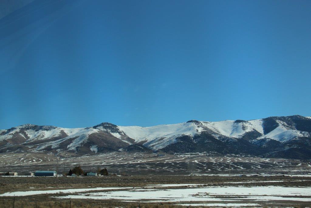
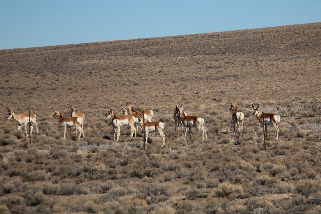


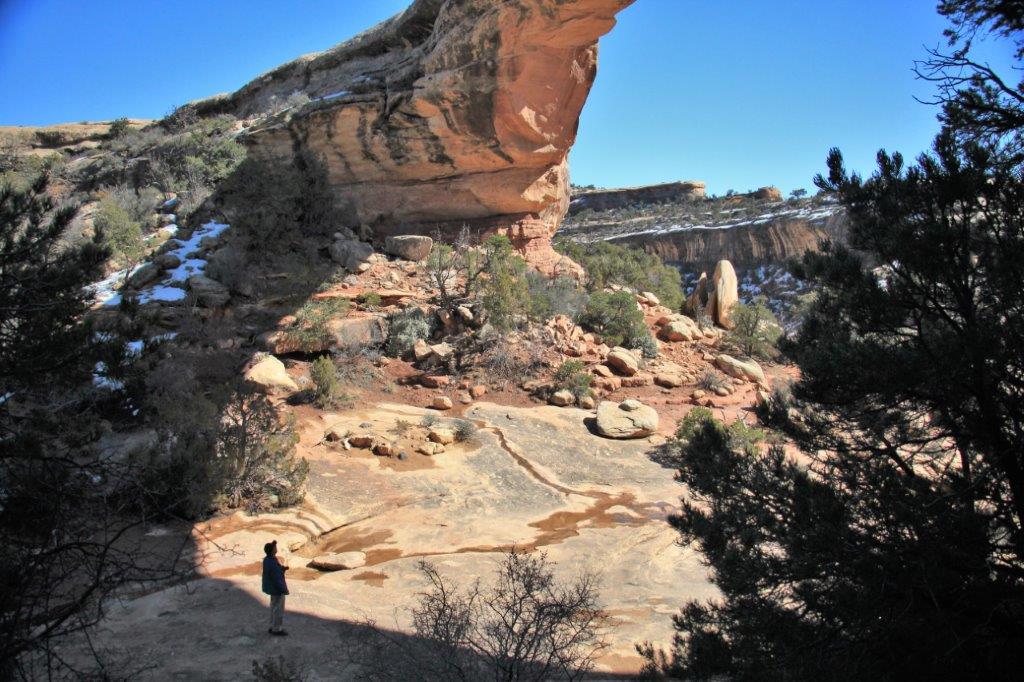


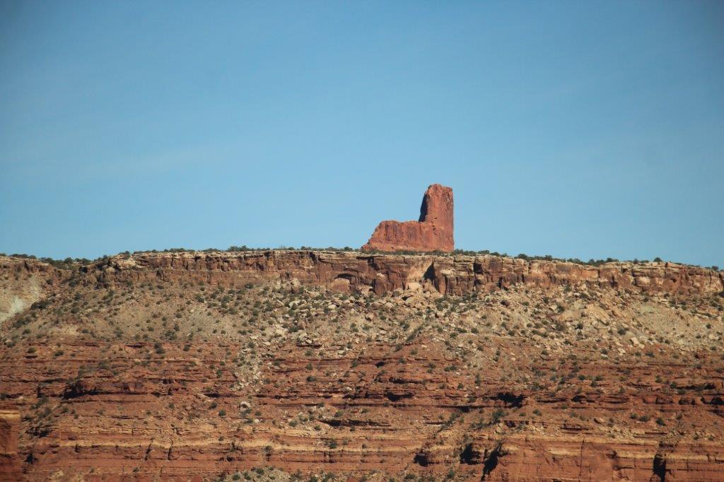


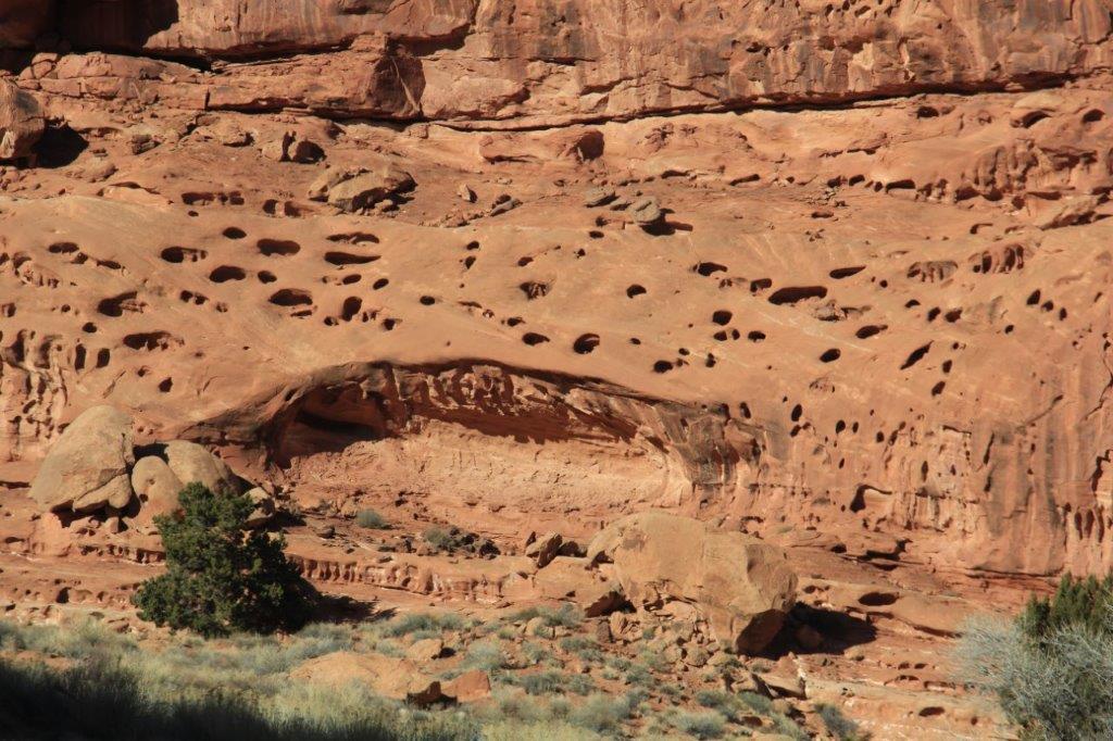
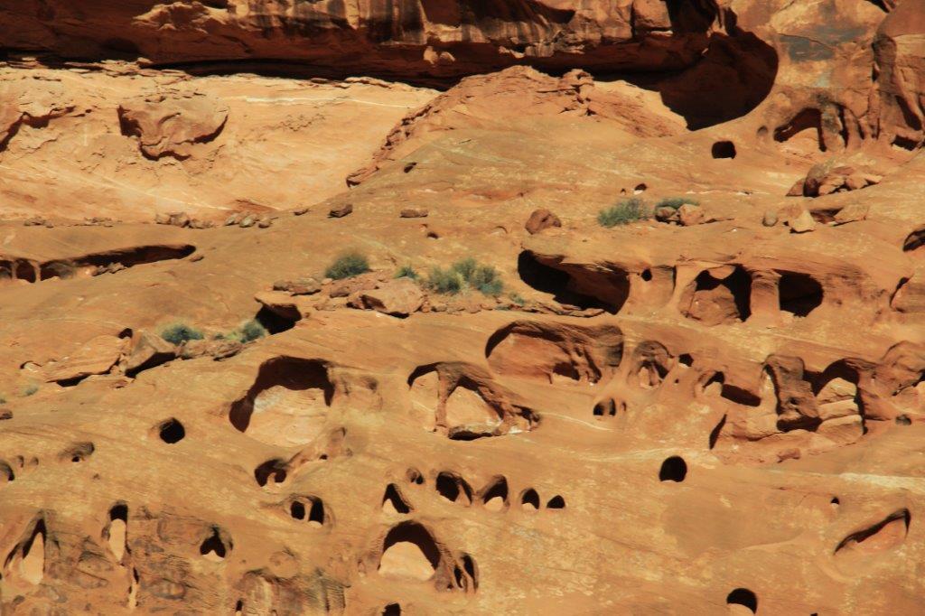


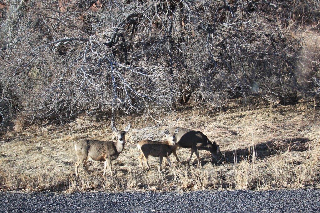
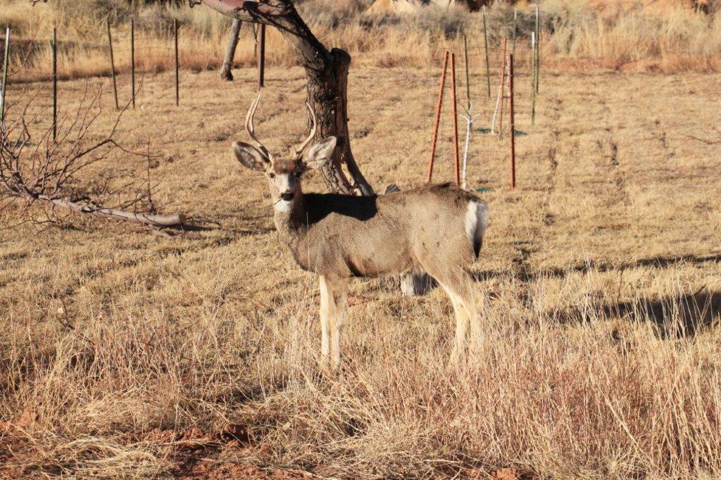
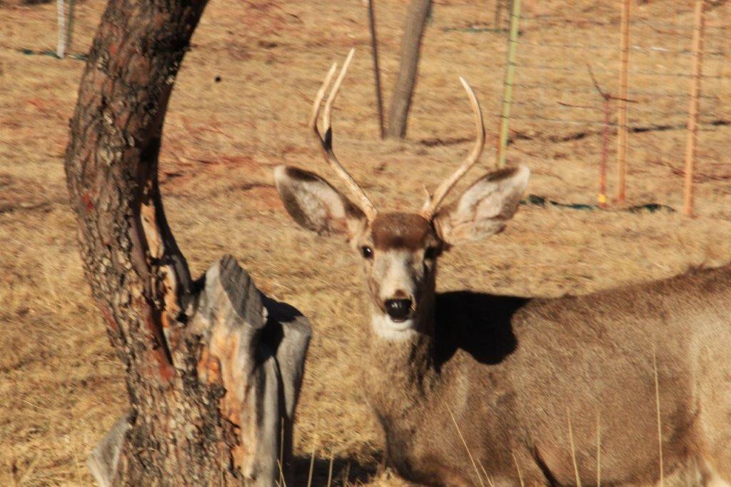


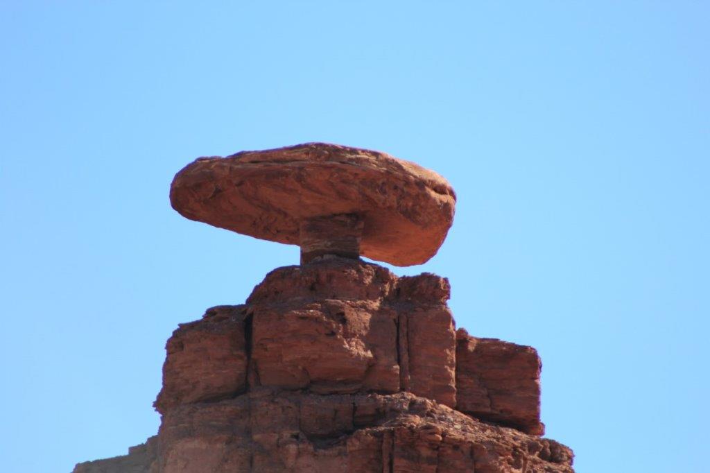


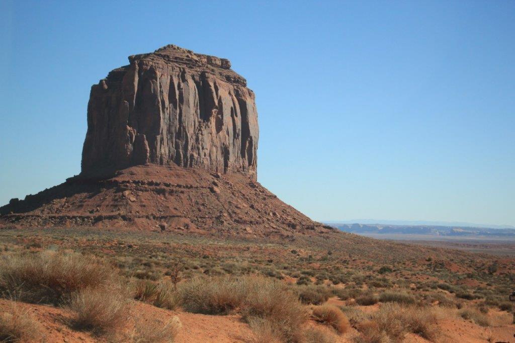


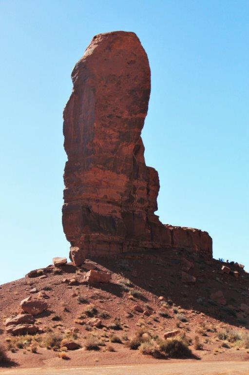


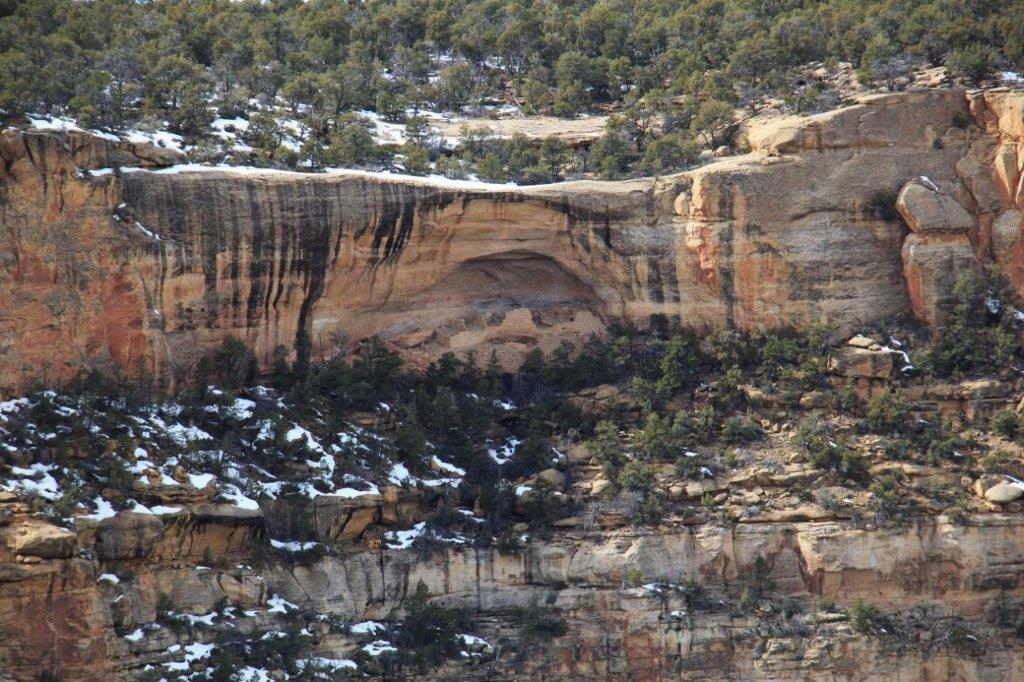


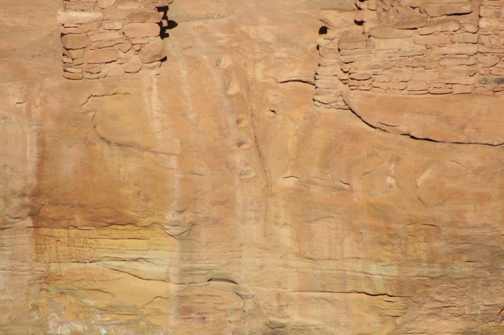
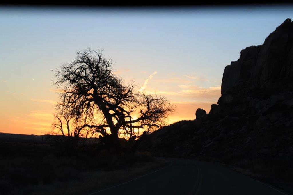
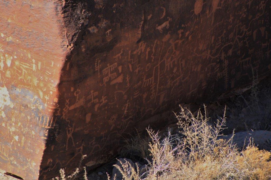
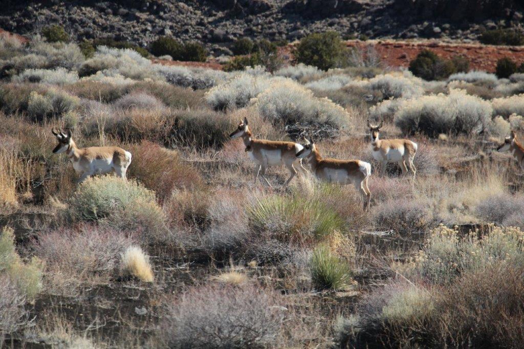
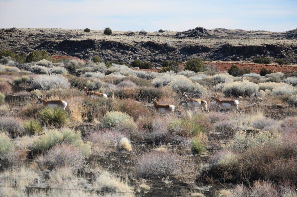
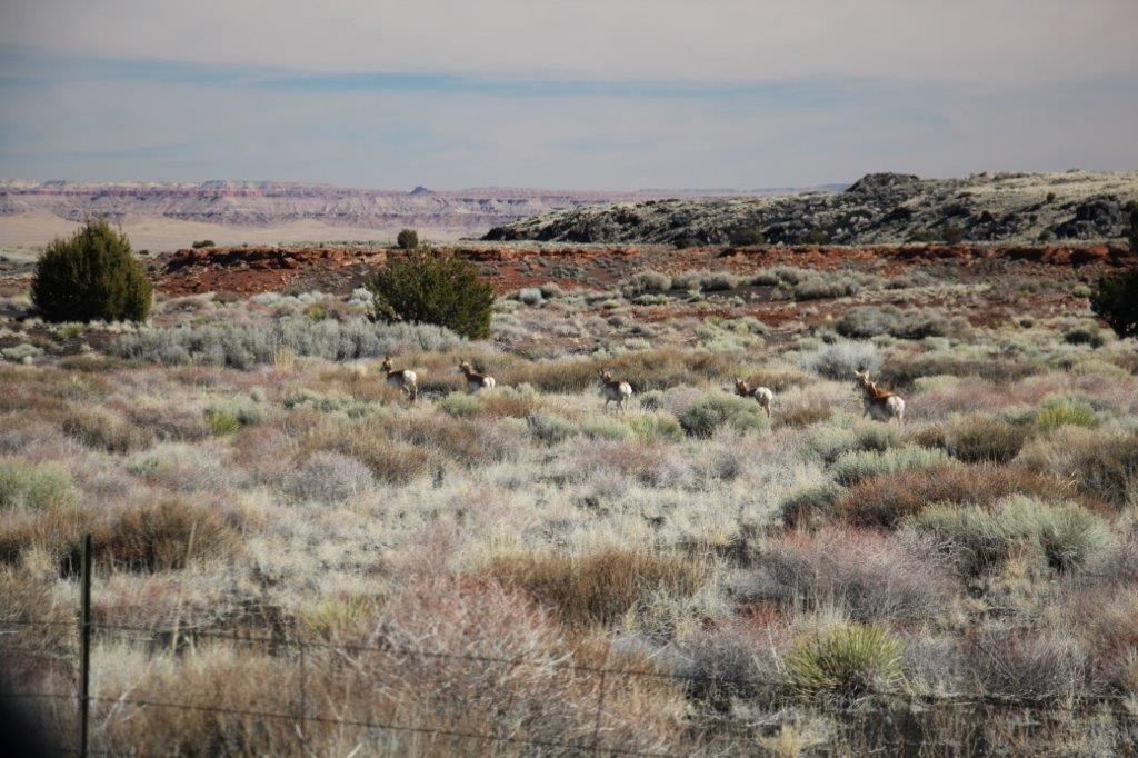
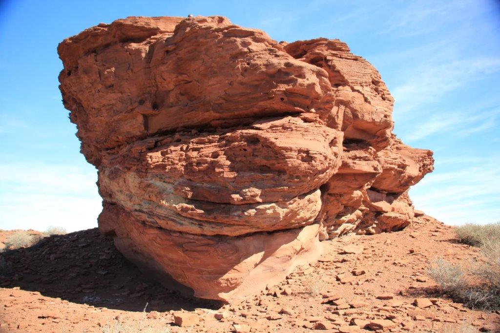
 My new zoom lens came in handy.