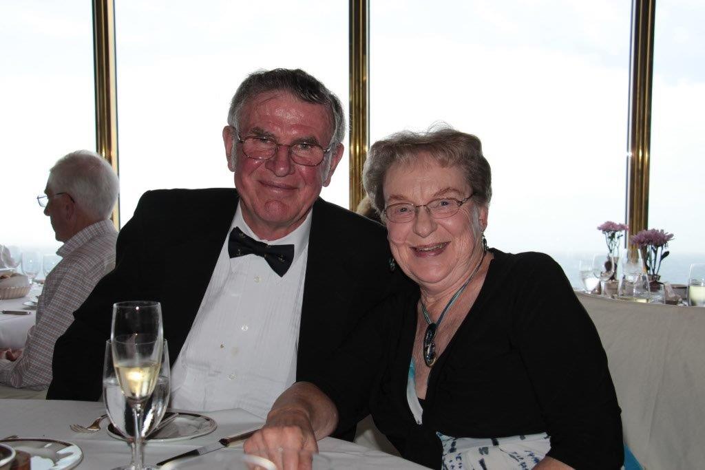
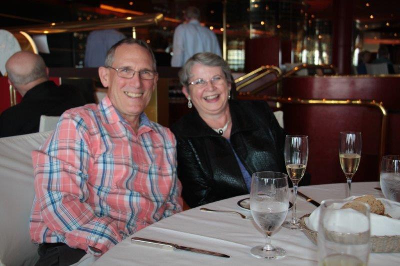
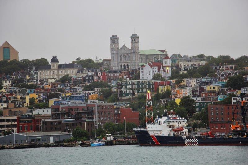
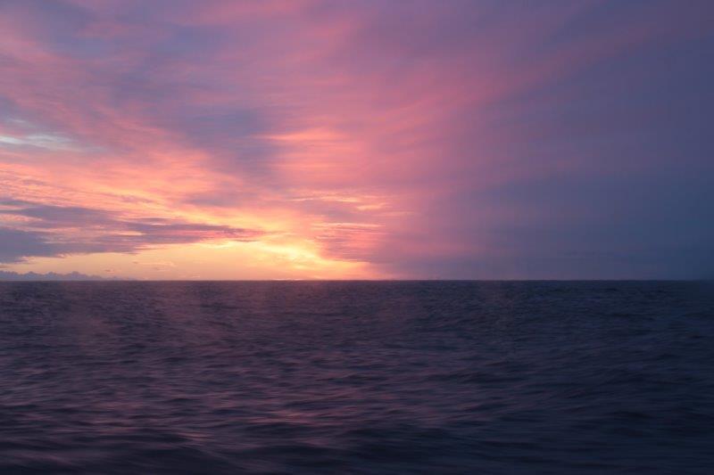
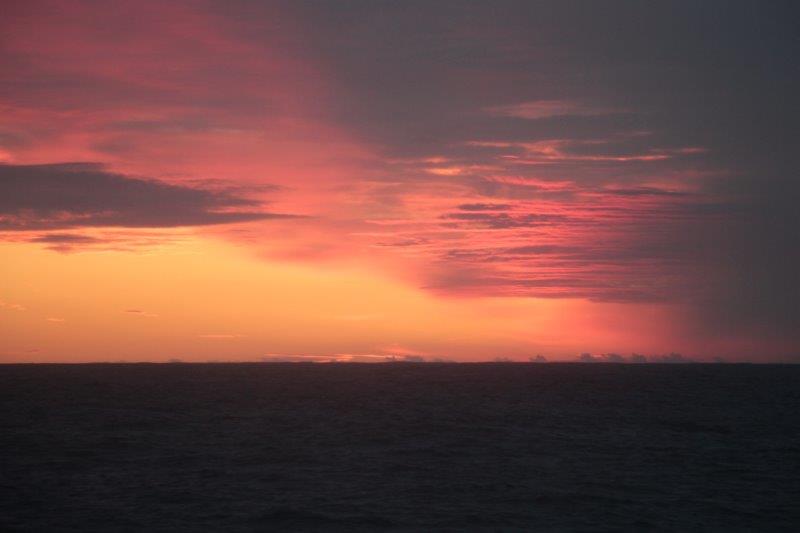
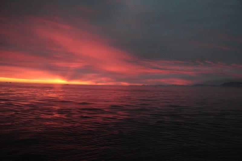
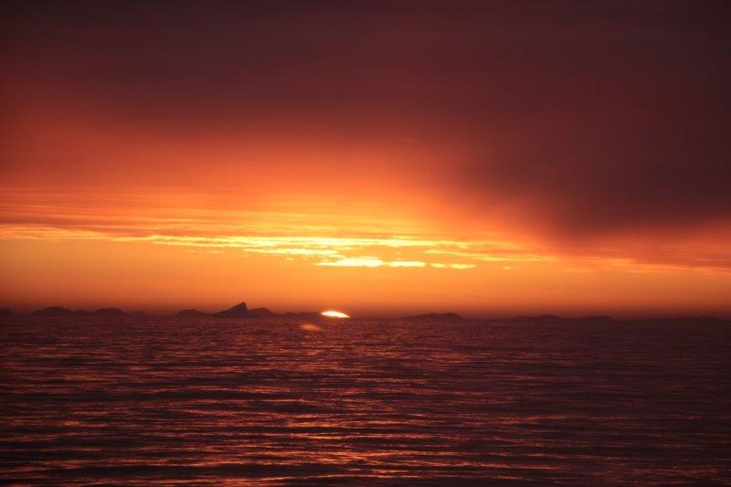
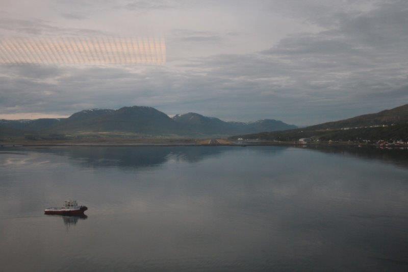
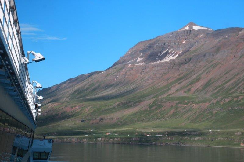
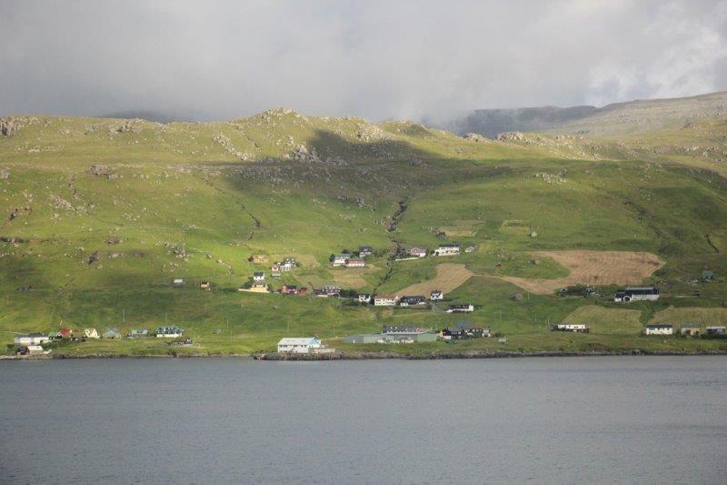
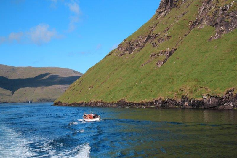
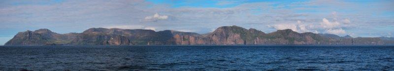
Aug 14 and 15 – Days 21 & 22 – At Sea and Dublin, Ireland
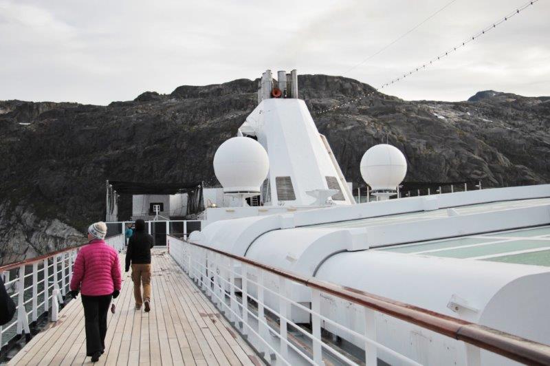
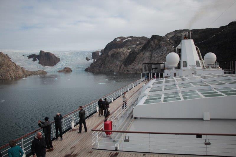
I spent our sea day on the computer selecting photos and writing my blog for the two days in Amsterdam and our day in Zeebrugge. John gets lots of reading and Sudoku done on those days. Our cabin is on deck 4, the dining room and the front desk are on deck 7, library is on deck 8, laundry is on decks, 5, 6, & 10 and the Lido restaurant where we eat breakfast and lunch is on deck 11. We never use the elevators. To get to the Lido we climb 112 stairs so we get quite a bit of exercise just going from food to food! On smooth sailing sea days we also walk the Promenade Deck. 4 laps is one mile. So far when we sail we have never gained weight. Some people pack on pounds and pounds. We try to be good. Our friend Bill said, “I came as a passenger, I don’t want to leave as cargo.”
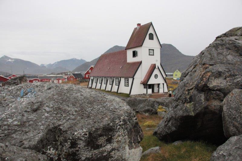
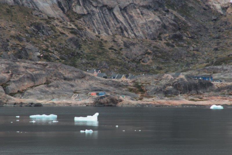
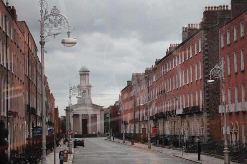
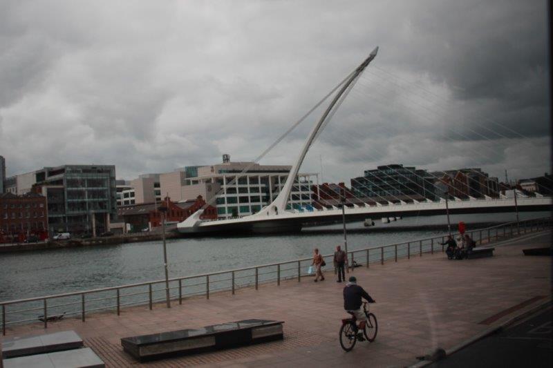
Chapter 1 – Dublin
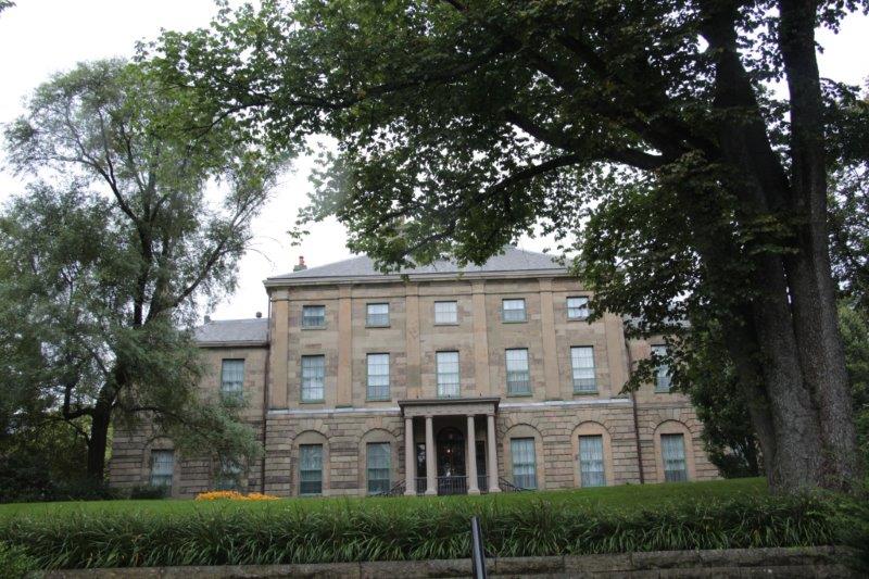
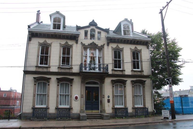
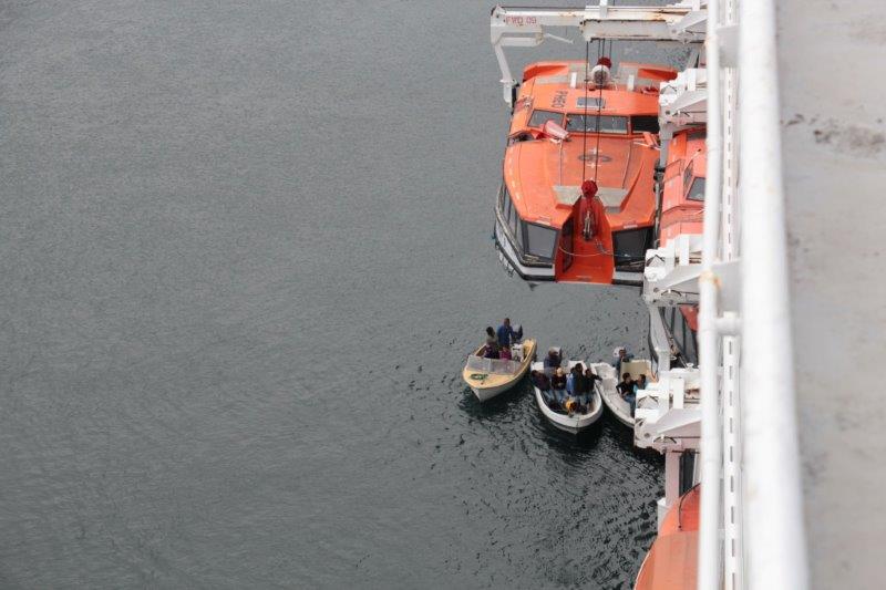
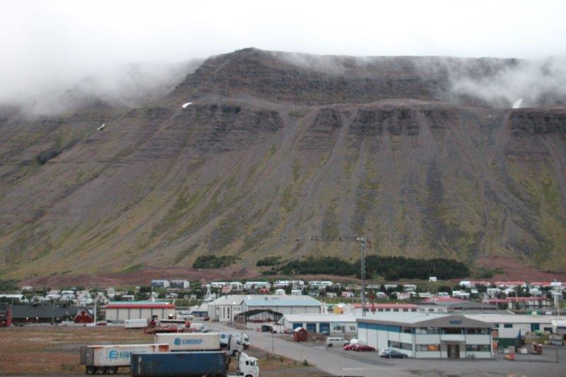
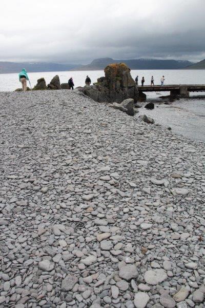
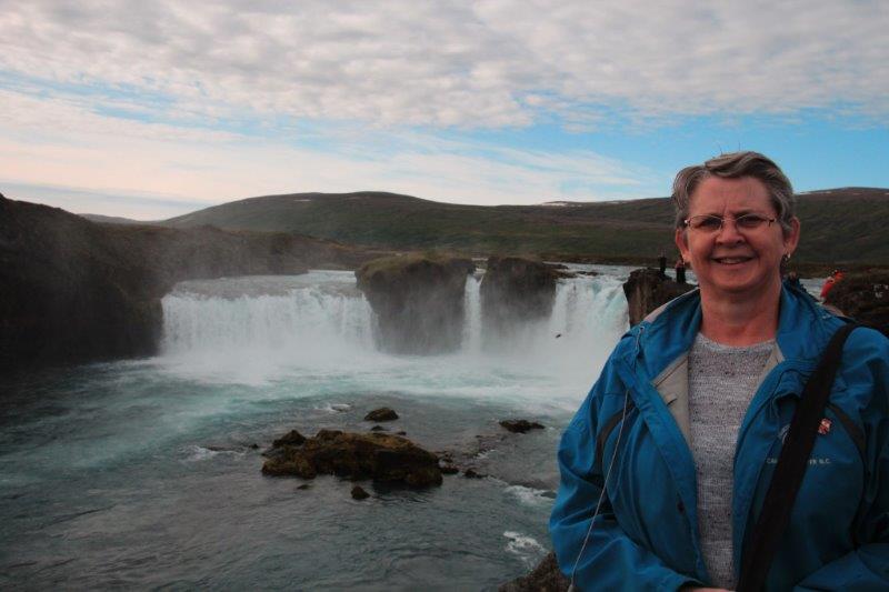
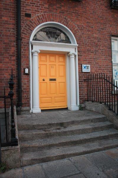
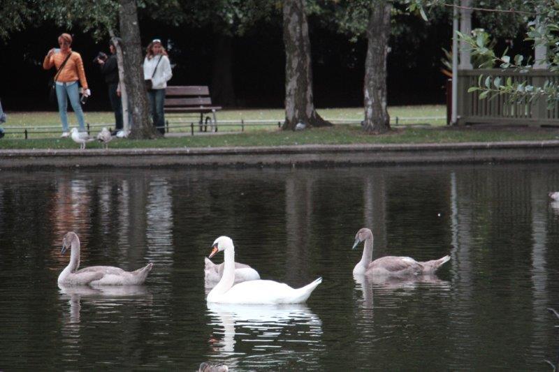
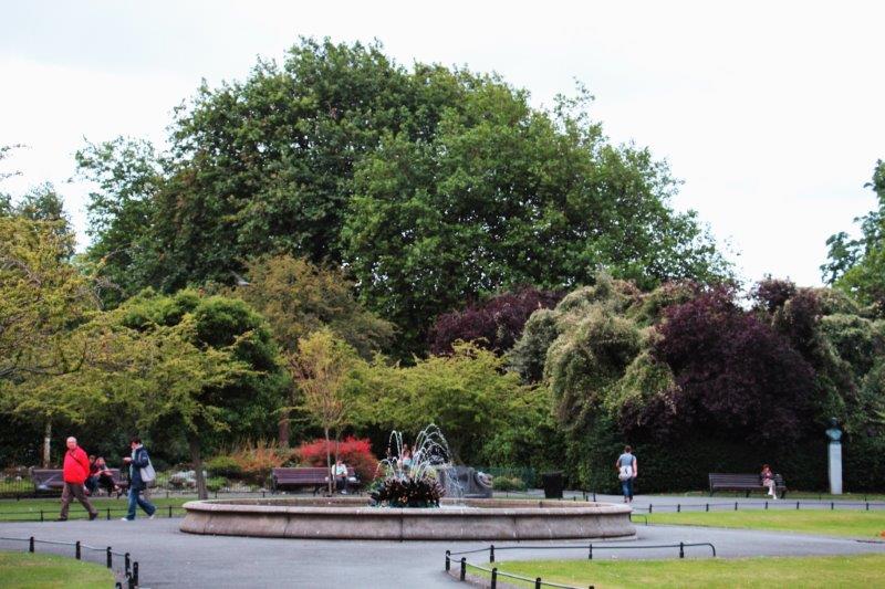
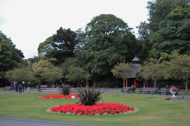
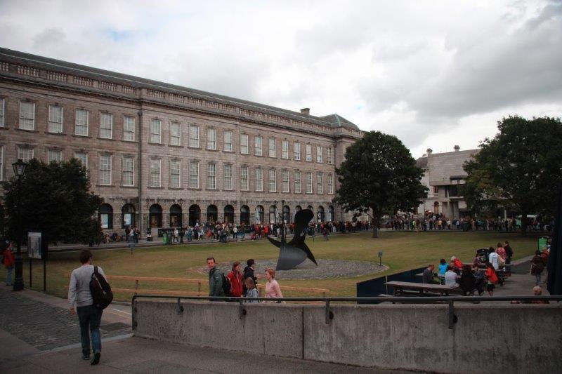
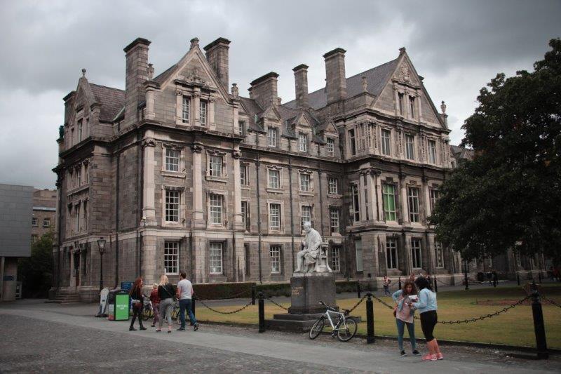
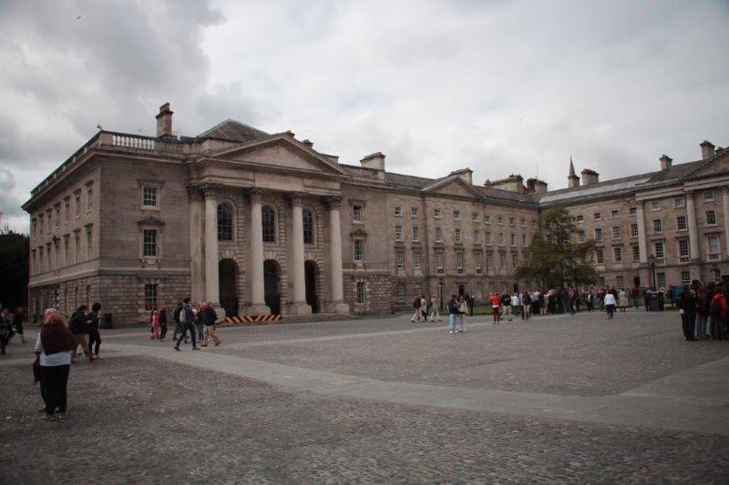
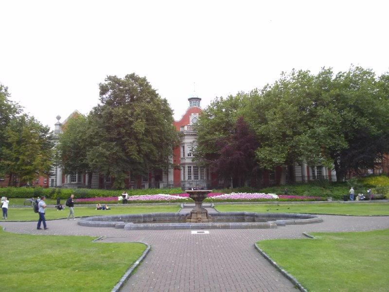
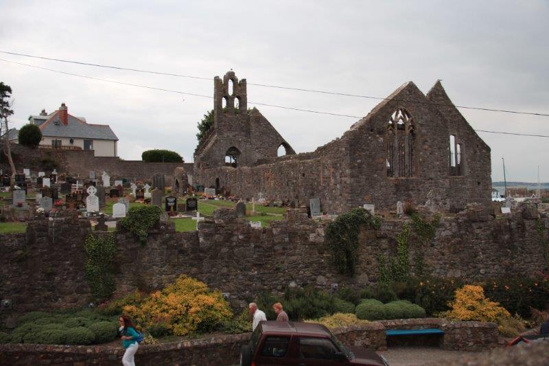
The ship was docked at the port terminal a few miles out of the city. There were free shuttles running all day. The Celebrity Silhouette with 4,000 passengers was docked for the day also. We were to be in Dublin from 8 am until 7:15 pm and our tours were in the afternoon so we caught a shuttle at about 10 and walked a loop that contained Merrion Square, St. Stephen’s Green (donated by the Guinness family) and Trinity College.


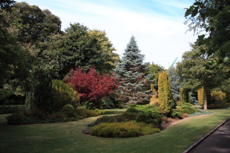
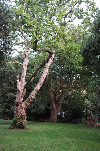
Merrion Square Park


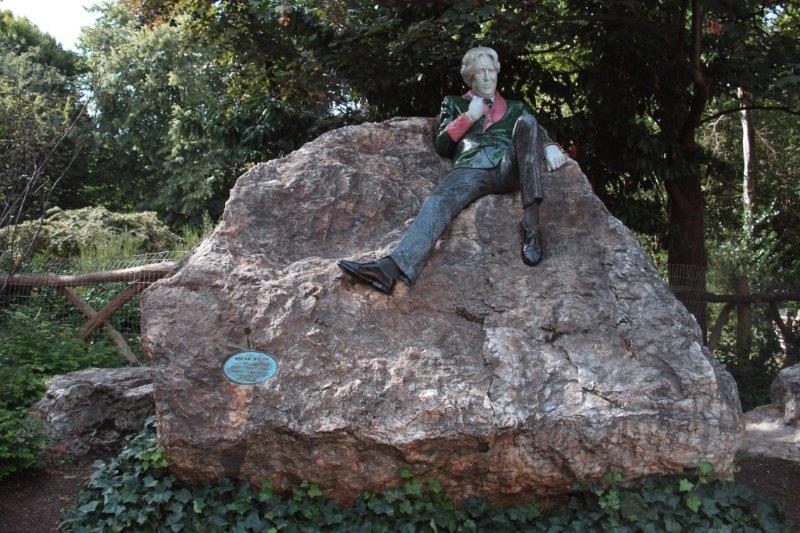
 Oscar Wilde


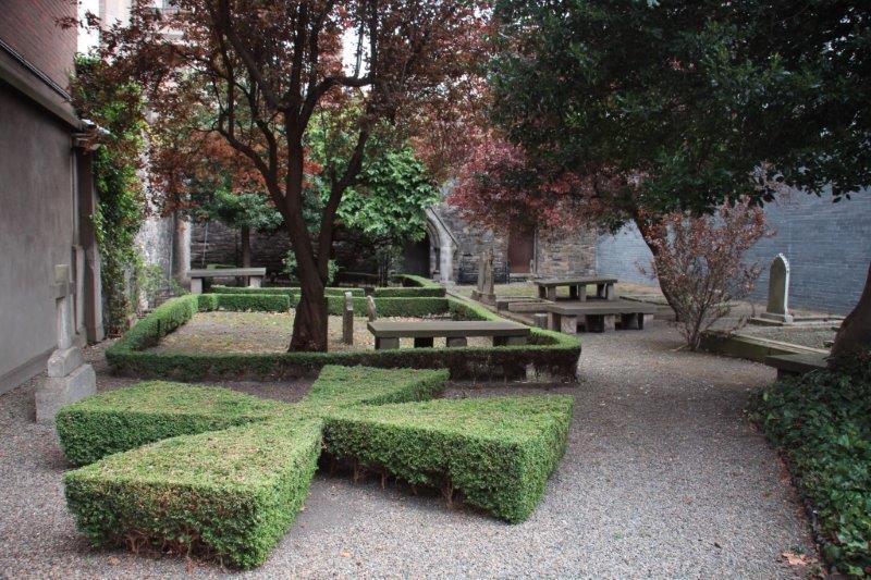
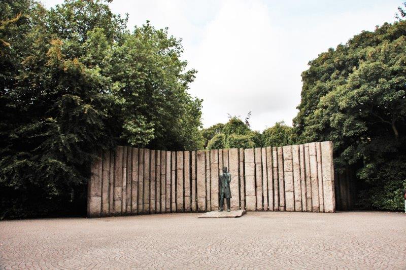
St. Stephen’s Green Park
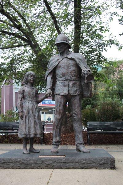
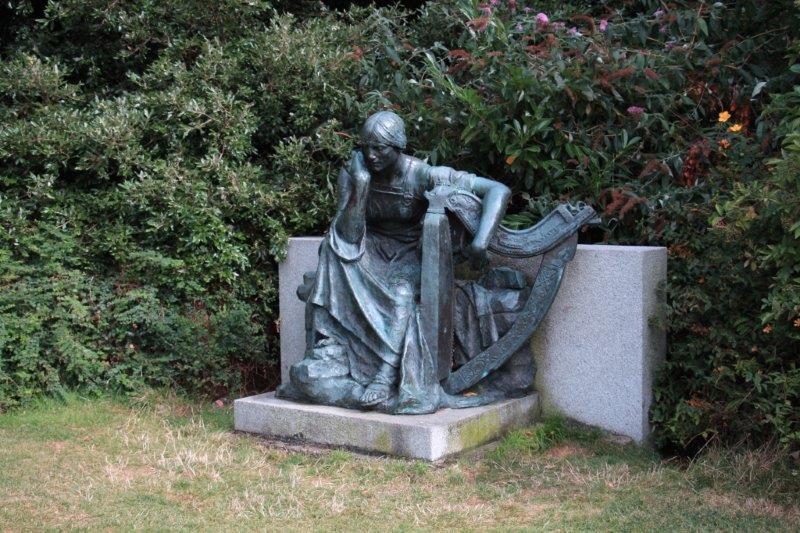
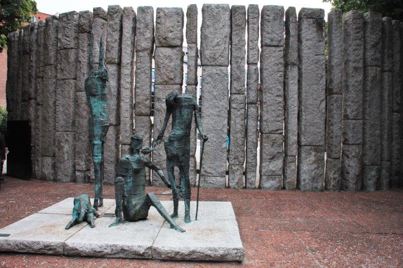
Sculpture entitled “Famine”


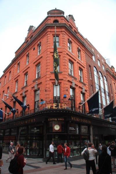
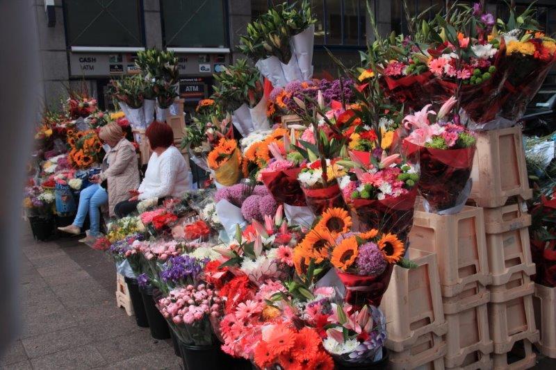
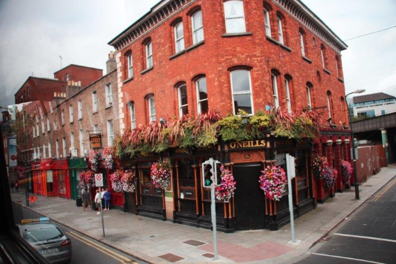
Grafton Street – a major shopping street

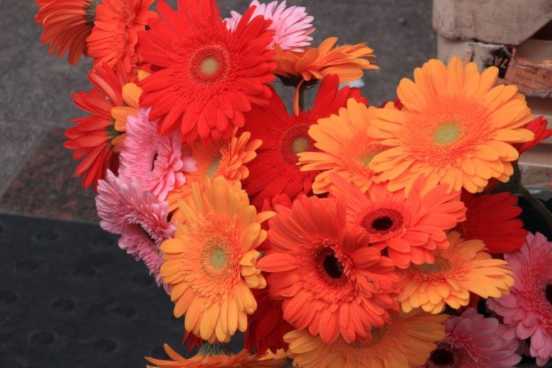
These are for you Trish.
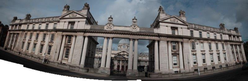
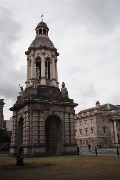
Trinity College was established by Queen Elizabeth I in 1592, the oldest university in Ireland, and is a Protestant College. A Catholic could attend free but only if they first converted to Protestantism. Housed at Trinity College is the world’s most famous Medieval manuscript, the 9th century book known as The Book of Kells; Ireland’s greatest cultural treasure. The Book of Kells is a richly decorated copy of the four Gospel of the life of Jesus Christ. I would like to have seen it but the line waiting to get into the library stretched half-way around the square. We only had 20 minutes until we wanted to be making our way back to Merrion Square to get the shuttle back to the ship. It would have taken almost an hour just to get to the door. Next time…

This about half the line waiting to see the Book of Kells


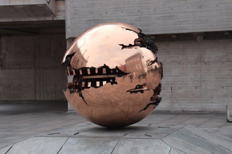
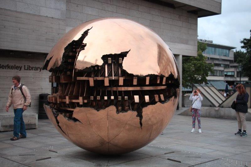
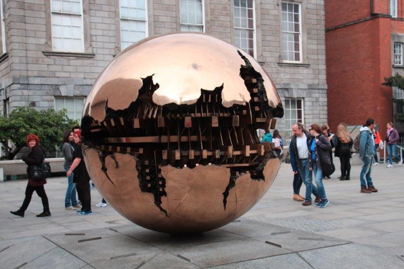
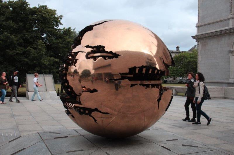
A Sphere in a Sphere Sculpture at Trinity College
Chapter 2 – Guinness Factory
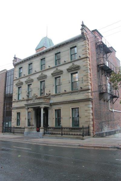
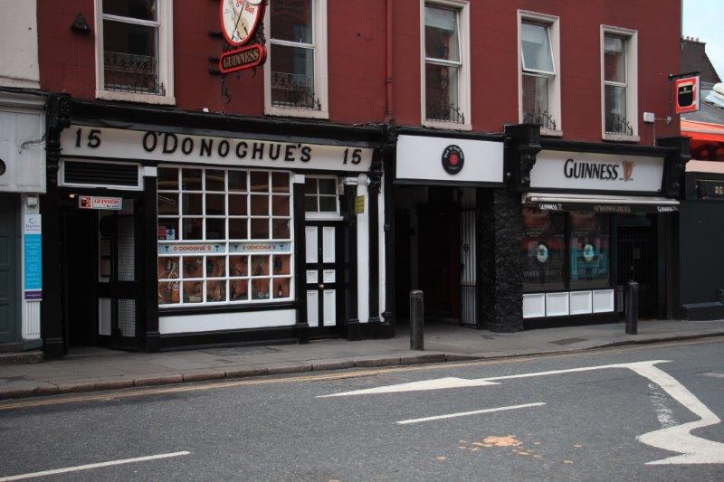
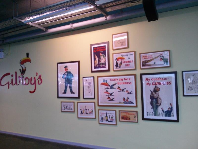
John went on a tour of the Guinness Factory; a must see for him as he likes a pint of Guinness every now and then. The bus took them on an extensive drive around the city pointing out various points of interest with some photo stops.
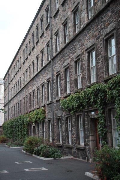
These four-story Georgian row houses were slums back in the day of the early King George’s with no plumbing and 100 people living in each unit. Today the houses have been modernized with the kitchen on the entry level, 2nd floor containing the living room and the top two floors for the bedrooms. Before the 2008 economic crash they would sell for 6 million Euros. Today you can get one for a measly 1 million.

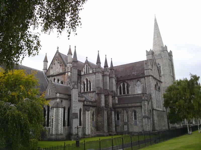
Another stop was St. Patrick’s Cathedral, founded in 1191. Since the time of Arthur Guinness the Guinness family has contributed to the Cathedral. In the 1860’s Sir Benjamin Lee Guinness donated 150,000 pounds of his own money to its restoration.


 The Guinness family were ruthless businessmen, beginning with Arthur, but have always taken care of their people. In the mid-1700’s a person was either nobility or, if rich, charitable. Since Arthur Guinness was not nobility and was a self-made businessman he decided to be charitable. To this day the family contributes millions to foundations and charities set up by successive members of the family over the years. In the early 1900’s the housing situation was so bad the family built houses for the workers at the brewery; which are still in use today. They built very modern buildings with plumbing and adequate space for the families.
Pride of place in the brewery is a copy of Arthur Guinness’ famous 9,000 year lease for water rights, which he signed Dec. 31, 1759. The lease is still in effect today although it has been challenged in court several times. The Guinness factory makes 6 million pints of beer every day using the free water obtained from this lease. 90% of all the barley grown in Ireland is bought by the Guinness factory. Guinness is made from only four ingredients: barley, hops, yeast and water. And – this is important – Guinness is ruby red NOT black! The best part of the tour was at the end when everyone was given a pint of Guinness. The brewery guide said, “You’ll never taste a Guinness as good as the one you get here. Guinness doesn’t travel well.” John agrees. It was the best pint of Guinness he has ever had.

The housing Guinness built for his workers

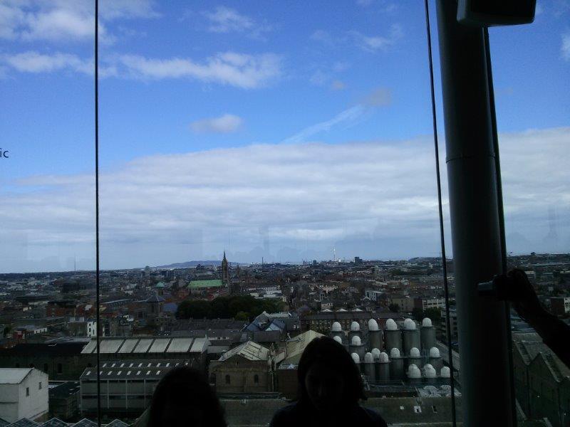
View from the top of the Brewery 
 FYI: The Guinness Book of World Records was started in a pub over a bet regarding something. When the correct answer had been located they decided they should write a book that could be used as a reference for who was best at this or that, or who won what.
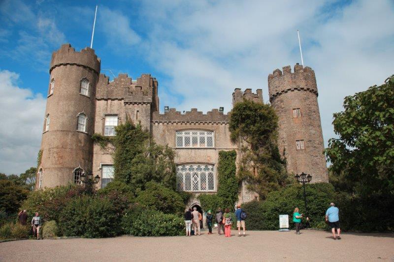
Chapter 3 – The North Coast and Malahide Castle.
Since I don’t drink beer, especially one as dark as a Guinness I have no interest in how they make the stuff. Instead I took a tour to Malahide Castle which is located a few miles to the west of the city.


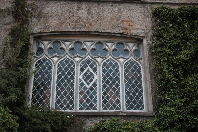
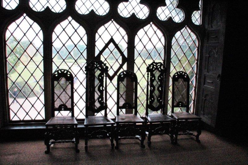
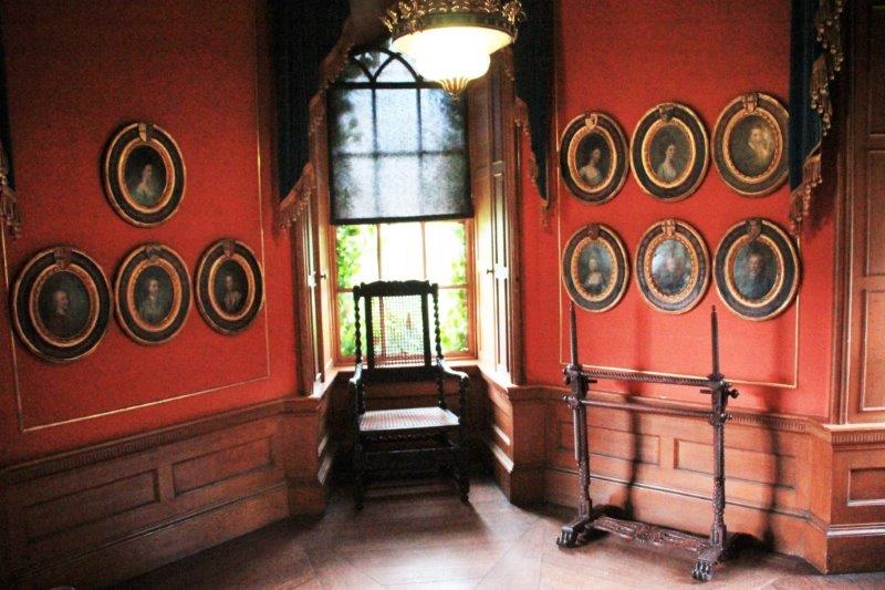
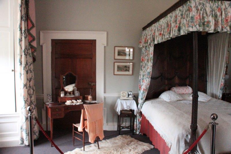
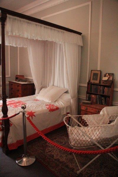
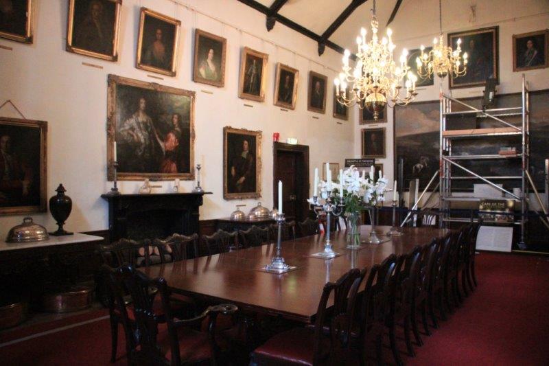
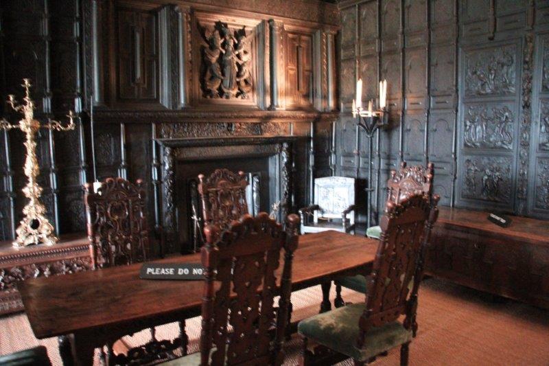
 Malahide Castle was the home of the Talbot family for over 700 years (they are listed on a document on display in the house as one of the families with William the Conqueror at the Battle Abbey in 1066) and became a property of the government over 50 years ago when the last Talbot, Richard, died leaving the estate to his sister. She could not afford all the estate taxes – as is often the case – and sold some of the antique furniture and paintings to make pay the debts, after which she moved to New Zealand. The government has since managed to buy back almost all of the items she sold. The castle is full of some of the best pieces of Irish furniture through the ages. There was no flash photography allowed so my 6400 ISO setting came in handy. It makes things a bit grainy but good enough to see in the dim light available.
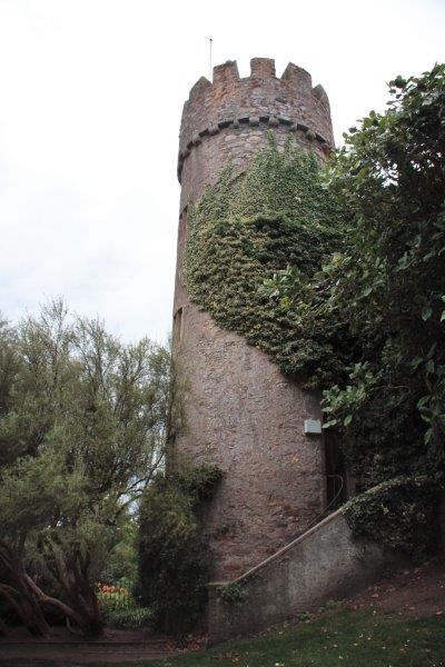
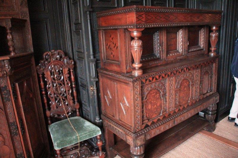
The original castle was destroyed at some point, no one knows why, and the current one built in the 14th century. The oak paneling in one of the rooms is the oldest hand-carved woodwork in Europe and many of the furniture pieces are written up in books on valuable and significant antiques. The tour lasted about 40 minutes and the fellow told lots of stories as he pointed out the features of the rooms.


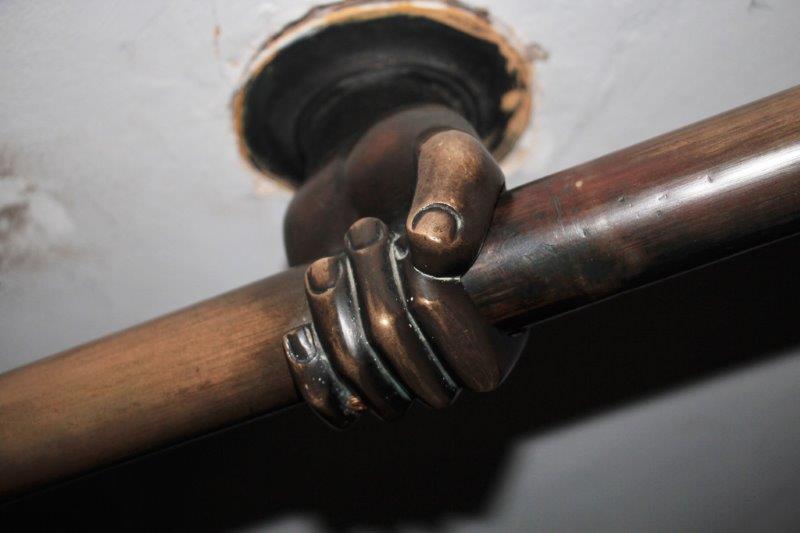
One of the hands holding the handrail on the stairwell.


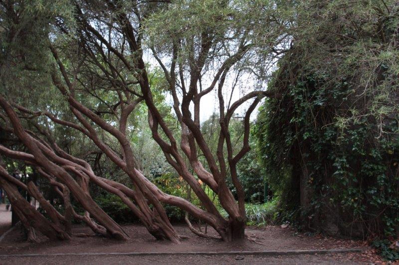
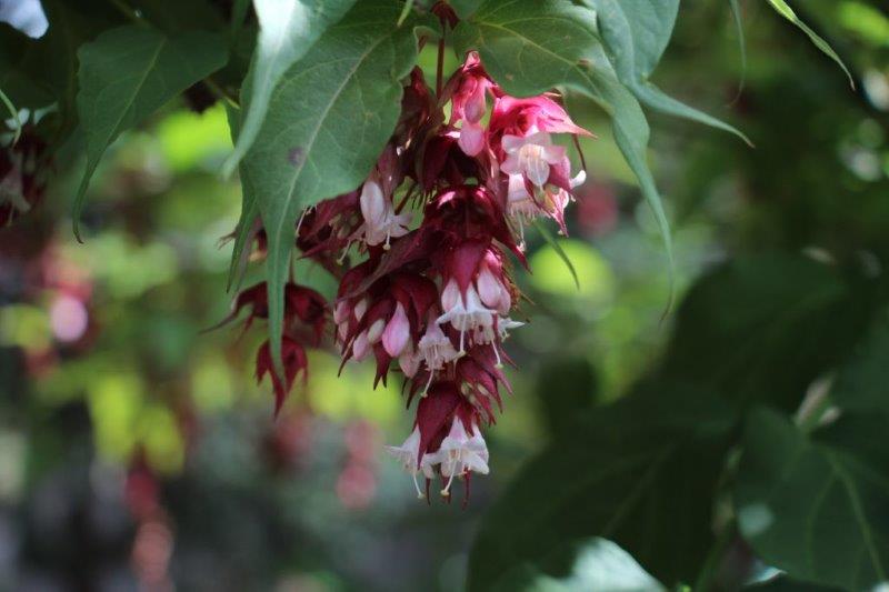
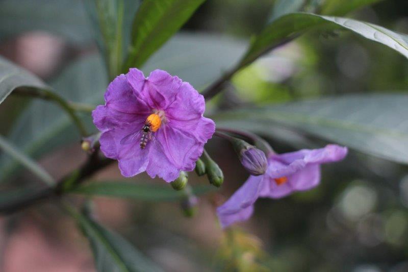
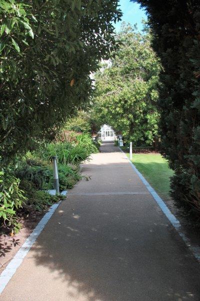
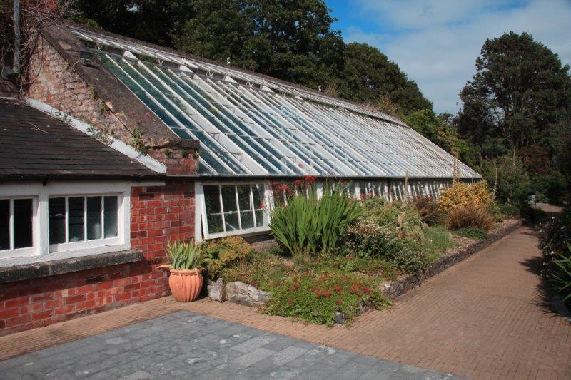
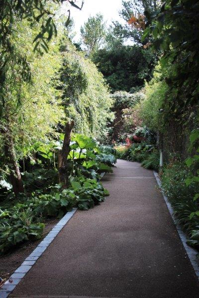
 By the end of the tour I had about 10 minutes before I was due back on the bus so I did a fast walk out to the gardens. Malahide has famous greenhouses where they grow all kinds of tropical and exotic plants and they have a huge walled garden. I was only able to walk a short distance along the path either side of the entrance but I snapped a few pics and hurried out to the bus. I would love to have had the time to explore further. Next time….again.


 After we left Malahide we were driven along the Dublin Bay to the fishing port of Howth. Before returning to the ship in Dublin we stopped at the 11th century Abbey Tavern in Howth to enjoy an Irish Coffee. Yummy! “Sir, can I have some more please?”


 How to make proper Irish Coffee: heat your glass mug with hot water. Pour out the water and put in a measure of whiskey (whatever size ‘measure’ you desire), add a spoonful of brown sugar and stir well. Pour in hot coffee. Invert your spoon and slowly pour some thinly whipped cream over the back of the spoon bowl onto the coffee so it floats on top. Do not stir! Sip the coffee through the cream. Delicious.
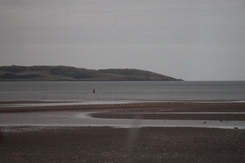
We went along the coast – beautiful sandy beaches; mostly unused due to the cool climate and colder water – but my seat was on the other side of the bus so I was only able to snap a couple of photos across the aisle and out the other window. We drove to the top of The Summit for a view of Dublin Bay and the Dublin Mountains. The sky was overcast so it wasn’t a particularly fabulous view, but on a sunny day it would be quite nice.


 The end.

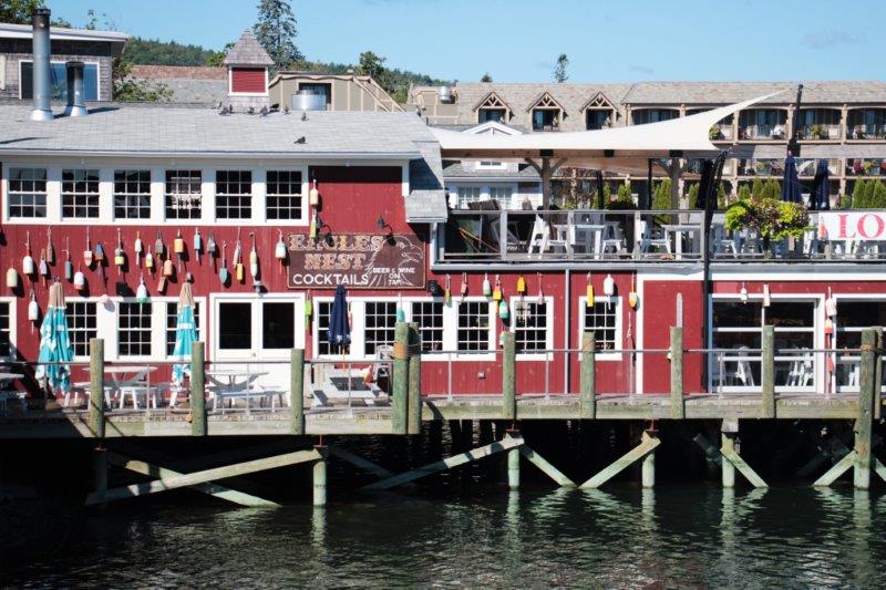
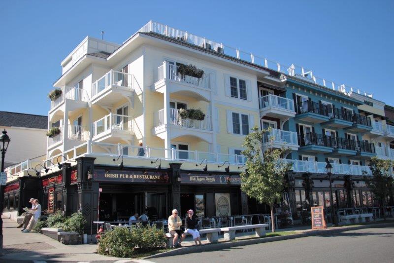
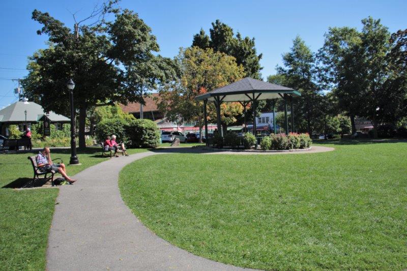
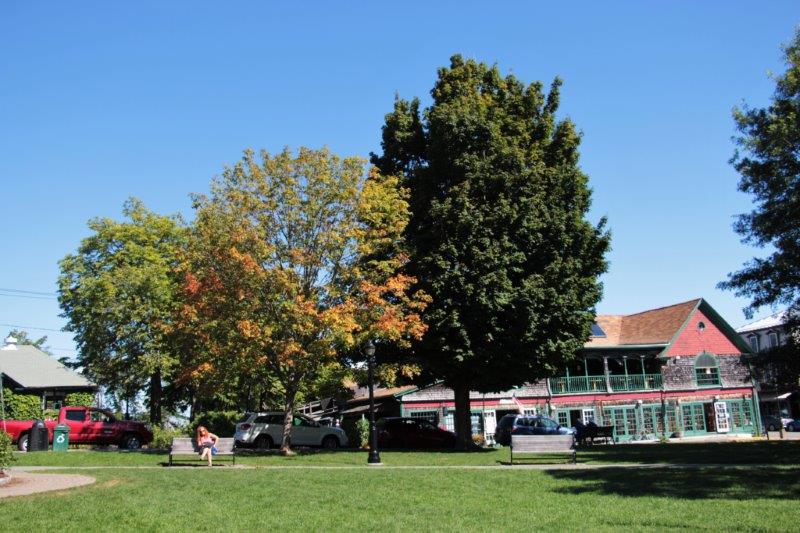
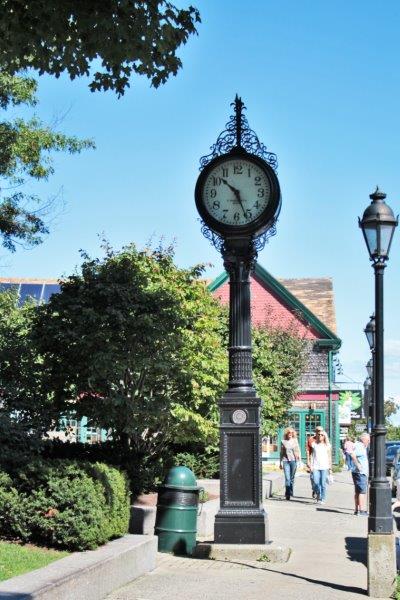
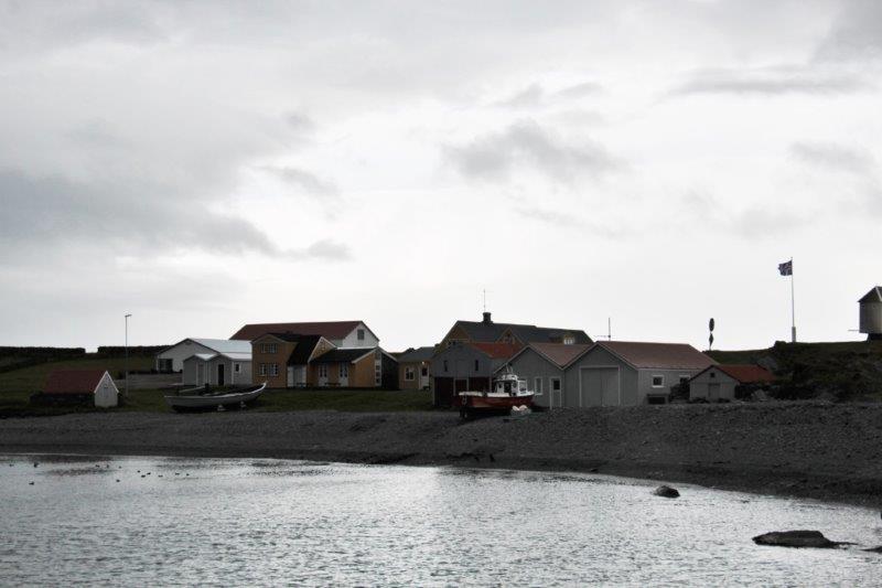
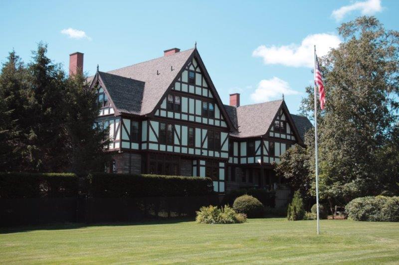
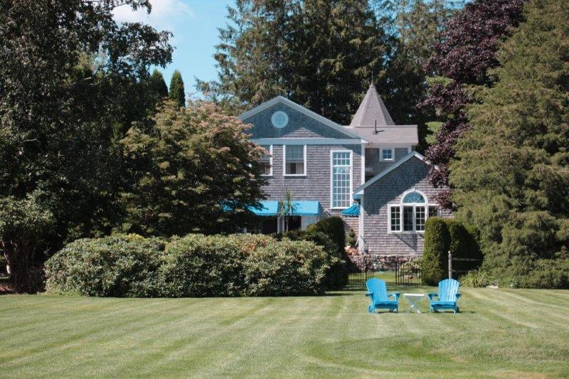
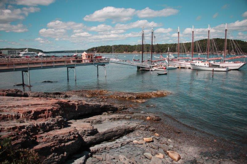
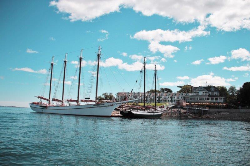
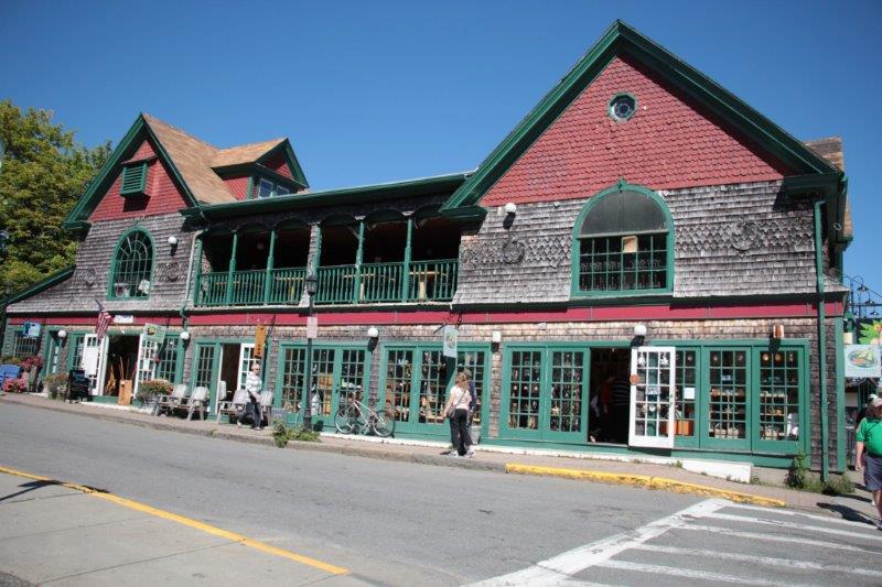 We had not booked a tour here since we drove through the area and stayed in Bar Harbor two nights last summer. We just wandered around the town, tried to locate a cache (DNF – Did Not Find) in the Village Green, walked the Shore Path (we did find a cache along here), and wandered back to town again. We were in no hurry to be anywhere, the weather was pleasant and sat on a bench at the harbor for almost an hour before getting on a tender back to the ship.
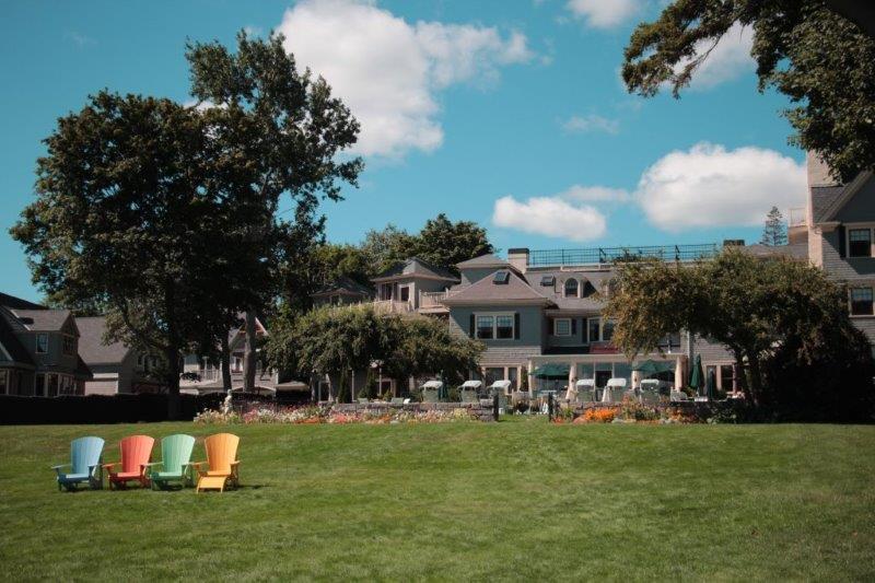
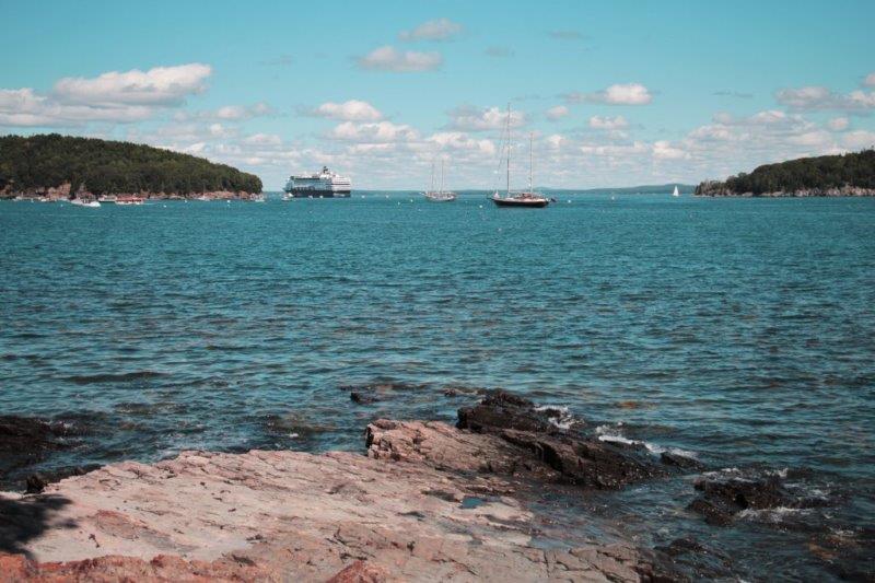
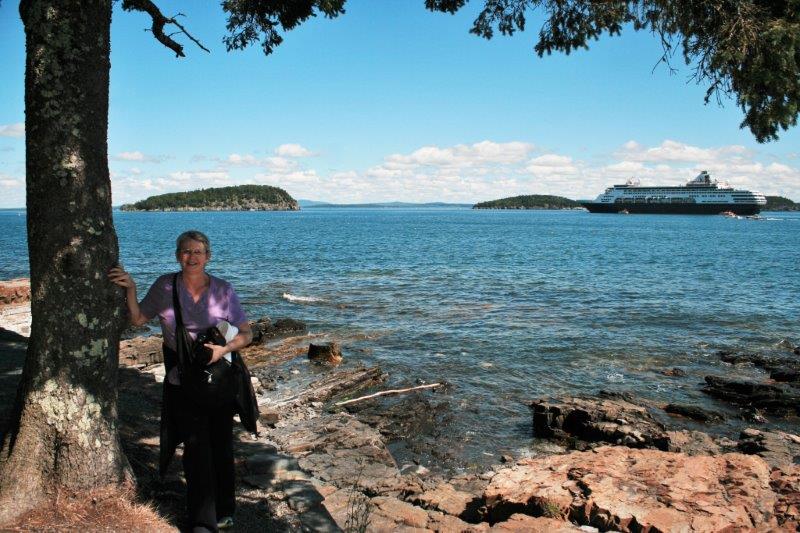


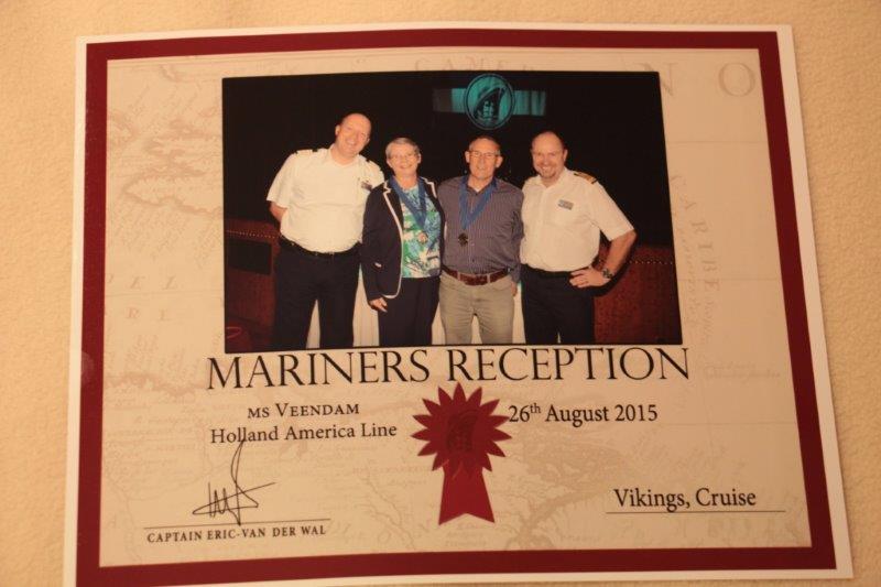
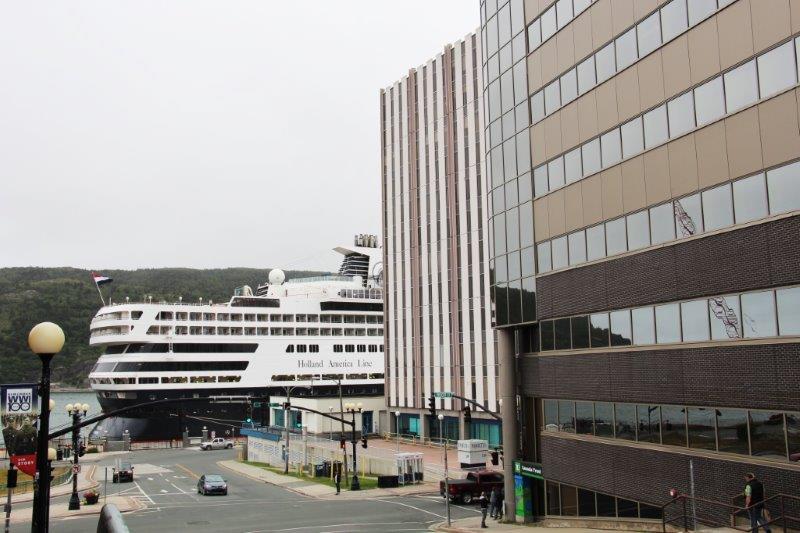
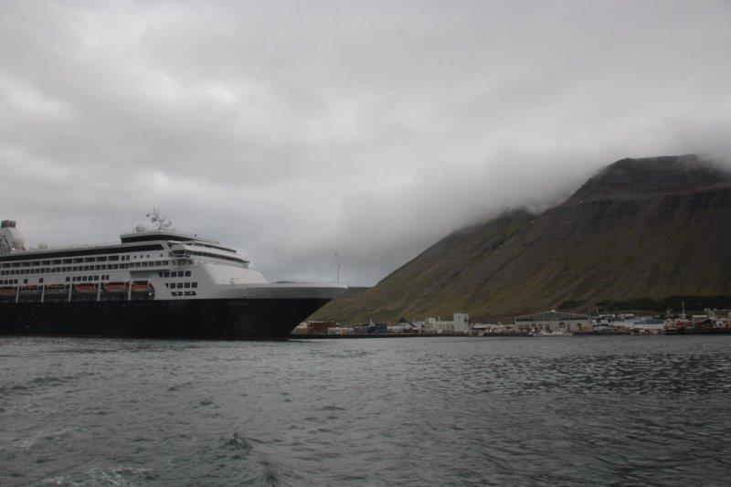
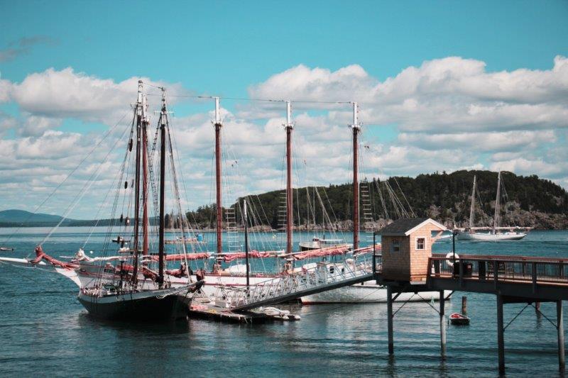
 There were two HAL ships in the harbor today. We met the Maasdam at St. John’s and it was also anchored in Bar Harbor. The Maasdam will be ending its current cruise in Boston tomorrow too. After that the Veendam and the Maasdam will be on an alternating rotation going up the New England/Canada coast for the fall colour season. We had thought the Carnival Splendor that was also berthed in St. John’s might be in Bar Harbor today but they didn’t show. The two HAL ships made for a busy enough town as it was.
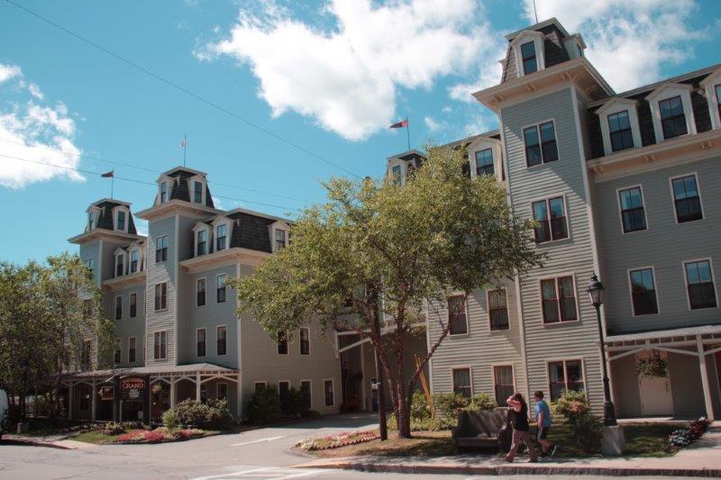


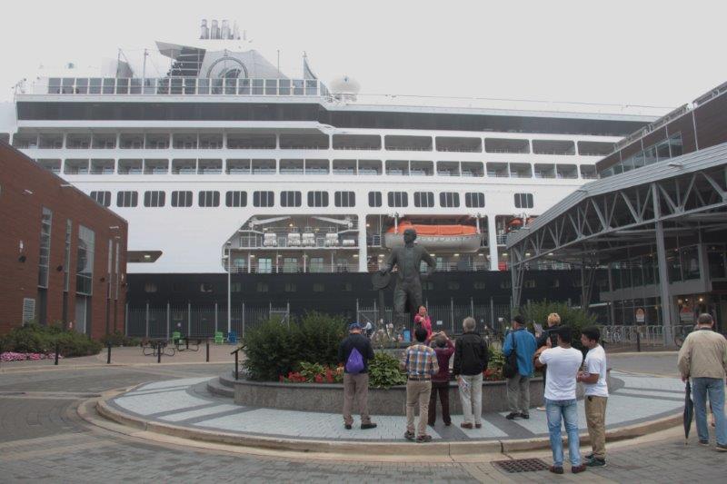
 The crew of the Veendam has been working very had over the last few weeks making sure everything aboard is in tip-top working condition because today in Bar Harbor they undergo a Coast Guard inspection which determines whether or not we set sail again. I am pretty confident we will pass.