Category Archives: 2013 Eight States Trip

2013 March 9 – Canyonlands National Park, Utah

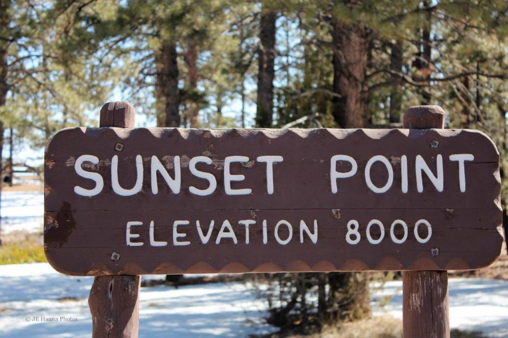
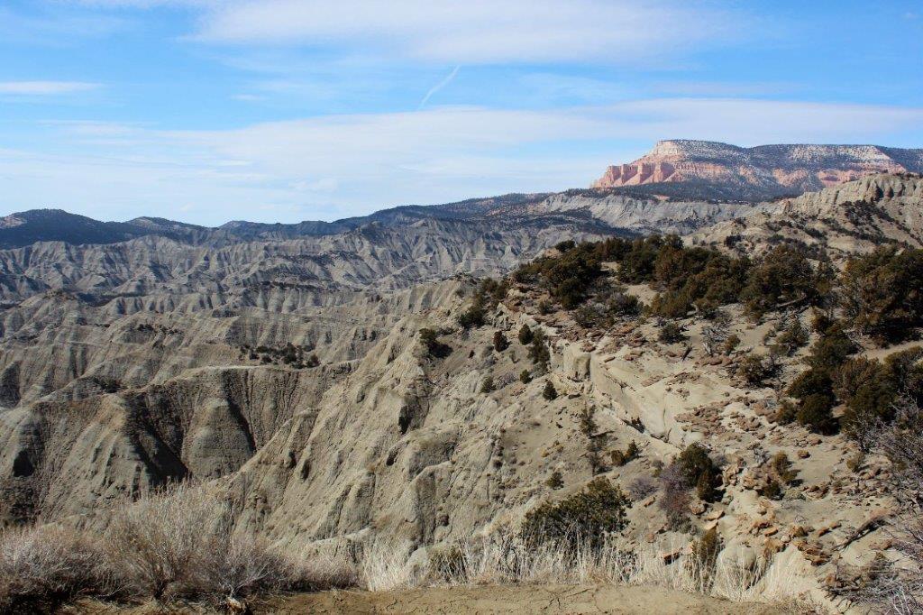
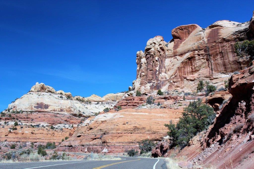
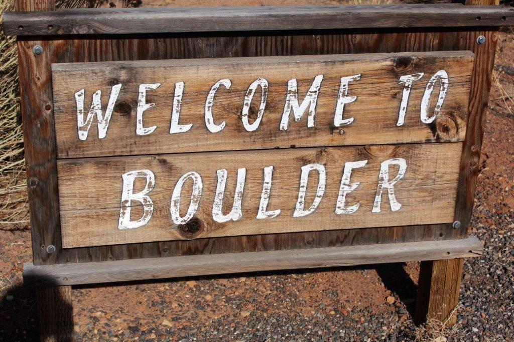
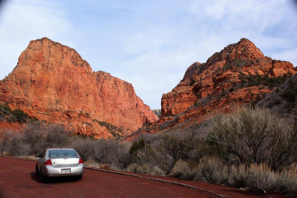
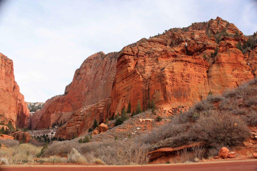
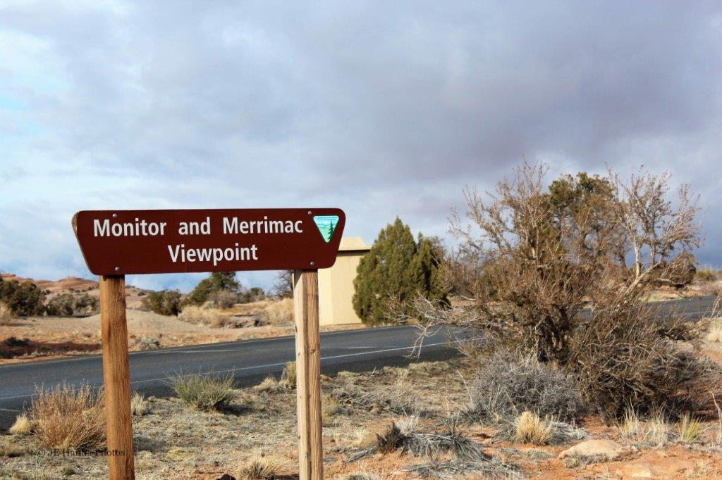
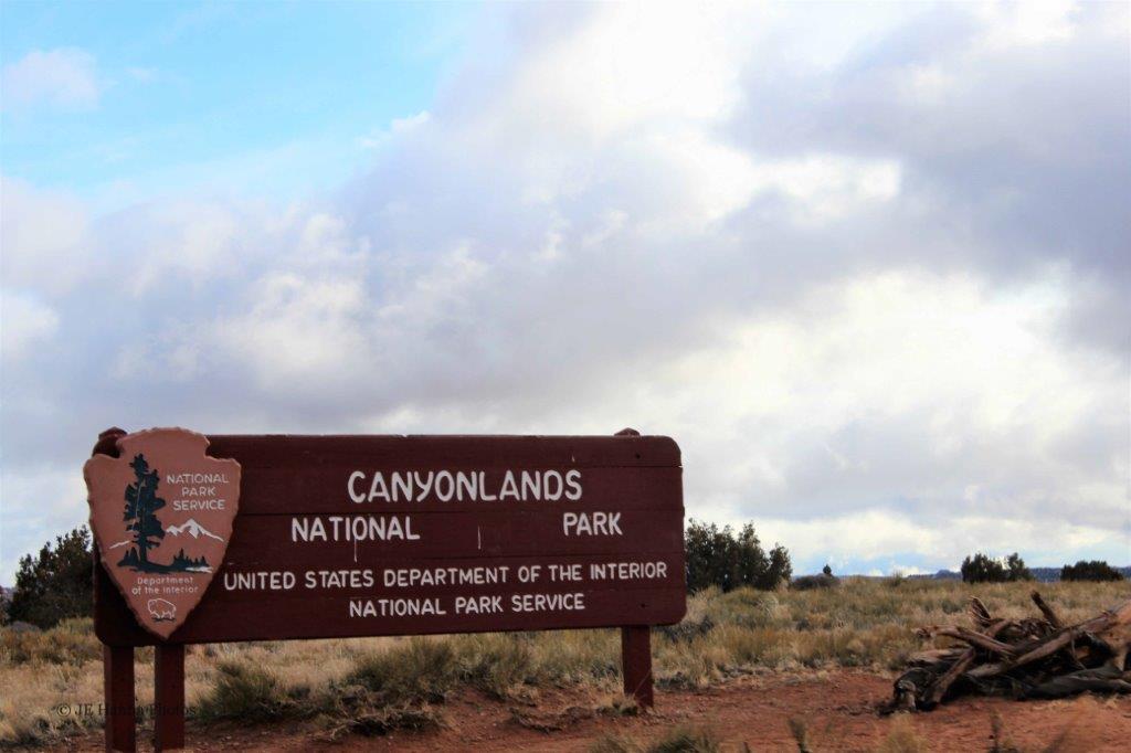
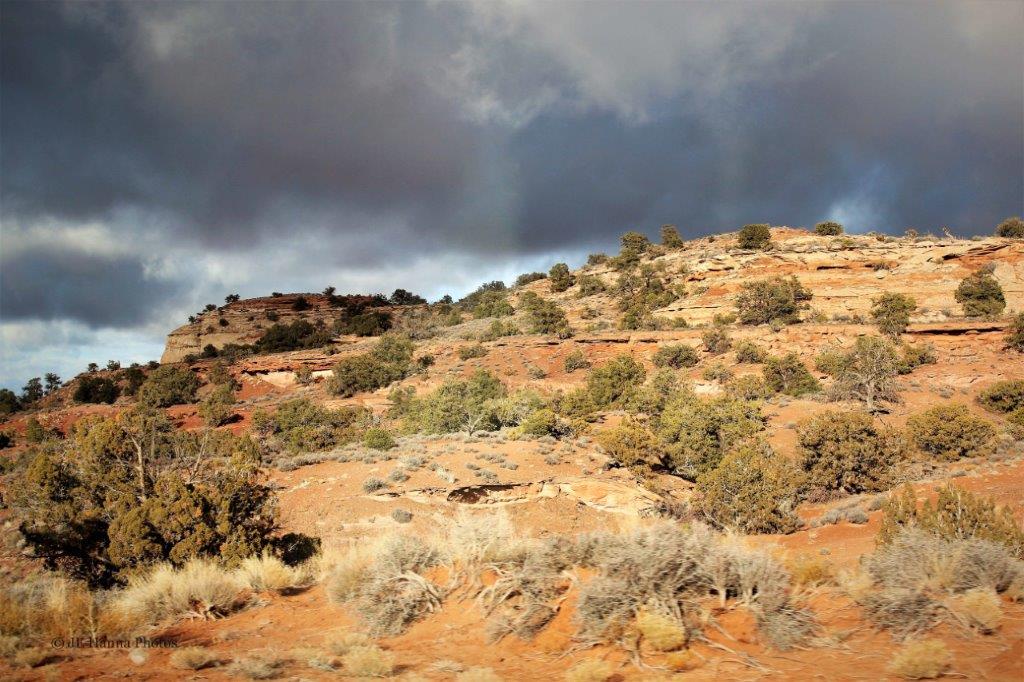
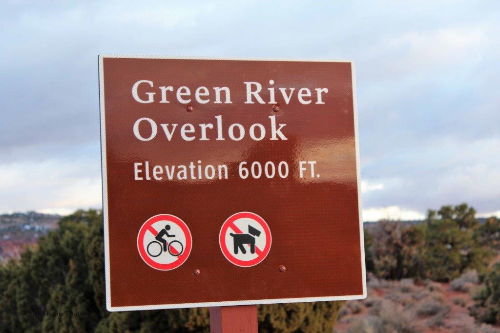
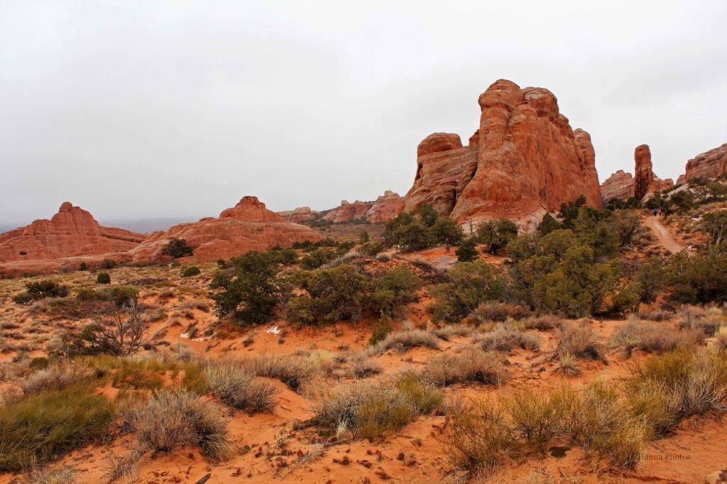
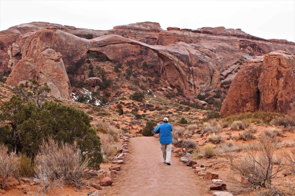
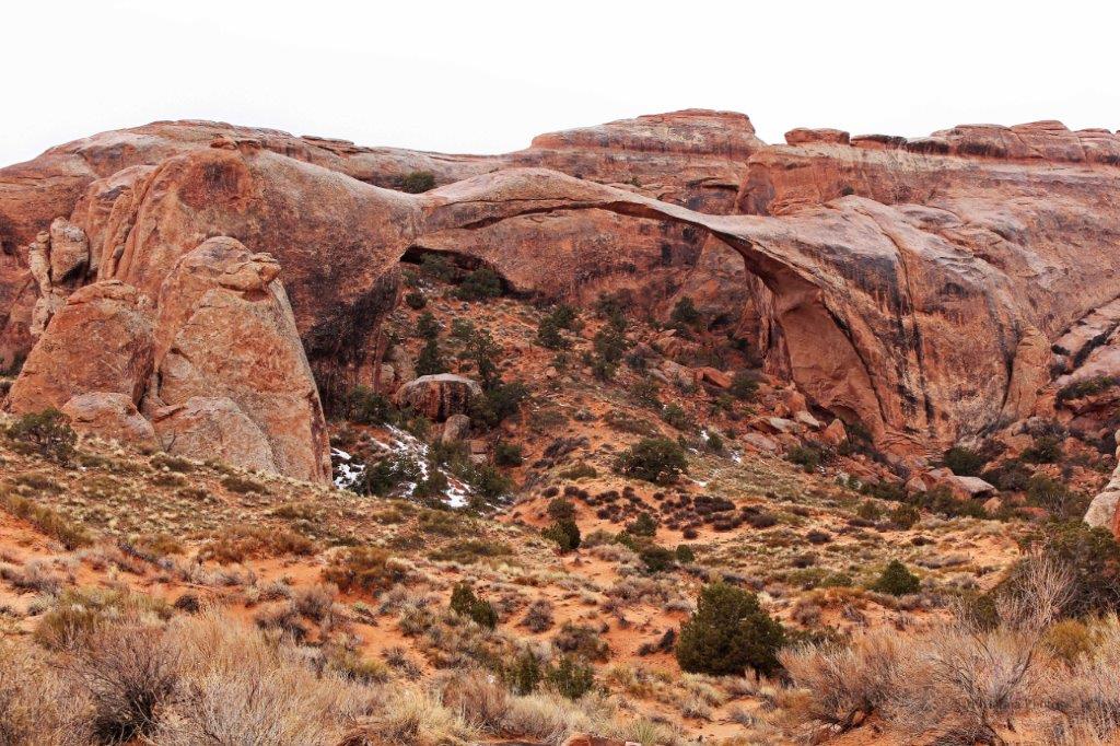
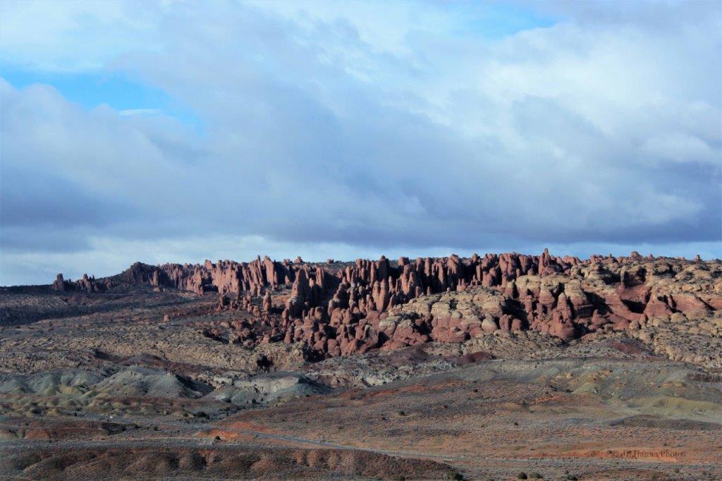
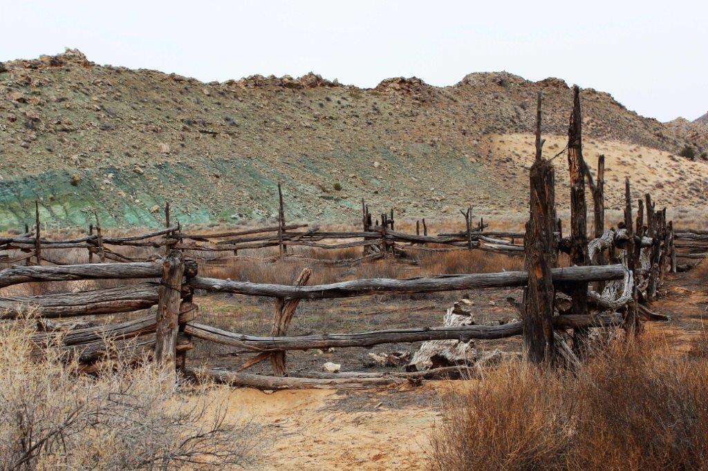
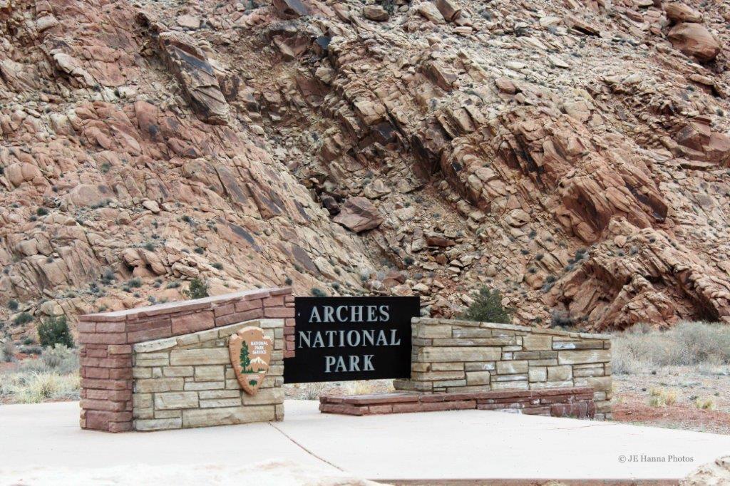
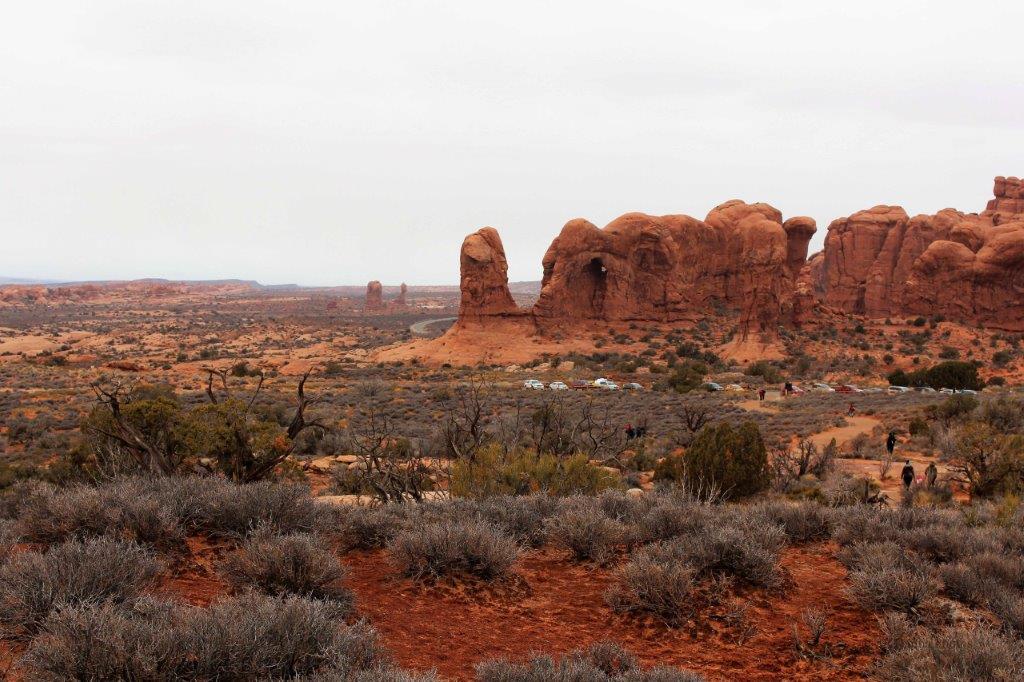
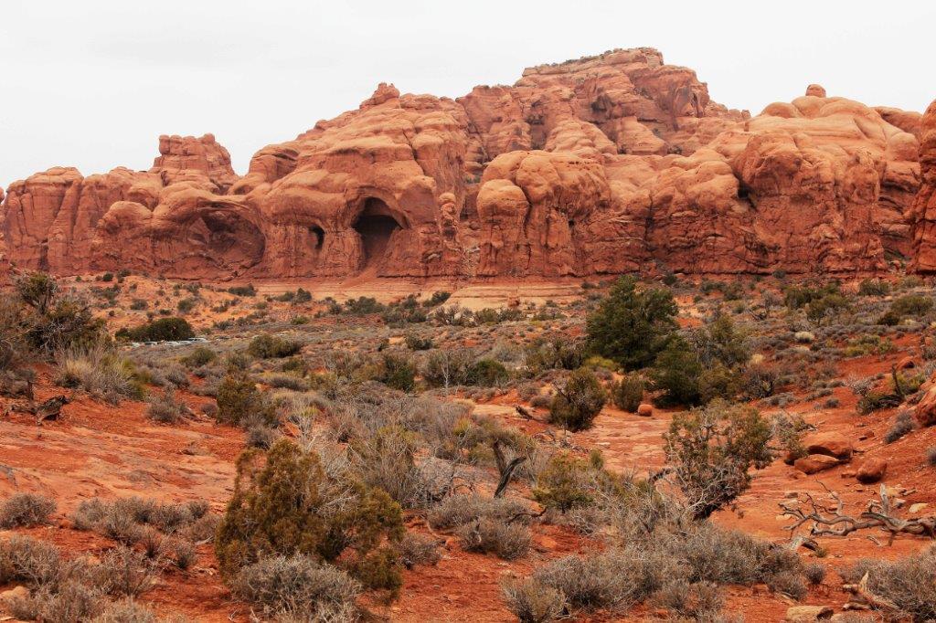
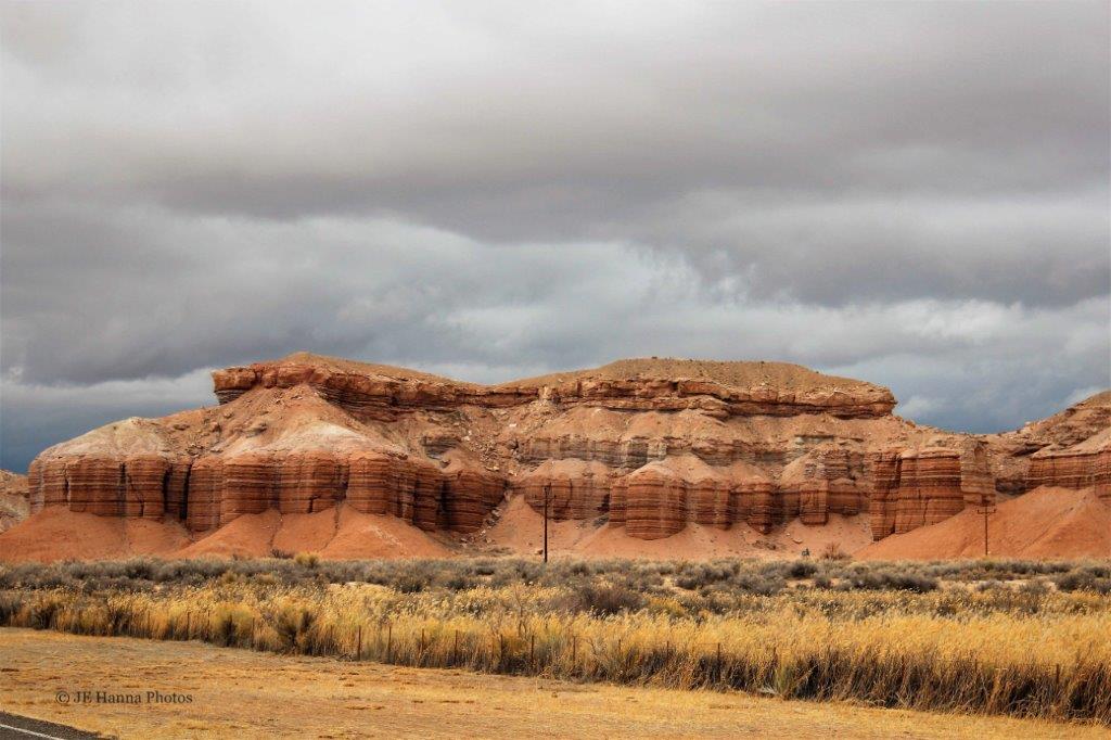
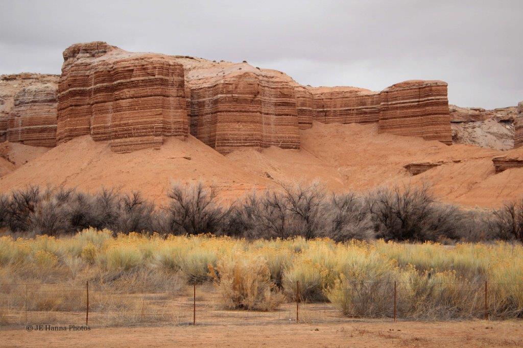
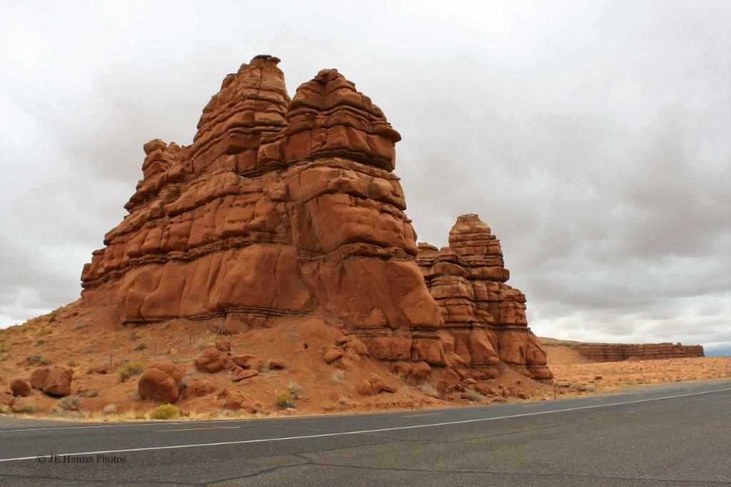
Canyonlands is quite a large National Park, but not a lot of it is accessible by road.  We didn’t have a lot of time to spend as we had a hotel reservation a number of miles up the road, but while we were so close we thought we had better at least take a quick look. 
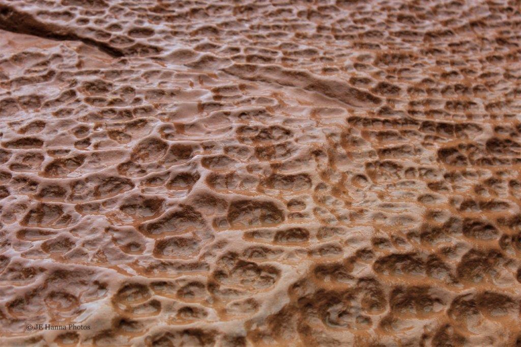
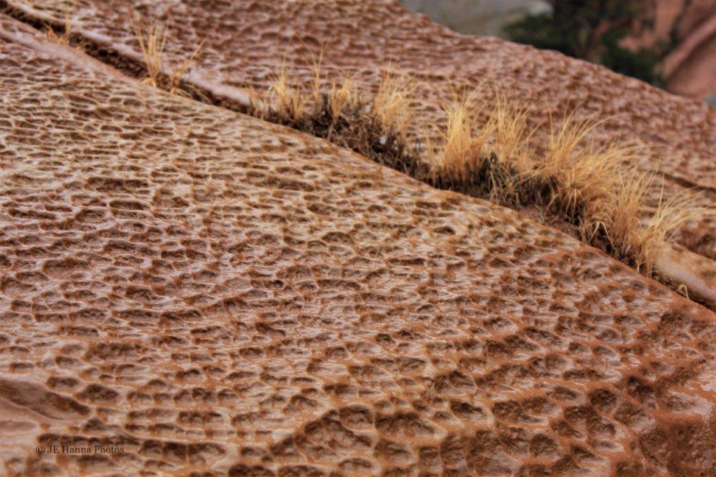
The path to Green River Overlook was still muddy from the recent rains;  and that red mud sticks to everything.                       
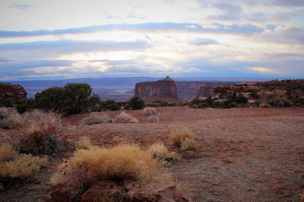
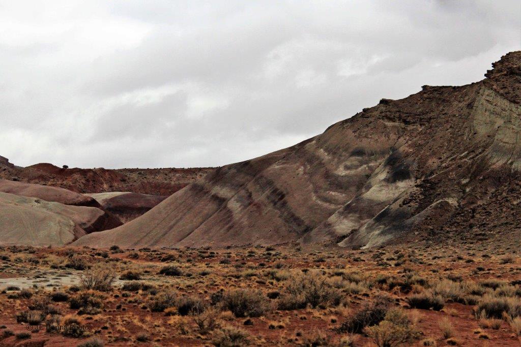
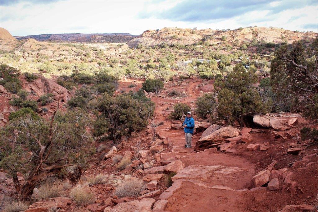
The late afternoon light was lovely.   
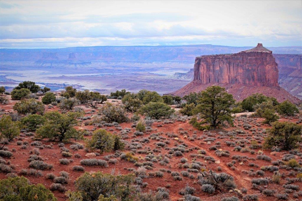
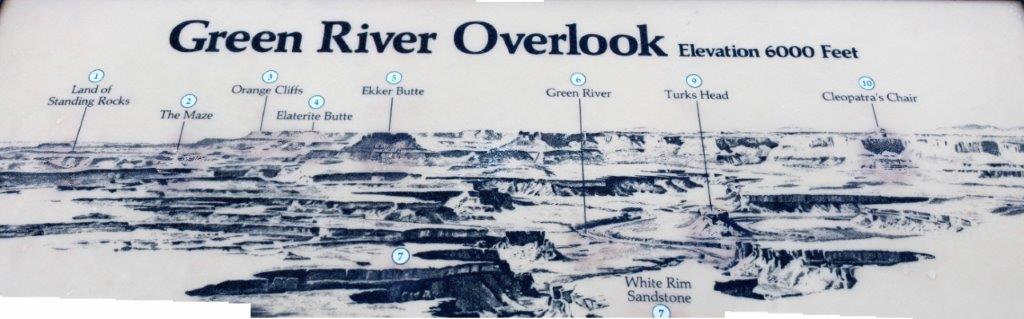
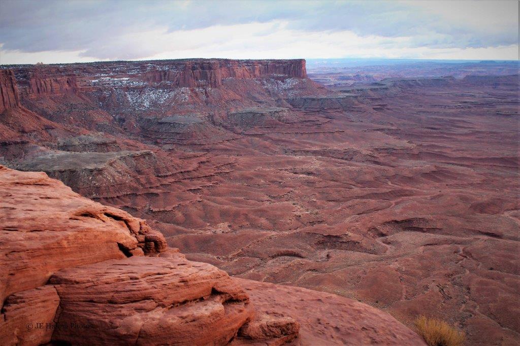
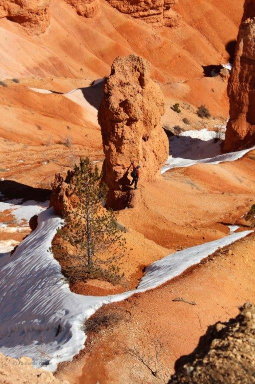
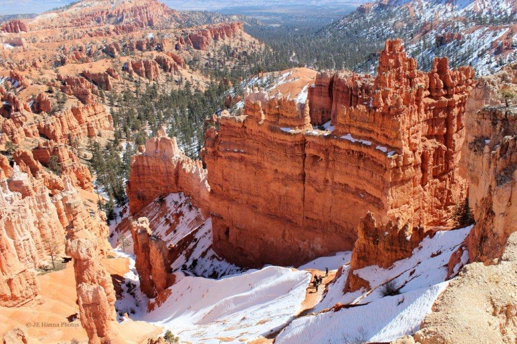
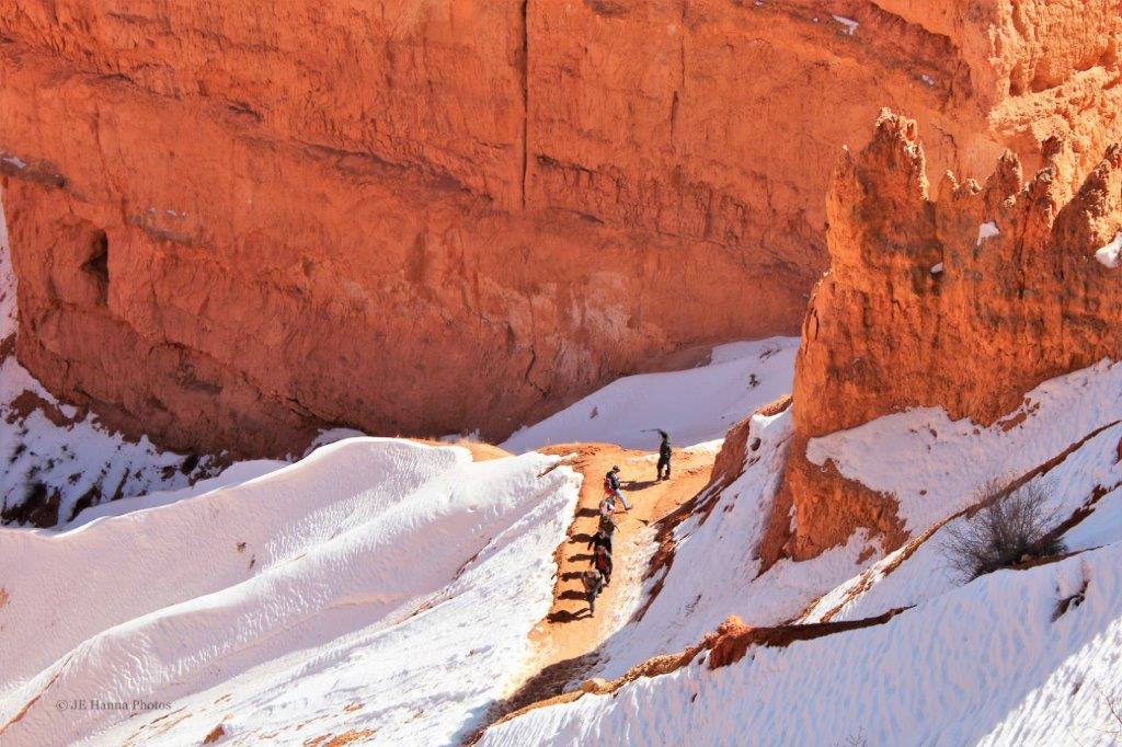
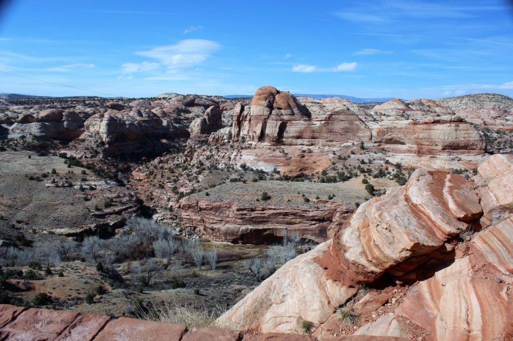
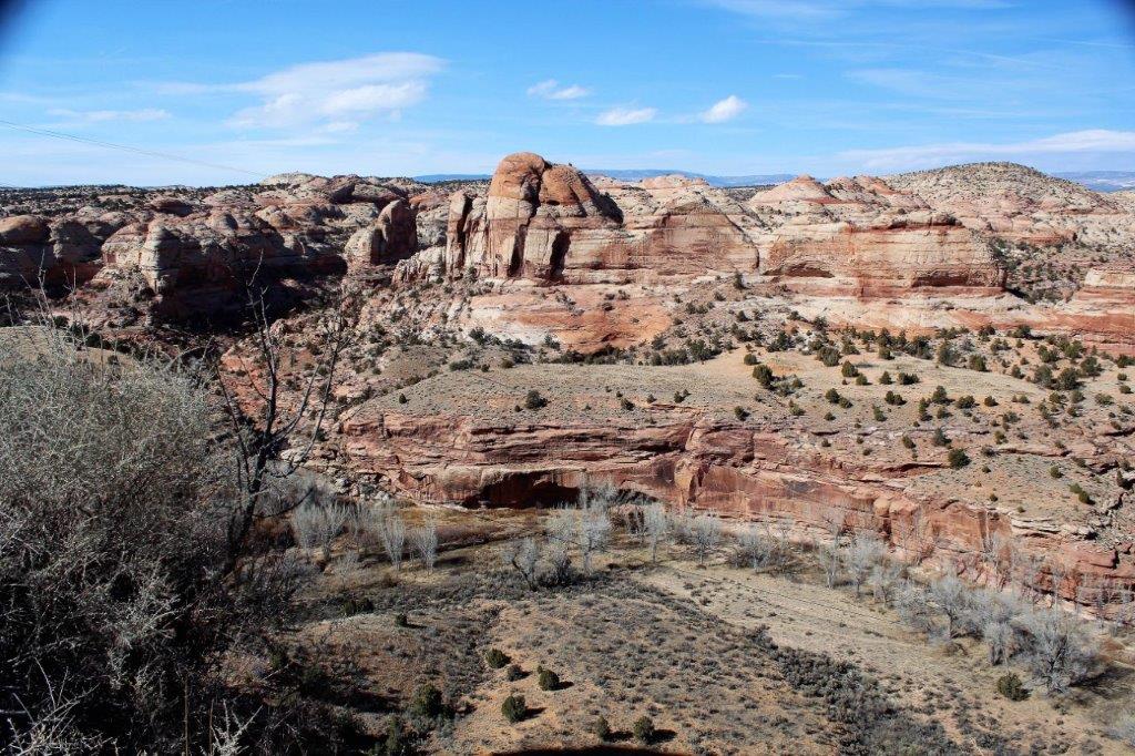
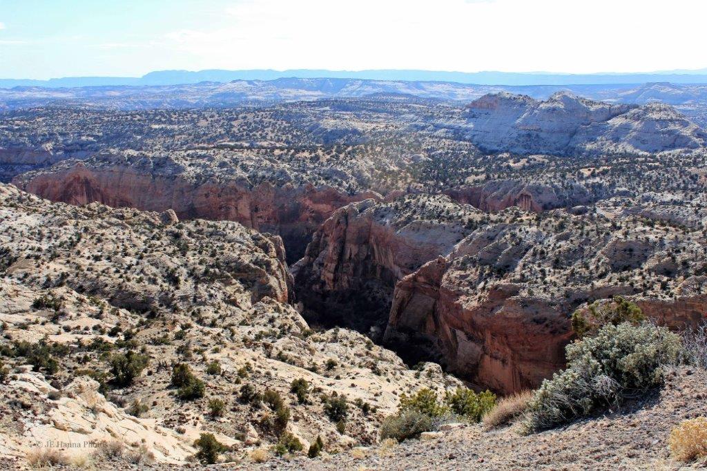
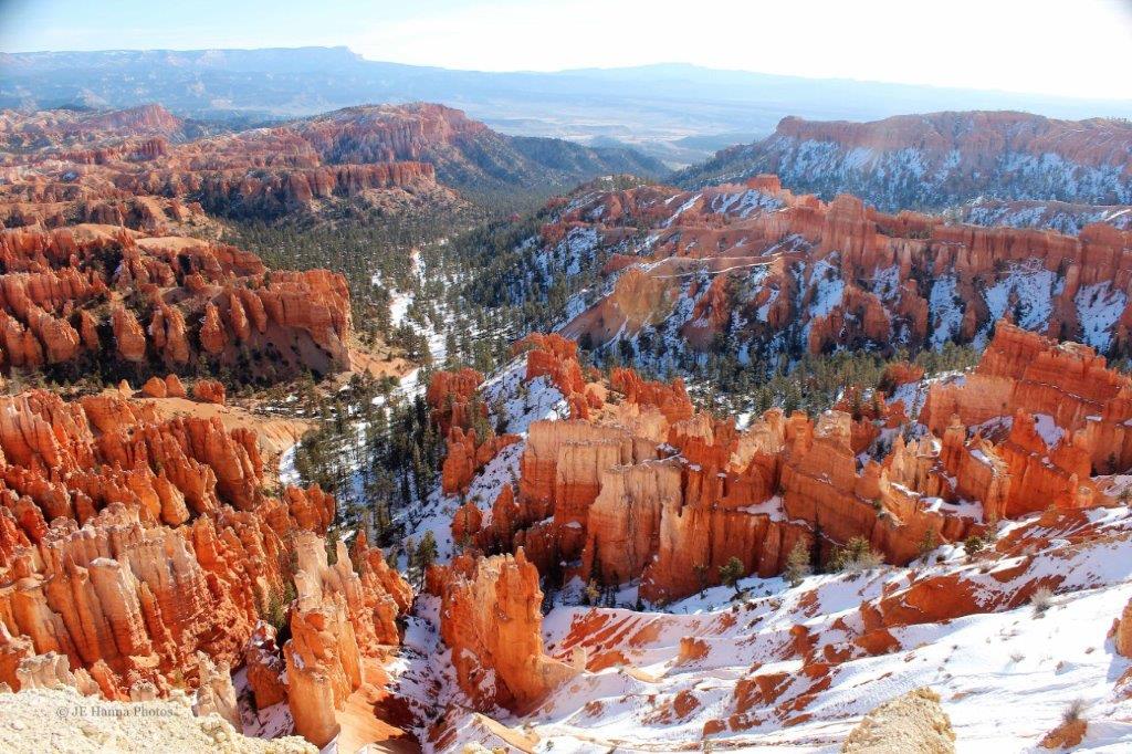
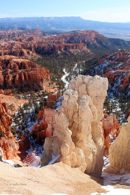
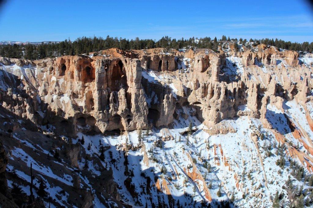
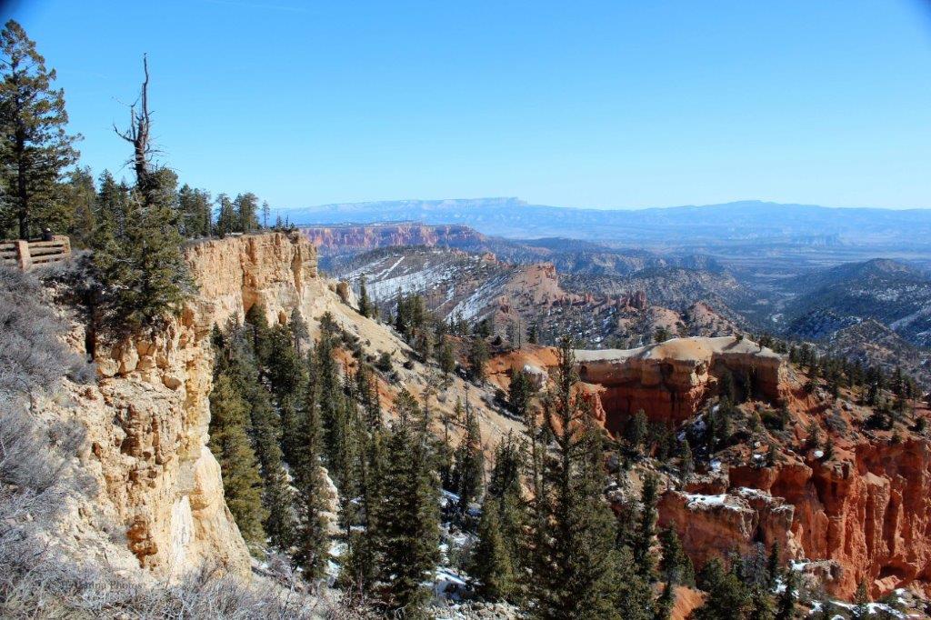
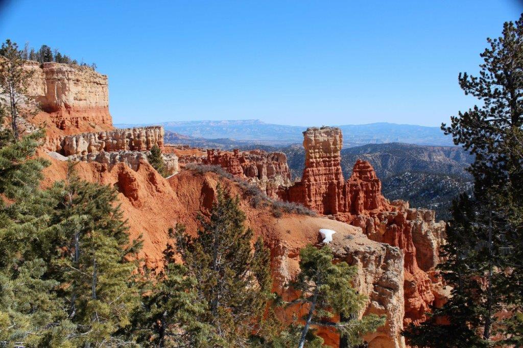
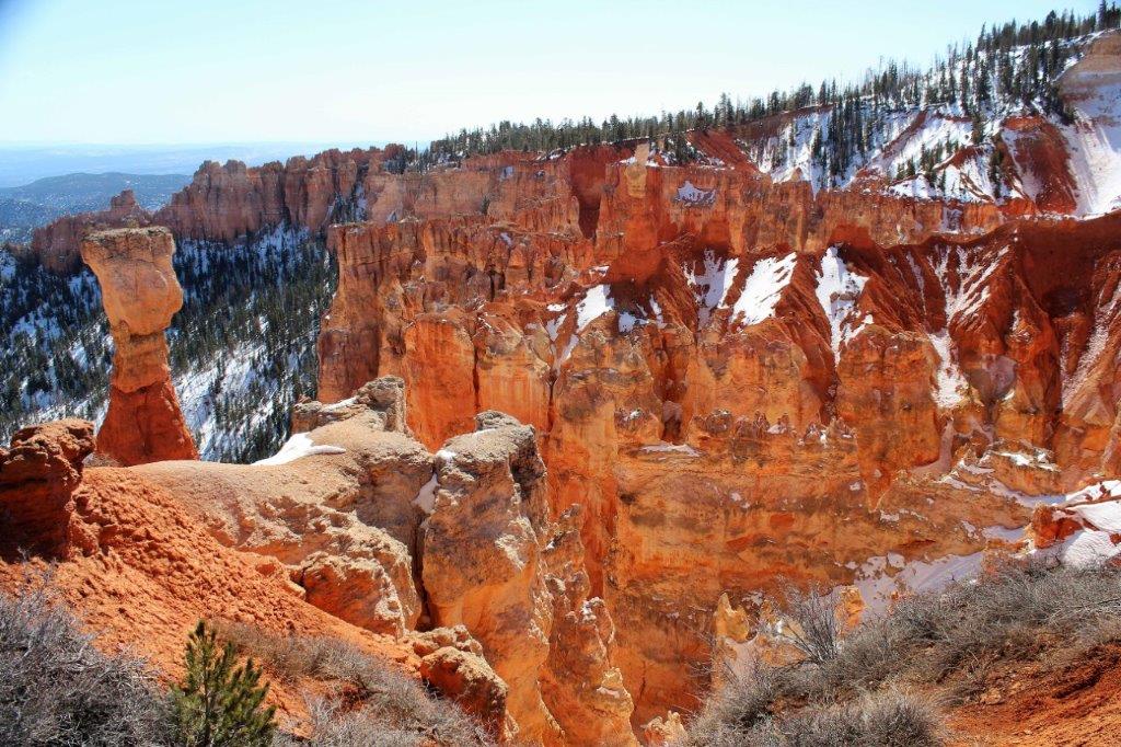
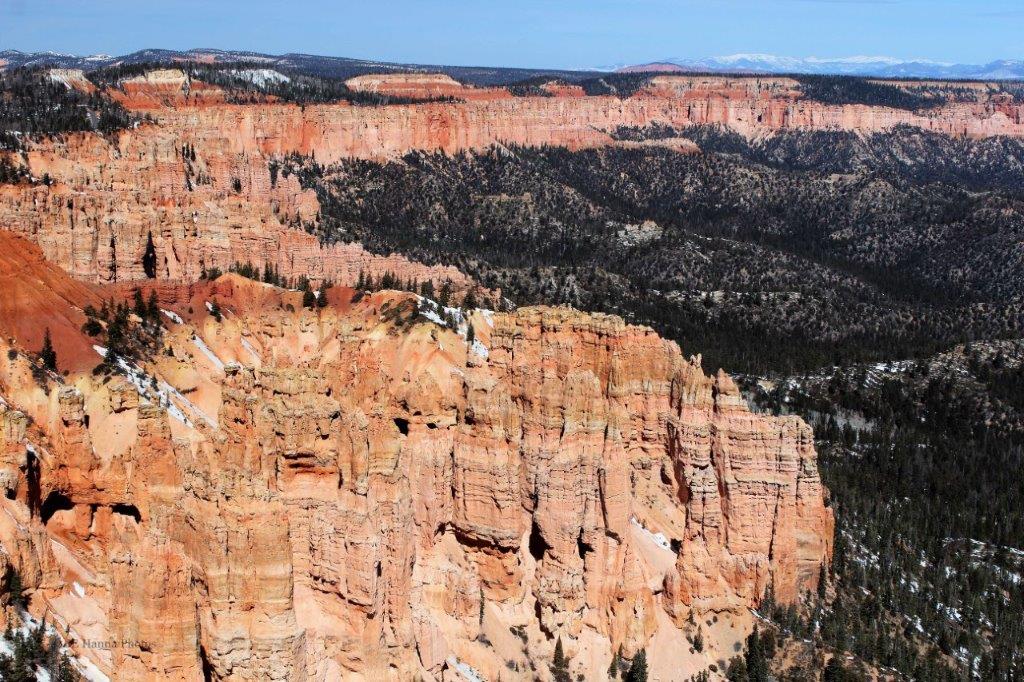
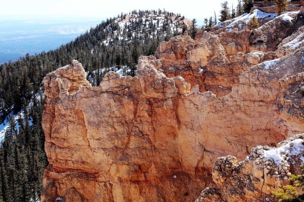
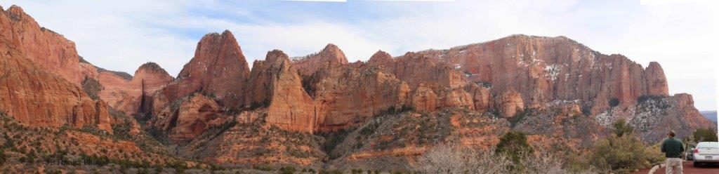
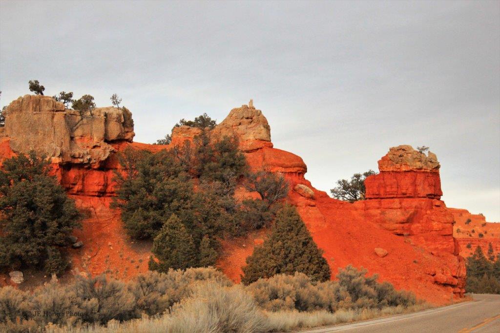
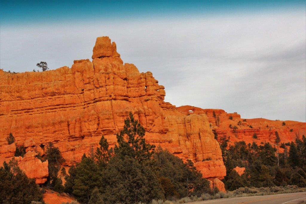
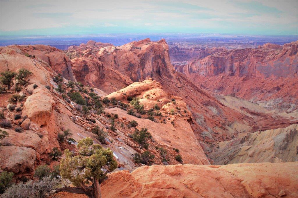
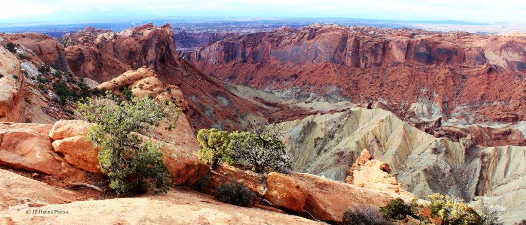
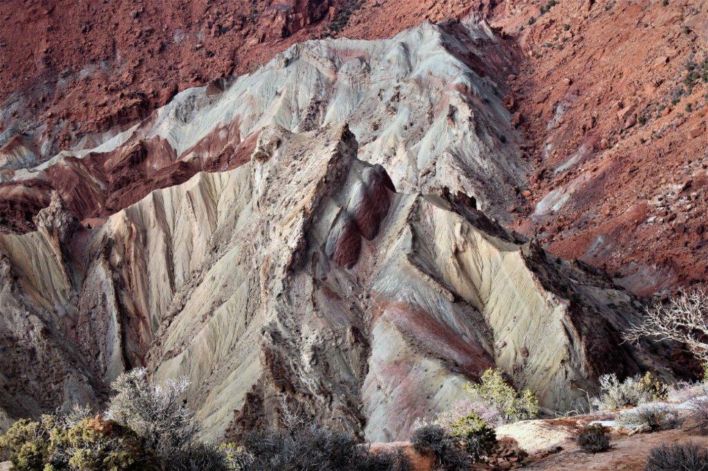
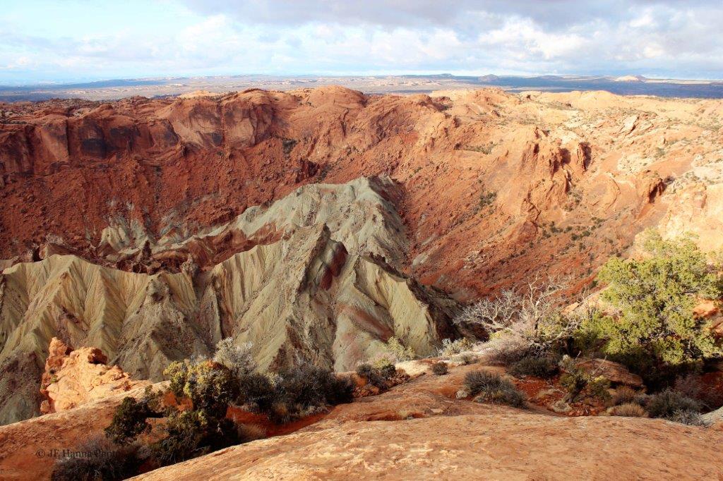
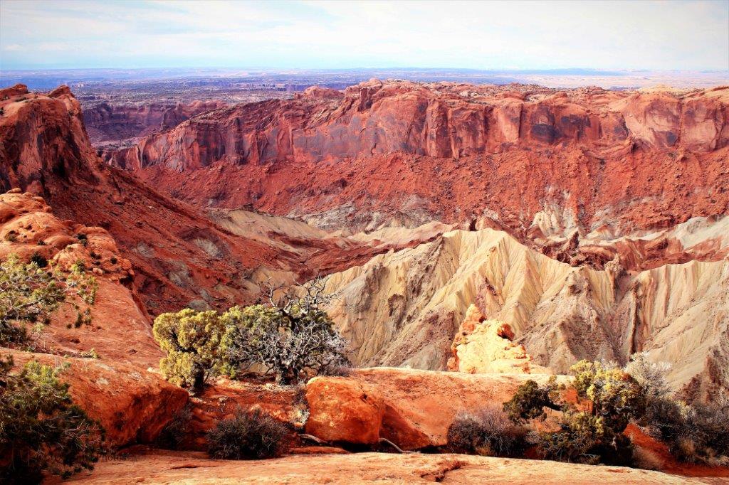
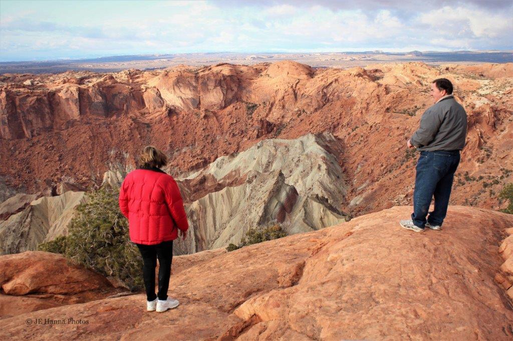
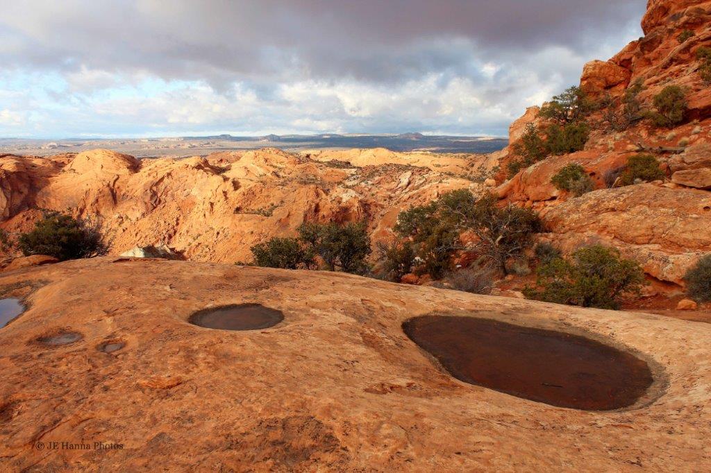
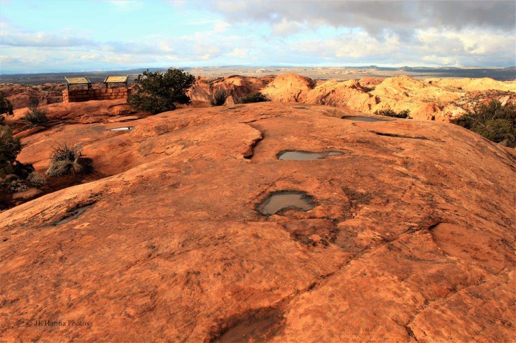
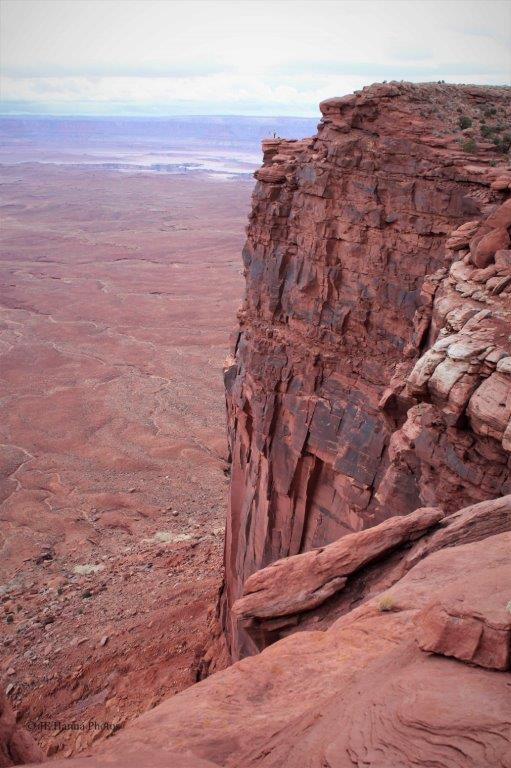
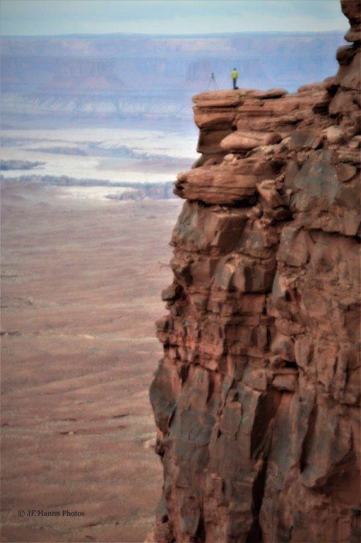
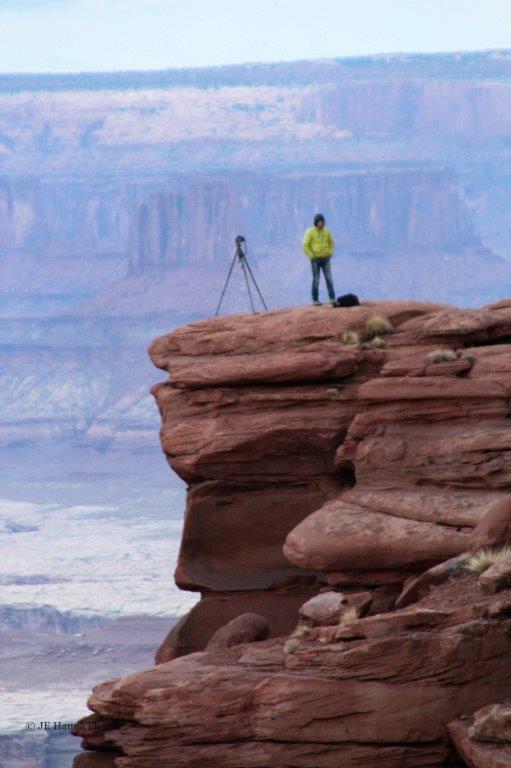
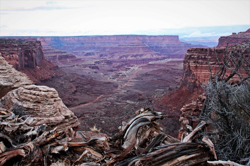
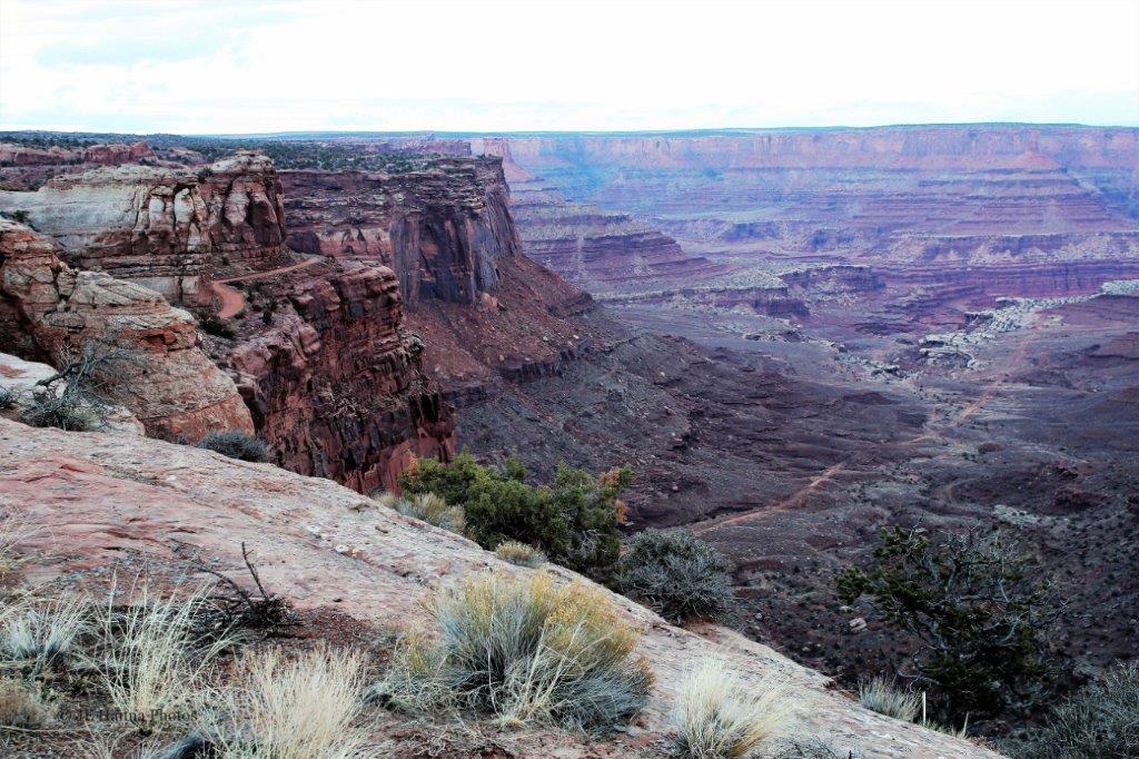
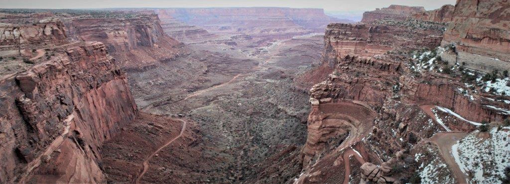
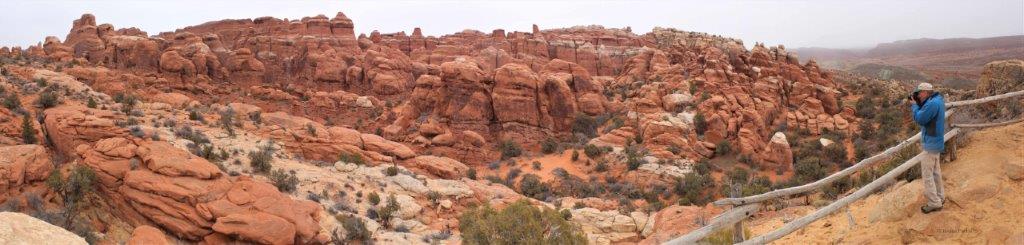
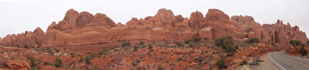
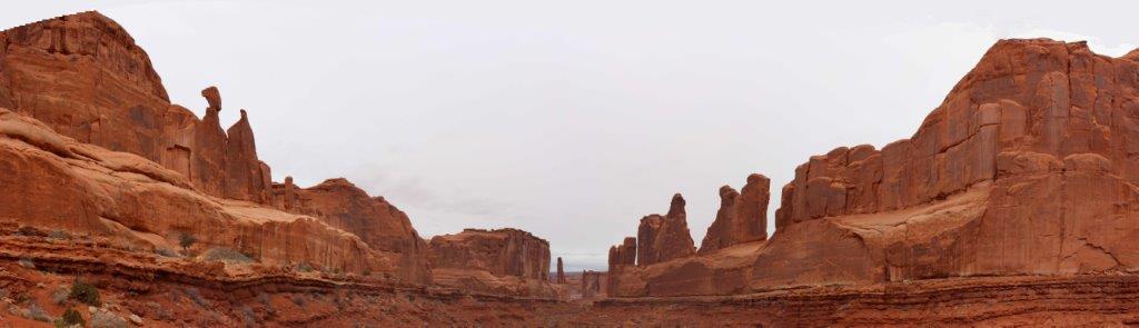
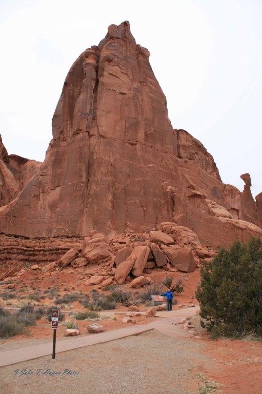
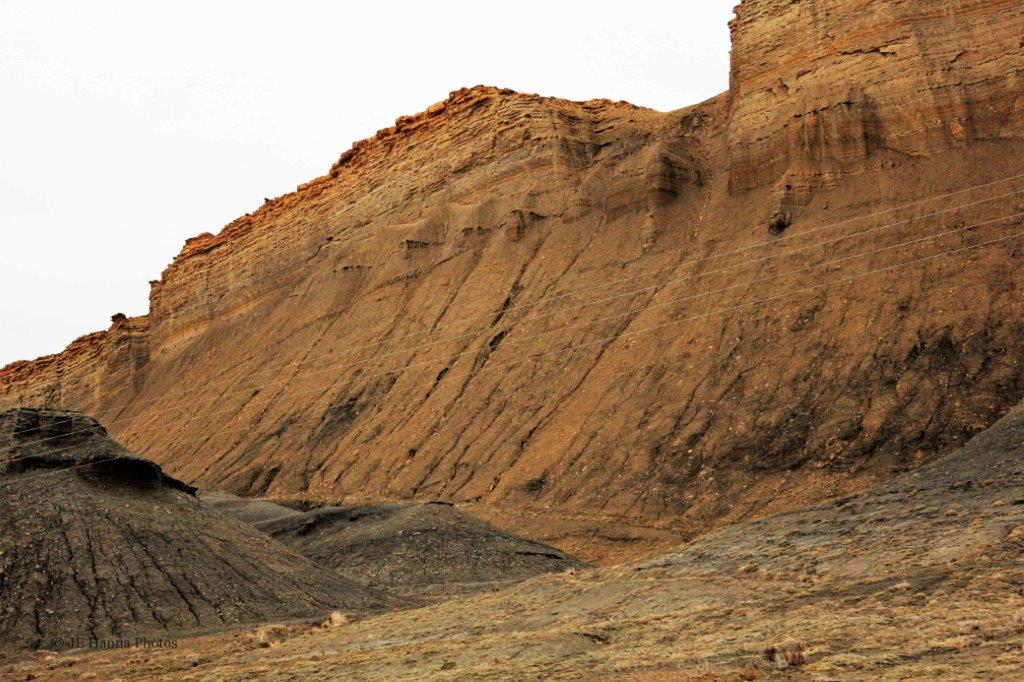
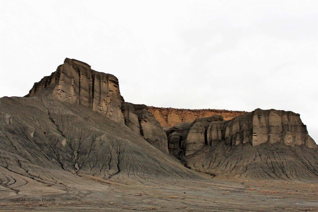
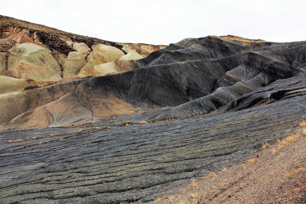
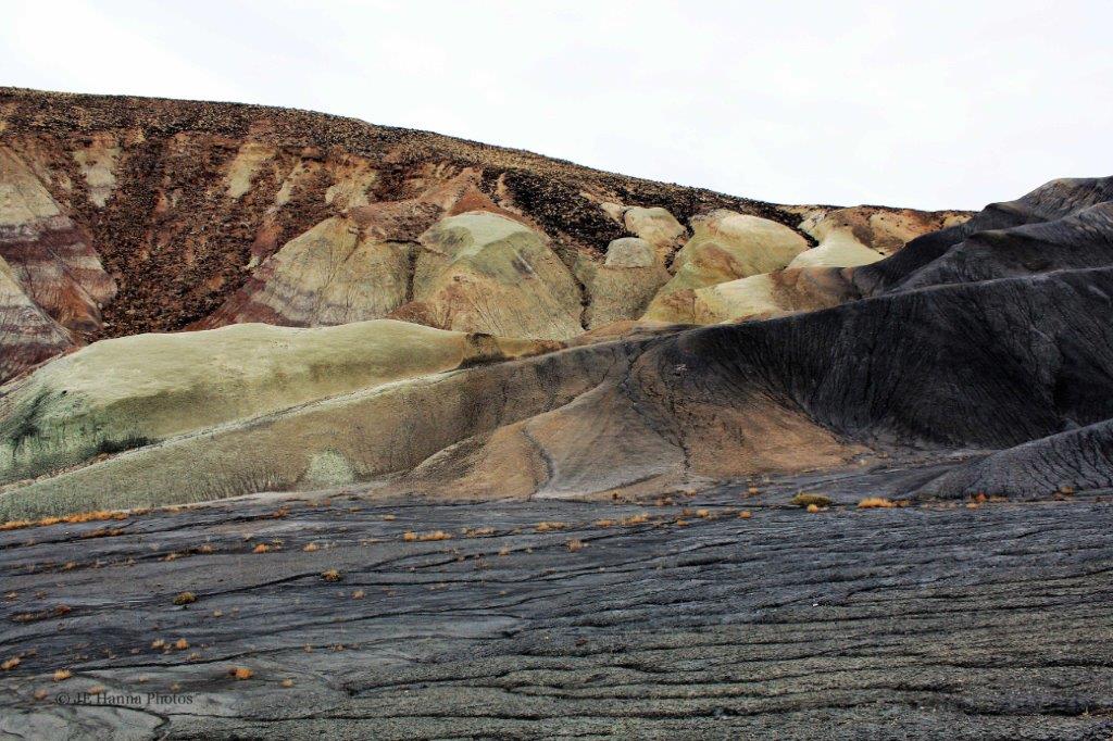
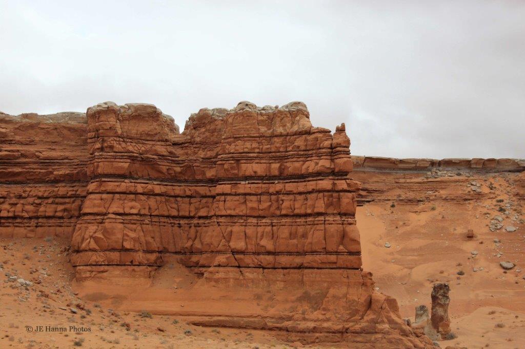
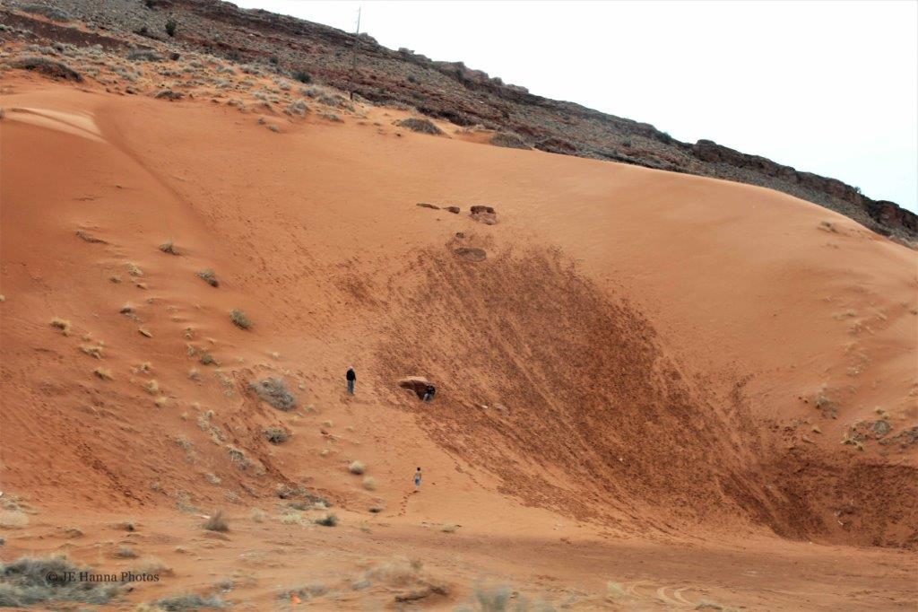
The Green River Overlook area is very popular with sunset photographers.  Check out the photos below.  Look closely at the photo on the left and you can just make out a tiny figure standing on the edge of that cut on the bluff.

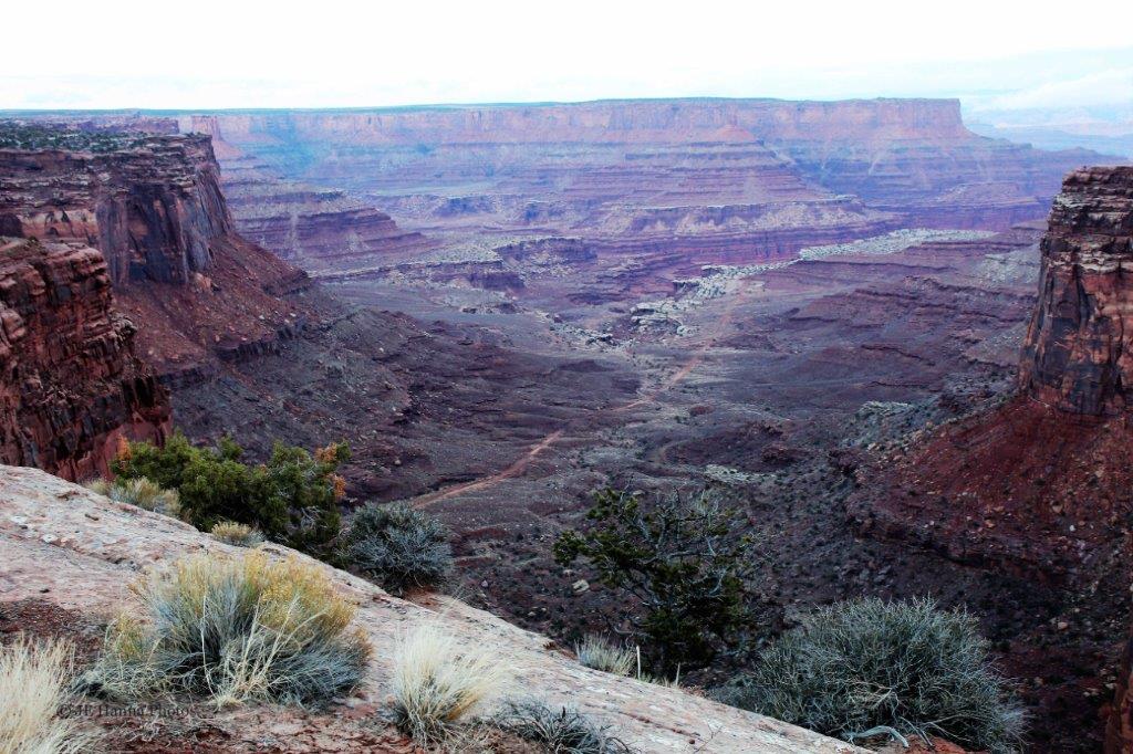
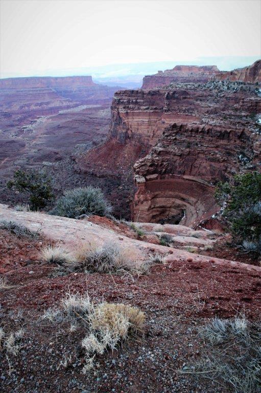
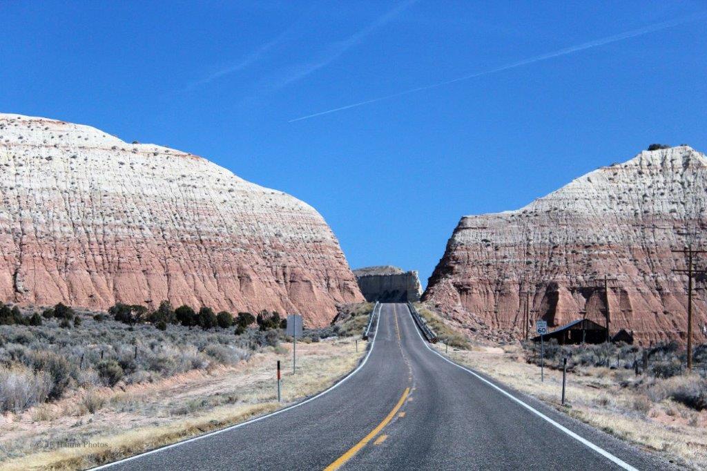
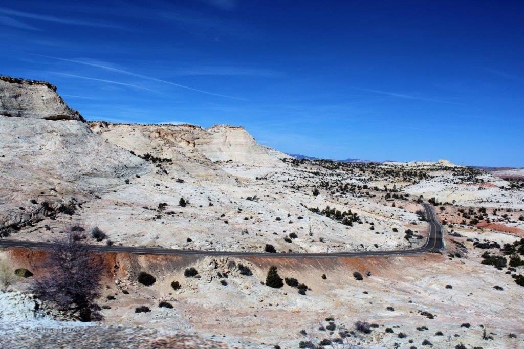
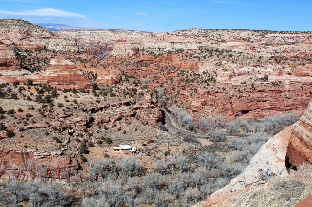
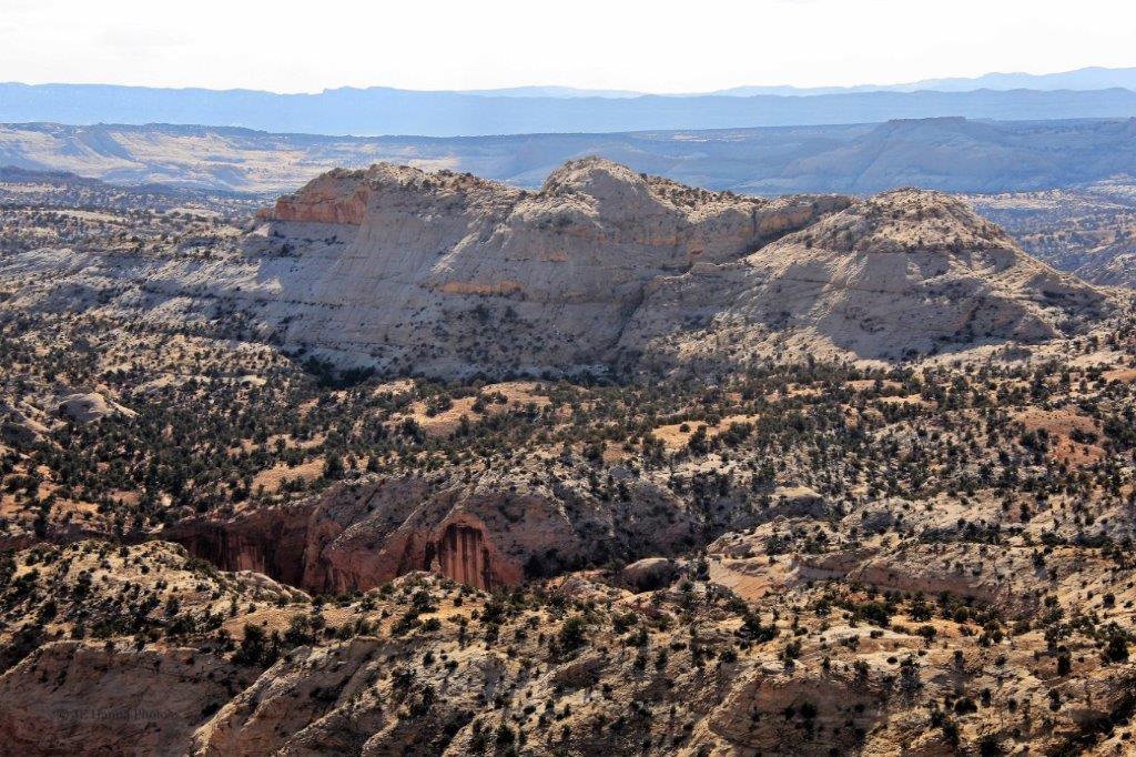
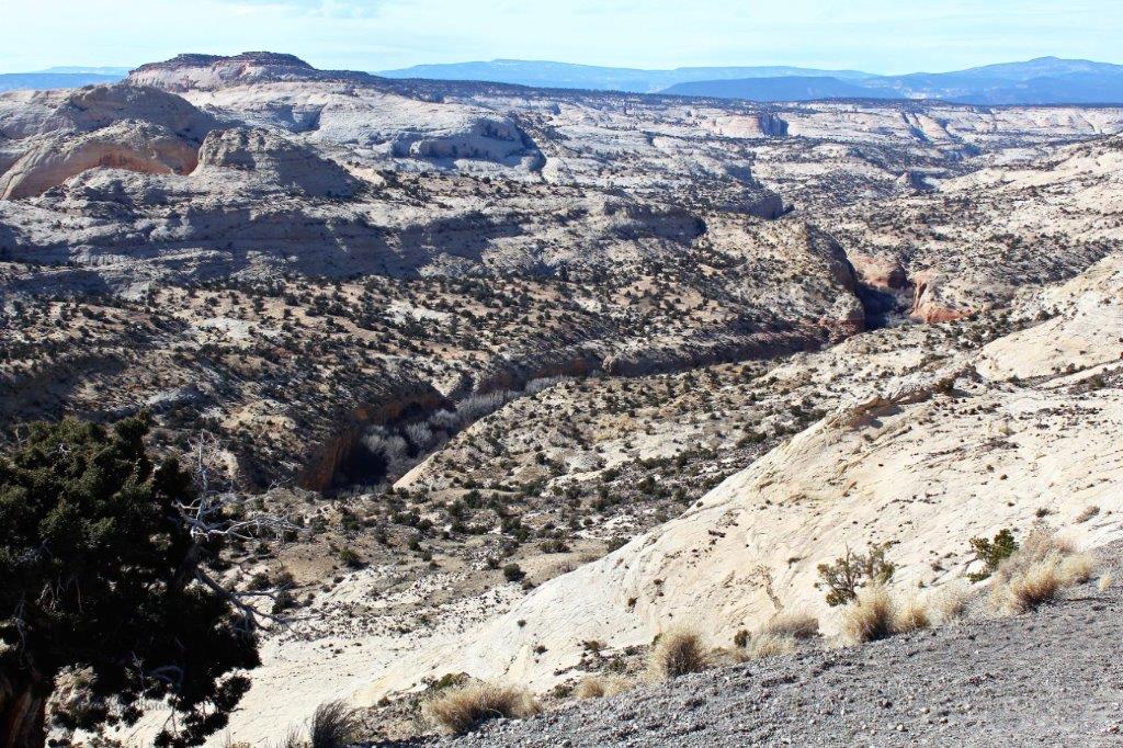
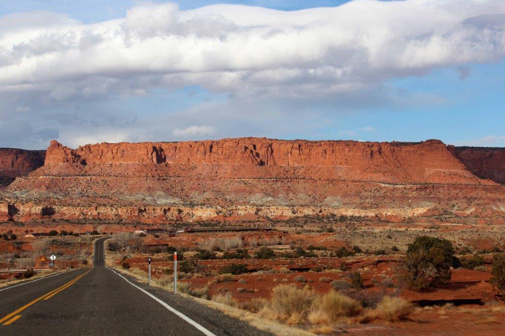
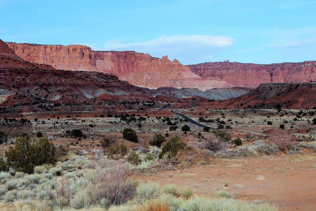
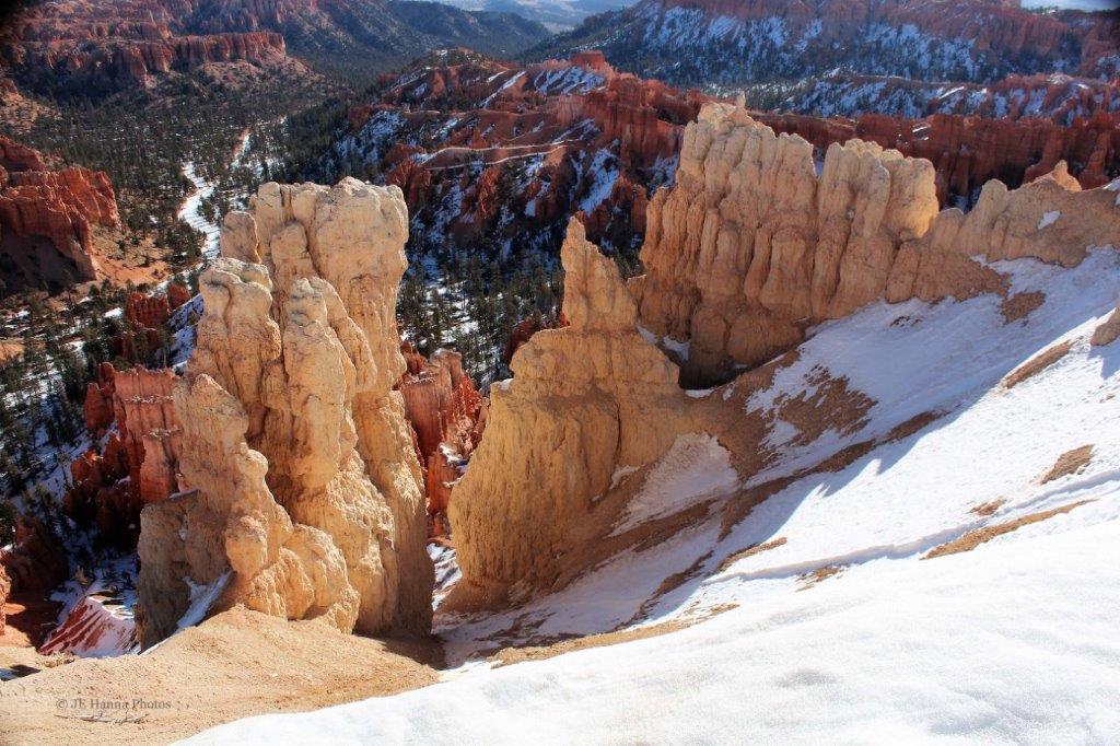
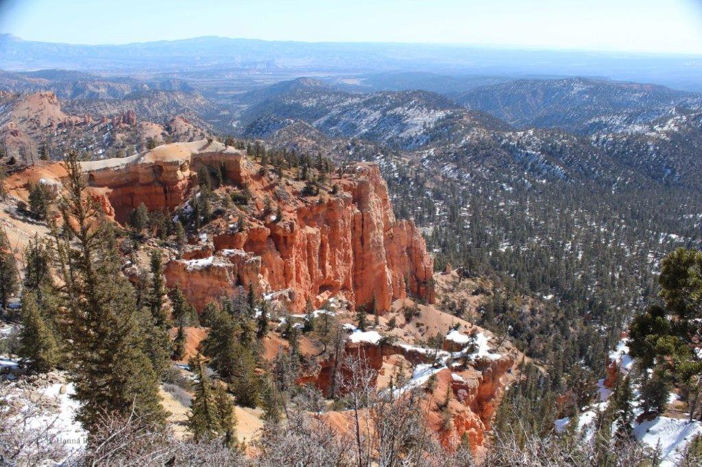
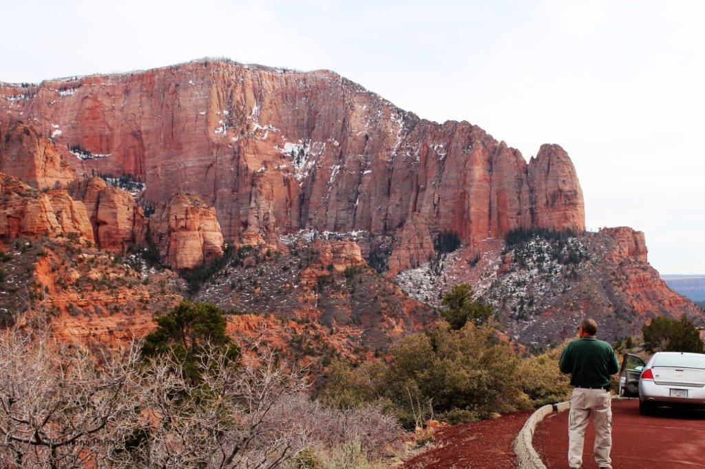
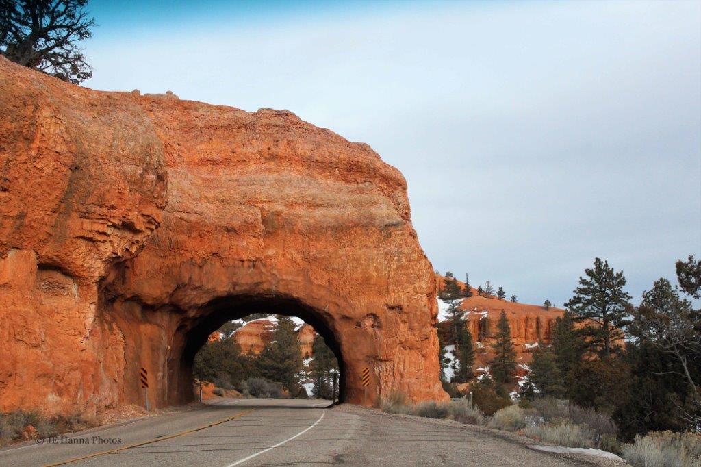
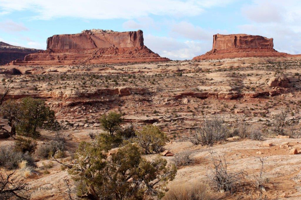
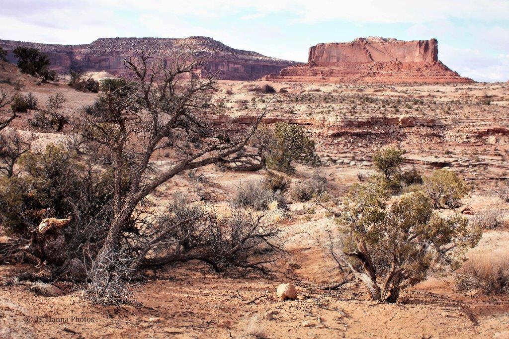
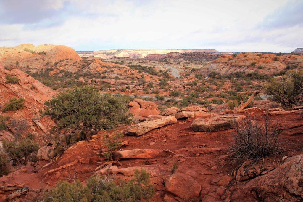
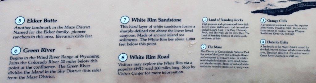
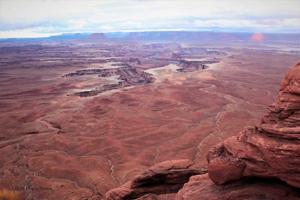
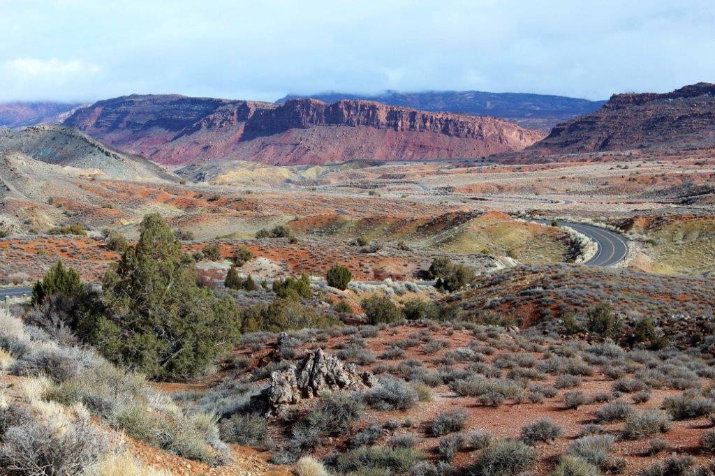
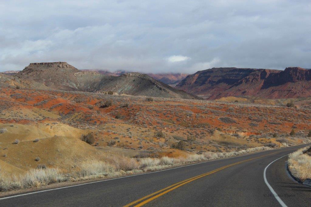
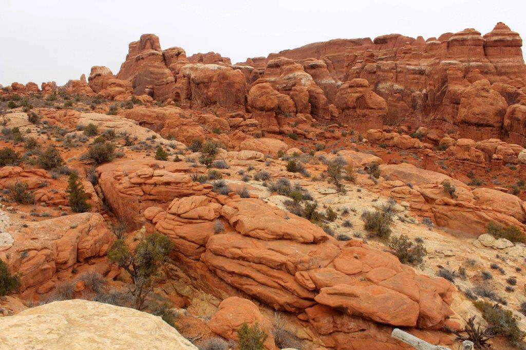
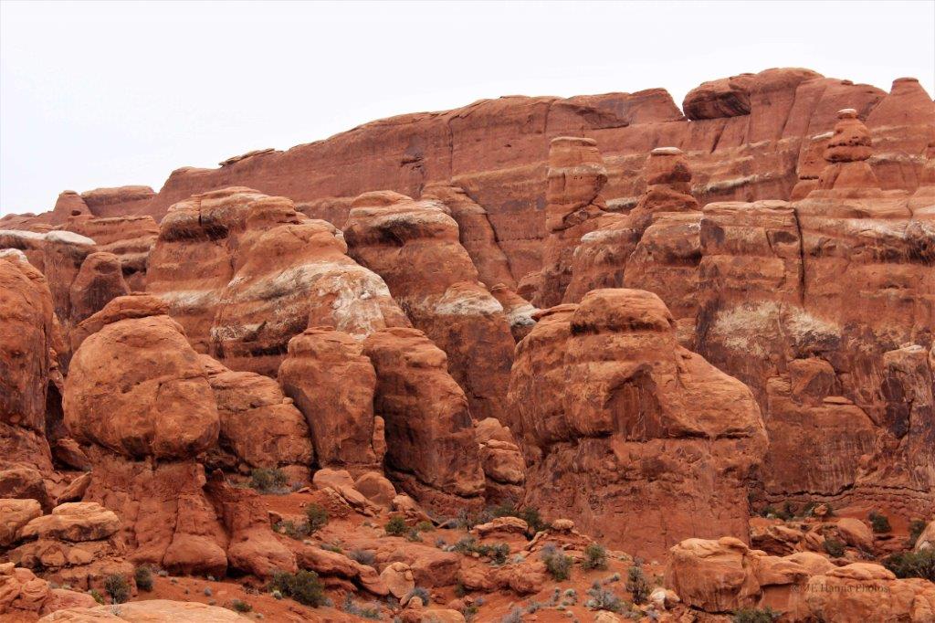
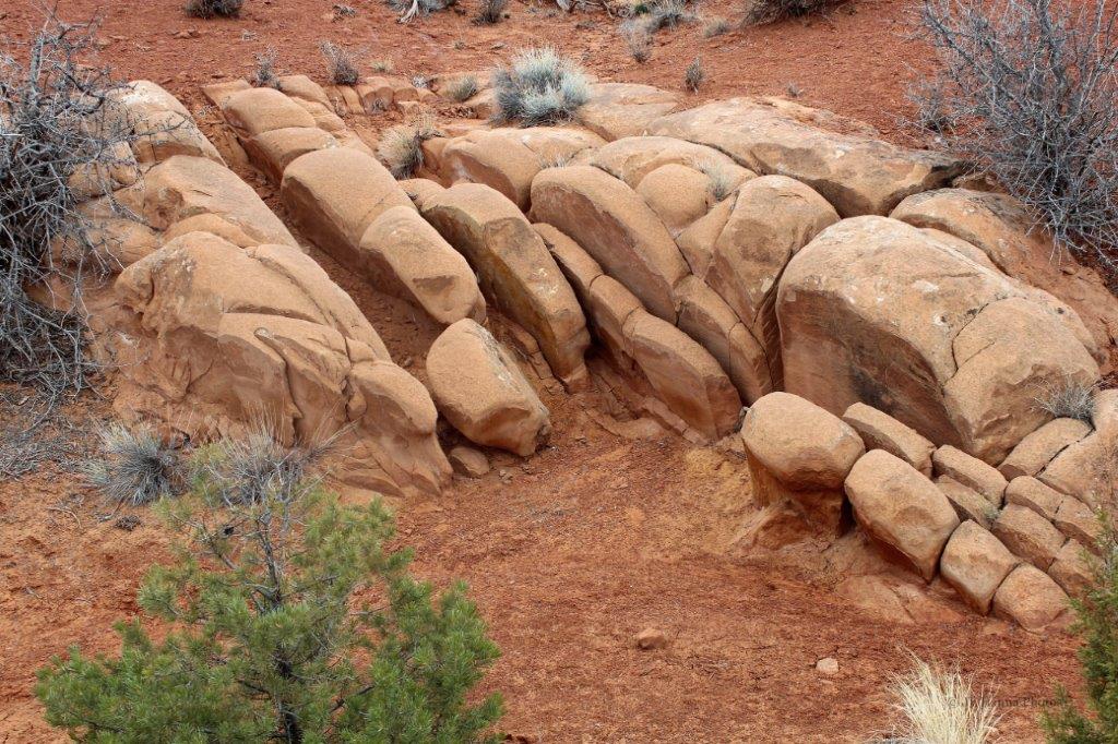
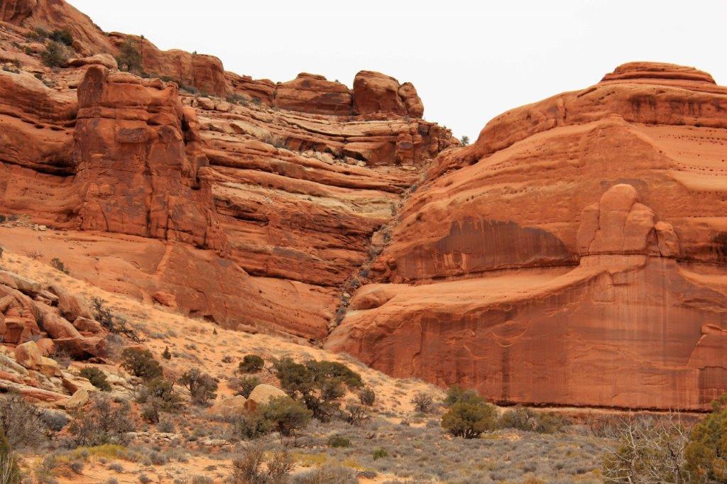
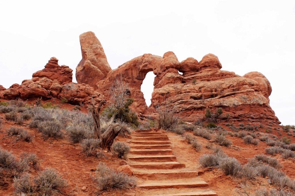
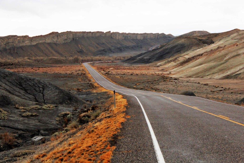
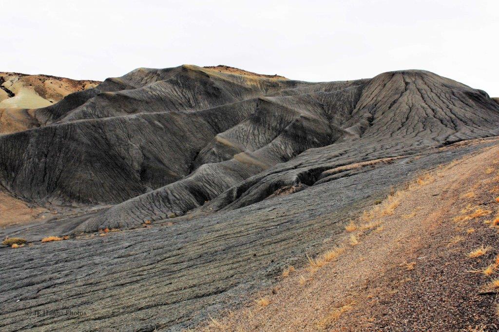
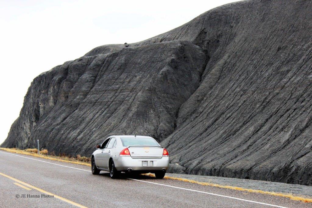
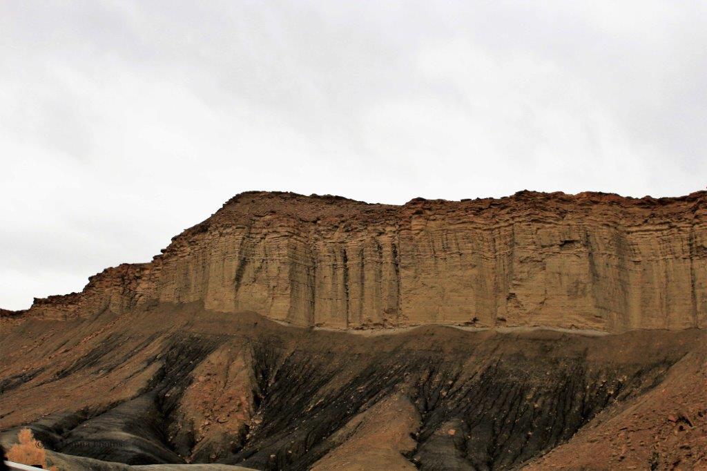
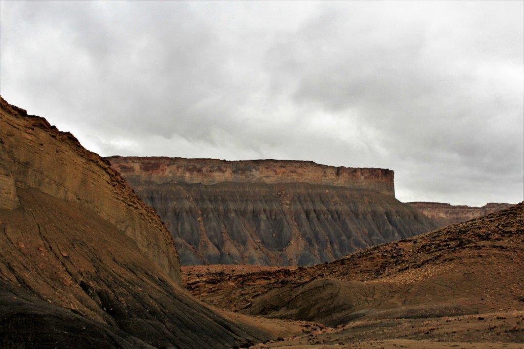
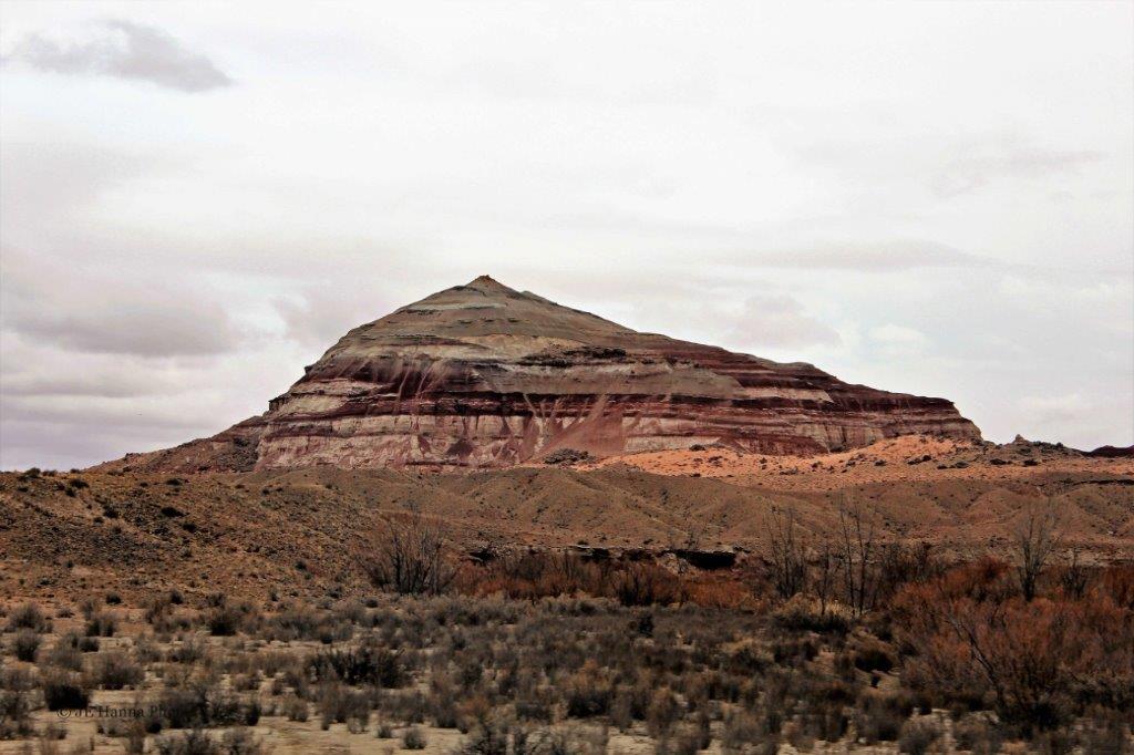
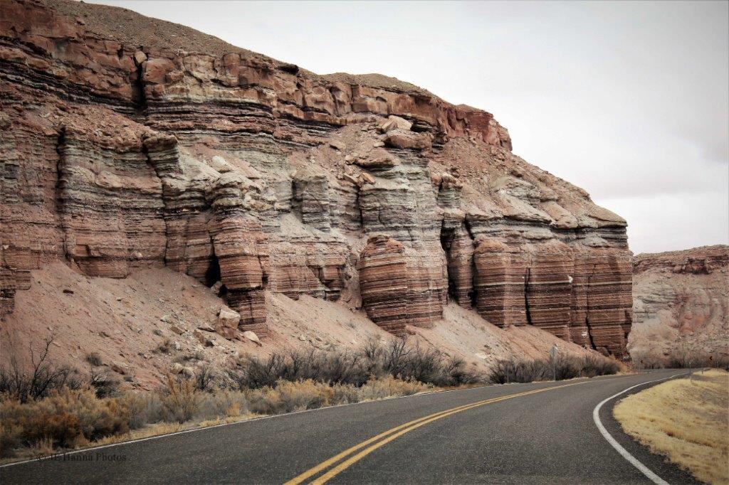
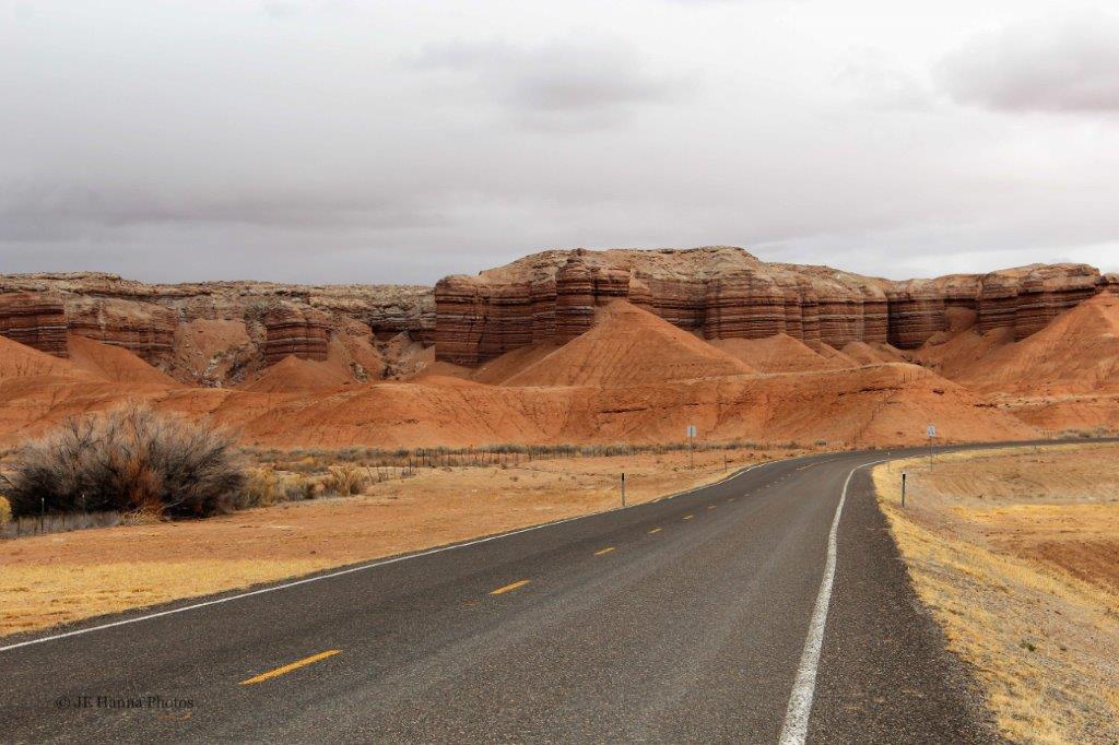
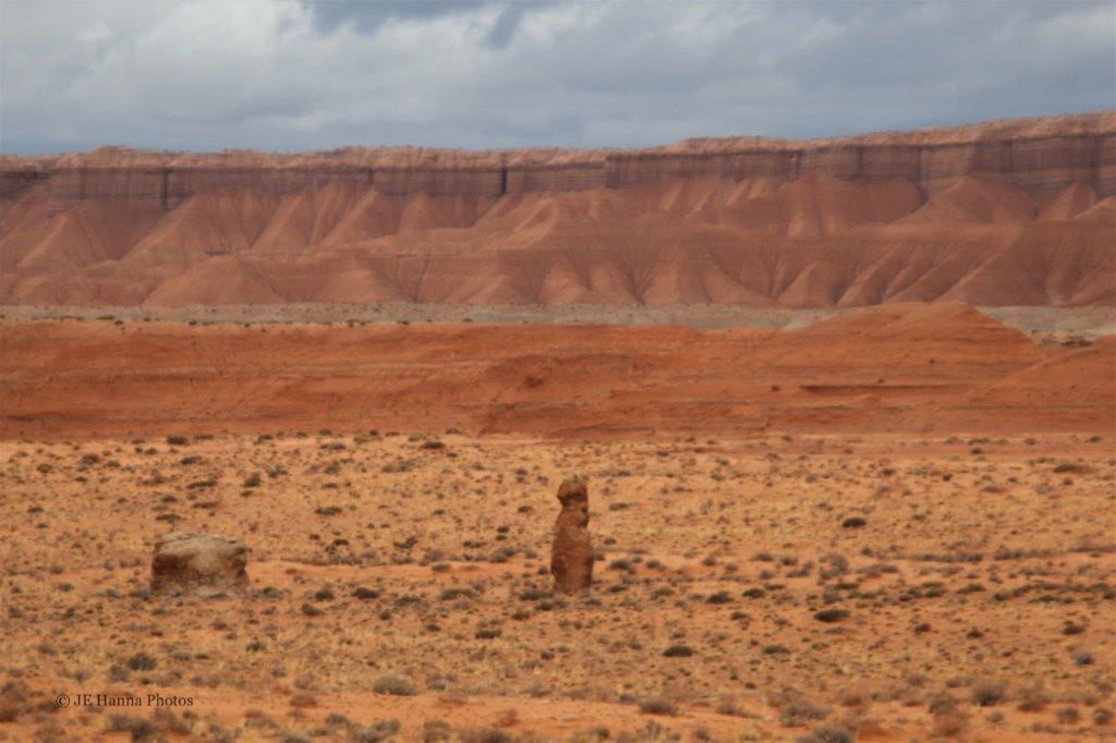
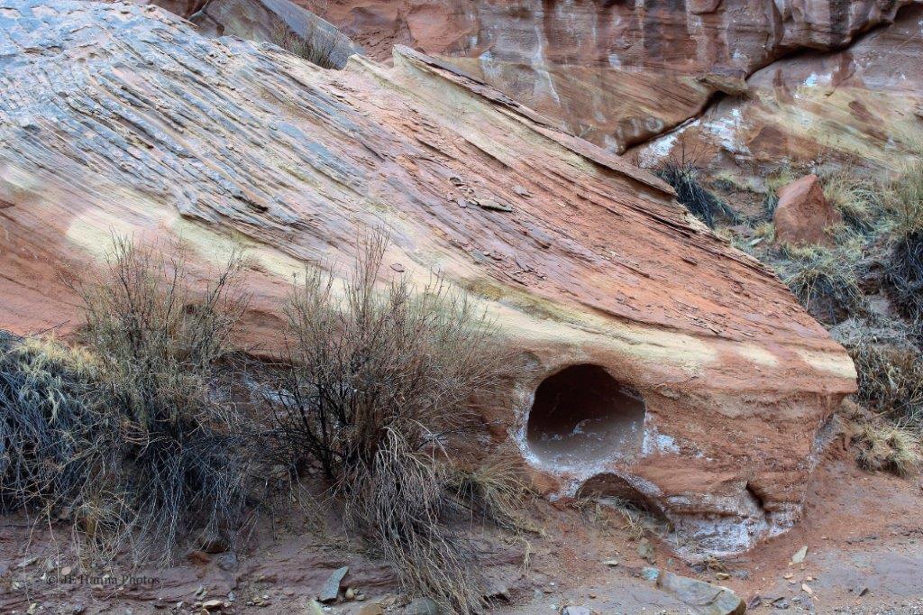
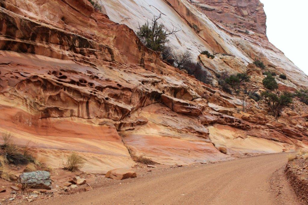
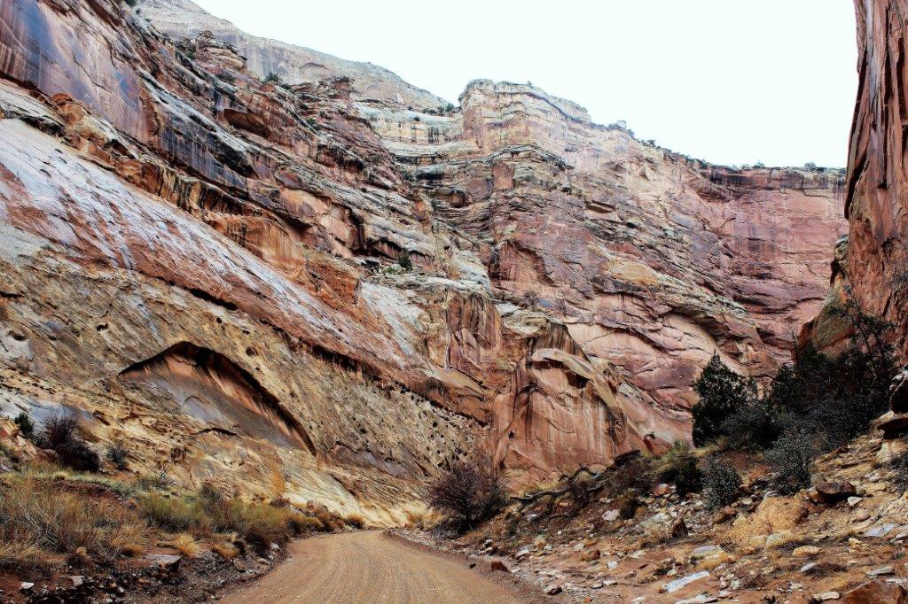
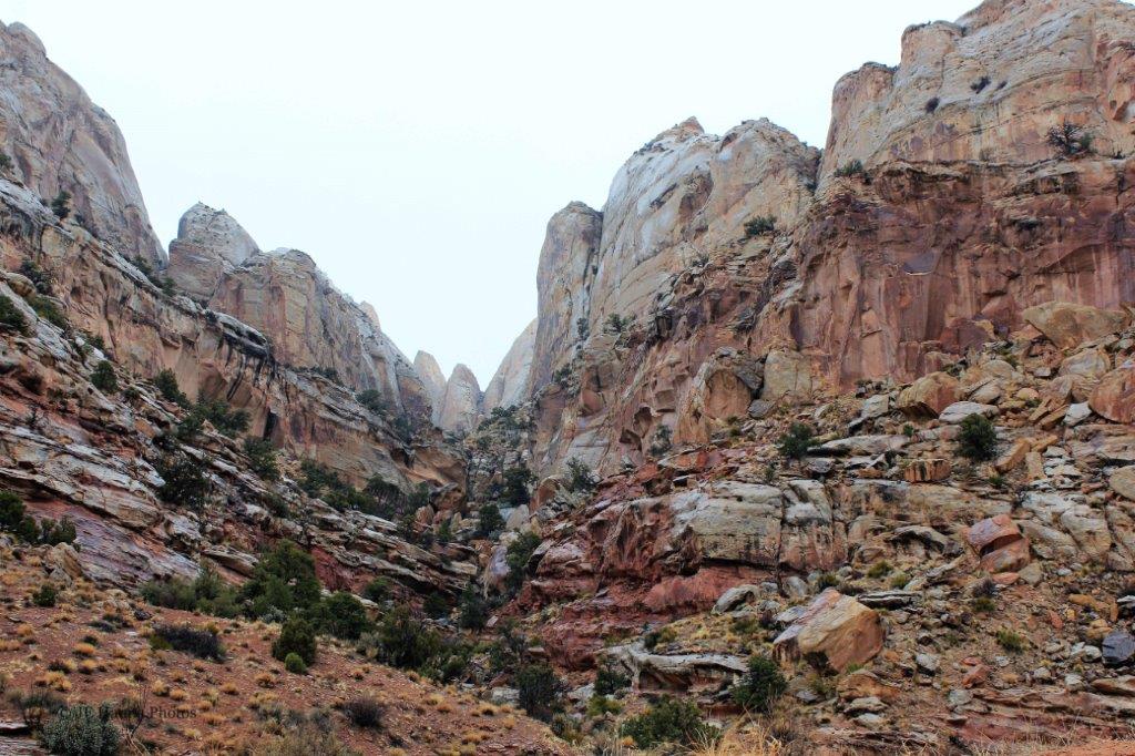
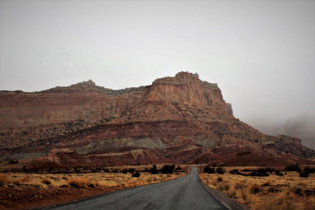
There is an interesting road to the valley below.
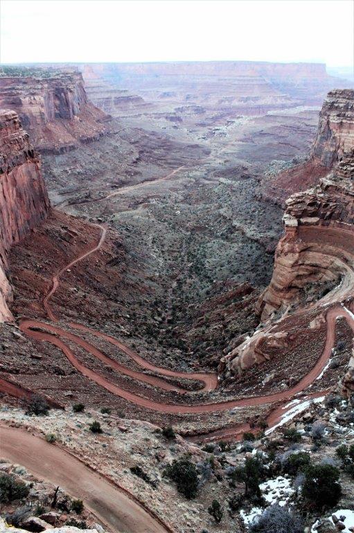
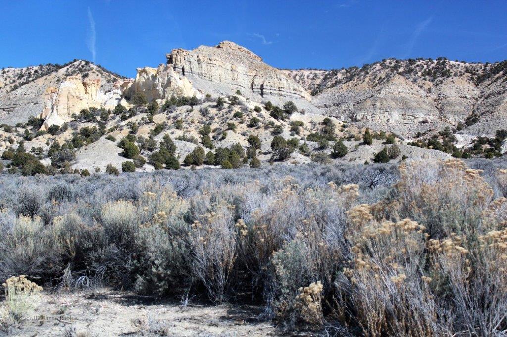
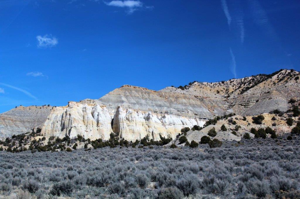
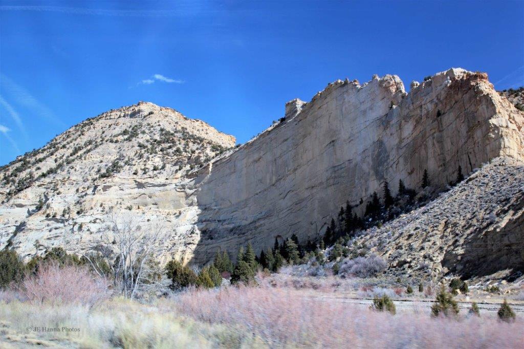
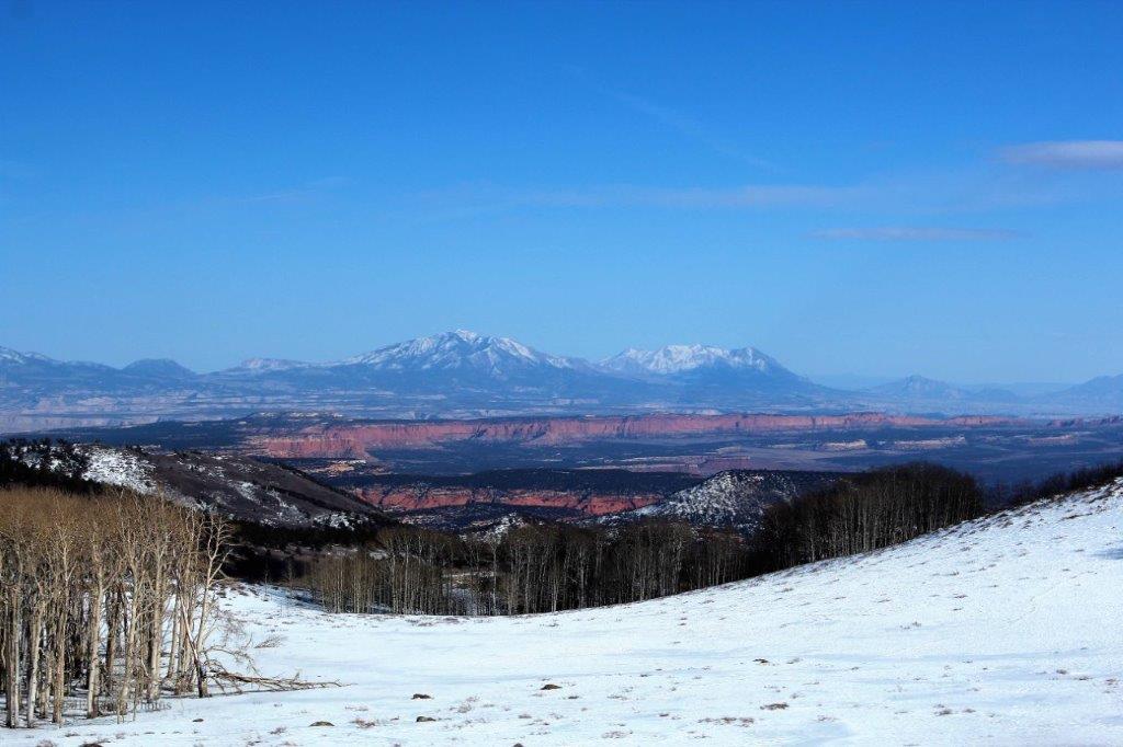
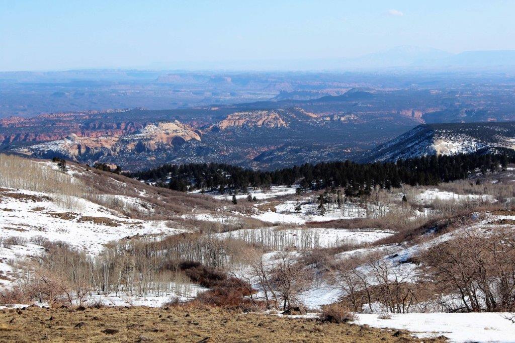
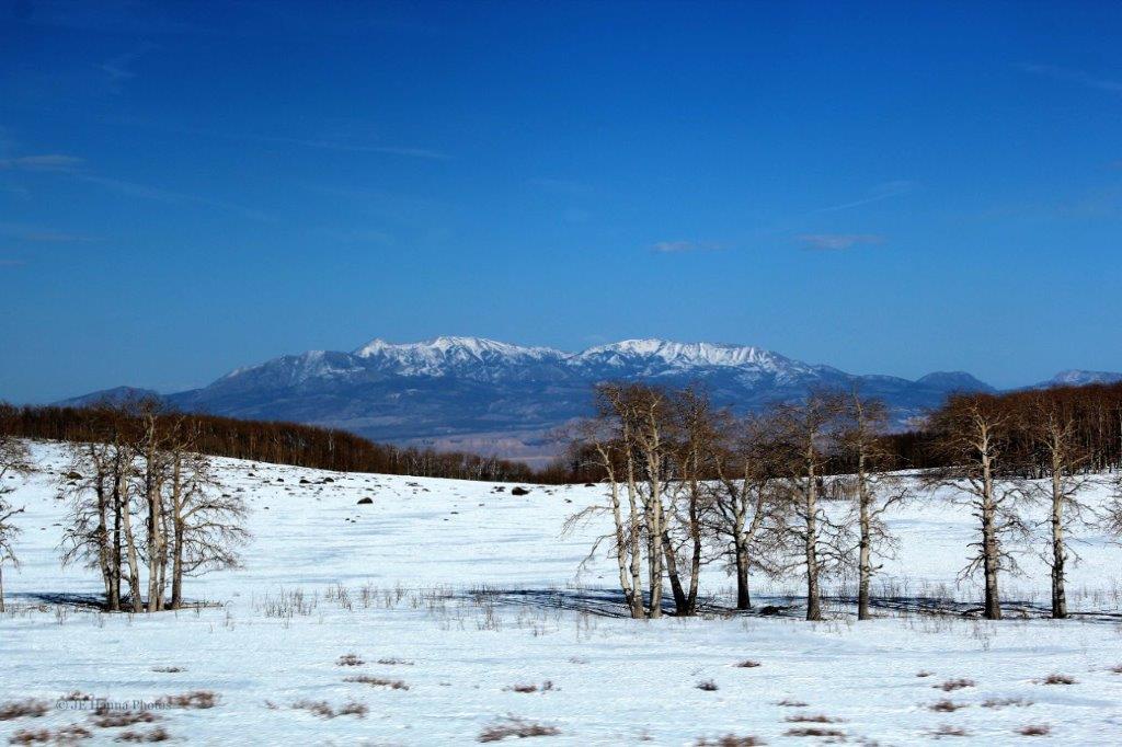
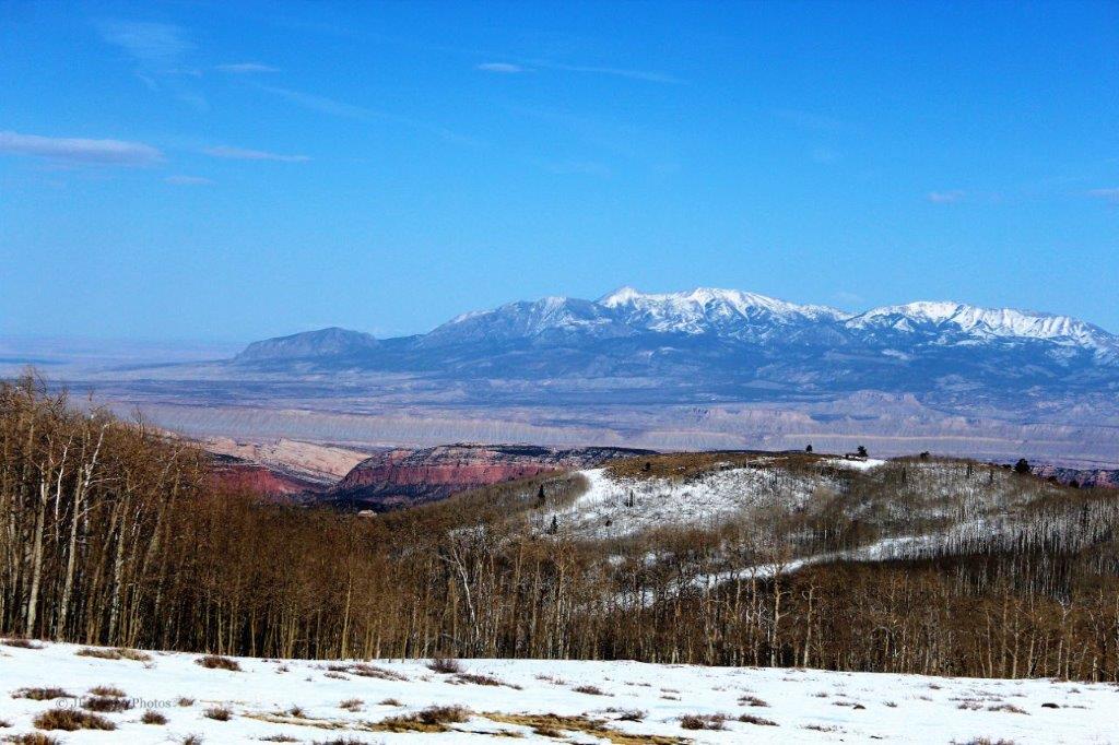
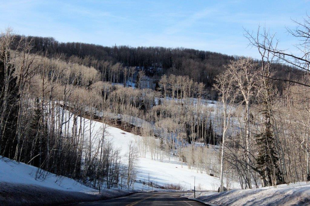
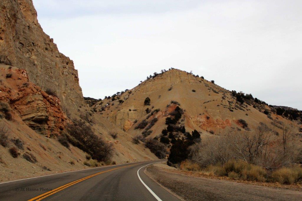
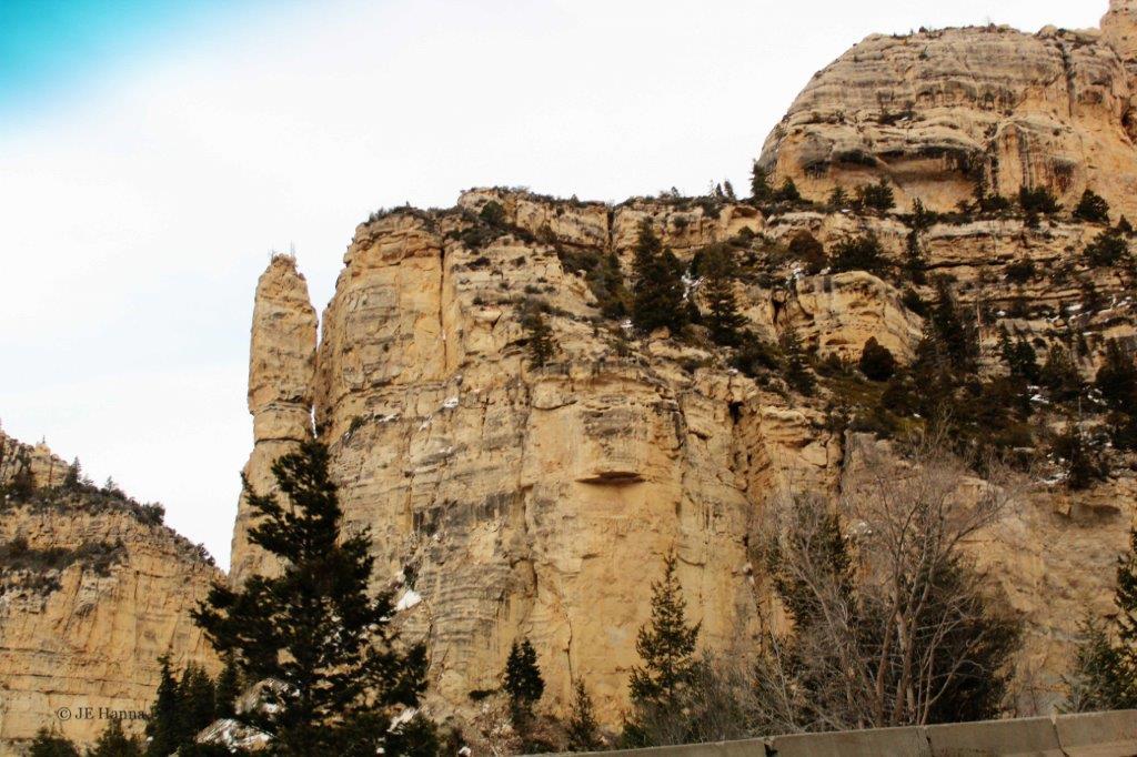
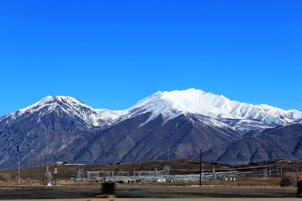
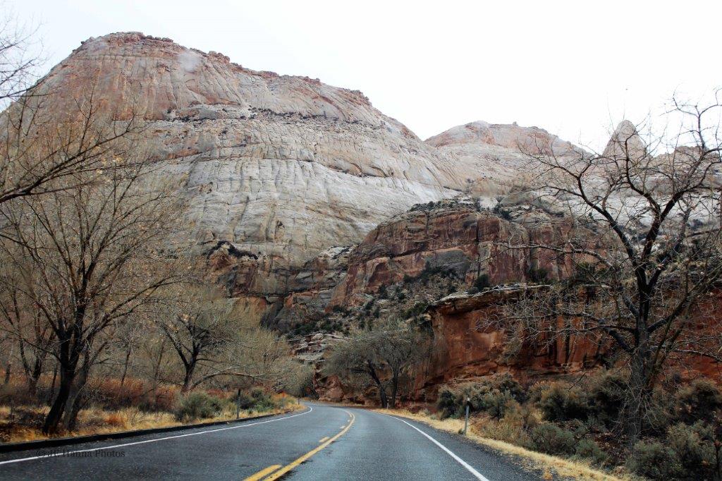
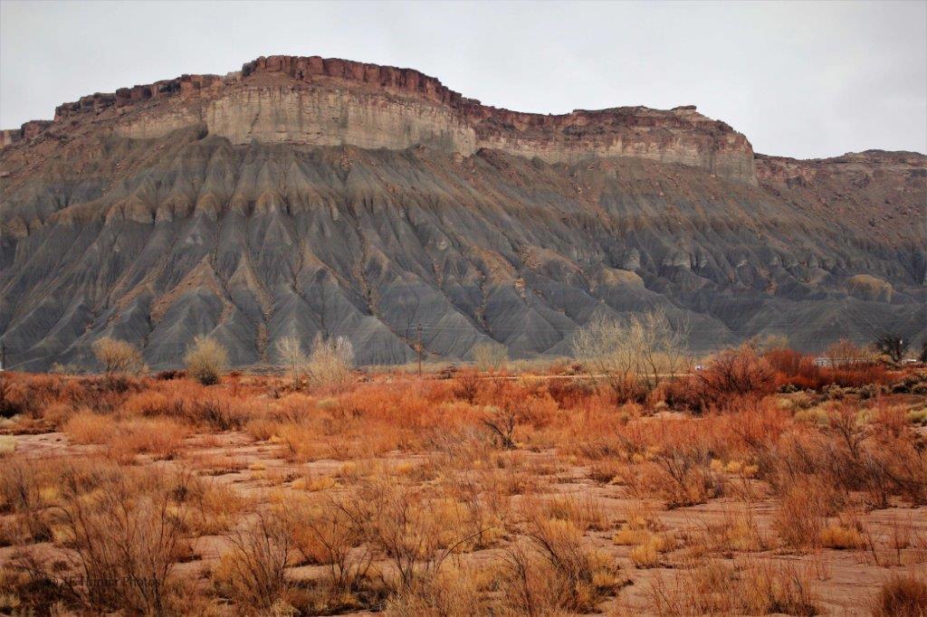
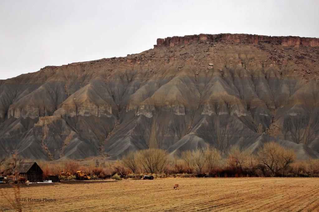
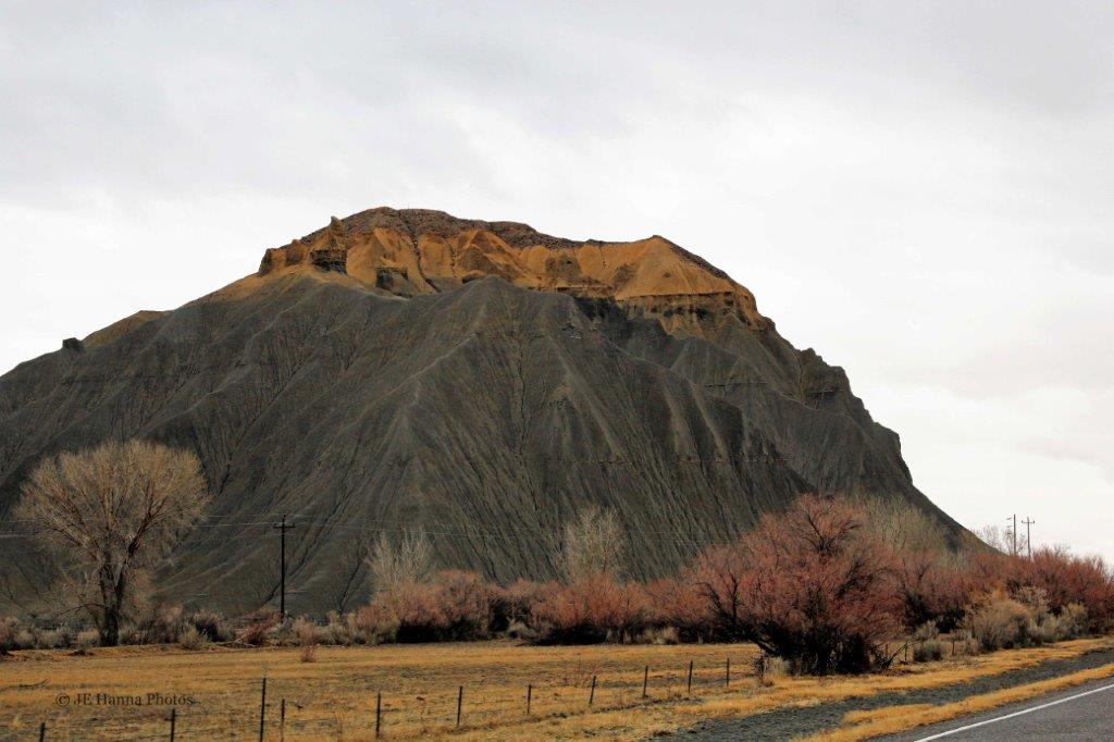
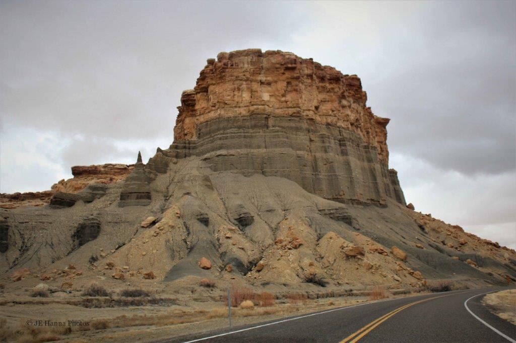
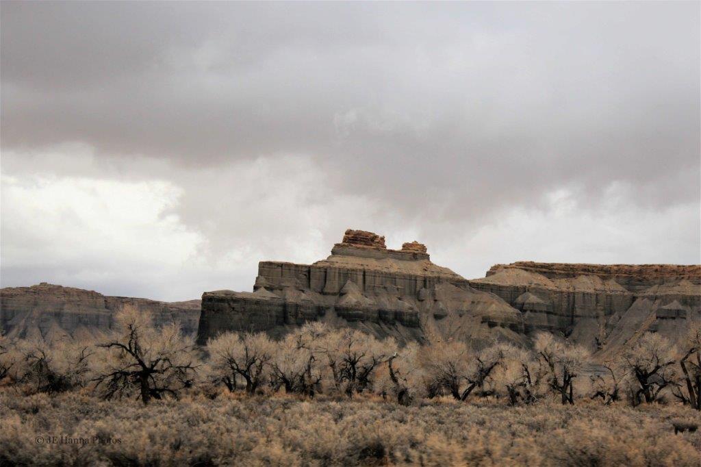
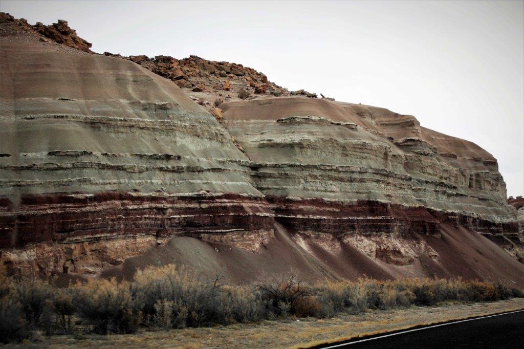
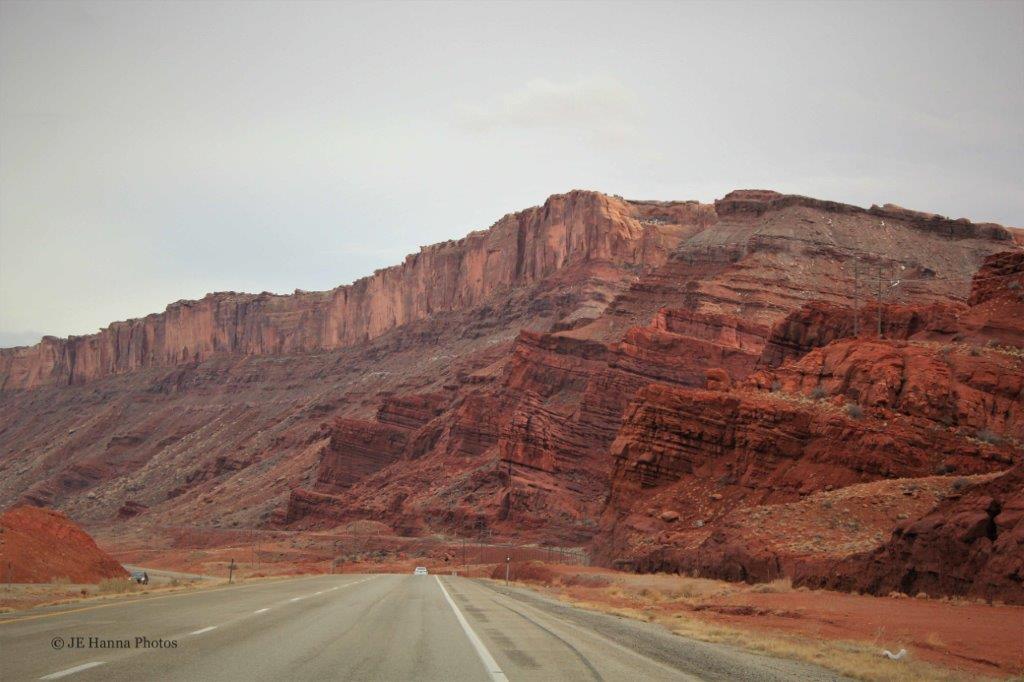
We left Canyonlands as the sun was setting and made our way north to Price and our hotel for the night.  The next day we drove up through Utah, past Salt Lake City and some lovely mountains. 
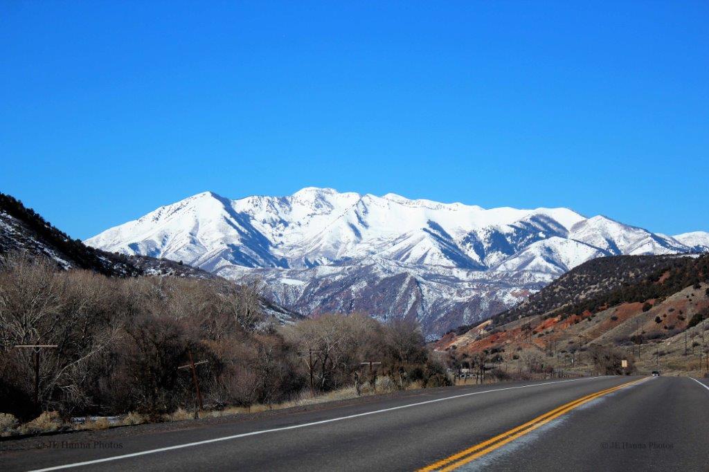
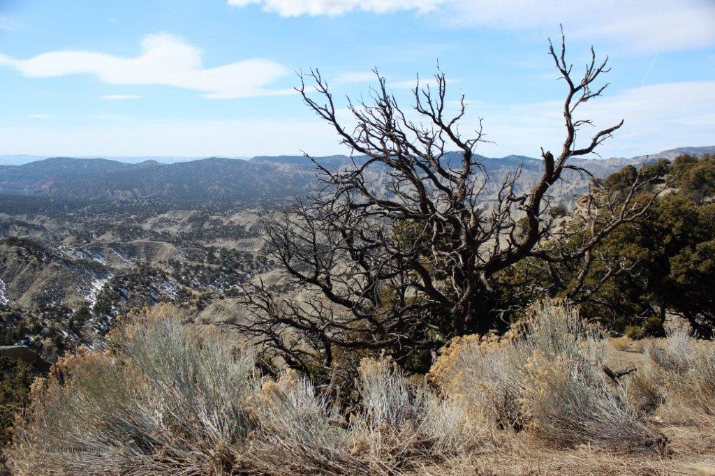
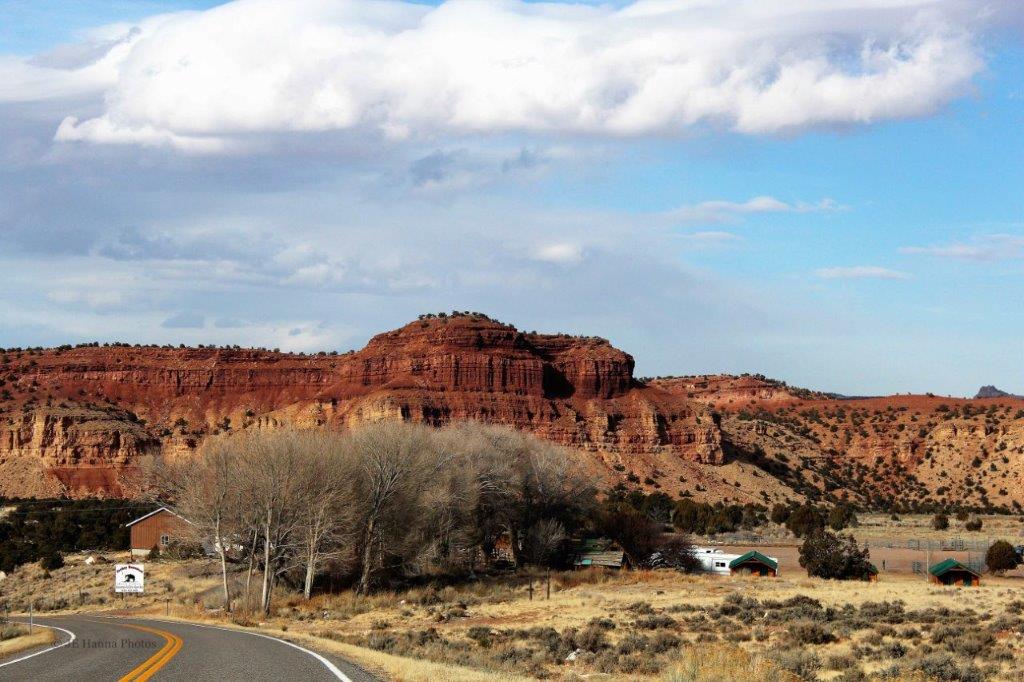
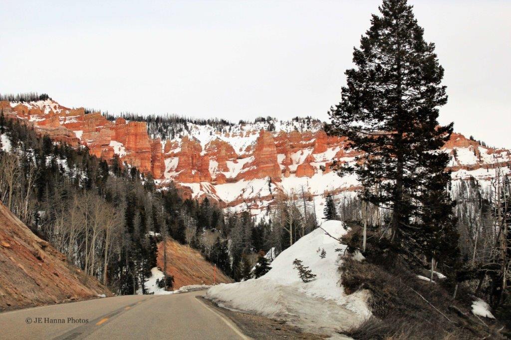
From there it was a night in Twin Falls, Idaho, then a night in Kennewick, just across the Oregon border, in Washington.  We spent another night in BC, not far from the border and then we were home again.

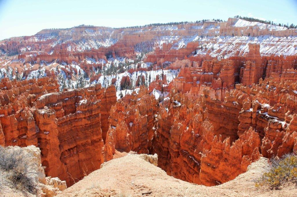
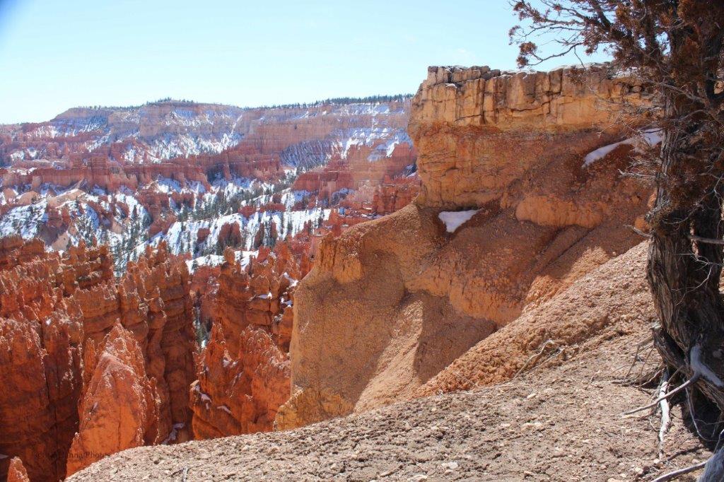
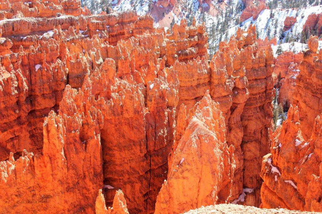
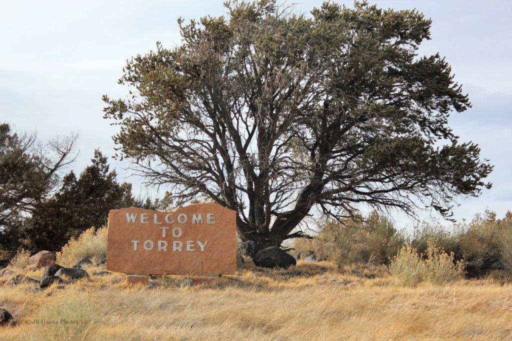
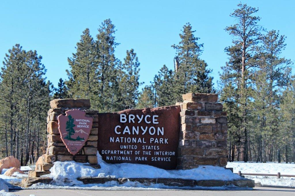
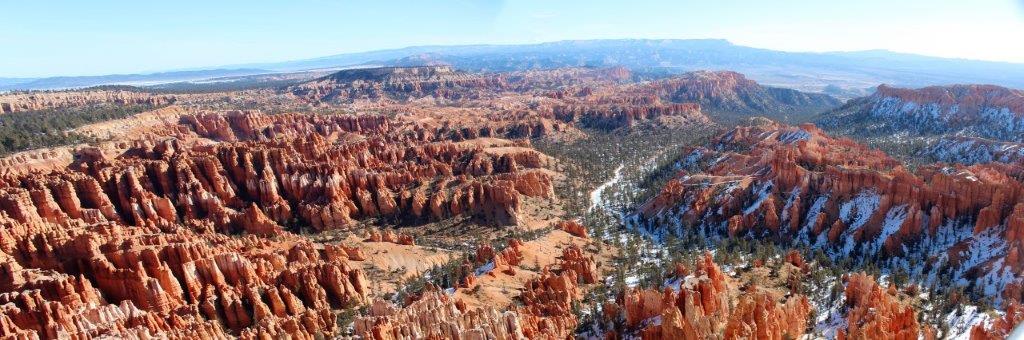
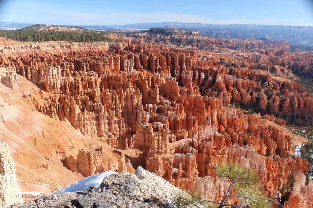
I call this the Eight States Trip because we spent time in eight states – some of them twice.  In order: we drove in Washington, Oregon, California before going to Nevada, touching the edge of Arizona as we went back down eastern California and over to San Diego.  From there we did our wet, cold cruise to Hawai’i and back.  The California west coast came next and then we crossed the state into Arizona again before visiting five of the wonderful National Parks in Utah.  From there we went through Idaho, and back into Oregon and Washington again, before crossing the border into Canada.  58 days and 8900 km (5500 miles) later we were home.  It was a great trip with so many wonderful sights and travels. Thanks for coming along.

2013 March 9 – Arches National Park, Utah (Part 3)

The Sand Dune Arch trail is about 1.6 km (1 mile) from the end of the road through the central middle of Arches National Park in southern Utah.

The end of the road is a small turn-around loop with a parking area for those who want to walk the Devils Garden Trail – which, of course, we did, despite the rain.

Nearer to the end of the trail, off a little spur trail,  is the amazing Landscape Arch.It seems there is no stopping  a tree that wants to grow.As we walked the path back from Landscape Arch, the rain stopped and the sun began to show through the clouds.  The drive from the end of the road back to the park entrance was quite pretty once the sun came out.  All the colours become more vibrant and distinct. Even Balanced Rock was more striking with the blue sky behind rather than the grey clouds.

The view before you start descending down to the Visitor’s Center.The Visitor’s Center at the park entrance.   The road into the park is along the ridge behind. And, back we go, past the big sand hill again.  Up Highway 191 a short distance, and on the other side of the road from Arches, is Canyonlands.  There is only one short road for vehicle access and it wasn’t too late in the day so we decided to go and see what we could before we had to head north to our hotel for the night.

2013 March 9 – Arches National Park, Utah (Part 2)

On our tour through Arches National Park in southern Utah, after we checked out all the various formations in the Windows Section, we continued down the main road for 4 km (2.5 mi) before turning off once again to drive past the Wolfe Ranch and get to the Delicate Arch viewpoint. There is a trail that takes you right to Delicate Arch but we decided to just see it from the viewpoint.

Back on the main road we stopped and walked the short trail to see the Fiery Furnace. So smooth, so rounded.  The rocks look like loaves of bread.

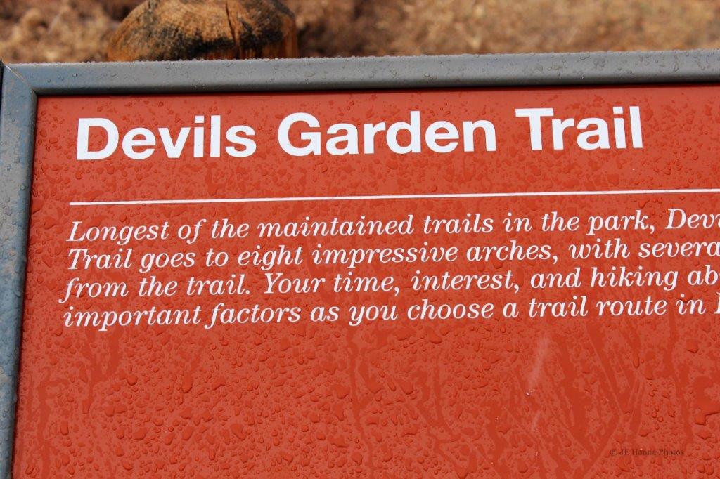
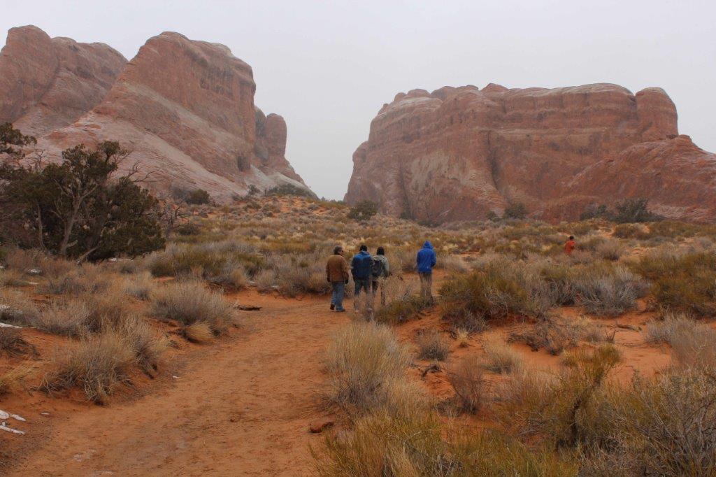
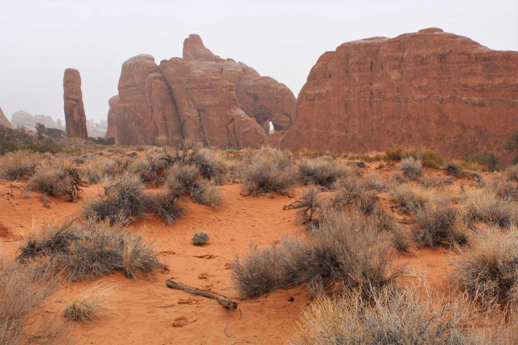
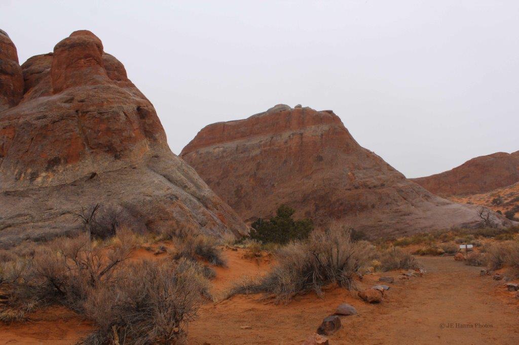
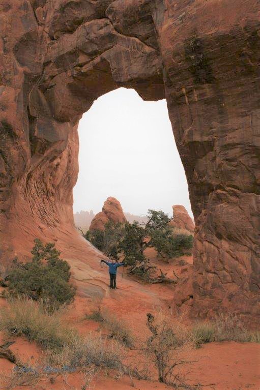
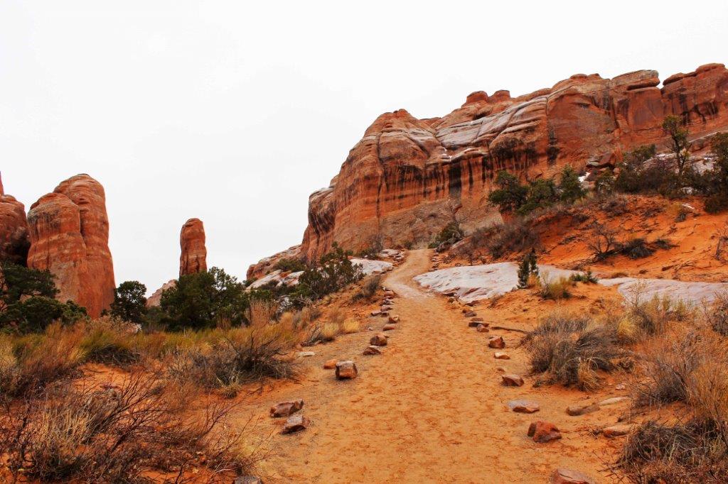
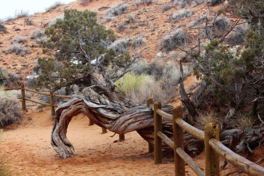
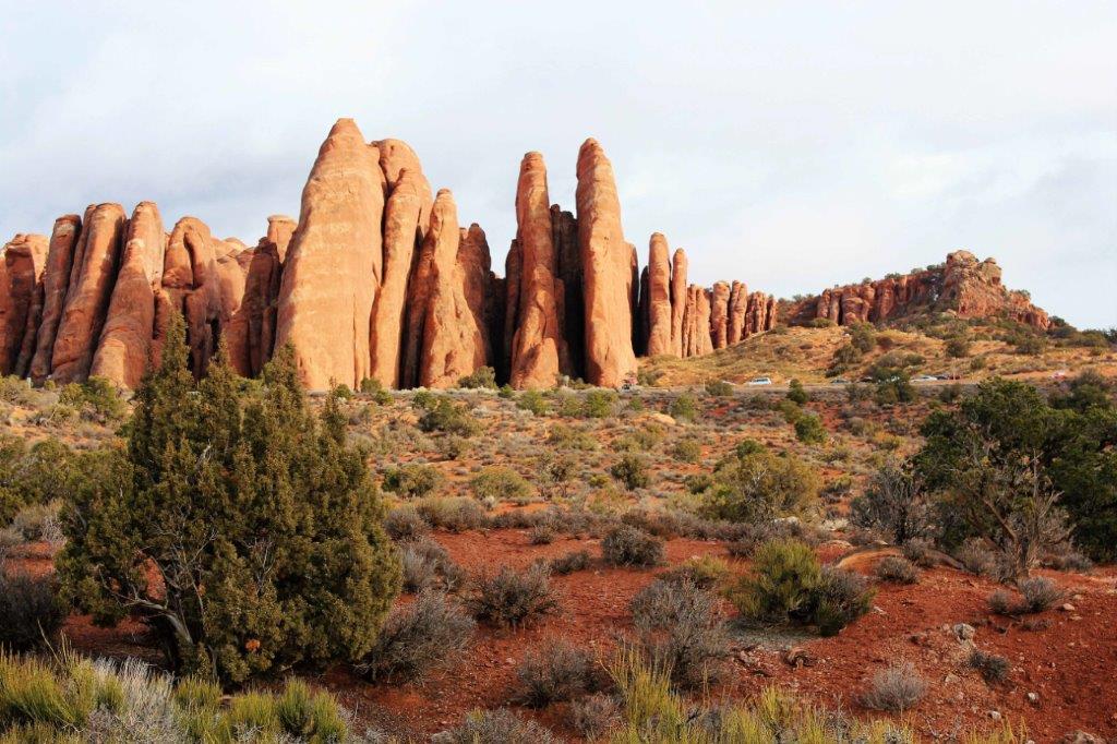
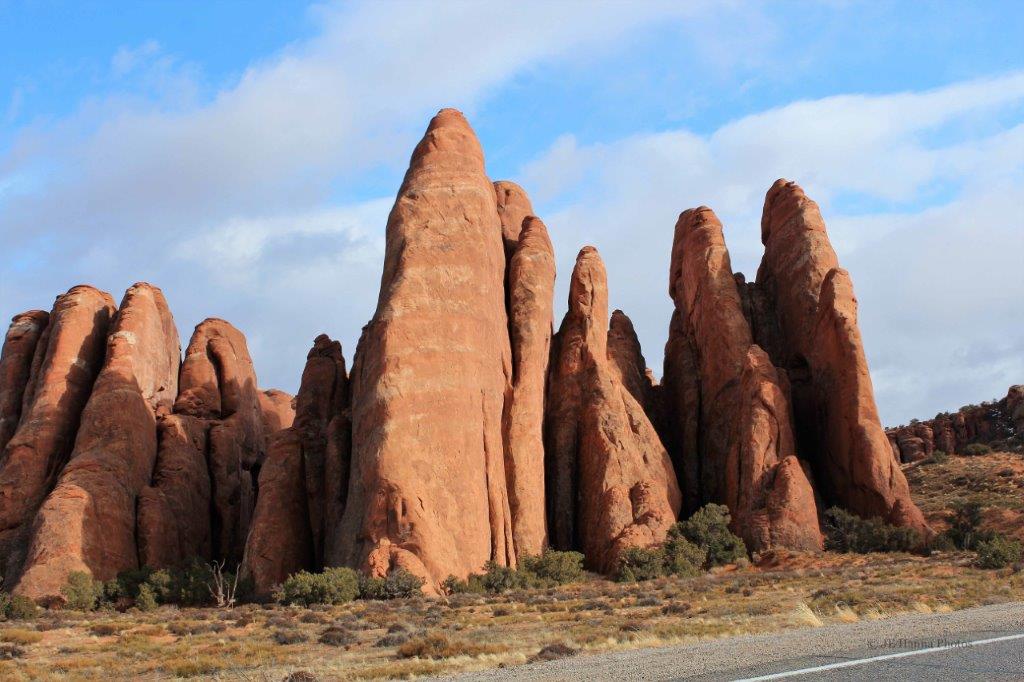
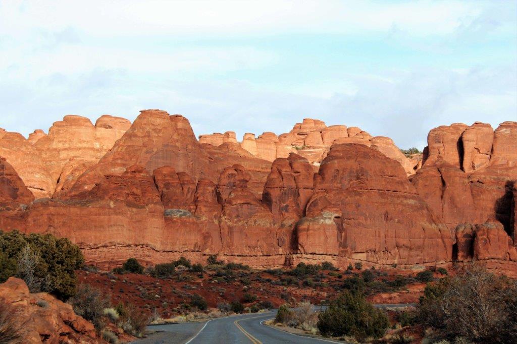
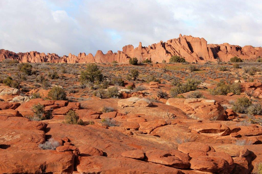
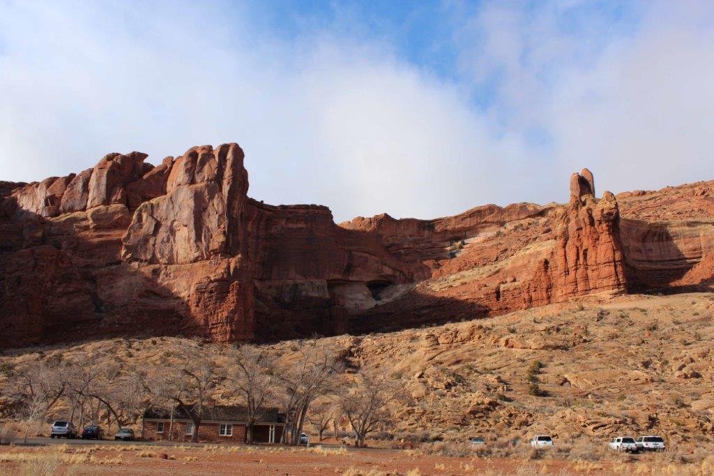
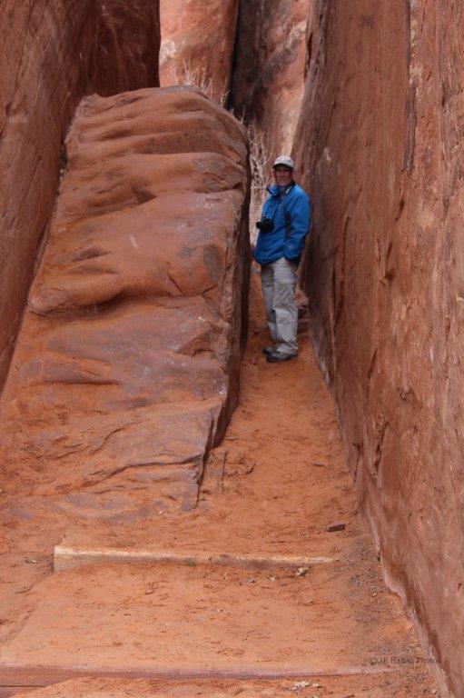
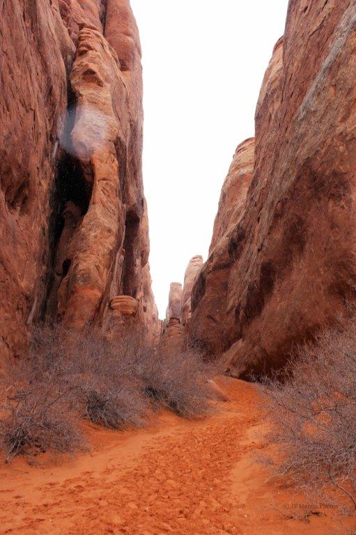
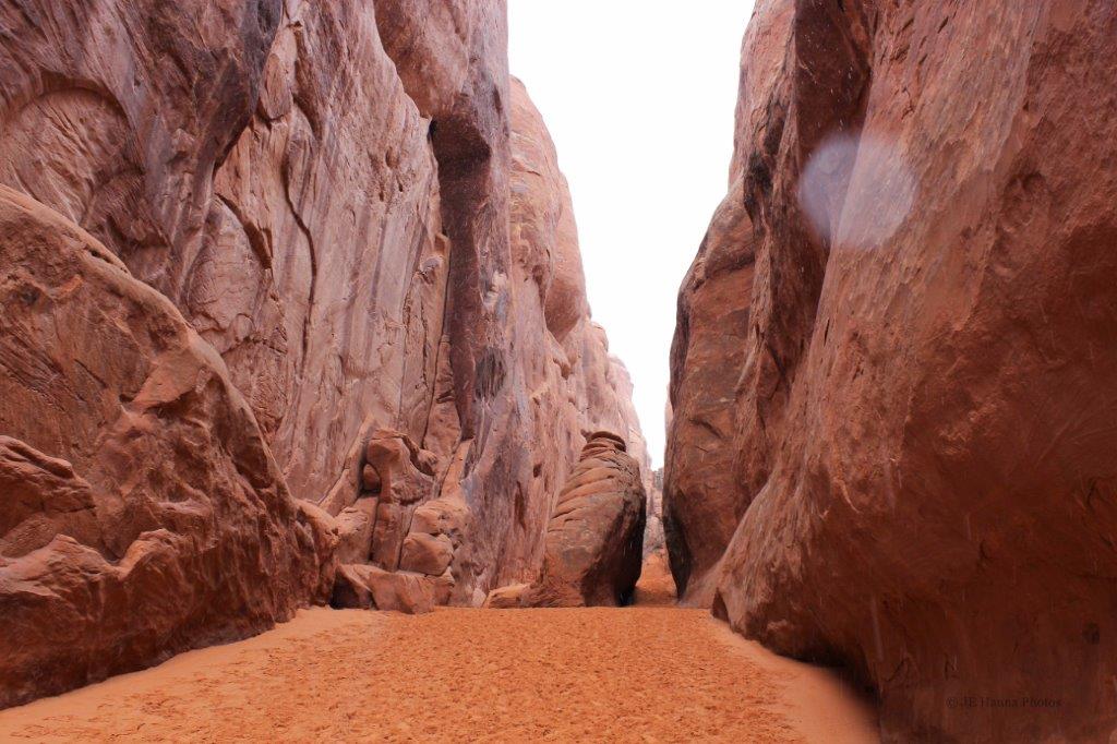
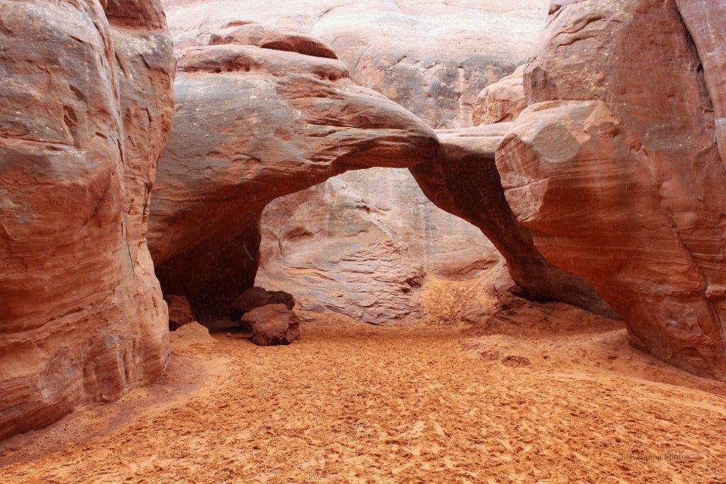
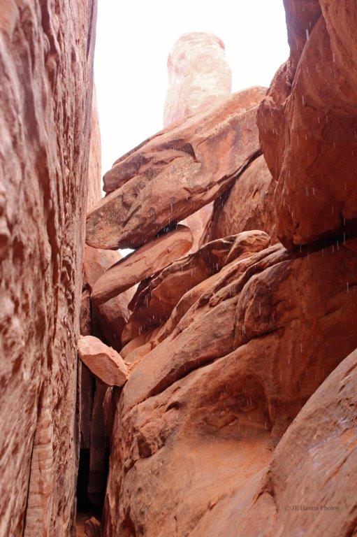
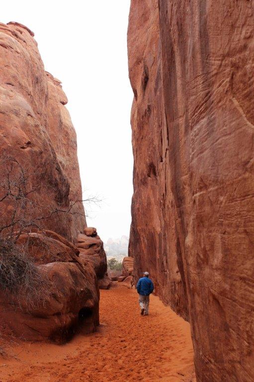
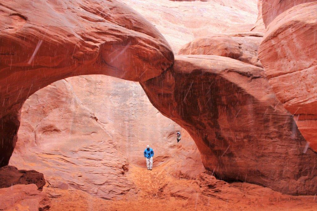
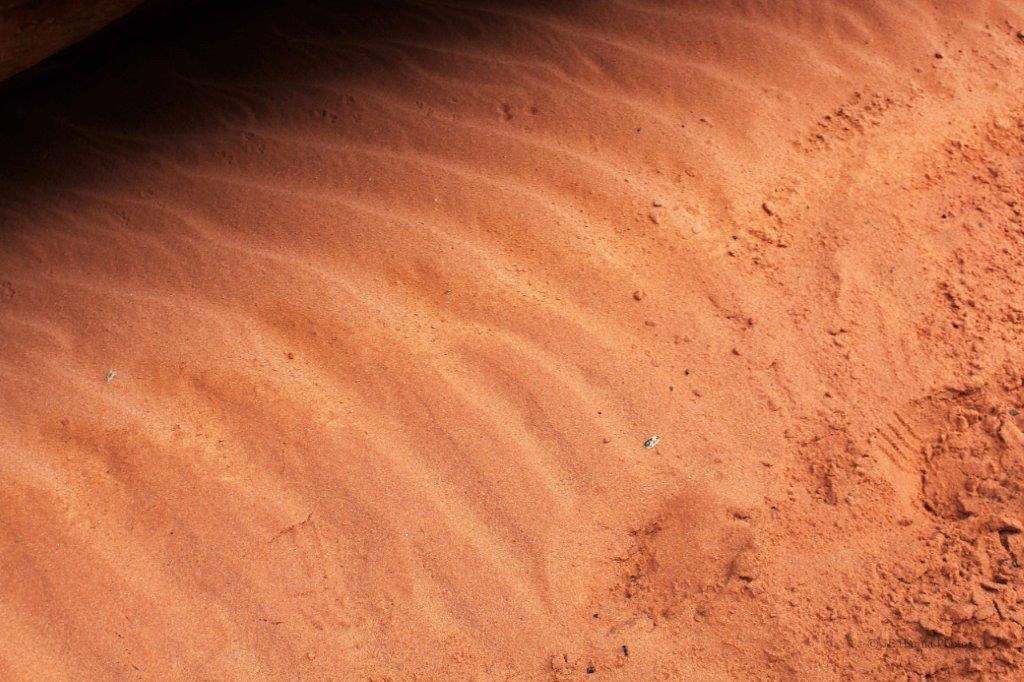
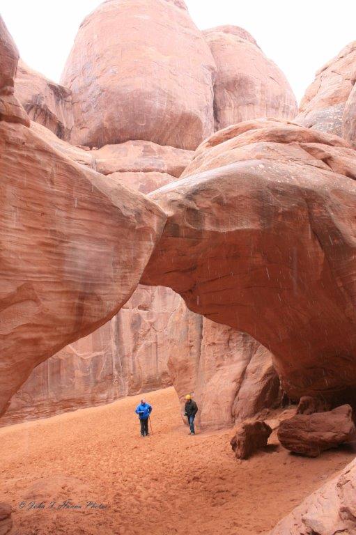
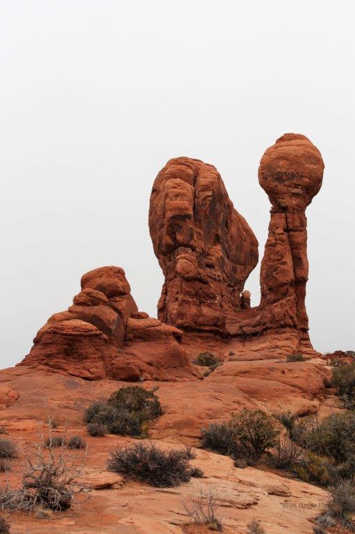
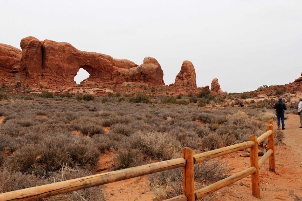
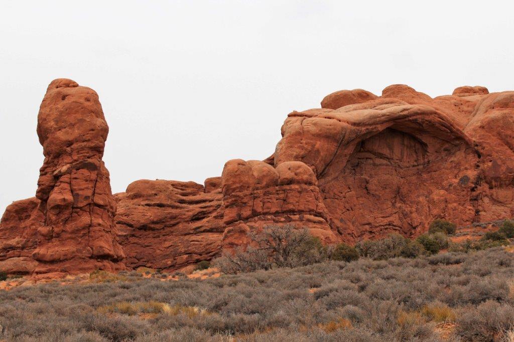
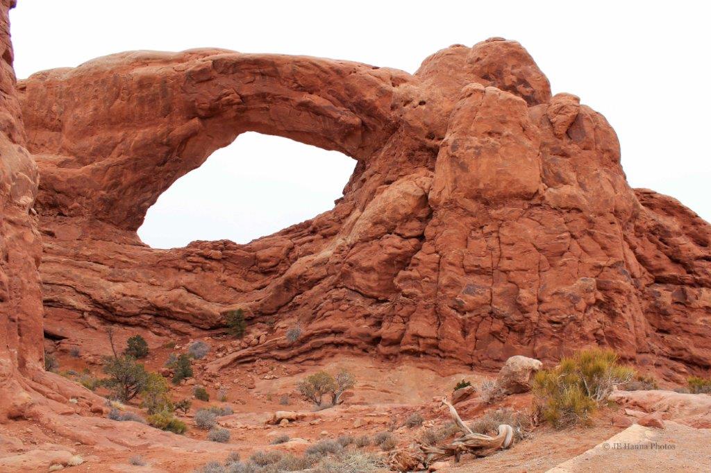
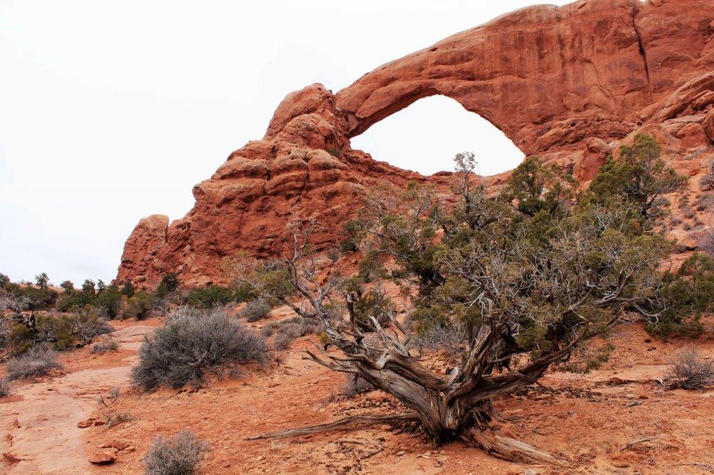
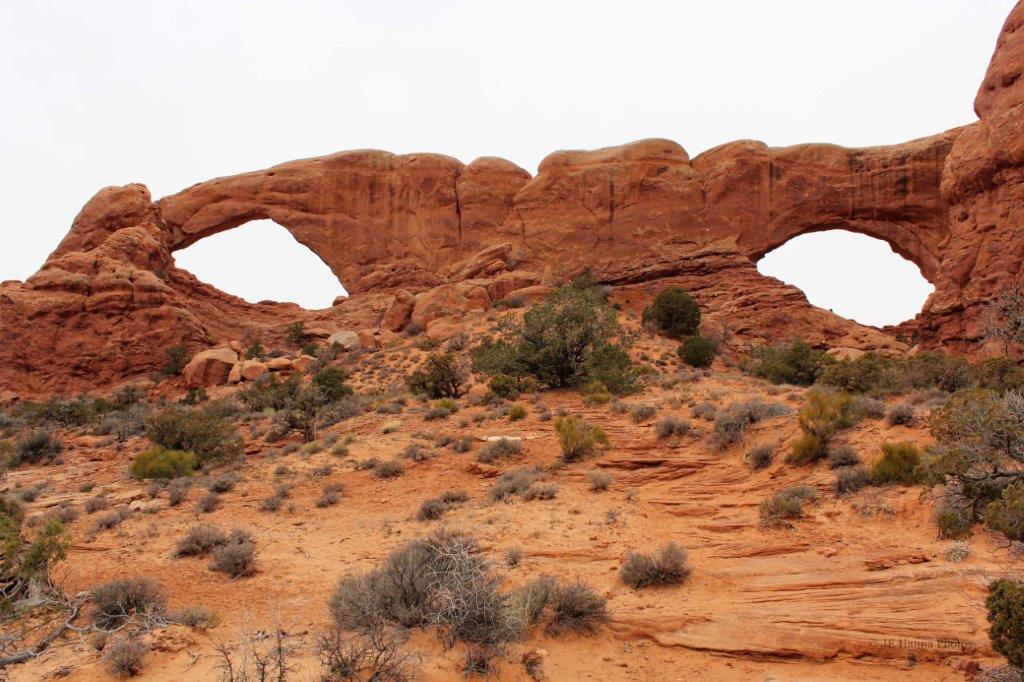
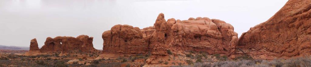
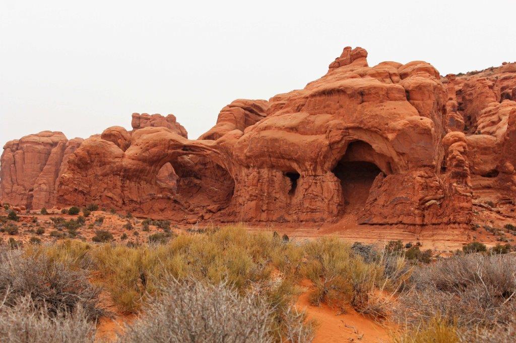
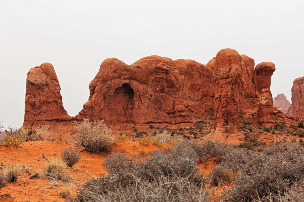
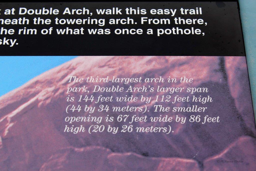
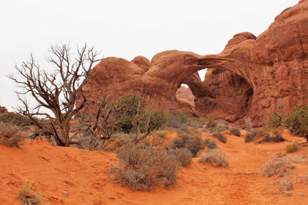
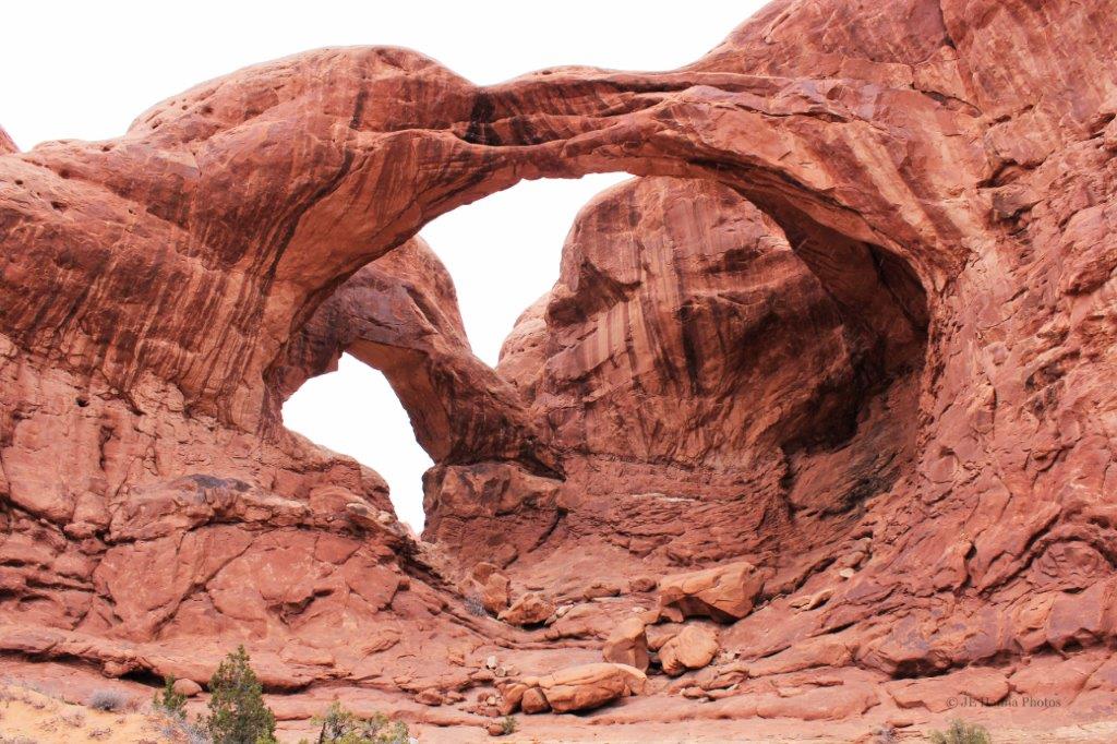
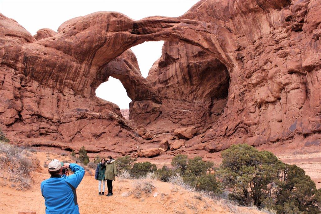
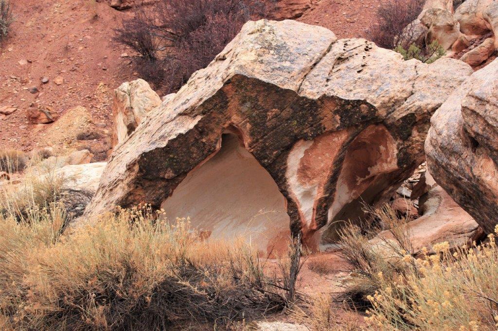
You can see Sand Dune Arch once you walk through a narrow gap into an internal open area.  The sand that is worn off the rocks collects here and is very, very fine.                                                Raining again.  I don’t think I have had my photo taken so often in one day since my childhood when my dad and his three bachelor brothers would line my three sisters and me up by order of age and take a dozen photos every Christmas or family gathering; one of the major reasons I dislike having  my photo taken.  John caught me that day in Arches when I was so enthralled by what I was seeing that I didn’t really care about a camera pointed my way.

To be continued….

2013 March 9 – Arches National Park, Utah (Part 1)

Arches National Park is the most easterly of the southern Utah parks, and is only about 35 miles from the Colorado/Utah border.  For the second day in a row the weather was not the greatest with heavy clouds and smatterings of rain for most of the day.  The sun came out as we were leaving so we did get some nicer shots later.  And, once again, this blog, like all the others of the various parks we visited on this trip, is more a photo blog than anything else.  If you are sick of red rocks, you are free to leave. An expansive view of the Park Avenue Trail Courthouse Towers                                                                         The Three Gossips

There are always people who want their picture taken and who then offer to take ours as well.  Usually we decline, but this day we said yes and the fellow took a couple of good ones. Whenever there is a large, long view or viewpoint I like to take a series of shots and then stitch them together.  It makes for some narrow photos but I like the sense of scale that the image gives me. Rock pinnacles of hundreds of different shapes were everywhere throughout the park.  From Balanced Rock we drove down a side road to see The Windows Section: Cove Arch, Double Arch, Turret Arch and the North and South Windows. Look ma – I took the same picture!  Except I added a person for scale. The trail took you on a loop so you walked all the way around the two windows. A different perspective from the back – more eye mask than windows.                                        Not a very hospitable land.                                   A first look at Double Arch.                   The above formation is called “Parade of Elephants.”  As I said earlier, there are always people around who wish to have their photo taken.  This is always a John job.  I can never see the image in the little LCD screens or phones. And…. to be continued.

2013 March 8 – Capitol Reef National Park, Utah (Part 3)

We drove to the end of the Capitol Gorge spur road at the end of the scenic road in Capitol Reef National Park, then turned around and went back to the main road (Highway 24) intersecting the park.

As we neared the junction of the Gorge road and the scenic road we got a nice view of Eph Hanks Tower, named for a notable  mormon pioneer. The scenic road joins Highway 24 very near the Fruita Historic District.  And just down the road is a cliff of petroglyphs. The Behunin Cabin was built in 1882 and housed a family of TEN!  We passed the east boundary of Capitol Reef National Park a short distance later and continued northeastward to Highway 6 before going south on Highway 191 to the town of Moab where we spent the night. All the oranges, reds and yellows in the rock and grass and shrubs in this wash were so pretty.

Water is a very precious commodity in these regions.I think the stretch of road between Capitol Reef Park and Moab was one of my favourites of the entire trip.  The colours in the rocks were dramatically different around every corner.  From the gold below, to red, to jet black, to purple and yellow.  It was amazing! And fascinating! Snap, snap, snap, snap.  My camera shutter was going all the time.  People had a lot of fun scrambling up this steep hill of sand.  I have had fine sand in my shoes and on my clothes before, so we had no problem giving this a pass.The town of Moab is located southeast of Arches National Park.  We spent the night there and then the next day drove back up Highway 191 to the park entrance.

2013 March 8 – Capitol Reef National Park, Utah (Part 2)

We spent the entire day driving the main road and the scenic road – and a couple of the shorter spur roads – in Capitol Reef National Park in southern Utah.  It rained off and on all day and there were warnings signs about flash floods so we did not linger on the Capitol Gorge gravel spur road; and in fact, skipped the Grand Wash road all together.  We had seen how quickly water can accumulate on a walking tour in the Sierra Madre Forest in Mexico several years ago when we were walking along a very sandy, very dry creek bottom and it began to rain.  Our guide immediately said, “Everybody get out and get to higher ground.”  Literally, in less than 10 minutes, where there had been a dusty, sandy path there was now a rushing stream wide enough that you would  have had to take a stretched stride to cross it.  It was incredible and gave us a very healthy respect for flash flood warning signs.

The rain had mostly let up by the time we reached the end of the scenic road and turned onto the gravel road through Capitol Gorge.

A close up look at this large rocks showed the amazing power or water.  There was uranium mining in the park area at one time.  The mines have been closed for years, but this may have been an exploration bore hole.  Or, it could be completely natural.  Wind and water do incredible things to solid rock given enough time.                               Just look at the amazing colours! Rock walls this tall and sheer make one feel very small and vulnerable.

The rain was not really heavy, but it was steady so everything was wet, which, I think, just enhanced all the different colours in the rocks.  To be continued…again.

2013 March 8 – Capitol Reef National Park, Utah (Part 1)

The rain came down off and on all day as we toured Capitol Reef National Park.  The park is about 184 km (114 miles) north east of Bryce Canyon and is a long, thin NW-SE finger.  Highway 24 intersects the park’s wider northern section and the scenic road within Capitol Reef branches off southward for about 13 km (8 miles).

After a good night at Torrey we headed off to see the sights.                                                             Chimney Rock                 How could it possibly be called anything else? The Fruita Rural Historic District was settled by the Mormons in the late 1800’s.  The first settler is believed to have been Nels Johnson whose house was built at the current Chestnut Picnic Area.  The mild temperatures and continuous water supply made the region ideal for growing fruit trees.  Nels Johnson recognized this and was the first to plant fruit and nut trees.  Others followed and the area was soon filled with orchards.  By the time Capitol Reef National Park was created in 1971 all of the residents of Fruita had sold their land to the federal government and moved on.  The National Park Services cares for the 15 orchards in the park, which contain cherry, apricot, peach, pear, apple, plum, mulberry, almond and walnut trees.  You are free to wander through the orchards and sample the fruit but you are charged a fee if you wish to take some with you.  The coffee shop at the Gifford Homestead uses the fruit in the freshly baked pies they serve and sell.                                                     The Fremont River  The centerpiece of Capitol Reef National Park is the Waterpocket Fold, a nearly 100-mile long fold in the earth called a monocline. (This is a quote from the brochure)  The fold runs north to south through the entire park and most of the cliffs you see as you travel within the park are a part of this long fold.  I am not going to explain the geology.  If you are interested, google it.


I was constantly amazed by the different colours and patterns in the rock.  I don’t know why my camera made one photo the correct orange/red colour and the other a purple/red.  It’s the same rock wall.

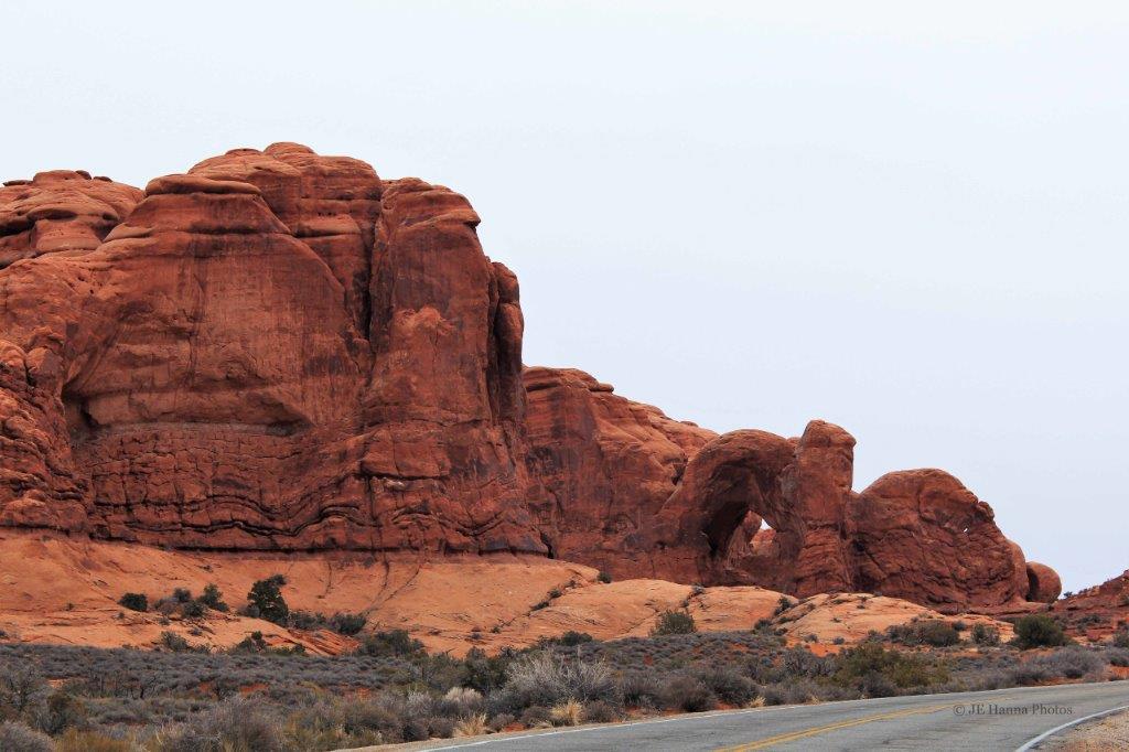
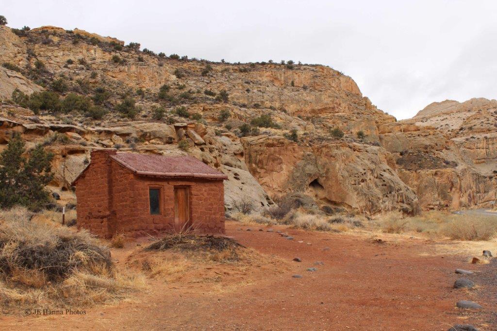
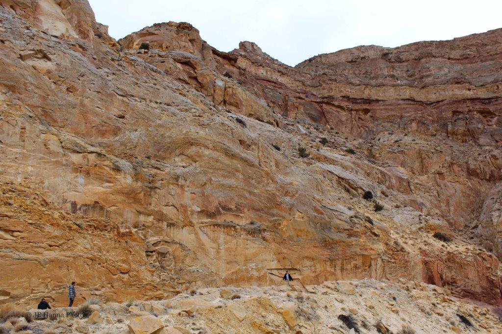
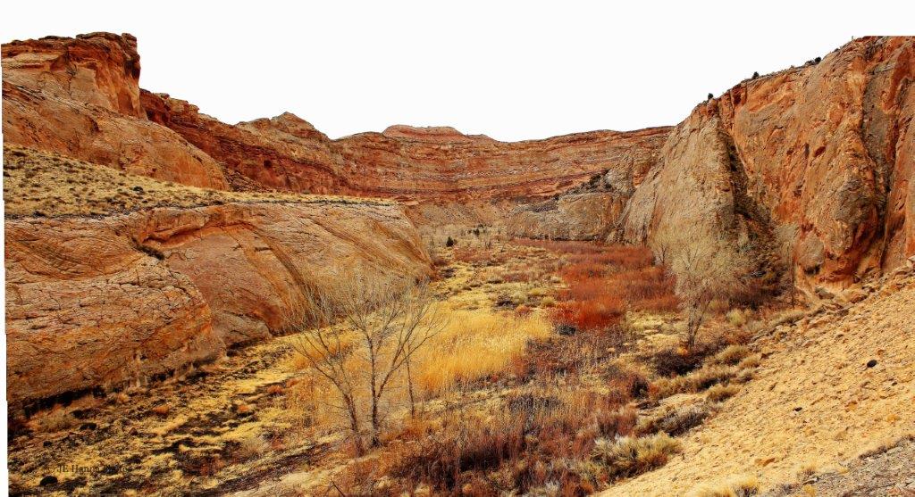
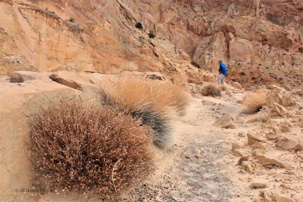
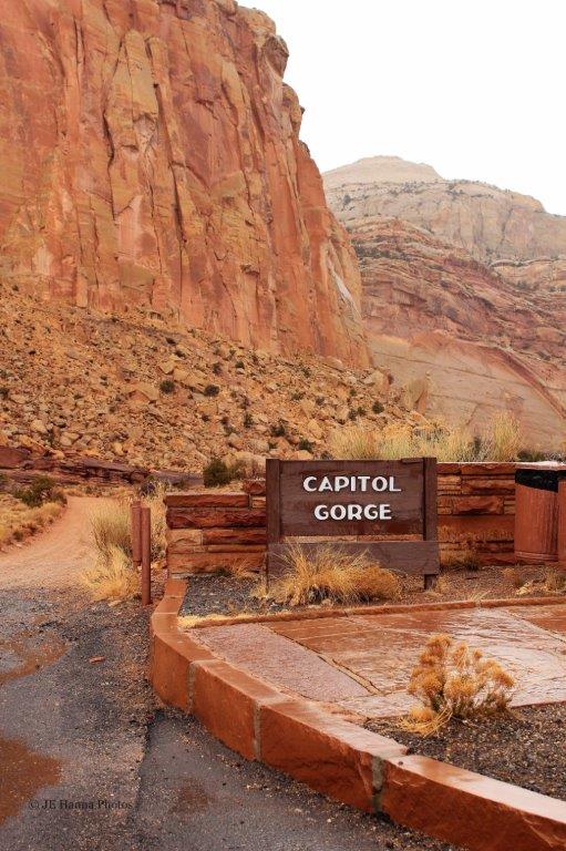
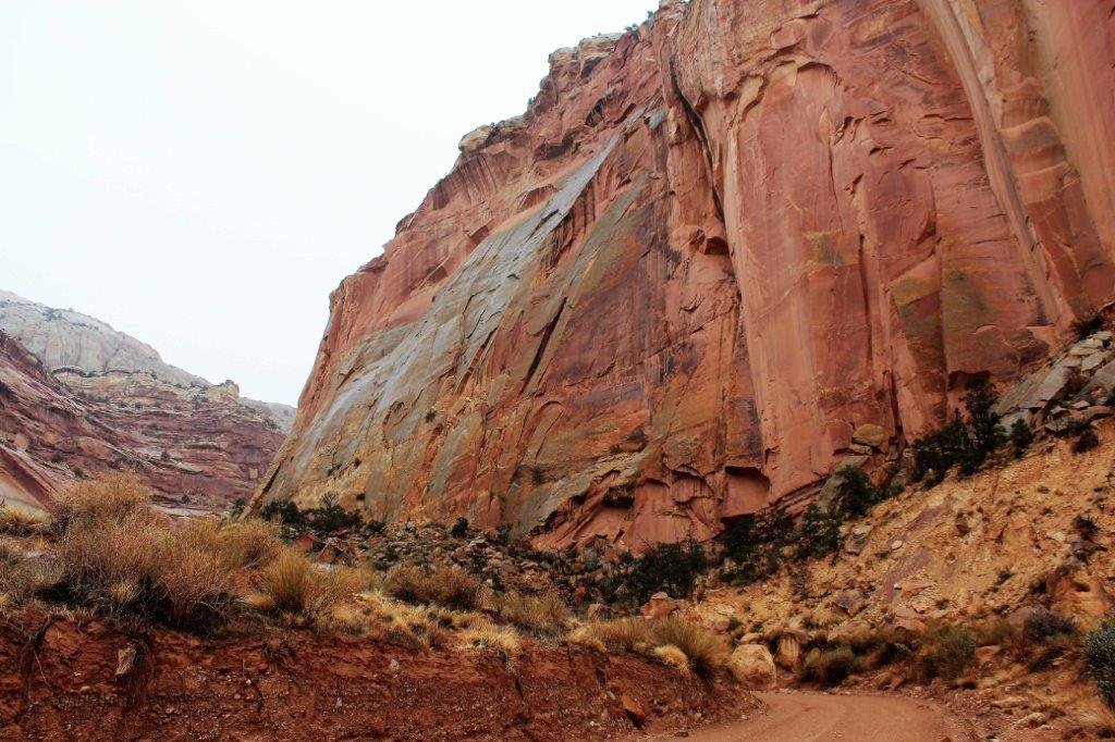
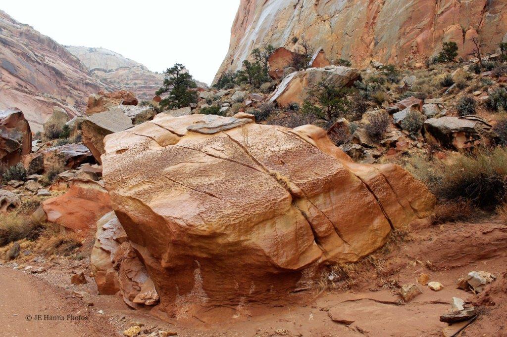
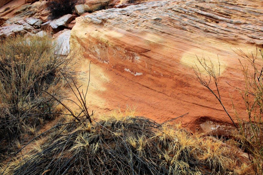
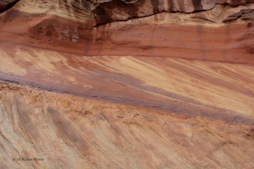
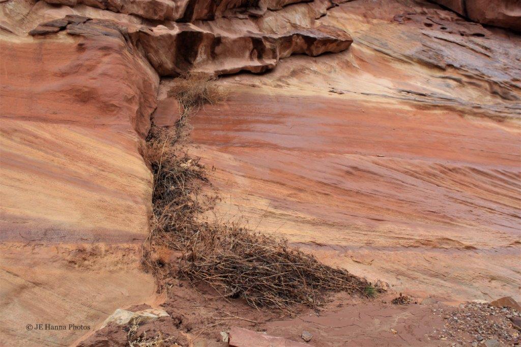
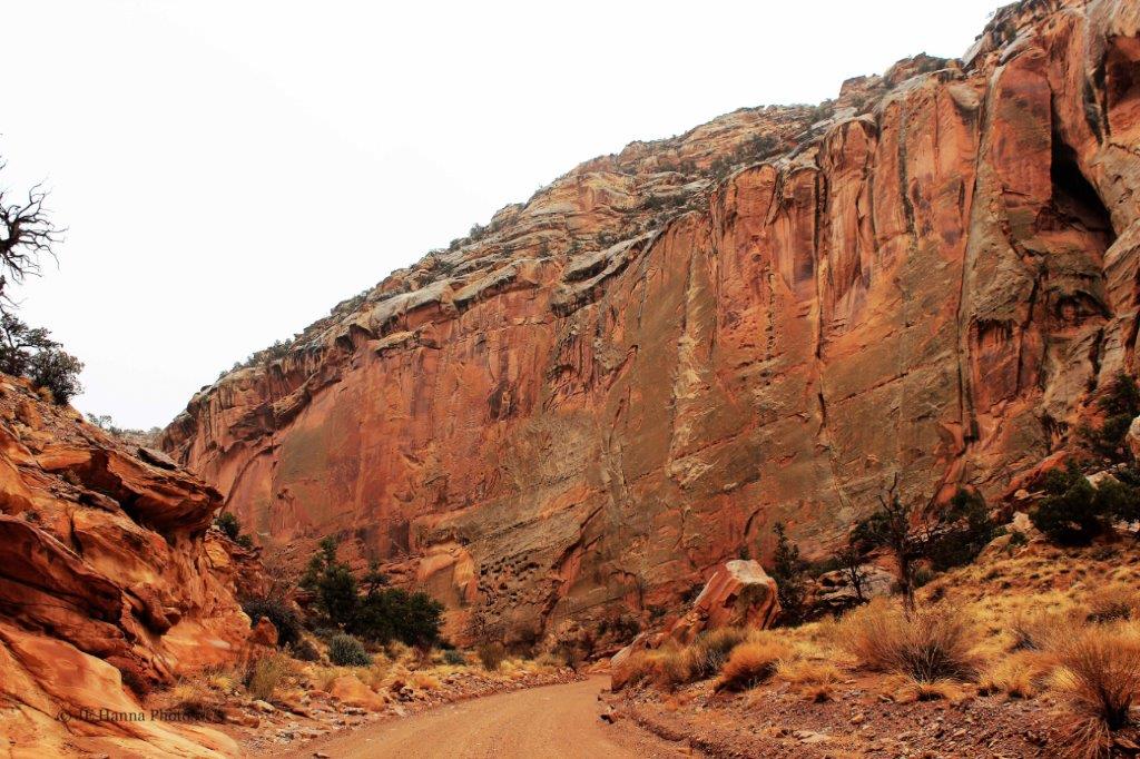
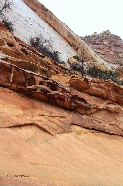
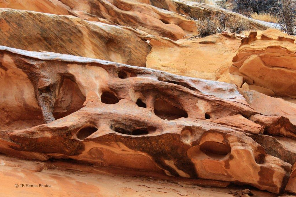
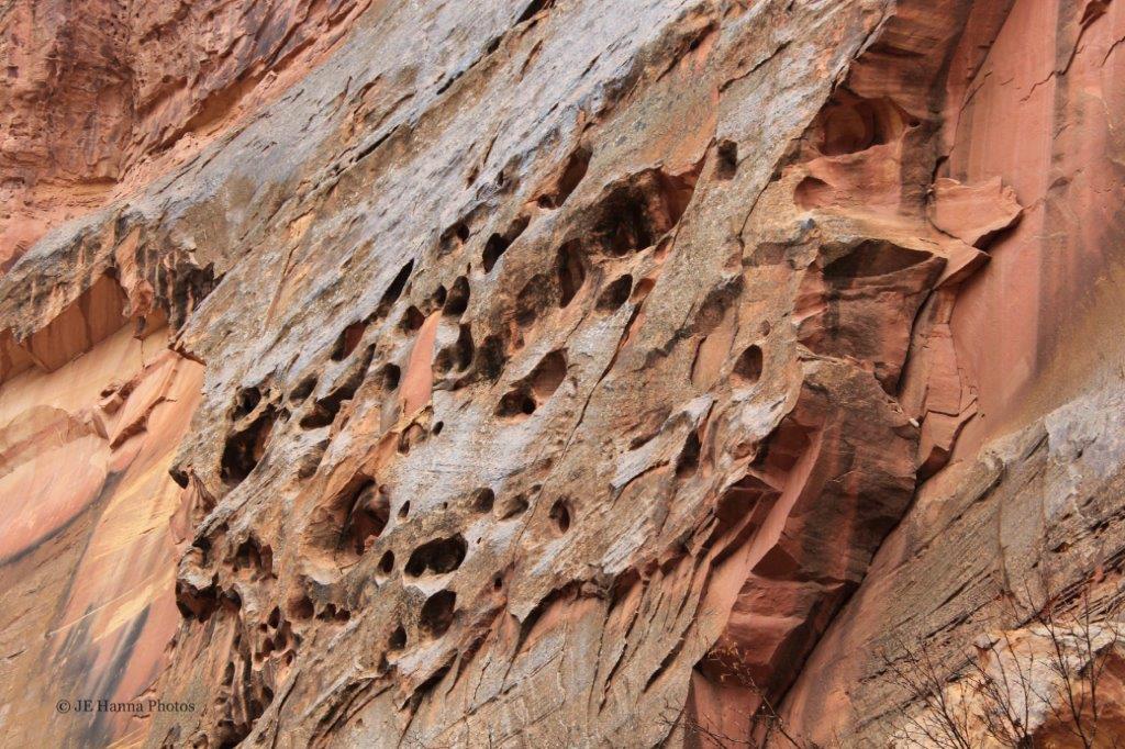
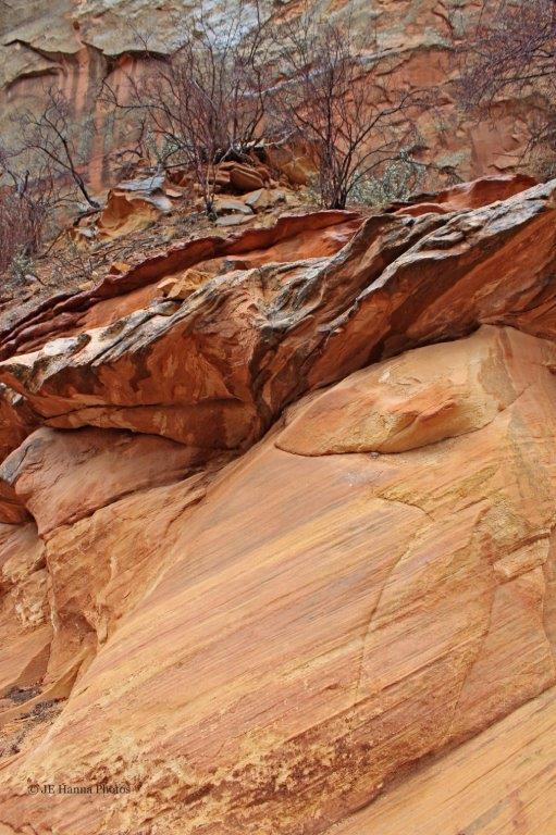
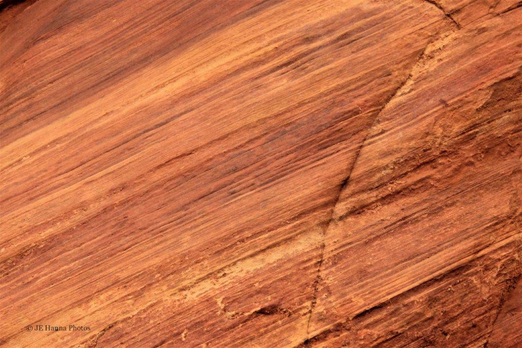
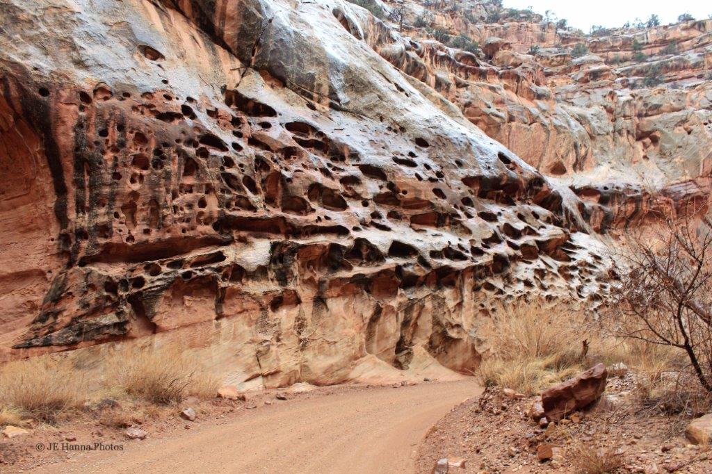
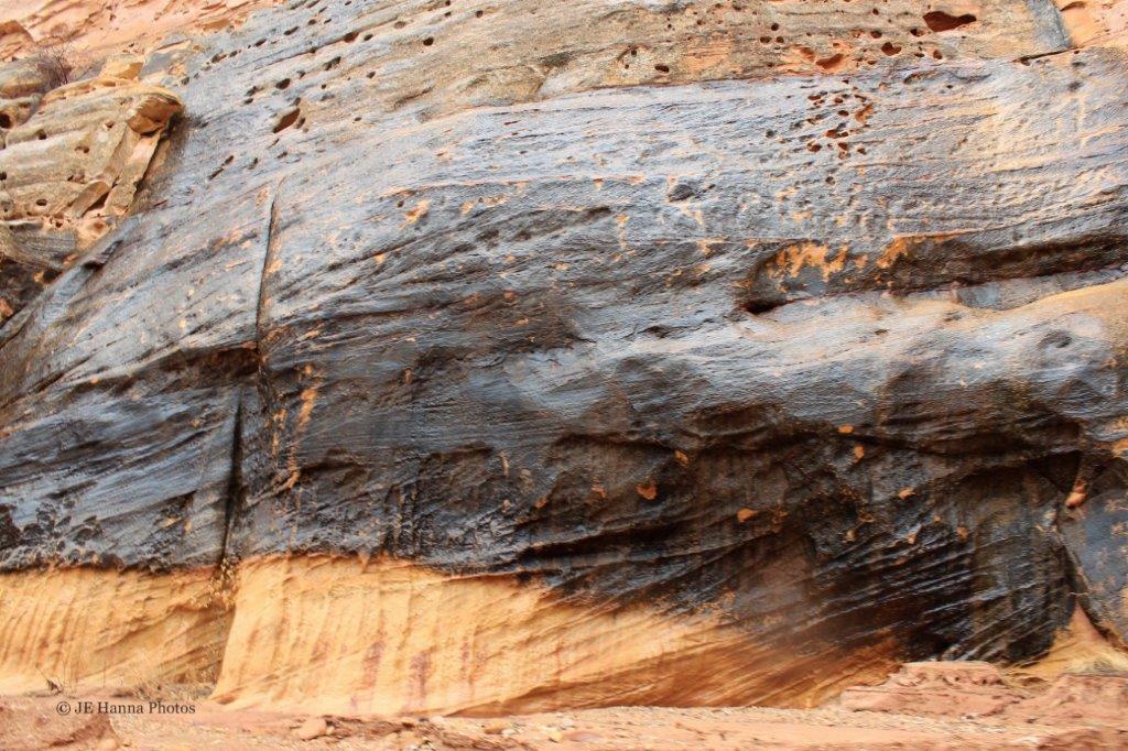
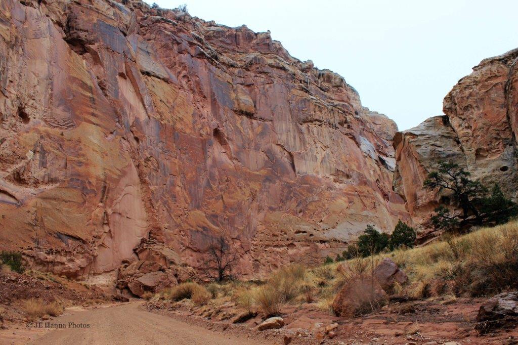
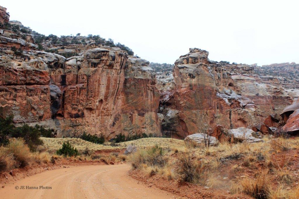
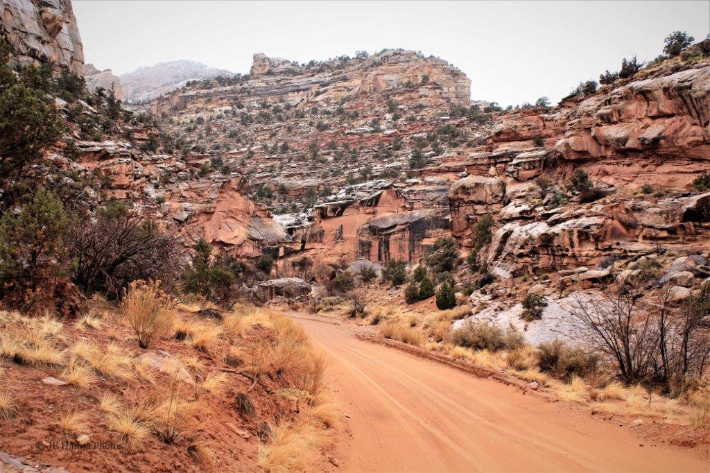
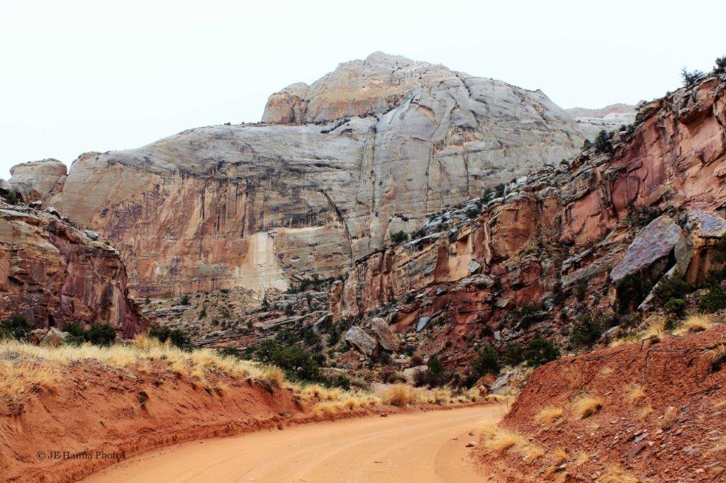
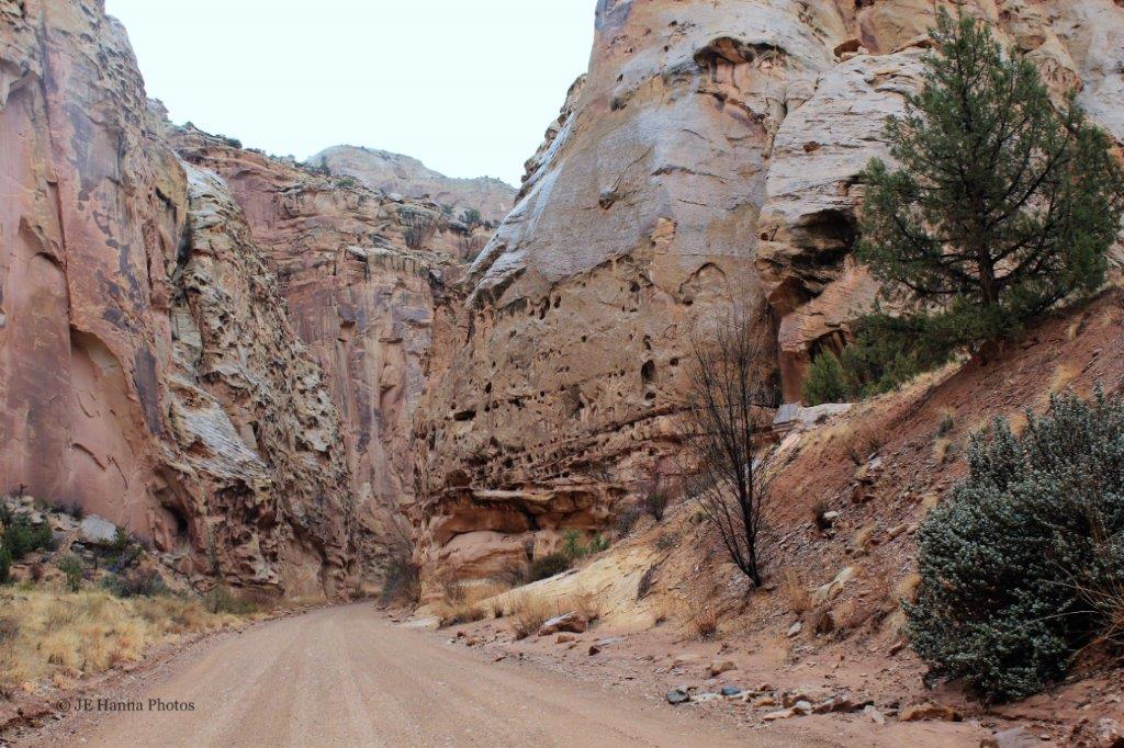
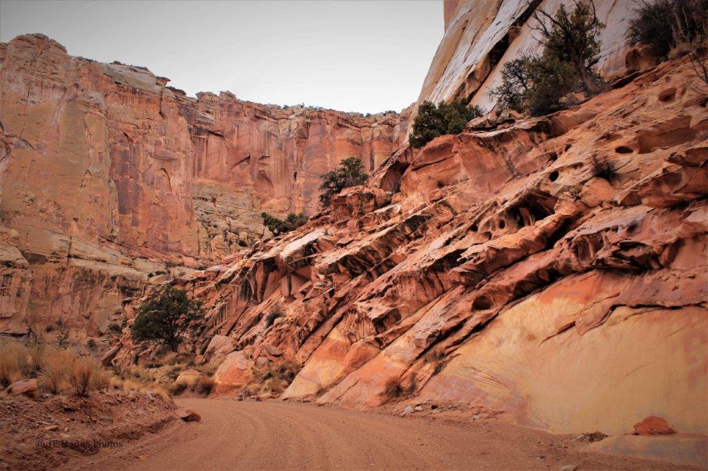
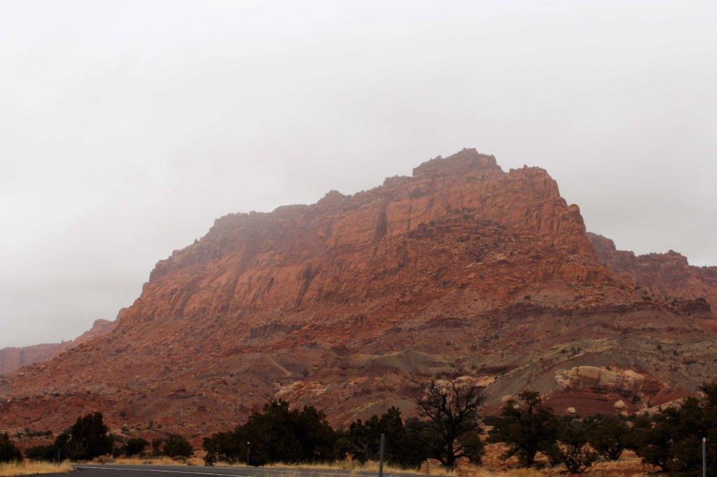
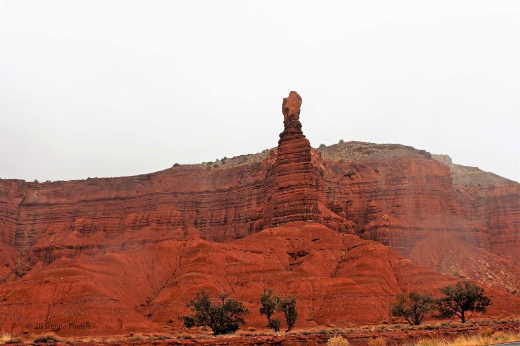
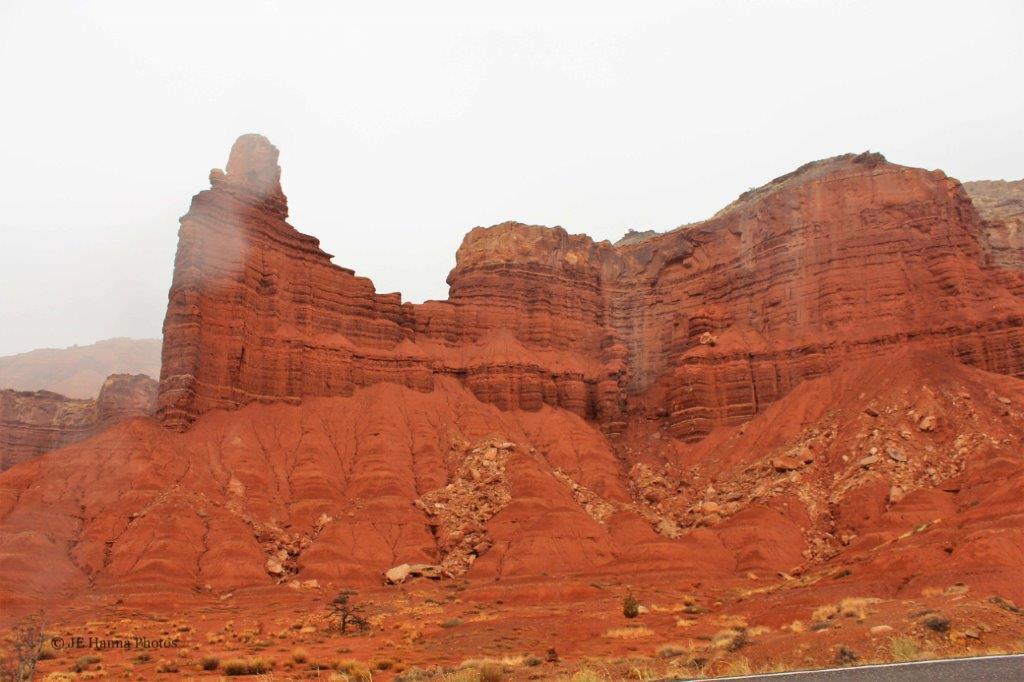
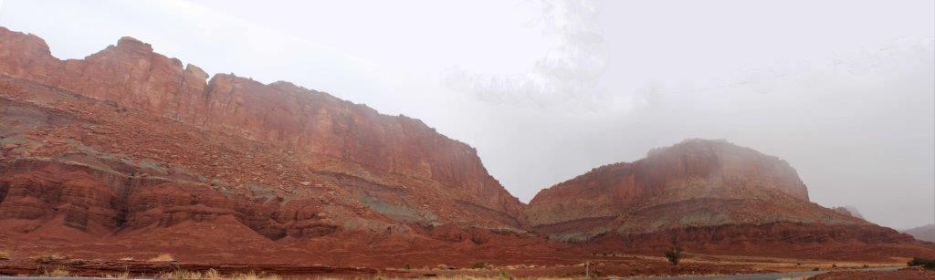
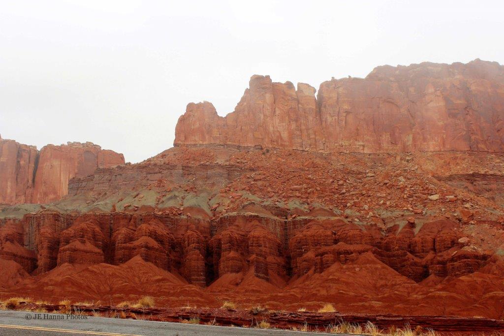
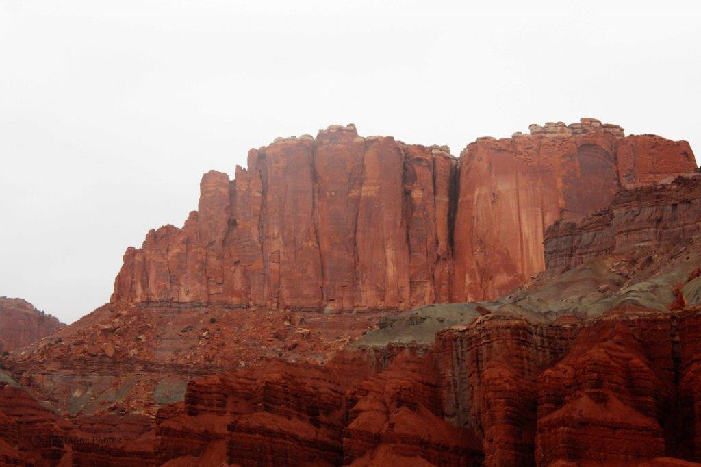
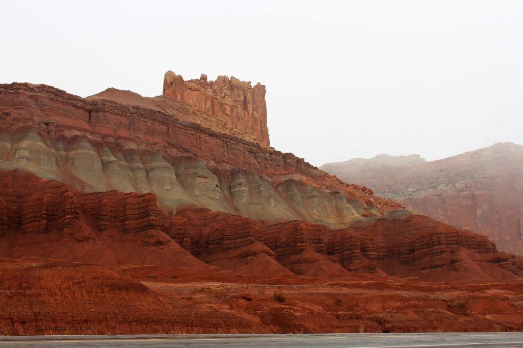
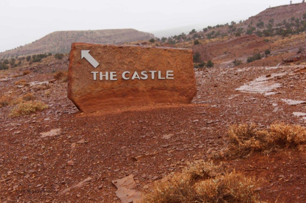
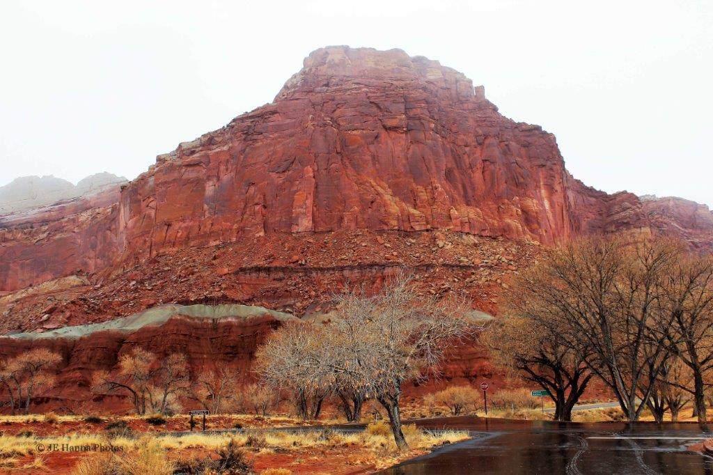
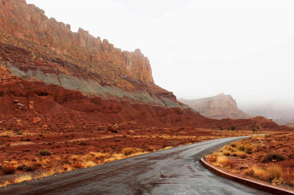
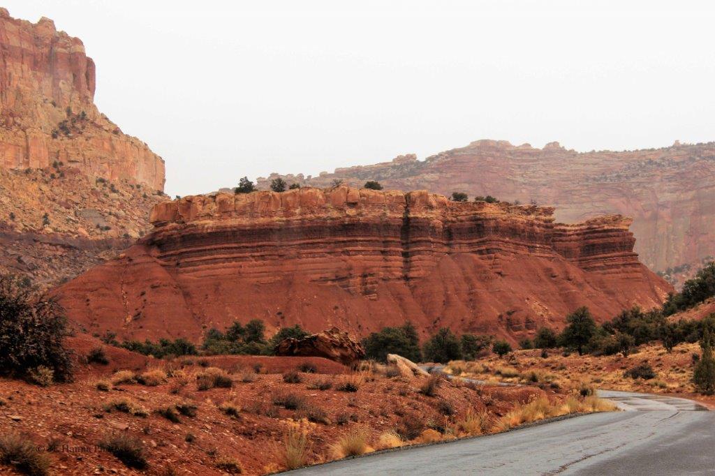
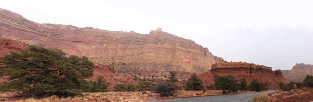
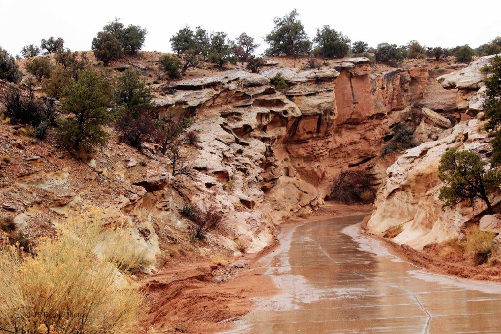
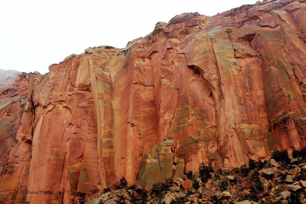
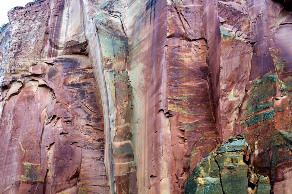
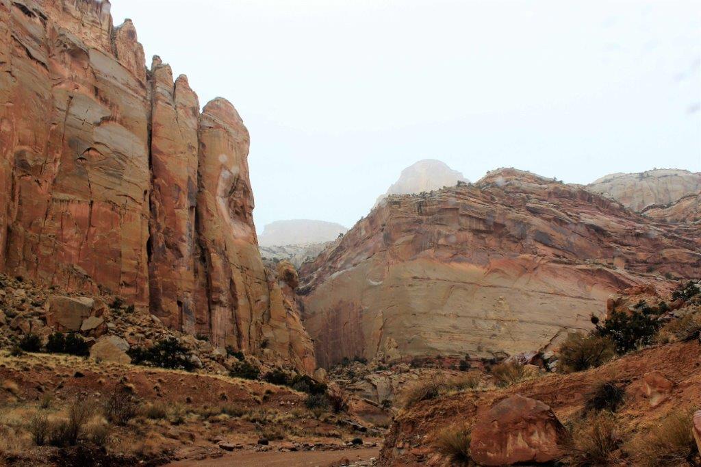
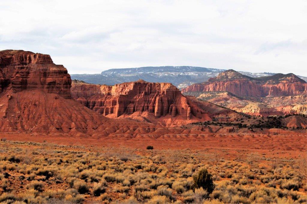
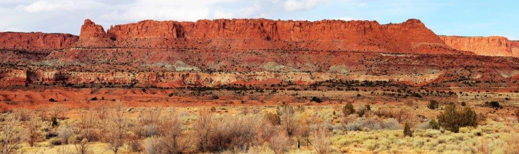
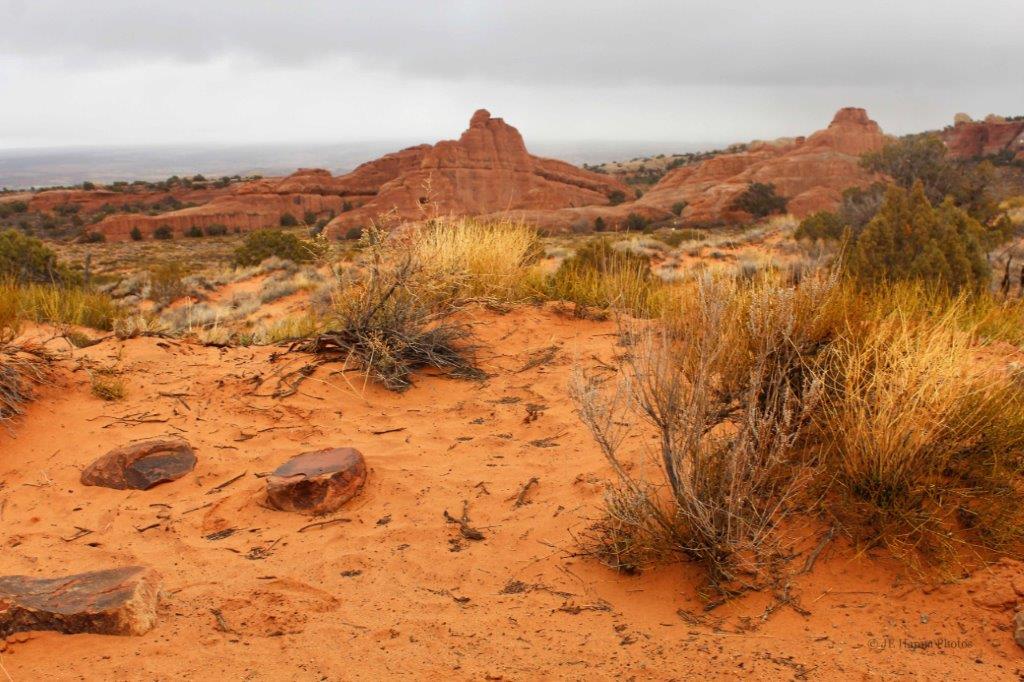
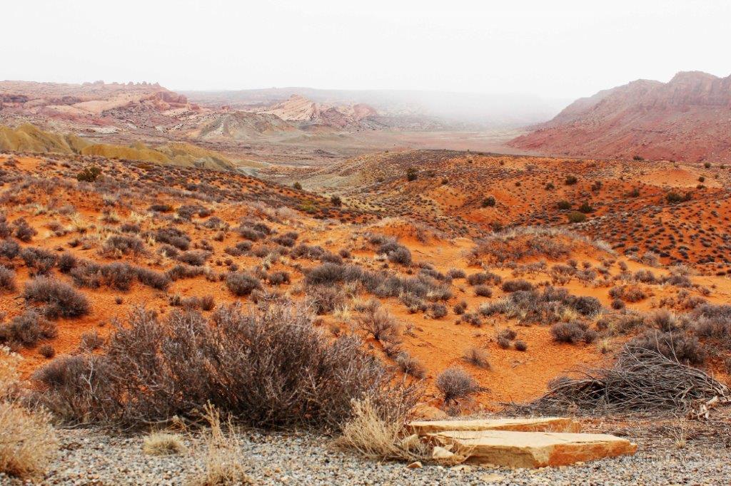
At the end of the scenic road we drove down the Capitol Gorge spur road.

Continued in Part 2.

2013 March 7 – Bryce Canyon National Park, Utah (Part 2)

We spent the day driving the 18 mile rim road of Bryce Canyon.   At the end of the road is a loop with Rainbow Point facing northward and Yovimpa Point looking south.

       Not really a recommended way to get a photo way up here.  As the name suggests Sunset Point is a popular spot to sit and watch the sun go down, casting the rock formation into brilliant shades of  red.There is no shortage of trails to hike down into and around in the canyon.

On the way back to the highway we could have taken a 2 km (1 mile) road into Fairyland Point, but we figured we had seen all the rock formations from as many angles as we needed to.  We had a two hour drive ahead of us to reach Torrey, in Capitol Reef National Park, where we would be spending the night.

Along the way we were once again passing white and brown rocks with the distinctive Utah red rock stripe. The road just followed the curve of this massive, sheer rock face  We stopped at  Escalante Canyon Overlook for more photos. The canyon was a very deep cut into the valley bottom.The house in the lower right of the photo above helps give some perspective.Who knew that one cliff could contain so many different colours?

From red rock to white.  The colours change all the time.
We drove through the small community of Boulder, about half way to Torrey.From Boulder we traveled through the Dixie National Forest at a high enough elevation to have snow on the ground.The next day we toured Capitol Reef National Park, which, despite the fact it rained most of the day, was my favourite of the five southern Utah parks.  Colours and colours, and colours of rocks, rocks, and more rocks.

2013 March 7 – Bryce Canyon National Park, Utah (Part 1)

Bryce Canyon in located in the Colorado Plateau.  People have lived in the region for about 12,000 years.  In 1870 Captain Clarence E. Dutton and John Wesley-Powell explored the area and gave the various points, pillars, and views many of their names.  In 1875 Ebenezer Bryce came to the Paria Valley to live and to harvest plateau timber.  Neighbours called the canyon behind his home Bryce’s Canyon, and the name stuck.  Soon after the turn of the century people were coming to see the colourful geologic sights and the first accommodations were built along the rim above Bryce’s Canyon. Today, Bryce Canyon National Park hosts over 1.5 million visitors per year.  The canyon rim road is about 18 miles long and allows  you panoramic views of a lot of it.  (There are lots of hiking trails – about 50 miles of them – in the park as well.) The rim road takes you from the Visitor’s Center  just off Highway 17 to the turn-around loop at Rainbow Point for the drive back.  Over the course of the route you have an elevation gain of about 1,200′.  On good days visibility extends 90 miles and on really clear days, you can see all the way to New Mexico.                                     Inspiration Point faces east.

                                             At  Bryce Point                           These formations are called the GrottosThe rock formation below is  a close-up crop of the white pillar in the foreground of the photo on the right above.  It is called The Poodle; and it is easy to see why.Rainbow point is the end of the rim road.  On the other side of the turn-around loop is Yovimpa Point.  From there we headed back to the Visitor’s Center stopping at Sunset Point and Sunrise Point before leaving Bryce. (To be continued…)

2013 March 6 – Zion National Park, Utah (Part 2)

In Zion National Park in soutwestern Utah we entered the park through the east entrance and followed the Zion-Mount Carmel Highway to Canyon Junction and turned north on the Zion Canyon Scenic Drive.  This road is closed to private vehicles between March 29 and October 29 and you must use a park shuttle for the trip. Since we were there early in March we were able to drive ourselves, which allowed us to stop as often as we wanted to take photos.

About 6.5 km (4 miles) of scenic road past the Court of the Patriarchs you reach the end of the road at the Temple of Sinawava. It was a lovely to stroll along the Riverside Walk  amid the towering cliffs and barren trees.                                            The Great White Throne We drove back down to Canyon Junction and out the south entrance of the park.Highway 9 goes west along the base of Hurricane Mesa before meeting Highway 17, then 15 north at La Verkin.  About 30 km (19 miles) up Highway 15 is the entrance to Kolob Canyons, the northern part of Zion National Park.  The Kolob Canyons Viewpoint is only about 8 km (5 miles) from the highway, so off we went to see the view.  Back on the main road we drove north to Cedar City and then turned east, making our way to Ruby’s Inn; our stop for the night at the entrance to Bryce Canyon National Park – the next red rock natural wonder.             Winter was hanging on at the higher elevations. The sun was getting low as we approached Ruby’s Inn and the red rock turned to flame.