Today we woke to damp driveways, puddles and overcast skies. But…it didn’t rain until we were almost at our destination, so not too bad.
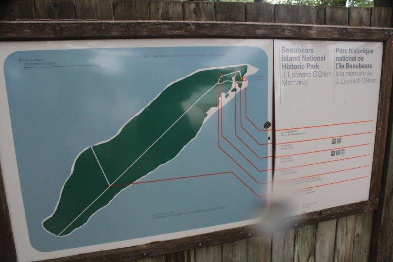
Before we left Miramichi we wanted to go to the National Historic Site at Beaubears Island. This island and the nearby mainland bay were the refuge of 2000 Acadians deported from Quebec. They were promised support from the British but it did not arrive and the food and supplies that were sent by the French Admiral who suggested the area would be a safe haven were stolen and sold for profit by unscrupulous French captains. Consequently many of the people, including all of the children died the first winter.

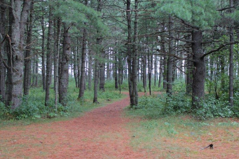
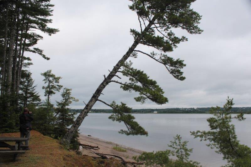
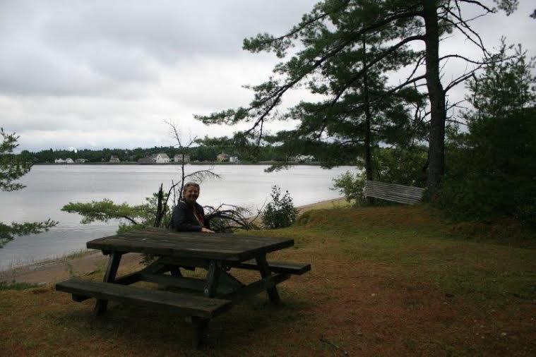
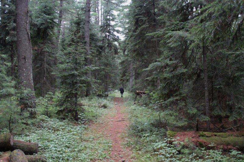
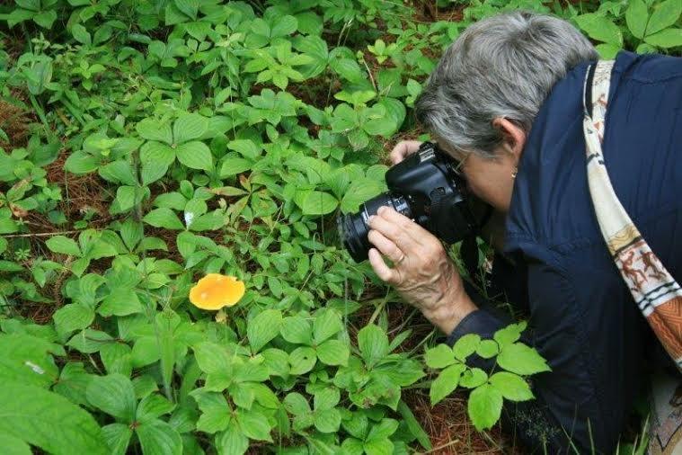
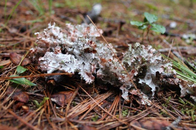
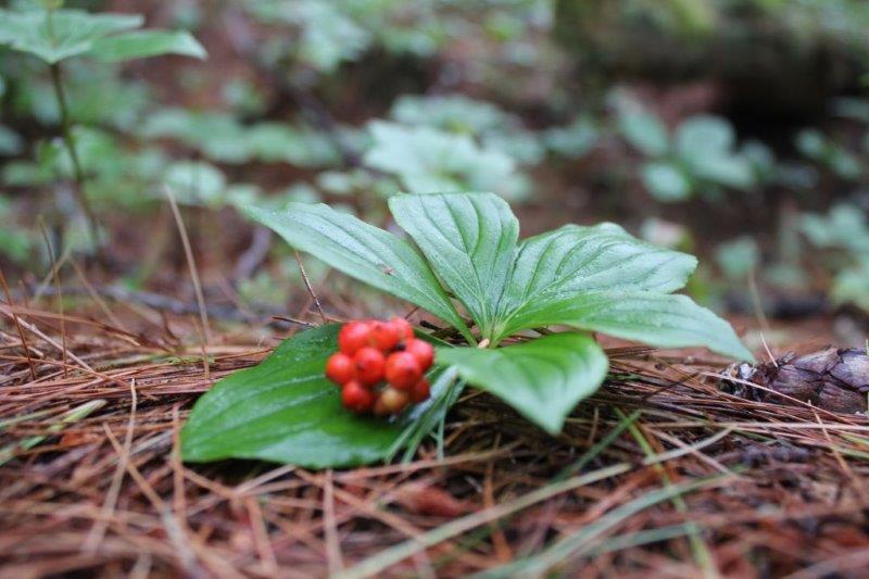
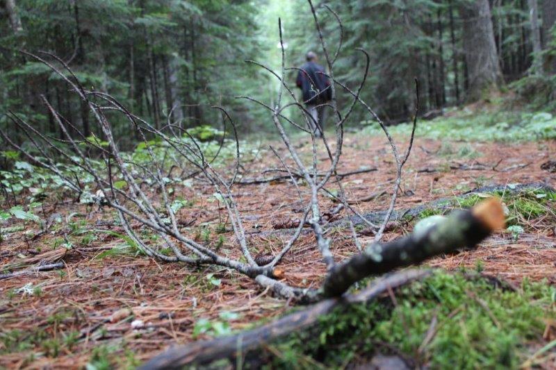
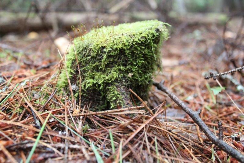
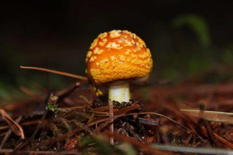
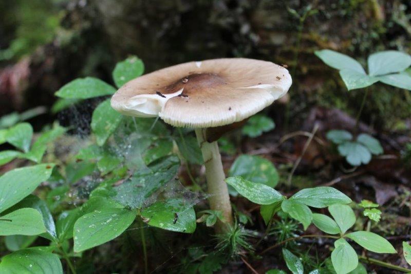
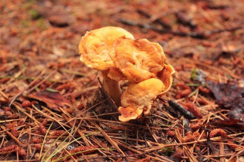
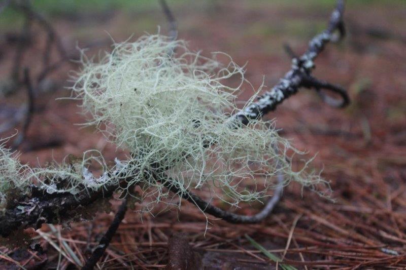
 But eventually, with the help of the local Mic-Mac, they learned to fend for themselves and the area became a thriving shipbuilding center. I expected another of Parks Canada’s fabulous Interpretative centers with placards beside archaeological digs or artifacts on the island. What we found was a small, but interesting center and a 1 1/2 km long pine forest island with a trail down the middle of it – accompanied by hordes of hungry mosquitoes. So….this blog is not full of boring prose; instead it is mainly a photo-journey through the pine forest.
 Thanks John
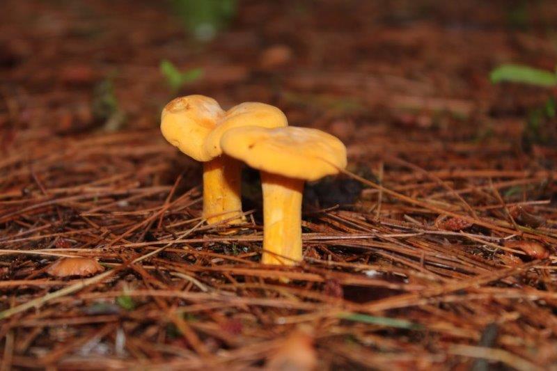


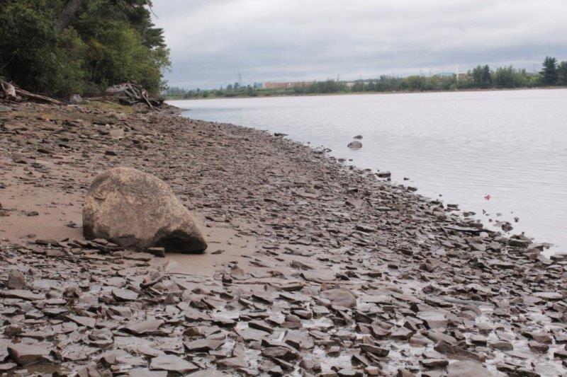 After we went back to the mainland we hit the road for Moncton via the small coast roads as is our preferred route. John spotted a lovely crane beside a river (New Brunswick is teeming with rivers! We are constantly going over bridges) so we pulled over for a photo shoot.
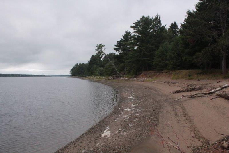
 Our only other stop today was at the Bouctouche Dune. This is one of the few remaining sand dunes on the North American east coast. It is 12 miles long and a narrow stretch of land with hundreds of lobster traps between it and the mainland. The dune changes shape every time there is a storm and it is a protected area. Unfortunately, that is when the rain began and we were not able to walk the boardwalk very far.


