Today was basically a scenic day. We toured no museums, forts, or houses. We didn’t take any long walks. We drove counter-clockwise around the west part of PEI – which, like the east, is connected to the middle with a narrow strip of land. There is a highway that goes right up the middle from Summerside to North Cape but we rarely take the straight road. We left our hotel at 11 this morning and returned to town at 6 pm.
The North Cape Coastal Drive was not as interesting as the East Coast. It was mostly woodlands, farm land, and distant water. Part of the lack of scenic-ness was probably due to the overcast sky that we experienced all day. We made brief stops all the way around. First stop was to take a quick photo of St. Patrick’s Roman Catholic Church. 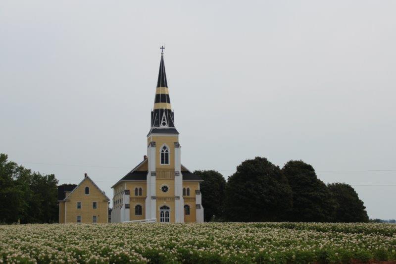
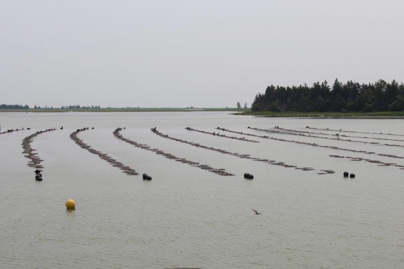 Mussel traps, I think. Next stop was at Green Park Provincial Park to see see the shipbuilding museum, but it was closed and they were setting up for some kind of big festival so we didn’t linger.
We stopped at the Jacques Cartier Provincial Park to see the monument erected in 1934 to commemorate the 400th anniversary of his discovery of PEI in 1534. 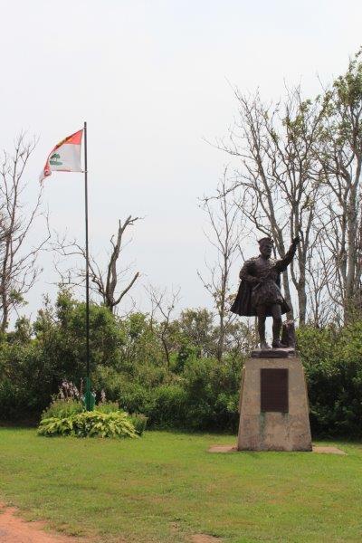
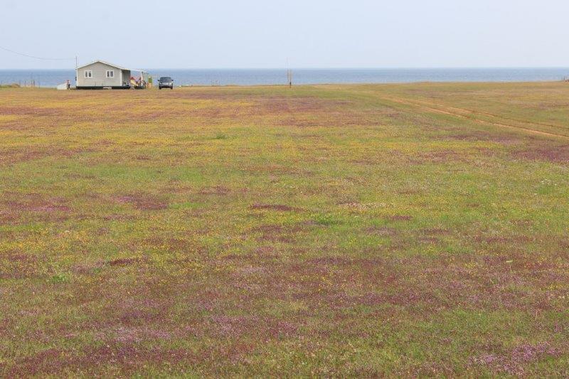
Fourth stop was to photograph the purple lawns we kept passing. There was a ditch beside the road filled with whatever invasive plant was taking over the lawns in this area and I hopped out to take a pic and see what it was. It is thyme! Pretty but I bet the homeowners are not pleased. 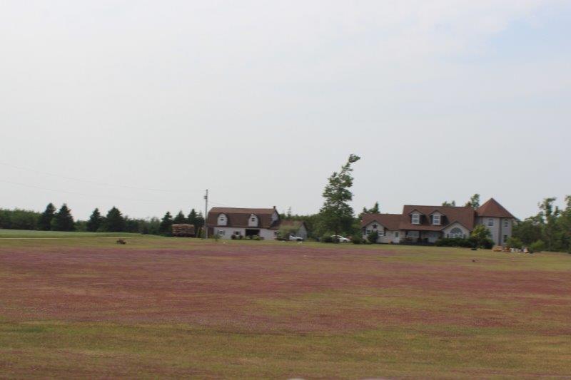
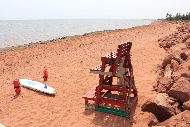
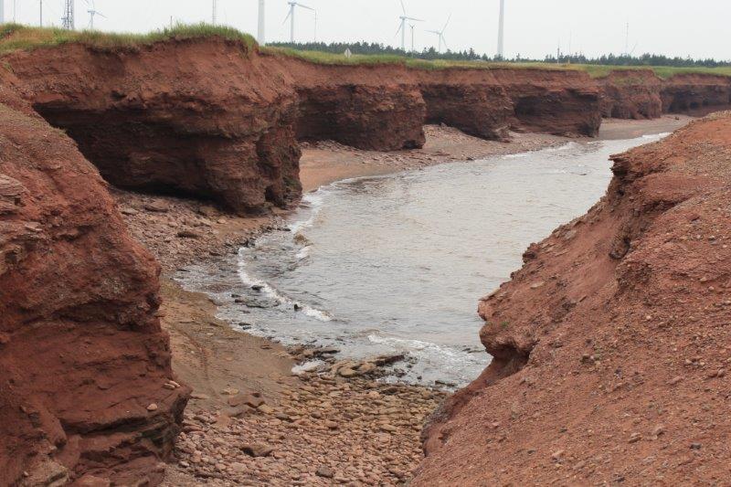
 Fifth stop was our longest: at North Cape. The Canadian Wind Energy Institute is located here to do research on wind energy. They provide data from their wind turbines to many companies and countries. North Cape allows 300 degrees of access to wind and has rapidly changing weather, severe wind gusts, and icy temperatures so it is an excellent place to procure lots of information for study and technological advancement in the field of wind energy. We did not tour the interpretive center, but did take a short walk around the point. North Cape is also where the Northumberland Strait between Nova Scotia/New Brunswick and PEI and the St. Lawrence River meet. The longest natural rock reef in North America is located here and at low tide you can walk out on the rocks for a kilometer. There were so many shipwrecks caused by the reef that the early pioneer community fabricated their own makeshift warning light (no information was provided on what that was) and a permanent lighthouse at the Cape was a major item on PEI’s ‘wish list’ to join Confederation (like the CNR railway line).
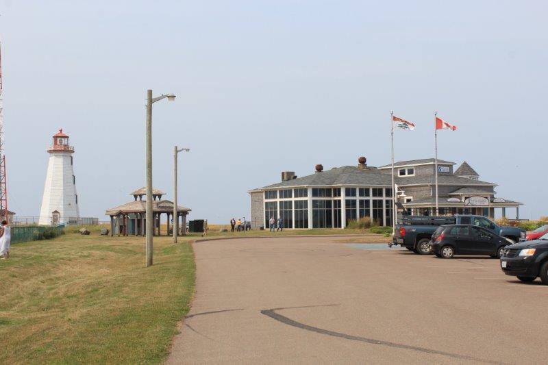
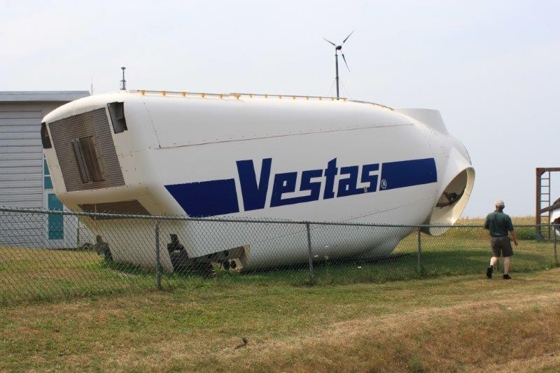
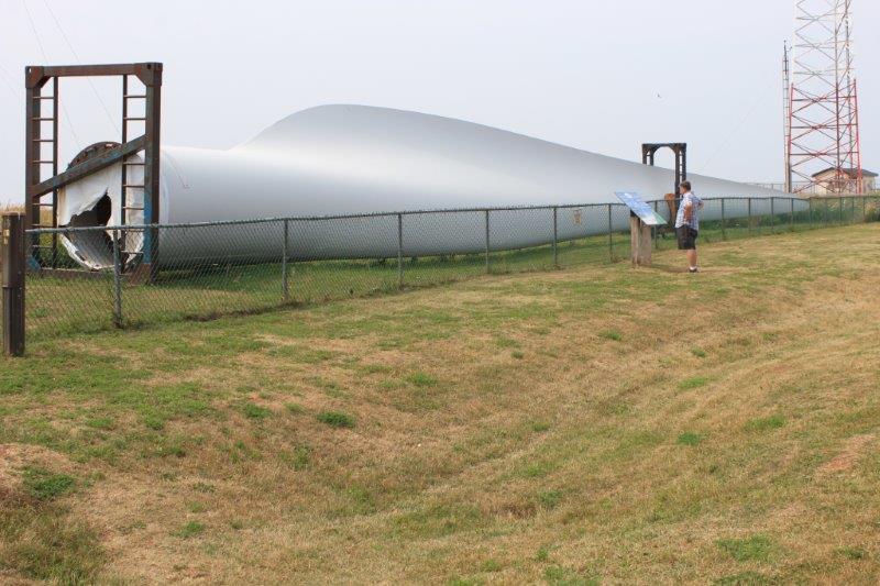 A blade for a wind turbine is 45 meters long.
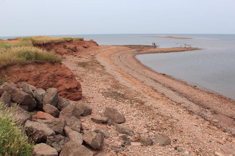 North Cape shore. You can just see a bit of the rock reef in out in the water.
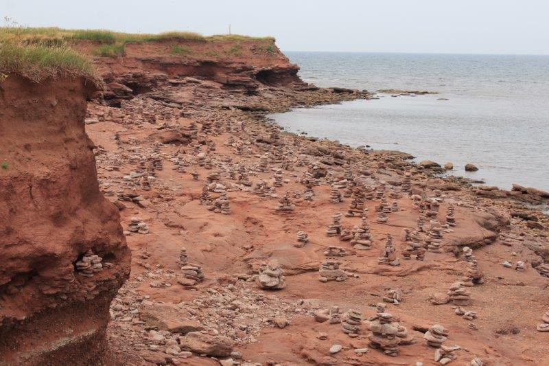 Inukshuks galore.
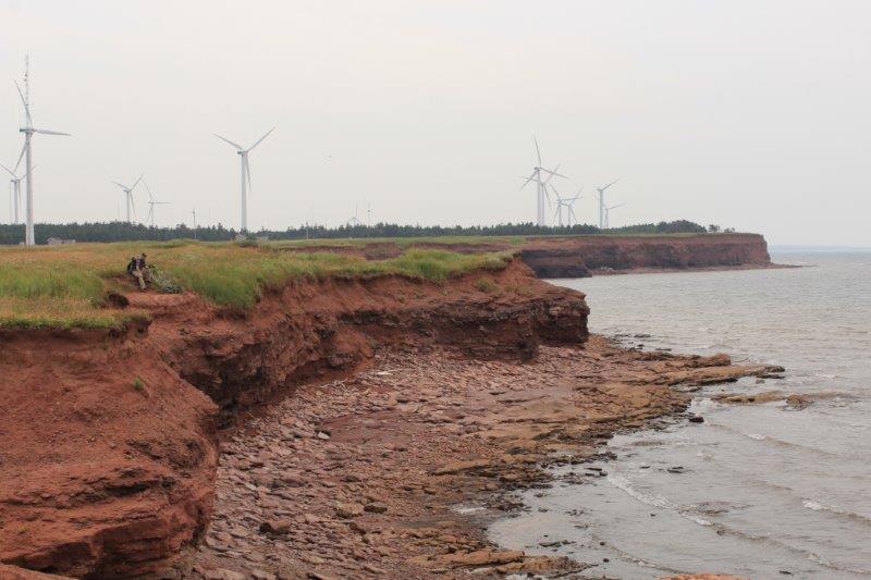
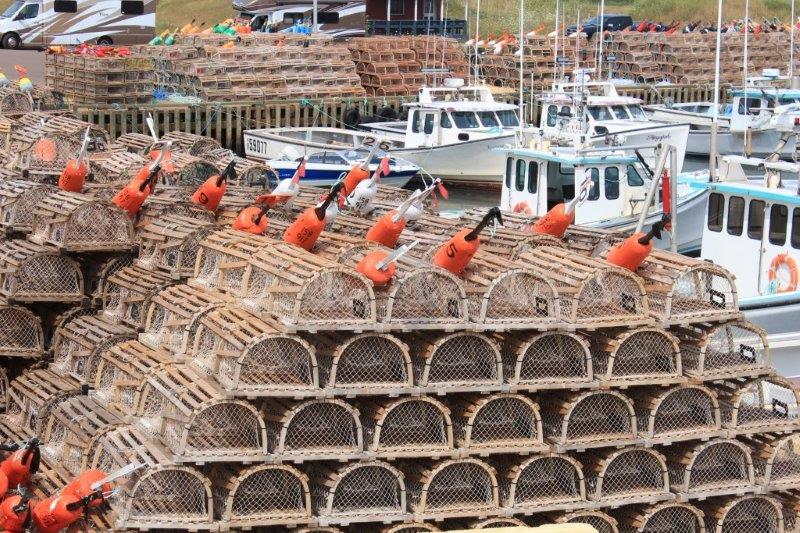
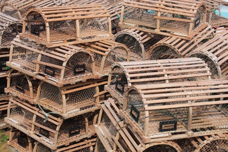
 Sixth stop was at a tiny sheltered harbour that had 21 boats tied up and hundreds of lobster traps.
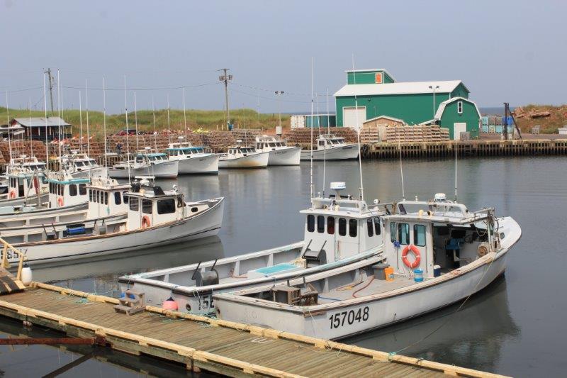
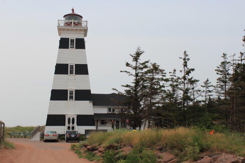
 Seventh stop was West Point Provincial Park to be….well, at the furthest west point, of course.
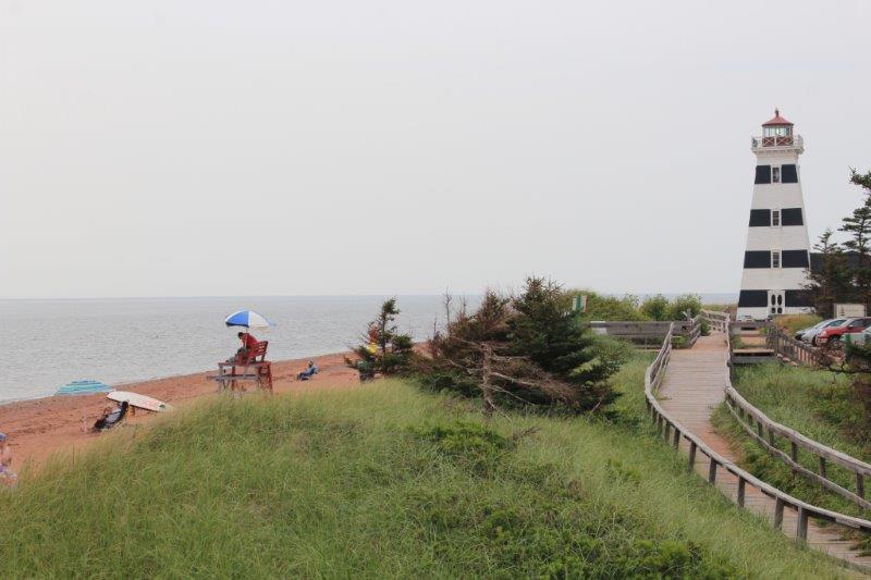
Eighth and last stop was to take a shot of the spill well at Glenwood Pond, on the West Point Watershed. I think this would qualify as a waterfall on flat PEI. 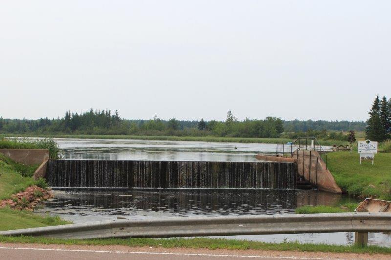 And that, ladies and gentlemen sums up our day.
