Category Archives: 2009 World Cruise

2009 World Cruise – May 10 – Day 125 – Gustavia, St. Bart’s

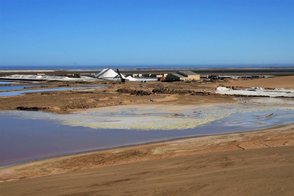
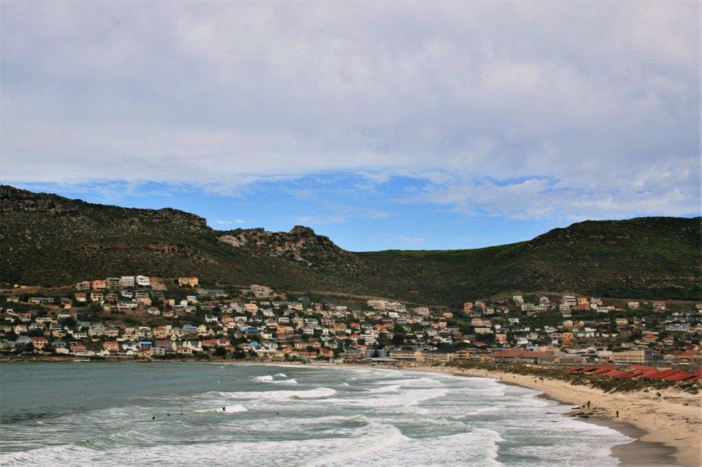
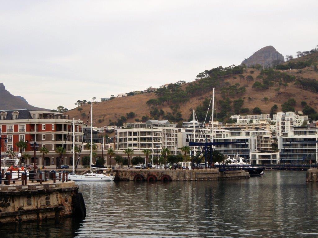
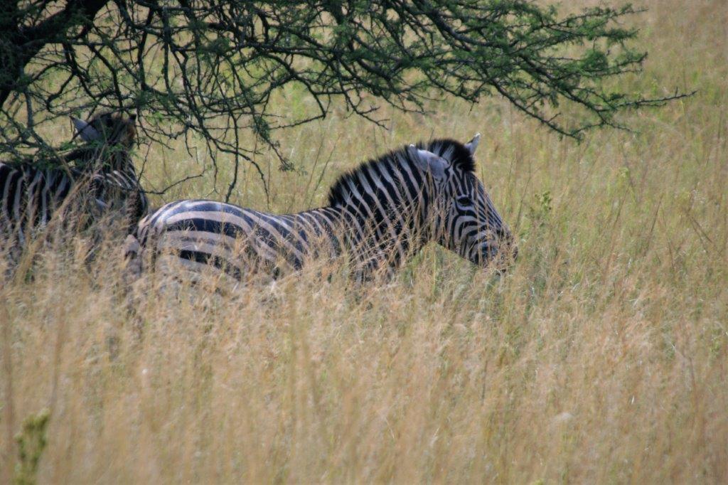
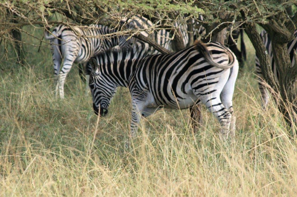
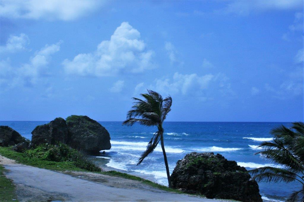
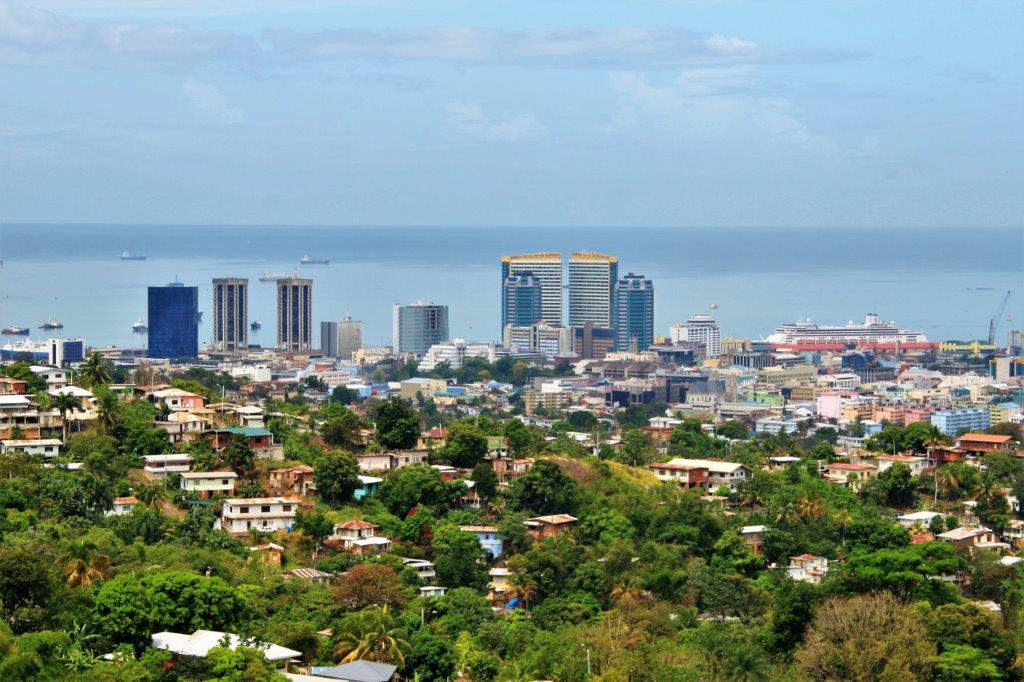
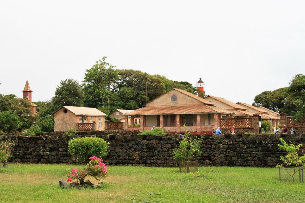
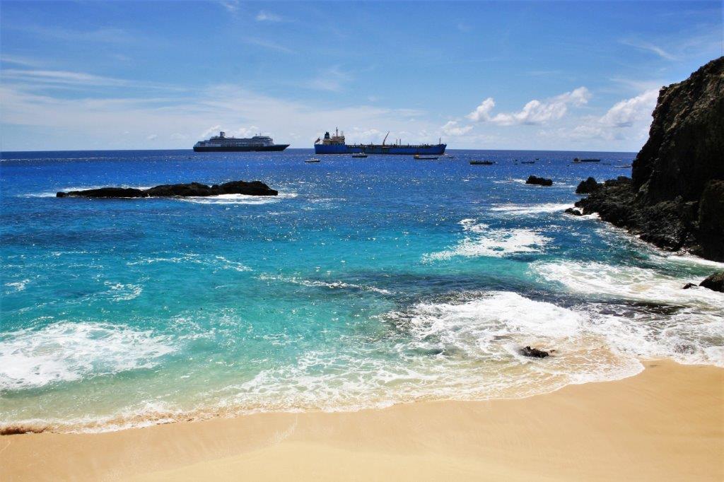
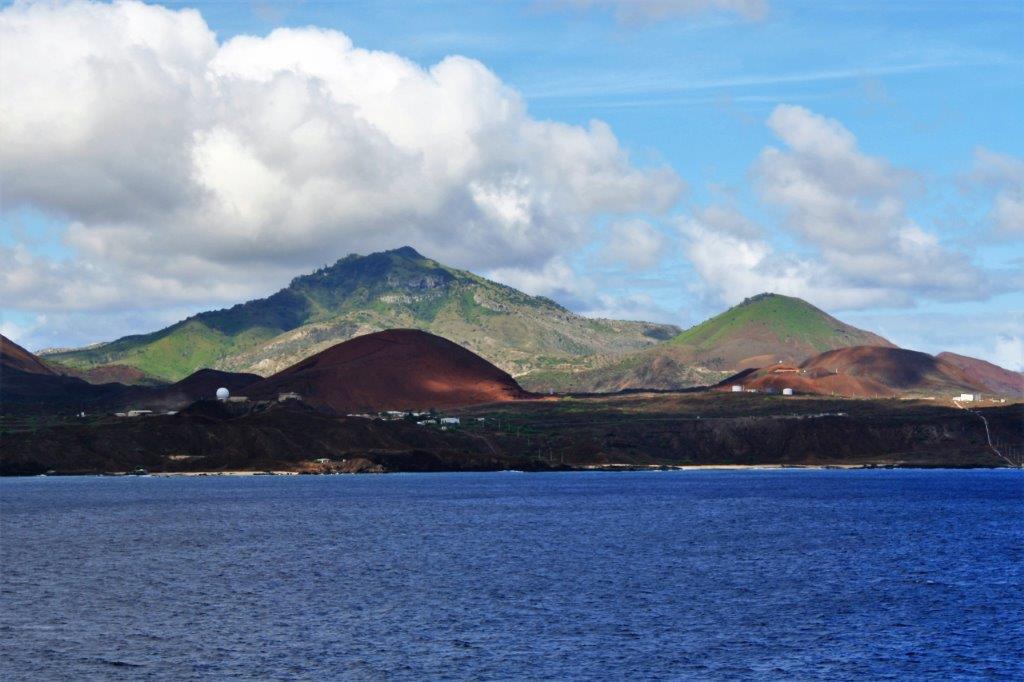
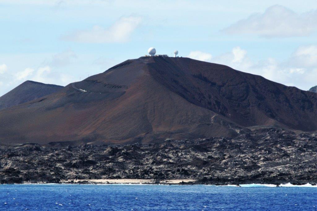
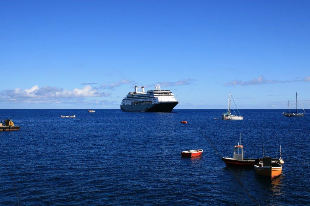
This was the last port of call on our trip around the world. The red line remaining on the map is the two days to Ft. Lauderdale followed by the three days to New York City for those getting off in the Big Apple.
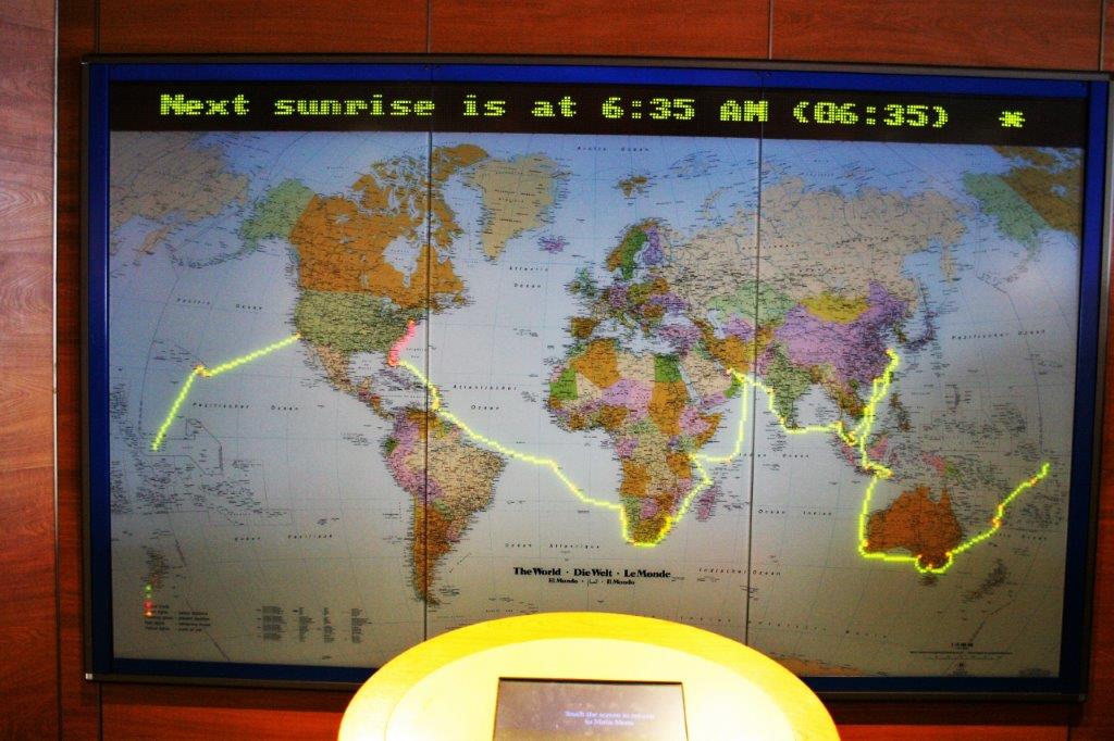
Saint Barthélemy is an overseas collectivity of France; one of four territories among the Leeward Islands in the Caribbean that comprise the French West Indies. Christopher Columbus ‘discovered’ the island in 1493 and named it after his brother Bartholomeo.  Settlers came in 1659 and began to grow tobacco and indigo, but the islands main income came from smugglers and priates en route from South America to the Bahamas, who took advantage of the islands strategic location and well-protected harour to repair their ships and stock up on provisions. 
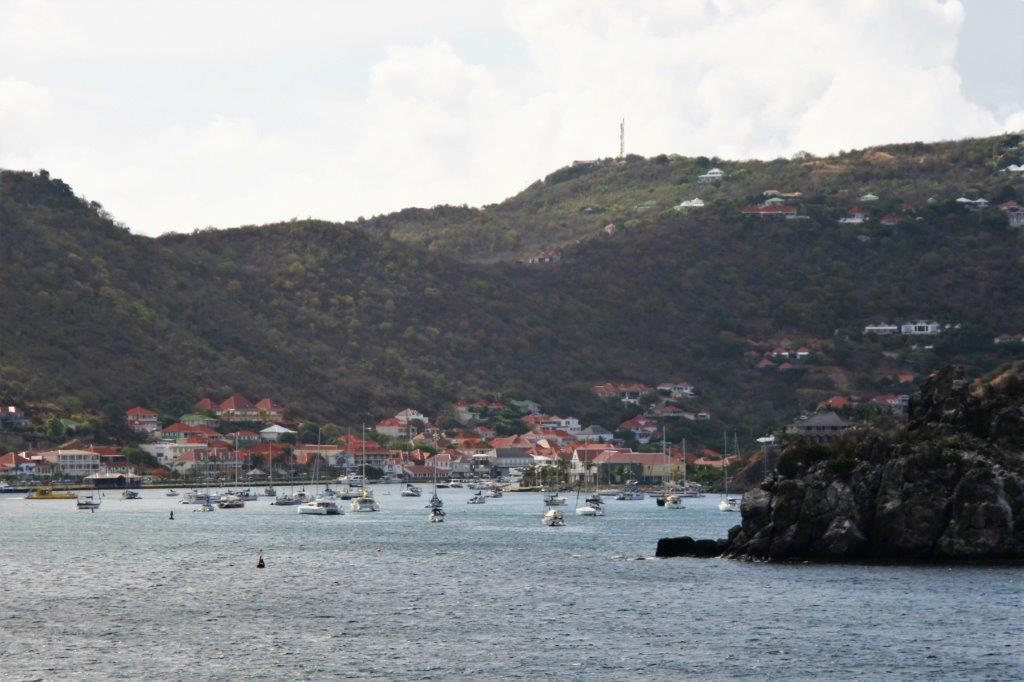
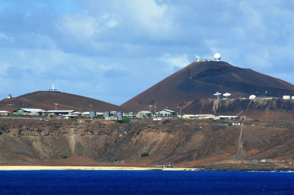
In 1784 the King of France traded the island to Sweden for trading rights in the Baltic without even consulting the people of St. Bart’s. In 1878 Swedish King Oscar II put sovereignty to a referendum and St. Barts was handed back to France.

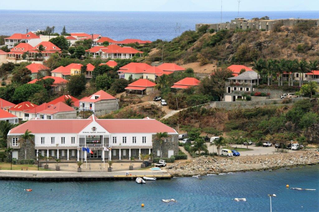
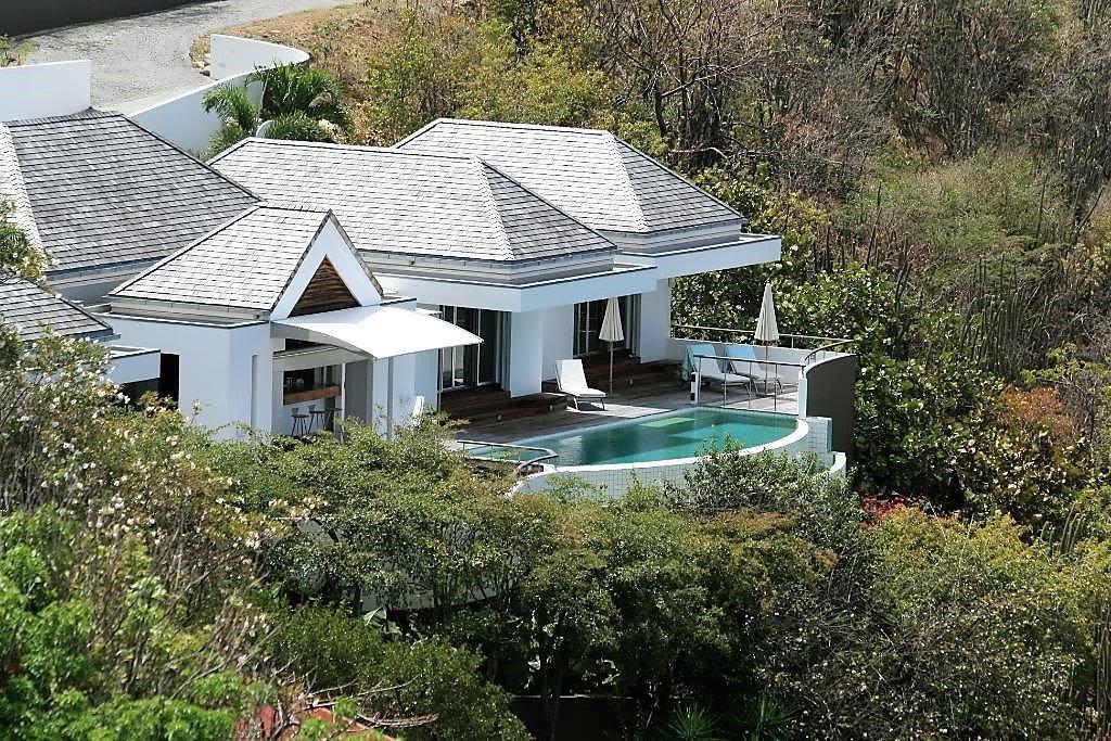
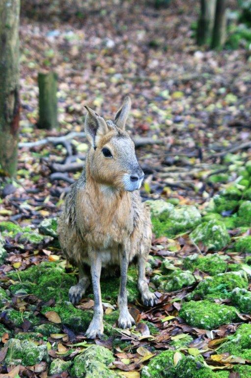
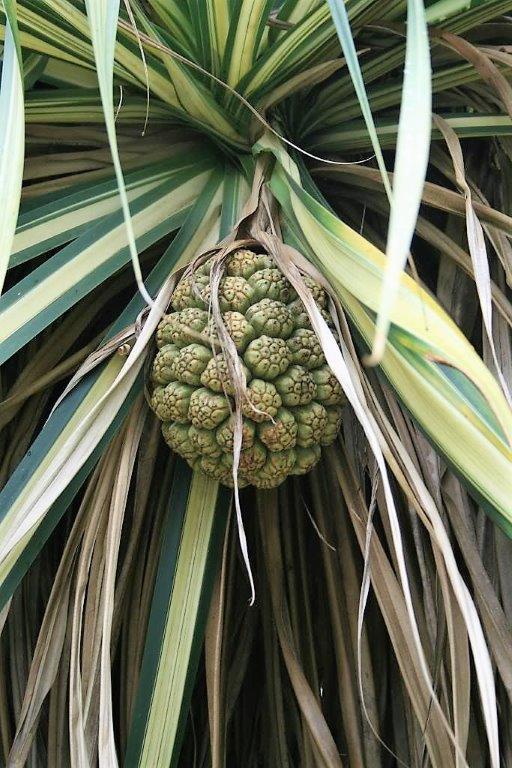
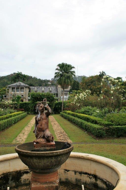
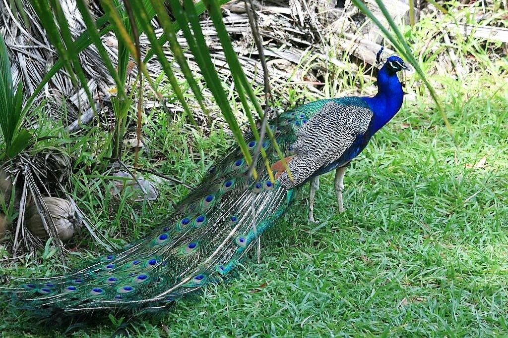
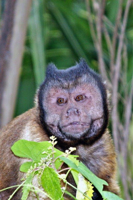
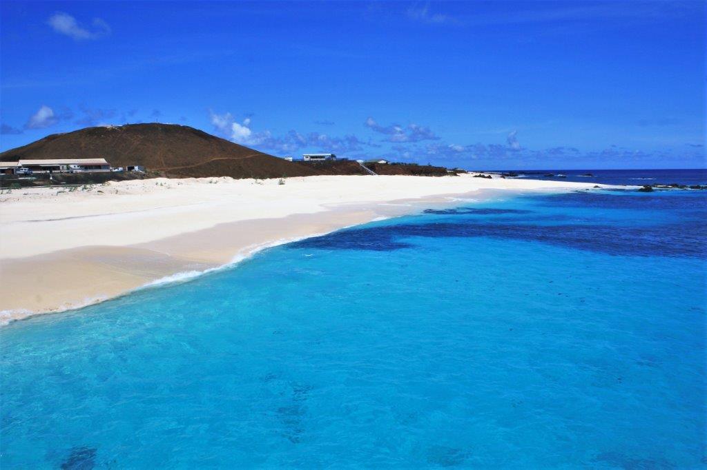
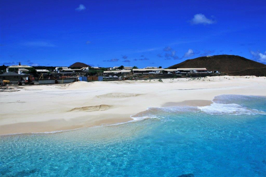
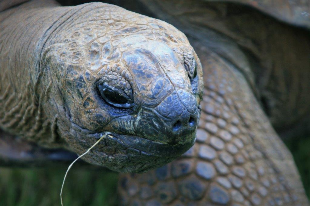
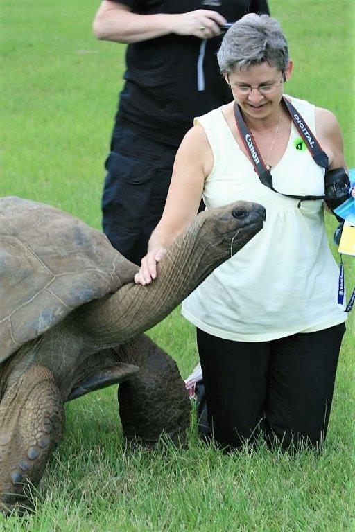
Tourism has steadily grown over the last 30-40 years but St. Barts is still an exclusive and luxurious playground for the wealthy and famous.

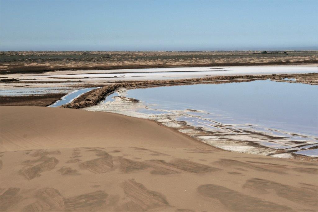
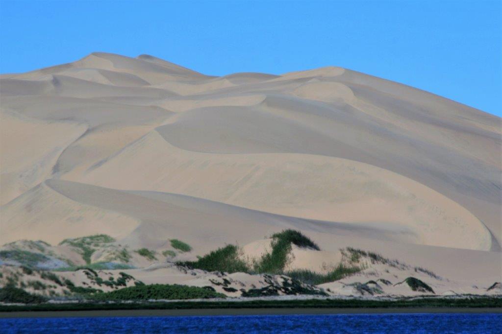
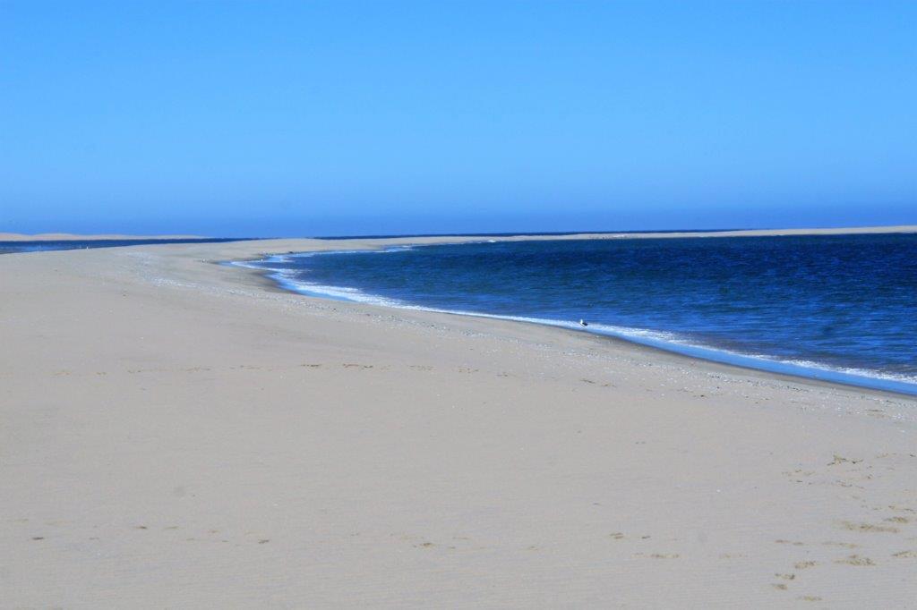
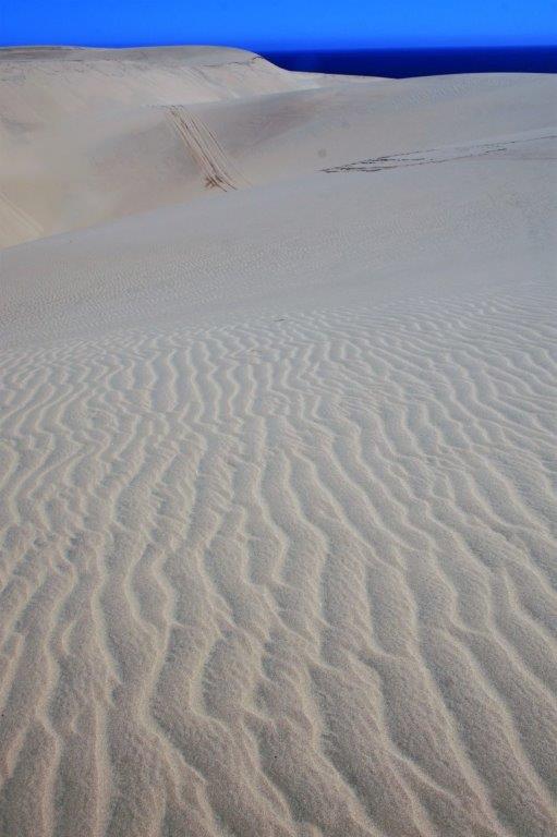
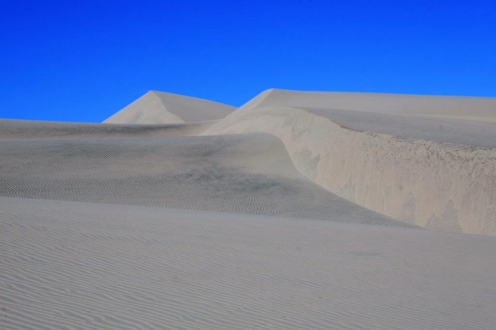
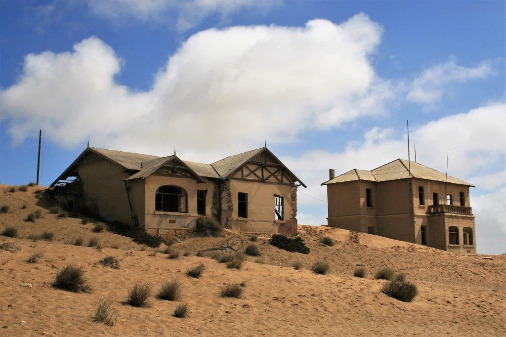
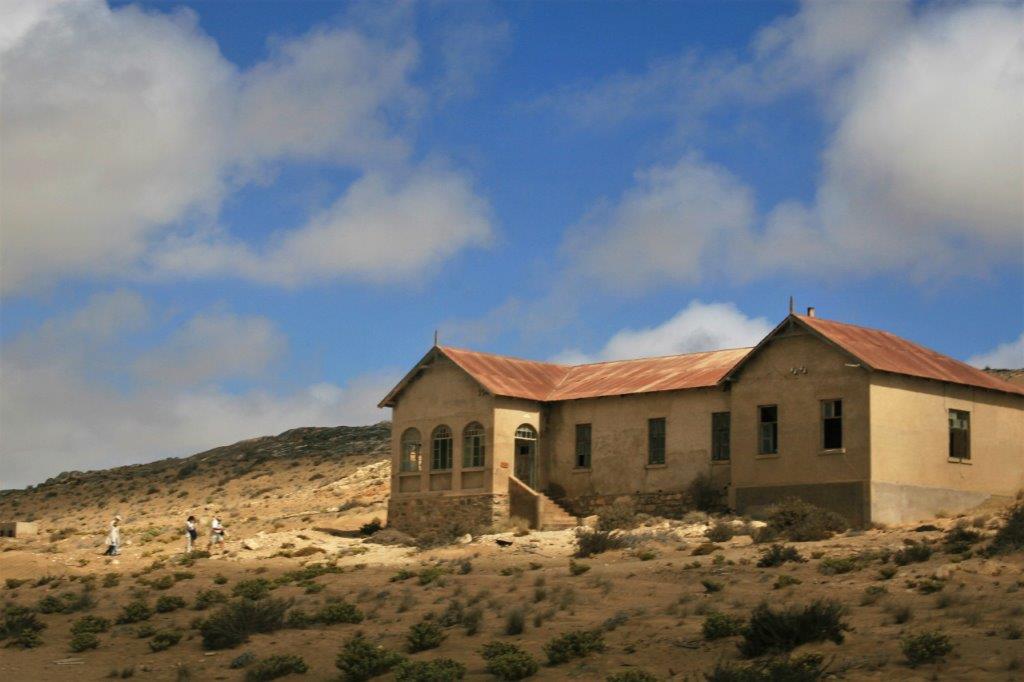
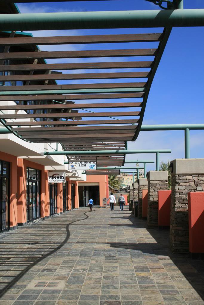
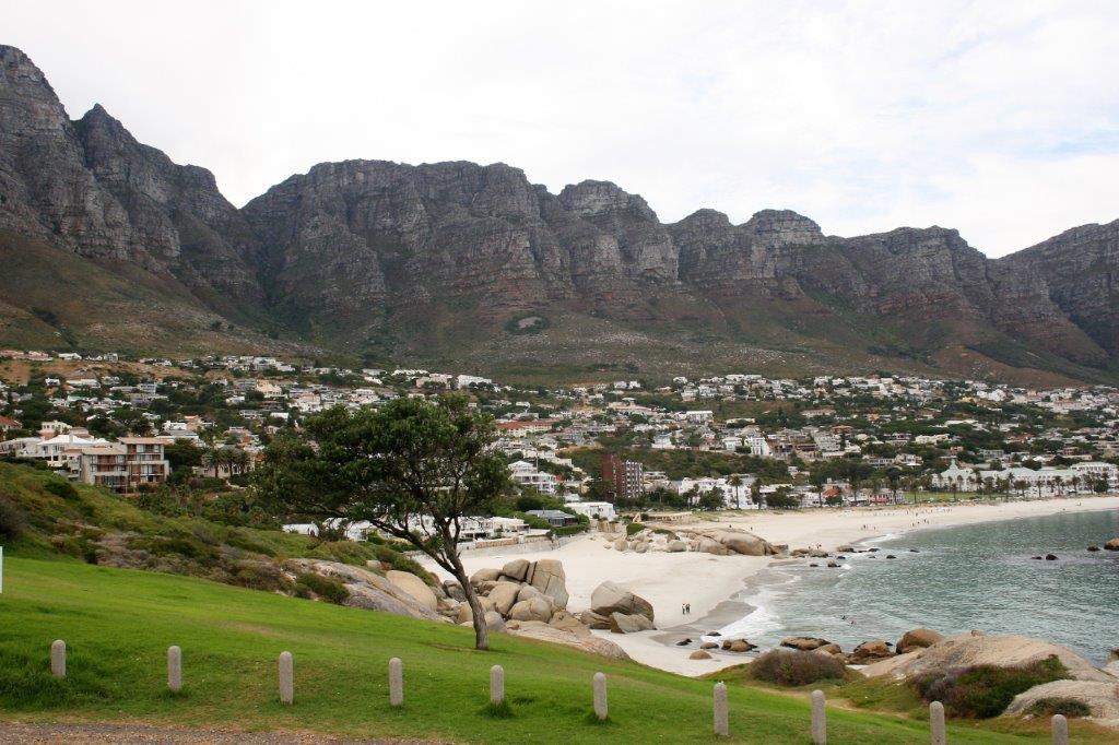
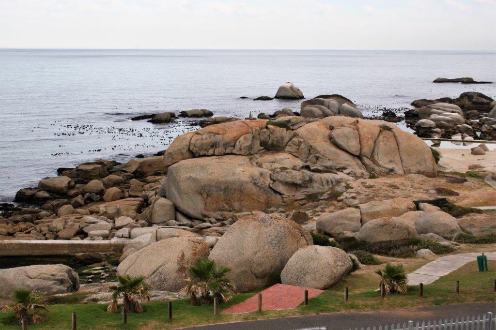
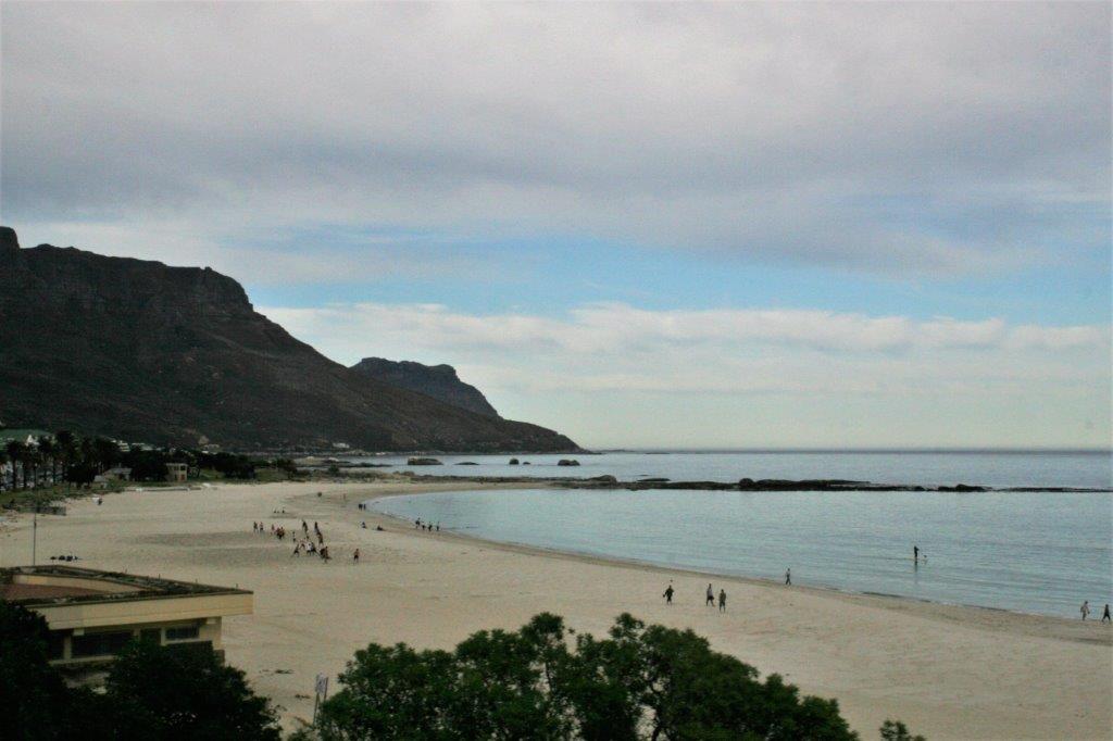
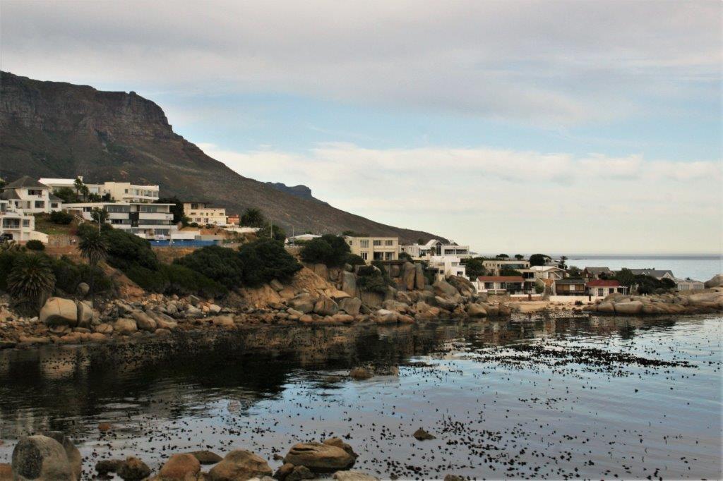
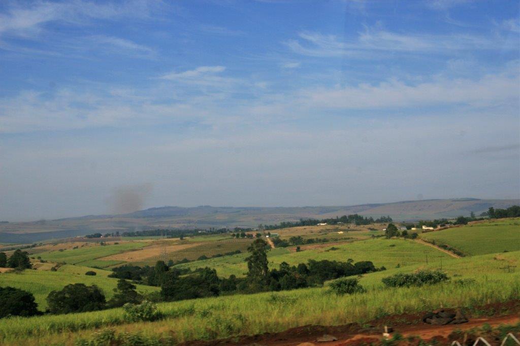
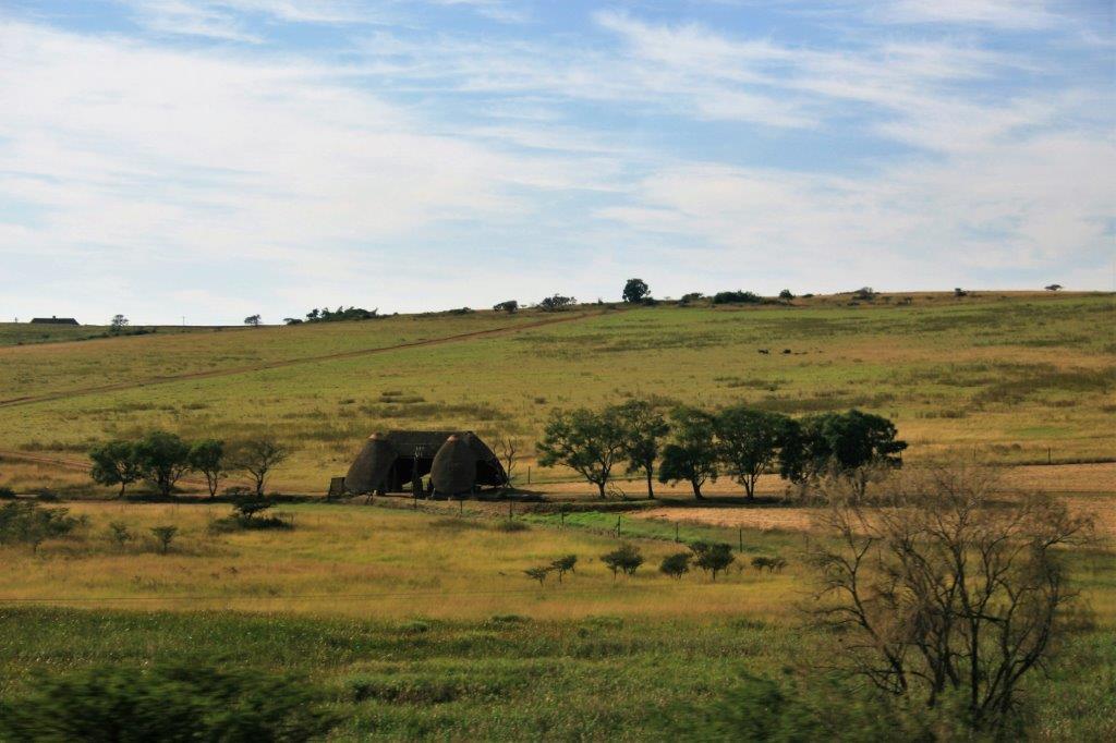
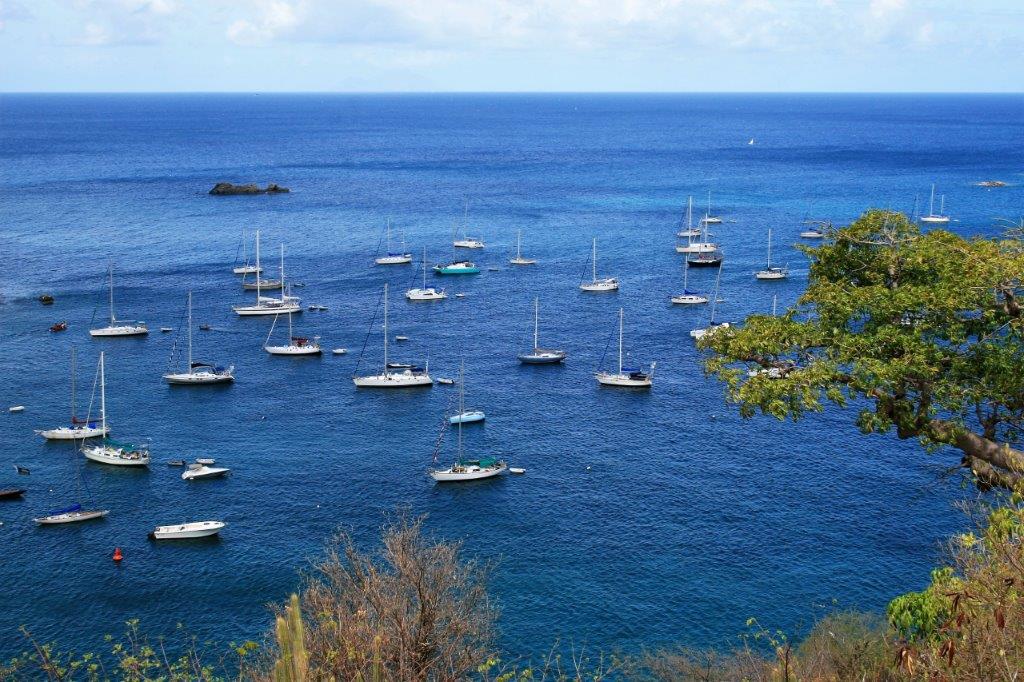
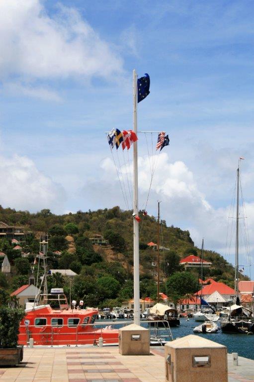
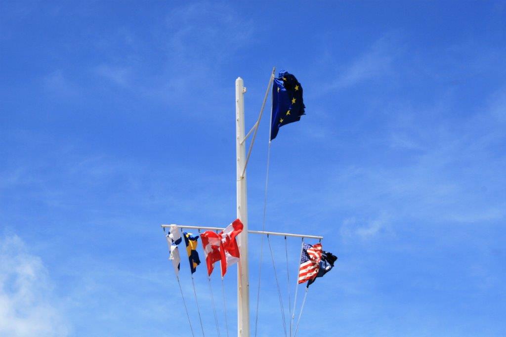
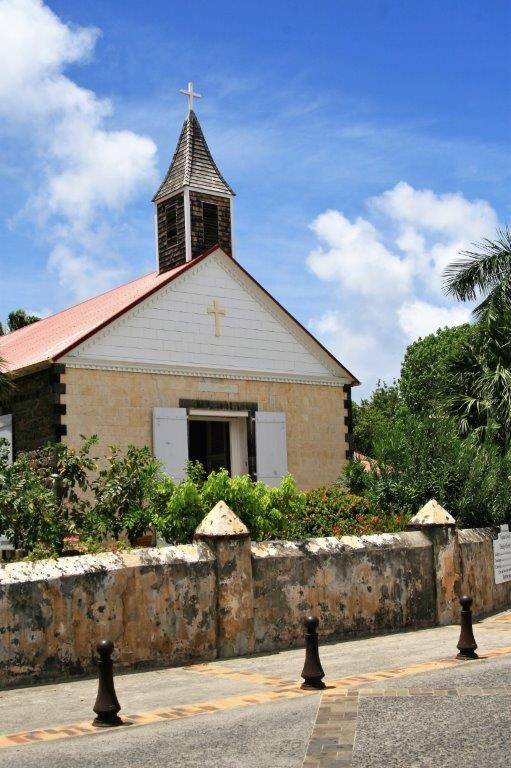
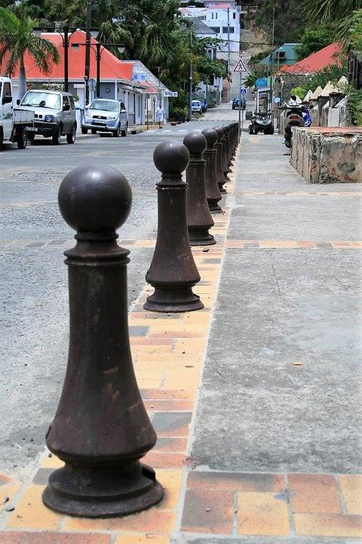
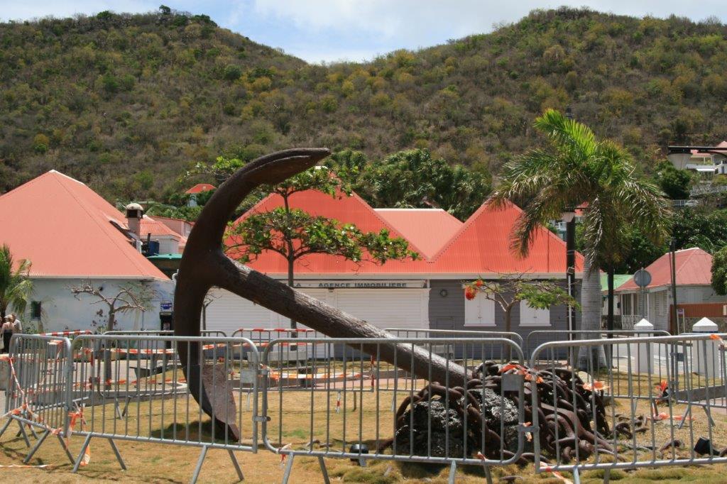
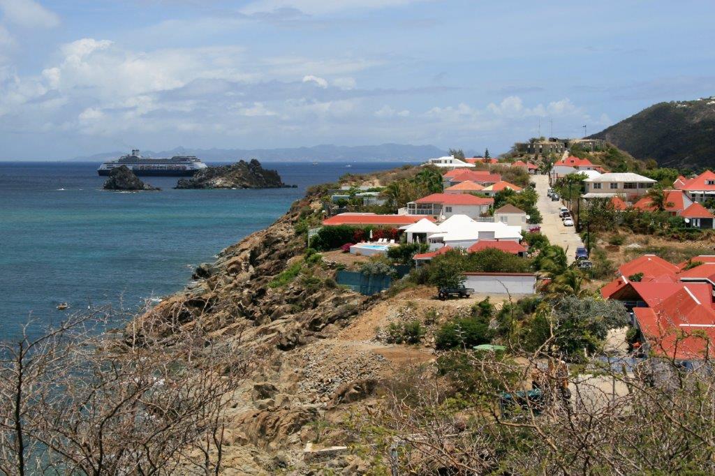
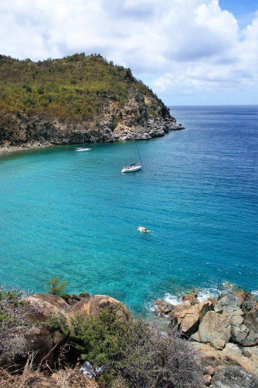
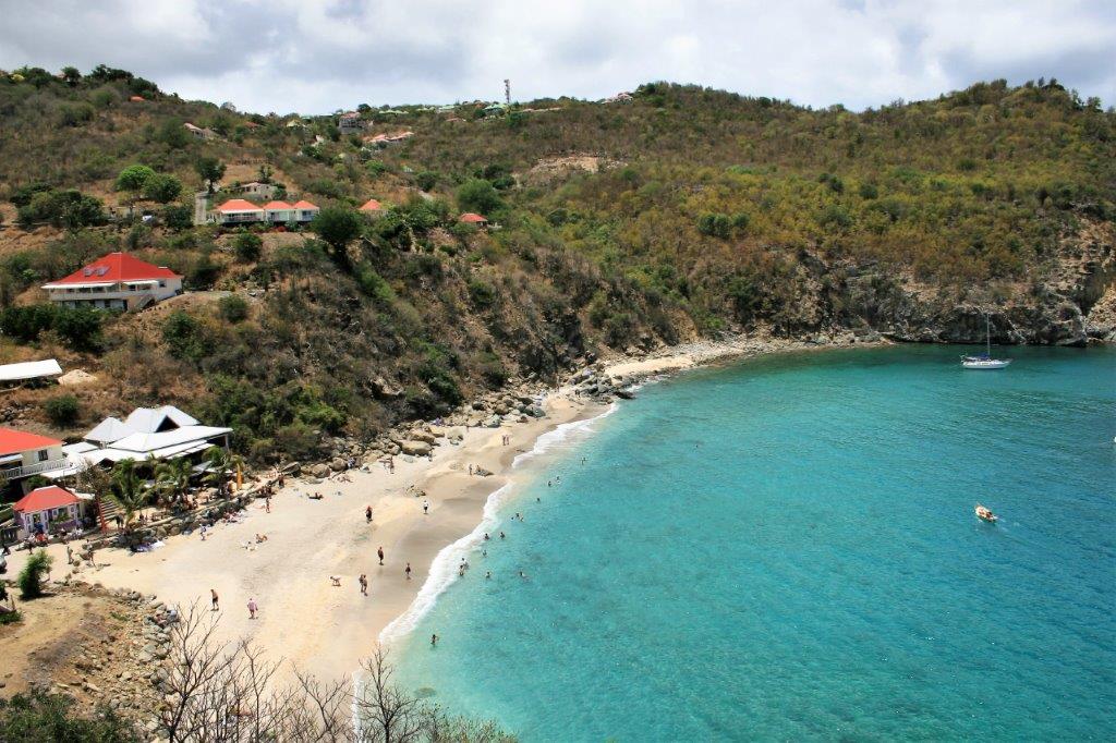
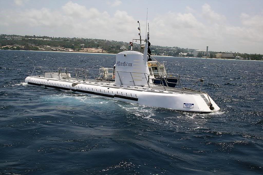
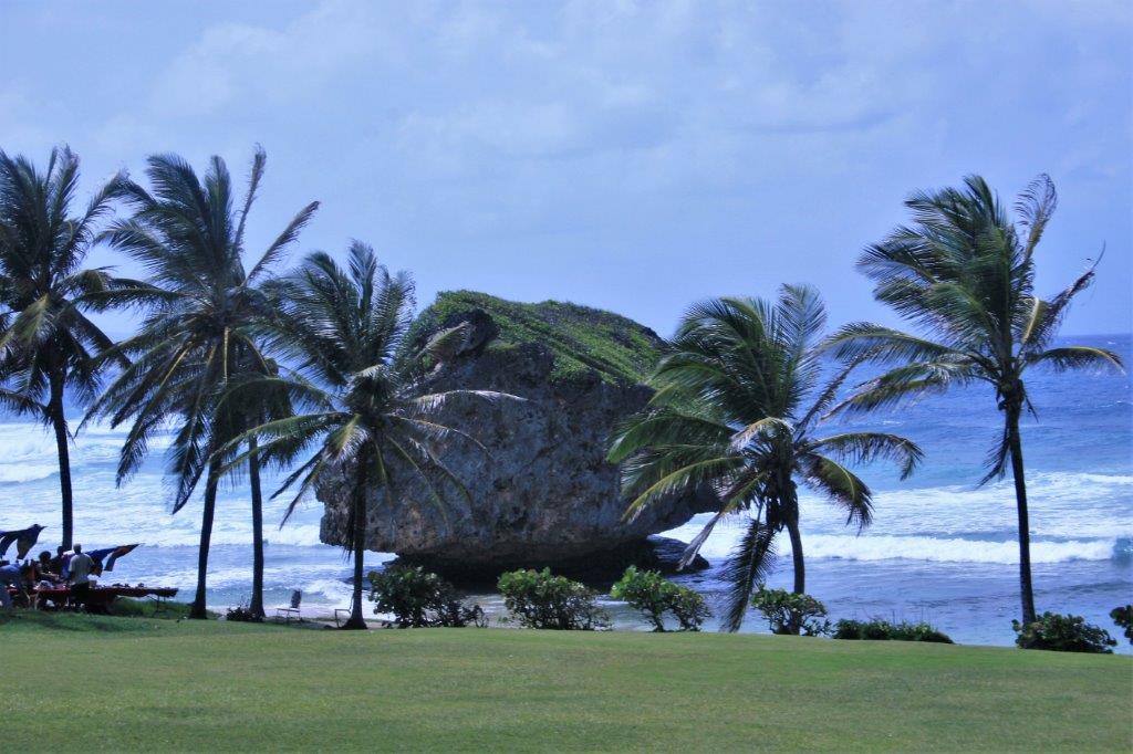
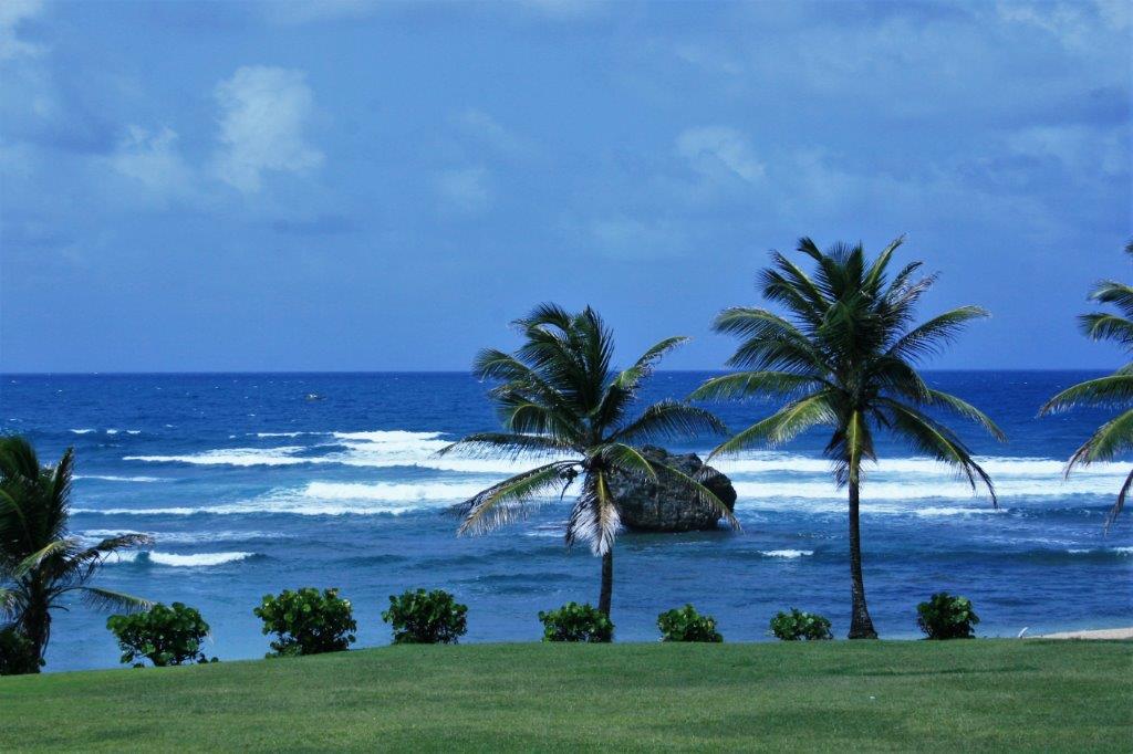
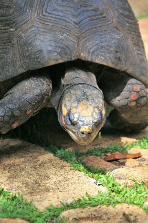
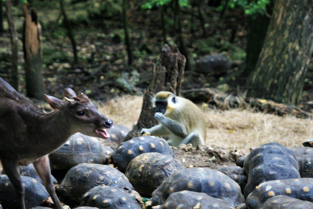
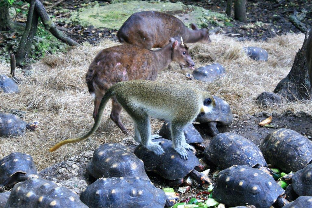
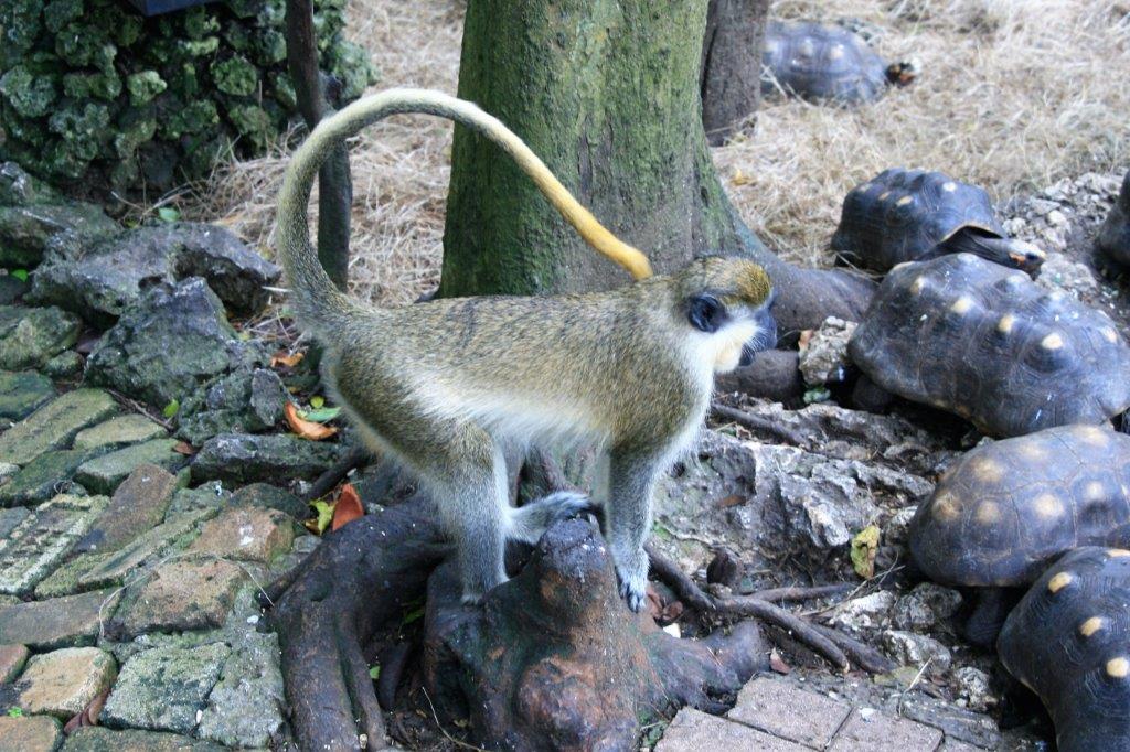
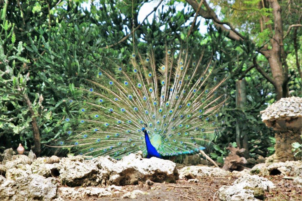
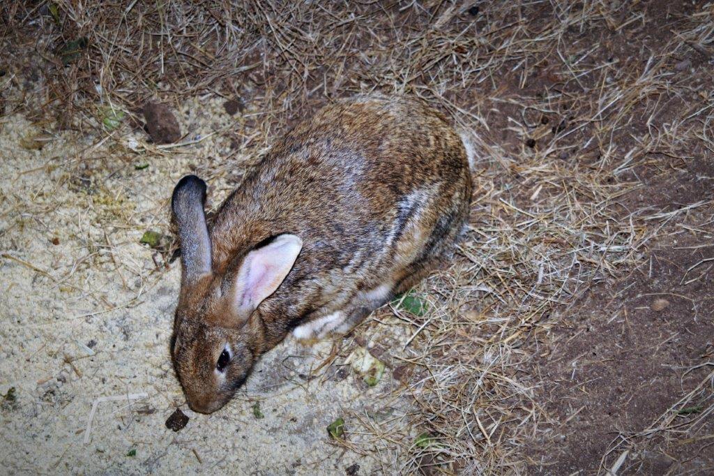
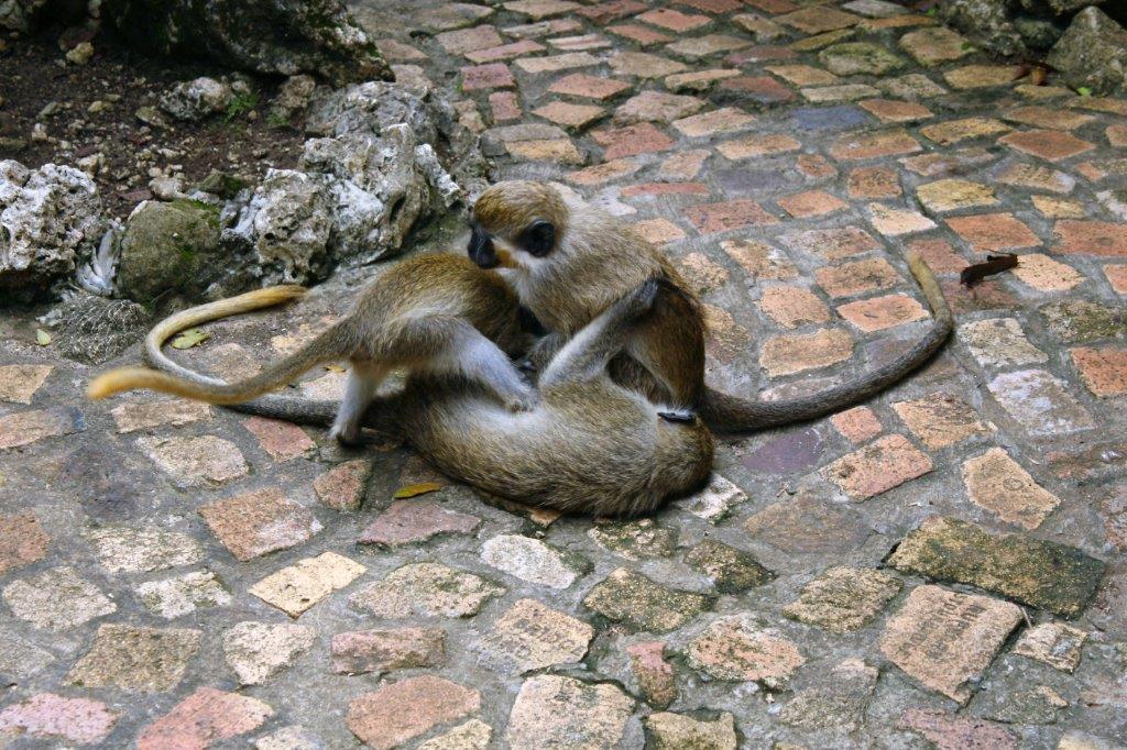
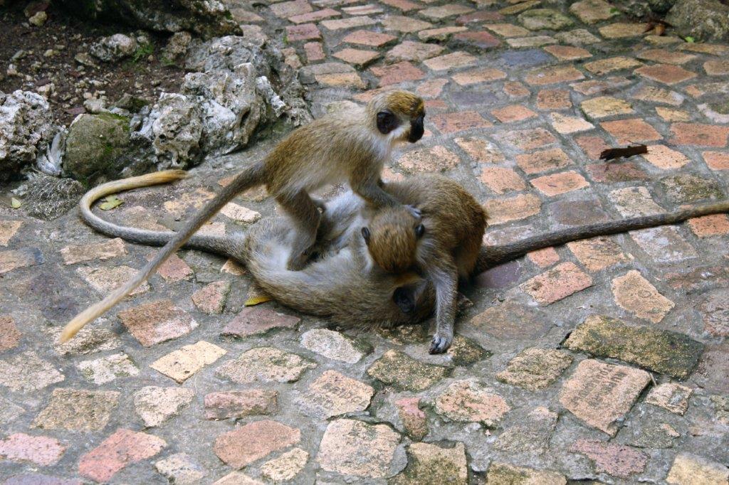
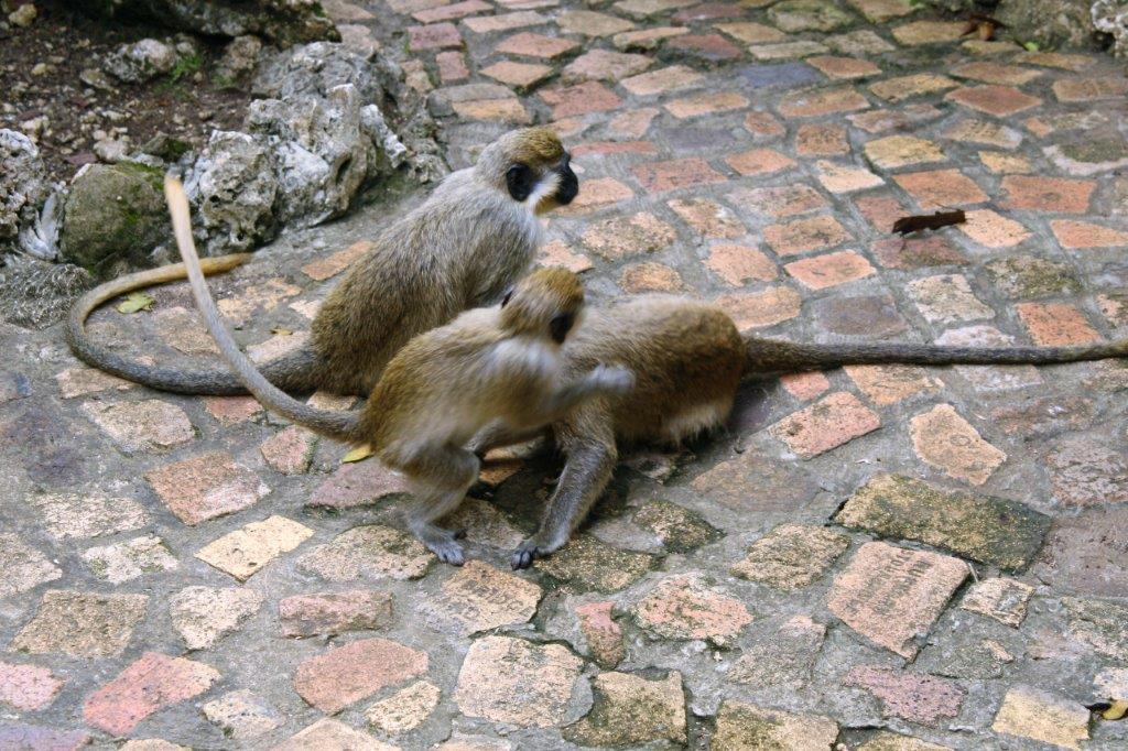
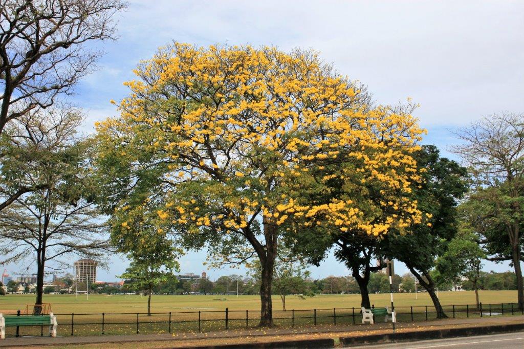
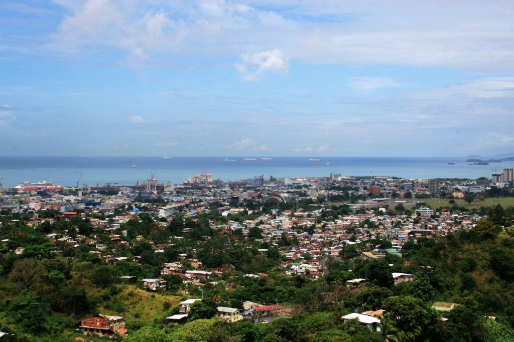
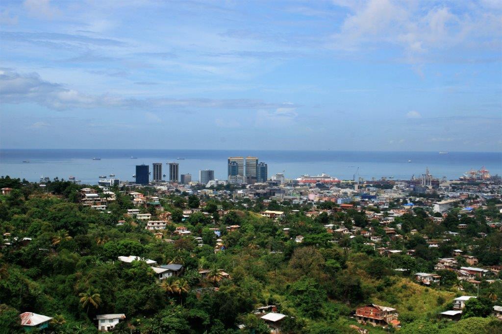
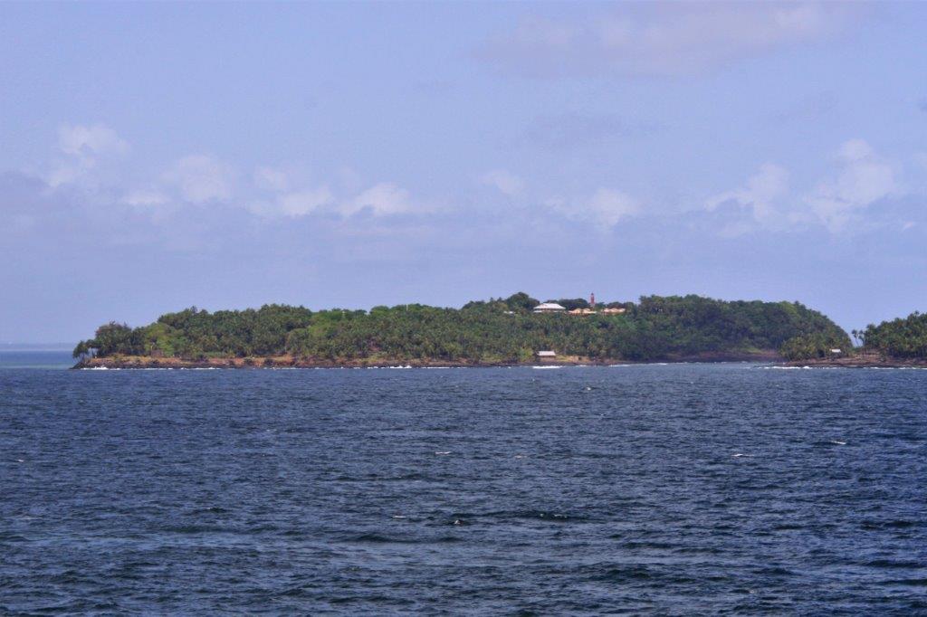
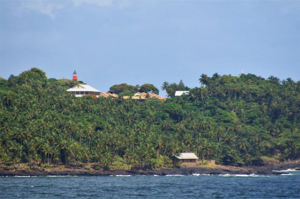
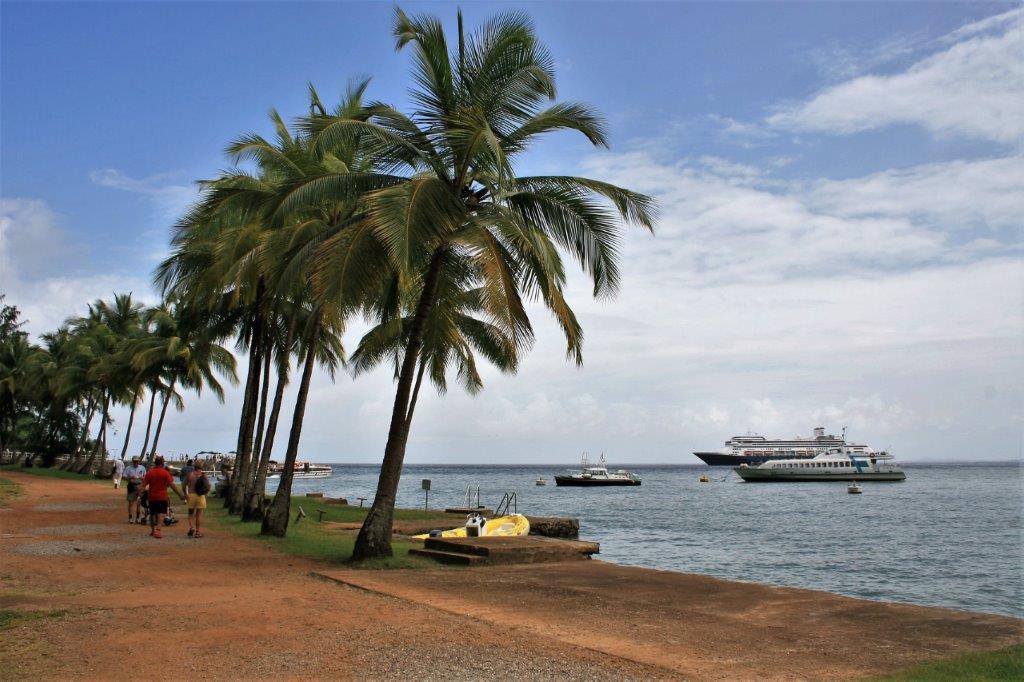
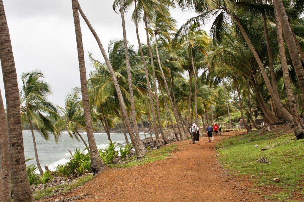
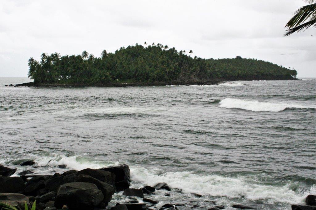
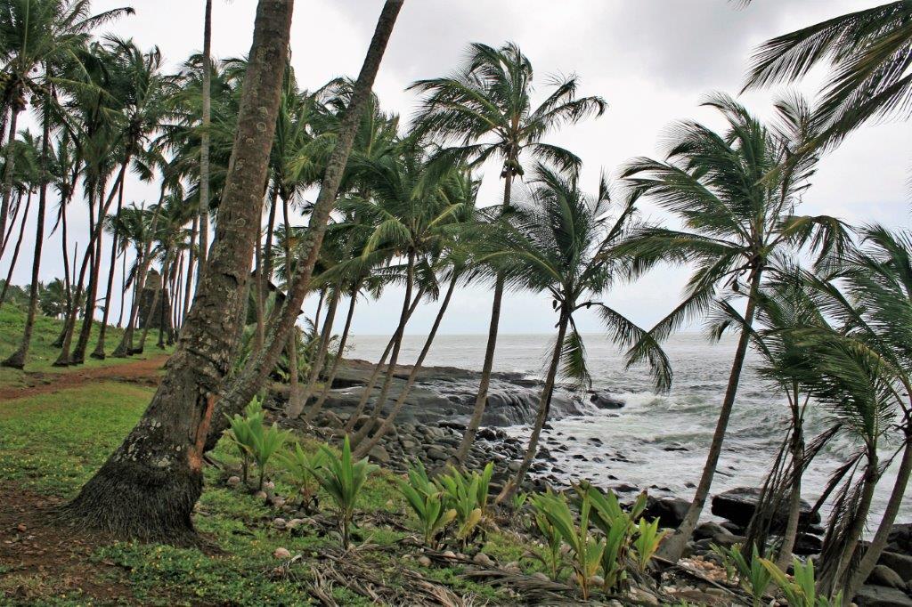
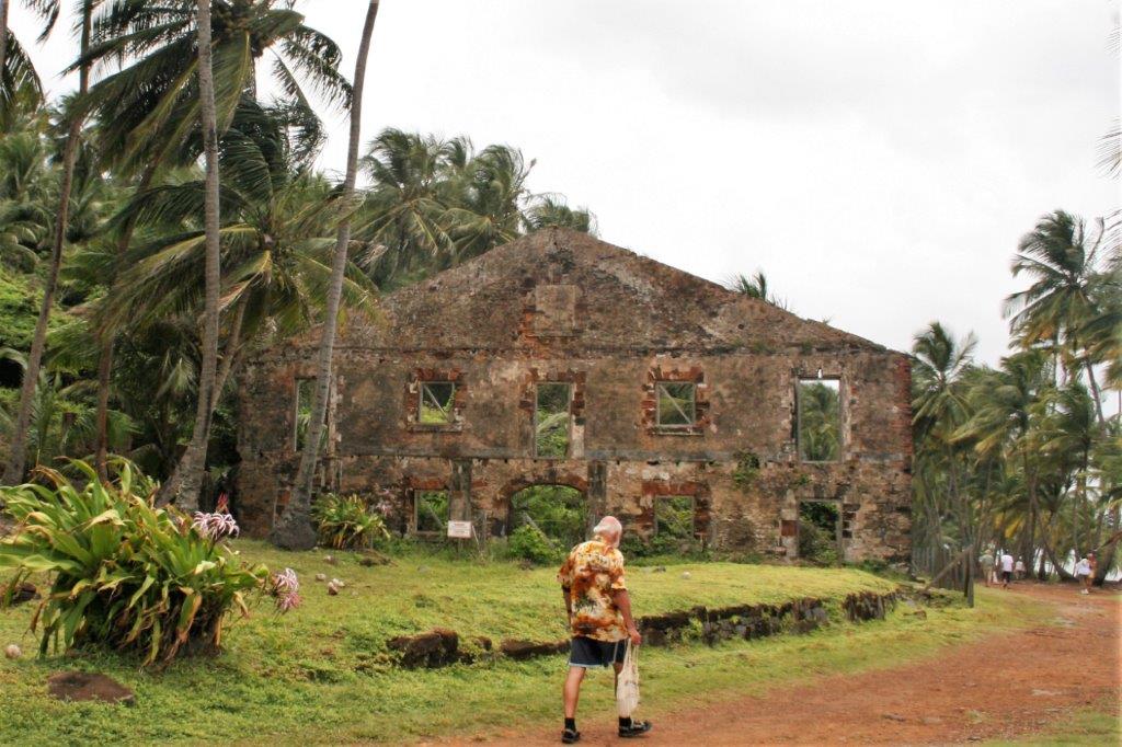
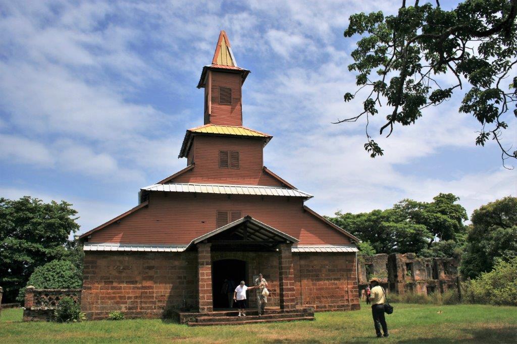
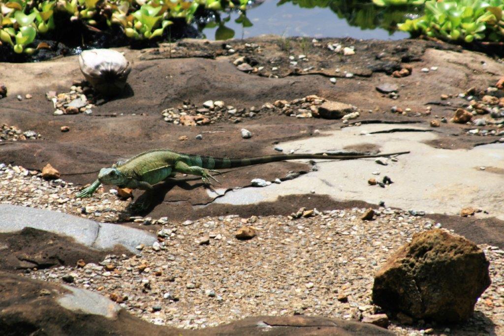
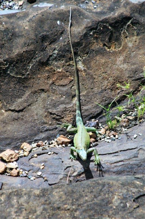
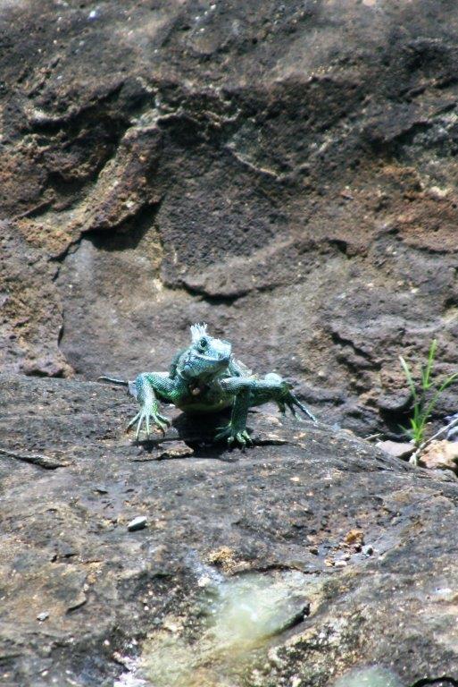
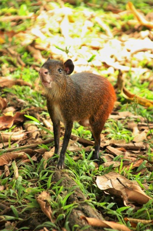
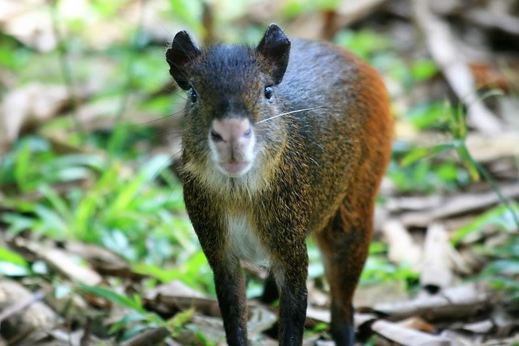
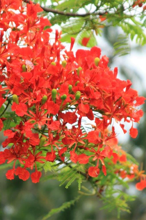
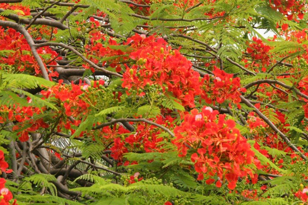
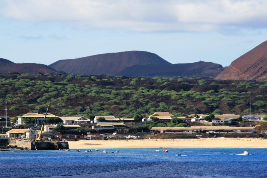
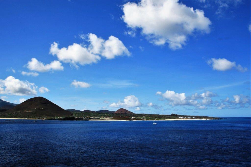
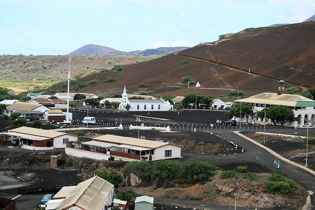
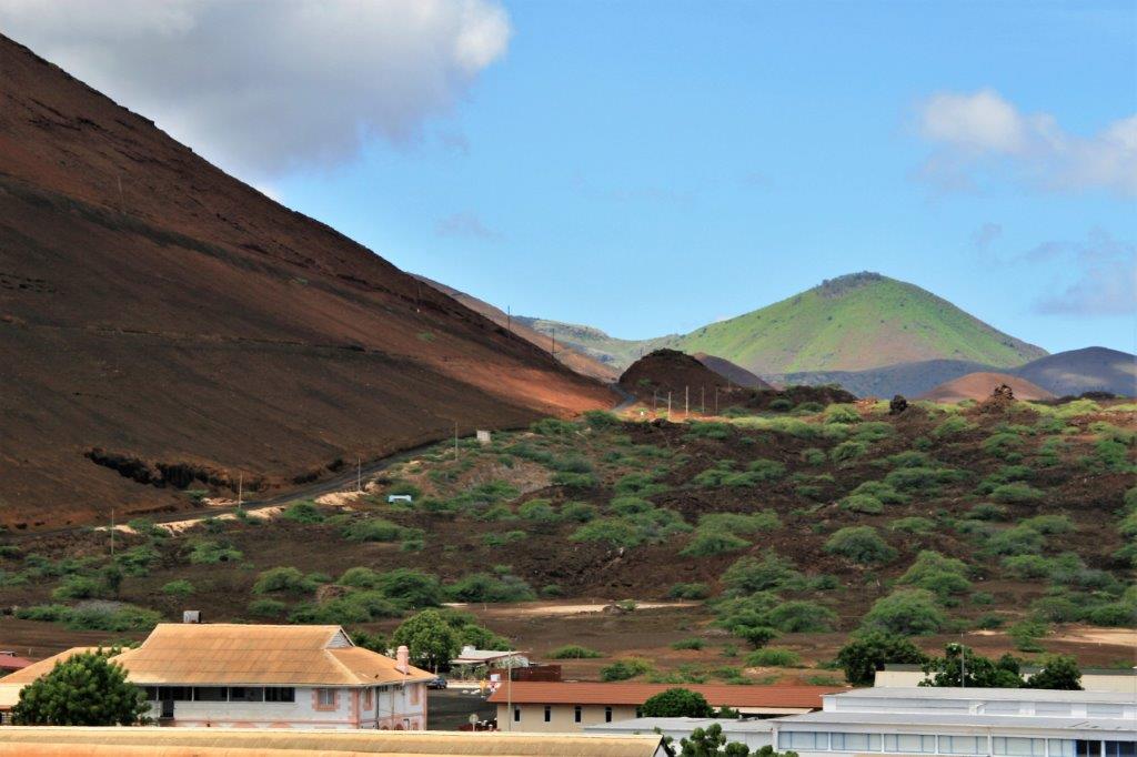
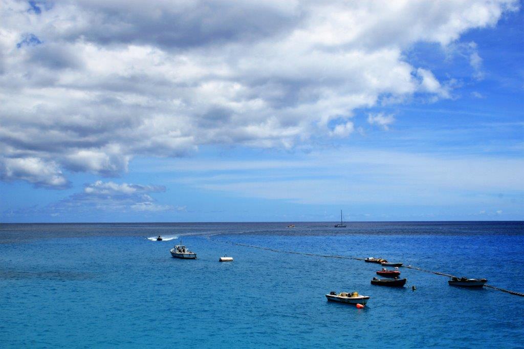
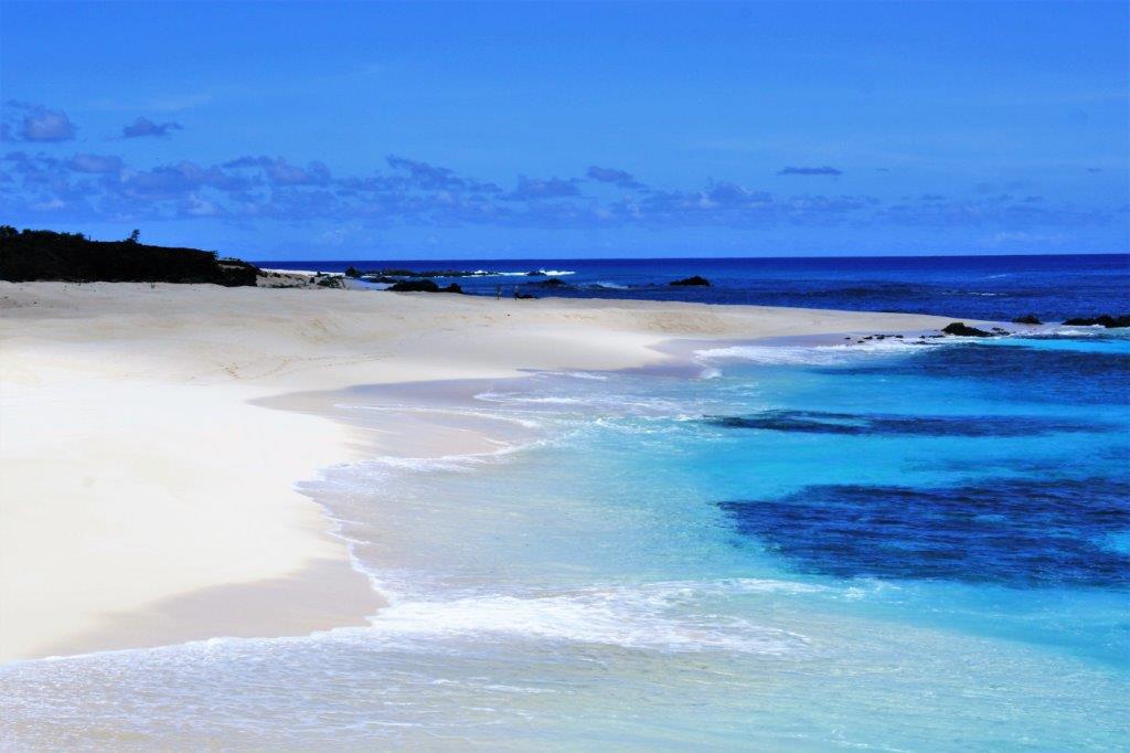
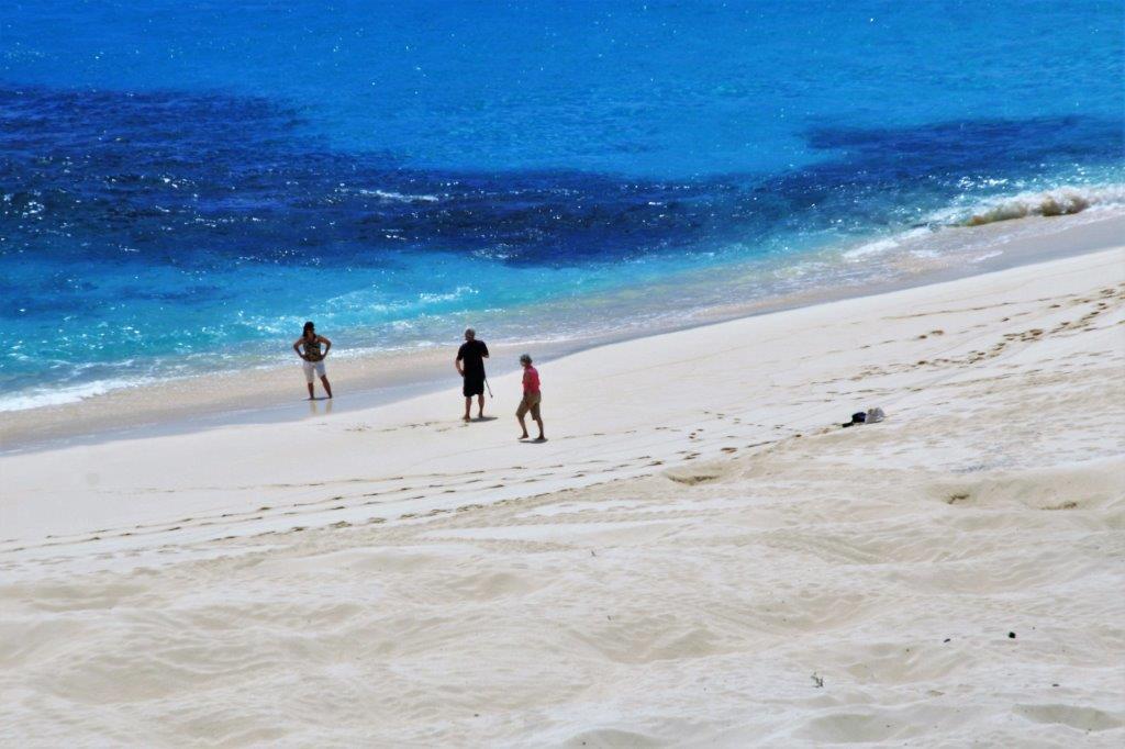
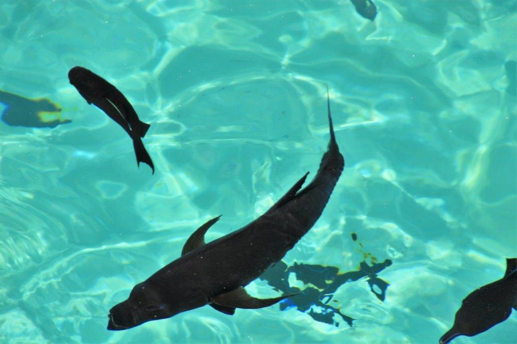
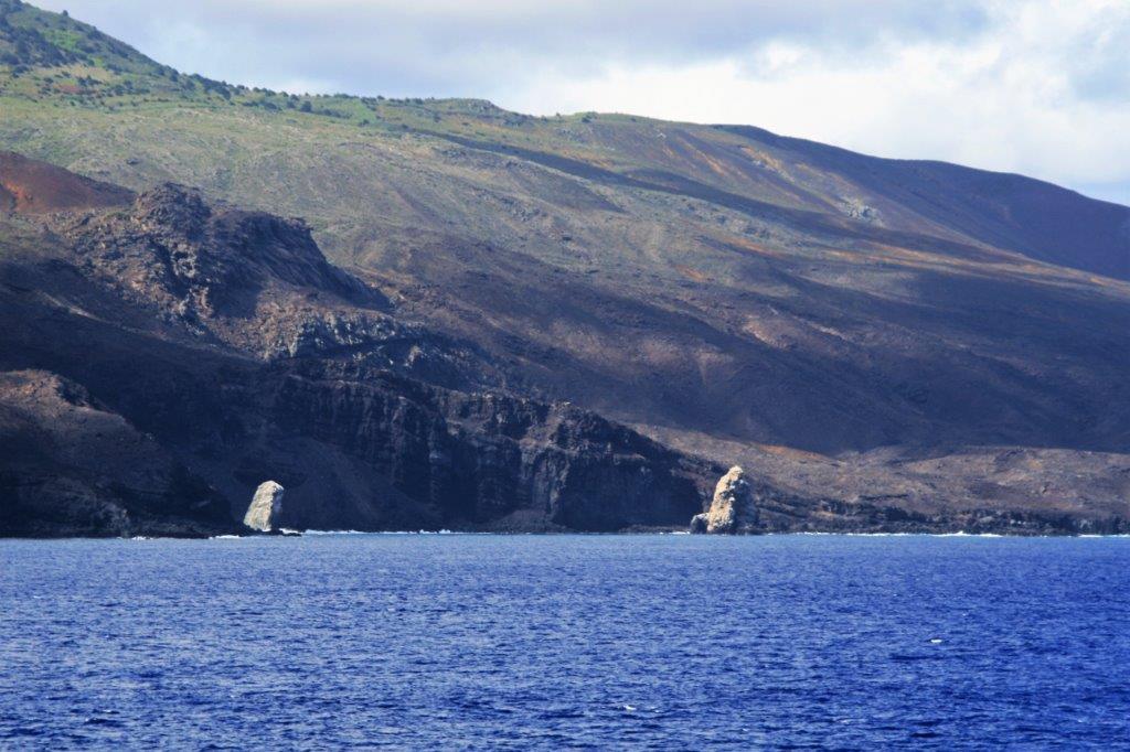
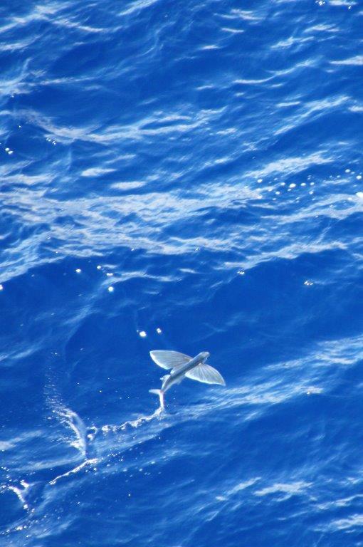
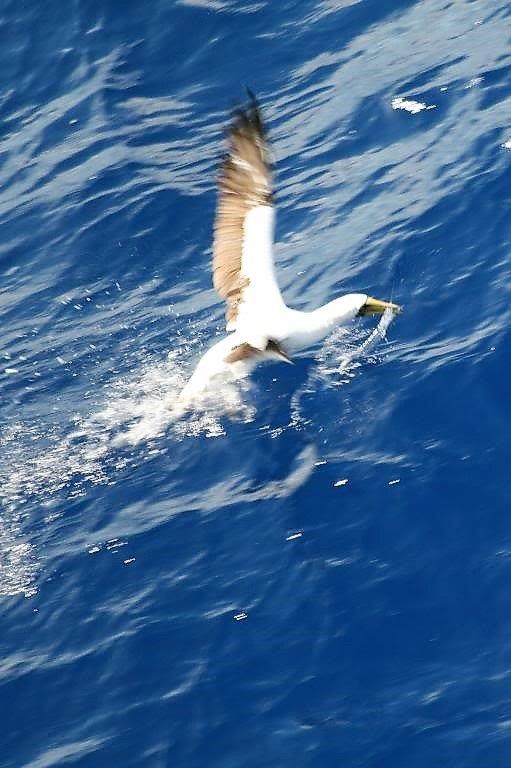
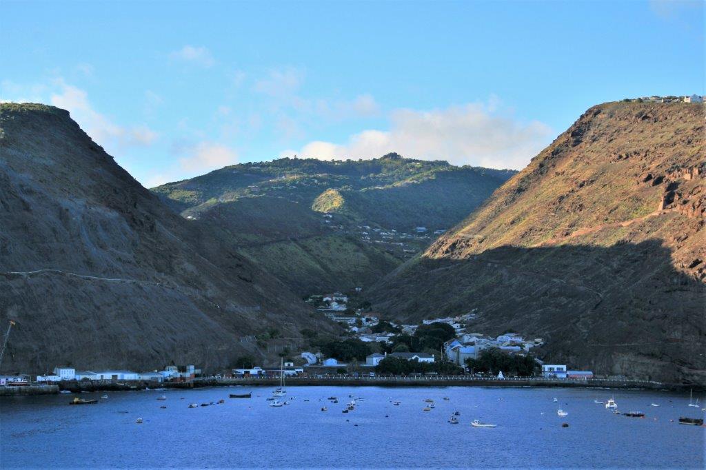
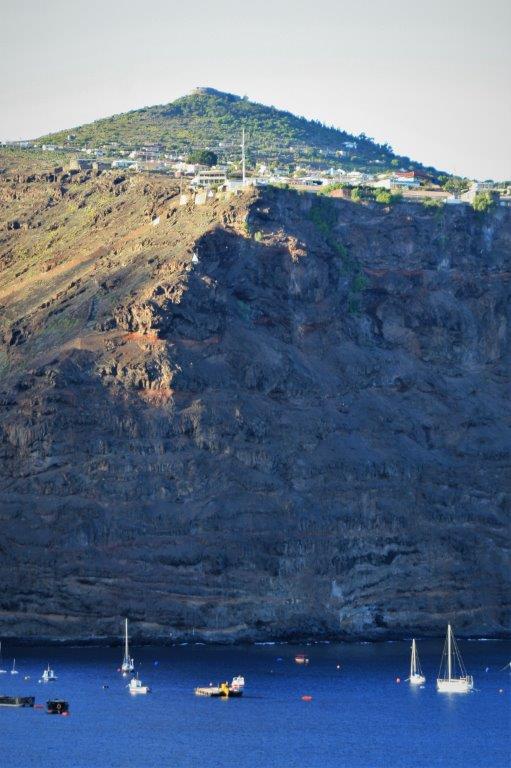
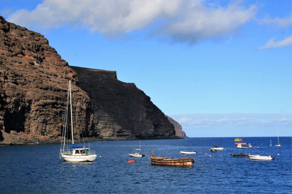
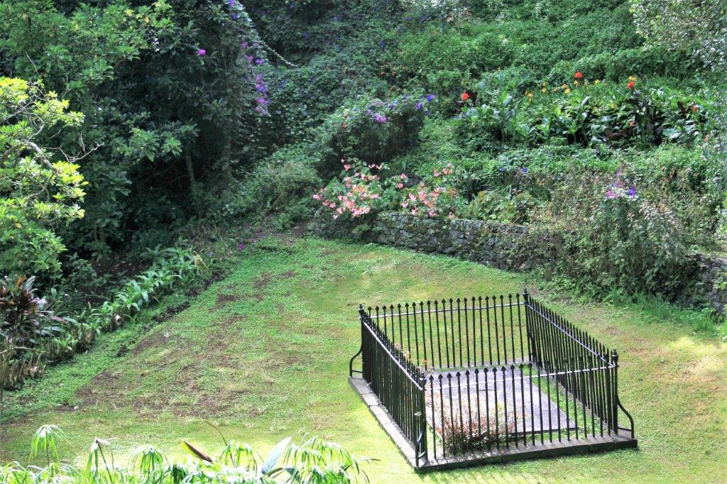
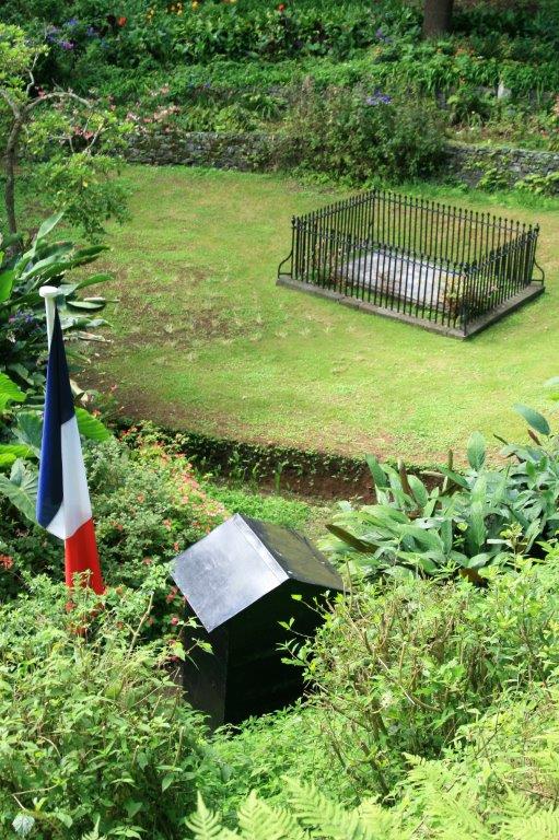
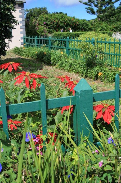
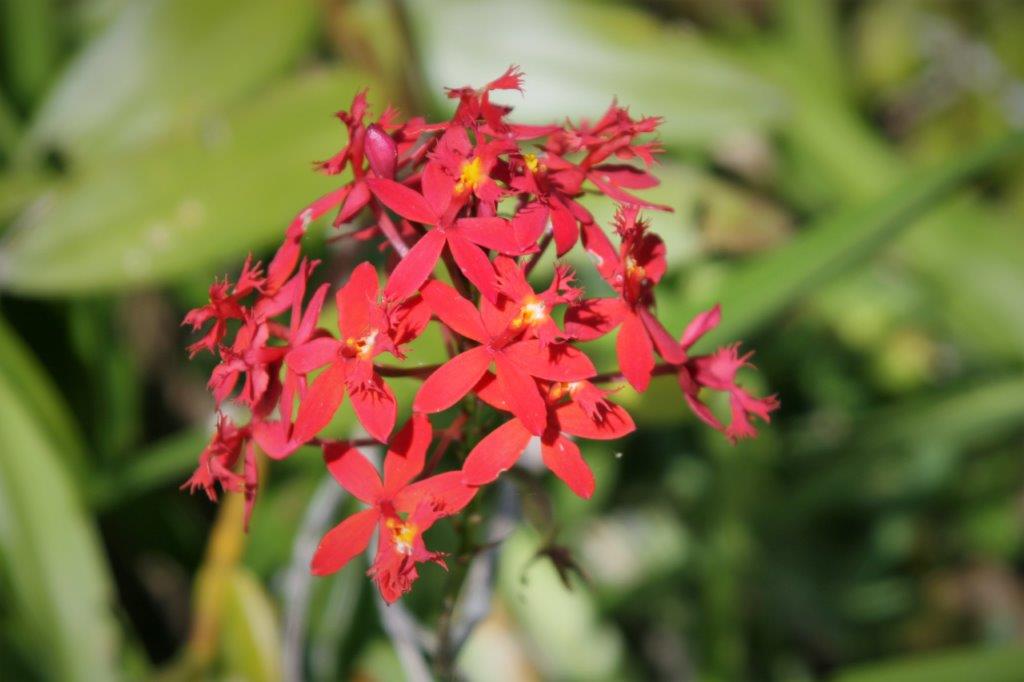
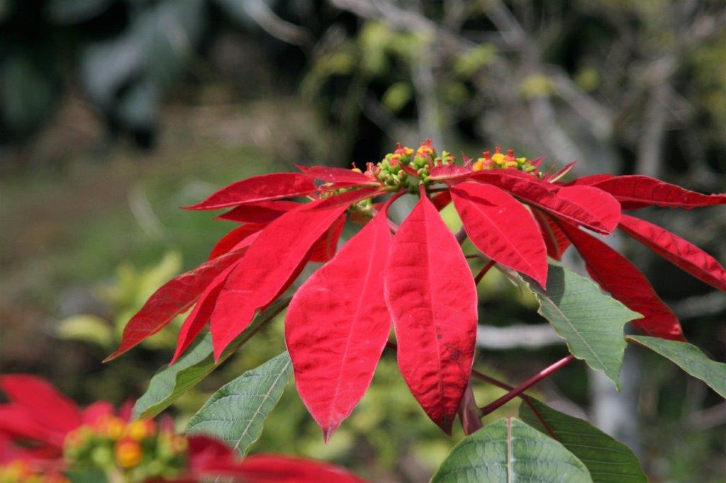
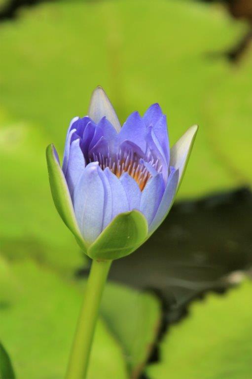
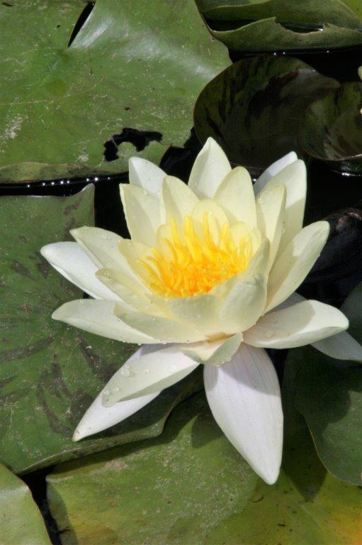
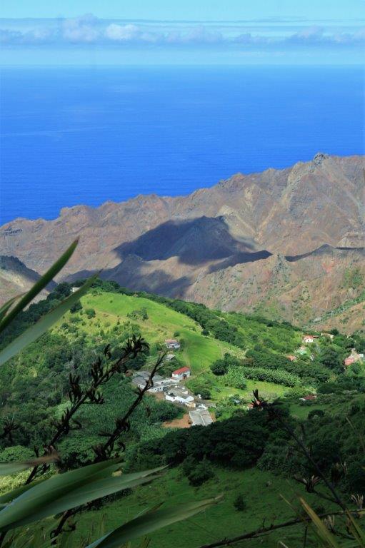
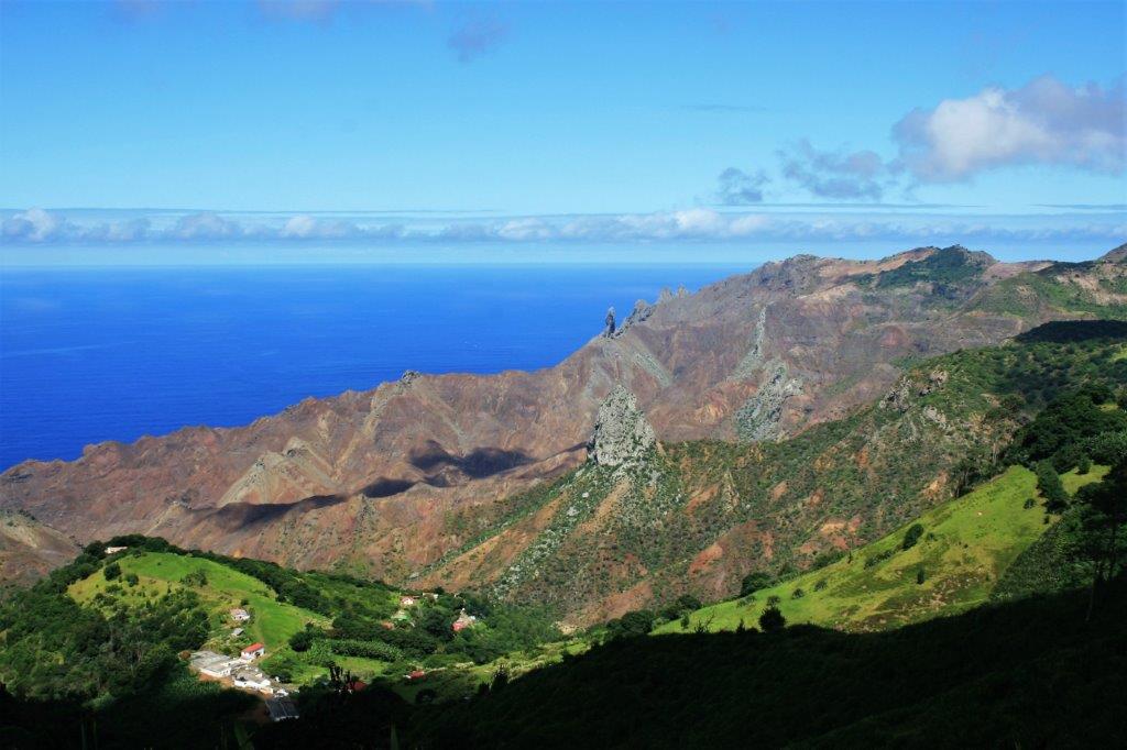
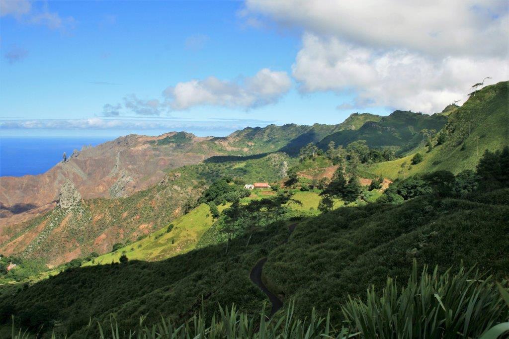
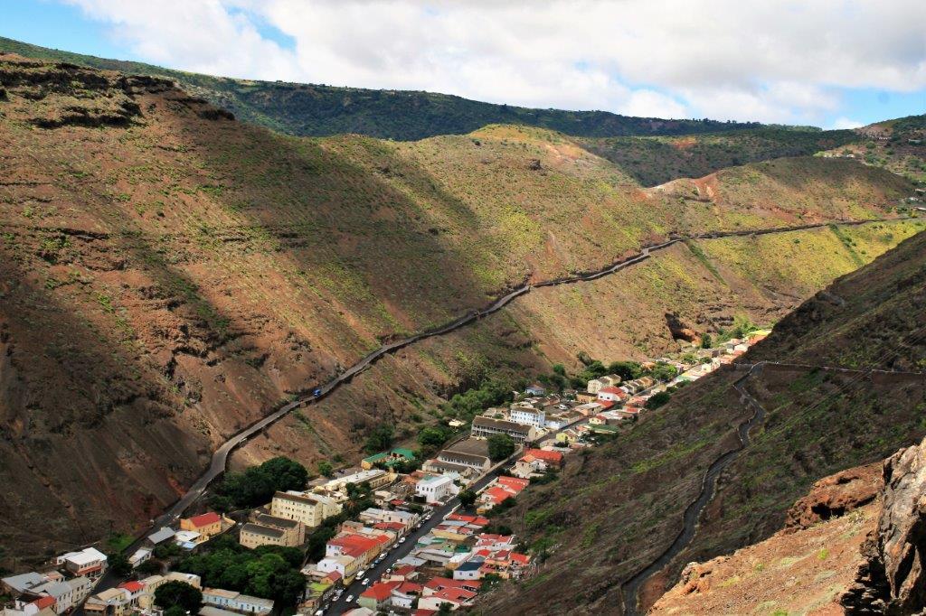
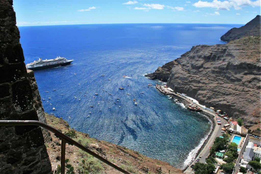
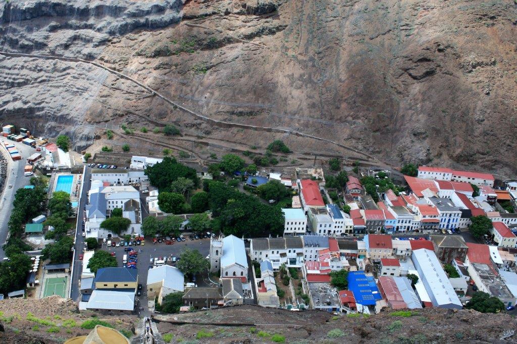
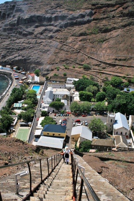
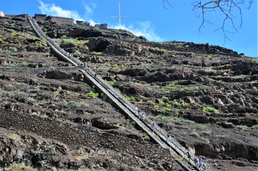
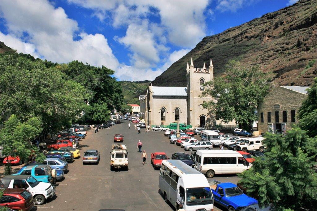
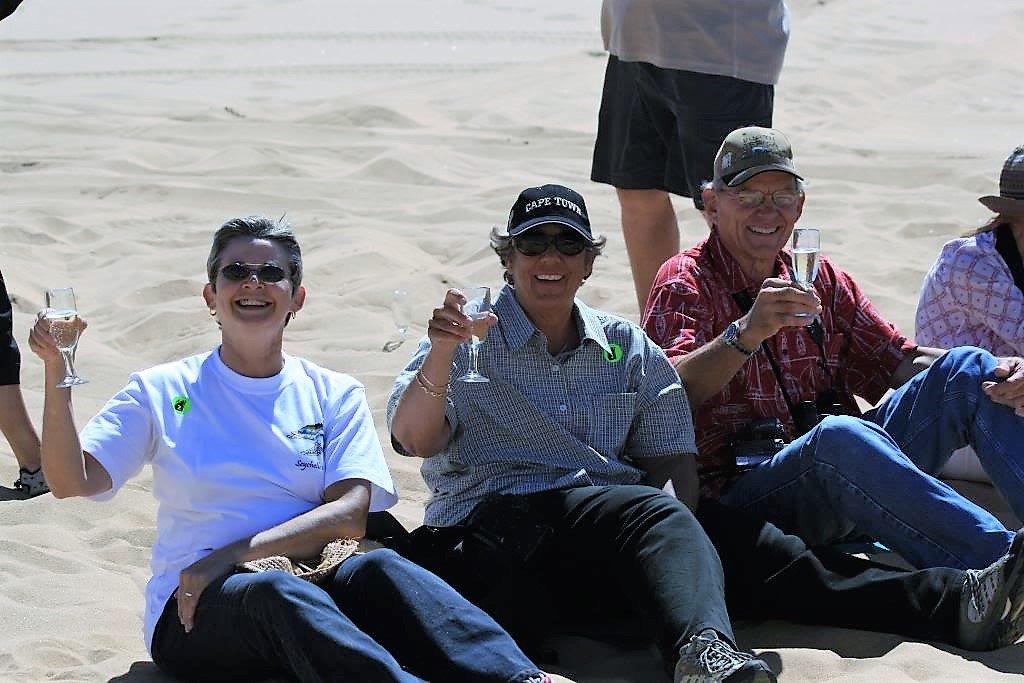
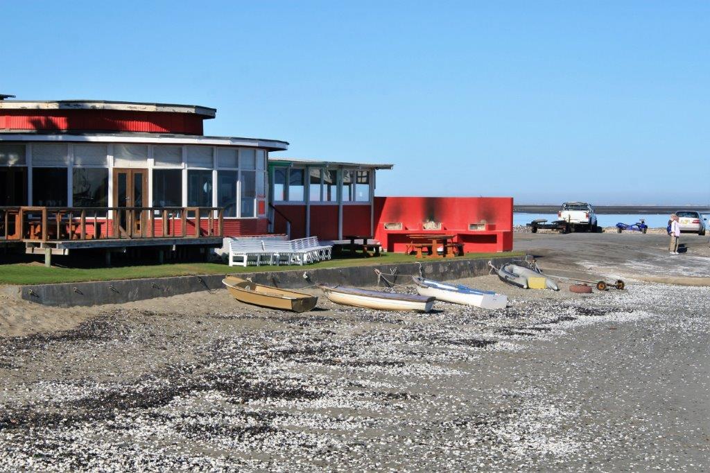
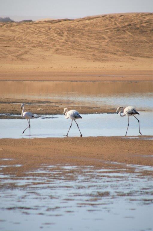
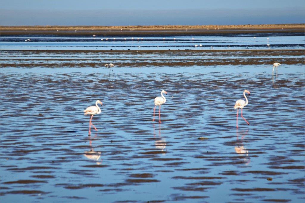
We had selected an ATV ride around the island but the tour provider went out of business. The same company also offered our second choice so that, too, was a no go.  Consequently we took the tender to shore and walked up to the lighthouse, all through town, around the marina and to a lookout hill on the other side. 
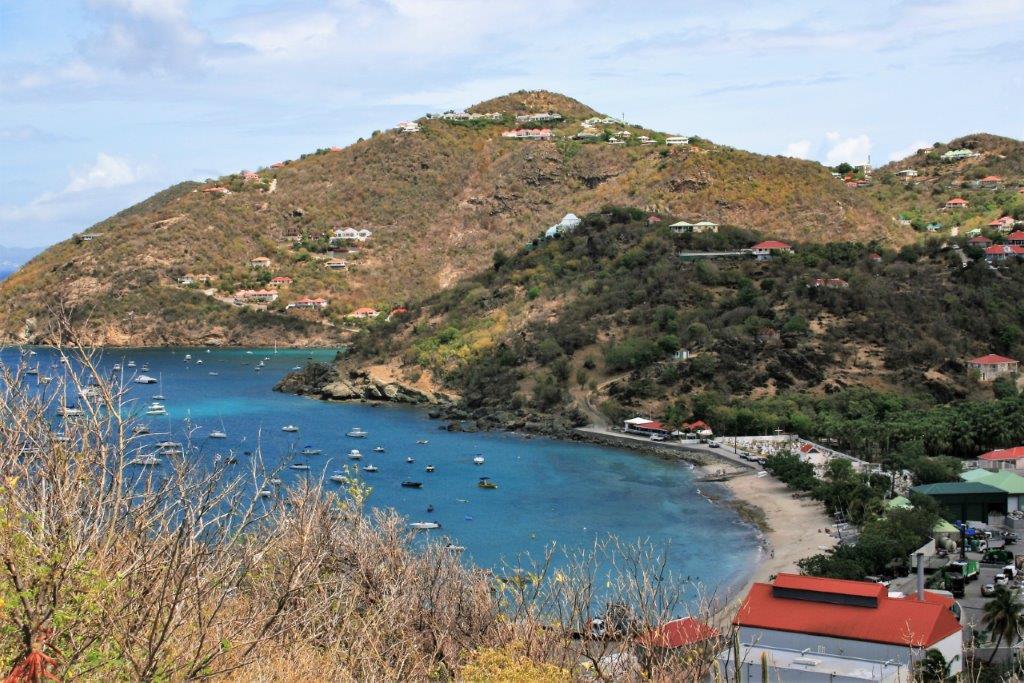
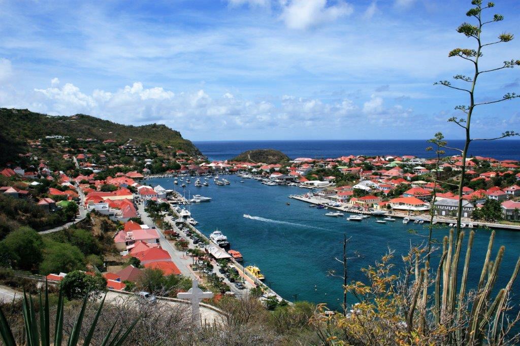
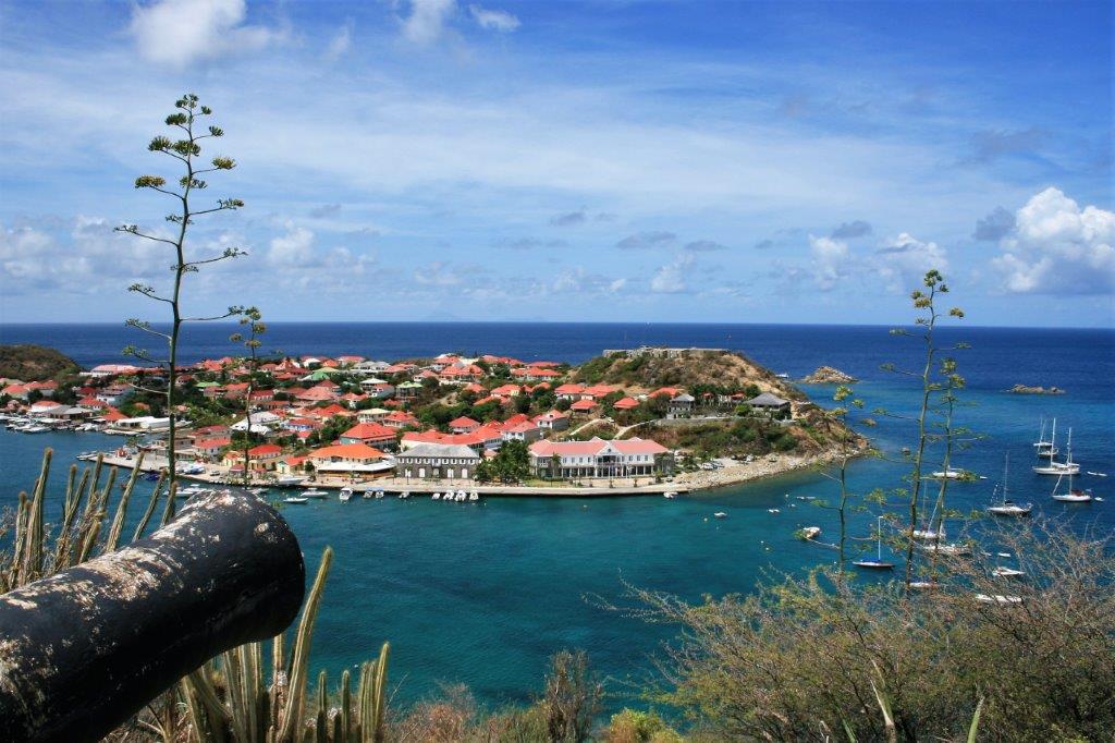
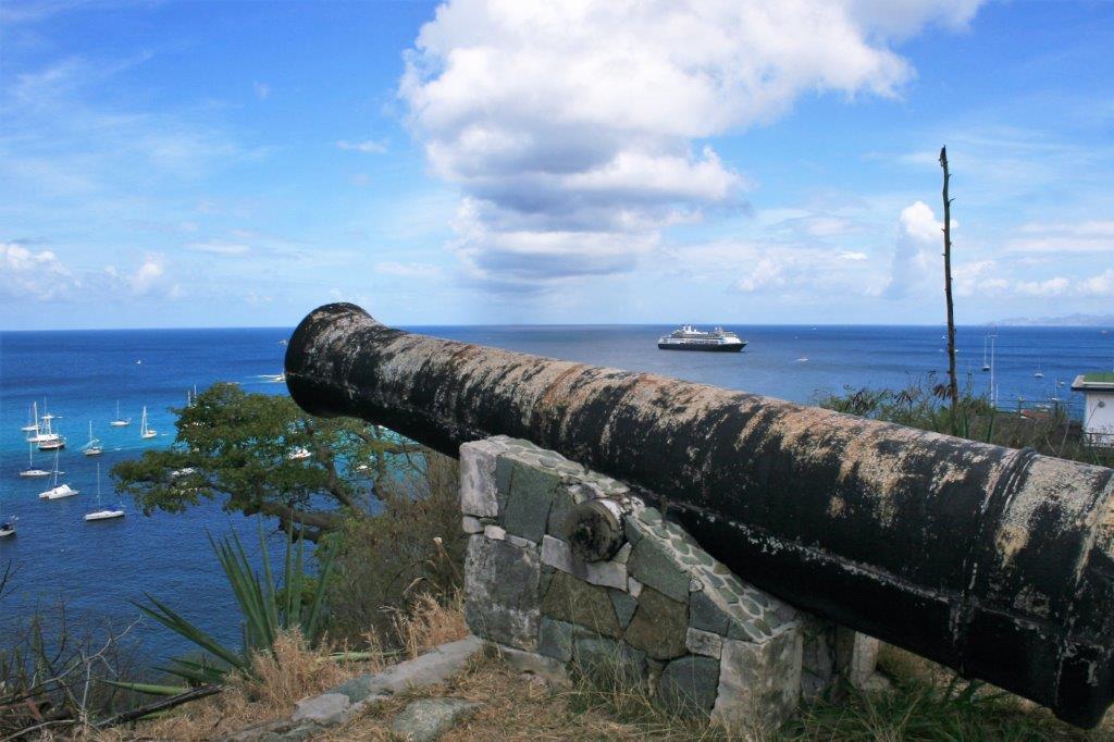
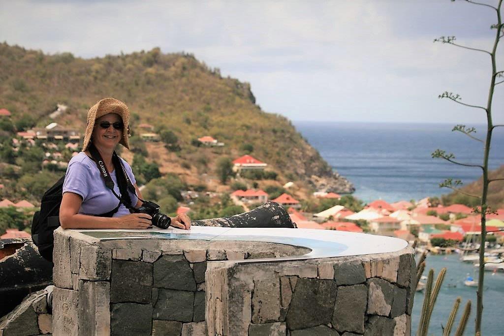
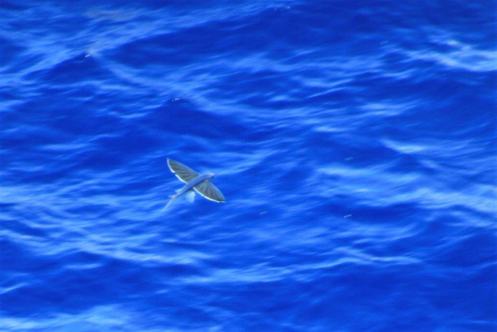
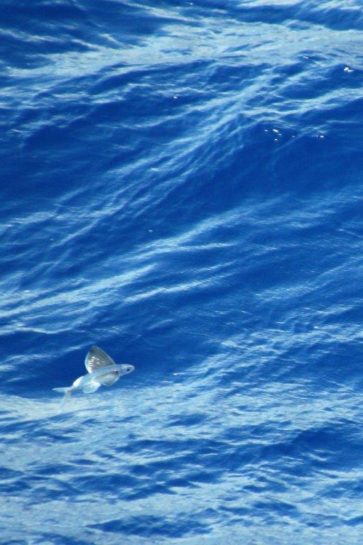
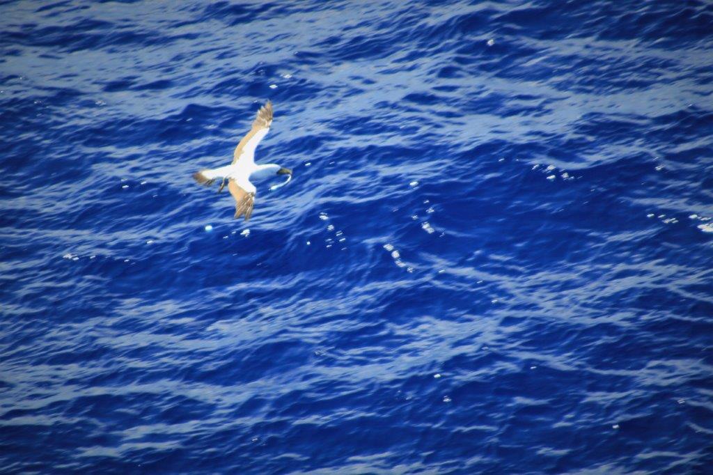
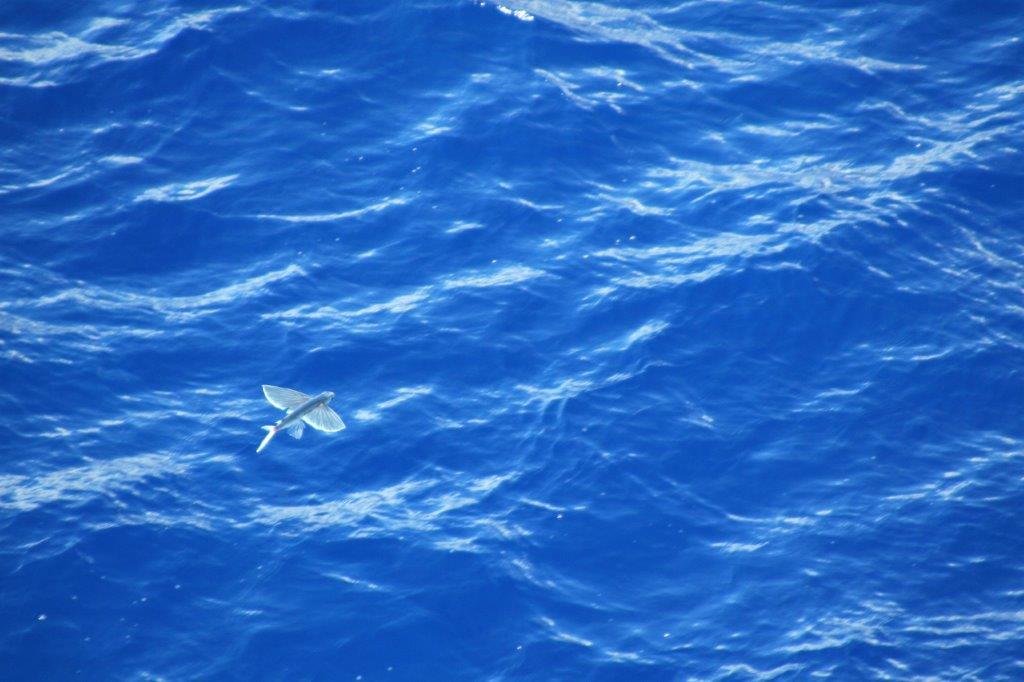
It turned out to be a lovely, restful day with warm sunshine and soft breezes.   
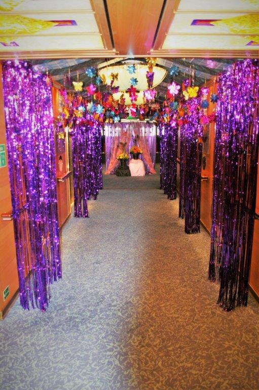
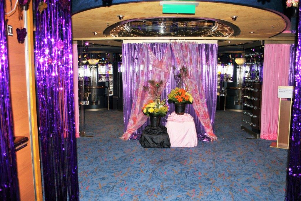
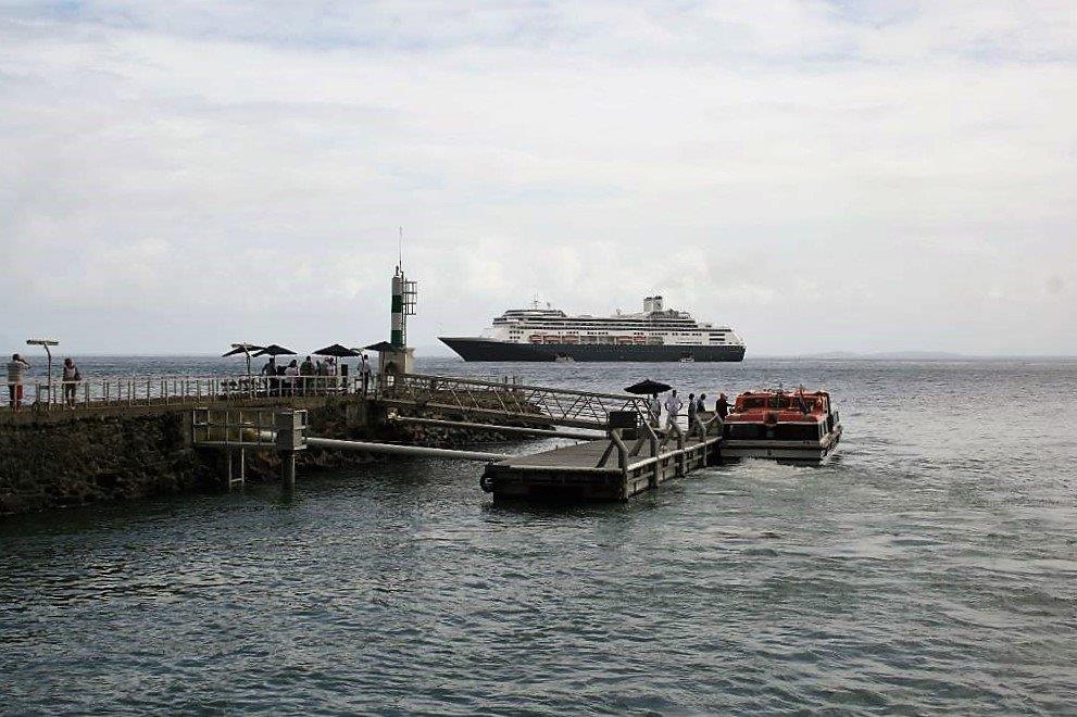
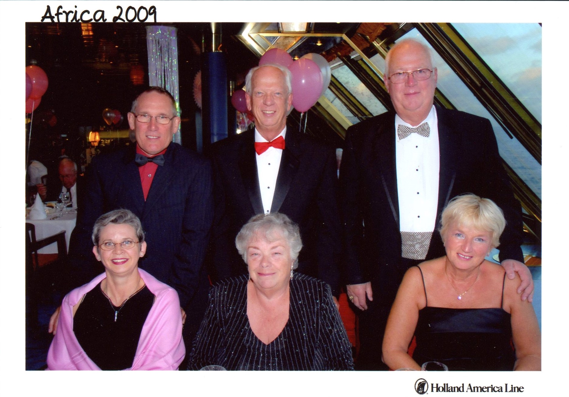
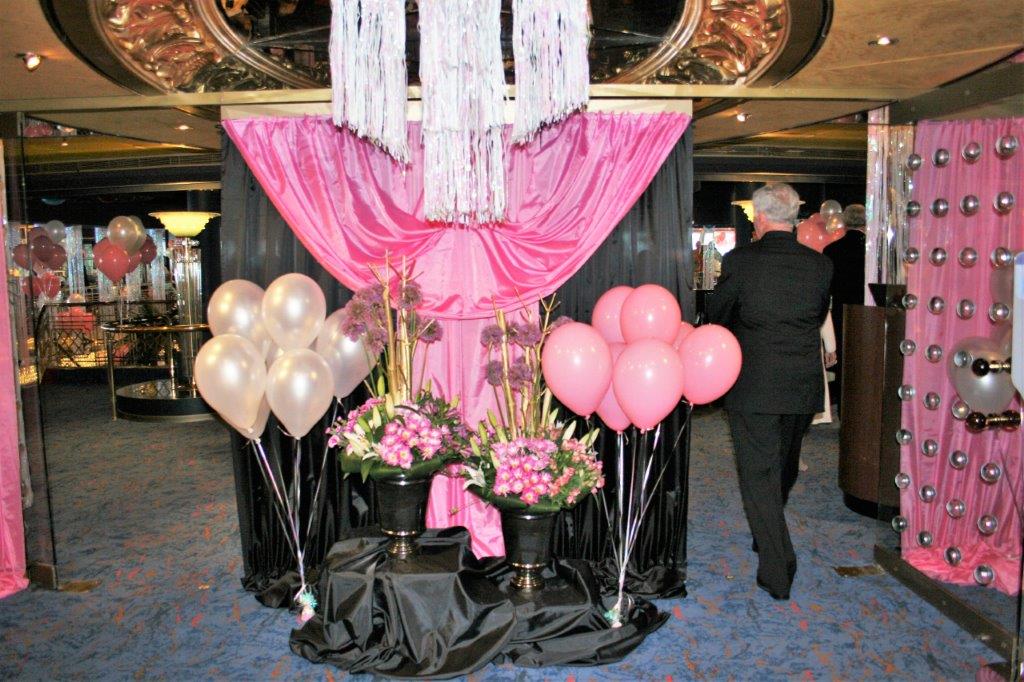
The last tender back to the ship was at 4 and we set sail for Fort Lauderdale at 4:30.  May 10 was Mother’s Day.  We do not usually have formal nights on port days but that night was our final fancy-dress event of the cruise.

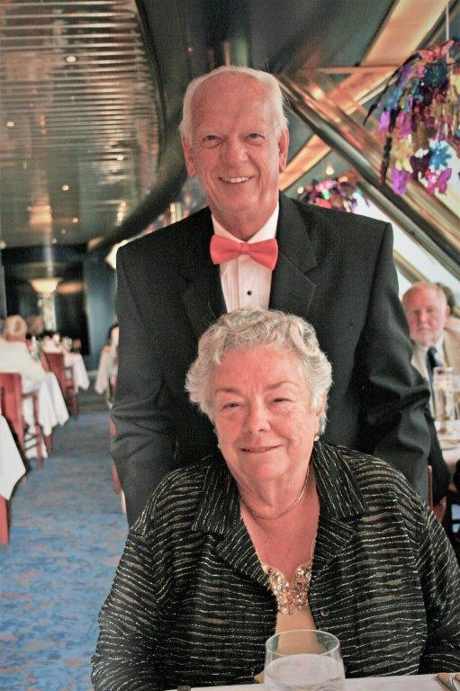
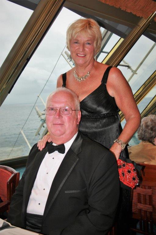
Our friends Charles and Evelyn, Tim and Elaine and Harold and Martha.

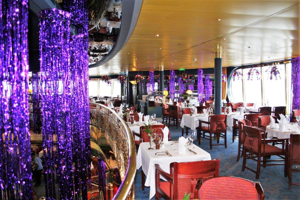
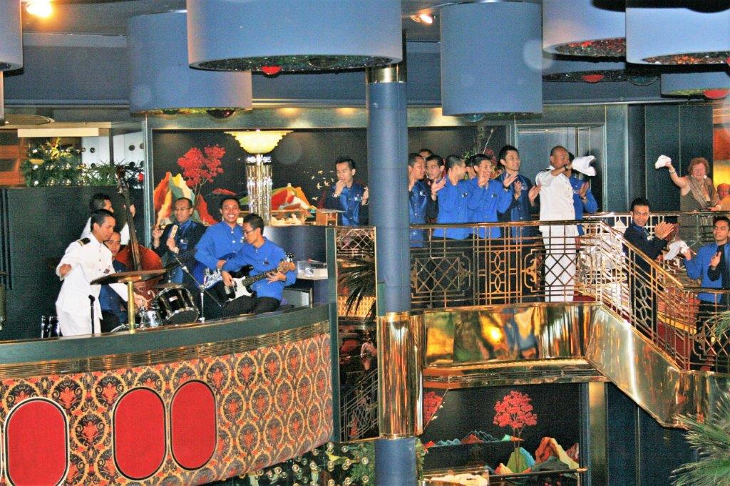
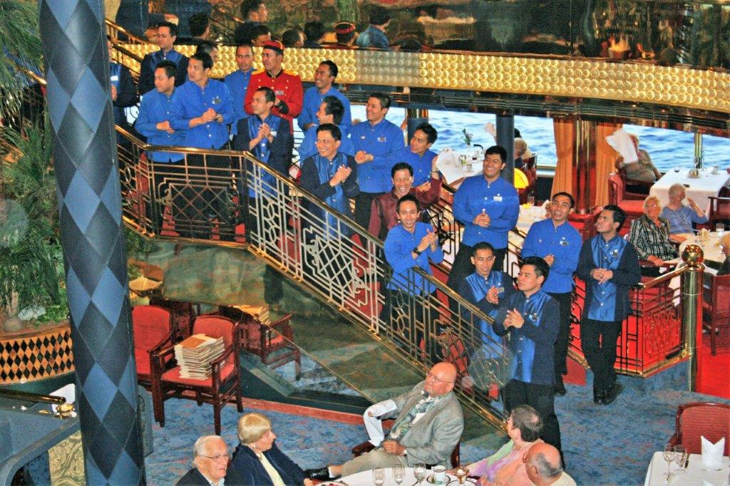
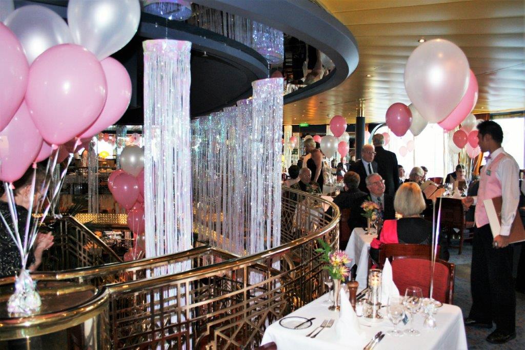
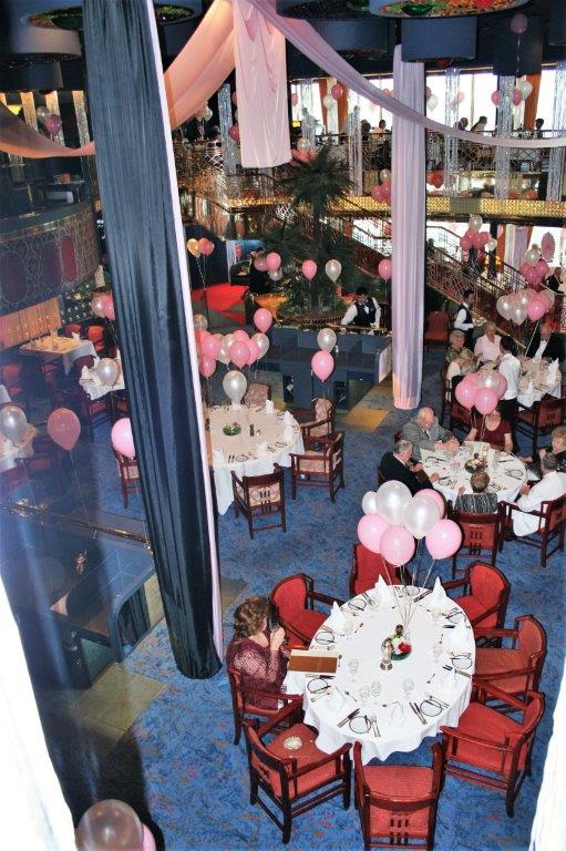
The Wait Staff farewell was a big parade around the two levels of the diningroom with everyone singing and twirling napkins.  
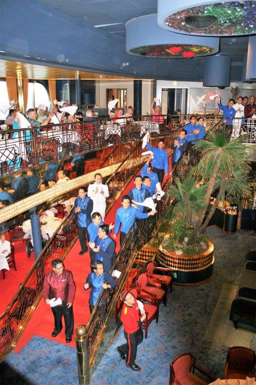
As happens at the end of this type of holiday, for the next two days everyone took photos of new friends, exchanged addresses and emails, expressed thanks to crew staff and finished packing their luggage.

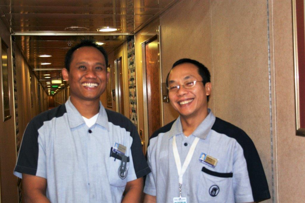
Our Dining rooms servers André and Agus.  These guys took very good care of us for four months.  Absolute sweethearts.

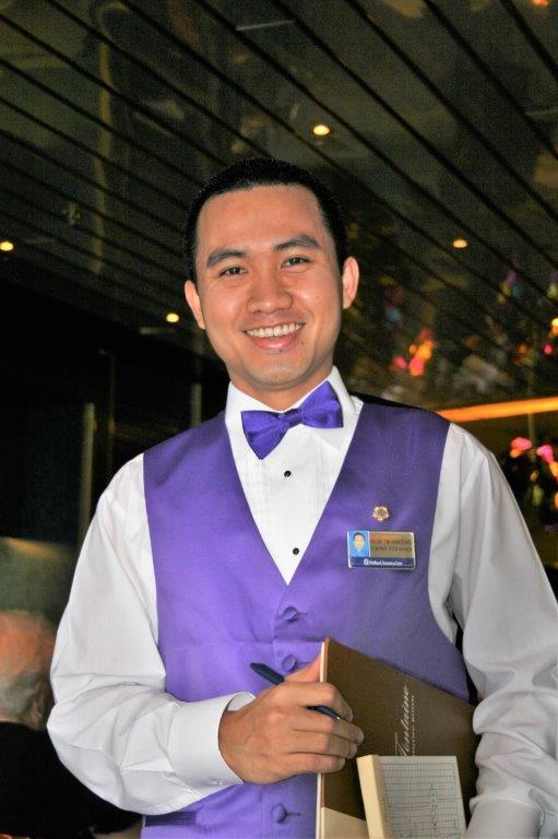
Our Wine Steward Cesar who often managed to find John a Guiness, and our Cabin Stewards Totok and Taufik, who gave us fresh fruit every day, created wonderful creatures with towels on our bed every night and never forgot anything we asked of them. Terima Kasi (‘Thank you’ in Indonesian)

Although this wonderful voyage was coming to an end we were already planning our next adventure. We picked up brochures on the 2010 Grand South America and Antarctica cruise (now booked for 2018) and also the 2011 Grand World Voyage that we were considering booking the first leg of to get us as far as Sydney Australia with the intention of getting off and touring around for a few months before finding another ship to take us back to Vancouver.

As it happened, we did not sail in 2010; instead we spent two months in Hawai’i – 30 days on the Big Island and 30 days on Kauai’i.  The 2011 cruise to Australia we did do and, when the mood strikes I plan to write a blog about that trip.  We took 45 days to get to Australia, via the west coast of South America, the South Pacific and New Zealand.  We then spent two months going around the eastern half of the continent before sailing 30 days home again via the South Pacific and Hawai’i.  It was another great adventure!

2009 World Cruise – May 8 – Day 123 – Bridgetown, Barbados

We arrived in Bridgetown at seven in the morning and left the ship at 8:45 for the short drive to the boat launch where we boarded a catamaran to take us to the Atlantis submarine for our dive.  It was a beautiful sunny, hot day and the seas were calm.  There were 48 seats in the submarine; 24 on each side so people sat back to back facing large windows, but only 35 people were on board.John and I are fine in confined spaces or underwater but there were two young women accompanied by boyfriends or spouses who turned chalk-white as soon as the hatch was closed.  The sub dropped 60′ and stopped so we could look at the coral reef and fish.  A stingray swam by, which was unusual as they tend to be nocturnal.  Also a female Leatherback Turtle which also surprised our guide as the turtles have usually left the Caribbean waters by that time of year.   After we sat and watched the reef for awhile the sub went down to 145′ to a shipwreck that had been placed on the ocean floor by scuba divers to encourage fish and aquatic plants, etc.  The water was nice and clear, there was no rocking or rolling so we had a great time.  The two women however, were pale and clammy and clinging to their barf bags.  I think it was the longest hour of their lives and their menfolk will never get them to do something like that again. We returned to the ship in time for a quick lunch and then went outside the terminal where the buses loaded to see if there were spare seats on the Green Monkey Eco Tour.  As luck would have it there was room so we climbed aboard for the drive north and across the island to the Barbados Wildlife Reserve. We drove by this statue – the image on the right is a stock photo I found to show it more clearly.  It was erected by the government of Barbados in 1985 to commemorate the 169th anniversary of the island’s emancipation from slavery – not just the people were slaves of the sugar cane magnates, the entire island was subject to bondage.  Local people call it the Bussa after the leader of the slave rebellion in 1816.

The Barbados Wildlife Reserve was established in 1985 with seed money from the Canadian International Development Agency.  It is located on four acres of natural mahogany forest.  Mahogany is not indigenous to Barbados; it was introduced over 250 years ago.  A Canadian Primatologist is the head of the center and program leader.  Many of the animals have been donated – mostly the tortoises and several species of birds. The Green Monkey is originally from Africa and was brought to the island by early settlers.  They have very long tails.  Next door to the Reserve is the Grenade Hall Forest – a former dump site, now educational nature trails – and the monkeys will wander over there until 3 o’clock when they are fed fruit and vegetables at the Reserve.  They are very dextrous.

Brocket deer roam the reserve as well.  They too are an introduced species to Barbados although they are indigenous to other Caribbean islands. Brocket deer are small and shy and have very short hair.  We were fortunate enough to see a fawn as well. The most interesting animal we saw was a Hutia Conga which is indigenous to Cuba, the Bahamas, and Jamaica.  It looks like a cross between the agouti was saw on Devil’s Island and a rabbit.  Cute little thing. The prize of the reserve is the Red-footed tortoise. It was once plentiful on many neighbouring islands but is now considered scarce to endangered and more live in the Barbados reserve than all the rest of the island.  Barbados Wildlife Reserve has the best collection of these tortoise in the world.

They are fed every afternoon and they know where dinner will be laid out so they make their slow and ploddy way to the table every day.  The Brocket deer and Green Monkeys know when it is feeding time as well so all of them congregate on the hill top and grapple for goodies.  The monkeys clamber all over the backs of the tortoise and the deer stick their noses in where ever they can find a space to snatch some of the food.  It was quite entertaining to watch. The peacock decided to put on a show of his finery. An endangered iguana species from Cuba lives at the reserve as well.  They were very large with red eyes. As we were wandering the trails we saw a tortoise and a Green Monkey getting a drink in the stream, a rabbit, and three young monkeys wrestling and playing in a small courtyard. After we spent our time at the reserve our driver took us back to the ship along the south and west of the island so we had a nice overview of Barbados.  It was a hot and humid day but a really nice one and we were glad to be able to catch the green monkey tour at the last minute.We had a day at sea before our final port of call at Gustavia, St. Bart’s followed by two sea days to reach Ft. Lauderdale for the end of our cruise.

2009 World Cruise – May 7 – Day 122 – Port of Spain, Trinidad

It was a normal sea day between Devil’s Island and Trinidad.  We slept until 8am, breakfasted at the Lido Restaurant buffet, read on our verandah, walked 14 laps (3 1/2 miles) around the Promenade Deck, and, about two o’clock we had an ice cream cone and a cookie for lunch.  I went to afternoon Team Trivia while John read his book some more, we visited with some folks we had come to know, dressed for dinner, and went to the show or watched a movie after dinner before going to bed.

We docked at Port of Spain, Trinidad at 8 am under cloudy skies that turned to rain later in the day.  Port of Spain is the capital of Trinidad and Tobago.  It is one of the major shipping hubs in the Caribbean, exporting agricultural products and asphalt, along with buaxite from the Guiana and iron ore from Venezula.

There were not a lot of tour options available.  We chose to do the Port of Spain City and Cultural Show tour.  Basically it was a drive around the city with a stop at the botanical garden before stopping at a venue to see performances of Flamingo Limbo, Calypso and Steel Band, Indian dance and other musical offerings.  It was a good show.

The Queen’s Park Savannah is Port of Spains largest open space, 260 acres of former sugar land that the town council purchased in 1817.  In 1818 the Botanical Garden was begun just north of the Savannah and is considered one of the oldest botanic gardens in the world.  There are over 700 trees in the garden that have been collected from all over the world.  Only 13% of the plants are indigenuos to Trinidad.  After we toured the botanic garden we were driven to a spot on the hill overlooking the city.  Port of Spain municipal area has a population of about 38,000.  The city’s urban population was estimated to be about 128,000 with 250,000 people coming in daily for work and shopping.

We were in port from 8 am to 6 pm and then set sail for Barbados.  Trinidad was not a terrifically exciting port of call.  I suspect we would enjoy the island a lot more if we flew down there someday and stayed for a week or so.  It is lovely tropical island.  We just didn’t see a lot of the things it had to offer that day.

2009 World Cruise – May 5 – Day 120 – Devil’s Island, French Guiana

After four days at sea we anchored off Île Royale, the largest of the three Île du Salut (Islands of Salvation) and part of the infamous ‘Devil’s Island’ prison; locale of the famous book and movie Papillon.  Île du Diable is the smallest and northernmost of the islands, and the third is Île Saint-Joseph (St. Joseph).  All manner of crimes were represented among the prison population from political prisoners to murderers and traitors.  The prison soon became home to the worst criminals and repeat offenders in France.  The prison was notorious for its cruel conditions and ‘inescapable-ness.’  There were escapes but they were very few in number.  Many prisoners died from disease and the harsh environment and workloads.  It is estimated that the majority of the 80,000 men interred there died serving their sentences.  Less than 30% survived.

In 1852 under the direction of Emperor Napoleon III Devil’s Island became a French penal colony, which was officially called Bagne de Cayenne (Cayenne Penal Colony).  The prisoners began to refer to it as Devil’s Island and the name caught on and stuck.  Prisoners were  housed in various places on the mainland and the three Île du Salut islands.  St. Joseph’s was the Reclusion, where prisoners were sent for solitary confinement in seclusion and darkness as punishment for breaking various laws of the prison.  Île du Diable was used mainly for political prisoners.  Île Royale was the reception center for the general population and held the main military and prison buildings.

The islands are only 7 miles from the French Guiana mainland but the coastline is rocky, the waters are treacherous and sharks are abundant. In 1938 France stopped sending prisoners to Devil’s Island and the prison was closed in 1952.

As we approached the island group it look like one large island.  The three islands are not far apart and you couldn’t see the water between them until the ship got very close to Royal Island.   There were no organized tours on the unpopulated island but we were free to wander around and there was a nice path that went all the way around. It took about 45 minutes to do the circuit.  You could easily see the smaller St. Joseph Island.and Devil’s Island. Many of the prison buildings were derelict but a few were still in good condition and the former warden’s house is a hotel, gift shop and museum. For a small island we saw quite a few critters.  A peacock or two, lots of Howler monkeys, a spider monkey, pheasants, some agouti – a large tailless rodent, and very quick iguana. Since it is a tropical island there were also lots of pretty flowers. The humidity was such that we needed to shower when we returned to the ship in time for sail-away at 5 pm.  The captain set sail for Trinidad and a May 7 port of call at Port of Spain.

2009 World Cruise – April 30 – Day 115 – Georgetown, Ascension Island

If you think St. Helena is off the beaten track; try getting to Ascension.  The two islands are the most remote populated places on earth.  Ascension was discovered in 1501 by a Portuguese ship but was uninhabited and inhospitable so he did not even bother to mark it on his charts.  The island was ‘re-discovered’ on Ascension Day in 1503 by Alphonso d’Albuquerque, a prominent Portuguese General.  It was too dry and too barren to be of any use to the East Indies fleets so it was rarely visited.  Ascension only became strategically important 300 years later when Napoleon was exiled to St. Helena, which is 703 miles southeast of Ascension.

Ascension is closer to the African coast (1600 km-1000 miles) than St. Helena (1950 km-1210 miles) because it is located to the northwest making it nearer the bump of the continent.  With Napoleon on St. Helena, the British were worried that his supporters may try to rescue him.  Ascension is the closest land from which they could ‘launch a raid,’ even though it is 700 miles away.  A British garrison was stationed on Ascension to prevent such a possibilty.  After Napoleon died in 1821 Ascension became a military suppy base for ships fighting the slave trade.  It was a valuable naval and air station during WWII and in the years since then it has been used as a NASA tracking station and is the location of the  BBC World Atlantic Relay Station which serves South America and Africa.  The main activity is centered on the military bases at Wideawake Airfield.  The US military service their base and facilities with a regular supply ship (MV Ascension) and air transport and a limited number of commercial passenger tickets can be arranged.  There is now a hotel and cars you can rent to drive the 40 km of island roads, but tourism is in its infancy.

The evening of our sea day between St. Helena and Ascension the captain warned us that we may not be able to stop due to high seas that would prevent the tenders from docking safely.

We arrived at 8 am but anchored off shore due to the high waves.   An hour or so later the captain sent a tender over to check conditions but they were still deemed too hazardous.  At 10:30 it was decided that “the most agile” of the guesst would be able to go ashore, with the caution that the short flight of cement steps at the base of the pier would be slippery and wet. There were no formal excursions as the population of the entire island is just over 800 people and there is not much to see.  It was a very hot day and with the volcanic ash hills and the lack of trees we really noticed the heat.

We visited the museum and explored the old fort.
There is a small herd of free-roaming donkeys on the island and we had a short visit with one of them on main street.The main export items are Ascension Island Postage Stamps, first issued in 1922, and, since 2010, commemorative coins (which are legal tender but non-circulating), and commercial fishing licences for long-line tuna fishing vessels operating to ICCAT quotas (International Commission for the Conservation of Atlantic Tunas).

The  supply ship RMS Saint Helena visits Ascension Island approximately once a month linking the island to St Helena and Cape Town.  Fuel is delivered by a chartered tanker; the Maersk Rapier, which operates on an MOD resupply contract for both Ascension and the Falkland Islands every two months. Fuel for the island is transferred via a floating hose, which is connected to the on-shore depot at the island’s pier head and to the ship at anchor. The most beautiful thing about Ascension Island is the crystal clear turquoise water.  We could easily see schools of large black fish from the edge of the pier.  Many of the people who came ashore just wandered along the beach. All aboard was three o’clock.  John had to check out the fire truck and chat to the fire fighter on the way to the pier.

Once we had pulled anchor and were underway the Captain sailed close to shore as we circled around the top of the island.  The volcanic ash was very prevalent.  It is really not a very hospitable or scenic island, but I am very glad we had the opportunity to visit; not very many people have the chance to do so. As we have sail around on the world’s oceans we have often seen flying fish and sea birds.  The water around Ascension Island was a great flying fish area and we managed to get some good photos of them as they skipped over the waves.  The Gannets were very adept at catching the fish as they breeched the surface. Our journey was quickly coming to an end.  During our four days at sea before we reached the coast of South America we began to sort our belongings and pack.  We had to itemize all of the contents of our luggage for it to be shipped home at the end of the cruise.  FedEx representatives would be coming onboard in Barbados to give information and assistance.  It was a big process before we left home and would be even more time consuming since we had to pack and account for all the gifts we had recieved and all the purchase we had made.  But….hey, what else did we have to do while we sailed for four days across the Atlantic Ocean?


2009 World Cruise – April 28 – Day 113 – Jamestown, St. Helena

We left the coast of Africa and sailed west for two days to St. Helena.  It was a formal night the first night out and to honour the diamond  mining of southern Africa, the theme was the Pink Panther – the famous diamond not the movie.  Everyone was asked to wear a touch of pink. St. Helena is one of the most isolated places in the world, located more than 2000 km (122 miles) from the nearest major landmass.  There is no airport so the only access is by ship.  The island has a population of about 6,000 – mostly expatriate British – and is a British Overseas Territory; which is heavily subsidized by Britain.  Our guide said 70% of the population work for the government to support the other 30%.  The entire island is 122 sq km (47 sq miles) and potatoes and flax are the chief agricultural products.  Fishing is another main occupation but, obviously, tourism is not a major economic factor due to the remote location.

The capital is Jamestown, situated down a long narrow valley between two steep volcanic cliffs.  There are only two roads out of Jamestown, one narrow, steep, multi-switchback road on each side. The various tours available on the island used every taxi and mini-bus available.  There were no formal guides; the drivers took us to the various spots and let us off to look around. Several spots had locals who would answer questions or explain some history.

St. Helena is most renowned as the ‘prison’ island Napoleon Bonaparte was exiled to after the Battle of Waterloo in 1815.  He spent the rest of his life there and died in 1821.  There is still controversy about his cause of death.  Some say he was slowly poisoned with arsenic others say he died of cancer.

We stopped half-way up the cliff to enjoy the view before being driven to Napoleon’s Tomb.The walk to Napoleon’s tomb was about 1/2 mile.  He chose the spot himself and it was a lovely secluded glen.  His body was exhumed in 1840 and reburied near the Seine River in Paris. Longwood, the very nice nine-room house Napoleon lived in was a converted barn.  The house had a library and a billiard room which included the original cues used by Napoleon.  The surrounding gardens were filled with flowers.  Bonaparte was not in a cell.  He could travel anywhere on the island he chose; even have visitors.  He had staff to care for his needs, the house and gardens.  He just could not leave the island. A gorgeous viewpoint called Sandy Bay overlooking a valley was our next stop on the way to Plantation House the home of the island’s Governor.

At Plantation House we got to meet Jonathon, a Giant Tortoise that was brought to the island in the early 1880s, which makes him about 150 years old.  There were five tortoise ‘roaming’ the grounds.  David is about 100 and the smallest, Myrtle was only 50.   Jonathon was busy eating and couldn’t really be bothered with us but David and Myrtle loved to be petted and scratched and would stretch out their necks to encourage us to find a good spot.  Emma and another female were in the far corner of the spacious lawn so we didn’t get to meet them. Our last stop was the top of the cliff above Jamestown where we were treated to a gorgeous view of the Jamestown in the valley and our ship anchored off shore. From here we had a decision to make: we could ride the taxi down the road to the town or we could descend the 699 steps of Jacobs Ladder.  Jacobs Ladder was built in 1829 and is Jamestown’s signature landmark.  It was a supply route to get goods up to the soldiers and residents living on the clifftop without having to use the long, narrow roads.  Orignally it was a inclined plane funicular tram pulled by donkeys but it was converted to the stairway by the Royal Engineers in 1871.  There were an even 700 steps until the bottom one was covered by asphalt when they paved the street.   The Ladder rises 924 feet with an 11″ average rise of steps.  You are 602 feet above sea level at the top.  Obviously, we chose to go down Jacob’s Ladder. John’s legs were wobbling by the time we got to the bottom but we decided to walk up the street and see a bit of Jamestown before we took the tender back to the ship.

The last tender left the dock at 4.  At 2:30 we were heading back through town.  I, being somewhat OCD, did not like the idea of only going DOWN the Jacob’s Ladder.  To officially climb it, I felt, you needed to go UP and DOWN.  John had no intention of going up 699 steps so I set off on my own.  Another lady from the ship was wanting to climb as well so we went together and counted off 20 steps, rested, did 20 more, rested; all the way to the top.  She had one bottle of water which she drank quite quickly.  I had none.  At the top I was told there was a store around the corner where I could get water so I went to find some.  It was around the corner all right, and up a hill!  As if I needed that.  But I needed water.

Now there was that choice again:  take a taxi or descend the ladder back to town.  My companion opted for the taxi.  I opted to do the stairs AGAIN.  That made a total of 2097 steps on Jacob’s Ladder in the day.  In the Heritage Building at the bottom they print a certificate for you to prove you climbed all the steps.  I didn’t tell them I went down, up and down.

We never use the elevators on the ship.  We climb the stairs between decks.  Let’s just say the stairs were hard to do for the next couple of days.

We both really liked St. Helena and, if it wasn’t such a remote and difficult to get to place, we would be happy to return there.

2009 World Cruise – April 25 – Day 110 – Walvis Bay, Namibia

Walvis Bay had one of the shore excursions I was really looking forward to with anticipation: 4WD in the dunes of the Namib Desert.We sailed from Luderitz 240 nautical miles to Walvis Bay with the  foghorn sounding all night, which does not make for a restful sleep!  Fortunately the fog was lifting as we entered port and we were blessed with a beautiful day.

Walvis Bay is the only natural harbour of any size along the country’s coast.  It was annexed by the British to prevent the Germans from getting the harbour as everyone was scrambling for pieces of Africa, and Britain needed a safe route around the Cape for British ships.  Toward the end of the 19th century the country of Namibia was annexed by Germany, except for the enclave of Walvis Bay, which was taken in 1878 by the British for the Cape Colony.  The nation was battled over by Germany, Britain and South Africa – especially once diamonds had been discovered near Luderitz – for many years. German control was lost after WWII and Britain finally transferred Walvis Bay to Namibia in 1990.

We were driven out of the port to a loading area where we climbed into 4X4 trucks; some held three passengers, some five, ours was seven.  John and I, the driver, our friends Sally and Angelo and two Dutch fellows who had just come on board in Cape Town.It was a 55 mile drive to Sandwich Harbour, one of southern Africa’s richest and unique wetlands.  Potable water seeps up from an underground aquifer and sustains freshwater vegetation at the base of the Namib Desert dunes.  The area is a center of concentration for migratory shorebirds, waders and flamingoes.  We saw a lone seal, lots of pelicans and flamingoes and a large Cormorant convention; not sure what they were watching and waiting for but they were intent about it.

The Namibia Salt Works was our first stop.  There were huge dyked squares along the shoreline.  The even temperatures and ocean breeze create a perfect combination to extract salt from sea water. To get the salt, they flood the squares with a shallow level of sea water and it evaporates in about two days, leaving  behind the salt crystals.  The salt works processes 50 million tons of sea water into 700,000 tons of solar sea salt annually.  It is exported to Nigeria, Cameroon, South Africa and Europe.  They harvest the sea salt for the chemical industry, high quality table salt and refined sea salt.          I liked the patterns in the sand left by the outgoing tide.

The tide was out so we drove out to Sandwich Harbour – which is really a bay where the main dune meets the ocean before continuing down the coast to Luderitz – along the shore, stopping to watch some fishermen casting their lines and looking very misty in the fog. To give us a taste of what was to come our drivers drove up and slid down one of the small dunes near the shore.

Once we arrived at Sandwich Harbour we had to leave the coast as the entire wetland is protected and no vehicles are allowed.   While we were stopped at the edge of Sandwich Harbour people had a chance to climb the dunes.  It was not an easy task. Notice the purplish spot on the right hand photo above.  We came across areas like this as we drove out to Sandwich Harbour and later as we drove in the dunes.  I asked our driver what made the sand pink and he told us it was garnets.  Just like other rocks that wind up in the sea, the garnet stones are ground down in the ocean currents to a fine purple/pink sand that collects in small recessions on the side or top of dunes.   I gathered some in a tissue and brought it home.  The grains are so small it would be impossible to use the gemstones for anything but it is a nice souvenir to have.  You don’t see garnet sand every day! Namib comes from the word Nama meaning ‘vast place.”  The Namib Desert stretches 2,000 km (1200 miles) along the coasts of Angola, Namibia and South Africa and, at its widest point, goes 200 km (120 miles) inland to the edge of the Great Escarpment.  Annual precipitation at the coast is 2 mm (0.79″) and at the higher elevation near the escarpment 200 mm (7.9″) which makes the Namib Desert the only true desert in Africa.  It is estimated that the Namib has seen arid or semi-arid conditions for 55-80 million years, which would make it the oldest desert in the world.

The dunes are second largest in the world after the Badain Jaran Desert in China and reach heights of 300m (980’) and 32 km (20 miles) long.  We drove up some VERY high dunes – hundreds of feet high, sped along the ridgeline of others and slid down the steep sides of some more.  It was a total blast!  Sally was sitting in the front beside our driver and she was not too sure about many of our descents.  I think her hands were cemented to the dash bar.

It seemed to us that we were just aimlessly roaring around sand dunes but our drivers had a destination in mind.  We eventually stopped in a large knoll and were told to go strolling where ever we liked.  When we returned from our walks we were given flutes of champagne to drink while they finished getting everything ready for lunch. Within a half hour the drivers had erected tents, set up chairs, unfolded tables that were covered with linen tablecloths, and opened ice chests filled with platters of oysters, kalimari, meatballs, fish balls, eggs, cucumbers, pasta salad, bread and desert squares.  What a feast in an amazing setting.

After we had eaten, a naturalist told us about the few plants and insects that survive in the harsh desert environment and the drivers packed everything back into the trucks.

The journey back to Walvis Bay was a trip up and down massively high dunes.   The tide was in so we had to drive the dunes on the way back as there was no longer any shoreline.  When we arrived back at the very first dune we had climbed we were told it was no  longer safe to go down and our driver turned the truck around.  Then he backed up, over the edge and went down the dune backwards!  So much fun!! We returned to Walvis Bay at 3 o’clock.  Sailaway was scheduled for four but another medical emergency delayed the ship by an hour.  This was a fantastic day that capped a wonderful couple of weeks sailing around Africa.  I had to pinch myself numerous times to believe I was really there and seeing all the amazing animals I had so longed to see.  The entire voyage was surreal in many ways, but going to Africa was truly a dream come true.

The adventures continue for another two and half weeks.  Next port of call: Jamestown, St. Helena, 1200 miles west of Africa, which meant two sea days before arriving at the island where the Emperor Napoleon was exiled after loosing the Battle of Waterloo in 1815.


2009 World Cruise – April 24 – Day 109 – Luderitz, Namibia

We arrived in Luderitz very early in the morning; under overcast skies and a light rain.  Luderitz averages about 2 days of rain per year so we were continuing to drag our rain cloud behind the ship as we had done often on this journey.  Because of low water the Captain was unable to dock so at 6:30 am they lowered the tenders, followed by announcements over the PA that tenders to shore were available as of 7.  So….sleep was over.

Luderitz is a small town with a nice harbour tucked between the Atlantic ocean and the Namib Desert.  The community was established as a trading post and fishing port by the Germans in 1883.  The area had a “white gold” rush for a few years as Europeans poured into the area to harvest the guano – bird droppings – and send it back to Europe.  They so decimated the habitat that many of the birds fled the area or were hunted to extinction. 2009-04-24_7894 2009-04-24_7893

The area settled into semi-obscurity until Jan Kolman, a transport driver abandoned his ox-team about 8 km from Luderitz during a sand storm .  He decided to settle down and named the place Kolmanskop.  Kolman was a hobby geologist and asked the people in the surrounding area to bring him any interesting rocks they found.  In 1908 a man named Zacharias Lewala brought him a white stone he had picked up off the ground and south African diamond mining began.2009-04-24_7907 At one time Kolmanskop was a bustling community with large Germanic-style buildings.  It had a theatre, a casino, a hospital with the first x-ray station in the southern hemisphere, a school, ice factory, power station and ballroom with an attached al a carte restaurant.2009-04-24_7903 2009-04-24_7904 2009-04-24_7908 2009-04-24_7909 2009-04-24_7912 2009-04-24_7914 2009-04-24_7928 2009-04-24_7929  2009-04-24_7910                                                           This is the bowling alley in the hotel basement.

We were told that the diamonds could be picked up off the ground by the handful. Over time the easy-to-get-to diamonds were all found and the small mines were bought up one man.  Those who did not wish to sell their mines agreed to combine them all with the fellow and became shareholders in NamDeb (Namibia De Beers).  By 1954 it was no longer viable to work the mines and Kolmanskop became a ghost town. Today all the land from the along the coast from Luderitz Harbour and 150 miles inland is owned by NamDeb and the company runs Kolmanskop as a tourist attraction.  Without the company clearing the roads for access the entire town would soon be buried by the desert.2009-04-24_7916 2009-04-24_7919 2009-04-24_79212009-04-24_7920 With new equipment and technology diamond mining is once again ongoing in the area so we were warned to NOT cross the fenceline around the old town.  Video surveillance is diligent and you would be immediately questioned and searched.

During our time at Kolmanskop the sun came out and it turned into a lovely day. When we returned from our tour we wandered around the town of Luderitz before taking a tender back to the ship.2009-04-24_7937 2009-04-24_7934 2009-04-24_7936 2009-04-24_7939 2009-04-24_7941 20090424_7854_edited-1 20090424_7846 2009-04-24_7947_edited-1At four o’clock the Captain set sail for our last port in Africa, Walvis Bay, where we went dune bashing in the Namib Desert.2009-04-24_7948 2009-04-24_7960 2009-04-24_79512009-04-24_7956 2009-04-24_7964

2009 World Cruise – April 22 – Day 107 – Cape Town, South Africa

Part of our tour for our last day in Cape Town was a drive up the famous Chapman’s Peak where you could see incredible ocean views.  However, the Peak road was closed indefinitely due to landslides so we were driven a slightly different route.  We had a good overview of the area around Cape Town.

Our driver took us through a fair amount of the city before heading south along the coast.  
2009-04-22_7560
2009-04-22_7562 2009-04-22_7563 2009-04-22_7565This is the stadium that was being built for the Soccer World Cup that was to take place in Cape Town in 2010.

Our frist stop was Maiden’s Cove where we could see the Twelve Apostles mountain.  Judging from the many people walking around taking photos this was one of the ‘must see’ spots when in Cape Town.
12-apostles2009-04-22_7571 2009-04-22_7590 2009-04-22_7589 2009-04-22_7582 2009-04-22_75872009-04-21_7771_edited-1With the continuing wind, the waves at Camps Bay were calling to the surfers.2009-04-22_75922009-04-22_75932009-04-22_76032009-04-22_7602False Bay was named by sailors over three hundred years ago when it would be confused with Table Bay to the north. When sailing in from the east the identifying mountains at the entrances to the two bays are very similar and would cause ships to enter False Bay when looking for Table Bay. 2009-04-22_7609 2009-04-22_7611Upon our return to the ship we had lunch then took the port shuttle into town and wandered around the Victoria and Albert Waterfront which was very picturesque and had many street entertainers and vendors.  We purchased the CD of a great African Street band which, when we listen to it, takes our memories right back to that day.2009-04-22_7616 2009-04-22_7617The Captain set sail at 7 pm.  Cape Town is located on the southwestern edge of the African continent so we did not have to sail too far before we began going north up the coast on our way to Namibia. We ran into fog about 1 am and listened to the fog horn blow every few minutes the rest of the night.  We didn’t see the sky until mid-afternoon the next day.

On our day at sea after leaving Cape Town there was a Garage Sale on the Lido Deck around the swimming pool.  The cruise ended in Ft. Lauderdale, FL on May 13 or New York City on May 16, about three weeks away.  Many of the shoppers on board were beginning to realize they had acquire more stuff than they could fit in their bags for the flights home.  Among many other things, people had purchased 6′ carved giraffes and sandstone rhinos the size of rocking horses in Mombasa for screaming hot deals and then found out it would cost $500-$600 to ship it home from Florida or New York.  If you had a veranda deck or penthouse the quantity of luggage pieces was not an issue because one of the perks for the expensive cabins was free shipping.  We had friends that brought eight pieces of luggage when they boarded, shipped four boxes home of things they purchased on the 14-day cruise between Ft. Lauderdale and Los Angeles and then shipped a further18 boxes when the arrived back in the US.

Every formal night, which were about once a week, the cruise line gave every passenger a gift.  The final gift was a duffle bag to put all the rest of the gifts in.  Some people no longer wanted some of the things they had impulsively purchased or some of the HAL gifts so tables were set up to sell it off to others that may want it.  All proceeds would be given to a Namibia AIDs orphange so it wasn’t something a person did to re-coup some of their spent money.

There were about 300 passengers that got off in Cape Town and 250 new ones that got on for the last leg of the voyage to the USA.  One person flew from northern Europe to Cape Town to get on the ship because we are stopping at Pitcairn Island, Ascension Island and Devil’s Island and their personal goal is to go to as many of the world’s populated islands as possible.  Everyone needs a hobby I guess.


2009 World Cruise – April 18 – Day 103 – Durban, South Africa

South Africa is a land with abundant natural resources. They have deposits of every mineral, except oil, and are among the world’s largest producers of coal, gold, and diamonds.  They have 90% of the world’s titanium.  And they are self-sufficient in food production – not necessarily in food distribution though.  The only thing they must import is oil.

Many of the issues our guide in Richards Bay told us about were very true.  In 2009 AIDS was rampant among the rural black population where polygamy is common (4-5 wives is average), there was massive unemployment, especially among the unskilled black population so crime is rampant.  The country has 11 official languages and long-standing tribal fueds that need to be navigated.  Add in corruption at all levels of government and services, plus horrendous poverty and you have a plate-full of serious issues to work on.

However, there has been much change for good, first being education is compulsory for all children – although sadly there are often not enough class rooms for all children in an area, nor teachers, nor money for uniforms and supplies.  So many social and judicial issues are intertwined that it is difficult to unravel enough strings to begin setting things right.  Time can be an constant enemy to change.

But the countryside is lovely; with rolling hills, grasslands, vineyards, and farm land.  And critters.  I never get enough of seeing animals.

The city of Durban is situated on the southeastern coast of South Africa and has a natural harbour. The area is the beginning of a paqrticular weather phenomenon which can cause extremely high seas, which, fortunately we did not experience on the sail in or out.  Durban is not only the busiest container port in South Africa but the busiest in the Southern Hemisphere.  Due to the warm climate and beautiful beaches Durban is a favoured holiday spot and tourism is a large part of the economy.2009-04-18_6879 2009-04-18_6881 2009-04-18_6882As per the plan to see as many animals as possible we once again went on a game drive: this time to Tala Private Game Reserve, a private 3000 hectares (7500 acres) of grassland, thornveld and wetlands.  Twenty years ago it was a massive sugar plantation and vegetable farm.  The owner turned it into a game reserve, re-introduced all the indigenous plants that attracted animals.  There are no elephants (they are too destructive to the environment) and none of the big cats, but many of the other animals are plentiful.2009-04-18_6888 2009-04-18_68902009-04-18_6896The drive through the Tala lands was very enjoyable.  Our ranger guide was a young lady who was knowledgeable about the animals and the reserve.2009-04-18_6899

2009-04-18_69042009-04-18_69052009-04-18_6910We saw two new animals – the Blesbok (an Africaan’s word for the wide white stripe down the face) and the Eland (the largest of the antelope species).2009-04-18_6942 2009-04-18_6944 2009-04-18_6957 2009-04-18_6917 2009-04-18_6916 A large building was being re-thatched.  I don’t know how expensive it would have been in Africa but thatching is not an inexpensive way to roof a house.2009-04-18_69582009-04-18_6918 2009-04-18_6927 2009-04-18_6922 2009-04-18_6931 2009-04-18_6934 2009-04-18_6935 2009-04-18_6938 2009-04-18_6948 2009-04-18_6945 2009-04-18_6947_edited-1 2009-04-18_6949 2009-04-18_6960At one of the large water holes we saw some more rhinos and wildebeest.2009-04-18_6965 2009-04-18_6966 2009-04-18_6973 2009-04-18_6968 2009-04-18_6970 2009-04-18_6972_edited-1Not too far from the water hole there was a dusty hillock that was a comfort spot for a couple of rhinocerous and we were able to drive up quite close to them.2009-04-18_6983 2009-04-18_6984 2009-04-18_6985 2009-04-18_6988 2009-04-18_6992 2009-04-18_6999 2009-04-18_7009 2009-04-18_7012We drove back through Durban in the late afternoon.2009-04-18_7015 2009-04-18_7017 2009-04-18_7019 2009-04-18_7022The re-fueling tanker was finished and we set off for a day at sea before reaching Cape Town, where we were to stay for three days.2009-04-18_7032 2009-04-18_7038