Category Archives: 2015 Summer – Boston

2015 Sep 4 – Day 42 – Boston Day 7

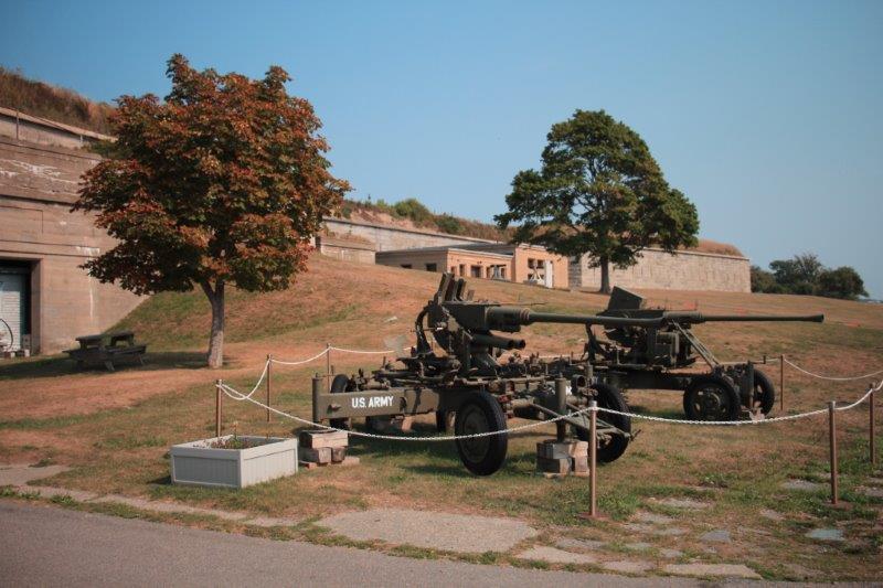
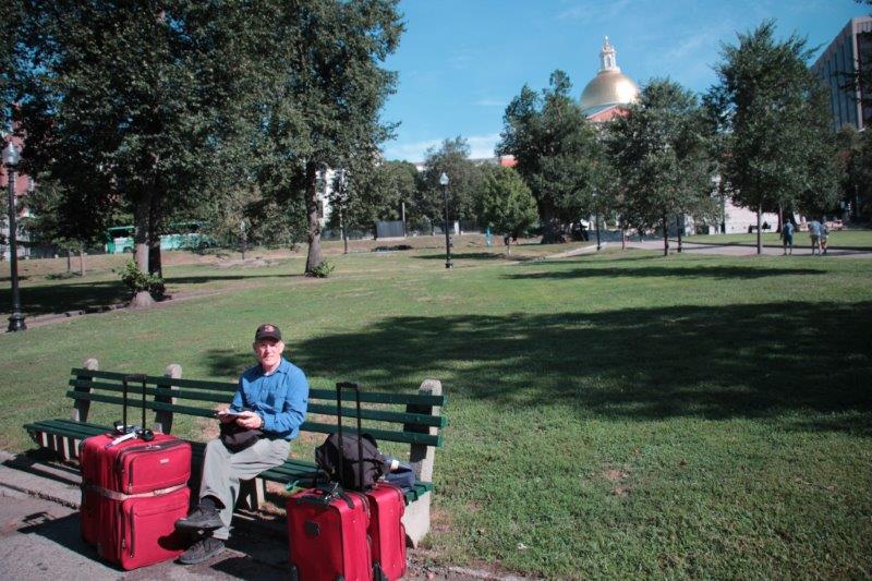
This is it folks.  Last day.  Last blog.  Last item on my To Do & See in Boston list.

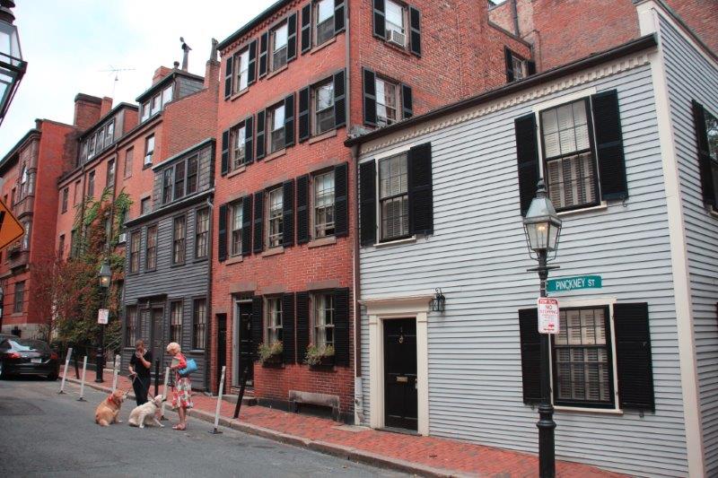
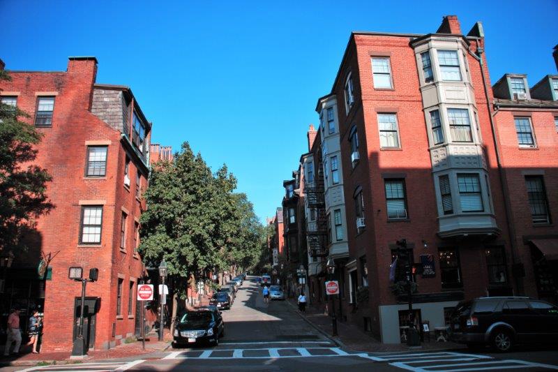
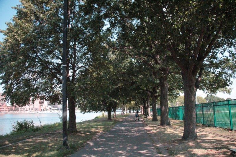
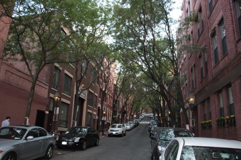
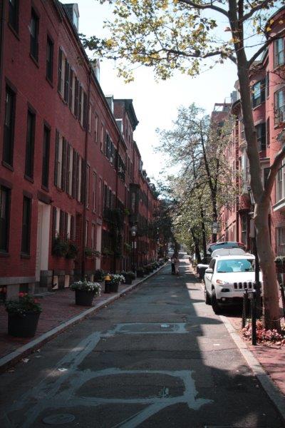
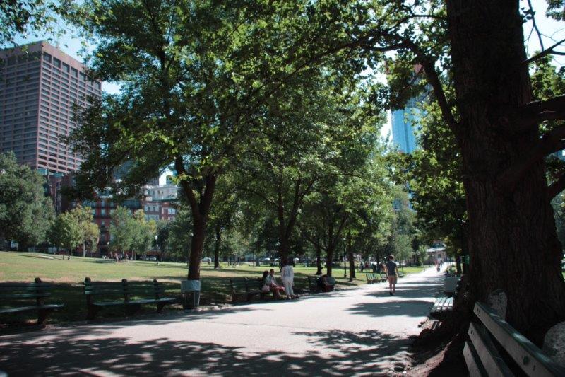
Today we walked the 1.4 mile Black Heritage Trail.  It actually winds around the blocks here in Beacon Hill because between 1800 and 1900 most African Americans in Boston lived in the West End, a neighbourhood now called the North Slope of Beacon Hill.  The South Slope was, and still is,  home to upscale white residents.

After the American Revolution, in 1783 the Supreme Judicial Court of Massachusetts declared slavery unconstitutional.  When the first federal census was taken in 1790, Massachusetts was the only state in the Union to record no slaves.  The Black Heritage Trail is a stroll past the homes, Meeting Houses (churches) and schools that are buildings of significance in the struggle for equality and freedom.   All of the homes are private residences or offices so you can’t enter them but it was a nice cool day and a pleasant walk.  I had the brochure that gives a brief history of each building and  it’s owners’ role in the abolition movement and the lives of the black community.

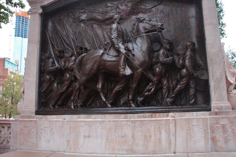
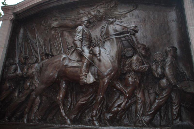
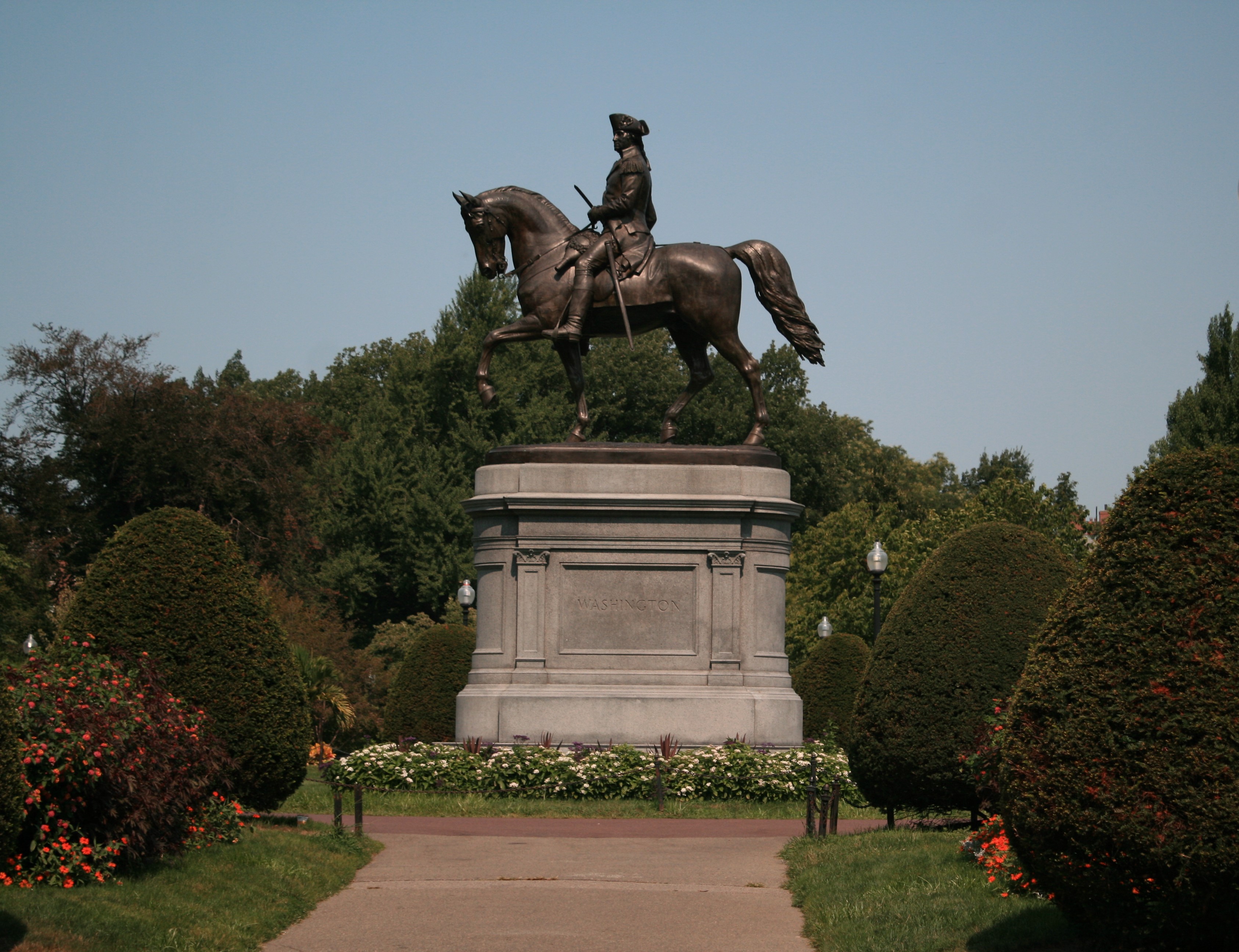
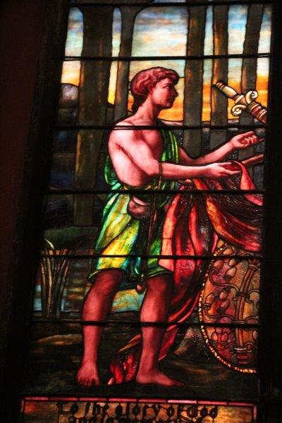
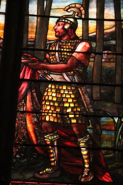
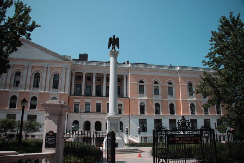
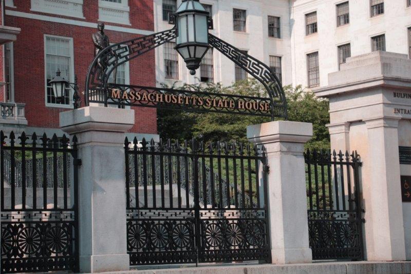
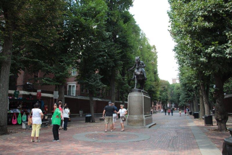
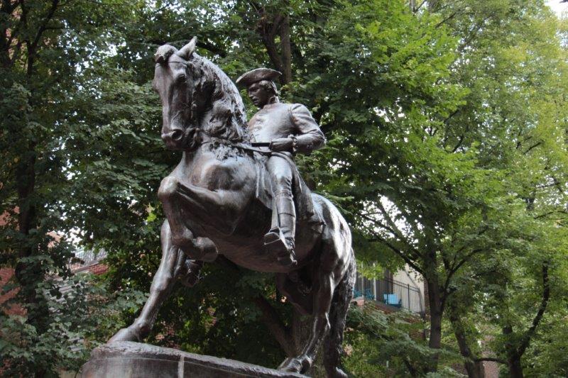
The Trail begins at the Shaw Memorial in the upper corner of Boston Common, across from the State House.

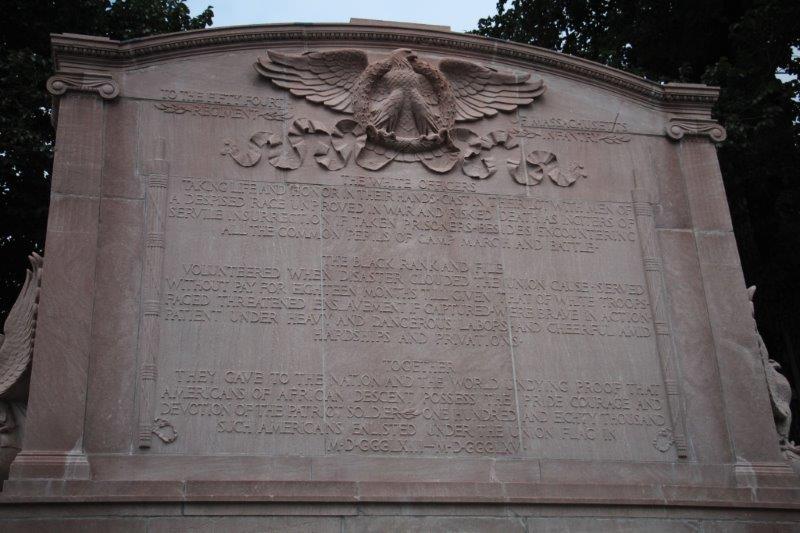
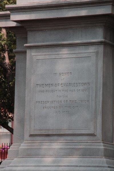
  1. The Shaw Memorial commemorates the 54th Regiment of Massachusetts Volunteer Infantry; the first black regiment recruited in the north after Lincoln admitted African American soldiers into the Union forces in 1863.  They were almost wiped out in their first battle attempting to capture Confederate-held Charleston, SC.  Sgt. William Carney of New Bedford was awarded the Medal of Honor for his bravery, the first black soldier to receive this honor.  The memorial was dedicated May 31, 1897.

IMG_3002 IMG_3004 IMG_30072.  George Middleton House.  5-7 Pinckney Street. Built in 1787 it is one of the oldest standing homes in Beacon Hill.  Middleton was a Revolutionary War veteran.  He led the Bucks of America, one of three black militias that fought against the British.  After the war he was an activist and community leader.

IMG_3013 IMG_30143. Phillips School.  Corner of Anderson and Pinckney Streets. Built in 1824 this was a white-only school until 1855.   When the Massachusetts Legislature abolished segregated schools that year this became one of Boston’s first integrated schools.

IMG_30224.  John J. Smith House. 86 Pinckney Street.  Smith was born free in Richmond, VA and moved to Boston in the late 1840s.  He opened a barbershop that became a center for abolitionist activity and a rendezvous point for people escaping on the Underground Railway.  Smith was later elected to the Massachusetts House of Representatives for three terms.

IMG_30285.  Charles Street Meeting House. Mt. Vernon and Charles  Streets. This meeting house was built by the white Third Baptist Church of Boston.  The segregationist tradition of seating prevailed.  After Timothy Gilbert, one of the members tested this by inviting black friends to his pew (he was expelled)  he joined other white abolitionists Baptists and founded the First Baptist Free Church – considered to be one of the first integrated churches in America.

IMG_3041
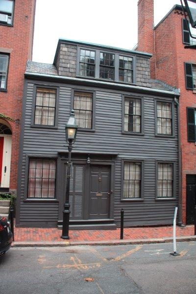
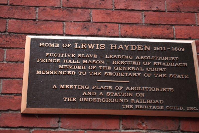
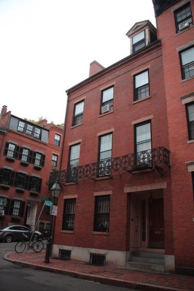
6.  Lewis and Harriet Hayden House 66 Phillips Street.  Lewis Hayden was born enslaved in Lexington, KY.  He escaped with his wife Harriet and settled in Boston.  Lewis became a leader in the abolishonist movement and Hayden House became an integral stop on the Underground Railroad.  It is said he helped over 100 slaves to freedom.

In 1850, in an effort to appease the South and prevent a Civil War the federal government strengthened the Fugitive Slave Law and granted the right to search and capture escaped slaves in previously ‘safe’ northern states. Boston earned its reputation as a strong center of abolition during antislavery protests in the wake of this legislation.

To protect any escaped slaves who may be residing in his house should slave catchers come Lewis Hayden put kegs of gunpowder at his front door.  When catchers arrived one day he met them at the door with a lighted flare in hand and said if they tried to enter he would light the kegs.  They left.

Hayden was recruited for the 54th Regiment, was a Grand Master of the Prince Hall Masons and was late elected to the Massachusetts House of Representatives.

IMG_3047 IMG_30467.  John Coburn House. 2 Phillip Street.  He was a clothing retailer and community activist.  He served as treasurer of the New England Freedom Association which was dedicated to helping people escape from slavery.  He was arrested in 1851, tried and acquitted for the courthouse rescue of Shadrach Minkins, a freedom seeker who was caught in Boston by federal slave catchers.

IMG_30548.  Smith Court Residences. 3,5,7, 7A and 2 Smith Court. Five homes that typify those of black Bostonians in the 1800s.  All of the various owners were active in the Underground Railroad and the abolitionist movement and the struggle to integrate Boston’s schools.

IMG_3061 IMG_3062
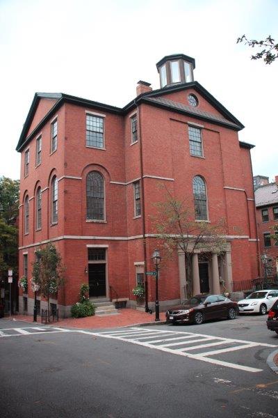
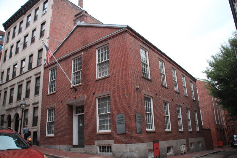
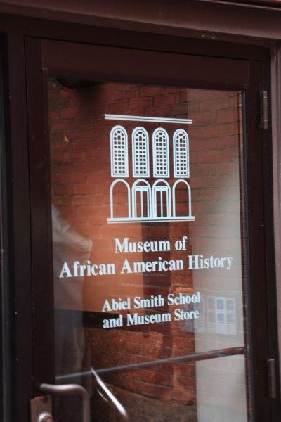
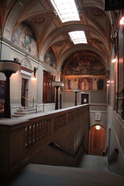
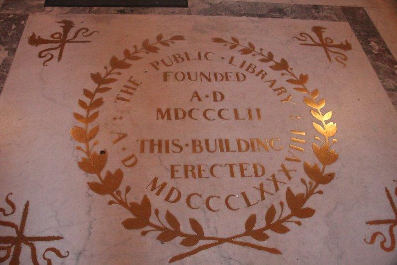
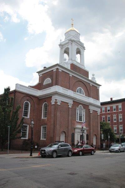
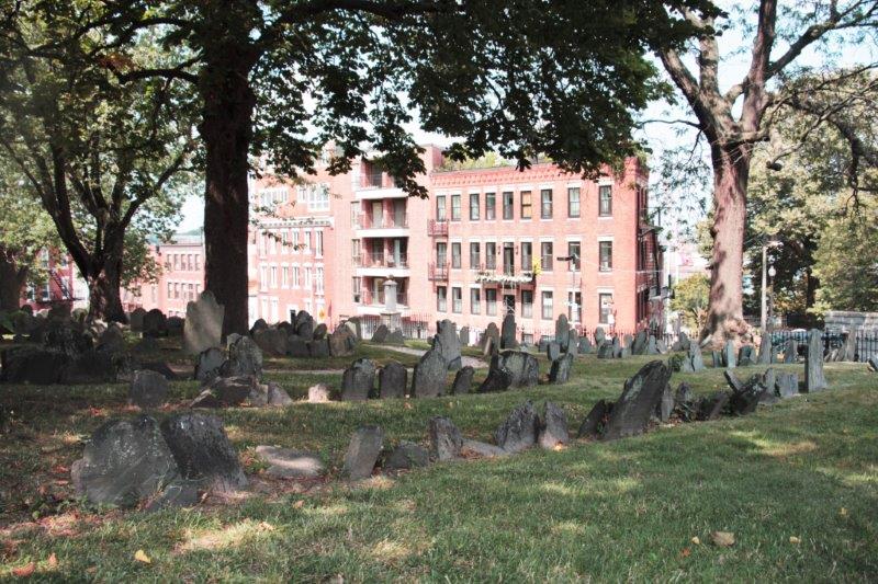
9.  Abiel Smith School.  46 Joy Street.   White philanthropist Abiel Smith willed money to the city of Boston for educating African American children. The city built this school with her legacy.  Prior to this school being built Boston’s black children attended classes in the African Meeting house; which is next door.  The Abiel Smith School is home to the African America Museum and is the end of the trail.

IMG_3060
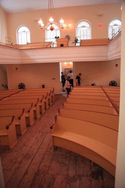
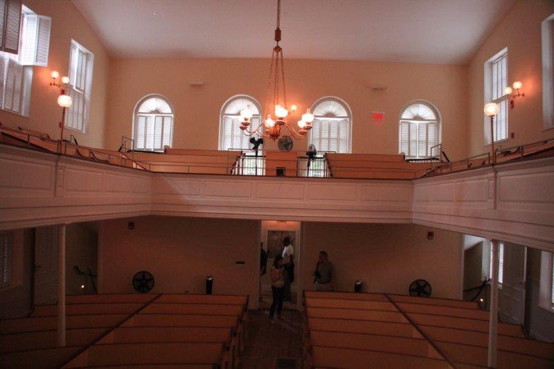
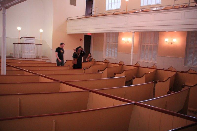
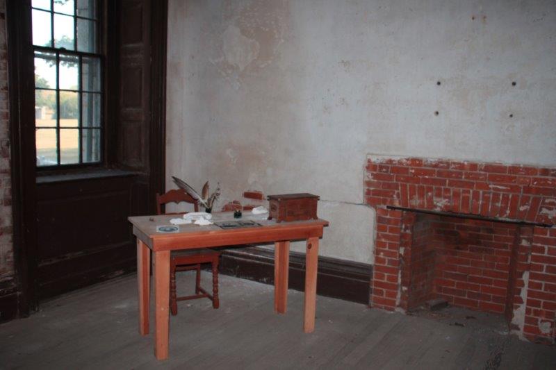
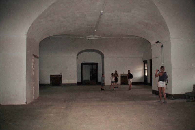
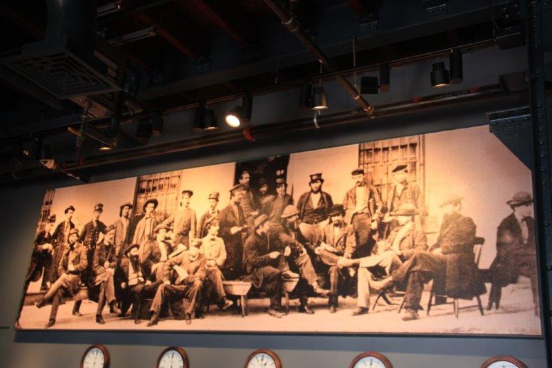
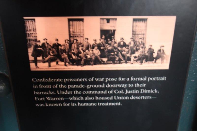
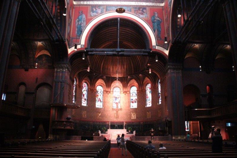
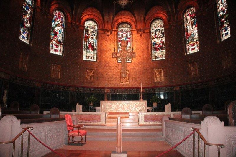
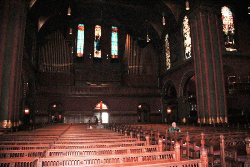
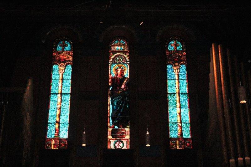
We could not take photos in the museum which contained information about African American authors and newspaper writers and copies of their works but we were on hand when a park ranger opened the African Meeting House and took us inside to tell us about the building and it’s importance to the African American community as a church, school and meeting room. Many important speeches and speakers of the abolishist movement were given within its walls.

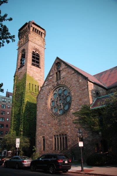
The Meeting House was built by free black labourers in 1806 and is considered the oldest surviving black church building in the USA.

IMG_3066 IMG_3070 IMG_3071 IMG_3073 IMG_3074

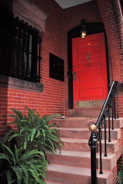
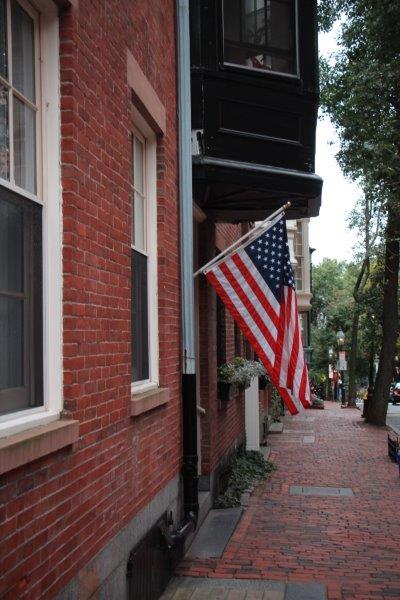
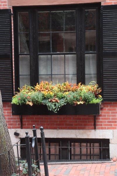
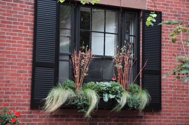
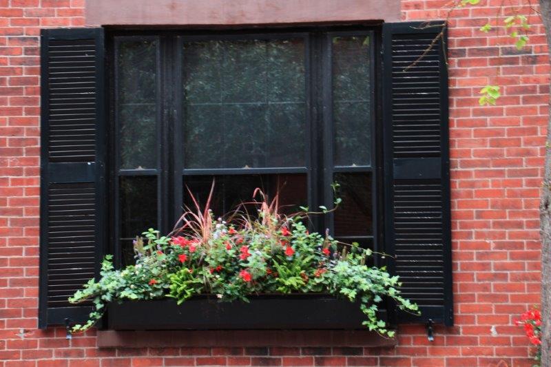
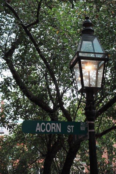
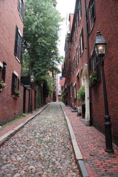
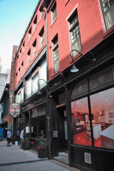
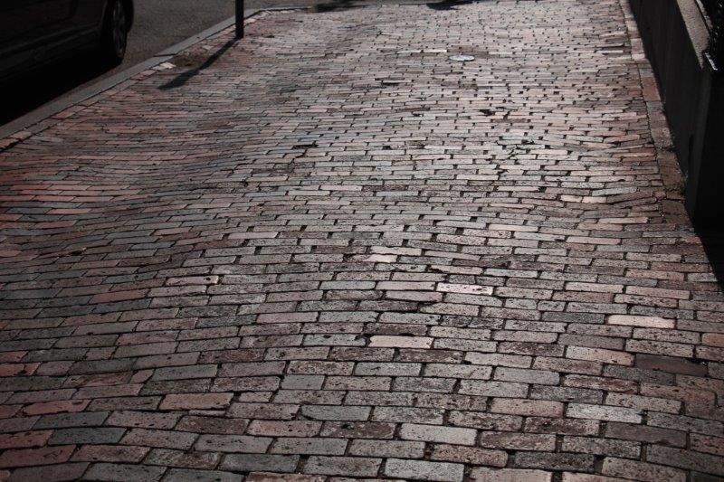
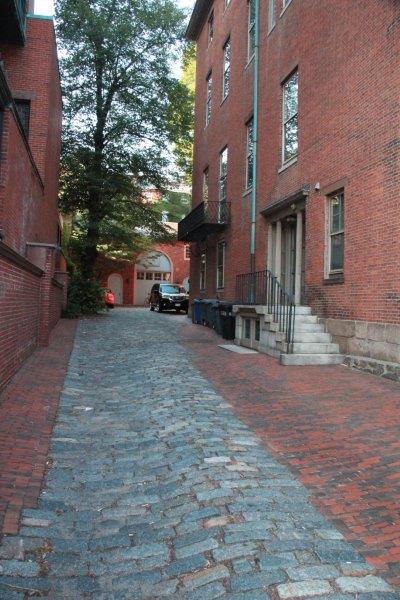
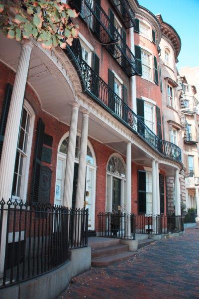
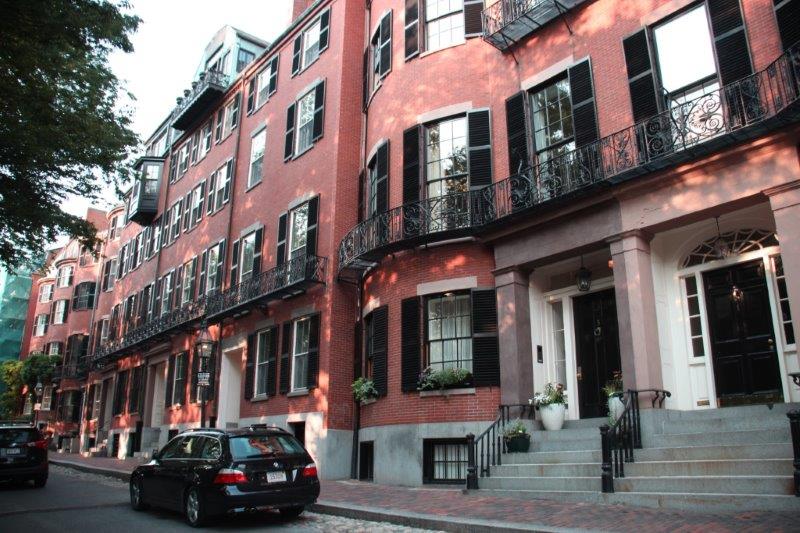
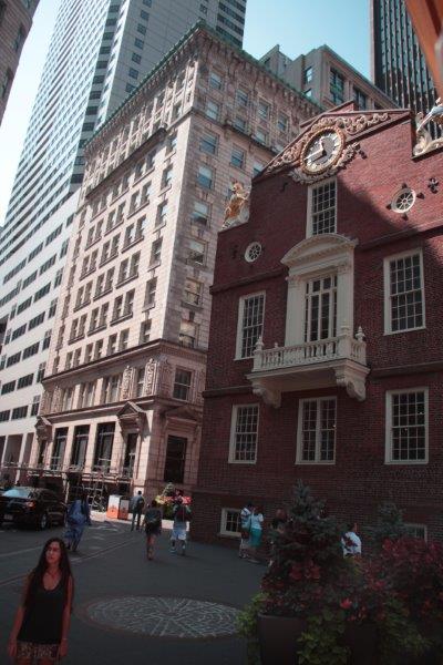
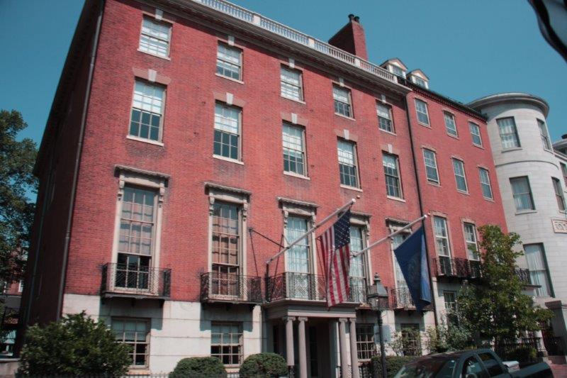
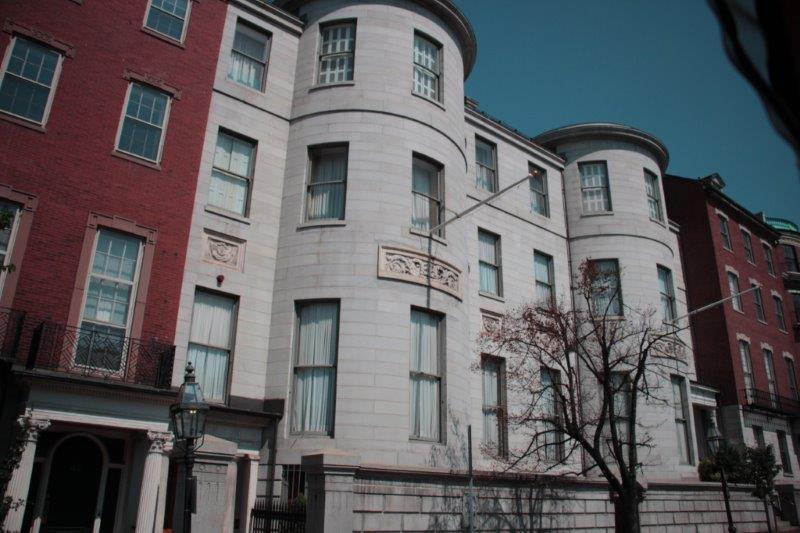
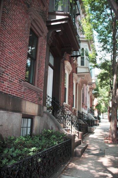
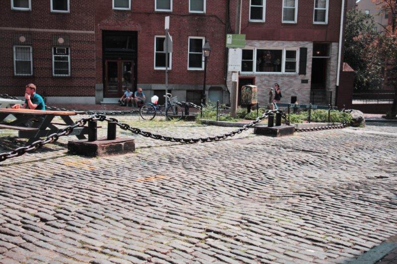
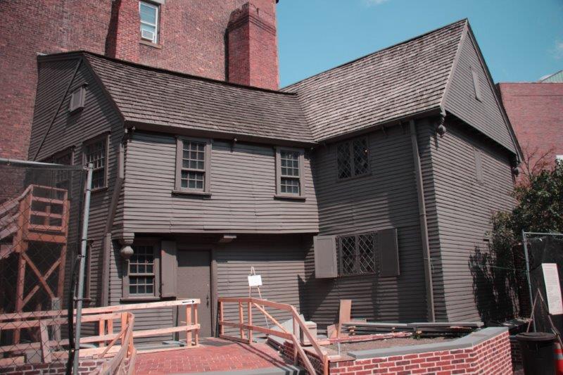
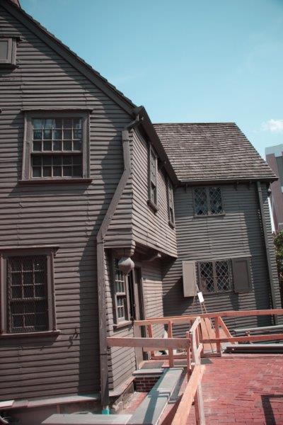
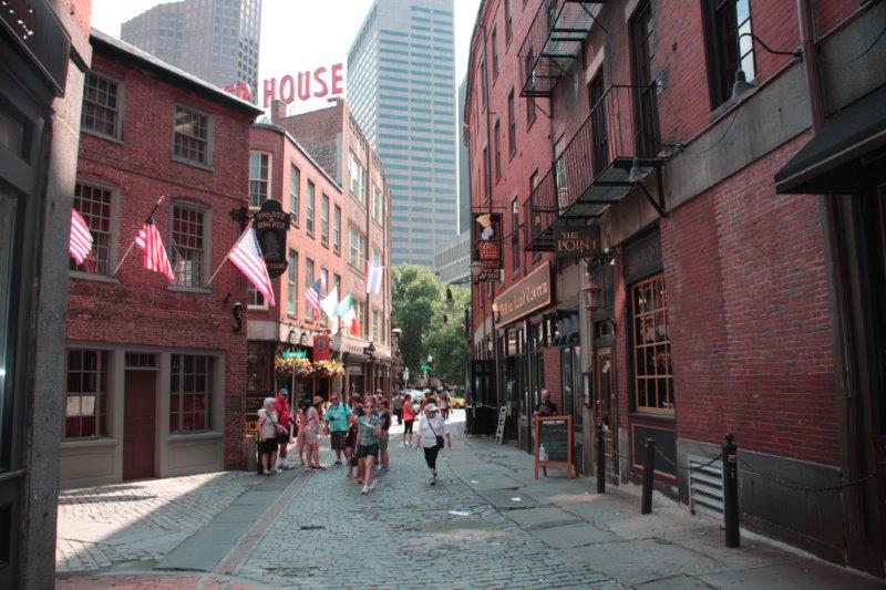
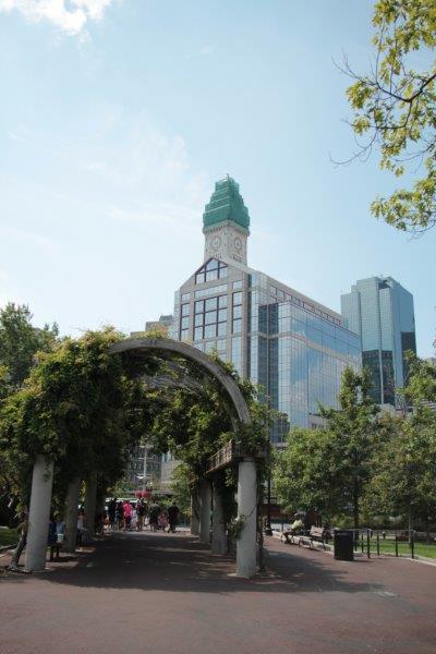
As we walked the Black Heritage Trail we saw other buildings we liked, passed the ritzy Louisburg Square again, and went to Acorn Street. reputed to be the most photographed street in Boston

IMG_3011 IMG_3088

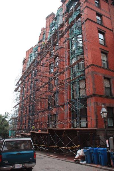
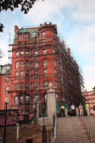
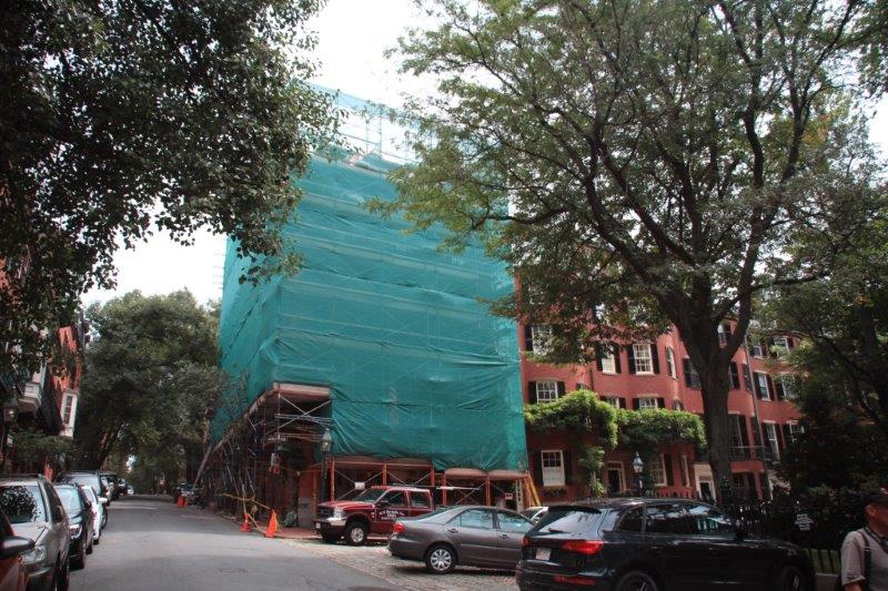
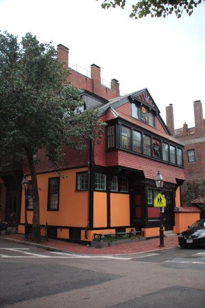
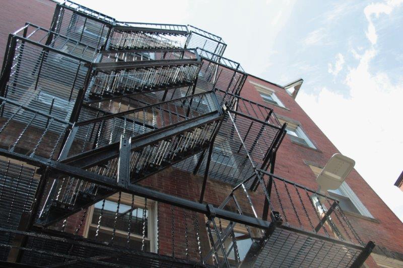
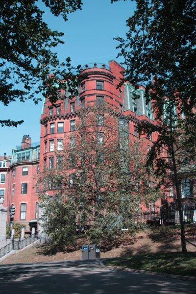
This building is across the street from Boston Common and is getting enfolded in scaffolding.  I spoke to one of the workers and he said it will be a six month job to work on the brick and the windows.

IMG_3017 IMG_3018 IMG_3023 IMG_3024 IMG_3026

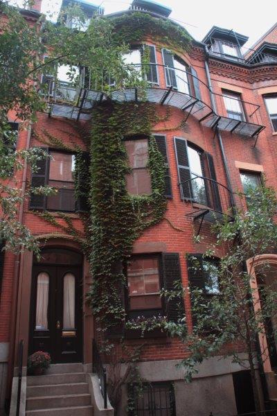
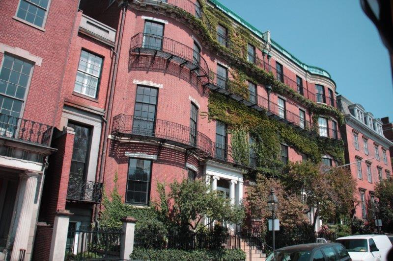
Secretary of State John Kerry’s house in Louisburg Square is undergoing a reno.IMG_3029 IMG_3031 IMG_3037 IMG_3038 IMG_3032 IMG_3033 IMG_3040 IMG_3044 IMG_3045 IMG_3050 IMG_3052

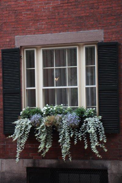
Vilna Shul, the building on the right, is the oldest synagogue in Boston.  Completed in 1919 by Jews from Vilna (now Lithuania), it was abandoned in 1985 when the congregationd dropped to a single member but was bought by the Boston Center for Jewish Heritage and is undergoing extensive renovations.

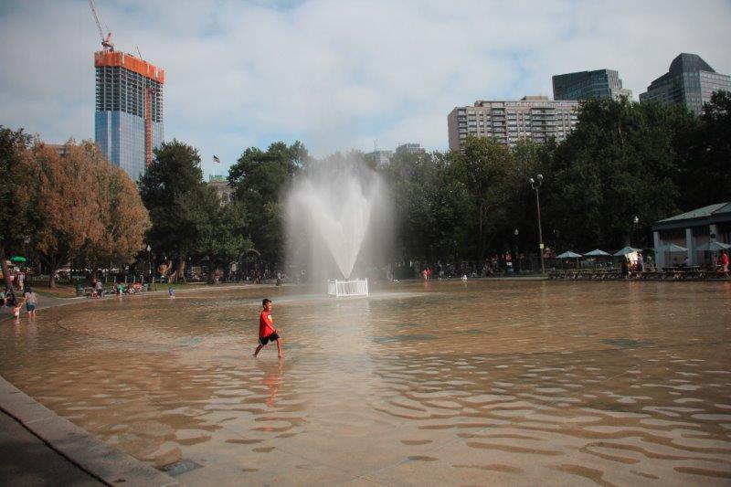
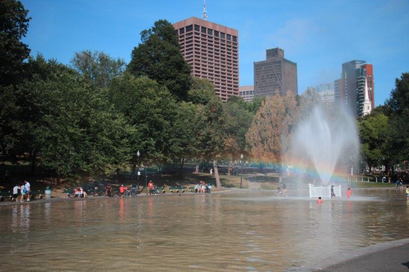
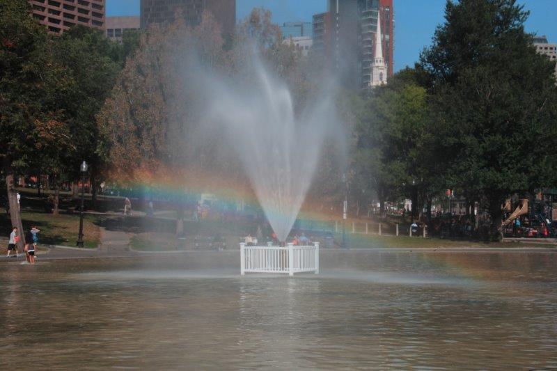
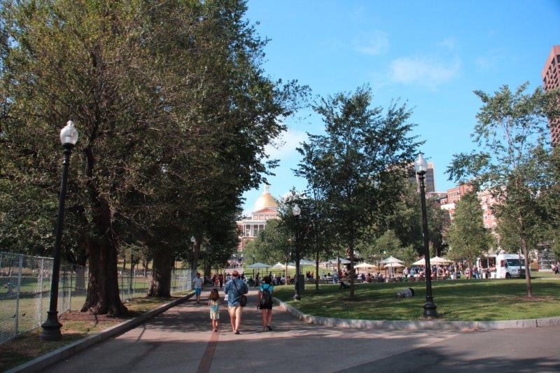
When we left the museum we made our way back to Boston Common and to the back side of the Frog Pond to locate a geo-cache.  We also found a cache down a small semi-hidden street off the very busy pedestrian shopping streets of Summer and Washington.  And a third cache in the fence on Park Street not far from the Shaw Memorial where our day began.

IMG_3090 IMG_3097 IMG_3092 IMG_3101 IMG_3104 IMG_3105 IMG_3108 IMG_3114 IMG_3116 IMG_3119 IMG_3121 IMG_3122


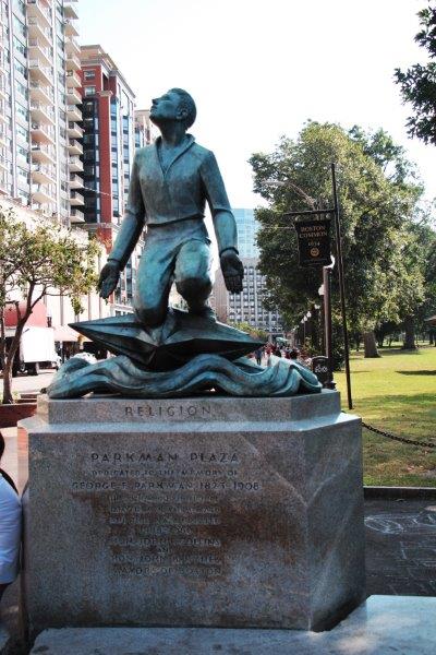
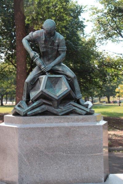
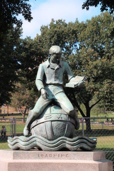
The Puritan ethic – Religion, Industry and Learning.

IMG_3125 IMG_3128 IMG_3130 IMG_3131 
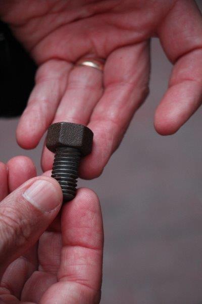
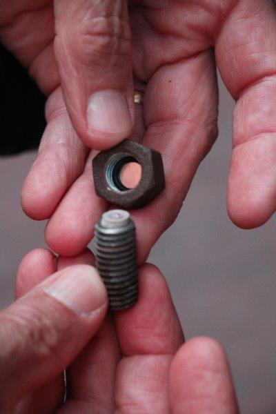
Now this is a clever container for a geo-cache! IMG_3142 IMG_3155 IMG_3156

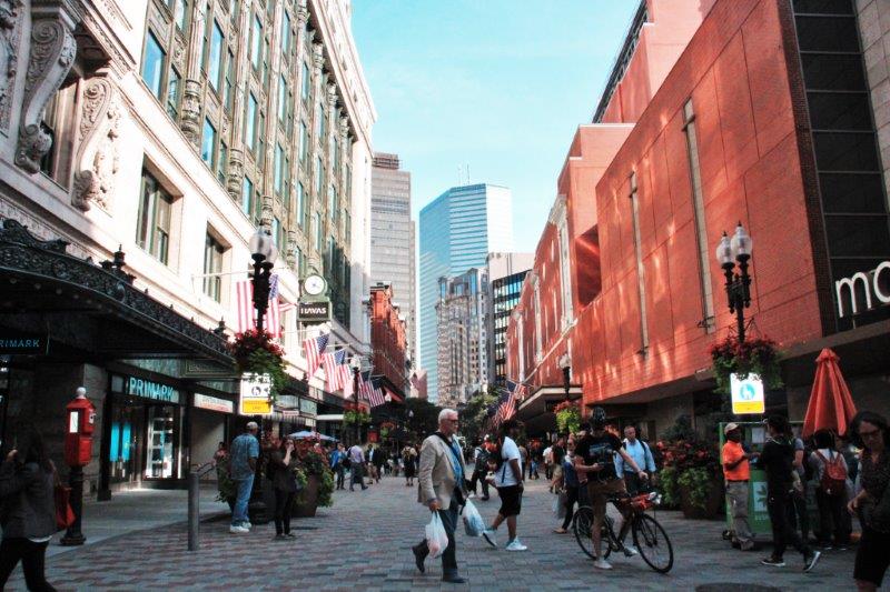
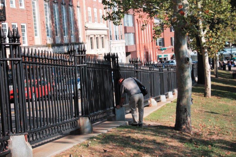
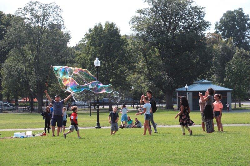
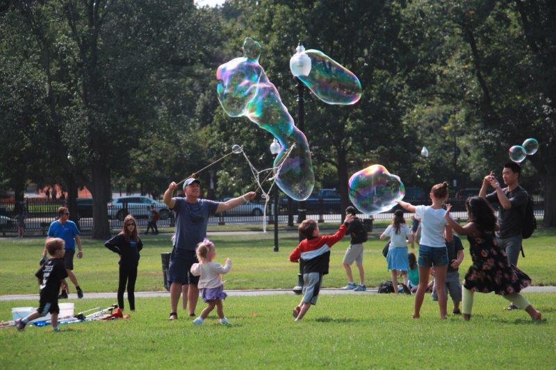
Sometimes you have to have photo ops to disguise your geo-caching.IMG_3158 IMG_3162 IMG_3164 IMG_3168 IMG_3170IMG_3133 IMG_3171

It was a good last day in Boston.  I hate to see it end.  We had a great time here and there is still lots we could see and do.  But I am pleased that we made it through my list successfully.  Early to bed tonight.  We have an 8 am flight to Seattle and need to be at the airport not long after 6, which means a 4:45 wake up.  Yuck.

Thanks for following along on our latest journey.  I appreciate your comments and ‘likes.’  I have fun.  I am glad you do as well.


2015 Sep 3 – Day 41 – Boston Day 6

We took it a bit easy today.  We didn’t leave the apartment until 12:30 in order to take the T out to Aquarium station and Long Wharf.  We purchased round trip tickets to Georges Island so we could explore Fort Warren; which was built as a defensive fort for the Boston Harbor but was used during the Civil War for Union prisoners (deserters and dissidents), political prisoners and Confederate POWs..

All 34 of the Harbor Islands are part of a joint Commonwealth of Massachuesetts and National Parks initiative.  Six of the islands are not open to the public, but the rest are (access only by boat or ferry) and Boston Harbor Cruises makes regular daily runs from three terminal to the many of the  islands – they have 51 boats of various sizes.  You can even travel inter-island between two or three islands on each route.  We just bought direct to Georges and back to Boston tickets.  The ferry left Long Wharf at 2 and arrived at Georges at quarter to 3.  The boat only goes 10 knots top speed so it was a pleasant, leisurely ride;  another lovely day, although the air was distinctly more hazy today.

IMG_2885 IMG_2886 IMG_2888 IMG_2889 IMG_2890 IMG_2892On board was a Park ranger who gave us a commentary on all of the islands we were passing.  Along the way she gave a lot of interesting Boston information some of which I am going to relate first.

When the Puritans arrived the area of Boston was a small penninsula.  In order to make room for the many immigrants expected to arrive to settle the new land they carved the tops of Boston’s three hills-Copps, Breed and Beacon. The dirt was used as fill at the shoreline between long wharfs to make more land; thus creating the term wharving.  This eventually  quadrupled the size of Boston and today 75% if the city is on man-made land.

Boston’s number one export is scrap metal.

Logan Airport is located on 2400 acres of man-made land incorporating three small islands that used to be out in the bay: Governor, Bird, and Apple (Johnny Appleseed was from Boston),

IMG_2895The harbor is on the direct landing flight path at Logan and about 10 planes landed – descending directly over the ferry – in the time it took to putt-putt past the airport area.

IMG_2897 IMG_2899 IMG_2903Boston was divided by Interstate 93 and in 1982 plans were drawn up to move the highway underground and make a tunnel under the shallow Inner Harbor directly out to Logan Airport – the Central Artery/Tunnel Project known as The Big Dig – 5.6 km or 3.5 miles long.  It is the most expensive highway project in US history and was (according to Wikipedia) “plagued by escalating costs, scheduling overruns, leaks, design flaws, charges of poor execution and use of substandard materials, criminal arrests and one death.”  The project was begun in 1982 and scheduled to be completed in 1991 at a cost of $2.8 billion dollars.  However, with all of the above, it was not finished until 2007 and cost $14,6 billion a 190% overrun which with interest added will top out at $22 billion by the time it is paid off in 2038.

Plus an observation of my own.  Boston has a traffic/pedestrian crossing system different than that of everywhere else we have been.  Both directions of traffic at a intersection alternately get green lights to go while pedestrians are stopped on all four sides.  Then the cars are all stopped and all four pedestrian crossings have walk signals.  I guess too many people were getting hit by right turning cars or something.  It works well though.  And off course you can always cross when the oncoming lane has a red if there is no one coming or you can at least get to the middle divide and then wait for the walk.   That works too.

IMG_2999Harbor Islands:  The first we passed was Spectacle Island.  It was a smallpox quarantine island.  Also had three illegal hotels on it at one point.  Later it had a soap rendering business using the carcasses of 45,000 horses annually (they offered a pick-up service if your horse died). In the 1920’s it became the city garbage dump and continued as such for 50 years.  There were firefighters stationed on the island to deal with the frequent fires from the methane gas produced by all the trash.  They used the dirt from the Big Dig to cover the trash, extinquish the fires and build up the island so it has hills on it today. It is a favorite for camping and has a lovely beach.

IMG_2901

Long Island was next.  Most recently the brick buildings were homeless shelters and a rehab center  but the bridge connecting the island to the mainland was so unsafe it was dismantled this past winter – making 300+ homeless people find somewhere else to shelter.  Quite a controversial decision.

IMG_2907As we passed we could just make out the pilings on the right where the bridge used to be but it was too hazy and far away for a photo.

She told us things about some of  the other islands as well but I didn’t make notes of it all so you are spared.

IMG_2910 IMG_2912 IMG_2914 IMG_2915 IMG_2918When we arrived at Georges we were just in time for a Park guide to give a 45 minute tour of the fort.  It was built after the war of 1812 when the British invaded and got as far as burning down the White House.  Clearly some stonger shoreline defenses were needed.

The fort was started in 1832 and the keystone was laid in 1850.  However the fort was not actually completed for another 10 years.  It’s weaponry was periodically updated as new innovations in firepower were available and the fort was used as a training ground during the Spanish-American War, WWI and WWII.  It was de-commissioned in 1950 and purchased by the Commonwealth of Massachusetts for $5,400 in 1958.  It is listed on the US Heritage Properties list and is now run and maintained by a joint Massachusetts  and National Parks co-operative.

IMG_2920 IMG_2925 IMG_2926Back in the day, before the harbor was dredged the only access to Boston was through a narrow 1500′ wide channel between Georges Island and Lovells Island.  This made Georges an important defensive property and it is big enough to have a fort.  All the granite, stone and other materials were brought by barge from nearby quarries and factories.  All the ancient defense mechanism developed over the centuries for this type of structure were employed; drawbridge, porticullus, earthworks hiding the structure and covering the roof to absorb cannon fire, arrow slits (muskets), etc.  The fort never saw action in defense or offense and eventually the armaments outpaced the fort’s ability to adapt and it was de-commissioned.

IMG_2982When the fort became a POW camp during the Civil War the prisoners were treated very well by the camp officer.  He had gone to West Point so many of the captured Confederate officers were former friends of his.  He treated them well with good food, medical care and recreation.  And since the fort had not been built as a prison and had to be adapted to be one many of the ‘cells’ were quite spacious and comfortable.  He  also hoped that if any Union men were caught by the Confderates they would likewise be treated well.

IMG_2928 IMG_2930 IMG_2931 IMG_2932 IMG_2933 IMG_2934 IMG_2935 IMG_2938 IMG_2939 IMG_2941Former officers quarters used to house two Confederate prisoners. They had another room that was divided to get each a private sleeping area.IMG_2950

The bakery.  They baked 1300 loaves of bread each day while it was a prison.IMG_2951 IMG_2953 IMG_2955 IMG_2956 IMG_2957IMG_2959

IMG_2961 The hospital wing.  They had beds for 30 patients and two doctors who were prisoners (one Union, one Confderate) helped care for the sick or injured.IMG_2962 IMG_2963 IMG_2964IMG_2965There were only 13 deaths during the years Fort Warren was a prison and all of the men had arrived  sick and succumbed to their illnesses after being sent to the fort.IMG_2969 IMG_2973

You would never know there is a fort and parade ground on the other side of the bank.IMG_2974 IMG_2975 IMG_2977 IMG_2979 IMG_2993 IMG_2995 IMG_2996

The last ferry left the island at 5 and we were back at Beacon Hill by 6:30.  We had dinner at a restaurant down the street and then returned to the apartment. Tomorrow is our last day and I have only one thing left on my To Do list.

IMG_2997


2015 Sep 2 – Day 40 – Boston Day 5

According to the data generated at the Human Life exhibit at the Museum of Science yesterday my normal walk burns 95 calories per mile.  John’s walk is better – he burns 122 calories per mile.  (We also learned he has a high foot arch, I have a normal one, neither of us chooses more food just because the selection is larger, my hands drop 3 degrees in a minute when cold; John’s only drops .7 of a degree.)

Today we must have walked off the calories consumed in our Dunkin Donut lunch.  We walked almost continuously from 10:30 am until we got back to the apartment at 6:30.  Once again, my feet hurt – but not as bad as the other day thank goodness.

My ‘to do’ list of sites in Boston included several things in Back Bay. Boston is made up of smaller districts: Charlestown across the river (USS Constitution and Navy Yard), North End (Italian section, Paul Revere’s House, Faneuil Hall, etc), Government Center (Mass. State House), Financial District (self explanatory), Chinatown (ditto), Boston Common, West End,  Beacon Hill, Back Bay and Fenway.   Back Bay is the new money area. Beacon Hill is the old money.

We decided to walk over to Back Bay and go through the Boston Public Garden on the way rather than take the T.   That enabled us to meander and make a few detours.  The Public Garden is beside Boston Common but is much newer; having been established in 1837; 203 years later than the Common (1634).

Boston is chock-a-block full of statues. They are everywhere commemorating important personages from history, politics, literature and the arts, philanthropy and religious service, and who knows what else.  Not too far from where we entered the garden we came across Mrs. Mallard and her children, Jack, Kack, Lack, Mack, Nack, Ouack, Pack and Quack, the family of ducks that made the Boston Public Garden known to millions of children through the book: Make Way for the Ducklings.  At the other end of the Garden is a Sept. 11 memorial remembering the people from Boston who perished that awful day. (We even found a geo-cache at the gate we exited the garden.)

IMG_2572 IMG_2573 IMG_2574 IMG_2575 IMG_2588 IMG_2590 IMG_2602 IMG_2579 IMG_2577 IMG_2578 IMG_2580

IMG_2433
IMG_2435 IMG_2438 IMG_2445 IMG_2446

Somehow I unknowingly changed my camera setting to monochrome so some of my pics are black and white. (I included a few of John’s that were the same as mine to have colour ones)

IMG_2609 IMG_2613 IMG_2614

Today was also a day for churches. We toured the Church of the Covenant, Trinity and Old South..  We have been in churches all around the world – they are favourite buildings on tourist excursions – but I think Central Congregational is my favourite.  There was just something about the simplicity of the lower levels rising to the decoration and gorgeous Tiffany windows and lantern to the 100 foot high ceiling that lifted my soul.  I loved it. It was built in 1867  in the Gothic Revival style and sits at the corner of Newbury and Berkeley Streets.

IMG_2626 IMG_2629 IMG_2632 IMG_2637 IMG_2641 IMG_2644 IMG_2645 IMG_2651 IMG_2653 IMG_2656 IMG_2661 IMG_2662 IMG_2665 IMG_2668

IMG_2673 Almost immediately after leaving Church of the Covenantl we went into Trinity.   They have a meeting rooms in the Parish House and a lovely enclosed garden – where we tried to locate a cache but came up empty-handed.  Trinity Church is the only church on the American Architect list of top 10 buildings in the country.  It sits on one side of Copley Square, a very popular lunch spot for people working in the area.

IMG_2692 IMG_2694 IMG_2695 IMG_2698 IMG_2700 IMG_2702 IMG_2709

Their minister Phillips Brooks wrote “O Little Town of Bethlehem”IMG_2711 IMG_2712 IMG_2714 IMG_2718 IMG_2719 IMG_2720 IMG_2723 IMG_2705  IMG_2706Across the square and across the street is the Boston Public Library. I wanted to see the murals I had read graced the walls of the building.  I wasn’t expecting all the gorgeous marble, the exhibit on 100 years of Boston’s Haydn and Handel Orchestra, the paintings of the story by Alfred, Lord Tennyson of Sir Galahad and the Holy Grail that encircle the Abbey Room, the dioramas of famous artists ‘working’ in scenes depicted in their art and the beautiful courtyard we spied out a back window.   Justifiably a  Boston treasure.

IMG_2725 IMG_2730 IMG_2728 IMG_2732 IMG_2751 IMG_2752 IMG_2769 IMG_2748 IMG_2743 IMG_2744

IMG_2747

IMG_2759IMG_2760IMG_2764IMG_2766IMG_2768 IMG_2740IMG_2774 I had picked up a brochure on the Mapparium, a 30 ft glass globe you could stand inside.  The address was on Massachusetts Ave. so we headed that way when we left the Library.  Along the way we passed a huge reflecting pool and fountain with a towering building beside it.  Along the length of the reflecting pool were trees and gardens with seating.  Two buildings flanked the ends of the pool, one modern looking that matched the architecture of the tower at the other end and the other a huge domed Renaissance revival basilica.  This is the headquarters of the First Church of Christ, Scientist (aka Christian Science).

Across the courtyard of Christian Science Plaza is the Mary Baker Eddy library and museum (founder in 1908 of the Christian Science Monitor), one of the largest single collections by and about an American woman and home of the Mapparium.  You could not take photos inside unfortunately but if you Google it you can see a couple of photos.  The Mapparium is a 3 story stained-glass globe of the world (to scale) that can be traversed on a glass bridge through the middle.  It was built between 1932-35 and reflects the geography of the world at that time.  While standing on the glass bridge you are treated to short sound and light show about our changing world.  (The thing that struck me the most was the amount of downtown real estate the Christian Scientists own – the plaza is a huge complex.  They bought up a few square blocks back then for sure.

IMG_2776 IMG_2781 IMG_2783 IMG_2782 IMG_2785A few blocks down Massachusetts Ave and we turned right onto Boylston where entered the Prudential Center and bought tickets for the Skywalk Obeservatory on the 50th floor of the tower.  Gorgeous 360 degree view of Boston.

IMG_2787 IMG_2786 IMG_2788 IMG_2789 IMG_2792 IMG_2796 IMG_2798 IMG_2809 IMG_2812 IMG_2813 IMG_2816 IMG_2822


Everything you see in the center of this photo, plus a long extension of the building on the right that didn’t fit in the image belongs to the Christian Science Church.  A beautiful space.


We were now walking back toward the Public Garden but we needed to stop in at the Old South Church on the way.  Members of the Old South Meeting House, of Tea Party fame, decamped to this new parish in 1875 – quite a controvery at the time.  The Italian Gothic style of the church is very different than the plain meetinghouse they previously attended.

IMG_2824 IMG_2827 IMG_2830 IMG_2831 IMG_2833 IMG_2845IMG_2838  We decided to go up  Commonwealth Avenue Mall and see some of the many statues that have been placed among the trees. We entered the Mall about half way along its length so we didn’t see all of the statues but we did see the Vendome Monument, a memorial  to firefighters who lost their lives in 1972 after fighting a fire in the Vendome Hotel of Back Bay only to have the building collapse without warning minutes after they were wrapping up from fire (stuctural weakness was determined as the cause, not the fire). 16 men were trapped for 9 hours, nine died.

IMG_2848 IMG_2852 IMG_2851 IMG_2860 IMG_2862 IMG_2871 IMG_2872We completed the long and winding circuit and emerged at the Public Garden.  As we made our way back to the apartment on Garden Street in Beacon Hill we made a stop at Louisburg  Square (Bostonian’s pronouce the S, so it is Lewisburg), home of the costliest private residences (with recognizable names of film, art and politics as owners) in the country.  $6-$20 million per.  The buildings were the model for future townhouse development. The little park in the center is private to the property owners but we found a geo-cache that was hidden in one of the signs.

IMG_2879 IMG_2880 IMG_2881 IMG_2877

And now you know why my feet hurt!  I knew there was too much to see and do in this city!  Good thing we decided to stay a week and not the original two or three days.  Even with our jam-packed week there are places and things I would like to see that I won’t be able to. But I know we can’t do it all.  Oh well.  We are doing quite well; narrowing down the list nicely.


2015 Sep 1 – Day 39 – Boston Day 4

After breakfast we walked back across the highway overpass and down the Esplande to the Museum of Science.  Last night John had booked seats on an 11:30  Duck tour.   It is only a 25 minute walk  to the museum (Duck tour starting point) so we still had time for a leisurely breakfast.

IMG_2414


The walkway over the four-lane highway.IMG_2415 IMG_2416

They are renovating the bridge. It looks like a very large project. Should take a few years to complete.IMG_2417


The Esplanade – a very popular walking, jogging and biking path.IMG_2418   Our Duck

The Duck tour took us past many of the historic sites we have toured but also to other parts of the city.  Our driver was very funny, especially if another vehicle got in her way or was parked in the way.  Since she has a microphone and sound system in an open vehicle the other drivers had no problem understanding her displeasure.  Quite funny.  She related many silly, unimportant type things along with a history snapshot and running commentary of all the buildings we passed; many interspersed with her personal thoughts regarding it.  A nice, fun thing to do for 80-90 minutes.

IMG_2422 IMG_2423 IMG_2427 IMG_2429 IMG_2430 IMG_2432 IMG_2434 IMG_2438

Some of the very, very espensive homes in Beacon Hill. Some of these buildings sell for $16 million. IMG_2439 IMG_2440 IMG_2441 IMG_2446 IMG_2447 This is a prison – built on prime river-front property. The windows are inverted so the prisoners don’t have a nice view.IMG_2449 IMG_2451 IMG_2450We were back at the front of the Museum of Science at 1 pm, just in time for lunch.  We went to the Riverview Cafe in the museum and had  not-very-good fish and chips.  The chips were okay, but I don’t know what fish they used.  Neither John nor I were impressed.

The main attraction for me at the Museum of Science is a special exhibit called the Science of Pixar.  I love Disney/Pixar films so getting to see how they are made holds a lot of appeal.  During the weekends you need to make a reservation for a specific time to go in but since it was a weekday and close to school starting we were able to get a ticket for the next available entry – 10 minutes wait.

The exhibit was fabulous.  Really well done.  It took you through every stage of the creation of a computer animated film with filmed explanations of each task given by the actual employees that work in each department.  There were also hands-on  interactive centers where you could work on the skills yourself.

IMG_2454 IMG_2457 IMG_2461 IMG_2462 IMG_2464

About a half hour after we started looking around were interrupted by a fire alarm and the entire museum was evacuated.  Boston’s finest showed up in a few minutes, checked everything out, reset the alarms and we were allowed back in to pick up where we had left off.

IMG_2470 IMG_2471We spent at least a couple of hours reading, checking out the activities and listening to all the staff stories.  There were great examples of art work made by Pixar people and many of the characters around the displays.  If you are ever somewhere that has the exhibit, I highly recommend it.

IMG_2473 IMG_2476 IMG_2478

You could adjust the colours of lights and features of the water around Dory.IMG_2482 IMG_2483 IMG_2484 IMG_2485 IMG_2486 IMG_2487 IMG_2477 IMG_2490When we had exhausted all the Pixar information we used our general admission ticket to explore the rest of the museum.  We managed to work our way through two of the three floors before we left the building at 6:45 – 15 minutes before closing.  What a great place.  So many very different exhibits with many inter-active centers.  A great place to take your kids.  I loved this museum.  And you all know what I am like in a museum so that says someting.

IMG_2495 IMG_2500 IMG_2498

A topographical scale map of Mt. Everest showing the climbing route.

IMG_2503


A diorama of the construction of the pyramids.


IMG_2505 IMG_2506 IMG_2508

Life-size dinosaurs

IMG_2517 IMG_2518This section is for our daughter-in-law Carrie who is an artist.  All of the artwork is either macro or micro photography. Very very cool.

IMG_2520 IMG_2521 IMG_2522 IMG_2523 IMG_2524 IMG_2525 IMG_2526 IMG_2531IMG_2527 IMG_2528 IMG_2529 IMG_2530

IMG_2531 I don’t know how well you can pick out the numbers beside the artwork above that corresponds to the description below.
IMG_2532 IMG_2533 IMG_2534 IMG_2535 IMG_2536 IMG_2537 IMG_2538 IMG_2539 IMG_2540 IMG_2541There was an entire exhibit on optical illusions (M.C. Escher engravings included) and how the eye gets tricked.   The last display was a set of four famous faces that could be seen in geometric black and white images.   Close up they were just lines and shading but when you stand back the faces appeared

IMG_2550 IMG_2543 IMG_2547 IMG_2549


IMG_2551 IMG_2552 IMG_2554 IMG_2557We made a quick stop at the grocery store for dinner supplies and headed back to the apartment to eat and have a  quite evening.  The apartment is very small with several things (like leaking taps and shower) needing  maintenance and it was very expensive by our standards, but the location is really great, with access to groceries, restaurants, the subway and near-by attractions.  Sometimes you just bite the bullet and go for it. Hotels and accomodations in Boston are VERY expensive. Even a small place like this (four story walk-up) would rent for $2500 per month or more.

IMG_2559 IMG_2560 IMG_2561 IMG_2564

IMG_2562 IMG_2563
IMG_2569 IMG_2566

IMG_2558

And now it is time for me to climb into this bed and rest.  Tomorrow is going to be another enjoyable day.


2015 Aug 31 – Day 38 – Boston Day 3

My feet hurt!  Warning: long day, long blog.

The number one tourist attraction in Boston is the Freedom Trail.  In the 1870s Bostonians prudently began saving colonial and Revolutionary era buildings that were critical in the struggle against British rule.

In 1951 a  member of Old North Church suggested to a reporter that a trail would help visitors to find Boston’s historic places and would boost tourism; and the Freedom Trail was born.  In June 1951 with the support of the mayor and the Chamber of Commerce the city placed identifying signs at 12 historic sites.  Over the years the Freedom Trail has expanded (there are now 16 sites) and the signs have been augmented by a red strip of brick in the sidewalk or sometimes a red line.  The trail runs from the Boston Common through the Government Center and the North End,  and across the bridge over the Charles River to the  Navy Yard in Charlestown – a distance, they say, of 2 1/2 miles.  Of course that does not take into account the steps through the museums, churches, burying gounds, houses and historic buildings.

IMG_2413

We left our condo about 11 and took the T back to the stop at the Aquarium just as we did yesterday.  Once there we located the T Water Taxi stop and waited about 15 minutes for the boat to arrive that would take us up the Boston Inner Harbor over to Charlestown. It was a beautiful warm sunny day again with temperatures expected to be around 30C (90ish F).  The city skyline looked great from the boat.

IMG_2186 IMG_2187 IMG_2188 IMG_2189 IMG_2190 IMG_2192 IMG_2196 IMG_2195 IMG_2201The Freedom Trail,’properly’done starts in the Common and ends at the USS Constitution and Bunker Hill Monument.  (not a rule, of course, but the brochures always list the sites in that order). We decided to do it in ‘reverse order’ so we would be walking closer to our living area as we travelled. Then if we tuckered out we could quit and start at the Common end and go back to where we left off  on another day.

As it happened we managed to go the distance all in one day – but we may pay the price tomorrow when we try move.  Some of our success has to be attributed to our walk with Mike, Anne and Christina yesterday as a few of the places we checked out are listed on the Freedom Trail and we did not need to do them again today.

My head is crammed full of American Revolutionary history and I was reminded all day of the large report I did on the subject for 12th grade history class.  I refuse to type all night so you are just going to have to read some of the information yourself.

It is our policy when travelling to take a photograph of the signs at places so we remember what photos belong  where and I often also take a photo of the ‘description’ plaque.  Today you will need to read some of those plaques if you want more information.  I am not going to type it all out in this blog.  Did I mention my feet hurt?  I will need to get them elevated for awhile before I will be able to sleep tonight.  You can read or not – your choice.

  1. USS Constitution – one of six ships authorized by the Naval Act of  1797 and built in the North End of Boston.  She is a wooden-hulled, three-masted heavy frigate and was launched in 1797.  She saw action against the Barbary pirates at Tripoli to open American trade routes in the Mediterranean, in the War of 1812  when she  captured numerous merchant vessels and defeated five British warships, and In 1840 after the ship was decommissioned from active war service she circled the world on a part-diplomatic, part-scientific mission.  Constitution is the oldest commissioned warship afloat in the world.  She is currently in dry dock undergoing a major restoration and will not be open for touring until 2018.  We did however go through the Constitution museum.  The Constitution (aka Old Ironsides) is the epitome American symbol of freedom and courage and is revered by the nation.

IMG_2207 IMG_2208 IMG_2213 This model took a combined time of 62,000 hours over many years by three main model builders. It is a 1/24 scale and everything on it works.IMG_2215 IMG_2216 IMG_2217 IMG_2218 IMG_2212 IMG_2221 IMG_2229 IMG_2222 IMG_2228

2.  Bunker Hill Monument (technically the final/first stop of the Freedom Trail after the Constitution). Dedicated in 1843 (on the 100 anniversary of the battle) the monument is 221 feet tall, made of granite and has 294 steps to the top.  It sits atop Breed Hill, the site of the first battle of the Amerian Revolution. (Unfortunately due to the heat of the day the Park Rangerhad just closed the tower to climbers.  Maybe we can get back out there another day  before we leave and climb to the top.)  Bunker Hill was an American defeat against superior British forces – 2000 against 1000 colonialists.  Although the British won the battle 1,000 of her men were wounded or killed.  British General Clinton said, “It was a hill too dearly bought.”   The colonists realized they had fought one of the finest armies in the world and and had turned them back twice.  It was a pivotal event and was a tremendous encouragement to the revolutionary movement and symbolizes American determination and fortitude.

IMG_2236 IMG_2237 IMG_2238 IMG_2242 IMG_2239 IMG_2240 IMG_2244 IMG_2247 IMG_2253 IMG_2252 IMG_2256

3. Copp’s Burying Ground – Opened in 1660 it is the burying ground of thousands of free Africans who lived nearby. The cemetery was used by the British for target practice before the revolution and from here they rained heavy fire upon the colonists on Breed Hill.

IMG_2259 IMG_2263 IMG_2264 IMG_2268


This one is for you TrishIMG_2269 IMG_2271

Some of the decorations from the weekend festivities. IMG_2272 IMG_2273 IMG_2274 IMG_2275 IMG_2278 IMG_2279 IMG_2281 IMG_2284 IMG_2285 IMG_2286
IMG_2288IMG_2280 IMG_2283

4. Old North Church – Built in 1723. Where the two lanterns were hung in the steeple to warn of the advancing British army.  We toured the inside yesterday.

IMG_2289 IMG_2292 IMG_2293

IMG_2302 IMG_2304

5. Paul Revere House.  The goldsmith (silversmith really) and engraver and patriot lived in this house.  His first wife died not long after the birth of their 8th child and Revere married again 6 months later and fathered 8 more children.  Even after they moved out of the house Revere continued to own it and rented it out.  It was built about 1680 and the Revere’s owned it from 1770-1800.  It was saved from demolition by a member of Paul Revere’s descendants and is maintained and staffed by the Paul Revere Memorial Association.  No photographs were allowed inside.

IMG_2305 IMG_2306 IMG_2313 IMG_2308 IMG_2310

6.  Faneuil Hall and Quincy Market.  Been there, done that yesterday.

IMG_2317 - Copy IMG_2319 - Copy IMG_2324 IMG_2320 - Copy IMG_2321 - Copy

7. and 8. Old State House and the Boston Massacre Site. Built in 1713 this landmark was the seat of colonial and state government as well as the merchants exchange.  Here, on March 5, 1770 British soldiers fired into a crowd of patriot Bostonians, killing five.  Paul Revere’s printed engraving of the site sparked much antagonism against the ruling British.  A circle of cobblestones depict the original site. The first reading of the Declaration of Independance was given from the balcony of the Old State House in July 1776 by John Hancock.

IMG_2325 IMG_2335 IMG_2333 IMG_2331 IMG_2330 IMG_2334

This sign was above the door on the building across the street from the Old State House.


9.  Old South Meeting House.  Built in 1729 as a Congregational (Puritan) Church this building is famous for the fiery meeting that led to the Boston Tea Party incident, which caused the port to be closed and brought the country a step closer to rebellion.  It was saved from destruction in 1876 and was the first successful historic preservation effort in New England.  The building is now a haven for free speech, an active meeting place and a museum. We did not do the tour inside.

IMG_2337

Nearby the Meeting House was the poignant  Irish Famine Memorial.

IMG_2339 IMG_2338 IMG_2342 IMG_2341

10.  Old Corner Bookstore.  Built in 1712 for Thomas Crease it was the literary center of the mid-1800s. Ralph Waldo Emerson, Henry Wadsworth Longfellow, Harriet Beecher Stowe, Oliver Wendall Holmes, Louisa May Alcott, Nathanial Hawthorne, Henry David Thoreau and many others brought their manuscripts here to be published by Ticknor and Fields Co.  It is now an Italian restaurant.

IMG_234311. Franklin Statue and Boston Latin School Site.  There is a plaque on the wall commemorating the location of the first school in Boston.  The Latin School, the oldest public school in America, was established by Puritans in 1635.  Sam Adams, John Hancock  and Benjamin Franklin all attended the school.  Franklin’s statue graces the courtyard of the old City Hall that was erected on the site and is now a swanky steak house.

IMG_2345 IMG_2347 IMG_2350 IMG_2353

12.  King’s Chapel Burying Ground.  Boston’s original burying ground.  The King’s Chapel Anglican Church at the corner of the cemetery was built much later and graves were dug up to make room for the church and again later to make an addition to the buildings. It was an Anglican church and very unpopular with Bostonians even before the cemetery desecration – and very much so afterward.IMG_2363 IMG_2355 IMG_2360 IMG_2359 IMG_2358 IMG_2374 IMG_2369 IMG_2372 IMG_2368 IMG_2365

13.  Granary Burying Ground.  Boston’s most famous cemetery. Many notable patriot’s are buried here: Paul Revere, John Hancock, Samuel Adams, Robert Treat Paine, James Otis, and the five men killed in the Boston Massacre.  Also Mother Goose, Ben Franklin’s parents and whole families of settlers ravaged by fire and plague are interred here next to the Park Street Church.

IMG_2375 IMG_2376 IMG_2377 IMG_2378 IMG_2379 IMG_2380 IMG_2390 IMG_2394 IMG_2398 IMG_2399

14.  Park Street Church.  The spire of this 200 year old church (built in 1809) has long been a landmark for downtown shoppers.  The carillon sounds twice a day and the hymn “America” was first sung here July 4, 1831.  William Lloyd Garrison, the abolitionist, gave his first anti-slavery speech here in 1829.  The church was not open to the public since it was a weekday, but Sunday services are still held.  It was also almost impossible to get a photo of because of the close streets and neighbouring buildings.

IMG_2400

15.  State House.  Built on land originally owned by John Hancock the new State House was designed by renowned architect Charles Bulfinch.  It was built in 1795 (Samuel Adams and Paul Revere laid the cornerstone) and has 23.5 carat gold leaf covering the original copper dome that was placed by Paul Revere.  The State House is open daily for tours but we were too tired by this time to trek through it.

IMG_2403 IMG_2407 IMG_2411

16.  Boston Common.  America’s first public park. Originally purchased in 1634 as a training field for militia and for feeding cattle.  Been there.  Plan to go back and explore the Public Gardena and the Frog Pond.

I AM ALL DONE – AND ALL DONE IN.  But it was a very good day.


2015 Aug 30 – Day 37 – Boston Day 2

We slept until 8:30, had breakfast, checked email and Facebook and, at about 11 set off to find the Bowdoin Subway Station.  We can ride the T for three stops and be at the New England Aquarium in the North End area of Boston.  We were to meet up with Mike and Anne and Christina in the lobby of the Marriott Long Wharf at 12:30.  Since we had no idea how long it may take us to get there and to find the hotel once we arrived  we decided to leave in lots of time and just see the sights in the area to use up whatever spare time we had. IMG_2181

This is the street where our apartment is located
IMG_2057


Pretty much every street in Beacon Hill looks similar to this.


It took us about 10 minutes to walk from the apartment to the subway station, and  another 10 minutes to get to the Aquarium stop where we discovered the Marriott Long Wharf as soon as we exited the station.  We had an hour before our meeting so we walked off to explore this area of Inner Harbor with all the different wharves and marinas and old brick buildings.  The Whale Watching tours, city harbour tours, the ferries to the Boston Harbor Islands and different parts of the area all come and go from the North End wharf district so it is a busy place.

IMG_2060 IMG_2063 IMG_2064 IMG_2066 IMG_2069 IMG_2071 IMG_2072 IMG_2073 IMG_2079 IMG_2080 IMG_2083There are 38 miles of walkways around Boston’s many harbours so  one has plenty of places to explore.  When it was getting close to our meeting time we walked  through Christopher Columbus park and into the Marriott Long Wharf – a lovely hotel with a huge lobby on the second floor and many inviting seating areas.  One section over in the corner was set up like a home library and I really liked the deep round-topped leather chair.  Don’t know how I will get it home though.

IMG_2089 IMG_2091 IMG_2092 IMG_2094 IMG_2096 IMG_2086 (2)

Anne is the  sister of our daughter-in-law Carrie and she and her husband Mike live about an hour outside of Boston.  Their daughter Christina lives and works in Boston and their son Sean has just moved to North Carolina to attend High Point University.  We met the family in 2013 when we all got together for the wedding of our son Joseph to Carrie and we had really hoped we would be able to have a visit with them while we were in their area.

The North End has several of the things on my “I want to see” list but we were more interested in spending some time with Anne, Mike and Christina than rushing from spot to spot to see things. We plan to do the entire Freedom Trail while we are here so will be back in the area another day anyway.

One of the first places we all strolled into was Paul Revere park with the statue of the famous patriot on his horse as immortalized in Henry Wadsworth Longfellows (1808-1882) poem, “The Midnight Ride of Paul Revere,” that I remember memorizing in grade school. The house he lived is nearby but we will see it another day.

IMG_2097 IMG_2099 IMG_2102 (1) IMG_2106We next stopped in at Captain Jackson’s Historic Chocolate Shop and the adjoining print shop where a young fellow was printing copies of the Declaration of Independence with a Revolutionary-era printing press.  They also have in the shop  the only original engraving press in the USA  plus a replica that they use to demonstrate how Revere and other engravers printed their pictures and broadsheets. On the other side of the entry was the chocolate shop where they make chocolate the old -fashioned way, using all the various ingredients – cinnamon,  nutmeg, red peppers and 8 or 9 others; all except sugar which was very expensive back then and people who could afford to have sugar would add it to their chocolate drink after it was served.

IMG_2108 IMG_2109 IMG_2110 IMG_2111Old North Church is the famous building where the two lanterns were hung in the window of the steeple to warn the Bostonians that the British were coming (via the sea – one lantern if by land, two lanterns if by sea) to clamp down on the revolution of America against British rule –  Boston Tea Party and all that.  They still  conduct two services every Sunday and a descendent of Paul Revere still owns a pew.

IMG_2113 IMG_2114 IMG_2116 IMG_2118 IMG_2124After we left the church we went in search of somewhere to have lunch.  This area of Boston is the Italian section and as we passed an intersecting street Anne said, “Look, St. Anthony is coming.”

Aug 28-30 is the 96th annual ‘Feast of Feasts’ in Boston. Begun in 1919 by Italian immigrants in honour of St. Anthony, the patron saint of the  area of Italy where they came from, it is the largest Italian religious festival in New England.  There are parades, decorations in the streets, marching bands, strolling singers, street entertainers and great Italian food everywhere.  The highlight is the 10 hour procession of St. Anthony through the streets bedecked in ribbons that people clip money to whenever the statue is lowered to change the bearers, who are all members of the St. Anthony Society.

IMG_2126 IMG_2135


IMG_2127 IMG_2131


Lot and lots of people.


We located a restaurant, had a delicious Italian lunch and began walking in the direction of Mike’s Pasty Shop where the best Cannoli in all of Boston is made.  The crowd inside the shop is wall to wall and there was a long line of people on the sidewalk waiting for the brave souls to re-emerge.  Christina said that the line wasn’t too bad today. Often those waiting to place their orders stretch far out in the street. Today they all managed to squeeze inside.  I stayed outside, John and Mike came out a while later and Anne and Christina came out with three boxes of goodies, having survived the experience..IMG_2137 IMG_2140 IMG_2142


IMG_2126 IMG_2145 IMG_2134The next thing we saw was also on my list along with Old North Church and that was the New England Holocaust Memorial.  Erected in 1995 it is an outdoor memorial consisting of six tall pillars representing the six million Jews (11 million men, women and children altogether) killed by the Nazis in 6 main death camps over six years (1939-1945).  Each of the towers is made of 24 panes of glass; 22 of which are etched with numbers and 2 are inscribed with messages.  The numbers are all 7 digits to symbolize the tattoos put on each  prisoner’s arm as part of the  de-humanizing numerical system employed by the Nazis

.IMG_2151 IMG_2154 IMG_2152 IMG_2153After we left the memorial we went over to Faneuil Hall and the Quincy Market.  Faneuil Hall was built in 1742, the gift of wealthy merchant Peter Faneuil as a place for public meetings and a public market.  Quincy Market, along with North Market and South Market, is the local farmers market of food, wine and cheese and every manner of food stuff you can think of.  Faneuil Hall has the souviner shops and other little niche stores.

IMG_2168 IMG_2170 IMG_2172 IMG_2173Once we finished taking a quick wander through the markets it was time to say good-bye to Anne, Mike and Christina.  We really had a nice afternoon with them and appreciated their giving up their Sunday afternoon to come into town to see us.  Ten minutes after we had done our  good-bye hugs and said our farewells I realized I had never taken a photo of them, nor had I have someone take a pic of the five of us – which I did plan to do..  Brilliant!  But other than that discrepancy it was a wonderful day.  Thank you so much!


2015 Aug 29 – Day 36 – Boston Day 1

We were off the ship at 9 am this morning and, because we were off so early,  managed to get one of the waiting taxis.  Apparently only City of Boston Taxis can pick up fares within the cruise terminal.  Independent taxis can drop people off but they cannot get a new fare.  The Boston City Taxis line up for fares when the ships come in but once they have found a fare they don’t come back automatically for another one.  So if you get off the ship later in the morning you must phone for a taxi ;and wait for it  to come get you.

We had the taxi driver drop us off at Boston Common – the oldest public garden in the USA.  The apartment we have rented for the week is not too far from the Common in the old Beacon Hill area.  We were told we could drop off our luggage at 11:30 but check-in wasn’t until 3.  The day was beautifully warm and sunny so we just sat on a bench and people watched (well, Ialso  worked on a word puzzle for awhile) for a couple of hours until it was time to go over there.

IMG_2023

Sitting in Boston Common in the sunshineIMG_2026 IMG_2025

We dragged our suitcases about 6 blocks and met Chen, our landlord’s sister just as she was coming to clean the apartment after the previous people left.  She let us in, we climbed up to the fourth floor, got the key and left our luggage so we could go exploring.

We found a nearby pub and had lunch then walked further down the street.  We saw a people-bridge that crossed the busy four-lane highway and went to the shore of the Charles River and the Esplanade walking trail.  Once more we sat on a bench and enjoyed the view of the sailboats and “Duck Trolleys” plying the water.  Then we wandered up further and investigated the hours and prices at the Museum of Science (a place we plan to visit) before meandering back to Garden Street.

IMG_2030 IMG_2032 IMG_2033 IMG_2035 IMG_2036 IMG_2037 IMG_2039 IMG_2048There is a Whole Foods and a CVS Pharmacy just over and down a block and lots of restaurants in the area.  We bought some food for supper and breakfast and got back to the apartment at 3 pm to ‘check-in.”.

We spent the rest of the day catching up on email, Facebook and blogs before making dinner, reading for a while, and I did this blog.  Our 6:30 am start was beginning to slow us down so we headed off to bed a bit early.

IMG_2055

I liked the reflection of the old building in the glass of the new one.


Tomorrow we are meeting up with Carrie’s (our daughter-in-law) sister and her husband, and maybe their daughter.  We met them all at Joseph and Carrie’s wedding in Scotland in 2013 and look forward to visiting with them again.