Category Archives: 2017 Jan-Feb – California Vacation and Oregon Coast

2017 Feb 21 – Day 50 – Wenatchee, WA to Penticton, BC

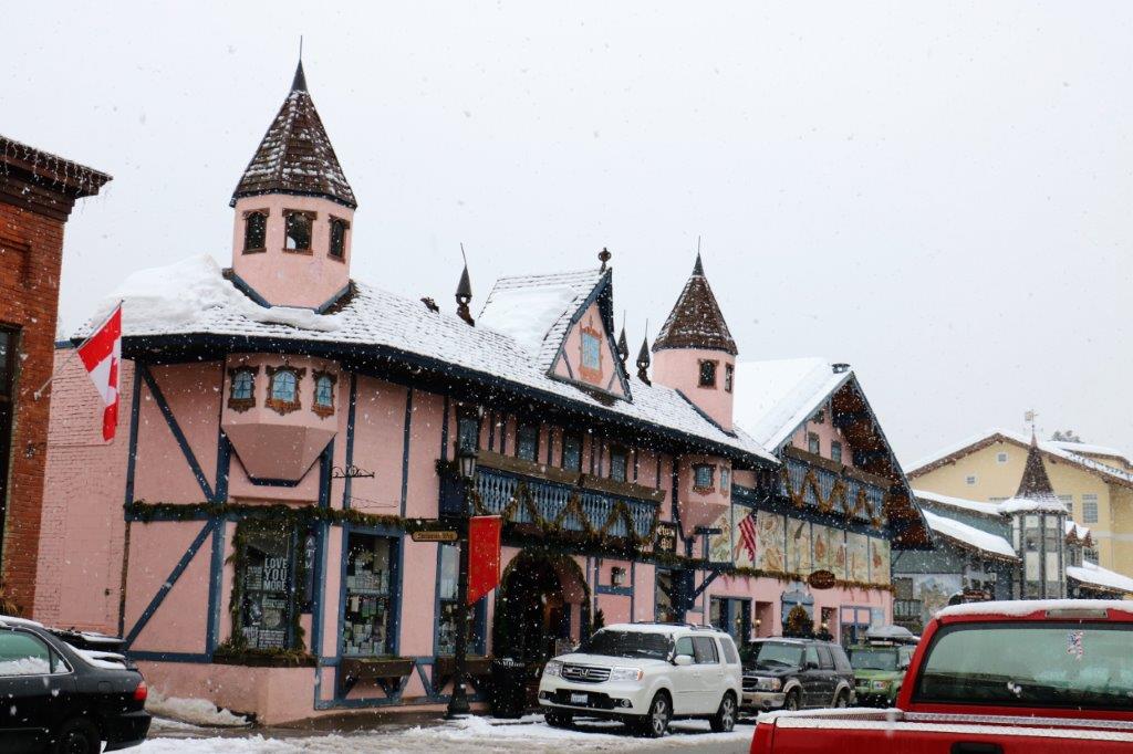
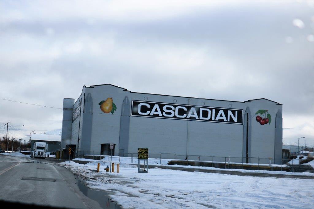
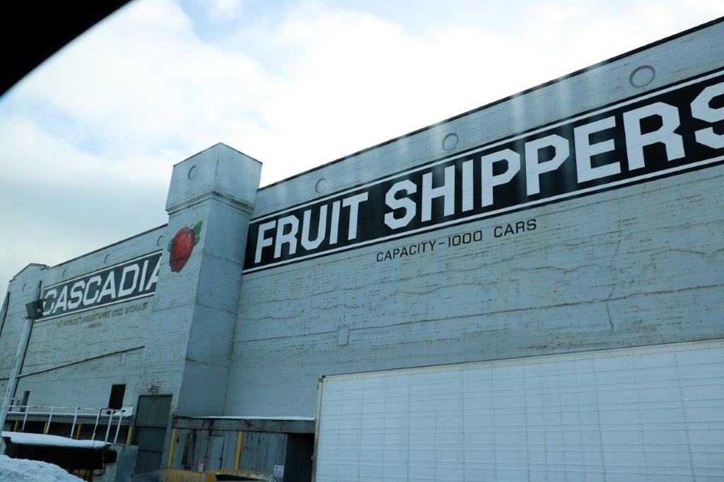
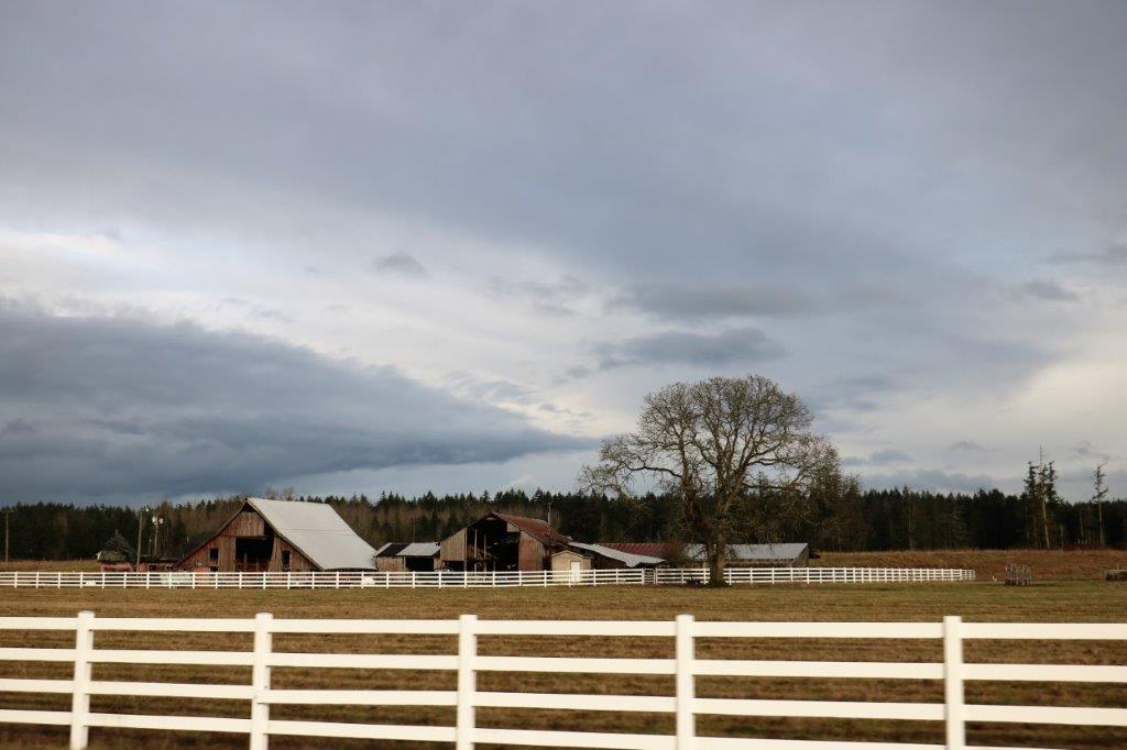
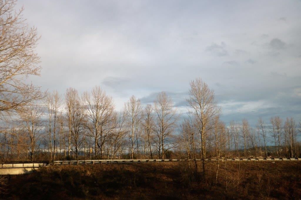
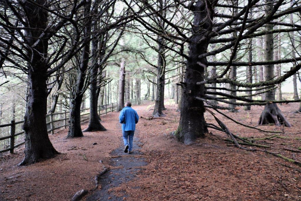
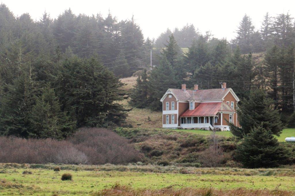
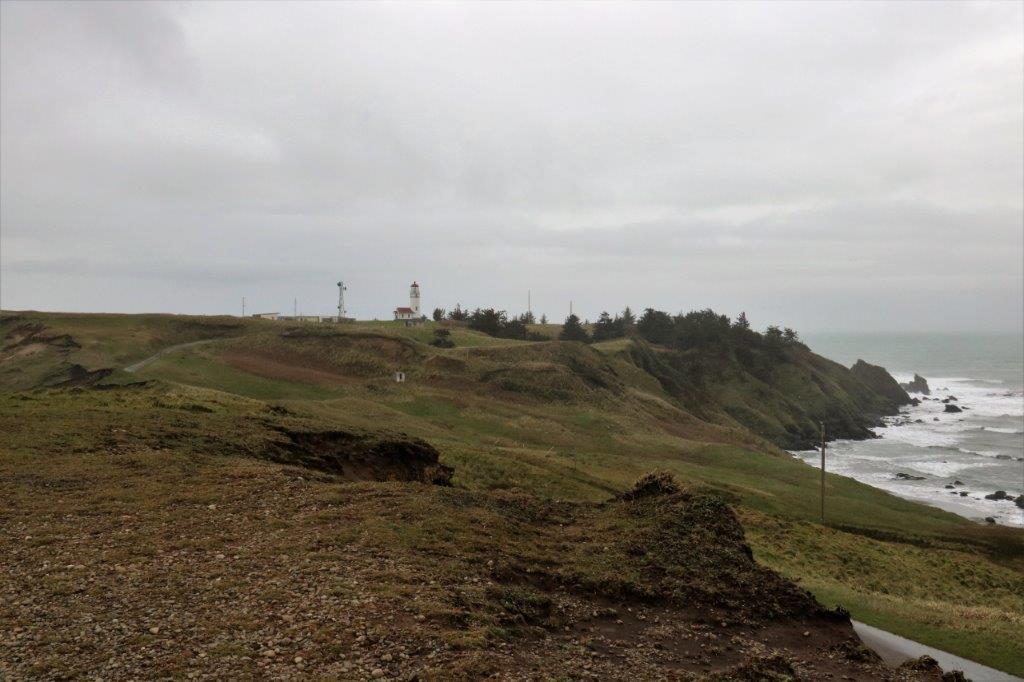
Today was just a travel day.  We are on the final stretch home.  Could have made it today if we wanted to drive a few more hours, but we (especially me) are not in a big hurry to get back and why drive a lot longer than you need to if you don’t need to?  That’s our story anyway.

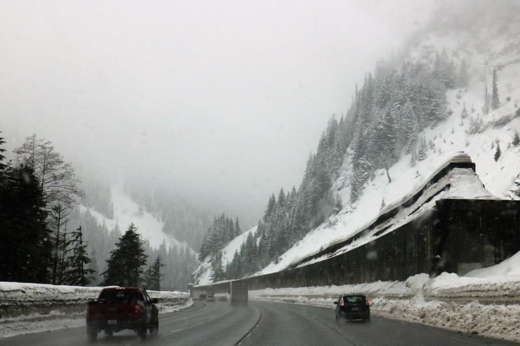
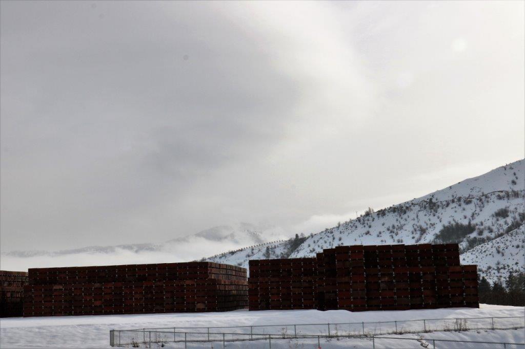
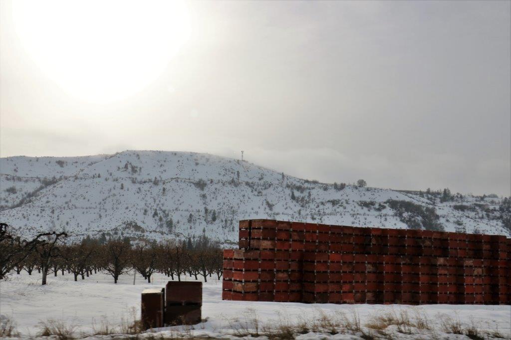
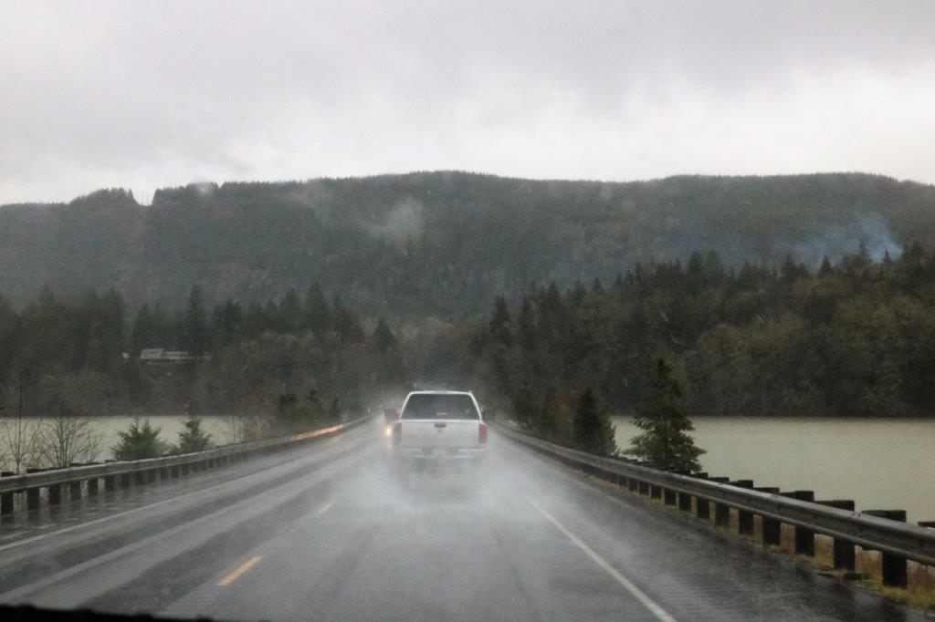
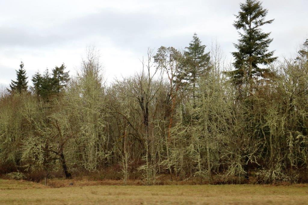
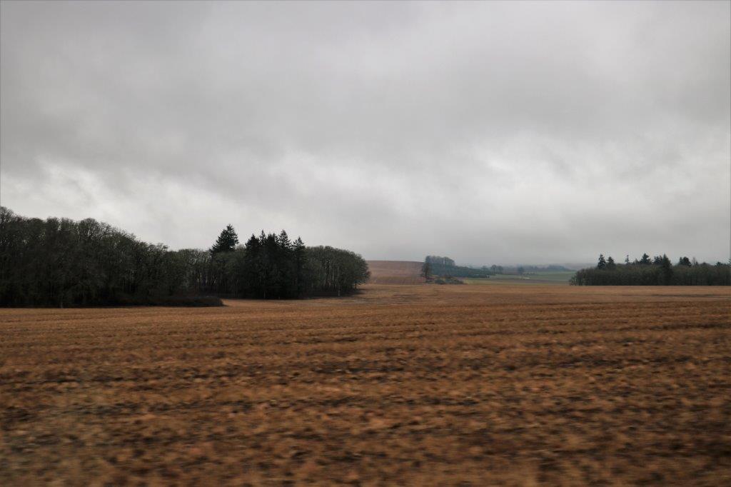
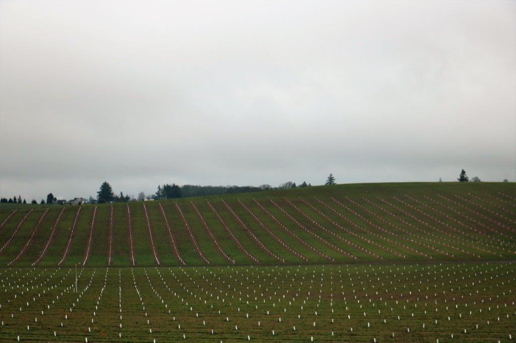
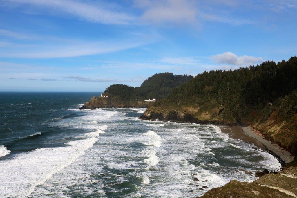
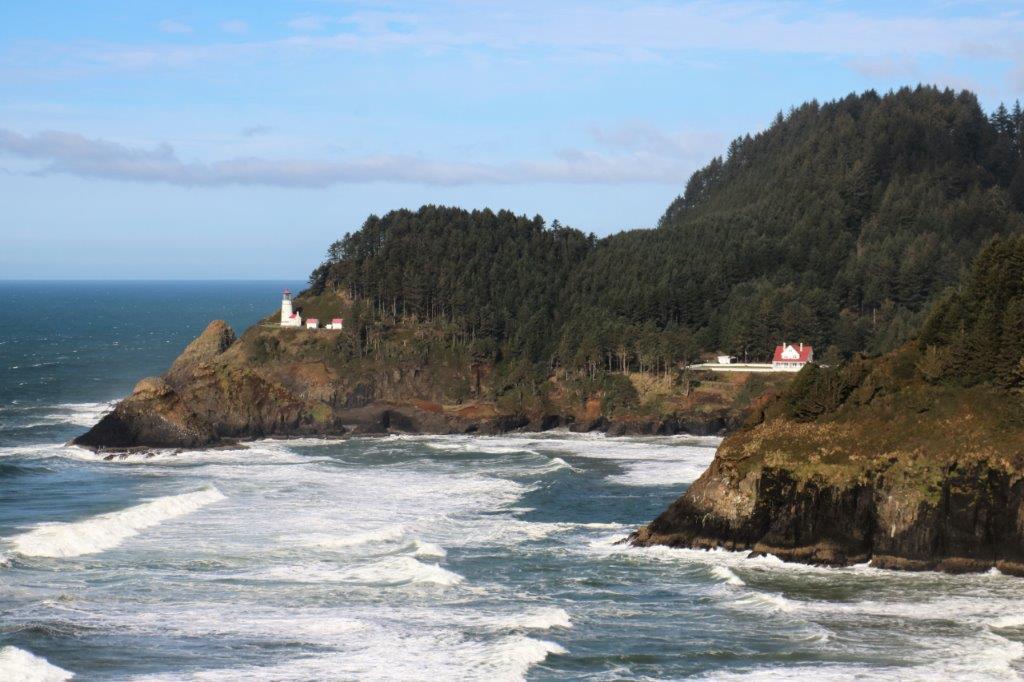
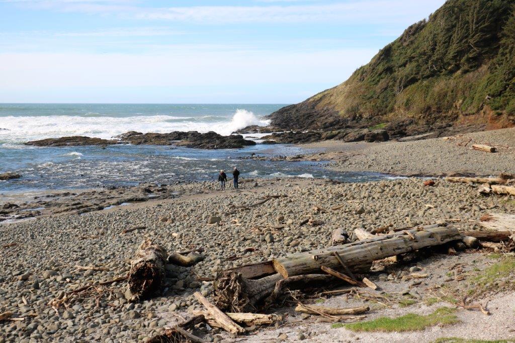
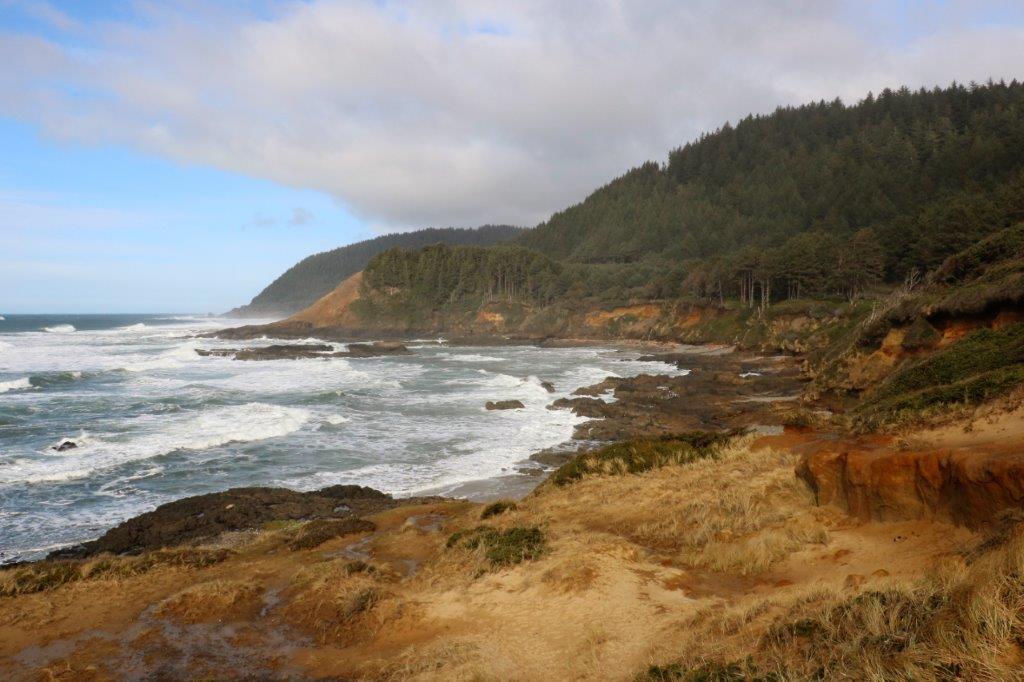
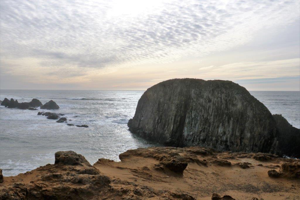
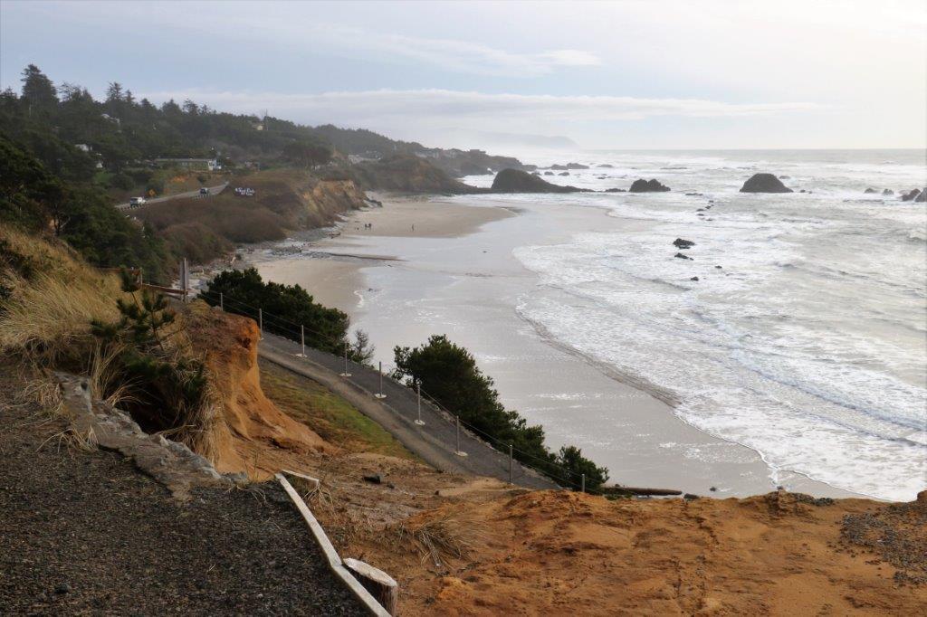
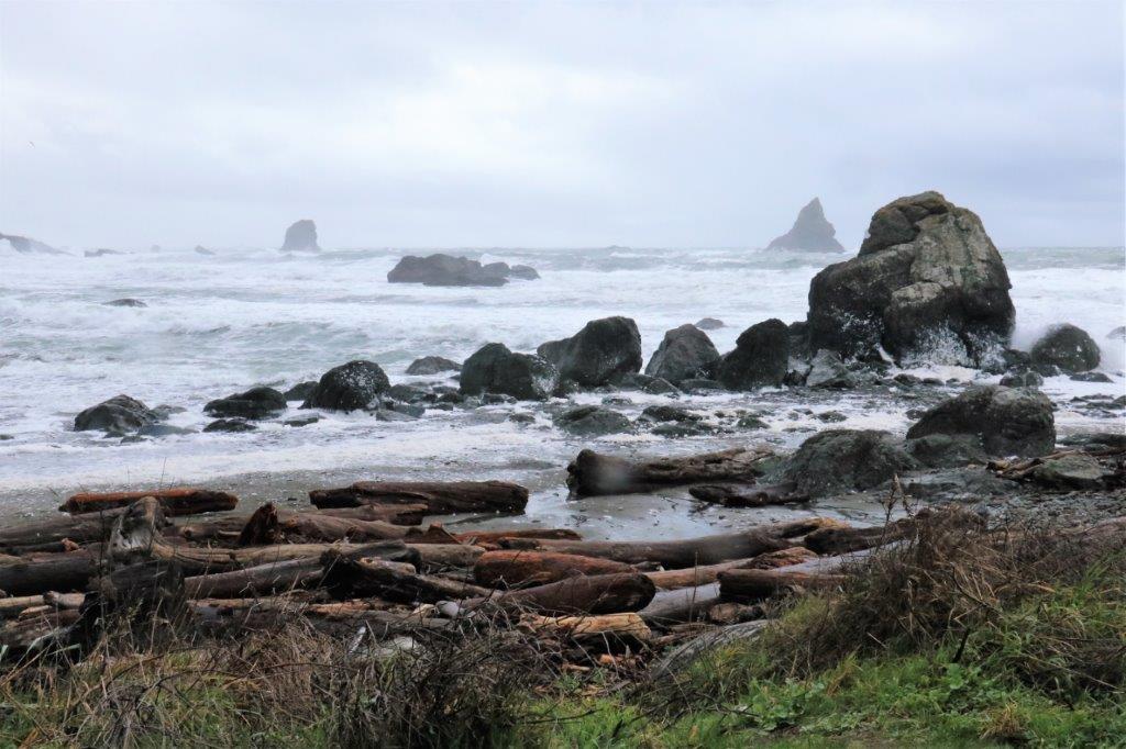
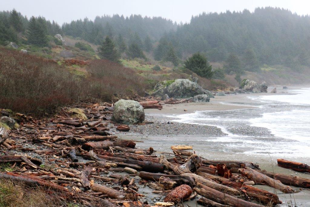
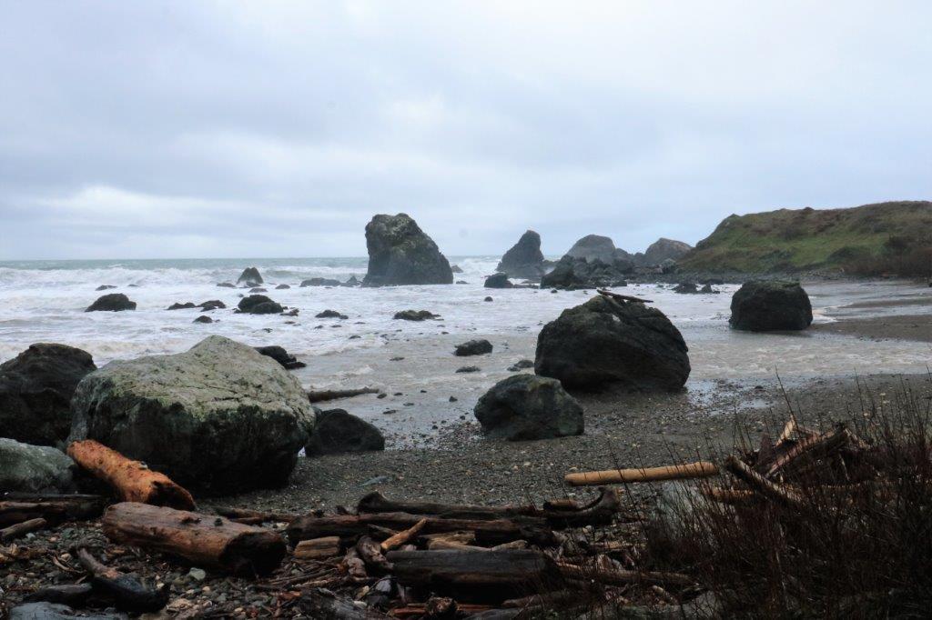
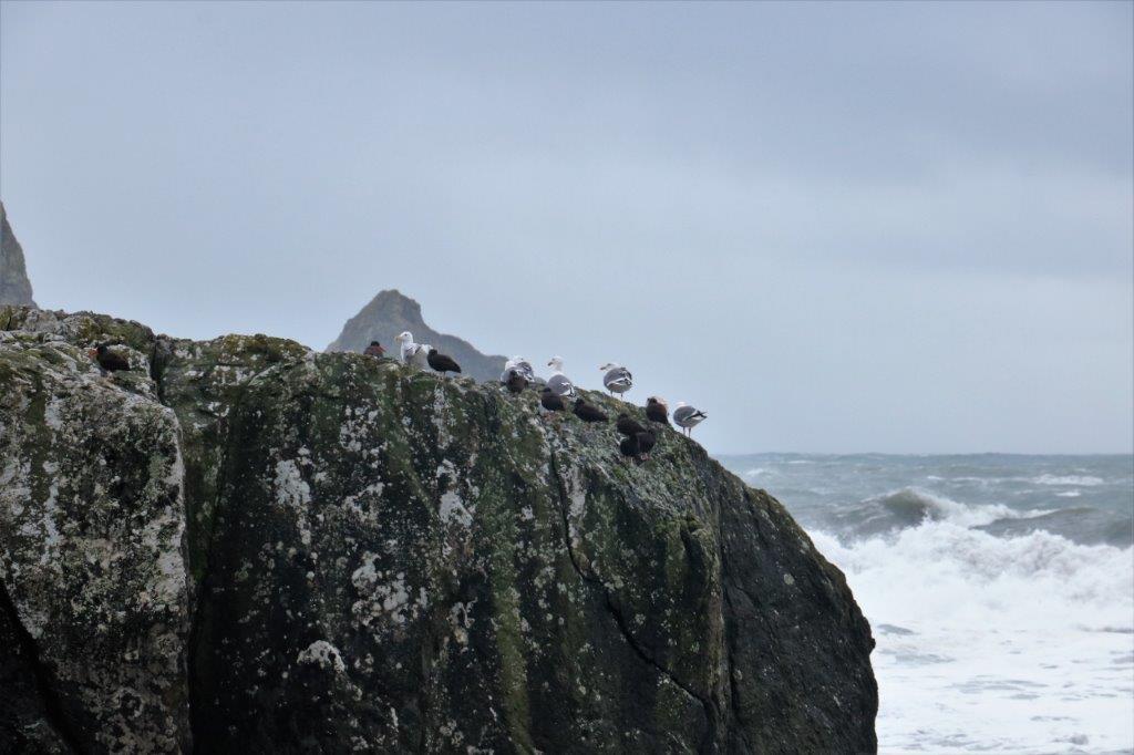
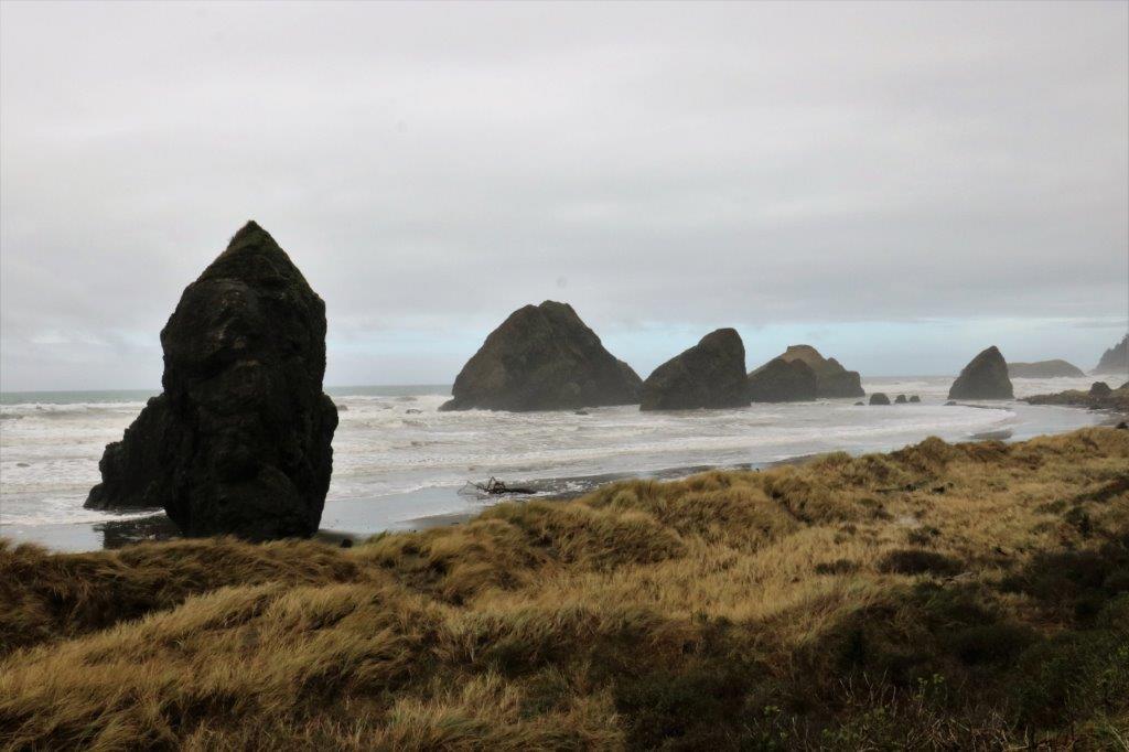
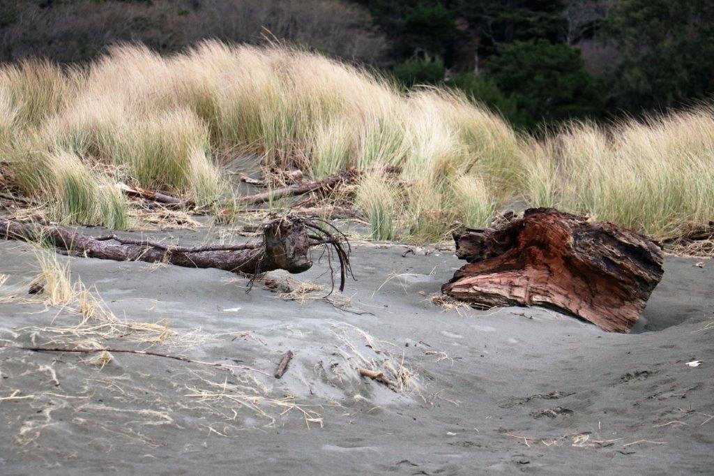
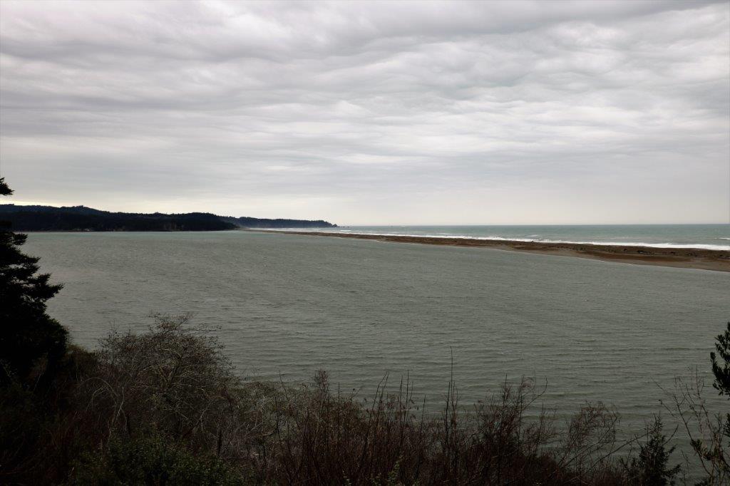
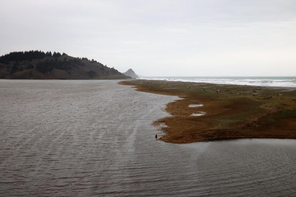
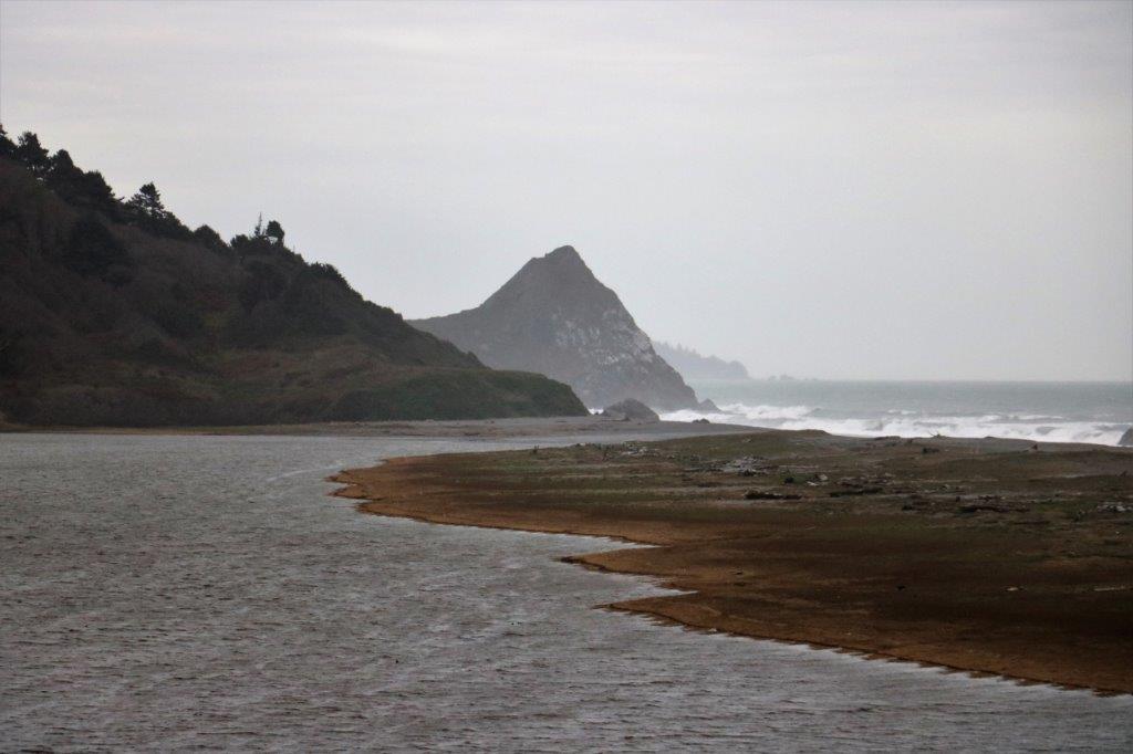
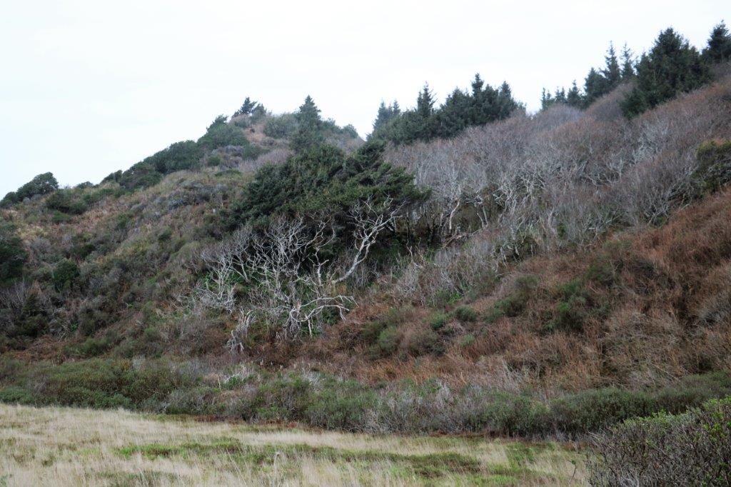
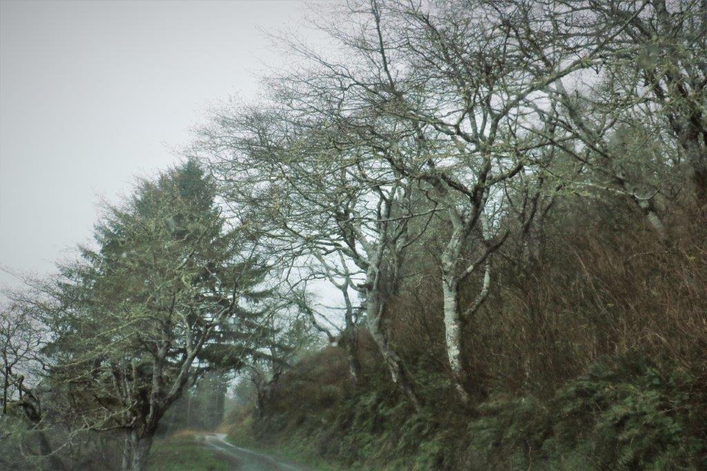
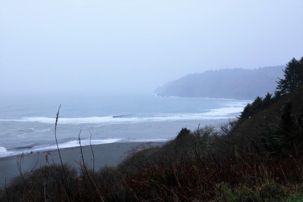
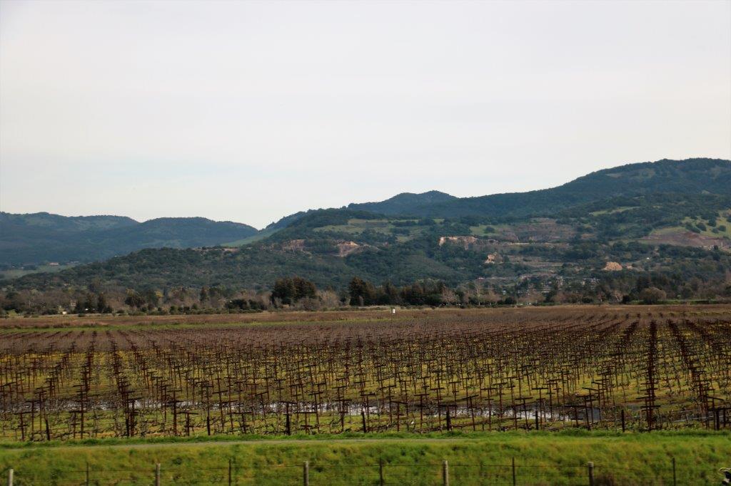
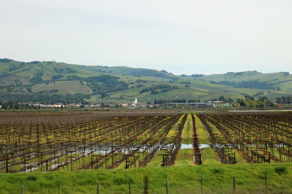
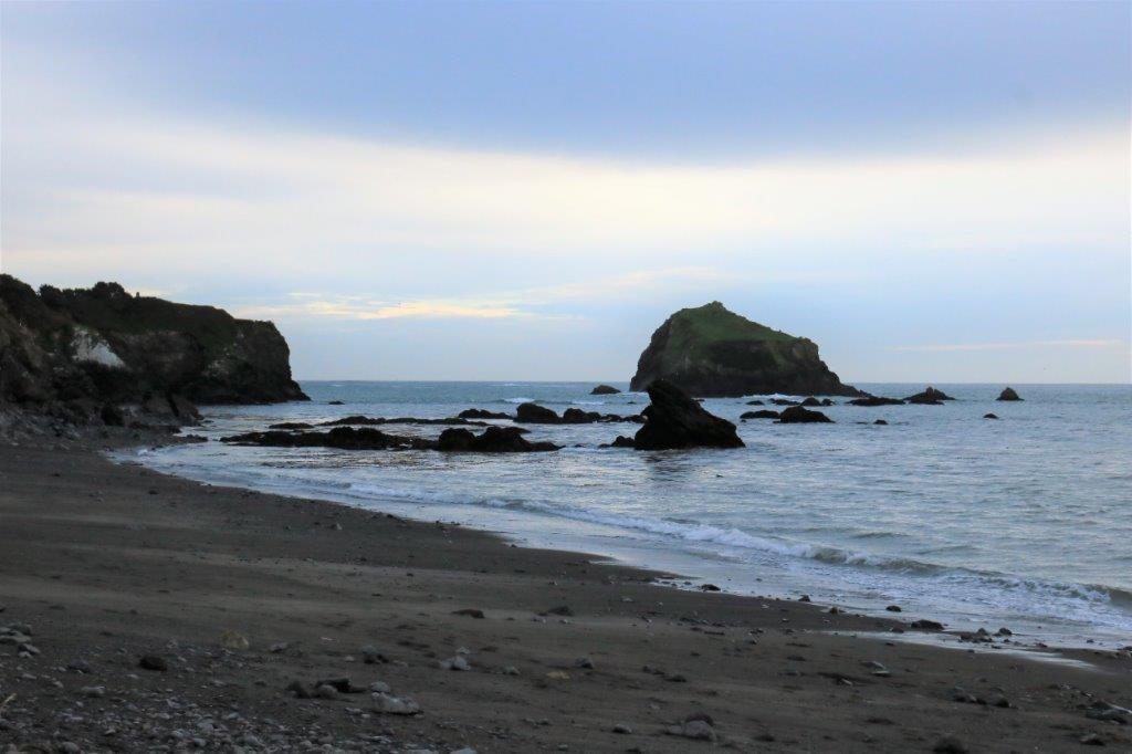
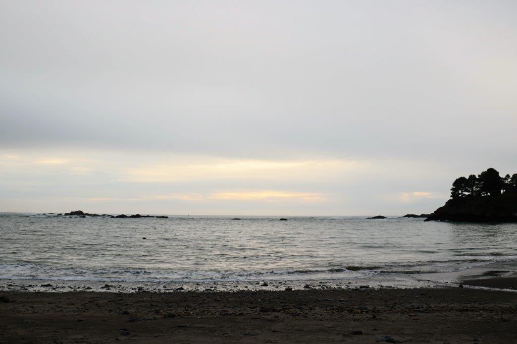
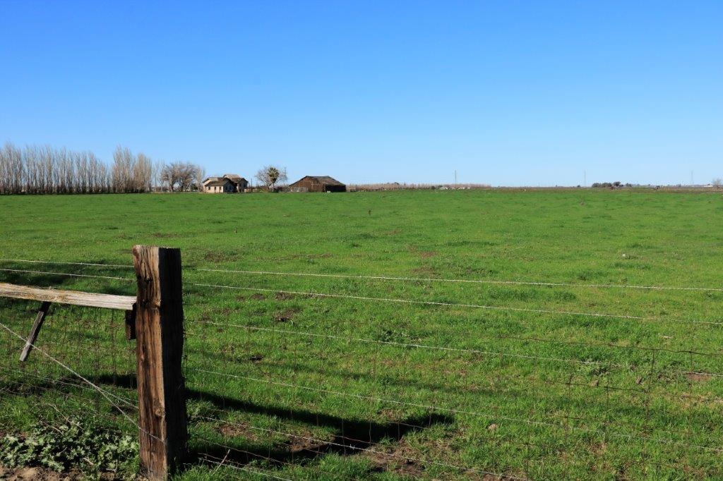
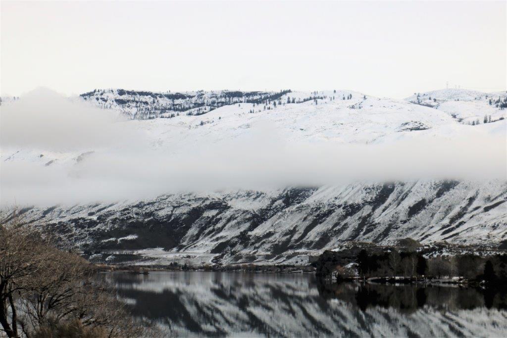
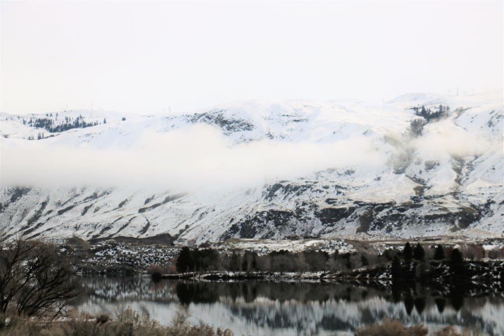
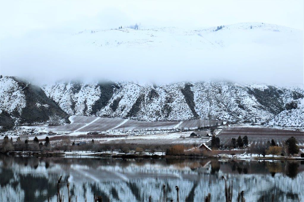
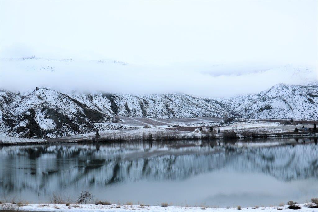
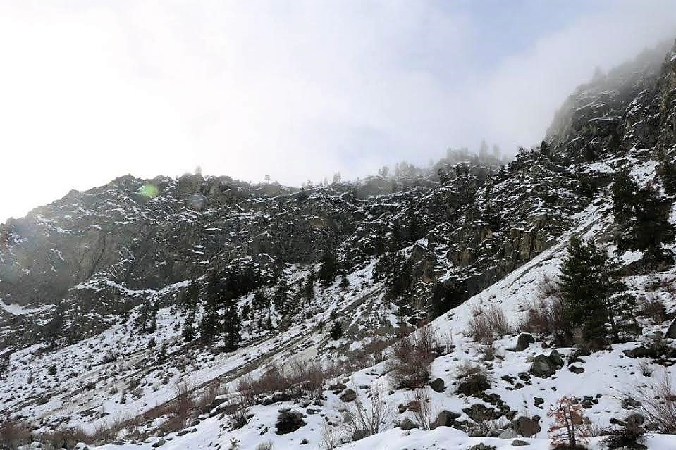
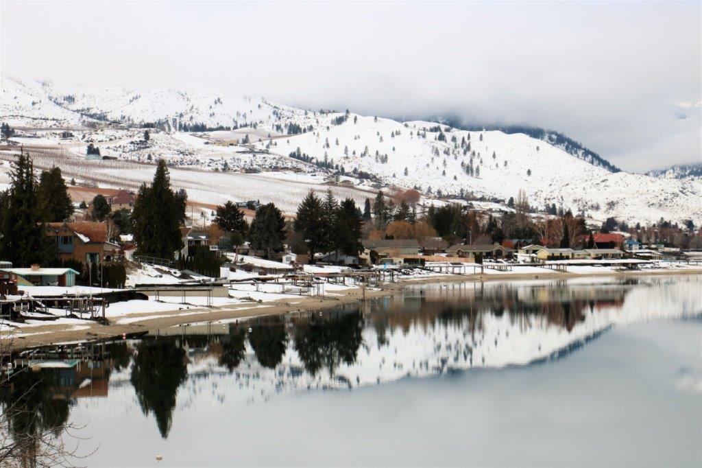
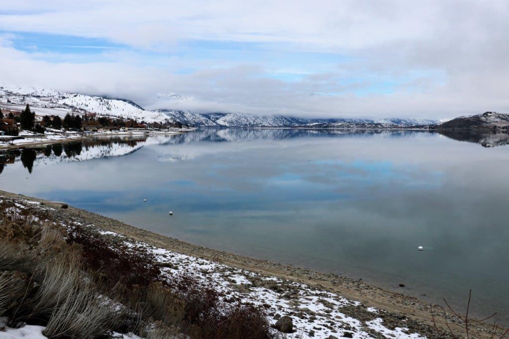
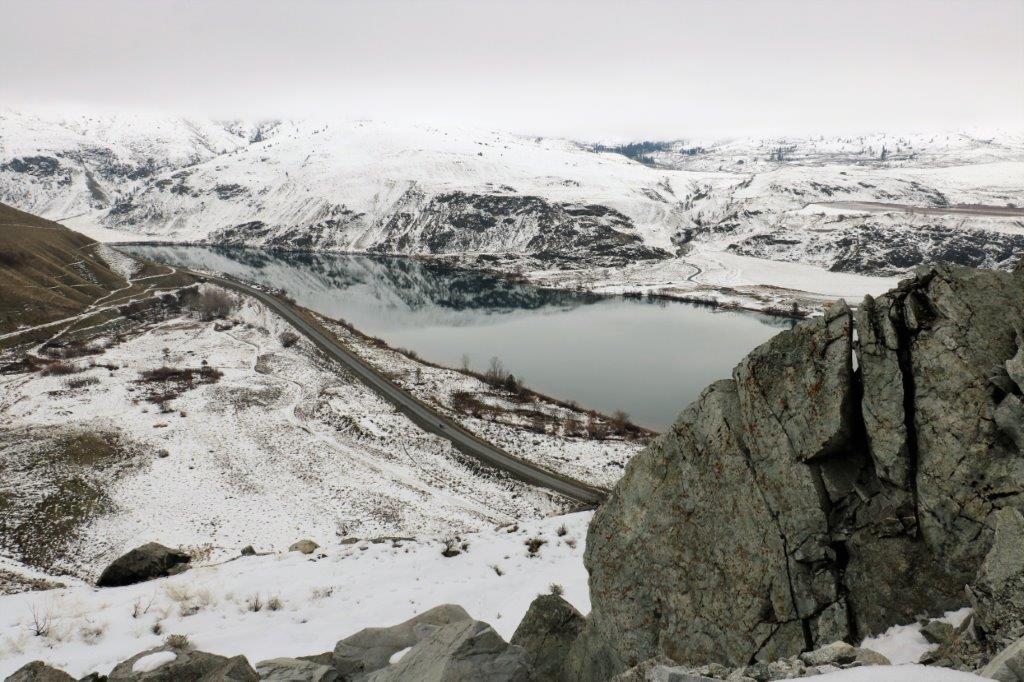
We left Wenatchee at 10:30 and arrived in Penticton around 5.  As we drove out of town the mountain in front of us was shrouded in cloud but the cloud had a wedge in it that made it look like the peak of the mountain.  Pretty nifty, I thought.img_9348
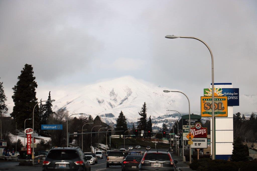
The reflections and the cloud stripes on the hillsides were lovely this morning.  We drove along the side of the Columbia River for miles today and I just snapped a photo every now and again as the scenery went by.

img_9351 img_9354 img_9357 img_9361 img_9365 img_9367
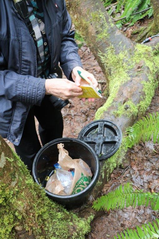
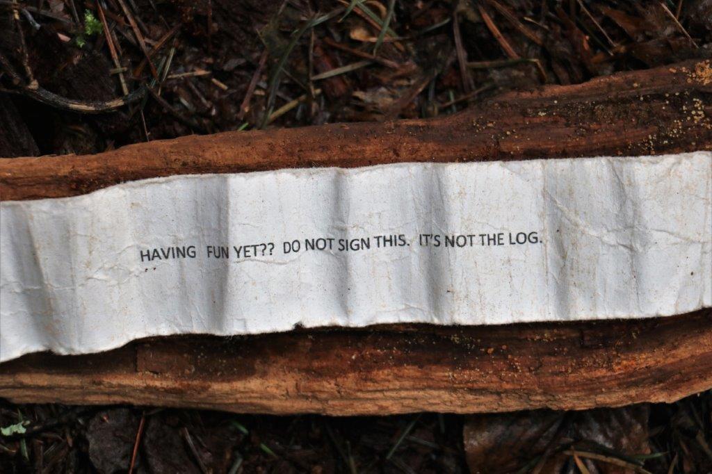
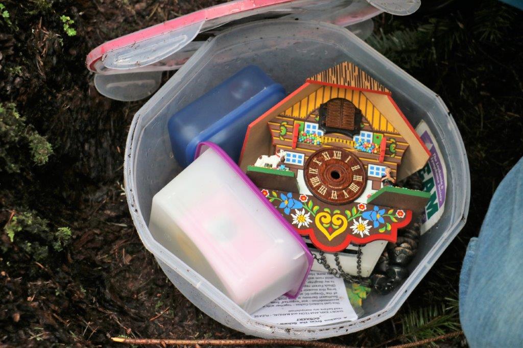
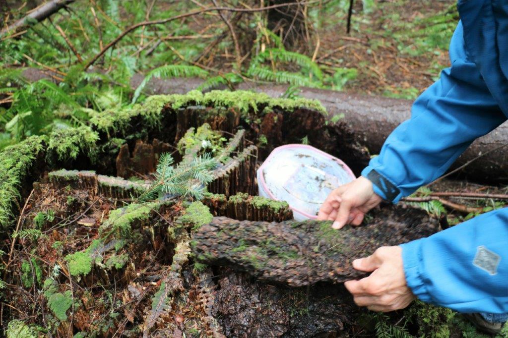
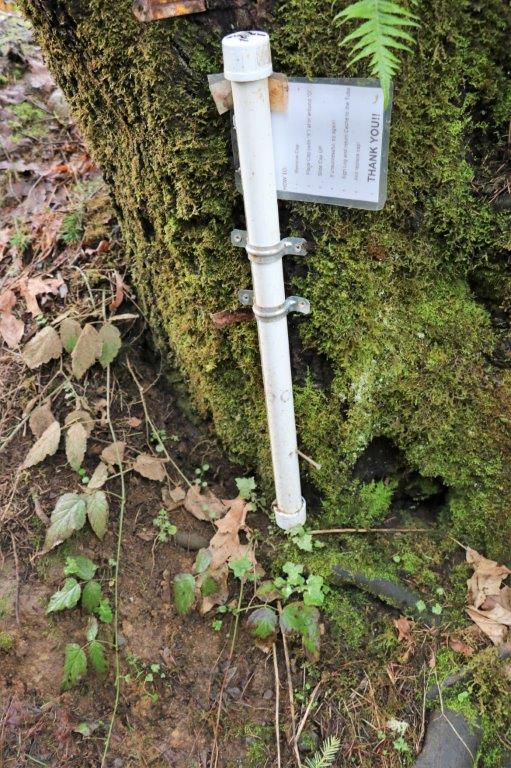
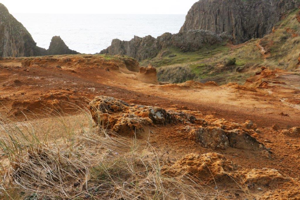
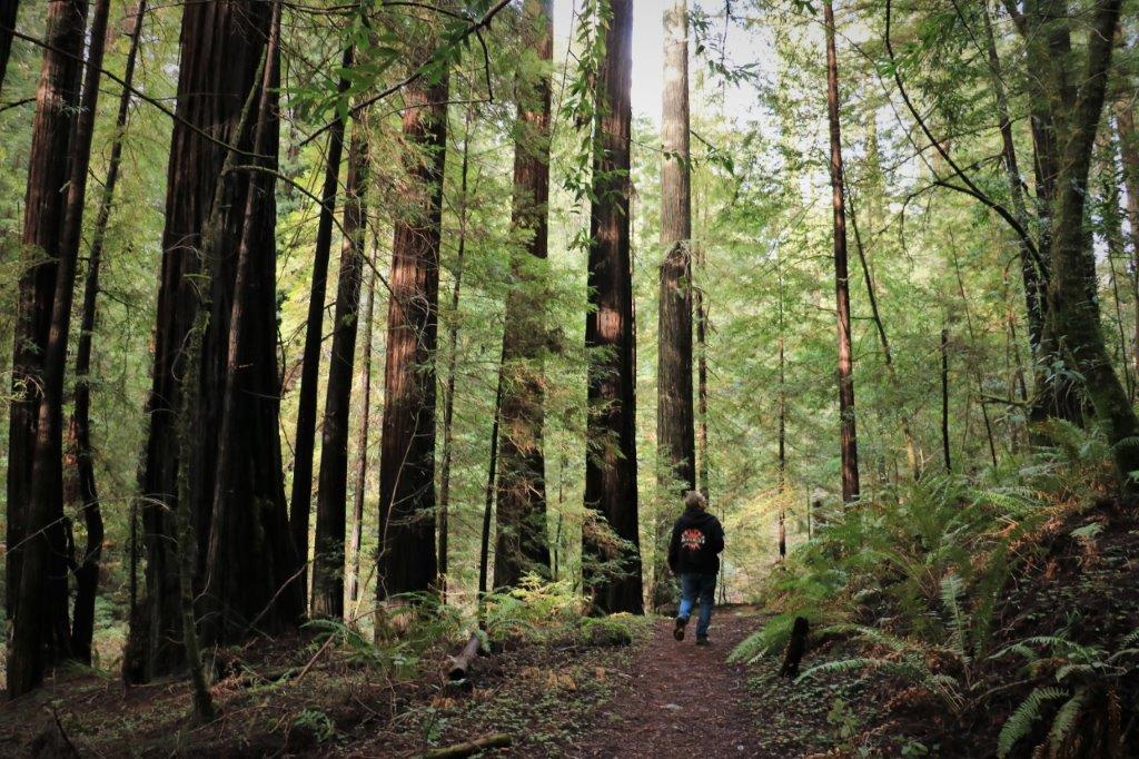
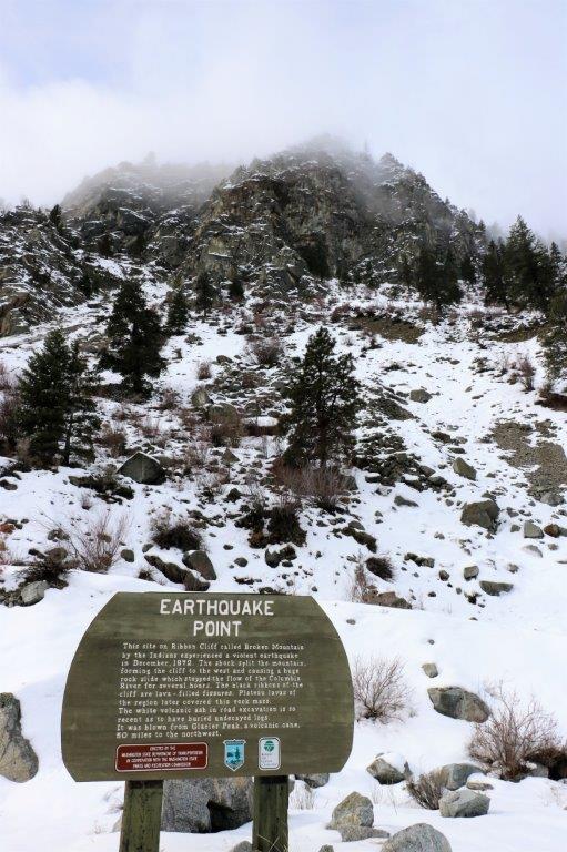
We picked up three geocaches and an Earthcache today.  (An Earthcache is a place of geological or geographical significance.  There is no log book in a container to sign.  Instead there is information about the feature or place you are at and to ‘log’ the find you must submit the answers to questions posted by the cache owner.  Often they want a photo of you and/or your GPS at the site. When the cache owner confirms your answers are correct you can log the find).  I like Earthcaches because the information is always so interesting.

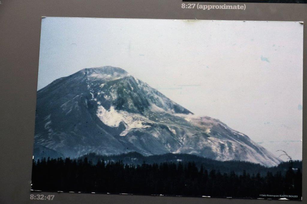
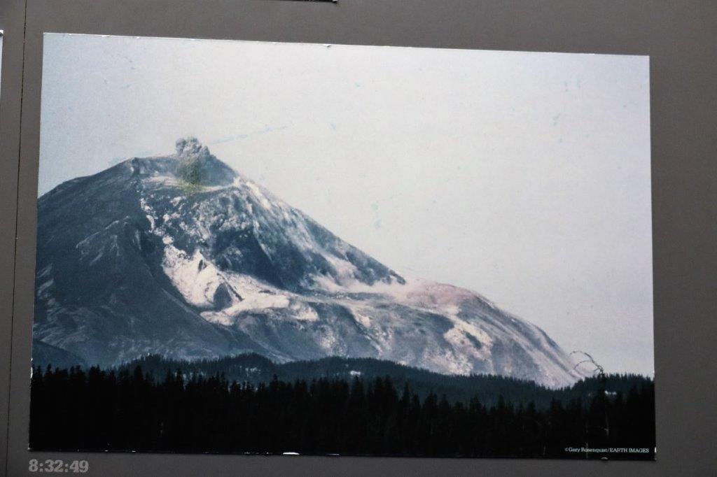
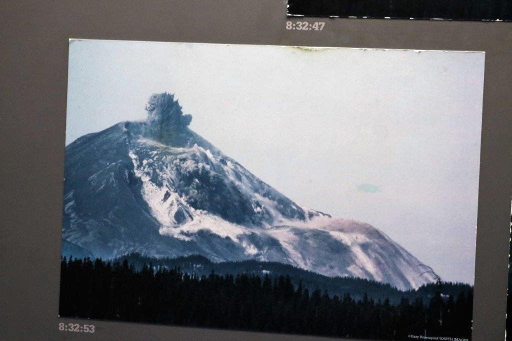
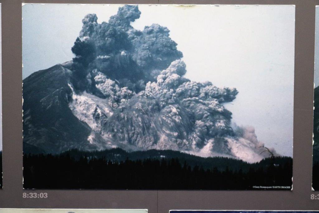
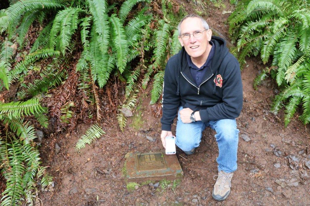
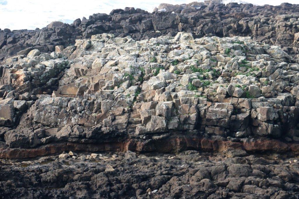
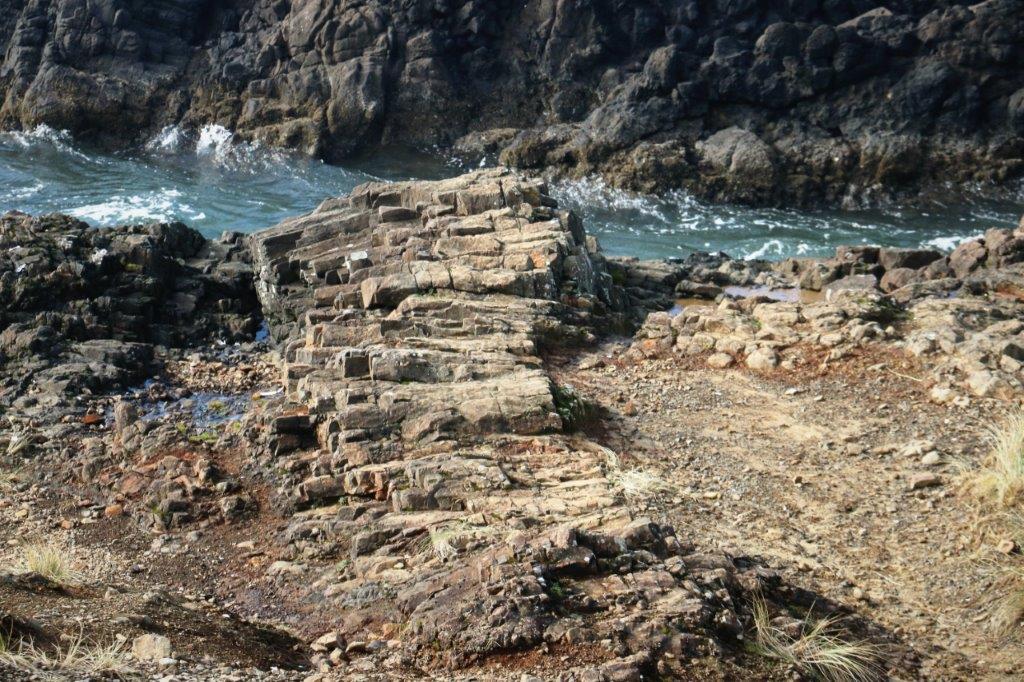
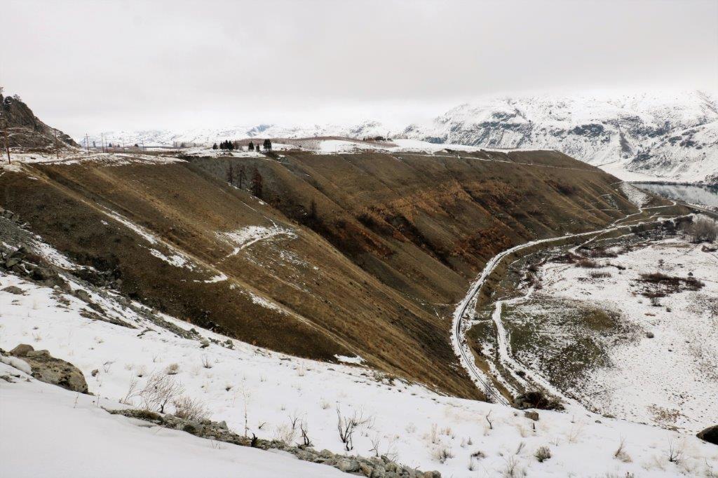
The Earthcache we found was the Ribbon Cliff Landslide and the information was about how the landslide occurred.  There is some debate about whether it was a massive earthquake that happened in 1842 or the collapse of the volcanic ash and mud buildup at the base of the mountain due to undercutting by the Columbia River until it didn’t have enough support and brought the mountainside down.img_9374 img_9372 unnamedimg_9382
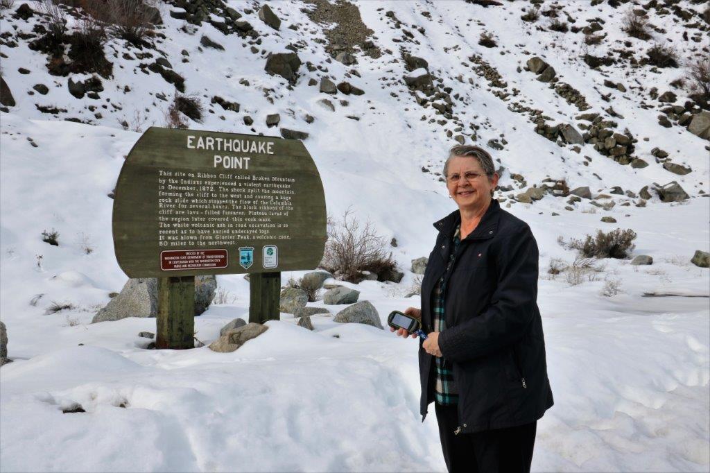
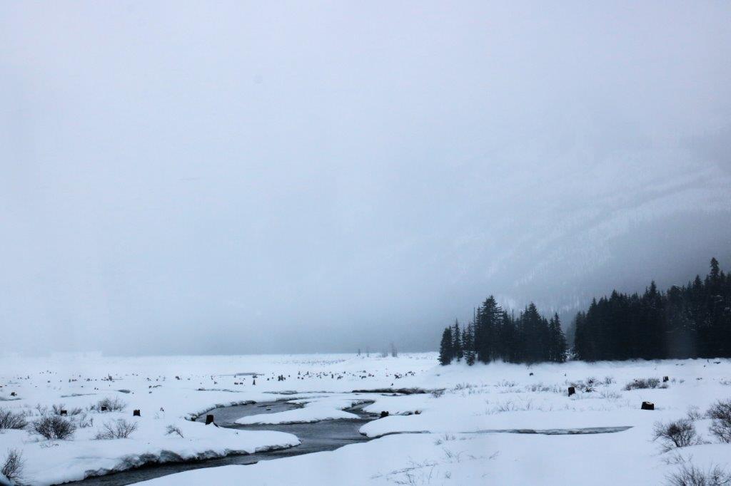
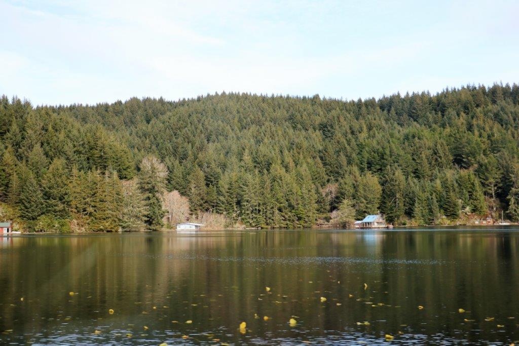
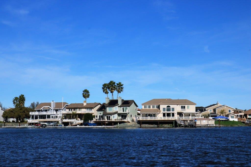
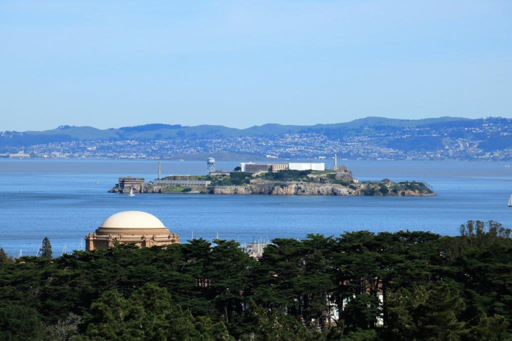
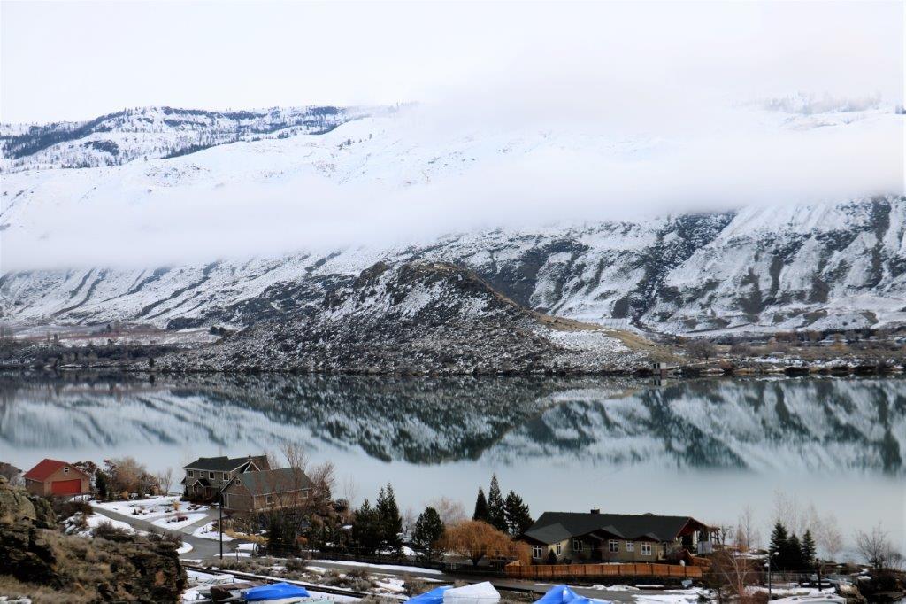
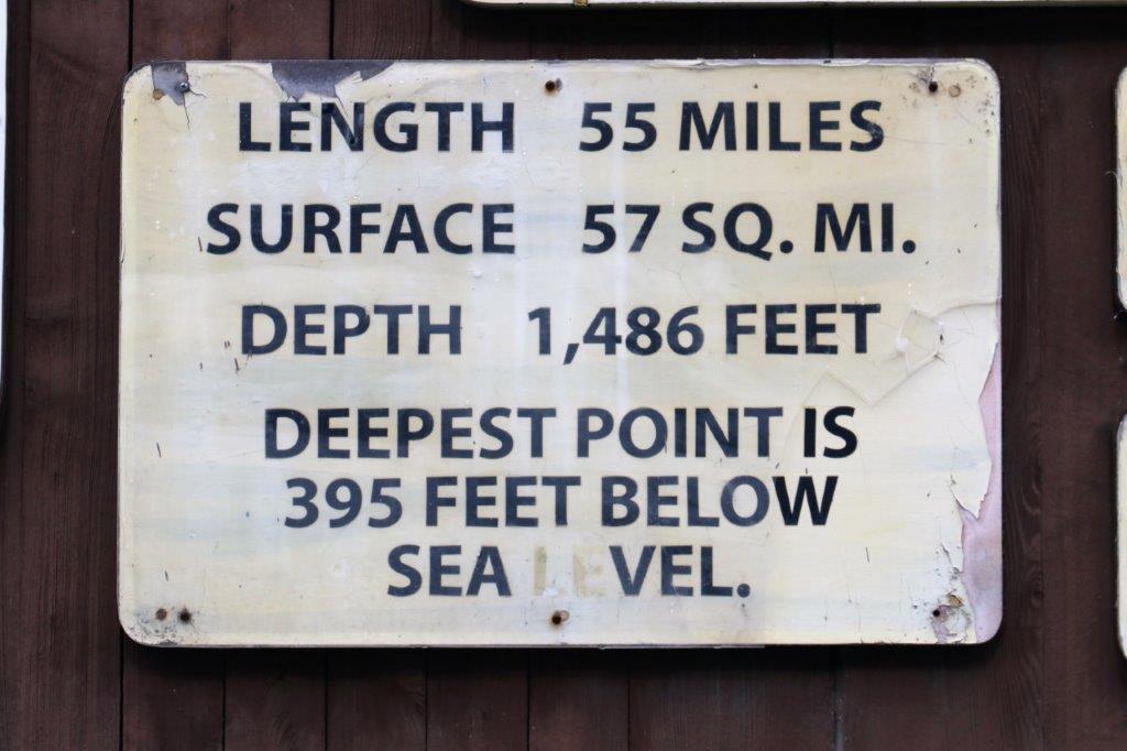
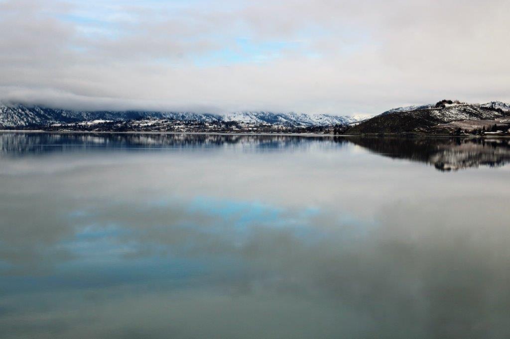
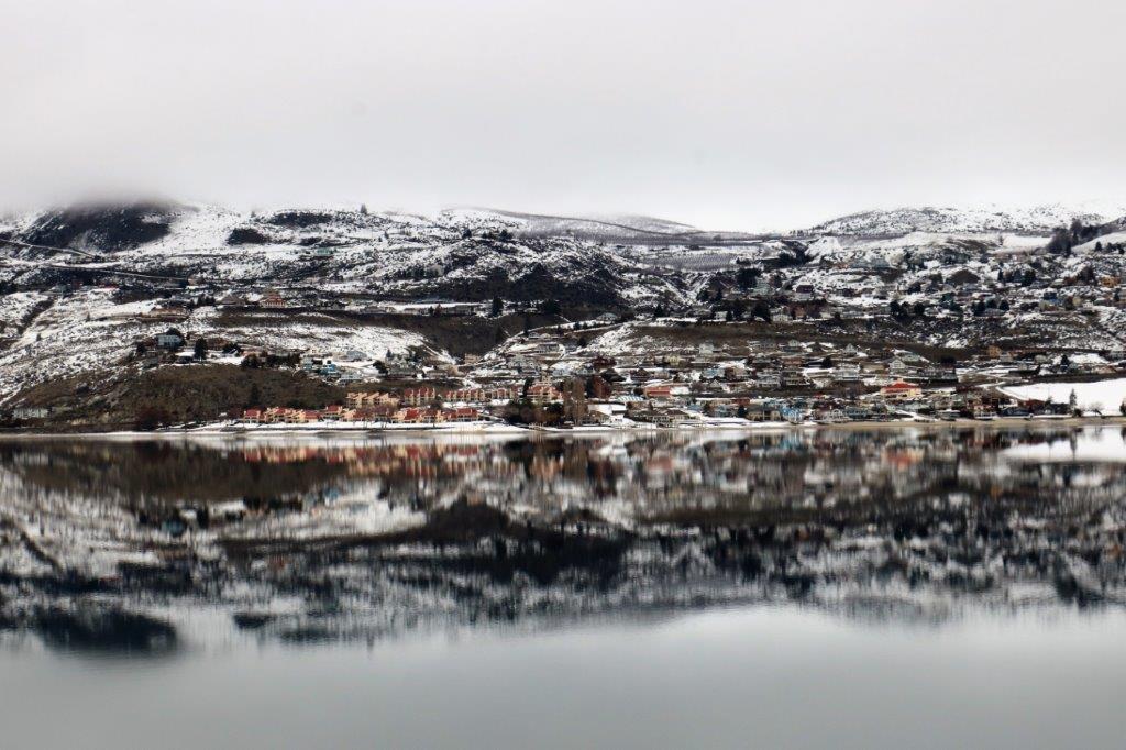
By the time we reached Chelan there was some lovely blue sky peeking here and there.  Lake Chelan is the third deepest lake in the US after Crater Lake in Oregon and Lake Tahoe in California, and ninth deepest in the world.img_9387 img_9388 img_9390img_9397img_9398 img_9394
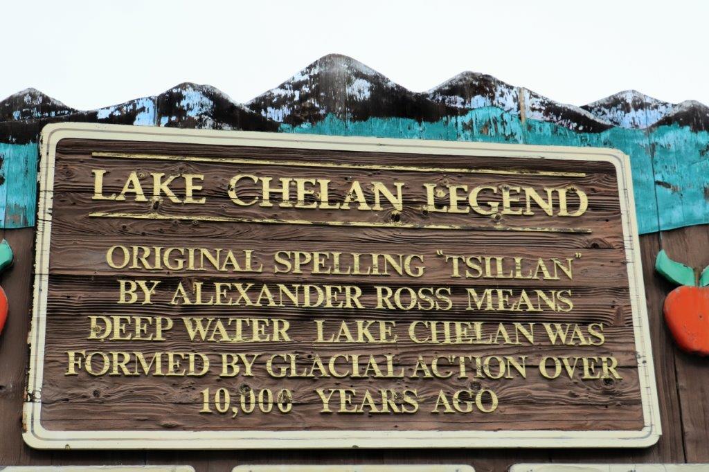
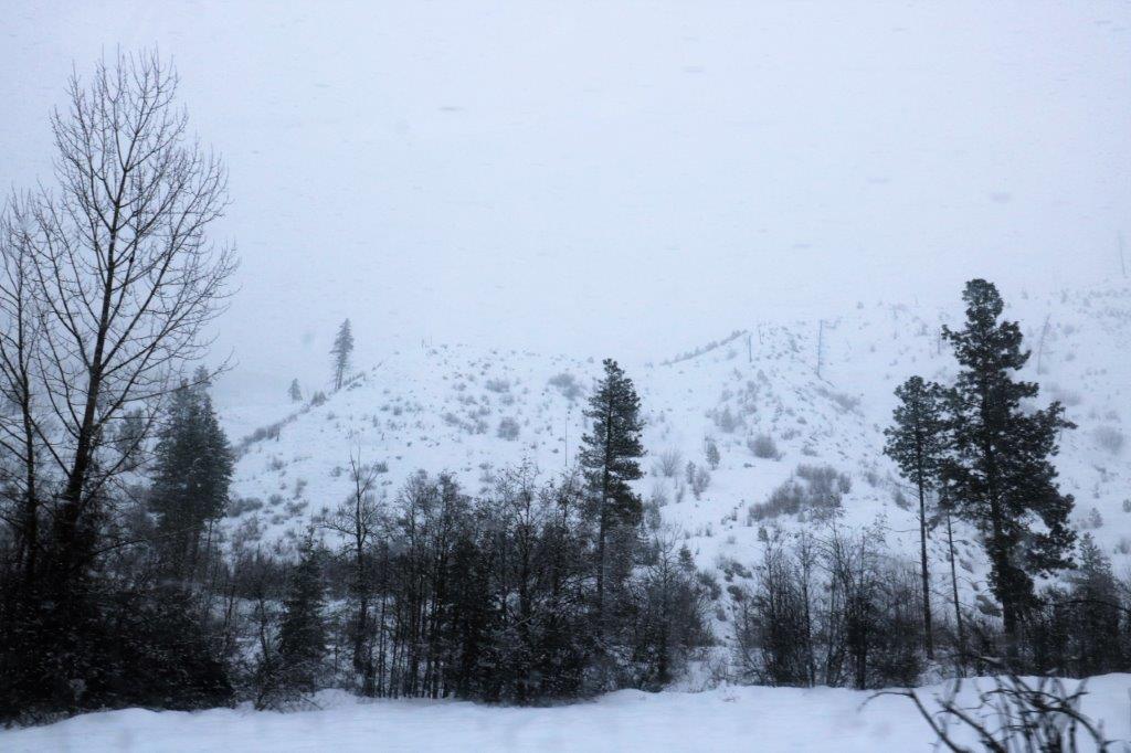
We pulled over in a lookout because there was a cache hidden there but my phone lost its signal so we couldn’t access the compass direction. I suspect the cache was hidden under all the snow tucked under one of the rocks.img_9401 img_9404img_9402 
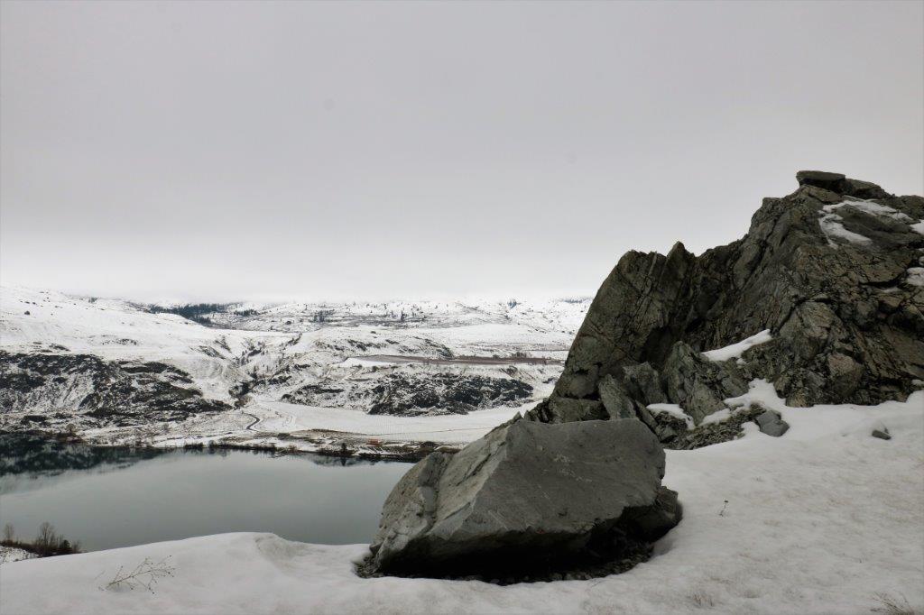
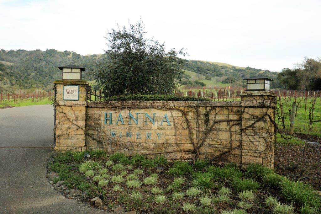
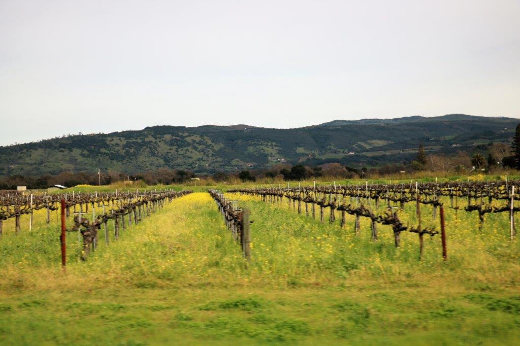
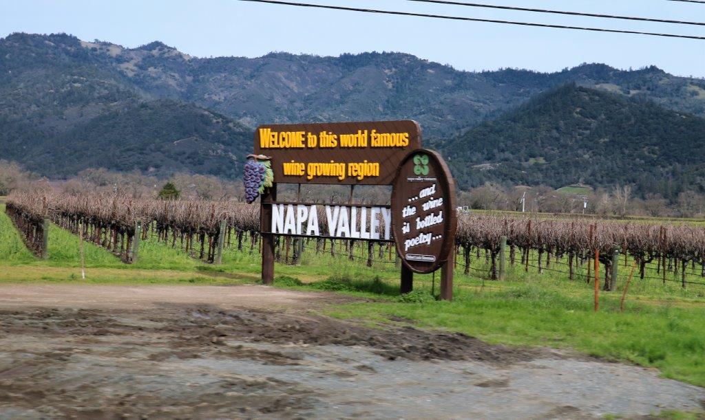
The most interesting part of our day was the US/Canada border crossing.  We have nine bottles of wine with us – 7 we bought at Hanna Winery in California and two were gifts from friends we visited, plus three bottles of beer that John had not yet consumed. We are only allowed to bring in two bottles each so we knew we would be going inside to pay duty.  All went as we expected.  We told the border control lady what we had on board, she directed us to park and go inside, the fellow inside confirmed our information and asked us to have a seat while we waited for some computer glitch to be resolved.  That is when things got interesting.

There was a 40ish-year old man standing by himself at the end of the waiting room when we sat down.  We had been there about 15 minutes when he walked over the counter and said, “How long is this going to take?  I have done nothing wrong and I just want to go home.  Why are the men not finished yet?  I want them to hurry up so I can just go home.”  Well, this is not a good strategy at border crossings.  He was getting quite argumentative with the two officers at the counter; who, I will say, did remarkably well at maintaining an even tone and demeanor.  As the fellow keeps on arguing with them a third office strolled over to the counter.  They are all armed and the man sees the gun and says, “What, are you going to pull your gun on me now?”  This guy is not smart!  The demands and responses went on for some minutes before another offficer walked in from the back with papers in his hand and told the angry fellow he needed to confirm some of his information and was having trouble getting it.  The man did not take this well and the arguing and demands continued.

After a few more minutes the border control office we had spoken to when we drove up beckoned us over to the counter and said, “I am making an executive decision and we are just going to let you go ahead.  You are not that far over your limits and our computers are still down so you folks just go on and have a nice day.”  Thanks very much belligerent fellow.  We realized it was not benevolence on behalf of Canada Customs, rather they did not want us sitting in the waiting room as possible collateral damage if things went further south with the angry man.  If that fellow thought he was being delayed unnecessarily before I bet he was regretting his outburst by the time he actually got to leave – if he did get to leave and didn’t get arrested instead.

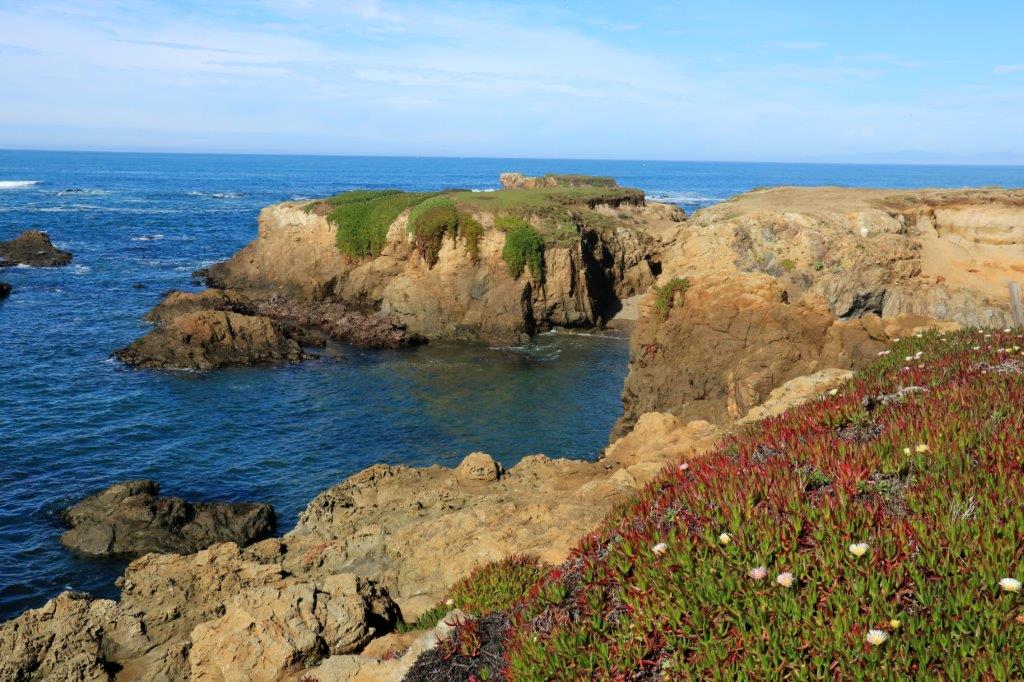
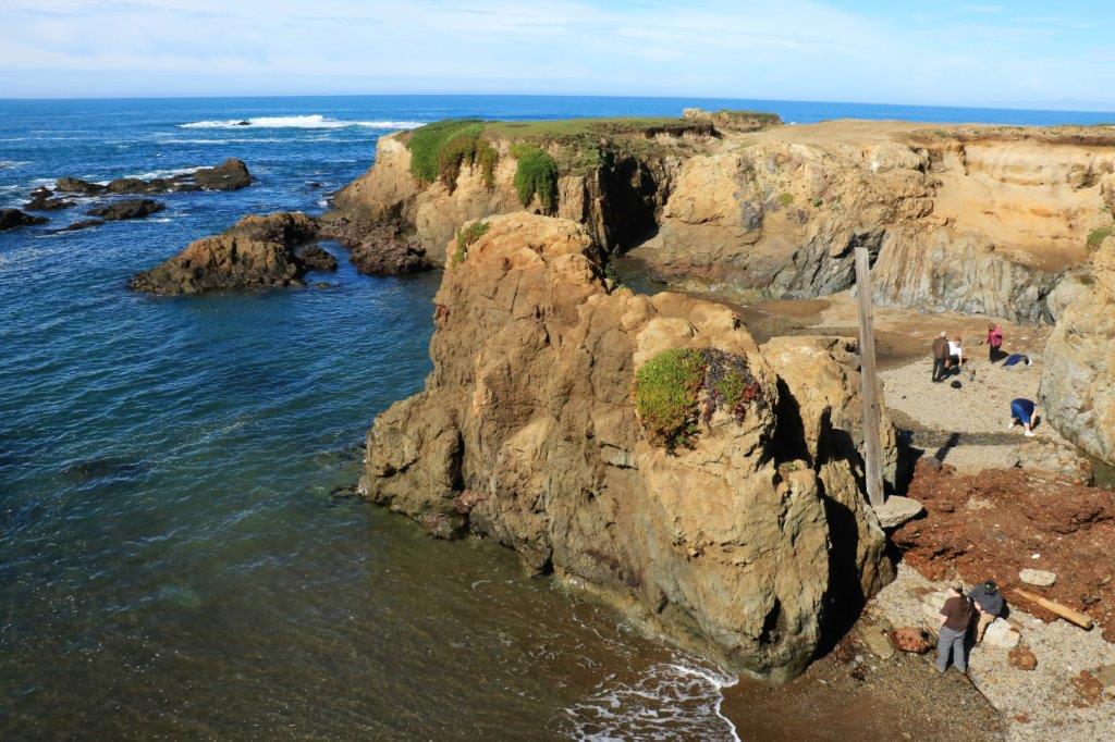
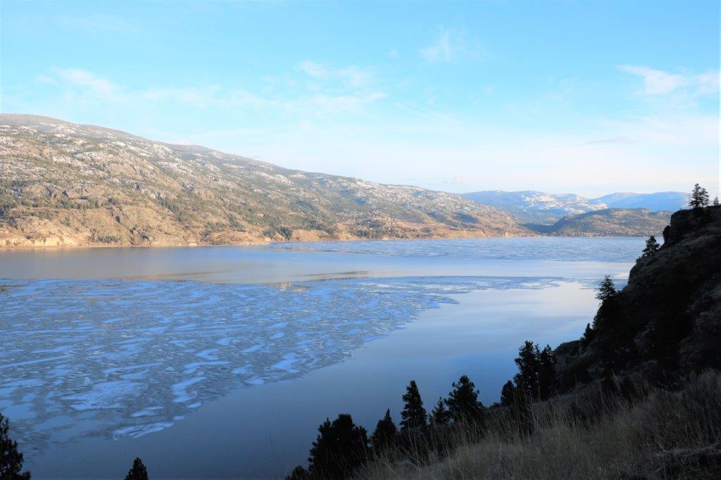
We pulled into a lookout not far south of Penticton to take a couple of pictures of Skaha Lake before checking into the hotel.img_9407 img_9408 img_9410 img_9412     
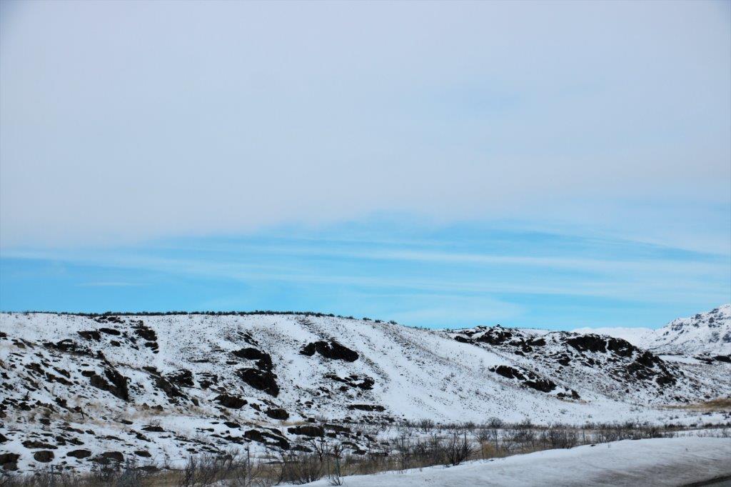
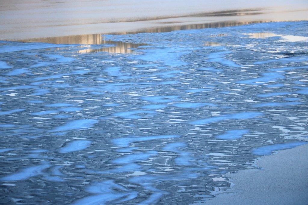
The melting ice on the lake made some interesting patterns.

Well, that’s a wrap folks.  Tomorrow we get home and another travel adventure concludes.  I always get depressed when we have to start the journey home.  I am never ready to get there even though I love my home.  But….we will be on the road again soon.  I hope.  Thanks for coming along.


2017 Feb 20 – Day 49 – Auburn, WA to Wenatchee, WA

I woke up at 7:30 which was okay as I had a bit of extra time to talk with my cousin.  She and Roxy have home-based businesses and they start work at 10 so John and I wanted to be out of their hair before then.  Carol and I shared coffee and some more memories and debates until John got up and showered. We left about 9:30 and drove the short distance to Wenatchee.

Roxy is like me and dislikes having her photo taken, but she graciously allowed one quick one. (Well, I sort of grabbed her if I am being truthful.  But she didn’t hit me, so I guess it was sort of all right.)

img_9305img_9309Miss Mollie wasn’t too sure she wanted her photo taken this morning either.

img_9298 img_9301We had to drive through the Snoqualmie and Blewett Passes to get over the Cascades to Wenatchee and were so very happy to be driving in snow.  NOT!

img_9310 img_9312 img_9315                                                  White on white on white.

We took Highway 18 to 90 to 970 to 97 north which connects to Highway 2 a few miles east of the Bavarian Village of Leavenworth.  This is also a ski area and since there was lots of snow there were lots of people.  Leavenworth is famous for its Christmas lights.  Many people take bus tours down here to see them in December.img_9316After we had lunch we walked down the main street to check out the buildings and the window displays.  We even went into a store and bought a couple of things, which is highly unusual for us.img_9319 img_9320 img_9321 img_9323 img_9325 img_9326 img_9328 img_9329 img_9330 img_9332The Wenatchee Valley is an apple producing area.  The hillsides all around are covered in trees – apples, pears; and grapes for some local wineries as well.  There must have been thousands of bins stored in this lot.  I took five photos of the stacks of apple bins as we drove past.

img_9337 img_9341This cold-storage house claims to be the world’s largest and the writing on the wall says it can store the equivalent of 1000 cars (train cars that would be) of apples.  That’s a lot of fruit folks.img_9343 img_9344 img_9346Tomorrow we cross the border back into Canada and our trip will almost be at an end.  Sigh.


2017 Feb 19 – Day 48 – Oregon City, OR to Auburn, WA

We woke up to more rain.  The Pacific Northwest is running true to form.  We were not driving very far today, just to Auburn, WA to visit with my cousin.  We had told her we would arrive about 2ish.  Well….that didn’t work.  We actually pulled into her drive at 4:30.

There were two reasons for this; 1) I found a country road to travel on and get off the freeway.  They are always slower going, but much more interesting.  And 2) We stopped at the Mount St. Helen’s Visitor’s Center.

It was very interesting to see all the information about an event we clearly recalled.  The volcano erupted on May 18, 1980 and we had ash from that explosion falling on our cars and yards up in British Columbia.  What I had not remembered was that Mt. St. Helen’s was a lateral eruption.  We always think of volcanoes as blowing the lid straight off and up.  Mount St. Helen’s actually had created a bulge on the side of the mountain and when it blew it blew the entire north face off.

As usual I took photos of many of the pictures and signs that I found most interesting.  They tell the whole story much better than I.img_9199 img_9201 img_9213 img_9214 img_9215 img_9216 img_9217 img_9218 We have seen many photos like this of logging back in the ‘old’ days,  I have a photo of my paternal grandfather and his brother standing beside a huge tree they have felled in 1913 or so. img_9234img_9254img_9255img_9256 This photo is not a black and white image.  It is a color photo but the ash has coated all the logs and dirt with a fine white powder so it looks B&W.  The logger, the sawdust and the butt of a log in the middle right are in colour.img_9236img_9235These were very cool statues.  What I liked the most was the symbolism of the figures being completely greyish-white as if they were covered in volcanic ash.  I don’t know if that was intentional but that is what I thought of when I saw them.

img_9223 img_9222 img_9239 img_9240img_9242img_9241                                                             What great detail.

This image and placard tell a typical tale.img_9244 img_9244-2We watched a film that showed the mountain blow and they had a time lapse series of photos that clearly explained the lateral eruption and how it was created. (Look at the time stamps on the lower left of each image to see how quickly it all happened.)img_9245 img_9248 img_9249 img_9250 img_9251 img_9252 img_9253I also did not remember that Mount St. Helen’s had erupted again in 2006.  It never reached the top of the crater from the 1980 eruption but it did rumble mightily once again.img_9258 img_9259 img_9260 img_9261 img_9262 img_9263 img_9264 img_9266 img_9267In 1980 John and I began renovations on the little old house we had bought in 1977.  The basement had been dug out from under the house at some point after it’s construction and all the basement walls and floor were wood slats.  There were holes all over where the wood had rotted so we had a massive mouse problem and it was so musty and damp down there we couldn’t use the space for anything.  We had the house lifted and put in a new concrete foundation.

When we removed all of wooden walls we noticed a  2″ strip of white dirt about 2′ from the top of the wall.  At the Mount St. Helen’s Visitors Center they had an image of the layers of eruptions of the mountain and the different colours of the ash fall.  John is convinced the white stripe in our basement was from the 1480 eruption.  img_9274 img_9273 img_9276We spent about an hour and a half at the Visitor’s Center and then got back in the truck for the drive to Auburn – in the rain.img_9278The sun actually peeked through the clouds as we neared the Seattle area and it was quite nice by the time we got to Carol and Roxy’s place.img_9285 img_9287 img_9288 img_9294We had wine and appies on the backyard patio, hugs from my new buddy Rollo (Miss Mollie, Rollo’s sister is too shy to sit on laps), and then went inside to enjoy the delicious dinner Roxy had prepared for us.  We had a wonderful evening of chitchat and story telling before everyone headed off to bed.img_9296 img_9297

2017 Feb 18 – Day 47 – Lincoln City, OR to Oregon City, OR

There are two types of travel days: Journey Days and Destination Days.  Journey Days are what we do the most of.  We may have a reservation for a hotel up the road but what we see, where we stop, which roads we take are all in flux.  Destination Days, alternatively, are days you must be somewhere for a specific event, appointment or meeting.  We don’t do a lot of Destination Days since we retired.

However, today was a Destination Day. We weren’t sure exactly which day on this trip would be our Destination Day but before we left home Jan. 3 we had this one planned.img_9180We have been meandering up the California/Oregon coast but today we left Lincoln City at 10 am and followed Hwy 18 East.  We drove through a lot of farm country on narrow, winding country roads.  We passed some huge Christmas Tree or fir nursery lots.  We also passed several very large new plantings of some fruit or nut tree.  We couldn’t determine what it was. We saw some mature trees in an orchard but the leaves were very small and fine-looking; not like anything we have seen before.  But whatever it is growers were going into it in a big way.img_9151img_9152 img_9153 img_9156 img_9157 img_9159                        Crop plantings create such awesome lines!

Grapes are also grown in northern Oregon and there were several large shrub and tree nurseries.  Lots of agricultural products it seems.

Not far out of  Silverton we saw signs for The Gordon House designed by famous architect Frank Lloyd Wright.  Since we were driving right by we pulled in for a look-see.  We did not tour the house however as it was a one hour tour for $20 per person.  The house isn’t very big – just over 2100 sq. ft. – so we figured most of the tour time would be spent listening to a lecture on the genius of the architect (he actually designed this house when he was 89) and/or the process of moving the house to its present location.  We walked around it and read the signs and went on our way.img_9161img_9164 img_9165 img_9172 img_9173 img_9174 img_9175 img_9166 img_9171img_5560-2                 Interesting feature for the upper floor windows.img_9179             This is a spillway off a reservoir.  Looks pretty doesn’t it?

Finally, about 12:30 this afternoon we reached our destination: The Original Stash Tribute Plaque.  The first geocache was hidden the day after the removal of the Selective Availability for the Global Positioning System.  This allowed small objects to be hidden with pinpoint accurate co-ordinates.  A man from Beavercreek, OR named Dave Ulmer put some trinkets in a 5 gallon black bucket and hid it in the woods on May 3, 2000.  He then posted the co-ordinates on Usenet.newsgroup.  By May 6 it had been found twice.  Dave originally called it the GSP Stashhunt or gpstashing.  However it wasn’t long before people felt that stash could have negative connotations and the term geocache was formed (geo – earth, cache – hidden objects or goods).  There are now over two million of them hidden all around the world.

The original bucket was severely damaged by an Oregon road crew mower and no longer exists.  Concerned geocachers recognized the importance of the spot and created the Original Stash Tribute Plaque, dedicated to geocachers everywhere. img_9181img_5565-2 img_5564-2After we found the cache container hidden near the plaque that we had to sign to record our visit, we found a second cache hidden further in the bush very near-by.  When we were looking at the map to find the best roads to take to the plaque we noticed a group of geocaches quite near the original stash location.  We drove up the road about a half mile further and spent three hours walking along trails and past wet ferns, skirting puddles and dodging branches to find all seven caches – in the rain.img_9182

Some of the people that hide geocaches are very clever.  This one had the log container inside this tube strapped to the tree.  To get it out you had to remove the caps from the top and bottom and blow hard in the bottom hole so the film canister would pop out the top.img_9183 img_9184

img_9189 img_9192 img_9193                                            As always I love the moss.

A cache called One in Fifty literally meant that the log paper was inside one of fifty film canisters in this container.  We lucked out and found it after opening our sixth one.img_9185 img_9186 img_9187 img_9188This cache was hidden by a fellow from the Black Forest area of Germany.  He brought the little cuckoo clock that used to hang in his daughter’s bedroom and placed it in a cache in the US.img_9195 img_9196There were five more caches hidden along side the road that we picked up on our way back down.

The cache was also inside this tube strapped to a tree.  But to get it you had to use the provided magnet to ‘catch’ the cache inside the tube and bring it to the top.

img_9197 img_9198We only had about 23 miles to drive once we got back down the hill and so we arrived at Oregon City at 4:30; which gave us time to dry out and warm up a little before going to the restaurant for dinner.

We were going to go to Olympia, WA and spend the night with John’s second cousin David.  Unfortunately, he and his wife both have bad colds so they don’t need company and I don’t want to catch it.  Instead we have moved up our visit to my cousin Caroline in Auburn by a day – so that is our Destination tomorrow – what we see and which route we take will make it a Journey day anyway.


2017 Feb 17 – Day 46 – Coos Bay, OR to Lincoln City, OR

The weatherman was right!  We had sunshine today.  It was a beautiful day to be driving up the Oregon Coast.  A chilly wind was blowing but that is what jackets are for.img_9101We left Coos Bay after 11:00.  I had noticed last night that the restaurant next door to our hotel had Belgian Waffles with strawberries and whipped cream on their breakfast menu, so we skipped the breakfast at the hotel so I could have it.  One of my favorite breakfasts.  Yum. Yum.

There are 27 Oregon State Parks and Viewpoints between Coos Bay and Lincoln City, plus the Oregon Dunes National Park.  We were good though, we did not pull into every one of them.  Just a dozen or so.

We crossed a lot of beautiful bridges today.  I didn’t get the names of them, except the Alsea Bridge near Waldport.  With so many inlets and streams and rivers feeding into the ocean bridges were necessary to connect the coastal road communities.  As we crossed the bridge north of Coos Bay we had a motor home towing a car in front of us.  Love the sign in the rear window.img_8948The Oregon Dunes National Park begins just north of Coos Bay and ends just south of Florence.  At both ends of the park dunes are still present and are open for ATV’s to drive on.

We took the causeway over to Horsfall Dune but the road into the dune access was closed due to flooding.  We found a geocache though, and another one on the causeway on our way out to the highway.img_8960The triangle skiff is an oyster – mussel bed.img_8962 img_8964 img_8970 Umpqua Lighthouse was our next stop.  It has a hand-made red and white light.  At the lighthouse you could see some of the dunes.img_8965 img_8966We were driving along on the road through a logging area and passed a street sign for 5 Mile Road.  As we went by I noticed that at the end of a steep little hill there was blue sky; which told me there might be a nice view to be seen.  Sure enough we turned a corner and through the trees we could see these lakes.  We turned around and drove up 5 Mile Road to get this lovely forest and lake view.img_8977 img_8982img_8988The Oregon Dunes are not often visible from the highway. They are hidden behind a forest belt.  To see the dunes you must watch for access roads and turn off.img_8989 img_8995 img_8996 img_9001This is one of the few points where the dunes come up to the edge of the road.img_9007 img_9009 img_9015 img_9020 img_9024We pulled into an overlook which had a gorgeous ocean and shoreline view.  It also had a colony of noisy sea lions sunbathing on the rocks at the base of the cliff.  One of them had a cut flipper.img_9032 img_9034Heceta Head was accessed by driving under the highway bridge.  There is a lighthouse here too but we only stopped to check out the beach area. img_9036 img_9039The beach at Bob Creek (above) was nice but it was very cold with the wind blowing.img_9051 img_9052 img_9047 img_9048Strawberry Hill was our next stop and we took the path around the point so we could see the ocean to the north and south.  There was a lot of interesting rock formations at Strawberry Hill.img_9049                           This clump of rock looks like a log pile.

Cooks Chasm was a narrow cut in the hillside on the right side of the highway that opened out into a channel at the ocean.  There was a bridge spanning the chasm with a walkway from one side to the other.

img_9067 img_9060The fun thing about Cooks Chasm is the blow hole.  With the wind blowing steadily there was enough wave action to have a few pretty good blows.img_9055 img_9062img_9056 img_9071Just a few corners further up the road was Devil’s Churn.  We pulled in to check it out, bought a nutritional hot dog for lunch, and took a walk down the zig-zag path see the wave action up close.img_9076 img_9079 img_9073 img_9077 img_9084 img_9085 img_9086We discovered that the trail was a loop so we went for a little stroll.  When we got to the south side the sun on the water turned everything silver.img_9089img_9093                           This is the Alsea Bridge south of Waldport.

I was expecting considerably more driftwood to be on the beach at Driftwood State Park but there was still enough to make it interesting.img_9103 img_9104Seal Rock was another of our stops where we followed a loop trail along the coast.  Here too there was nice colour and shapes to the rocks and sand.img_9108 img_9110 img_9116 img_9112 img_9113 img_9120 img_9115The last larger town before we arrived in Lincoln City, where we are spending the night, is Newport.  As we were driving through town I noticed a sign that said Old Town Loop so John made a quick right and we ended up at the harbour where there was a really nice boardwalk.img_9123 img_9124 img_9126 img_9130 img_9137 img_9132 img_9135 img_9134 img_9133 img_9143img_9141At Newport there is the historical Yaquina Lighthouse which was in service from 1871-1874.  We just missed being able to have a tour by a few minutes; they closed at 4.img_9144 img_9147 img_9148As we were leaving Newport we passed the junction for Highway 20 which goes east to Corvallis.  They had a bit further east in mind though.img_9149I have no idea what the weather is supposed to be tomorrow but we are leaving the coast and going inland – but not as far as Boston.


2017 Feb 16 – Day 45 – Crescent City, CA to Coos Bay, OR

The weatherman had said it would rain today and have wind gusts up to 70 mph near Coos Bay.  He was partly right.  We had rain most of the day, fog and low cloud parts of the day and wind gusts for the first third of the day out of Crescent City.  Since we are familiar with Pacific coast weather this was no surprise; especially in February.

A little wind and rain would not stop us intrepid Canucks from checking out the viewpoints and state parks along the Oregon Coast.  Of course, the best way to see the beauty of the Oregon Coast is to go DOWN in the summer time.  When you go UP you are driving on the far side of the road from the coastline.  But, since it is winter there is very light traffic so we had no trouble making all the left-hand turns.

We pulled over about a dozen times in the 133 miles between Crescent City, CA and Coos Bay, OR.  I took lots of photos of grey sky with crashing grey water and massive black rocks.  I deleted a lot when I went through my photos and tried to select a variety for my blog.

Our first stop was Harris Beach South.  We walked down a long and winding path to the beach in the wind and rain only to find the end of the path completely full of a driftwood logjam.  Since all the logs were helter-skelter and wet we judiciously decided not to clamber over them and headed back up to the truck.img_8754 img_8746 img_8748 img_8751At Lone Ranch State Park we were almost blown over as we stood on the cliff top to take a few photos.  Here too, we walked the trail; which made a convenient loop.  The water was smashing against the boulders near the shore so hard that clumps of sea foam would land on the grass and pathway.  Even the gulls were wise enough to perch on a rock and not risk being airborne.img_8756 img_8757 img_8760 img_8766 img_8771 img_8775 img_8777 img_8781 img_8782 img_8783A few stops further along was Arch Rock.  This was a longer walk to the viewpoint but a lot of it was under a tree canopy so we were somewhat sheltered.  There were two nice viewpoints at Arch Rock Park and we noticed that, like many of the viewpoints in Canada these days, the trees on the hillside were growing tall enough to obscure the scenery.  img_8801The first viewpoint showed these waterfalls, which are probably only flowing due to the quantity of rainfall in the last few days.img_8803 img_8804Many of the rocks, although huge, would disappear under the waves and re-appear with water streaming off them.img_8814 img_8808 img_8817To get a photo of Arch Rock you had to position yourself just right between a couple of large trees.img_8820We stopped at Pistol River North where it looked like someone was making a teepee.img_8821 img_8824 img_8828 img_8830 img_8836And Pistol River South where all the grass was thrashing in the wind.img_8843 img_8844At Meyers Creek Beach lookout we chatted to a lady who had been on the road at 6 am out of Coos Bay and she said the rain was so heavy she could not see.  Her wipers didn’t make any difference and she kept checking that her headlights were indeed on as they did not penetrate the gloom.  The wind and rain was so strong she pulled into the lookout and waited for it to abate.  She stayed longer than she planned waiting for a break in the clouds and a glimmer of sun on the water for a photograph – this was a good as she got.img_8847img_8849img_8851 img_8853 img_8854 img_8857Cape Sebastion almost graced us with some sunshine.  The clouds were briefly much higher and things had a bit of colour other than the grey we had been seeing.

It was a six-mile drive to Cape Blanco Lighthouse and on the way we took a side road to the Hughes House even though we knew it was closed for the season.  I think it would be a nice house to tour in the summer.img_8861img_8863 img_8864 img_8865 img_8868 img_8869 img_8871 img_8872 img_8876 img_8874img_8880 img_8881 img_8885 img_8888The drive to Cape Blanco light was only about five miles because the road was closed the last mile to the lighthouse.  It too is only open for tours in the summer.

Our final stop of the day before we reached Coos Bay was in Bandon.  Once again the rain was falling but we decided to walk a block or so around Old Town.

img_8903 img_8944 img_8943We only ended up going along a couple of streets because we got distracted with some very interesting art pieces in an open lot.  They were made from pieces of plastic and trash but there was no identifying artist credit posted.img_8892 img_8895 img_8893 img_8896 img_8897 img_8894 img_8899 img_8900 img_8901As we were walking along the street we noticed a sign that said, Washed Ashore.org.  Inside the building we could see similar sculptures to those we had looked at earlier.img_8902 We went inside and talked with a lady for quite awhile.  Unlike most art galleries we were encouraged to take photographs.  The group was started by an artist who still designs the sculptures.  A dedicated group of volunteers combs the nearby beaches for plastic that has washed ashore and it is made into art.  They have 75 sculptures and actually lease them out to aquariums and communities to create awareness about the amount of plastic in our oceans and waterways.  Each year they put together a traveling exhibit that goes all over the US.

img_8904 img_8905It was really incredible stuff; all made out of trash from the ocean.  There was a large work space at the back of the gallery where a group of women were working on sections of a new piece.  img_8906 img_8907 img_8909 img_8910 img_8911 img_8912 img_8916 img_8917 img_8914 img_8940 img_8941 img_8918 img_8919 img_8932 img_8937This gateway to the work area is made entirely from chunks of styrofoam.

I photographed all the little blurbs from a couple of their big sign boards.  We are so often just not aware of how much impact our negligence can cause.img_8915 img_8920 img_8921 img_8922 img_8923 img_8924 img_8925 img_8926 img_8927 img_8928 img_8929 img_8930 img_8931 img_8938 img_8939Inside a curtained enclosure the artist had created a ‘coral reef’ that, when the curtains were closed and a black light came on glowed in the dark from the luminescence in some of the plastic.img_8934 img_8935 img_8942From Bandon it is only about 23 km (20 miles) to Coos Bay and we drove it, typically, in the pouring rain.  At the moment it has stopped and our trustworthy weatherman says it will be sunny tomorrow.  I will wait and see.


2017 Feb 15 – Day 44 – Eureka, CA to Crescent City, CA

We were to drive about 85 miles today.  Not very far at all because we wanted to check out Old Town in Eureka before we left and we were heading into the Redwoods National Forest on our way north.

Unfortunately we woke to overcast skies and drizzling rain.  It cleared up while we had breakfast and we had a nice walk around several of the blocks of the restored Victorian-era Old Town.  The buildings have been beautifully done and the entire city of Eureka is a State Historical Landmark.  I suspect the place is  bustling with tourists in the summer.img_8638 img_8642 img_8646img_8645img_8644 img_8649 img_8650 img_8651 img_8653 img_8655 img_8656 img_8657 img_8658 img_8663Eureka is a fishing seaport and is the largest coastal town between San Francisco, CA and Portland, OR.  It was a jump off point for the California goldrush – hence the name; ‘Eureka’ means ‘I found it,’ which is the California state motto.  But what really put Eureka on the map was timber.  When the frigate Frolic sunk off the northern California coast the redwood forests were ‘discovered’.  Of course the native peoples knew about the giant trees for thousands of years, but when Europeans saw the massive, tall, very straight trees logging operations and sawmills sprang up all along the coast.

A local artist single-handedly painted these lovely murals.  We were told there are more examples of his art around town as well.img_8659 img_8661 img_8665After we wandered past several blocks of beautiful buildings we headed north on Hwy 101.  We stopped for a walk to the ocean at Little River State Park.  With all the storms and slides there was tons of debris washed up on the beach. img_8667 img_8668 img_8671 img_8674And….the rain began.  We drove down a narrow road to see one of the three natural lagoons along this coast just north of Eureka.img_8682 img_8683 img_8686And….the rain got heavier.  We stopped at the Redwoods National Park Visitor’s Center to find out if we needed a pass to go off the highway and explore some of the overlooks or trails.  We didn’t, but we were told that the main scenic highway, the Newton B. Drury Scenic Parkway, through the park is closed due to a tree falling across the road.

We pulled into Elk Meadow to see some of the Roosevelt Elk that live in the park and there was one lone guy way in the back.  The zoom lens captured him not too badly.img_8687 img_8697And….the rain got heavier still.  We were told at the Visitor’s center to take the turn-off to the Newton B. Drury Parkway and drive as far as the Prairie Creek Visitor’s Center because there was a short trail behind the building that took you past some of the huge old growth Redwoods. Right beside the road on the way to the Visitor’s Center were these Elk, three on the left side of the road and one on the right.  They didn’t care that it was raining.img_8700 img_8701 img_8704Even though the rain was falling by the bucketful we decided to walk the short trail we had been told about by the Park Ranger.  With the high tree canopy protecting us it wasn’t very wet at all.img_8709 img_8711 img_8715img_8708Of course, we had to take a few more photos of the Elk on the way out.img_8719

img_8721 img_8723 img_8720And… the rain came down even harder, so the only other one of our planned routes or stops that we decided to do was the 4-mile Klamath Beach Road loop.  The views of the coast would be spectacular on a sunny day.  Today, not so much.img_8730 img_8735This was a WWII hidden radar tracking station.img_8731 img_8733On any other day we would have walked down the trail to inspect the fake house and barns, but we wimped out today.img_8738 img_8739 img_8741 img_8744Once we completed the loop we were 10 miles south of Crescent City; our stop for the night.  We bypassed all the scenic overlooks or trails we had planned to see and drove into town.  By 4:30 we were checked into our hotel and drying out and warming up in our room.  We had to plow through the puddles in the parking lot while getting drenched from above to go for dinner in the hotel restaurant but once we returned to our room it was time to turn up the heat and relax.

2017 Feb 14 – Day 43 – Ft. Bragg, CA to Eureka, CA

There were two things we wanted to see in Ft. Bragg before leaving town this morning.  The first was the Sea Glass Museum which we had passed on our way to our hotel last night.  After breakfast we drove all the way back through town to the museum. (Why are US towns so long?  They seem always to stretch for ages along both sides of the road.  There are never any secondary business blocks.  Everybody’s business has to be on the one, long main street and the block behind is residential.  Only quite large towns and cities are more than one block deep.  This is a very strange custom in my mind.)

img_8512There were daffodils in bloom in a flower box at the Sea Glass Museum.

The fellow that built the museum and runs it is a retired military ship’s captain.  He makes beautiful jewelry from the sea glass and has an on-going battle with the city over the three sea glass beaches.

For many years Ft. Bragg tossed all of its trash down on the beach.  Unfortunately a freak tidal situation keeps everything on the beaches on the beaches.  The trash was swept out to sea on the tide, but was promptly brought back onto the shore with the waves.  Whatever is on their beaches stays on the beaches; nothing ever leaves.  It just gets ground down as the waves take it out and bring it back in.

They would burn the trash to get rid of it and eventually the city trash was no longer tossed onto the beach.  Volunteers and city staff cleaned all the remaining garbage off the three small beaches that had been used as dumps.  What remained though was ground-smooth pieces of glass.  Originally the sea glass was 7′ deep on the beaches.  Thousands of pieces – bucket loads – were picked up and used in table tops, ornaments, jewelry, garden paths and all manner of other things.img_8518Ft. Bragg is famous for its sea glass and people literally come from all over the world to see it.  The city has been actively trying to have people not take the glass, saying it is archeological or rapidly disappearing.  They have fenced off access to two of the beaches and direct all tourists to the #3 beach that was used for the shortest period of time and has the least amount of glass on it.  This is illegal.  All beach foreshore in California is public land and the city cannot prevent people from picking up the glass or going on the beaches.  (There is no way to prove where any pieces of the glass came from, nor how old it is.  Archaeologists have confirmed it is not of historical archaeological importance.)  It takes 20-30 years to grind down a piece of glass sufficiently for it to be considered sea glass.

The captain has sued the city several times over this issue.  And another fight is on the way.  We had a most interesting talk with him.  He told us exactly how to legally access Beach #2 to see the glass sand.

It was quite a scramble down the bank where the old un-safe stairs had been before the city removed them last fall after a lady got injured.  It was amazing to see a small cove covered in sand that was made out of coloured glass.  There was more glass on the beach than rocks and pebbles.  With the constant tumbling in the water and rubbing against other pieces of glass all the ‘sand’ was smooth and rounded.  Very cool.  I was very glad we stopped at the museum first so we were directed to such a good spot.img_8522 img_8525 img_8526 img_8527I dug a hole in the beach and the sand/glass mixture just went on and on.img_8530 img_8531 img_8532 img_8534 img_8544 img_8542 img_8546It was a stunningly beautiful sunny morning; most unusual for the area we were told.  There were flowers blooming on the cliff plants as well and a group of sea lions were enjoying the sun’s warmth on a large rock just off-shore.img_8552 img_8562 img_8537 img_8545 img_8560 img_8565We were almost back to the boardwalk when we noticed this fellow feeding the ground squirrels so we diverted quietly around him so as not to disturb them.  It was lunch time after all.img_8570 img_8569 img_8572We intended to drive up the coast on Highway 1 until it connected with 101 and went inland until we reached Eureka.  However, as we were driving back up the road from the museum to go to the beach I noticed a road sign that said the road was closed 45 miles ahead.  That is almost where the two highways re-join.  We were directed to take Highway 20 east through the mountains again and then go north on 101.  This added about 35 miles to our journey but it was a narrow, very winding, climbing and descending mountain road (or as they are known in our house – a good motorcycle road) so John happy. img_8576img_8577The northern California coast mountains are the home of the giant Redwoods and just over half way between Ft. Bragg and Eureka you pass through the Humboldt Redwoods State Park.  We exited the freeway and took the 32-mile scenic drive called Avenue of the Giants.  There were 8 stops on the auto-tour up the Avenue.  We skipped a couple that didn’t interest us and were nearing the end when another road sign informed us that road was closed ahead.  We had just gone through the small community of Redgate and there was an access to Highway 101 just before the town so, once again, we turned around and drove back to re-join the freeway.

img_8584 img_8585 img_8586 img_8593 img_8583 img_8595Northern California had some horrific rain and wind storms the first half of January and the ravages to the forest were obvious with all the brush, branches and downed trees.  We drove by several slide areas and had to divert into another lane through corridors of cone markers.

img_8597 img_8595 We had to navigate across this fallen giant to get by the puddles.img_8598img_8603img_8604


I lay down on my back on the ground and took this photo looking up at the tree tops.

img_8606img_8607img_8610img_8613 img_8612 img_8615 img_8617 img_8618 img_8619One of the last things on the Avenue of Giants was this roadside marker showing the high water mark of the December 1964 floods.  That crossbar is 35′ above the ground!  This entire forest would have been a lake with trees growing in it.  Amazing that there could be that much water here.

img_8631 img_8632It was only about 40 miles to Eureka and we entered town at a convenient hour for dinner.


2017 Feb 13 – Day 42 – Discovery Bay, CA to Ft. Bragg, CA

img_8458We had not driven too far away from our friends Mel and Kelley’s home when we went over this very high toll bridge.img_8383As is our custom we took the road-less-traveled up to Ft. Bragg.  We drove through the world famous Napa Valley and passed dozens of wineries and vineyards, some VERY large estate homes, and miles and miles and miles of grape plants.img_8397 img_8398 img_8402 img_8410 img_8412 img_8415 img_8425 img_8426 img_8427 img_8430 img_8435I love all the huge trees draped in moss that are along the roadside.img_8451 img_8452We had driven out of the north end of the Napa Valley, but were still passing wineries and vineyards when we noticed this entrance gate.  Well…..of course we had to go in.  Spent a fortune on wine, John bought a hat and I bought a T-shirt.  The lady in the shop confirmed we were probably related when she said the owners were originally from Ireland; probably Northern Ireland, as that is where the Hanna name is well known.img_8458 img_8459 img_8474 img_8467 img_8468 img_8462 img_8461The Hanna Winery has 100 acres in grapes and different parts of the vineyard grow the grapes for the different wines.  They just won a couple of prestigious awards for California wines.  I can’t wait to taste it when we get home.

We drove into Ft. Bragg at 5:30, checked in to our hotel, then drove back down the road to a restaurant and a really good rosemary chicken dinner.  By the time I finished my blog on our jaunt into San Francisco on Sunday with our friends it was past 11 so it was time for lights out for this ol’ gal.  This blog just had to wait until now to get done.  img_8497 img_8498 img_8511 img_8502We are driving up the coast now toward BC and home but we remember how little mileage we made in a day when we drove down the Oregon coast a few years ago and are only planning about 100-150 miles per day between stops.


2017 Feb 11 & 12 – Days 40 & 41 – Modesto to San Francisco, CA

We left Modesto at ll:00.  We only had about a one hour drive to get to our friend’s house and we were not scheduled to arrive until 4.  John had checked out the geocache map and located a series of caches along back roads in the direction of Mel & Kelley’s place.  We didn’t have a lot of luck with them, many were either too hard for us to find or were MIA, but we did locate eight.  The only photos I took were for distraction to all the motorists going by while John searched around the trees for the caches.img_8123 img_8124 img_8130 img_8142 img_8146 img_8151 img_8149We arrived at Mel and Kelley’s a few minutes after 4 as planned.  They live in Discovery Bay, northeast of San Francisco.  It is a gated marine/golf community.  We met Mel and Kelley on the World Cruise in 2009 and we saw them again in 2011 when were were on the first leg of the World Cruise to Sydney, AUS and they were going as far as Singapore.  They stopped at our house a couple of years later and stayed overnight on their way through to Winnipeg to go on a tour to Churchill, Manitoba to see the polar bears.  We only share Christmas cards in between but when we were planning our tentative route home from Escondido I realized we would be going quite near their place so we got in touch and arranged to stay a couple of nights.  It was great to see them again.

Mel is the cook in the house and he made us great steaks for supper.  Kelley asked what we would like to do the next day.  She said she and Mel had made a short list of options for us to select from:  1) a trip to the Disney Family Museum at Presidio National Park in San Francisco near the Golden Gate Bridge.  “Yes,” I said, “We want to do that.”  I didn’t even need to hear any of the other options.  I found out later they were wine tasting or go to the redwoods.  Didn’t care.  Wanted to go to the museum.

Their house is on the golf course part of Discovery Bay and Mel walks out on the course every morning and does a few holes before coming back for breakfast and going off to work.img_8155 img_8154This is Mel’s bright purple golf cart with an actual Aston Martin insignia that Kelley ordered from England for his birthday so his cart ‘matched’ his gorgeous maroon Aston Martin Vantage soft-top convertible.unnamedBefore we left for the city Mel drove us down to the marina. They had considered buying right on the water, but opted for the golf course because Mel likes to golf more than he likes to go out in their  boat. There were hundreds of boats; some of them very large, expensive boats, stored three levels high in boat sheds and tied up at the dock.

img_8158 img_8160The traffic was just ducky going across the Bay Bridge on a quiet Sunday afternoon.img_8169We drove past many of the lovely Victorian houses on the way to the park.

img_8174 img_8176 img_8180 img_8182 img_8183 img_8205

img_8212                                                               Alcatraz

Presidio National Park is the site of a 200 year old military barracks.  Many of the buildings are now undergoing restoration.  The former officers quarters are now very expensive rental units.img_8218 img_8214The Disney Family Museum was created by Diane and Sharon Disney, Walt’s daughters.  They literally had a warehouse full of his awards, collections, memorabilia and career history.  They got a bit tired of all the stories that circulated about how Walt did this or that over the years so they bought one of the old barracks buildings at Presidio Park and turned it into a museum to display everything.img_8309When we arrived in the parking lot Mel asked Kelley how much time he should buy on the meter and they agreed to start with three hours and add more if needed.  Well, I love museums and I love to read all the stuff on display but I thought that was a long time.  They laughed and said you will need it or more.  There are 10 galleries and lots of information and stories.

We were there for three and a half hours and didn’t begin to take it all in.  Kelley wanted to see the new Visitor’s Center (Presidio has just been made a National Park) before it closed so we hurried a bit through the last half so we would all have time to check it out.

I have included some photos of some of the most interesting placards and items.  There was so much to see and read.  We both had a great time.img_8223 img_8225 img_8230 img_8226The unique Oscar Academy Award (his first) that he received for Snow White in 1937.

img_8235 img_8236 img_8234 img_8237img_8242 img_8243 img_8246 img_8247 img_8248 img_8249 img_8251 img_8252 img_8254 img_8255 img_8256 img_8257 img_8258 img_8259 img_8260 img_8263img_8261 img_8262 img_8264 img_8265Walt loved trains and had this one specially built to run around the studio lot. There was a padded seat on the car behind the engine and several other cars so people could go for rides.img_8283 img_8287 img_8288He also loved miniatures and had a large collection of many different things, not only furniture, but tools and other objects.img_8270 img_8273 img_8274 img_8275 img_8276The concept drawings and model for Disneyland.img_8291 img_8292 img_8293Walt Disney died at age 65 on Dec 15, 1966 from cancer and displayed on the wall were covers of magazines and newspapers from around the world announcing the news. img_8294 img_8295 img_8296 img_8297 img_8298img_8300 img_8301-jpg img_8305 img_8308 img_8311

img_8312 img_8314Mel drove us over to Lucas Films offices to show us the statue of Yoda from Star Wars that sits in the courtyard.  img_8315img_8316img_8318 They had the costumes for a Stormtrooper and Darth Vader in the lobby but their photos didn’t turn out very well with all the glass glare.

Saturday, Feb 11 was Chinese New Year and San Francisco’s Chinatown had a big celebration with parades and street vendors.  The main street was still closed to motorists and Mel, who is Chinese, wanted to stroll around and have a look-see.  We walked for several blocks and then went to a restaurant for dinner.img_8326 img_8327 img_8331 img_8332 img_8337 img_8338 img_8339 img_8341 img_8342 img_8344 img_8352 img_8353 img_8356 img_8361 img_8366 img_8371 img_8372 img_8377 img_8374It was about 8:30 by the time we got back to their house.  We visited for another hour or so and then we all took our tired feet to bed.  What a great day.