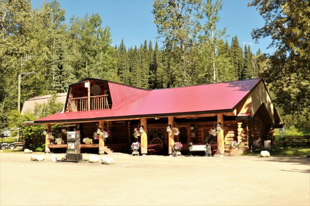
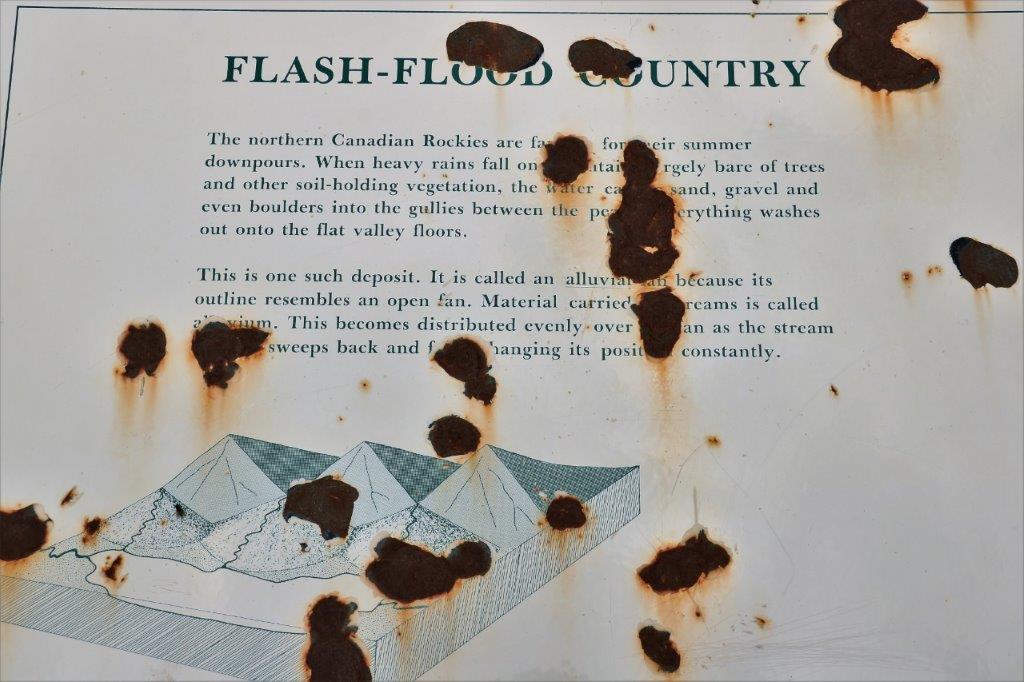
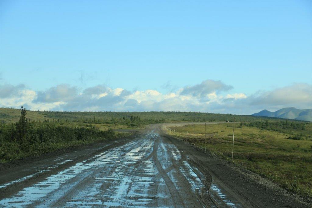
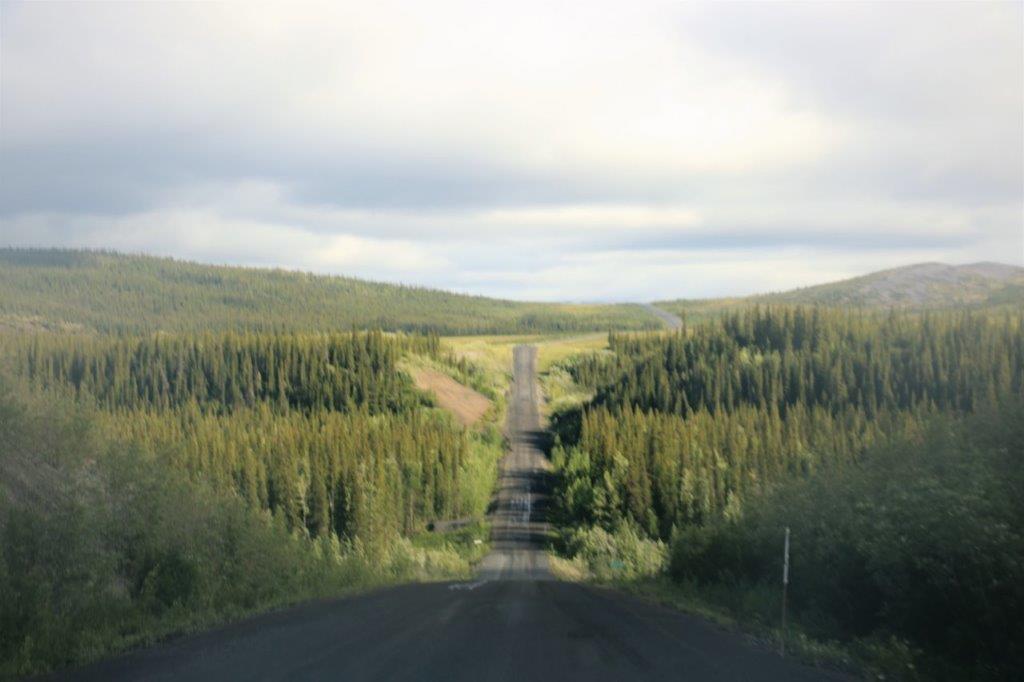
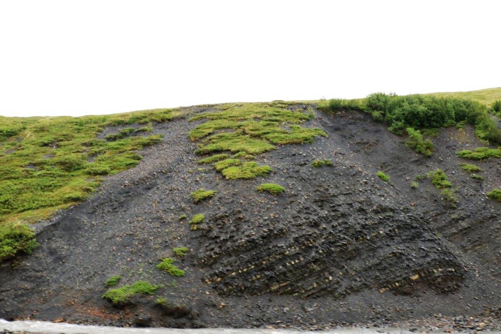
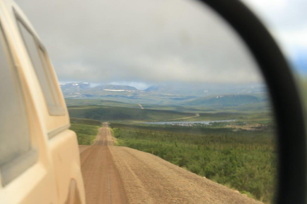
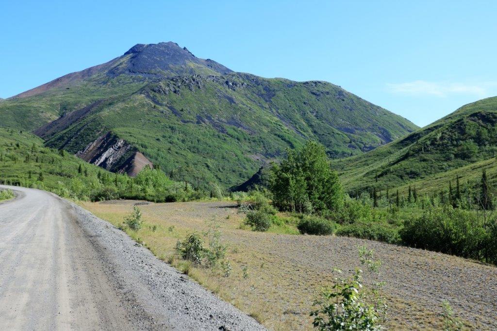
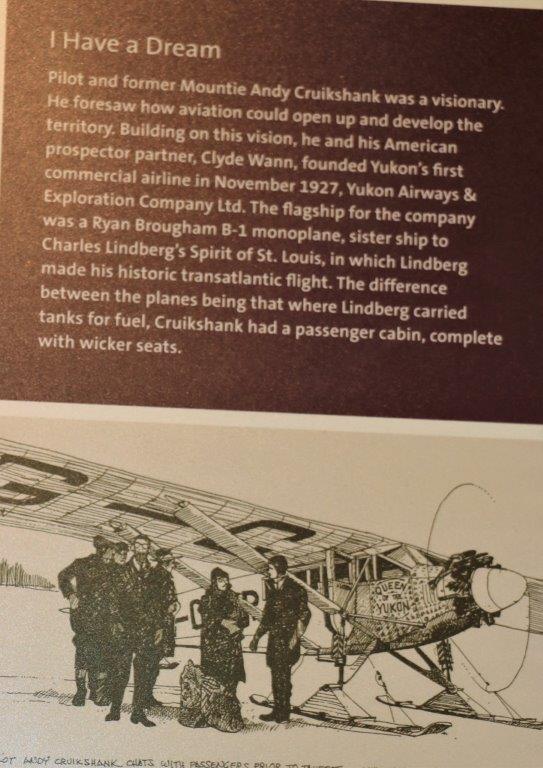
We woke at 6:45 to see that it was raining. Not a good thing on the Dempster Highway. The road is built on a gravel bed above the permafrost and when it gets wet, the calcium and other minerals in the soil leach to the surface and create a slippery mess that tires cannot get a grip on. All the space in the treads just fills up with the muck and you have no control of your vehicle. 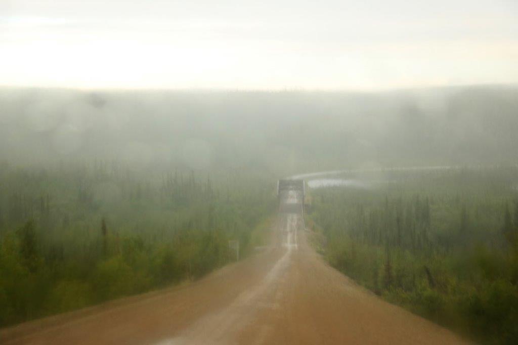 We ate breakfast and by the time we finished the rain had pretty much stopped. We checked with the staff at the hotel and they said that if we drive for the conditions of the road we should be fine. And we were. No really bad spots, just a slower pace.
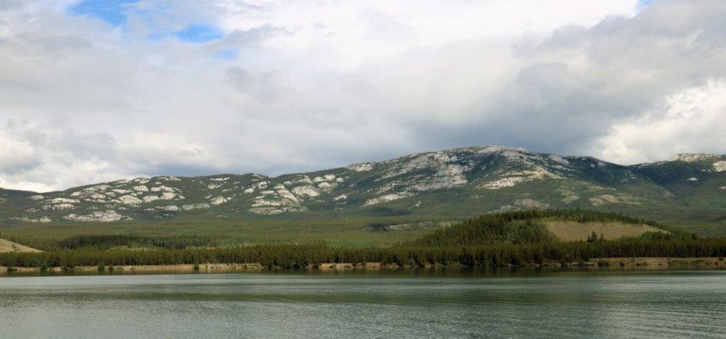
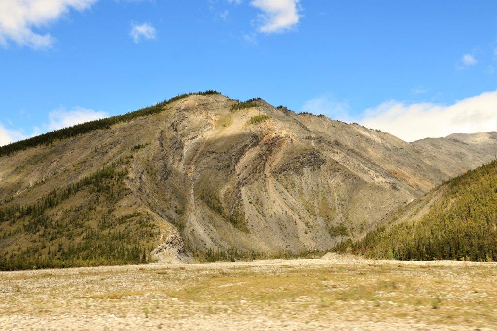
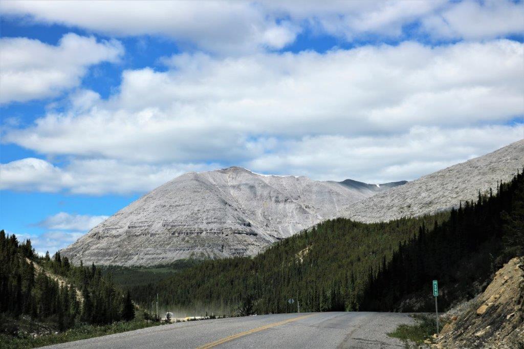
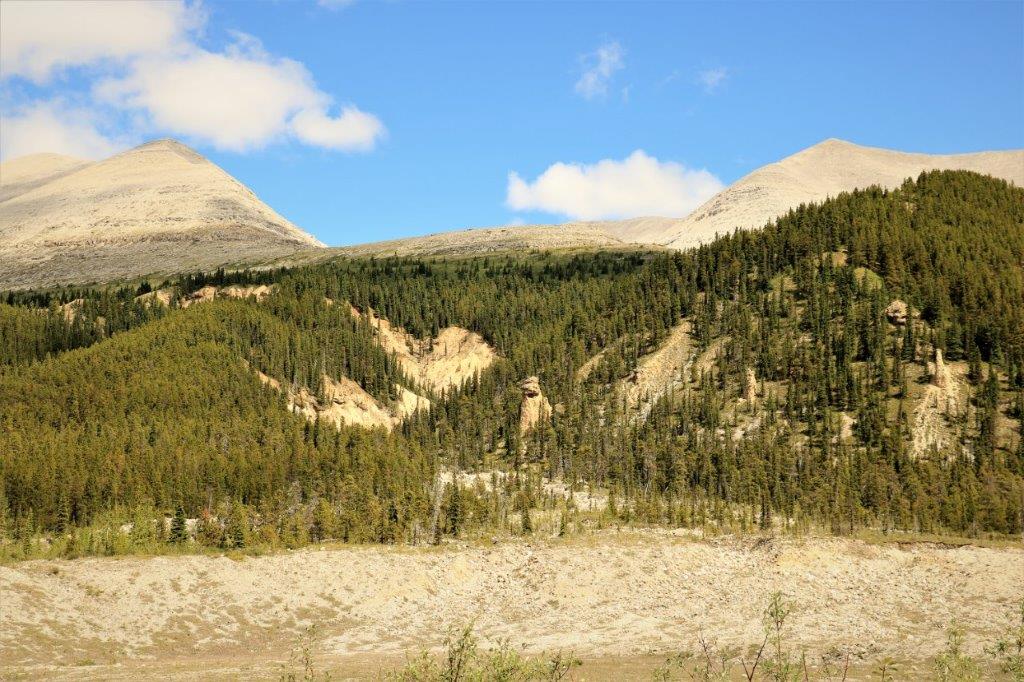
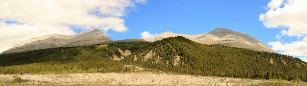
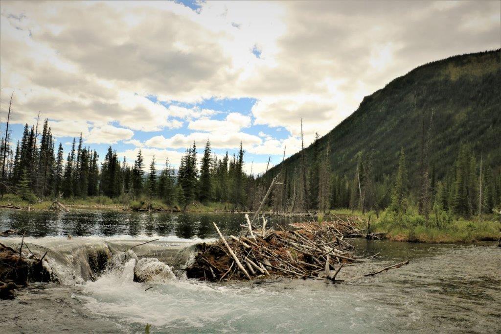
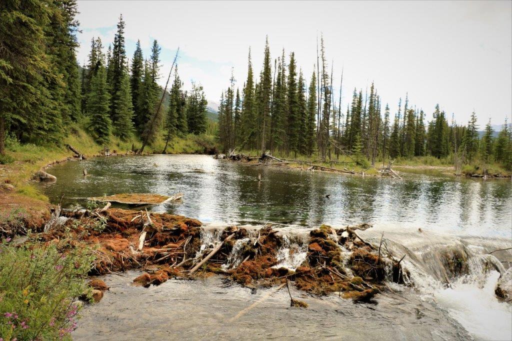
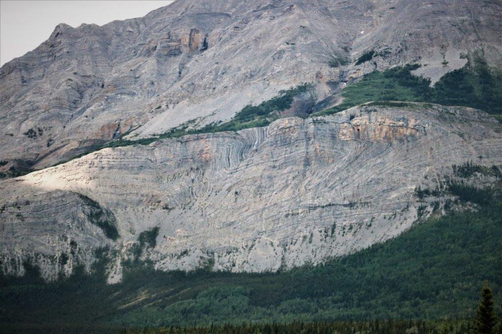
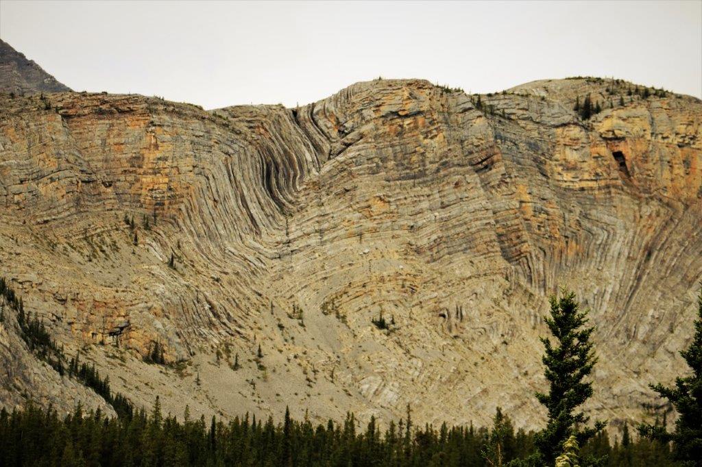
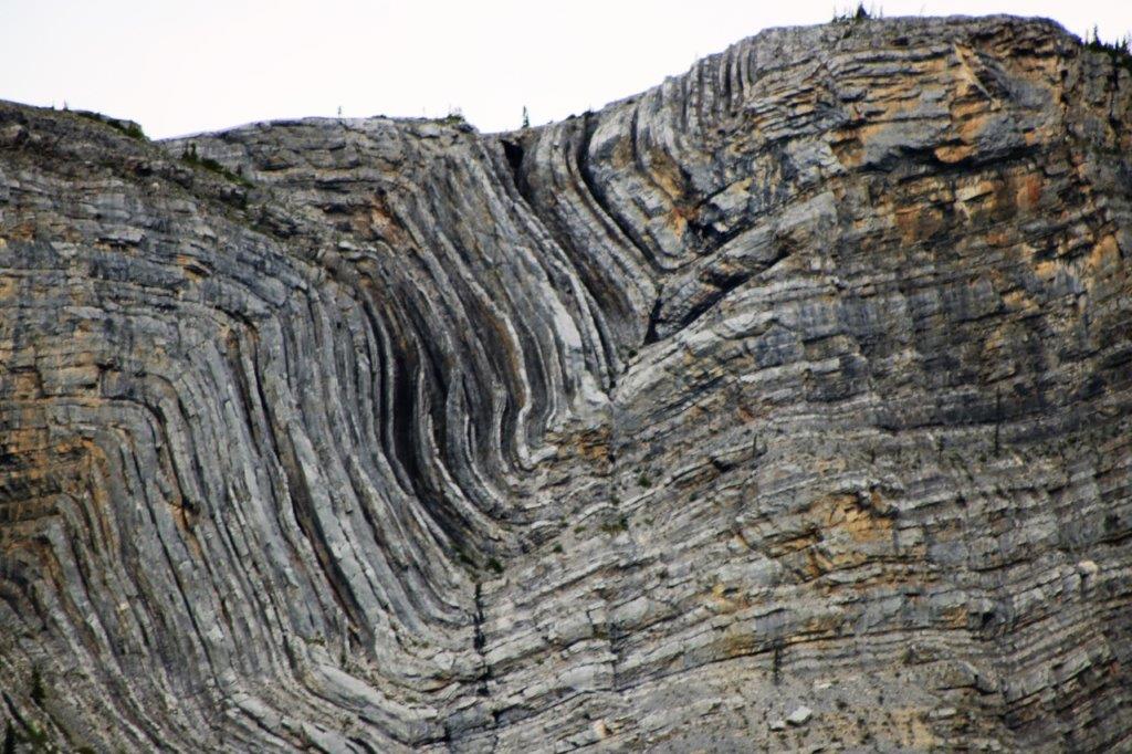
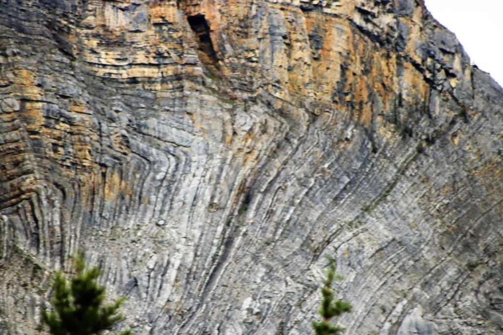
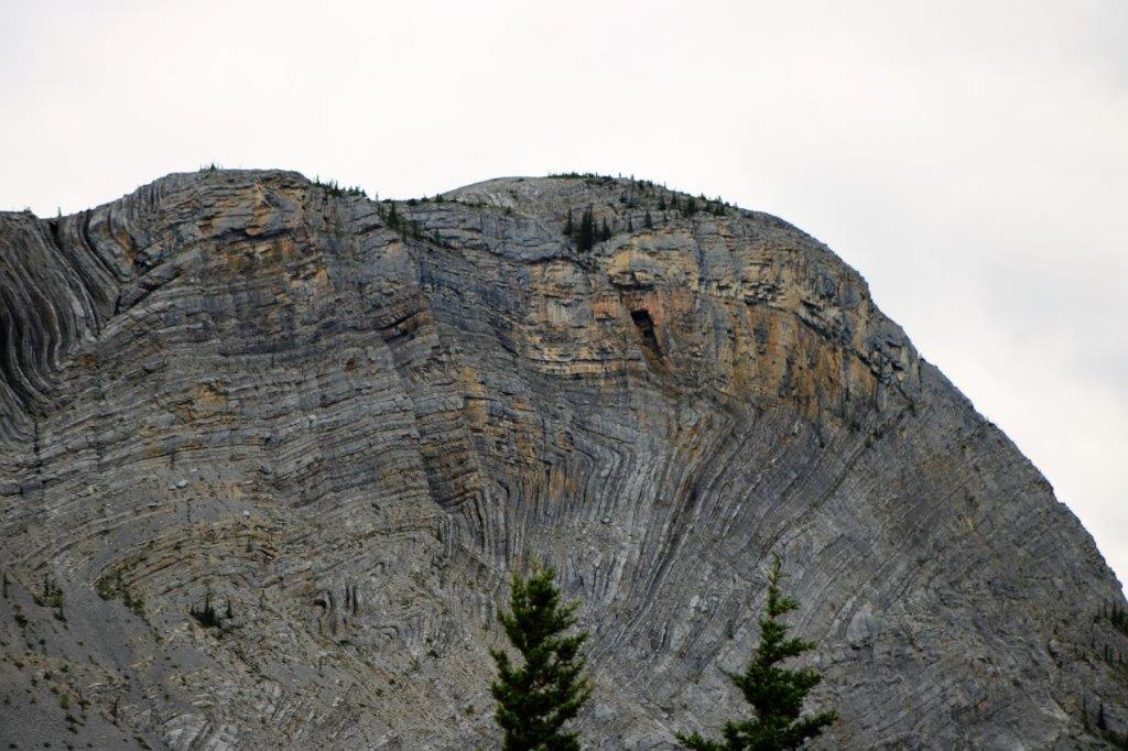
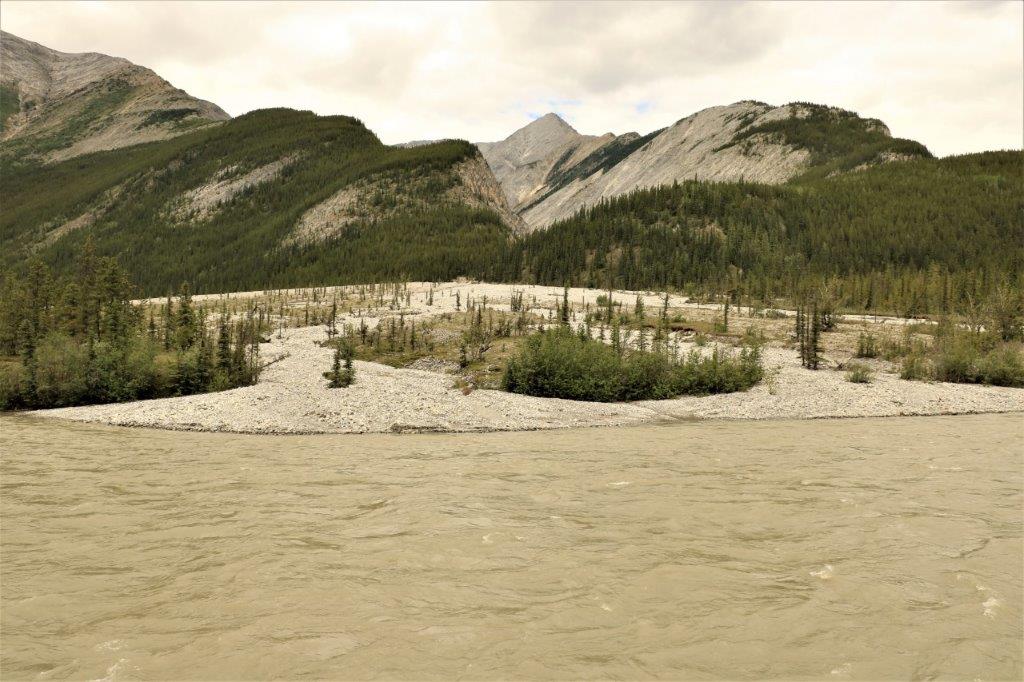
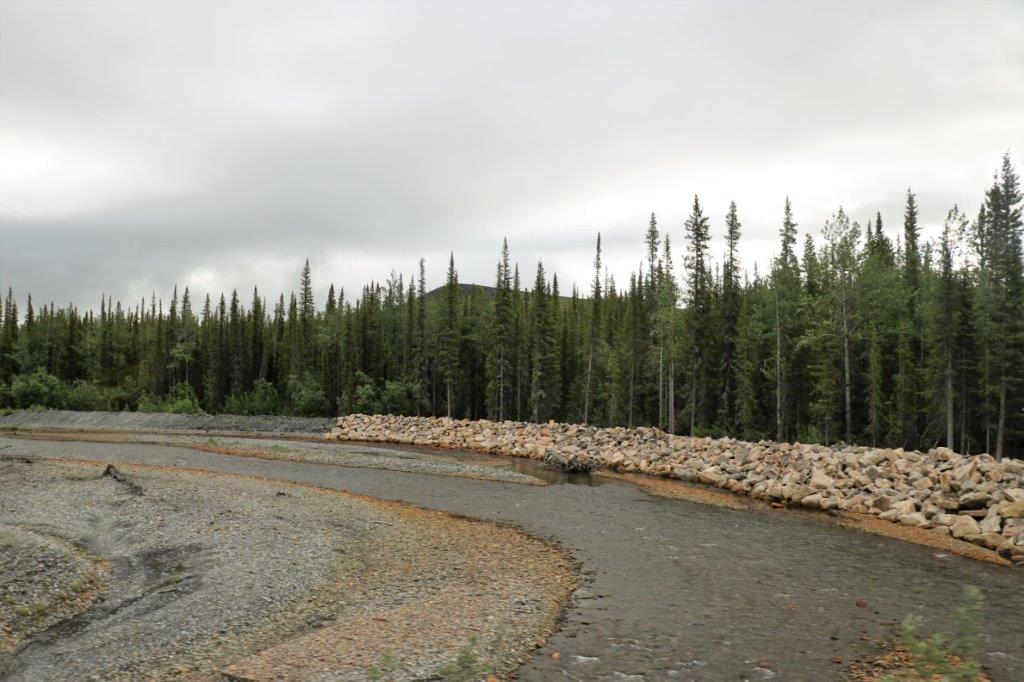
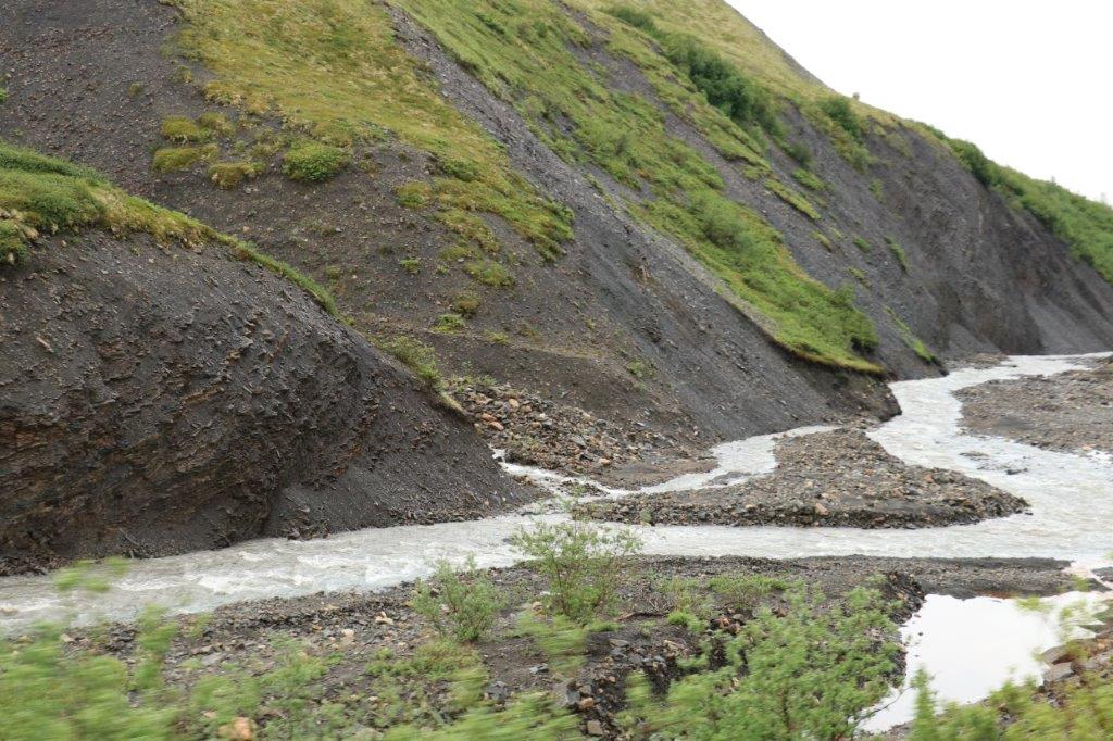
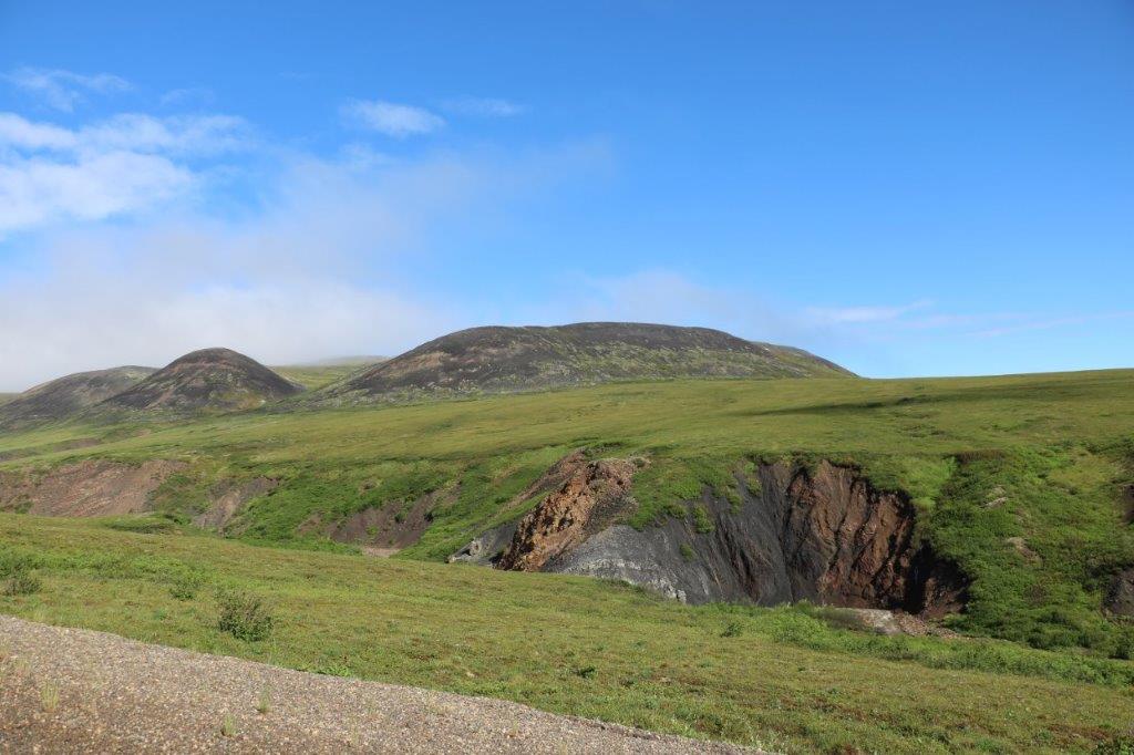
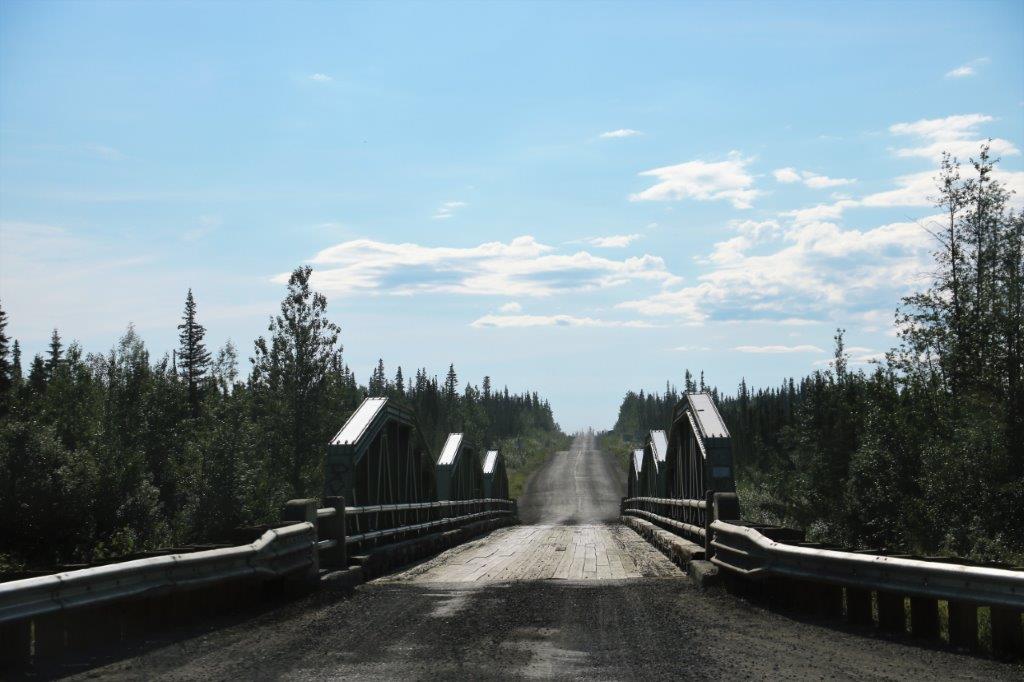
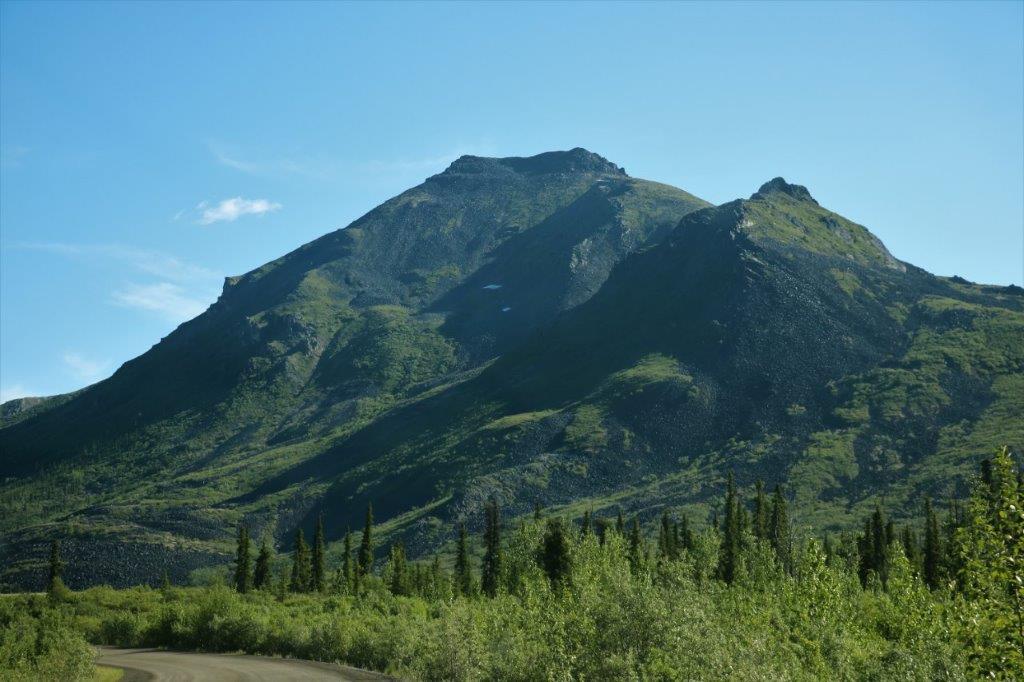
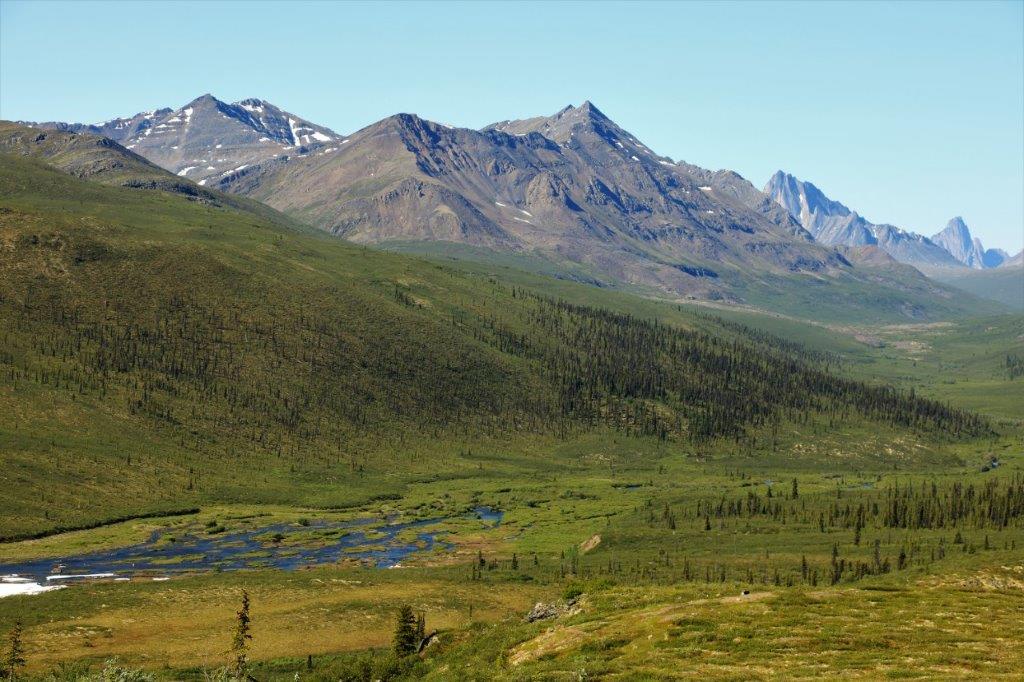
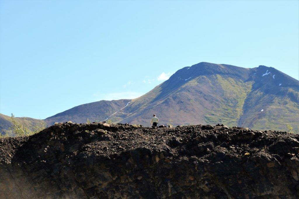
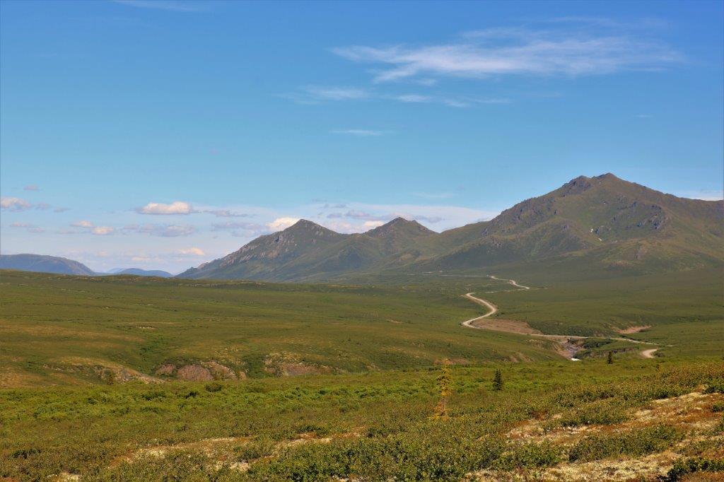
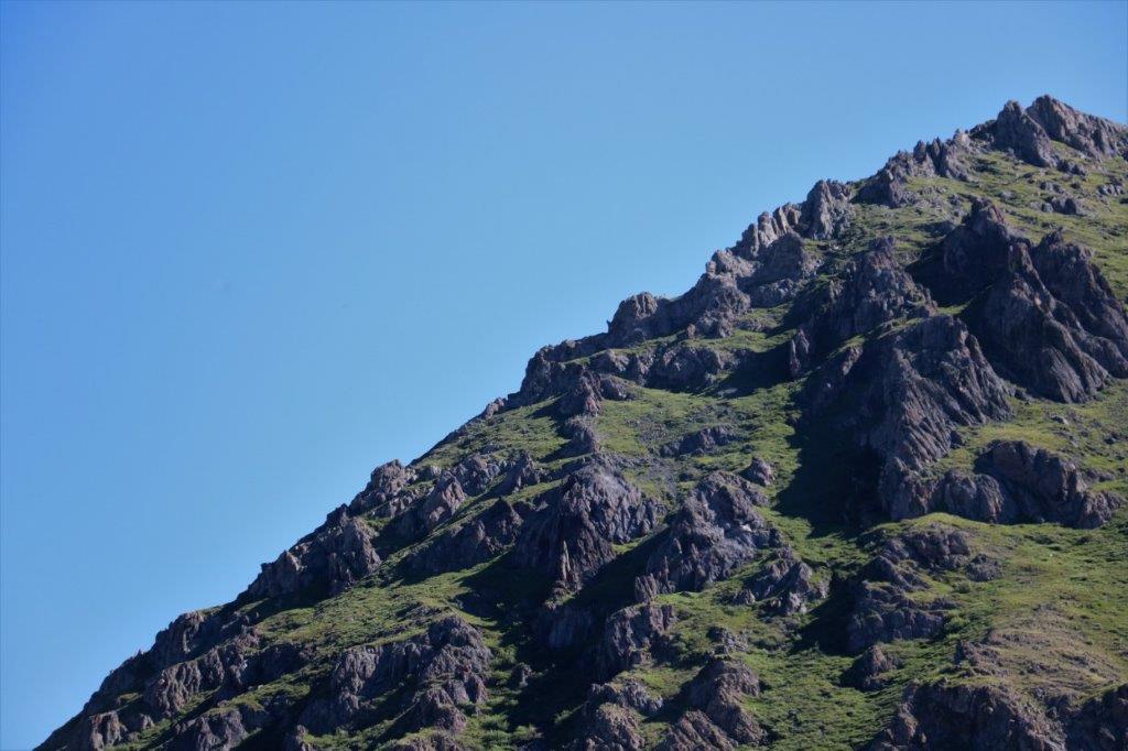
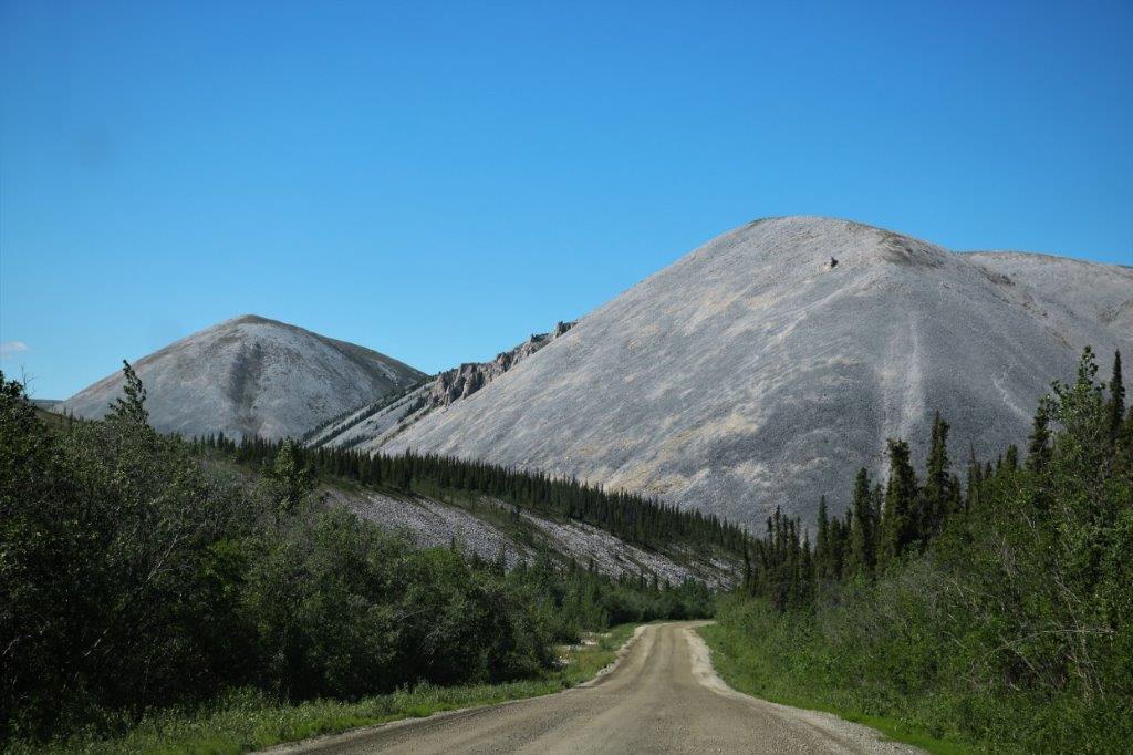
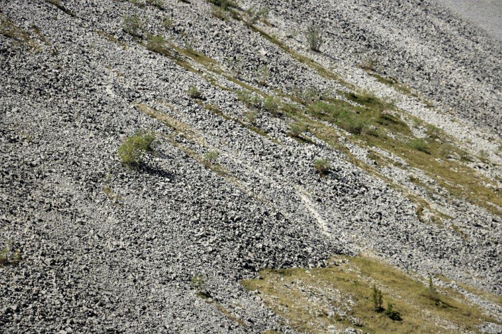
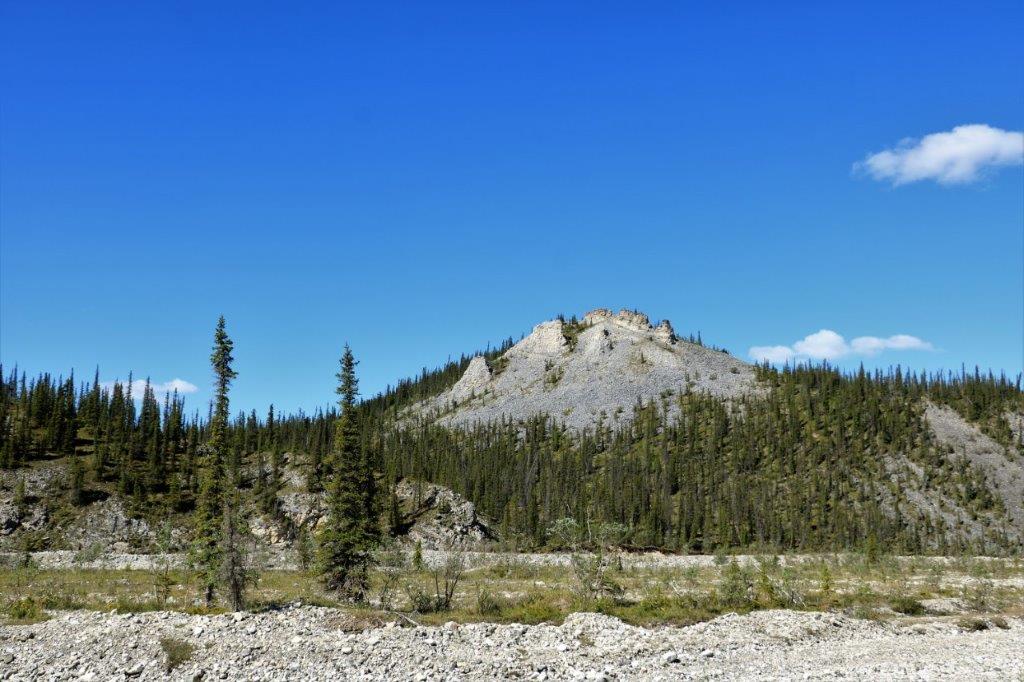
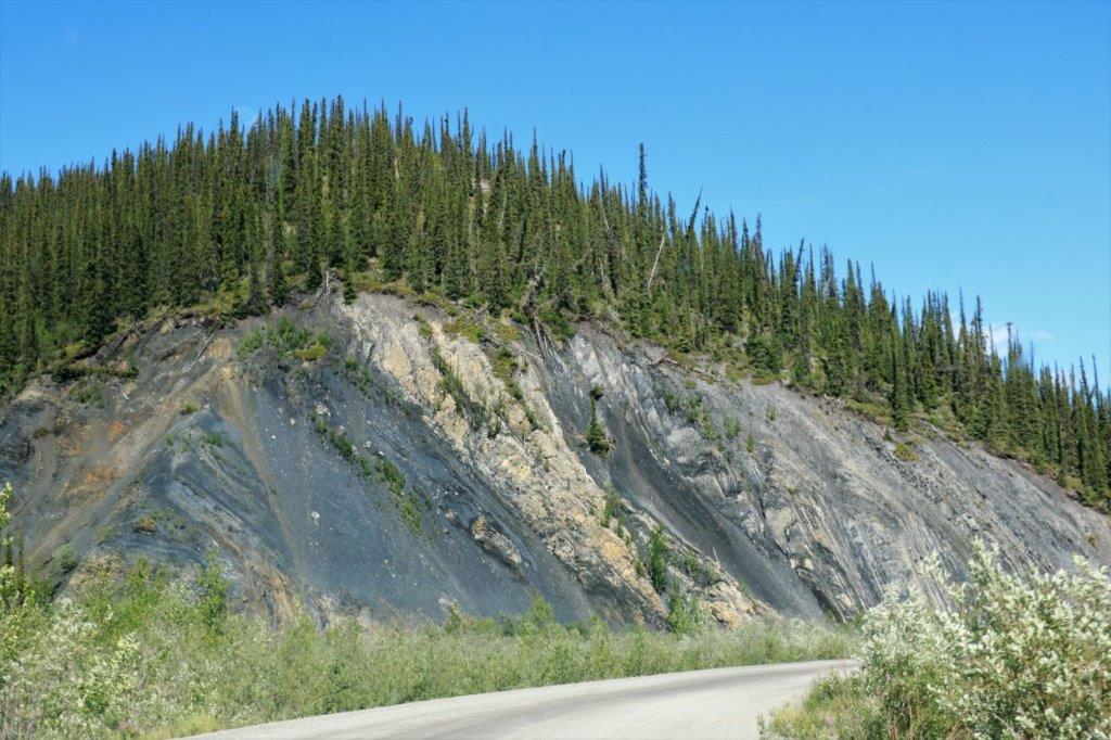
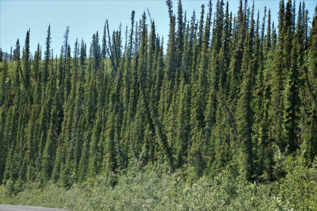
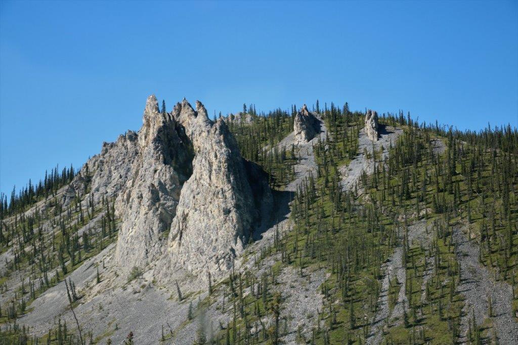
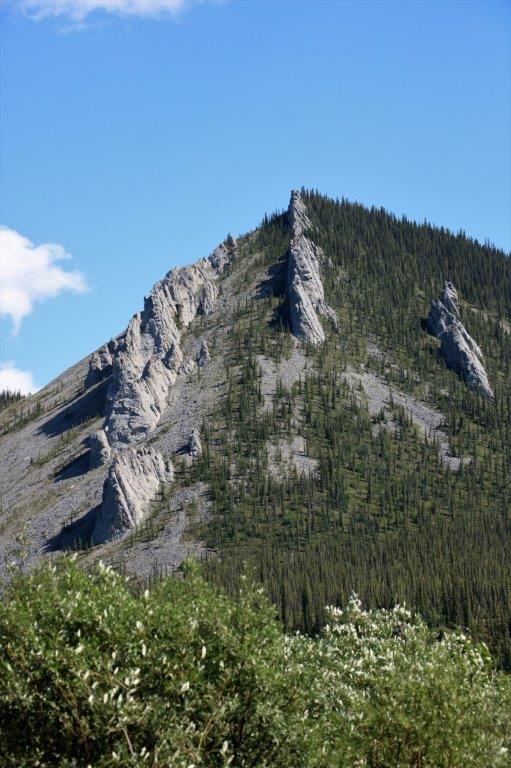
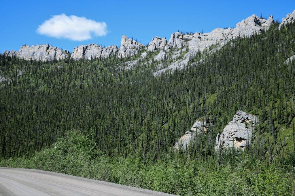
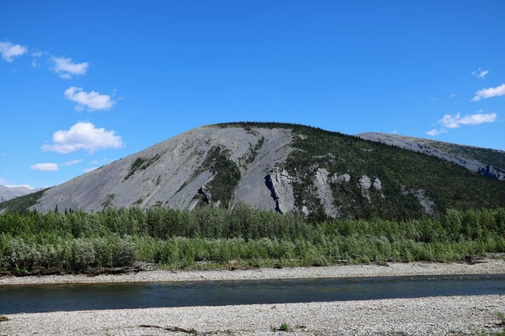
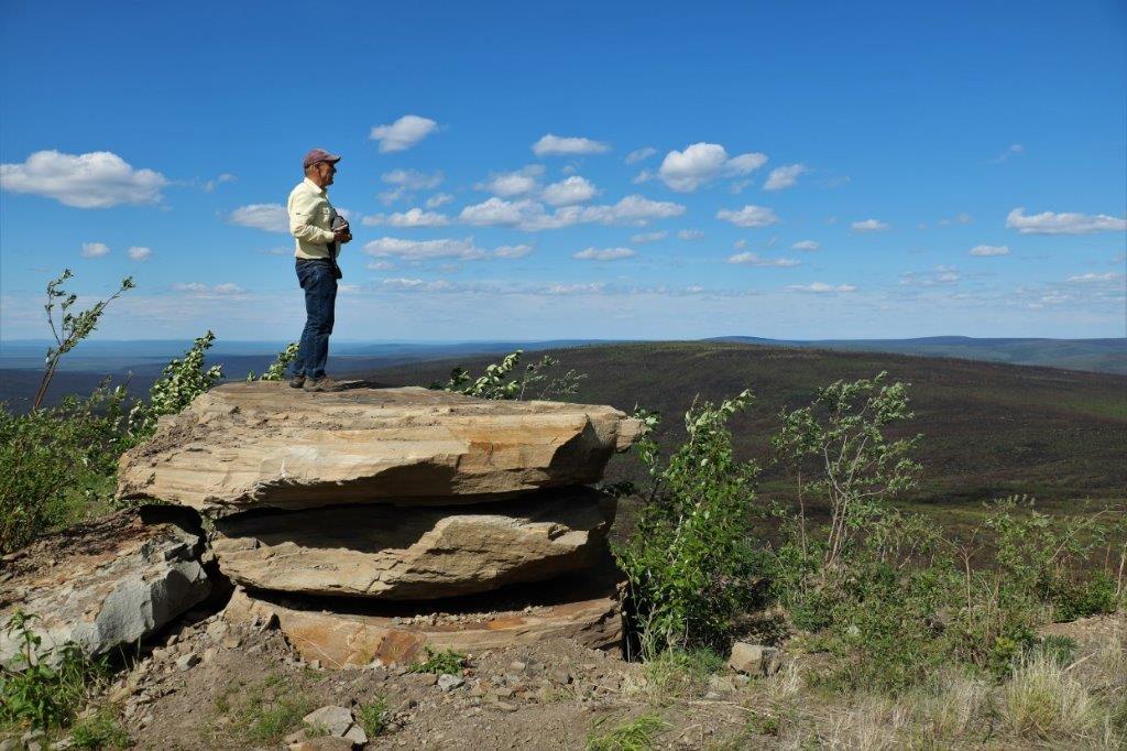
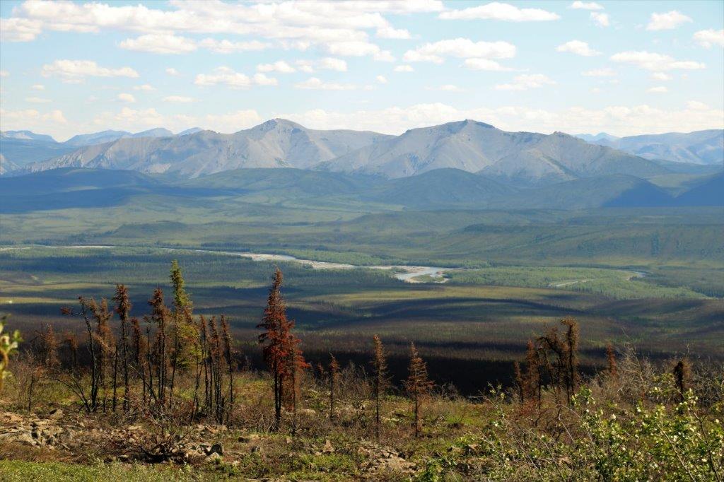
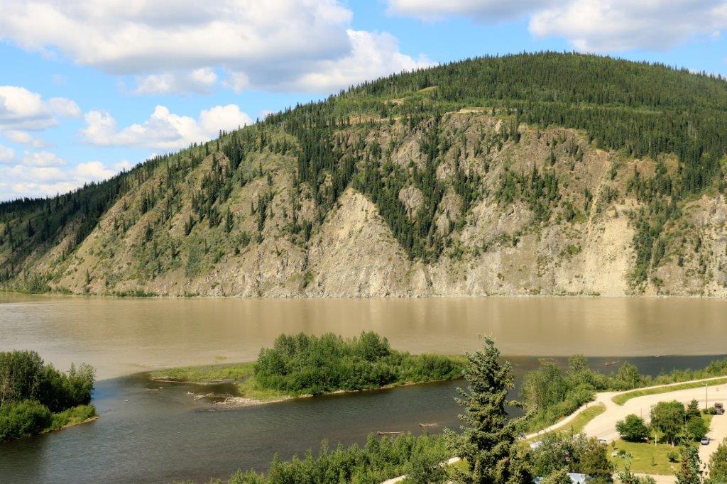
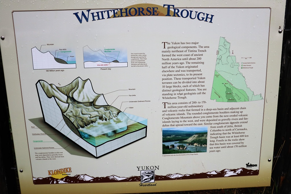
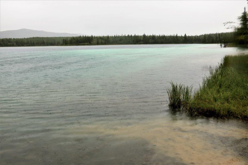
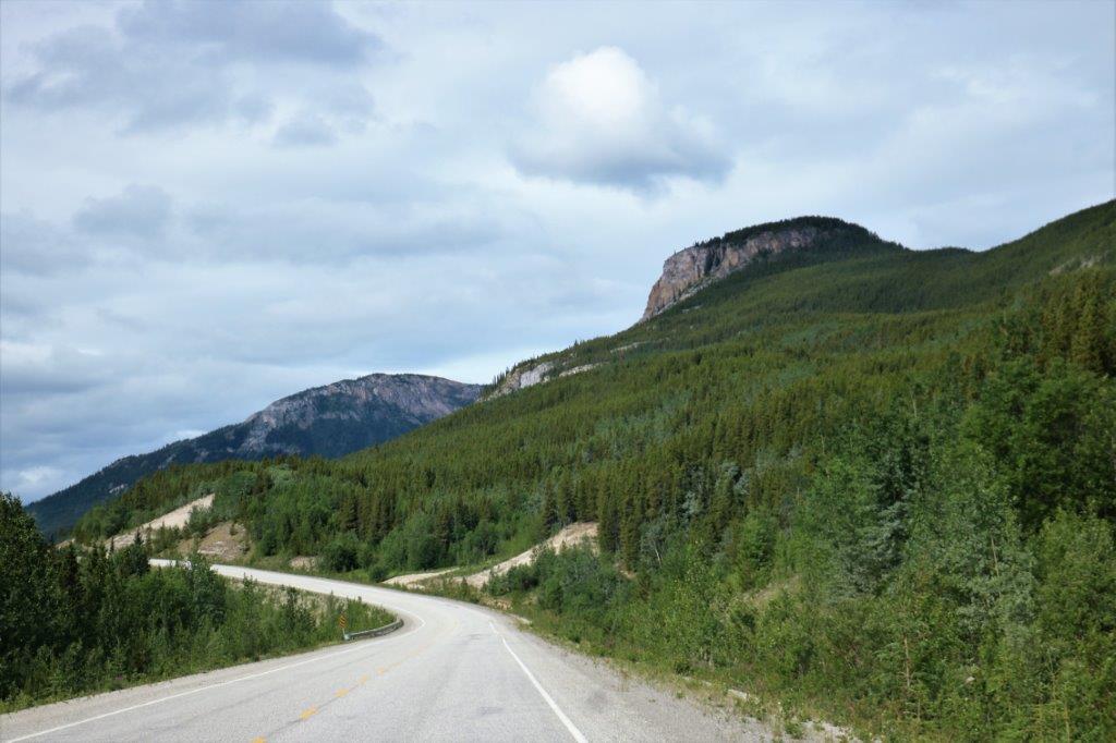
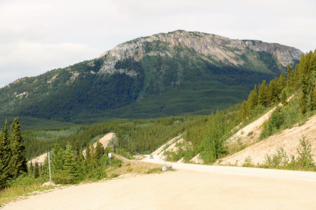
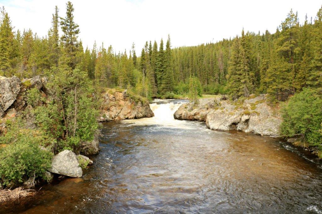
When you leave the Eagle Plains hotel/campground/gas station – population 9 – you enter the next ecoregion on the Dempster Highway. The road drops down to cross a glacial outwash channel of what was once a mighty river, but is now just a small stream, even though it is still called the Eagle River. The Richardsons are a mountain range to the east of the road that we cross at the Northwest Territories border. This ecoregion is called the British-Richardson Mountains ecoregion.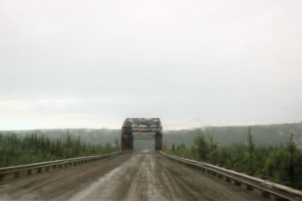 The bridge over the Eagle River is built on permafrost. The pilings supporting the structure were driven 30-meters (98′) into the ground, passing through a 10-meter (33′) layer of permafrost.
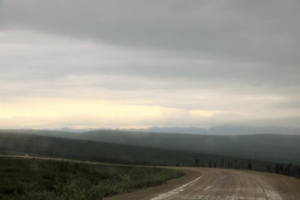
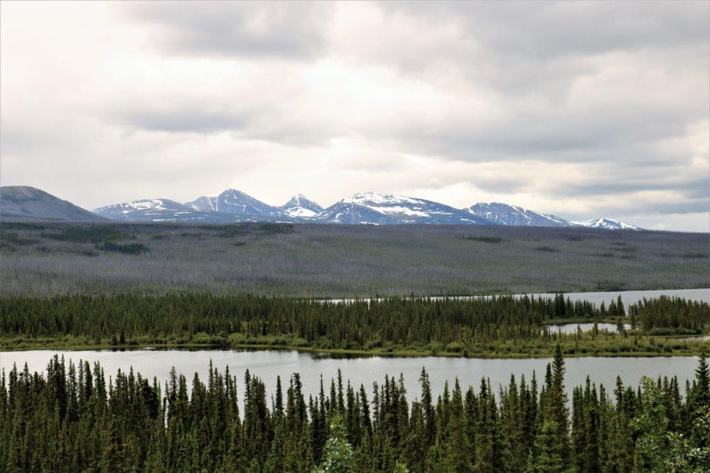
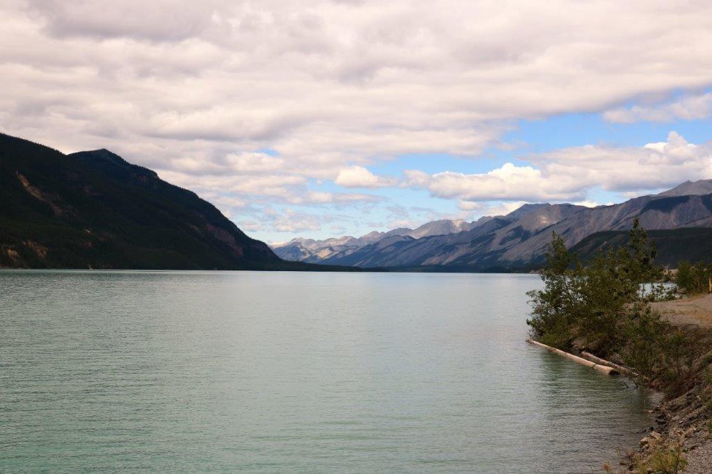
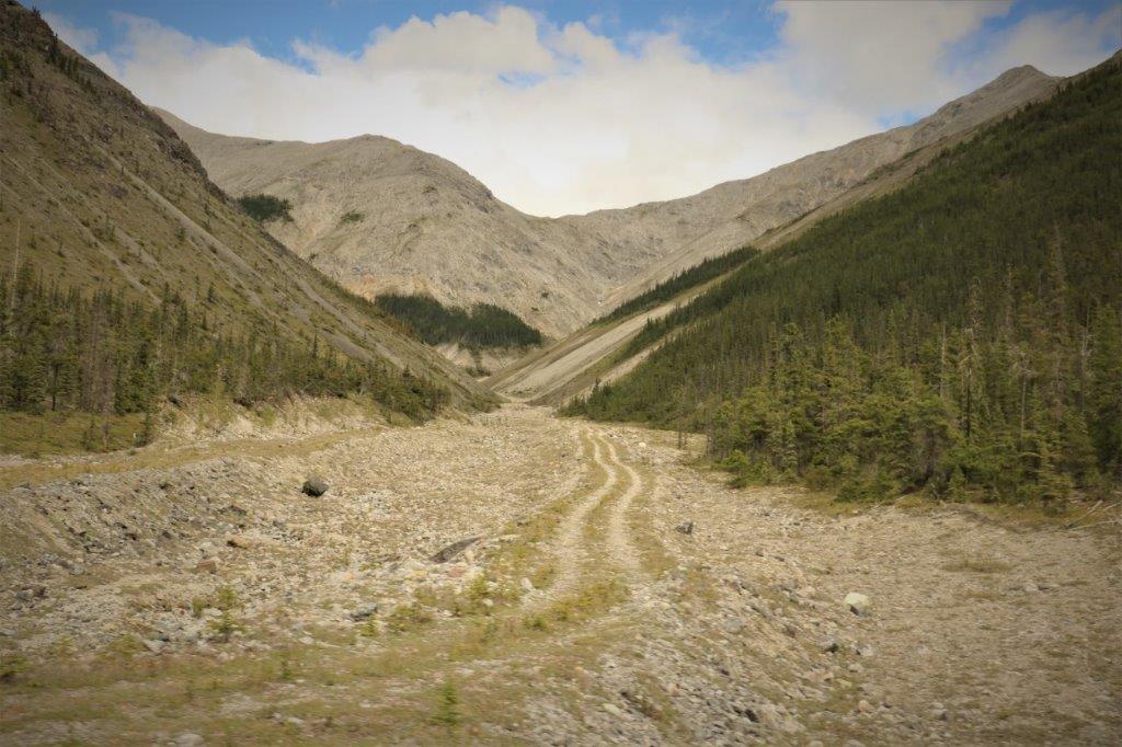
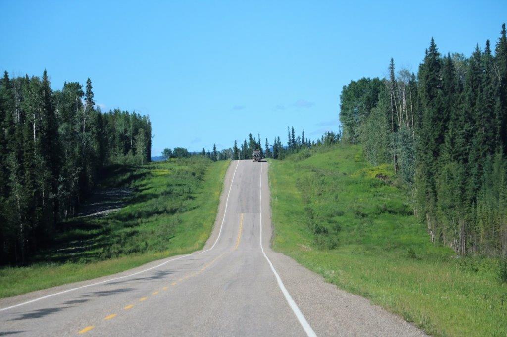
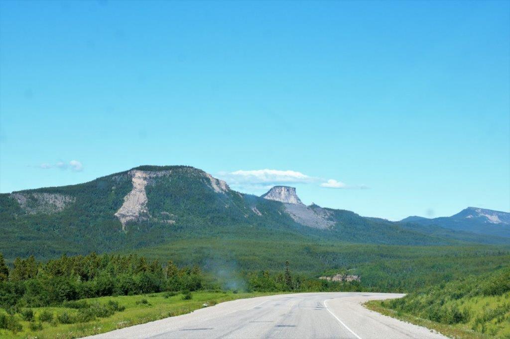
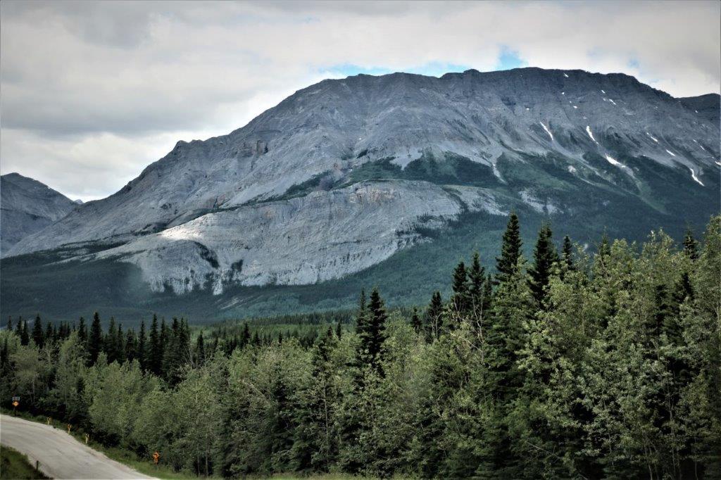
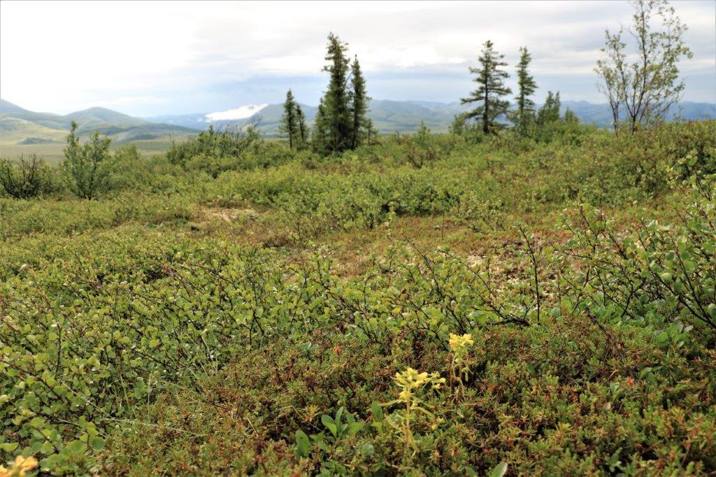
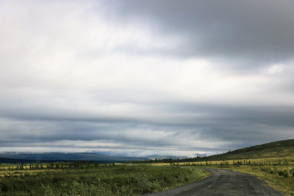
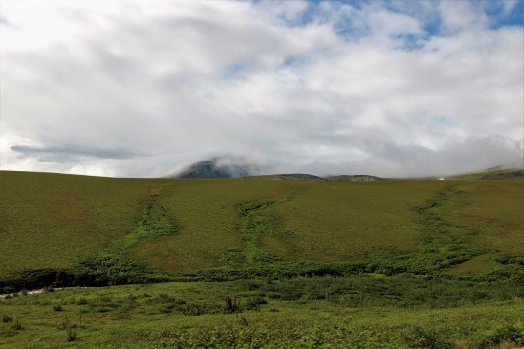
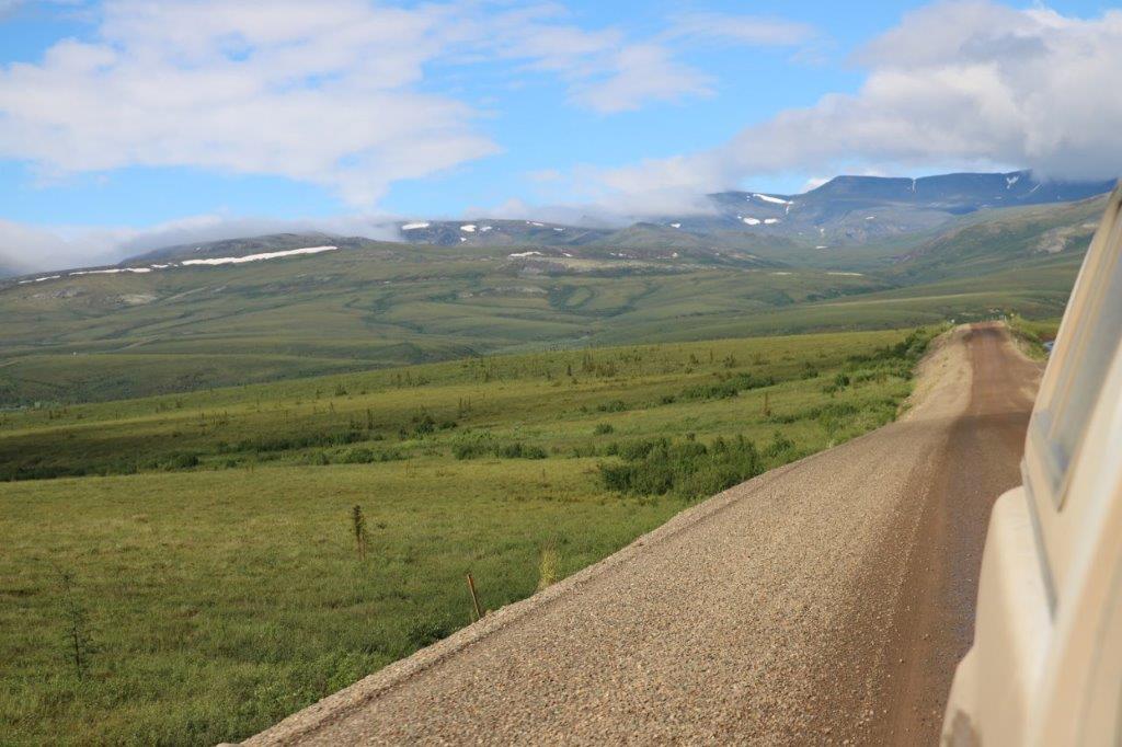
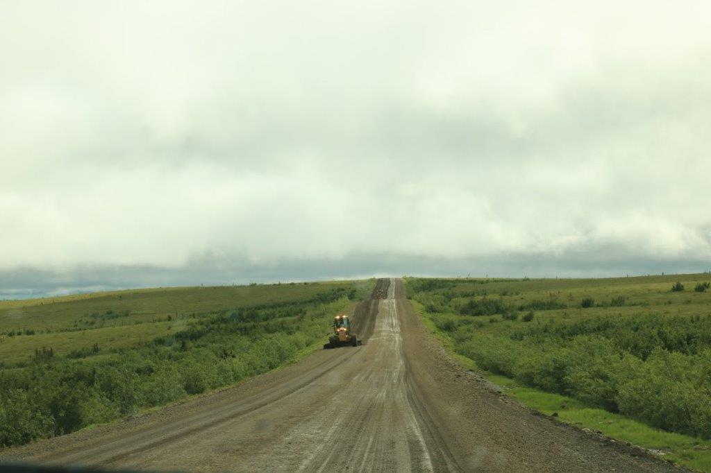
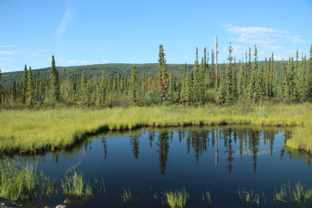
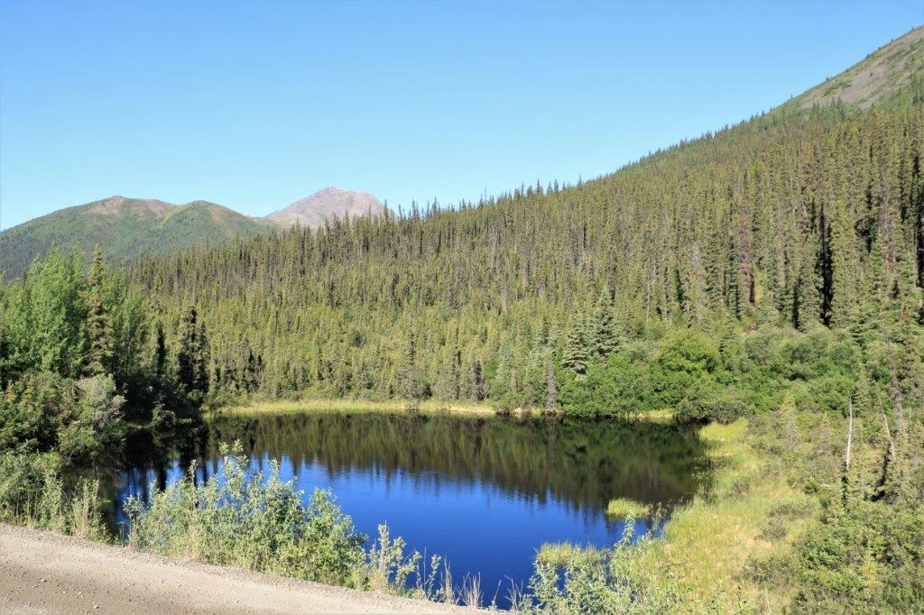
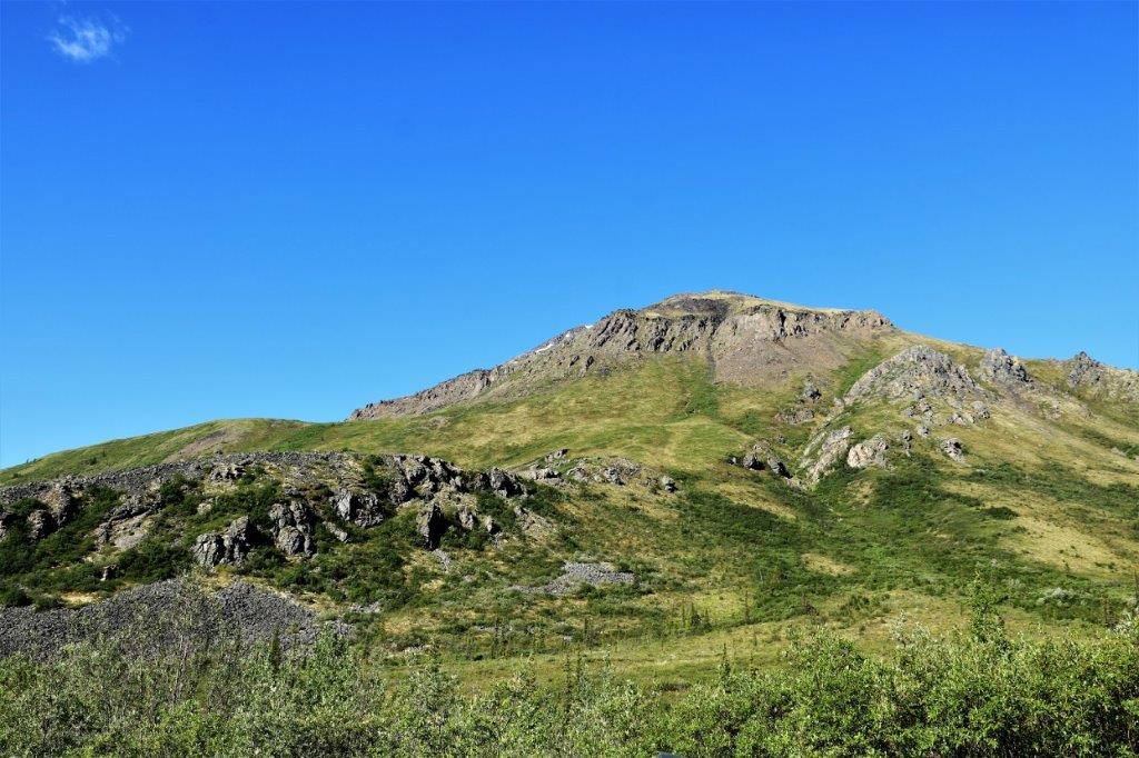
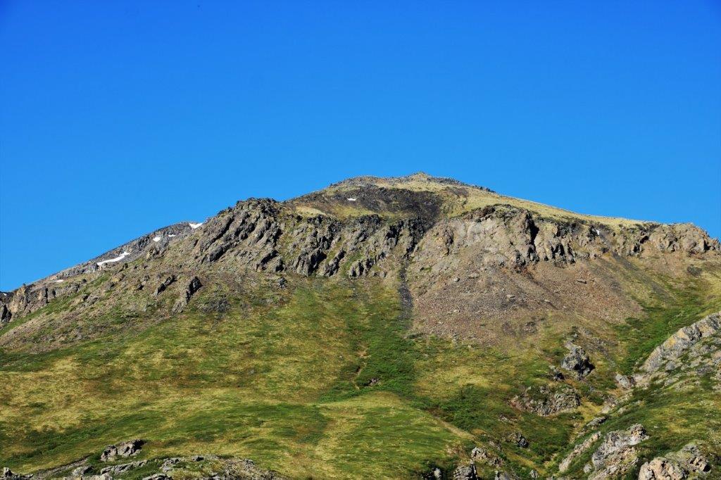
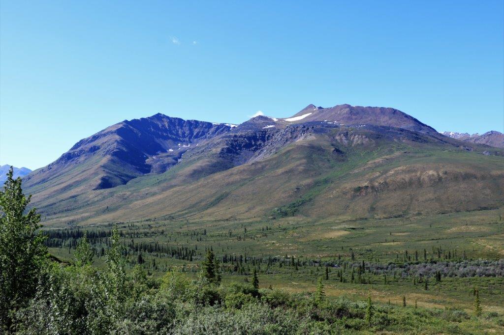
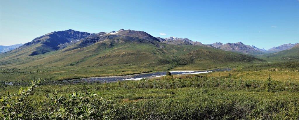
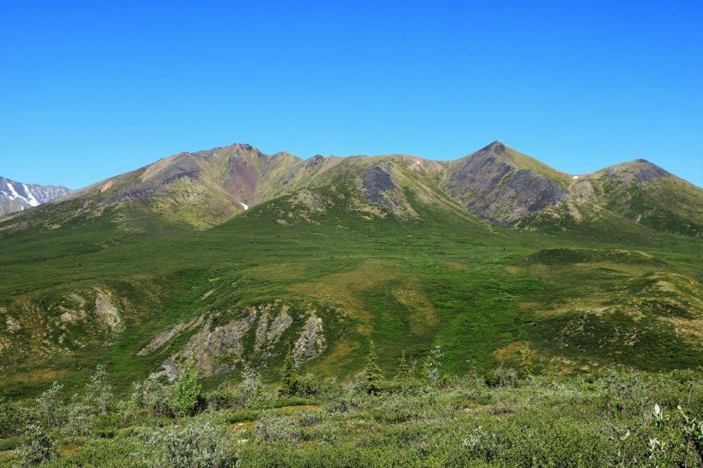
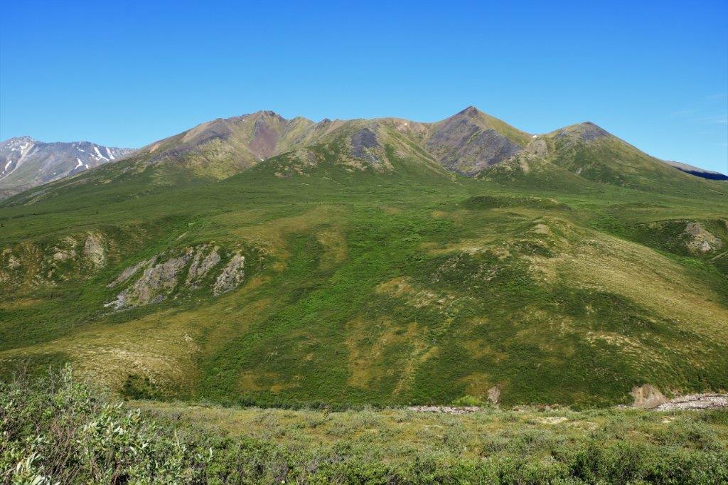
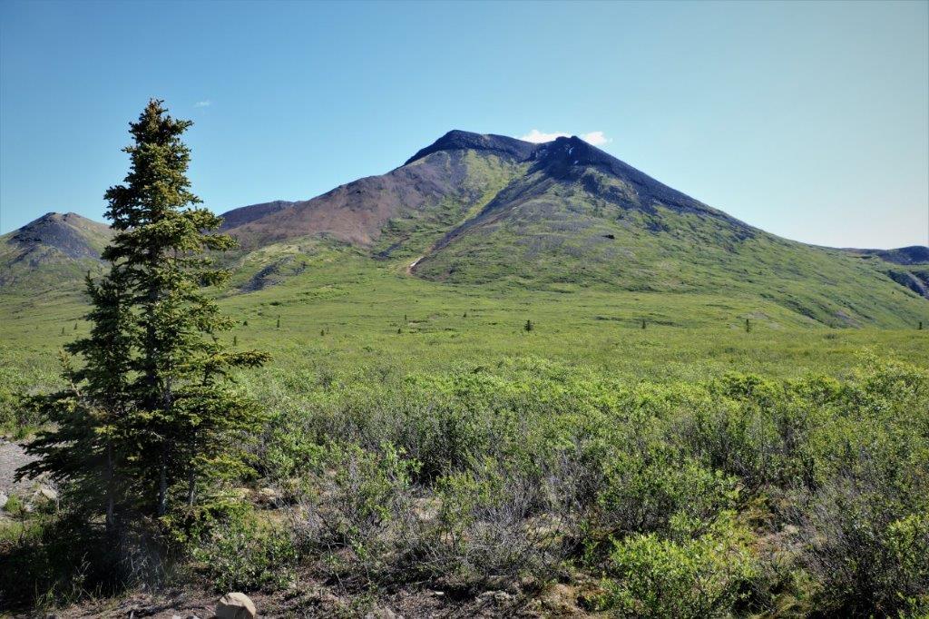
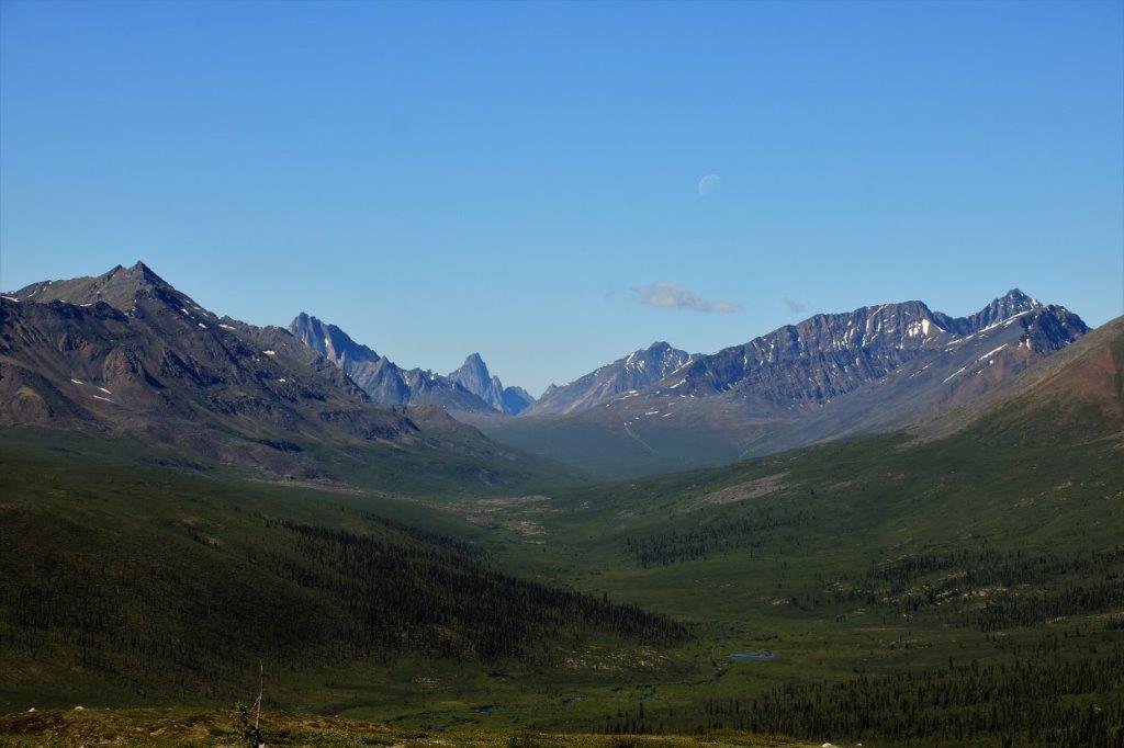
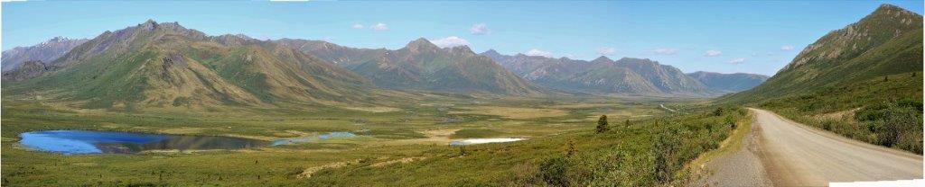
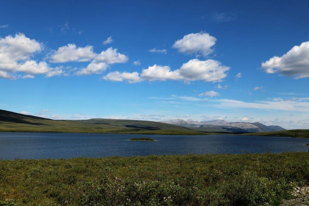
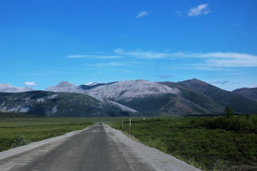
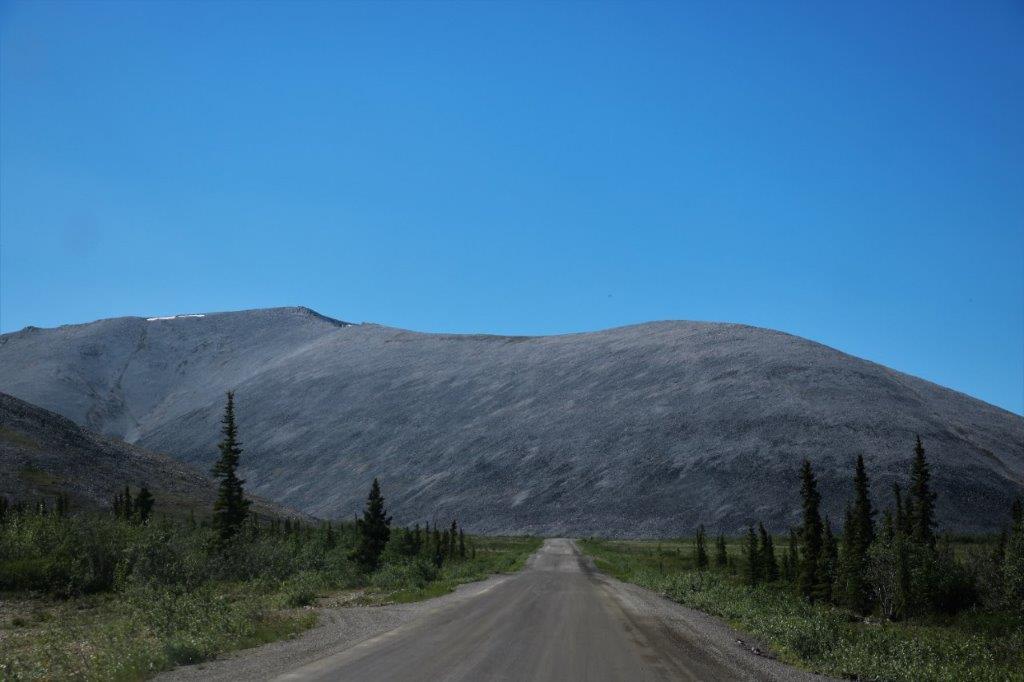
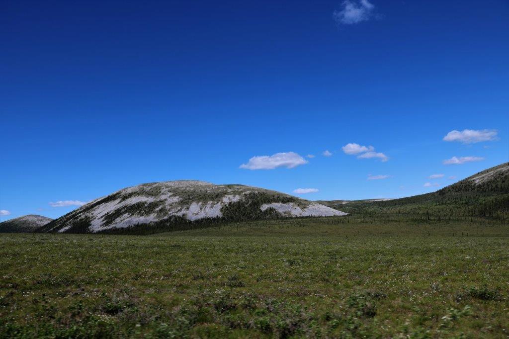
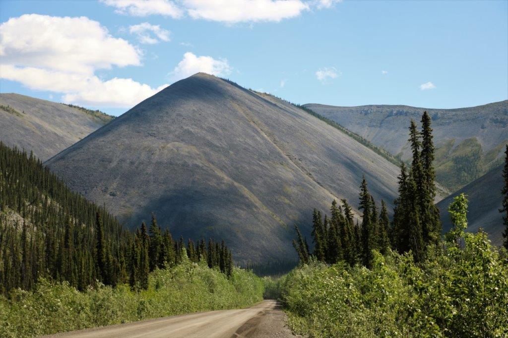
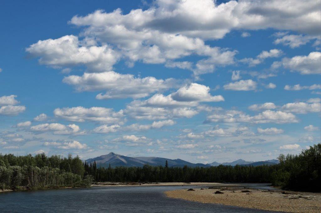
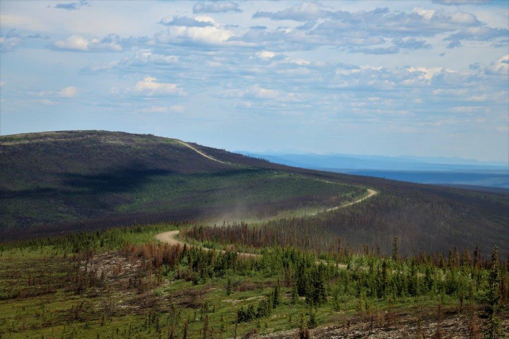
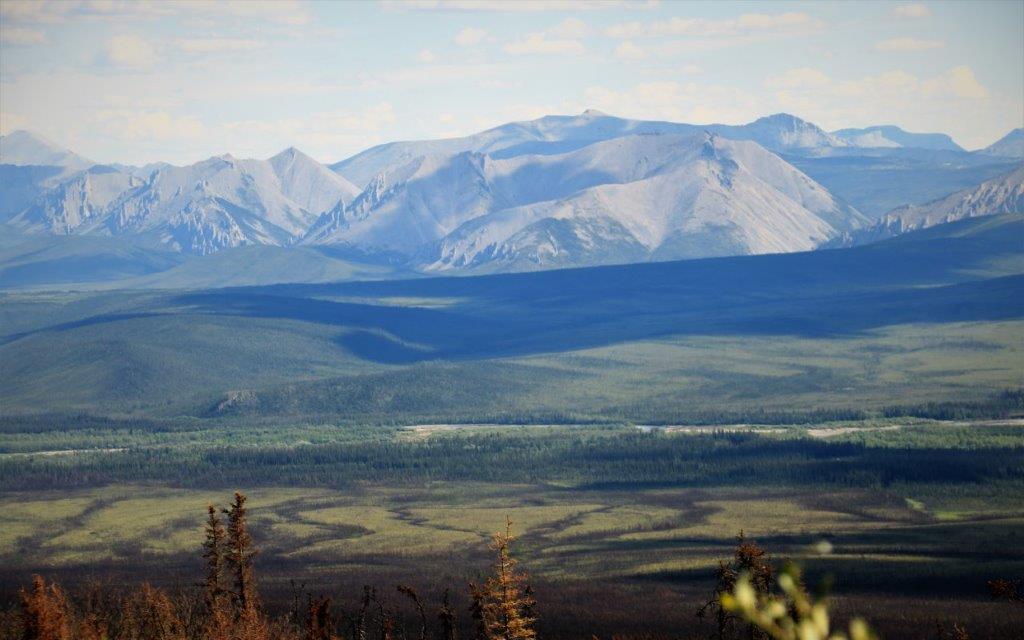
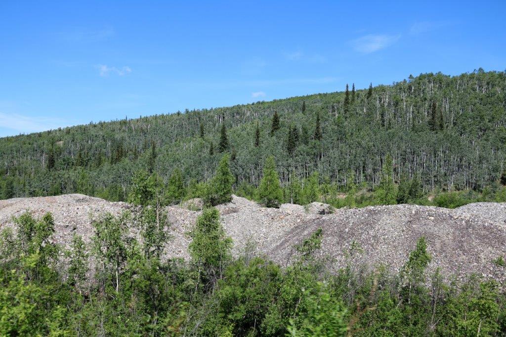
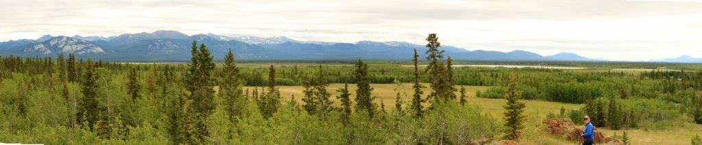
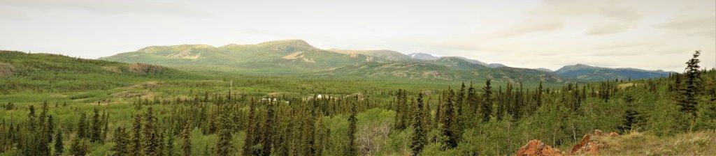
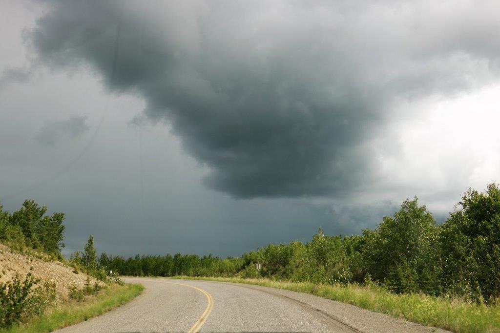
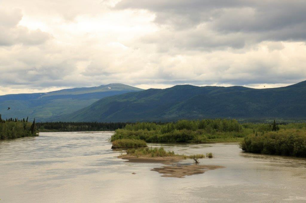
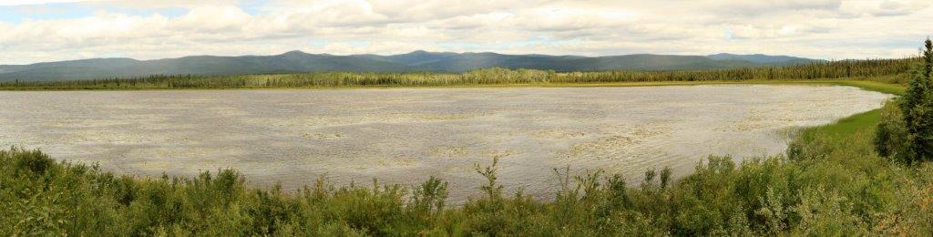
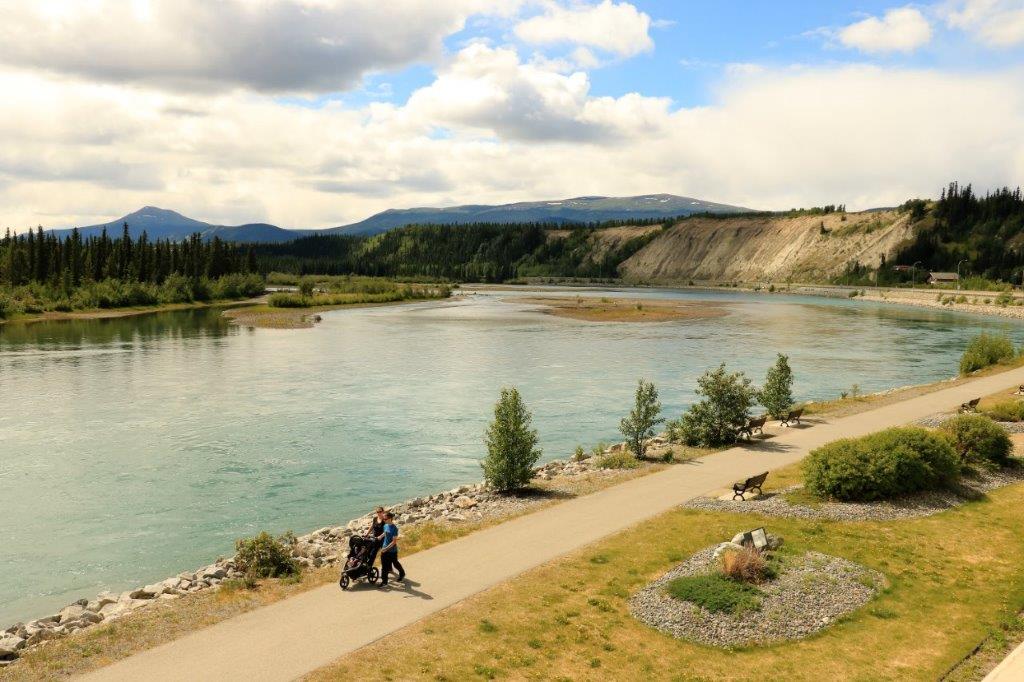
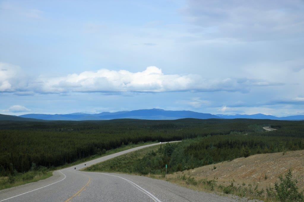
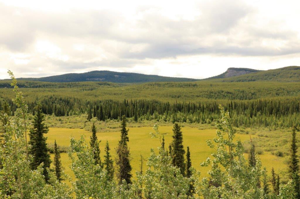
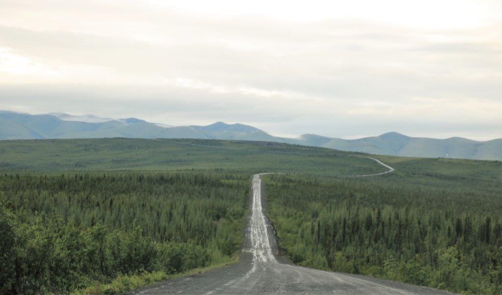 Miles and miles and miles of open space.
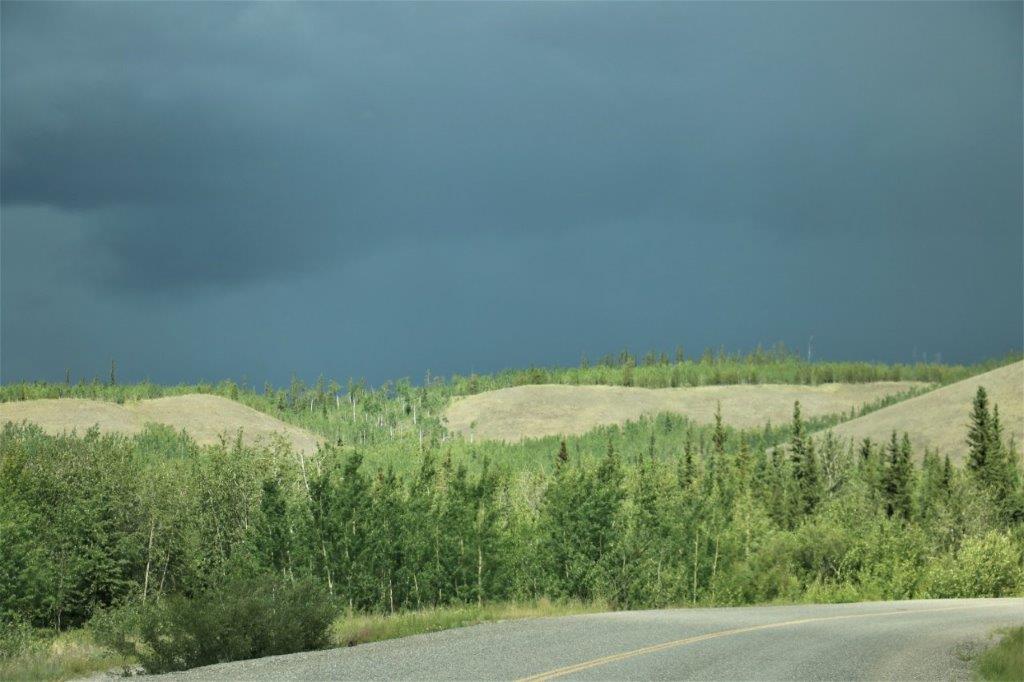
 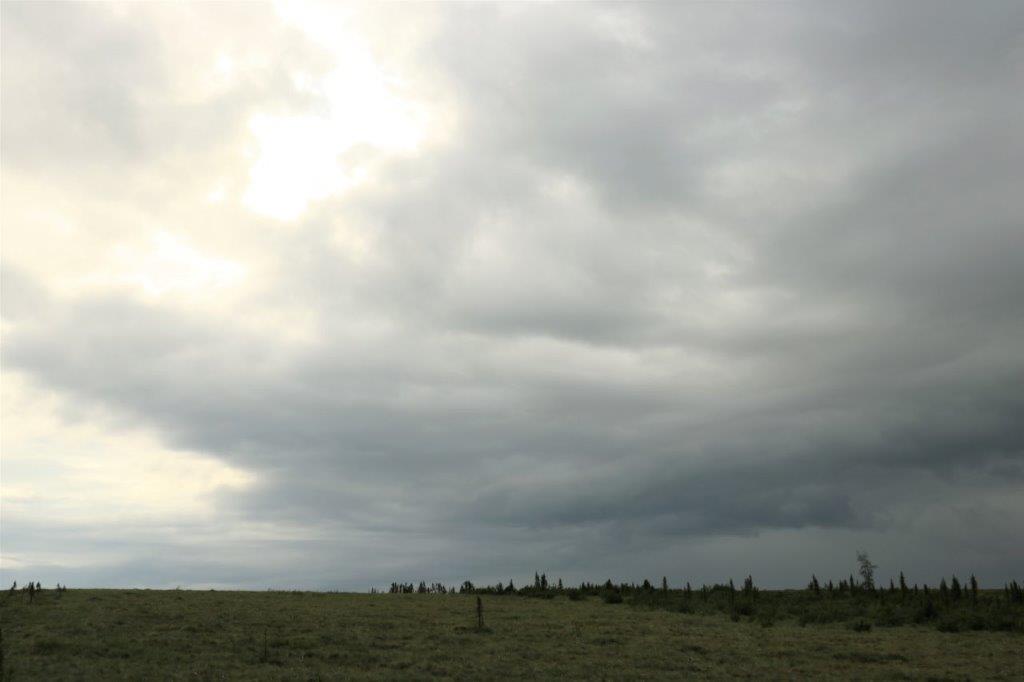 I love all the shapes and moods of clouds.
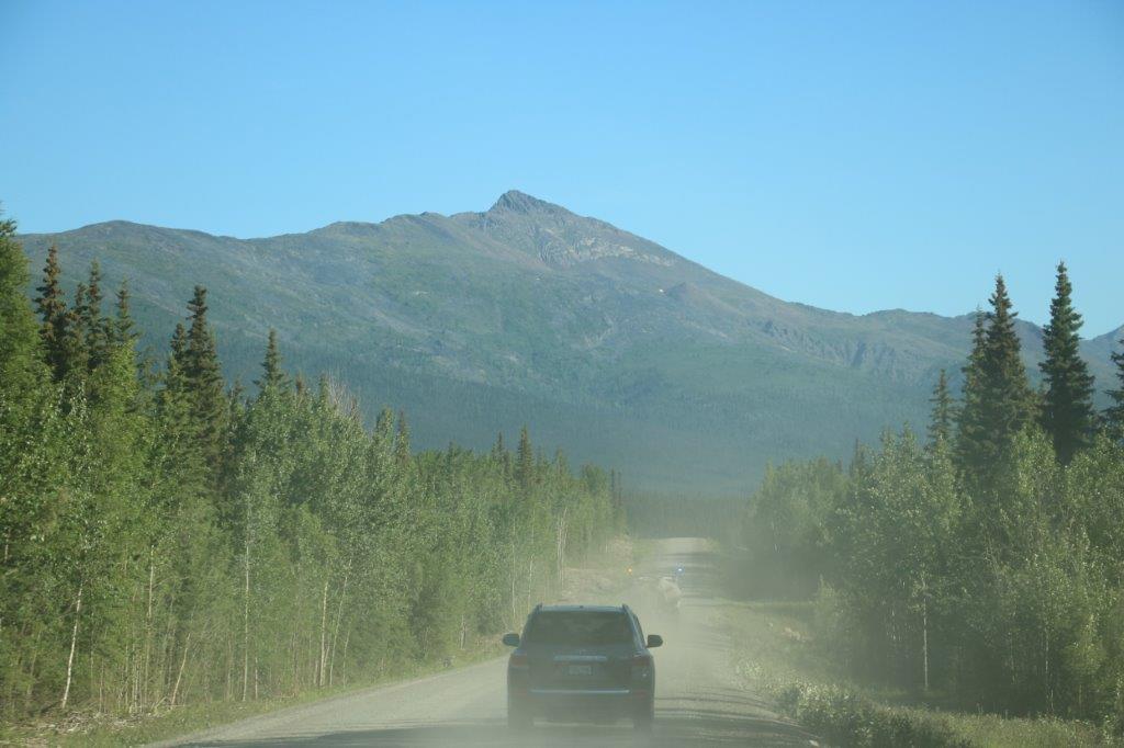
Thankfully the rain stopped about a half hour into the drive so the road did not become the notorious quagmire it is purported to be when it gets wet.
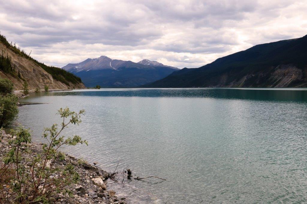
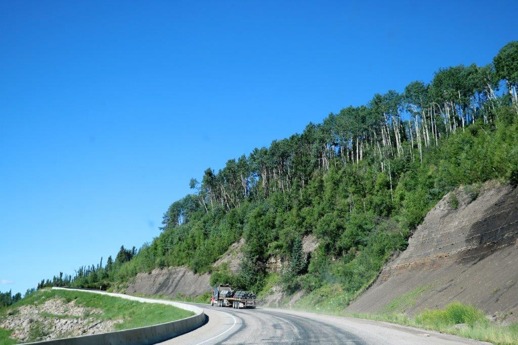
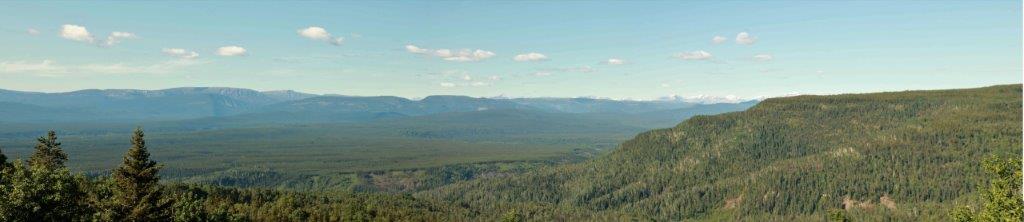
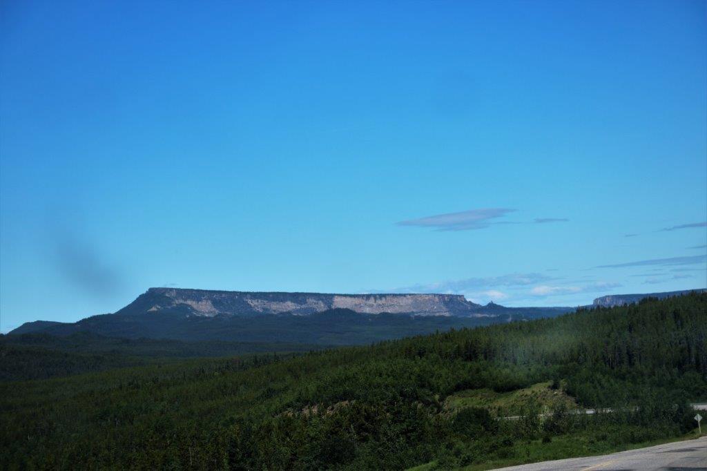
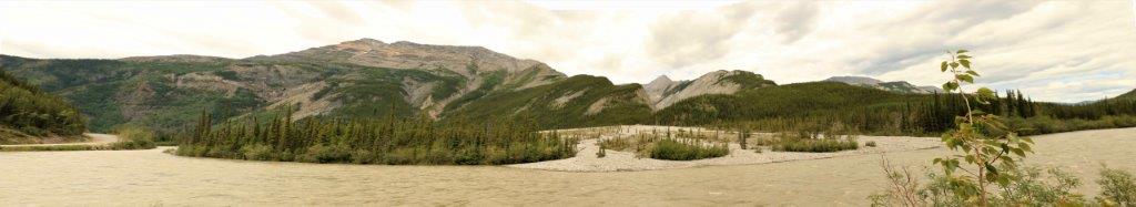
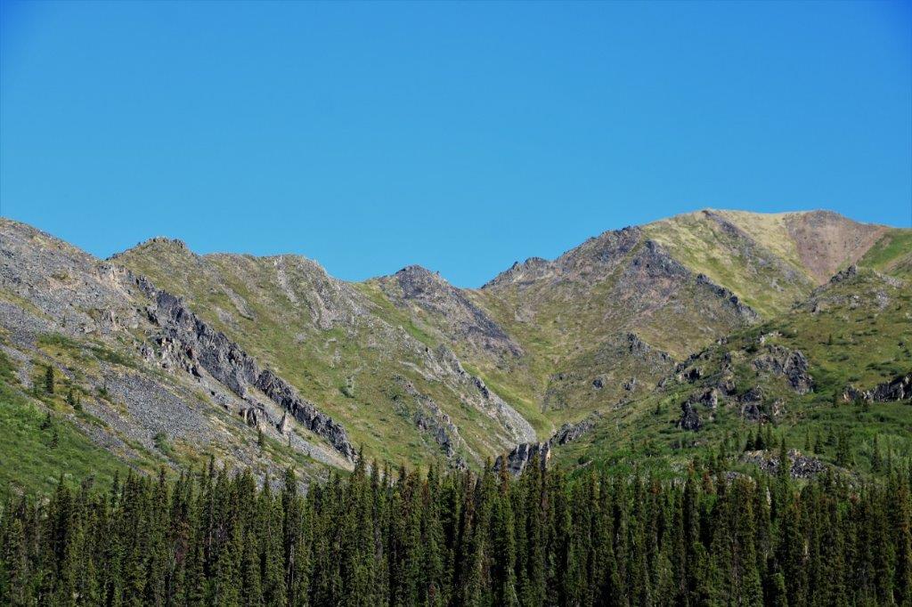
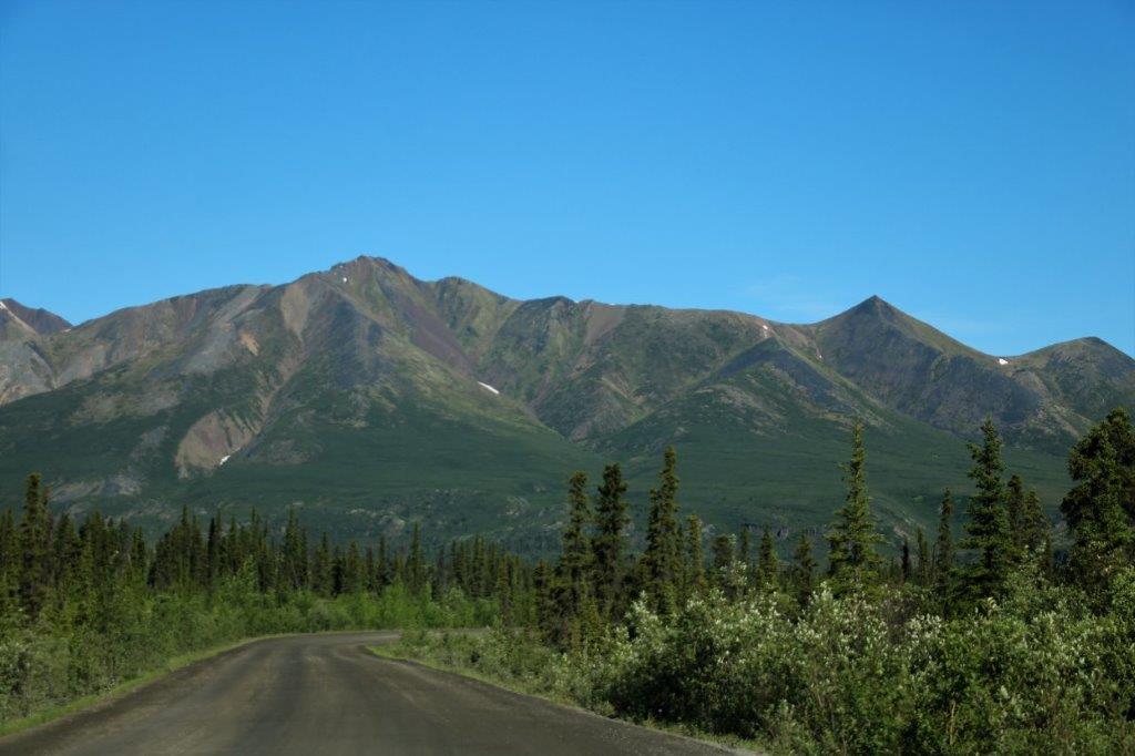
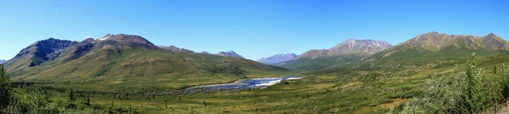
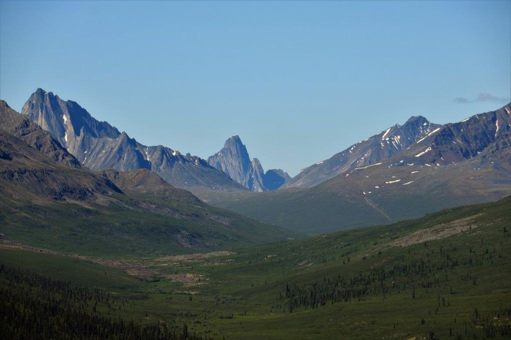
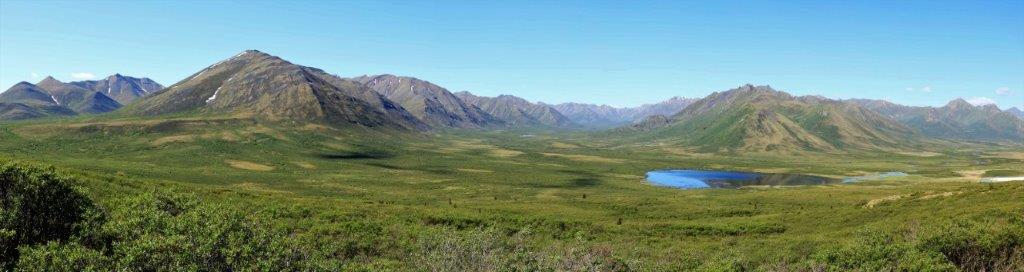
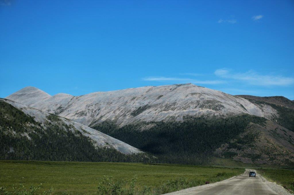
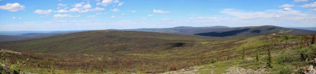
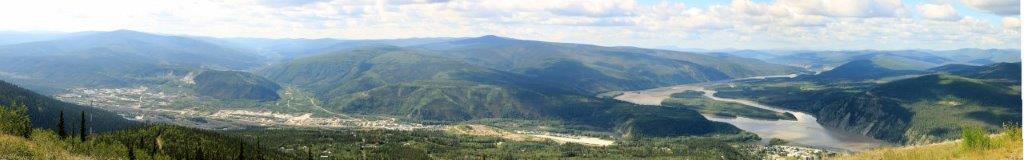
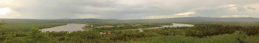
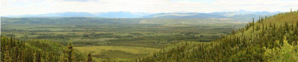
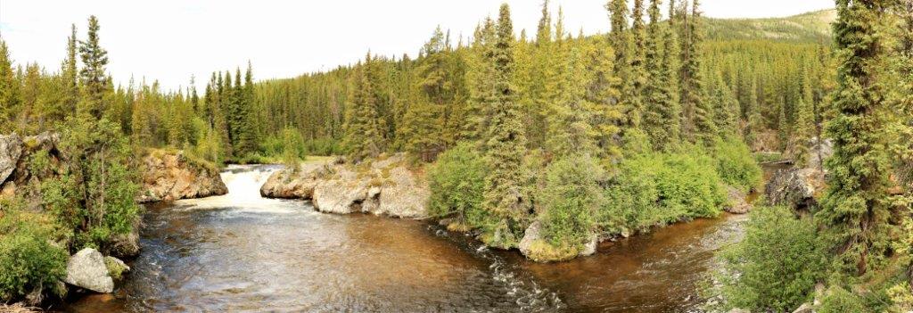
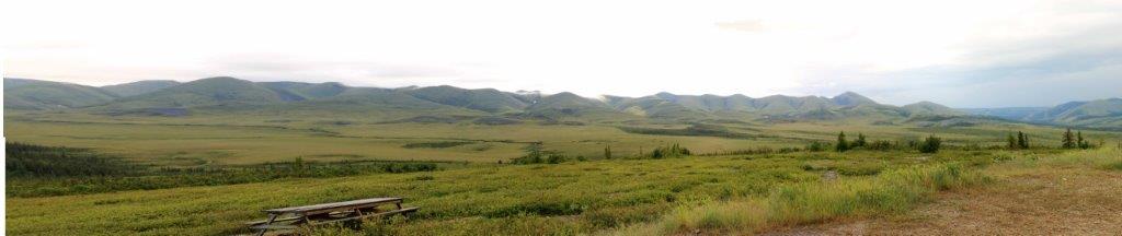 Another photo stitch that does not do justice to the scenery or the vast scope of the land.
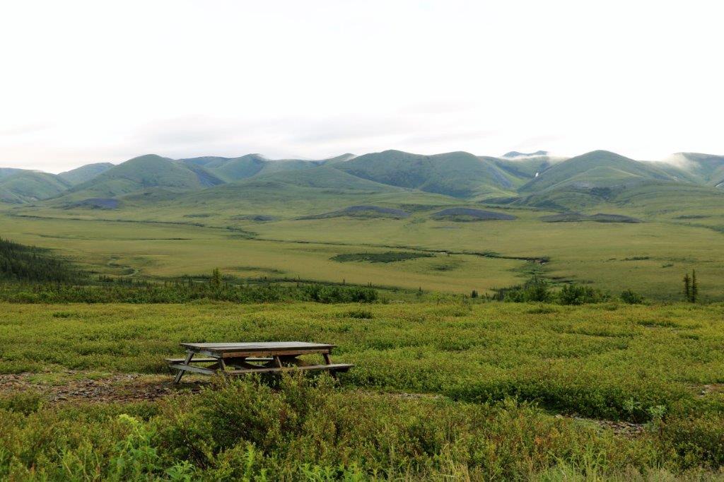
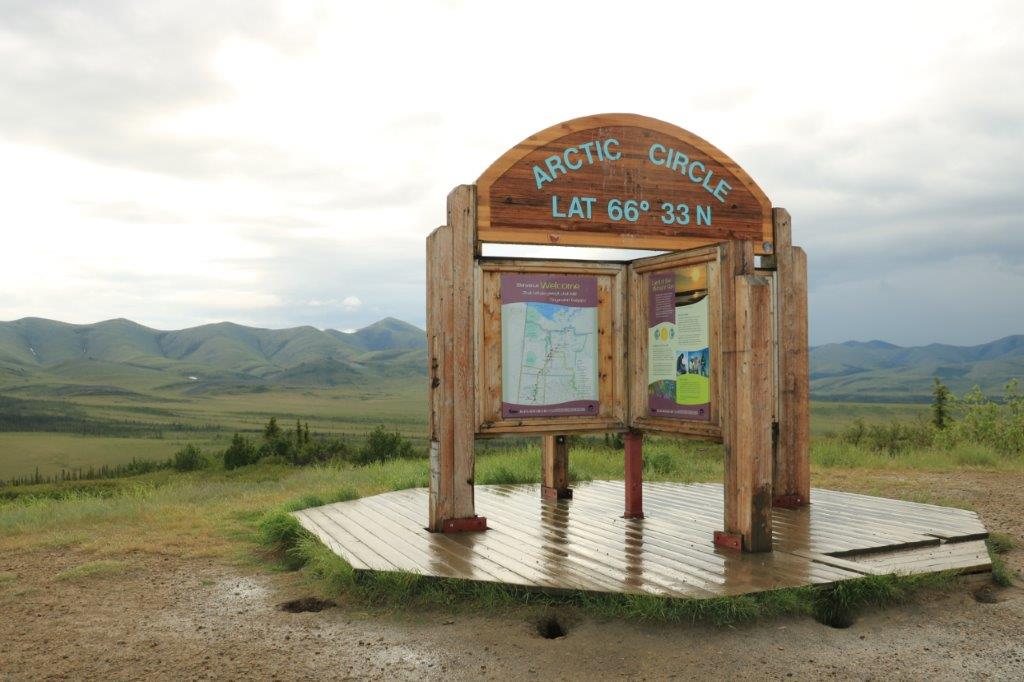 This is our second time crossing the Arctic Circle. The first time, though, was by sea on the Voyage of the Vikings cruise in 2015.

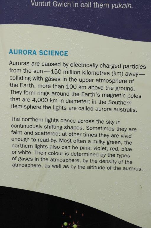 This is a good, short, explanation of the creation of the Northern Lights.
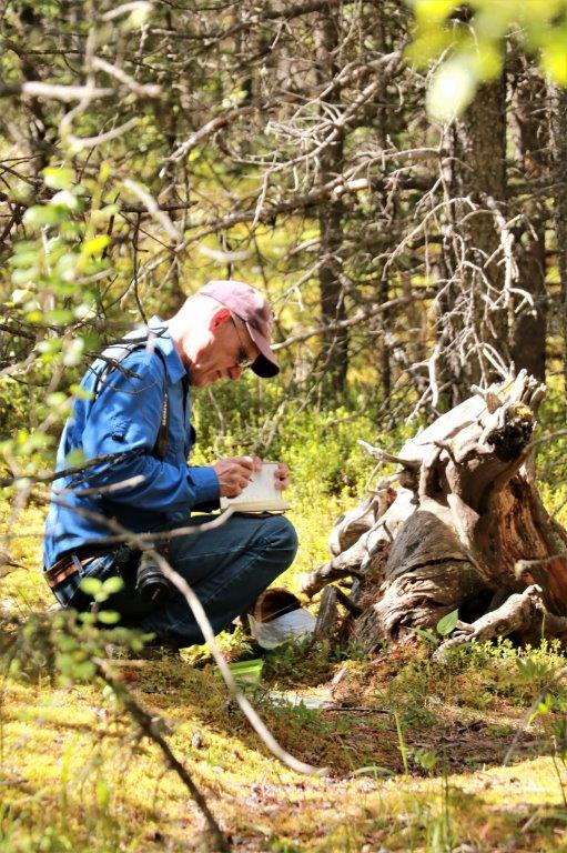
There was a geocache hidden off into the scrub behind the Arctic Circle sign. Everything was still wet from the rain and it took us awhile to find it so our shoes and pant legs were a tad wet by the time we got back.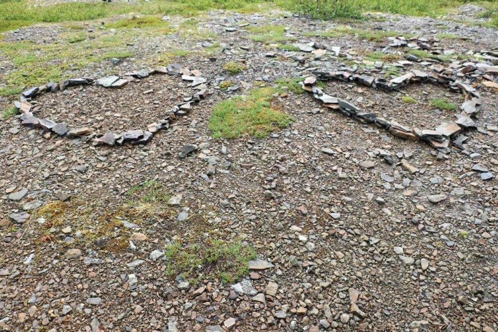 Lovers had some time on their hands.
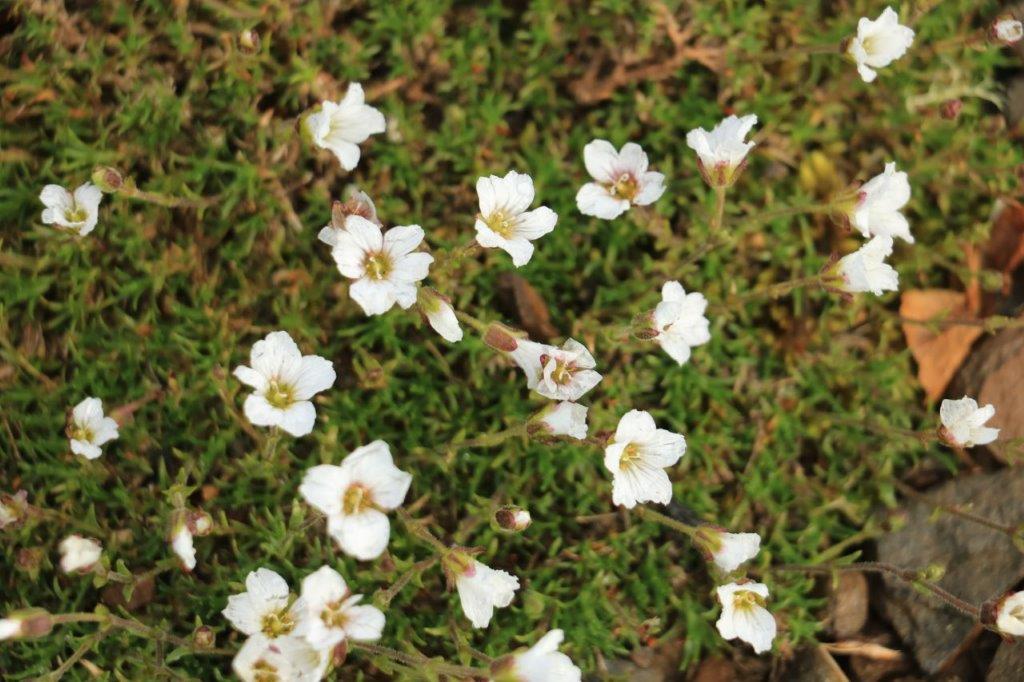


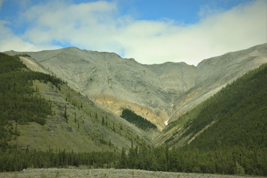
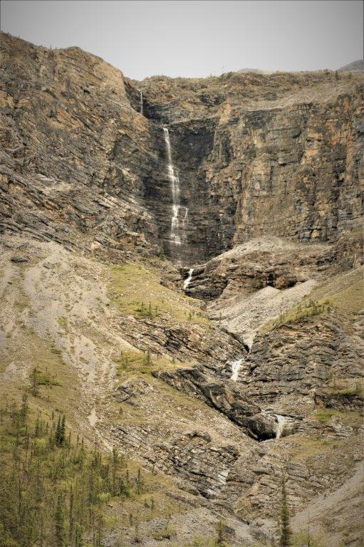
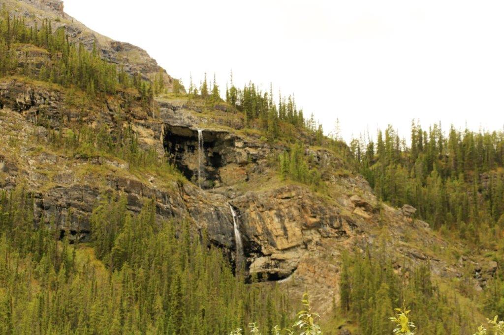
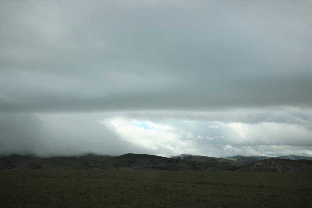
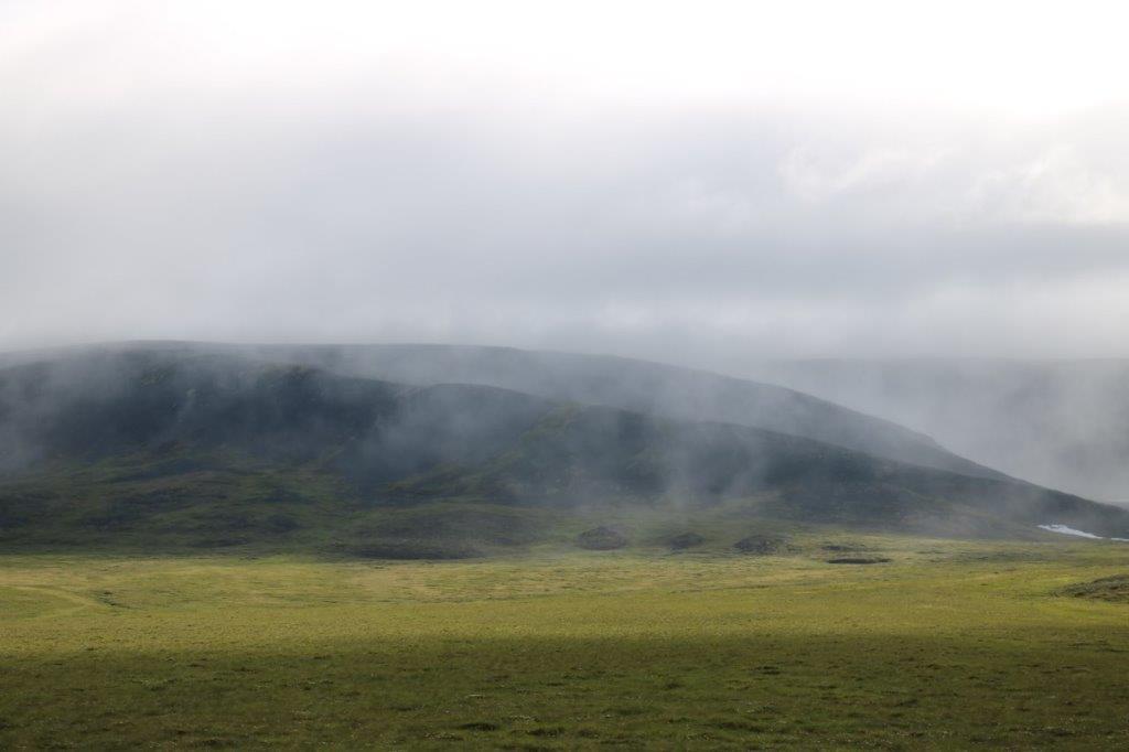
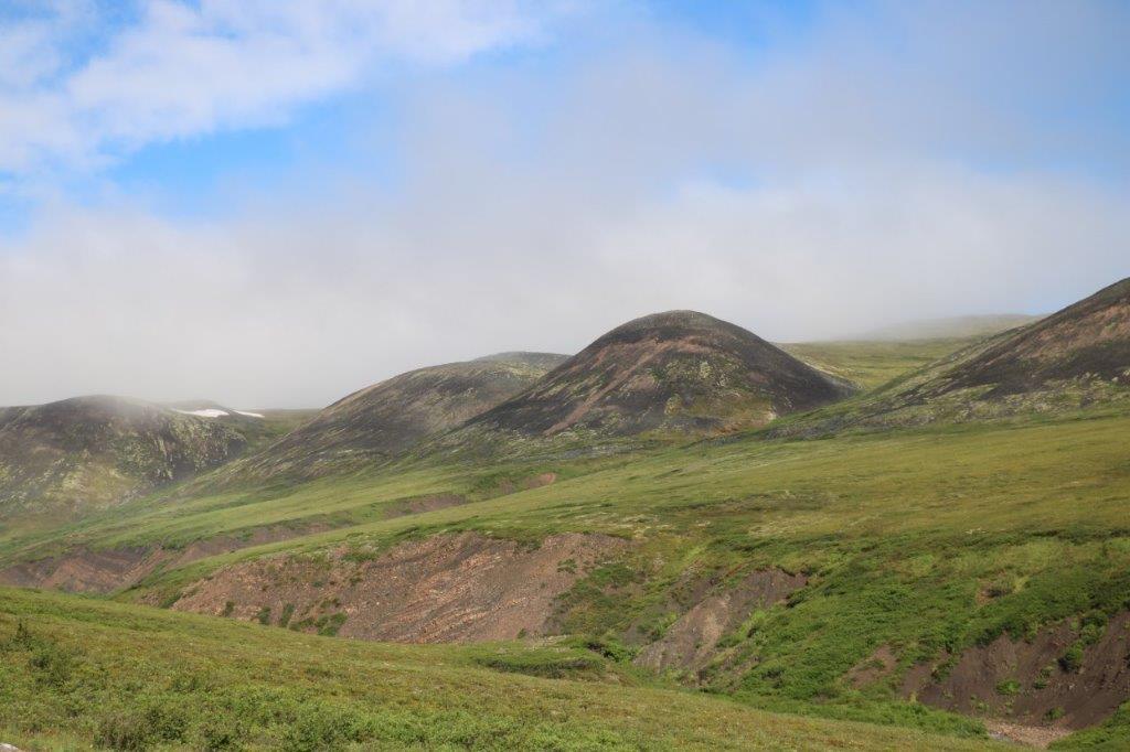
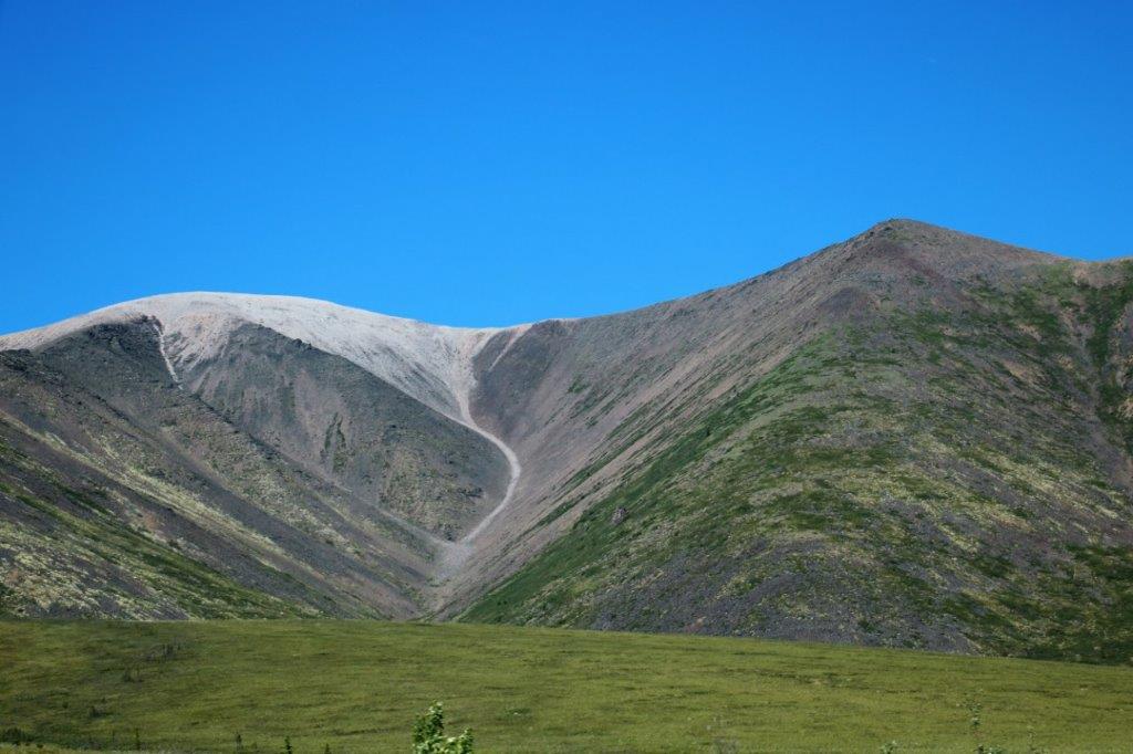
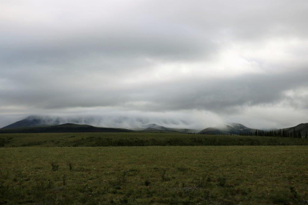 The cloud roll along the base of the mountains is so cool.
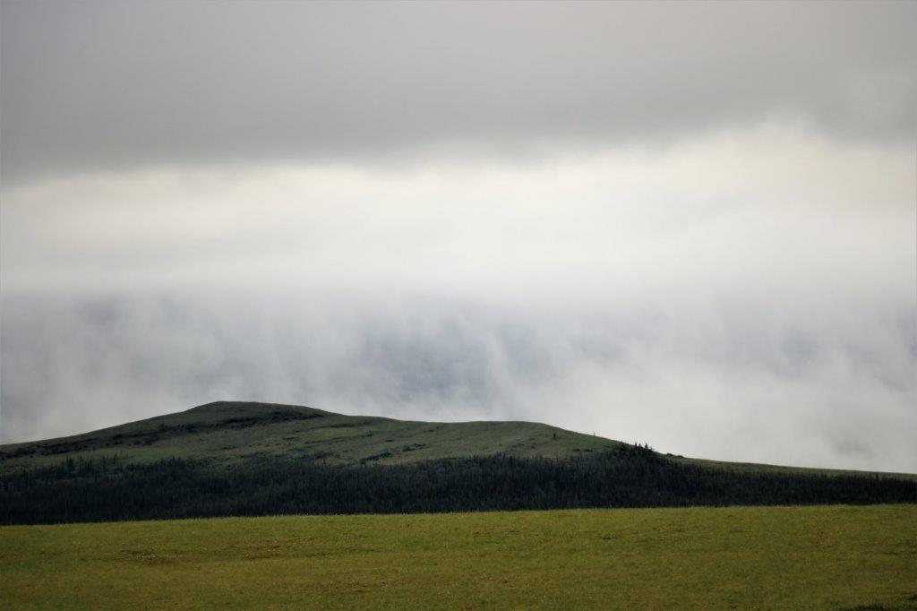


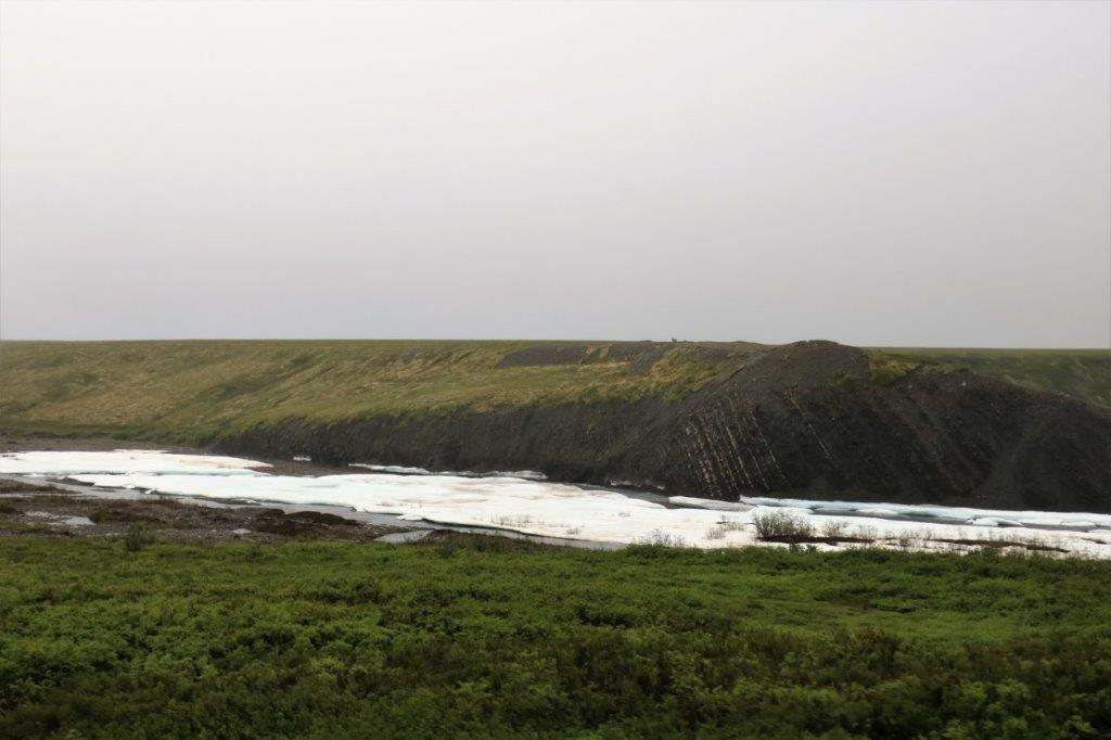
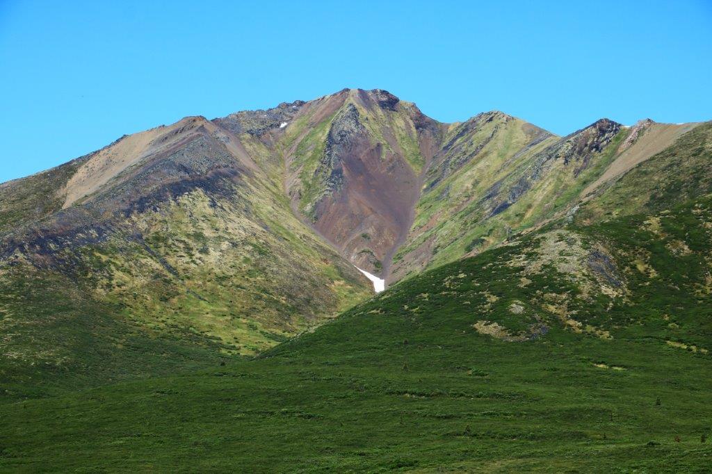
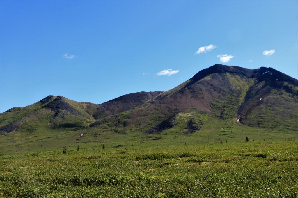
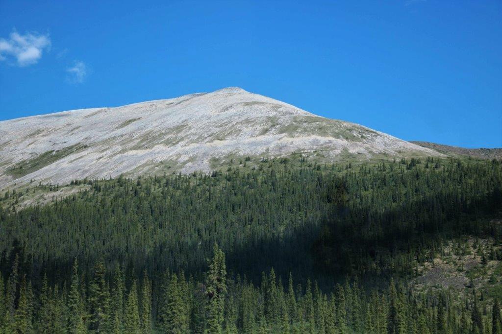
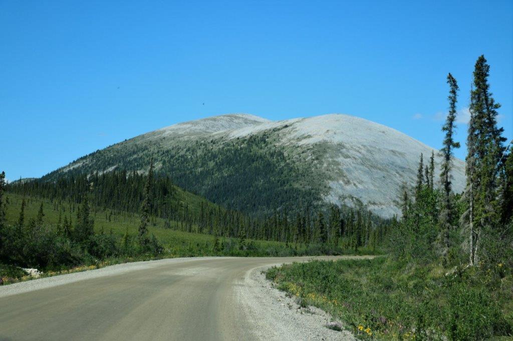
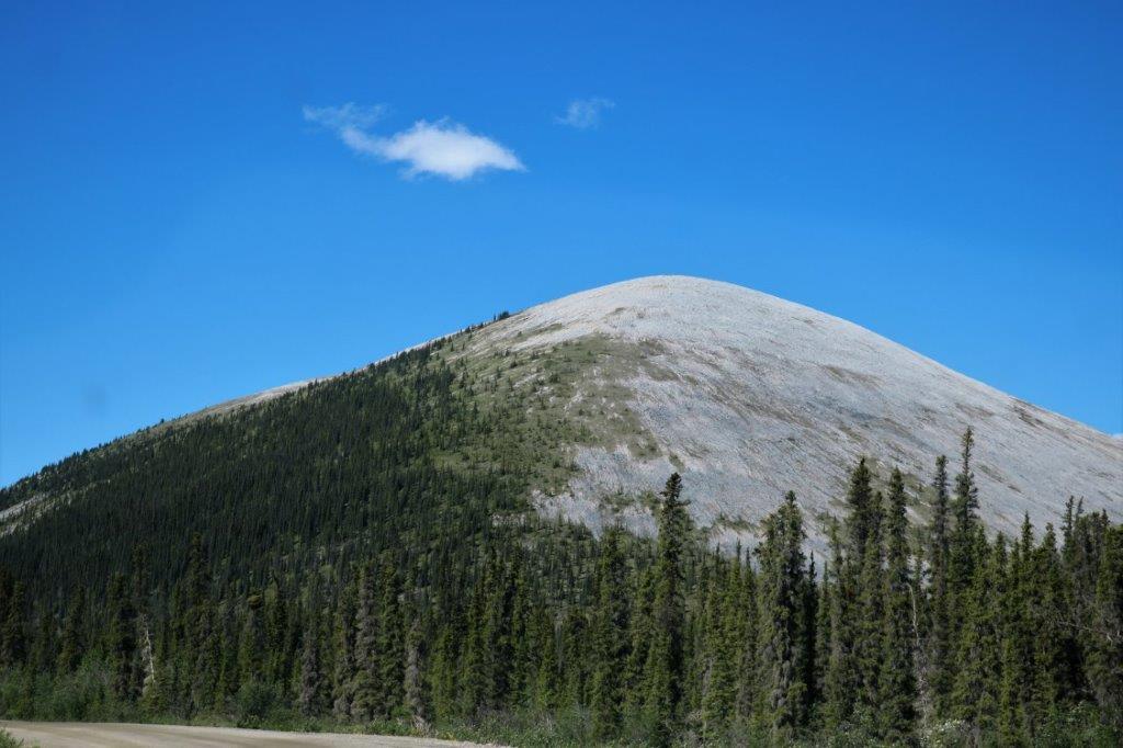
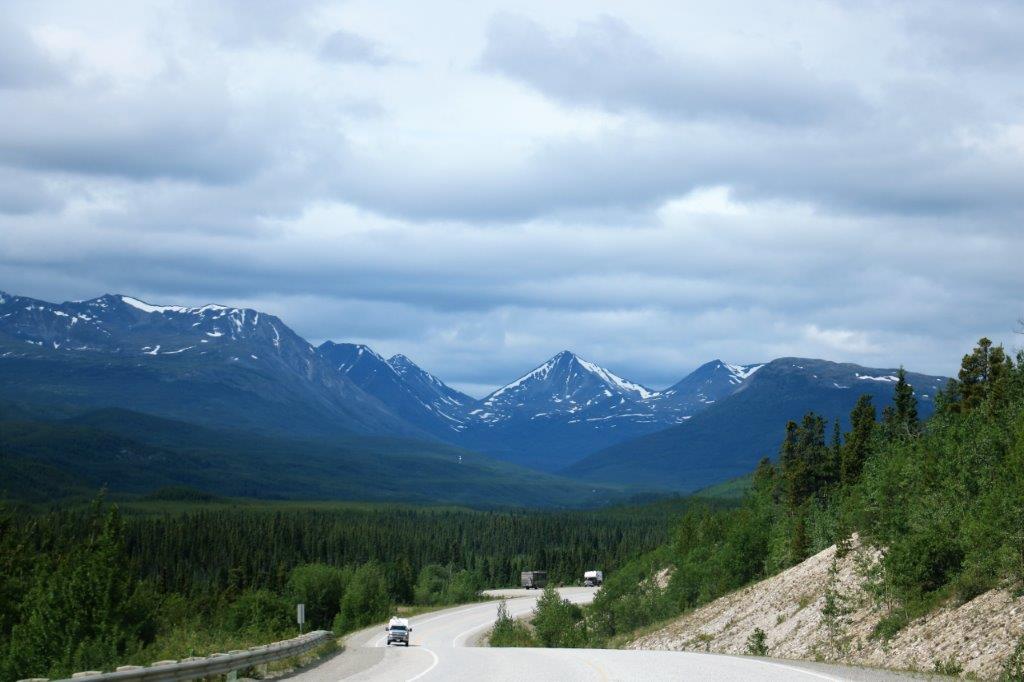
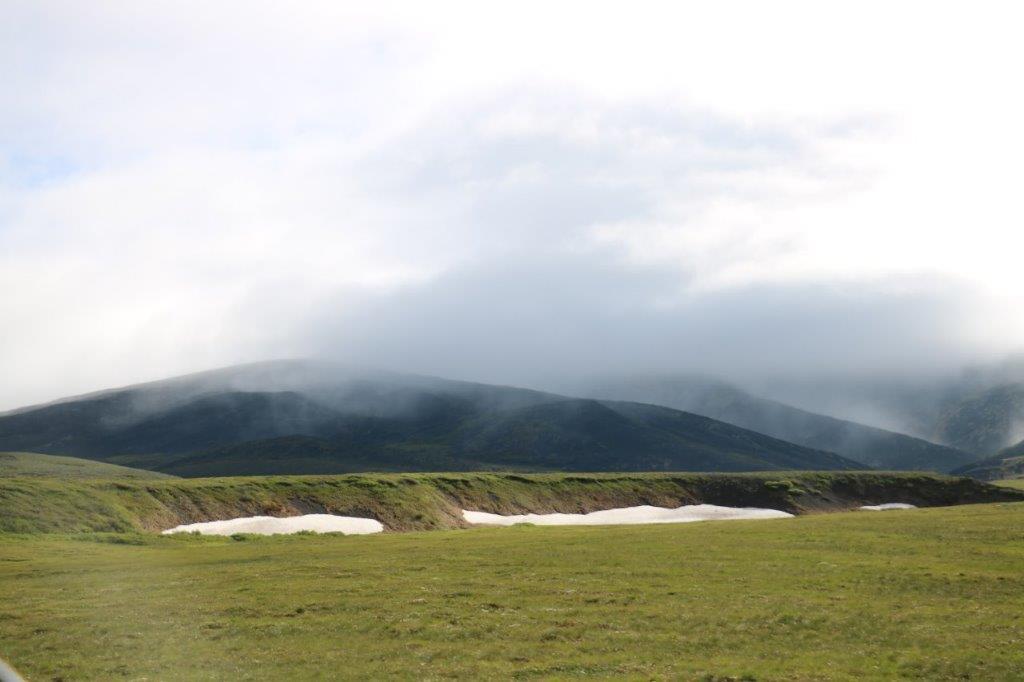 Yes, that is snow.
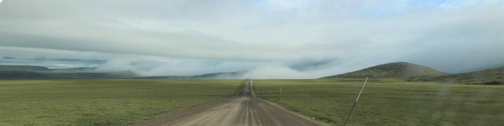
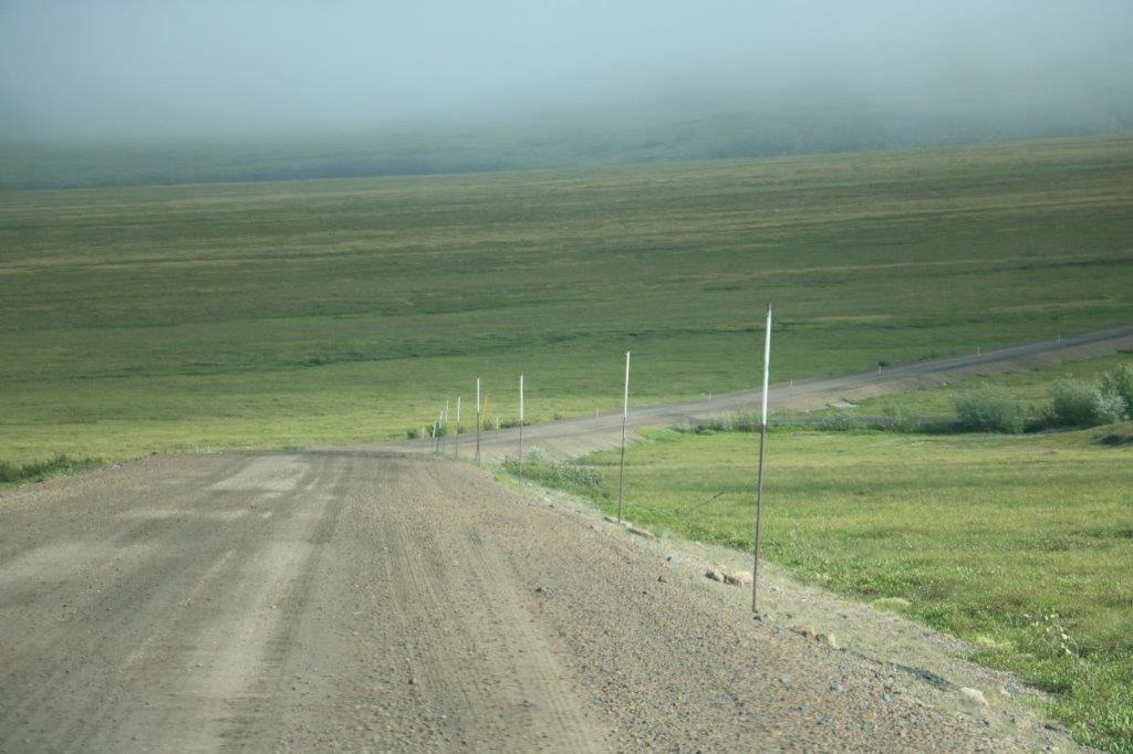 If you are curious about how much snow they can have up here just look at the height of the markers beside the road that are a guide for the snowplows.
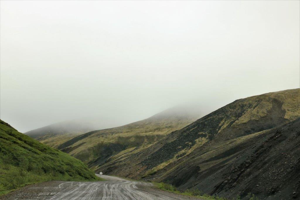
About 4 km before we reached the Yukon/Northwest Territories border the fog rolled in. This is another nasty weather condition on the Dempster. Thankfully the fog was thin enough that we could still see 100 meters or more in front of the truck.
 I walked across the parking lot to the big Northwest Territories sign while John signed the geocache hidden at the above sign. There was a VERY cold wind blowing and my poor ears almost froze.
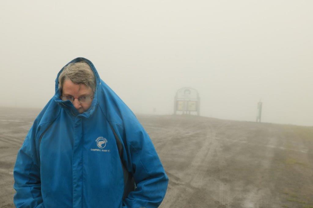
 The faint striping on the photo on the right is from dirt on the window. I didn’t open it for that pic.
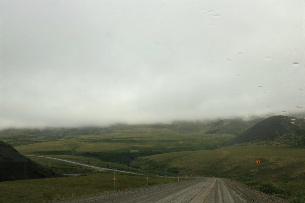
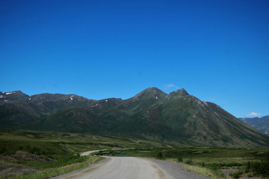
 And then, half an hour later we had lovely blue sky. We had been told as well that once you cross the border into the Northwest Territories highways jursidiction the road improves noticably. This was true. We were now on a smooth graded gravel surface like we experienced on the Liard Highway.
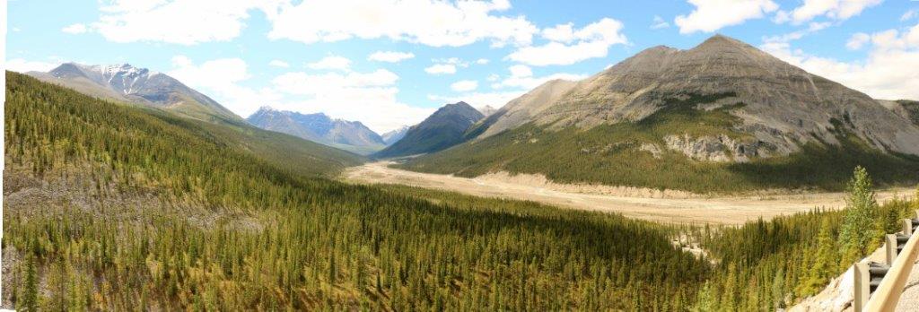
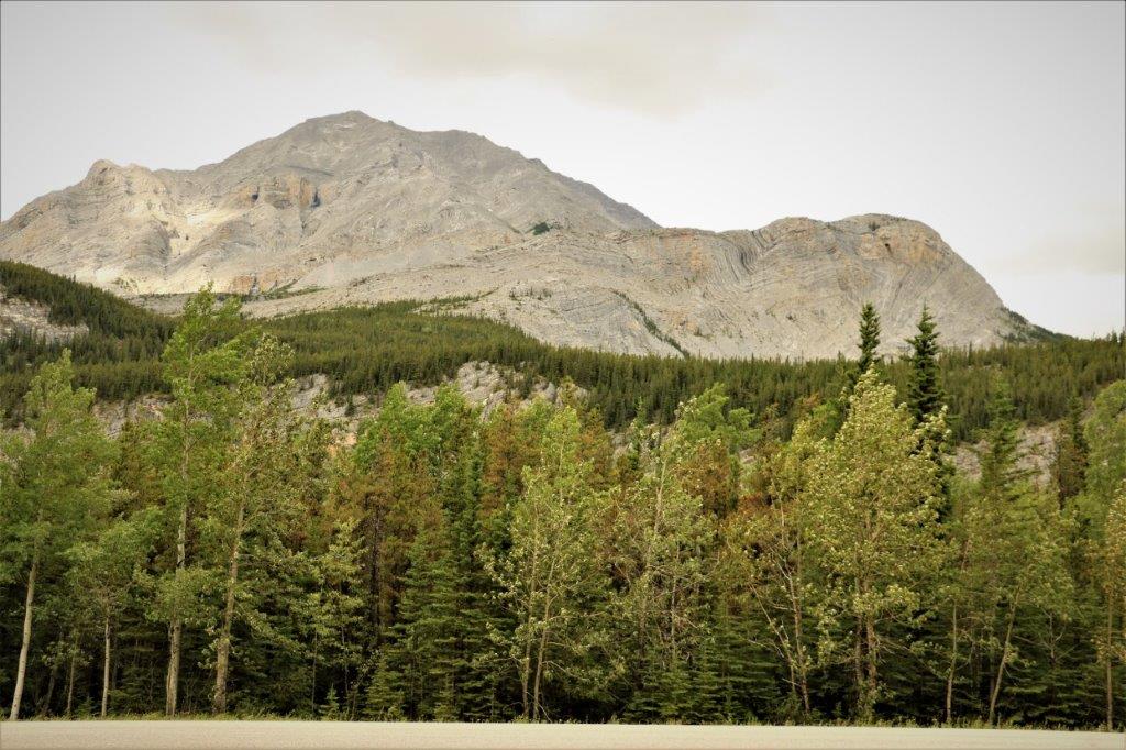
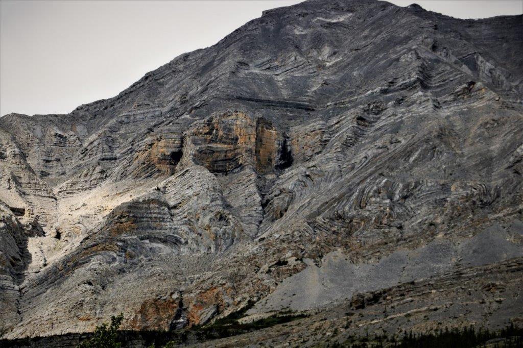
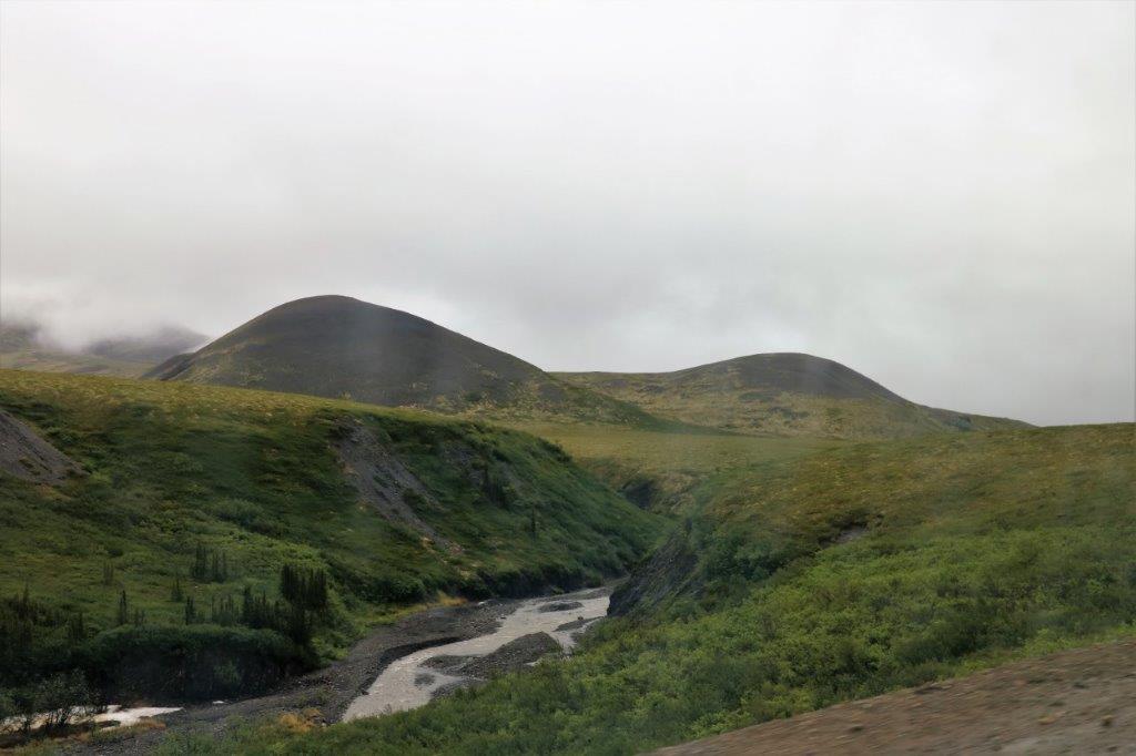
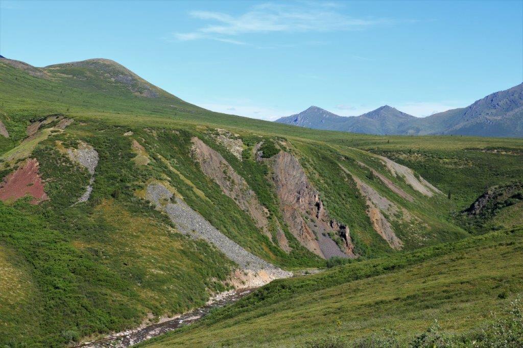
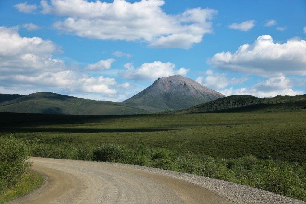
 We crossed the Vittrekwa Valley, which leaves behind the Richardson Mountains and takes us to the Peel Plateau; a broad upland plateau that continues to the Peel River.
We were now driving in the Mackenie Lowlands ecoregion. When we crossed the border all of the mile markers in our little travelogue booklet started over at mile 0 since we are now on Northwest Territories roads. (It was 465 km – 289 miles – from Mile 0 of the Dempster Highway east of Dawson City to the Yukon/Northwest Territories Border. On the NT markers it is 272 km – 169 miles – from the border to Inuvik.)
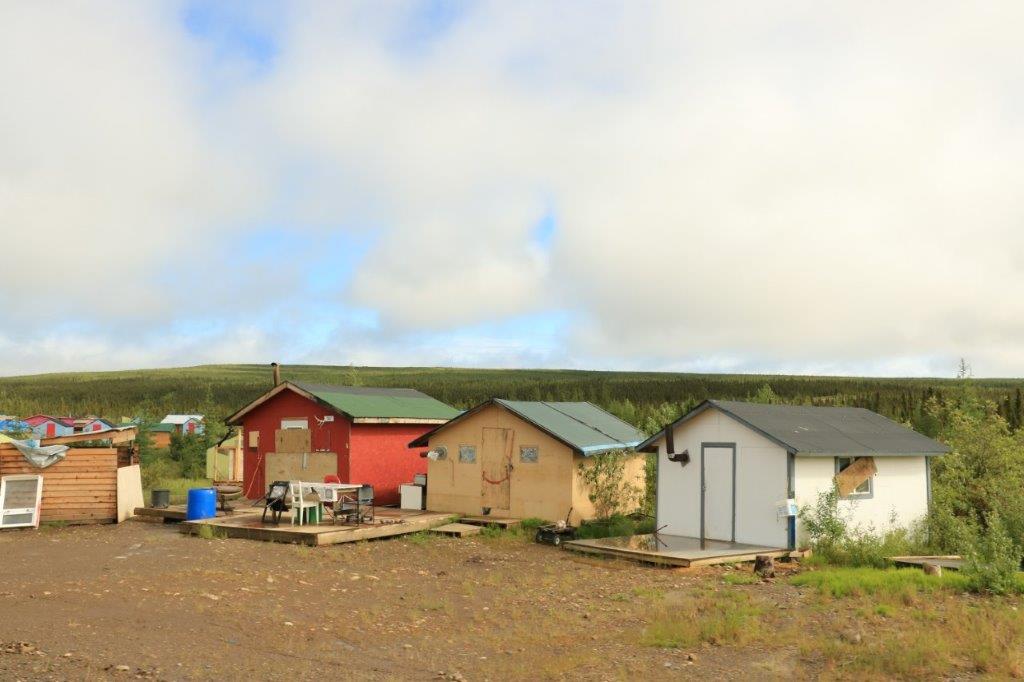
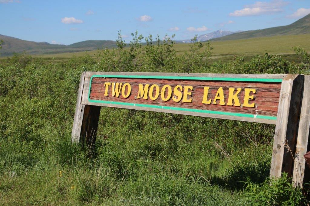
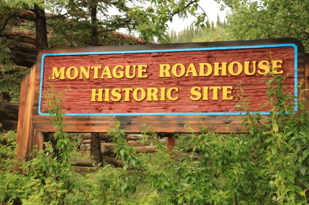
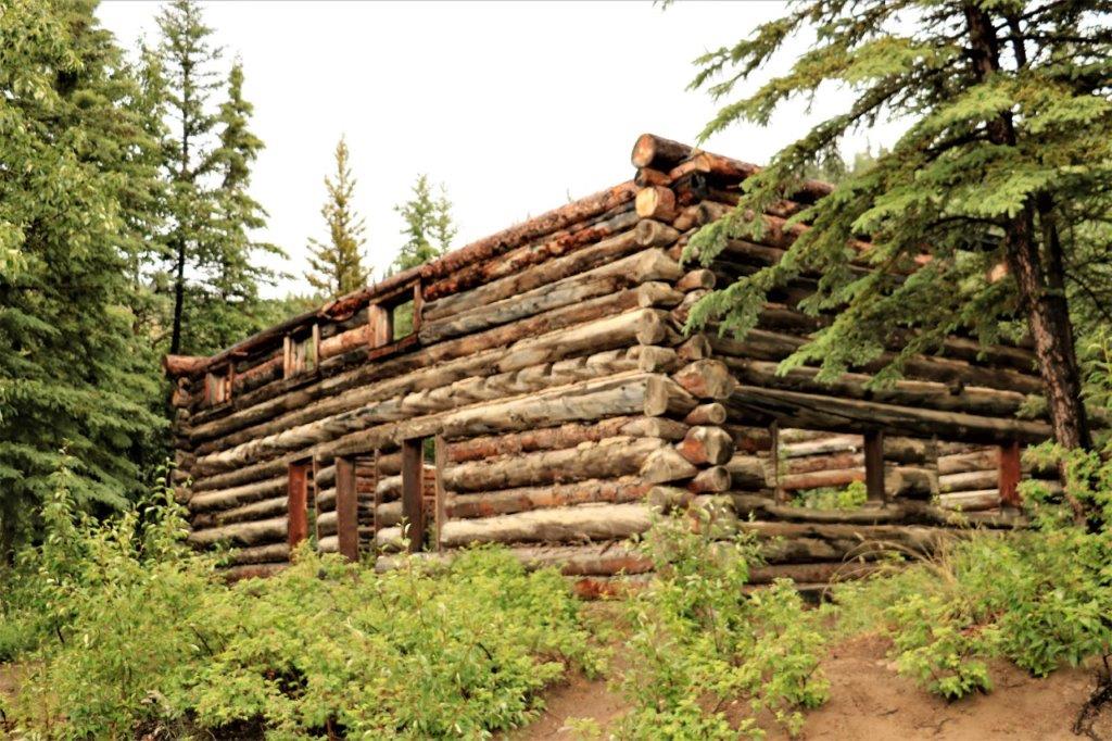
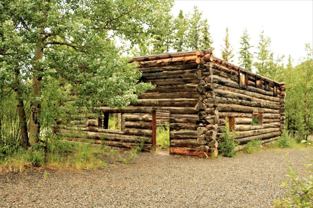
Midway Lake is 44 km (27 miles) from the border and 25 km south of the small town of Fort MacPherson. The lake is the site of the annual Midway Lake Music Festival held the first weekend of August (they celebrated their 30th anniversary in 2015). This festival is a wonderful opportunity for families to come out and enjoy live music and storytelling. There is a dance floor to accommodate those who wish to show their steps to traditional Gwich’in jigs, waltzes and square dances. The festival helps celebrate the Gwich’in culture that is spread throughout not only the NWT but the Yukon and Alaska. 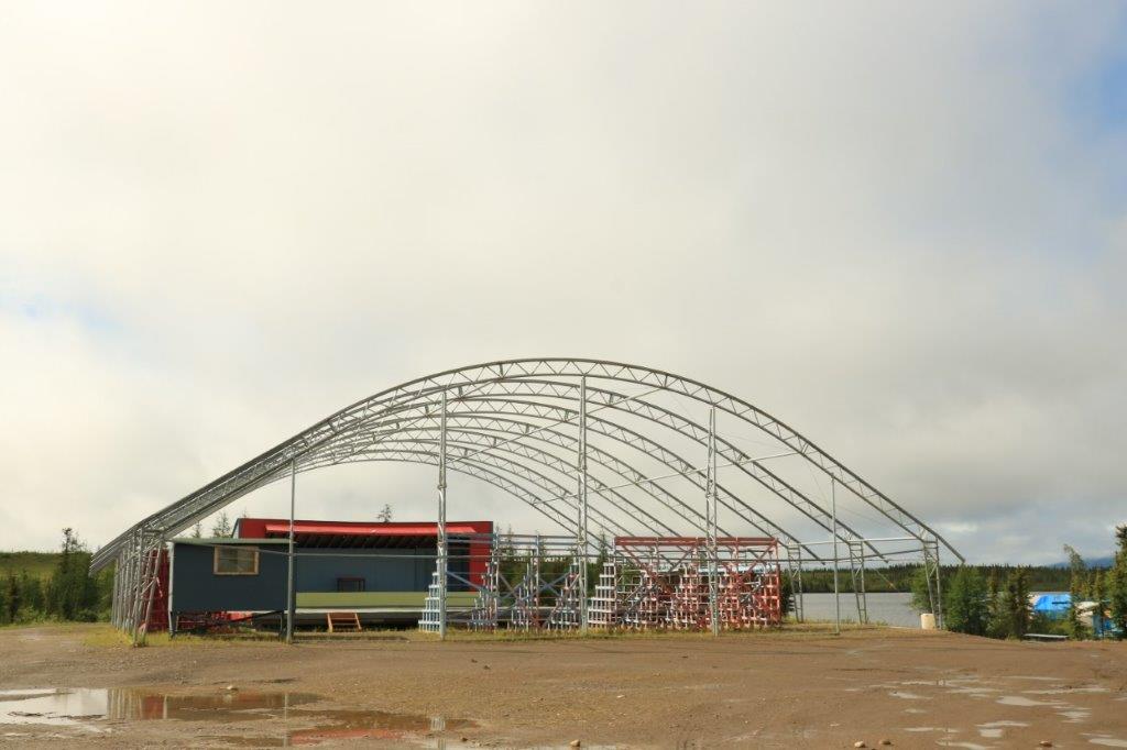 There are simple little cabins all over the grounds that families stay in during the festival. I couldn’t find any information on a 2018 event but there was one last year.
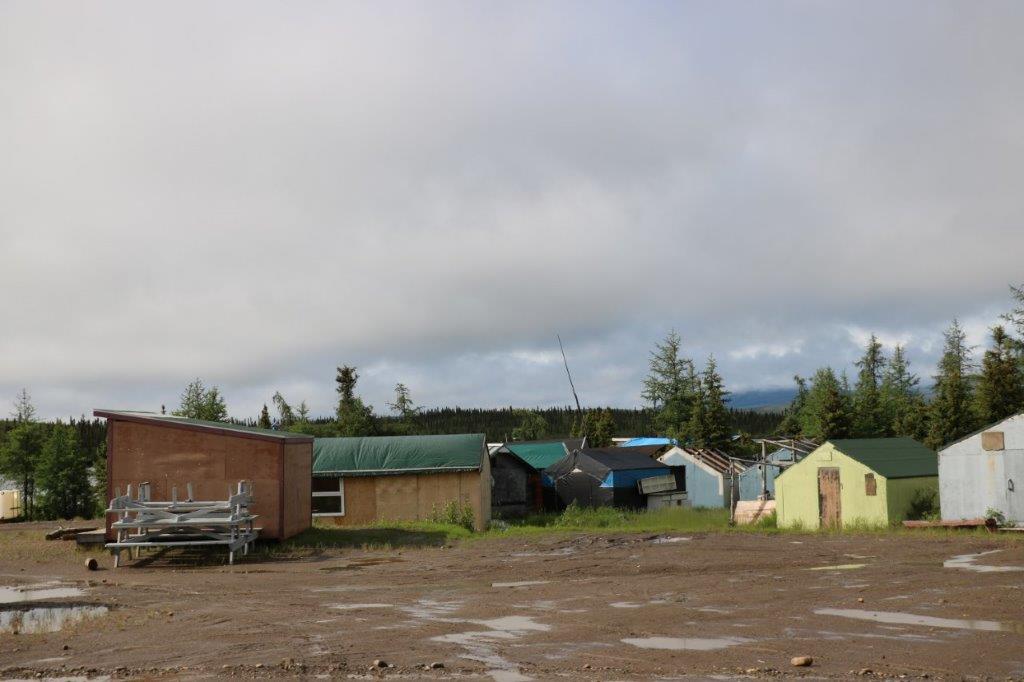

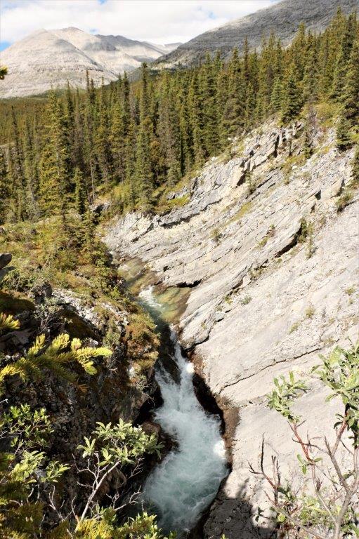
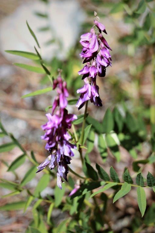
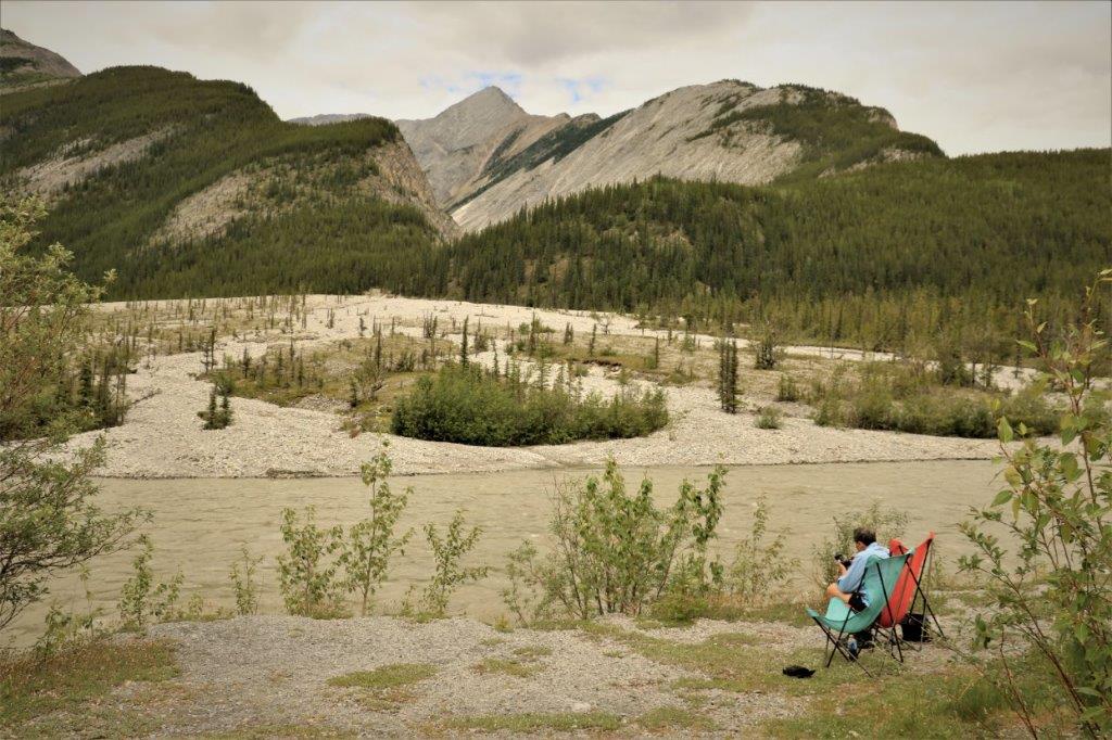
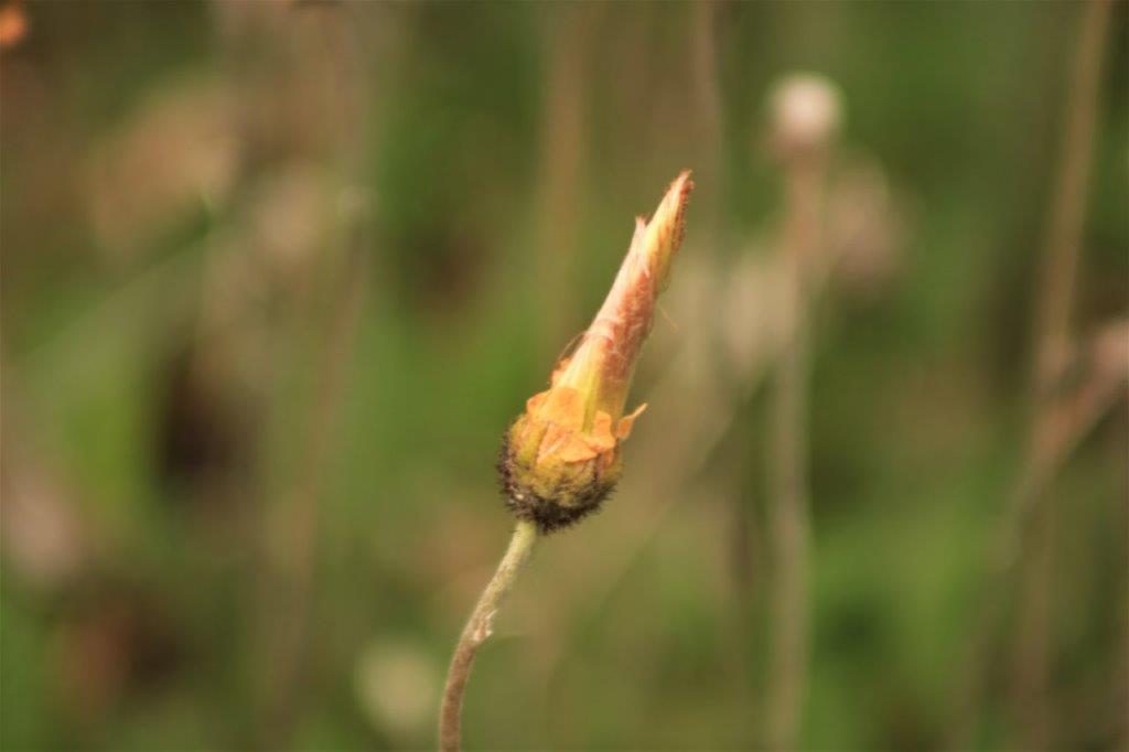
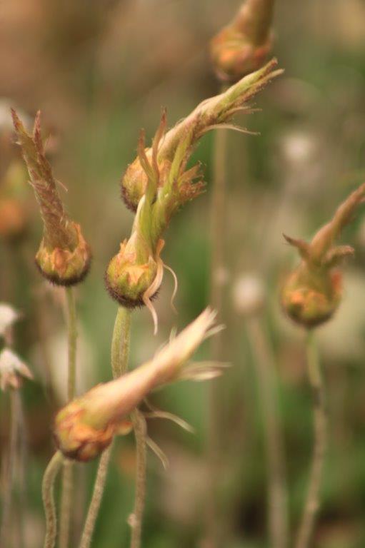
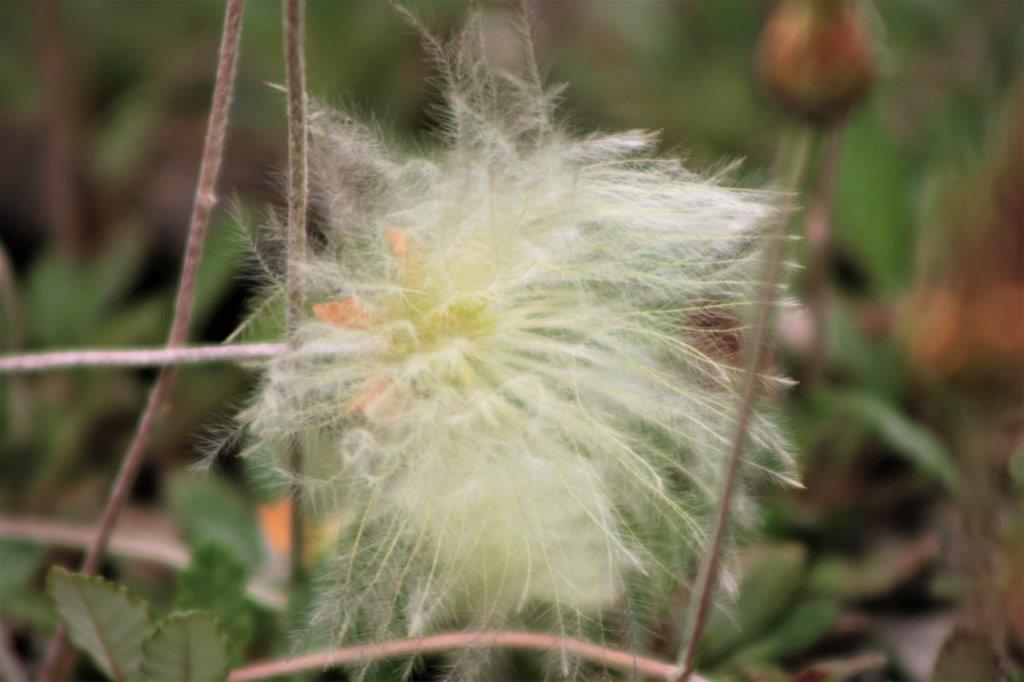
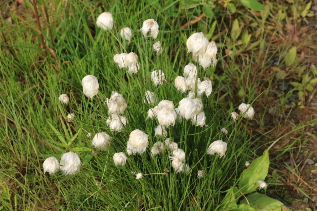
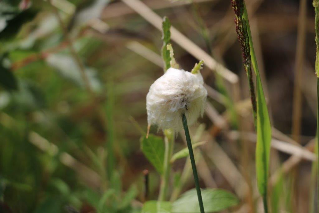
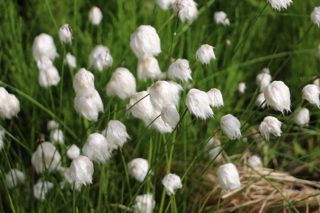
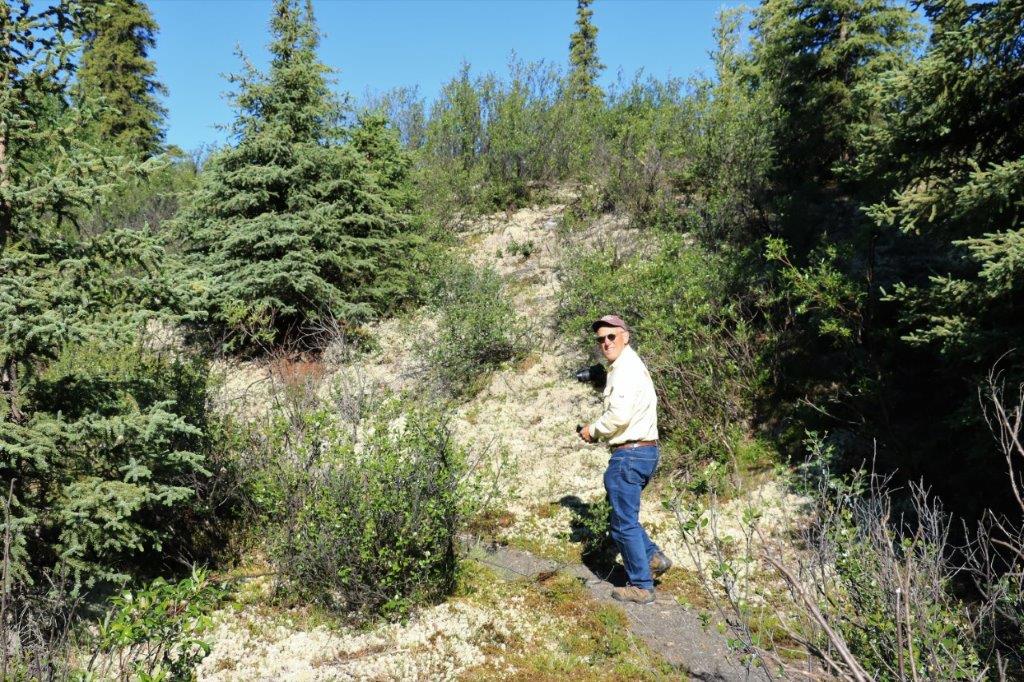
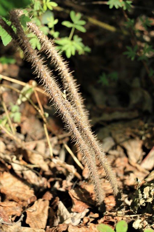
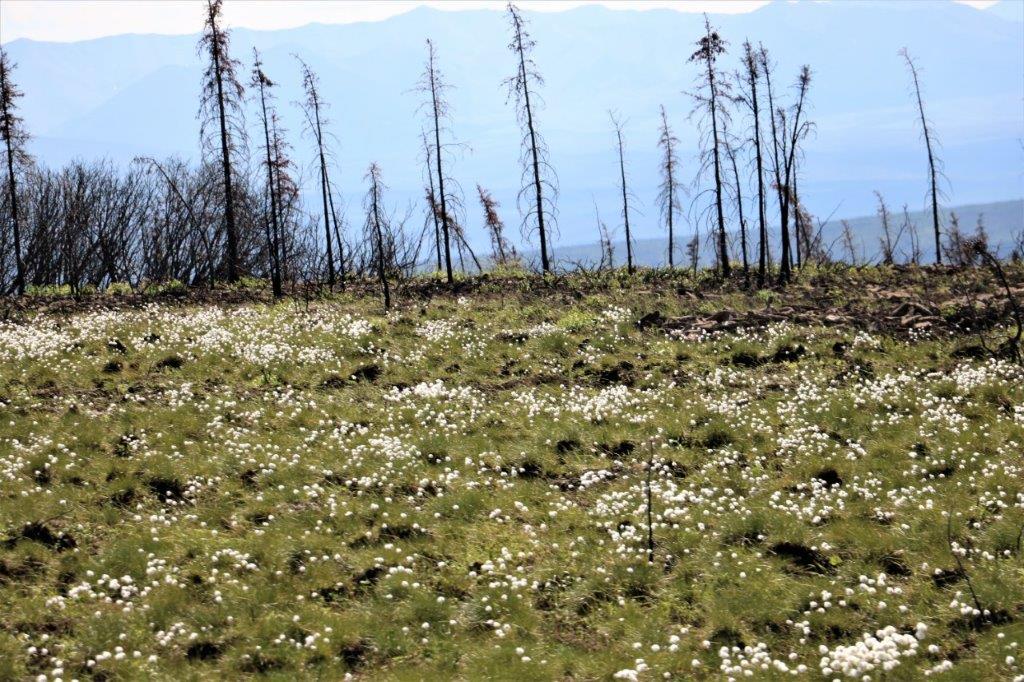
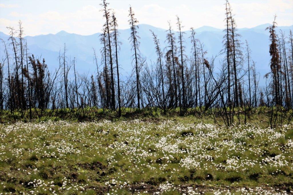
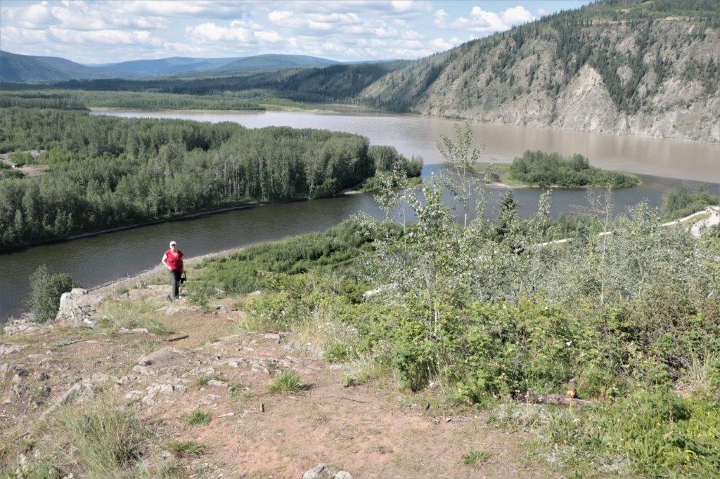
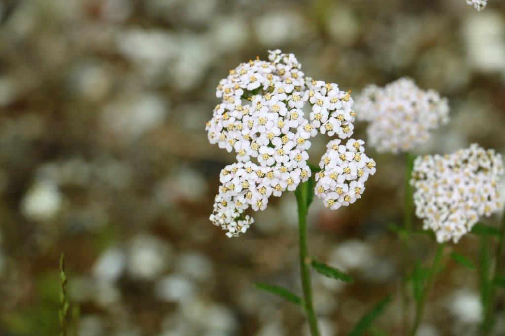
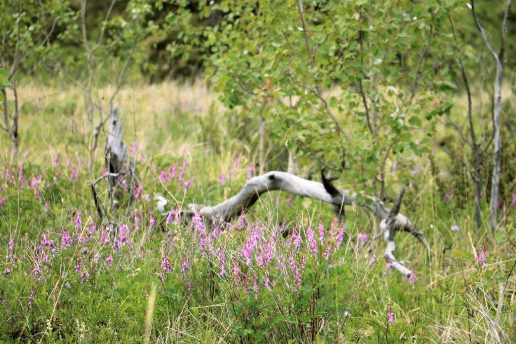
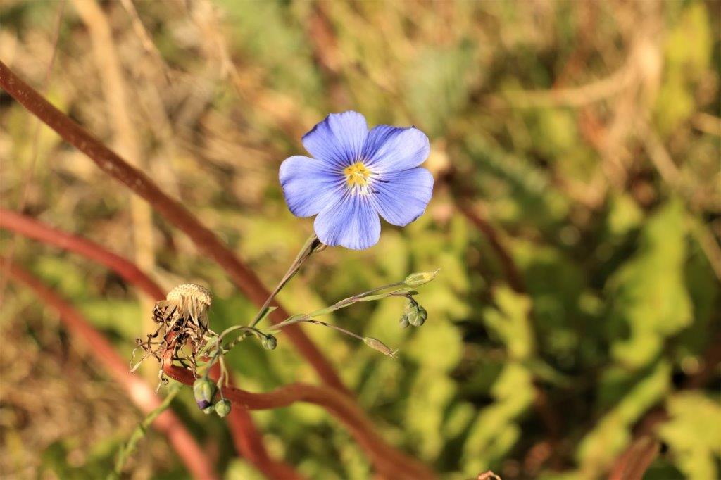
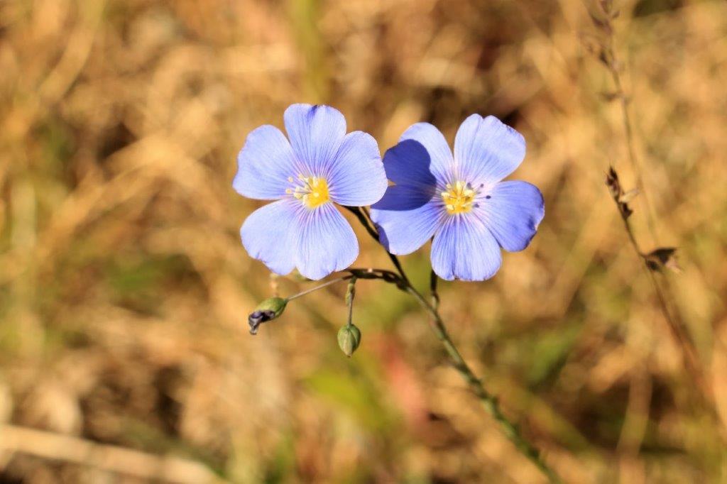
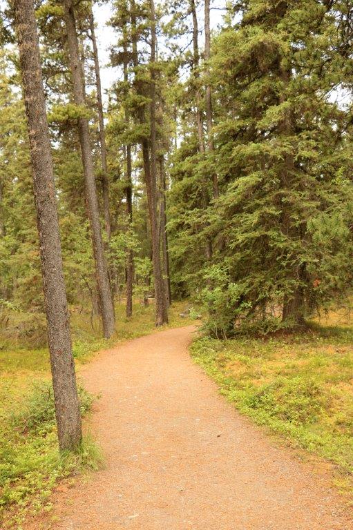
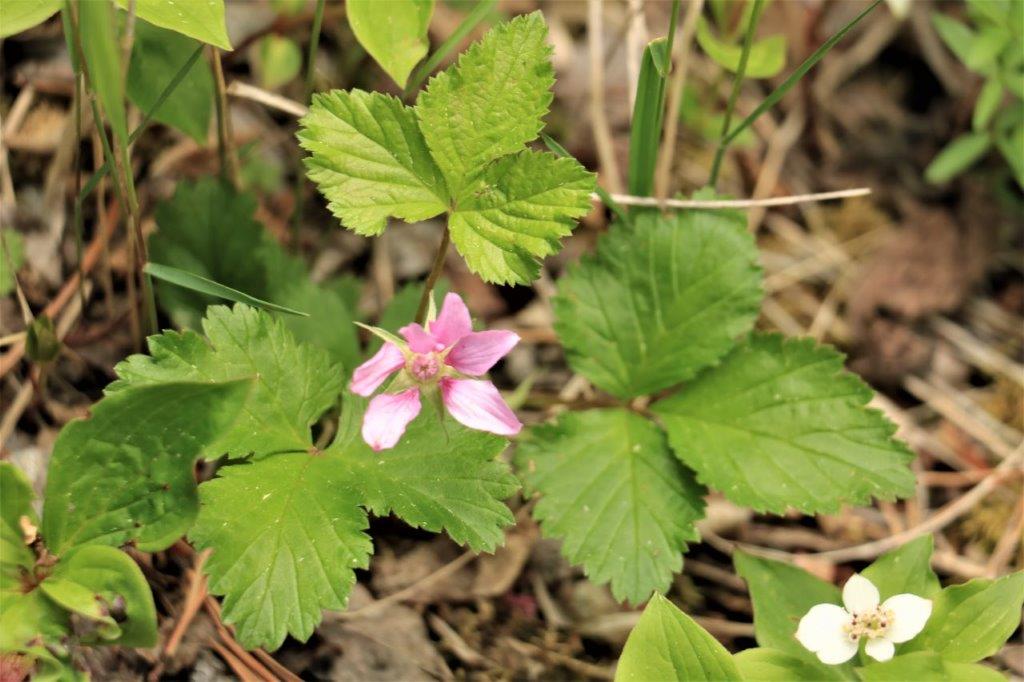
 There was a geocache hidden near this viewpoint so we parked the poor dirty truck and went for a short hike to find it. We saw more of these cute cotton-type plants.
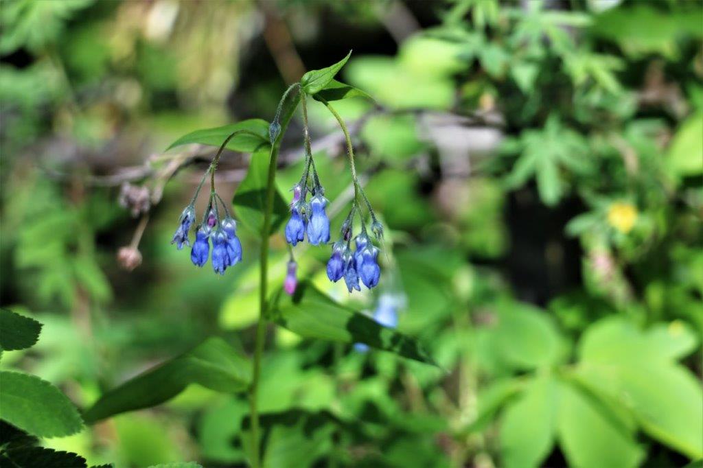

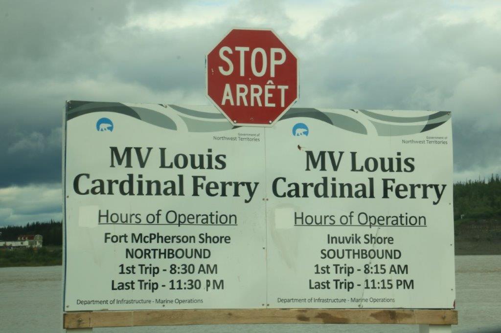
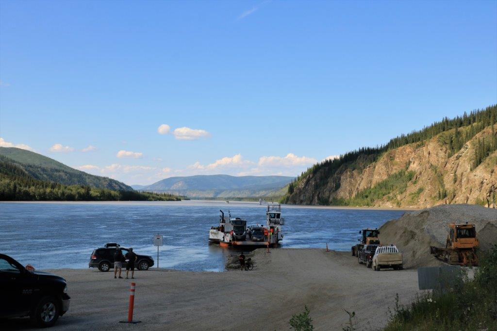
 Thirty km from Midway Lake is the Peel River where the ferry comes to whichever side of the river the ferryman sees a car waiting and takes you across.
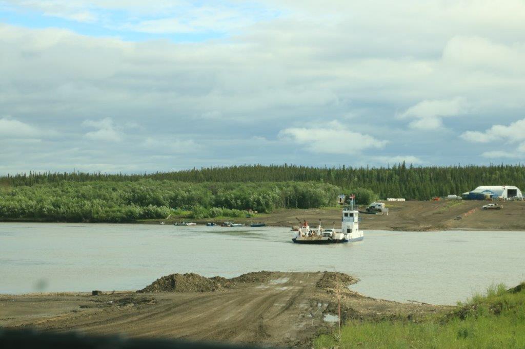
 We did a little drive-through of Fort McPherson, bought some gas and a chocolate bar for sustenance and off we went again.
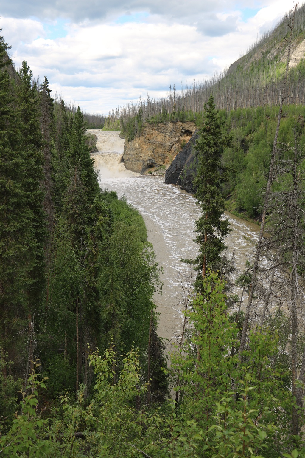
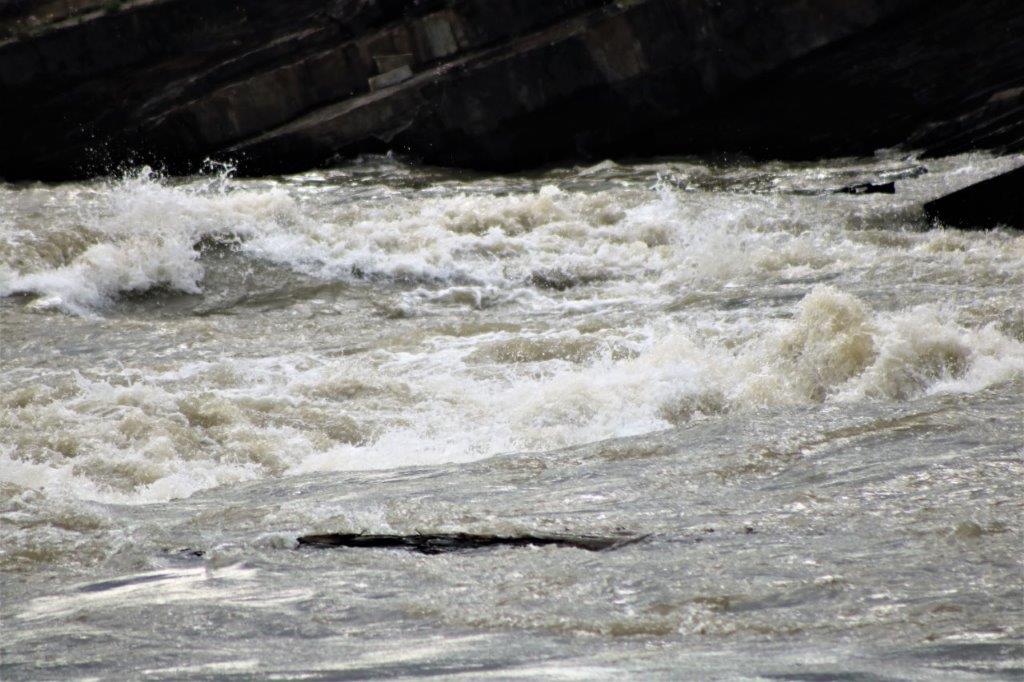
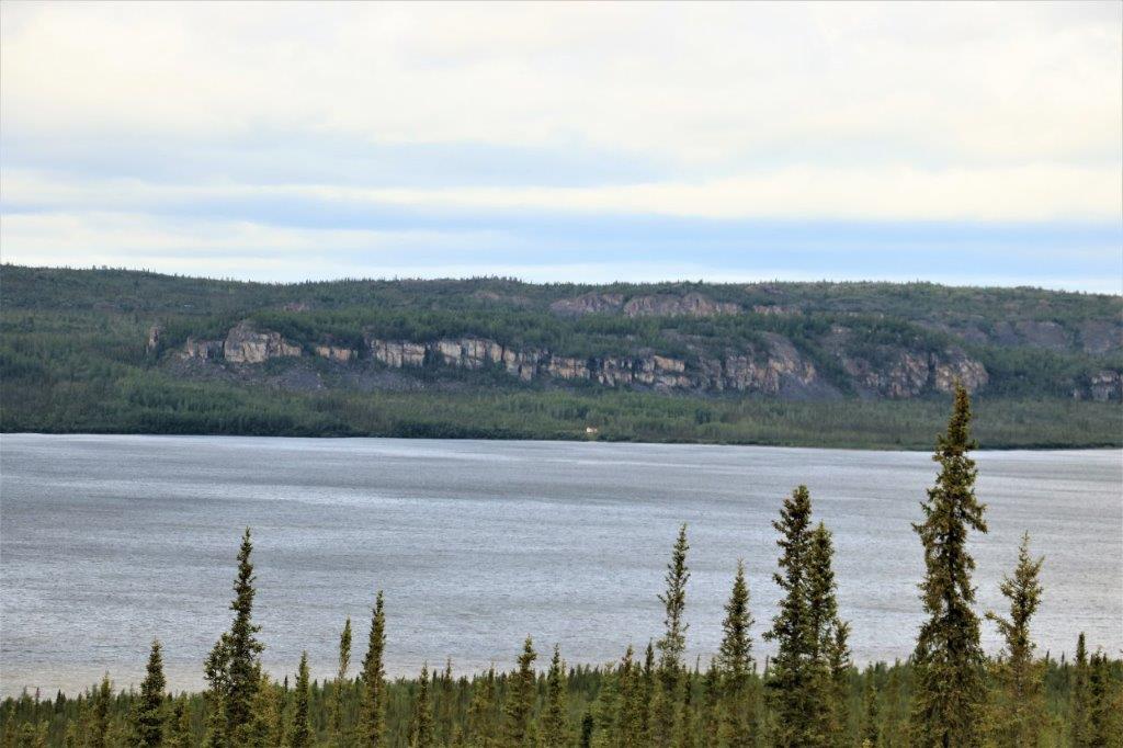
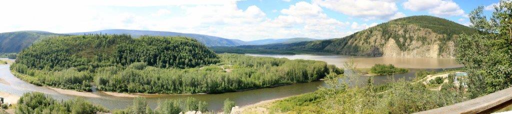
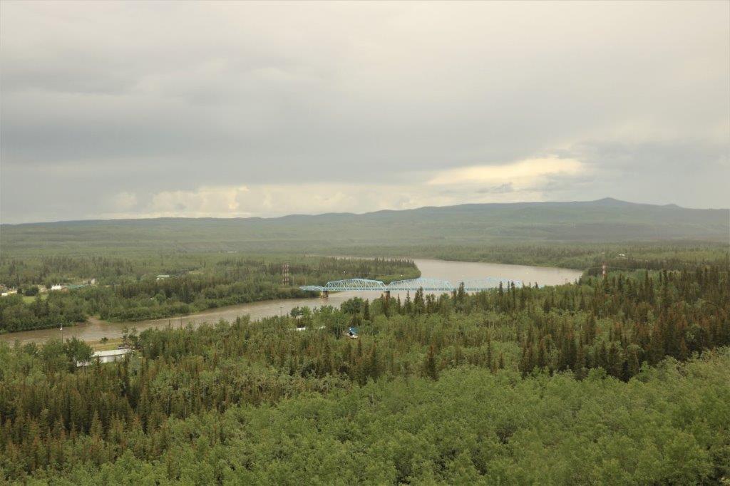
The next river you get ferried across is the Mackenzie River. At this spot also is the confluence of the Arctic Red River and the Mackenzie. The Arctic Red River was declared a heritage river in 1993. The ferry will take you from the Fort McPherson side to the Inuvik side, or over to the small village of Tsilgehtchic (pronounced sik-a-chik); whichever destination you wish.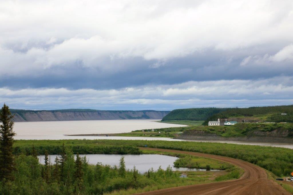
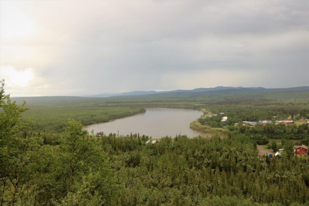
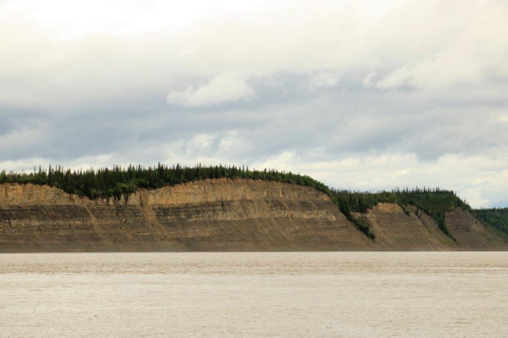 Across the Mackenzie river we are now in our last ecoregion; the Mackenzie Delta. Fifty percent of the Mackenzie Delta ecoregion is wetlands. The Mackenzie is Canada’s longest river. It flows over 4,200 km (2,610 miles) from its headwaters in northern British Columbia to its terminus in the Beaufort Sea. The watershed of the Mackenzie Delta comprises one-fifth of Canada’s area.
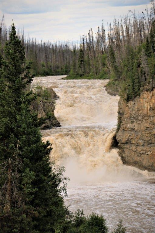
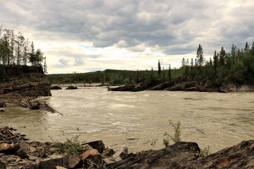
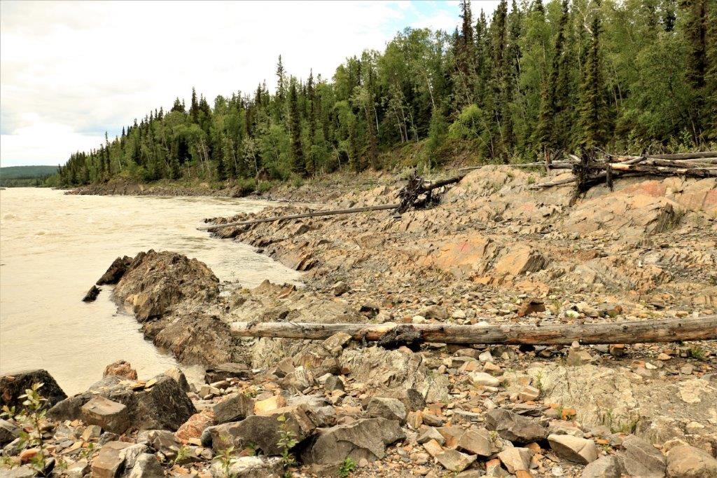
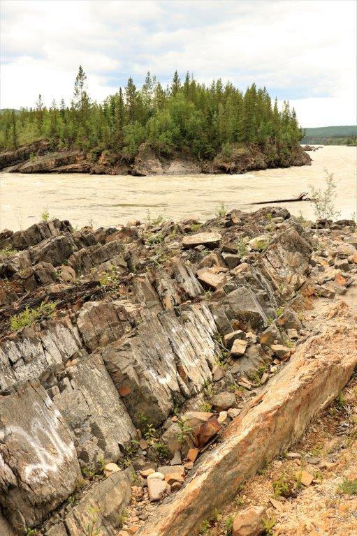
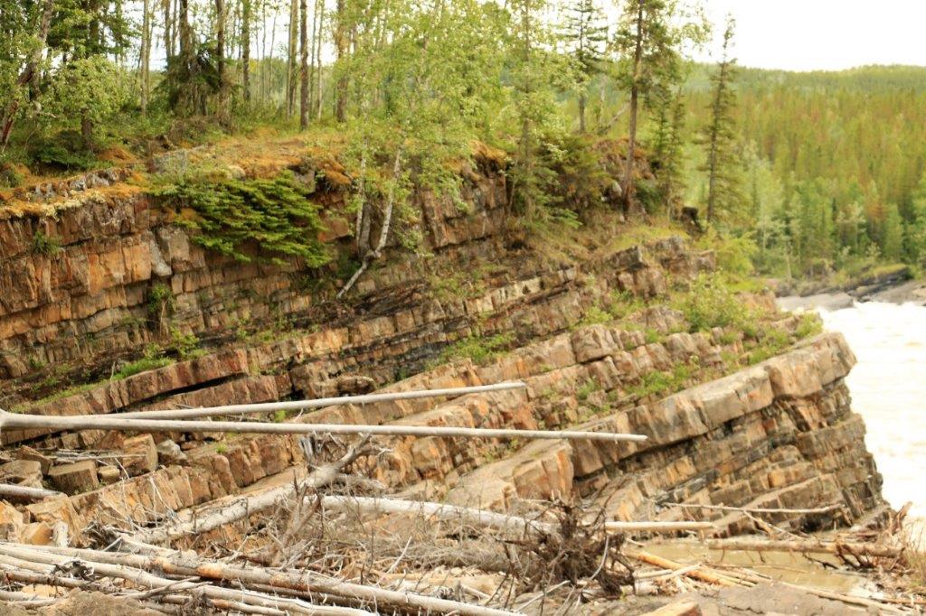
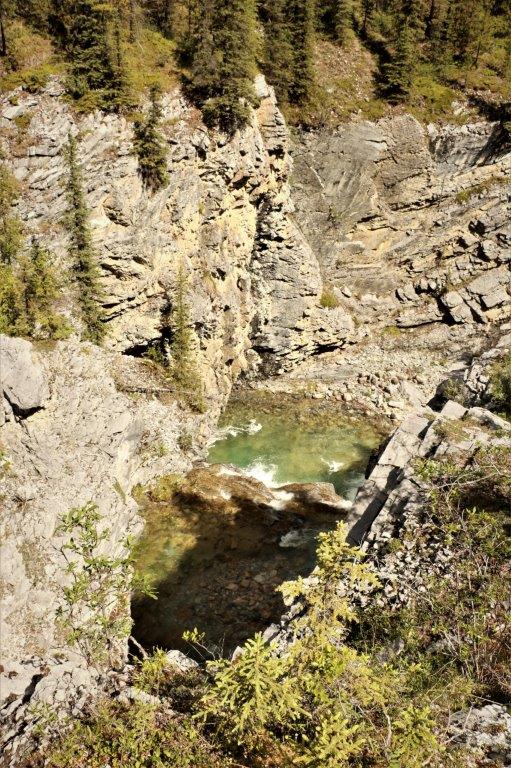
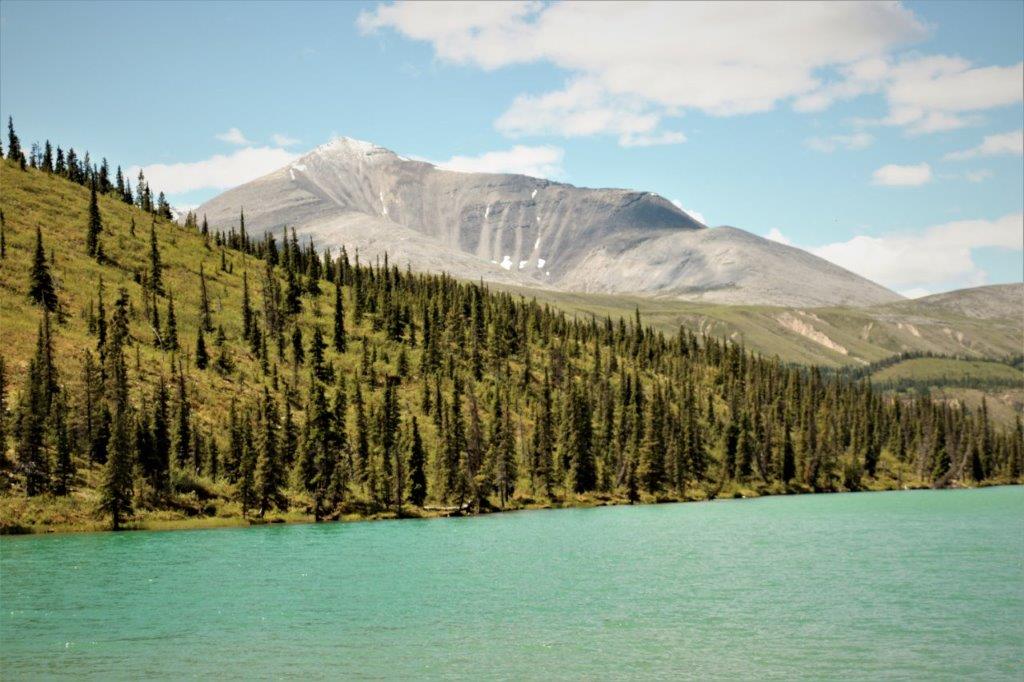
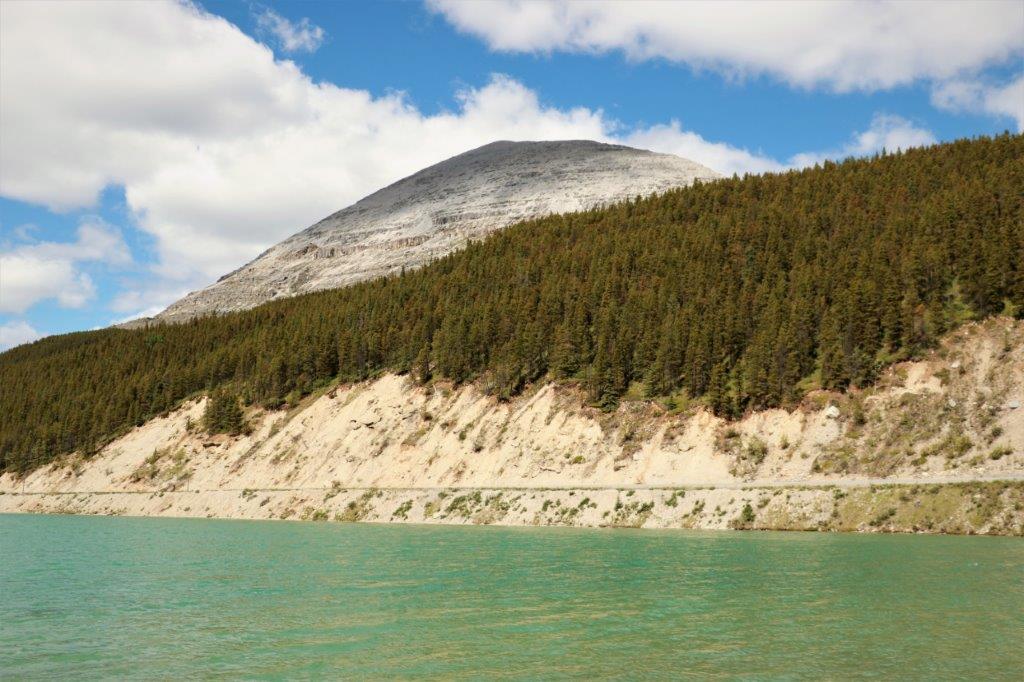
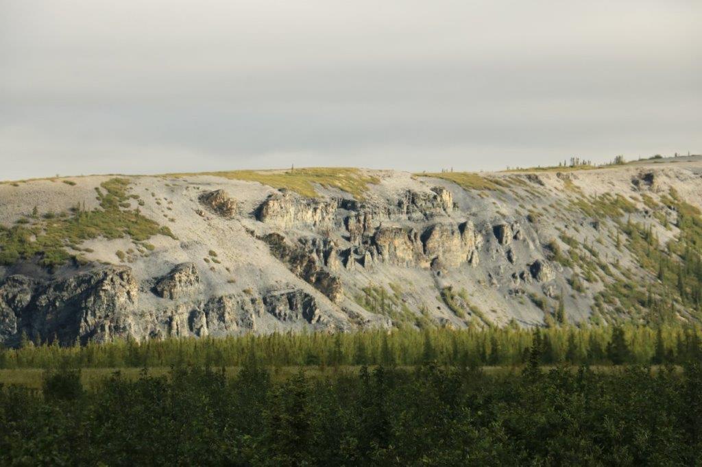
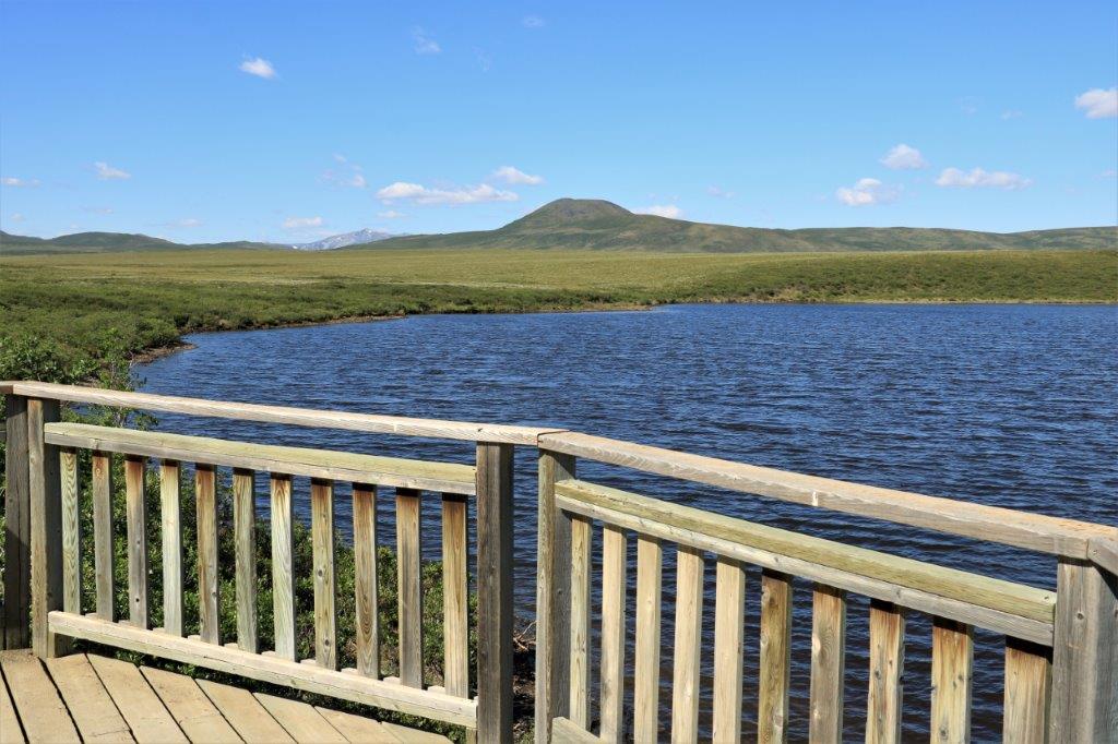
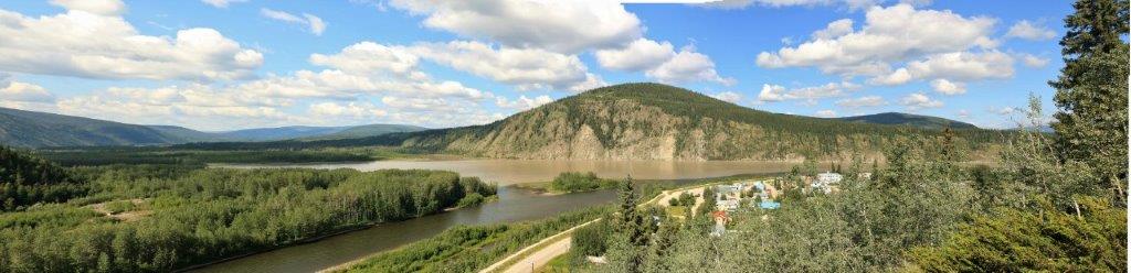
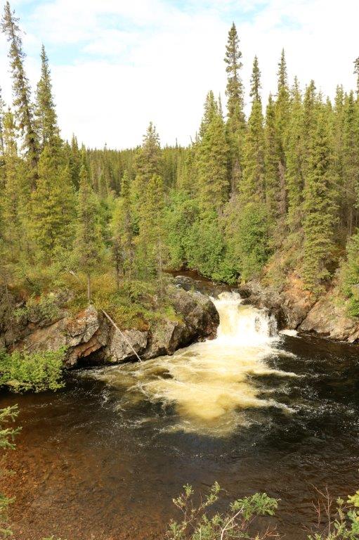
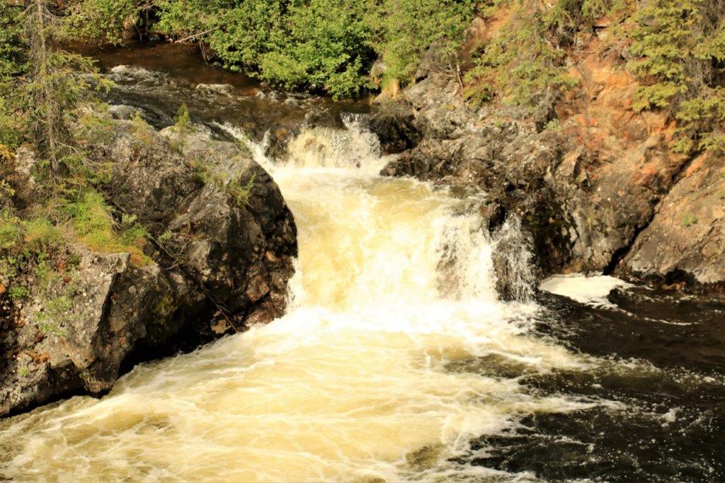
At the Tithegeh Chii Vitaii lookout (no idea how to pronouce this one) there were two geocaches so we took the short hike to find them.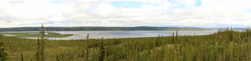 The view was pretty good!
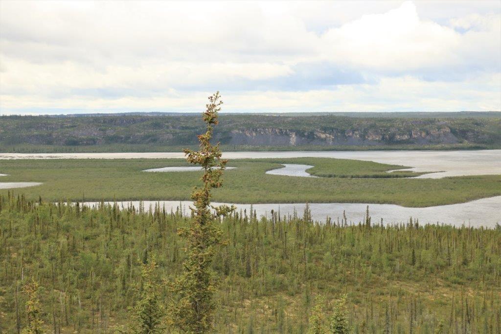
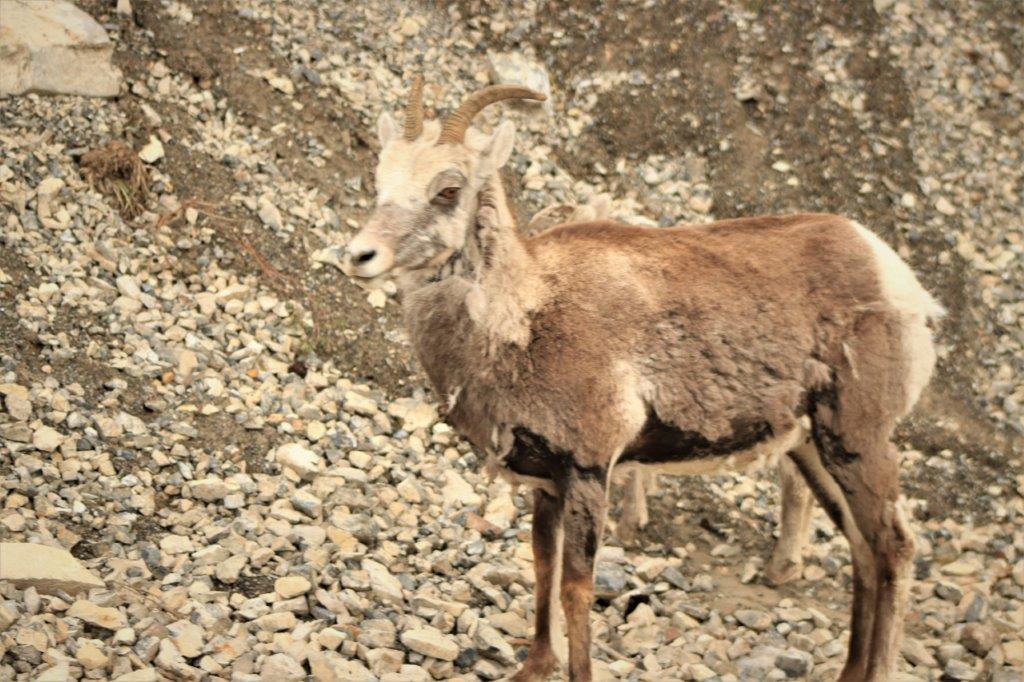
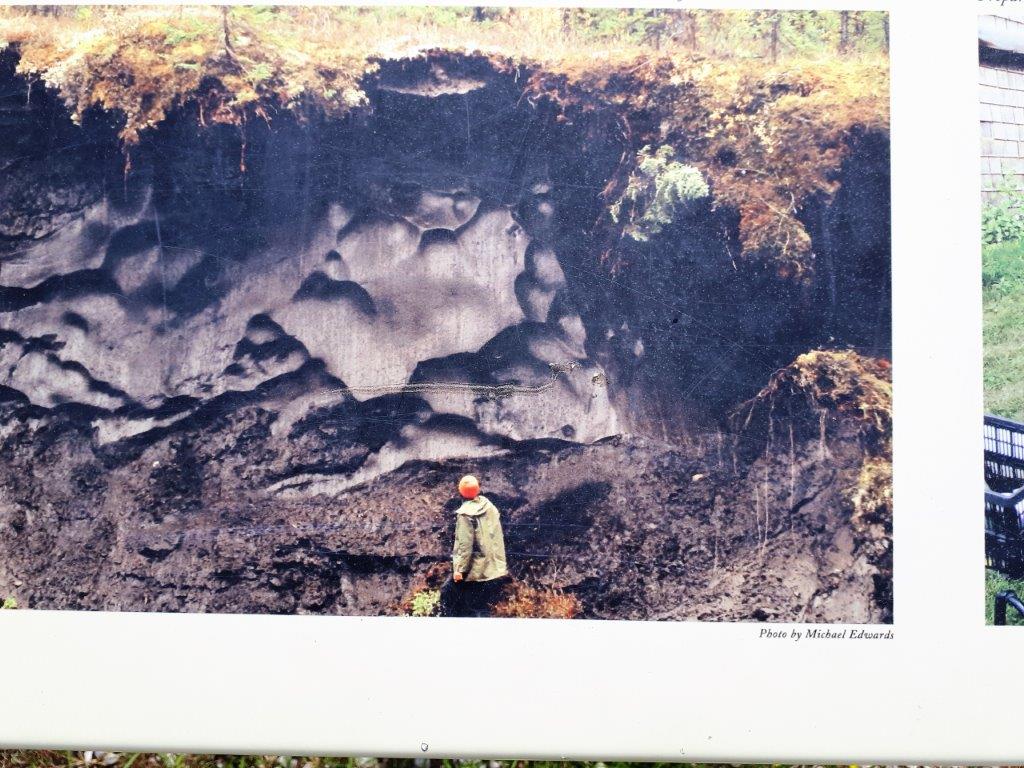
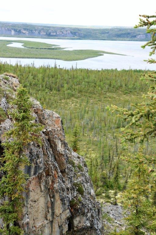 The first cache was at the actual viewpoint. The other one was 100 meters or so along the cliff face and down a couple of terraces. John did the clambering to find it. If I go down steep things like that nowadays, I don’t get back up. How I have fallen from my ‘mountain-goat’ youth!
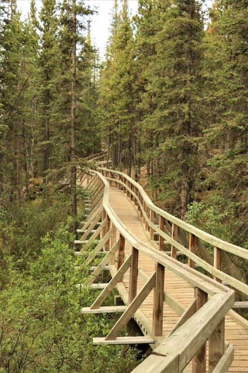
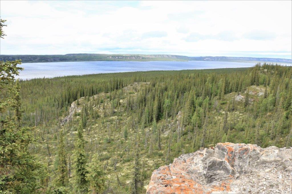 There is a long loop trail in the area. I think this massive staircase is part of it. My knees are very happy we did not have to go down them – or up.
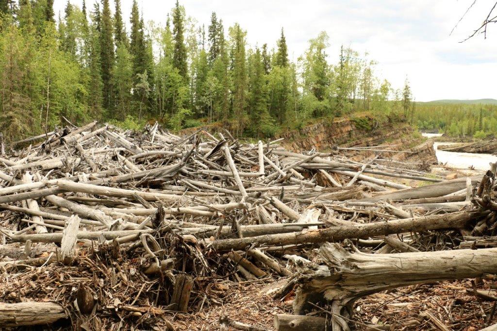
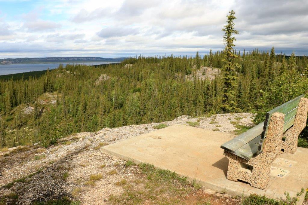 A pretty nice spot to sit and enjoy the view. As long as the wind that we experienced wasn’t blowing.
Northwest Territories is one hour ahead of Yukon Territories time so we arrived in Inuvik at 5:10 mountain time. The drive, including all our stops, took 8 1/2 hours and we were settled in our hotel in time to load photos and do my missed blog from the day before.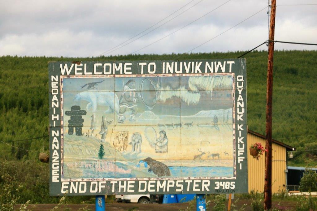


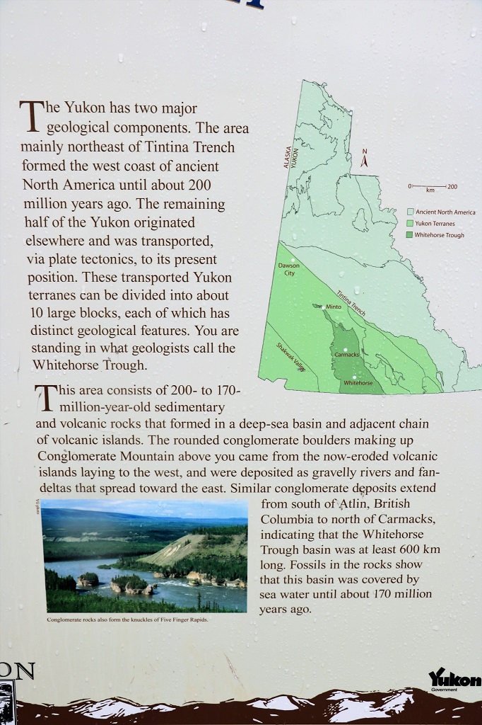


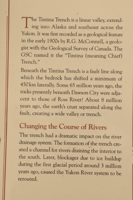


 ‘
‘


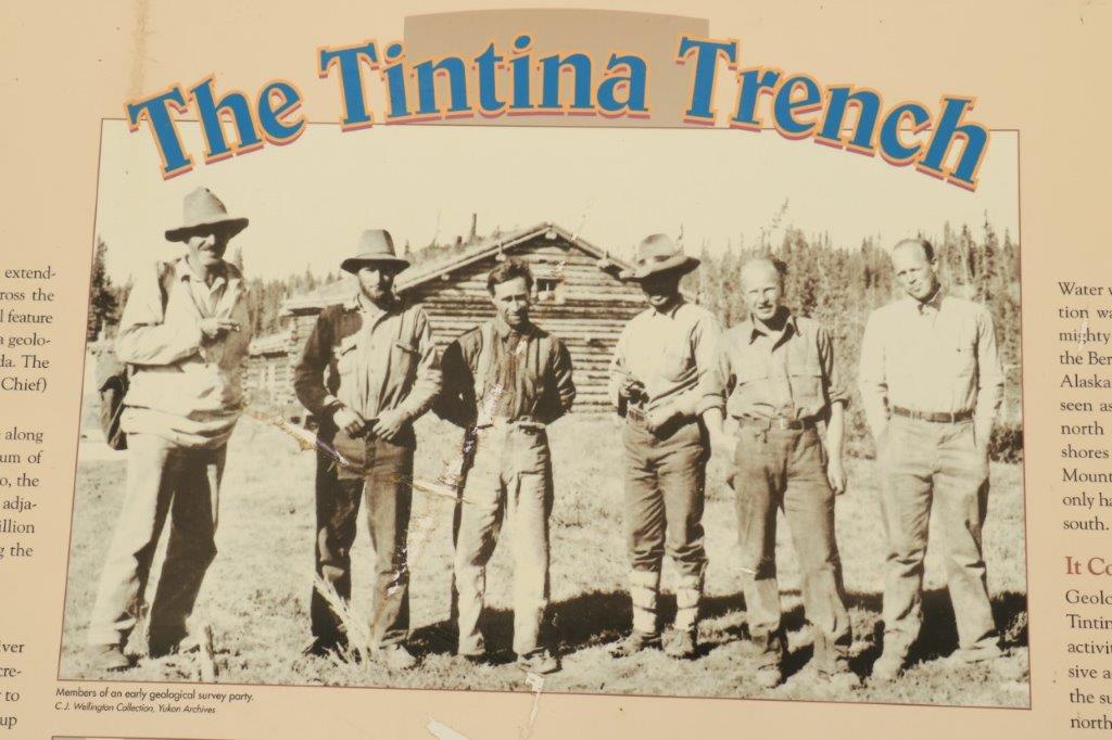
 T
T