It is 445 kilometers (276 miles) from Watson Lake to Whitehorse. We left Watson Lake at 8:30 under cloudy skies; but no rain.
Before we left Watson Lake we had to visit the world reknown Sign Forest. There are now over 90,000 signs (and counting) posted on the poles. Many people know about the sign forest before they come to Watson Lake and they bring a sign with them (there is a tremendous amount of stolen property posted here). Or, if you didn’t come prepared you can get supplies (I would guess for a fee) and make your own.
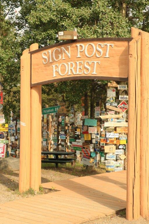
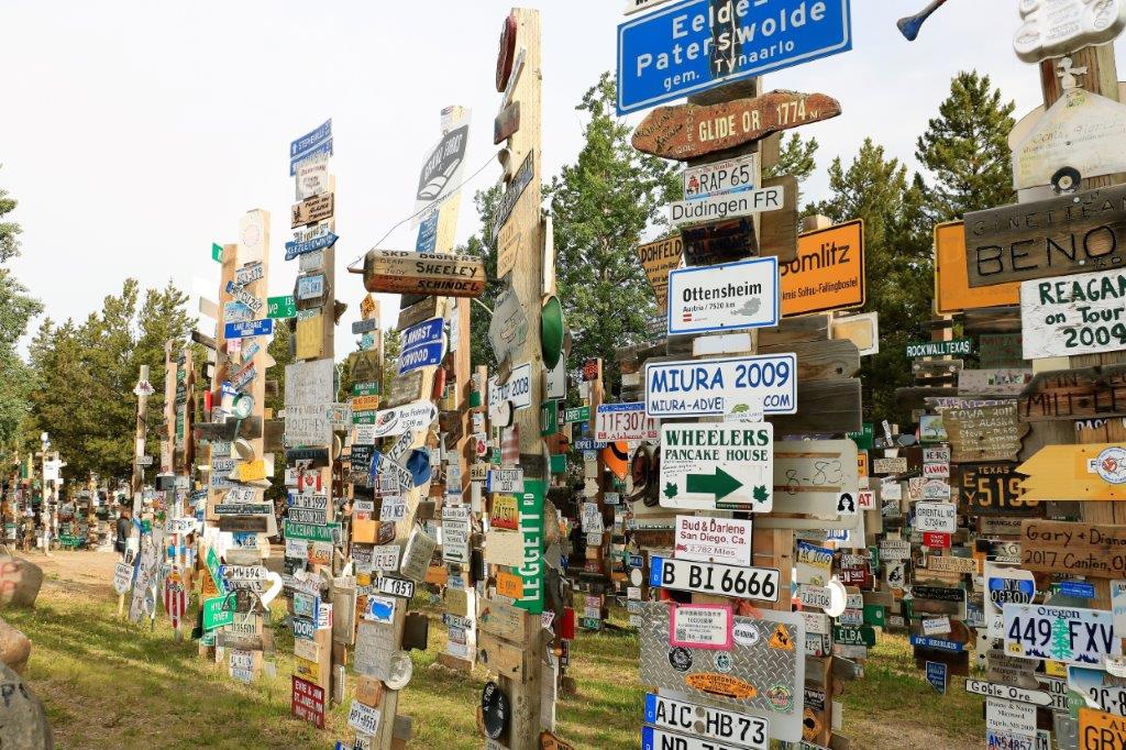
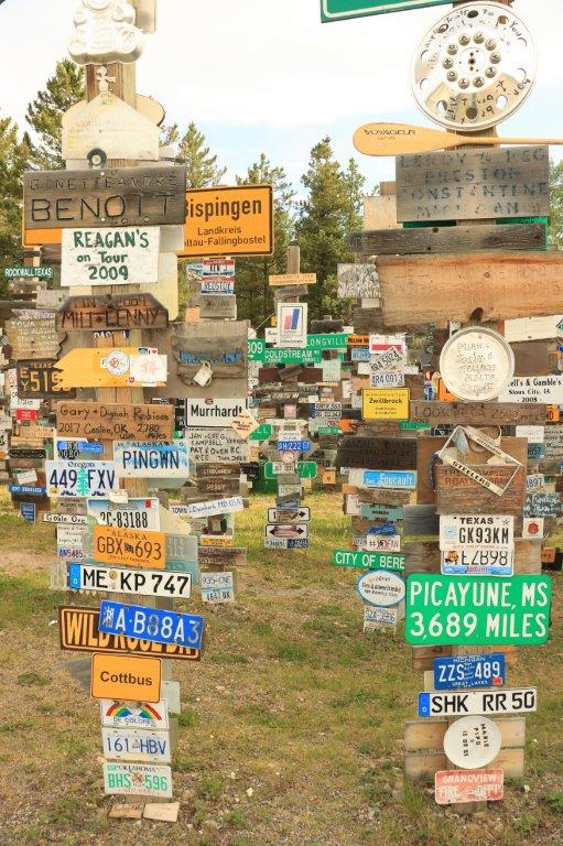
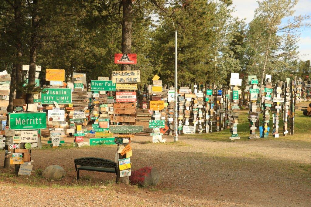
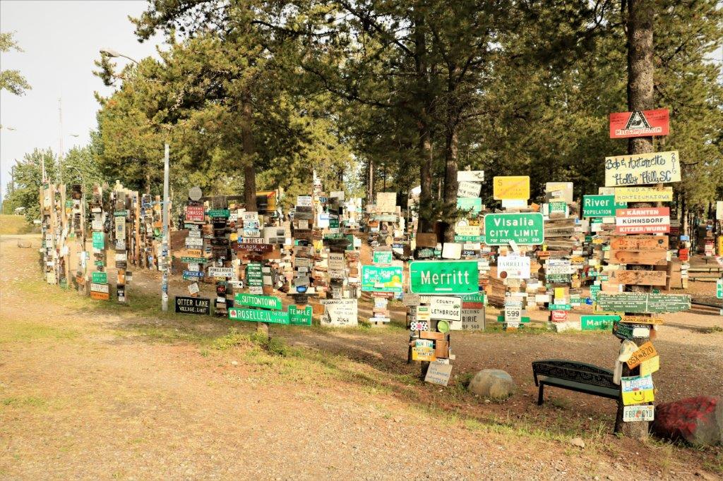

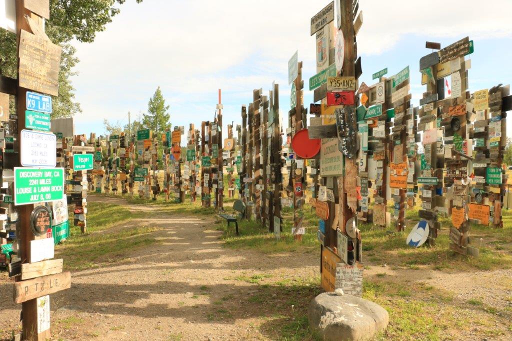 It would take a couple of hours to walk past them all. We thought it was quite a’propo that we parked right in front of a sign posted by folks from home.
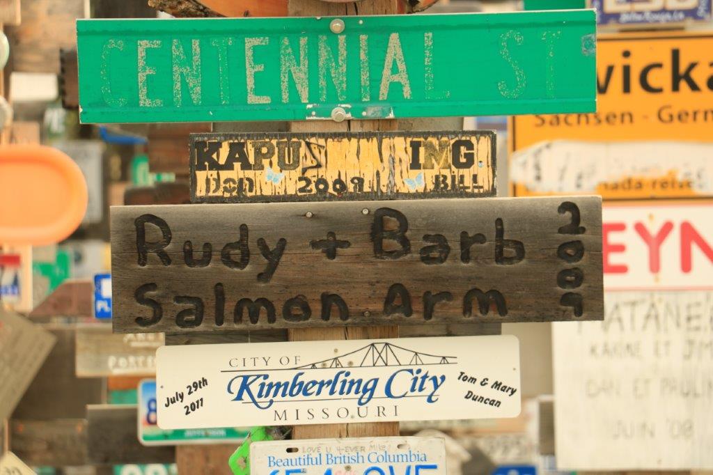 And if there are not enough signs, you can check out the license plates.
 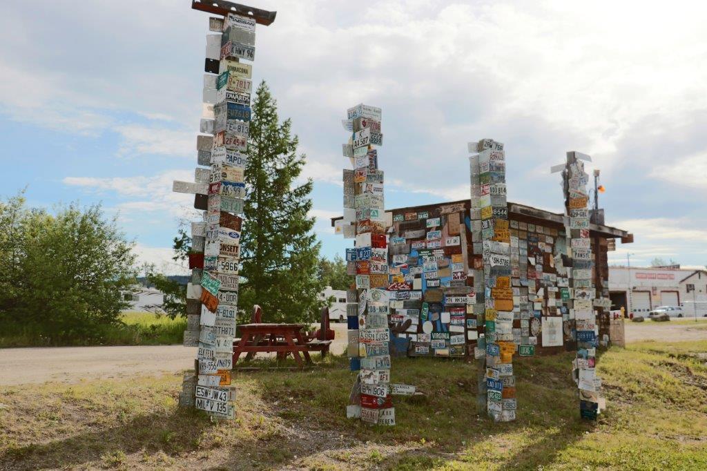 Just out of town we made our first stop for a geocache that was hidden under a bridge.
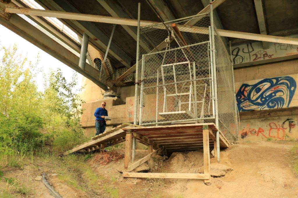

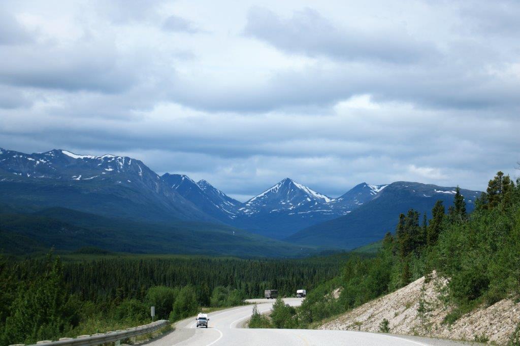
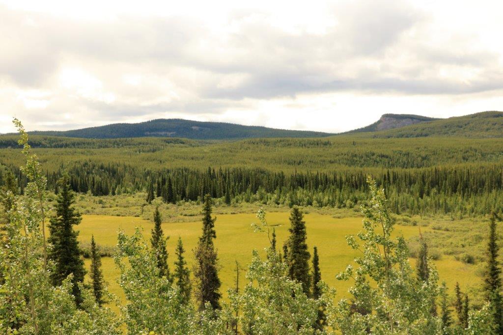
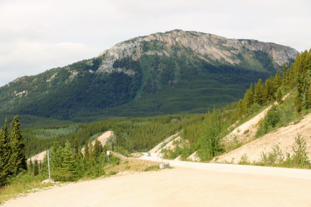
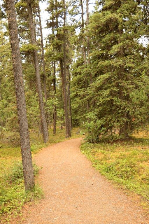
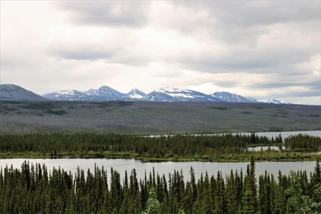
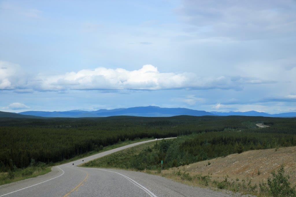 Lots of open country and trees.
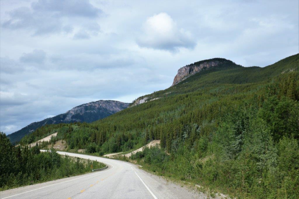

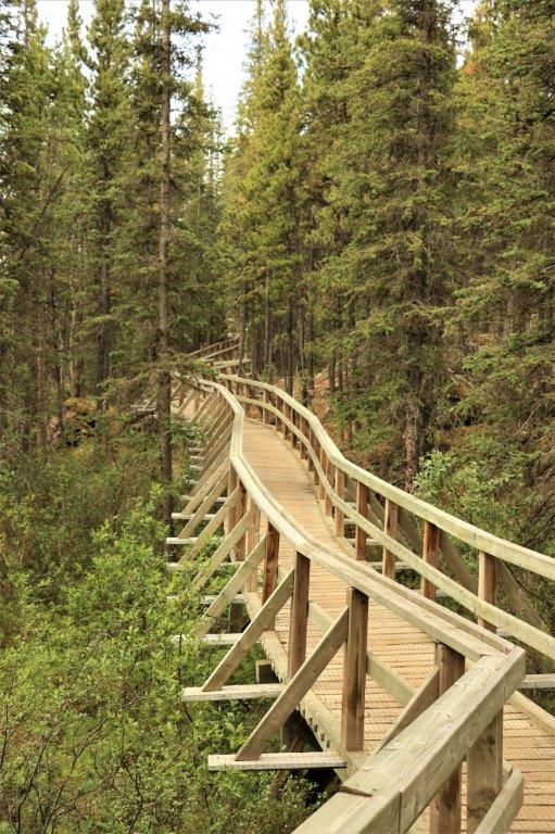
 We planned to find a geocache hidden at Rancheria Falls and noted the roadside sign that said it was 2 km up the road. There was no corresponding sign at the entrance road which was narrow and had trees on each side. If John hadn’t slowed down and watched for a turn we would have missed it. We noticed this lack of signage some other times during the day.
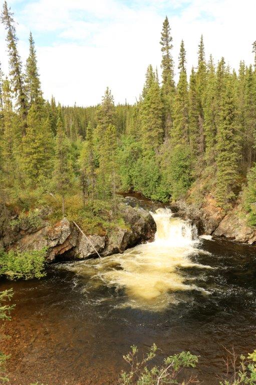 The first falls
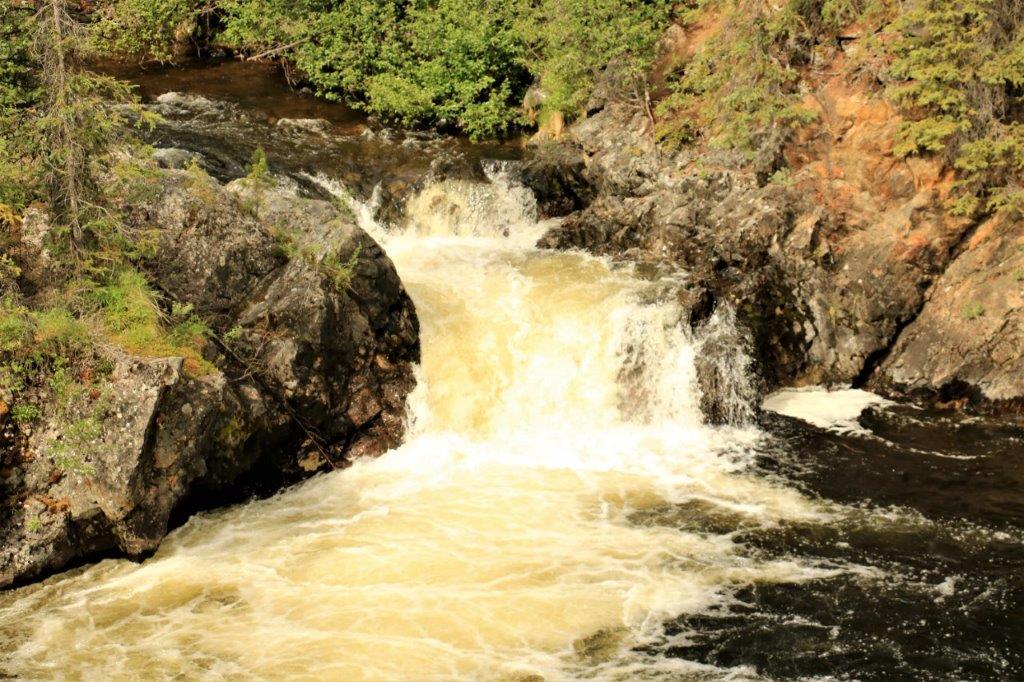
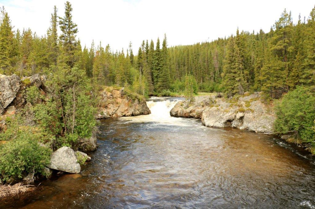 The second Falls
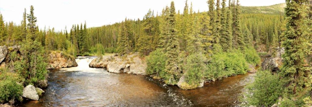 The water flows around this little island and has a small waterfall at each side. Very pretty. (We found the cache too.)
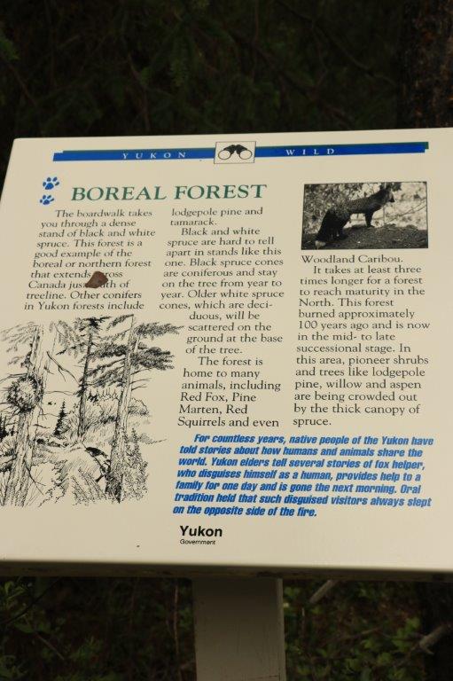
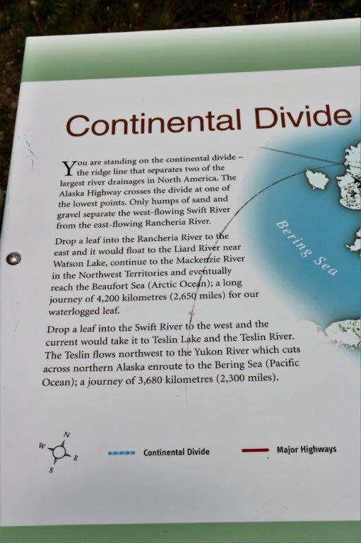
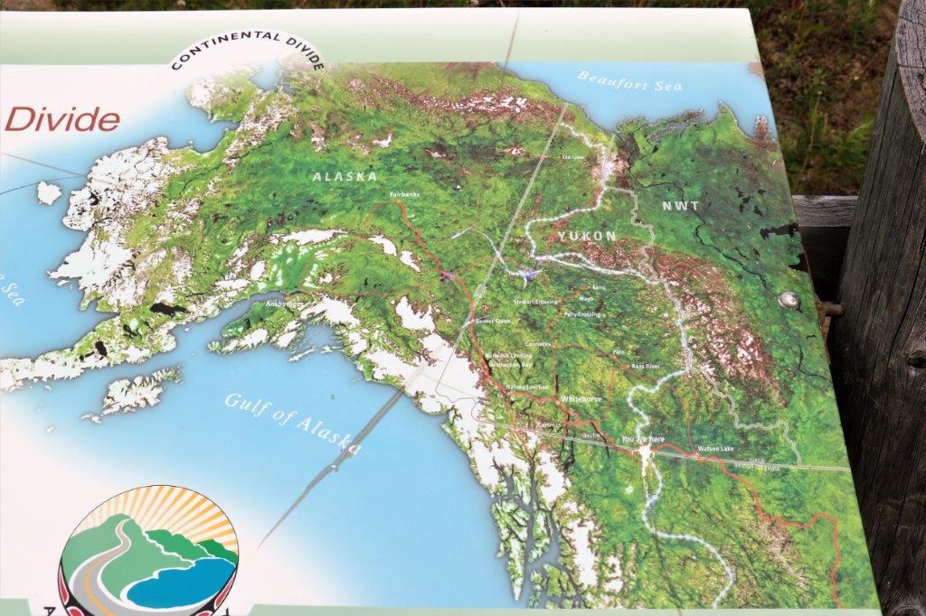
There was an Earth Cache at the Continental Divide. (An earth cache has not got a container or log book to sign. It is in a place of historical or geographical or geological significance. Usually there are information placards at the site, but not always. To log the cache as found you must send the answers to the questions in the log description to the cache owner to prove you were actually at the site.) I like Earth Caches. But then, I like to read and learn interesting information.
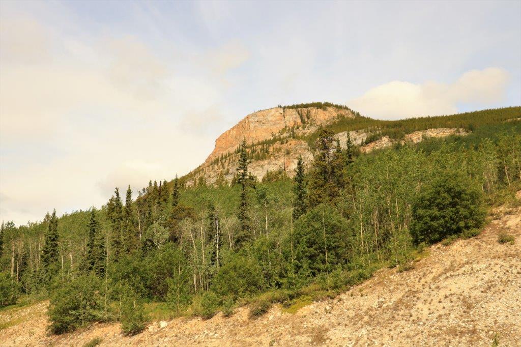
 There was another Earth Cache at this location describing geological characteristics of the area. The area is named for the town in BC called Quesnel because at Quesnel there is an excellent example of these formations.
 T
T 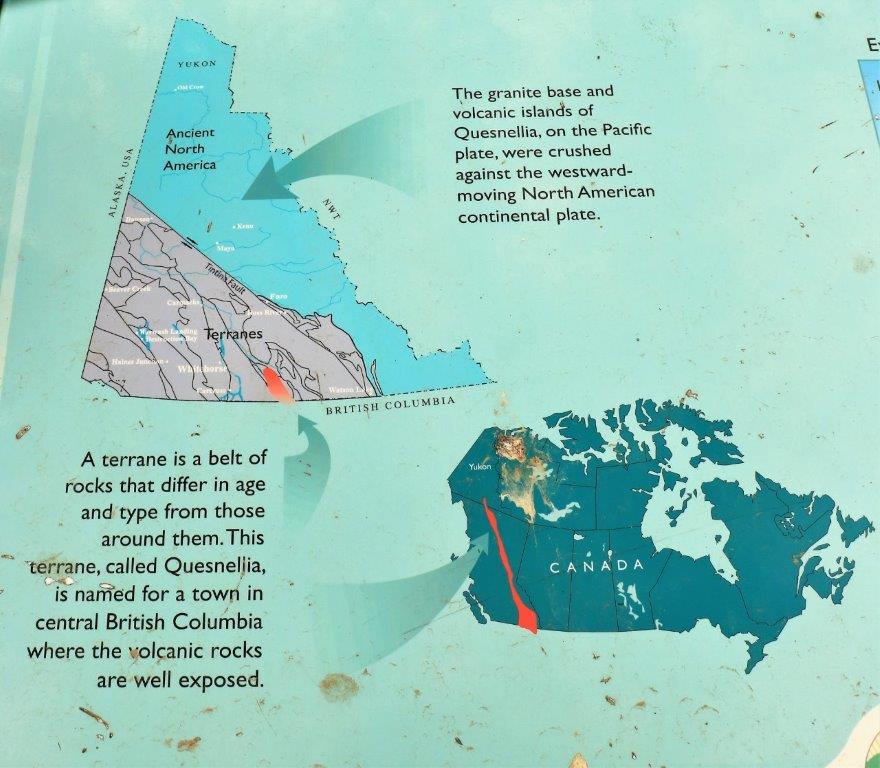

 260 km (161 miles) from Watson Lake is the community of Teslin. We stopped here for some expensive ice cream cones – $5 each for two small scoops.
 I did like the local speeding deterrent. A very clever life-size RCMP cruiser, complete with the shadow of an officer inside.
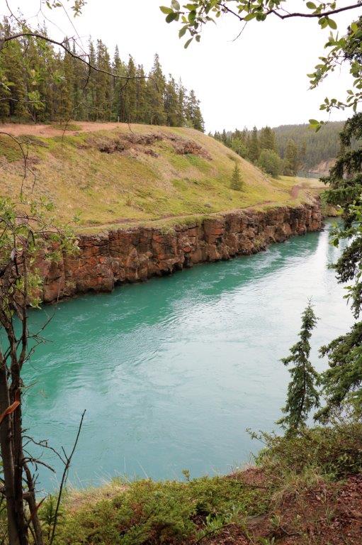
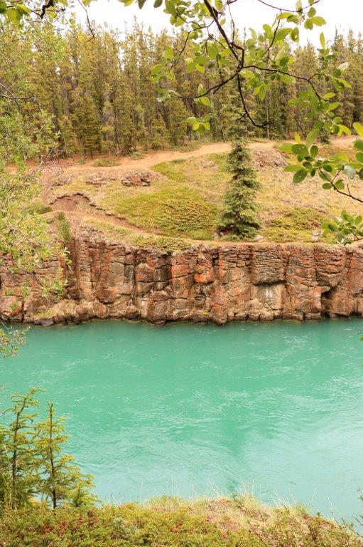
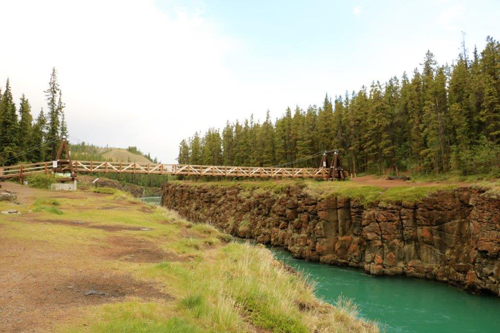
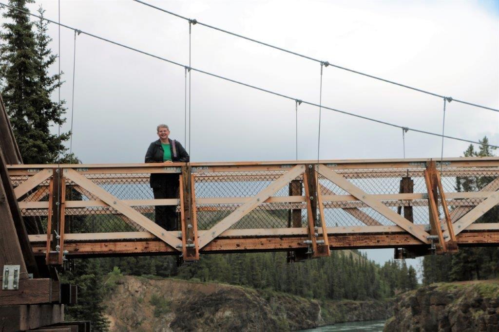
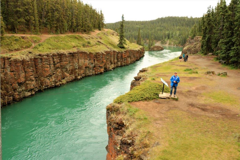
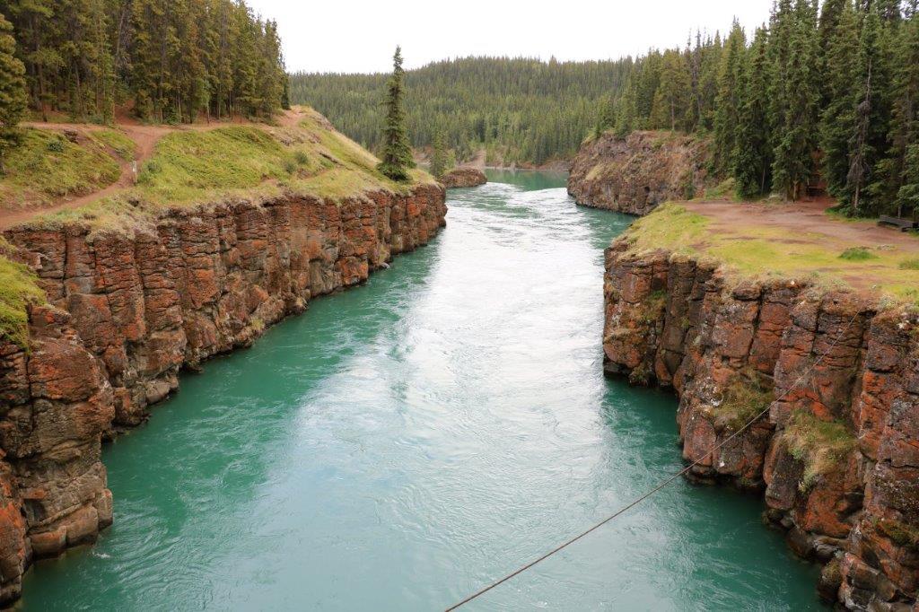
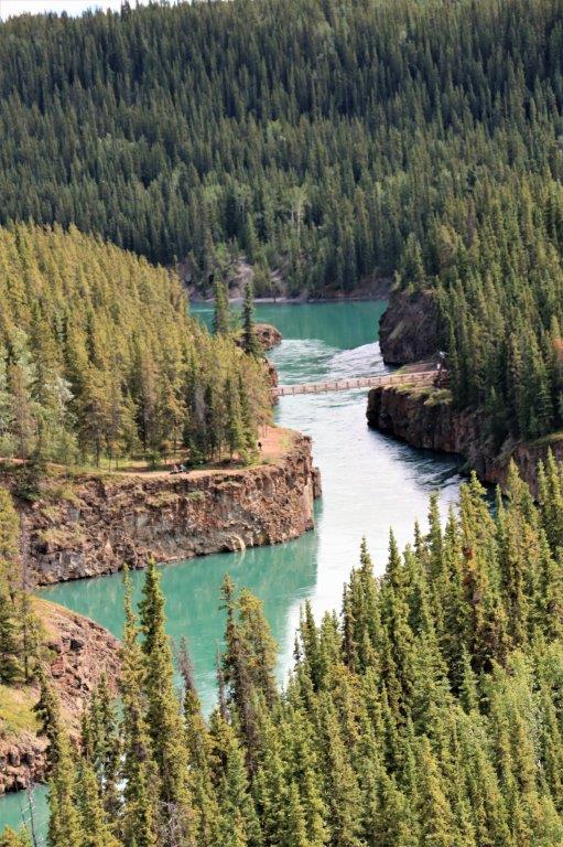
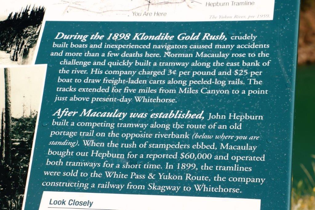
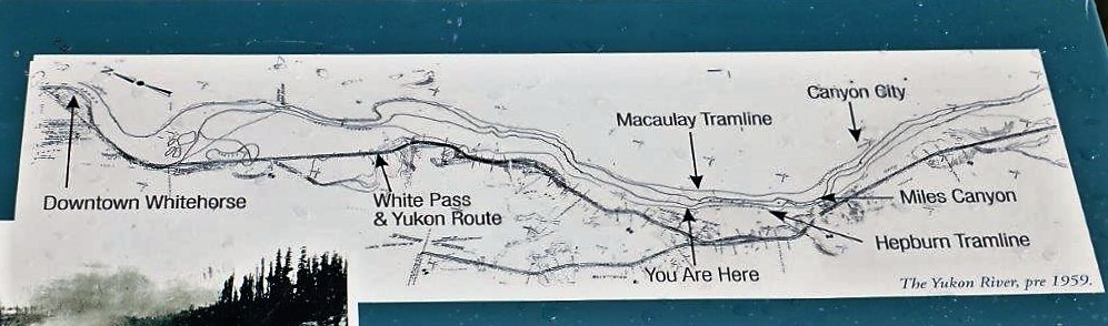
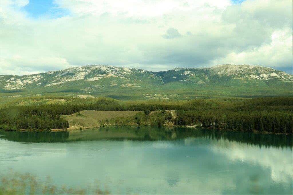
 On the way into Whitehorse we stopped at Miles Canyon.
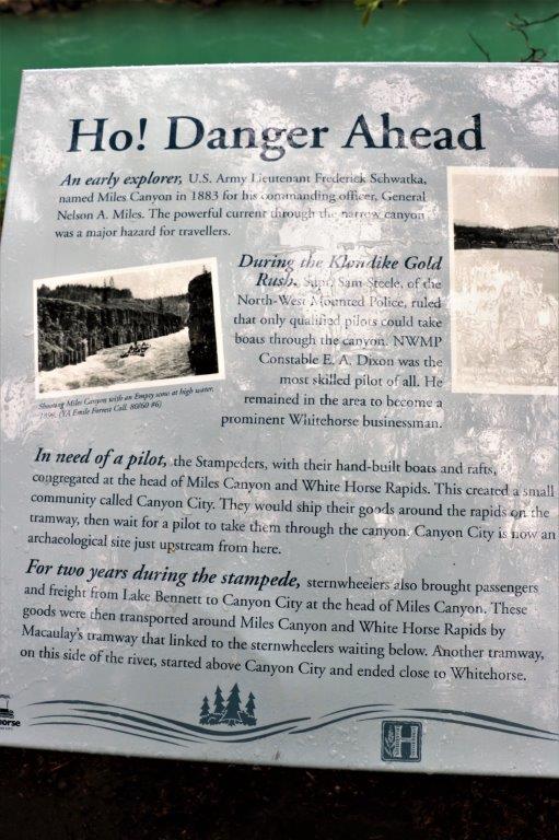
 We continued along the side of the Yukon River into Whitehorse rather than go back out to the highway. Since our hotel is right downtown, which is beside the river, we would have had to leave the highway later anyway and drive toward the river. Besides, it was pretty.
There was a viewpoint overlooking Miles Canyon along the way.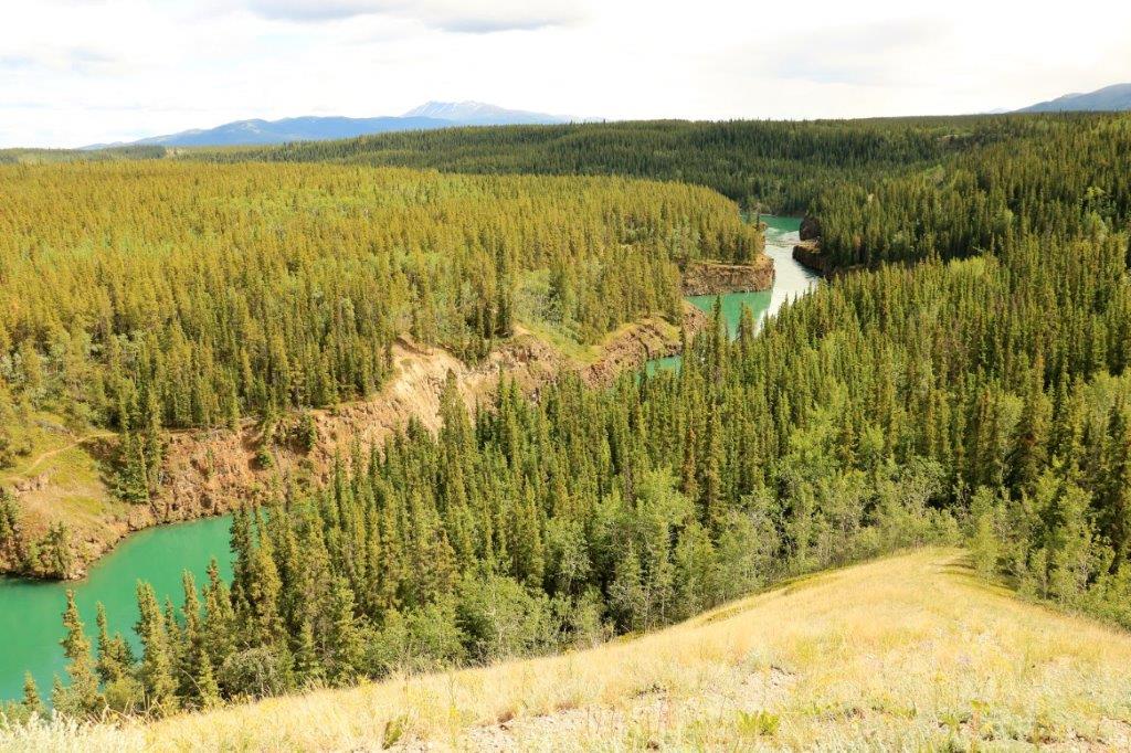
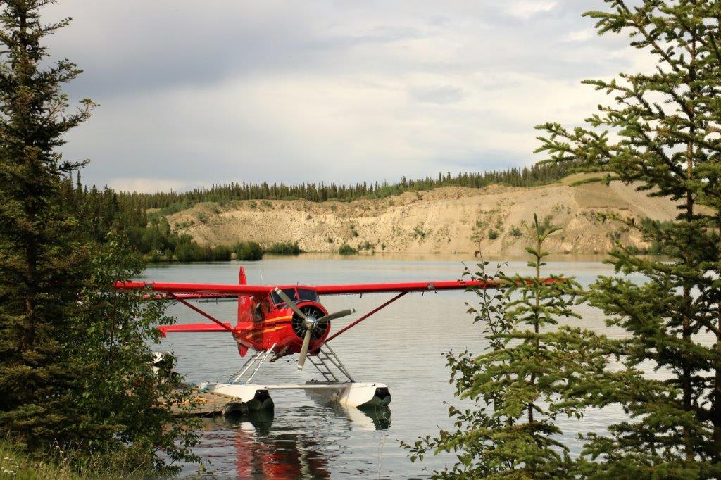
 There are lots of float planes in the north and one was coming in for a landing as we were at the viewpoint.
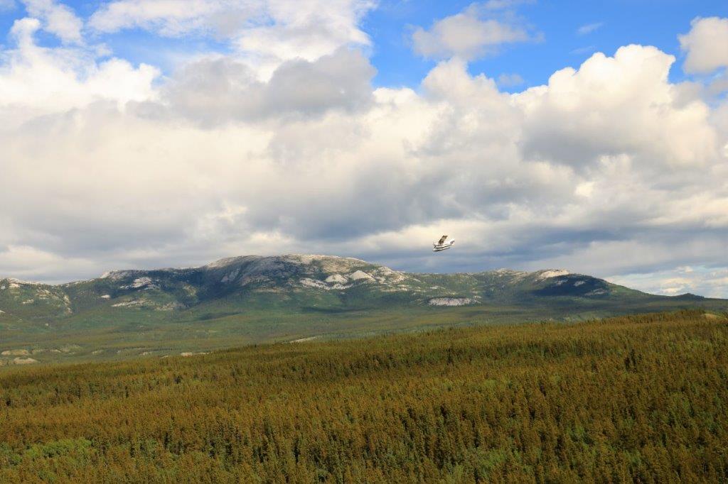

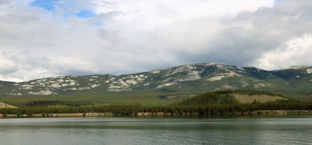 It was a nice drive along the river into Whitehorse. We arrived about 4 o’clock and had time to wander around downtown for awhile before dinner. We are staying in Whitehorse two nights so no long drive ahead tomorrow.
