Category Archives: 2018 Summer – North of 60 Road Trip

2018 June 27 – Fort Nelson, BC

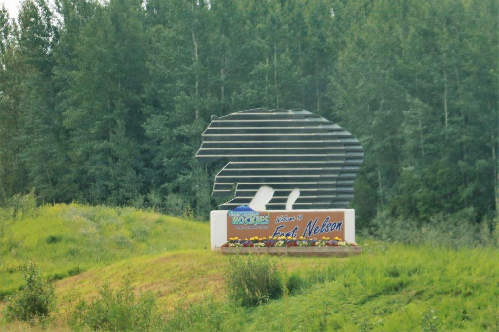
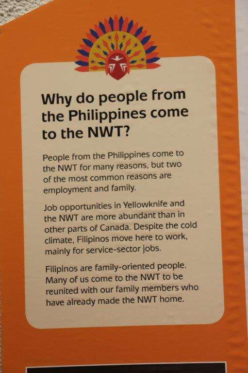
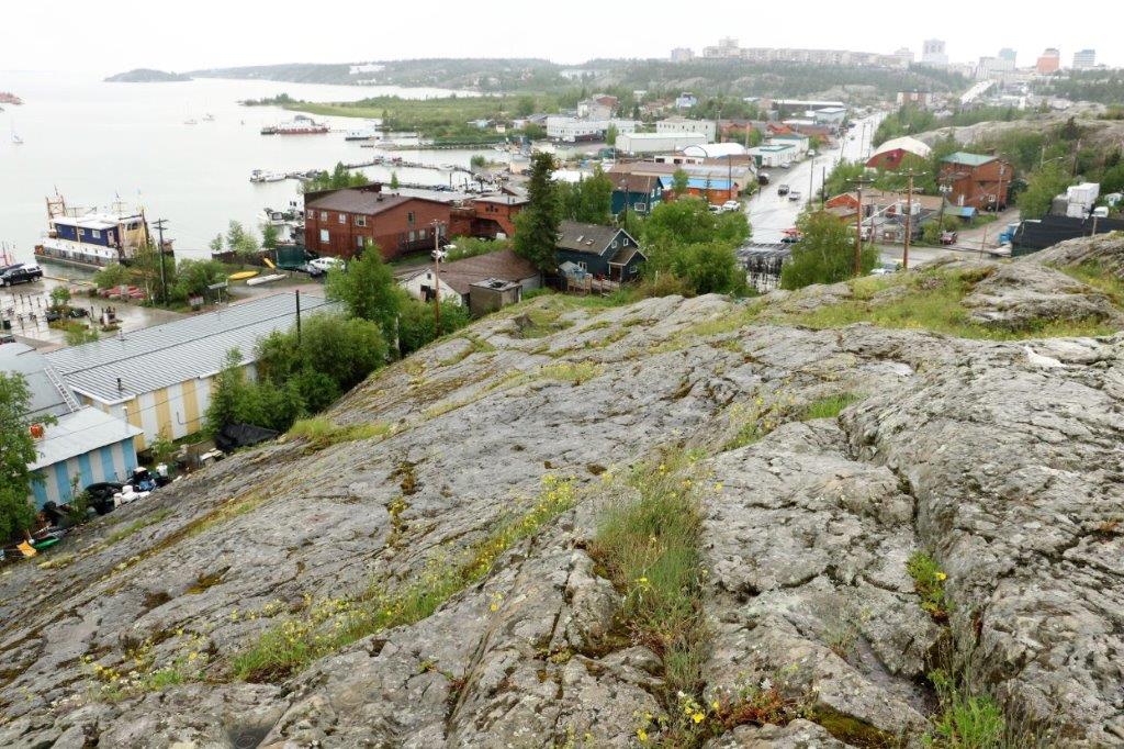
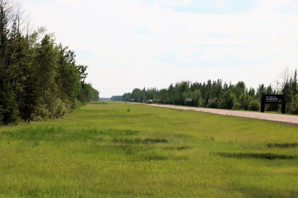
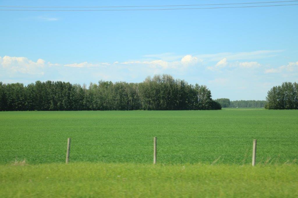
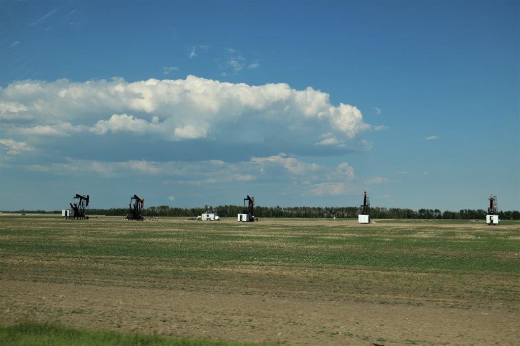
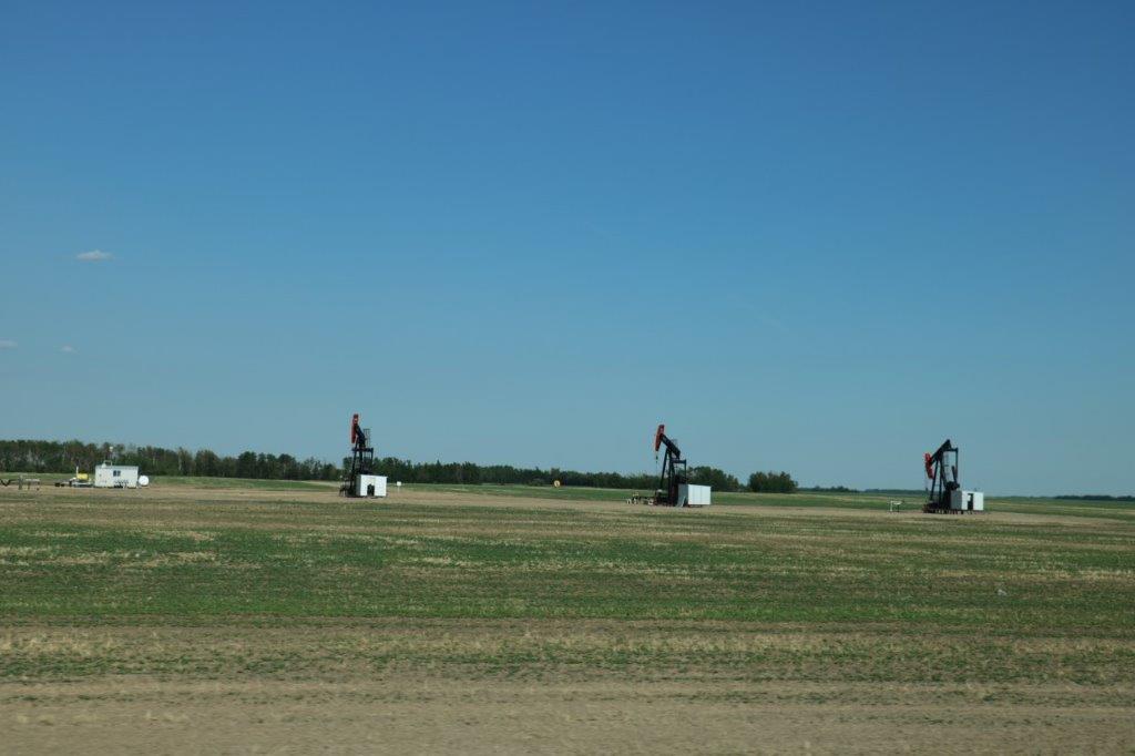
Today was a down day. We slept in and missed the free breakfast at the hotel (they only serve until 9 am. Can you imagine?).  It was a short drive down the road to a breakfast place.  Fort Nelson is  a very sprawling commnity.  The majority of the businesses are on frontage roads either side of the highway and there are tracts of empty lots between them.  There is no downtown core that we could find so you would find it very difficult to walk and do your shopping errands.  We spent the morning fighting internet in our hotel room.

This hotel is very large.  It had lots of rooms in the original building but at some time a big addition was added.  Everything is made of cement block – exterior and interior.  The exterior is light brown block, the interior is gray.  The corridors look like the inside of a prison.                                
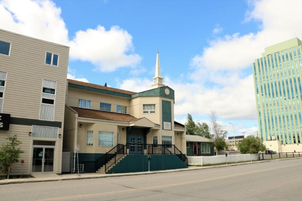
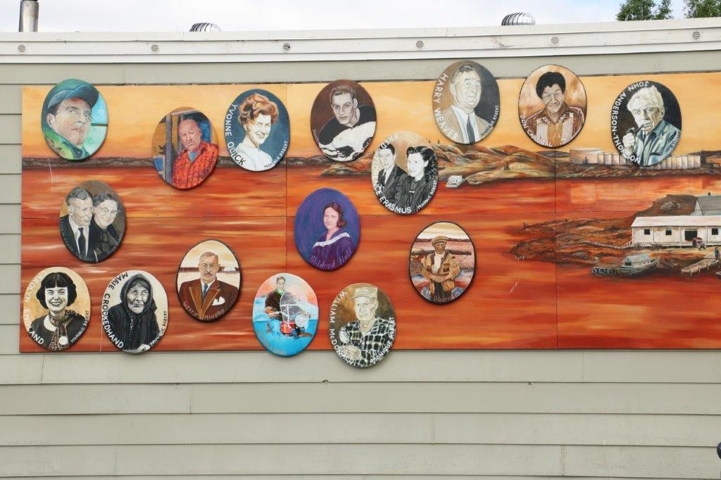
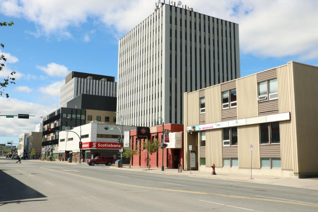
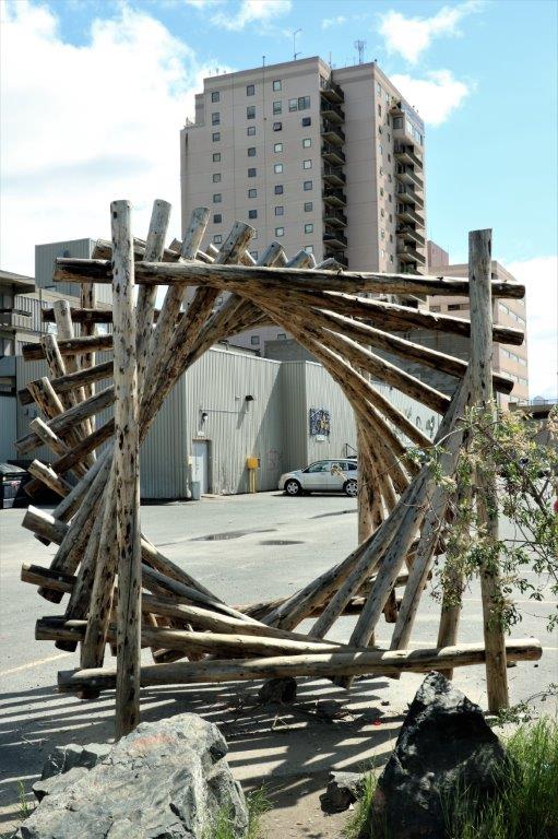
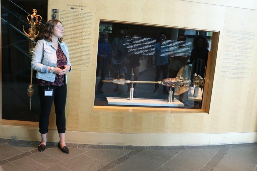
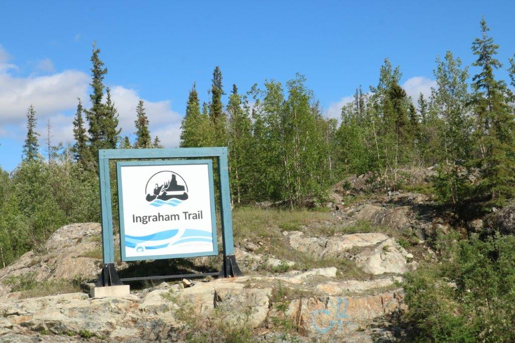
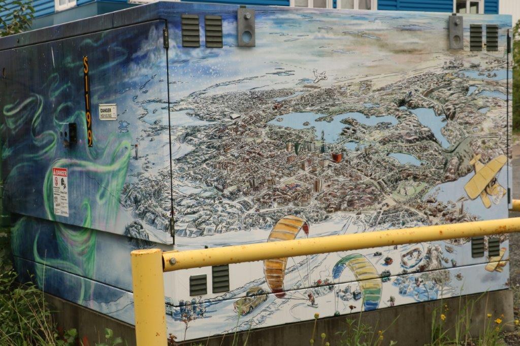
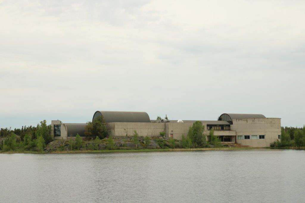
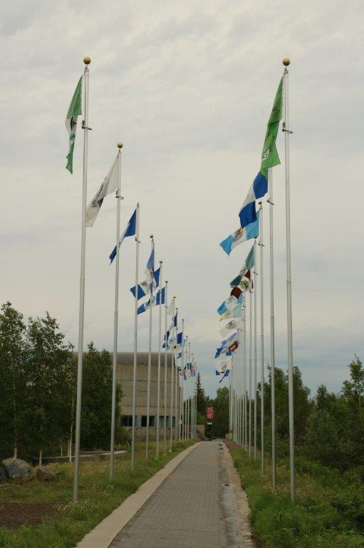
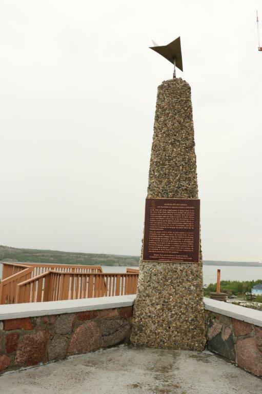
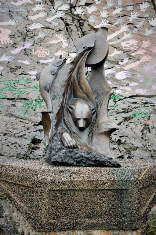
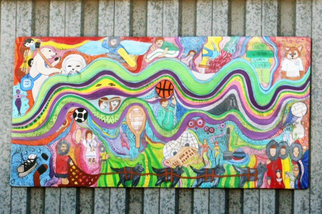
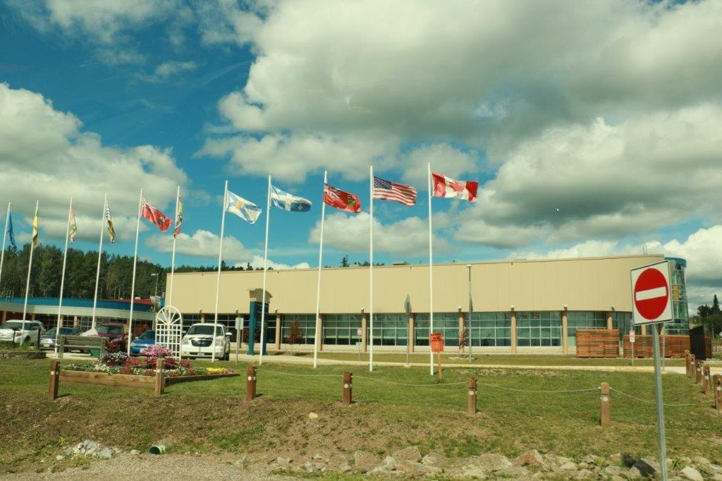
The new-looking Community Center.

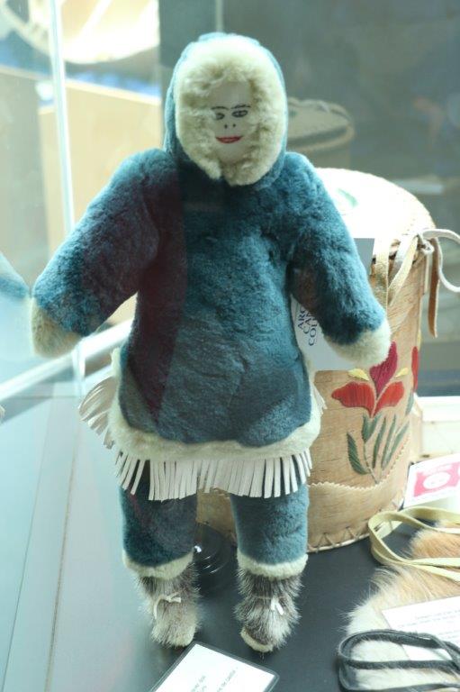
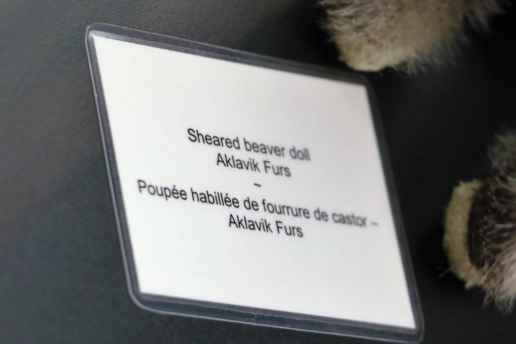
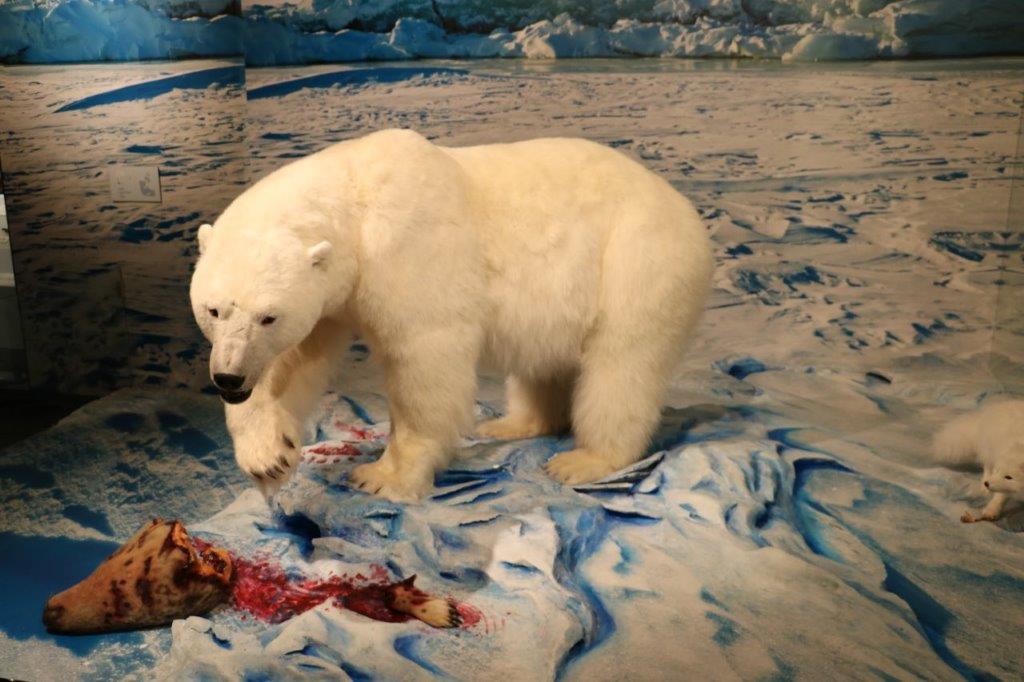
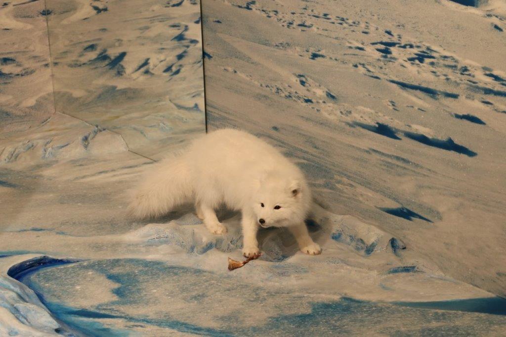
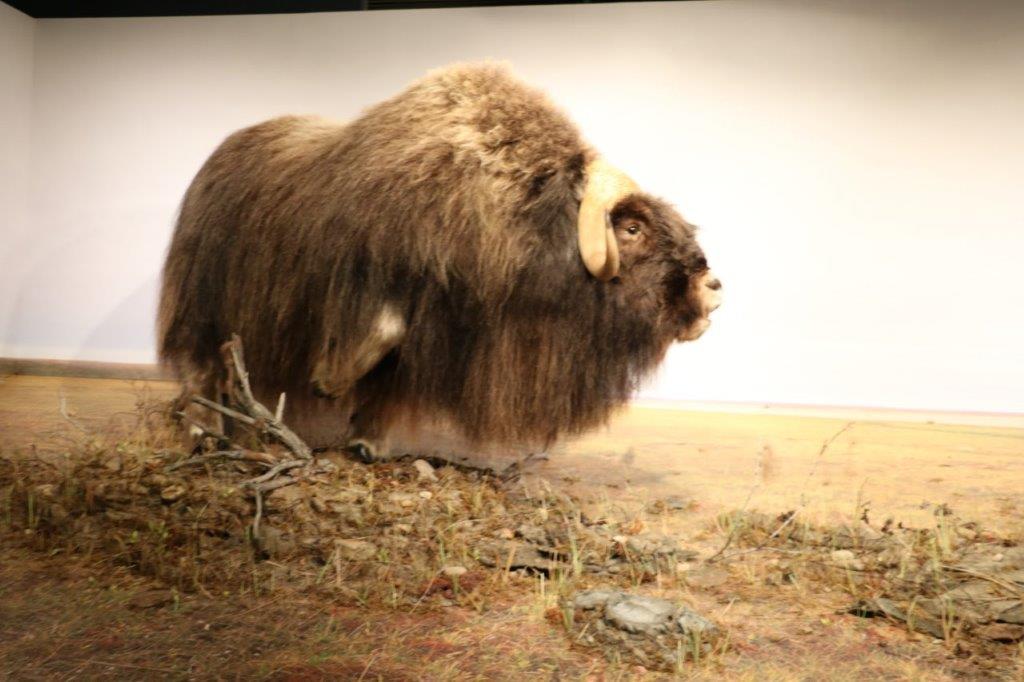
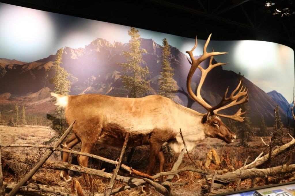
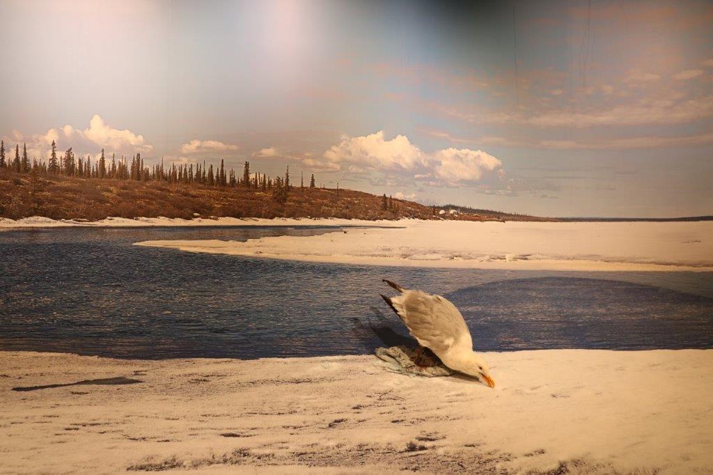
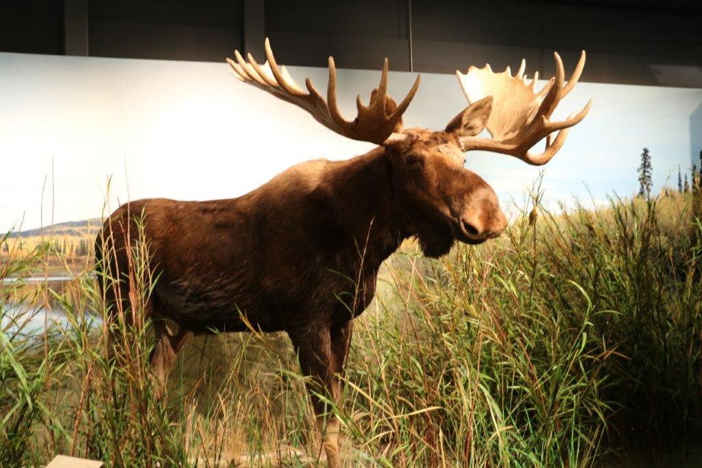
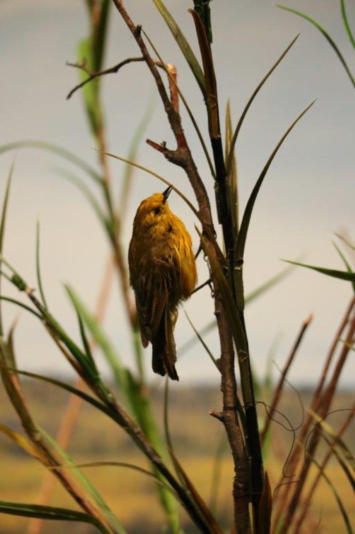
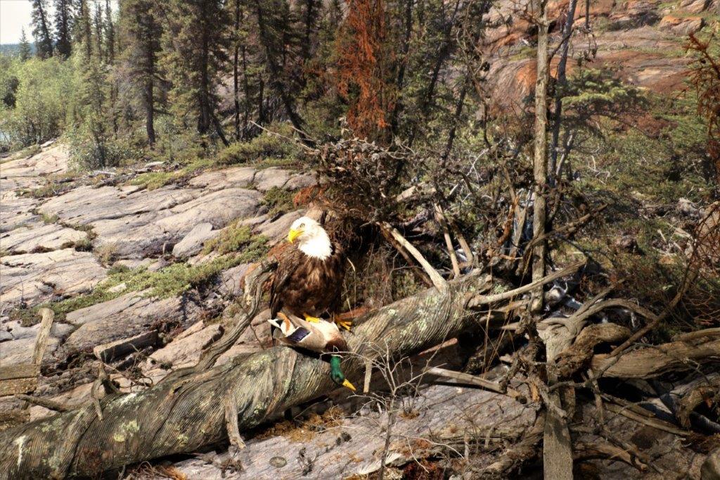
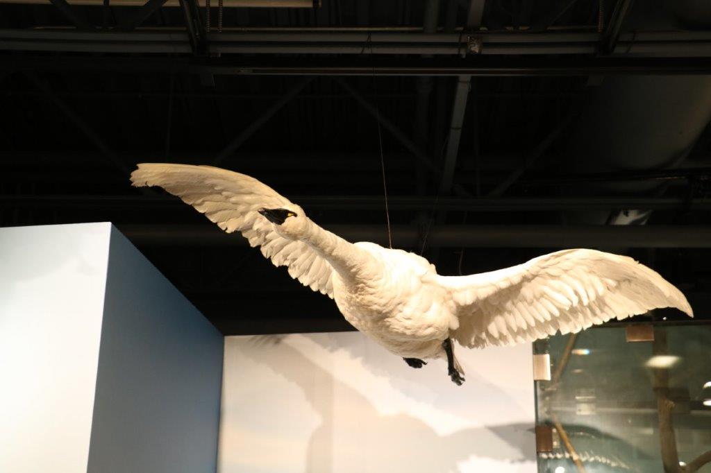
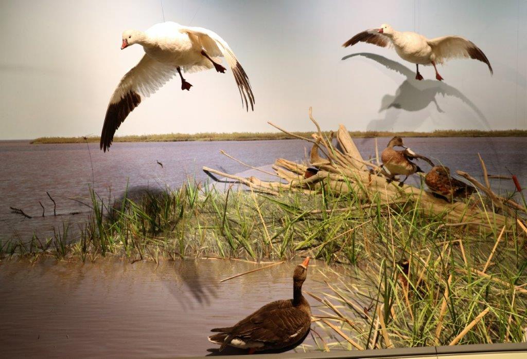
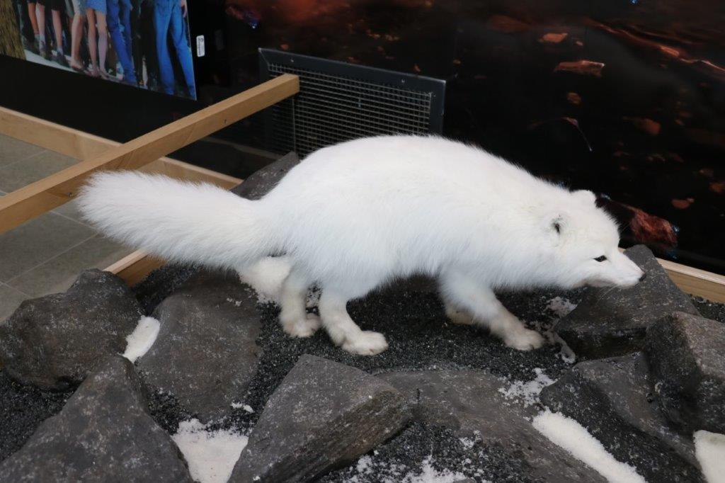
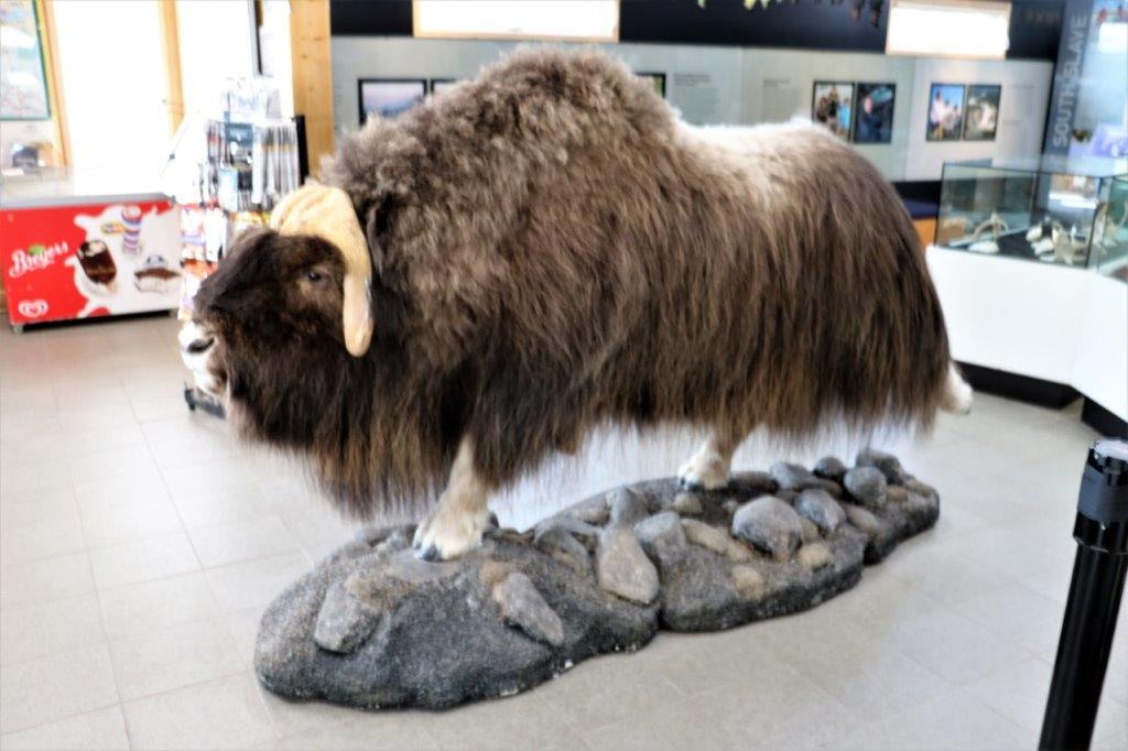
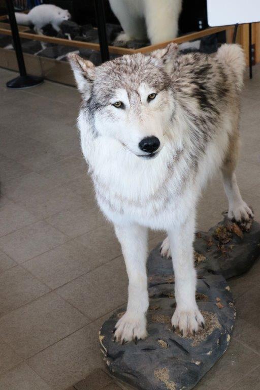
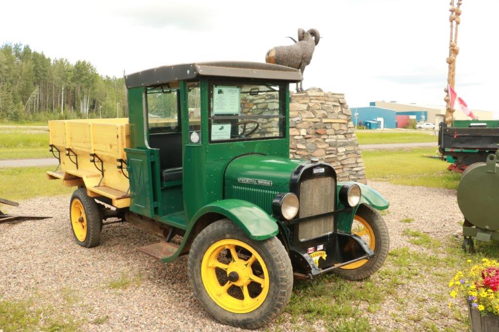
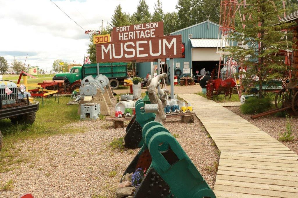
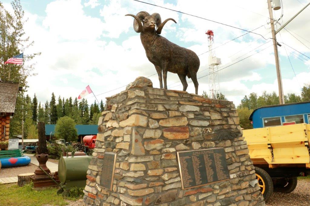
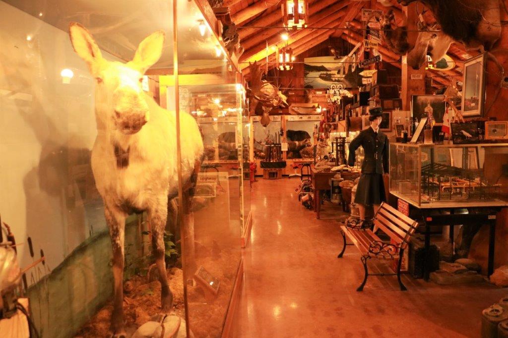
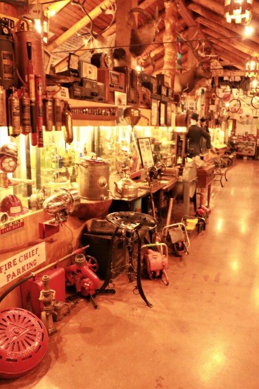
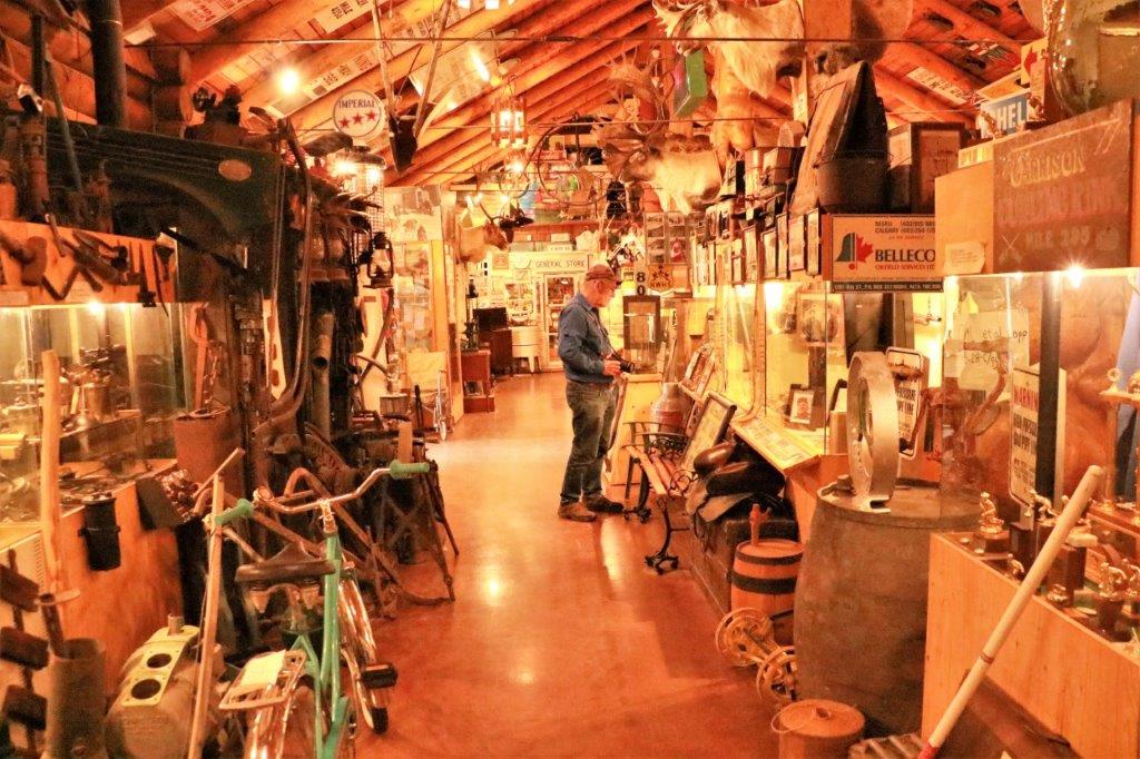
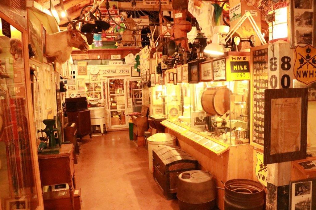
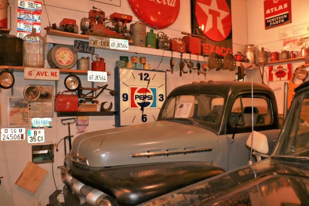
About 1:30 we ventured forth and went down the road to the Fort Nelson Heritage Museum.  Now this is primarily a VERY eclectic collection of old cars, machinery, memorabilia, photos and items that have been compiled by the owner/curator Mr. Brown.  It was very interesting to walk around the various buildings, but in no way was this a proper museum with controlled atmospheric conditions or tidy displays.  Stuff was heaped all over and there were occasional placards with explanations.  This being hunting and trapping territory there were also lots of taxidermy specimens.

Because the building is dimly lit and full of stuff it was very hard to get good photos, even with flash.  Mostly I used a high ISO which, unfortunately, gives a yellow cast to images.  However, my photos are for my travel records, nothing else so it isn’t too big a deal. 
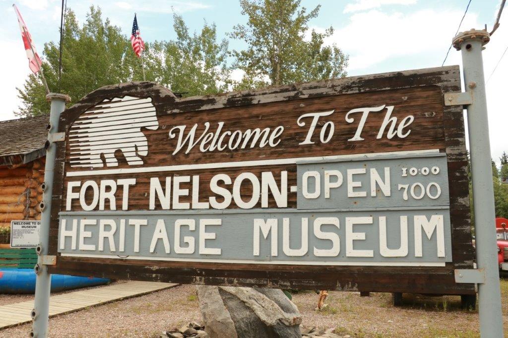
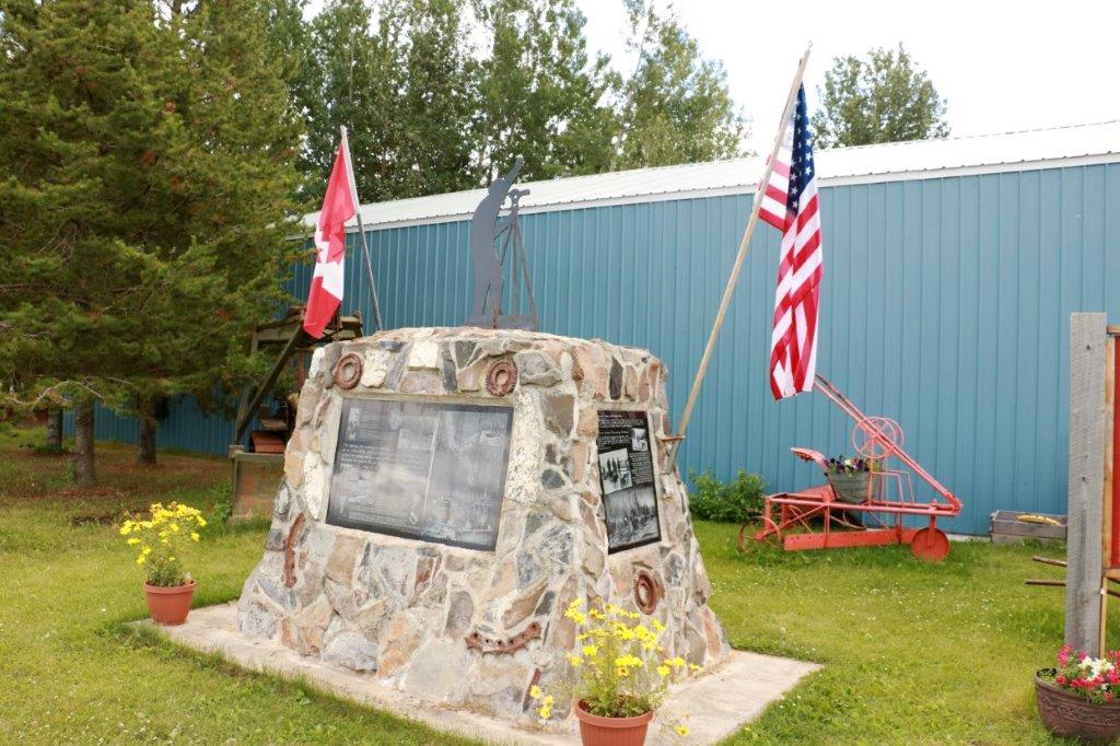
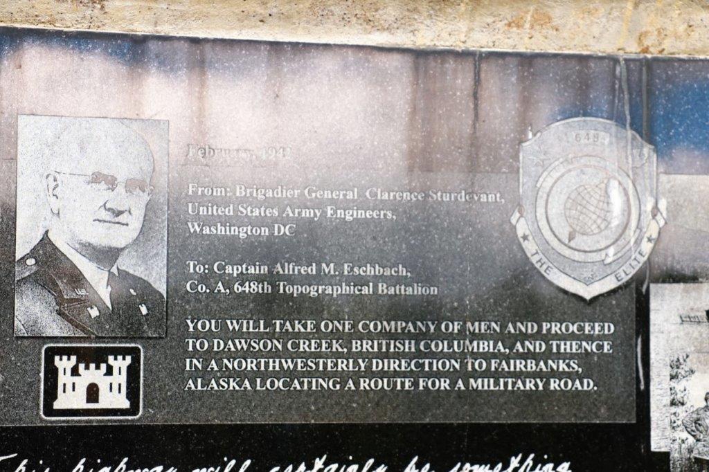
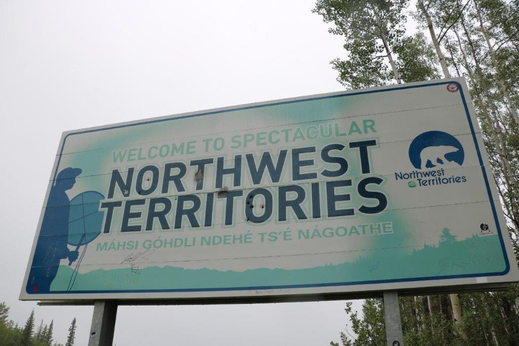
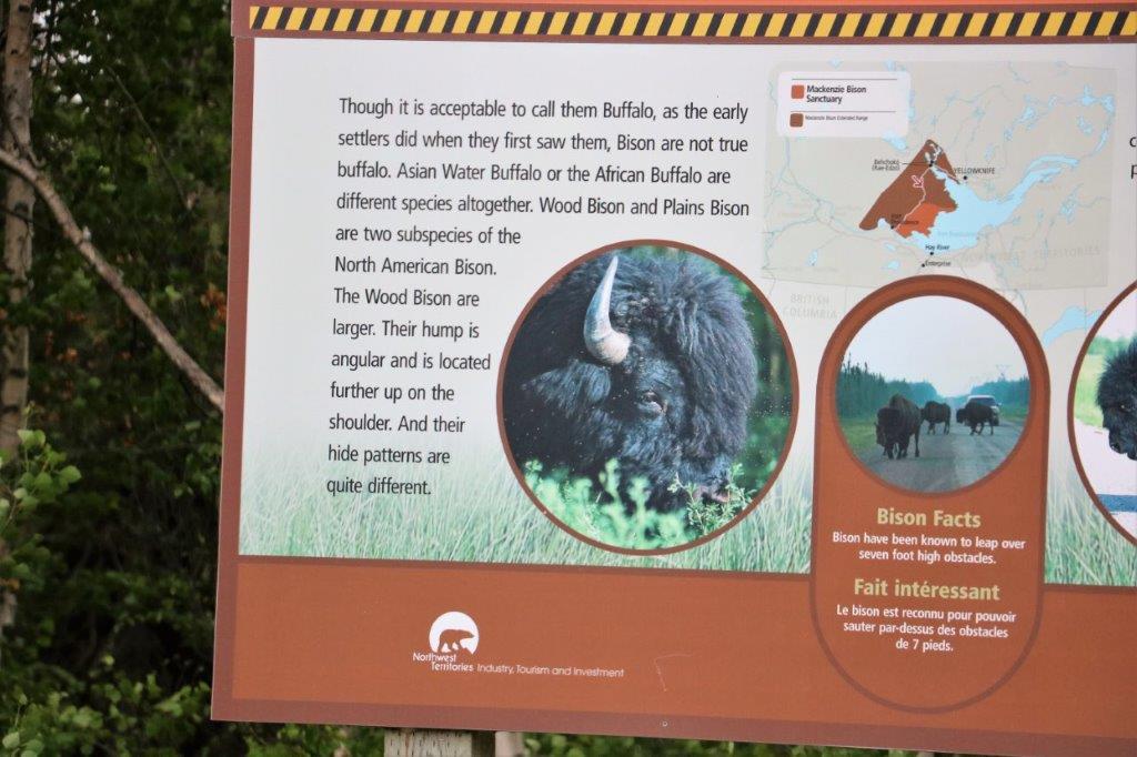
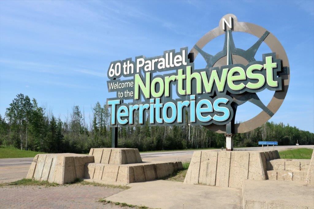
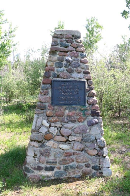
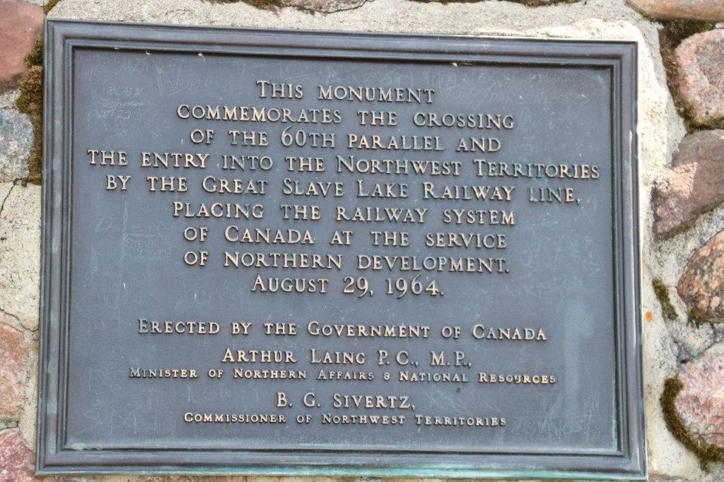
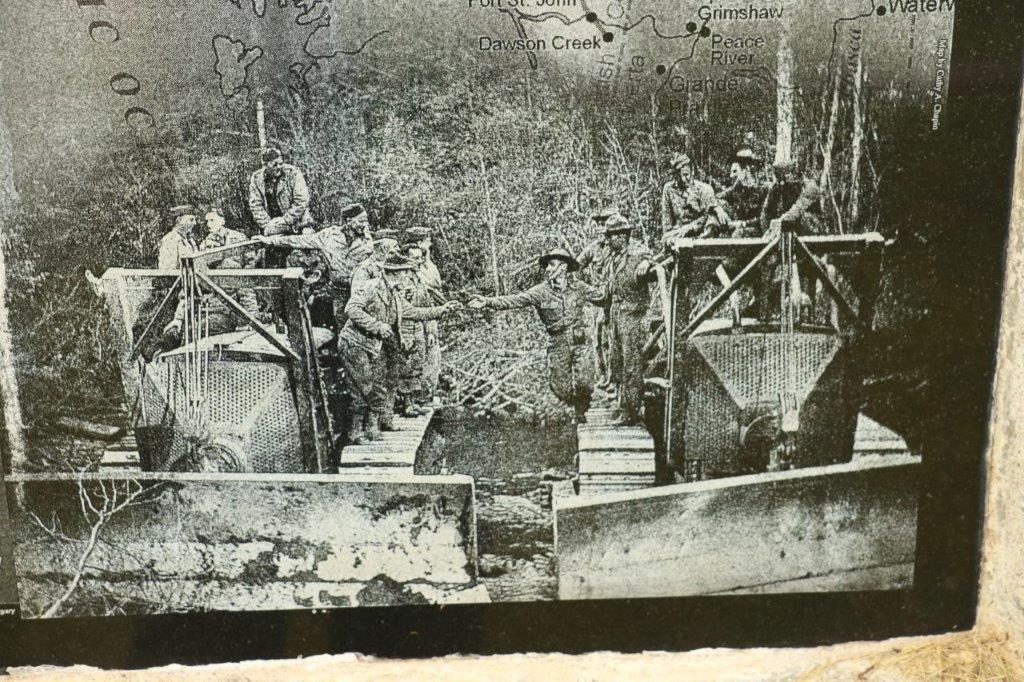
The Alaska Highway (originally called the Alcan Highway) was built in 1942 during a time when America was worried about an invasion from the Japanese through Alaska  after the attack on Pearl Harbor the previous December.  The highway was built to provide supplies and equipment to the north.  The 1700 miles (2257 km) of very rough road was built in 8 months and 12 days at a cost of $140 million.  More than 11,000 American troops, including 7 regiments of engineers, 16,000 civilian workers from the USA and Canada, and 7,000 pieces of equipment completed the task.  Construction officially began on March 8, 1942  and soldiers met at Contact Creek, near the BC/Yukon border on September 24, 1942.  The road was literally bulldozed through the wilderness.
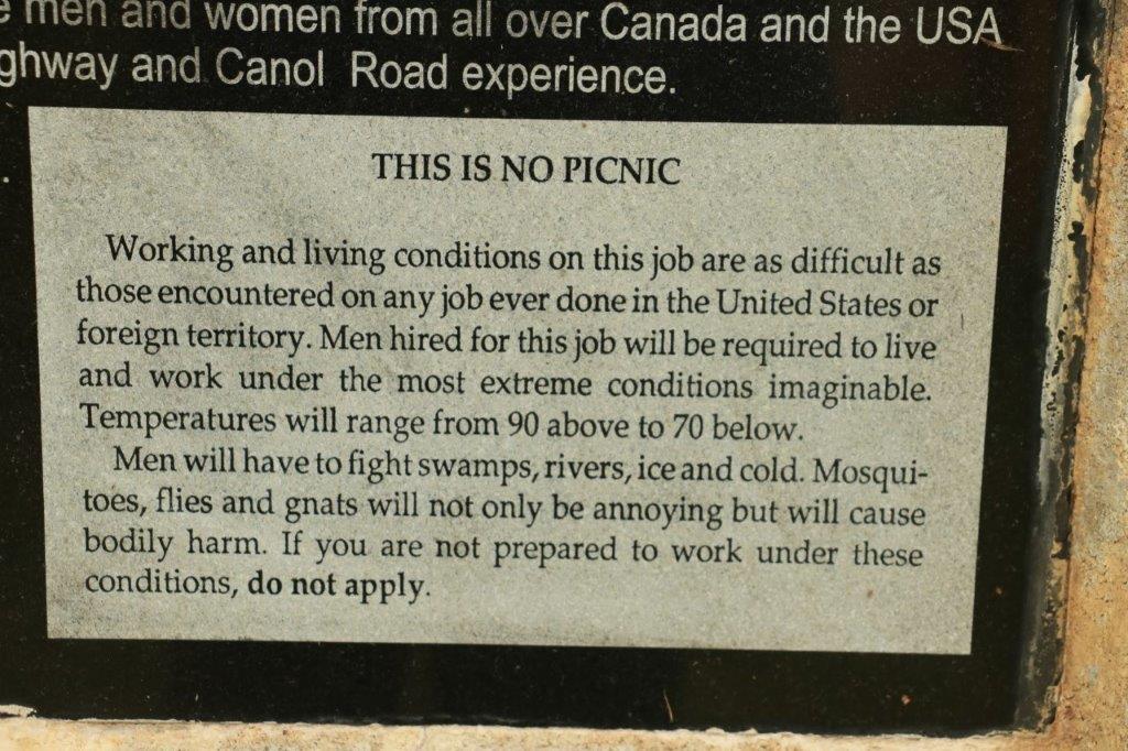
President Hoover authorized the contruction of the Alaska Highway on February 11, 1942.  The US secured rights-of-way through Canada in March.  The formal agreement between the two countries stipulated that the US pay for construciton and turn over the Canadian portion of the highway (it starts in Dawson Creek, BC and ends in Fairbanks, AK) after the war ended.  In turn, Canada furnished the rights-of-way, waived import duties, sales tax, income tax and immigration regulations, and provided construction materials along the route.  We will be driving much of the highway during our trip.

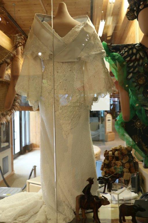
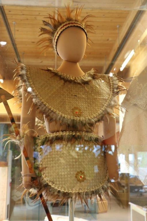
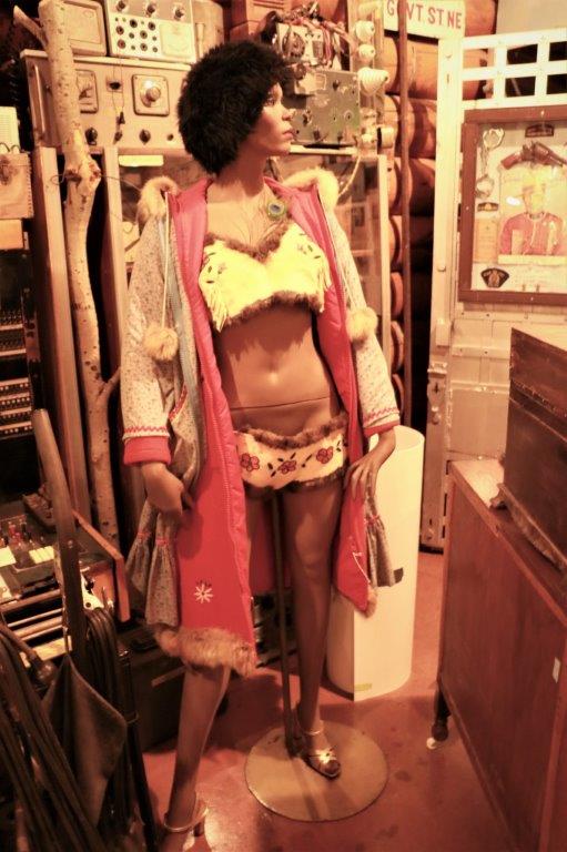
                                          Now, who doesn’t need a beaded buckskin bikini? 
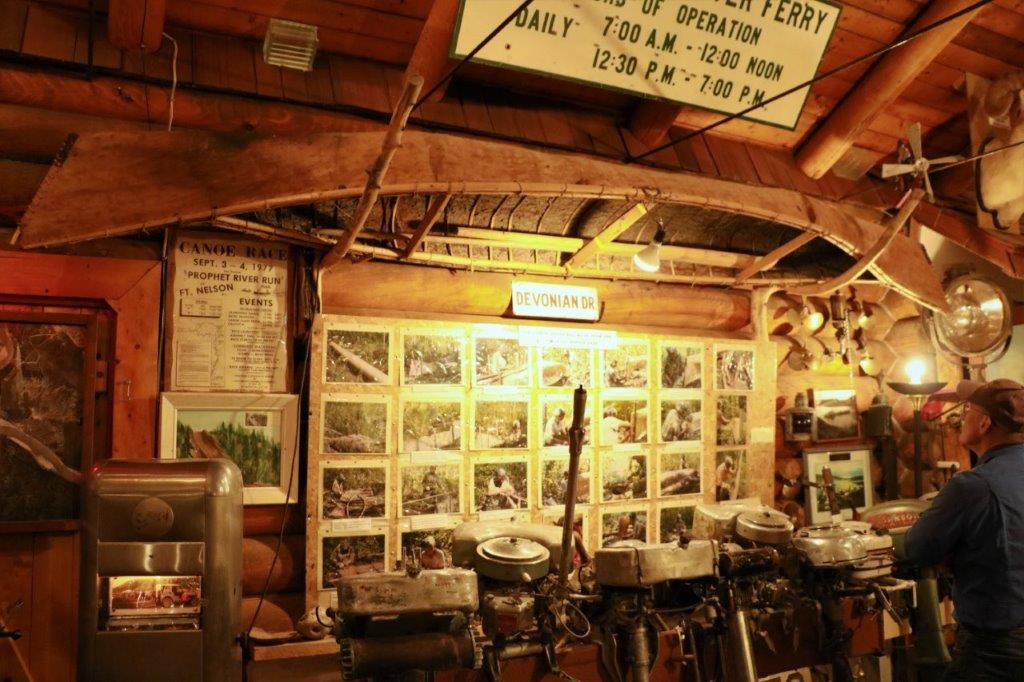
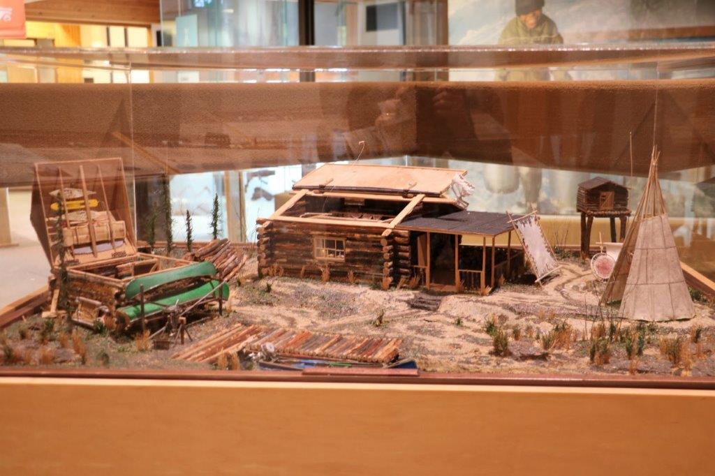
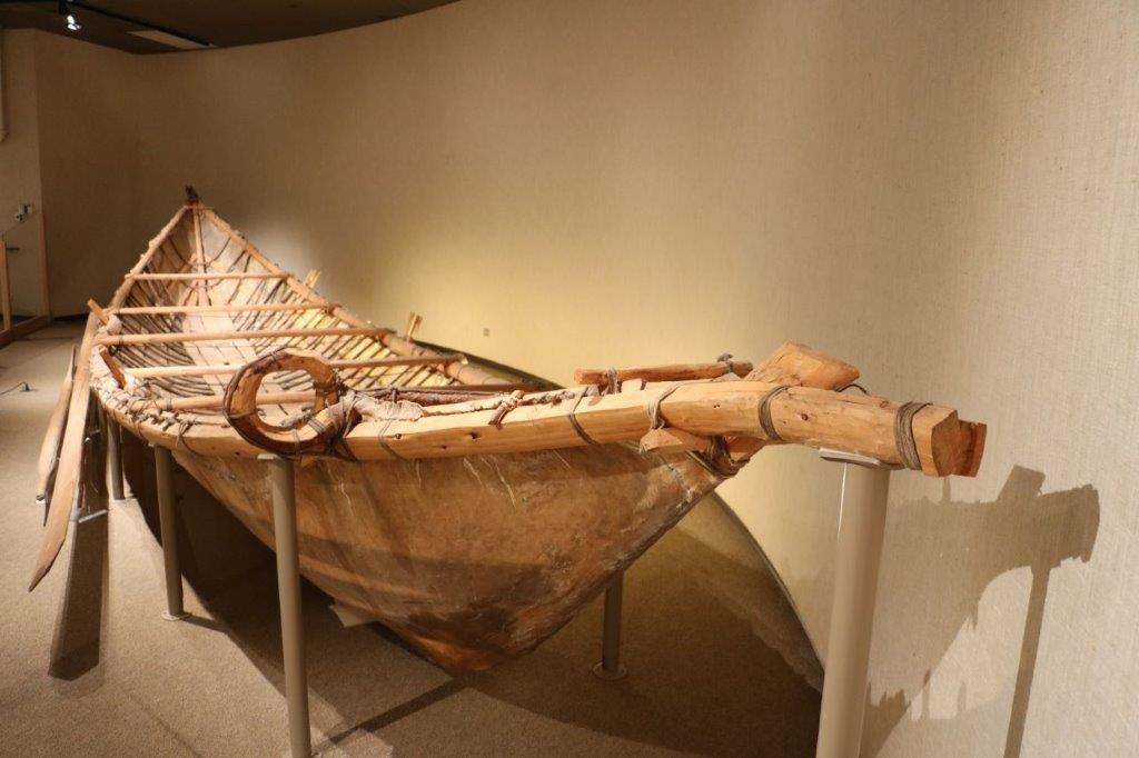
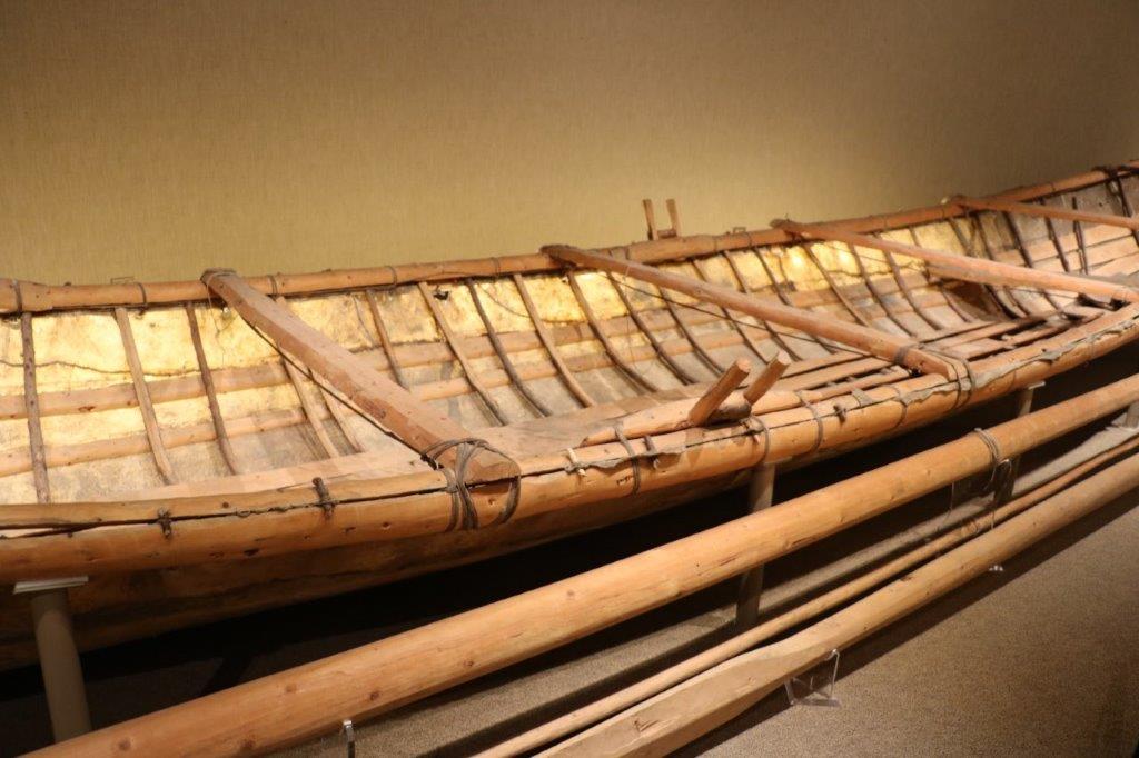
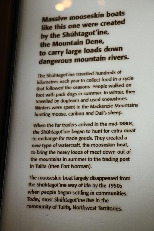
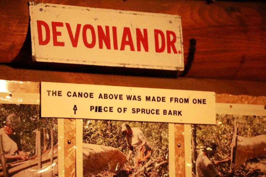
The canoe is hanging from the ceiling above John and all the photographs on the wall document it’s construction. 
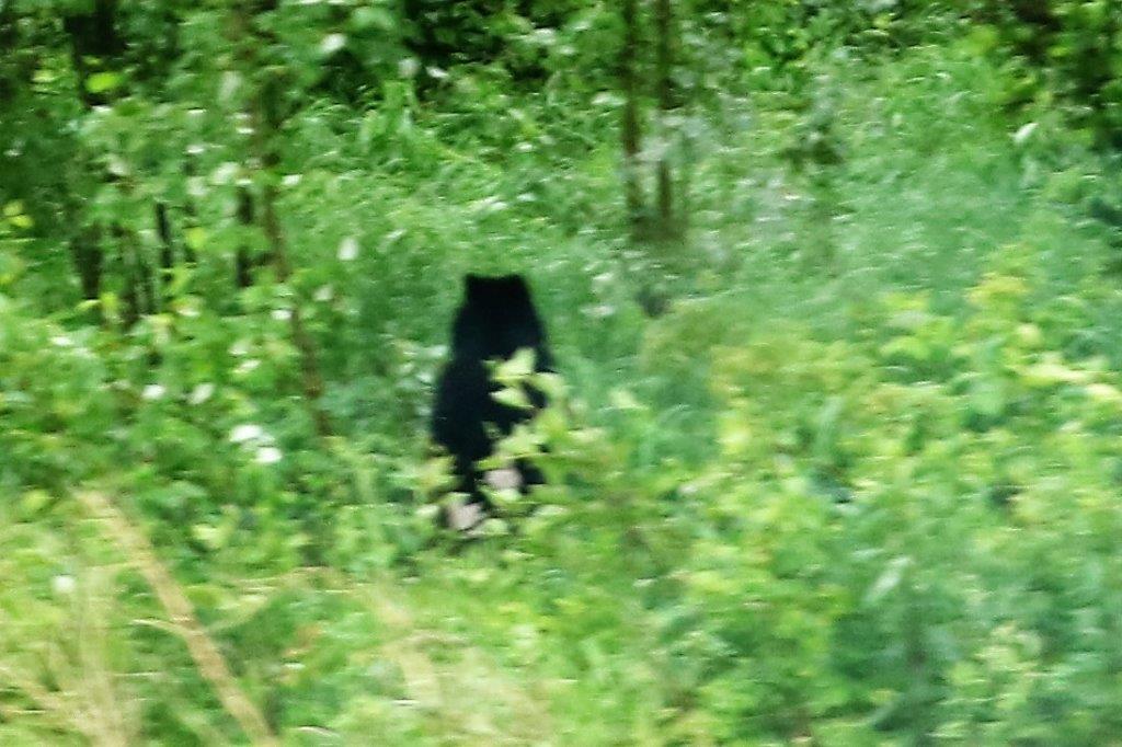
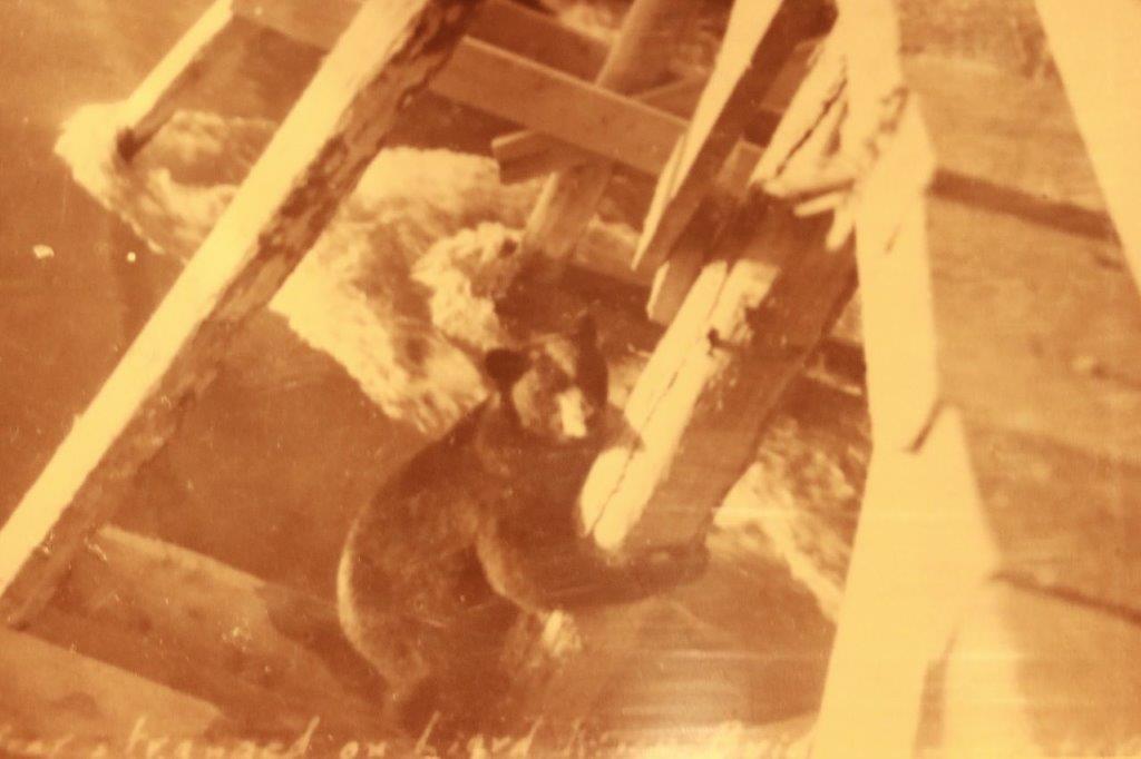
This photograph of a young bear clinging to a bridge support over a raging river was pretty cute.                 An original newspaper from September 11, 1939.                                              
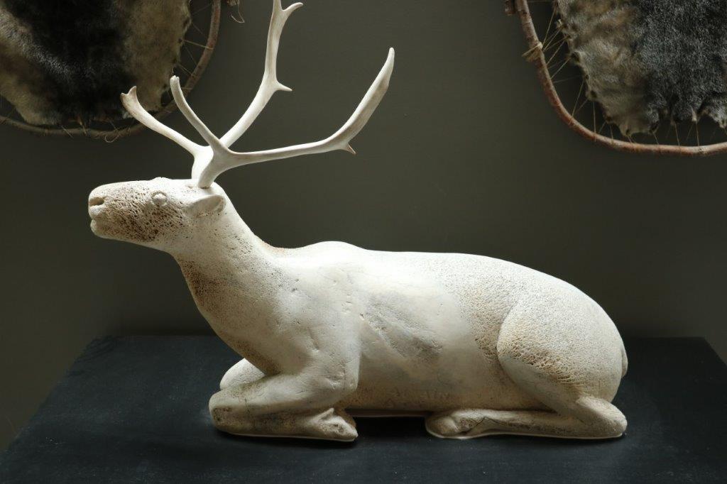
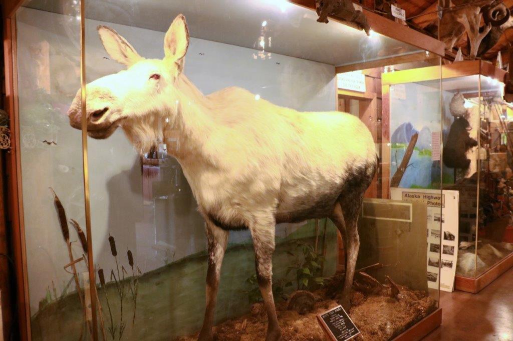
This is an albino cow moose.

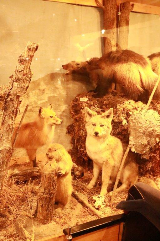
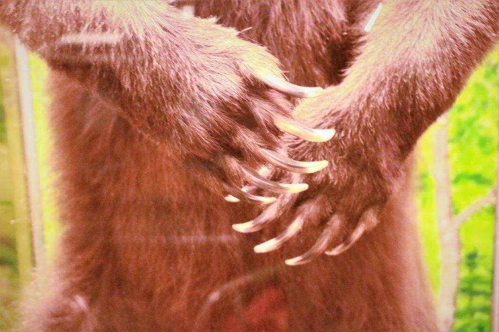
 This Grizzly wasn’t very big, but it sure had long claws.
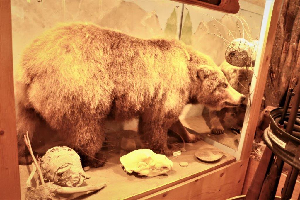
This is a female silver-tip grizzly. The silver tinge to her hair goes all the way to the skin.                                     
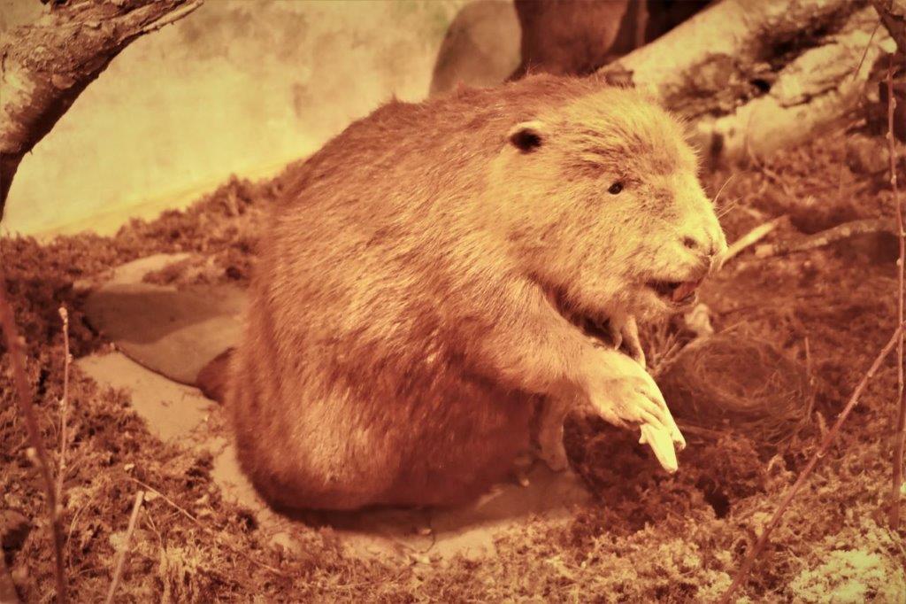
The emblematic Canadian Beaver.                               
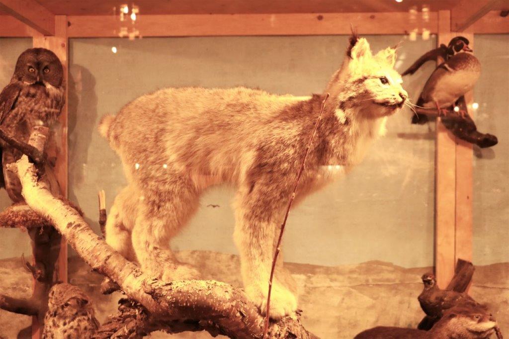
A lynx                                                              and an otter.
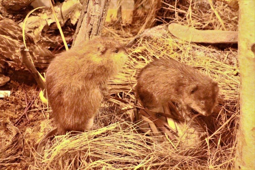
Muskrats.  I was surprised at how big they were; about the size of  a rabbit.

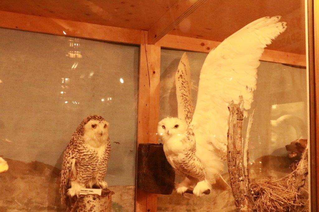
                                                                                     The beautiful Snowy Owl.
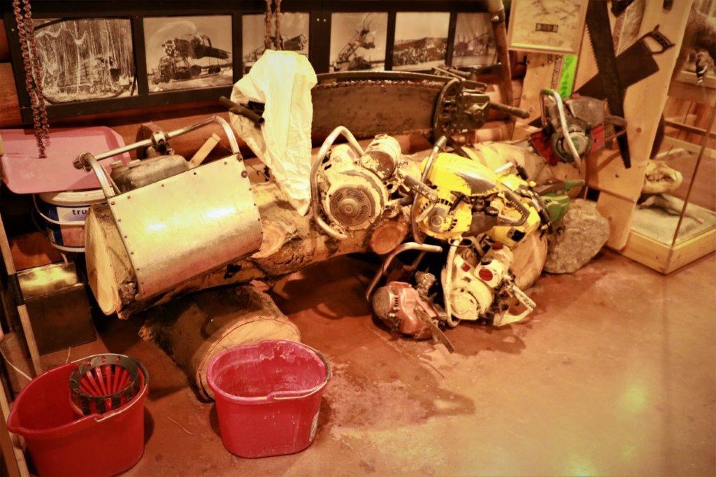
I had to take these two photos for my brother-in-law who loves to restore old chainsaws.
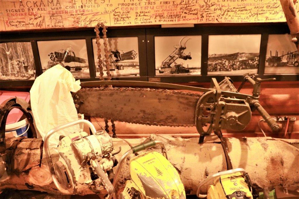
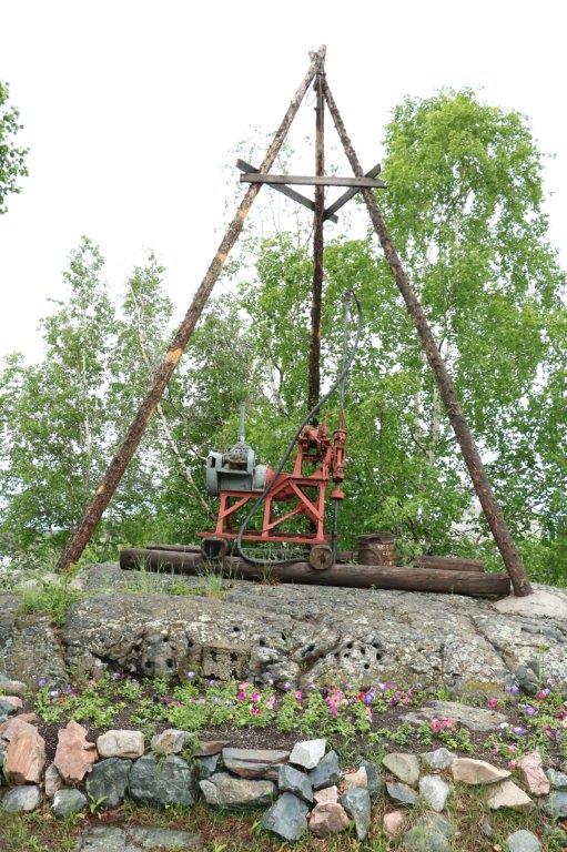
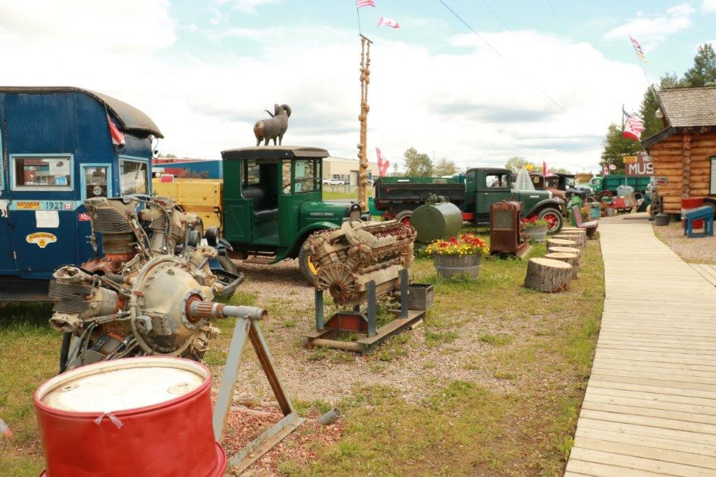
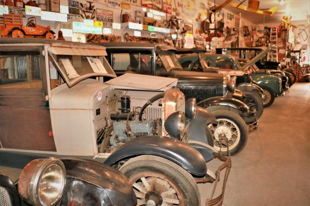
Outside they have seven buildings; three of which were locked. The first was jammed full of old cars and trucks. 
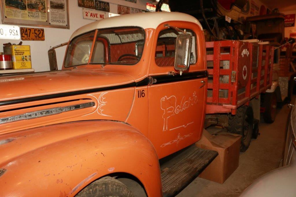
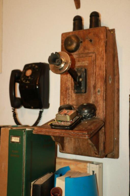
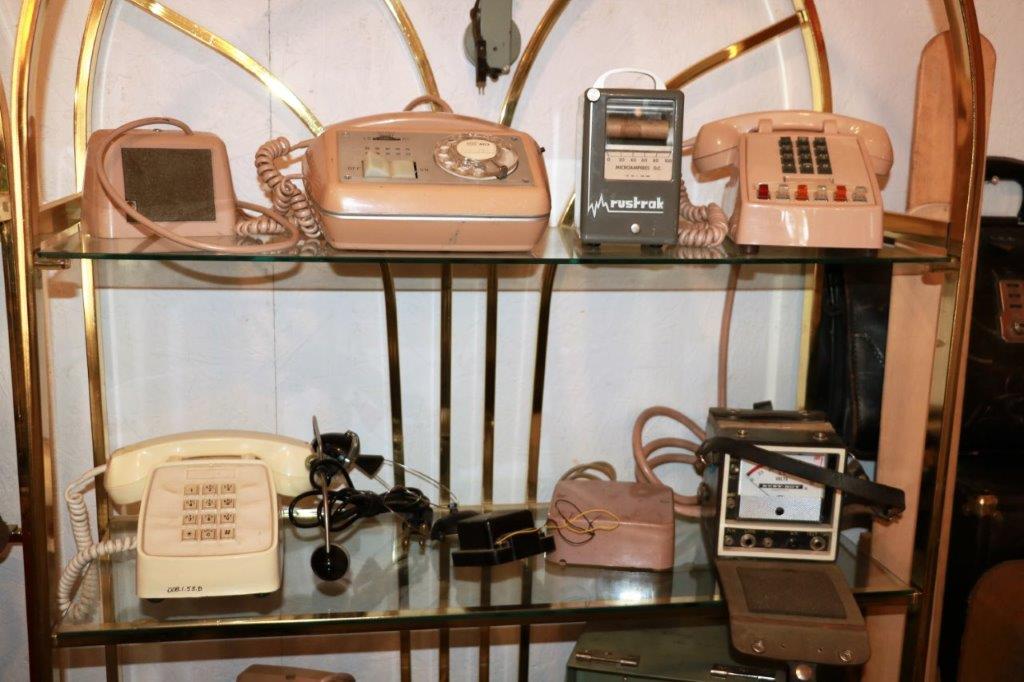
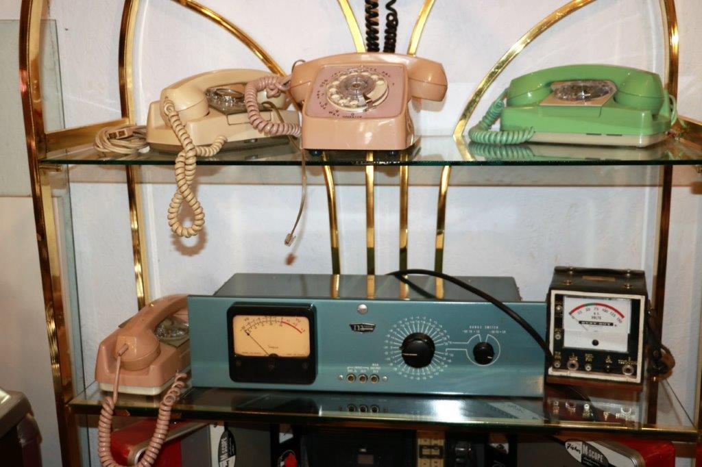
Oh, the good old days.  It was very exciting back then to have a phone not attached to the wall and in colours other than black! 
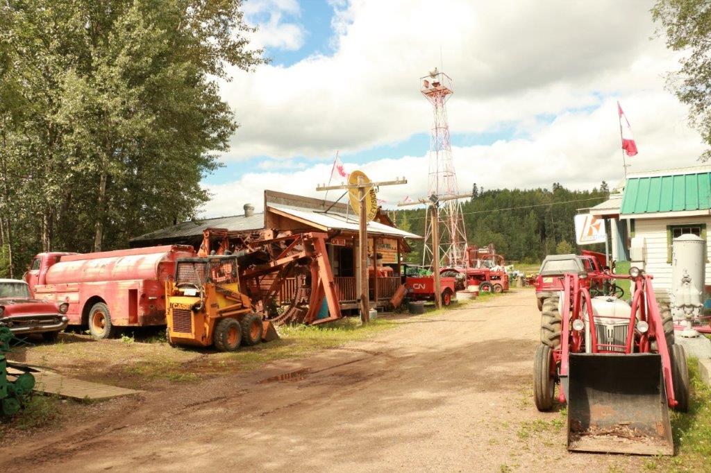
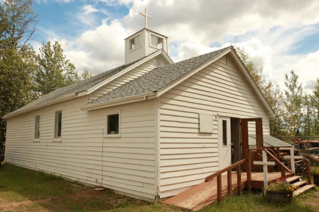
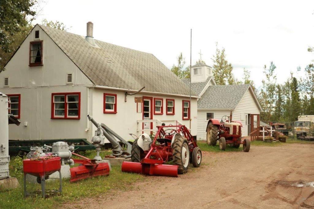
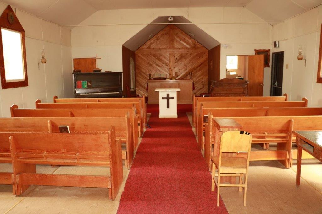
This former Anglican Church was originally an army mess hall. The front entrance was a later addition.

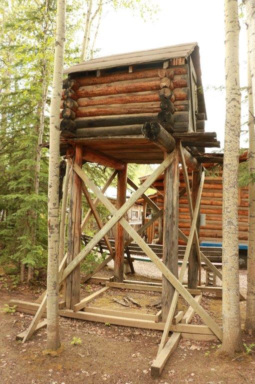
 Where to keep your foodstuffs and meat so the critters don’t eat it all before you can. 
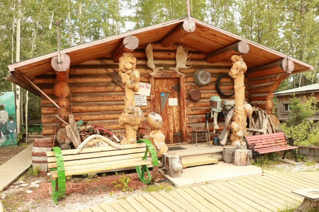
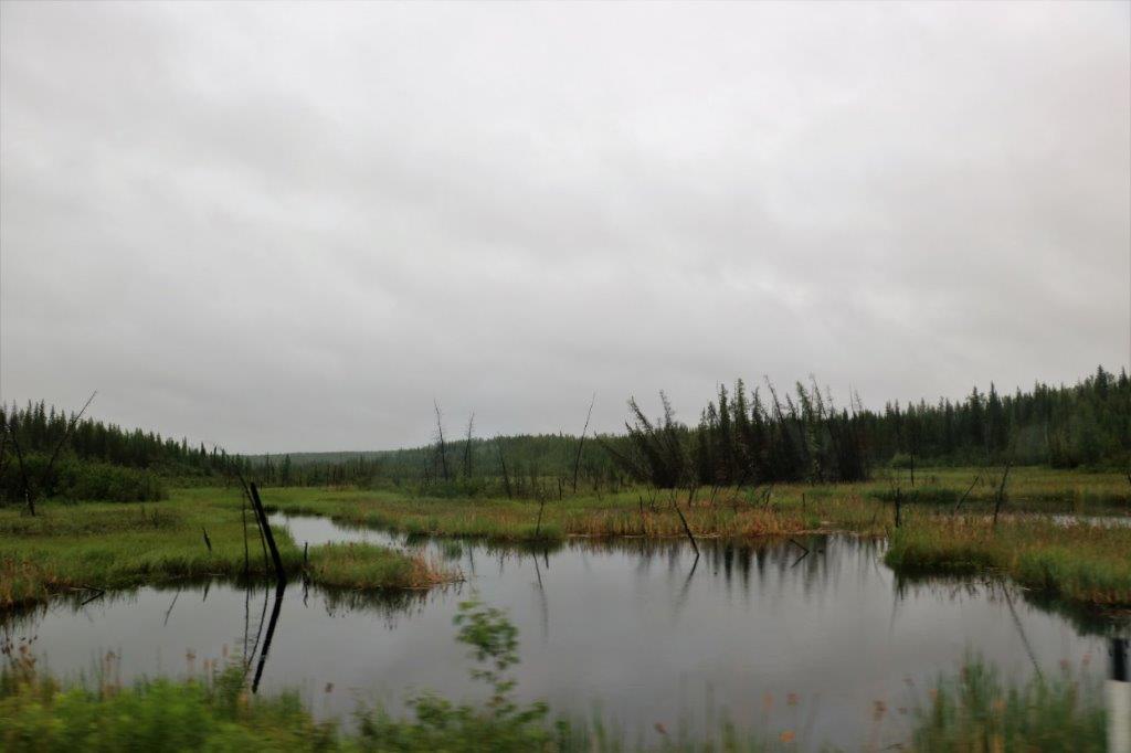
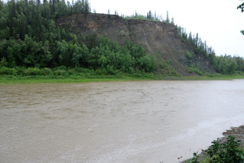
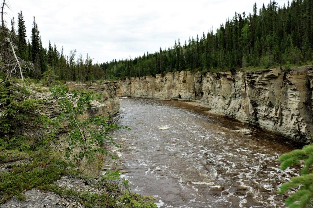
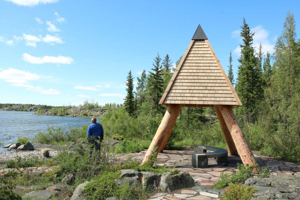
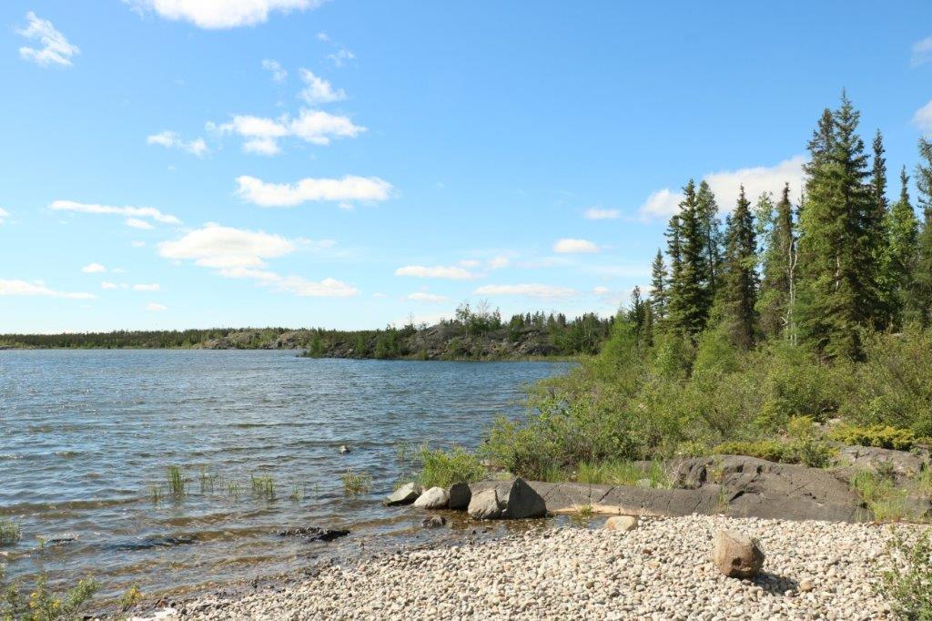
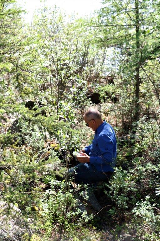
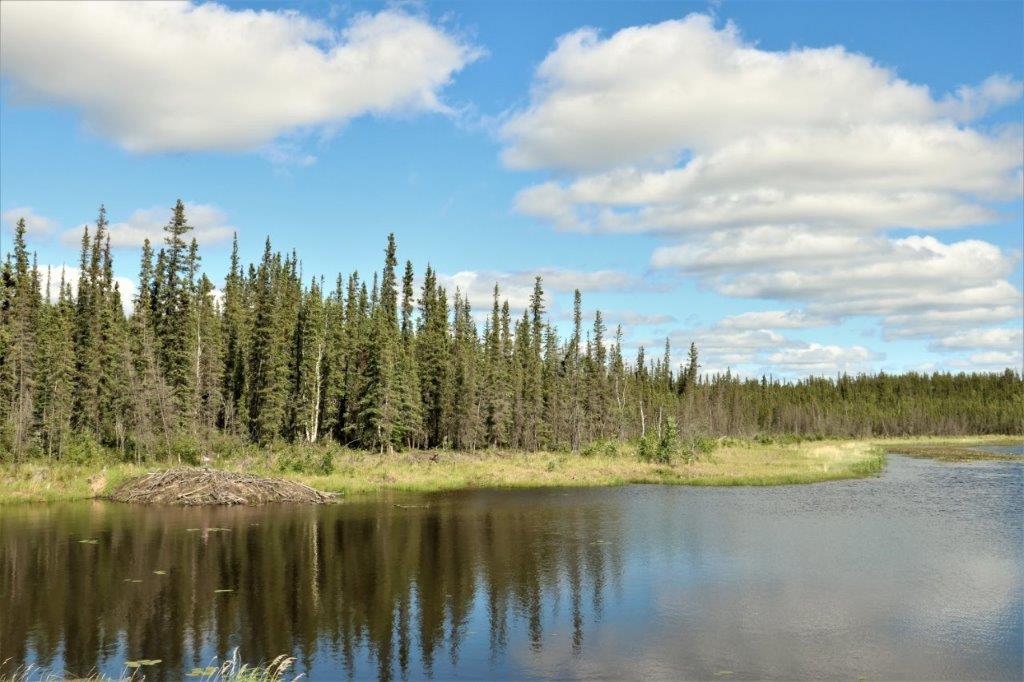
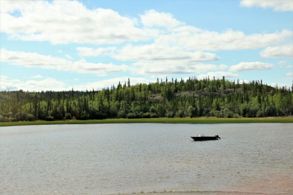
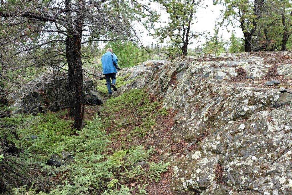
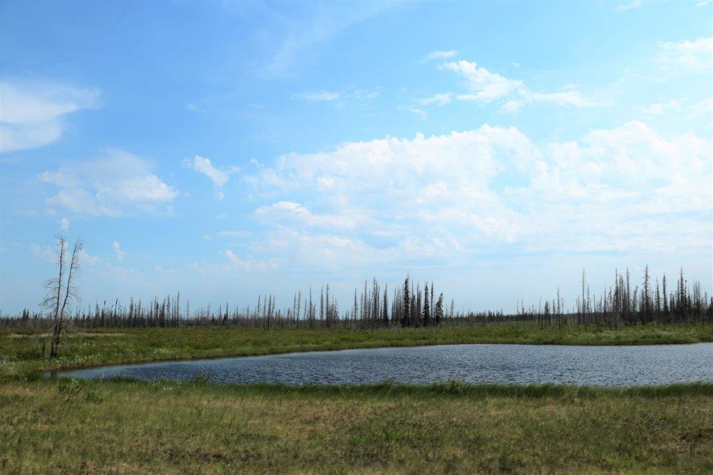
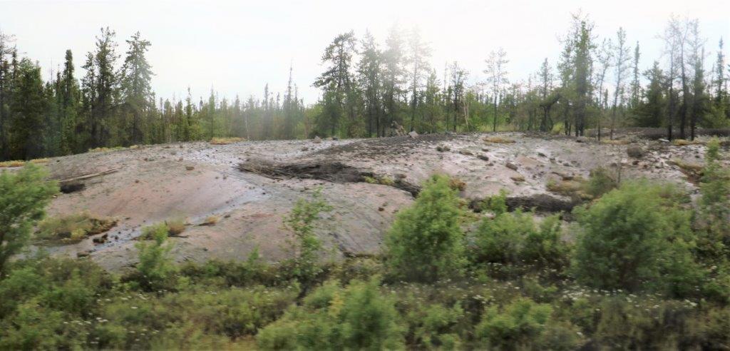
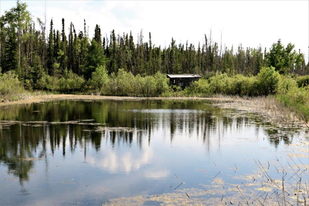
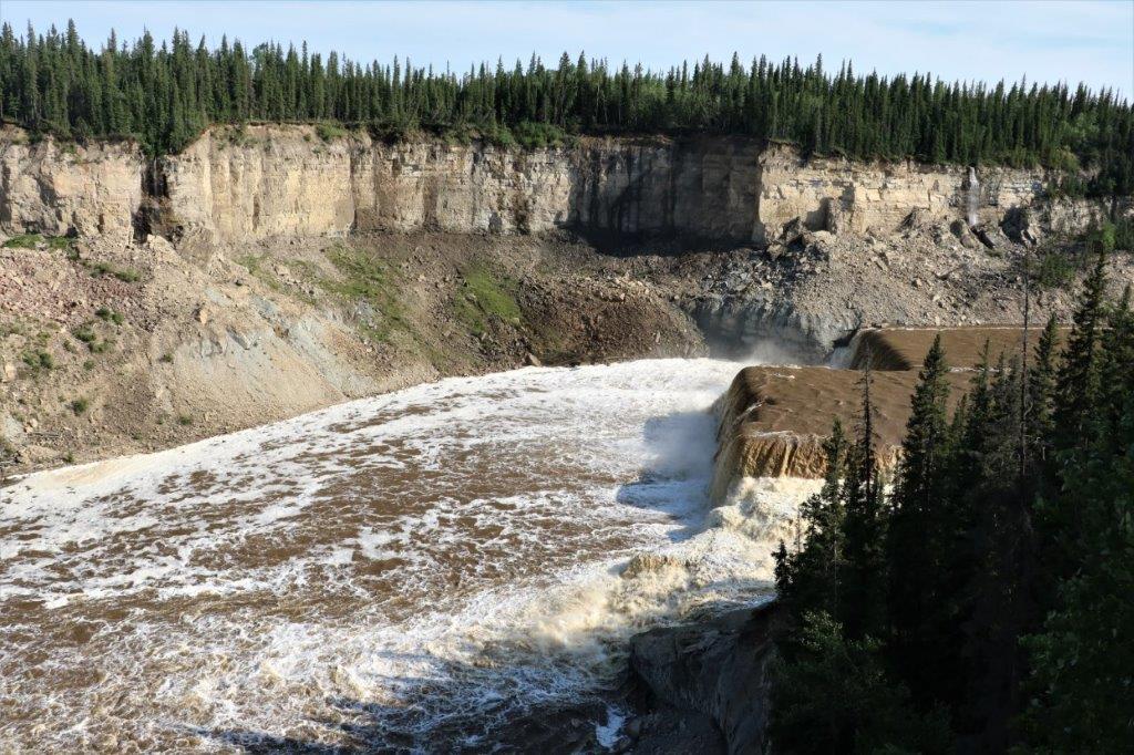
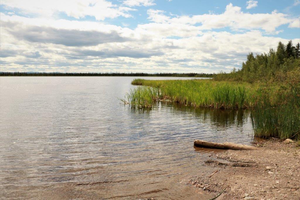
After our wander around the museum we drove about 10 km out of town to see the shallow Parker Lake (and find a geocache). 
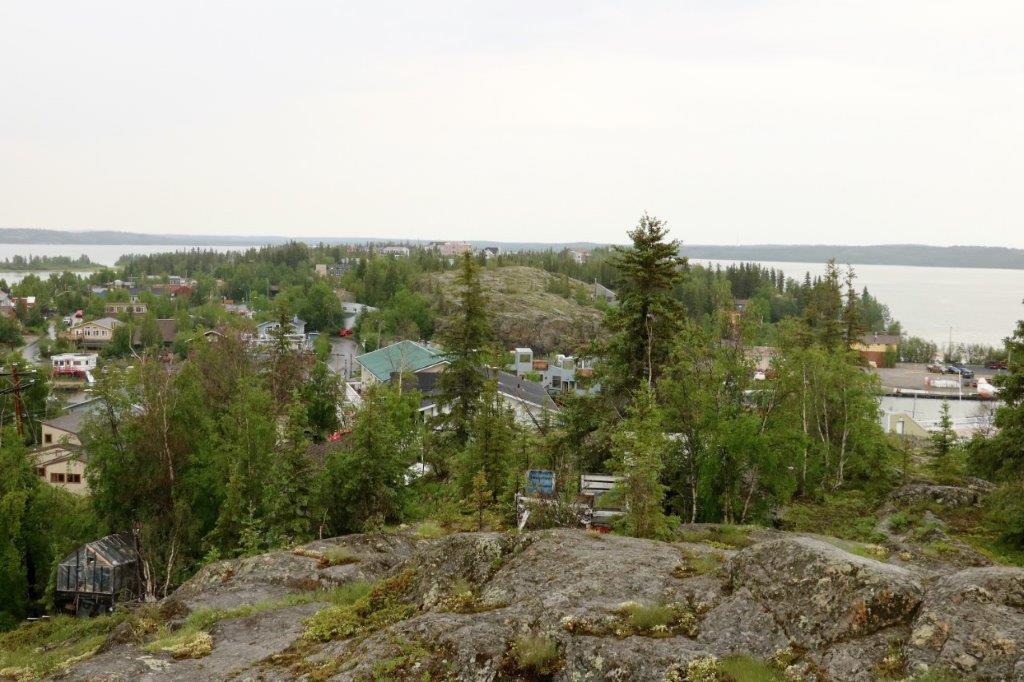
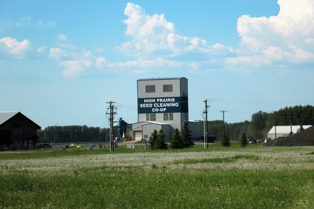
We drove back to Fort Nelson, did a drive around to see if there was more of a town center beyond the highway frontage (nope), found another cache and headed to our hotel for a couple of hours of laziness before dinner.

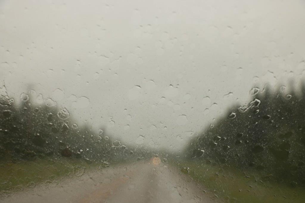
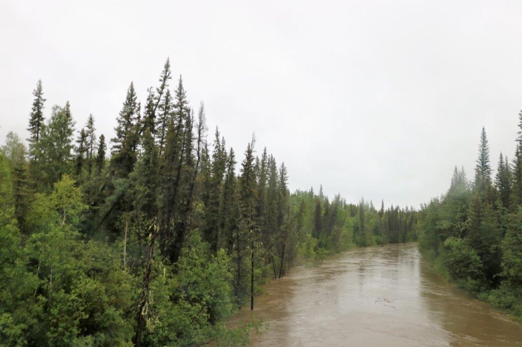
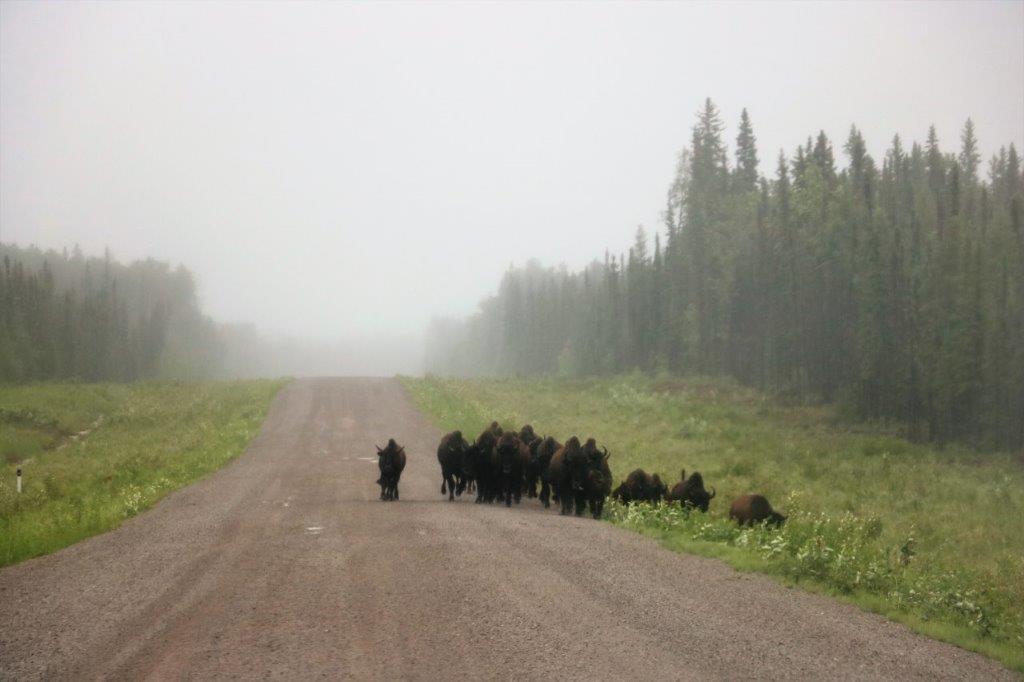
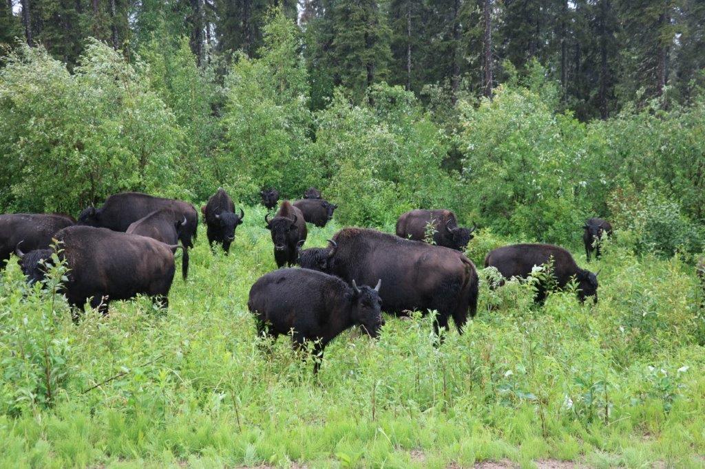
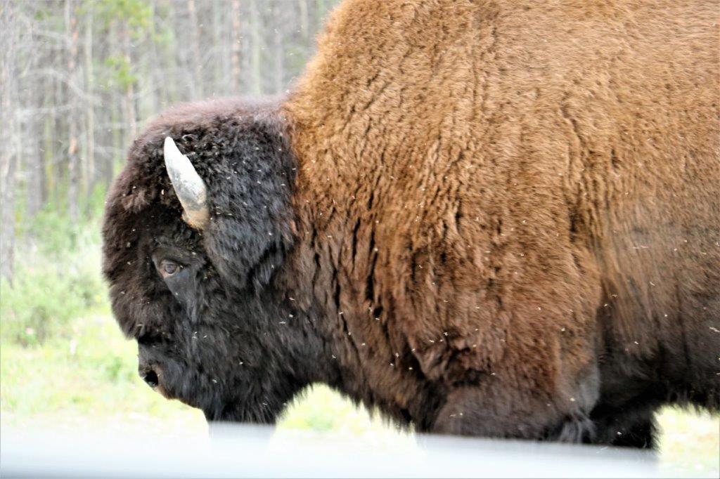
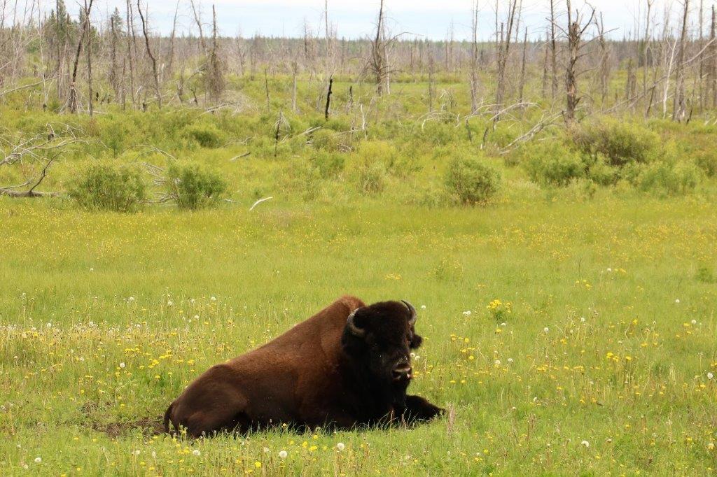
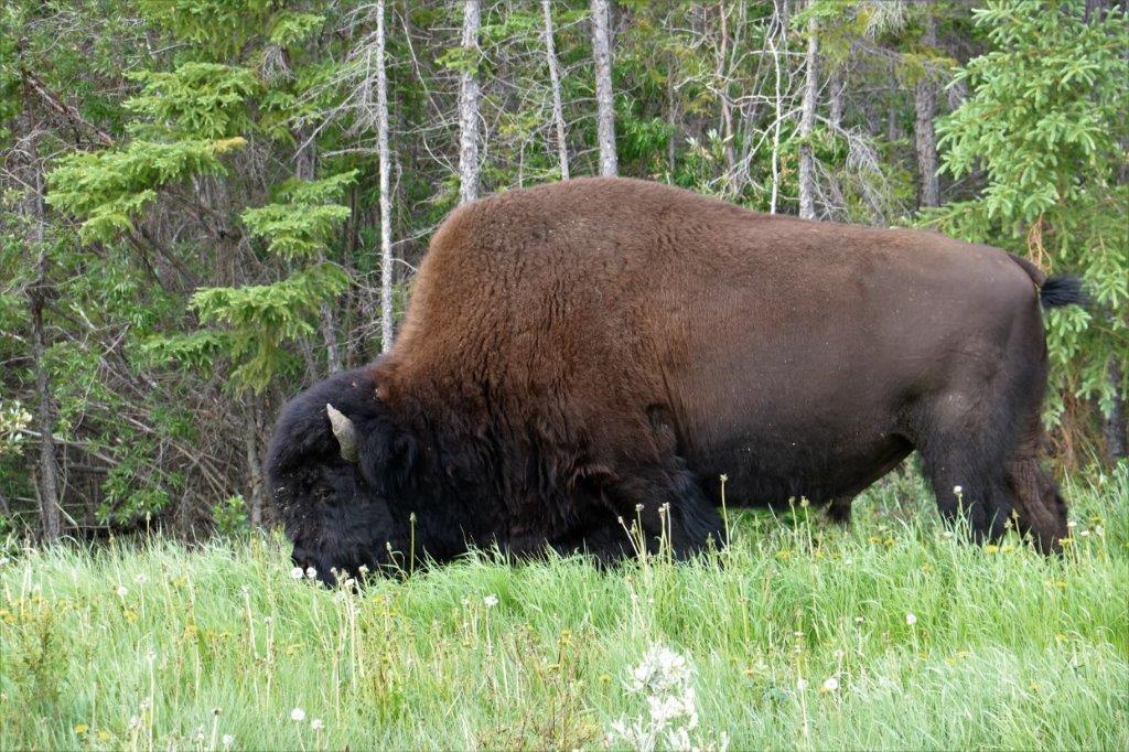
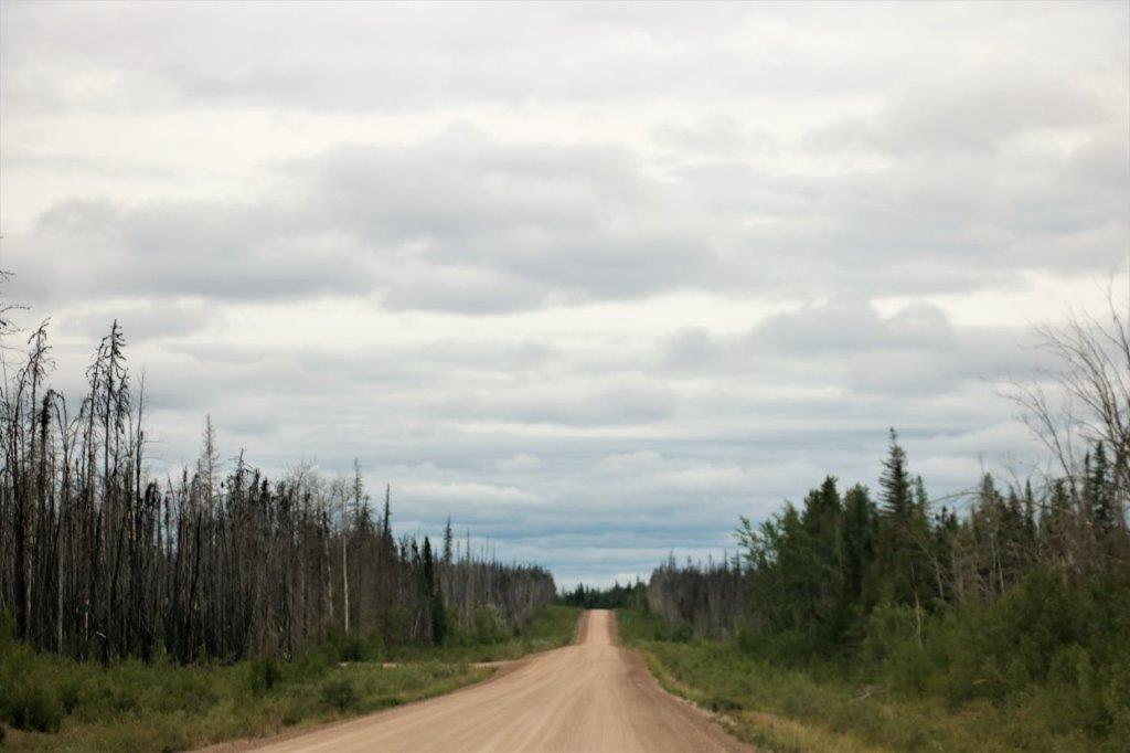
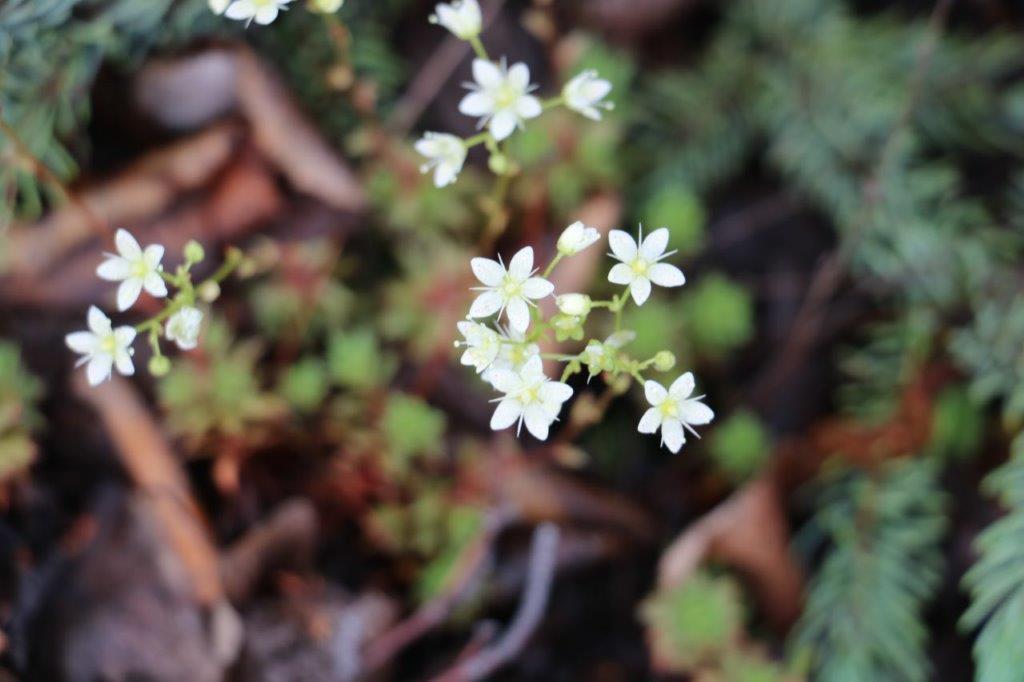
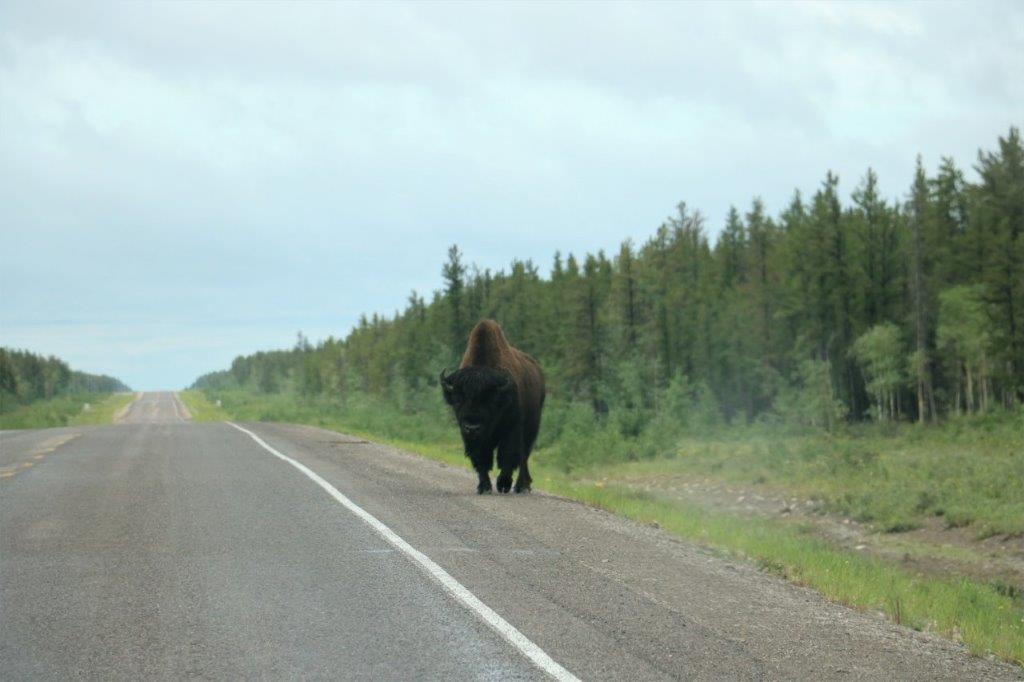
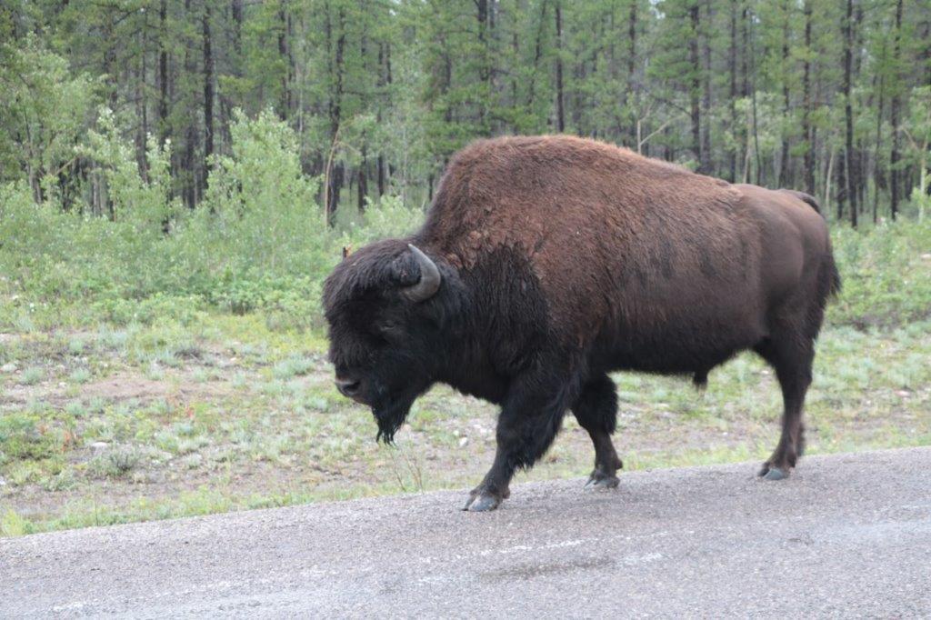
Tomorrow we drive 522 km (324 miles) to Watson Lake.  Today turned out to be quite a nice day and I am really hoping tomorrow will be about the same.  The section of the Alaska Highway between Fort Nelson and Watson Lake is supposed to be very scenic.   This area is called the north Rockies.  Here’s hopin’.

2018 June 26 – Fort Simpson, NT to Fort Nelson, BC

This was the look of our day.  From the time we left Fort Simpson at 8 am this morning until just before we arrived in Fort Nelson.It is 62 kilometers (38 1/2 miles) from Fort Simpson to the junction with Highway 7 south.  From there it is 220 km (137 miles) to Fort Liard and 440 km (273 miles) to Fort Nelson.  We had been told the Liard Highway was hard on vehicles but, even though it was a gravel road, we could do 100 km/hr.  There was the occasional rough spot or pothole, but just like driving the Mackenzie Highway yesterday it was a good road.  When we were told last night at dinner that it was going to rain all day we were very worried we would be driving through mud all day.  Not so.  Yea!  Consequently our day was not nearly as long as we had anticipated.  Even with a lunch stop and drive around Fort Liard and some short stops to find a couple of geocaches we arrived in Fort Nelson at 3:20 pm! – several hours sooner than we expected.  And then we found out we were back on BC time and it was 2:20!   There were no waterfalls or gorges or pretty lakes to see today.  What we did see was bison!  And lots of them!

We encountered the first herd at 10:30. They were all standing right in the middle of the road.  We stopped to see if they would move and were changing the camera lenses to our zooms when a car came up behind us, drove past and drove right at the bison.  It slowed down, but didn’t brake.  The bison just ambled out of the way.  Obviously the local folks don’t allow theselves to be slowed down by the big animals.  Unfortunately, the scattering of the herd almost ruined our chance of some good close-up photos.  Fortunately, the bison are so accustomed to vehicles they didn’t go very far. The bison are just finishing shedding their winter coats.  They won’t grow another one for two months. The bison we saw today were very dark, almost black, and despite the fact they were wet, they were darker than the ones we had seen previously.I saw about five calves in the group.Not long after we passed the herd we saw two more bison. With all the rain in the area lately the rivers (and there are many of them) are all flowing very high.  We even passed a couple of men from the highways department investigating a large pond of water that had accumulated beside the road despite a long, deep ditch that had been dug to try move it along.  Then we saw four more bison, one of which had a broken horn.We also saw another bear cub.  It was sitting beside the road as we drove up and by the time we realized it was a cub it was hightailing into the bushes.  The black blob is all I managed to catch with the camera.Twenty km before the turnoff to Fort Liard we encountered our second herd of bison.  With the rain coming down so hard and the dark coats on the bison we couldn’t tell whether they were going ahead of us down the road or coming toward us.  It didn’t take long to realize they were running toward our truck.  Thankfully they veered off onto the grass verge as they went by.  I got a good video of them too.There is one geocache in Fort Simpson and one in Fort Liard.  We didn’t find either of them since both were hidden in the bush – the one at Fort Liard was also on top of a steep hill – and everything was soaking wet and it was still raining.  We parked at the bottom of the hill in Ft. Liard, beside the Liard River, and had some lunch, then headed back to the main highway and carried on. The Liard Highway is not a heavily traveled road.  I kept track of the vehicles that either passed us or that we met and over the entire day before we reached the Alaska Highway 25 km out of Fort Nelson (about 400 km/248 miles.) we saw exactly 12 cars and trucks.  The gravel ended about 10 km from Fort Liard and we were back on pavement the rest of the way.

We passed by far the largest herd of bison a few km south of Fort Liard.                This photos shows about 1/4 of the herd. We crossed the Northwest Territories/BC border about 1 o’clock, and stopped to find a geocache that was hidden in the “Welcome to the Northwest Territories” sign.  John had to do a bit of fancy climbing to get it.

About an hour out of Fort Nelson we got our first glimpse of blue sky.Sadly, it didn’t last.  We had light to heavy rain off and on the rest of the afternoon and into the early evening.  It is supposed to rain again tomorrow.  We are staying in Fort Nelson two nights.  We booked two nights to have a bit of down time after what we expected to be two very long driving days.  They both turned out shorter than expected but we aren’t sad to be having a day ‘off.’And….since we arrived in Fort Nelson so early we were able to find the Service BC office and John got a new driver’s license!  Also we were able to find a Bell store and get our new phones working.  A good day all around, I would say.

After we concluded our business we went looking for the hotel. We had seen a sign as we drove in to Fort Nelson so we headed back to the edge of town looking for it.  No luck. (Turned out to just be an advertising sign and the hotel was back 3 km.)  But just as John turned the truck around to head back into town a black bear stood up in the bushes beside the road.  John stopped the truck and the bear promptly went back onto all fours again and began to industriously eat something in the bushes. We waited for about 20 minutes for him to move into the open but no luck.  So my second photo of a bear today is very similar to my first one.  Darn bears just won’t co-operate!

2018 June 25 – Yellowknife to Fort Simpson, NT

We had a long driving day ahead of us today so we got up at 7 and were on the road leaving Yellowknife a little before 8:30.  The first 345 km (215 miles) was the same route we travelled to get to YK.  There is only one long road in and out of Yellowknife.  The airport is very busy though. They have planes coming in from all over the place all day long.

As we were leaving the city limits a coyote with his breakfast ran across the road.  (The photo isn’t really sharp.  It is really cropped as he was quite away ahead.)We stopped at Northwest Arm Park to find a geocache.  A truck and trailer pulled in a few minutes later and drove off in the direction we were just about to go to find the cache.  A lady got out and started walking into the bush. As John got out of the truck she called to him that she was just going to look for a geocache.  We told her we were on the same quest so off we went 120m into mosquito infested bush to make the find.  She has been caching for 8 years and is 11 short of finding 1500 caches.  Her husband doesn’t geocache, He just waits while she goes hunting, or puts on some tea.  It was fun to meet someone who enjoys the same hobby.

      Mosquito Creek

This stretch of road borders the Bison Sanctuary and on our way back we saw lots of the critters.  First was a small herd of cows and half-grown calves. Then the big fellow we passed on the way into Yellowknife walked up the side of the road past the car. Again.Next came the contented fellow lying in the grass and dandelions.Finally, this great big dude was mowing through the grass at a steady pace. At the end of Highway 3 we turned left onto Highway 1 (the Mackenzie Highway) toward Fort Simpson (240 km or 150 miles) where we are spending the night.

This area too, is home to some bison, although we didn’t see any of them.

We were blessed with pavement for a longer distance than we had expected but eventually we did get onto the gravel road.  The first few km were recently graded and even the rest of the road (except for a few pot holes now and then) was a smoother road than Highway 3 going to Yellowknife. That road is a roller coaster of frost heaves and dips.  We made good time on the smooth gravel all day.We stopped at Axe Handle Creek to find a cache hidden in guard rail. Upstream of the bridge.                      And downstream of the bridge.

There were four geocaches close together near Sambaa Deh Falls Day-Use Park.  The first was at the end of a .5 km (about a third of a mile) trail through the bush which took us too a lookout over Coral Falls. Back on the road, across a bridge over the Trout River we walked over to the Sambaa Deh Falls to find an earth cache.  (We skipped the other two caches, both of which were quite a ways further away and one of them you need to rappel down a rope to find.  Not!)           Upstream of the bridge above and downstream below. I think there was more white water around the corner too but it was posted with a sign saying Unstable Cliff so we did not go further. The layers of rock on the cliff sides of the gorge were really neat.  You would think you could just slice them apart and make slates for your roof.

We were toodling along about 15 km from Fort Simpson, came around a corner and there was a ferry.  There are quite a few ferries that provide road access in the summer to communities across the many rivers in the Northwest Territories.  In the winter the rivers freeze and they make ice roads.  There is no ferry schedule, it just picks up any cars that come along and takes them across the Liard River. We pulled into the community of Fort Simpson at 6:15, so with our various stops we were on the road almost 12 hours.  Tomorrow is going to be longer.  And it is going to rain. All day!  We are on a gravel road all day tomorrow and it will be a muddy mess in the rain.  Joy! Well, we take these road trips for the fun and adventure of seeing new places.  Tomorrow should fall into the adventure category.

2018 June 24 – Yellowknife, NT

It was interesting this morning to talk a bit with the lady in charge of the breakfast at the hotel.  She is a young woman from the Philippines.  How weird after we learned just yesterday that there was a large Filippino population in Yellowknife.  She has been here 5 years and arrived in February (Yikes!  Temperature shock!) directly from the Philippines.  There are agents in her country that find job placements for people wanting to come to Canada.  And, if you will live and work in the north for a minimum of 6 months you can fast track to a Canadian Permanent Residence status.  She works two jobs and had to spend about $10,000 to come here.  She has only been back home once since she arrived but hopes to go again in two years.

We were feeling a bit lazy so we lingered in our room awhile after breakfast and didn’t leave the hotel until almost 11:30.  The web page for the Diamond Center said it was open today from 10-6.  They lied.  When we drove to the location it was closed.We had no real plans for the day except to tour the Legislative Assembly Building at 1:30 so we decided to wander around downtown and find a few geocaches.

Yellowknife is an interesting city.  I find the overall look to be somewhat industrial – lots of simple square boxes.  Yet there is the most curious blend of building purposes.  Take the photo below:  there is an office building, a Mormon Church, a private residence and a high rise tower side by side on a main downtown commercial street.We enjoyed the walk about, found a few caches and were greeted by several people walking by.  While we were taking photos of this mural a lady sitting on her front steps across the street at the end of the block hollered over and asked us what we were looking for.  We told her we were just taking a photo of the mural.  She then proceeded to tell us about a few things to see in town and a good place to eat.

While we were looking for cache two men and a woman walked by, stopped and asked if we were from Yellowknife.  When we told them no the young man said where he was from and encouraged us to go there and enjoy some great fishing.  We have found this to be a very open, friendly place. We saw several of the painted utilities boxes around the city today.   At one or so we made our way back to the truck, had our pb & j sandwich lunch and drove over the Legislative Assembly Building for the tour.

The Northwest Territories has a Consensus Government. They have no political parties.  There are 33 communities in the Territories and 19 districts.  After people are elected in each district they have a vote among themselves to elect a Premier, a Speaker of the House, and six Cabinet Ministers.  The remaining 11 members become the ‘unofficial’ opposition who ask questions and for clarification, etc. when bills are presented.

Our guide was a young university student home for the summer (she attends University in Nova Scotia) and she will do all the public and private tours.  Her name was Mackenzie and she was born in Yellowknife.  She did an excellent job and filled my brain with all kinds of trivia about the Northwest Territories and all the symbolism in the objects, the rooms and the building.  Tons and tons of interesting stuff I won’t bore you with. (Well, maybe a little.) The building sits amidst the trees near the shore of Frame Lake just a short distance from the city center.  If you don’t slow down when driving past the entrance you would never notice the building.  It sits right among the trees and much effort was done to not disturb the surrounding nature.  The two photos below are photographs of a picture in a brochure showing the building from the air and a postcard we were given after the tour.  You can see how close the forest is to the building and how well it nestles in it’s surroundings.  Unfortunately the reflections in the glass make for sad photos.It is hard to see the lovely snowflake crown atop the mace due to the mirrored reflection.  The mirror is there to show the inside of the crown which contains a gold orb for the midnight sun, the circle of life and the world.  On top of the orb is a silver crosspiece that together forms an ulu (hide knife), a tipi, and a house representing the cultures of the territory – Inuvialuit (Inuit), Dene/Metis (First Nations) and the many non-aboriginal people.  On top of the crosspiece is a 1.31 carat northern diamond. If you look closely near the lower center of the photo above you can make out the diamond.   The circle of gold nuggets below sit on the base upon which the mace sits and there is one gold nugget for each community in the territory. This caribou is carved from a single piece of very old (over 100 years) whale bone.  The antlers are carved of real antlers.

This is a discussion chamber.  There are no records kept of what is said here and open discussions about issues and laws take place weekly.  There are no ministers, or Speaker, or Premier, in this room; everyone is equal and everyone has a voice.  The motto of the Northwest Territories is: “One land, many voices.”  This is called “The room without secrets.”  Partially due to the openness of the discussions and partly due to the acoustics which are so good that two people whispering on one side of the room can be heard everywhere.

The paintings on the back wall are all by Group of Seven artist, A. Y. Jackson.  This is the largest collection of his work on display in the world and only members of the Legislature, staff and people on tour can see them. They were commissioned by territory and one of the mining companies. I took a photo of everyone of them!

These three pieces of art are by a BC artist and repesent the past, present and future of the territory.  We were given the explanations of each piece but I won’t take the time to write it all down here.No one knows exactly what this sculpture is made of – it is assumed to be soapstone – nor do they know it’s name, or it’s creator.  It sits in the middle of the chamber in the hope that someday someone may come in and recognize it.

For many years the Legislature traveled to various parts of the territory to conduct it’s business. There was no central Assembly building.  Legislative business was conducted in school auditoriums and hotel conference rooms in different communities every year.  The chair above was for the Speaker of the House and was given to the Northwest Territories by the Federal government in Ottawa.  It can be completely dis-assembled to make it easier to move and transport by canoe or snow sled to the various communities.  Now that there is a central building it is no longer used.The chamber of the House of the Northwest Territories. The large panel behind the Speaker’s chair is made of zinc and shows a topographical representation of the land from the air.  There are glass panels all around the dome near the roof to let in light – of course – but also they are works of art. The glass is re-cycled car windshields that have been sand blasted to show the northern ice in all its seasons.  As you look around the dome the etching displays the solid icy coastline of winter, that begins to break up in spring, is full of small chunks and streams in summer, and begins to solidify again in the fall.  You can’t see it very well, but it was really lovely.The territorial flower – The Mountain Avens.  The tree is the Tamarack (or Larch), Their fish is the Arctic Grayling and the bird is the Gryfalcon.  The official gemstone is, of course, the diamond and the mineral emblem, also obviously, is gold. The even have a red, green and yellow tartan.

We had some nice chats with Mackenzie and Robert the security guard before we left Assembly building.

There are quite a few geocaches hidden in the area around the Assembly building and the nearby Prince of Wales Heritage Center. We took the time to find a couple of them.                                                                Frame Lake

 We had no other plans for our final day here.  It was a beautiful sunny day so we decided to drive some of the Ingraham Trail.  The Trail is also called the “Road to the Cottages” or “Diefenbacher’s Dream.”  Officially it is Highway 4 but is popularly called the Ingraham Trail, after Vic Ingraham, a pioneer business man from the 30’s and 40’s.  The road extends from Yellowknife to Tibbitt Lake, approximately 70 km (43 mi) east of Yellowknife.  It was built in the mid-1960s as the first leg of a ‘road to resources’ with the original intention of circulating Great Slave Lake and connecting the mining districts of the north with Saskatchewan.  When Prime Minister Diefenbacher was defeated in the federal election an immediate halt was called to the road construction and it literally, just stops dead at Tibbit Lake.  There have never been any new plans to continue it. I finally got a photo of a beaver lodge. And this is a patriotic beaver as well, because there is a small Canadian Flag flying on top of his house.                                                        Prosperous Lake.

We turned around at Madelyn Lake about 25 km up the Trail and headed back to Yellowknife in time for dinnner.  It was a nice last day here.

Tomorrow we will be up early (well, early for us  – 7 am) and hope to be on the road not long after 8.  We have a 9-10 hour drive, about half of which will be on gravel road, before we reach Fort Simpson where we spend the night.  Fort Simpson is about half way (and the separation point) along the gravel Mackenzie Highway/Liard Trail between Enterprise, NT and Fort Nelson, BC (where John can get a new driver’s license!)

2018 June 23 – Yellowknife, Northwest Territories (Part 2)

We were undecided if we wished to visit the Prince of Wales Northern Heritage Centre or not.  We have toured several First Nation’s or Aboriginal Museums and weren’t sure we needed to see another one.  However, we were near the building so we decided to go inside and see what exhibits were on display.  Two hours or more later we re-emerged!

Now, if you have read any of my blogs before you know I love museums and I take a million photos of the displays and information placards.  Today was no exception.  This is why I have split today’s blog into two parts; so anyone who wants to skip this museum part can do so.

The Prince of Wales Heritage Centre is like many museums; a large, two-story building with vast amounts of open, unused space and long corridors.  However, it was a lovely building and they had some very well done exhibits.

Just off the entrance was an exhibit by the local Philippine community.  Who knew there was a large Filippino population in  Yellowknife?   Not me.  Turns out there are about 2,200 of them up here – which is equal to about 10% of the population of the city. Off to the side of the long, sloping hallway to the galleries there were three displays related to the history or the peoples of NT.

This was a really good scale model of a typical homesite.  The roof of the shed and half of the cabin were open to expose the furnishings, canoes, sleds and equipment.  It was really cool! I would have loved to have it to play with when I was a child. There were two galleries that displayed dioramas of the animals and birds of the north.  They were beautifully done.  The first was of the animals of the Taiga: To me, the most interesting exhibit in the gallery was the discovery in 2007 of the remains of an extinct Steppe Bison. They also had, in a case, some of the skin and some of the fur/hair.  It is extremely unusual to find such soft-tissuse parts of an ancient creature.

The gallery across the hall was an exhibit of the Tundra. The diaoramas in these two galleries were outstanding.Caribou – they have an annual migration to the calving grounds of thousands and thousands of animals.  This little Yellow Warbler can be seen just past the nose of the moose.                                                                 Tundra SwanThe birds in the ‘air’ are Ross’ Geese, the two on the log are American Wigeons and the one in the ‘water’ is a Greater White Fronted Goose.I liked this photo from a display about the food acquisition skills of the northern people.  Ice fishing with a net!

The fellow at the gas station in Hay River the other day said, “I teach the young people how to thrive in the north.  We don’t teach them survival skills.”  For thousands of years these people have lived off whatever the land and the sea provides for them.

The third gallery on the main floor had an exhibit about the Special Constables of the RCMP in the Northwest Territories.  These were local aboriginal men that assisted the non-northern constables sent up to the territories by the RCMP.  The Special Constables taught them how to live in the north, acted as guides, and were an integral part of the successful operations of the detachment in the remote regions of Canada.

I did not know that they made fancy harnesses for the sled dogs.I was enjoying all the stories so much I forgot to take many photos in that gallery.

The last gallery was upstairs and was called Narrative Threads.  It was photographs or examples of bead work, or crafts, or clothing.  There were dolls made from hide with real muskox coats. There was a hare fur coat for a child and many other beautiful and functional beadwork and hide objects.  My favourite story was at the far end of the room.
There was a video playing that documented the entire process of the construction of this huge canoe.  It took ten people to carry/drag it to the water when it was finished. There are no nails in it.  The bottom frame is made with bent saplings, the large pieces are lashed with rawhide and the moose hides are also stitched together with rawhide.  It was an amazing boat.  A fellow who was watching the video said there were plans to make another one; he thought this year.  What a great way to keep ancient skills alive in the next generation.

That concludes the blog on the museum component of our day.  We had hoped to tour the Diamond Center and learn about the discovery and extraction of Canada’s Polar Bear Diamonds, but it was closed. This is sad because if it is closed on a Saturday, I expect it will also be closed on a Sunday.  Since we leave  Monday morning and have a nine-hour driving day (at least half of it on a gravel road – 629 km or 391 miles) – ahead of us, we will not be staying in Yellowknife until the 10 am opening for the one-hour tour.  Bummer, it would have been interesting I think.

2018 June 23 – Yellowknife, Northwest Territories (Part 1)

We were up at 8 and had finished breakfast and checked email before leaving the hotel at 10:30.  It was overcast and dry when we got up, pouring rain by the time we finished our showers, and not raining again when we left.  This, we were told, had been the pattern for the past two weeks.

I saw this flyer in a tourist information display case near the elevator as we were going back to our room after breakfast.  Where else would you see a list of winter clothing you could rent?I wanted to get a copy of the walking tour of Old Town from the Visitor’s Center so that was our first goal.  Unfortunately we couldn’t find the Visitor’s Center.  We followed the map, confirmed by the big ? signs, but never found the building. We drove past where it should be at least four times with no success.

While we were searching for the Visitor’s Center we did end up doing a walk down by Frame Lake.  We parked near the Department of Defense building and went over to the memorial in the garden.  During our day we discovered many memorial cairns or plaques in various places around the city.The city has embarked on a beautification project.  Many of the hydro boxes have been painted.  I loved this one.  On the other end there was a depiction of swirling snow.  It was beautifully done. These two memorials were for RCMP members who had lost their lives in the line of duty in the Northwest Territories and the Yukon.  The other one commemorates the vital role played by sled dogs. This totem was carved and erected in 1971 for the centenary of British Columbia with the union of Canada. No idea why it would have been placed here.  It sits in front of city hall, which is the building above.

The tourist information center, at one time, was housed in this little log cabin.  It seemed like all the signage still pointed you toward it, yet it hasn’t been the Visitor’s Center for many years.  It is now a craft shop. Behind Fireweed Studio is a grassy park and we could see an interesting sculpture down by the water so we walked over to check it out.  The park is called Sombe K’e and is a very popular venue for picnics and musical or cultural events.  The water is Frame Lake. There were stairs into the water all along the large curve of the shorefront.  Easy access for a swim. I liked this sign.  But, to be fair, in the winter the lake will freeze and it would become part of a ski trail – just not right now.This outdoor stage area is host to musical and cultural performances almost every evening all summer long.  Across the end of Frame Lake is the Prince of Wales Heritage Center.  We were not planning to go, but, changed our minds and took a look-see.  Therefore there are two parts to today’s blog.  Part 2 covers our time in the museum. The Garden of Hope – dedicated to a local lady who died of cancer several years ago.  When Prince William and Katherine were here in 2011 they unveiled a new plaque that told about the significance of some of the recently added plants.

Further down the pathway we came upon another memorial.  I did say they were all over didn’t I?  And this was not the last one we saw today.  The flags of the 33 communities of the Northwest Territories are flying on either side of the pathway to the Legislative Assembly buildings.  Behind where I was standing is the Centennial Circle, a gathering place for the people of the Northwest Territories.                   This nice dragon was made out of building pallets.

We made our way back to the truck, had some lunch, found a geocache in the garden of the Department of Defence and another one alongside Highway 3 on the edge of town during another foray to locate the Visitor’s Center. After we finished looking at all the exhibits at the Heritage Center, we decided to take a drive down to Old Town, which is a narrow spit of land with Latham Island just across a short bridge.  On Latham Island is the little log cabin that was the Bank of Toronto.

We had heard about the houseboats; that they were interesting to see and we spotted them as we drove into Old Town. When they say houseboat up here they really mean a house on a raft that is permanently anchored in the Yellowknife Bay.  Many of them are completely self-sustaining.  Very cool.

There are several heritage buildings in Old Town: the Hudson’s Bay Company Warehouse, the Old Log Schoolhouse and the outfitters Weaver and Devore building.

At the end, atop a massive rock is the Pilot’s Memorial, honouring the role played by the bush pilot in the development of the North.  We had to climb about 50-60 stairs to the top.  At the bottom of the stairs is another memorial to some aviator pioneers that died. And across the road where we parked the truck was another one dedicated to three airmen that died in a crash. On a nice day, the 360 degree view would be outstanding.  Even on a cloudy day like today you could still see Old Town and new Yellowknife, as well as Yellowknife Bay and Back Bay.                                                       Back Bay This rocky terrain reminds me very much of Newfoundland.  Same huge smooth rocks.You could see some more of the houseboats in Yellowknife Bay. We climbed back down all the stairs to the truck and headed back into Yellowknife.  We were a bit wet and a bit footsore so we decided to go to our hotel and rest for awhile before venturing out to find some dinner.  John made a quick stop for me to take a photo of the Cultural Crossroads.  My last photo of the day is of a storage building with a quirky addition to the boring garage doors.  I love a good sense of homour.Tomorrow is our last day in Yellowknife and we plan to tour the Legislative Assembly Building and see if the Diamond Center is open.

2018 June 22 – Hay River to Yellowknife, NT

We were up at 7 and leaving the hotel in Hay River at 9:30.  John had gone over to the RCMP to check if they could get him a new driver’s license since his is missing.  They directed him to the licensing office, which was in the building across from the hotel parking lot.  While waiting for it to open at 9 he called the toll free number for ICBC to see what he might be able to do.  They emailed him a copy of his license and told him he could get a new one in Fort Nelson for $17.  In the meantime he could drive, but he would risk being charged for failure to produce his license if the police chose to not be gracious.

Our first stop was a gas station to top up the fuel tank.  We drove in to the Esso and noticed the big “Full Service” signs.  I commented to the fellow when he came out that I had not seen a full service sign at a gas station for years.  He laughed and said, “Welcome to the Northwest Territories.”  Then he proceeded to tell us some ways that the territories differ from the provinces in Canada:  NT has 11 official languages – English, French and 9 indigenous languages.  In school children must learn English, French and at least one indigenous language.  For every three years that a child attends school between Kindergarten and Grade 12 they receive one year of free university.  If you break the law repeated in any of the three territories of Canada you can be expelled.   From Hay River and nearby areas a person would be put on a bus to Peace River, AB where they would be met by an RCMP officer with a warrant that says they can never return to any of the three territories.  EVER.  If they do they will be arrested.  They have chain gangs in the northern prisons and if you do not work a chain gang you get put in solitary.  Canada, above the 60th parallel has 25% of the world’s fresh water.  Great Slave Lake is the 10th largest lake in the world.  Whew.  The fellow was a font of interesting information.  All in the time it takes to fill a gas tank!

We drove through Hay River to the edge of Great Slave Lake and walked out on a lovely sandy beach. There was a geocache at the Hay River Territorial Park so naturally we had to go find it.  As we were leaving the beach area a young man carrying a toddler and with a pre-school daughter walked in wearing swim suits and all prepared for a morning swim.  Somehow when I think of the Northwest Territories I do not think of sandy beaches and swimming.  Shows how much I know about the north obviously.

These three big pictures were hanging on the side of a building.  There was a fourth one but I didn’t really like it so I didn’t photograph it.

 Hay River is not a large town, population about 3,500, but it is the second largest in the Northwest Territories, after Yellowknife.  What we found very interesting is the 16 story apartment complex pictured below.  We saw no other buildings in the area anywhere that were higher than three stories.  How this one came to be built, I have no idea.  It totally dominated the skyline in all directions. We finally left Hay River at 10:30 and headed up Highway 1 towards the territorial capital of Yellowknife – 477 km away (296 miles).

We stopped at McNallie Creek where there is a huge punchbowl at the base of a narrow waterfall. At Lady Evelyn Falls we had some lunch. Not far from the turn-off onto Highway 3 you enter the Bison Sanctuary.  There are warning signs all along the road to beware of the bison as they like to eat the grass on the roadside verge and they like to sun themselves on the pavement.  There we several pull-outs along the route with information about the bison.Where once there was a ferry across the Mackenzie River there is now the Deh Cho Bridge. We took a 5 km diversion into Fort Providence, a small community on the river shore. There had been huge forest fires in this area in 2014 and 2015 and we drove through the results for miles and miles. By now it was late-afternoon. We had been driving beside the bison sanctuary for several hours with no sign of the critters.  We had stopped at one of the information pull-outs to look for a geocache, but it began to rain slightly and there was another vehicle parked nearby so we decided to press on.  Not a great deal further down the road this big fellow wandered past our truck.  My photos were taken through the bug-splattered window but he walked down the road on John’s side so he was able to get some clear pics. These two photos are John’s.We only made one more stop on our way to Yellowknife – also to find a geocache.  That was at the bridge across the Frank Channel. The remaining 100+ kilometers to Yellowknife were driven through a very rocky area.  Huge, rounded, smooth boulders appeared on both sides of the road for the rest of the way to the city. We arrived at 6:30, checked into our hotel, where we will stay for three nights, walked across the parking lot to Hotspots Pub for dinner, and returned to our room to sort photos and write a blog.  A long day, but a good one.

2018 June 21 – Peace River, AB to Hay River, NT

The sky was somewhat overcast when we woke up in Peace River this morning.  It was also very warm.  We were surprised by how hot it was when we arrived yesterday and today is expected to be the same; 29-31C (84-87 F).

The mouse for my laptop decided to quit working last night so it took me forever to do my blog.  I wasn’t leaving town without a new one.  Fortunately there was a Wal-Mart just down the street so after we checked out of our hotel that is where we went.  15 minutes and $20 later we were on the way out of town.

We hadn’t gone very far and we noticed rain clouds nearby.We stopped at the small community of Hotchkiss to find a geocache. Back on the road again we drove through some torrential rain which would switch on, then off again a few km later.  The good thing about the heavy rain was that it washed all the bug carcasses off the windshield.

It seemed that every pond we passed (and there were plenty of them on both sides of the road) contained one or two beaver lodges.  I haven’t managed to get a good photo of one yet, but I will keep trying.

We crossed the border from Alberta to Northwest Territories at 4:30 and at the same time crossed the 60 parallel. Inside the Visitor’s Center they had taxidermy examples of the wildlife of the north. (The wolverine was in a glass case so the reflections did not make for a good photo unfortunately.)  While John was off searching for the geocache that was hidden across the road, I walked the short trail to the 60th Parallel. Bye, bye Alberta.

Just past Enterpirse, NT we stopped to see the Twin Falls – Alexandra and then, a couple of km down the road – Louise.

As we were leaving the viewing platform at Alexandra Falls, there was a group of people having their photo taken by one of them.  John offered to take a photo of them all, which they were pleased to have him do.  Then one of the young men said, “Do you want to take a picture of us?  We’re a bunch of crazy Indians.”  John laughed and took their photo.

He had barely been able to see the group in the screen of the phone he was given when he took their picture, as they were backlit, so when we spotted them at their vehicles in the parking lot, John showed them the shot he had on his camera and offered to email it to one of them in case the one on the phone was too dark.  His offer was accepted, and as Terry was writing out his email John and I chatted to the older man.  He asked if we were from Alberta and we told him, “No we were from BC,” and told him our home town.  Harvey said, “I have a friend there,” and told us his name.  We laughed and said we had known him and his wife for years and, in fact, they attended our church.  What a small, world!

Louise Falls. I have never seen a squared-off waterfall before. 25 or so kilometers (15 1/2 miles) down the road we arrived in Hay River where we were spending the night.At the hotel when John was checking in, the man at the desk asked for some ID.  John took out his wallet to get his driver’s license and discovered it was missing!  He has been driving this entire trip so far and who-knows-how-long before that without a driver’s license!  He has no idea where it went, nor when he last saw it.  It is kept in a tight sleeve in his wallet so it wouldn’t have just fallen out.  Yet, he can’t remember when, nor under what circumstance he would have last taken it out.  Obviously the first stop tomorrow is the RCMP office to see if we can get a copy of his BC license.  If that is not possible here in the Northwest Territories, I will be doing all the driving for the next five days until we are in Fort Nelson, BC – which will be at the end of a 13 hour day driving on a gravel road.  That will be fun!

2018 June 18-20 – From home to Peace River, AB

We left home for our next adventure on Monday June 18.  We arrived in Red Deer, Alberta 9 hours later after multiple slowdowns through construction zones.  That is one of the problem Canada faces:  Road or bridge work can only be done between late spring to mid-fall so all the holiday traffic is constantly delayed with slow zones, and one-lane-only sections, or long waits in line while alternate lanes are allowed to go.  We spent over a half-hour near the front of the stopped line going through the longest avalanche tunnel in the Roger’s Pass.  As we were exiting the other side of the work area we passed a long, long, long line heading west awaiting their turn to go through.  Those at the back would probably not get past that construction section for at least two to three hours.

We spent Monday and Tuesday nights in Red Deer at my niece’s house and Wednesday morning we left at 9:30.  After a stop at a store to buy some foodstuff we wanted and two new phones as ours are old and starting to act up, we were on our way north by 10:30.  Our destination today was Peace River, Alberta – about 7 hours north and west of Red Deer.

The furthest north in Alberta we have been is Edmonton – many moons ago when we were newlyweds – so it was exciting to be venturing into new territory.  On this trip we are going to the Northwest Territories, Yukon Territory, Alaska, and hopefully, the islands of Haida Gwaii off the BC west coast on our way back down.

There was not a lot of variety in the countryside that we passed through and we expect that to be a relatively common occurence.  We have some long distances to travel through very similar terraine, but there will be towns, some scenic lookouts and some waterfalls and such.  Today though was pretty much flat farm land and short-tree forests.There are not a lot of ups and down, or corners to worry about.  Just miles and miles and miles of straight highway. We stopped in the parking lot of the Westlock Aquatic Center for a sandwich and baby carrots lunch, picked up three geocaches during the day, and had an ice cream treat in Slave Lake mid-afternoon.  We have no photos of them but our critter count so far is one bear cub (which ran right across the road in front of the truck and I almost hit it), and a momma mountain goat with twin kids on our drive through the mountains on Monday.  Today we drove past a big cow moose that was happily munching the tall grass beside the road.  She wandered off into the bush just as we were going past her. The closer we got to Peace River the more evidence that we were travelling through oil country as well as high prairie farms. We already have noticed the abundance of bugs and flies.  Our poor windshield is a battle zone and whenever we got out of the truck during the day there were plenty of flying critters hovering about.  No little Black Flies or mosquitos – yet. They will be coming for sure and in droves.As I mentioned earlier, the forests are not very tall.  Although there are mills up here so there are larger trees somewhere. We crossed the bridge over the Peace River into the town of Peace River at 7:15 pm, found our hotel, had an expensive steak dinner at Mr. Mike’s Steakhouse (something we will have to get used to as everything in the north is expensive) and then settled into our hotel room for a rest before shut eye.  Tomorrow we cross the 60th Parallel into the Northwest Territory!