Category Archives: 2018 Summer – North of 60 Road Trip

2018 July 24 – Whitehorse to Watson Lake, YT

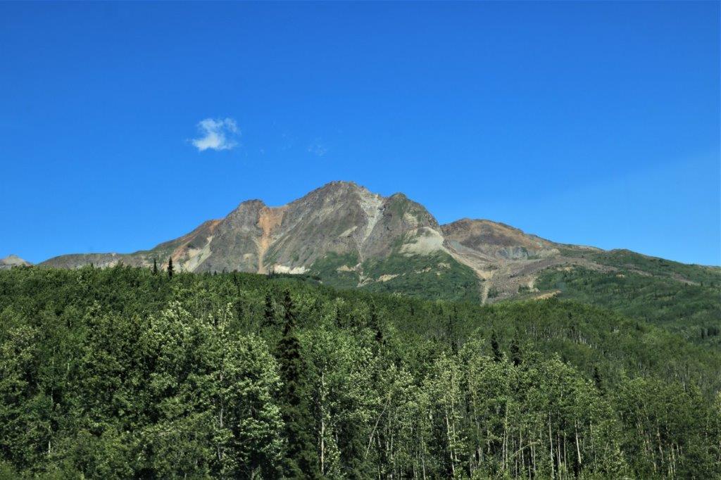
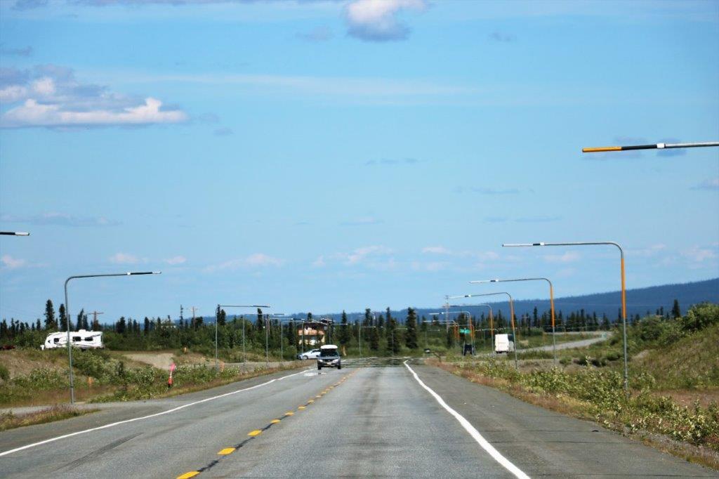
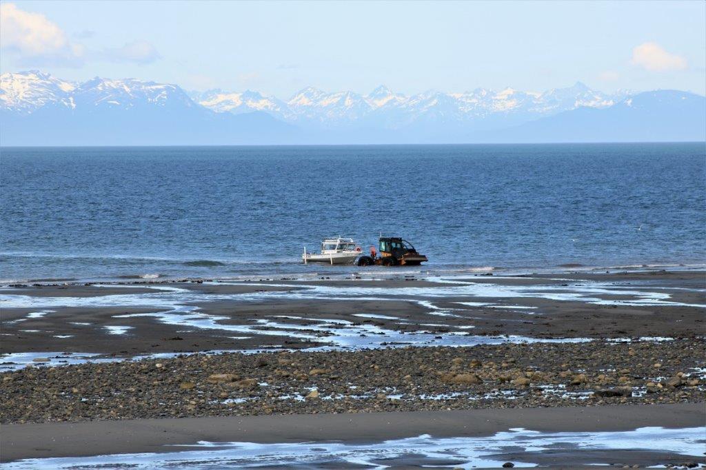
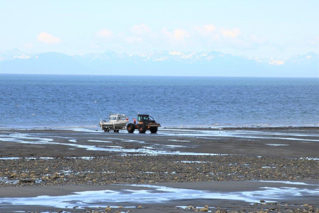
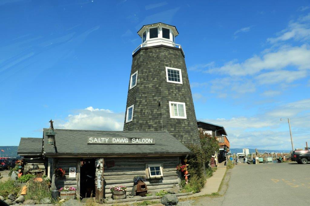
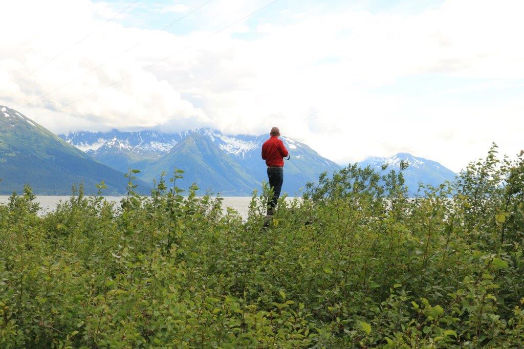
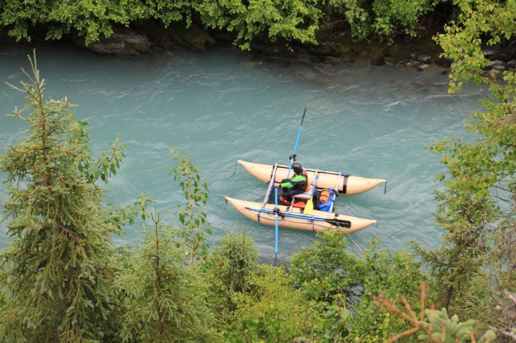
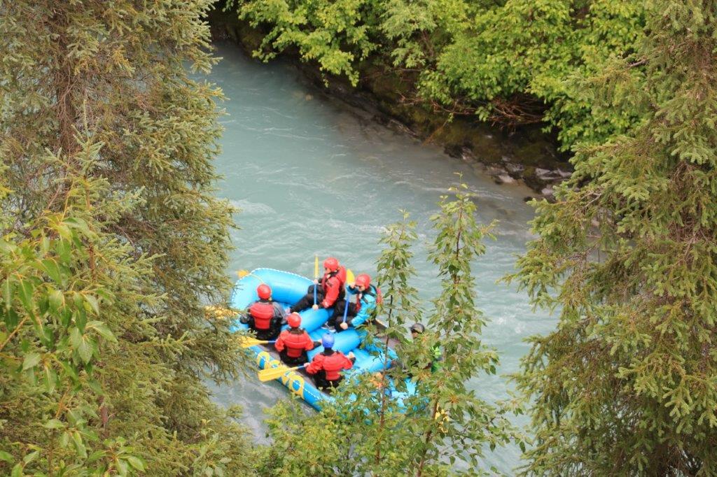
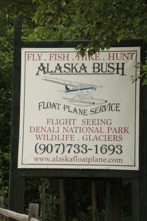
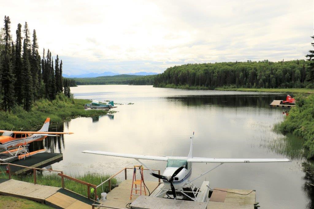
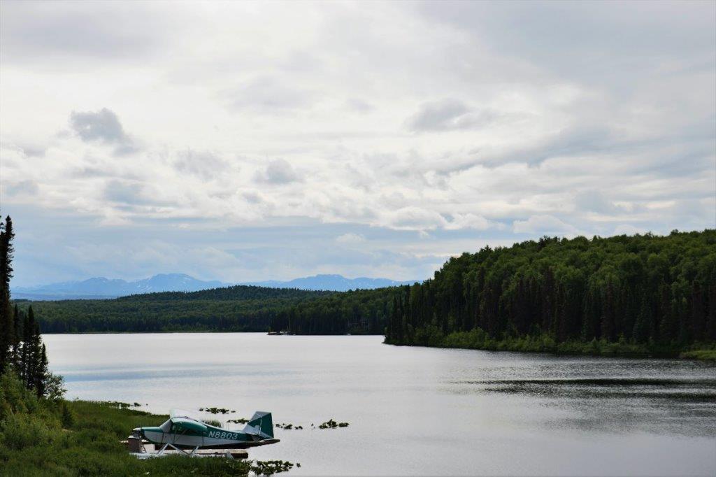
As expected it was a slow photo day.  I think I took a record low of 25 photos all day.  I did get a lot of my book read while John drove though.

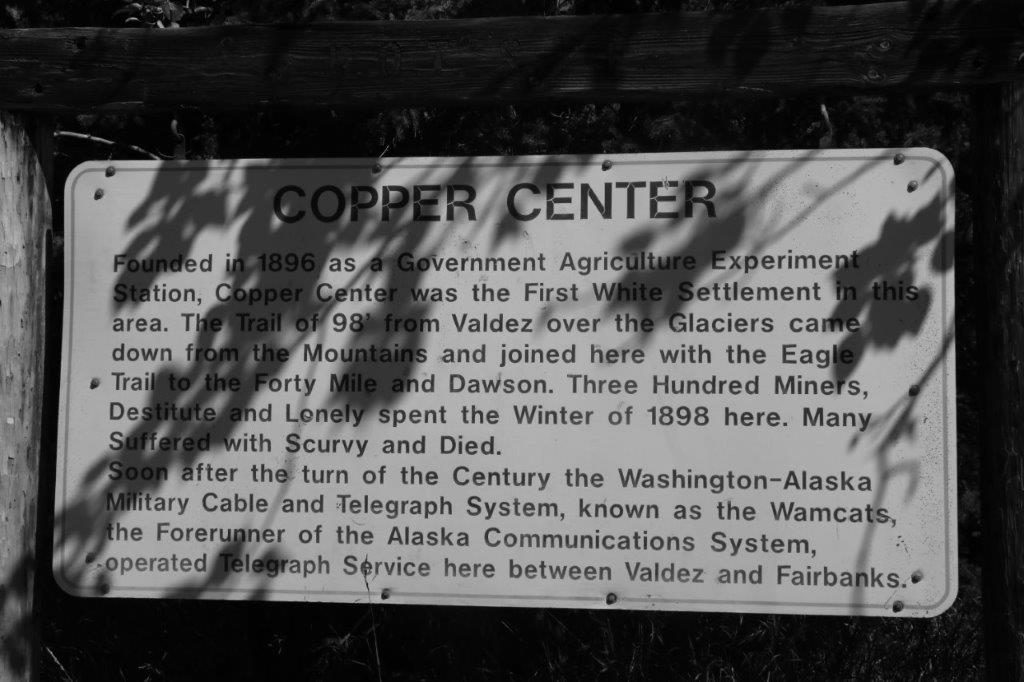
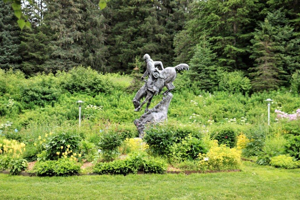
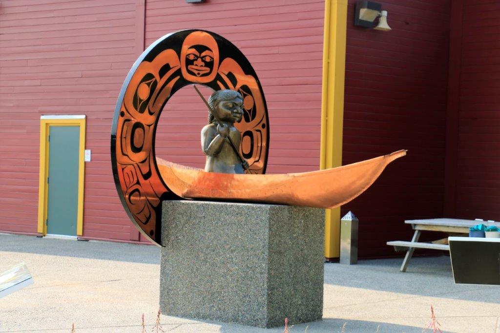
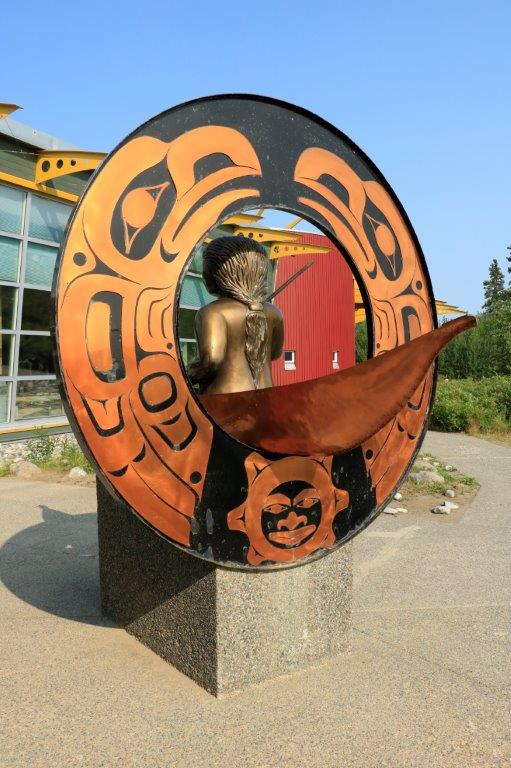
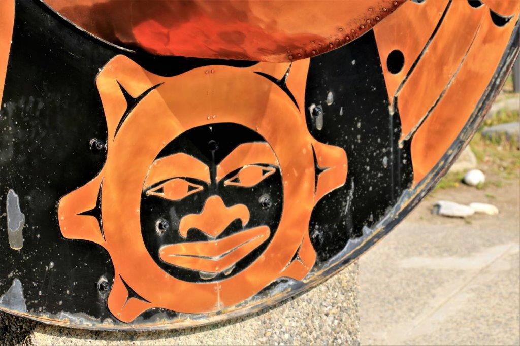
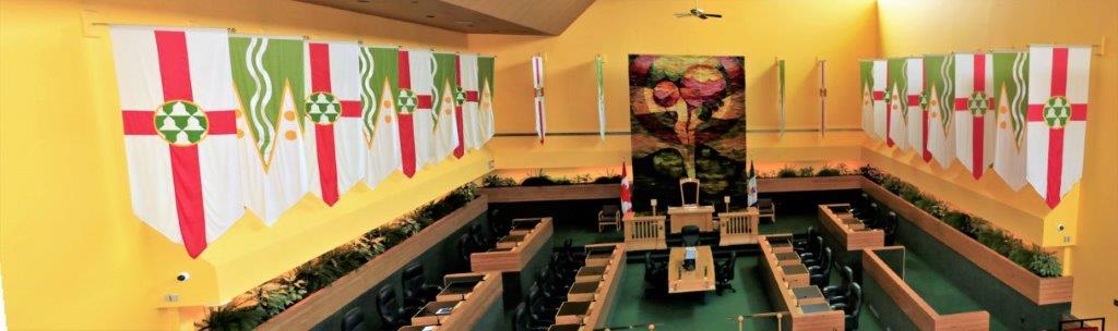
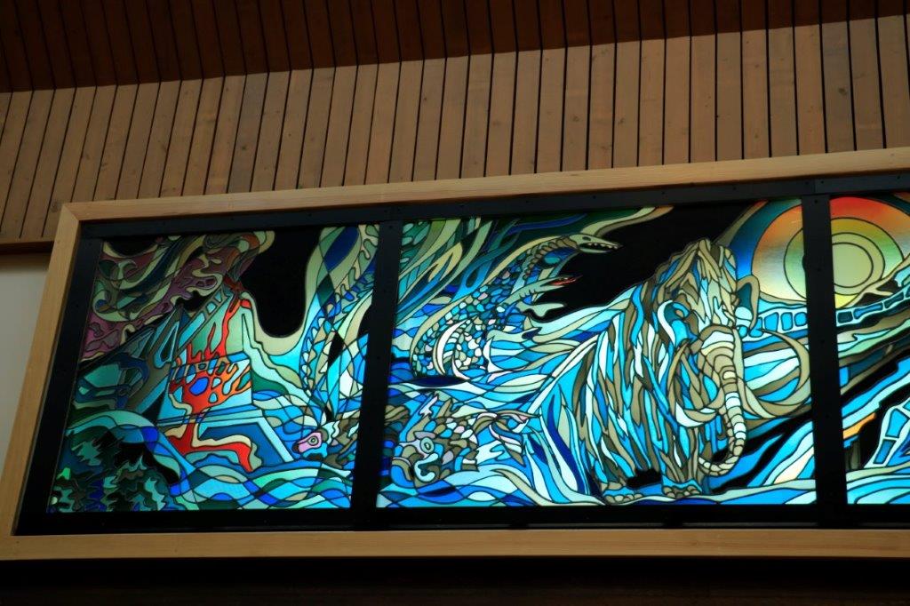
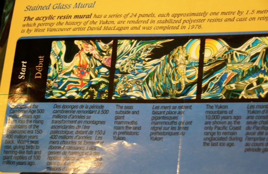
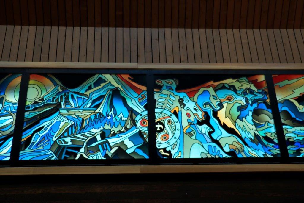
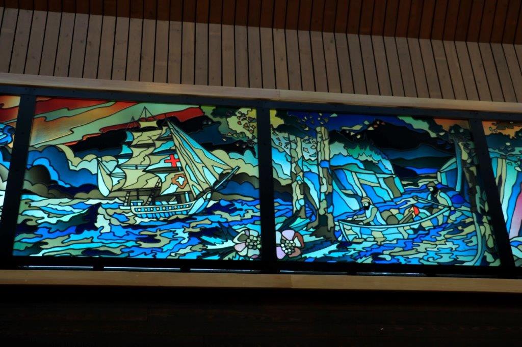
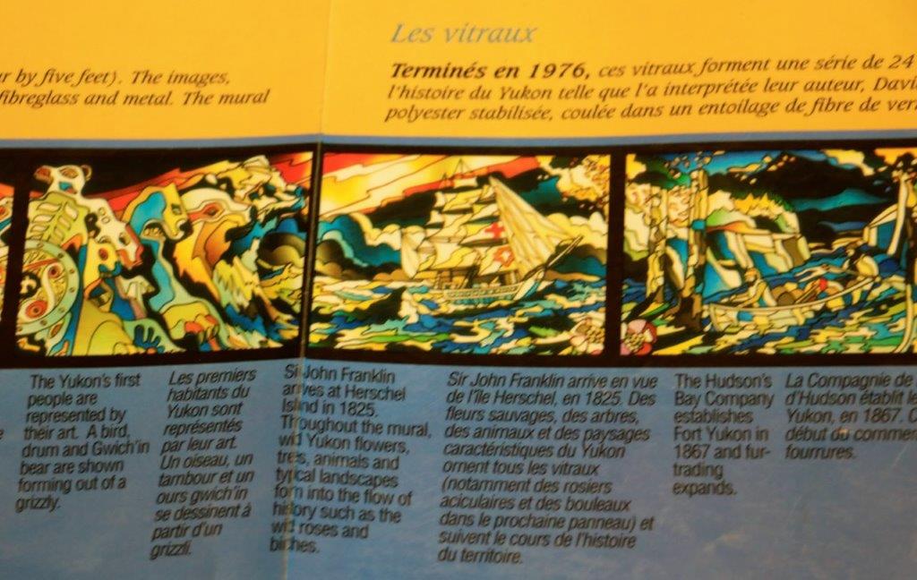
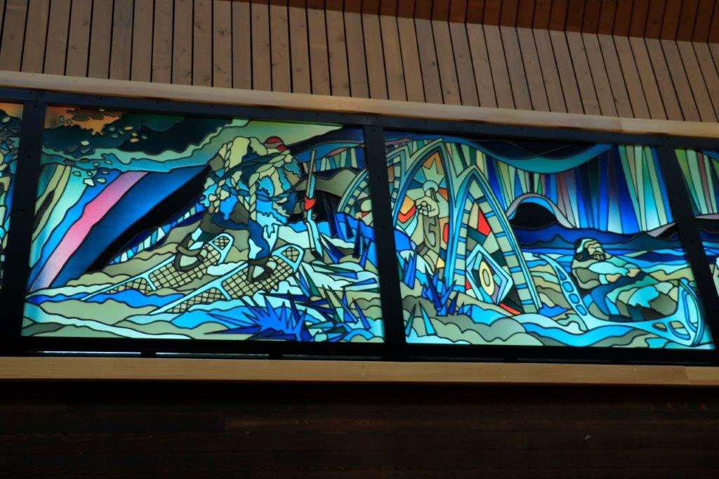
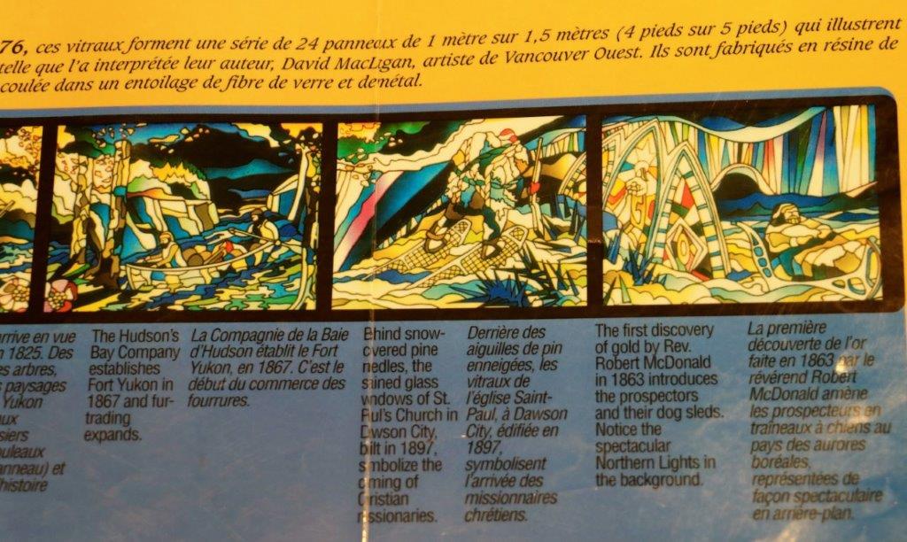
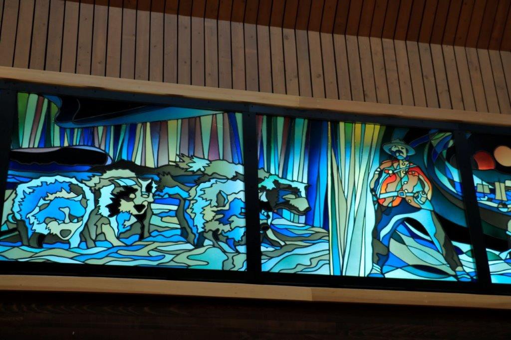
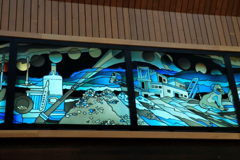
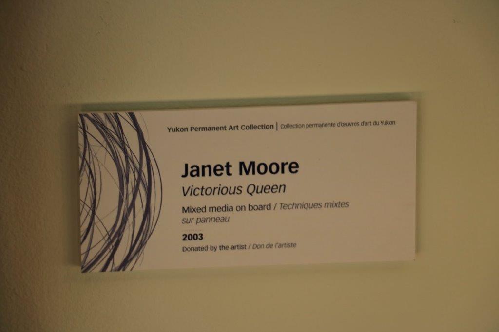
The security guard that showed us around the Legislative Assembly in Whitehorse told us about a copper canoe that sits at the back of the Beringia Museum so before we left the city we stopped there to see it. 
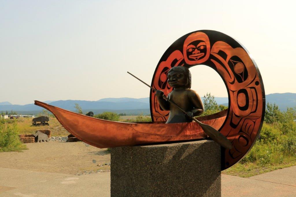
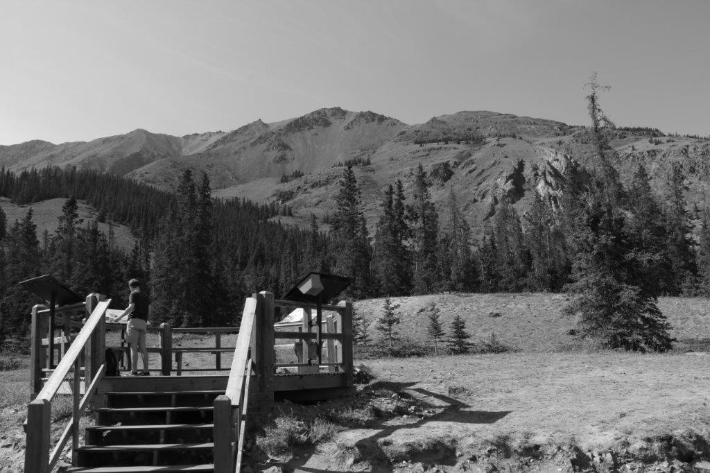
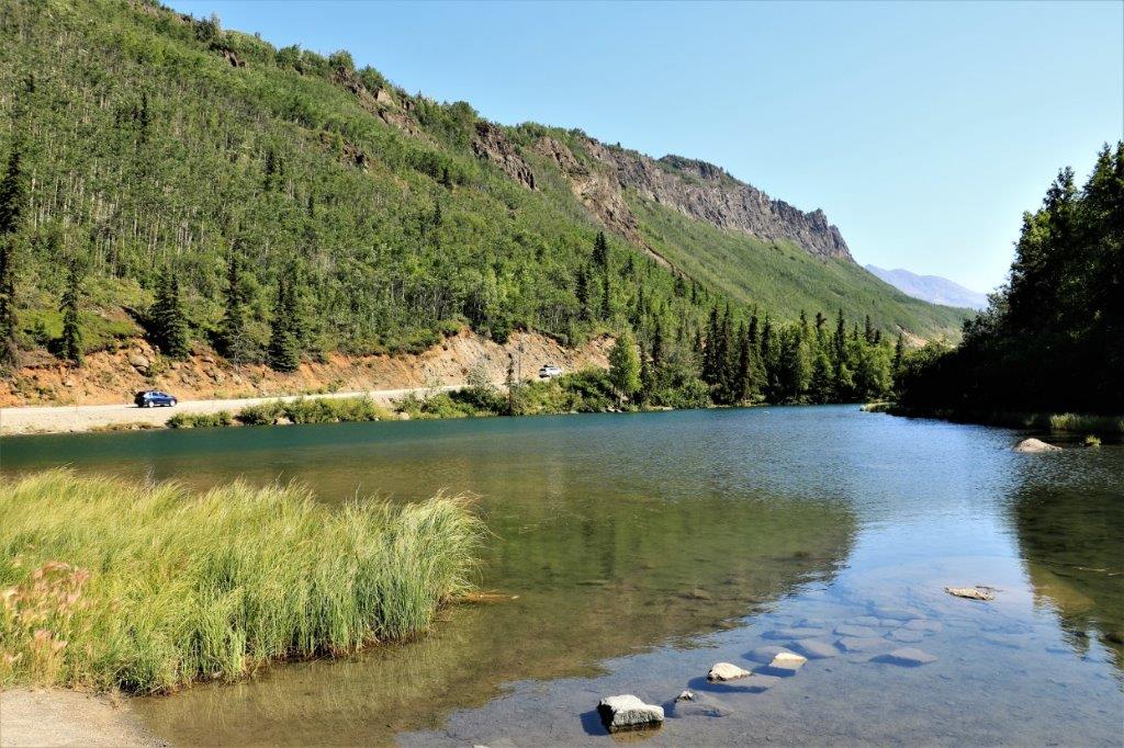
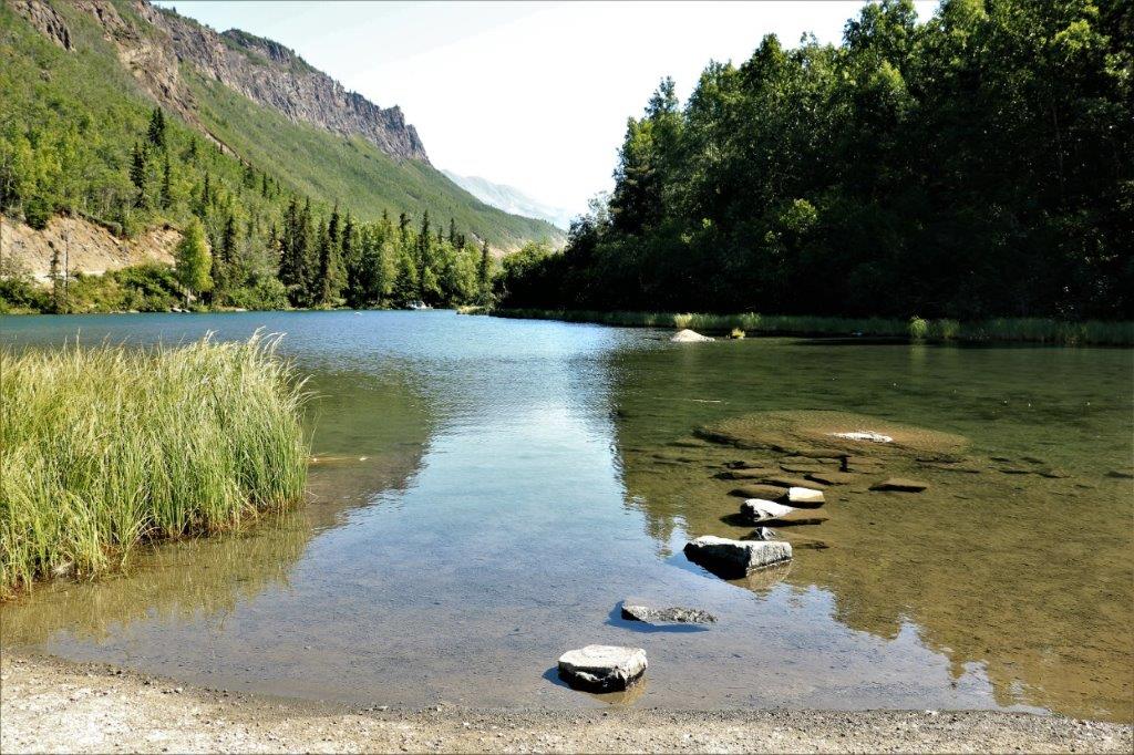
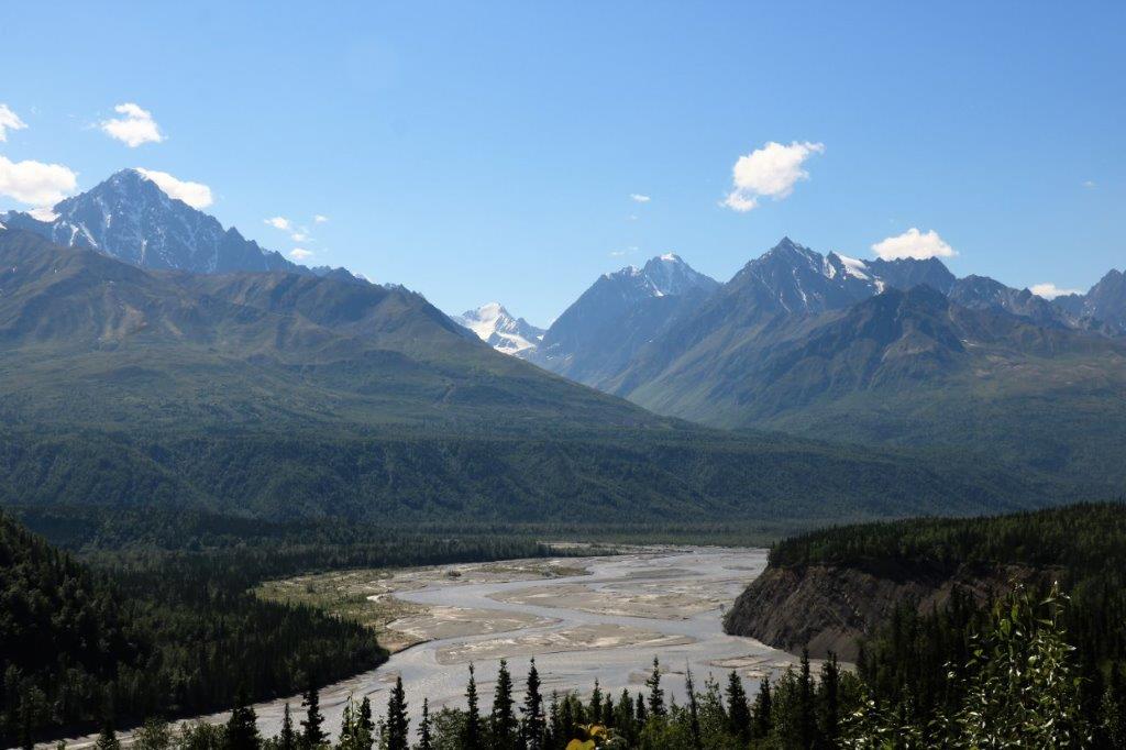
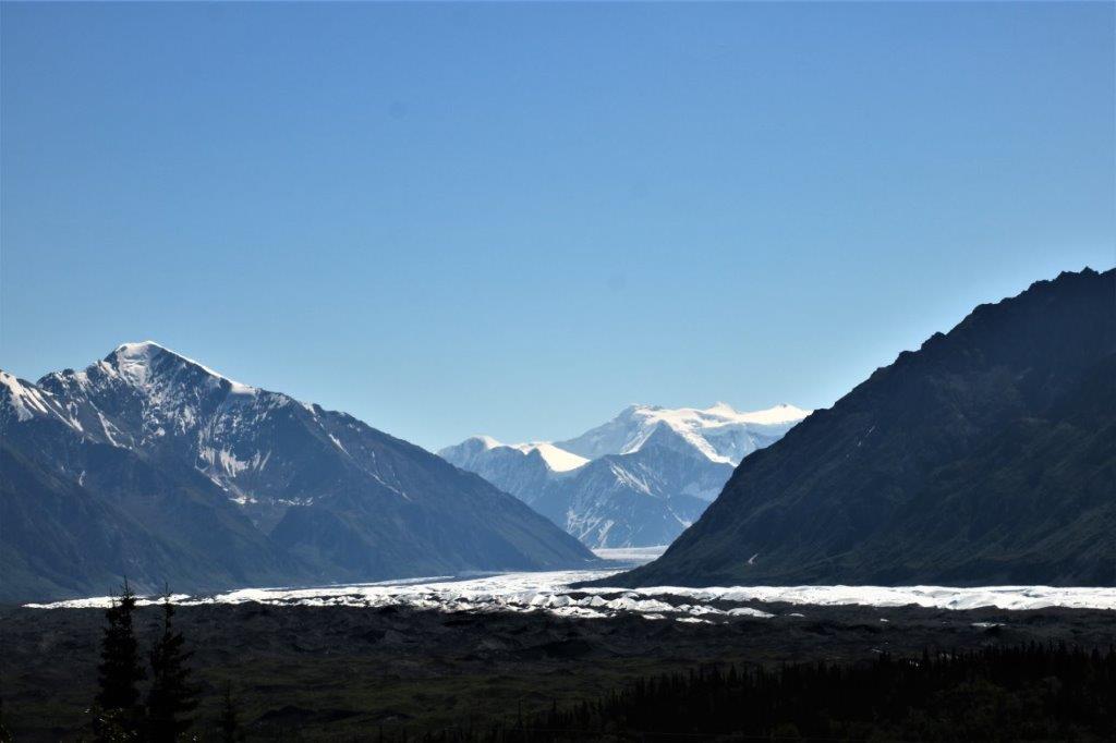
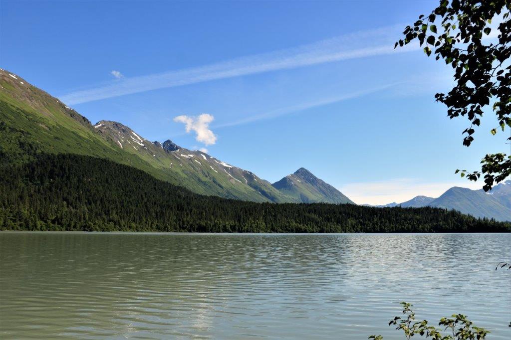
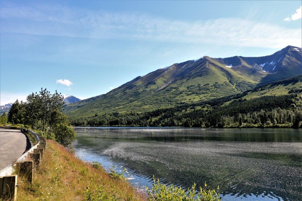
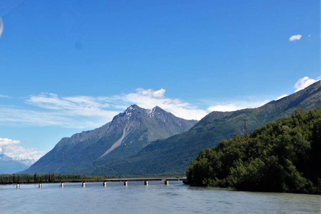
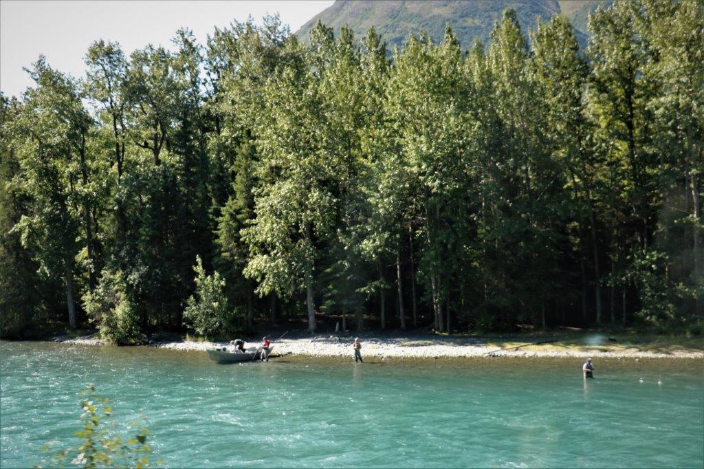
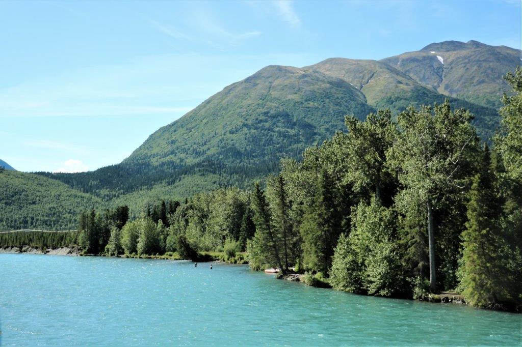
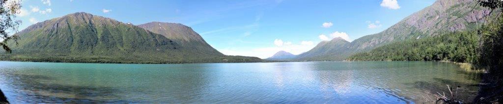
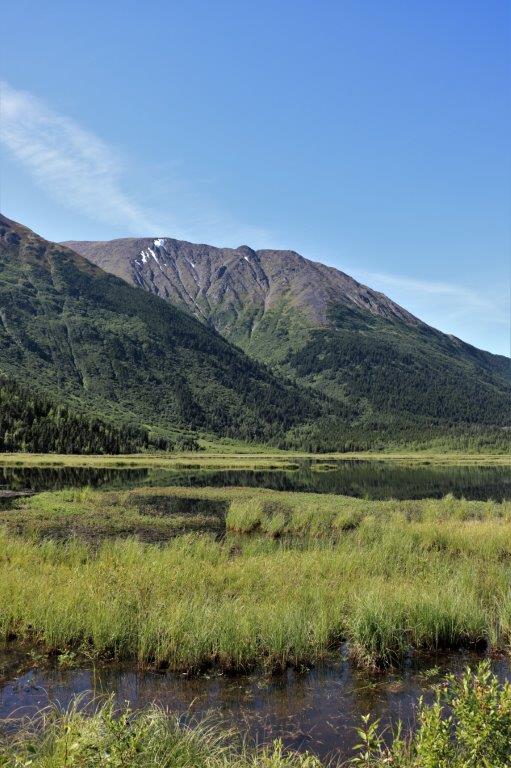
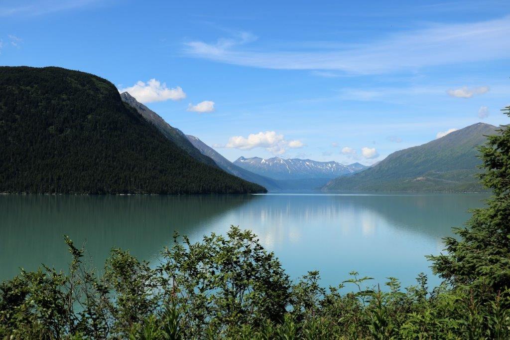
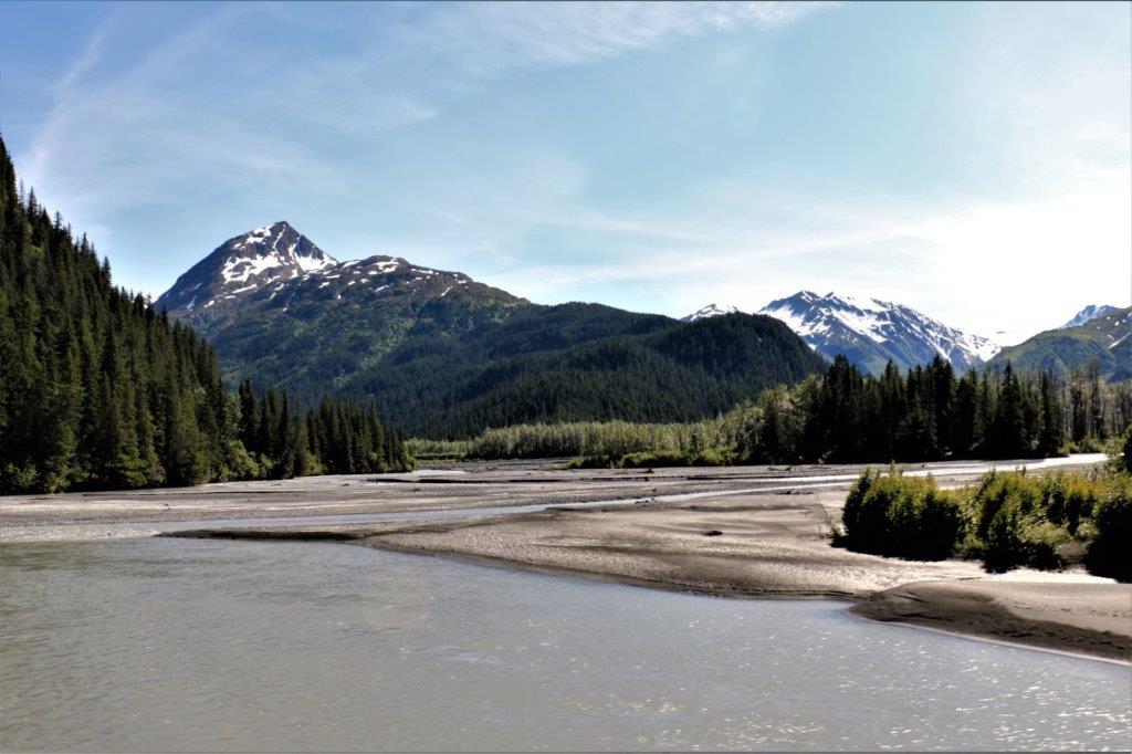
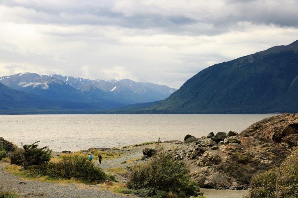
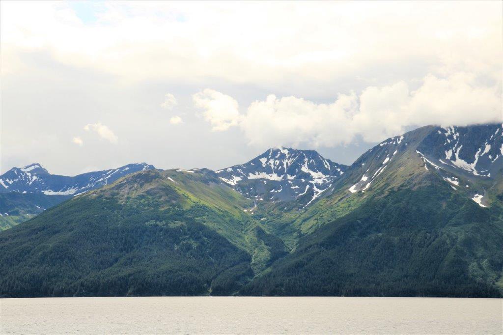
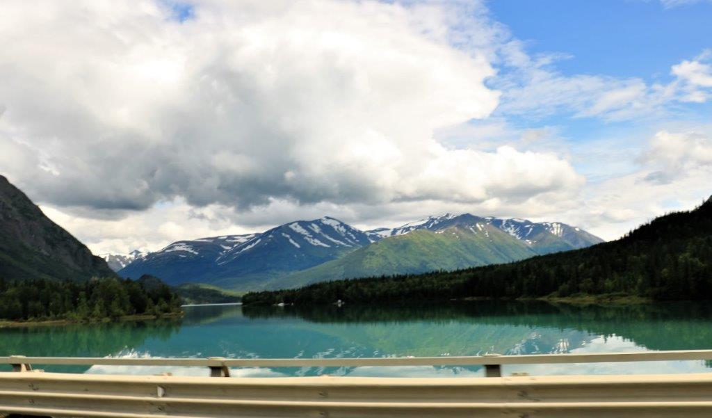
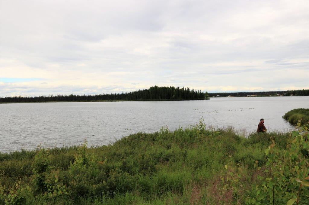
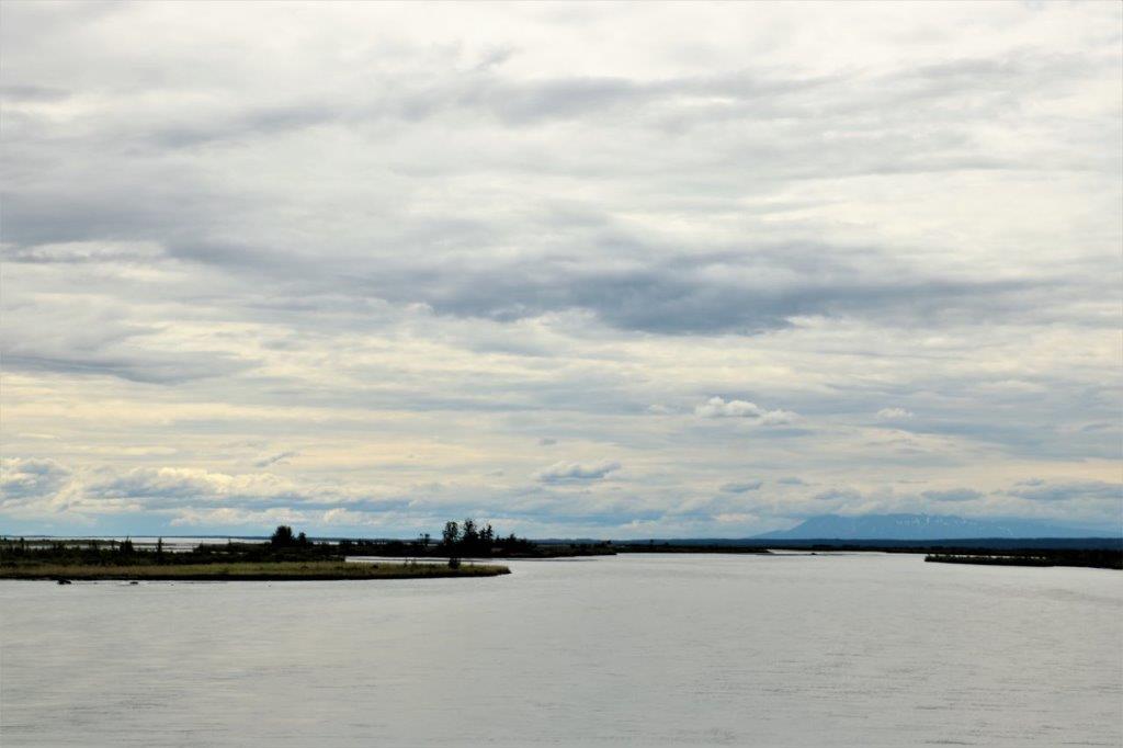
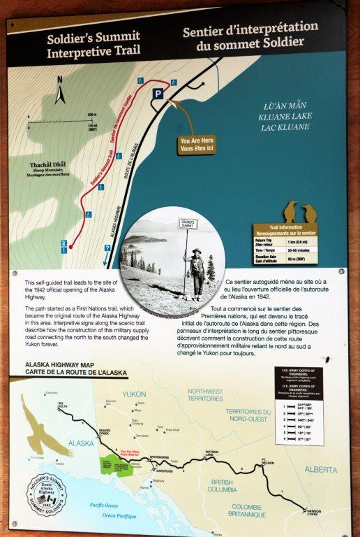
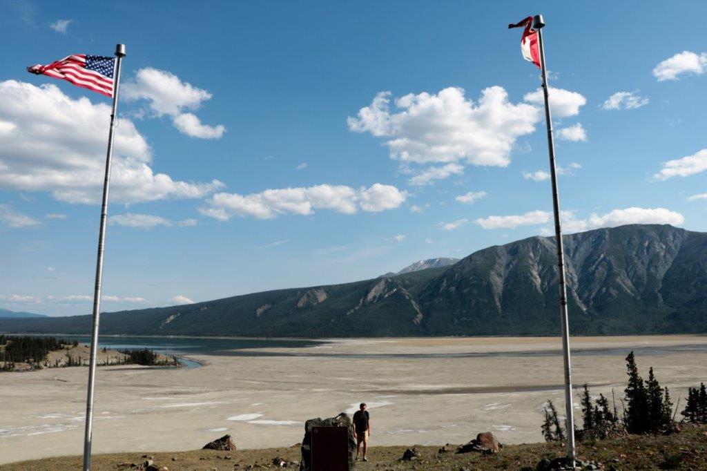
We stopped to find a geocache near Johnson’s Crossing, which was one of the earliest road houses along the highway.  The area is now an RV park and campground.  This is the Teslin River.
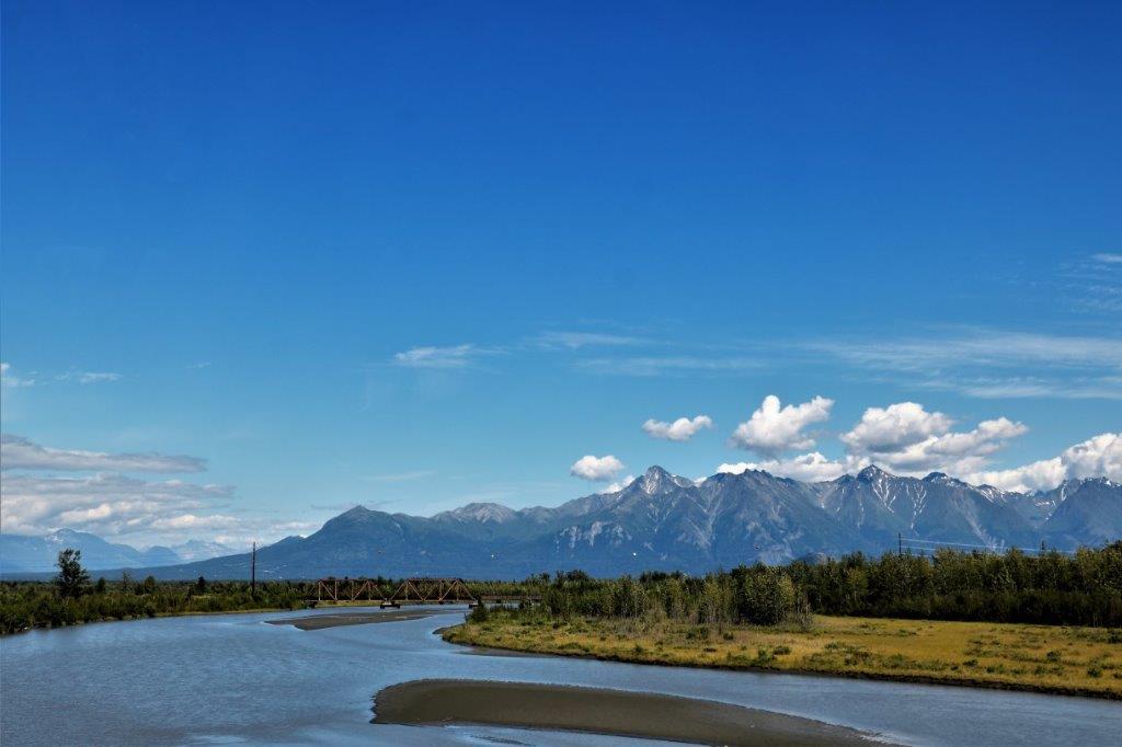
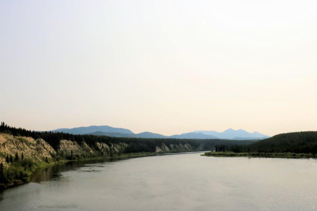
Many of the bridges up here have metal beds and motorcyclists who are not familiar with them often drop their bikes.  We sort of leapfrogged with a lady on a Honda ST1100 who has put almost 200,000 on her bike riding all over the place. She and John had a great motorcycle chat and she told him she had seen five bikes on their sides on metal-bed bridges on her trip so far.
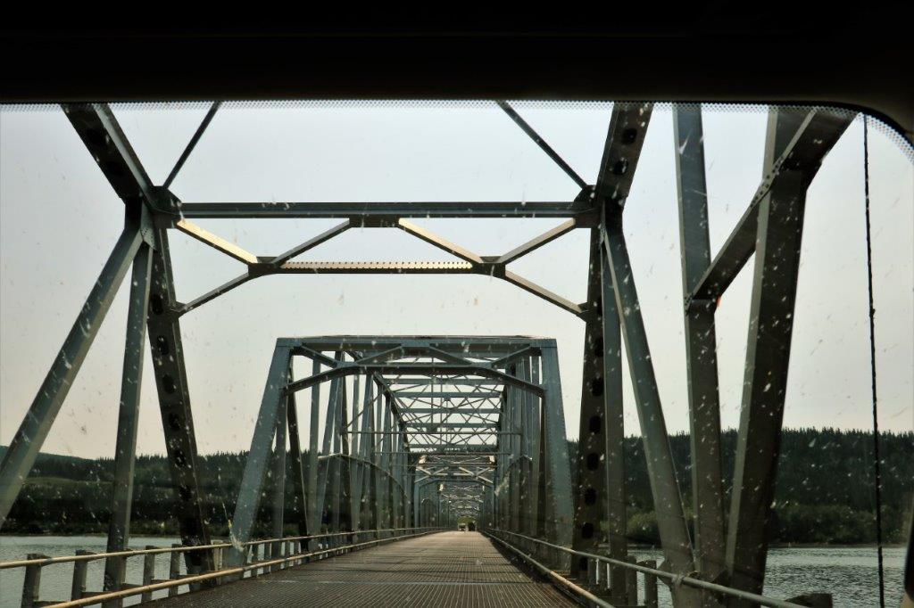
Notice all the little spots.  I clean the windshield whenever John is fueling up the truck, which he did before we went to our hotel last night.  It looks like a ton of the tiny black flies they have up here decided they wanted to get inside the cab overnight   
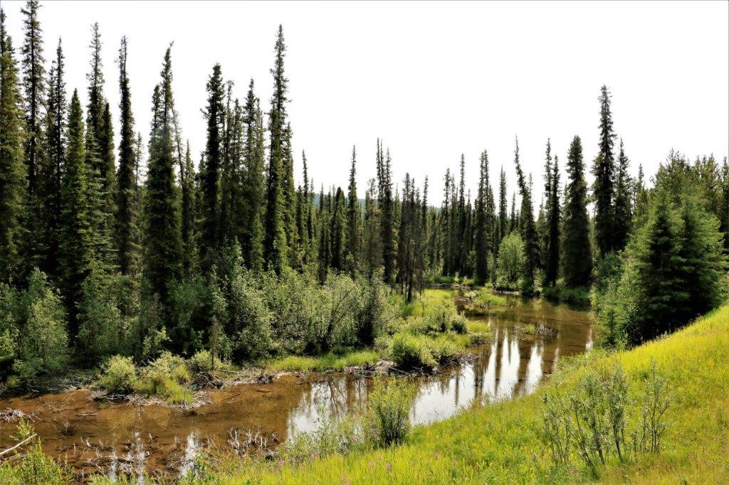
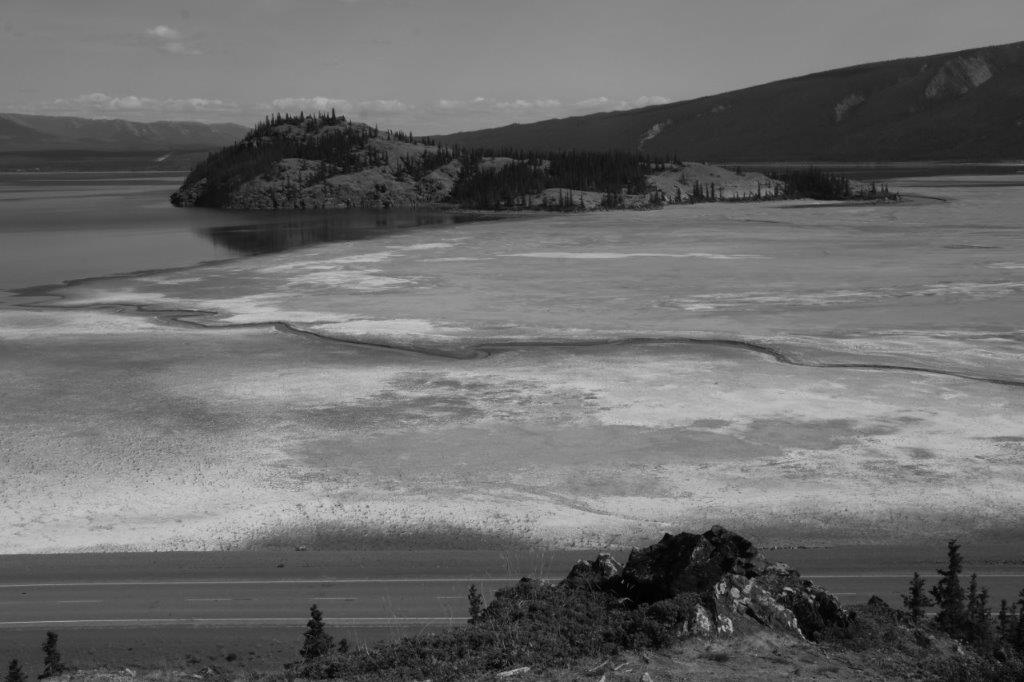
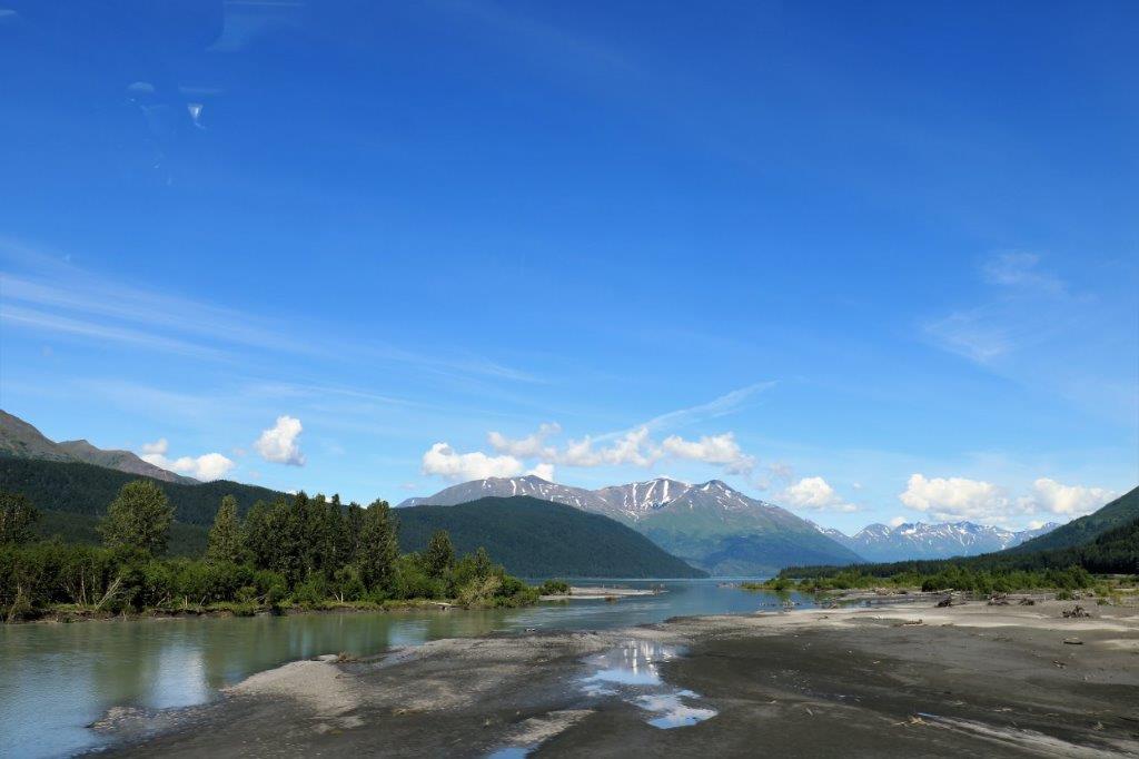
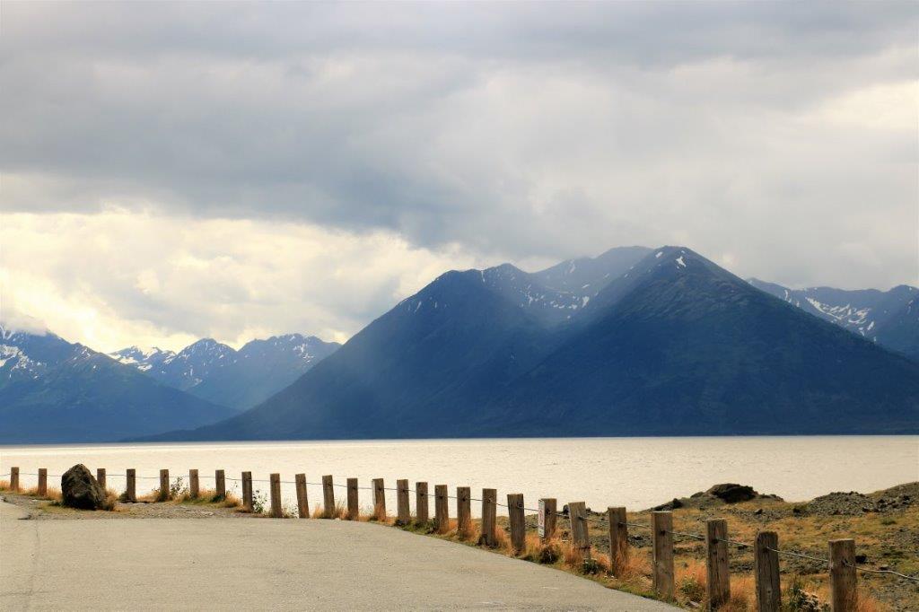
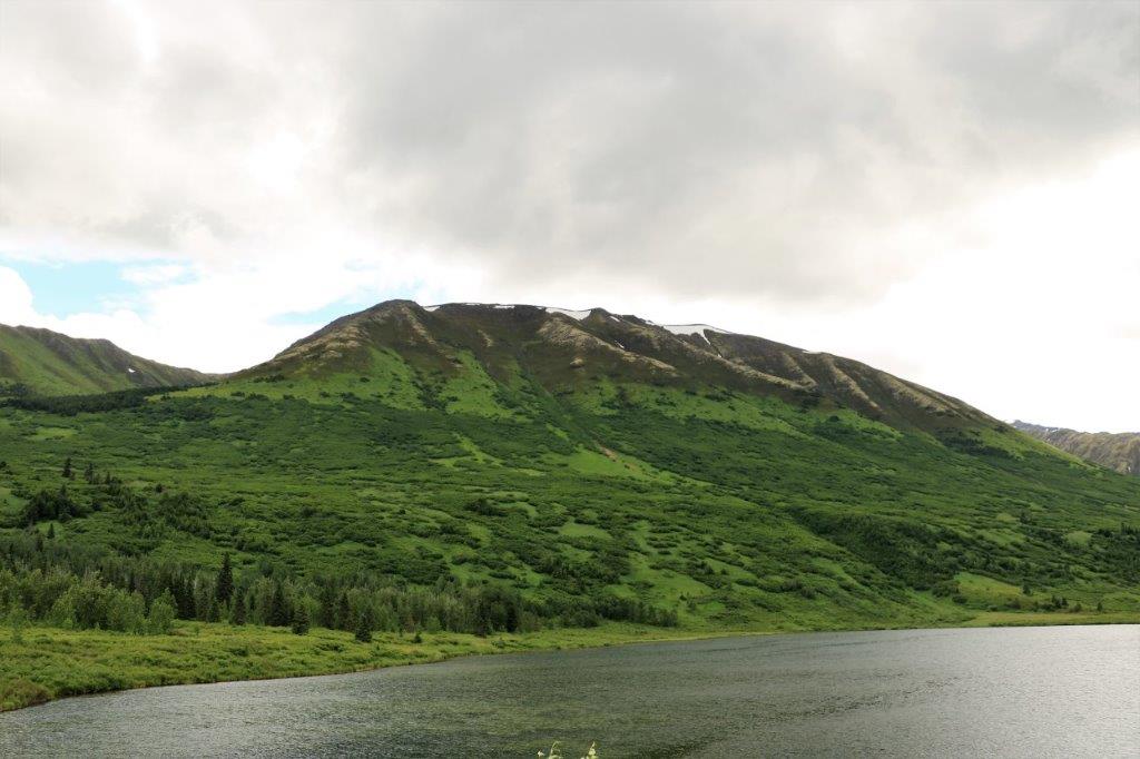
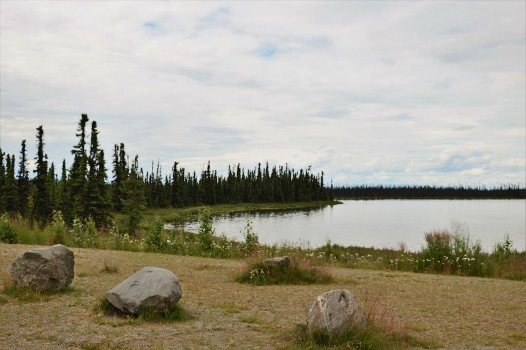
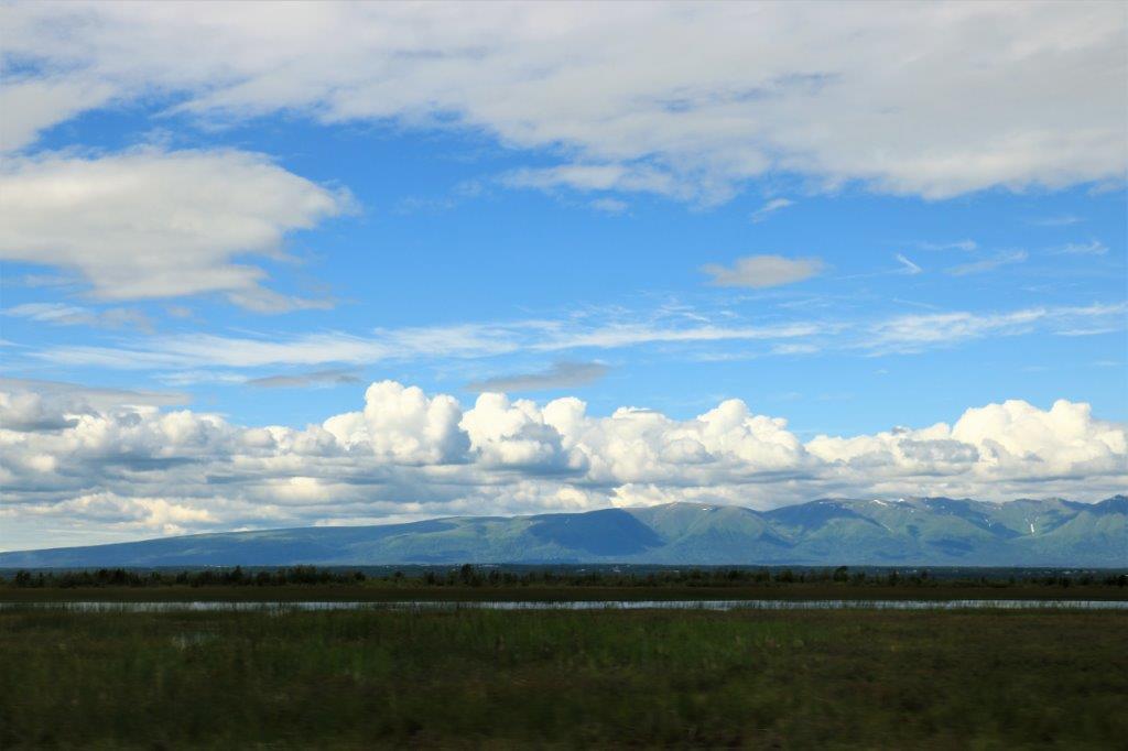
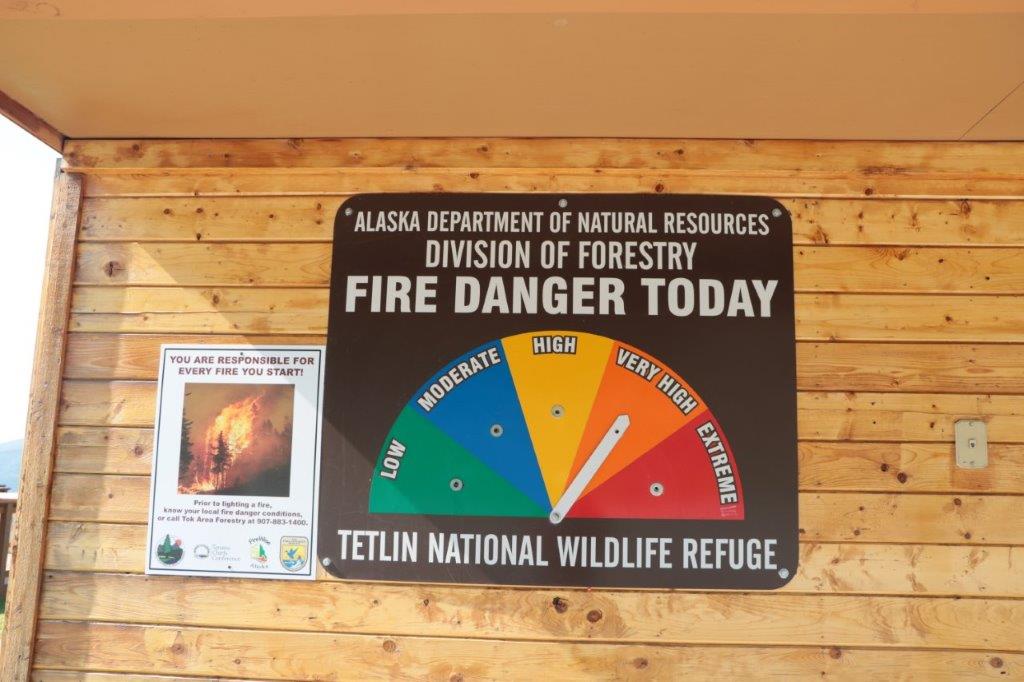
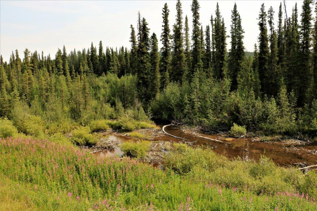
Swift River isn’t flowing very swiftly this late in the northern summer season. The area has really dried out in the time we were traveling further afield.  Fire danger is very high up here now.  There are several fires burning so we see a smoke haze in the air.  One lady said the fires up here are 5 or more times larger than we see further south, but they don’t threaten communities so they just let them burn.  The snow puts them out eventually.  It is all part of the rejuvenation cycle of the forests up here as well.  The black spruce, which is the predominant tree, needs fire to burst it’s seeds.

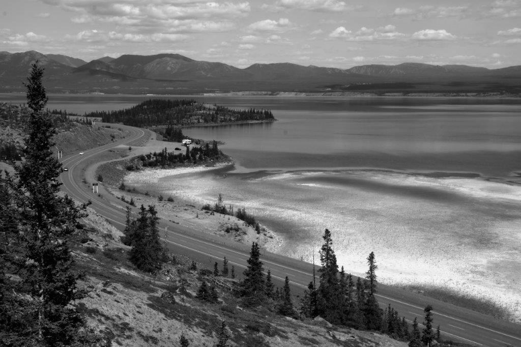
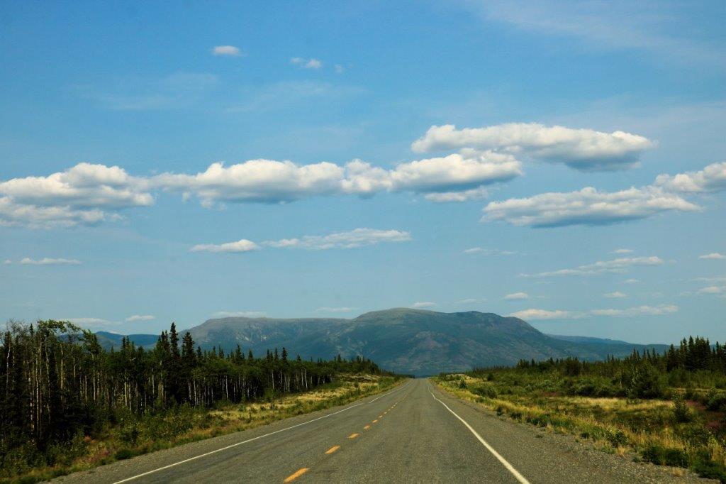
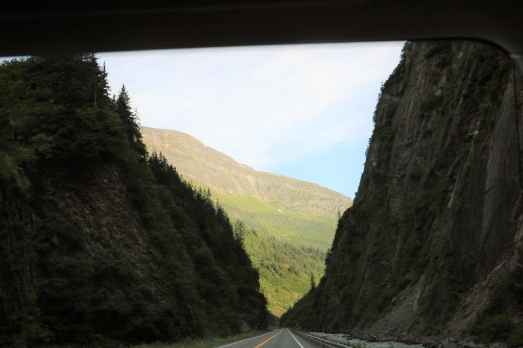
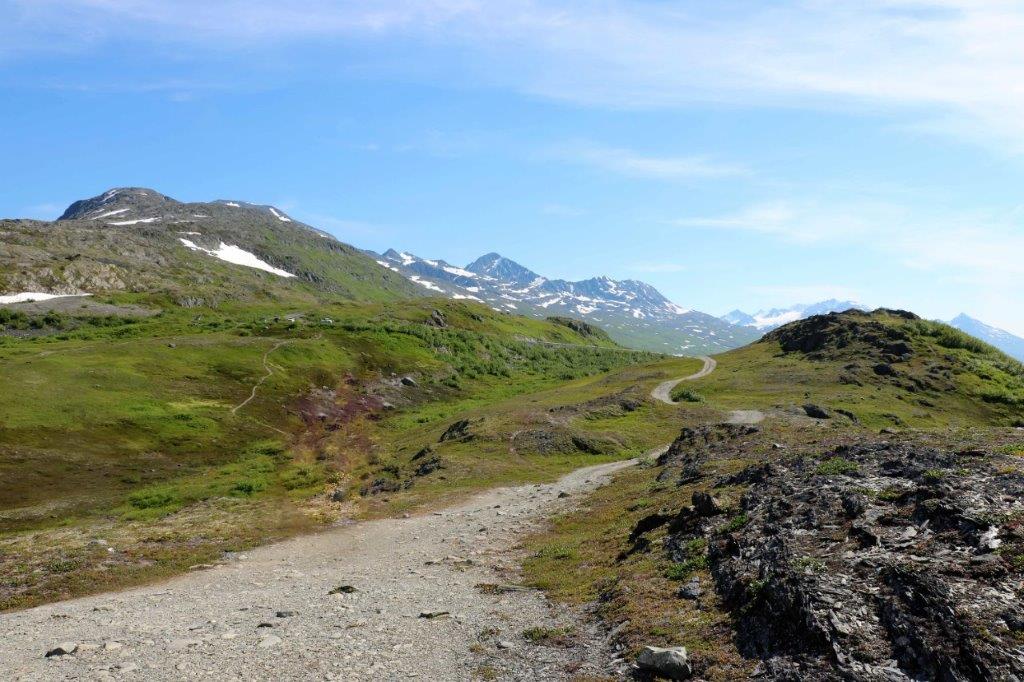
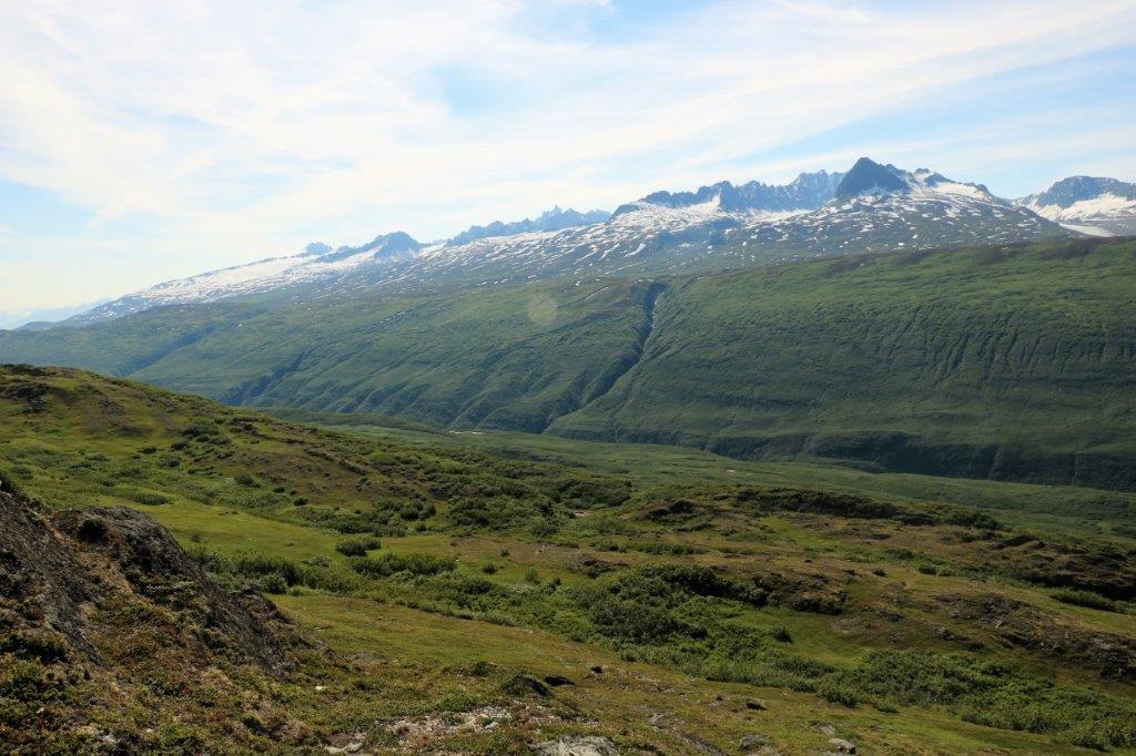
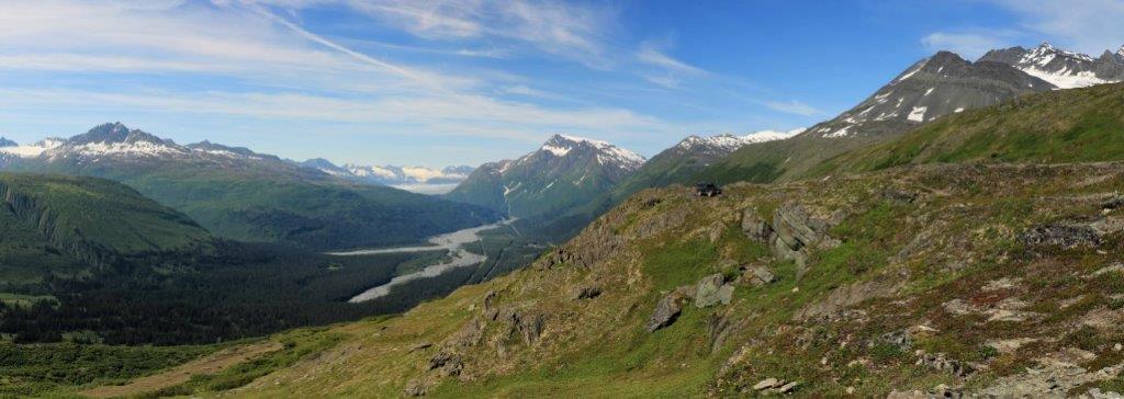
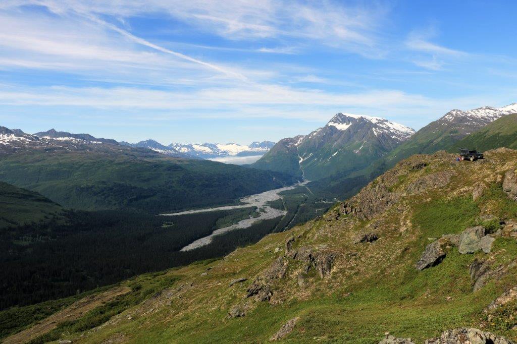
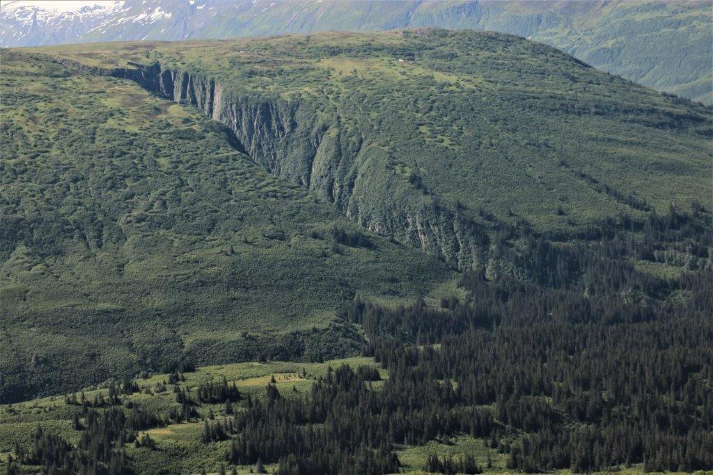
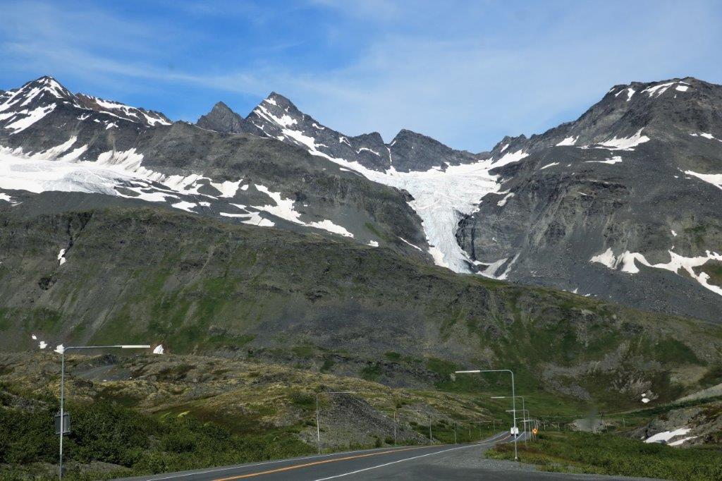
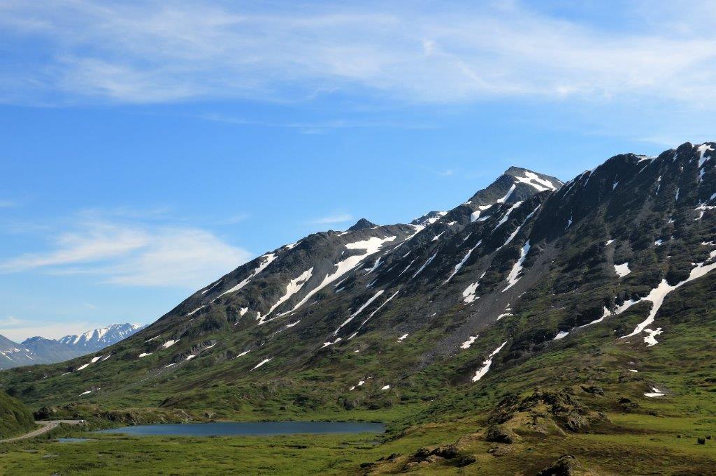
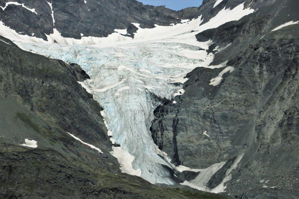
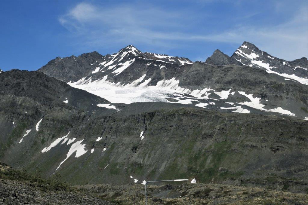
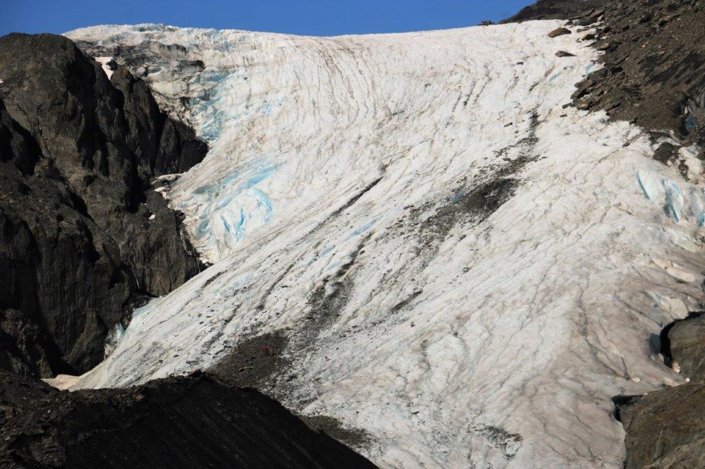
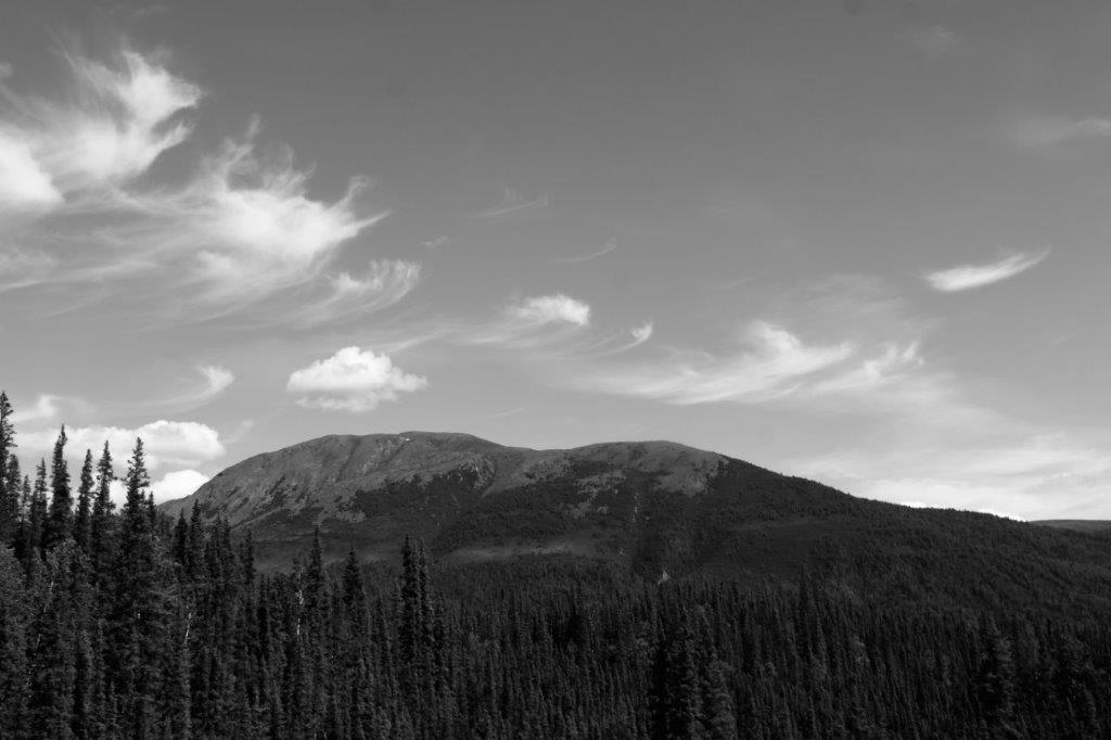
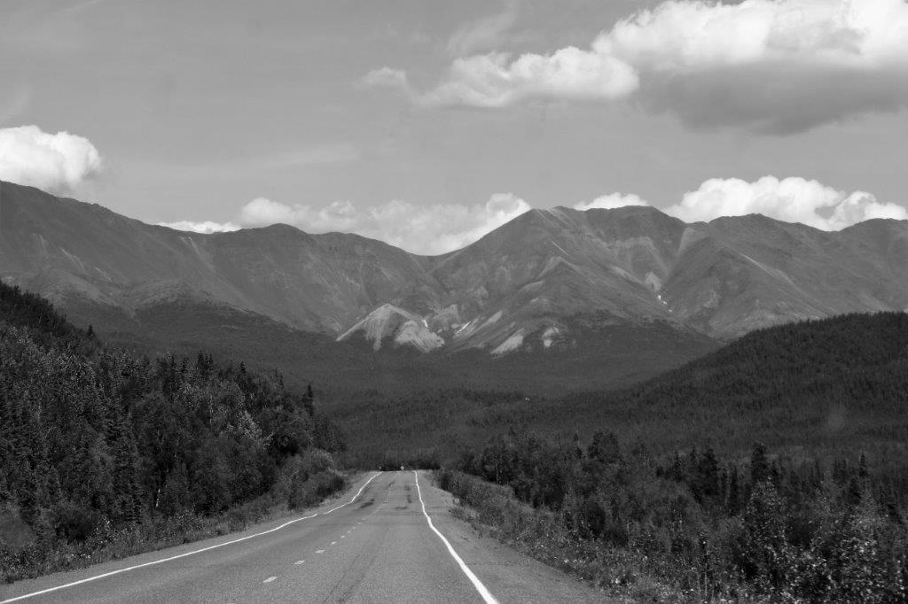
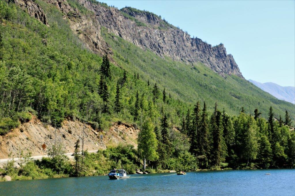
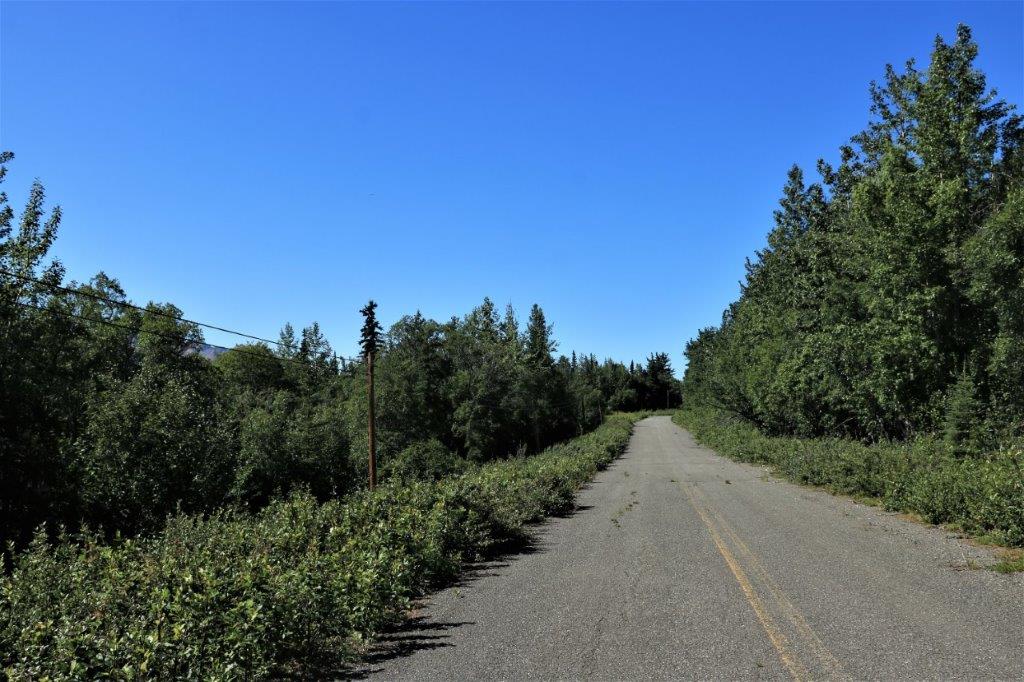
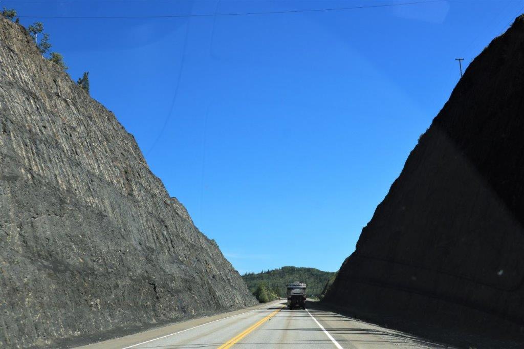
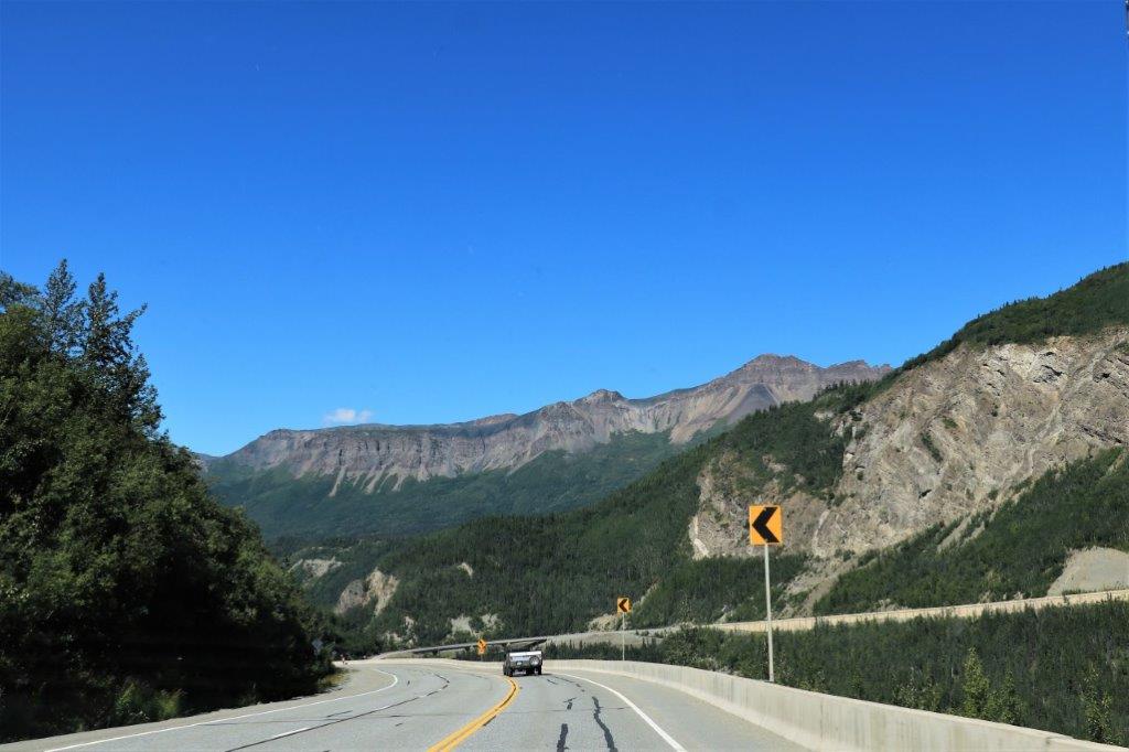
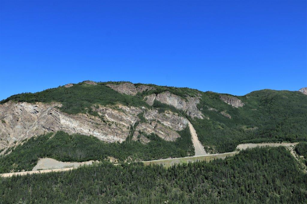
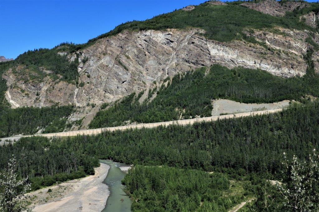
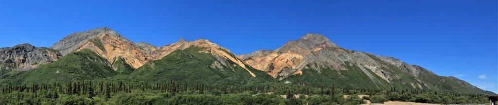
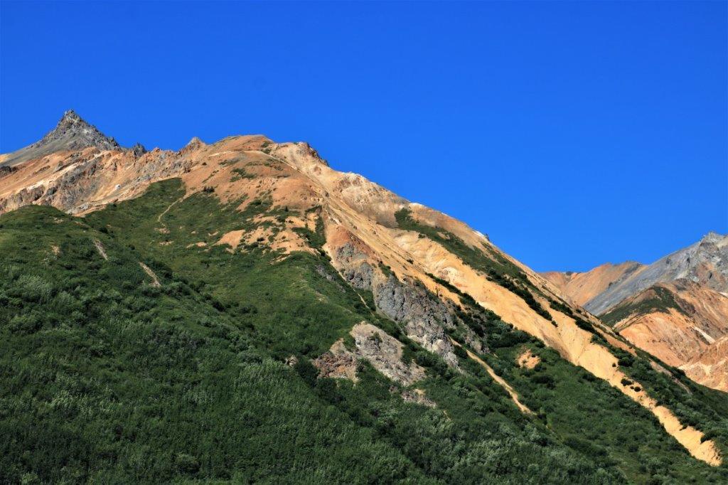
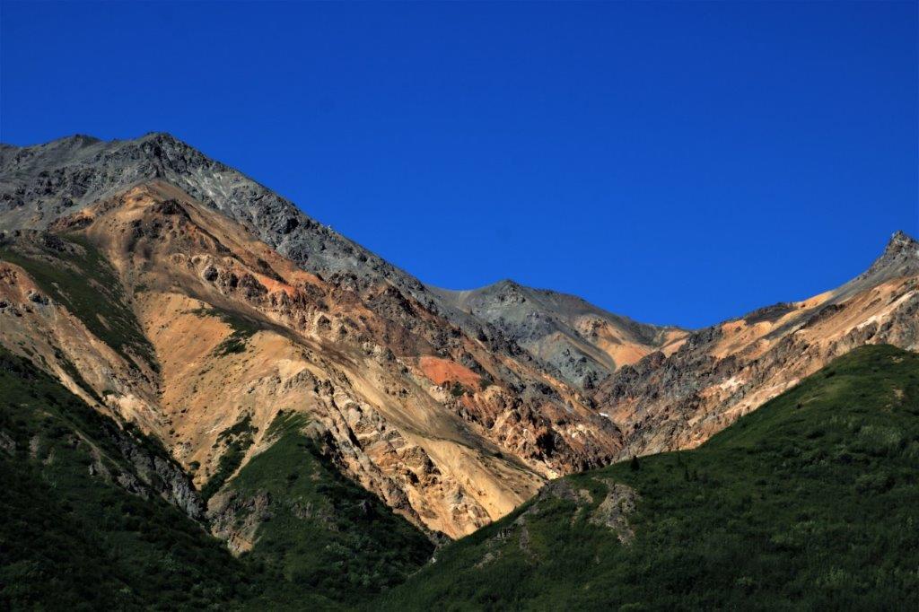
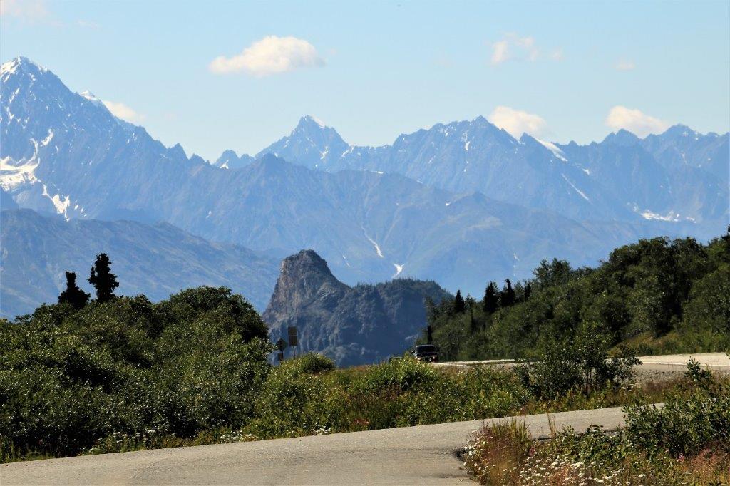
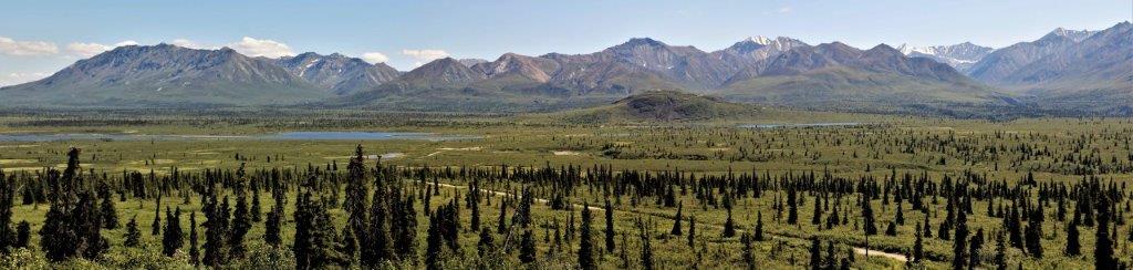
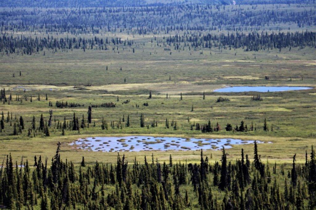
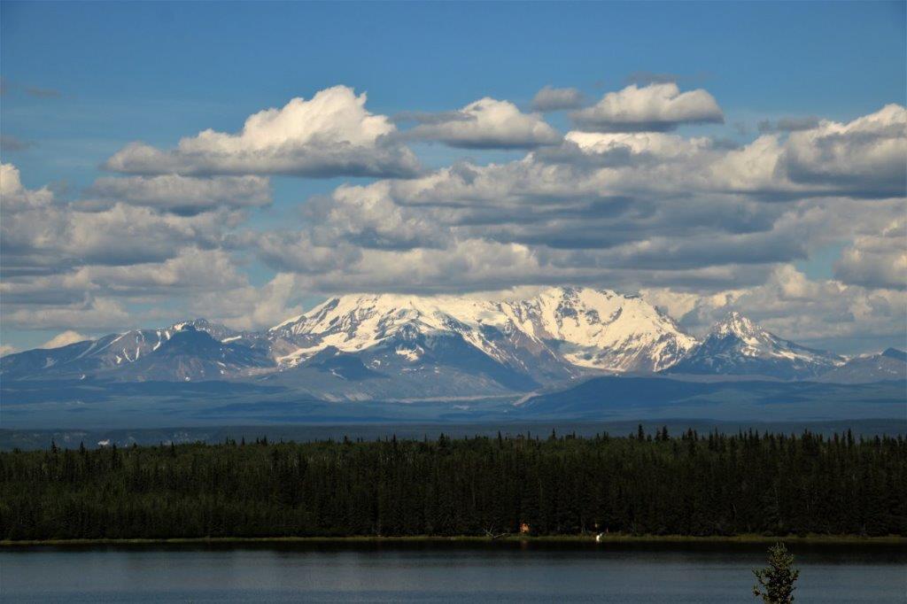
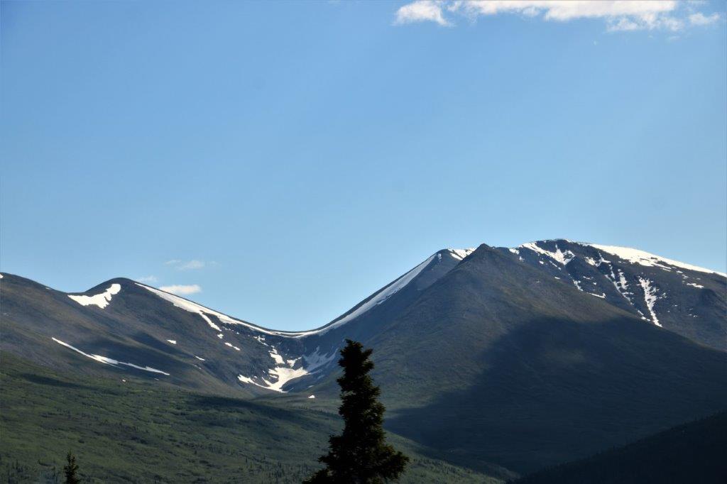
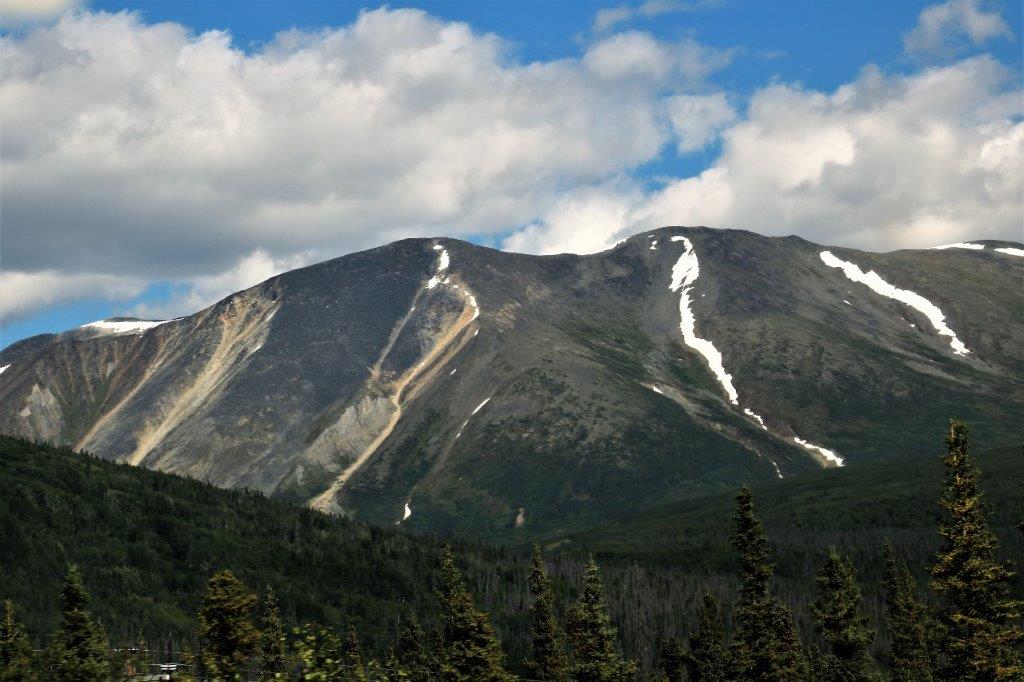
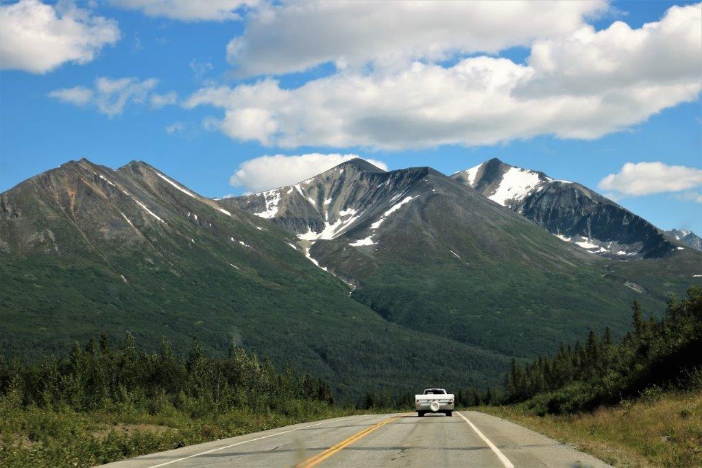
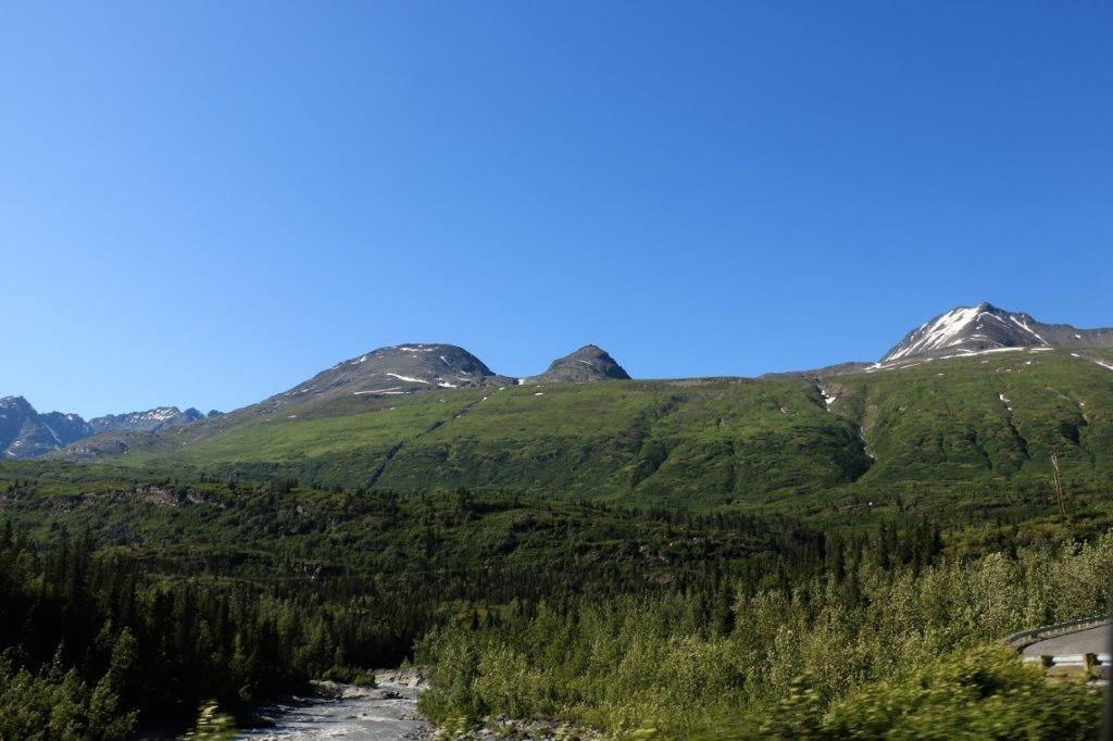
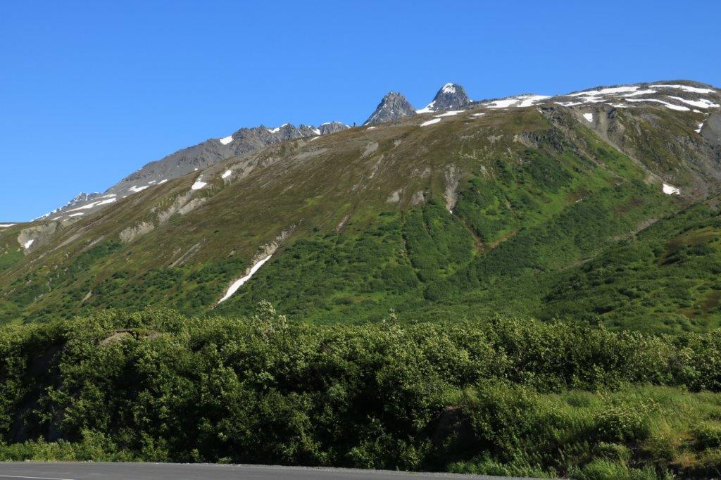
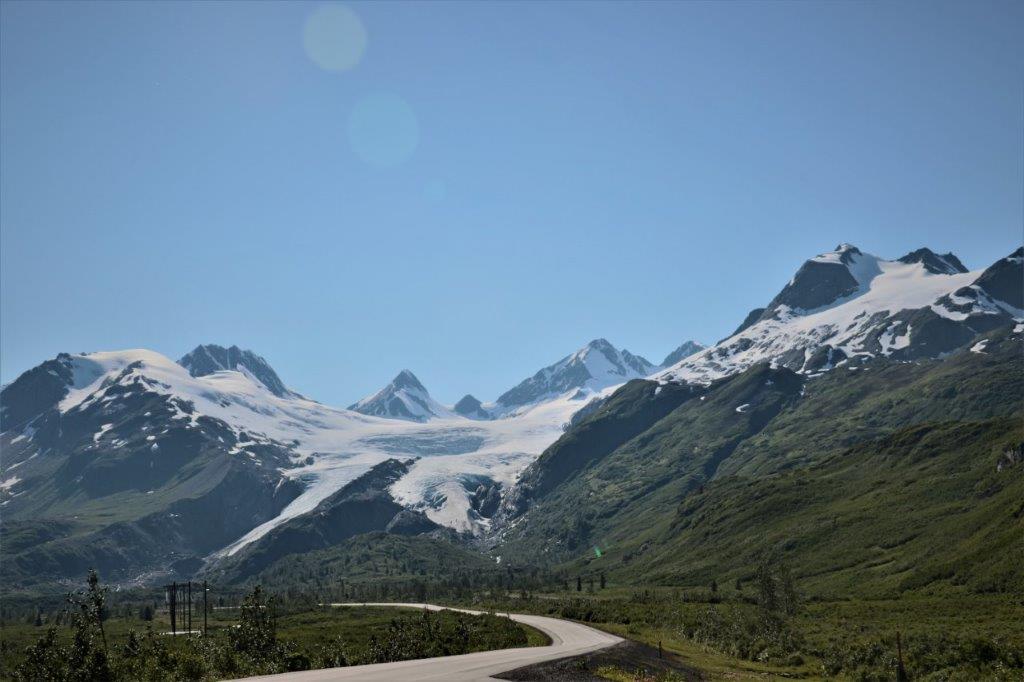
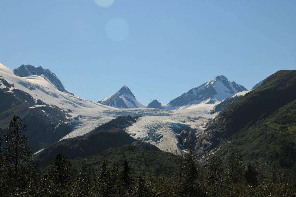
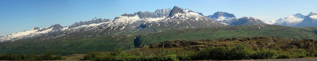
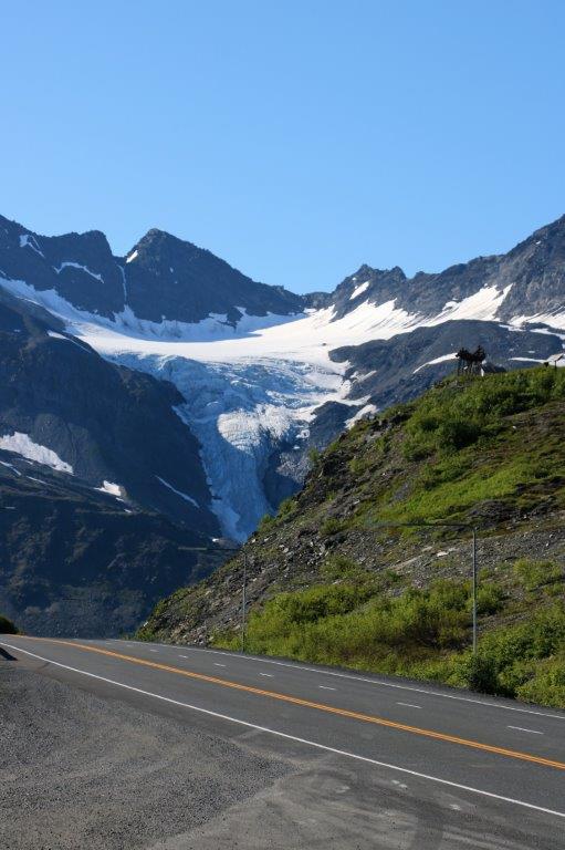
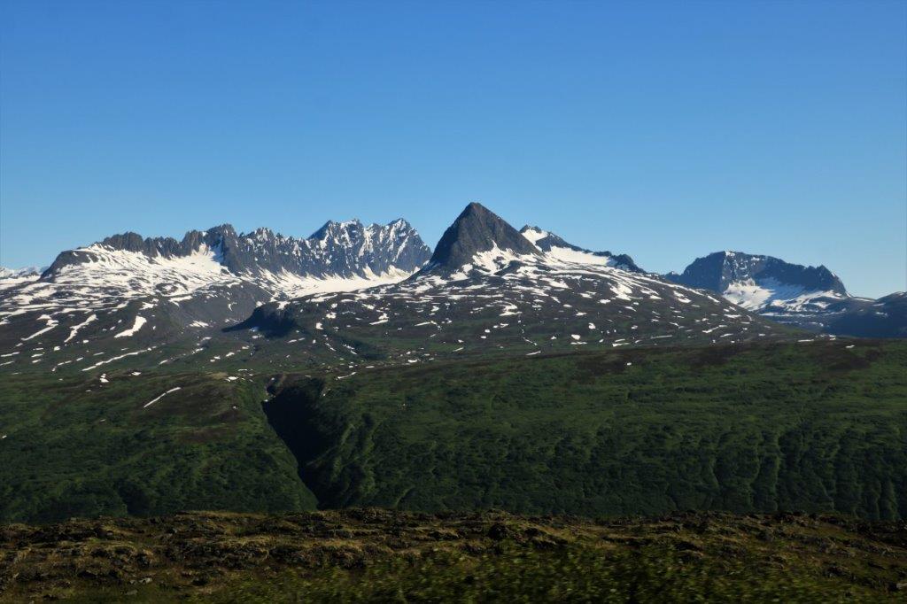
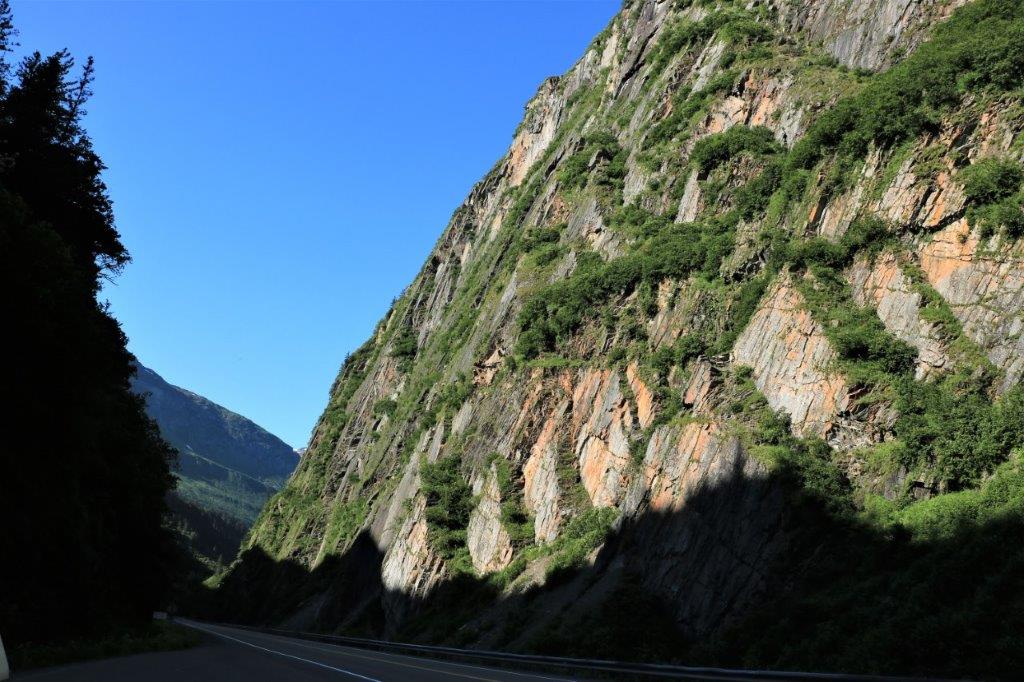
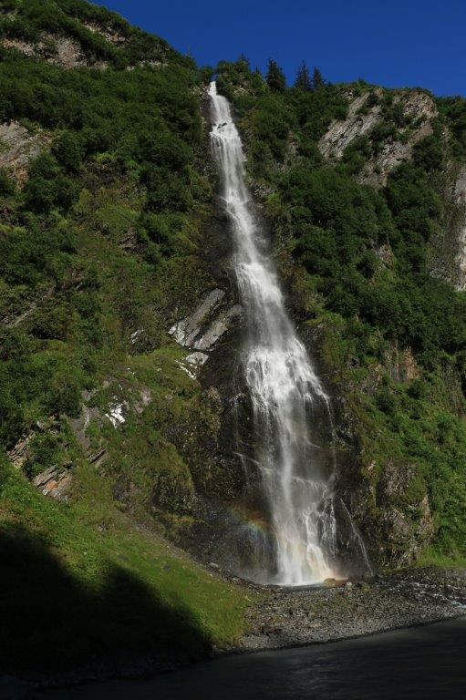
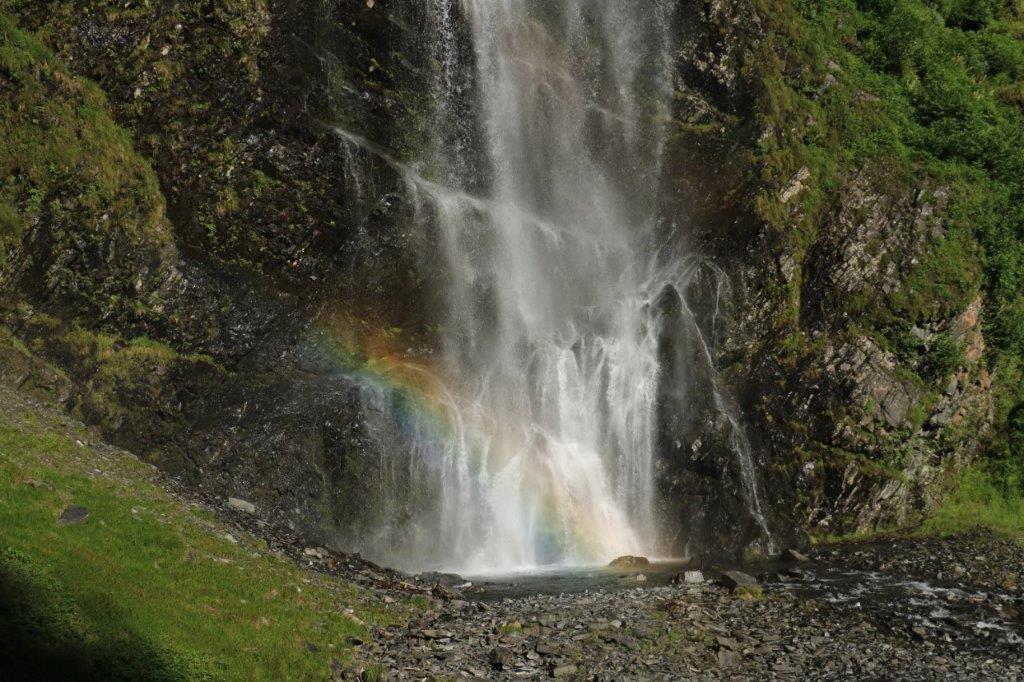
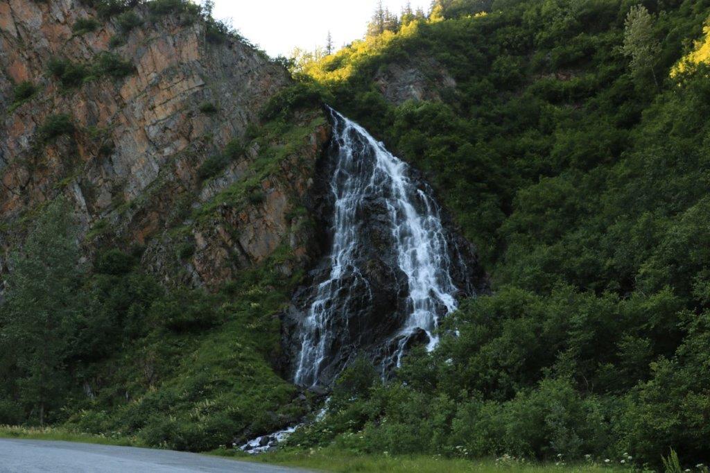
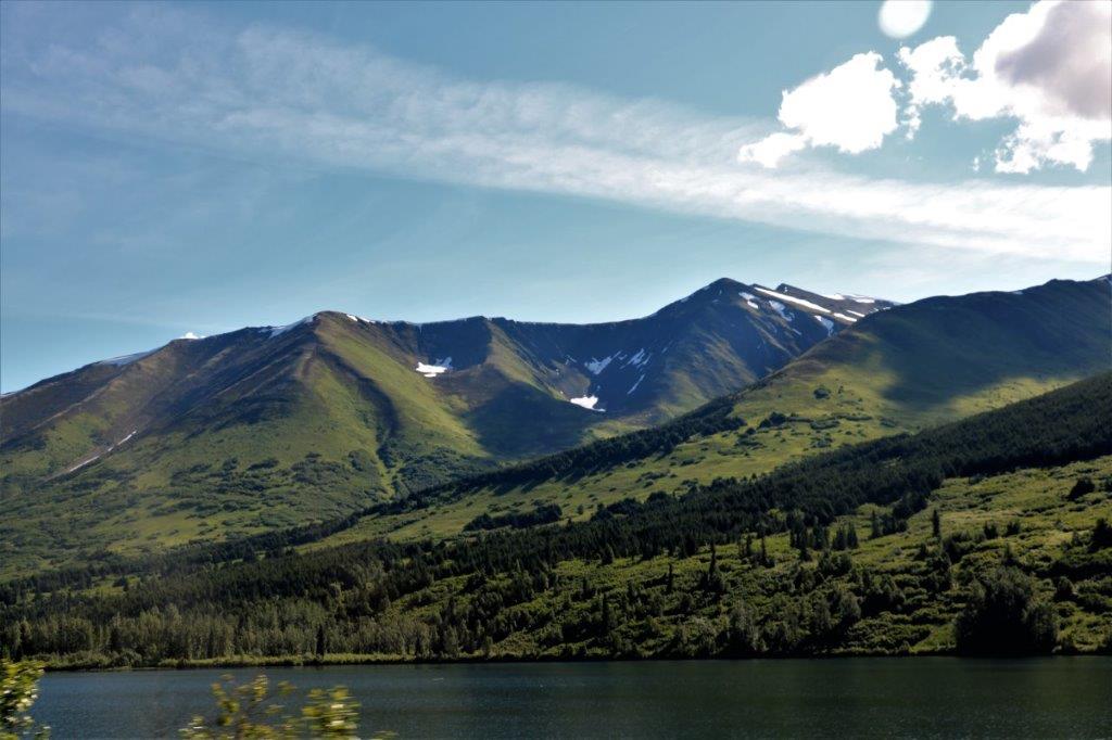
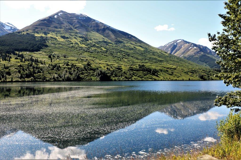
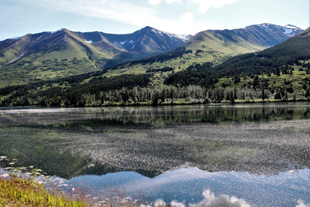
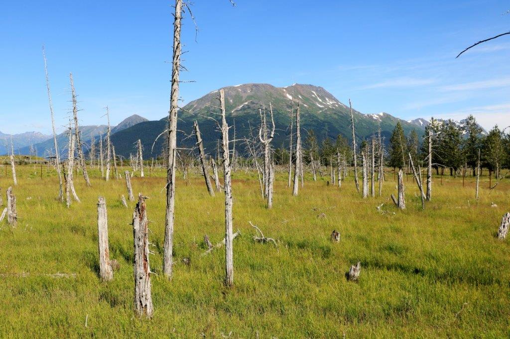
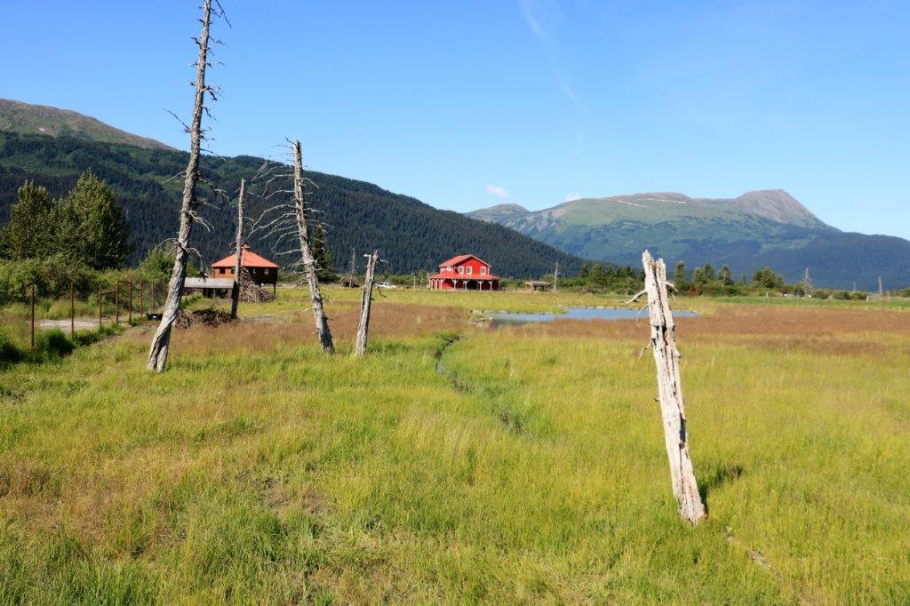
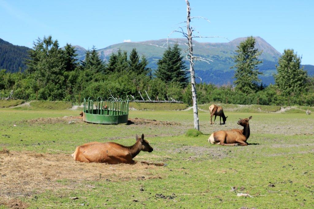
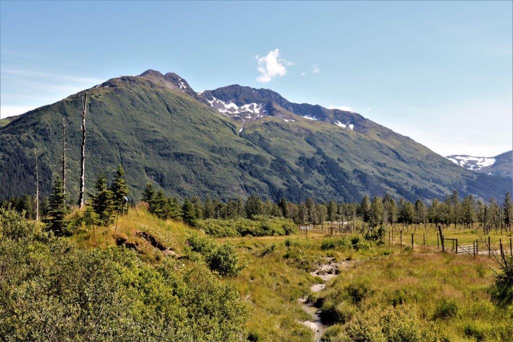
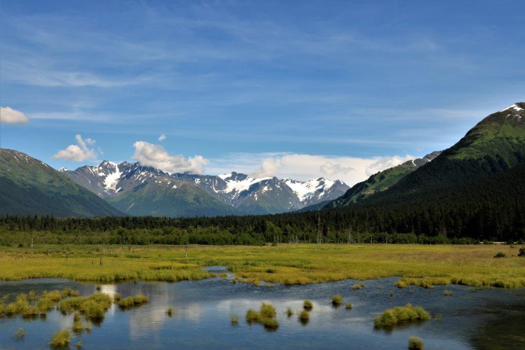
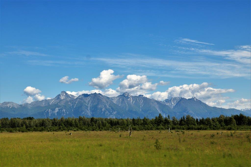
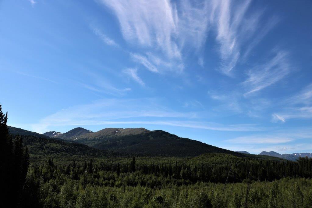
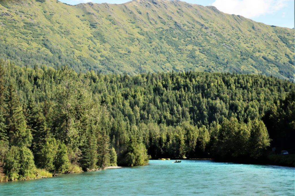
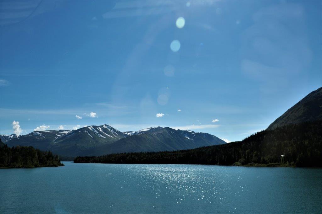
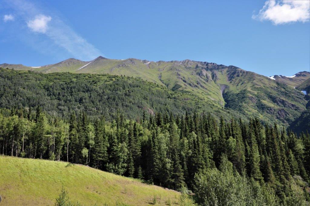
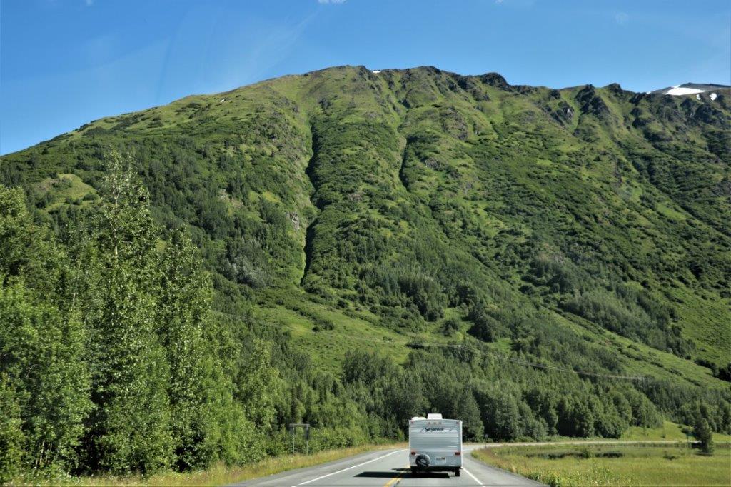
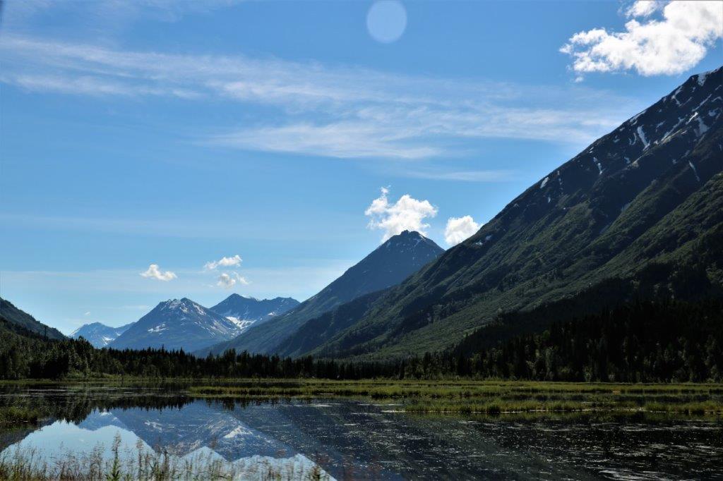
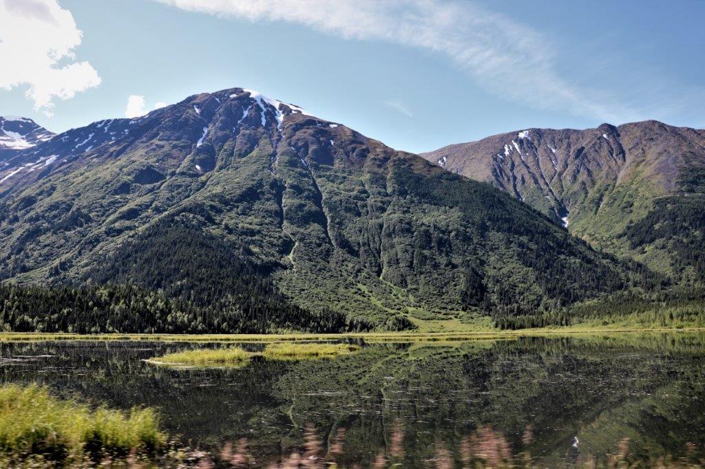
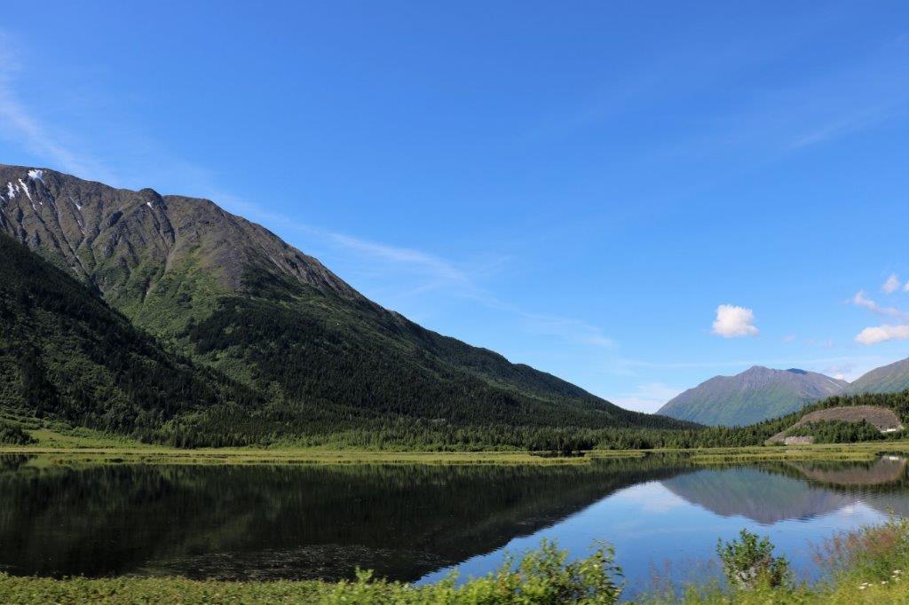
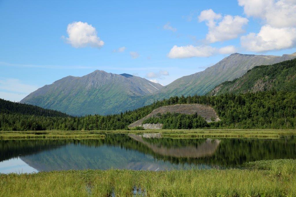
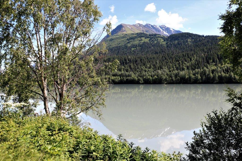
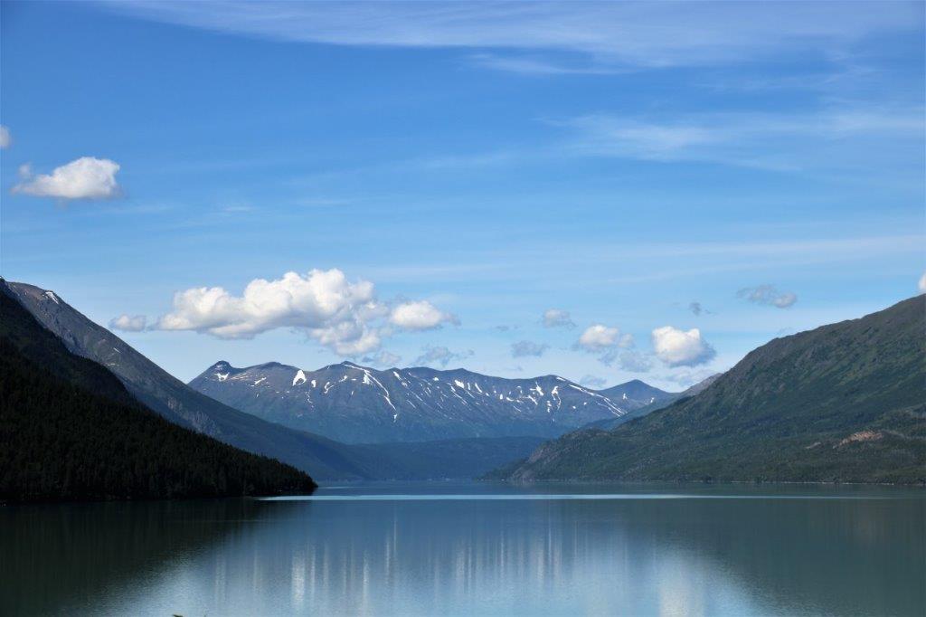
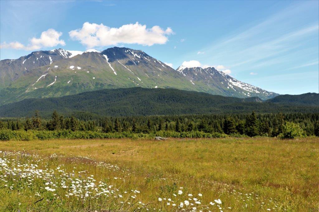
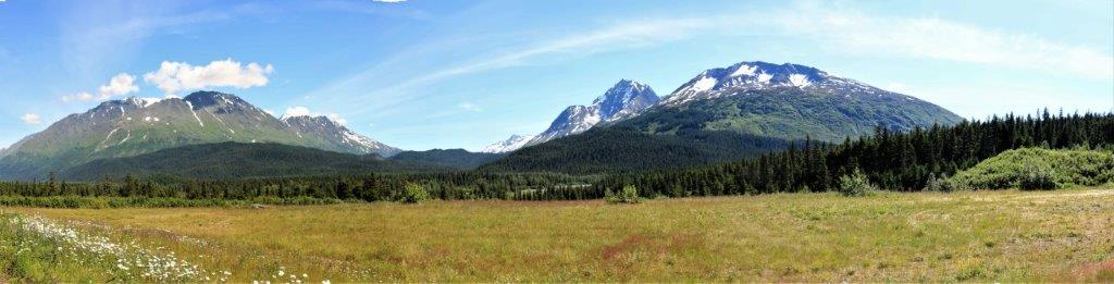
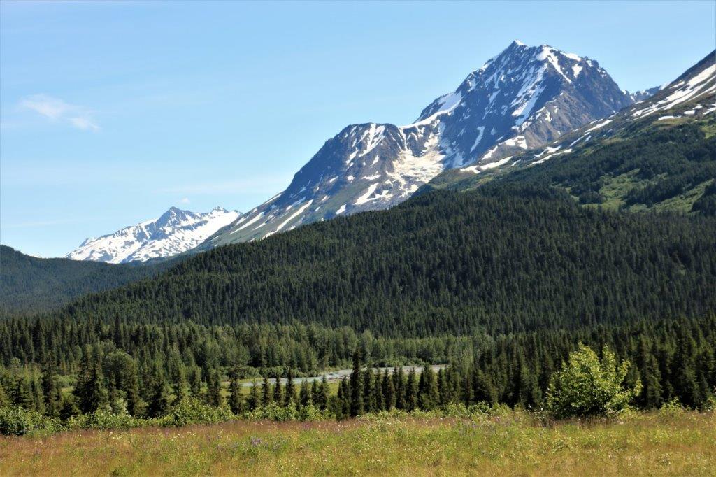
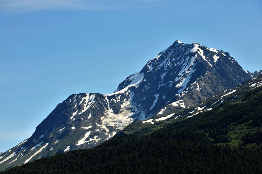
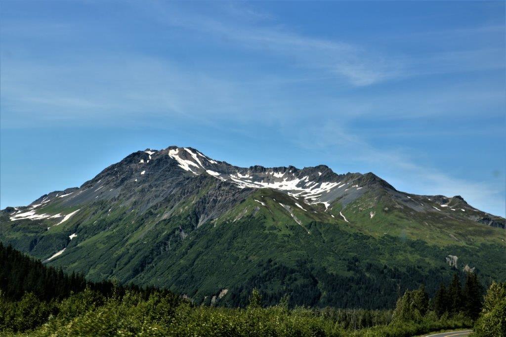
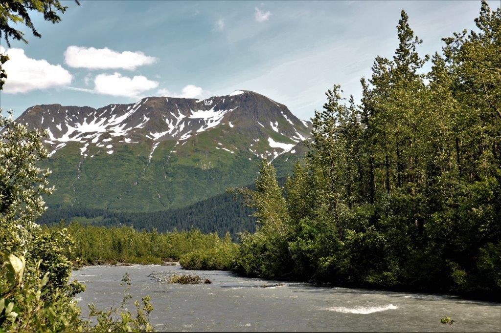
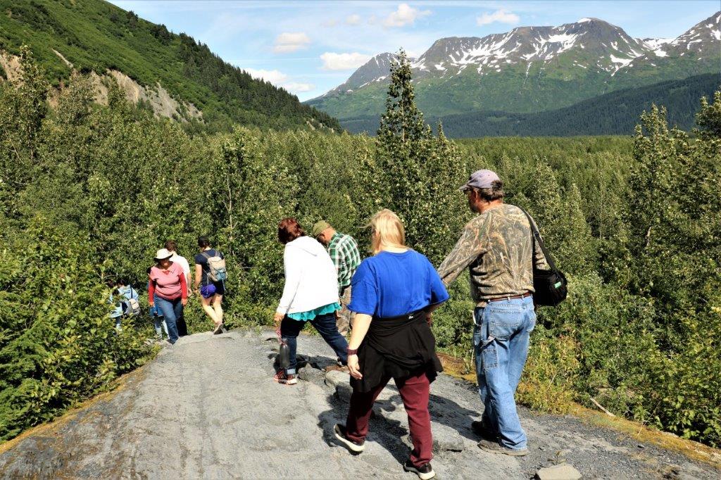
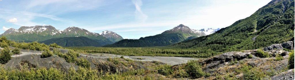
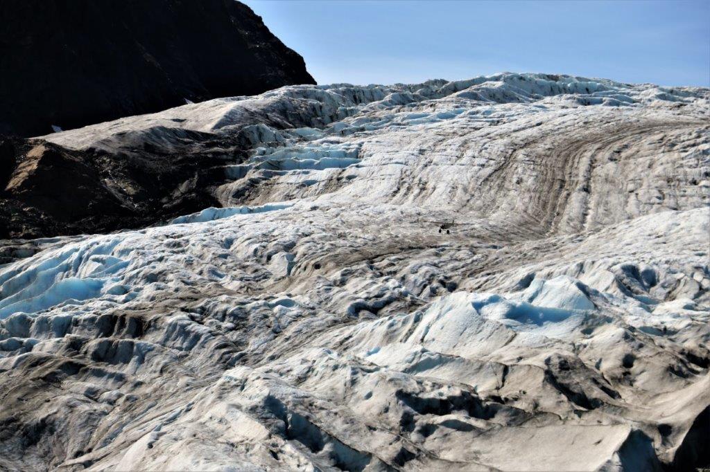
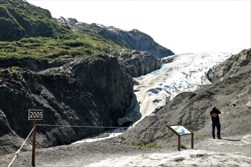
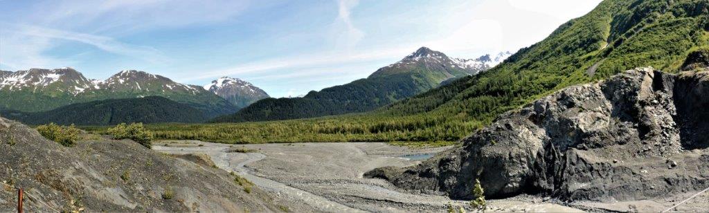
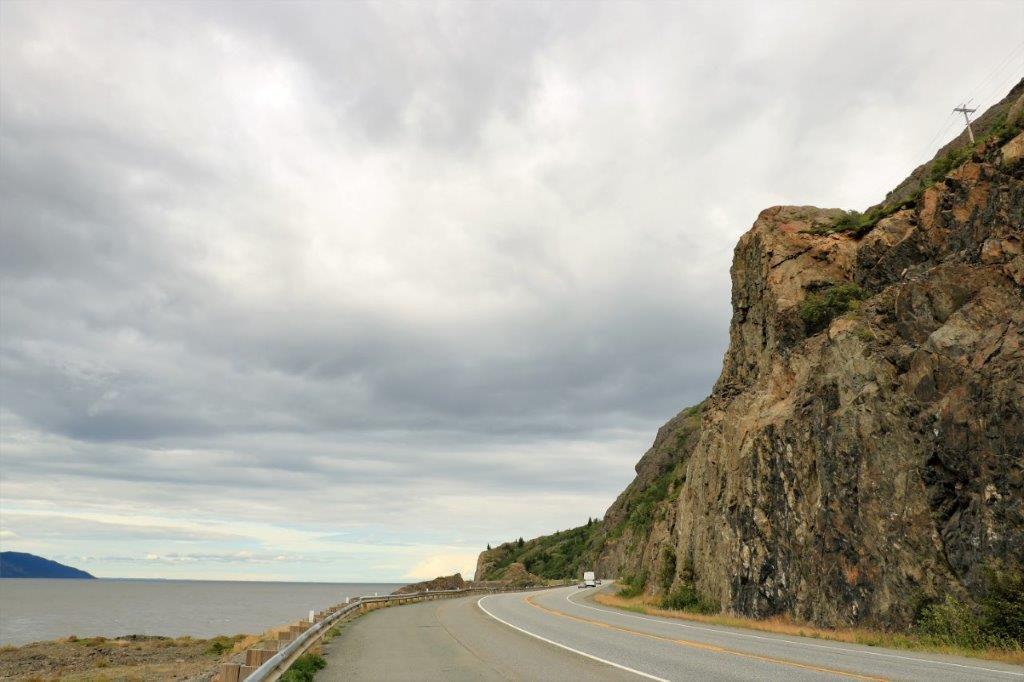
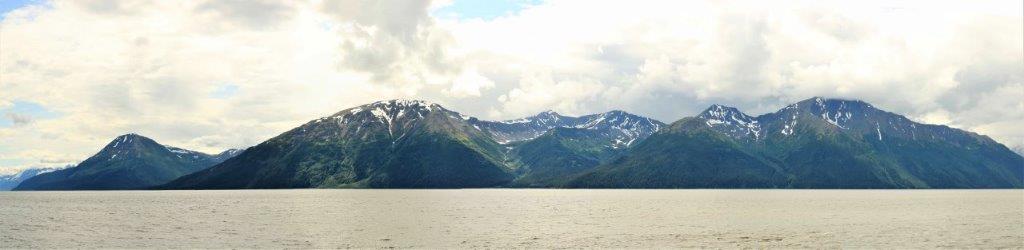
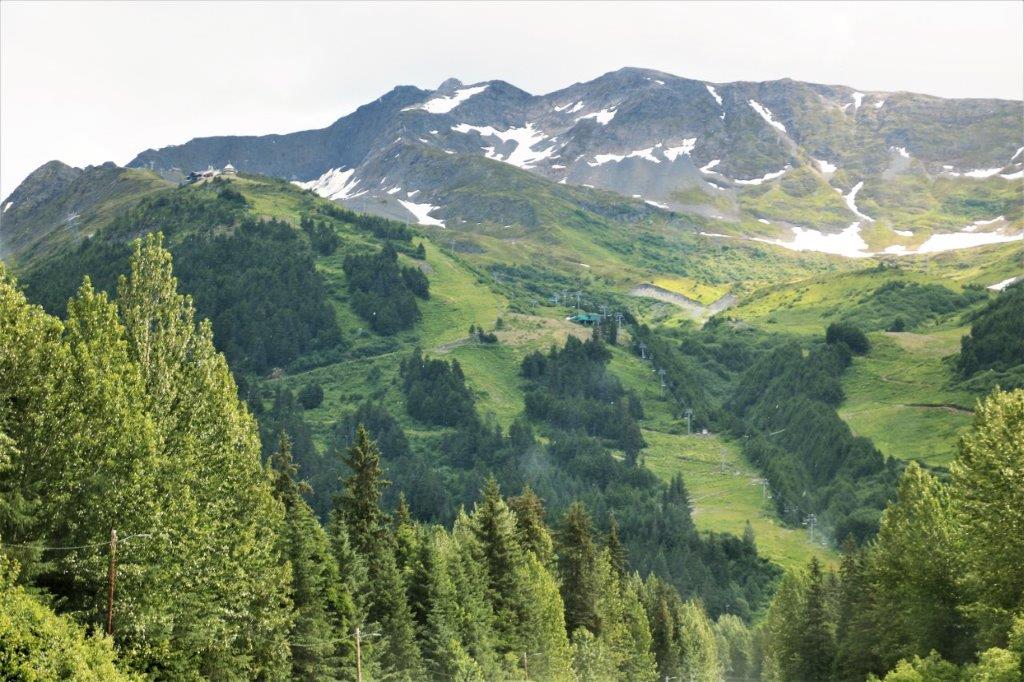
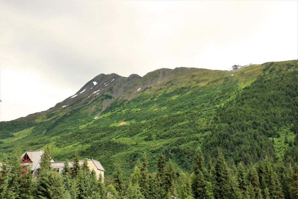
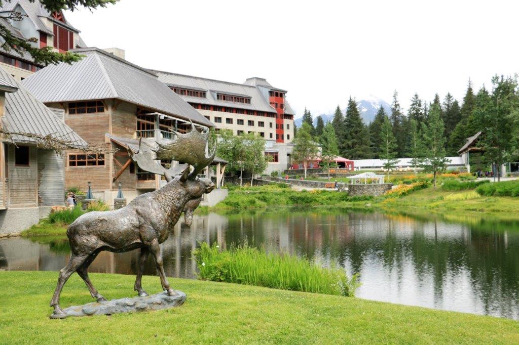
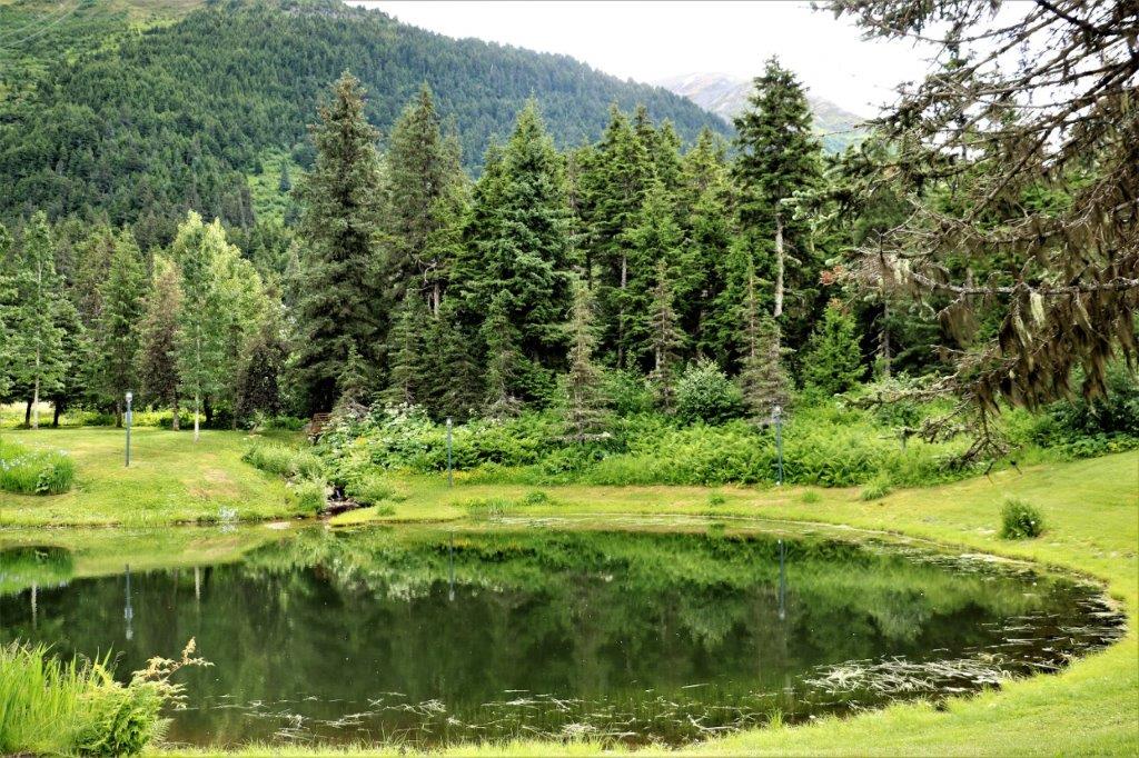
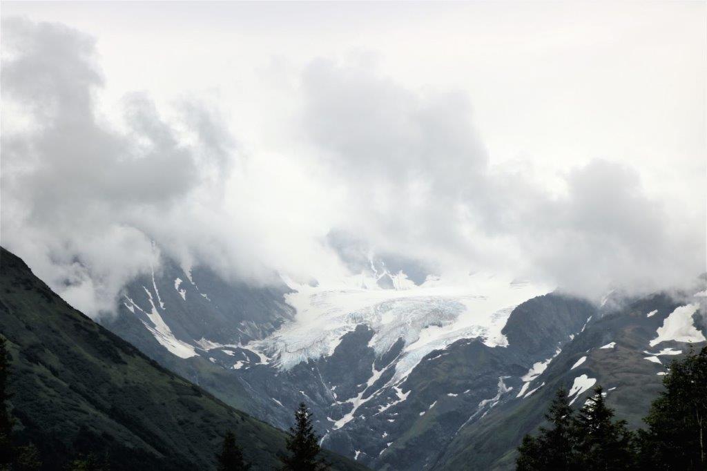
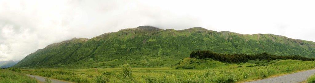
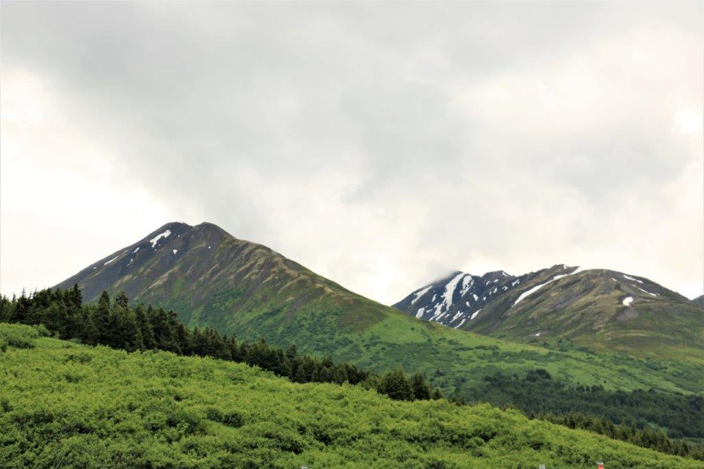
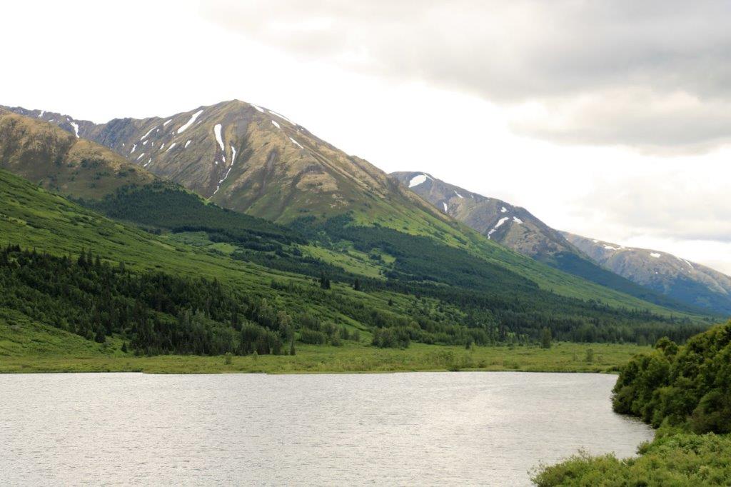
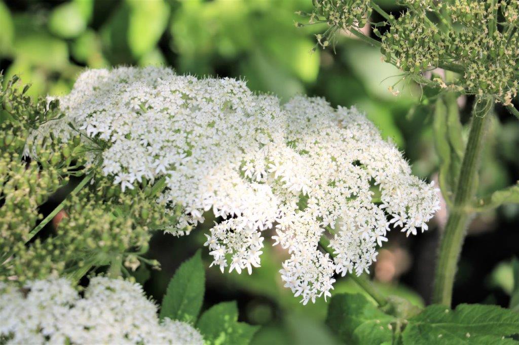
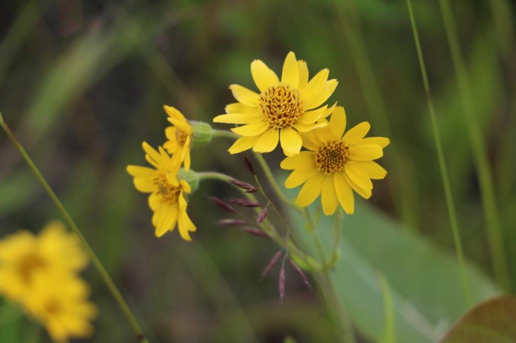
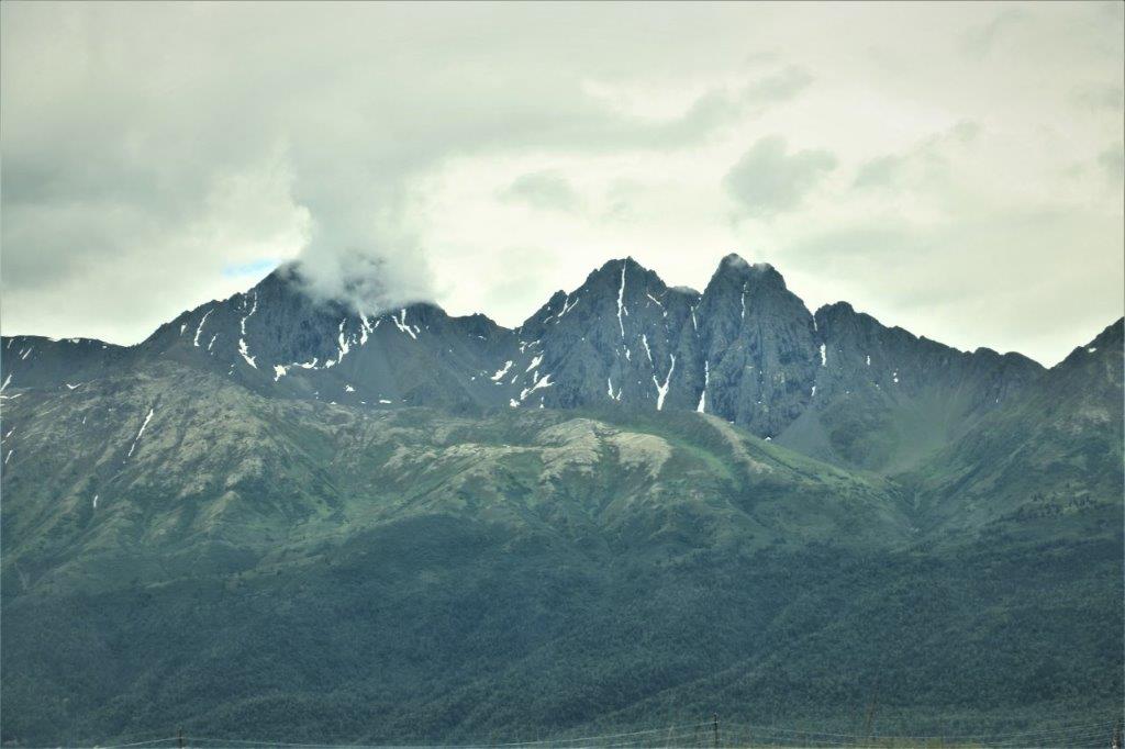
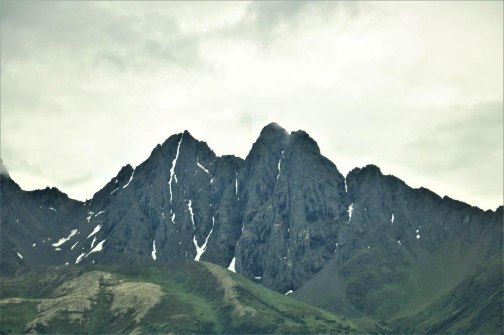
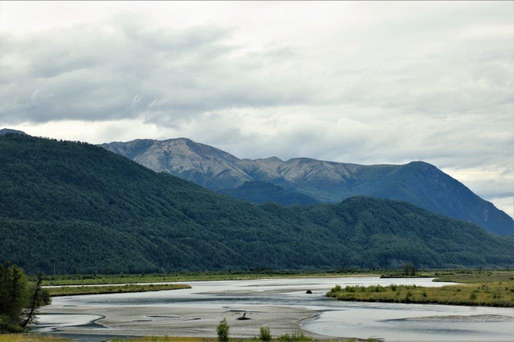
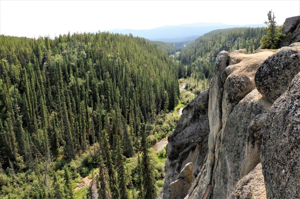
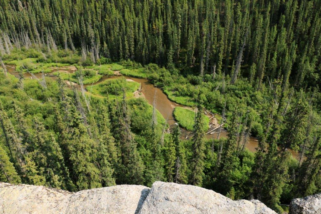
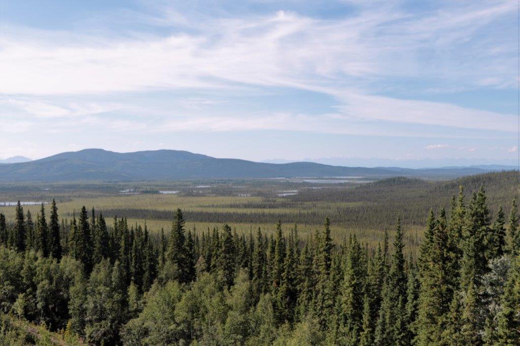
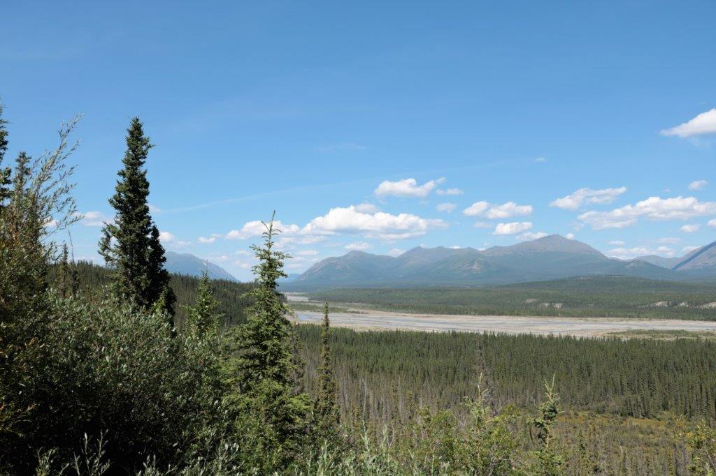
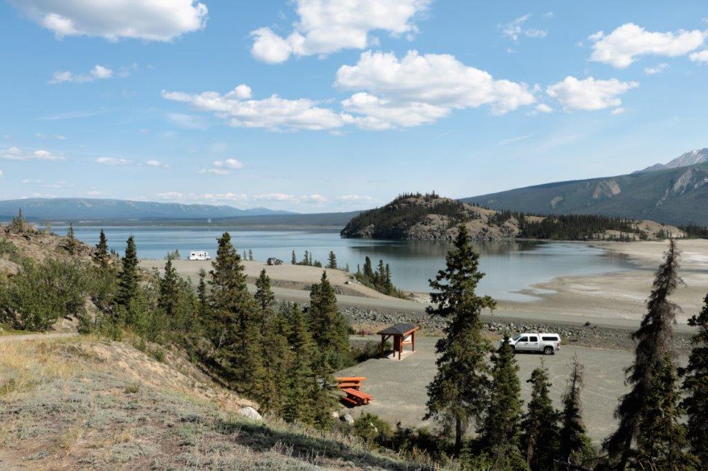
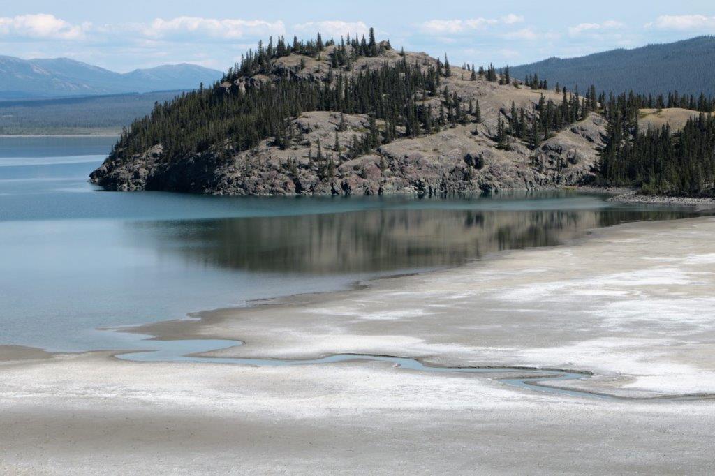
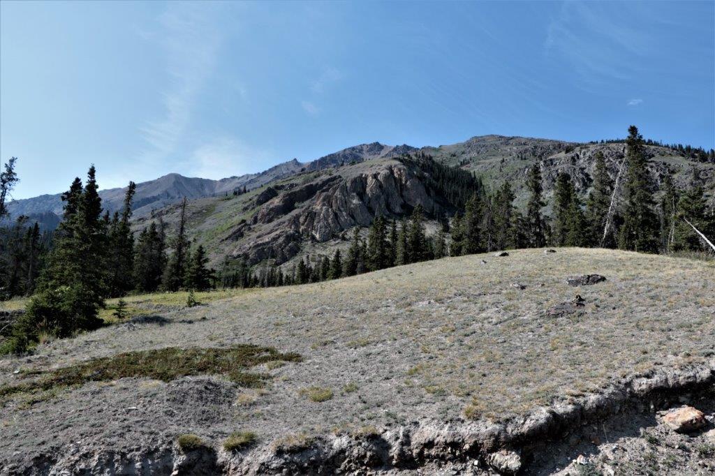
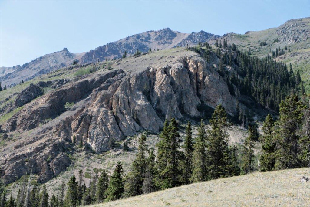
         This type of scene was a large portion of our day today. 
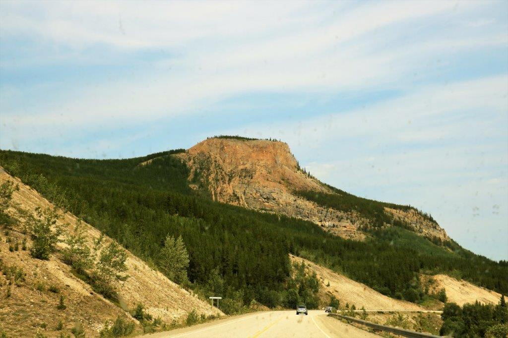
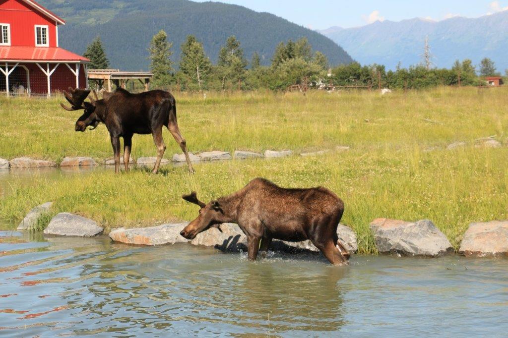
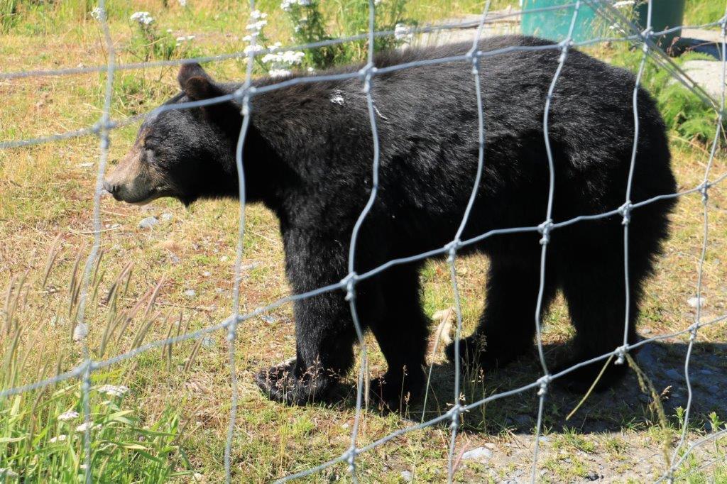
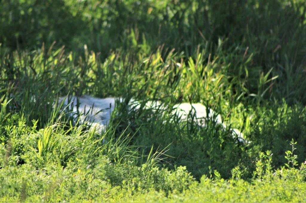
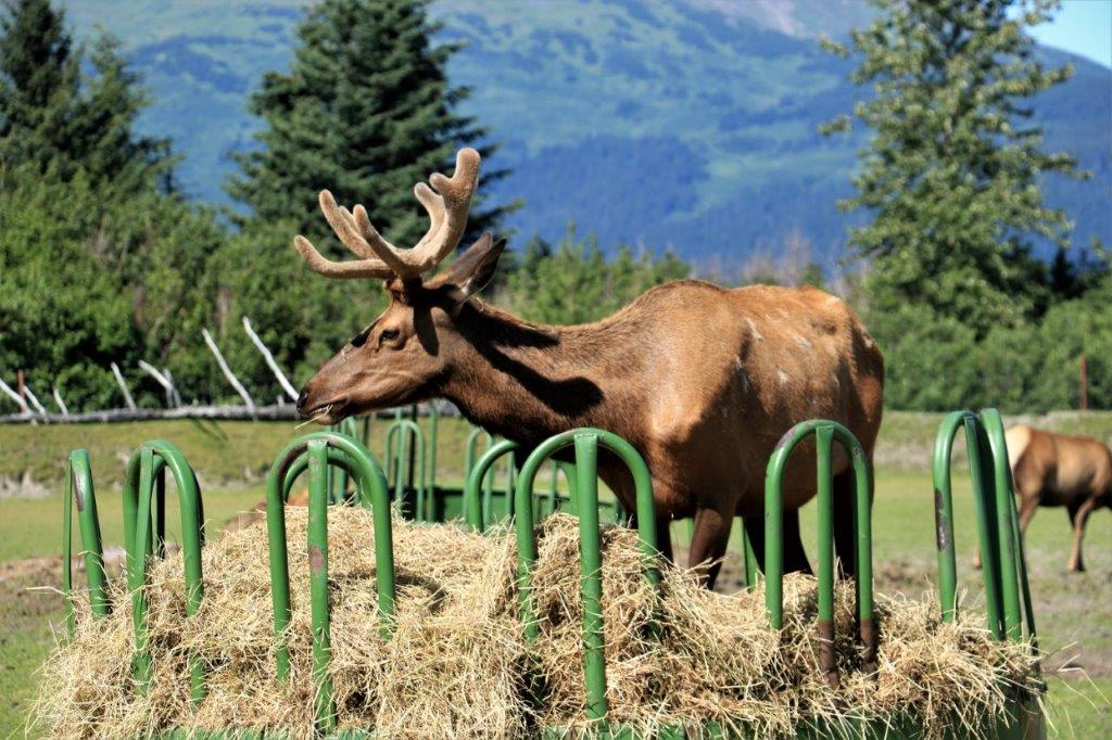
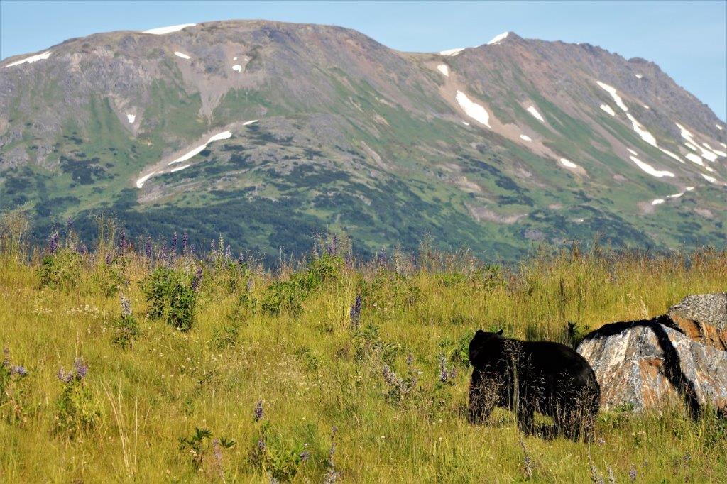
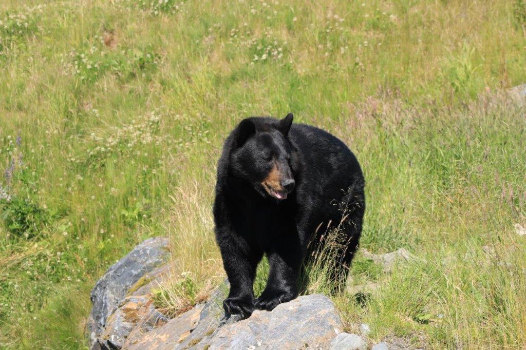
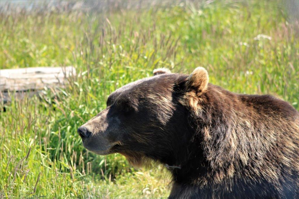
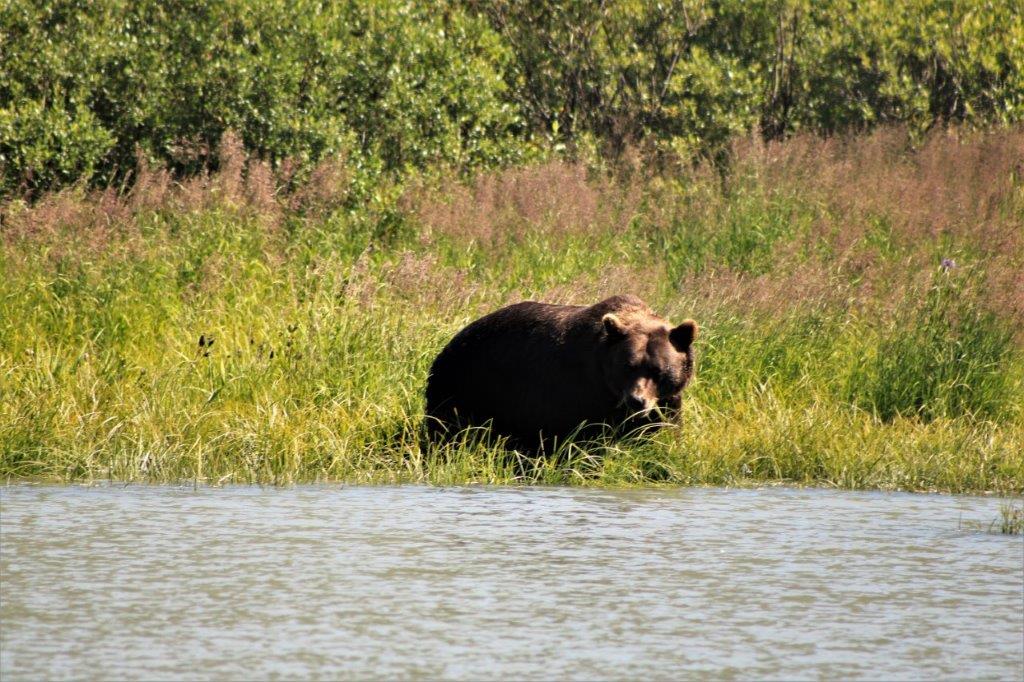
Fifty kilometers from Watson Lake we saw our first critter in days and days.  This small bear was on the road verge enjoying a grass snack.
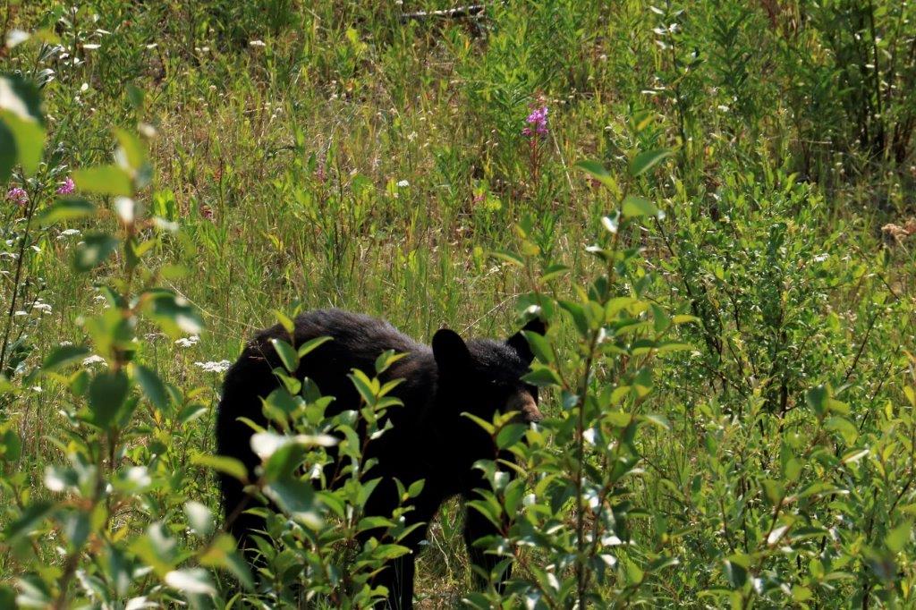
We will soon have to revert to Plan B for the remainder of this road trip. We are on our way to Prince Rupert.  From there we were hoping to go to Haida Gwaii but all the ferry spots are full.  We would need to stay in Rupert for a week to get a sailing.  After we returned from Haida Gwaii we wanted to take another, overnight, ferry to Port Hardy on the northern tip of Vancouver Island and visit some relatives on the way home.  But the earliest sailing we could get on that ferry is August 15.

We knew this would be a possibility because the ferries get filled quickly in the summer but we did not want to lock ourselves into having to be somewhere on a specific date too far ahead of our wanderings.   We will just go another time.

In the meantime we will meander here and there through northern BC’s Cariboo country and stop at some of the small places – do some geocaching.  We haven’t been to Barkerville for years so we plan to do that.  For now though we still have some days driving down the Cassiar-Stewart Highway to Terrace.  It is a long drive with few places in between and difficult to split into sort-of-even two days, so we are just going to do three shorter ones.  After all the long days John has been driving lately I think that is only fair.  We do the first third – to Dease Lake – tomorrow.

I am glad I have caught up on my blogs because I will be getting behind again over the next few days.  Dease Lake doesn’t have a full restaurant, only a pizza place; and our cabin at Bell II the next night has no TV, cell phone coverage, or internet.  It will be just like the good old days!

2018 July 23 – Whitehorse, YT

When we were in Whitehorse almost a month ago we were unable to tour the Yukon Legislative Building because it was closed for the Canada Day July 1 long weekend.  So that was our priority today.  We have toured every Legislative Building in Canada except Ontario; which is in Toronto and we never go there if we can help it – too big a city, and Quebec which we saw the outside of, but the line to get inside when we were there in 2014 was so long it would have been well over an hour wait. There was another picture showing all the various carvings on the mace and the symbolism as it pertains to the Yukon.  I love how the designers of these special objects put so much thought into what they are to represent.                                     I liked this funky art piece. This acrylic resin glass-panel mural is 36 meters (120′) long and is among the largest of its kind in the world.  All the panels told the story of the Yukon Territory and melded into each other as the years progressed.  It was lovely. I thought I had take photos of the descriptions for all the panels but I missed these few.  Rats. The historic log skyscraper.  All these little units are still lived in.

The other thing we did not have time to see in Whitehorse was the Old Log Church Museum.


On our way out of Whitehorse when we were here before we stopped at the Whitehorse Copper Belt museum to check it out and find an earthcache.  The museum was closed and we were unable to find all the information we needed to answer the questions required to log the cache so we decided to go up there again and find what we needed. The museum was still closed but we were able to find all the information on signs along the trails. There were two regular caches near the museum as well and we saw  that there was another one up the hill behind the museum.  When we got to the pullout and walked over to the bluff there was a great view of a river meandering through the forest far below.  Bald eagles nest in the area, and the constant caw of ravens could be heard.

This was a really cool spot that, were it not for our geocaching hobby we would never have known about nor seen. Since we had paused in the tourist stuff to do some geocaching we decided to go further up the road to McIntyre Marsh where there was an earthcache.  The trees have grown so high that most of the marsh land is obscured from view.  I walked all the way to the end of the parking area to get to an open spot for a photo. There was a trail (part of the Trans-Canada Trail system) that began at the marsh and all of these signs were posted. I guess there are several options.

What with poor internet at one of our hotels and being sick for a day I was behind three blogs so we decided to make it a day and headed back to the hotel to get some stuff done before dinner.

Tomorrow is mainly a driving day.  We take the same road back to Watson Lake that we drove up a month ago.  There were no real scenic spots or points-of-interest along the way so I don’t expect to be taking too many photos.  But, you never know what we will find.

Before I went to bed a midnight I looked out the window and there was a hint of a sunset sky.  The sun is disappearing at night more and more and the night sky is becoming quite shadowed.  It doesn’t get dark yet, but soon it will.

2018 July 22 – Tok, AK to Whitehorse, YT

I woke at 8 feeling myself again.  Thank goodness. We had a long driving day ahead – 7 hours of just driving time, so I didn’t want to feel ill the whole time.

We load lists of geocaches on our phones when we have wi-fi and then the information is available as off-line data when we are out in the boonies.  There was a cache hidden at a veterans cemetery for members of the local Native community off in the woods at Northway.  It was only a short drive off the highway so we decided to go find it.

What a great place.  Each of the graves was so colourful and so beautifully decorated.  Obviously family members come up often to pay their respects and bring along some flowers or other decorations. (Now, remember yesterday when my camera changed from colour to black and white?  Well, it did it again today.  The last photo I took at the cemetery was black and white and all the pictures I took the rest of the day were also black and white.  I rarely check my images as I take them so I did not notice the change in picture style until we were almost at Whitehorse.  So, all of the colour photos in this blog except the some of the ones at the cemetery and the last one in the blog are John’s pictures.  I will insert some of by black and white ones in as well.  So very strange.  You must make three separate menu selections to change the picture style.  I have no idea how it happened.  Twice. You can be sure I will be checking the display of my photos more often from now on.) We stopped next at the Tetlin National Wildlife Refuge.              There was a pretty nice view from the balcony.                      At Soldier’s Summit we walked the trail up to the place of the official ribbon cutting when the Alaska Highway opened in 1943. There were gorgeous views of Kluane (Klu-AH-nee) LakeIn 2016 the first case of River Piracy witness by mankind in a geologic instant took place at Kluane Lake.  River Piracy is the diversion of the headwaters of one stream into another.  This can have significant effect on the landscape.  These changes are usually measured over time – quaternary or longer timescales.  But, here the glacier feeding the Slims River and the lake had an event that altered abruptly and radically in the spring of 2016.

The piracy of Slims River has important downstream implications.  The level of Kluane Lake has fallen and may fall further, potentially below its outlet at the north end of the lake.  If this happens, Kluane Lake will become a closed basin.  Also, the lake usually received large amounts of glacial sediment making the water the lovely turquoise colour.  This sediment flow is now cut off and how this will affect the life in the waters of the lake is uncertain.  Certainly the colour was just a regular pale blue when we were there.  There are other, long-winded geologically-potential affects as well.  What was obvious to us was that much of the lake bed is now dry and is even beginning to grow plants.

It seems up north you can’t escape information about the gold rush or the building of the Alaska Highway. There were two of the nice red Parks Canada chairs at the top.  I have made a point since our drive across Canada in 2014 of having my photo taken in any National Parks chairs we come across. 
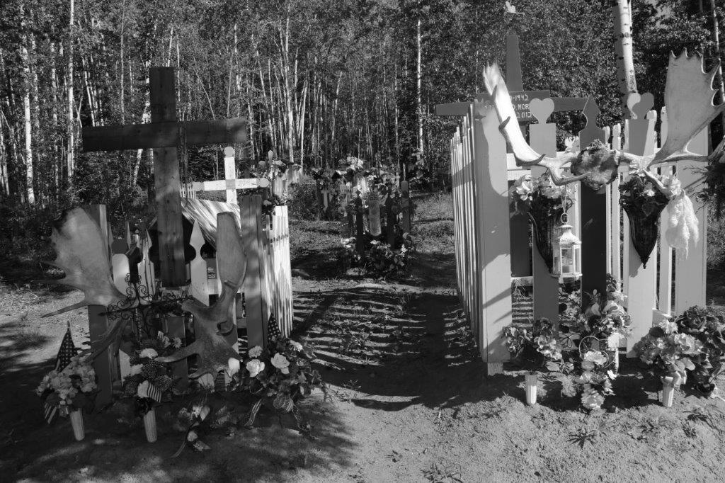
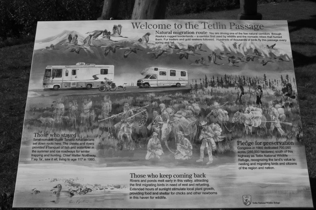
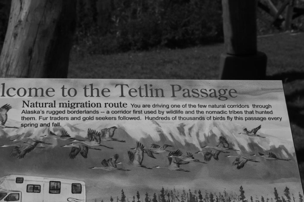
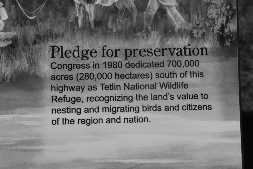
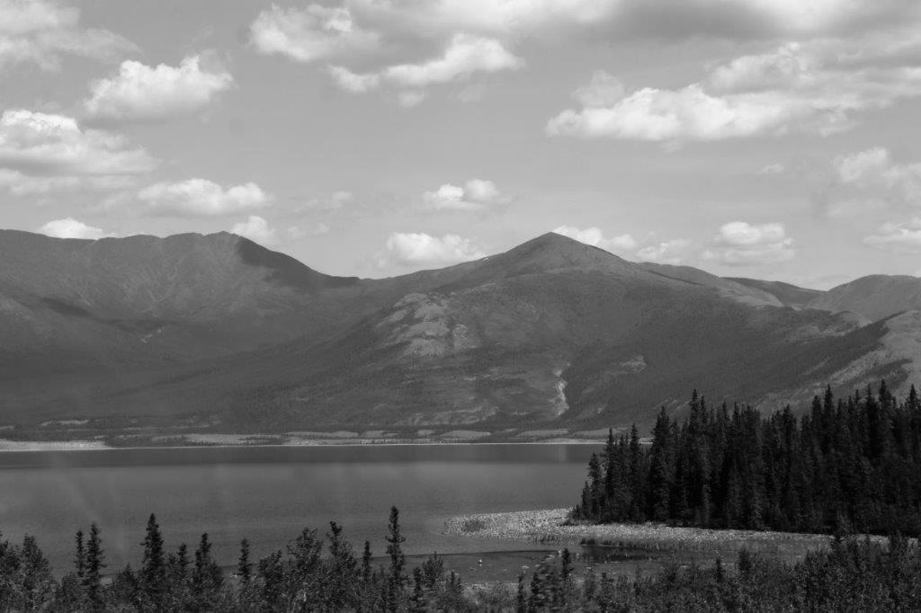
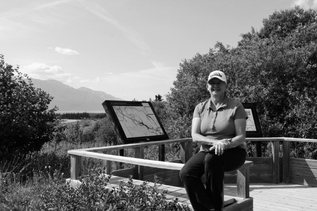
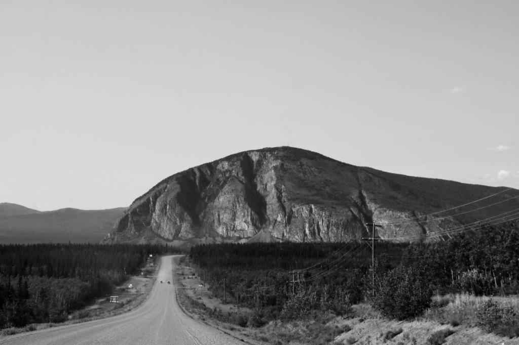
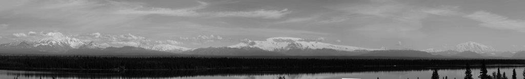
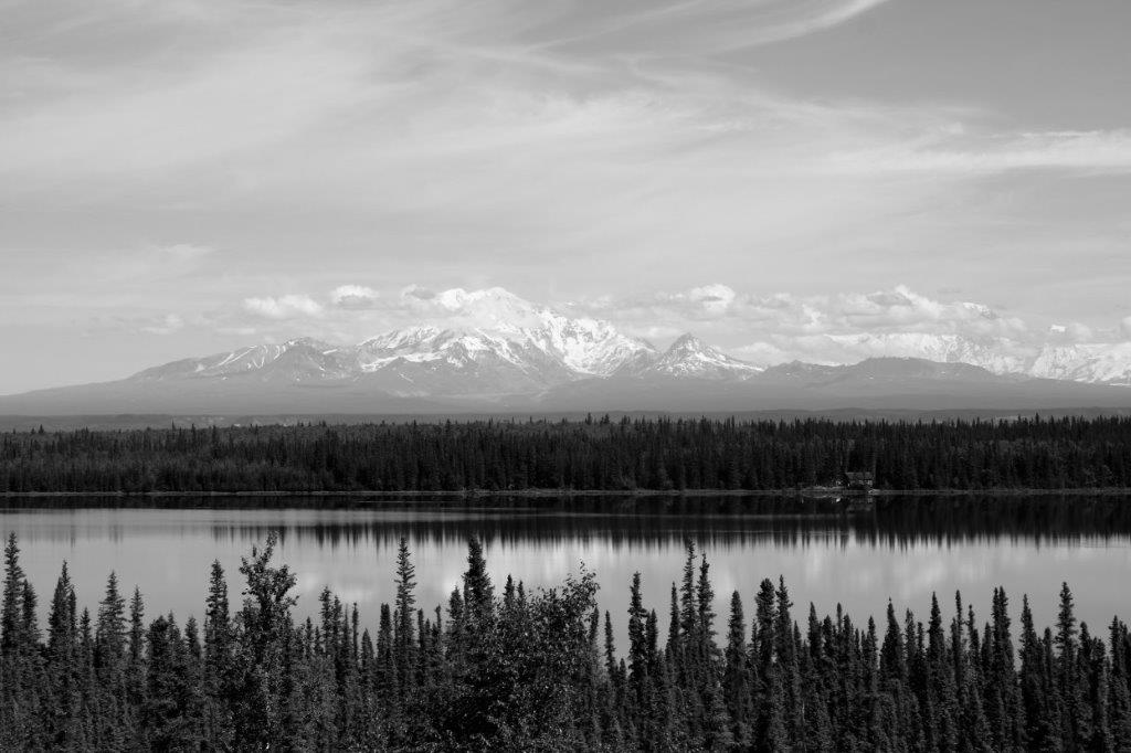
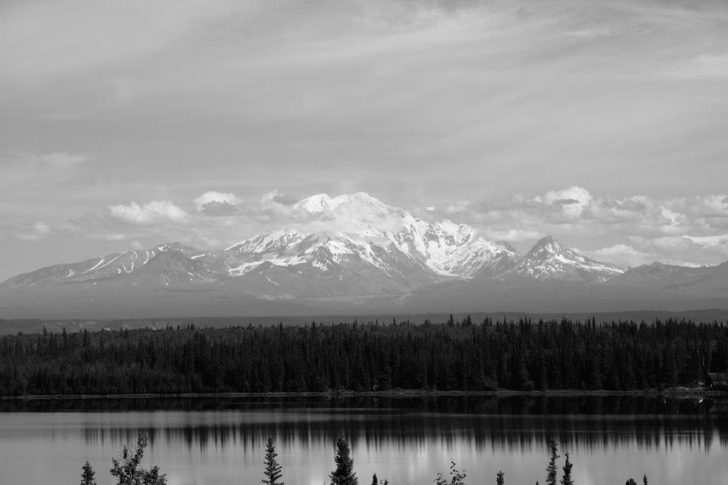
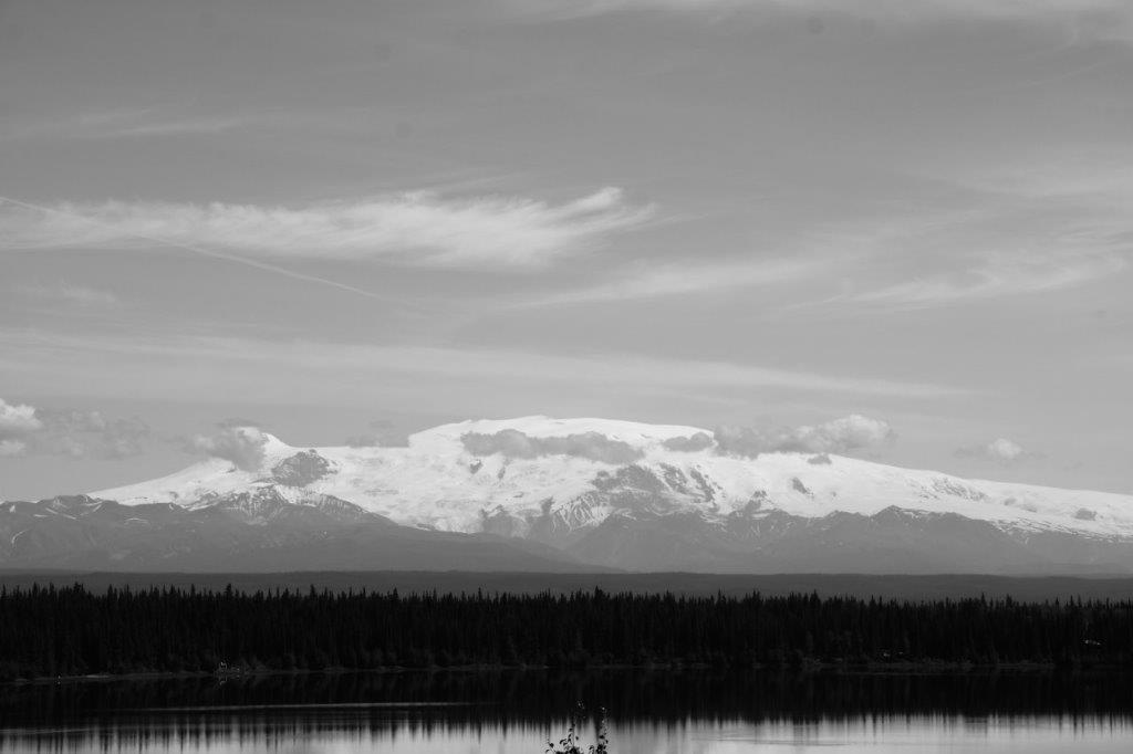
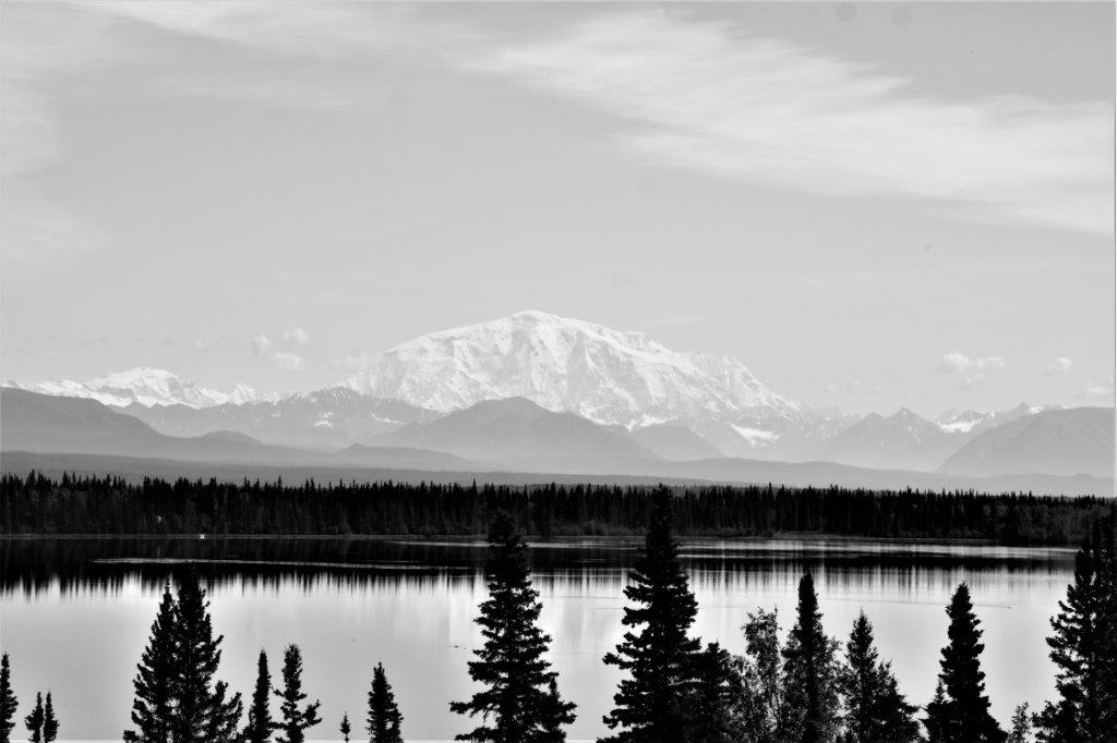
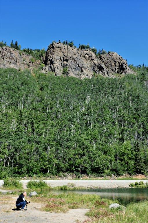
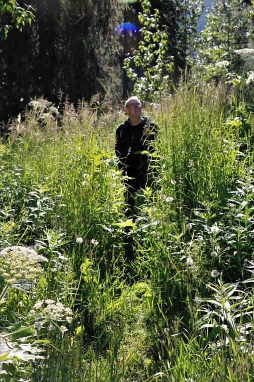
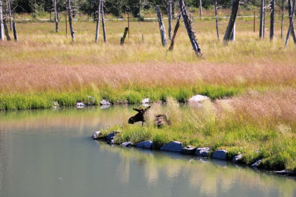
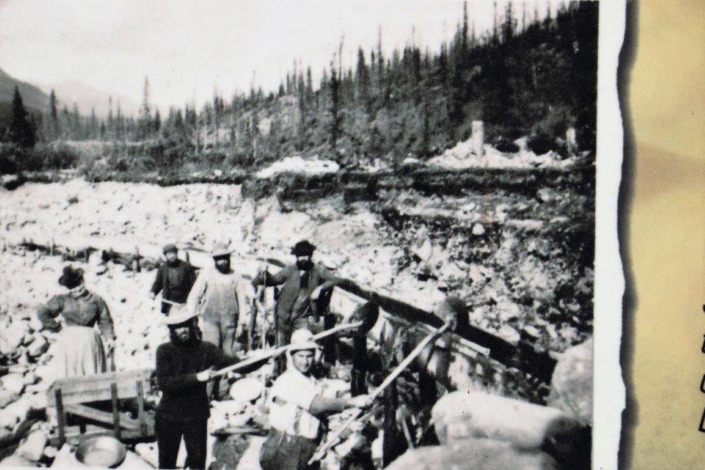
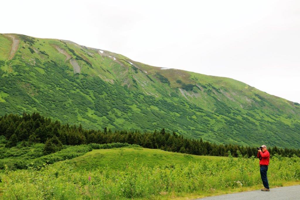
John used my camera to take the photo so it is in black and white. With so much of the lake bed exposed there is often dust blowing across the surface.Way down below in a barely visible patch of trees is our truck, on the outer edge of the highway curve. A full zoom helps bring it in closer.  The climb was only about half a kilometer, but it was uphill all the way.

On the other side of the highway from the Soldier’s Summit pullout was another viewpoint that had more information about the history of the lake. Between hikes, geocache hunting and viewpoint stopping we didn’t arrive in Whitehorse until almost 8 pm.  We checked-in to our hotel and immediately went to the restaurant for some dinner.  After we had eaten we got our stuff out of the truck and headed to our room for a good sleep.

2018 July 21 – Valdez to Tok, AK

I had very little sleep.  The back of my knee kept wanting to cramp.  I got up several times during the night and felt dizzy.  When I woke at 7ish, I felt terrible.  I was dizzy, nauseous and couldn’t tolerate the light.  This had happened to me in April after a bad night.  I was not happy to have it happen again.

We were going to go to the museum and take a tour around Valdez before we left for Tok, but with my feeling so terrible that was axed.  John did take a short drive around and took a few photos with my camera so I would have some for my blog.  He is a good man.                                     The edge of Ruth Pond

TAP – the end of the 800 mile Trans-Atlantic Pipeline from Prudoe Bay to Valdez.  The pipeline also entails an additional several hundred miles of feeder pipes and is one of the world’s largest pipeline systems.  There are 11 pump stations along the route to Valdez.  The pipeline was constructed after the 1973 oil crisis to ensure American access to oil.  It was built between 1974-1977 and in the 40 years since has transported over 17 billion barrels of oil.  I read that some of the spills that have occured have been caused by sabatoge and BULLET HOLES!  Seriously – bullet holes!  Some people just feel the need to shoot at everything.  We have encountered so many road signs and information placards that are riddled with bullet holes.  It makes no sense to me whatsoever. Back through Keystone Canyon.  This area, with its sheer rock walls is popular with climbers, and in the winter, many adventurous souls do ice climbs.         The markers for the snow plows are so high in these parts.      Coming toward Worthington Glacier from the other side. When we drove into Valdez yesterday I noticed this incredible view far down a valley on a path below a viewpoint.  It was getting late and we had driven a long while so we decided we leave the hike until the return trip providing the weather was still good.  We estimated it would take a half hour or so each way.  However, today, I could not face making such a hike.  John noticed that there was a ‘trail’ that branched off before the view pullout and there were vehicles driving it.  It was pretty rugged, with big rocks and potholes to navigate, but John loves the challenge of that sort of thing and we have a 4×4, so off we went.See the people on the trail down from the viewpoint at the bottom of this photo?                                          This is the ‘road’ John drove.   And this is the view at the ‘almost’ end. The black vehicle in the stitched photo below is at the very end. There was so much late summer haze yesterday when we stopped at the glacier we decided to do another quick run in since the light was better.The ridge line on the photo on the left is a trail that people have made walking up to see the glacier from a higher perspective.  In the photo on the right, if you look at it full screen, you can see a small group of people near the dark spot at the bottom of the glacier.  The photo below is a close crop to pick them out better.These three folks climbed up almost to the top point of the lighter gravel above them.  From what anyone could see using the telescopes, one of them may have had hiking boots on and was carrying a walking stick.  We think the other two were just in running shoes.  Near the top of the lighter gray gravel section they started to go across the glacier, but the surface was so slippery, the one in the red jacket could get no traction and was very timorously inching along.  After awhile, thankfully, they started to come back down.  And, me, being me, was thinking, “These people are idiots. If one of them falls and slips the others have no way to assist.  None of them had proper equipment and glaciers are known to crack at any time.”  Several people were watching them and all of us were shaking our heads.  I don’t understand why so many people do so many things that are so stupid!  But, as they say, there is no cure for stupidity. That’s all I’m sayin.’  I have no problem with folks doing adventurous or dangerous things as long as they know what they are doing and are properly equipped for the task.  (And so says, the woman, who as a child climbed out the attic window of her parents house and sat on the roof to read, and climbed to the top of a 50′ fir tree and did her homework. But…I was a really good tree climber back then!)

As I said, I was not feeling at all well and for most of the drive, unless I got out of the truck to see something, I had my sunglasses on, my cap pulled low and my eyes closed dozing as John drove.  And, somewhere, at some point after we left the glacier my camera set itself to monochrome!  So all the rest of the photos I took, or that John took for me, are black and white.  No idea how that happened.  John gave me the few photos he had taken that were in colour so I could include them here.We passed Willow Lake again and the four mountains of the Wrangell Range were mostly out of the clouds.  The distance between the mountains is quite long so the a stitched photo is pretty thin.                                                            Mt. Sanford                                                               Mt. Drum                                                              Mt. Wrangell                                                               Mt. BlackburnThe area around Valdez was a major copper mining center.  The local Native peoples had used copper for ornamental objects for years and readily traded them with the explorers and miners.  Of course, exploration for mines soon followed. I really liked the wispy clouds in the bright blue sky.  Well, it was blue when I saw it.  By four o’clock I was starting to feel better.  I could stand the light and was no longer nauseous, but was still very tired. We arrived at Tok at 4:45.  I immediately got ready for bed and dozed while John went to fuel up the truck and have some dinner.  He brought me back a salad and some chicken fingers and I ate about half of it before crawling into bed.  I remember nothing until the next morning.

2018 July 20 – Palmer to Valdez, AK

MOUNTAINS (of course), GLACIERS, AND WATERFALLS.

We were blessed with another glorious day on our drive to Valdez (Val-DEEZ).  We were on the road by 9 for our 412 km (256 miles) drive from Palmer to Valdez.

Not far east of Palmer we passed Long Lake, which was beautifully calm. We drove off the main Glenn highway onto the Old Glenn Highway to do a short (16 cache) power trail.  The road was closed but we were able to drive around the barrier and find all of the caches.  They were hidden about 20′ off the road every 150′ or so for two kilometers.  At the end John could probably have inched the truck past the big dirt pile, but there was one cache we had not found on our way in and we wanted to look for it again on the way out – we found it too. All of the rivers up here are laden with silt so there is no blue water.  It is all mud coloured.  This is the Matanuska River. The headwaters for the Matanuska River is Matanuska Glacier, the largest road accessible glacier in America.  It is 4 miles wide at its terminus and extends for many miles back into the Chugach Mountains.  If you choose to drive into the the State Recreation Site you can actually walk on the glacier. The ‘tail’ or terminus of the glacier extends far down the valley.  Most of the dirt on either side of the ice is just dirt covered ice. This was a very long down hill and across the bridge at the bottom before climbing up the other side. Sheep Mountain was very interesting.  Usually when you see orange coloured rocks like this it is from the presence of copper or gold or iron ore.  However the colour here is iron-stained gypsum that was ‘cooked up’ by a volcano from sedimentary limestone.  It is called Sheep Mountain because it is a favourite place of the local Dall Sheep – although we didn’t see any.  I liked this sign on the back of the information board at Sheep Mountain.  This formation is called Lion’s Head, although lots of people, me included, thinks it looks more like a sphinx.  It is the root of a volcano so even though glaciers have come through here several times over the millenia the rock is so hard that the glaciers do not erode it. We turned south on the Richardson Highway just before the community of Glennallen. The Richardson Highway was the first road built in AlaskaNotice the poles on either side of the road.  These are markers for the snow plows in winter.  This area gets 600-900′ of snow each winter!  Yes, you read that correctly.   Quite a bit of the Richardson Highway borders Wrangell-St. Elias National Park and there are four very obvious mountains that you can see for miles as you drive along beside Willow Lake.  They are Mount Sanford, Mount Drum, Mount Wrangell and Mount Blackburn. All of them were partially or fully covered by clouds. This is Mt. Drum.                   I loved the thin ice rim  along the curve of this ridge. 
Worthington Glacier is about 29 miles (47 km) north of Valdez and is also a glacier you can take a path to the base of.  We only went as far as the viewpoint, where we learned about ice worms. The original trail through Keystone Canyon into Valdez was called the “Goat Trail.”  The Goat Trail is still visible, high on the mountain walls as you drive through the canyon beside the Lowe River.  The route through Thompson Pass and Keystone Canyon were old Native trails that were used to build a safer road into Copper Valley. There are two nice waterfalls about 12 miles (19 km) from Valdez.  Bridal Falls is first.

Right around the corner is Horsetail Falls.We arrived in Valdez at 6:30.  We had hoped to get in a bit earlier so we could do some exploring of the town, or perhaps visit the museum, but the time we spent finding the geocaches ate it up. Which was okay with us as it was nice to just spend some time doing something other than driving and sight seeing.  All in all, you can chalk it up to another wonderful day in the 49th State.

2018 July 19 – Seward to Palmer, AK

We left Seward on the eastern side of the Kenai peninsula and drove back up the Seward Highway, around Turnagain Arm, through Anchorage and east to Palmer, which is our overnight stop on the way to Valdez.

We woke to a totally overcast sky which we were sad about as the weatherman (fickle person that he is) had said sunshine for the next four days.  However, we needn’t malign the poor guy too much as the sun came out before we had driven too many miles and we had a third glorious day in a row.                                                            Kenai Lake

John pulled into a side road so he could take a photo of the mountain he could see on his side of the truck.  I was happy because I wanted a photo of the mountain I could see out of my side. One of our geocache stops had us wading through six-foot high grass.  It may be a short growing season up here, but the plants certainly make the most of it.

Summit Lake was covered in pollen from the poplar trees. The effect was certainly pretty with the reflections. I find that I am still not tired of seeing all of the lovely mountains that Alaska has to offer, but today our main event was critters.

Right at the end of Turnagain Arm is the Alaska Wildlife Conservation Center; a private drive-through preserve and animal rescue.  We didn’t drive through of course, we walked the route to see the animals better.    Reindeer or Caribou, whichever you wish to call them.  Reindeer sausages are a popular breakfast choice in Alaska.This young black bear was orphaned and brought to the center about five months ago.  When he has matured a bit more he will be put into the larger enclosure with the other two black bears. This was a good a view of the wolf pack we got.  All four of them were sound asleep in the shade of the tall grass of their enclosure.  John and I were both surprised at how small Muskox are.  From films and photos of them we thought they were larger animals.  They only stood about 4 feet tall. The fox was also having his afternoon nap.  There is a lynx at the center as well, but we didn’t spot it anywhere; which isn’t surprising as they are very anti-social and like to be alone.Look at the dates under each of the photos below to see how quickly moose antlers grow each year.

They finally get them grown, get the velvet off them, and promptly shed then to start over next year.

Elk are not native to Alaska.  President Rooseveldt and some naturalists introduced 8 elk to one of Alaska’s peninsulas.  After 60+ years the herd now numbers 1200.The Sitka Black-Tailed are only found down at the coast near Sitka, Alaska.       This black bear was having a good walk around his territory.There were two Grizzly’s (or brown bears as they seem to prefer to call them up here) in the enclosure.  The big male, JB was having a nap right by the fence.  The female was off on the other side of the lake doing her own thing.                  He could understudy for Baloo in Jungle Book   He raised his head, looked at us, and immediately lowered it to his paws and continued sleeping.

After seeing all the animals we were on the road again.  Turnagain Arm was much prettier on the way back in the sunshine than when we drove over to the Kenai Peninsula under heavy clouds.  All the nice mountains were on John’s side of the truck though, so very few photos ops for me.Once we cleared Anchorage we drove over to Wasilla, which was in the opposite direction to Palmer, but I wanted to visit the Iditarod Headquarters and Museum.  We knew where it was, we knew what it looked like, we drove down the road without finding it, got directions from a lady, drove back looking for it again, but still couldn’t see it.  So, we took the Palmer-Wasilla Highway and cut off all the slow moving traffic through the construction zone on the main freeway.  I think if is impossible to be anywhere in south-east Alaska without having some mountains around you.

Tomorrow we drive down to Valdez, the home of the Alaska Pipeline, and a particularly scenic town.  Or so we have been told.

2018 July 18 – Kenai to Seward, AK

It was another beautiful day, all day today.  We left Kenai at 10 am and drove back along the Sterling Highway, to the junction with the Seward Highway, just past Cooper Landing in the upper middle of the peninsula.  All of this road we had traveled before, but, of course it looks different from the other direction.  There were fishermen in every river we passed.  This is the Russian River. One would be hard pressed to search for a geocache in more beautiful surroundings.  Good thing the view was so nice since we couldn’t find the cache.        It was hidden in this spindly forest, but we couldn’t find it.                                    Just stunning reflections today. I didn’t see the name of this lake but it is certainly full of glacial silt. This lake was just past Moose Pass and from there we turned south down the eastern side of the Kenai Peninsula toward Seward.  It is 90 miles (145 km) from Kenai to Seward. We found the geocache hidden here and liked the scenery so much we stayed to eat our lunch.

Nine miles north of Seward is the only road access to Kenai Fjords National Park.  The road goes 8 miles to the Visitor’s Center and the trails to Exit Glacier.  All other access to this park is by boat or air. It takes almost an hour to hike to the Edge of the Glacier viewpoint.  If you take the Ranger guided walk it takes 2 1/2 hours for the round trip due to all the stops to explain the plants and stuff.  We were back at the Visitor’s Center in less than two hours.

                         Upstream and downstream on the hike. The parking lots were all full of cars and campers and motorhomes and people of every age were hiking to see the glacier.  While were were taking photos of the glacier at the end of the trail (Well, at least as far as we were planning to go. You can hike to the top of the glacier – 8 1/2 hours round trip. We passed.) a small airplane came over the top and literally flew down the face of Exit Glacier.  You can just make it out in the middle of the picture above.  It is a little clearer in the two below.  On our hike back down we asked one of the Park Rangers if he had seen the plane and showed him our pictures.  He asked us to please show them to the rangers at the Visitor’s Center because there are restrictions on how low you can fly over a National Park and he was much too low.  The rangers at the center were aware of this plane, as he has made the flight before, but until they can get some identification numbers of his aircraft there isn’t much they can do.  If I had taken my zoom lens along I may have been able to get one close enough.  The rangers were not happy with the guy, that’s for sure. We left the park and drove the final few miles into Seward.We checked into the hotel and John had to sign a form saying we would not clean any fish in the bathtub.  He was also told that if we make a mess that takes longer than one hour to clean up additional charges will be added to our credit card.  Do you think, perhaps they have had some issues in the past?

Seward is a popular cruise ship port-of-call.  It is picture perfect glorious surroundings and the fjords are part of most Alaskan cruise itineraries.  There was a ship in port when we arrived but it sailed before we went out for dinner.  The town is bustling with people.  All along the waterfront there are campgrounds, some specifically for tents and others for campers, trailers, and motorhomes.  There are large parking lots near the port end of town with a $10 per place fee. They were all full, as was every side street at this end of town.  We drove down to the main town and found a good restaurant for a sockeye salmon dinner; then took a little drive around.

At the end of town is the official start of the Iditarod Dog Sled Race. And, when you look at the view, you understand why so many people and ships stop here. Tomorrow we head back up the way we came down, then go back around Turnagain Arm, through Anchorage and turn right at Wasilla to go east as far as Palmer where we will spend the night.  The next day we will drive the Glenn Highway as far as the junction to go to Valdez. affectionately called “Little Switzerland.”

2018 July 17 – Kenai to Homer and back, AK

We had decided to drive down to the bottom of the Kenai (pronounced KEEN-eye) – Peninsula today to the southernmost town of Homer.  We woke to a beautiful clear day and set off immediately after we had breakfast.  A staff person had told John that it only took an hour to drive to Homer, which I knew was ludicrous as it is 81 miles to the town and 90 to the end of the road (130 km and 145 km).  There were geocaches all along the highway but we decided to ignore them all except one at Anchor Point because Anchor Point is the most westerly place in North America that you reach by road and we wanted to get the cache as our ‘furthest west’ one.

There is a huge grassland reserve not far south of Kenai where Caribou come to give birth and rear their young in the summer.  We saw not a single one, buy we got our first look at the mountain range we would get peeks of through the trees all the way to Homer. The mountains are part of the Aleutian Range across Cook Inlet from the Kenai Peninsula.  All of the most prominent ones we could see are volcanoes. (The town of Homer is the last red dot on the map that has no name beside it.)

                            Mt. Redoubt  – last erupted 2009       Iliamna Volcano – last erupted 1876 (pronounced Ill-ee-am-na) St. Augustine.  It is the furthest distance south and is actually an island in the Cook Inlet, not a part of the mountain range.  Last erupted 2006.  It is not uncommon to see some of these volcanoes let of steam as they are all still active.  Note the boat.  Due to the long shallow shore, boats are launched and retracted by skidders with a trailer.  This is a very low tide, but they do the same thing at high tide. The signs are faded so you can’t see the pictures of the mountains under their names.                   The entire Aleutian Island chain is volcanoes.

Just north of Homer is the Baycrest Overlook.  From here you can see the Aleutian range across Cook Inlet and you get a good view of the Kachemak Bay, which is considered one of the world’s richest marine estuaries.  Fishing is king here, in a big way.  Kachemak Bay also has the second highest tides in North America after the Canadian Bay of Fundy in New Brunswick.The Homer Garden Club plants and maintains these lovely large planters at the viewpoint.  Home is also home to many artists of various disciplines – from painting to antler carving to sculpture.One of the unique features of Homer is the Spit.  This narrow 4.5 mile long piece of land extends out into Kachemak Bay and became a commercial port in 1930 when the railway ran a line along it to export coal.  Today it is a tourist mecca with a ferry terminal, a hotel, a couple of campgrounds and many, many shops.  Cars lined the entire ‘street’ and motorhomes and campers were packed like sardines into the available spots.  It was crazy busy.This is the width of most of the Spit; wide enough for two lanes of traffic and a bike trail.  Near the end it widens enough for buildings and parking but I don’t think it was ever more than 500′ wide. This chainsaw carving is of a dip-netter.  Dip-netting is the first fishing done each season.   Fishermen (and women and kids) stand in the water with these long-handled big nets and wait for a fish to swim into it.  They are catching a small silver fish, called variously hooligan, eulachon, candlefish or smelt.  When the net collects some it is dumped on the shore, and they set the net out for another one.The shore was lined with people fishing.  They were catching some too.  A fellow walked up with a big, ugly-looking wide-mouthed one.After we found the geocache hidden at the little Land’s End Park we headed back to Kenai.

Me, being me, looked around at all the people and cars and structures and thought (well, I actually said, to John), “Talk about denial.  Alaska is an earthquake zone, there are five active volcanoes just across the inlet, and you’re on a spit of land barely 10′ above the water which is not a great place to be in the event of a tsunami.”  People are so strange.  In the event of a disaster occurring there is no way at all that all those people will be able to reach safety.  That one two lane road will be gridlocked within minutes – despite the fact it is ‘tsunami evacuation route’.  Hope really does spring eternal in the human breast. These folks must have felt that, since they live so close to the ocean they needed their own lighthouse.  Cool.  I want one. Back in Kenai we did a little drive around Old Town and spotted some of the heritage buildings.  Alaska used to be Russian territory so there are many places with Russian names and many communities that still have Russian Orothodox churches.

It was now 5 pm and our quick ‘1 hour’ drive to Homer was complete.  Time for dinner and blog writing.  Tomorrow we are off to Seward (pronounced Sue-ward) which is 169 km (105 miles) on the other side of the peninsula.

2018 July 16 – Anchorage to Kenai, AK

We left Anchorage at 10:30, under overcast skies.  The unsettled weather stayed for most of the day.  As we approached Kenai (KEEN-eye) about 5 o’clock the sky cleared and the sun came out, so we are enjoying a beautiful evening.

The drive from Anchorage to Kenai is a circuitous route.  You must drive to full length of Turnagain Arm and then go south at the end, through the Turnagain Pass before heading westward to Kenai.  Kenai is a larger place than we expected it to be.  For some reason both John and I thought it was a small fishing town.  Well, it is a fishing town, all right – world reknown for its salmon fishing – but the population is about  7,800, which in Alaska is a pretty big place.  All the big box stores are here, a hospital, and lots of hotels for the fishing folks.

There are geocaches hidden all the way down the highway so we made several stops.  There is an Alaska Geocachers group that hid a whole bunch of them at all the pull outs along the Seward Highway. We stopped for several and skipped lots more due to time.

Even though the sky was often dark the ever-present moutains were gorgeous.  The fine orange line that heads out of Anchorage and goes along the long, narrow arm of water (Turnagain Arm), then down through the green mountainous part and over into the white of Kenai National Wildlife Refuge is the route we drove today.  If you just drive, the 254 km (158 miles) takes about three hours. At one of the pullouts I was looking northwestward and I am pretty sure this is Denali.  It is possible to see the mountain from Anchorage on a good day.  I am not totally sure, but the bulk of it looks like Denali.  This pictures is with my zoom lens and then cropped, so it is a lot further away than you would think. The dark grey in the foreground is the water of Turnagain Arm. I tried several times to get a photo of the mud flats as we drove along.  Unfortunately the water is so full of silt and rock flour that the mud is exactly the same colour so the photos didn’t show any definition between the two.  There were many spots where the mud lay in bumps and hollows, but to get a picture from a moving car was difficult.  We go back around the Arm in a few days and I will try again.  We had been told that the mud is just like quicksand and you will be stuck and sinking  if you walk out in it.  People have died even while rescuers tried to save them. At the end of Turnagain Arm we turned off into Girdwood, which was destroyed in the 1964 earthquake and re-built four miles inland.  At Girdwood there is the Alyeska Hotel.  The area is a favourite skiing spot and the Alyeska is a huge hotel.  They have a tram that takes you 2000 vertical feet up the mountain for a great view and lunch or dinner at the restaurant if you like.  Even though the day wasn’t really bright and clear we thought we would check it out – depending on cost.  Turns out it is $30 per person for the four-minute ride.  With the current Canadian exchange that would be $72 for the two of us.  We decided we didn’t need to see the view that bad.

Instead we wandered around their pretty gardens and then had lunch out of the back of the truck in the parking lot before going back to the highway to continue our drive to Kenai. You can see the ski lift in the photo above.  The hotel tram station is on the knoll at the far left.                This is the only male moose we have seen so far. From the parking lot you got a good look at one of the many glaciers that surround Girdwood.                                                  This was a very pretty spot.

We had been driving alongside the lovely blue-green glacial Kenai River for quite some time and could only get glimpses of it through the trees.  We passed a spot where some rafts were getting launched to ride the white water and so at the next scenic pullout we stopped to see if we could see them come down.  (One of the weird things we have noticed in Alaska is the regular signs showing a camera, indicating a scenic pullout in 1,500 or 1,000 feet.  Yet when you get to the spot there is nothing to see but trees.  Now I don’t know if the trees have just grown so tall as to obscure the camera-worthy spot or not, but we now almost never pay attention to any of the ‘camera’ signs.)

We had to head off into the trees at the ‘scenic’ pullout and walk for a short distance along a cliffside trail but we did find some open spots to see the river.  Sure enough, after ten minutes or so, down came the rafts.This fellow was navigating the river solo, but he was followed by two rafts full of funseekers and I think the third would arrive soon. Everything around this big patch of snow was green, green, green.  Even the mountaintops.This lake was the same lovely glacial green but it doesn’t show in the photos. Devil’s Club is a nasty weed but it has lovely Yarrow-like flowers. We crossed a bridge at the end of Kenai Lake and John snapped a couple of quick photos for me as he drove along since the view was on his side.                       The Russian River is also a pretty colour.

From here it was a short distance into Kenai and dinner.  In the morning we are going to drive to the end of the Kenai Peninsula to the town of Homer the end of the road.  Then we will return to Kenai for the night before driving over to Seward (on the other side of the peninsula)  tomorrow.

2018 July 14 – Talkeetna to Anchorage, AK

The town of Talkeetna is 14 miles up a spur road that parallels the George Parks Highway between Fairbanks and Anchorage.  I had read, tha, on a nice day, it afforded the best view of Denali, so, even though it was overcast we decided to drive up there after we checked out of our cozy cabin.

Boy, were we surprised!  The place was almost like Banff in the summertime, absolutely full of people walking everywhere.  Talkeetna, we learned, is the staging area for climbers to  attempt Denali (1,300 people try it each year; about 1/2 succeed) and the town also has many flightseeing companies so people come here to take plane trips over Denali National Park. I am not sure where the rail line comes from or goes to from Talkeetna but while we were there a bus arrived and all the passangers got out and boarded the train.  Must be a scenic rail tour of some kind.

On our drive up the spur road to Talkeetna we passed a lovely lake with a few float planes docked at the shore.  We stopped in on our way back down and had a nice chat with one of the employees of the bush plane company that is situated there.  They also had a ‘Hobbit’ house you could rent.  The grounds were very tidy and well cared for.  It was a very nice spot.

There were about six geocaches hidden along the road and near the turn-off to Talkeetna so on our way back to the highway we stopped and found them all.  I liked the painted moose in this yard.