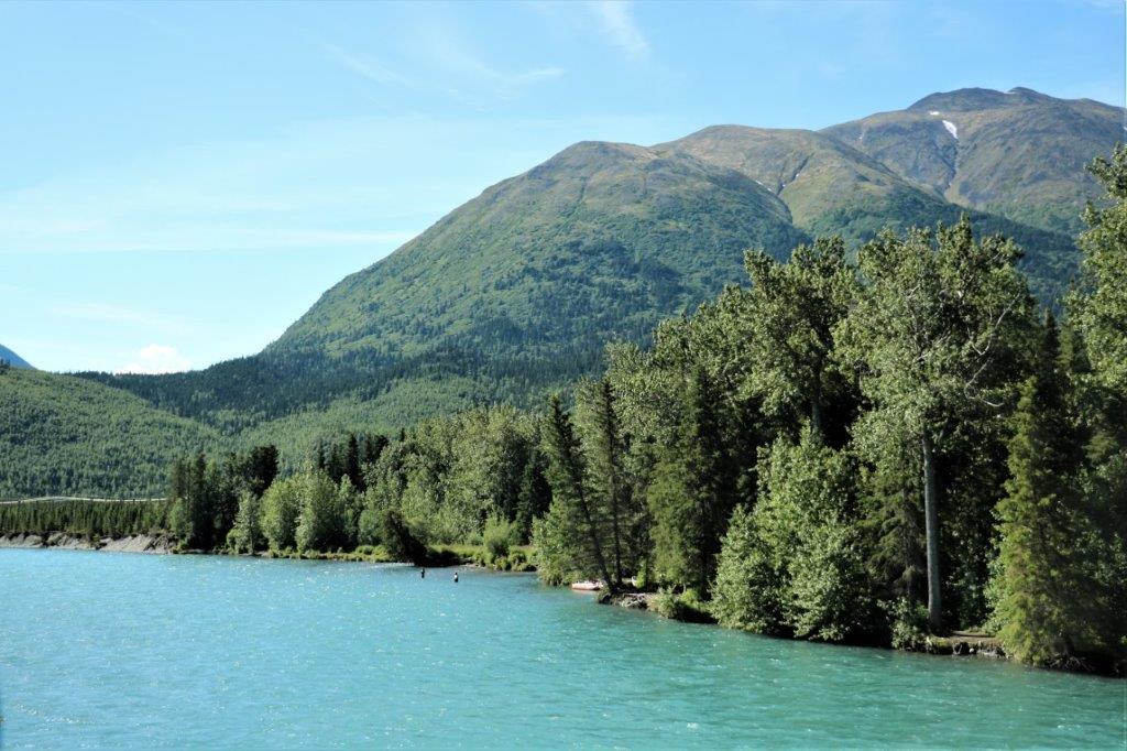
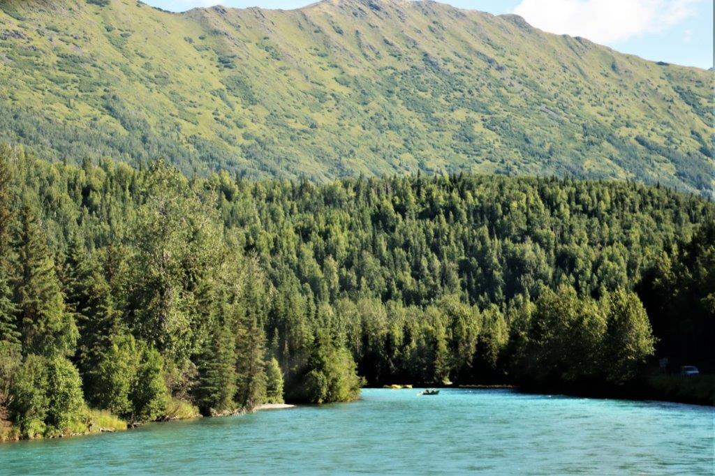
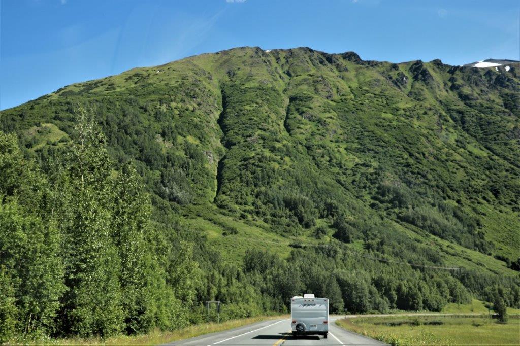
It was another beautiful day, all day today. We left Kenai at 10 am and drove back along the Sterling Highway, to the junction with the Seward Highway, just past Cooper Landing in the upper middle of the peninsula. All of this road we had traveled before, but, of course it looks different from the other direction. 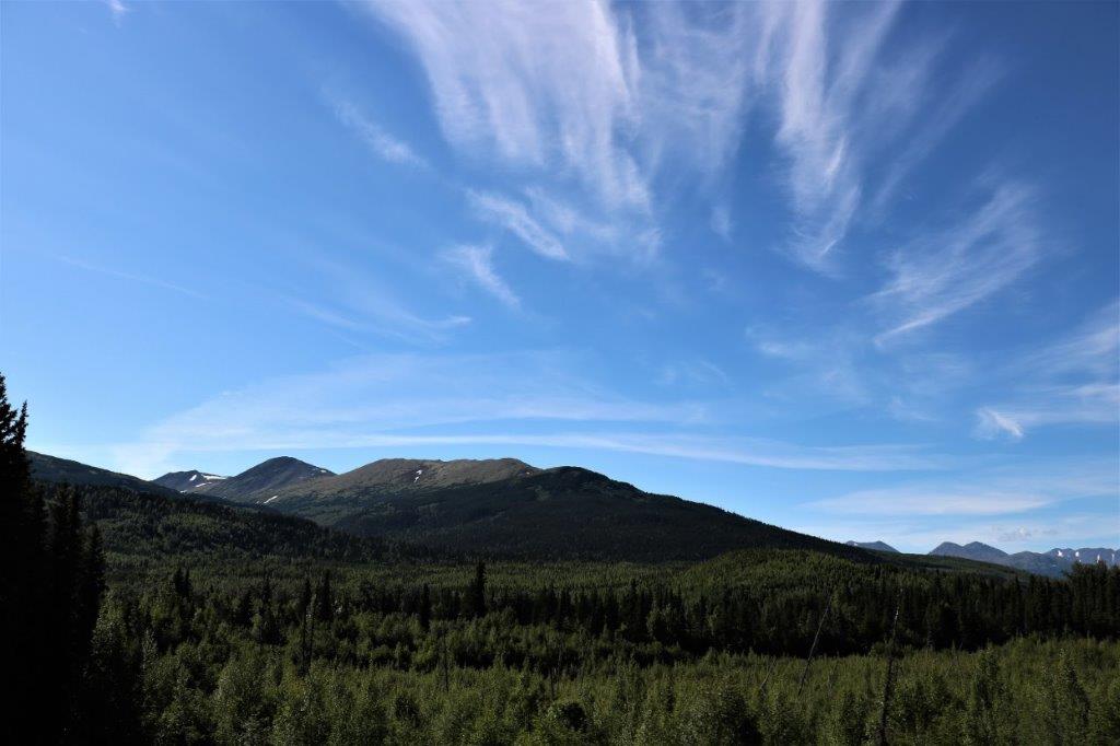 There were fishermen in every river we passed. This is the Russian River.
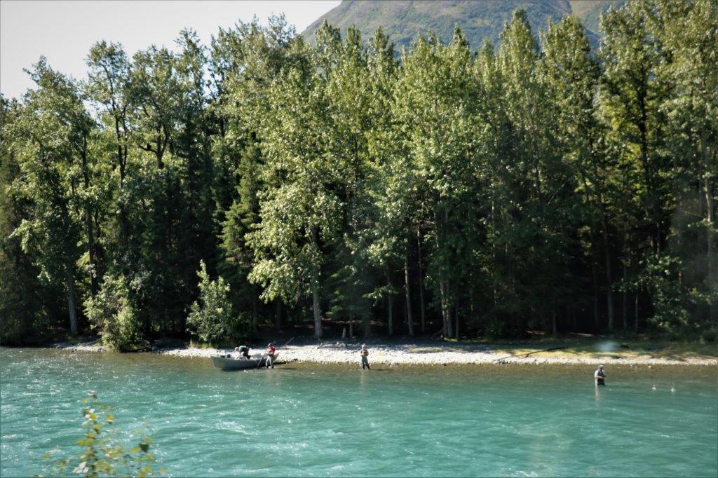
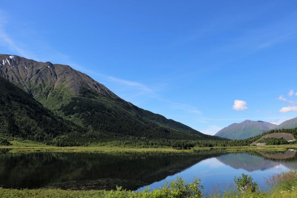
 One would be hard pressed to search for a geocache in more beautiful surroundings. Good thing the view was so nice since we couldn’t find the cache.
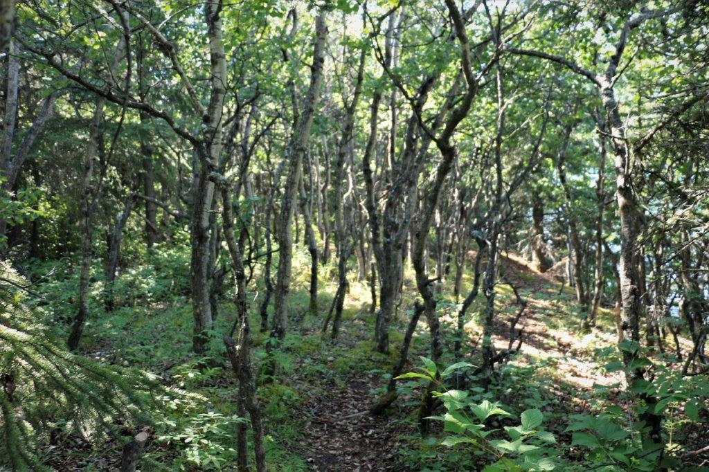 It was hidden in this spindly forest, but we couldn’t find it.
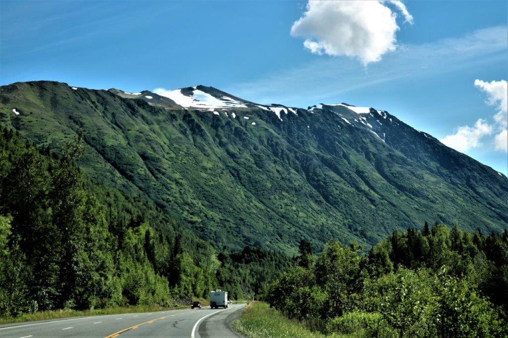
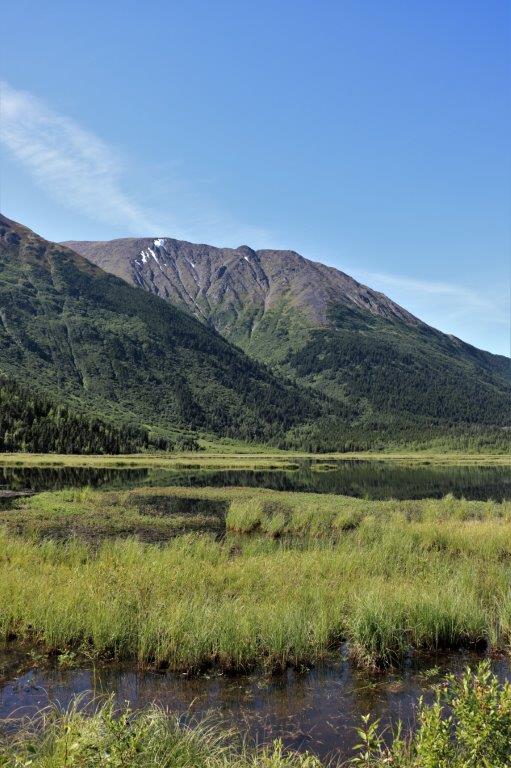
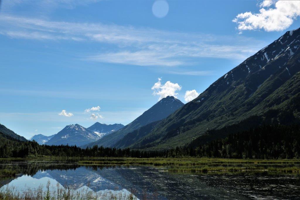 Just stunning reflections today.
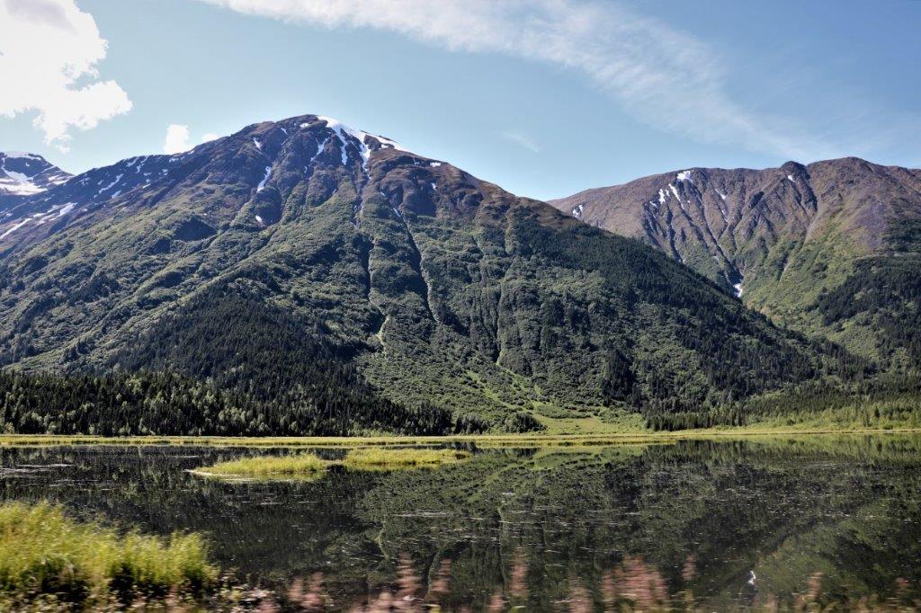

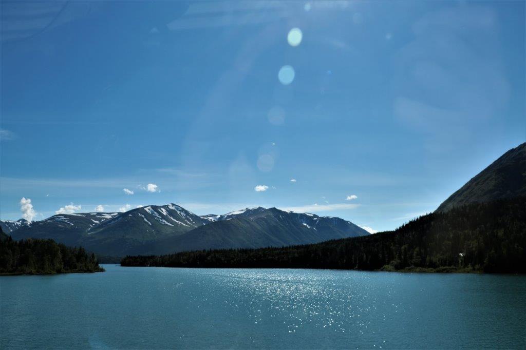
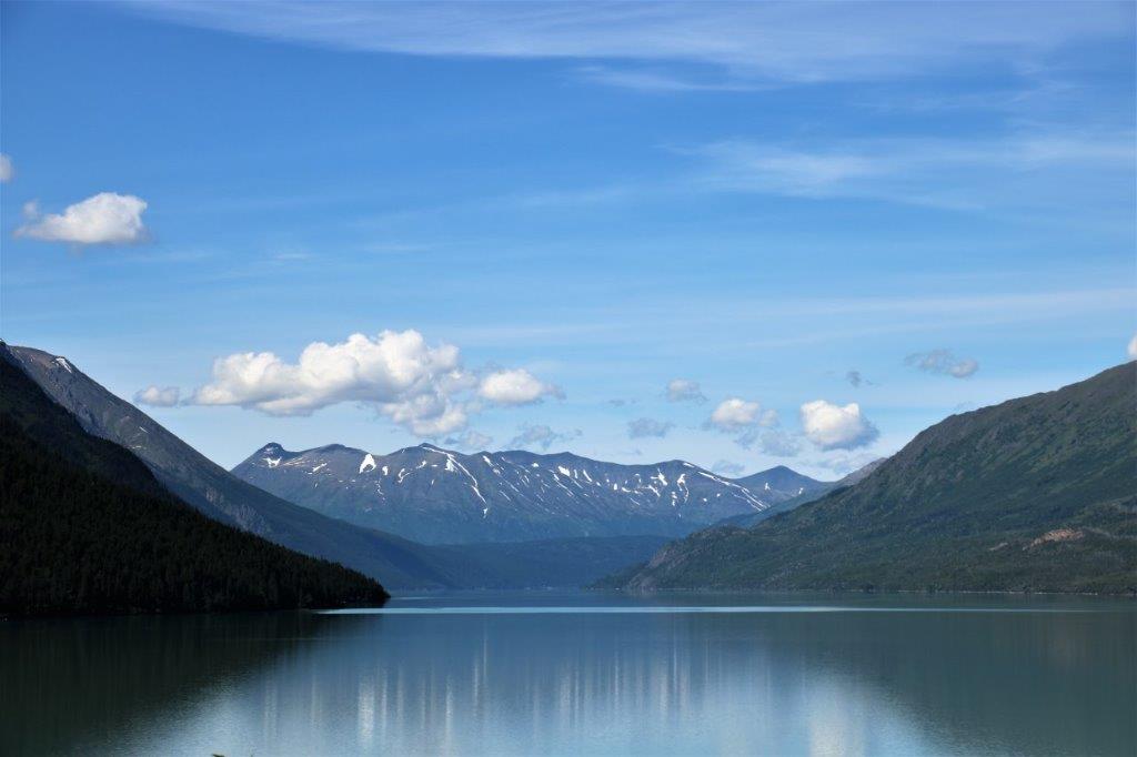
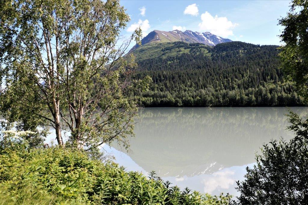 I didn’t see the name of this lake but it is certainly full of glacial silt.
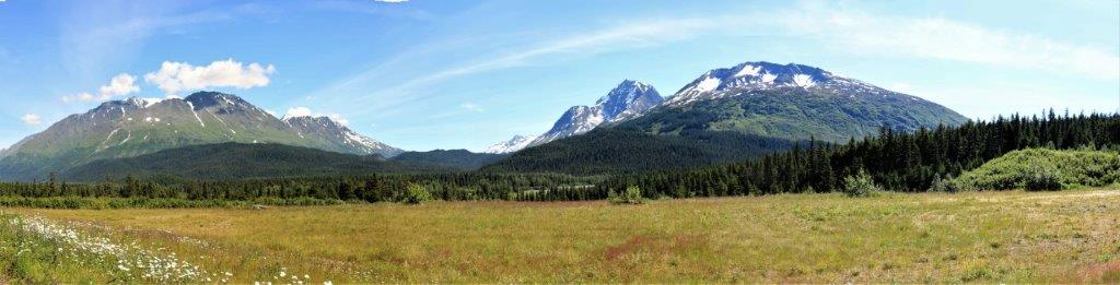
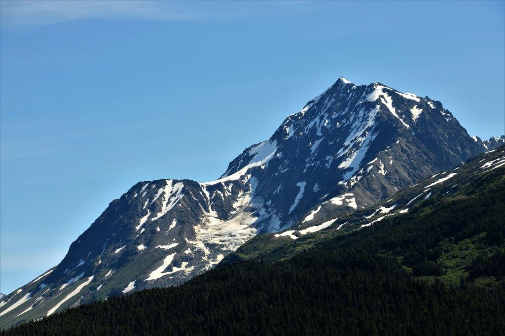
 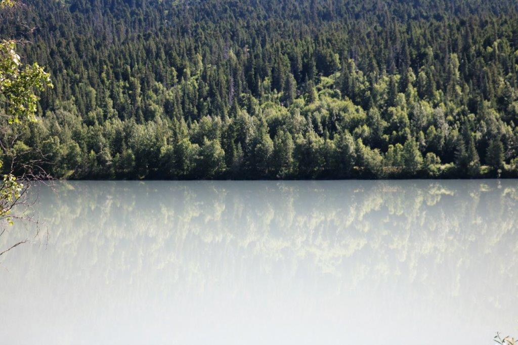 This lake was just past Moose Pass and from there we turned south down the eastern side of the Kenai Peninsula toward Seward. It is 90 miles (145 km) from Kenai to Seward.
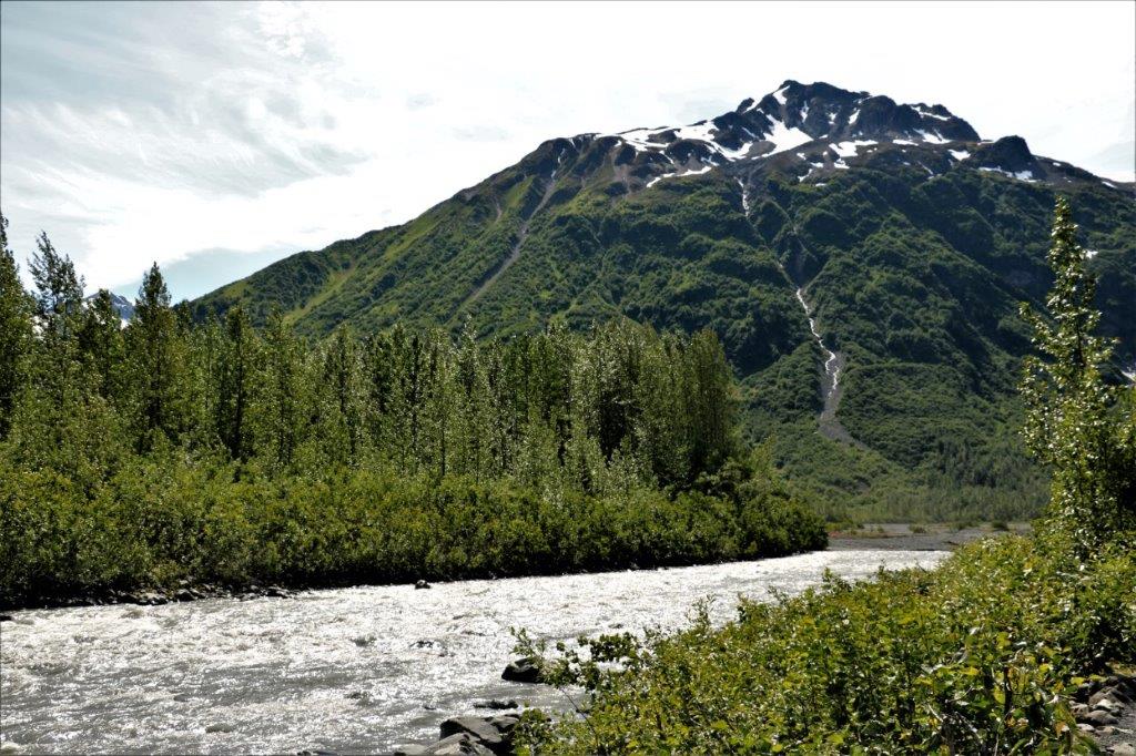
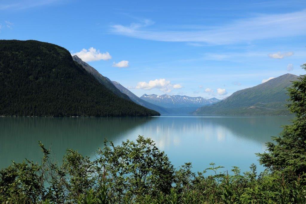
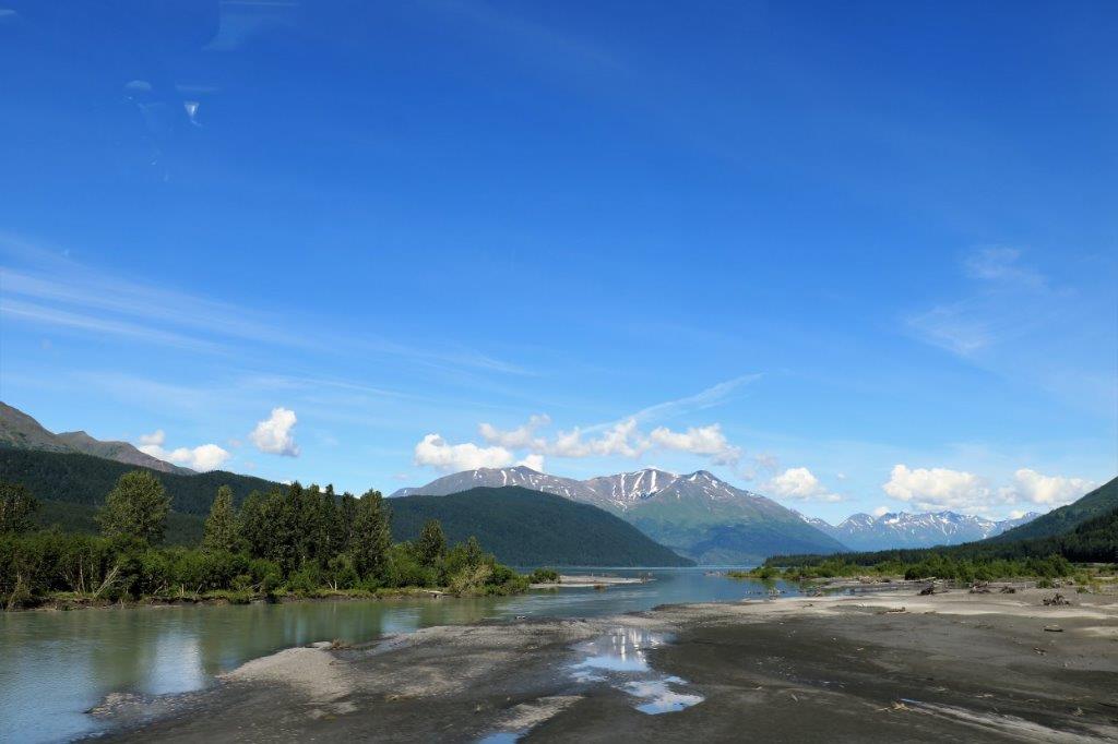
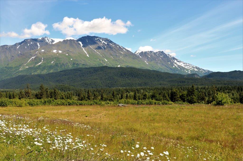

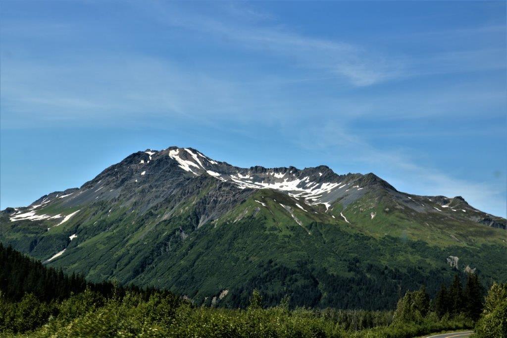

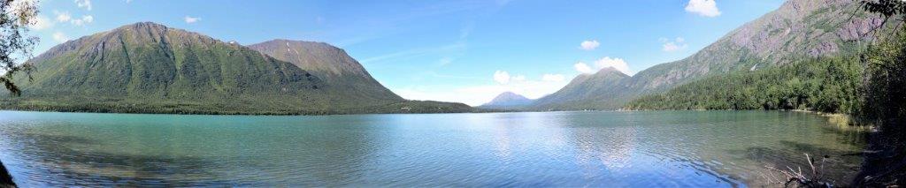
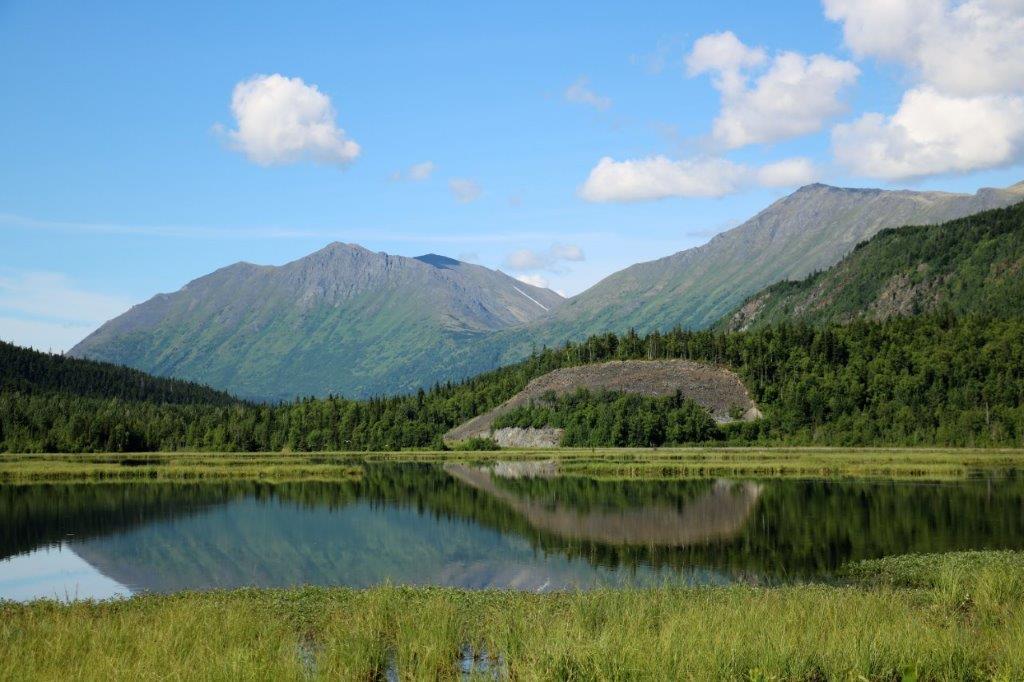
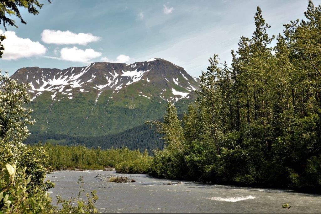
 We found the geocache hidden here and liked the scenery so much we stayed to eat our lunch.
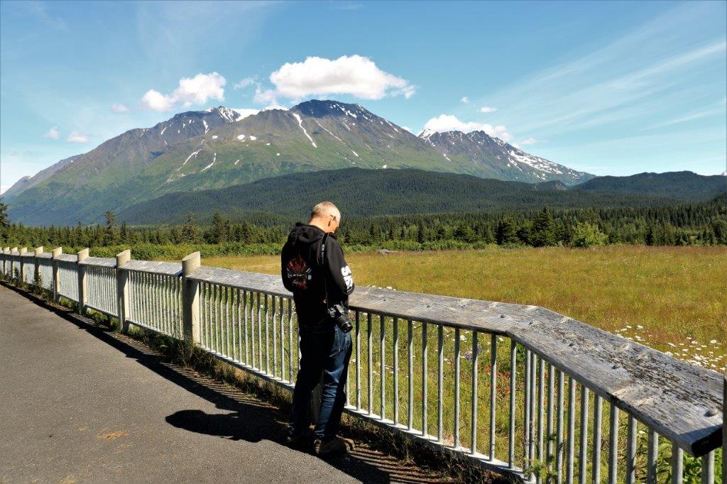
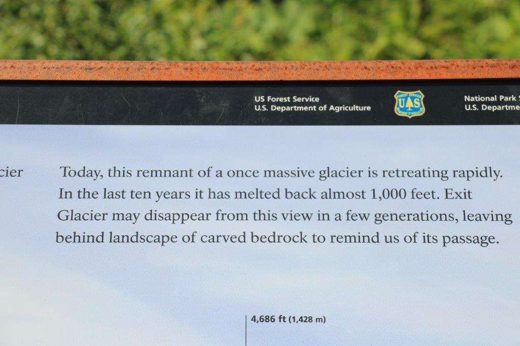
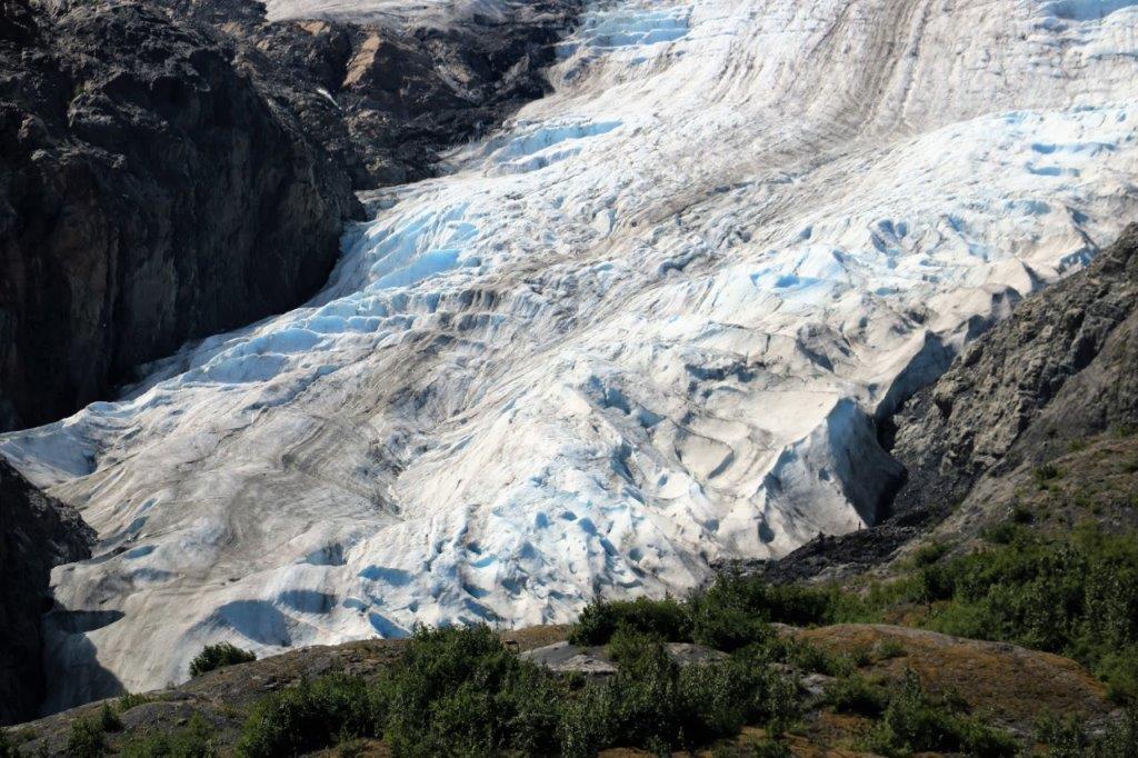
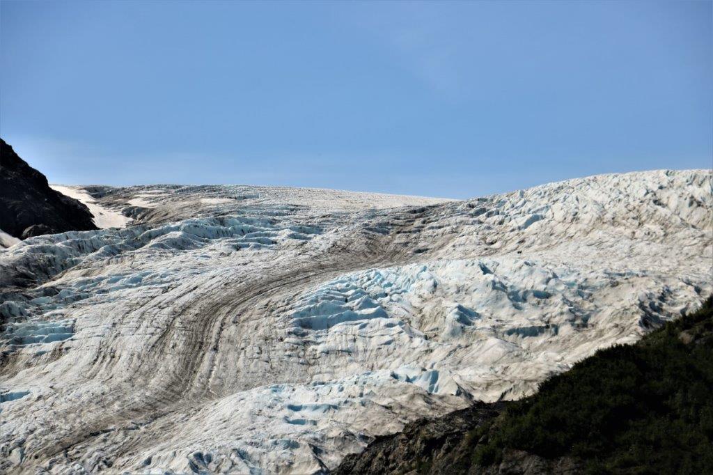
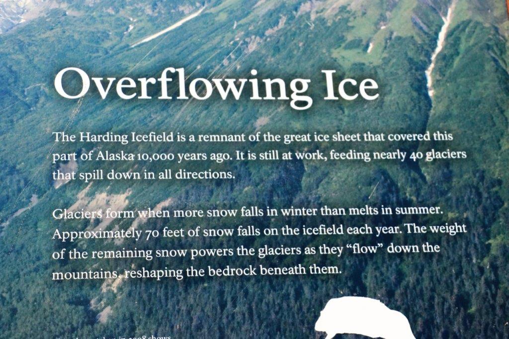
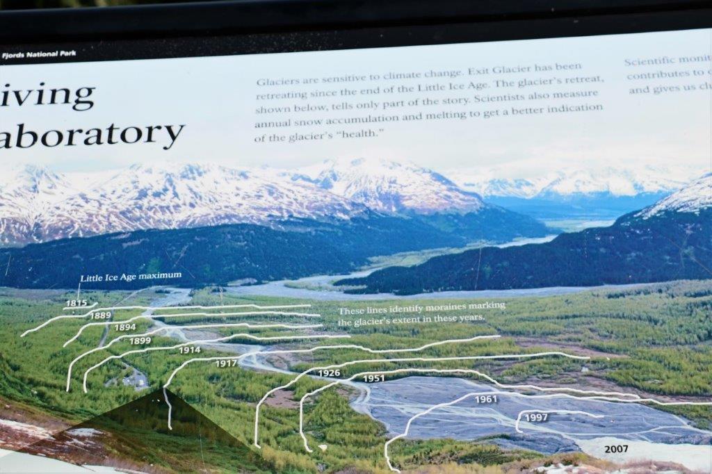
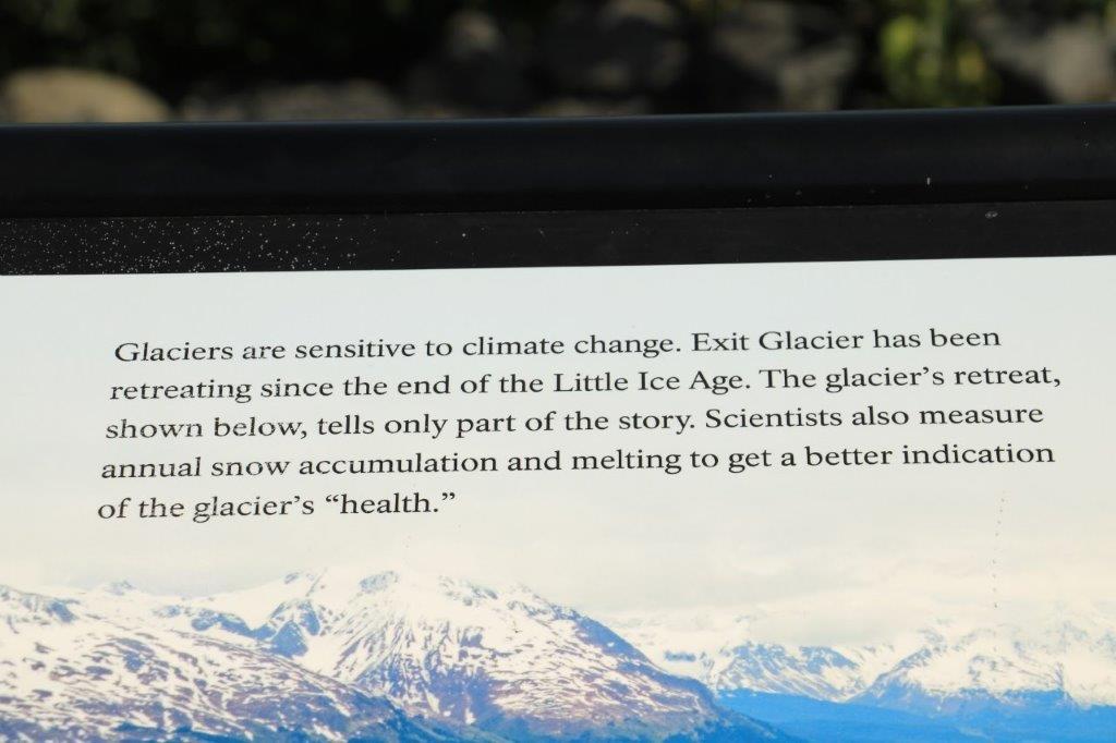
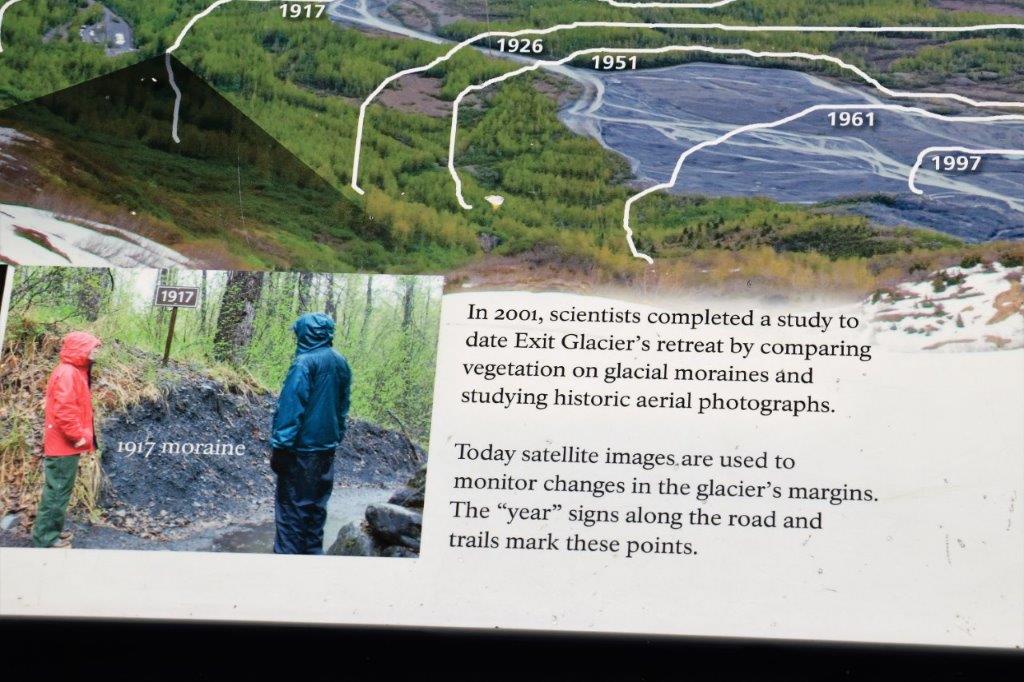
Nine miles north of Seward is the only road access to Kenai Fjords National Park. The road goes 8 miles to the Visitor’s Center and the trails to Exit Glacier. All other access to this park is by boat or air.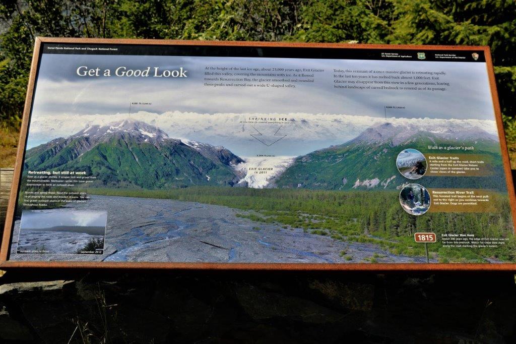

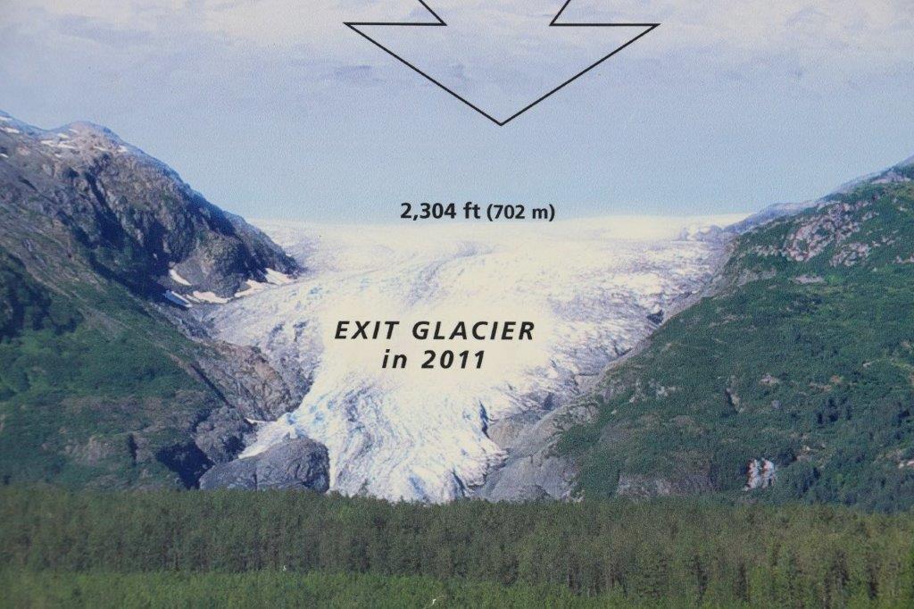

 It takes almost an hour to hike to the Edge of the Glacier viewpoint. If you take the Ranger guided walk it takes 2 1/2 hours for the round trip due to all the stops to explain the plants and stuff. We were back at the Visitor’s Center in less than two hours.
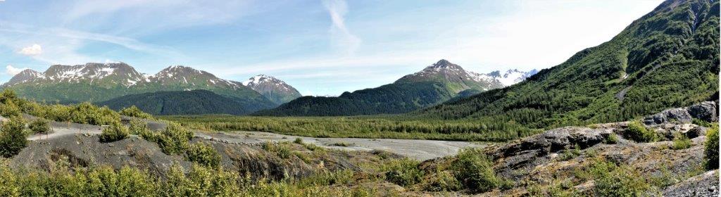
 Upstream and downstream on the hike.

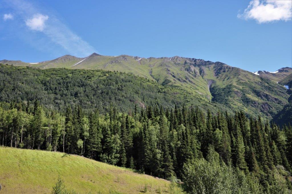
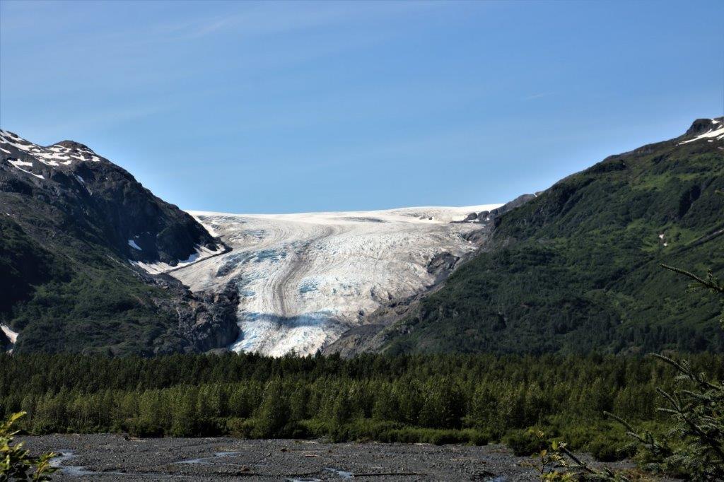
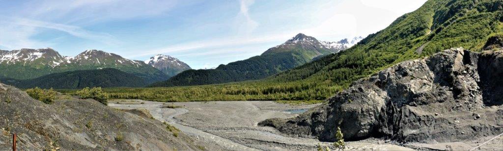
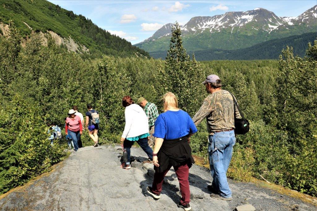 The parking lots were all full of cars and campers and motorhomes and people of every age were hiking to see the glacier.
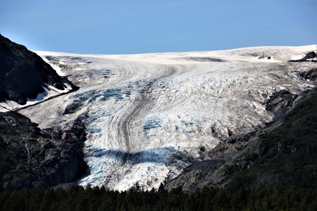
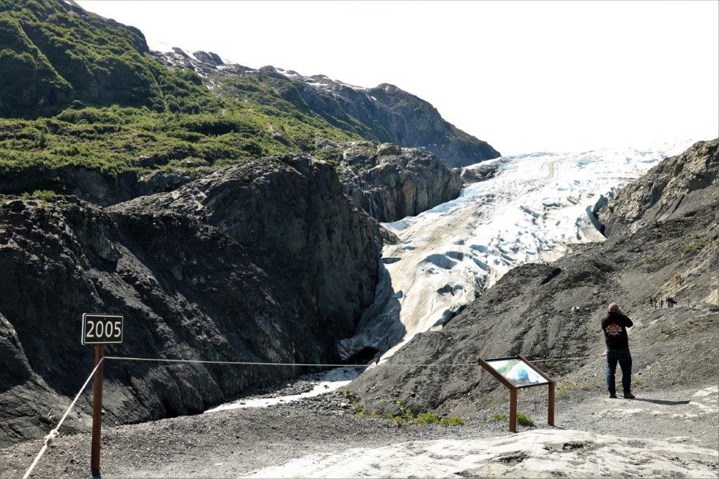
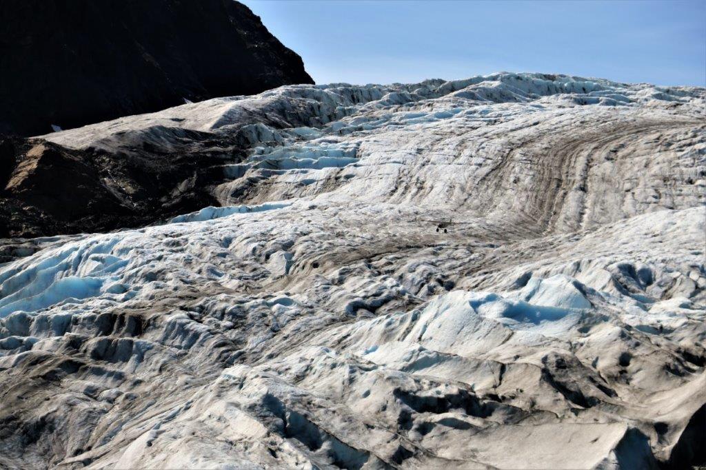 While were were taking photos of the glacier at the end of the trail (Well, at least as far as we were planning to go. You can hike to the top of the glacier – 8 1/2 hours round trip. We passed.) a small airplane came over the top and literally flew down the face of Exit Glacier. You can just make it out in the middle of the picture above. It is a little clearer in the two below. On our hike back down we asked one of the Park Rangers if he had seen the plane and showed him our pictures. He asked us to please show them to the rangers at the Visitor’s Center because there are restrictions on how low you can fly over a National Park and he was much too low. The rangers at the center were aware of this plane, as he has made the flight before, but until they can get some identification numbers of his aircraft there isn’t much they can do. If I had taken my zoom lens along I may have been able to get one close enough. The rangers were not happy with the guy, that’s for sure.


 We left the park and drove the final few miles into Seward.
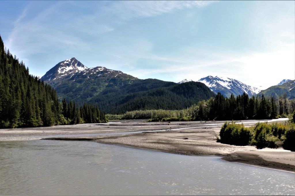 We checked into the hotel and John had to sign a form saying we would not clean any fish in the bathtub. He was also told that if we make a mess that takes longer than one hour to clean up additional charges will be added to our credit card. Do you think, perhaps they have had some issues in the past?
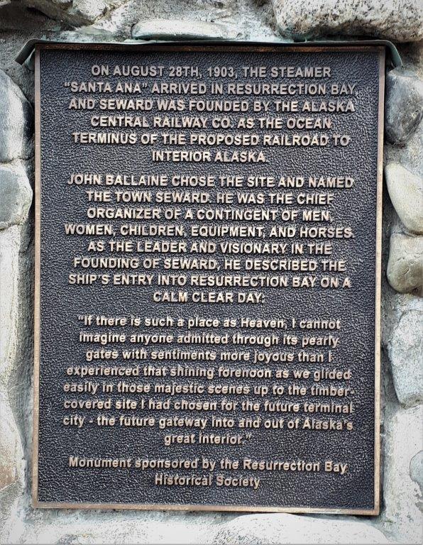
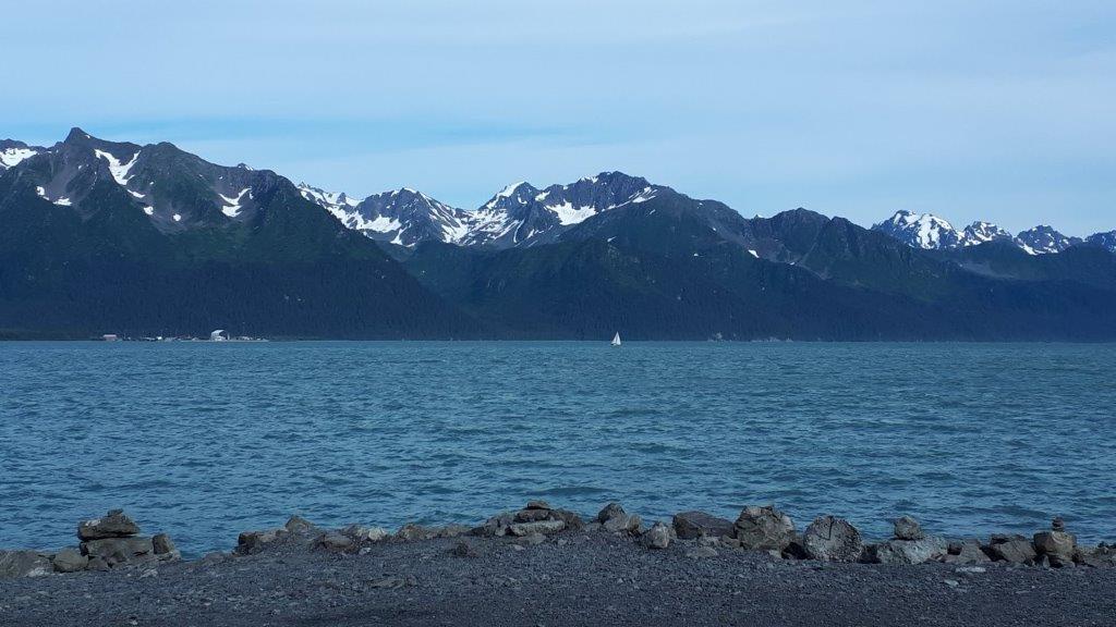
Seward is a popular cruise ship port-of-call. It is picture perfect glorious surroundings and the fjords are part of most Alaskan cruise itineraries. There was a ship in port when we arrived but it sailed before we went out for dinner. The town is bustling with people. All along the waterfront there are campgrounds, some specifically for tents and others for campers, trailers, and motorhomes. There are large parking lots near the port end of town with a $10 per place fee. They were all full, as was every side street at this end of town. We drove down to the main town and found a good restaurant for a sockeye salmon dinner; then took a little drive around.
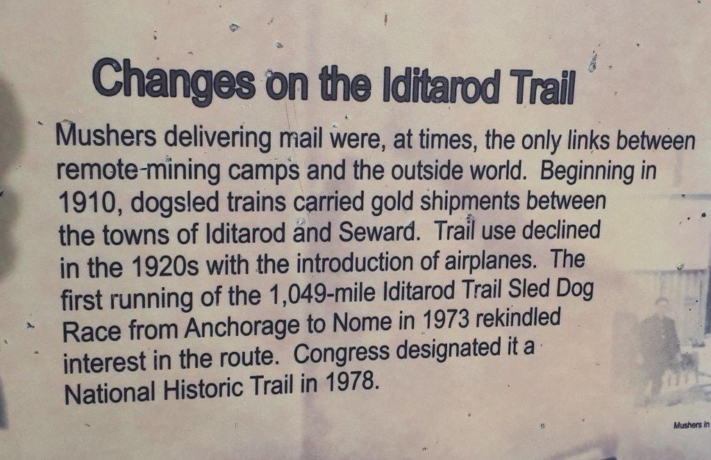
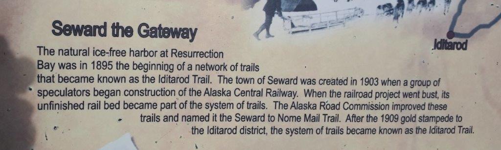
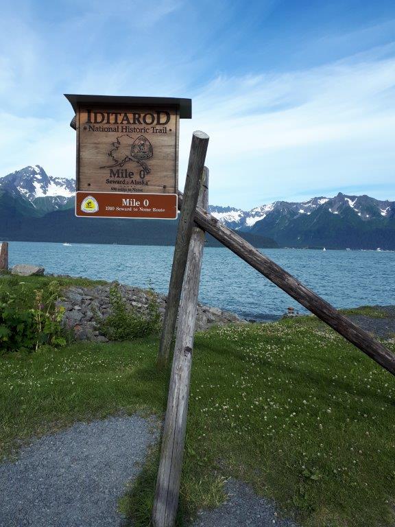
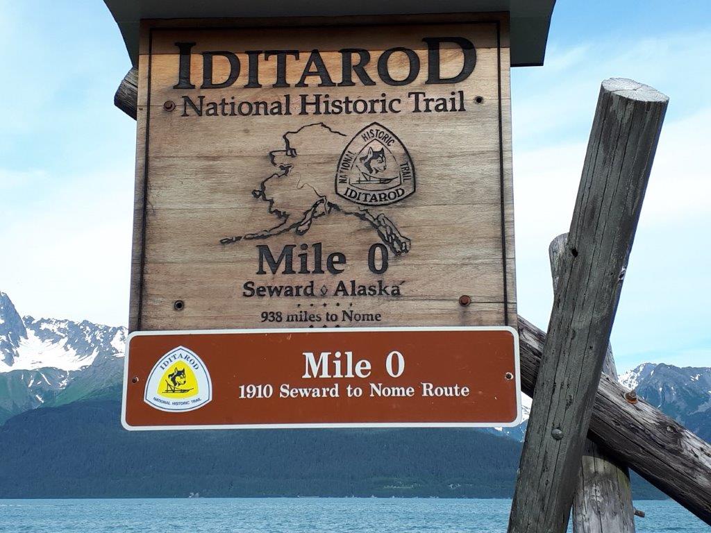
At the end of town is the official start of the Iditarod Dog Sled Race.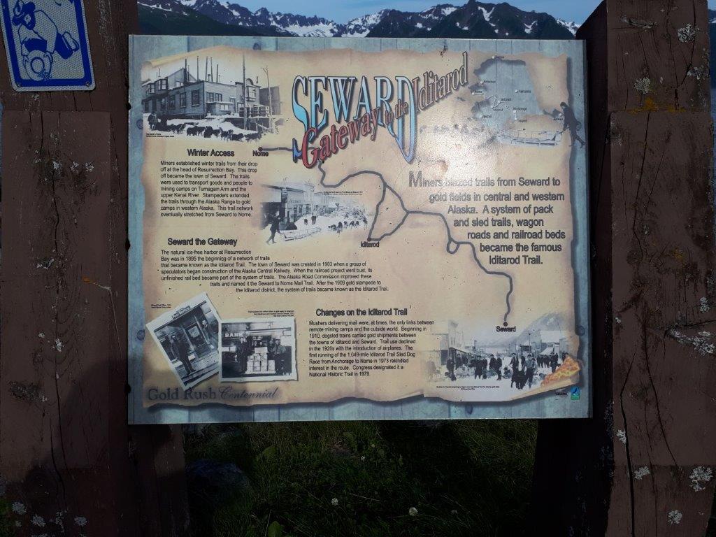

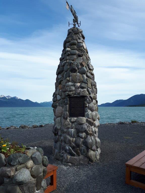
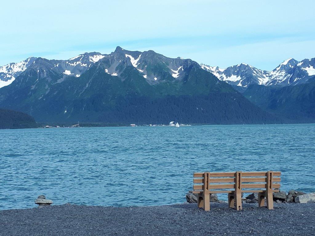
 And, when you look at the view, you understand why so many people and ships stop here.
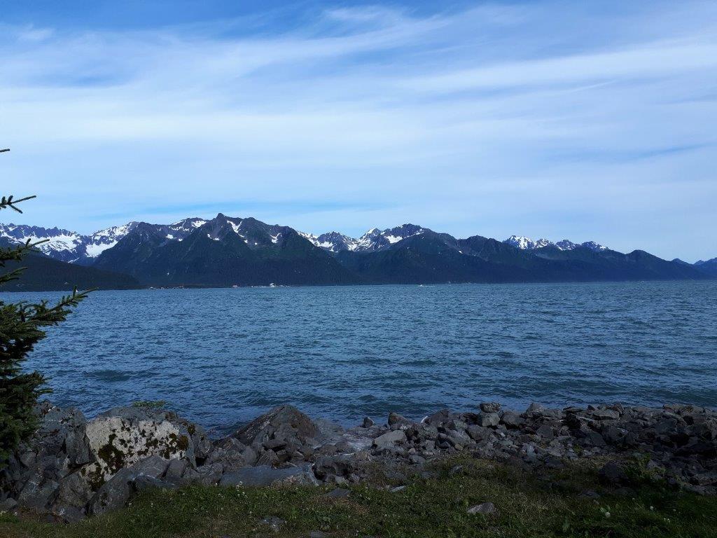
 Tomorrow we head back up the way we came down, then go back around Turnagain Arm, through Anchorage and turn right at Wasilla to go east as far as Palmer where we will spend the night. The next day we will drive the Glenn Highway as far as the junction to go to Valdez. affectionately called “Little Switzerland.”
