We left Anchorage at 10:30, under overcast skies. The unsettled weather stayed for most of the day. As we approached Kenai (KEEN-eye) about 5 o’clock the sky cleared and the sun came out, so we are enjoying a beautiful evening.
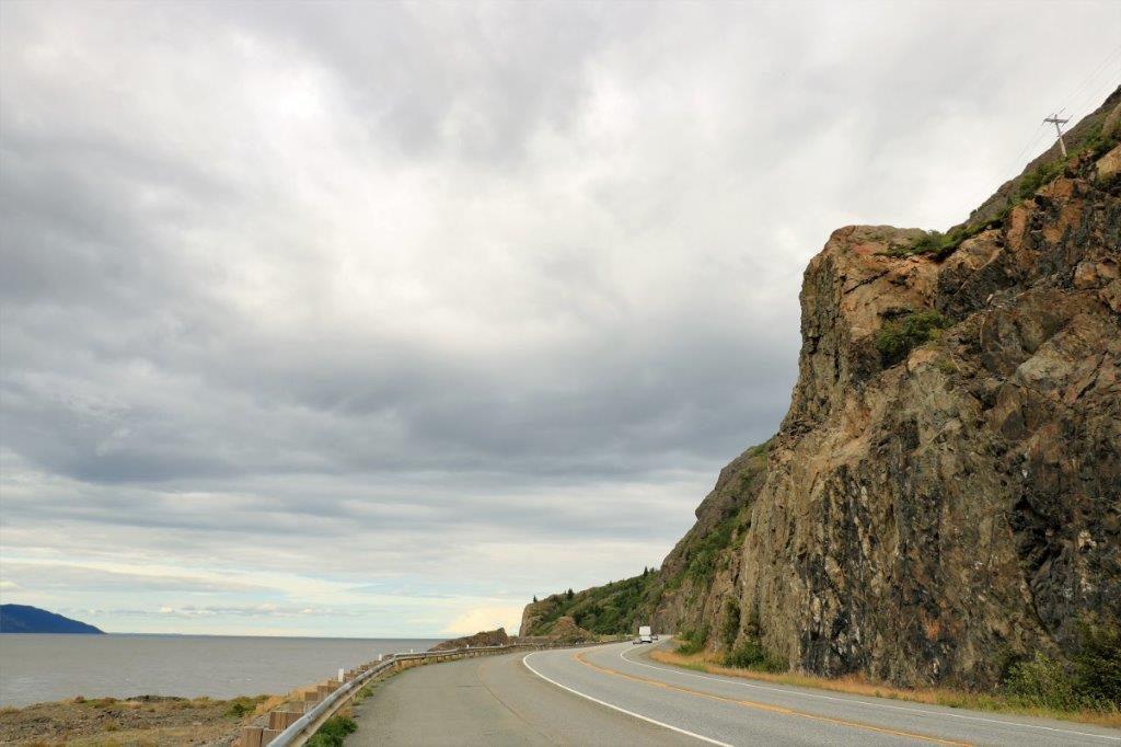
The drive from Anchorage to Kenai is a circuitous route. You must drive to full length of Turnagain Arm and then go south at the end, through the Turnagain Pass before heading westward to Kenai. Kenai is a larger place than we expected it to be. For some reason both John and I thought it was a small fishing town. Well, it is a fishing town, all right – world reknown for its salmon fishing – but the population is about 7,800, which in Alaska is a pretty big place. All the big box stores are here, a hospital, and lots of hotels for the fishing folks.
There are geocaches hidden all the way down the highway so we made several stops. There is an Alaska Geocachers group that hid a whole bunch of them at all the pull outs along the Seward Highway. We stopped for several and skipped lots more due to time.
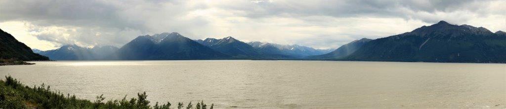
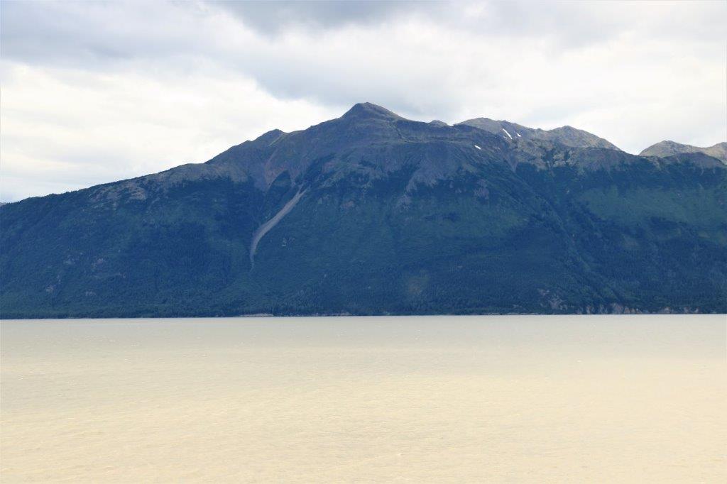
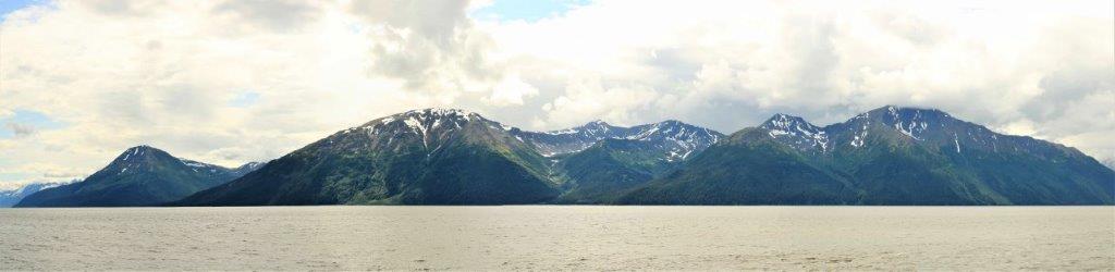
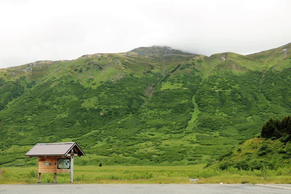
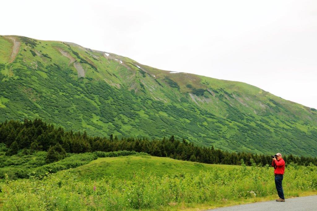
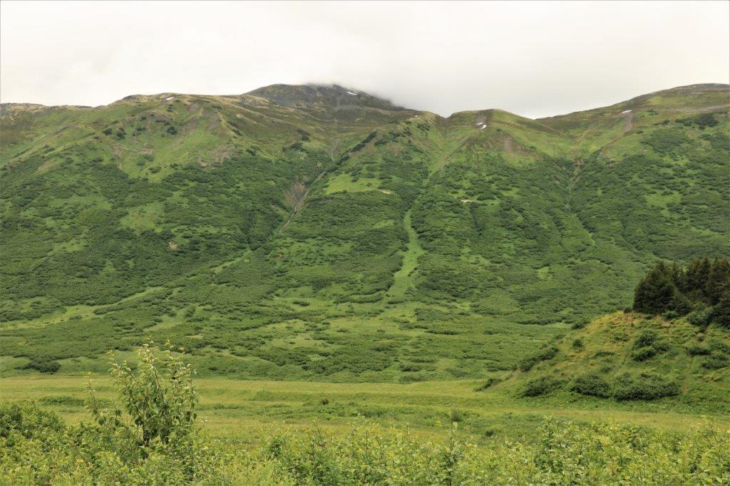
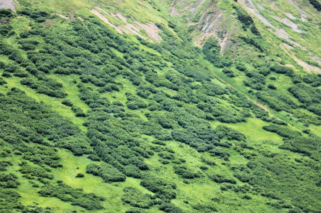
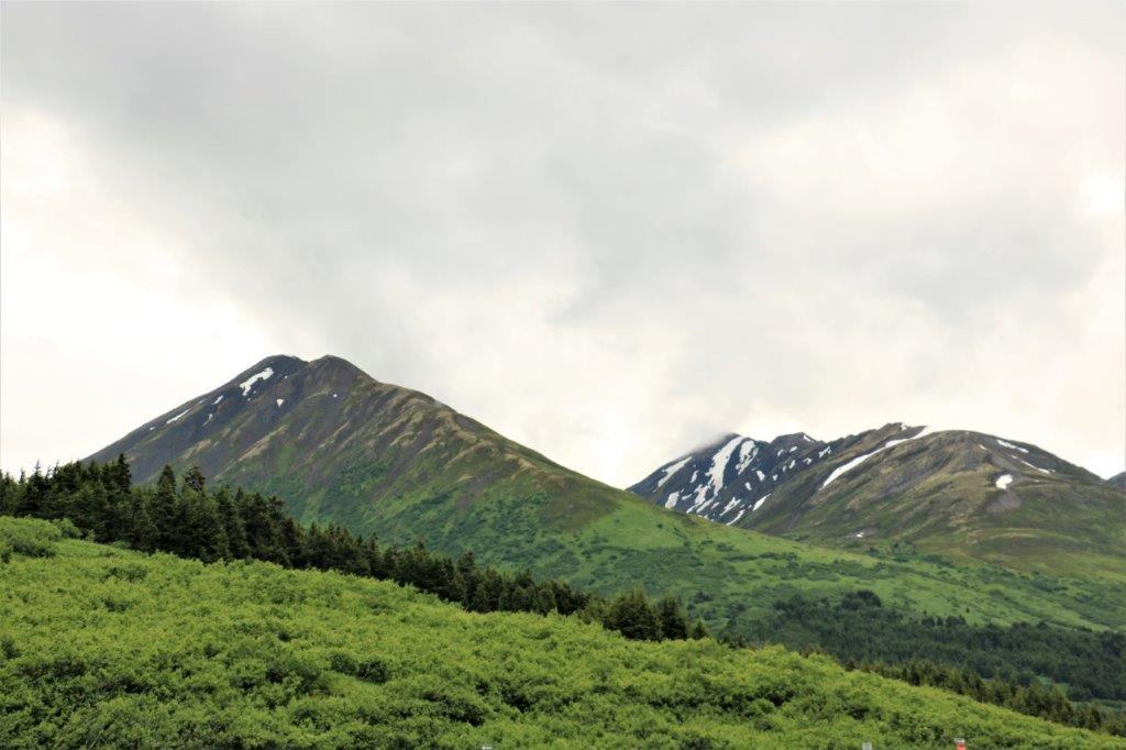
Even though the sky was often dark the ever-present moutains were gorgeous. 
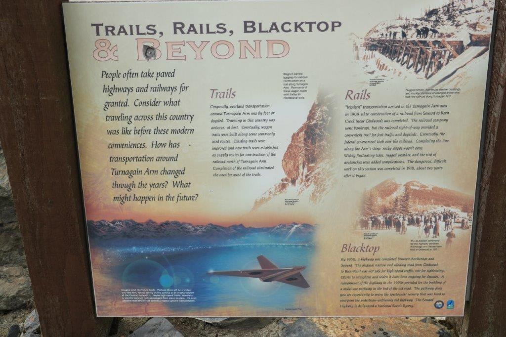
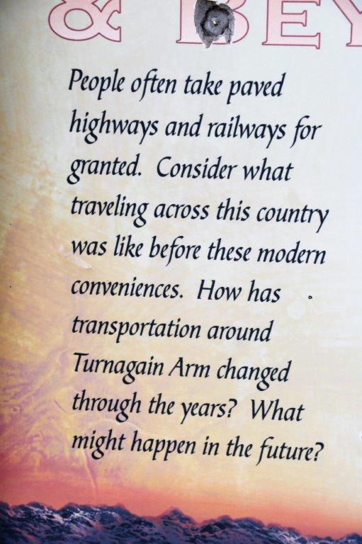
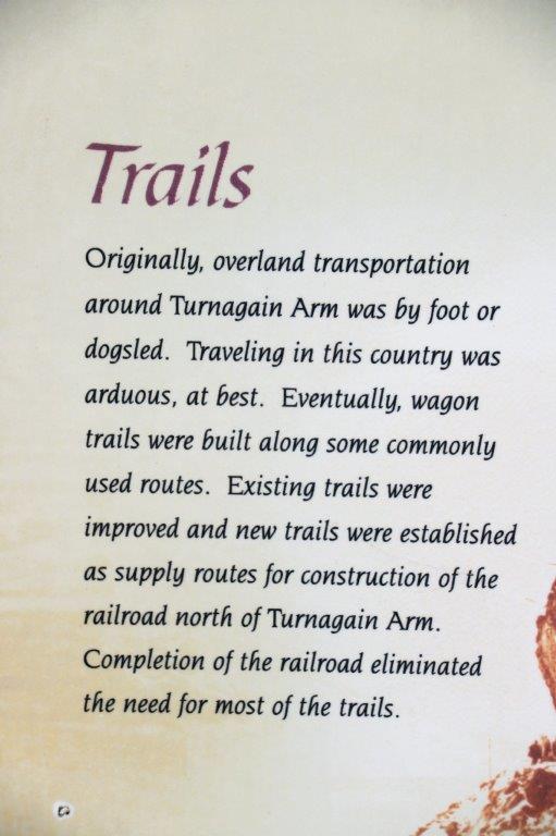
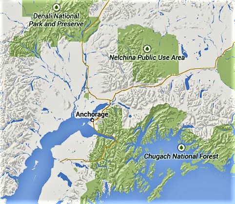 The fine orange line that heads out of Anchorage and goes along the long, narrow arm of water (Turnagain Arm), then down through the green mountainous part and over into the white of Kenai National Wildlife Refuge is the route we drove today. If you just drive, the 254 km (158 miles) takes about three hours.
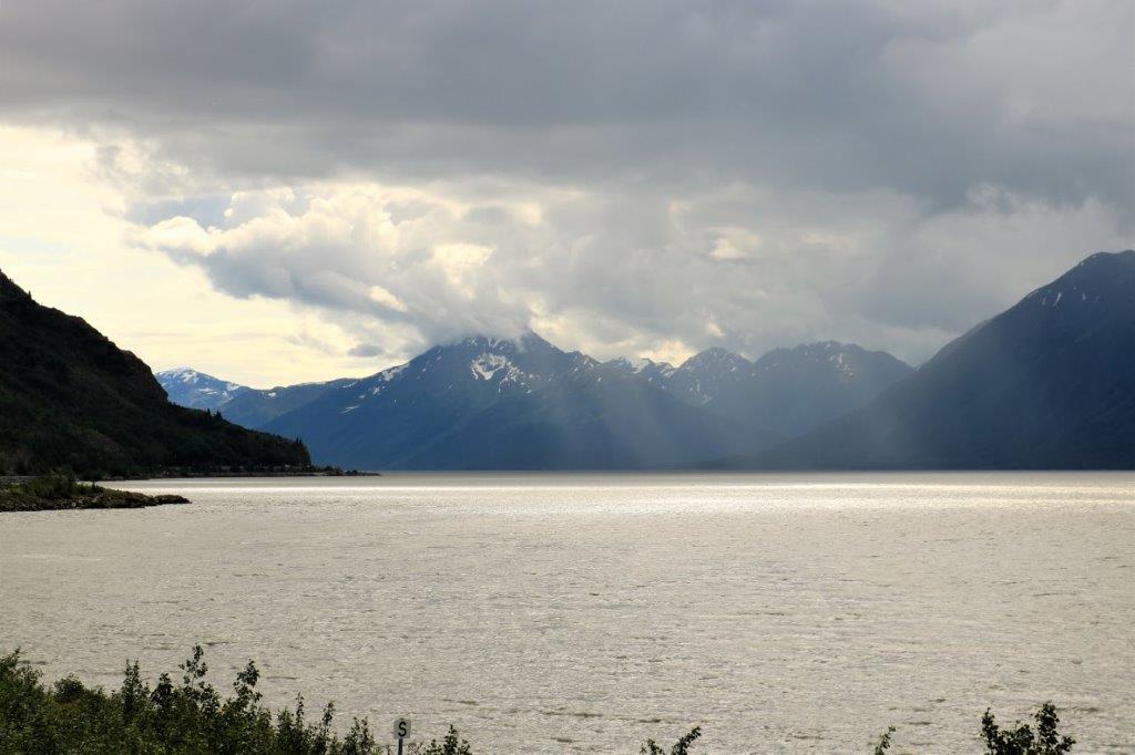
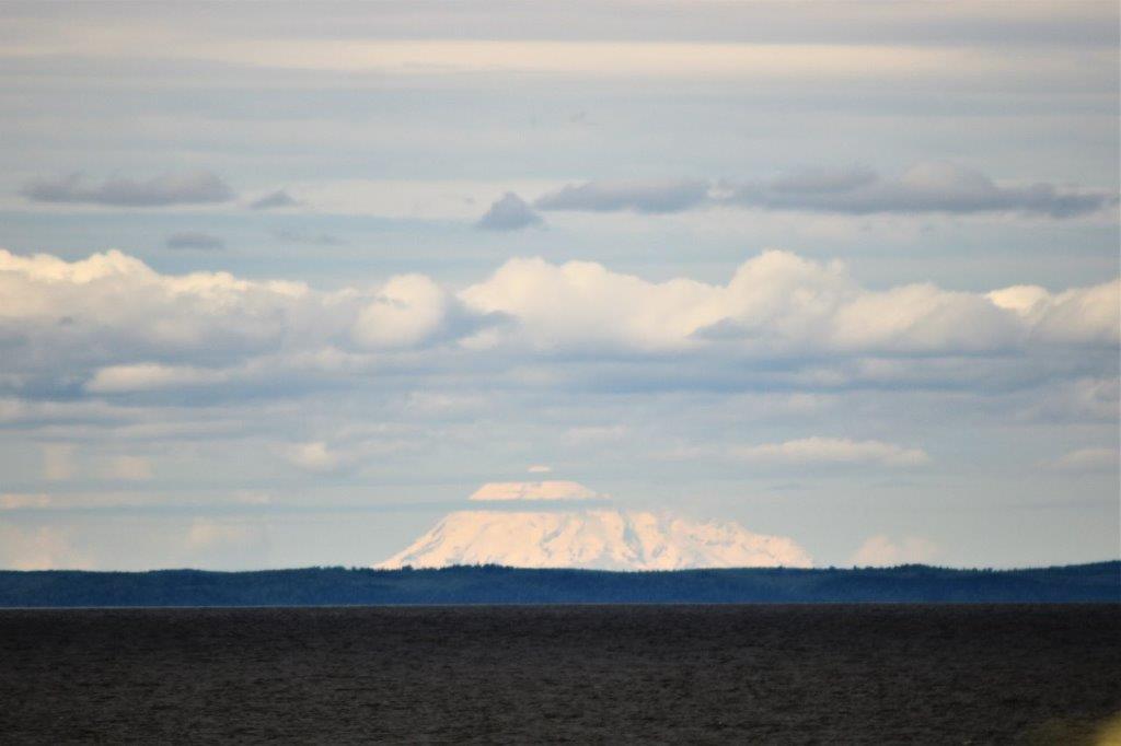 At one of the pullouts I was looking northwestward and I am pretty sure this is Denali. It is possible to see the mountain from Anchorage on a good day. I am not totally sure, but the bulk of it looks like Denali. This pictures is with my zoom lens and then cropped, so it is a lot further away than you would think. The dark grey in the foreground is the water of Turnagain Arm.


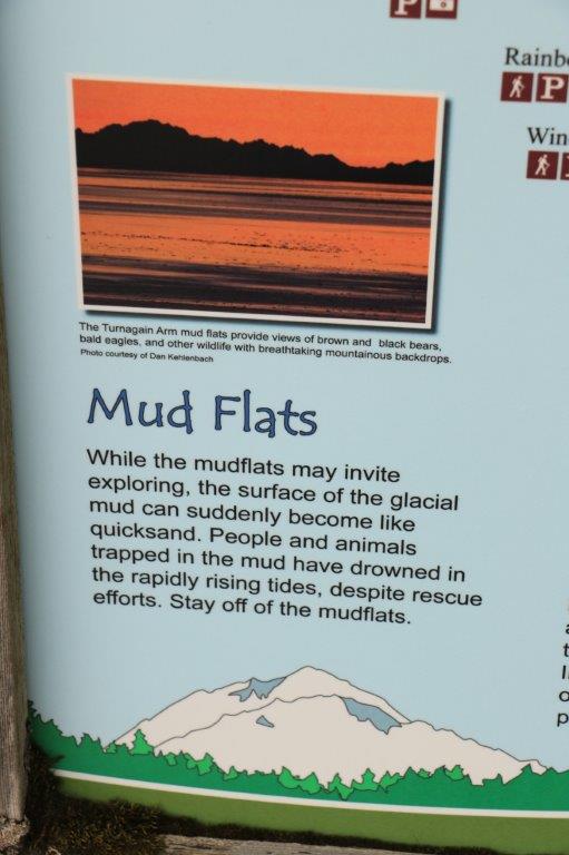
 I tried several times to get a photo of the mud flats as we drove along. Unfortunately the water is so full of silt and rock flour that the mud is exactly the same colour so the photos didn’t show any definition between the two. There were many spots where the mud lay in bumps and hollows, but to get a picture from a moving car was difficult. We go back around the Arm in a few days and I will try again. We had been told that the mud is just like quicksand and you will be stuck and sinking if you walk out in it. People have died even while rescuers tried to save them.
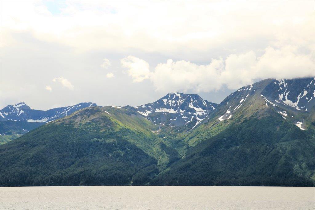

 At the end of Turnagain Arm we turned off into Girdwood, which was destroyed in the 1964 earthquake and re-built four miles inland. At Girdwood there is the Alyeska Hotel. The area is a favourite skiing spot and the Alyeska is a huge hotel. They have a tram that takes you 2000 vertical feet up the mountain for a great view and lunch or dinner at the restaurant if you like. Even though the day wasn’t really bright and clear we thought we would check it out – depending on cost. Turns out it is $30 per person for the four-minute ride. With the current Canadian exchange that would be $72 for the two of us. We decided we didn’t need to see the view that bad.
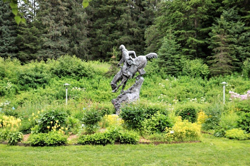
Instead we wandered around their pretty gardens and then had lunch out of the back of the truck in the parking lot before going back to the highway to continue our drive to Kenai.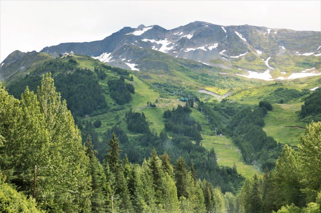 You can see the ski lift in the photo above. The hotel tram station is on the knoll at the far left.
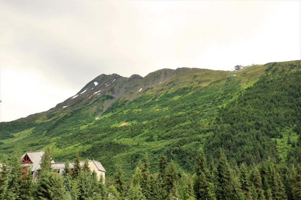

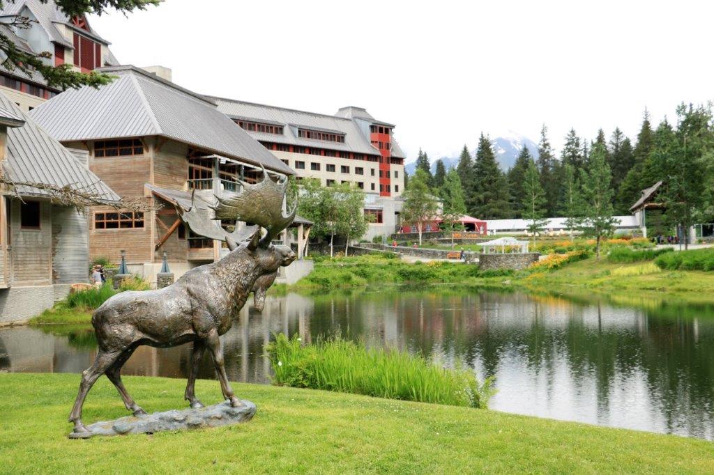
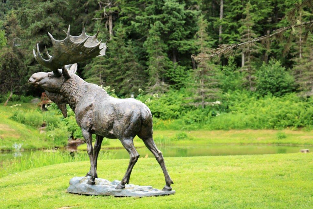 This is the only male moose we have seen so far.
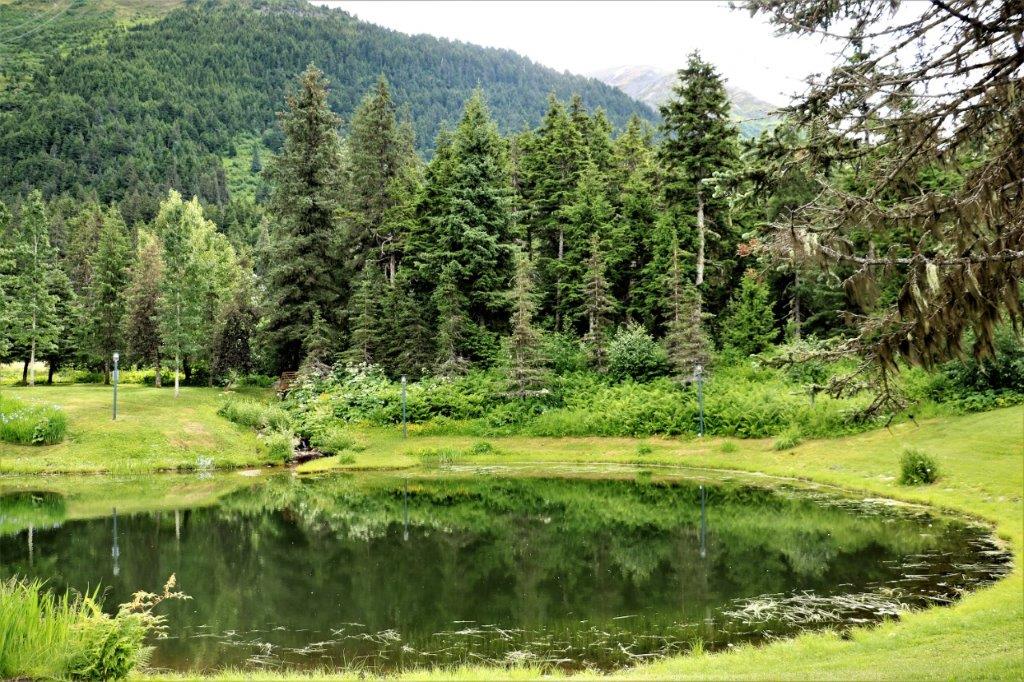
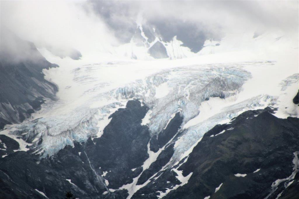
 From the parking lot you got a good look at one of the many glaciers that surround Girdwood.
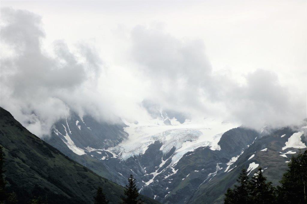
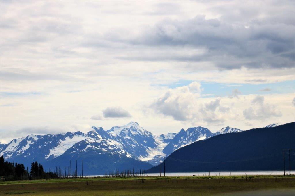

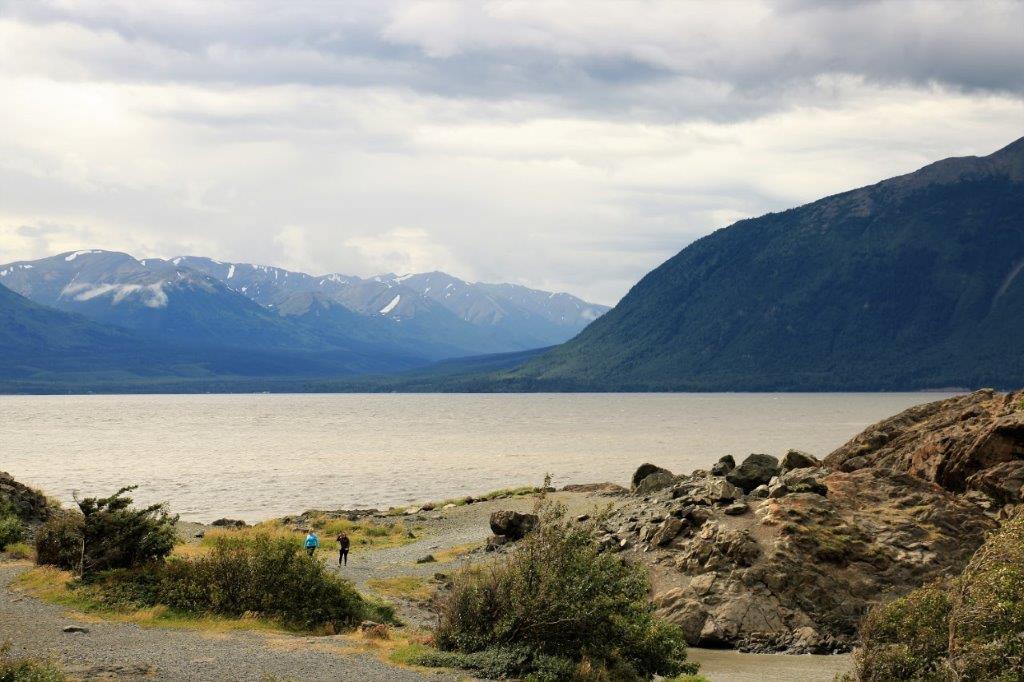
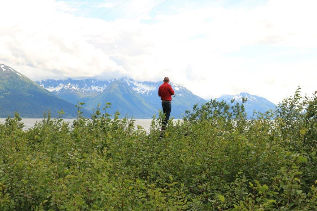
 This was a very pretty spot.


 We had been driving alongside the lovely blue-green glacial Kenai River for quite some time and could only get glimpses of it through the trees. We passed a spot where some rafts were getting launched to ride the white water and so at the next scenic pullout we stopped to see if we could see them come down. (One of the weird things we have noticed in Alaska is the regular signs showing a camera, indicating a scenic pullout in 1,500 or 1,000 feet. Yet when you get to the spot there is nothing to see but trees. Now I don’t know if the trees have just grown so tall as to obscure the camera-worthy spot or not, but we now almost never pay attention to any of the ‘camera’ signs.)
We had to head off into the trees at the ‘scenic’ pullout and walk for a short distance along a cliffside trail but we did find some open spots to see the river. Sure enough, after ten minutes or so, down came the rafts.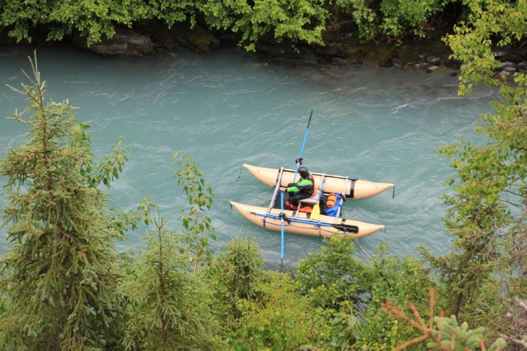 This fellow was navigating the river solo, but he was followed by two rafts full of funseekers and I think the third would arrive soon
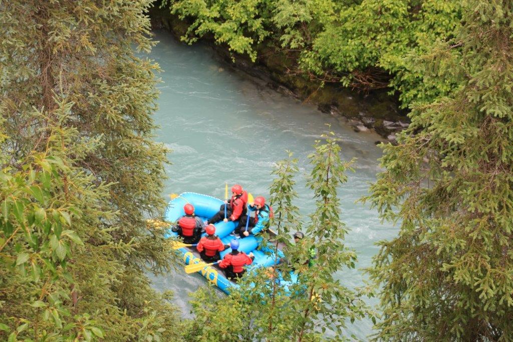 .
. 
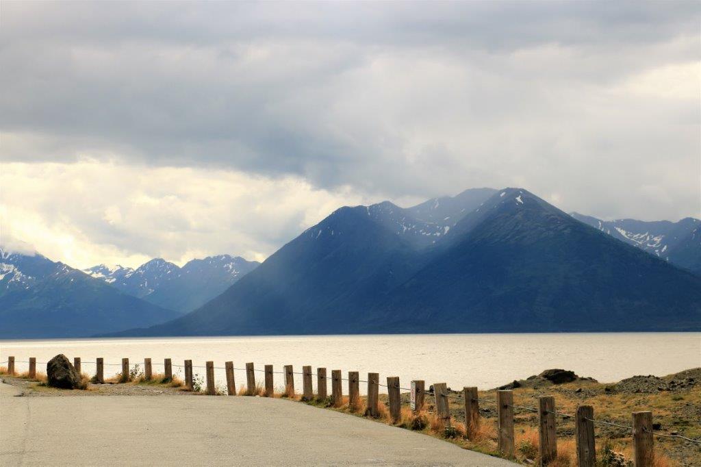
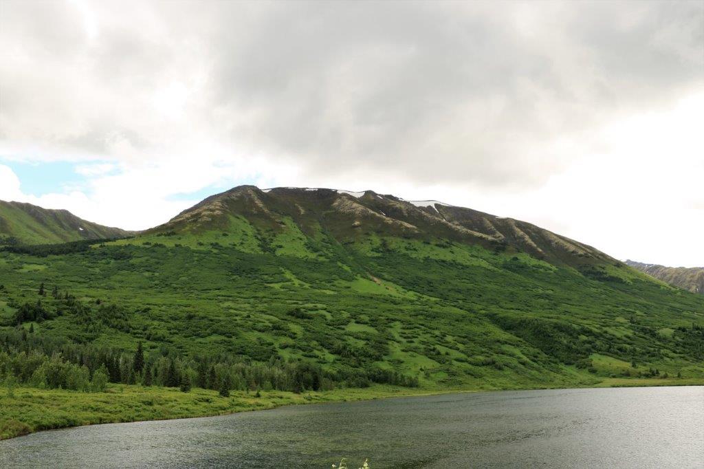
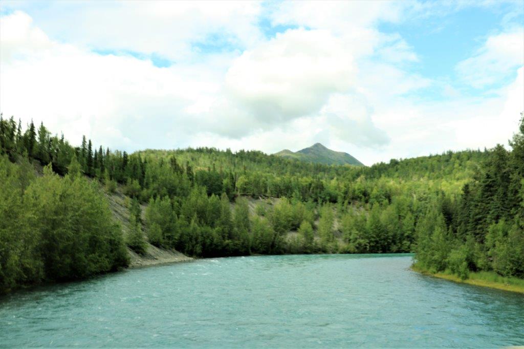
 Everything around this big patch of snow was green, green, green. Even the mountaintops.
 This lake was the same lovely glacial green but it doesn’t show in the photos.
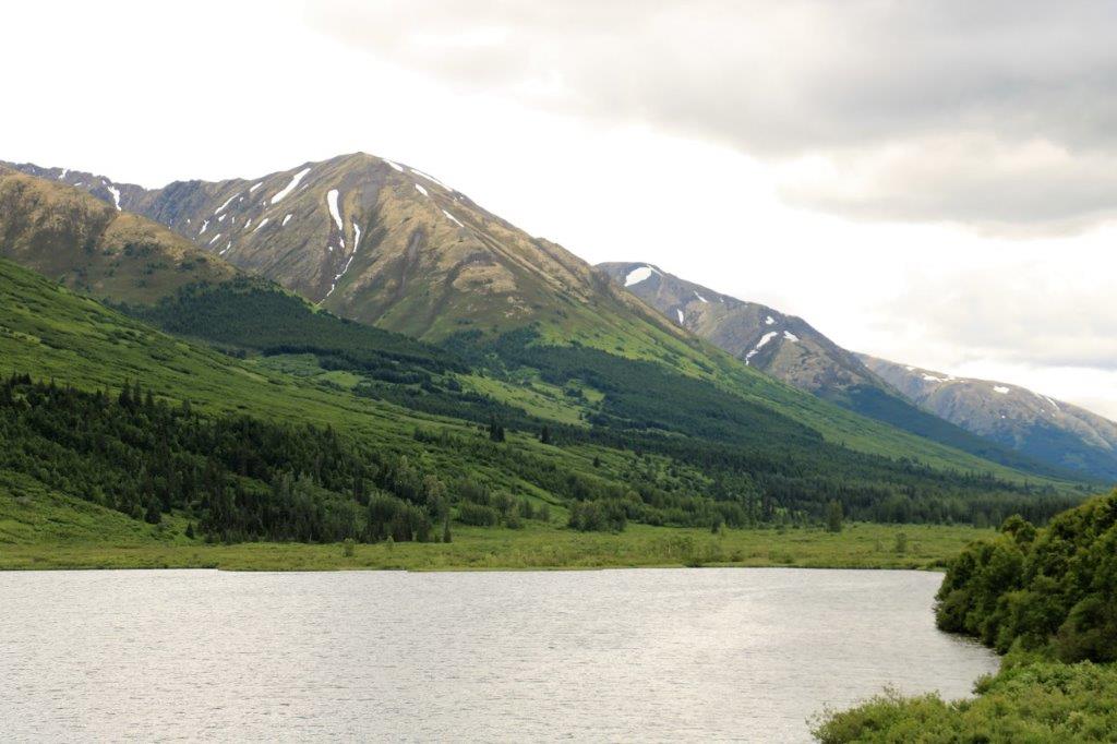
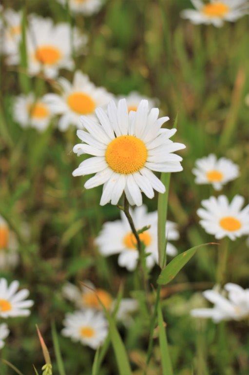
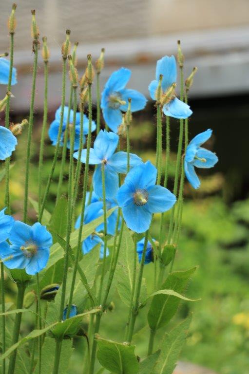
 Devil’s Club is a nasty weed but it has lovely Yarrow-like flowers.
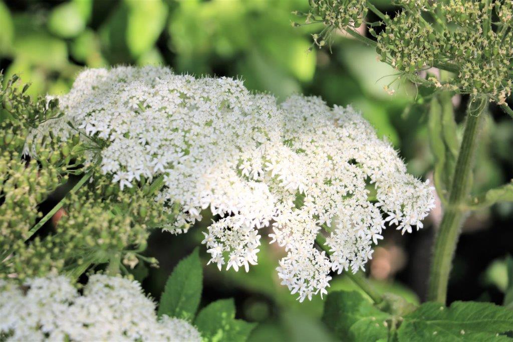
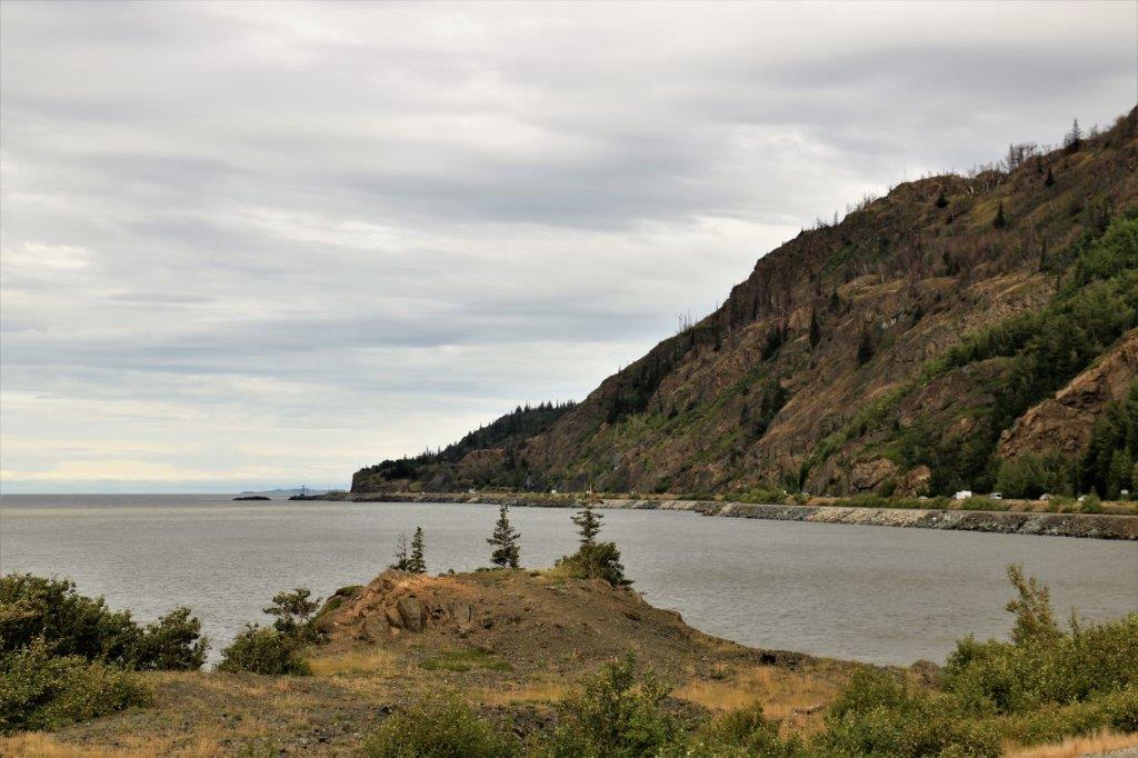
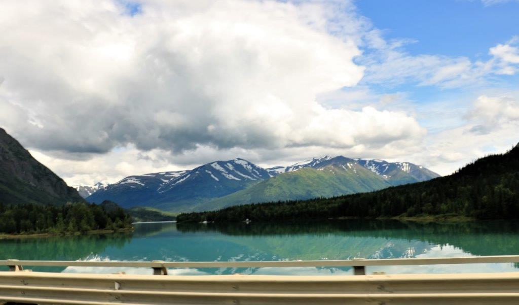 We crossed a bridge at the end of Kenai Lake and John snapped a couple of quick photos for me as he drove along since the view was on his side.
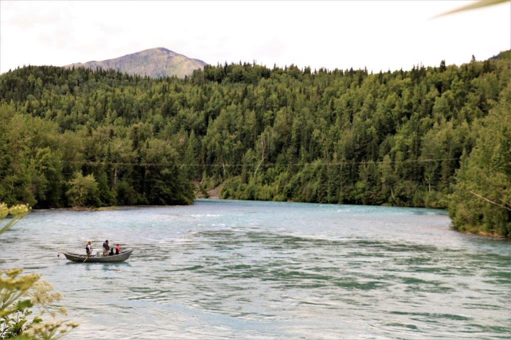
 The Russian River is also a pretty colour.
From here it was a short distance into Kenai and dinner. In the morning we are going to drive to the end of the Kenai Peninsula to the town of Homer the end of the road. Then we will return to Kenai for the night before driving over to Seward (on the other side of the peninsula) tomorrow.
