MOUNTAINS (of course), GLACIERS, AND WATERFALLS.
We were blessed with another glorious day on our drive to Valdez (Val-DEEZ). We were on the road by 9 for our 412 km (256 miles) drive from Palmer to Valdez.
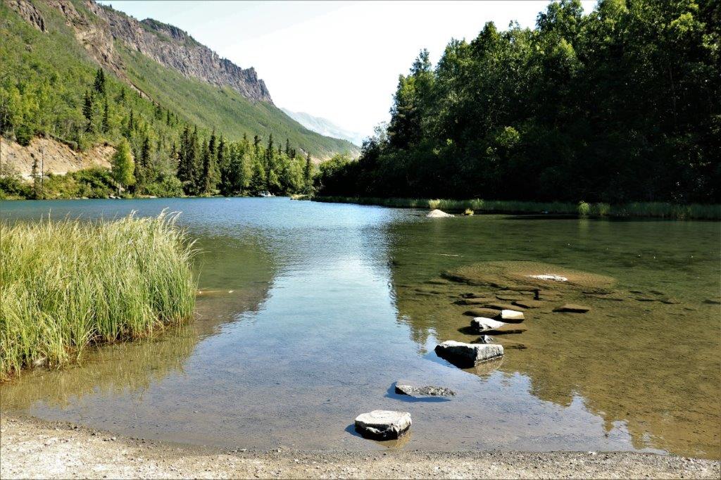
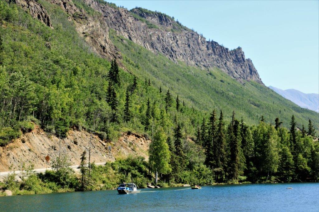
Not far east of Palmer we passed Long Lake, which was beautifully calm.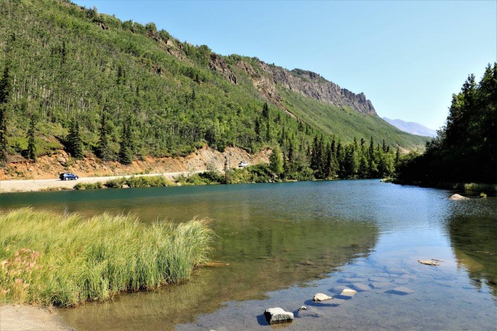
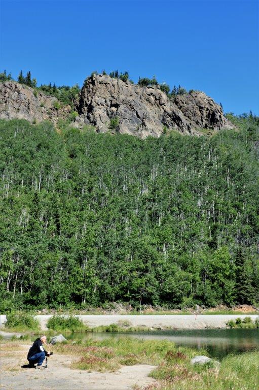
 We drove off the main Glenn highway onto the Old Glenn Highway to do a short (16 cache) power trail. The road was closed but we were able to drive around the barrier and find all of the caches. They were hidden about 20′ off the road every 150′ or so for two kilometers. At the end John could probably have inched the truck past the big dirt pile, but there was one cache we had not found on our way in and we wanted to look for it again on the way out – we found it too.
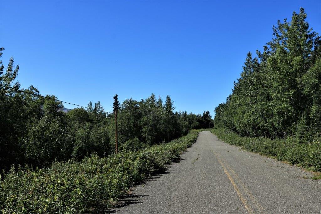
 All of the rivers up here are laden with silt so there is no blue water. It is all mud coloured. This is the Matanuska River.
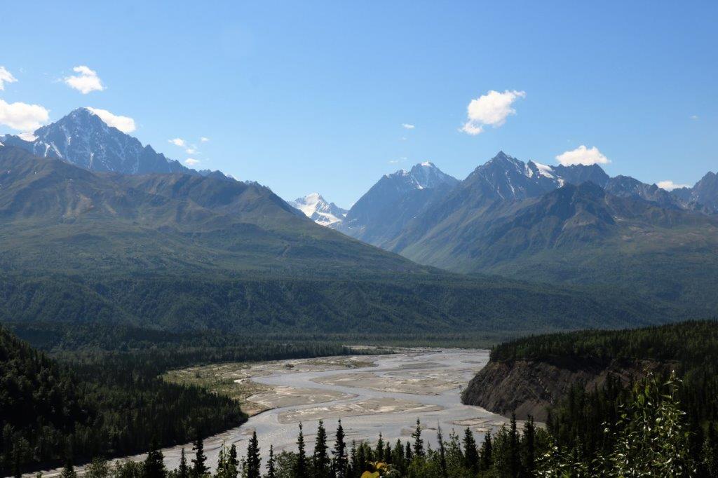

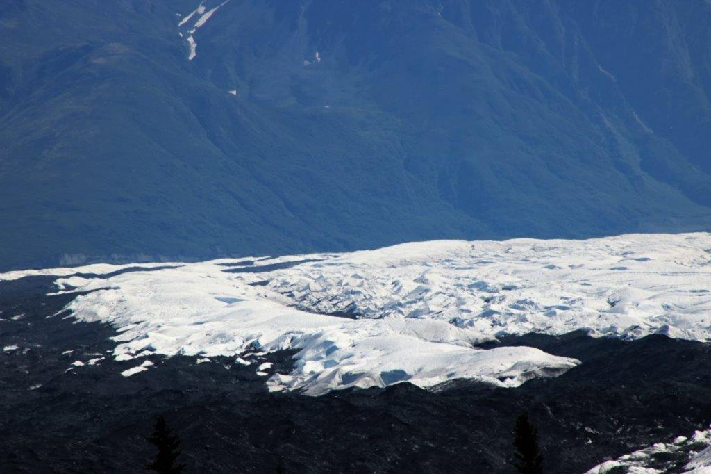
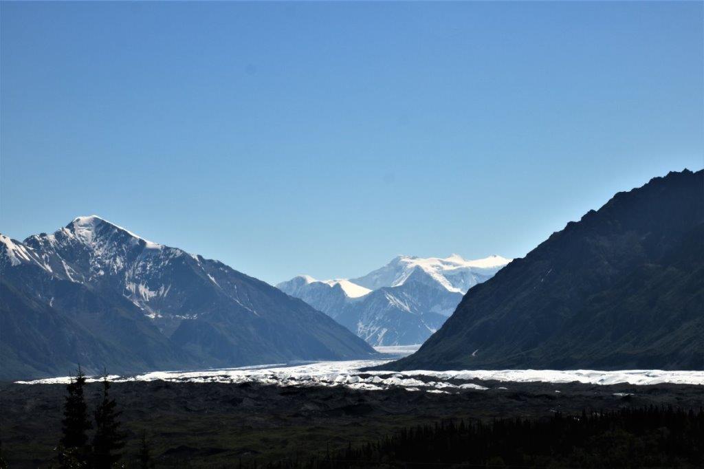
 The headwaters for the Matanuska River is Matanuska Glacier, the largest road accessible glacier in America. It is 4 miles wide at its terminus and extends for many miles back into the Chugach Mountains. If you choose to drive into the the State Recreation Site you can actually walk on the glacier.
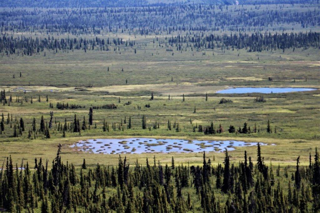
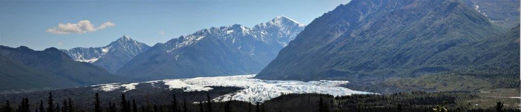 The ‘tail’ or terminus of the glacier extends far down the valley. Most of the dirt on either side of the ice is just dirt covered ice.


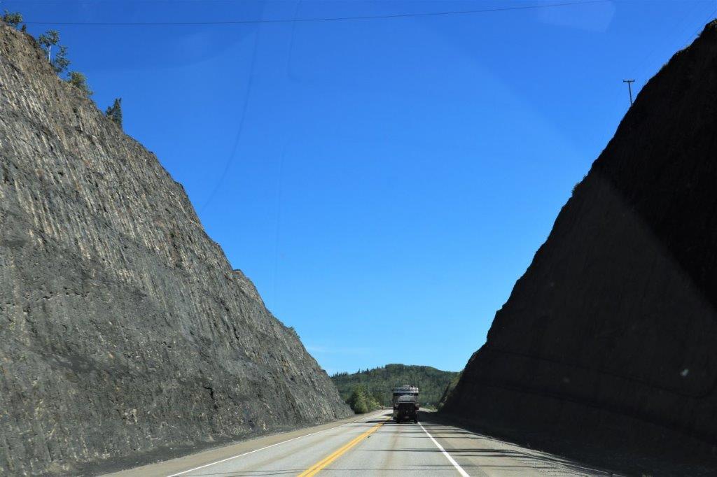
 This was a very long down hill and across the bridge at the bottom before climbing up the other side.
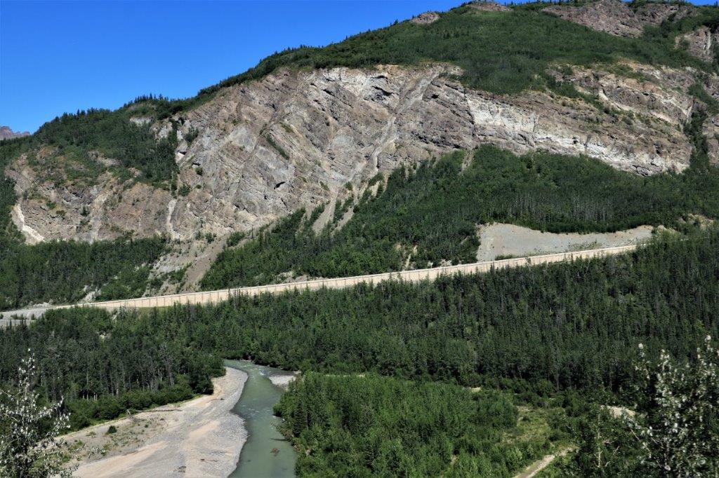
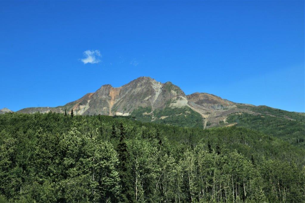
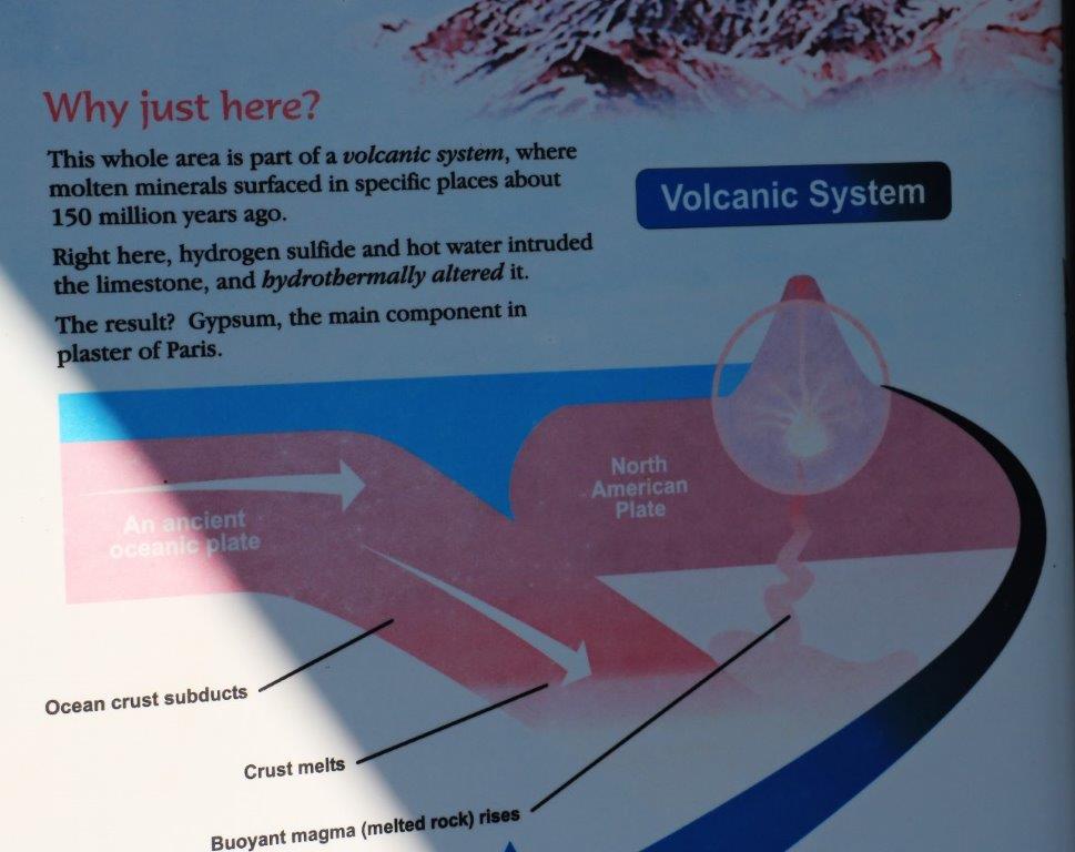
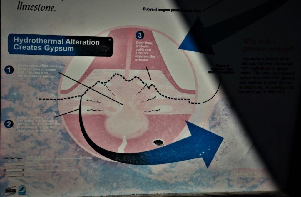
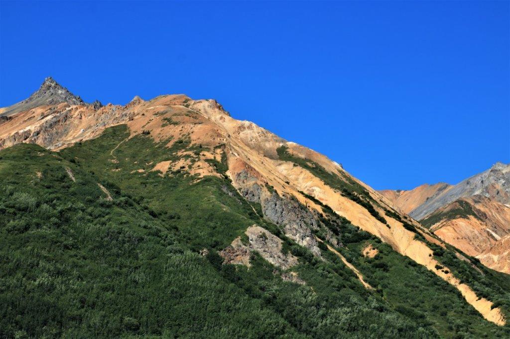
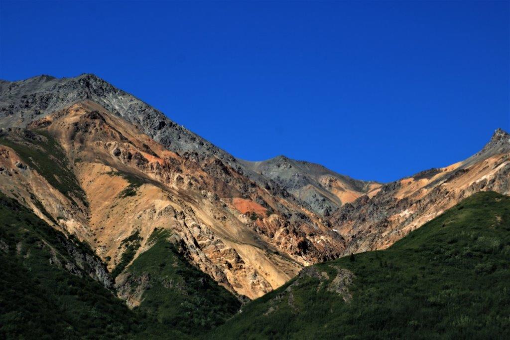
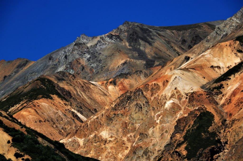
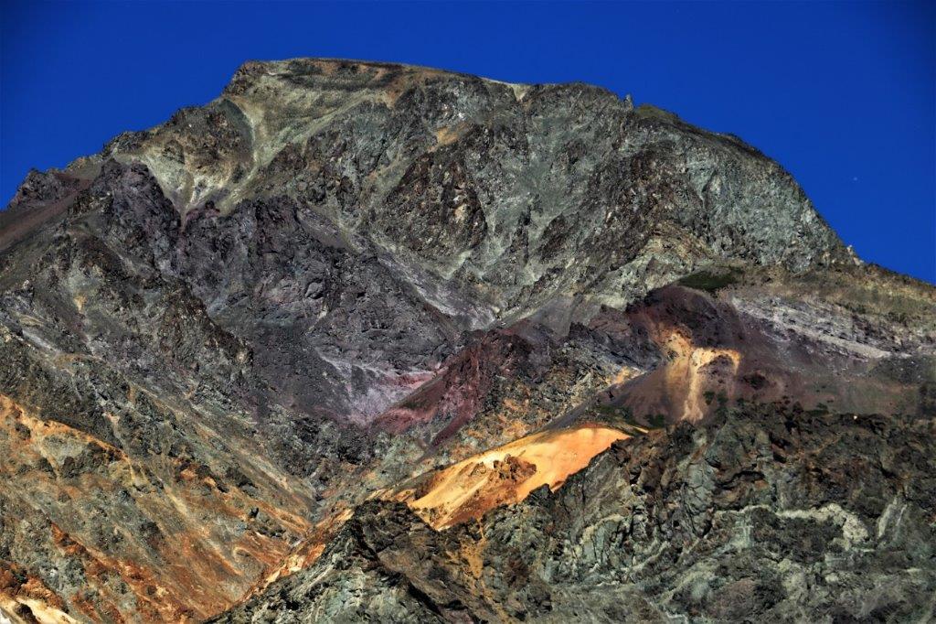
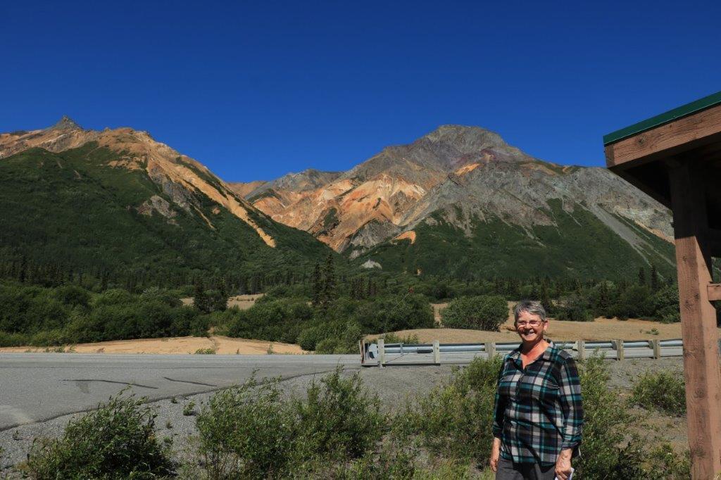
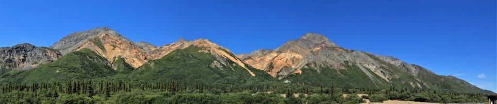 Sheep Mountain was very interesting. Usually when you see orange coloured rocks like this it is from the presence of copper or gold or iron ore. However the colour here is iron-stained gypsum that was ‘cooked up’ by a volcano from sedimentary limestone.
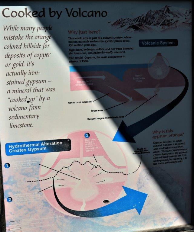
 It is called Sheep Mountain because it is a favourite place of the local Dall Sheep – although we didn’t see any.
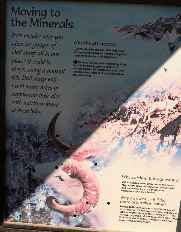
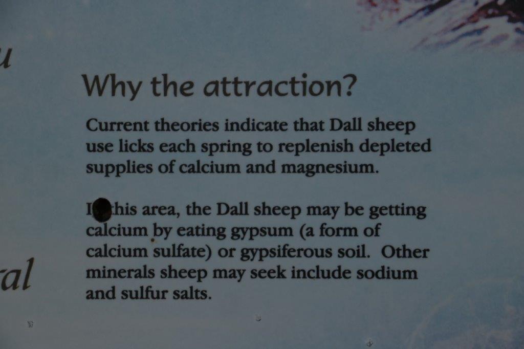


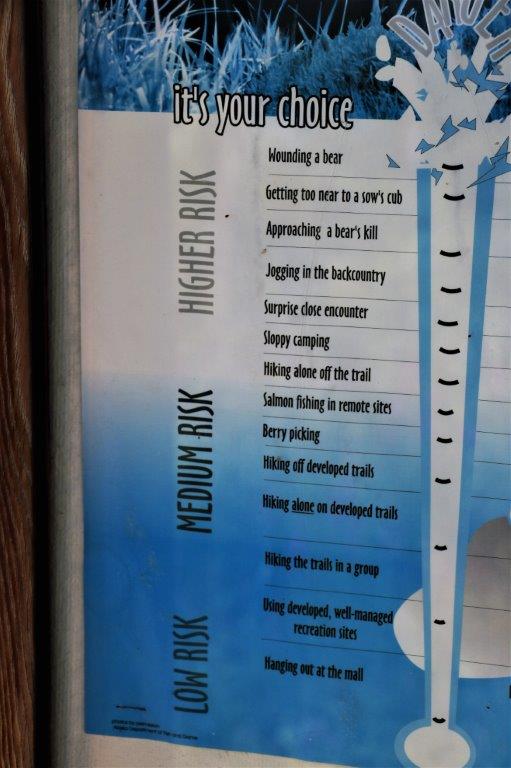
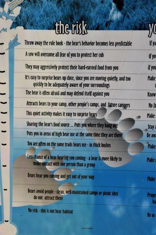
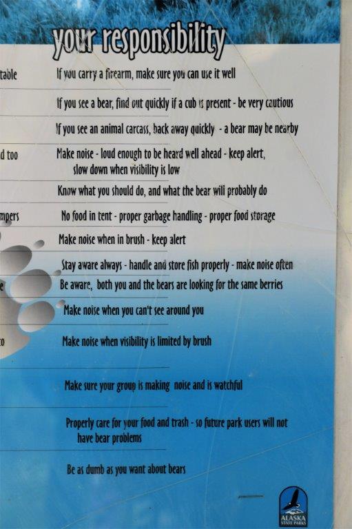
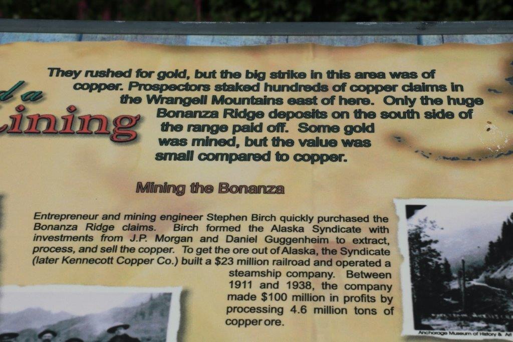
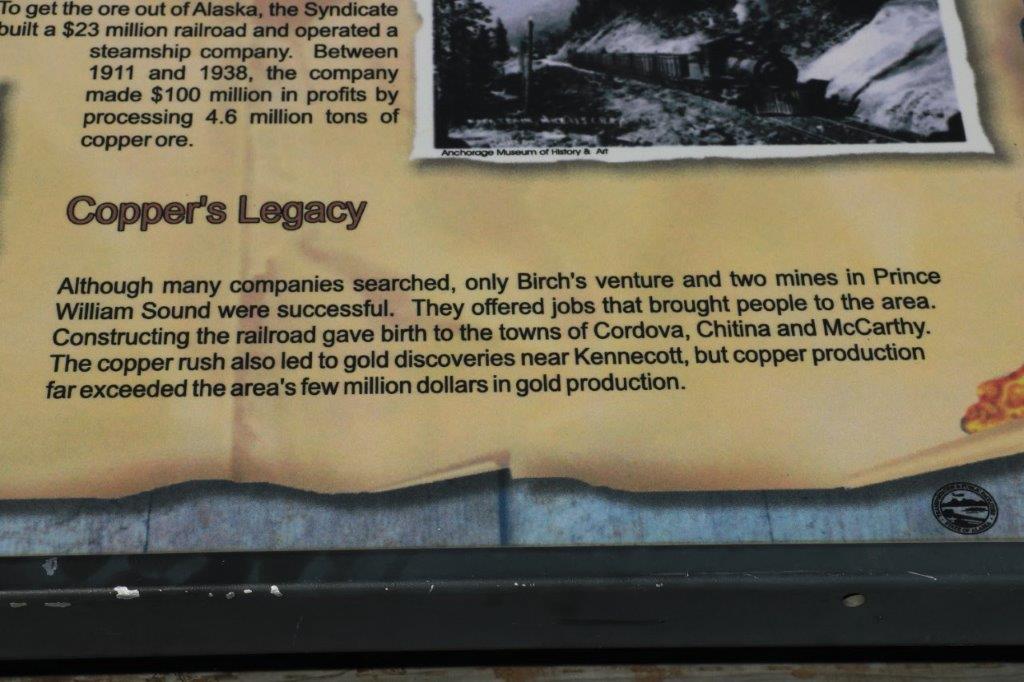
 I liked this sign on the back of the information board at Sheep Mountain.
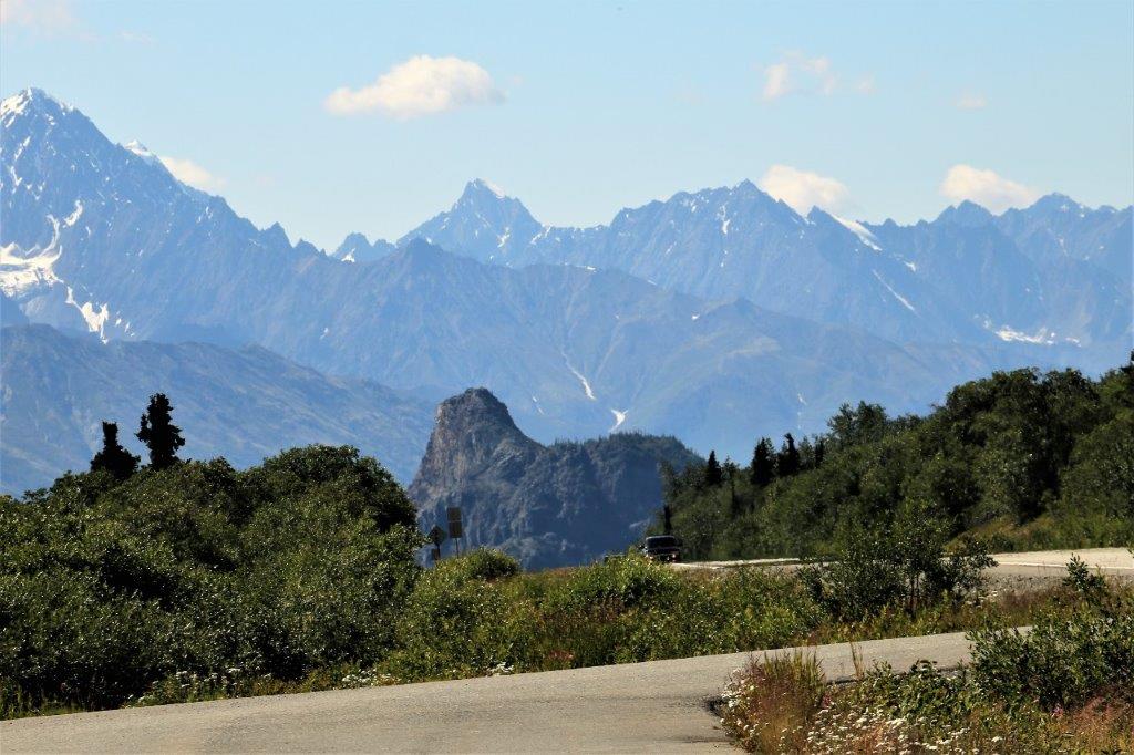 This formation is called Lion’s Head, although lots of people, me included, thinks it looks more like a sphinx. It is the root of a volcano so even though glaciers have come through here several times over the millenia the rock is so hard that the glaciers do not erode it.
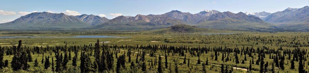
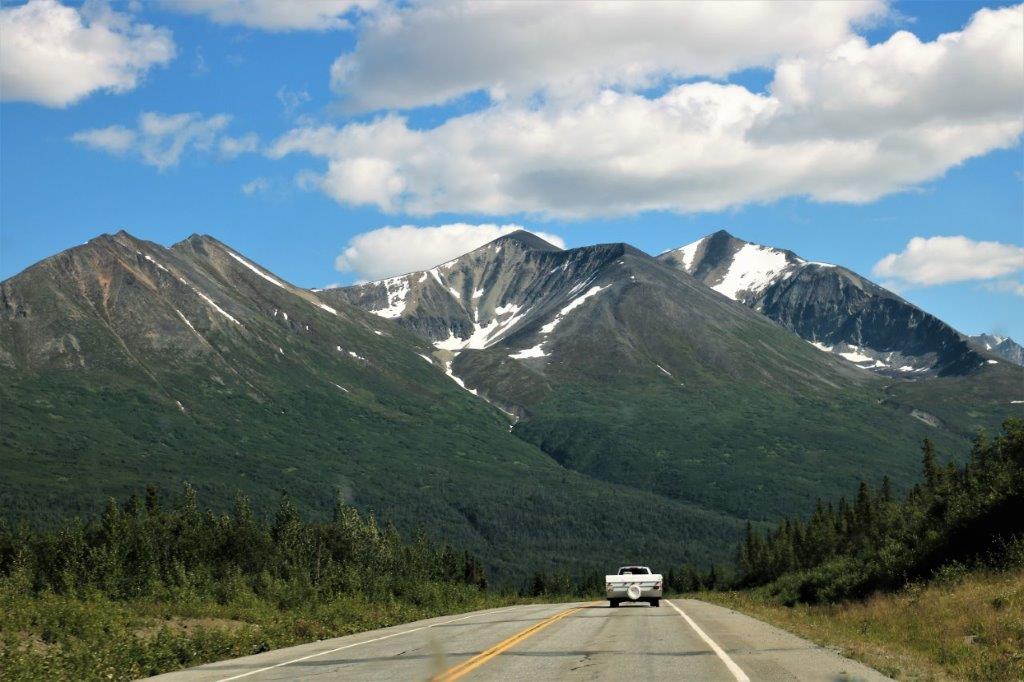
 We turned south on the Richardson Highway just before the community of Glennallen. The Richardson Highway was the first road built in Alaska
 Notice the poles on either side of the road. These are markers for the snow plows in winter. This area gets 600-900′ of snow each winter! Yes, you read that correctly.
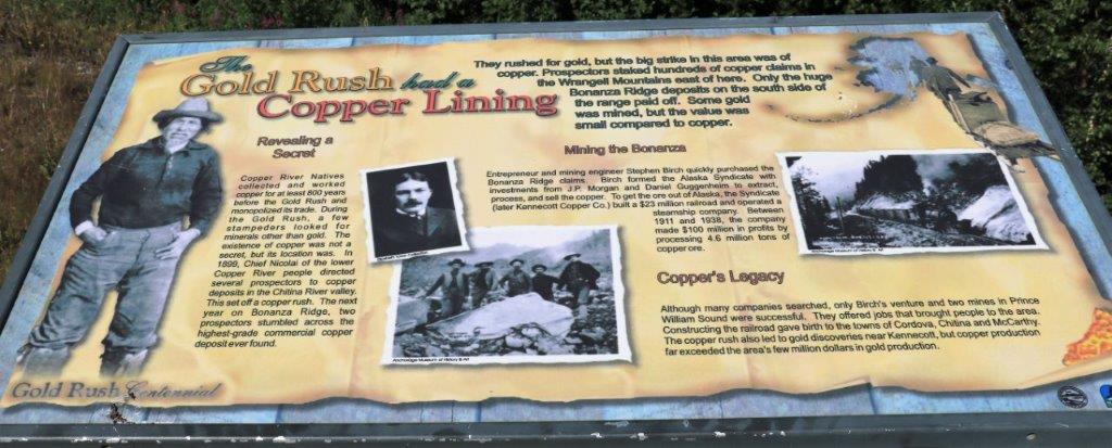

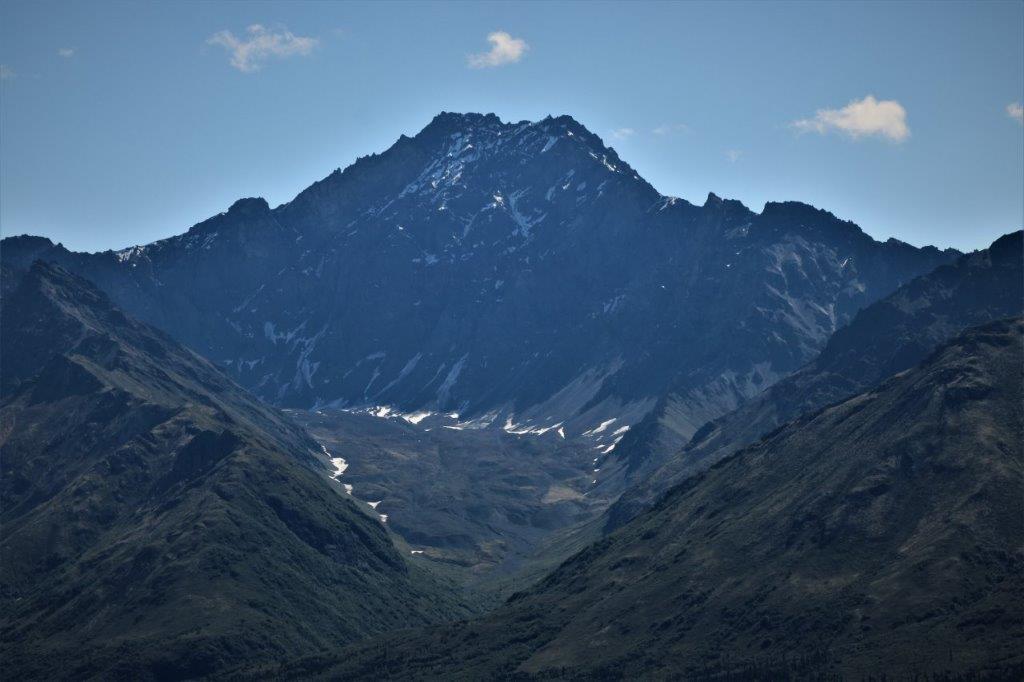
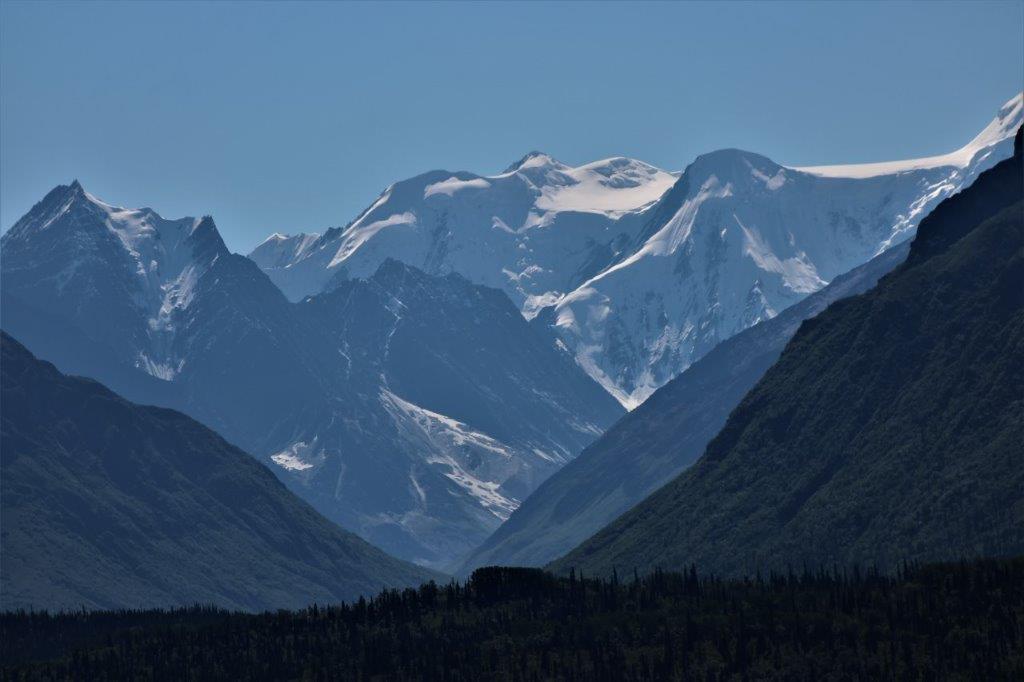
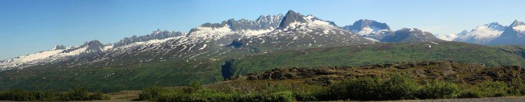
 Quite a bit of the Richardson Highway borders Wrangell-St. Elias National Park and there are four very obvious mountains that you can see for miles as you drive along beside Willow Lake. They are Mount Sanford, Mount Drum, Mount Wrangell and Mount Blackburn.
 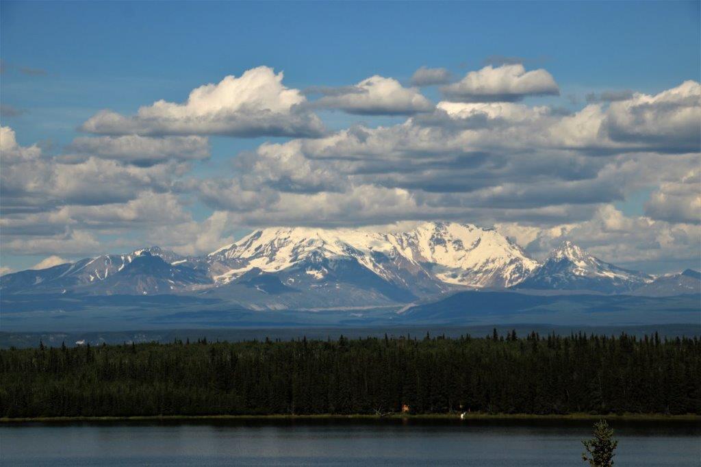 All of them were partially or fully covered by clouds. This is Mt. Drum.
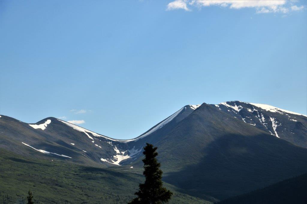 I loved the thin ice rim along the curve of this ridge.
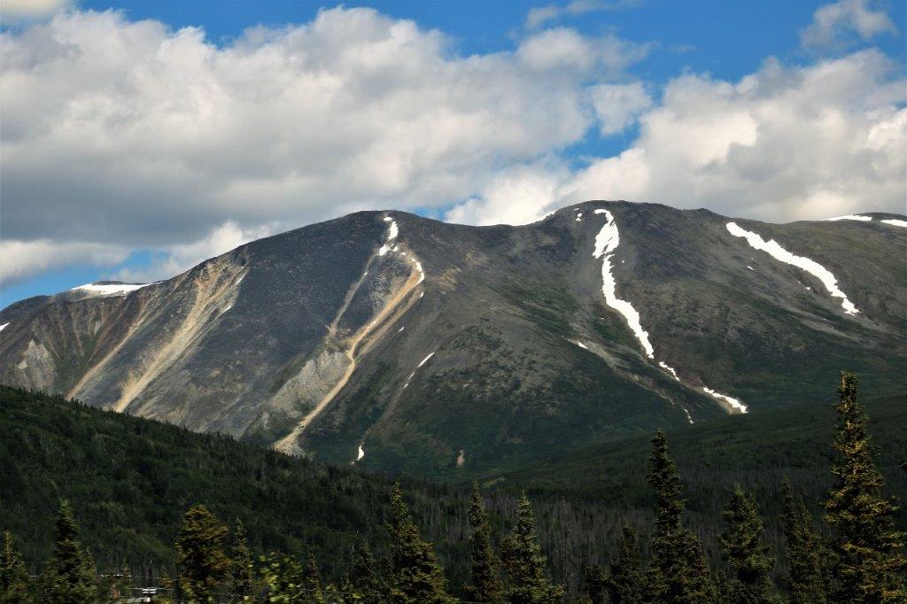

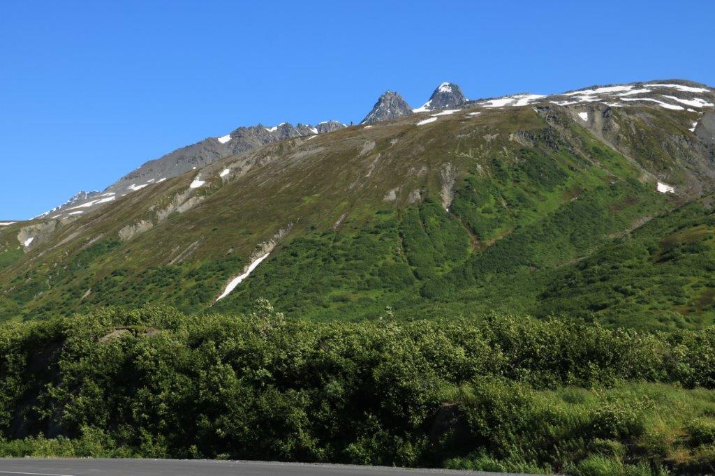
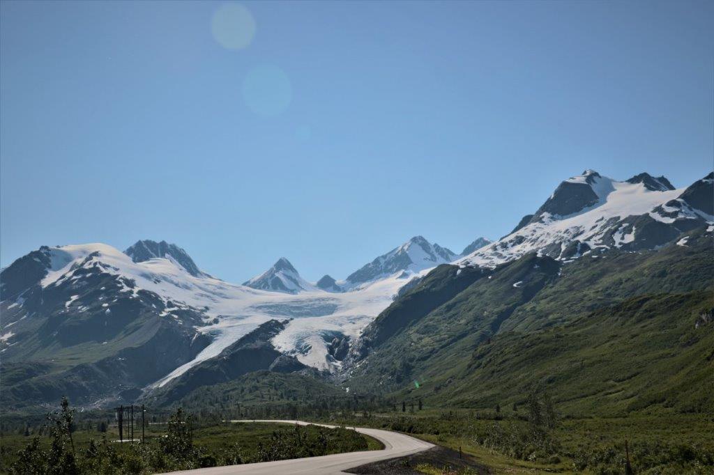
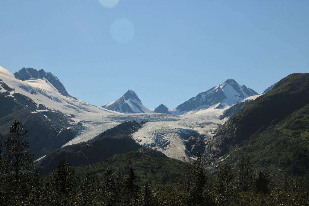
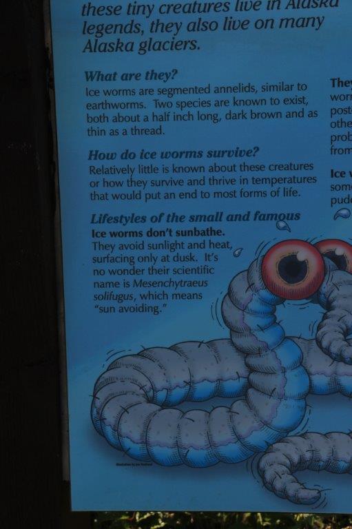
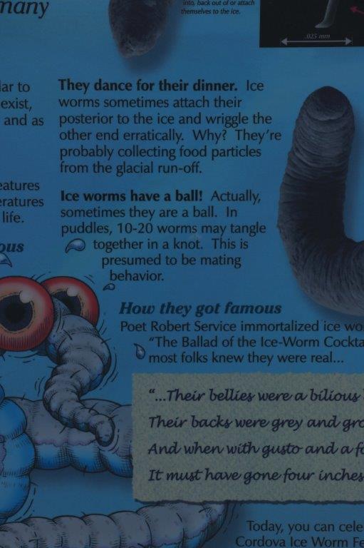
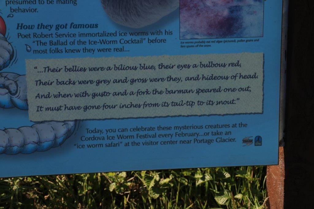
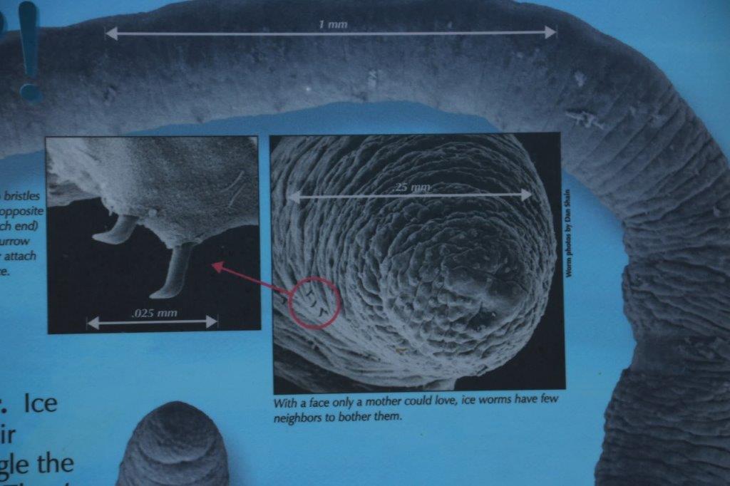
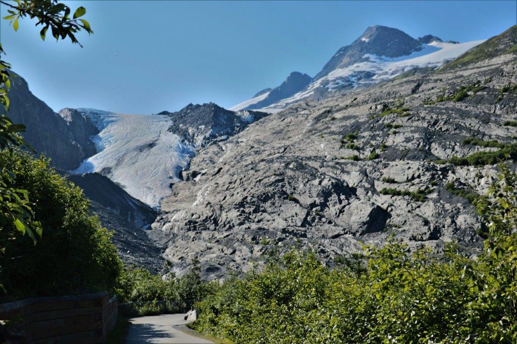
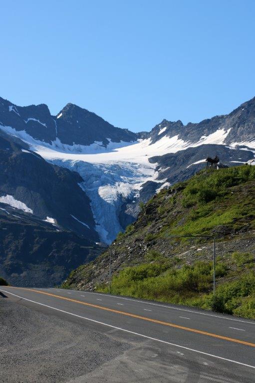
 Worthington Glacier is about 29 miles (47 km) north of Valdez and is also a glacier you can take a path to the base of. We only went as far as the viewpoint, where we learned about ice worms.
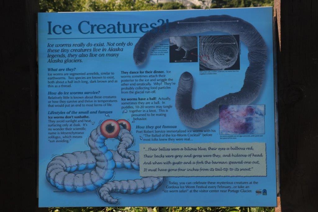

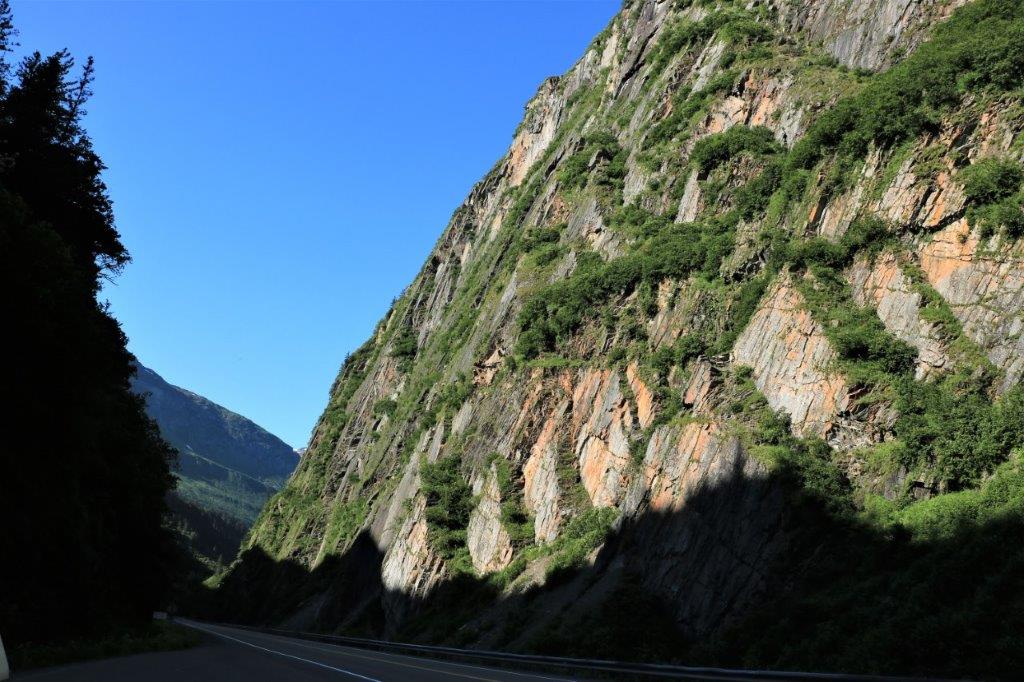
 The original trail through Keystone Canyon into Valdez was called the “Goat Trail.” The Goat Trail is still visible, high on the mountain walls as you drive through the canyon beside the Lowe River. The route through Thompson Pass and Keystone Canyon were old Native trails that were used to build a safer road into Copper Valley.
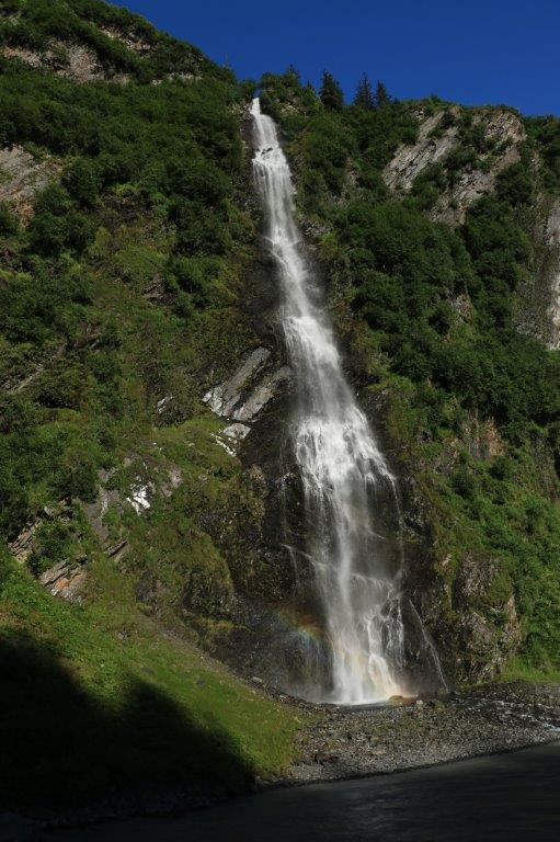
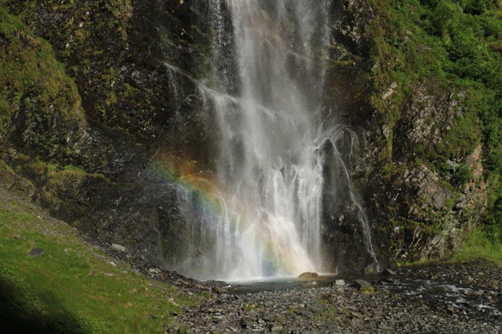
 There are two nice waterfalls about 12 miles (19 km) from Valdez. Bridal Falls is first.
 Right around the corner is Horsetail Falls.
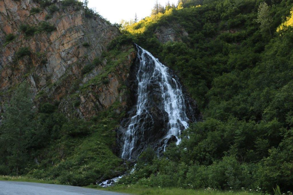 We arrived in Valdez at 6:30. We had hoped to get in a bit earlier so we could do some exploring of the town, or perhaps visit the museum, but the time we spent finding the geocaches ate it up. Which was okay with us as it was nice to just spend some time doing something other than driving and sight seeing. All in all, you can chalk it up to another wonderful day in the 49th State.
