All posts by jj1951

My husband and I retired in 2007 and decided to spend the kid's inheritance by travelling as much as we could until either the money or our health runs out. So far so good.

2017 Jan. 7- Day 5 – Tonopah, NV to Ridgecrest, CA

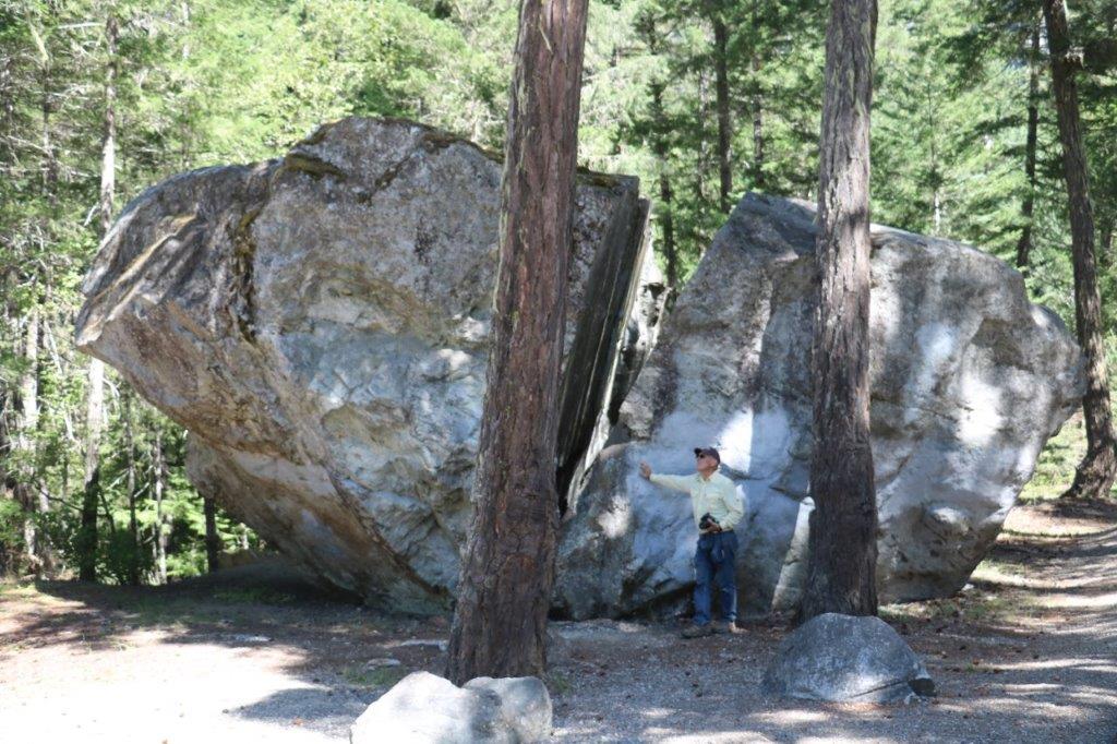
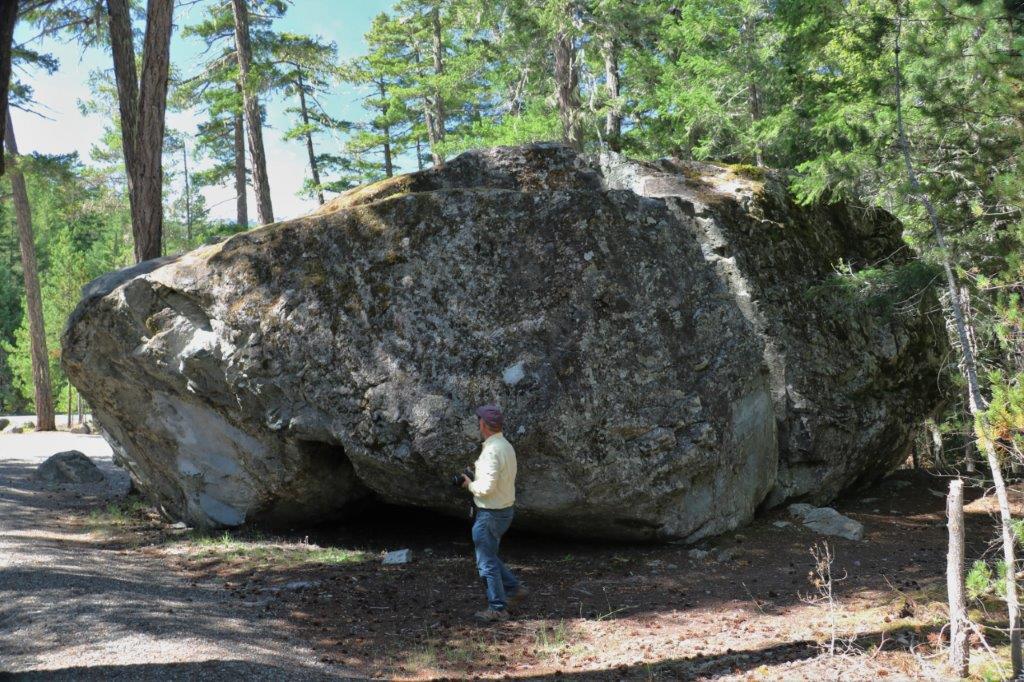
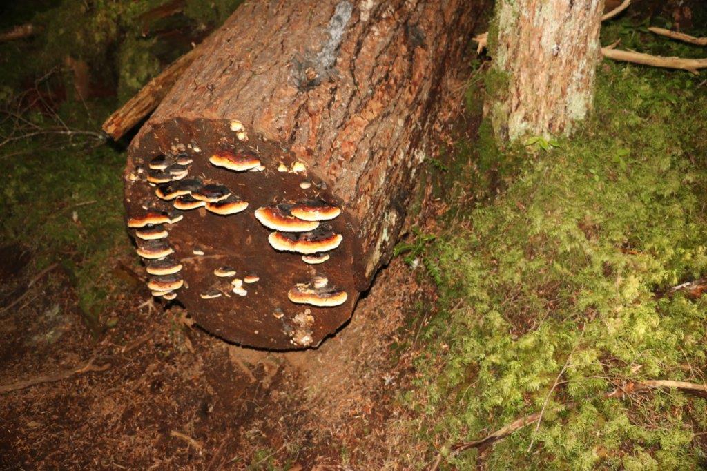
Note to readers:  I don’t know if you are all aware that you can enlarge the photos by clicking on any of them.  I like to size them down for the blog to give the impression my ramblings are not so long.  Probably doesn’t fool anyone but I try.

We drove through Death Valley today.  So, this is your official warning that there are lots of photographs in this blog; and they are not of snow either!

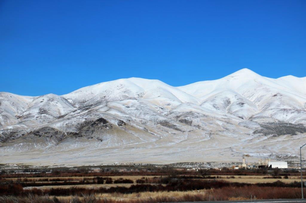
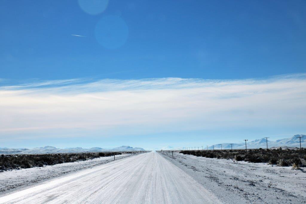
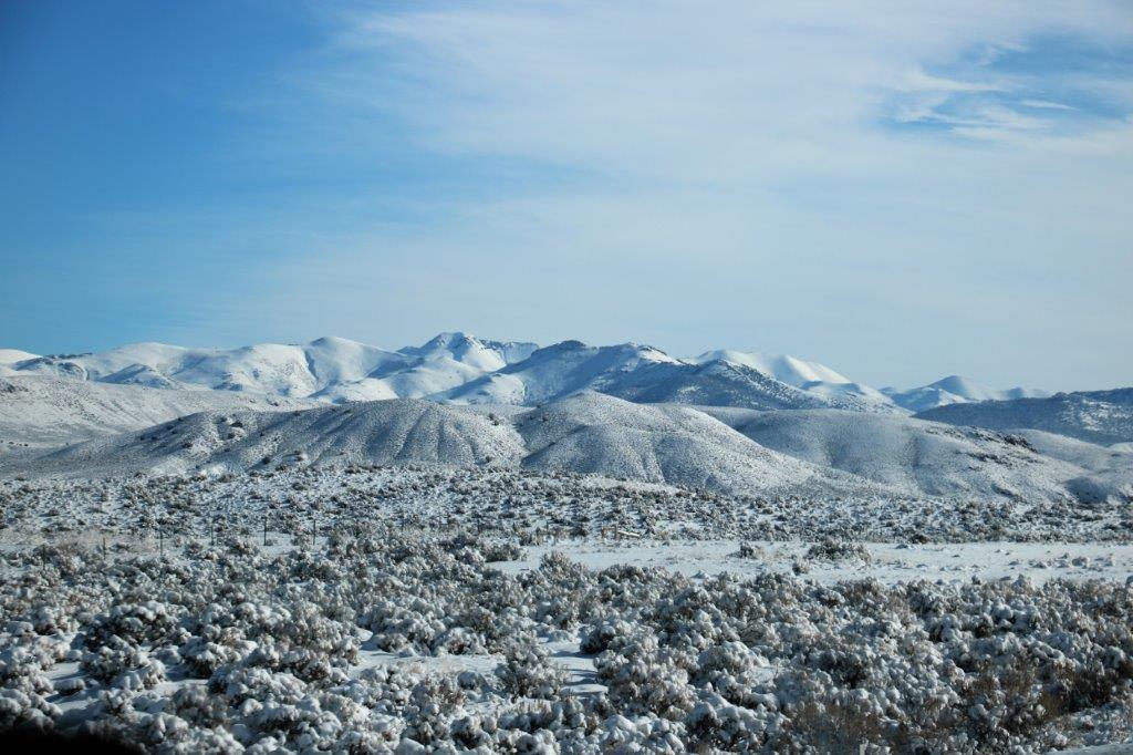
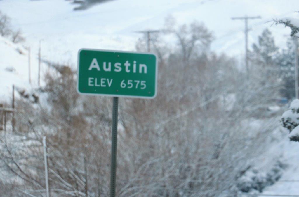
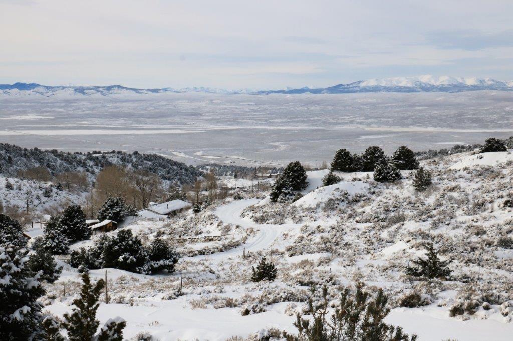
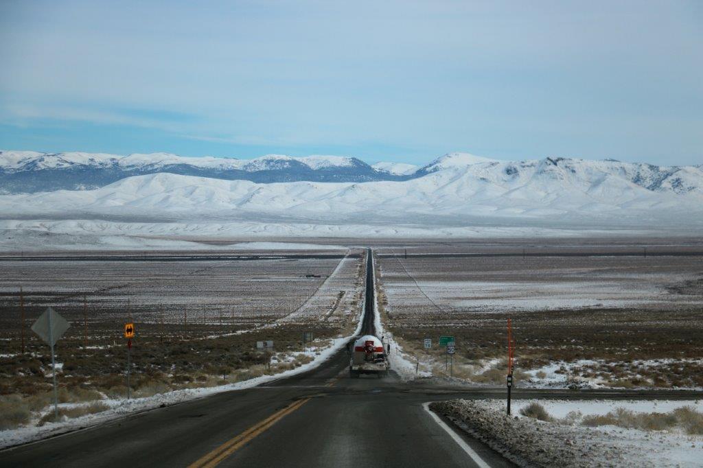
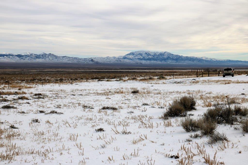
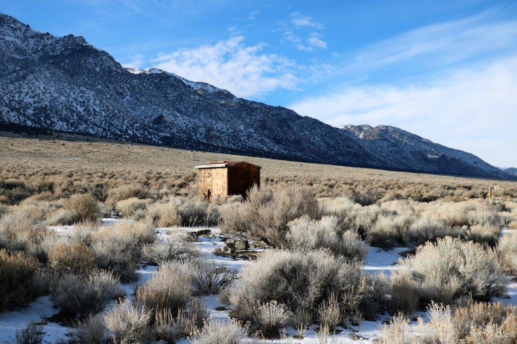
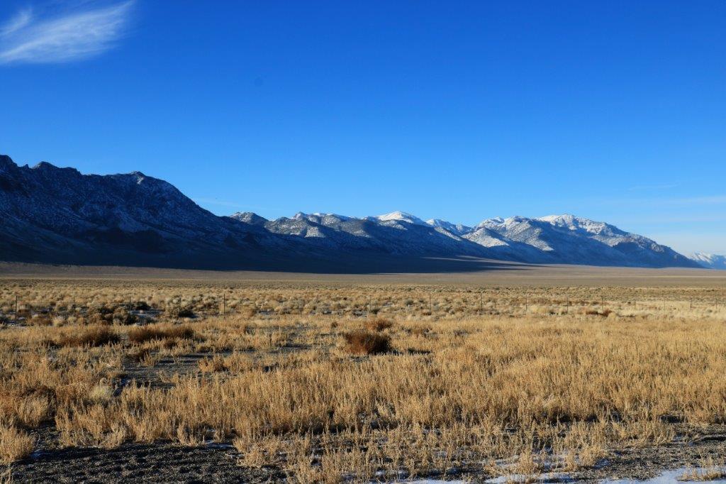
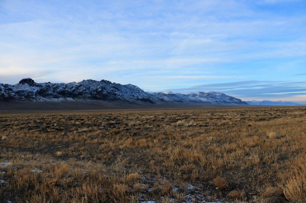
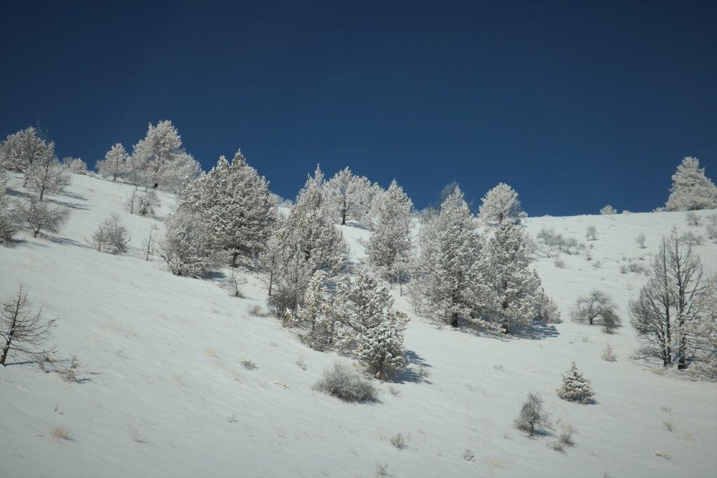
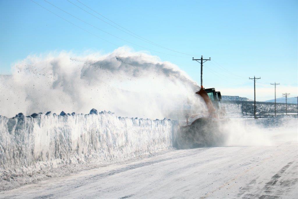
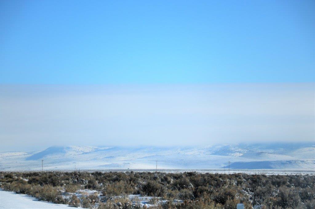
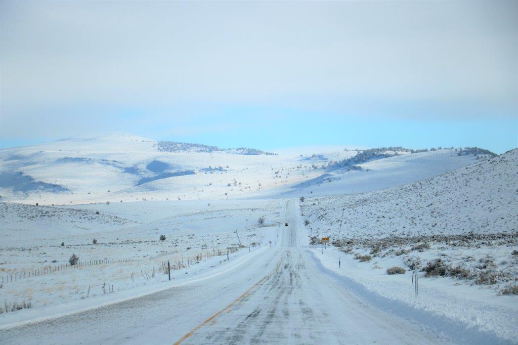
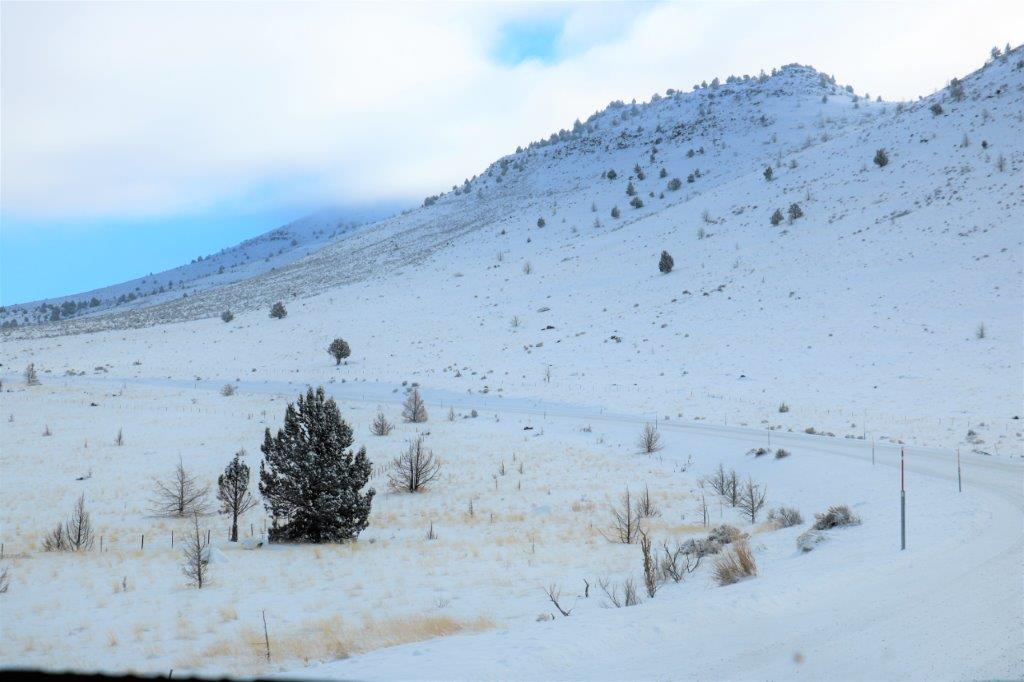
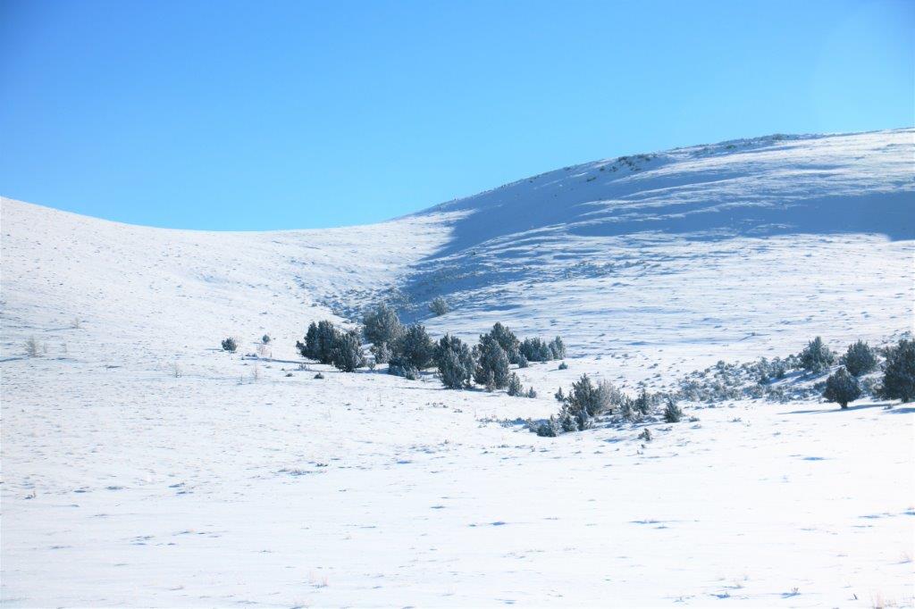
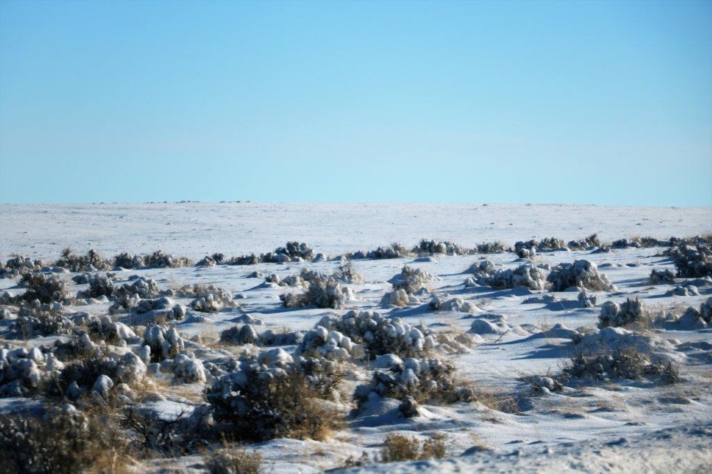
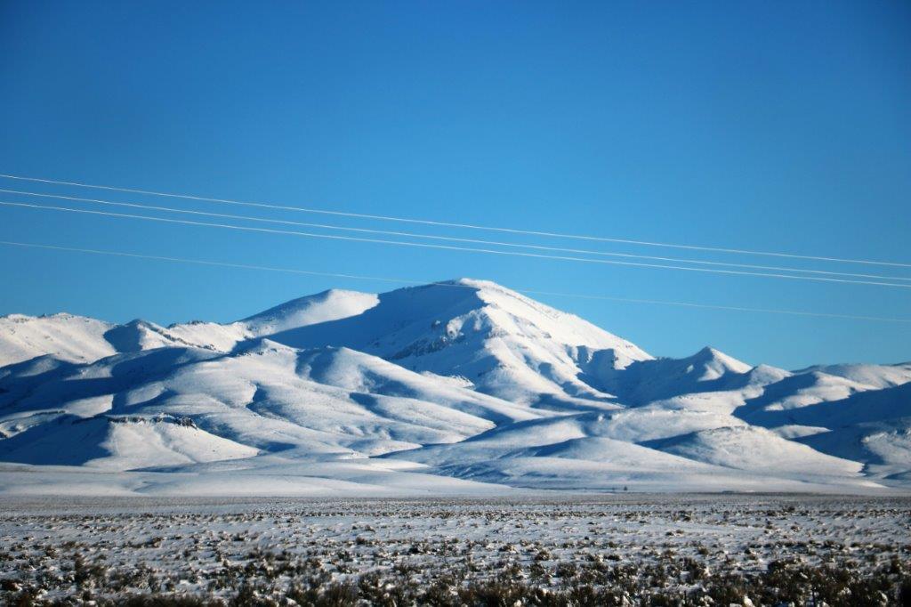
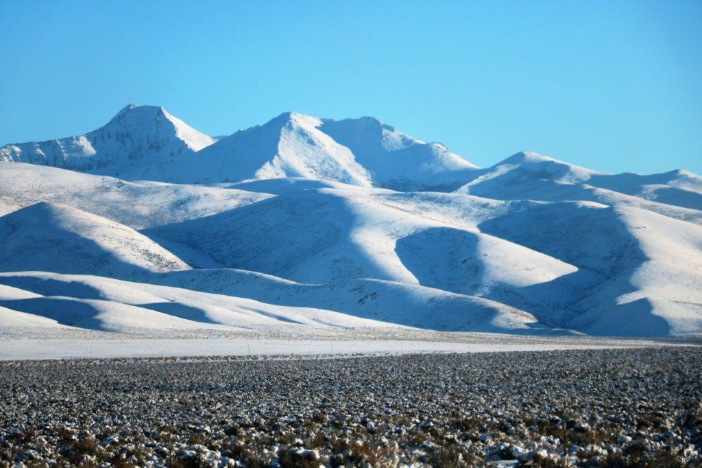
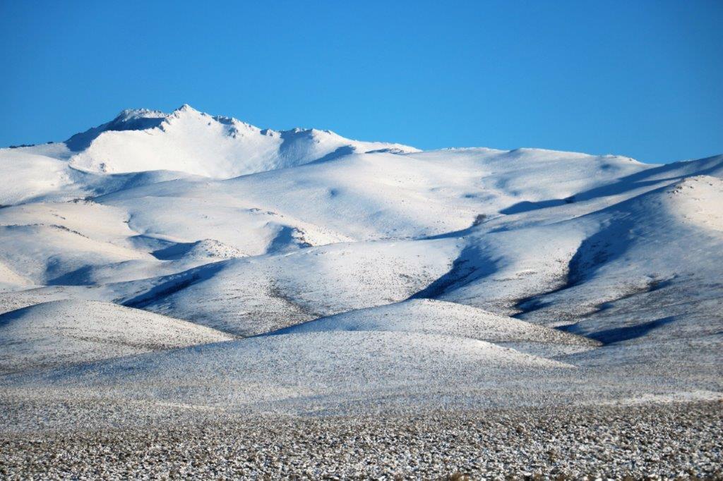
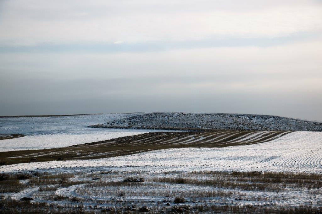
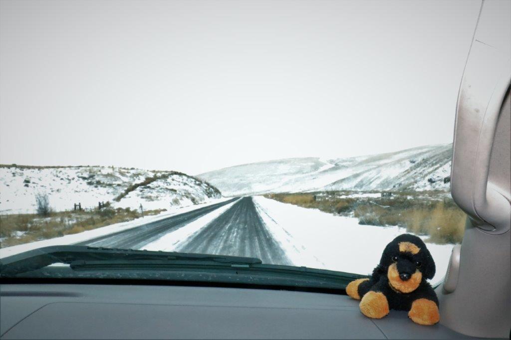
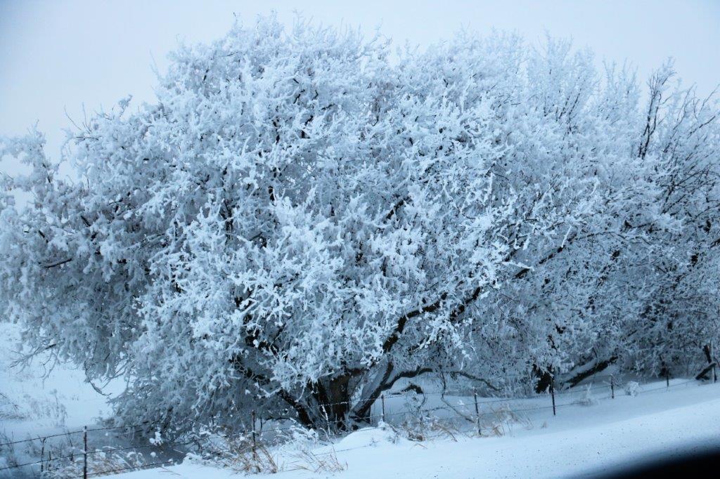
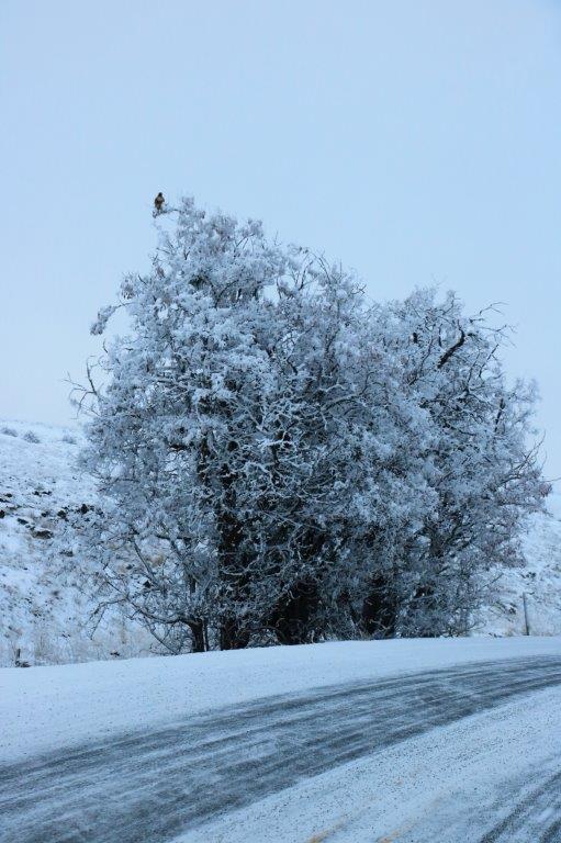
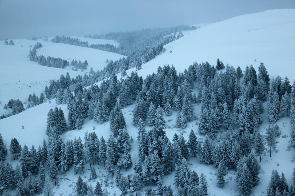
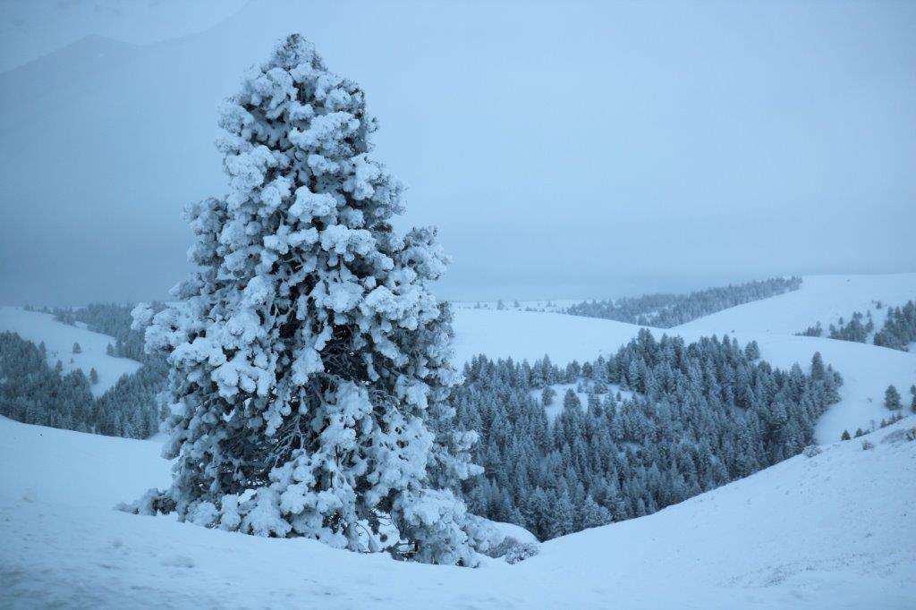
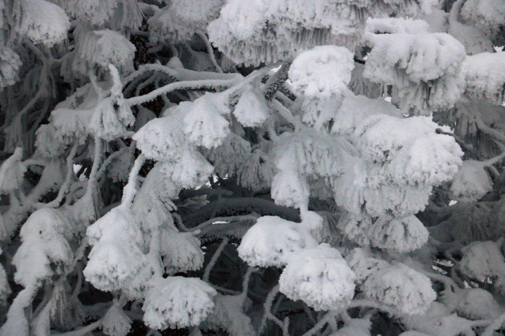
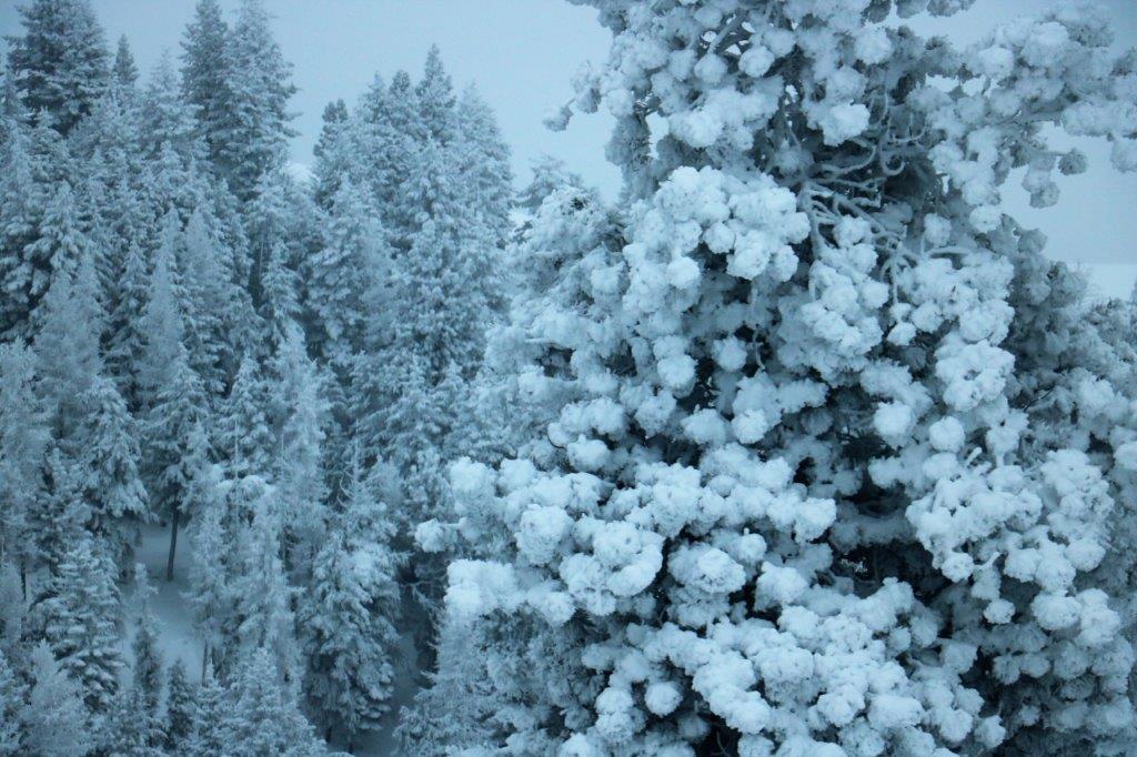
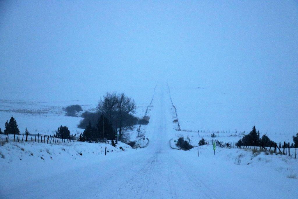
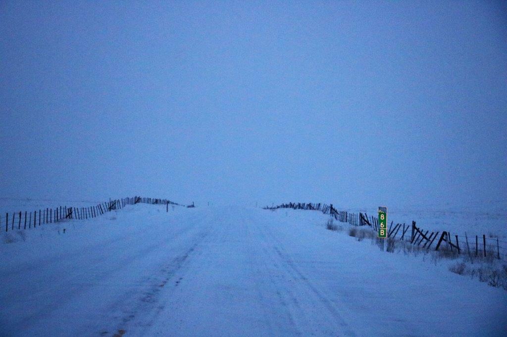
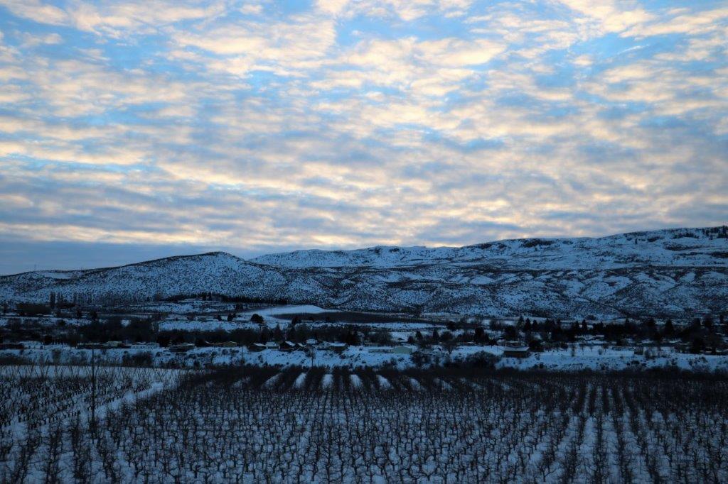
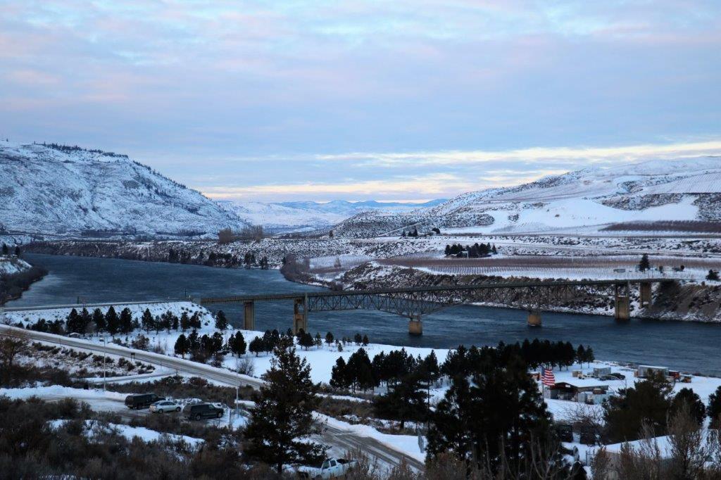
We left Tonopah this morning in a biting cold wind, but it didn’t take too long before I could take off the winter jacket and put on a light one.  Thank goodness.  I was seriously getting tired of winter.  (Sorry, all you folks that are still stuck in it.)

img_6521 img_6529
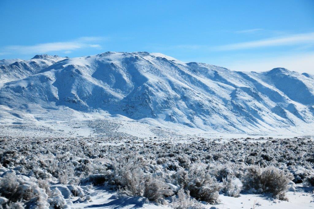
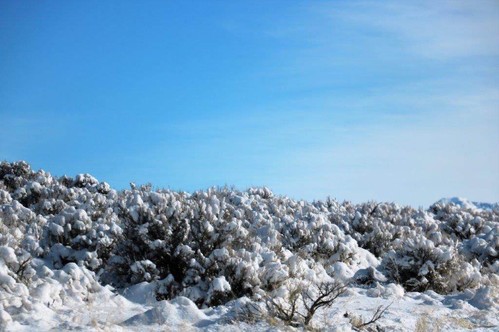
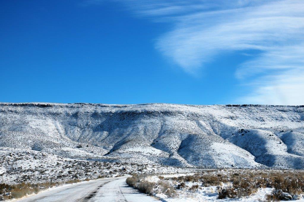
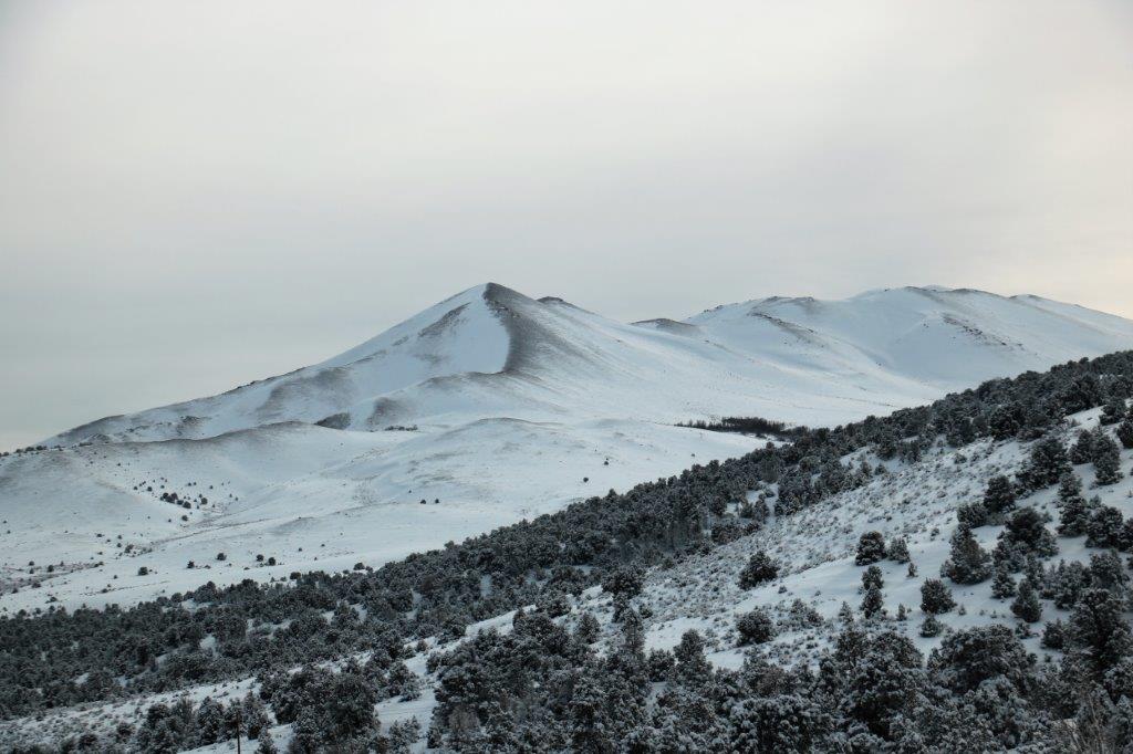
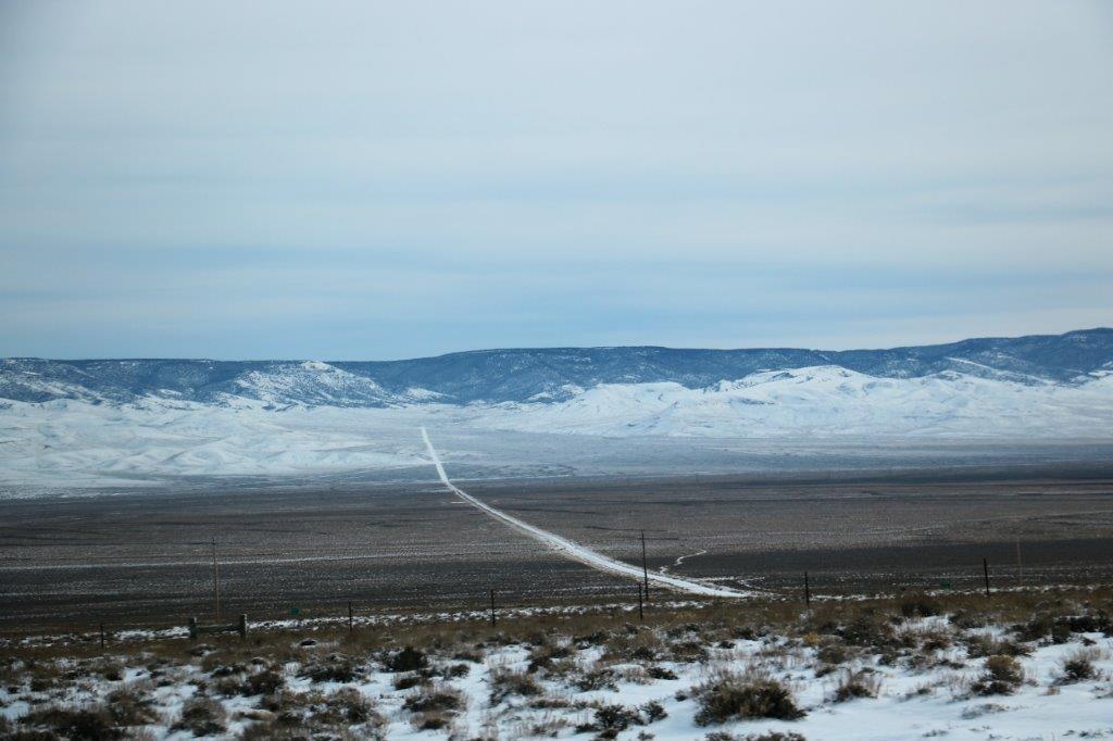
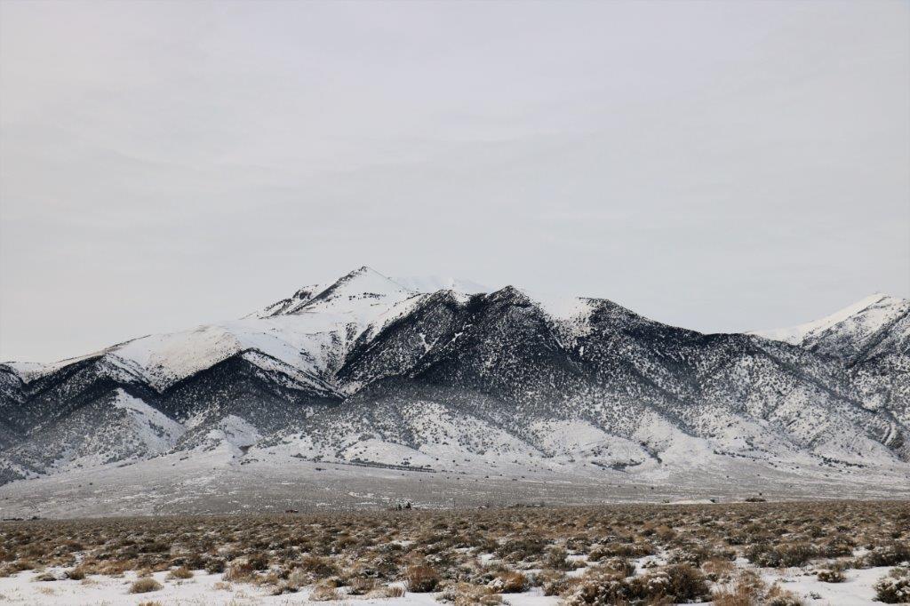
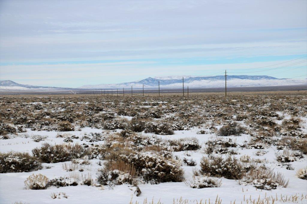
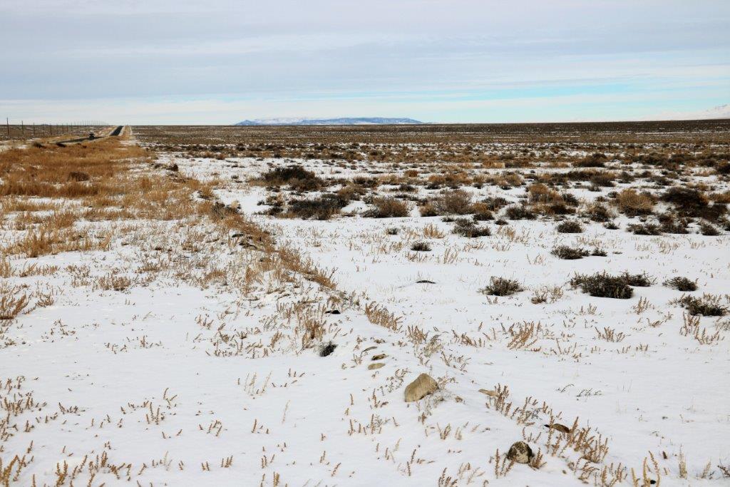
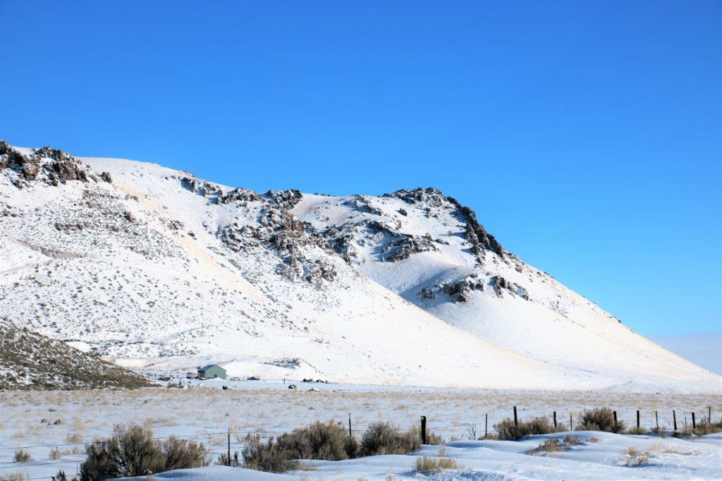
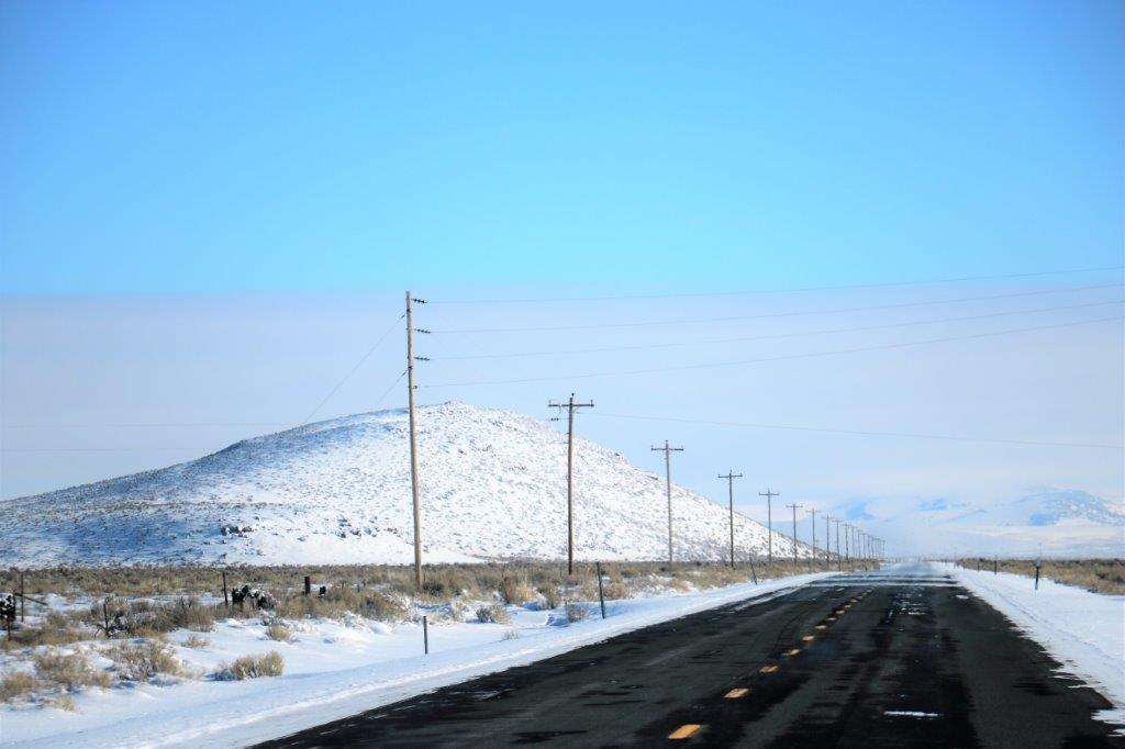
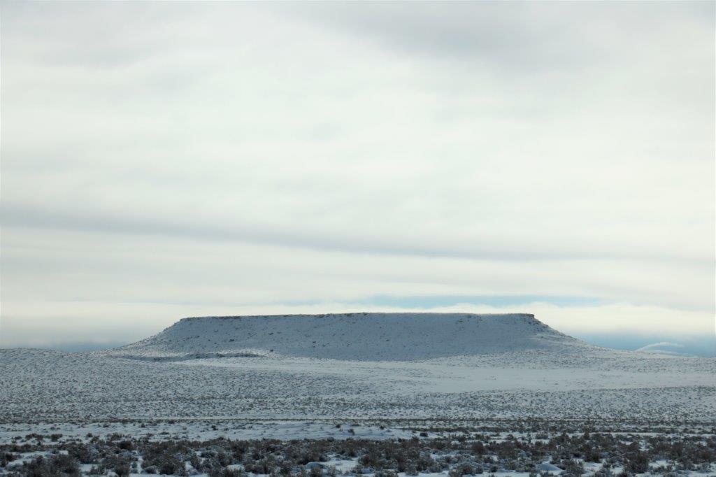
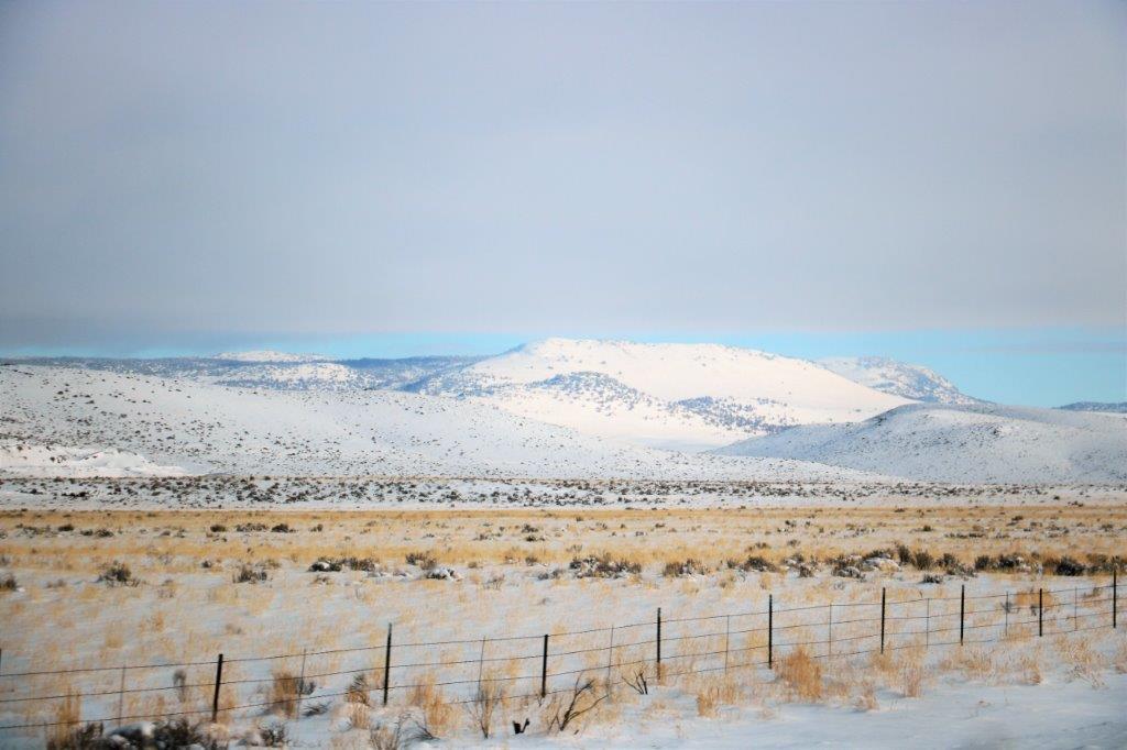
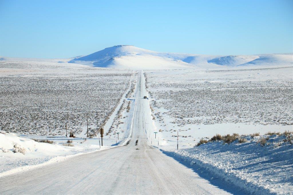
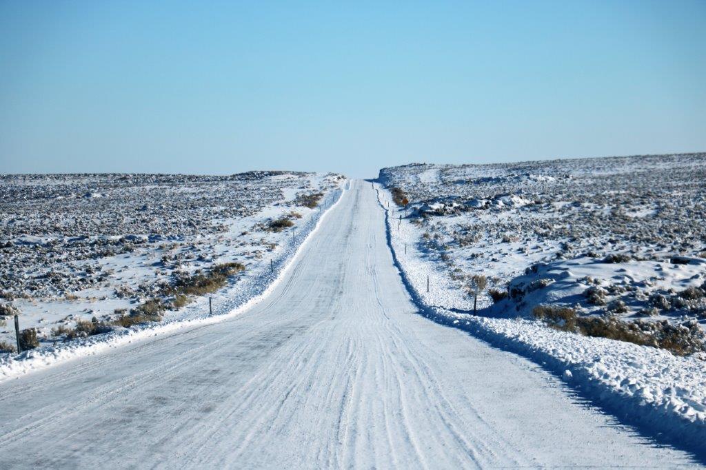
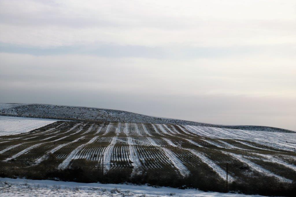
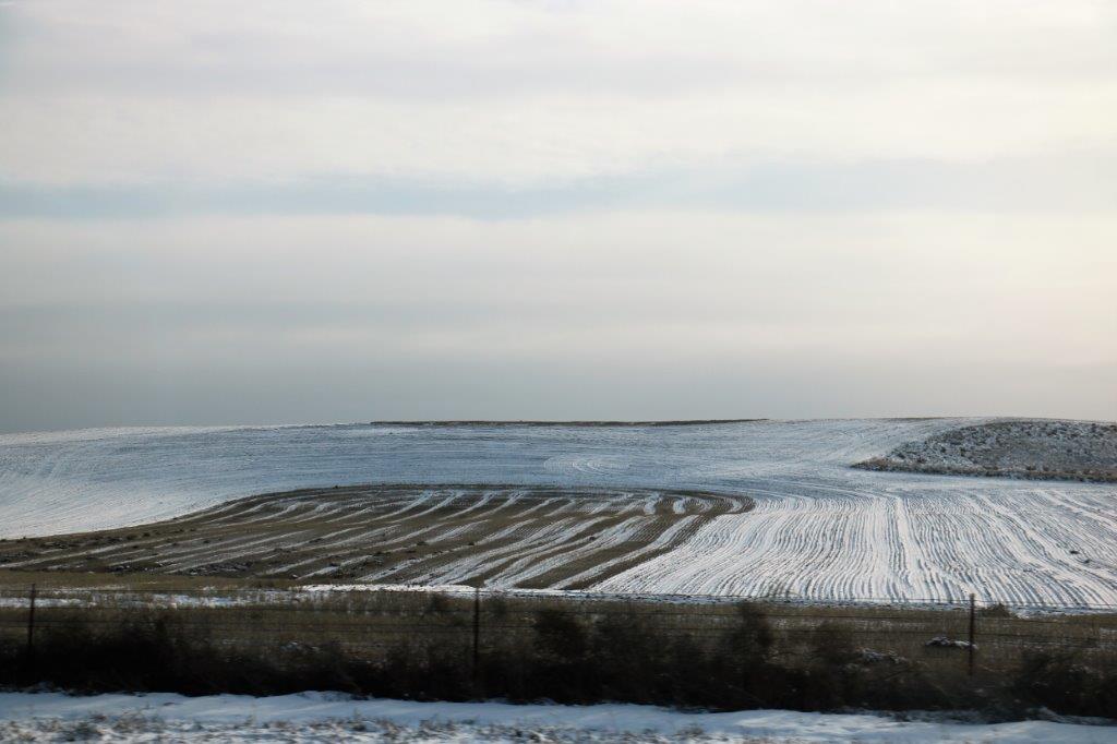
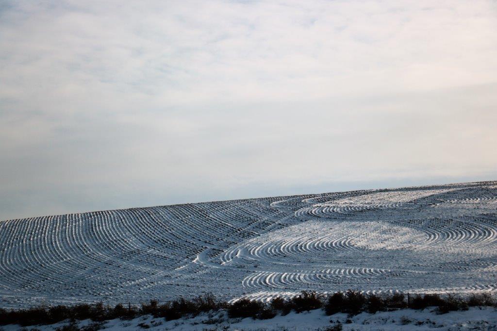
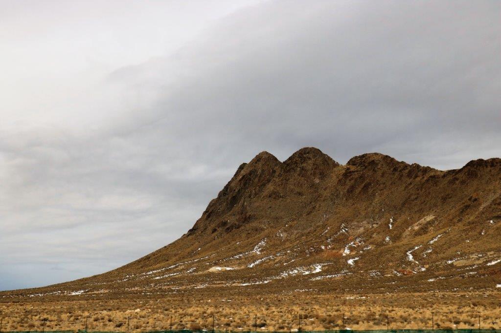
We climbed a little pass and entered, once again, into long straight roads through scrub and sand.  However, not too far south of Tonapah Joshua Trees appeared as well, so there is a little more moisture in the ground.

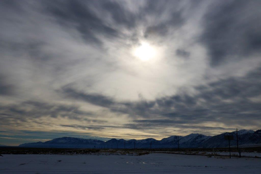
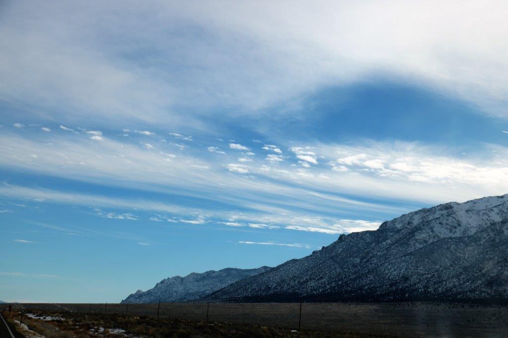
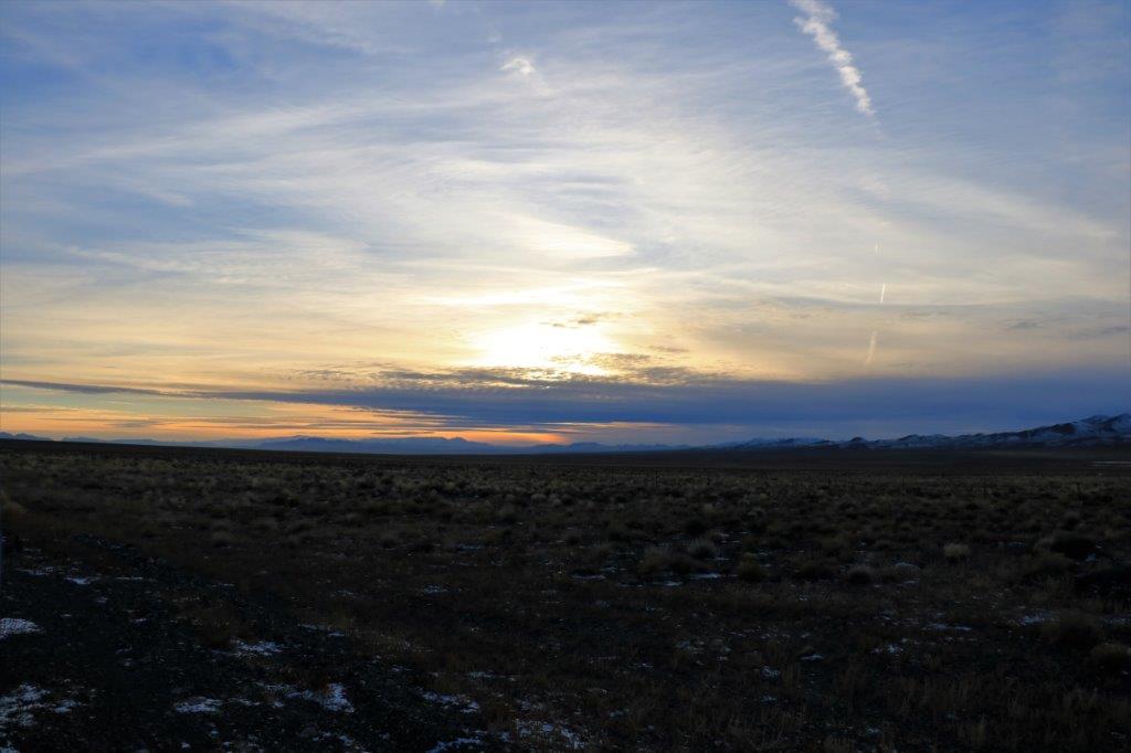
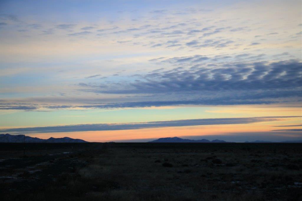
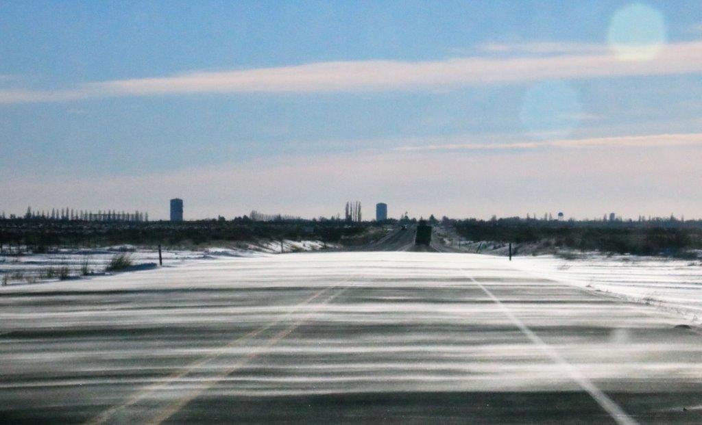
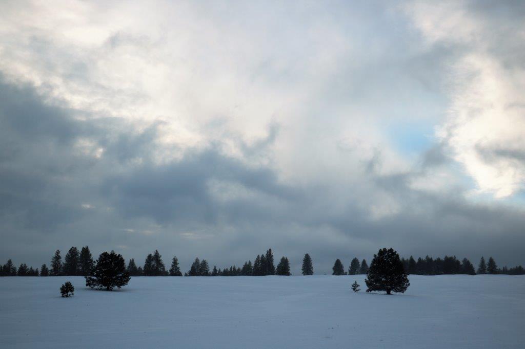
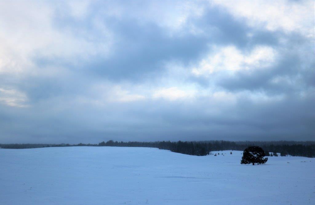
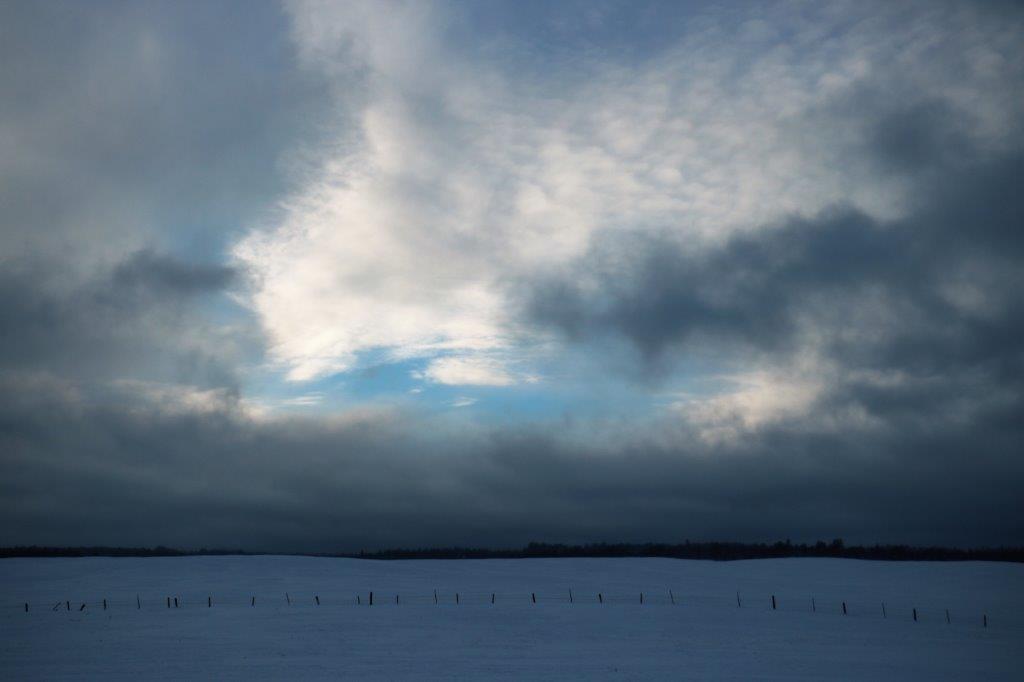
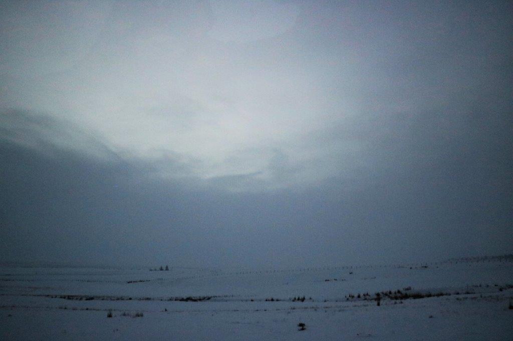
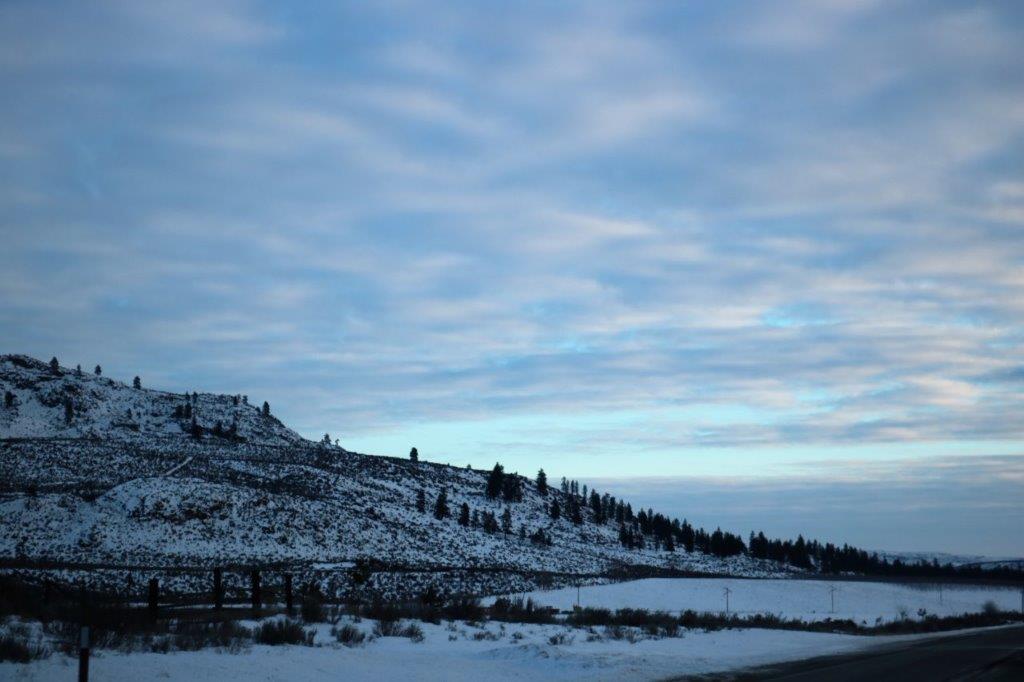
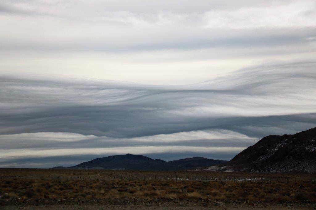
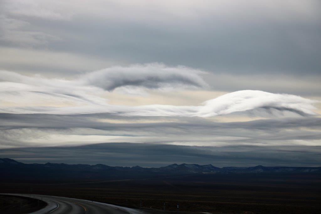
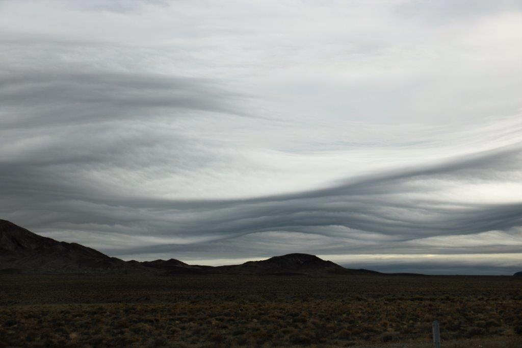
The best part of the first few miles of our trip today were the clouds.  I love clouds.  They are an infinite number of shapes and colours.  Today’s clouds were waves.  Very, very cool.

img_6528 img_6541 img_6542 img_6547 img_6548 
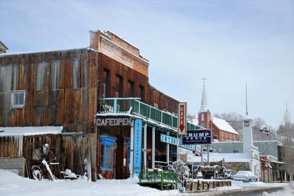
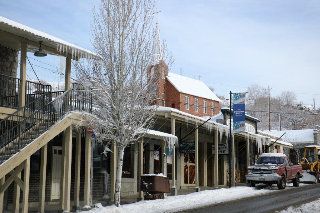
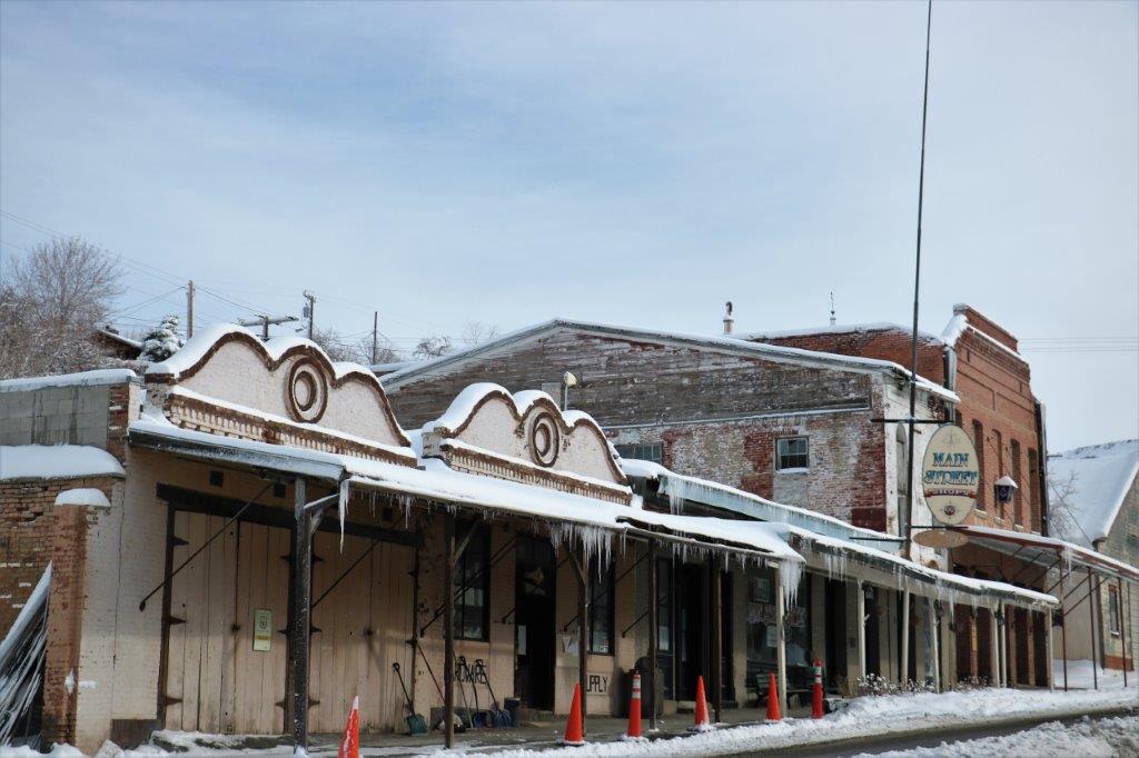
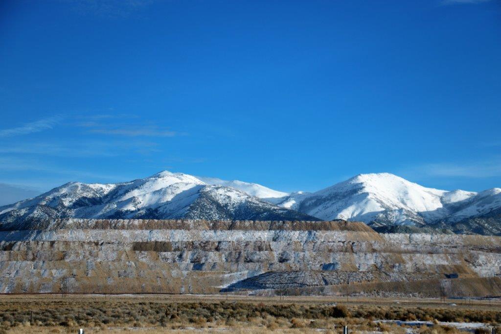
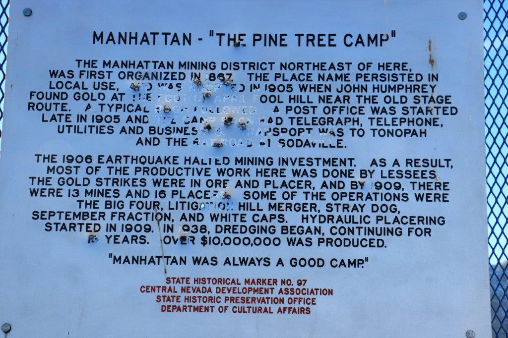
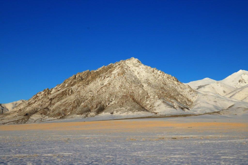
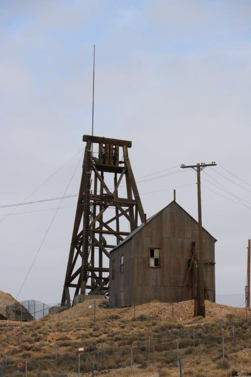
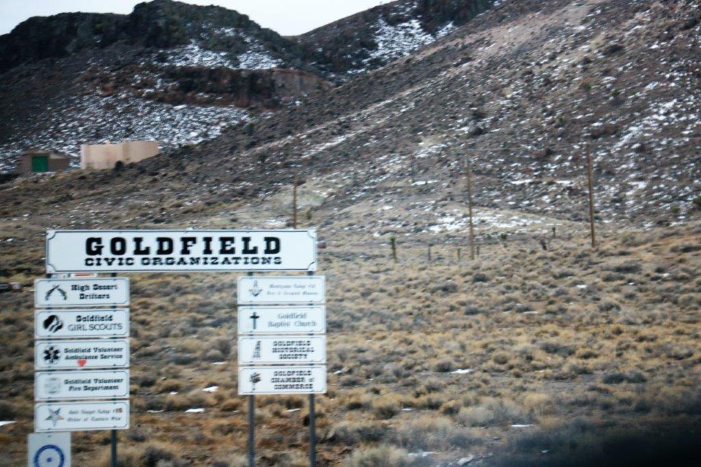
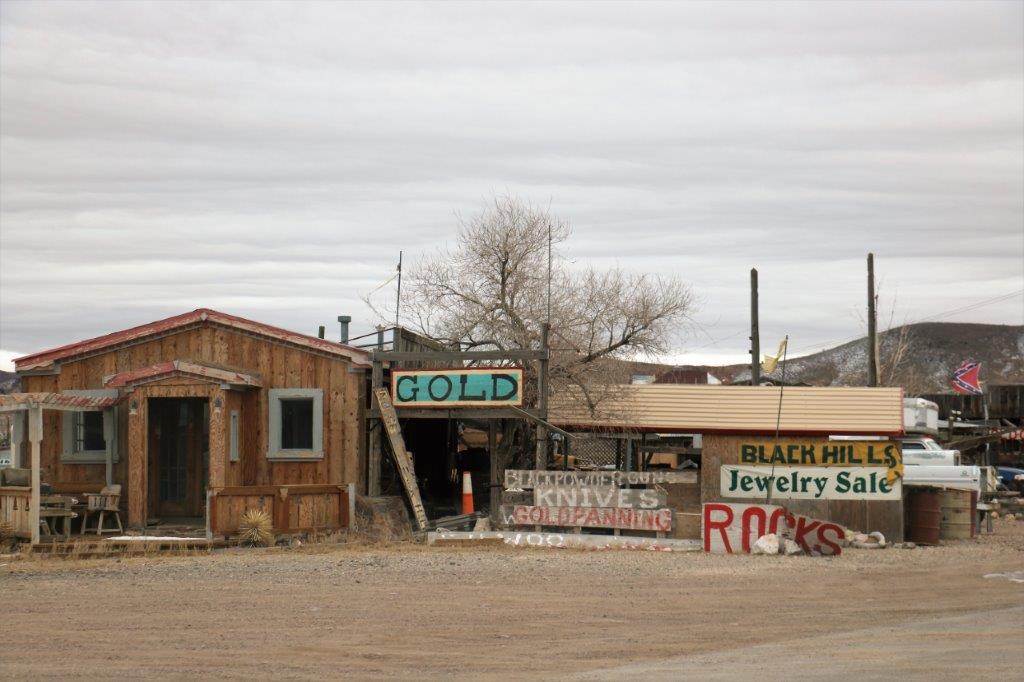
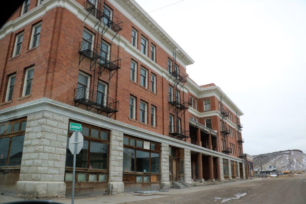
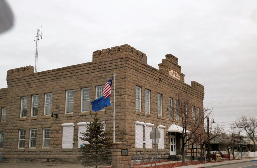
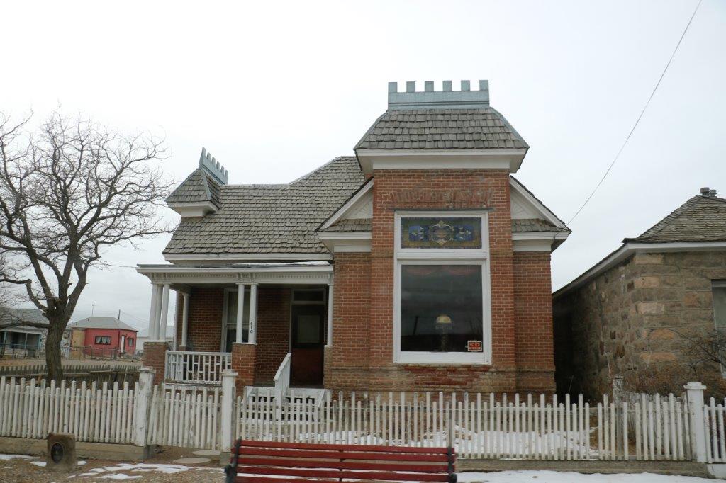
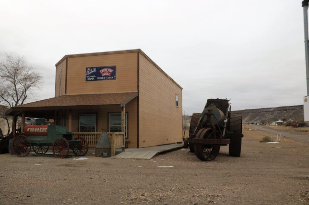
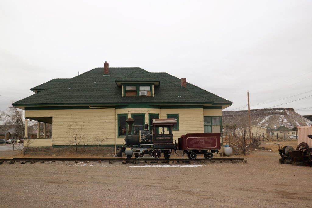
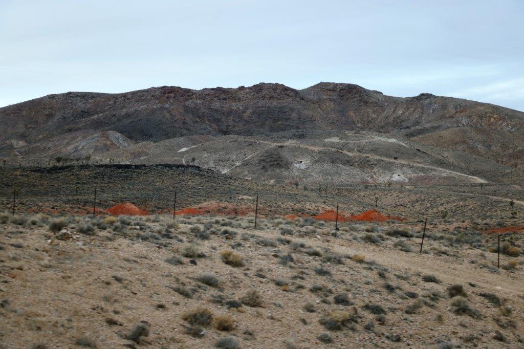
The first little community we passed through was Goldfield, named, obviously for the gold mining in the area.  Goldfield was small, but spread out, with many boarded up, derelict buildings.  There were stores and other business open, so it is not a ghost town by any means.  Another very typical tiny old western mining town.img_6549

img_6555 img_6556 img_6557 img_6558 img_6560 img_6563 img_6564 img_6565 img_6567 img_6568 img_6569 img_6570 img_6575 img_6576 
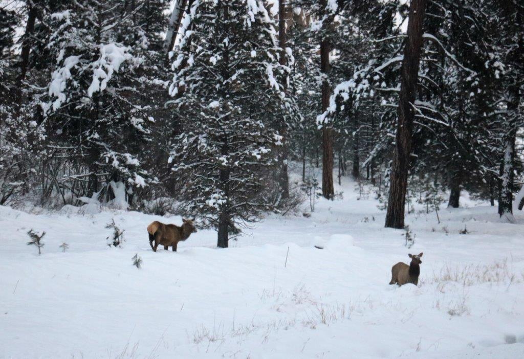
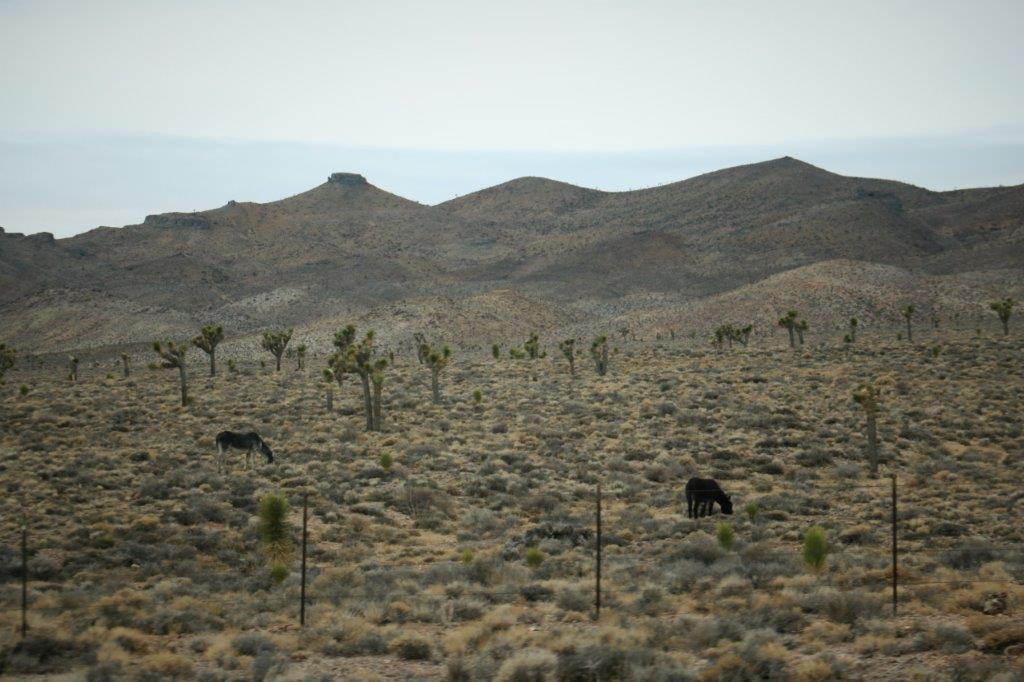
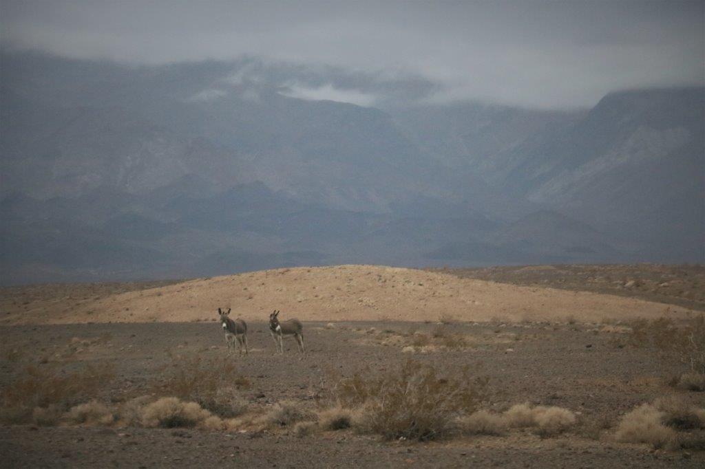
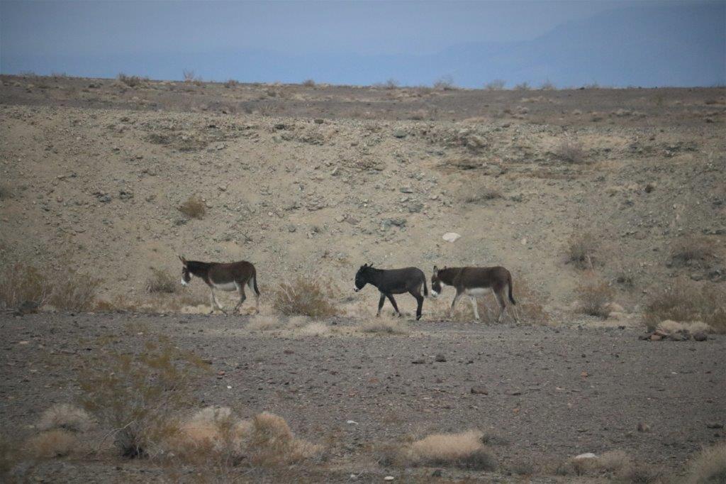
This area is home to wild burros and we saw a couple of them a few miles south of Goldfield.

img_6581
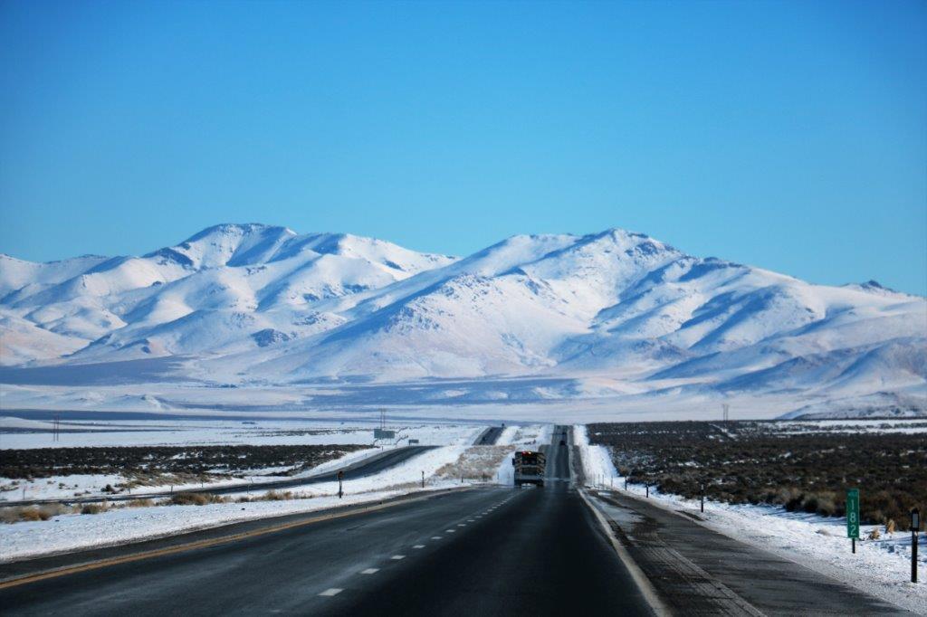
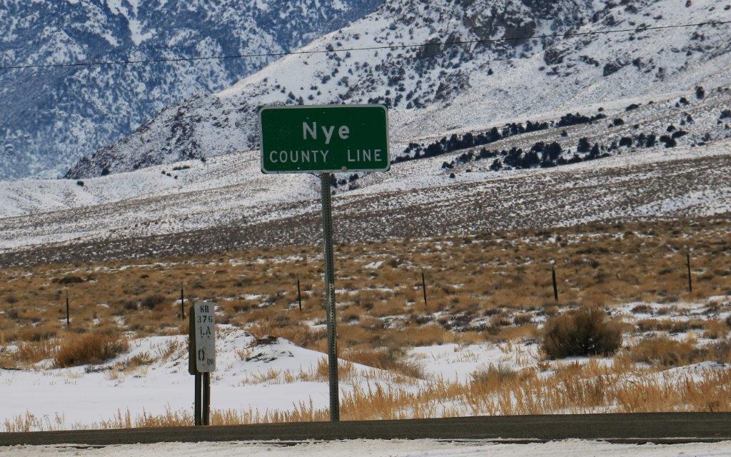
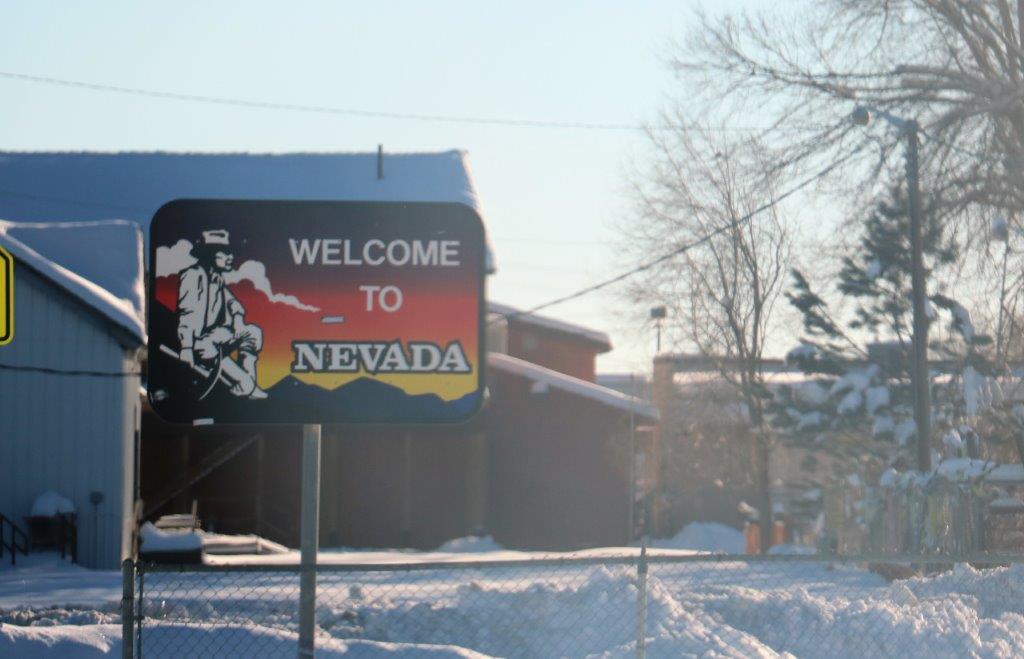
It was about 93 miles from Tonopah to Beatty, one of the eastern gate-ways from Nevada into Death Valley National Park.

img_6587 img_6590 img_6591 img_6593A few miles before we reached Beatty I checked to see if there were any near-by geo-caches.  I know we missed a lot of them on our drive to this point, but geo-caching is not the focus of this part of the trip; destination Escondido is.  A few caches found along the way just make the drive more fun.

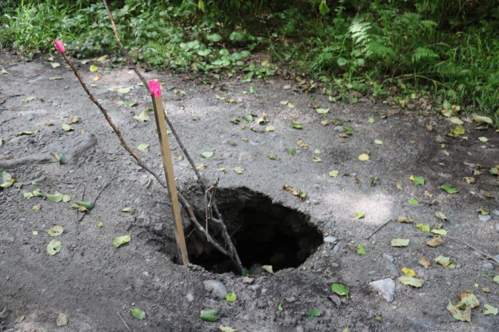
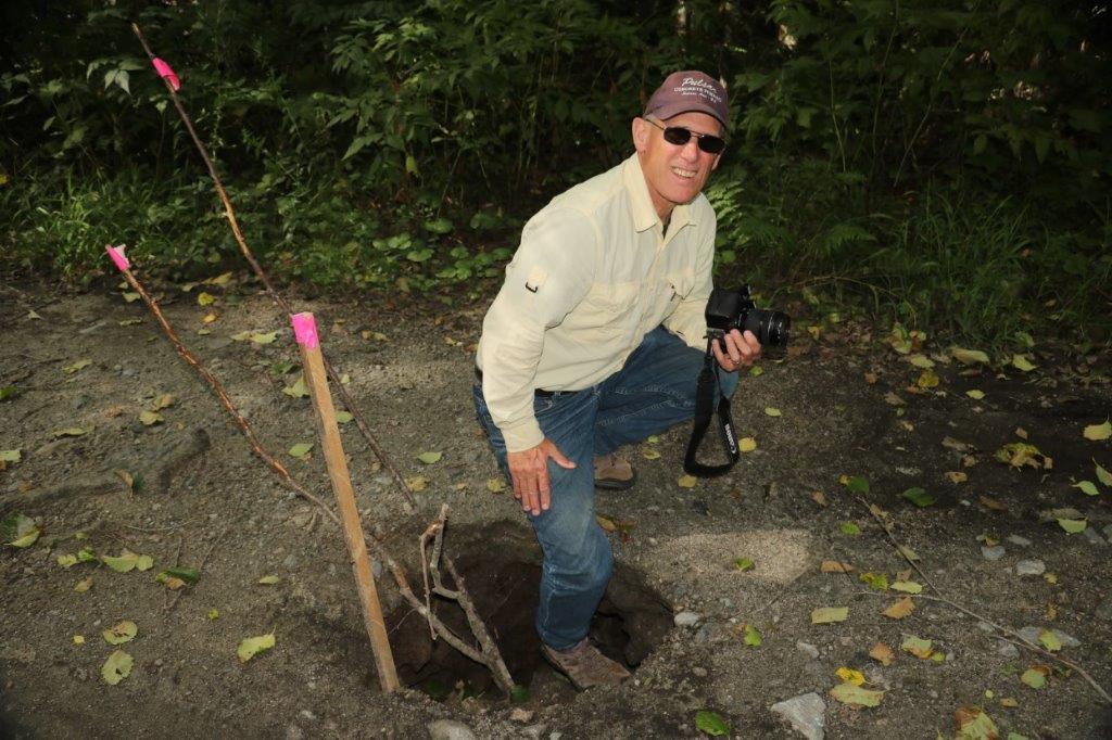
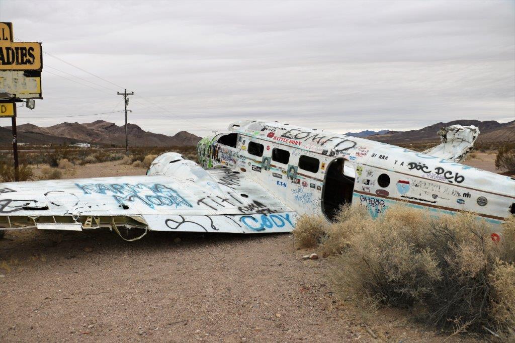
A cache popped up a short distance ahead so John pulled over beside a chained driveway that had a much-graffiti-ed crashed airplane sitting on the other side of the cattle guard.  Notes on the cache logs said the owner of the property did not mind people crossing the chain to find the cache hidden in the airplane they just didn’t want folks wandering further up the drive.  We looked all around the airplane but couldn’t find the cache.  We did find two others as we drove through Beatty.

img_6596 img_6597 img_6598 img_6601 img_6603 img_6605
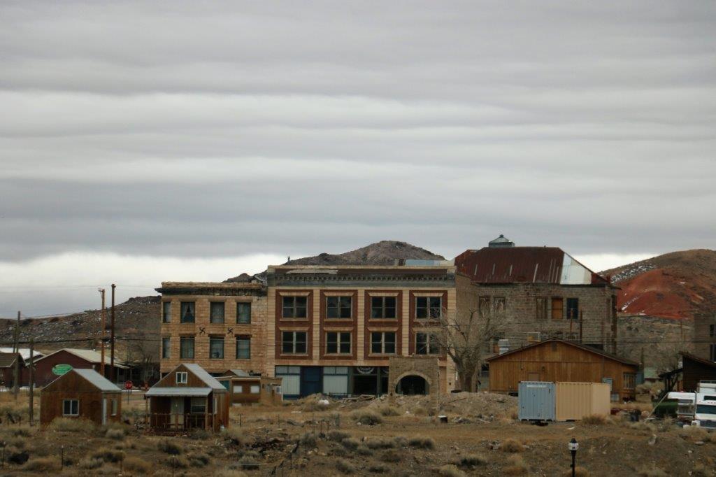
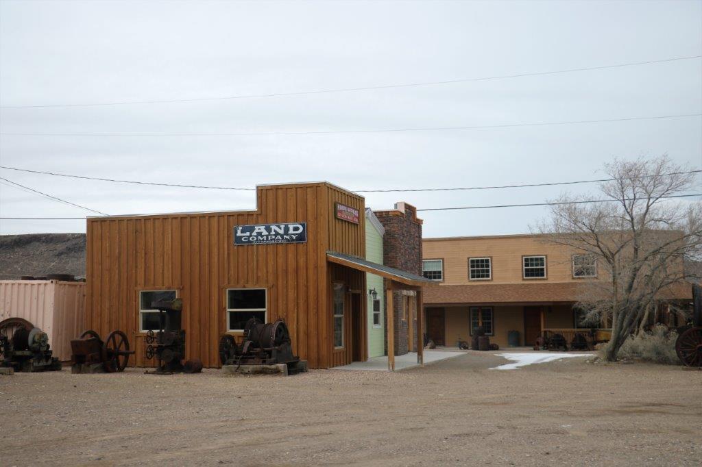
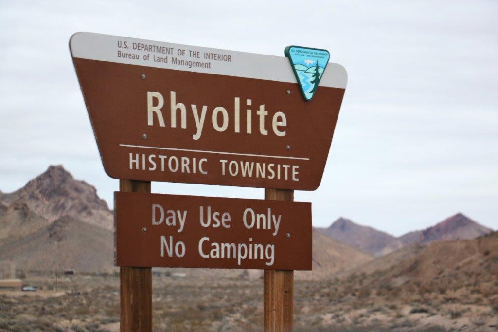
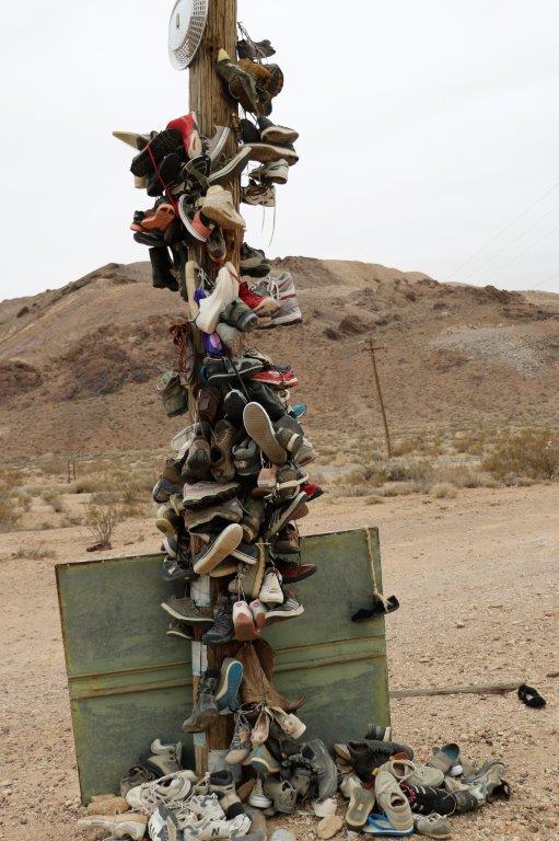
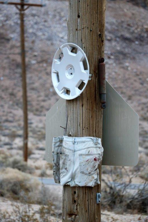
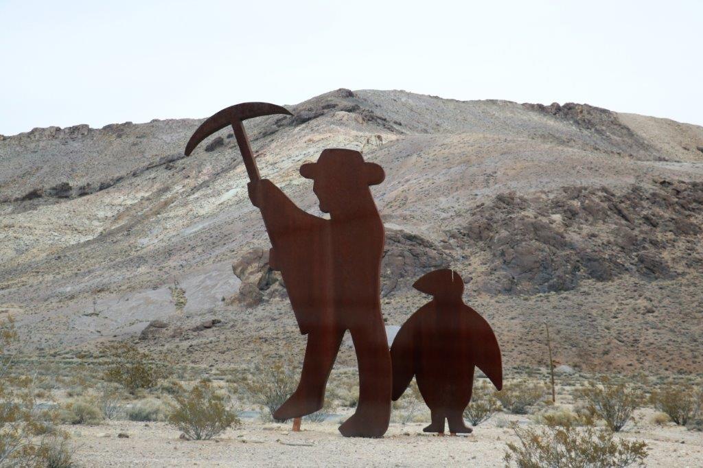
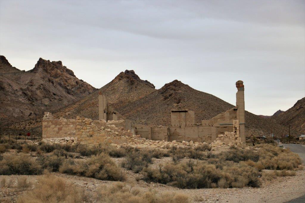
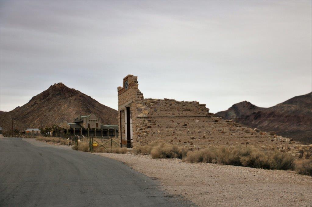
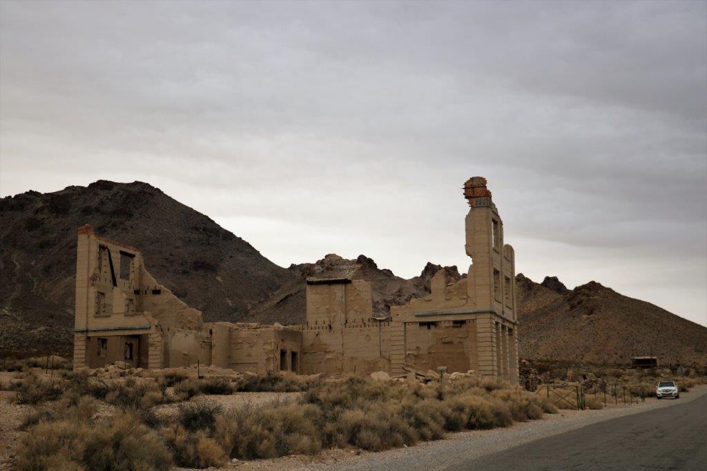
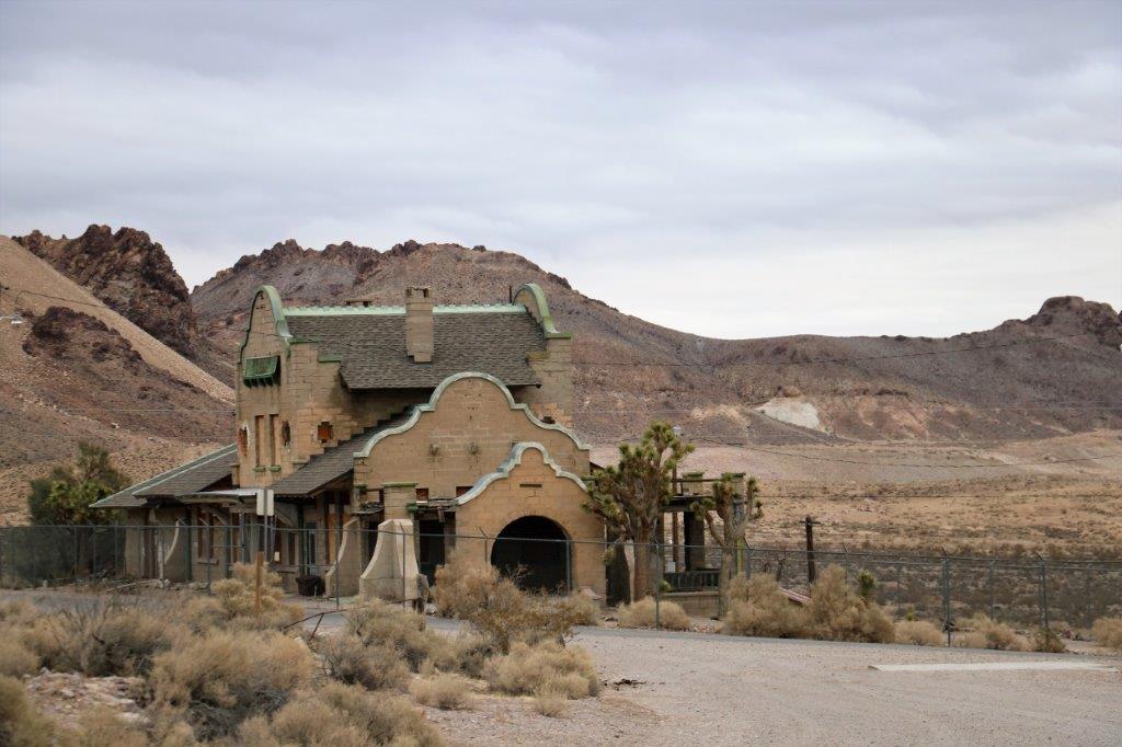
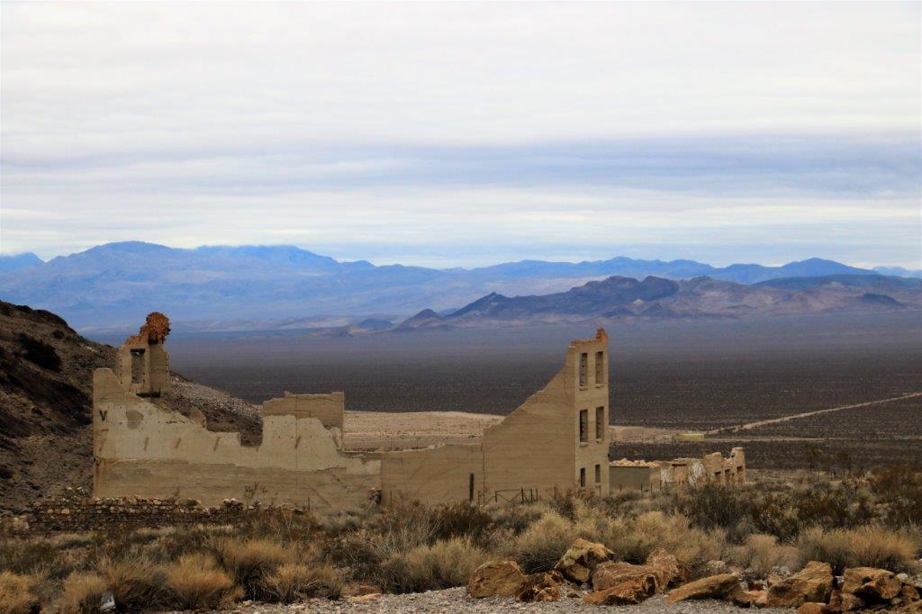
The drive from Beatty to the Nevada/California border and the boundary of Death Valley National Park is about 10 miles.  About half-way there is the Rhyolite Ghost Town.  It had a population of over 8,000 in 1901 and only a few ruined buildings remain.  There is a small Open Air Museum (it seemed to just be small collection of odd art pieces).  At the driveway entrance there is a ‘Shoe Tree,’ where, for whatever reason, people leave pairs of shoes.  At the base of the pole is a cache and there was another one under the concrete Gaudi-style couch behind the museum.

img_6607 img_6608 img_6609 img_6610 img_6612 img_6614 img_6615 img_6617 img_6619 img_6621
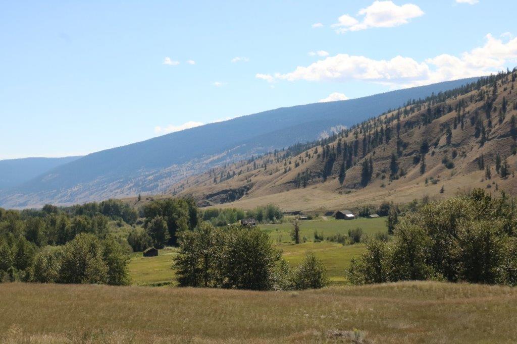
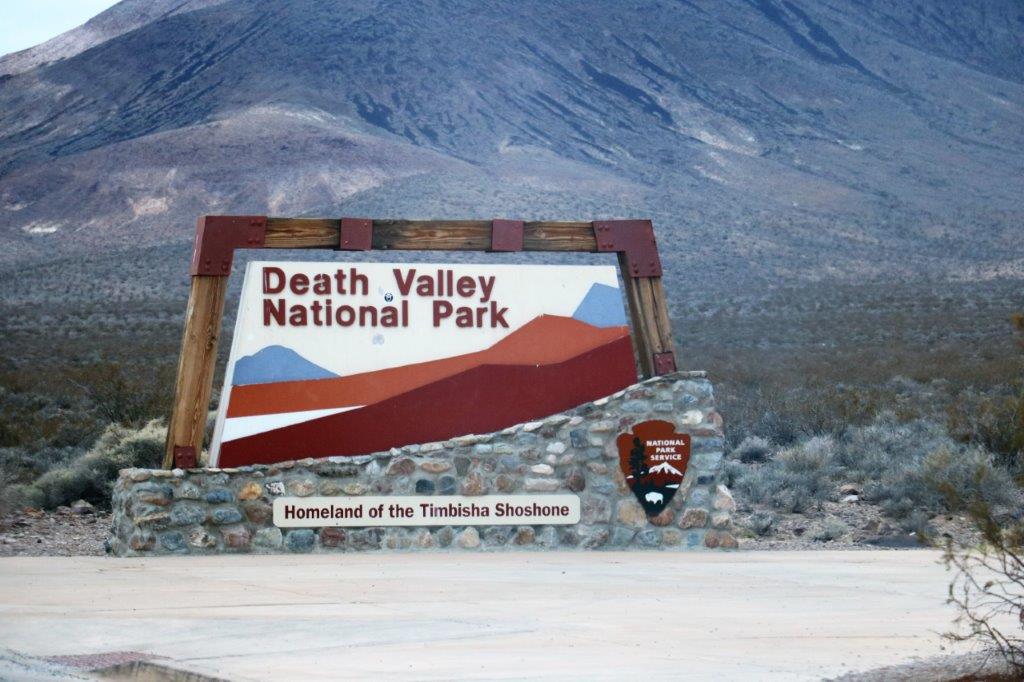
It is only a few miles from Rhyolite Ghost Town to the border of Death Valley National Park.  We spent a week here last year and I was very excited to be back.  Before we left home John tried to book a hotel room so we could stay overnight but there were no vacancies at Stovepipe Wells or Furnance Creek so we could only spend a short time in the park.  We are spending the night at Ridgecrest, which is about 100 miles west and south from Stovepipe Wells, which is about 1/3 of the way into the park from the eastern boundary.

img_6627
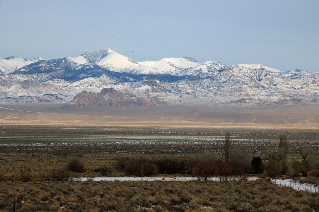
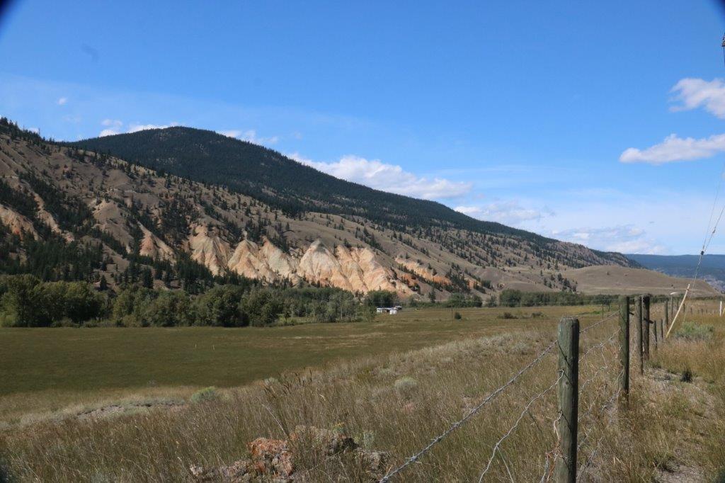
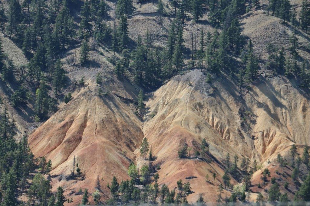
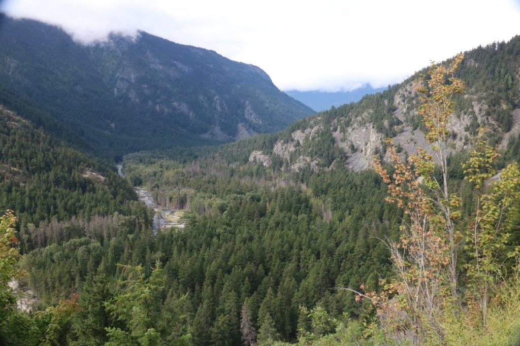
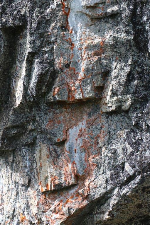
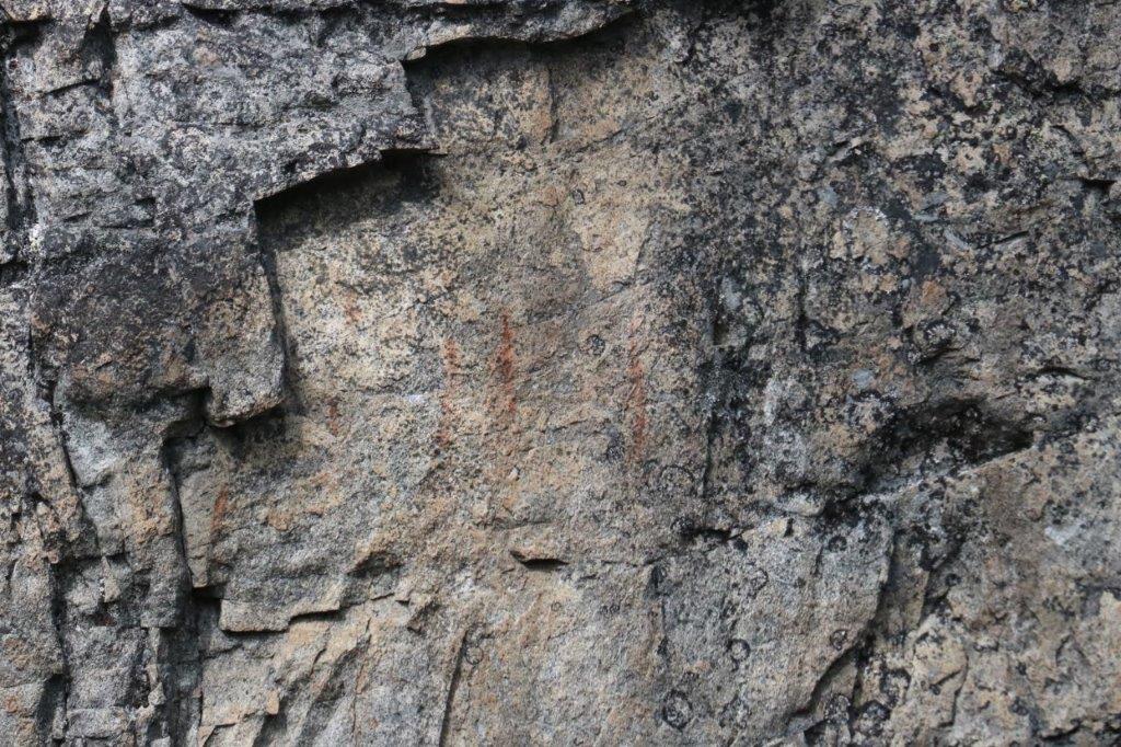
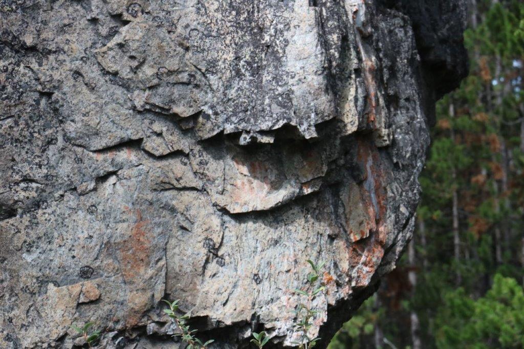
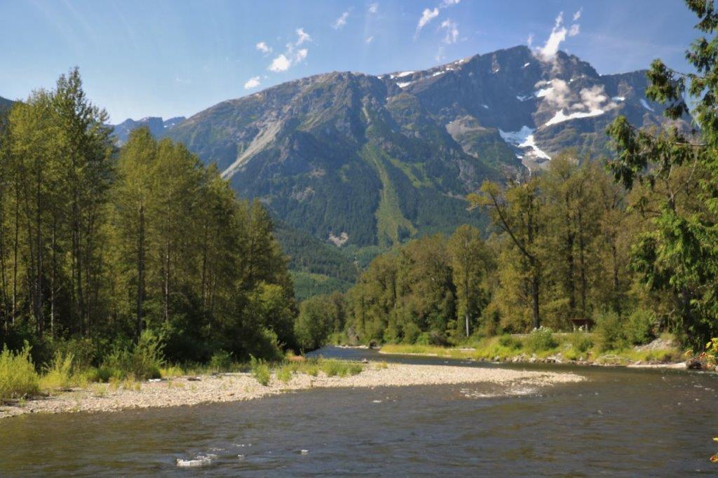
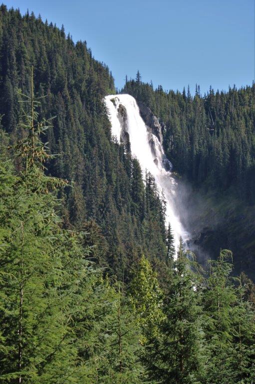
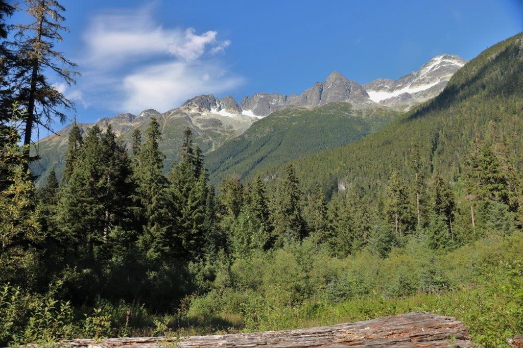
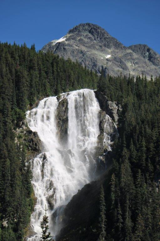
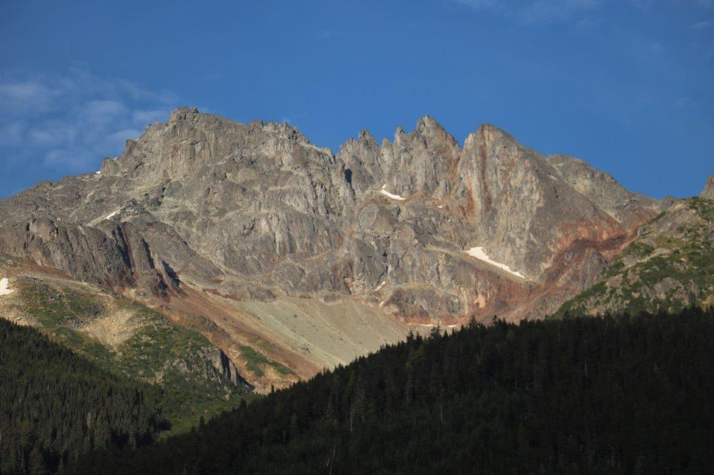
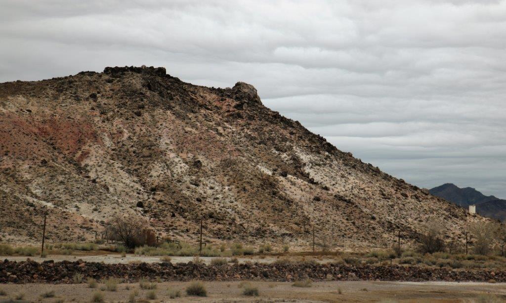
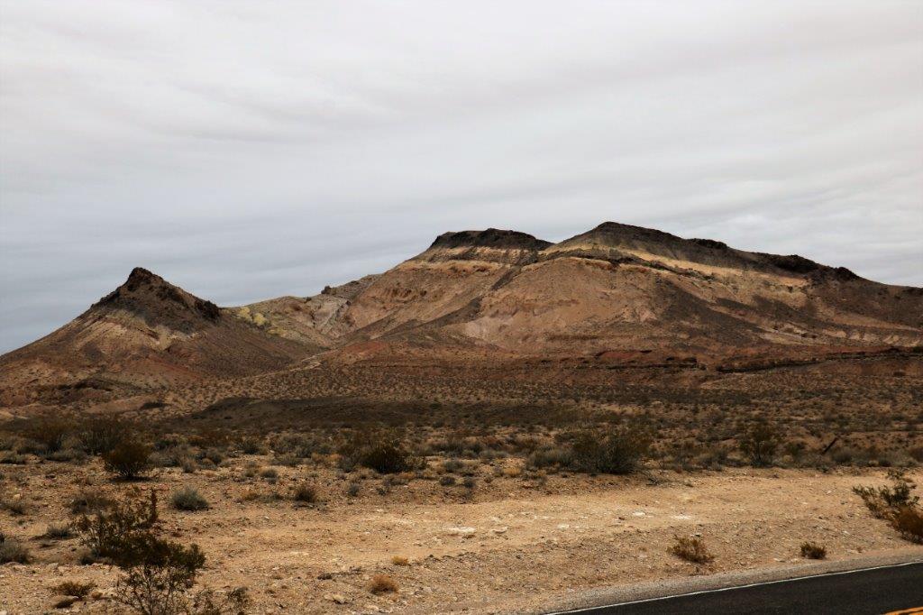
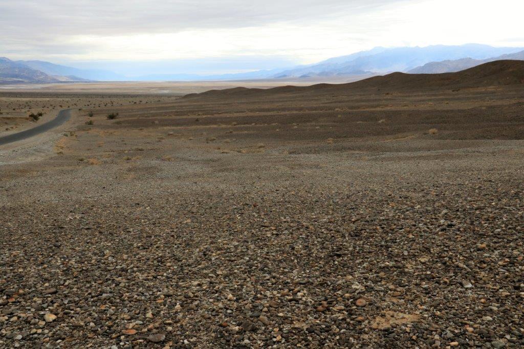
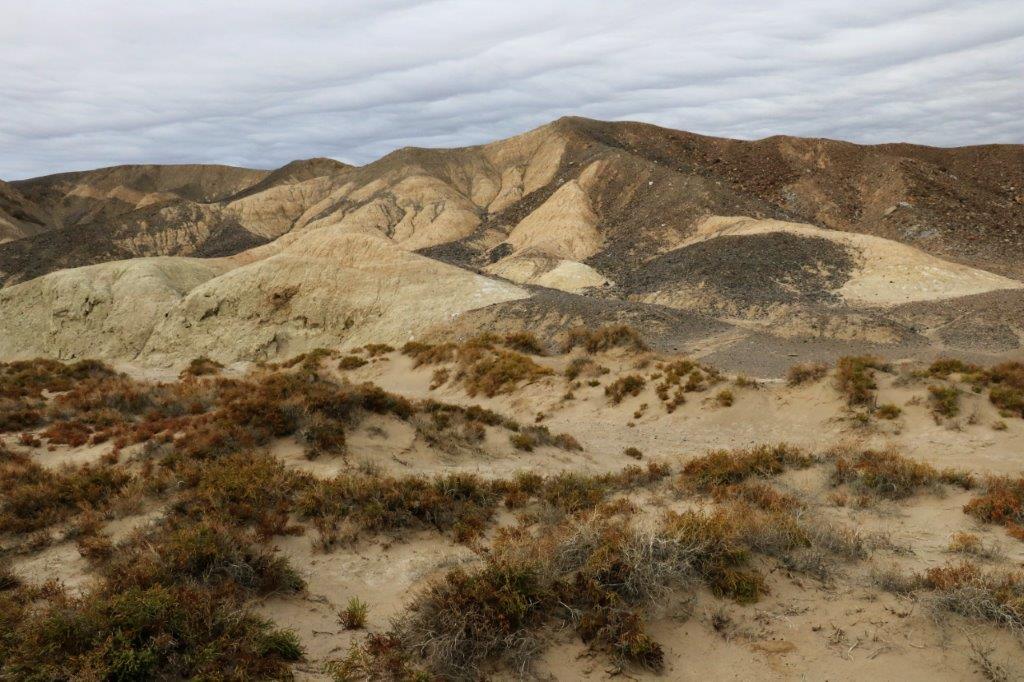
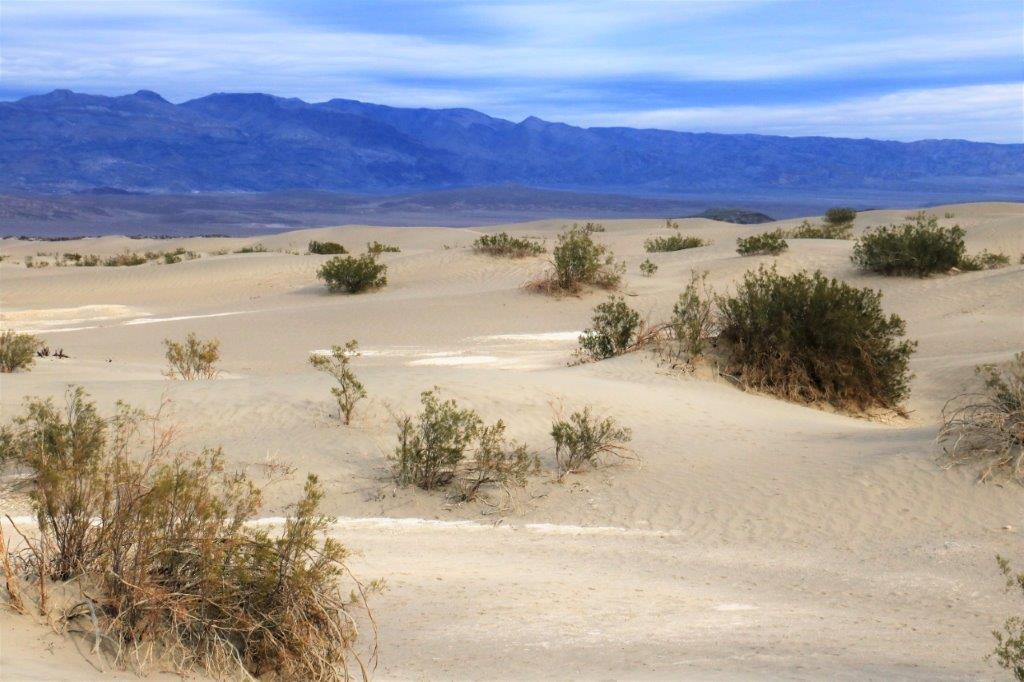
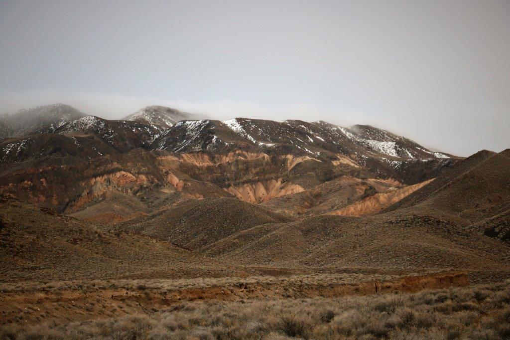
Death Valley, as we all know, has the lowest elevation in the US (282 feet BELOW sea level – at Badwater Basin – and; only 15 miles away, is the highest peak in the Panamint Ridge – Mt. Telescope; at over 11,000 feet. The Valley stretches 140 miles between the Amargosa Range on the CA/NV border and the Panamint Ridge on the west.  The Park is 3.4 million acres and is a photographers dream with all the different geologic shapes and colours.

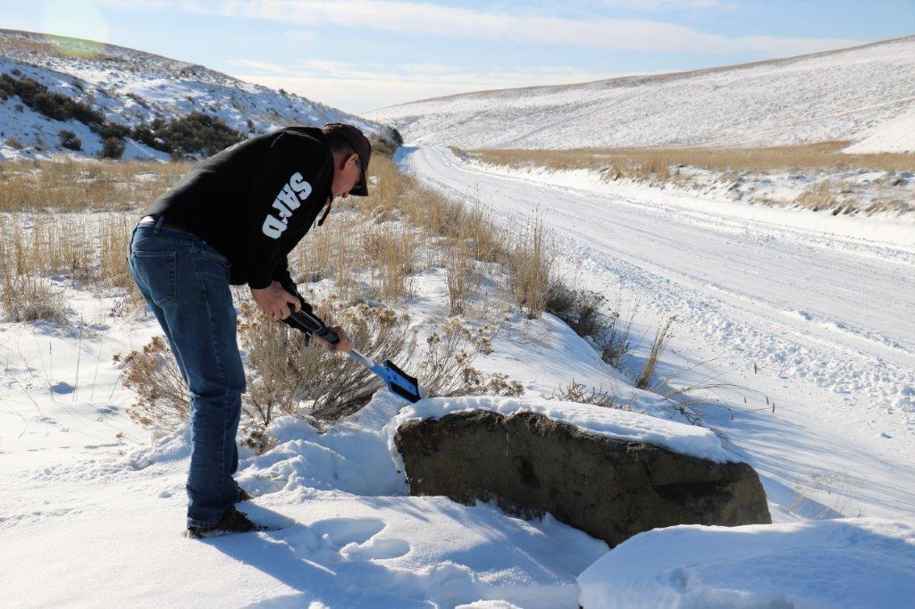
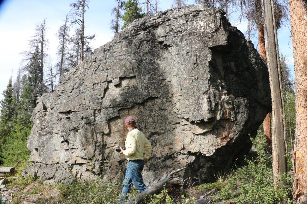
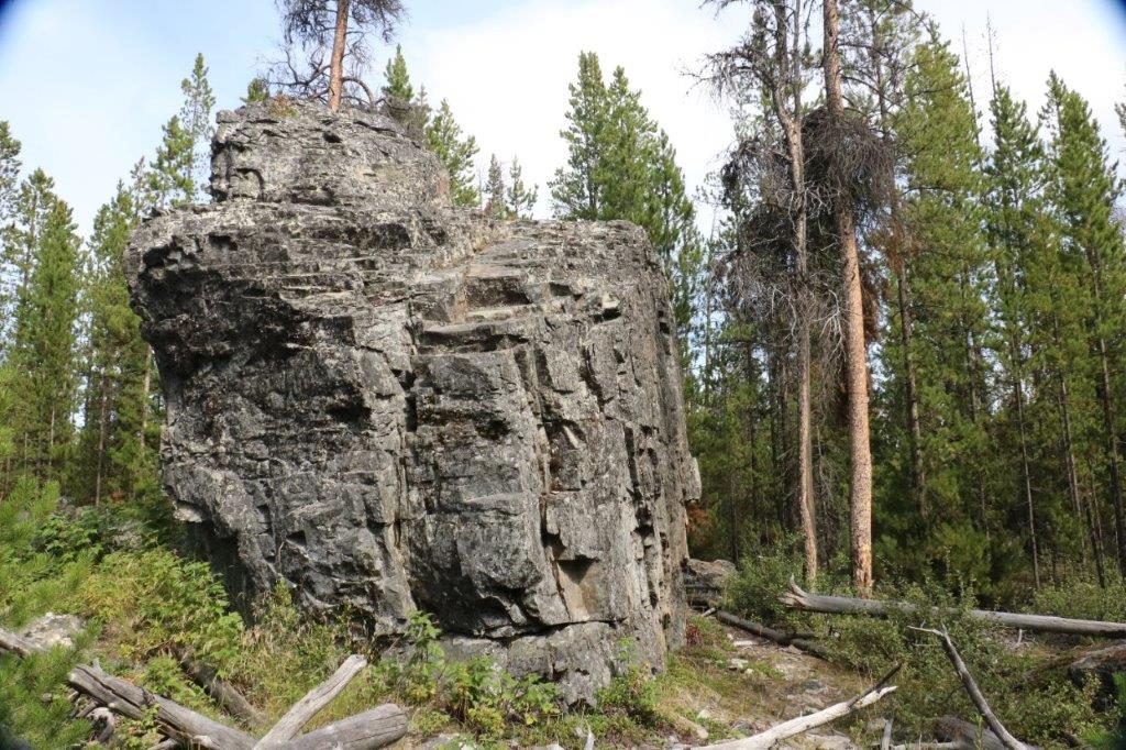
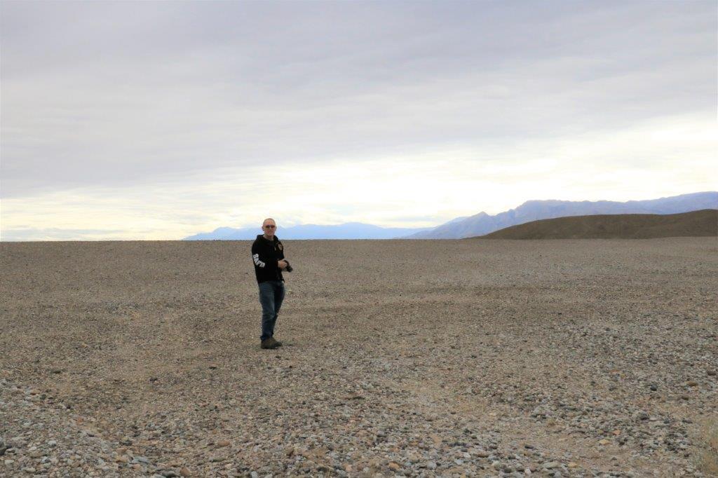
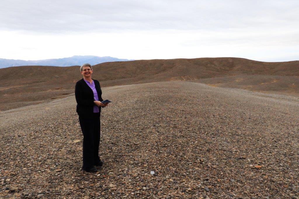
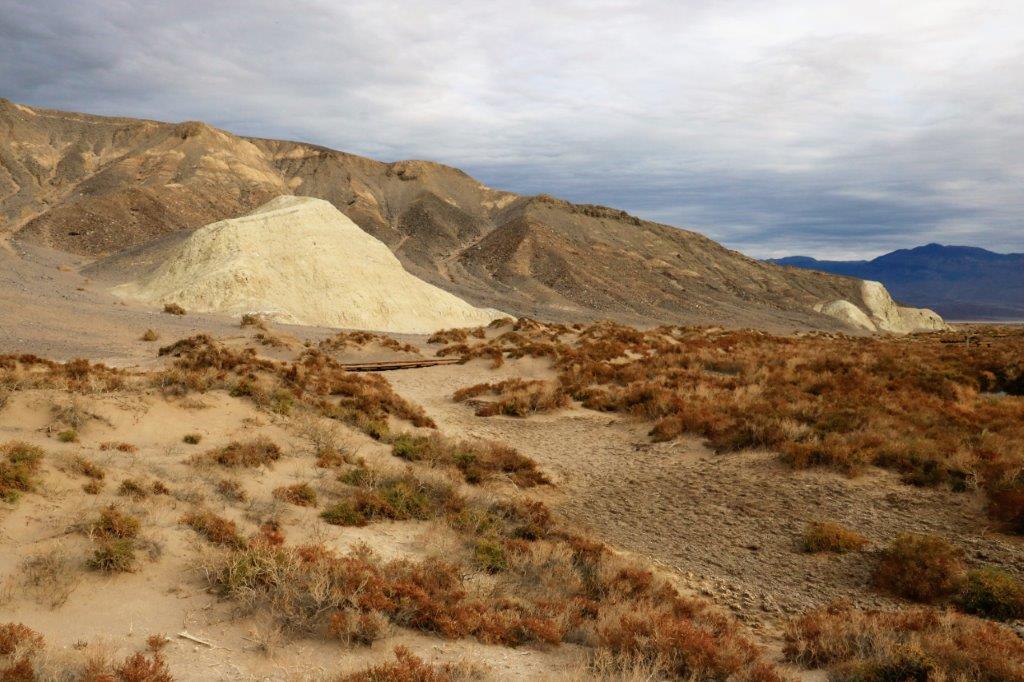
There were, near the Stovepipe Wells Junction,  two areas we had not visited last year and both of them are the site of an Earth Cache. (No physical caches are allowed in the National Parks so at various interesting places people log an Earth Cache.  To claim them you must answer some questions about the area that will prove you actually visited, and, if you choose, post a photo of yourself at the site.  There are over a dozen Earth Caches in Death Valley.  We claimed a couple last year and thought we would pick up another few today.

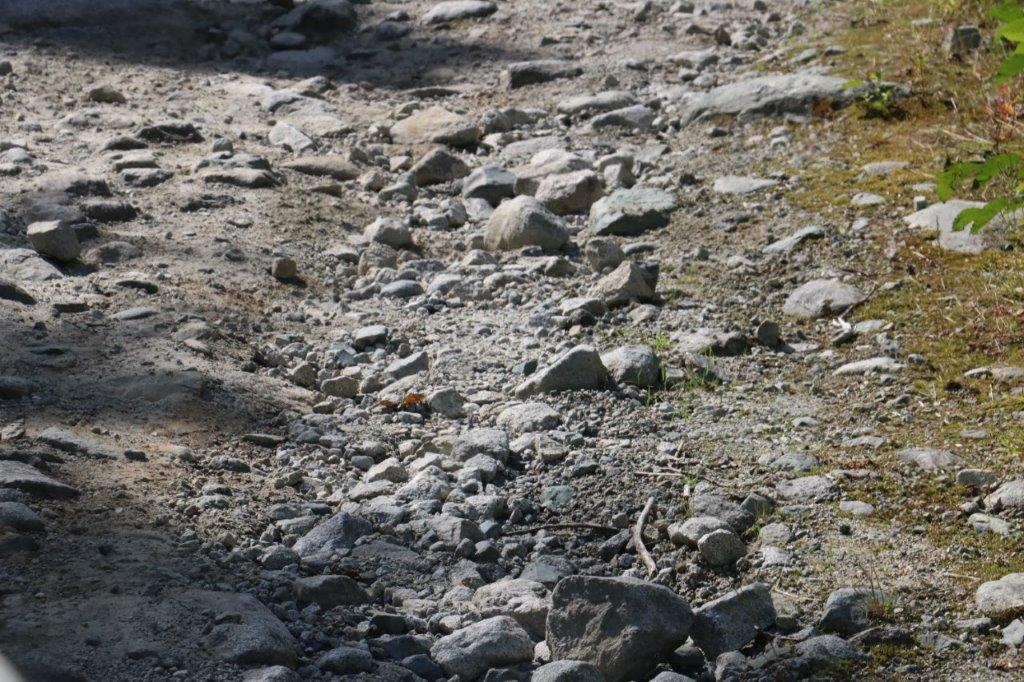
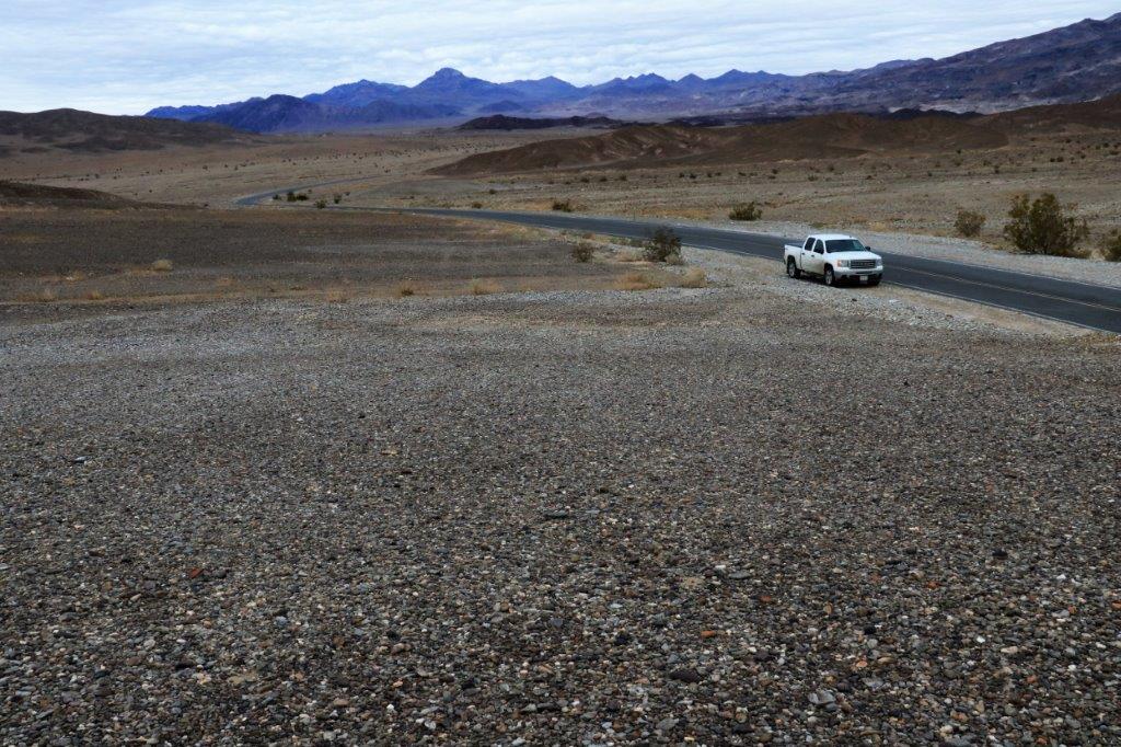
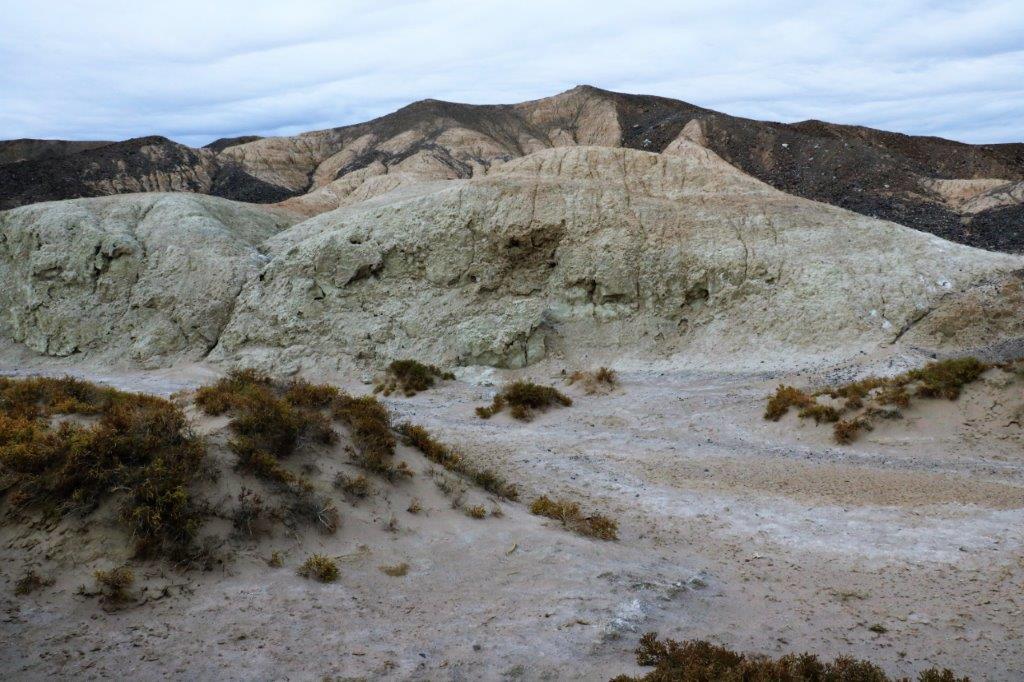
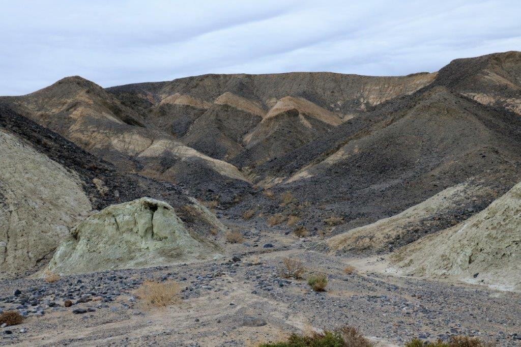
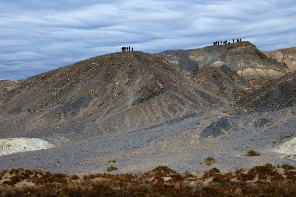
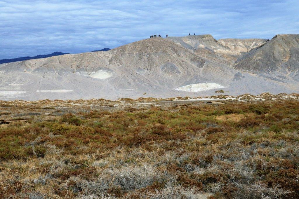
The first place was the Lake Manley Gravel Beds where acres and acres of small rocks to pebbles were deposited by glaciers many feet thick over a huge former lake bed.

img_6637 img_6638 img_6639 img_6641
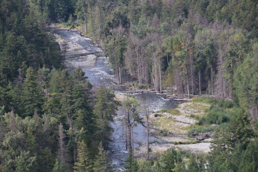
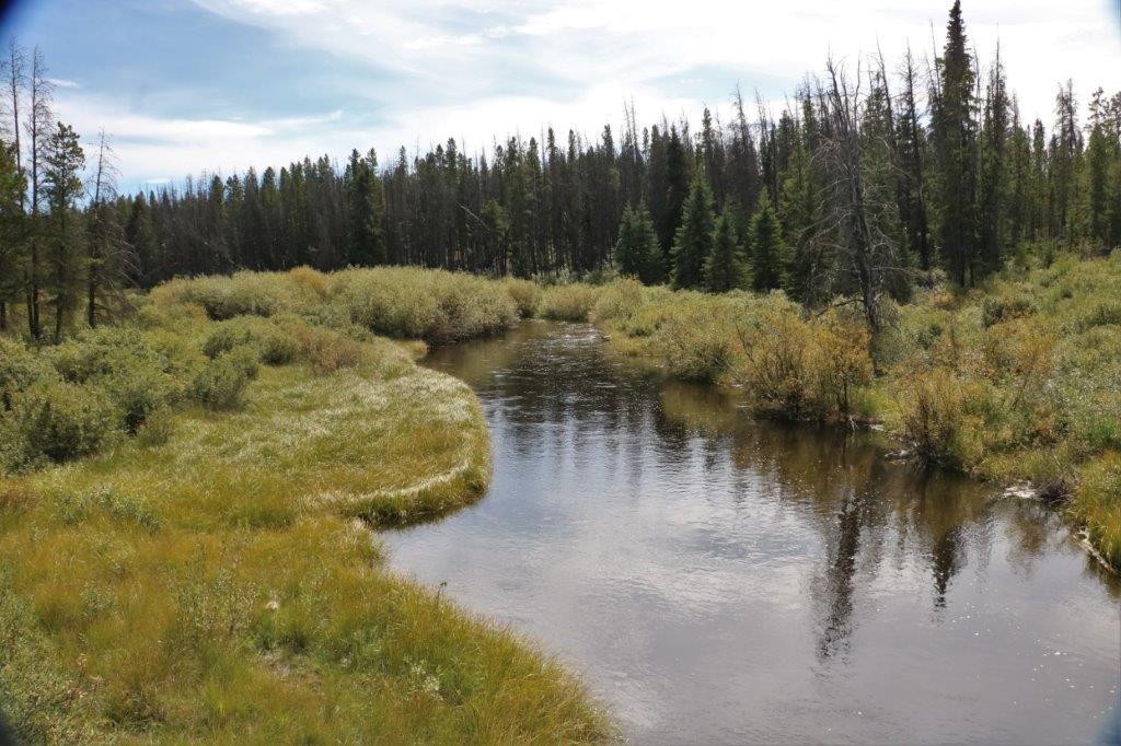
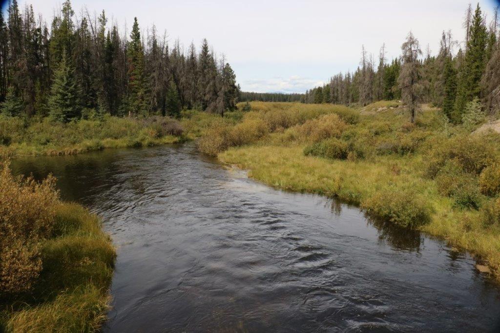
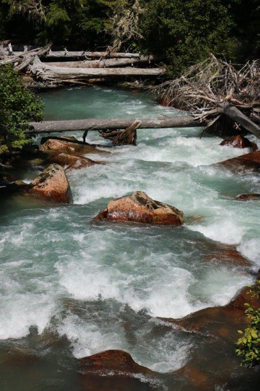
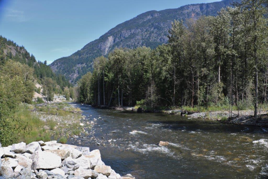
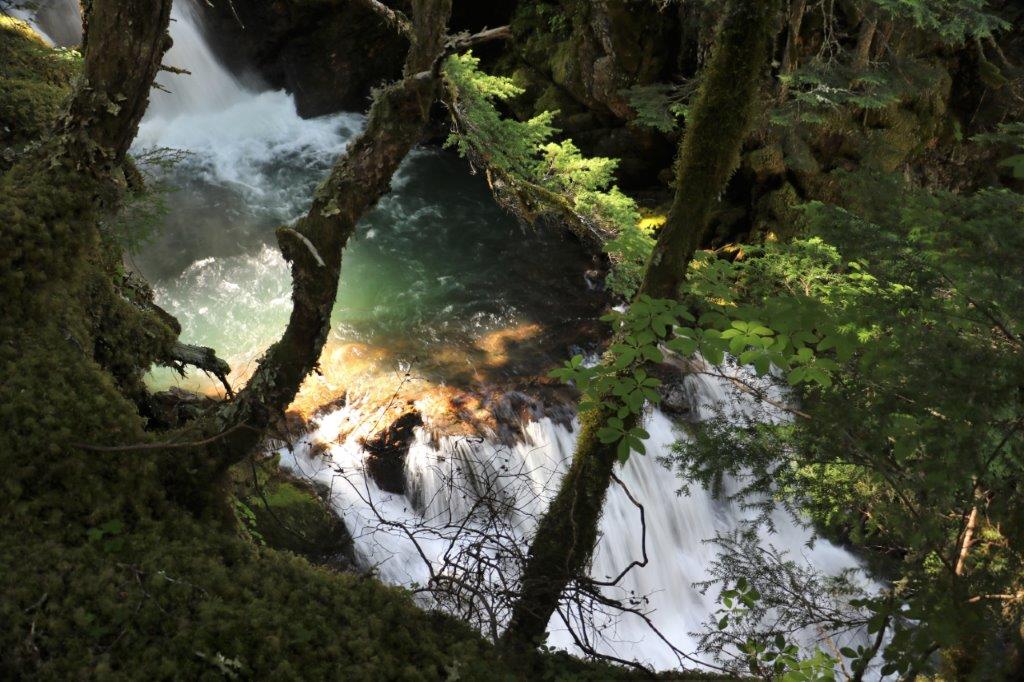
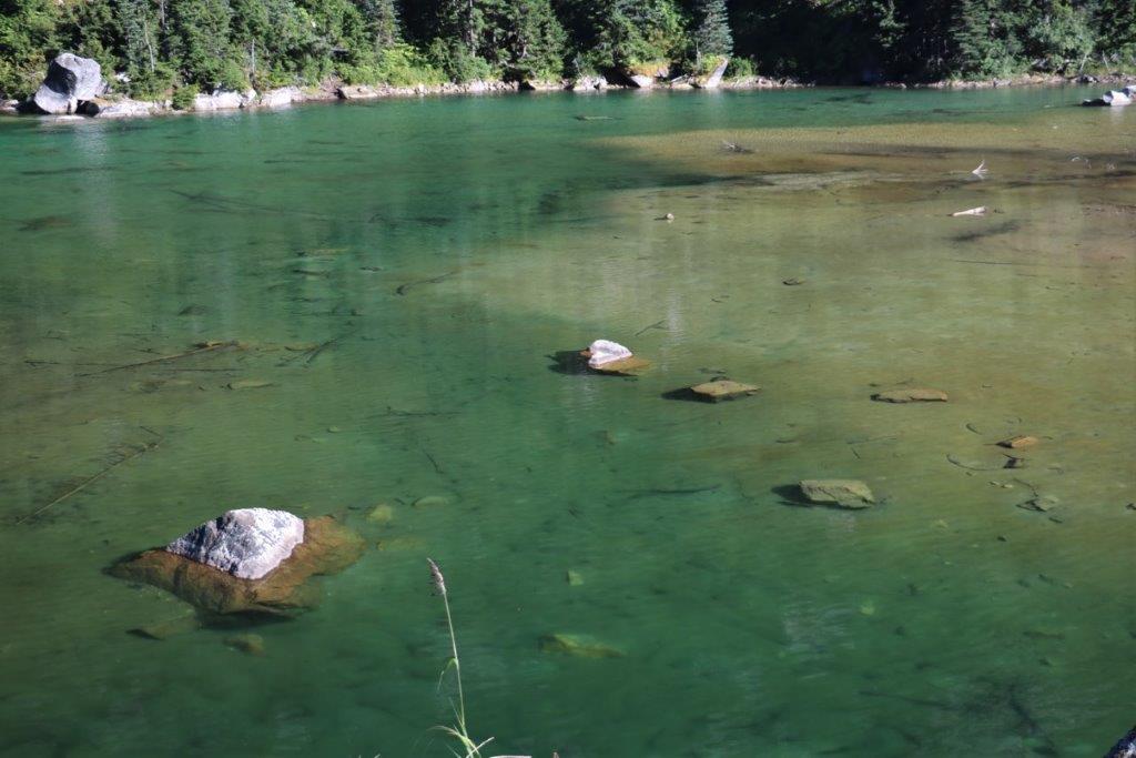
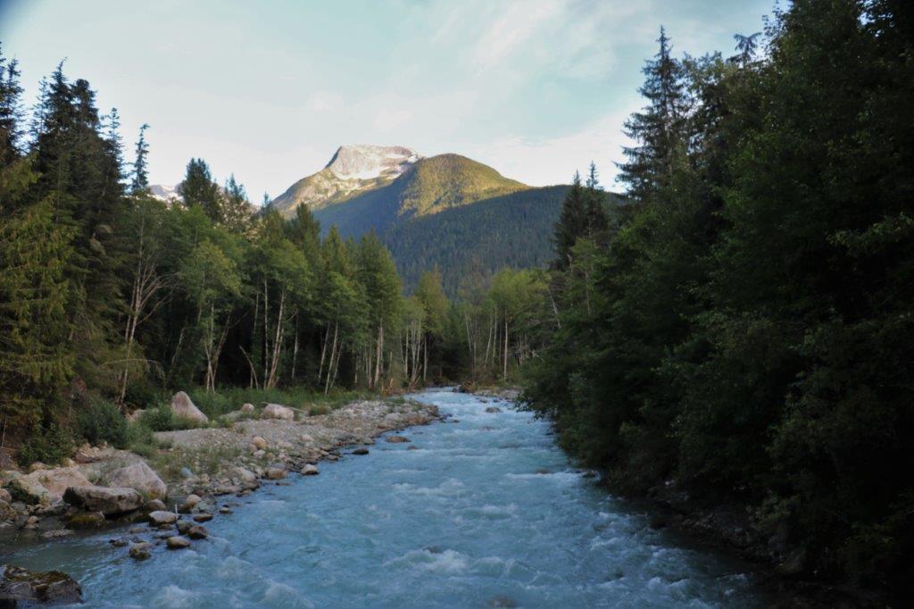
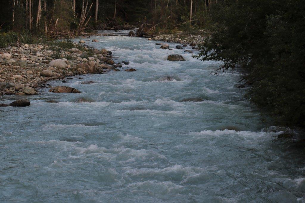
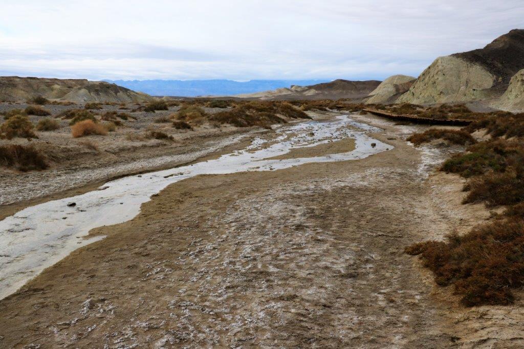
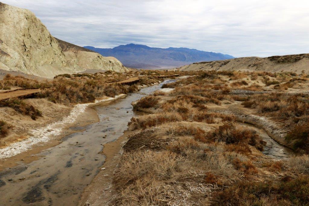
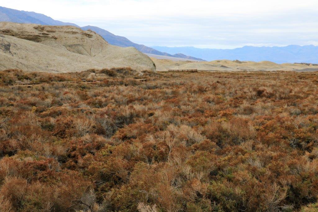
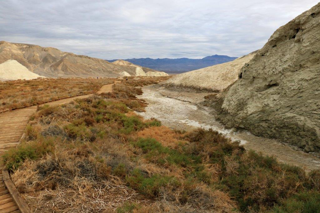
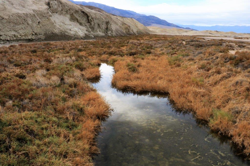
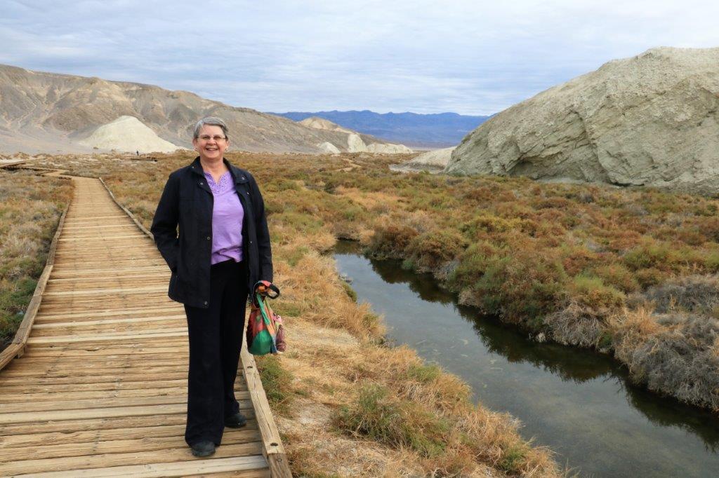
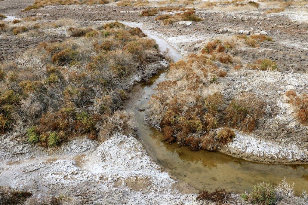
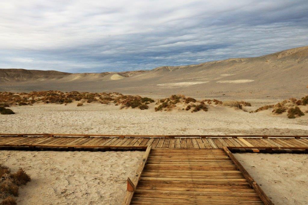
On the way to Lake Manley we passed the turn-off for Salt Creek which was our next stop.  This was a very picturesque 1/2 mile long boardwalk loop trail so I took many, many pictures in that short time.  It was just so pretty…..

img_6653 img_6654 img_6661 img_6663 img_6664 img_6665 img_6669 img_6670 img_6673 img_6674 img_6677 img_6678 img_6680 img_6681 img_6683 img_6684 img_6686
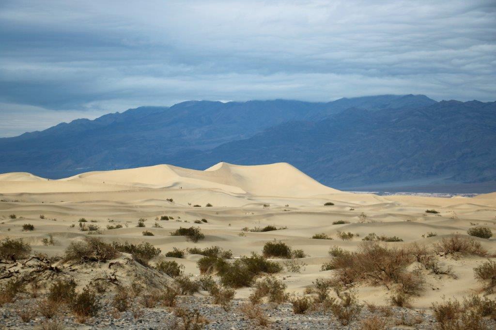
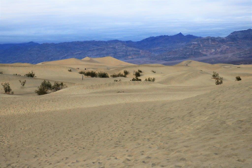
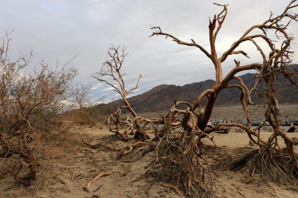
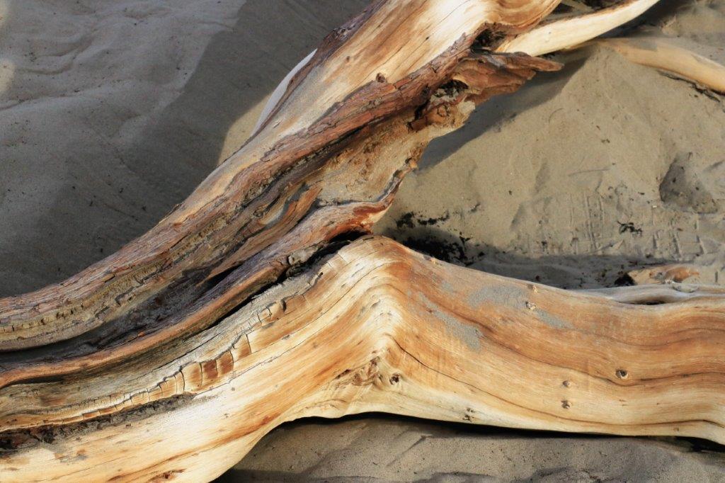
Our last stop was at the Mesquite Sand Dunes. We had been here last year not realizing there are two Earth Caches here. The dunes are right beside the road we need to take to leave the park so we stopped in again to find the information we need to get the Smileys (a smiley face will display on the map to show caches you have found.)

img_6691 img_6699 img_6701 img_6703 img_6707 img_6709
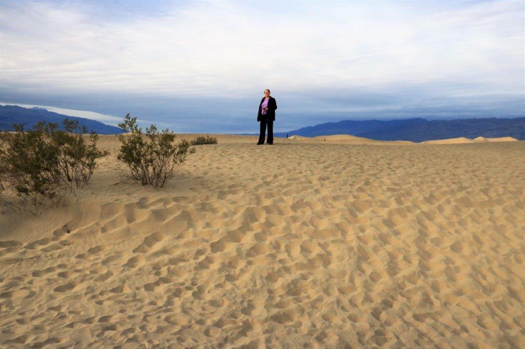
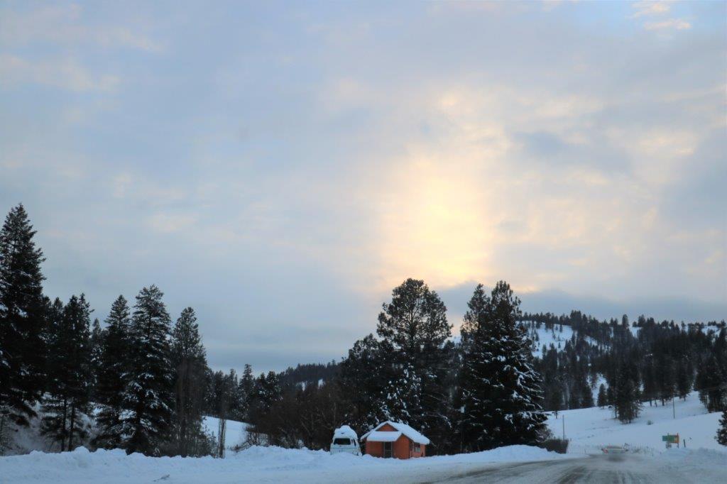
After we climbed a few of the sand dunes we made a brief stop at the General Store at Stovepipe Wells for a sandwich to eat on the way.  The man at the counter said a big storm was coming in and we could see clouds gathering in the mountains.img_6716 img_6717
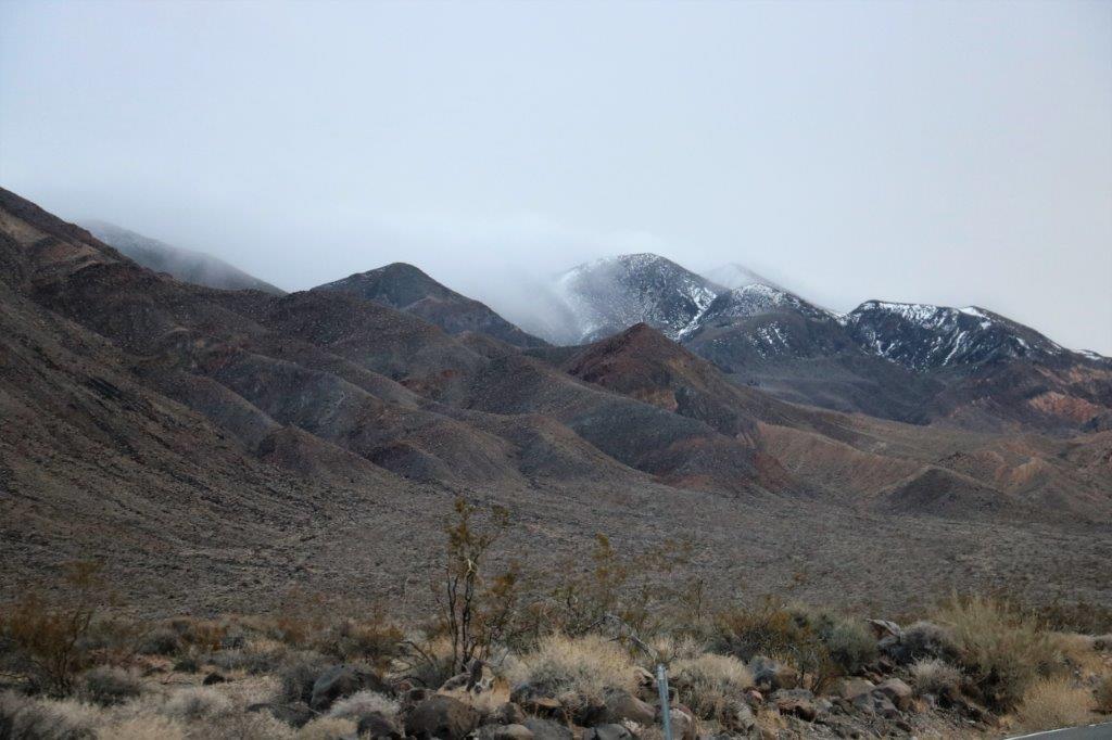
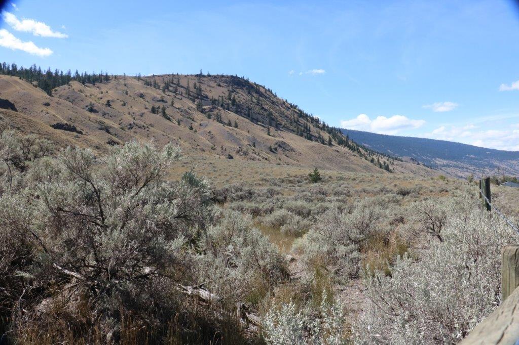
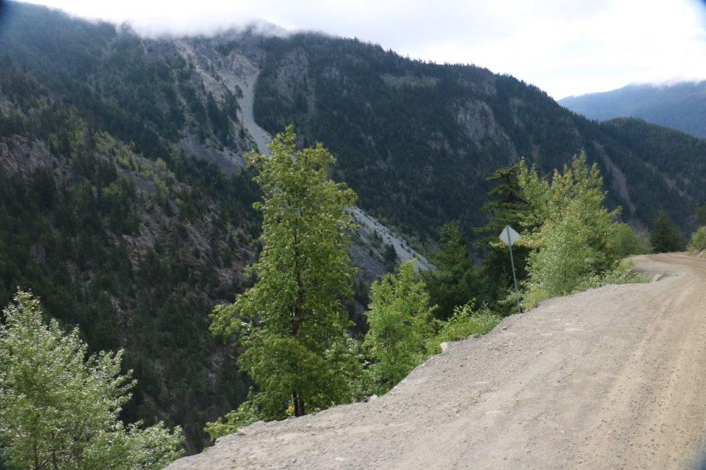
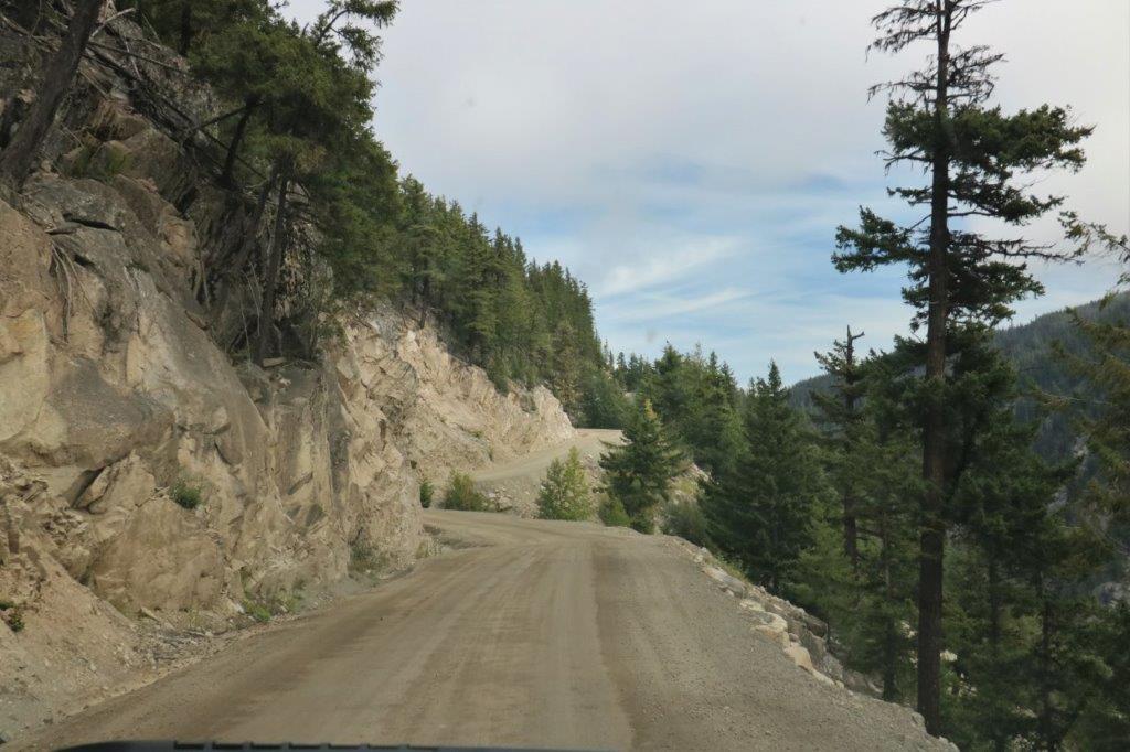
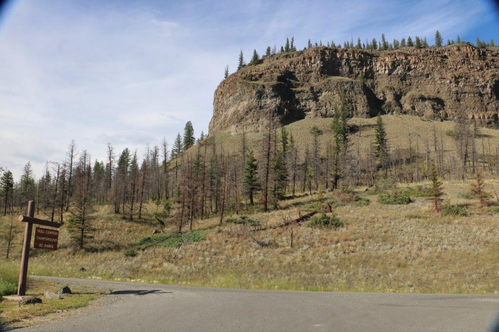
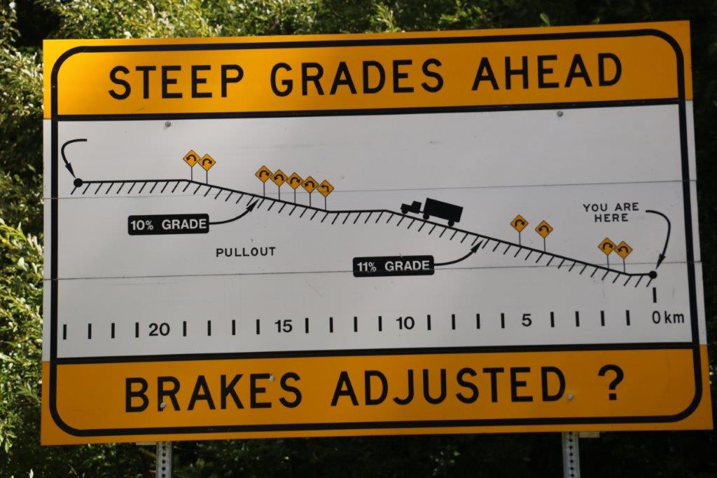
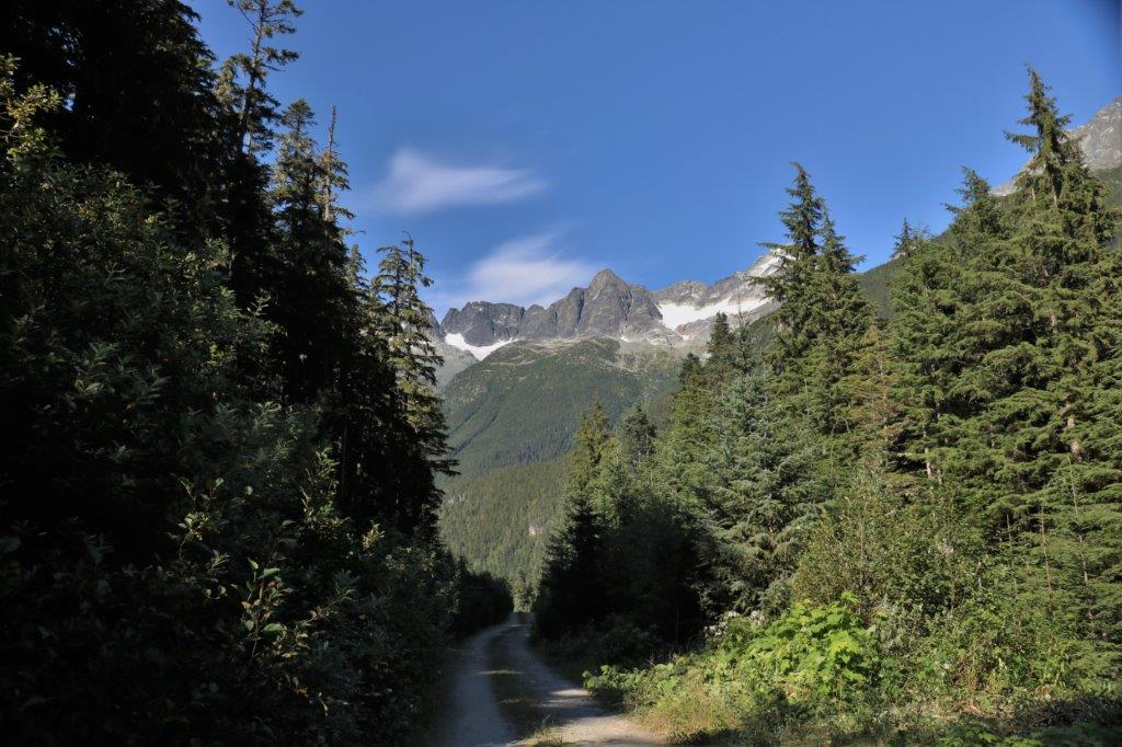
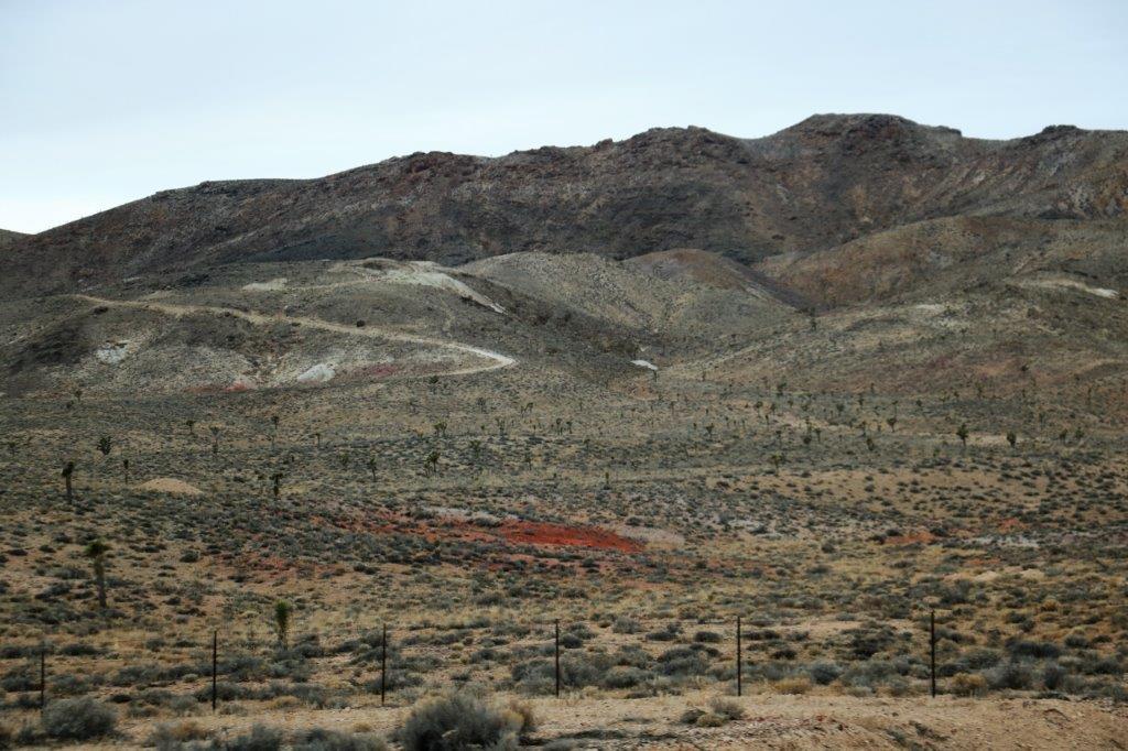
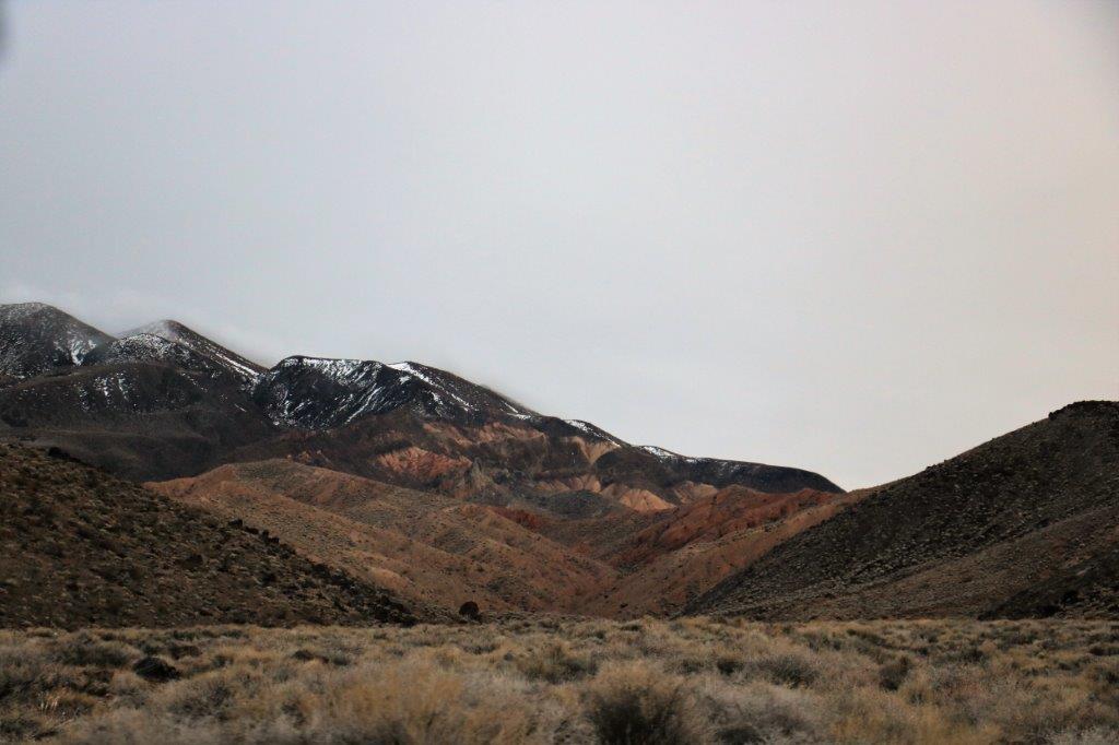
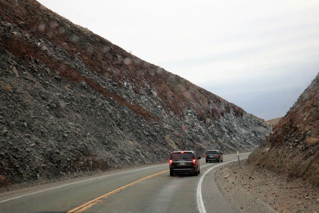
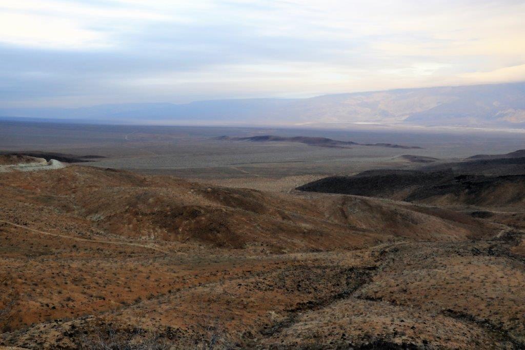
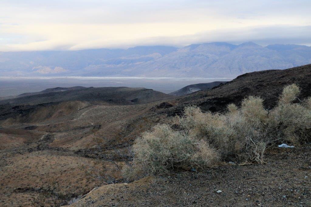
The western boundary of Death Valley National Park is the Panamint Ridge.  It is a very long climb from the valley through the pass and down the other side to the Panamint Valley.  Panamint Valley is 65 miles long and 10 miles wide.  Death Valley runs in a NW-SE direction.  Panamint Valley runs due North-South and is bordered on its western side by the Amargosa Range.  The Valley is used extensively for low-level test flying by the American military.  If you are up at  Aquereberry Point high in the Panamint Ridge it is not unusual to get buzzed by a jet plane.

img_6721 img_6724 img_6740 img_6745 img_6748
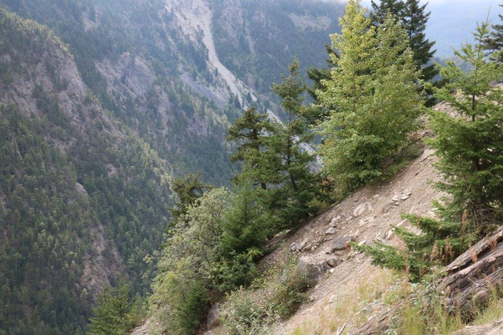
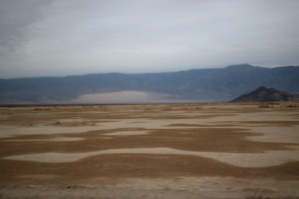
The ‘white’ strip in the middle of the valley bottom is a miles-long strip of compacted sand.  There had been rain recently and the sand had interesting, blotchy patterns of moist and dry.

img_6756 img_6760 img_6767-2 img_6769-2
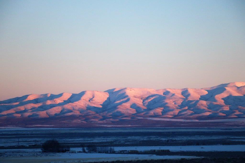
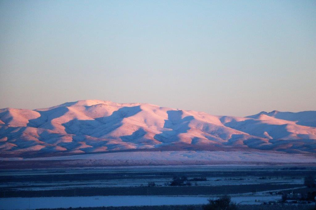
Once we left the Panamint Valley it was a short 15-20 miles into Ridgecrest and our stop for the night.  Chock up another day of interesting sites and places.


2017 Jan. 6, – Day 4 – Winnemucca, NV to Tonapah, NV

It was freezing cold, still, when we got up this morning.  The poor staff at the hotel desk had to go buy some space heaters to deal with the cold air that kept coming in when the lobby doors opened.  The amount of snow they have now is quite normal, but the cold snap is not.  And they don’t like it.  I told the greeter at Wal-Mart (John needed some sunglasses and we stock up on our soap when in the US) that it was my fault.  We dragged it with us.  I told her to tell any of the customers that Janet is to blame.  She promised she would place all the blame on the Canadians.  For the first time on our trip all the bottles of water in the back seat of the truck froze solid overnight.  Did I mention it was cold in Winnemucca this morning?

We found our first geo-cache of the day, “Wally Rock,” under a tree (fake rock) at the far end of the Wal-Mart parking lot.   It was so cold none of the pens would write on the log paper so all that shows is some indentations with a few ink marks.

We left Winnemucca about 10:30 and drove SE on Hwy 80 to Battle Mountain.  We followed a long  stretch of straight, flat road then went up through the Golconda Pass, descending into flat valley bottom again.  After that it was straight road all the way south from Battle Mountain to Austin on Hwy 305.  There is nothing out here but sand and scrub so no need to make turns in the roads.

Most of the scenery was the same as yesterday; snow-covered trees, scrub brush, and mountain slopes.  As usual I took lots of photos of all of the above but I have weeded out a lot of them so you won’t get too bored (hopefully). I can’t help myself, it all looks so pretty!

img_6341 img_6346 img_6348 img_6352 img_6355 img_6359 img_6362 img_6365 img_6373 img_6370img_6375 img_6380Austin is a typical old cowboy town.  The area is billed as “The Heart of Pony Express Country.”

img_6398 img_6399 img_6400 img_6402 img_6404Immediately east of Austin we climbed through the Toiyabe Range along Hwy 50 for a few miles before turning south on Hwy 376  to Tonapah, where we are spending the night.  We drove pretty much down the middle of the middle of Nevada through the Big Smokey Valley with the Toiyabe Range on the right and the Toquima Range on the left.

Looking down on Austin and back along the flat valley we crossed.img_6406img_6420 img_6424 img_6427 img_6430 img_6432 img_6444About half-way between the turn-off to Hwy 375 and Tonopah is a small community called Carvers. I turned on the data on my phone to see if there were any geo-caches in the area and spotted two not far ahead.

The first was hidden among a pile of rocks at the Nye County line and the second was at a State Heritage Marker where Tate’s Stage Station was once located.img_6445 img_6447 img_6450 img_6452 img_6456img_6457img_6458img_6463A bit further down the road was a rest stop at another State Heritage Marker about the Big Smokey Valley.  Once again it was so cold the pen wouldn’t write (after this I took a pencil for signing the logs).

img_6465 img_6467 img_6473 img_6474 img_6476 img_6477 img_6479There were tracks from little critters winding all around the bushes.img_6469 img_6470We passed the tailings from a gigantic pit mine.  There were three or four separate multi-layer hills of them.  I commented that it must be a big pit.  We looked it up on the internet and the Big Smokey mine is an open pit heat-leech gold mine.  Between 1906 and 2006 it yielded 10,000,000 ounces of gold.  The pit is 2 1/2 km long and 1 1/2 km wide.

img_6479We found another cache at another State Heritage Marker about Manhattan Junction, a former gold mining community.  img_6481 img_6482 img_6485When John was looking at the geo-cache map in the hotel room last night he discovered that the area between Battle Mountain and Tonapah is positively riddled with power trails and mega-power trails. (A power trail is a series of geo-caches hidden close together along roadsides or trails.  We did four power trails containing 525 caches at Anahim Lake in the BC Caribou this summer.)  The power trails here are VERY long.  Several of them contain over 300 caches.  A group of cachers from the east coast came out here in October and found over 500 caches IN ONE DAY!  We, obviously, cannot take on any of these right now but it has been noted for a future spring or fall road trip.

We did however pick up 16 caches from the middle of the BAM series – numbers 285-300.  By then the sun was setting and we still had a 45 minute drive to get into Tonopah.  In total, we found 22 caches today.  Not bad for a traveling day.  (Observe: we left the worst of the cold behind today and you will note from the photos from the latter part of the day that we have almost left the snow behind too.  I knew we would succeed eventually.)img_6499 img_6500 img_6501 img_6506 img_6510

2017 Jan. 5 – Day 3 – John Day, OR to Winnemucca, NV

The snow that was falling when we returned to our hotel room last night in John Day thankfully quit not long after so we did not receive any nasty surprises this morning.

After breakfast we walked around the corner to the Chamber of Commerce building where a cache is hidden.  While I visited with two dogs out for their morning walk, John tried to find it.  No luck.  A staff person came out to see if we needed help with something and we explained why we were wandering around the front of the building.  He did not know where the cache was hidden but he sent out a lady who was a fellow geo-cacher and she told us the cache was hidden in a kettle at the base of a large rock at the edge of the frozen, snow-covered pond.  She told us we could log the find, but we don’t feel right doing that.  We just made a note to come back and actually find it one day and sign the log proper-like.  It was very nice of her to tell us to log it though.

She also told us that having as much snow on the ground as they currently do is very unusual for the area, as is the cold they are experiencing.  We did not escape the cold all day, but we had glorious sunshine for our drive.

We had two part bottles of water (now frozen) in the truck and decided to top them both up with liquid water from another bottle.  I wish I had filmed it.  The new water froze into slush on contact with the ice in the bottles.  It just piled up in a tower to the top of the bottle.  I have never seen anything like it.  Obviously the unopened water was a hairs-breadth from freezing and contact with the ice just pushed it over the edge.  A great science experiment, I think.

We drove directly south from John Day on Highway 395 to Burns, Oregon through Canyon Creek Pass.  The view from near the summit was spectacular.img_6128 img_6129 img_6138 img_6144 img_6148 img_6152 A few years ago the area was ravaged by a forest fire.  The contrast of the blackened trees against the white snow and blue sky was very pretty.img_6155 img_6156 img_6159 img_6162 img_6166-1 img_6170 img_6172 img_6178After we came through the pass we entered the Oregon High Desert Scenic By-Way and drove for over  40 miles through a flat valley belonging to the Silvies Valley Ranch.  Silvies Ranch was established in the late 1800’s and today is owned by a Limited Company.  It owns and leases 140,000 acres and has 60 square miles of deeded land; with 6,000 acres of meadows, 14,000 acres of Ponderous Pine forest, and 20 miles of the Silvies River running through it.  They raise kids, cowboys, quarter horses and heritage beef.  They have a full conference center and will soon have golf courses and all kinds of other amenities.  Quite an operation!

As we drove through the valley we could see a white strip of fog/cloud hanging just above the hills or the horizon.  It was quite an interesting phenomenon.

img_6182 img_6187 img_6191 img_6192 img_6194 img_6197We stopped for lunch at Burns and, once again, there was a geo-cache hidden in a tree in front of the Chamber of Commerce.  This one we did find.  Burns, according to the server at the restaurant doesn’t have much snow yet but they are not used to such cold temperatures.

img_6199Two ladies decided to decorate this juniper bush.  They change the decorations every month.  There is a cache hidden here but we suspected it was buried under all the snow at the base of the tree and didn’t want to disturb it.img_6220The drive through Crooked Creek Valley was flat, flat, flat with a straight-as-an-arrow road.  It is so flat that the snow drifts in and covers the road.  A crew was almost finished clearing a section that had drifted full of snow.

img_6228img_6229 img_6230 img_6235 img_6240 img_6242 img_6247 img_6255 img_6259 img_6264 img_6270 img_6274 img_6276 img_6285 img_6290 img_6293 img_6304 img_6305From Burns it is 55 miles to the Nevada border, and from the border it is 78 miles to Winnemucca and our stop for the night.  The topography changed eventually from flat valley bottom to hills but it was still cold with a wind blowing and everything is covered with pristine, glistening white snow.  We just are not far enough south yet. We’re getting there though.img_6306 img_6309 img_6315 img_6316 img_6318 img_6320As we approached Winnemucca the sun was setting and cast a gorgeous pink glow onto the hills.  Mark this down as another good day.img_6332 img_6335


2017 Jan. 4 – Day 2 – Ephrata, WA to John Day, OR

We checked out of our hotel in Ephrata at 9:30 am.  My nice husband braved the bitingly cold wind and -10 F ( -20 C) temperature on the long walk out to the truck and drove around to pick me up at the lobby.

We wanted to find a few more caches in Washington if we could and spent most of the morning stopping now and again to try find some that were hidden close to the road.  Of the approximately eight we looked for, we found three.  We are usually pretty tenacious when looking for a cache.  Neither of us like to give up and move on.  However with the cold temperature and the colder wind we did not linger if the container was not located quickly.  Many of them were now covered with too much snow for us to locate.  I want to find at least one cache in each state.  We found three in WA as we drove along and one in OR so far.  We will see about finding a few more tomorrow.  Success will depend on the temperature, snow levels and our frost bite tolerance.img_5923The wind was blowing a thin layer of snow across the highway.img_5926img_5927

img_5935We didn’t find the cache hidden under one of these rocks, but we did try.

img_5937John stepped off the road to look inside a culvert for a cache that was supposed to be hidden there.  He didn’t find it but he did sink up to his thighs in snow!

We stopped for lunch just across the Washington – Oregon border and drove for miles through farm country.  I liked all the patterns the snow made in the fields.

img_5941 img_5944 img_5946 img_5950 img_5958

My little “Sampson” dog travels with us all the time.


As we drove along, I was thinking that there would be very few photos and nothing of interest for a blog post today; and then we began driving into the mountains and the trees and bushes were completely encased in snow.  It was magical!

img_5965img_5964

There is a lovely hawk at the top of the tree – looking for dinner, no doubt.img_5969 img_5982 img_5986 img_5989We entered the Battle Mountain scenic corridor and over the next 3 1/2 miles I took almost 100 photographs of the trees and the road-side scenery.  There are not anywhere near that number in this blog but I must post some….img_5993img_5996 img_5997 img_5999

img_6010 img_6015 img_6021 img_6038img_6032 img_6039 img_6040 img_6051img_6043

img_6053After we descended out of the Battle Mountain Pass we climbed up and descended four more summits: Meadow Brook, Ritter Butte, Long Creek and Beech Creek before descending into Mount Vernon.img_6060 img_6067 img_6069 img_6075 img_6080 img_6089 img_6093 img_6097We had been driving under high clouds most of the day, but as we were driving down from Beech Creek Summit the clouds lowered to the point where the snow-covered horizon almost disappeared.img_6107 img_6112 img_6121I was checking the map to see how much further it was to Mt. Vernon and John said, “Church.” “Church.”  I looked up just in time to catch a pic through the front window.img_6122We arrived in John Day at about 5:30, checked into our hotel, unloaded our bags and drove two blocks to the Grubsteak Diner for dinner.  No way were we walking those two blocks in the cold wind and falling snow.

But, what I thought was going to be a pretty boring day turned into an absolutely beautiful drive.  The Lord is Creator of such majesty!


2017 Jan 3. – Day 1 – Home to Ephrata, WA

I am going to start another blog for this vacation.  I do not promise to post anything too exciting.  This trip is not like some of our others where we go somewhere for awhile and then go see some interesting sights afterward.  This is pretty much going to be a go somewhere, do a bit of stuff, and then drive home (albeit via a different route) trip.

We are driving down to Escondido, CA.  We have been there before and seen most of the tourist sights in the immediate area.  We may look up some more and we will definitely be doing some geo-caching as we had not taken up that hobby when were there previously.  We will be taking five days to drive down.  There are people that do this trip in three days – some people even do it in two! – but not us.  We like to leave about 10-10:30 and be in our hotel about 5-5:30.  And we do not drive the interstate.

Our stay at the Lawrence Welk Resort in Escondido will last four weeks and then we will be driving homeward; via the Pacific coast route.  We have some friends from the 2009 World Cruise that we plan to visit (2 couples in the LA area and one couple that lives NE of San Francisco), as well as some American cousins on the return trip.

We left the house at 10:03 this morning in good weather and driving conditions and were blessed with bare and dry roads all the way to Ephrata, Washinton where we are spending the night.

img_5776Lake Kalamalka, between Vernon and Kelowna, was frozen over and tendrils of fog were rising off the lake.  It looked pretty cool.img_5782 img_5787 img_5783img_5800img_5814 The city of Kelowna, BC is pretty in every season.img_5826We only stopped to find three geo-caches; two in BC and one in Washington.  Other than that I was reading my book and taking the occasional photo out the window.

When I went through my pics for the day they almost seem to be all the same, but through the viewfinder, at the time, the cloud formations or the light in the sky or the colour of the water was photo-worthy.  The ones in this post are as exciting as it gets for today.

img_5852img_5869img_5883We stopped to look for a geo-cache at the view point at Chief Joseph Dam, but I guess it is not an all-weather cache as the compass said ground zero was under a big pile of snow.                       The view was nice though.

img_5884img_5886 The sun was setting as we neared Ephrata and the light made a bright slice separating snow-covered ground from cloud-filled sky.  A nice end to a nice day.img_5912

2017 Aug 16 – Day 13 – William’s Lake to home

I woke early with a coughing fit so we were up and breakfasted and on the road by 9:30.  Today was just a destination day.  We decided to pick up a few caches on our way home but only look for those on our side of the road right near the road.  We managed to find 15 before we got to Cache Creek.  From Cache Creek on we just drove.  John had ridden his motorcycle to Kamloops and dropped it off to get a recall done.  We wanted to get back to the motorcycle shop in time for him to pick up his bike on our way through.

So, there are no exciting stops or stories on this blog.  A few pics I took at various cache sites and not much else.  We are definitely in ranch country now.  Lots of grassland and scrub brush.IMG_4917 IMG_4918 IMG_4923 IMG_4928 IMG_4936 IMG_4943IMG_4947 IMG_4946 IMG_4951The last cache we found on our journey was at the site of the Parke Ranch just a few km north of Cache Creek.  We had to climb up a little hill beside the highway pullout and we were checking along the fence line, dodging this rock when I took a closer look at it.  A clever hide indeed.IMG_4948 IMG_4949 IMG_4953This was our 620 cache in 14 days!  Not too bad I say.  We had a wonderful time.  Geo-caching and road trips make great companions.  We will do some more of them I am sure.  Not as rabid as this one but the challenge of the power trails at Anahim Lake was too good to resist.  I am glad we took it on.  We had a lot of fun and saw a lot of the countryside there and in Bella Coola we would never have seen otherwise.

Thanks for joining the journey.

2017 Aug 15 – Day 12 – Bella Coola to William’s Lake

Our road trip/geo-cache holiday is almost over.  We found all the caches we had time to find.  And there are some left we can find on another trip.  It is always good to have some things undone or unseen on your travels; it gives you an excuse to come back.

We woke to overcast skies and had the truck packed and gassed up by 10 to 10.  It is 453 km from Bella Coola to William’s Lake where we will stay the night.  There were caches we did not have time to get on our drive down that we want to pick up if we can, plus #147 of the Freedom Trail Series to complete all the caches on the Anahim Lake Power Trails.  We also wanted to check again at the viewpoint at the top of The Hill of Heckman’s Pass for a cache we couldn’t find when we went down.

We reached the bottom of The Hill, and the start of the gravel road, an hour later.  It takes about 15 minutes to navigate The Hill and another 15 minutes to clear the Pass. (It is really quite astonishing how quickly you move up the mountain.  A couple of switchbacks from the bottom and you are wa-a-a-y up there.)IMG_4858 IMG_4860 IMG_4863 IMG_4868 IMG_4869At the top we pulled into the viewpoint again to look for the cache.  Still no luck (I messaged the Cache Owner from the hotel tonight to tell him/her where we thought it should be and if we were correct it was missing.  He/She messaged back right away to say that we were right and told us to log the find.  Nice.)  The view was quite different from when we drove down 5 days ago.  Then we looked out at the mountains and blue sky.  Today the valley was shrouded in cloud. IMG_4871IMG_4873We drove straight to the location of cache #147 of the Freedom Road Series.  Mr. Grizzly was not dining this morning although I am pretty sure I saw him in a creek a few kilometers before the cache site.  It was a quick find when you don’t have to go around a bear.IMG_4875 IMG_4876After we found the cache we went back to the Eagle’s Nest Resort to return our room key, which John had discovered in his pocked two days after we left.  We had a nice chat with Tim and his wife and headed into Anahim Lake to get a couple of the caches in the town before we hit the road to William’s Lake.IMG_4878We only stopped to look for caches that were near the road.  With the distance we had to travel today we did not have time to go 10 or 20 km down a side road or hike up a hill.IMG_4879 IMG_4881 IMG_4884 IMG_4885The only cache we walked a ways to get to was Towdystan Pictograph cache. It was only a 100 or so meters along a path in the bush.  Apparently there are quite a few of these paintings on rocks around the area.  They were painted to commemorate an important occasion or event in the life of a First Nation’s person.  The design is pretty much worn off but it was interesting to see anyway.IMG_4889 IMG_4891 IMG_4890 IMG_4892 IMG_4893At a rest stop near a water conservancy I spotted this guy on the back of the washrooms while hunting for the cache.  My what long antennae you have..

IMG_4896 IMG_4898IMG_4899 IMG_4900 IMG_4915We arrived at William’s Lake a little after 6:30 so even with the stops we made good time and didn’t get in too late.  Then it was dinner, photos, blog.  And now bed.


2017 Aug 14 – Day 11 – Bella Coola – Day 4

Today is our last day in Bella Coola.  Tomorrow we drive back up  “The Hill,” through Anahim Lake, and on to William’s Lake for the night.  Holiday is almost over.

There are a few caches in the area we haven’t found.  Two of them are missing and soon to be replaced by the owner.  Another one we looked for twice without success.  The owner is going to check on it.  Another is at the end of a strenuous climb to the base of a waterfall.  With my current lack of oxygen issue and coughing all night we decided to give it a pass.  But there is one cache we wanted to find.IMG_4857It is located at Blue Jay Lake, a 20 km drive into the mountains south of Bella Coola up the Clayton Forest Service Road that begins at the Clayton Falls we visited our first day.  We asked a fellow working on a grader at the parking lot to Clayton Falls how long it would take to drive to Blue Jay.  “The road is a bit rocky but I would say it would probably take about an hour,” he said.

Good enough.  The scenery is supposed to be gorgeous so we saved it for our last day.  We were on the road at 11:15.  It only takes about 15 minutes to get to the base of Clayton Falls Forest Service Road which begins with a steep grade and is a pothole riddled narrow gravel road through thick forest.IMG_4728 IMG_4730 IMG_4732 IMG_4836Eventually we rose high enough to see the mountains and they were glorious!  The road however, deteriorated rapidly and repeatedly.  It reminded us very much of the 8 km stretch we drove in Newfoundland that was nothing but rocks.  To be fair there was some dirt amid the rocks on this road but there was also water channels, ditches, washout areas, and craters.

IMG_4739 IMG_4742 IMG_4745 IMG_4748 IMG_4750 IMG_4758 IMG_4761 IMG_4762 IMG_4763The ‘pleasant summer day drive’ took over two hours; most of it in Four-Wheel Low.  We finally reached the summit and the trailhead to M Gurr Lake, about a 1.5km walk.  There were two lovely little lakes here which we admired before getting back in the truck for the ‘short drive’ to Blue Jay Lake.

IMG_4755 IMG_4756 IMG_4764 IMG_4769 IMG_4770 IMG_4777 IMG_4778Not.  We were at the summit.  Blue Jay Lake is on the other side of the mountain about 4 km down.  Well, nothing for it but to keep going.  As we descended we could see a  couple of large bodies of water through the trees far off into the distance and were thinking if they were Blue Jay and Grey Jay Lakes they were a lot further down the mountain than four so km.  We finally figured out they were the North and South Bentinck Arms; the main inlets leading to  Bella Coola.IMG_4783 IMG_4808We finally reached Blue Jay Lake and the location of the cache.  The last logged find was in July 2015 and the person had written that the cache was easy to find so they hid it a bit better.  Well, they hid is so well we could not find it.  We combed through all the brush and all the rocks along the entire roadway to the boat launch area where the cache was supposed to be with nary a sign of the Tupperware container that held the log book.  So very disappointing!  After an hour we finally gave up, but it was very hard to do.IMG_4786 IMG_4789The drive back down the mountain did take about the hour we were told the trip was.  Funny how going back always seems, and often is, faster than going up.   The mountains were equally impressive from the opposite direction.IMG_4815 IMG_4817 IMG_4820 IMG_4828 IMG_4832We traversed a couple of really bad patches on the road but I didn’t try get pics of them.  This hazard, though, was noteworthy enough to stop and record.  The hole is just off the middle of the road!IMG_4838 IMG_4839 IMG_4841When we got back down we found three more caches and checked back on one we couldn’t find yesterday that the cache owner was going to confirm was there on his lunch hour today.  Still no luck.  We did complete a two-stage multi-cache that we’d had trouble the other day inputting the second stage co-ordinates.  It was nice to get that Smiley after the disappointment of Blue Jay Lake.  IMG_4843 IMG_4846 IMG_4848We located a total of 25 caches in and around Bella Coola and we traveled many of the back country roads.  Caching brought us here and caching took us to many parts of the area we would not normally have gone to see.  We had wonderful weather, saw spectacular scenery and enjoyed ourselves immensely.  We will have to come back some day.IMG_4852

2017 Aug 13 – Day 10 – Bella Coola – Day 3

I was relaxing nicely in my bed last night and at 1:26 am, out of the blue, I started to cough.  AGAIN.  Kept it up for an hour and a half before it quit and I could get some sleep.  So-o-o annoying!

One of the nice things about having a cabin with a kitchen is you don’t have to go out to get breakfast. One of the disadvantages of not having to go out to find breakfast is you linger longer over your coffee before you get out the door to attack the day’s caches.

It was 12:20 by the time we got into the truck and headed down the valley road to the base of The Hill at Heckman’s Pass.  We decided to go to the end of the valley and work our way back to town in the hopes we could get most of the caches along the route done so we don’t have to stop to find them on our way back to William’s Lake on Monday.  We still have over a dozen caches to find between Anahim Lake and William’s Lake and it is a 480+km drive (300 miles) so Monday will be a long enough day without stopping in the Valley too.

On the way down the road we passed Table Mountain.  Amazing how smooth and flat that thick glacier appears.IMG_4673 IMG_4674IMG_4676 IMG_4677The second cache of the day was called Sandhill and it was hidden in a tree beside the road at an area that had been washed out in a river flood in 2010 when over 200 mm of rain fell in 36 hours.  The road was closed for over two weeks so the only way in or out would have been the weekly ferry to Port Hardy on Vancouver Island.  Hard to believe that the river rose high enough to wash out the road here.IMG_4678There wasn’t a cache hidden at Big Rock but we had to pull in and see it anyway.  This huge rock is called an erratic that was left behind by a glacier.  It split just a few years ago.  I bet THAT made a noise!IMG_4681 IMG_4682 IMG_4688 IMG_4683We crossed the road and walked a ways along the Kettle Pond Trail to see a few more of the big boulders that were deposited by two lobes of a glacier that retreated at the end of the ice age.  As with everything on the ground around here the rocks were covered in lovely green moss.IMG_4686 IMG_4687One of the caches we stopped to find was at a popular fishing spot where two men were standing on the bank fishing for the salmon that are coming up the rivers and creeks to spawn.  We saw this sign at several places along the river bank.IMG_4689 IMG_4690 IMG_4694The Nusq’lst Memorial Pole was the sight of a cache.  We had noticed this lovely totem before and I was glad for a chance to see it up close and read the story on the plaque.IMG_4697 IMG_4698 IMG_4699Our last cache – 12 finds and one DNF (Did Not Find – we searched and searched for it with no luck.  We hate giving up without the find!) – was on Walker Island Big Cedar Trail.  Now, these are BIG trees.

IMG_4708 IMG_4709 IMG_4710 IMG_4711 Several of them had a doorway cut into them and had been hollowed out inside.  Apparently the First Nations People used to to use the trees as smoke houses.  The trees are still living all those years later.IMG_4712 IMG_4713 IMG_4716 IMG_4719 IMG_4720 IMG_4721 IMG_4723


I stuck my camera inside and took a picture of the soot encrusted interior.


IMG_4725 IMG_4727It was a nice end to a good day.  We returned to the cabin at 7 where we ate the leftover pizza from last night, I completed yesterday’s blog that I had started this morning and then, like a good girl, I did today’s blog as well.  Tomorrow is our last day.  We intend to drive out to Blue Jay Lake to see the scenery and find a cache or two.


2017 Aug 12 – Day 9 – Bella Coola – Day 2

Last night was the worst night I have had since my asthma kicked up. I coughed and coughed and coughed and coughed.  Nothing stopped it.  Usually one T3 will shut if off in 20 minutes.  Even two didn’t work.  It was a long night.

Consequently when I did get to sleep I didn’t wake up until late.  I think it was close to 11:30.  John has caught my cold now and with me coughing all night and his own stuffy nose and coughing he didn’t wake up much before me.

I was weak as a kitten and moving slowly so we had a leisurely breakfast and finally left the cabin about 2 o’clock.  We drove back down the valley to the Nusatsum Forest Service Road which will take us to Odegaard Falls and Mt. Purgatory Lookout.  The falls are 24.6 km up the road and the lookout is 32.6 km.  It was another lovely sunny day so it took us quite awhile to get to the falls trail head due to all the photo stops.IMG_4507 IMG_4503Tim, at the Eagle’s Nest told us that the mountains in the Chilcotin Coast rival the Rockies for splendor.  We were at Anahim Lake and I had not seen anything near a spectacular mountain, so I disagreed with him.  I take it back, Tim.  You are absolutely right!  The peaks of the Coast Range are gorgeous!  Therefore this blog contains lots of pretty mountain pictures. IMG_4509 IMG_4512 IMG_4522IMG_4526 IMG_4538 IMG_4539The road criss-crosses the Nusatsum River several times and is navigable to the Odegaard Falls Trail head by car; if you take it slow.  There are some rough spots and it is narrow so if you meet another car, which, thankfully we did not, it would be tricky to get by one another.

Look closely at the photo below.  It doesn’t do the height of the mountains justice but just at the bottom you can see the grey-green water of the  Nusatsum River.IMG_4548Our first glimpse of Odegaard Falls. They drop 175 meters (525′).IMG_4553 IMG_4555 IMG_4559 IMG_4561 IMG_4562 IMG_4564 IMG_4565At the Odegaard Falls Trail head parking area there is a cache, which we found.  It was hidden in 2014 and we were the third people to sign it.  Obviously a lot of geo-cachers do not venture this far into the bush.

It is a 20 minute walk along a well maintained forest trail to the bridge lookout at the base of the falls.  There are quite a few footbridges and several of them have been re-built recently.  There is very little undergrowth in the bush; everything is covered in moss.  One of my favourite things.IMG_4570 IMG_4579 IMG_4585 IMG_4589 IMG_4588 IMG_4601 IMG_4591 IMG_4593 IMG_4596We only went to the lookout at the base of the falls, you can continue along the trail and get closer but we didn’t feel the need and we wanted to drive up to the Purgatory Lookout which was another 7.8 km of rough slow road.

The road from Odegaard Falls to Mount Purgatory is only navigable by high-clearance 4 X 4.  As we were hunting around in the trees at the Falls parking lot looking for the geo-cache a couple walked out of the trail and said hello.  They were looking at us curiously, obviously trying to figure out what we were doing, but they took a photo of the river and went on their way.  We hadn’t gone too far up the road from the Falls when we came to a rock-filled ditch we needed to cross.  Parked beside the road was a small car.  I said to John, “That couple isn’t hiking up to the lookout from here are they?”  It was a hot day, we were way up in the mountains and they probably had at least 6 km of uphill hiking to do.  It was now almost 5:30.

Sure enough, we caught up with them about three kilometers from their car and offered them a ride.   They very thankfully and readily accepted.   And their dog did not hesitate to hop into the back seat as soon as we pushed stuff out of the way to make room.IMG_4602 IMG_4615 IMG_4621 IMG_4618 IMG_4625 IMG_4638IMG_4634 IMG_4626 IMG_4639IMG_4649 IMG_4641 IMG_4651John thoroughly enjoys these back roads where he has to go in and out of four-wheel drive and navigate rough and rugged sections.  He got quite a lot of practice on the drive to the lookout.  The glacier is actually called Purgatory and it is on Mt. Styx, but Mount Purgatory is the popular name.  The view was incredible.  IMG_4655 IMG_4657We located the cache hidden in the rocks at the lookout, scrambled through the cottonwood brush to see if we could get a better view of another mountain and glacier which was blocked by the trees (no luck) and then got back in the truck to make our way down the mountain.  A trip that would take more than an hour even though it is just over 32.5 km to the bottom. IMG_4659 IMG_4660 IMG_4662Rachel was happy to have a ride down. When they left their car on the roadside they were hoping to hike to the lookout and back to their car by 8 o’clock and get back to their campsite to have a cold supper before bed.  We dropped them off at their car at 7 so she planned to make a hot dinner instead. IMG_4670IMG_4672IMG_4668 IMG_4669IMG_4672By the time we got to Hagensborg on our way back to Bella Coola it was almost 8:30.  The Shop Easy was still open so we popped in and bought some frozen pizza to have for dinner in our cabin.  By 10 pm I had checked my photos and selected them for this blog and it was bedtime. I was much too tired to write the text and put it all together.  Sorry about that.