I was relaxing nicely in my bed last night and at 1:26 am, out of the blue, I started to cough. AGAIN. Kept it up for an hour and a half before it quit and I could get some sleep. So-o-o annoying!
One of the nice things about having a cabin with a kitchen is you don’t have to go out to get breakfast. One of the disadvantages of not having to go out to find breakfast is you linger longer over your coffee before you get out the door to attack the day’s caches.
It was 12:20 by the time we got into the truck and headed down the valley road to the base of The Hill at Heckman’s Pass. We decided to go to the end of the valley and work our way back to town in the hopes we could get most of the caches along the route done so we don’t have to stop to find them on our way back to William’s Lake on Monday. We still have over a dozen caches to find between Anahim Lake and William’s Lake and it is a 480+km drive (300 miles) so Monday will be a long enough day without stopping in the Valley too.
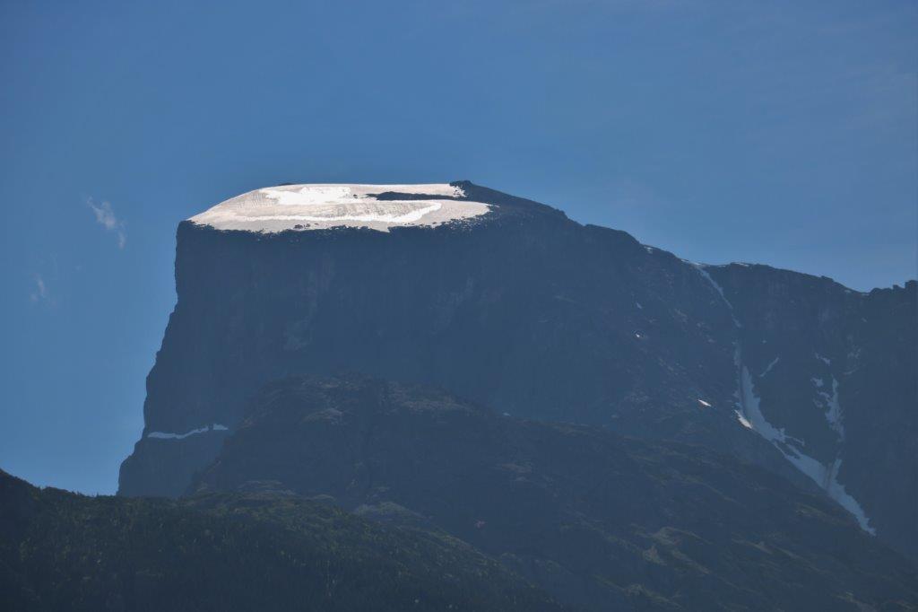
On the way down the road we passed Table Mountain. Amazing how smooth and flat that thick glacier appears.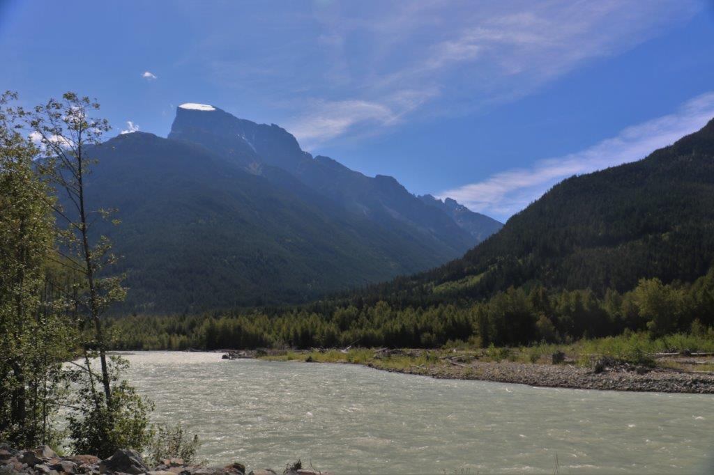
 The second cache of the day was called Sandhill and it was hidden in a tree beside the road at an area that had been washed out in a river flood in 2010 when over 200 mm of rain fell in 36 hours. The road was closed for over two weeks so the only way in or out would have been the weekly ferry to Port Hardy on Vancouver Island. Hard to believe that the river rose high enough to wash out the road here.
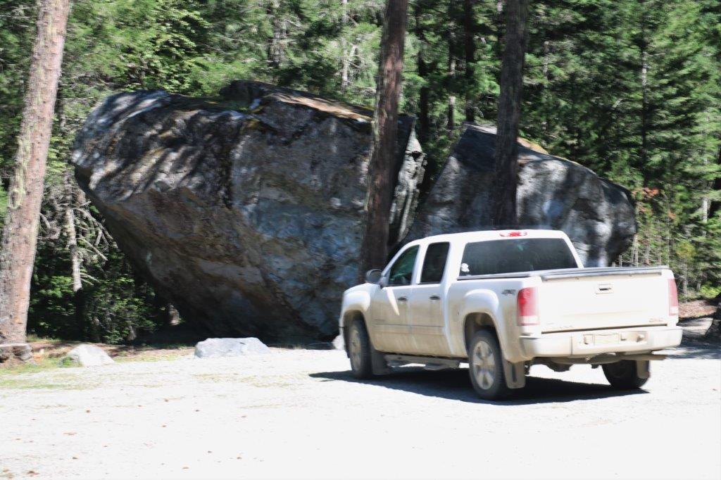
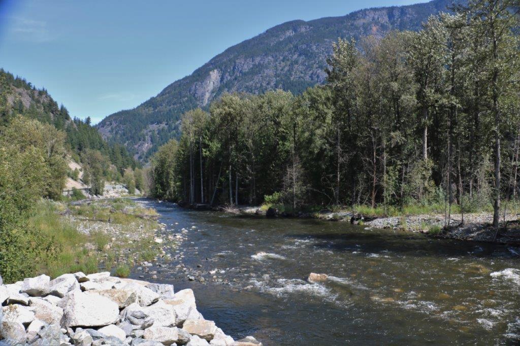 There wasn’t a cache hidden at Big Rock but we had to pull in and see it anyway. This huge rock is called an erratic that was left behind by a glacier. It split just a few years ago. I bet THAT made a noise!
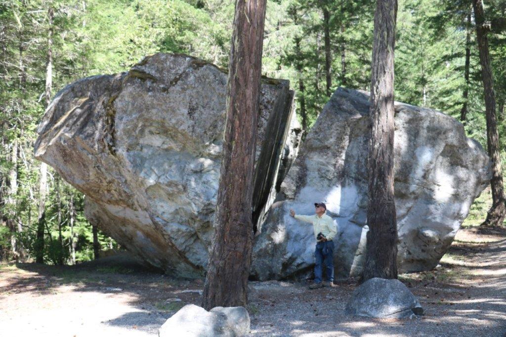

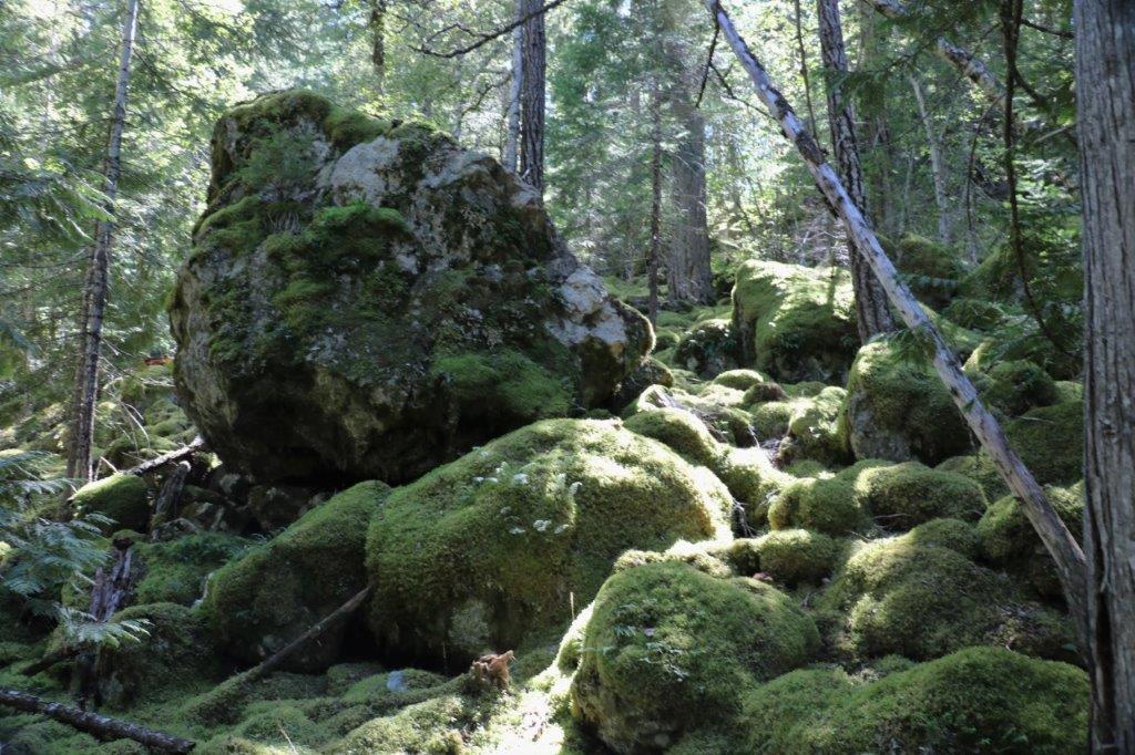
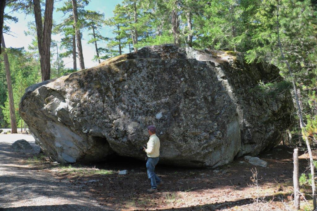 We crossed the road and walked a ways along the Kettle Pond Trail to see a few more of the big boulders that were deposited by two lobes of a glacier that retreated at the end of the ice age. As with everything on the ground around here the rocks were covered in lovely green moss.
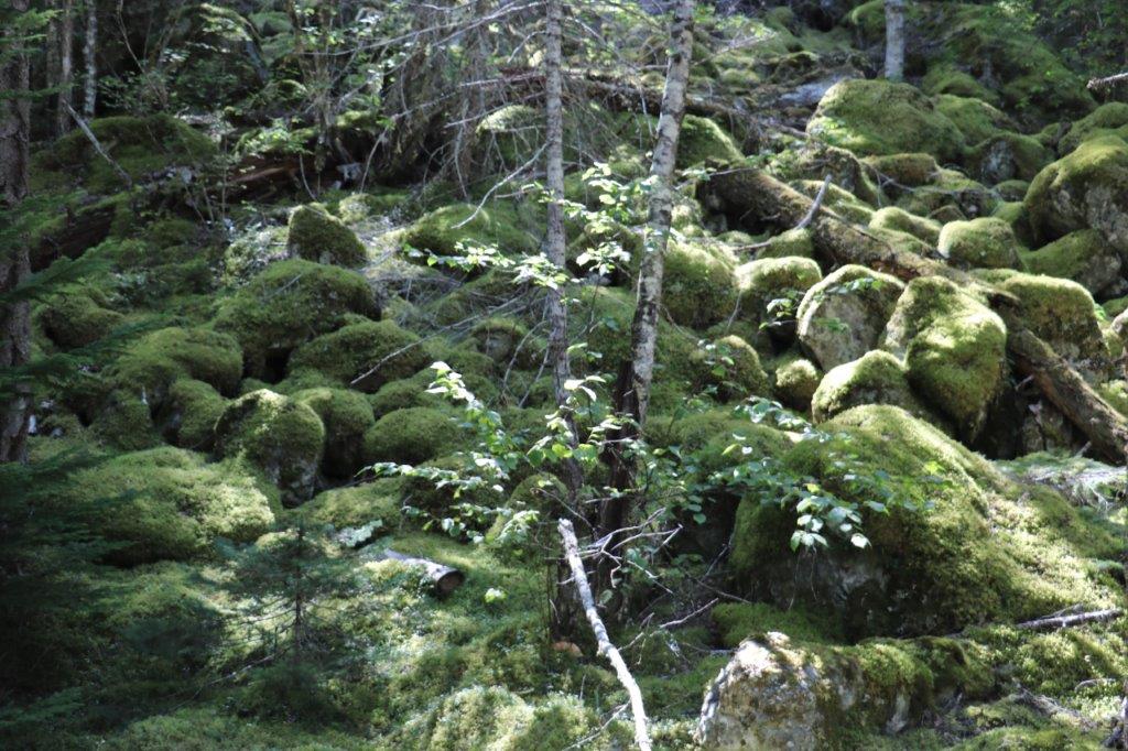
 One of the caches we stopped to find was at a popular fishing spot where two men were standing on the bank fishing for the salmon that are coming up the rivers and creeks to spawn. We saw this sign at several places along the river bank.
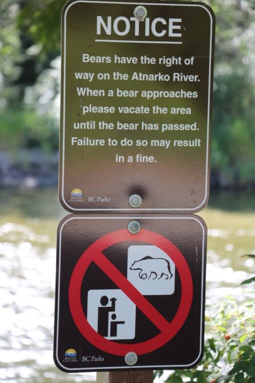
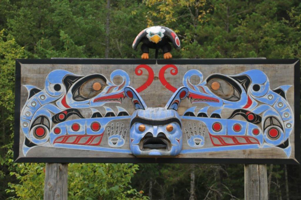
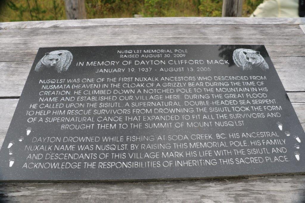
 The Nusq’lst Memorial Pole was the sight of a cache. We had noticed this lovely totem before and I was glad for a chance to see it up close and read the story on the plaque.
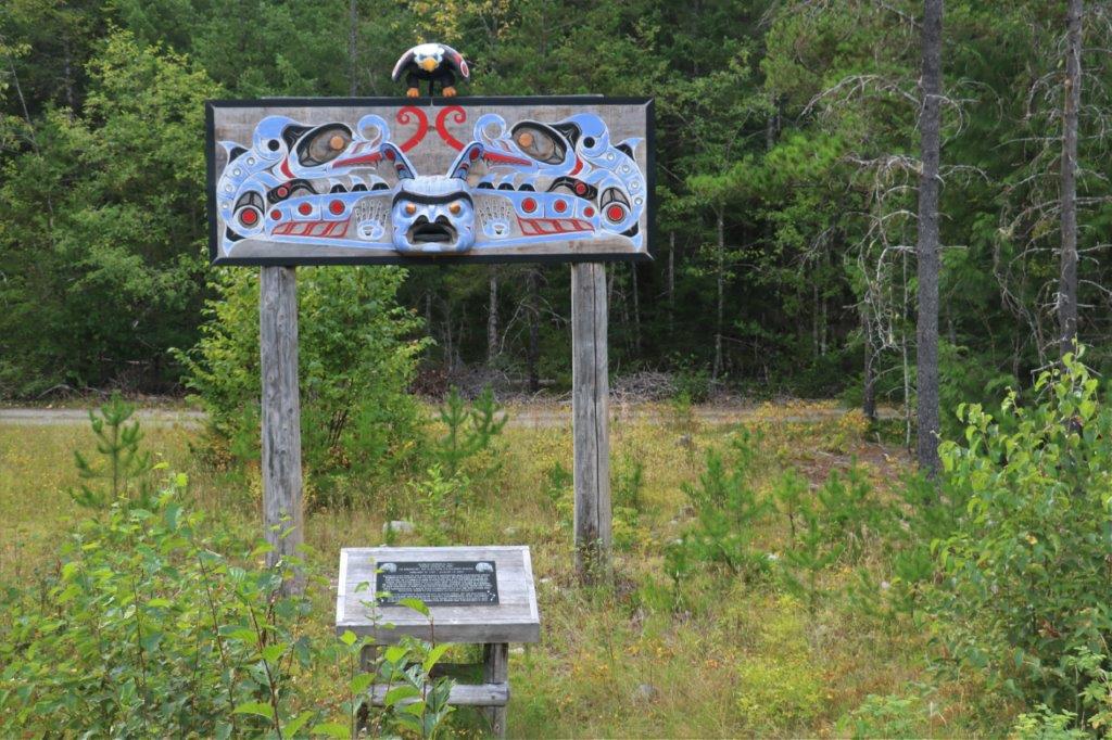
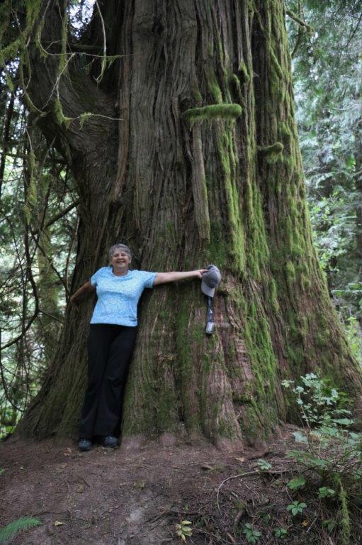
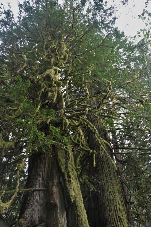
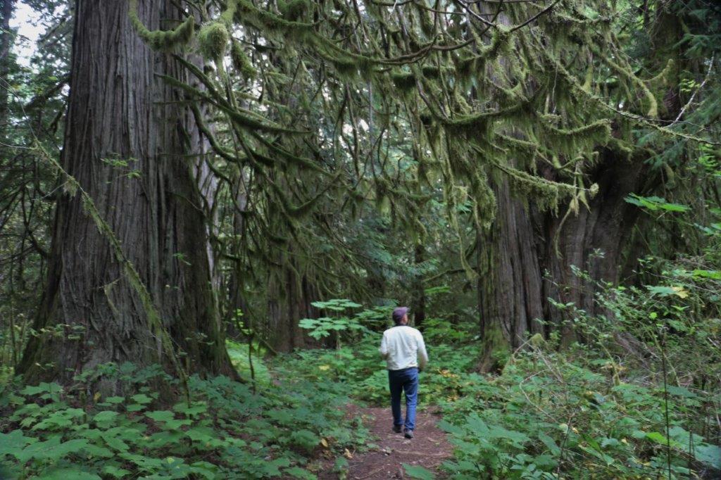
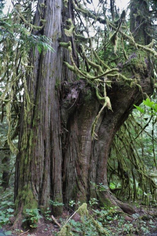
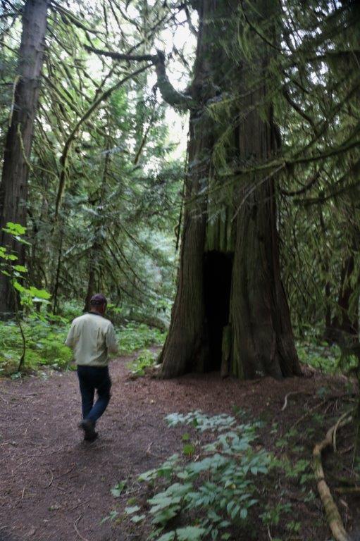
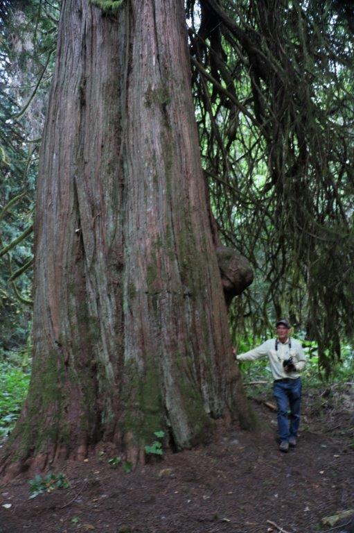
 Our last cache – 12 finds and one DNF (Did Not Find – we searched and searched for it with no luck. We hate giving up without the find!) – was on Walker Island Big Cedar Trail. Now, these are BIG trees.
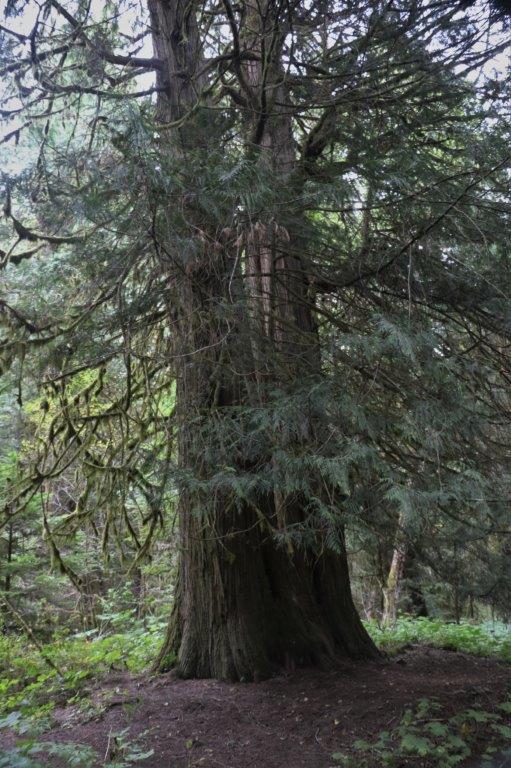
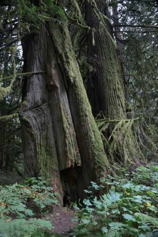
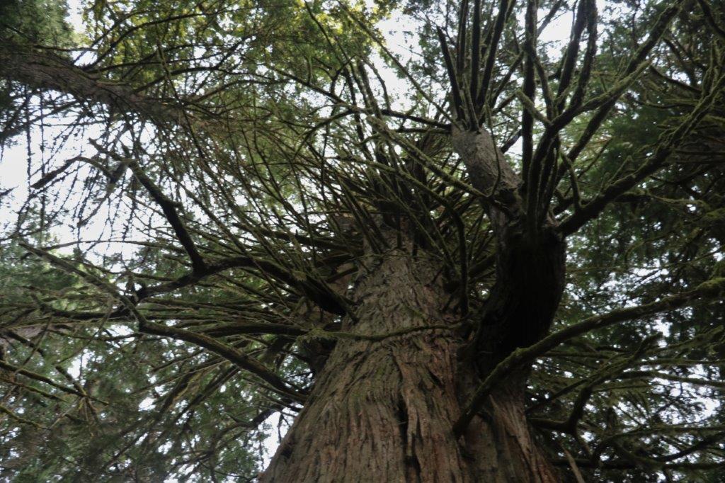
 Several of them had a doorway cut into them and had been hollowed out inside. Apparently the First Nations People used to to use the trees as smoke houses. The trees are still living all those years later.
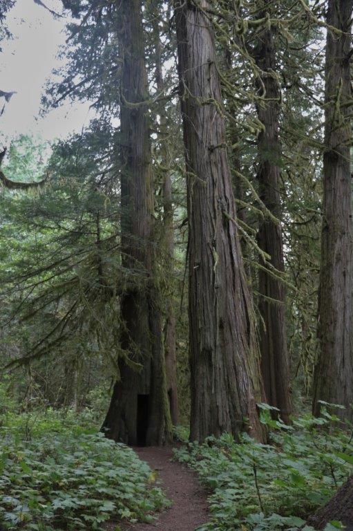
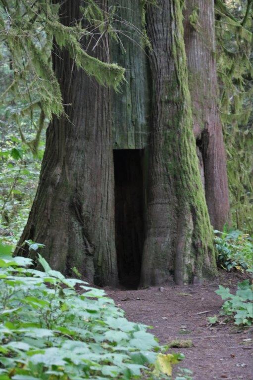
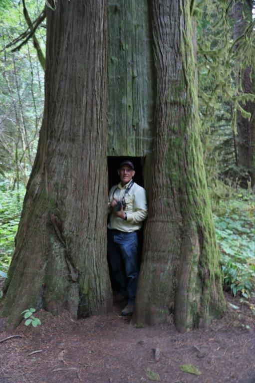

I stuck my camera inside and took a picture of the soot encrusted interior.
 It was a nice end to a good day. We returned to the cabin at 7 where we ate the leftover pizza from last night, I completed yesterday’s blog that I had started this morning and then, like a good girl, I did today’s blog as well. Tomorrow is our last day. We intend to drive out to Blue Jay Lake to see the scenery and find a cache or two.
