We checked out of our hotel in Ephrata at 9:30 am. My nice husband braved the bitingly cold wind and -10 F ( -20 C) temperature on the long walk out to the truck and drove around to pick me up at the lobby.
We wanted to find a few more caches in Washington if we could and spent most of the morning stopping now and again to try find some that were hidden close to the road. Of the approximately eight we looked for, we found three. We are usually pretty tenacious when looking for a cache. Neither of us like to give up and move on. However with the cold temperature and the colder wind we did not linger if the container was not located quickly. Many of them were now covered with too much snow for us to locate. I want to find at least one cache in each state. We found three in WA as we drove along and one in OR so far. We will see about finding a few more tomorrow. Success will depend on the temperature, snow levels and our frost bite tolerance.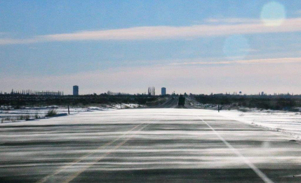 The wind was blowing a thin layer of snow across the highway.
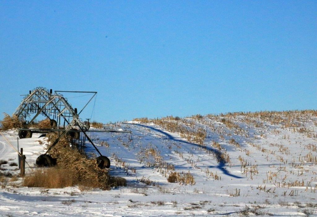
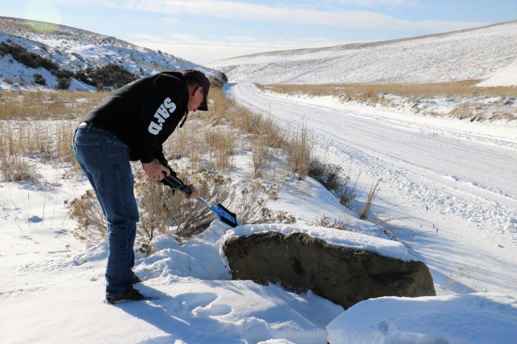 We didn’t find the cache hidden under one of these rocks, but we did try.
 John stepped off the road to look inside a culvert for a cache that was supposed to be hidden there. He didn’t find it but he did sink up to his thighs in snow!
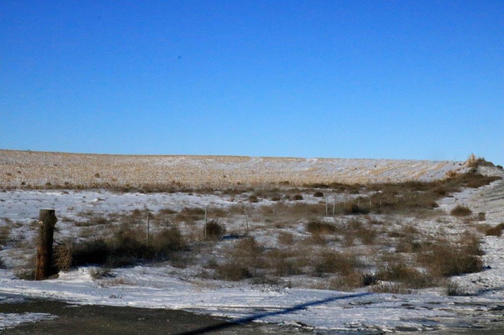
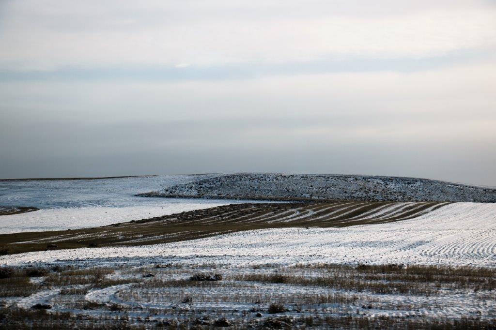
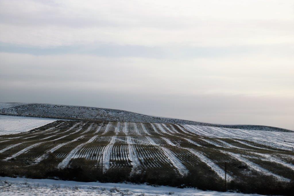
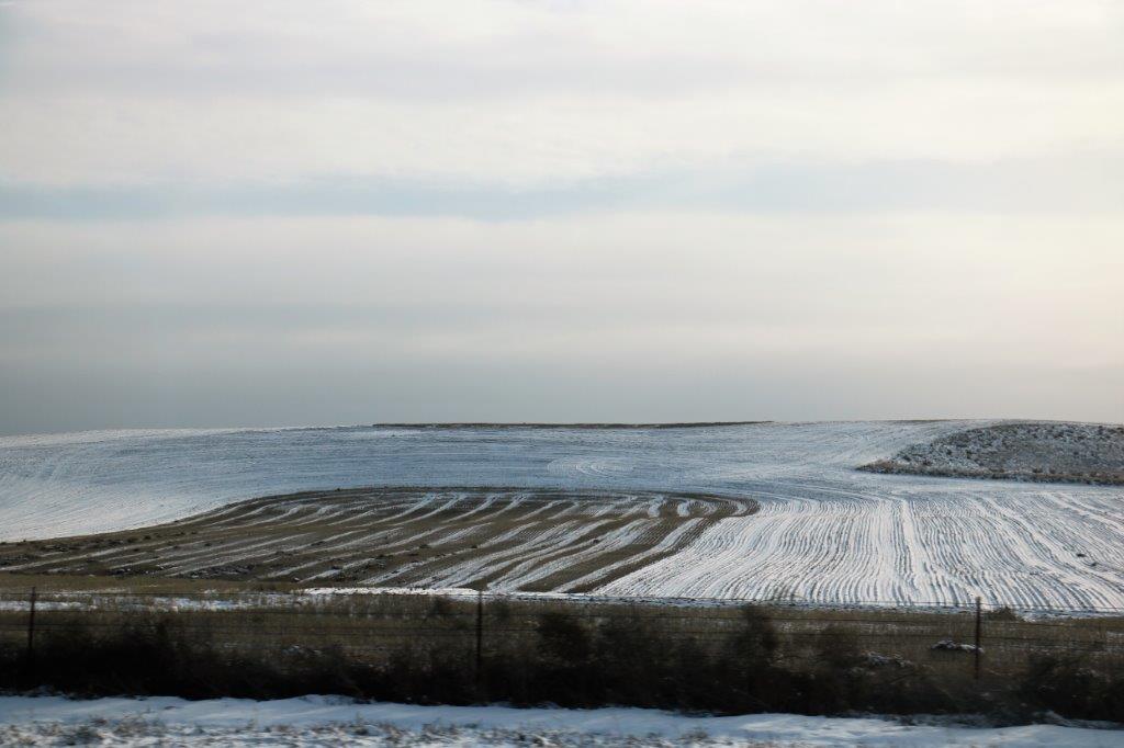
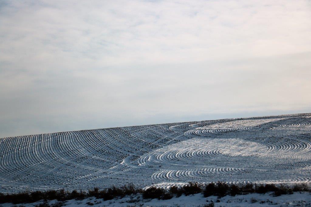
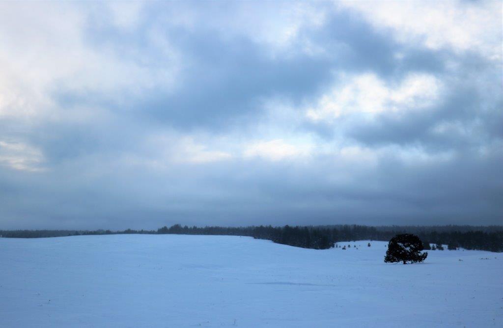
We stopped for lunch just across the Washington – Oregon border and drove for miles through farm country. I liked all the patterns the snow made in the fields.
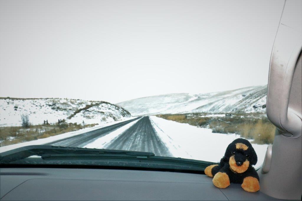
My little “Sampson” dog travels with us all the time.
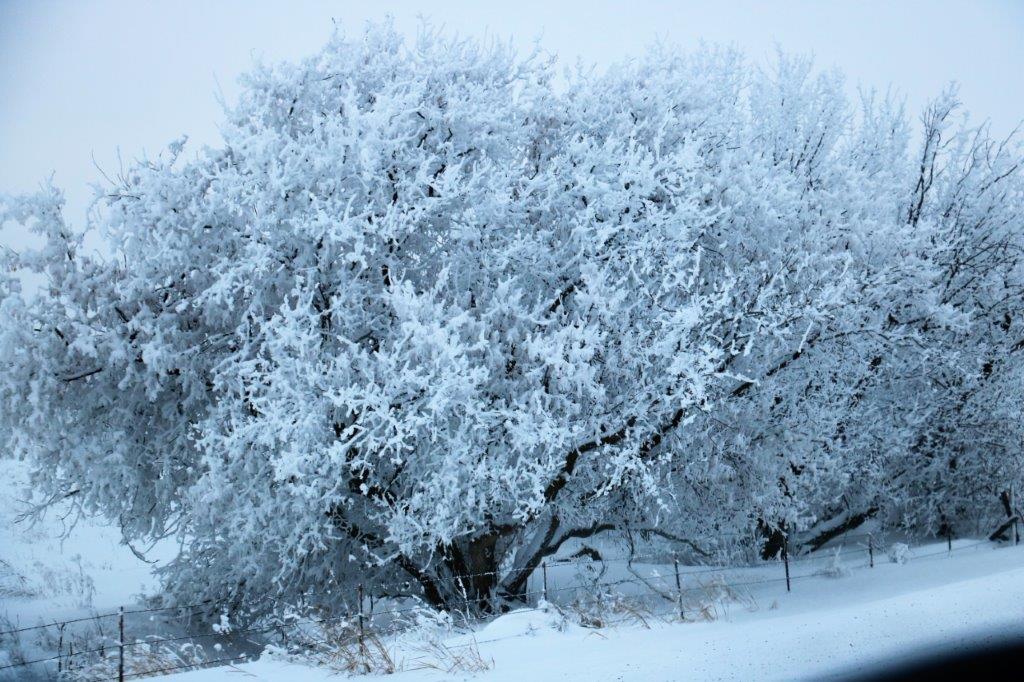
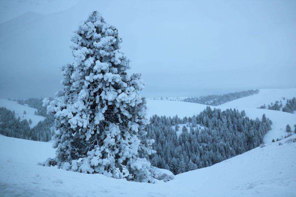
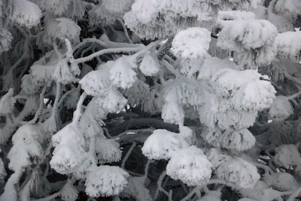
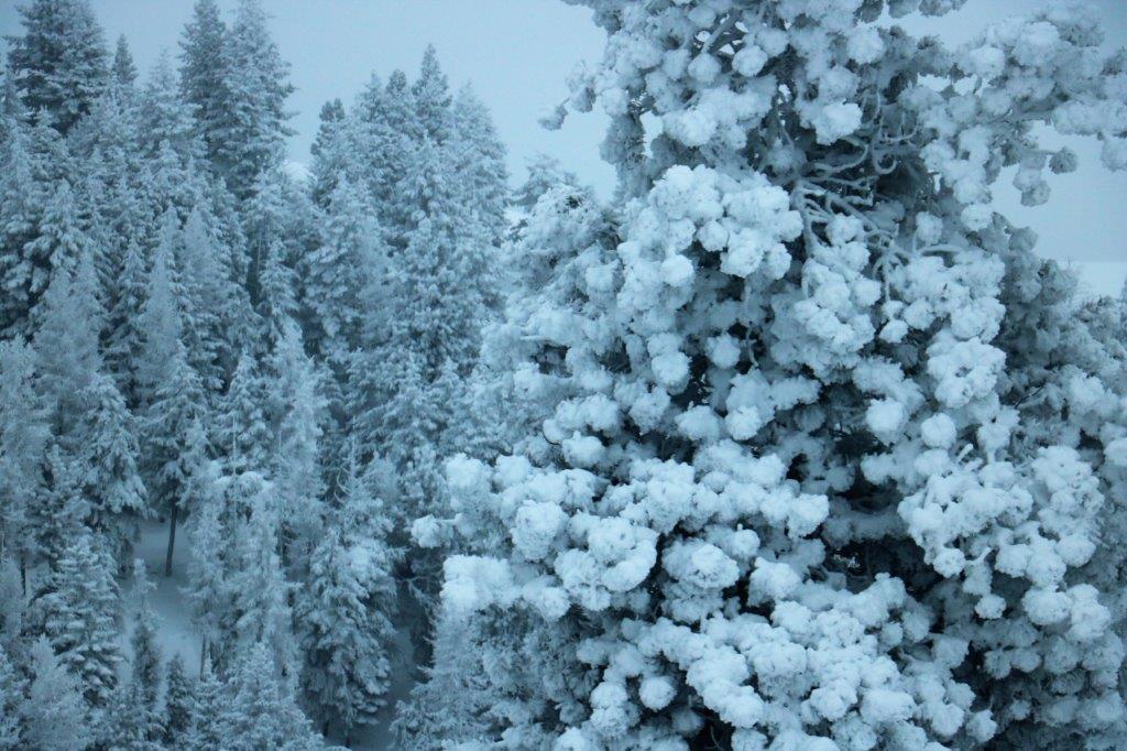
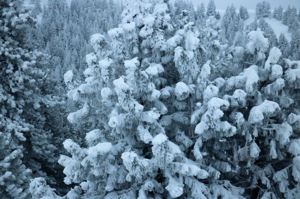
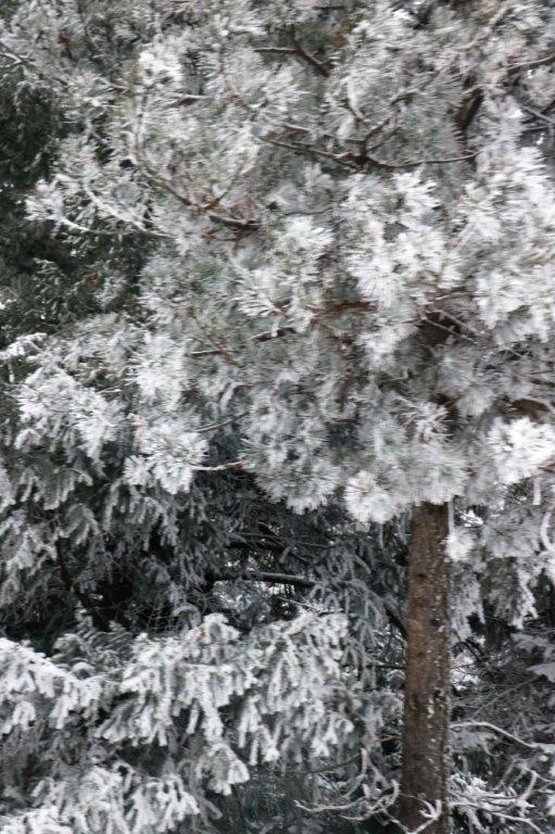
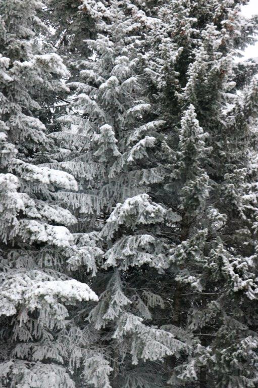
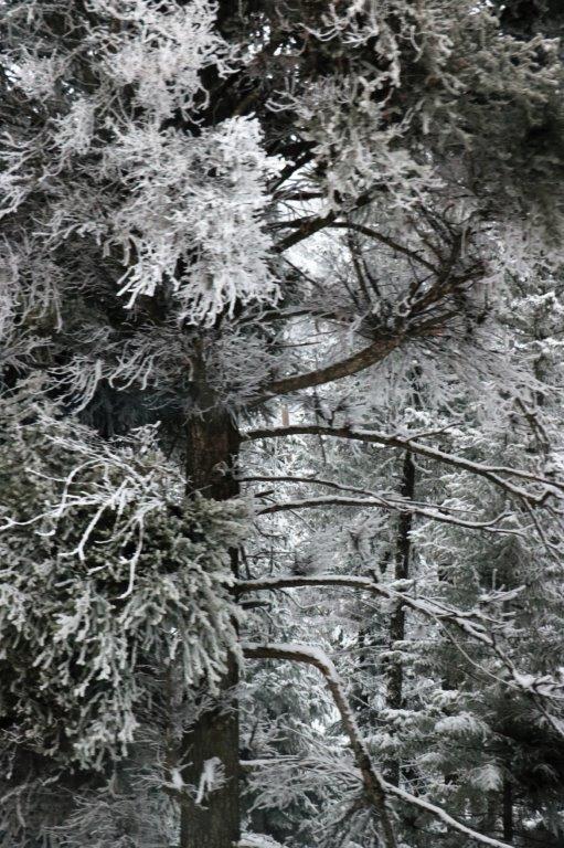
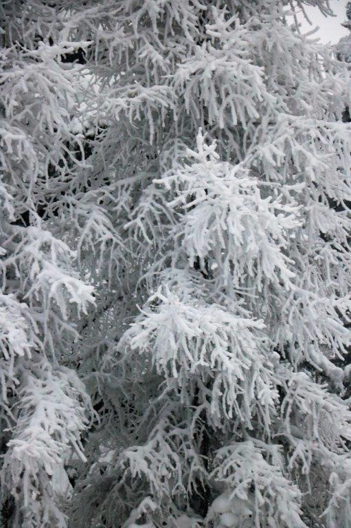
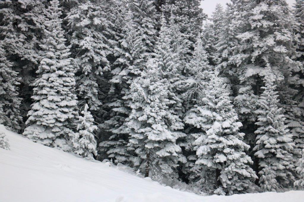
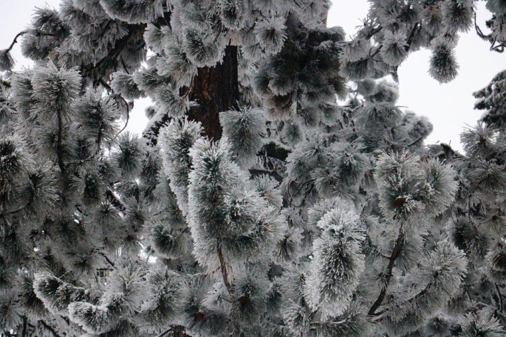
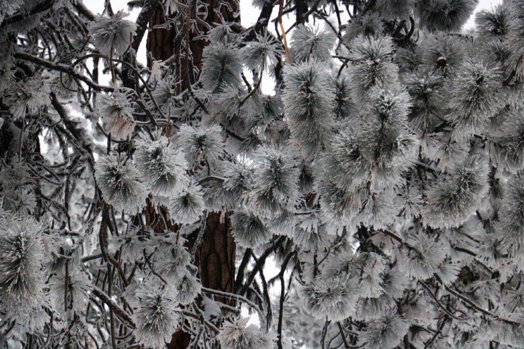
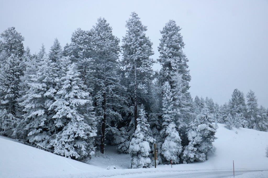
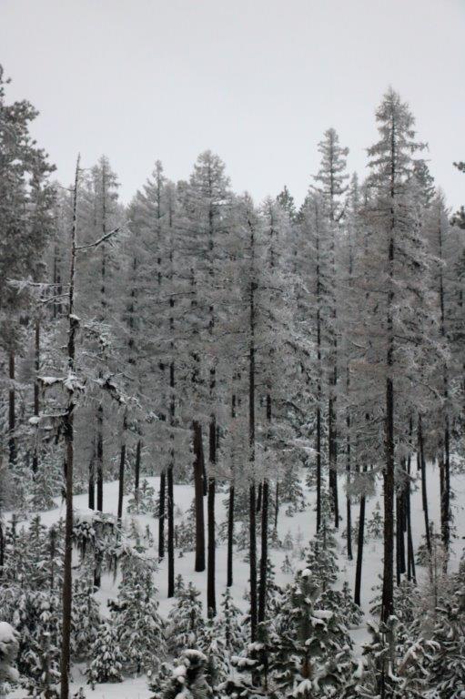
As we drove along, I was thinking that there would be very few photos and nothing of interest for a blog post today; and then we began driving into the mountains and the trees and bushes were completely encased in snow. It was magical!
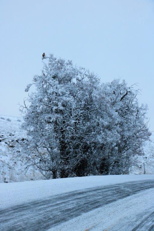
There is a lovely hawk at the top of the tree – looking for dinner, no doubt.
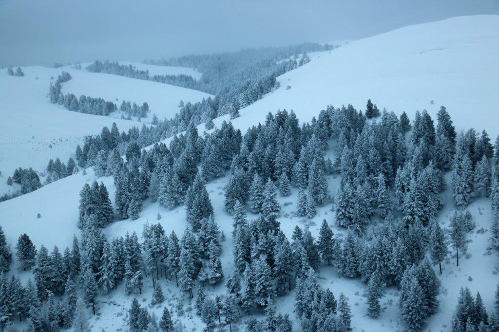

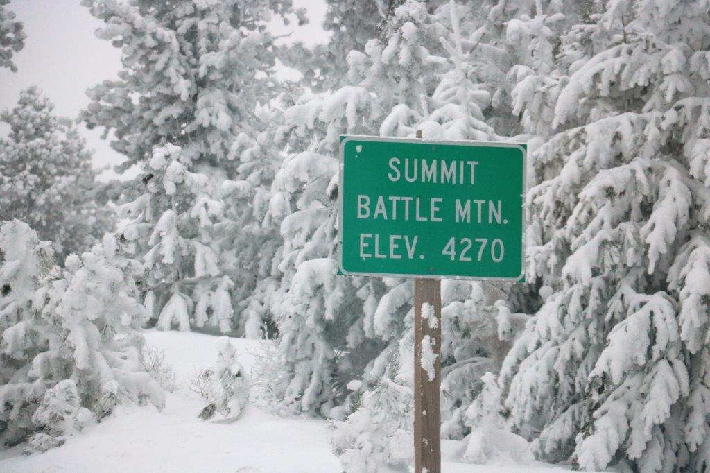
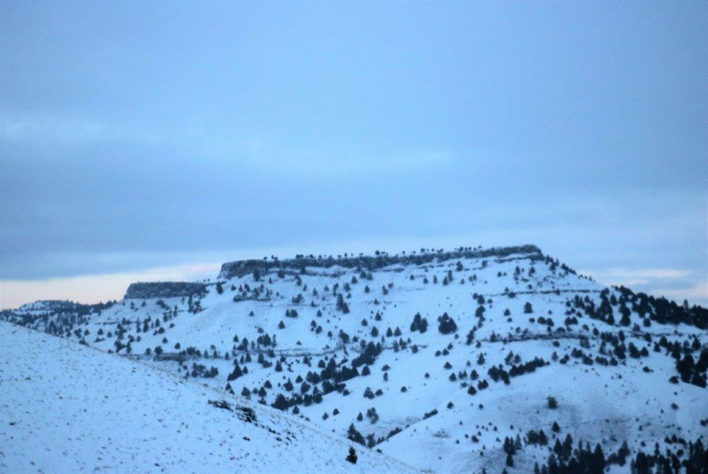
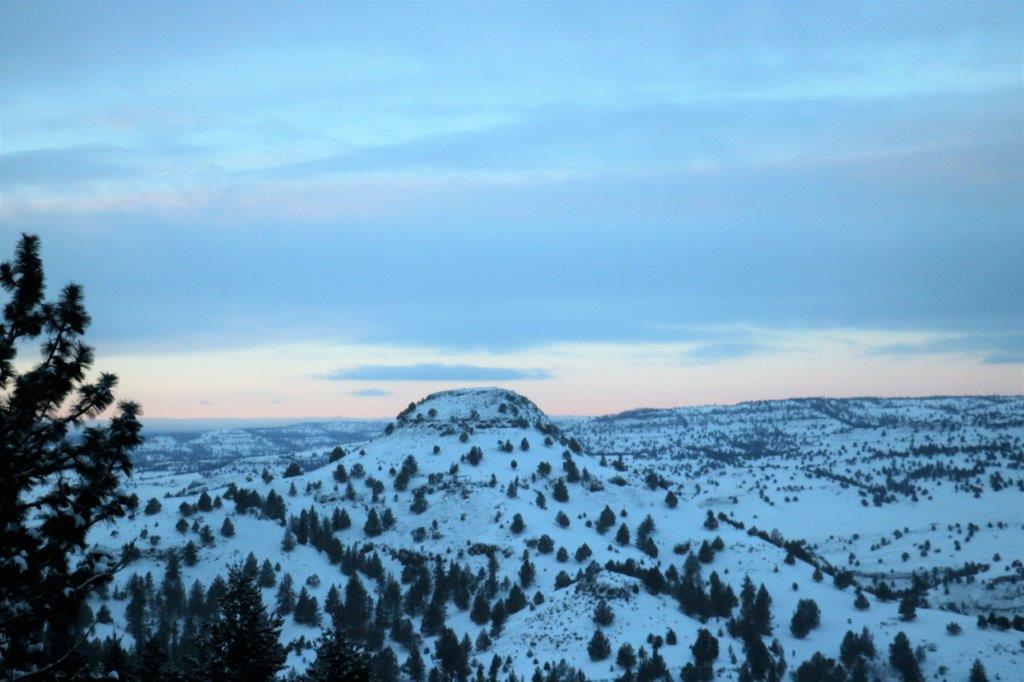
 We entered the Battle Mountain scenic corridor and over the next 3 1/2 miles I took almost 100 photographs of the trees and the road-side scenery. There are not anywhere near that number in this blog but I must post some….
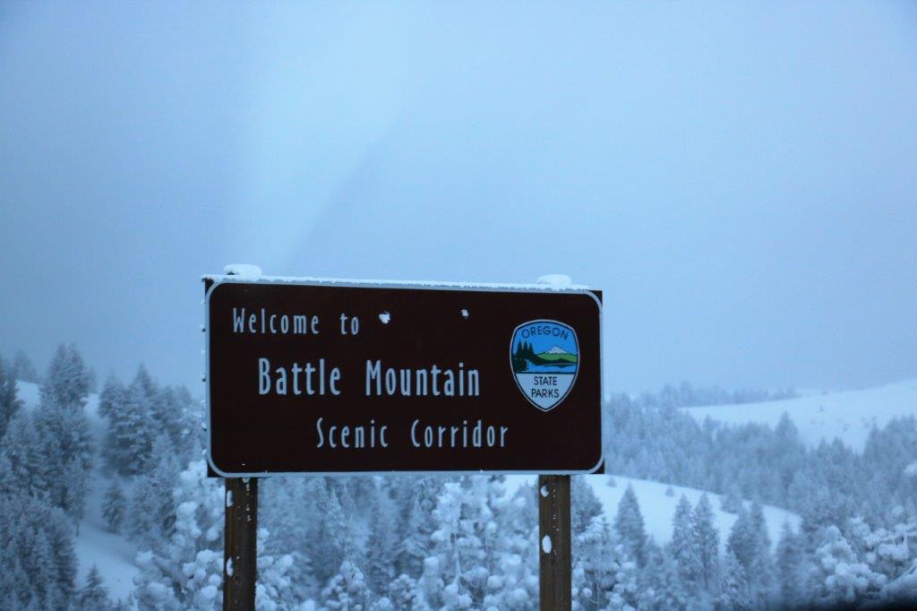
 After we descended out of the Battle Mountain Pass we climbed up and descended four more summits: Meadow Brook, Ritter Butte, Long Creek and Beech Creek before descending into Mount Vernon.
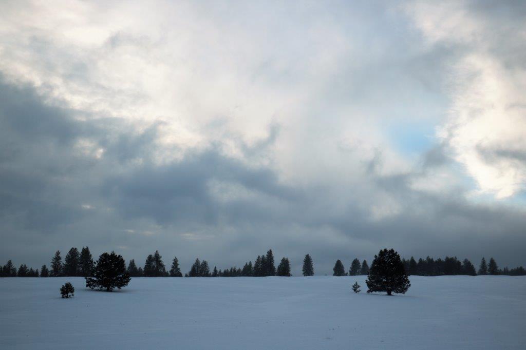
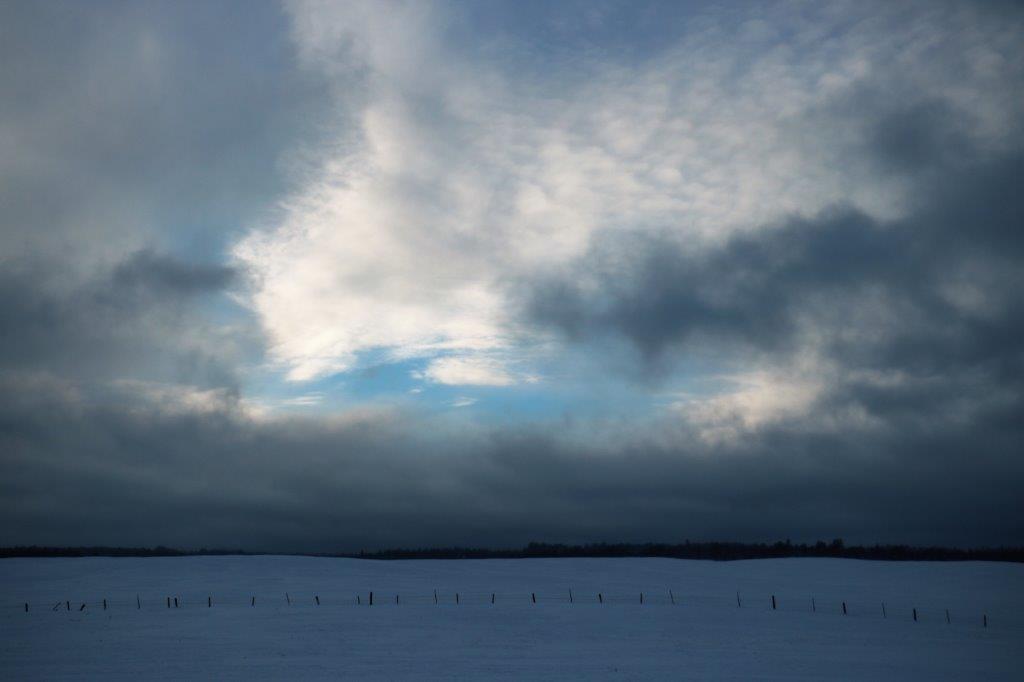
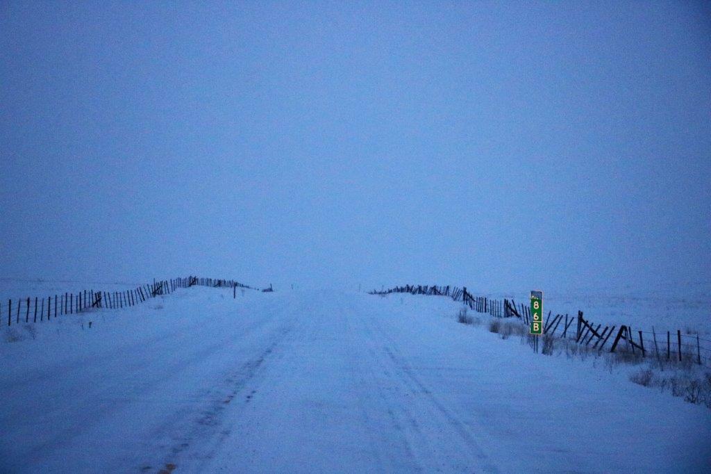
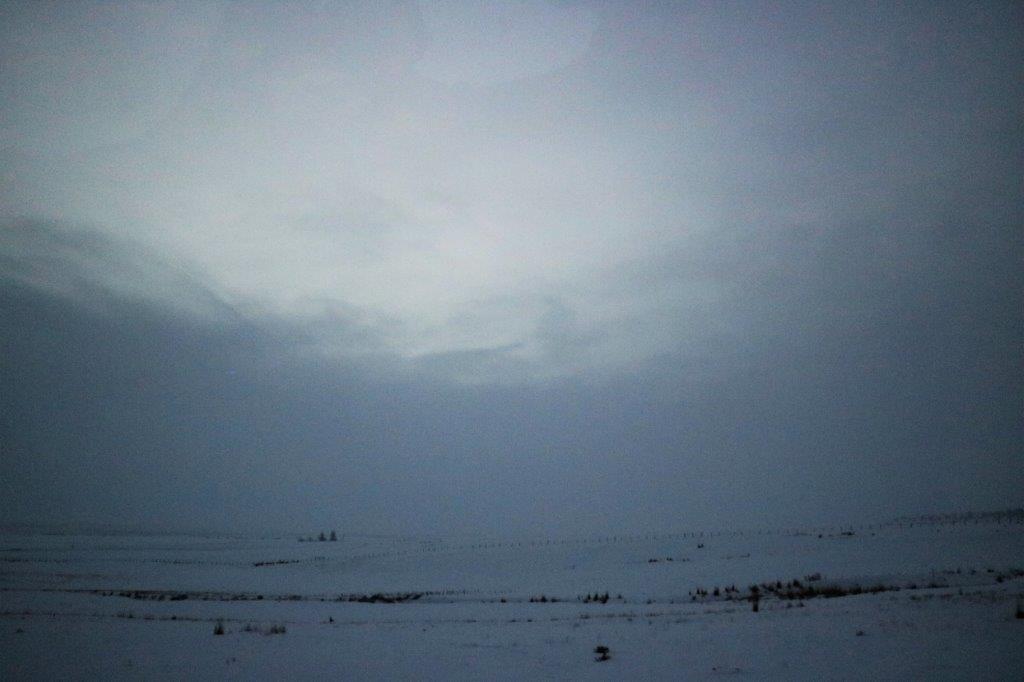
 We had been driving under high clouds most of the day, but as we were driving down from Beech Creek Summit the clouds lowered to the point where the snow-covered horizon almost disappeared.
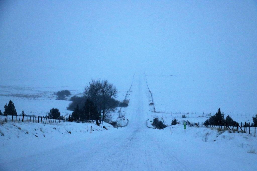
 I was checking the map to see how much further it was to Mt. Vernon and John said, “Church.” “Church.” I looked up just in time to catch a pic through the front window.
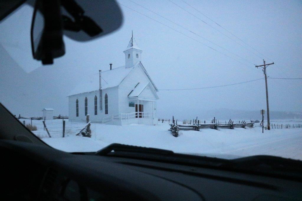 We arrived in John Day at about 5:30, checked into our hotel, unloaded our bags and drove two blocks to the Grubsteak Diner for dinner. No way were we walking those two blocks in the cold wind and falling snow.
But, what I thought was going to be a pretty boring day turned into an absolutely beautiful drive. The Lord is Creator of such majesty!
