Last night was the worst night I have had since my asthma kicked up. I coughed and coughed and coughed and coughed. Nothing stopped it. Usually one T3 will shut if off in 20 minutes. Even two didn’t work. It was a long night.
Consequently when I did get to sleep I didn’t wake up until late. I think it was close to 11:30. John has caught my cold now and with me coughing all night and his own stuffy nose and coughing he didn’t wake up much before me.
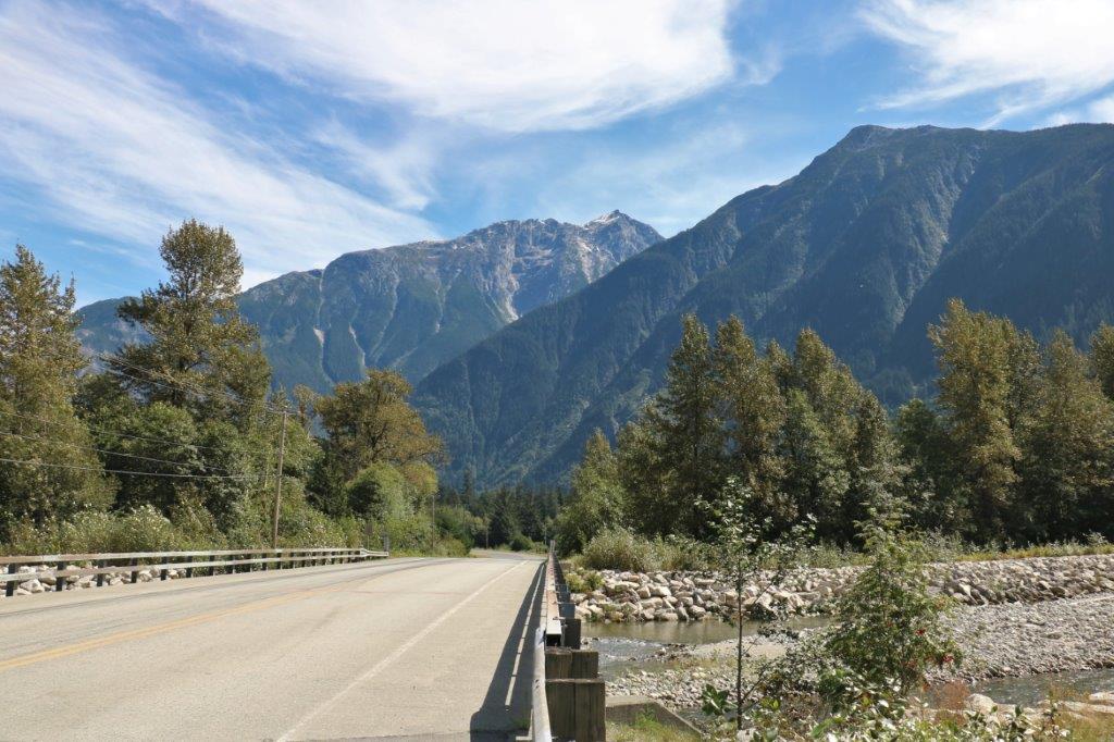
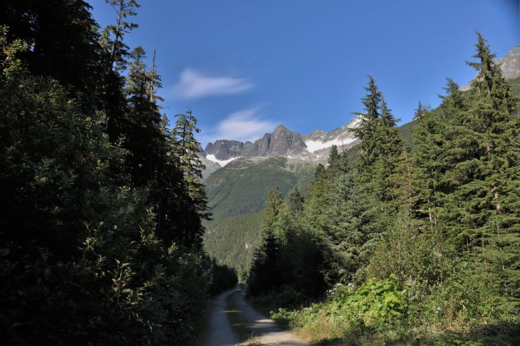
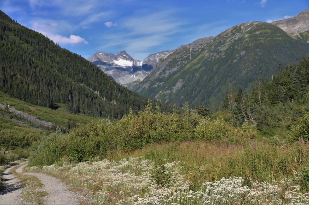
I was weak as a kitten and moving slowly so we had a leisurely breakfast and finally left the cabin about 2 o’clock. We drove back down the valley to the Nusatsum Forest Service Road which will take us to Odegaard Falls and Mt. Purgatory Lookout. The falls are 24.6 km up the road and the lookout is 32.6 km. It was another lovely sunny day so it took us quite awhile to get to the falls trail head due to all the photo stops.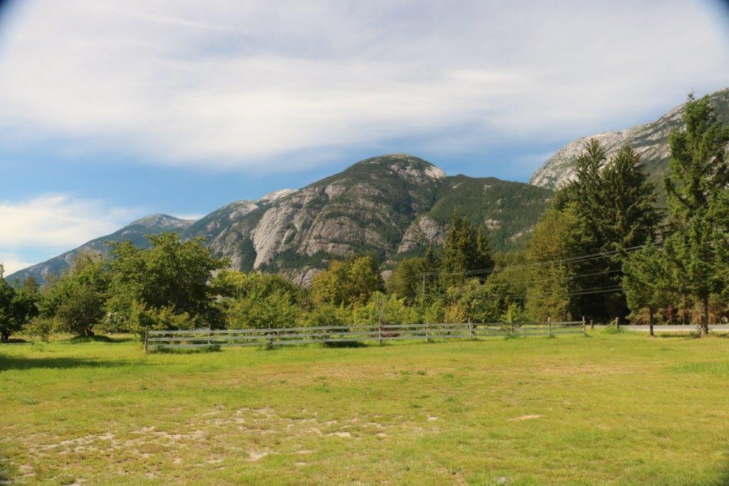
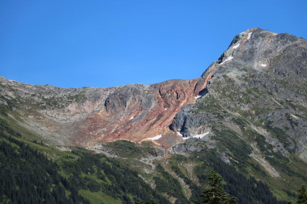
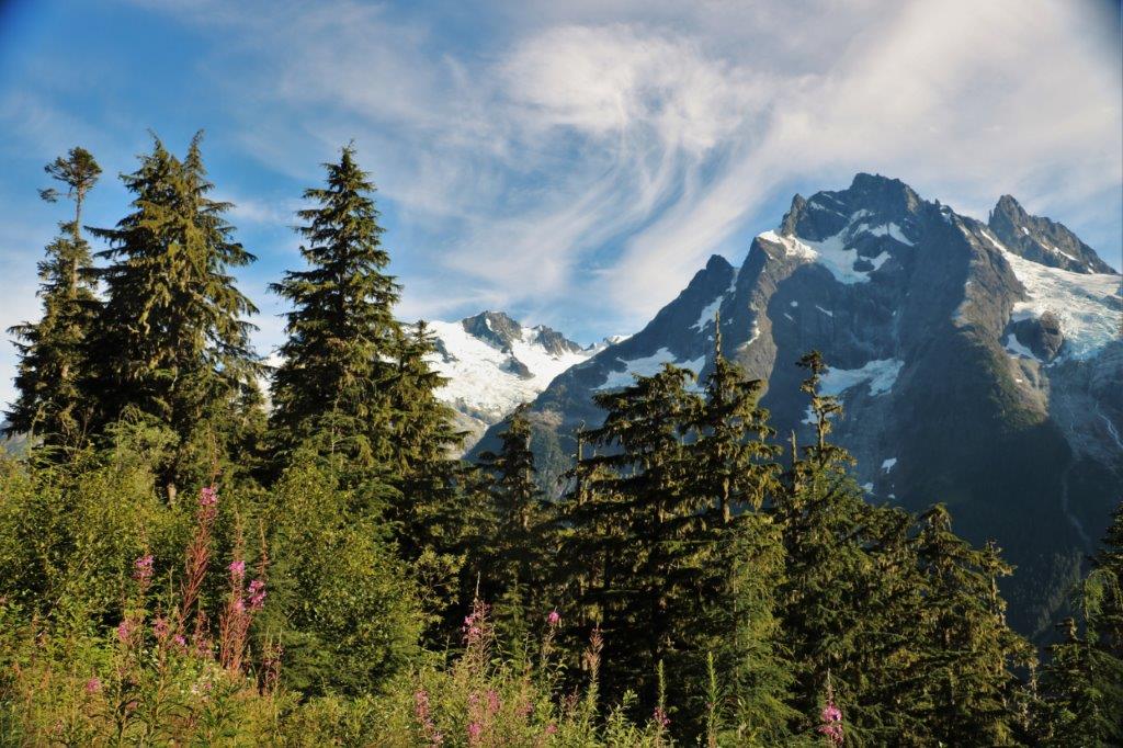
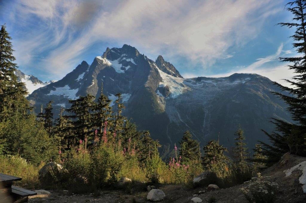
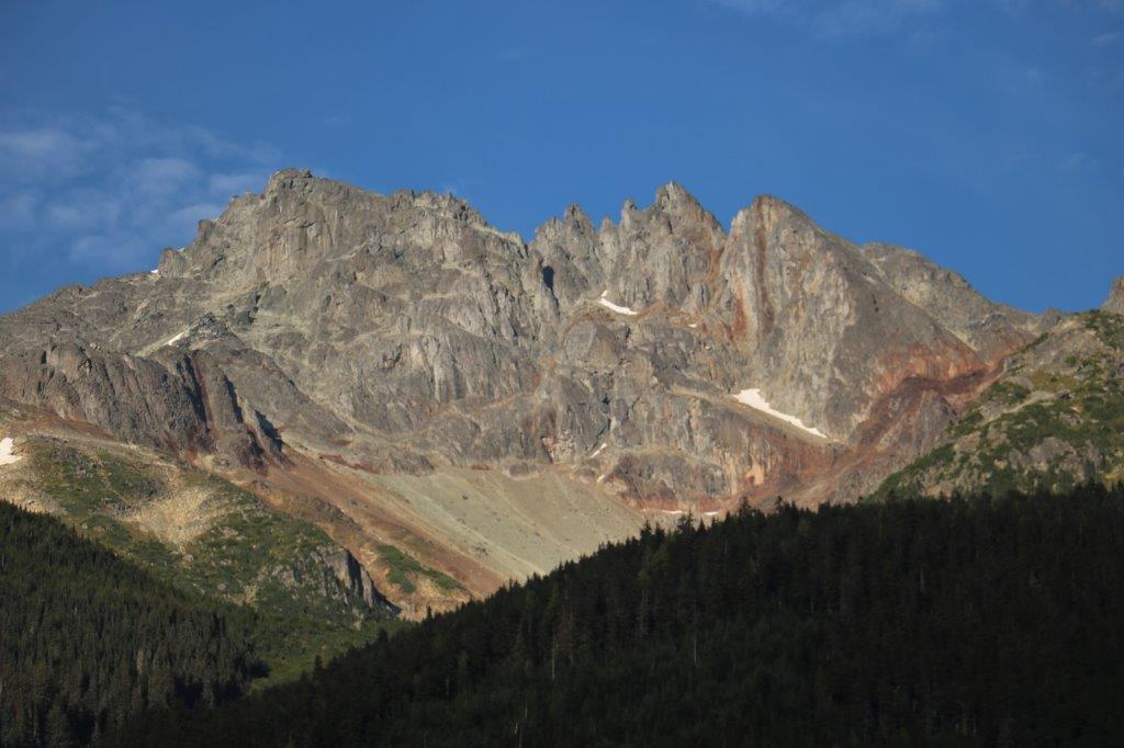
 Tim, at the Eagle’s Nest told us that the mountains in the Chilcotin Coast rival the Rockies for splendor. We were at Anahim Lake and I had not seen anything near a spectacular mountain, so I disagreed with him. I take it back, Tim. You are absolutely right! The peaks of the Coast Range are gorgeous! Therefore this blog contains lots of pretty mountain pictures.
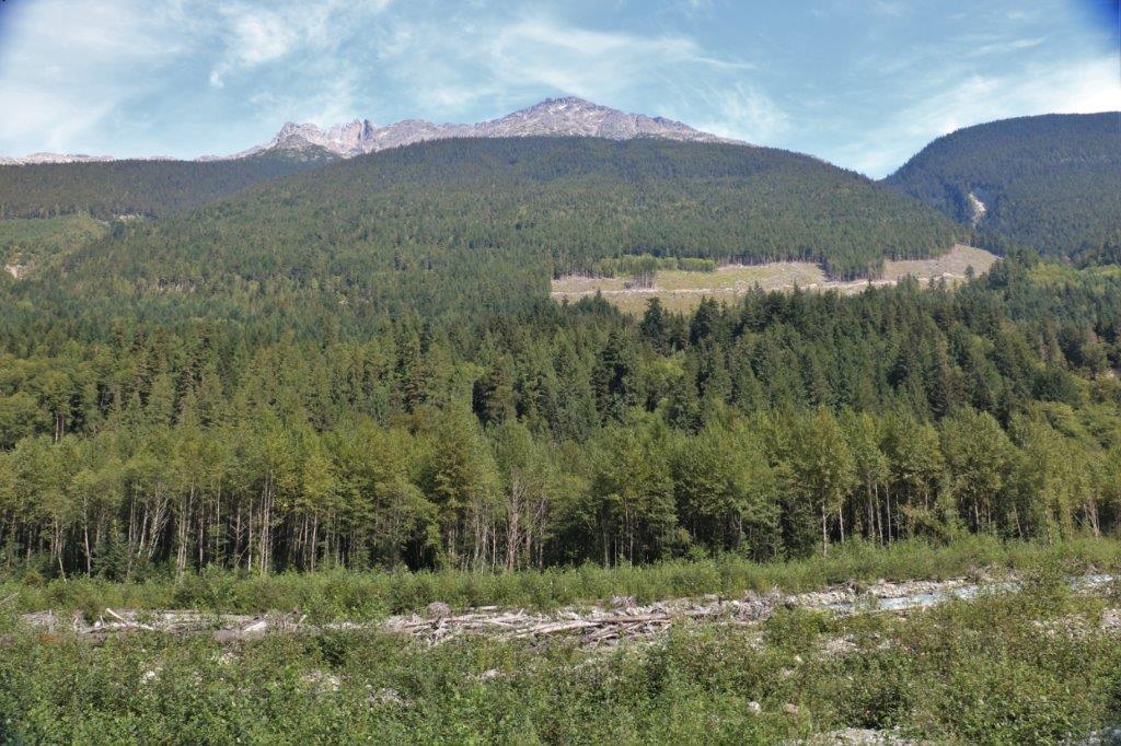
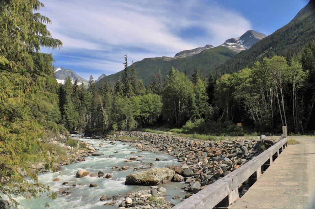

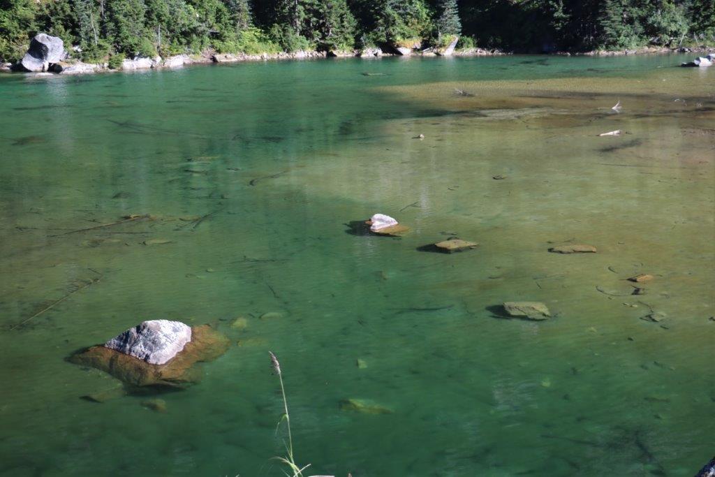
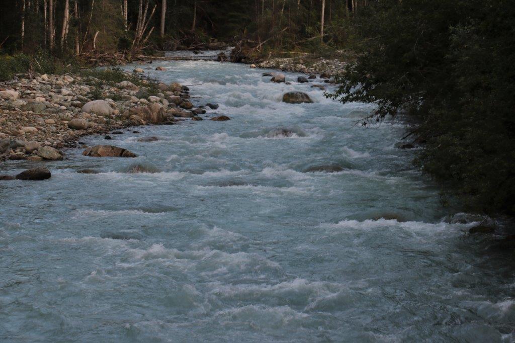
 The road criss-crosses the Nusatsum River several times and is navigable to the Odegaard Falls Trail head by car; if you take it slow. There are some rough spots and it is narrow so if you meet another car, which, thankfully we did not, it would be tricky to get by one another.
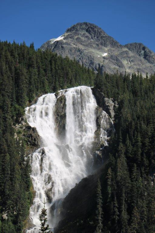
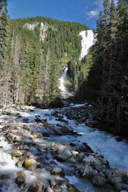
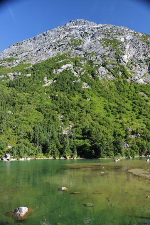
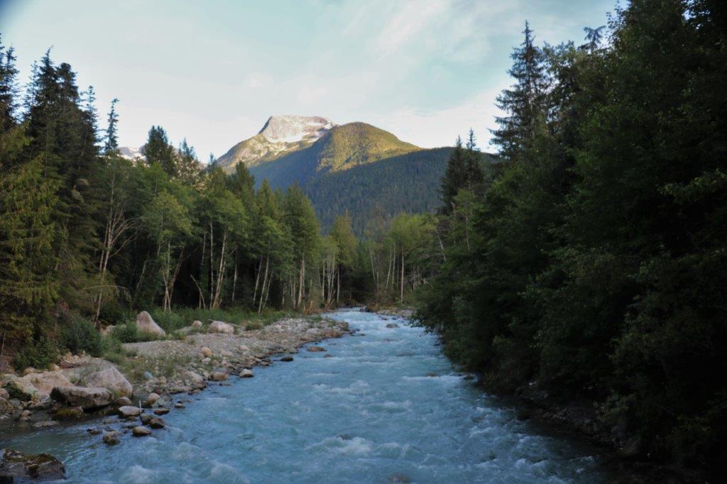
Look closely at the photo below. It doesn’t do the height of the mountains justice but just at the bottom you can see the grey-green water of the Nusatsum River.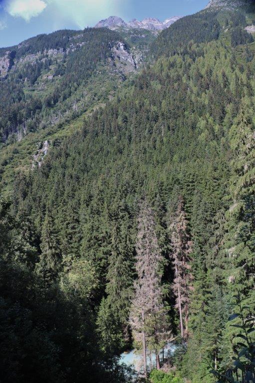 Our first glimpse of Odegaard Falls. They drop 175 meters (525′).
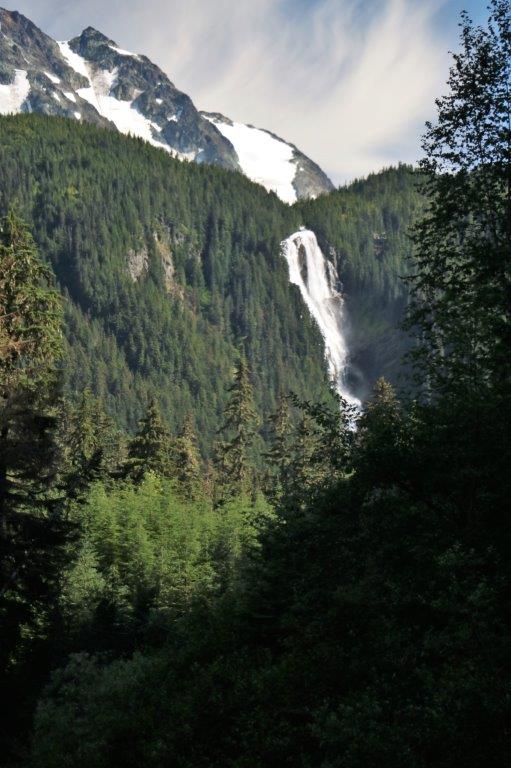


 At the Odegaard Falls Trail head parking area there is a cache, which we found. It was hidden in 2014 and we were the third people to sign it. Obviously a lot of geo-cachers do not venture this far into the bush.
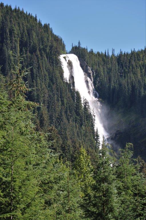
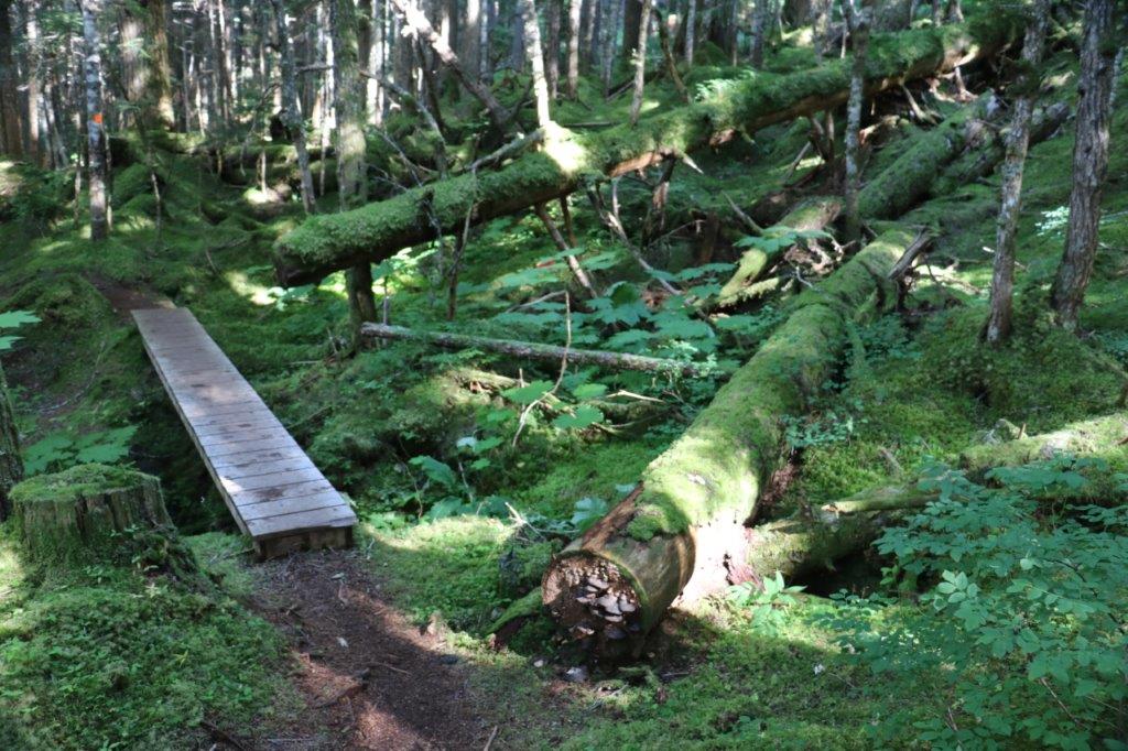
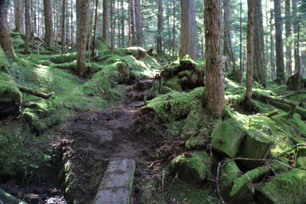
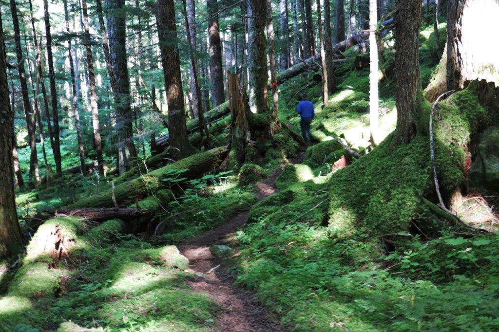
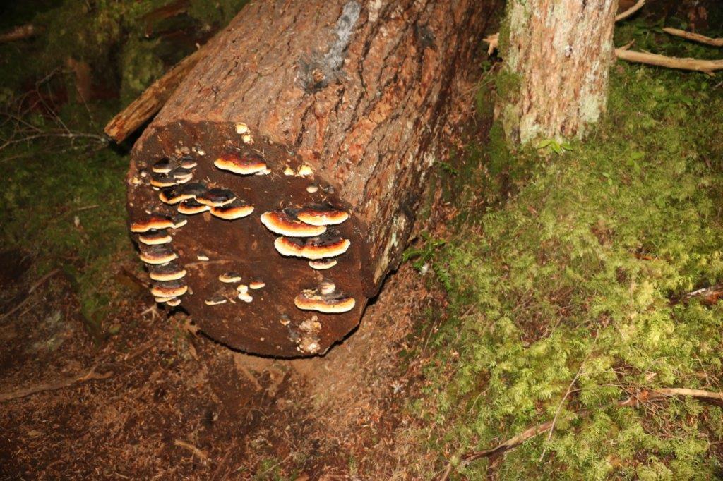
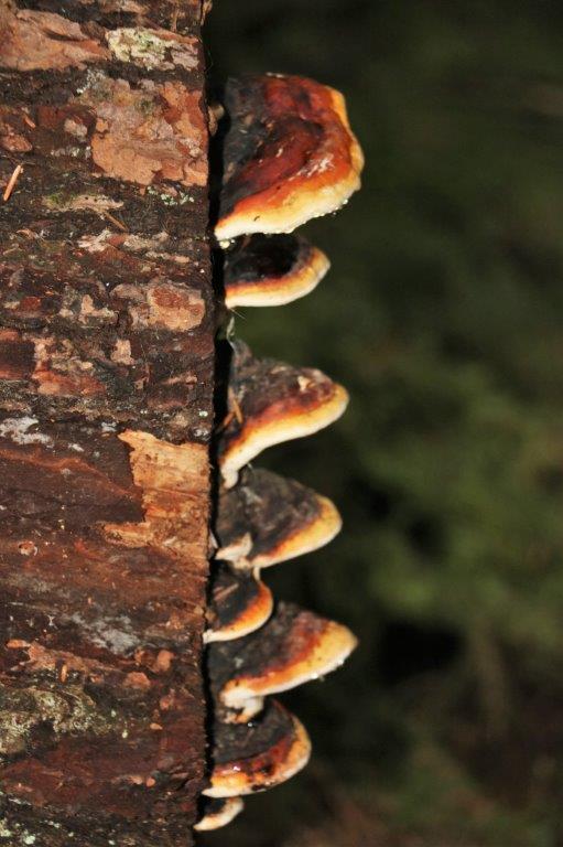
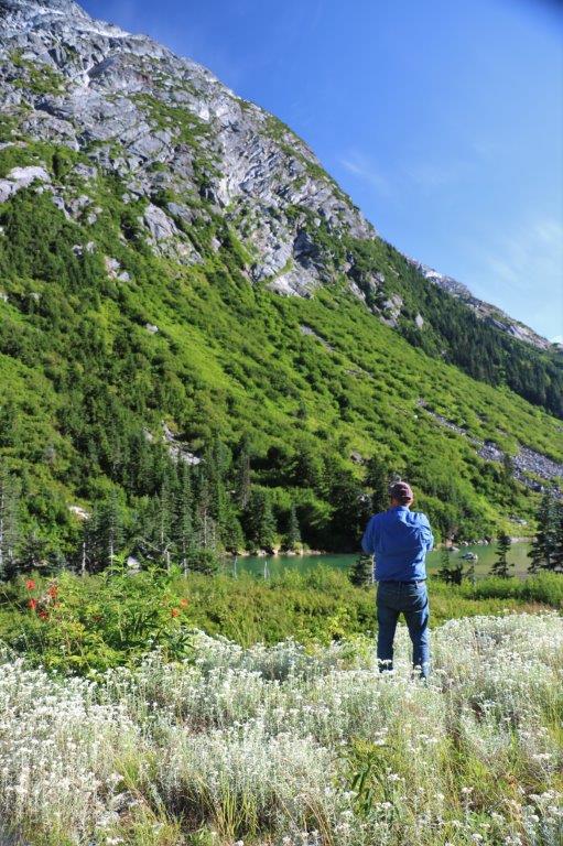
It is a 20 minute walk along a well maintained forest trail to the bridge lookout at the base of the falls. There are quite a few footbridges and several of them have been re-built recently. There is very little undergrowth in the bush; everything is covered in moss. One of my favourite things.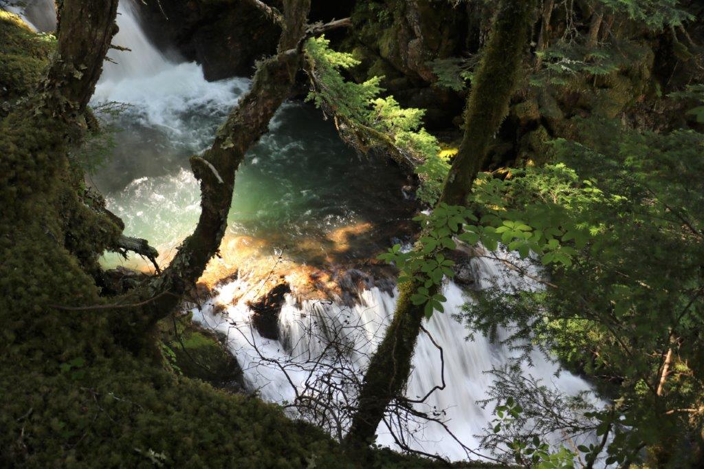
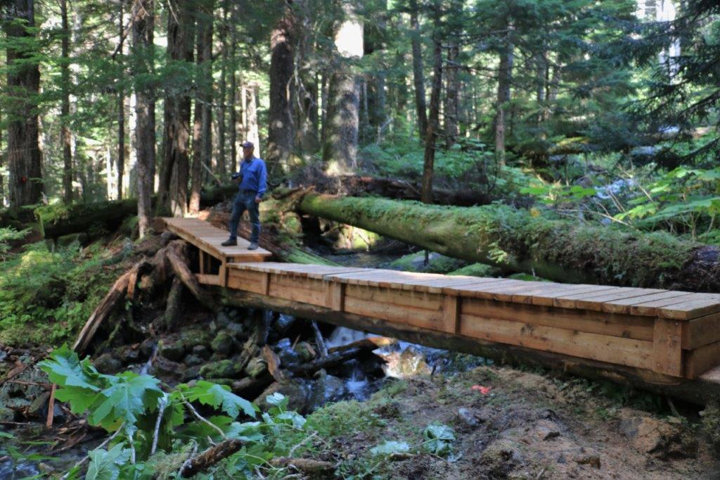
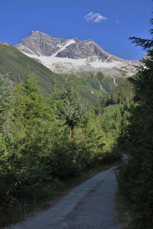
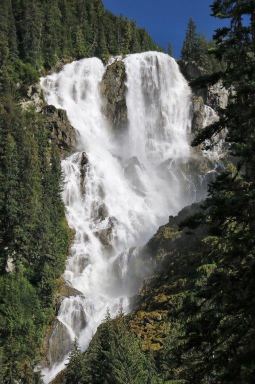 We only went to the lookout at the base of the falls, you can continue along the trail and get closer but we didn’t feel the need and we wanted to drive up to the Purgatory Lookout which was another 7.8 km of rough slow road.
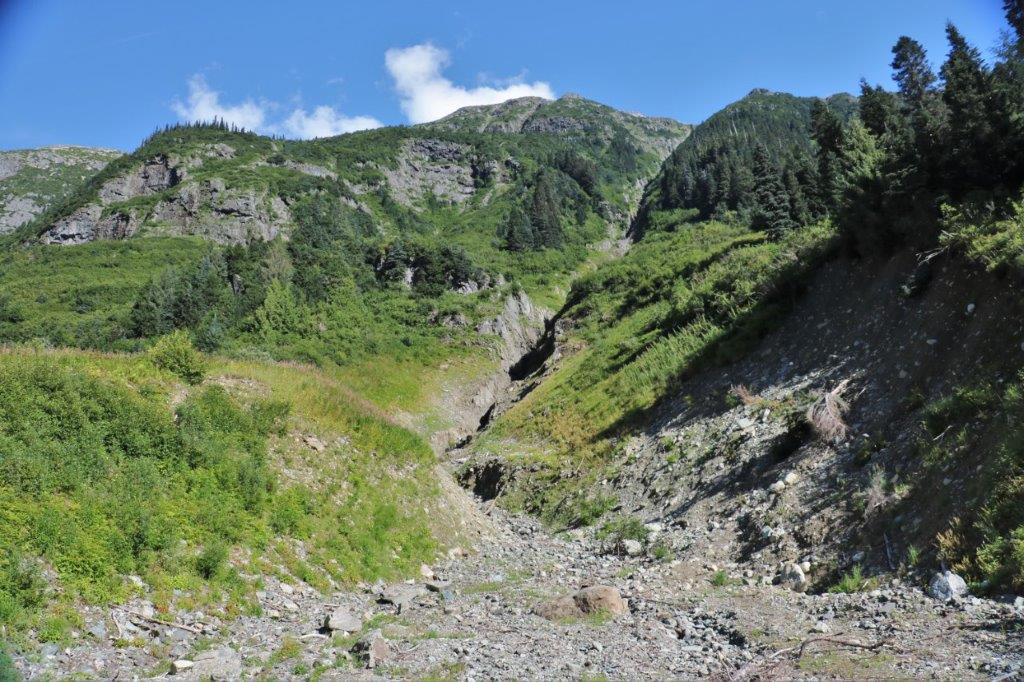
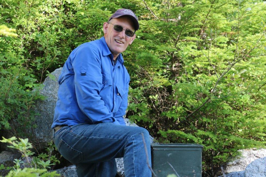
The road from Odegaard Falls to Mount Purgatory is only navigable by high-clearance 4 X 4. As we were hunting around in the trees at the Falls parking lot looking for the geo-cache a couple walked out of the trail and said hello. They were looking at us curiously, obviously trying to figure out what we were doing, but they took a photo of the river and went on their way. We hadn’t gone too far up the road from the Falls when we came to a rock-filled ditch we needed to cross. Parked beside the road was a small car. I said to John, “That couple isn’t hiking up to the lookout from here are they?” It was a hot day, we were way up in the mountains and they probably had at least 6 km of uphill hiking to do. It was now almost 5:30.
Sure enough, we caught up with them about three kilometers from their car and offered them a ride. They very thankfully and readily accepted. And their dog did not hesitate to hop into the back seat as soon as we pushed stuff out of the way to make room.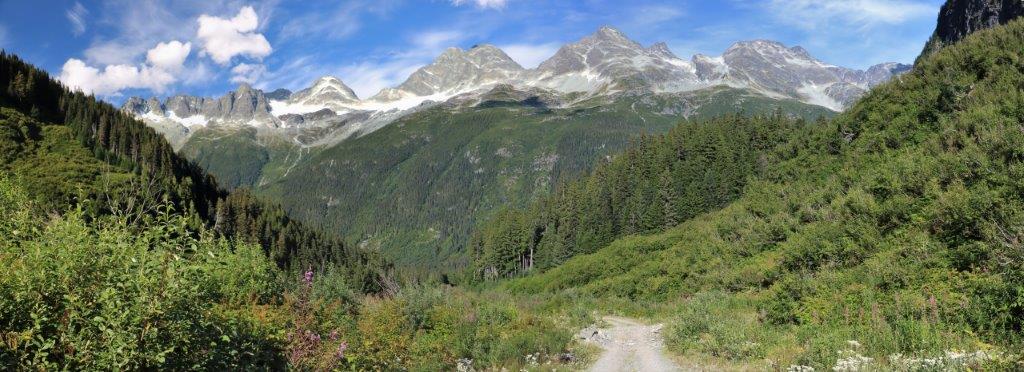

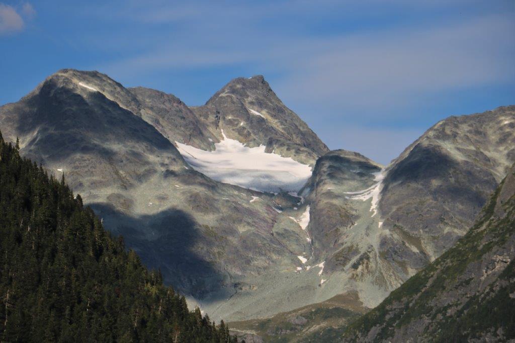


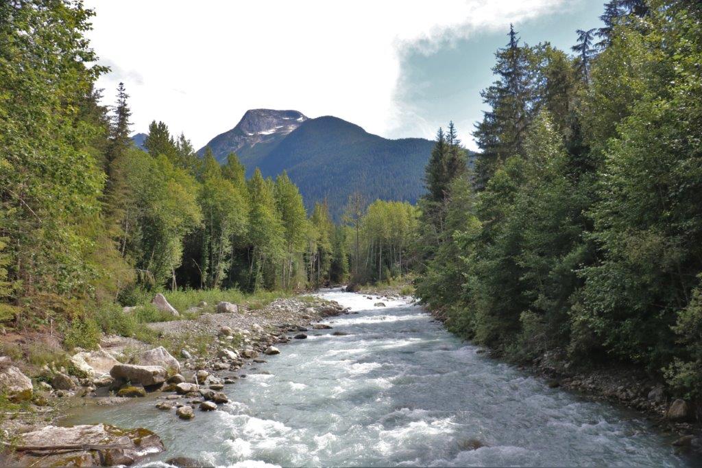
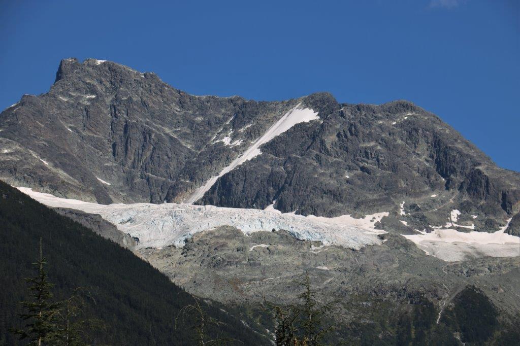
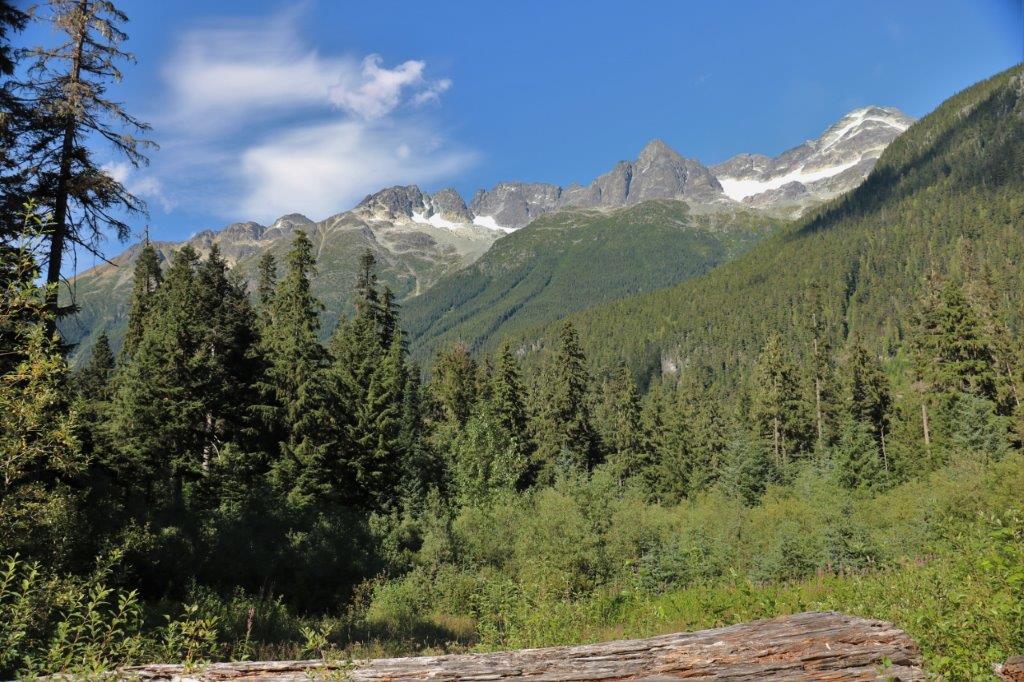
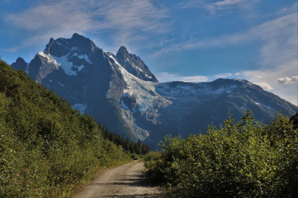 John thoroughly enjoys these back roads where he has to go in and out of four-wheel drive and navigate rough and rugged sections. He got quite a lot of practice on the drive to the lookout. The glacier is actually called Purgatory and it is on Mt. Styx, but Mount Purgatory is the popular name. The view was incredible.
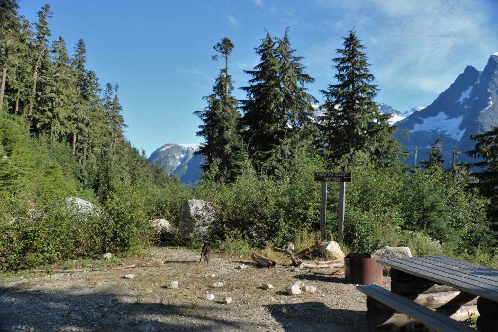
 We located the cache hidden in the rocks at the lookout, scrambled through the cottonwood brush to see if we could get a better view of another mountain and glacier which was blocked by the trees (no luck) and then got back in the truck to make our way down the mountain. A trip that would take more than an hour even though it is just over 32.5 km to the bottom.
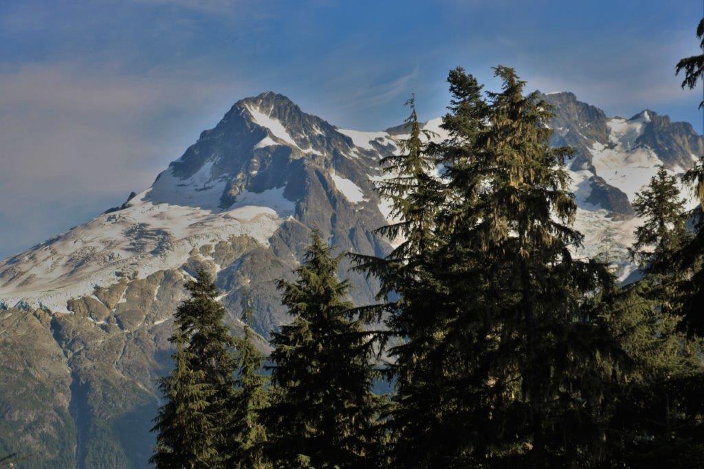
 Rachel was happy to have a ride down. When they left their car on the roadside they were hoping to hike to the lookout and back to their car by 8 o’clock and get back to their campsite to have a cold supper before bed. We dropped them off at their car at 7 so she planned to make a hot dinner instead.
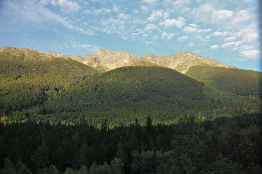
 By the time we got to Hagensborg on our way back to Bella Coola it was almost 8:30. The Shop Easy was still open so we popped in and bought some frozen pizza to have for dinner in our cabin. By 10 pm I had checked my photos and selected them for this blog and it was bedtime. I was much too tired to write the text and put it all together. Sorry about that.
