The snow that was falling when we returned to our hotel room last night in John Day thankfully quit not long after so we did not receive any nasty surprises this morning.
After breakfast we walked around the corner to the Chamber of Commerce building where a cache is hidden. While I visited with two dogs out for their morning walk, John tried to find it. No luck. A staff person came out to see if we needed help with something and we explained why we were wandering around the front of the building. He did not know where the cache was hidden but he sent out a lady who was a fellow geo-cacher and she told us the cache was hidden in a kettle at the base of a large rock at the edge of the frozen, snow-covered pond. She told us we could log the find, but we don’t feel right doing that. We just made a note to come back and actually find it one day and sign the log proper-like. It was very nice of her to tell us to log it though.
She also told us that having as much snow on the ground as they currently do is very unusual for the area, as is the cold they are experiencing. We did not escape the cold all day, but we had glorious sunshine for our drive.
We had two part bottles of water (now frozen) in the truck and decided to top them both up with liquid water from another bottle. I wish I had filmed it. The new water froze into slush on contact with the ice in the bottles. It just piled up in a tower to the top of the bottle. I have never seen anything like it. Obviously the unopened water was a hairs-breadth from freezing and contact with the ice just pushed it over the edge. A great science experiment, I think.
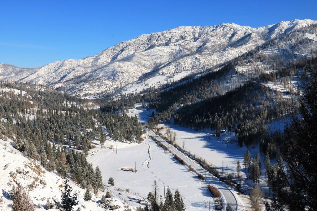
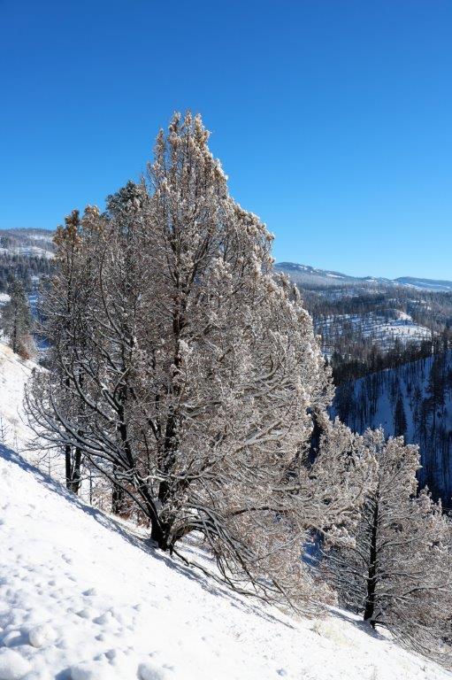
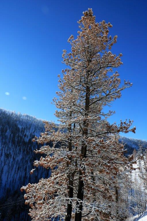
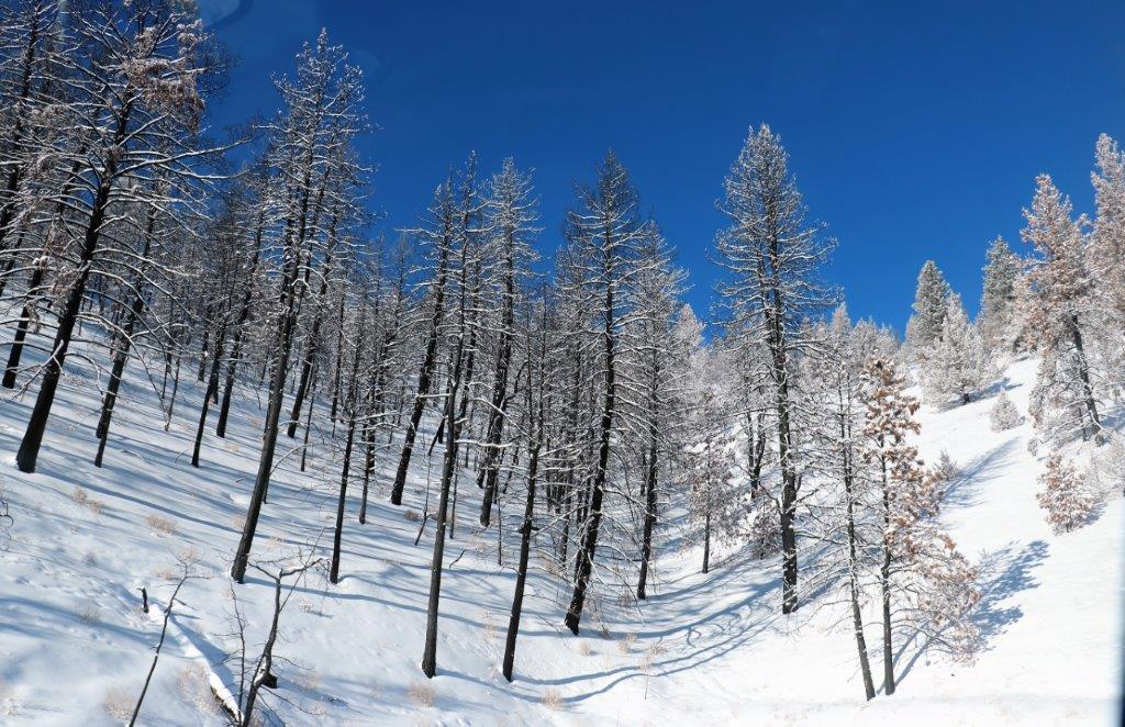
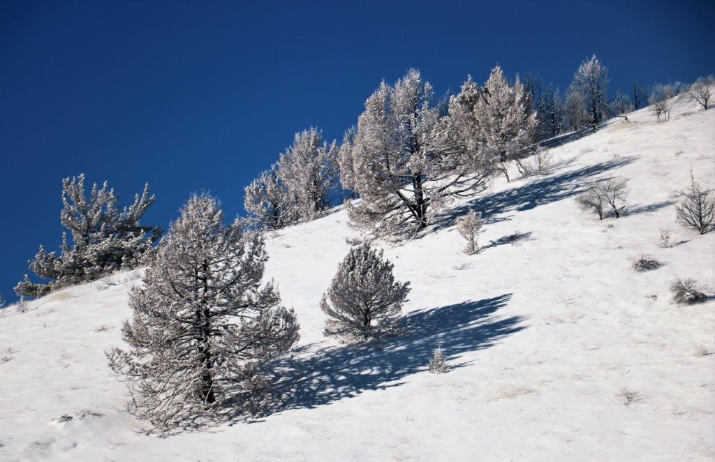
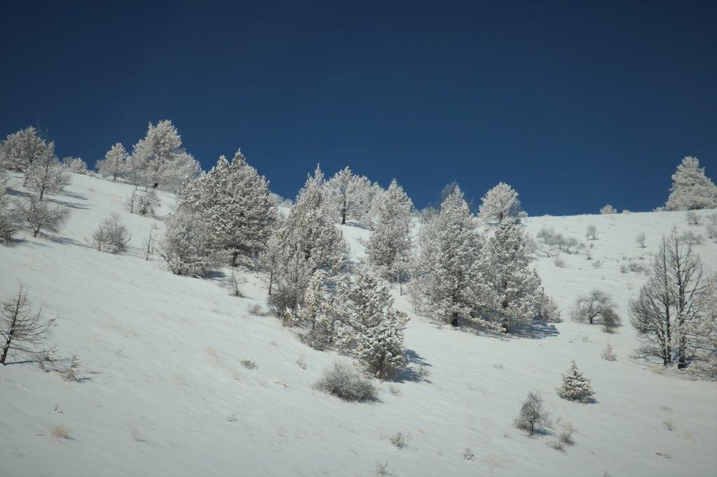
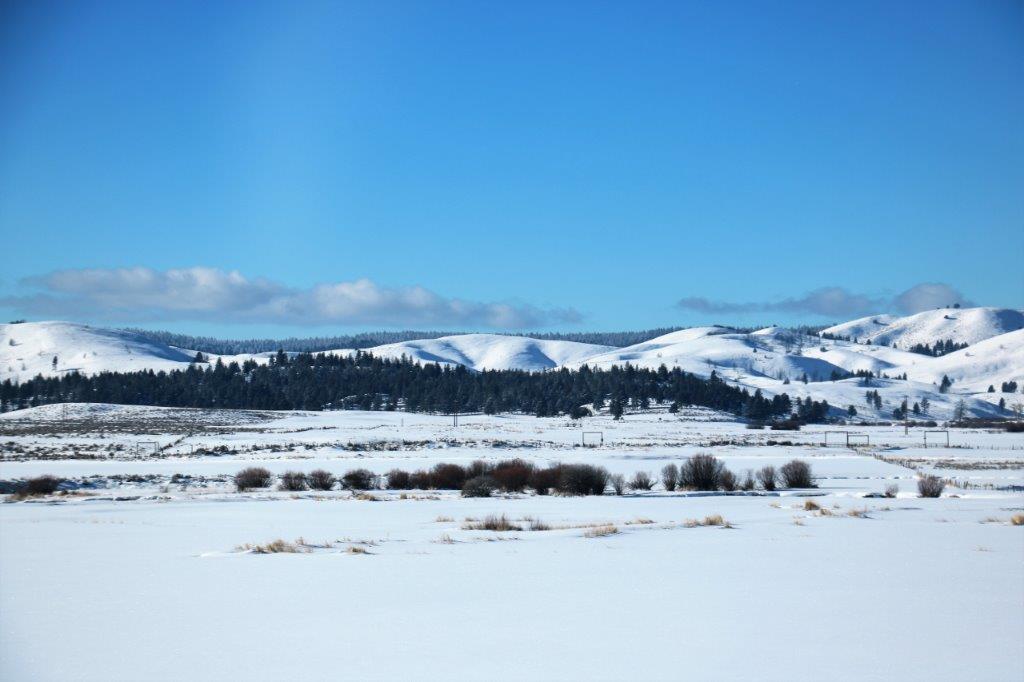
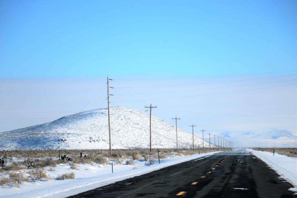
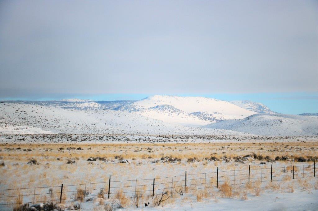
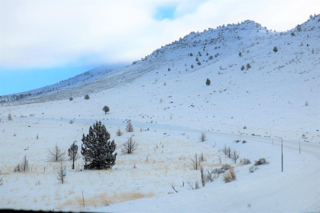
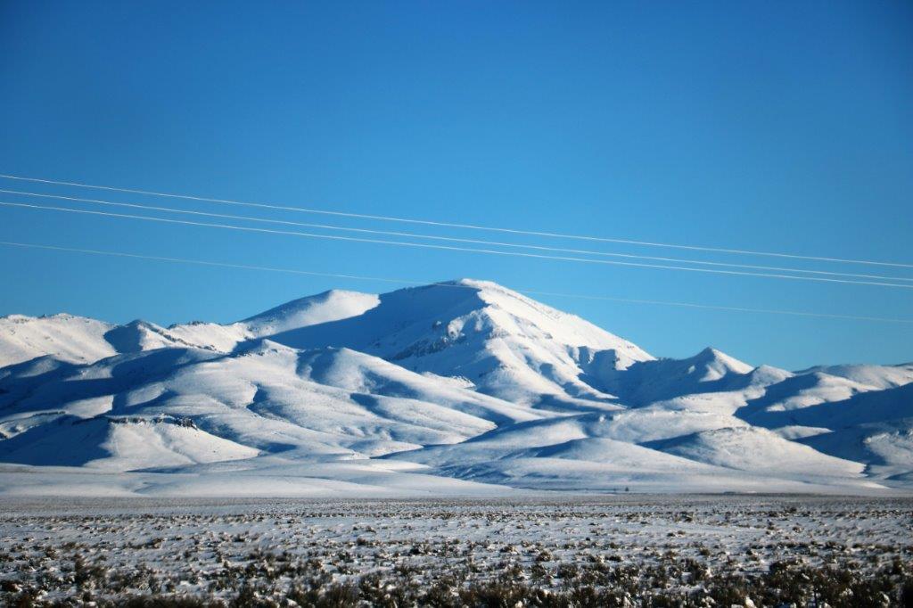
We drove directly south from John Day on Highway 395 to Burns, Oregon through Canyon Creek Pass. The view from near the summit was spectacular.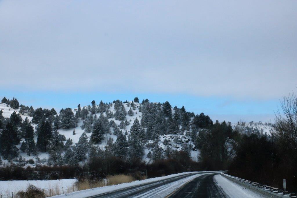
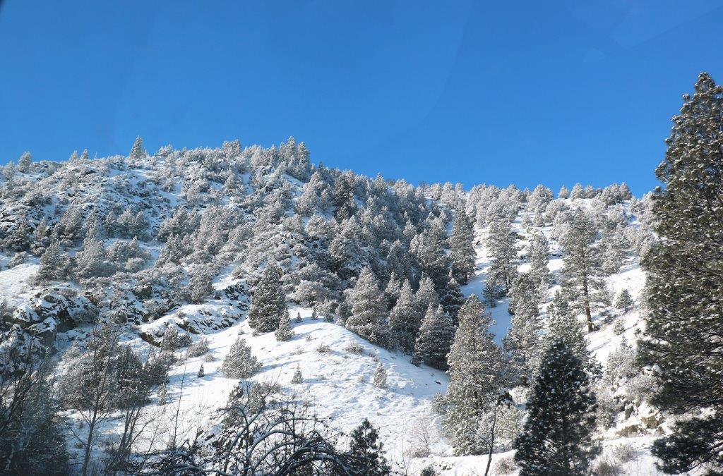

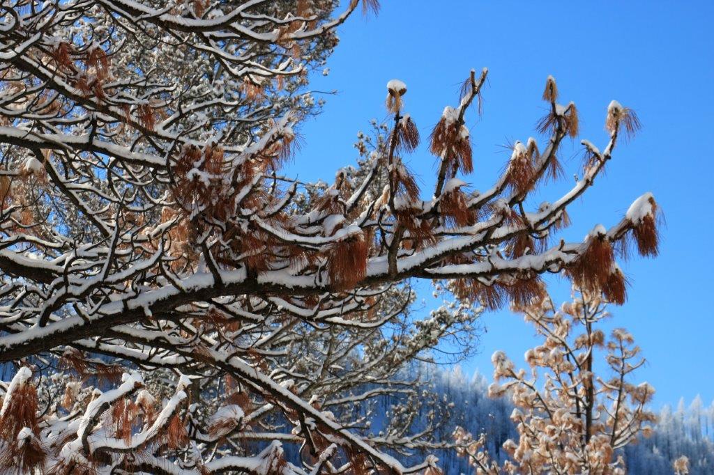
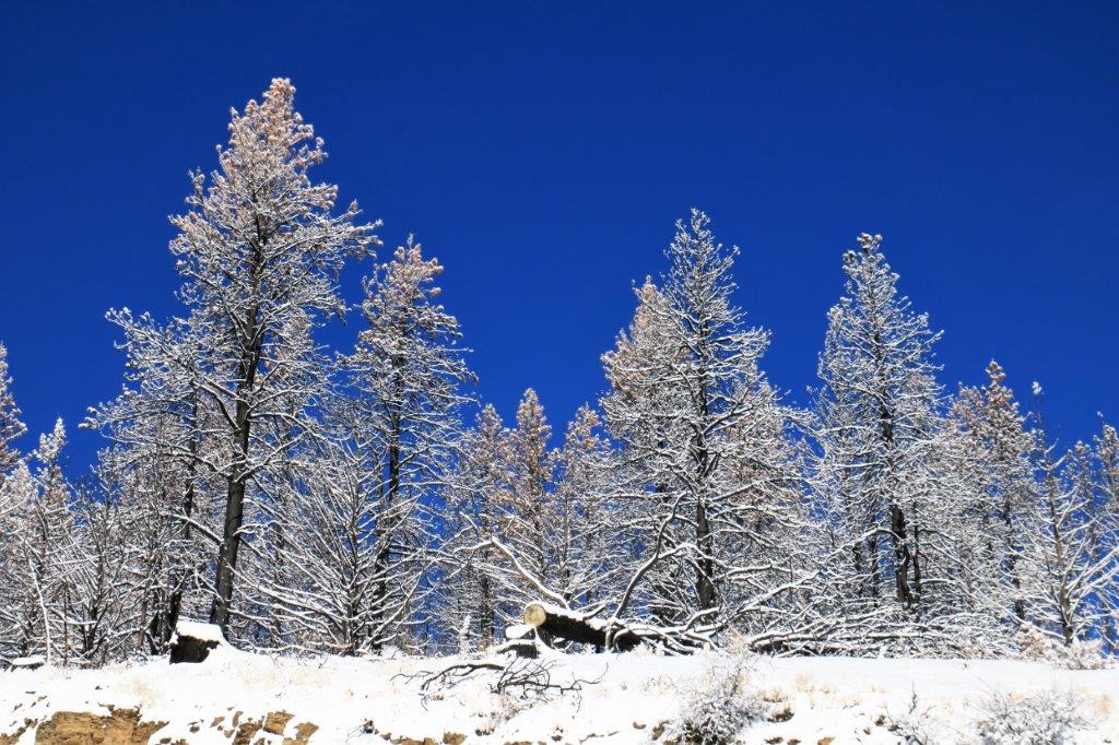
 A few years ago the area was ravaged by a forest fire. The contrast of the blackened trees against the white snow and blue sky was very pretty.
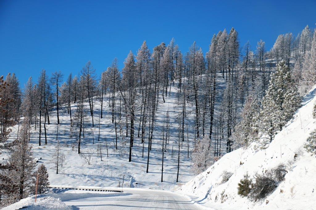
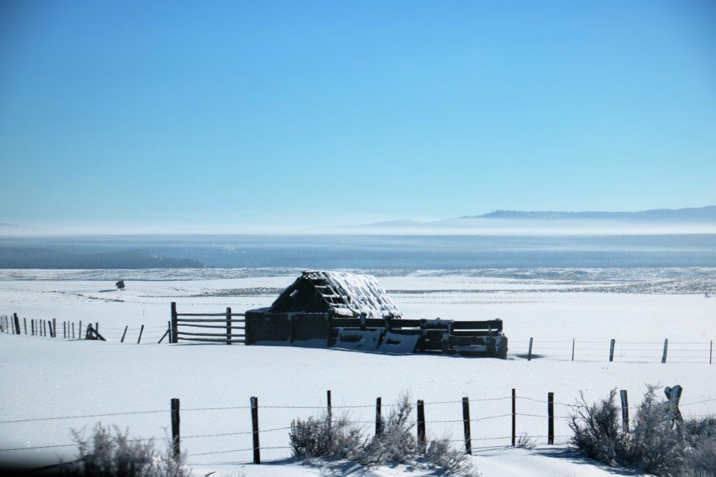
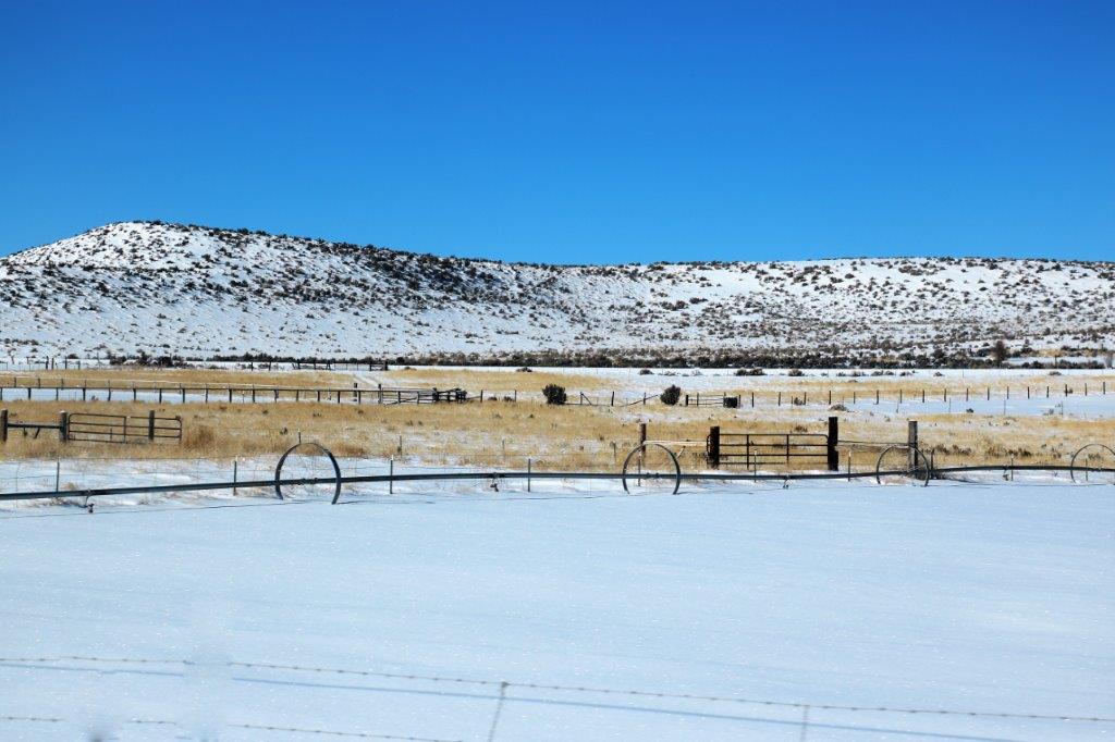
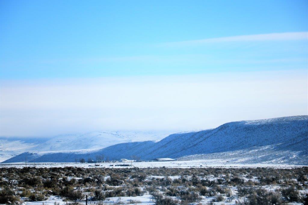
 After we came through the pass we entered the Oregon High Desert Scenic By-Way and drove for over 40 miles through a flat valley belonging to the Silvies Valley Ranch. Silvies Ranch was established in the late 1800’s and today is owned by a Limited Company. It owns and leases 140,000 acres and has 60 square miles of deeded land; with 6,000 acres of meadows, 14,000 acres of Ponderous Pine forest, and 20 miles of the Silvies River running through it. They raise kids, cowboys, quarter horses and heritage beef. They have a full conference center and will soon have golf courses and all kinds of other amenities. Quite an operation!
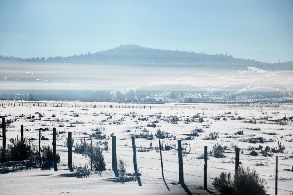
As we drove through the valley we could see a white strip of fog/cloud hanging just above the hills or the horizon. It was quite an interesting phenomenon.


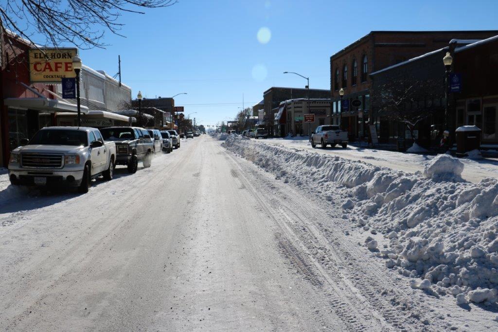
 We stopped for lunch at Burns and, once again, there was a geo-cache hidden in a tree in front of the Chamber of Commerce. This one we did find. Burns, according to the server at the restaurant doesn’t have much snow yet but they are not used to such cold temperatures.
 Two ladies decided to decorate this juniper bush. They change the decorations every month. There is a cache hidden here but we suspected it was buried under all the snow at the base of the tree and didn’t want to disturb it.
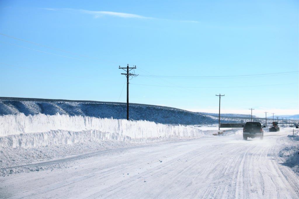
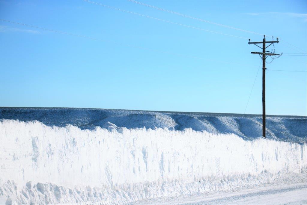
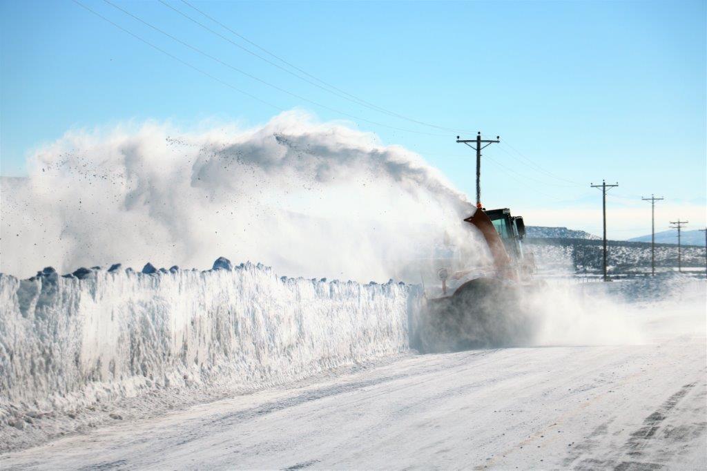
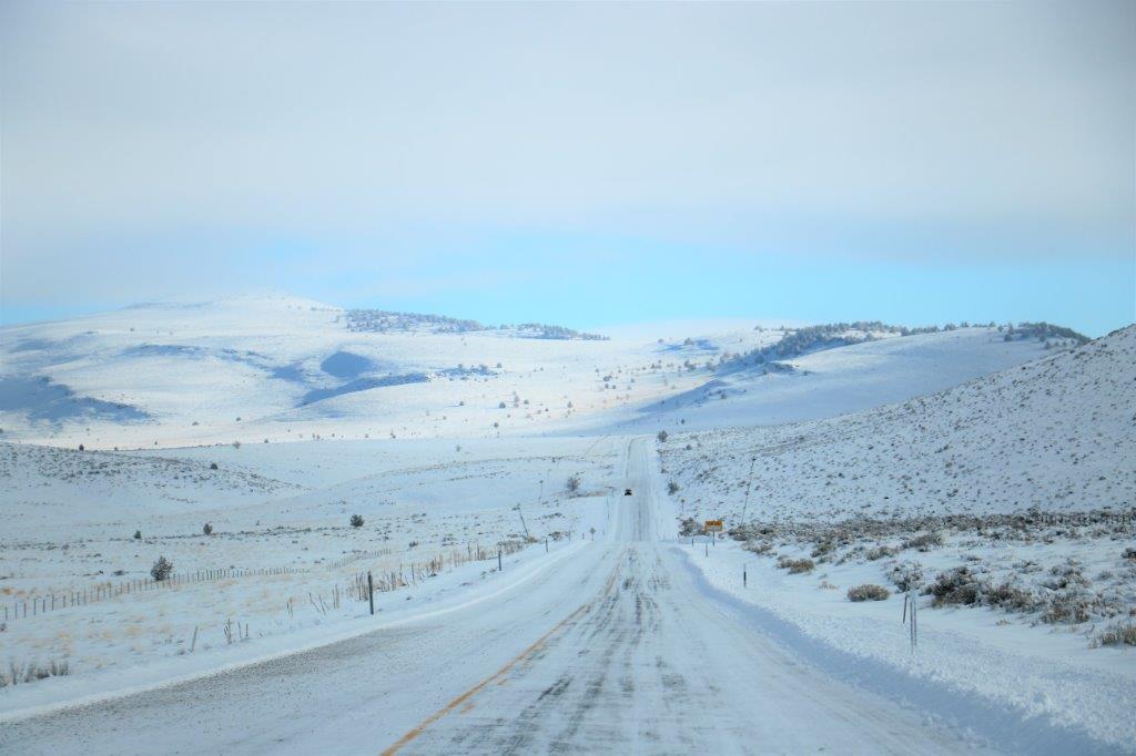
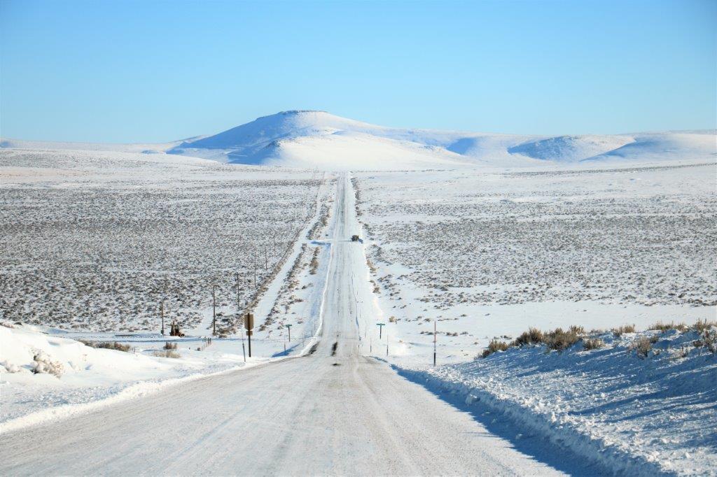
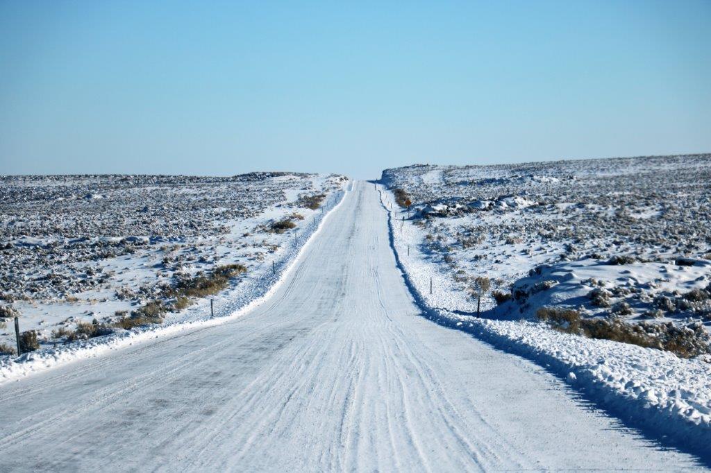
 The drive through Crooked Creek Valley was flat, flat, flat with a straight-as-an-arrow road. It is so flat that the snow drifts in and covers the road. A crew was almost finished clearing a section that had drifted full of snow.
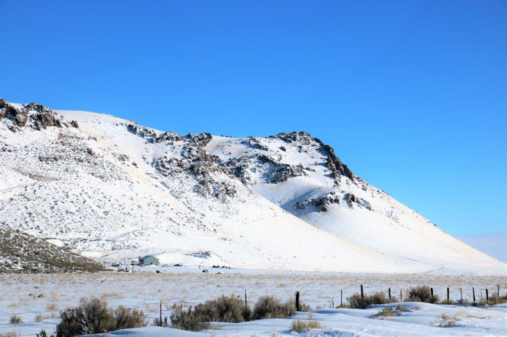
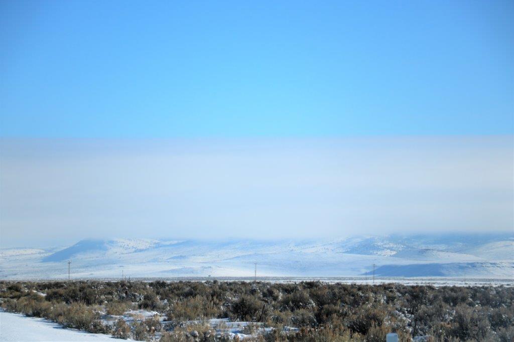
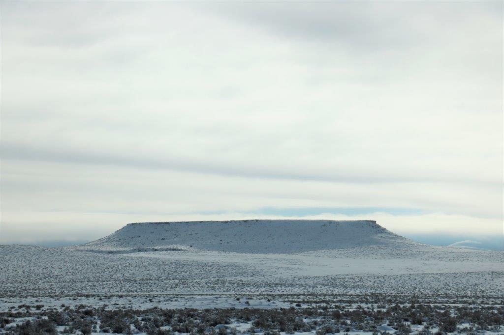

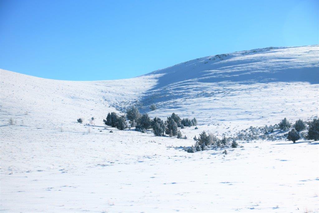

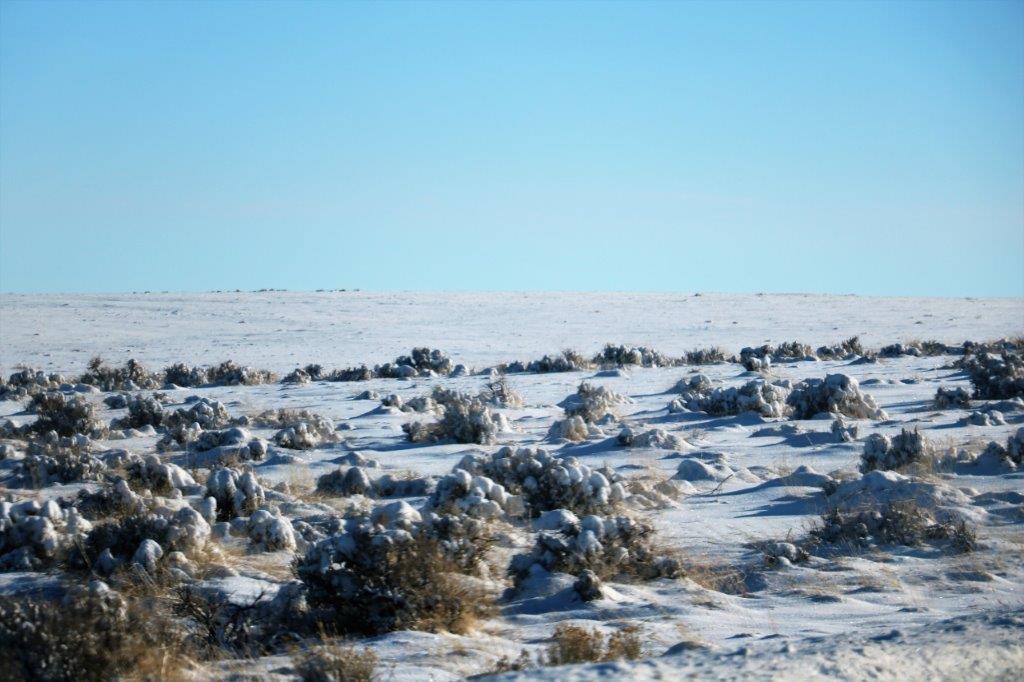
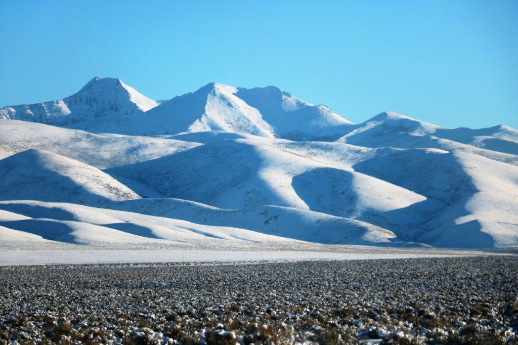
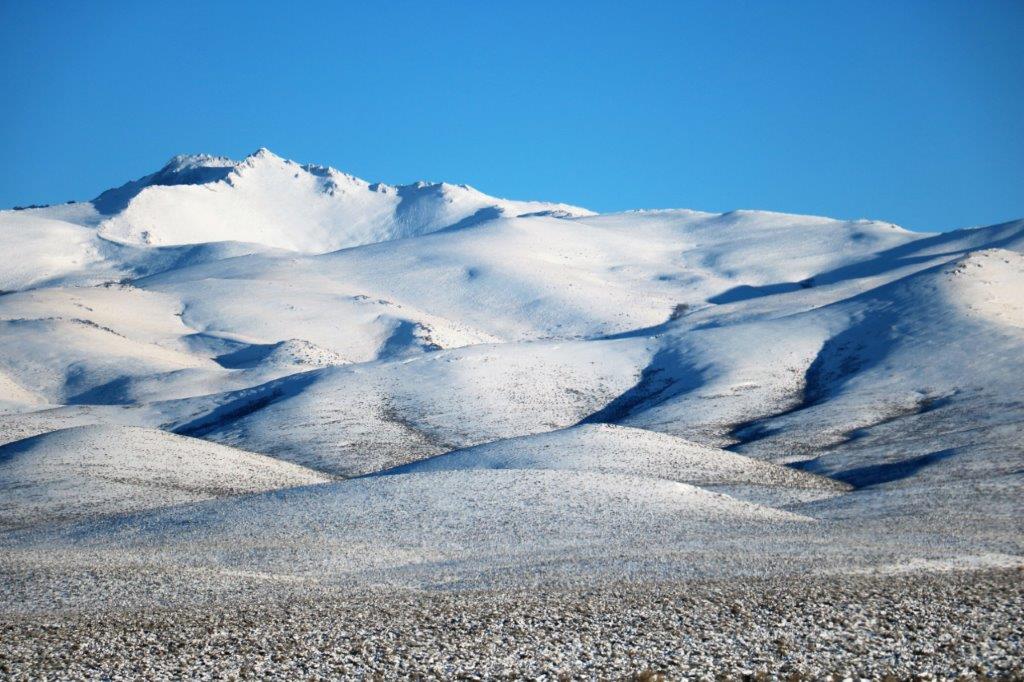
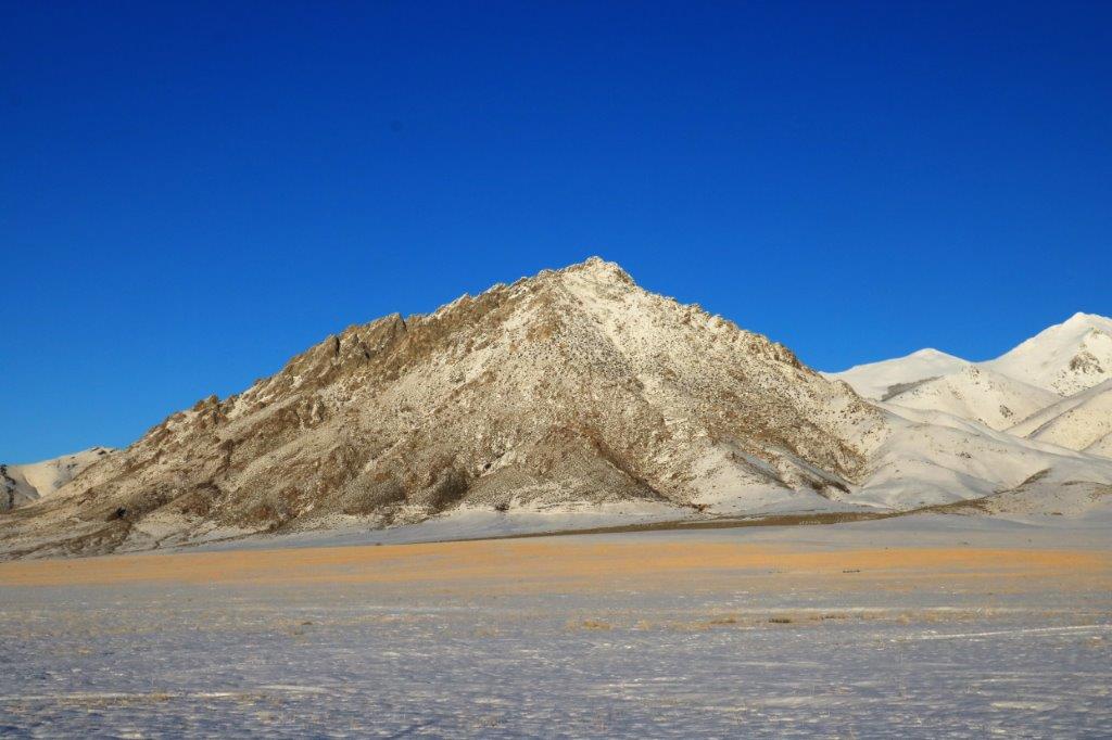
 From Burns it is 55 miles to the Nevada border, and from the border it is 78 miles to Winnemucca and our stop for the night. The topography changed eventually from flat valley bottom to hills but it was still cold with a wind blowing and everything is covered with pristine, glistening white snow. We just are not far enough south yet. We’re getting there though.
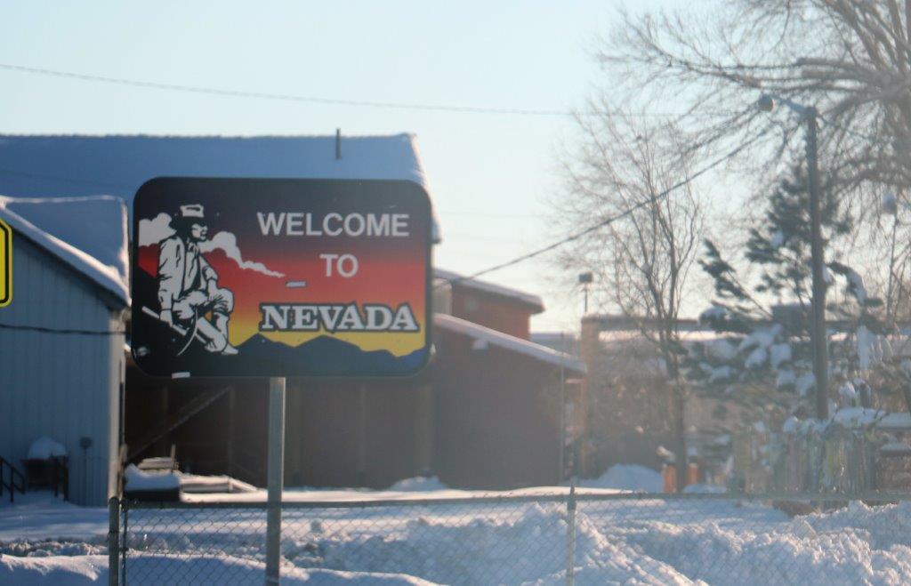

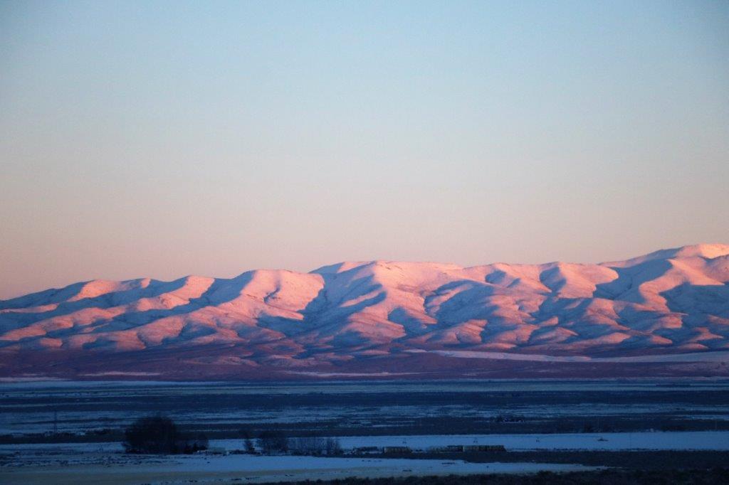
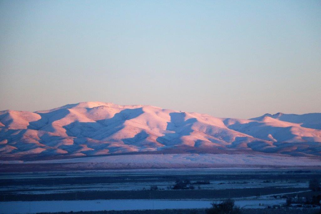
 As we approached Winnemucca the sun was setting and cast a gorgeous pink glow onto the hills. Mark this down as another good day.