Category Archives: Hanna Travels

2014 Aug 30 – Day 72 – Gander NL (Road to the Shore)

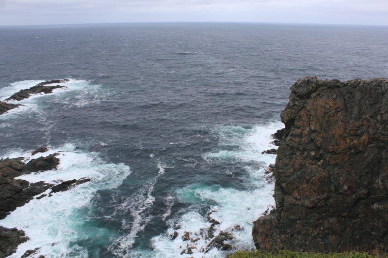
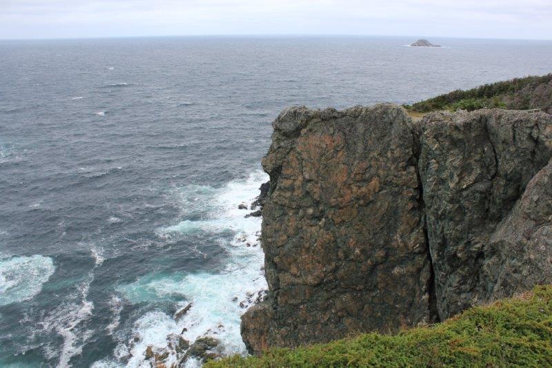
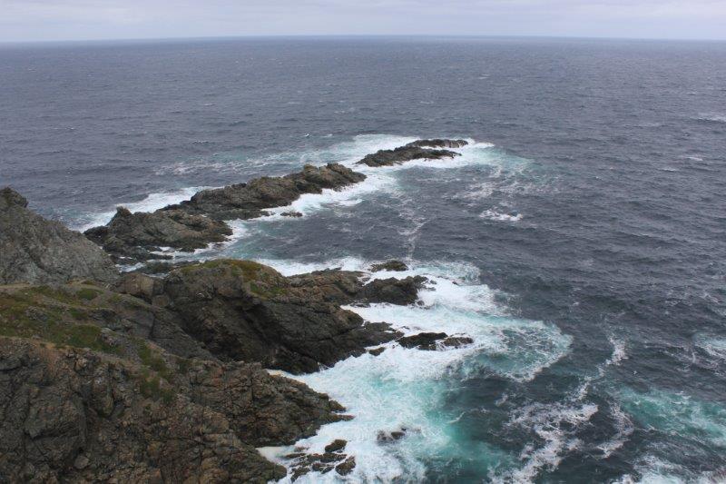
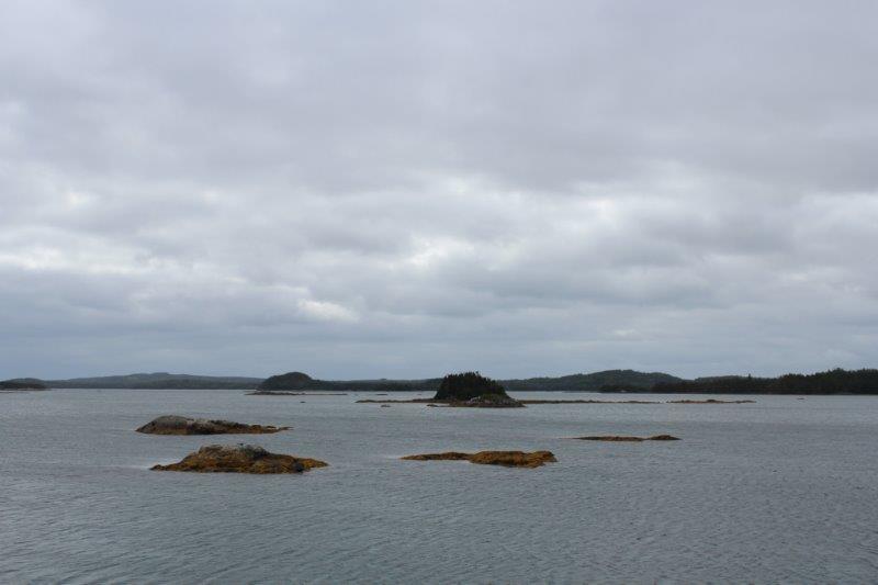
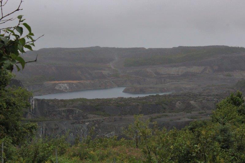
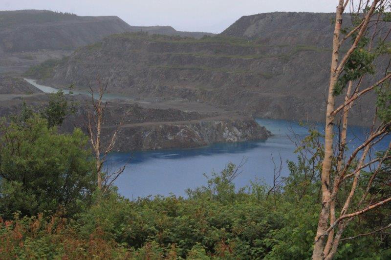
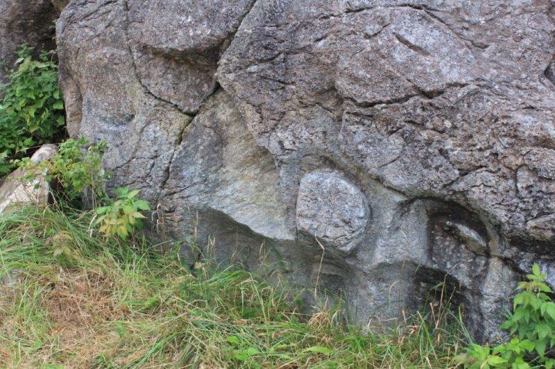
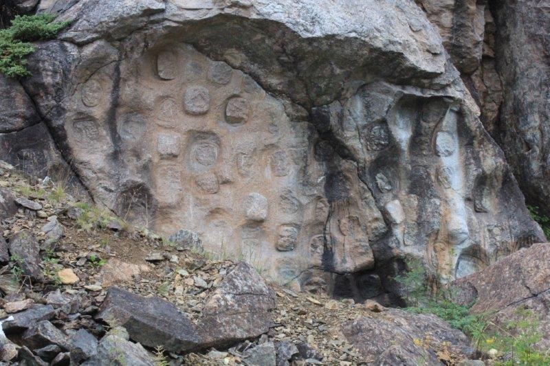
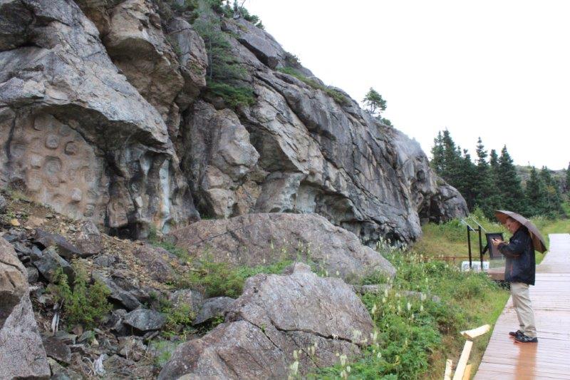
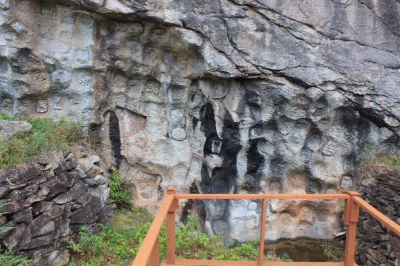
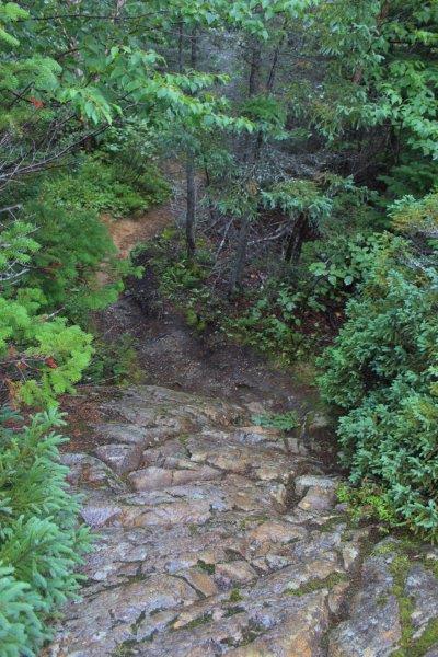
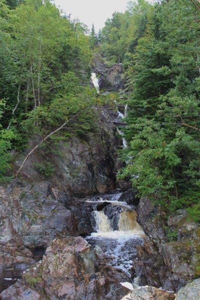
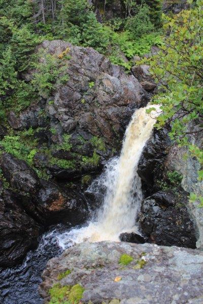
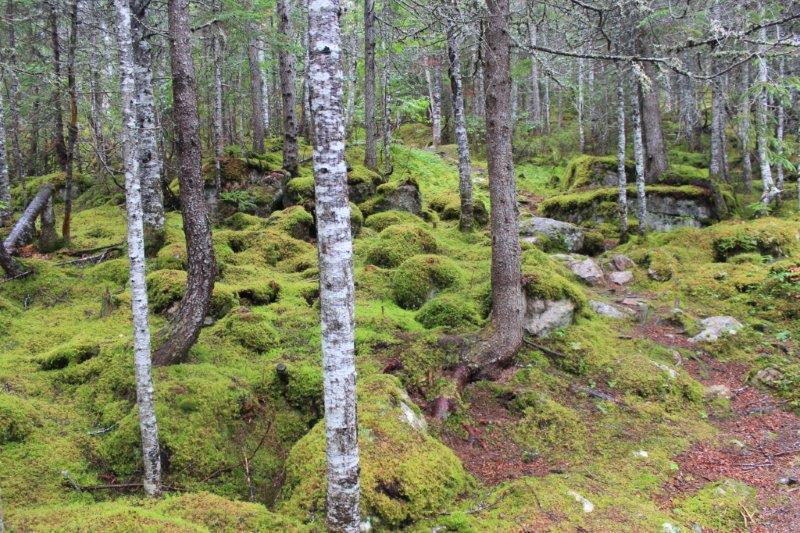
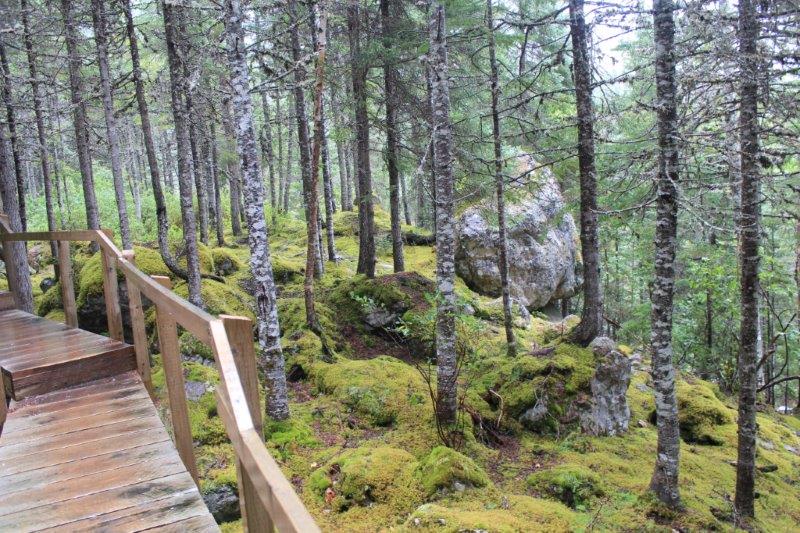
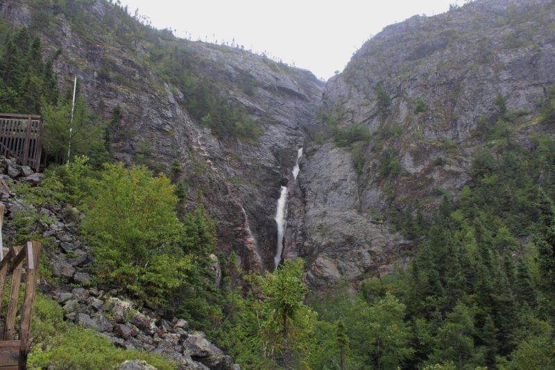
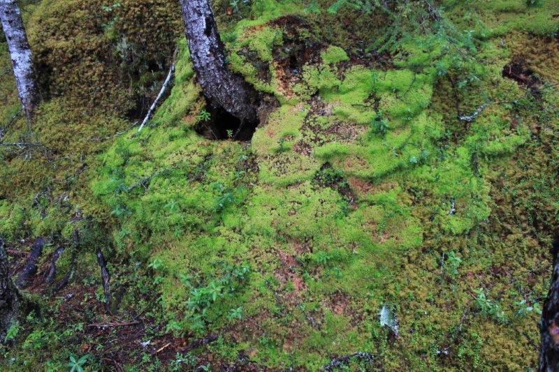
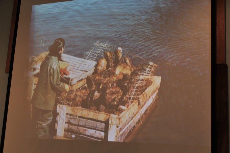
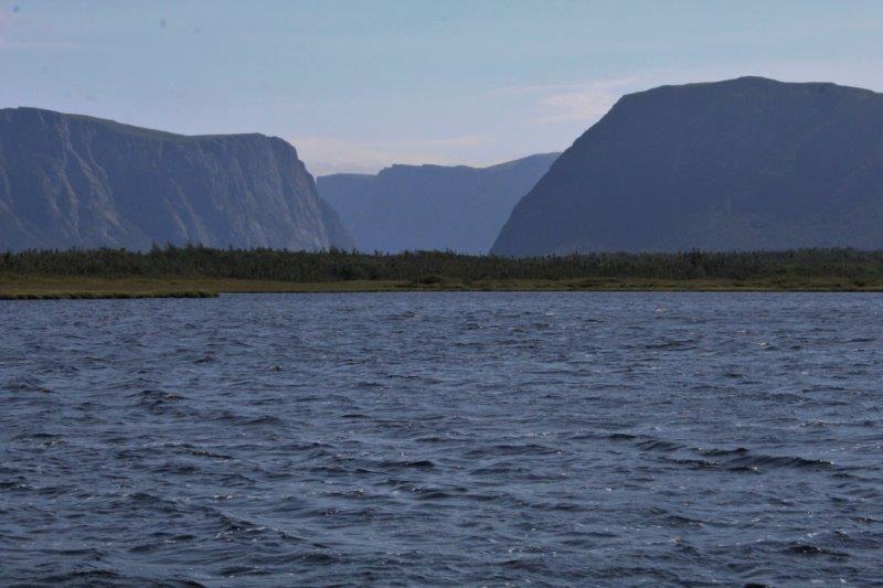
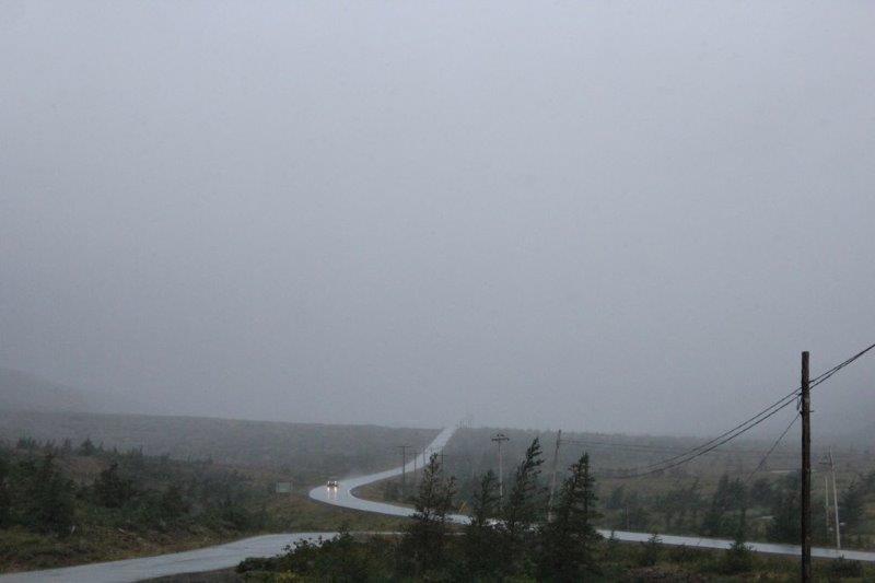
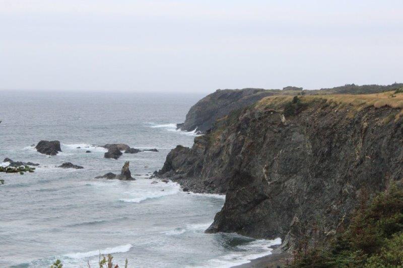
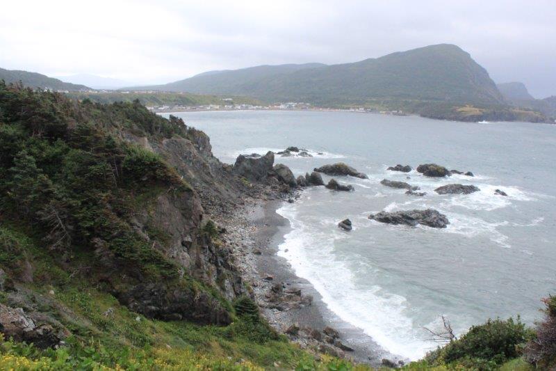
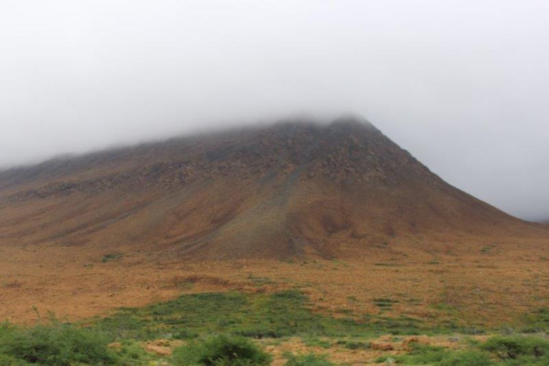
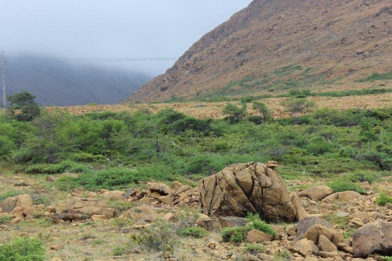
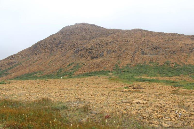
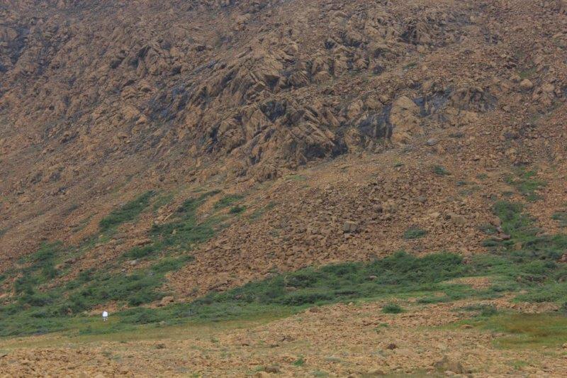
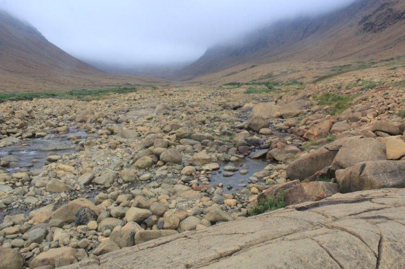
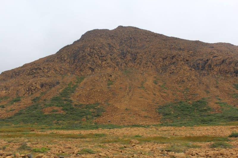
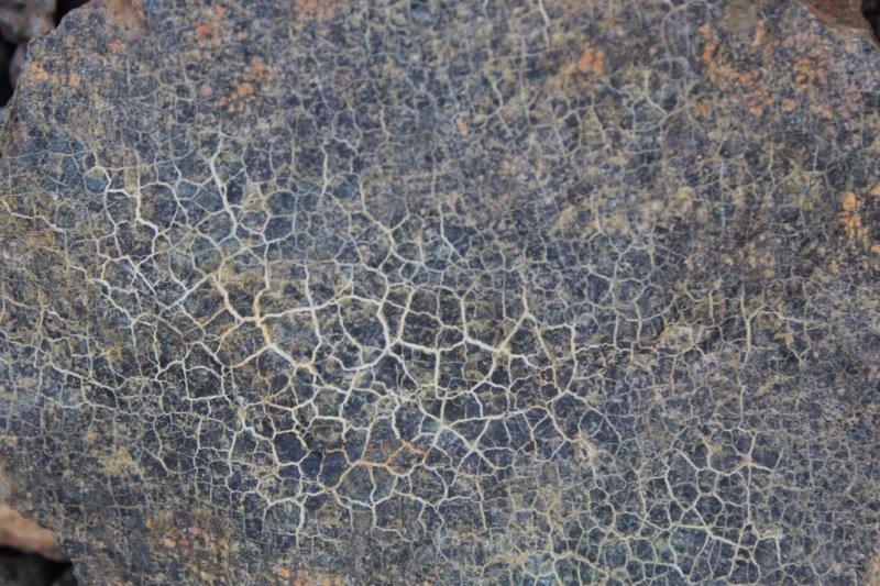
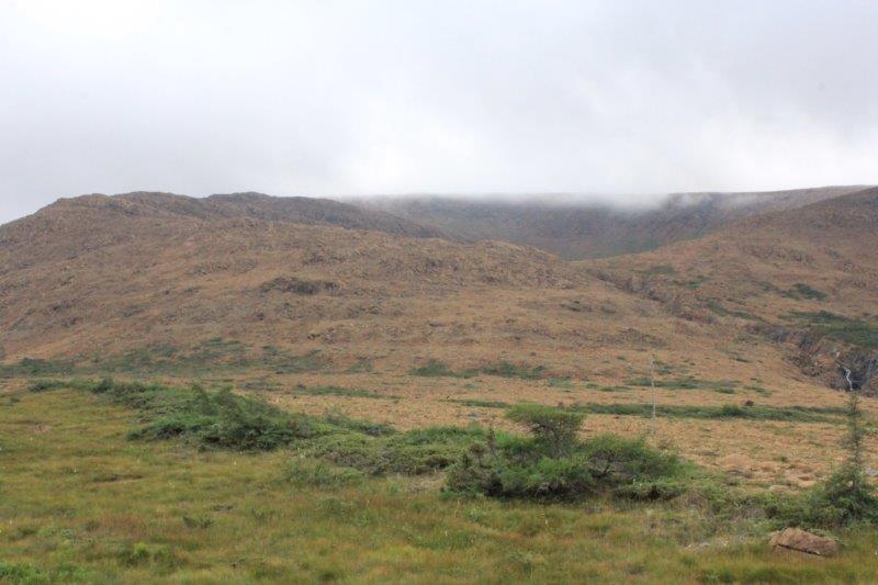
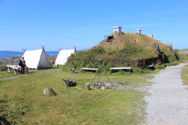
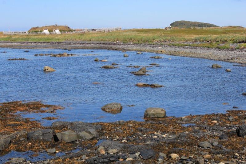
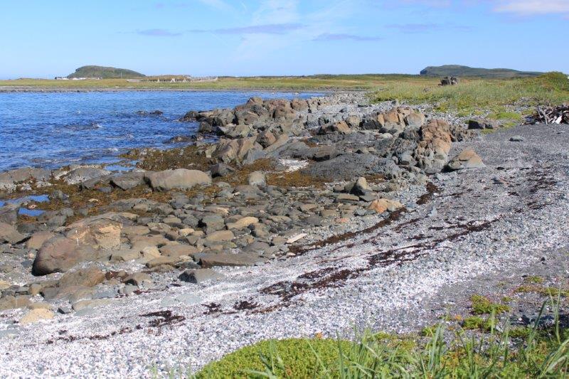
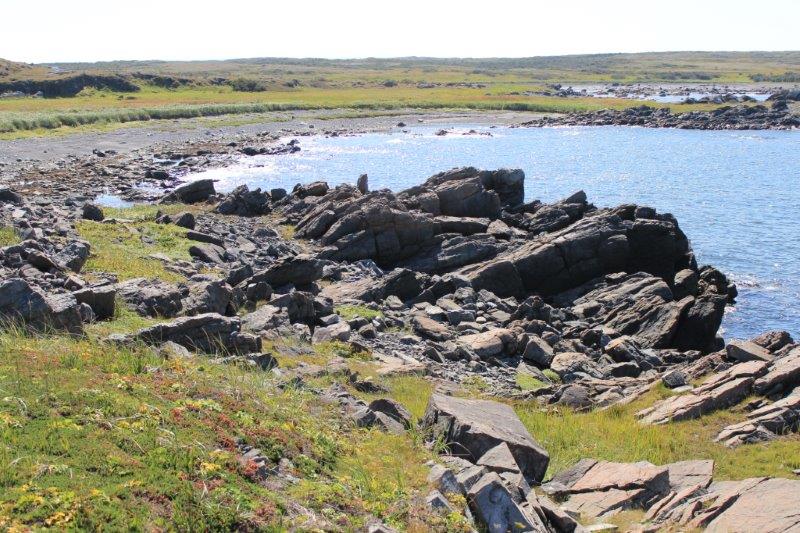
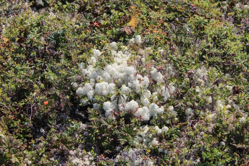
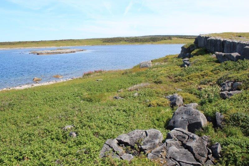
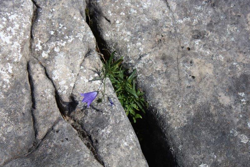
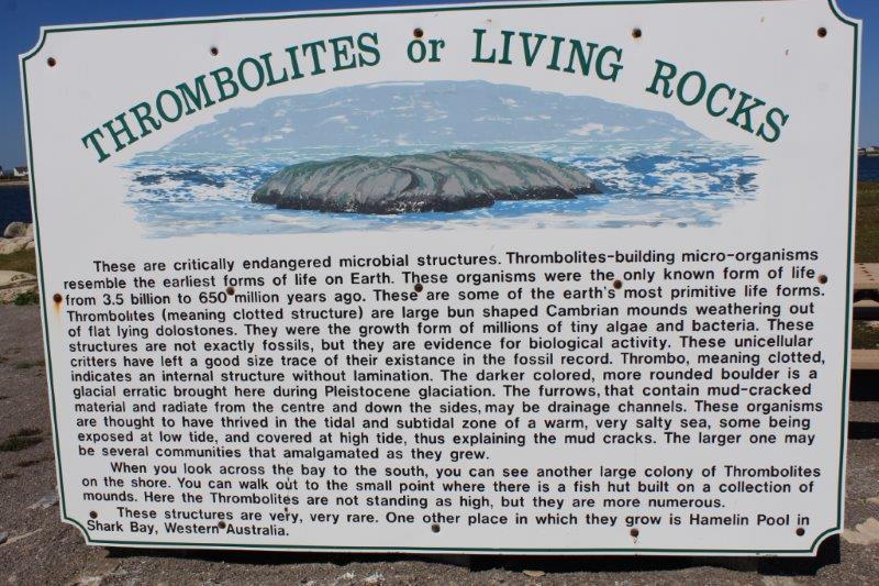
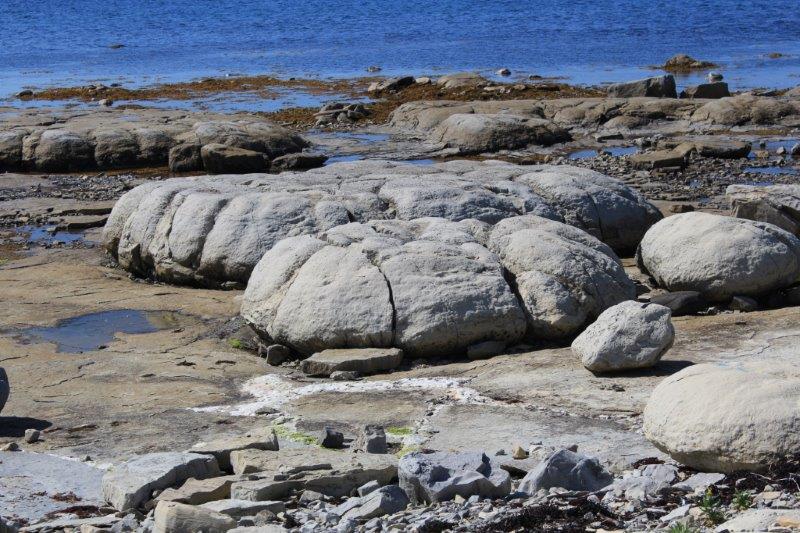
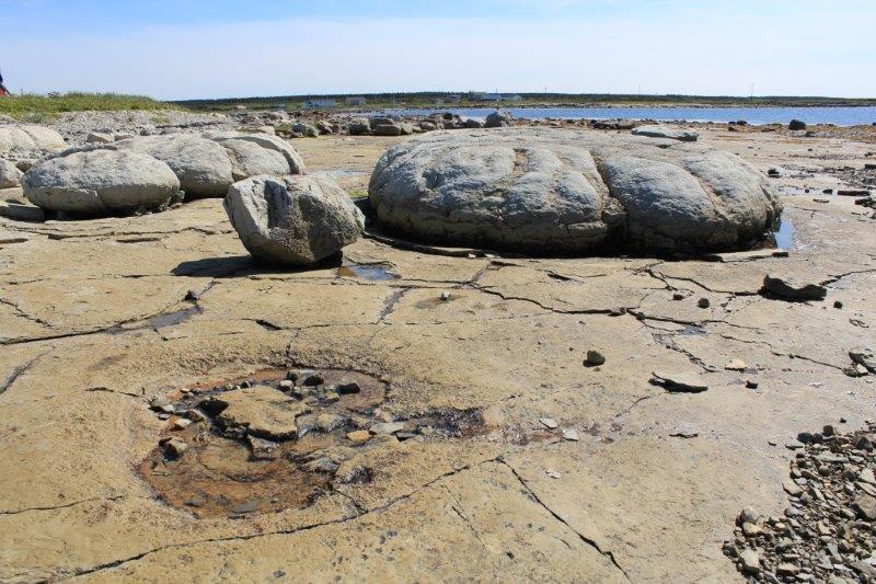
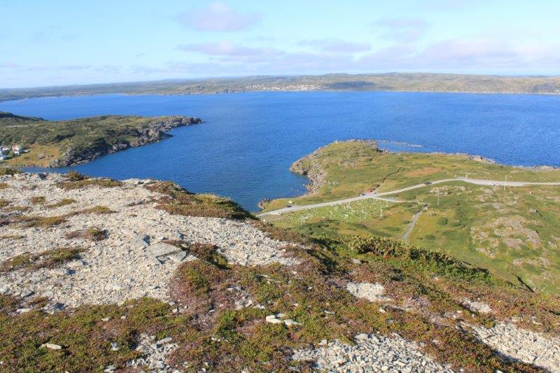
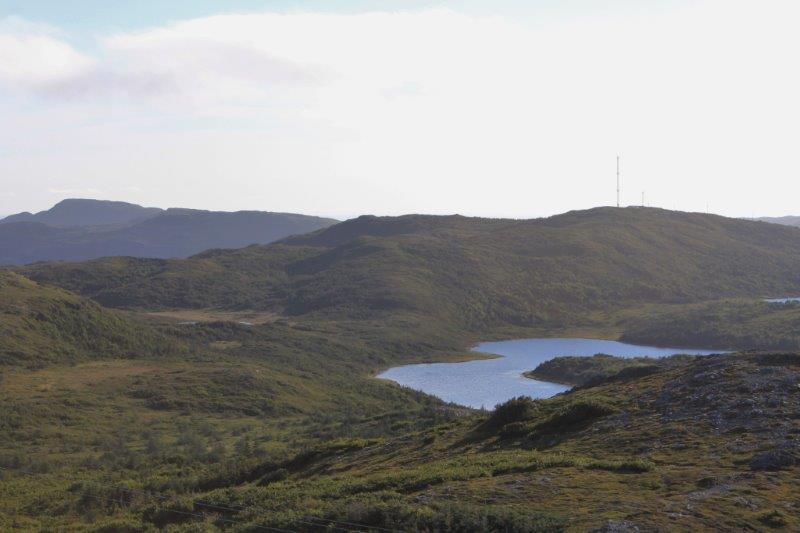
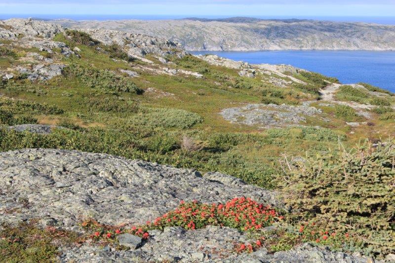
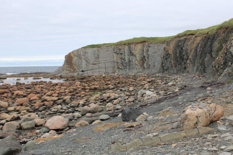
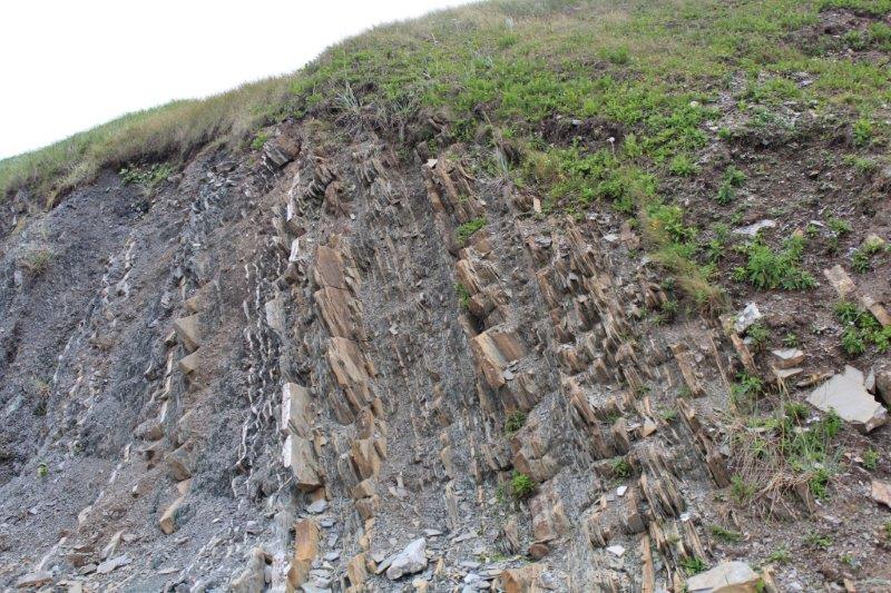
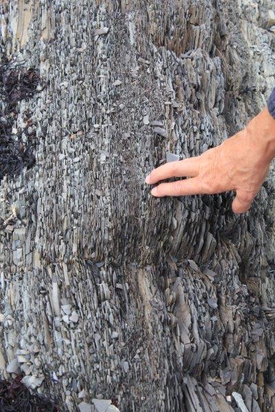
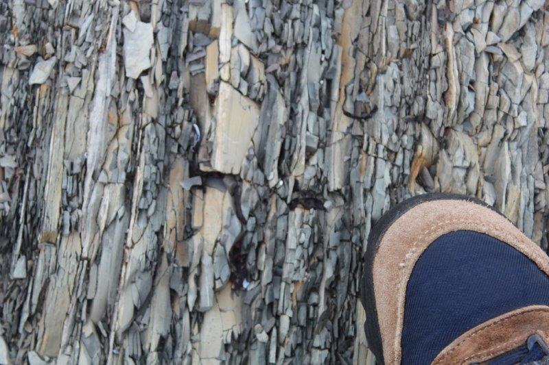
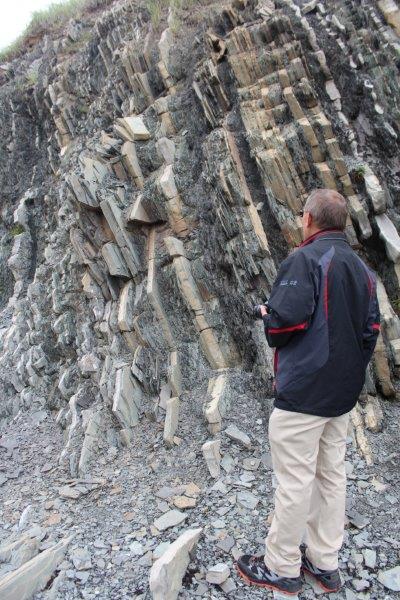
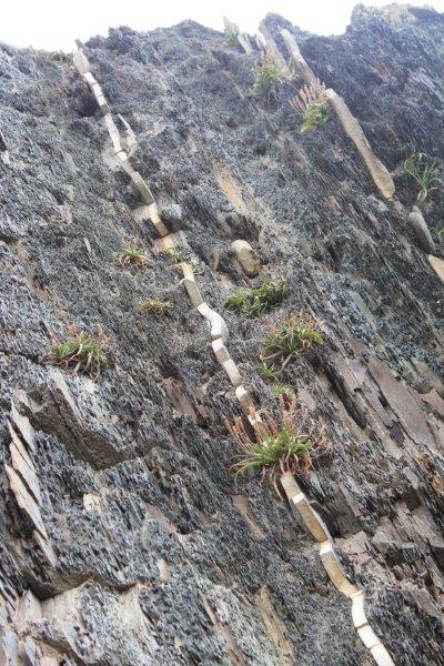
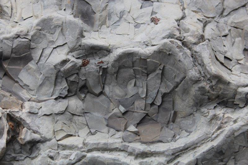
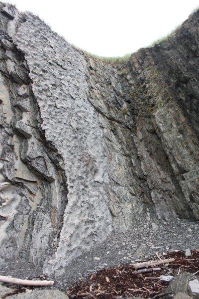
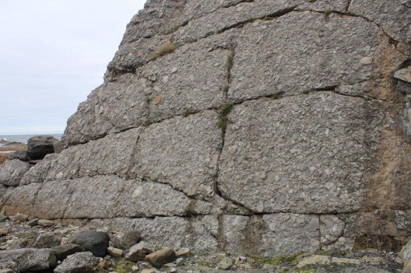
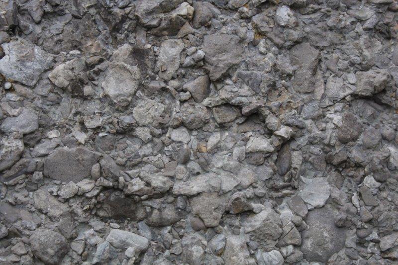
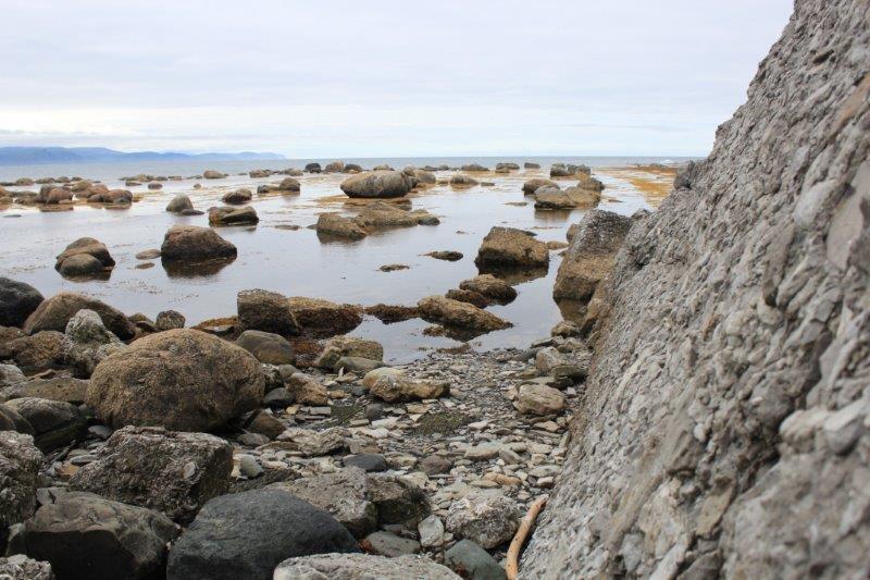
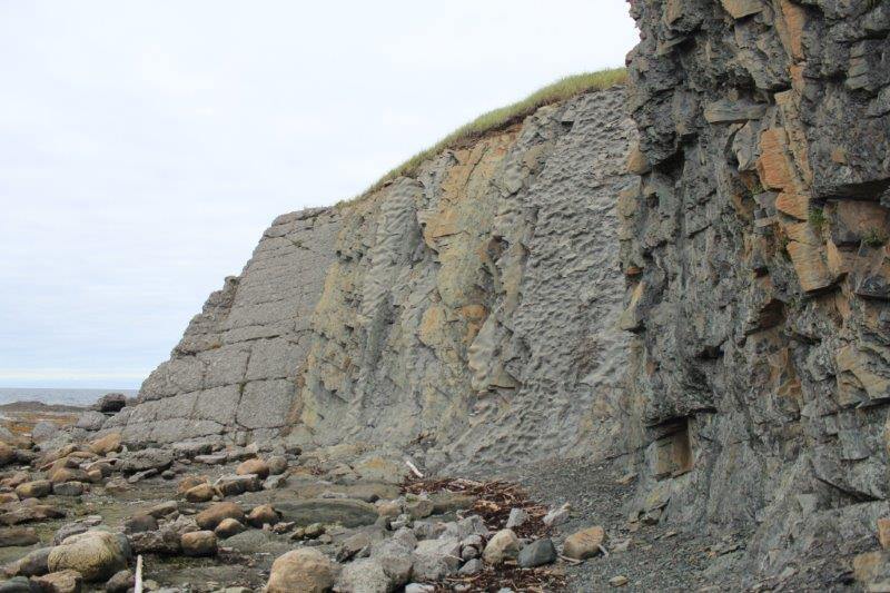
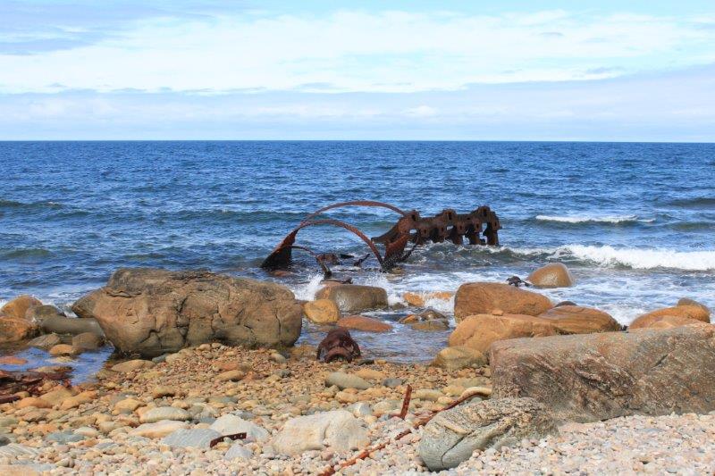
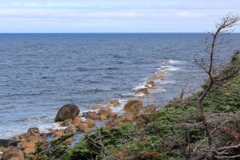
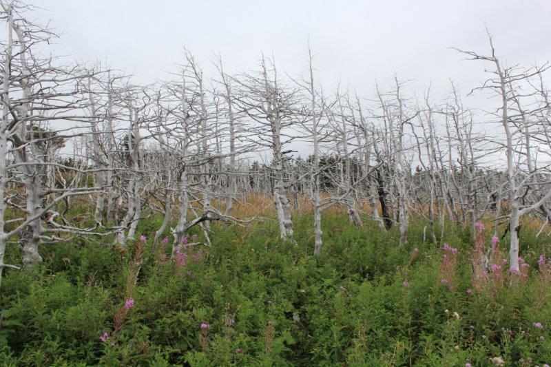
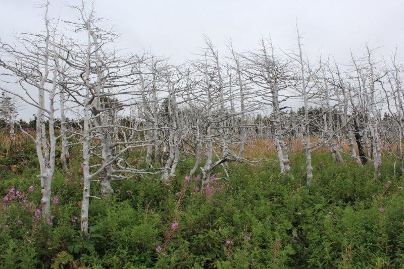
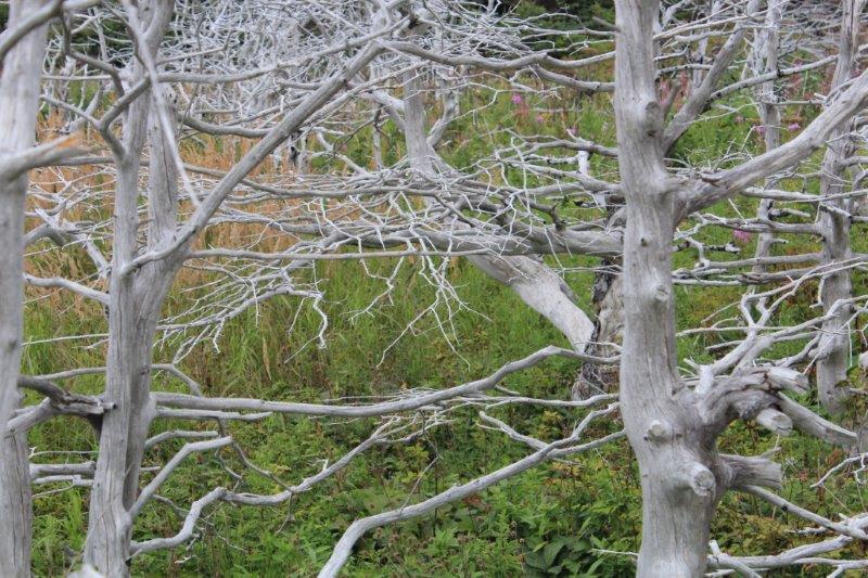
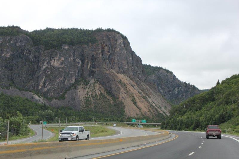
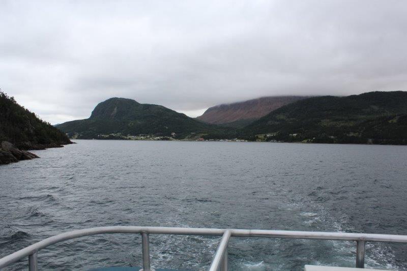
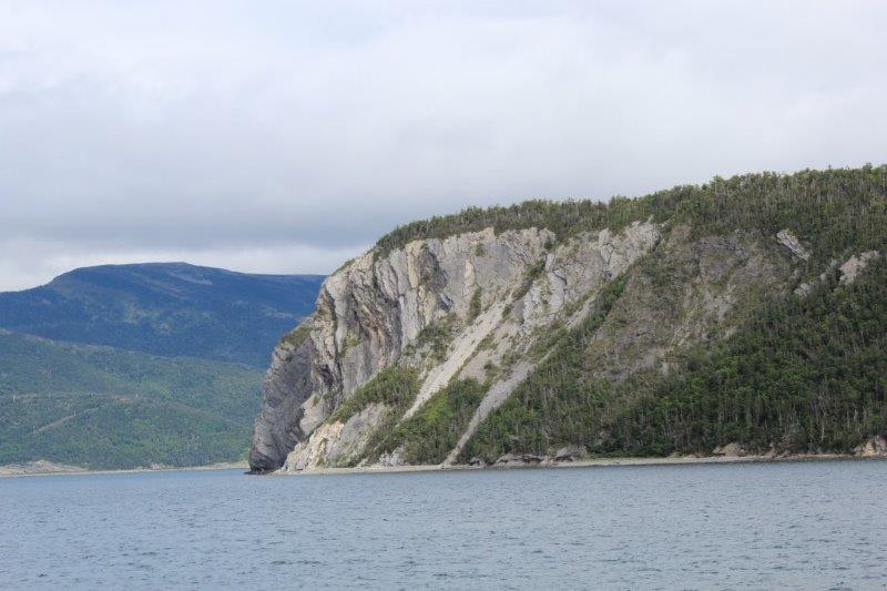
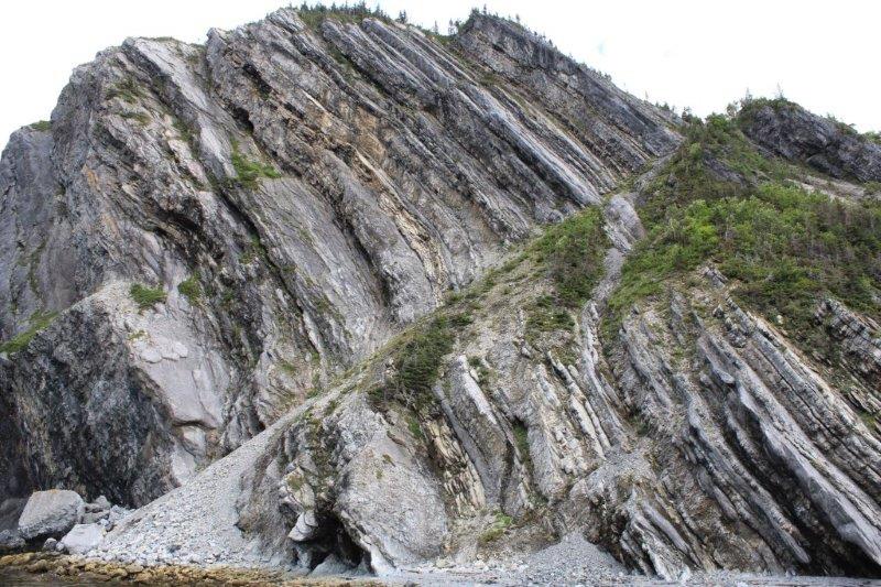
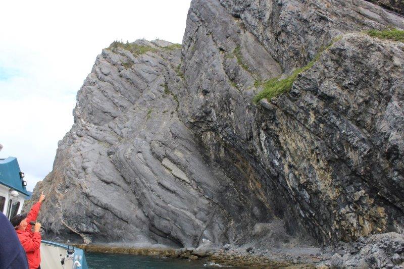
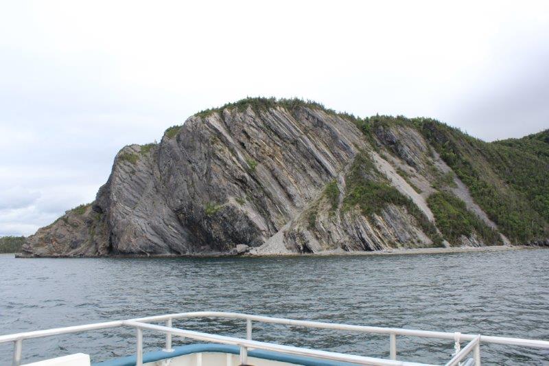
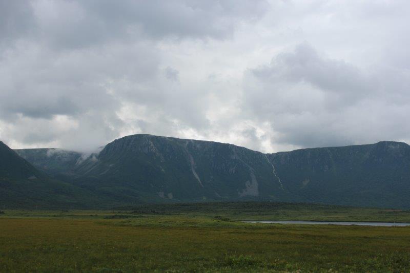
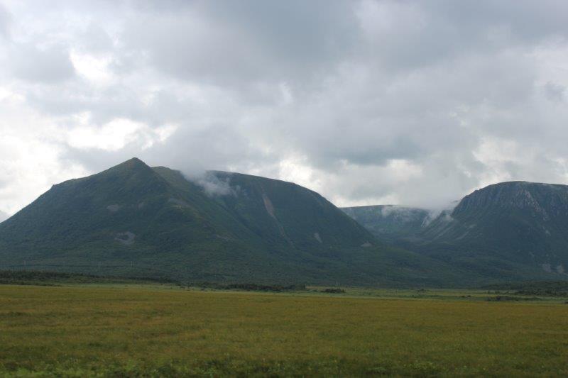
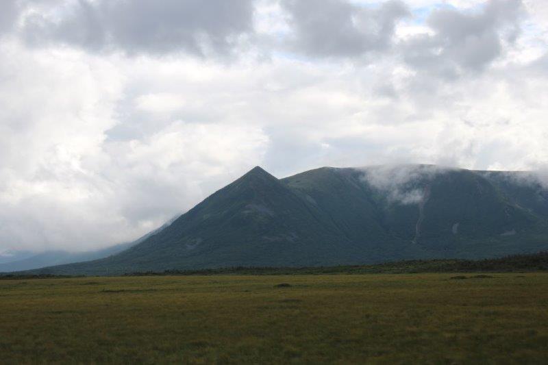
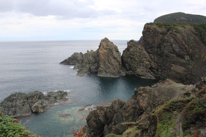
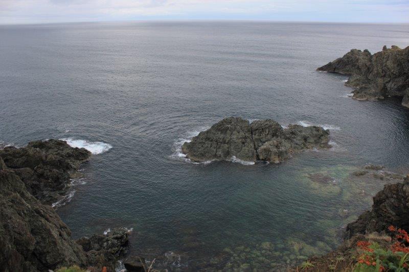
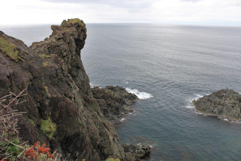
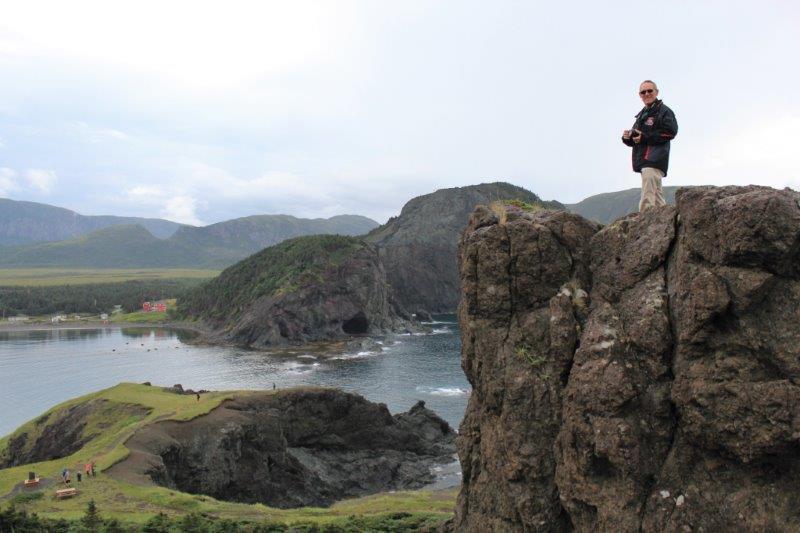
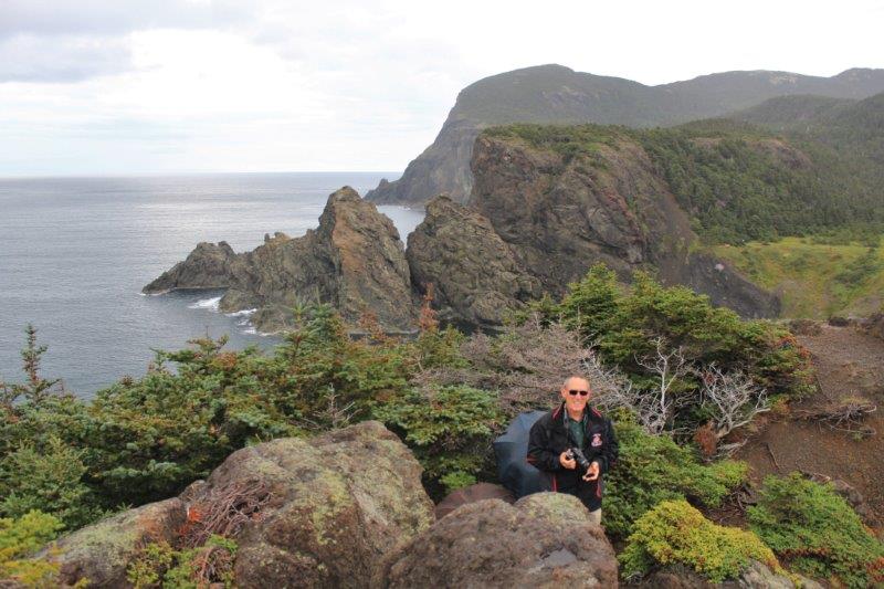
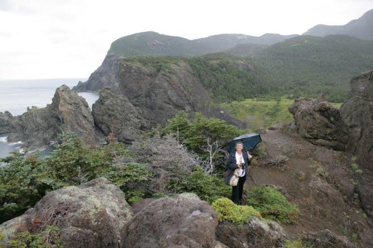
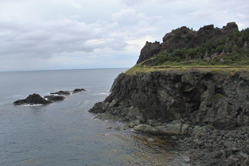
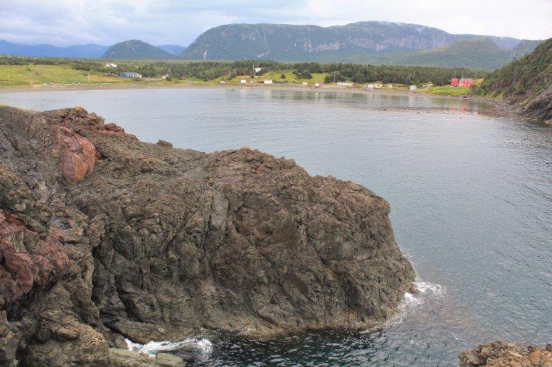
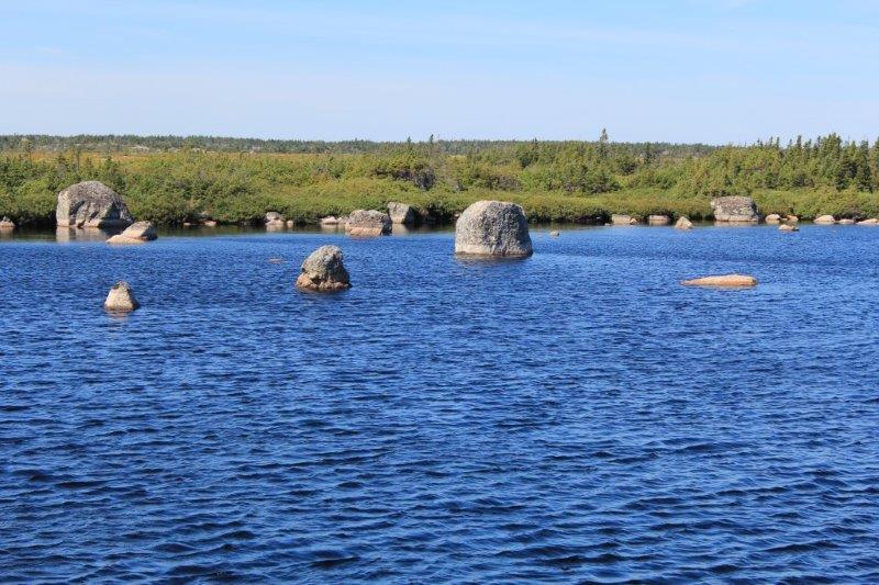
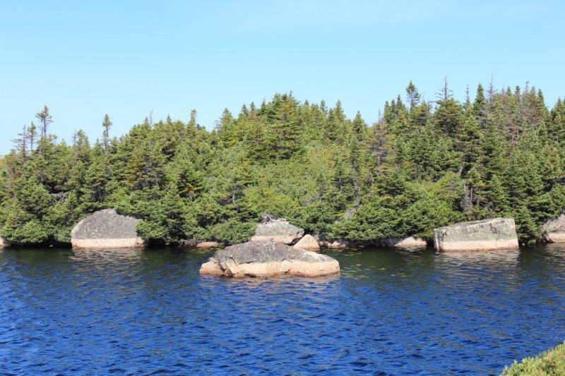
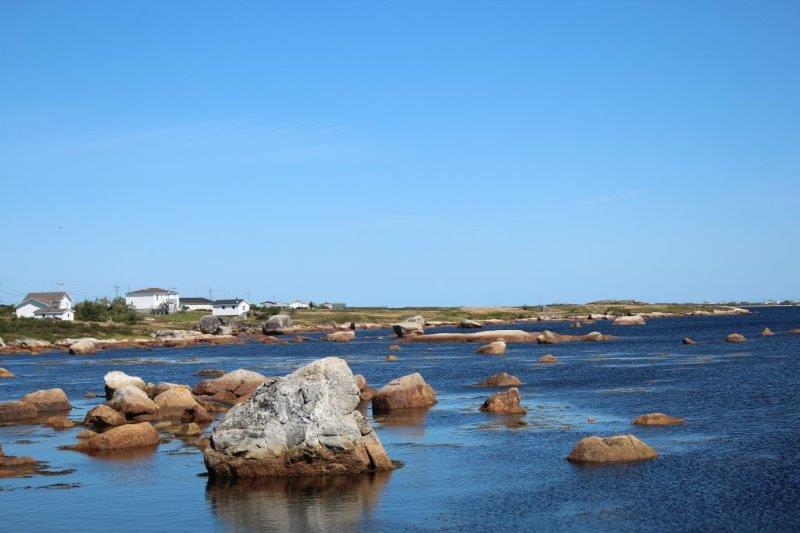
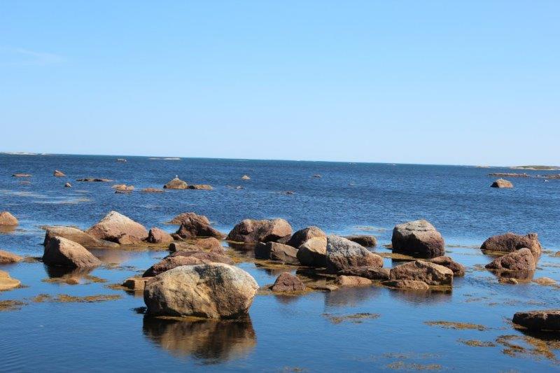
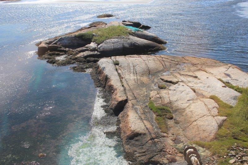
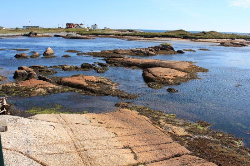
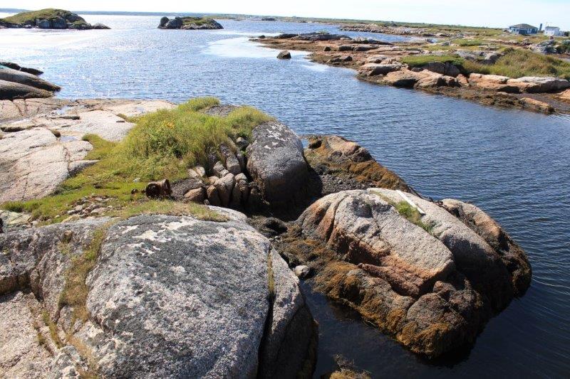
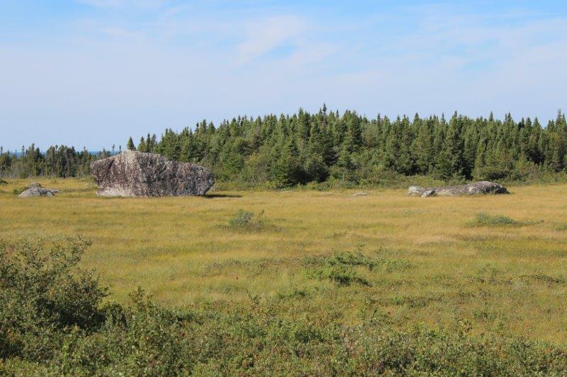
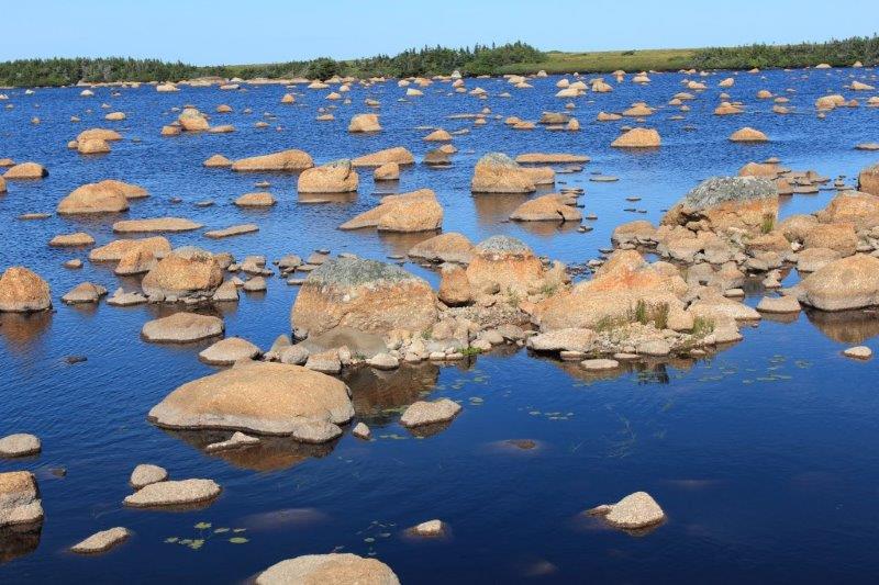
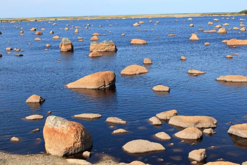
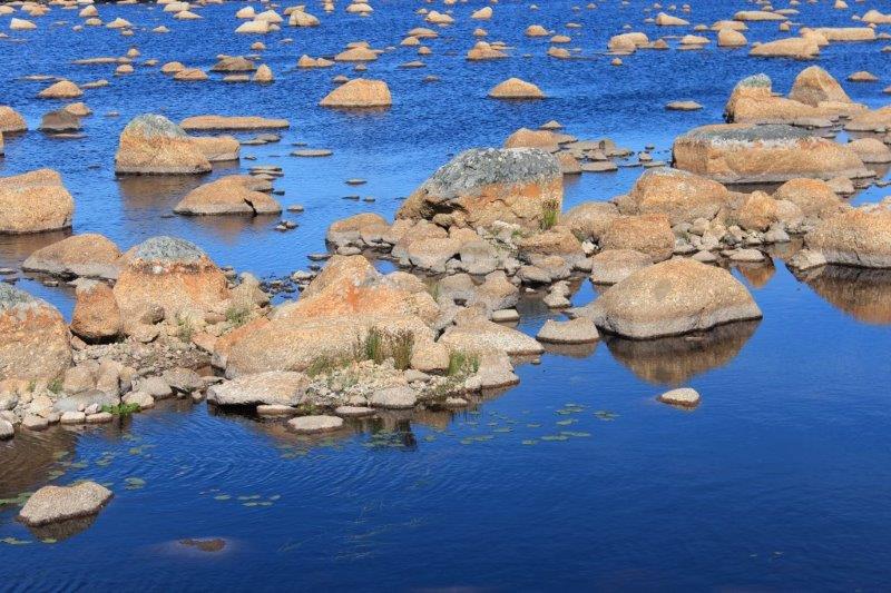
Today was a rocky day.  Rocks, rocks and more rocks.  There are a whole bunch of photos of rocks in this blog.  Consider yourself warned.

We slept in this morning.  No loud talkers, no door bangers, no trucks starting outside the window.  A comfy bed, a squishy pillow and a sound sleep.  Doesn’t happen in my life very often so I really appreciate those nights when it does.

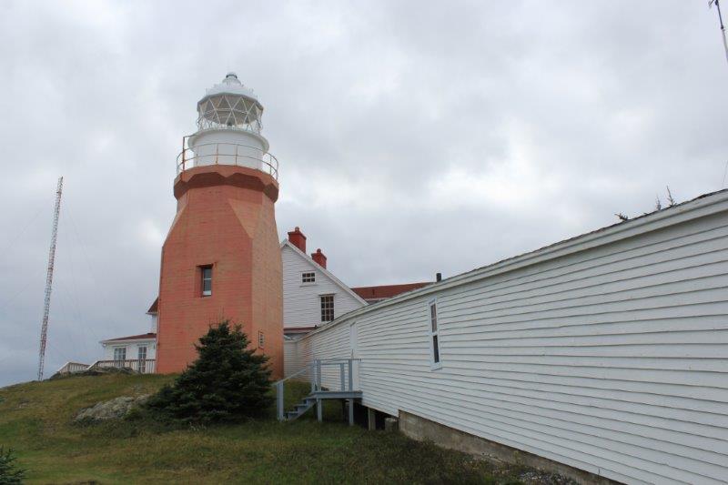
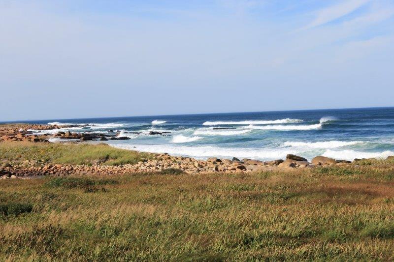
After a late breakfast we headed east of Gander to drive around another of Newfoundland’s coastal bumps.  We made two stops outside of town before heading up Highway 320 – both to grave memorials.

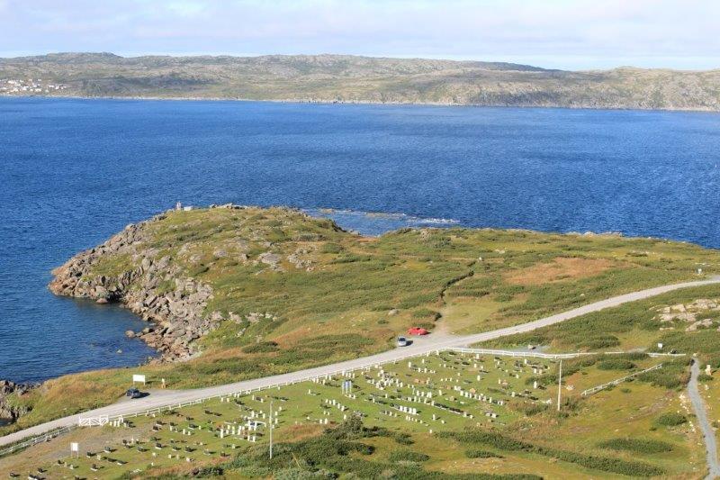
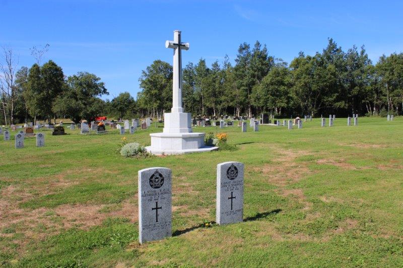
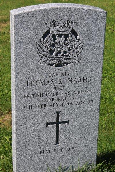
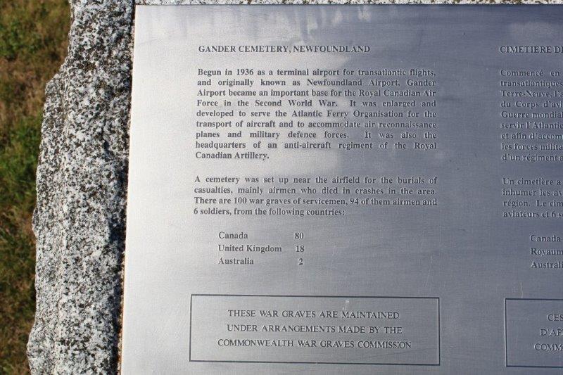
The first was the Commonwealth War Graves.  Beginning in 1936 Gander became an important part of trans-Atlantic flight; the town was perfectly situated to be a refueling stop.  During WWII many flights originated from here to attack the German U-Boats that were trying to destroy the supply convoys sailing out of Halifax and other Canadian ports on the way to Britain and Europe.  There are 100 graves in the Commonwealth War Graves part of the cemetery up on a hill 1/4 mile from the TCHwy; 80 are for Canadians, 18 from the UK, and 2 Australians.  They are the 94 servicemen and 6 soldiers that died off the coast of Newfoundland during WWII.

IMG_8153IMG_8151IMG_8155

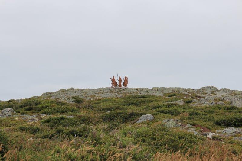
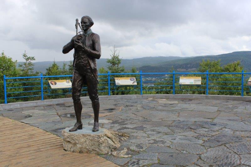
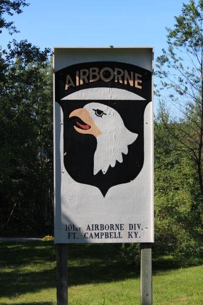
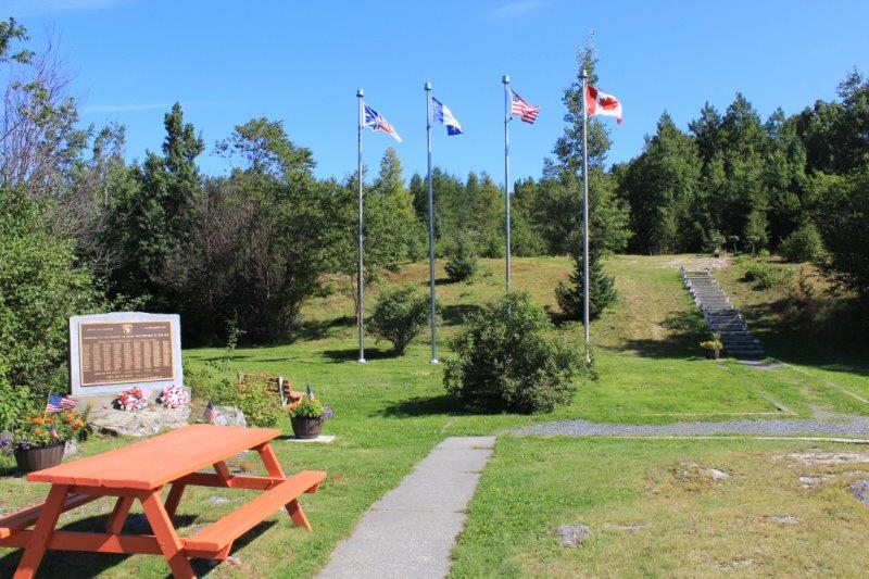
The second memorial site is called the Silent Witness.  It is located a 100 meters down the road and on the other side of the highway from the Commonwealth War Graves.  It commemorates the 256 people (248 members of the 101st Airborne from Fort Campbell, Kentucky and 8 crew) that died on the site Dec. 18, 1985 not long after take-off from Gander Airport after a refueling stop.  The plane was an Arrow Air Charter transferring American peace keepers home from the Sinai to their base in Kentucky.  There were no survivors.

IMG_8157 IMG_8158 IMG_8159 IMG_8162 IMG_8164 
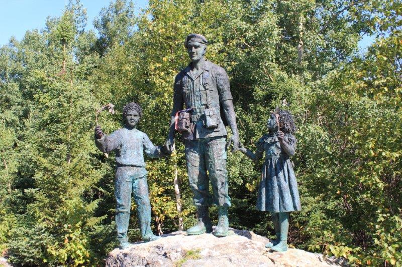
An unarmed soldier and two children holding olive branches. The statue was designed by a Newfoundland artist and made by a sculpture in Kentucky.IMG_8166 IMG_8168 IMG_8169

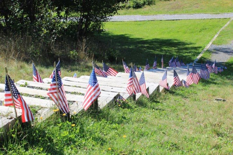
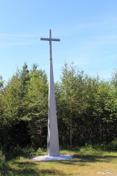
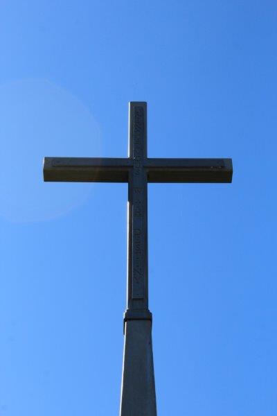
The cross atop the pillar was made from the emergency exit door of the plane.  It is engraved with the words, “Rendevous with destiny.”

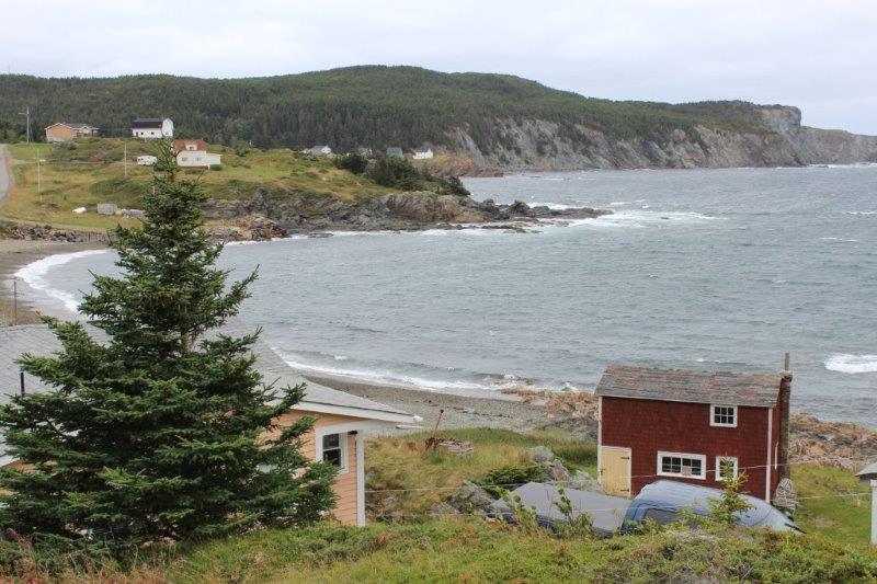
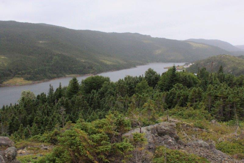
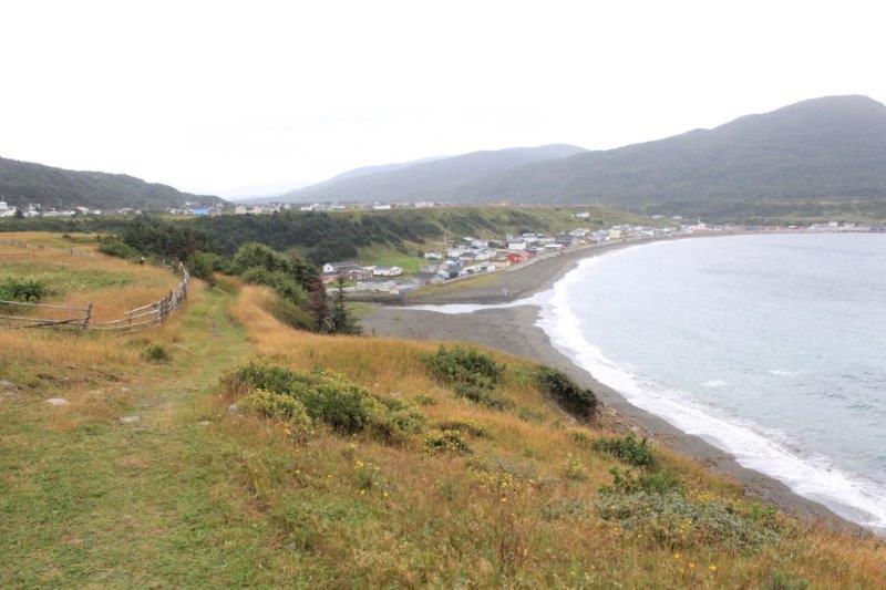
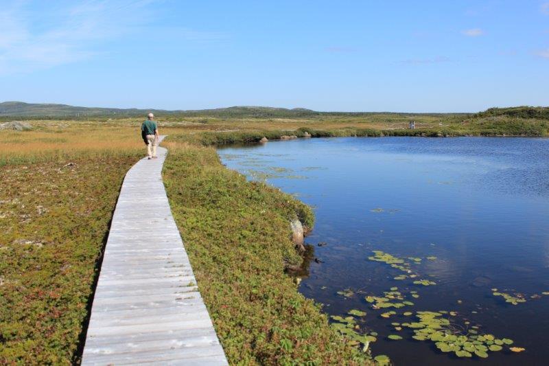
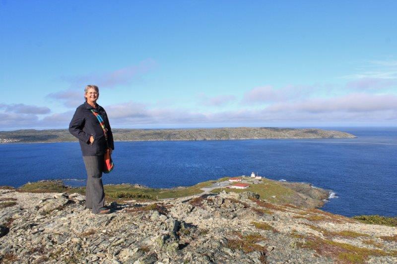
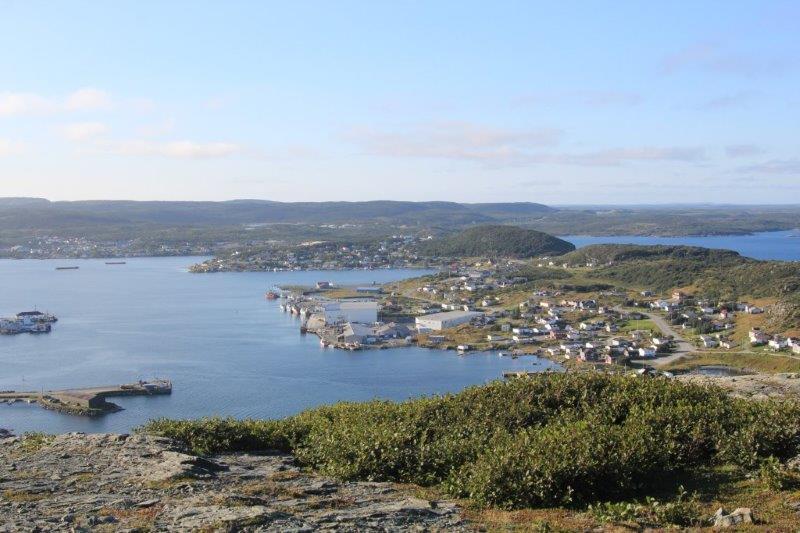
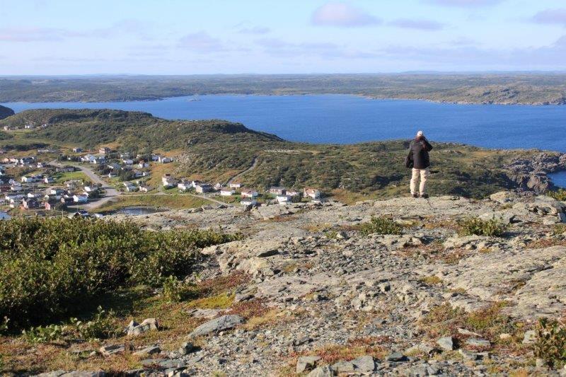
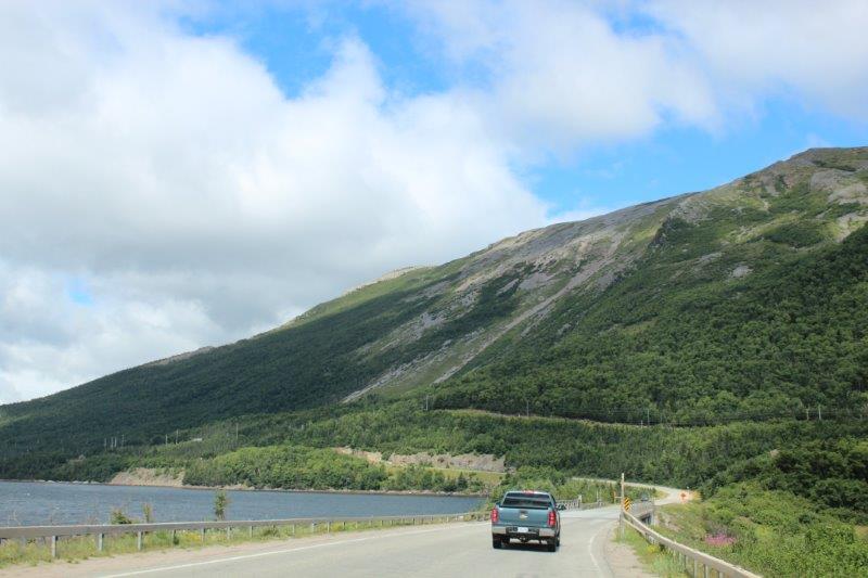
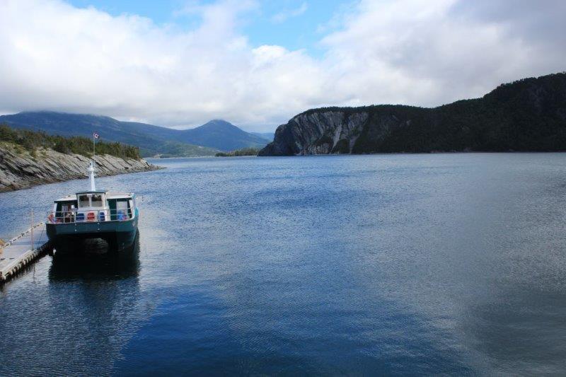
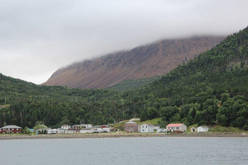
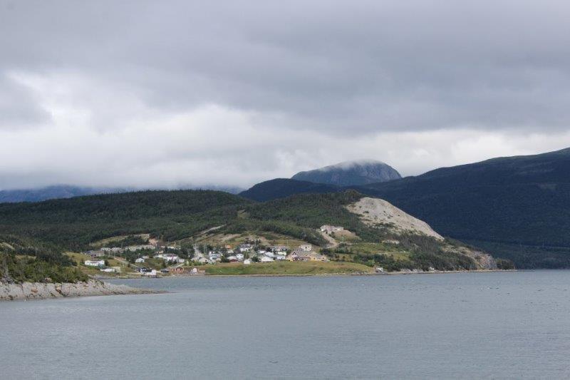
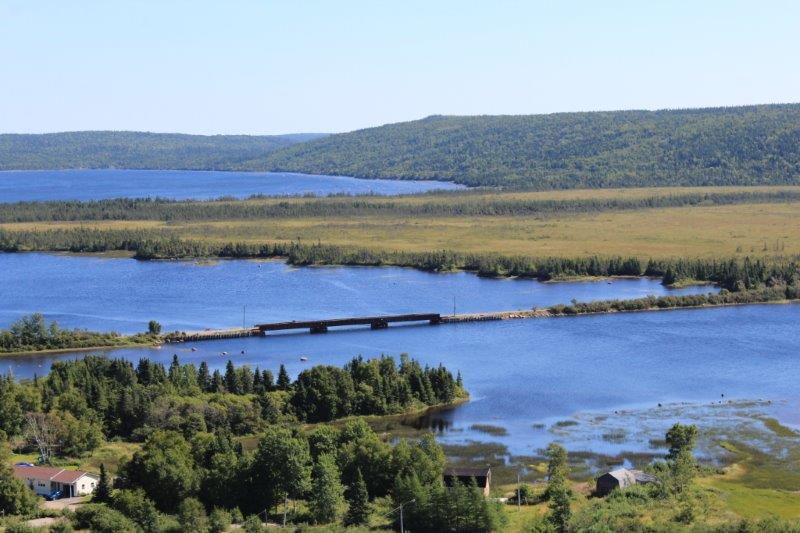
After visiting the grave sites we took the turn up Highway 320 to make a counter-clockwise loop around the coast; connecting with Hwy 331 that we drove yesterday on our way back to Gander.

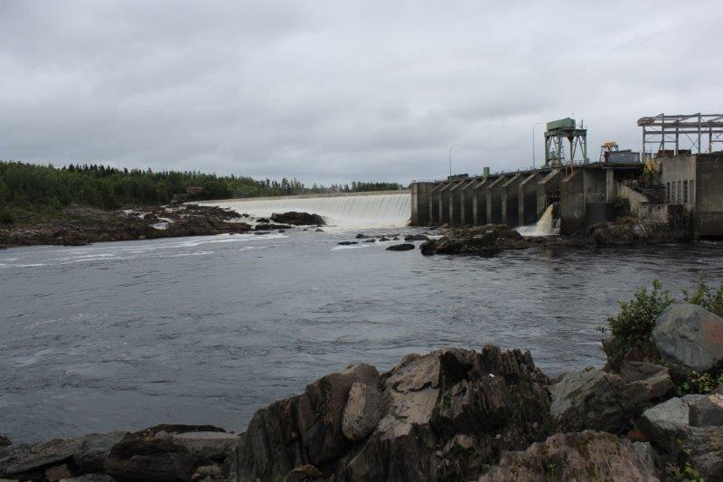
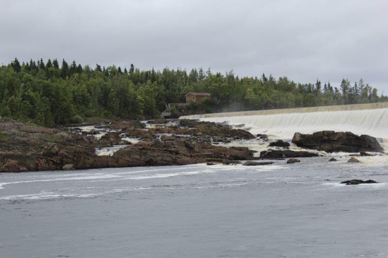
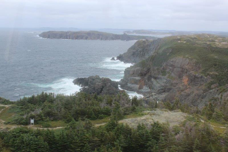
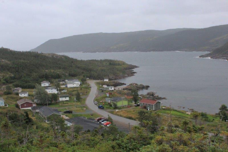
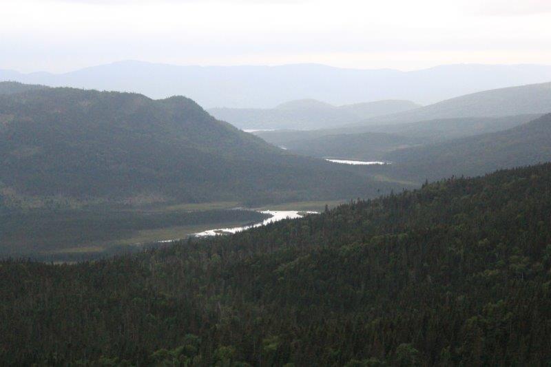
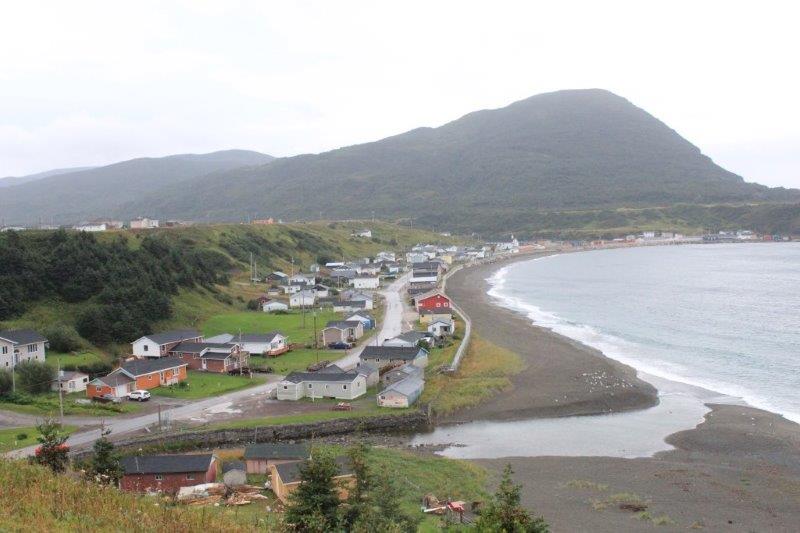
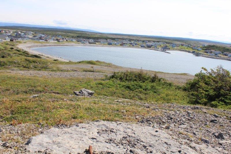
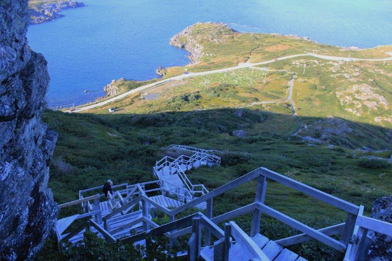
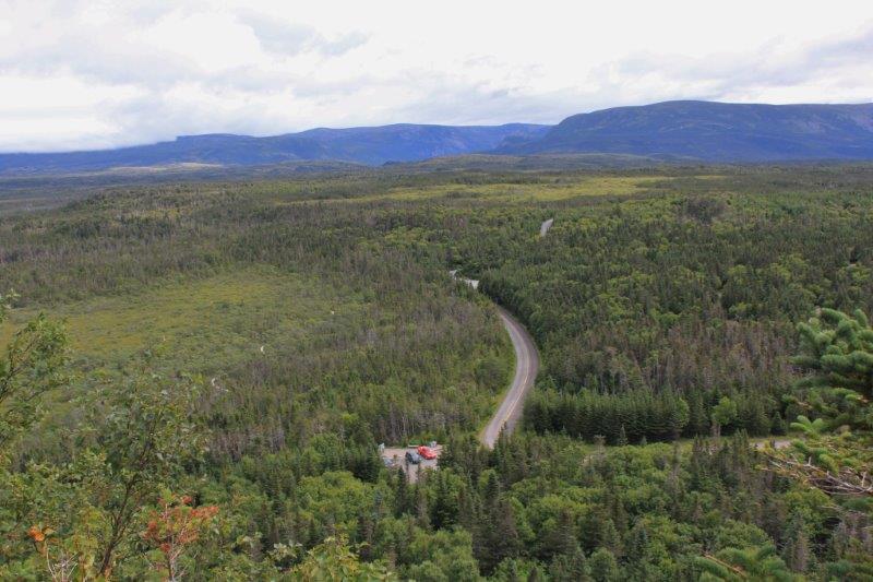
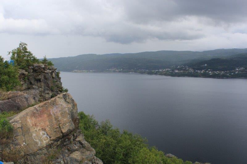
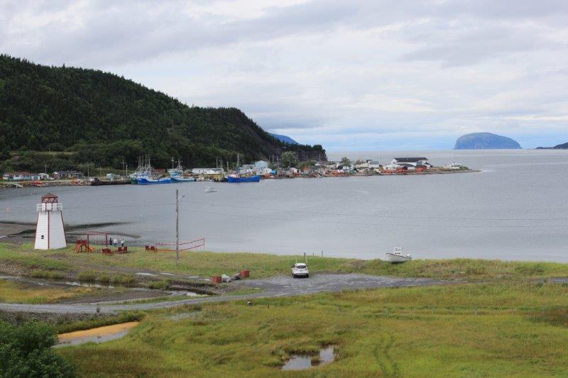
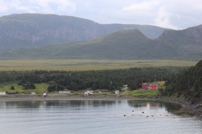
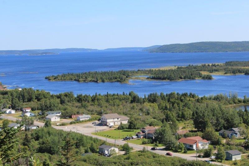
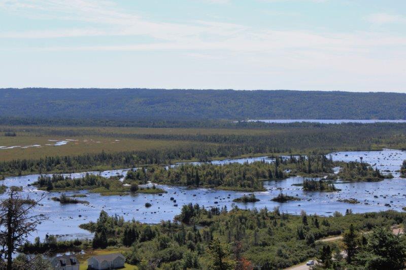
We made a stop at Joey’s Lookout overlooking Gambo Pond and Triton Brook. The little town of Mint Brook right down the road was the birthplace of Joey Smallwood, the first premier of Newfoundland after it became the 10th province of Canada in 1949.

IMG_8173 IMG_8186 IMG_8185 IMG_8187
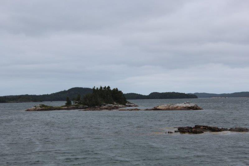
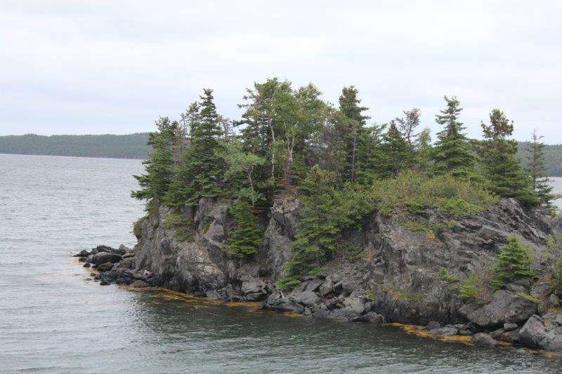
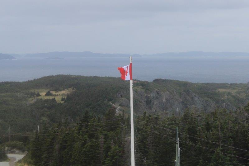
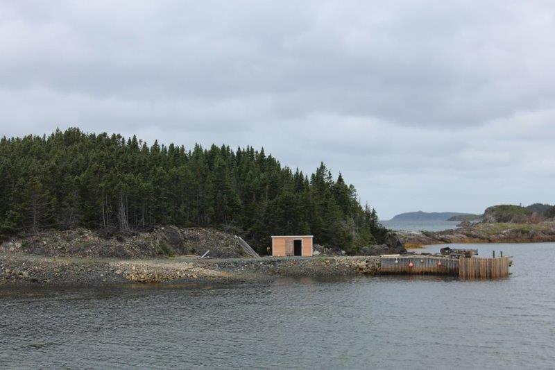
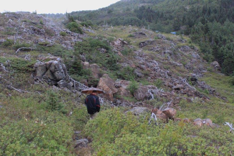
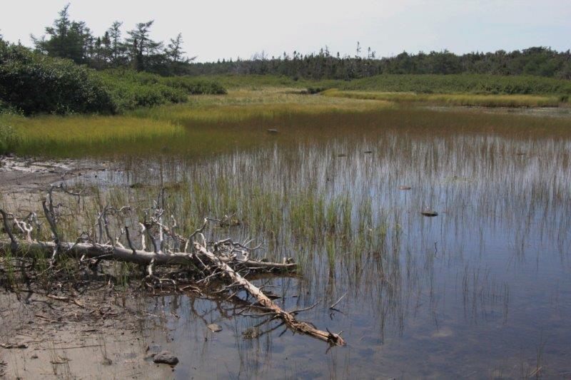
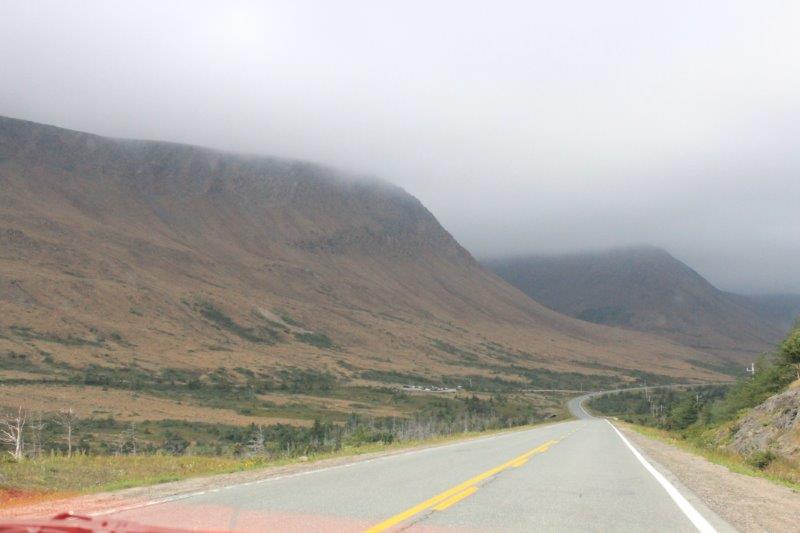
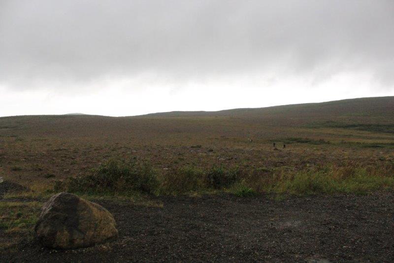
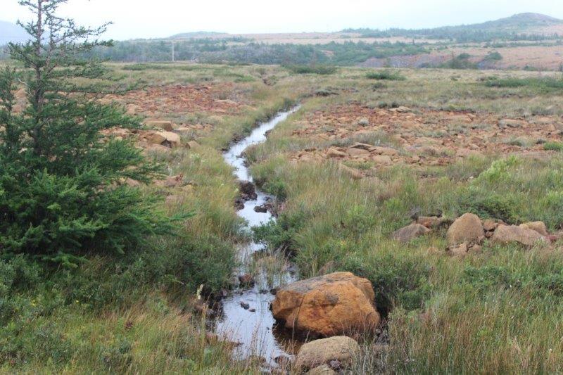
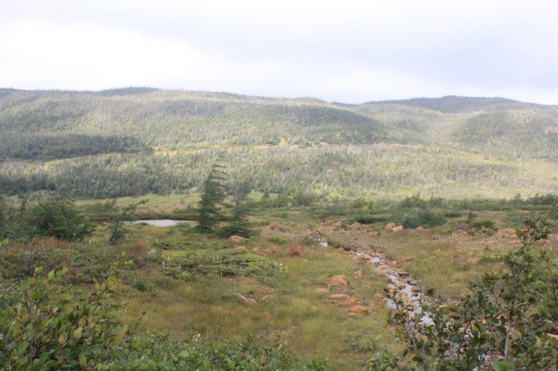
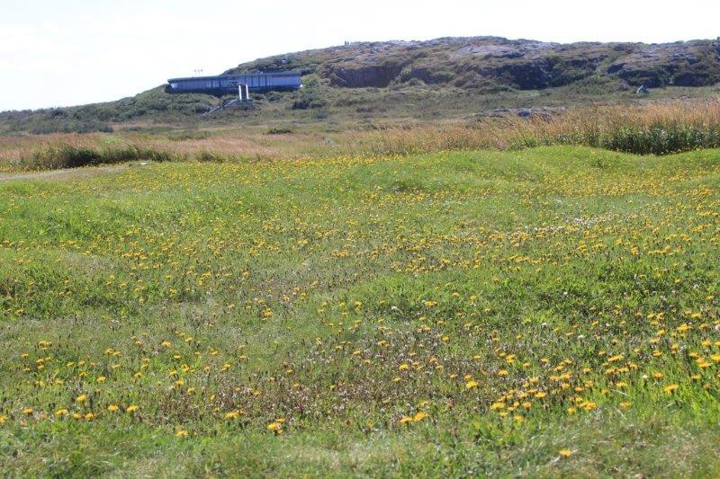
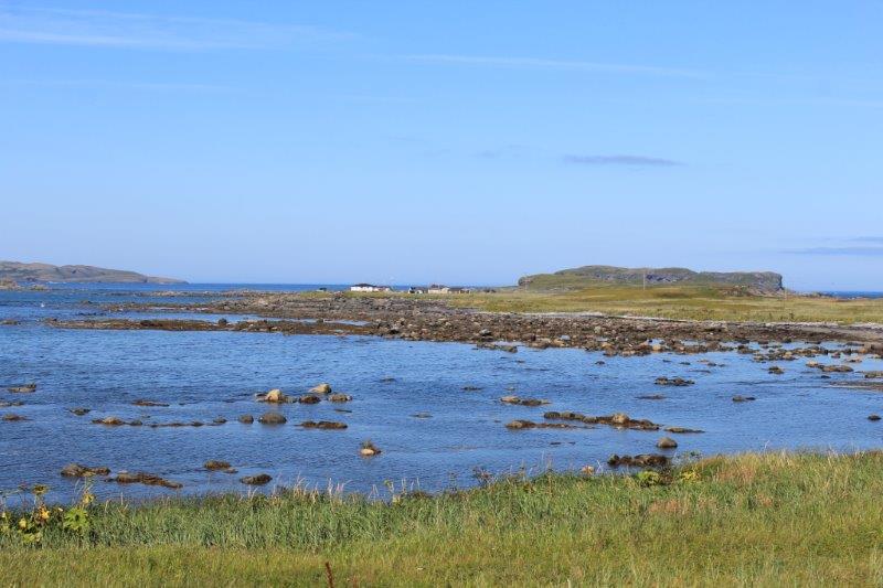
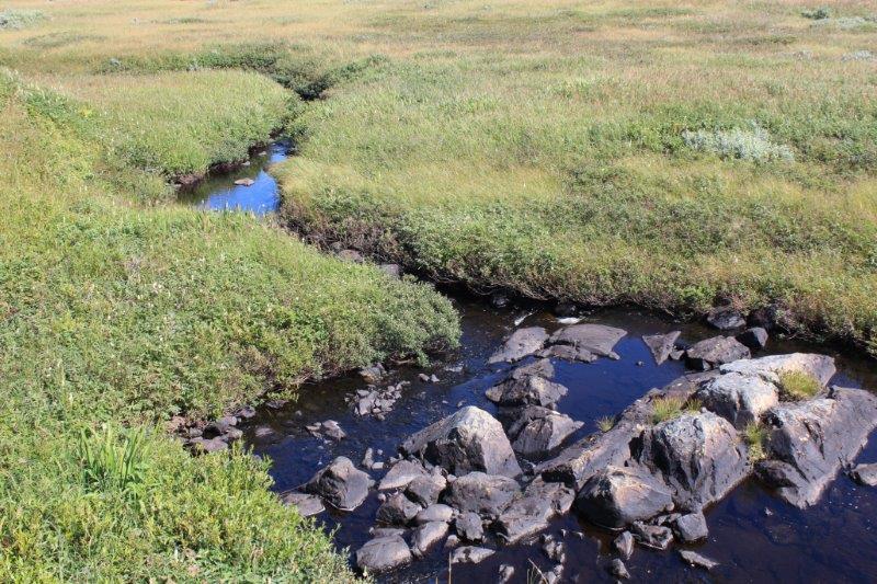
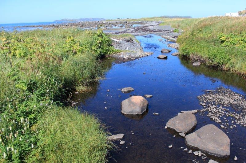
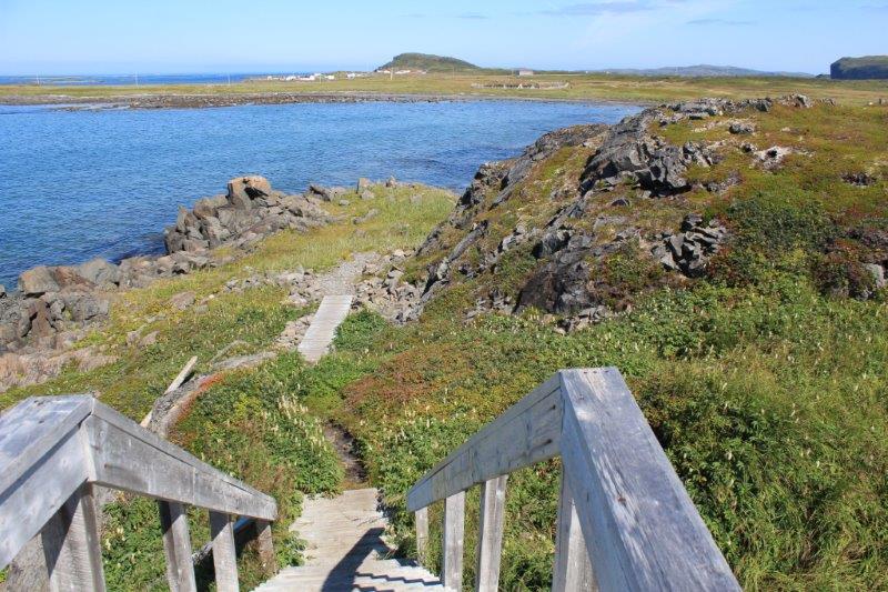
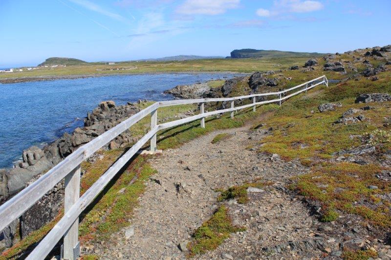
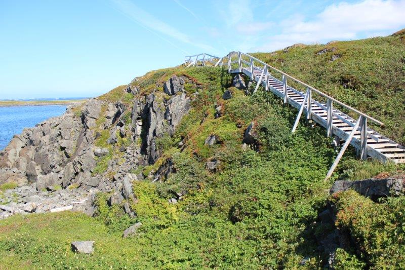
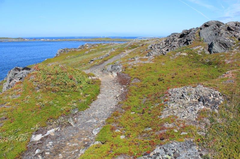
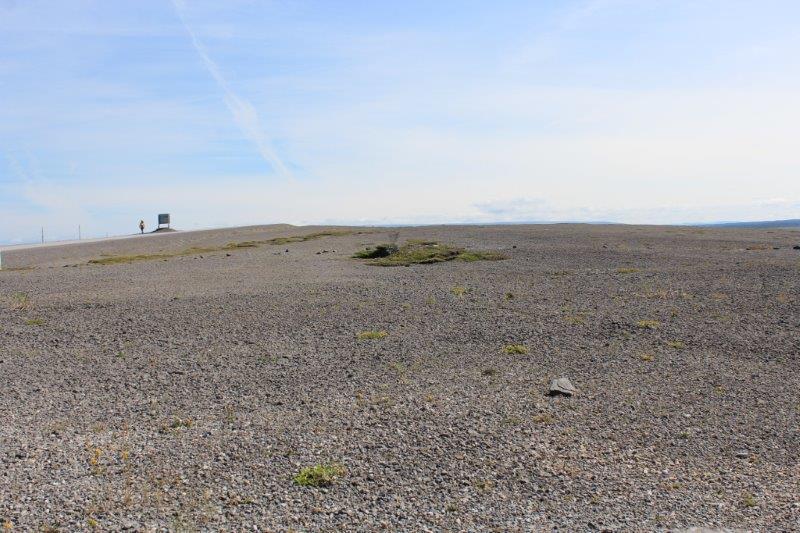
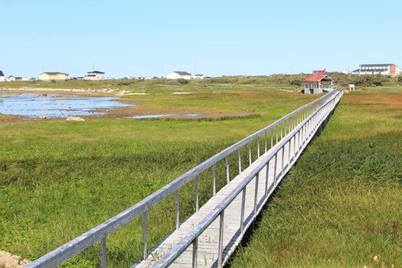
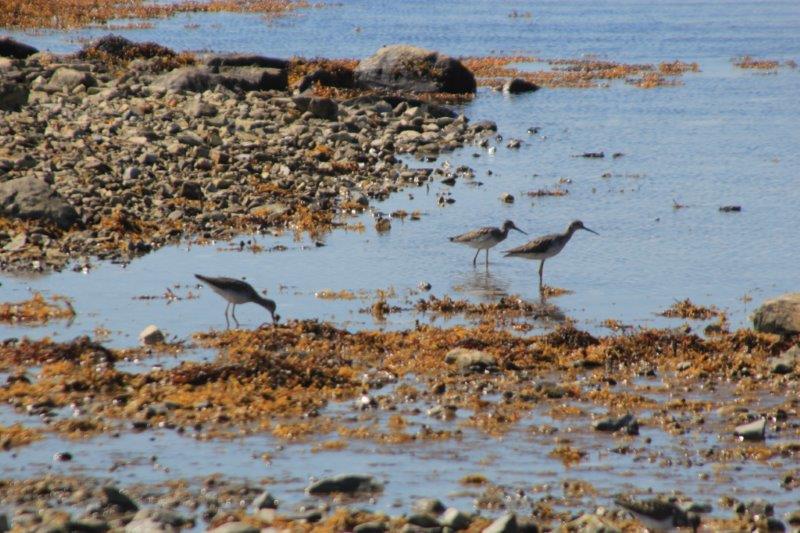
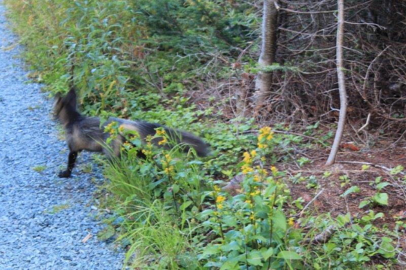
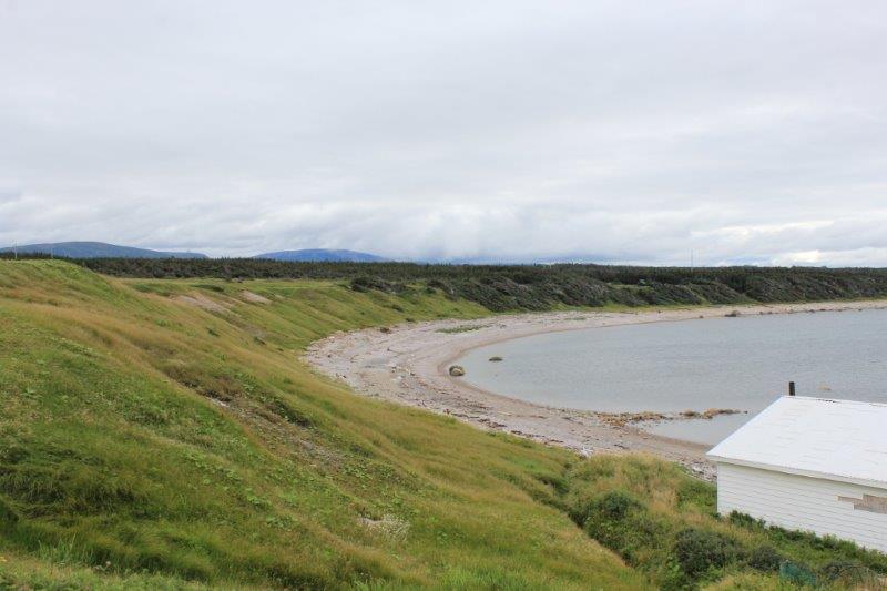
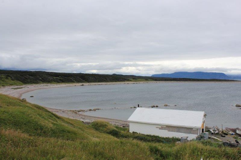
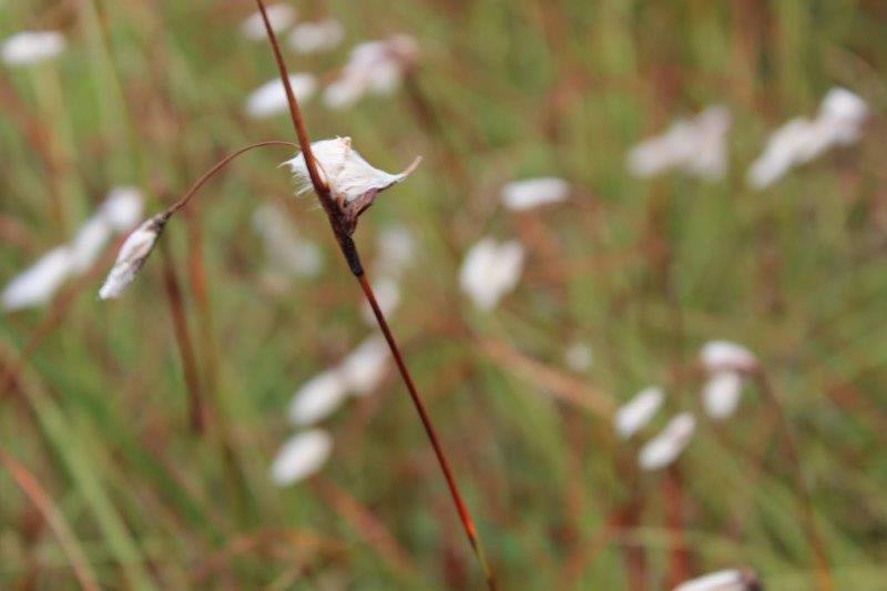
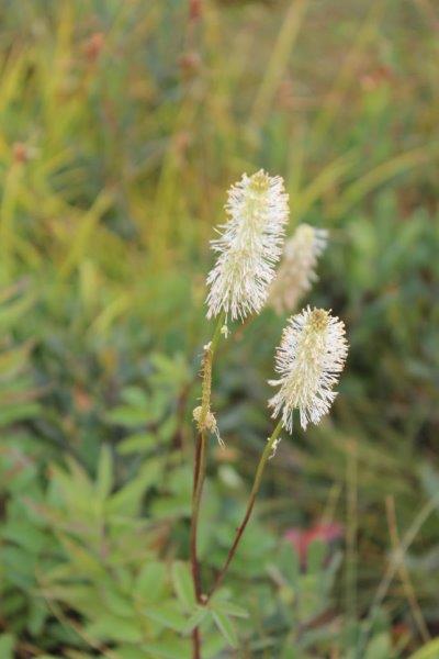
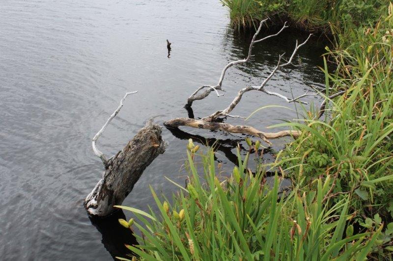
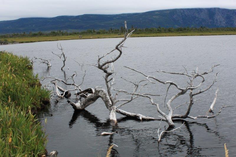
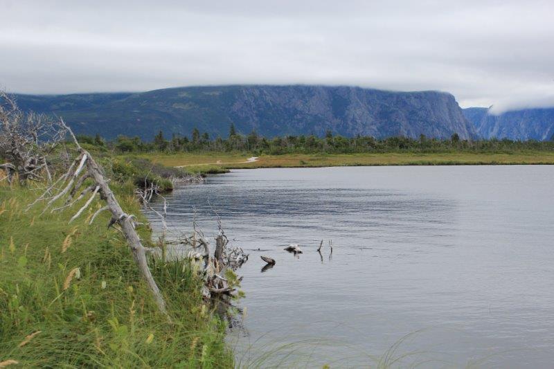
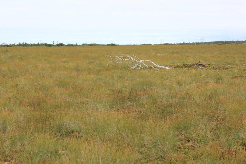
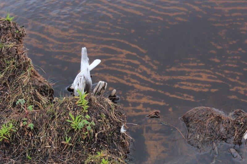
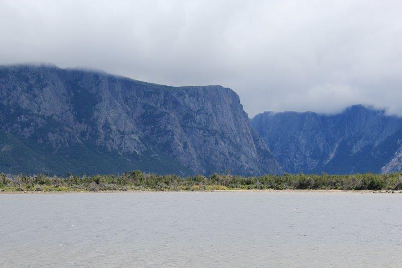
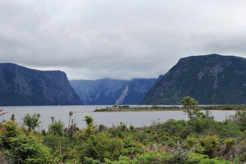
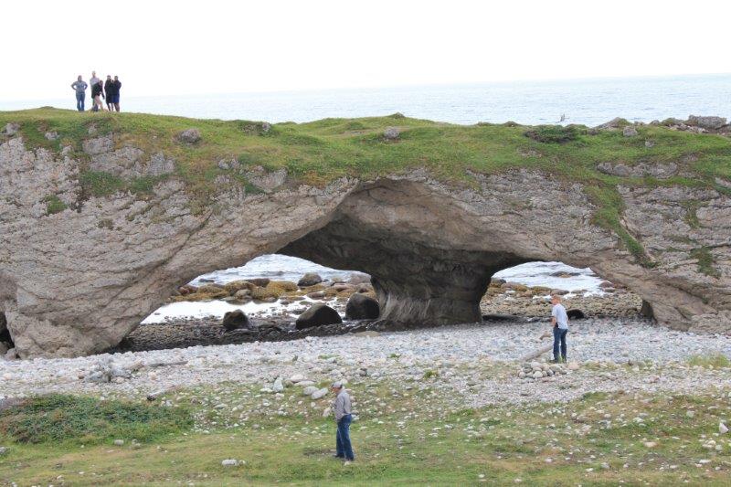
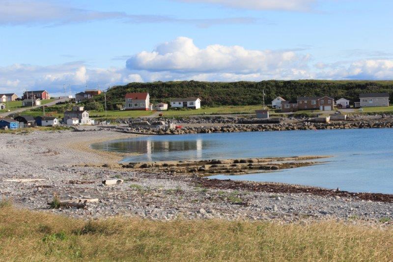
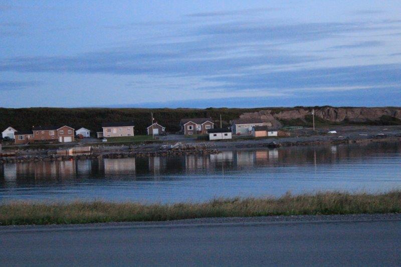
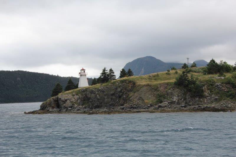
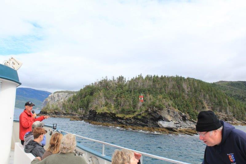
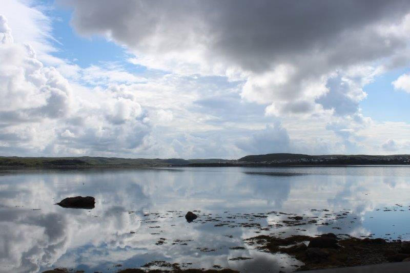
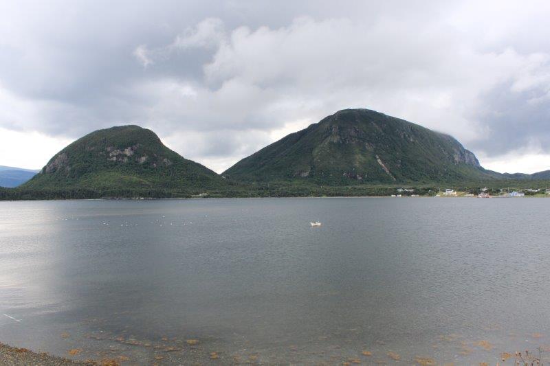
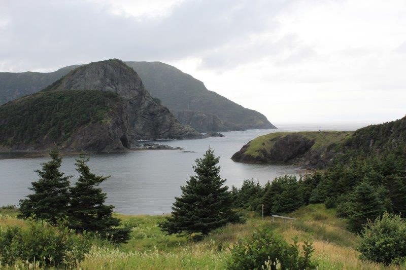
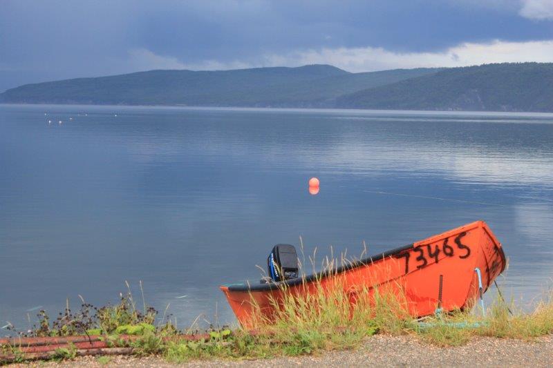
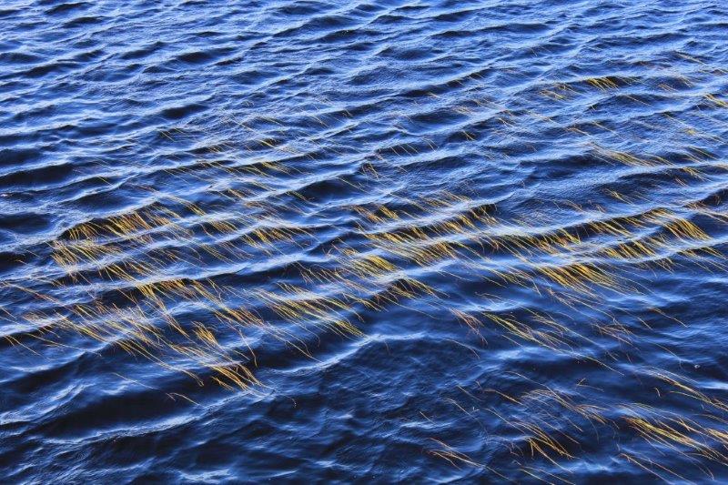
We only made one ‘official’ stop but a few unofficial photo stops to take shots of rocks (and one of the weeds in the water).

IMG_8191 IMG_8198 IMG_8200 IMG_8202 IMG_8206 IMG_8208
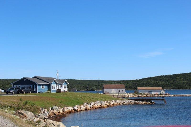
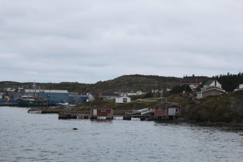
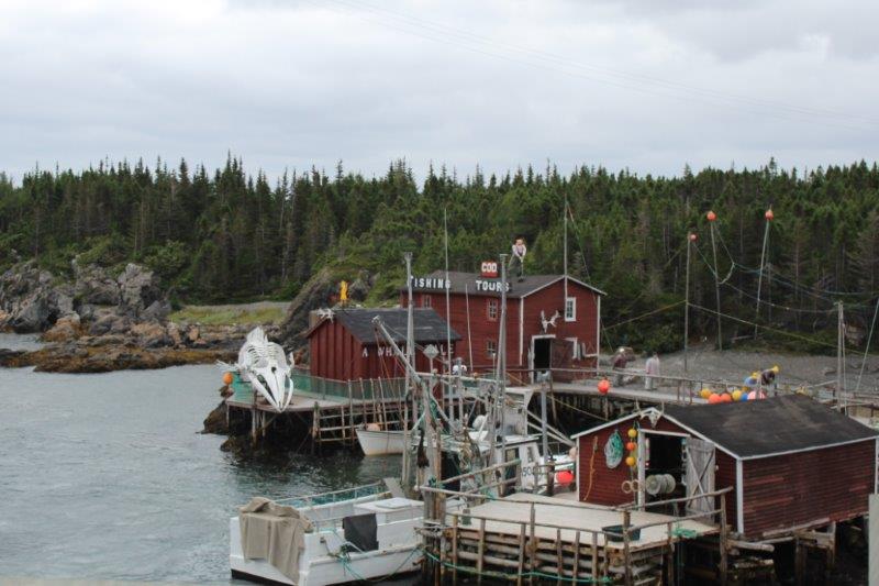
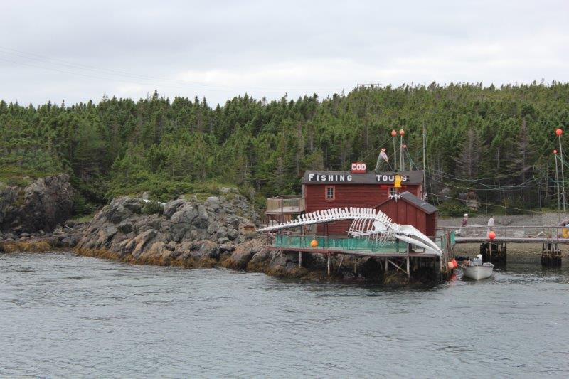
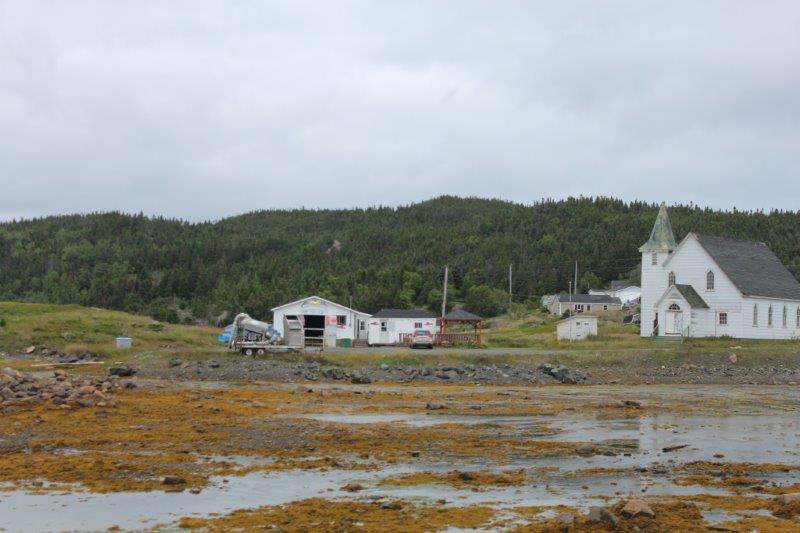
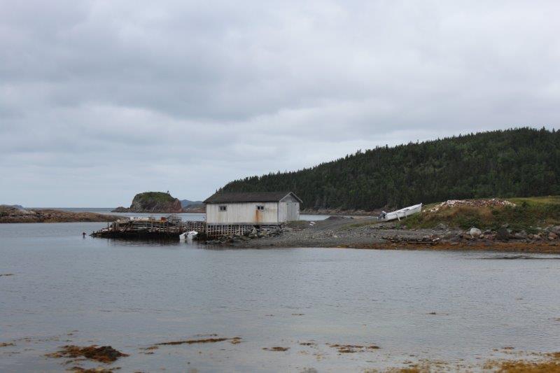
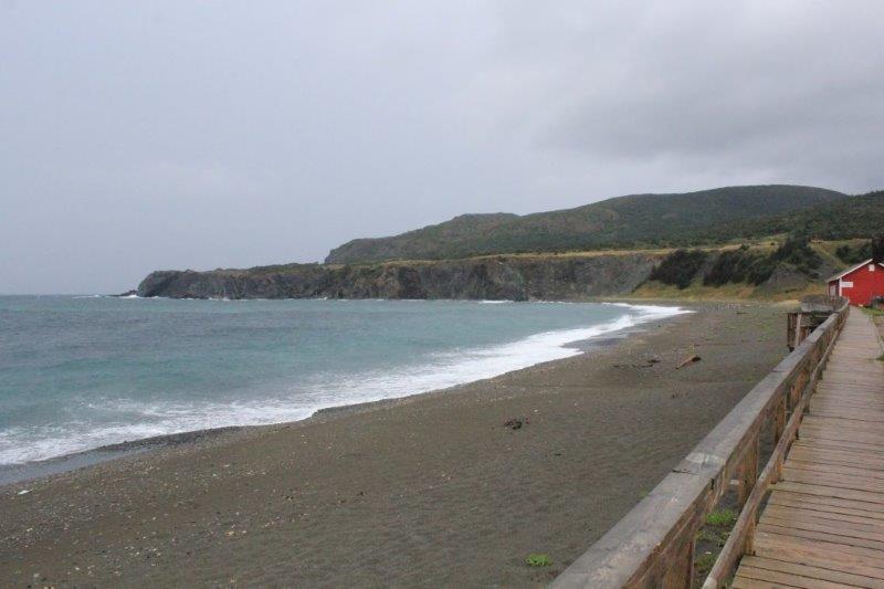
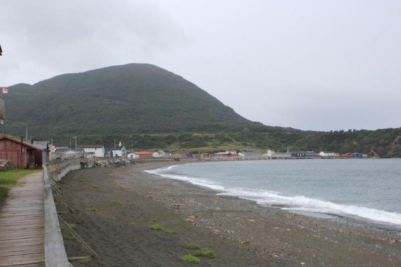
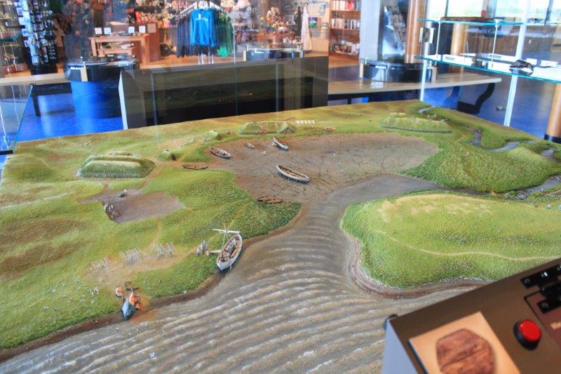
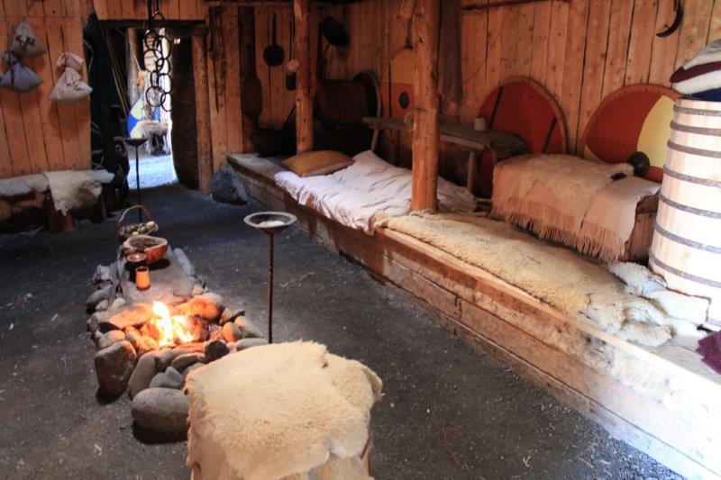
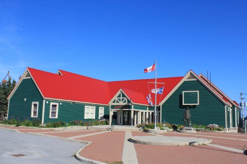
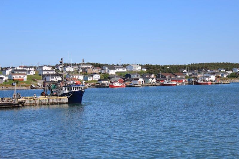
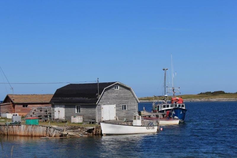
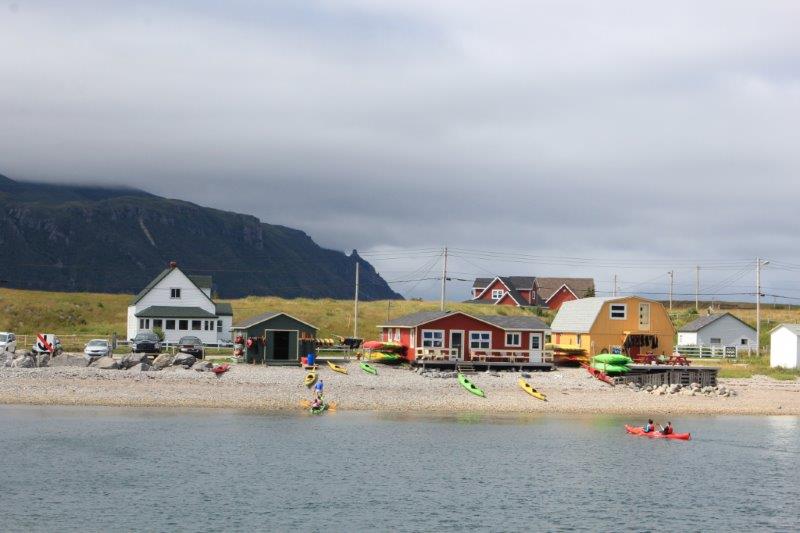
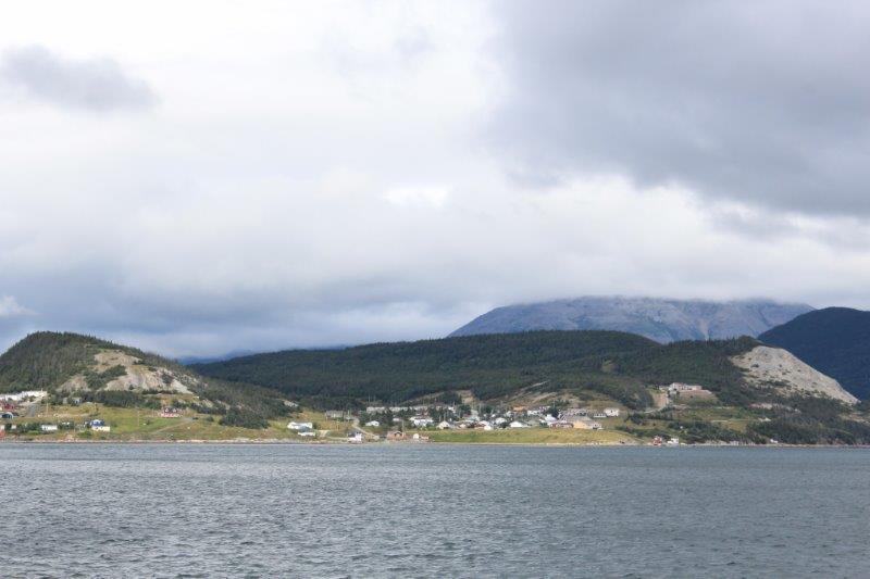
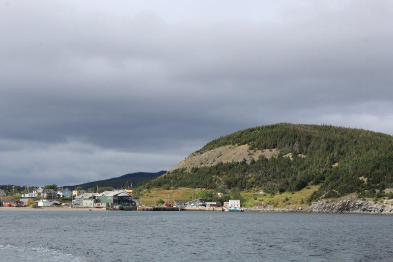
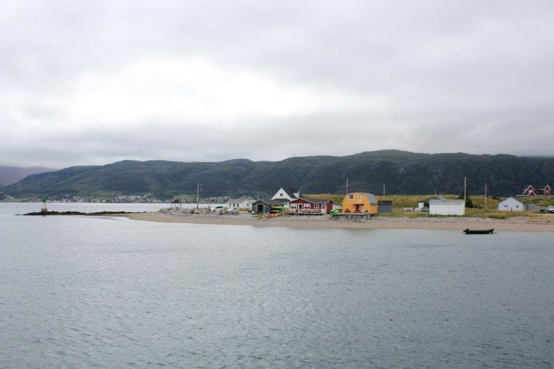
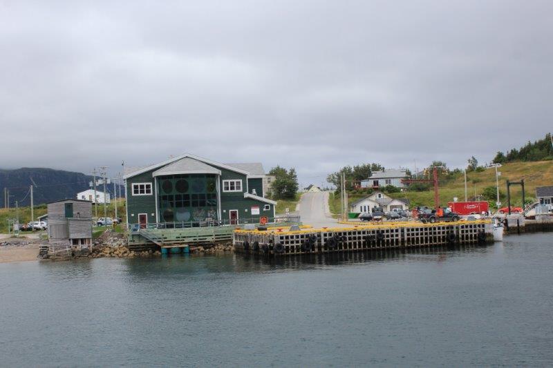
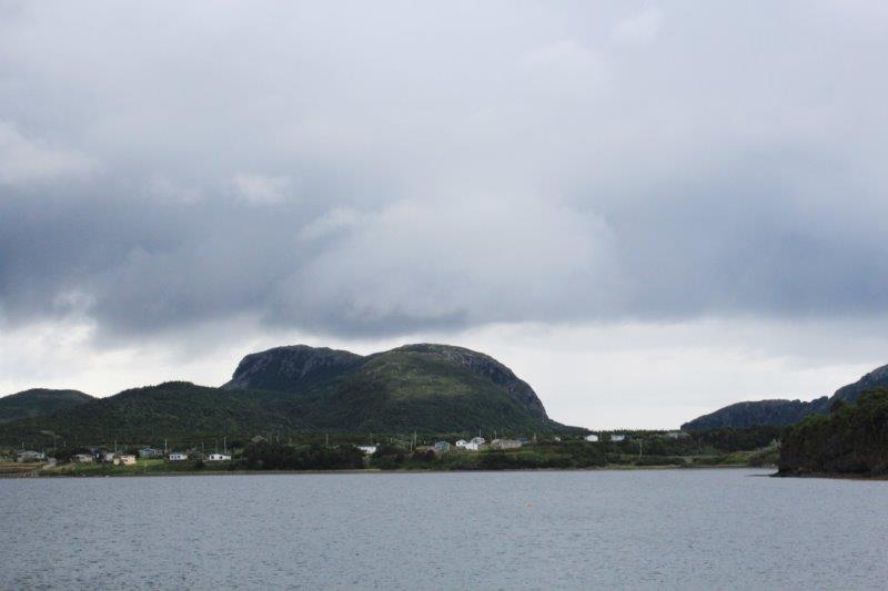
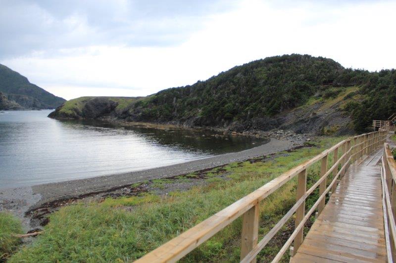
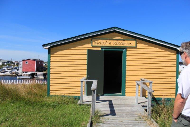
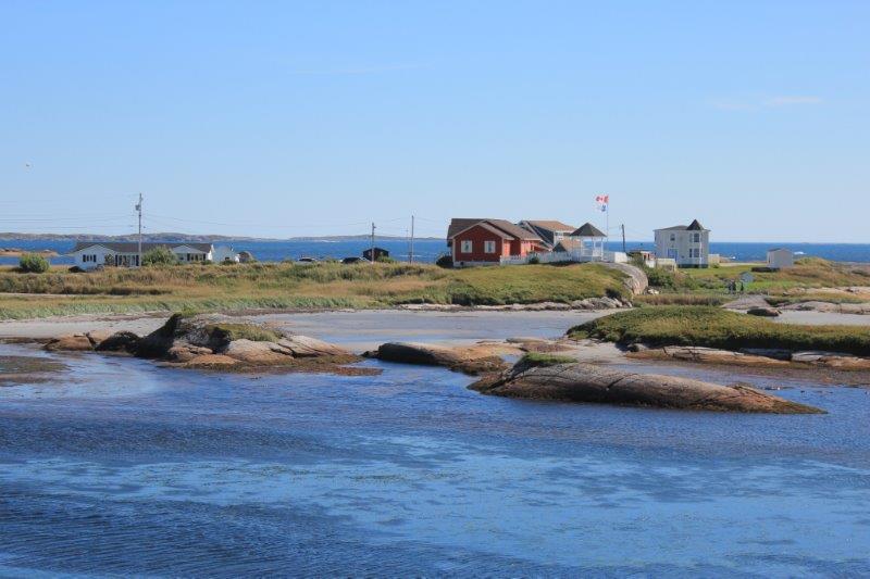
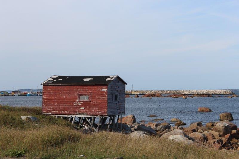
The planned stop was in Newtown to see the Heritage Village.  Before we found the village we stopped to take some photos of the church and houses along the inlet and the Tickle (Newfoundland term for a creek).

IMG_8215 IMG_8213 IMG_8220 IMG_8221

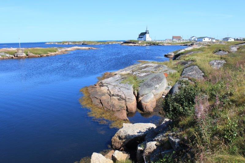
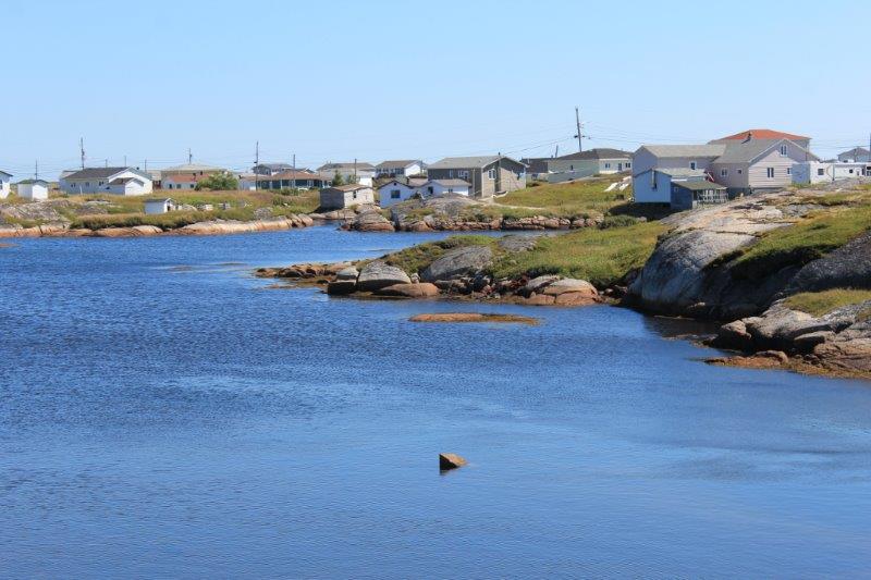
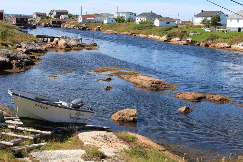
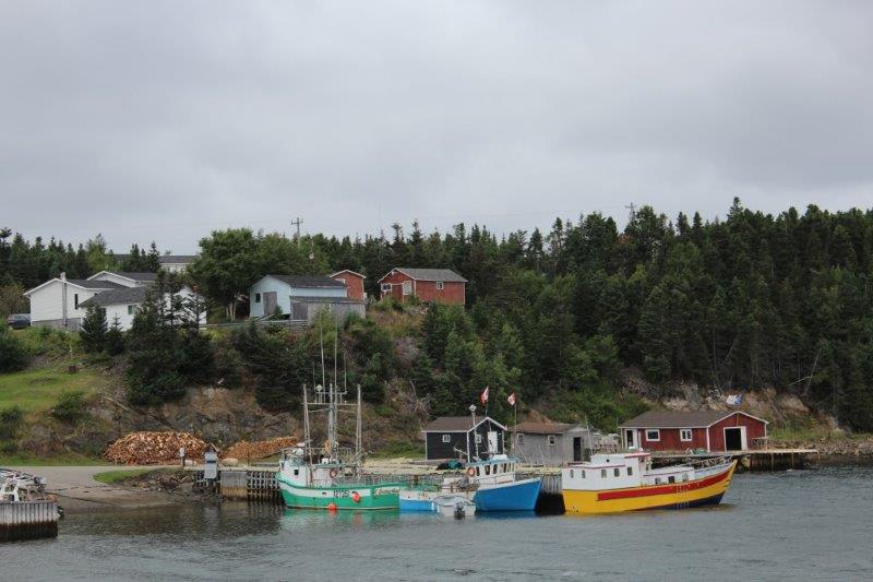
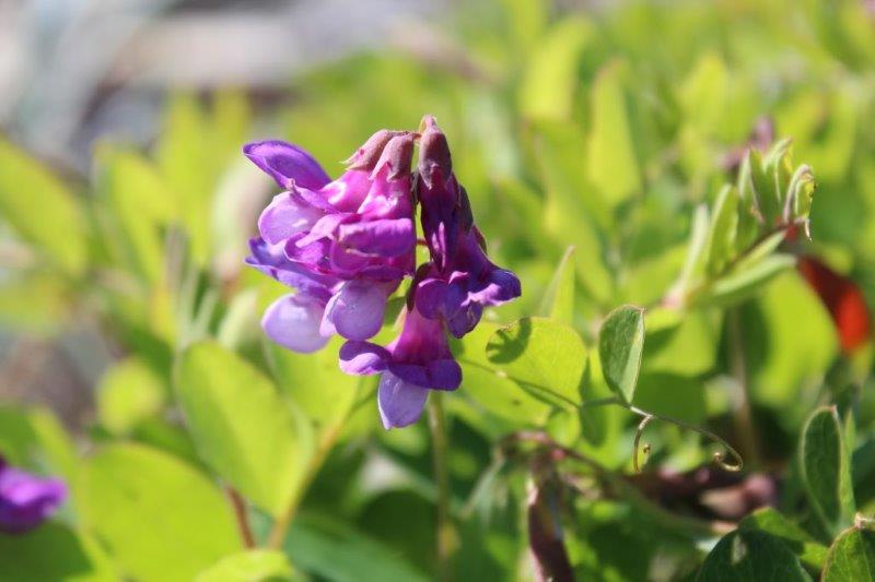
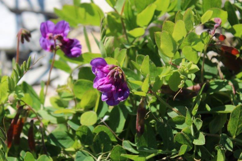
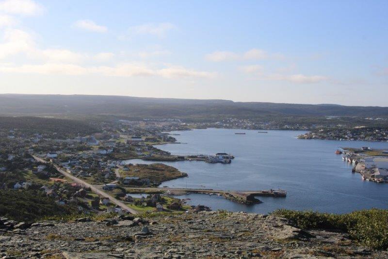
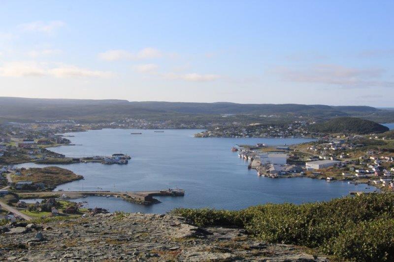
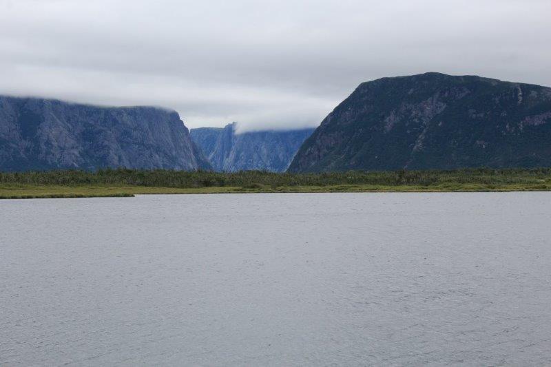
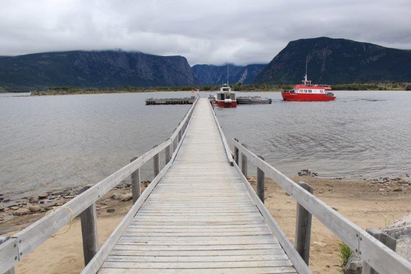
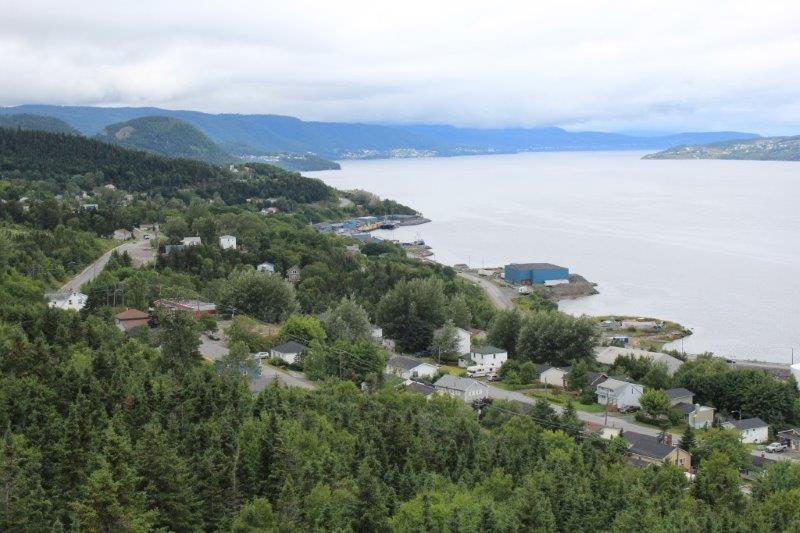
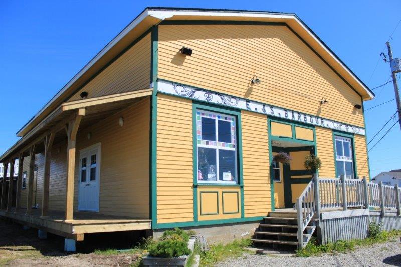
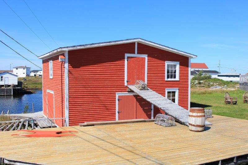
We toured the village, had some lunch and drove the rest of the way around the coast and back to Gander.  It seemed that every third or fourth bend in the road revealed a little bright blue bay full of rocks.

IMG_8223 IMG_8225 IMG_8226 IMG_8224
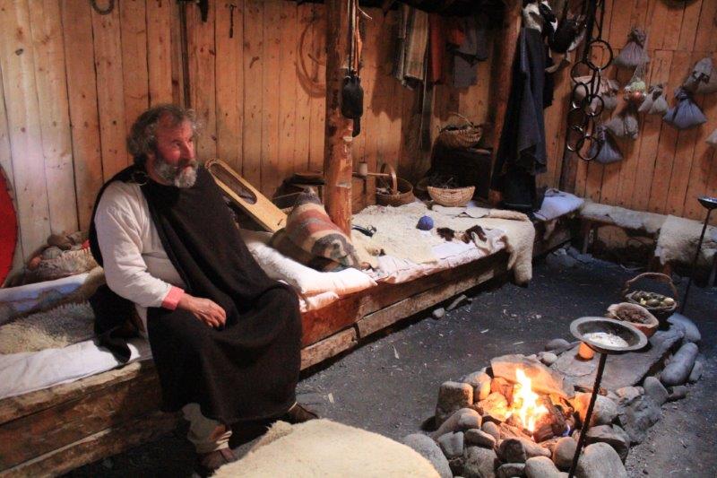
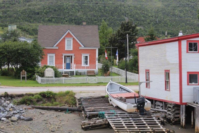
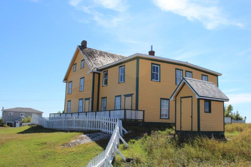
This house was lived in by two families; father and son – one with 10 children and one with 9 children. They shared the common rooms and had bedrooms for each family on the second floor.  IMG_8240 IMG_8247


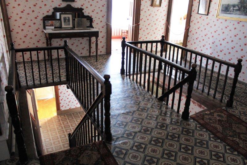
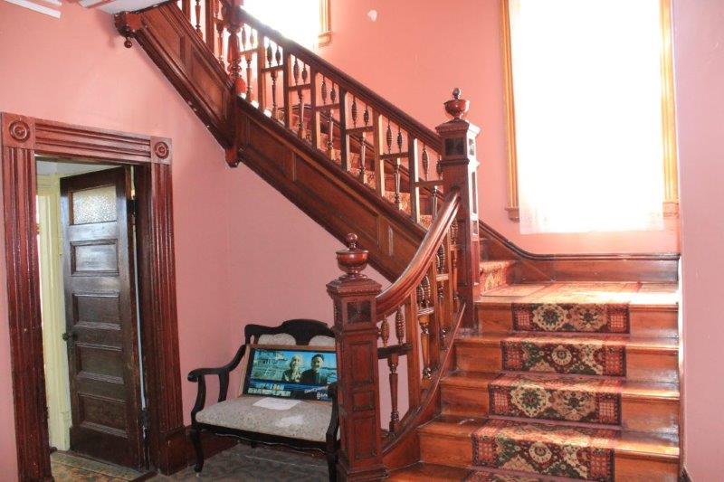
The stair rail came from Britain in three pieces.  It was made by the same firm that did work on the Titanic.
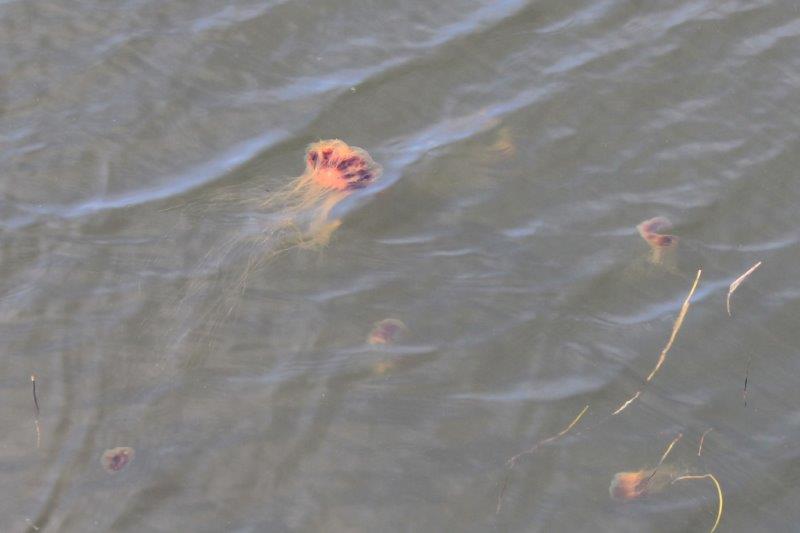
   IMG_8252 IMG_8255 IMG_8258 IMG_8262 IMG_8264 IMG_8265  Jelly fishIMG_8267 IMG_8270 IMG_8272 IMG_8274 IMG_8276 IMG_8278 IMG_8286 IMG_8291

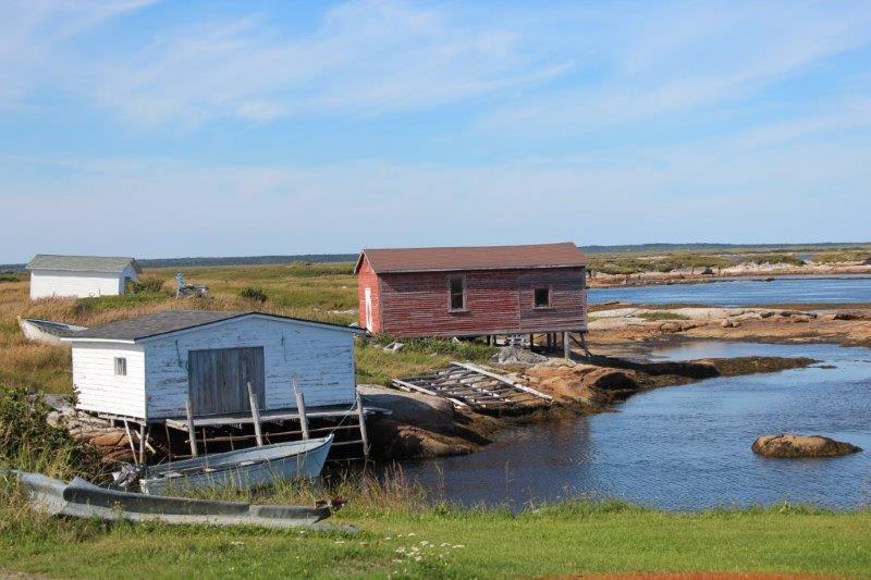
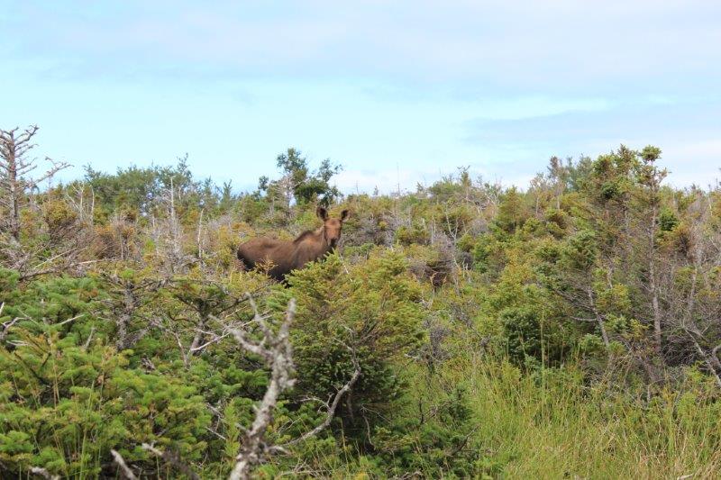
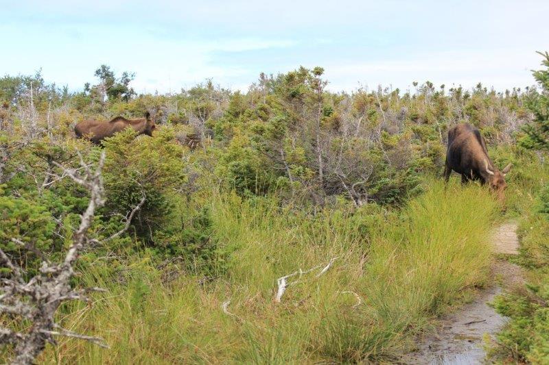
We got back to Gander at 6 pm, had dinner and returned to our hotel for the evening.  It was a beautiful day; warm sun, lovely vistas and interesting people (we had a great chat with a young man in Newtown, toured the Village in Newtown with a friendly couple from Edmonton, AB and our 18-year old guide was an aspiring thespian so her presentation of the Bourbor family history was quite entertaining).

2014 Aug 29 – Day 71 – Grand Falls-Windsor, NL to Gander, NL

I’m not even going to discuss the weather!

Except a brief mention of  the temperature (9 C – 48 F) and the wind (strong enough to almost blow you backward – honest).  There.   Done with that.!

We left Grand Falls-Windsor at 10:30.  It wasn’t a good night.  We were on the first floor of an older hotel with no soundproofing.  We could hear every step in the room above and the people, especially the young fellow next door, felt no need to latch their door quietly rather than let it slam behind them; even at midnight, for heaven sake.  And the rain beat loudly against the window off and on all night. Good thing there is always coffee available at breakfast.

We had thought of traversing the Bishop’s Falls 972′ trestle bridge, now a public boardwalk, but it just spanned the Exploit River so we decided a two-sided view of water did not justify the freezing we would receive while we did it.  We were driving out of town and spied a hydro-electric plant.  We followed the flying flags to the Bishop’s Falls Park which overlooked the dam site and braved the wind long enough to take a few photos. There’s lots of water running over that dam. (Of course it has been raining for days and days so that would account for it I guess)

IMG_8087 IMG_8092

We continued driving along Highway 1 East until the Route 340 turn-off north to the area know as the Bay of Islands and, particularly New World Island right at the end.  We crossed four causeways, hopping from island to island.

IMG_8094 IMG_8096 IMG_8098 IMG_8101

Near the end of New World Island, is the favorite ice berg watching town of Twillingate.  We are too late for ice bergs – we were very fortunate to have seen the two on the horizon at St. Anthony – but we wanted to check the place out anyway.  We drove to the end of the road; a little place called Crow Head which is 2 km further on from Twillingate and chanced upon the Long Point Lighthouse.  There were three trails you could take along the coast at the lighthouse but because it was SO WINDY and SO COLD we were not doing that.  It was all I could do to brace myself against a railing to take some photos.

IMG_8103 IMG_8104 IMG_8106 IMG_8125

The former light keepers house is now a small museum about the by-gone days of wooden boat building in Newfoundland.  Because we were freezing we decided to go and look around and have a chance to warm up inside.  When we bought our ticket for the museum we were asked if we also wanted to climb up to the light.  I love lighthouses and we hadn’t done our stair climbing yet today so I said we would.  It was only 55 steps to the top, so not too arduous.  The view was lovely even with the dark clouds and the wind was so strong you could hear it batter the glass. The poor flagpole was arcing back and forth and a third of the flag was wrapped around the top thrashing about.

IMG_8118 IMG_8112

IMG_8117

The lighthouse was built in one year between Dec. 1875 and Dec. 1876.  The mortar between a bunch of the bricks beside the stairs is cracked due to an earthquake in 1929.  But the lighthouse is still sound, the wooden stairs don’t even creak and the light still warns the ships and boats about the rocky coastline.

Little islands and upthrusting rocks are common all around the Newfoundland coast but the Bay of Islands has a lot of them and if the water is churning (like today) the rocks are submerged and many a boat has paid dearly when they hit one.

After we warmed up in the lighthouse we rushed to the car, turned the heat on and drove into Twillingate.  We parked at the Foodland store because it formed a good blockade against the wind while we made a PB&J sandwich and hopped back into the truck to eat it.  Then we drove back across all the causeways and islands and turned onto Route 331 south to Gander.  We are spending the next three nights in Gander and will do some further exploring from here.

IMG_8127 IMG_8130


I think this is a Minke Whale skeleton, but I am not totally sure.IMG_8132 IMG_8133 IMG_8135 IMG_8137 IMG_8140

I am glad I decided to not go on about the weather in this blog.   It just gets tedious, don’t you think? There are so many more interesting things to talk about.  Like; where else but Newfoundland would you have Dildo Park just up the road from Virgin Arm?  I’m not kidding.

2014 Aug 28 – Day 70 – Deer Lake, NL to Grand Falls-Windsor, NL

We arrived in Newfoundland on August 18, in the rain.   Here we are 10 days later and we are still getting rain – we have had three days of sunshine since arriving.  They had 6 straight weeks of sunshine and above average temperatures through all of July and early August.  I guess they used it all up because the forecast for the next week is still mostly rain.

Well, you can’t do anything about the weather.  You either hole up in your hotel and do nothing or you go see the things you want to see.  We chose the latter.

Newfoundland has 29,000 kilometers of coastline, not because the island is gigantic (although it is very large), but because there are several peninsulas with numerous inlets and bays so the coast meanders and winds in and out all the way around.  We drove to the tip of the Braie Verte Peninsula today.  At one time there were several copper mines on the Braie Verte and as we drove up we came across huge hills of tailings and then the old open pit mine could be seen through the trees.  Since the closing of the mine the rain, and probably ground water too, has made ‘lakes’ in the deepest pits and the color was gorgeous.  Even on a cloudy raining day like we had the blue was very vibrant.

IMG_7983 IMG_7989

The tip of the Braie Verte Peninsula was 89 km from the main TCHwy.  At the end was a little town called Fleur de Lys and there is an historic site on the far side of town.  It is an ancient Dorset Paleoeskimo Soapstone Quarry.  There were several archaelogical digs there in the mid-1960’s to determine which peoples used the quarry and what uses they made of the stone.

IMG_7993 IMG_7997Many stone tools carbon-dated to the age of the Dorset people were found.  It was determined that the main use of the soapstone was cooking pots and bowls.  Soapstone retains heat even after being removed from the fire and it is quite easy to carve so utensils were often made from it when it was available. There are a thousand indents in the quarry face where pieces were removed between 500 BC and 500 AD.

IMG_8017 IMG_8007 IMG_8011 IMG_8012 IMG_8015

After we checked out the quarry we continued up the trail and climbed to the lookout which had a 270 degree view of the Braie Verte inlet and the town of Fleur de Lys.  We stopped for a light lunch at a picnic area in the town of Braie Verte.  It was called Rattling Brook Park, which was stange as the Rattling Brook Falls are located quite a few kilometers away; they were on our to-do list for today.

IMG_8018 IMG_8019 IMG_8020 IMG_8021

We decided to investigate and climbed through the woods along the creekside to see the waterfall.  The trail was really a worn track and ended at a huge boulder.  John scaled it easily,  I climbed about 1/2 way up and decided that was far enough.  I had no problem with going to the top, my issue would have been getting back down the slippery wet rock.  It took too long to get my hip replaced, I am not about to risk wrecking it.  I gave  John my camera and he took a few shots for me.  Then I slid down the boulder on my butt bracing my feet in the crannies as I went.  Needless to say I sat on a wet bum for awhile.

IMG_8032  A slippery slope at the top of the trial.

IMG_8026 IMG_8031

We drove back to the TCHwy and went a bit further east before turning north again on Highway 391 to Rattling Brook and King’s Point.  Rattling Brook Falls is the most scenic waterfall in Newfoundland and has a straight drop of 800′.   It was a 1 km hike in but there was a really nice boardwalk and flights of stairs all the way (270 of them) to the very top.

IMG_8035 IMG_8037 IMG_8038 IMG_8043

There was a new viewing platform at a lower level than the original because a rock slide had come down the cliff and ripped a chunk of boardwalk out.  We decided that it was still possible to navigate the broken bit and climb to the top of the highest viewpoint.  The waterfall flows down a narrow crevice between two bare rock cliffs.  It was quite impressive.

IMG_8053 IMG_8044 IMG_8045 IMG_8048 IMG_8054 IMG_8055 IMG_8057 I love the moss!

We had driven through King’s Point on our way up to Rattling Brook but stopped in on our way back to see the Humpback Whale Pavilion.

There is a Great Whale Tour in Newfoundland where, at various places, there are skeletons of different whale species to view.  King’s Point had a 52′ Humpback Whale.

IMG_8061

The whale was a mature female.  In 2001 she and her calf got trapped in fishing lines.  People were able to free the calf but the mother drowned.  A group of people in King’s Point had been wanting to get involved in the Whale Tour and got permission to use the whale.

The community where she died was quite aways from King’s Point and the plan was to carve the flesh off the bones at the site.  However she was frozen so the body was towed by boat to King’s Point, lifted out of the water with an excavator and taken to the local dump where a bevy of community volunteers had the smelly, dirty task of removing all the bones.  They were then crated in containers and placed back into the deep water for a year where the bones were cleaned of all remaining tissues by the crabs and other sealife.

IMG_8077 IMG_8078 IMG_8070

When they were brought to the surface again they were pressure washed, loaded onto a truck and sent to Drumheller, Alberta to the Dinosaur Museum.  At the museum experts teated the bones and created a steel frame for the skeleton, put it back together, made a pattern for the pieces, took it apart and sent it back to King’s Point where it was reassembled and placed into the Pavilion for display.  The community got some government grants to cover the cost of sending the skeleton to Alberta and building the pavilion but everything else was done by community volunteers and the pavilion is staffed by volunteers. The $5.00 per person charge pays the utilities and building maintenance.  Great project and really well done.

IMG_8064 IMG_8071

IMG_8066IMG_8075  Some of the baleen from the whale’s mouth. It is just like long hair and is made of keratin, the same as our hair and fingernails.  It grows throughout the whale’s life. They use it to strain thousands of gallons of water per mouthful for krill, shrimp and other small fish.  The throat of a humpback whale is the size of a grapefruit so they don’t eat anything large.  Just LOTS and LOTS of small stuff at a time.

IMG_8081  Close up photo of the baleen in the top of a whale’s mouth.  The big pink part is the tongue.IMG_8082

We arrived at Grand Falls-Windsor for the night at 6:30.  I think that is the latest we have been on the road our entire trip.  It was a wet day all day but we enjoyed ourselves nontheless.


2014 Aug 26 & 27 – Days 68 & 69 – Roddickton, NL to Rocky Harbour, NL to Deer Lake, NL

We had a destination day on Tuesday.  We drove down the northern peninsula to Rocky Harbour to complete our want-to-see things in Gros Morne National Park before we begin our journey eastward.

It was a lovely warm sunny day and we made good time.  We left Roddickton at 10 to 10 and arrived at the parking lot for the Western Brook Pond at 10 to 1.  We could see the cliff tops today so we decided to hike in again and perhaps catch the next tour boat if there was room.  We thought it left at 2, but it left at 1:30 and we missed it by 5 minutes!  Rats.  It would have been lovely down the fjord .

IMG_7854 IMG_7857 IMG_7861

We rested awhile, soaking up the warmth of the sun and headed out along the loop trail where we met Momma Moose last week.  She and her calf must have been resting in the shade because we didn’t spot her.

IMG_7864 IMG_7871 IMG_7874 IMG_7881

We stopped briefly at the Lobster Head Cove Lighthouse just before we reached Rocky Harbour.  And that was all the excitement on Tuesday.

IMG_7889

Wednesday dawned wet and cloudy.  I was not pleased.  Along with  Western Brook Pond the other thing I really wanted to see in Gros Morne National Park was The Tablelands, where a part of the earth’s mantle was shoved to the surface.  We had saved this hike to do on our return from the northern peninsula because the weather was not good when we went up and we were hoping it would be better when we came down.  I guess that was a false hope.

We drove from Rocky Harbour to The Tablelands trailhead in thick low clouds.  We decided to hike the 4km (round trip) trail and hope the clouds lifted on our way.  We hadn’t gone more than 25′ and the sky opened – rain like hail, blowing sideways.  Even with the umbrellas we were soaked to the skin in the 5 minutes it took us to get back to the truck.

IMG_7893


A viewpoint along the road between Rocky Harbour and the Wiltondale turnoff to The Tablelands.IMG_7898

A cruise ship anchored off Woody Point.  We assume the people would be going to The Tableands on an excursion.  There isn’t very much else around.

IMG_7901 IMG_7907 IMG_7902 IMG_7905

Plan B – drive to the end of the road to Trout River and see if the storm passes while we are gone. Trout River is only a few kilometers down the road; we were there in 20 minutes.  It wasn’t raining anymore and we noticed a staircase built up the cliff face at the end of the town so we drove over and started climbing (136 stairs).  It was called the Eastern Point Trail and meandered along the cliff face above the Gulf of St. Lawrence.  There were lovely views of the little town arcing around the bay and the waves crashing at the base of the cliff.  We probably walked a kilometer or so before heading back.

IMG_7908 IMG_7912 IMG_7915 IMG_7916 IMG_7918 IMG_7925 IMG_7929


The wave action was creating under water bubbles.IMG_7931


At the top of the Eastern Point Trail staircase.


The clouds seemed to be lifting and the sky looked lighter so we drove back up the hill to The Tablelands.  We had a bite of lunch and took to the trail.  The clouds never did lift but we didn’t get rained on again and at least now we could see the rock cliffs.

IMG_7941IMG_7935 IMG_7942 IMG_7944 IMG_7947 IMG_7949 IMG_7950

See the little white dot in the lower left?  That is a 6’2″ tall 16 year old boy who is about to climb the rock pile in front of him. IMG_7951 IMG_7955 IMG_7957 IMG_7961

IMG_7978

I liked the pattern on this rock.

IMG_7980

The place is really quite remarkable.  There are rocks and boulders lying everywhere, the cliffs are sheer golden rock and only a few hardy shrubs grow.  It is a huge area; a veritable mountain range of rock.  And yet, as you walk back along the trail, if you turn around and look the other way everything is bushy and green.

IMG_7963 IMG_7962

Despite the clouds and rain it turned out to be a pretty good day.


2014 Aug 25 – Day 67 – St. Anthony, NL to Roddickton, NL

There is nothing to report.

It started to rain last night and everything was still getting wet this morning.  We didn’t even go far today.   Tomorrow is a big driving day – all the way back to Rocky Harbour, about 390 km; and you don’t drive a consistent speed on these roads.  They are full of dips, potholes and just plain pits.  All of the Maritime Provinces smaller roads we have traveled have been very patched, bumpy, and in need of re-paving.

We only drove about 100 km to Roddickton.  Had it been a nice day we would have climbed the hilltop trail at Englee to see The Pinnacle, a local mountain. We did drive through Roddickton and down to Englee at the end of the road but we chose not to do any hiking in the cool drizzle.

We were able to check into our hotel early so, here it is 2 pm Newfoundland time and we are settled for the day.

We  did see a moose though, so that increases the moose count to 7 so far.

IMG_7845 IMG_7846

The only other thing of note are the gardens.  I noticed these on our way up to St. Anthony from Port aux Choix a couple of days ago.  In the middle of nowhere – no little side roads, no village, no building of any kind in any direction; miles from anywhere – there will be a vegetable garden surrounded by a wooden fence.  We have seen a couple of dozen of them.  Lots have just potatoes, but others have cabbages, carrots, onions, beets, etc. as well.  They look well maintained for the most part.  I have no idea where someone would come from to tend them.  The fence, simple as it is, must keep out the moose and caribou I guess, but it wouldn’t take much for either of those large animals to tumble them over.  I keep thinking I will ask a local person about them and I keep forgetting.

IMG_7847 IMG_7850 IMG_7853

Newfoundland, after all is called The Rock; and for good reason.  It is all rock.  Here on the northern peninsula if it isn’t rock, it is marsh or tuckamore forest.  I guess if you find some good soil along a roadside you use it to grow your veggies.

2014 Aug 24 – Day 66 – St. Anthony, NL (L’Anse aux Meadows)

It was almost midnight before I completed yesterday’s blog for all of you faithful readers and we did not have a jam-backed schedule planned for today so we slept in!  Yea!  Well, until 9 anyway.  But by the time we were all washed and fed and John had caught the end of the FI race it was almost noon before we left town.

We drove about 49 km to the tip of the northern peninsula to L’Anse aux Meadows National Historic Site.  In 1960 Helge Ingstad, a Norwegian, came to L’Anse aux Meadows in pursuit of authenticating some of the Norse Sagas that told of journeys by ship to new lands – Helluland, Markland, and Vinland – in search of resources not available in Greenland. (Helluland was Baffin Island, Markland was Labrador and Vinland was Newfoundland)

IMG_7716 IMG_7723 IMG_7724

He asked all the locals if they knew of any unusual mounds in the area.  Everyone said no except one fellow who told him about the old Indian Village.  When Mr. Ingstad saw the mounds he was sure he had located a Norse settlement.  The next year he brought his wife, Anne Stine, an archaeologist back to L’Anse aux Meadows to begin a dig.  They discovered iron nails and other artifacts irrefutably from 1000 AD Norse culture. Thy had discovered the first authenticated European settlement in North America that could very well be Lief Ericsson’s short-lived Vinland camp.

IMG_7732 IMG_7741 IMG_7739 IMG_7737

The dig lasted 7 years and told the story of a camp used by the Norse as a re-supply center and boat repair facility while they explored the North American coast southward in search of iron ore and wood and other resources they needed.  They built a forge here and used bog ore to cast about 100 – 200 ship nails (the first know example of iron smelting in the New World).  The evidence showed that they only used the place for about 10 years then they gathered up anything of use or value, set fire to the peat-sod huts and departed.

Parks Canada took over the site and did archaeological studies for 4 more years.  The exciting thing for archaeologists was that this site was the last link in the chain of human migration around the globe.  It is not only a Canadian National Historic Site it is was also the first cultural site to be inscribed on the UNESCO list of historically important places.

IMG_7787


The Interpretive Center up on the hill.

IMG_7749

IMG_7761 IMG_7763Parks Canada have built some replicas of the sod buildings like the Norse would have used.  You can also see the restored site mounds that unraveled the story.

IMG_7766 IMG_7768 IMG_7770 IMG_7772 IMG_7774 IMG_7782 IMG_7783  The forge hutIMG_7785

IMG_7788 IMG_7789After we had checked out everything we walked the 2 km trail along the coast back to the parking lot.  The day was sunny and the views were gorgeous so the cameras were clicking this way and that all the way around.

IMG_7792 IMG_7794 IMG_7797 IMG_7799 IMG_7802 IMG_7804 IMG_7806 IMG_7808 IMG_7814


They even had some of those nice red chairs to sit in and watch the water.IMG_7816 IMG_7823 IMG_7819

We were going to go to Norstead, a tourism replica of a Norse trading center with people portraying the explorers but, while we were debating about going in a big bus came along and disgorged 50 people.  We decided to go back to St. Anthony.

When we arrived in town we went to the Sir Wilfred Grenfell Interpretive Center.  Dr. Grenfell came to Labrador in the late 1890’s as a physician and missionary. He was very moved by the poverty and ill health of the people in the many scattered little fishing villages.  TB especially was rampant at the time.

IMG_7824 IMG_7825

Over the next 40 or so years Dr. Grenfell opened 4 hospitals, 7 nursing stations, 2 orphanages, several training centers, and had 2 hospital ships.  He did extensive fund raising in Britain, Europe, the US and Canada.  He was knighted in 1928 for his work.

IMG_7827 IMG_7828 IMG_7833 IMG_7834

We didn’t have too long to read everything as it was near closing time but this man was a visionary who radically changed the lives of thousands of people.  The International Grenfell Society is still in existence and working with the Labrador and northern Newfoundland people.  After NL joined Confederation in 1949 the government took over all of Grenfell’s medical facilities for the price of $1; which is on display in the museum – signed by all the people involved in the transfer.  He was an amazing man who is still revered in this area and all along the Labrador coast.  The hospital here in St. Anthony was started by Sir Grenfell and is the major medical facility in the area, used by those from the northern peninsula and from Labrador.

IMG_7843

IMG_7844

2014 Aug 23 – Day 65 – Port aux Choix, NL to St. Anthony, NL

Today we reached the top of the Northern Peninsula of Newfoundland.  As we drove along it was interesting to see the coastline of Labrador across the water.  The Strait of Belle Isle that separates the Northern Peninsula from the south coast of the border between Quebec and Labrador is only 9 miles across at some points.  So on a beautiful sunny day like today it was easy to see.

But…before we got here, we had to leave there.  And before we left there – Port aux Choix – we had to check out the National Historic Site.  What makes Port aux Choix historically significant is a relatively recent archaeological find.

In 1967 a fellow was excavating a basement for a movie theater and discovered human bones.  Turned out he had found an ancient hunter-gatherer cemetery.  Further investigations in this area have located the remains of 4 distinctly separate peoples dating back 5000 years.  We spent an hour in the interpretive center looking at all the artifacts and reading the info.  These sites revealed a great deal to archaeologists about the early peoples who came to this area.

IMG_7450  Not too much out hereIMG_7487 IMG_7478 IMG_7477 IMG_7458 IMG_7457

If you are into that stuff the groups are: Maritime Archaic Indians (9000 years ago in Labrador, 5000 years ago in Newfoundland), Groswater Palaeoeskimos (lived here 2800 years ago until 1900 years ago), Dorset Palaeoeskimos (residing here from 2100 to 1900 years ago), Recent Indians (arriving 2000 years ago and called the Beothuk People.  The last Beothuk man died in 1829).

And that is all of the ancient peoples information I am going to share.  Except one thing – although nomadic, the Dorset Palaeoeskimos lived here longer than just a singe season and it has been determined that they used the rib bones of whales to form the frames of their winter dwellings.  An interesting bit of trivia.

IMG_7472We took a little drive around the town and took some photos of the lovely local scenery.

Port aux Choix         IMG_7501 IMG_7511 IMG_7516 IMG_7521 IMG_7522Then John followed the “Car Wash Today” signs to a house several streets off the main road and arranged for Poppy to have a bath.  She was dirty from all the rain we have experienced since we arrived on the island.  I’m sure she feels much better.  I know John does.  And the fellow who had the car wash business was thrilled to have her in his garage.  He had seen us drive into town yesterday and actually followed us around to check out the truck.  (We get that a lot.  And requests for photos)

After Poppy’s bath we left town – at 1 pm and drove up Highway 430 to St. Anthony 193 km away.  We only stopped at one place along the way and that was Flower’s Cove where they have Thrombolites.  What are Thrombolites you ask?  They are ‘Living Rocks’ with an explanation much too long and complex for me to share so I will just put in the photo of the sign and you can read it for yourself if you care.  I think the bun-like shapes of these large mounds are neat.

IMG_7532 IMG_7535

It looks like the marsh grass was braided.IMG_7547 IMG_7554

IMG_7563IMG_7550 IMG_7562 IMG_7568 IMG_7572 IMG_7576 IMG_7587We arrived at our hotel in St. Anthony at 5.   In our room was a handout about three short hiking trails located at the far end of town that run along both sides of the lighthouse spit; and a longer ‘strenuous’ hike that is actually a climb up 476 steps to the top of the hill where the radio tower is located.  Guess which one we did?

You got it.  Right up the stairs to the top.  Lovely, lovely panoramic views.

IMG_7596 IMG_7610 IMG_7611   Look for PoppyIMG_7614   Can you find her now?IMG_7615  How about now?IMG_7620  Or now?  At the top.IMG_7616 IMG_7642 IMG_7643IMG_7644IMG_7652 IMG_7678 IMG_7680We even saw a couple of icebergs.  They were way off on the horizon but glistening white in the sunshine.  These photos are REALLY cropped to show you, hence the grainy pics.

IMG_7635 IMG_7636

We wandered around up there for awhile taking photos in all directions and then made our way back down the 476 steps to the bottom.  IMG_7691We were walking along on our way to the parking lot and I caught movement in the brush to my right.  I thought maybe it was a weasel, but it looked too big.  Then I thought it was just a cat.  But no it was a fox and it came out of the brush right in front of me and hopped down the trail, climbed onto a sunny rock and lay down for a nap.  It didn’t care about us all at all. I told John it only had three legs.  He thought it was just injured and holding one leg up, but when it came off the rock and passed by us again it was clear to see it was missing the right front leg.  Poor little thing.  I was an old injury because it looked totally healed.  I guess it has managed to catch food as it wasn’t emaciated.

IMG_7694 IMG_7696 IMG_7699 IMG_7701 IMG_7710


See the fox on the rock on the right.  That is how close we were to it.IMG_7713

2014 Aug 22 – Day 64 – Rocky Harbour, NL to Port aux Choix, NL

The letter for today is H.

H is for HEARTY, as in, “I ate a HEARTY breakfast this morning.”  John ate yogurt, granola and strawberries.

H also stands for, “I am HEARTILY sick of the heavy clouds.”

H is for HIKE.  We hiked to the top of Berry Hill this morning (H is also for HILL).  There were 118 steps with portions of rocky trail interspersed between the flights of stairs.  The view at the top was pretty nice.  Wide open vistas over the grasslands to the mountains and the Gulf of St. Lawrence in the background.

IMG_7218  This is Berry HillIMG_7221 IMG_7224 IMG_7226 IMG_7228  See Poppy down there?IMG_7244 IMG_7260

H is for HISTORIC.  We stopped at Green Point.  From the parking lot you see grass and water.  Once you walk along the road a short distance a steep little HILL reveals some fisherman’s shacks, a lovely curved beach and a grassy HEADLAND.

IMG_7276 IMG_7275

IMG_7277

IMG_7279 IMG_7329

Down the HILL and around the corner, right on the shore is a cliff face.  There are four distinct types of rock formations side by side.  Geologists come from all over to study this area.  There have been fossils found in the rocks that set the boundary between two periods of HISTORY in the development of the earth: Cambrian (trilobite – marine anthropod -lifeforms) 545 million years ago and Ordovician (shellfish lifeforms) 492 million years ago.  The part I liked best were the fine, fine layers of shale and all the different textures.  A very interesting place.

IMG_7282 IMG_7327 IMG_7283 IMG_7286 IMG_7288 IMG_7290 IMG_7293 IMG_7297 IMG_7304 IMG_7308 IMG_7309 IMG_7311 IMG_7313 IMG_7315 IMG_7320 IMG_7319IMG_7321 IMG_7323

H is for HULK.  The few remaining pieces of the SS Ethie are scattered along the shore at Sally’s Cove.  The Ethie was a steam ship that worked the Newfoundland coastal trade. Dec 11, 1919 she was caught in an HORRIFIC storm and wrecked off Sally’s Cove.  All 92 passengers and crew were saved, including a baby who was put into a mail sack.

IMG_7339 IMG_7333

Did I mention H is for HIKE?  Yes?  Well HIKE #2 was a 6 km round-trip to see the Western Brook Pond.  Which is not a pond at all but a HUGE land-locked freshwater fjiord.  The Pond is very deep, very cold and has some of the purest water in the world.  Unfortunately our HEAVY clouds obscured the tops of the cliffs.  We did not book the boat cruise here, which goes 10 miles up the fjiord right to the base of the 2000′ cliffs.  I was wondering if I would regret that decision since the view from the other end of the pond is pretty spectacular judging from photos I have seen, but when the dumb clouds lingered I was okay with it.  We waited two hours for the clouds to lift; there was blue sky behind us and above us, but none would appear at the end of the pond!

IMG_7351 IMG_7354 IMG_7357 IMG_7358 IMG_7361 IMG_7363 IMG_7365 IMG_7356

IMG_7389 IMG_7391 IMG_7393 IMG_7397 IMG_7400


You can just see the flat tops in this shot.


We gave up and started HIKING back to the car. We had taken a short loop trail which went along the edge of another lake – Long Steady – and met up with the main trail about 1.5 km later.  This was a path, unlike the main trail which is wide and smooth or boardwalk.  We had only gone about 1/2 km and John stopped dead in front of me.  “Moose,” he says.  (H is also for HABITAT.  Newfoundland is great moose HABITAT.There are 48,000 on the island.)  And there she was, not 25 feet away, feeding HAPPILY on the grass beside the path.  She noticed us but didn’t care and kept eating.  I am thinking, “Where is the baby?”  And, a few minutes later there it was.  Momma and youngster were in no HURRY to move along.  They ate their way further down the path, we followed, they stopped, we stopped.  We watched them for about 20 minutes then decided to leave her alone and went back the way we had come and rejoined the main trail back to the truck.

IMG_7403 IMG_7405 IMG_7406

H is also for HOLES. As in HUGE HOLES through HUGE boulders at Arches Provincial Park. I have no idea what killed all these trees but there was a large grove of them right at the parking lot.

IMG_7411 IMG_7412 IMG_7413 IMG_7415 IMG_7418

We arrived at our hotel at Port aux Choix just after 5.  IMG_7439

I noticed the pretty light and nice sunset while writing my blog.

IMG_7442 IMG_7443

There is a National HISTORIC site here that we will explore tomorrow.

Oh….one more thing.  H is for HURT.  Like my feet! What a full day!

2014 Aug 20 & 21 – Days 62 & 63 – Corner Brook, NL to Rocky Harbour, NL

As I said in my last post Wednesday, Day 62 was a blog-free day.  We spent most of it in our room doing a whole bunch of nothing; which is nice to do once in awhile.  I got my laundry done, John got Poppy’s oil changed and we even made a trip out to the top of the hill to the Captain James Cook National Historic Site to see the view.  Unfortunately the rain continued off and on all day and decided to start again just as we arrived.  The view was pretty nice though and would have been spectacular on a sunny day.

IMG_7046 IMG_7045IMG_7047 IMG_7048

Captain Cook is noted for spending 3 years (1763-1767) surveying the coast of Newfoundland – charts that have been found to be accurate for centuries due to his diligence and meticulous eye for detail .  His charts are still used today.

IMG_7063

We left our hotel on Thursday morning and drove to Rocky Harbour which is only about 115 km away.  We had reservations for a boat cruise into Gros Morne National Park.  The drive was very similar to going through the lower mountains around home or on the way to Revelstoke; a little rockier perhaps, but reminiscent of our area.

IMG_7071

We stopped briefly at Steady Brook to see the Newfoundland Labrador Heritage Tree. It was erected in 1999 as a 50th anniversary project to commemorate Newfoundland and Labrador joining Confederation in 1949.  The 50′ tall tree was cut by a Labrador man working for Western Forest Products.  The forestry company donated the log and spent $15,000 having  it moved to the dock side for pick up by a transport company.  It was moved via various transport companies, at half the regular rate, to North Sydney, NS  where Marine Atlantic had it loaded on one of their ferries and brought it to Newfoundland – without charge.  They have counted 417 rings on it so it began to grow about 1583 which was when Sir Humphrey Gilbert claimed this land for England.  Newfoundland became Britain’s first and oldest colony.  The tree is carved with images of people and events in the Province’s history since then. Pretty cool project I’d say.

IMG_7073 IMG_7075 IMG_7077 IMG_7078 IMG_7085 IMG_7090

We also drove a short distance up a very bumpy gravel road for a clamber through the bush to view Steady Brook Falls, which was really flowing due to all the recent rain.

IMG_7091

Steady Brook is also the turn off for the Marble Mountain ski area – which looked very much like the Blue Mountains ski resort in Collingwood, ON.

IMG_7072

A couple of quick stops at view points and the Visitor Center of Gros Morne National Park and we were on our way to Norris Point; a few kilometers down the road from Rocky Harbour where we are spending the night.

IMG_7098 IMG_7100 IMG_7103

At Norris Point we boarded the boat for our two hour cruise on the South Arm of Bonne (pronounced Bon) Bay to see the scenery and the spectacular Tablelands.  But…..the stupid clouds came in and covered the top of everything so it wasn’t as spectacular as it might have been.  And….aside from a few interesting rock outcroppings and the cloud-topped Tablelands we could just as well have been spending our afternoon on Shuswap Lake.  It was a nice trip, we talked to some nice people, but I admit I was a little disappointed.  Most of the rest of the people were in awe.  I guess I am too used to spectacular scenery living where I am fortunate enough to live. But, all in all it was a fine day – and we only had clouds, no significant amount of rain which was very nice.

IMG_7109 IMG_7113 IMG_7119 IMG_7123  Woody Point

IMG_7169The Tablelands in the distance, which are a slice of an ancient ocean floor; one of the best and most accessible examples of exposed mantle material in the world.  This geological wonder has made Gros Morne National Park a UNESCO World Heritage Site.  Surrounded by green forest, this barren rock is a complete aberration; it shouldn’t be here at all, let alone as high as it is.  Virtually nothing grows on it due to the high iron content of the rock. We plan to drive up to see it at close range on our way back down from St. Anthony next week.

IMG_7133
IMG_7142
IMG_7175 IMG_7179 IMG_7181 IMG_7184 IMG_7182IMG_7189 IMG_7191 IMG_7192  At huge mommy eagle. We saw several young and adult eagles and a moose (with the binoculars) off in the distance.

IMG_7204 IMG_7206 IMG_7209 IMG_7214 IMG_7216


2014 Aug 19 – Day 61 – Channel-Port aux Basque, NL to Corner Brook, NL

It poured rain, with thunder and lightning, most of the night and the rain came and went all day.  It is supposed to rain for the next three or four days so our boat tour in Gros Morne might be a little more gray-colored than we had hoped.  Oh well, the weatherman rarely gets it right.  And, the nice thing about Newfoundland is that there is mainly one route you must go to get everywhere.  I figure if we have a poor day on the 21st at Gros Morne we can stop in again on our way back down from L’Anse aux Meadows in a week’s time.

IMG_6932


This isn’t the ferry we came over on but ours was a sister ship.  They are very large boats.

It was boarding for the trip back to Nova Scotia.

IMG_6935

We left our hotel in Channel-Port aux Basque a little after 10 and   we hadn’t been driving for very long before I said to John, “This looks just like Scotland.”  “That is what I was thinking,” he said.  And it really did; high rocky hills covered with brush and grass and no trees.  Perhaps our ferry ride was longer than we thought…

IMG_6954 IMG_6955

We were impressed too that Newfoundlanders seem to know the difference between hills and mountains because formations we would call hills at home are called hills here.  Due to the rain there were lots of waterfalls coming down the sides.

IMG_6939  Twin HillsIMG_6942

We drove into Corner Brook about 12:30 but carried on along Highway 450 to the ‘end of the road’ at Bottle Cove on the Outer Bay of Islands.  We had made a couple of photo stops along our way, but due to the inclement weather most things were pretty gray.

IMG_6961IMG_6970IMG_6972IMG_6956

It had stopped raining for awhile then just as we pulled into the parking lot at the Bottle Cove Trail it began again.  Undeterred, the umbrellas came out and off we went.  The climb was well worth it too.  We climbed through the trees first to Sunset Rock, then to the grassy plateau at Trails End, before taking the boardwalk back to the parking lot.

IMG_6982 IMG_6986 IMG_6988 IMG_6989 IMG_6991

IMG_6995 IMG_7005  IMG_7008 janet 2IMG_7021janet 1 IMG_7025

IMG_7027 IMG_7029 IMG_7031IMG_7037

We arrived back in Corner Brook at 4:30 checked in to the hotel, had dinner and then got two loads of laundry done .

IMG_7042 IMG_7043

Tomorrow will probably be a blog-free day as I am going to do a bit more laundry  and John is going to find a Quick Lube and get Poppy’s oil changed.  The trip odometer turned over 12,000 km yesterday so she should get a ‘spa’ treatment while we are stationary for a day.