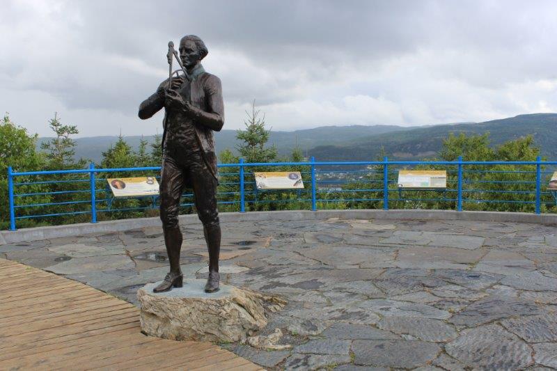
As I said in my last post Wednesday, Day 62 was a blog-free day. We spent most of it in our room doing a whole bunch of nothing; which is nice to do once in awhile. I got my laundry done, John got Poppy’s oil changed and we even made a trip out to the top of the hill to the Captain James Cook National Historic Site to see the view. Unfortunately the rain continued off and on all day and decided to start again just as we arrived. The view was pretty nice though and would have been spectacular on a sunny day.
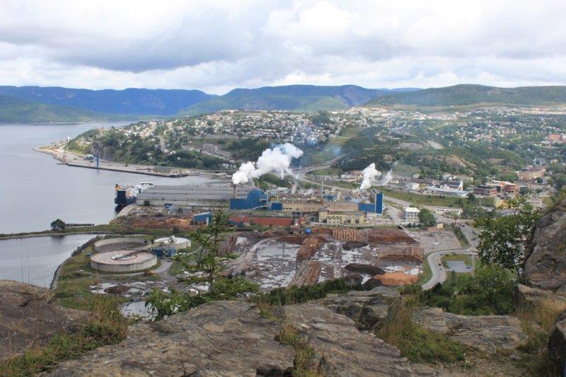
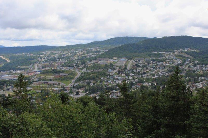

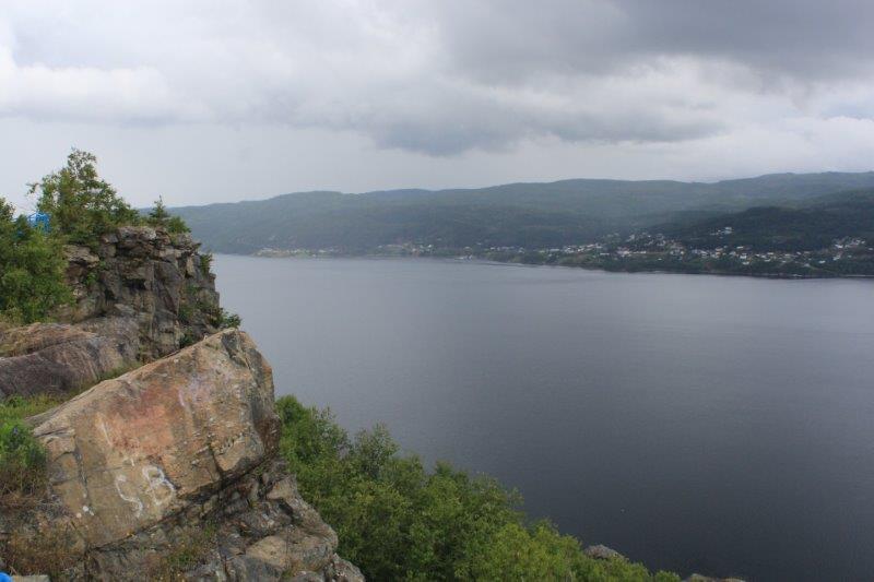
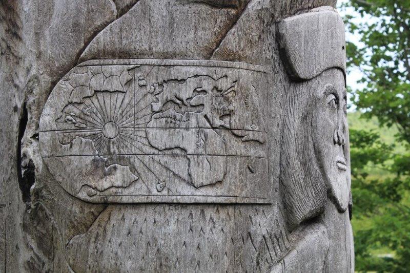
Captain Cook is noted for spending 3 years (1763-1767) surveying the coast of Newfoundland – charts that have been found to be accurate for centuries due to his diligence and meticulous eye for detail . His charts are still used today.
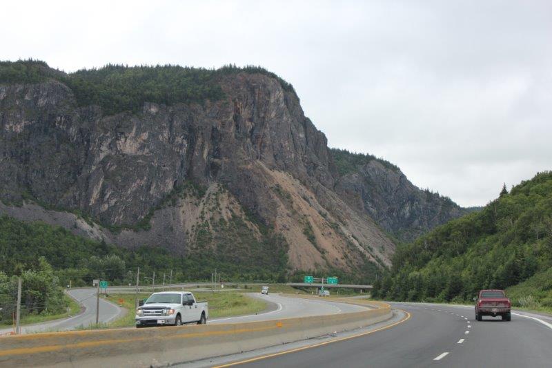
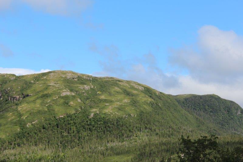
We left our hotel on Thursday morning and drove to Rocky Harbour which is only about 115 km away. We had reservations for a boat cruise into Gros Morne National Park. The drive was very similar to going through the lower mountains around home or on the way to Revelstoke; a little rockier perhaps, but reminiscent of our area.
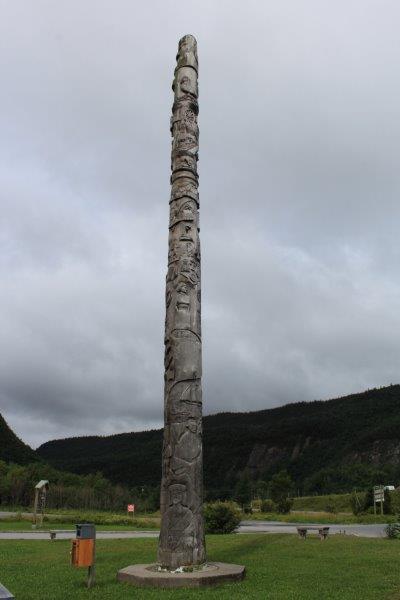
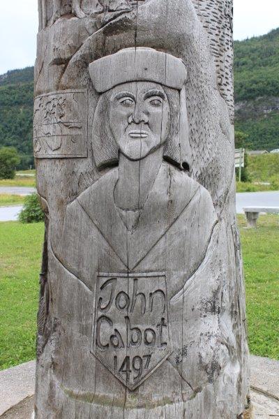
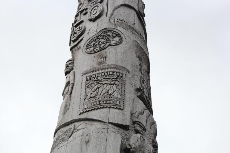
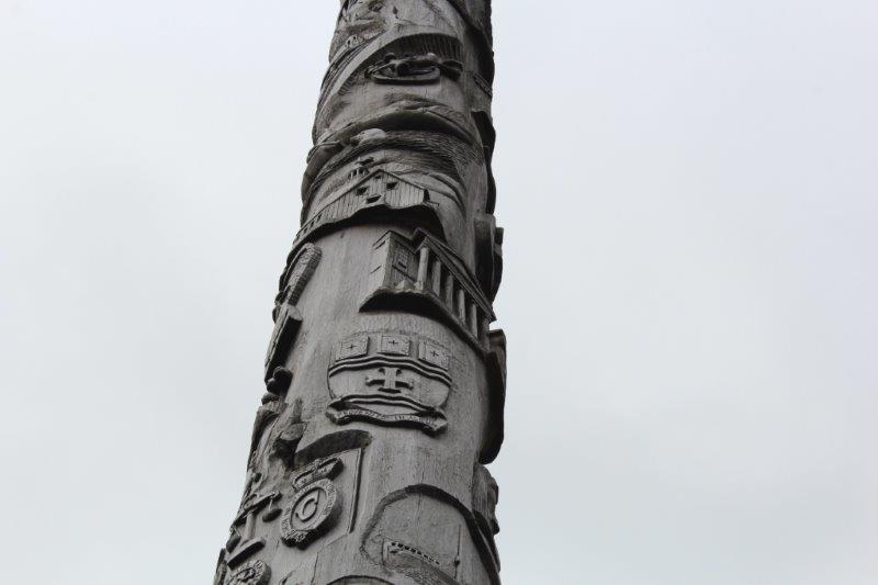
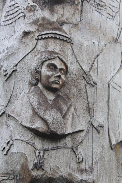
We stopped briefly at Steady Brook to see the Newfoundland Labrador Heritage Tree. It was erected in 1999 as a 50th anniversary project to commemorate Newfoundland and Labrador joining Confederation in 1949. The 50′ tall tree was cut by a Labrador man working for Western Forest Products. The forestry company donated the log and spent $15,000 having it moved to the dock side for pick up by a transport company. It was moved via various transport companies, at half the regular rate, to North Sydney, NS where Marine Atlantic had it loaded on one of their ferries and brought it to Newfoundland – without charge. They have counted 417 rings on it so it began to grow about 1583 which was when Sir Humphrey Gilbert claimed this land for England. Newfoundland became Britain’s first and oldest colony. The tree is carved with images of people and events in the Province’s history since then. Pretty cool project I’d say.
We also drove a short distance up a very bumpy gravel road for a clamber through the bush to view Steady Brook Falls, which was really flowing due to all the recent rain.

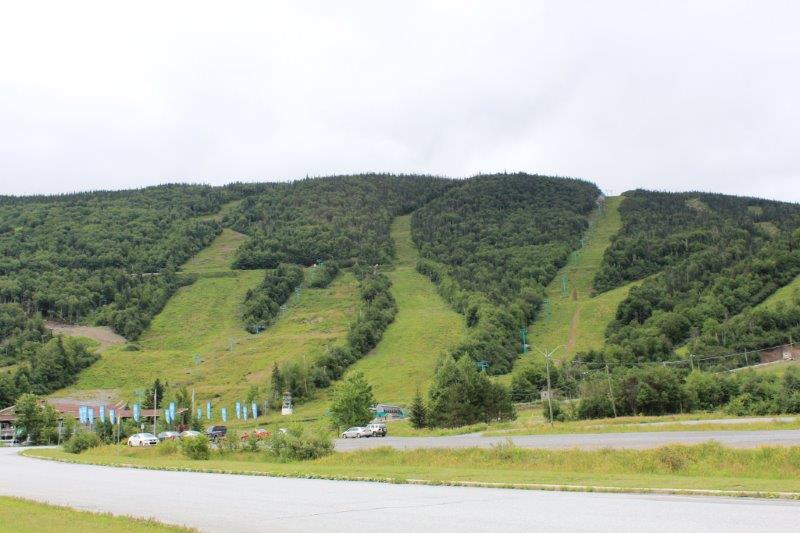
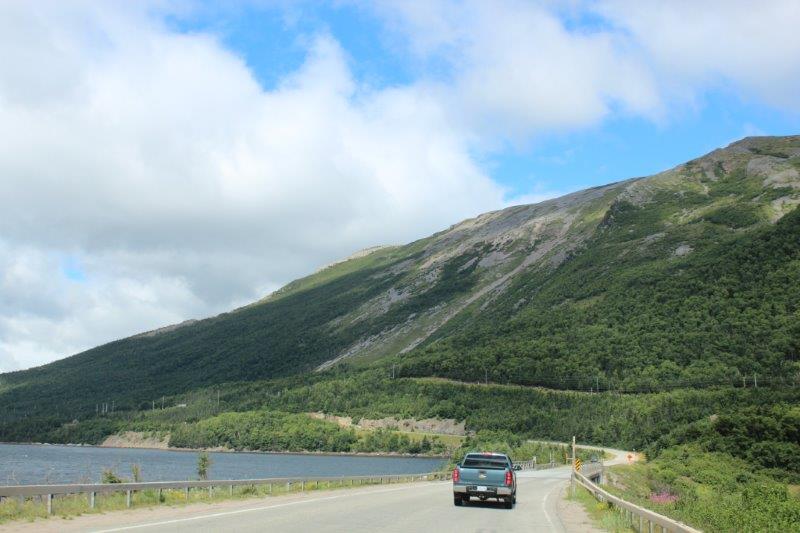
Steady Brook is also the turn off for the Marble Mountain ski area – which looked very much like the Blue Mountains ski resort in Collingwood, ON.
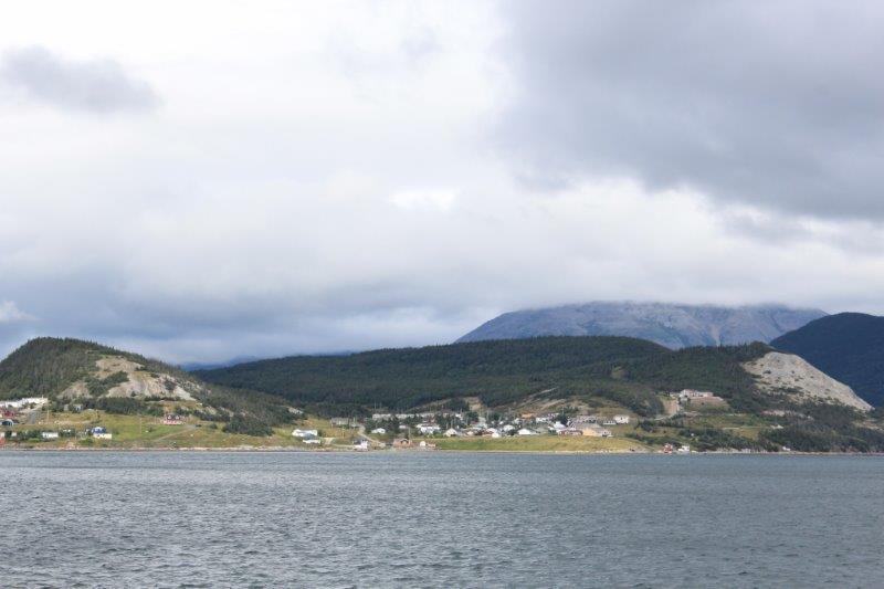
A couple of quick stops at view points and the Visitor Center of Gros Morne National Park and we were on our way to Norris Point; a few kilometers down the road from Rocky Harbour where we are spending the night.

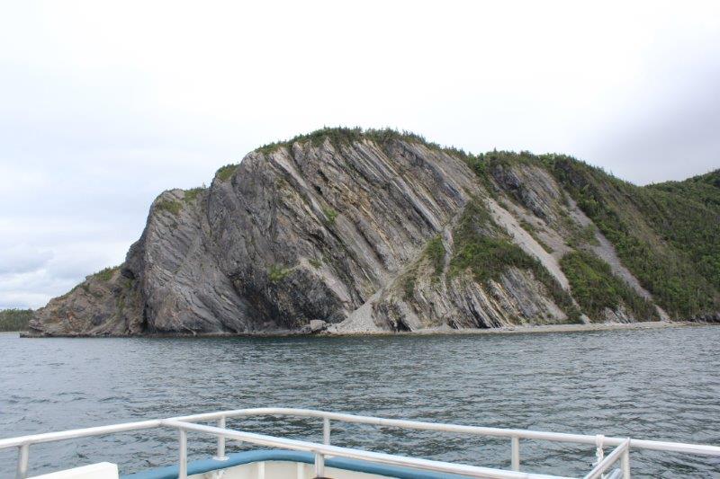
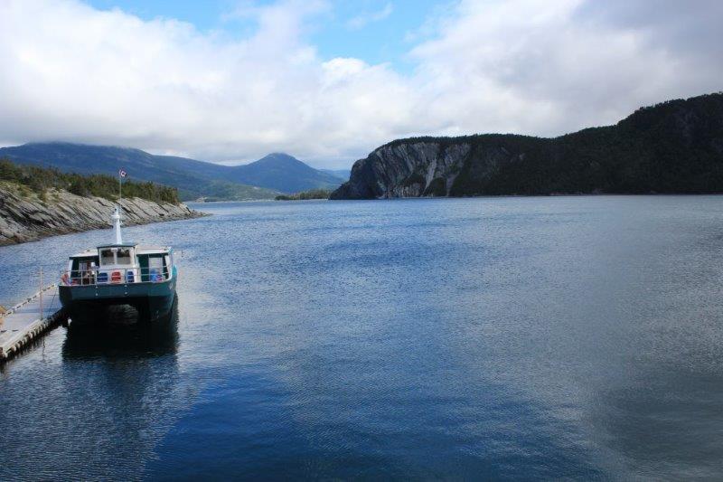
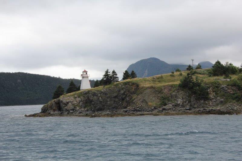
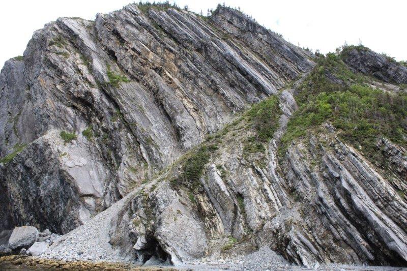
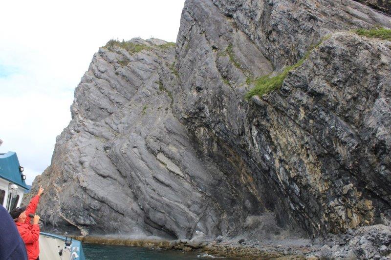
At Norris Point we boarded the boat for our two hour cruise on the South Arm of Bonne (pronounced Bon) Bay to see the scenery and the spectacular Tablelands. But…..the stupid clouds came in and covered the top of everything so it wasn’t as spectacular as it might have been. And….aside from a few interesting rock outcroppings and the cloud-topped Tablelands we could just as well have been spending our afternoon on Shuswap Lake. It was a nice trip, we talked to some nice people, but I admit I was a little disappointed. Most of the rest of the people were in awe. I guess I am too used to spectacular scenery living where I am fortunate enough to live. But, all in all it was a fine day – and we only had clouds, no significant amount of rain which was very nice.
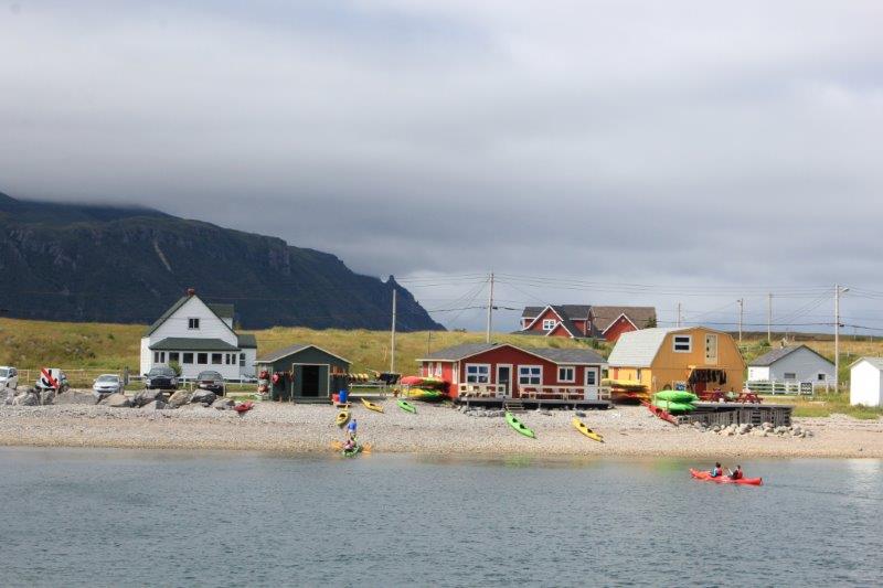
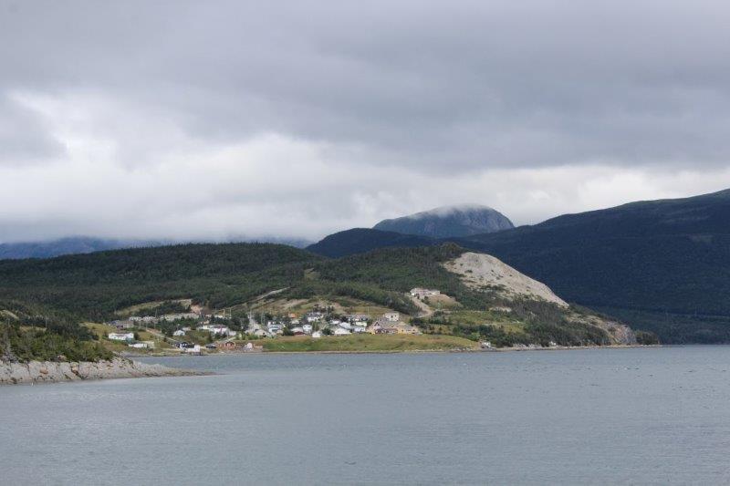
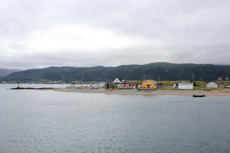
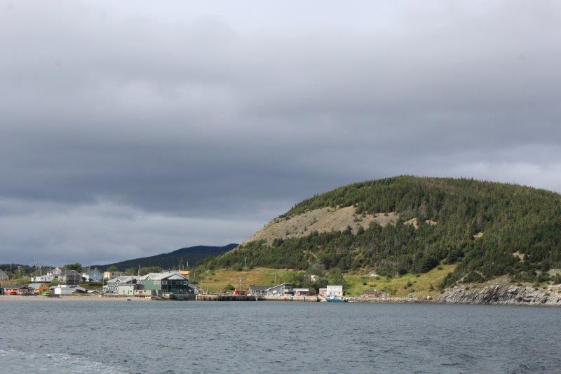
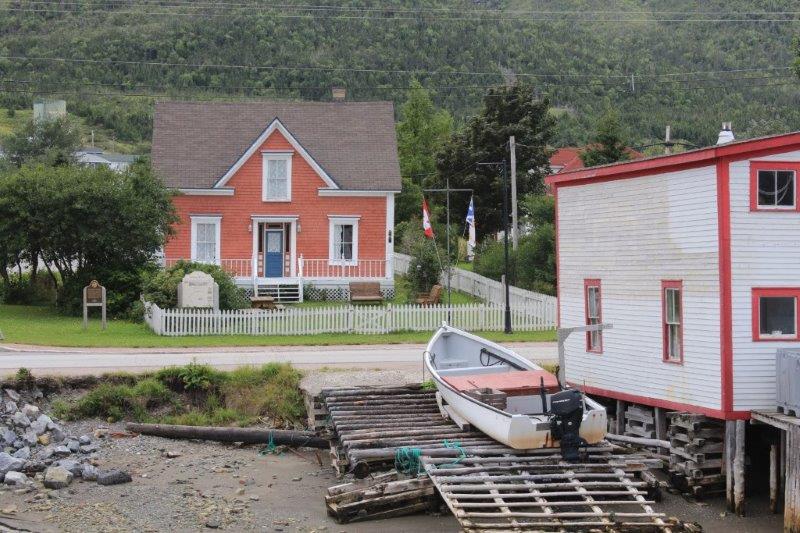 Woody Point
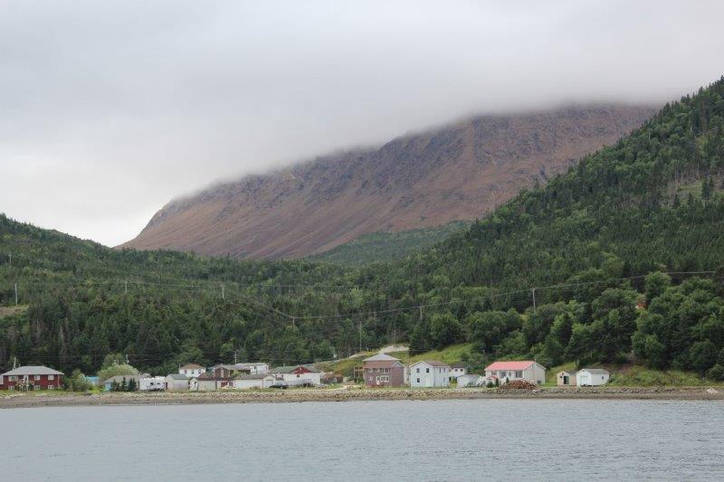
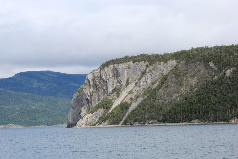
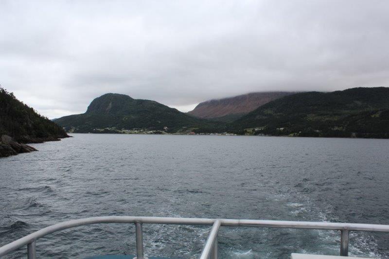 The Tablelands in the distance, which are a slice of an ancient ocean floor; one of the best and most accessible examples of exposed mantle material in the world. This geological wonder has made Gros Morne National Park a UNESCO World Heritage Site. Surrounded by green forest, this barren rock is a complete aberration; it shouldn’t be here at all, let alone as high as it is. Virtually nothing grows on it due to the high iron content of the rock. We plan to drive up to see it at close range on our way back down from St. Anthony next week.

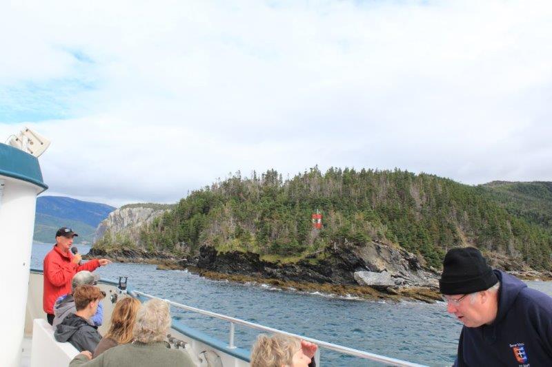

 At huge mommy eagle. We saw several young and adult eagles and a moose (with the binoculars) off in the distance.