We had a destination day on Tuesday. We drove down the northern peninsula to Rocky Harbour to complete our want-to-see things in Gros Morne National Park before we begin our journey eastward.
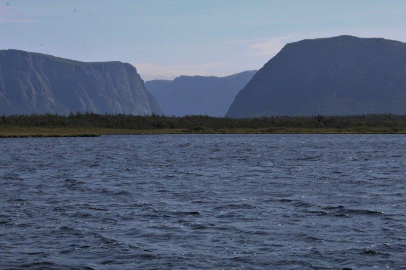
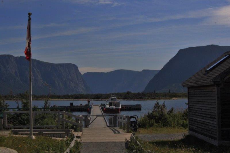
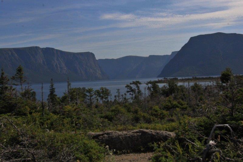
It was a lovely warm sunny day and we made good time. We left Roddickton at 10 to 10 and arrived at the parking lot for the Western Brook Pond at 10 to 1. We could see the cliff tops today so we decided to hike in again and perhaps catch the next tour boat if there was room. We thought it left at 2, but it left at 1:30 and we missed it by 5 minutes! Rats. It would have been lovely down the fjord .

We rested awhile, soaking up the warmth of the sun and headed out along the loop trail where we met Momma Moose last week. She and her calf must have been resting in the shade because we didn’t spot her.
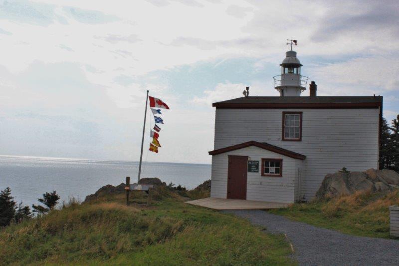
We stopped briefly at the Lobster Head Cove Lighthouse just before we reached Rocky Harbour. And that was all the excitement on Tuesday.
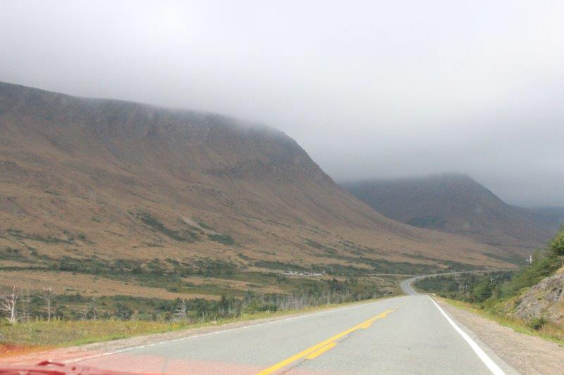
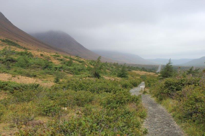
Wednesday dawned wet and cloudy. I was not pleased. Along with Western Brook Pond the other thing I really wanted to see in Gros Morne National Park was The Tablelands, where a part of the earth’s mantle was shoved to the surface. We had saved this hike to do on our return from the northern peninsula because the weather was not good when we went up and we were hoping it would be better when we came down. I guess that was a false hope.
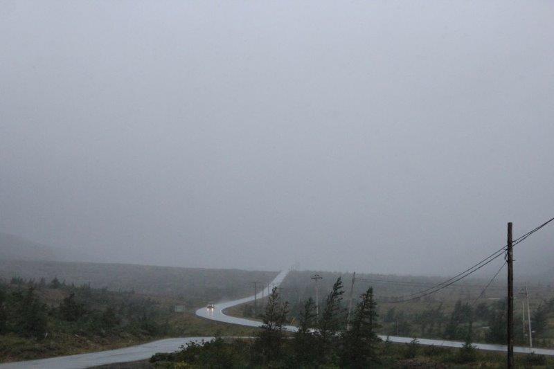
We drove from Rocky Harbour to The Tablelands trailhead in thick low clouds. We decided to hike the 4km (round trip) trail and hope the clouds lifted on our way. We hadn’t gone more than 25′ and the sky opened – rain like hail, blowing sideways. Even with the umbrellas we were soaked to the skin in the 5 minutes it took us to get back to the truck.
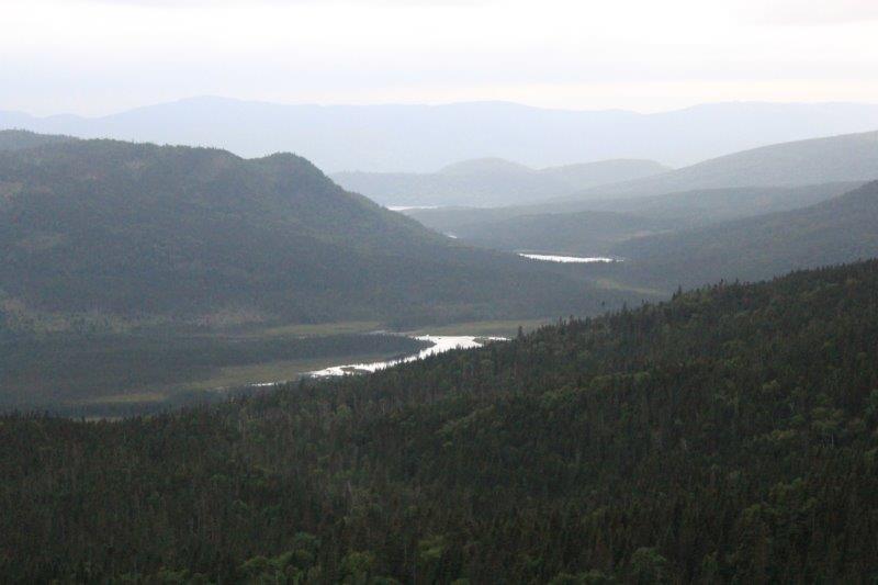
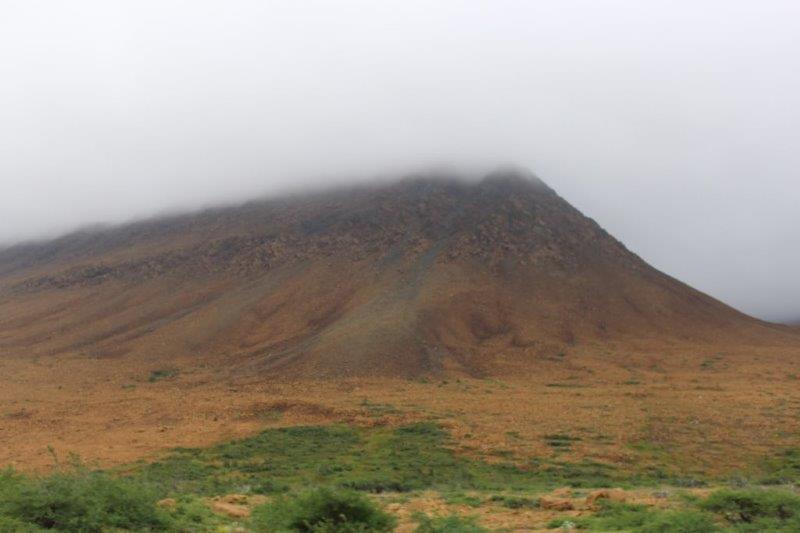
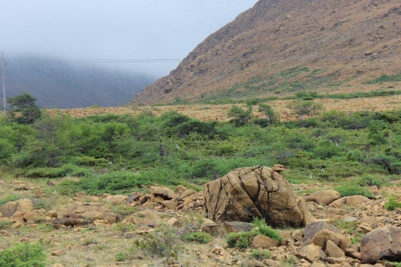
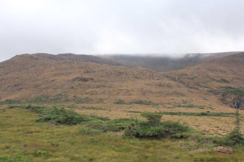
A viewpoint along the road between Rocky Harbour and the Wiltondale turnoff to The Tablelands.
A cruise ship anchored off Woody Point. We assume the people would be going to The Tableands on an excursion. There isn’t very much else around.

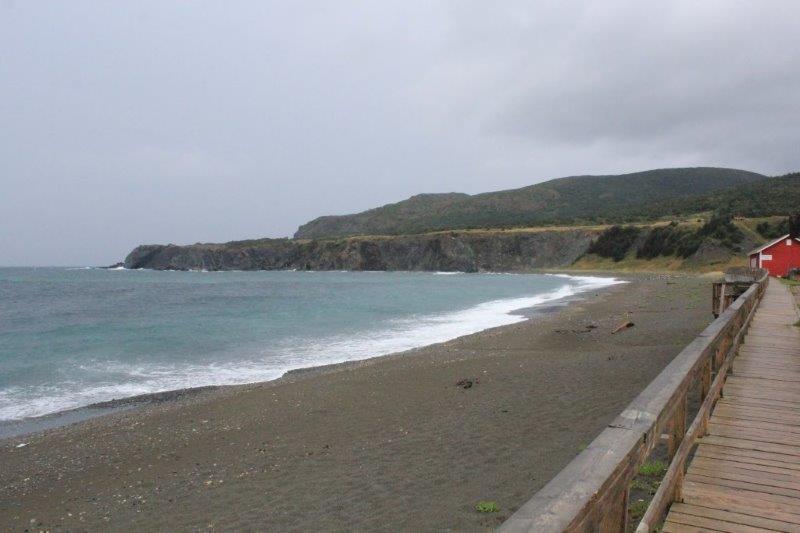
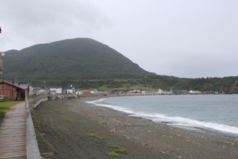
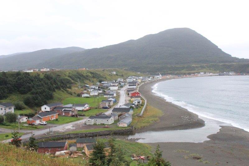
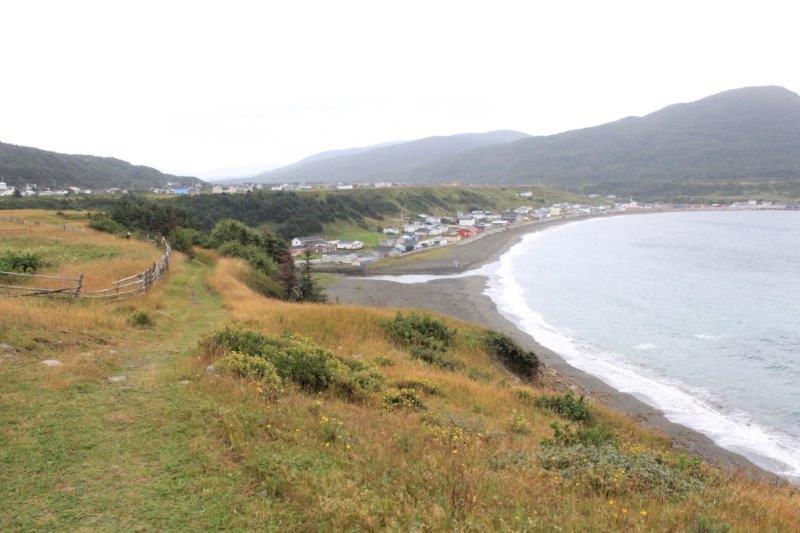
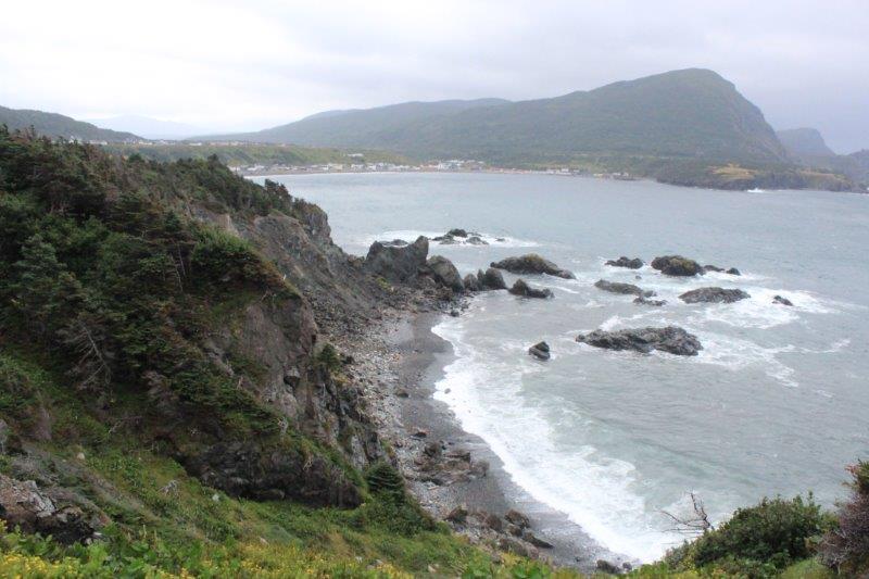
Plan B – drive to the end of the road to Trout River and see if the storm passes while we are gone. Trout River is only a few kilometers down the road; we were there in 20 minutes. It wasn’t raining anymore and we noticed a staircase built up the cliff face at the end of the town so we drove over and started climbing (136 stairs). It was called the Eastern Point Trail and meandered along the cliff face above the Gulf of St. Lawrence. There were lovely views of the little town arcing around the bay and the waves crashing at the base of the cliff. We probably walked a kilometer or so before heading back.
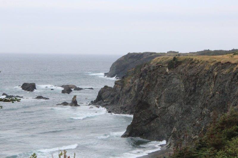
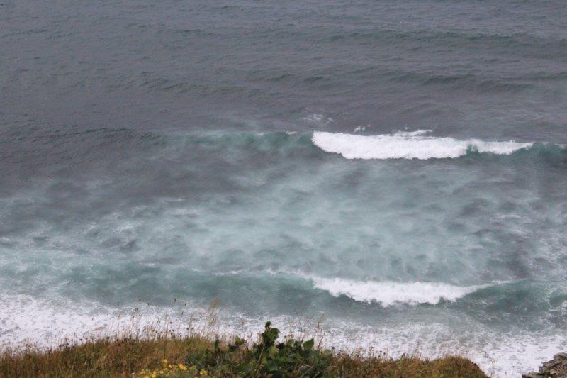
The wave action was creating under water bubbles.
At the top of the Eastern Point Trail staircase.
The clouds seemed to be lifting and the sky looked lighter so we drove back up the hill to The Tablelands. We had a bite of lunch and took to the trail. The clouds never did lift but we didn’t get rained on again and at least now we could see the rock cliffs.
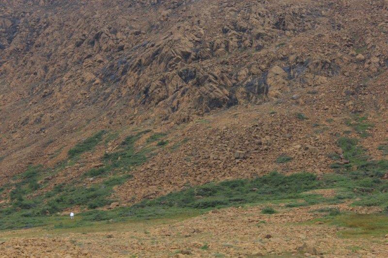
See the little white dot in the lower left? That is a 6’2″ tall 16 year old boy who is about to climb the rock pile in front of him. 


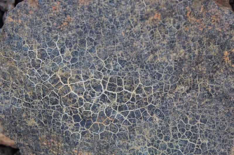
I liked the pattern on this rock.
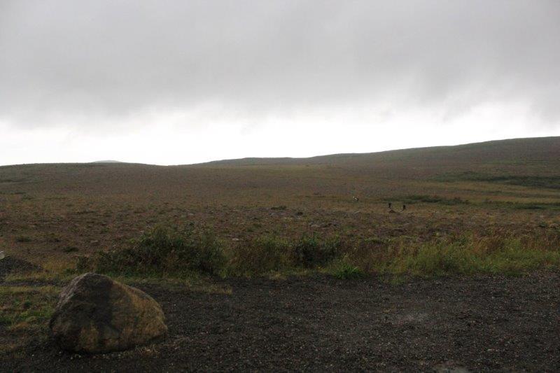
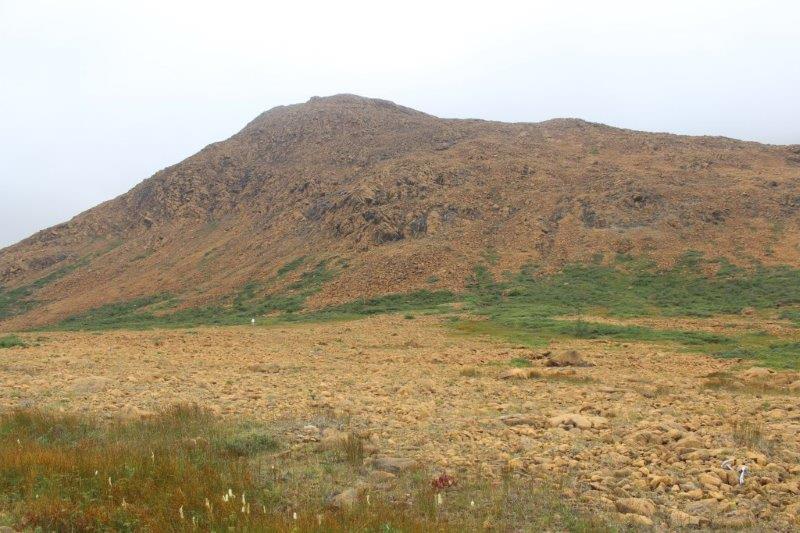
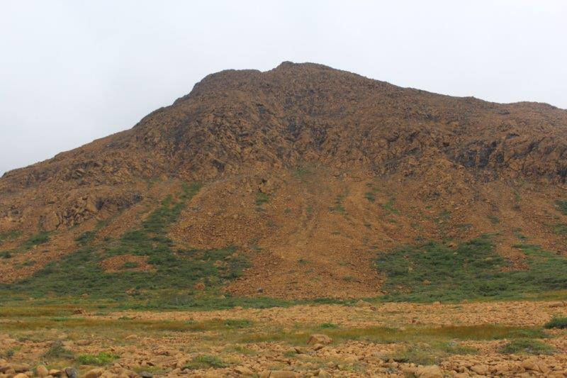
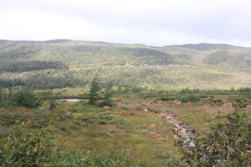
The place is really quite remarkable. There are rocks and boulders lying everywhere, the cliffs are sheer golden rock and only a few hardy shrubs grow. It is a huge area; a veritable mountain range of rock. And yet, as you walk back along the trail, if you turn around and look the other way everything is bushy and green.
Despite the clouds and rain it turned out to be a pretty good day.
