We had a long driving day ahead of us today so we got up at 7 and were on the road leaving Yellowknife a little before 8:30. The first 345 km (215 miles) was the same route we travelled to get to YK. There is only one long road in and out of Yellowknife. The airport is very busy though. They have planes coming in from all over the place all day long.
As we were leaving the city limits a coyote with his breakfast ran across the road. (The photo isn’t really sharp. It is really cropped as he was quite away ahead.)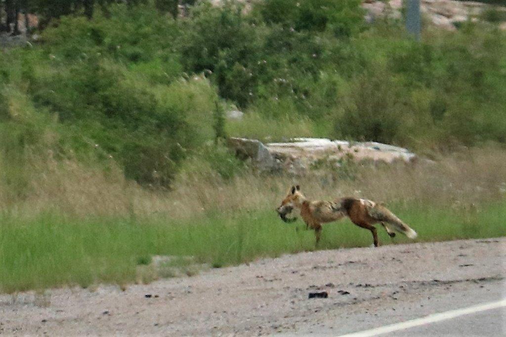 We stopped at Northwest Arm Park to find a geocache. A truck and trailer pulled in a few minutes later and drove off in the direction we were just about to go to find the cache. A lady got out and started walking into the bush. As John got out of the truck she called to him that she was just going to look for a geocache. We told her we were on the same quest so off we went 120m into mosquito infested bush to make the find. She has been caching for 8 years and is 11 short of finding 1500 caches. Her husband doesn’t geocache, He just waits while she goes hunting, or puts on some tea. It was fun to meet someone who enjoys the same hobby.
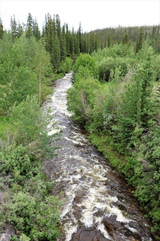
 Mosquito Creek
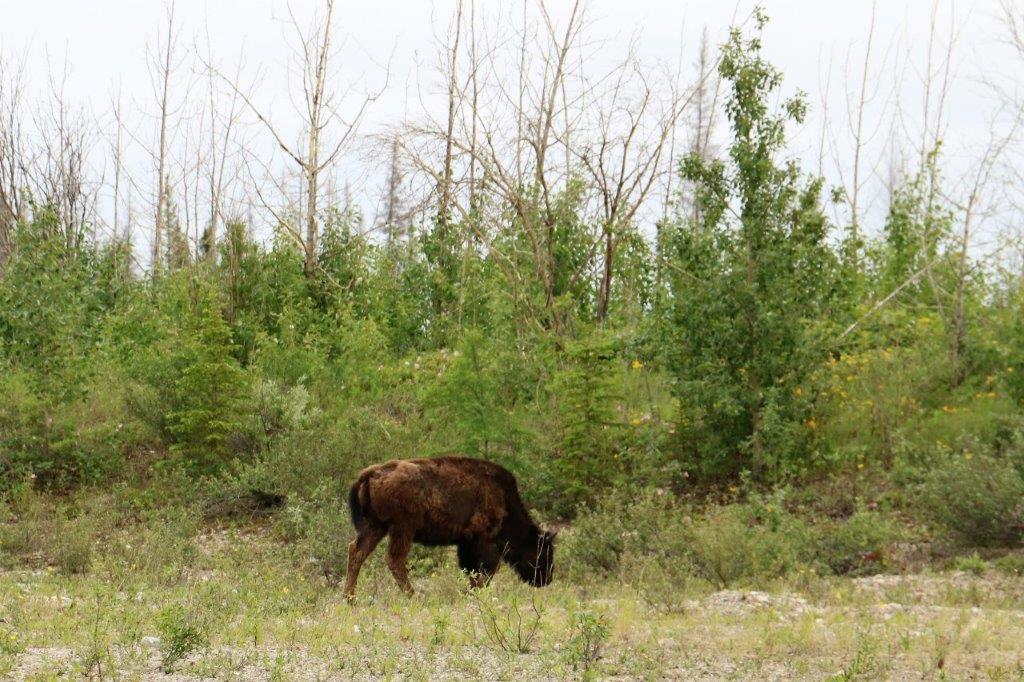
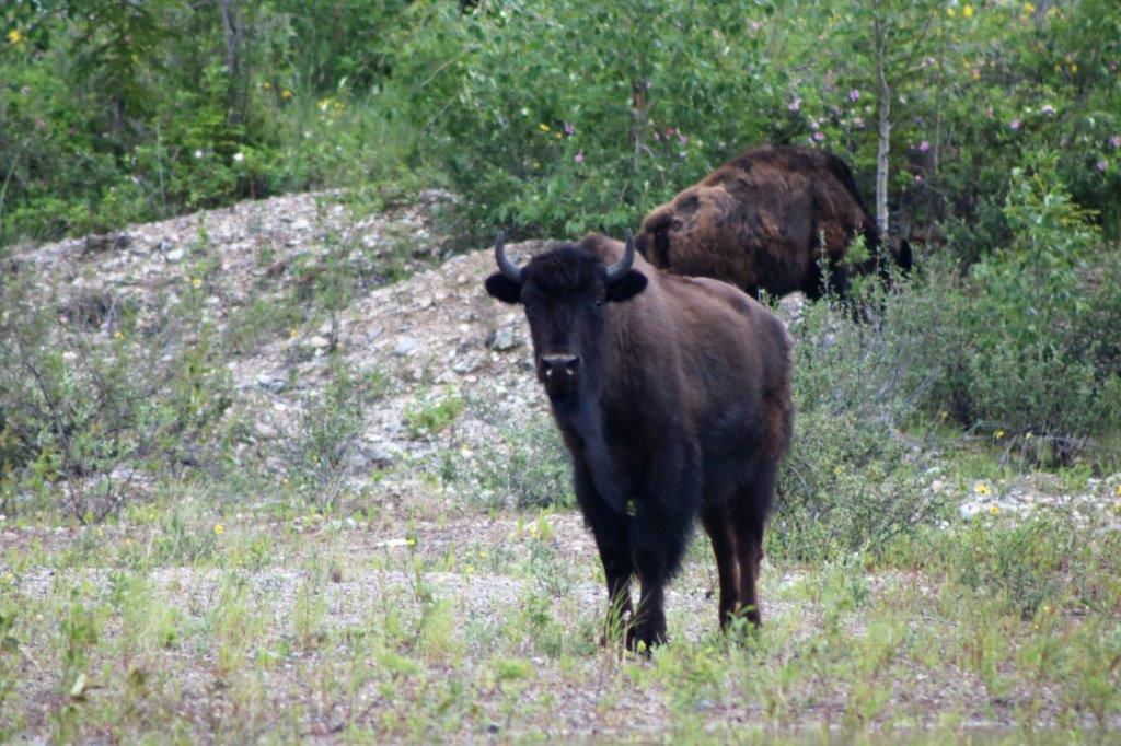
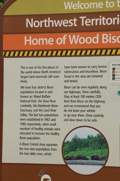
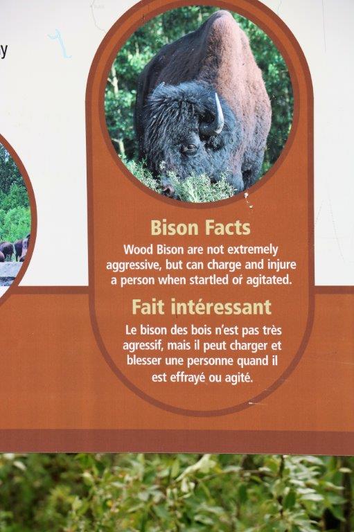
This stretch of road borders the Bison Sanctuary and on our way back we saw lots of the critters. First was a small herd of cows and half-grown calves.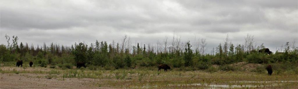

 Then the big fellow we passed on the way into Yellowknife walked up the side of the road past the car. Again.
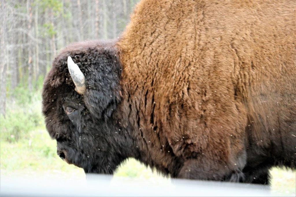 Next came the contented fellow lying in the grass and dandelions.
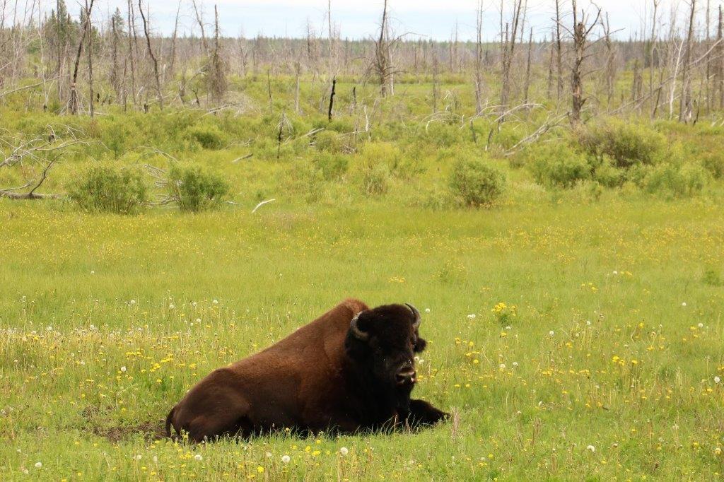 Finally, this great big dude was mowing through the grass at a steady pace.
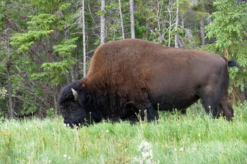 At the end of Highway 3 we turned left onto Highway 1 (the Mackenzie Highway) toward Fort Simpson (240 km or 150 miles) where we are spending the night.
This area too, is home to some bison, although we didn’t see any of them.
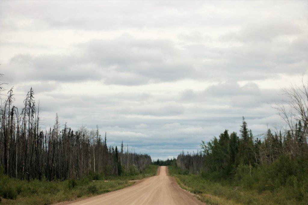
 We were blessed with pavement for a longer distance than we had expected but eventually we did get onto the gravel road. The first few km were recently graded and even the rest of the road (except for a few pot holes now and then) was a smoother road than Highway 3 going to Yellowknife. That road is a roller coaster of frost heaves and dips. We made good time on the smooth gravel all day.
 We stopped at Axe Handle Creek to find a cache hidden in guard rail.
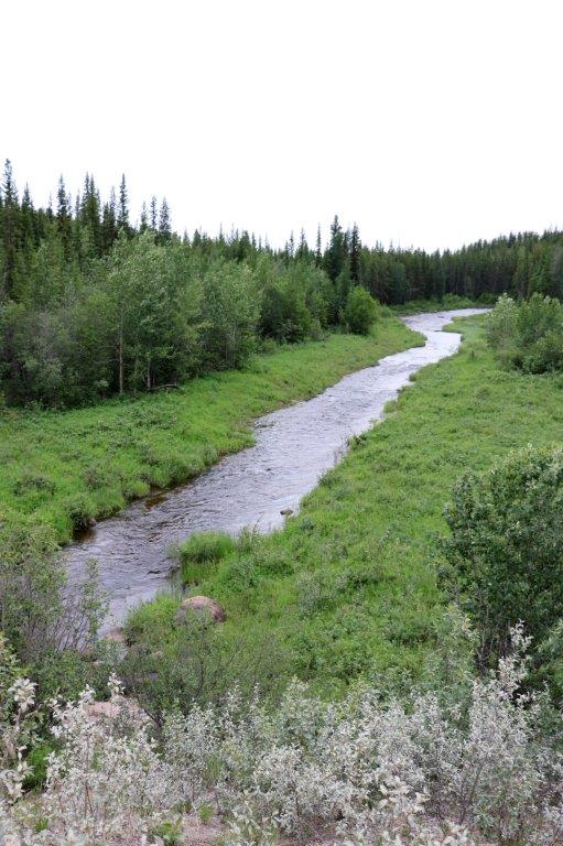
 Upstream of the bridge. And downstream of the bridge.
There were four geocaches close together near Sambaa Deh Falls Day-Use Park. The first was at the end of a .5 km (about a third of a mile) trail through the bush which took us too a lookout over Coral Falls.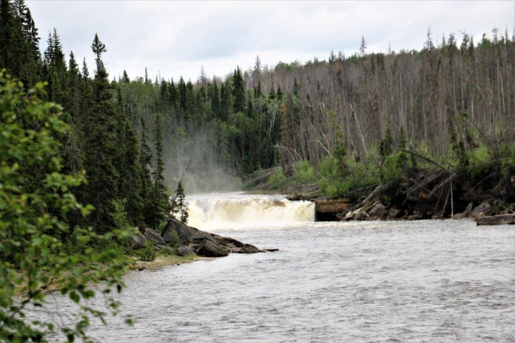
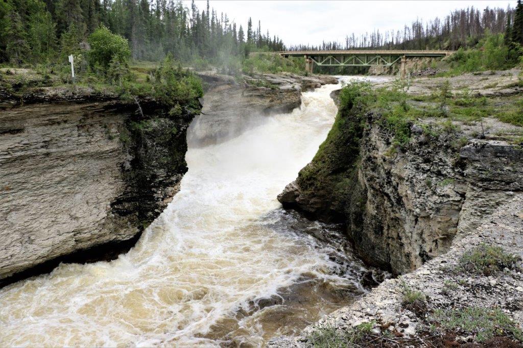
 Back on the road, across a bridge over the Trout River we walked over to the Sambaa Deh Falls to find an earth cache. (We skipped the other two caches, both of which were quite a ways further away and one of them you need to rappel down a rope to find. Not!)
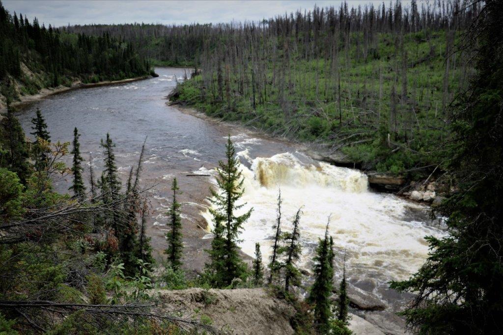
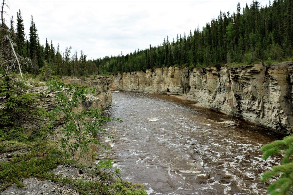
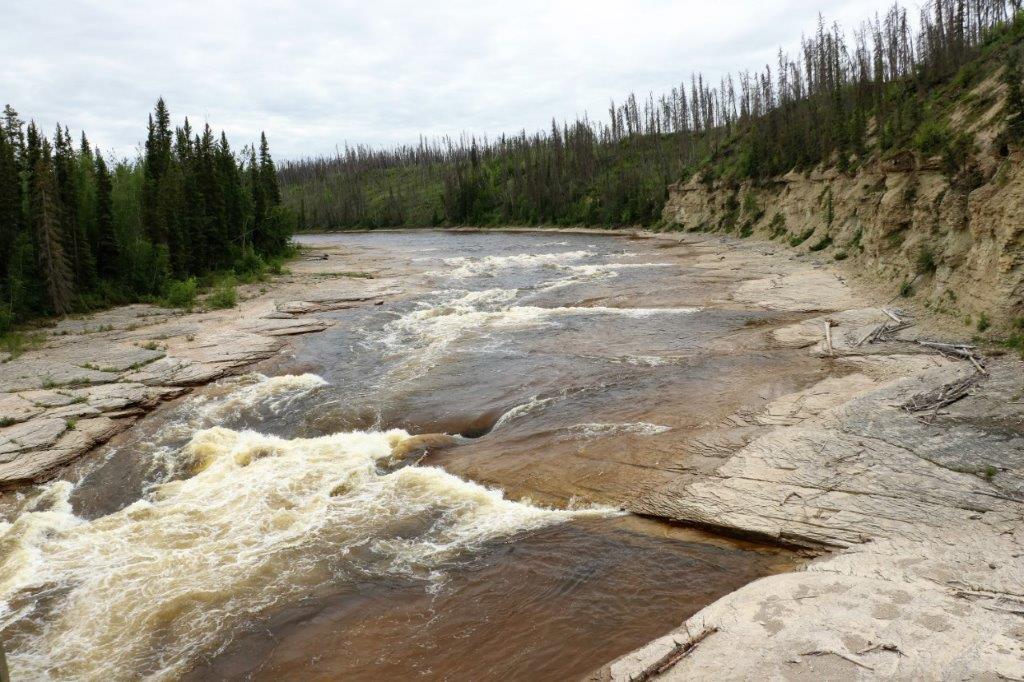 Upstream of the bridge above and downstream below.
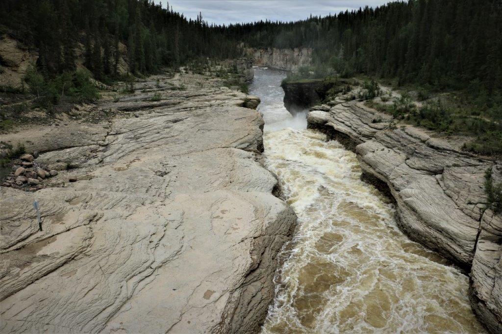
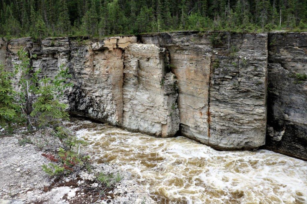
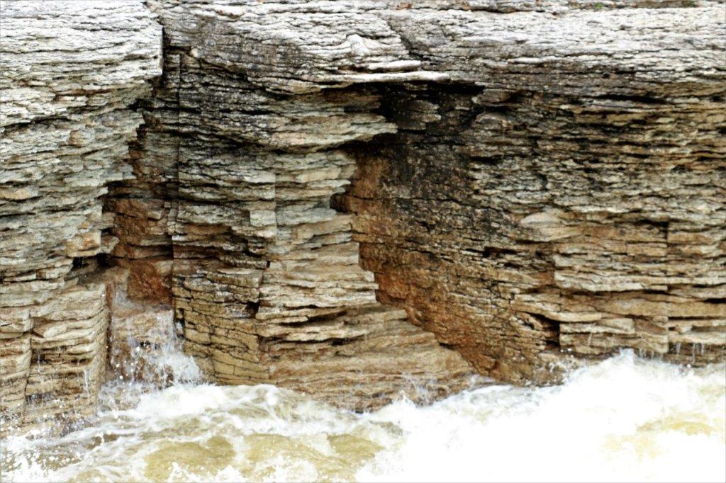
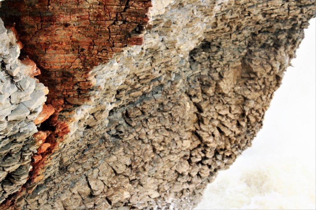
 I think there was more white water around the corner too but it was posted with a sign saying Unstable Cliff so we did not go further.
 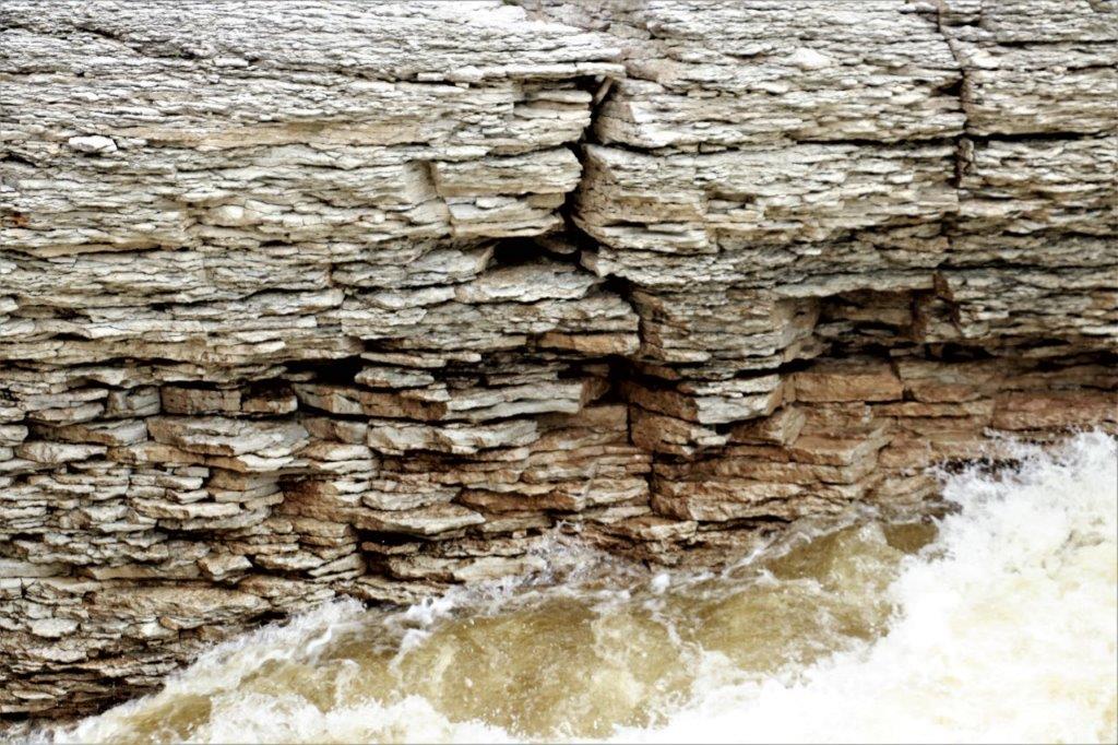 The layers of rock on the cliff sides of the gorge were really neat. You would think you could just slice them apart and make slates for your roof.
 We were toodling along about 15 km from Fort Simpson, came around a corner and there was a ferry. There are quite a few ferries that provide road access in the summer to communities across the many rivers in the Northwest Territories. In the winter the rivers freeze and they make ice roads. There is no ferry schedule, it just picks up any cars that come along and takes them across the Liard River.
  We pulled into the community of Fort Simpson at 6:15, so with our various stops we were on the road almost 12 hours. Tomorrow is going to be longer. And it is going to rain. All day! We are on a gravel road all day tomorrow and it will be a muddy mess in the rain. Joy! Well, we take these road trips for the fun and adventure of seeing new places. Tomorrow should fall into the adventure category.
