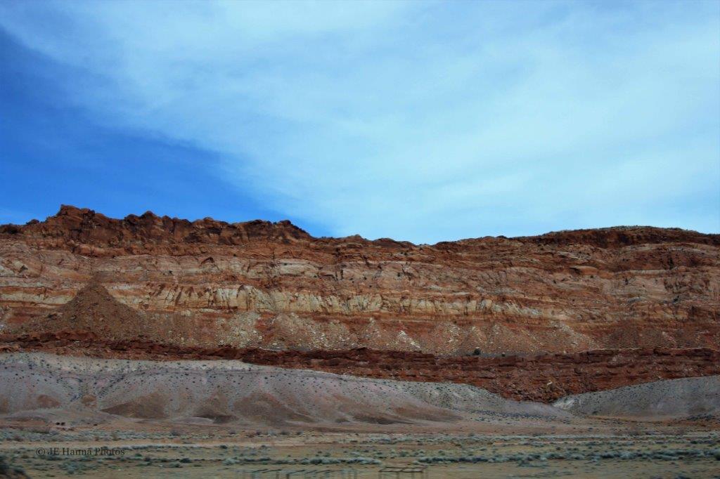
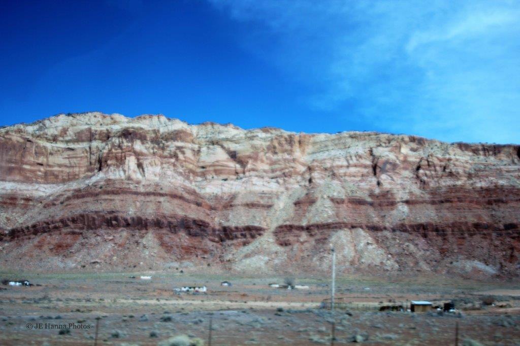
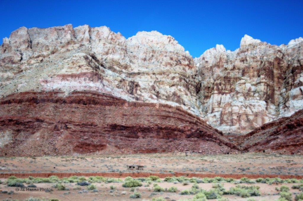
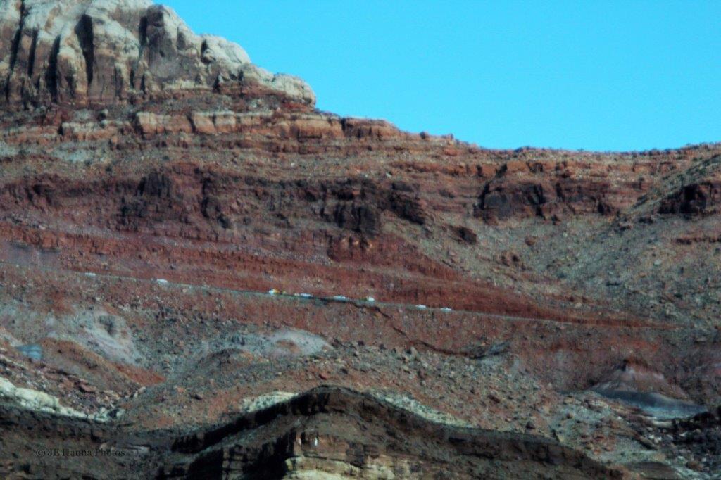
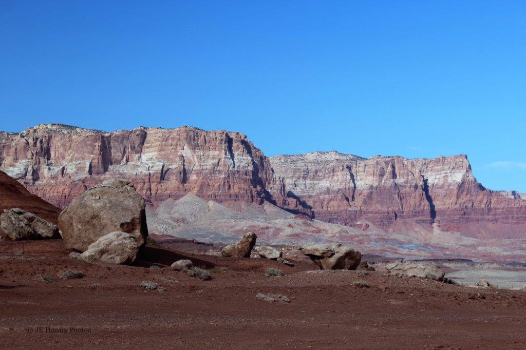
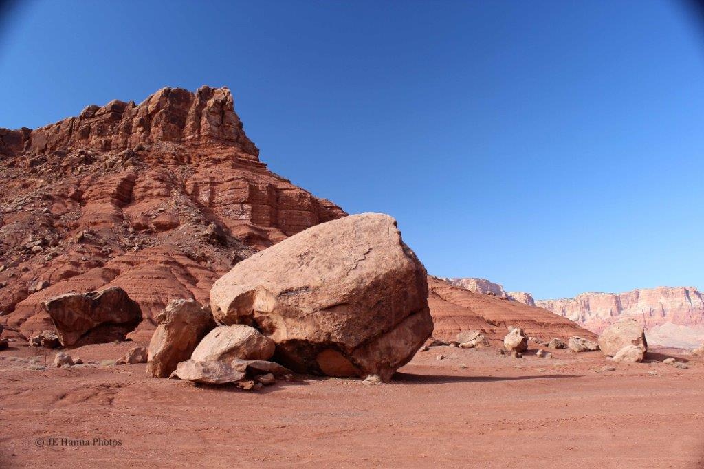
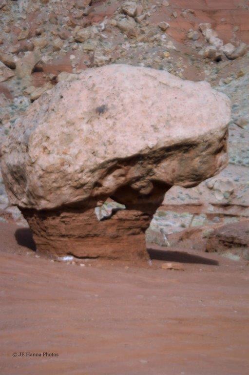
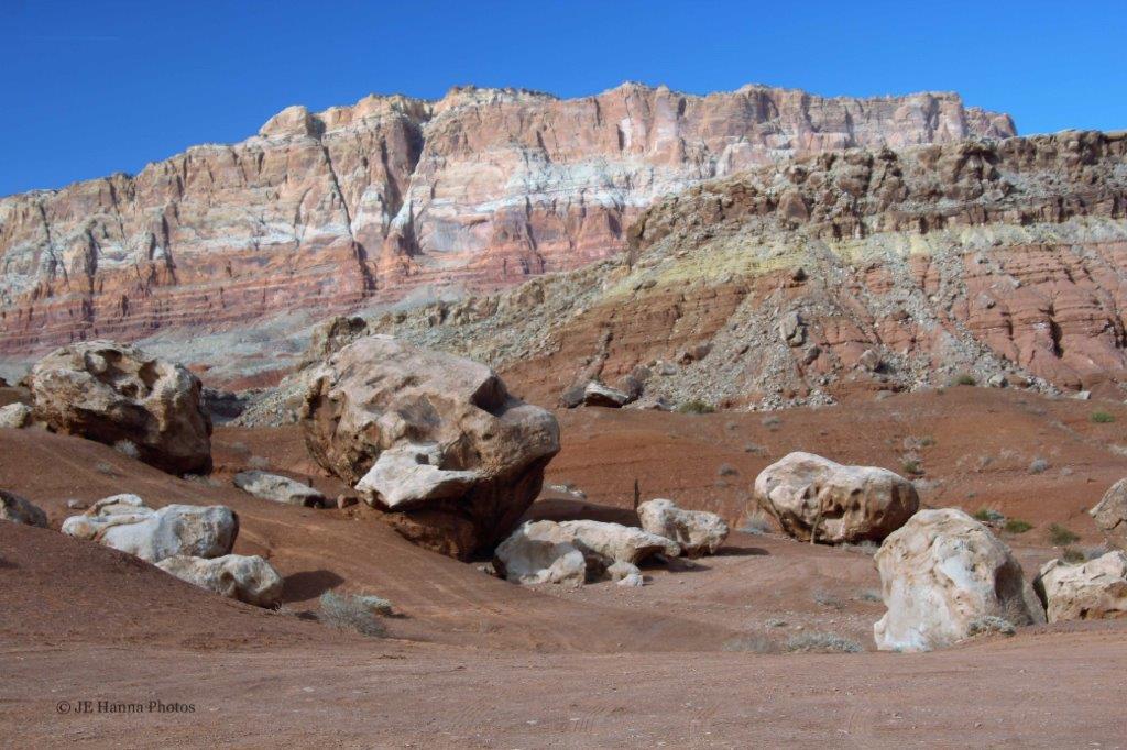
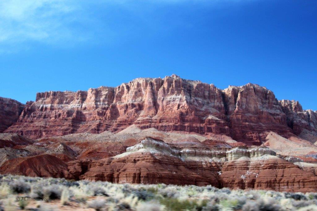
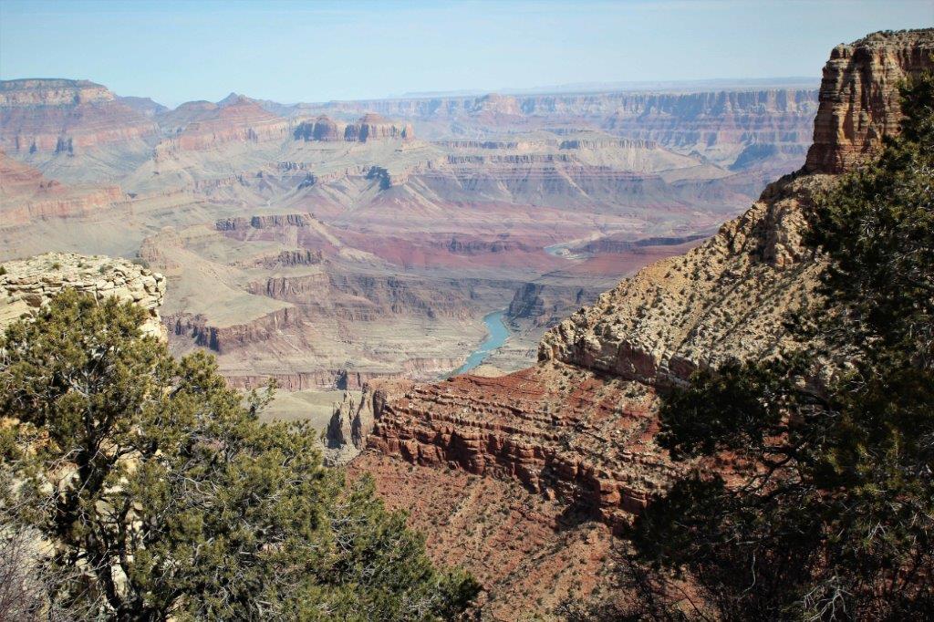
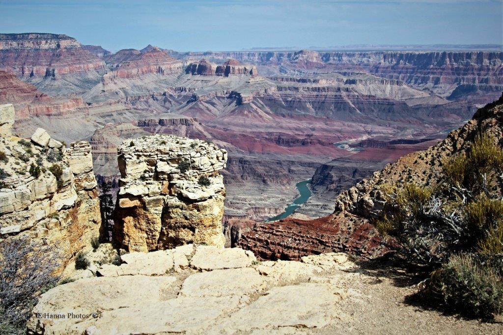
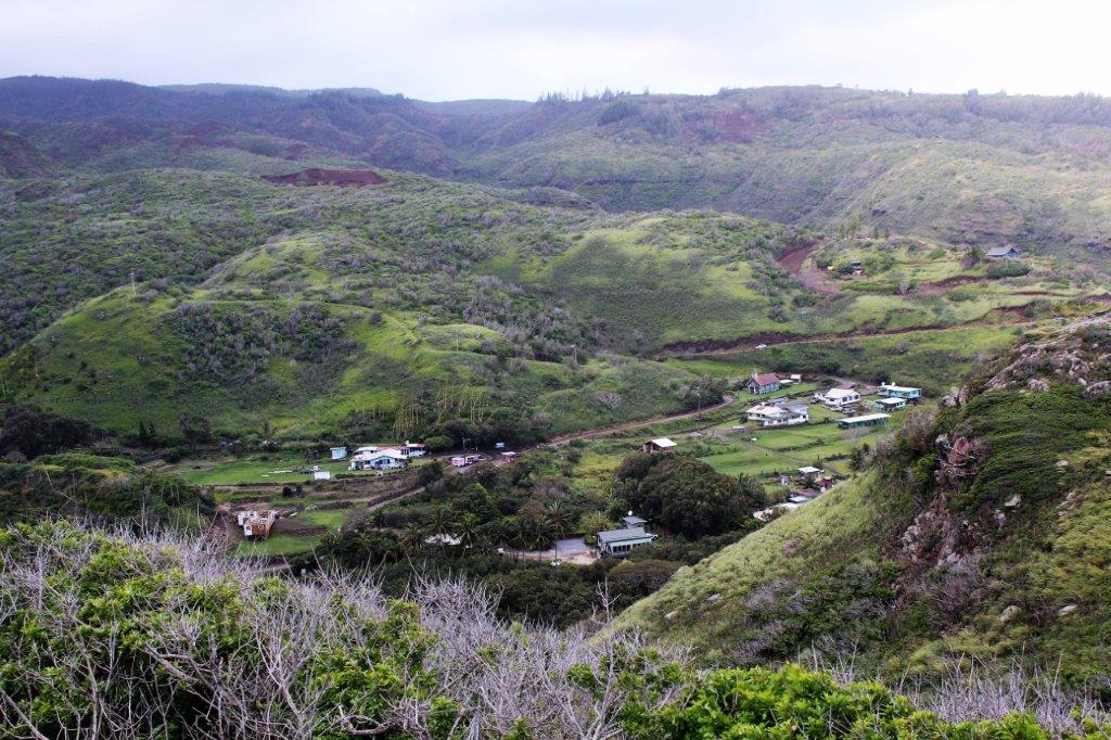
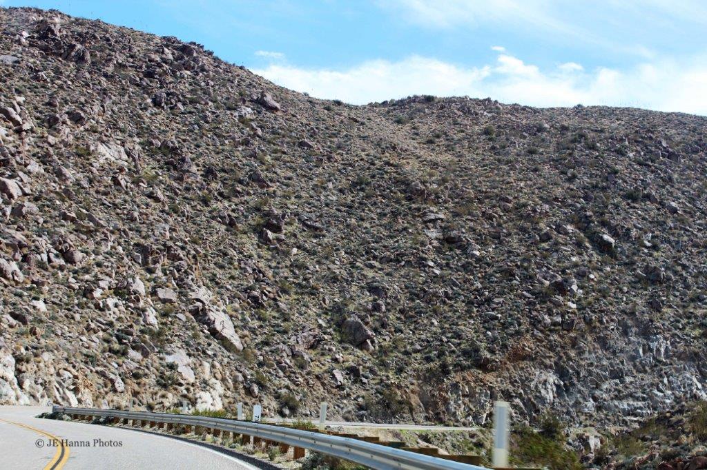
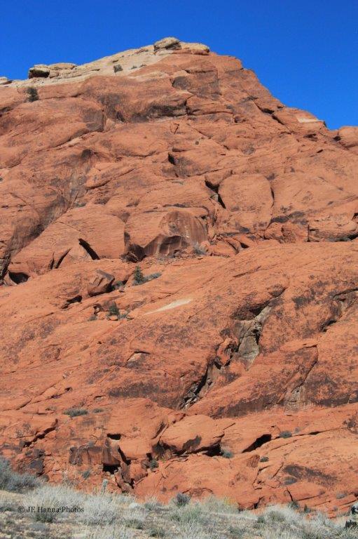
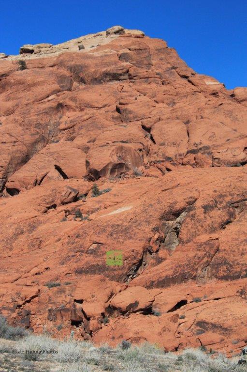
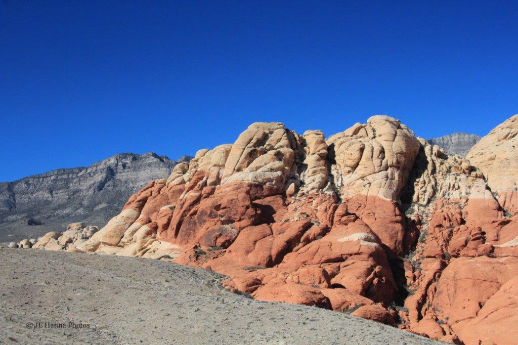
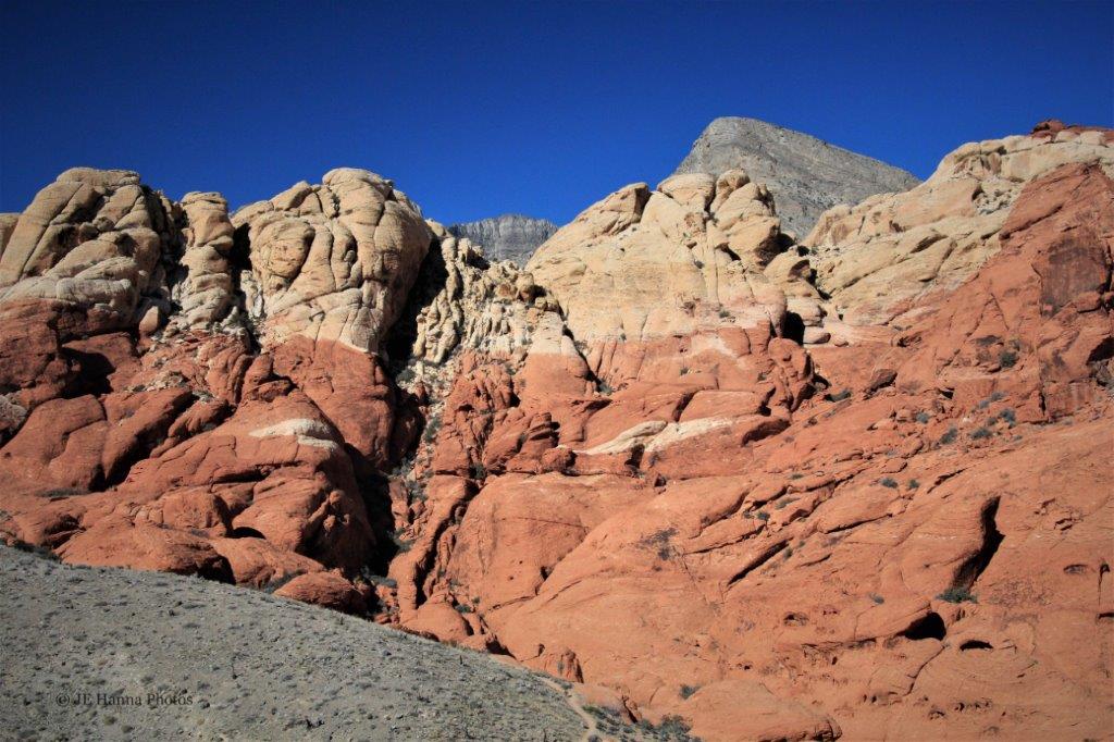
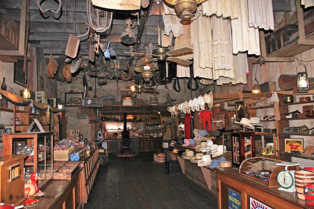
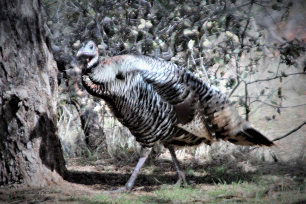
Not long after we crossed the boundary into Zion National Park in southwest Utah, I realized I had a problem. Every turn in the road, every twist of the head would bring into focus another amazingly colourful rock bluff or hill; or an interestingly-shaped stone pillar. Within a mile or so of our drive through the park I had taken dozens of photos. Now, in the age of digital imagery this is not a major problem, since you don’t have to pay to get them printed, but it did create a great deal of photos to go through and choose what to keep. This too, is not a big problem if you are at home with all the time in the world to go through them, but back in 2013 I was not writing a blog, I was posting each day’s photos on Photobucket in the evenings for family and friends at home. Which, with hundreds of photos to go through in the hotel each evening made for some late nights, or skipped uploads. Not a big deal except for my CDO tendencies. 
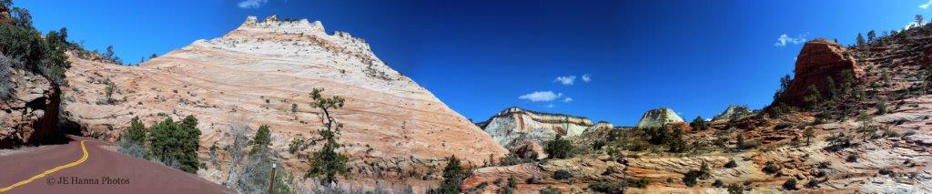
 However, having decided to go back to our trips (before 2014 when I began my blog) and write about them, I encountered the ‘so-many-photos’ problem once again. I have tried to scale down the pics, but I am very aware there are still many photos in this blog – as there will be in the posts about all of the National Parks we visited in southern Utah. I apologize in advance. Feel free to scroll through them quickly. I loved all the colours and lines and shapes so, to me, every photo I have selected is interesting. You don’t have to fake the same interest. I will never know the difference; and I wouldn’t blame you anyway.


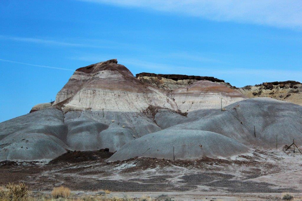
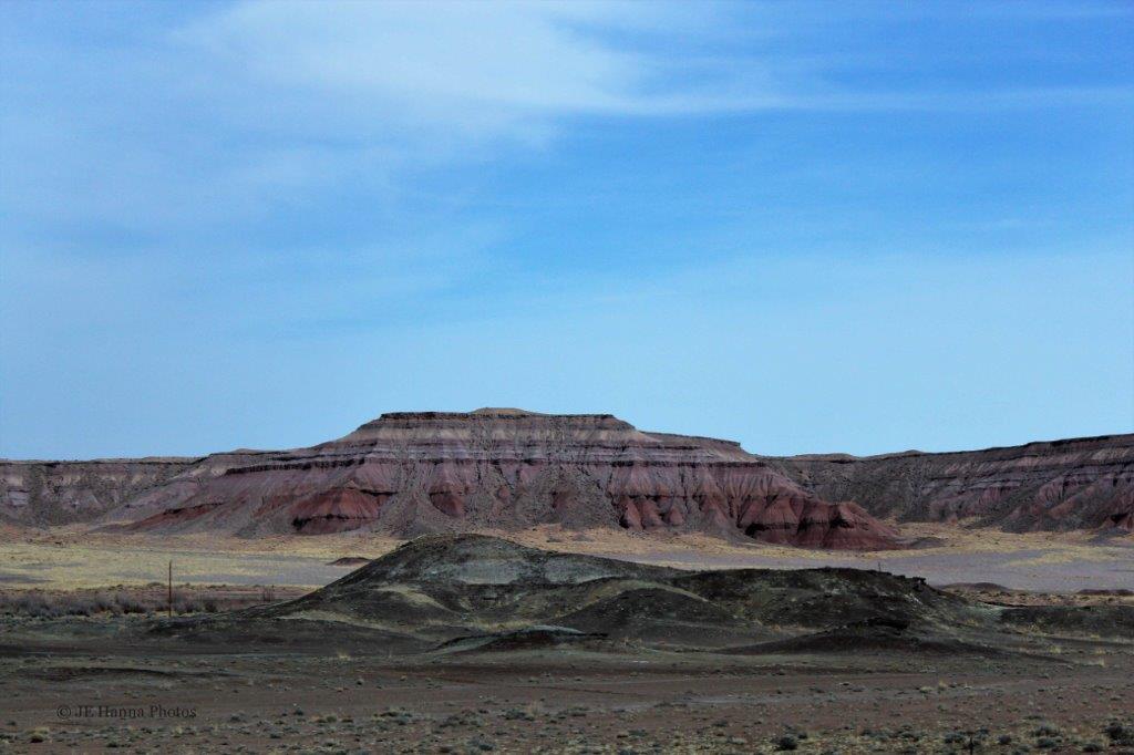
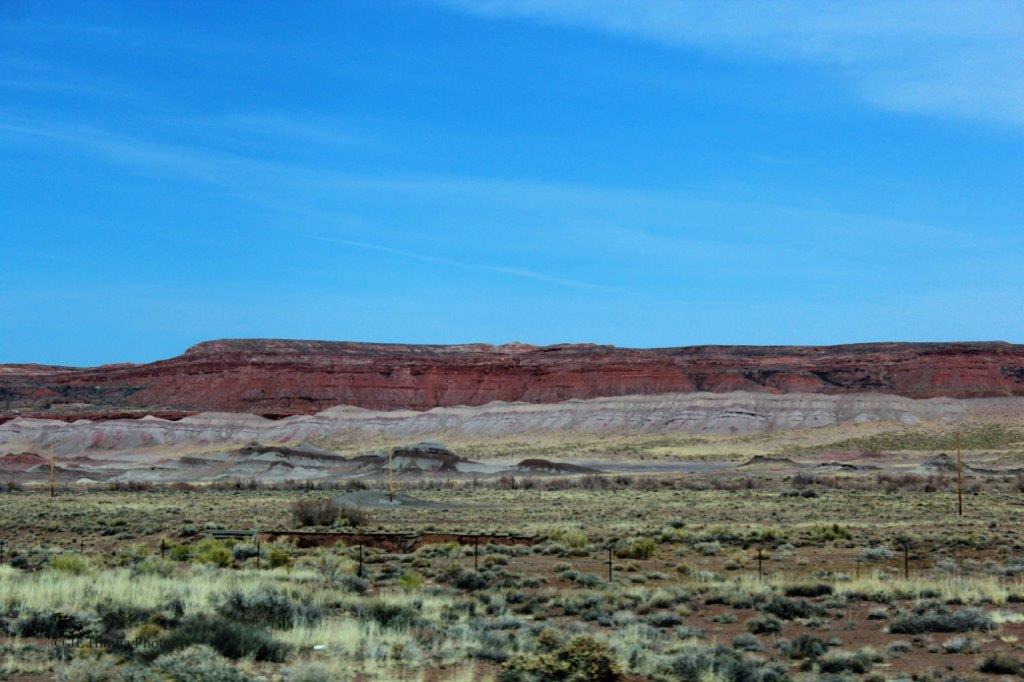
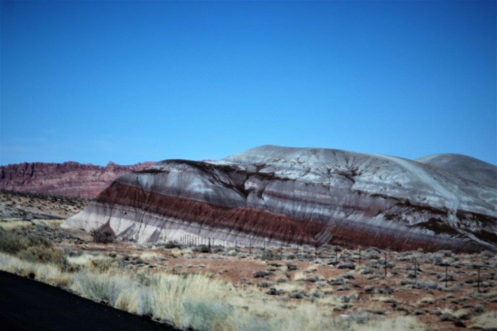
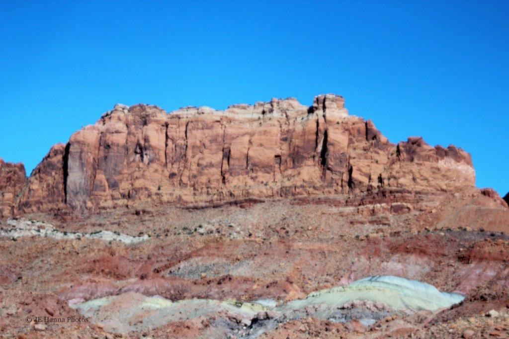
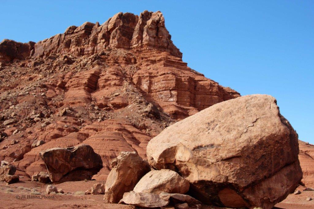
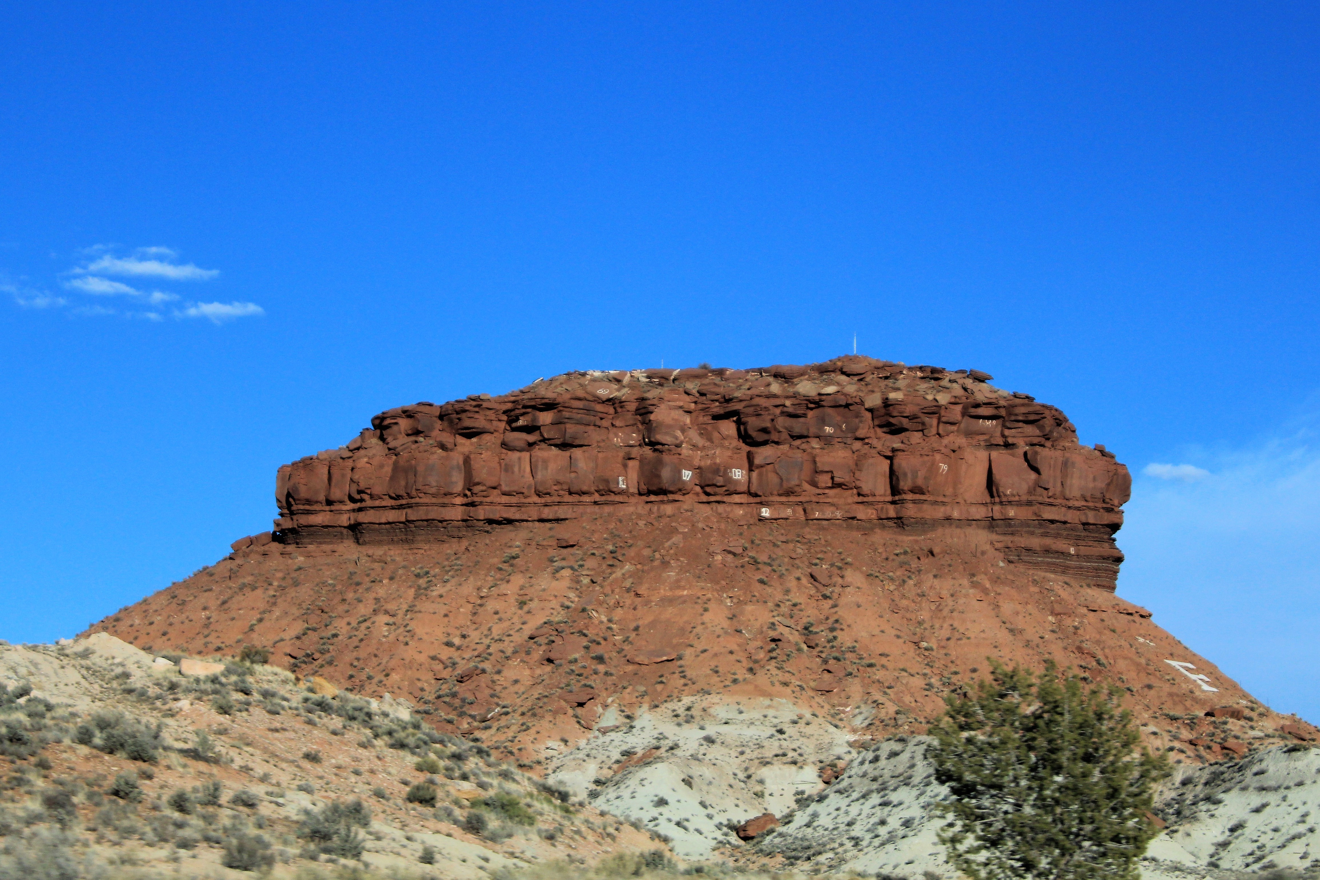
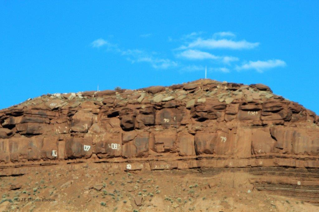
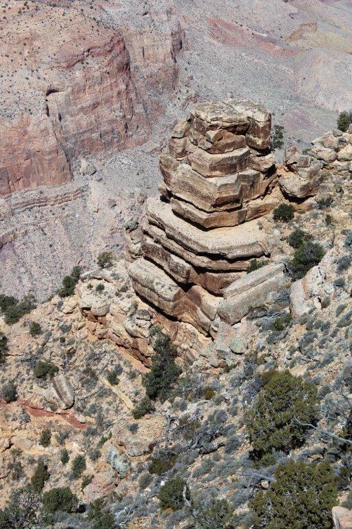
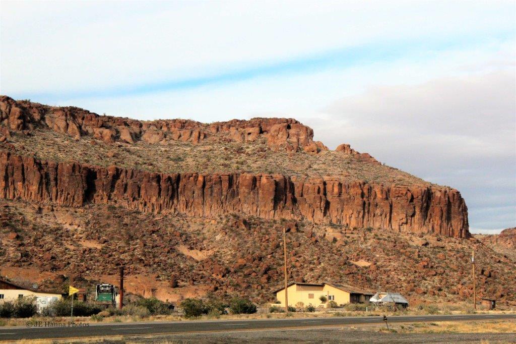
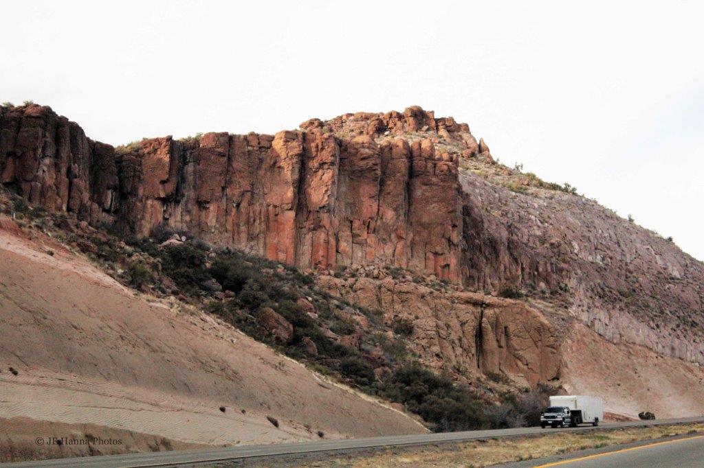
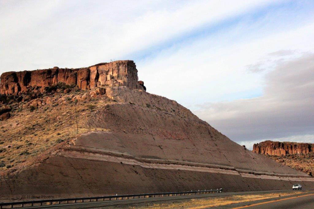
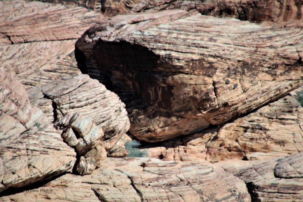
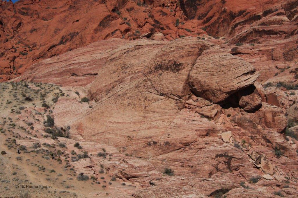
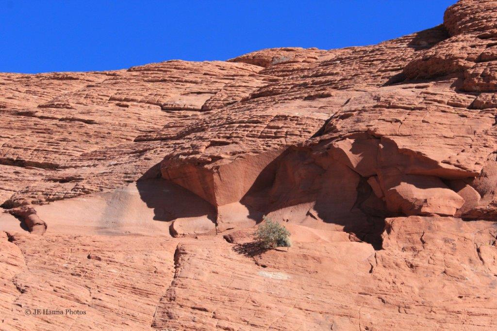
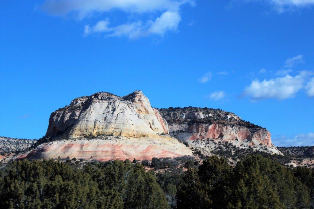
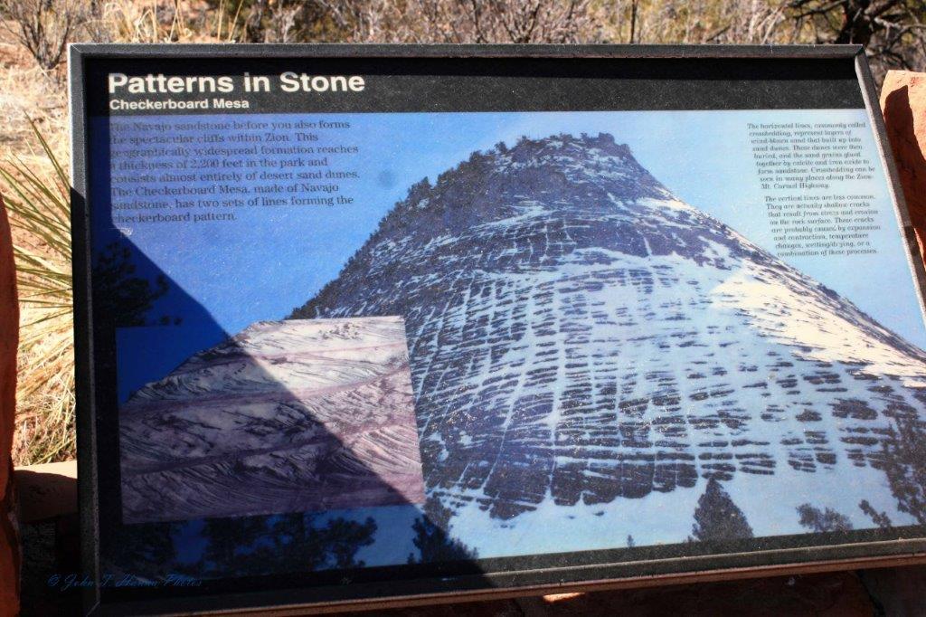
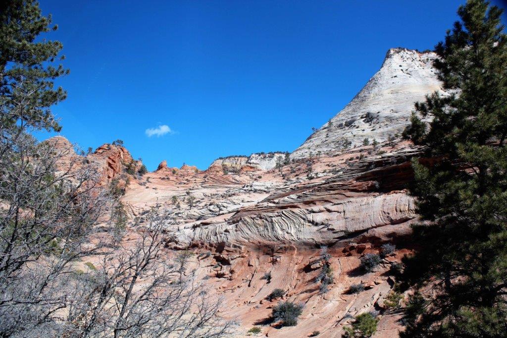
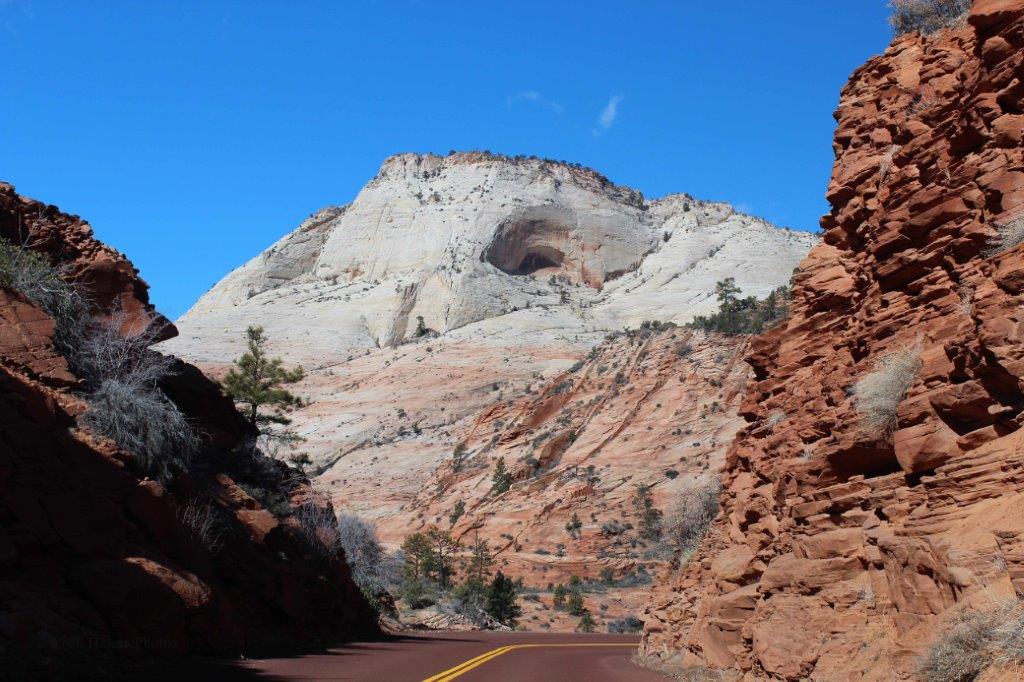
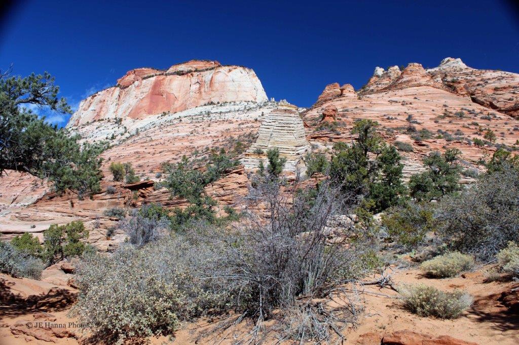
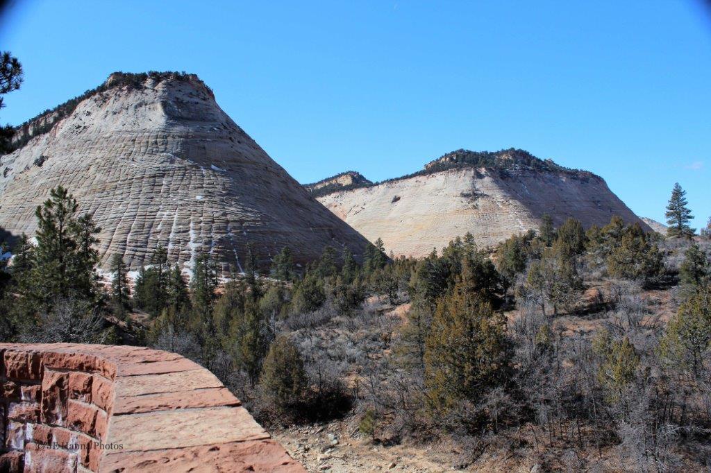 Checkerboard Mesa

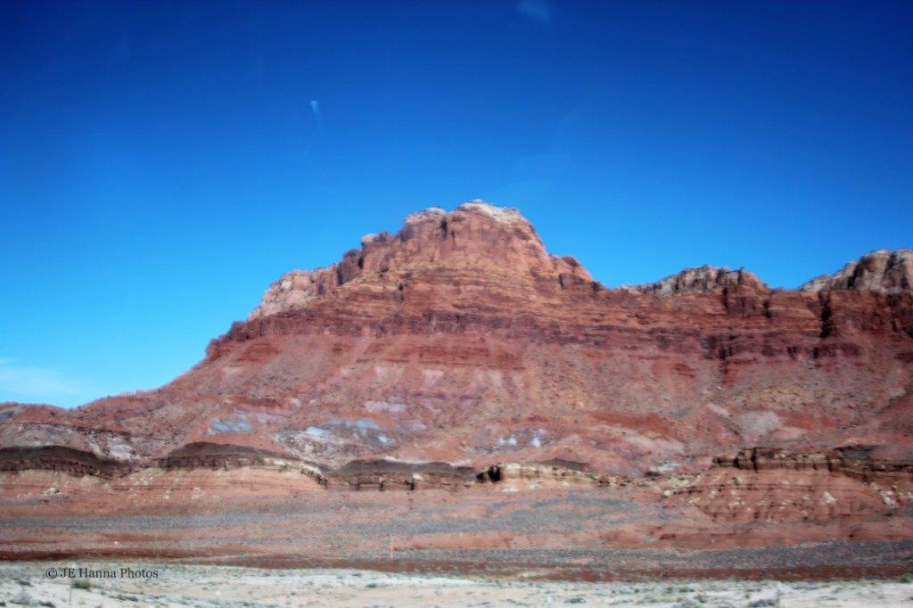
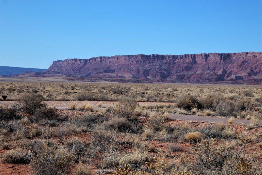
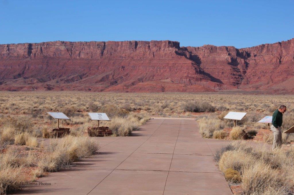
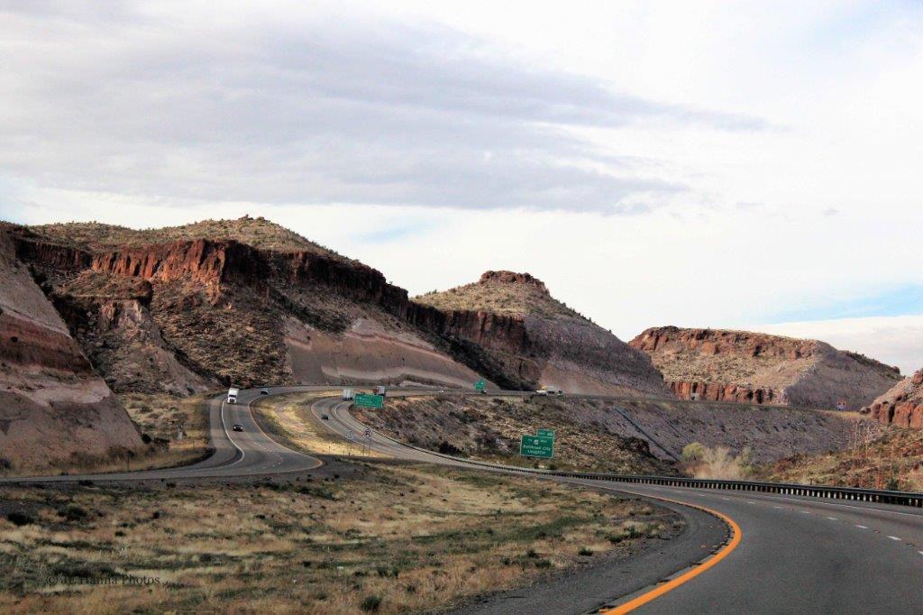
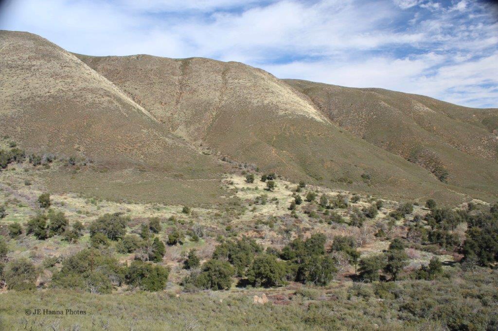
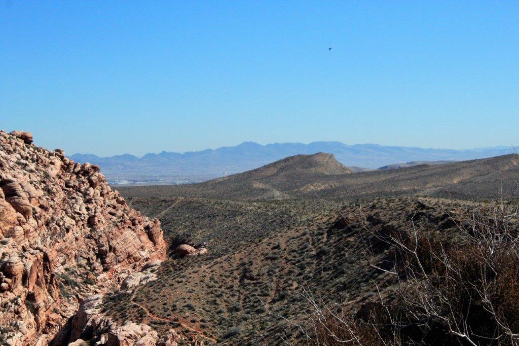
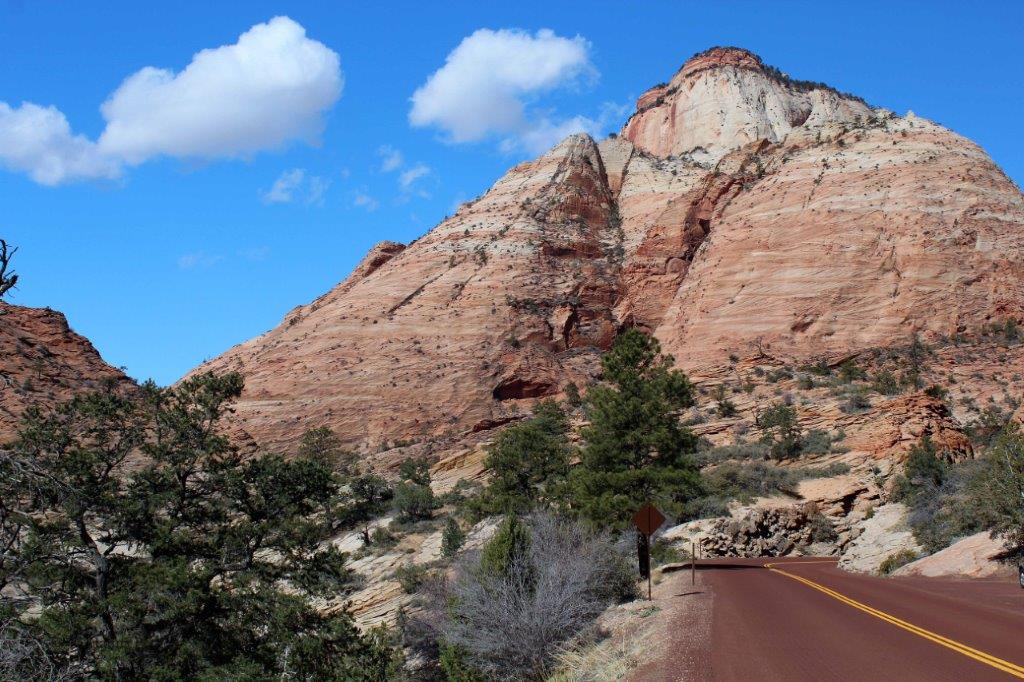
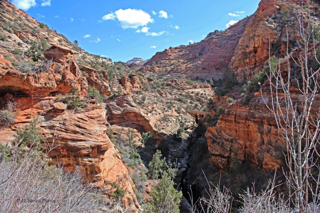
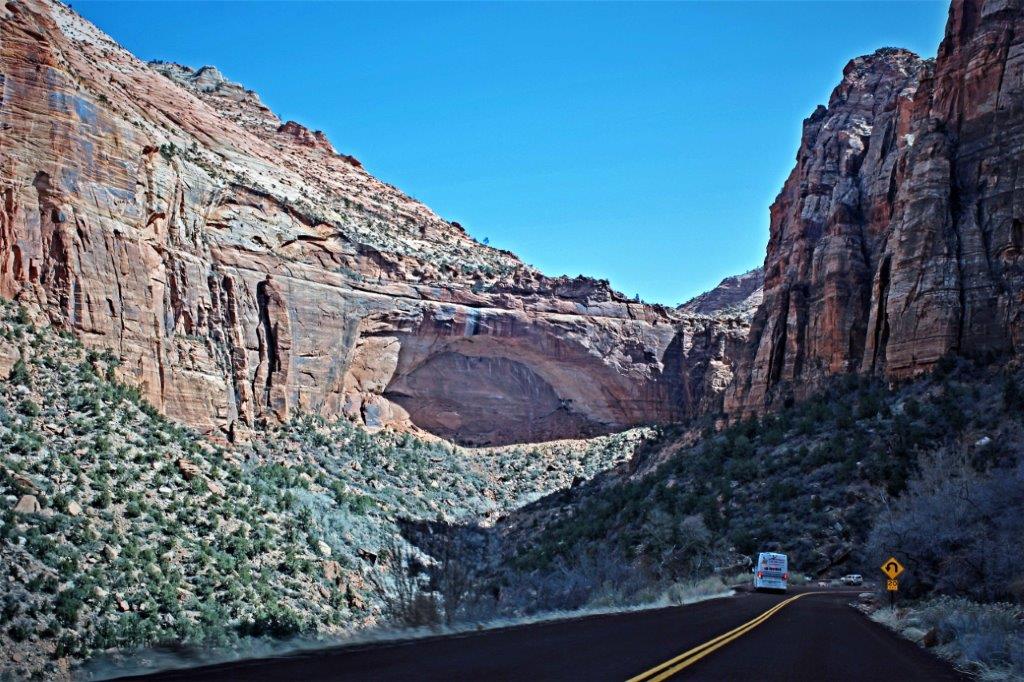
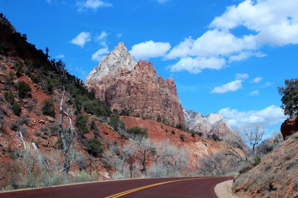
 We drove the Zion-Mount Carmel Highway from the east entrance into the center of the southern part of the park and then went north on the Zion Canyon Scenic Drive. In the summer months the Scenic Drive must be taken by shuttle buss, but because we were there so early in the season we were able to drive the 10 km (6.2 miles).
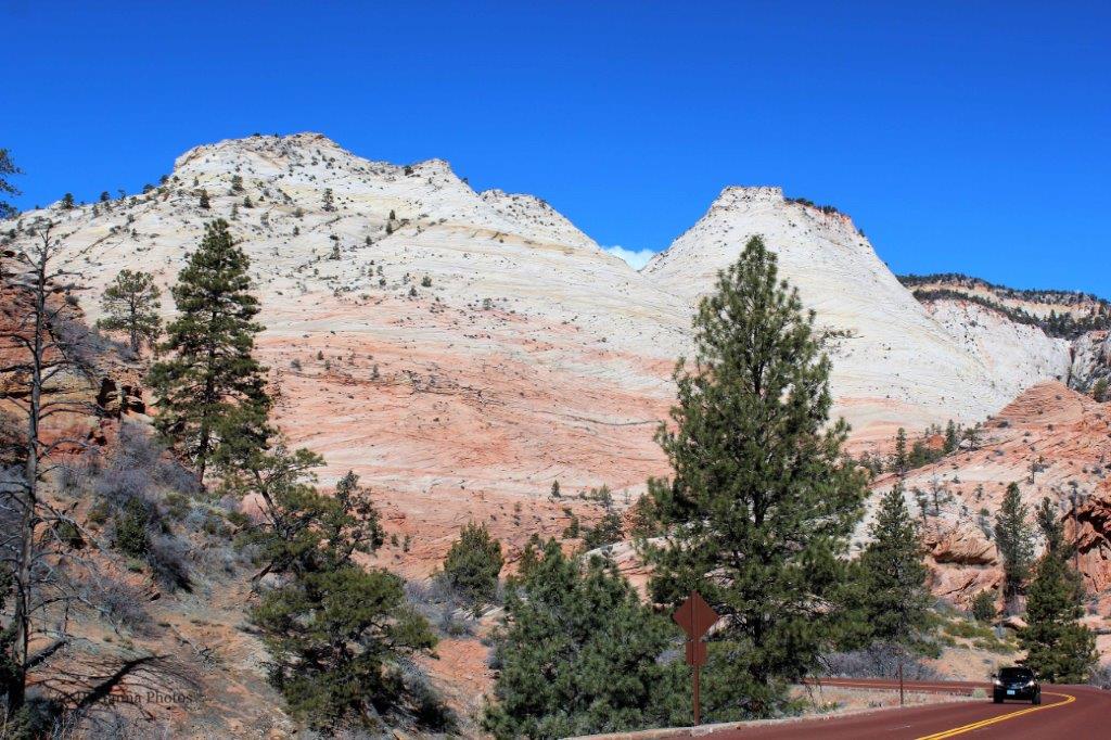
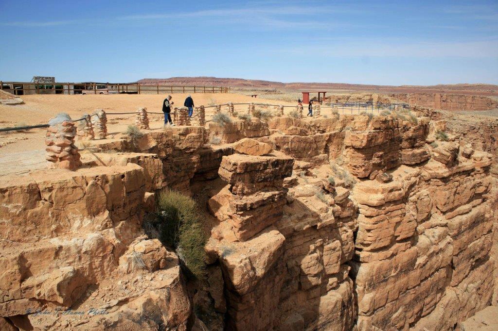
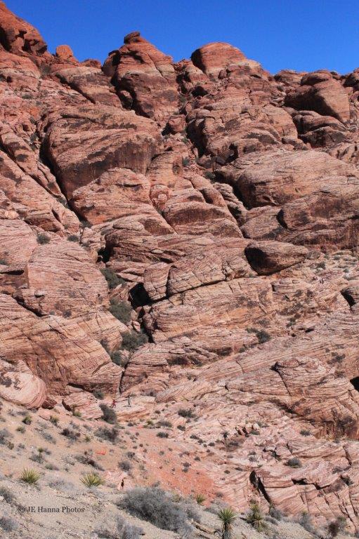
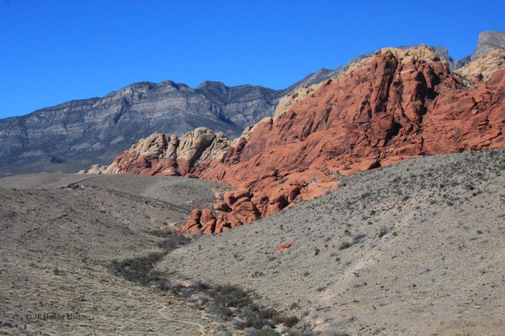
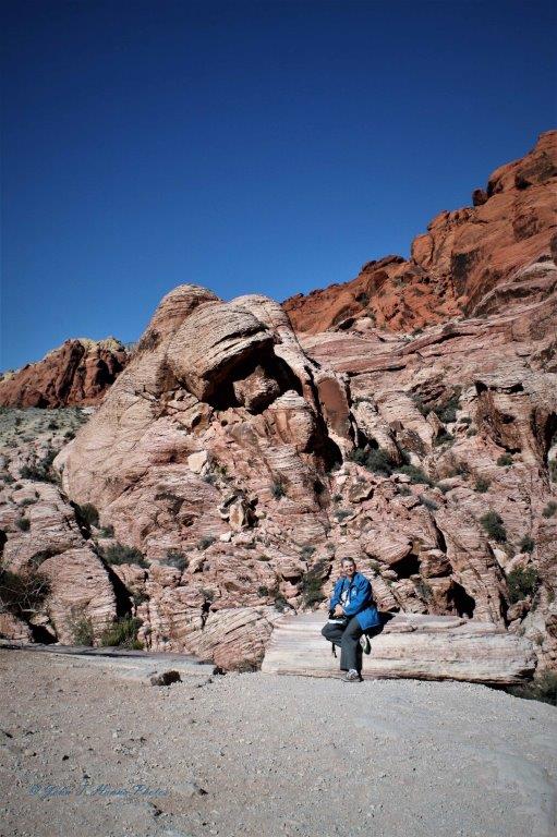
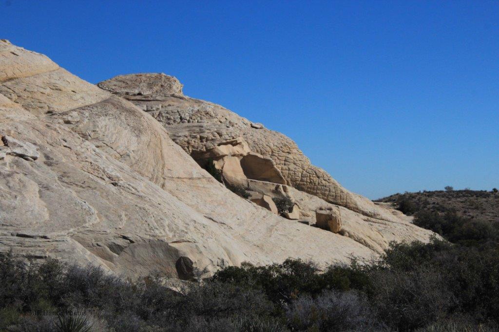
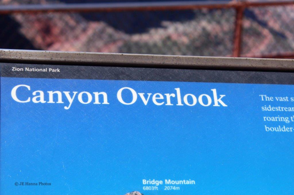
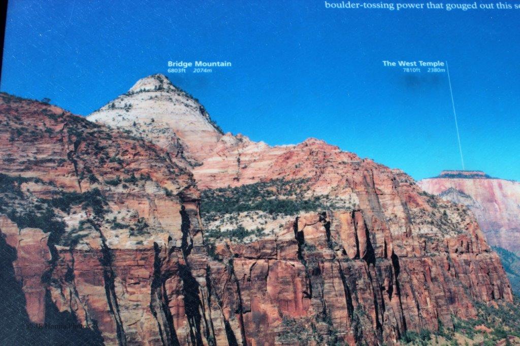
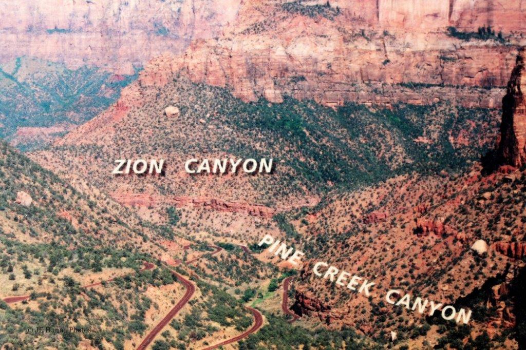
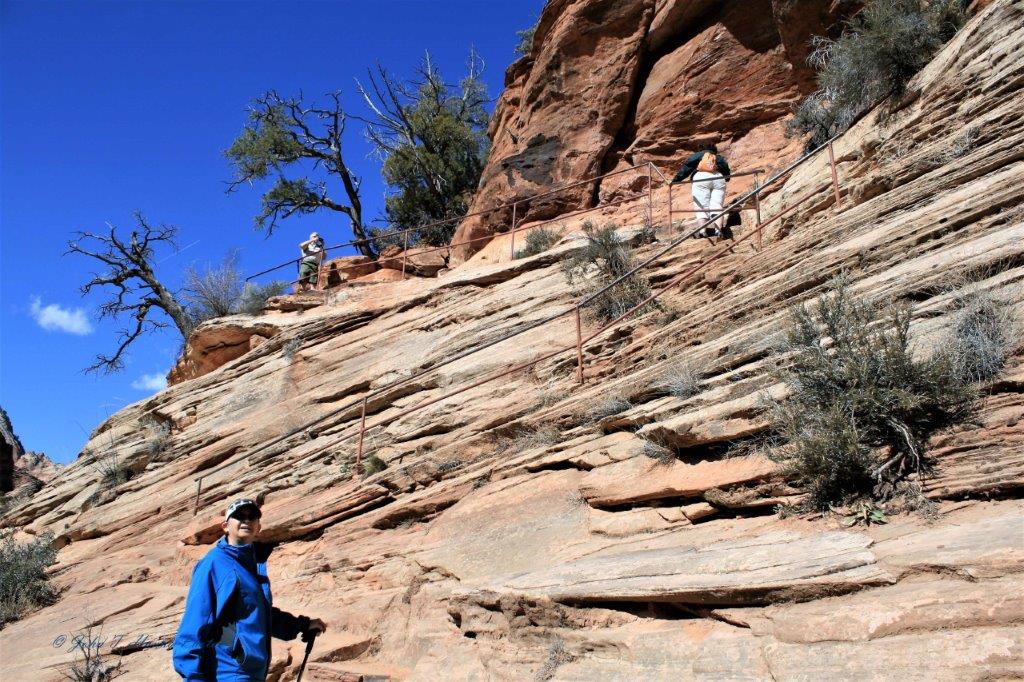 The beginning of the trail – up the rock face. Thank goodness for handrails.
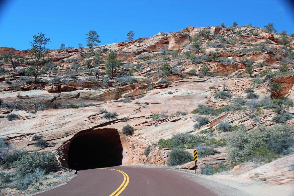
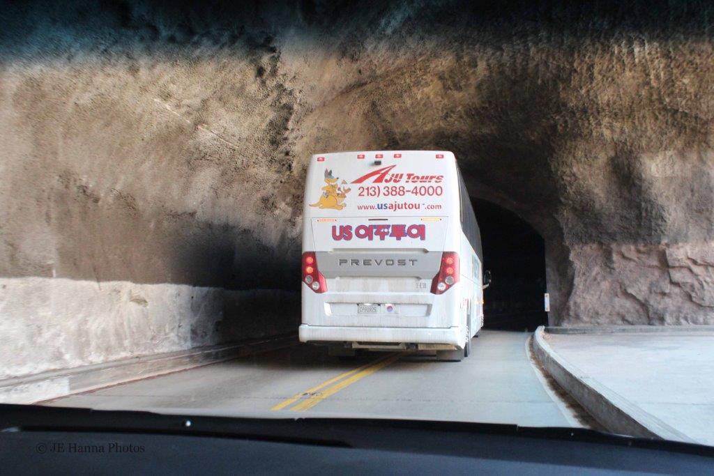
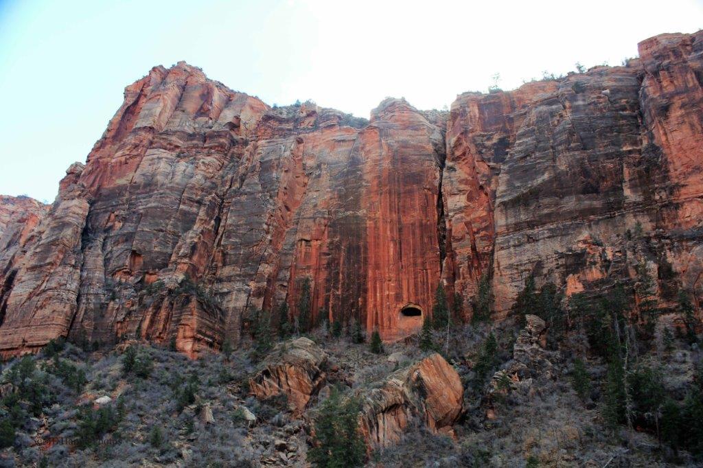
 From the first turn on the trail we could look back to the road and the tunnel we would be going through once we completed our hike to the Pine Creek Canyon Overlook.
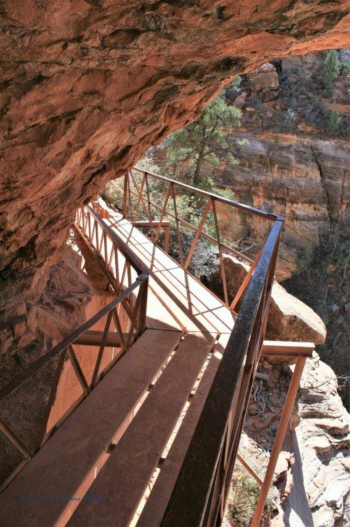
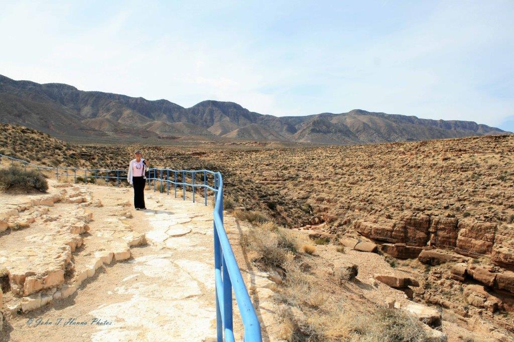
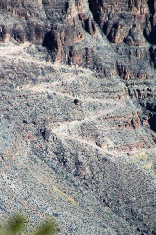
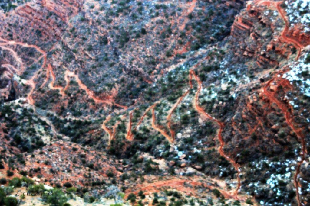
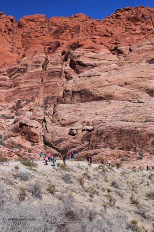
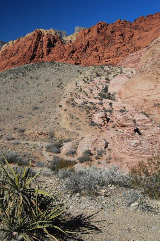
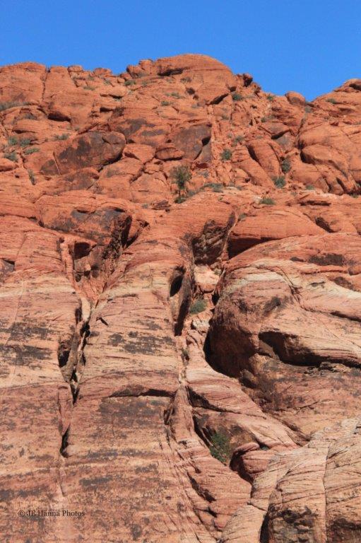
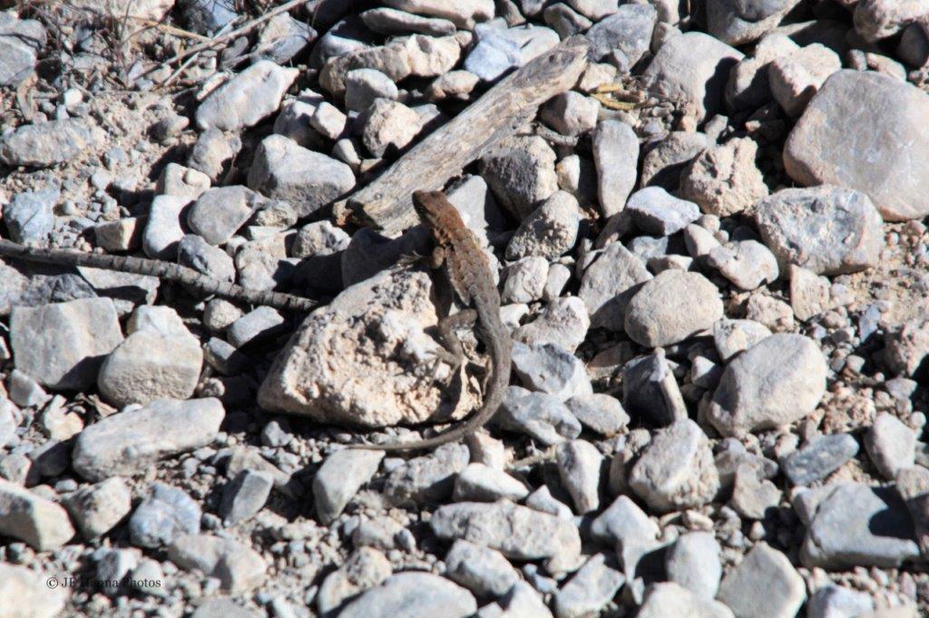
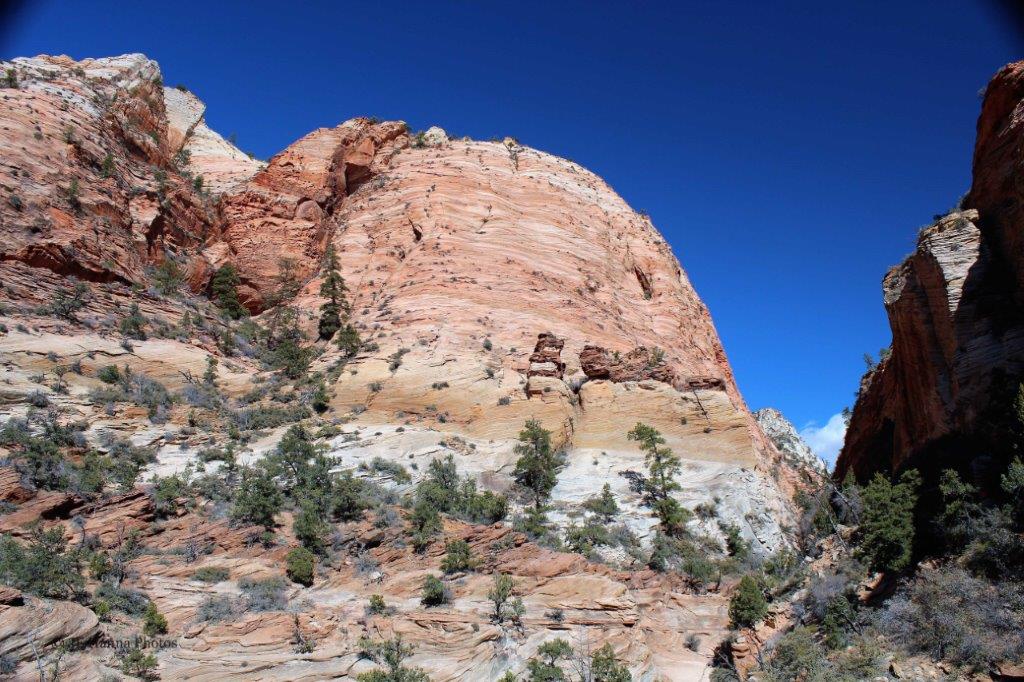
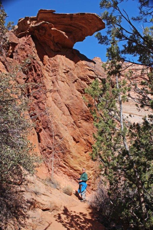
 The route is not for the faint-of-heart.
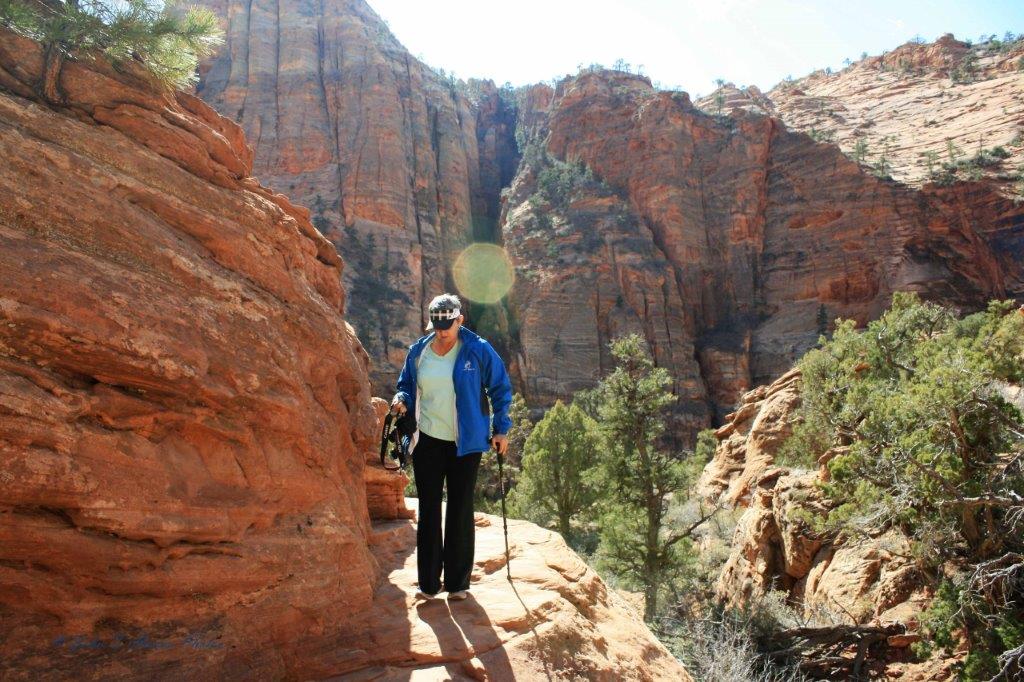
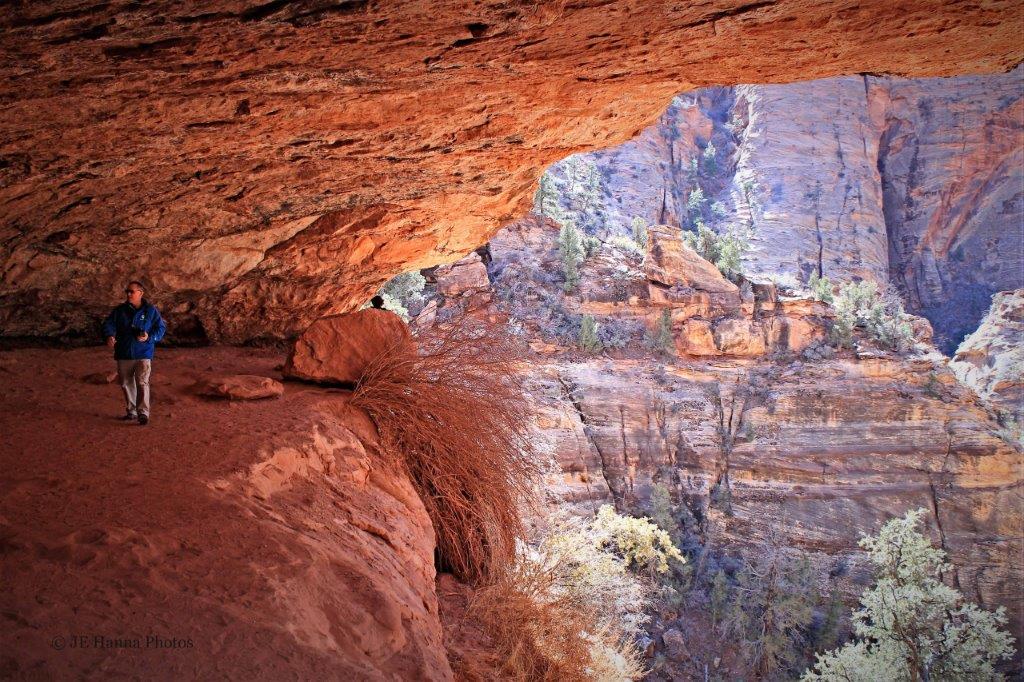


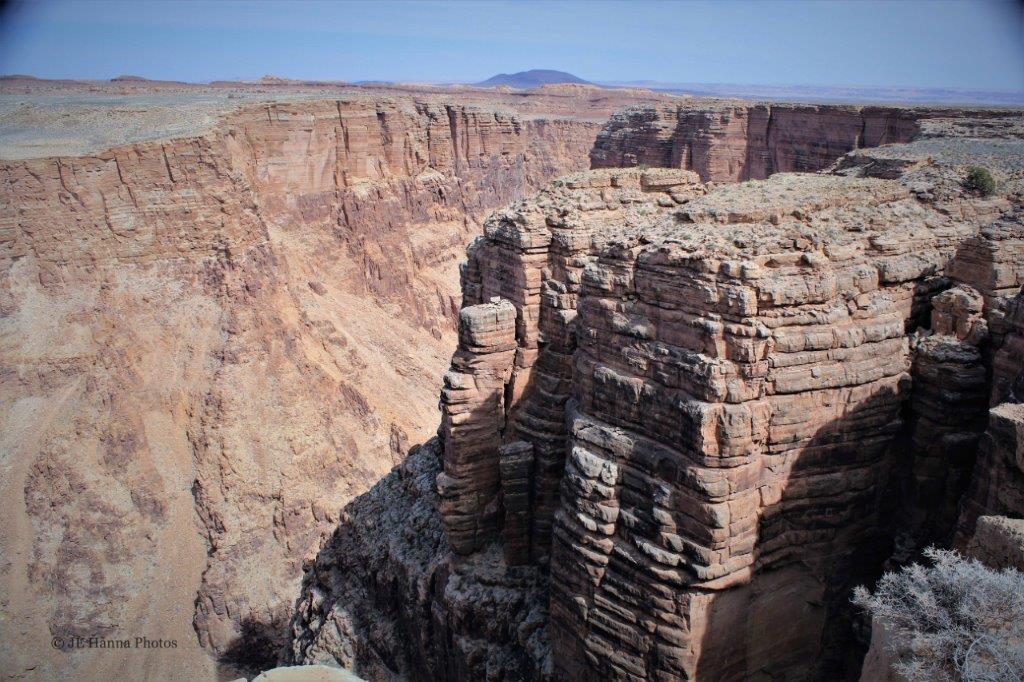
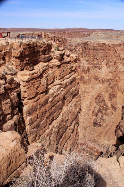
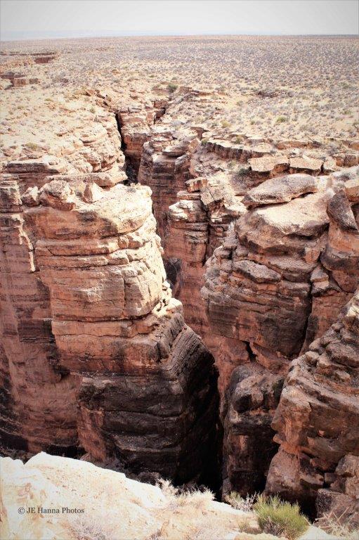
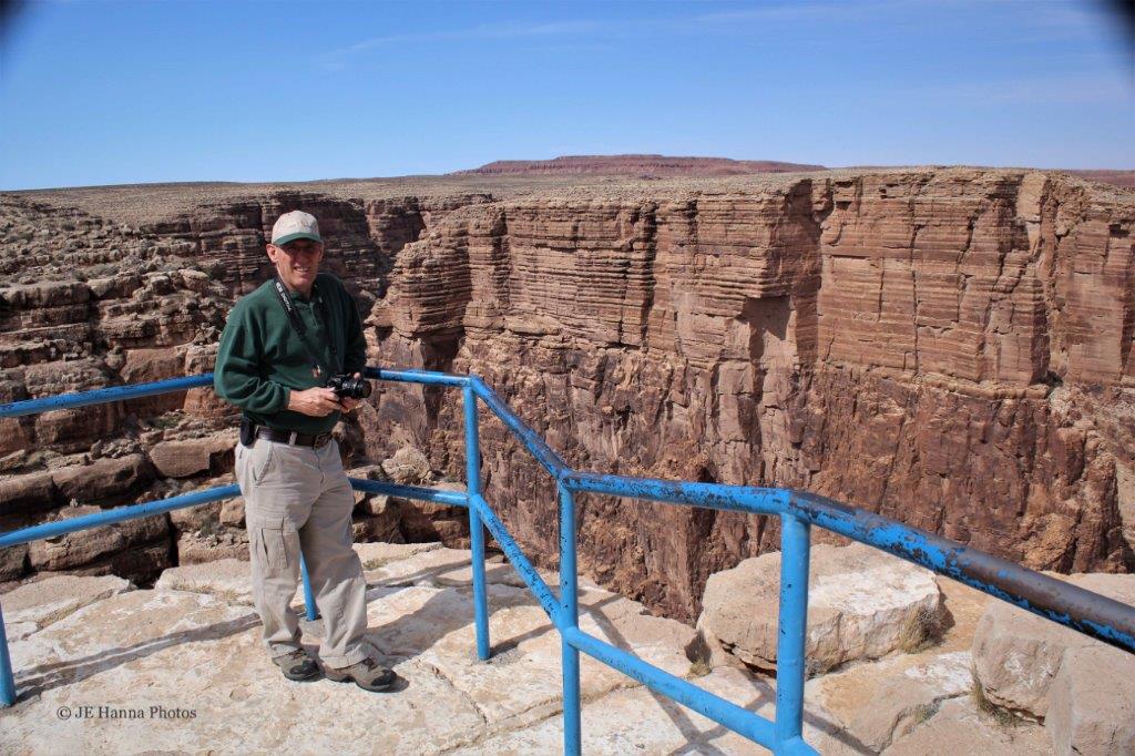
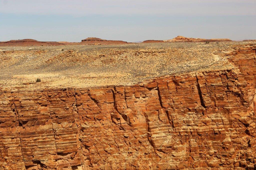
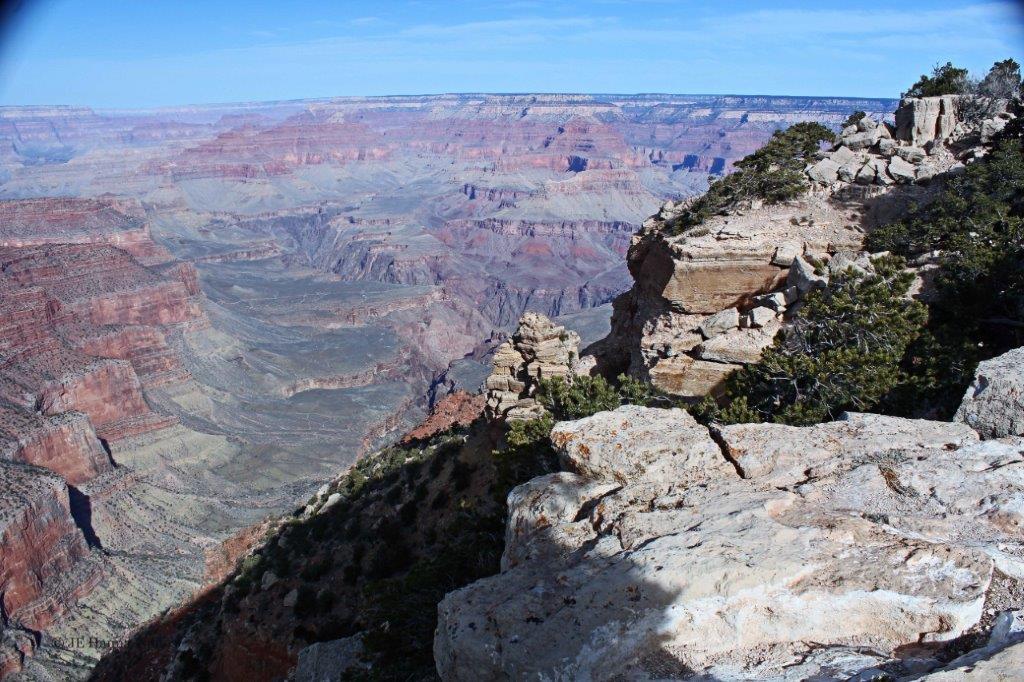
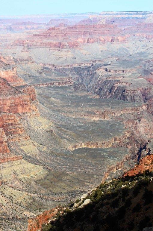
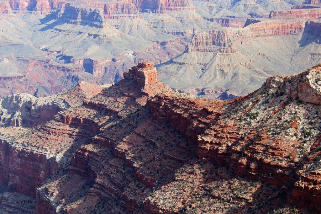
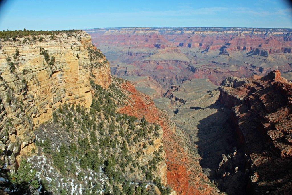
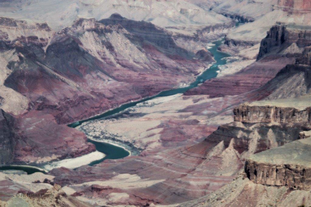
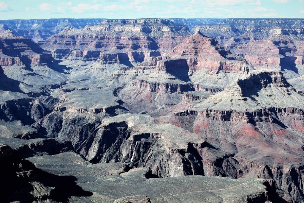
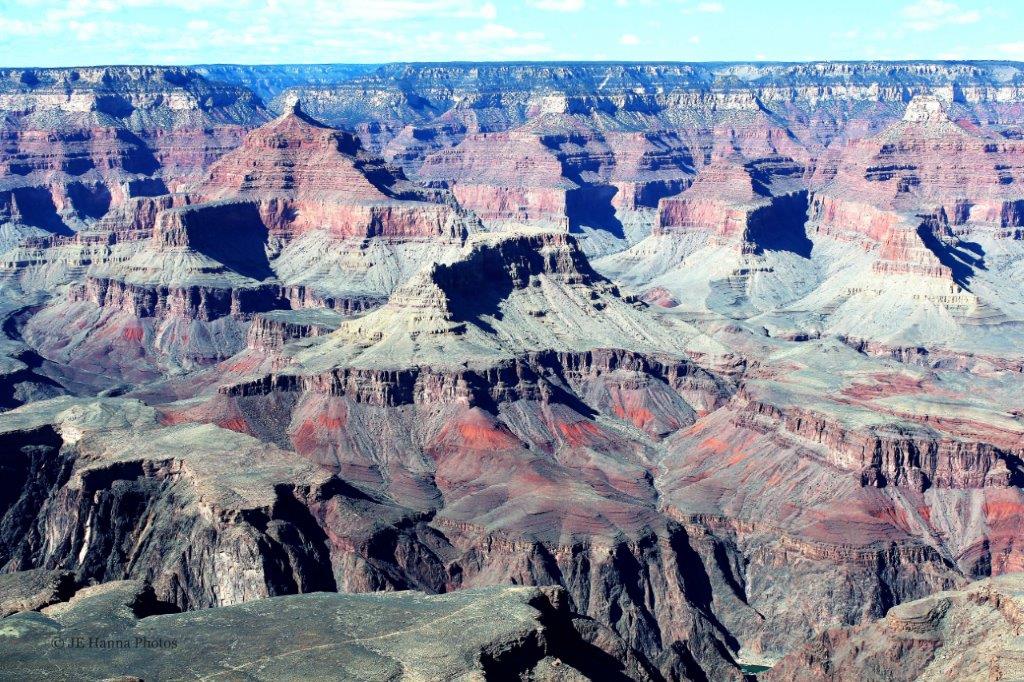
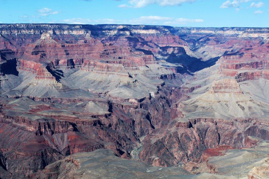
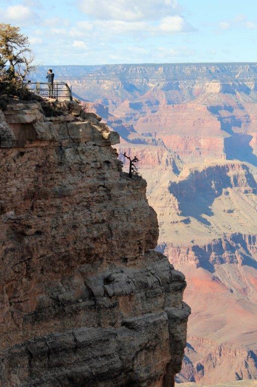
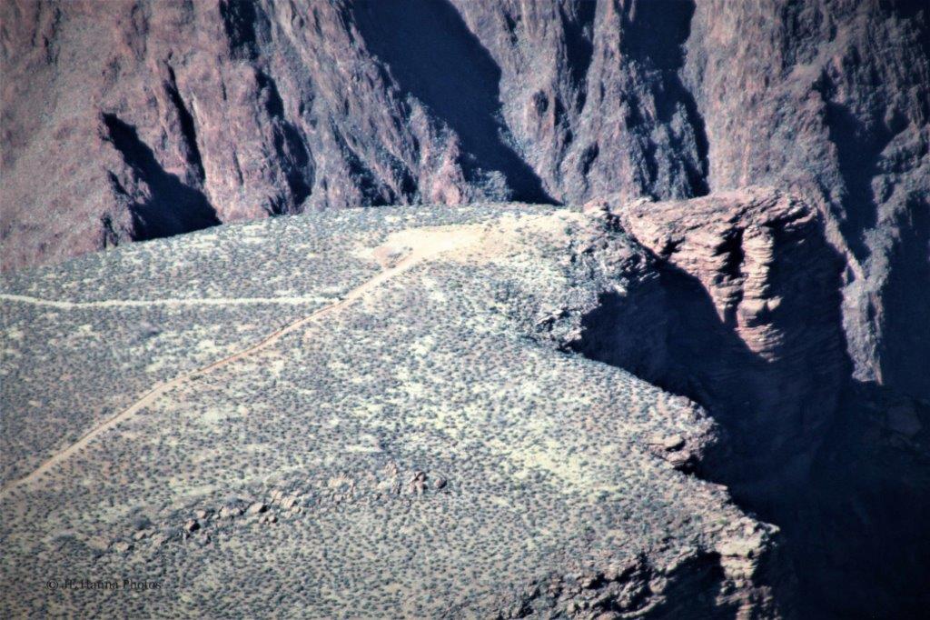
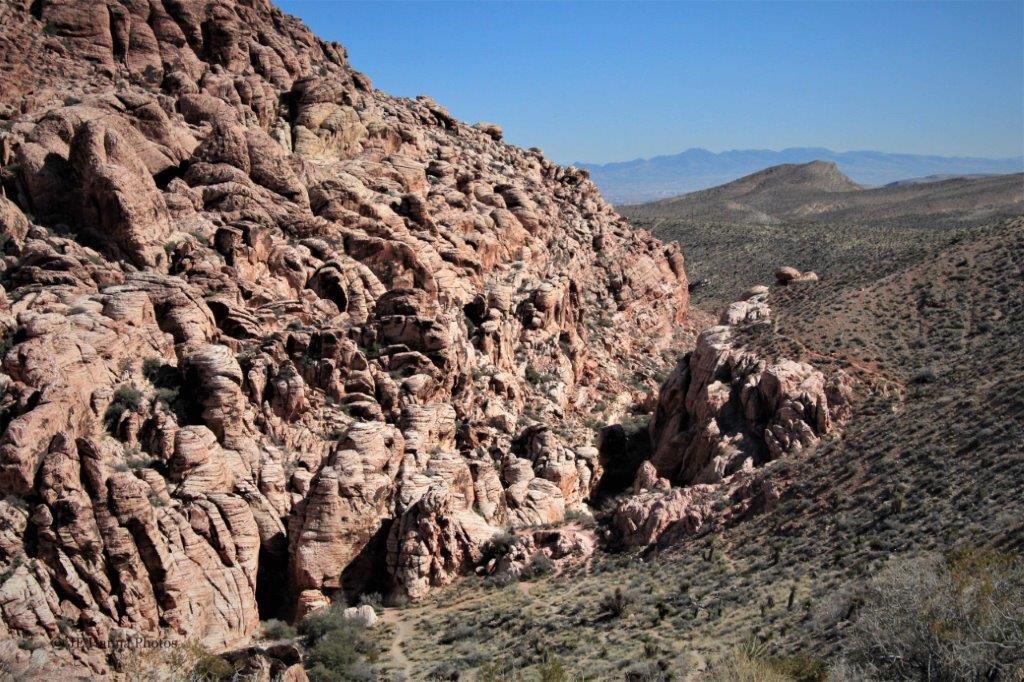
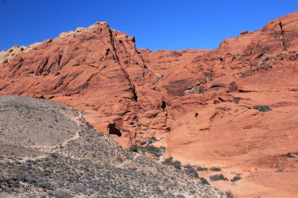
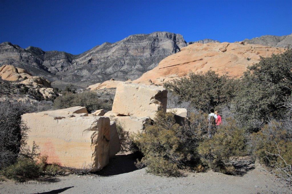
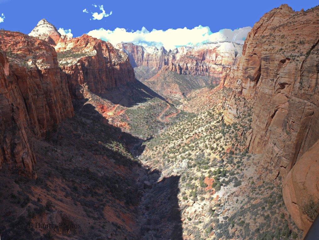 You have to admit, the view from the overlook is worth the hike. (The image above is a vertical stitch – I took about five photos vertically because the view was so deep, and then stitched them together. You really get a sense of the length of the valley and the height of the surrounding cliffs.)
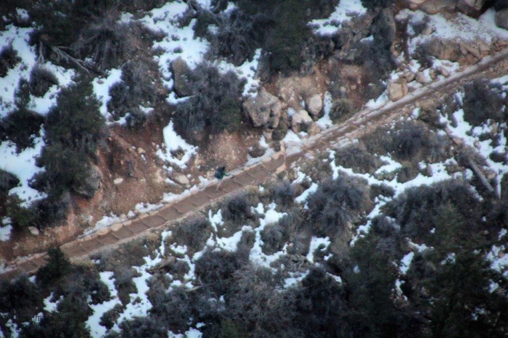
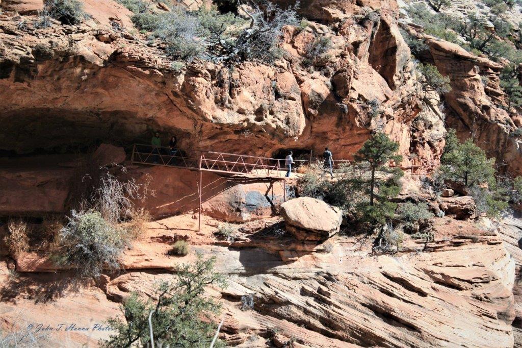
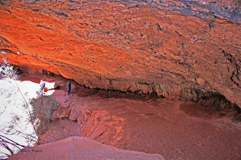
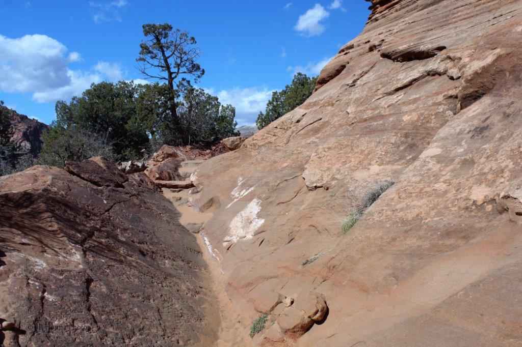 The trail has some roughly-defined sections. I would not want to tackle this bit if it was wet.
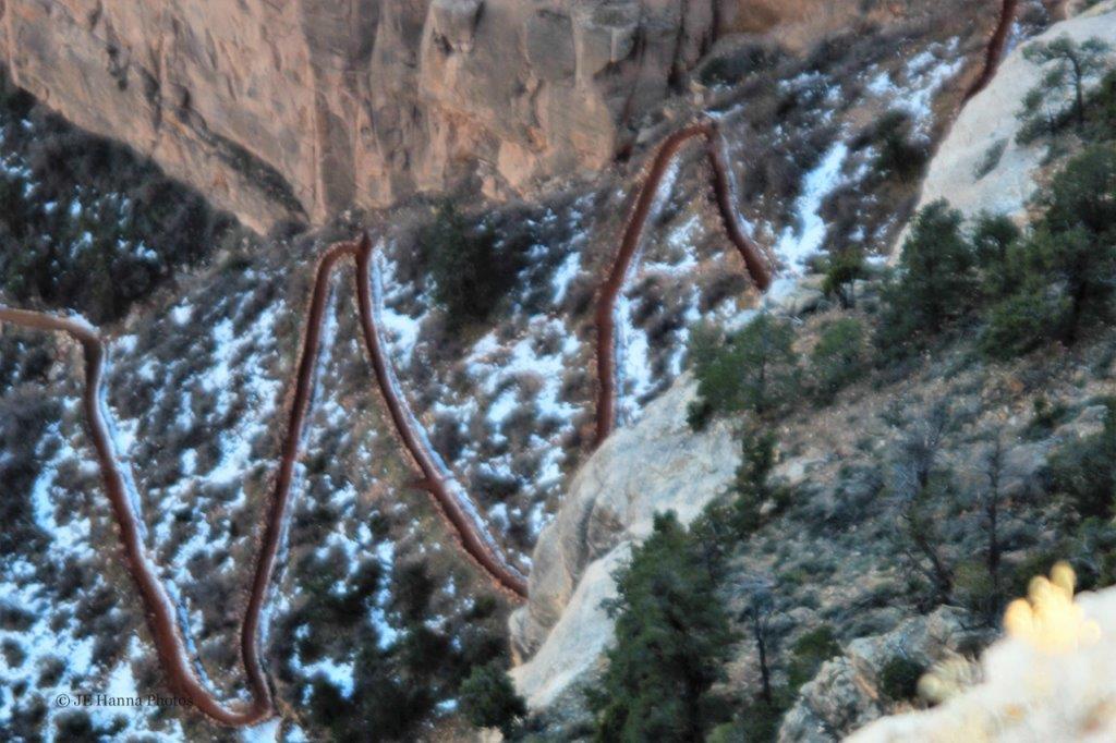
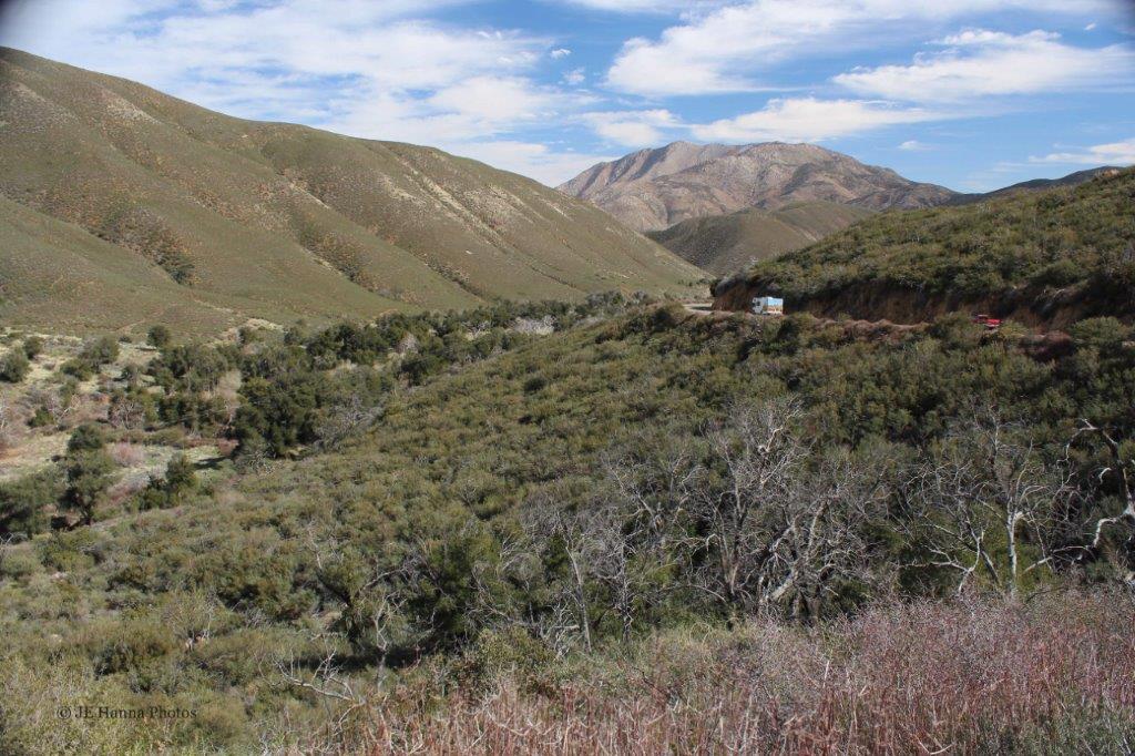
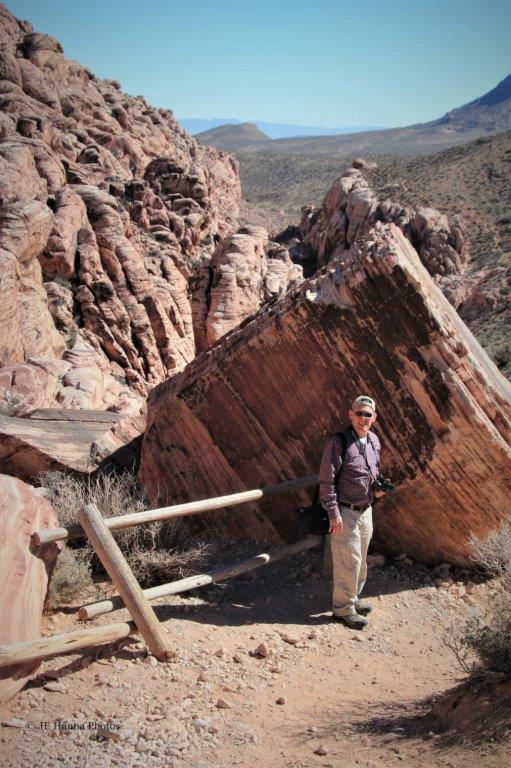
 Once we were back down we headed through the long tunnel and up the many switchbacks to the Scenic Drive junction.
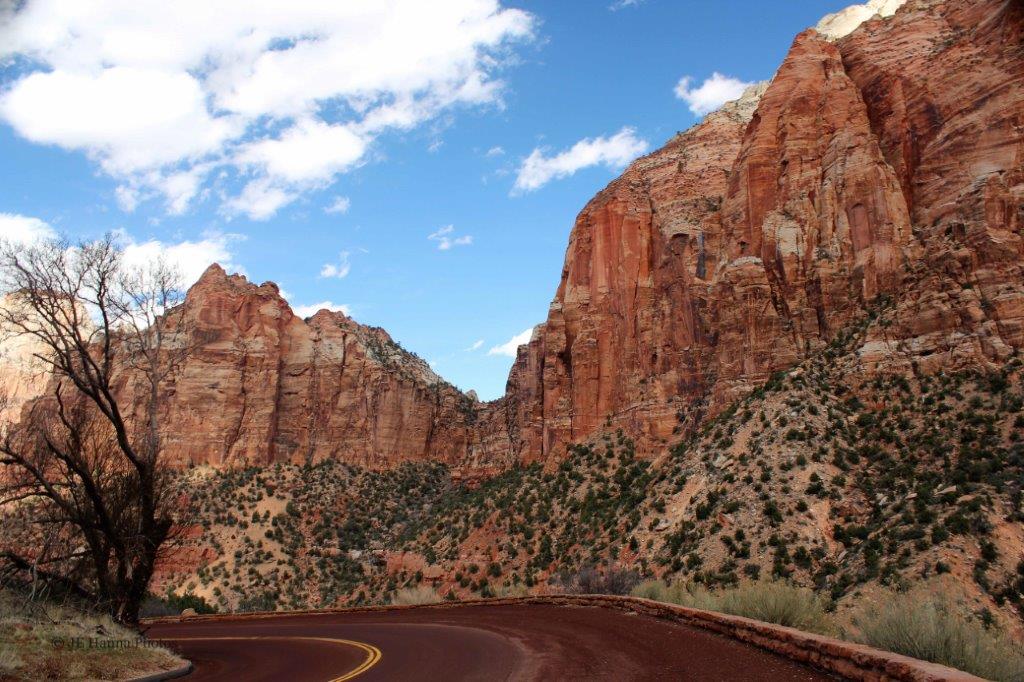
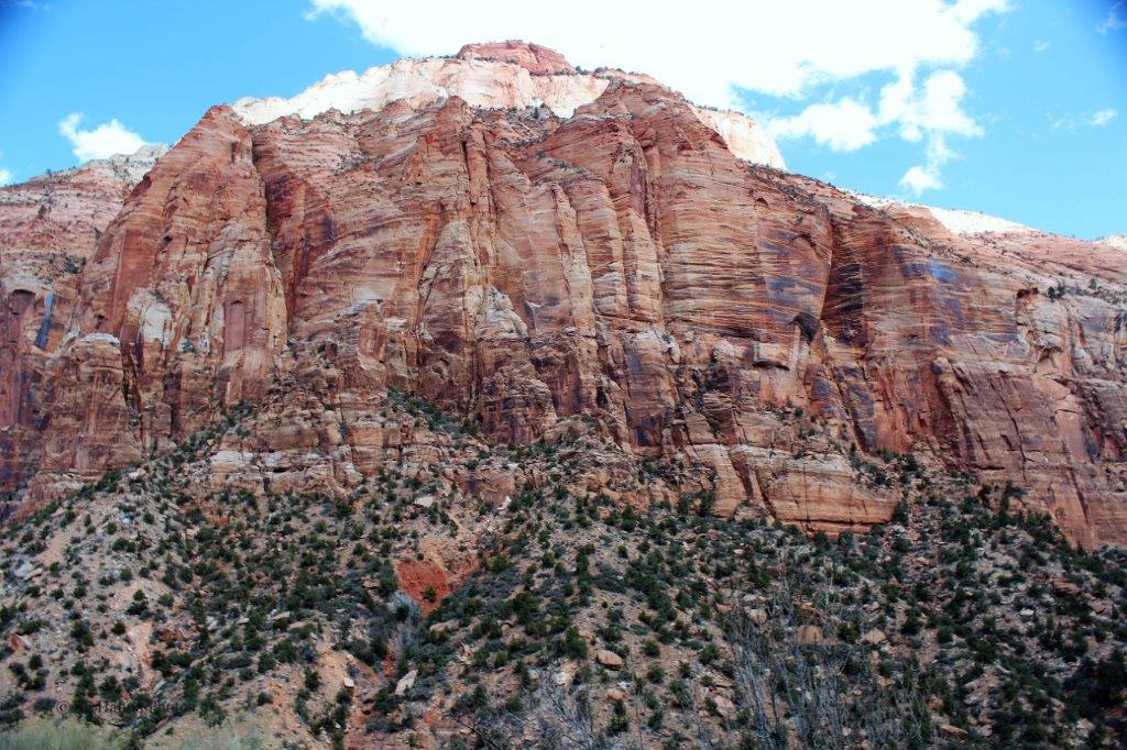


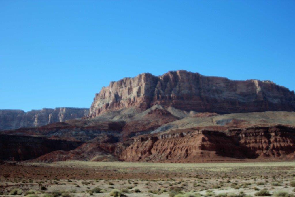
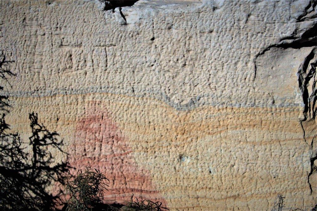
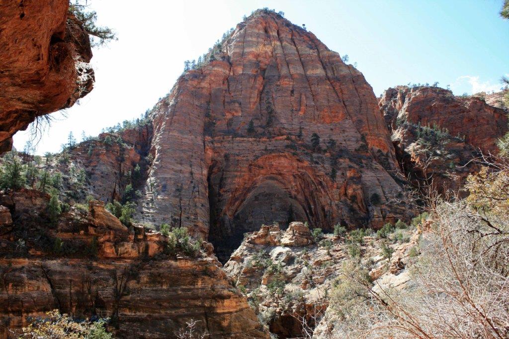
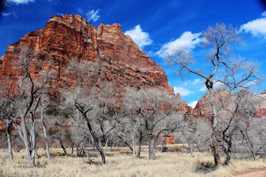
 Our first stop along the Zion Canyon Scenic Drive was the Court of the Patriarchs.
 From left to right; Mt Abraham, Mt. Isaac and Mt. Jacob.
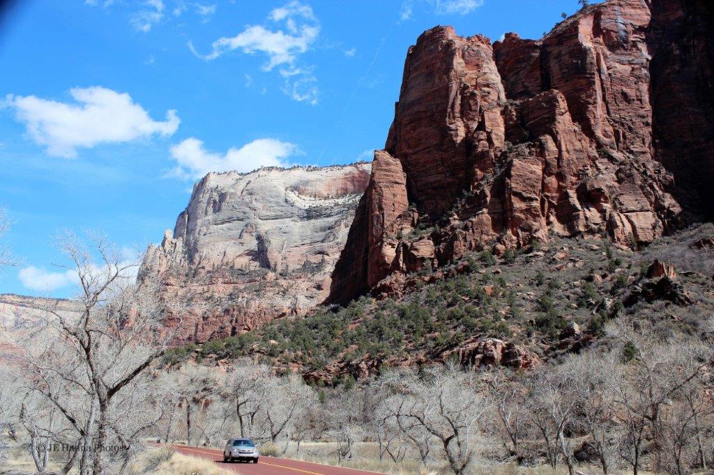
 To be continued….