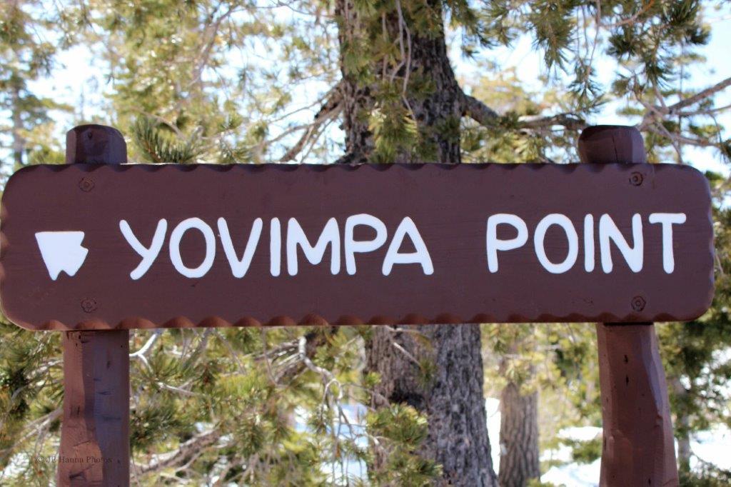
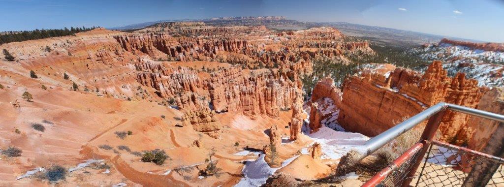
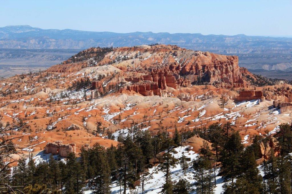
We spent the day driving the 18 mile rim road of Bryce Canyon. At the end of the road is a loop with Rainbow Point facing northward and Yovimpa Point looking south.

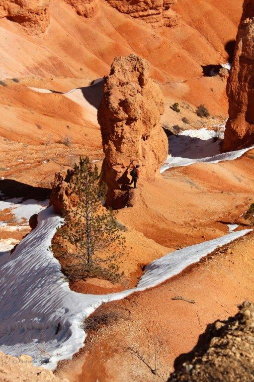
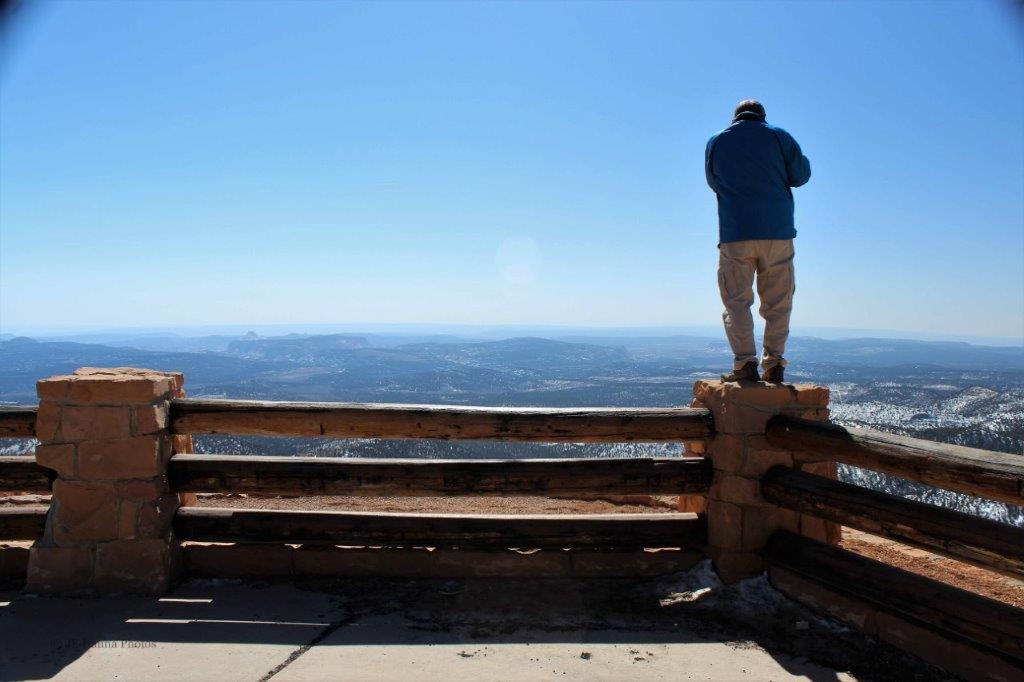 Not really a recommended way to get a photo way up here.
 As the name suggests Sunset Point is a popular spot to sit and watch the sun go down, casting the rock formation into brilliant shades of red.
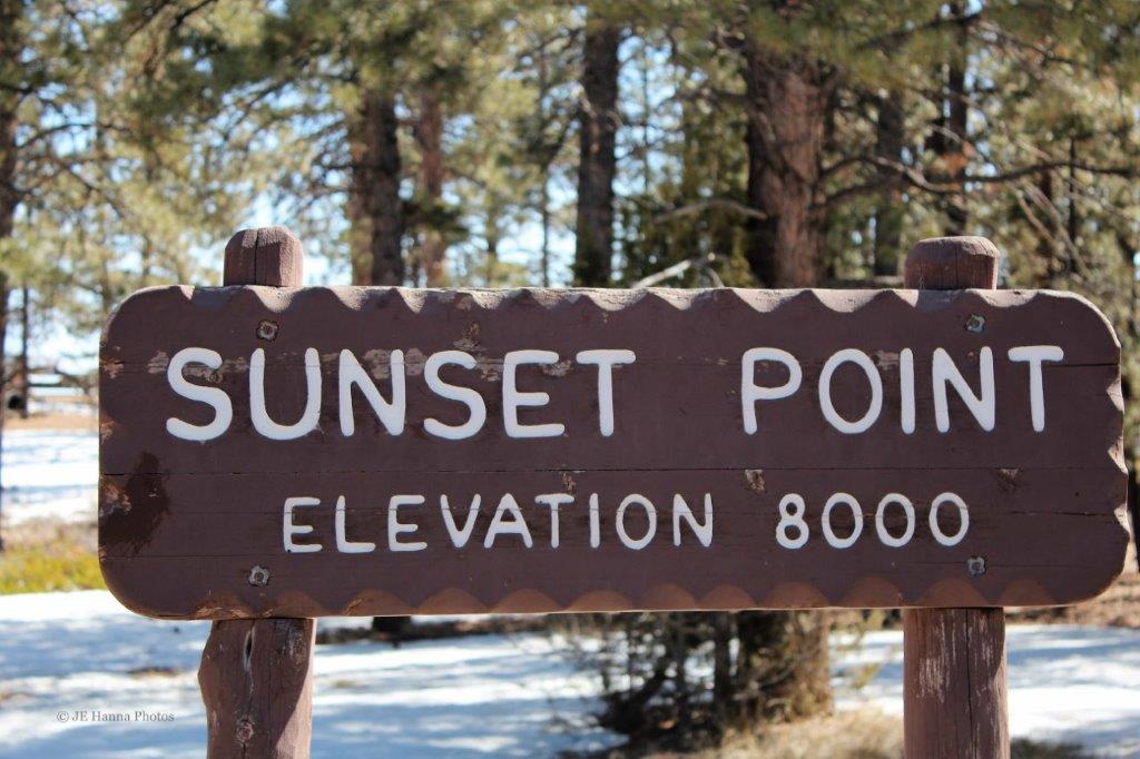
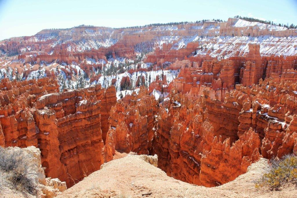
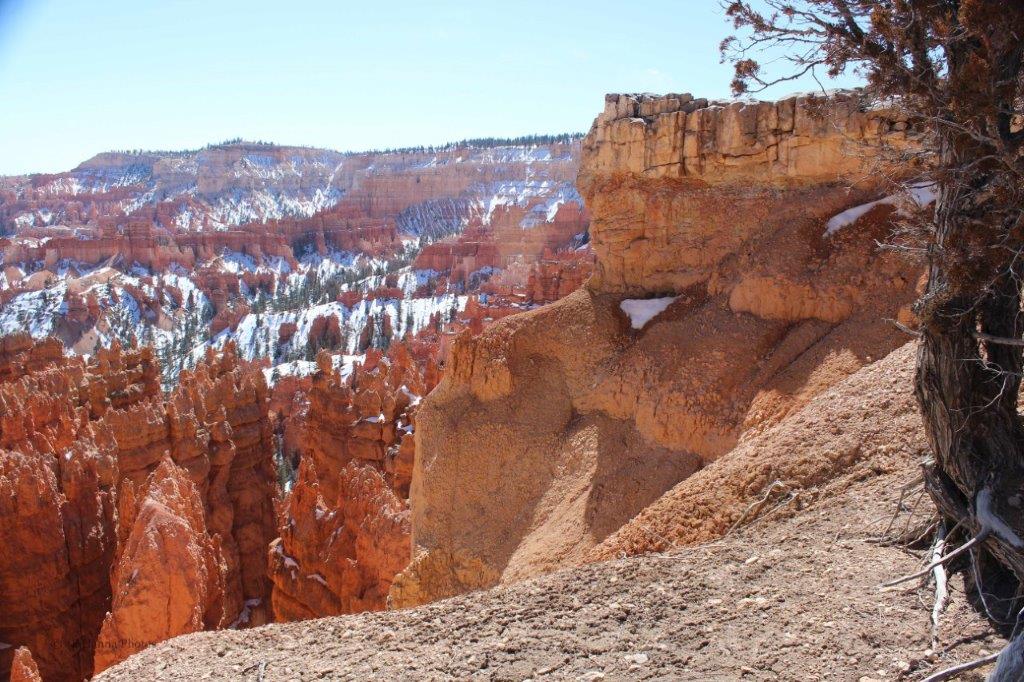
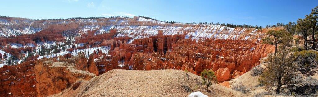

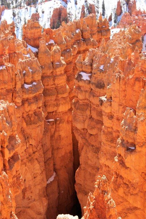

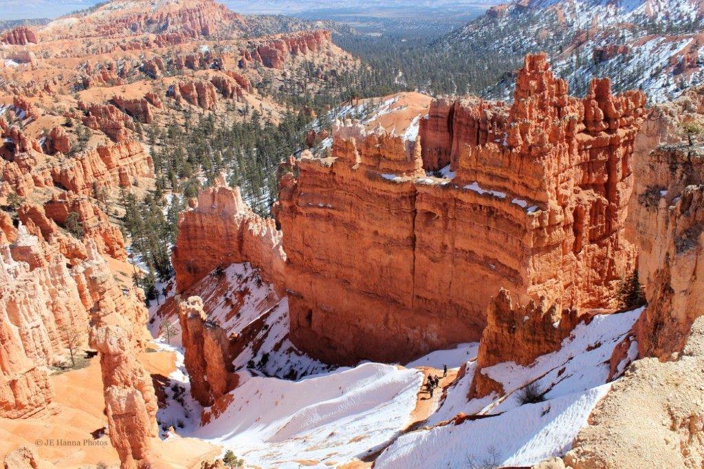
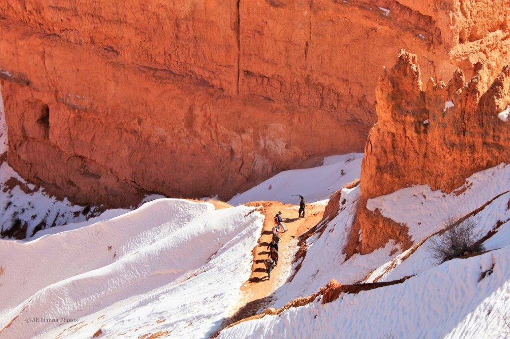
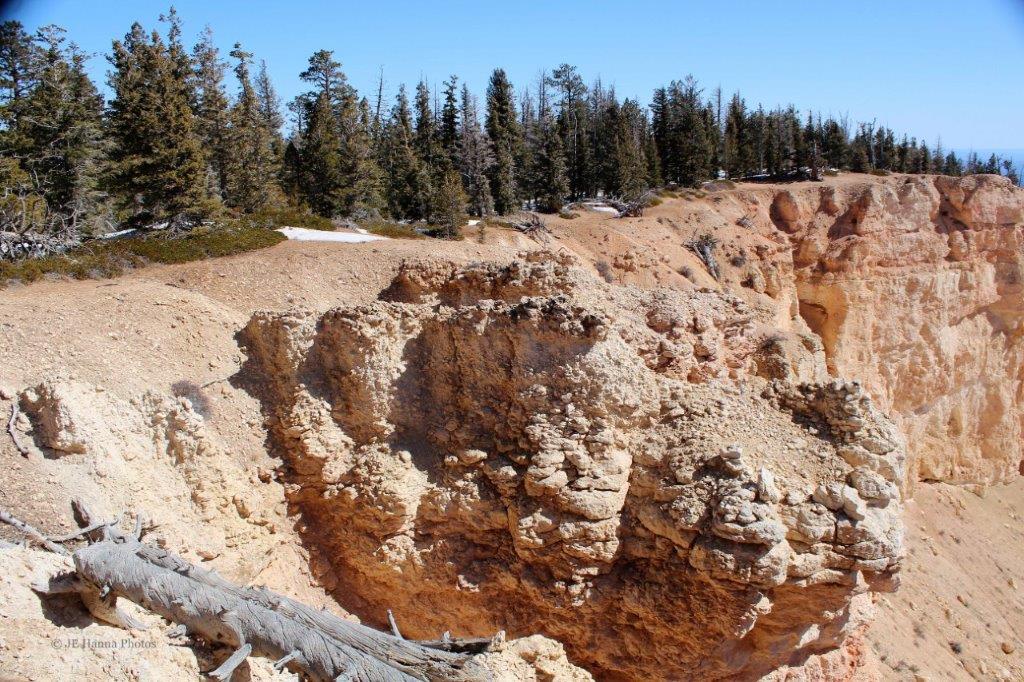
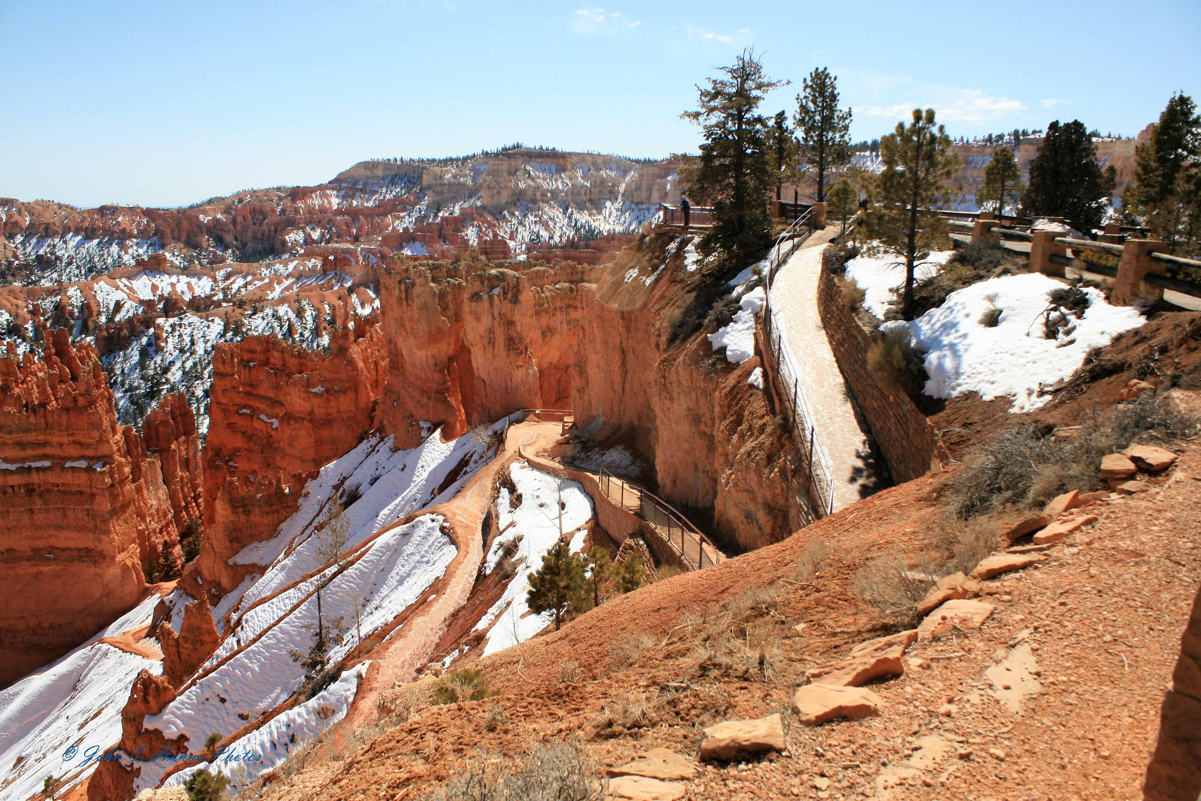 There is no shortage of trails to hike down into and around in the canyon.


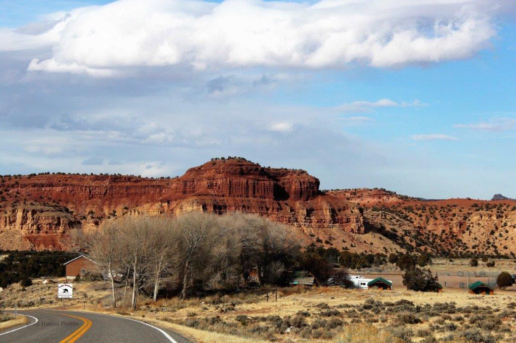
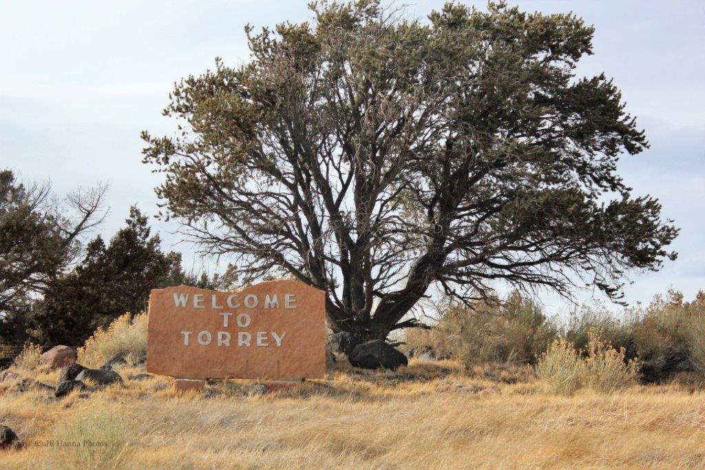
 On the way back to the highway we could have taken a 2 km (1 mile) road into Fairyland Point, but we figured we had seen all the rock formations from as many angles as we needed to. We had a two hour drive ahead of us to reach Torrey, in Capitol Reef National Park, where we would be spending the night.
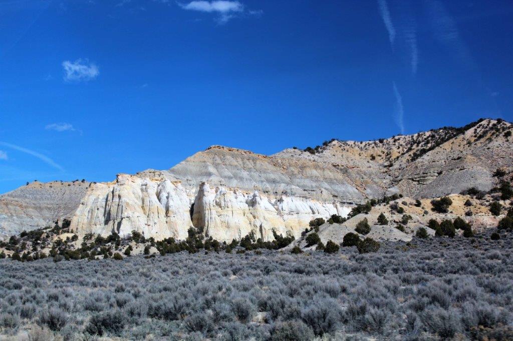
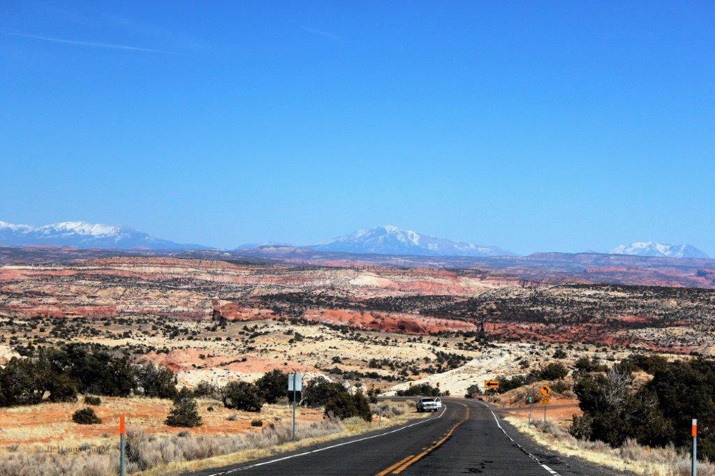
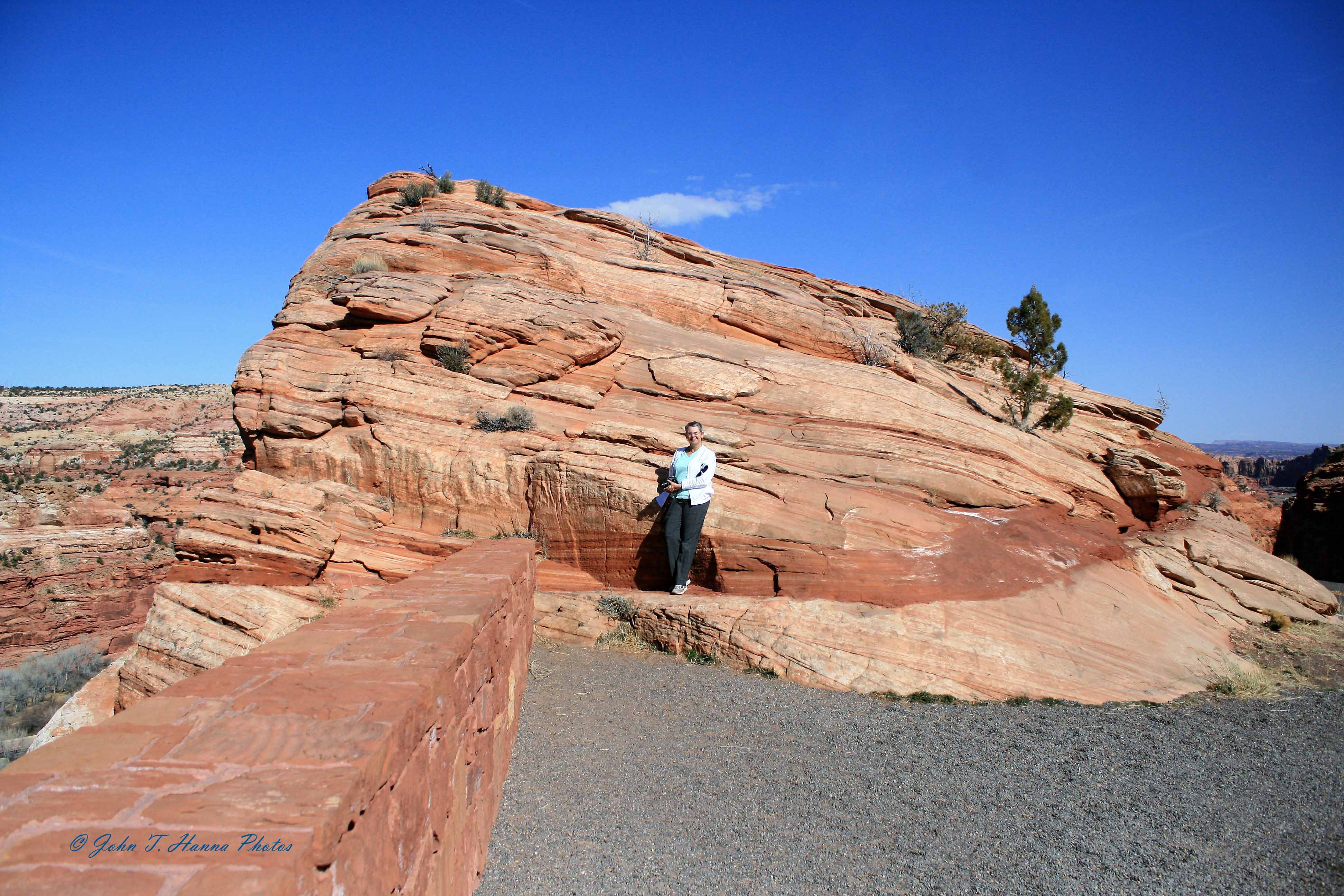
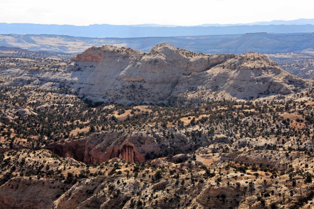
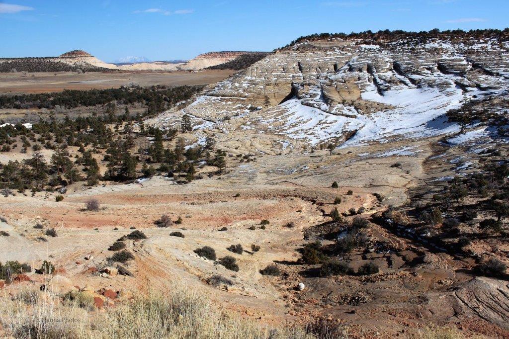
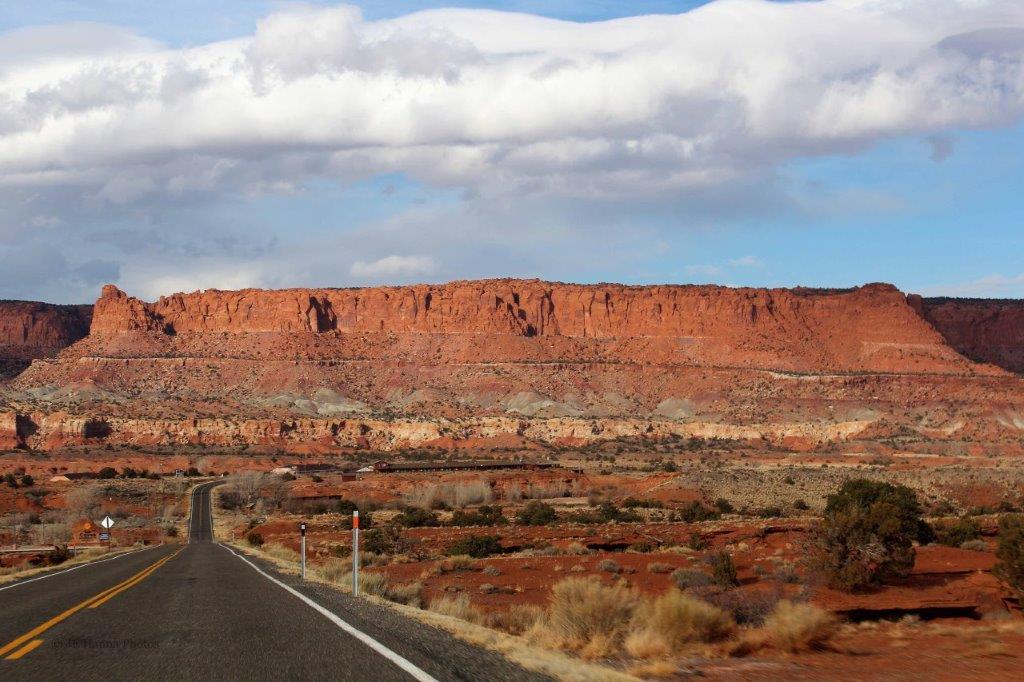
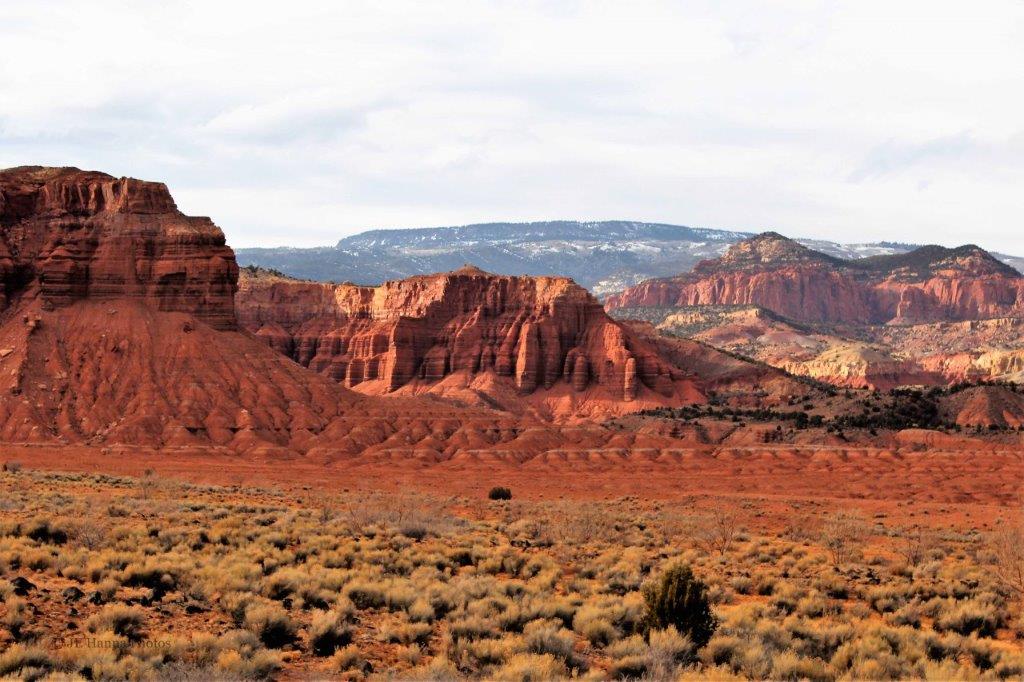
Along the way we were once again passing white and brown rocks with the distinctive Utah red rock stripe. 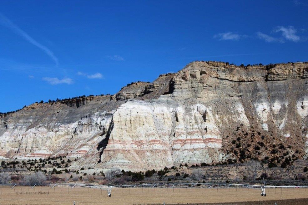

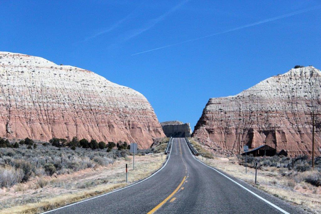


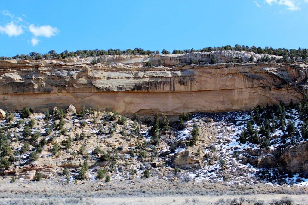
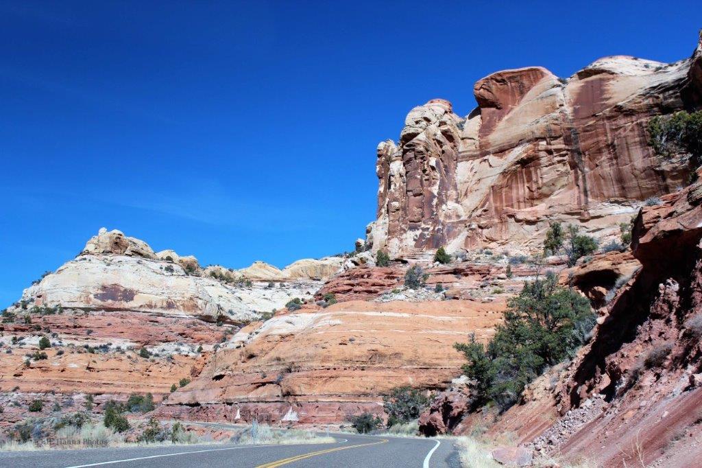
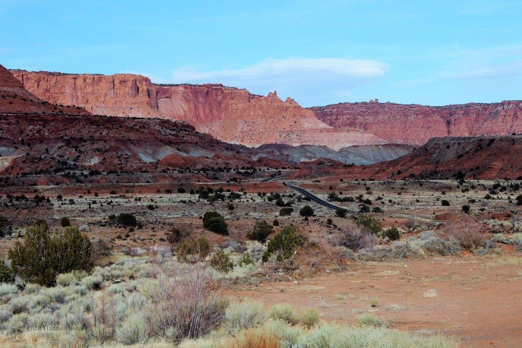
 The road just followed the curve of this massive, sheer rock face
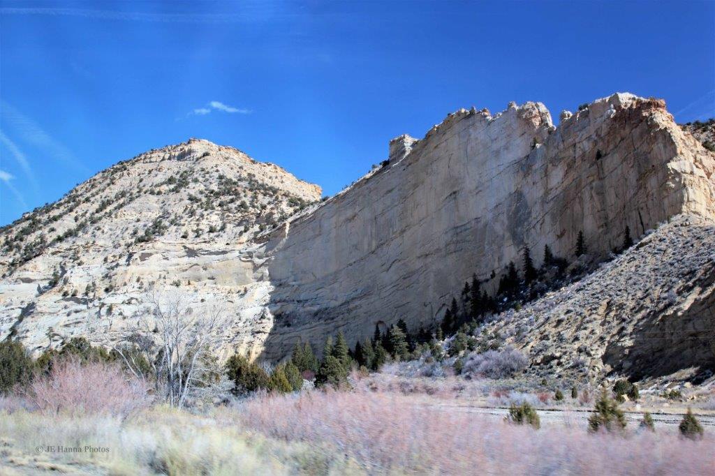

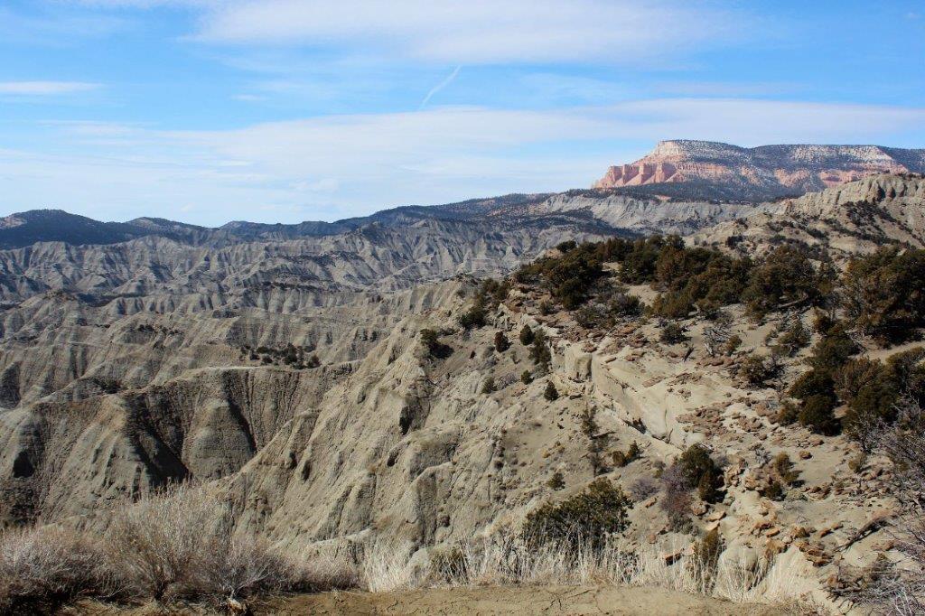

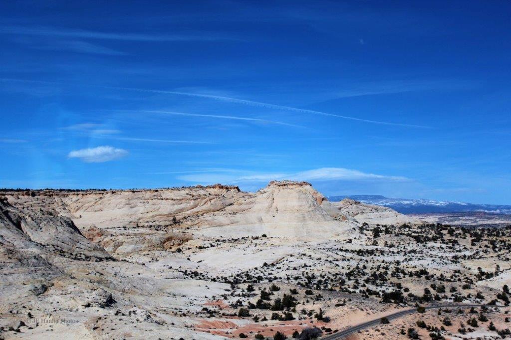
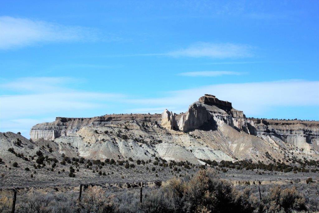
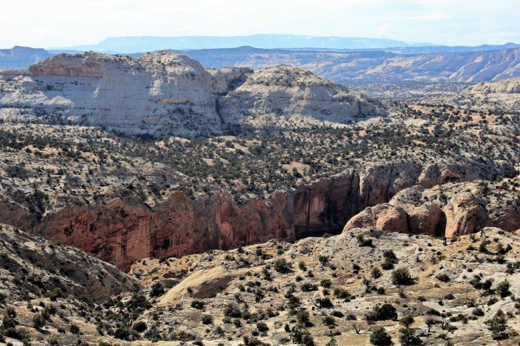
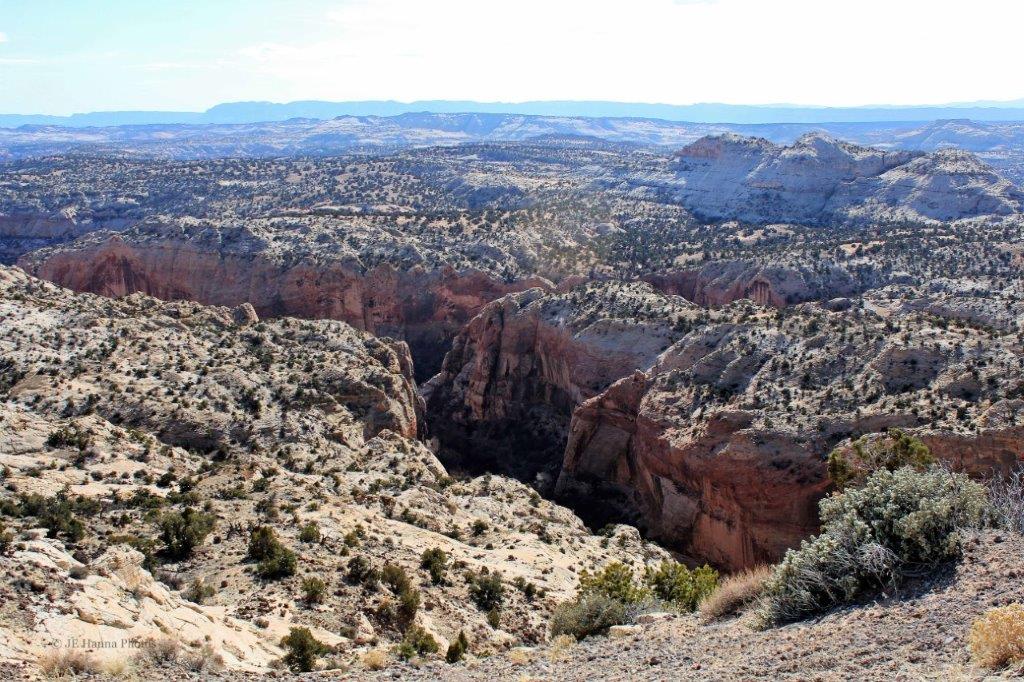
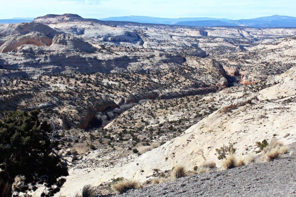
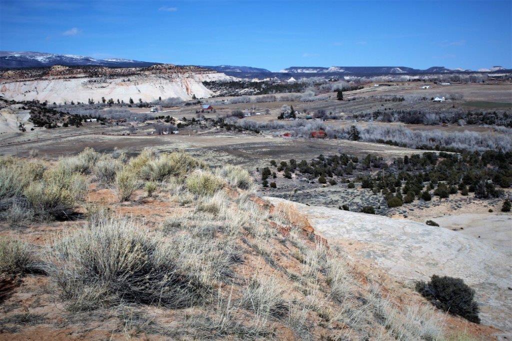
 We stopped at Escalante Canyon Overlook for more photos.
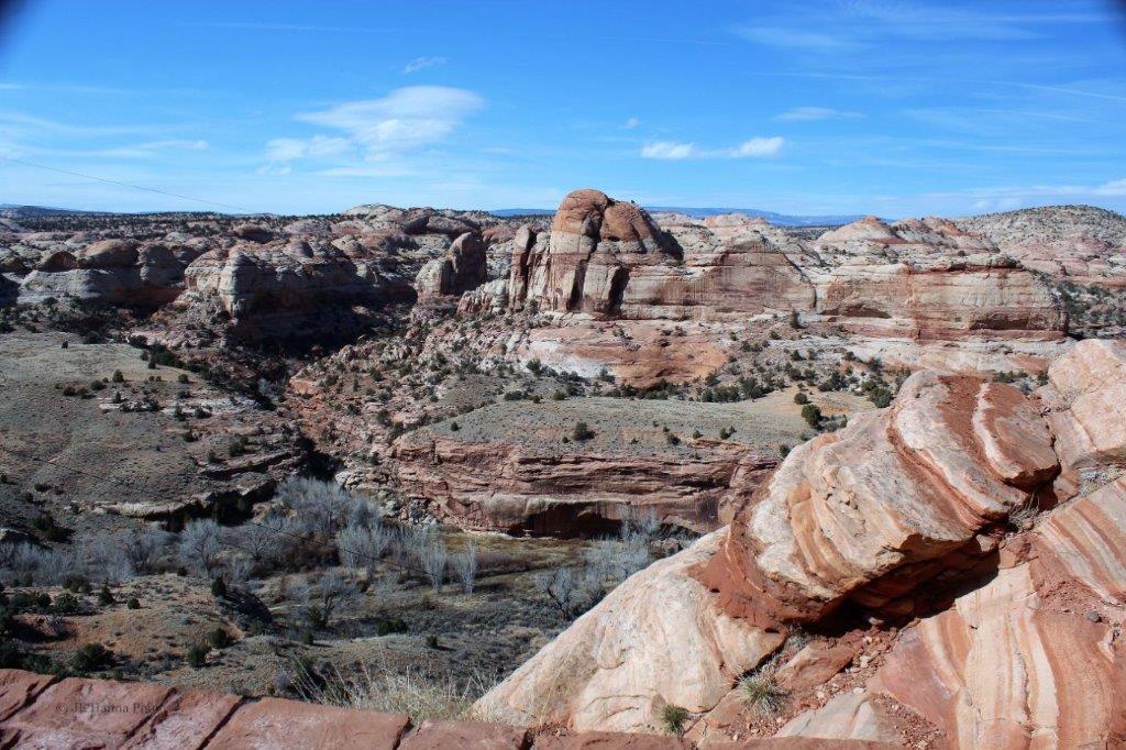

 The canyon was a very deep cut into the valley bottom.
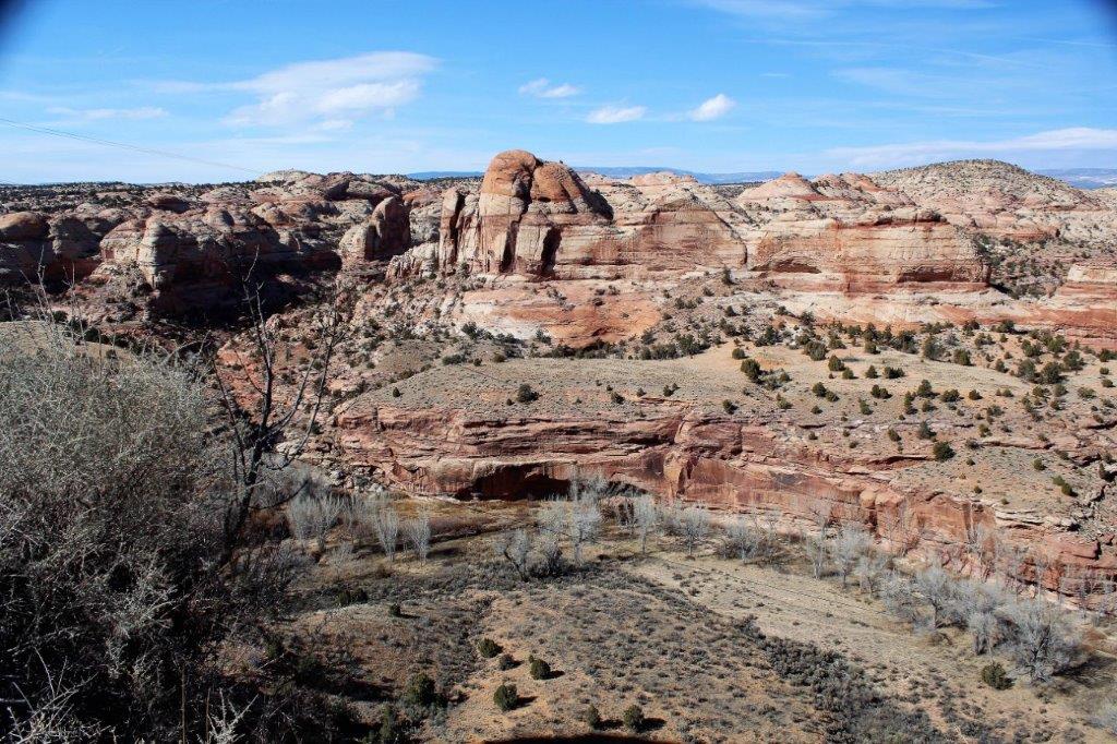 The house in the lower right of the photo above helps give some perspective.
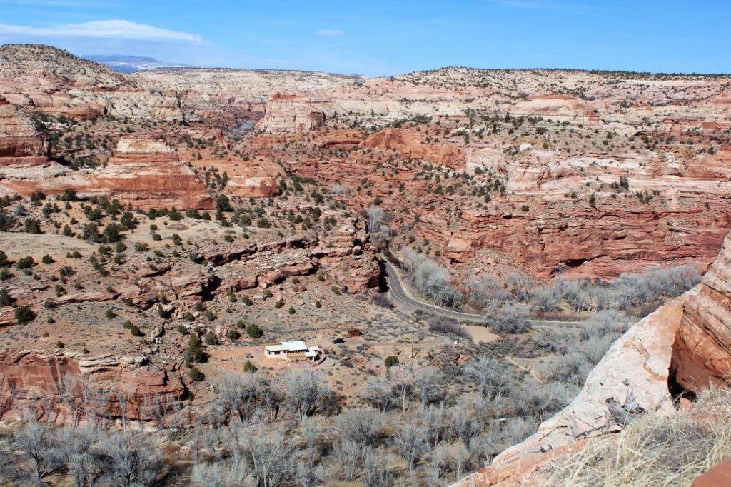
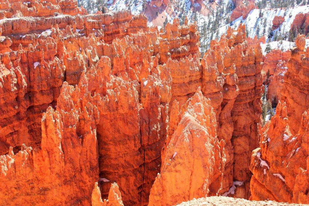
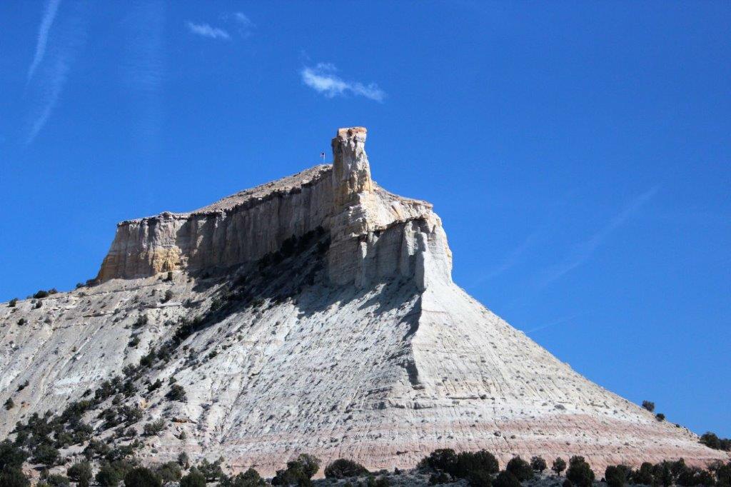
 Who knew that one cliff could contain so many different colours?
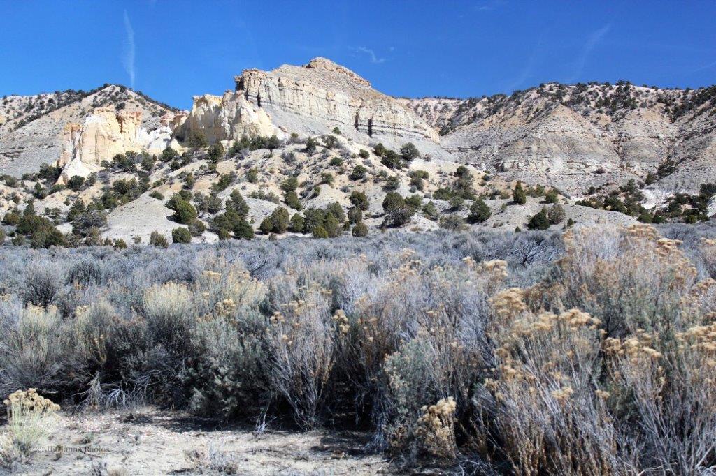
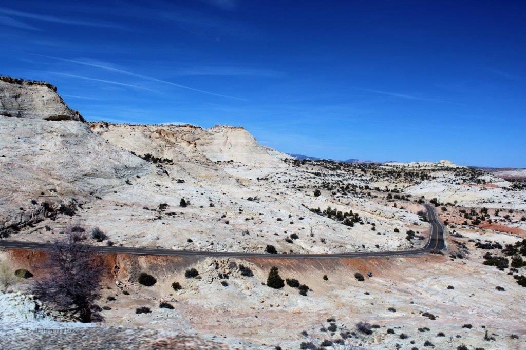
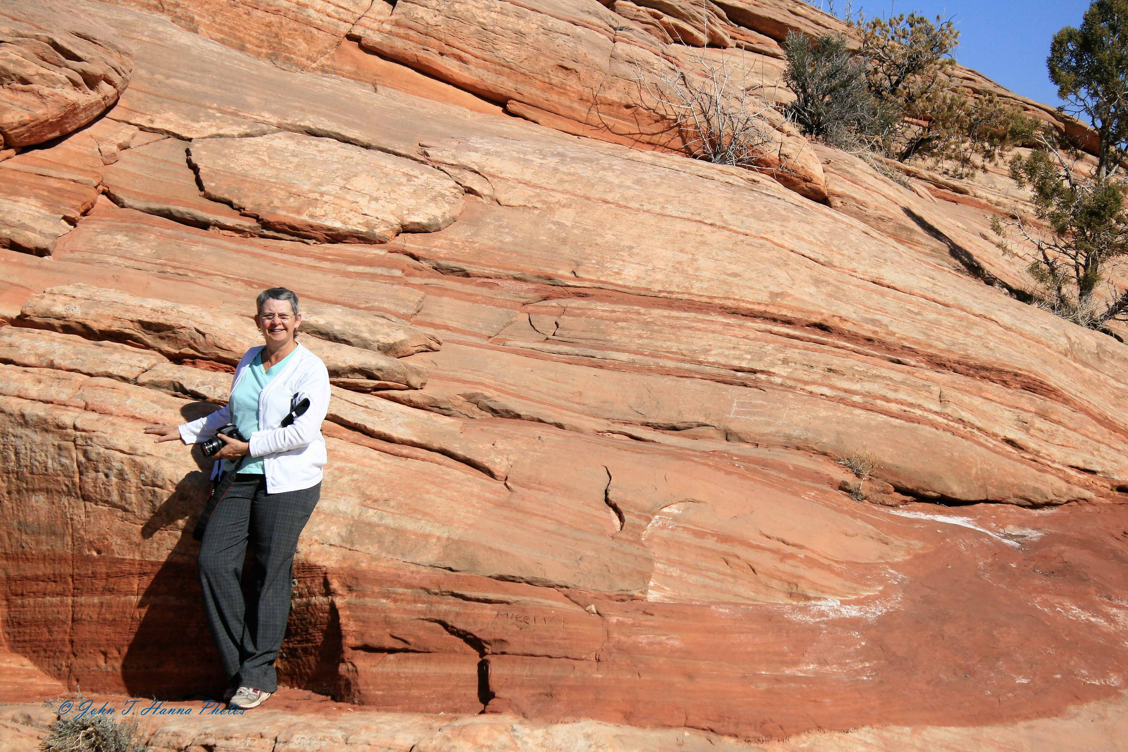
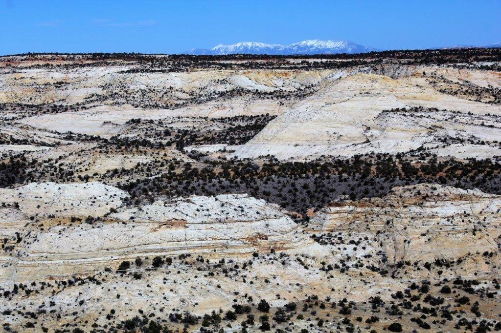
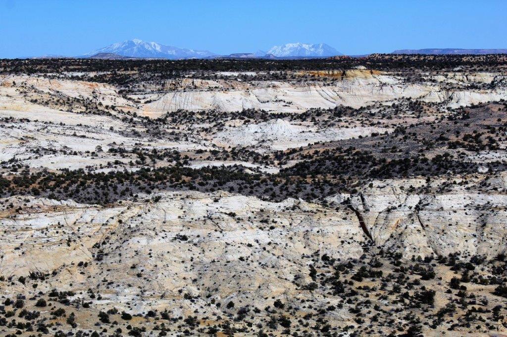
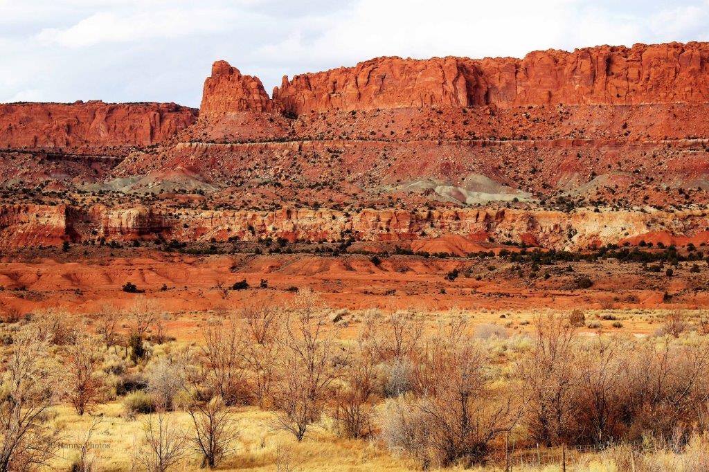
 From red rock to white. The colours change all the time.
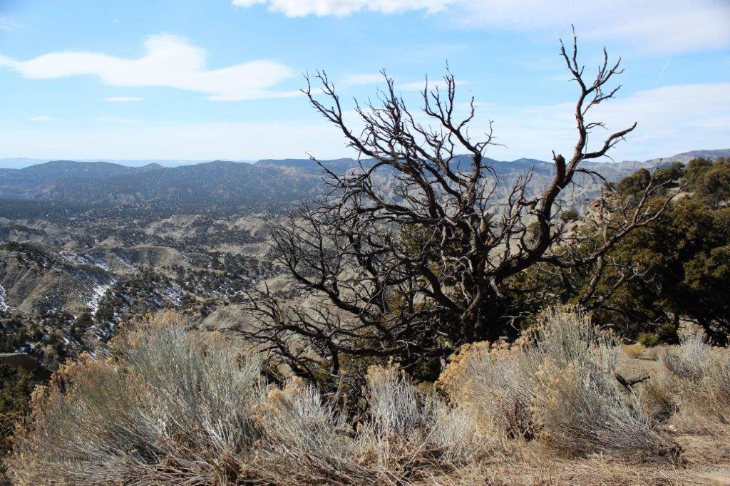
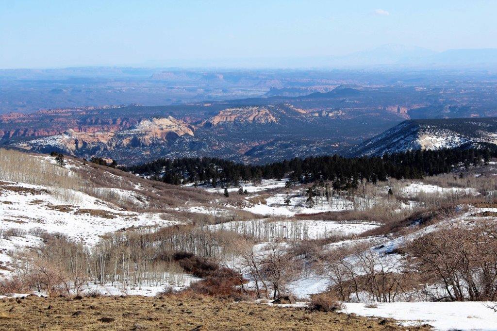
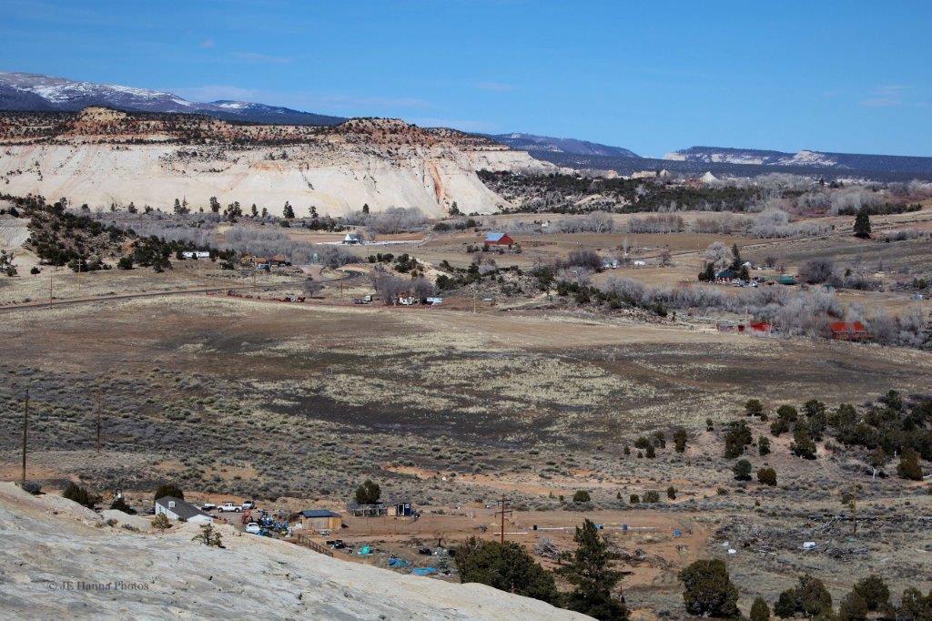 We drove through the small community of Boulder, about half way to Torrey.
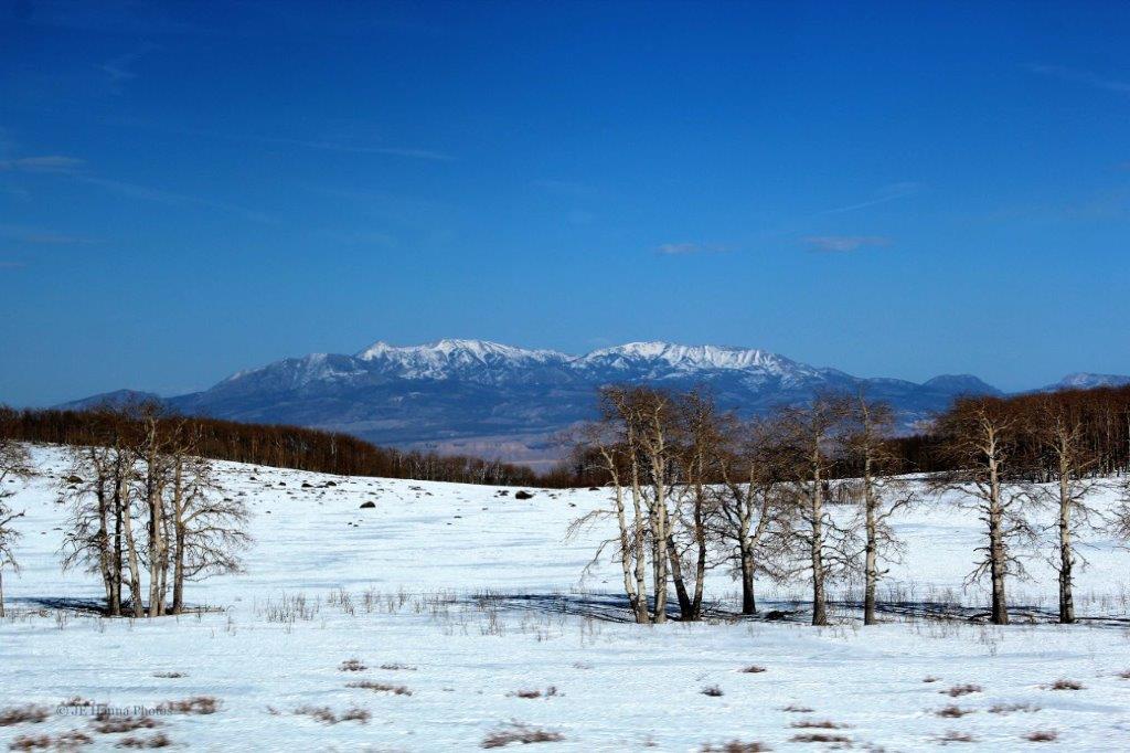
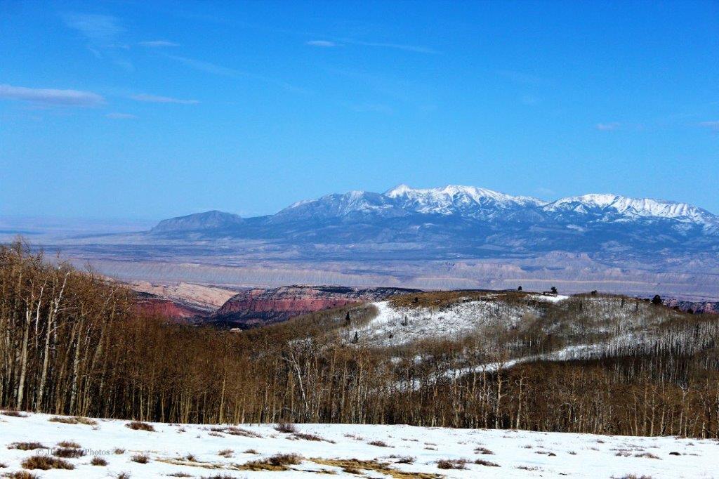
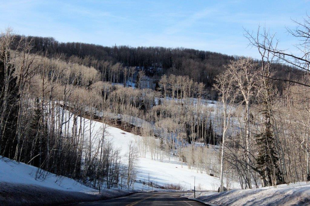
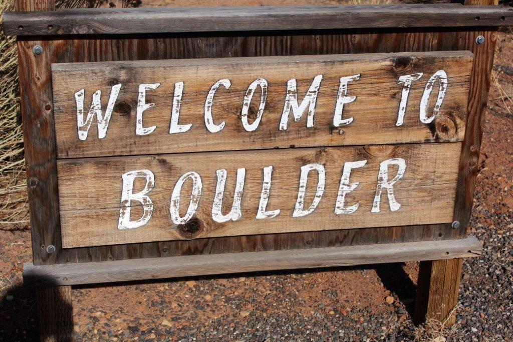 From Boulder we traveled through the Dixie National Forest at a high enough elevation to have snow on the ground.
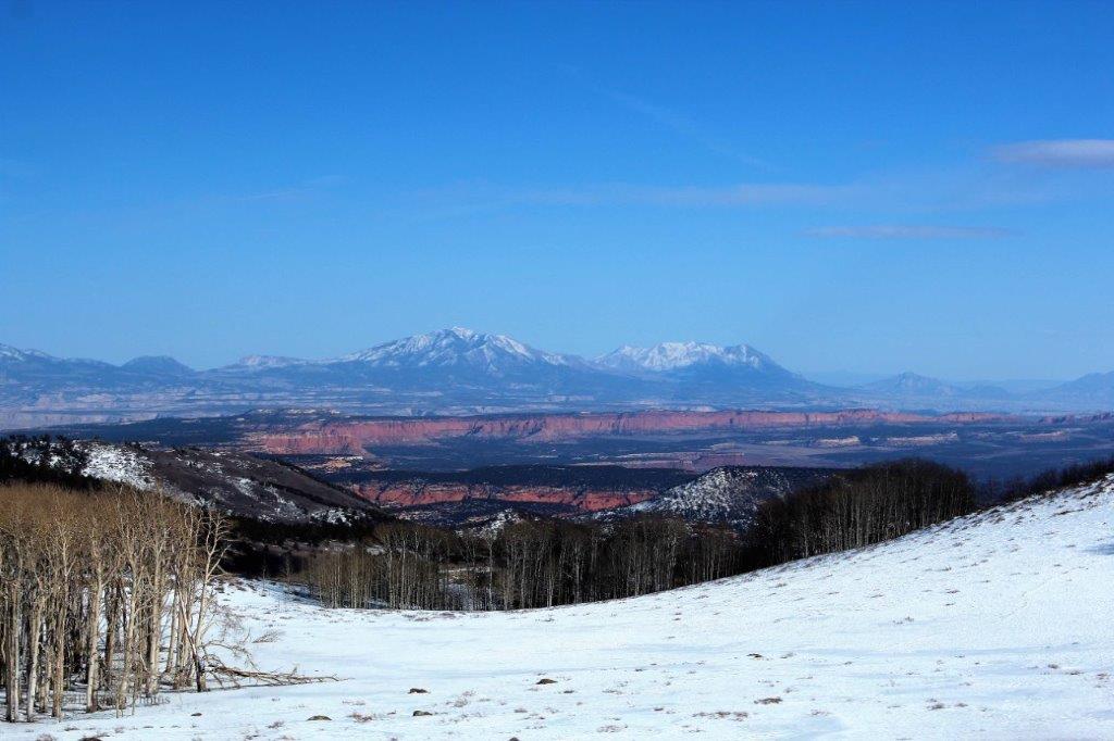


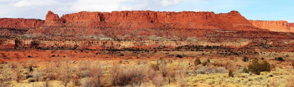 The next day we toured Capitol Reef National Park, which, despite the fact it rained most of the day, was my favourite of the five southern Utah parks. Colours and colours, and colours of rocks, rocks, and more rocks.
