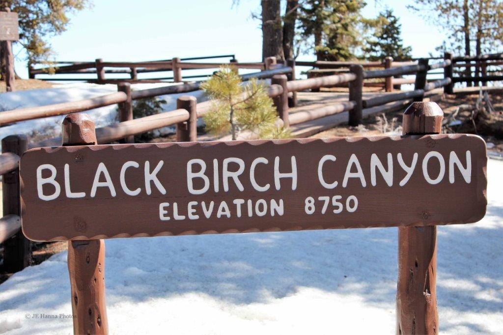
Bryce Canyon in located in the Colorado Plateau. People have lived in the region for about 12,000 years. In 1870 Captain Clarence E. Dutton and John Wesley-Powell explored the area and gave the various points, pillars, and views many of their names. In 1875 Ebenezer Bryce came to the Paria Valley to live and to harvest plateau timber. Neighbours called the canyon behind his home Bryce’s Canyon, and the name stuck. Soon after the turn of the century people were coming to see the colourful geologic sights and the first accommodations were built along the rim above Bryce’s Canyon. 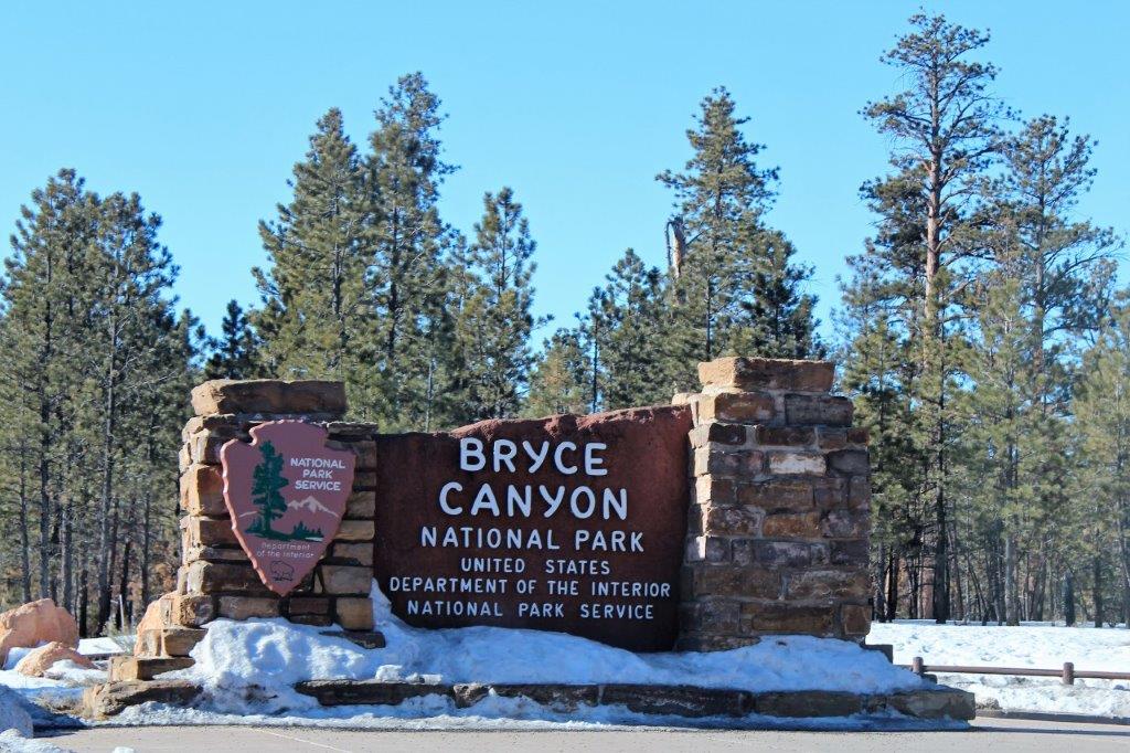
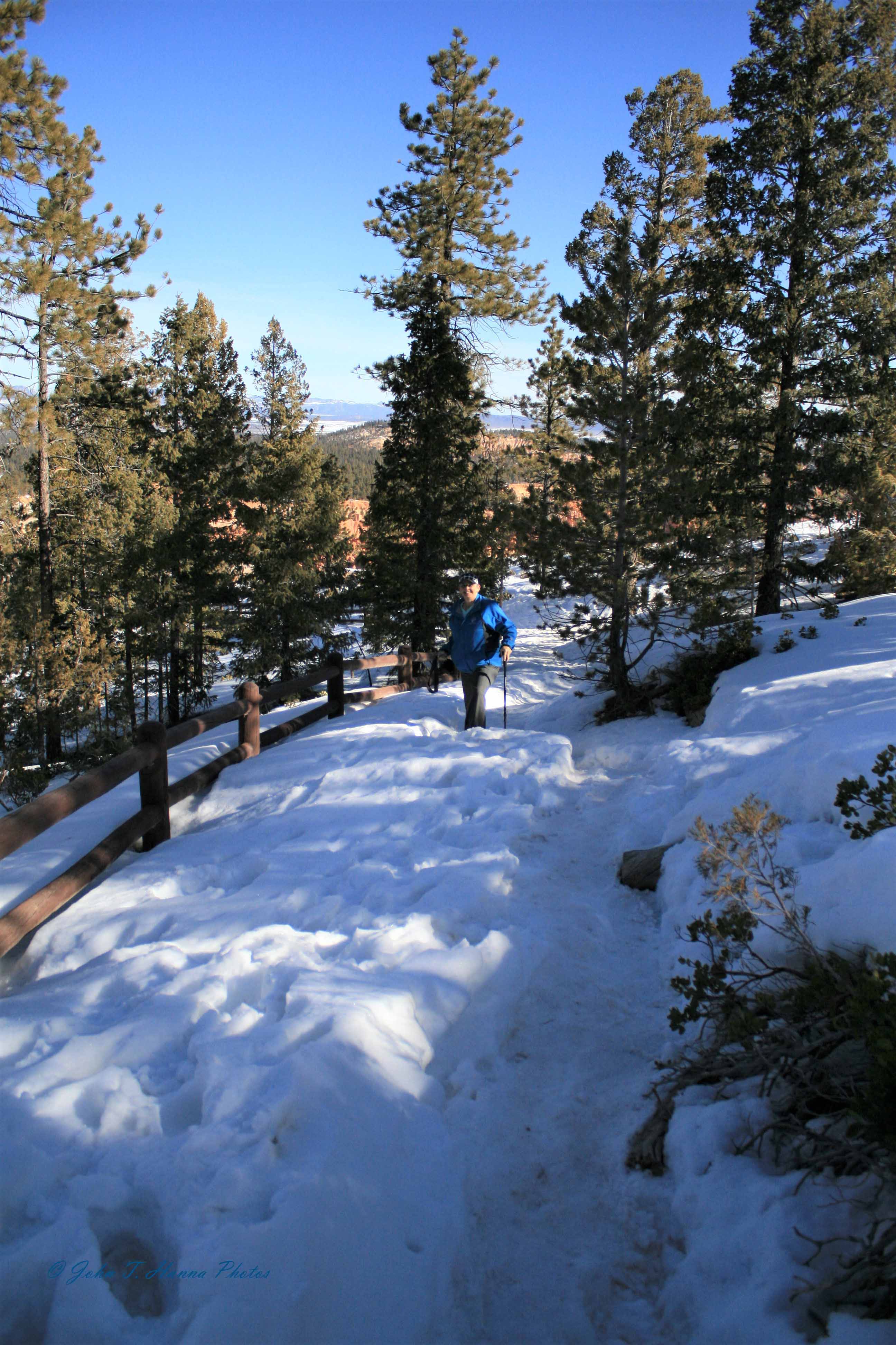
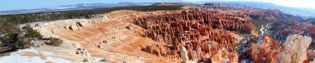
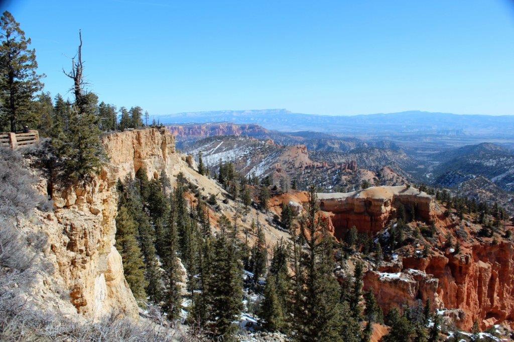
 Today, Bryce Canyon National Park hosts over 1.5 million visitors per year. The canyon rim road is about 18 miles long and allows you panoramic views of a lot of it. (There are lots of hiking trails – about 50 miles of them – in the park as well.) The rim road takes you from the Visitor’s Center just off Highway 17 to the turn-around loop at Rainbow Point for the drive back. Over the course of the route you have an elevation gain of about 1,200′. On good days visibility extends 90 miles and on really clear days, you can see all the way to New Mexico.
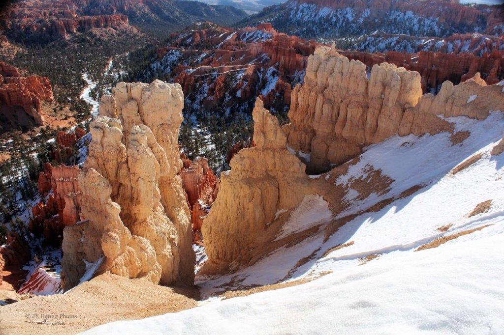
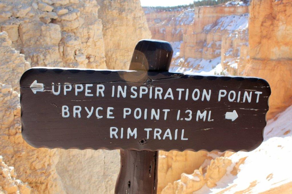
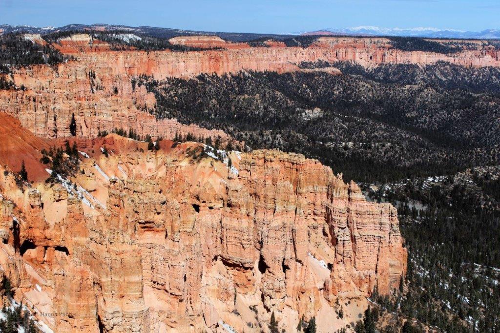
 Inspiration Point faces east.
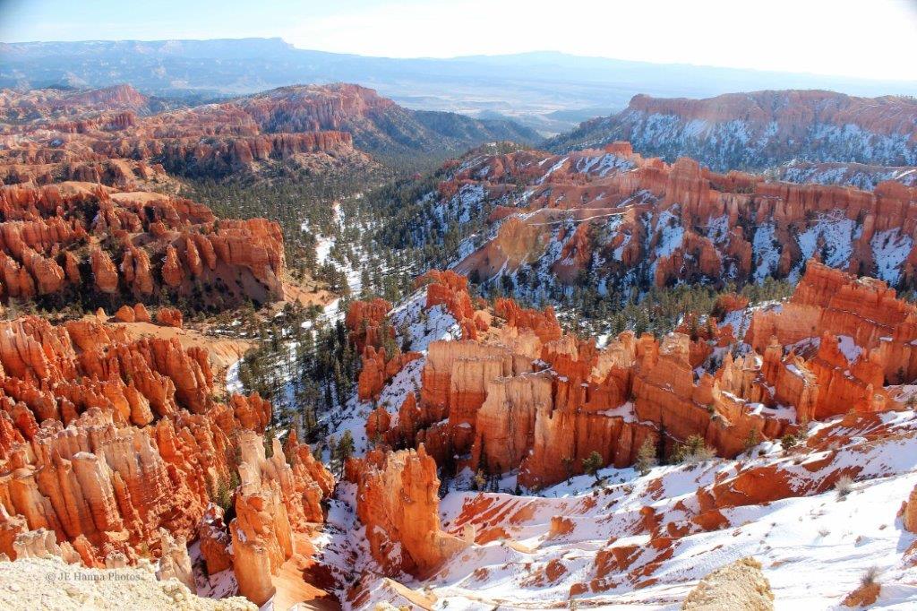
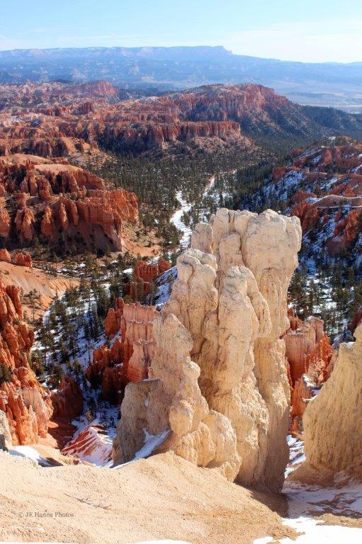
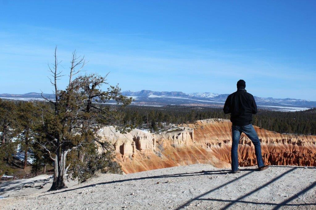

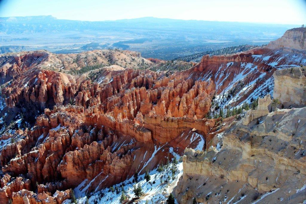
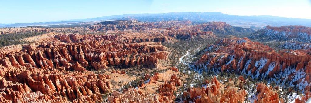
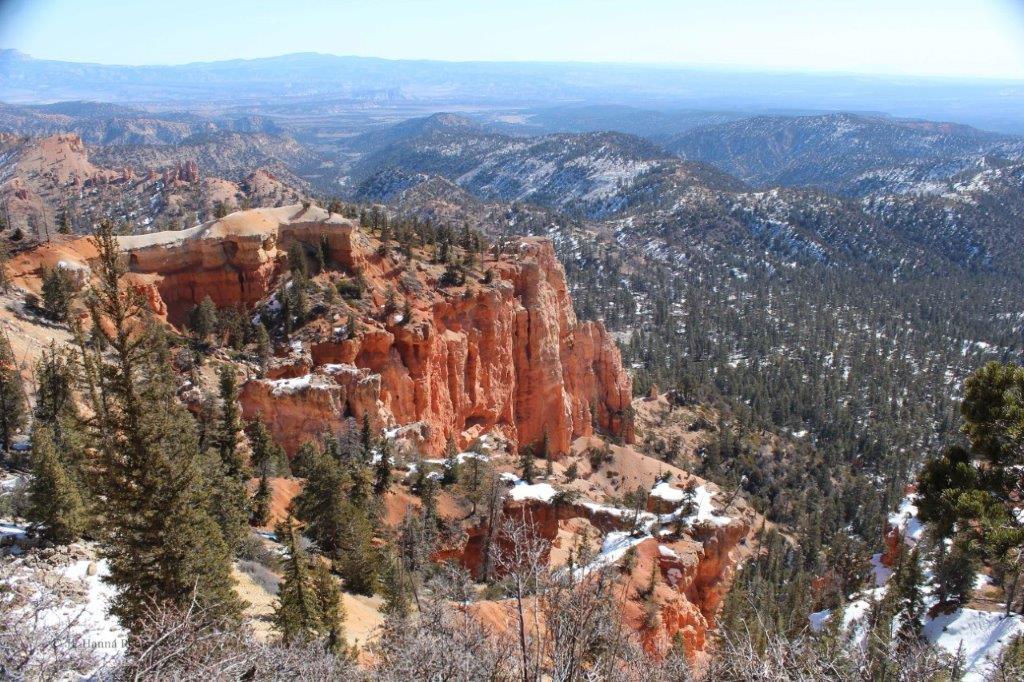
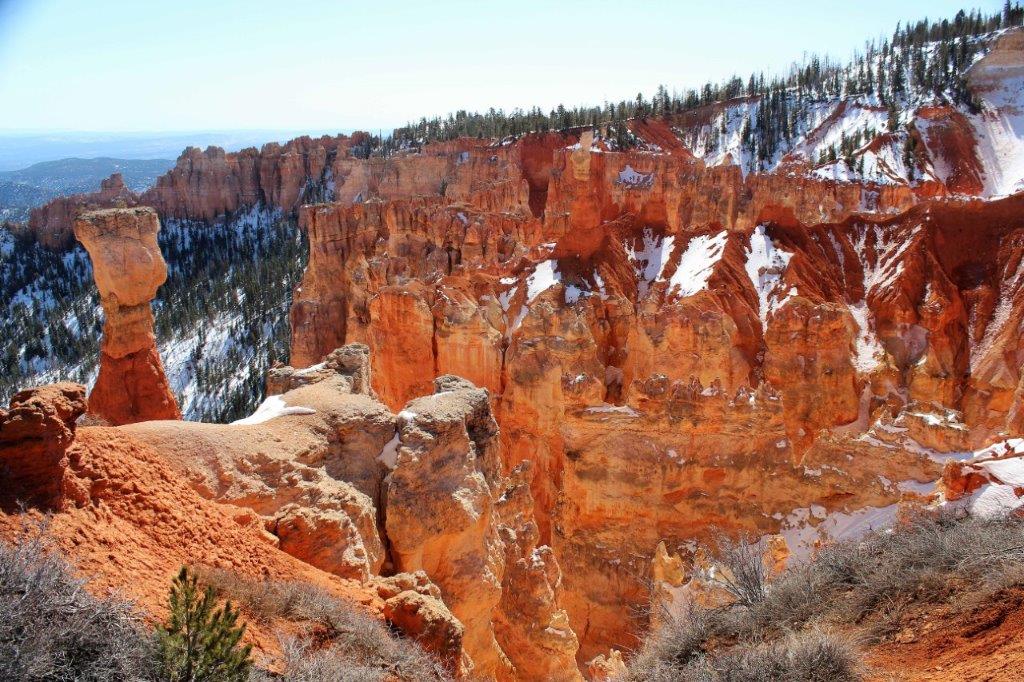
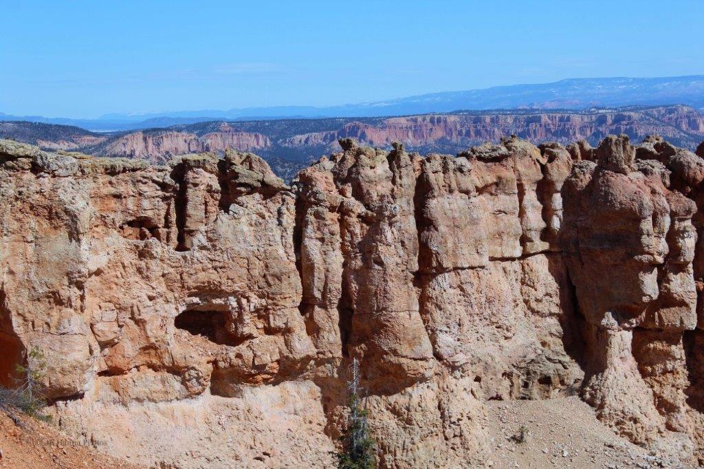
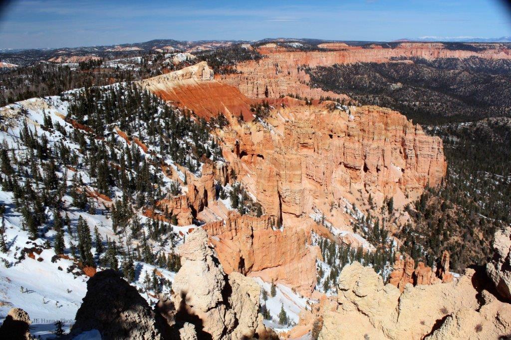
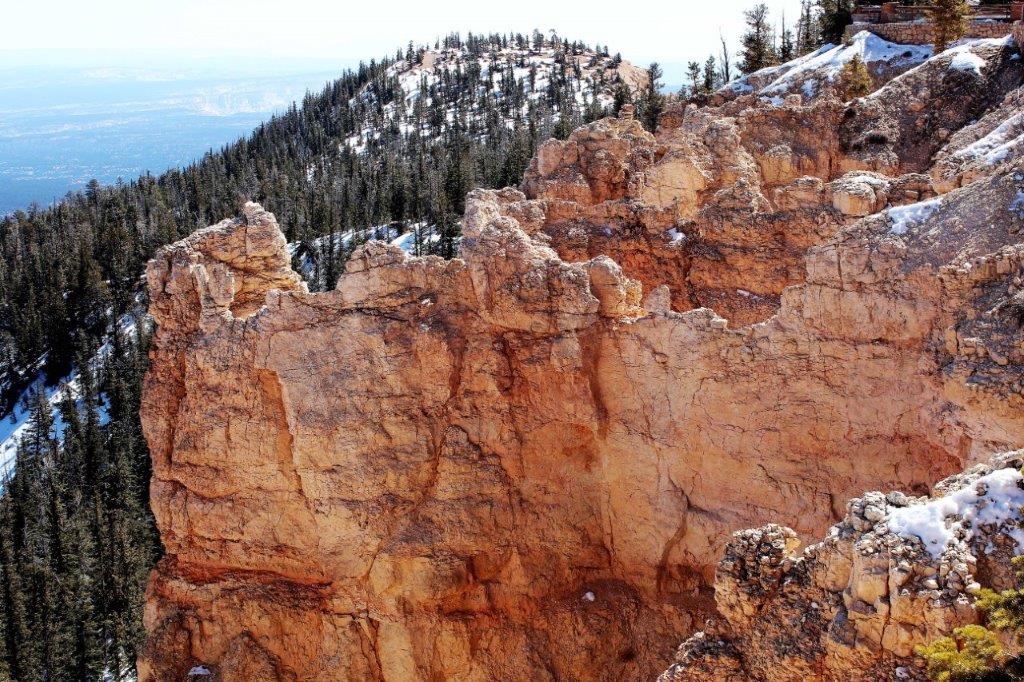
 At Bryce Point
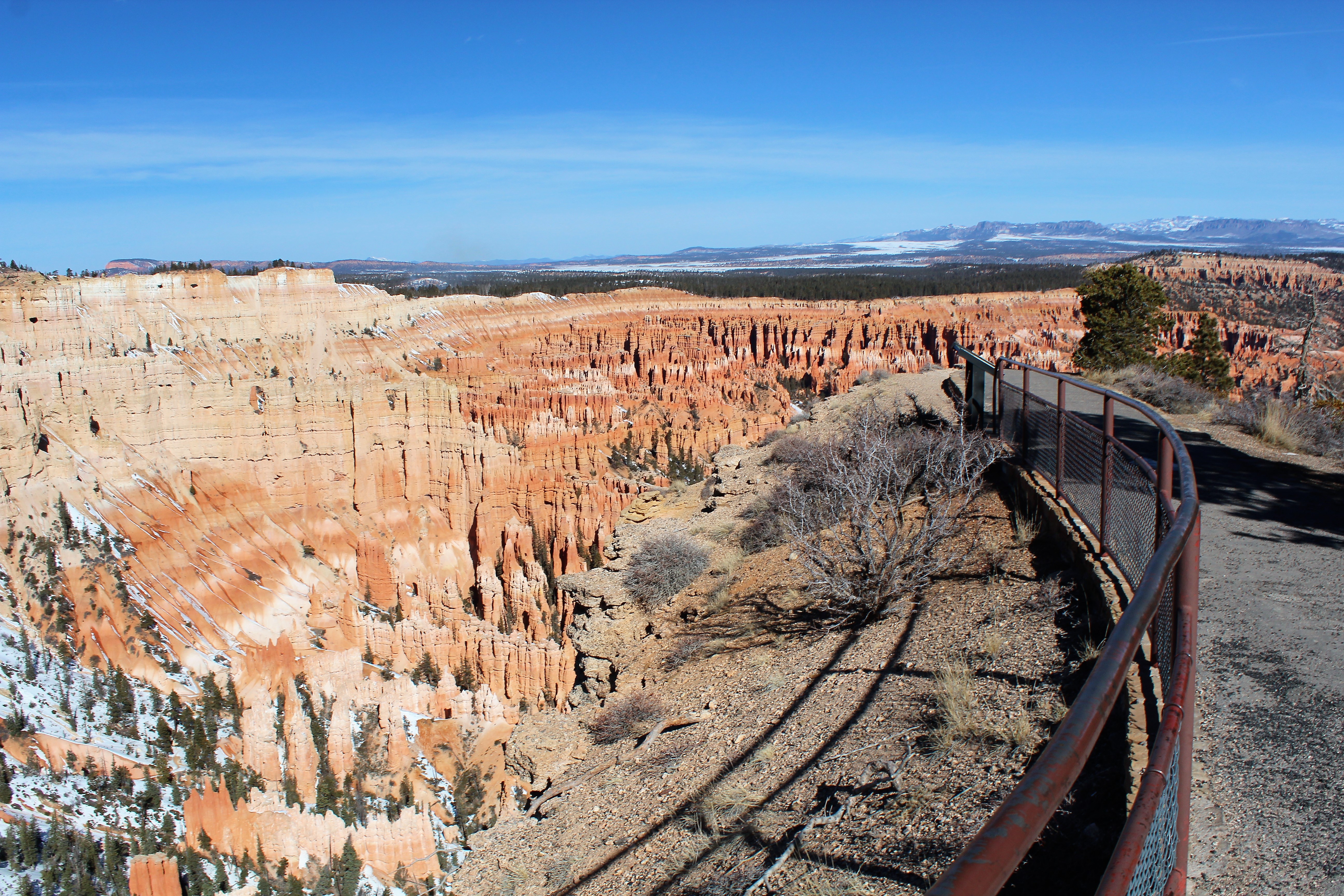
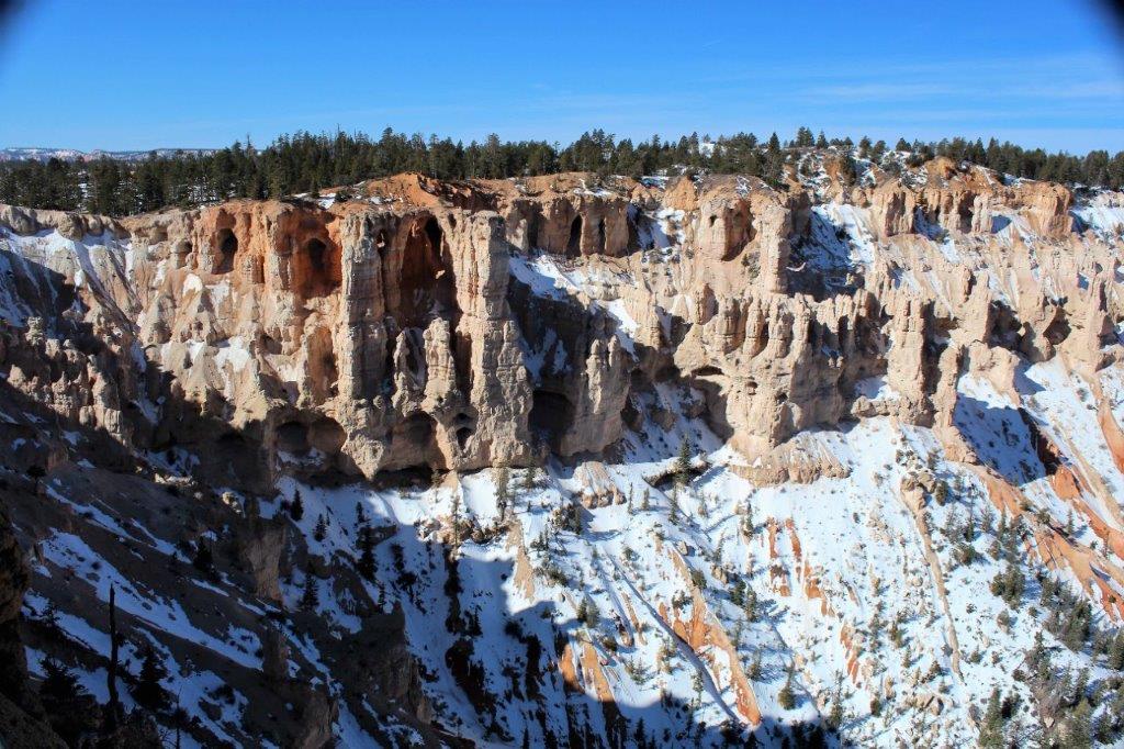
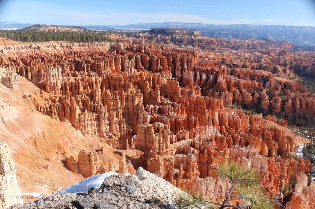
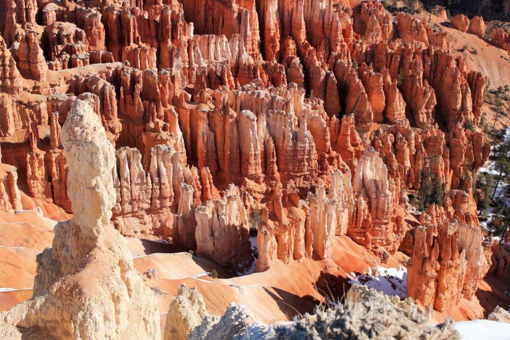
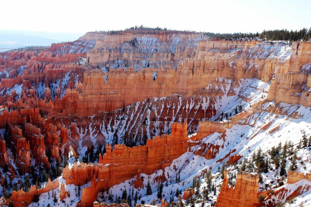
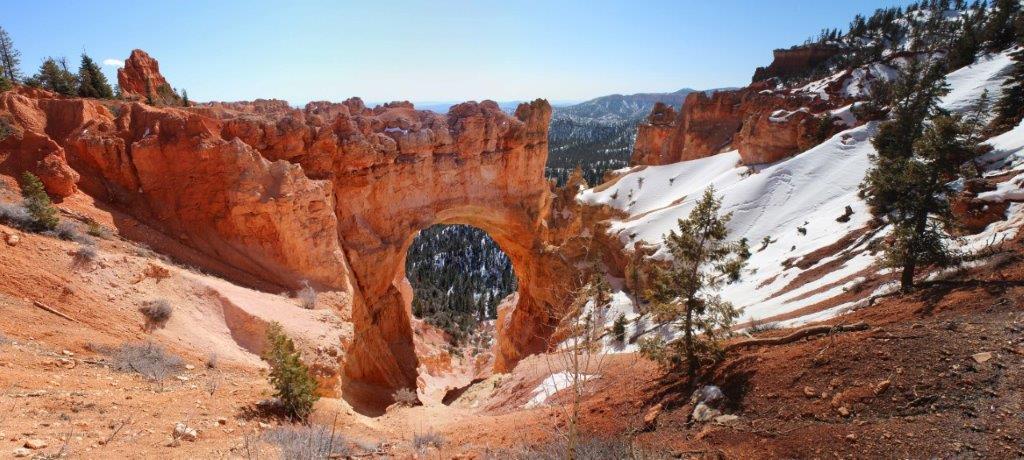
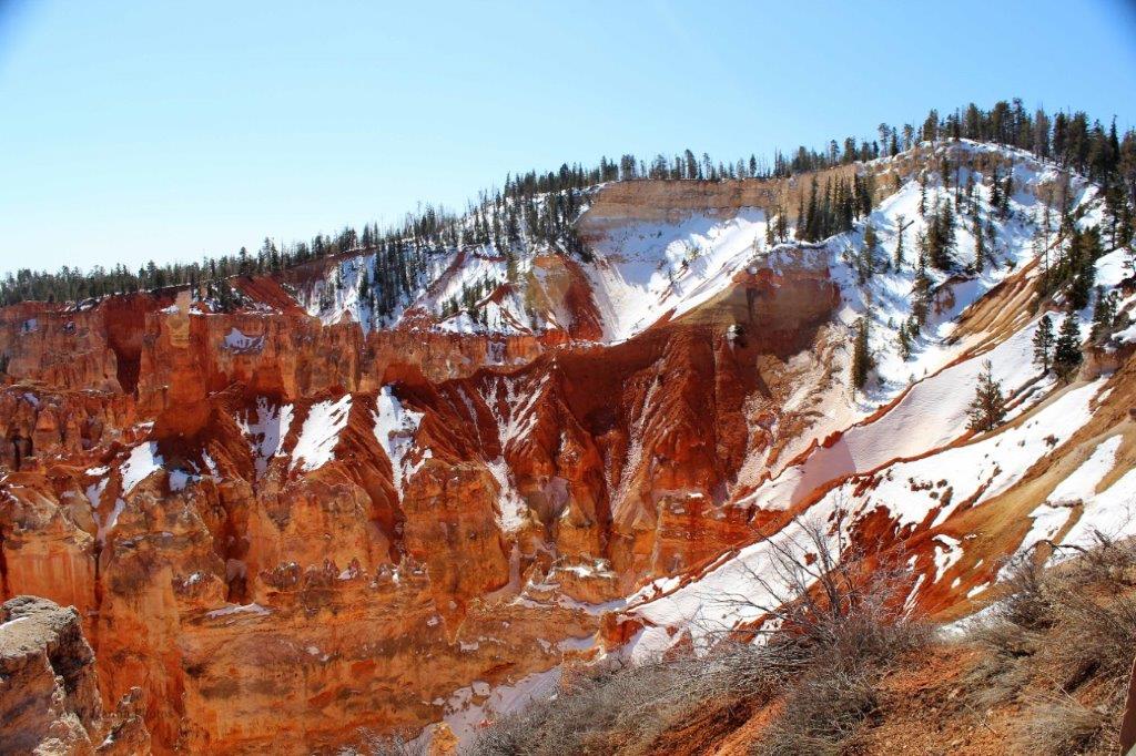
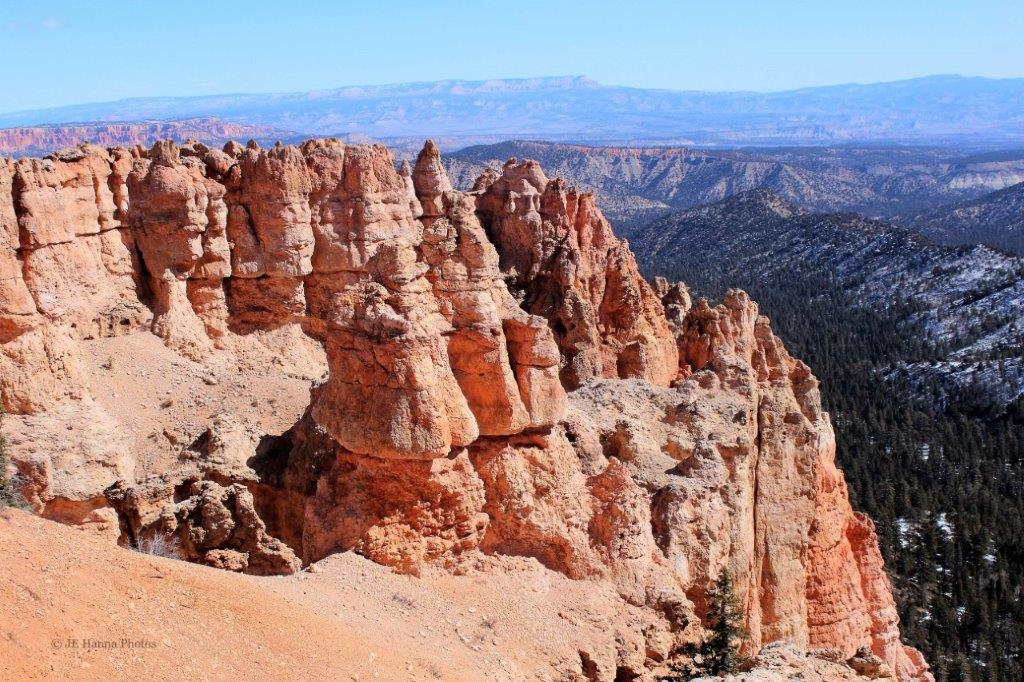
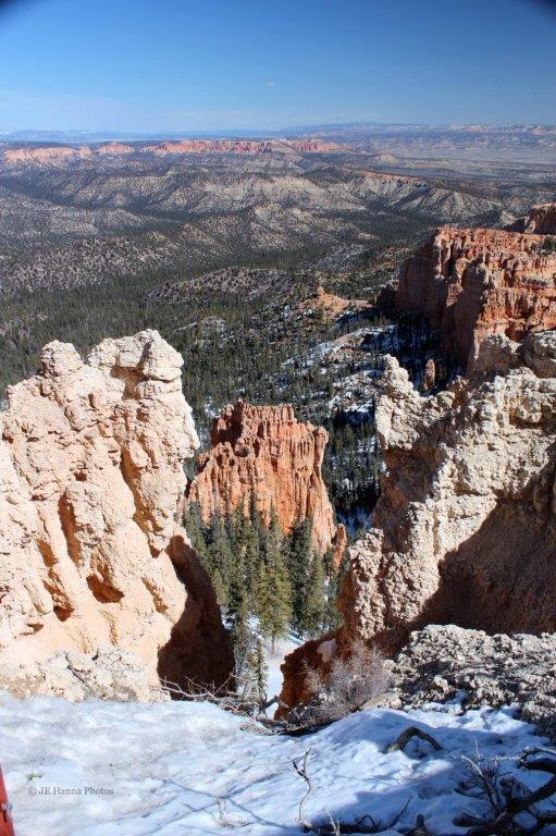
 These formations are called the Grottos
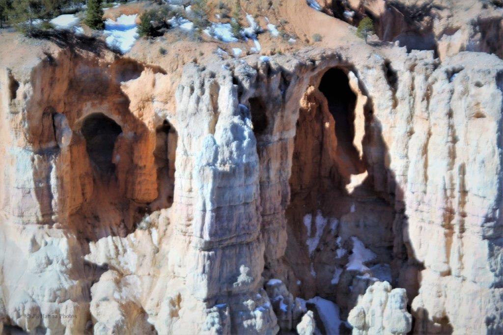


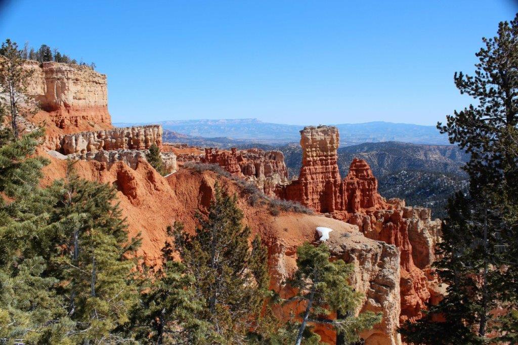


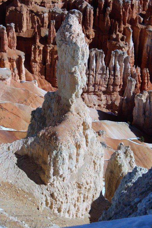
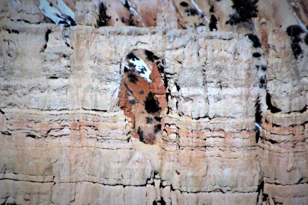
 The rock formation below is a close-up crop of the white pillar in the foreground of the photo on the right above. It is called The Poodle; and it is easy to see why.
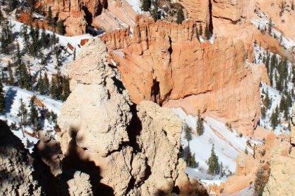
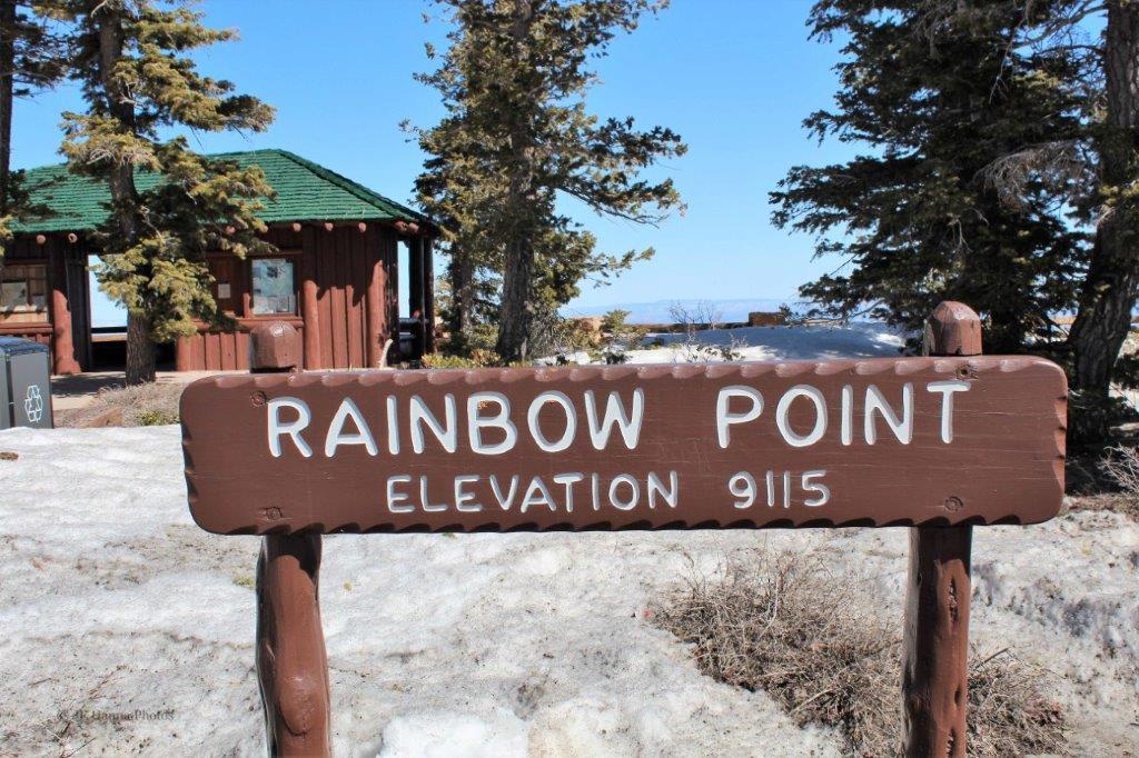
 Rainbow point is the end of the rim road. On the other side of the turn-around loop is Yovimpa Point. From there we headed back to the Visitor’s Center stopping at Sunset Point and Sunrise Point before leaving Bryce. (To be continued…)
