All posts by jj1951

My husband and I retired in 2007 and decided to spend the kid's inheritance by travelling as much as we could until either the money or our health runs out. So far so good.

2014 Aug 1 – Day 43 – Charlottetown, PEI to Summerside, PEI

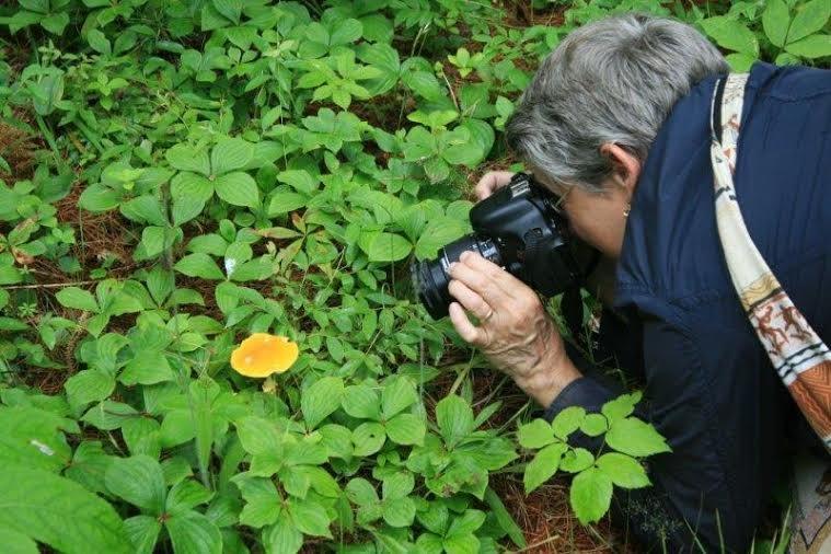
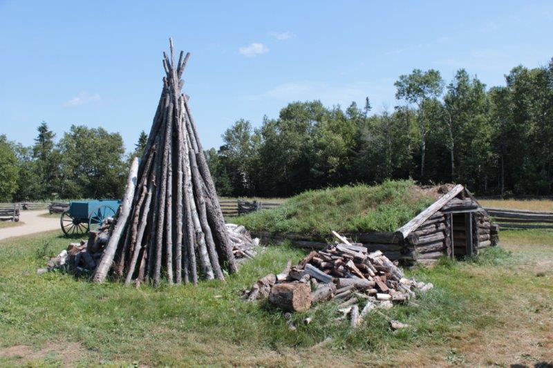
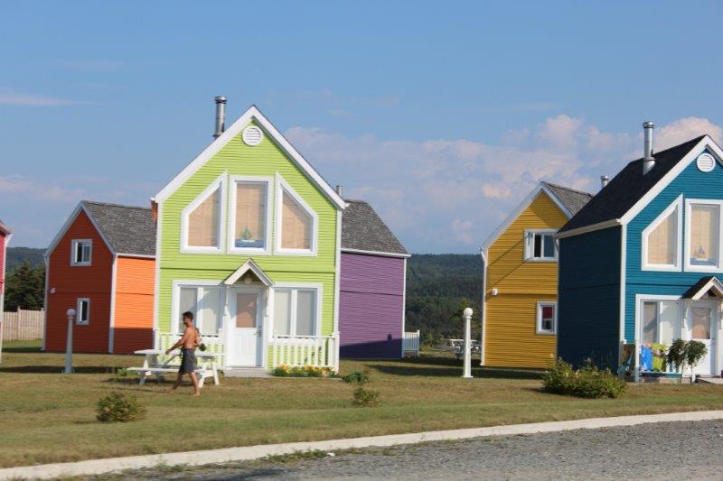
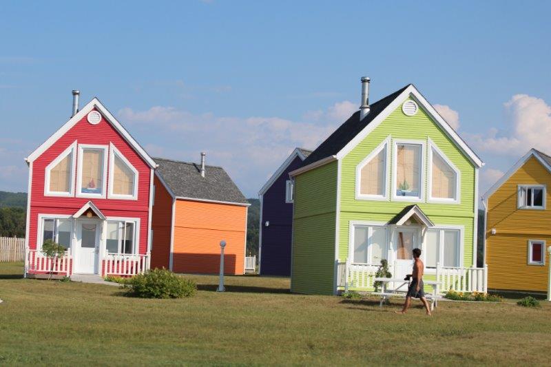
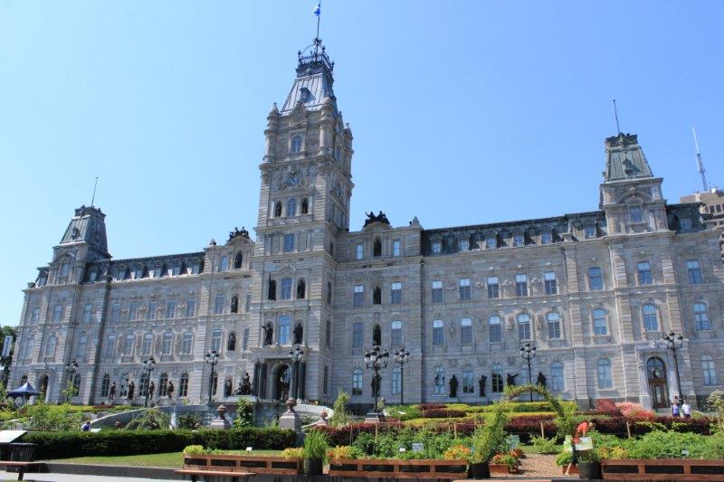
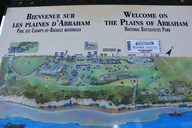
Have you ever had to work on Plan B rather than Plan A?  Or perhaps even Plan C?  That is how today went: a constant change of plan. Fortunately none of our plans are set is stone so they are easy to change.

IMG_4684 IMG_4698

The re-scheduling began not long after we left Charlottetown.  We were going to do a 45 mile scenic drive that was highlighted in one of my Daddy’s travel books, but we missed a southward turn, drove too far westward to want to go back for such a short drive, and decided to continue on to see a garden in Burlington that had replicas of English castles and buildings set among English country gardens.

We found the place but it was closed and for sale.  Plan C – follow the current road all the way to the east cast to Parks Corner and see the Anne of Green Gables Museum.  Parks Corner is further down the coast from all the other Green Gables attractions around Cavendish so I thought this would work well for later if we didn’t have to come this far east when we were doing the Anne thing.

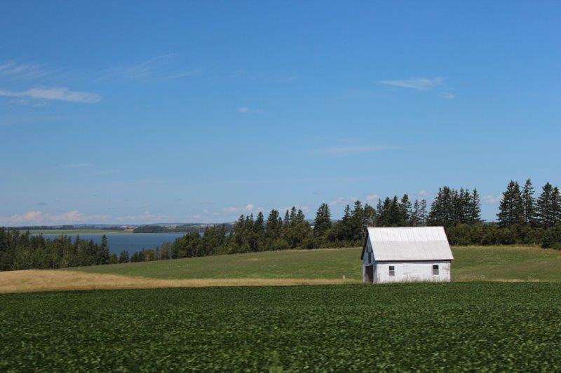
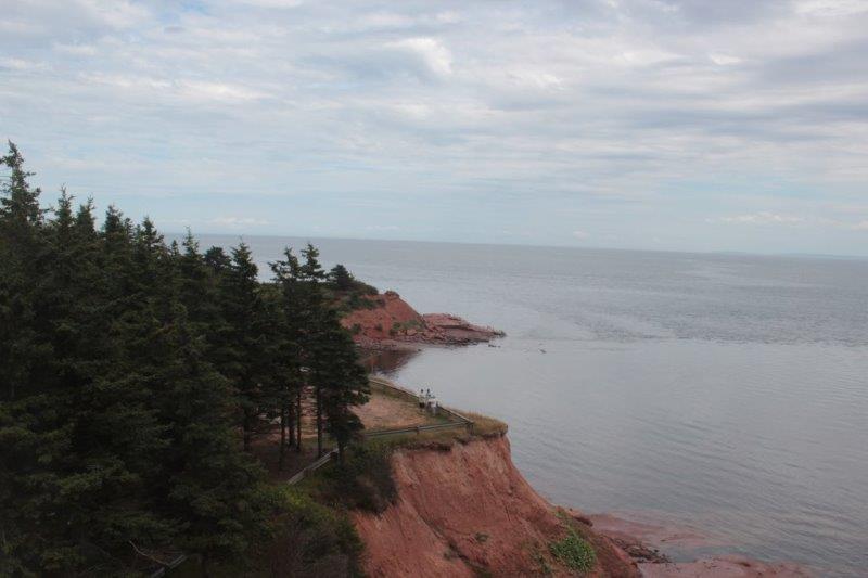
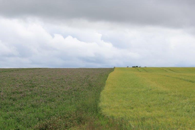
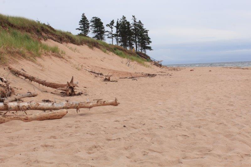
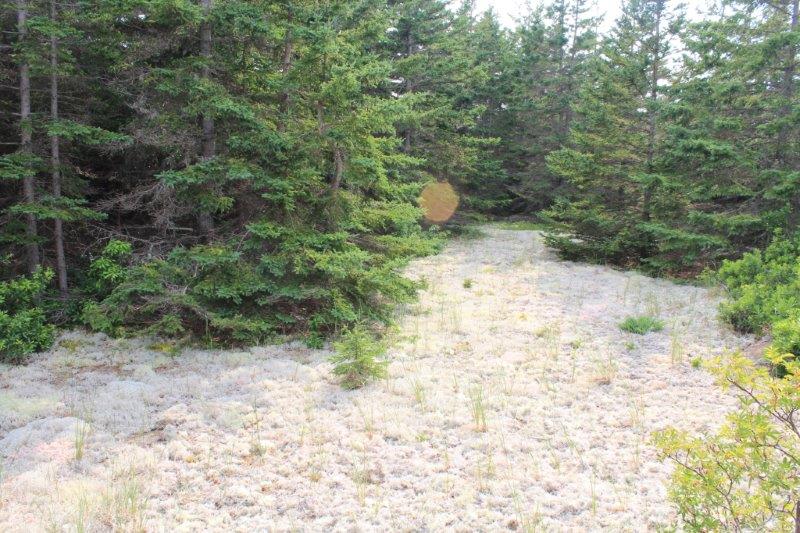
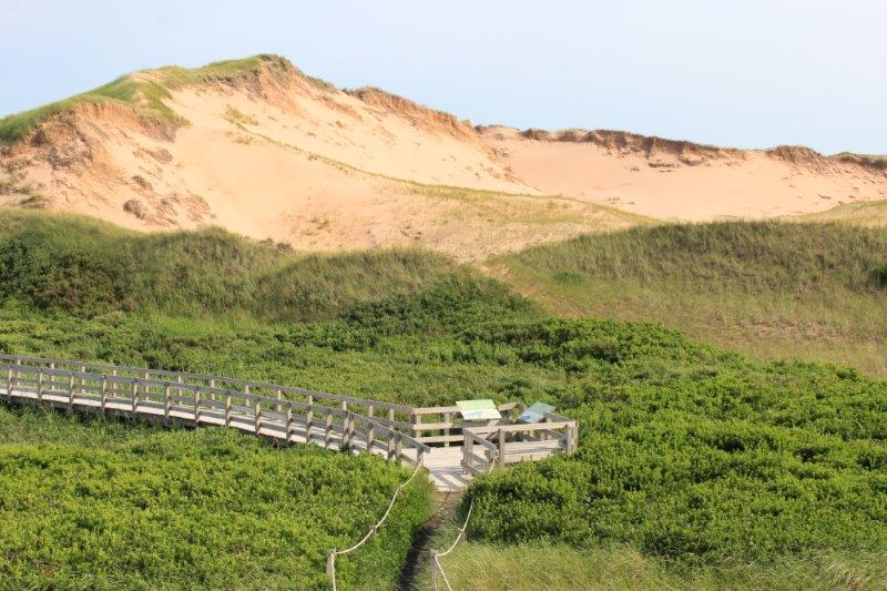
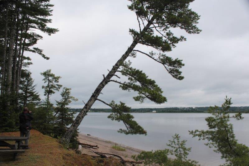
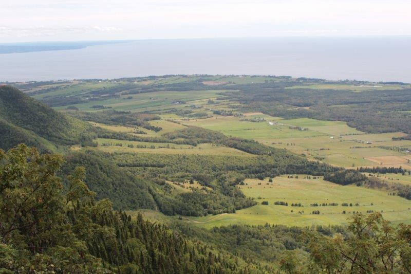
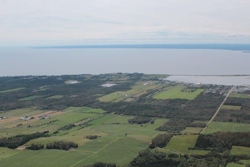
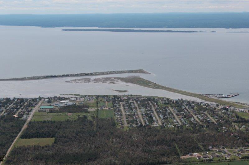
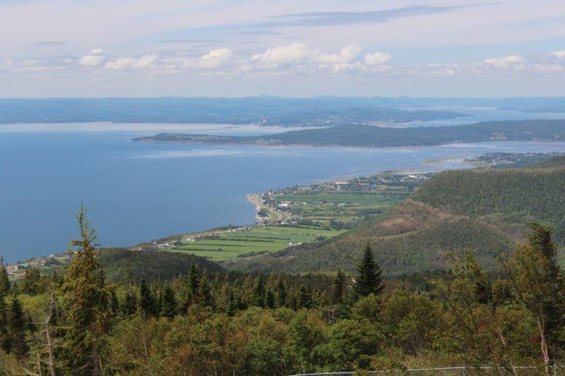
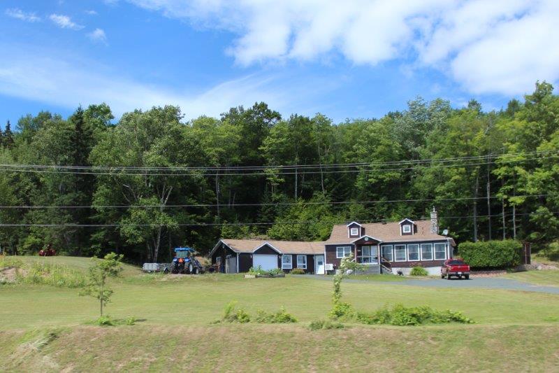
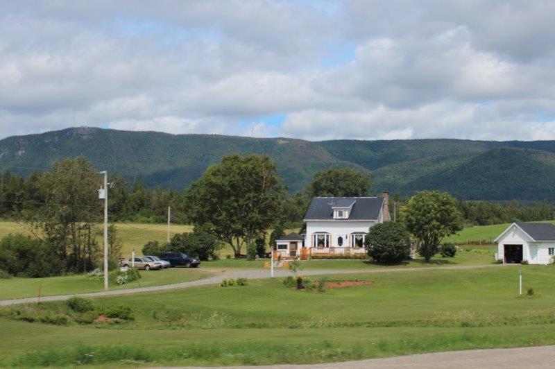
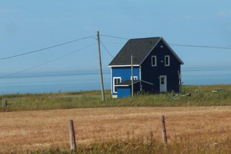
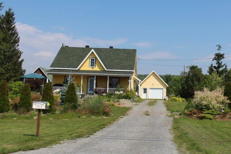
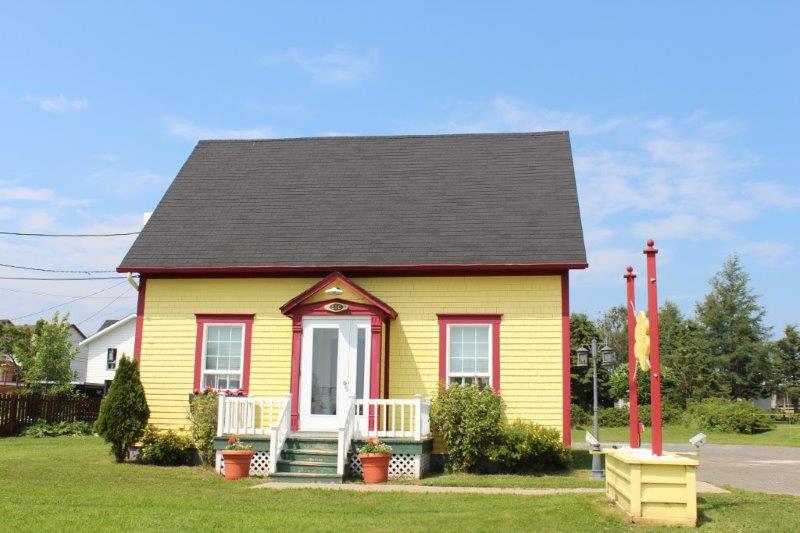
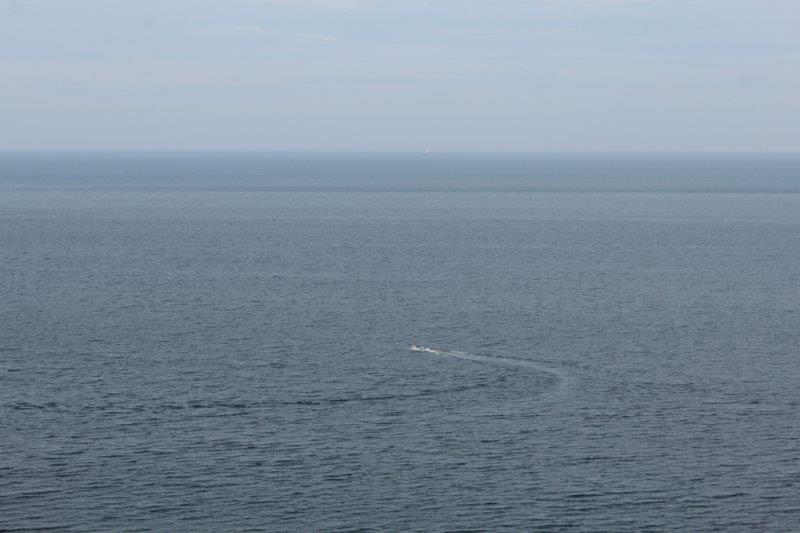
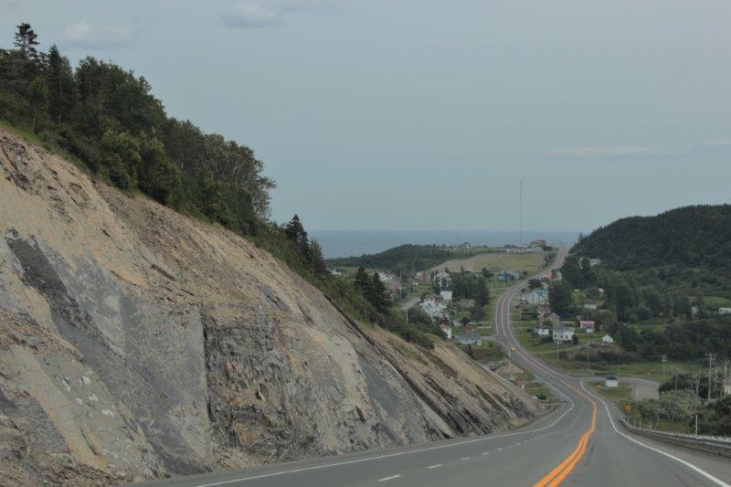
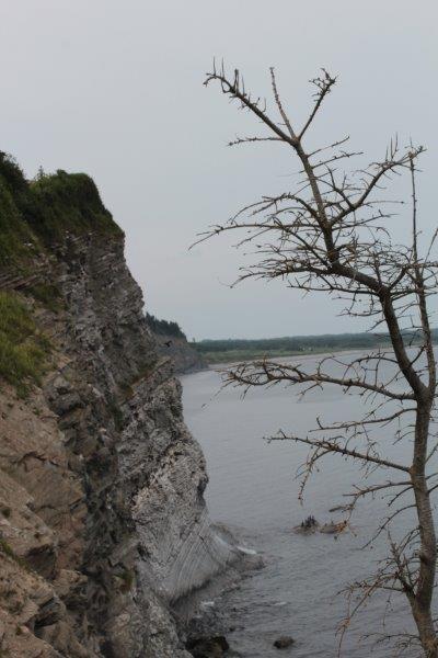
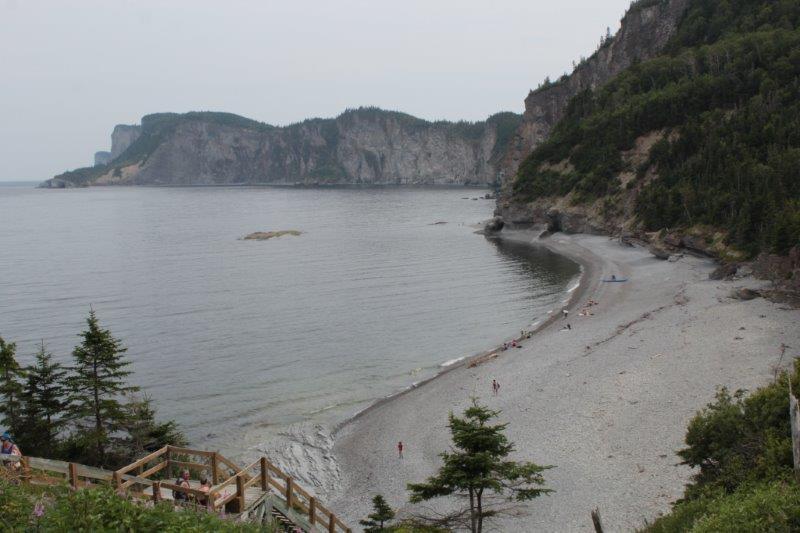
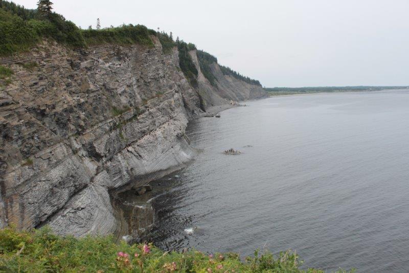
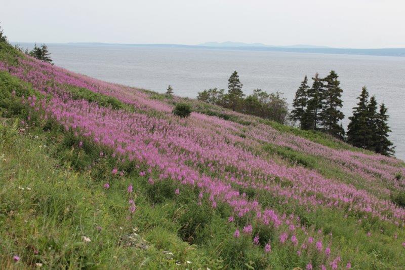
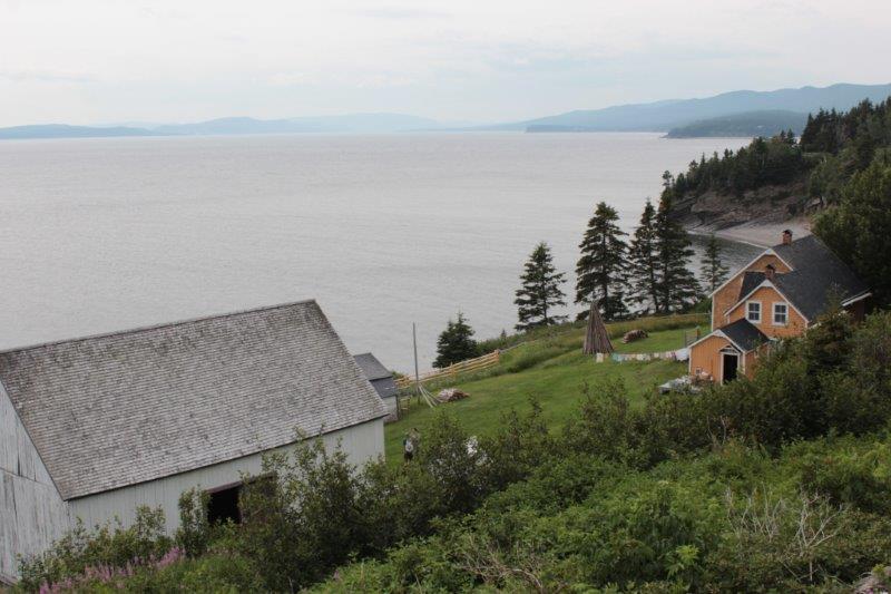
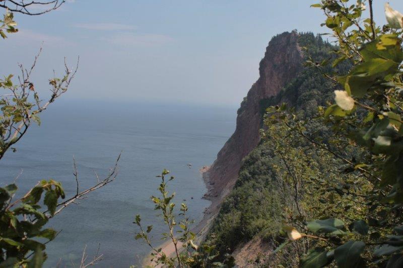
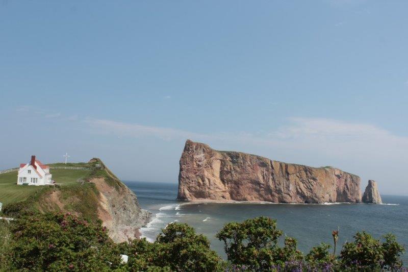
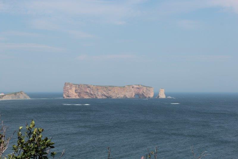
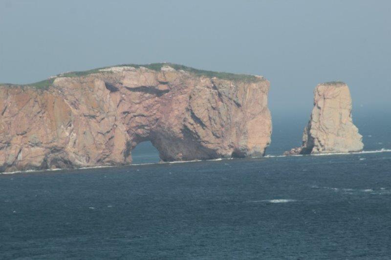
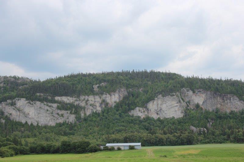
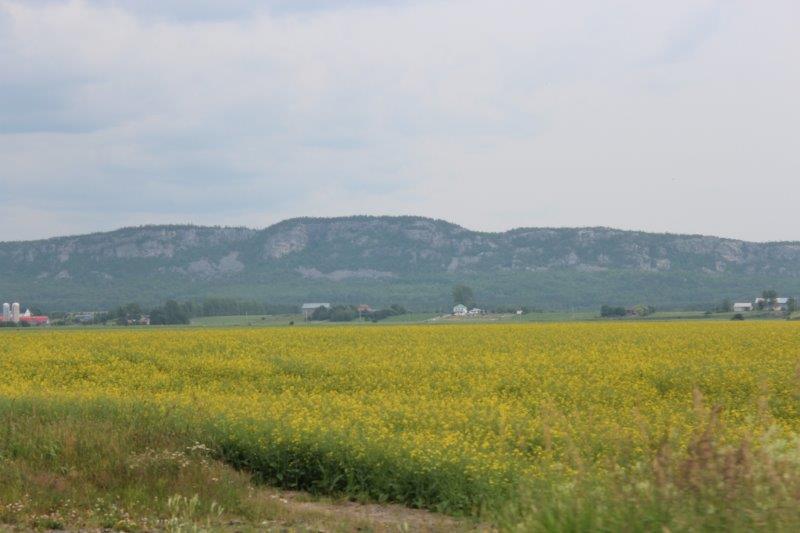
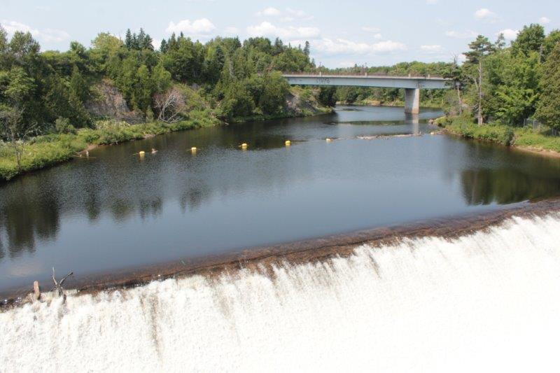
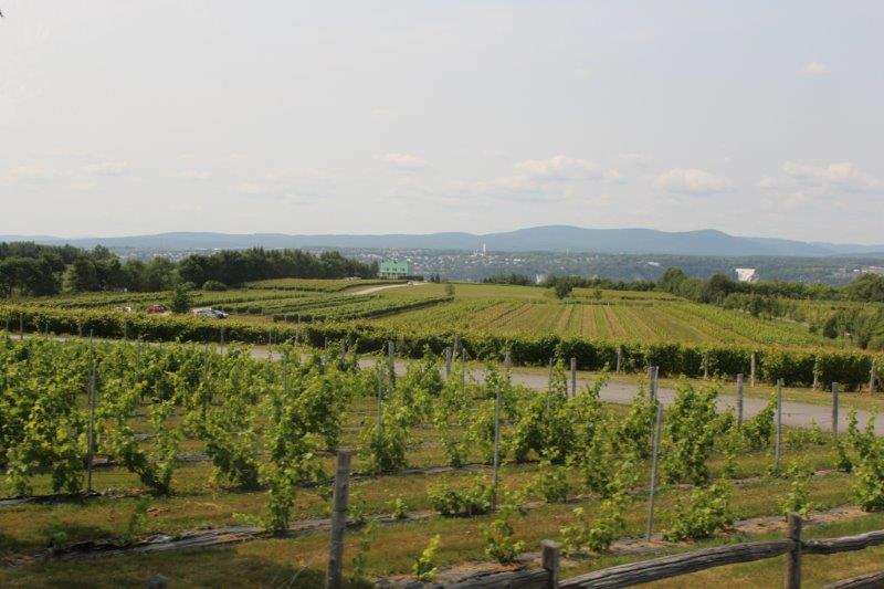
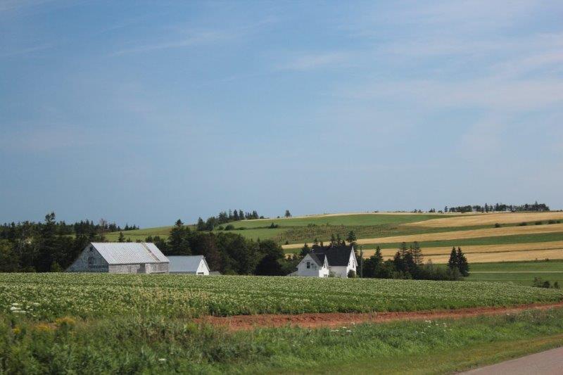
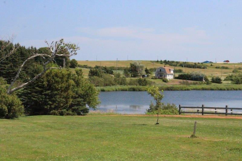
We pulled into a viewpoint overlooking the picturesque village of French River.  Totally a typical Maritime image!  And on such a nice sunny day it was a lovely view.

IMG_4699

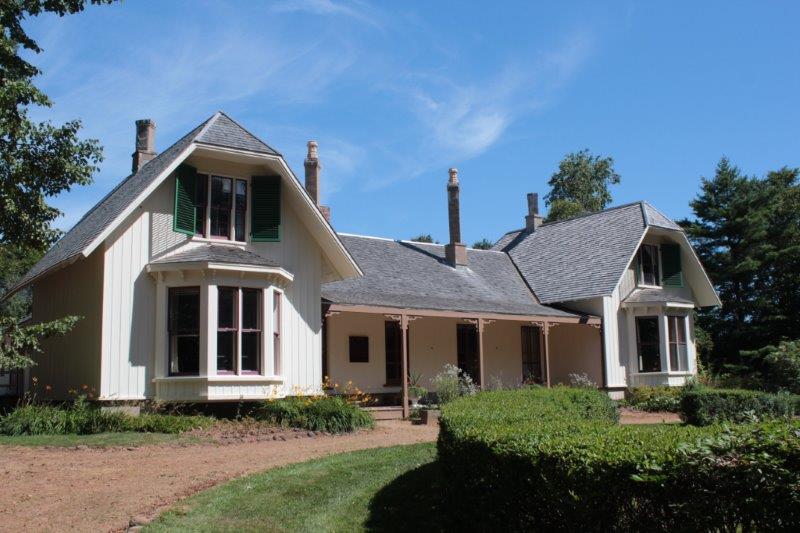
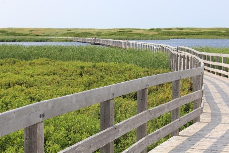
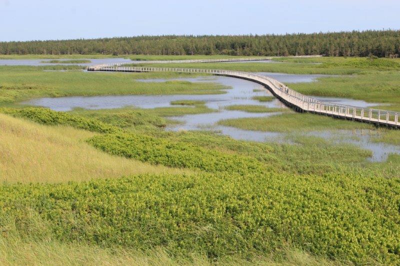
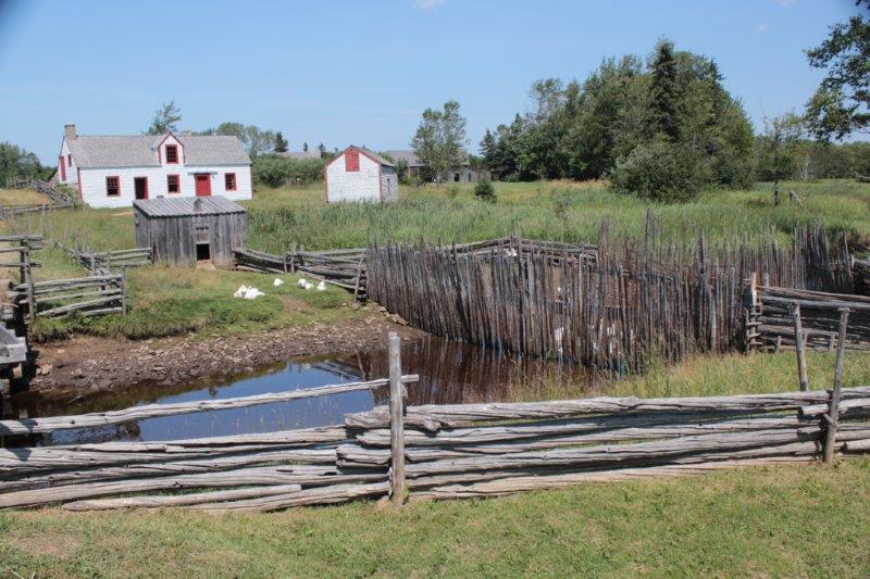
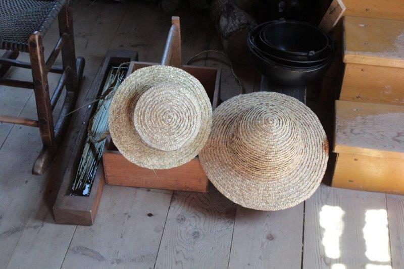
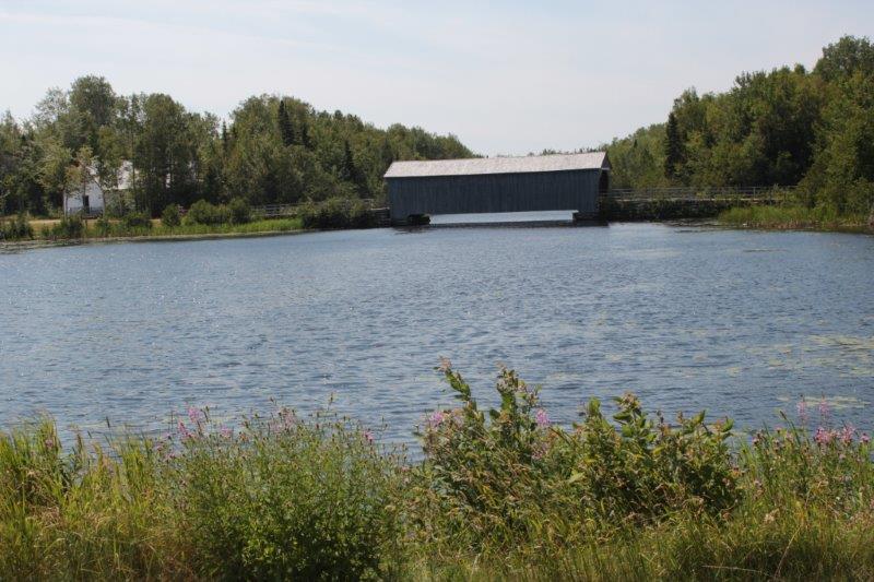
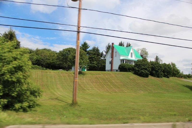
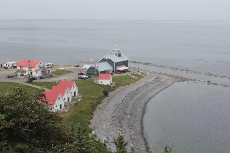
The Anne of Green Gables Museum is located in the farm house of the author’s aunt and uncle.  Lucy Maude Montgomery spent many happy visits there.  She called the place “Silver Birch” and used it as a setting for her “Pat of Silver Birch” story.  The farm is still in the Campbell family.

IMG_4705 IMG_4707 IMG_4721 IMG_4717


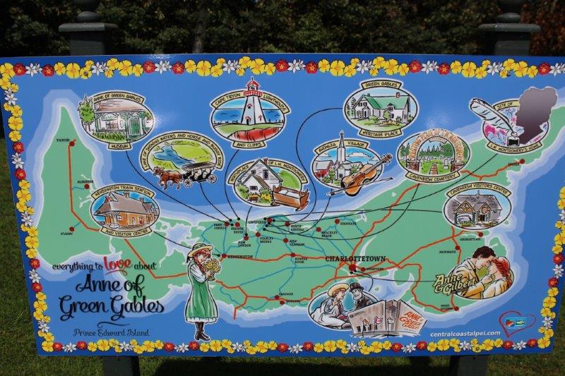
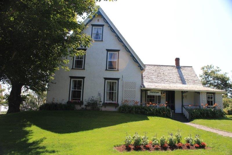
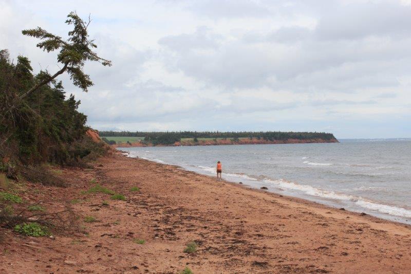
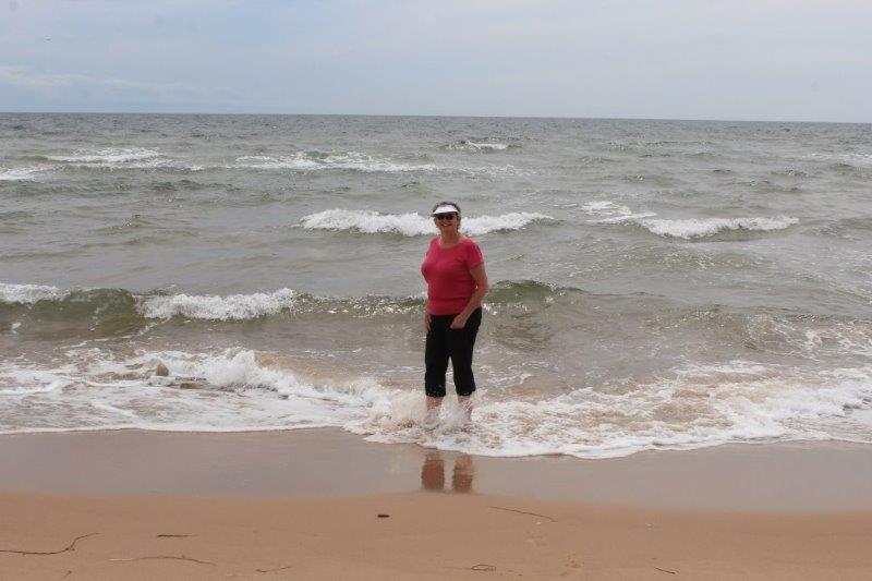
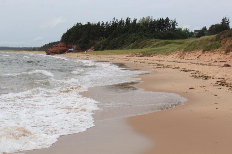
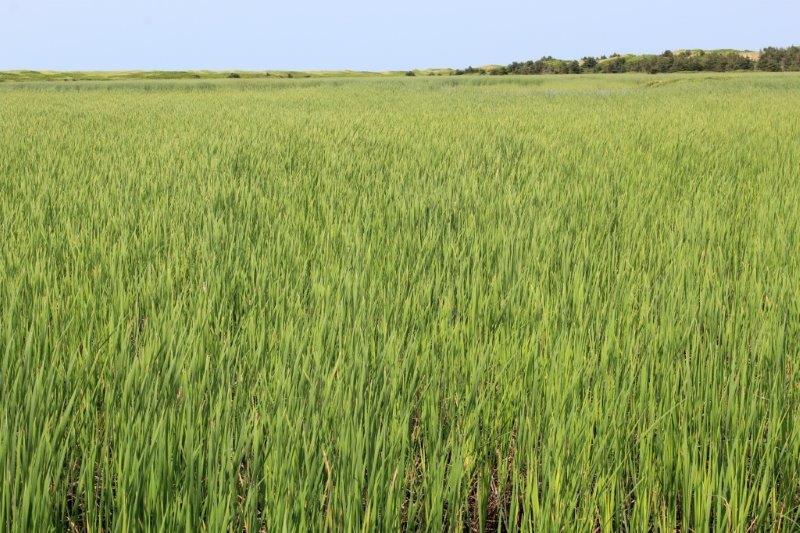
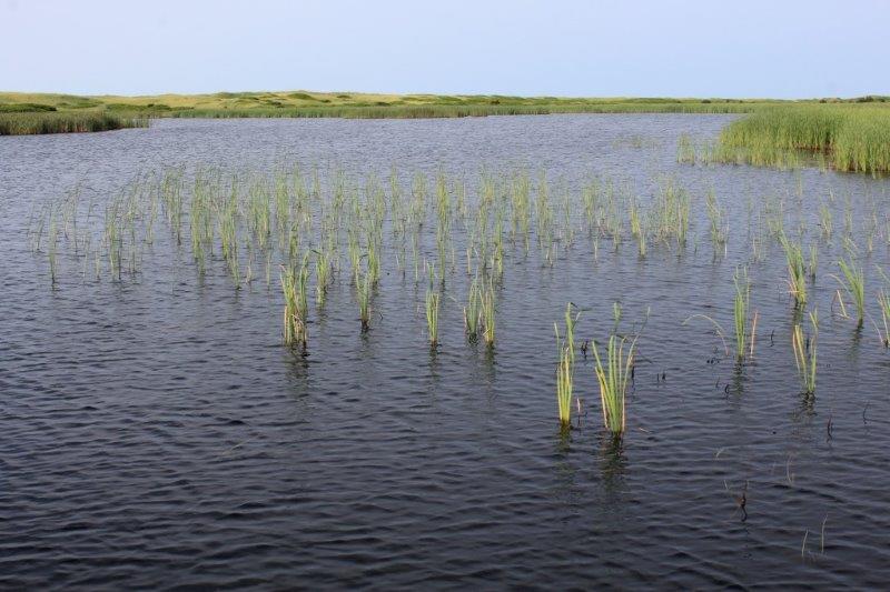
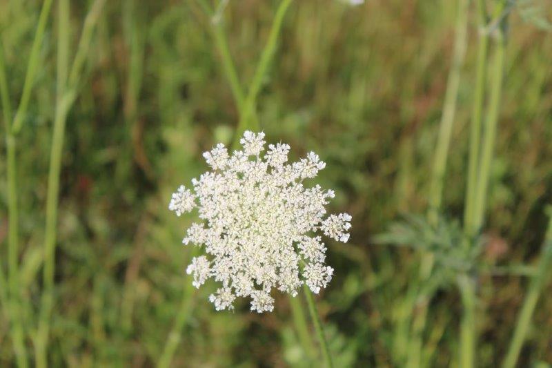
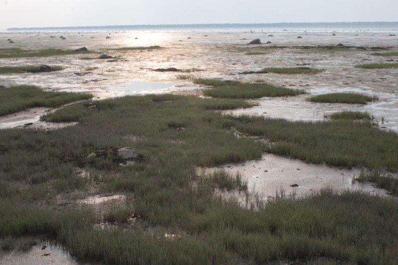
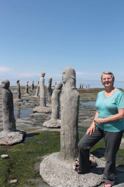
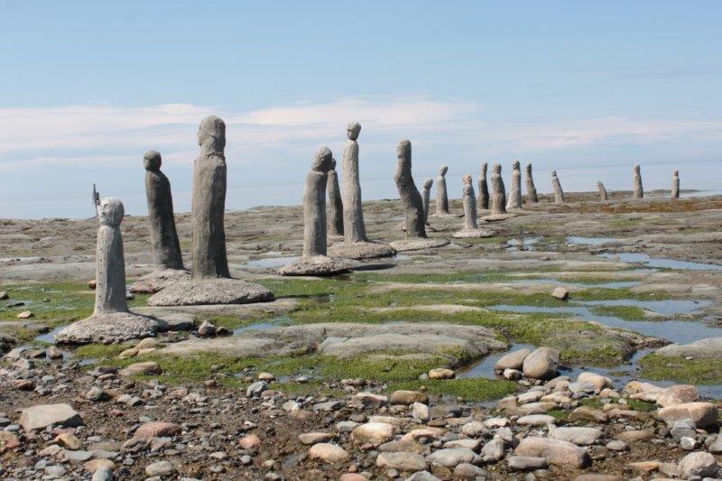
This is “The Lake of Shining Waters” in her books.


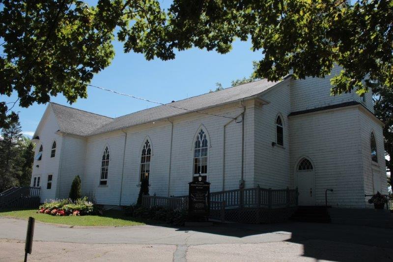
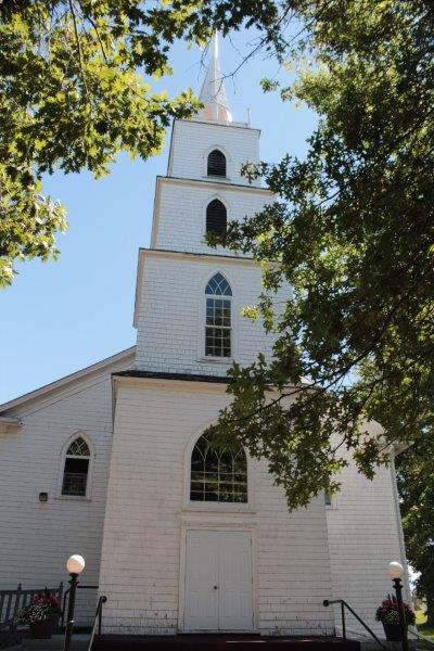
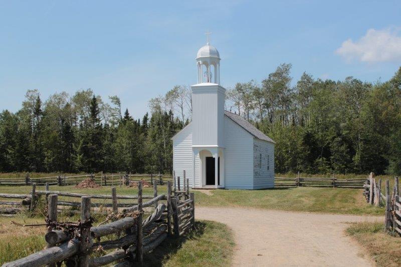
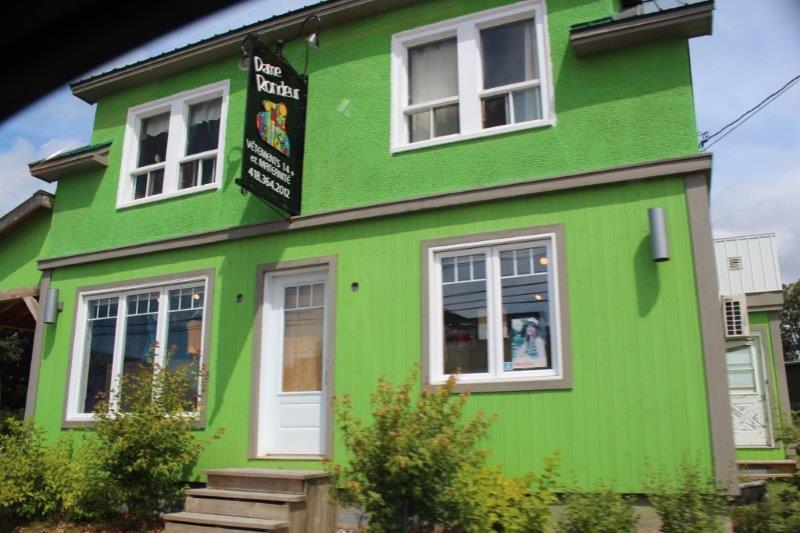
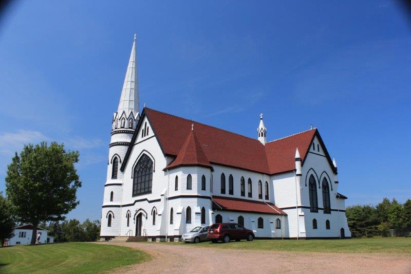
We continued around the point and headed south to Kensington via a little loop road detour to see the gorgeous black and white St. Mary’s Roman Catholic Church at Indian River.

IMG_4725 IMG_4724 IMG_4728


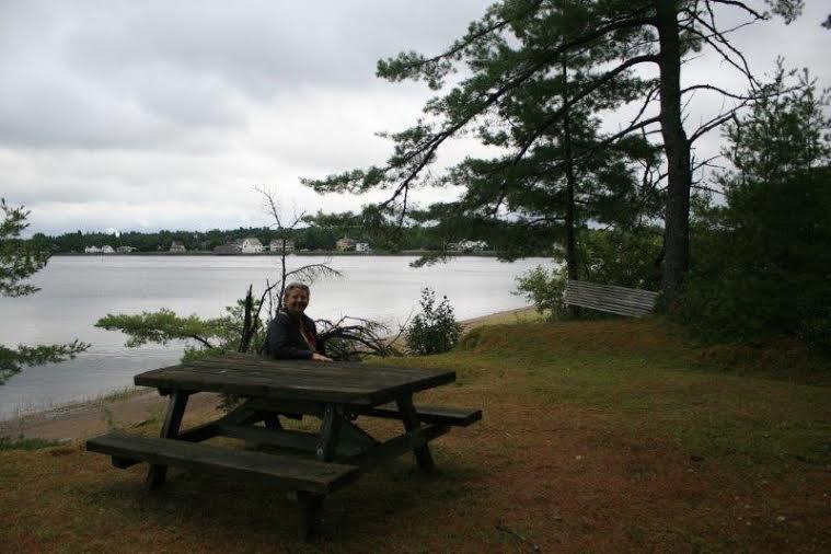
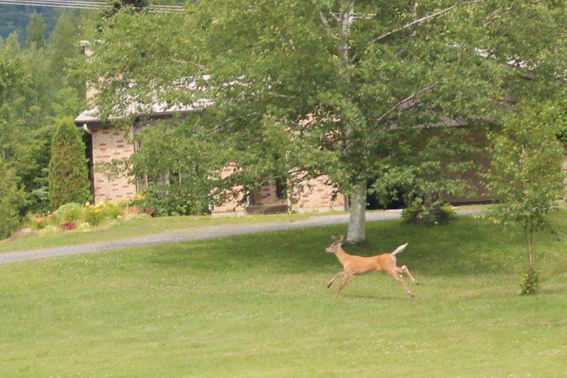
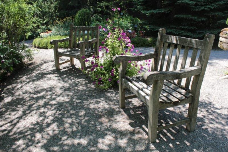
Poppy rested in the shade.


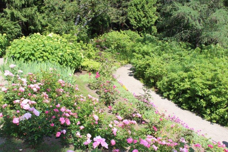
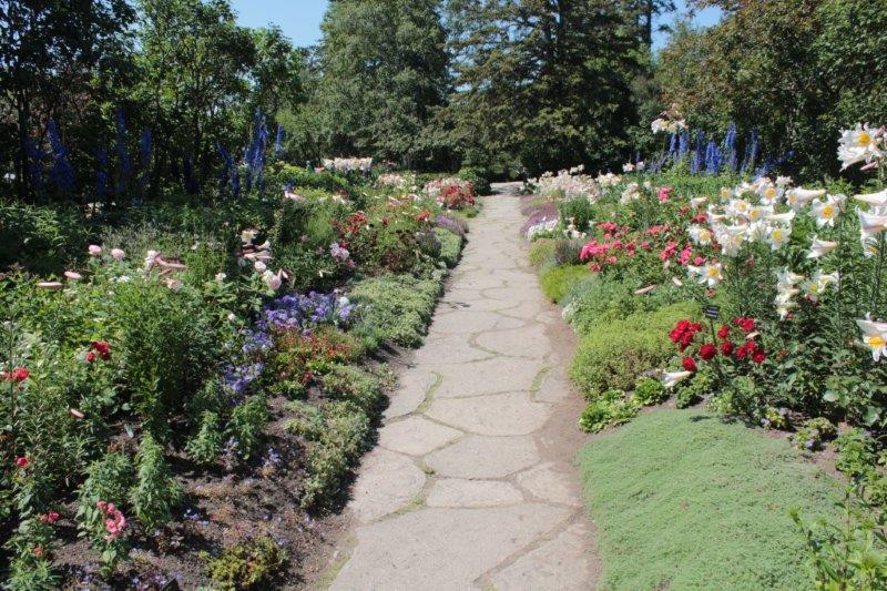
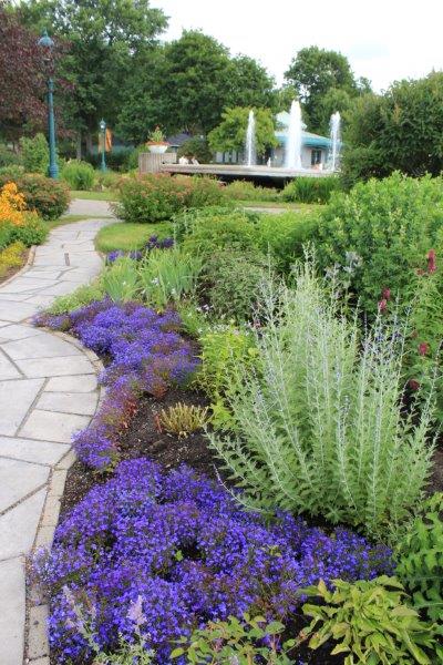
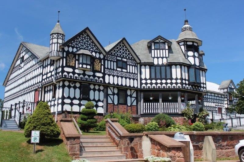
I wanted to check out the Kensington Water Gardens that had flower beds amid ponds, fountains, streams and waterfalls and a Tudor Mansion that had a sound-and-light show and a medieval street you could walk down.  The Tudor Mansion is now a haunted house and the water gardens have been covered with a kiddie amusement park.  We are now on Plan D.

IMG_4729

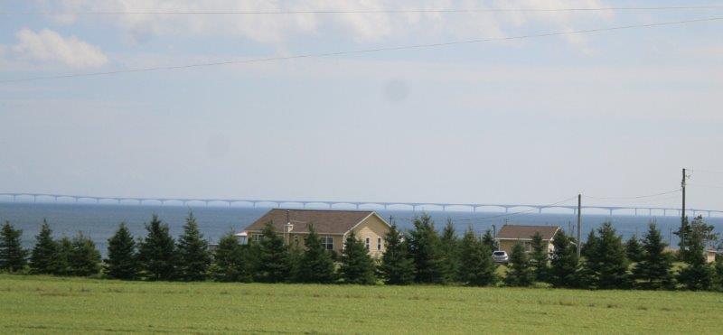
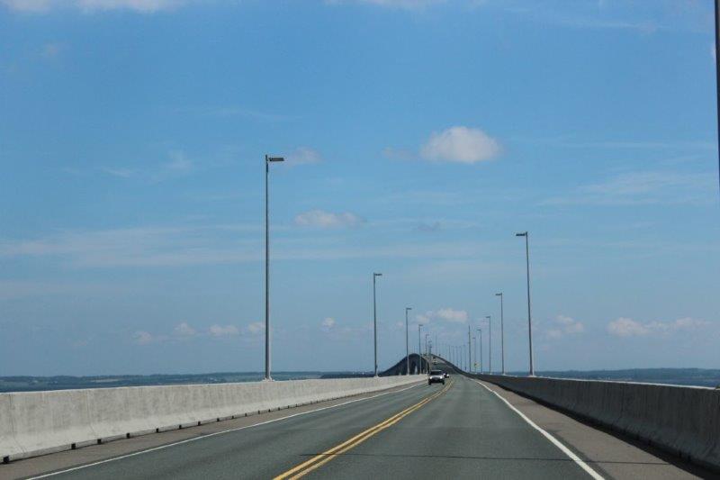
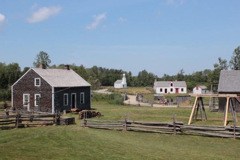
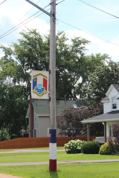
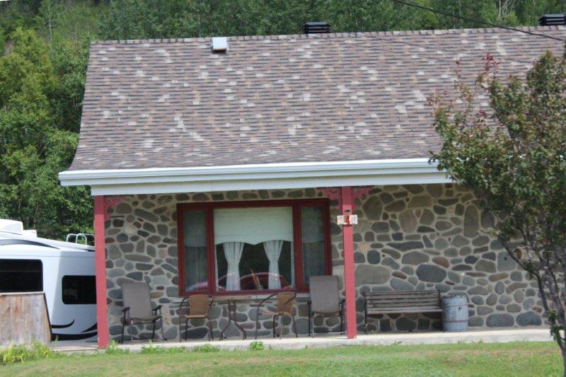
We are spending the next three nights in Summerside, which is only 26 km from Charlottetown if you take the main road straight up. There were three things I had on my list to see here.  Since we had gotten into town so much earlier than expected we decided to start checking them off.

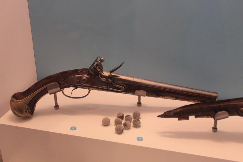
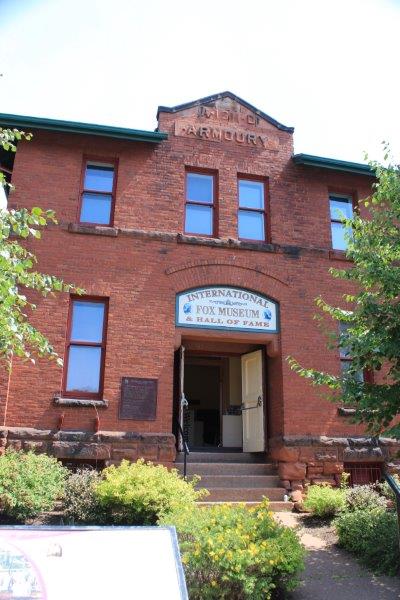
The first one we found was the International Fox Museum.  From the early 1900’s until the mid-1940’s there were many silver fox breeding farms on PEI.  The sale of these rare and valuable pelts helped the Island weather the Depression much better than many other places.

A silver fox is a genetic anomaly in a regular red fox.  Because of the rarity of finding them in the wild they were much sought after by the rich and famous for furs in the early part of the 20th century, especially among European and British royalty.  It was a fascinating story of selective breeding and competition.  By the 1940’s there were over 3900 fox farms on the island with over 99,000 foxes living on the farms.  There were even fox shows, like dog show, where the foxes were beautifully groomed and graded for quality by the judges.  A pair of breeding silver foxes would sell for $5000 each in 1910.  And a top quality pelt would fetch $25,000.  But a change in fashion and a saturation in the market closed the industry in the early 40’s.  I had never heard of this business before.  What an interesting tale.

IMG_4730 IMG_4737  1920’s silver fox peltsIMG_4739

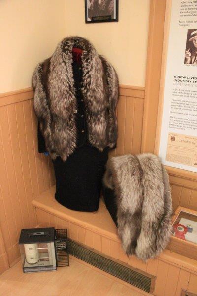
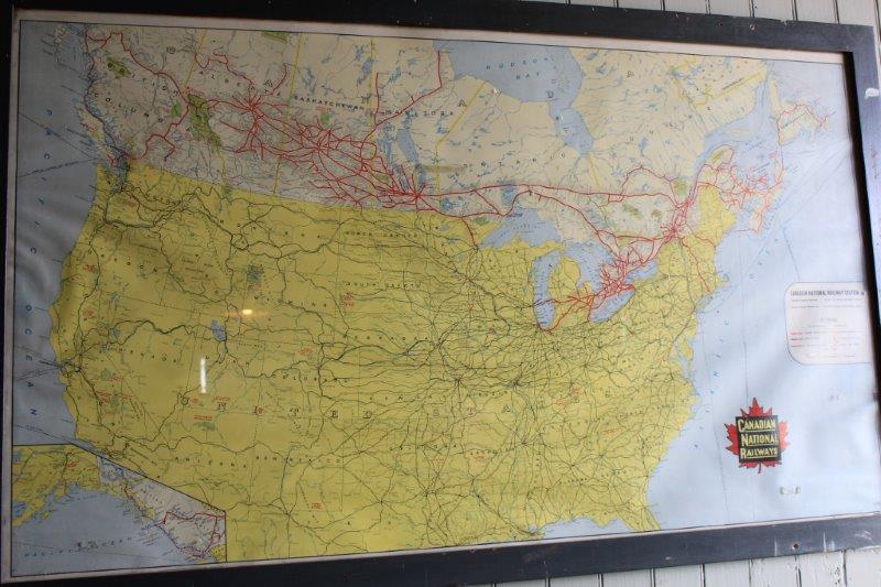
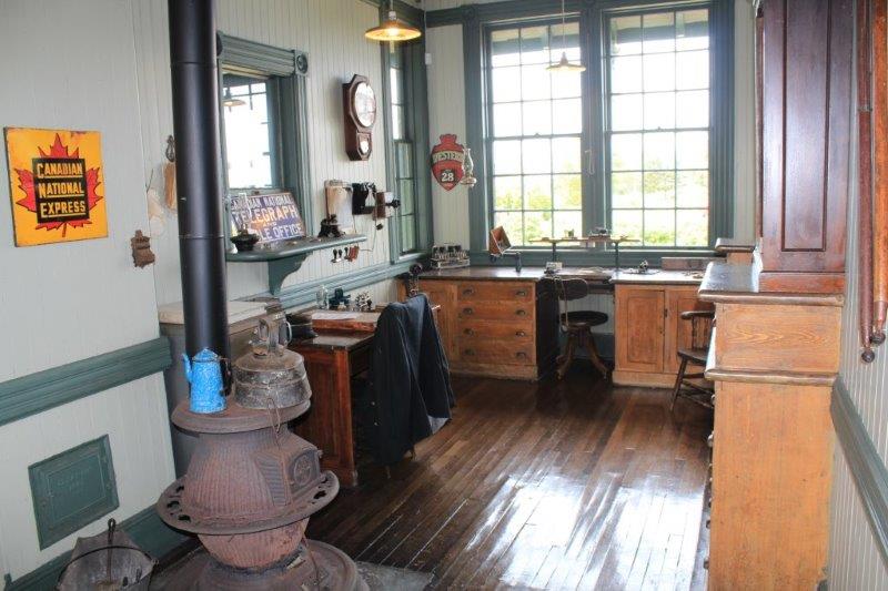
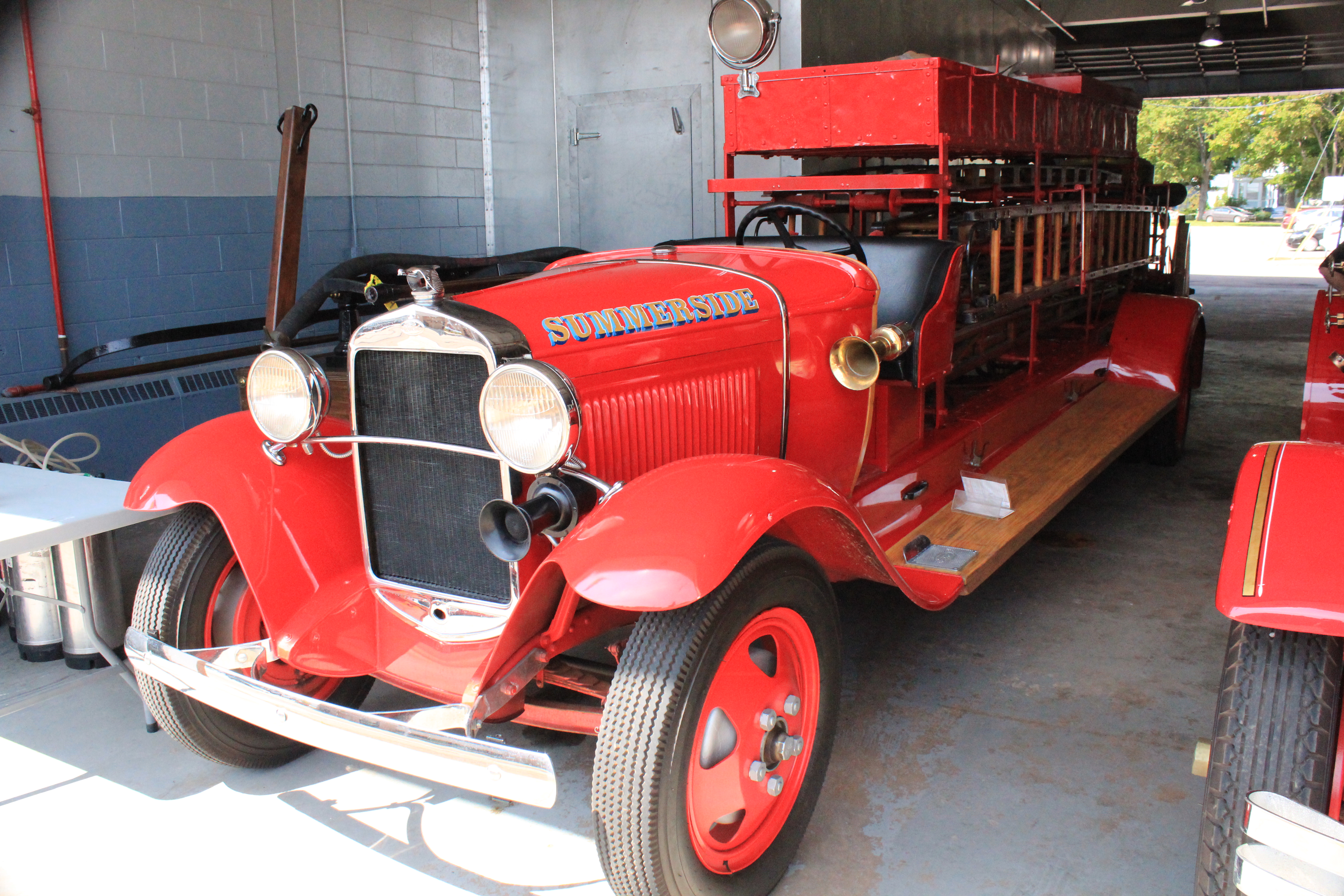
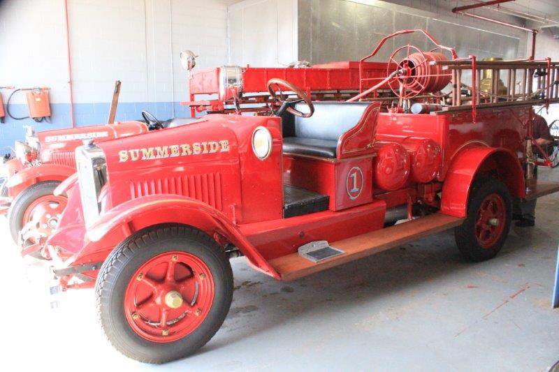
When we were in Charlottetown I saw a card advertising a display for the 150 years of the Summerside Fire Department.  It was located on the upper story of the old Armory Building; which just happened to be upstairs in the Fox Museum!  The Fire Station is next door so after we were done looking at the displays we wandered over and John spent a happy 3/4 of an hour chatting to one of the firemen and checking out their new and antique equipment.

IMG_4746 This was a fire sprinkler.  We had never seen one like it before.IMG_4748  
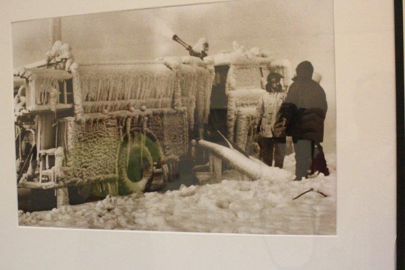
Some of the photos from the 150 years of Summerside Fire Department.IMG_4749 IMG_4760IMG_4759 IMG_4761 IMG_4762

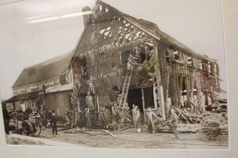
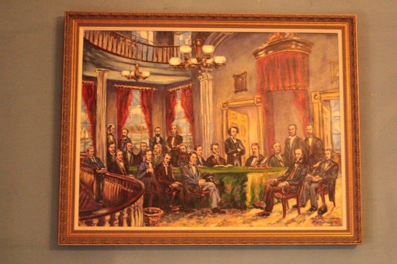
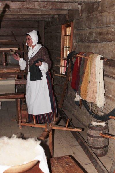
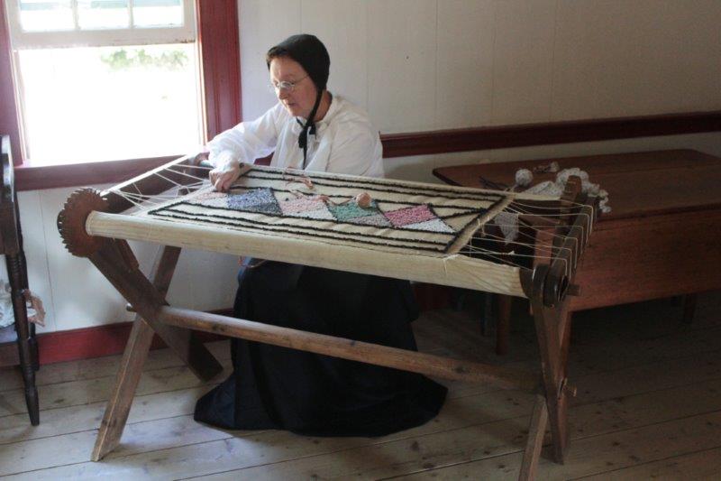
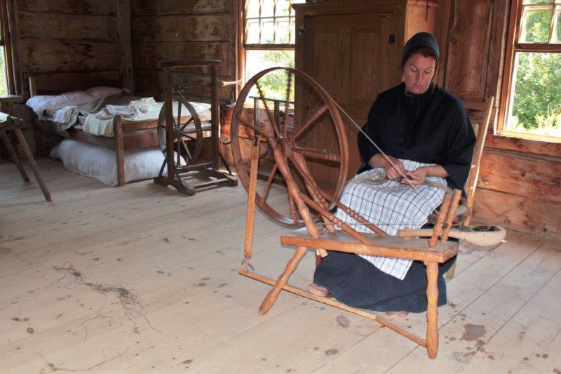
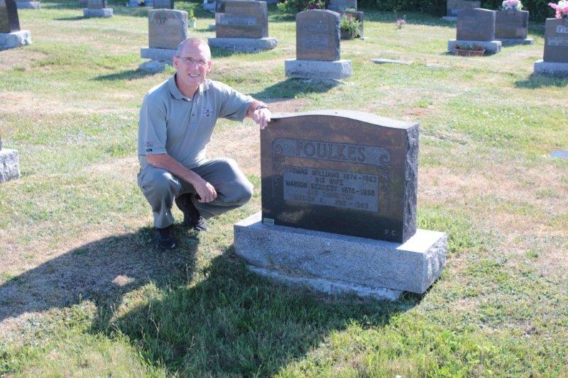
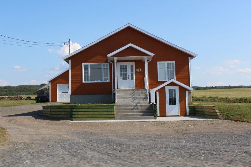
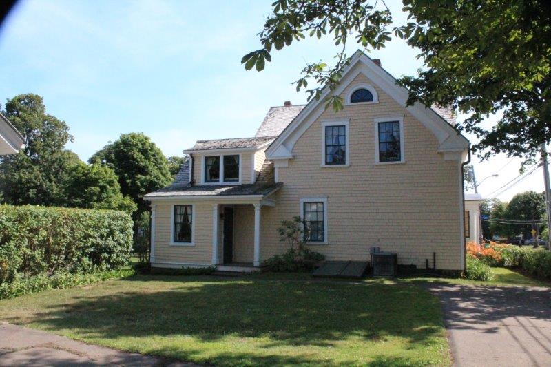
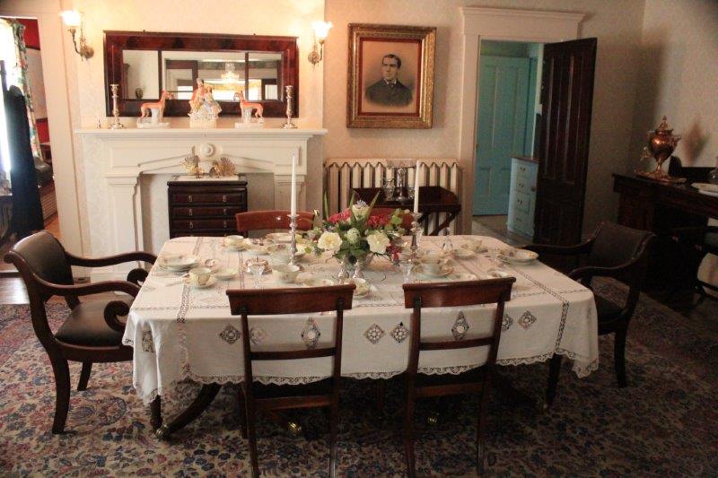
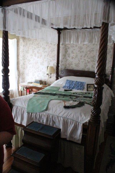
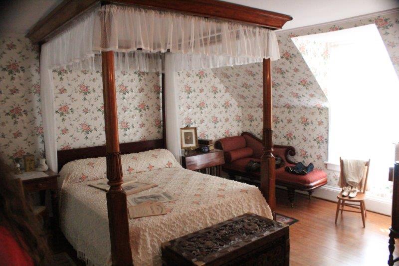
The last thing in on my list was the Wyatt Heritage House.  Built in 1897 it was lived in by J. Edward Wyatt’s family and his two spinster daughters until they died, the eldest was 102 at the time. She gifted the house and it’s contents to the city.  It took two years to get it set up for a museum and they are still cataloging things stored in the attic.  We had a nice Acadian girl guide us through the house and tell us all the stories.  J. Edward Wyatt was a prominent Conservative MLA and was Speaker of the House in PEI in the early 1900’s.  He made his fortune in mortgages and loans.  Some of the treasures in the house were collateral from failed loans.

IMG_4792 IMG_4764 IMG_4770 IMG_4777 IMG_4784

It was a good day, albeit one that took a lot of twists and turns.  But…that is what makes our type of travel fun.

2014 Jul 30 & 31 – Days 41 & 42 – Charlottetown, PEI (Driving the Points East Coast)

Prince Edward Island is shaped like a crescent and the two ends are connected to the middle by narrow strips of land.  It is divided (for the tourists) into four regions: Points East Coastal Drive, the top half of the middle called Green Gables Shore, the bottom half of the middle called The Red Sands Coast, and the west, called the North Cape. We used Charlottetown as a starting point for the Points East Drive which we divided into two days doing the south on Wednesday and the north on Thursday.

On the way out of town we stopped to tour Ardgowan, the home of W.H. Pope, one of the Fathers of Confederation but discovered it was no longer open to the public and was being used by Parks Canada for their offices.  Bummer.  It is a pretty neat looking house.

IMG_4496

IMG_4500 IMG_4502

We drove through an area called Belfast that was the original settlement of 800 Scottish immigrants brought to PEI by Thomas Douglas, 5th Earl of Selkirk on three of his ships in 1803.  He had purchased land for them and he financially supported them until they got settled.  In the town of Belfast was St. John’s Presbyterian Church, built in 1824.

IMG_4508 IMG_4510

Under a big shady tree there was a WWI Memorial with the names of church members who had died.  There were 13 names engraved on the marker.  All of the major Canadian offensives of the war had taken at least one of the men.  2 died at Amiens, 1 at Somme, 1 at Vimy Ridge and 3 at Passchendale.

IMG_4506 IMG_4505

Two sides of the church yard was taken up by cemetery.  We decided to wander a bit.  The markers were in beautiful condition even though many of them were from the early 1800’s.  John chanced upon a family marker for the MacLaren’s and discovered that John T. McLaren died in 1890 at the age of 26 in Armstrong, BC!

IMG_4518 (2) IMG_4519 (2) IMG_4524 (2) IMG_4527 (2) IMG_4528 (2)

When we got back to the truck to leave I noticed that the white pickup parked beside Poppy also had BC plates. There was another couple wandering the graveyard while we were out there so I went to find one of them.  I asked the lady if the truck was hers and if so where in BC was she from.  She and her husband lived in Langely, but had lived many years in Kelowna.  They retired last year, sold their house, bought a 35′ fifth-wheel trailer and spent 6 months at a time travelling around.  We had a great chat!

Our next stop was Prim Point on a spit jutting out near the bottom of the coast.  We were making a turn to the lighthouse at the Chowder House restaurant and a lady came rushing across the parking lot waving her arms.  We stopped to see what the problem was and she said, “I have an SSR too.  I stop everyone I see that has one.  Mine is purple, it is parked right over there.  I am from Newfoundland.”  Time spent extolling the wonders of SSRs followed.

We also stopped at Cape Bear Lighthouse, not because we wanted to see another lighthouse, but because there was a Marconi Museum there and we wanted to check it out.  Turns out it was a small museum mostly dedicated to the SS Titanic.  The Marconi Telegraph Station at Cape Bear was the first to receive the distress signal.  A nice young man gave us the tour and took us to the top of the light, which was moved 500′ back from the shore by horse and capstan in 1949 and will be moved again this fall because the cliff has eroded right up to the lighthouse again.  PEI loses 200 feet of coastline very year to the waves. John told him they will have to make the bridge longer soon.

IMG_4552 (2) IMG_4553 (2) IMG_4554 (2)


That’s the coast of Nova Scotia on the horizon.


Today we did the north coast.  We drove right across from Charlottetown to Caridgan where we had ended up yesterday.  We started around the spit at Cardigan and I kept checking my map thinking we should be coming to a town soon.   We followed the Points East Coastal Route Starfish markers, went through a wooded area and came out at Caridgan again!  Neither of know how that happened.

IMG_4564

IMG_4568

We got sorted however and made a couple of beach stops on our way up.  First was at Sally’s beach which had a long stretch of red sand.  I had read in one of my books that between Souris and Bothwell there were white sand beaches so we pulled in at Red Point to see if it might have white sand.  And it did.  Gorgeous fine white sand.  At the stairs up the bank you can see the two layers, white on bottom, red on top.

IMG_4576 IMG_4578 IMG_4580 IMG_4587 IMG_4591


Standing in Northumberland Strait between PEI and Nova Scotia.IMG_4593 IMG_4595

The little town of Elmira has a railway musuem.  Elmira was once the end of the line on the Canadian National Railway’s system on PEI which connected almost every town on the island.  It ceased operation in Dec. 1, 1989.

CNR had 25,000 miles of rail/steamship system when it was all done. They even had ferries that went between Nova Scotia and PEI that had rail lines in them and the trains just drove on the ferry.IMG_4599

IMG_4601  IMG_4604

When the four provinces of Ontario, Quebec, New Brunswick and Nova Scotia created the Confederation of Canada in 1867, PEI had opted out.  It was a wealthy area with lots of agriculture and had established markets in Europe for its fish, lobster, mussels and oysters. In 1871 PEI decided to build a railway system linking four of the major centers of the island for a cost of $4,000,000.  By 1872 they had added several other stops on the line, costs were over budget and they couldn’t get refinancing of their loan.  So….they asked Ottawa if the offer to join Canada was still available.  If so PEI would enter Confederation but first they needed money to finish their railway.  They received a grant of $3,250,000 and joined Canada in 1874.

The East Point Lighthouse is, naturally, at the easternmost point of PEI so it was necessary to take the extra 3 km or so and go down there.

IMG_4611

We were on our way back to Charlottetown and I asked John to make a detour to the eastern part of Prince Edward Island National Park at Greenwich to see the rare parabolic sand dunes.  A parabolic dune is one that travels and leaves a path of little hills as it moves inland.  The dune at Greenwich is one of very few in North America.  We ended up on a 1.5 km walk that culminated at the very long floating boardwalk across a freshwater marsh, up a steep sand dune and down the other side to an absolutely gorgeous beach.  And, of course, 1.5 km back again.  But the clouds that had covered the sky all day, drifted off as we walked and by the time we got to the marsh we had beautiful blue sky.  It was after 5 o’clock and the light was lovely.  This semi-unplanned detour was the highlight of our two days on the Points East Coastal Drive.

IMG_4621


IMG_4628


Lichen growing on the sand.IMG_4630

IMG_4633


Marram Grass that anchors the dune

IMG_4635 IMG_4648 IMG_4652 IMG_4653 IMG_4655 IMG_4657 IMG_4677 IMG_4680

2014 Jul 29 – Day 40 – Moncton, NB to Charlottetown, PEI

We entered our seventh province today (for those of you who think I am counting wrong; I am not counting BC since we started there – we will only be visiting 9 provinces on our trip).

Since we will be returning to Moncton to do the south and west before we begin our journey homeward, we did not do any of the things on the to-do list in Moncton.  Instead we took the quiet coastal road to Cape Jourimain and drove the beautiful Confederation Bridge to Prince Edward Island.

1  Look closely and you can see the bridge along the horizon.        IMG_4414 IMG_4417The bridge was built by private contractors between 1994-1997.  It is a toll bridge, but you only pay one way – as you leave the island – $45 per passenger car.  I would be very interested to know how long it will take them to pay off the $1 billion cost.  This was a mammoth project: 12.9 km (8 3/4 miles) long with a steep hill in it to allow ships to pass underneath and an intentional curve to keep drivers alert.  It is the longest bridge over ice-covered water in the world.

IMG_4428 IMG_4442 IMG_4434

Some lost ducklings


We kept to the southern coast road along a thin peninsula to Rocky Point to see the Port-la-Joye – Fort Amherst National Historic Site.  Unfortunately the Interpretive Center was closed but the placards told the story of the French, then English forts that had been built on the site. There was only the land moat and hillocks left to indicate where the British Fort Amherst was built after the French Port-la-Joye was destroyed.

IMG_4466 IMG_4469 IMG_4470 IMG_44723

We loved the small bit of PEI we have seen so far.  It really does have very red dirt, which is obviously very fertile as the crops we saw looked very lush.  PEI is known for potatoes and we saw many acres of them, but we also saw wheat, barley, beans, alfalfa and other crops. The highest point on the island is 152 meters (499′) above sea level so it is very flat.

IMG_4448


The coast water is red from the soil.

IMG_4459 IMG_4443

IMG_4451We rounded the peninsula and made our way to Charlottetown and found Province House  where the first steps to Canada’s Confederation were made at the Charlottetown Conference held in this very building Sept 1, 1864 – 150 years ago this year.  Pretty cool!  The 27 Members of Parliament in PEI still sit in the same chamber on the same chairs!

They had a really good short film about the Charlottetown Conference, which was actually to be a meeting of the Maritime Provinces to discuss a Maritime Union.  When the leaders in Upper and Lower (British and French) Canada learned of the Conference they invited themselves and brought up the idea of a Confederation of them all in order to protect the lifestyle, customs and laws of our country from annexation by the rapidly expanding USA.  Three years later four Provinces signed the British North American Act to create the Confederation of Canada.  Other provinces joined over the years and “We became a nation from sea to sea to sea.”

IMG_4474 IMG_4476 IMG_4478 IMG_4485 IMG_4483

2014 Jul 28 – Day 39 – Miramichi, NB to Moncton, NB

Today we woke to damp driveways, puddles and overcast skies.  But…it didn’t rain until we were almost at our destination, so not too bad.

Before we left Miramichi we wanted to go to the National Historic Site at Beaubears Island.  This island and the nearby mainland bay were the refuge of 2000 Acadians deported from Quebec.  They were promised support from the British but it did not arrive and the food and supplies that were sent by the French Admiral who suggested the area would be a safe haven were stolen and sold for profit by unscrupulous French captains.  Consequently many of the people, including all of the children died the first winter.

IMG_4259 IMG_4260But eventually, with the help of the local Mic-Mac, they learned to fend for themselves and the area became a thriving shipbuilding center.  I expected another of Parks Canada’s fabulous Interpretative centers with placards beside archaeological digs or artifacts on the island.  What we found was a small, but interesting center and a 1 1/2 km long pine forest island with a trail down the middle of it – accompanied by hordes of hungry mosquitoes.   So….this blog is not full of boring prose; instead it is mainly a photo-journey through the pine forest.

IMG_4349

IMG_4262 IMG_4265

1 IMG_4282

3  Thanks JohnIMG_4286 IMG_4291 (2) IMG_4292 (2) IMG_4276IMG_4294 (2) IMG_4298 (2) IMG_4306 (2) IMG_4311 (2) IMG_4322 IMG_4324 IMG_4334 IMG_4340 IMG_4342 IMG_4345 IMG_4350 IMG_4315 (2)After we went back to the mainland we hit the road for Moncton via the small coast roads as is our preferred route.  John spotted a lovely crane beside a river (New Brunswick is teeming with rivers! We are constantly going over bridges) so we pulled over for a photo shoot.

IMG_4387Our only other stop today was at the Bouctouche Dune.  This is one of the few remaining sand dunes on the North American east coast.  It is 12 miles long and a narrow stretch of land with hundreds of lobster traps between it and the mainland. The dune changes shape every time there is a storm and it is a protected area.  Unfortunately, that is when the rain began and we were not able to walk the boardwalk very far.

IMG_4391

IMG_4393 IMG_4397 IMG_4395

2014 Jul 27 – Day 38 – Bathurst, NB to Miramichi, NB

As predicted I did not take any photos of the old cars at the Show and Shine in Bathurst.  Shocker!

Today we left Bathurst after two days of down time and itinerary planning.  We have worked out a circuit to see the Maritimes: Eastern New Brunswick, to PEI, to Nova Scotia going counter-clockwise to end up in Sydney to take the ferry to Newfoundland, returning to the mainland and doing the north east of Nova Scotia, back up to New Brunswick for the south coast and the west.  Kind of makes a loop.  Most of the things we plan to see in NB are along the south and west, which we won’t see until quite a bit later.  But we did want to drive the Acadian Peninsula on the east coast and cross the bridges to the two Acadian Islands of Lemèque and Miscou to Land’s end.

IMG_4133On the tip of the Acadian Peninsula is the town of Caraquet where there is a New Brunswick Provincial Park – The Acadian Heritage Park.  It contains about 40 authentic 1820-1905 houses from the area around Caraquet that were moved to the site to preserve the buildings of the French (Acadians) who settled here after being expelled by the British from Quebec in 1755 because they would not swear an unconditional oath of allegiance to the British king.  They were willing to swear a conditional oath; the condition being that they would not be made to fight against their former French comrades and Mic-Mac allies.   This was unacceptable to the king.

We spent almost 3 hours at the park.  They have people in period costume doing 19th century work and crafts in each building.  They explain who the house belonged to, info about the family – number of children, occupation, when it was built and any special features.  They also do the work of the owner of the house, or in the case of the women the evening or winter crafts.

IMG_4146 IMG_4151 IMG_4152  IMG_4162 IMG_4166
IMG_4167

IMG_4170  Carding and coloring woolIMG_4179

Making a hook rugIMG_4185

and spinning flax to make linen

IMG_4196IMG_4194IMG_4195

The blacksmith

IMG_4154

 Making broomsIMG_4200

Straw hats from barley stalks

IMG_4201 IMG_4203
IMG_4208

The grist mill – grinding flour and putting it into sacks.IMG_4212 IMG_4216 IMG_4227 IMG_4228

You can even stay in this hotel

IMG_4231 IMG_4232  the tinsmithIMG_4233  the cobbler

IMG_4175  New friendsu

New Brunswick was the first bi-lingual province so almost everyone is fluent in English and French.  They converse with each other in French but switch to English as soon as they hear “Hello” instead of “Bonjour.”  They are fiercely proud of their heritage and the Acadian Flag (French flag with a yellow star in the upper left corner) is flown everywhere.  Many houses have the flag painted on lobster traps on the lawn, on mini-lighthouses, on their family name sign on the house, on light posts and mailboxes.

IMG_4378IMG_4403

IMG_4143 IMG_4147

IMG_4405

IMG_4234  More wildlifeIMG_4235We didn’t make any more tourist stops – except a quick couple of photos of the fishing boats at Shippagan and the  lighthouse at Land’s End (the easternmost part of NB) before a drive down the south coast of the peninsula to Miramichi for the night.

IMG_4243 IMG_4250

2014 July 24 & 25 – Days 35 & 36 (and probably 37) – Bonaventure, QC to Campbellton, NB to Bathurst, NB

Our last day in the Gaspè was Thursday, July 24.  We woke to sunny skies and a cool wind but it wasn’t too long before the top on Poppy went down.

IMG_3963

A nice sunset in Bonaventure IMG_3966

We saw wildlife!

My CCA travel book listed the Notre-Dame Oratory of Mont-Saint-Joseph near Carleton as having outstanding views of Chaleur Bay and New Brunswick.  I had no idea what an Oratory was but have since learned it is a Roman Catholic place of prayer and meditation. For millennium people have gone to high places for prayer and Mont-Saint-Joseph is the highest place in the area.

The road was paved all the way up; narrow, winding and very steep, but the view at the top was phenomenal!  There is a small chapel that was built in the 1800’s and has been encased in a new, larger structure that houses art and history exhibits. But the real gem was the 133 meters (400′) of boardwalk around the edge of the 555 meter (1820′) high hill.  This gave us a 270 degree view of the farm land, the Chaleur Bay, the town and marina of Carelton, and the forests for miles and miles.  It was gorgeous.  Unfortunately my new laptop does not have my photo-stitch program on it so I am not able to stitch the pictures together to give you a real sense of the immensity of the view.  Well worth the drive up and the cautious drive down again. IMG_3995 IMG_4015 IMG_3992 IMG_3970

The four photos go from left to right (with some missing bits, obviously,  in between.

The only other stop we made was 5 km past the bridge between Quebec and New Brunswick that takes you into Campbellton.  There is a National Park at Restigouche.  (Thank goodness for the annual pass we purchased last year in anticipation of this journey.  We just get to walk right into any National Park or National Historic Site.)

History Lesson (feel free to skip to the end): In 1760 the British were blockaded in Quebec City after winning the battle on the Plains of Abraham in 1759.  The armies of the British inside the city and the French trying to retake it from the outside were both in desperate need of provisions – food, arms and men.  Both ‘mother’ nations had dispatched ships to assist their colony.  The commanders of both armies were aware that the ones who received the reinforcements first would win Quebec City.

The French sent 6 ships with 2000 barrels of supplies and 400 men from Bordeaux, France on April 10, 1760.  They had to run a British blockade just a day after leaving port and lost two ships and another went down east of the Azores.  The remaining three ships made it to the Gulf of St. Lawrence in nine weeks only to learn that the British ships had sailed down 10 days earlier and were lying in wait for them to arrive.

In hopes that he could hide and out-wait the British the Captain of the French Fleet had them sail into Chaleur Bay thinking the deeper hulled British vessels would be unable to navigate the bay’s shallow waters.  Long story short, they were wrong and the French ended up scuttling all three of their ships – plus 9 Acadian frigates that had come to assist them – in an attempt to blockade the British out of the bay and/or prevent the cargo from falling into enemy hands.  Thus ended the hope of reinforcements for the French army at Quebec City and they surrendered when they saw the British ships sail in to the harbour; as did  Montreal a month later without firing a shot. The Battle of Restigouche sealed the fate of New France.                                End of History Lesson.

In 1939 parts of one of the ships, Le Machault, were raised and divers recovered all kinds of artifacts.  The museum at Restigouche displayed it all and told the tale.

I couldn’t get good photos of them, but they had on display the stem and the rudder of Le Machault; both over 9 meters (30′) tall.  It was really amazing to see parts of a ship that was built of trees harvested in the mid-18th century!  They also had one of the anchors on display.

IMG_4097

IMG_4089  Model of  Le Machault

IMG_4090

The top of the bow stem that cuts through the water.

IMG_4092 IMG_4094 IMG_4110  IMG_4098This leather pouch with the cannon ball kept inside was used for secret messages or documents.  In the event the ship fell into enemy hands, the captain just threw the satchel overboard and the cannonball would ensure it sank.

We spent over 2 hours there.  It was great.  Canada Parks does a really good job with the displays and video re-enactments of our nation’s history.  All the places we have been are displayed differently, well documented, easy to follow and understand, and give a real feel for the particular event featured.

We spent last night in Campbellton, New Brunswick – Province number 6.  After we checked in to our hotel John wanted to see if he could find the cemetery and graves of his maternal grandparents and aunt.  All he knew was the cemetery overlooked the sound (bay) and the family grave was near the top of a hill.  There has been a settlement in this area for 400 years.  I was pretty sure there would be a lot of cemeteries to check as he did not know the name of the one he wanted.

We were following the directions of Stella, our GPS, to our hotel and drove up this narrow back lane past a cemetery.  John says, “I think that is it.”  Our hotel was three blocks away so after we put the luggage in our room we went back and took a look see.  Thankfully the cemetery was not really large.  We started checking the graves on the hill – no Foulkes marker.  We made our way to the far side – no Foulkes marker.   Finally we looked on the flat area near the entrance. Behold – Foulkes; Thomas Williams, Marguerite Kennedy and their daughter Marion K.  What are the odds???  I mean really!

IMG_4124

This morning we drove the coast road to Bathurst which is only a couple of hours away.  And we didn’t stop to see anything.  Well – John stopped once to take a couple of photos of some small boats he saw near a bridge.  I didn’t take any scenic or historical photos at all. We are spending two nights in Bathurst.  Not because there is anything to see or do here (although we found out that there is a car show and shine on Main Street tomorrow), but I wanted a day to do some travel planning.  Unless I feel the need to upload photos of nice cars this blog will cover the 26th as well.  Keep your fingers crossed.

2014 Jul 24 – A Special Edition blog

We have been in the Province of Quebec for a week and I have noticed a few things.  One – like the folks on Hecla Island in Lake Winnipeg, the Quebec folks like to mow large areas of lawn.  Most houses in the countryside and along the Gaspè coast have 1/2 – 2 acres of lawn. Seriously; where would you find the time?

IMG_4075 IMG_4073 IMG_4068 IMG_4060 IMG_4047 IMG_3968Second – it is a Quebec pastime to sit on the front porch or veranda and watch the cars go by.  We noticed this especially on Sunday afternoon.  Almost every house we passed had one or two people sitting on the porch.  We have since taken notice of the number of houses that have one or, more often, two chairs on the deck, porch or on the ground in front of the house.  We see this every day – people sitting watching the cars go by.  I wonder if you are considered un-neighbourly if you don’t sit on your porch? What is so interesting about the cars driving past the front of your house?

IMG_4079 IMG_4062 IMG_4053 IMG_4048Three.  People in Quebec villages LOVE colors.

IMG_3619 IMG_3631 IMG_3643 IMG_3646 IMG_3696 IMG_3808

IMG_3969We have seen bright green houses, bright blue houses, even purple houses but there seem to be an inordinate number of yellow houses.

IMG_3368 (2) IMG_3806 (2) IMG_3809 (2) IMG_3849 (2) IMG_3851 (2) IMG_3853 (2)IMG_4067IMG_3925 (2) IMG_3932 (2) IMG_3933 (2) IMG_3934 (2) IMG_3941 (2) IMG_3951 (2) Since yellow is my favorite color and my house is yellow…… well, you get the idea.

Just thought I would share.

2014 July 22 & 23 – Days 33 & 34 – Ste-Anne-Des-Monts, QC to Bonaventure, QC

The last two days were scenic days.  The route from Ste-Anne-Des-Monts on the north shore of the Gaspè Peninsula around the end to the town of  Gaspè and down the south shore to Bonaventure is a lovely piece of coastline.  There are lots of steep hills; 15%, 17%, 7% grades with rock bluffs periodically on both the forest side and the coast side.  The highlight, of course, is the famous rock at Percè and we were very fortunate to have a sunny day to see it.

IMG_3665

The St. Lawrence River – no opposite shore in sight.

IMG_3716 IMG_3717We drove the last leg of the north coast and around the point of the peninsula – through Forillon National Park – and to the town of Gaspè.IMG_3718 IMG_3731 IMG_3736 IMG_3671There are lots of lighthouses around this coastline.

You can’t drive around Forillon National Park.  It is located on a spit of land at the very tip of the Gaspè Peninsula and the drive along the north coast is about 3 km to Cap-Bon-Ami.  IMG_3742

Cap-Bon-AmiIMG_3746 IMG_3747Then you drive the 3 km out again, cross 7 km to the south coast and go 6.6 km down to Grande-Grave before retracing your route once more and continuing on.  IMG_3752 IMG_3769 IMG_3770

Grande-Grave 1871IMG_3779There are many, many camping spots, picnic sites, and hiking trails throughout the park but only the two roads and it is a very popular vacation spot.

Gaspè was the landfall for Jacques Cartier in 1534 – the ‘official’ discoverer of Canada.  He erected a cross near the shore and ‘claimed’ the new land for France.  What was very interesting to me was that he and his crew made the acquaintance of the local Iroquois.  They gave them beads, combs and other trinkets, which the natives thought wonderful things and showed them around their ship.  When  he sailed home to France Cartier had the two sons of the Iroquois chief with him. They were to help him with his navigation of the coastline and the river when he came back to Gaspè.  Can you just imagine what those young men must have been thinking?

IMG_3813

I really liked Gaspè.  It was a town of about 15,000 and is built primarily up a hillside so there are pedestrian stairways between the streets.  It was a very pretty little town with a nice big boardwalk and park area along the river.

We woke this morning to beautiful sunshine which lasted almost all day.  We drove into heavy cloud and rain about 45 minutes out of Bonaventure but we had driven by all the nice scenic bits by then.IMG_3864 IMG_3872 IMG_3877 IMG_3878 IMG_3881

Perce Rock and VillageIMG_3885

IMG_3913

Perce Rock National Park.IMG_3919 IMG_3922As I said in my last post this peninsula is just village after village after village.  The larger towns are: Rimouski, Matane, and Sainte-Anne-Des-Monts on the north coast, Gaspè at the end, and Chandler and Bonaventure on the south. Including those six there are 113 communities along the 885 km coastline.  There are only two towns in the interior and three roads that cross through the rugged mountain in the middle.

Tomorrow is our last day on the Gaspè.  We drive from Bonaventure to Campbellton, New Brunswick, the hometown of John’s mom so we will do a bit of exploring.  Then begins our intensive touring in the four Maritime Provinces.  We have yet to plan the route, but we will figure it out in the next couple of days.

2014 Jul 20 & 21 – Days 31 & 32 – Quebec City, QC to Ste-Anne-Des-Monts, QC

A lady at the copperware store – where I bought a copper plaque of the BC Coat of Arms – asked me what the taxes in BC were.  I told her 5% GST and 7% PST.  She said, “We have 9.5% PST.  Quebec is a poor province,” and she grinned.  She may be right in some respects.  A lot of their roads have been patched many times and could do with a complete do-over, but there are some VERY nice houses here; big estate properties.  There are also many small houses (even smaller than our 1100 sq ft. house).  But, what we rarely see is a rundown property or yard.  Almost every house is cared for with a nice yard – not necessarily lots of flower gardens, but neat and tidy.

IMG_3622 IMG_3631We left Quebec City at 11 am and drove to Rimouski, our first of five days on the Gaspè Peninsula.  The sky was overcast all day so everything in the distance was grey.  But – the good news – there are actually some almost-mountains here, rocky ones and everything.  I felt so much better.

IMG_3449IMG_3446And….we crossed the Salmon River.  Must have been a good day!IMG_3435Our hotel at Rimouski was across the street from a very nice pedestrian boardwalk.  After dinner we took a walk and some photos. An hour after these photos the tide had come in and everything was underwater.  It is a very strange notion to have a tidal river, but the St. Lawrence has tides that vary 13-15 feet due to fresh water going out and meeting ocean water tides coming in.

IMG_3454 IMG_3450Monday, July 21 we were up early – 7 am, if you can believe it – and were on the road by 9.  We had several things we wanted to see between Rimouski and Ste-Anne-Des-Monts and a couple of them could each use up a few hours.

We didn’t have to drive very far from Rimouski to Pointe-au-Perè Lighthouse.

IMG_3465 IMG_3477There were two other things of interest there besides the lighthouse; one was a museum and video about the CPR Steamship passenger liner Empress of Ireland that sunk 10 miles further up the St. Lawrence River from Rimouski on May 29, 1914.

Rimouski was the pilot stop for all ships going in and out of the St. Lawrence to Montreal.  The Empress of Ireland had just dropped off the pilot at Rimouski and was heading out to the Atlantic for Liverpool when a sudden fog came in.  The Captain saw another ship coming their way and, due to bad decisions on the part of both ships the coal ship Stordohl, coming toward Rimouski to get their pilot, rammed the Empress dead center on her side.  She sunk in 14 minutes, killing 1012 passengers and crew.  465 were saved by the Stordohl crew.  2014 is the 100 anniversary of the disaster.IMG_3534The second interesting thing at Pointe-au-Pere is the Onondaga, a Canadian submarine that served from 1967 to 2000 before being decommissioned.  We were able to walk through the thing from stern to bow with audio-guides describing all the things along the way.  Too, too cool!  70 men would live in the tiny tube for 2-3 months at a time.  Talk about crowded conditions.IMG_3485 IMG_3498 IMG_3508 The helm We made a brief stop at Sainte-Flavie to see the cement sculptures of artist Marcel Gagnon.  There are over 80 of these life-sized figures ‘rising out of the sea’ – as the St. Lawrence River is called in these parts because it is so wide here you cannot see the other shore.  As a matter of fact the ferry that sails from Matane (1/2 way between Rimouski and Ste-Anne-des-Monts)and Baie Comeau in Eastern Quebec takes 2 1/2 hours to cross the river.

IMG_3550IMG_3555

IMG_3554Another 20 or so kilometers up Highway 132 is the village of Grand-Métis (this Gaspé coast is just a village, and a village, and another village).  Located here is the Reford Gardens, considered to be among the nicest gardens in North America.  It was very nice but, since I have been prejudiced by the Butchart Gardens in Victoria, it didn’t blow me away.  The garden was showcasing designs in an International Festival of Gardens.  Again, having been seriously prejudiced by the garden designs at the Chelsea Flower Show in England, most of these were very poor imitations of ‘garden’ designs.  Some of them were kind of neat though.

IMG_3568 IMG_3576 IMG_3578 IMG_3580 IMG_3581 IMG_3585 IMG_3588 IMG_3601 IMG_3605 IMG_3606 IMG_3609Our final, short stop was at Cap-Chat 12 miles west of Ste-Anne-des-Monts. We drove about 500 meters off the highway to see the Aeolian Windmill.  It is the tallest and most powerful vertical-axis windmill in the world – 110 m (360′) and created 4 megawatts of electricity. IMG_3652 It is now retired but you can climb to the top – 22 stories by ladder.  Takes an hour.  Unfortunately we didn’t feel we could take the time.  The view would have been incredible on such a nice sunny day.

I leave you with some of the wonderfully colored cabins/homes we have seen on our drive.

IMG_3657 IMG_3658 IMG_3634

Bon nuit.

2014 Jul 18 & 19 – Days 29 & 30 – Quebec City, QC

We spent the last two days in Quebec City.  This is the only ‘big city’ we intend to visit on our trip; and that is only because one just must see Old Town Quebec.  This city is the birthplace of our nation.  There has been a settlement here for over 400 years and the old town is preserved within the fortified walls of the 18th century.

We, being us and lazy, did not attempt to catch the 8:15 am shuttle from our hotel and we only missed the 9:45 shuttle by 5 minutes – and that only because it came early.  Truly.  But all is well, we caught the 10:05 city bus instead and it took us to the top of the Old Town rather than the bottom where the hotel shuttle stops. This worked out well because we were able to go to the Quebec parliament buildings without climbing the hill from Old Town.  We next went to the Plains of Abraham – National Battlefields Park; the first National Park in Canada, and the site of the 1759 battle that lasted 30 minutes between  the British and the French.  This battle was the beginning of the end for the French colonization of Canada.  Montreal surrendered a month later and Britain gradually took over all of the French settlements. IMG_3146 IMG_3155 IMG_3182 IMG_3180

IMG_3417


The drill hall at Battlefields National Park.


After an extensive tour of the Plains we walked over to the Citadel which was built by the British between 1820-1852 to fortify Quebec against annexation by the US.  The Citadel is still a working military base and the home of the Royal 22nd Regiment.  Since we had spent longer than we planned on the Plains we did not take the hour long tour inside the Citadel but did walk the top of the exterior wall. The buildings of the citadel are hidden below the hilltop and beyond a huge stonework dry moat.

IMG_3191Then we walked down the steep steps to the Dufferin Terrace boardwalk along the cliff bank in front of the Chateau Frontenac.  We had lunch in the cafe and wandered Old Town until time to head back to the Chateau for the 6 pm shuttle to the hotel. IMG_3206 IMG_3193 IMG_3212

The Dufferin Terrace and the Chateau Frontenac


IMG_3226 IMG_3228 IMG_3248  cIMG_3257

IMG_3265 IMG_3277 Our second day we had a lazy morning (are you noticing a theme here?) and took a Countryside Bus Tour in the afternoon.  We went to the Montmorency Waterfall which is about 30 meters higher than Niagara.  We rode the gondola to the top of the falls and walked to the middle of the bridge for a good look straight down the front of the falls.  That is a LOT of water!

IMG_3298 IMG_3301 IMG_3303

487 steps to the topIMG_3322

IMG_3328

The spill way at the top

IMG_3330We drove over the bridge to the Island of Orleans which was the first settlement by the French in Canada in the early 17th century.  32 families came over and received land on the island to farm.  Since everyone needed to access their land by boat (no roads back in the day of course) the French divided the island in half down the center and all the plots went from the middle to the river on both sides.  It is 22 miles long and 5 miles wide.  Over the centuries many of the farmers subdivided some of their land and sold it to summer visitors but there is now a total moratorium on subdivision and building on the island.

IMG_3310IMG_3355 IMG_3360We went to one of the oldest houses in Quebec, a farm house built in 1641 that is still lived in and is a bakery.  A favorite treat here is maple butter made from maple sugar and spread on bread and cinnamon rolls, etc.  Very tasty stuff, but very sweet.

IMG_3379We also went to St Anne’s Basicila on the Beauprè shore.  This church is a major pilgrimage for the Roman Catholic faith and over a million people visit it annually.  For most of this month they have special services and over 125,000 people come.  We had gone to the workshop and store of a family that works with copper the old European way – they are the only ones in North America to do it still.  The father of the people that now do the work designed and made the doors for the church and did all the silver and gold work in the Bascilica. Each door weighs 700 lbs. They were gorgeous.

IMG_3387 IMG_3400 IMG_3404 IMG_3401All in all we had two busy, diverse and wonderful days in Quebec City. Tomorrow we head for the Gaspè Peninsula.  It is 883 kilometer around the outside. We plan to take 5 days to do it; so it will be a leisurely drive.  The scenery is supposed to be fabulous but it is also supposed to rain, so we will see what we will see.