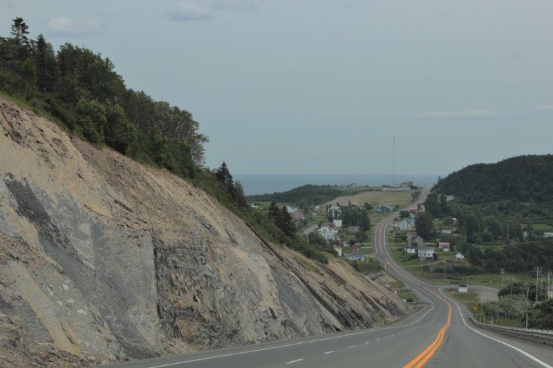
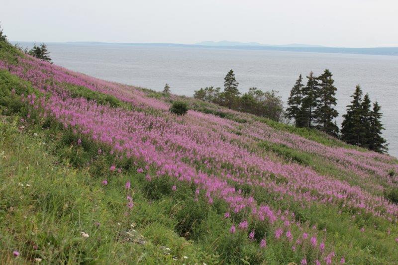
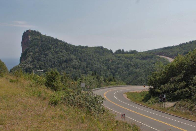
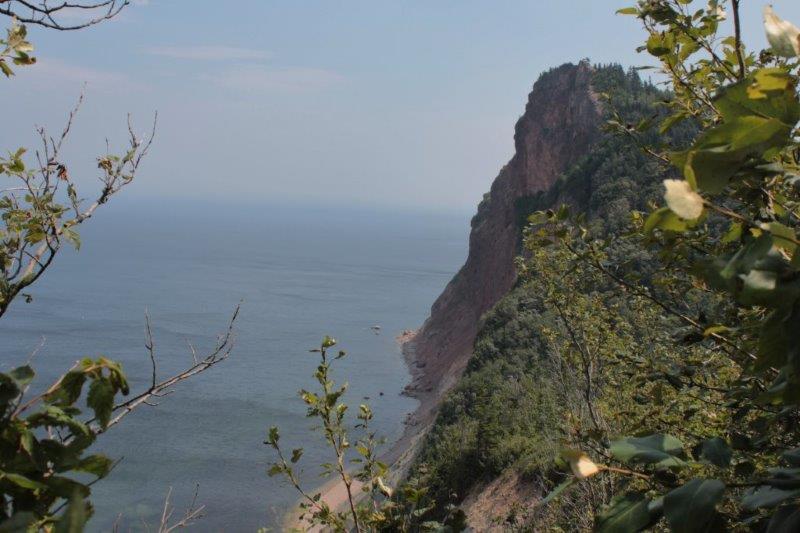
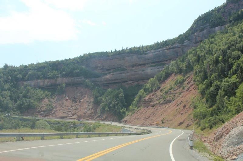
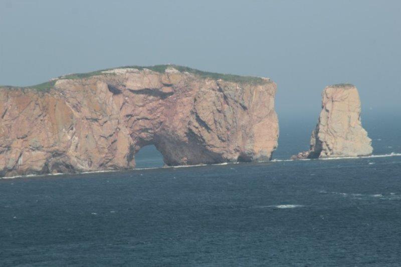
The last two days were scenic days. The route from Ste-Anne-Des-Monts on the north shore of the Gaspè Peninsula around the end to the town of Gaspè and down the south shore to Bonaventure is a lovely piece of coastline. There are lots of steep hills; 15%, 17%, 7% grades with rock bluffs periodically on both the forest side and the coast side. The highlight, of course, is the famous rock at Percè and we were very fortunate to have a sunny day to see it.
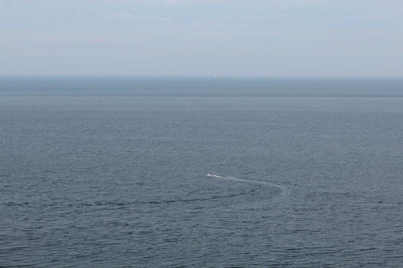
The St. Lawrence River – no opposite shore in sight.
 We drove the last leg of the north coast and around the point of the peninsula – through Forillon National Park – and to the town of Gaspè.
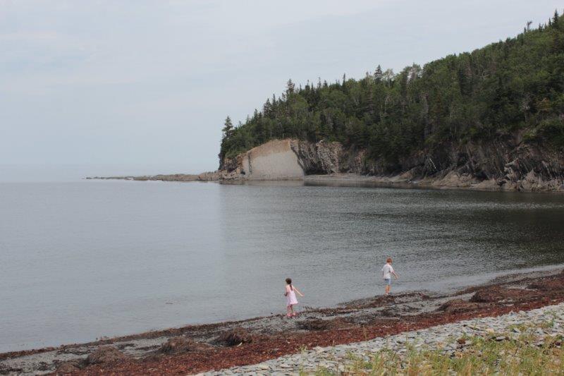
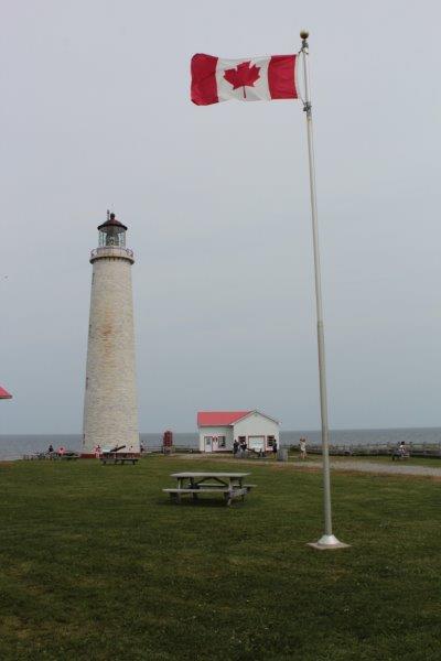
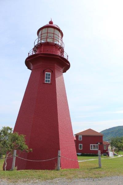 There are lots of lighthouses around this coastline.
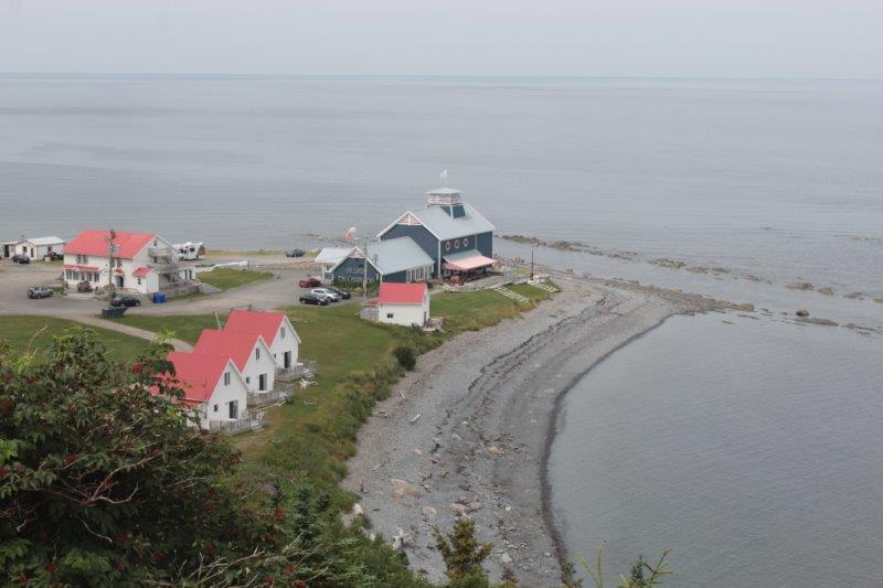
You can’t drive around Forillon National Park. It is located on a spit of land at the very tip of the Gaspè Peninsula and the drive along the north coast is about 3 km to Cap-Bon-Ami. 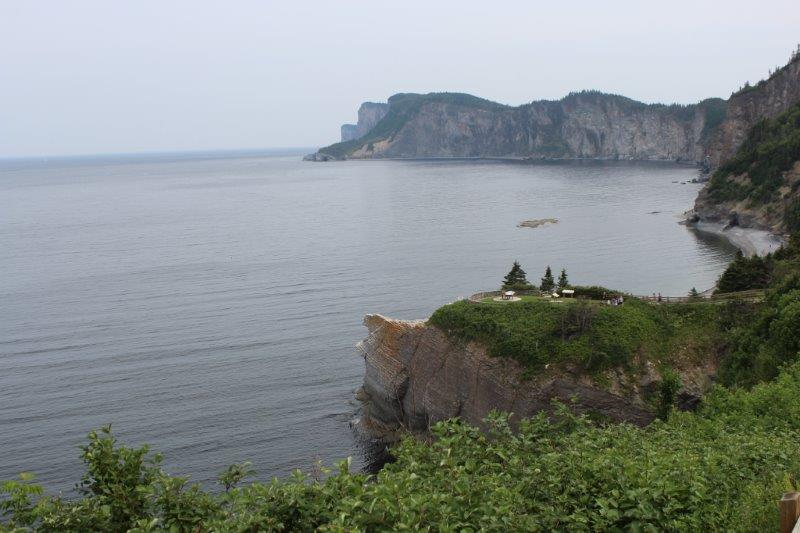
Cap-Bon-Ami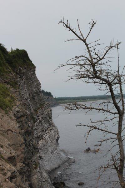
 Then you drive the 3 km out again, cross 7 km to the south coast and go 6.6 km down to Grande-Grave before retracing your route once more and continuing on.
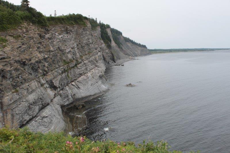
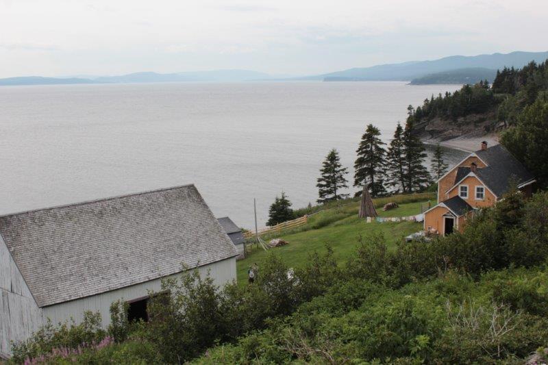
Grande-Grave 1871 There are many, many camping spots, picnic sites, and hiking trails throughout the park but only the two roads and it is a very popular vacation spot.
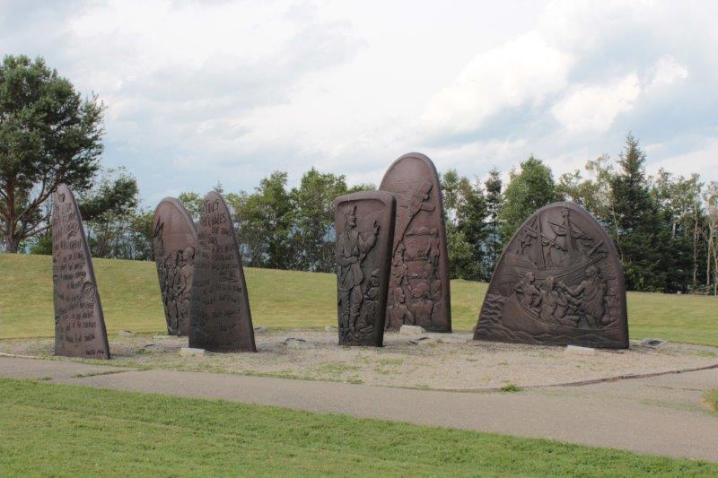
Gaspè was the landfall for Jacques Cartier in 1534 – the ‘official’ discoverer of Canada. He erected a cross near the shore and ‘claimed’ the new land for France. What was very interesting to me was that he and his crew made the acquaintance of the local Iroquois. They gave them beads, combs and other trinkets, which the natives thought wonderful things and showed them around their ship. When he sailed home to France Cartier had the two sons of the Iroquois chief with him. They were to help him with his navigation of the coastline and the river when he came back to Gaspè. Can you just imagine what those young men must have been thinking?
I really liked Gaspè. It was a town of about 15,000 and is built primarily up a hillside so there are pedestrian stairways between the streets. It was a very pretty little town with a nice big boardwalk and park area along the river.
We woke this morning to beautiful sunshine which lasted almost all day. We drove into heavy cloud and rain about 45 minutes out of Bonaventure but we had driven by all the nice scenic bits by then.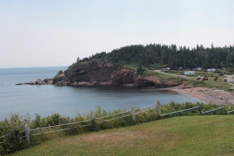
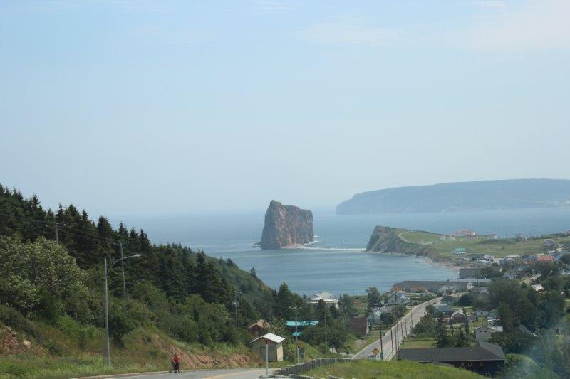
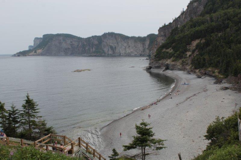
Perce Rock and Village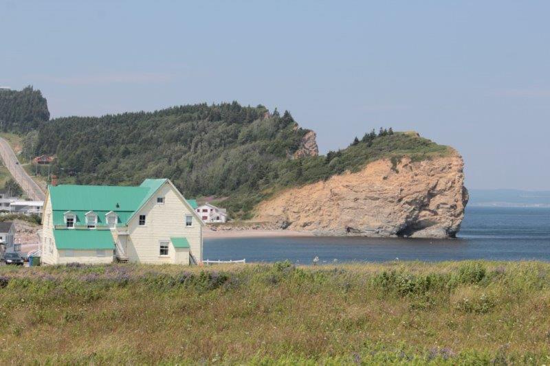
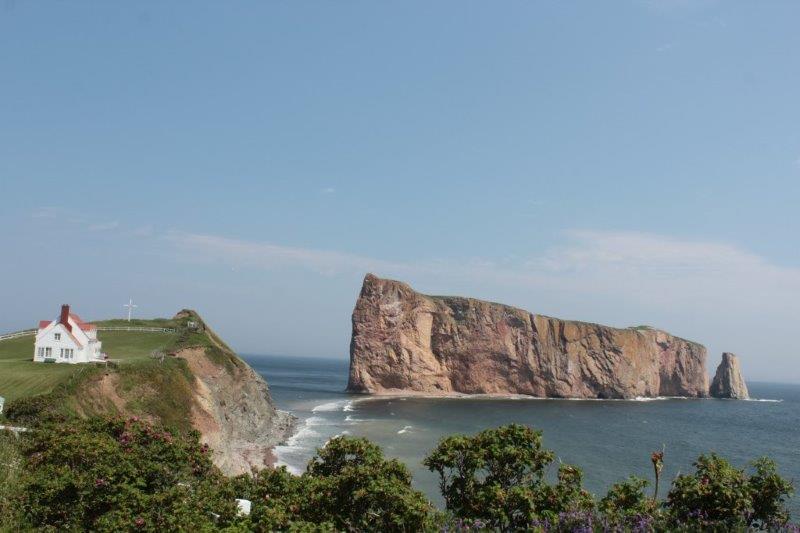
Perce Rock National Park.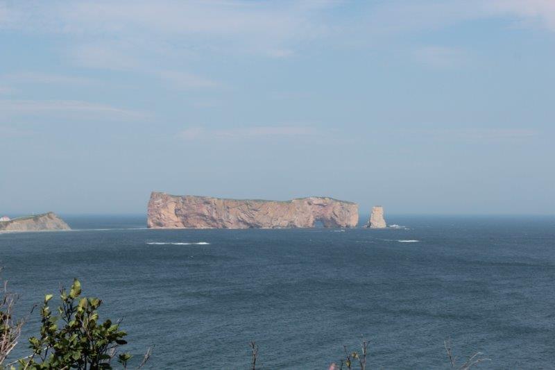
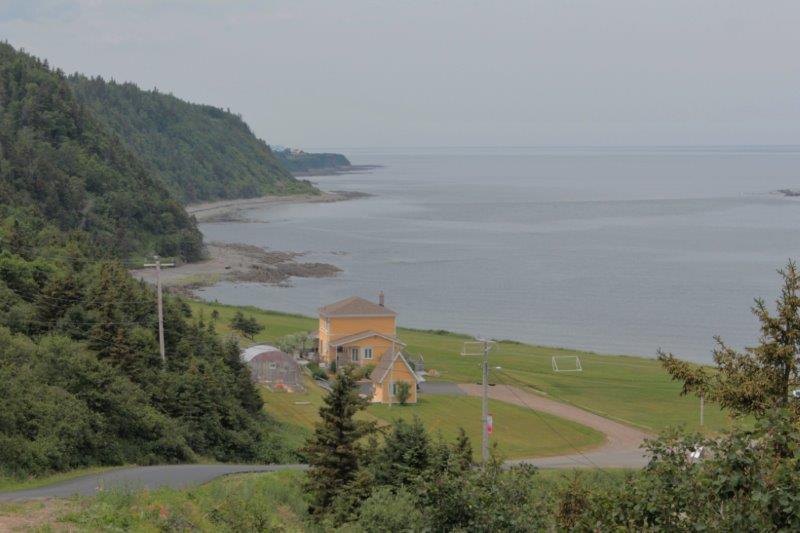
 As I said in my last post this peninsula is just village after village after village. The larger towns are: Rimouski, Matane, and Sainte-Anne-Des-Monts on the north coast, Gaspè at the end, and Chandler and Bonaventure on the south. Including those six there are 113 communities along the 885 km coastline. There are only two towns in the interior and three roads that cross through the rugged mountain in the middle.
Tomorrow is our last day on the Gaspè. We drive from Bonaventure to Campbellton, New Brunswick, the hometown of John’s mom so we will do a bit of exploring. Then begins our intensive touring in the four Maritime Provinces. We have yet to plan the route, but we will figure it out in the next couple of days.
