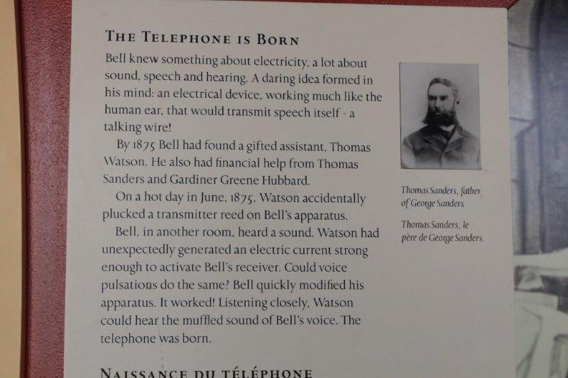
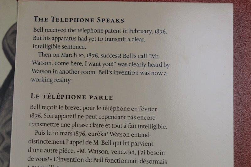
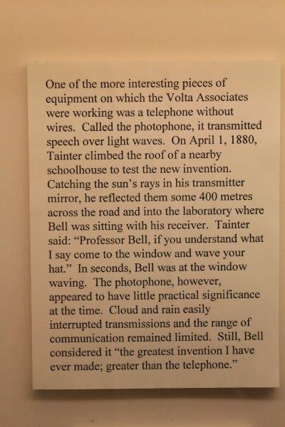
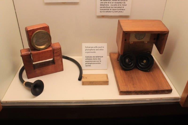
The letter for today is H.
H is for HEARTY, as in, “I ate a HEARTY breakfast this morning.” John ate yogurt, granola and strawberries.
H also stands for, “I am HEARTILY sick of the heavy clouds.”
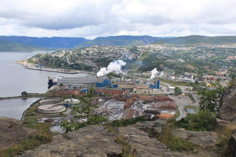
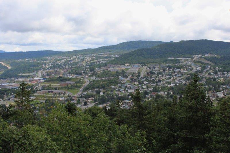
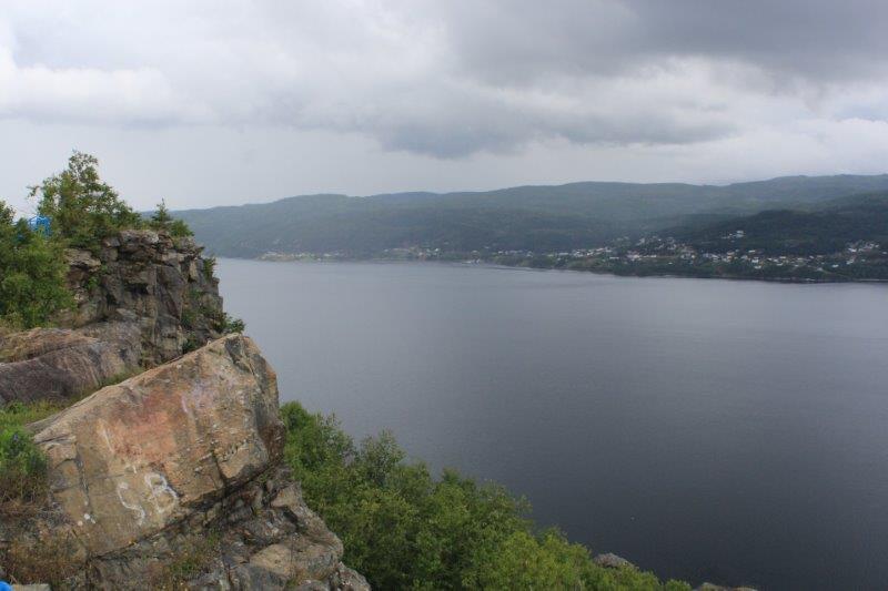
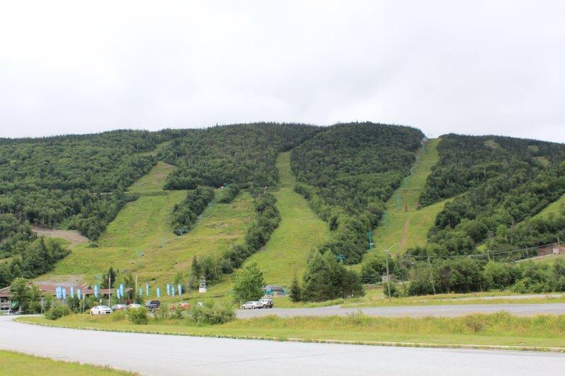
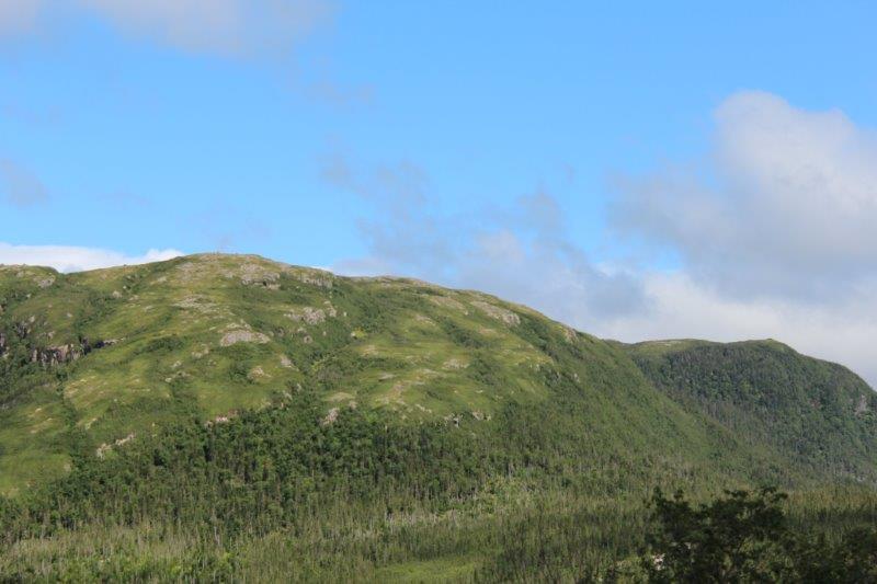
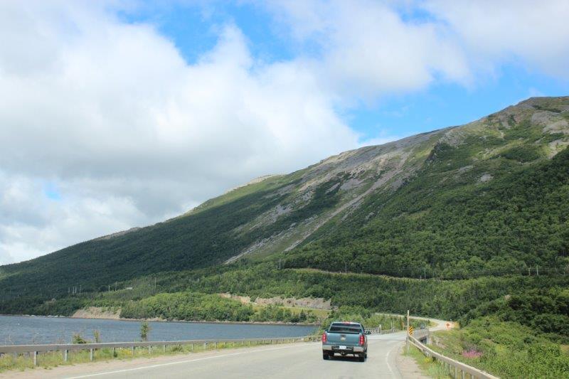
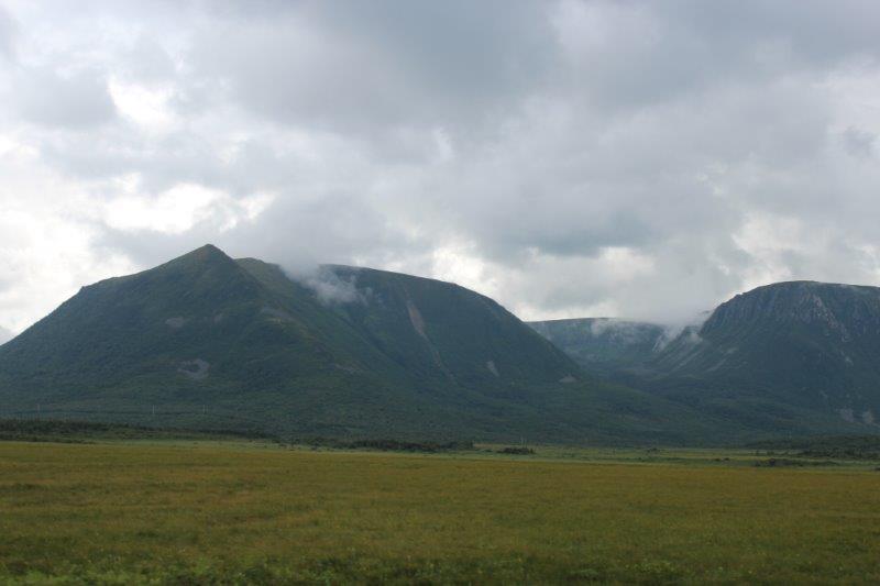
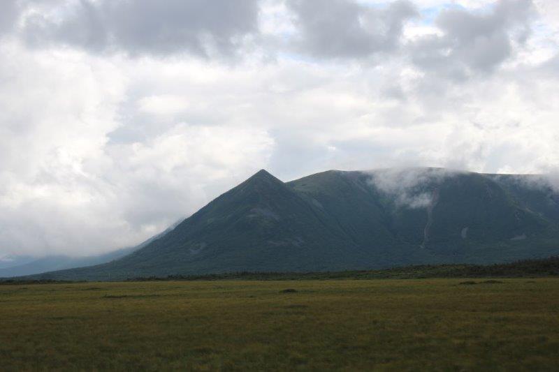
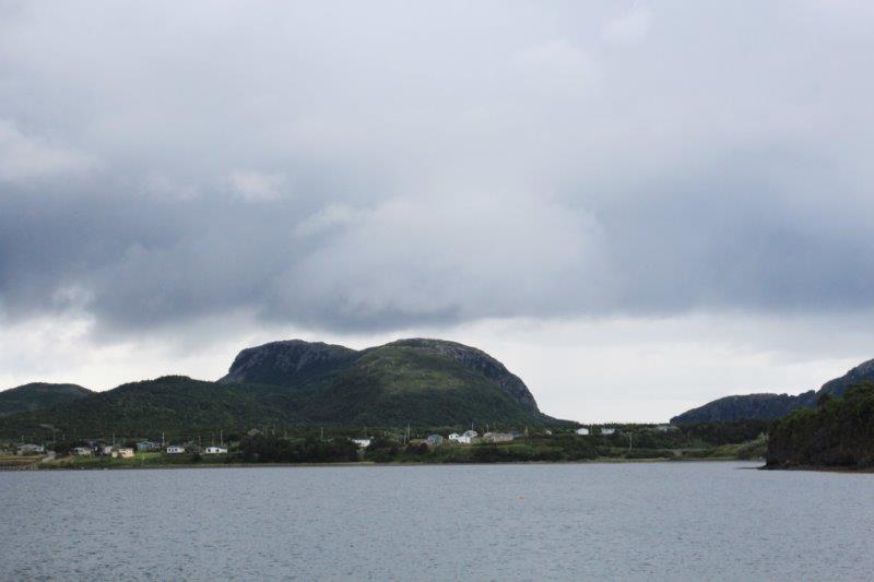
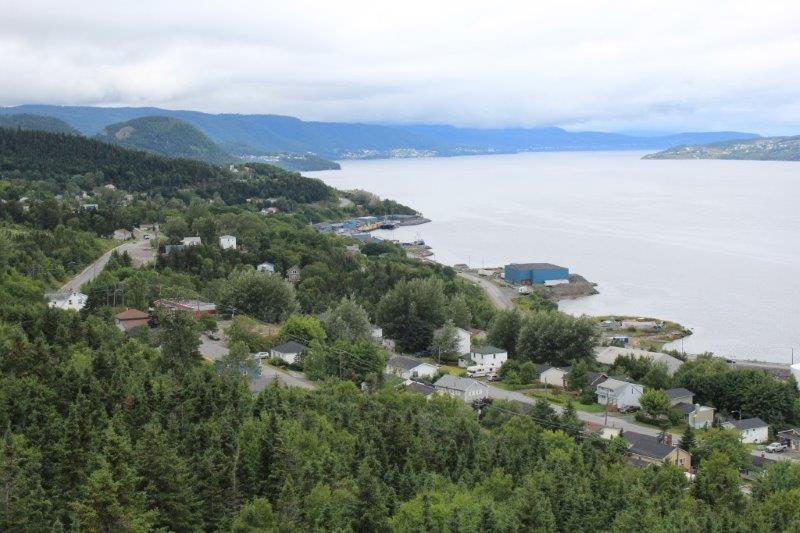
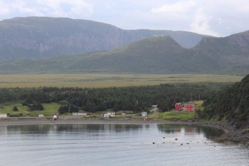
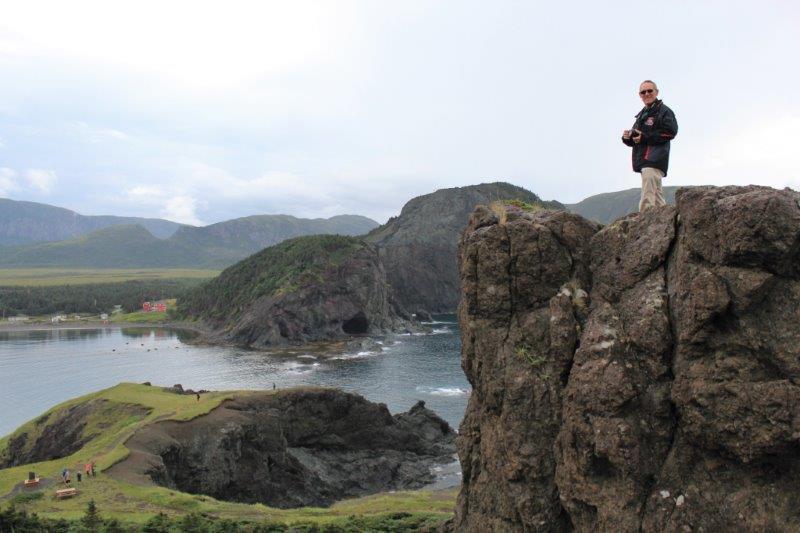
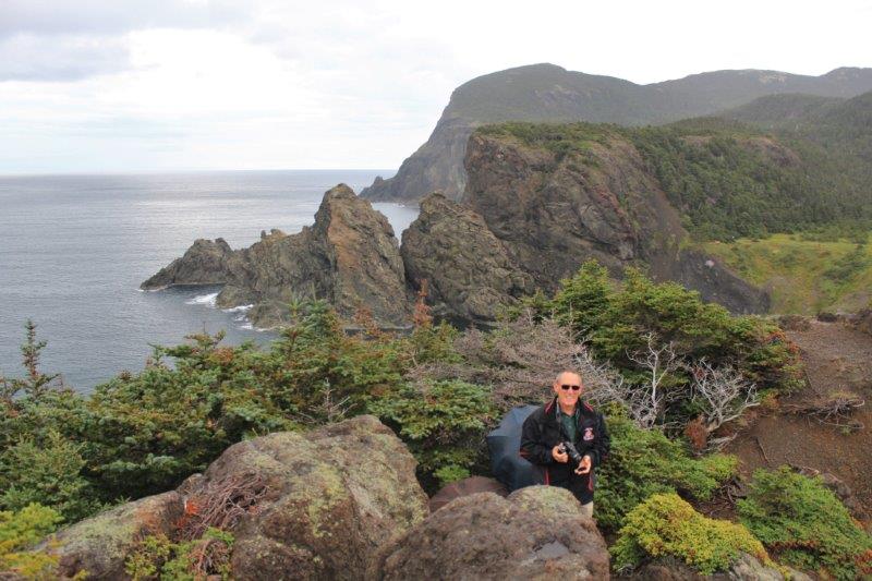
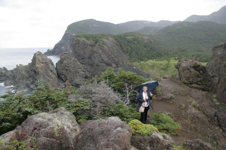
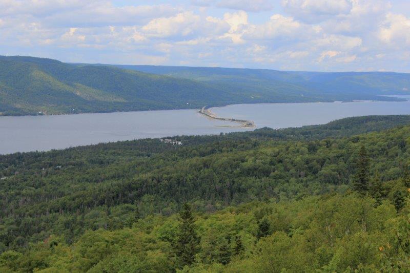
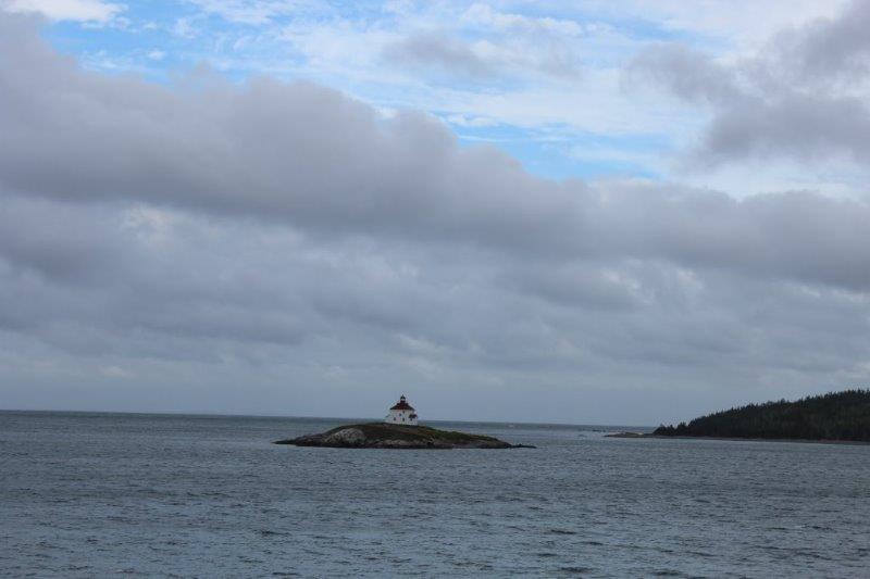
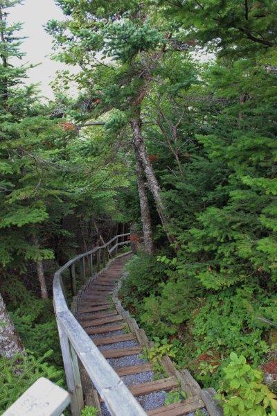
H is for HIKE. We hiked to the top of Berry Hill this morning (H is also for HILL). There were 118 steps with portions of rocky trail interspersed between the flights of stairs. The view at the top was pretty nice. Wide open vistas over the grasslands to the mountains and the Gulf of St. Lawrence in the background.
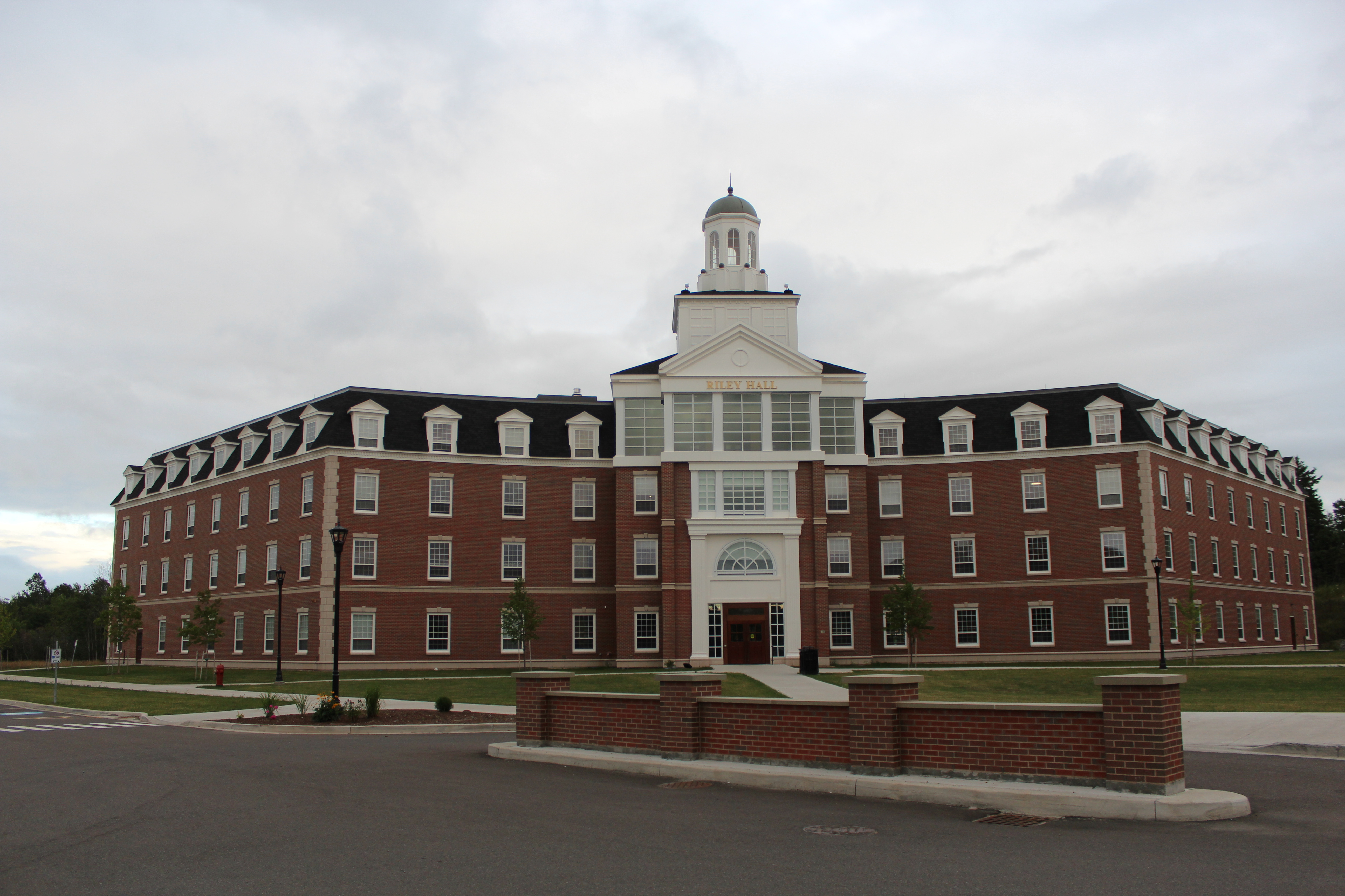
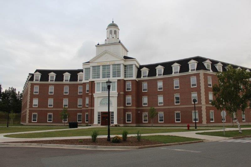
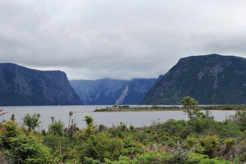
 This is Berry Hill
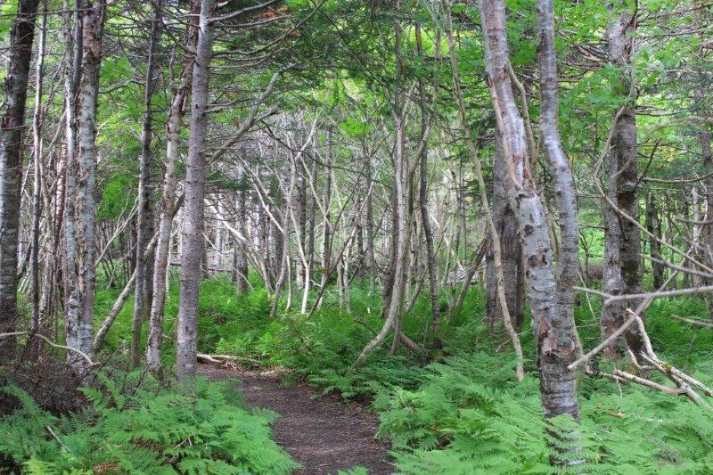

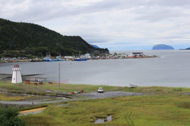
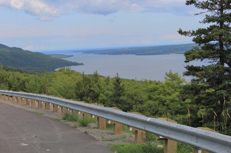
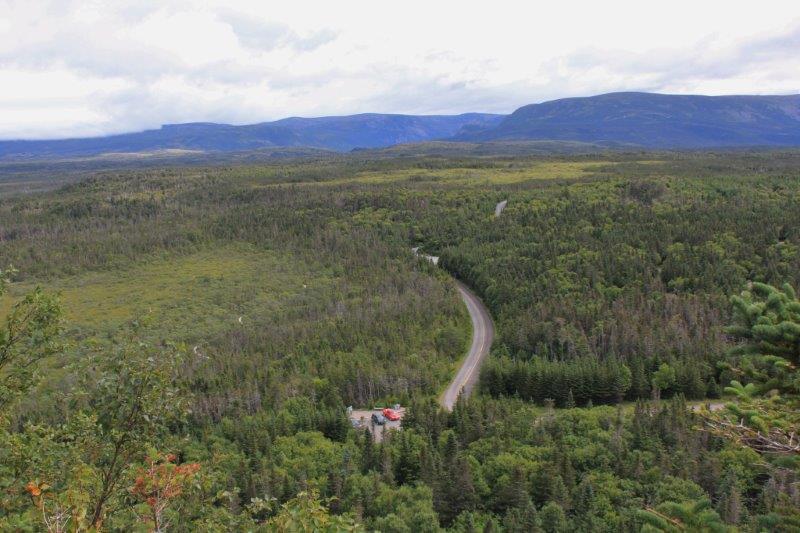 See Poppy down there?
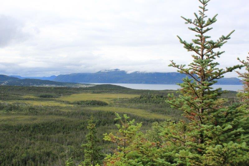
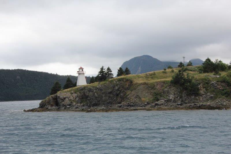
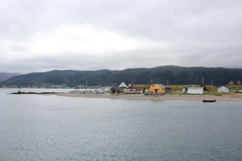
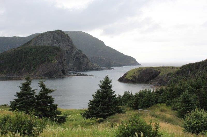
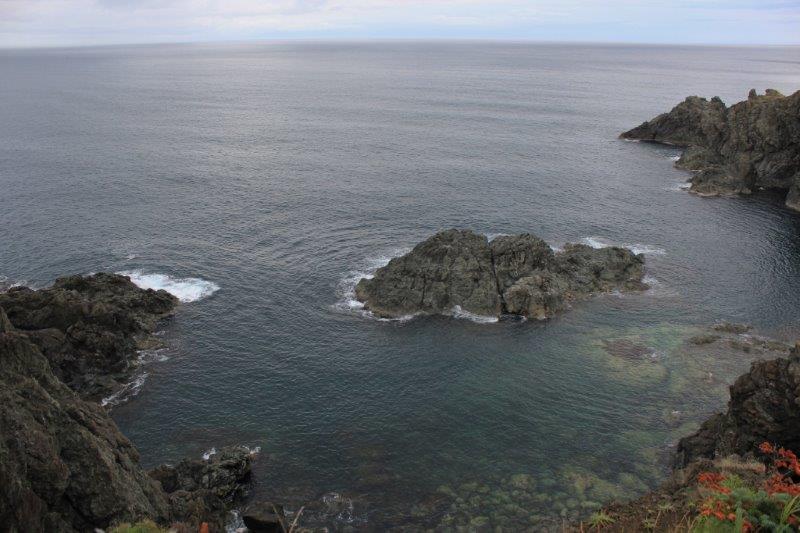
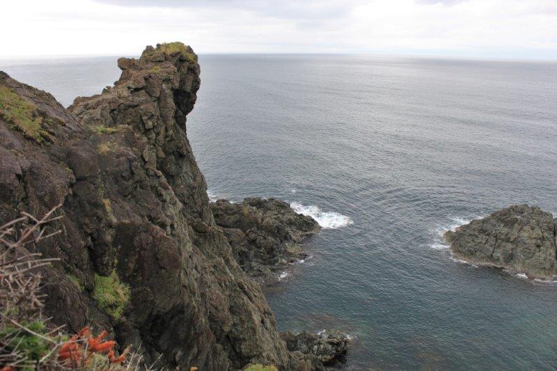
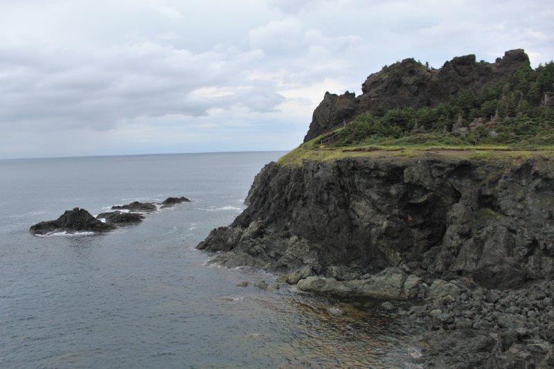
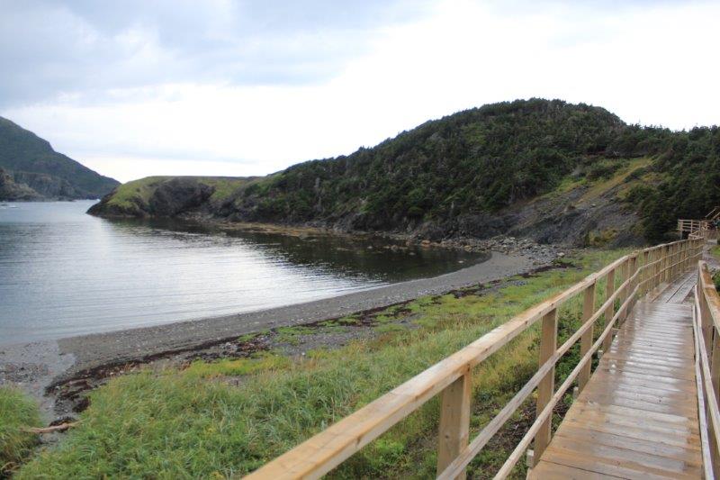
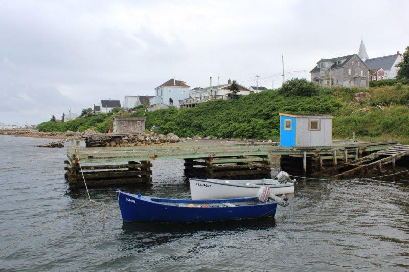
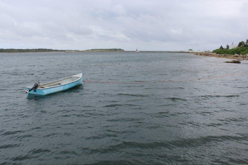
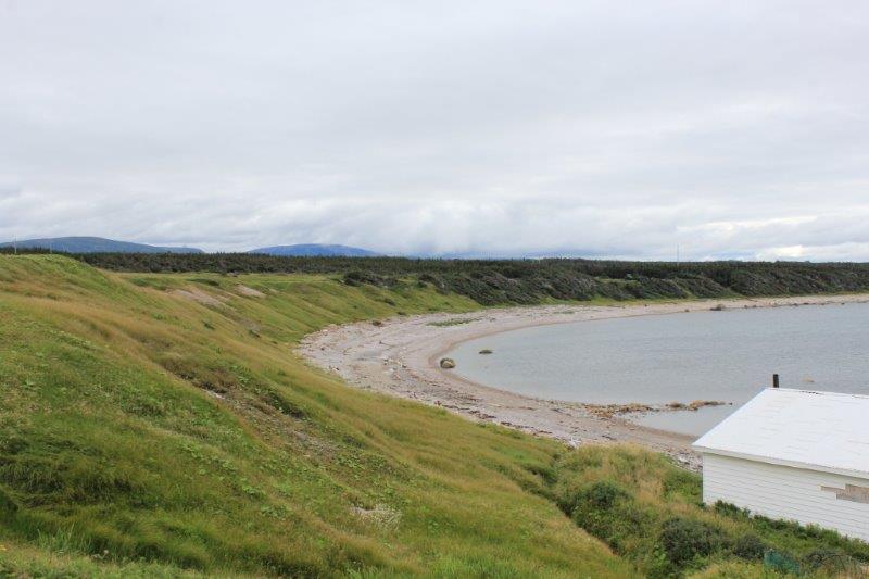
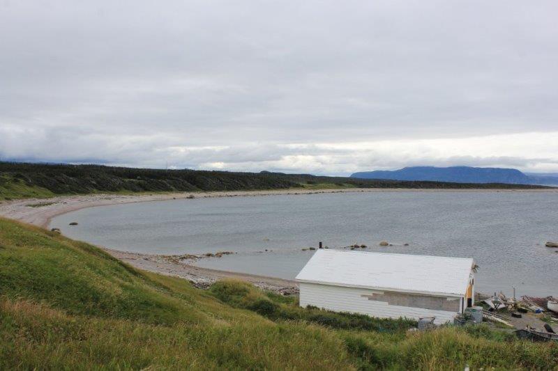
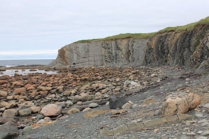
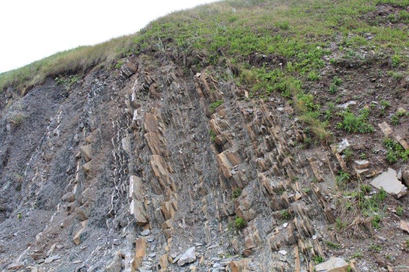
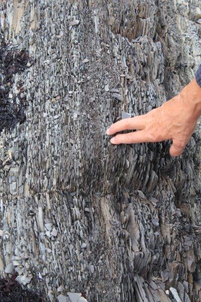
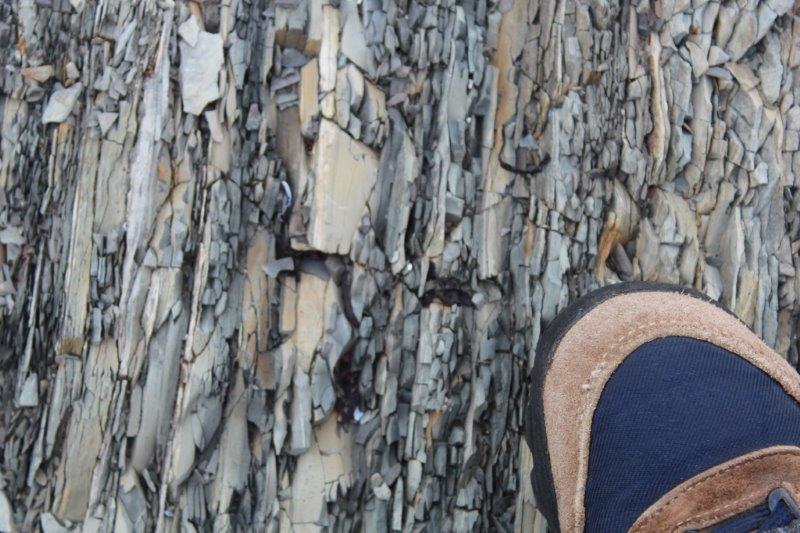
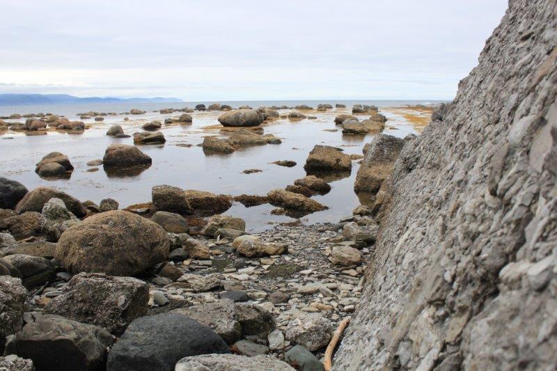
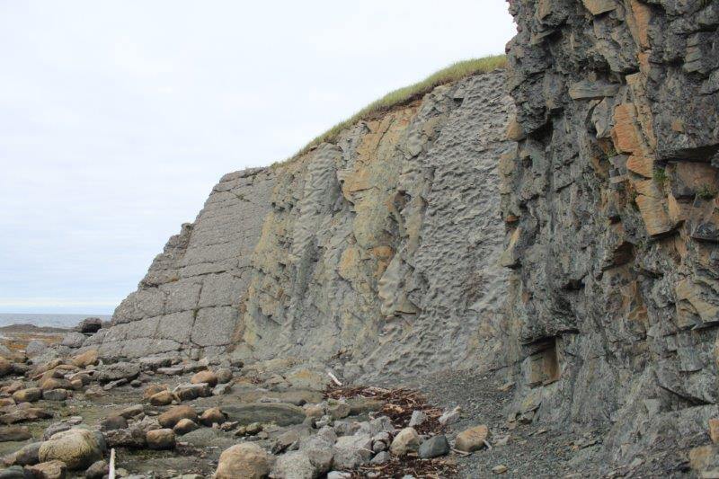
H is for HISTORIC. We stopped at Green Point. From the parking lot you see grass and water. Once you walk along the road a short distance a steep little HILL reveals some fisherman’s shacks, a lovely curved beach and a grassy HEADLAND.


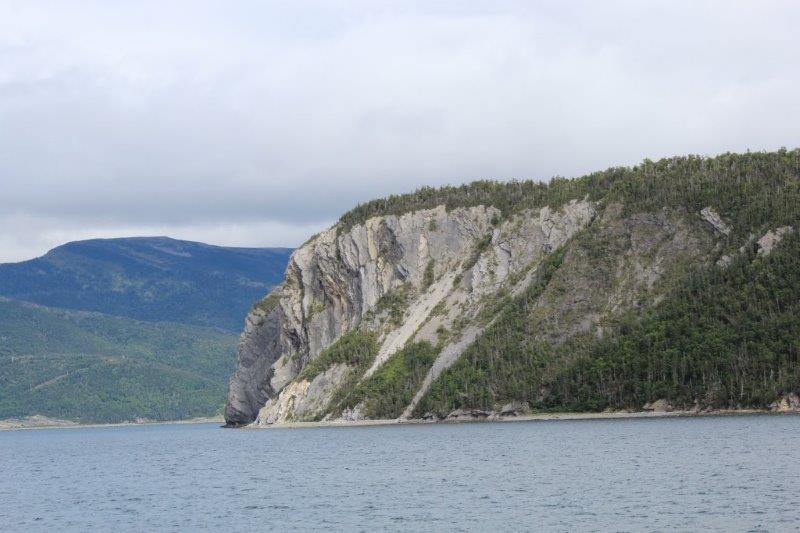
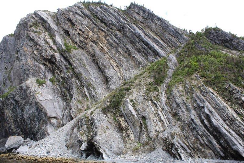
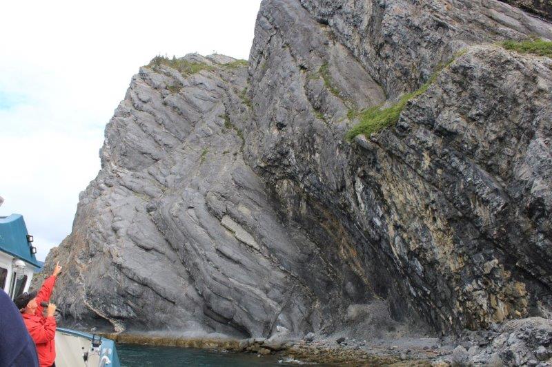
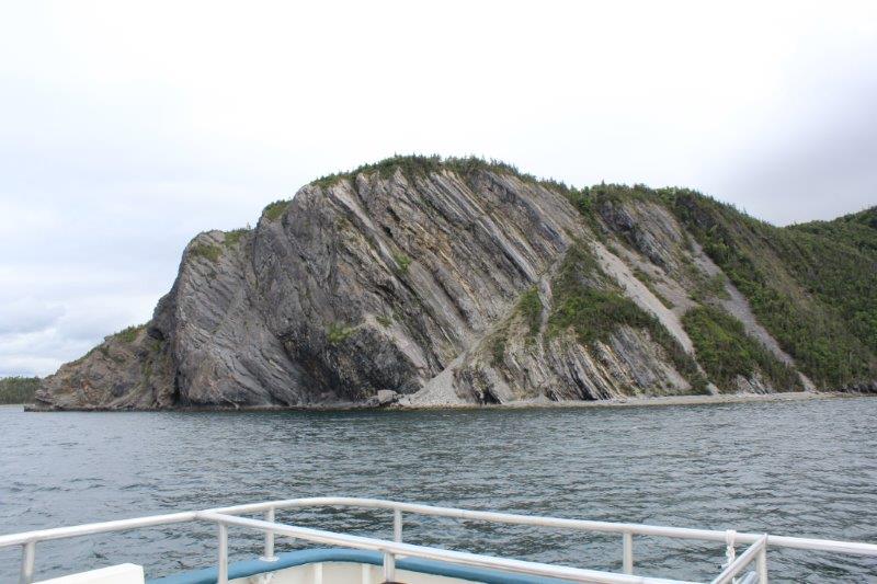
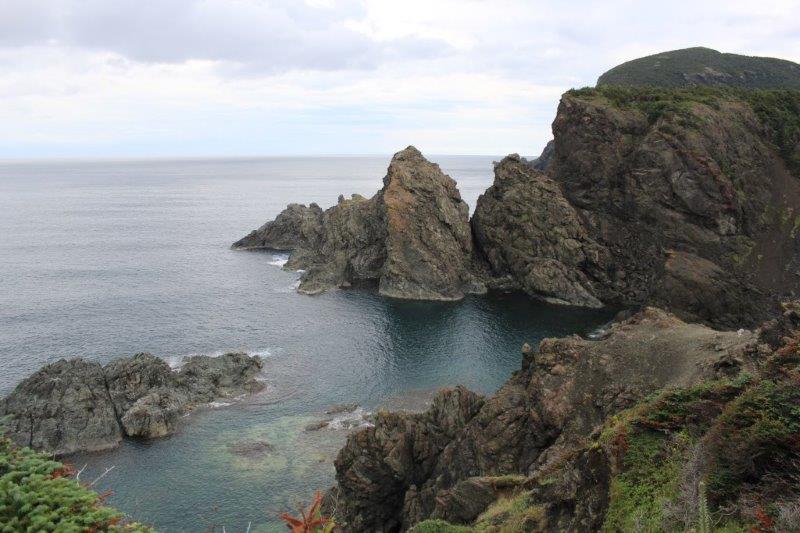
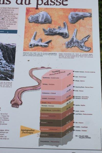
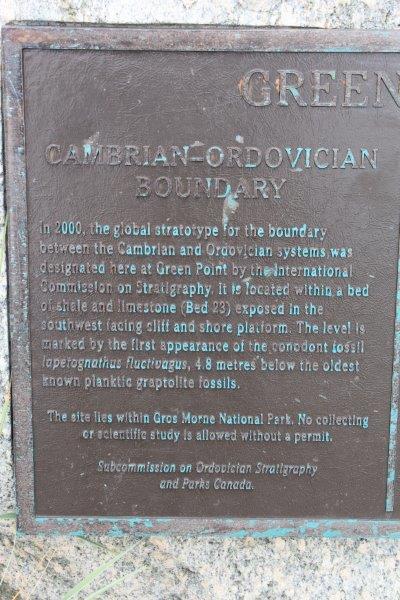
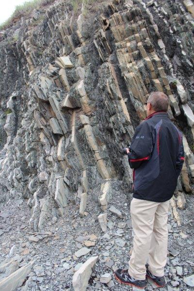
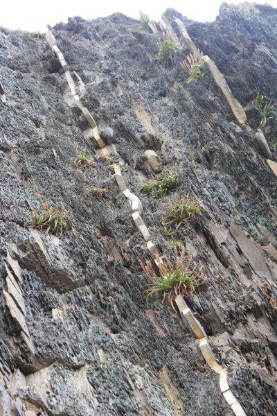
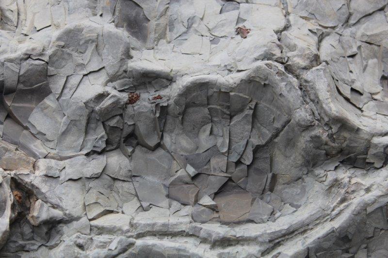
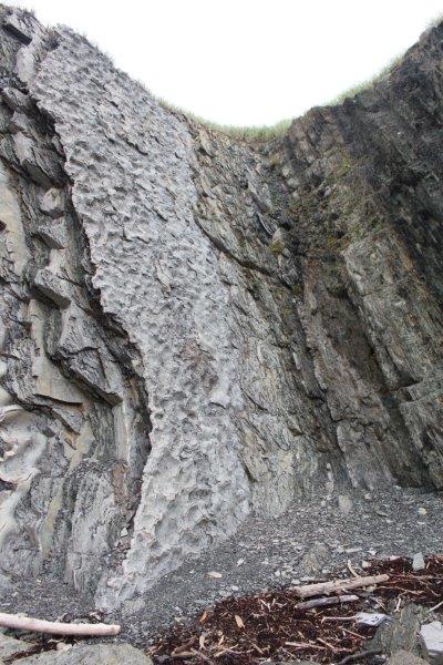
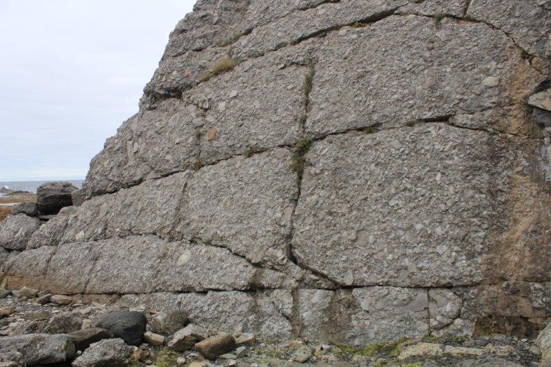
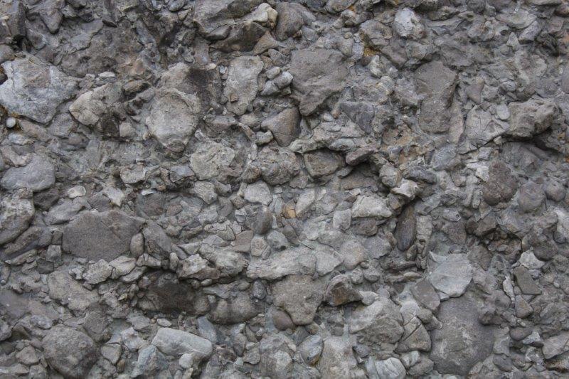
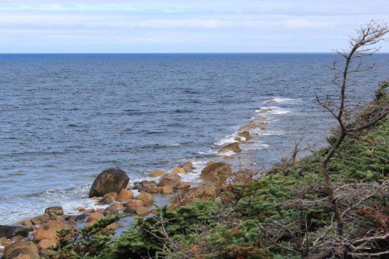
Down the HILL and around the corner, right on the shore is a cliff face. There are four distinct types of rock formations side by side. Geologists come from all over to study this area. There have been fossils found in the rocks that set the boundary between two periods of HISTORY in the development of the earth: Cambrian (trilobite – marine anthropod -lifeforms) 545 million years ago and Ordovician (shellfish lifeforms) 492 million years ago. The part I liked best were the fine, fine layers of shale and all the different textures. A very interesting place.


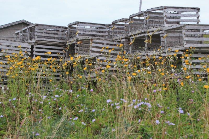
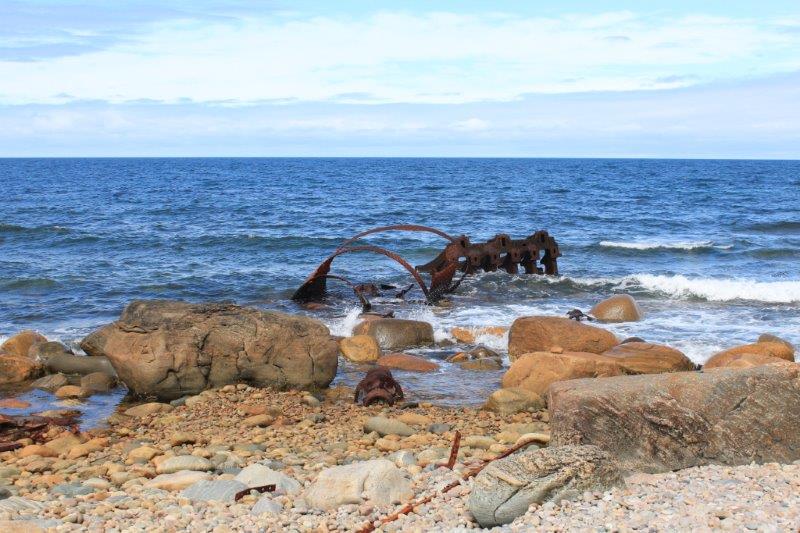
H is for HULK. The few remaining pieces of the SS Ethie are scattered along the shore at Sally’s Cove. The Ethie was a steam ship that worked the Newfoundland coastal trade. Dec 11, 1919 she was caught in an HORRIFIC storm and wrecked off Sally’s Cove. All 92 passengers and crew were saved, including a baby who was put into a mail sack.
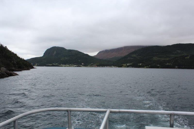
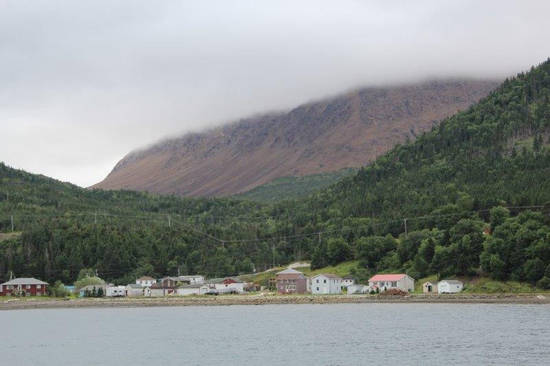
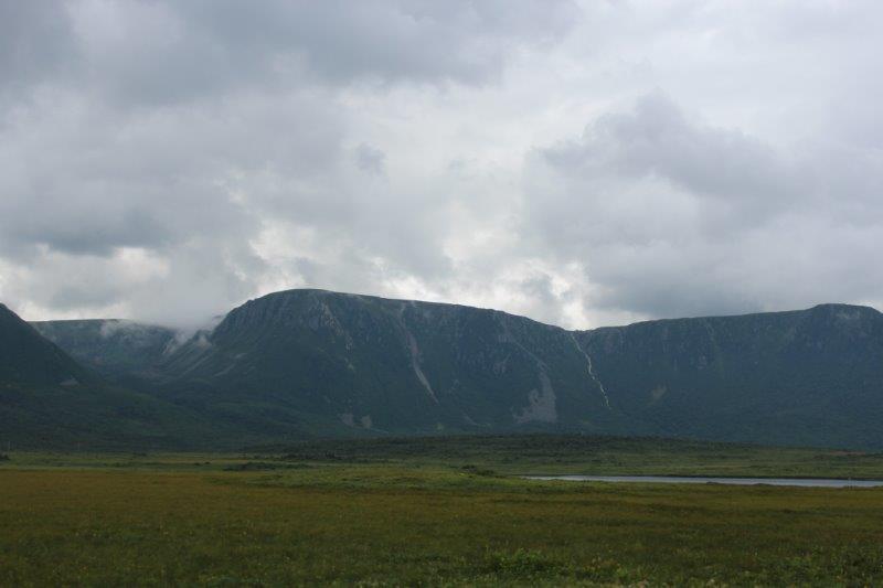
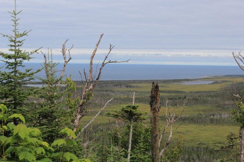
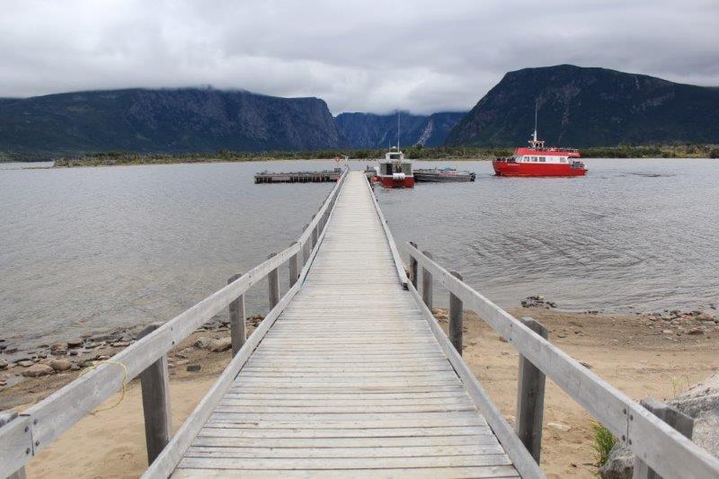
Did I mention H is for HIKE? Yes? Well HIKE #2 was a 6 km round-trip to see the Western Brook Pond. Which is not a pond at all but a HUGE land-locked freshwater fjiord. The Pond is very deep, very cold and has some of the purest water in the world. Unfortunately our HEAVY clouds obscured the tops of the cliffs. We did not book the boat cruise here, which goes 10 miles up the fjiord right to the base of the 2000′ cliffs. I was wondering if I would regret that decision since the view from the other end of the pond is pretty spectacular judging from photos I have seen, but when the dumb clouds lingered I was okay with it. We waited two hours for the clouds to lift; there was blue sky behind us and above us, but none would appear at the end of the pond!
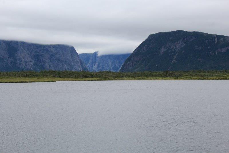
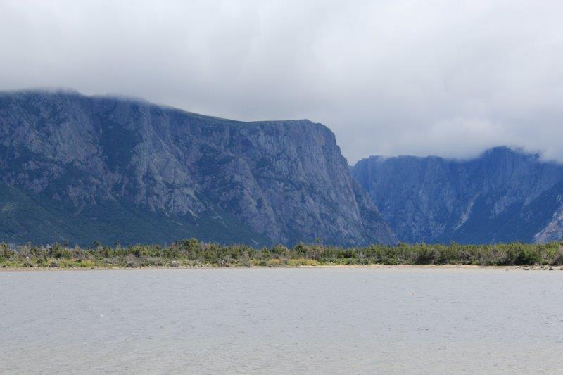


You can just see the flat tops in this shot.
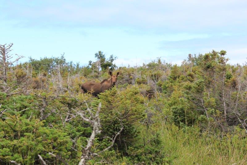
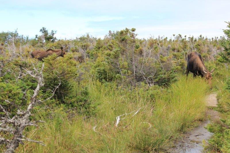
We gave up and started HIKING back to the car. We had taken a short loop trail which went along the edge of another lake – Long Steady – and met up with the main trail about 1.5 km later. This was a path, unlike the main trail which is wide and smooth or boardwalk. We had only gone about 1/2 km and John stopped dead in front of me. “Moose,” he says. (H is also for HABITAT. Newfoundland is great moose HABITAT.There are 48,000 on the island.) And there she was, not 25 feet away, feeding HAPPILY on the grass beside the path. She noticed us but didn’t care and kept eating. I am thinking, “Where is the baby?” And, a few minutes later there it was. Momma and youngster were in no HURRY to move along. They ate their way further down the path, we followed, they stopped, we stopped. We watched them for about 20 minutes then decided to leave her alone and went back the way we had come and rejoined the main trail back to the truck.

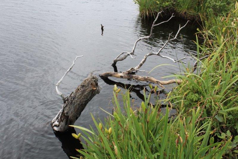
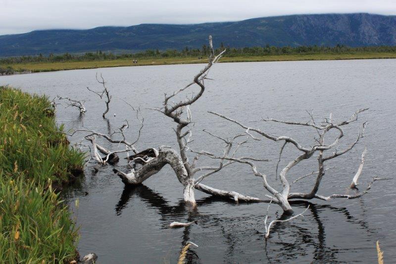
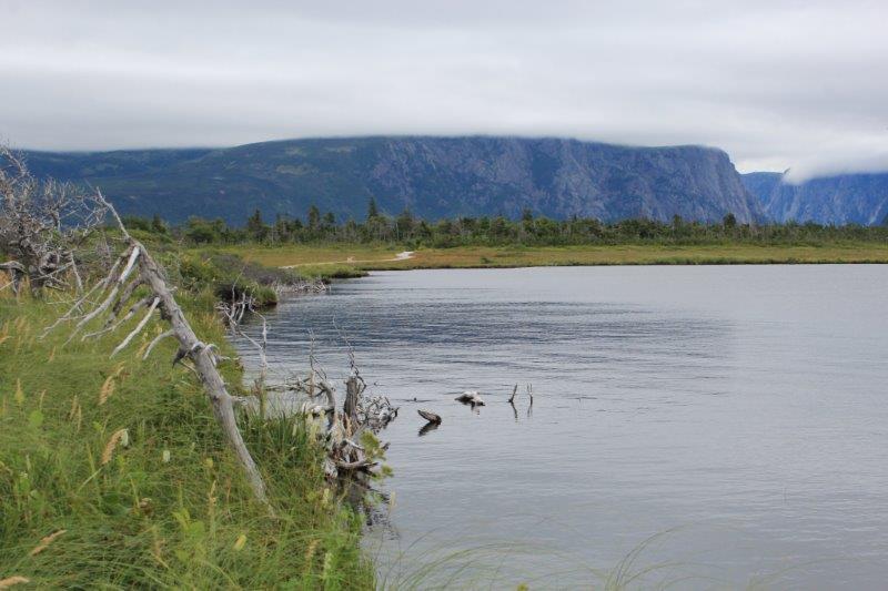
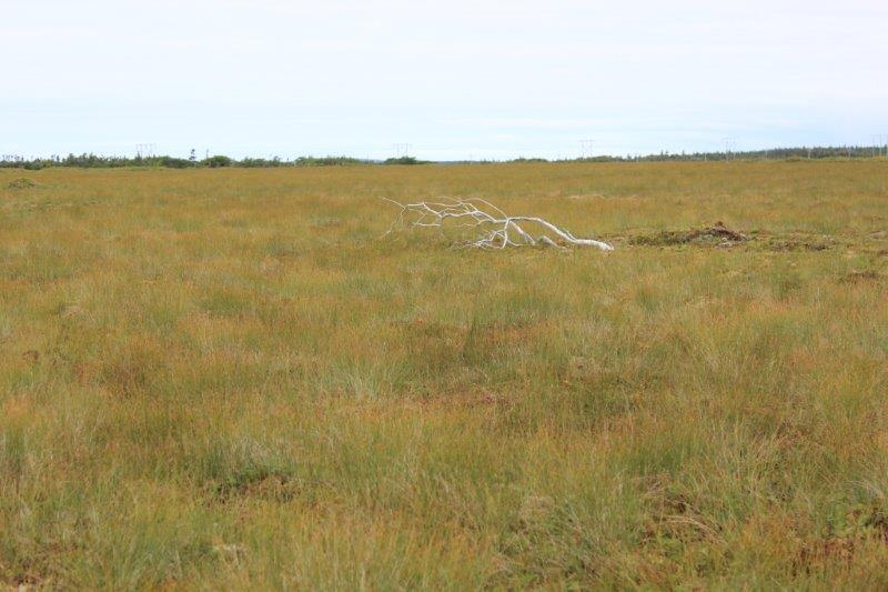
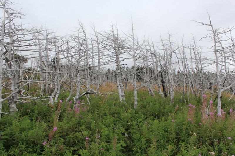
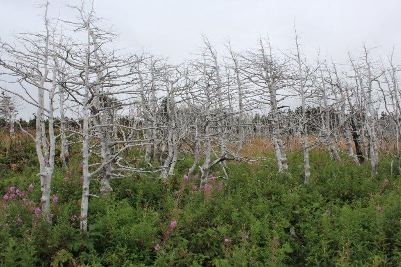
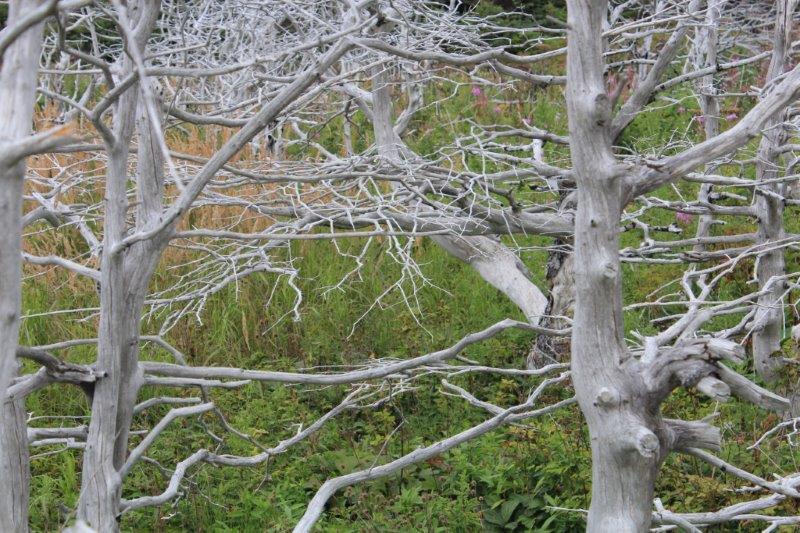
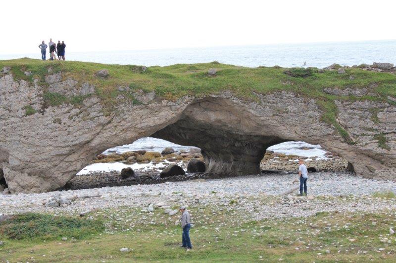
H is also for HOLES. As in HUGE HOLES through HUGE boulders at Arches Provincial Park. I have no idea what killed all these trees but there was a large grove of them right at the parking lot.

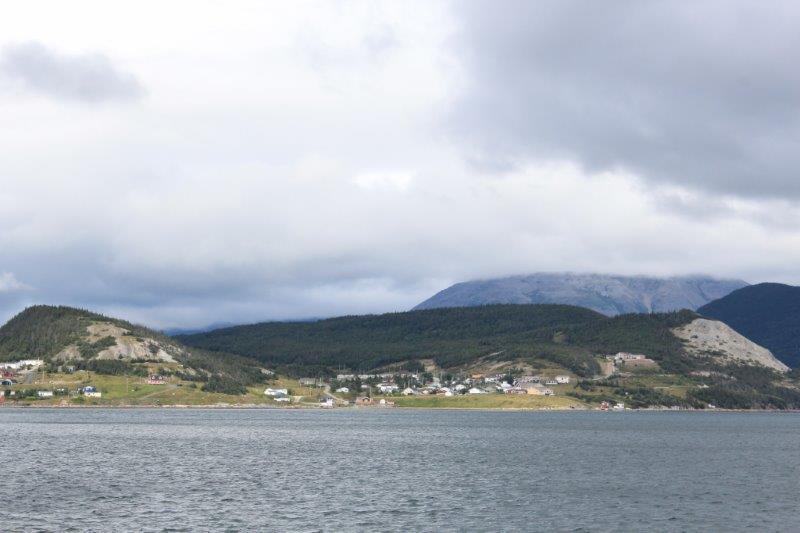
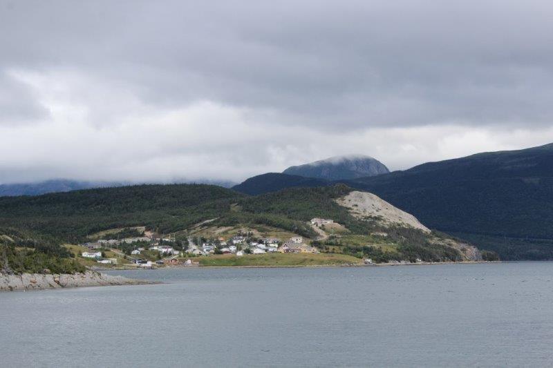
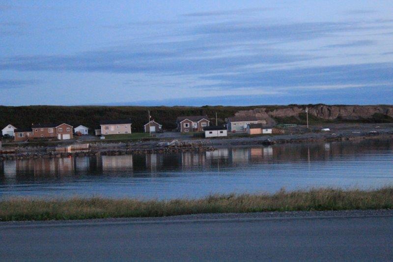
We arrived at our hotel at Port aux Choix just after 5. 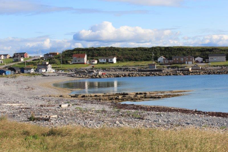
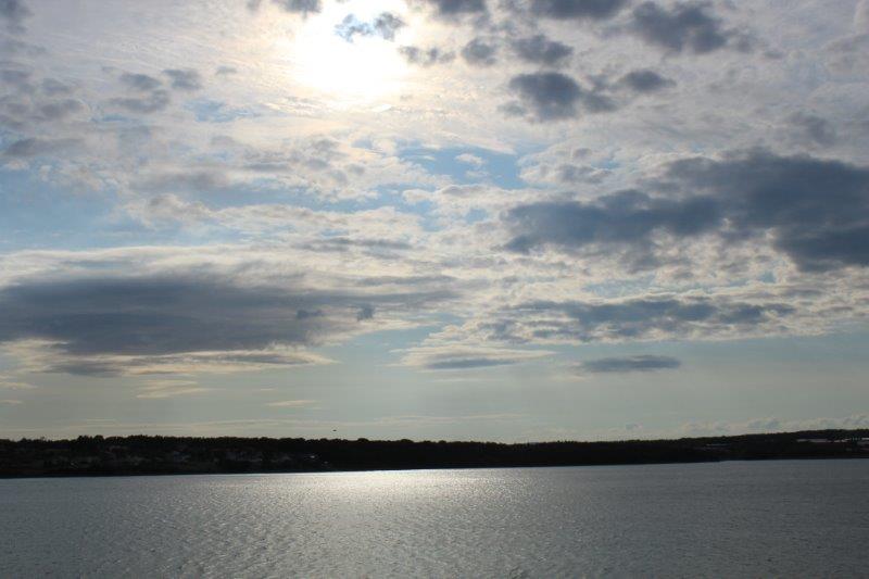
I noticed the pretty light and nice sunset while writing my blog.

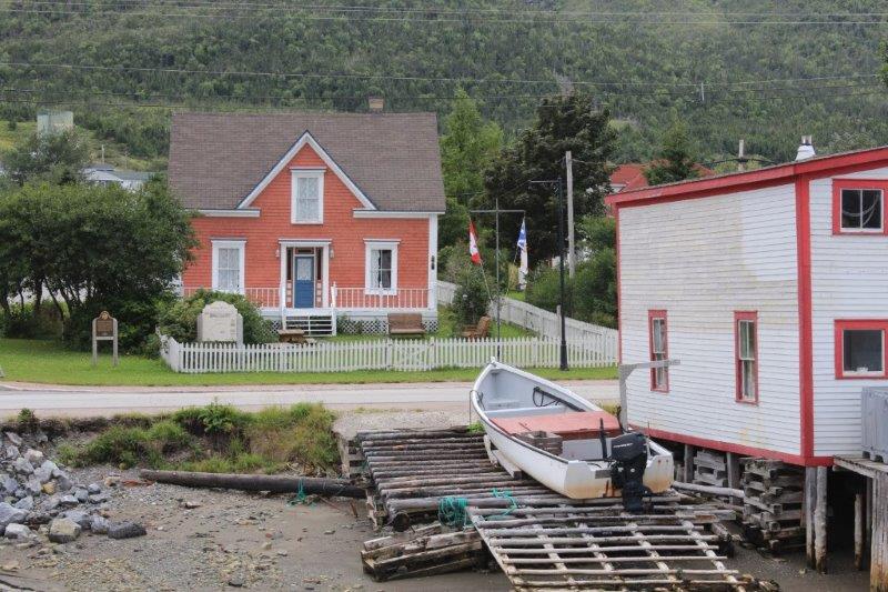
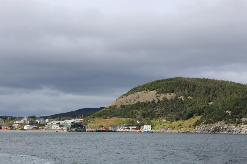
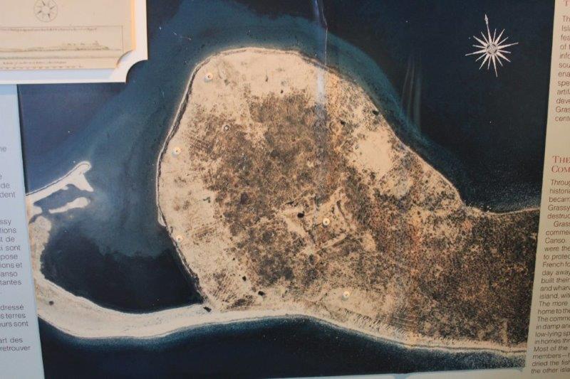
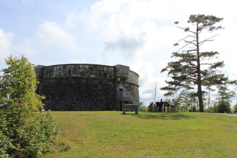
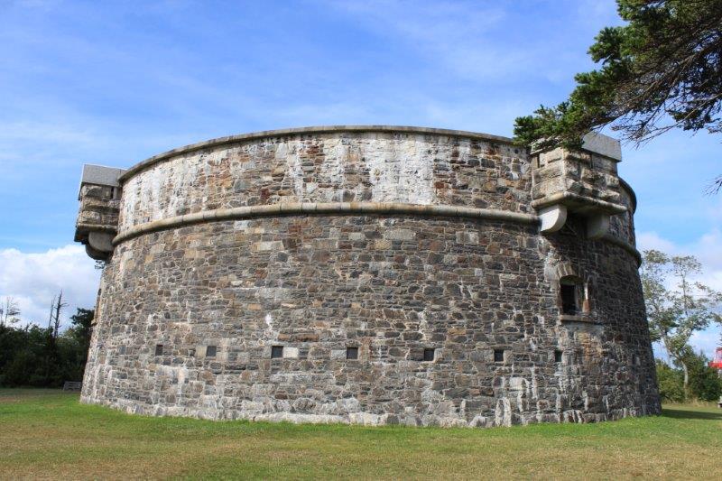
There is a National HISTORIC site here that we will explore tomorrow.
Oh….one more thing. H is for HURT. Like my feet! What a full day!