Category Archives: 2018 Summer – North of 60 Road Trip

2018 July 12 – Fairbanks to Talkeetna, AK (Part 2)

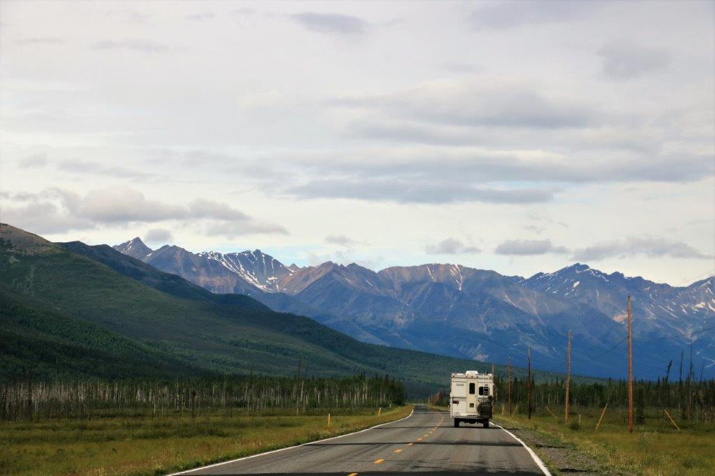
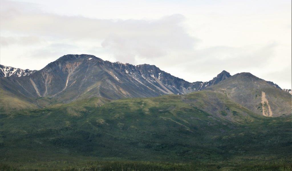
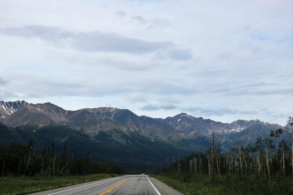
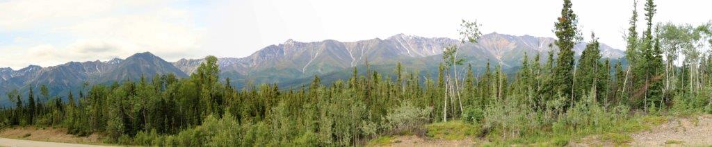
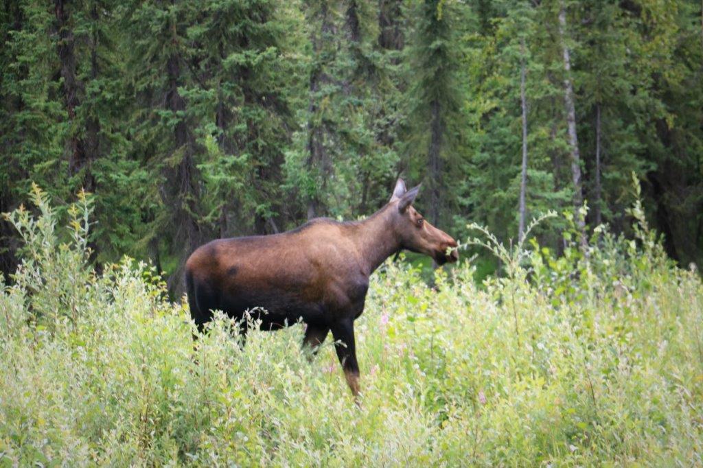
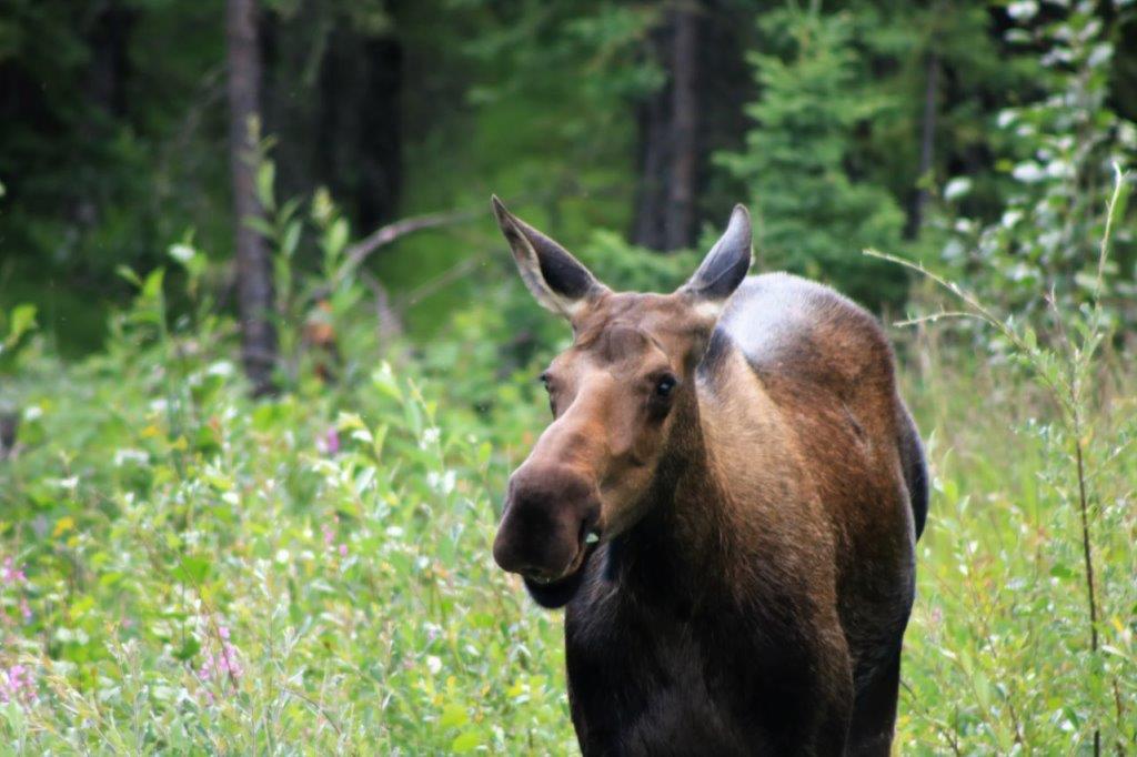
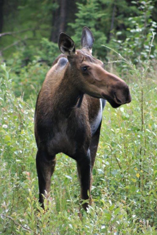
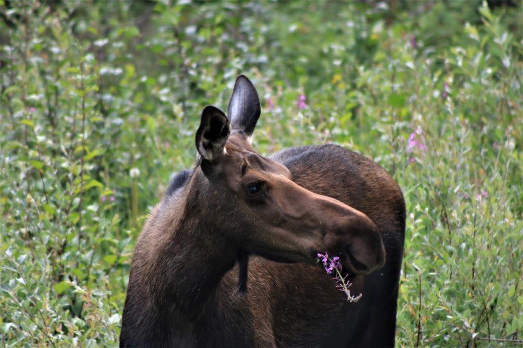
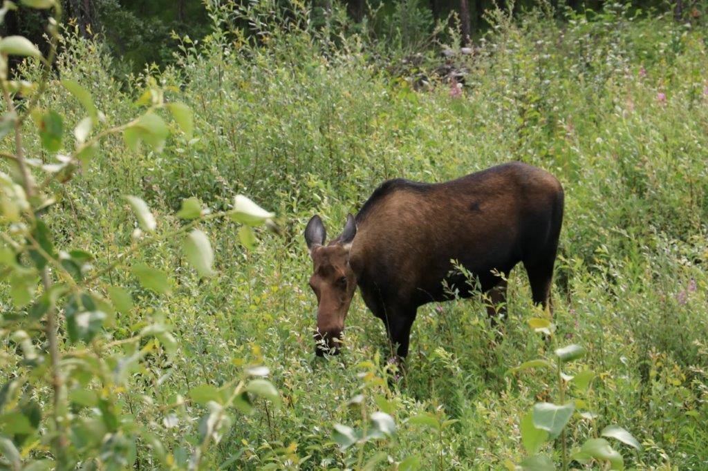
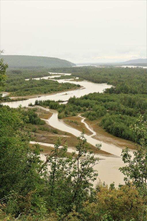
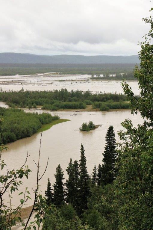
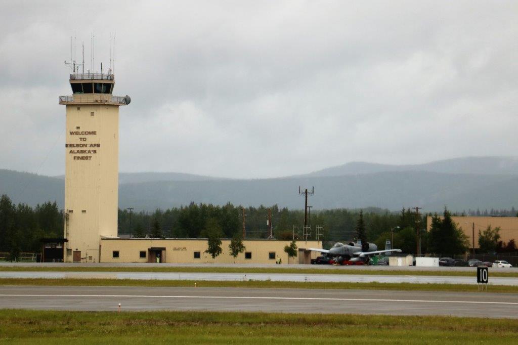
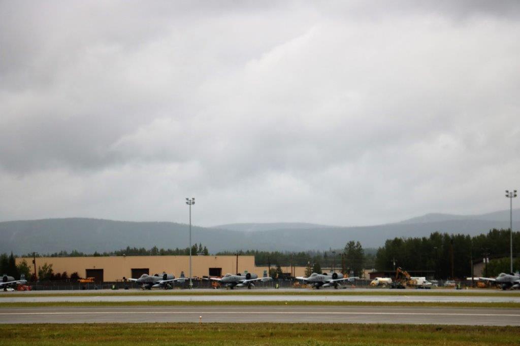
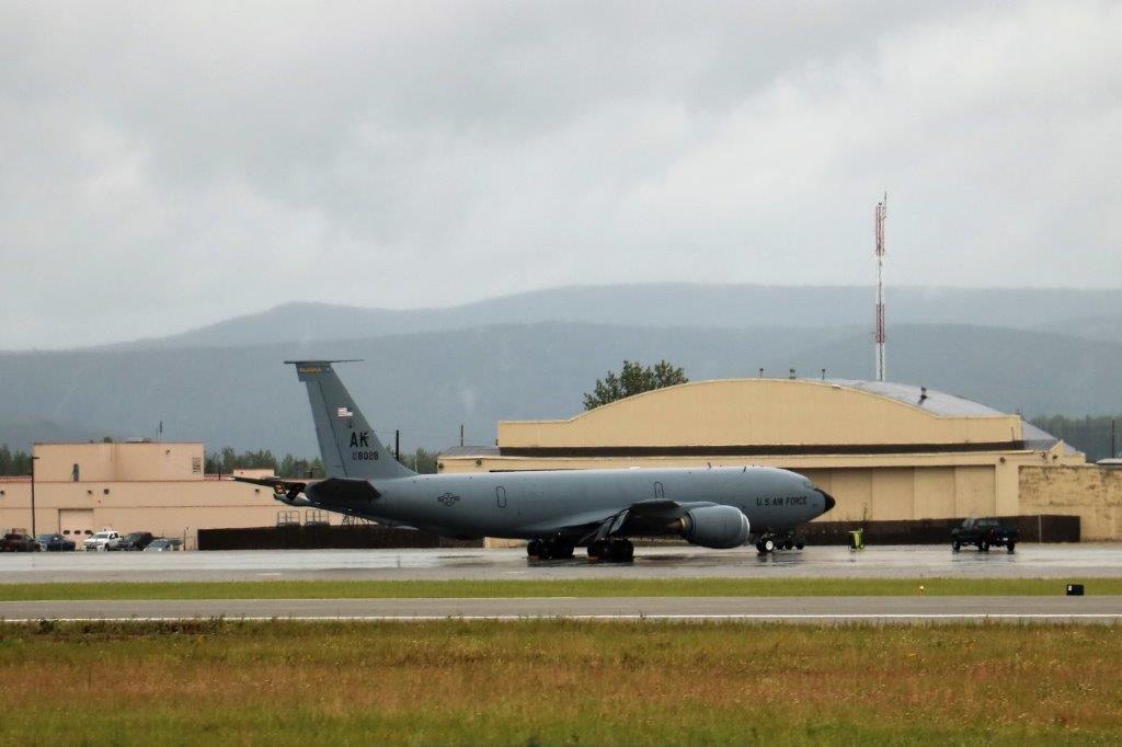
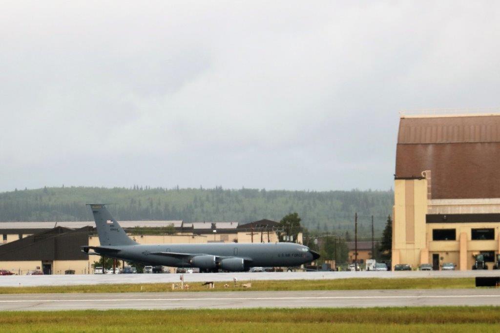
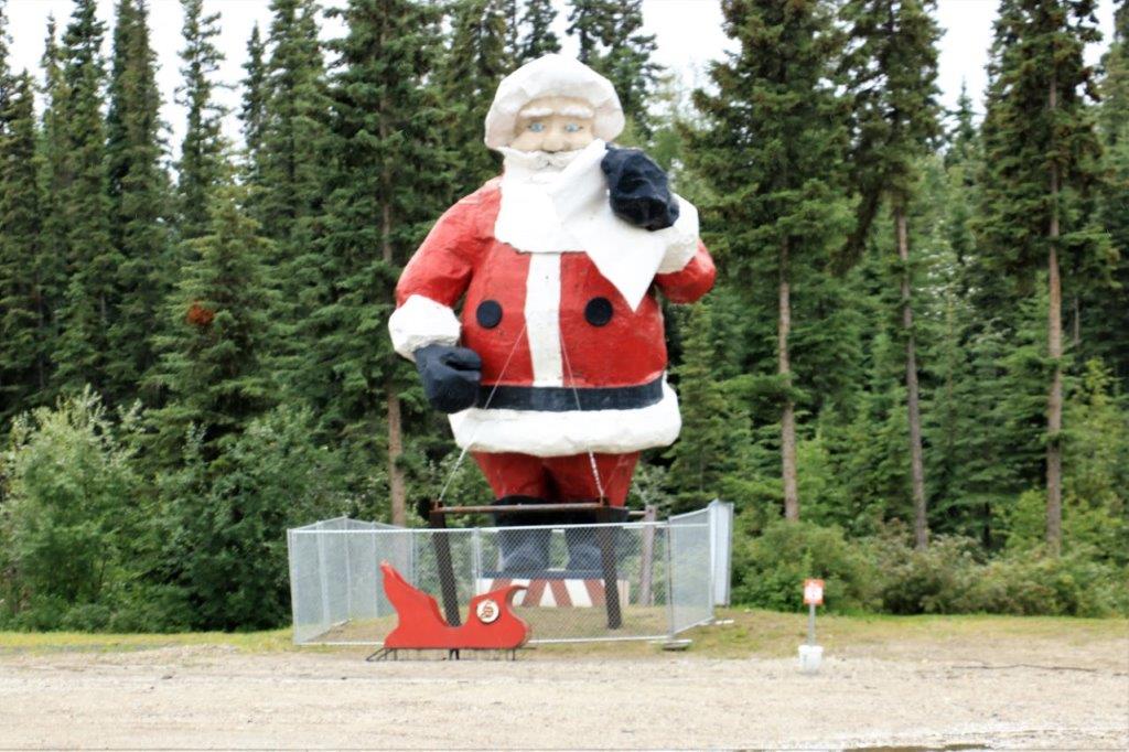
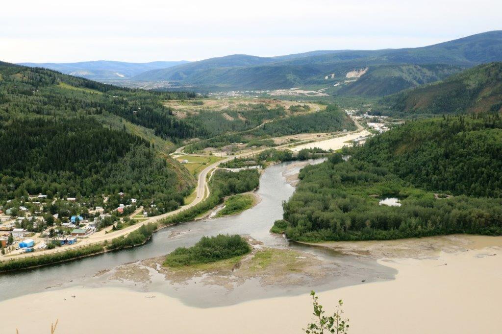
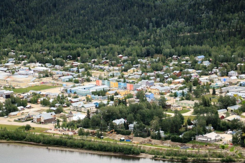
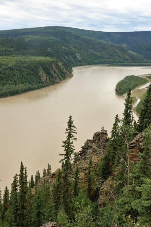
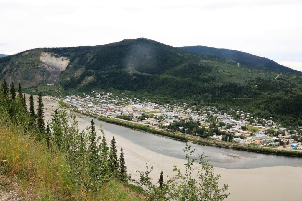
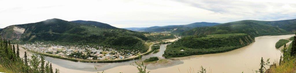
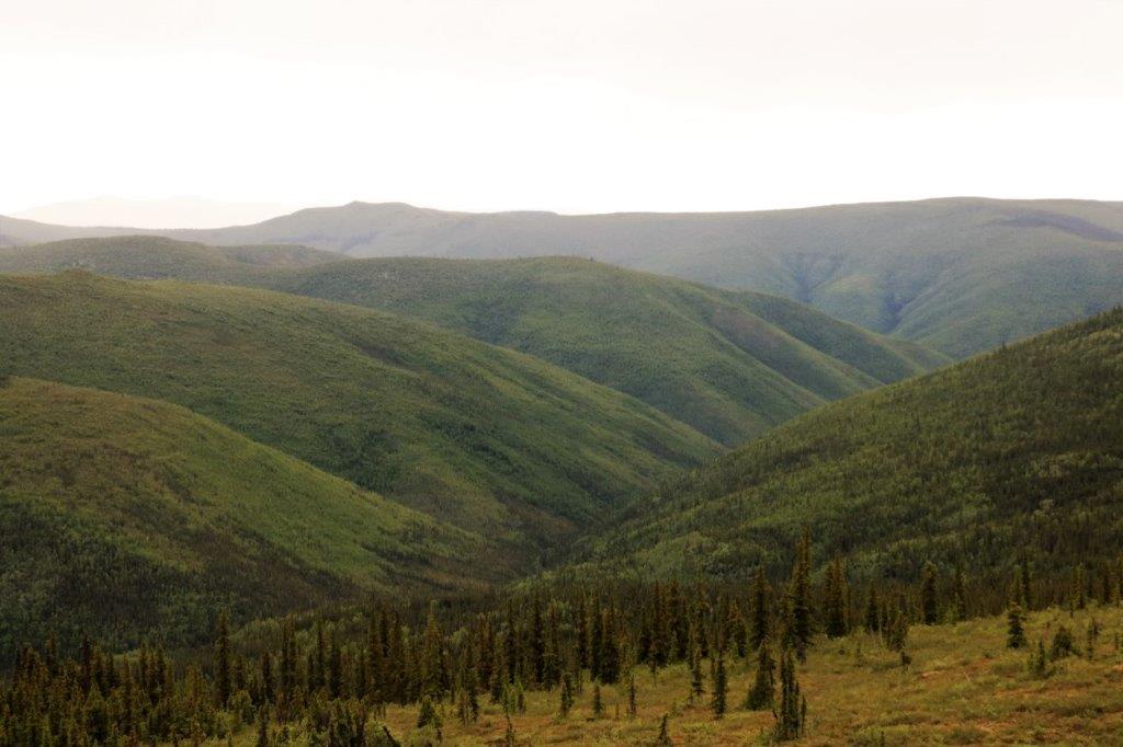
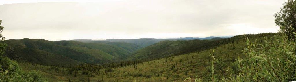
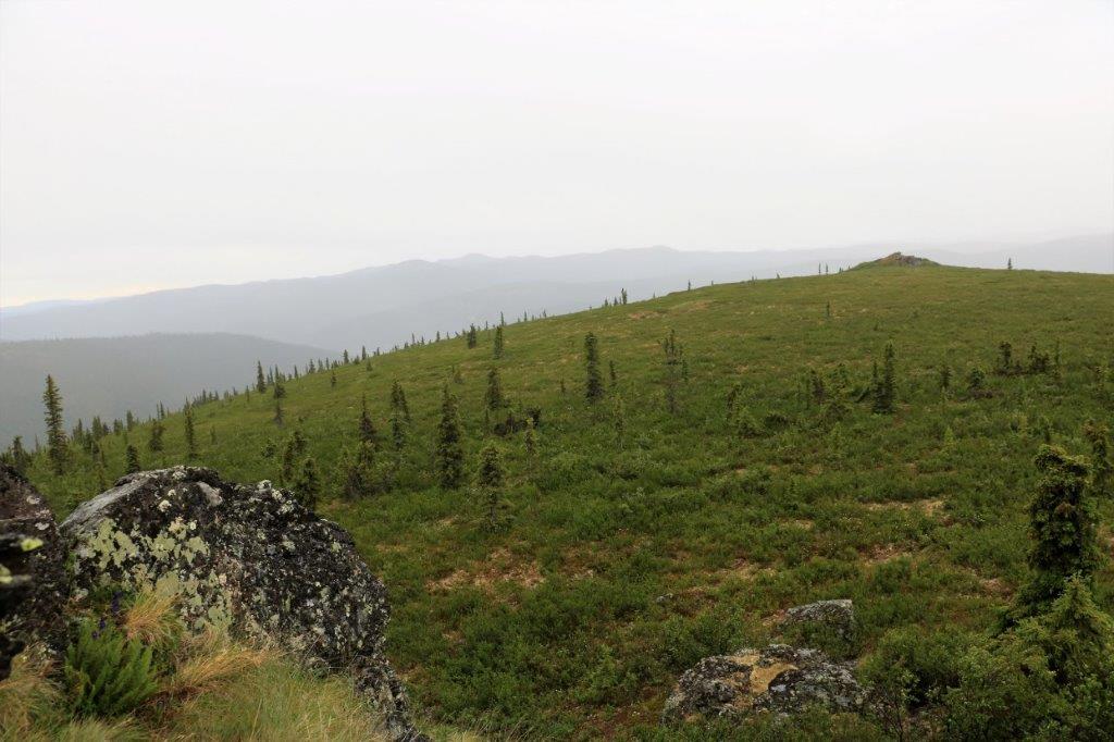
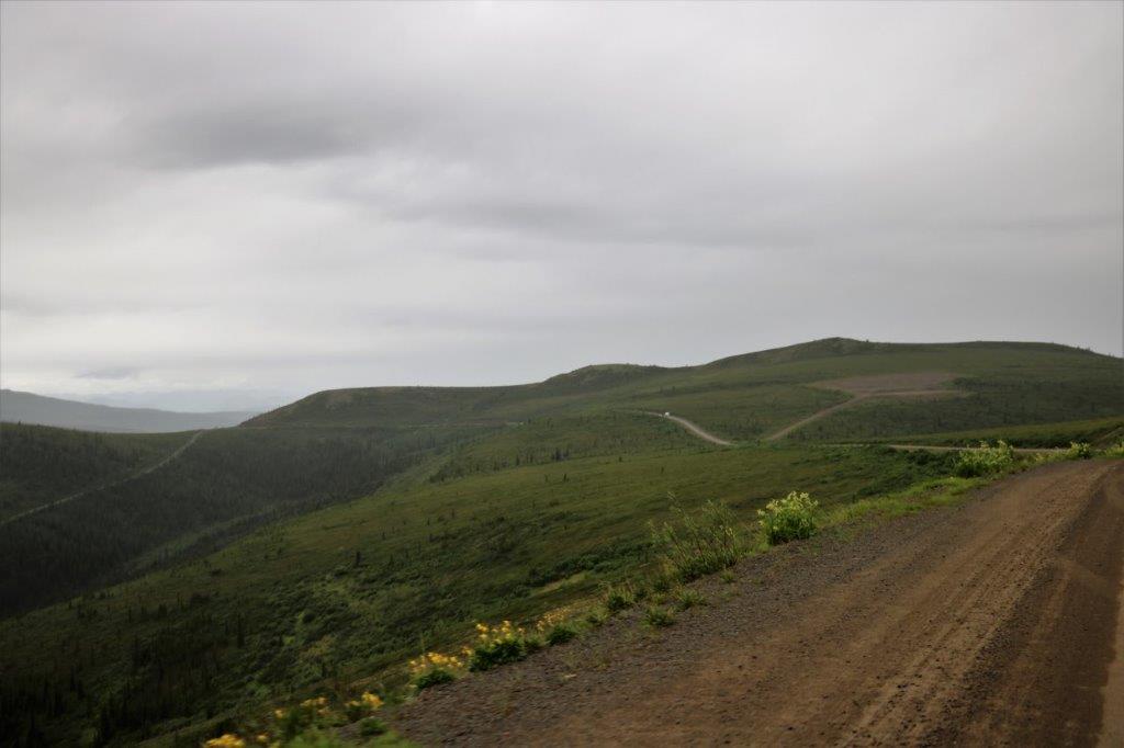
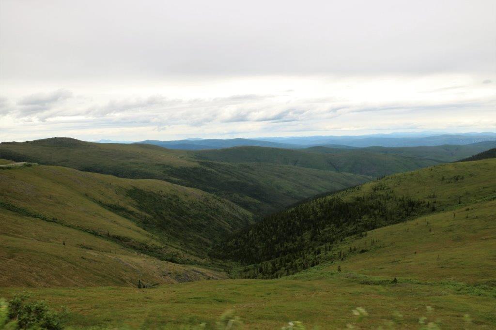
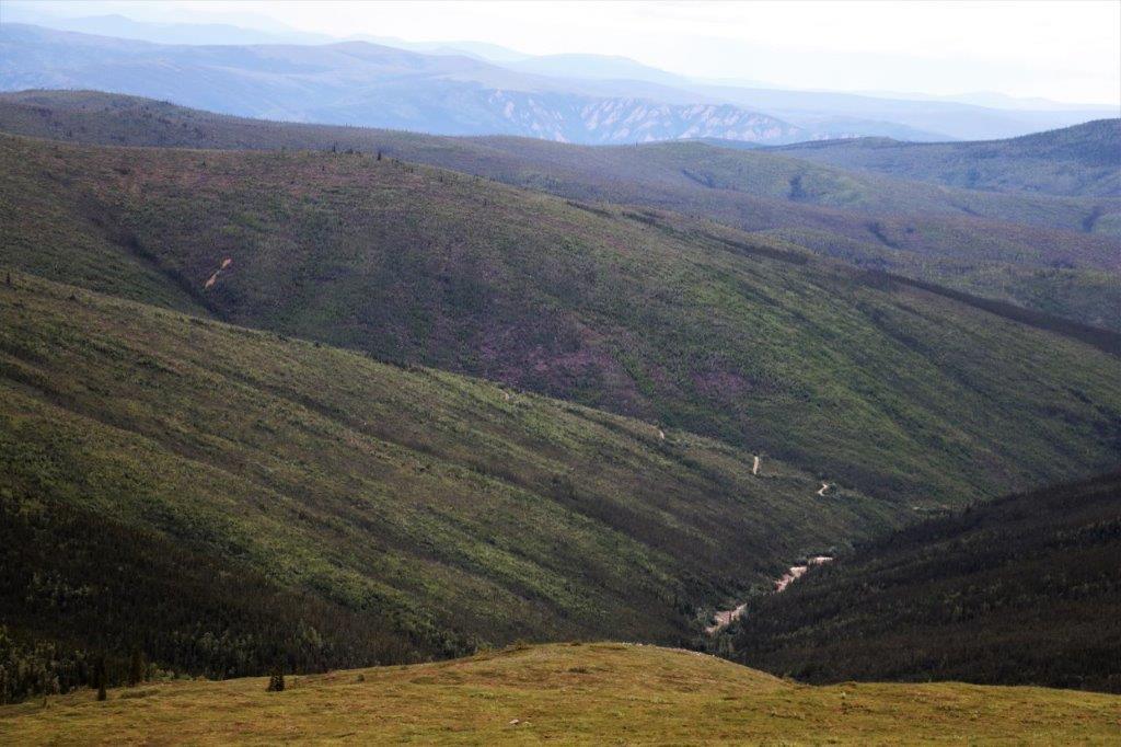
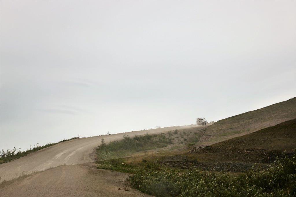
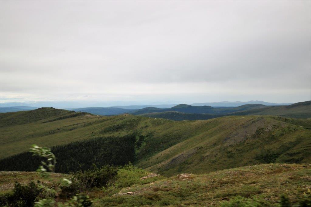
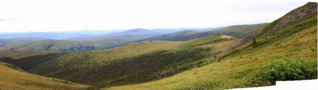
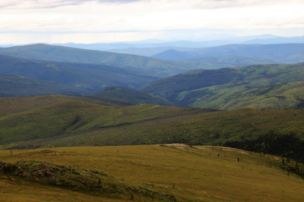
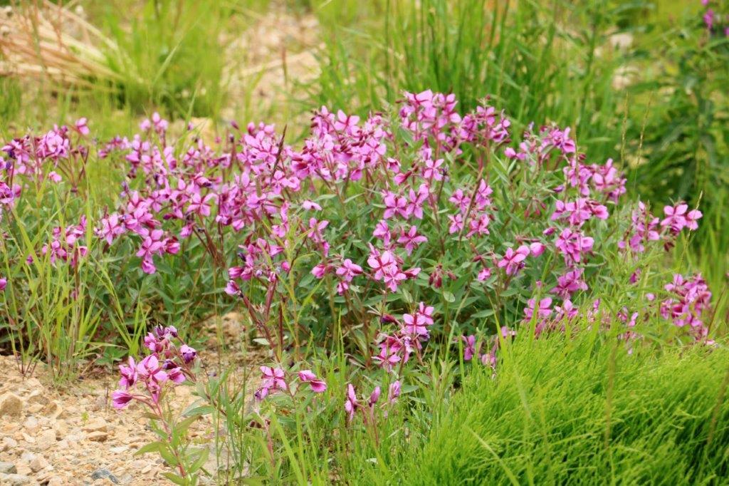
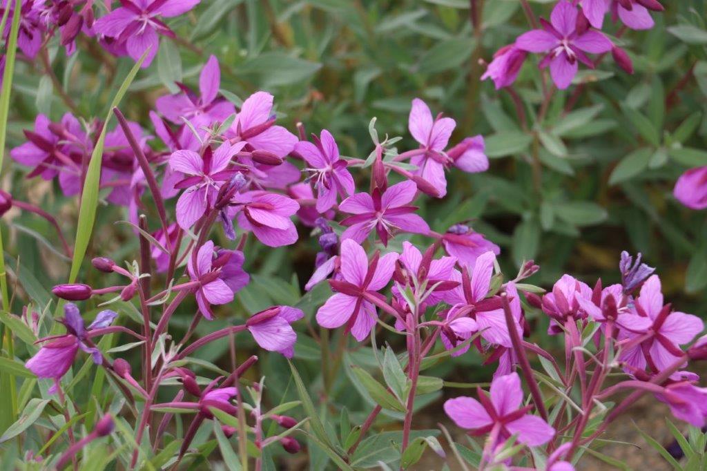
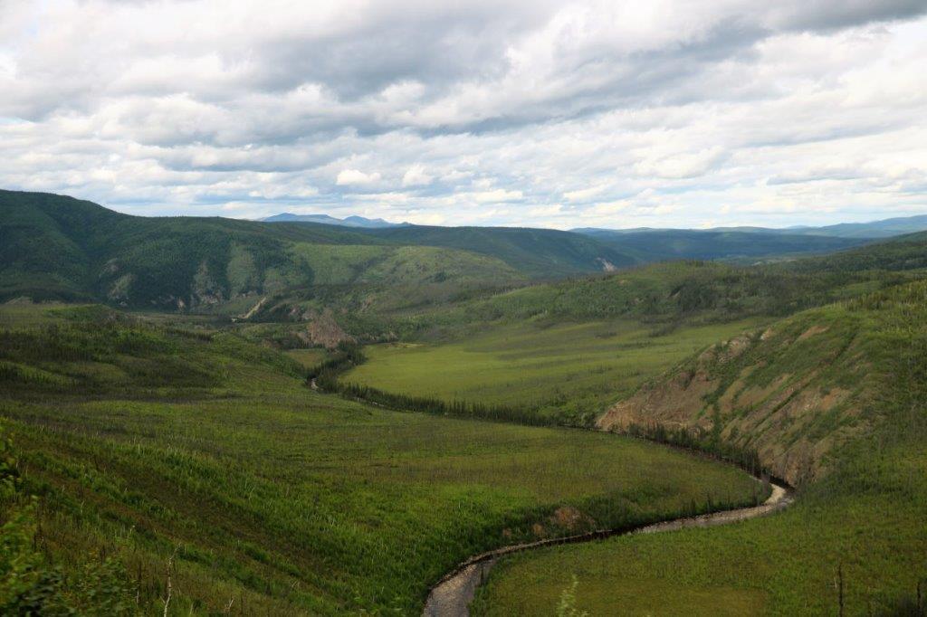
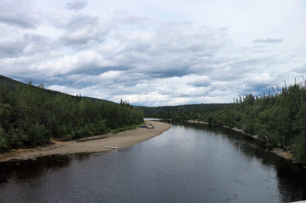
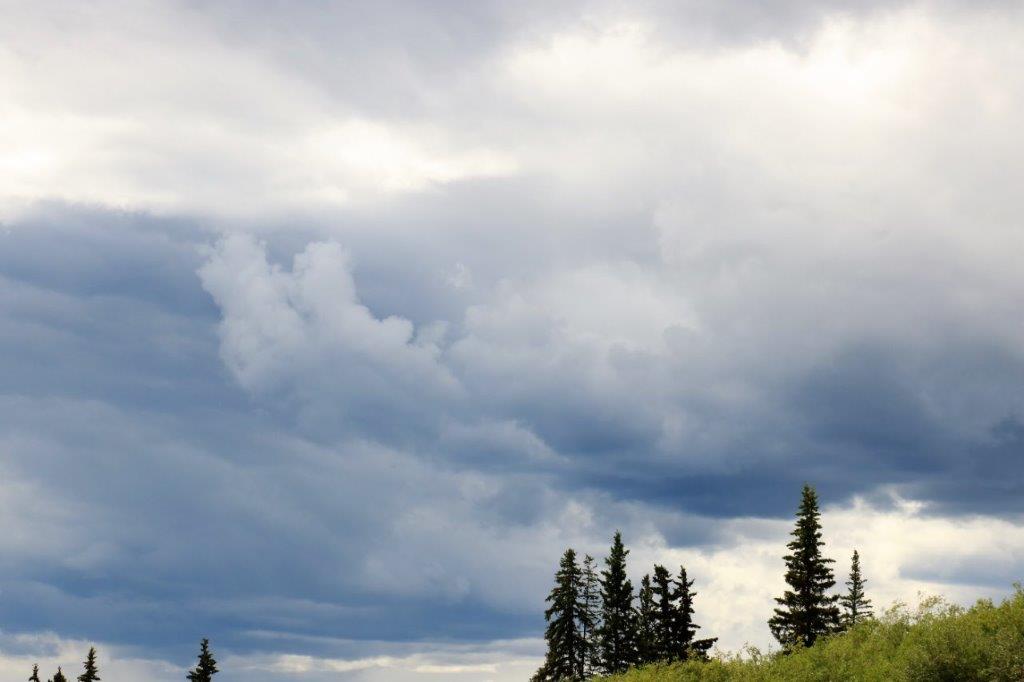
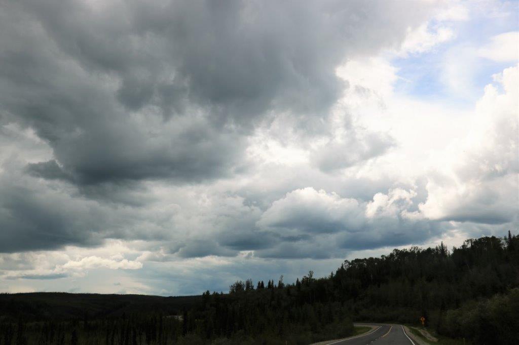
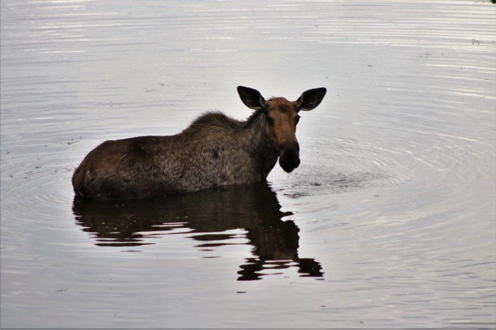
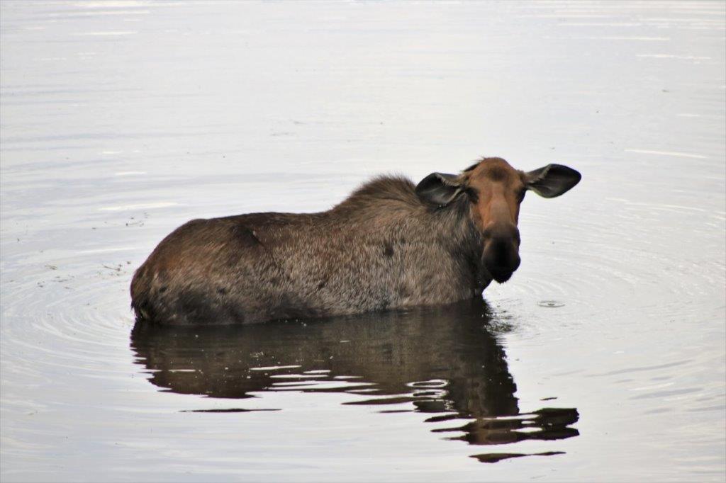
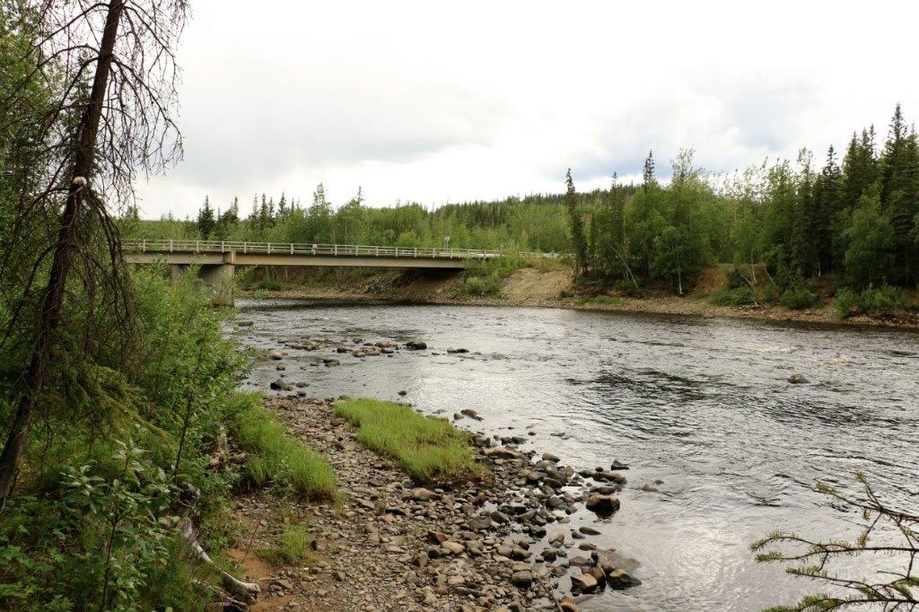
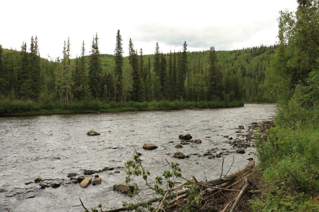
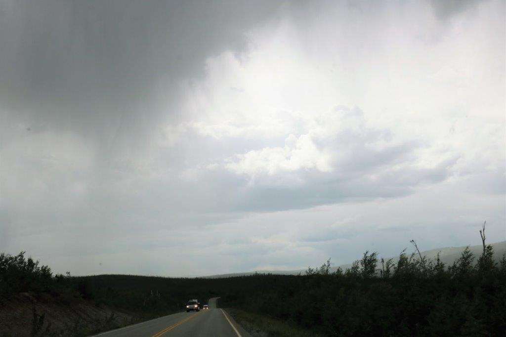
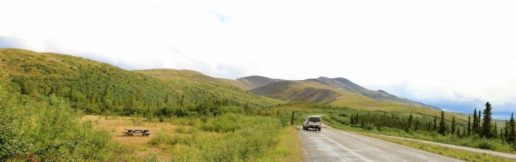
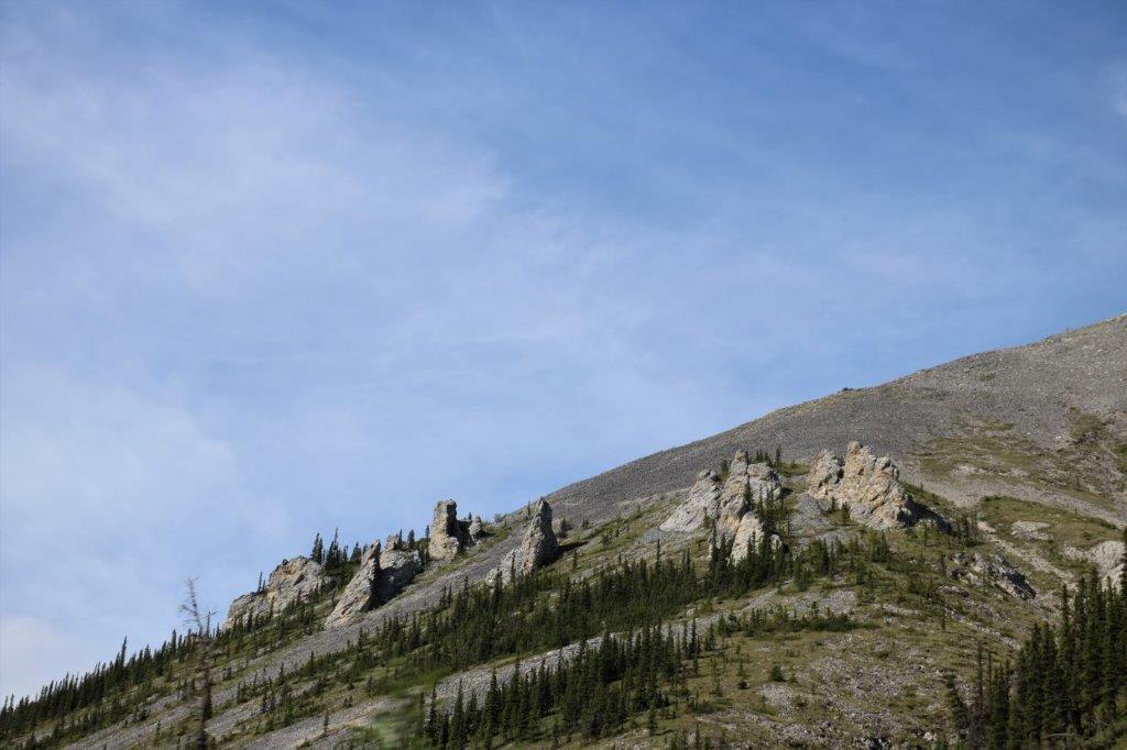
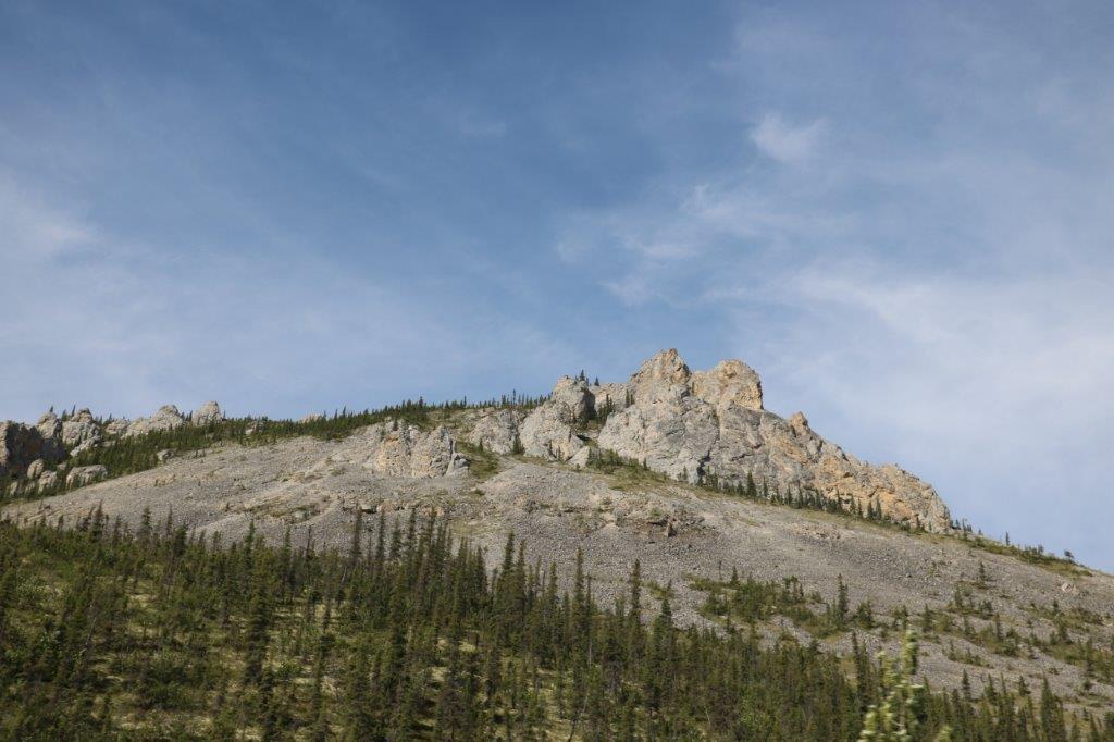
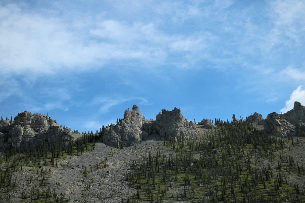
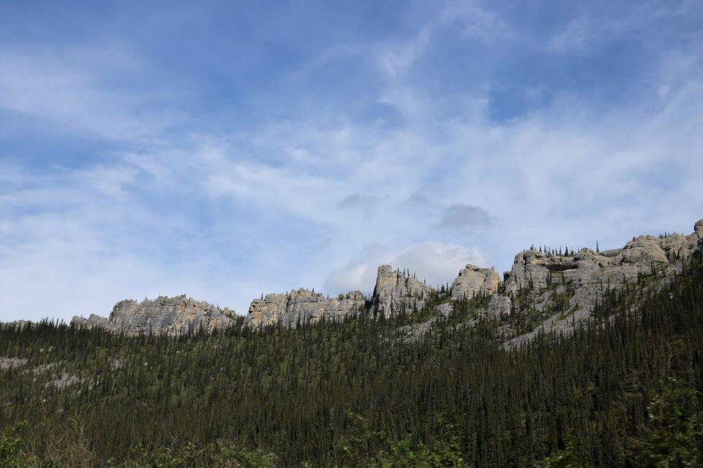
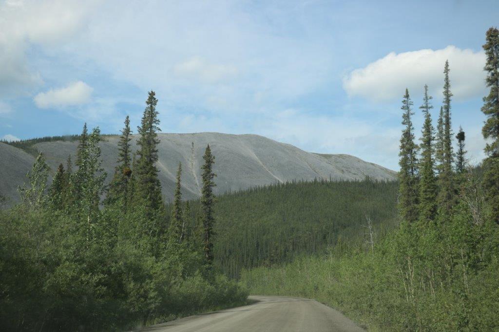
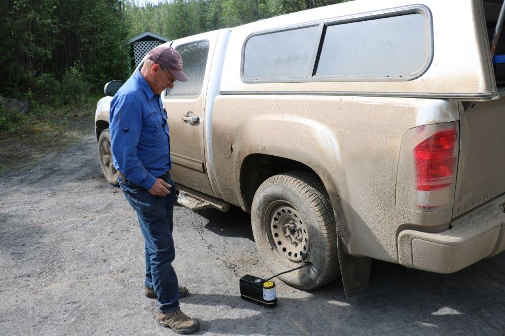
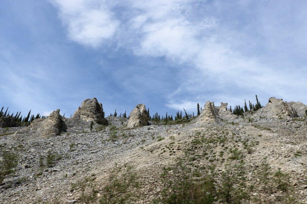
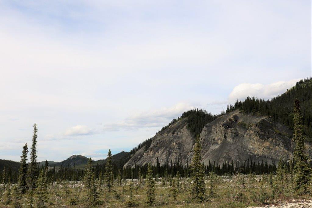
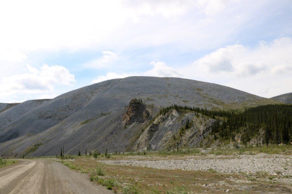
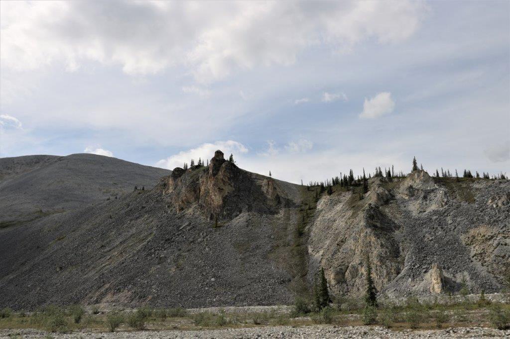
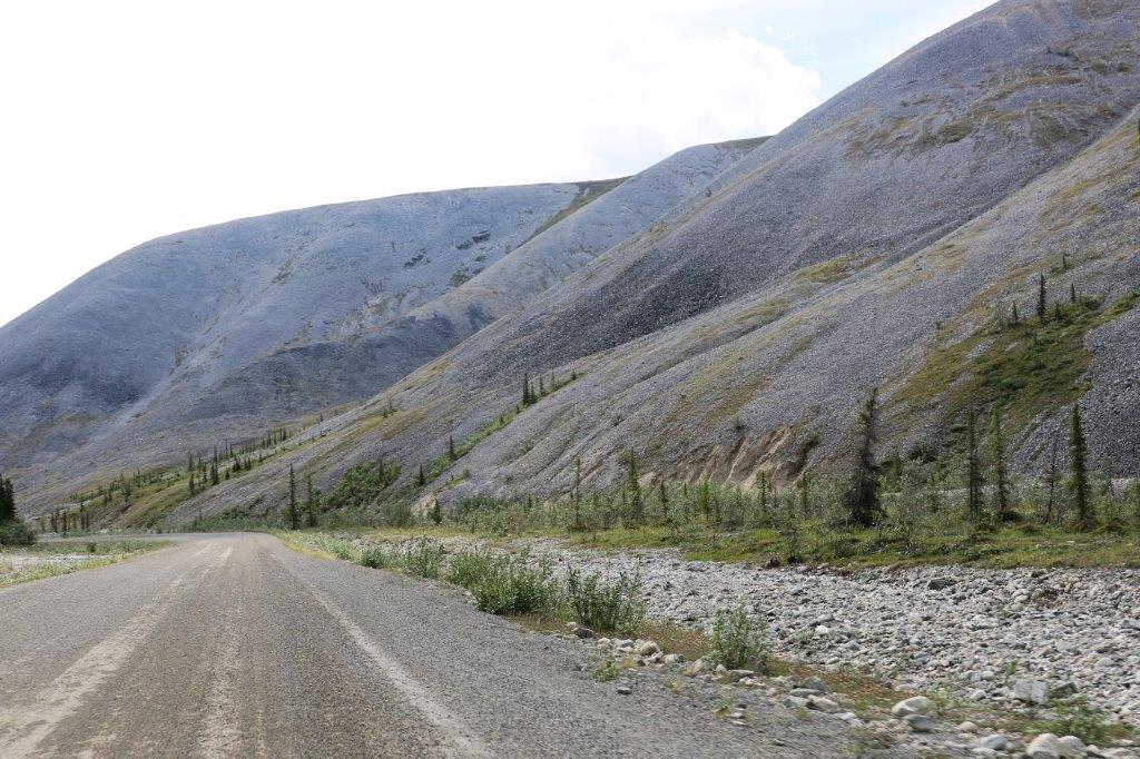
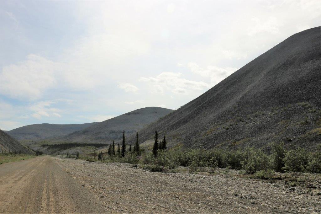
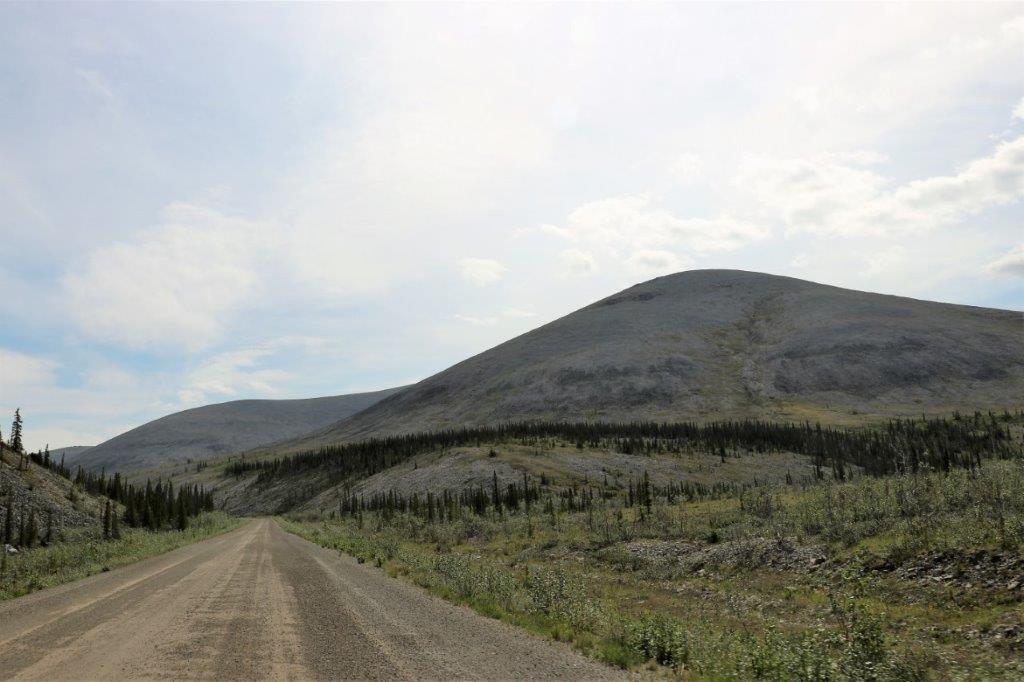
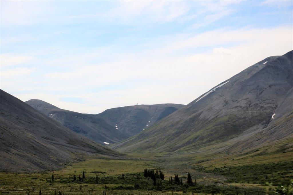
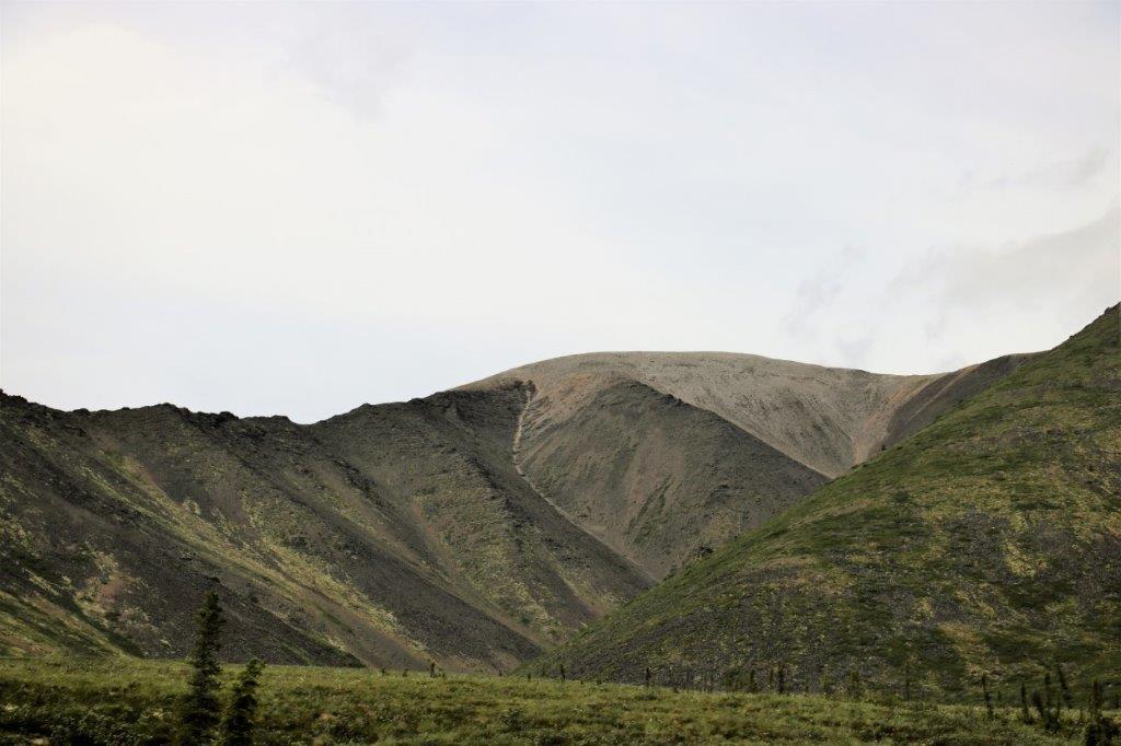
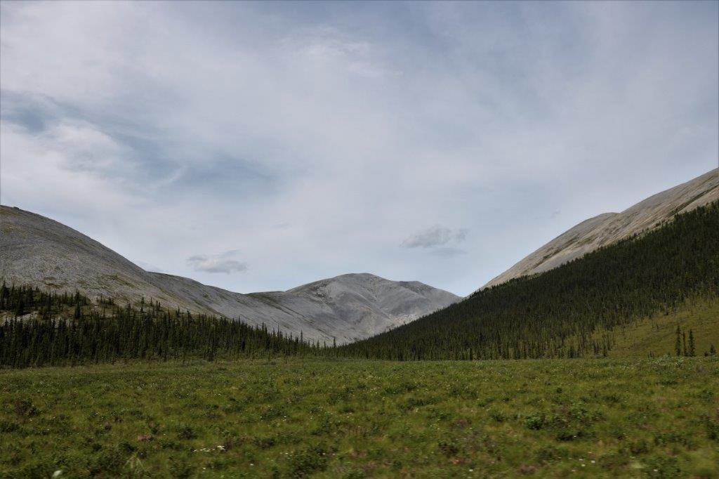
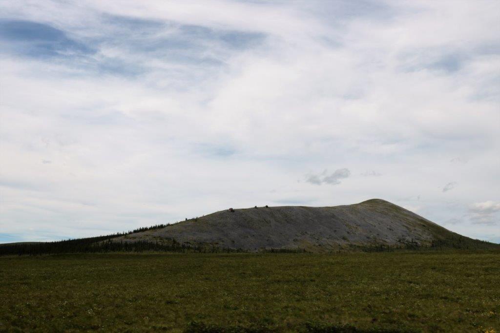
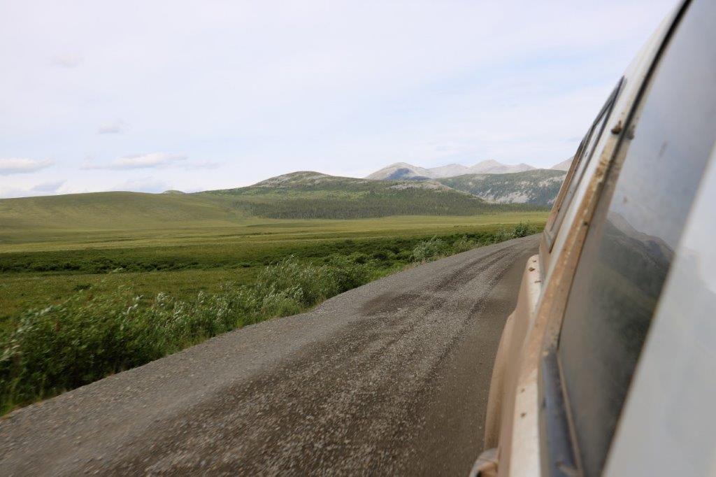
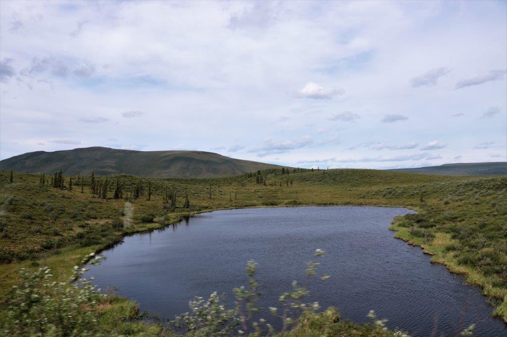
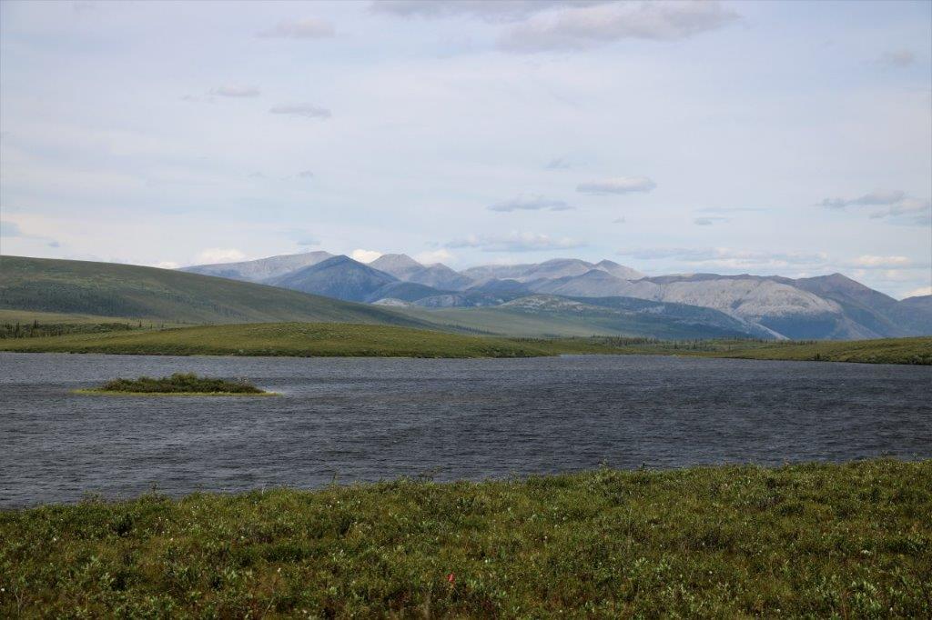
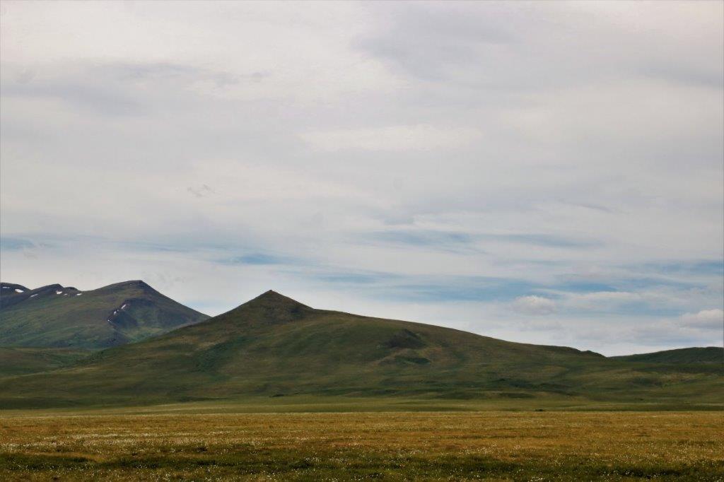
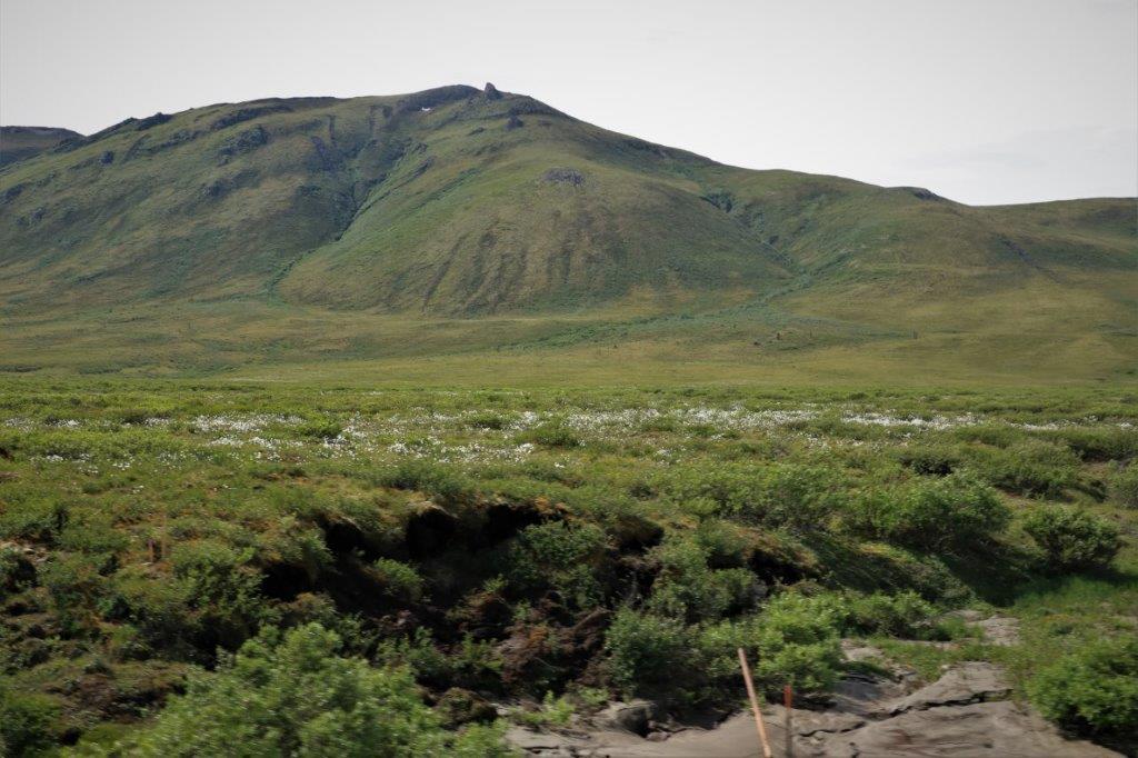
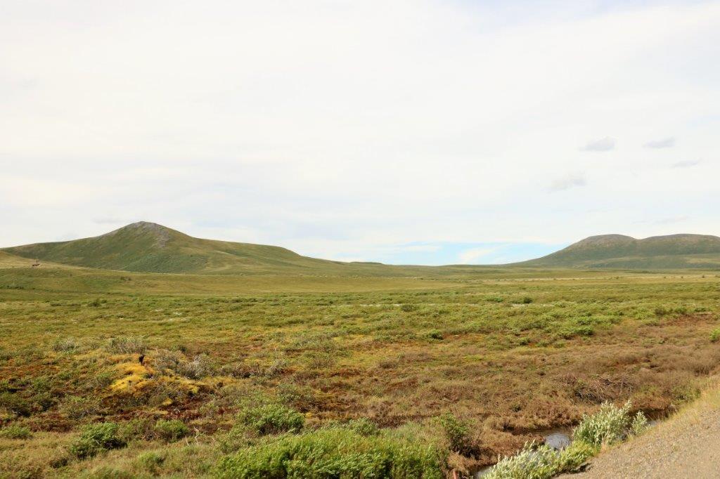
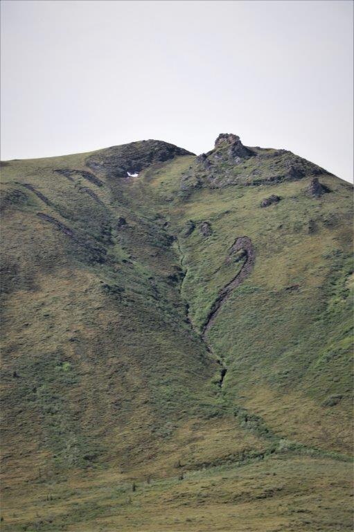
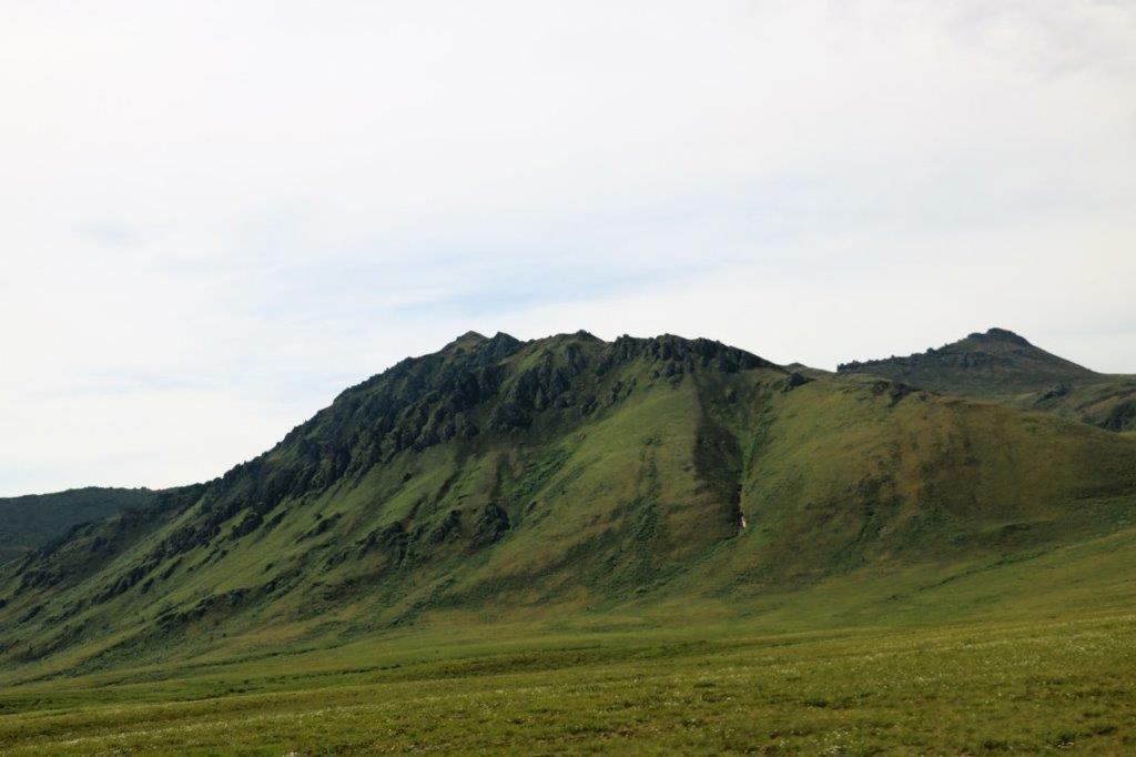
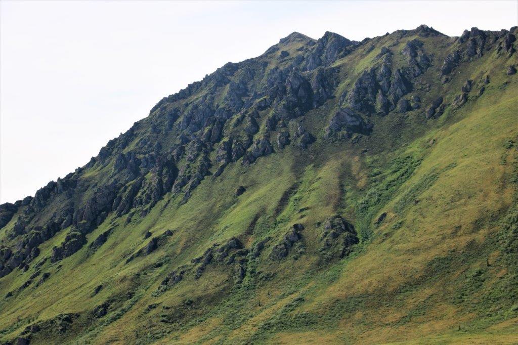
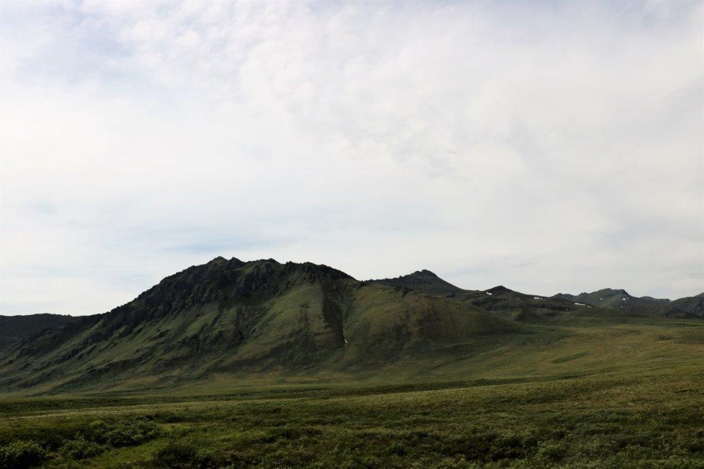
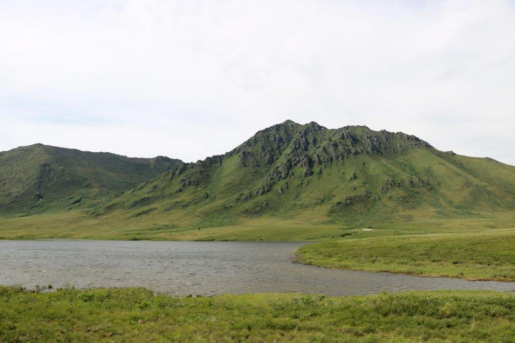
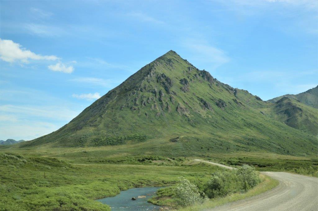
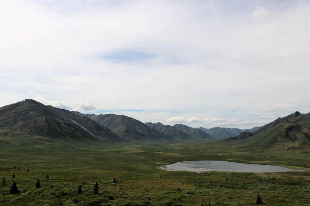
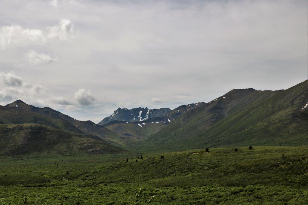
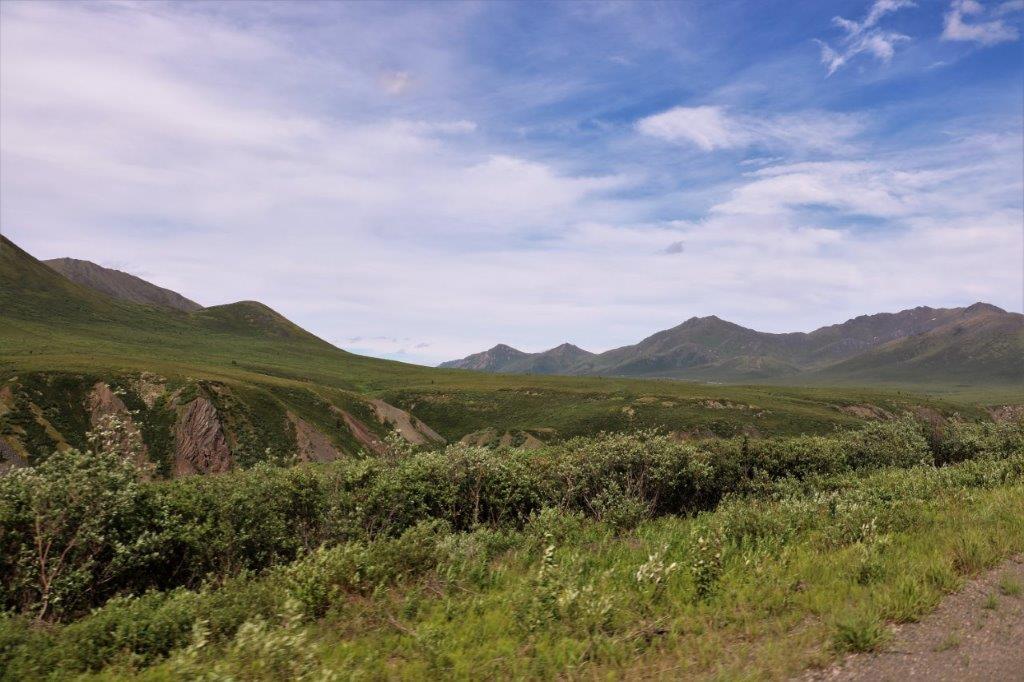
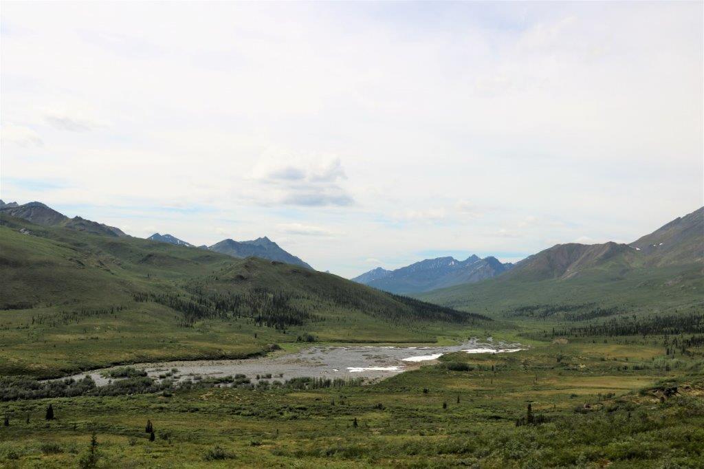
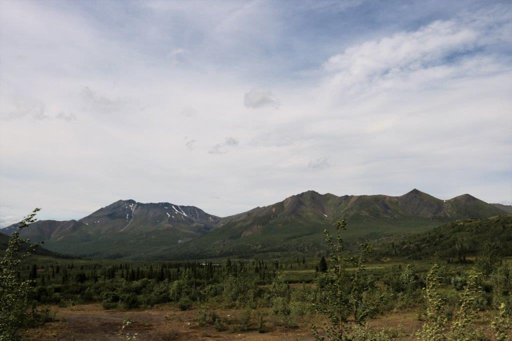
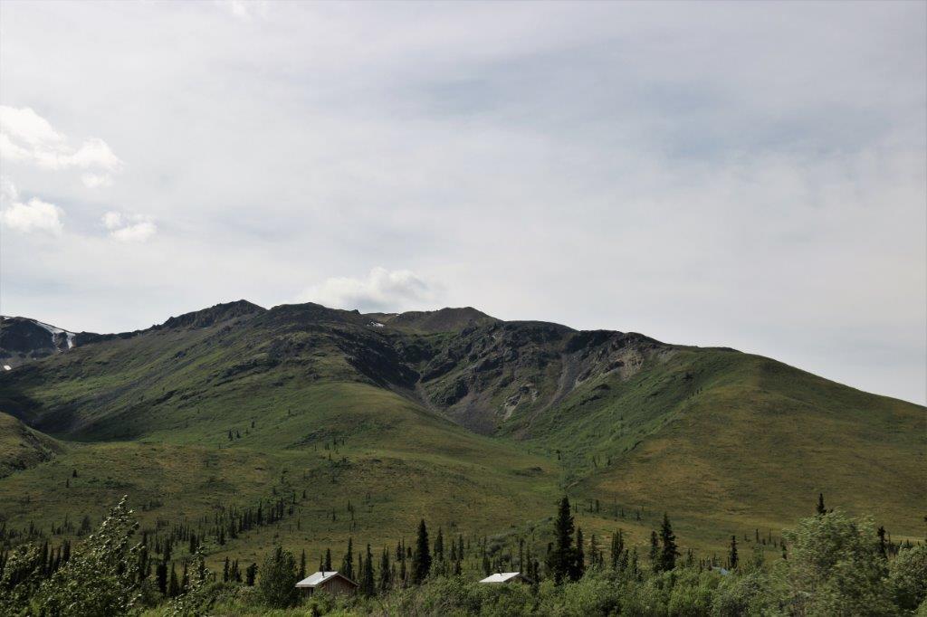
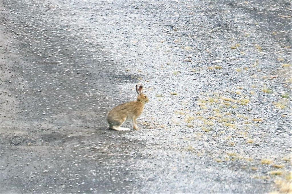
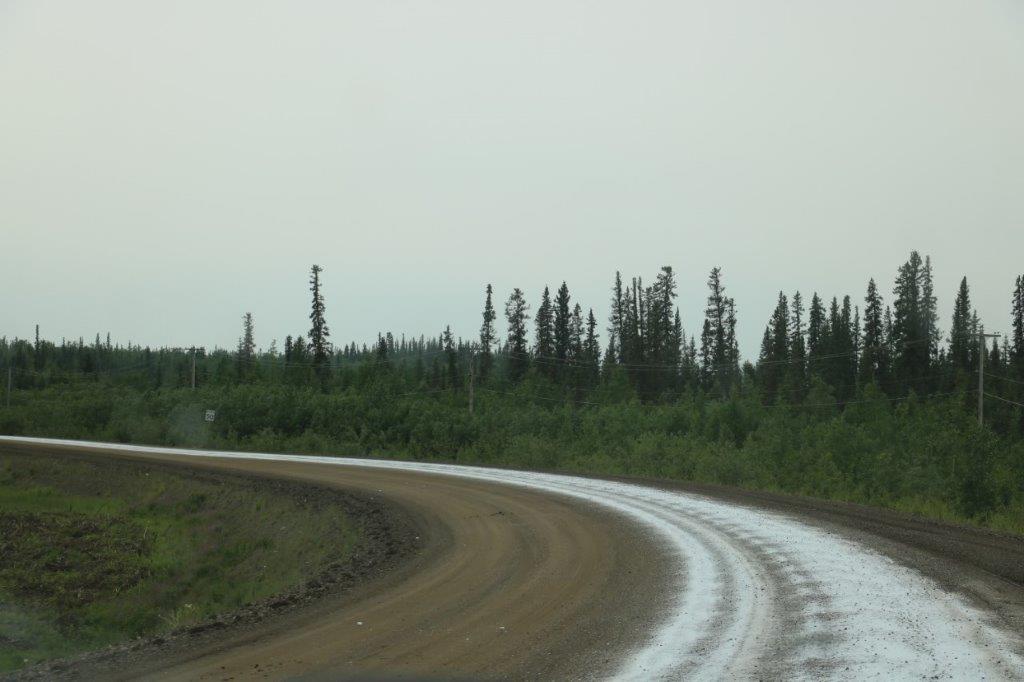
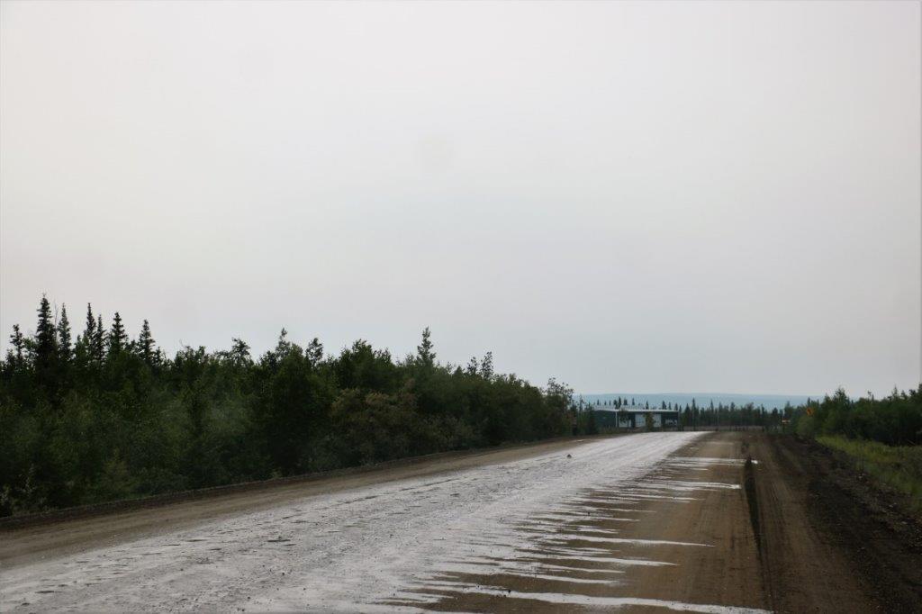
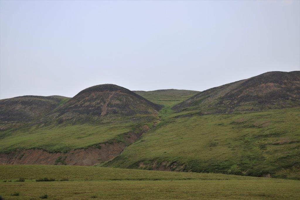
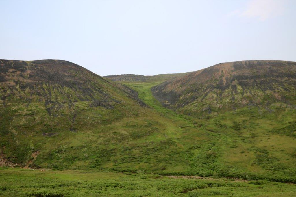
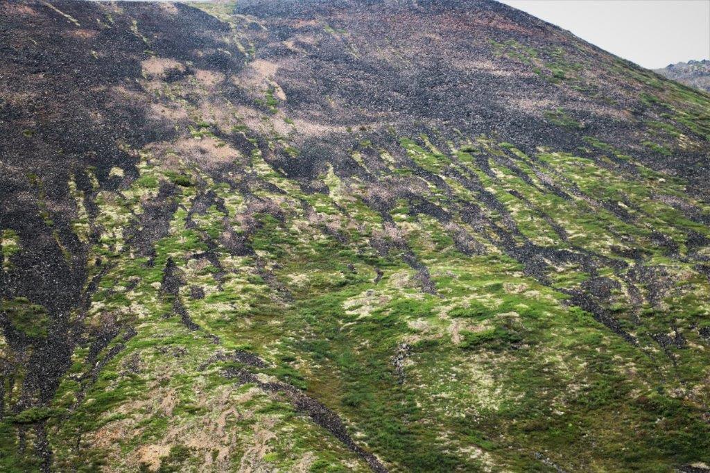
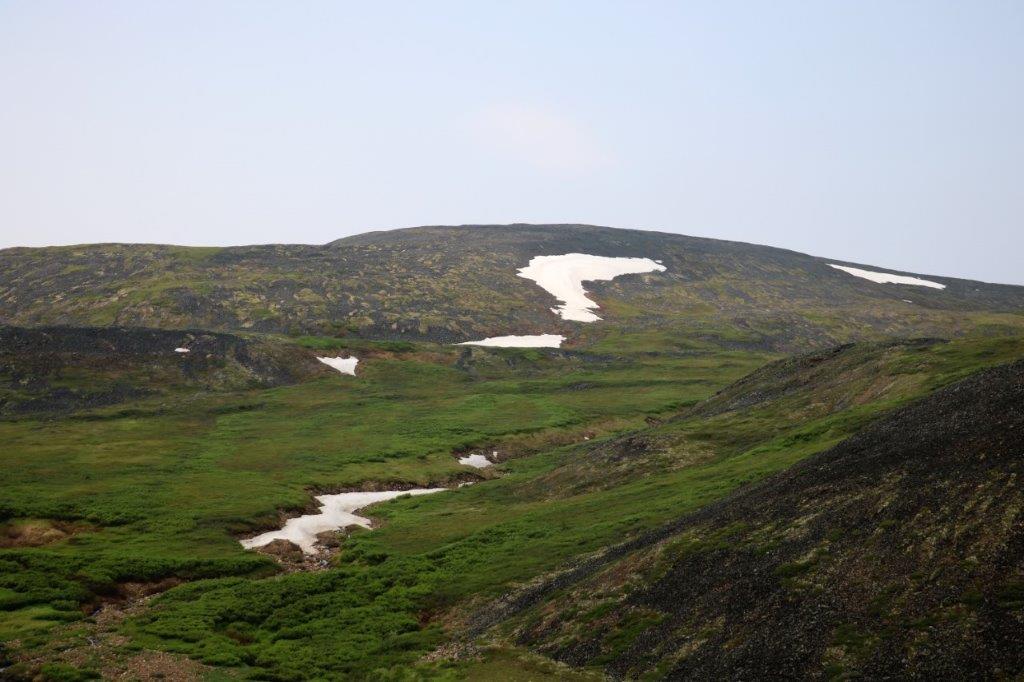
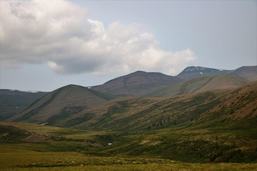
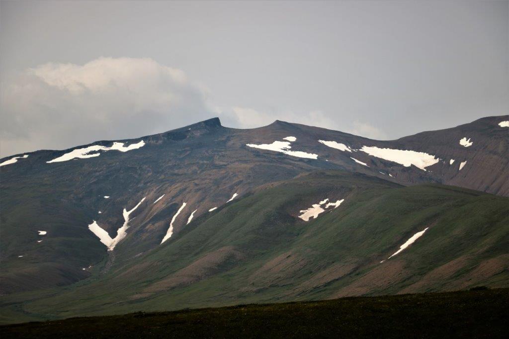
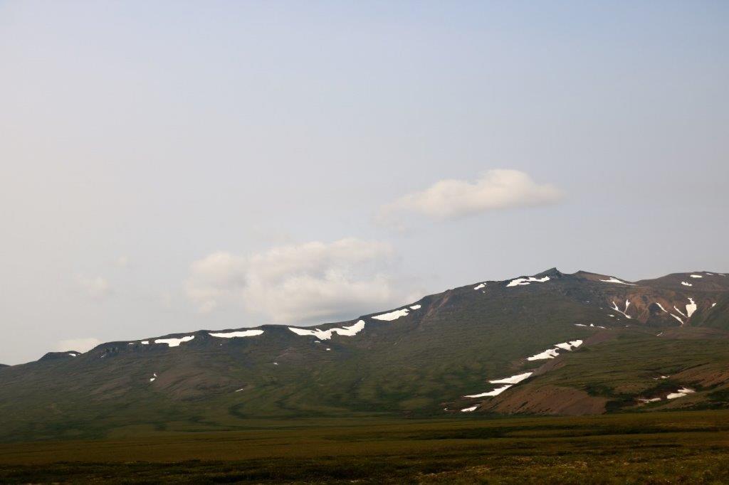
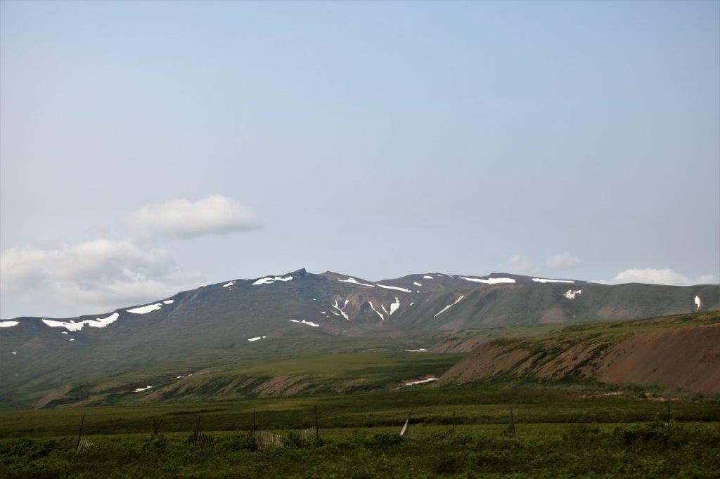
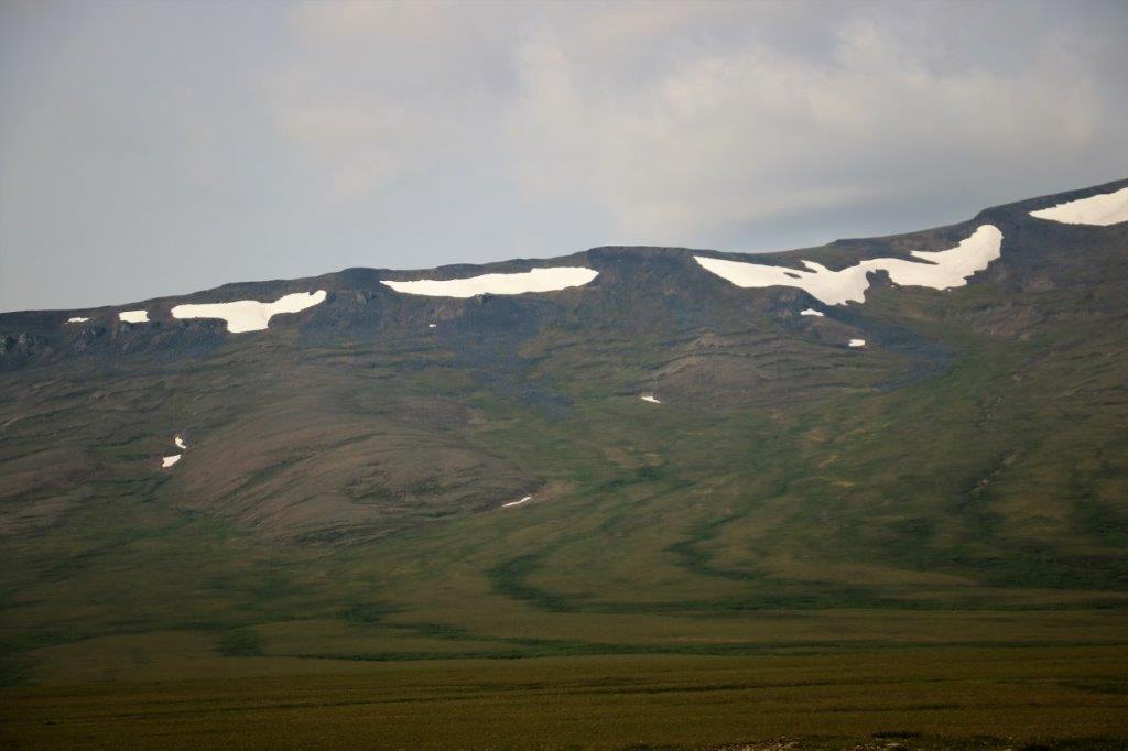
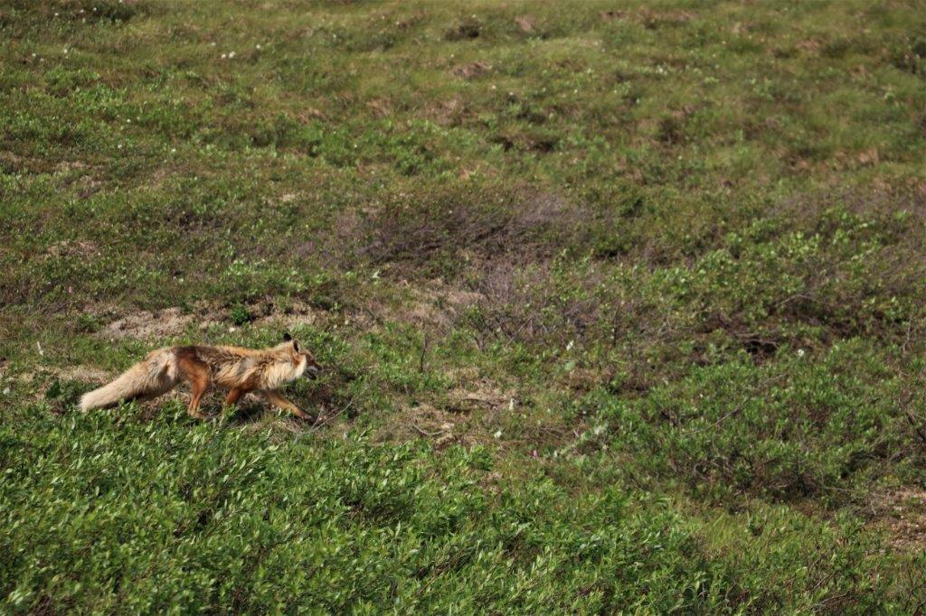
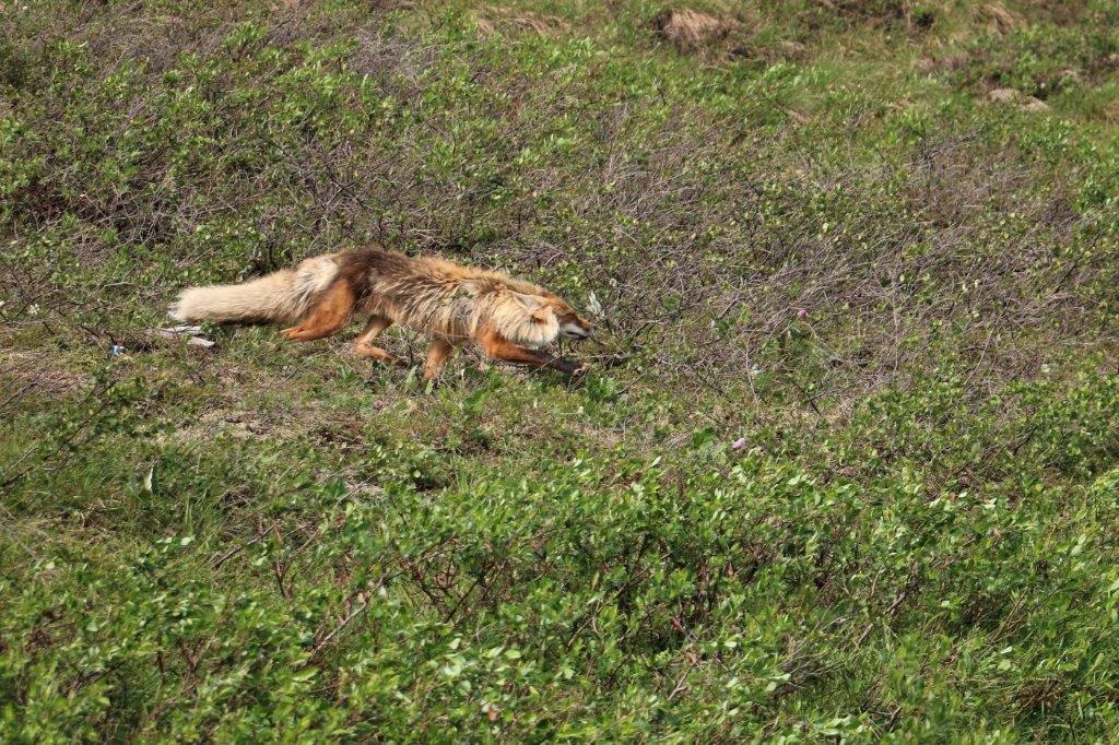
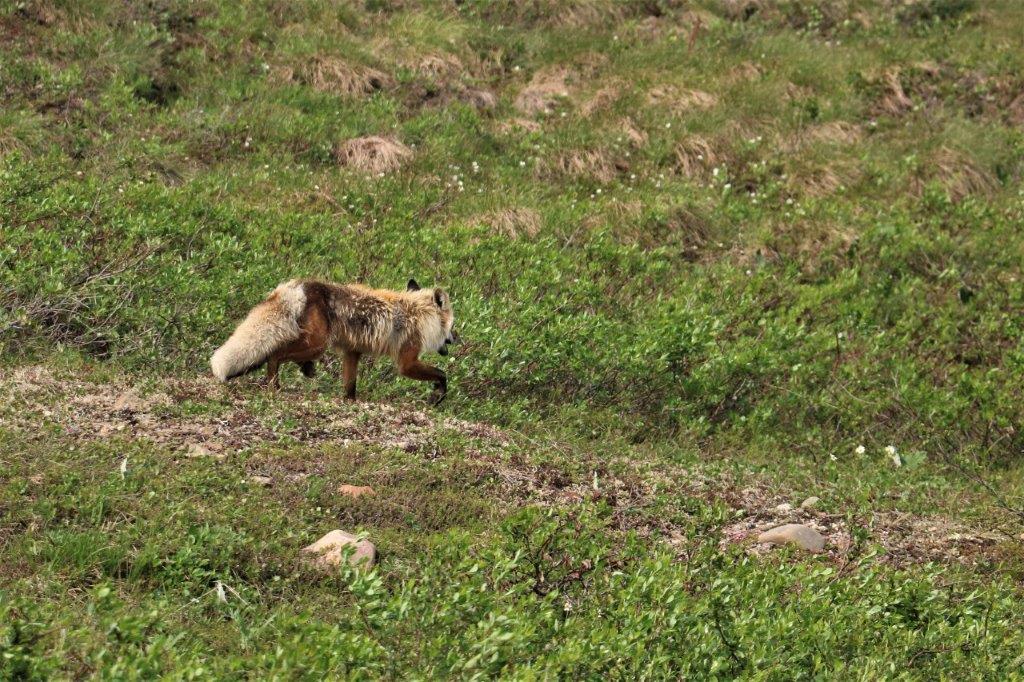
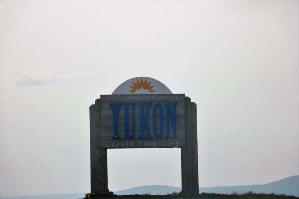
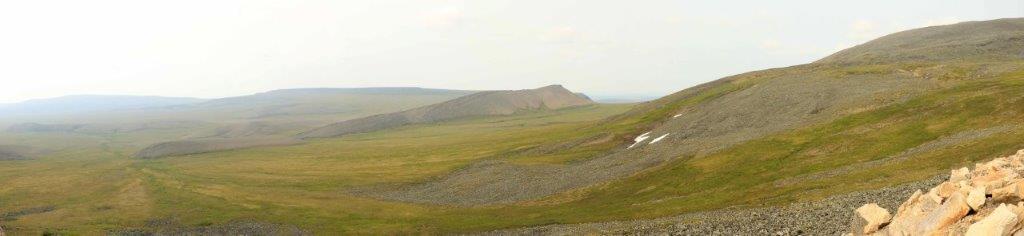
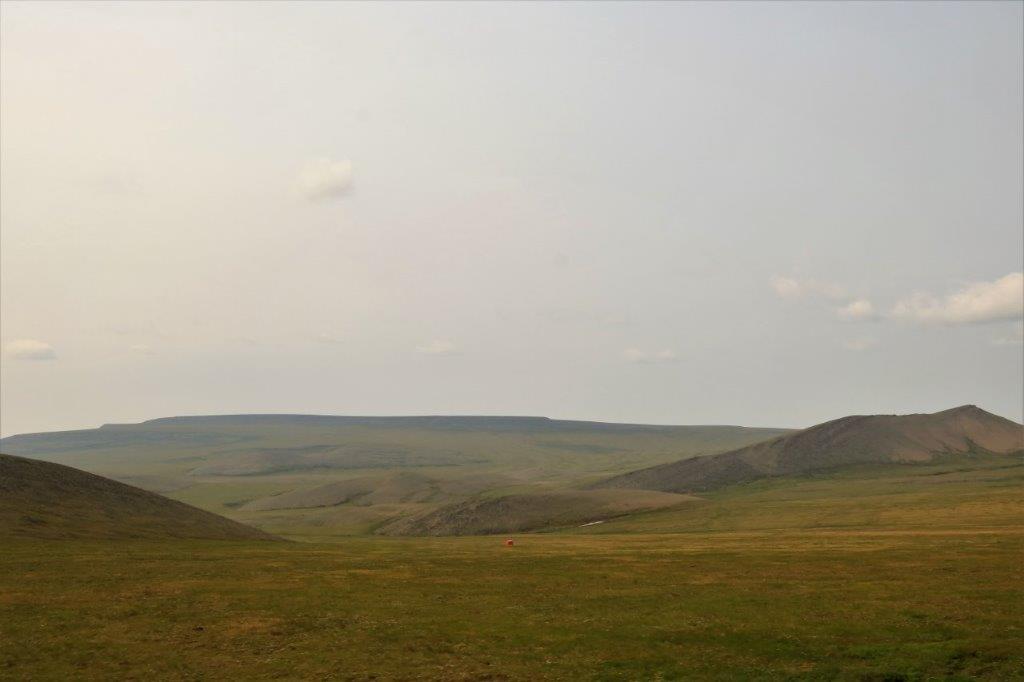
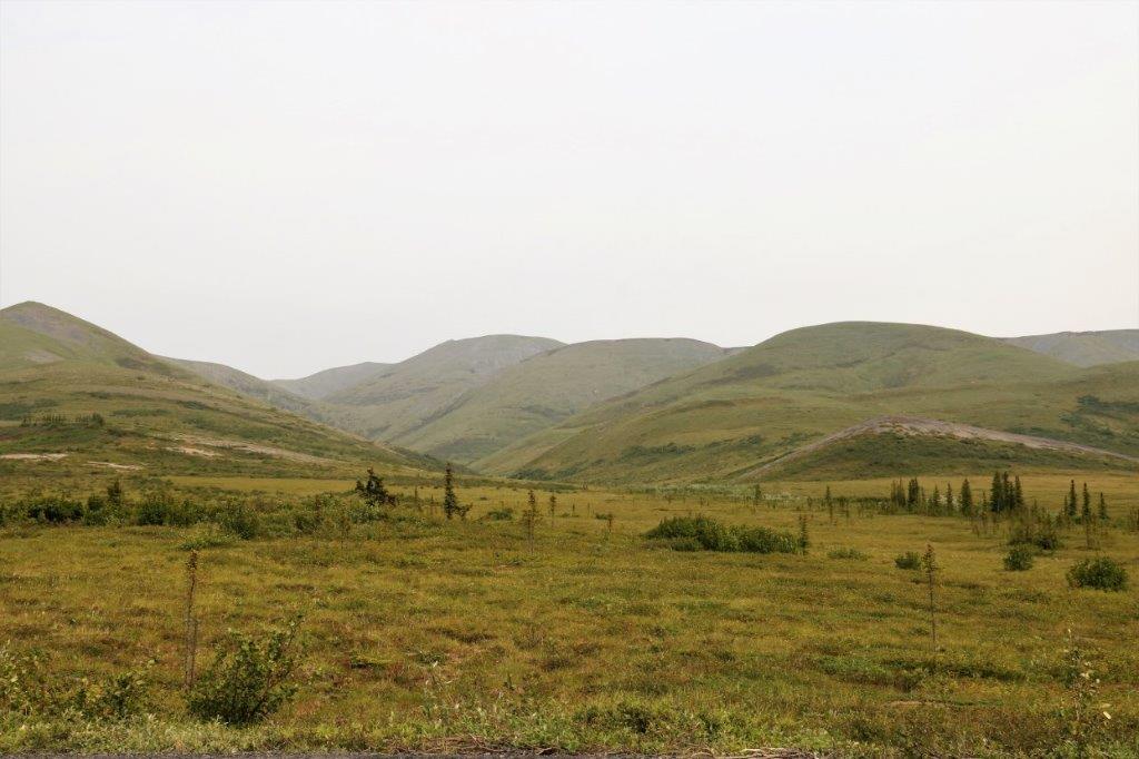
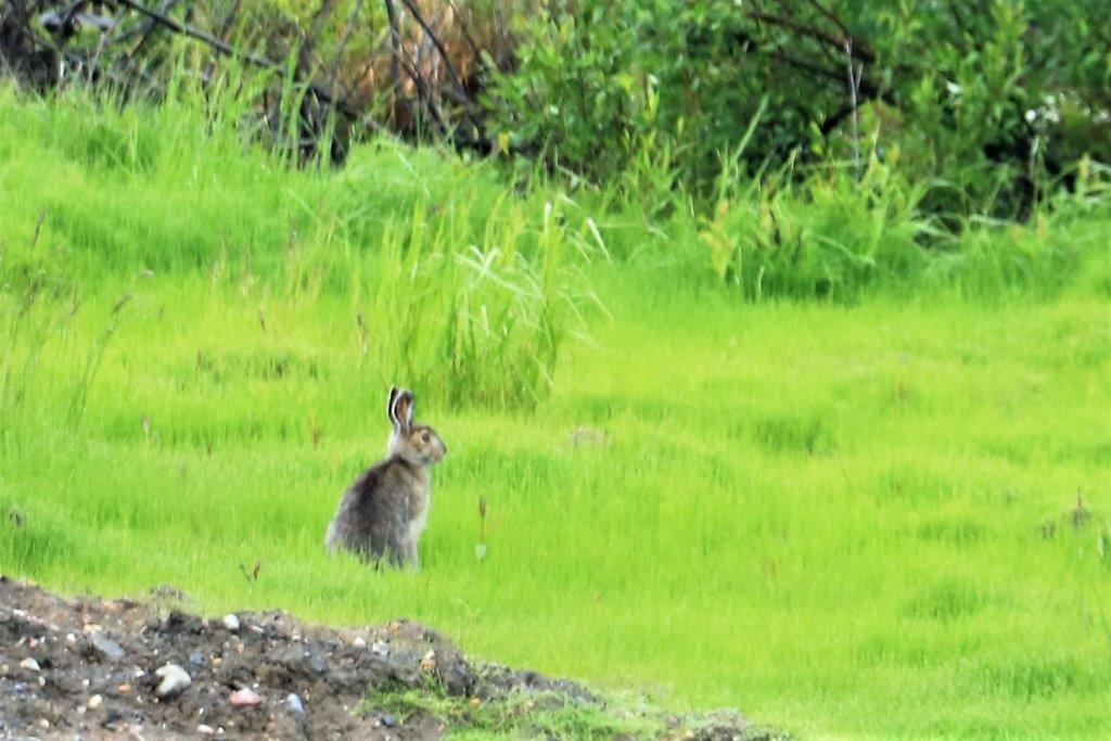
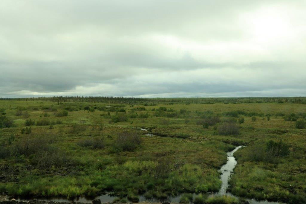
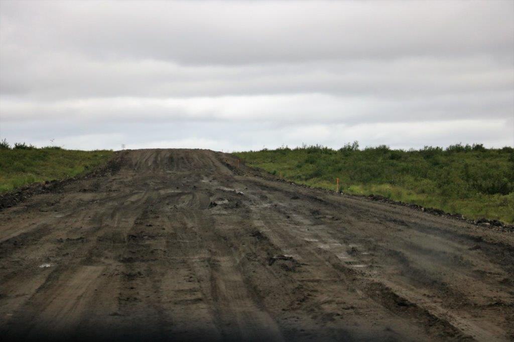
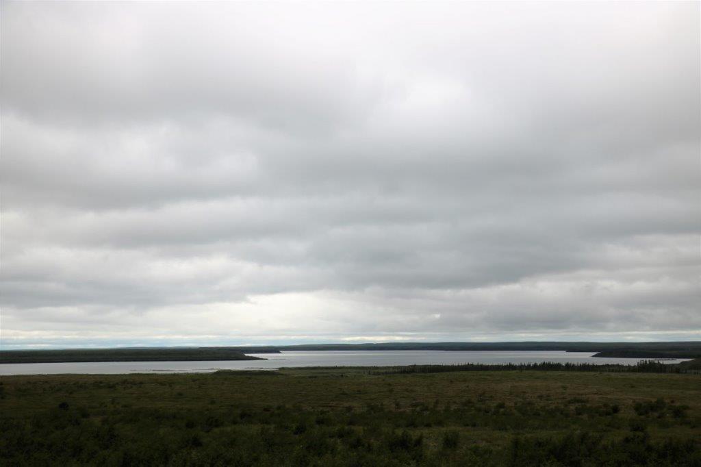
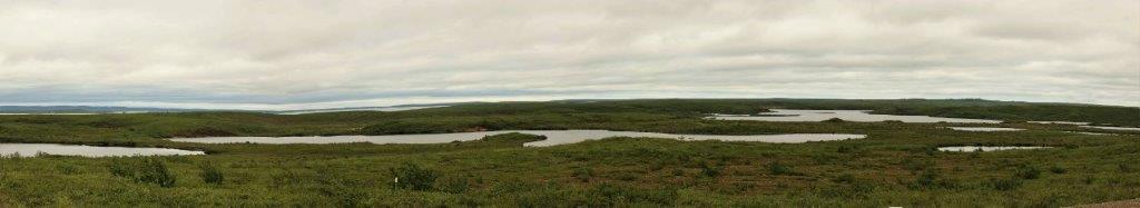
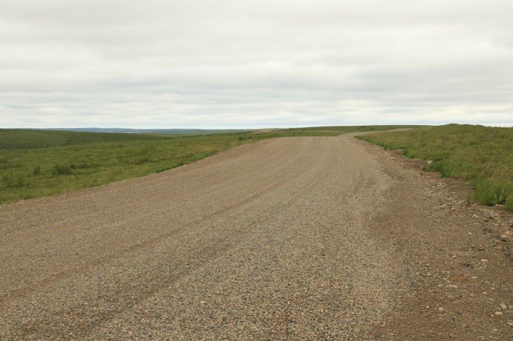
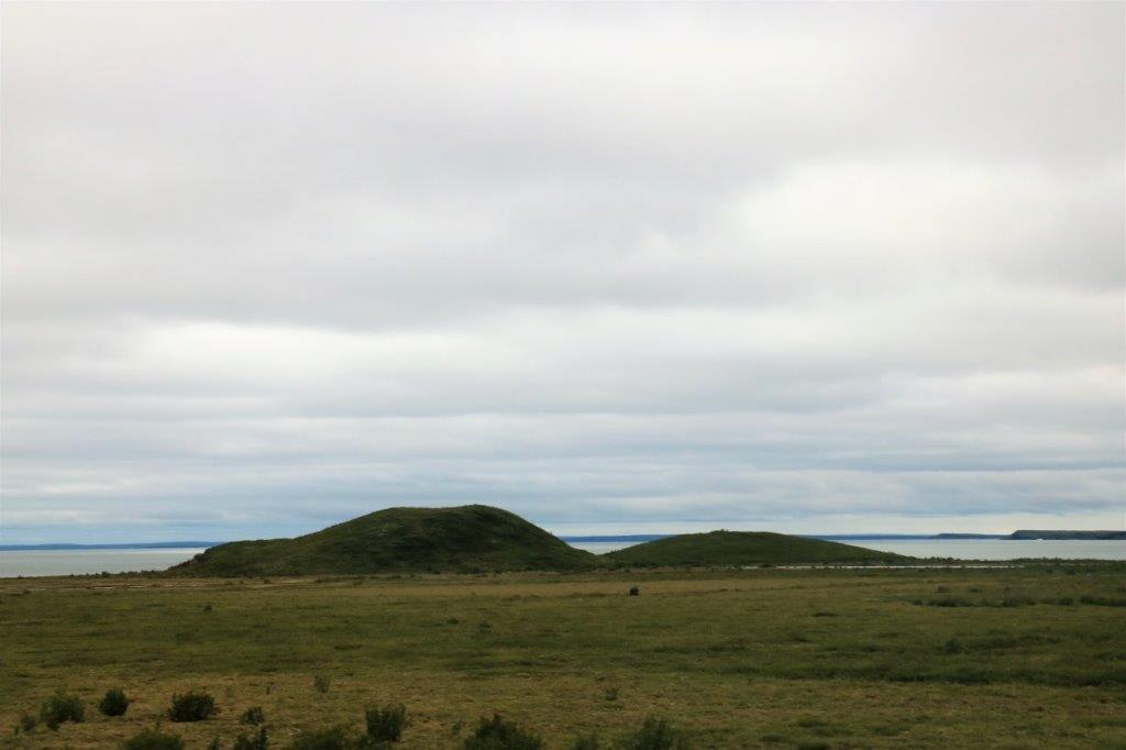
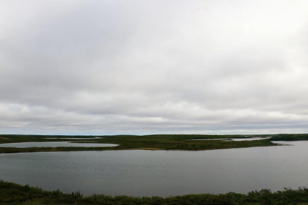
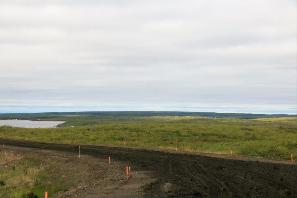
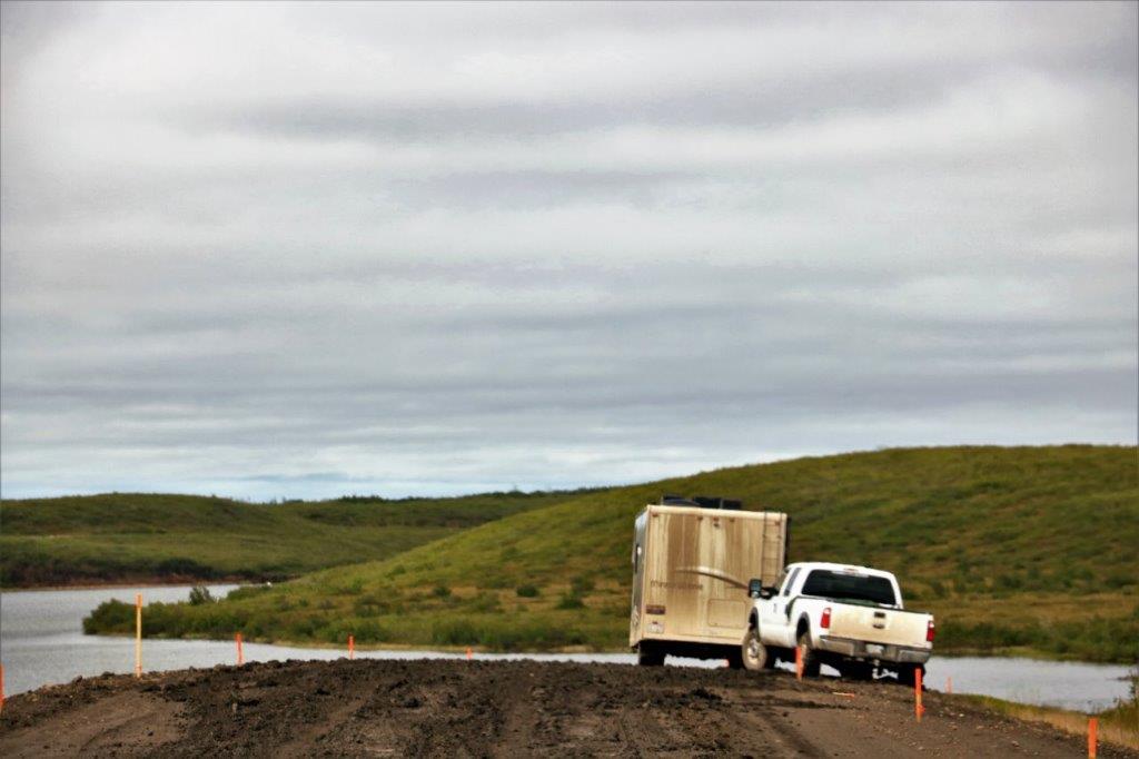
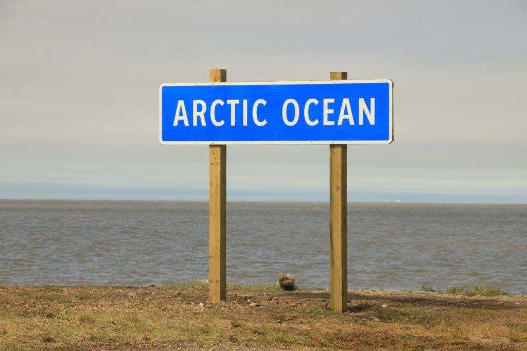
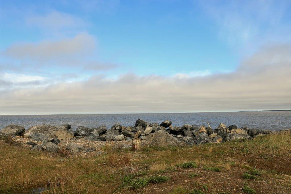
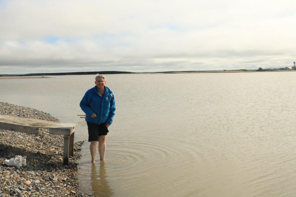
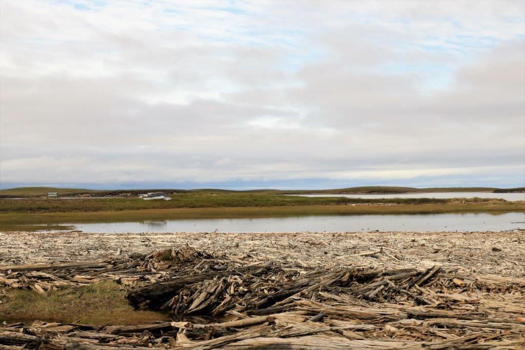
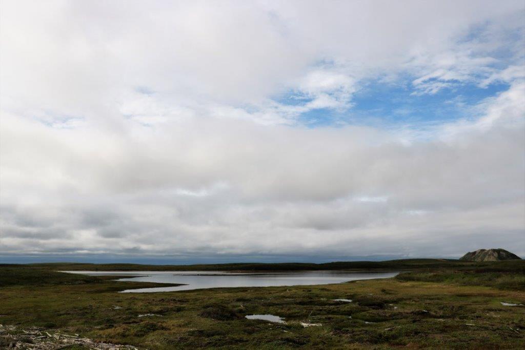
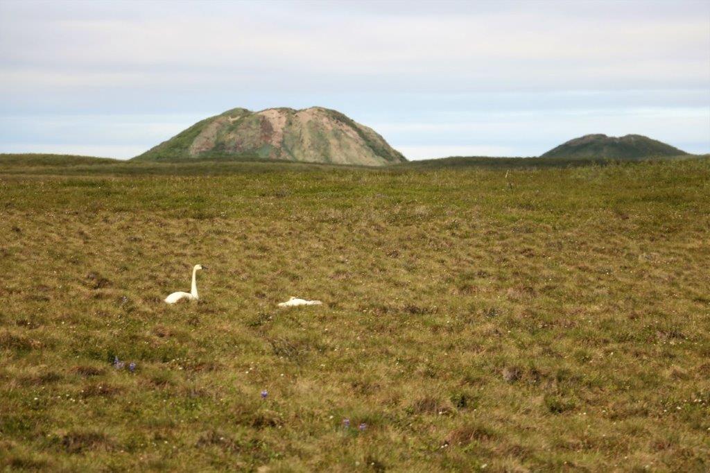
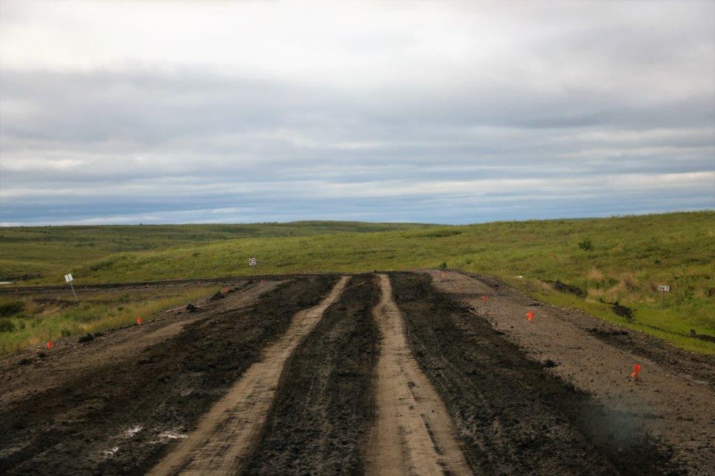
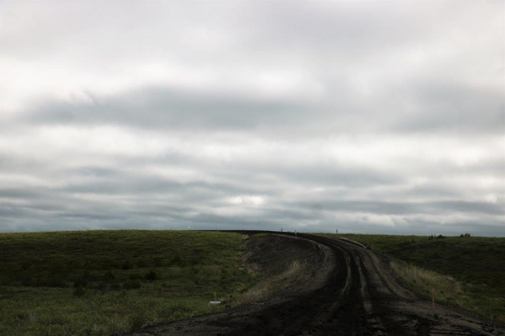
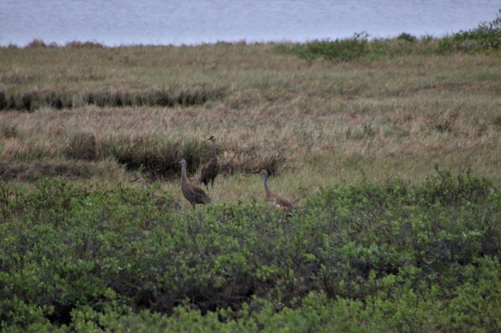
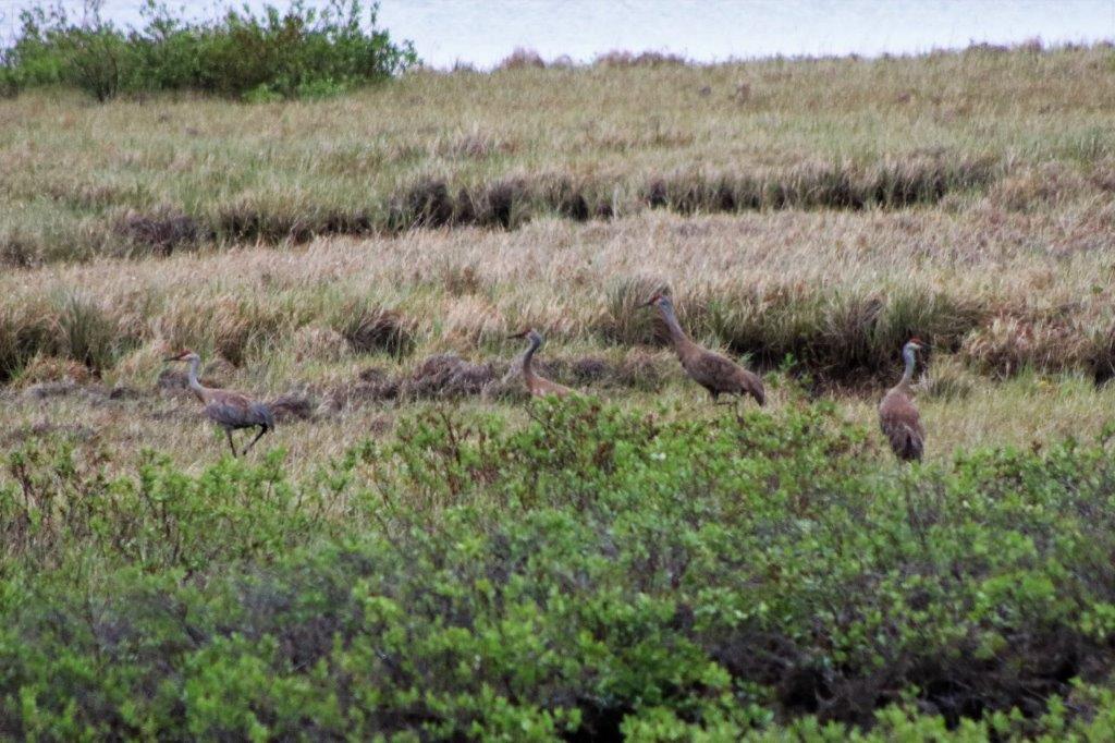
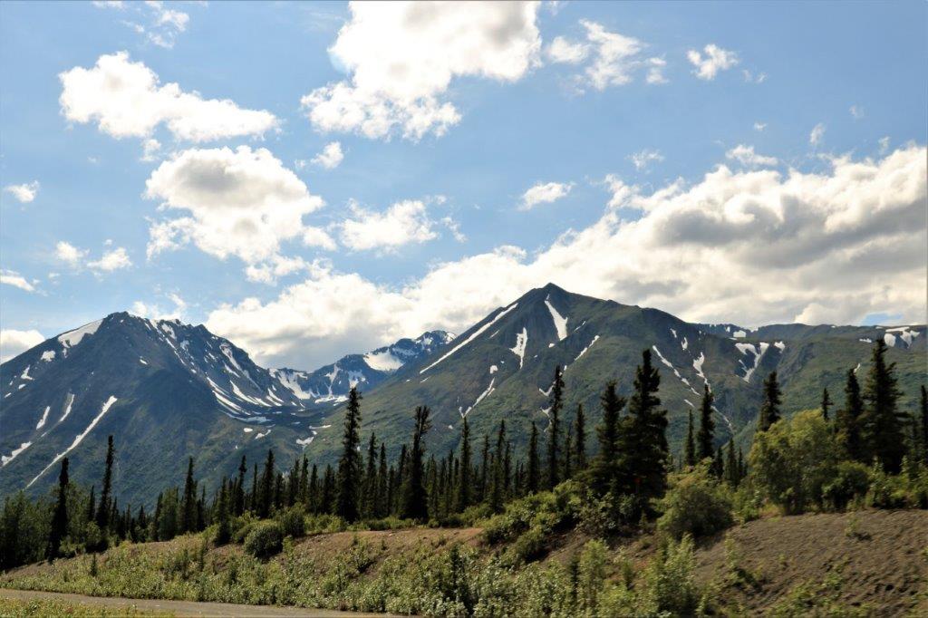
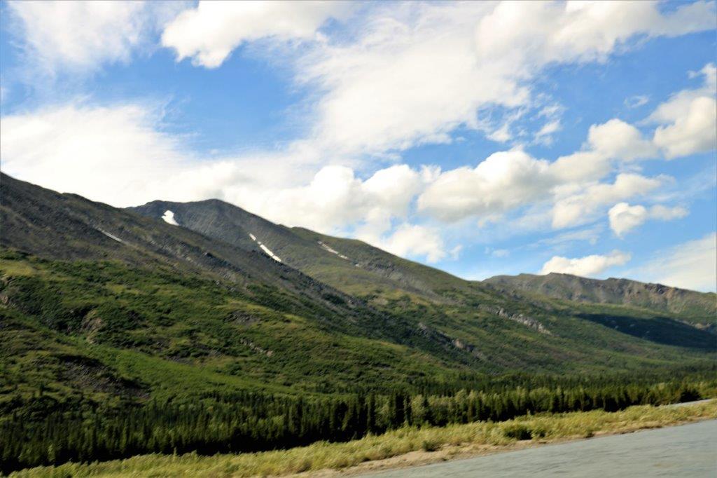
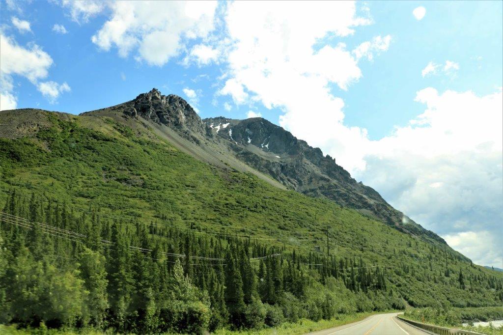
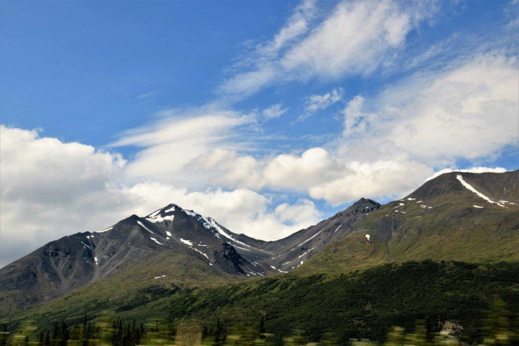
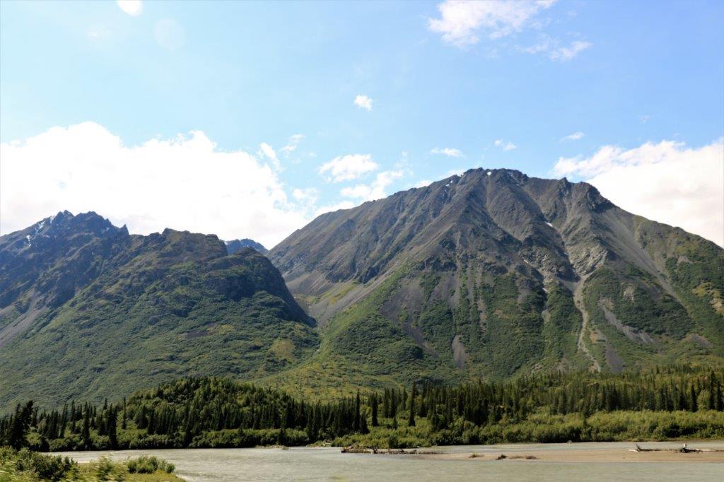
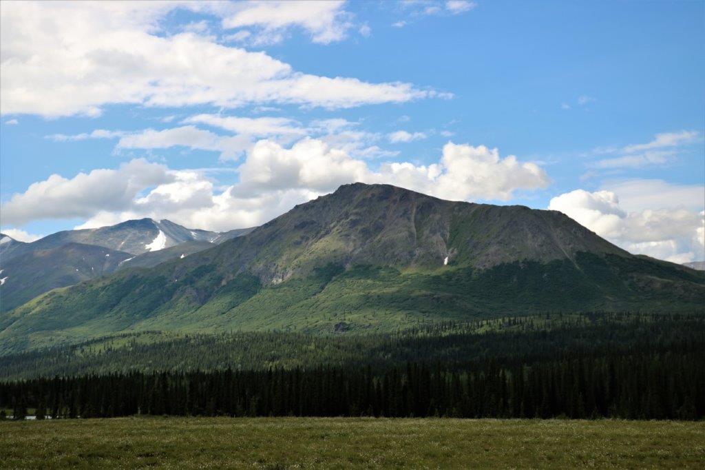
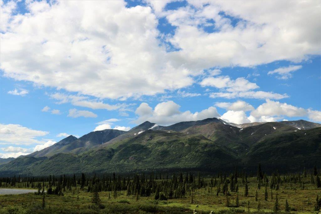
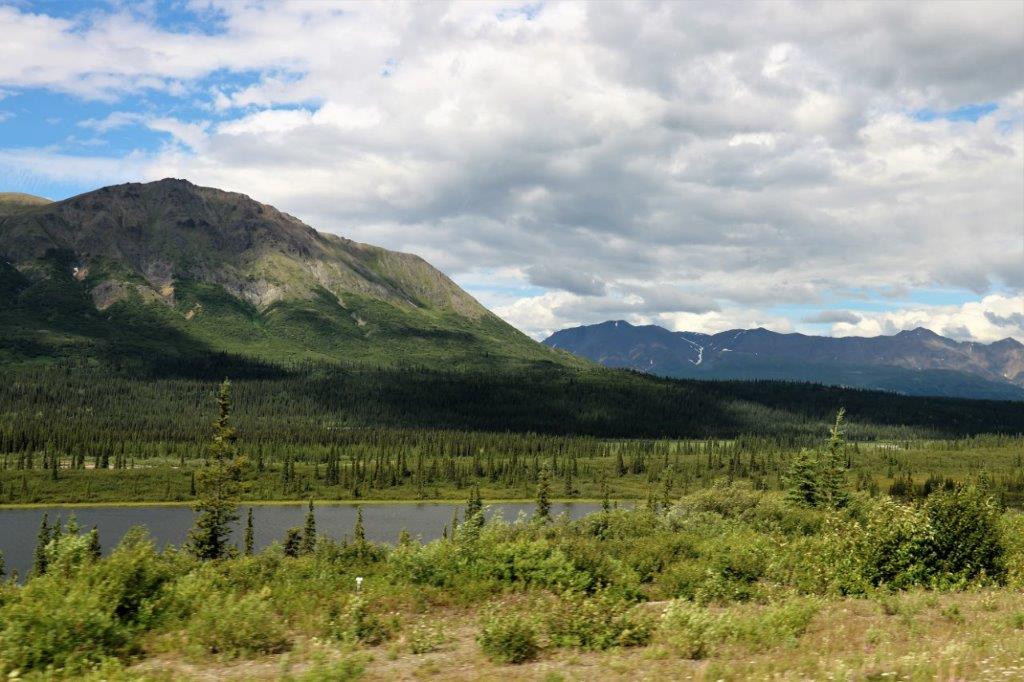
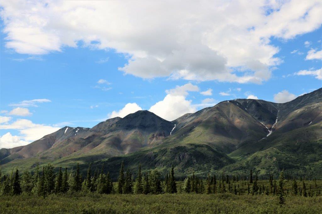
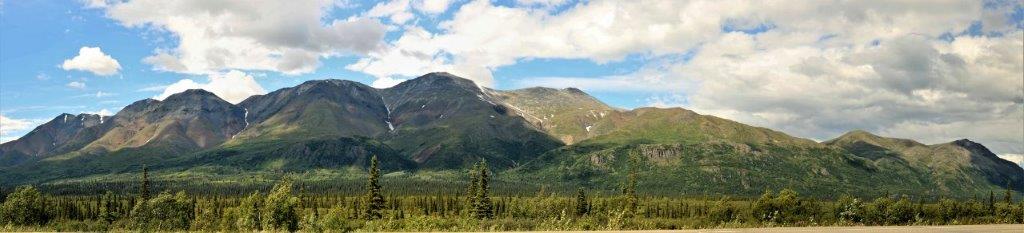
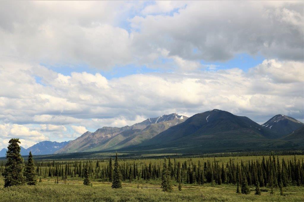
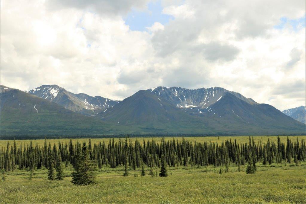
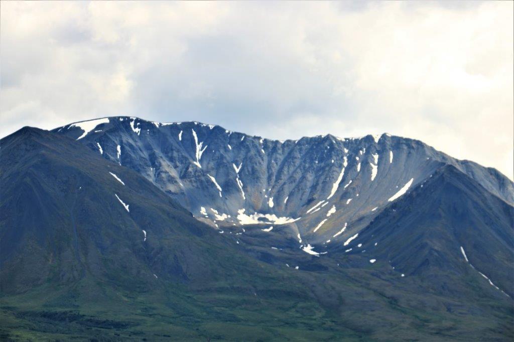
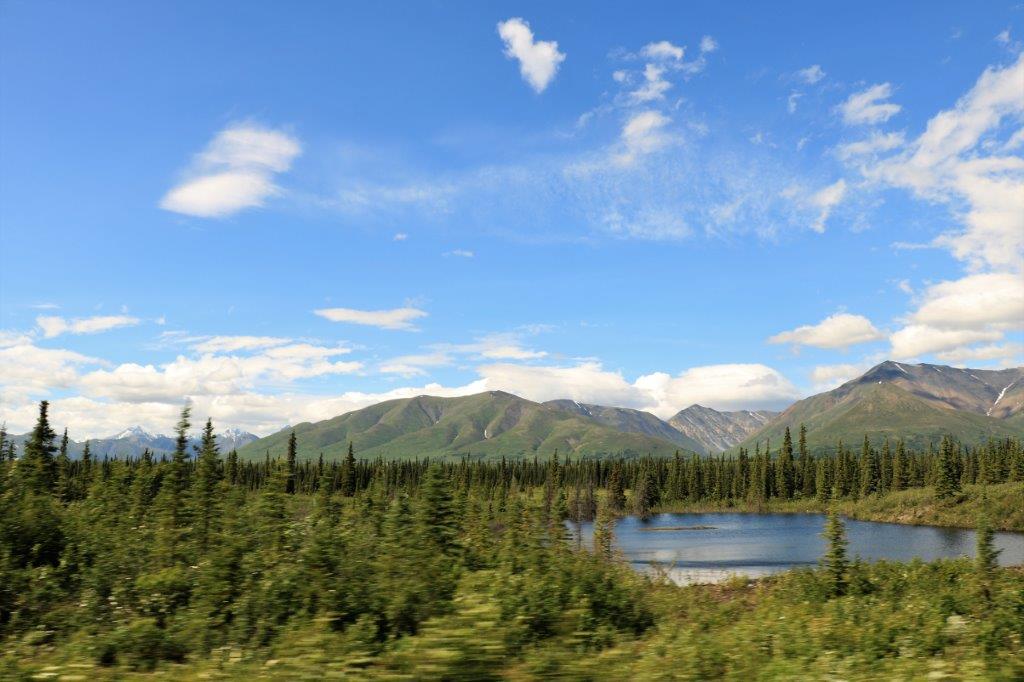
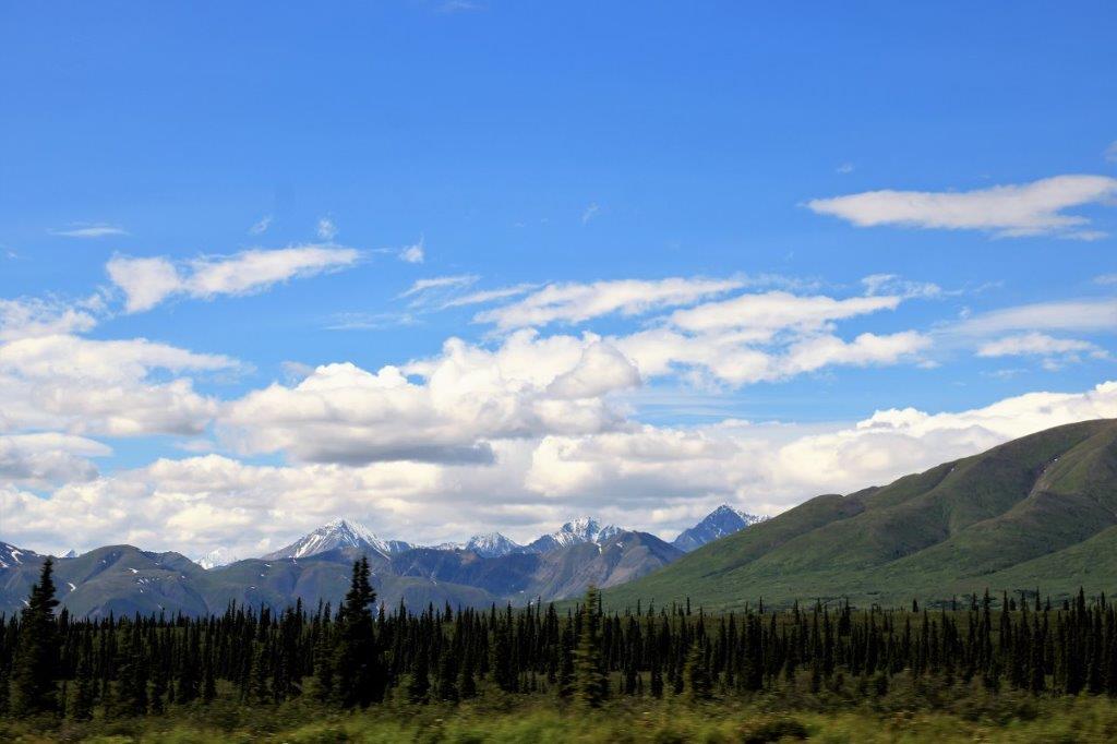
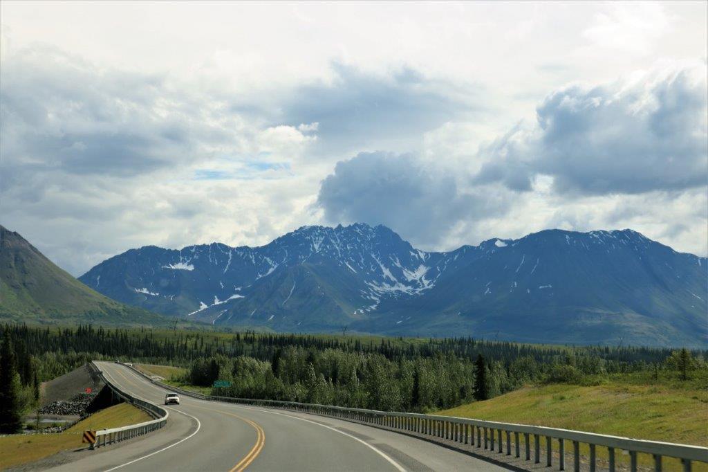
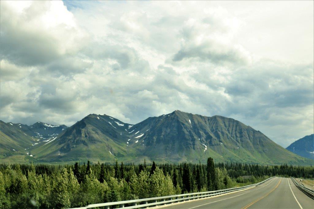
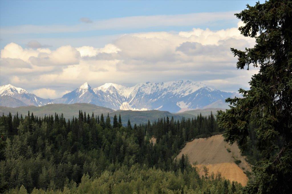
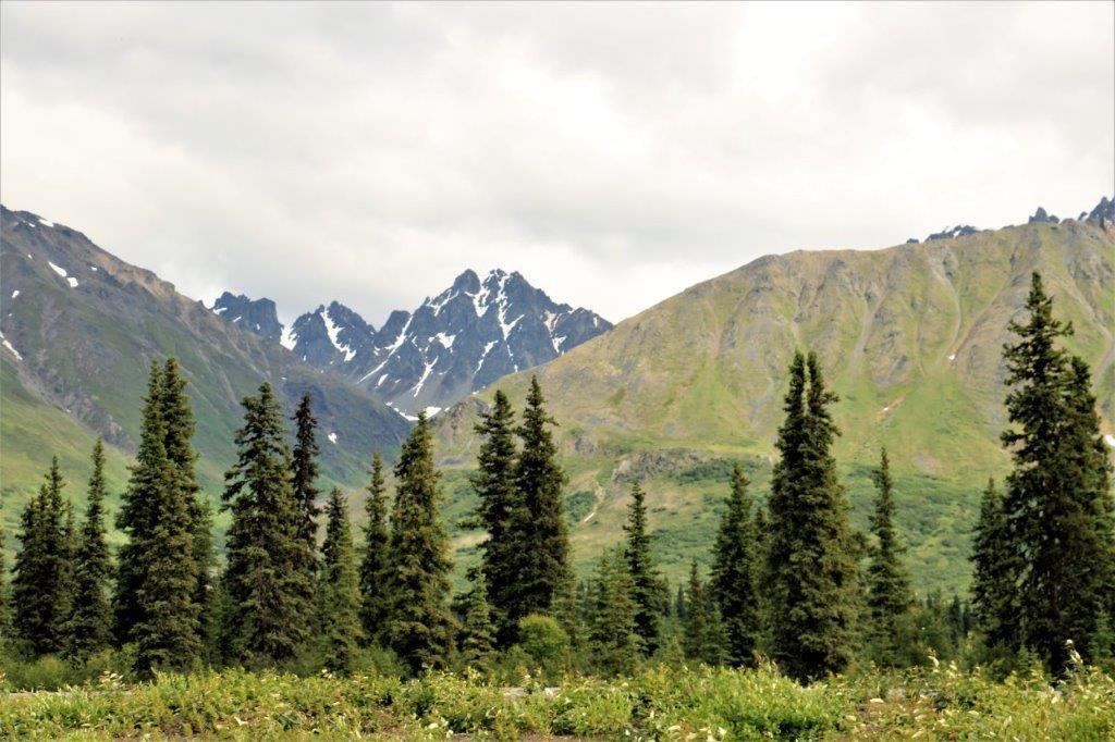
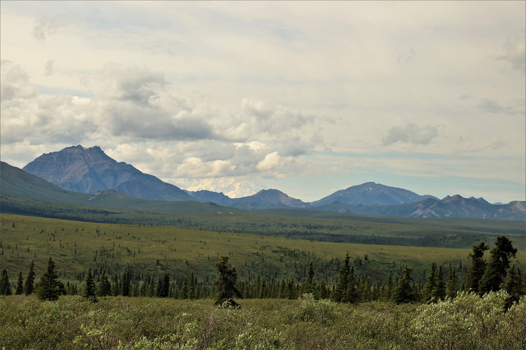
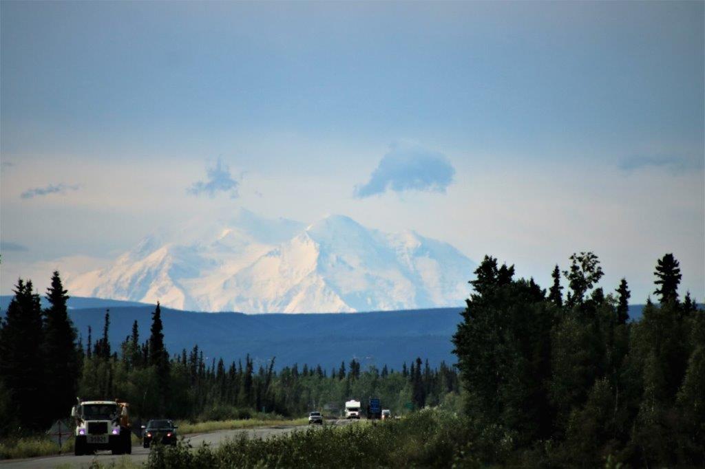
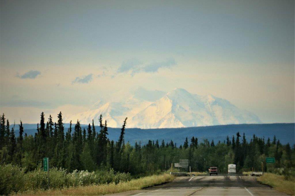
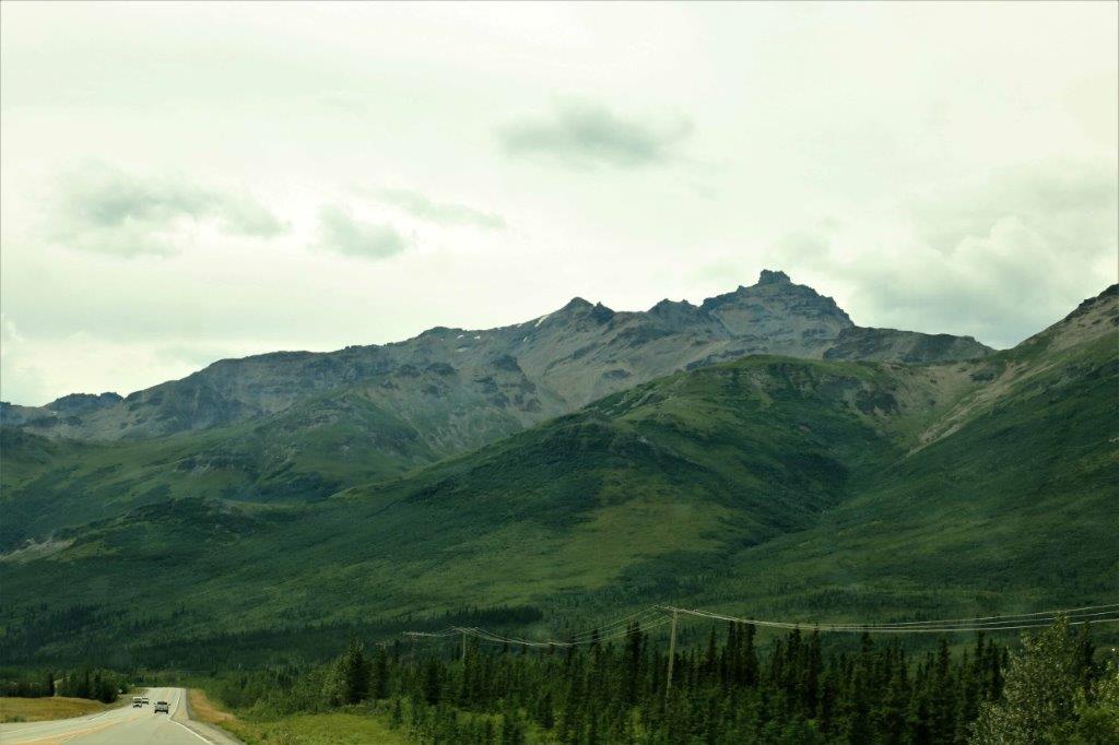
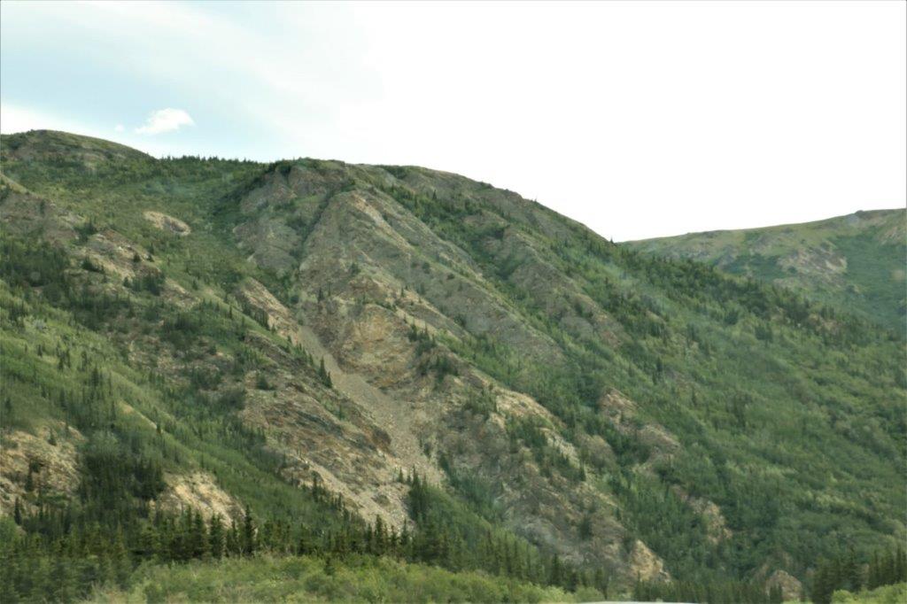
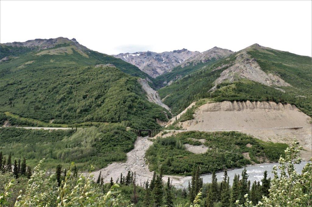
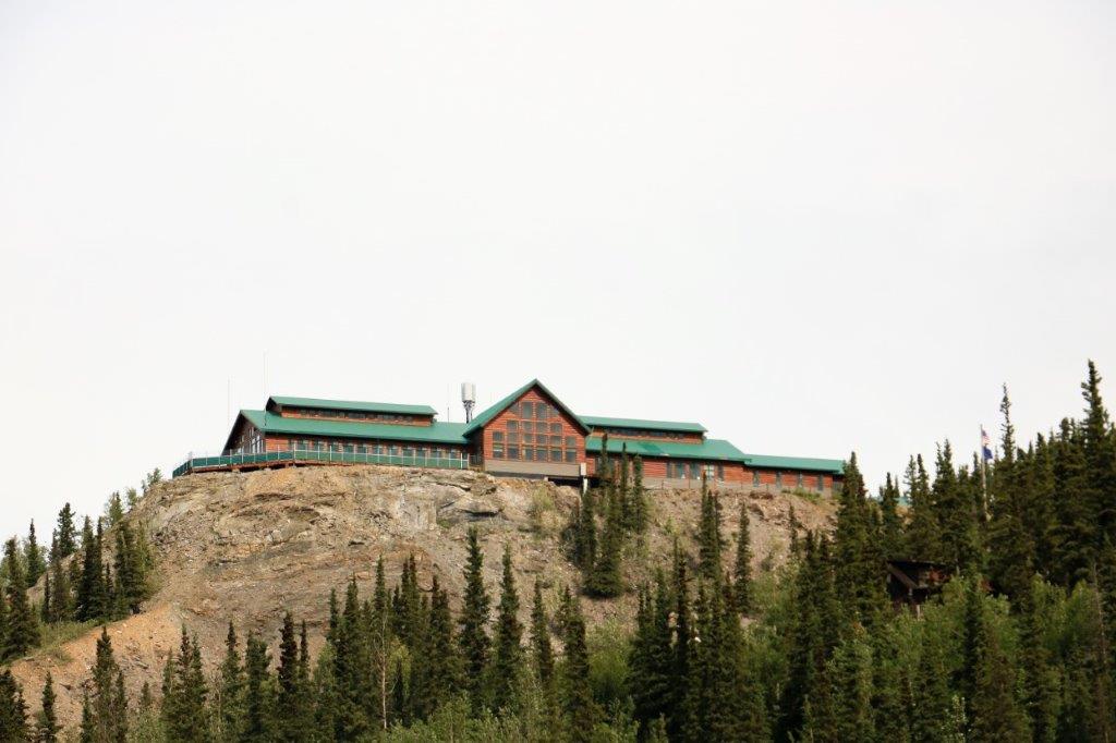
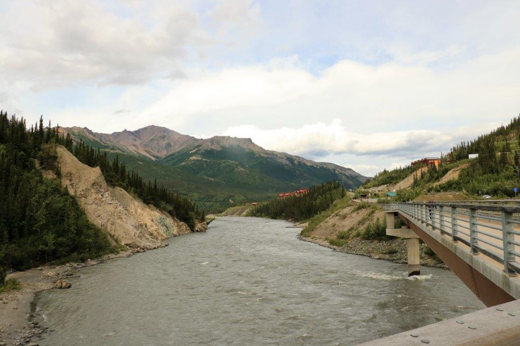
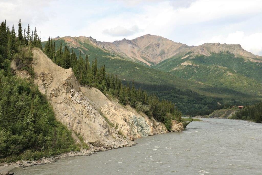
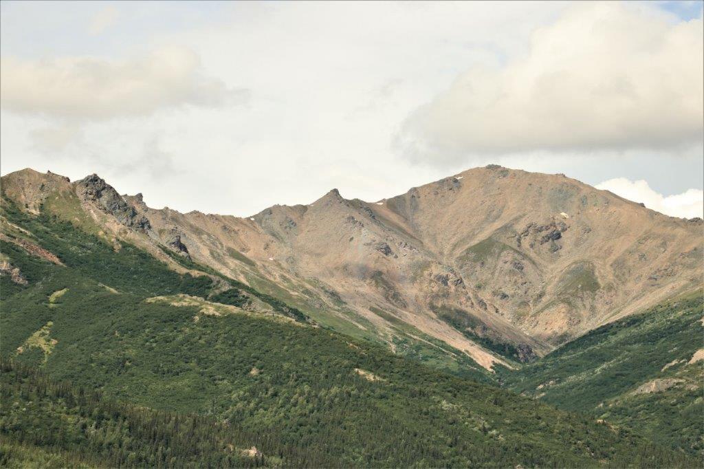
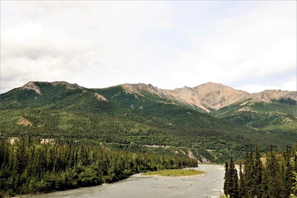
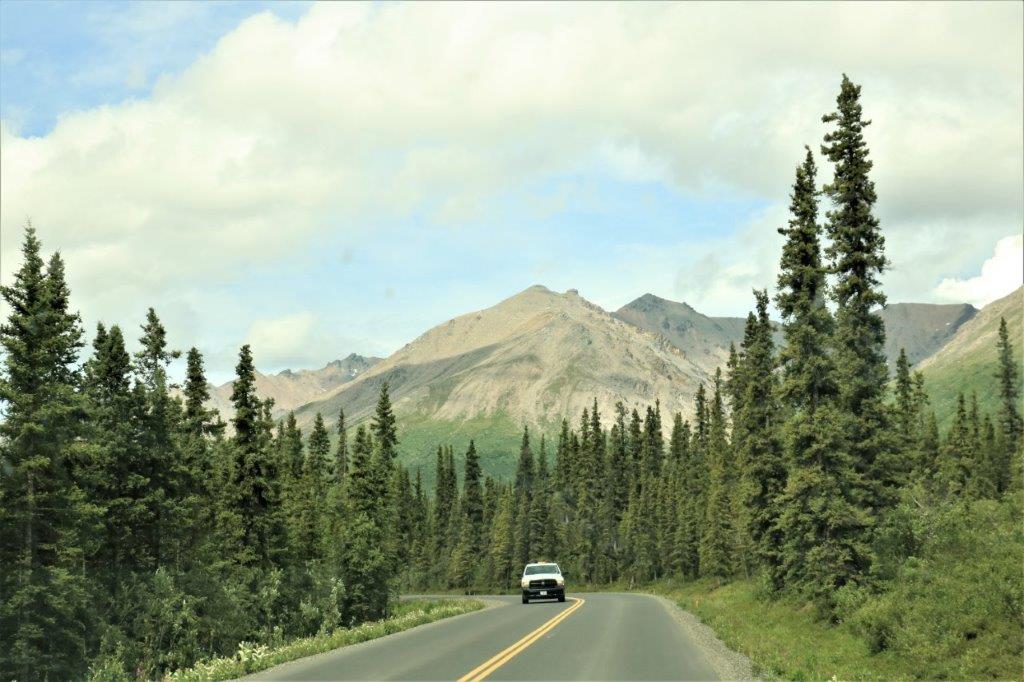
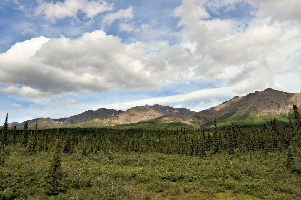
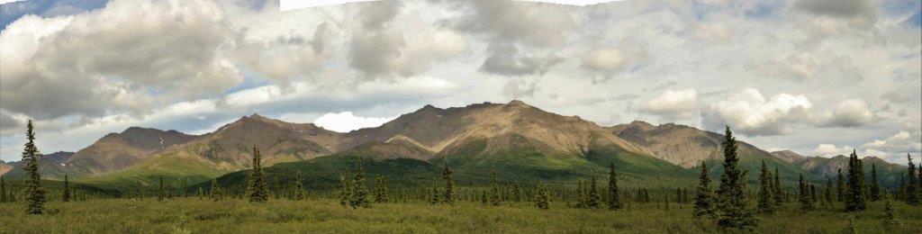
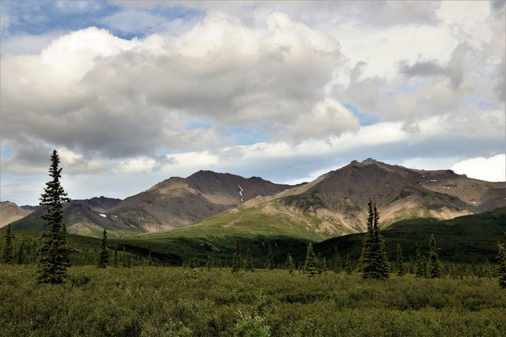
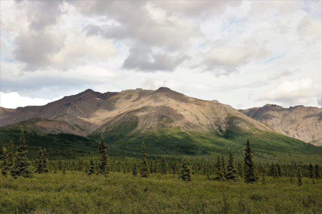
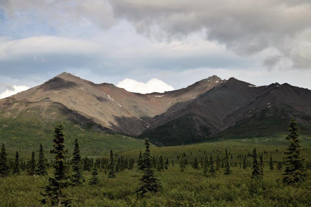
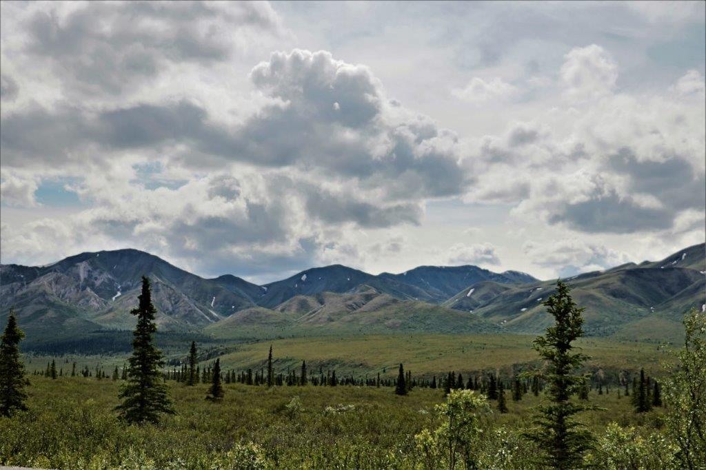
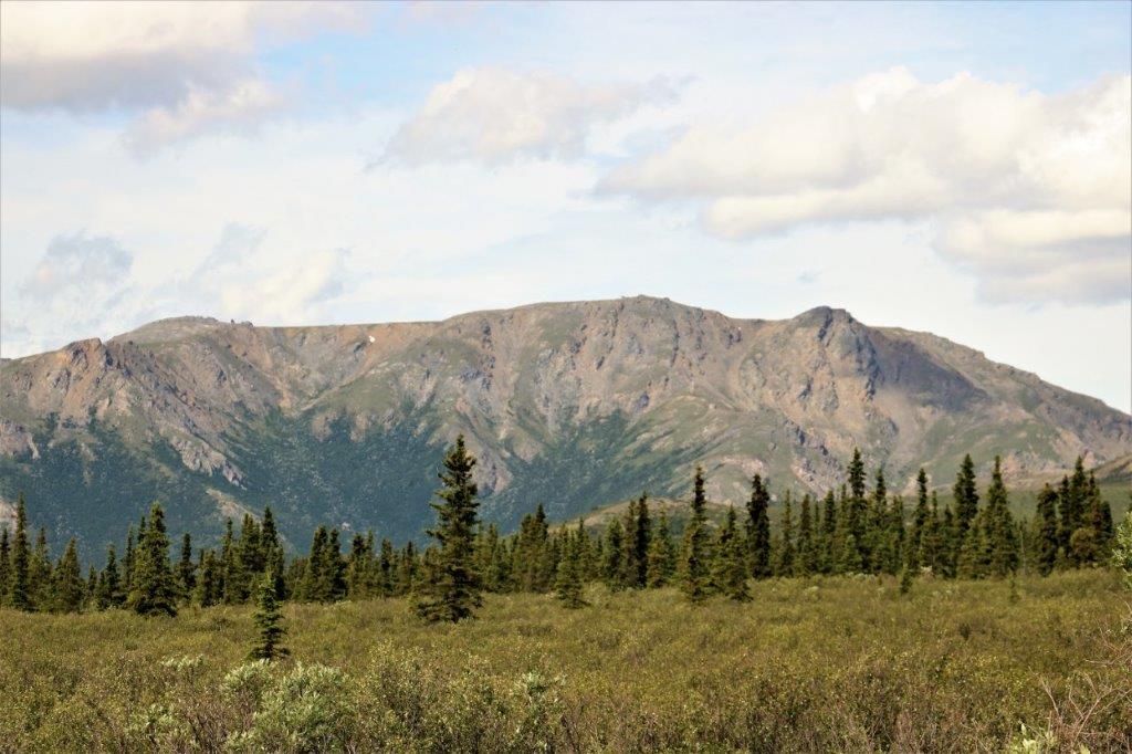
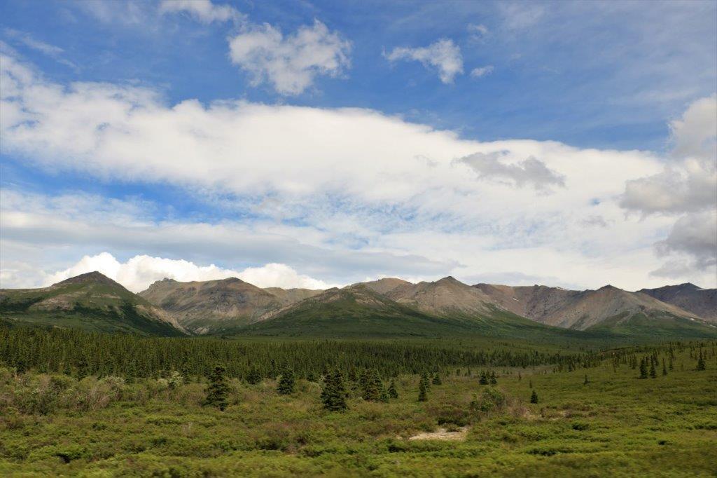
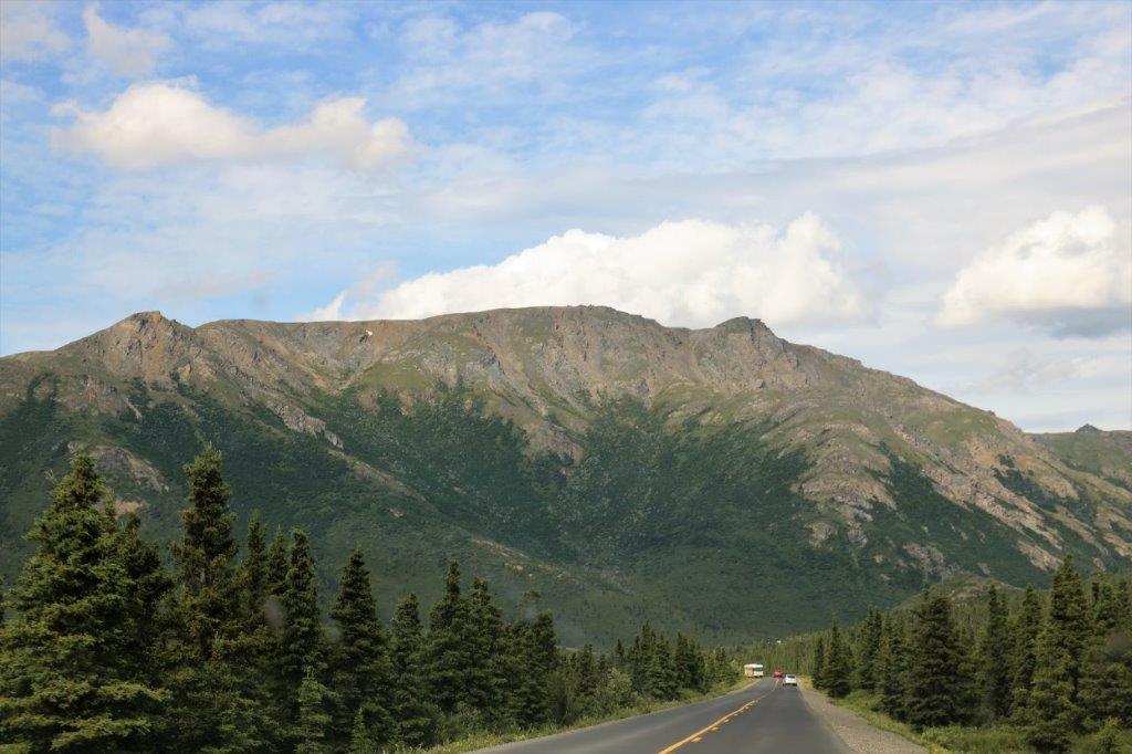
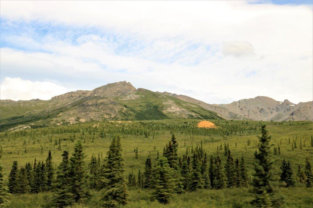
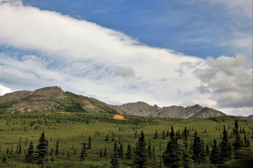
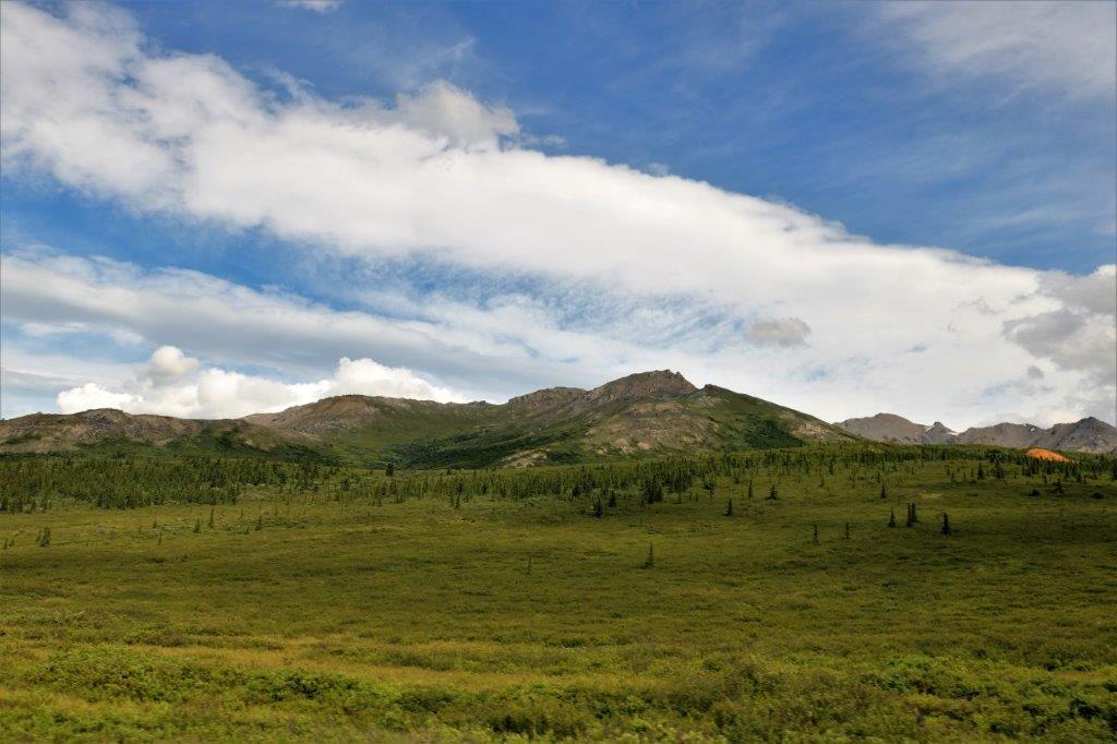
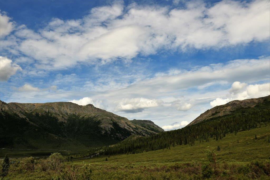
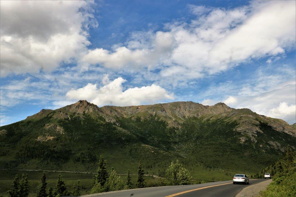
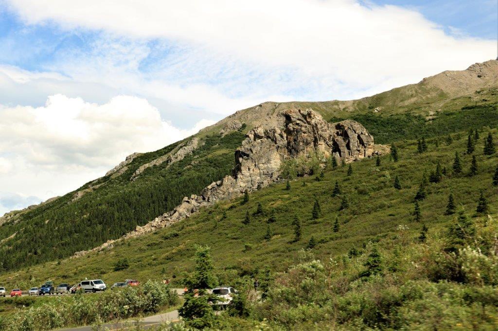
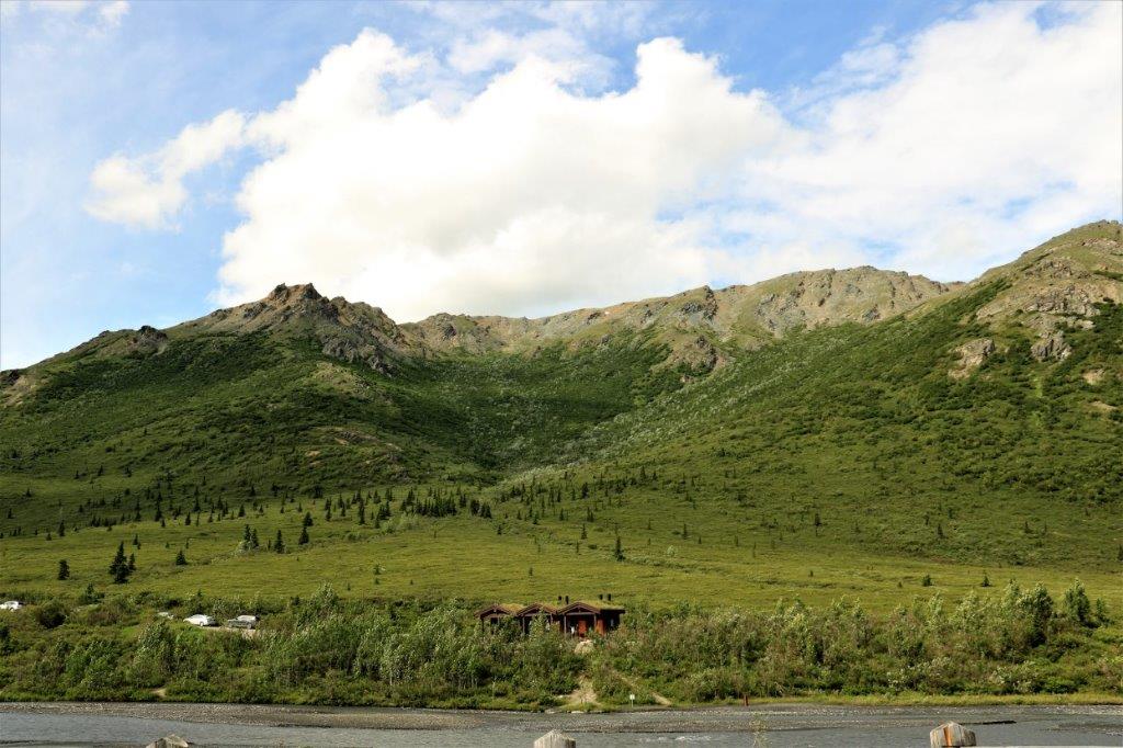
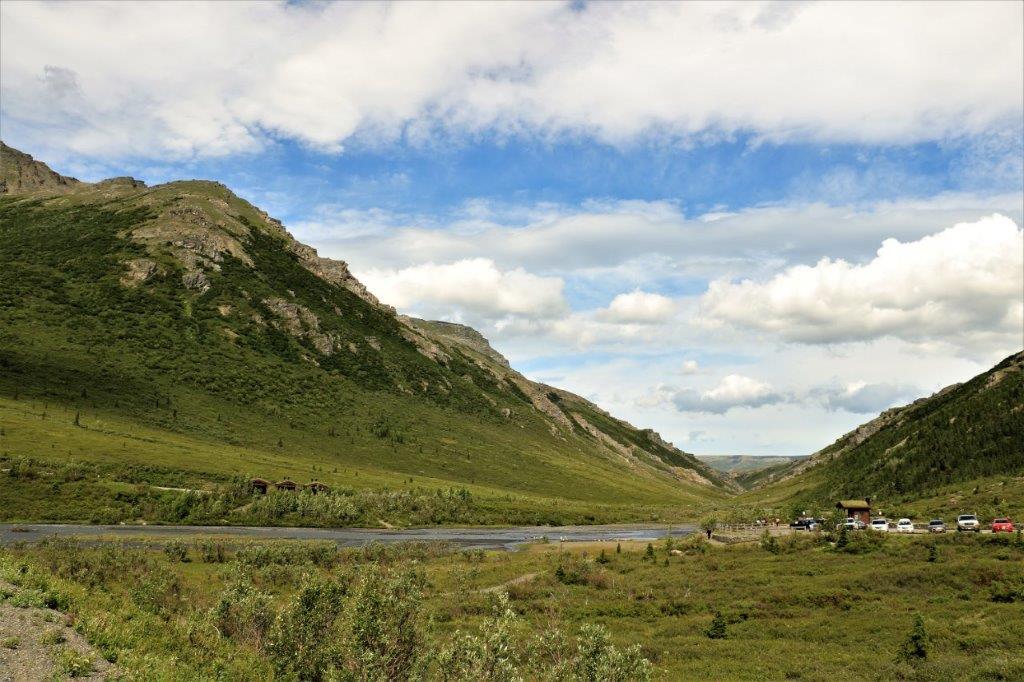
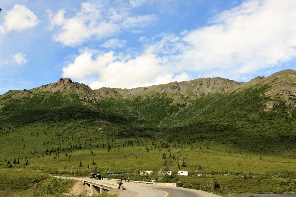
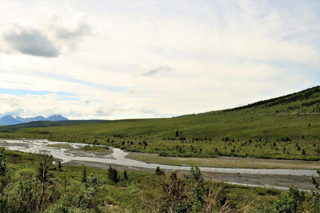
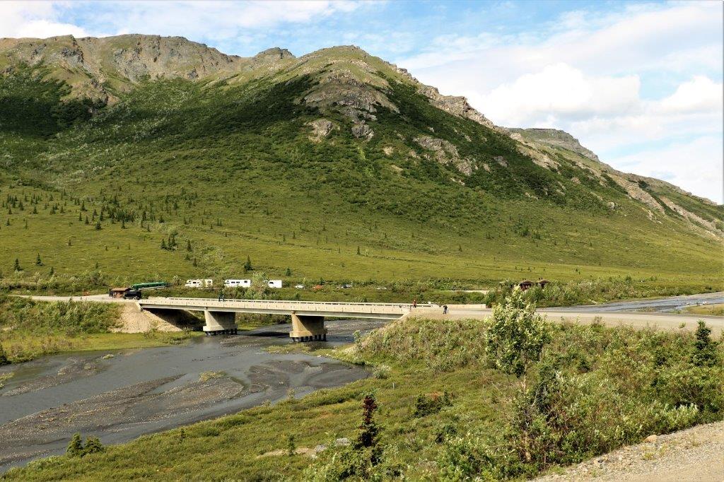
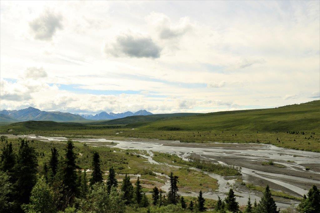
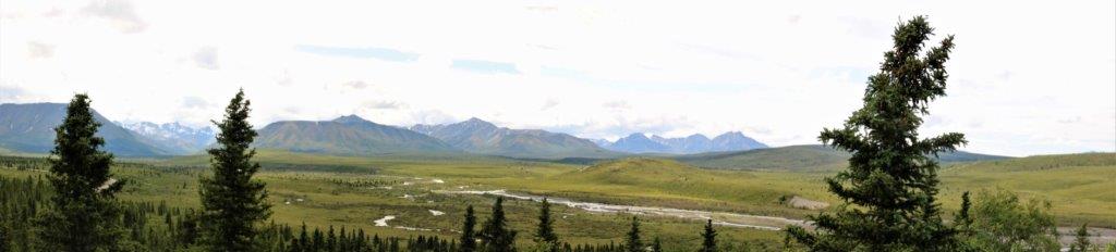
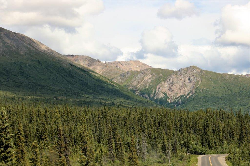
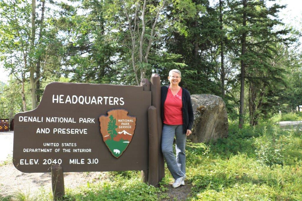
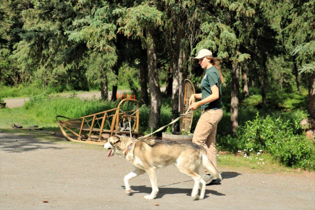
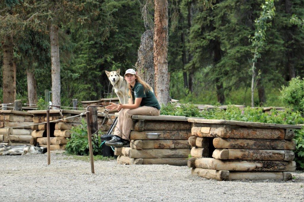
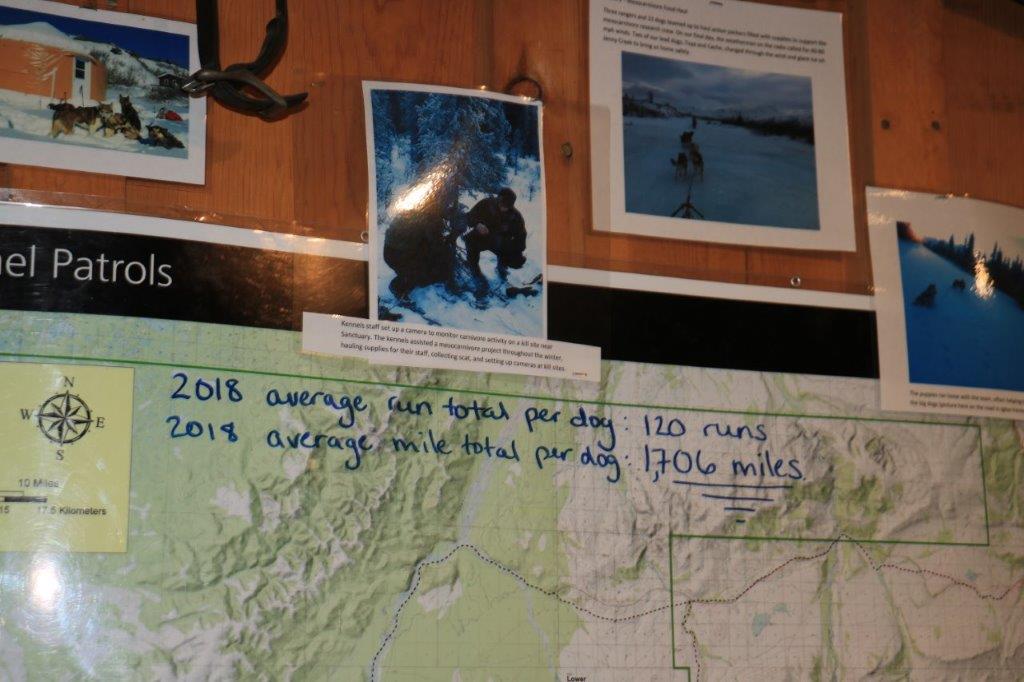
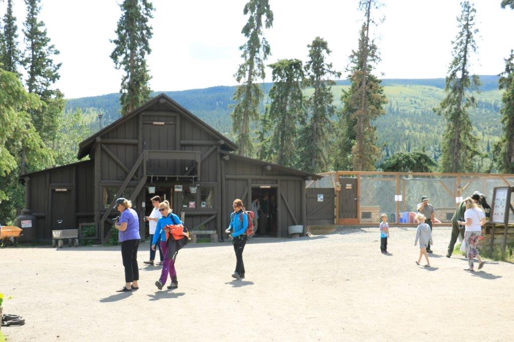
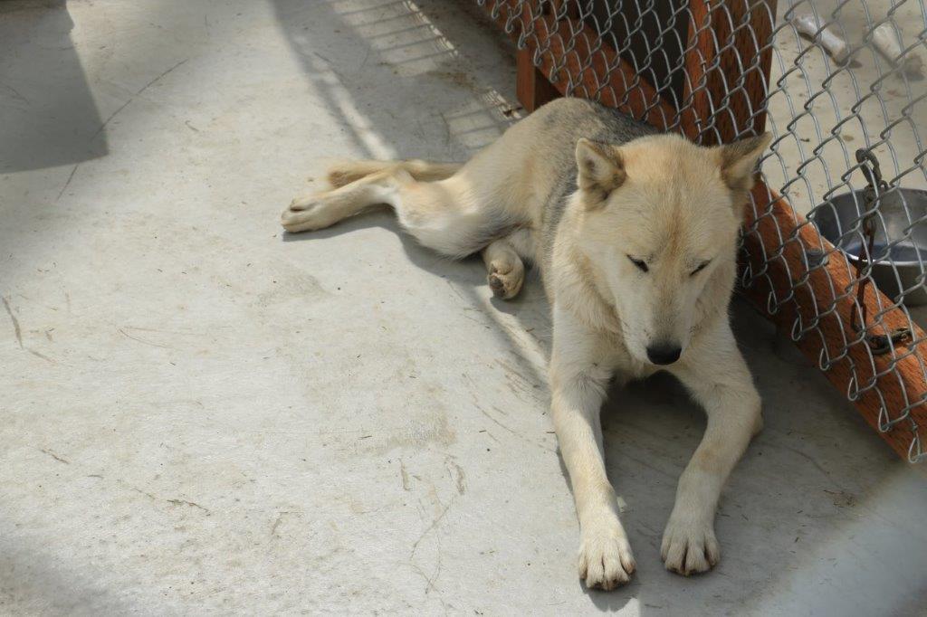
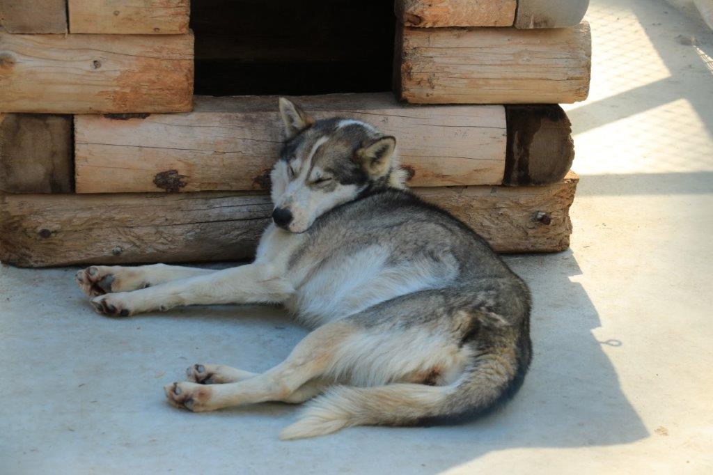
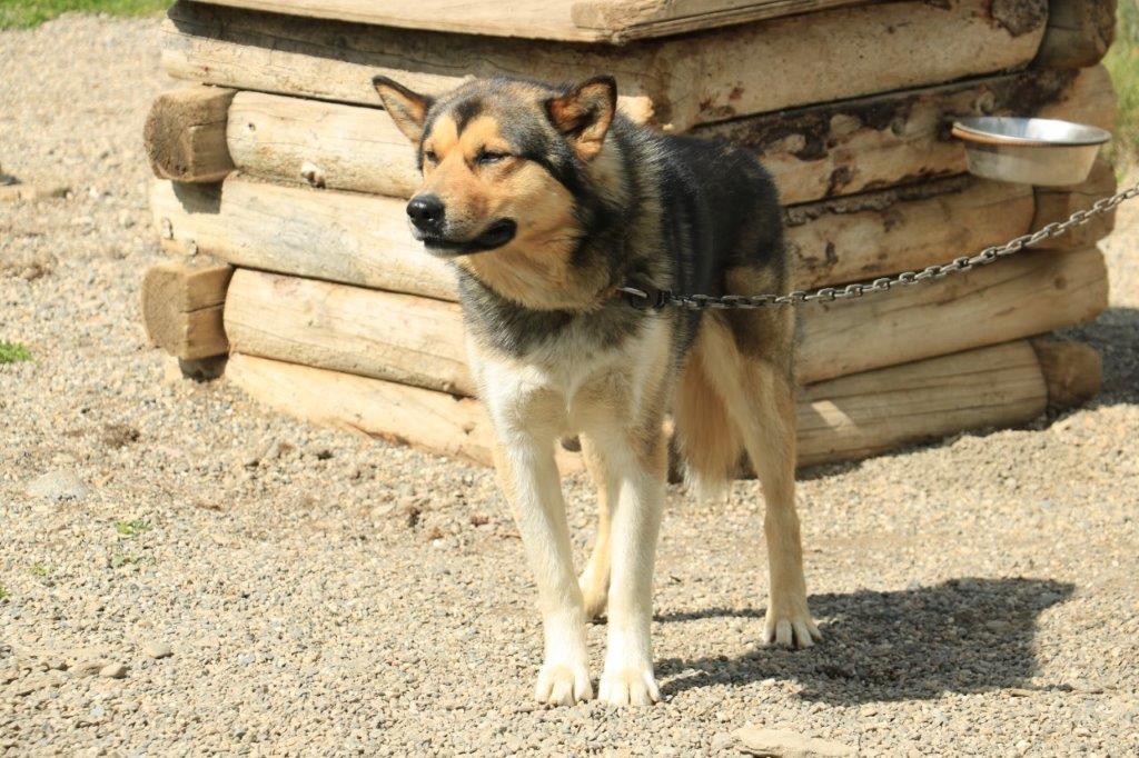
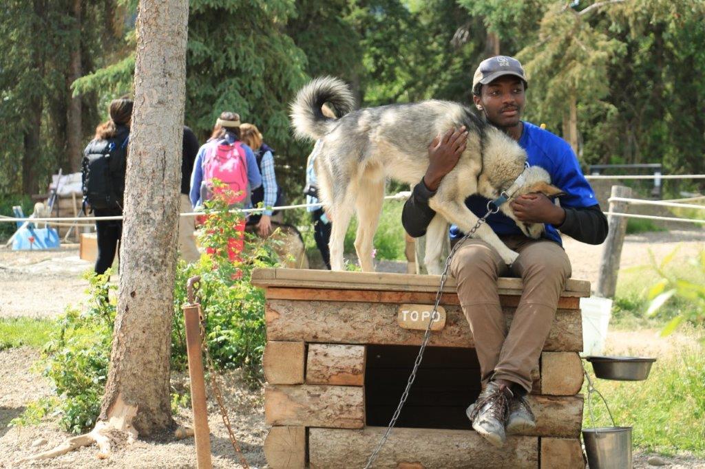
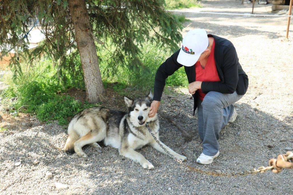
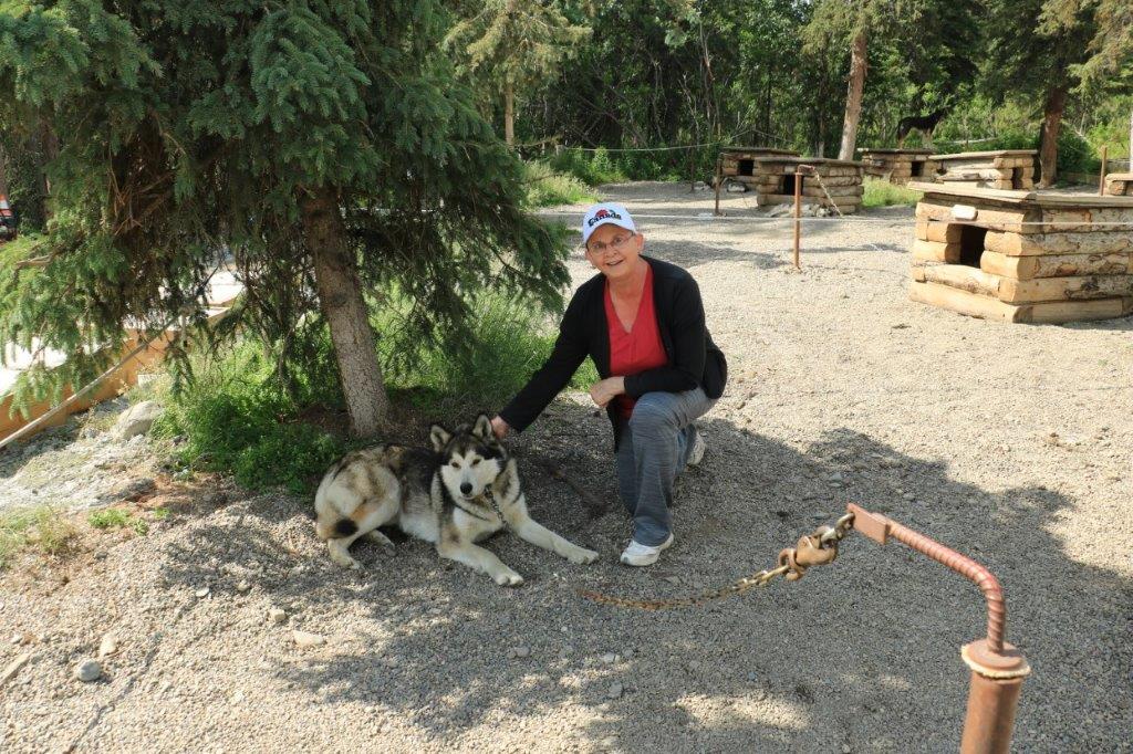
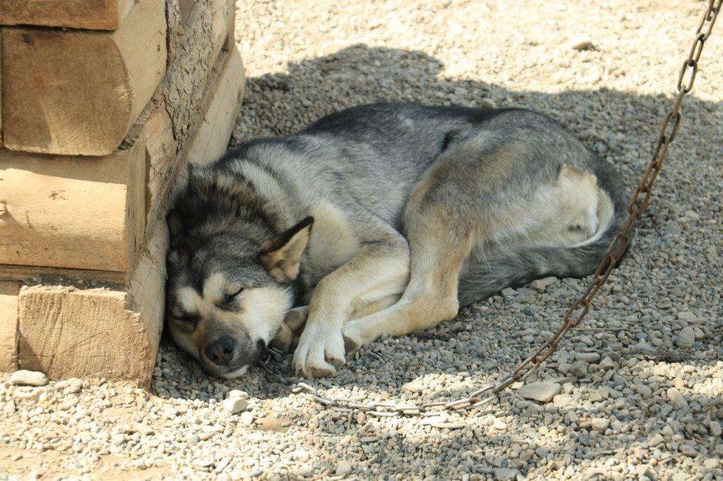
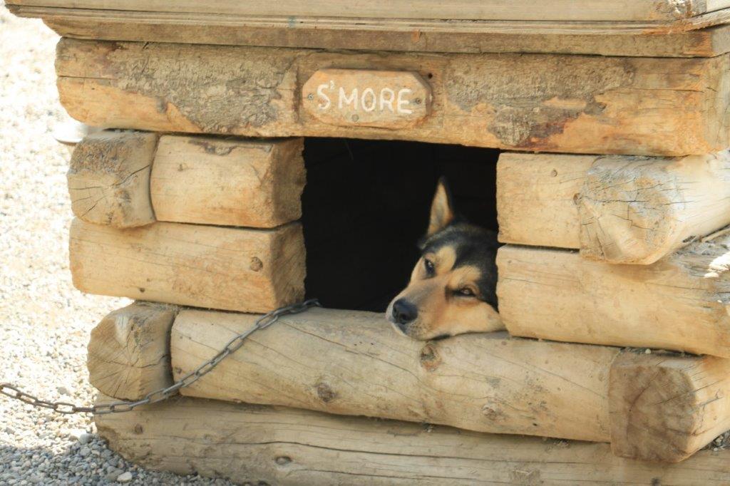
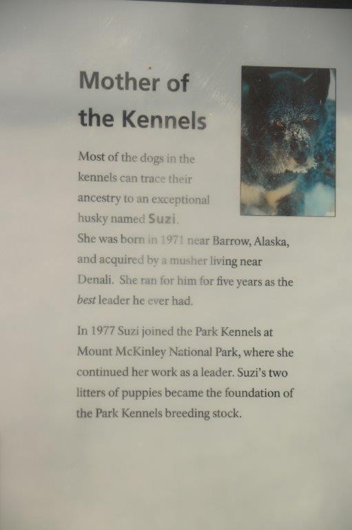
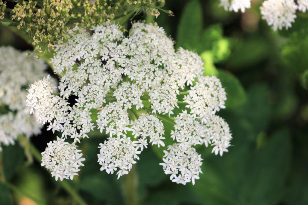
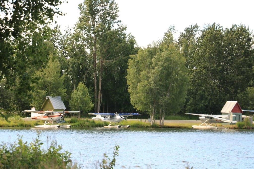
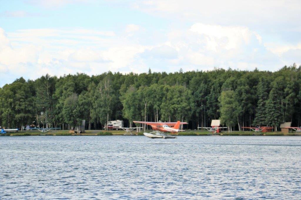
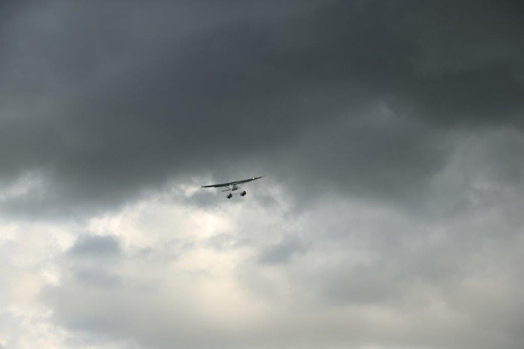
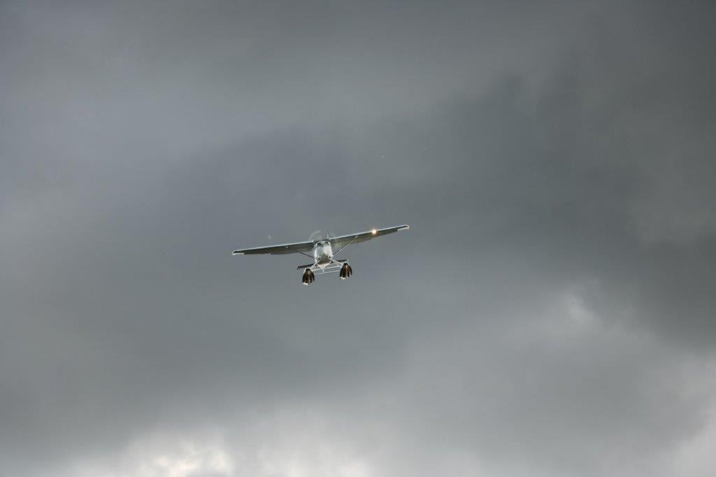
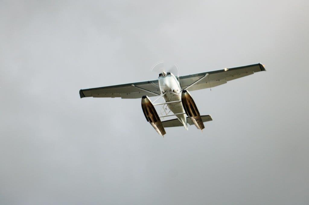
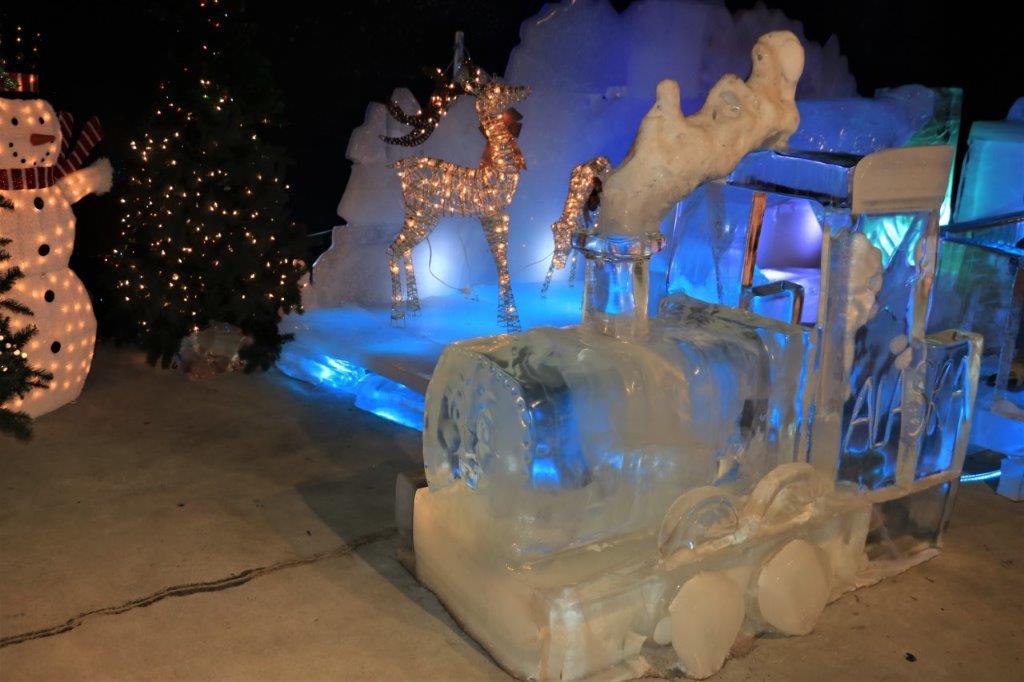
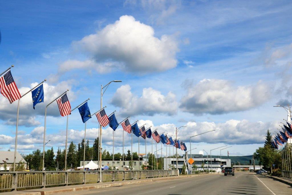
We drove the 15 miles of public road in Denali National Park, and stopped at the park’s dog kennel on the way back to the main highway.  From the park all the way to our cabin at the beginning of the spur road to Talkeetna we drove through the Alaska Range.  Consequently I was happily snapping photos of lovely mountains all day. 
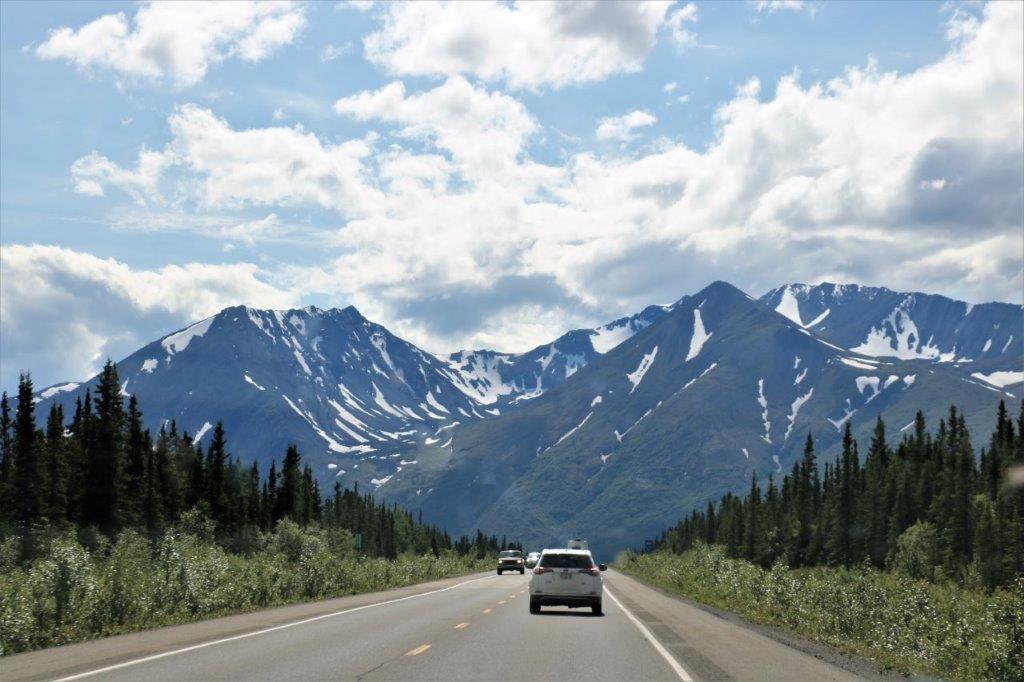
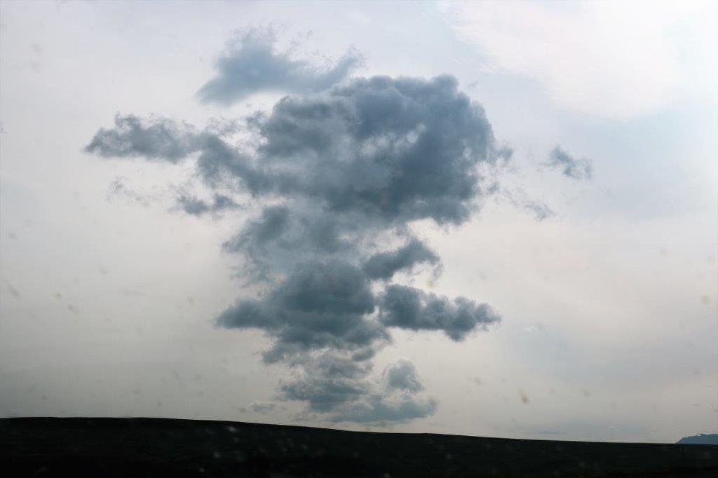
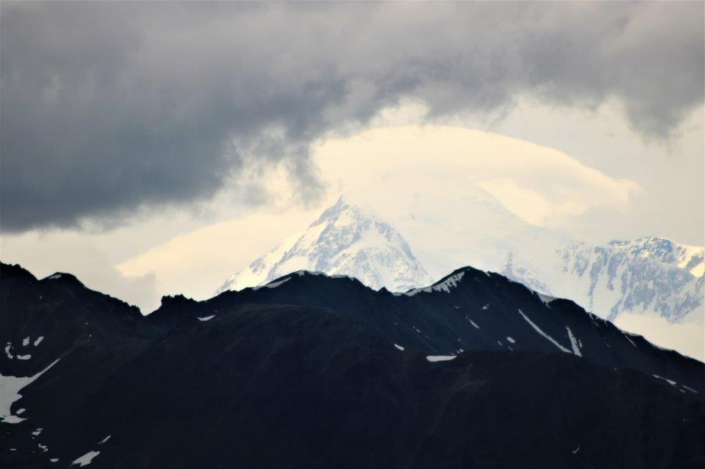
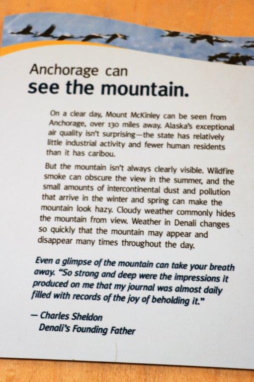
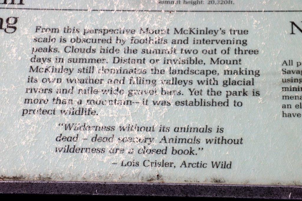
At the Denali State Park south of Denali National Park (about 160 km or 100 miles) there is a good view point to see Denali’s south face.  We lingered there for quite awhile as the clouds slowly moved across the peak and finally got a shot of the northern peak clear of clouds. 
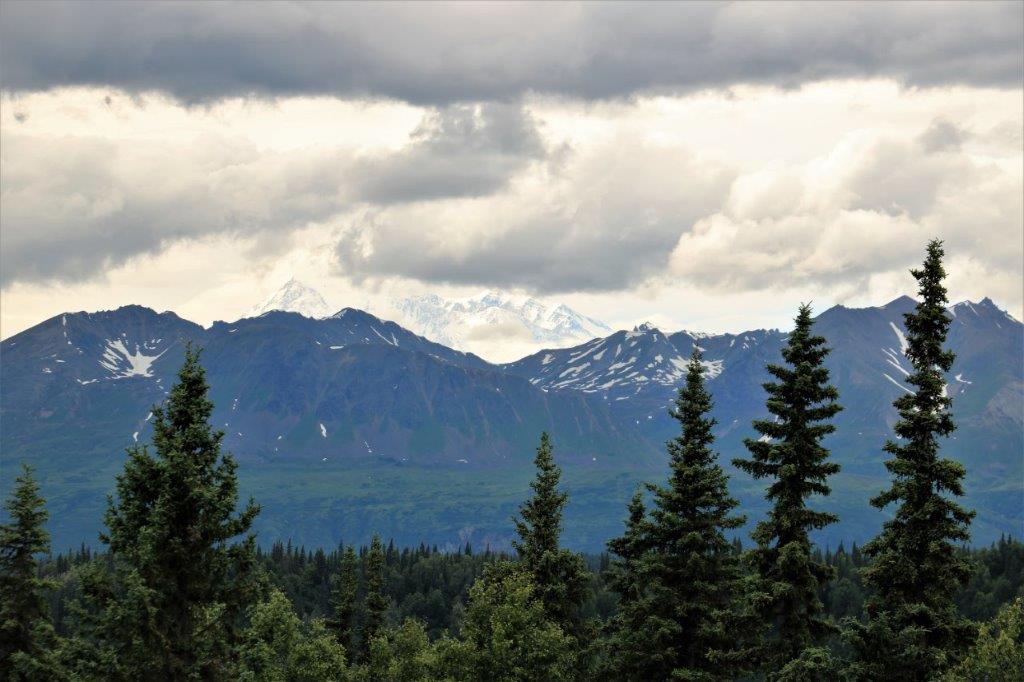
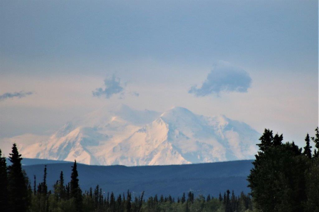
The big bright white cone on the left is a cloud covering Denali’s south peak. The north peak on the right side is free of clouds – for a few minutes.  
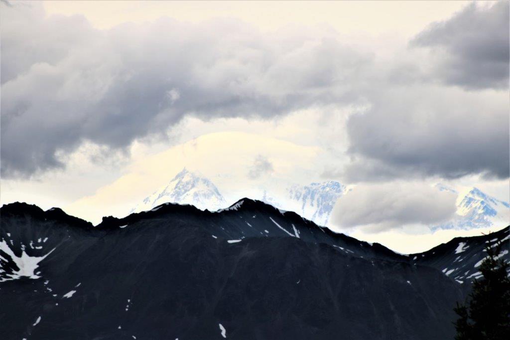
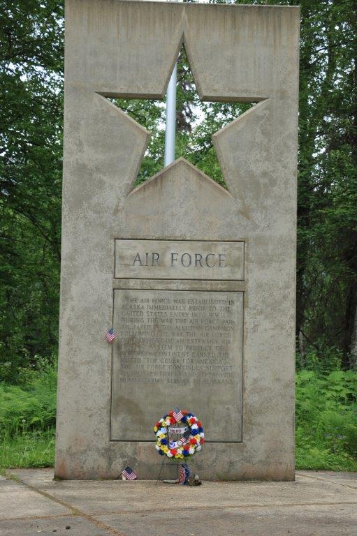
Not very far before the turn-off to Talkeetna we saw a sign for the Alaska War Memorial.  I am always so thankful for the freedom I have enjoyed my entire life that was bought at the price of those men and women who have been willing to serve in the military – regardless of nation – that we always stop at memorials such as this.

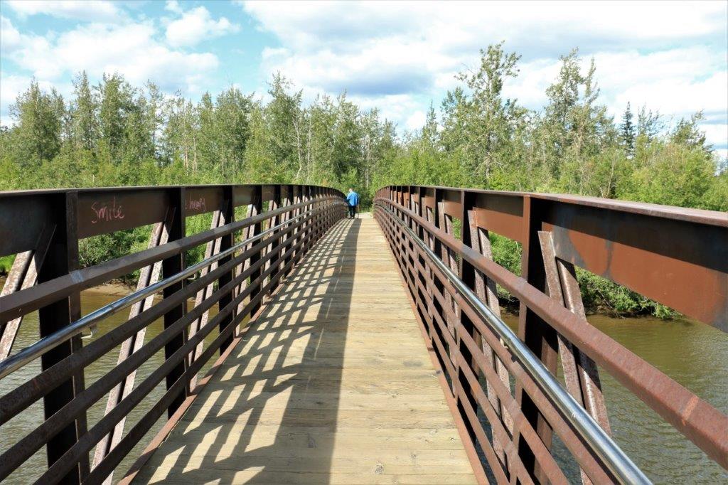
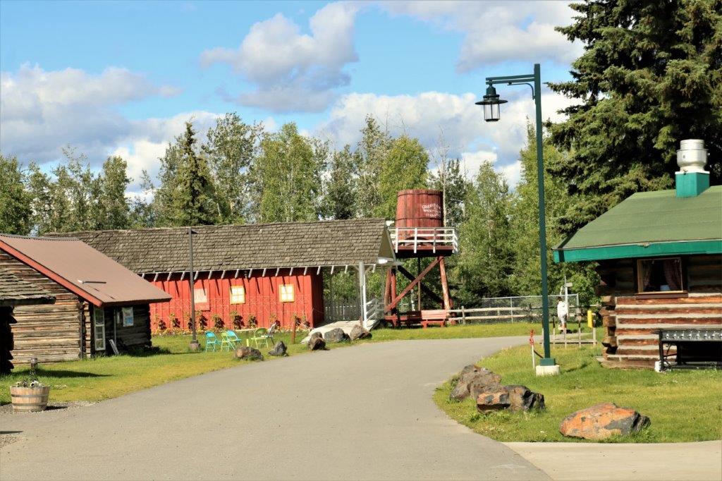
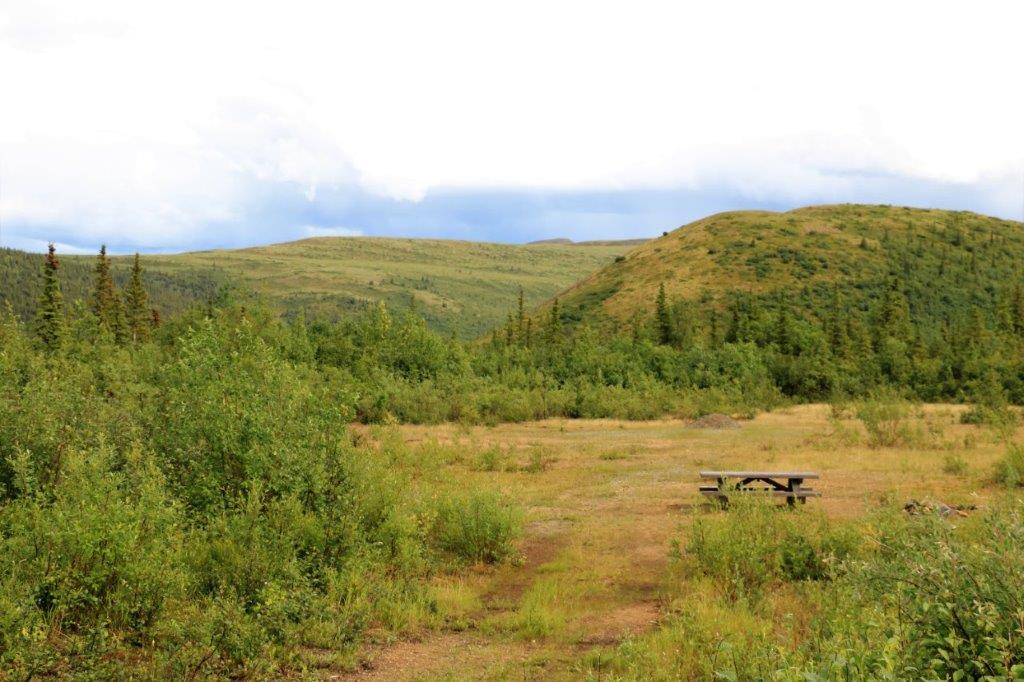
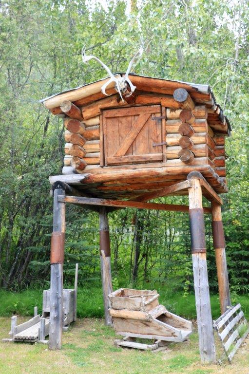
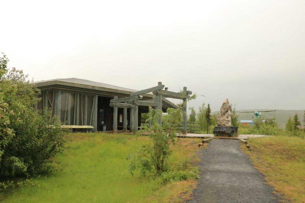
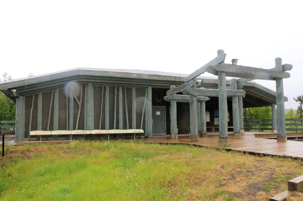
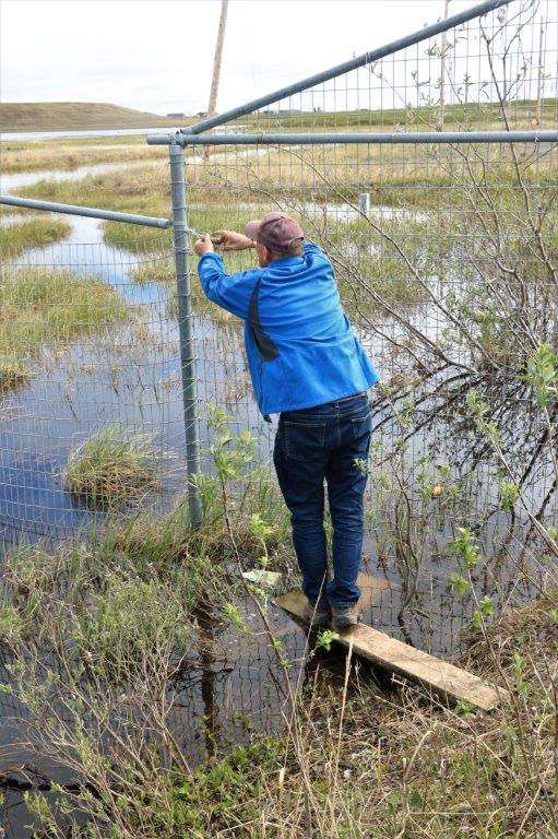
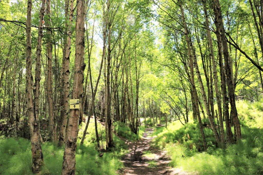
The memorial was set in the middle of the woods and unless you took the time to turn off the highway and drive into the grounds you would never know it was there.   
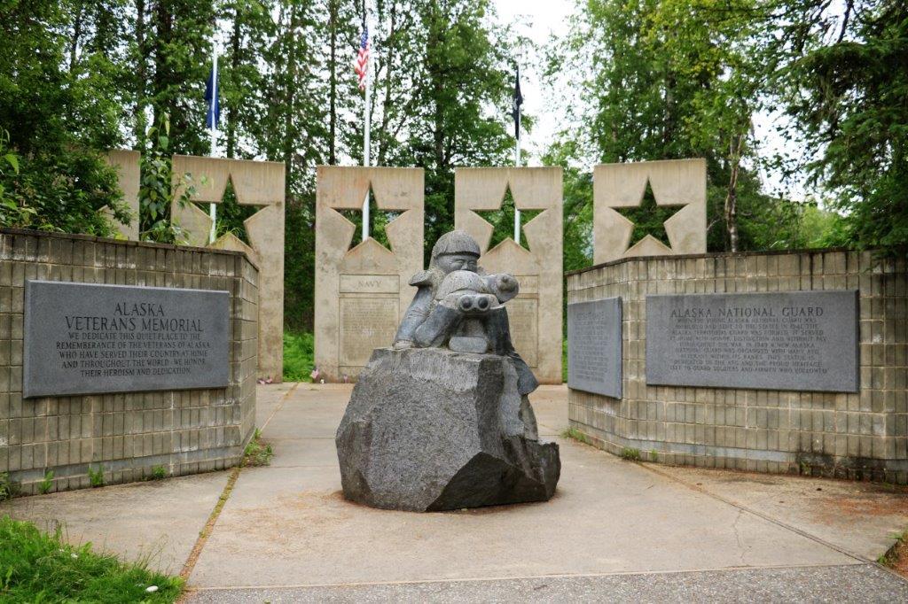
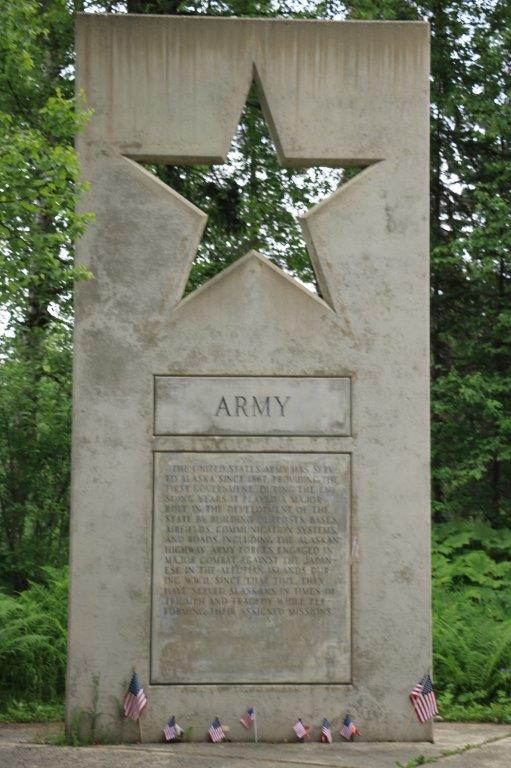
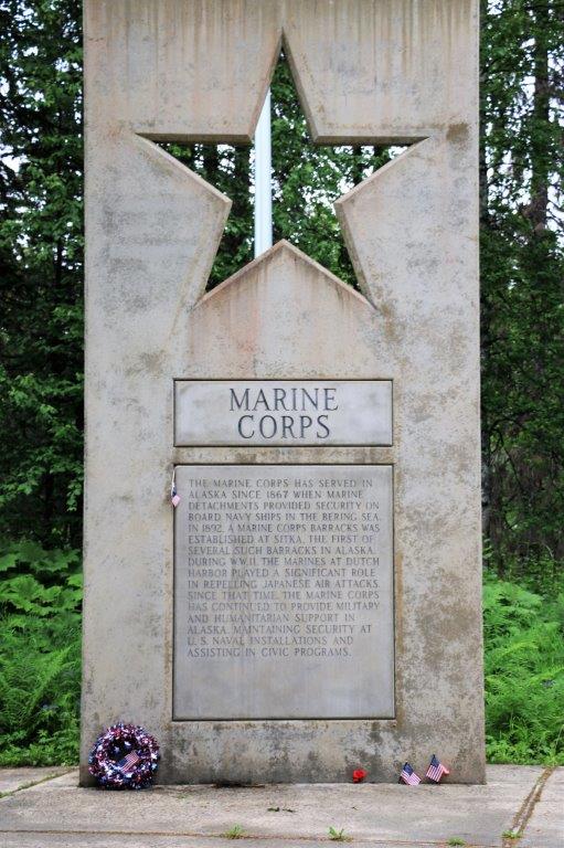
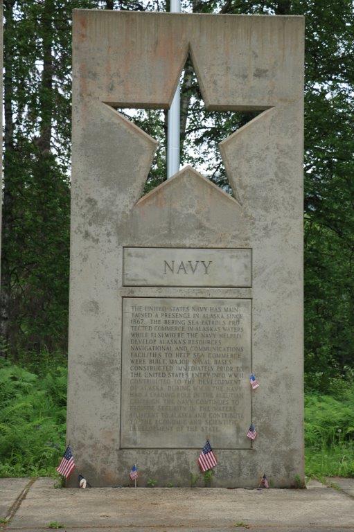
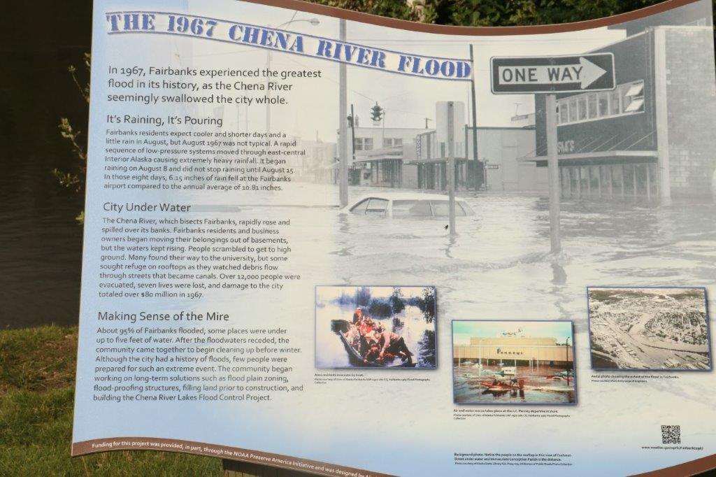
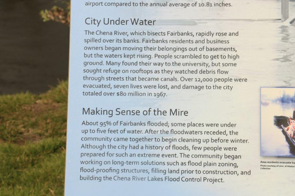
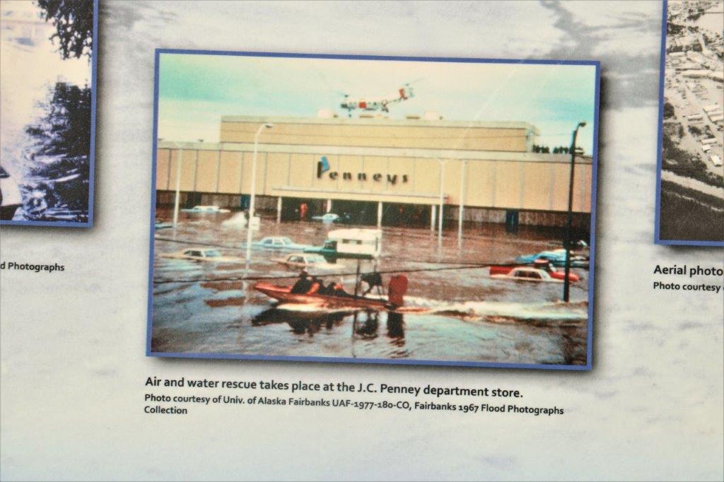
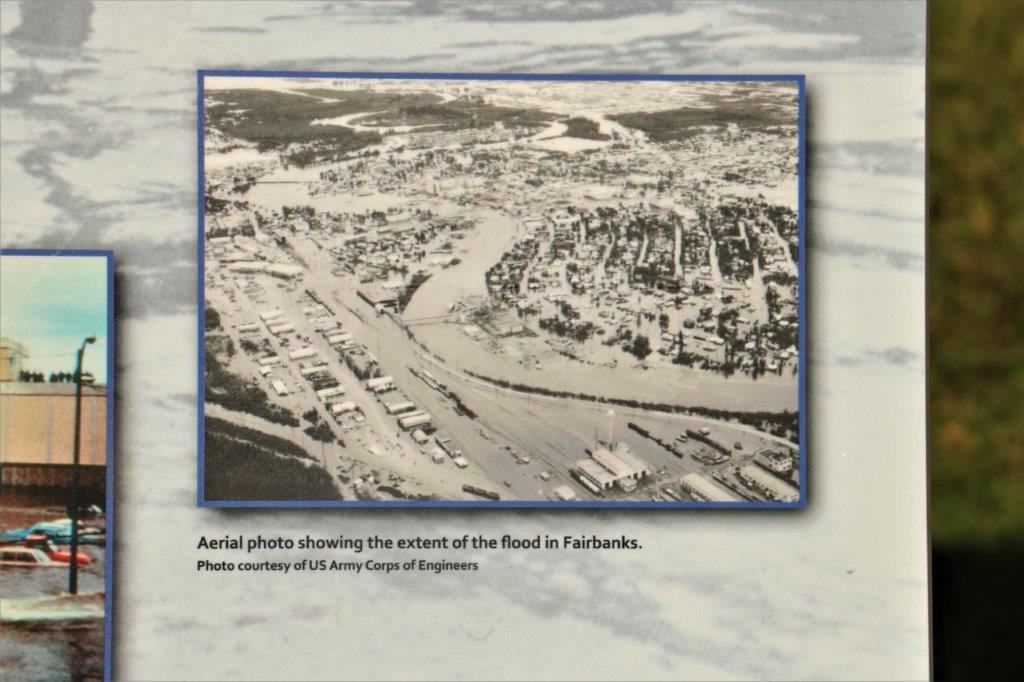
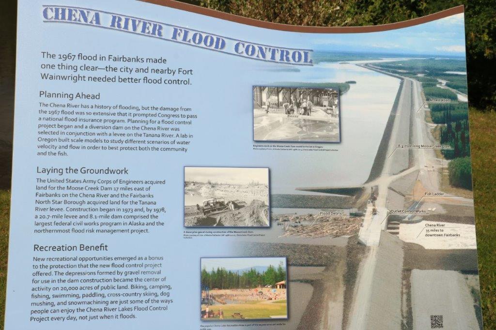
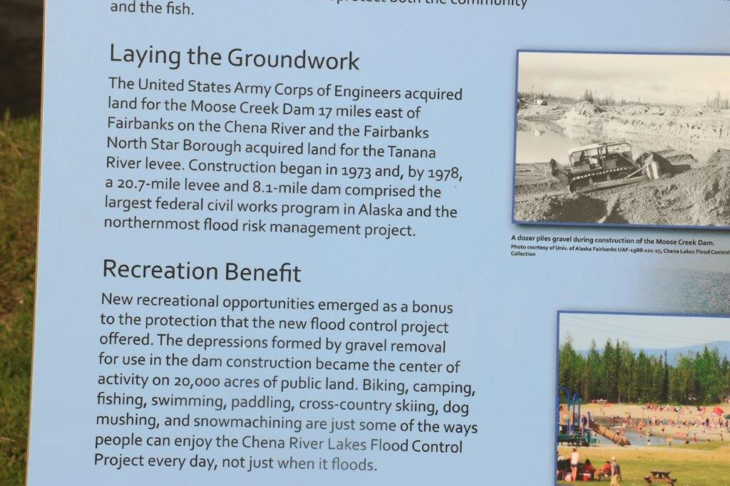
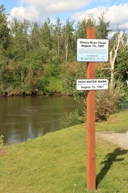
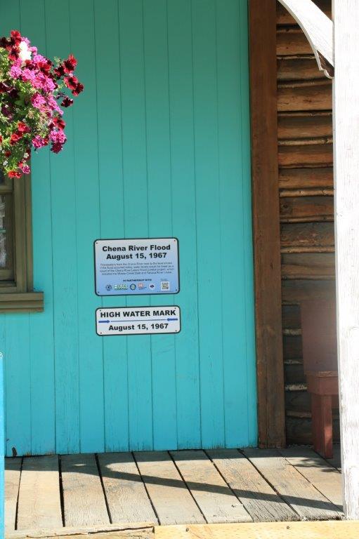
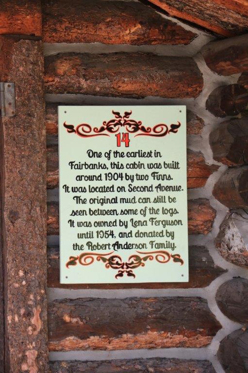
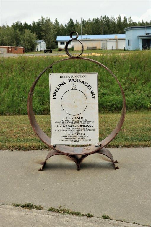
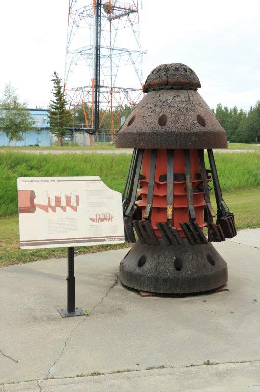
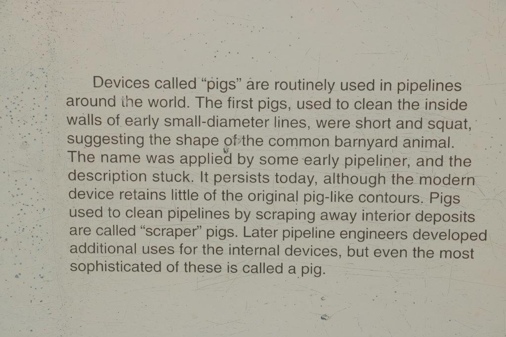
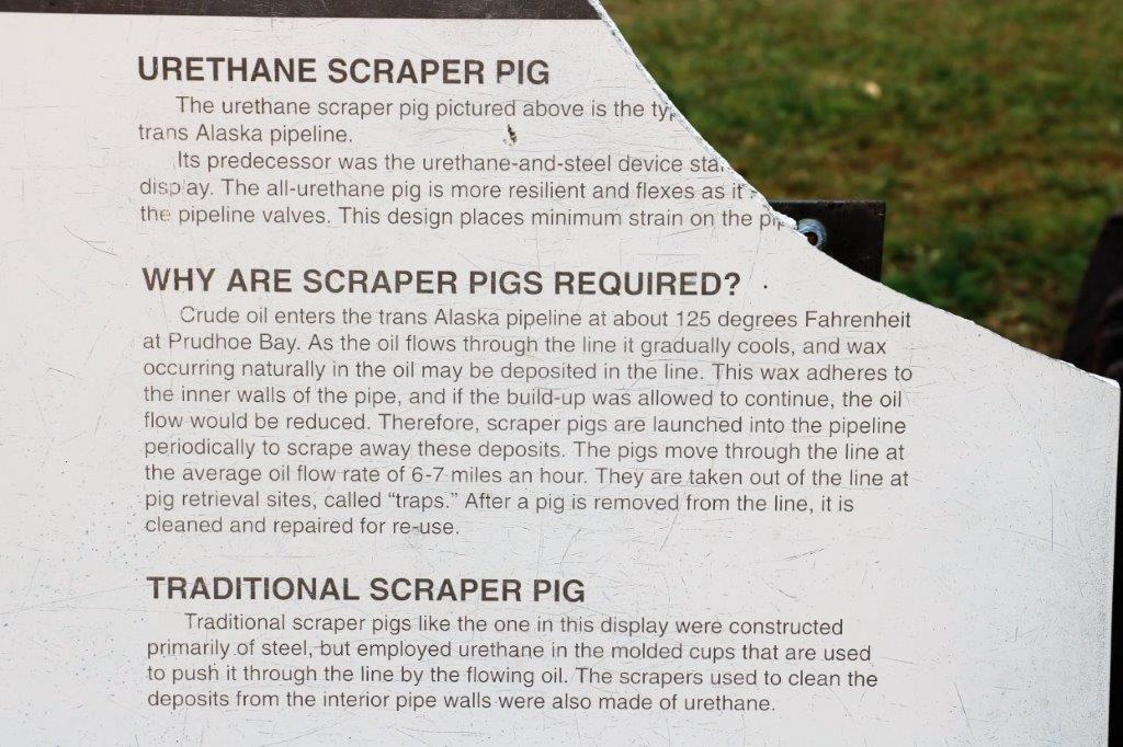
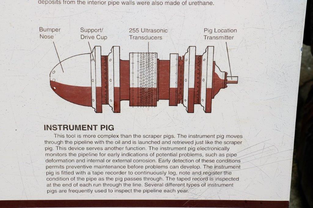
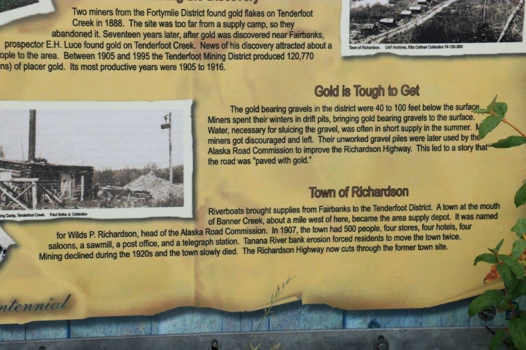
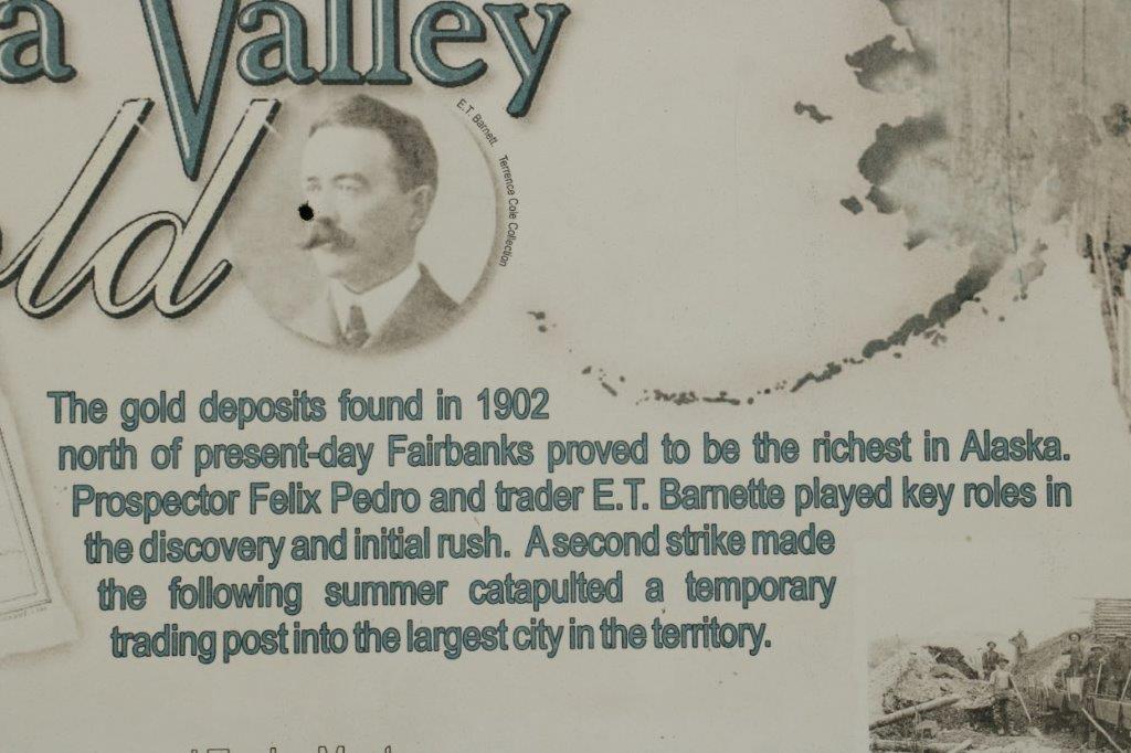
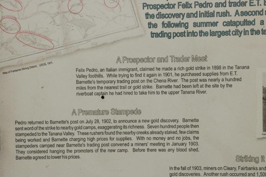
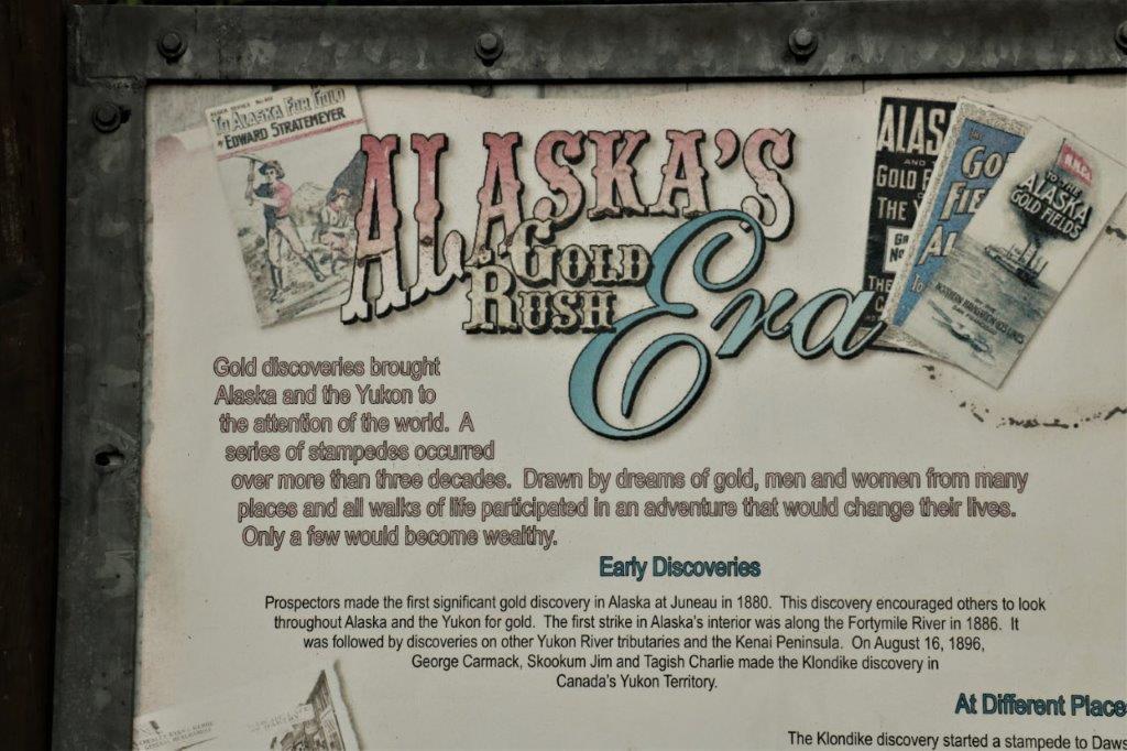
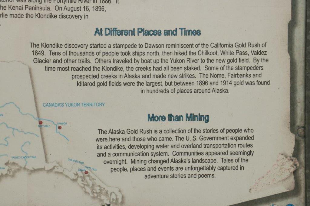
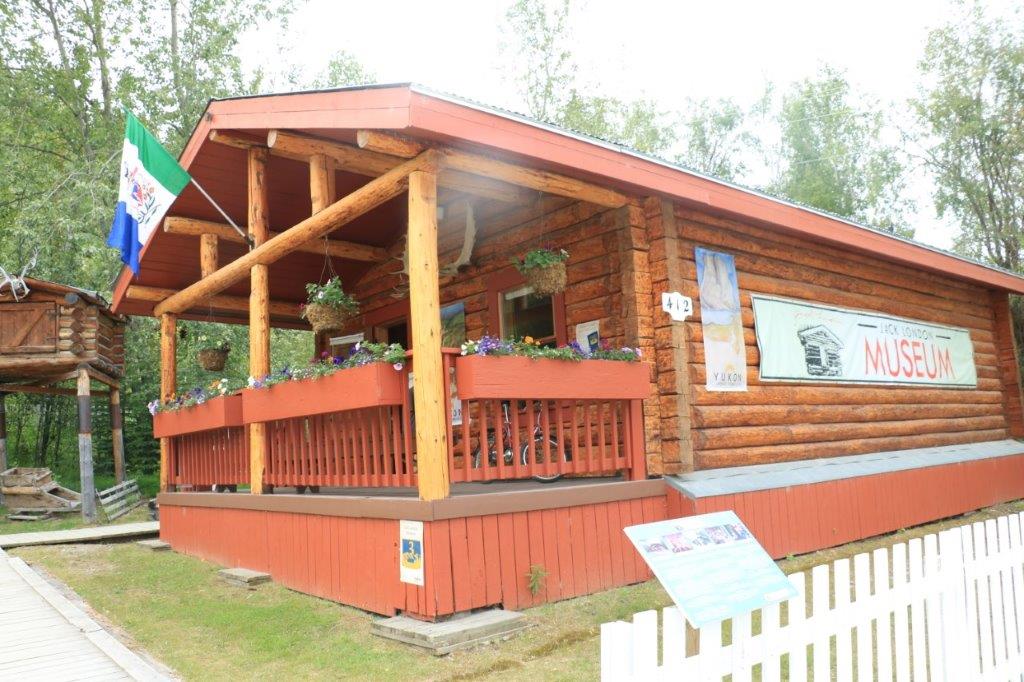
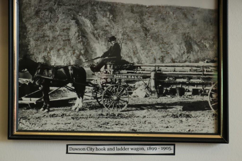
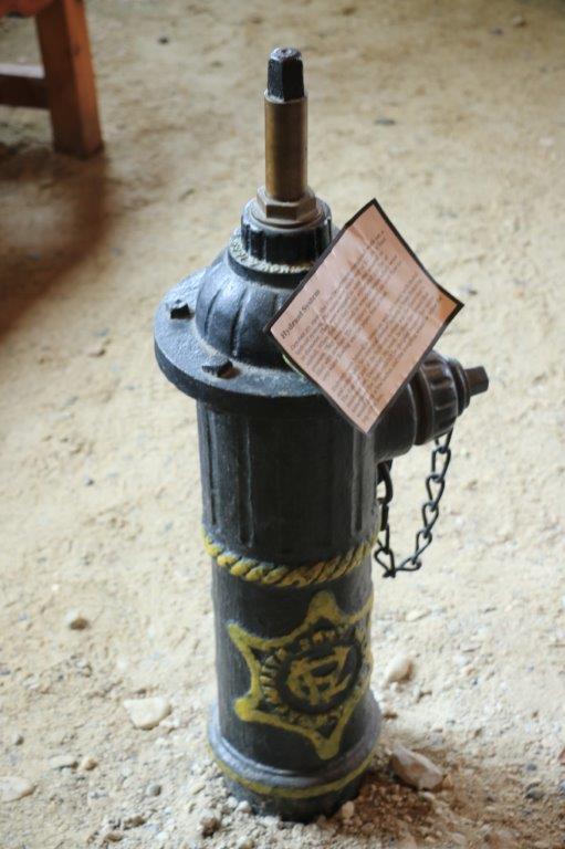
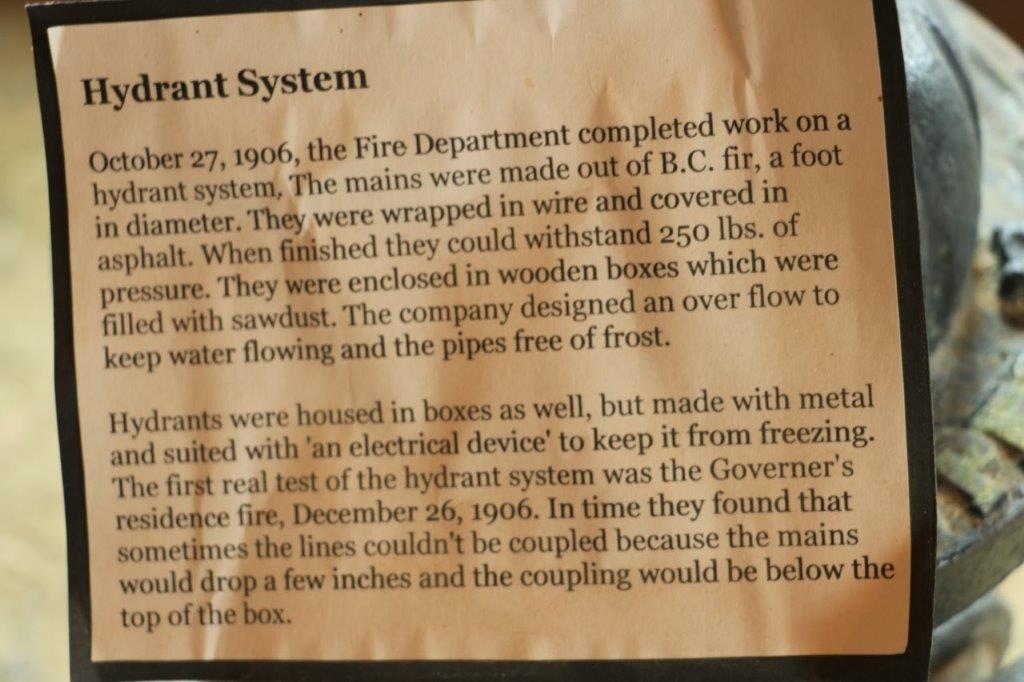
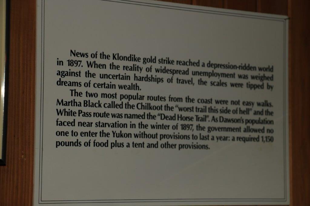
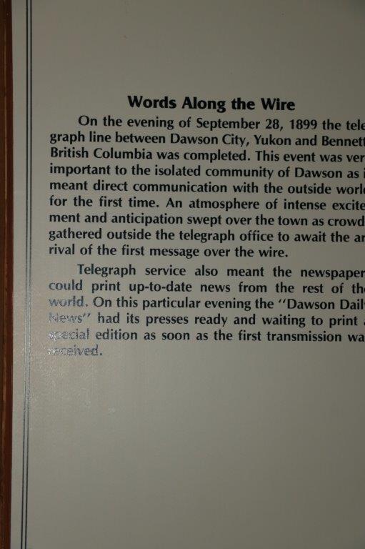
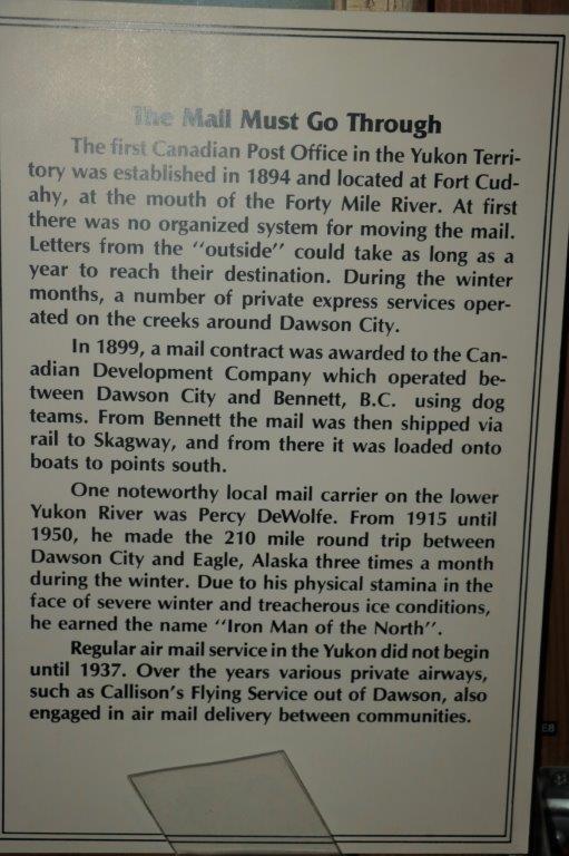
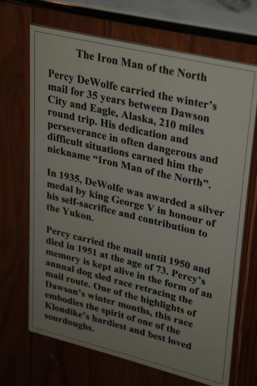
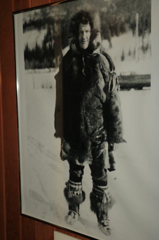
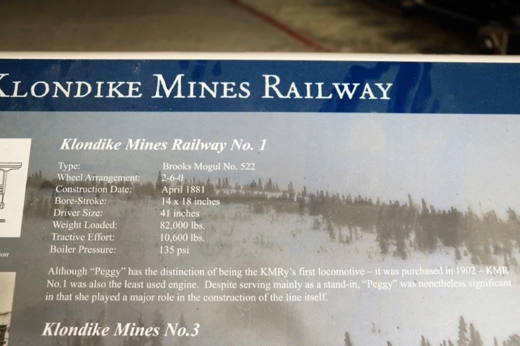
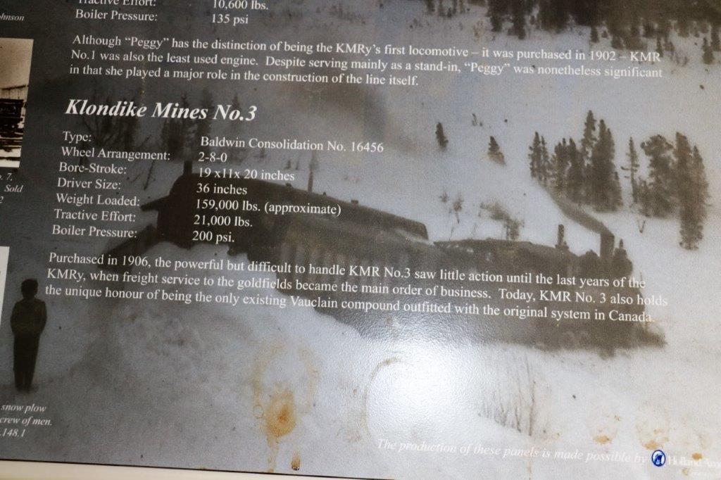
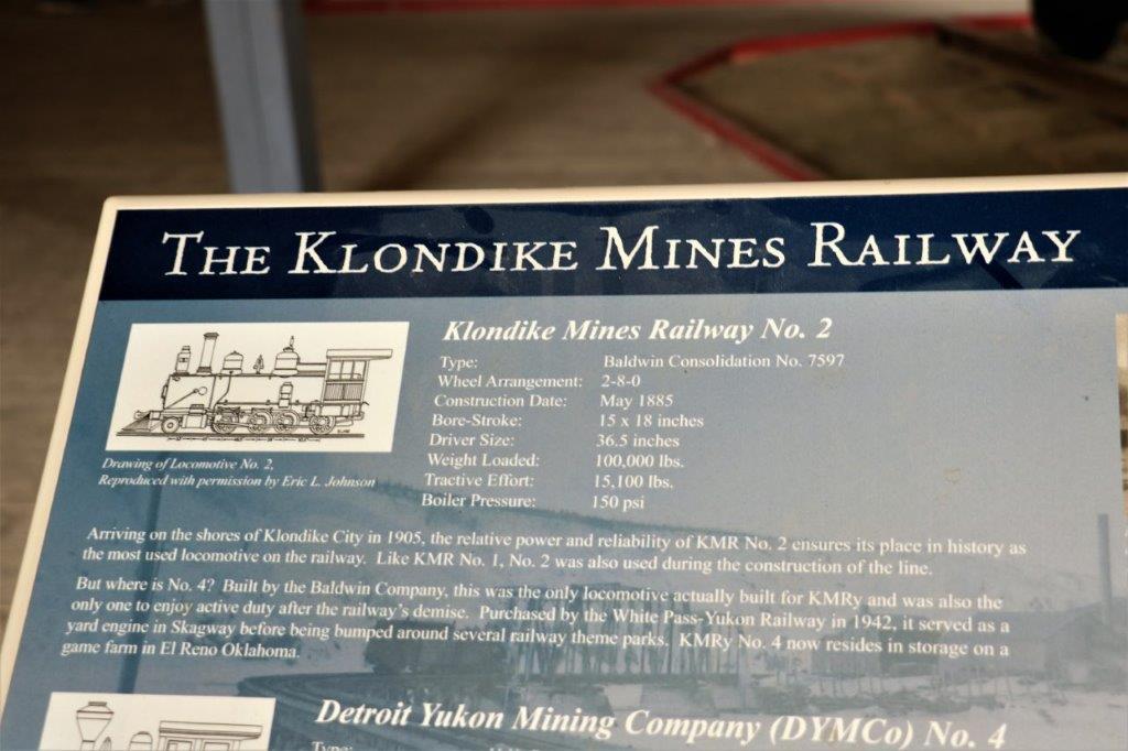
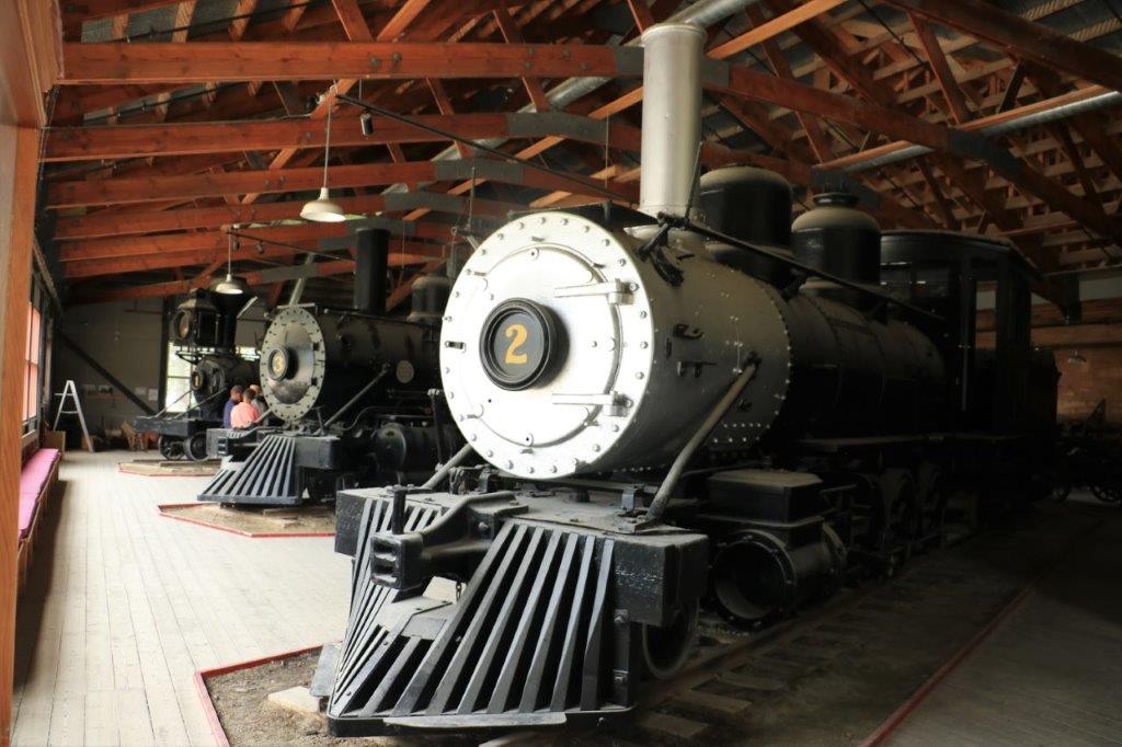
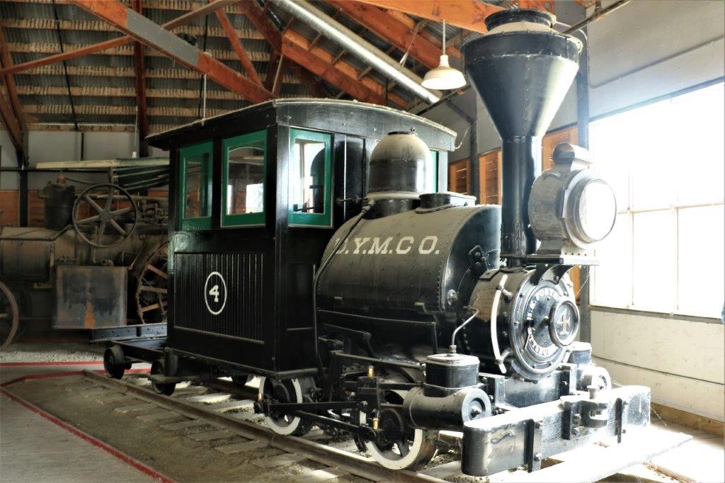
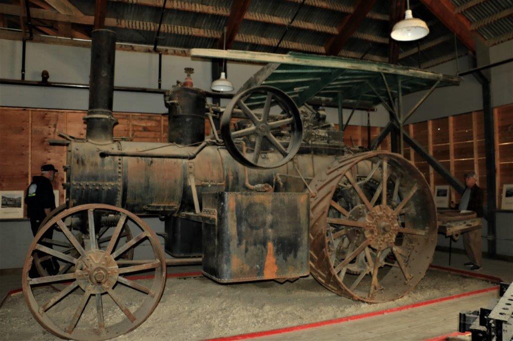
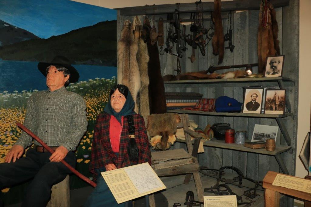
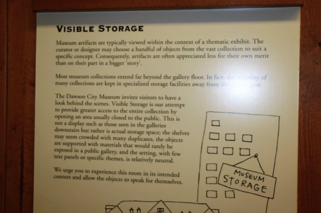
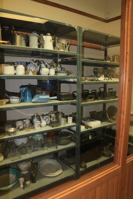
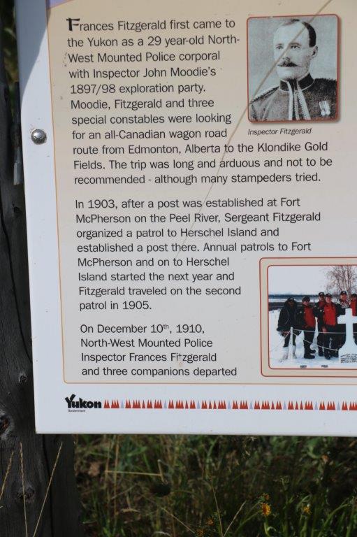
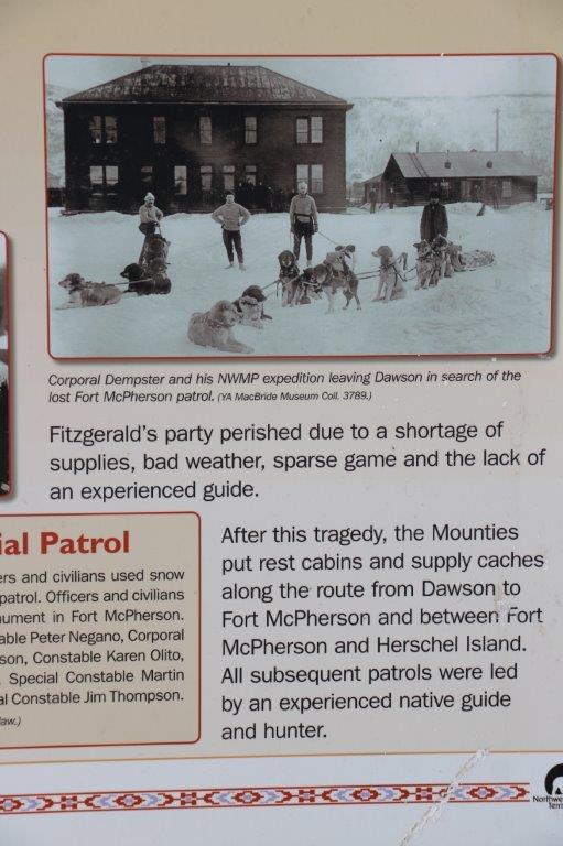
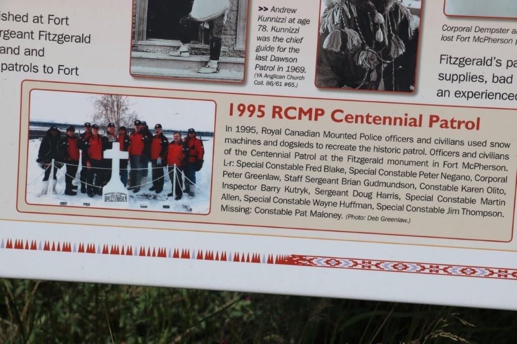
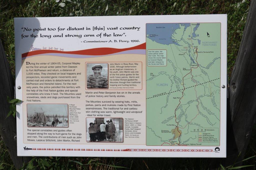
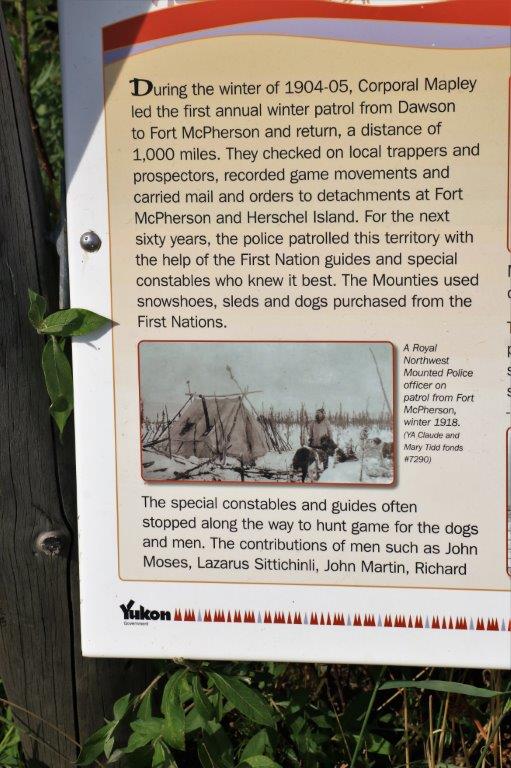
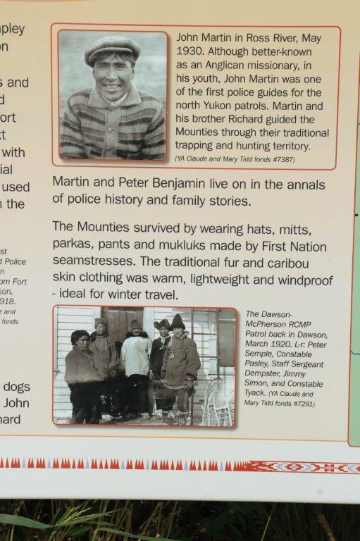
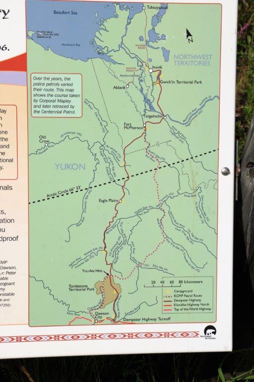
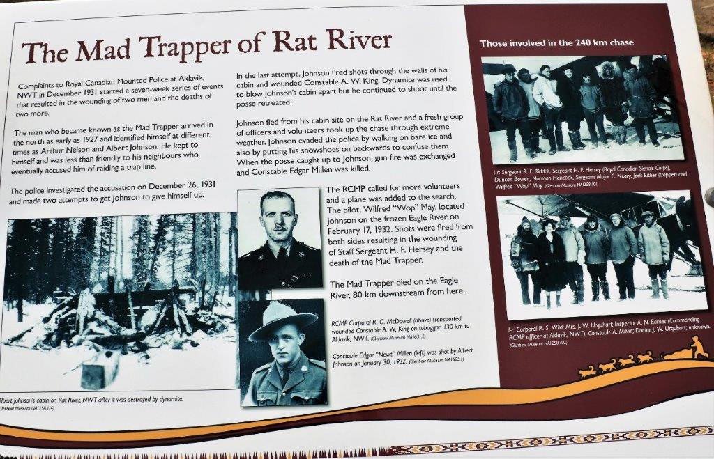
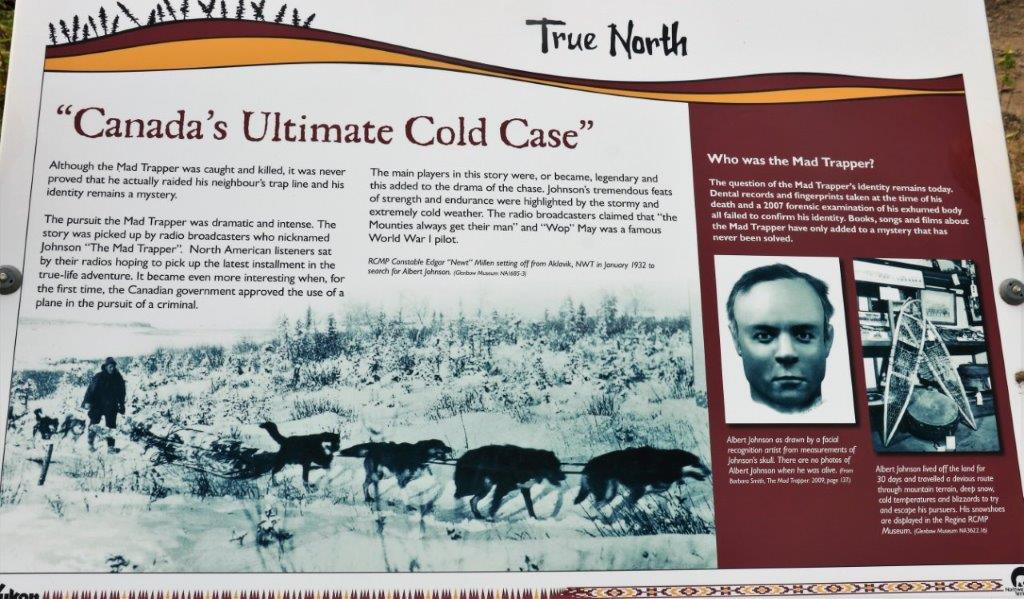
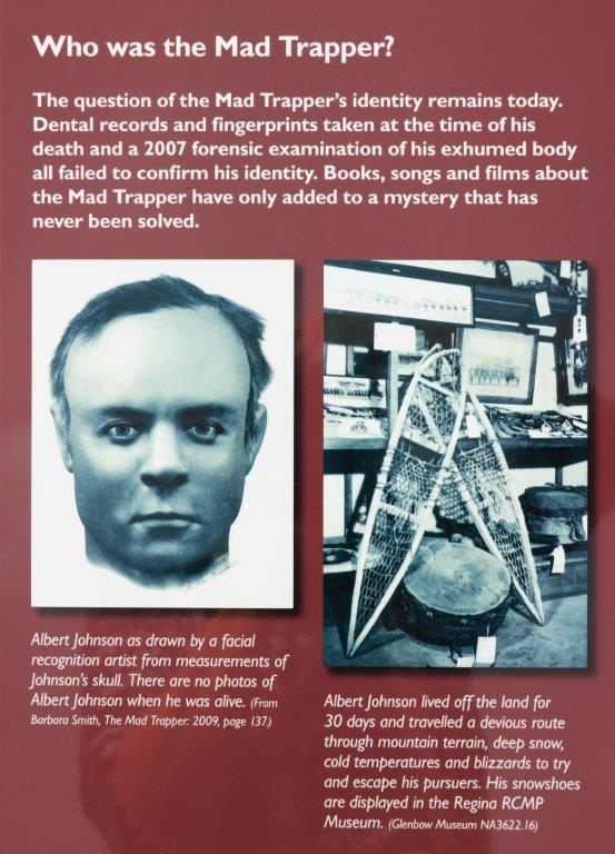
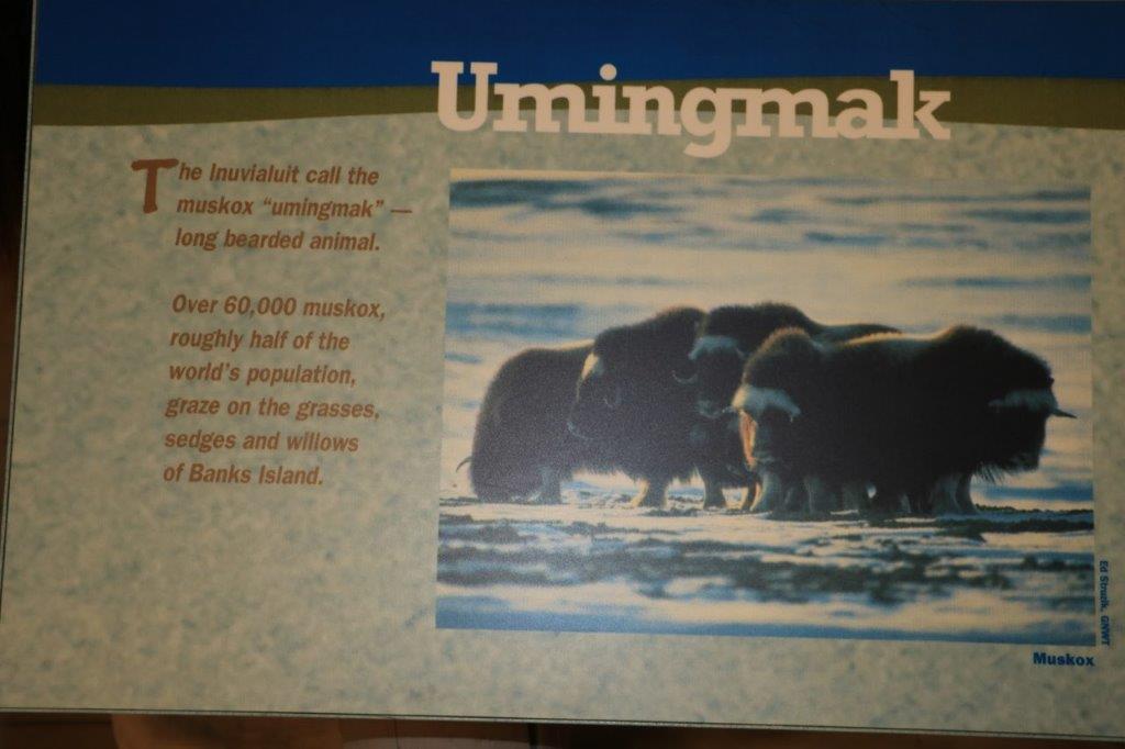
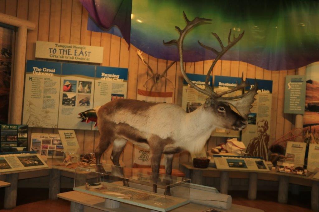
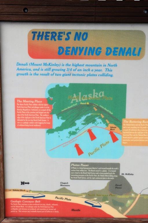
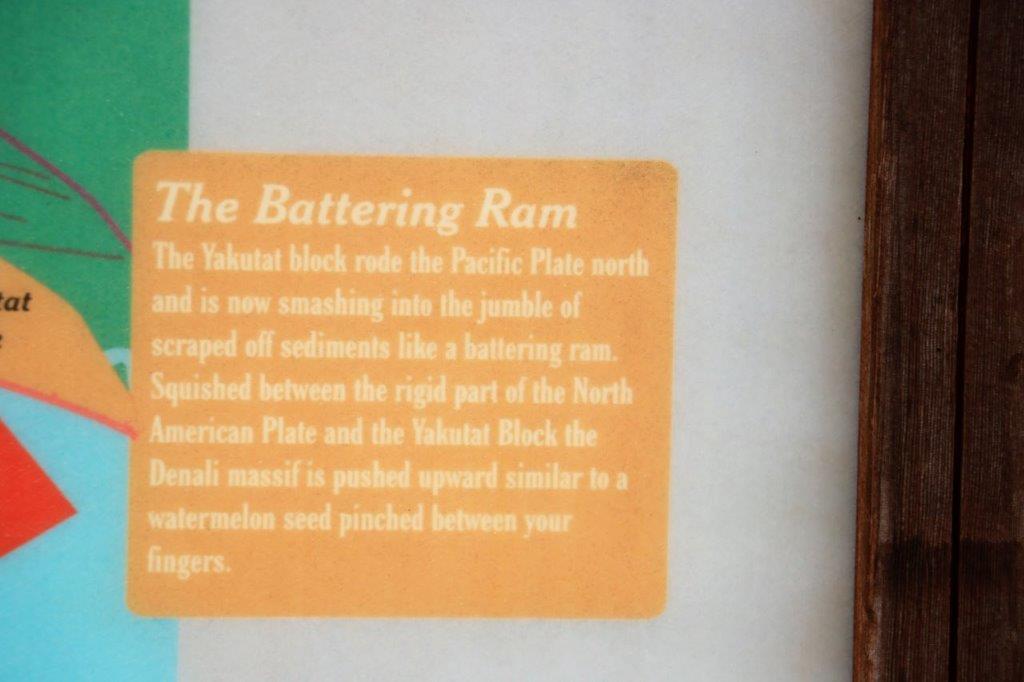
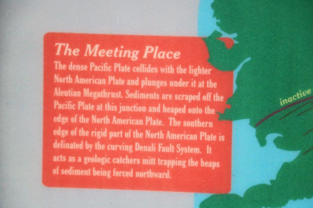
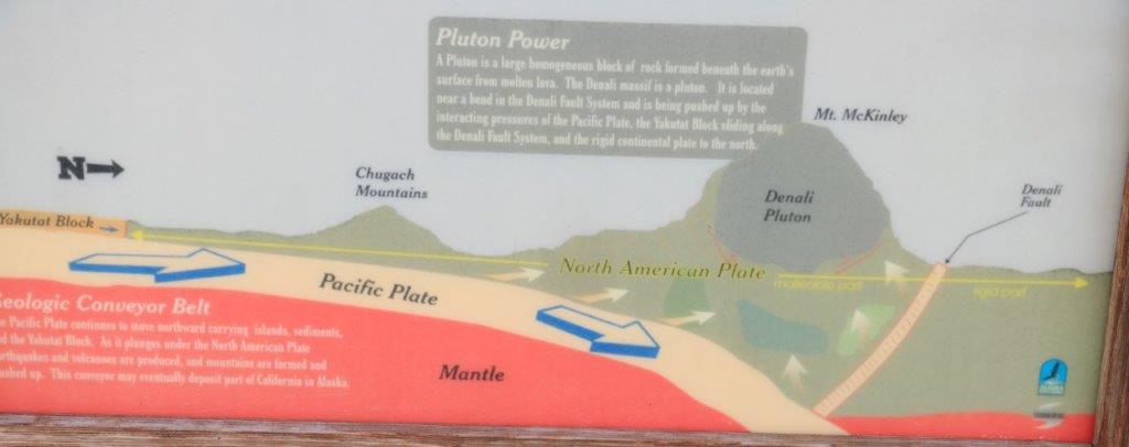
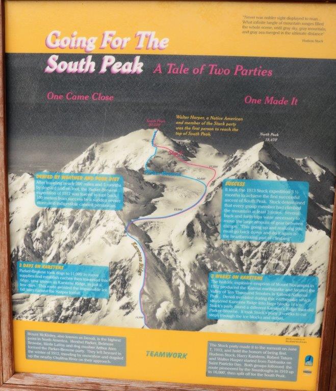
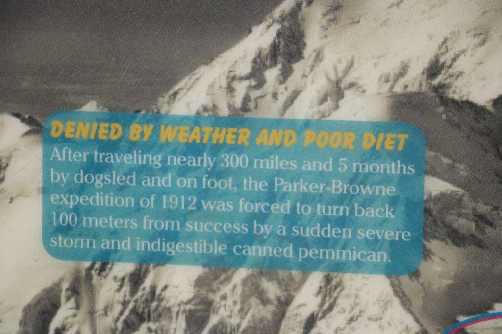
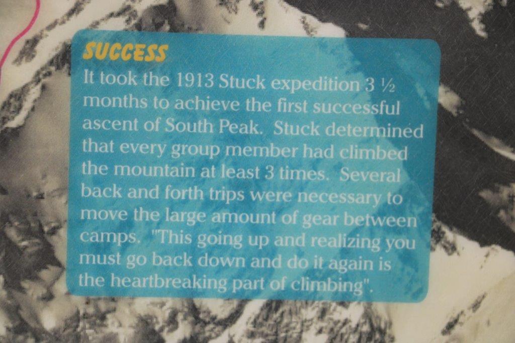
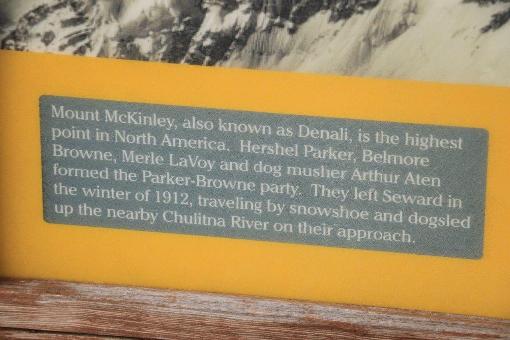
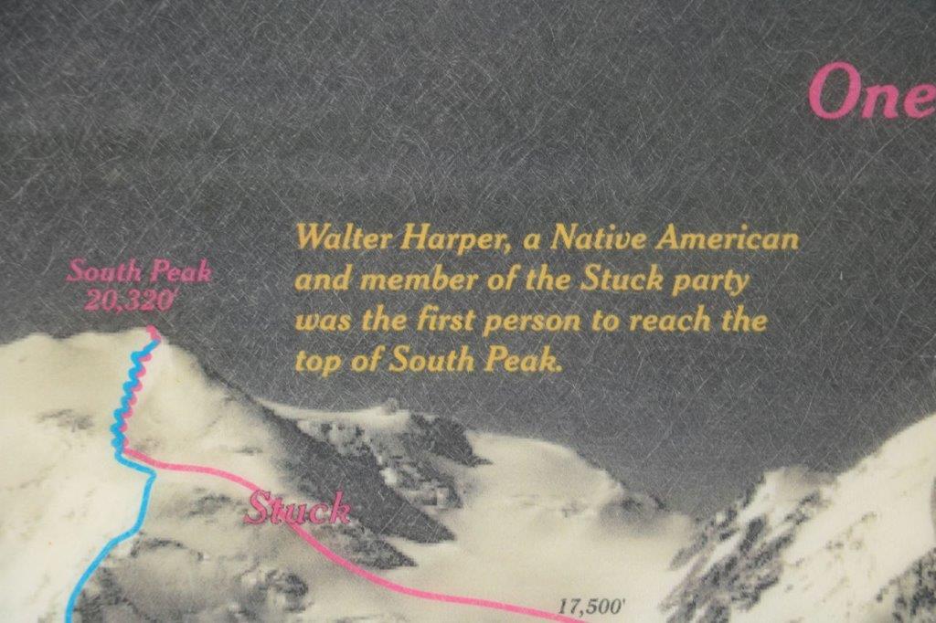
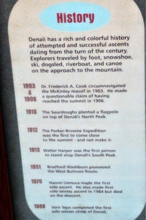
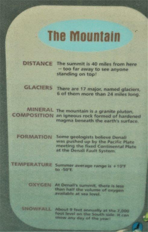
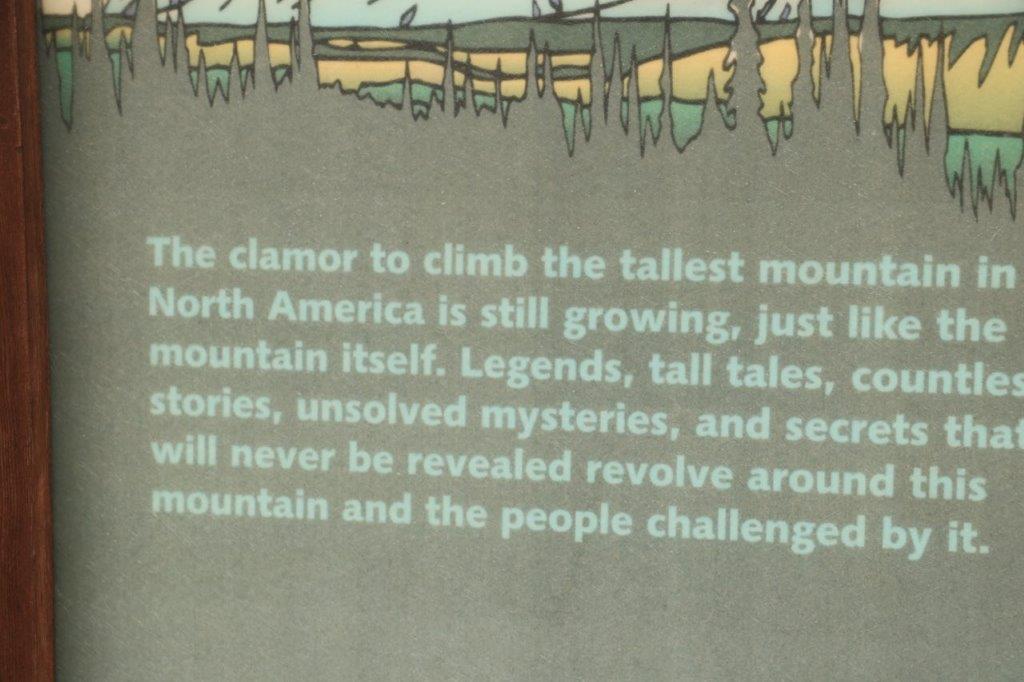
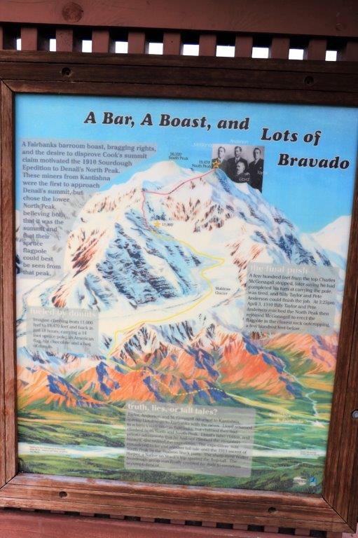
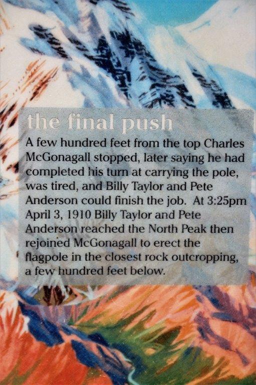
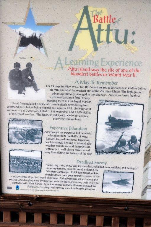
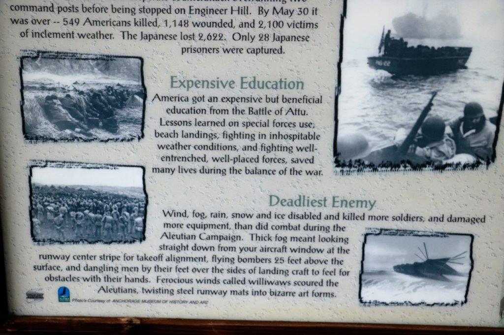
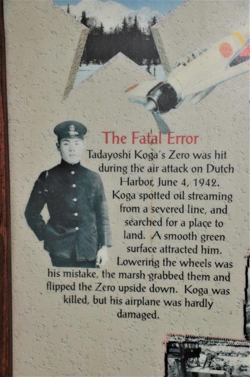
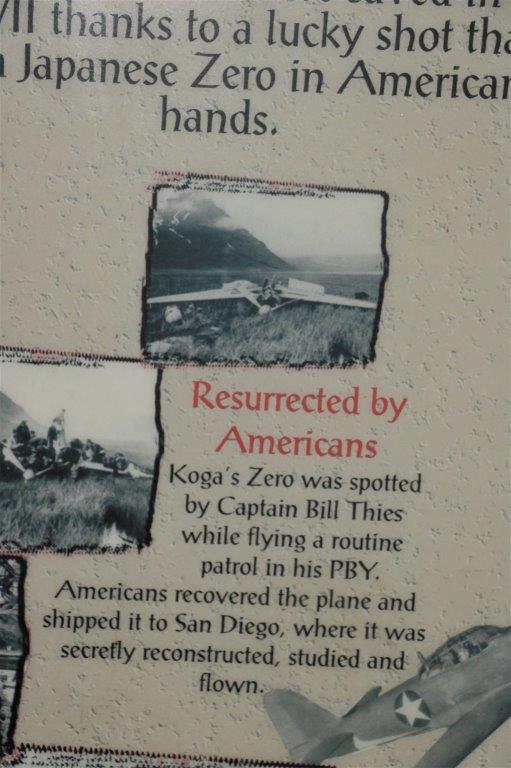
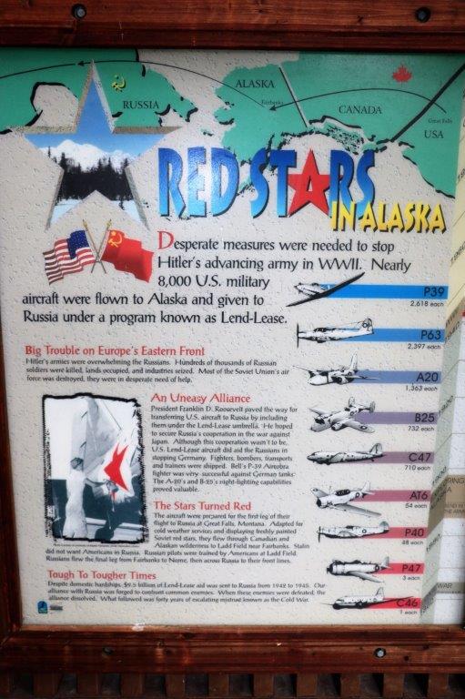
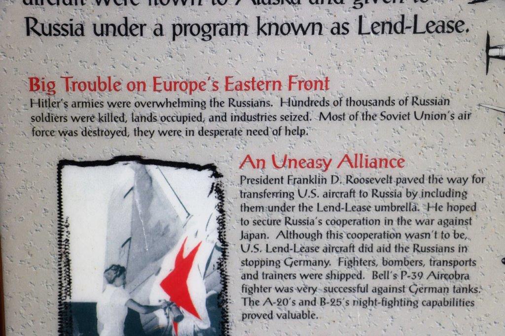
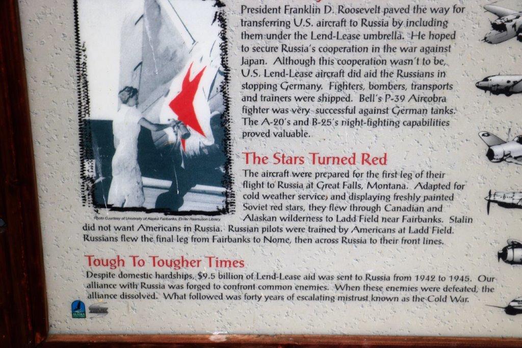
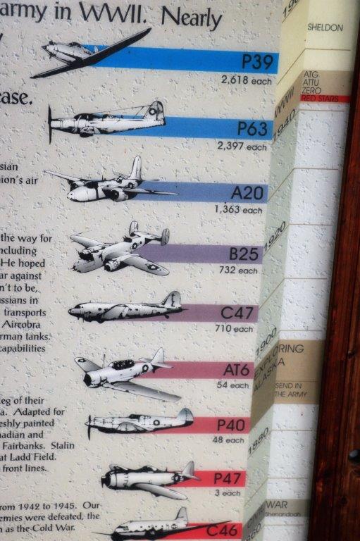
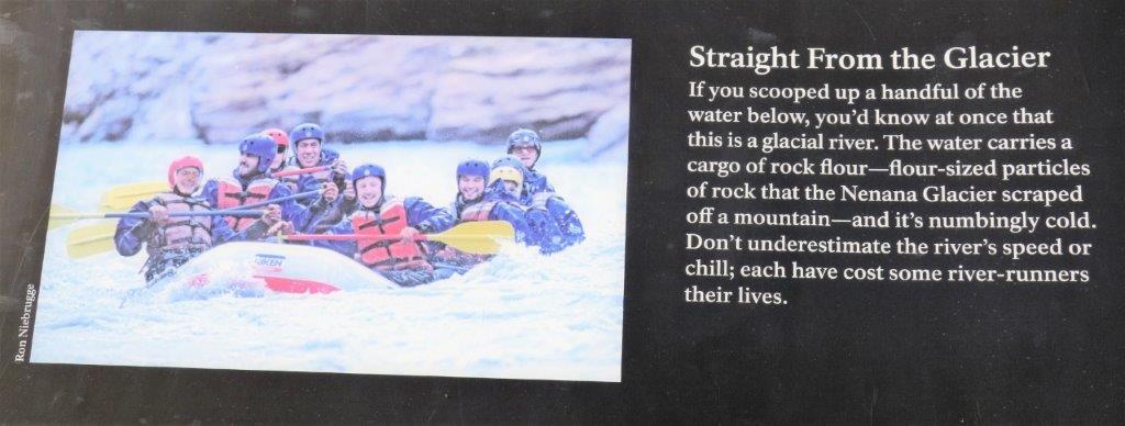
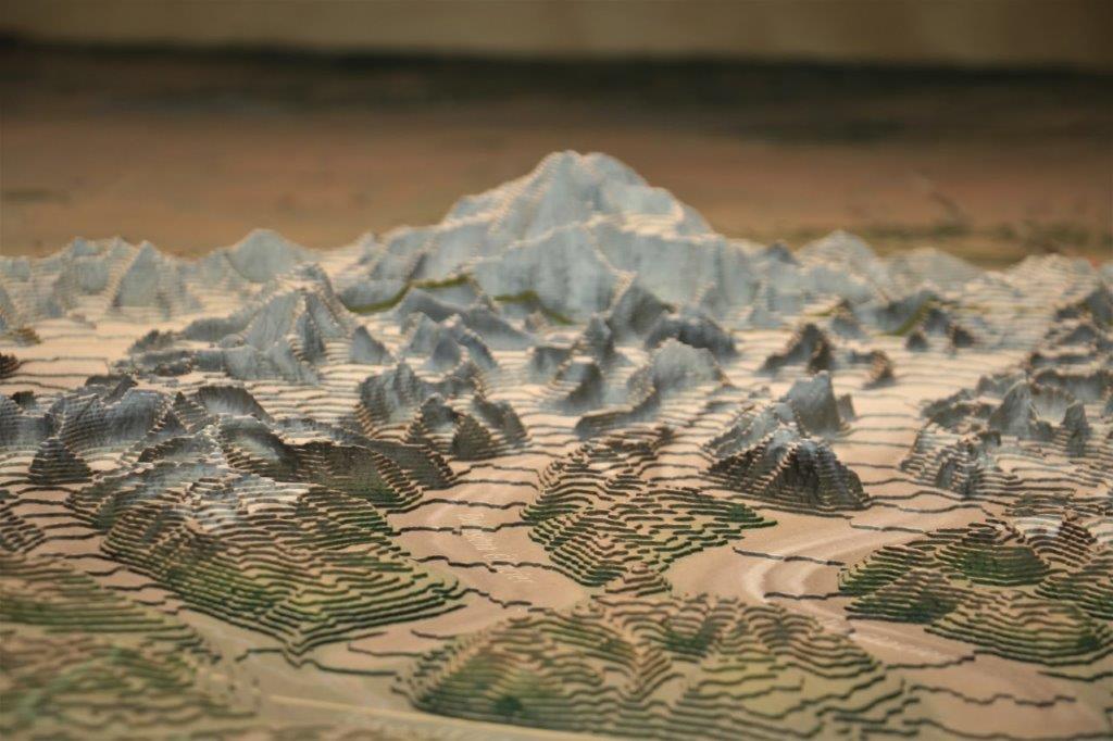
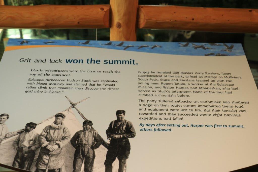
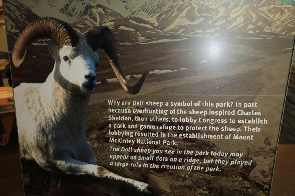
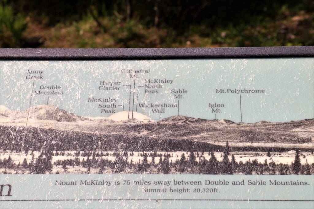
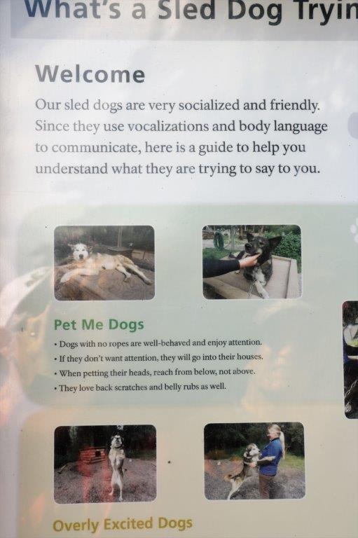
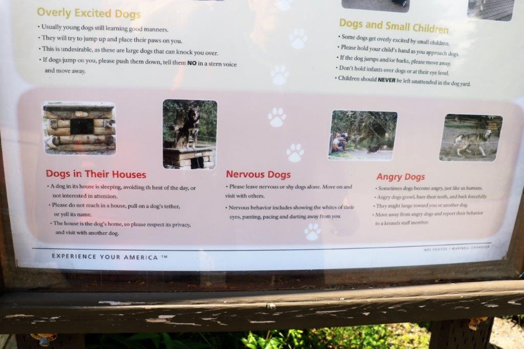
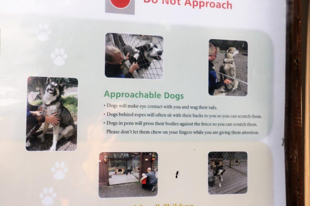
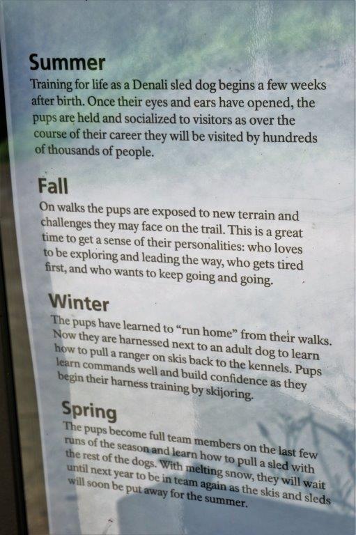
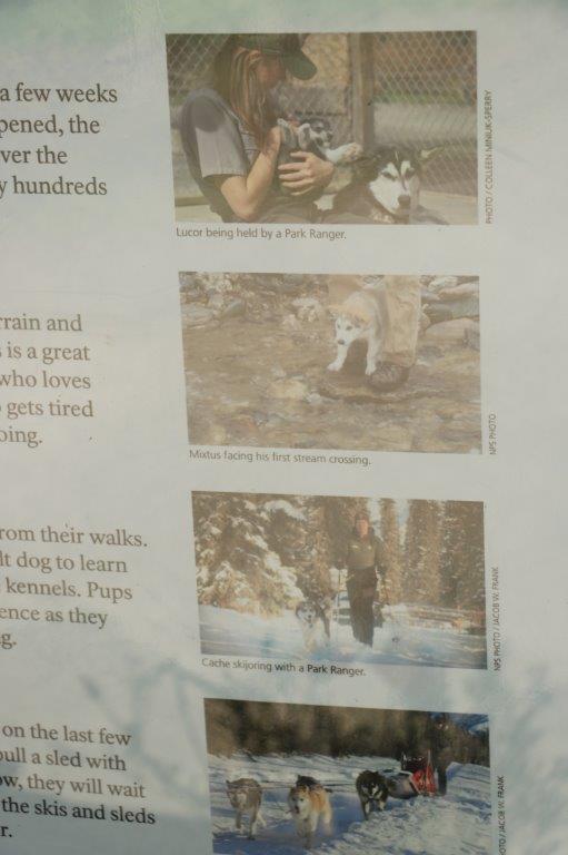
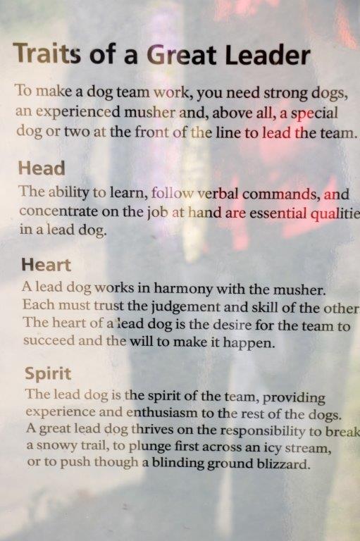
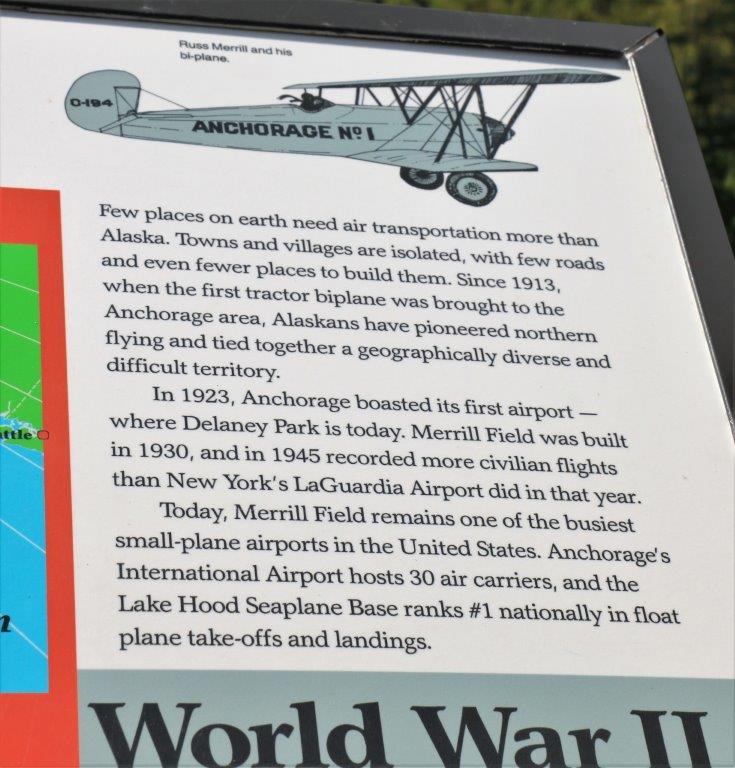
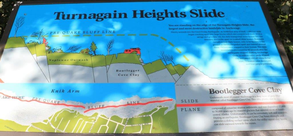
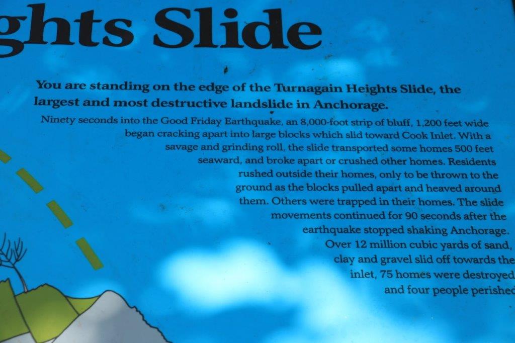
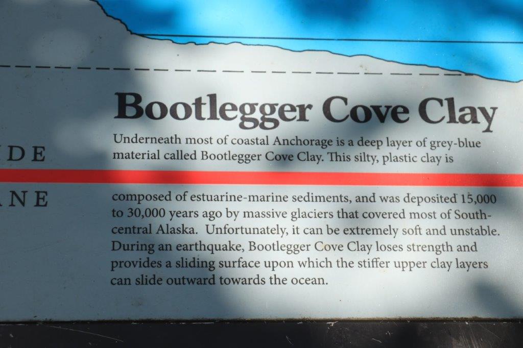
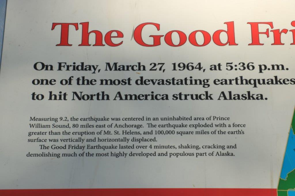
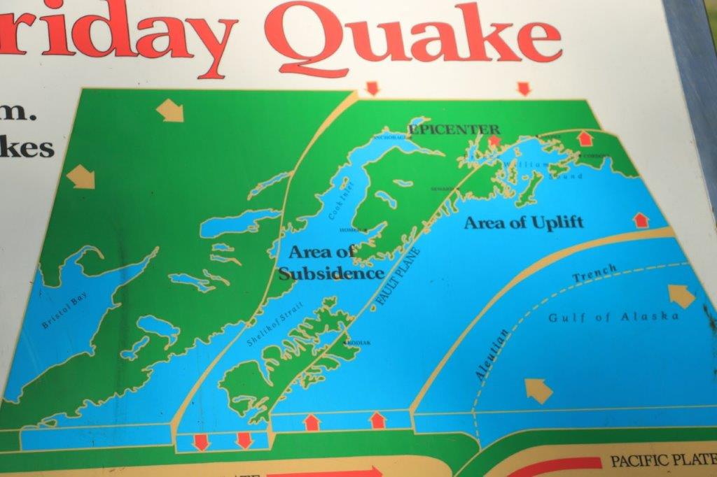
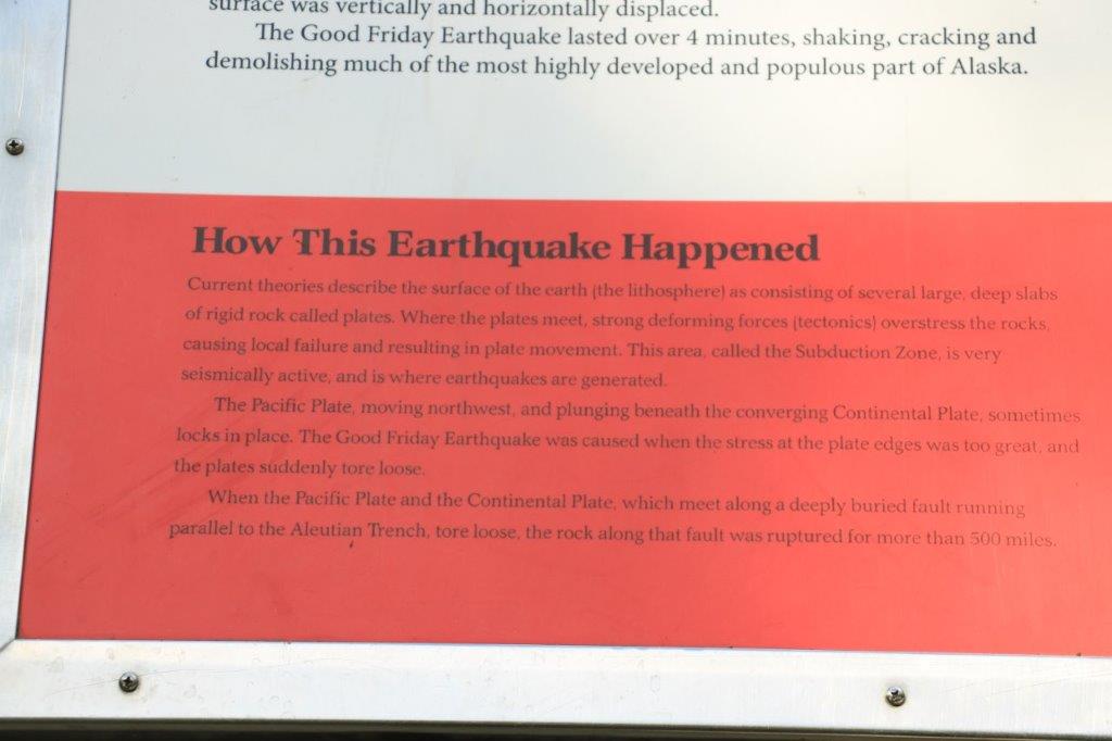
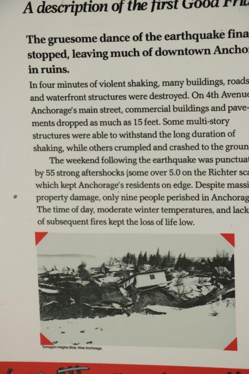
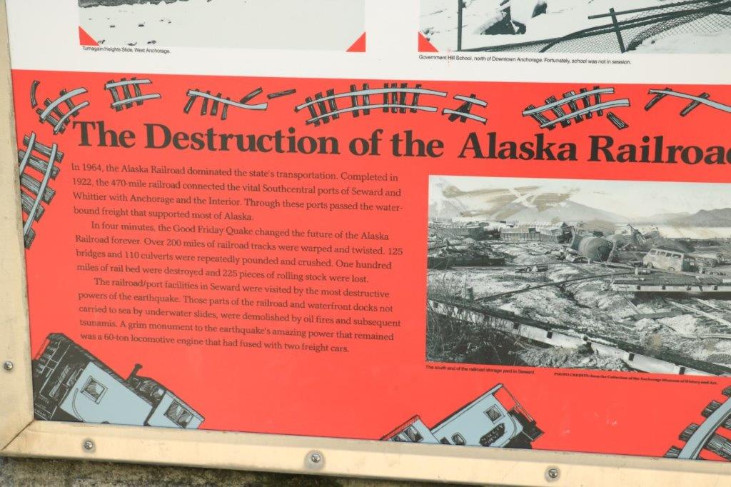
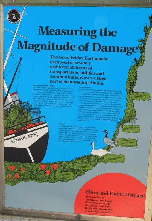
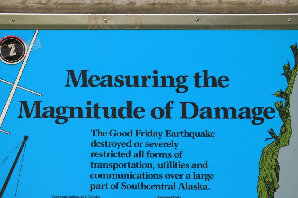
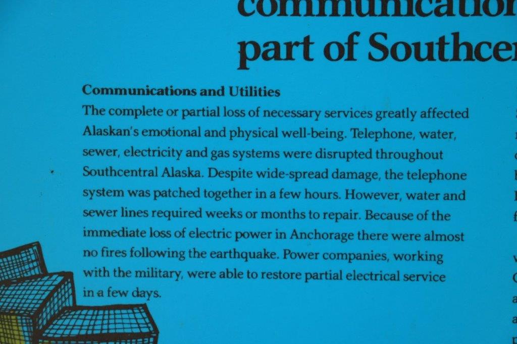
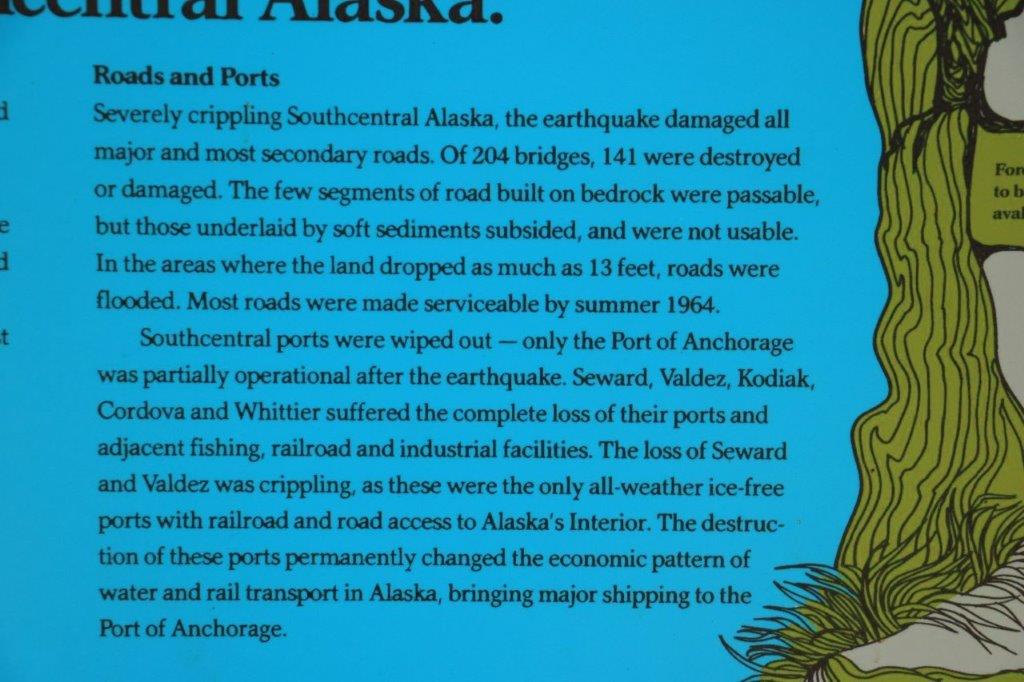
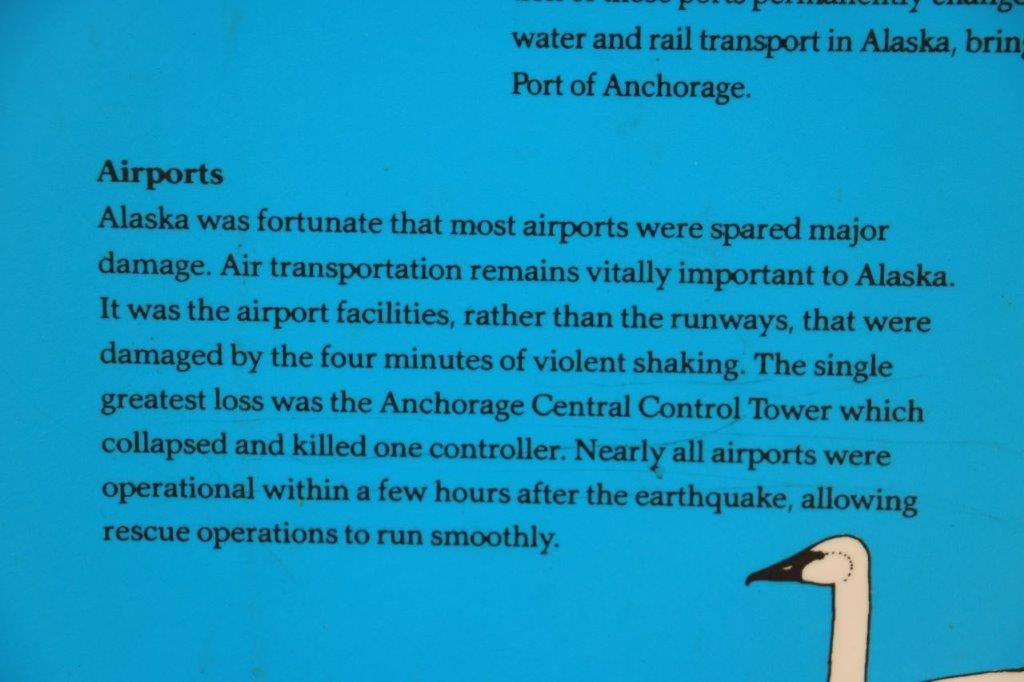
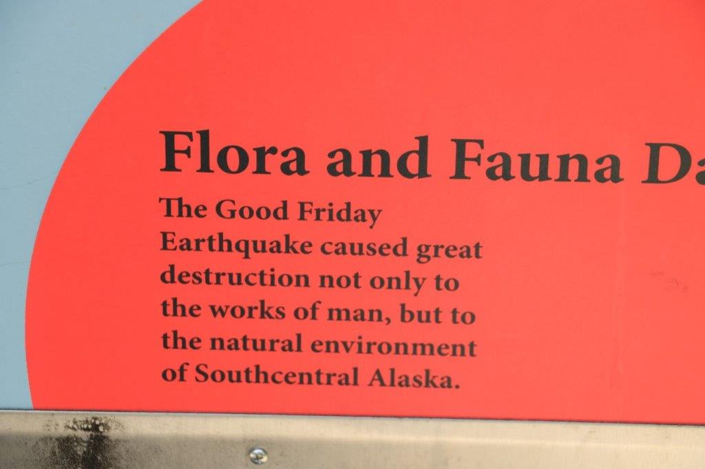
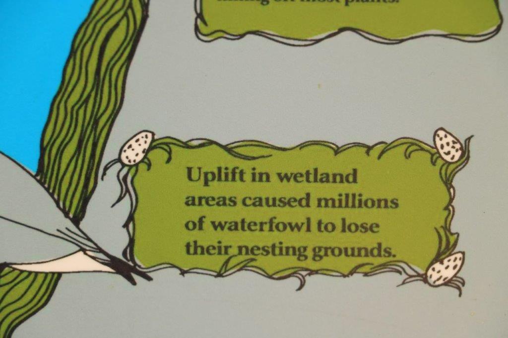
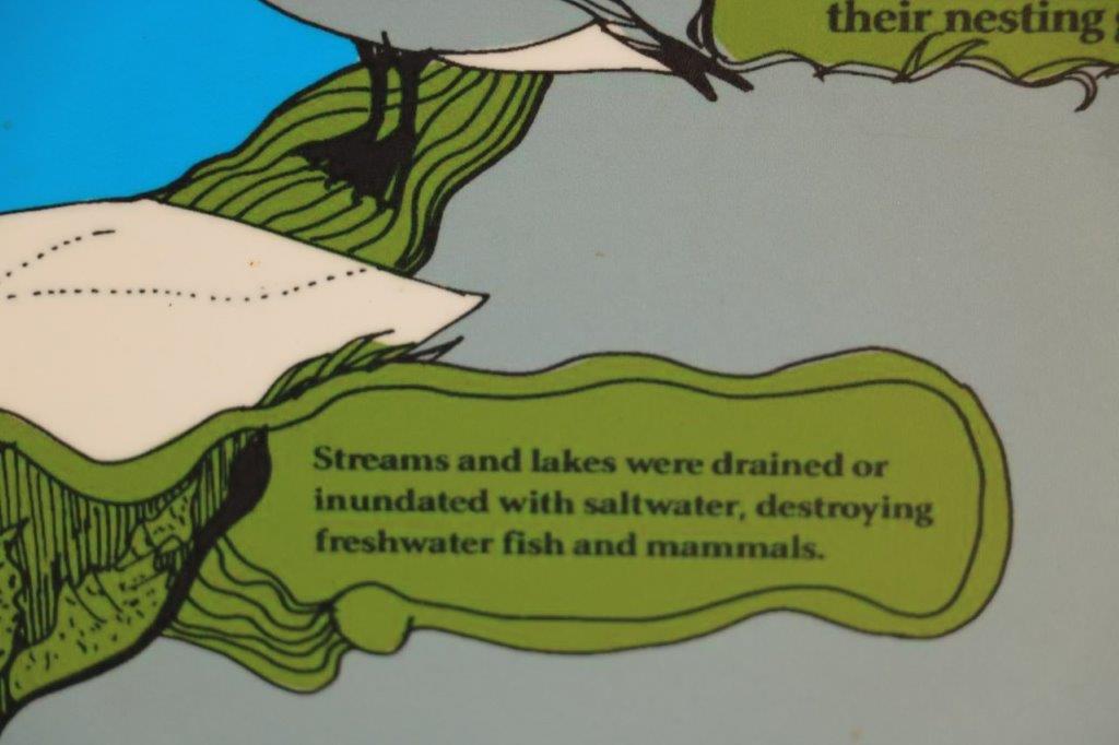
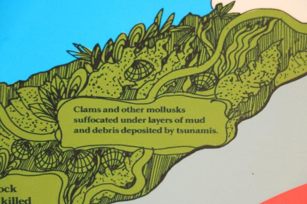
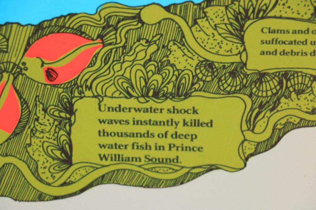
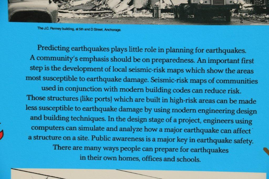
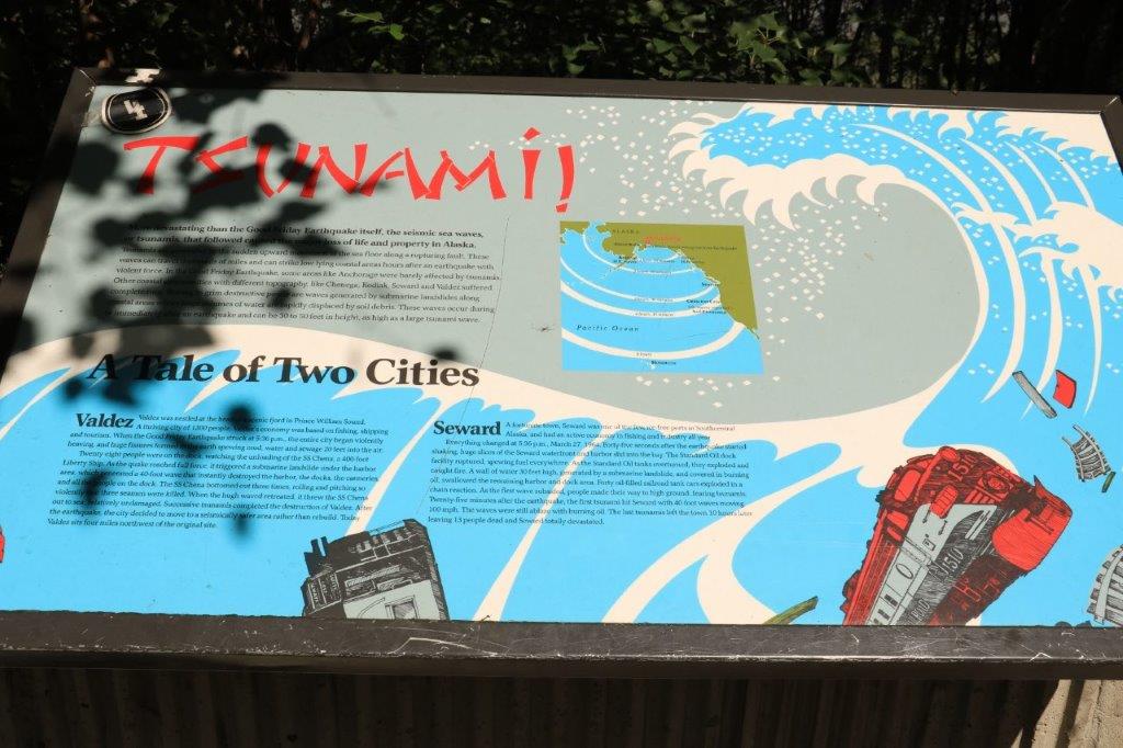
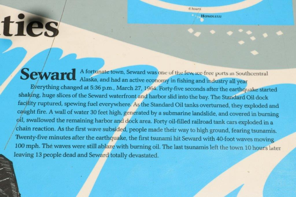
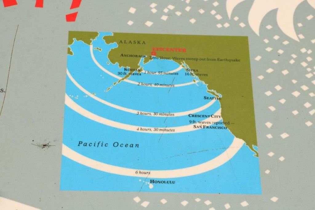
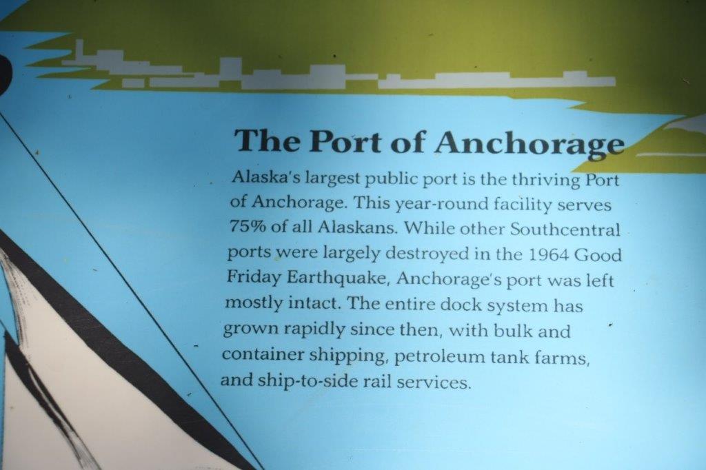
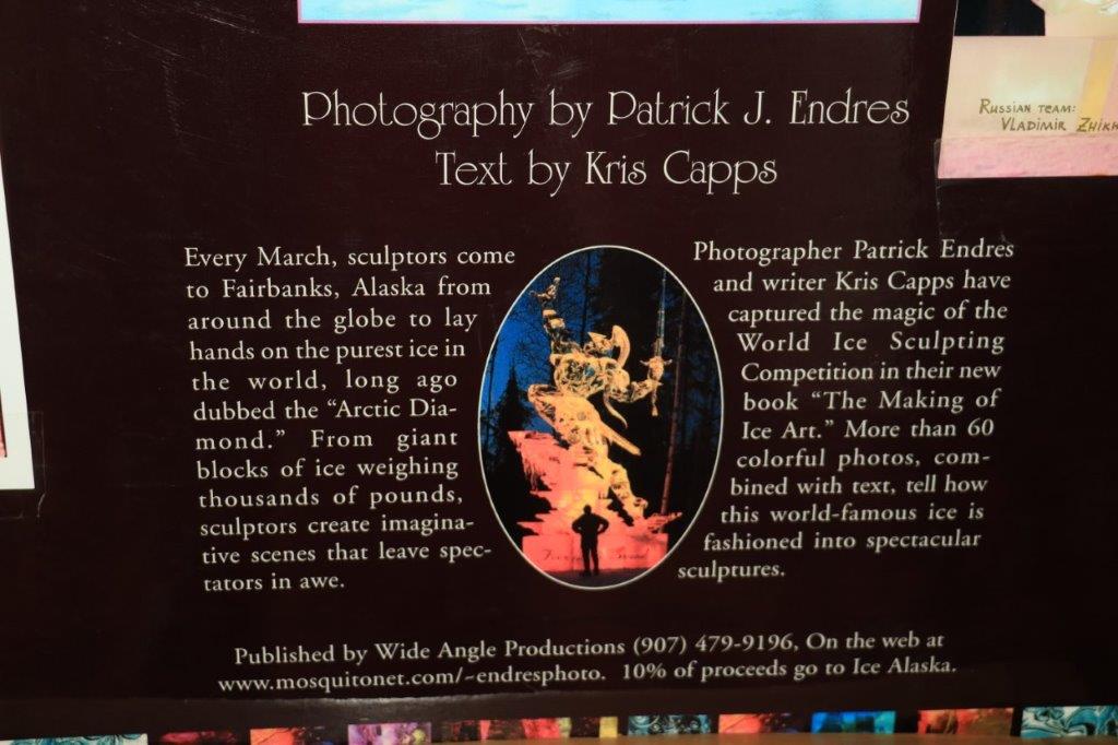
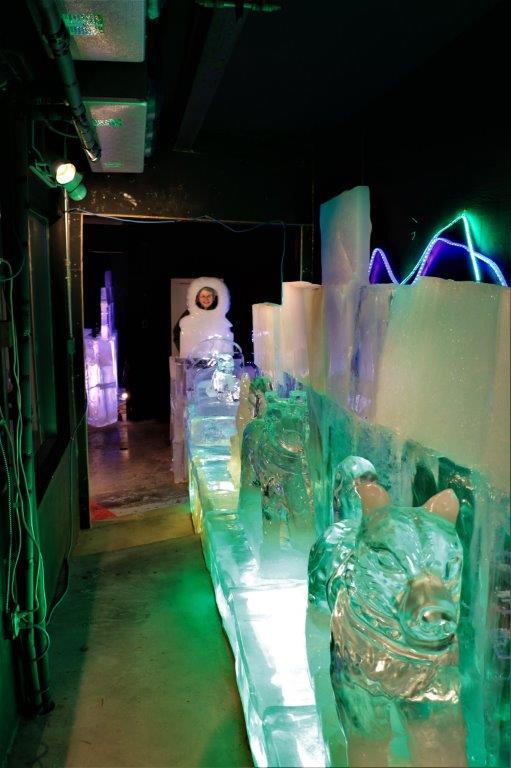
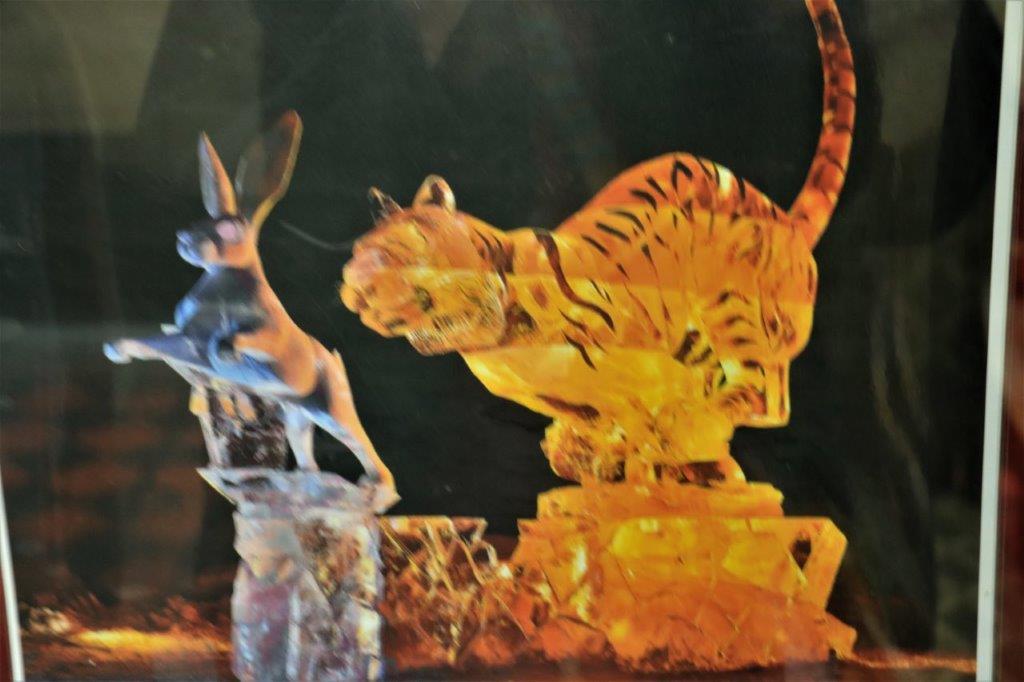
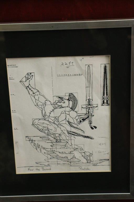
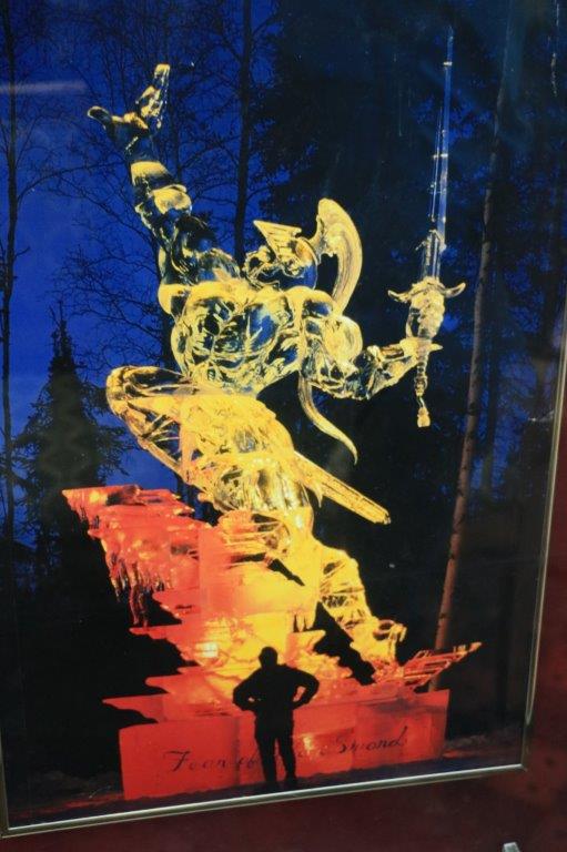
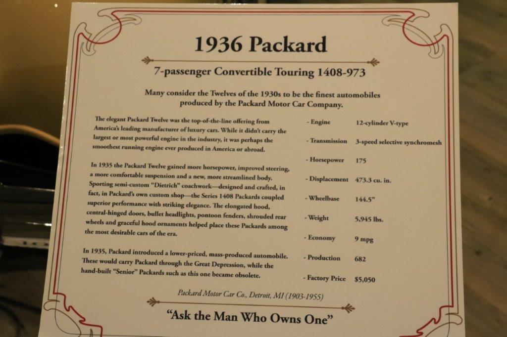
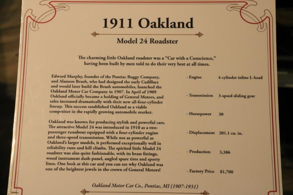
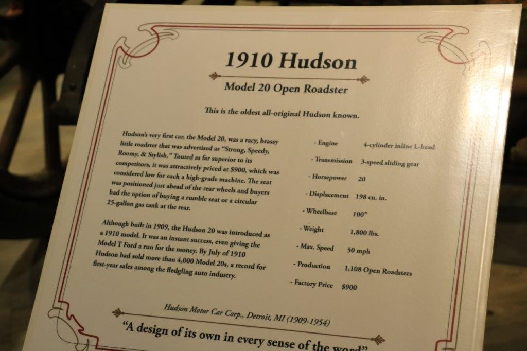
There were some very interesting placards at the visitor’s center at the memorial.  I didn’t photograph them all, but here are the one’s I did take pictures of.

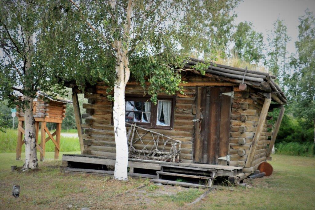
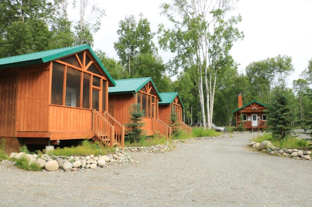
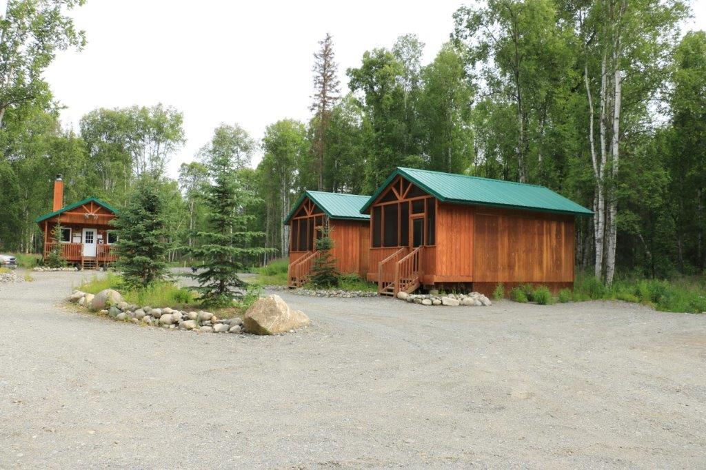
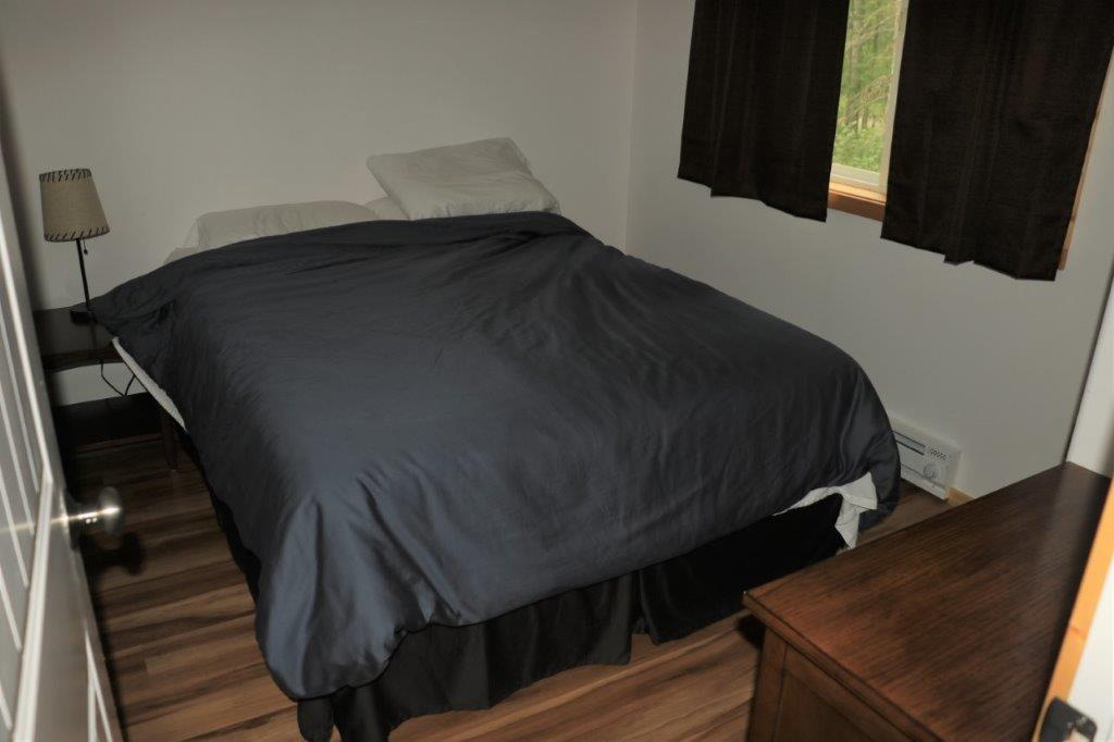
John had rented a little cabin about a mile or so up the spur road to Talkeetna and we arrived about 7 o’clock.  The manager had been trying to call us to see if we were coming because it was getting so late, but we don’t have cell phone plans for the US so our phones are on airplane mode and he couldn’t reach us.  All was well though.  He hadn’t rented our spot to someone else.

We had stopped at a nearby roadhouse for some supper before going to the cabin.  Apparently they don’t impose ‘no smoking’ laws in out-of-the-way places in Alaska.  You could almost cut the air with a knife.  I managed to stay until I had eaten half of my burger (which was really good) before the smoke started to stir up my asthma.  I bundled my last few fries and half burger into my napkin and ate the rest outside.

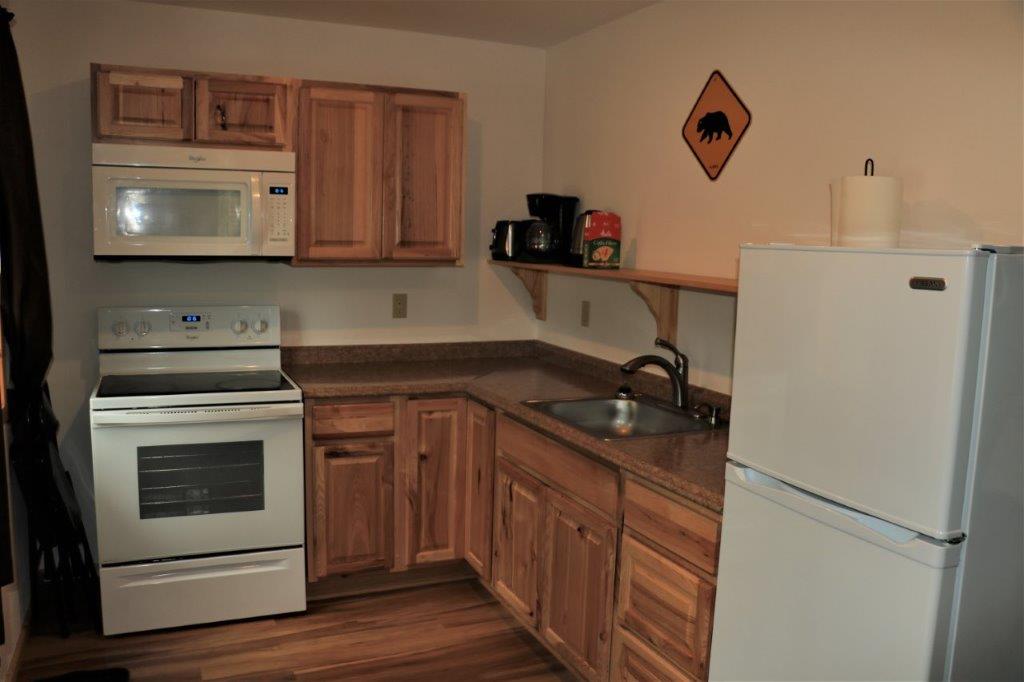
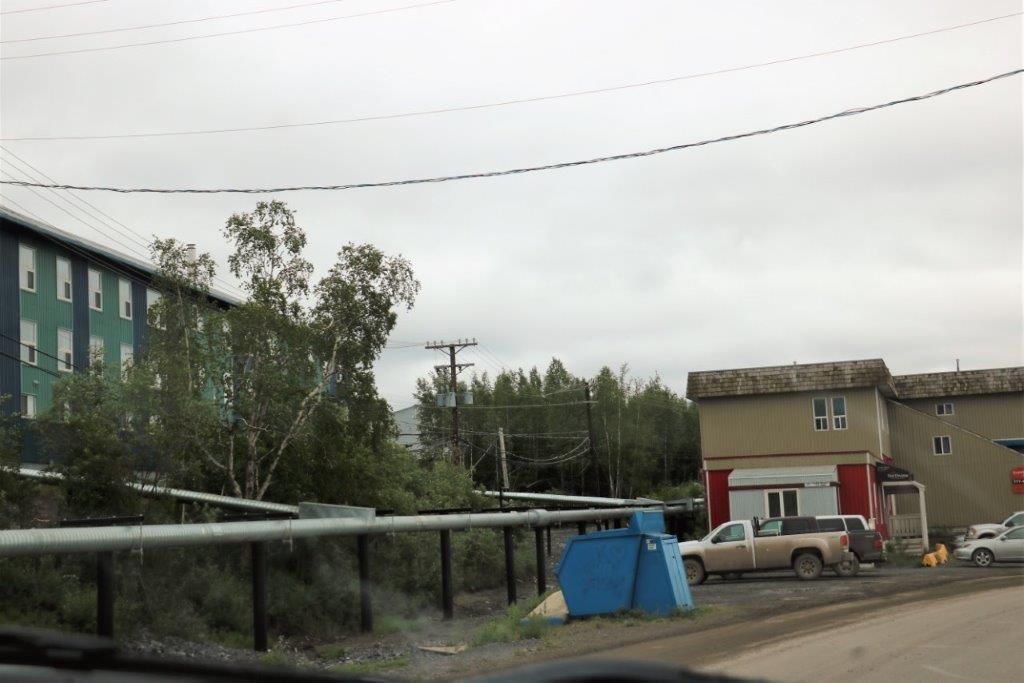
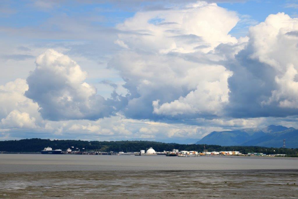
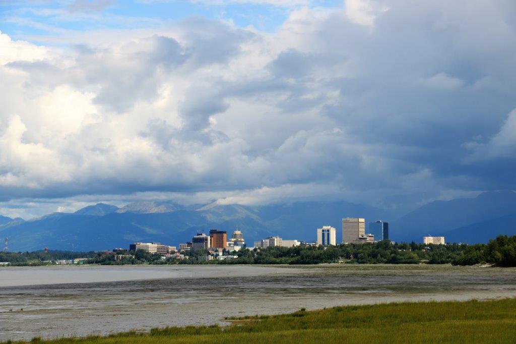
After we had taken our luggage into the cabin we drove back to the Talkeetna spur road to Cubby’s Market and bought some bagels and fruit and yogurt for our breakfast.  The cabin had a full kitchen and check-out wasn’t until 11 so we planned on a slower start.  Anchorage is only about 2 1/2 hours drive away.  But, of course, it will take us much longer than that!

2018 July 13 – Fairbanks to Talkeetna, AK (Part 1)

We were very happy to wake up to sunshine this morning.  The weatherman had predicted clouds and rain for the next four days.  Sunny with high clouds gave us a good chance of seeing at least some of Denali on our drive toward Anchorage.  We were going about 2/3 of the way and stopping for the night in a small cabin on the spur road to a little town called Talkeetna. There are places along the drive that you can see Denali and we kept an eye on the peak as we headed south.  At the Chulitna Overlook there is a clear view of the mountain, right down the road and the mountain was clear to the top.  It was a long way away, but with our zoom lens we were able to get some nice shots.  The spot is obviously well known as a good viewing area because there were five tour buses in the lot. Denali is 20,320′ above sea level and is so high and wide it creates its own weather.  Over 70% of the time the top is covered by cloud.

Once you were a fair distance from Fairbanks you entered the Alaska Range and so today ended up very much like the day we drove to Inuvik; gorgeous mountain after gorgeous mountain.                                        Dragonfly Creek Overlook The National Park Service effectively limits the number of private vehicles in Denali.  You can only drive the first 15 miles (24 km) of the road.  The road is 92 miles (148 km) to the end and but you must take one of the many park shuttles to access any trails, and take a mandatory Ranger course before you do any overnight hikes.  (The shuttle costs  return for $80.75 per adult to get to mile 30 and takes about 4.5 hours.  It takes up to 12 hours return to go all the way to mile 92 for $194.00 per adult.)  There is only one camp ground in the park and it is within the Entrance Loop near the Visitor’s Center.  The majority of people stay at campgrounds or hotels at places that border the park boundary to the north or south.  Healy is 12 miles north of the Denali Entrance and the places was chock-a-block with hotels and cabins and white water rafting and tour companies.

The Nenana River Canyon is at Healy and we stopped to get an earthcache and to view the river.  There is a great bridge that parallels the road that has little jut-outs so you can get good views of the river.  Talk about a view point.  This hotel is perched on top of the bluff. We learned a new word – or words – today: rock flour.  It is the ground up particles of rock from the glacier that flows in the river.  That is why the water is such a muddy grey colour.  It is 194 km (121 miles) from Fairbanks to the entrance to Denali National Park. The Visitor’s Center was very busy, the parking lots were full of cars, and there were people everywhere.  Obviously Denali is a ‘must-see’ on many Bucket Lists.  I am amazed at how many foreign-speaking people were there as well.  Lots of Germans and Dutch. All the animals in the large diorama were sculptures not taxidermy; which I was happy to see. A topographical rendition of Denali and the surrounding mountains.  We had no plans to do a lot of hiking around in the park. We just wanted to try see the mountain and drive the road the allowable distance.  The weather co-operated and we enjoyed a gorgeous drive. The scenery is so vast I stitch several photos together.  They give a better scale of the expansiveness of the region.  The image can be quite narrow though. If you look carefully at the center of this photo, the white mass under the line of clouds is Denali.  This is the most commonly seen view of the mountain – half covered in clouds. Another word I learned today – gossan.  The huge orange rock exposed here is a gossan.  It is created by the oxidation of iron-sulfide minerals within Yukon-Tanana rocks.  It is rust.  Gossans often indicate the upper part of ore deposits such as gold, silver, lead, zinc, and other minerals.  The area had been explored years before the surroundings became the national park, but it was never excavated. This huge rock formation (there are people climbing around on it and at the base) is at the Savage River parking lot – the end of the road.  If you want to explore the park further or take one of the many, many hiking trails you must go from here by shuttle bus. The Savage River is another one of Alaska’s delta-like, meandering rivers with very wide beds and many streams.  During early spring I am sure it is running water edge to edge. We stopped here on our return for lunch.  I checked the meadow with the binoculars but didn’t see any critters.  Denali is a park ‘teeming’ with wildlife, but we saw nary a one.  At mile 3.5 of the road there are the sled dog kennels.  They give a demonstration three times per day and we just caught the end of the 2 pm one. Around the ceiling in the sled shack (which is the oldest building in Delani National Park that is still used for its original purpose), they have the names of all of their former sled dogs.  The dogs work until they are 9 and then they are adopted out.  They breed all their own dogs at the park.                                                    This is Annie.To be continued….

2018 July 15 – Anchorage, AK

I think a month of travel caught up with us today.  After perusing every brochure I had picked up, plus my BCAA tour book on Alaska, there was still nothing jumping out at us that we wanted to see.  Other than Earthquake Park.  Most of the items listed that interest us are scenic things to the east of Anchorage and we will be seeing them on our travels over the next few days.

We had lousy service at breakfast.  There was a group of four waiting to go into the hotel restaurant when we got there and two more couples arrived after us.  All four groups got seated about the same time.  The three couples all had the same server. The four guys got the gal that hustled.  Our server brought us menus, then disappeared for ages and when she re-appeared she took the orders of both of the couples that came in after us.  They both had their food and were eating before she came back to take our orders.

We had dinner in the hotel lounge last night and it was good.  We went again for dinner tonight and once again, we were invisible.  The server brought menus and drinks, said she would be right back, disappeared for awhile and then took orders of people who arrived after us.  We waited about a half hour and she still hadn’t come back so we left and went somewhere else where we had prompt service and good food.  I am generally not too fussed if service is slow if the place is busy; which was not the case tonight – but we were not in a frame of mind after the long wait at breakfast to go through it again in a different eating establishment in the hotel and with a different server.

We spent the morning in our room.  I caught up on my blog and John booked our hotel reservations for the next week.  We went out about 1:30 and drove to Earthquake Park. The shadows from the leaves of the trees make this hard to read.  There was supposed to be an interpretive loop trail with information about how the land at the coast had changed since the quake.  We found one sign and then the trail just became one of many mountain bike paths.

There were little ponds all over in the bush and the water was so still the reflections were mirror-images.We went back to the main paved trail and walked down to the shore.  This cliff is the new shoreline after the 1200′ that was in front of it disappeared in the earthquake.We had tried to find a couple of geocaches that were hidden in the park but had no success. We knew there were a few near the hotel and a huge black cloud was moving in so we decided to drive back and pick up a the nearby caches before the storm broke.

Our hotel is right beside the Lake Hood – Lake Spenard aerodrome. There are float planes tied up at docks all the way around the lake.  Each space has a small shed where the owner keeps tools and stuff.  The planes take off and land all day – one after another.  It was fun to watch them while we were cache hunting. This plane owner had a lovely stained-glass window in his little tool cabin. The big black cloud hung heavy over the neighbourhood but nothing came of it, except to bring a few of the planes back again. We found three caches and then went back to the room and were lazy until we went down for dinner and the subsequent neglect.  But we are all happily fed up now, so all is right with the world.

We leave in the morning for the Kenai Peninsula.  We plan to spend two nights in Kenai – and maybe drive down to Homer from there – and then one night just on the other side of the land spit in Seward.  From Seward we go to Valdez on another of Alaska’s southeast coast peninsulas.

2018 July 12 – Fairbanks, Alaska

As my sister correctly surmised after reading yesterday’s blog, today was a museum day.  Fairbanks has a lot of museums.  They cover just about every topic you can think of.  But, we only went to two, plus the Pioneer Park.  That being said this is a very photo heavy-text light blog.

We first went to the Ice Museum in downtown Fairbanks.  A young Asian fellow with fractured English hustled us quickly into a darkened theater where a film showing the Northern Lights was playing.  When it ended he said there was another film about the Fairbanks International Ice Sculpting competion, to be followed by some time in the cooler with some ice sculptures and then an ice carving demonstration.  We could hear him escort other people into the theater during the film and by the time it was over there were about a dozen of us.

It took 4 ice sculptors 45 days to make all the items in the cooler.  The museum is only open during the summer months and they make new sculptures every year. They were all ‘interactive;’ meaning you were encouraged to stand beside or sit on or put your face through the appropriate spot for photographs.  I thought at first the museum staff was going to take the photos and then charge us for them, but no, we were given warm jackets and allowed to wander among the ice figures at will and enjoy ourselves.  It was fun. The ice is some of the purest in the world and a group of volunteers cut over 1,500 huge chucks of it out of the ponds and lakes for the sculpting competition.  They also send blocks of ice to other countries for special events  It is clear as glass when smoothed.   The sculpture that was used the most was the ice slide.    In the lobby there are photos of some of the ice sculptures from former competitions.  Some of them are huge!

We drove around downtown Fairbanks and then headed out to the Fountainhead Antique Auto Museum. We had been told that we MUST go to the Fountainhead Antique Auto Museum.  It is a private museum built by the collector and features about 60 of his 88 cars at a time.  They rotate them regularly.  Everyone of the vehicles are in running condition and staff or the owners will take them for a spin down the road on occasion.  All the mechanical and nuts and bolts restoration work is done at the shop attached to the museum.  Bodywork and paint is done in either California or Michigan.

I am not a huge classic car buff, but this was by far the most beautiful collection of beautiful cars I have ever seen.  There were no cars more recent than the 1930s and the collection also included some of the first vehicles ever brought into Alaska.

What made the whole place so unique was the companion displays of vintage clothing, shoes, bags and hats that are his wife’s passion.  We spent almost three hours in there and I took 280 photos!  I did a very quick look through and picked out some of my favourite cars or clothes and, more wide shots of the whole floor than all the individual cars.  Car and clothes pics coming right up…. This gorgeous dark plum car is not part of the collection.  It is too new.  It belonged either to someone working there or someone visiting.

You can’t see it really well, but the insides of the doors and the edges of the seats are trimmed in a matching green and white patterned fabric. 
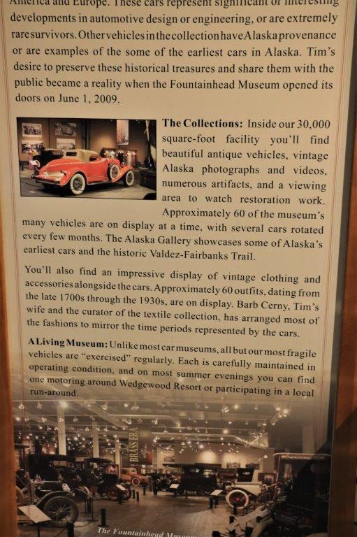
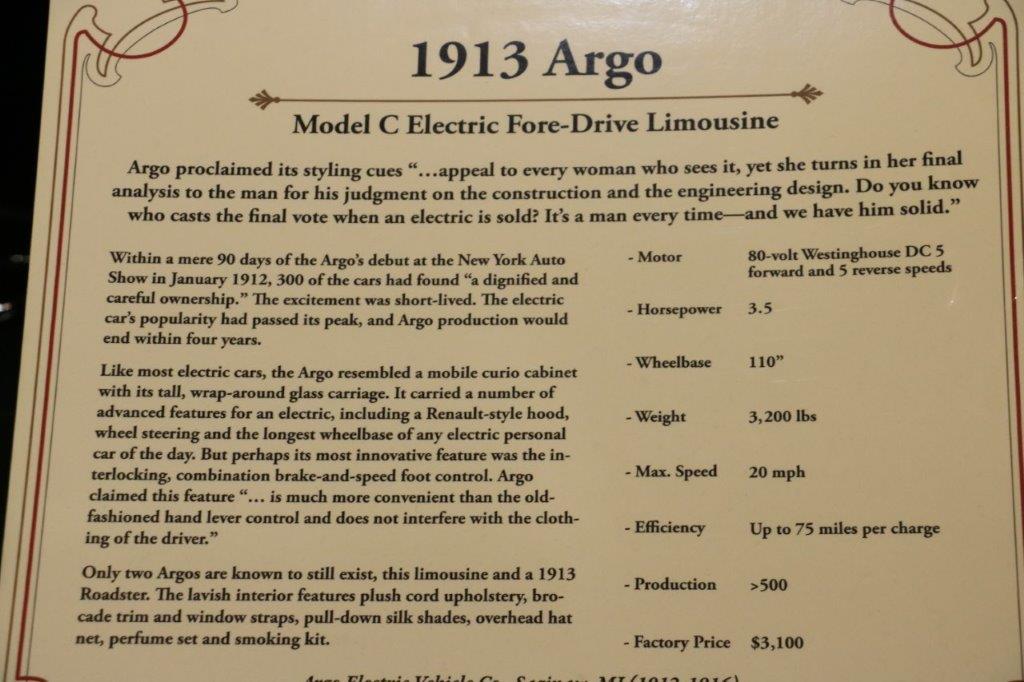
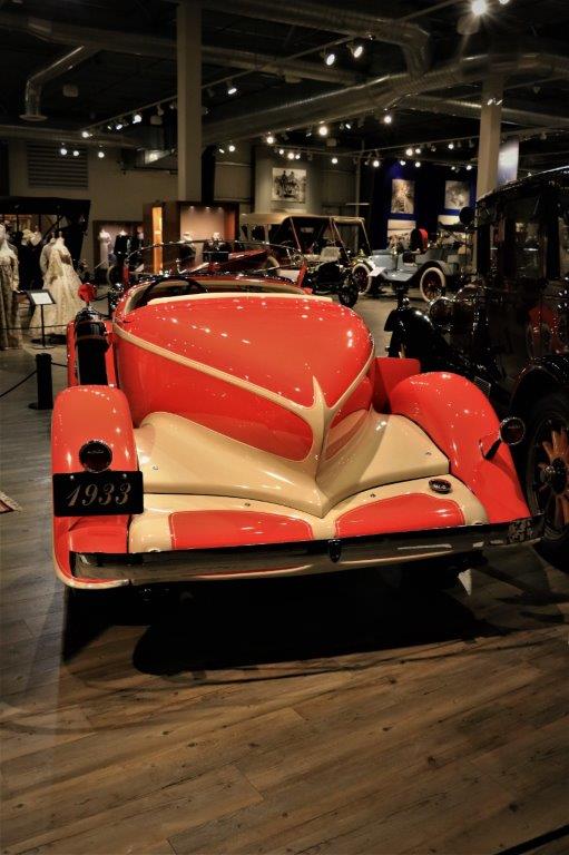
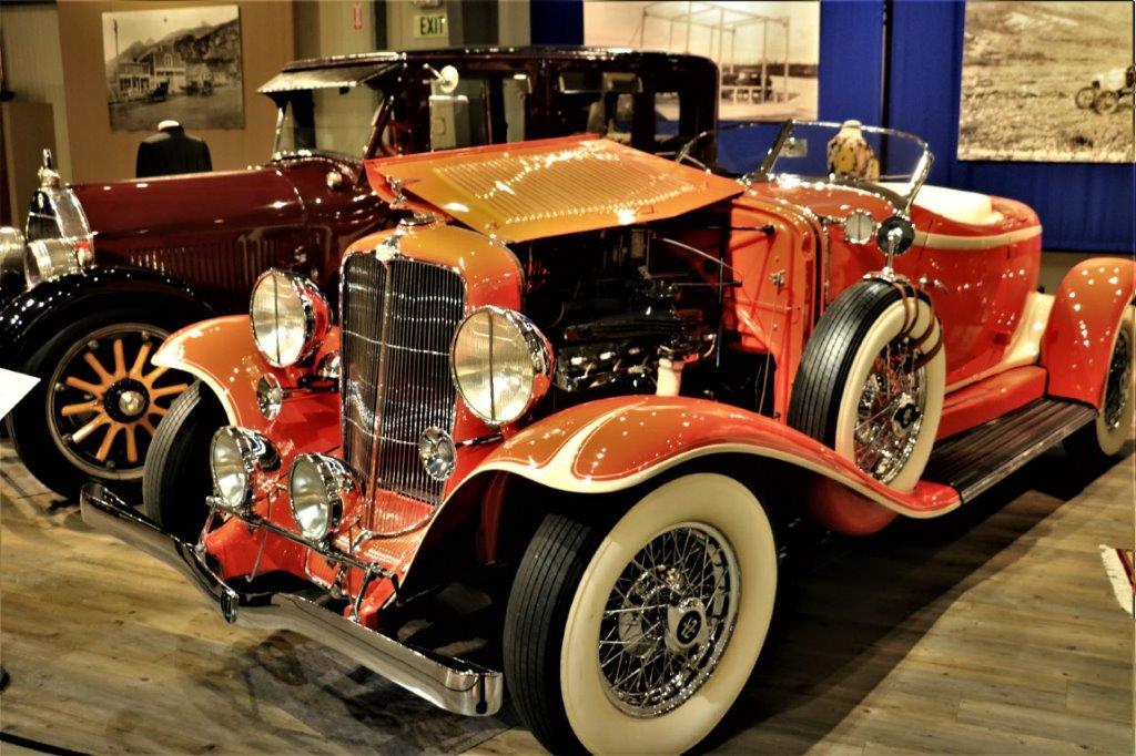
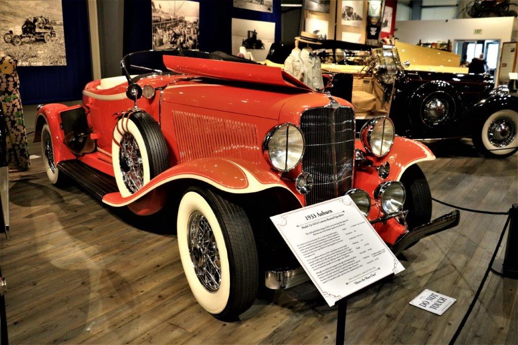
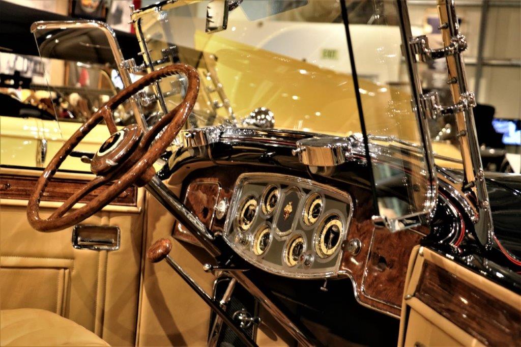
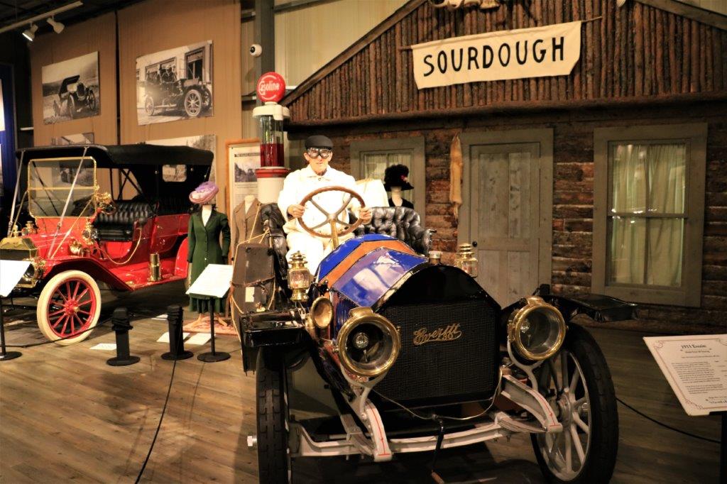
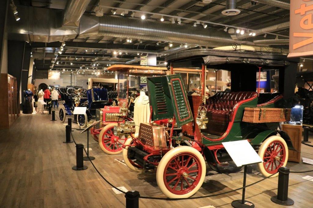
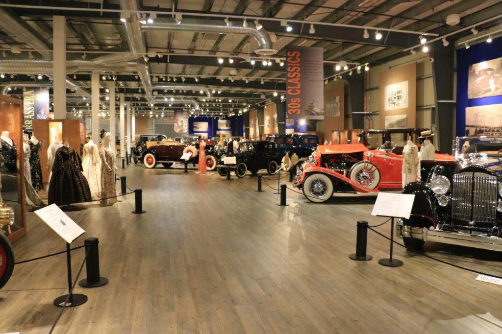
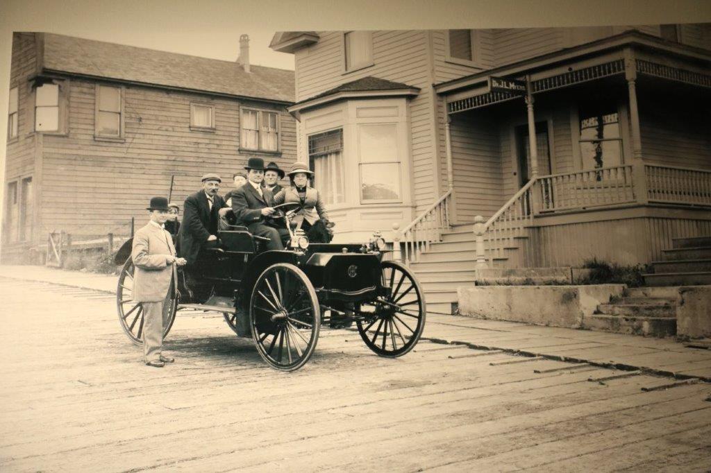
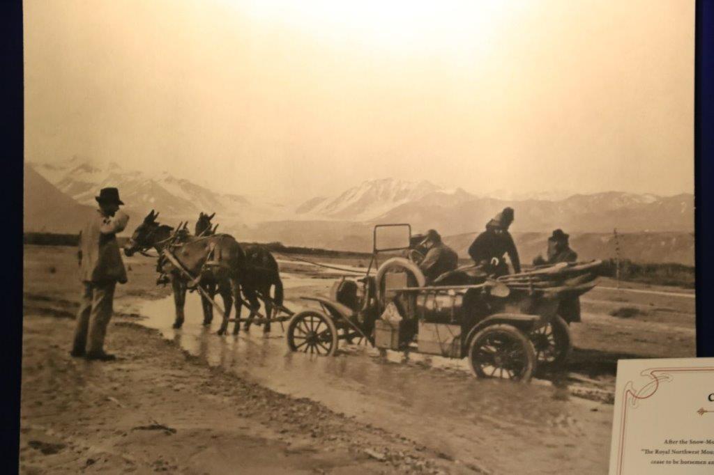
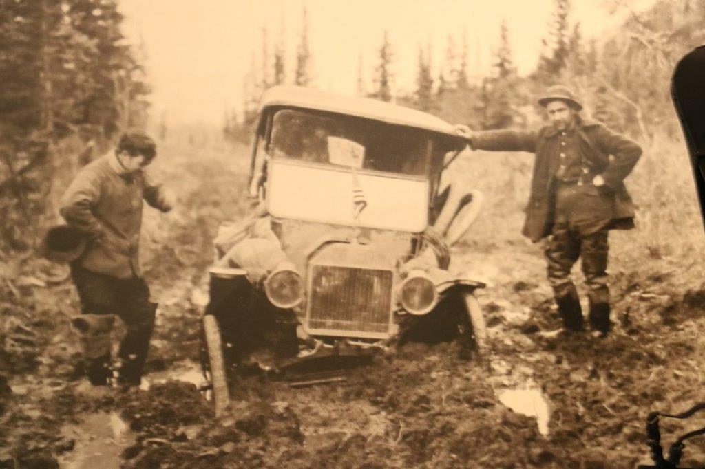
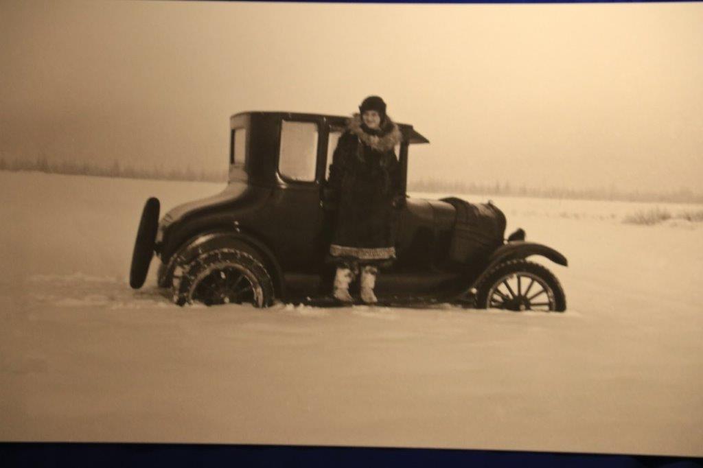
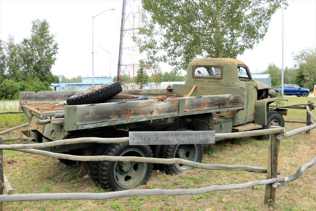
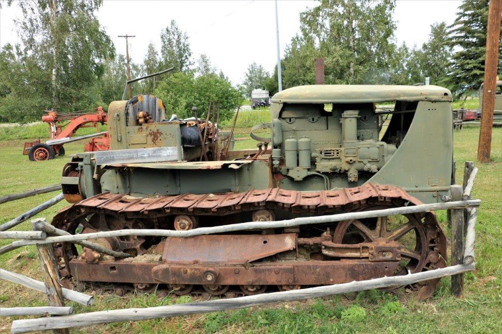
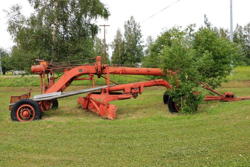
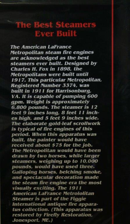
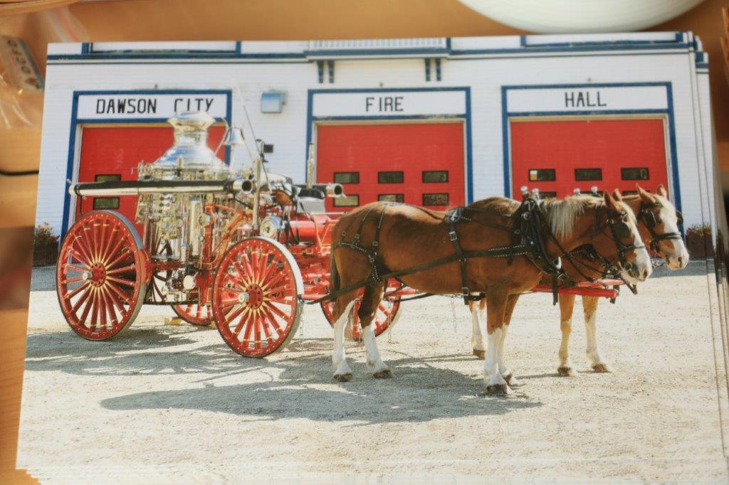
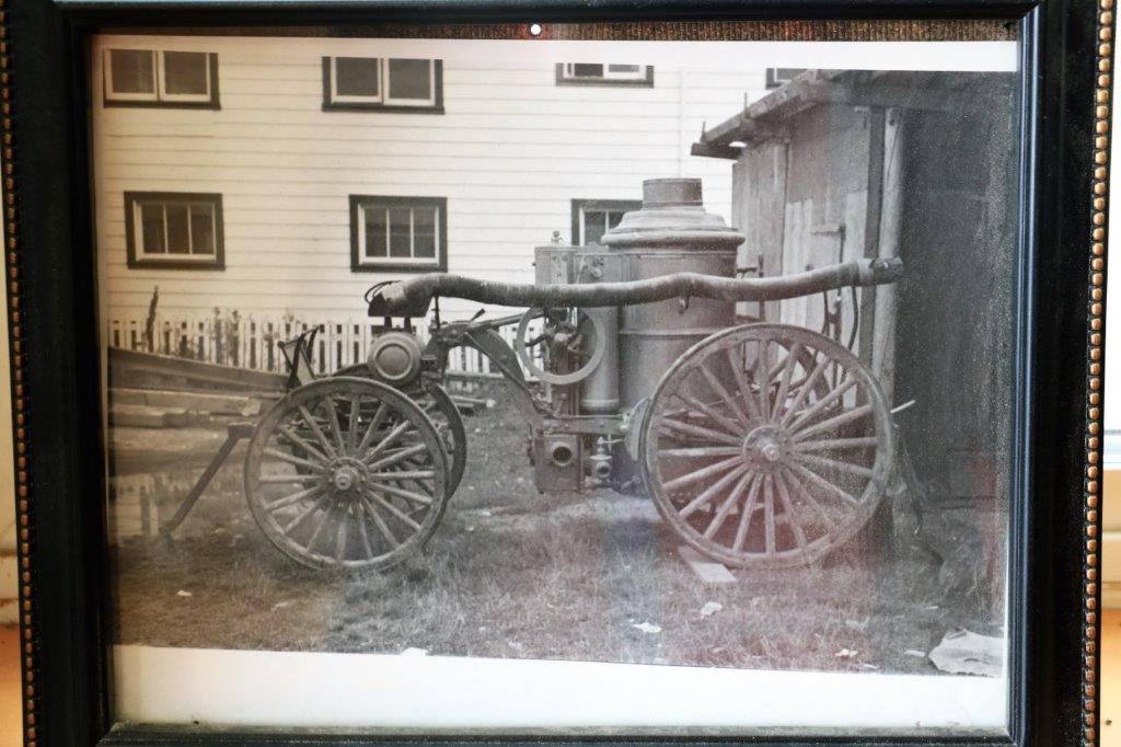
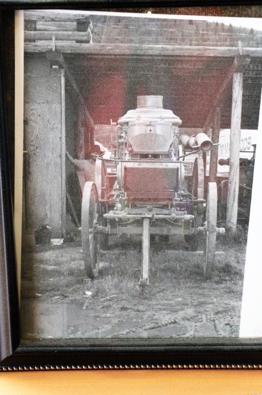
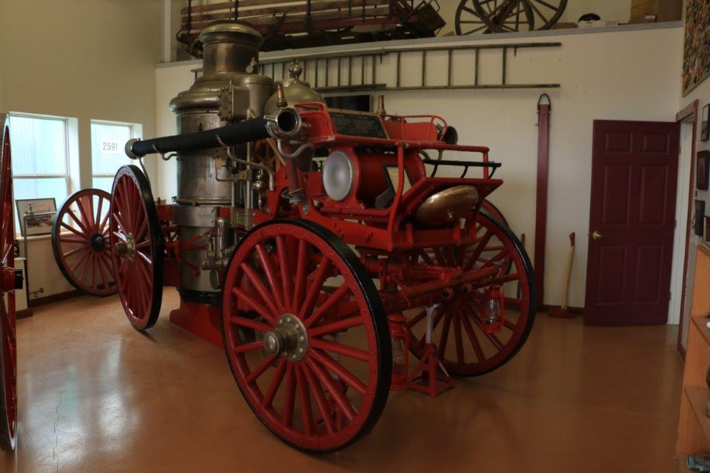
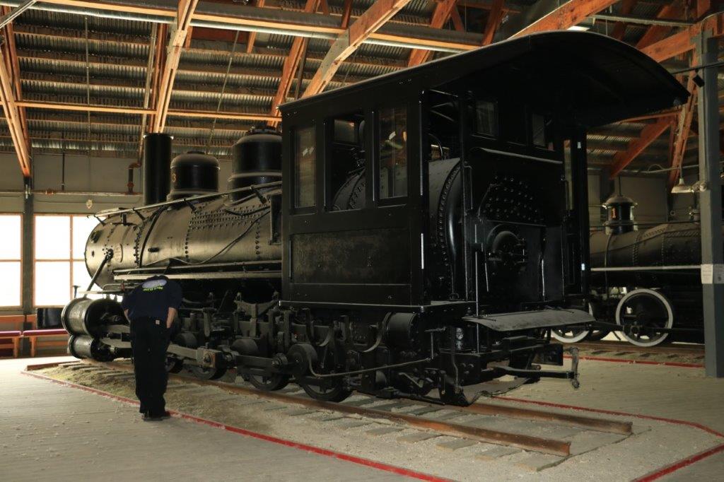
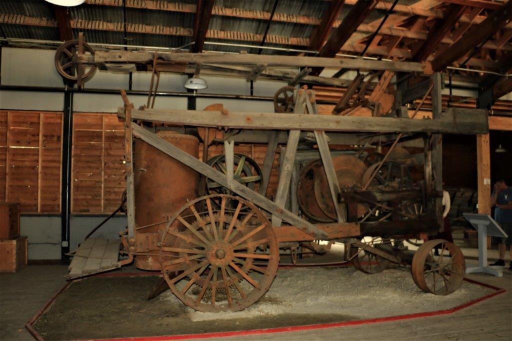
Many of the cars have very unique stories or are one of a kind, and several are the only surviving one of the particular make and model and year.There was a closet of riding coats, hats (both ladies and mens) and goggles that you could put on and have your photo taken in this car. There were vintage films about early cars and early car journeys and the troubles encountered by automobiles in Alaska.  And around the perimeter on the walls were huge photos of the early days of the automobile.

I know that is a lot of photos of cars and usually you would never catch me taking that many pictures of cars.  But, I loved this museum.  All of the vehicles were so beautifully restored and clean and all the vintage clothes just added to the look of the cars.  It was a great place to spend some time.  And, despite all the photos of cars you need to be thankful that I only post so few.  Really.

After we had some lunch we took the path through the woods and across the footbridge to the Pioneer Park.  This is a 44-acre complex that has old cabins and buildings from the early days of Fairbanks and area that have been saved and moved here.  There is also a huge art gallery, an antique airplane museum, rides for kids and large open grounds for picnices and fun.  Most of the cabins are little shops. This is Buddie.  His owner has a shop in the little cabin but when no one is inside they sit outside.  Buddie is a two year-old Fawnequin Great Dane.  Danes come in solid colors of black or fawn and there is a black and white patterned coat that is called a Harlequin.  Buddie is a fawn and white mix and yet his skin under the fawn brown spots is black.  His genetics got mixed up.  No one that his owner has spoken to has ever seen one, including vets.  Buddie was having a nice snooze and took no mind of people stopping by. And, finally, the day is done.  We walked back to the hotel and rested our weary feet for awhile before going out for a late dinner.  Tomorrow we leave Fairbanks and drive south to Denali National Park.  We are spending the night at a little town called Talkeetna.  It would be absolutely glorious if tomorrow was as nice a day as today.  There might be a chance to see most of Denali if that is the case.  Denali is the new official name for Mt. McKinley, the tallest peak in North America.  The name was officiall changed last year.  Denali means ‘high one’ and it is rarely fully visible.  Maybe tomorrow will be one of those days.


2018 July 11 – Tok to Fairbanks, Alaska

We left our cozy little cabin (Well, sort of cozy.  When I turned on the shower the handle came off in my hand.  It was broken and just put in place.  So, no shower) at 9:15 this morning, under sunny skies, that soon turned overcast once again.  Obviously the fire hazard rating in this part of Alaska is low right now with all the cool weather and rain.  The drive fromTok to Fairbanks takes about 3 1/2 hours.  We arrived at 4 pm which gives us a traveling time of almost 7 hours.  We never claim to be speedy on road trips.We could see much of the Alaska Range as we drove out of Tok. It felt like driving into the Canadian Rockies – with much smaller trees.  There was a geocache hidden at a rest stop and this was about the last view of the mountains that we got.  All of the rivers we crossed were very muddy.  This is the Robertson River.

We were blessed with a good sighting of another moose today. She was just off the highway having a very satisfying breakfast of fireweed and bushes.   She was very sleek and healthy.  John couldn’t get over how her hide looked like a well-groomed horse. Geocache hiders are a perverse lot we have discovered.  There may be tons of bushes and rocks and trees within 1 or two meters (3-10 feet) of the road but the cache will be hidden 50-80 meters (160-260 feet) into the forest.  This is bear country.  Why they would have you wandering around deep in the bush is beyond me.  We only looked for caches that were quite near the road.Delta Junction is the official end of the Alcan (Alaska Highway).  We stopped for a rest, to see the exhibits and to find a geocache.The mosquito is ‘unofficially’ Alaska’s State ‘Bird.’  So far we have not found them to be nearly as voracious and abundant as northern BC, and the Northwest Territories and the Yukon.  But we are just beginning our sojourn in Alaska.

As we left Delta Junction we drove a long distance past the above-ground pipes of the Trans-Alaska Pipeline.  None of my photos turned out though as by then it was raining.There was no information about this funky little log cabin on the Visitor’s Center grounds.

The geocache was across the street where there were a few pieces of old equipment from the 1940s that were used to build the Alaska Highway.                                      1945 Studebaker 6 x 6

          The geocache was hidden in the back of this old roller.

              A 1942 Caterpillar                          and aTurnapull earth scraper.  The Tanana River. We crossed it several times and drove alongside it for miles. There is a large military prescence in the area of Fairbanks.  And we passed the Eielson Air Force Base about 40 km (25 miles) from the city.  It was a huge complex.

The spot I had to stop along our trip today was North Pole, Alaska.  In 1949 Con and Nellie Miller and their two children came to Alaska to start a new life.  He became a fur trader and merchant and at Christmas time, he played Santa Claus for the village children – the first St. Nick they had ever seen.  In 1952 they  built a trading post and when a young boy recognized Con he said, “Hi Santa, are you building a new house?”  The light came on, the trading post got a name, and a town grew. Current population is about 2,200.

There was a geocache at the North Pole Visitor’s Center and we took forever to find it.  The young gal in the center did not know where it was and had been asked on several occasions about the location.  We were just about to give up when I spotted it.  We told the lady where it was as well.  She took our photo for us at the “North Pole.” There was a cluster of birch trees beside the Visitor’s Center near where we were searching for the cache and I couldn’t stop myself from photographing the gorgeous bark – so white, and the black lines so defined.  God is an awesome designer.We didn’t go into Santa’s House.  I resisted because I have plenty of decorations. We did drive by though.Every year the post office receives hundreds of thousands of letters to Santa Claus or cards people want to have the north pole postal stamp on.  They have a huge business sending letters from Santa all over the world. And we stopped at the Antler College to take some photos of the reindeer.You can purchase a 30-minute tour to spend time with the reindeer.  How cool is that?

This fellow was not with the other neat and tidy reindeer. He, obviously, hasn’t finished shedding yet.  He was also having a dickens of a time trying to reach an itchy spot on his foot with his antlers.  It was only about 20 minutes drive from North Pole to Fairbanks.  Then we spent another half hour trying to find our hotel.  It is not on the main highway and, in fact, sits all by itself on a loop road in the middle of the bush, across the river, and behind the Pioneer Park.  I have never seen a Best Western hotel in such an out-of-the-way place.  The upside is there is no traffic noise at night.

Tomorrow it is off to explore Fairbanks.  They have here, among other things: an antique auto museum, a railroad museum, a mining museum, a community museum, a Museum of the North, a pioneer air museum, a children’s museum, a Pioneer Heritage Park, and an ice museum.  Should be fun…..

2018 July 10 – Dawson City, YT to Tok, AK

After spending two more nights in Dawson City we were on the road again this morning.  Our journey today would take us on the Top of the World Highway into Alaska.

We crossed the Yukon River on one of the free ferries and drove up the mountain on the other side.  Our route will literally take us along the top of the ridge of a mountain range before descending down the other side.  The road was originally a pack-train trail and was eventually widen into a two lane road – partly gravel, partly paved.  Many people still call it the Ridge Road.

Part-way up the hill after we crossed the ferry there is a viewpoint that looks back toward Dawson City and the Klondike River’s confluence with the Yukon.  Despite the cloudy skies it was a wonderful view.                 Dawson City and looking up river on the Yukon. Looking down river.  Note the two colours of water where the Klondike and Yukon have not yet melded. There is a similar false building ‘Welcome to Dawson City’ sign at the east entrance to the city.  The one at this side of town looks pretty run-down.  However, there was a geocache hidden here so we stopped to find it. What we also discovered was the lower building housed information maps and signs about the city.  We found this out when we went around the back in search of the geocache. The back of the building is open and the interior walls have maps and information on them.  We would never have thought to go around the back of this structure except for the hunt for a geocache.  It does make a unique welcome sign, but I think it looses its purpose as very few people would stop beside it and walk around to the back.   Most of our drive through the mountains was under cloudy skies.  There are fantastic views of the Alaska Range from up on the ridge road, but most of the distant peaks were hidden by clouds.  It was still the wide open country we have become accustomed to up north.There was also a geocache hidden in this rock formation.  On a clear day there is a 360 degree view of the mountains.  It would have been fabulous.  But, we did find the cache, so all is well.

                         This large rock outcropping is called Castle Rock. The road just heads out into the wilderness for miles and miles.                   I wonder where that switchback road goes?We had periods of rain during the day which was okay with John as it washed a bunch of the Dempster Highway mud out of the wheel wells.The Yukon/Alaska border is in the middle of no where. There is not a  town of any kind for many miles in either direction.  The American officer told us they usually stay up here a month at a time.These two stitched images, if placed edge to edge, would show you the expansive view at the Davis Dome Wayside.Not far down the road from the viewpoint we spotted this young caribou crossing the road.  It was very curious about what we were and stayed for a few minutes as John drove very slowly toward it.  It finally did decide, while we were still quite far away, that it didn’t like us, and took off into the bush. While John was signing the log for our first geocache find in Alaska, I found these lovely flowers.                                        The South Fork River.

Alaska is an hour behind the Yukon in its own time zone.  We arrived at Chicken, Alaska at 2 pm Alaska time and stopped to have some lunch – and find a geocache – and take some photos of the big chicken.  The town of Chicken is so called because the founding fathers could not agree on how to spell Ptarmigan, which is the Alaska State bird and the name they had chosen for the new town.  Since they could not agree on what was the correct spelling they settled on Chicken because Ptarmigans are a wild chicken-like bird that is eaten regularly.  Chicken was/is a gold mining town and they have two old dredges.  There are several buildings there but the official population is 7. Chicken hosts a very popular annual chicken fest, but I have no idea what that would entail. I am going to assume music. I loved all the international place names that relate to chickens that they have on the sign.  The only one I don’t understand is Lizard Lick, NC. A few kilometers out of Chicken John spotted this cow moose having lunch in the pond.  She kept her head under the water eating the grass for about 3 minutes before coming up for air.  We were downwind of her so she couldn’t smell us and she was completely unconcerned by the truck up on the road. We watched her for several minutes before driving off.                        Mosquito Creek – up river and down.      Look, a square cloud.                  And more of John’s cotton flowers.

As we drove along a straight stretch, John said, “What is that at the end of the straight? Is it a bicycle?  No, it is two bike riders.  No, it is another moose and her calf!”  When the moved off into the bush we saw that she had a big wide red collar around her neck so she is being tracked by somebody.

Surprisingly enough there are sand dunes in Alaska. Quite a few of them actually.  And there is a very remote National Park in northwest Alaska that is called the Kolob Sanddunes. There was an Earth cache  about the sanddunes at this spot so we stopped to check out the colour and texture and size of the sand grains in order to answer the questions required to log the find.  The sand looked to be a light gray-brown but if you pick up a handful of it there are lots of black grains too.  And it is the consistency of ground pepper.  Very, very fine.  I love all the things we learn as we travel around.We arrived in Tok (pronounced Toke) at 5 pm and checked into the little cabin that John had reserved for the night.  Tok is a busy place as it sits at the junction of Alaska Highways 2 and 1.  Highway 2 is the Alcan (Alaska Highway) that comes from Whitehorse and that the Top of the World Highway also feeds into at Tetlin Junction.  Highway 2 goes to Fairbanks.  Highway 1 is the road that comes from Anchorage so Tok is right at a major meeting of the two routes to Alaska’s two largest cities.  It was a busy place.

We will drive to Fairbanks tomorrow and are staying for two nights.  It is about a 3 1/2 hours drive from Tok to Fairbanks.  Of course, it will take us longer than that with photo stops and geocache stops.

2018 July 9 – Dawson City, Yukon

We spent our final day in Dawson checking out the museums and finding the final three geocaches in the area.  The only one we were unable to find was out on the goldfields and no one had found it for awhile.  Other than that we found every cache in and around town.

After breakfast John drove to the NAPA shop and dropped off our two flat tires to get fixed. When he got back we drove to the Jack London museum, which turned out to be his cabin and a small building that had photographs on the walls.  Cost was $5 per person.  We decided we did not need to go inside so we took a couple of pictures of the cabin. We passed this really nice log house on the short drive between the Jack London museum and the Robert Service cabin.Just a short distance away was the Robert Service cabin.  This, I knew was just a cabin; no museum or artifacts or anything so it too was a short stop.

We were near the access to the trail that had the geocaches on it that we needed to find so we took the time to find them. The last one was located at a nice viewpoint overlooking the Yukon River.This is the free ferry that crosses the river for the Top of the World Highway which we will take tomorrow.  There must be a campground nearby as all these motorhomes look much too clean to have driven a gravel road.  The ferry was only able to take the first motorhome with its car.  All the rest had to wait for its return and I suspect most of the rest were taken over one at a time as well. Our next museum was the Dawson City Fire Department museum.  They had the most exquisite old steam engine!  We thought the one from Victoria that was brought up to Salmon Arm for the Salmon Arm Fire Department’s 100th anniversary a few years ago was nice.  This one was much better. The steamer had just recently been returned after its restoration.  The cost was paid entirely by the fire department and its members.  It was restored in Maine and took 18 months, and cost $250,000!  The nickel-plate alone was $50,000.  They discovered that there was gold leaf designs under several layers of paint so all of that was restored as well. John almost dropped when he saw it!The hose reel that was pulled behind the steamer was restored at the same time.

The fire department brought in two horses (cost $3,000) to pull the steamer in the local parade.  It is now up on jacks that keep the wheels just off the ground.  They intend for it to stay like from now on.                         This is the steamer before restoration.

Amazingly, since they are so rare, the Dawson City Fire Department has two steamers.  The second one will be cleaned up a bit and then kept as is. This is the fire chief covered in ice after fighting a fire in the winter of 1912.In another building they had all the fire trucks that had been used in Dawson.  Like the Deputy Chief told us, “It is a one way trip for a fire truck up here.  We are too far away from anywhere else to send them, so everyone that comes here, stays here.”             This little cabin is right downtown on Front Street.

Our final museum today was the Dawson City museum.  It is housed in a huge building, but the rooms with displays are not that big. They also have a theater that plays some historical films, but we didn’t take the time to watch one. We were about halfway through looking at the exhibits and a woman came and said she would be doing a tour of the railway shelter in 15 minutes, so we wandered into the lobby at the appropriate time to attend.

It was a very interesting to hear the story of the Klondike Railway which only last 8 years went a total of 31 miles and lost money. After the short tour of the railway shelter we went back to the main museum and finished the two exhibit rooms.  It was now 3:30 and John left me to finish in the museum while he drove back out to pick up the tires.  He took the time to put the fixed original tire back on the truck and put the spare back where it belonged, and the second spare in the pickup box.  Then he found a car wash and hosed off the majority of the mud so we have a white truck again.  Not as clean as it usually is when John washes it, but we are going on gravel roads again tomorrow so he didn’t get too fussy.  He just wanted most of that calcium loaded mud off the vehicle.

I went upstairs to see the ‘visible storage’ and the old courthouse. The Dawson City museum is only two blocks from our hotel so I walked back and put my photos on the computer and selected the ones for my blog.  I was just finishing when John returned.  By then it was time for dinner and blog writing in the hotel lobby; which is the only place there is wi-fi.

Tomorrow we leave for our Alaska portion of the journey.

2018 July 8 – Eagle Plains to Dawson City, YT

The ravens were squawking this morning when we woke at 8.  They are as prolific up here as crows are at home.  We checked out of the hotel at 9 and continued our drive back down the Dempster Highway toward Dawson City.  We had 410 km (250 miles) to drive today.  Yesterday’s smoke had drifted off and the sky was a mix of sun and clouds.

The first couple of hours of the drive we were just traveling through the larch forests, then we drove for another half hour through all the fire burn before anything became scenic.  More photos of mountains to follow:                         All the tors were very pretty against the blue sky.We pulled into the campground at Engineer’s Creek for a pit stop and some lunch and when John stepped out of the truck he discovered that the new tire he had put on yesterday was flat.  Thankfully we came prepared with three tires on rims as the Dempster Highway is famous for creating flat tires.  The repair shop at Eagle Plains sometimes gets as many as 25 flats to repair in a day.                     Beef up the air pressure a bit and off we go once again.

I didn’t keep out my little Travelogue booklet to follow our journey in reverse so I can’t tell you exactly where all these mountains, etc. were. They were just pretty so I took photos of them. We had not stopped at Chapman Lake on the way north so decided to pull in for a photo stop on the way back.There were some placards about the RCMP ‘Lost Patrol.’
The windshield had so many bugs on it I stuck my camera out the window to take a photo of the view in front of us.We didn’t stop at the Tombstone Range Viewpoint today but that doesn’t mean I could pass without taking another photo. The view is glorious! I had been in communication with a fellow geocacher from the Revelstoke area who was also coming to the north to drive the new road to Tuktoyaktuk.  We were hoping to connect somewhere along the road and sure enough as we were driving back to Dawson City after finishing our drive down the Dempster John recognized his truck and camper from the photo he had sent us.  We flagged him down and we introduced ourselves by our real names, not our geocache ‘handles.’  He was just leaving Dawson City to drive up to Eagle Plains.  The weather is forecasted to be sunny for the next three days up in Inuvik and Tuktoyaktuck so after hearing about our experience driving on the road when it was wet from rain, he decided to push straight through and get up there while the going was good.  Any wandering around and fishing he wanted to do he would do later.  It was fun to meet up with someone who likes our hobby as much as we do.

It was 4:45 when we were taking our luggage out of the truck so we did the whole drive in just under eight hours, which included the time it took to change the tire.  These are our last long, long driving days for awhile.  We stay in Dawson City tomorrow then on Tuesday we will take the Top of the World (gravel) road across the border into Alaska.

2018 July 7 – Inuvik, NT to Eagle Plains, YT

We had skipped all the geocaches hidden near the road coming into Inuvik so planned to find some of them on the way back to Eagle Plains.  We were on Northwest Territories time which is an hour ahead of BC and the Yukon.  Since today was just going to be a driving day once we found the geocaches we wanted, we slept in a bit and left town at 9:30.  It started to rain, stopped after a short while, but we were under cloudy skies pretty much all day. There also was a smokey haze for most of the trip.  We couldn’t smell it, but everything had a bluish cast.  We were told it was probably coming from fires in Alaska.The last geocache we stopped to find out of Inuvik was at a boat launch at Gwin’ich Territorial Park and this little bunny was waiting to greet us. We encountered one of the calcium trucks this morning.  The highway maintenance crews lay a coat of calcium on the road, then soak it with water to spread it over the whole surface, and then the calcium abosorbs moisture out of the air and keeps the road surface dust free.  Unfortunately, it also makes the dirt being lifted by the tires very wet and it does not dry, so you don’t want to lean against the sides of the truck or you will get calcium loaded mud on your clothes. The patterns created by the mix of bushes and rocks that stream up the mountain side is so very interesting.  Everything looks different when you come at it from the opposite direction.          The vegetation lines look like a plowed farmer’s field.

As we crossed the Vittrekwa Valley we passed two graders working on the road heading northward.  About a quarter of a mile behind the graders we came across a big white dog running down the middle of the road.  His tongue was hanging out and he looked exhausted.  I immediately thought he belonged to one of the grader operators and was trying to catch up.

Not very far down the road from the dog we saw this nice healthy fox. I was still fretting about the poor dog, so John turned the truck around and we went after him.  When we caught up with him again he was just trotting along, not looking nearly so worn out as he had 10-15 minutes ago.  He would not come near me and headed off into the bushes.  We surmised he is probably feral and used to living out in the wilderness.  He had no collar or tags at any rate.  Hopefully he is okay.

The Wright Pass takes you through the Richardson Mountains.  The stitched photo below shows the scenery behind the monument. I had seen this very red rock on the far-off mountain as we drove up to Inuvik but it was on John’s side of the vehicle so I couldn’t get a good photo of it until we came back down. We were about 100 km from Eagle Plains and the tire sensor light came on.  John had checked the tires before we left Inuvik and wondered if one of them was getting low, so he immediately pulled over to check and, sure enough the left rear was flat.  After 1,100 km (683 miles) of gravel roads we got a flat!                                New tire on and ready to go again.There are two sections of highway along the Dempster that are designated as emergency runways for planes.  There is also a gravel runway that is parallel to the road on the section between Eagle Plains and Mile 0 outside of Dawson City.  There are red-tipped stakes on both sides of the emergency road sections with wind socks off to the side.

There were the same names over and over on many of the logs for the geocaches we found.  Someone who goes by Turtle61 was on the same journey about two weeks before us and found many of the same caches.  I was looking at the map before we left Inuvik and discovered a brand new cache had been approved the day before.  It had been hidden by Turtle61 and was about 40 km north of Eagle Plains.  We thought we had a good chance of being the first to find it and we were correct.  The cache was hidden under one of these signs at a little pullout.   We also received our fourth rock chip in the windshield on this day.  Every one of them has been caused by an oncoming motorist who is either unaware of the ‘driving courtesy code’ for gravel roads, or doesn’t care.  John always drives closer to the edge of the road and slows down when meeting another vehicle.  This reduces the chance of throwing up rocks into the other car’s windshield.  When we pass another vehicle he stays in the opposite lane for quite a distance before pulling back into our own lane again for the same reason. Thankfully there is very little traffic up here so you are not in danger of causing any accidents by slowing down or staying in the wrong lane.

We arrived in Eagle Plains at 5 pm Yukon time (6 Northwest Territories time), so even with having to change the tire we made pretty good time.

2018 July 6 – Inuvik to Tuktoyaktuk and back, NT

The new road from Inuvik to Tuktoyaktuk is 148 km (92 miles).  It took four years to build and opened in November of 2017.  The road had been a ‘priority’ since the 1960s.  It is the first all-weather road to Tuk.  Previously the only road was an ice road in the winter.  You had to take a plane to get there in the summer.  We were told that the contractors had rushed the completion of the road at the Tuktoyaktuk end in order to have it finished for the announced opening day last November.  Consequently it is not as good as the rest of the road.  The road bed is compacted gravel built 1.8 meters (6′) above the permafrost.  The terrain between Inuvik and Tuk is nothing but ponds and small lakes so the road literally weaves among them.  There are eight bridges along the route, and a total of 68 areas where the highway has been engineered to pass over waterways. In a straight line the road would be about 25 km shorter.  The map below is not detailed enough to show you all the turns and curves but it gives you an idea of the conditions they had to deal with. The weatherman had predicted 76% chance of rain today and he was 100% correct first thing this morning.  It was lightly raining when we got up but as we waited for the Visitor’s Center to open at 9 to check on the road conditions it began to really come down.  I was very skeptical about going even though I really wanted to make it all the way to the Arctic Ocean.   Inuvik has a Cessna 150 weathervane and there was a geocache hidden at the base of it.  So, these intrepid cachers hiked off into the rain to find it. As we were leaving town we spied this rabbit/hare beside the road. When it took off the underside of it’s hindquarters and tail were white.The views along our drive today were not really exciting; it was a lot of low ground and bodies of water.  Under the cloudy skies it wasn’t terribly inspiring, although the huge expanse of the tundra was, as always, impressive.The gal at the Visitor’s Center told us that there was a rough section of the road for about 30 km out of Inuvik and then the road was good until the last 20 km into Tuktoyaktuk; where it was quite rough and muddy.  But, she assured us, if we took it slow we would make it through.  Music to John’s ears!  He really wanted to give it a go.

The lady was correct.  There was a rough section – a vast understatement – for the next 30 km, that we came to about 10 km out of town. I don’t think we had one place along the road all day that there was not water on one, or both sides of the road.

She was also correct that the road would be good later.  And we drove the majority of the way on nice compacted gravel. The last 25 or so kilometers to Tuktoyaktuk were a muddy, slippery, sliding nightmare!  I kept my head down and prayed a lot.  Thankfully John is an experienced driver on rough roads and knew how to compensate for the slipping rear-end and mud grabbing road.  Also thankfully there were very few oncoming vehicles because moving out of the ruts was difficult and you risked getting mired in the soft muck on the sides.

There was a couple and an older woman from Victoria on the tour with us of the gold dredge in Dawson City the other day.  They were in the Visitor’s Center at the same time as us this morning, also inquiring about the road to Tuk.  The woman said they had gone out yesterday, but turned back at the last 20 km.  They were trying it again today and we passed them on the good stretch.  We also passed a trio of cars with Asian visitors who had also been in the Visitor’s Center.  We never saw either party while we were in Tuk.  I strongly suspect they turned back.  Unless you are an experienced off-road and 4×4 driver with really good nerves you would not make it.  John did an awesome job.  I would have been over the side at the first turn.  What a mess.  I took a couple of videos – shaking and bouncing all over the place – and John is going to post at least one of them on his Facebook page if he can.  To put it mildly it was an EXPERIENCE!  One I would be very happy to not repeat. I was not looking forward to the drive back to Inuvik! We think the driver of the little motorhome, just parked it atop this hill and left it until the road dries out.  The truck may have stopped to offer assistance or something but its right rear tire is almost off the road so it was left as well.  Both vehicles were in the same spot when we returned. We had also passed a motorcyclist heading south – well stopped in the muck facing southward.  He, too was still in the same spot when we drove back.  He told us he was fine and would be making his way out soon. It was a terrible road to drive in a four-wheel drive truck.  I can’t imagine how it would be on a motorcycle. As the fellow we met in Whitehorse had told us after he had been down the road in the rain, “This was the road from hell.” The worst he had ever ridden and he had been all over the world on his bike.The final 3 kilometers into Tuk was a good road again. Boy was I happy to see it too! The road into the town passes right past the local dump.  Of course, there had never been a road from that direction before, so the dump was at the back of town away from the airstrip and the water.  Now the road takes you right past it. Workers accomodations.  I don’t know if they are used right now or not.  We saw other camp buildings that were boarded up. In the 1980s Tuktoyaktuk was booming with oil workers, but after the crash they left and have never returned in such numbers.  The town is primarily home to Inuvialuit.  The population of the community is about 900.

There is one geocache in Tuk and before we drove into the town proper we stopped near the airport to find it.  John had to do some make-shift bridge building to reach it. (He moved it to a nearer section of fencing away from the water.) At the end of a spit of land there is a rustic camping area. There was a couple of car and trailers, several small single-man tents and these cute pop-up units.As we were walking toward the shore we saw this group of four people preparing to dunk in the frigid waters of the Arctic. I don’t know whether that is brave or crazy? On our travels I have stood in the Atlantic, the Pacific, all five of the Great Lakes, and Lake Winnipeg.  I wanted to stand in the Arctic as well. Did anyone mention it is cold?We walked back to the truck, had our pb&j sandwich lunch and started back to Inuvik.

We passed several of the Pingos for which the area is known.  A Pingo is unfrozen ground water (from a drained lake or pond) that gets put under pressure by the surrounding freezing front and the thin layer of permafrost is forced upwards.  It continues to grow until it is frozen solid – the unfrozen ground becomes permafrost and the pingo has a core of almost pure ice.                                          Tundra swans nesting.

In the hour and a half that we had been in Tuk the sun had done a surprising amount of mud drying.  The mud bog that we drove through on the way into town now had two dry ruts down the middle.  As long as you were able to stay in them you made good time.  It took us only 20 minutes to navigate the worst section of the road, which was about a third of the time it took us to go through on the way in.   Back on the good road we stopped to take photos of a couple of the sleds that have been stored along the roadside. We also got a few photos of this heron or crane family. We arrived back in Inuvik at 5 o’clock, and went an early dinner before returning to the hotel.

Because the community is sitting on permafrost all the water and sewer systems are above-ground pipes and all the house are built on stilts so as to prevent the heat from the house melting the ground underneath it. The space allows the cold air to move under the buildings and keep the permafrost solid.

We didn’t have time to take one of the tours of the Igloo Church but we satisfied ourselves with a view of the outside.Tomorrow we start back to Dawson City with a half-way stop again at Eagle Plains.  I think the weatherman says there will be sunshine so the drive we saw under cloudy skies the other day we will get to see in better light tomorrow.  Here’s hoping anyway.