After spending two more nights in Dawson City we were on the road again this morning. Our journey today would take us on the Top of the World Highway into Alaska.
We crossed the Yukon River on one of the free ferries and drove up the mountain on the other side. Our route will literally take us along the top of the ridge of a mountain range before descending down the other side. The road was originally a pack-train trail and was eventually widen into a two lane road – partly gravel, partly paved. Many people still call it the Ridge Road.
Part-way up the hill after we crossed the ferry there is a viewpoint that looks back toward Dawson City and the Klondike River’s confluence with the Yukon. Despite the cloudy skies it was a wonderful view.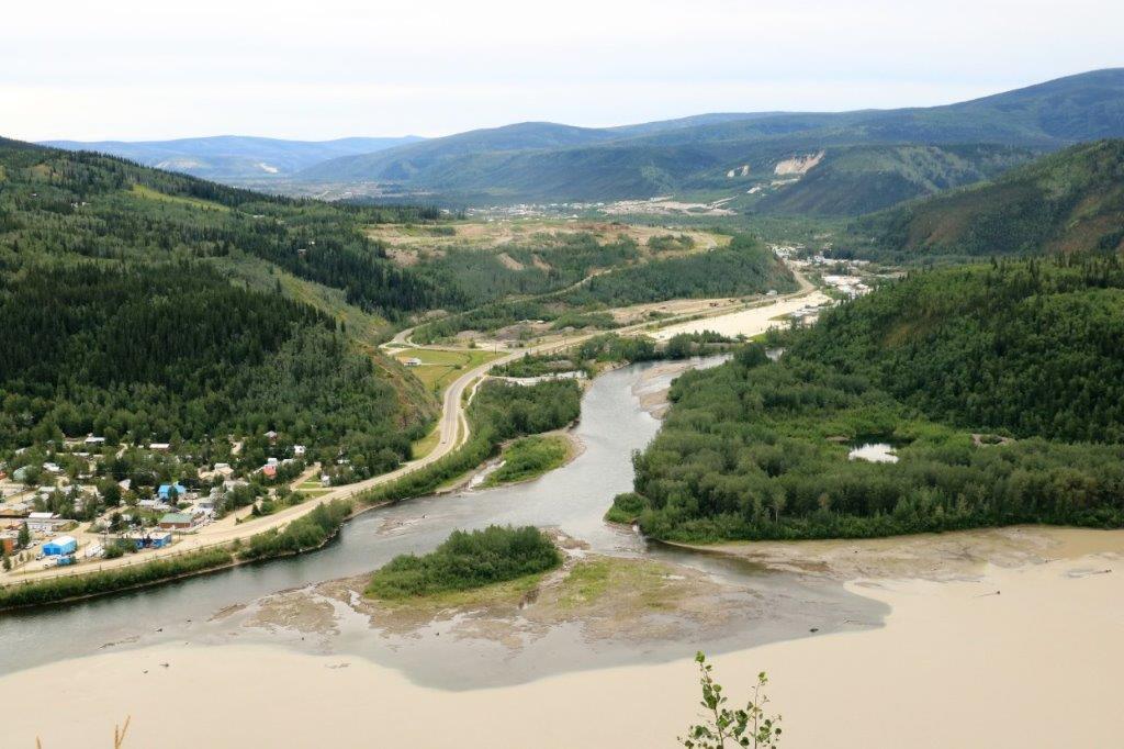
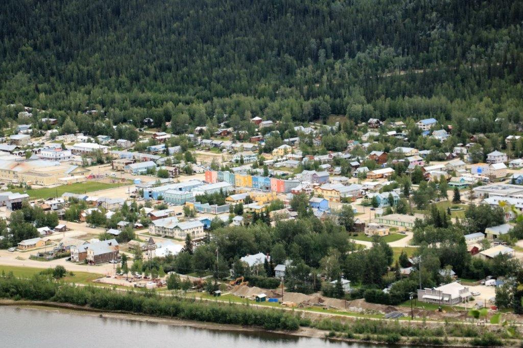
 Dawson City and looking up river on the Yukon.
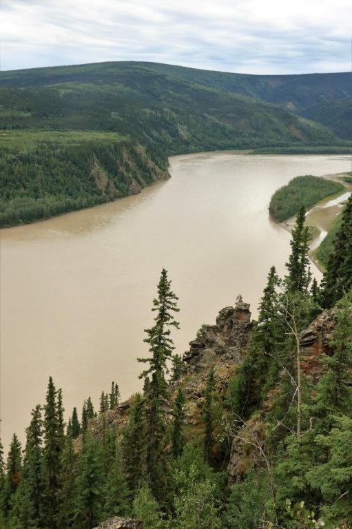
 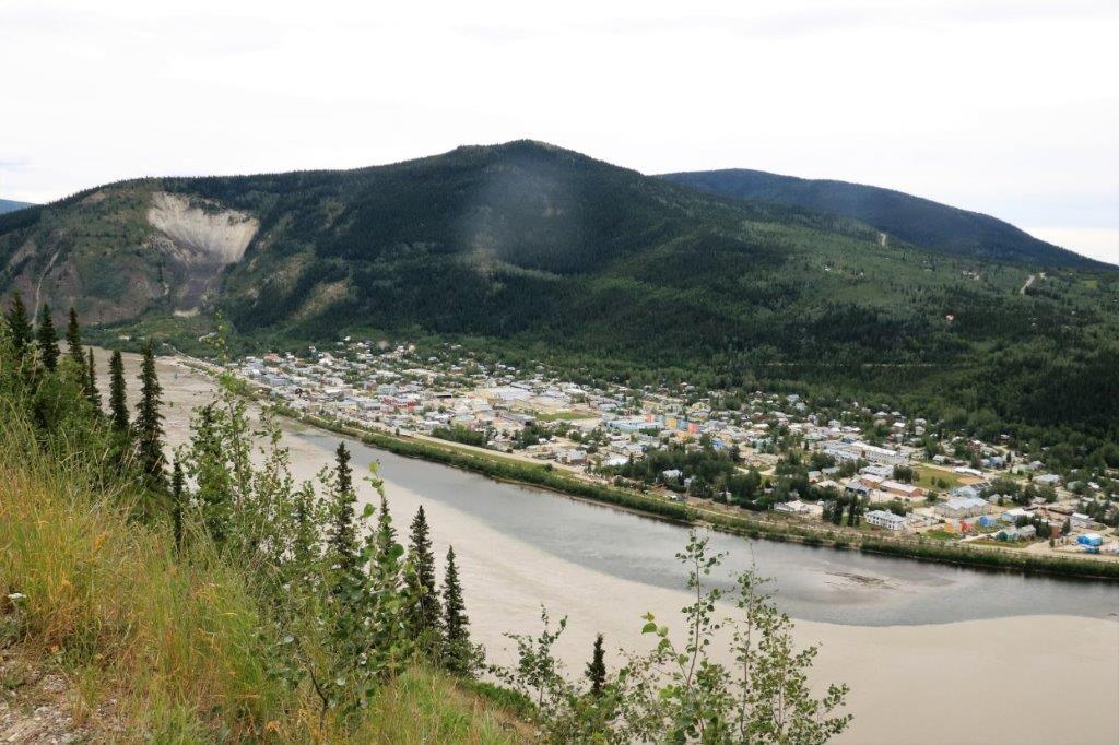 Looking down river. Note the two colours of water where the Klondike and Yukon have not yet melded.
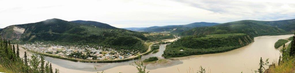

 There is a similar false building ‘Welcome to Dawson City’ sign at the east entrance to the city. The one at this side of town looks pretty run-down. However, there was a geocache hidden here so we stopped to find it. What we also discovered was the lower building housed information maps and signs about the city. We found this out when we went around the back in search of the geocache. The back of the building is open and the interior walls have maps and information on them. We would never have thought to go around the back of this structure except for the hunt for a geocache. It does make a unique welcome sign, but I think it looses its purpose as very few people would stop beside it and walk around to the back.
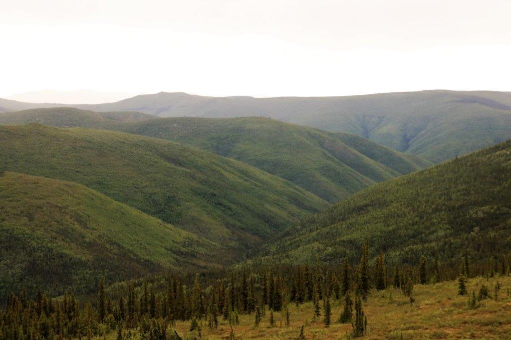
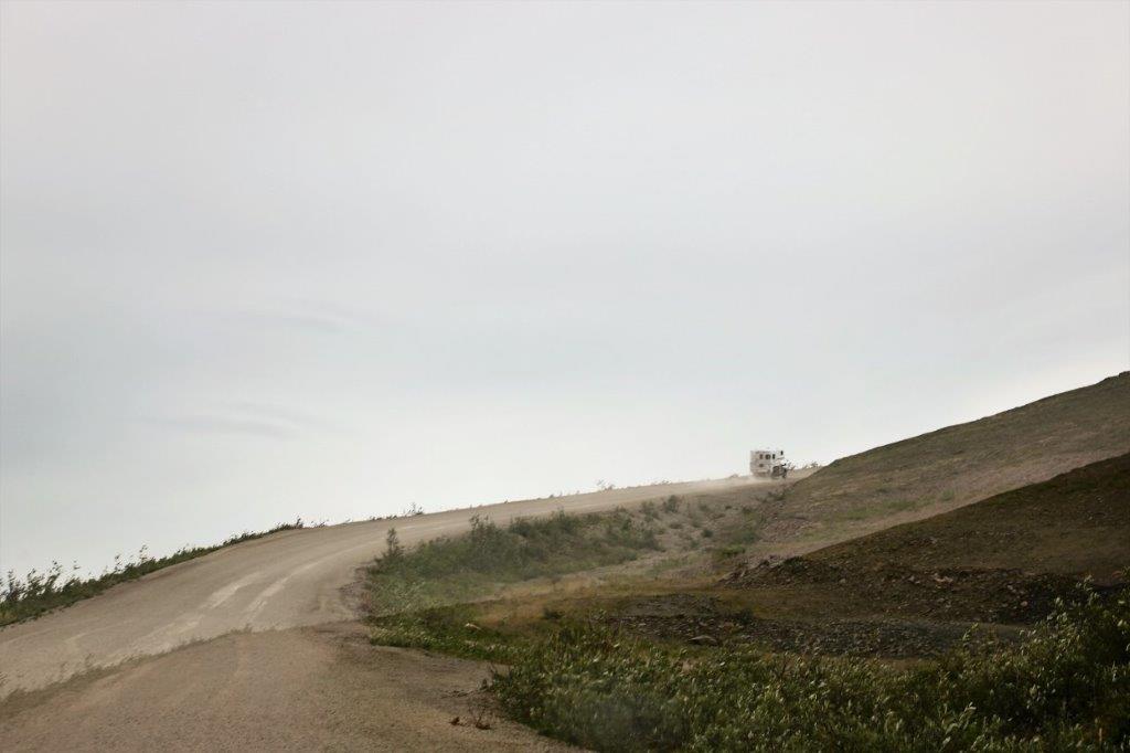
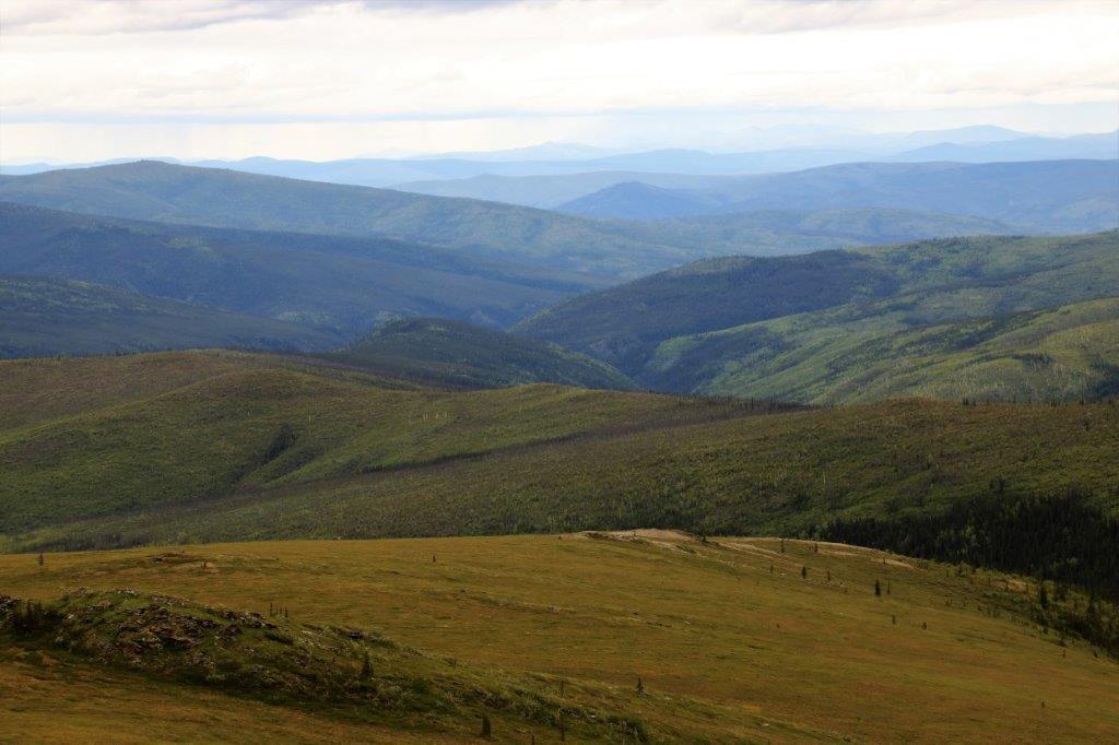
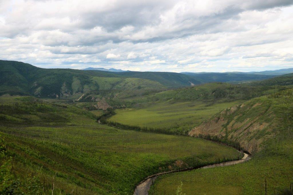
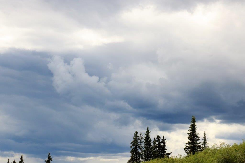
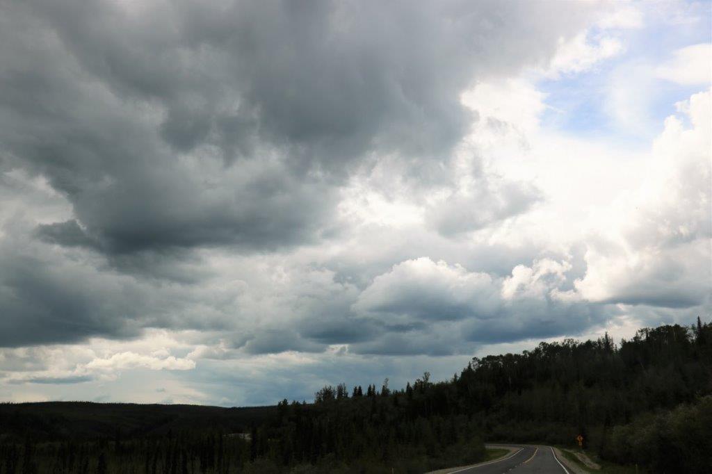
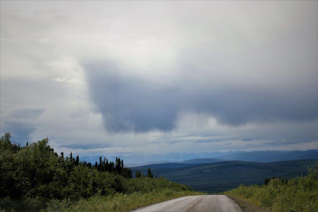
 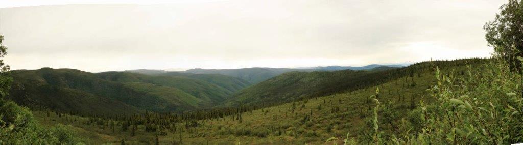 Most of our drive through the mountains was under cloudy skies. There are fantastic views of the Alaska Range from up on the ridge road, but most of the distant peaks were hidden by clouds. It was still the wide open country we have become accustomed to up north.
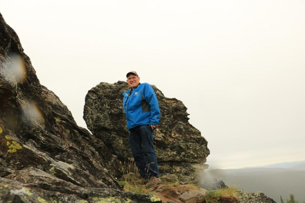
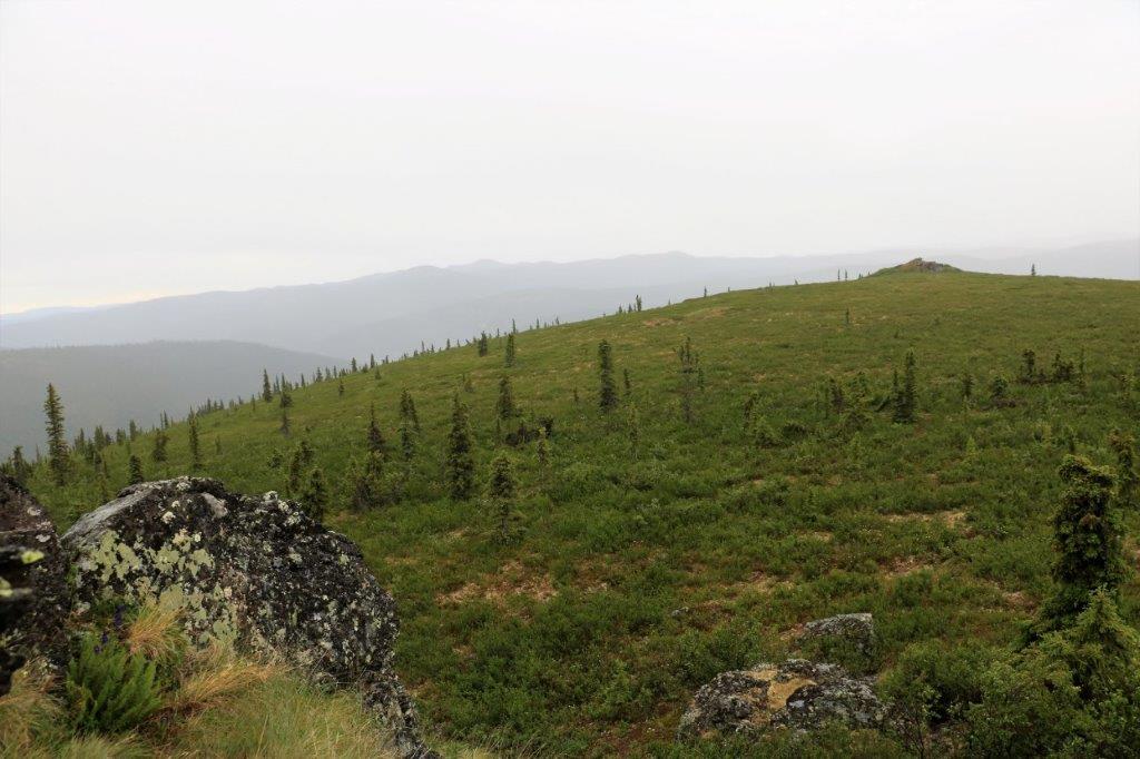
 There was also a geocache hidden in this rock formation. On a clear day there is a 360 degree view of the mountains. It would have been fabulous. But, we did find the cache, so all is well.
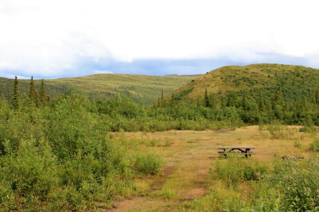
 This large rock outcropping is called Castle Rock.
 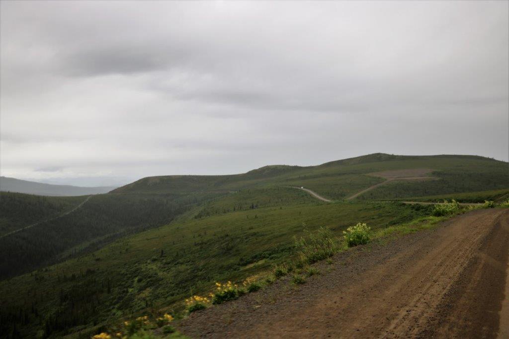 The road just heads out into the wilderness for miles and miles.
 I wonder where that switchback road goes?
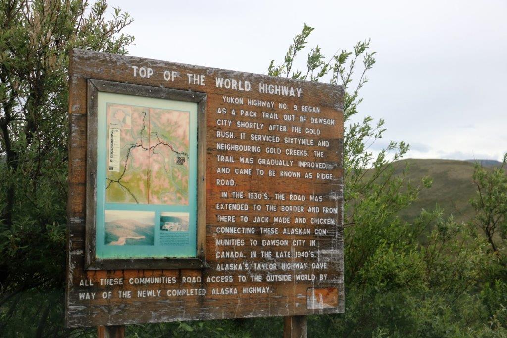
 We had periods of rain during the day which was okay with John as it washed a bunch of the Dempster Highway mud out of the wheel wells.
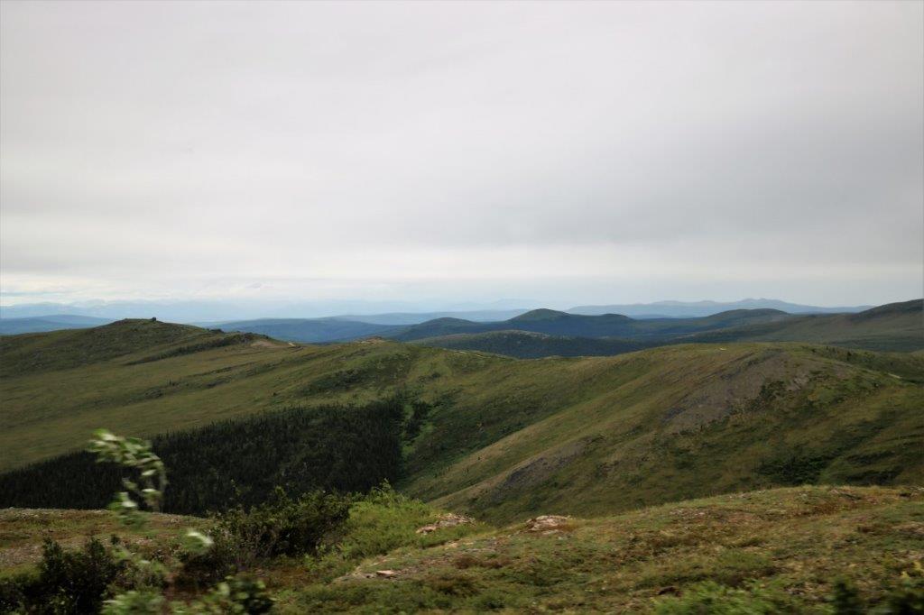
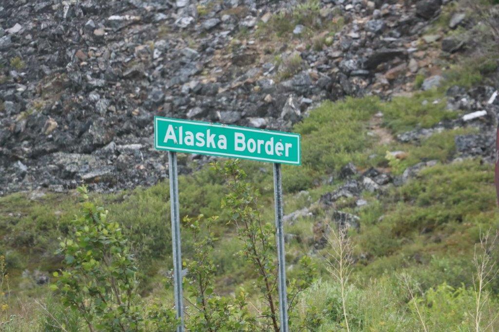
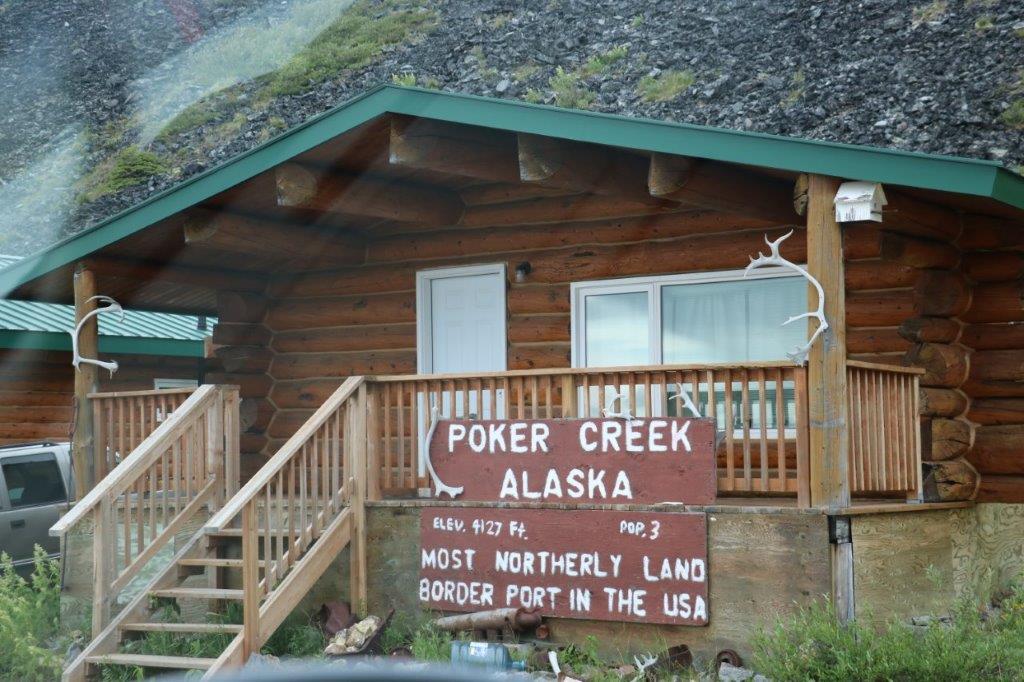
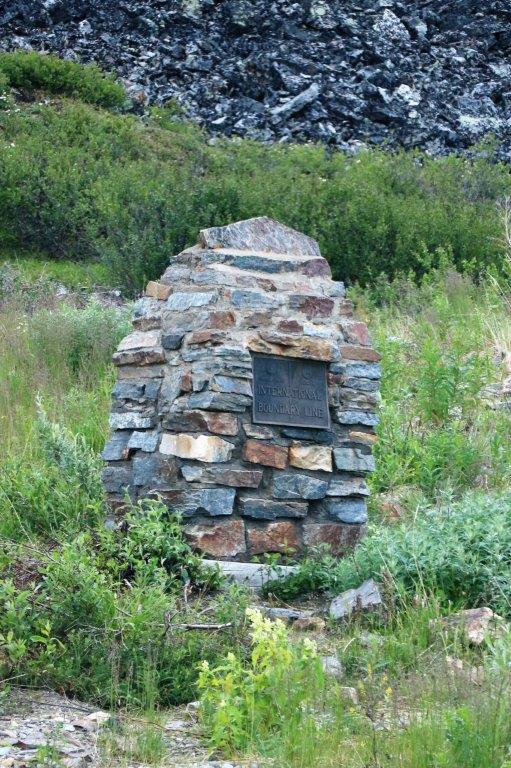 The Yukon/Alaska border is in the middle of no where. There is not a town of any kind for many miles in either direction. The American officer told us they usually stay up here a month at a time.
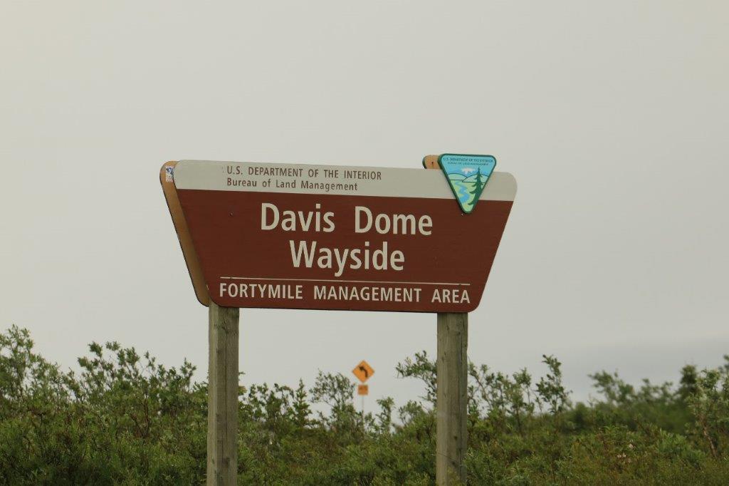
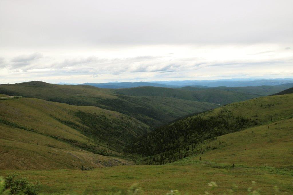
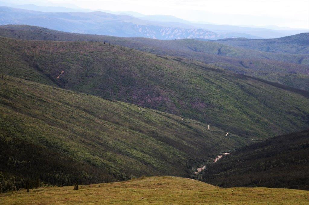
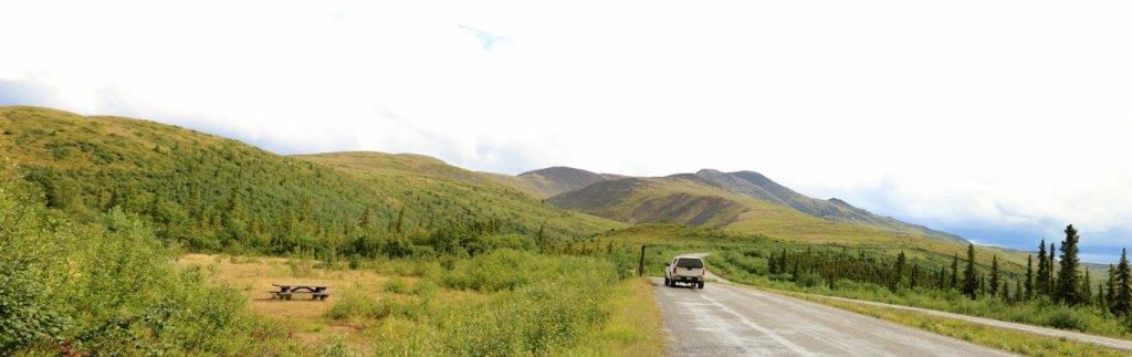
 These two stitched images, if placed edge to edge, would show you the expansive view at the Davis Dome Wayside.
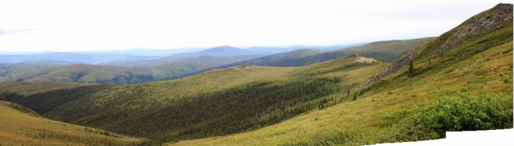
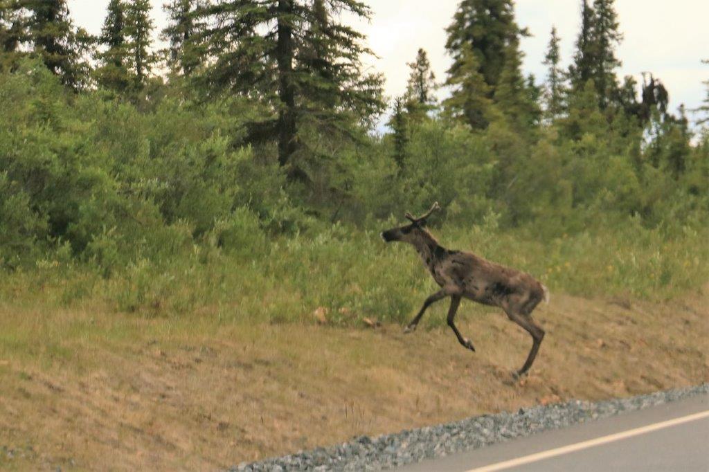
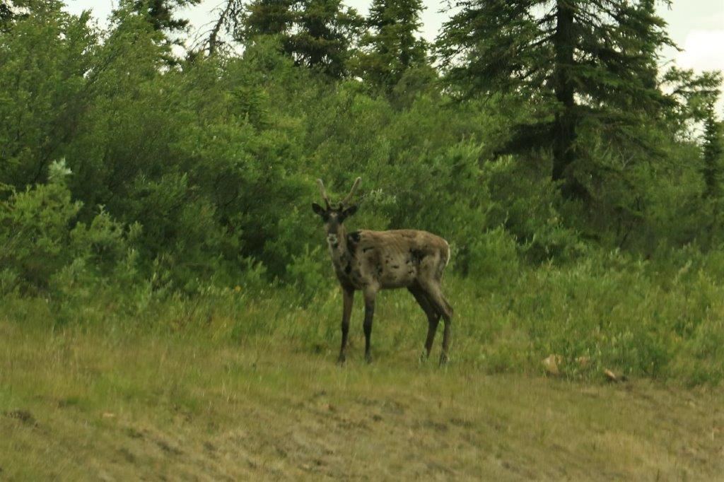
 Not far down the road from the viewpoint we spotted this young caribou crossing the road. It was very curious about what we were and stayed for a few minutes as John drove very slowly toward it. It finally did decide, while we were still quite far away, that it didn’t like us, and took off into the bush.
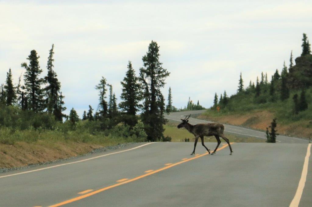
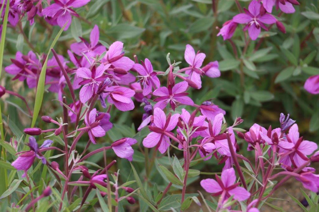
 While John was signing the log for our first geocache find in Alaska, I found these lovely flowers.
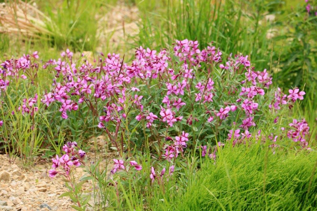

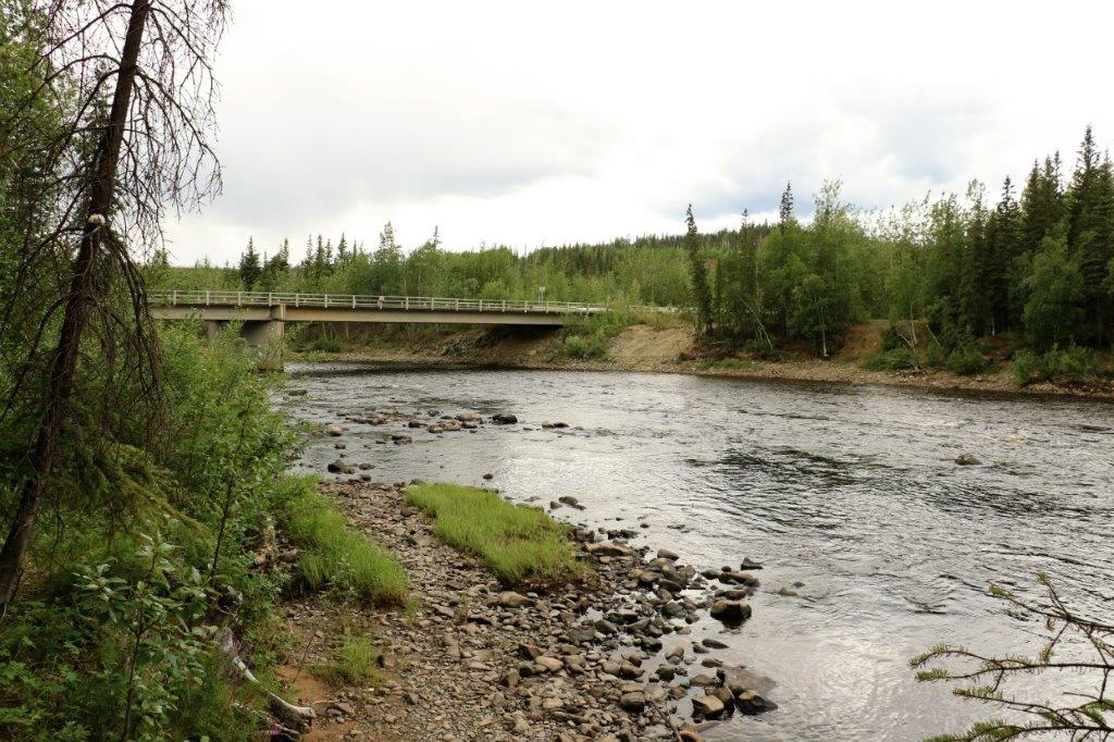
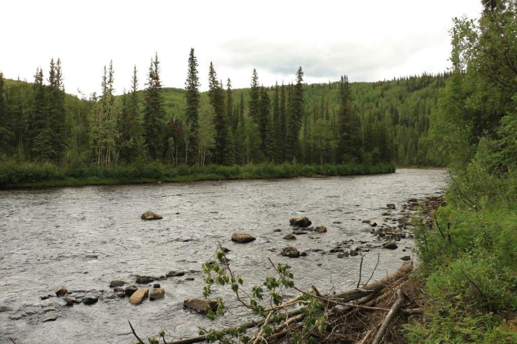
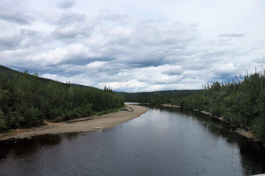 The South Fork River.
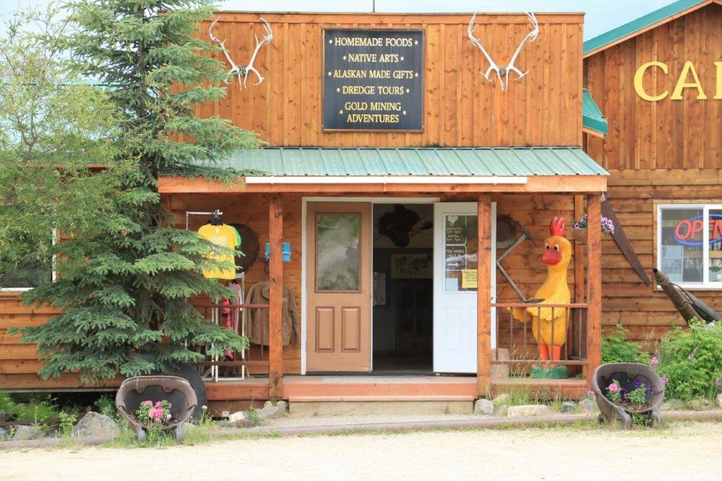
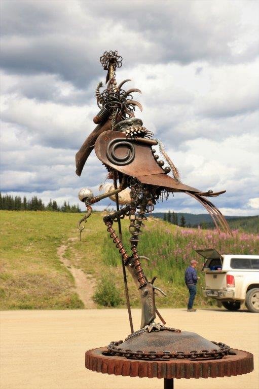
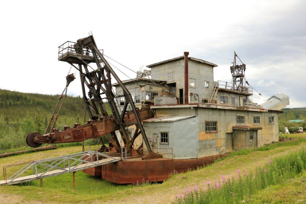
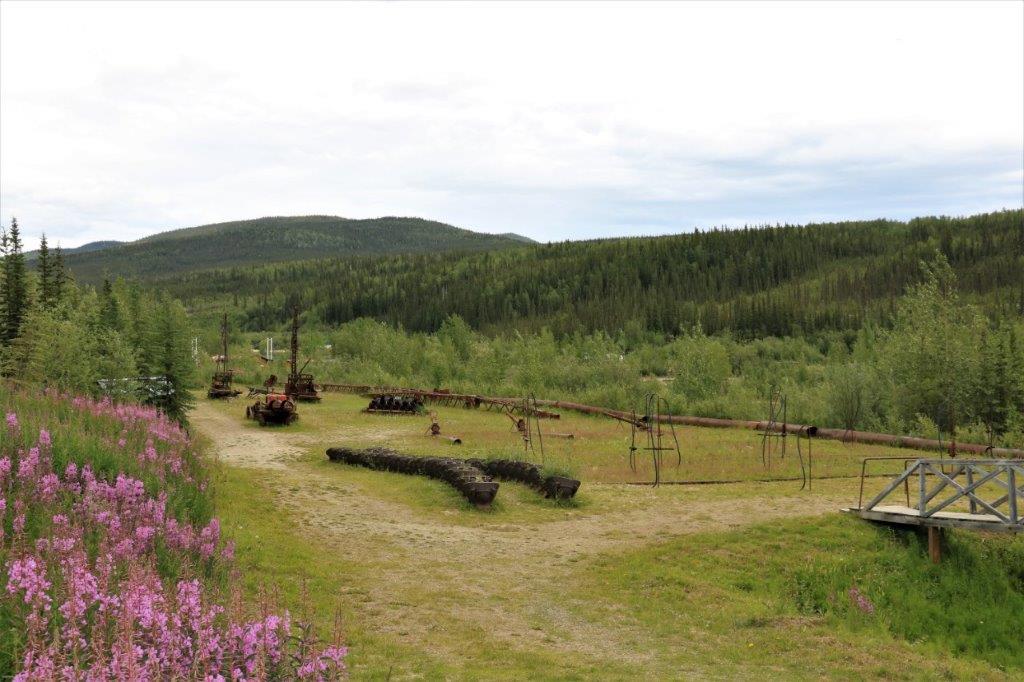
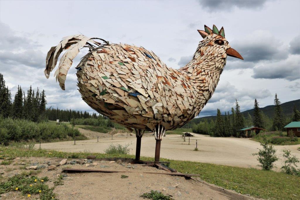
Alaska is an hour behind the Yukon in its own time zone. We arrived at Chicken, Alaska at 2 pm Alaska time and stopped to have some lunch – and find a geocache – and take some photos of the big chicken. The town of Chicken is so called because the founding fathers could not agree on how to spell Ptarmigan, which is the Alaska State bird and the name they had chosen for the new town. Since they could not agree on what was the correct spelling they settled on Chicken because Ptarmigans are a wild chicken-like bird that is eaten regularly. Chicken was/is a gold mining town and they have two old dredges. There are several buildings there but the official population is 7. Chicken hosts a very popular annual chicken fest, but I have no idea what that would entail. I am going to assume music.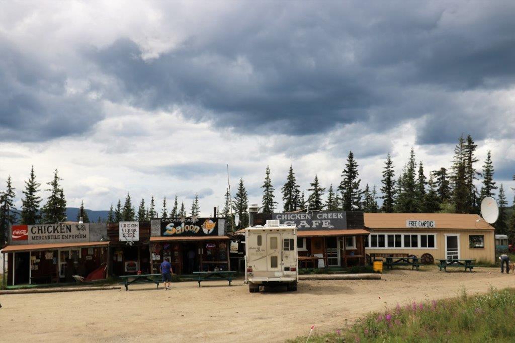

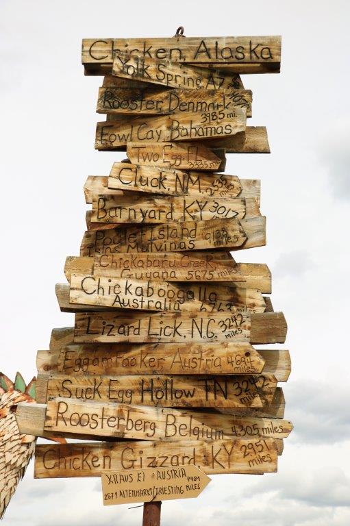
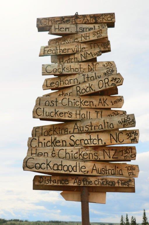 I loved all the international place names that relate to chickens that they have on the sign. The only one I don’t understand is Lizard Lick, NC.
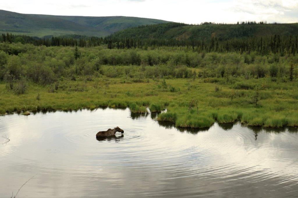
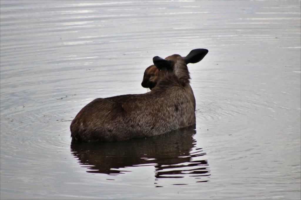
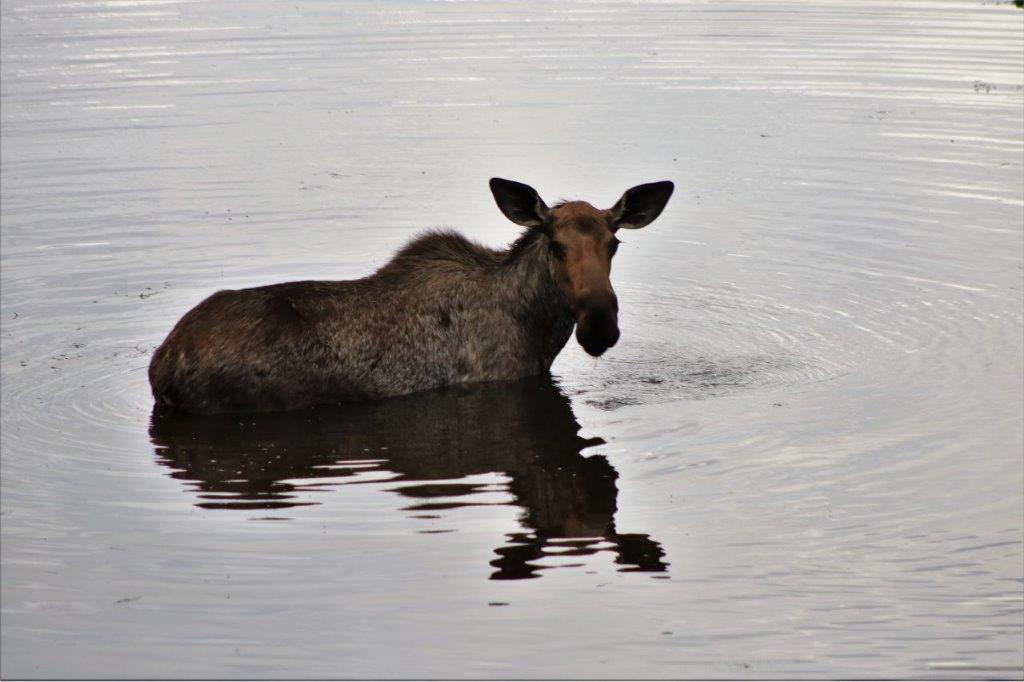
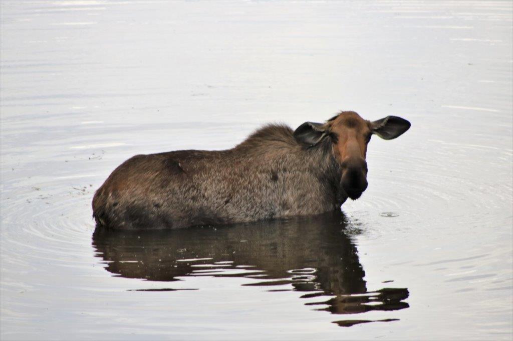
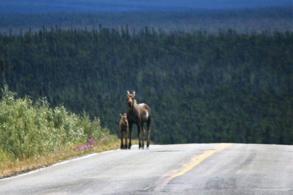
 A few kilometers out of Chicken John spotted this cow moose having lunch in the pond. She kept her head under the water eating the grass for about 3 minutes before coming up for air. We were downwind of her so she couldn’t smell us and she was completely unconcerned by the truck up on the road. We watched her for several minutes before driving off.


 Mosquito Creek – up river and down.
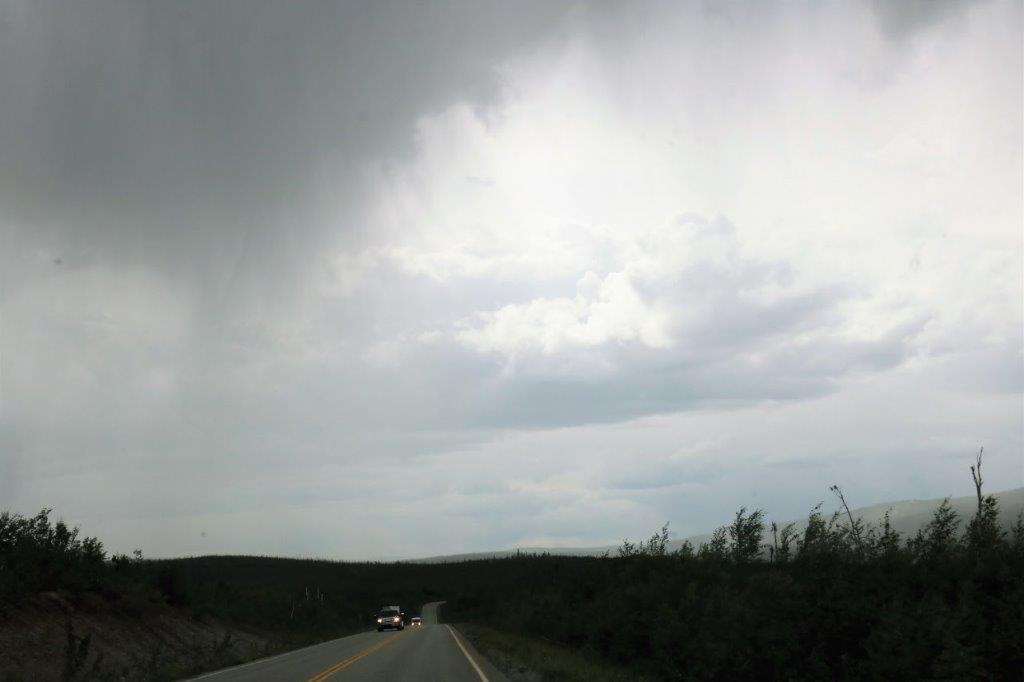

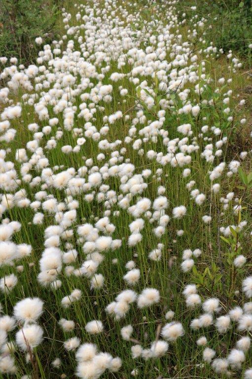 Look, a square cloud. And more of John’s cotton flowers.
As we drove along a straight stretch, John said, “What is that at the end of the straight? Is it a bicycle? No, it is two bike riders. No, it is another moose and her calf!” When the moved off into the bush we saw that she had a big wide red collar around her neck so she is being tracked by somebody.
 Surprisingly enough there are sand dunes in Alaska. Quite a few of them actually. And there is a very remote National Park in northwest Alaska that is called the Kolob Sanddunes. There was an Earth cache about the sanddunes at this spot so we stopped to check out the colour and texture and size of the sand grains in order to answer the questions required to log the find. The sand looked to be a light gray-brown but if you pick up a handful of it there are lots of black grains too. And it is the consistency of ground pepper. Very, very fine. I love all the things we learn as we travel around.
 We arrived in Tok (pronounced Toke) at 5 pm and checked into the little cabin that John had reserved for the night. Tok is a busy place as it sits at the junction of Alaska Highways 2 and 1. Highway 2 is the Alcan (Alaska Highway) that comes from Whitehorse and that the Top of the World Highway also feeds into at Tetlin Junction. Highway 2 goes to Fairbanks. Highway 1 is the road that comes from Anchorage so Tok is right at a major meeting of the two routes to Alaska’s two largest cities. It was a busy place.
We will drive to Fairbanks tomorrow and are staying for two nights. It is about a 3 1/2 hours drive from Tok to Fairbanks. Of course, it will take us longer than that with photo stops and geocache stops.
