Category Archives: 2017 Summer Road Trip – 4 Provinces and 17 States

2017 Aug 22 – Paris,TX to Lawton, OK

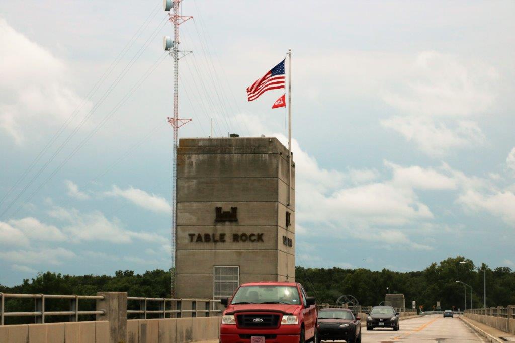
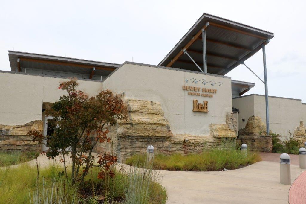
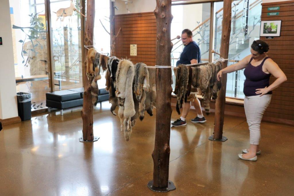
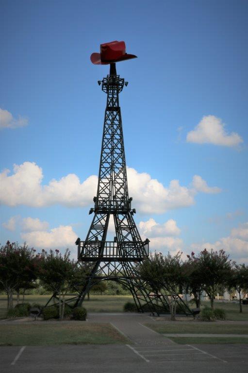
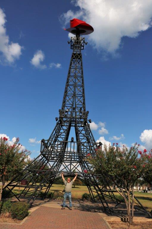
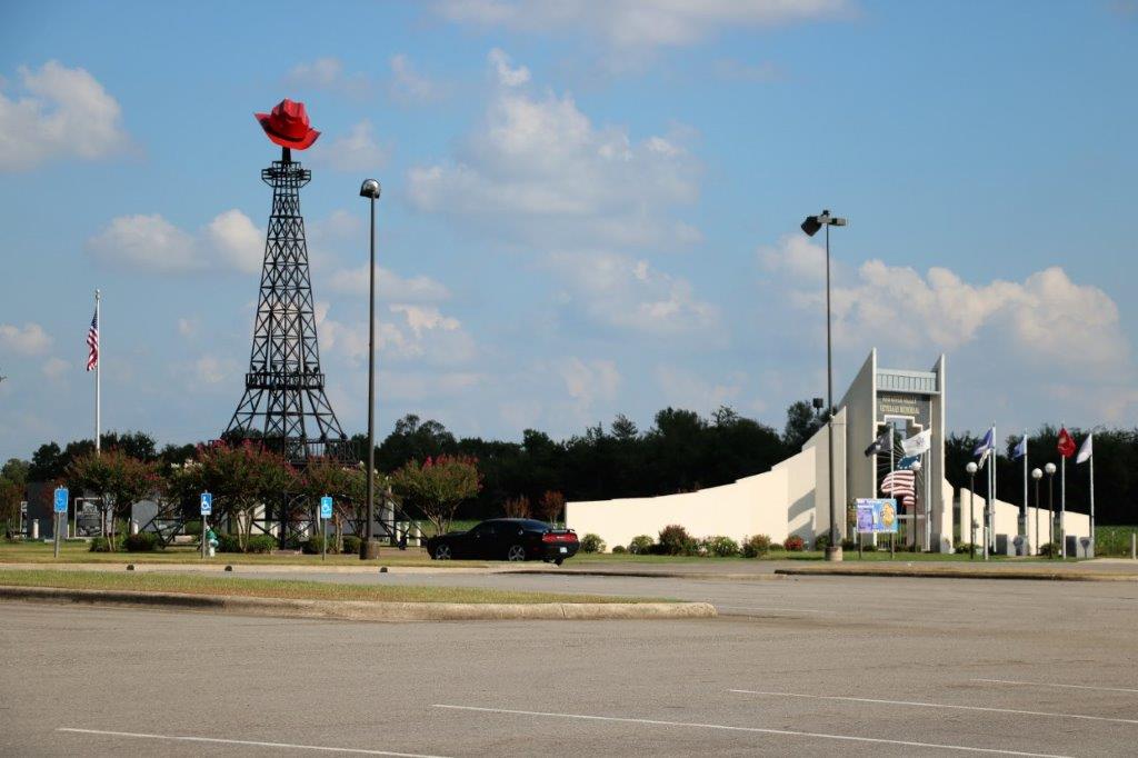
It was another hot humid day with a few stops for geocaches and another museum (a much smaller one though so don’t fret – too much).

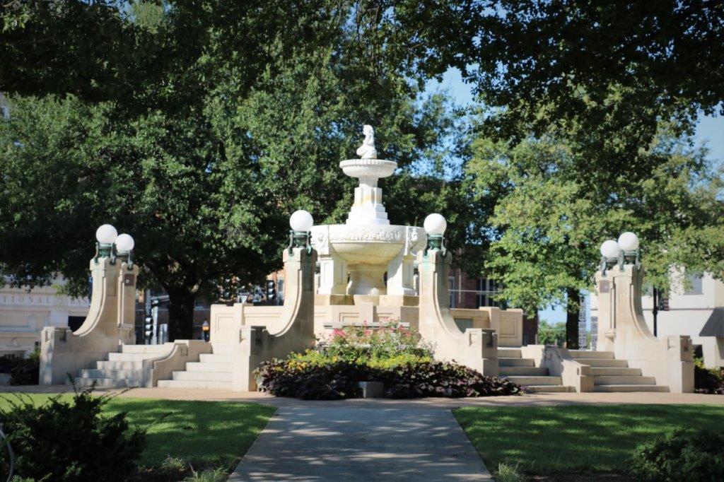
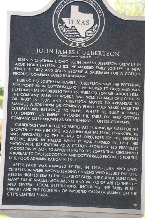
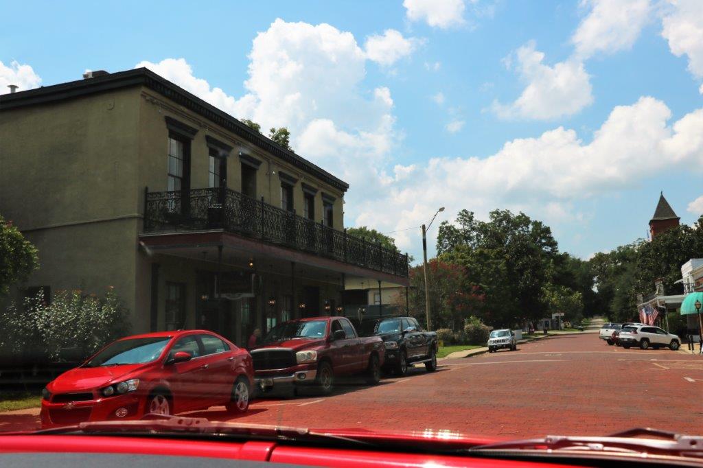
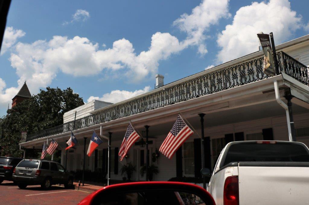
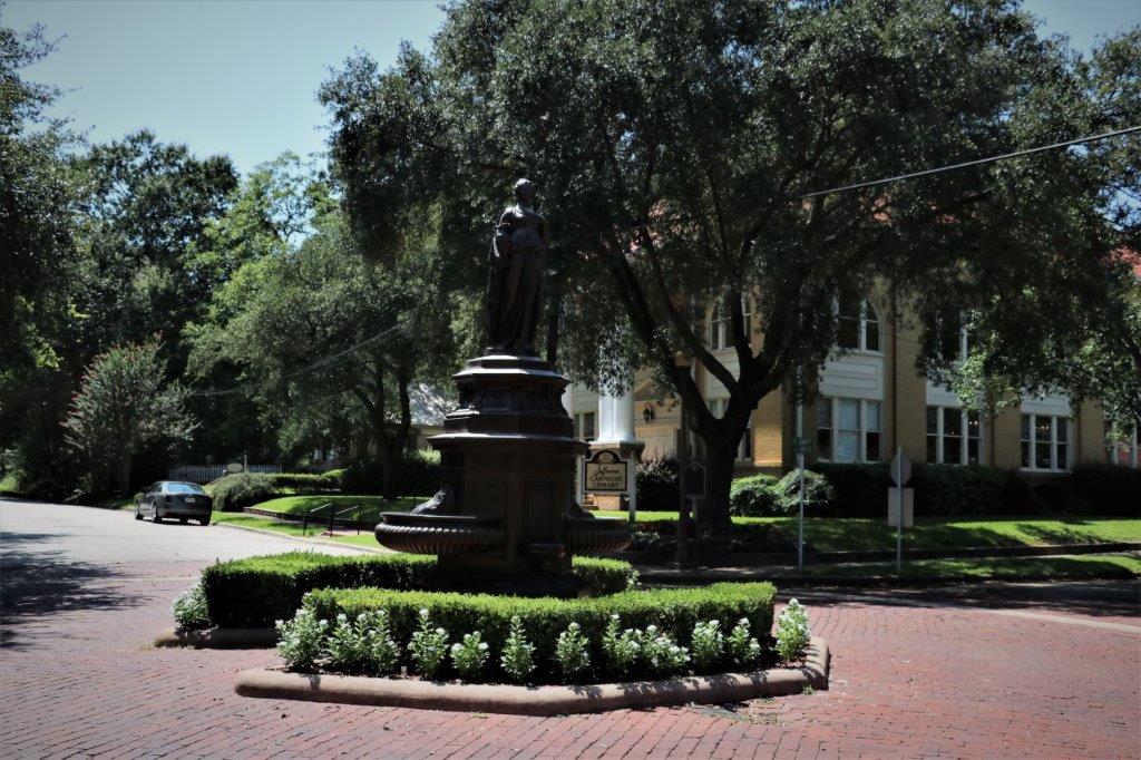
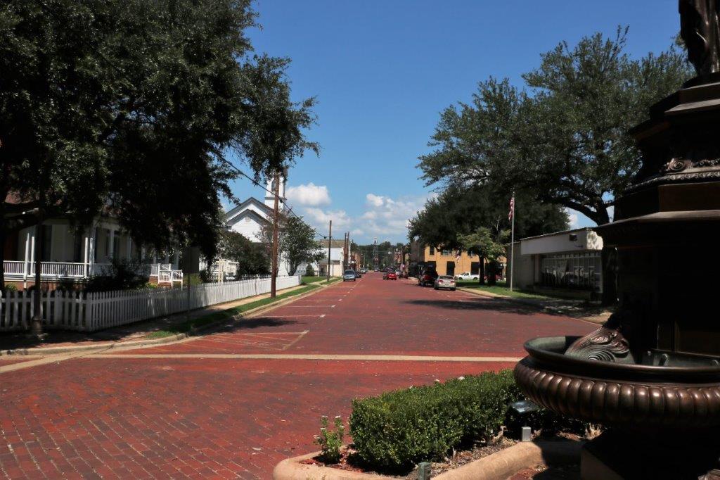
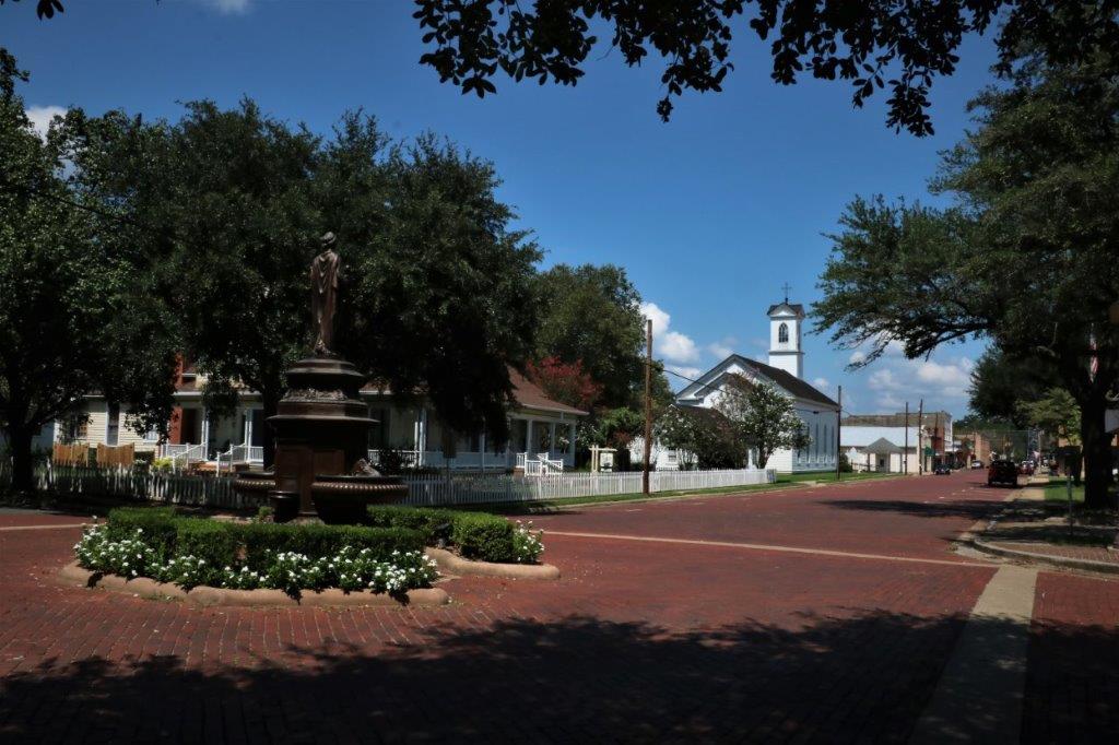
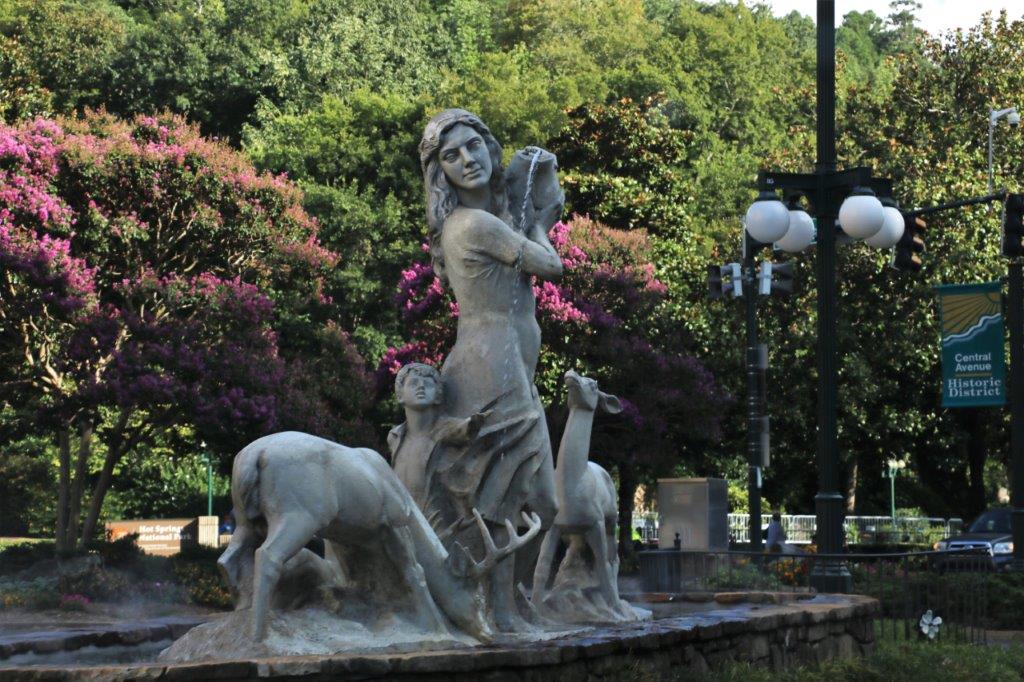
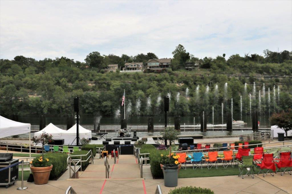
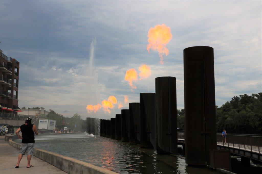
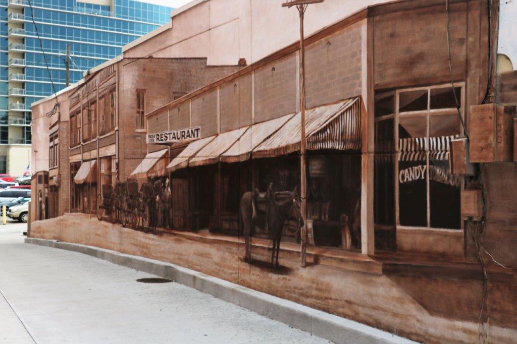
Before we left Paris we went to see the Culbertson Fountain in the center of town.  There were two geocaches hidden here but we couldn’t find either of them.  The fountain was being repaired and there were two workmen who were quite curious about what we were doing.

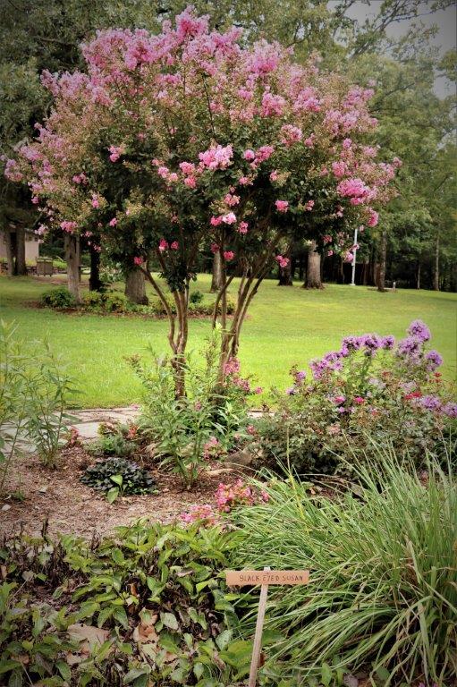
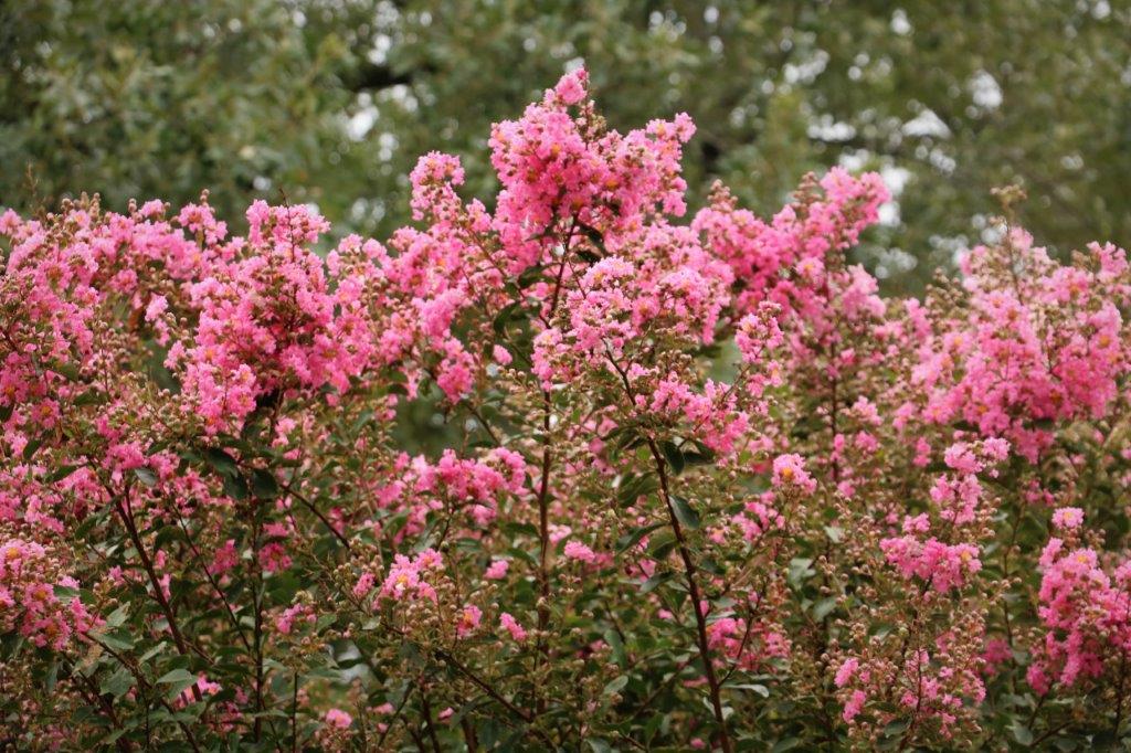
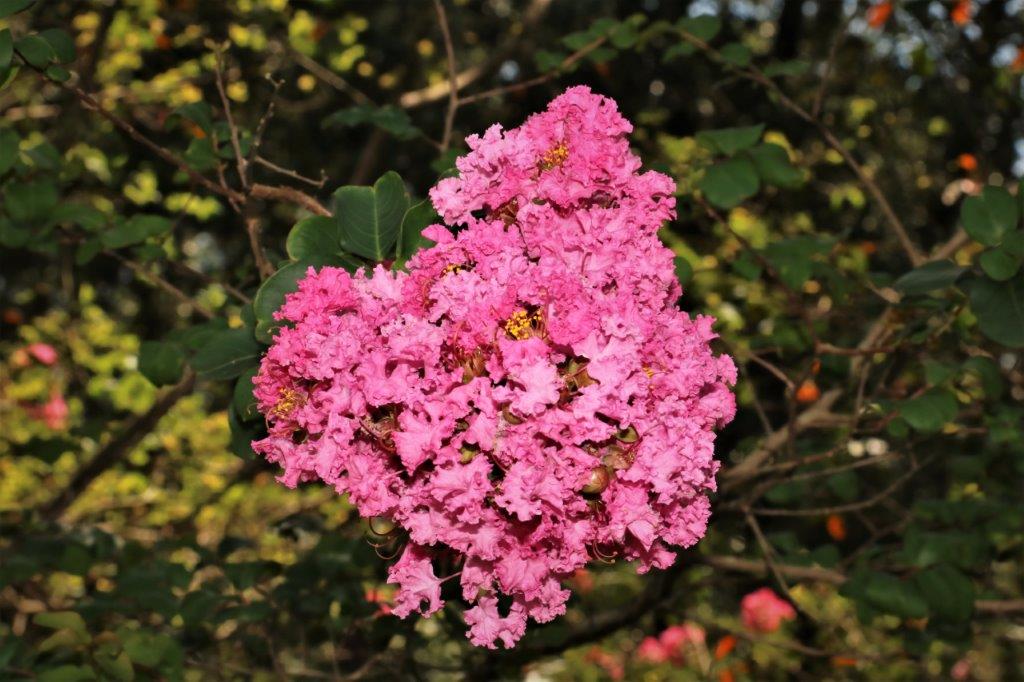
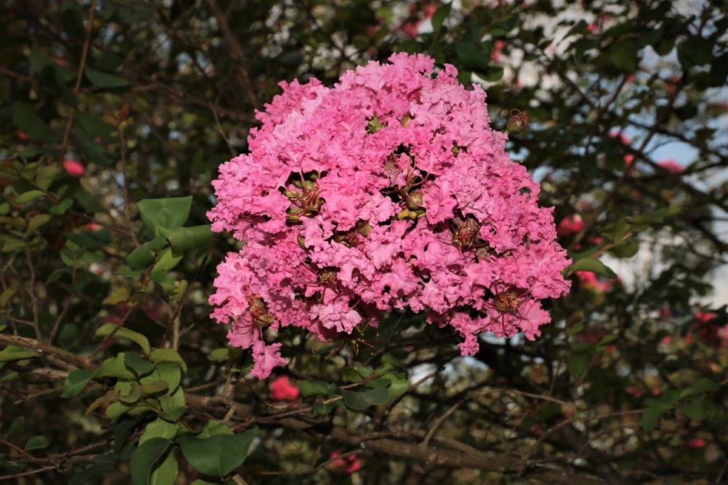
I I asked the men working on the fountain if they knew what was the name of the pretty pink or white flowers we have been seeing all over.  It is Crepe Myrtle – hard to get rid of if you don’t want it and it is necessary to keep it trimmed or it will become very unruly.
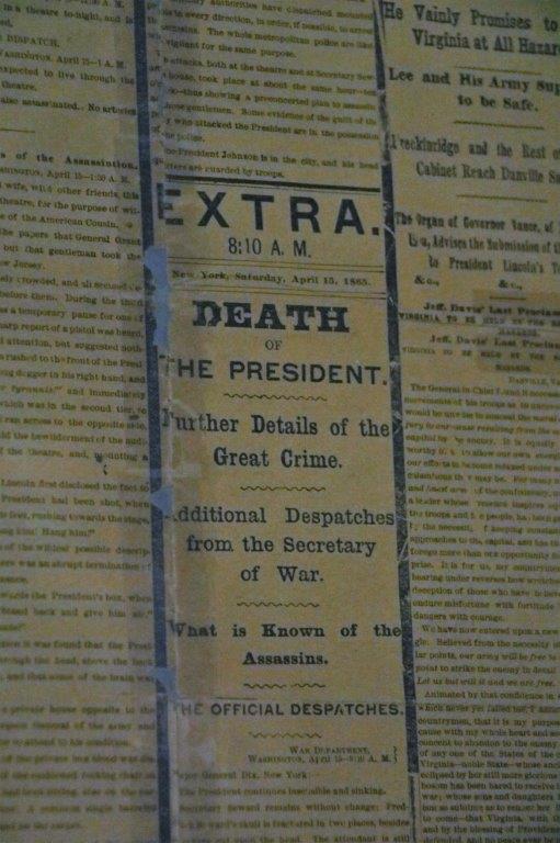
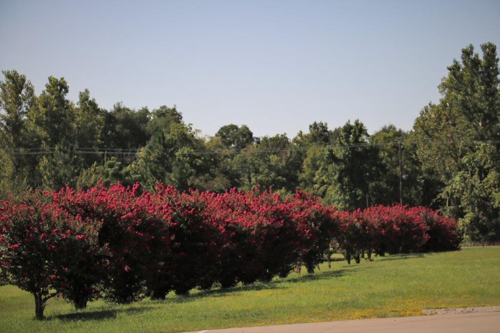
On display in a vacant store window were some posters about the 1916 fire that destroyed most of the business district (about half the city).

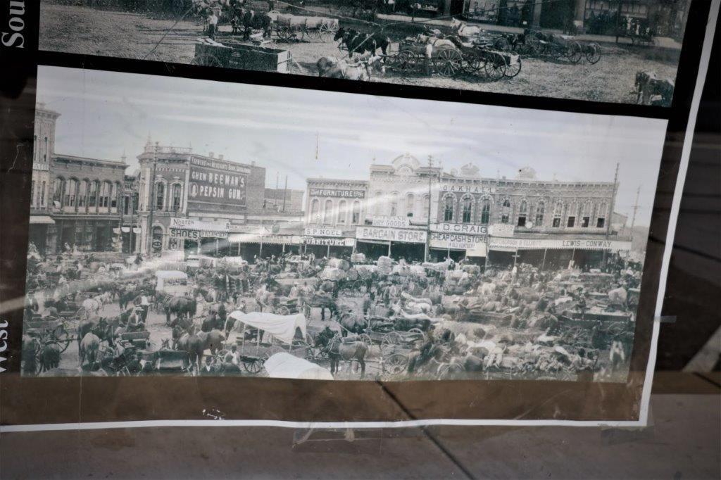
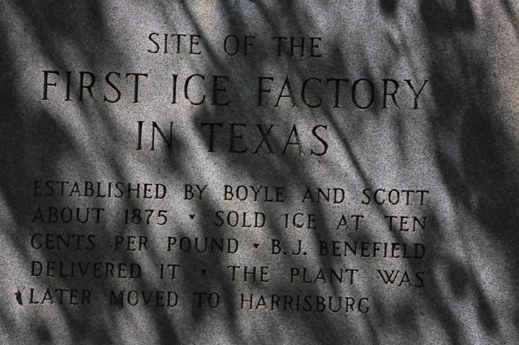
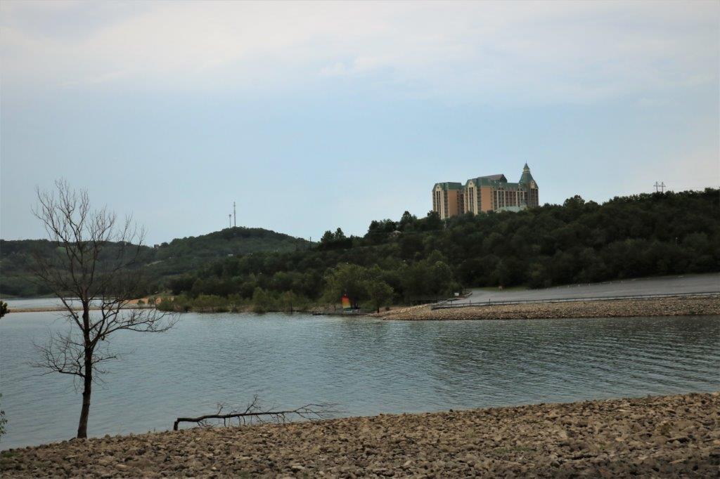
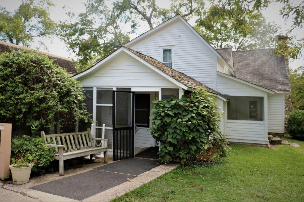
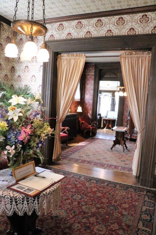
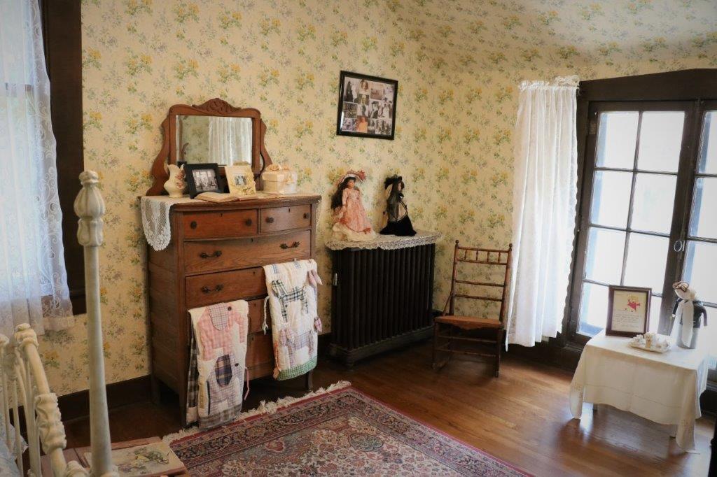
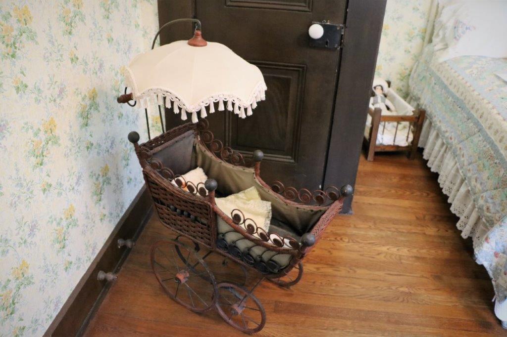
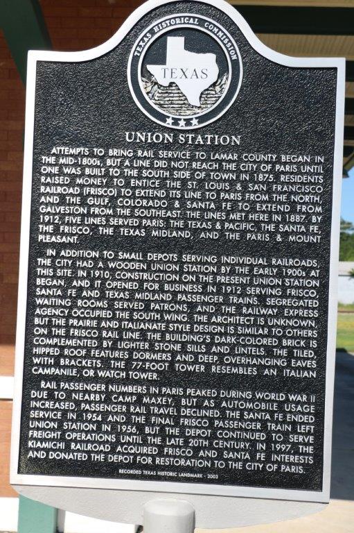
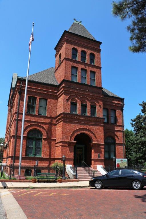
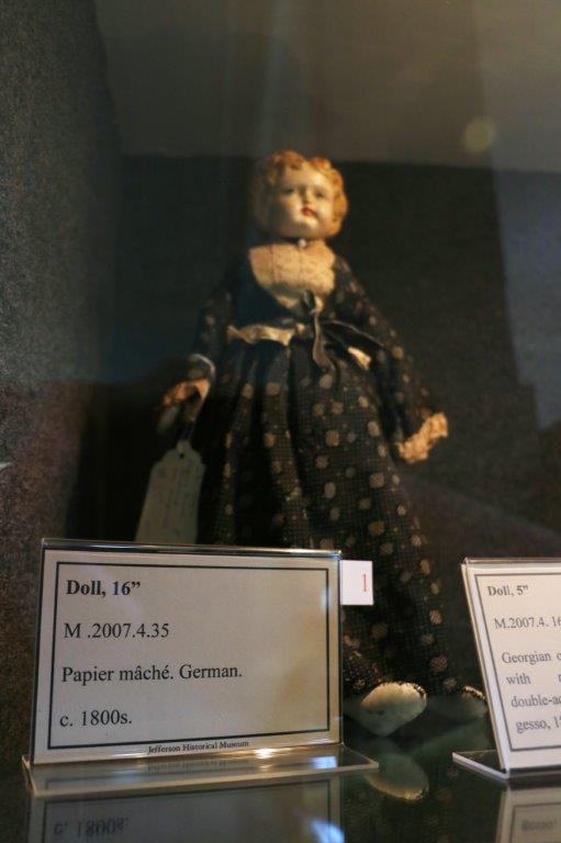
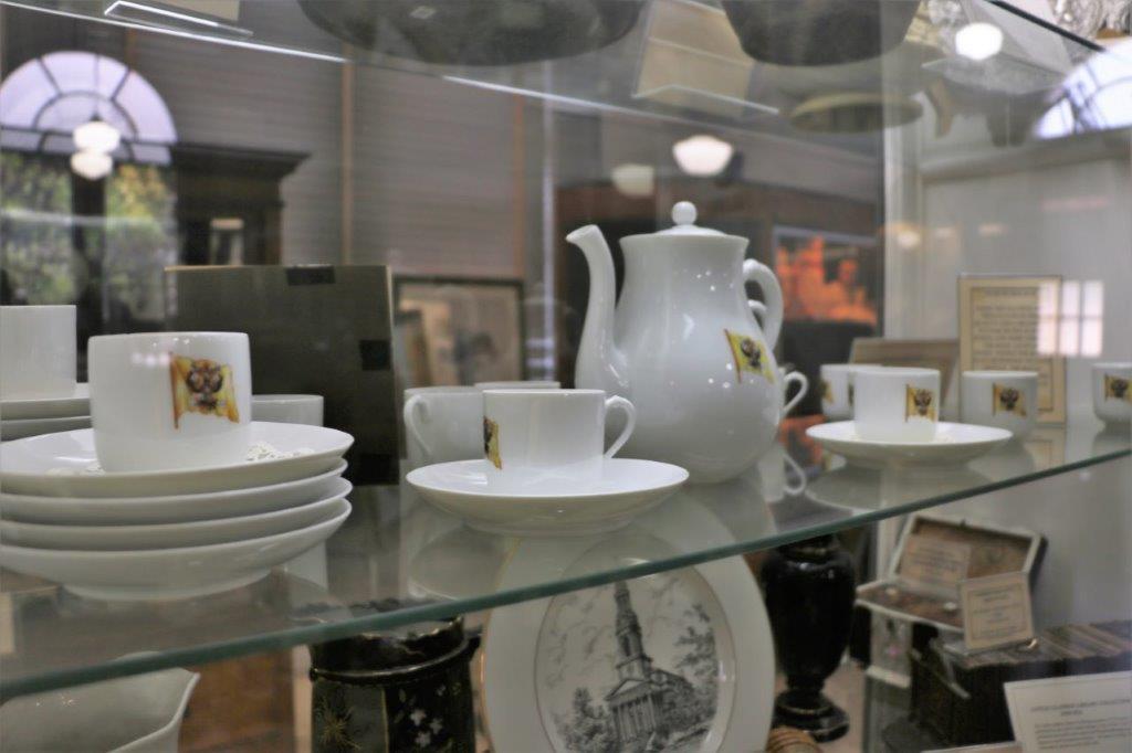
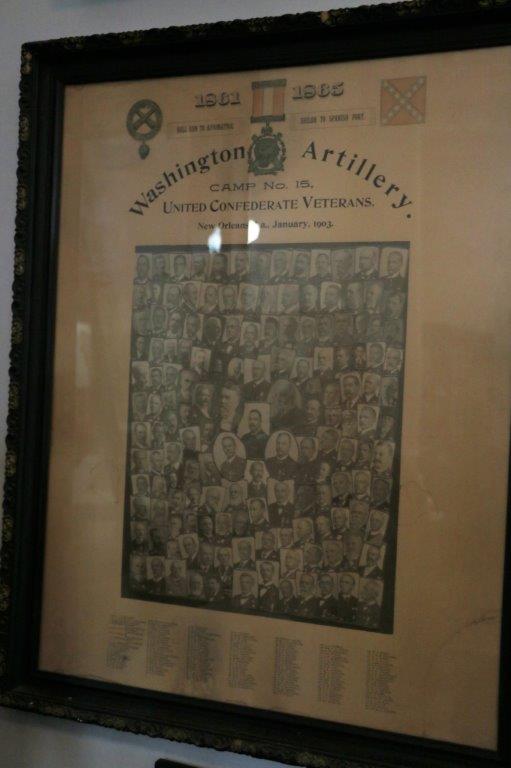
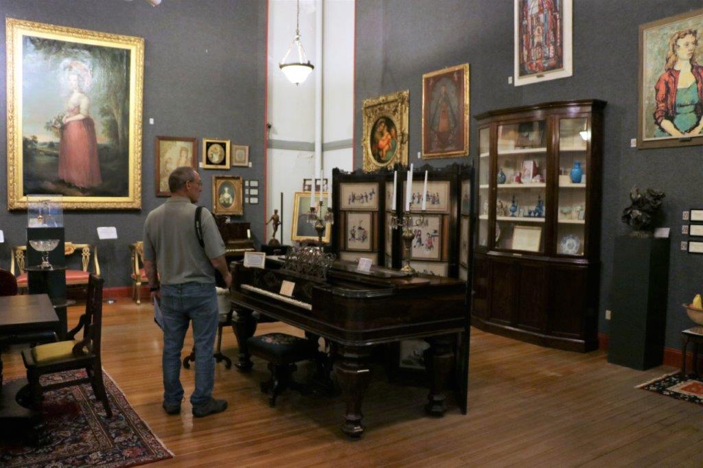
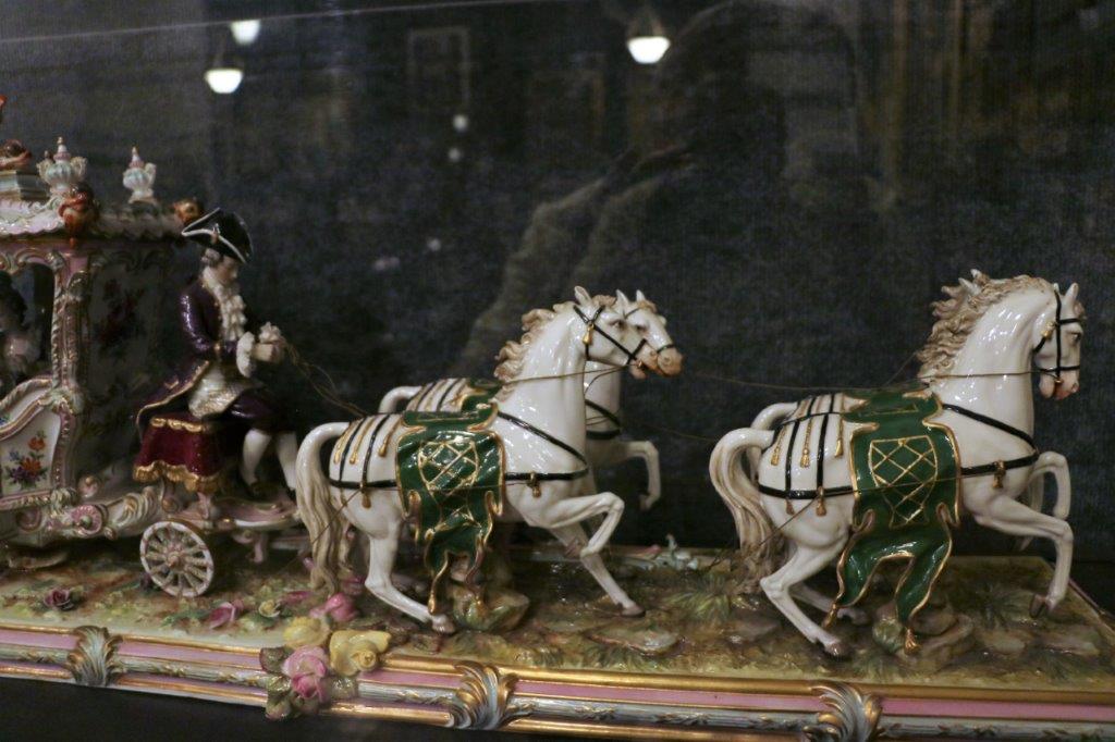
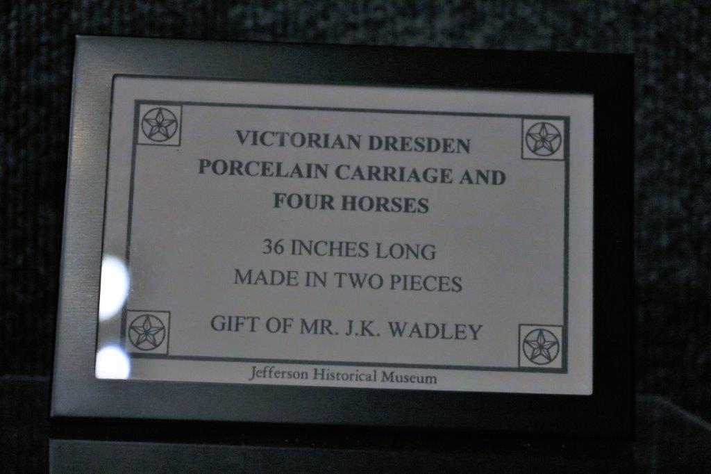
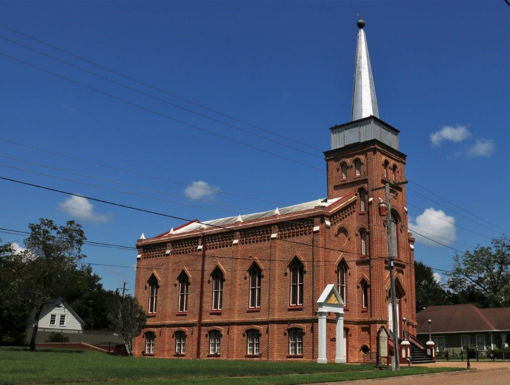
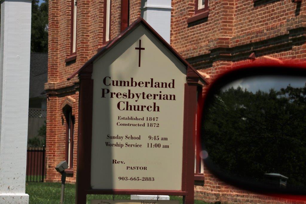
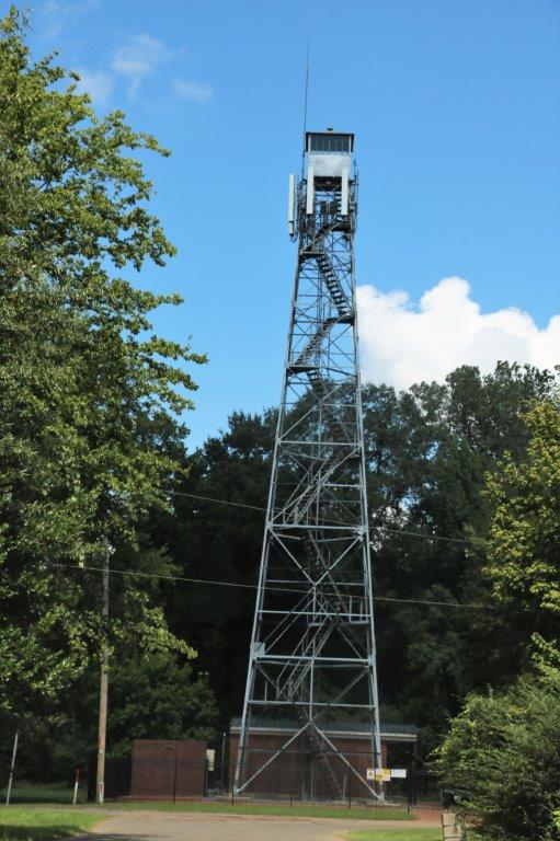
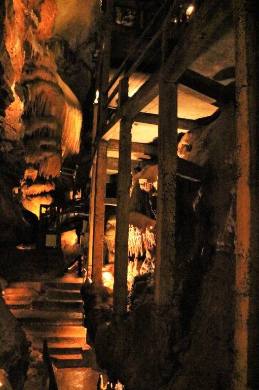
We also wanted to see the historic Union Station and Museum but the museum was only open on weekends.  
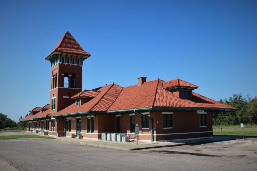
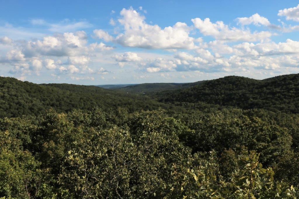
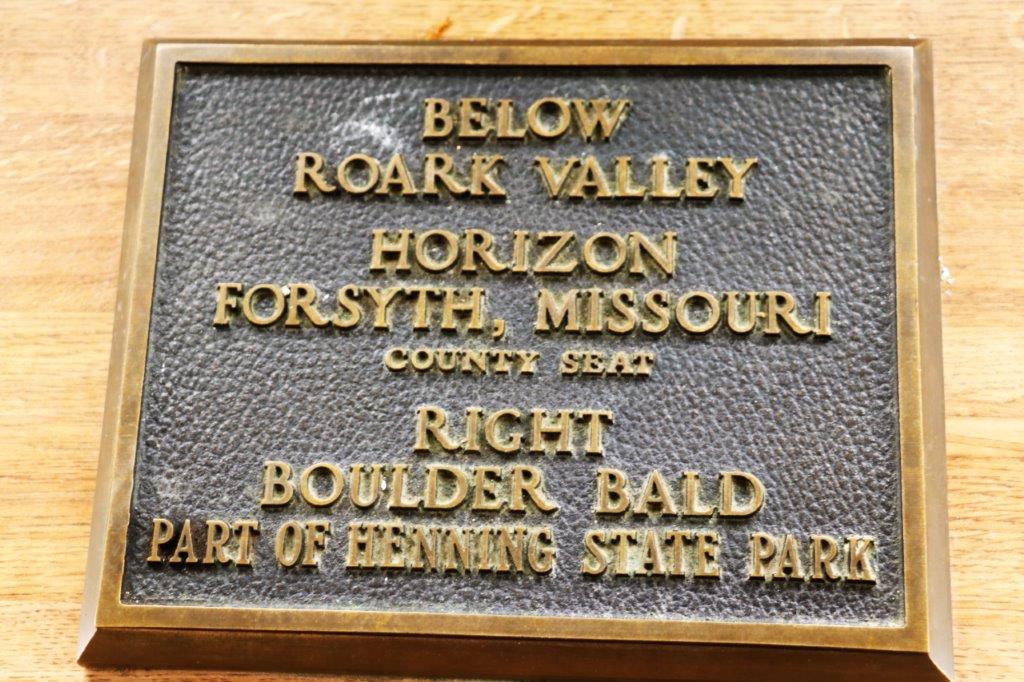
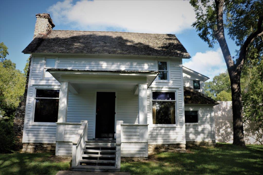
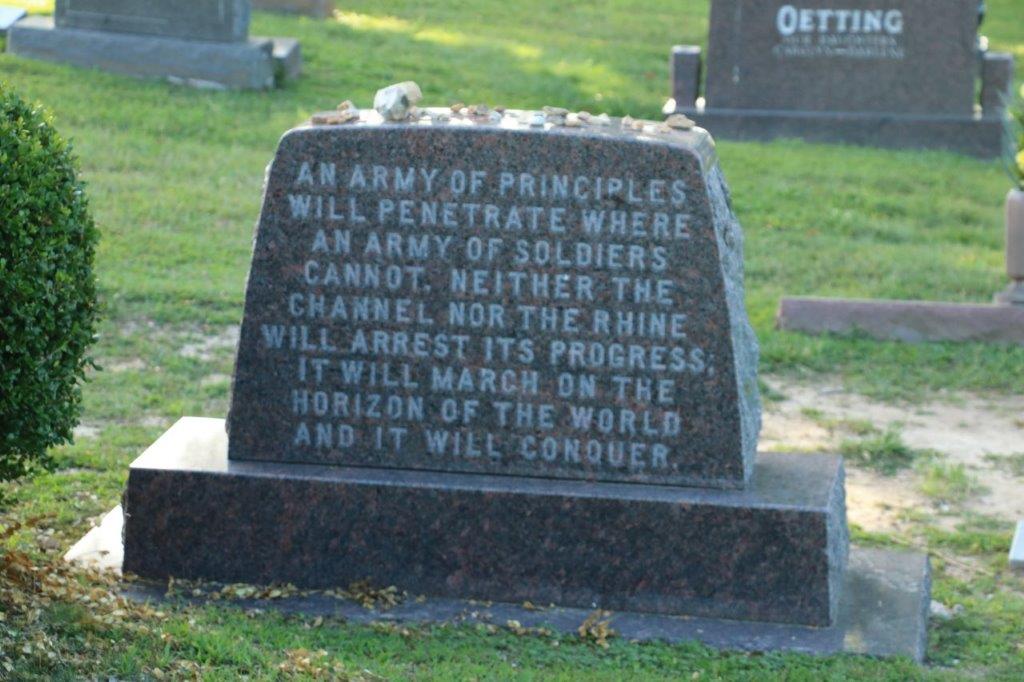
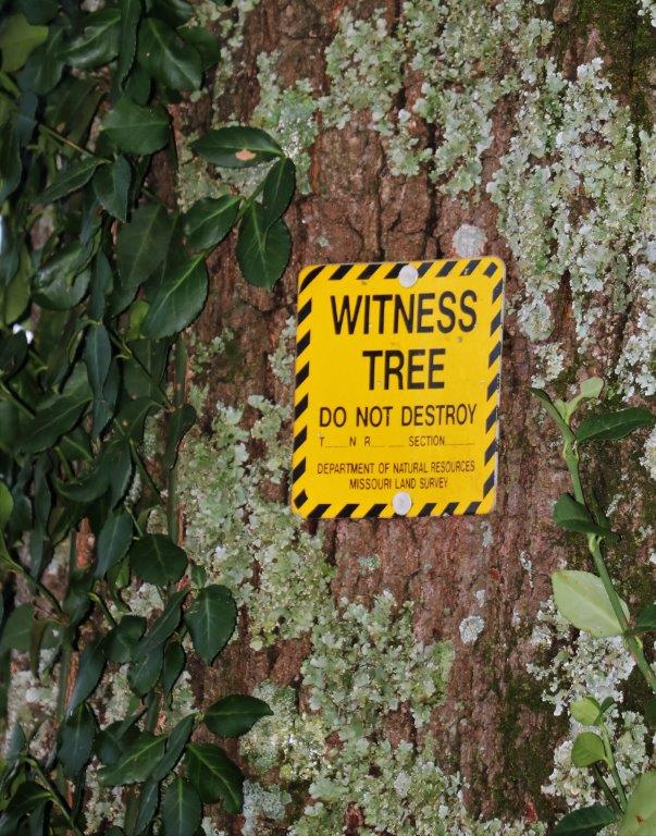
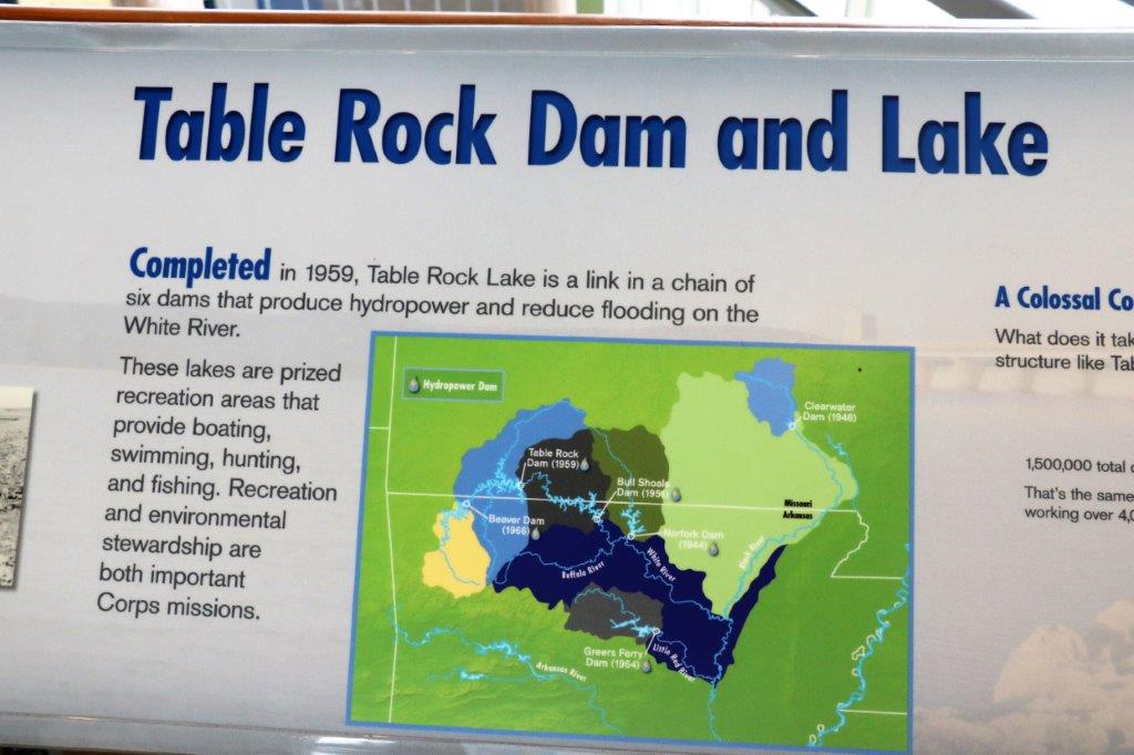
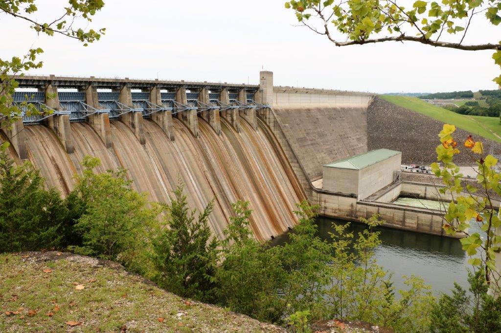
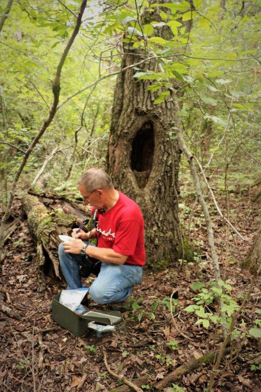
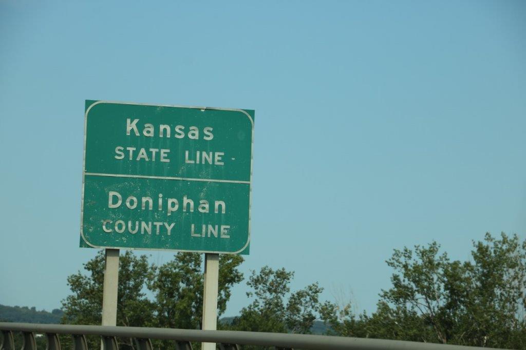
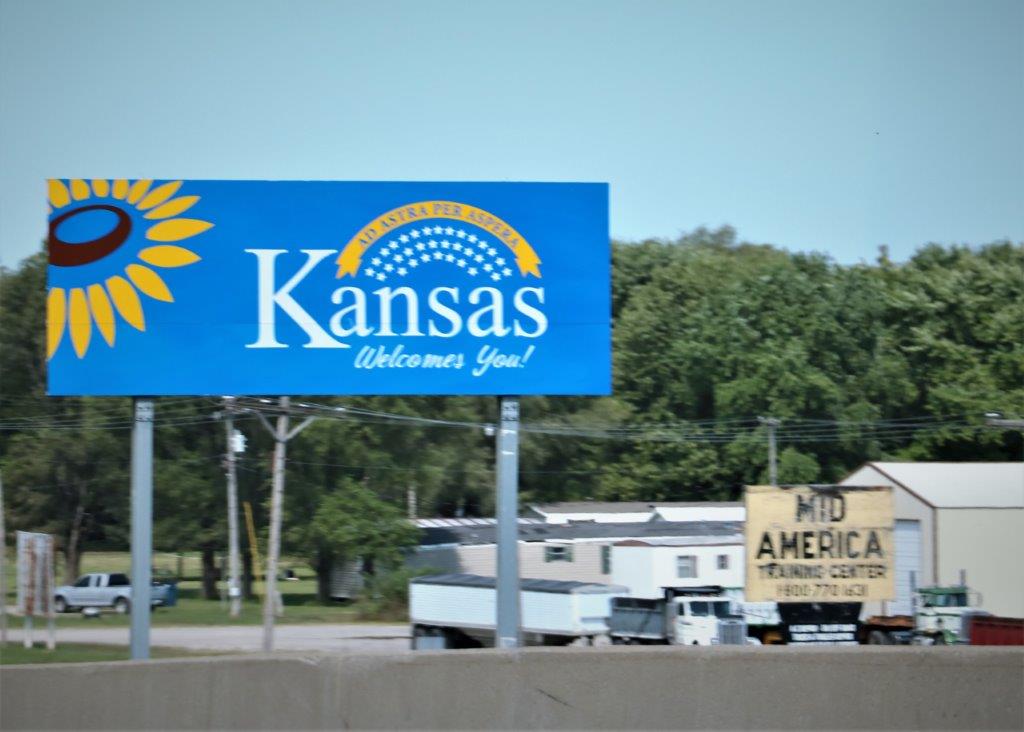
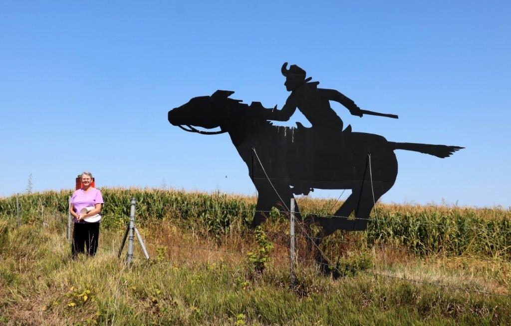
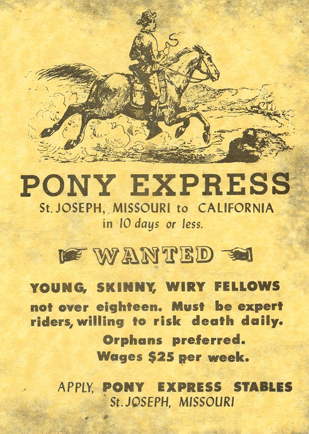
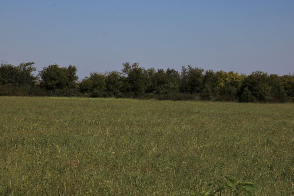
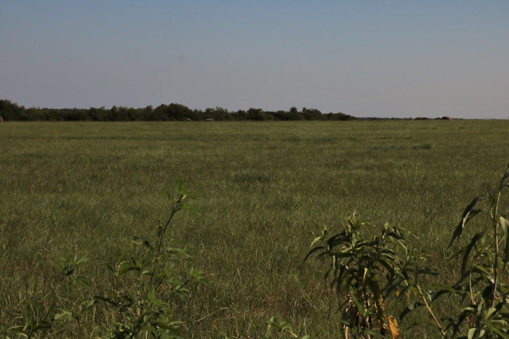
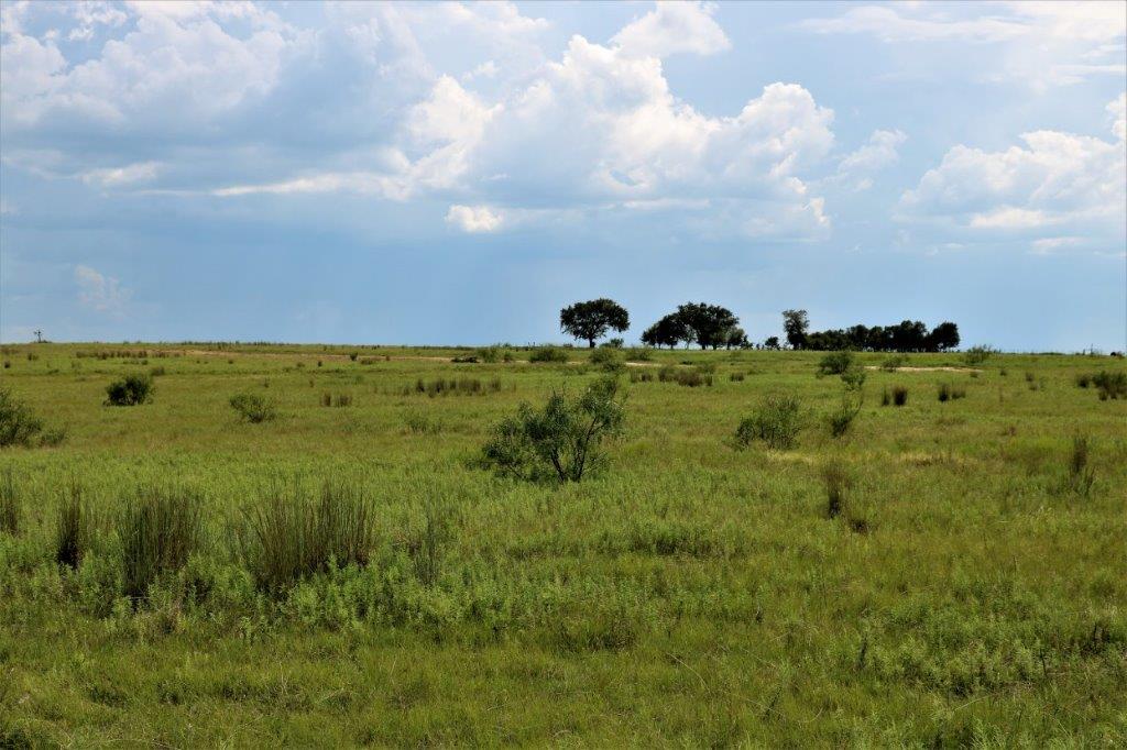
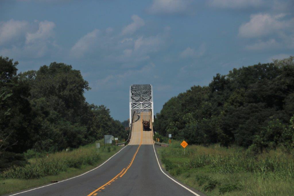
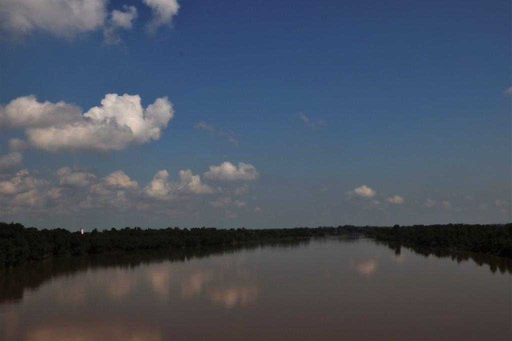
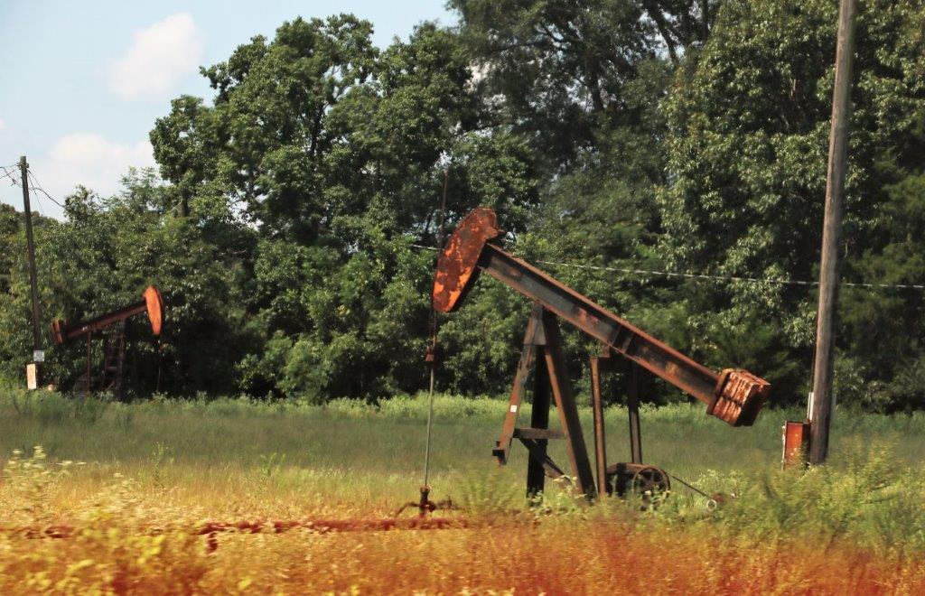
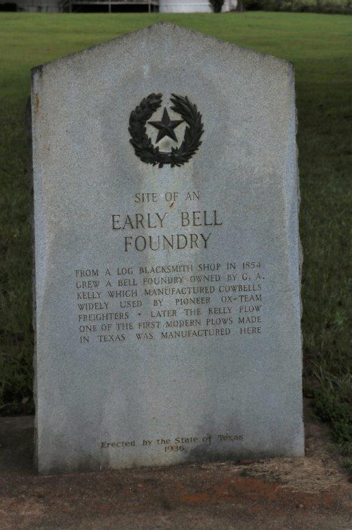
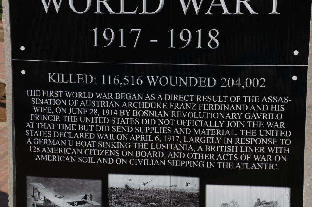
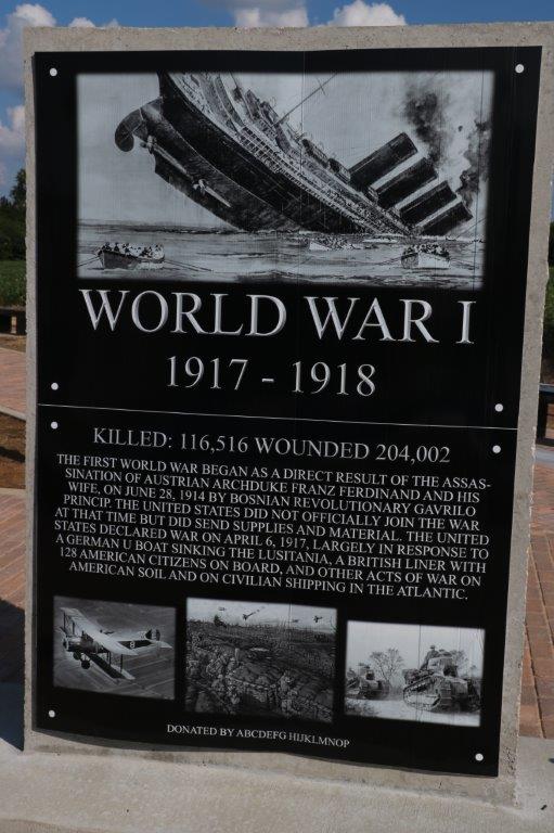
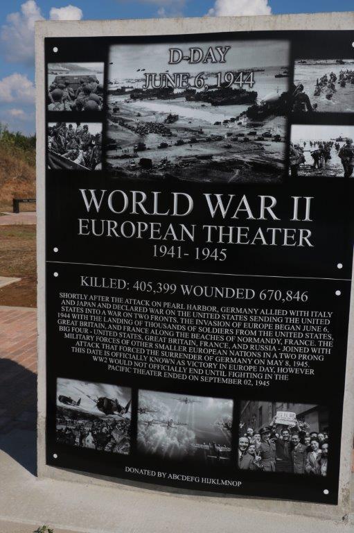
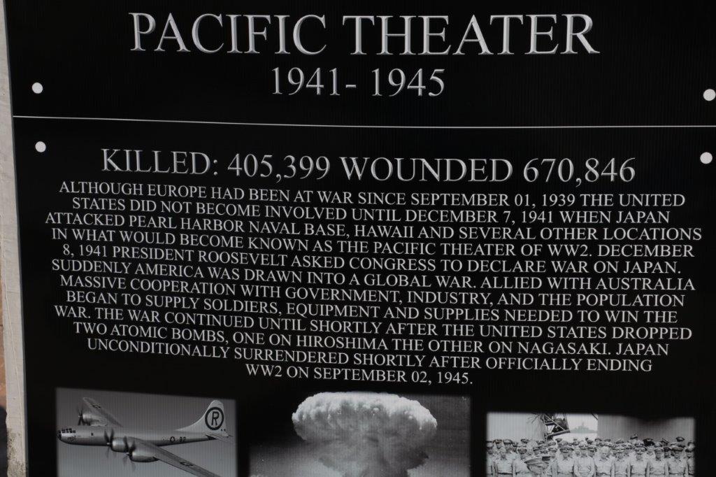
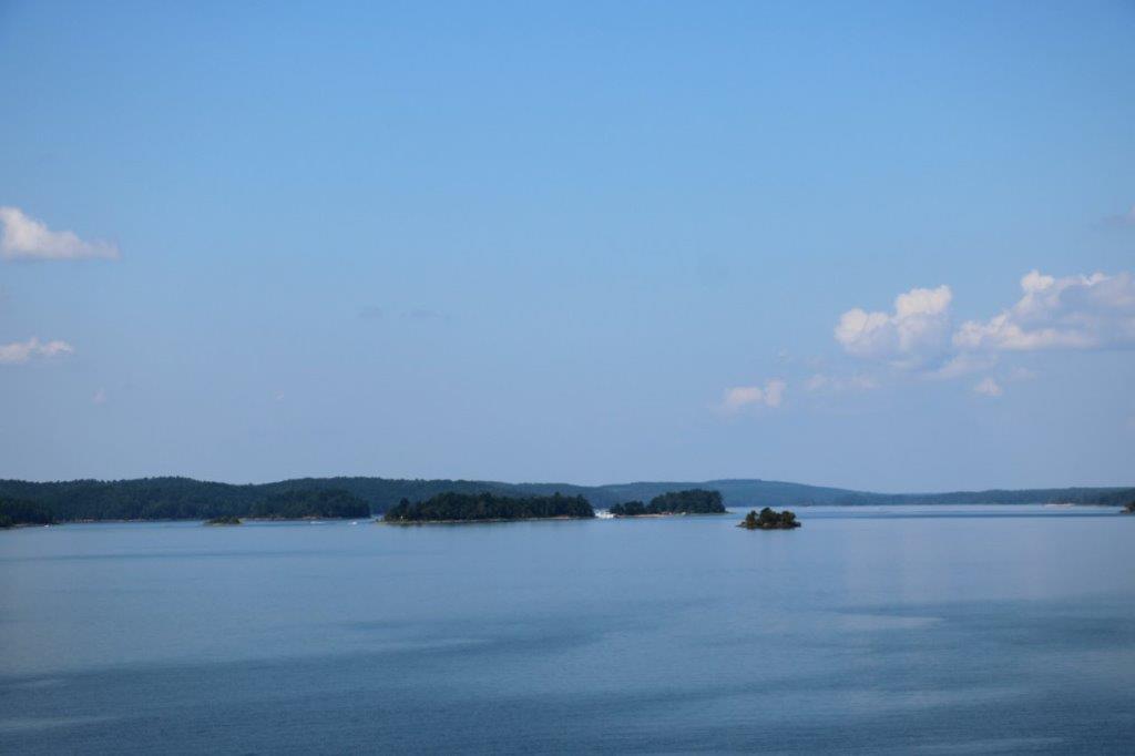
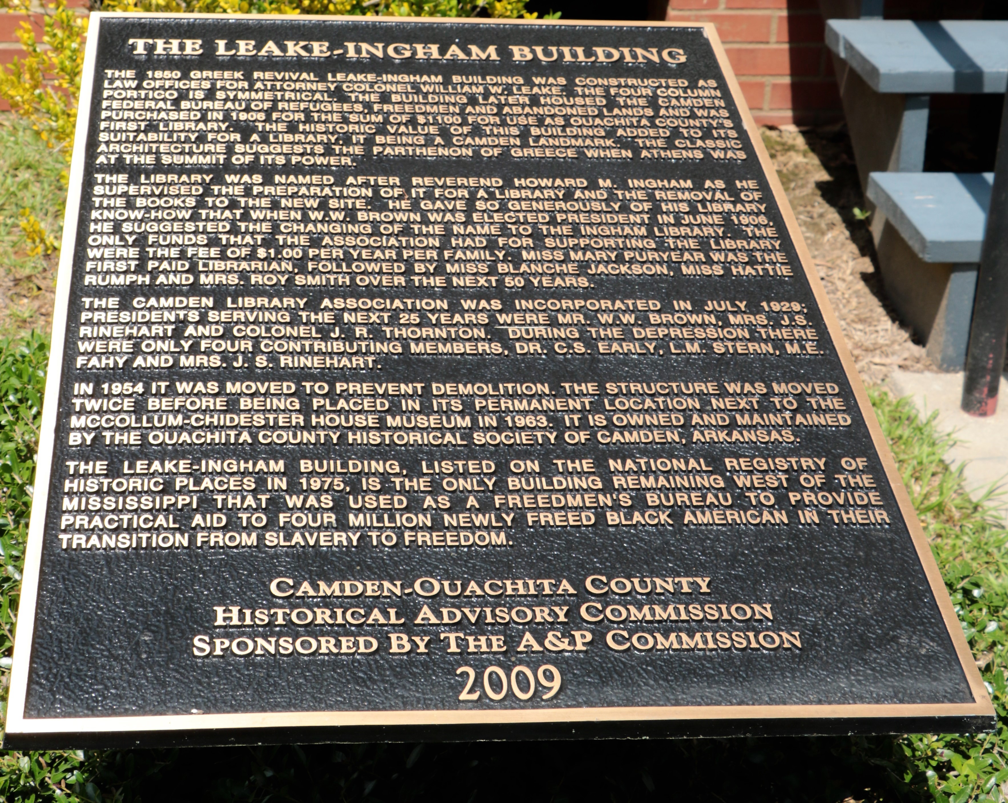
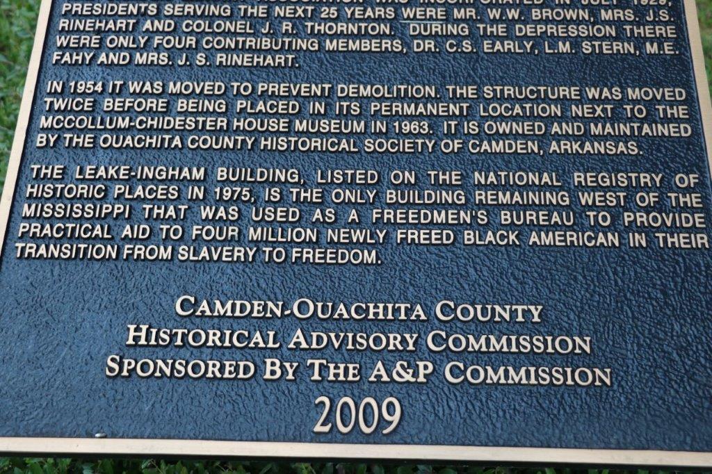
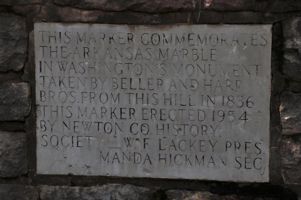
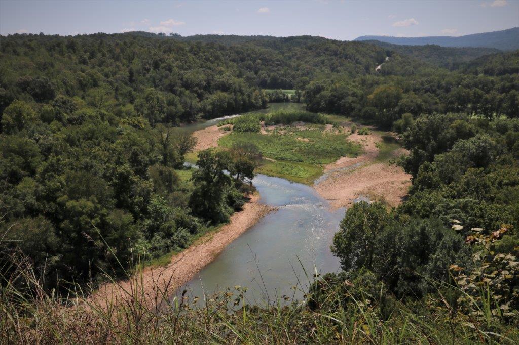
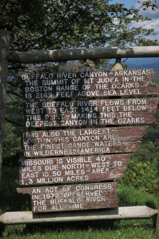
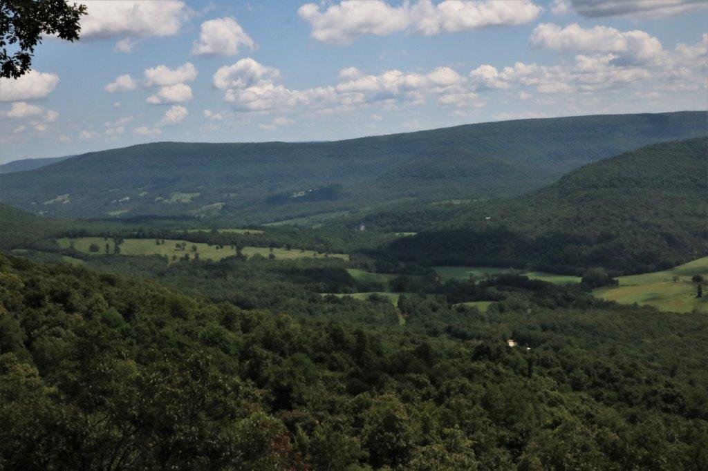
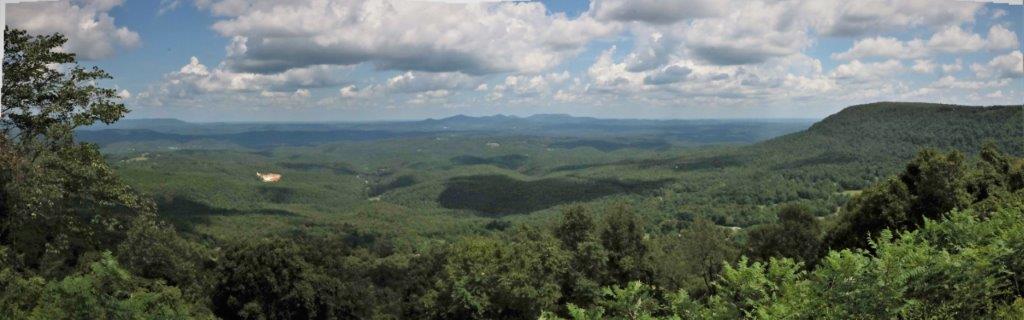
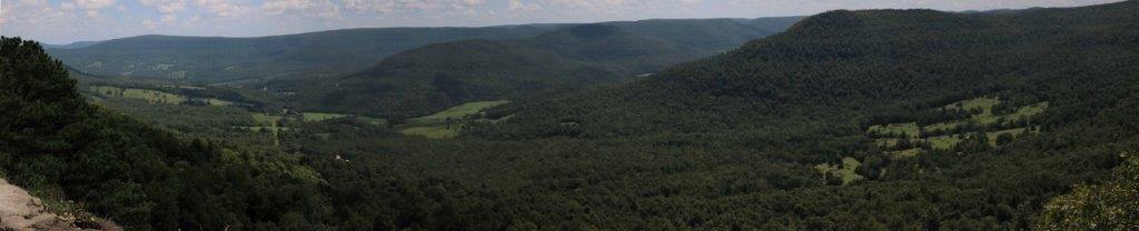
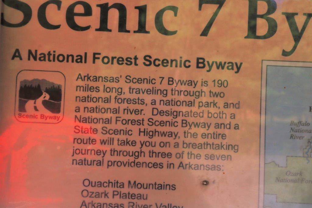
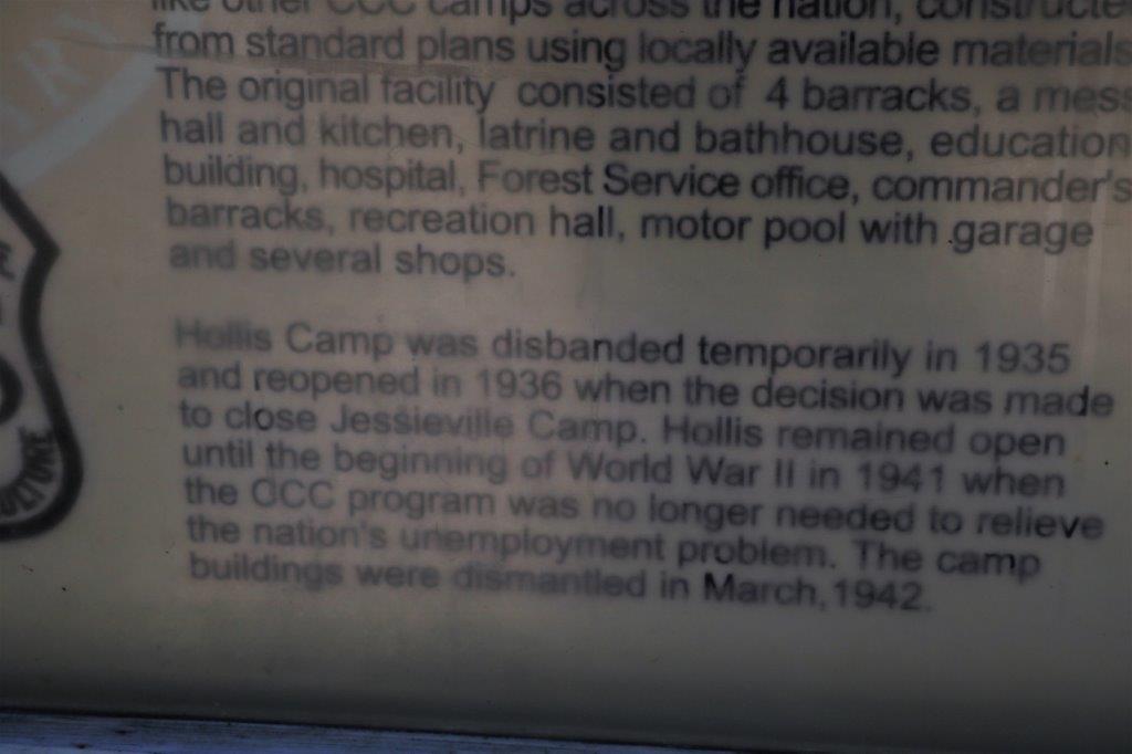
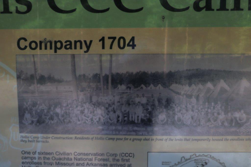
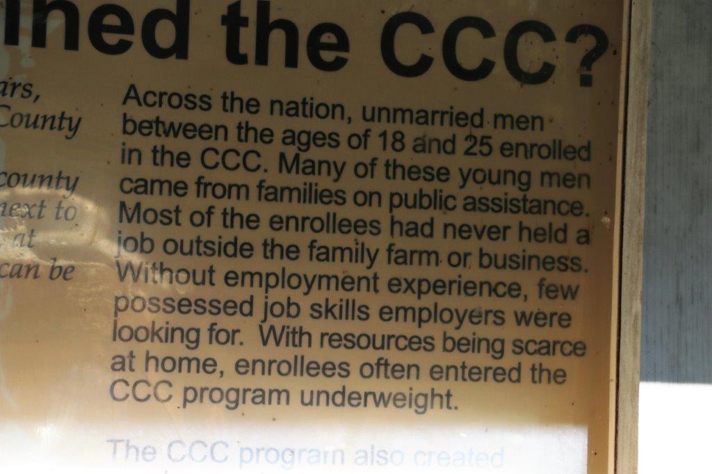
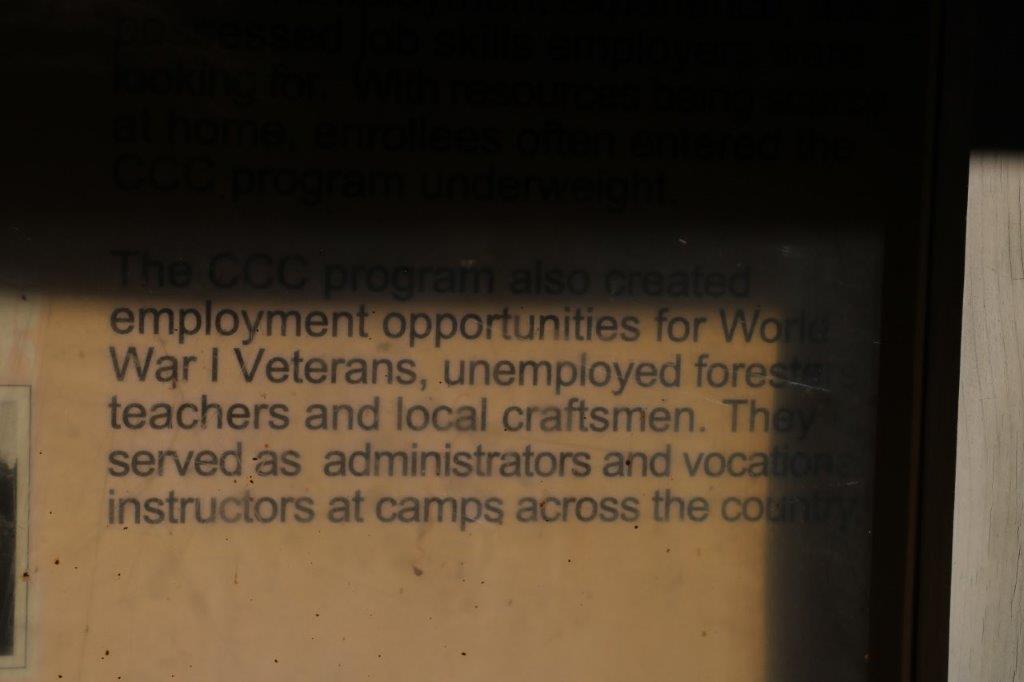
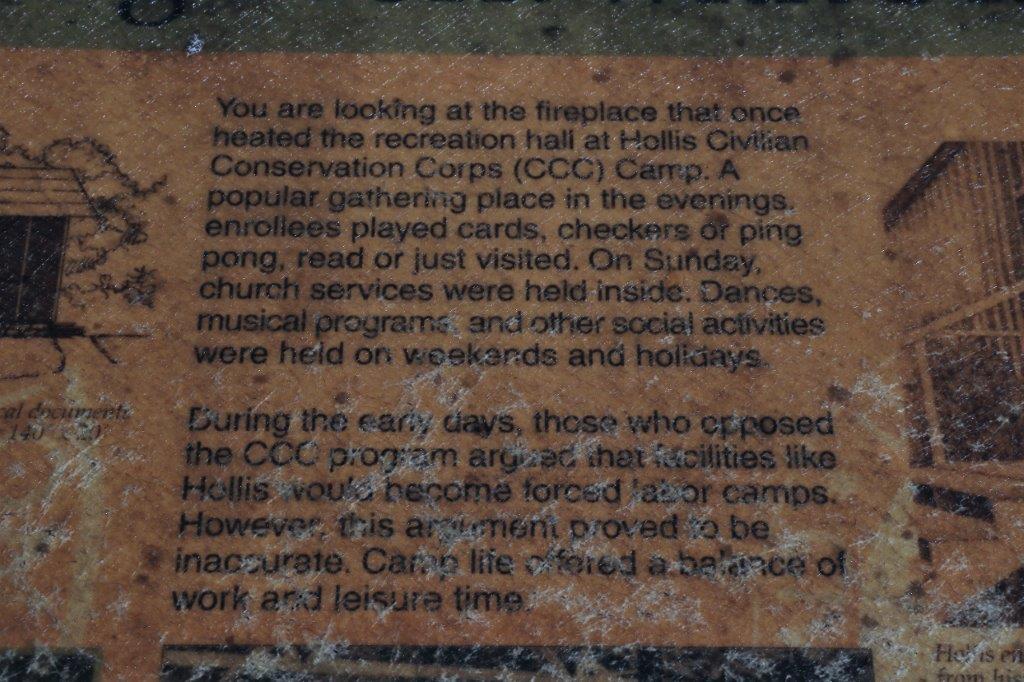
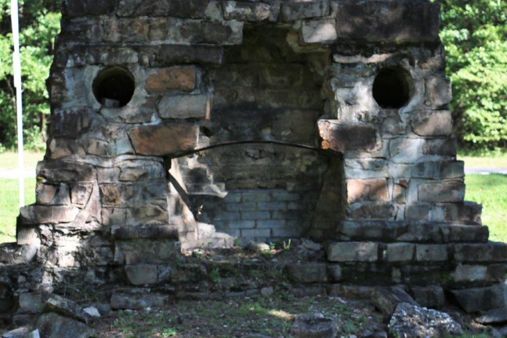
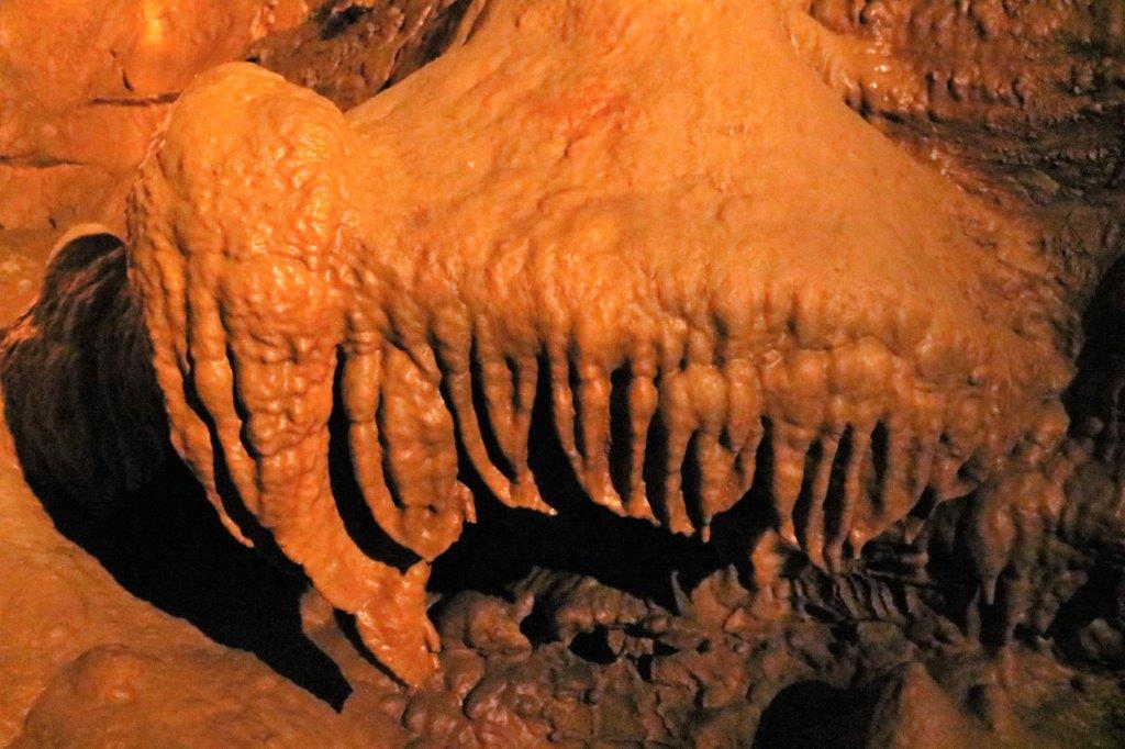
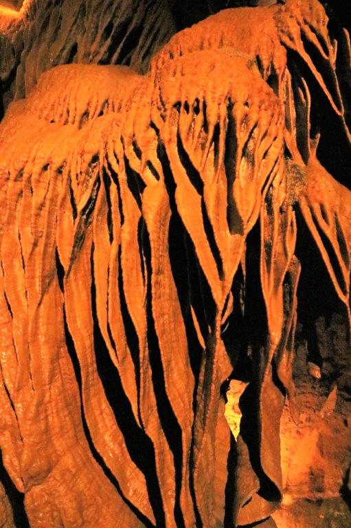
We pulled into an historic marker along the highway and found a parcel of pure prairie grass and an interesting story.
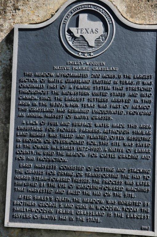
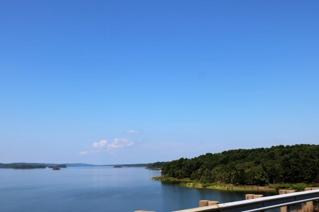
Here is another place with a nice name.

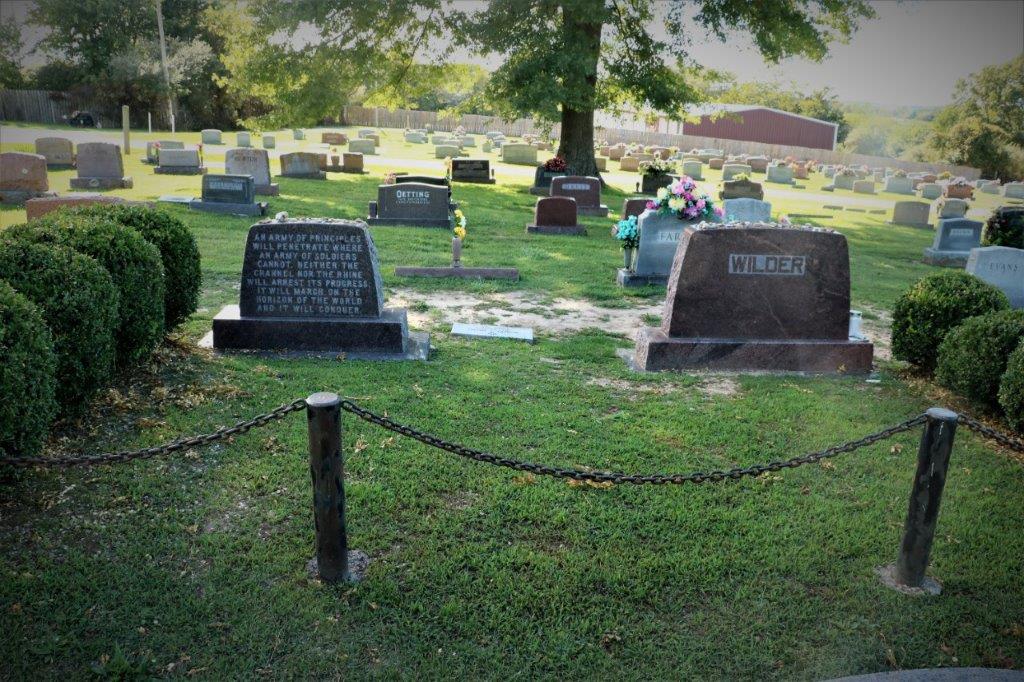
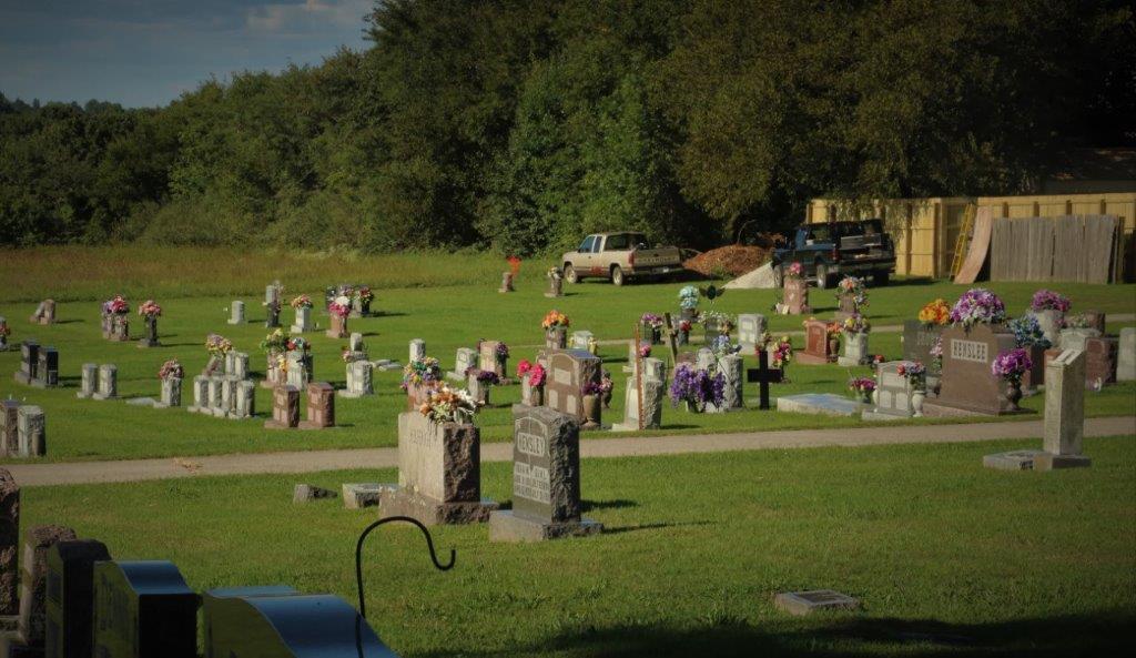
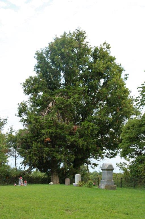
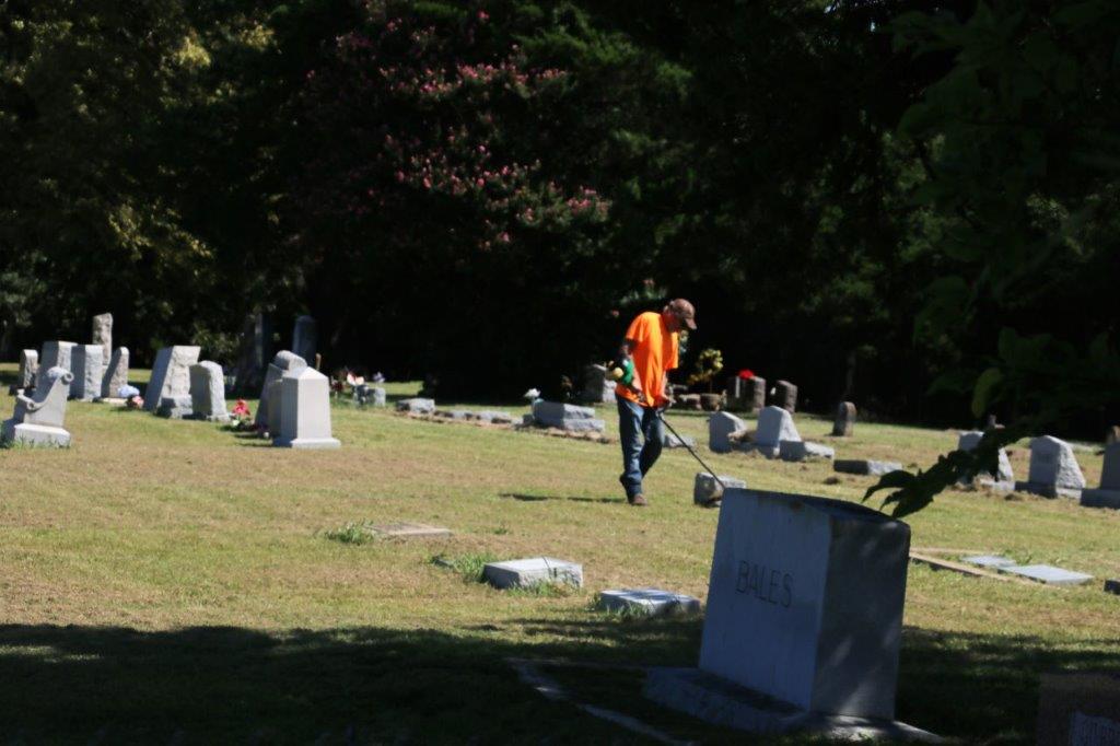
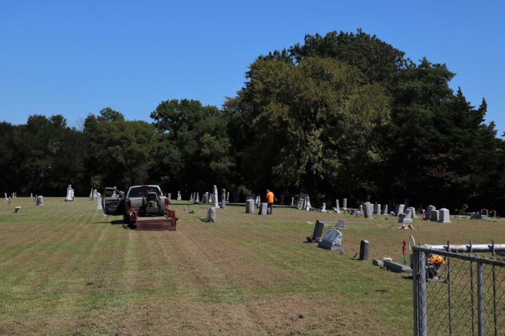
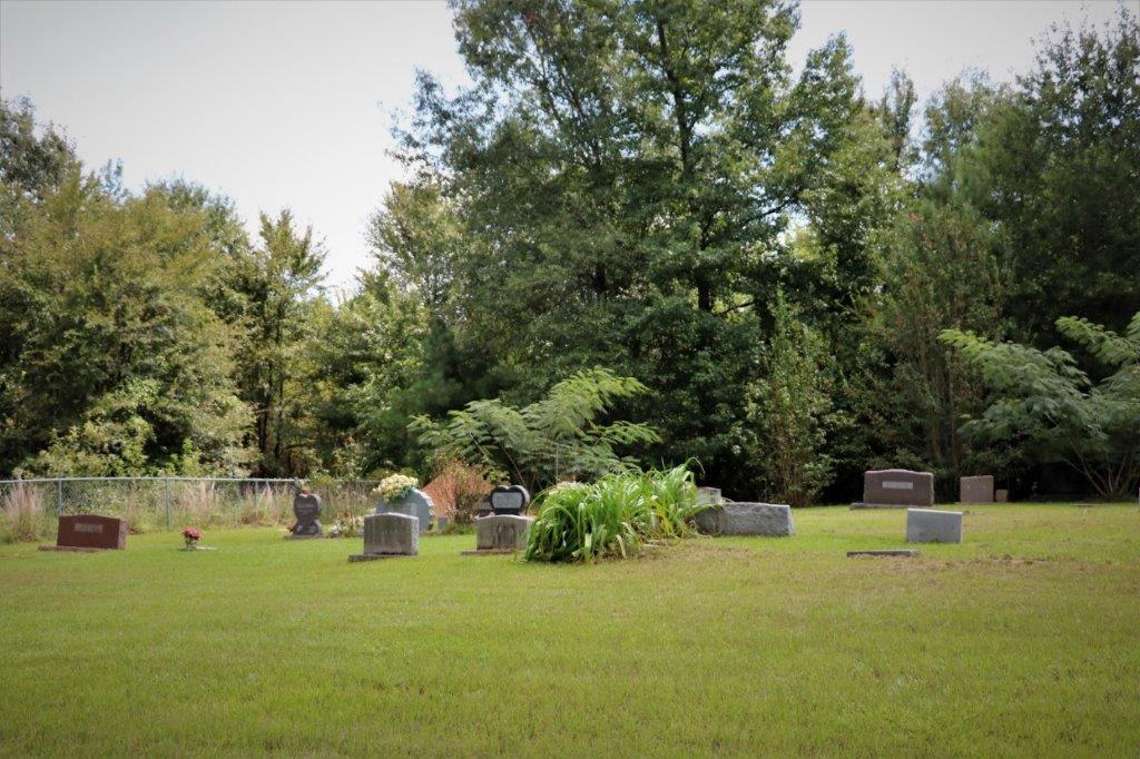
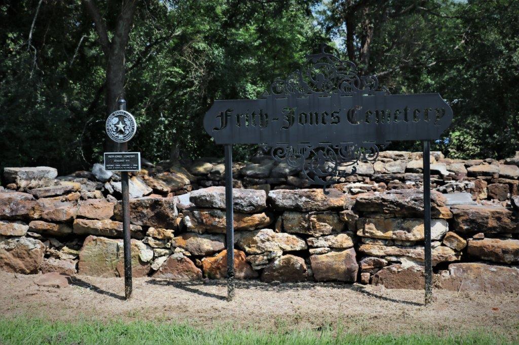
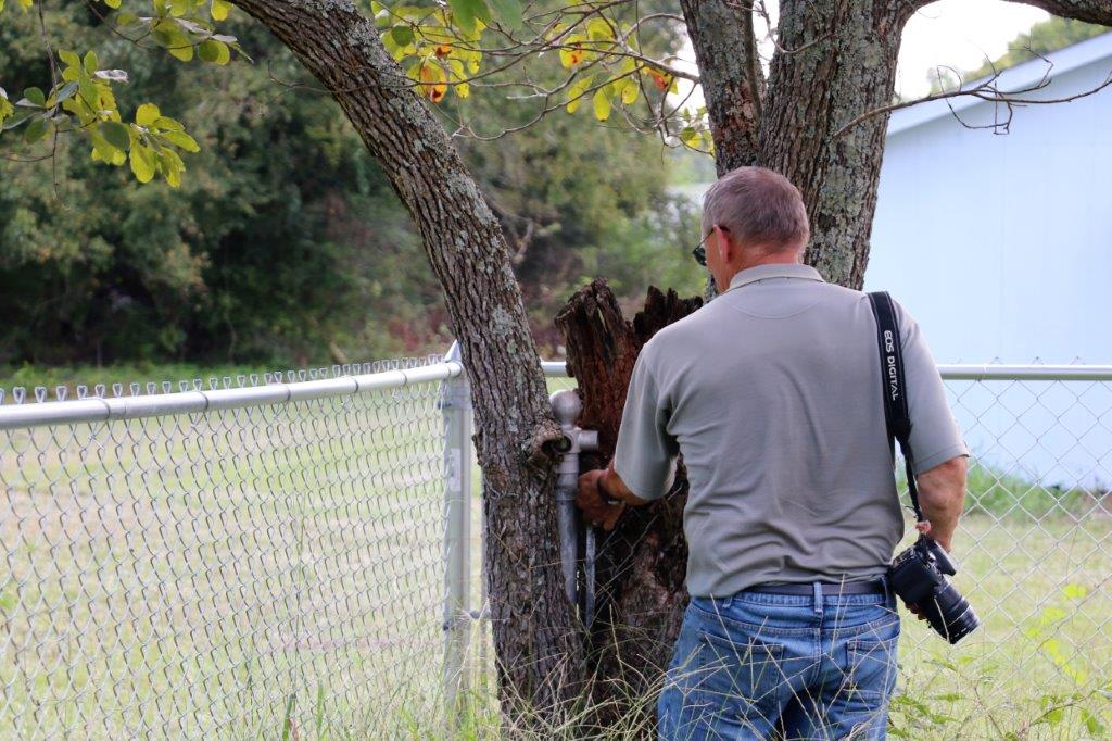
Not too far out of Paris there was a geocache hidden – you guessed it – in a cemetery.  But this was another one of those cemeteries off by itself on a country road.  When we arrived there was a man using a weedwhacker to trim the grass around the headstones.  His ride-on mower was on the back of his truck and he had just finished moving the entire cemetery.  I asked him if this was something he did as a volunteer or was he hired by the city or someone?  He said the man that owned the land pays him but he only charges enough to cover costs.  He had ‘inherited’ the job from his father who did if for many years and who even used to trim all the trees outside the fence. 
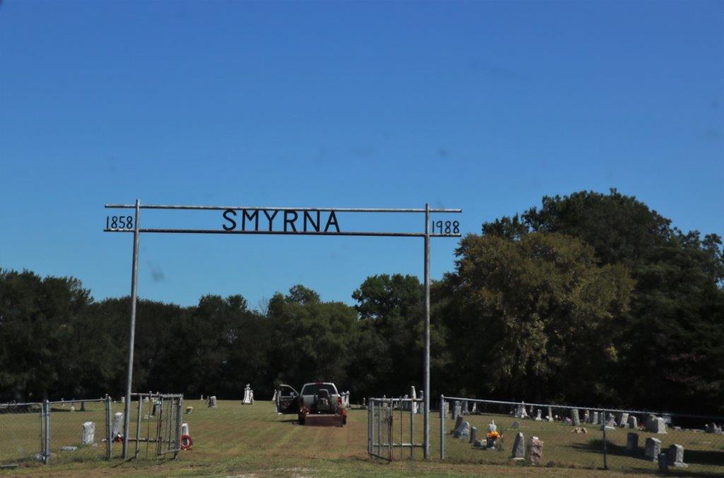
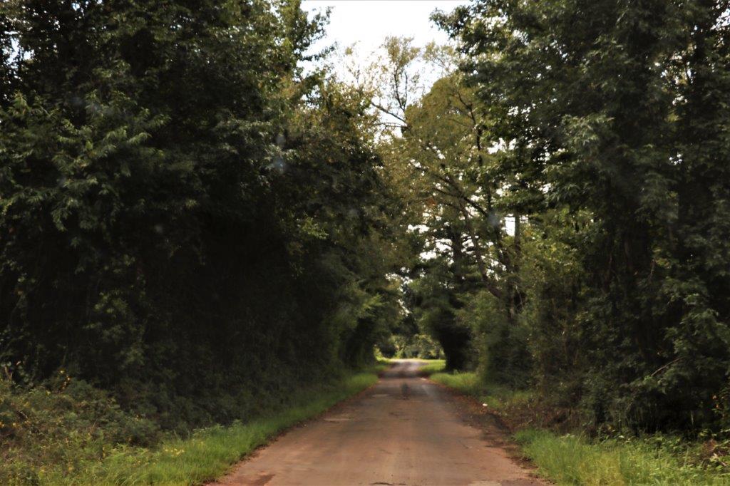
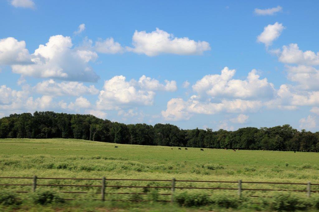
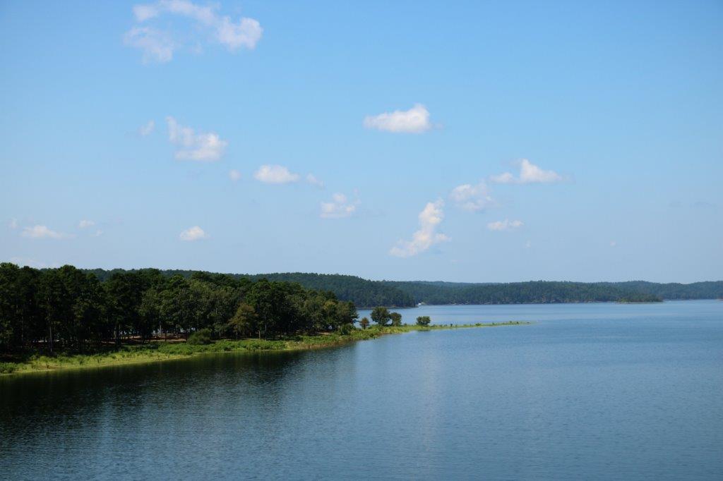
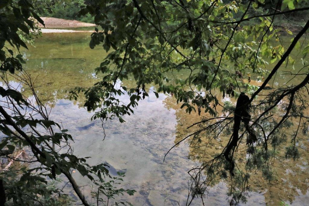
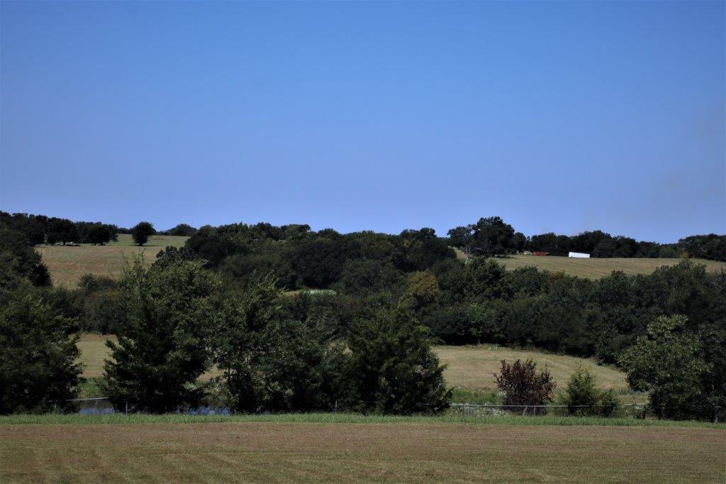
Nice countryside beside the cemetery grounds. 
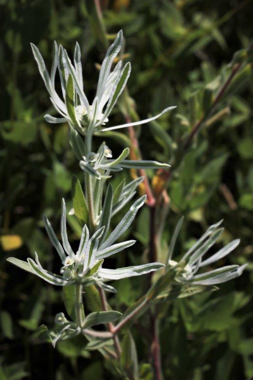
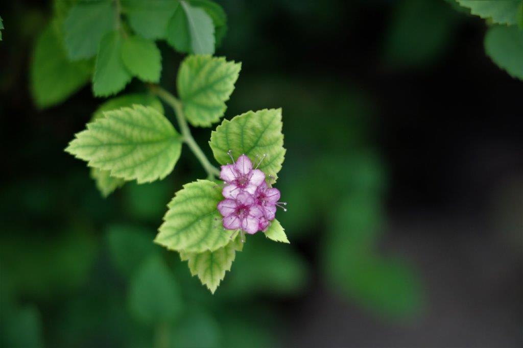
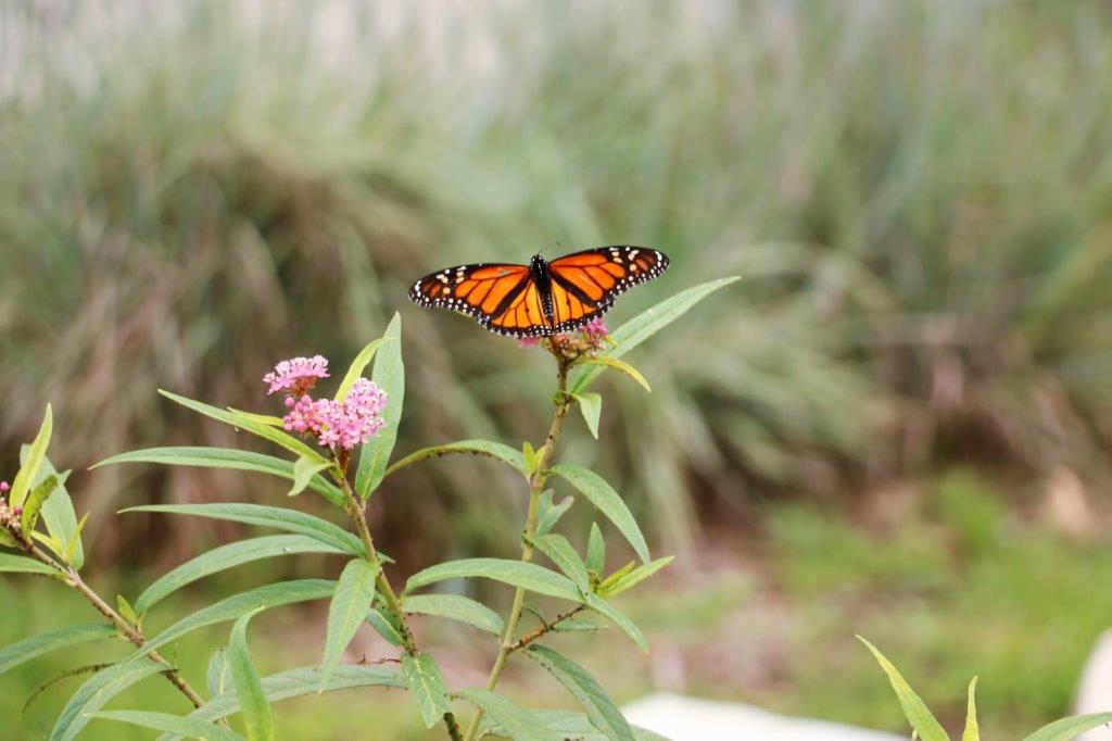
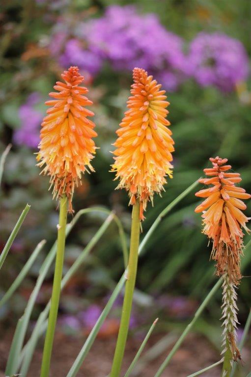
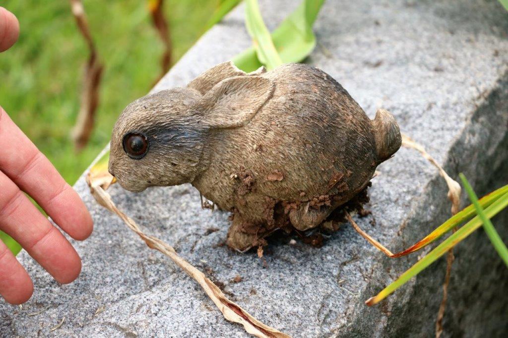
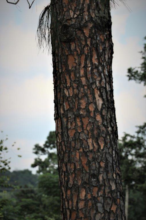
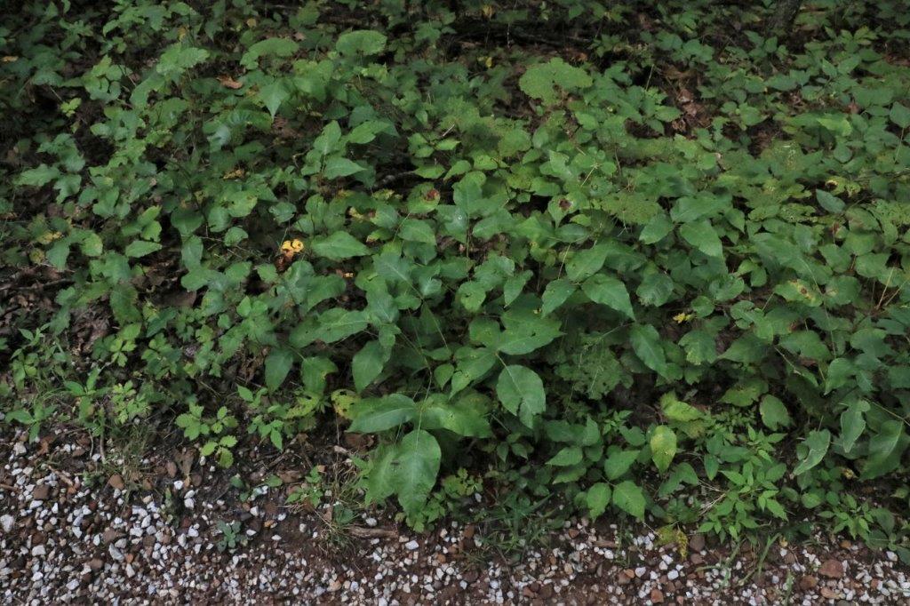
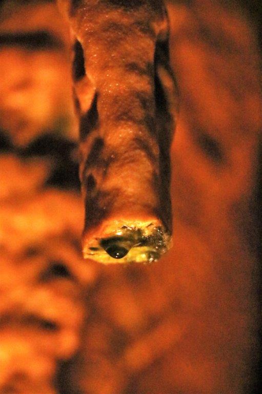
Another plant I need to find the name off.

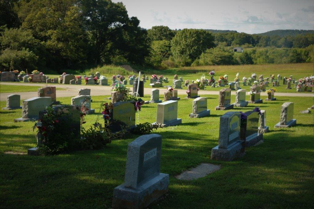
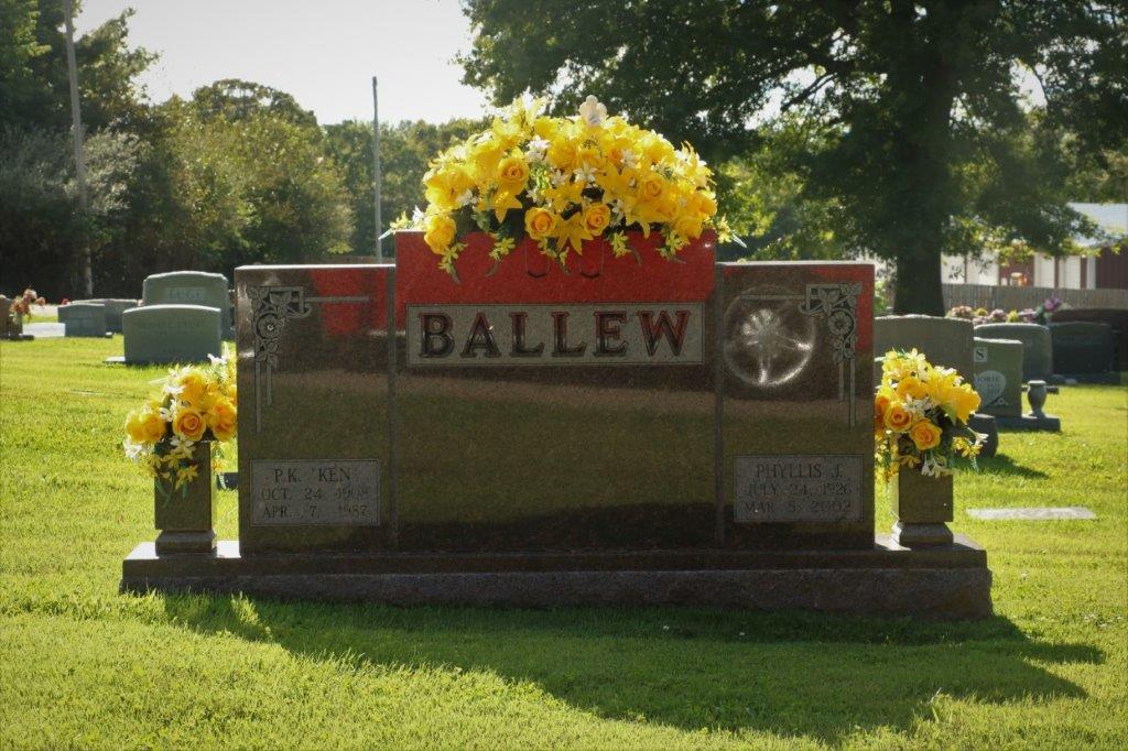
I remarked about how nice it was that all the cemeteries we have seen are well maintained and many of them have beautiful flower arrangements on the markers.  He told us that family members will get them and bring them, often of Veteran’s Day when it is a common thing for people to bring flags and flowers and place them on any veterans’ graves.

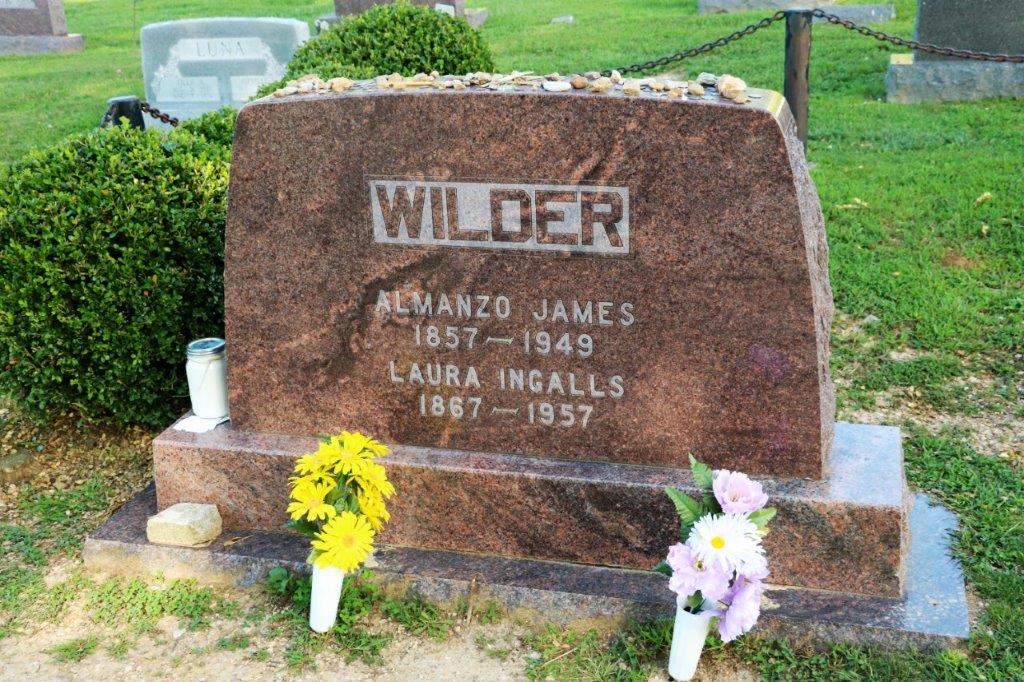
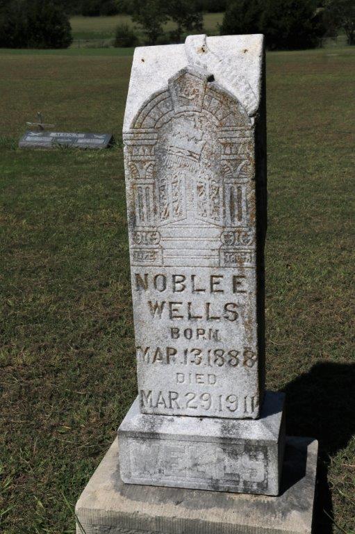
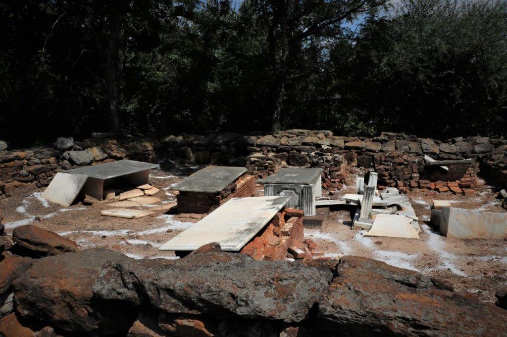
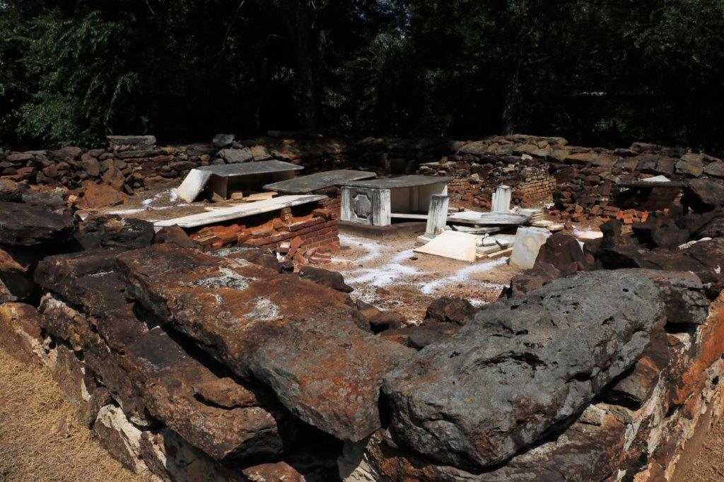
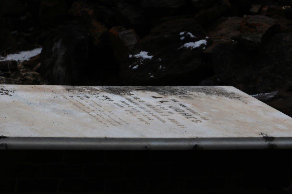
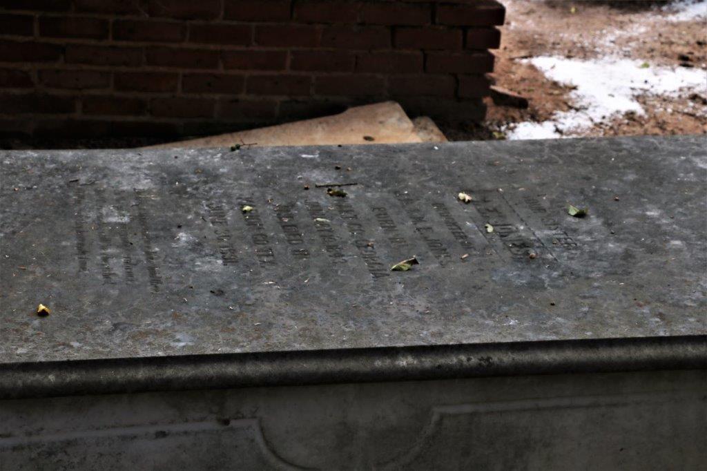
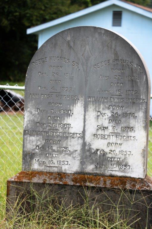
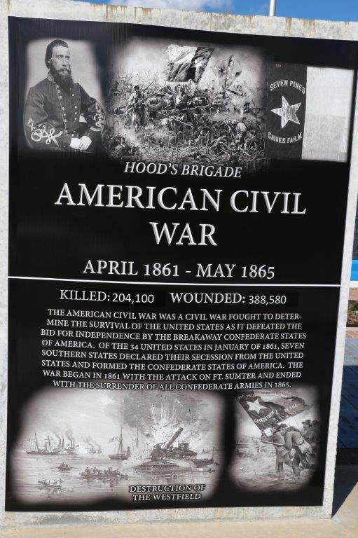
There were some old graves in the cemetery.

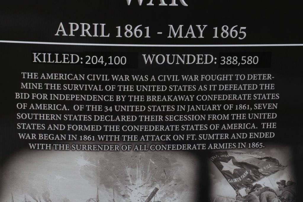
This fellow fought in the Spanish American War in 1898. 
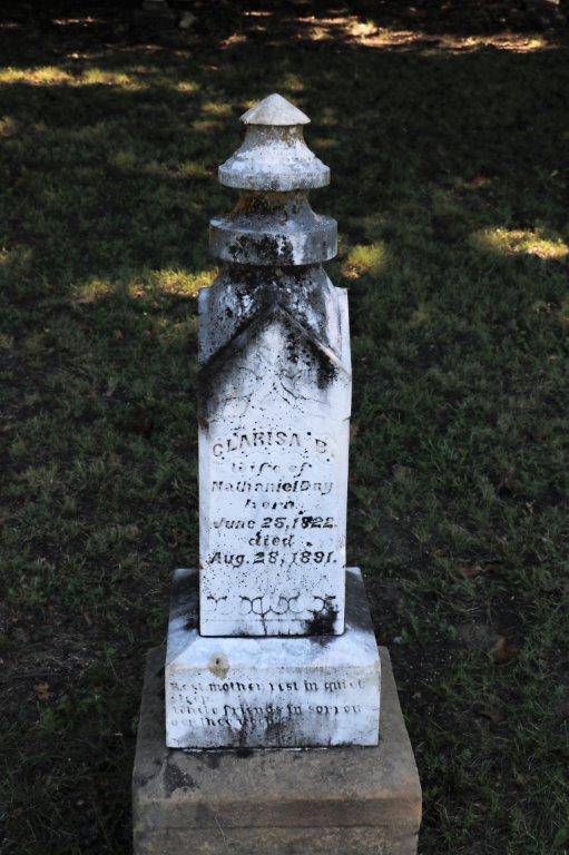
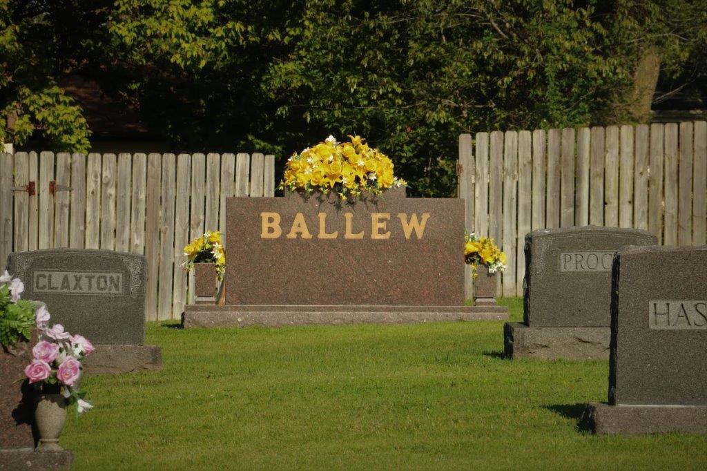
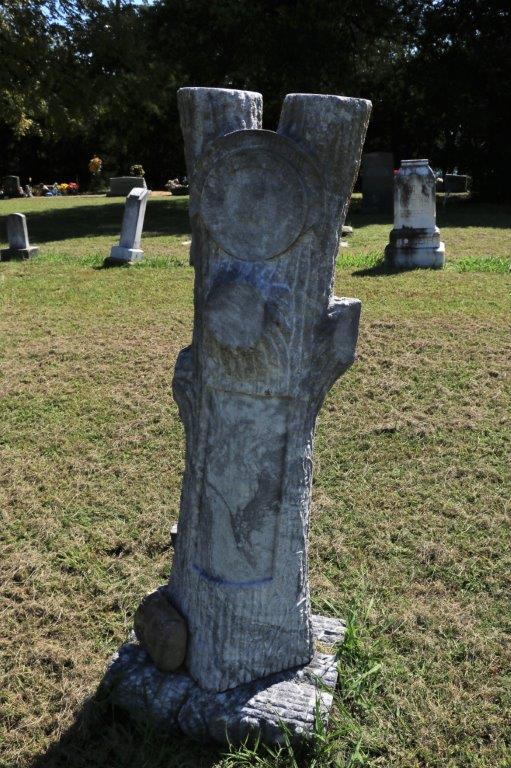
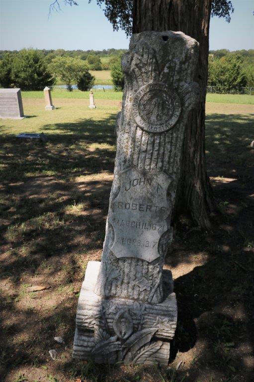
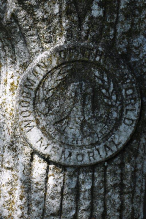
And there were three that looked like large tree stumps that had a crest that said Woodmen of the World.  I looked it up and the organization is a not-for-profit fraternal benefit society founded in 1890 in Omaha, Nebraska.  It operates a large privately held insurance company (now called Woodmen Life) and before 1930 they provided the distinctive tombstones.  The group also had many philanthropic and community outreach projects and had a program that donated US flags.   
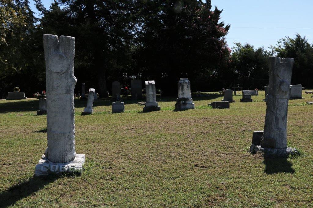
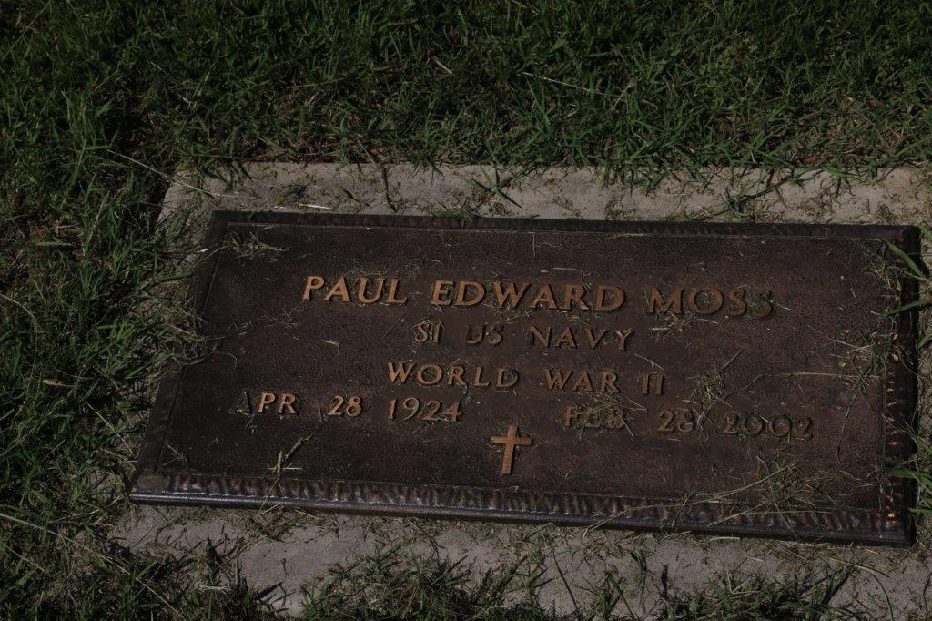
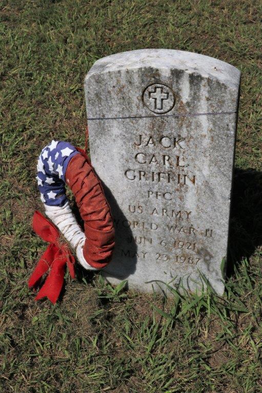
That is another thing I have noticed different between the Canadian cemeteries I have seen and the American ones.  In Canada cemeteries will have a military section for veterans, or if the person was in the service but died years later there is no mention on the headstone that they were a veteran.  Here in the US every person that served in any branch of the military has the information on their stone.  Different customs, different countries.


We pulled into a roadside rest stop for our pb&j lunch.  Trust Texas to have distictive picnic table covers….


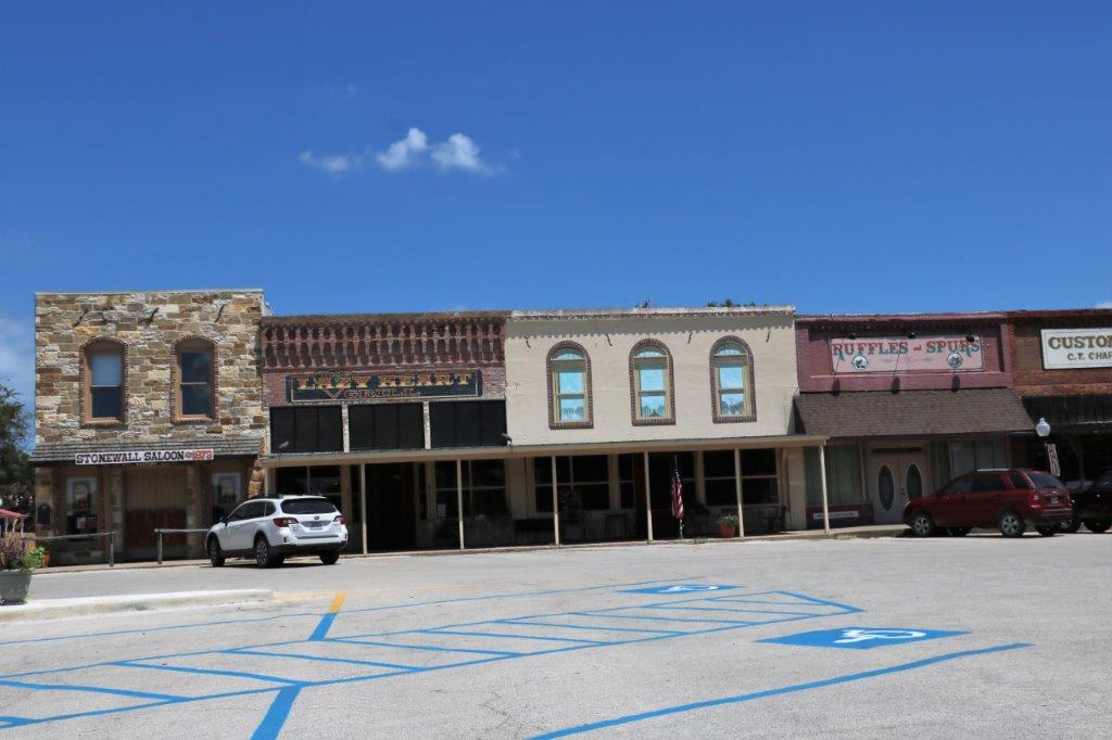
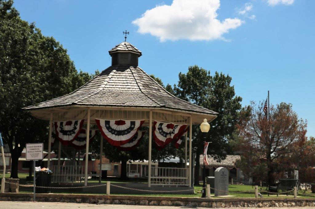
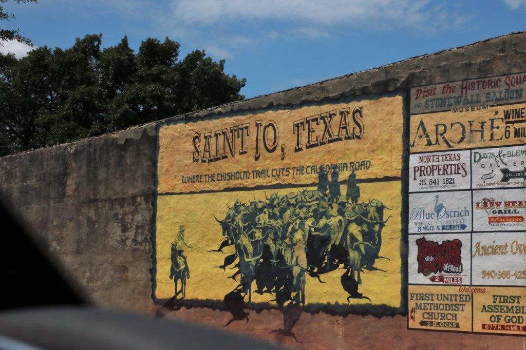
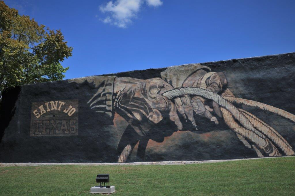
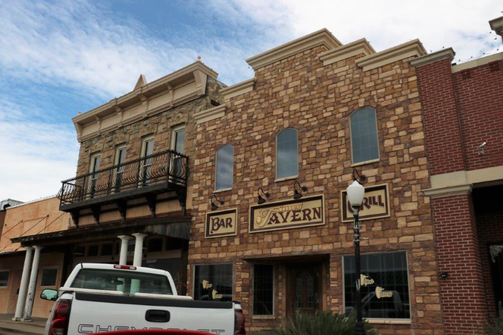
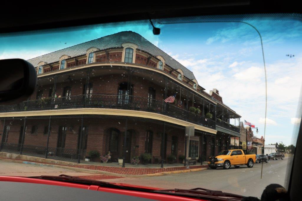
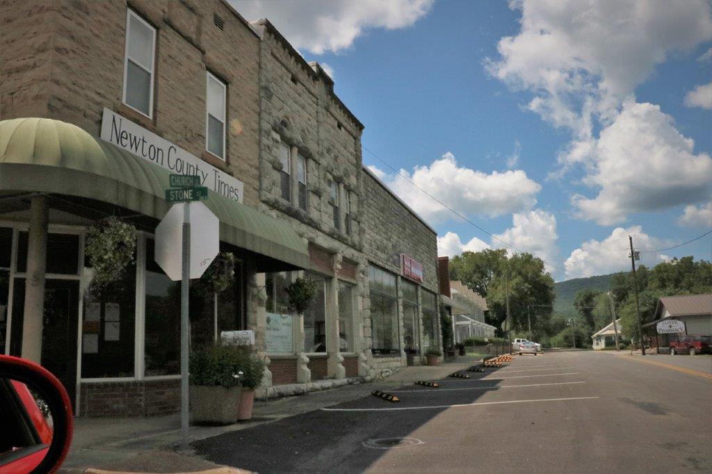
We did a quick drive around the lovely large square at St. Jo.   
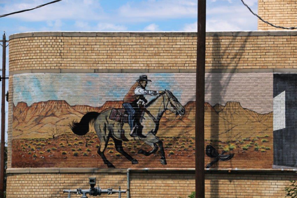
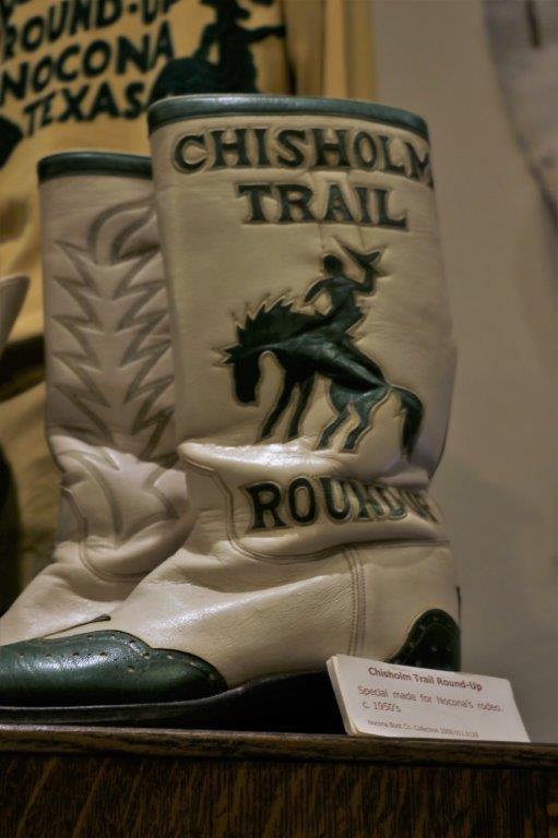
In the little town of Nocona, Texas we stopped at the former Nocona Boot (Cowboy boots) factory to find a geocache.  They still sell Nocona boots but they are no longer made here.  There was a lot of renovation work going on.  A young couple has bought the business and is opening a beer brewery and a retail store as well as the Nocona Boot outlet. 
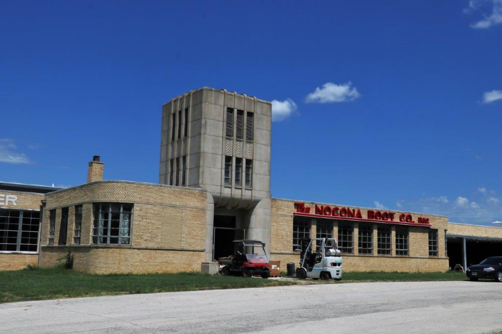
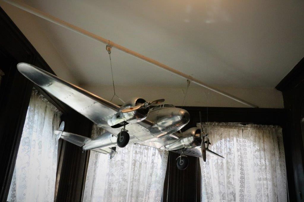
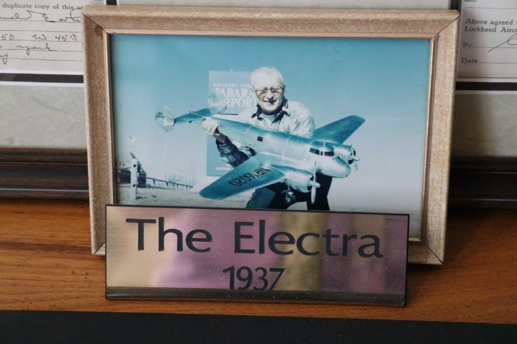
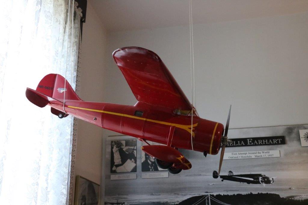
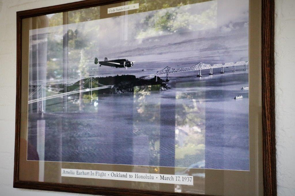
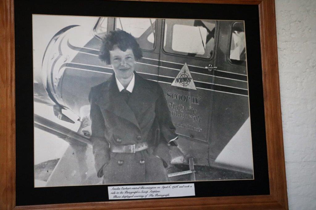
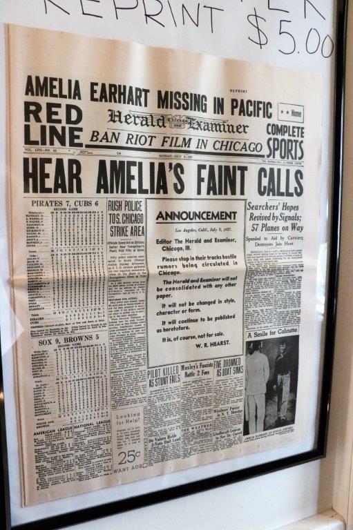
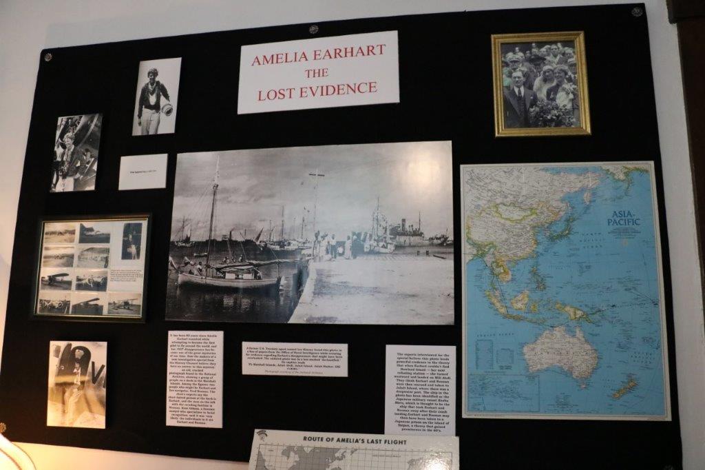
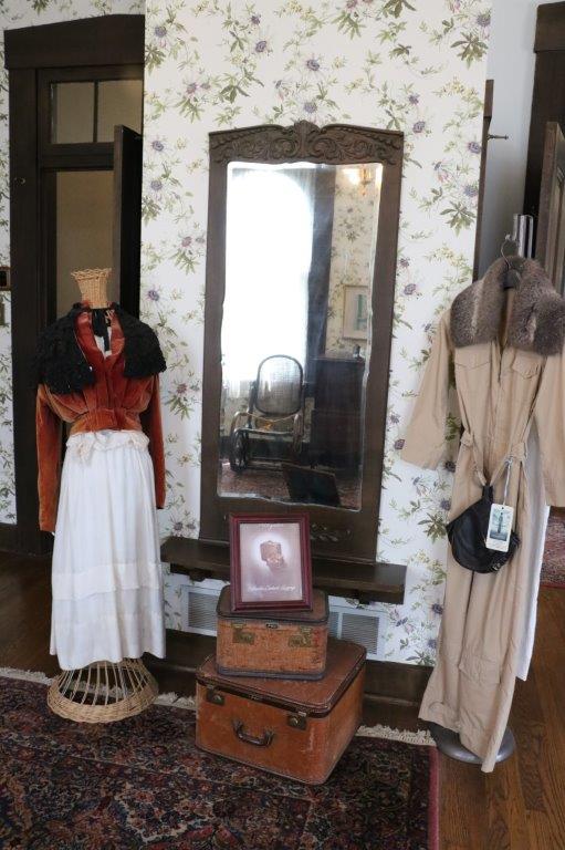
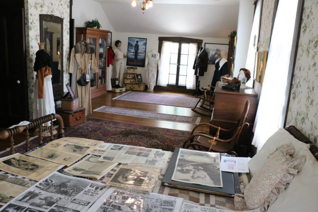
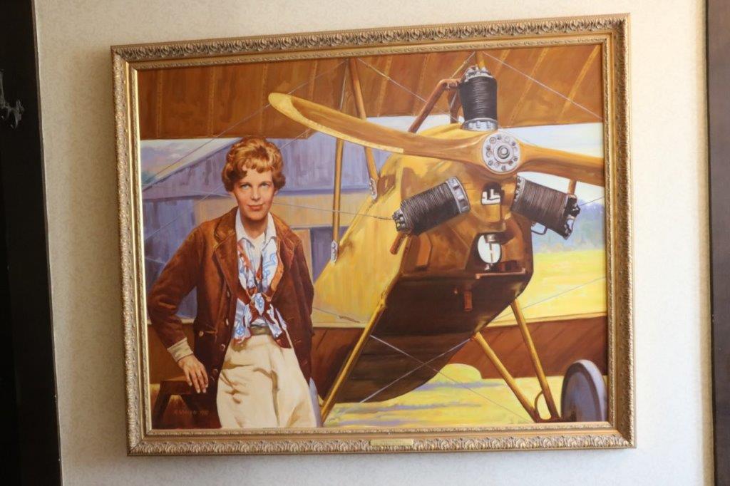
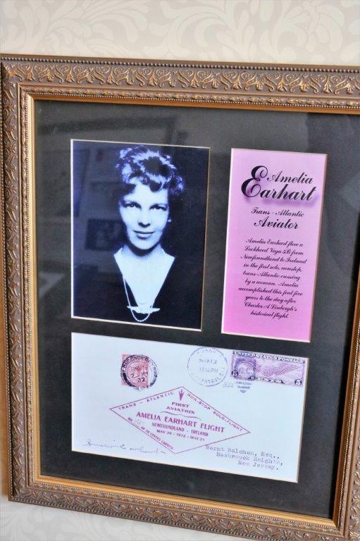
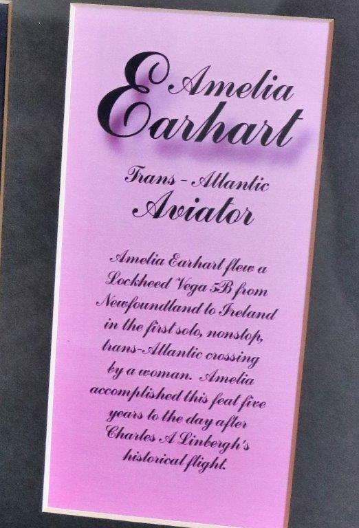
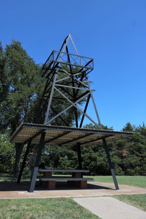
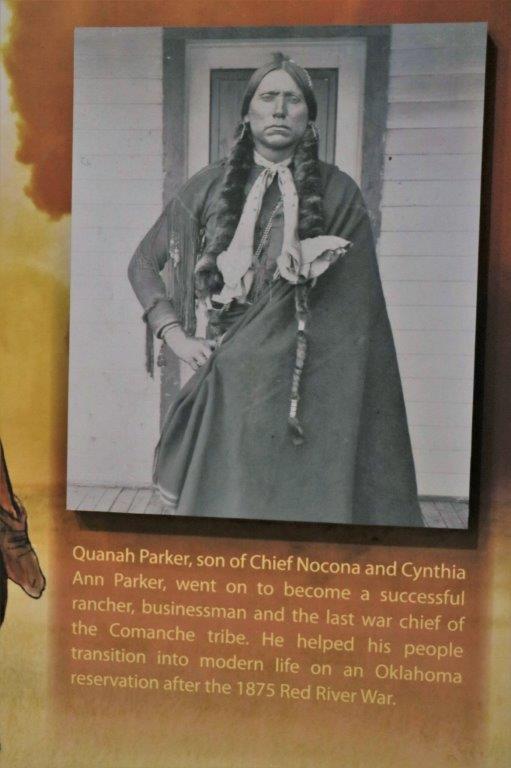
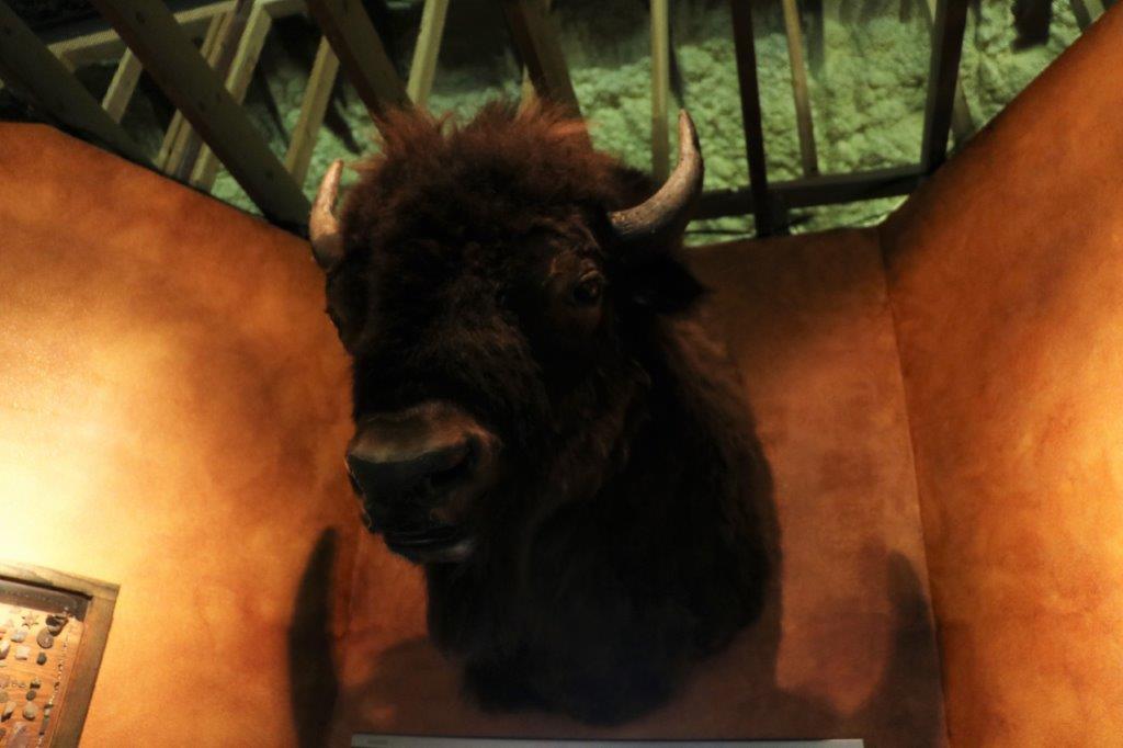
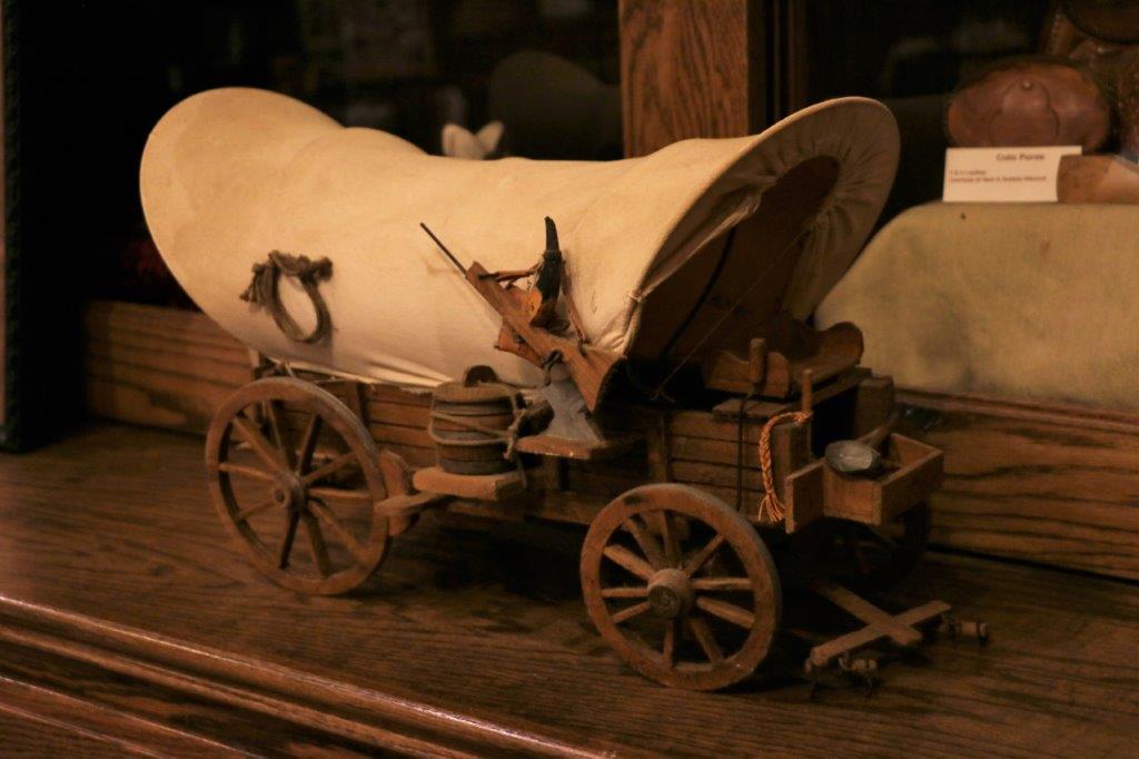
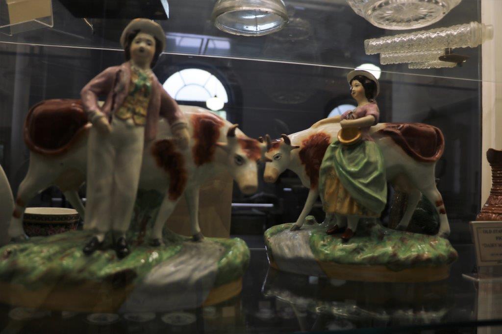
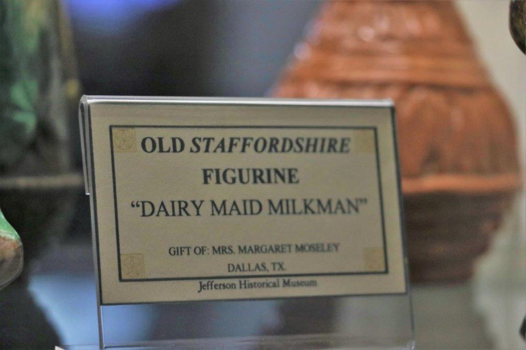
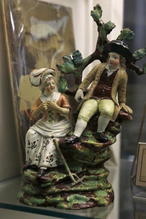
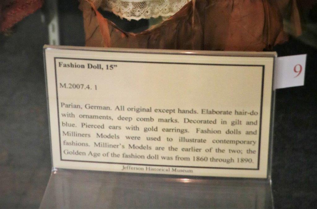
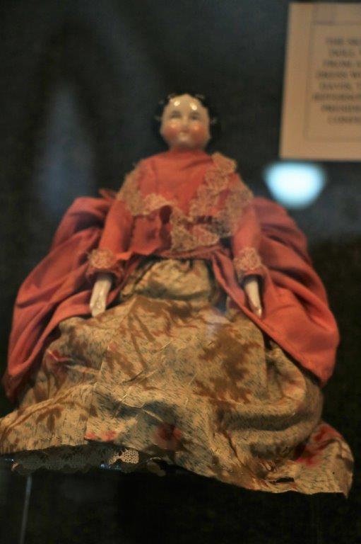
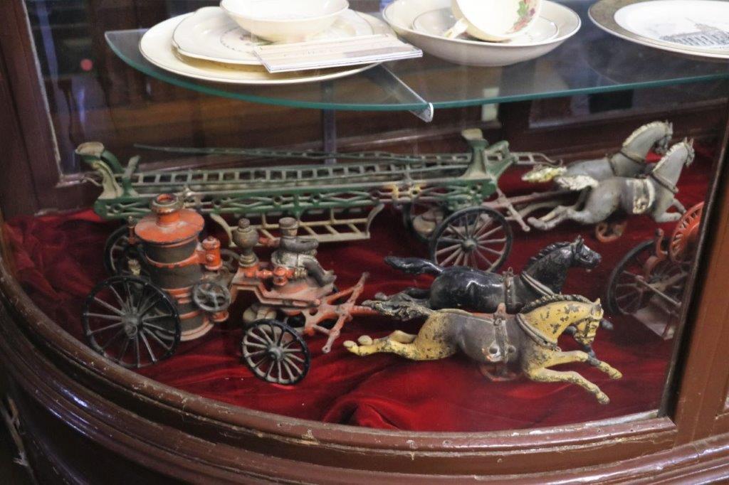
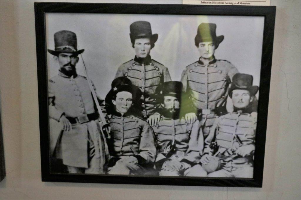
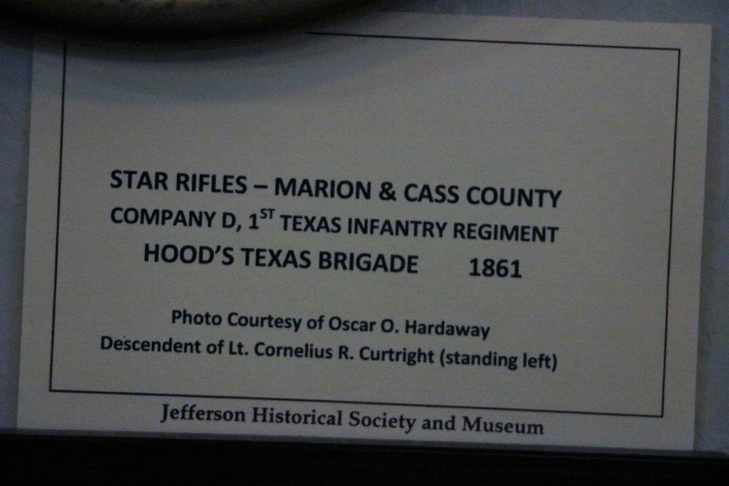
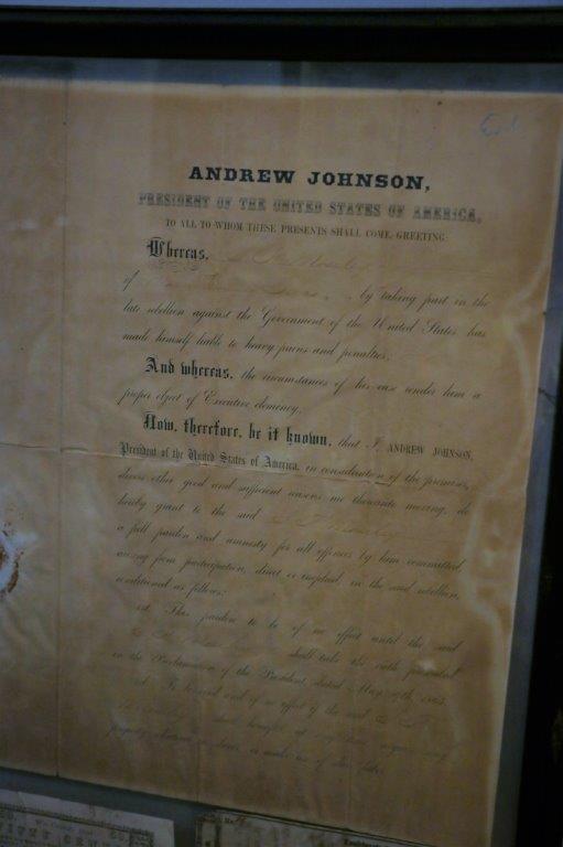
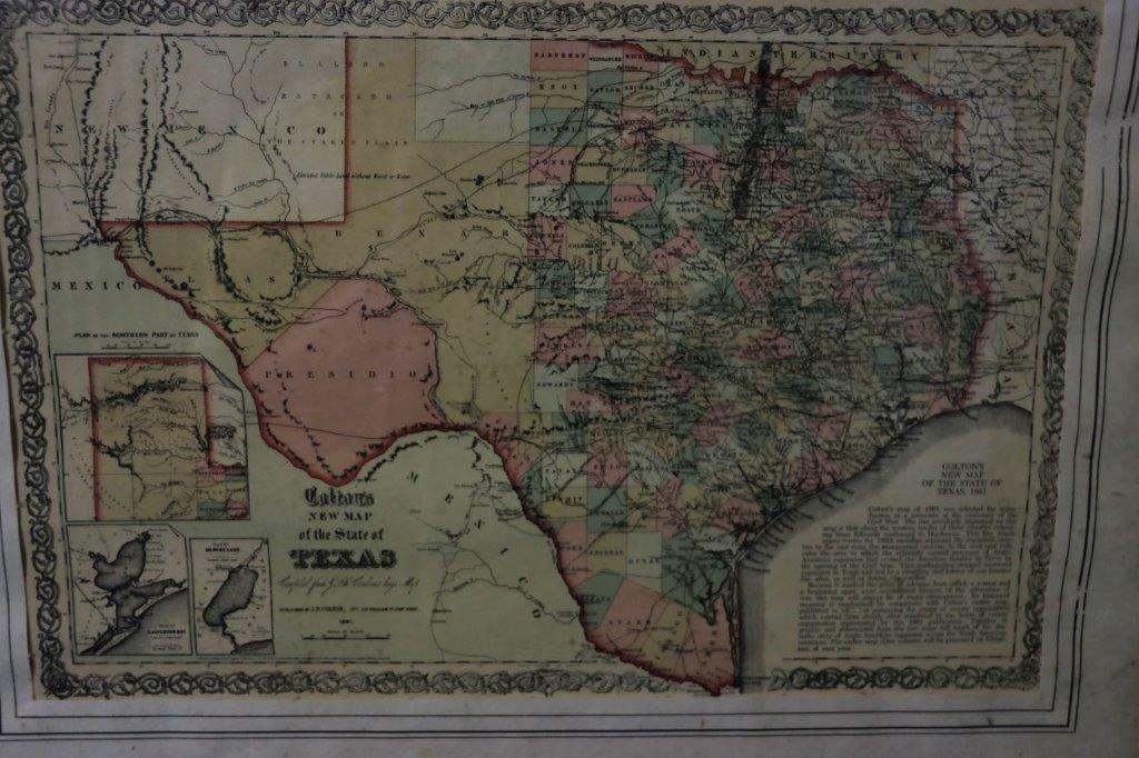
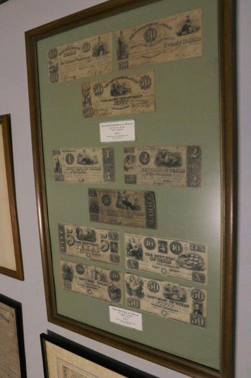
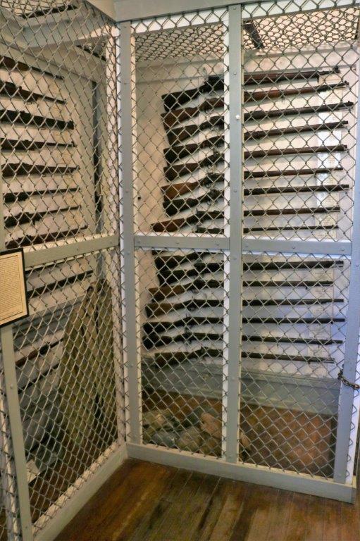
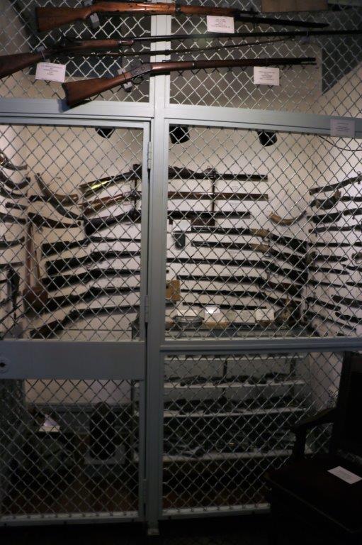
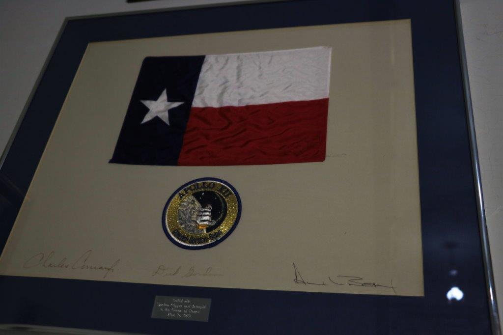
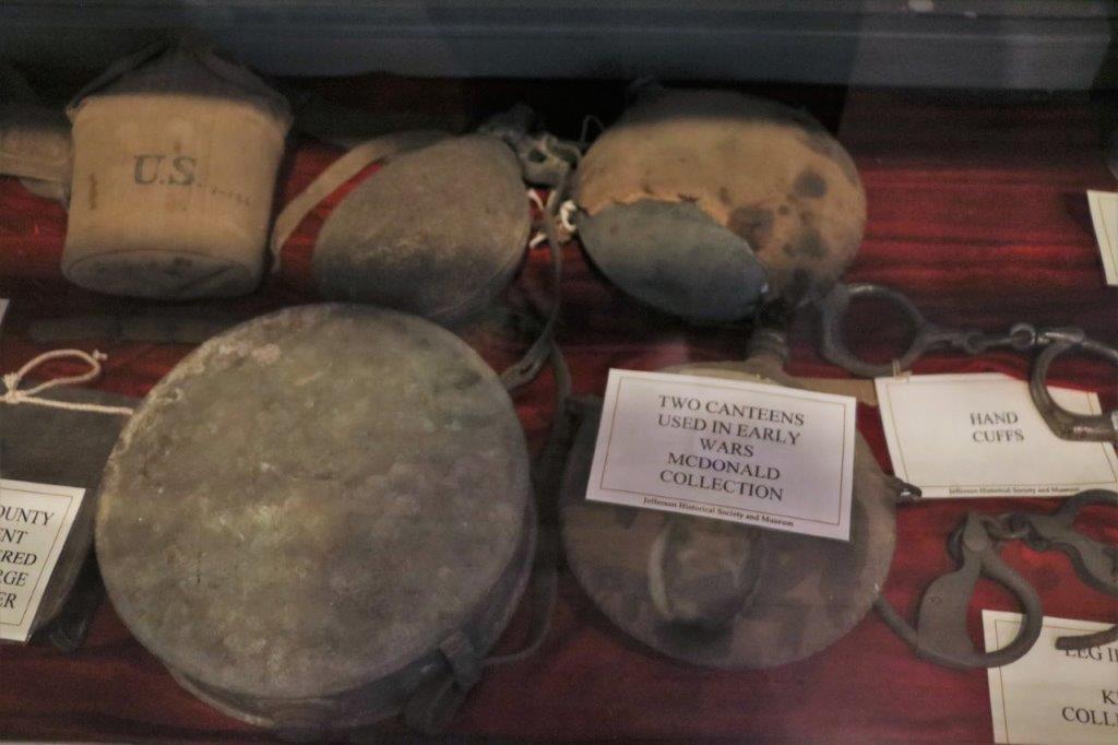
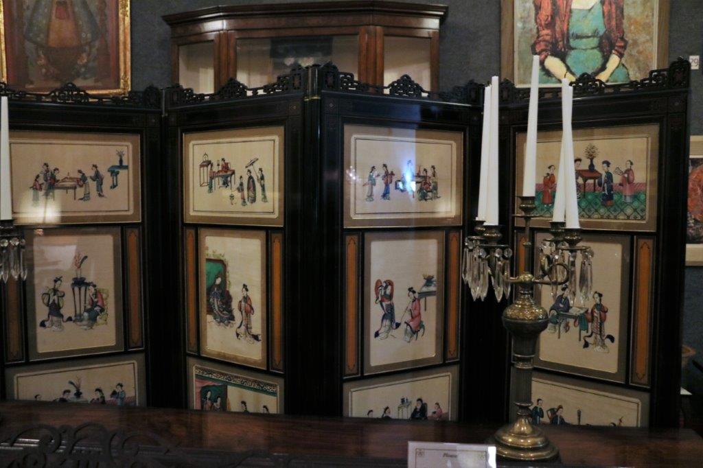
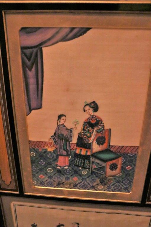
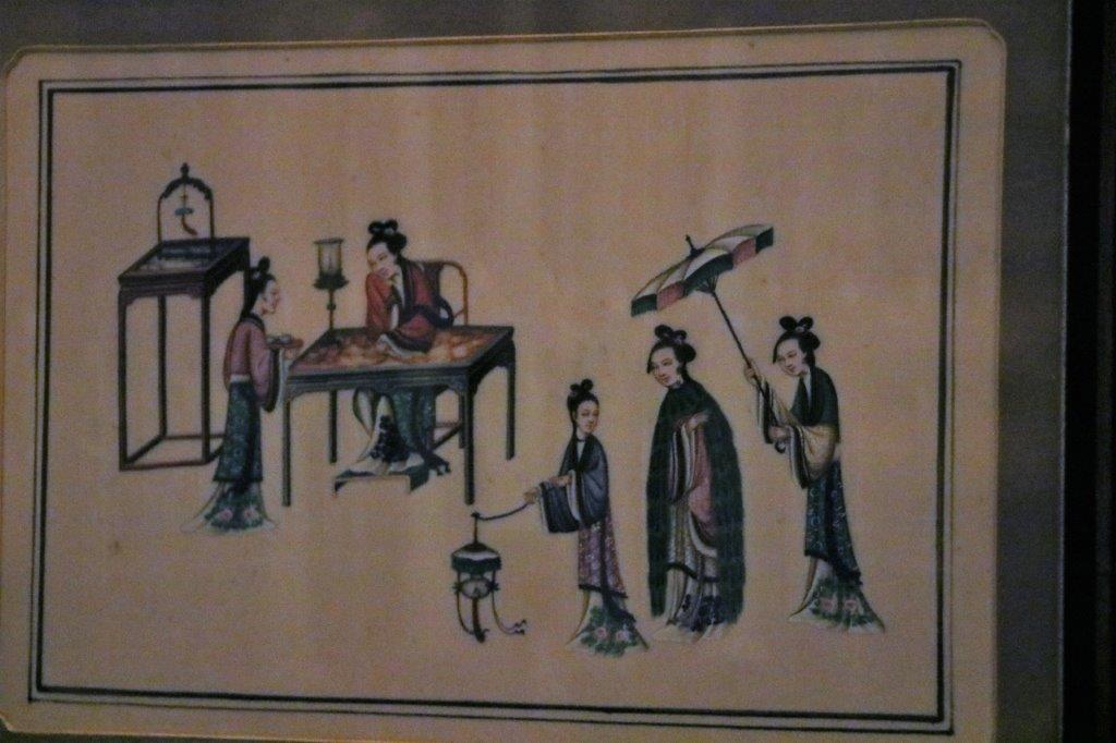
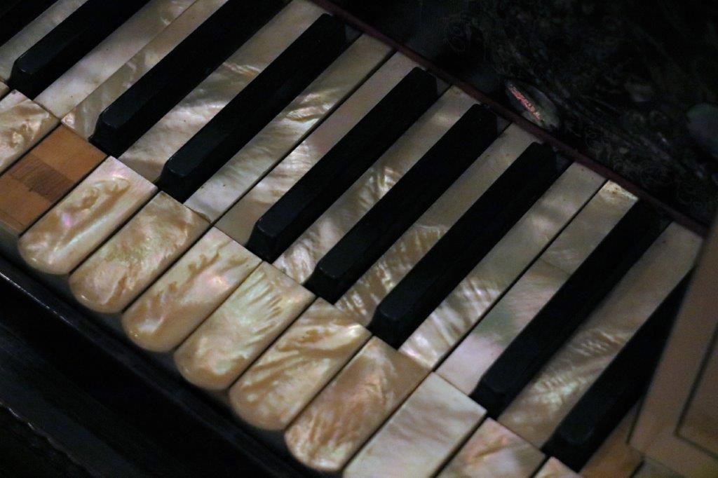
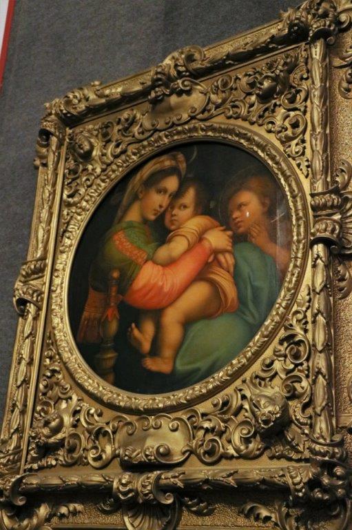
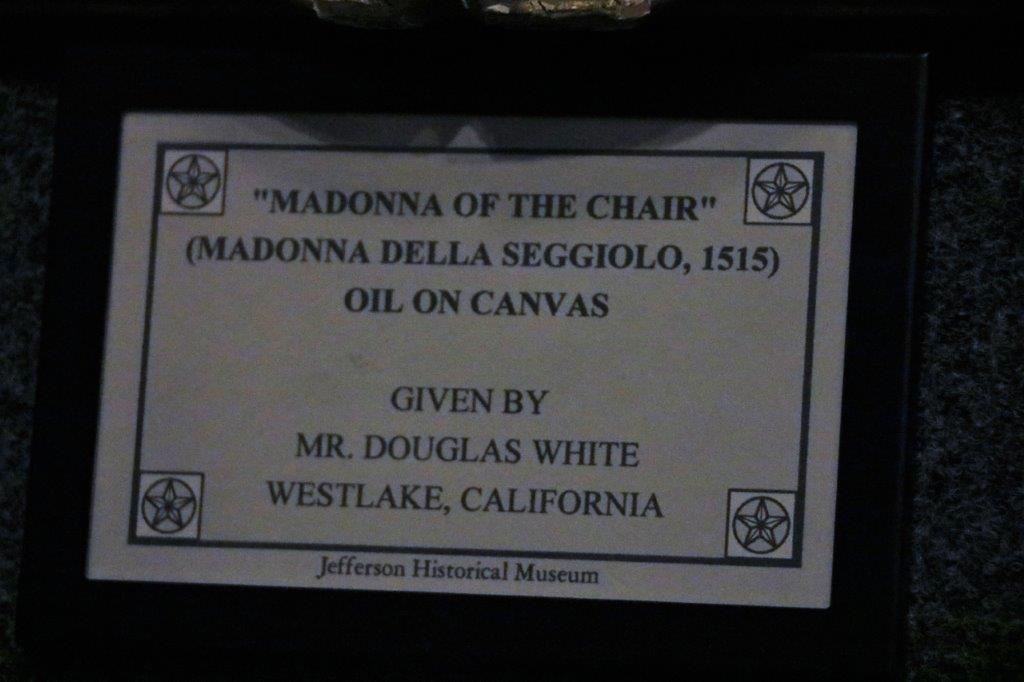
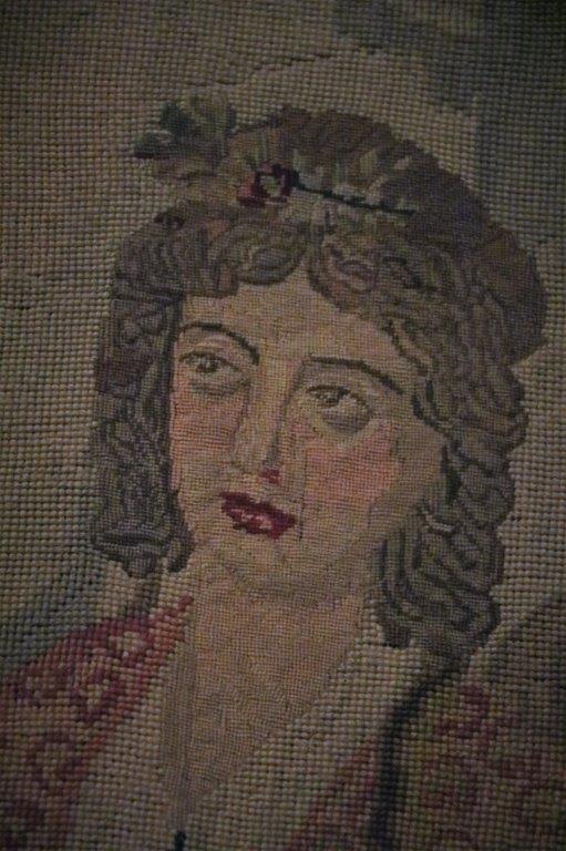
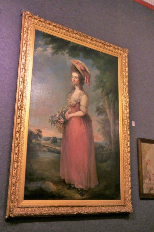
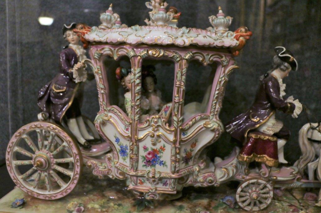
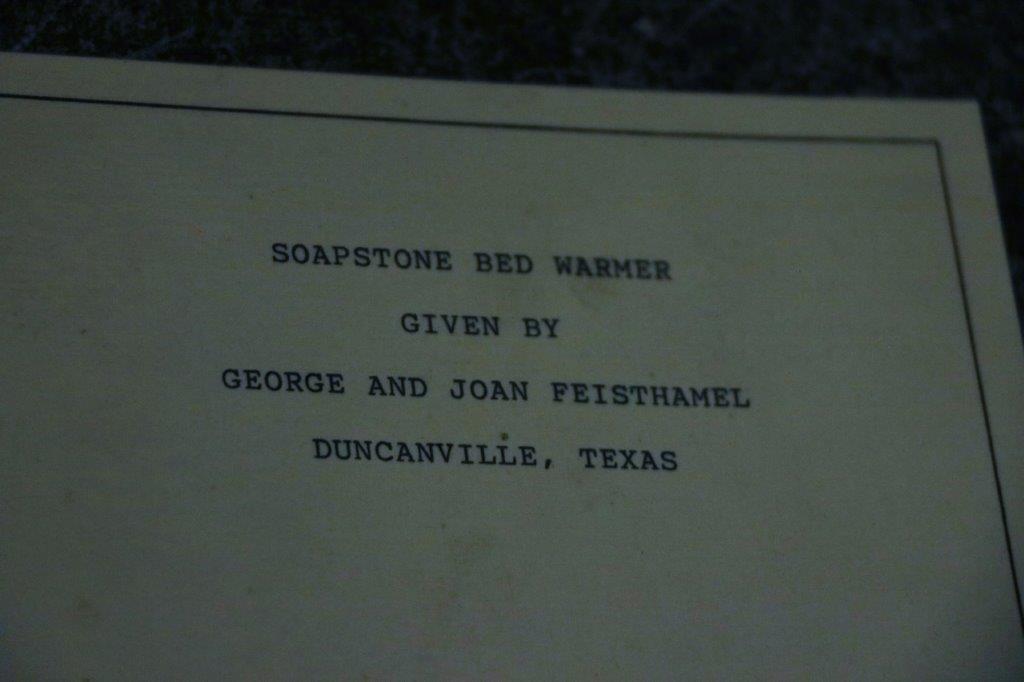
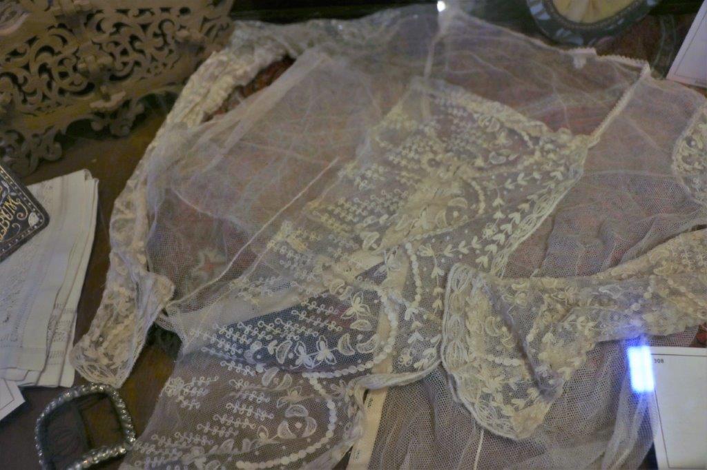
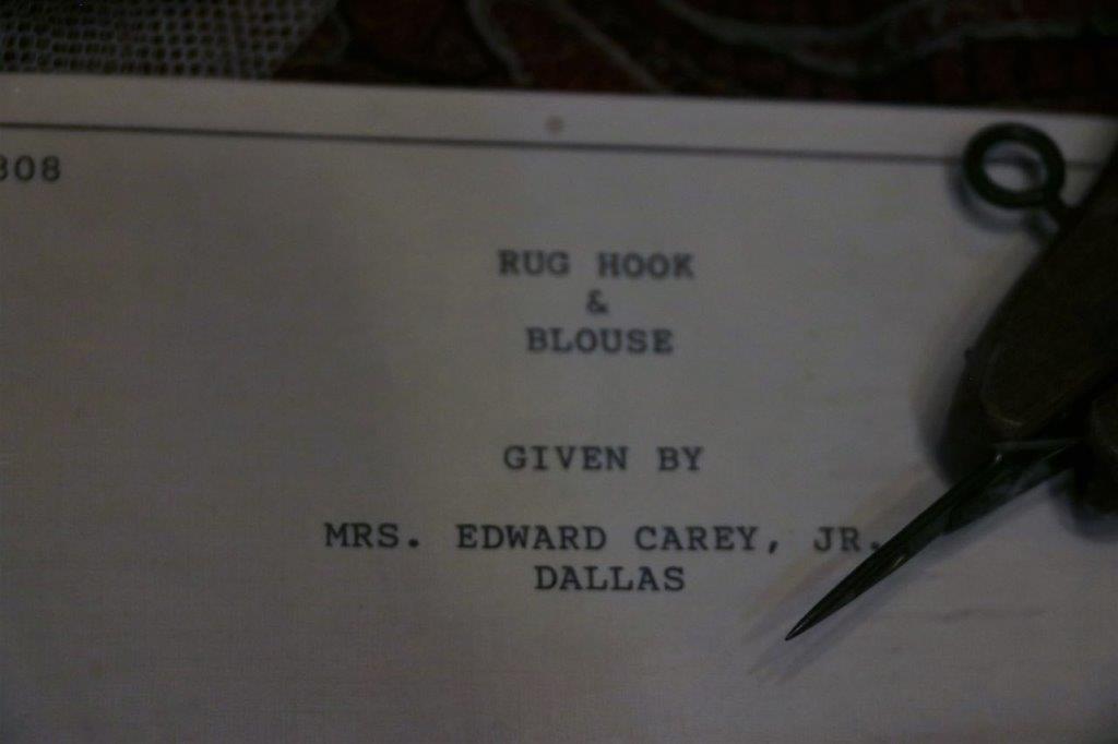
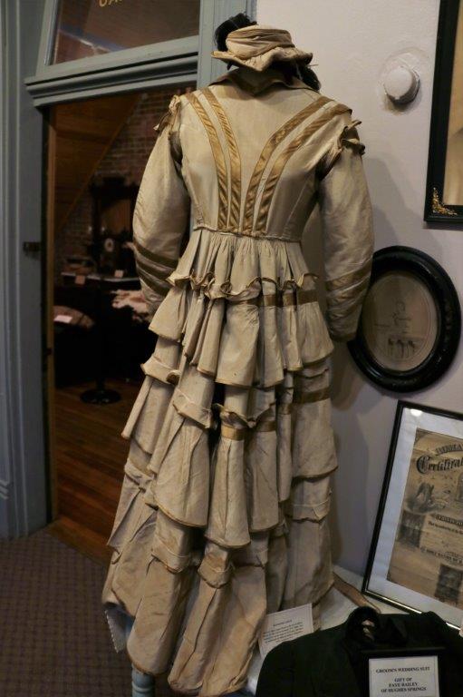
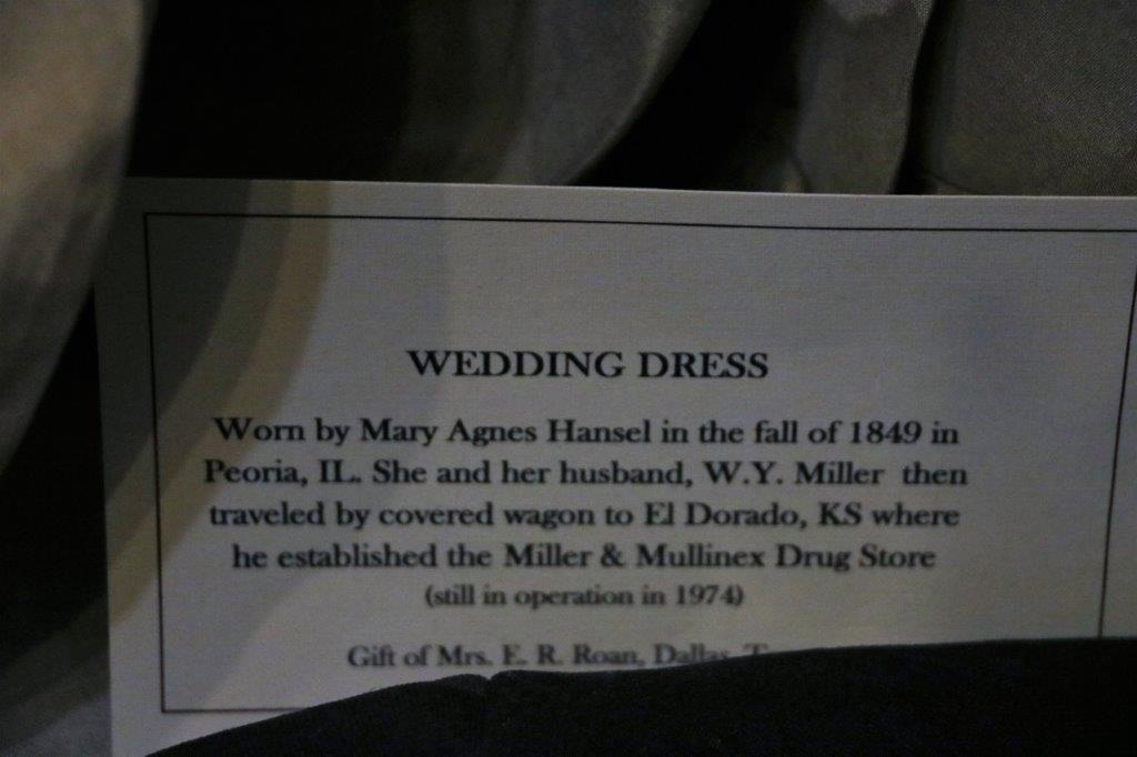
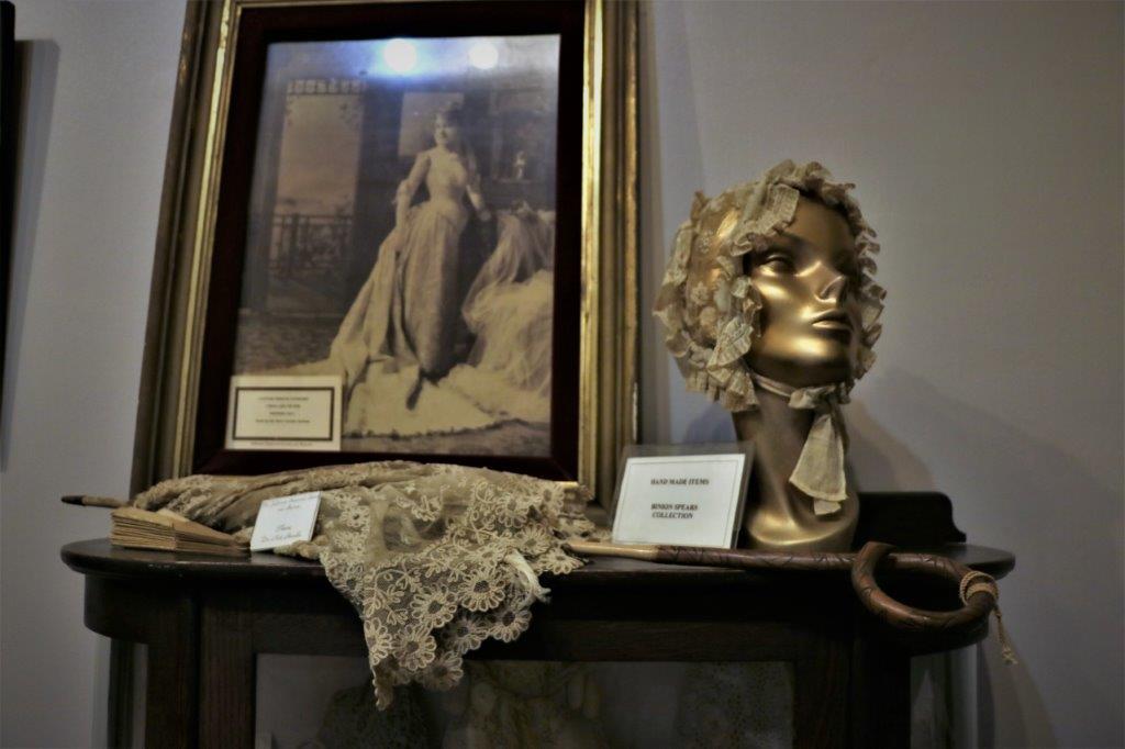
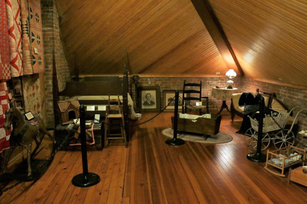
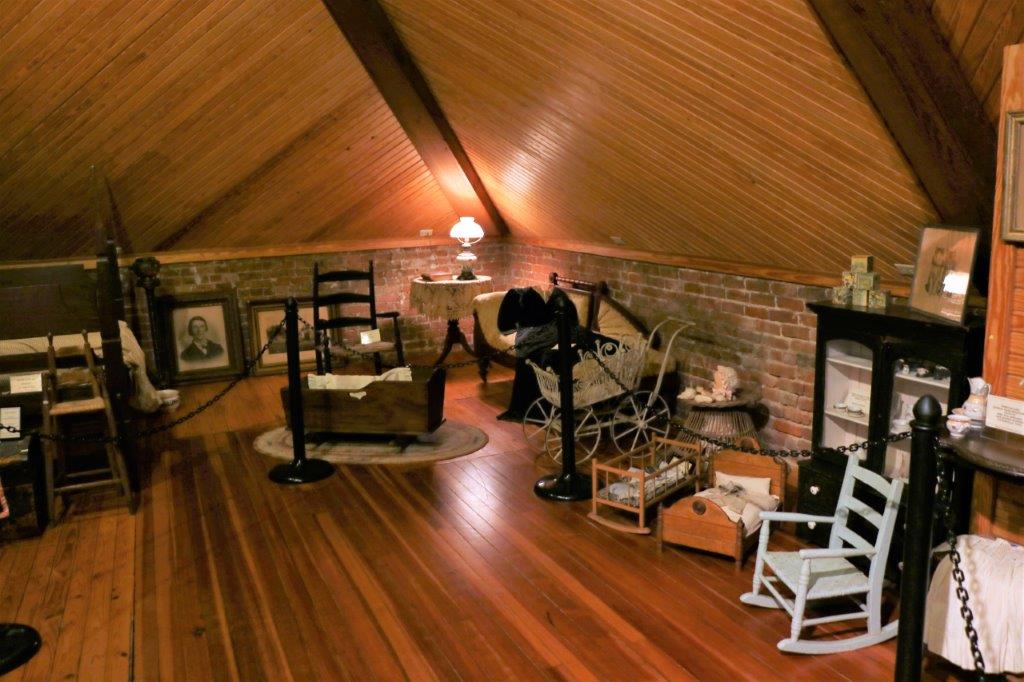
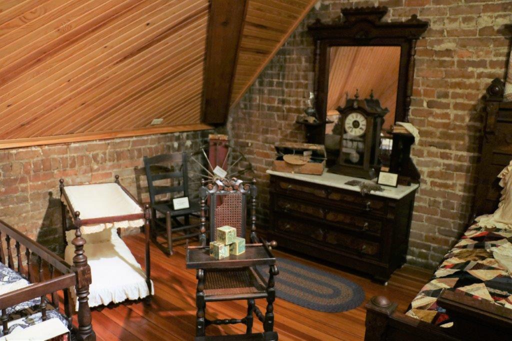
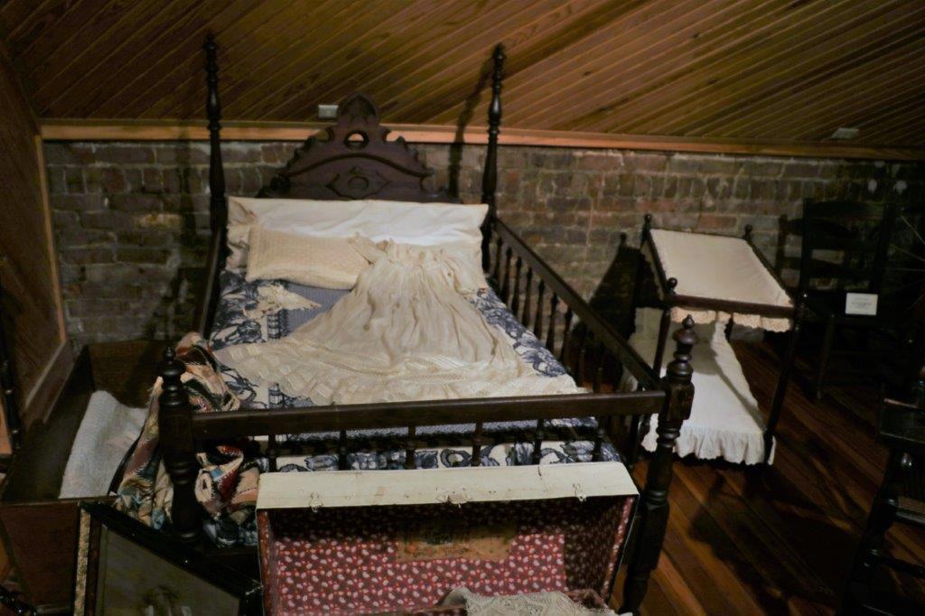
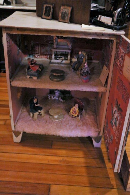
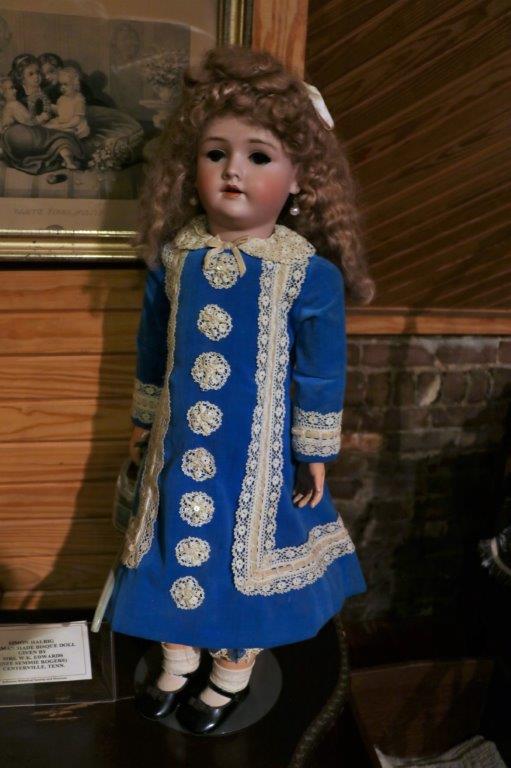
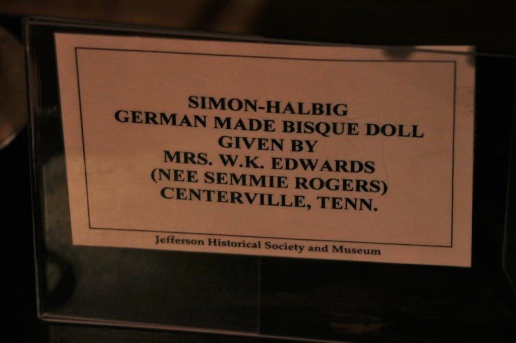
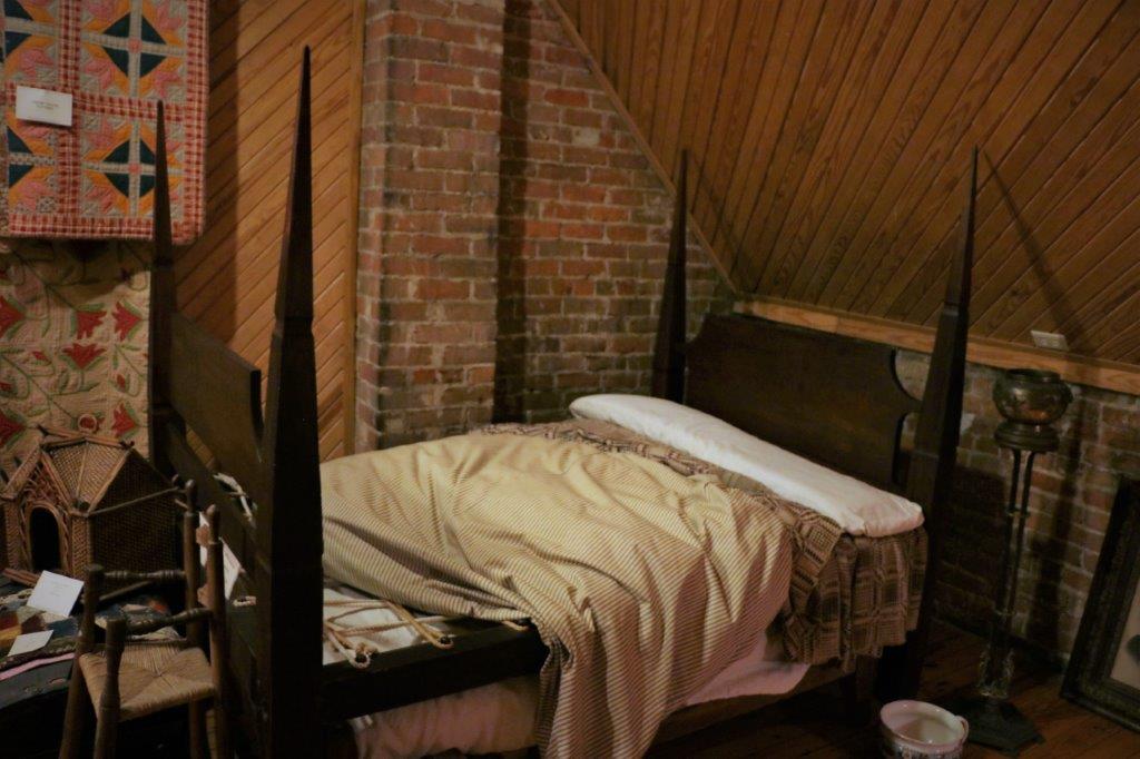
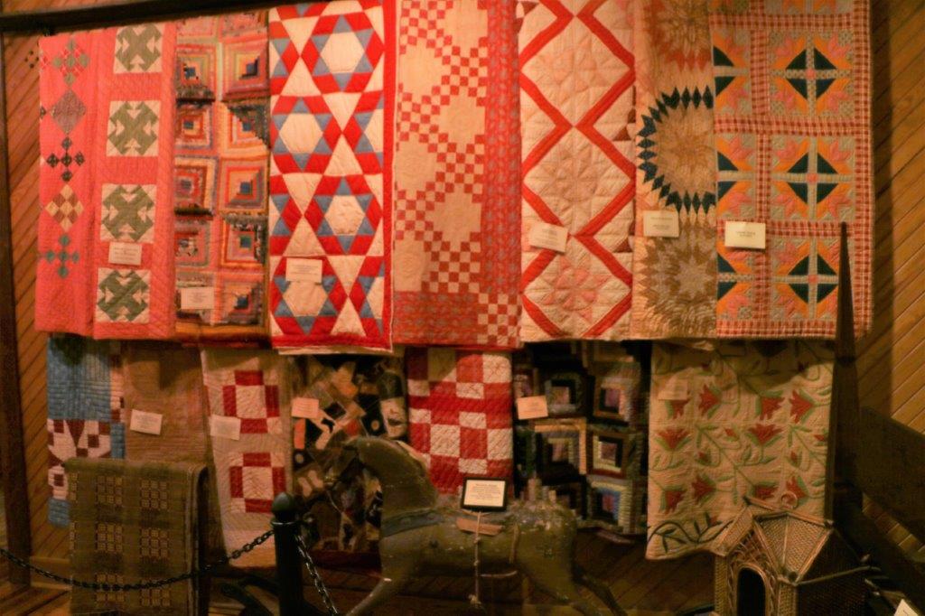
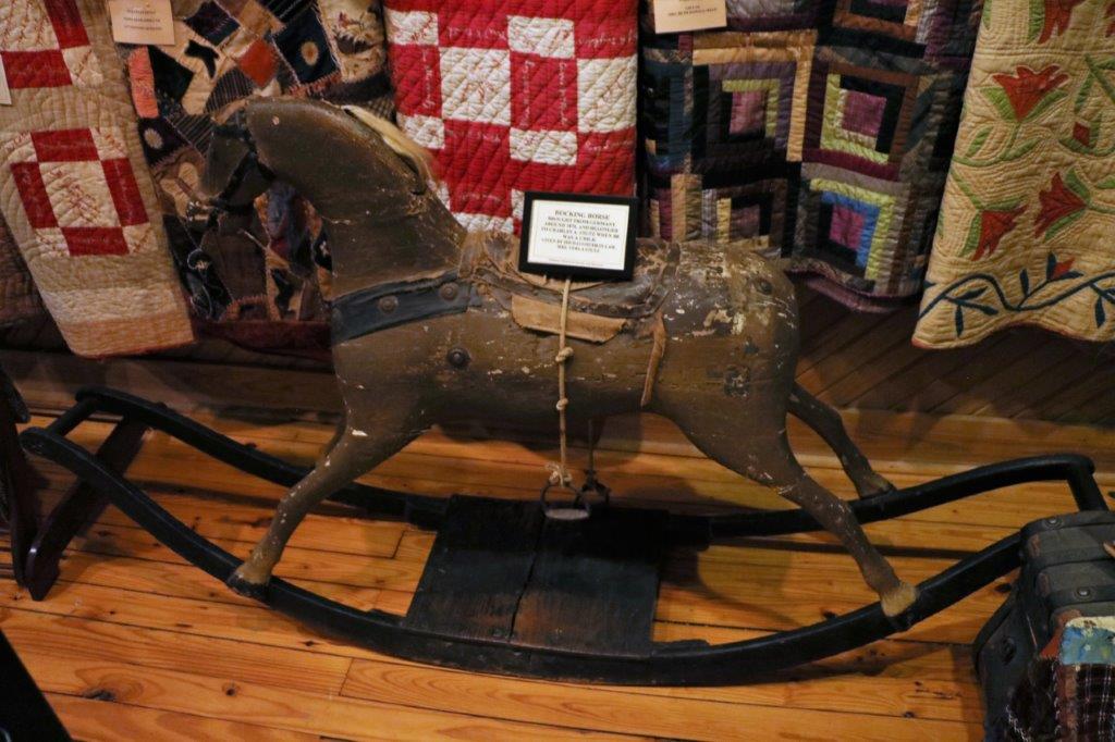
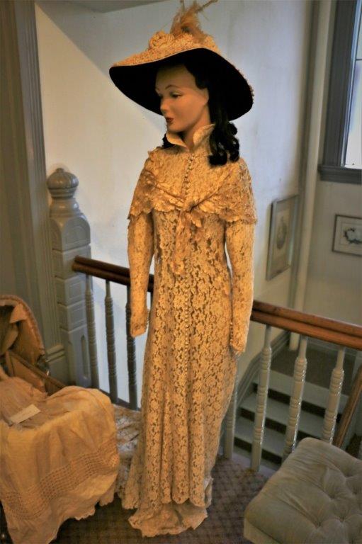
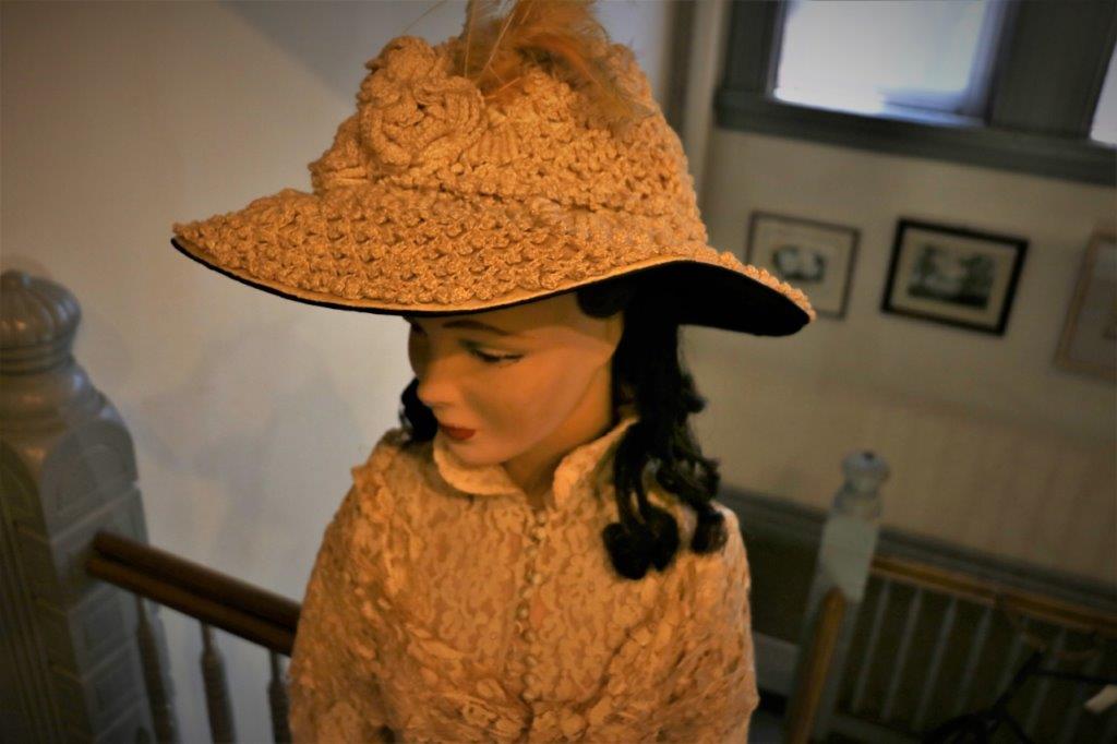
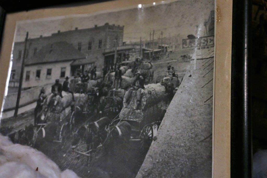
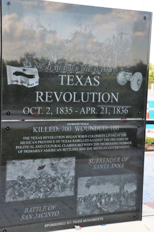
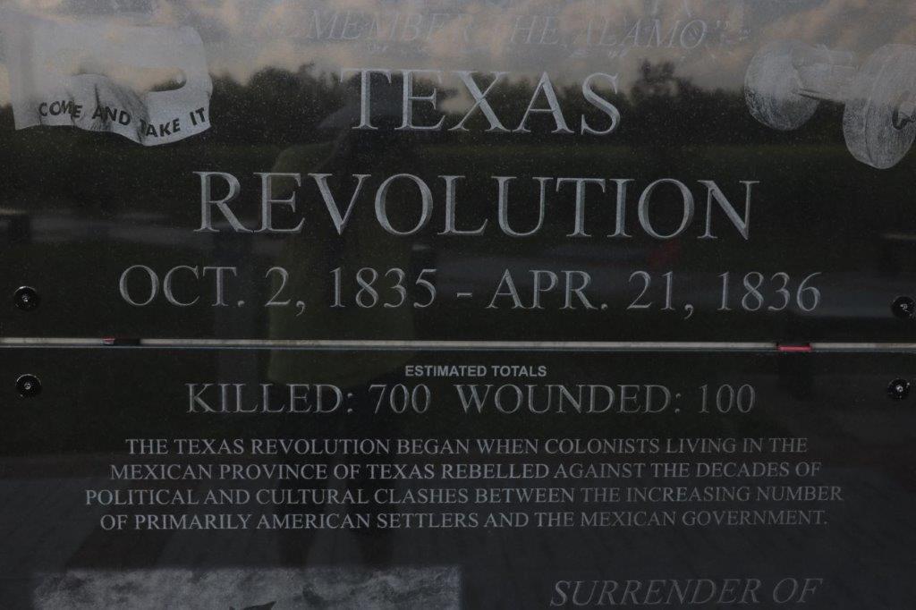
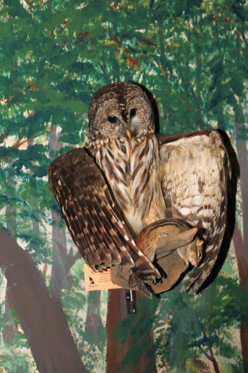
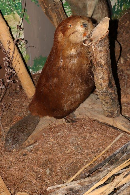
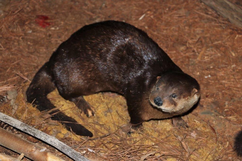
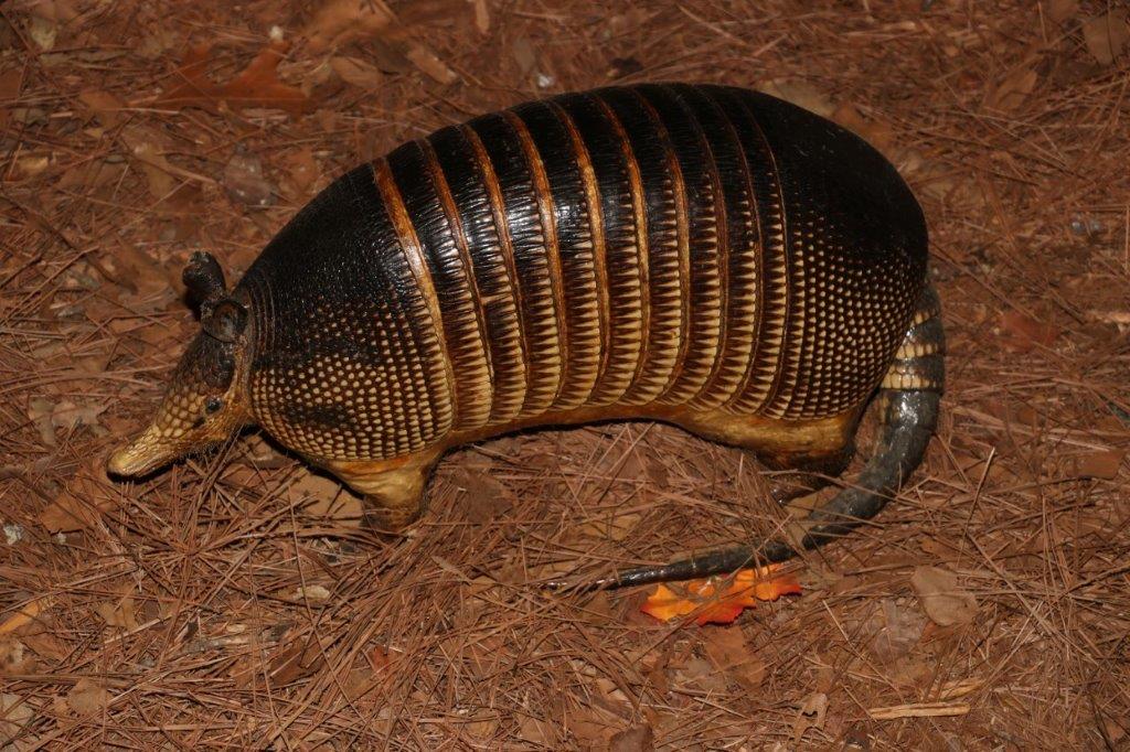
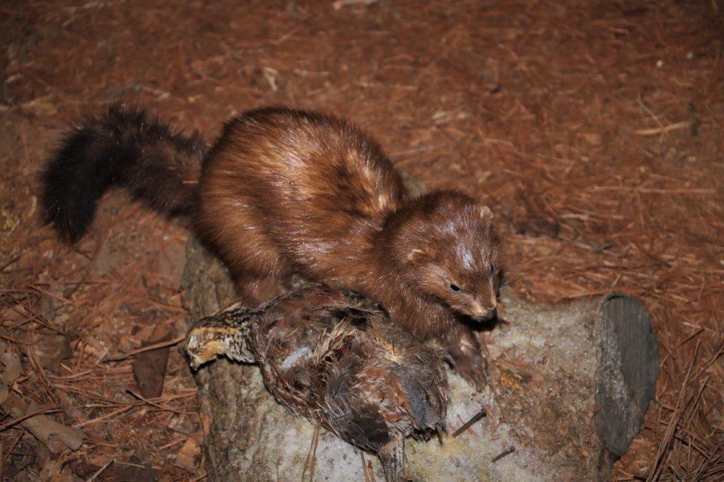
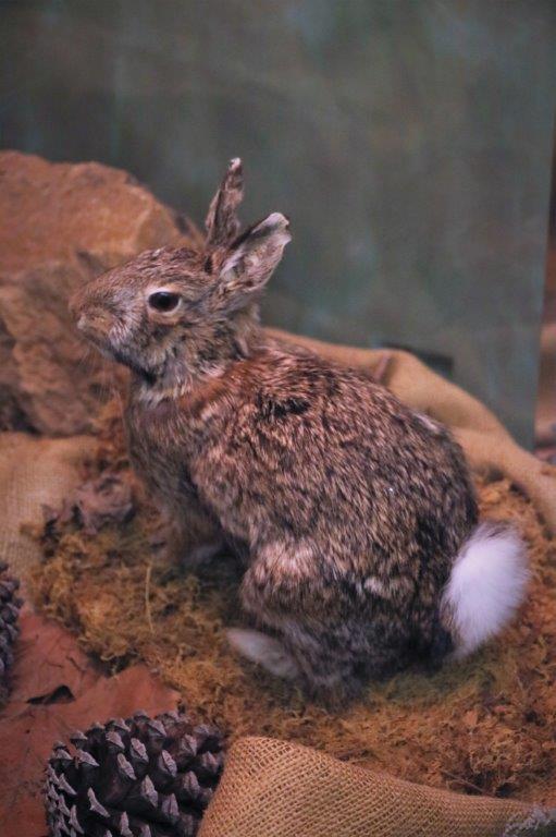
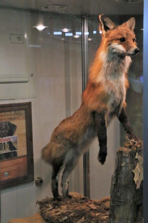
There was a museum in Nocona called Tales and Trails so we went to see what it was all about.  It is a relatively new museum and not all of the displays and rooms are completed. They will focus on the five areas/periods of Texas history: Indians, settlers, ranchers, agriculture, and the oil boom,  It did not take us too long to go through the three rooms they have completed.   
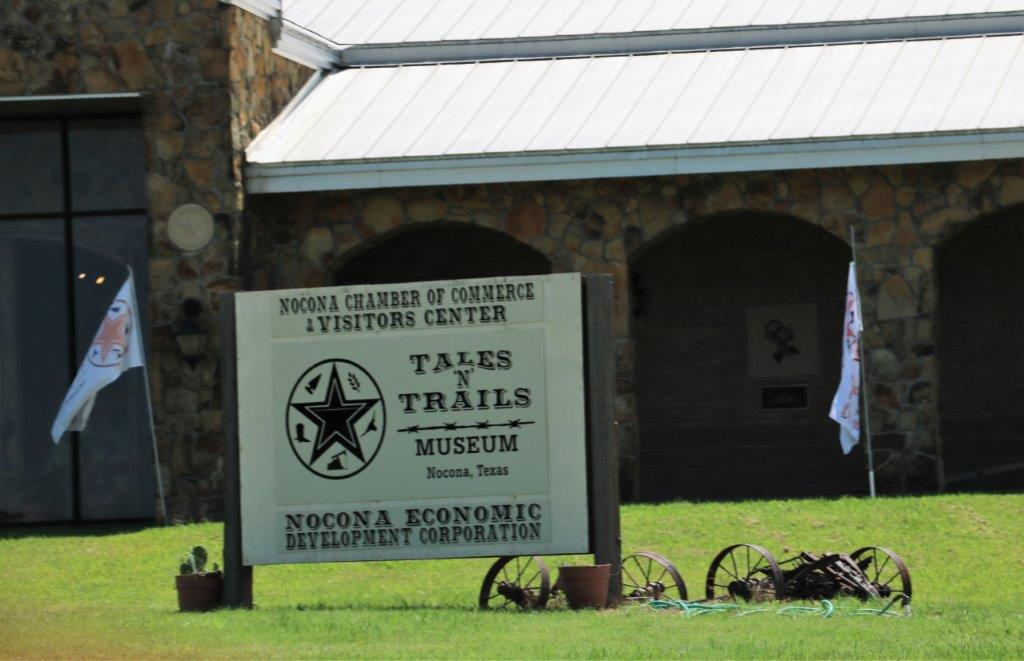
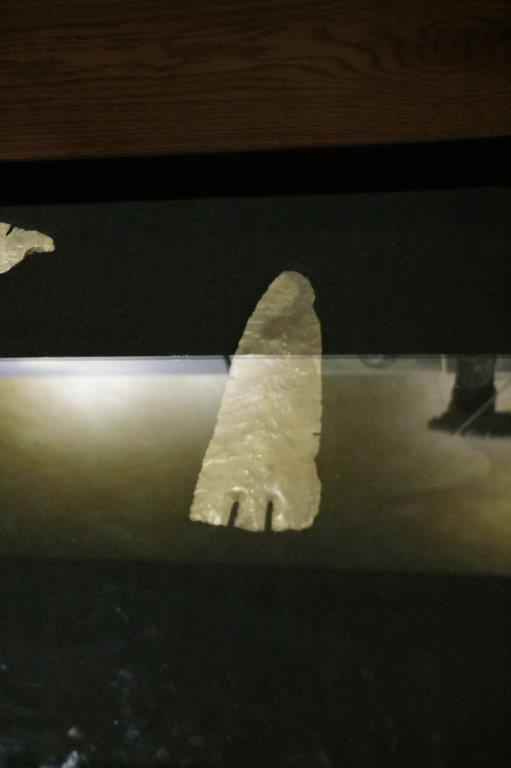
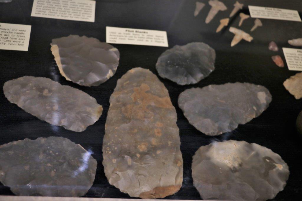
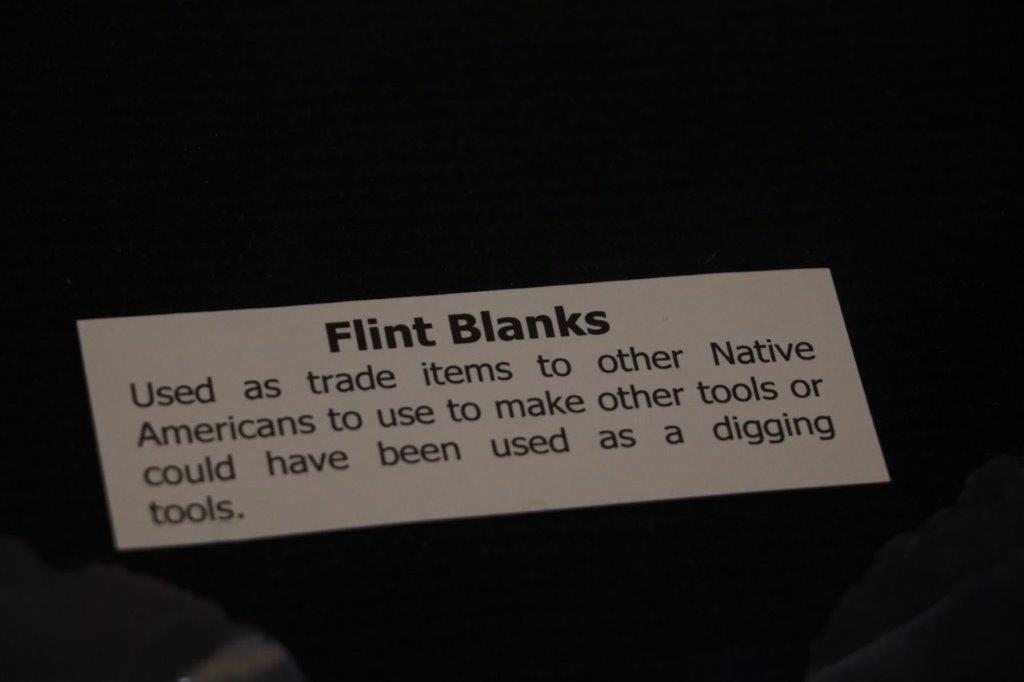
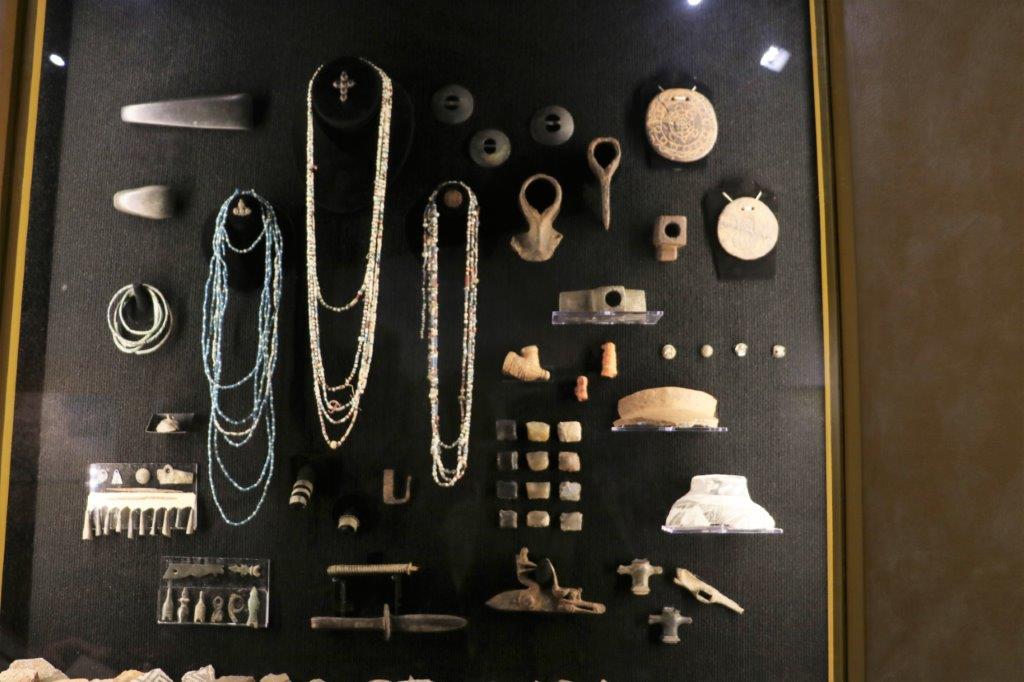
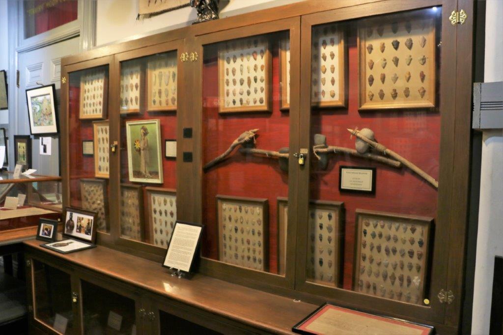
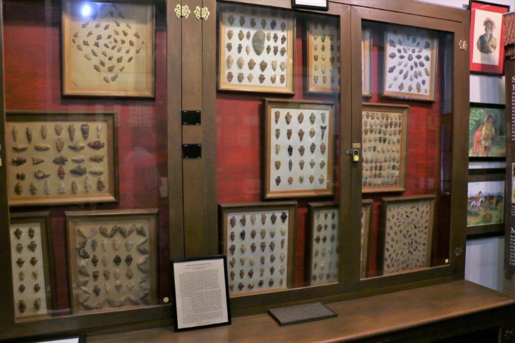
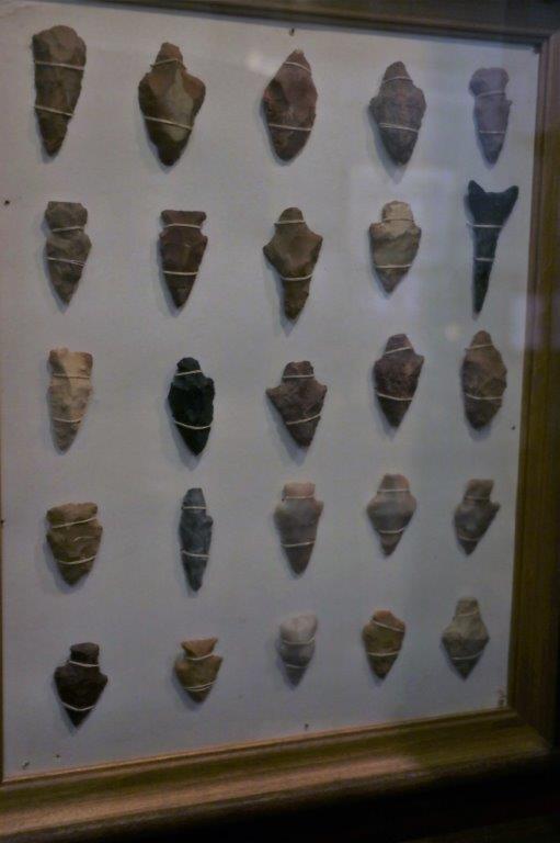
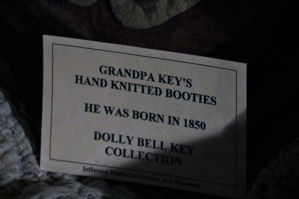
I am constantly amazed at how many arrowheads the museums have in their collections.  At Tales and Trails they even had them sorted by historical eras. 
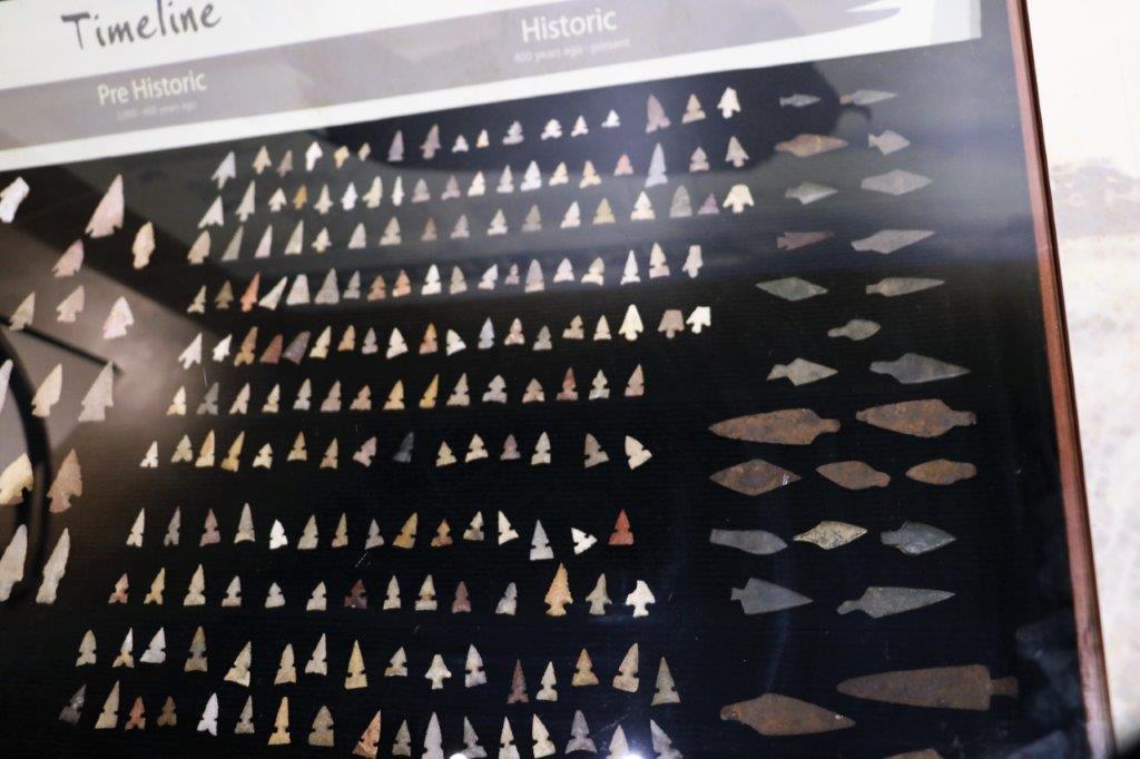
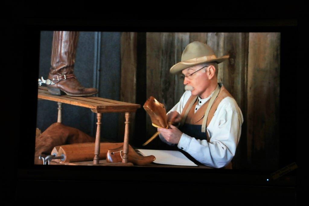
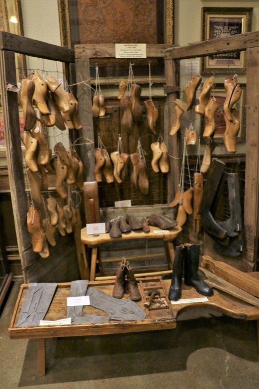
The story of the Nocona Boots.

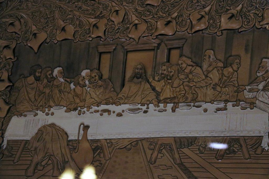
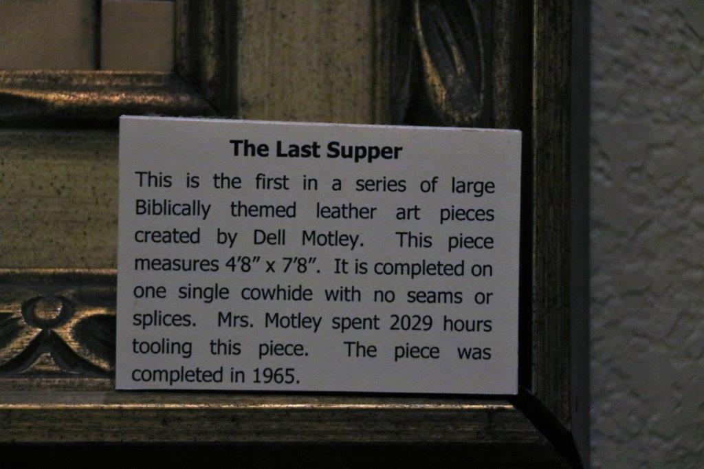
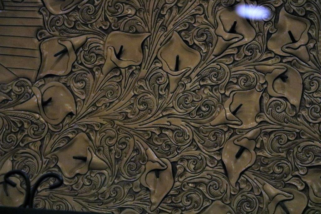
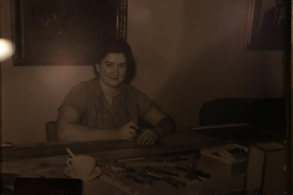
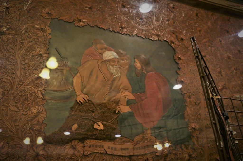
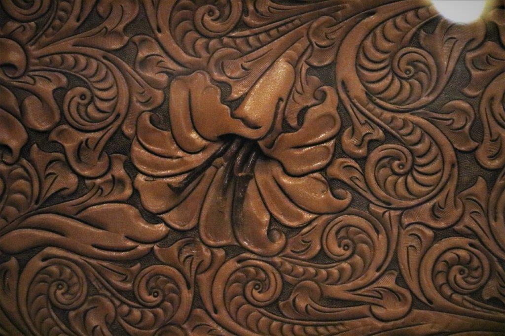
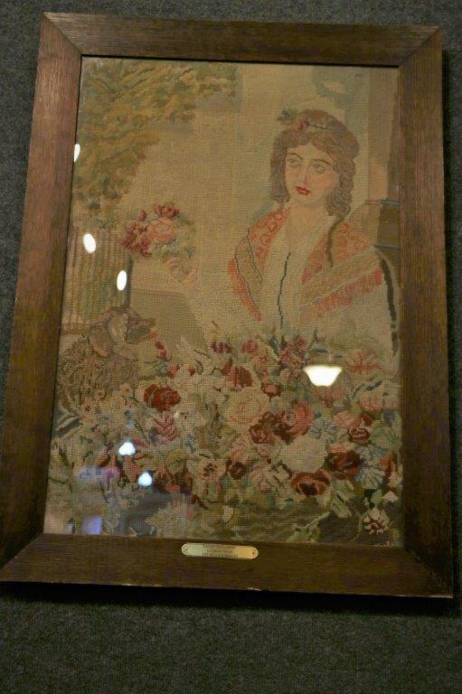
In the town there was a woman who made gorgeous, large, tooled leather works.  Two of them were on display. It was hard to get good photos due to the reflection of the ceiling lights on the glass. 
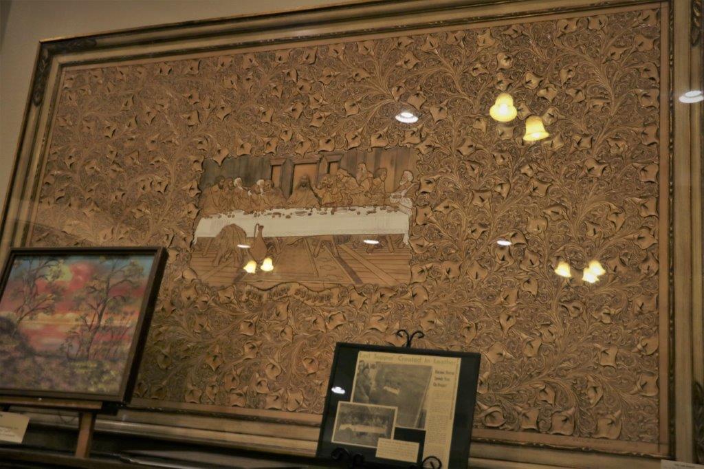
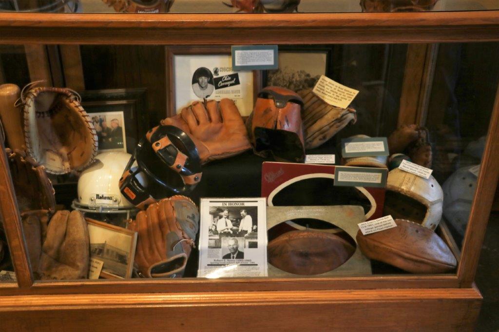
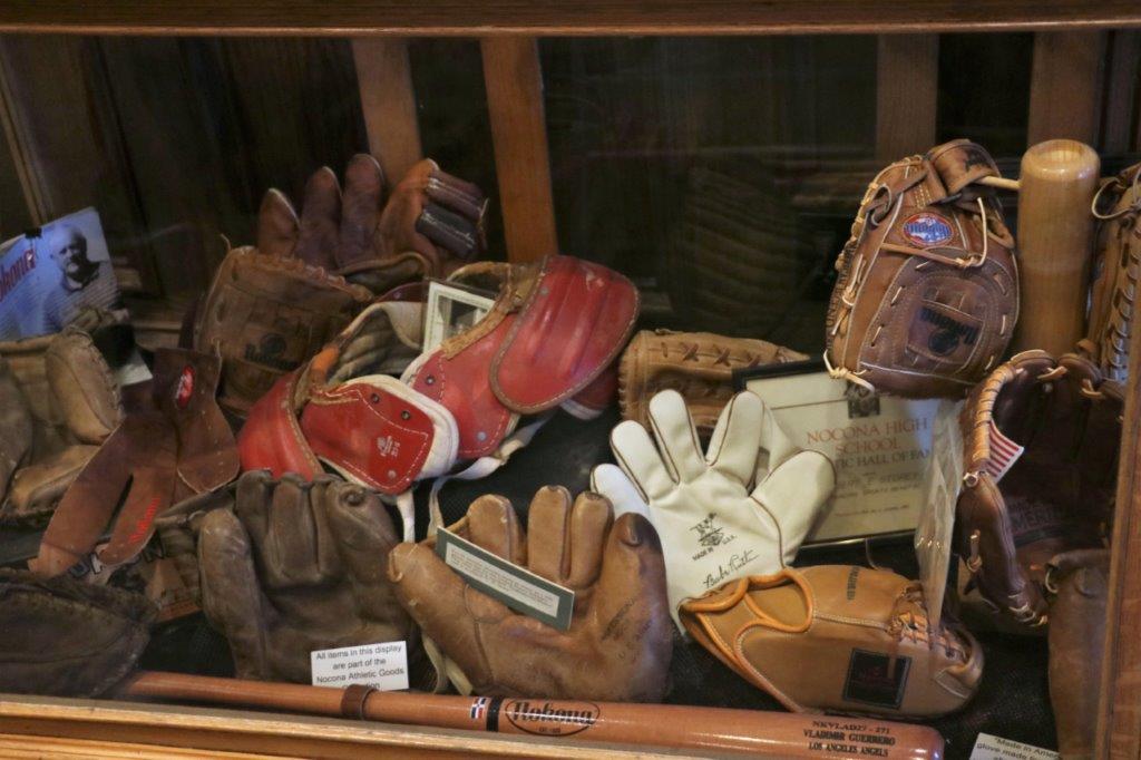
Also in Nocona is a place where they make baseball gloves and other leather sports equipment.  We were hoping to be able to tour the place but they only do a morning and an afternoon tour on Mondays and Fridays.  We were there at the wrong time and on the wrong day.

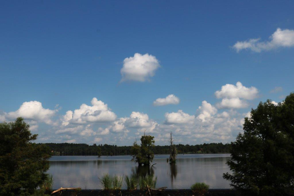
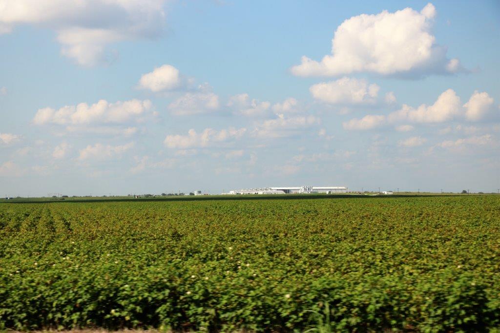
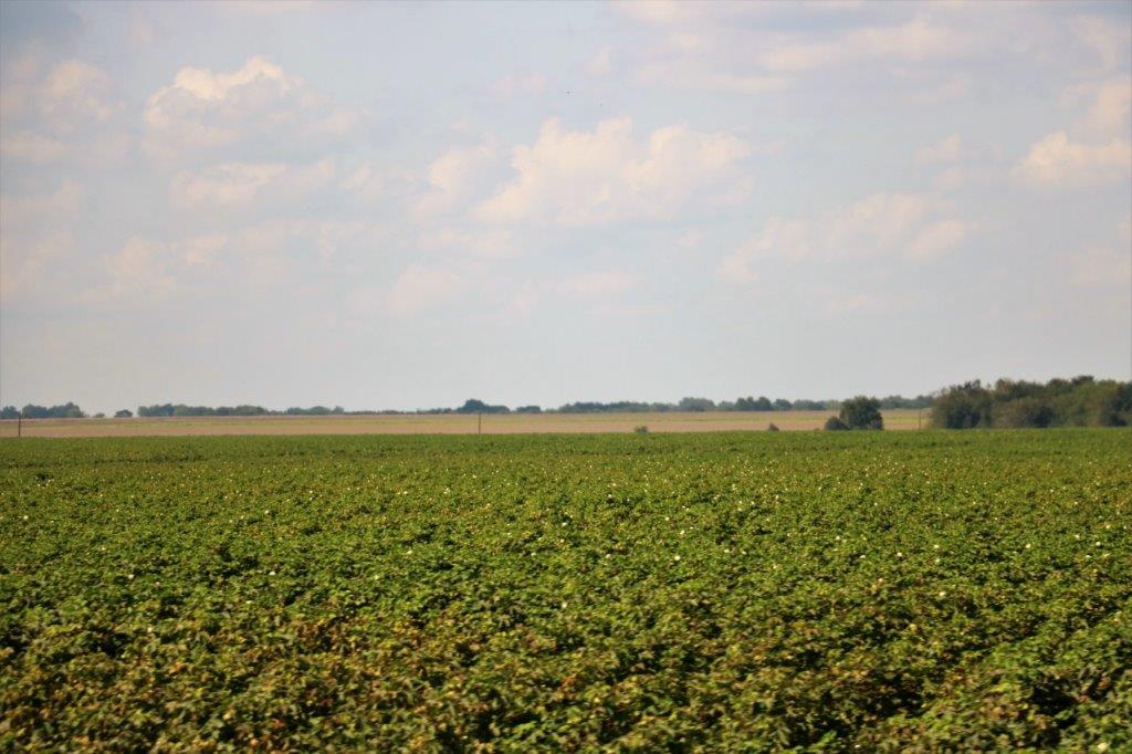
We are back in the flat prairie grasslands.

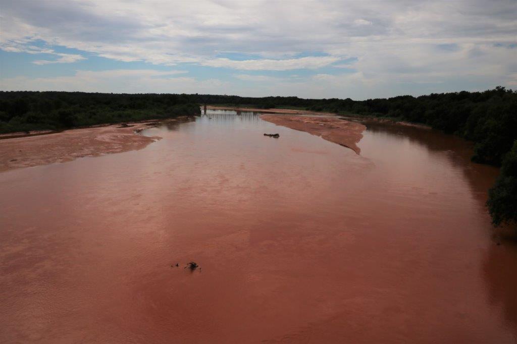
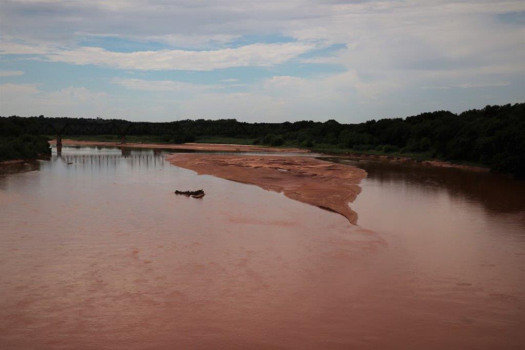
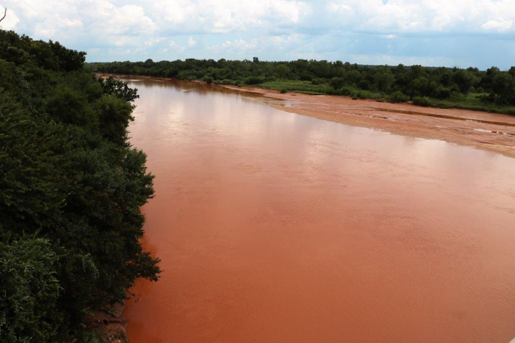
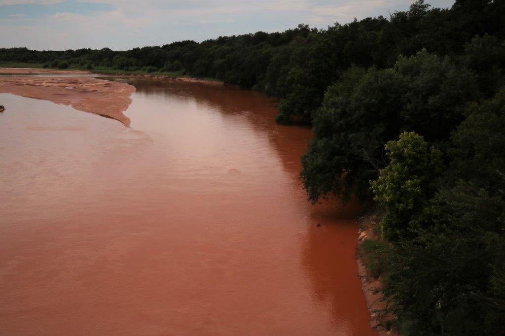
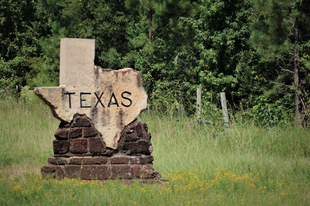
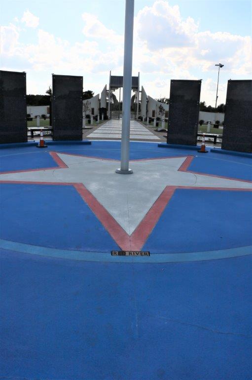
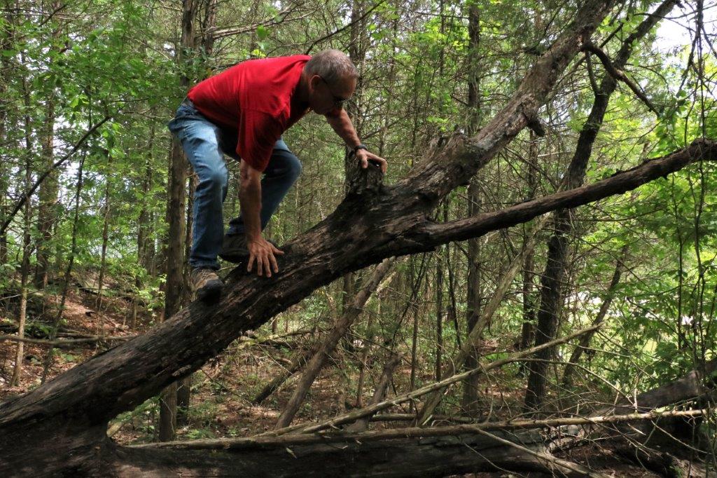
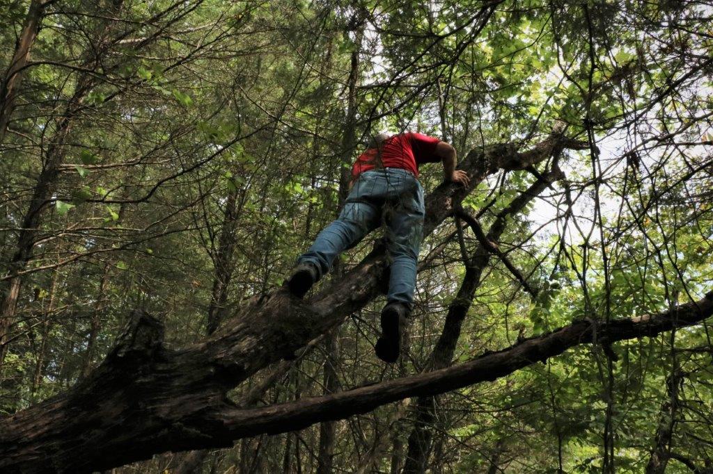
The Red River is the border between Texas and Oklahoma.  While John climbed the bank behind the state sign I walked back to the bridge to get some photos.  Red River is right.  All the dirt around this area is very red. 
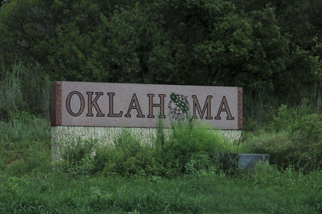
We arrived in Lawton about 5:30, found somewhere to eat and then fought for ages trying to get the wi-fi in our hotel to work.  We never succeeded so none of our usual evening work got done. We had a long driving day ahead so it was early to bed for us.

2017 Aug 21 – Minden, LA to Paris, TX

No.  we did not see the eclipse.  It was overcast and we were in a museum.

And, about that, WARNING! WE WERE IN A MUSEUM TODAY!

That means I took tons and tons of photos.  And the rule is that if I find something that interests me I will just naturally insert it into my blog on the assumption it may interest you.  So, be ready….

We left Minden and headed back in a northwesterly direction before going due west across the border to Texas.  In case you are wondering about our travel itinerary, it is all John’s fault.  He found the timeshare week in Branson and another one (beginning Aug 27) in Pagosa Springs, Colorado.  Since we needed to drive south through several states, and we had a free week between time share weeks, John felt it would be good to not only get a geocache a day during our trip but find a cache in 16 different states before we get home.  This little jog down, across, and up again is to log caches in Arkansas, Louisiana, Texas, Oklahoma, and New Mexico before we get to Colorado.  Just so you know.

We crossed this hill bridge over the flood swollen Red River and when we went down the other side the landscape changed from trees to open farm land. Very soon afterward we crossed the border into Texas.As we drove through the northwest corner of Louisiana and into Texas we saw many very old, rusty, but still working, oil pumps.We have learned on this trip that American geocachers love, and I mean love, to hide caches in cemeteries.  We make a list each night of the caches along our route the next day and if there is a cemetery near the road you can almost guarantee there will be a geocache hidden nearby.

This cemetery was not too far from the community if Plain Dealing and the cache was called Moseley.  It was about a quarter mile down a narrow paved road and then on a track through the bush to a large mowed pasture.  At the back of the pasture was this cemetery.  Well taken care of, neatly fenced and hidden from the world.  There was a large headstone with the name Moseley but the hint for the cache said “sometimes its brown.”  In the row of markers in front of the Moseley headstone were several family members named Brown.  This little bunny was the cache container hidden in a bushy plant at the base of one of the Brown markers.  Geocaching takes us to the most interesting places. (Cache finding aside note:  We have had to find caches in a few places just because I like the names of the towns: like Arkadelphia – what a great name that is.  And Cotton Valley.  And Plain Dealing.)

We arrived in Jefferson, Texas and located the Jefferson Historical Museum right away. This is a VERY eclectic museum. Usually you can access three floors plus the basement but the basement area was closed.  Still I had a great time looking at all the various things and taking photos of many of them.  THIS IS THE SECTION I WARNED YOU ABOUT. LOTS AND LOTS OF PHOTOS TO FOLLOW.  Feel free to skip past them.  I won’t know about it; nor feel insulted – because I won’t know about it.

This 1934 Shirley Temple doll and clothes are all original.

This is a letter requesting the presence of all of Comanche chiefs to come to a council meeting and discuss peace terms.  The writing is clearly legible.  Very cool.                          Texas loan debt and Texas currency.   The panels on both sides of this lovely screen are all hand painted on silk. The keys on this piano are mother-of-pearl, not ivory. This lovely needlework piece was done in the Victorian period. John was surprised that the Ipod and wrist case were already being used by athlete’s this far back in history.  Tee Hee. Isn’t the hand lace work in the white over-blouse above and this gorgeous black piece just incredible?

And then there were these lovely displays in the attic.  And, finally, we walked out of the museum!  We crossed the street to a little restaurant and had homemade Coconut Cream Meringue pie for lunch.  And a some great chats with the servers and other customers.I did mean to ask what the ‘Debris’ is that gets put on the N’Awlins traditional Po/Boy sandwich, but, sadly, I forgot.

We drove a short distance down the road to see this lovely fountain. These pics are front and side of the same house. There was a geocache hidden at this little old stone Texaco station but there was too much traffic going by for us to get a chance to do a good search for it.  I loved the building though.

We reluctantly left Jefferson.  What we did see of the town we really liked and wished we had time to explore further – but we needed to be on our way. I have yet to remember to ask someone what this beautiful flowering bush is.  We have seen it in Arkansas, Louisiana and Texas.  Usually it is pink, but we have seen a few white ones.

Once again the search for a geocache took us to a place we would never have heard about.  It was a very unique cemetery (told you they love cemetery caches down here) that looks like it has been shaken up by an earthquake or something the way the walls and some off the graves have toppled. This marker says, “Our sister.  C.E. Jones.  Daughter of J ? and ME Jones.  Born in Stewart Co. Georgia Jan 19, 1843.  Died in Marion Co. Texas June 30, 1891.

There was supposed to be a geocache hidden here, but it has gone MIA.  I love the strong pattern of the bark on the pine trees. Cotton fields. You can see the white bolls of cotton.

We finally arrived in Paris and we had to find the Eiffel Tower.  Only in Texas would it wear a cowboy hat.  It is only about 60′ tall as well. The most striking thing was the beautiful Veteran’s Memorial beside it. We spent quite a bit of time here.   TThe pathway to the gate is made up of messages of remembrance from sponsors.

Inside there are paving stones for each of the veterans from all the wars.

Panels with dates and information about the all wars.And the inside of the large center circle stones have the names of all those who made the ultimate sacrifice in WWI, WWII, Korea, Vietnam, and the War on Terrorism, with several blank panels available should the need arise; a bit of a sad commentary on the future, but probably and realistic one.

After we left the memorial we found a restaurant for some dinner and found our hotel for the night.  What a day.

2017 Aug 20 – Hot Springs, AR to Minden, LA

Today was pretty much a driving day.  There were two things I wanted to see near Camden, AR but one was closed and the other we couldn’t find.  So….there is nothing very interesting to report.

We left Hot Springs, Arkansas at 10 am and continued southward.  In the two days since we left Branson, Missouri we have driven almost straight down the middle of the western half of Arkansas.

Coming out of Hot Springs we passed a large lake which, obviously, adds a lot of appeal to an already popular vacation spot. It may be Lake Ouachita, but I am not sure. It was a nice day – as long as the truck was moving.  The temperature was pretty high, not sure what, but higher than a normal mid-August day according to the clerk in a gas station, and the humidity had to have been close to 90%.  Since Poppy’s air conditioner conked out in Saskatchewan we have to rely on open windows to keep cool; which works as I said, as long as we are moving.  The black interior and black leather seats turn into a sauna as soon as you stop or have to put the windows up.

We enjoyed the wider open spaces on this southern half of the Scenic Highway 7.  We could see farms and meadows and small lakes and rivers.  Much more scenic to me than trees on both sides of the road mile after mile.

As usual we found a few geocaches.  These Arkansas cache hiders are tough though. Even a cache called a quick Park And Grab, takes some searching to find.  We stopped at several caches throughout the day and only found five.DeGray Lake was another large lake in southern Arkansas and also a popular boating and camping area. Most of the photos I took were quick snaps out the window of the big stately houses in the towns we drove through.  There were some gorgeous properties. I can’t imagine what the upkeep and maintenance costs would be though. At Camden, AR I wanted to tour the 1847 McCollum Chidester House but it is only open Wednesdays and Saturdays so we were only able to walk around a little.  Since Poppy was parked in the shade we decided to have our PB&J sandwiches for lunch before moving on. I thought the last paragraph on the sign very interesting.  Arkansas became part of the United States on July 15, 1836 but it was very much a cotton economy with slave-based labour so the state seceeded on May 6, 1861 and backed the Confederacy in the American Civil War.  After much debate, re-structuring and a questionable election Arkansas re-entered the US on June 22, 1868.  However between the costs of war in production, materials and men the Arkansas economy did not really recover until the 1940s.

I think this big bull may be a barbecue.We found a cache in the Welcome to Arkansas sign on the other side of the road from the Welcome to Louisiana sign.Since our planned stops were no-shows our arrival in Minden for the night was 4 pm instead of the expected 5:30 or 6.  There is a nice paved street down the middle of downtown Minden.Tomorrow we head west into Texas, to Paris, no less.  John is still working on our itinerary from there.  I am trying to figure out how we can get to Carlsbad Caverns in southern New Mexico but it is a logistic  problem to also get to Oklahoma.   We end up going north quite aways to get into OK before having to go southwest to be able to go into NM near Carlsbad.  Or, we have to drive east quite aways in northern NM after going to Carlsbad to get into the OK panhandle.  We will have to see if we can do it.  I suspect it would just add too much driving so my bet is on the original plan to go north up through Oklahoma before heading west into northern New Mexico, and from there to Pagosa Springs, Colorado. Sigh.  Carlsbad will have to be another road trip if that is the case.


2017 Aug 19 – Branson, MO to Hot Springs, AR

We left Branson at 10 am and headed south into Arkansas.  Branson is less than 45 miles from the border. Most of our trip was spent driving Scenic 7 Highway that goes through three Ozark Forest Parks  so we pretty much drove through trees on both sides of the road.  Since they are almost all deciduous trees this area would be spectacular in the fall. I liked this stone stacked building.  Couldn’t get a good photo as we were driving by but it was pretty neat.

We stopped to find a few caches.  One was at this historical marker. Another was at the picnic area of Buffalo National River, the first National River in the US. There was an Earth Cache at an old quarry and a lovely view on the other side of the road. Another cache was hidden in the wildflower garden at the Hilary Jones Wildlife Museum. After we found the cache then went inside to see all the taxidermy of local animals.  We see a lot of road killed armadillos and groundhogs.  We saw a live groundhog at a rest stop the other day.  I would like to see a live armadillo.

The viewpoint overlooking the Grand Canyon of Arkansas was a nice stop.  This is nothing like a canyon such as I am used to; it is much more reminiscent of a forested valley.

The one thing I had marked down to go see on our trip today was the Natural Bridge at Alum Cove.  We drove 5 miles off the road to the entrance and then had to walk down a very rugged, rocky trail to the bridge.  Unfortunately when you get to the bridge you are on top of it and there is no way to see it unless you walk a long circutuous route further down into the valley.  And even then I am not sure you could see the arch as the forest has overgrown the whole area.
 This is all we could see.  The actual arch is under where we are standing and all we could see was a hint of it if we looked down into the crevass.

Around here if it says, “Stay on the Path” – or even if it doesn’t – stay on the path.  Poison Ivy lined both sides of the trail for most of it’s distance. We pulled into the site of a former CCC camp from Roosevelt’s depression area make-work projects.  The camp had been dismantle years ago but several of the building cornerstones, the fireplace in the rec center and some of the sidewalks remain.  


                          I like the face in the fireplace.

We drove into Hot Springs, Arkansas at 6 o’clock.  Since school started this week most of the tourists have gone but there were still lots of people on the streets. There were some lovely bath house buildings lining the main street but I couldn’t get photos of them due to cars and trees.  Apparently the water is 143 degrees when it comes out of the ground here.  Obviously, it would need to be cooled before you could get in it.  This is a very popular holiday spot.

2017 Aug 18 – Branson, MO

Well, I think we have covered Branson.  I have wanted to come here and see the place for years, but, like Las Vegas, for me anyway, once you have been once, you don’t have to go again.  At least I don’t.  We had a good time, probably could have gone out every night as well as every day, but I am getting too old and my feet hurt by evening.  We really enjoyed driving around the side roads and more out-of-the way places looking for geocaches.  The cave was great, the outdoor play was good, and we had a wonderful time.

The only thing we did today was find a few geocaches and, also, not find a couple of geocaches.  John climbed up this dead log to search for one but it has gone missing, as has the sister cache near the parking lot. We had stopped in Stockstill Park to look for the two caches on our way to the Historic Downtown and Branson’s Landing which is the new pedestrian shopping plaza.

The boardwalk along the river is 1.5 miles long and in the center there is an man-made ‘amphitheater’ with a band stand at the bottom and a fountain behind.  There are outdoor concerts all summer long and the $7.5 million fountain begins performing it’s water, fire and music shows at noon each day and at the top of the hour from then on.  It was a very mini version of the Dubain fountain.  When the gas-fired jets in the columns light up it is like a gun going off.  Really scared us the first time we heard it. We walked along the boardwalk to the end and then walked up to the old downtown and circled back to the truck.  It was beginning to rain as we walked the old town and it rained all the way back to the resort.  We have some tidying and packing to do so do not want to have a late night. Check-out is 10 am tomorrow. We are continuing to drive south for another couple of days, going through Arkansas and crossing the border of Louisiana before going west and making our way, over the course of the week, to Pagosa Springs, Colorado where we will spend another week before beginning the meander home.

2017 Aug 17 – Branson, MO

It was a very nice day today so we decided to go out to Silver Dollar City; which is a large amusement park northwest of Branson.  I didn’t care about the amusement park but I was interested in Marvel Cave which is underneath Silver Dollar City (As a matter of fact Silver Dollar City was built around the attraction of Marvel Cave).  The ticket price would be steep at $40 each to see a cave but I thought we could wander around the amusement park too just to see stuff.  You never know, there may be a ride we want to go on, or, heaven forbid, a shop we need to go in.  All tickets to the amusement park include a tour of the cave so if you want to see the cave you must buy a ticket to the amusement park. The Cathedral Room at Marvel Cave is immense (204’/62m high, 225’/69m wide and 411’/125m long).  It is one of the largest cave entrances in the US, located 500′ underground – you get to descend 600 steps but a cable car takes you back to the surface.

Unfortunately when we got out to the place it was closed for the day.  We learned later that it was a scheduled closure as the season winds down plus they are getting ready for a huge Gospel Jamboree next week.

Since we couldn’t go to Silver Dollar City we decided to continue down the road to Indian Point; one of Table Rock Lake’s many peninsulas and spits. Indian Point is a favourite boat launching area and there were lots of campgrounds and RV parks and a huge parking lot for boats and trailers, as well as many mooring spots along the piers. The Floating Cafe was a good place to have some lunch.We drove back up to the highway and went further west in search of a few geocaches.  There were three hidden on the grounds of Talking Rocks Cavern so we decided to tour Talking Rocks since we could not go to Marvel.  I love caves.  I find all of the shapes and colours fascinating.  Talking Rocks is not a really large cave.  We descended about 130 concrete steps, make loop around the bottom, and climb all the steps again to get back up to the bottom.  The cavern is 100′ deep.  Since Talking Rocks is located on a hilltop there was 55′ of earth above the cave and at the bottom of the cave we would still be 100′ above Table Rock Lake.

I took quite a few photos, but since Talking Rocks is a living cave, (meaning it’s formations are still growing) no flash photos were allowed and I had to set my camera to a very high ISO.  Even so the photos were quite dark and I had to lighten them with the photo editor, which then shows the graininess of the high ISO.  The colour isn’t very true either. Still they give an idea of what we saw.

This is called Bacon for obvious reasons. We descended concrete steps and walked across concrete ramps that were built in 1928, making them 89 years old.  Chuck, our guide said we were not to worry.  The original access to the cave was via 7 wooden ladders and ramps.  However with the constant moisture and high humidiy the wood rotted quickly and the cement ones were made.  The environmental conditions that destroy wood are beneficial to concrete making it four times harder than it would be on the surface.These are called Soda Straws.  They are hollow and are the very beginning of Stalagtites.  As the forms grow they will become solid. As we turned the bend on one of the staircases I spotted some young stalagtites in the process of growing. When the water drop falls off it will leave behind a small amount of calcite that was picked up by the water as it went through the rocks. This calcite is the mineral that makes the formations in caves – very, very slowly. We went down some steep, wet, narrow stairs and wove through some pretty small spaces. Watch your head.

 This formation is called a Canopy and this is a small one.  The first photo at the top shows a much larger one.  That canopy is about 50′ thick and very wide.

They call these two formations growing in the hollow Bee Hives. Before we toured the cave we had been unable to find the geocache that was hidden near the building due to a group of muggles (non-geocaching folks) that were sitting at the picnic tables right at Ground Zero.  When we finished touring the cave we decided to go on the Nature Trail to find the other two caches hidden on the property and hope we could pick up the one at the entrance as we were leaving.

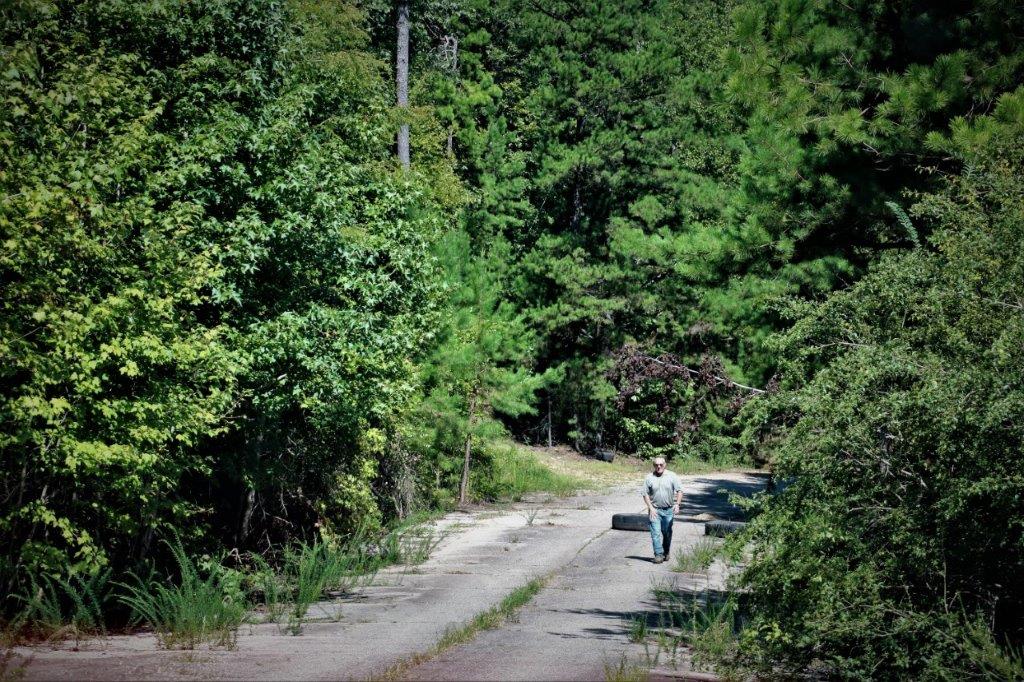
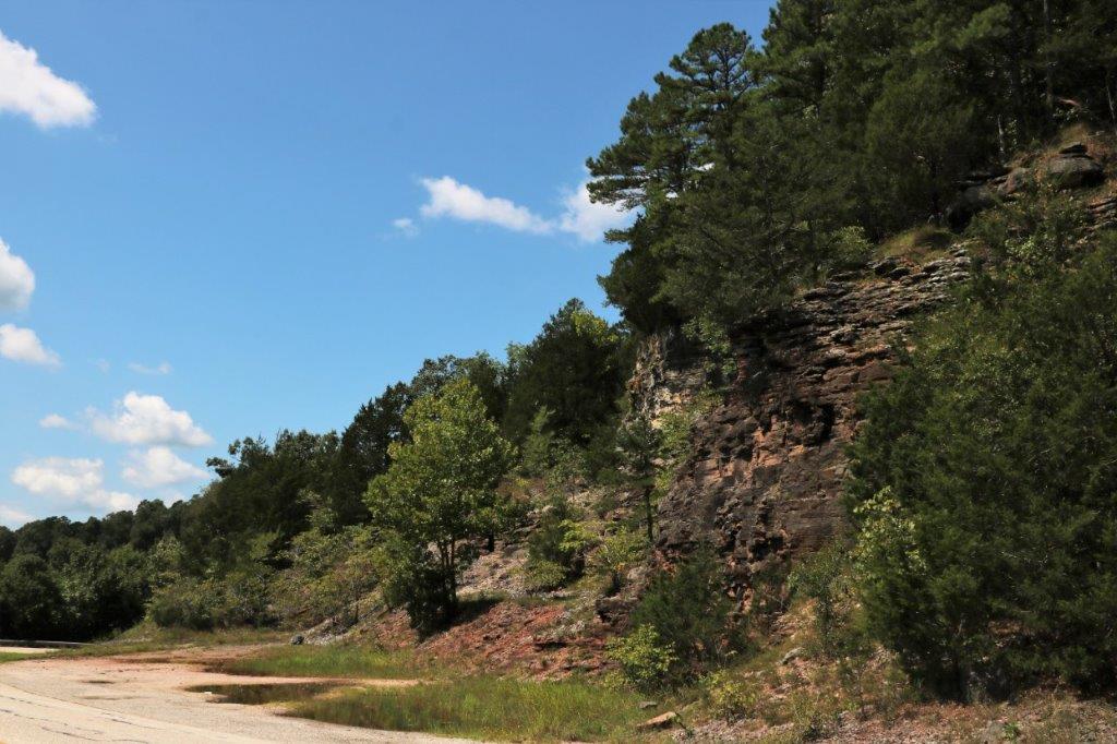
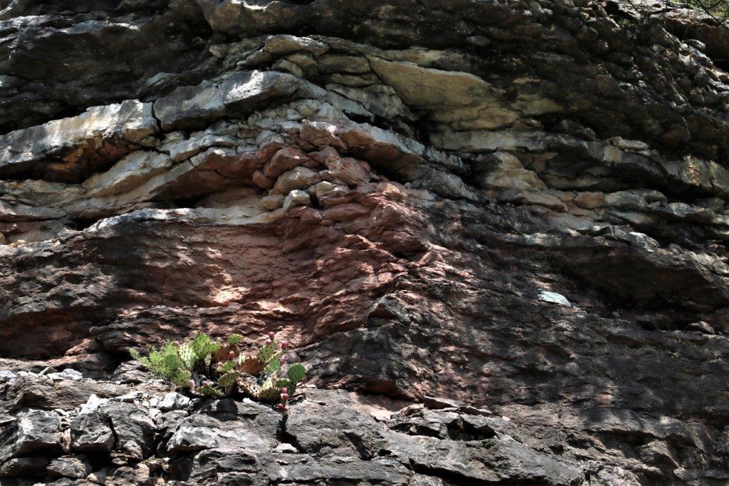
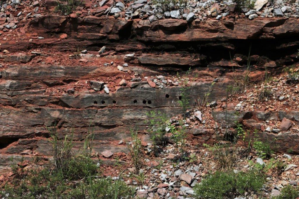
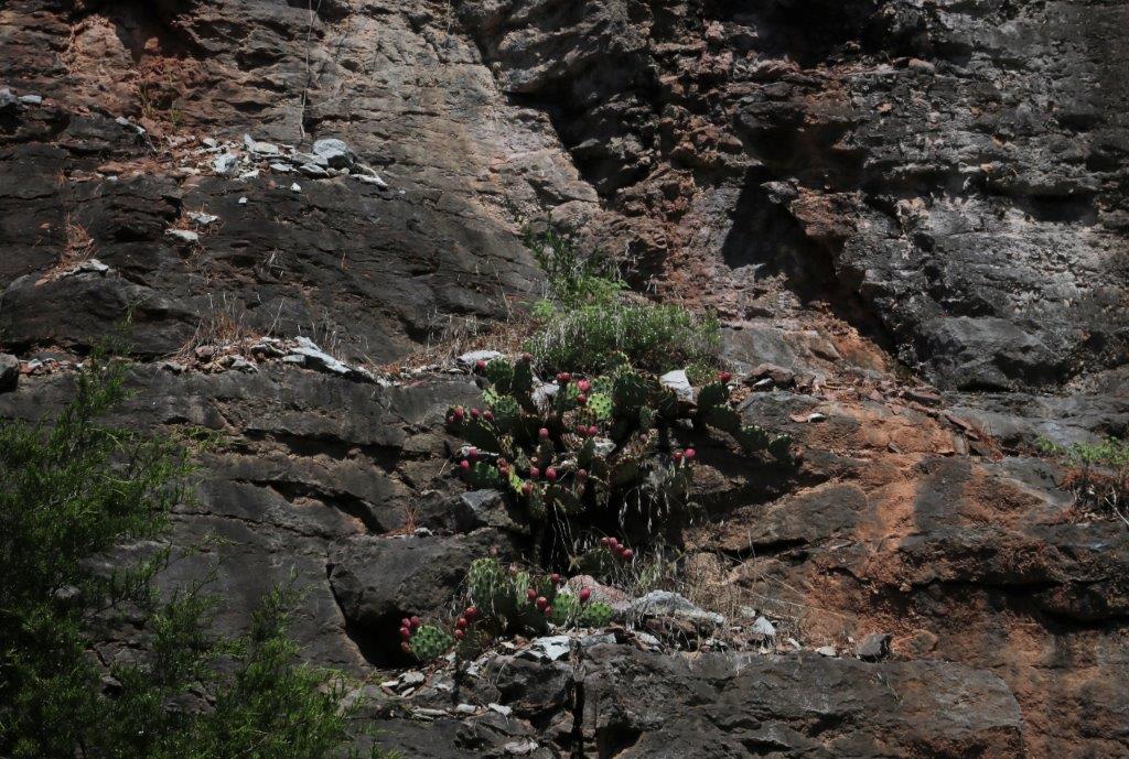
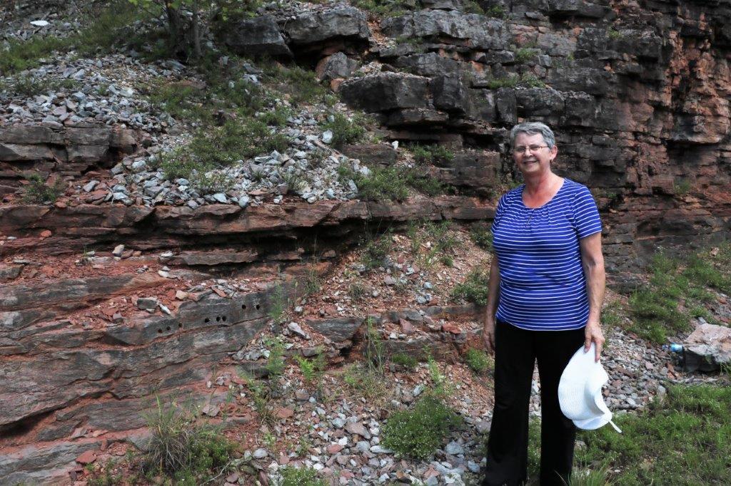
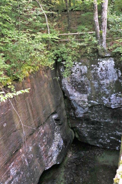
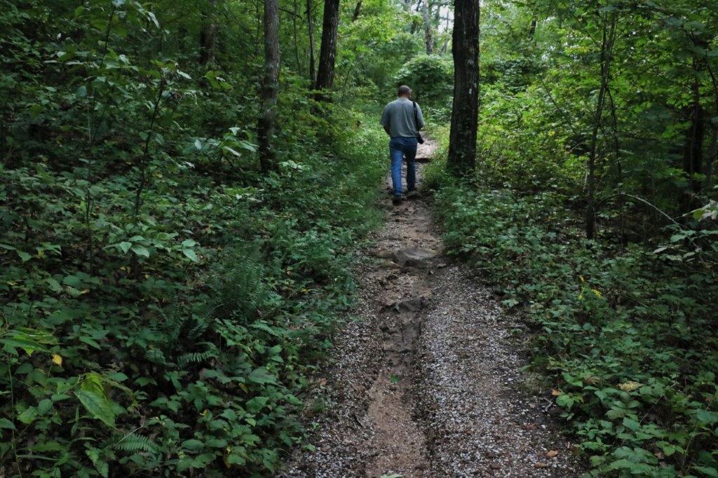
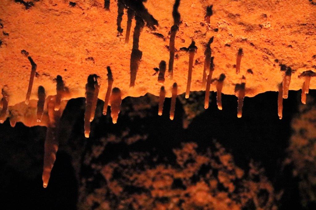
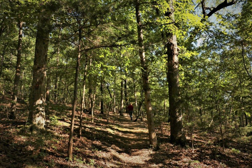
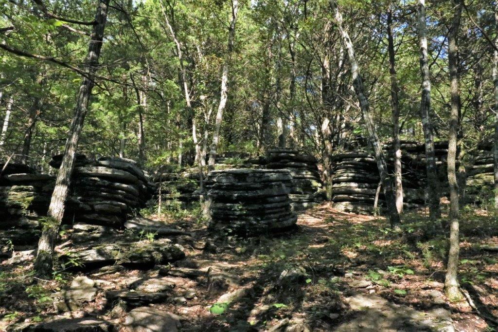
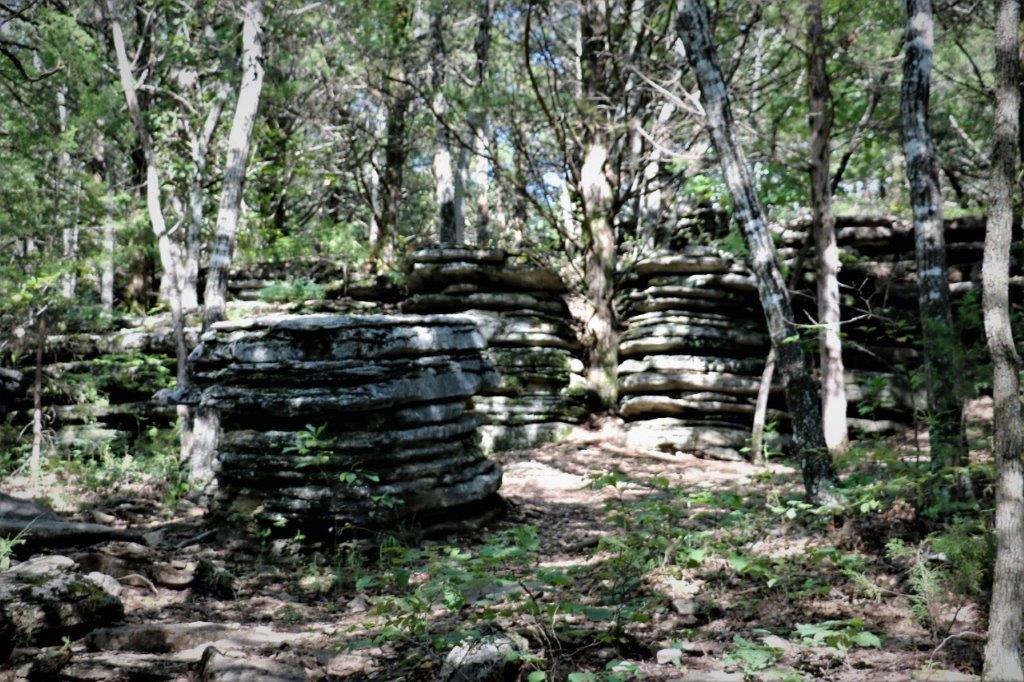
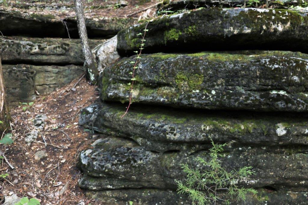
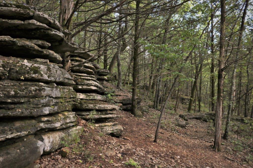
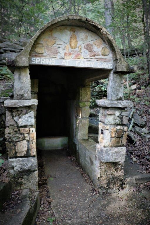
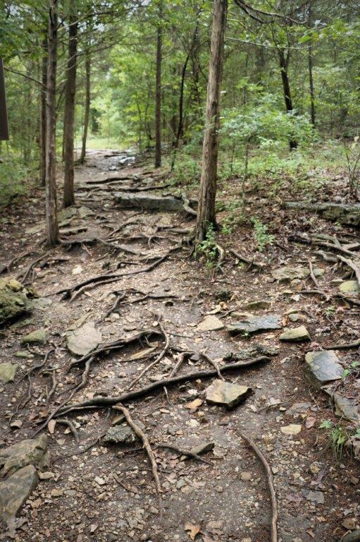
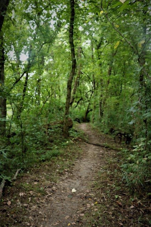
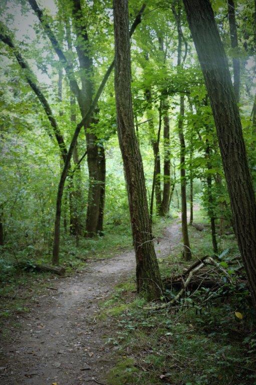
The Nature Trail climbed through the forest up to the top of the hill.  We passed many of these stacked rock ledges that are all over the place. The locals call them Pancake Stones. John is just coming down from the top of this batch of Pancake Stones after signing the log in a geocache.

At the top of the trail there is an Observation Tower (67 steps).  We were cetain all we would see from the top would be forest but…if there is something to climb up, one must climb up.  Which is why I know how many steps there are.  I always count the steps. John knows this and as we approached the bottom he says, “How many?”  No explanation about how many what was necessary because he knew I would have counted the steps.

We had been correct and all you could see in all directions was forest.  But today was a much clearer, prettier day than the other day when we went up Inspiriation Tower at Shepherd of the Hills.

Once we came down from the tower we followed the trail past the old Spring House and back to the visitor’s center at the cave entrance.  We found the geocache we couldn’t get to on the way in, plus a few more further up the road (including #1 and #3 of the Bonnie and Clyde hides that we had found #2 of when we drove into Branson) and then headed back to our condo for the night.

2017 Aug 16 – Branson, MO

We left our home-away-from-home at noon to source out the location of the outdoor drama “Shepherd of the Hills,” for which we had tickets that evening.  John wanted to make sure we could avoid, as much as possible, all the lineups on Highway 76 coming into Branson and I wanted to confirm our seating as I had not received anything but a ticket purchase number when I bought them online.

On the way we stopped at a viewpoint/conservation area and walked 350 m down one of the trails to find a geocache.  (In case you haven’t figured it out yet we are hoping to find at least one cache each day of our trip.  Sort of a personal goal thing.).  We have learned since we got here that southern Missouri has lots of rocks.  Large walls of them along the highways, cliffs in the forests and many rocks and roots on the trails.

It was a good thing we stopped in at the ticket center because it took the lady a few minutes navigating their new computer system to find our assigned seats and print tickets.

Shepherd of the Hills is a drama based on the novel written in 1907 by Harold Bell Wright.  The story is based on actual events and was the first book to sell 1 million copies in the US.  It remains the 4th most widely read book in publishing history.  The outdoor play has been produced for 58 years (it was slated to not be presented in 2017 but new owners saved the show).

At the Shepherd of the Hills complex is Inspiration Tower, a 230′ observation tower and start of the Vigilante Extreme Zipline.  The zipline was not operating today due to the wind and predicted storm but we took the elevator to the top to see what we could see.  Since it was a cloudy day the views of the Ozark forests were not very sharp and clear and we could not see as far off to the horizon as if it were a sunny day, but we got a pretty good idea of the area. We even saw what looked like a forest fire.  Not a good thing.  And it was too reminiscent of all the wildfires raging in BC right now.  The ticket attendant said that it did, indeed, look like a forest fire. “That’s a biggun’,” but he was not unduly concerned.  They have had rain lately so things are not severely dry. On the way back to the resort we drove into a little peninnsula park that had a geocache and found a few more on other side roads. The ticket agent at Sheperd of the Hills told us to call at 6:30 and confirm the show was going to go ahead as there was rain predicted. Everything was a go when we called so we headed out for an evening of entertainment.

There were gun fights, horses, donkeys and mules, a building fire, romance and fistfights and redemption. What more could you wish for?  It was a good story. Some of the characters were a bit ‘over acted,’ but we had a good time and enjoyed the show. (John and I estimate that there is seating for about 1700 people, although it wasn’t very busy last night.) There is usually a meet and greet with the actors after the performance but last night it was cancelled due to a rapidly approaching  rain storm.  People park quite a distance from the theater and are brought down by trollies so they wanted to be sure everyone got back to their cars before the rain hit.  And when it did; it really rained.

It wasn’t a jam-packed active day but it suited us just fine and we saw some sights, were entertained, and didn’t get wet.


2017 Aug 15 – Branson (Mansfield), MO

We spent the morning lazing around in our condo unit, made up some sandwiches for our lunch and then took off for Mansfield.  Mansfield is located north and east of Branson.  If you take the freeway north to Springfield and then go east you can get to Mansfield in just over an hour.  It took us over two hours to travel our backroads route.

John likes the Missouri backroads.  They have regular series of roller coaster hills where you literally go up and down short steep hills one after another for three or four dips.  There are also a lot of nice corners and twists.  I need to remind him every now and again that he is not on his motorcycle even though Poppy goes through the turns well.

Rural Missouri roads (a lot of them anyway) have no names.  They have all been assigned a letter of the alphabet, beginning with A and going through to Z, then beginning with AA and going to ZZ.  I do not know if all of the letters are represented nor if they are all repeated in the double sequence but it is quite strange to see a direction sign that only has an arrow and a big U or K or B.  Crossroads signs will point you to C going north and K going south.  There does not appear to be a geographical pattern to the lettering either.  Early alphabet letters and end-of the alphabet letters can be quite close together.

We drove up to Mansfield to see the Laura and Almanzo Wilder houses.  In De Smet, ND we had toured the buildings of Laura Ingalls’ childhood and the home her parents lived in but some years after she married Manly Wilder they moved from De Smet, North Dakota to Mansfield, Missouri. Their first house was a one room shack but a few years later they decided to build a proper house on the hillside of their Rocky Ridge Farm.  They dragged the one-room to the location of new house and added on another room. Over the next few years they added on one room at a time as they could afford it, doing most of the building themselves.  The house we saw had a kitchen (original one room shack), diningroom, bedroom, bathroom (that originally was the wood storage room for the stove and fireplace), a small room where Laura had a desk and wrote her “Little House” books, a front room (livingroom/parlour) that had a small library nook and a music room off to the side.  There was a guest room, daughter Rose’s room, and a storage room upstairs.

Virtually all of the furnishings, decor and contents of the farm house were original, including the linoleum on some of the floors.  The only people that lived in the house were Laura and Almanzo Wilder and, for a period, their daughter Rose.  Almanzo died in 1949 and Laura and Rose, over the next few years, discussed turning the house and farm over to a museum, so when Laura died in 1957 that is what Rose did. We also toured the new museum building that displayed many personal items of Laura and Almanzo Wilder including dresses made and worn by Laura (with beautiful hand crocheted lace), shoes made and worn by Almanzo, household items, letters and books, and many other treasures.  No photography was permitted inside the museum or the houses so I can’t show you any of the beautiful and interesting things we saw.About a half a mile down the road on the other edge of Rocky Ridge Farm was the Rock House.  The Rock House was a gift to Laura and Almanzo from their daughter Rose who was a newspaper reporter that travelled around the world extensively, and was also a successful novelist.  She purchased the retirement house for her parents from the earnings of one of her stories that was serialized in the Country Gentleman magazine; for which she was paid $10,000.  The house plans were ordered from the Sears, Roebuck and Co. catalog and Rose hired an architect from Springfield to oversee construction.

Rock House was built between August and December 1928 and Rose presented the keys to her parents for Christmas.  They lived in the house for about seven and a half years, during which time Laura wrote the first four Little House books.  Rose lived in the old farm house and paid rent to her parents.  When she moved out Laura and Almanzo moved back into the farm house and kept Rock House as a rental property until they sold it in 1943. The serialzied book that Rose Wilder wrote was called “Cindy” and it was about a pioneer girl.  After writing the story she began to think that someone who had actually experienced being an early pioneer would be better able to tell what it was like.  She encouraged her mother to write about her childhood and early adulthood as a homesteader in North Dakota and Missouri.  Hence the Little House books began.  Laura Ingalls Wilder was 63 when she began to write the books which made her famous and inspired the popular 1970’s  TV series starring Michael Landon as Pa Ingalls.

It was after five before we left the museum complex and we drove through town to the cemetary where Laura and Almanzo Wilder and their daughter Rose Wilder Lane were buried. I have noticed at other cemetaries we have passed or stopped at to find a geocache that there are always lots of flowers and flags on gravestones; even very old ones.  The cemetary at Mansfield was very typical in this way and many of the markers had beautiful silk flower arrangements that looked fresh and new. We took a different route back to Branson and stopped at a few places along the way to find some geocaches.  The weather was supposed to be thunderstorms and clouds today but it was a lovely sunny/cloudy day with warm enough temperatures that we drove both ways with the top down on Poppy.  Of course, the minute you stopped moving the 80% humidity made you feel very warm and sticky.

This youngster was quite intriqued by our presence near his/her field while we looked for a goecache.One of the caches we found was called “Witness Tree.”  We had to walk the edge of the Roberts Cemetary (which contained gravesmarkers for a lot of Roberts, plus some others,) to a large tree in the back corner.  There was a tag on the tree saying Do Not Destroy.  Witness Tree.  I looked the term up when we got back to Branson and Witness Trees are used as a reference mark to locate permanent federal survey markers.  The bearing and distance to the survey marker is sometimes stamped into the tag on the tree.  See, you can learn something new every day. It was a large tree.

Our quieter secondary road connected to the #65 freeway that comes south out of Springfield and goes straight down to Branson.  I can stand to be on the less congested freeways in the west and mid-west but I do all I can to avoid the ones going into and out of large cities.  The speed limit on the freeways out here is 75mph (just over 120 kmph), which John and Poppy liked and I just ignored as best I could. It was after 7 by the time we got back to Branson and almost 9 by the time we were doing our dinner dishes.  Photos, blog and bed followed.

2017 Aug 13 and 14 – Branson, MO

Our first day in Branson was lazy.  We relaxed and checked Facebook and replied to emails.  I went online and verified all our credit card receipts, then paid a couple of bills.  We went for a short drive at 3:30 on one of the outer circle roads.  We happened past a grocery store so went in and got all we probably need during our stay, picked up two geocaches, and went back to our unit.

August 13, Sunday

One  cache was a virtual (no log book, just photo proof you were there) at this Veteran’s Museum.  We may have to go back and see the inside while we are here. It was a totally overcast with light to moderate rain off and on all day.  After we got back from our little drive I began working on my blog and John decided to go out and give poor, dirty, bug-spattered Poppy a wash – in the rain.  His theory was that the rain would give her a good rinse.  He felt much better when he came back inside – wet, but better.  He takes very good care of my Poppy truck and does not like her to be dirty.

Aug 14  Monday

We took a drive in the afternoon to find a few geocaches.  First stop was at Table Rock Dam.  In the Visitor’s Center they had samples of each of the hides of the different animals that had been hunted and trapped in these hills over the years. Now that is one crazy lake.  Looks like a river gone wild or two-tailed Chinese dragon.

There were a couple of Monarch Butterflies enjoying the flowers in the garden. This cache was hidden in plain sight, hanging on a tree masquerading as a bird feeder.

We drove across the road from the Visitor’s Center to the entrance of Table Rock State Park and stopped at the viewpoint to see the face of the dam and the fish hatchery where they rear trout. We hiked the first loop of the Blue Trail (on the right of the map) and picked up a couple of caches hidden in the forest.


This cache was called Big Mouth: Guardian of the Realm.


At the White River Scenic Overlook we picked up a cache and enjoyed the lovely view.

And that is as exciting as our first two days have been.

2017 Aug 12 – Maryville, MO to Branson, MO

We left Elizabeth and Peter’s place in Maryville at 10 am.  If you drive the freeway south through Springfield you can get to Branson in about 4 and 1/2 hours.  We, as usual, did not do that.  We went south from Maryville to St. Joseph, then turned west and crossed the Missouri River into Kansas.  After a few miles we turned south and pretty much paralleled the Missouri border almost to the Kansas/Oklahoma border and and then crossed the Missouri River once again back into Missouri and drove SE to Branson. There are a lot of interesting historical places in Kansas; well, really, all over around these states, so I had to just not look and let John drive.  Most of the way was divided highway so we were not even able to stop easily for a geocache.  All of them were located on side roads.  We did manage to get one regular cache and one virtual cache in Kansas.

The regular cache was hanging on the fence at the base of this metal Pony Express rider.  The road we were driving was the Pony Express route and one of the relay stations was located in the nearby town of Troy, KS.  It has always amazed me that the Pony Express mail service only existed for about 19 months.  The adventures from stories, televison, and  films have made the Pony Express a thing of legend.A brief bit of informations about the Pony Express:  It ran from April 1860 to October 1861.  The advertisement for riders did not gloss over the risks of the job:The men could not weigh more than 125 lbs in order to utilize as much of the weight the horse could carry for the mail.  They were esentially told, “We can lose you, we can lose the horse, but DO NOT lose the mail pouch.”

The route began in St Joseph, Missouri and ended in Sacramento, California.  There were 157 relay stations located 10 miles apart, where horses were exchanged, 80 riders and 400-500 horses available along the route.  Riders averaged 75-100 miles per shift (sometimes doing two routes back to back), riding night and day in all weather with no gear – just them, the horse and tack, and the mail pouch which was flung over the saddle and they sat on it.  They crossed 8 states and 1900 miles (3100 km) in 10 days.  Sadly the completion of the overland telegraph line made the Pony Express, which was the fastest mail carrier service from the east to the west, instantly redundant.  However the legend lives on.

Our drive south through Kansas took us to Atchison.  I was looking at the map on my phone to see if there was a geocache we could get since it was about time to have a stretch.  I saw the dot for an Earthcache and clicked on it to see what it was about. (Earthcaches do not have a container with a log paper to sign.  They are set up at historical or geologicaclly significant places, and have lots of information attached.  You must send the cache owner the answers to a series of questions before you are allowed to log the cache as a find).  This Earthcache  was located at the birthplace of the famous female aviator, Amelia Earhart.  It was an easy one too, as there were no questions to answer, you just had to send the cache owner a photo of yourself in front of the house.  Easy, peasie.  And we got to have a nice tour of a beautiful house. The house was owned by her maternal grandparents Alfred and Amelia Otis.  Grandpa Otis was a judge in Atchison County.  Amelia’s father was a lawyer for the railroad and away for long periods of time so her mother went back to her parent’s house to have her child.  The staff at the house were very friendly and informative and the rooms were full of articles, memorabila, paintings, photographs and history about Amelia.  It was great.                                                             Amelia and her husband  George Putnam.

A month or so ago The History Channel aired a documentary with compelling arguments and information about what happened to Amelia and her navigator when they disappeared over the Pacific Ocean.  The producer kindly provided the museum with a copy of the photograph that was part of their theory. I did not know this, but Amelia Earhart was a fashion designer and had her own label.  She partially funded her flights with promotions, lecture tours, and advertisement endorsments (set up by her husband George) and partly through the sale of her fashions.

Upstairs was the room she was born in (it is one big room now but was two rooms at the time of Amelia’s birth), and across the hall was the room she had as a girl – she lived in her grandparents house until she was nine.                                               I love her little tea set.

After we left the museum we found a shady spot beside the Missouri River and had our sandwiches before heading southward again.

The only nice, easy, direct route to Branson is the freeway route through Springfield.  To get there from the west via Kansas required a lot of turns on many small roads, which, of course, takes a lot longer but are much more scenic and interesting in our opinion.  After we crossed the river again and entered Missouri we put our resort address into our GPS Stella, but she was constantly trying to take us up some Farm Road about 60 miles from Branson.  I was getting so frustrated I put Stella away and directed John on the routes with the geocache map on my phone.

Not too far from Branson we found our third geocache of the day. The cache was called Bonnie and Clyde #2 – #1 was up a different road not too far away.  We will get it later – and we found out we were driving on a road that they used to evade police after a bank robbery.  Never thought I would get to any place connected with Bonnie and Clyde.  Travel is fun, isn’t it? The Pony Express, Amelia Earhart and Bonnie and Clyde all in one day.

We arrived in Branson late, almost 8:30 pm.  We had been smart enough to stop at a grocery store at a town along the way which turned out to be a very good move because the traffic coming into the city was nuts.  It took us almost 45 minutes to travel the last 5 miles to the turnoff to our resort.  No way would we have wanted to wade back into that mess to find a restaurant or a grocery store. We were able to make a quick dinner and relax a bit after a long driving day.

We left home the morning of Aug 2 and arrived in Branson the evening of Aug 12.  In between we drove in three Canadian provinces and 7 different American States for a total distance of 4,554 km (2,830 miles).  The weather is supposed to be raining and/or thunderstorms for the entire week we are here so we will see how much we go out and about.