The weatherman was right! We had sunshine today. It was a beautiful day to be driving up the Oregon Coast. A chilly wind was blowing but that is what jackets are for.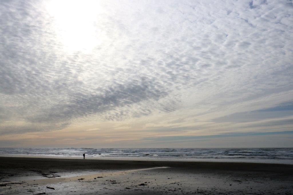 We left Coos Bay after 11:00. I had noticed last night that the restaurant next door to our hotel had Belgian Waffles with strawberries and whipped cream on their breakfast menu, so we skipped the breakfast at the hotel so I could have it. One of my favorite breakfasts. Yum. Yum.
There are 27 Oregon State Parks and Viewpoints between Coos Bay and Lincoln City, plus the Oregon Dunes National Park. We were good though, we did not pull into every one of them. Just a dozen or so.
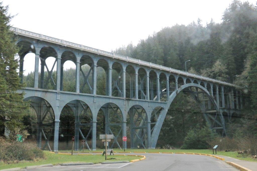
We crossed a lot of beautiful bridges today. I didn’t get the names of them, except the Alsea Bridge near Waldport. With so many inlets and streams and rivers feeding into the ocean bridges were necessary to connect the coastal road communities. As we crossed the bridge north of Coos Bay we had a motor home towing a car in front of us. Love the sign in the rear window.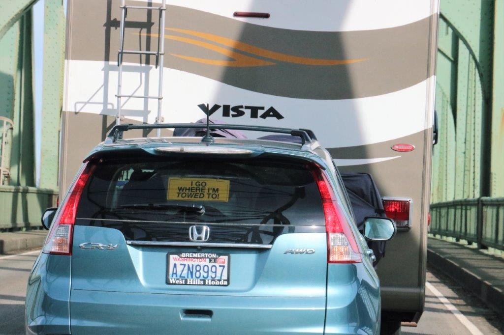 The Oregon Dunes National Park begins just north of Coos Bay and ends just south of Florence. At both ends of the park dunes are still present and are open for ATV’s to drive on.
We took the causeway over to Horsfall Dune but the road into the dune access was closed due to flooding. We found a geocache though, and another one on the causeway on our way out to the highway. The triangle skiff is an oyster – mussel bed.
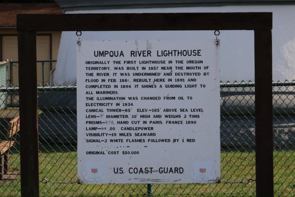
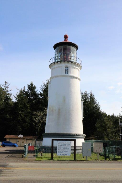
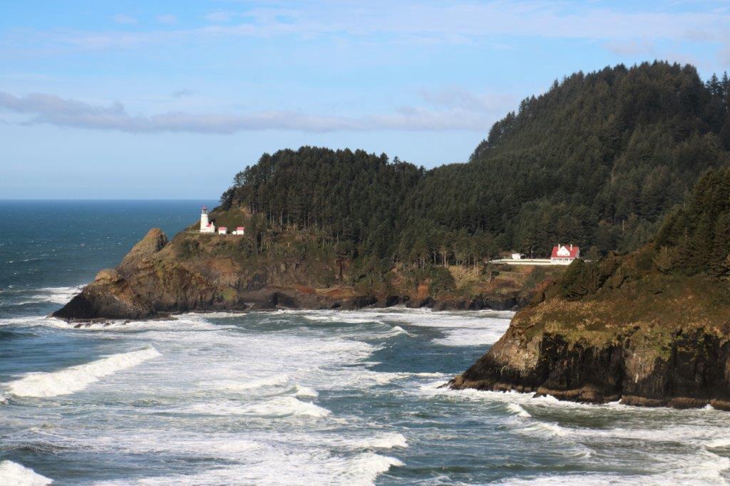
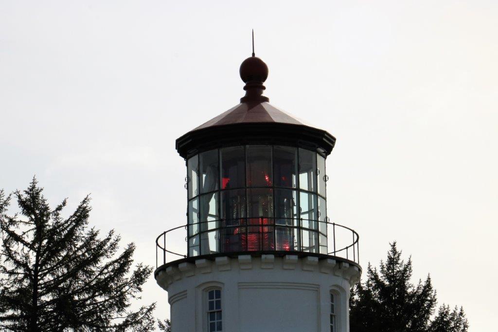 Umpqua Lighthouse was our next stop. It has a hand-made red and white light. At the lighthouse you could see some of the dunes.
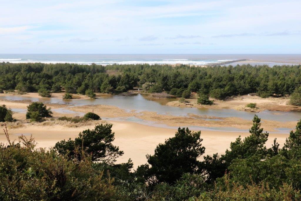
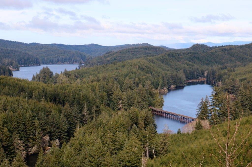
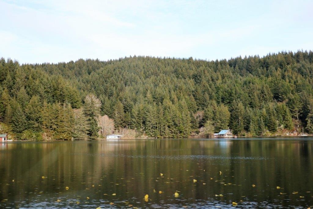
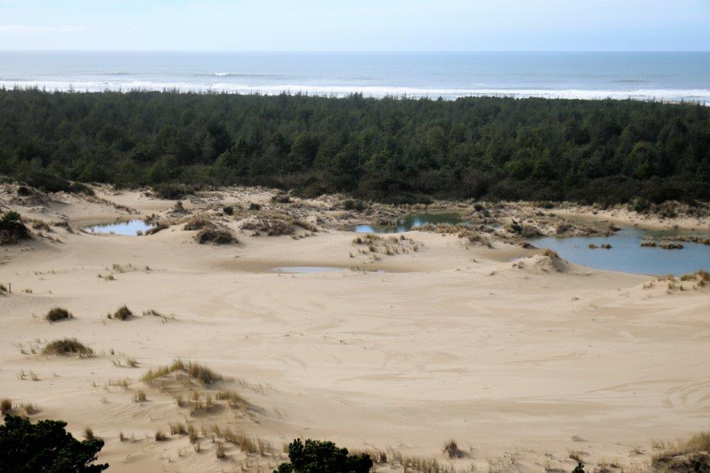
 We were driving along on the road through a logging area and passed a street sign for 5 Mile Road. As we went by I noticed that at the end of a steep little hill there was blue sky; which told me there might be a nice view to be seen. Sure enough we turned a corner and through the trees we could see these lakes. We turned around and drove up 5 Mile Road to get this lovely forest and lake view.
 The Oregon Dunes are not often visible from the highway. They are hidden behind a forest belt. To see the dunes you must watch for access roads and turn off.
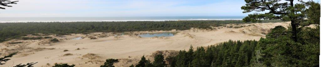

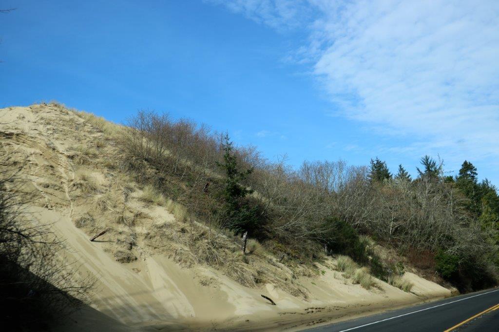 This is one of the few points where the dunes come up to the edge of the road.
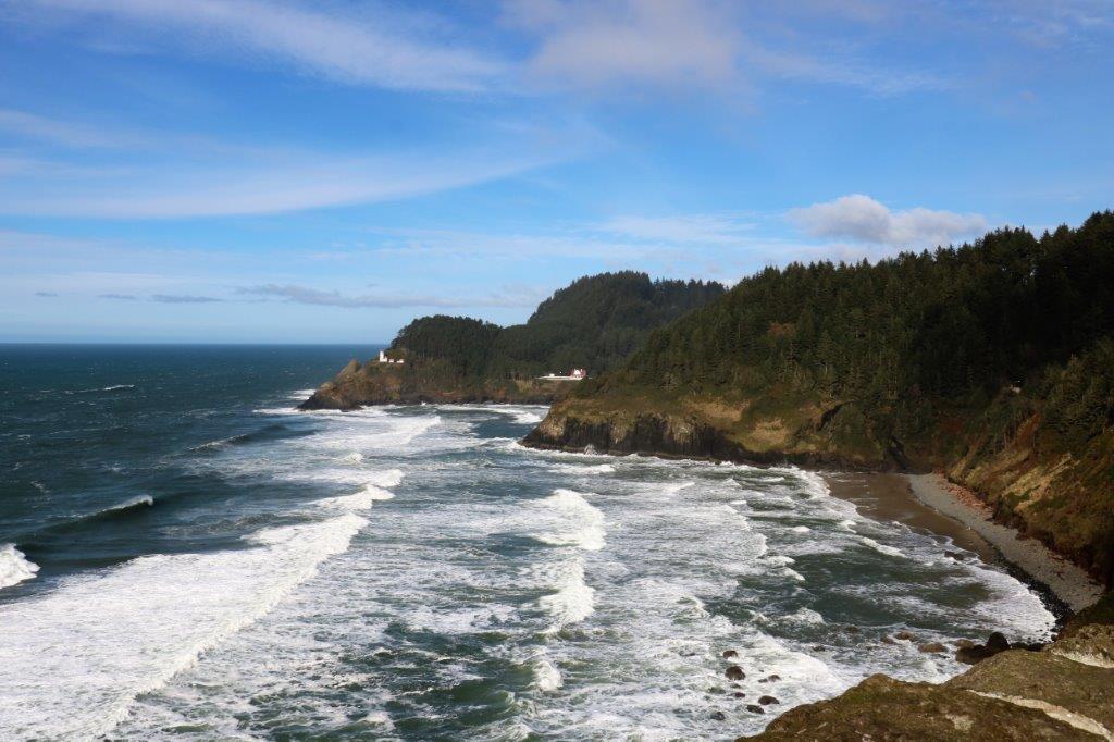
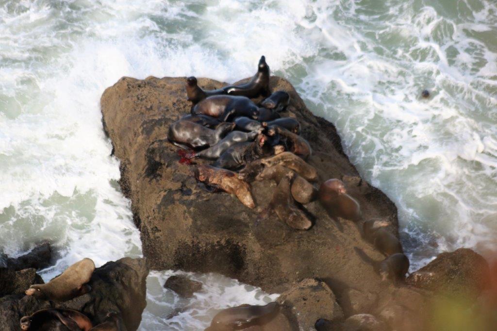
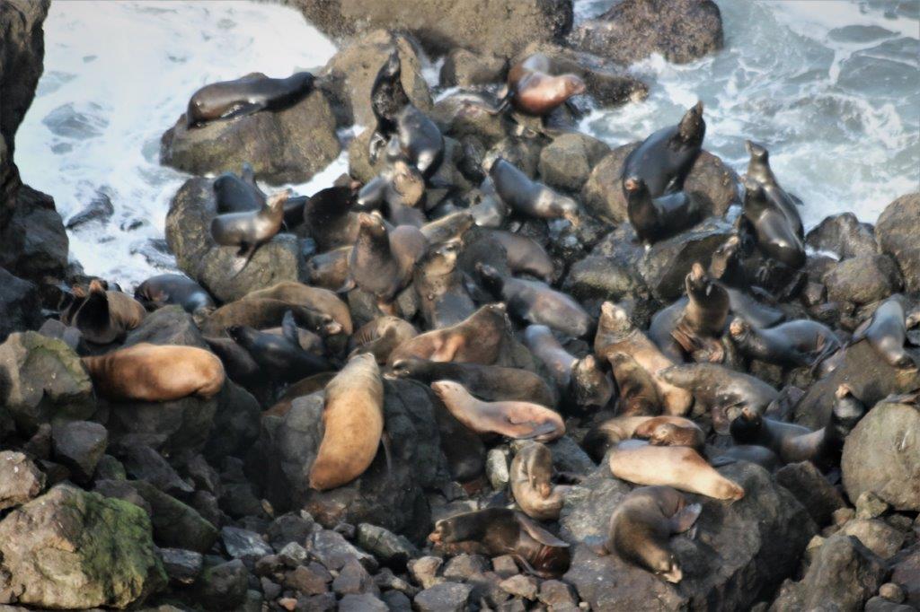
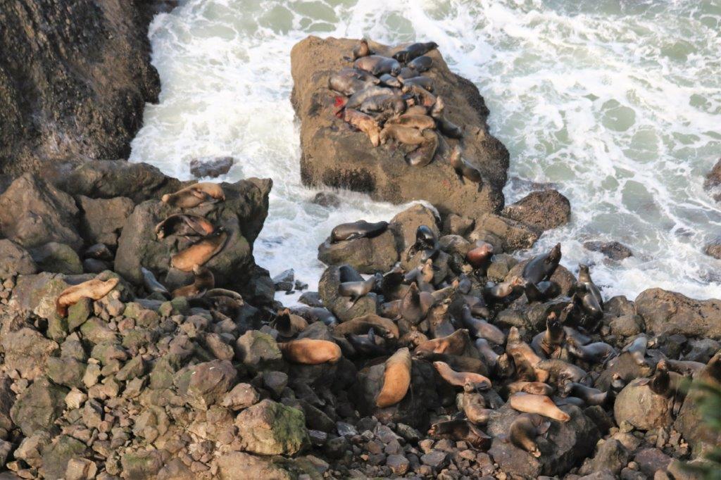 We pulled into an overlook which had a gorgeous ocean and shoreline view. It also had a colony of noisy sea lions sunbathing on the rocks at the base of the cliff. One of them had a cut flipper.
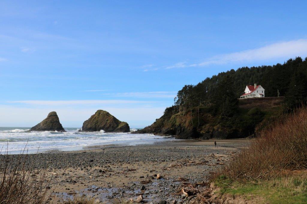
 Heceta Head was accessed by driving under the highway bridge. There is a lighthouse here too but we only stopped to check out the beach area.
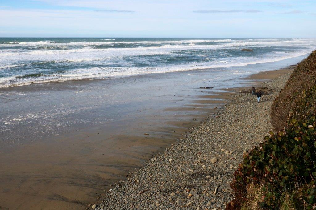
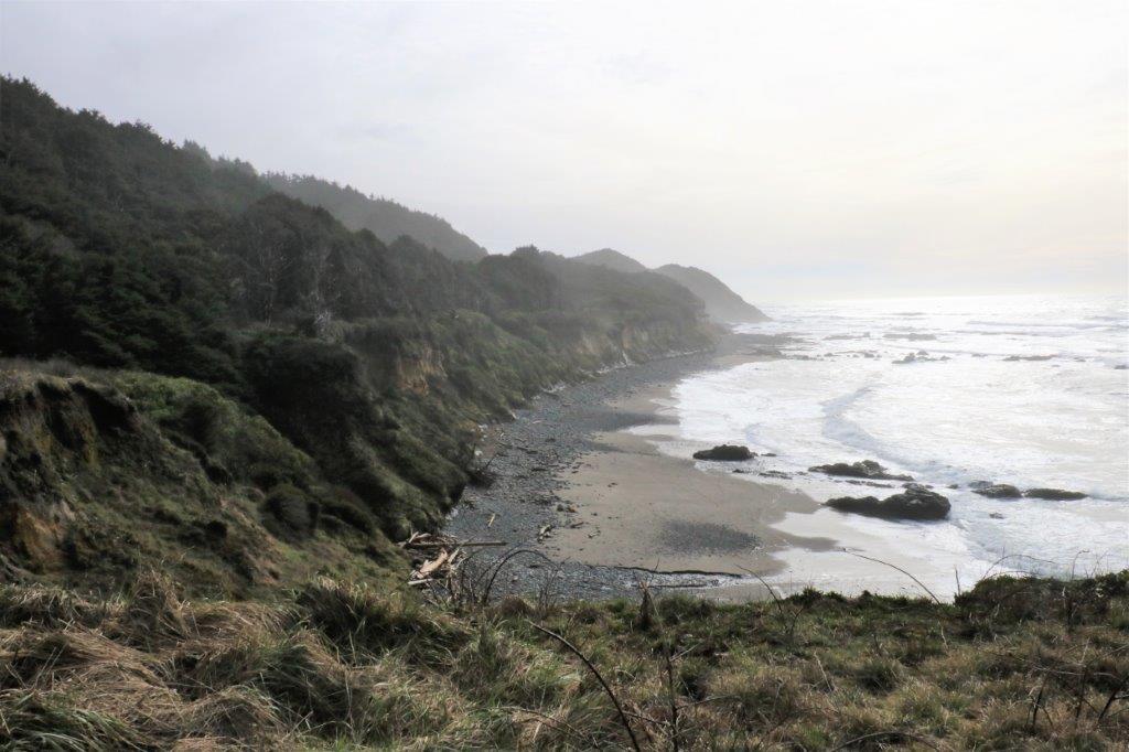
 The beach at Bob Creek (above) was nice but it was very cold with the wind blowing.
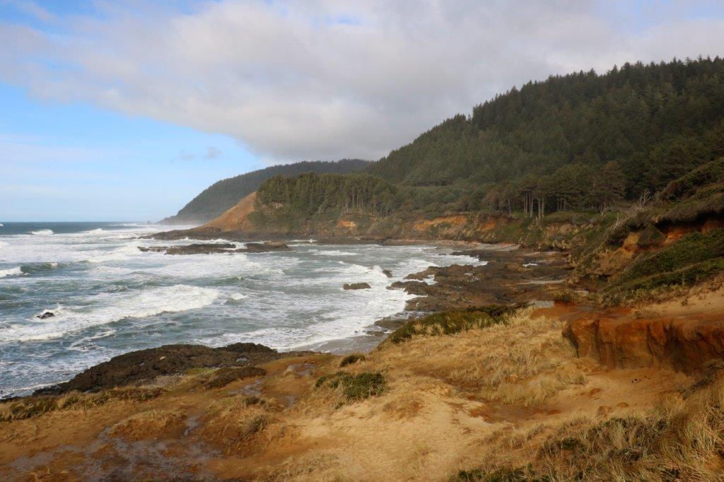
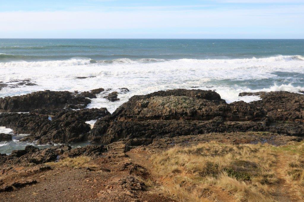
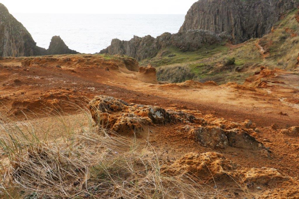
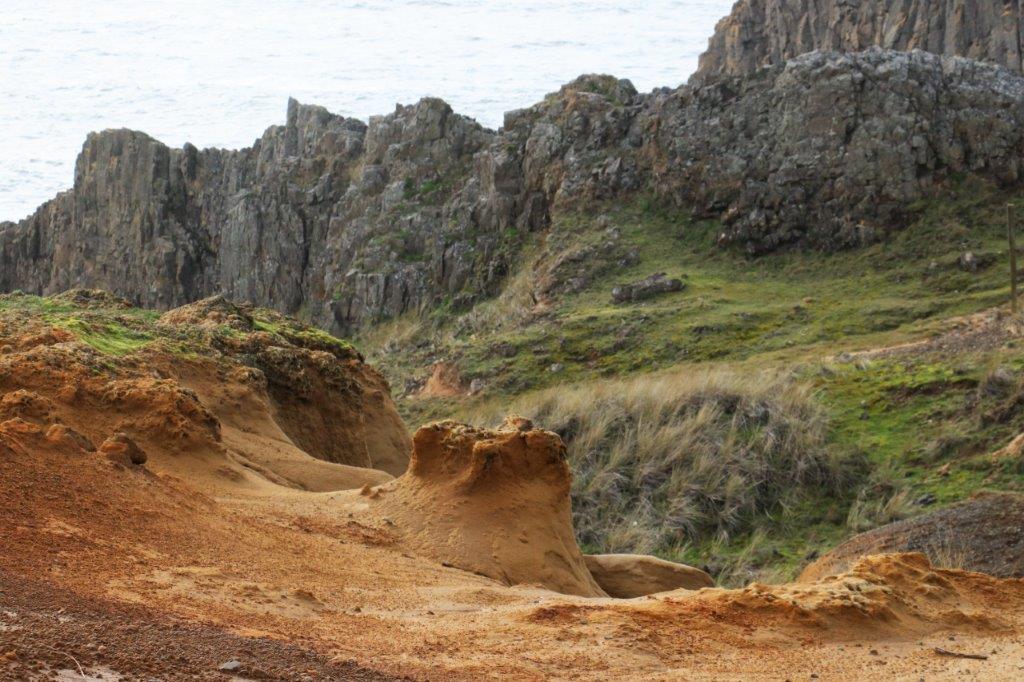
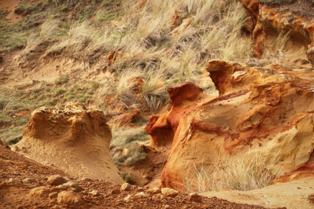
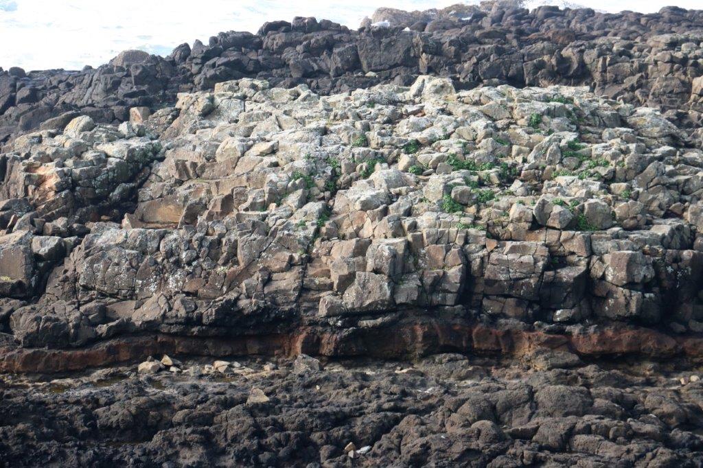 Strawberry Hill was our next stop and we took the path around the point so we could see the ocean to the north and south. There was a lot of interesting rock formations at Strawberry Hill.
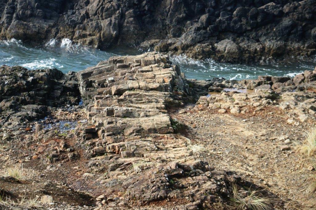 This clump of rock looks like a log pile.
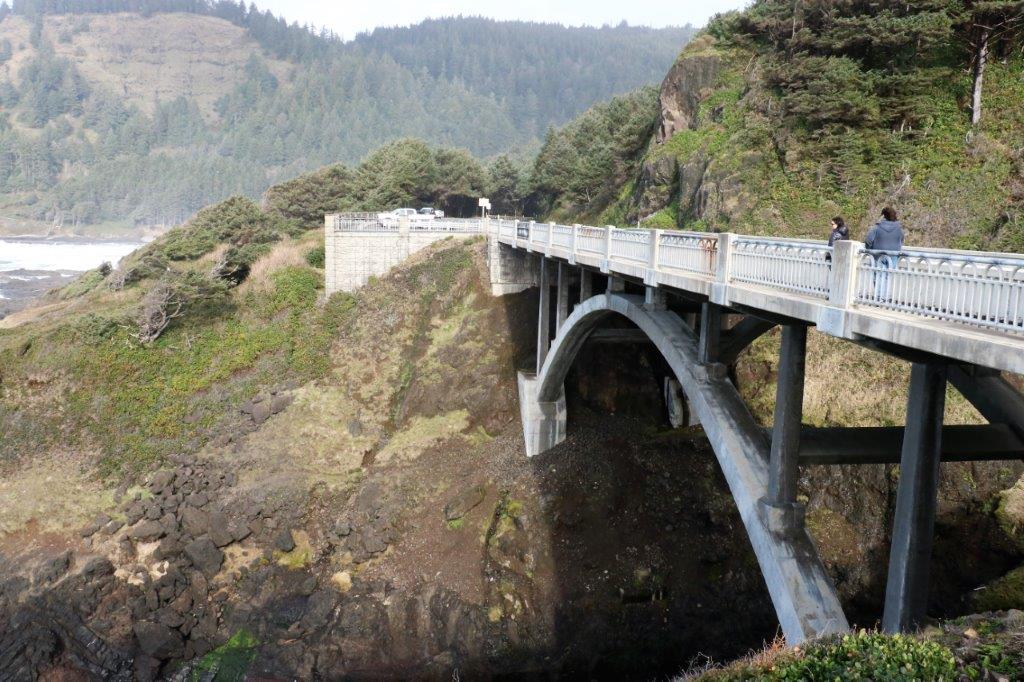
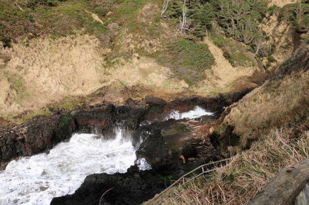
Cooks Chasm was a narrow cut in the hillside on the right side of the highway that opened out into a channel at the ocean. There was a bridge spanning the chasm with a walkway from one side to the other.
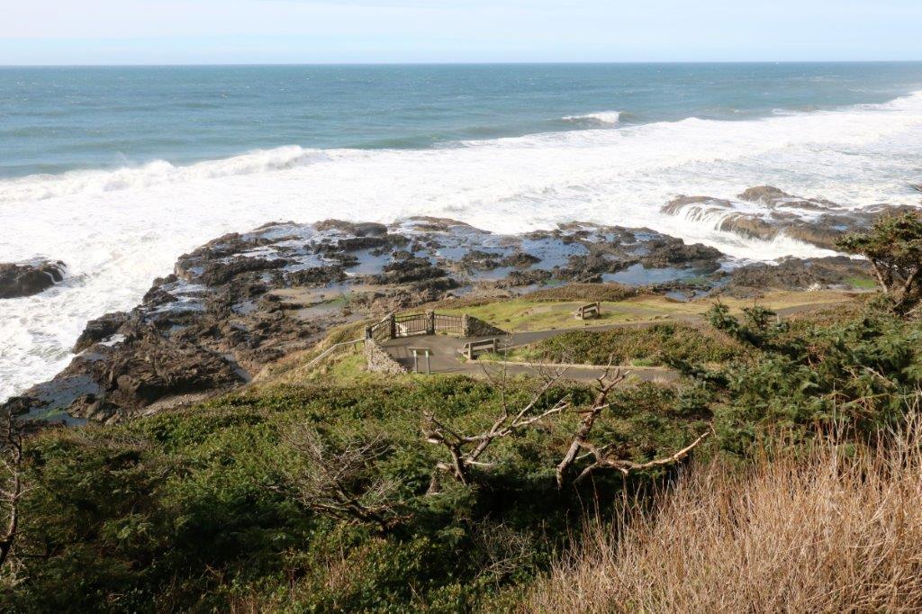 The fun thing about Cooks Chasm is the blow hole. With the wind blowing steadily there was enough wave action to have a few pretty good blows.
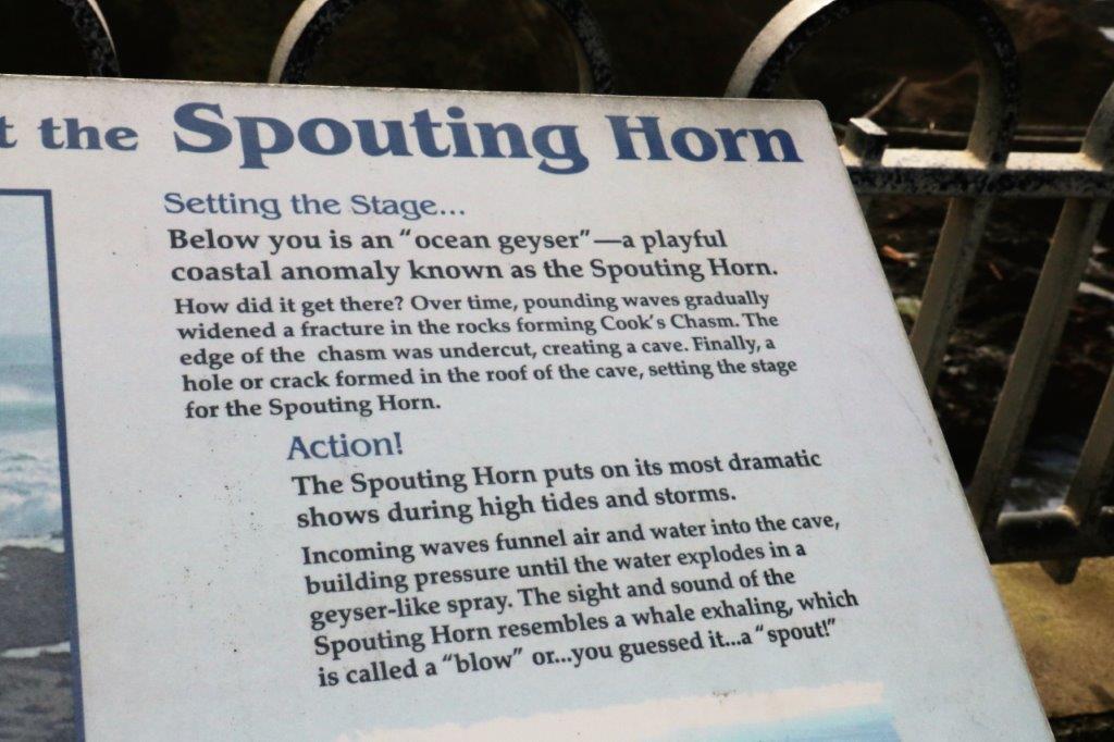

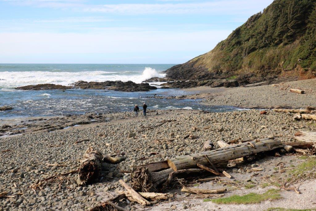
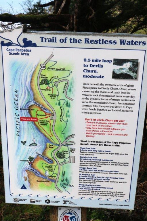
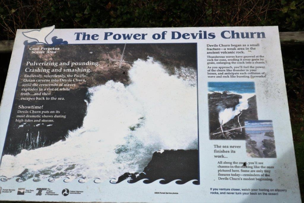
 Just a few corners further up the road was Devil’s Churn. We pulled in to check it out, bought a nutritional hot dog for lunch, and took a walk down the zig-zag path see the wave action up close.
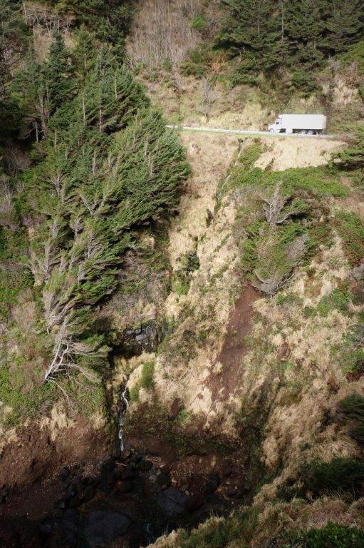


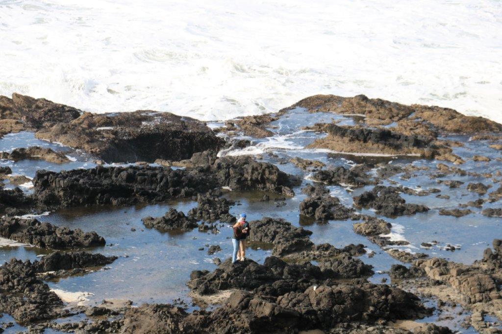
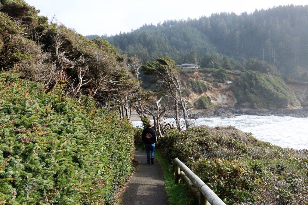 We discovered that the trail was a loop so we went for a little stroll. When we got to the south side the sun on the water turned everything silver.
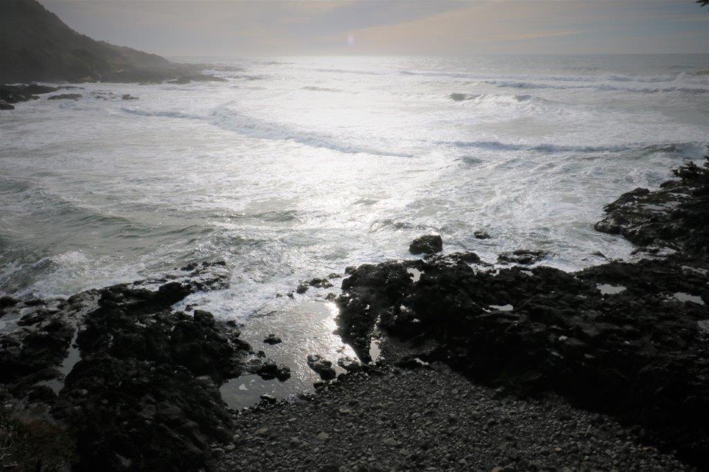
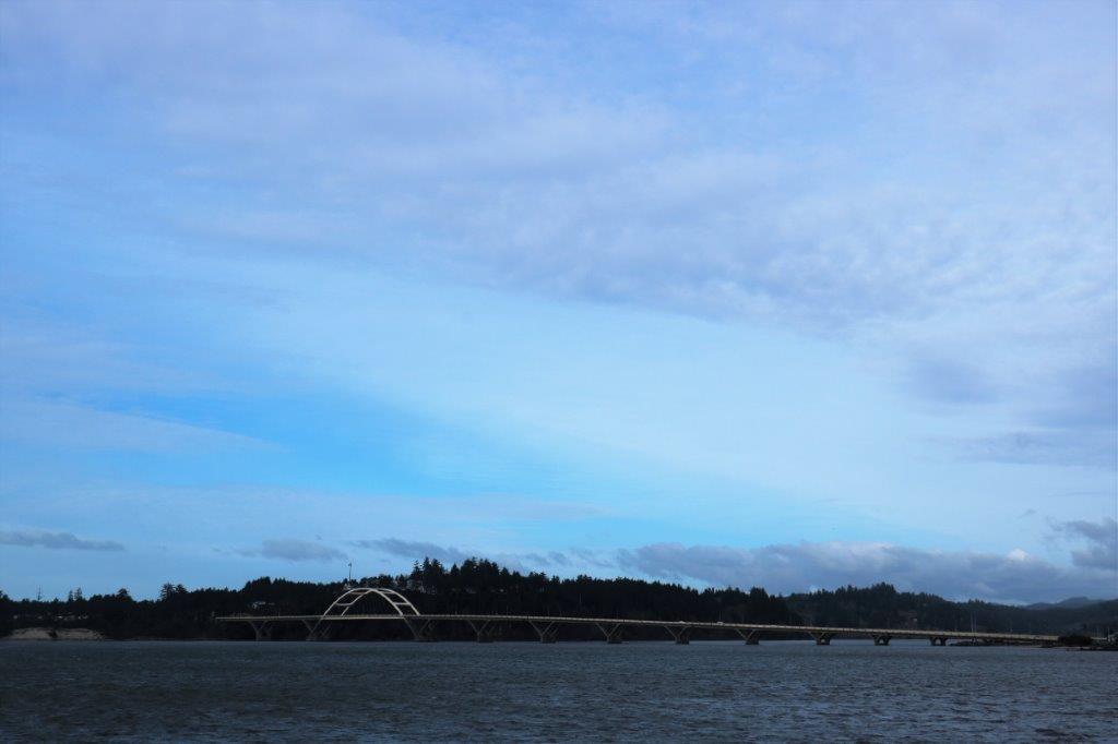 This is the Alsea Bridge south of Waldport.
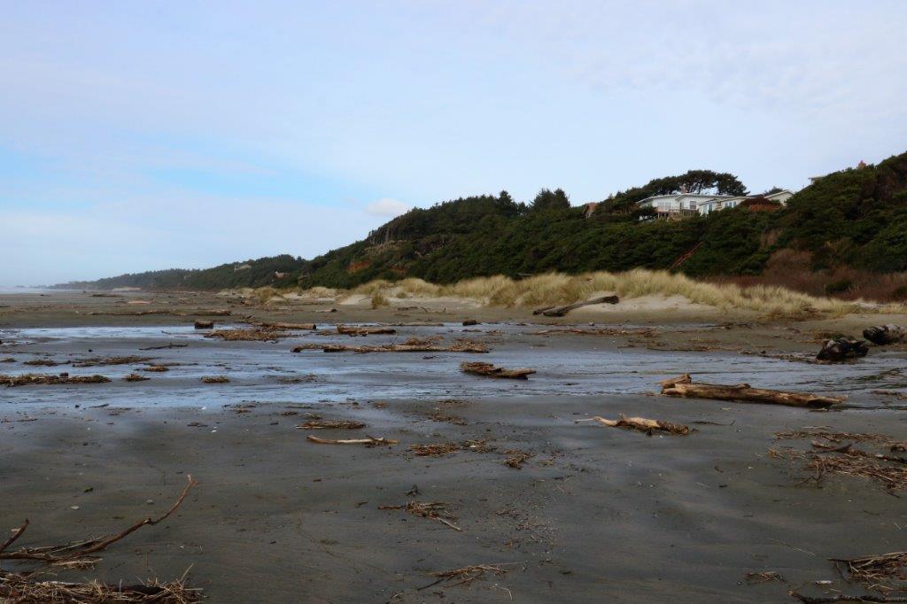
I was expecting considerably more driftwood to be on the beach at Driftwood State Park but there was still enough to make it interesting.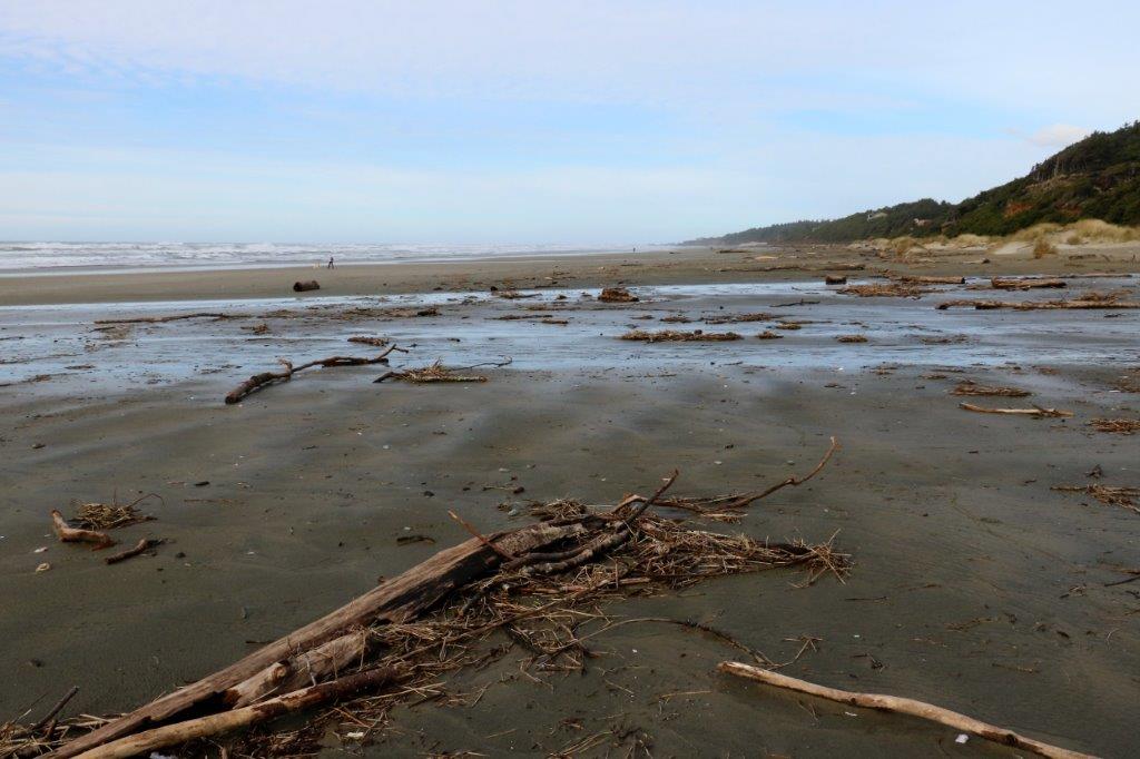
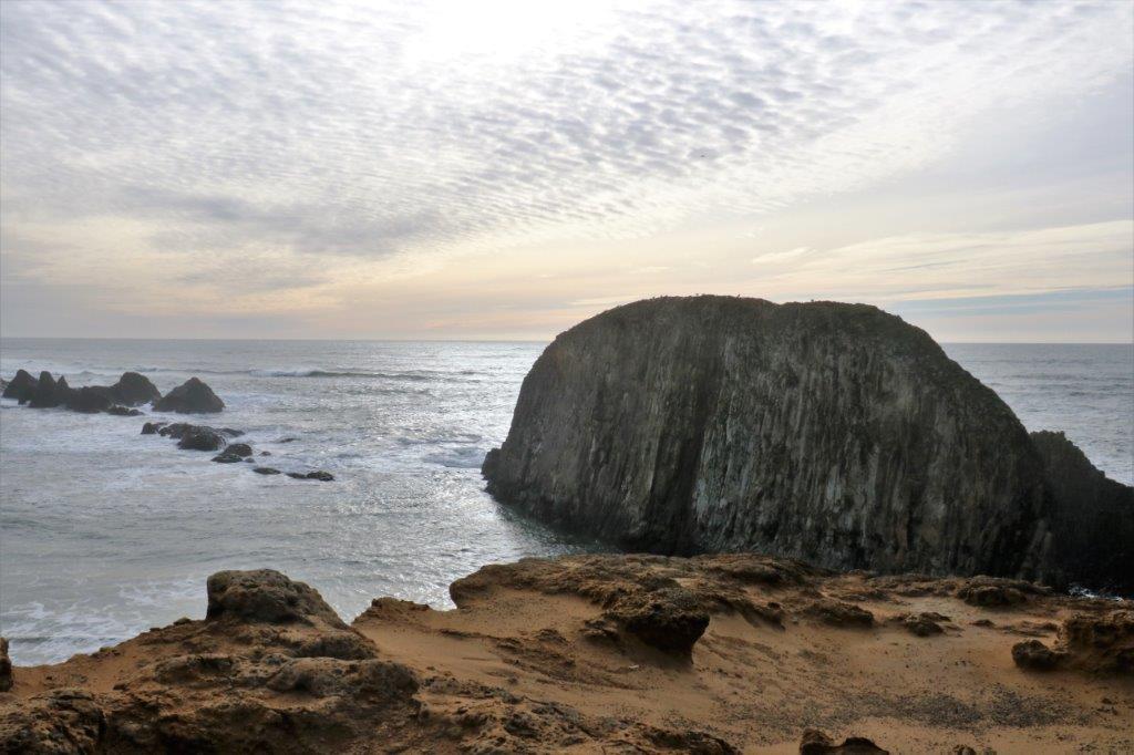
 Seal Rock was another of our stops where we followed a loop trail along the coast. Here too there was nice colour and shapes to the rocks and sand.
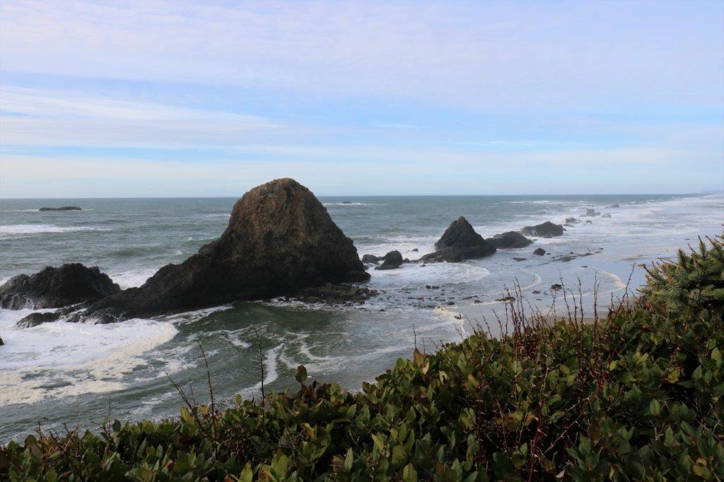

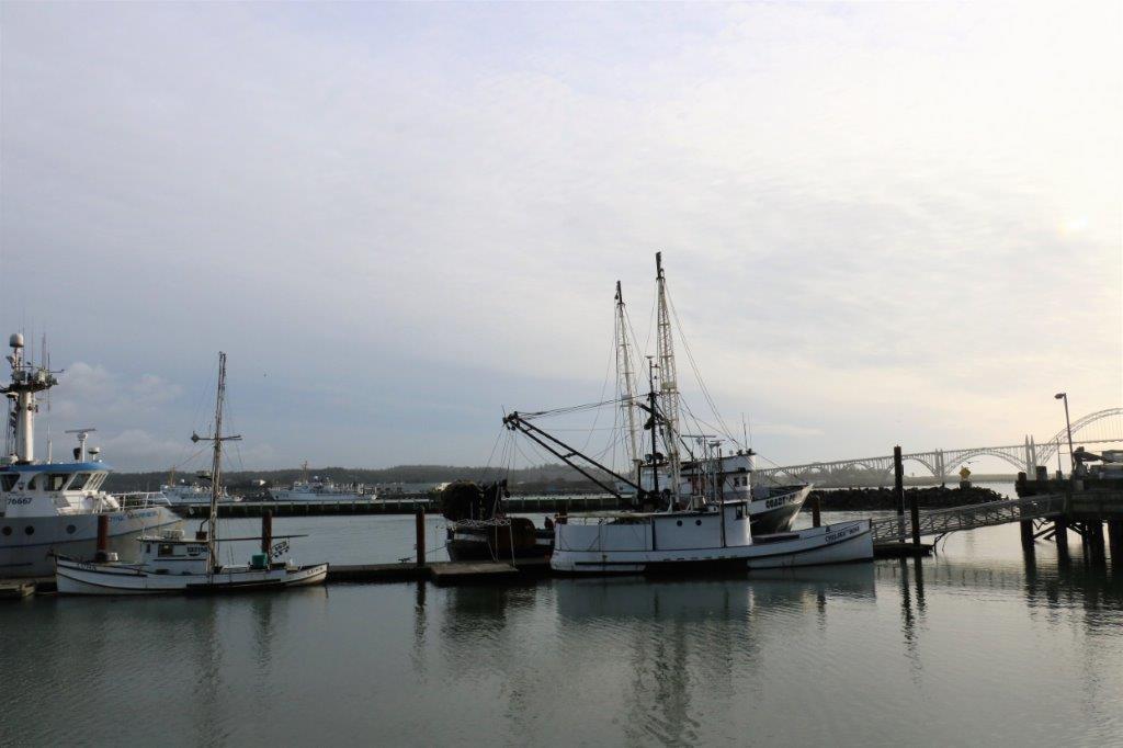
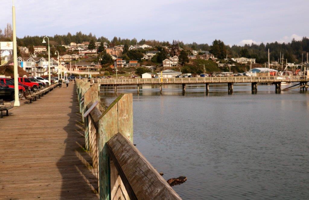
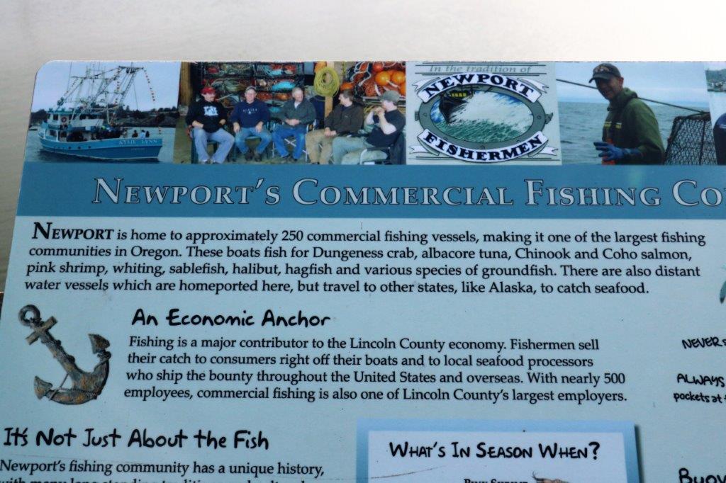
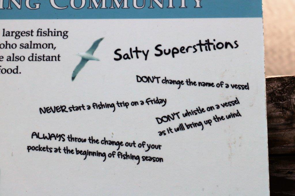
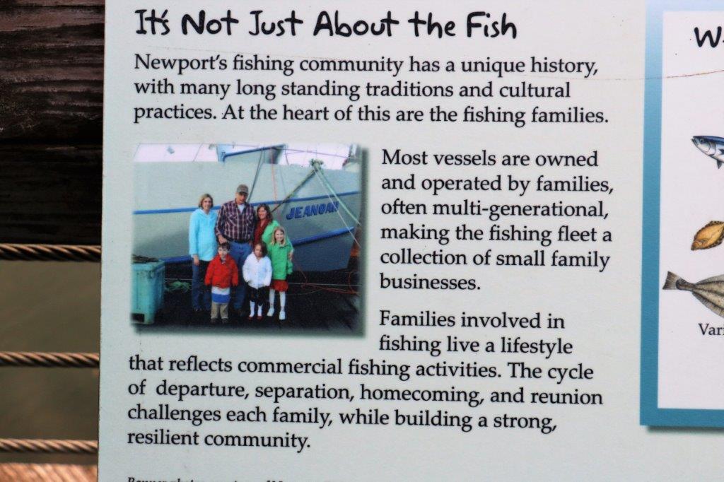
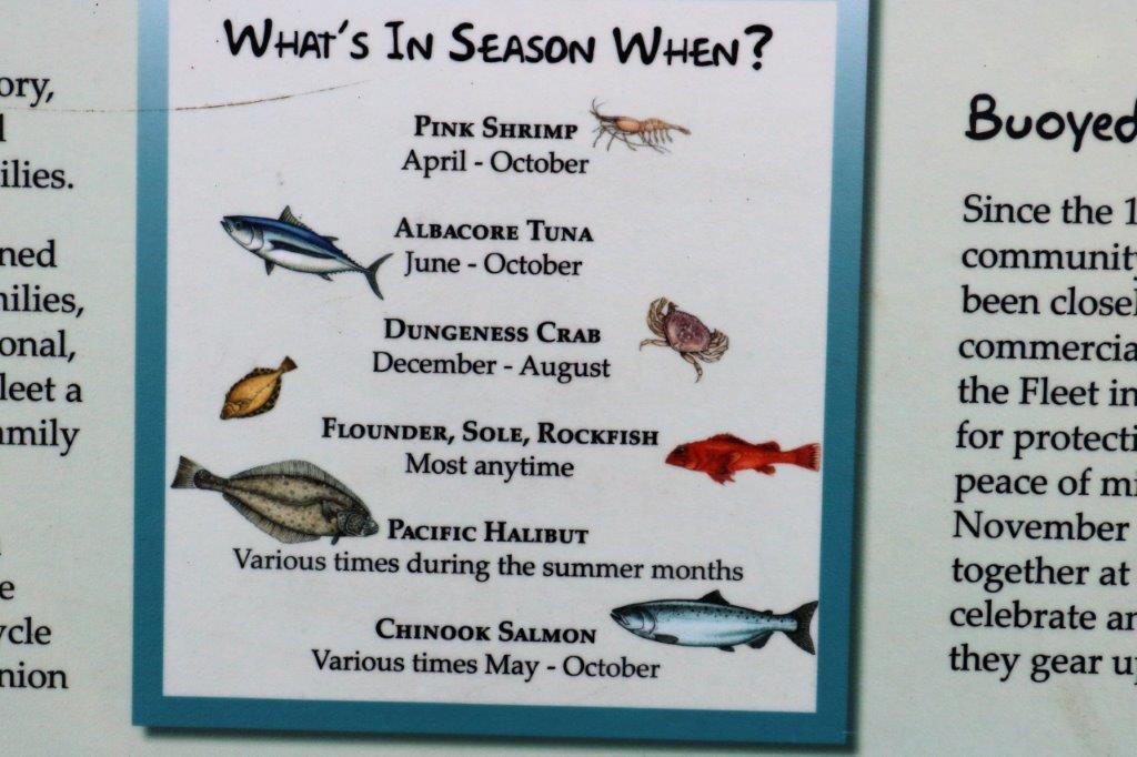
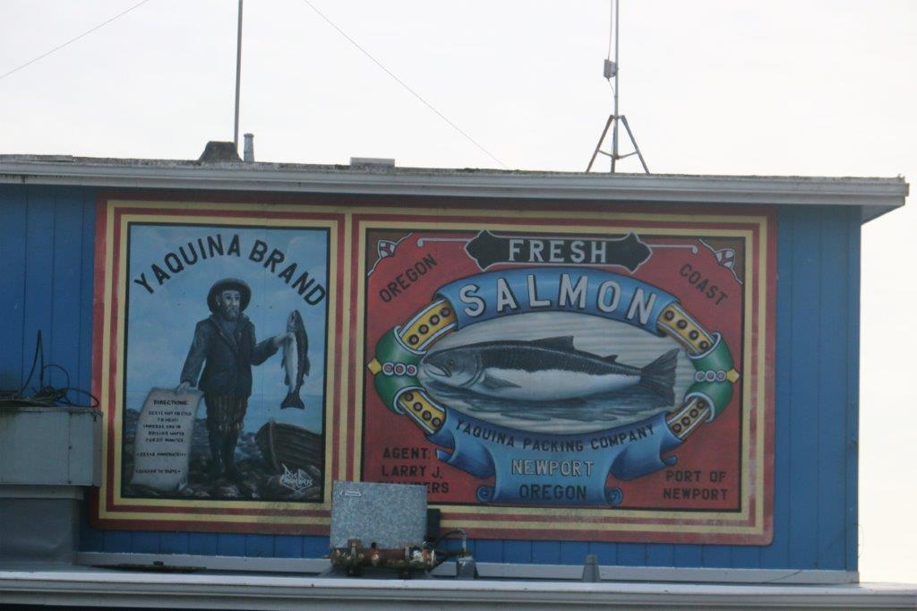
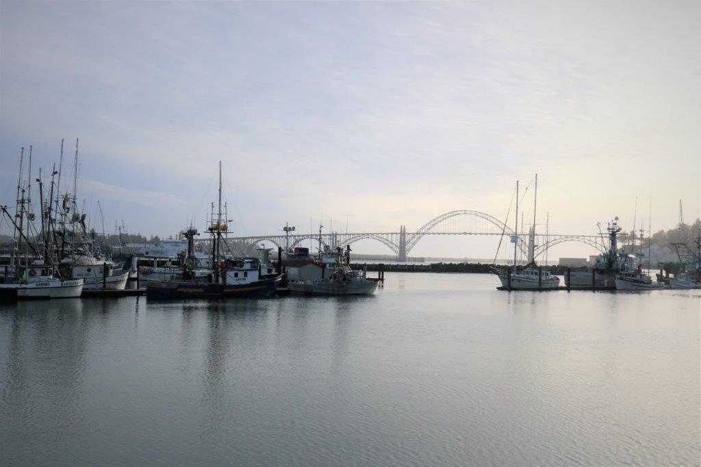
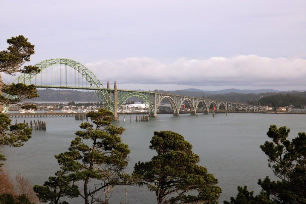
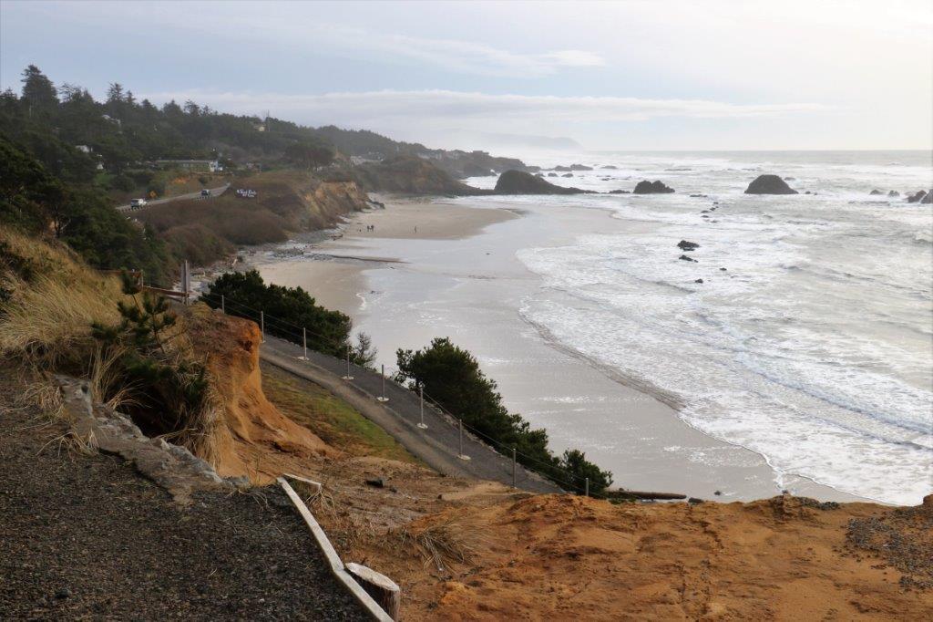 The last larger town before we arrived in Lincoln City, where we are spending the night, is Newport. As we were driving through town I noticed a sign that said Old Town Loop so John made a quick right and we ended up at the harbour where there was a really nice boardwalk.
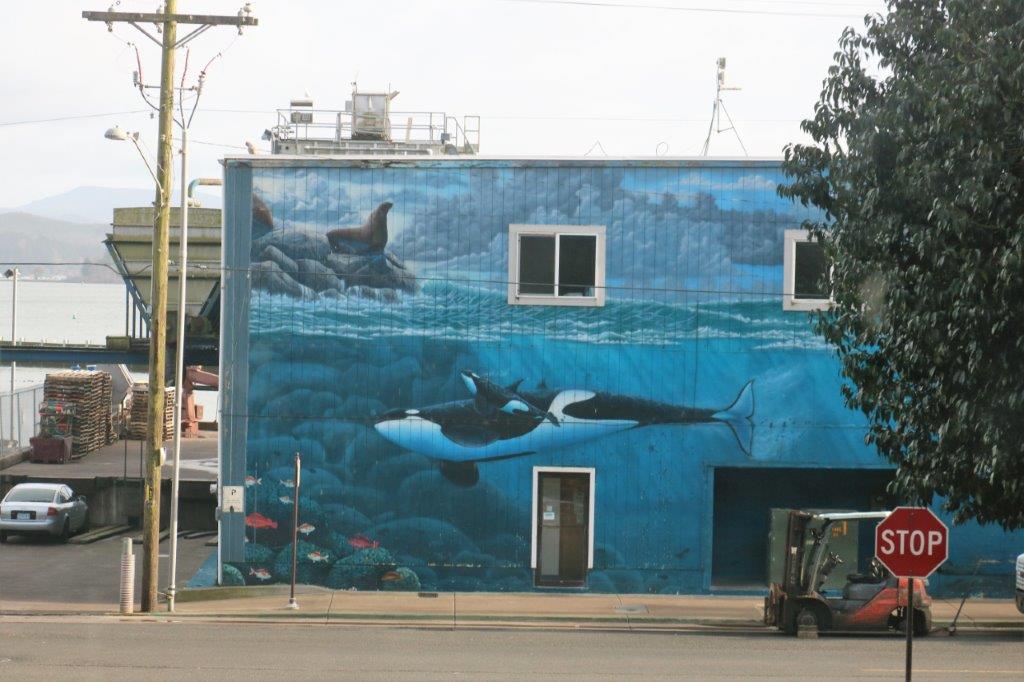


 At Newport there is the historical Yaquina Lighthouse which was in service from 1871-1874. We just missed being able to have a tour by a few minutes; they closed at 4.
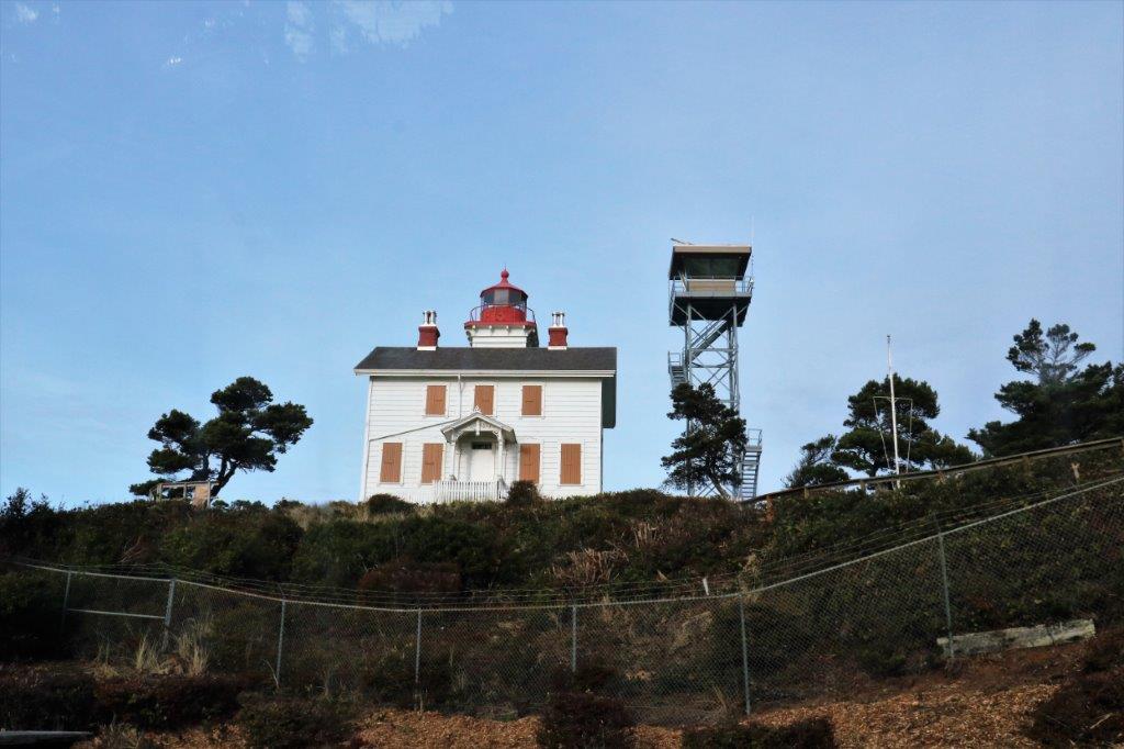

 As we were leaving Newport we passed the junction for Highway 20 which goes east to Corvallis. They had a bit further east in mind though.
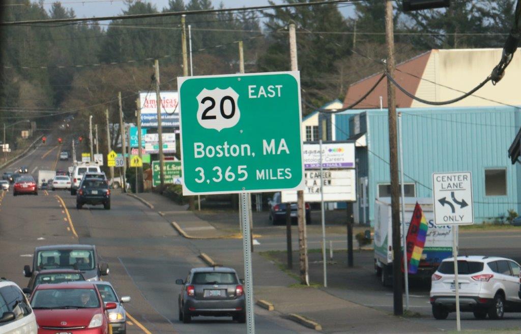 I have no idea what the weather is supposed to be tomorrow but we are leaving the coast and going inland – but not as far as Boston.
