2017 Feb 7 (CA Stay and West Coast Roads) – Day 36 – Yuma, AZ

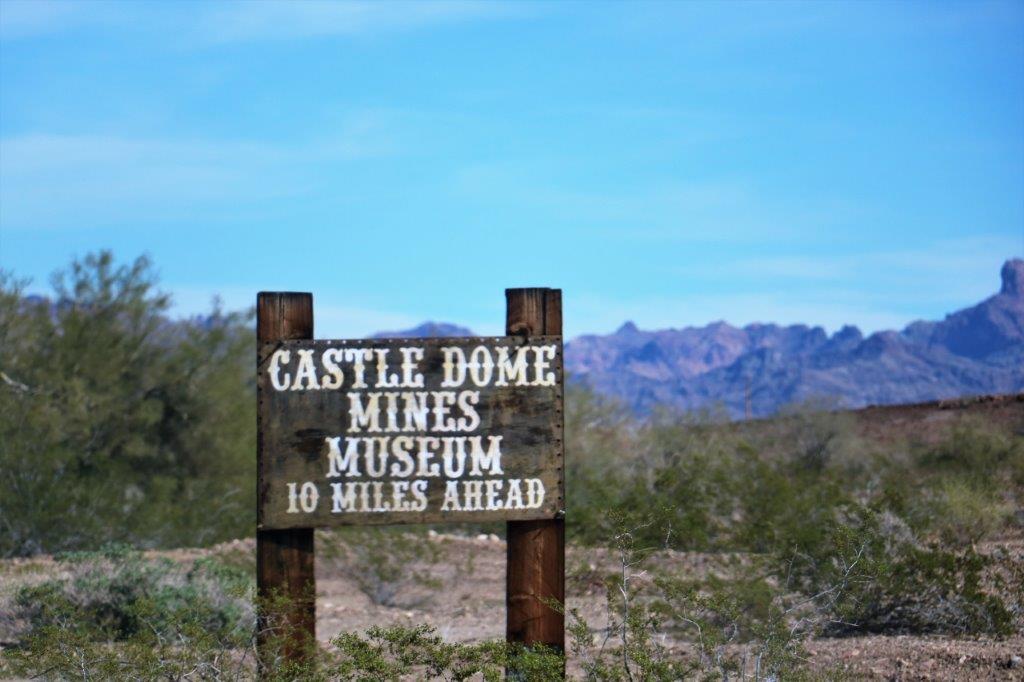
I didn’t have the opportunity to write my blog yesterday.  We drove out to the Castle Dome Museum and Mines and then geocached our way back down the gravel road to the highway before driving back into Yuma.  By the time we got to the hotel after dinner I just had time to go through my photos before bed, as we couldn’t be lazy and sleep in this morning.

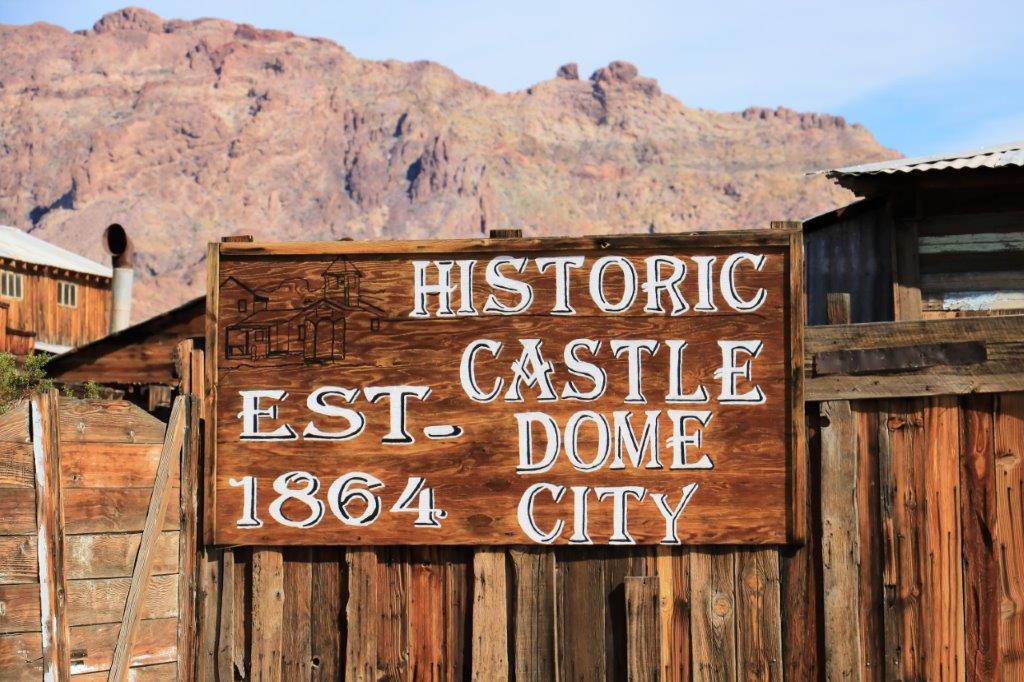
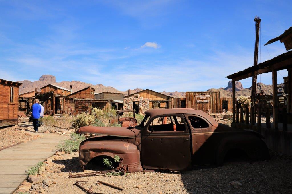
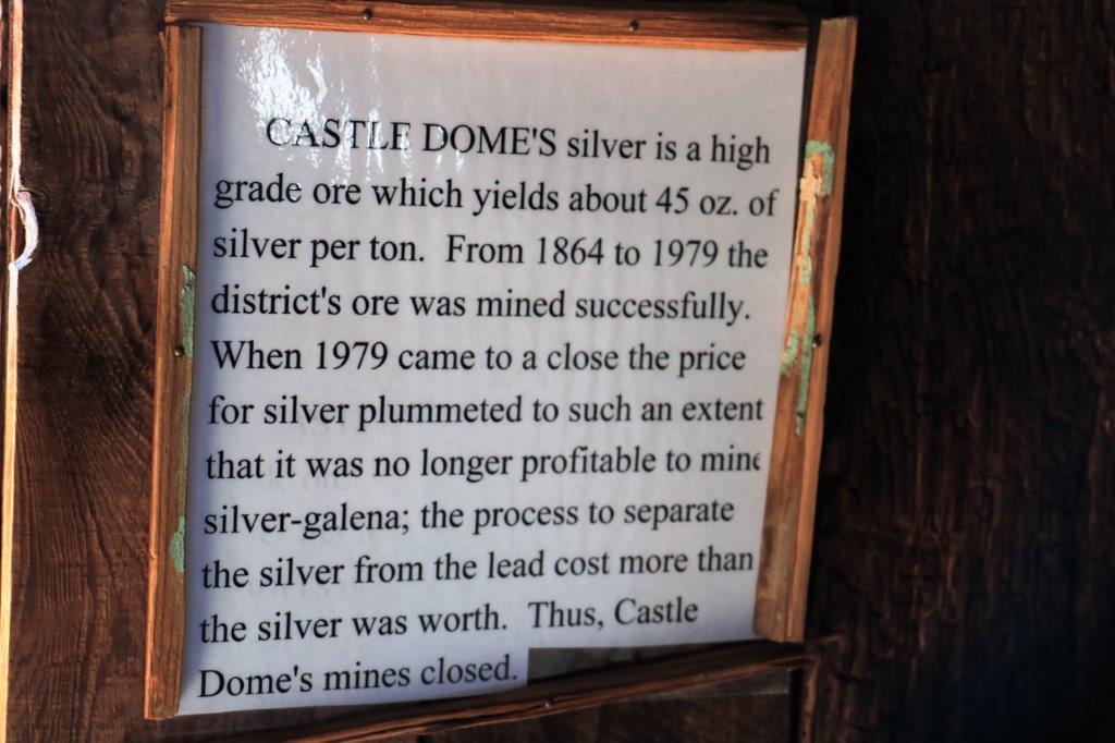
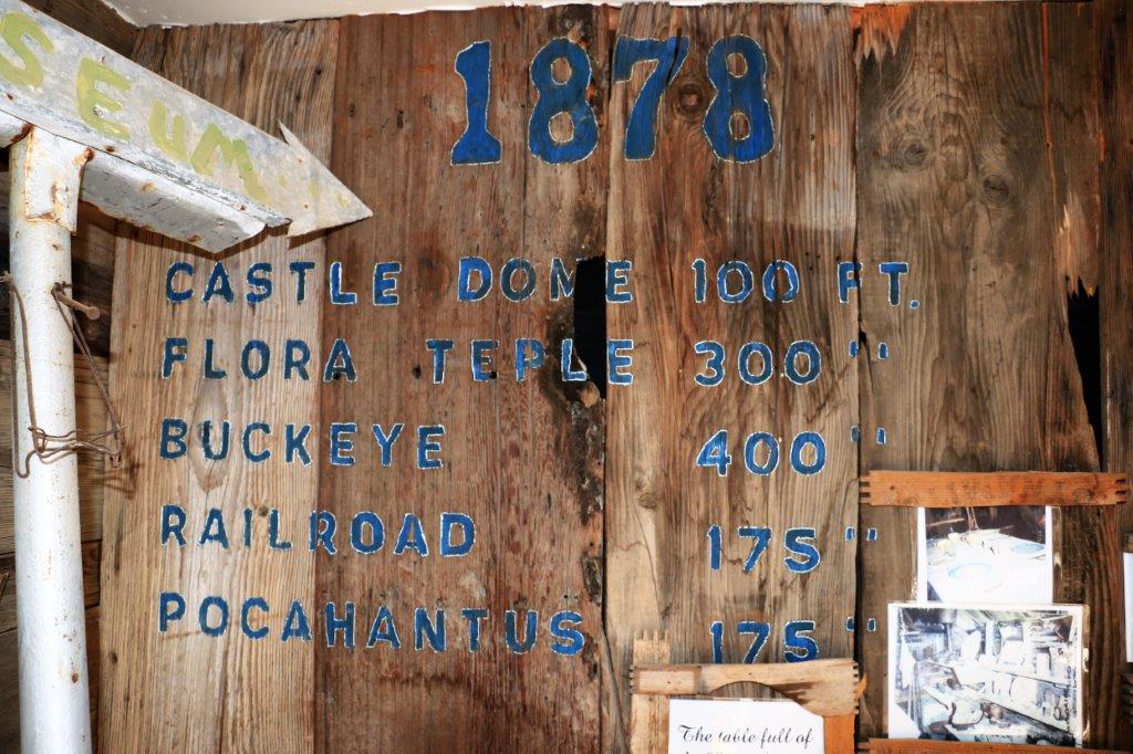
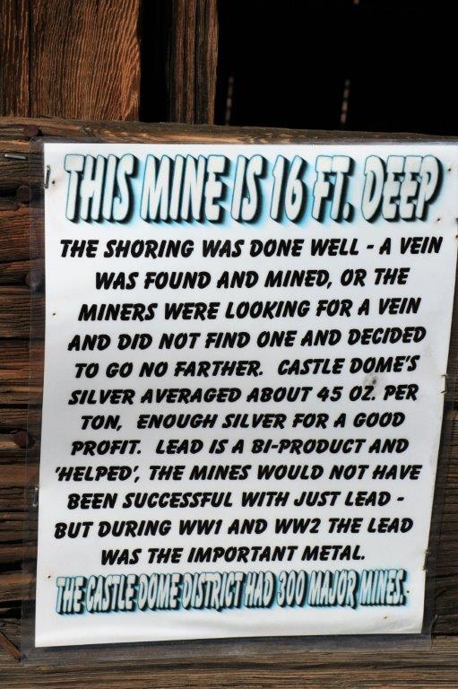
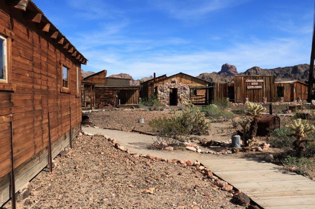
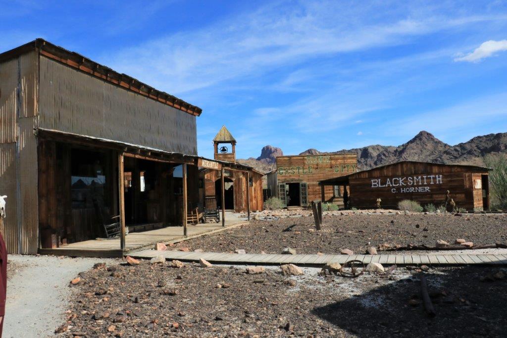
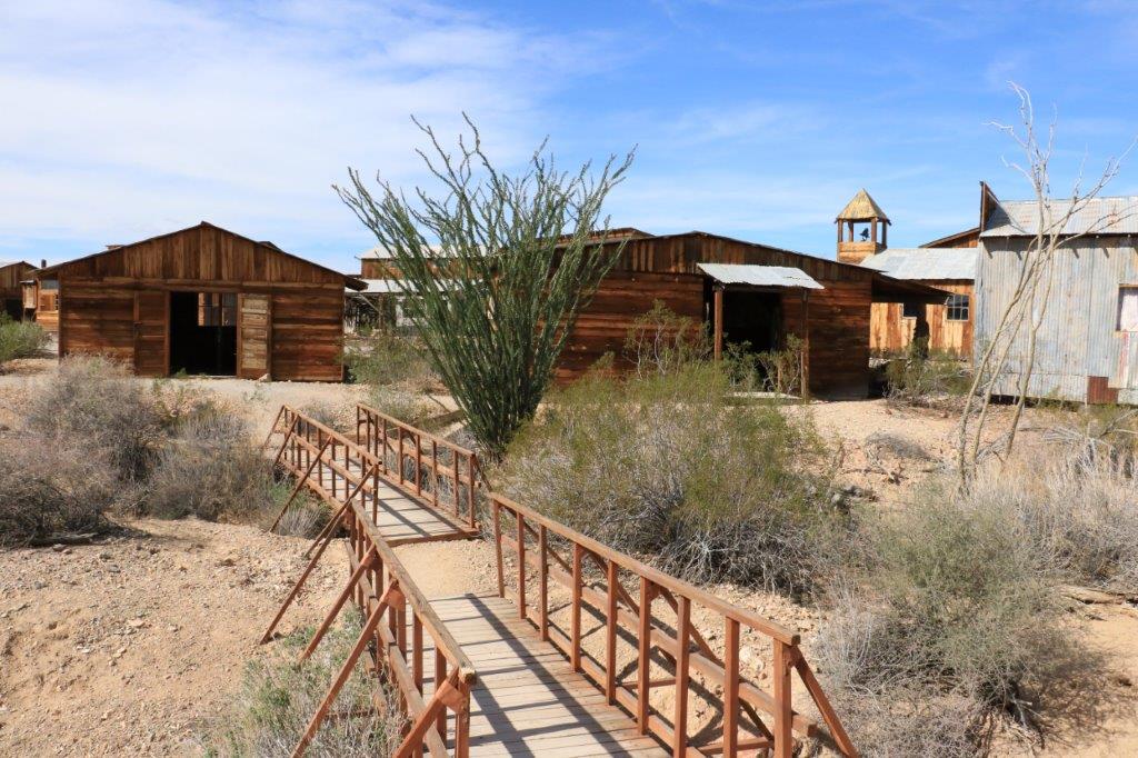
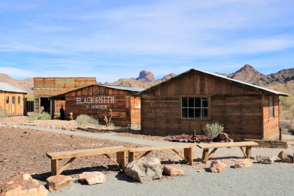
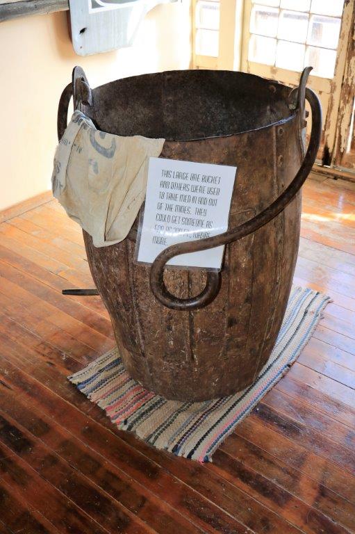
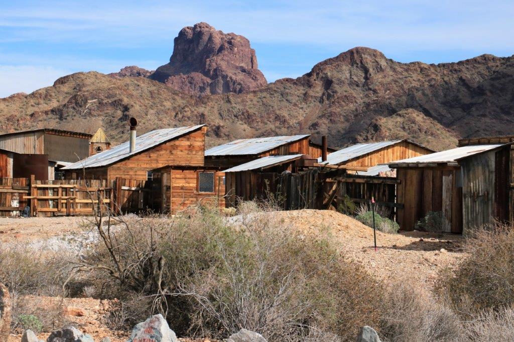
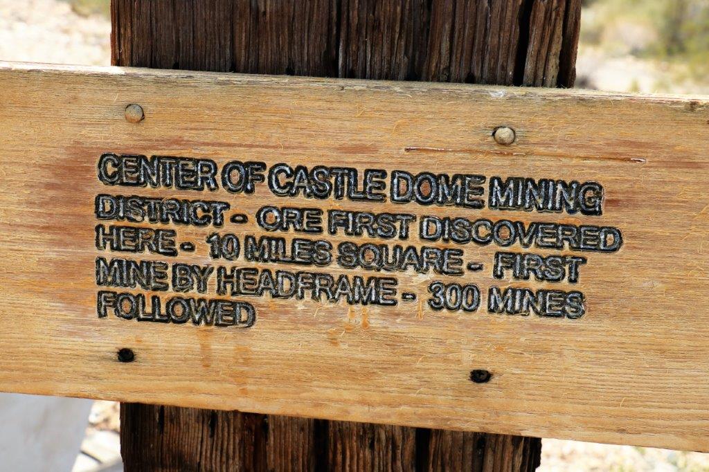
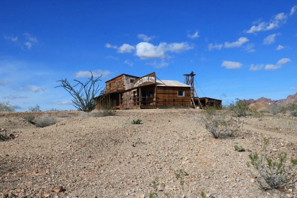
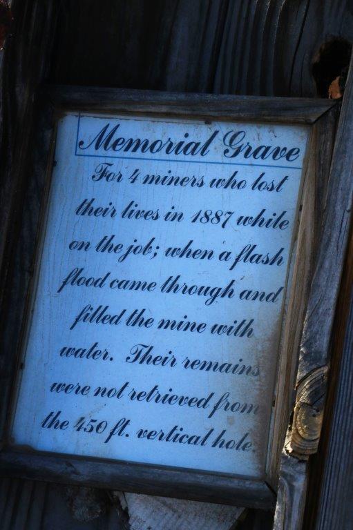
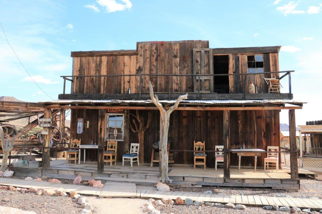
The Castle Dome Museum is an old mining ghost town.  In the late 1800’s it was a booming silver galena and lead mining area with over 300 working mines; some as deep as 450′ vertical shafts into the rocky desert.  There were mines being worked up to 1979 when the price of silver went so low it was not viable any longer.  We wandered in and out of the buildings for most of the day.

We have been to ‘Ghost Towns’ before and there wasn’t very much different about this one, but I always enjoy the stories you hear in old deserted towns.

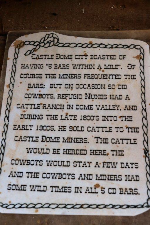
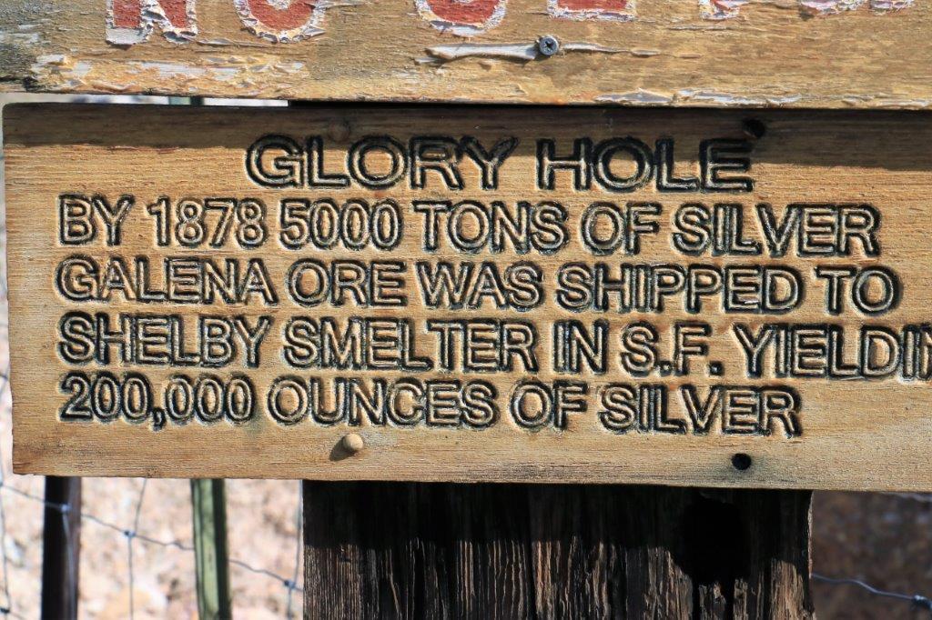
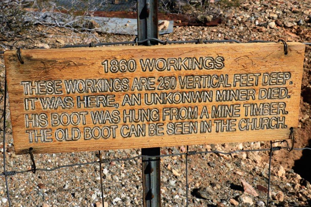
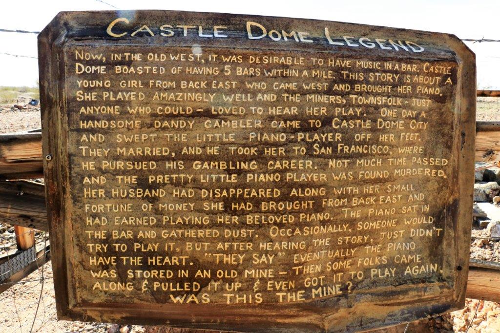
Just like the blog on the Territorial Prison and Quartermaster’s Depot this one will be mostly photographs.  I take pictures of all kinds of things that interest me in these old places and also photograph a lot of the placards that tell the stories.  So here goes….

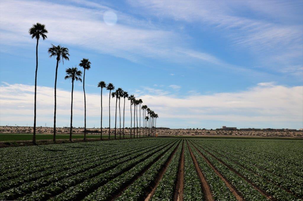
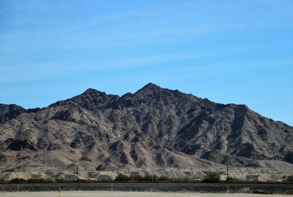
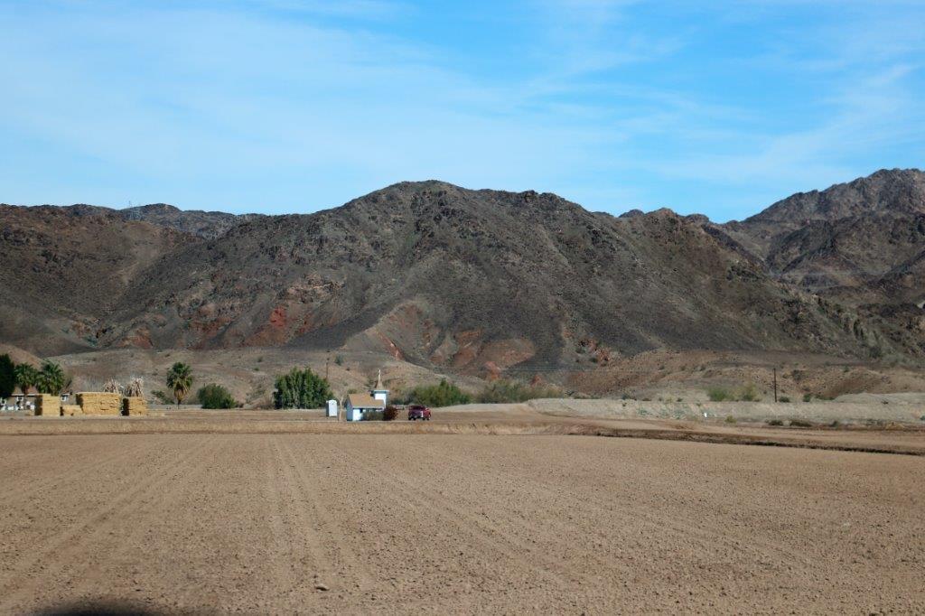
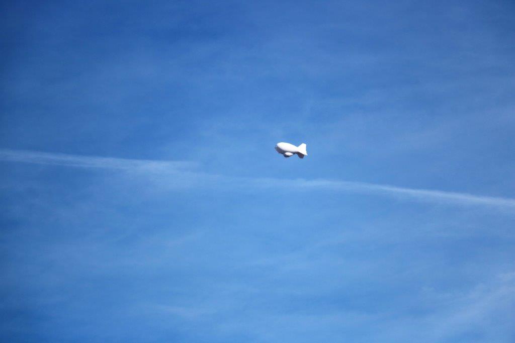
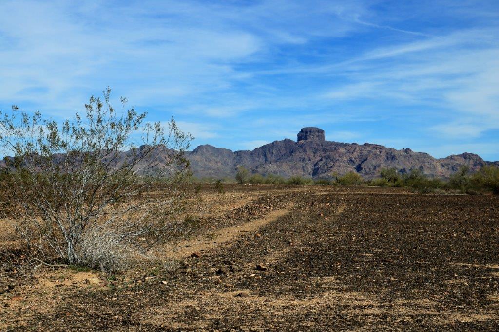
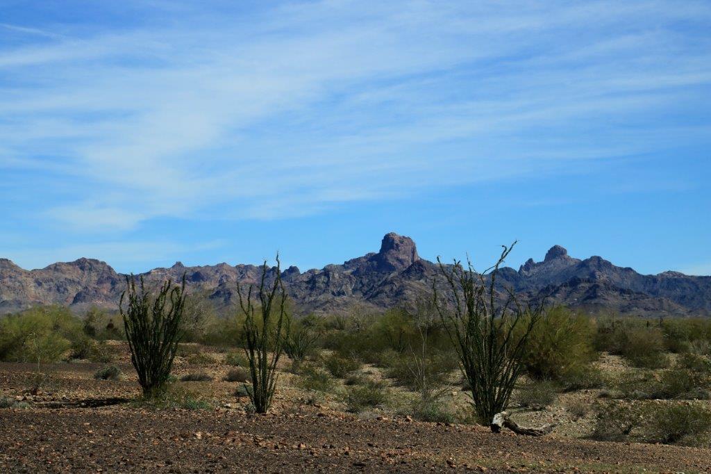
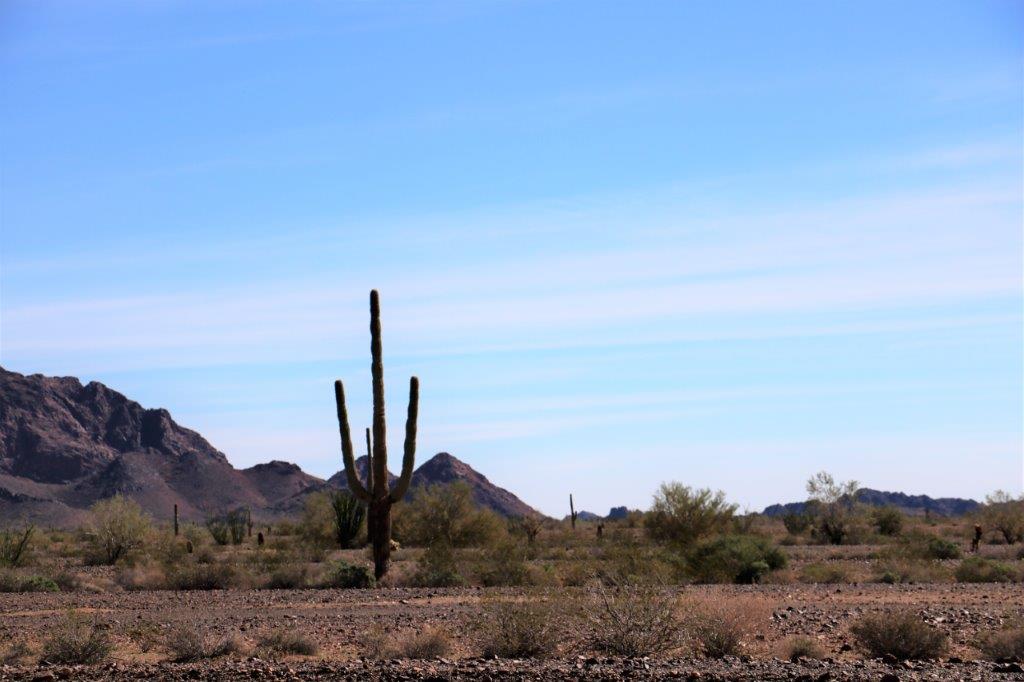
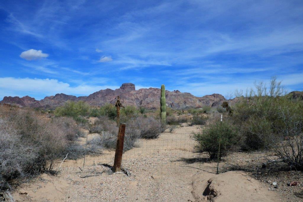
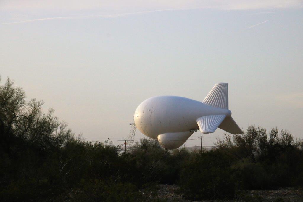
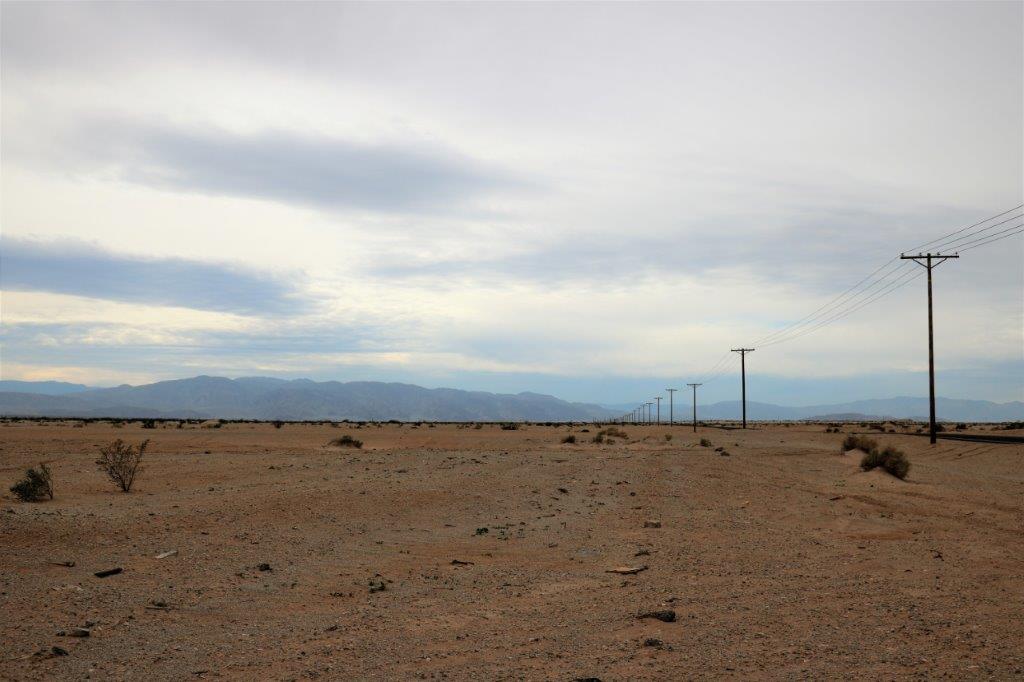
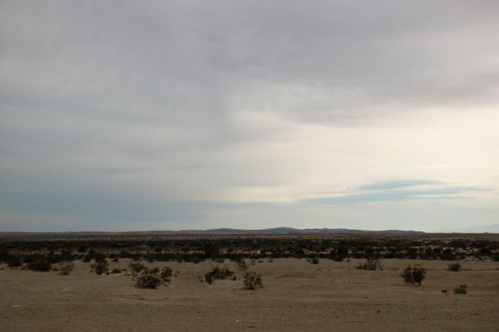
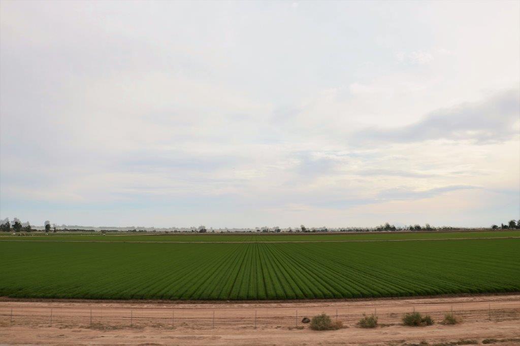
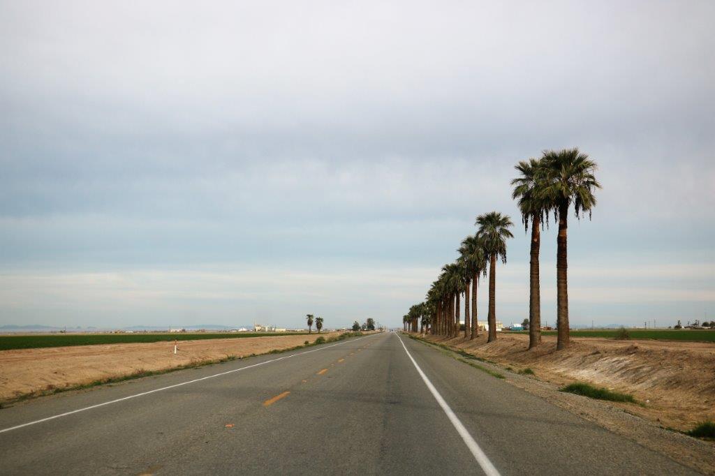
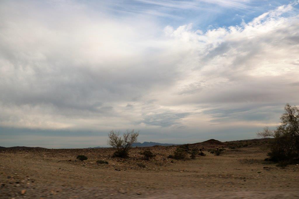
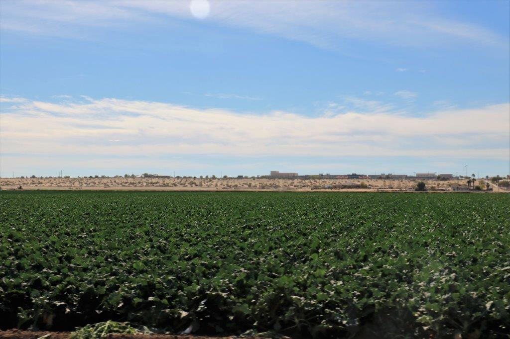
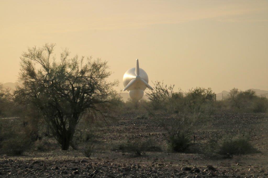
We drove east out of Yuma through miles and miles of irrigated farm land before turning north on Highway 95.img_7546 img_7551 img_7552 img_7558We then drove over 1/2 an hour before turning off onto a gravel road for another 12 miles.  The area is also home to the Kofa Wildlife Refuge.  Apparently there are Big Horn Sheep and Tortoises as well as rattlesnakes and scorpions living in the desert. img_7572 img_7579Hanging in the sky that we could see from miles away was a large white blimp.  We asked the folks at the museum what it was and the fellow said no one knows for sure (The US Army Yuma Proving Grounds covers a vast area here), but the best guess was that it was used for border surveillance to watch for airplanes trying to enter the US from Mexico (mostly drug runners). img_7575 img_7581 img_7584You can just make out the tether line in this photo.
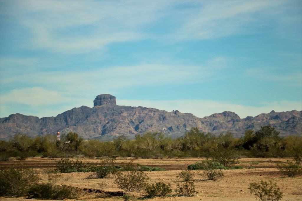
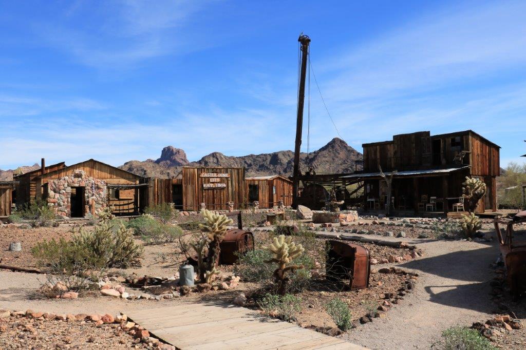
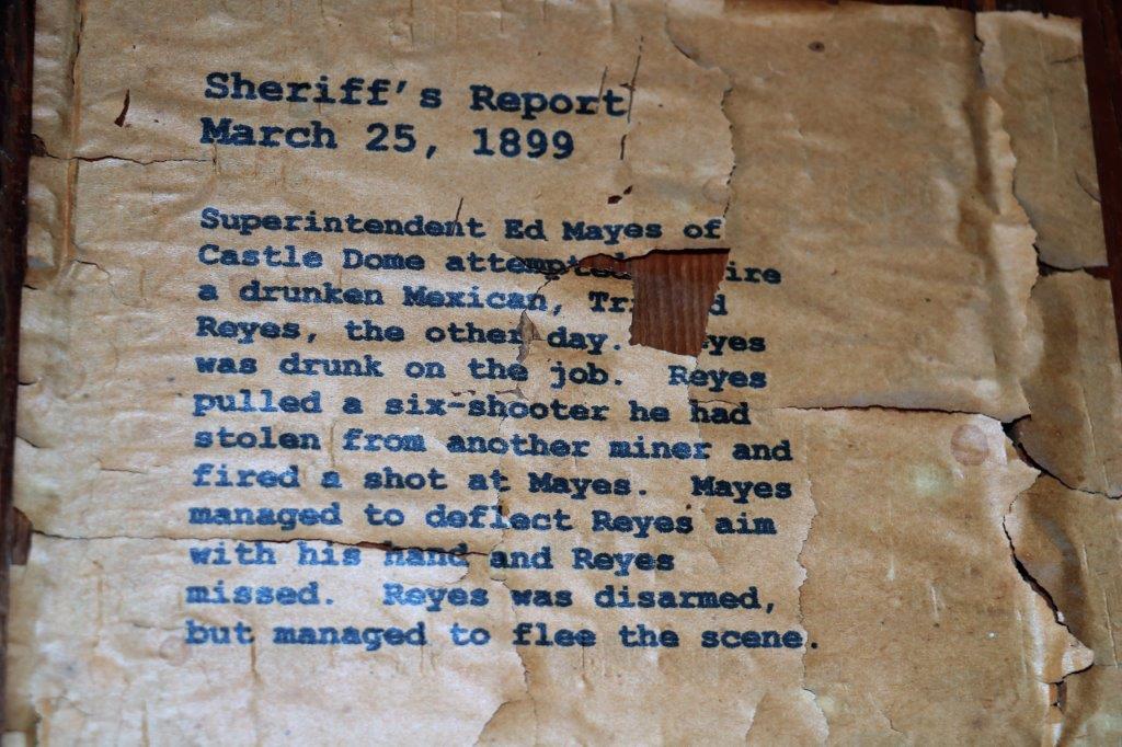
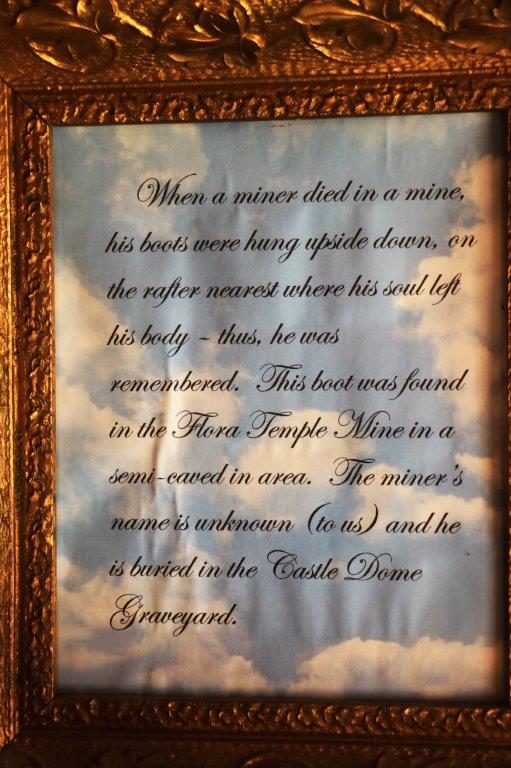
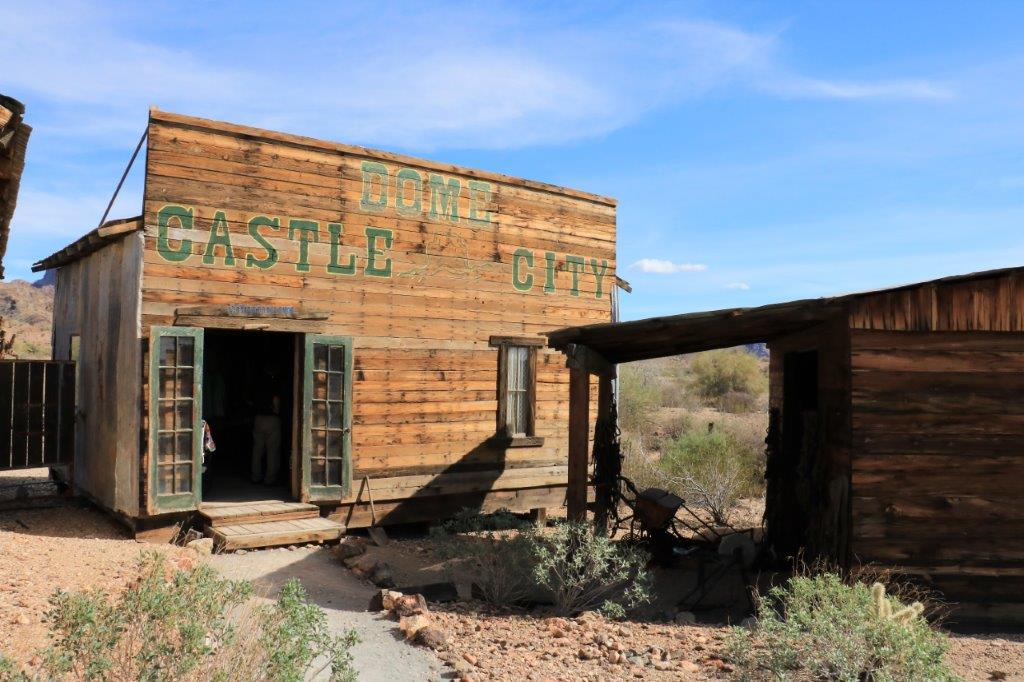
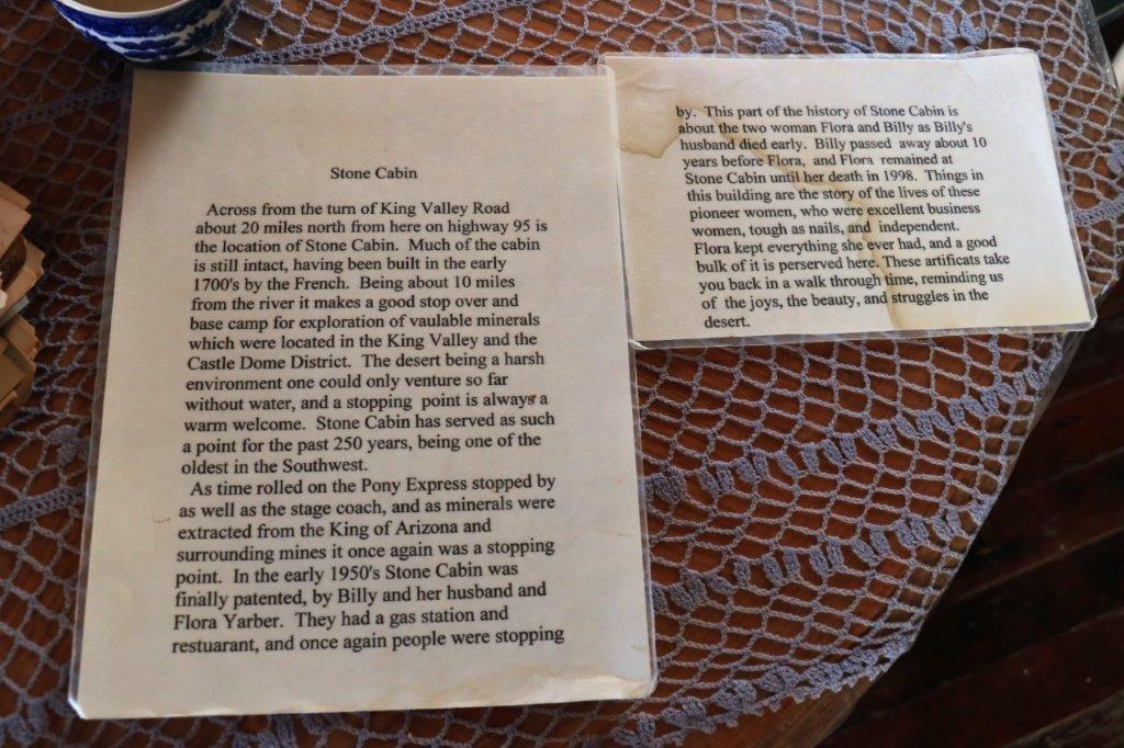
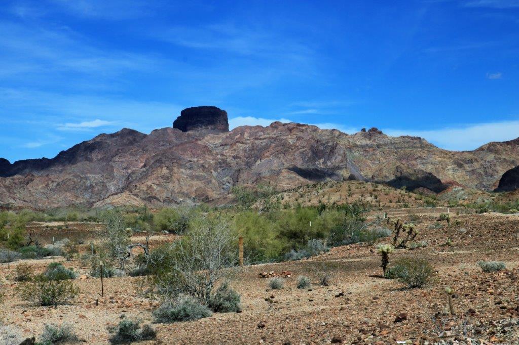
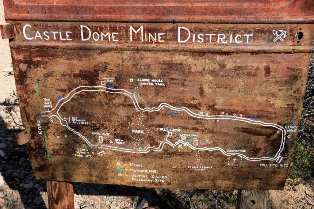
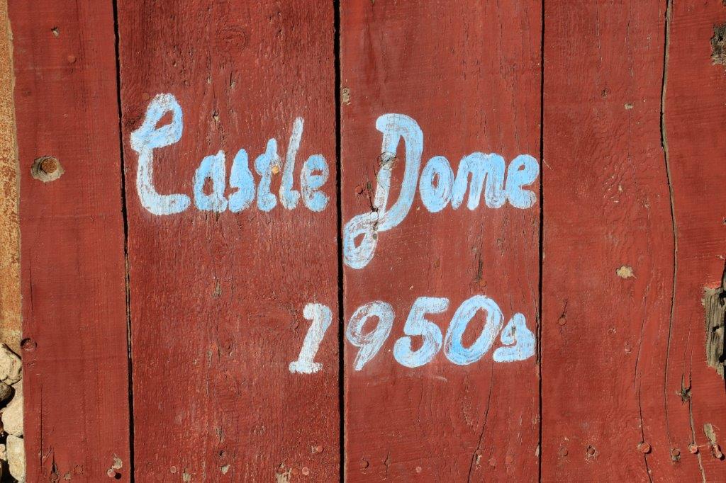
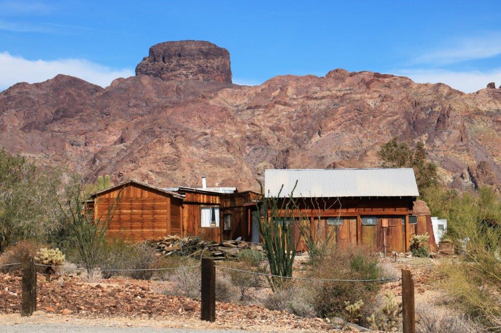
Castle Dome City got it’s name from the unusual feature in the Dome Mountains.img_7582 img_7587 img_7589 img_7590 img_7591The museum had two sections: first was all the town buildings then you drove back down the road to a second parking area to do the walking tour past some of the old mine shafts and a few more buildings.img_7595 img_7596 img_7598 img_7603 img_7607All the buildings had placards saying what it was, or whose it was, and often there was another that gave more information about the building and its owner.
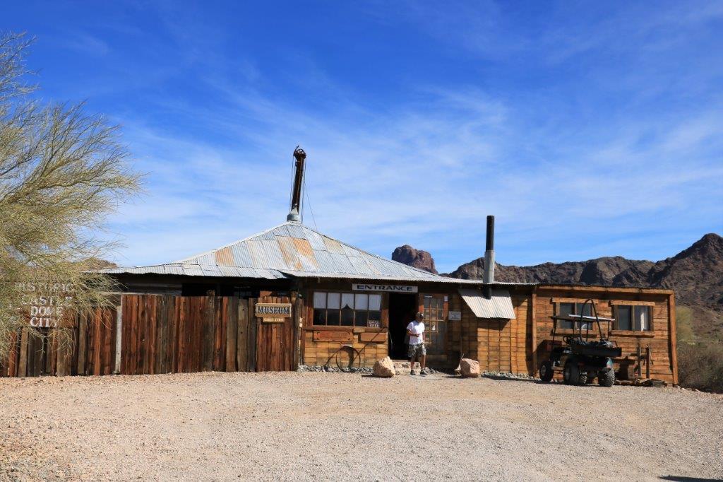
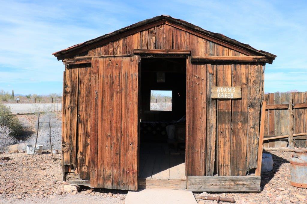
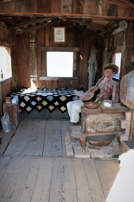
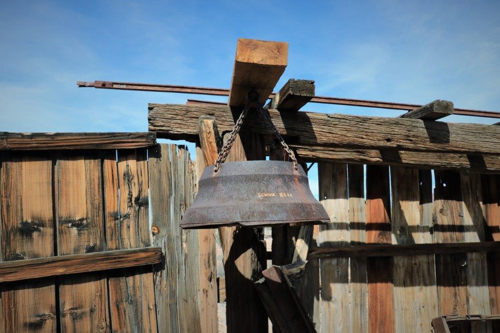
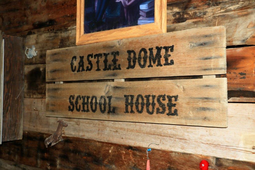
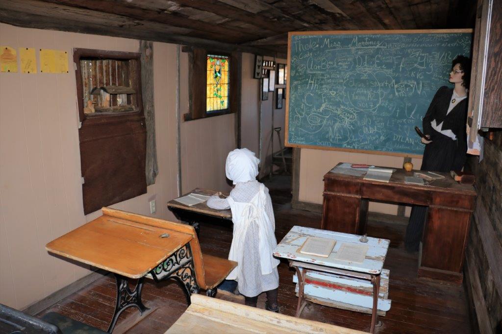
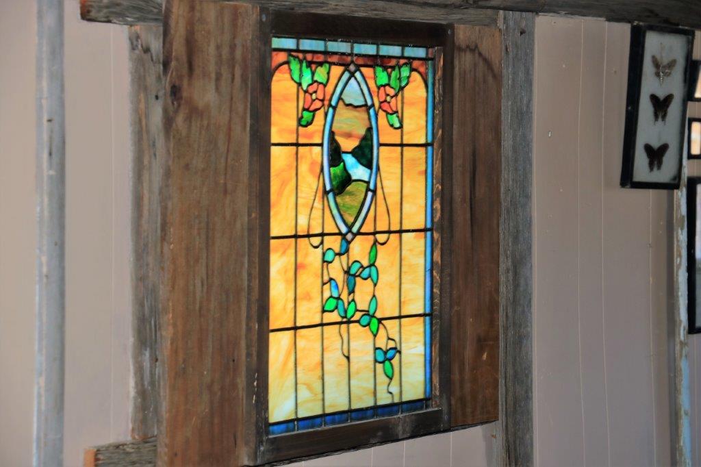
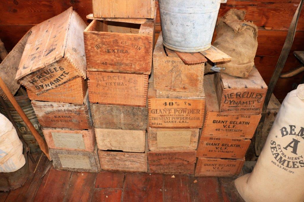
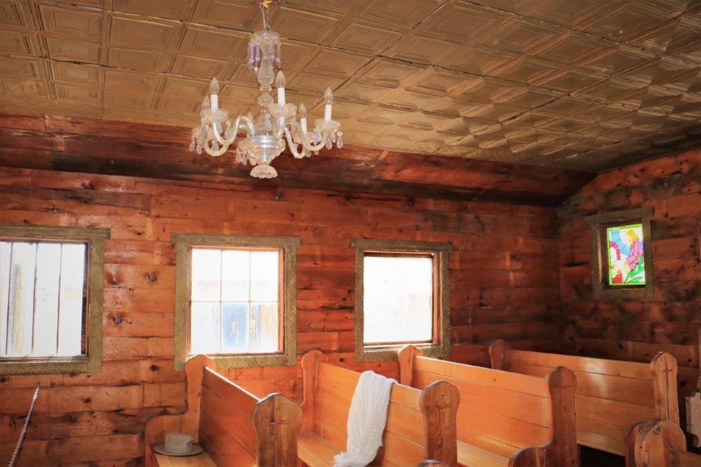
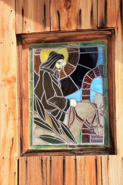
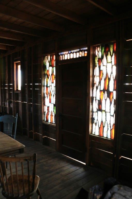
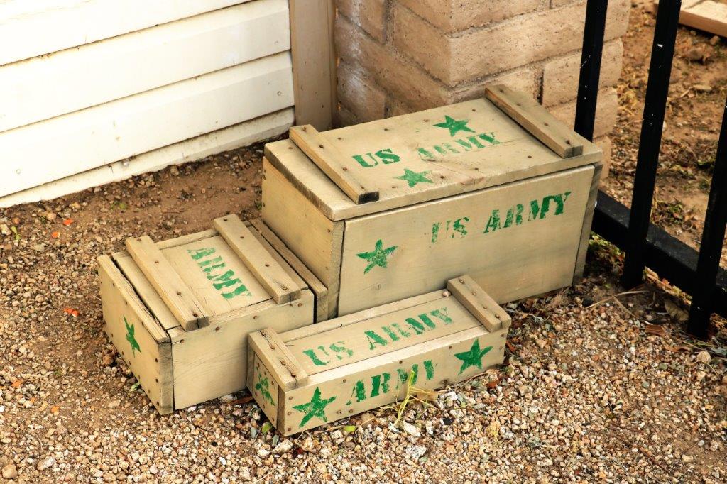
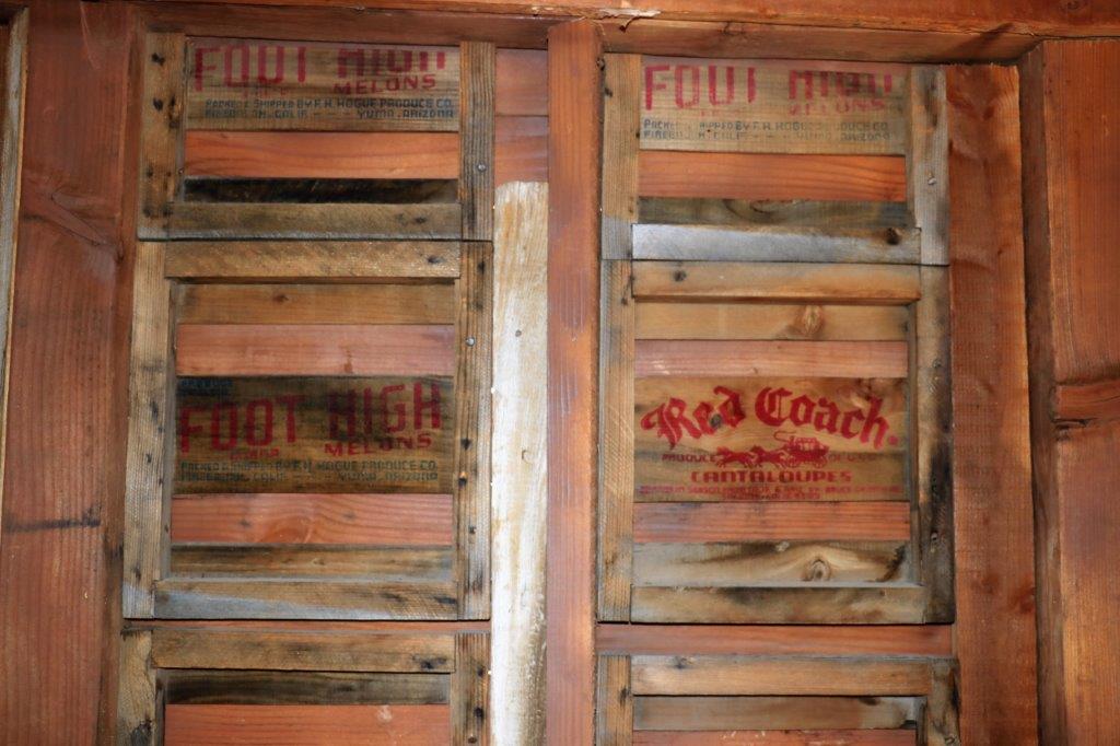
img_7599 img_7600 img_7605img_7604 img_7609 img_7610 img_7611 img_7612 img_7622img_7619 img_7615 img_7620 I liked the little stained glass window in the school house.img_7621When you build a town in a desert you use whatever wood you can find.  Many of the walls were made from old fruit boxes or blasting powder boxes.
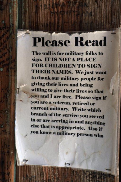
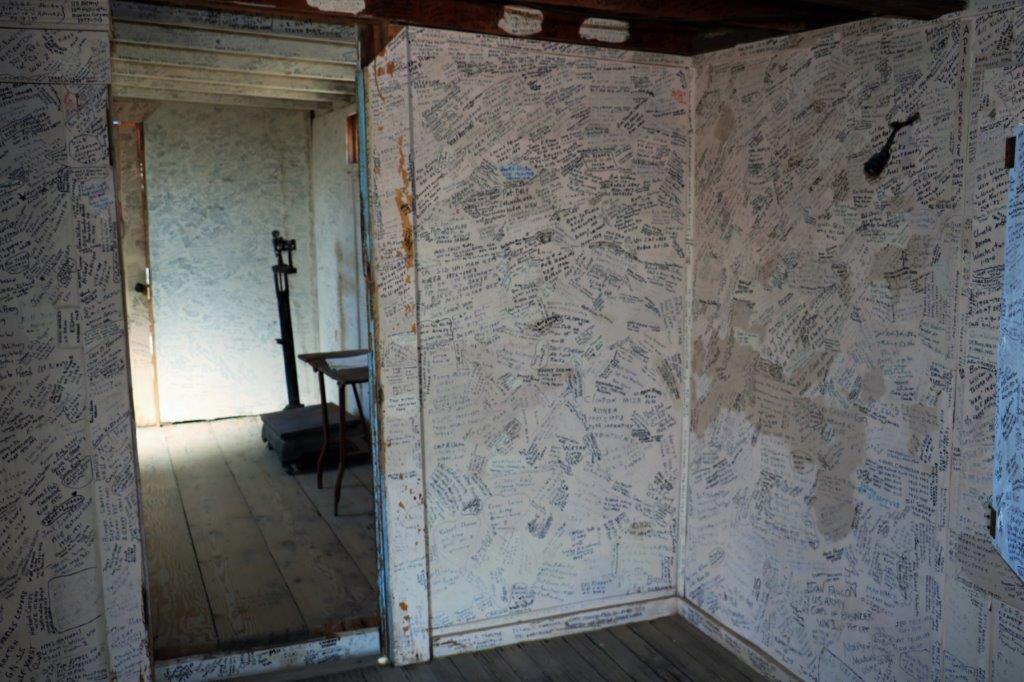
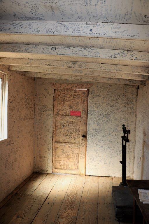
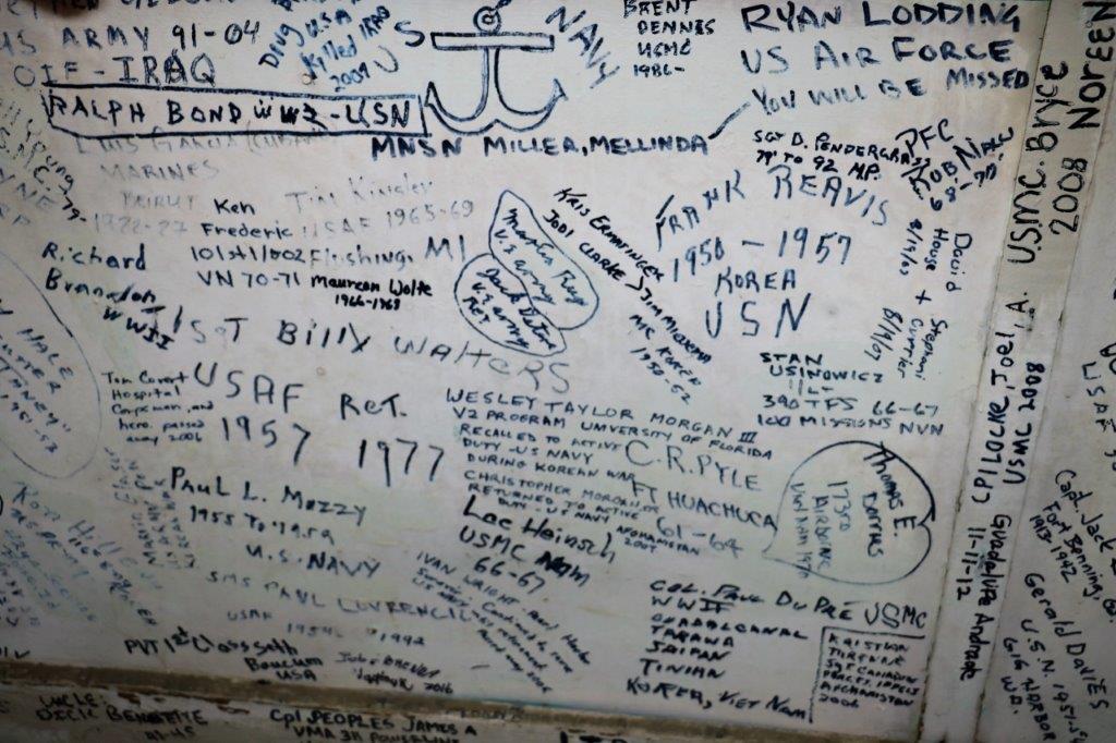
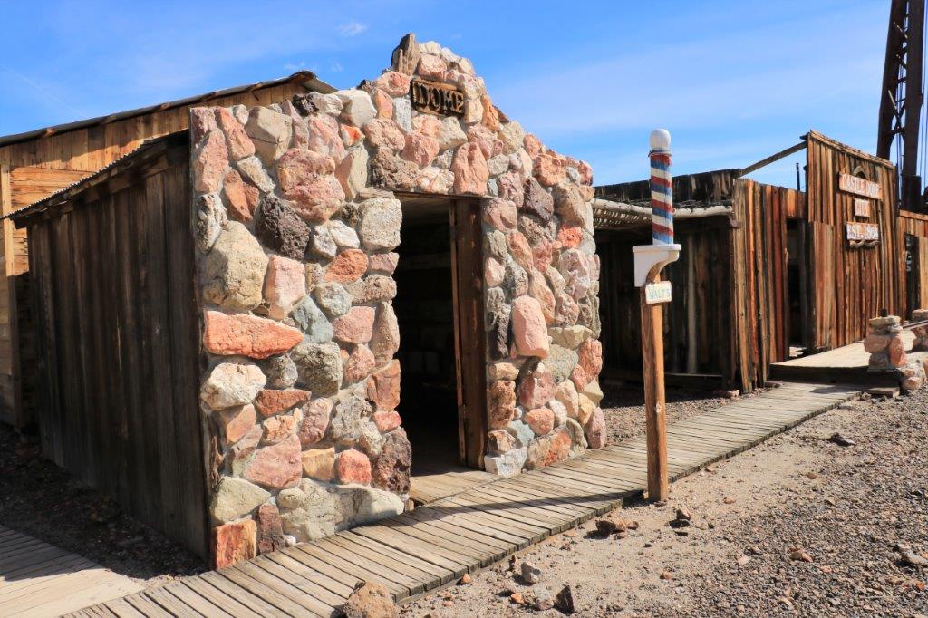
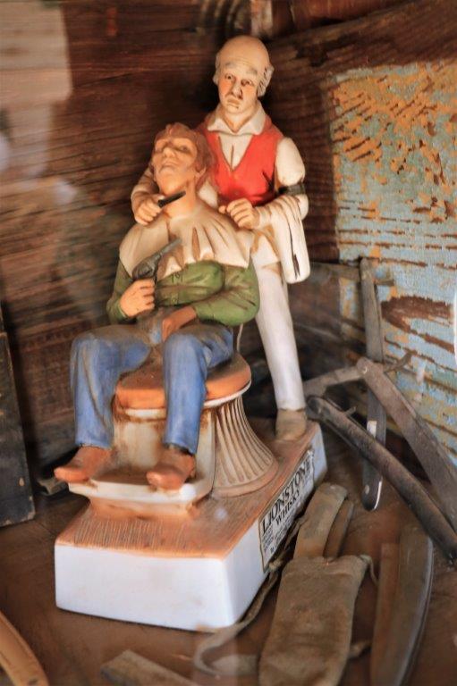
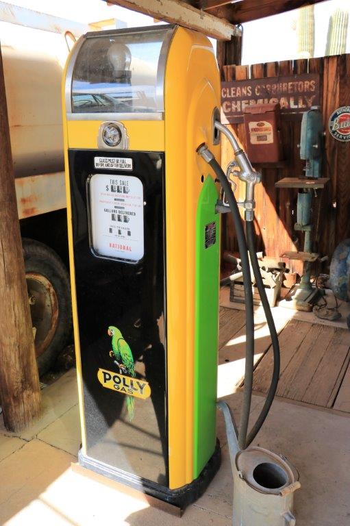
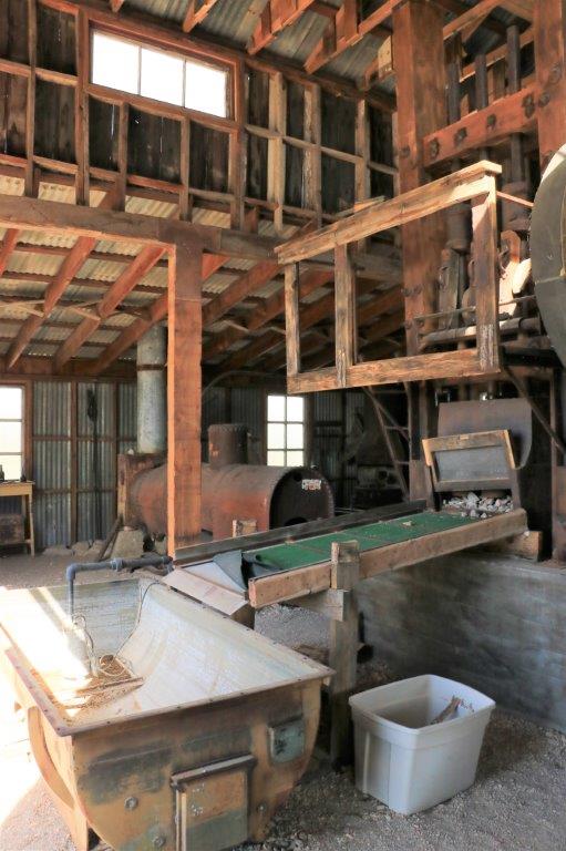
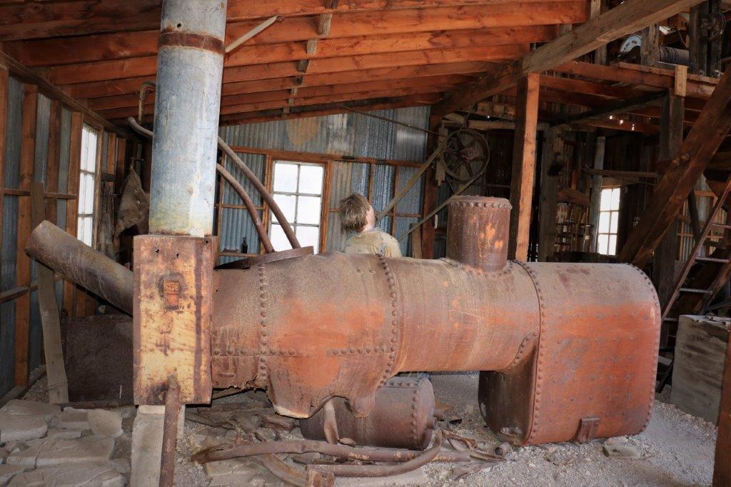
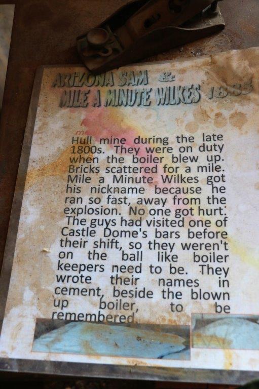
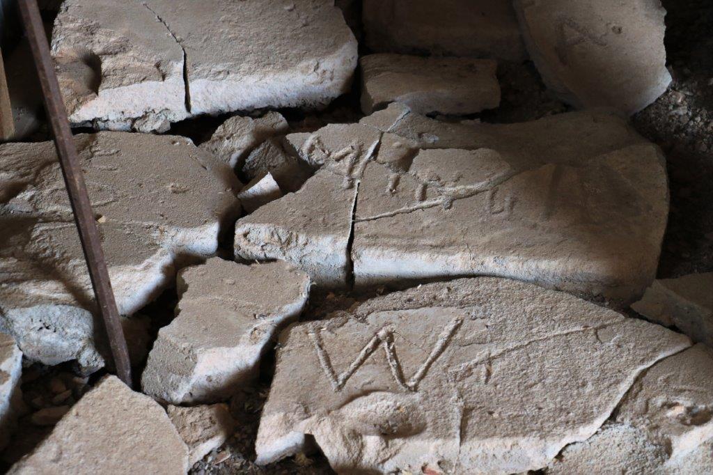
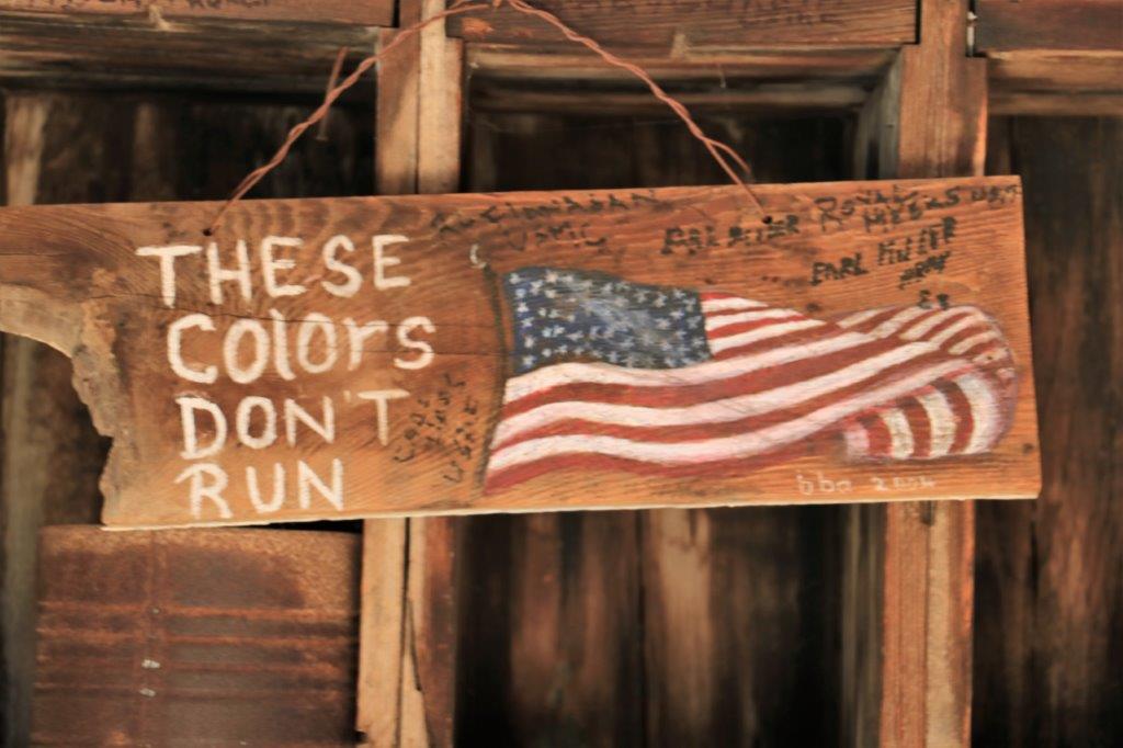
All the rooms in this building were covered with signatures of military; retired and active.  It was a nice tribute I thought.  img_7627 img_7625 img_7626 img_7628 img_7631 img_7632img_7624 img_7633 img_7634The barber shop had this unique figurine in a glass case in the corner.img_7635 img_7636This building was representative of a 1950′ garage.  The old gas pump had been beautifully restored.img_7640 img_7637 img_7638 img_7639This was the crushing mill where the rock was broken up to get at the ore.  The old steam boiler had a huge hole it from when it exploded.
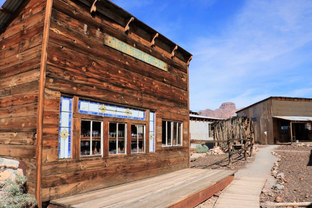
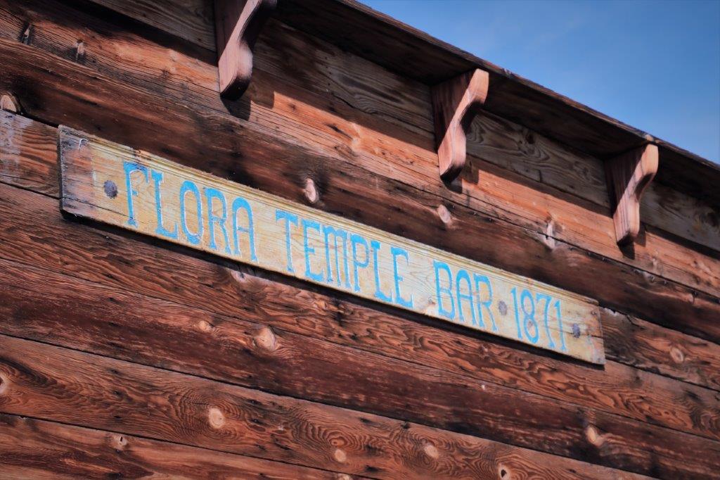
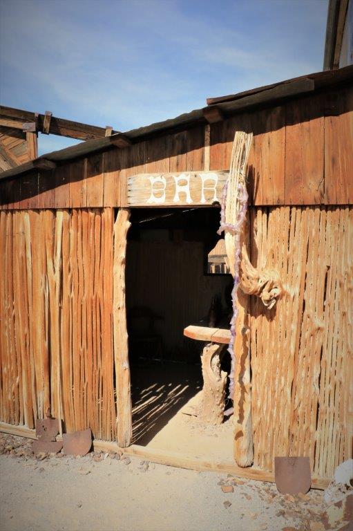
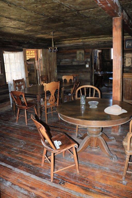
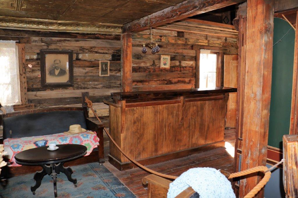
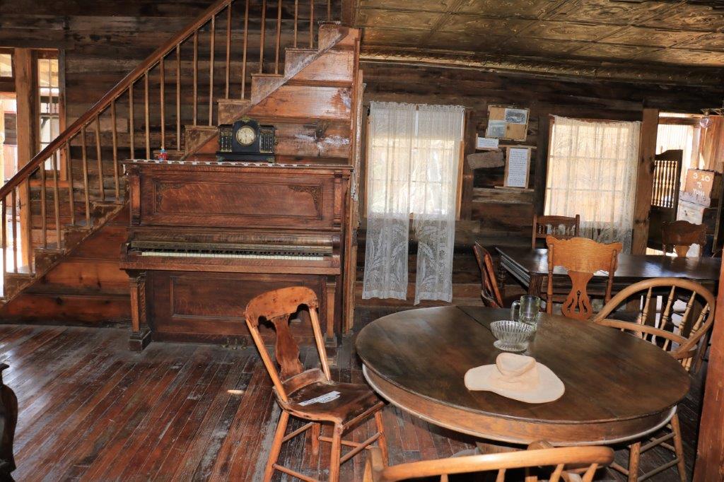
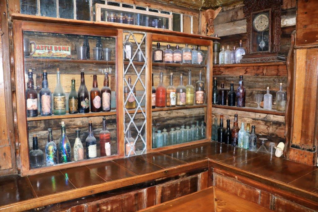
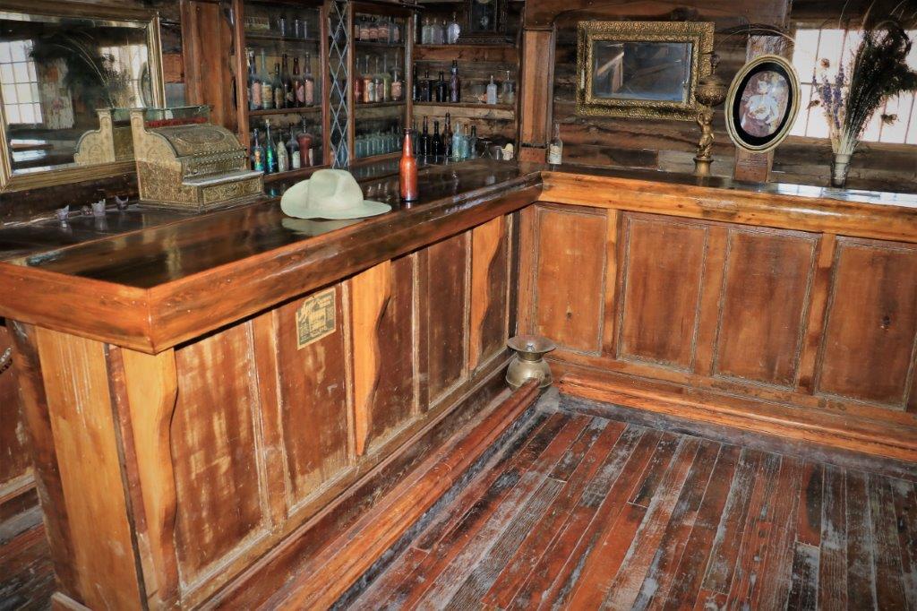
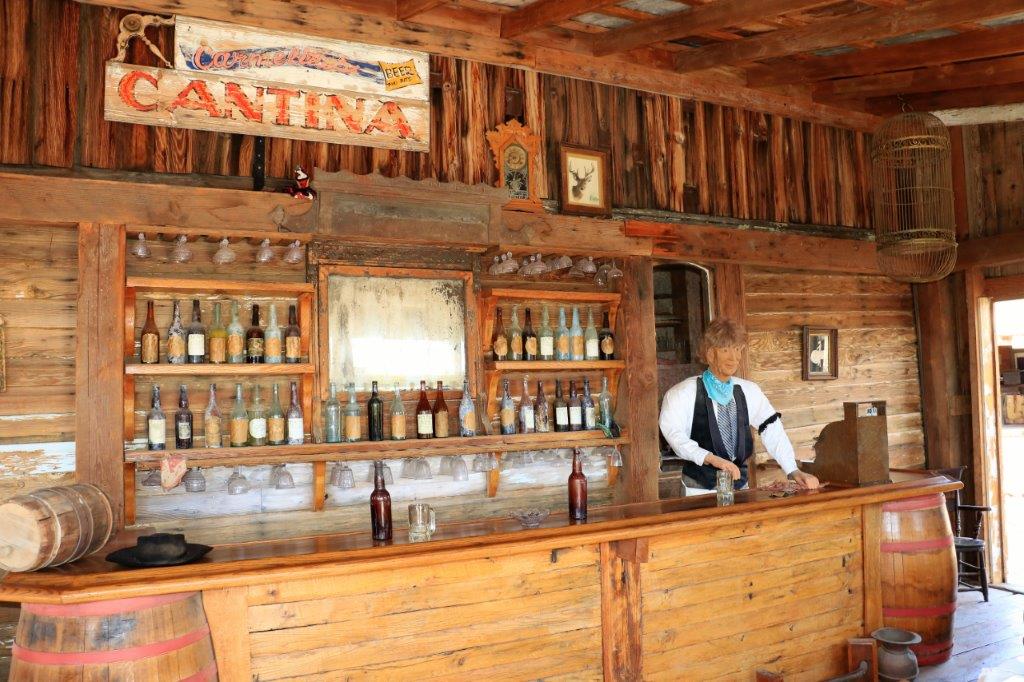
img_7651img_7645 img_7647 img_7649 img_7650 img_7652img_7653 img_7657 img_7655The owner of this bar incorporated the stripped-down remains of a couple of Saguaro Cactus.


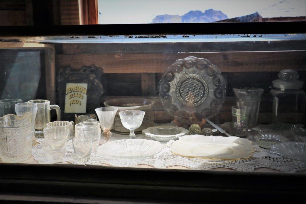
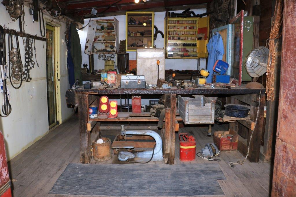
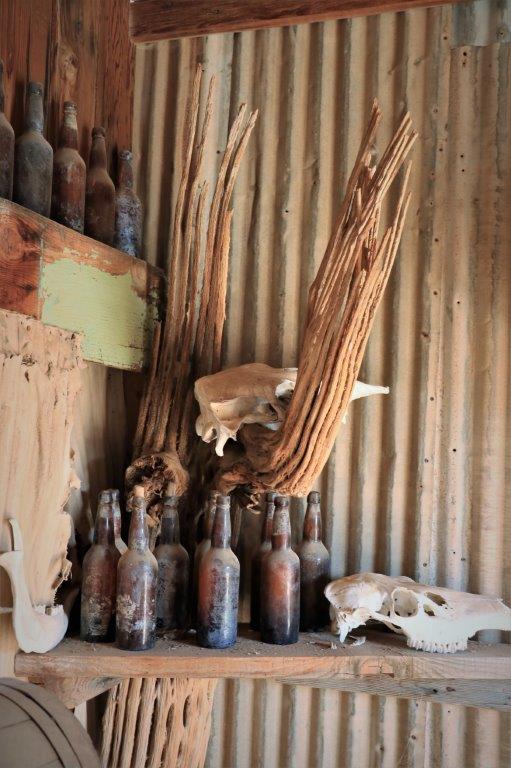
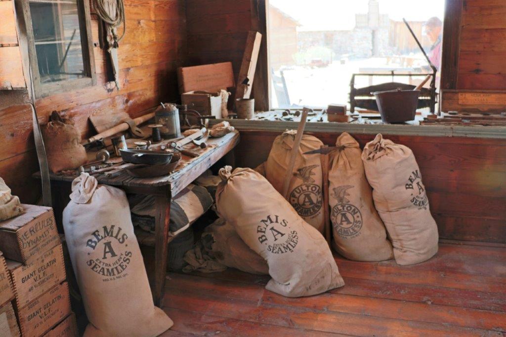
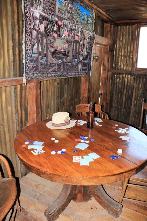
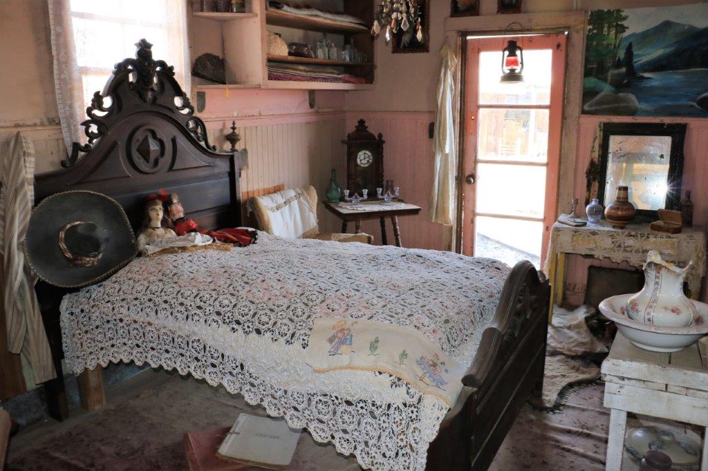
Many of the artifacts were recovered from the original buildings or nearby areas.  Much of it was covered with a layer of dust but, since it is a desert with open doors you can’t do much about it.

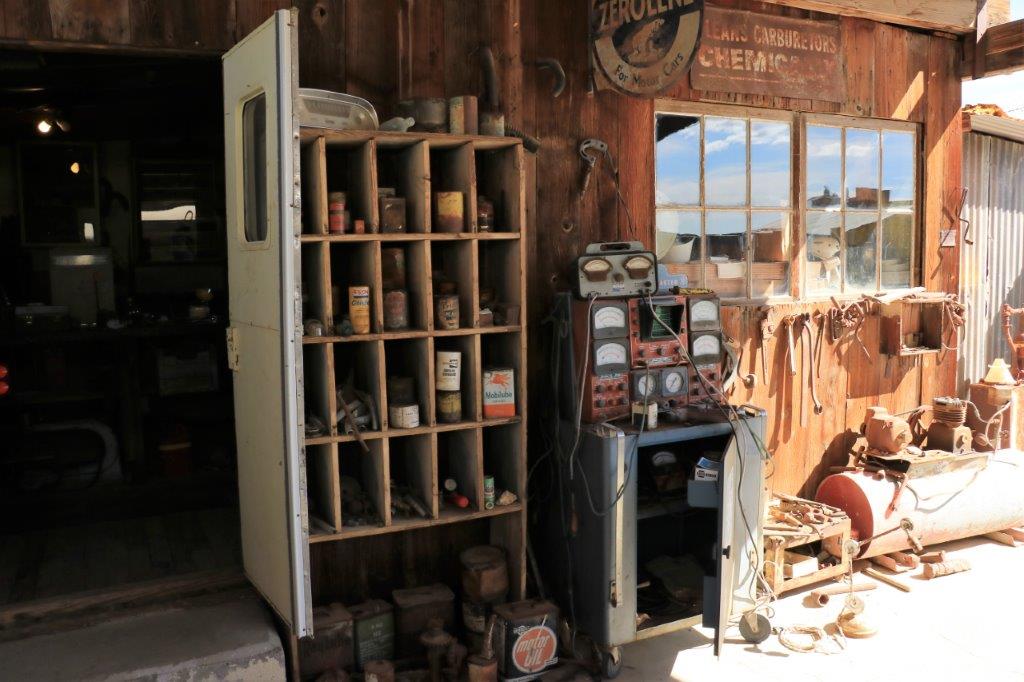
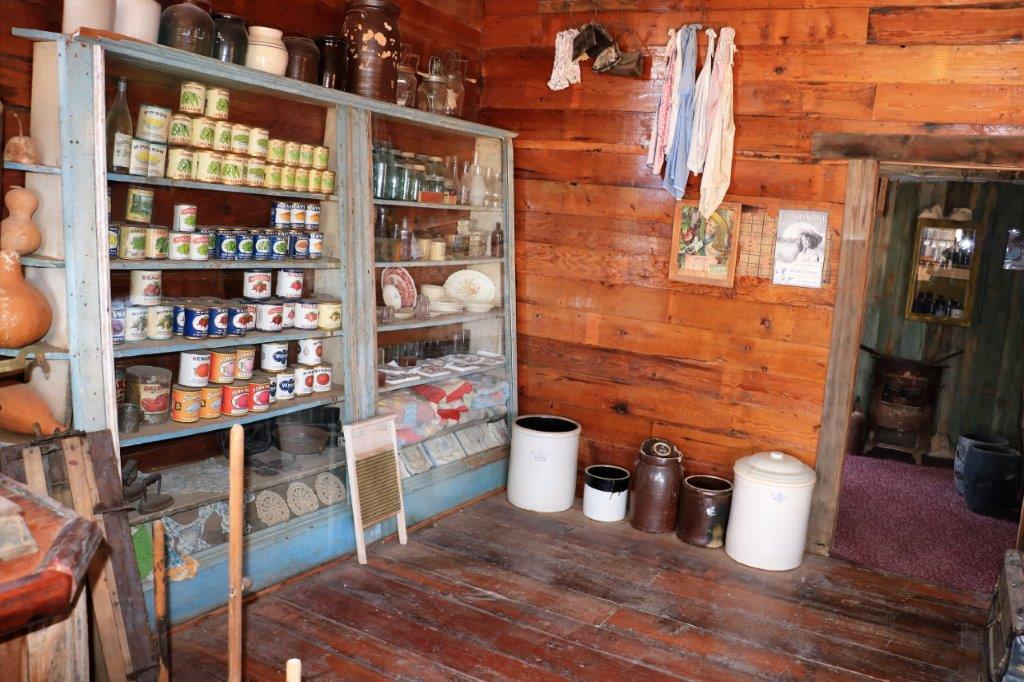
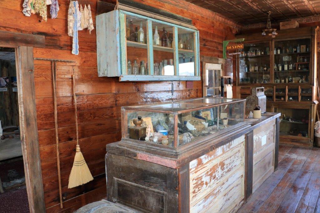
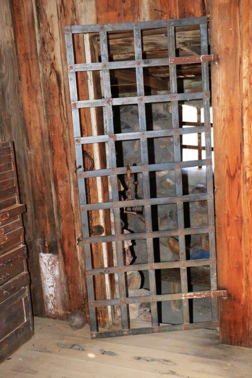
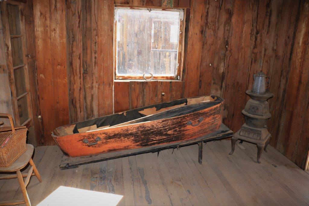
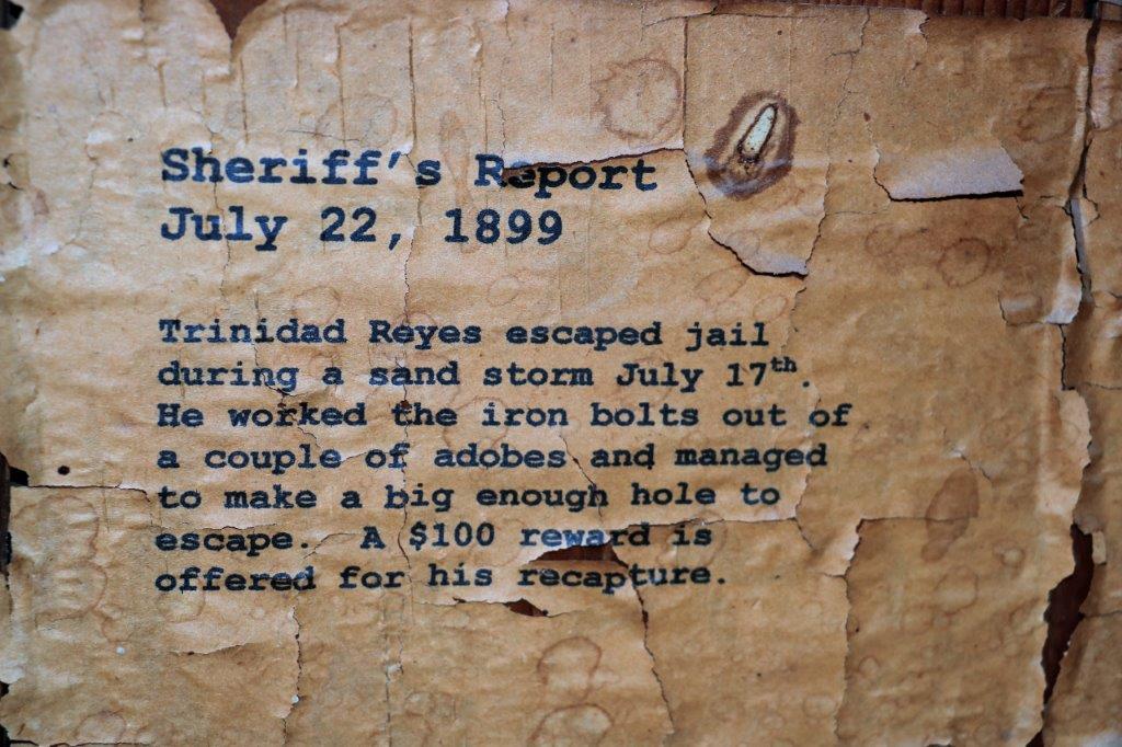
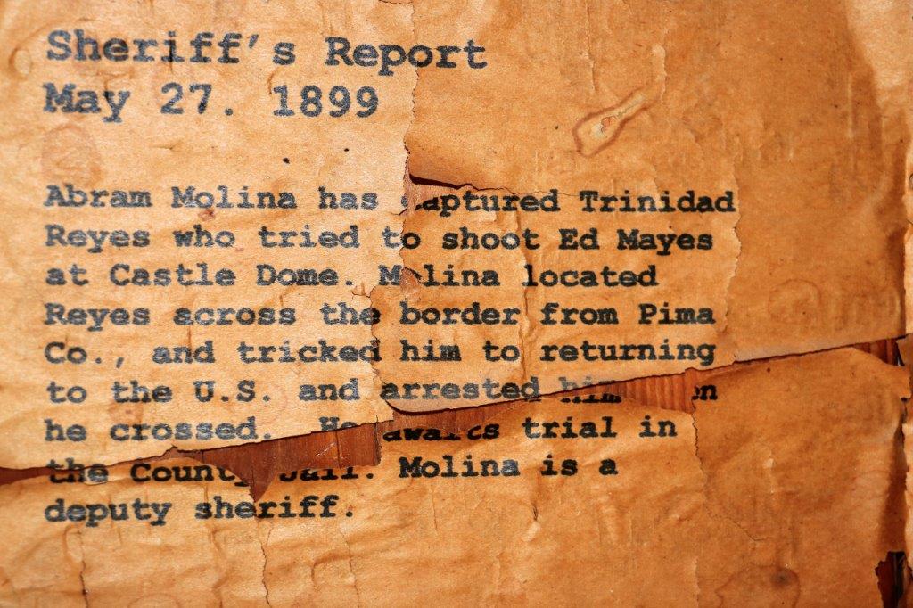
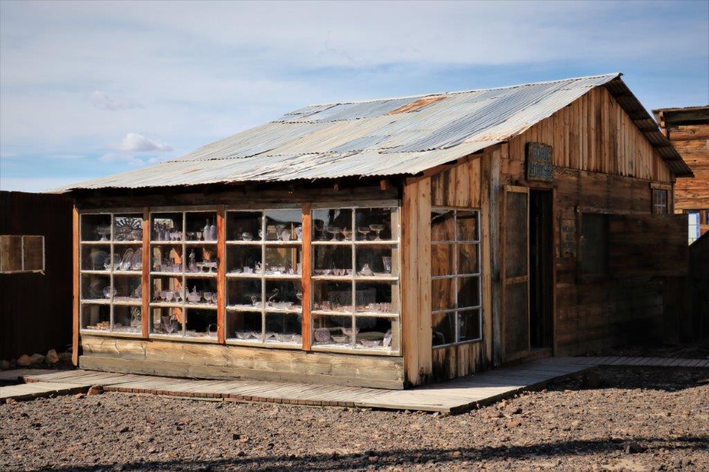
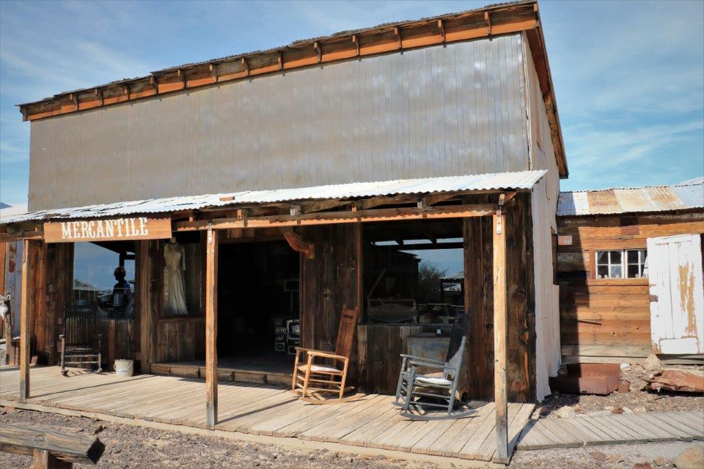
The Mercantile was quite well stocked with supplies and necessities for the miners.img_7662 img_7658 img_7659 img_7660 img_7661The jail at the back of the little Sheriff’s Office had a stone cell for miscreants to languish in.  And a coffin waiting for those who resisted arrest.
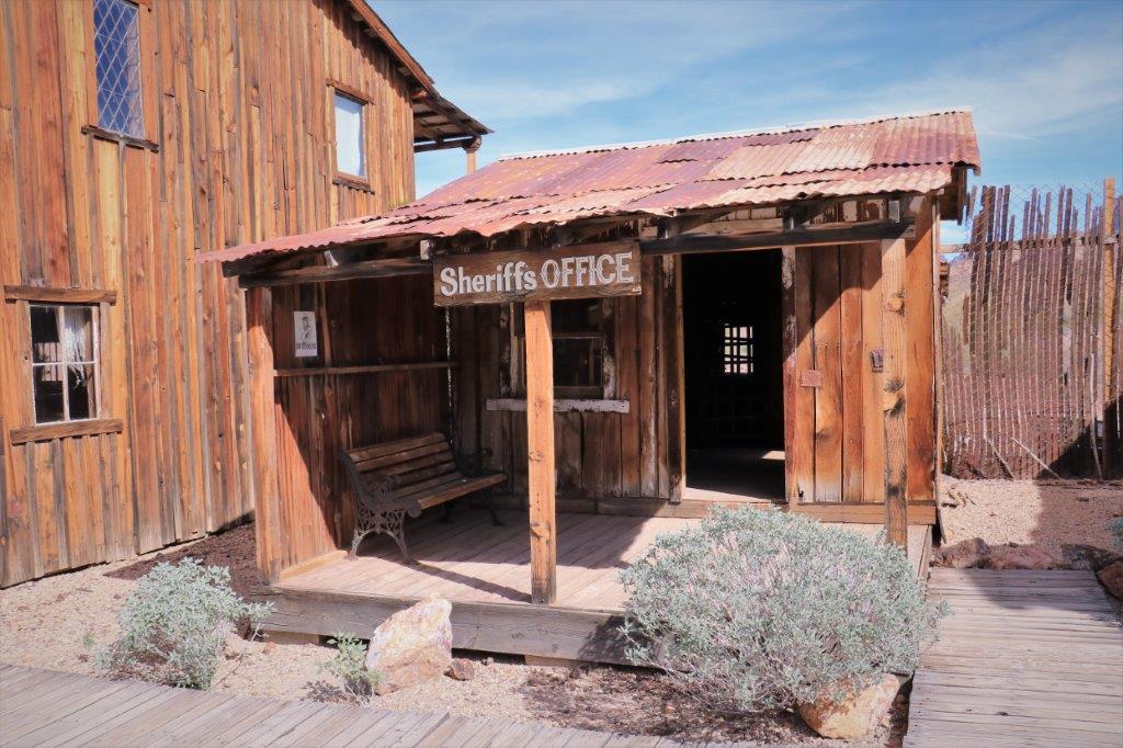
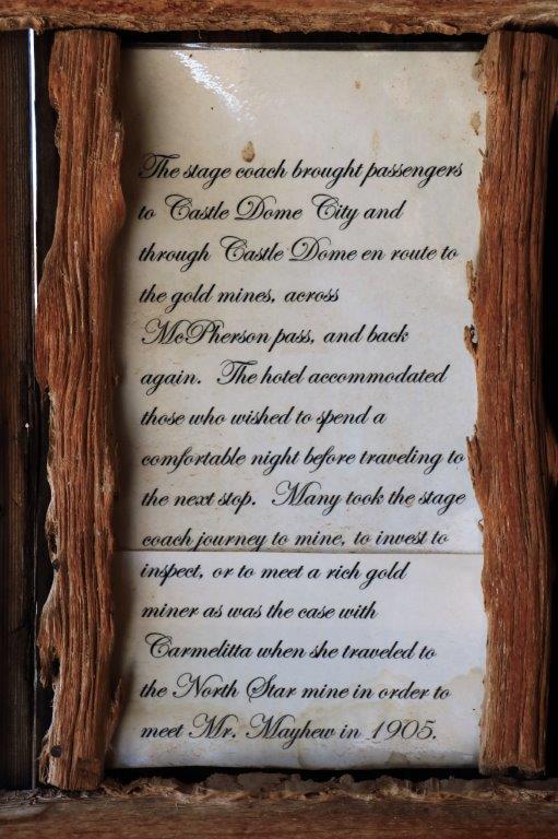
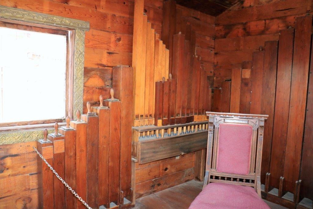
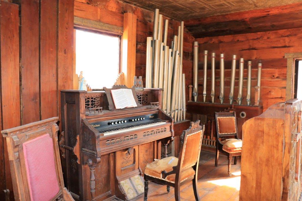
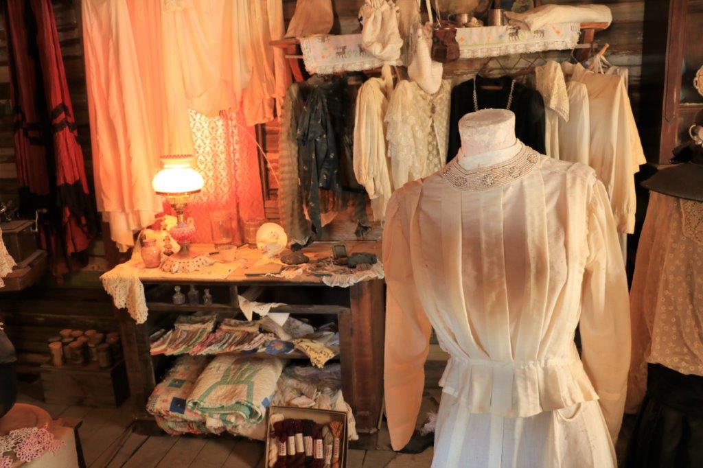
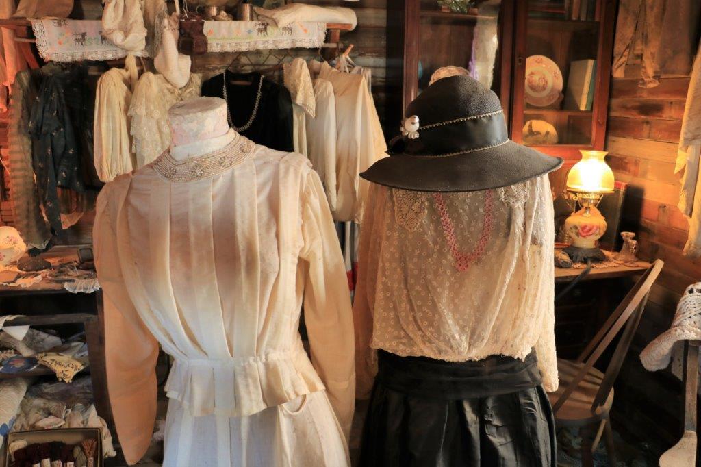
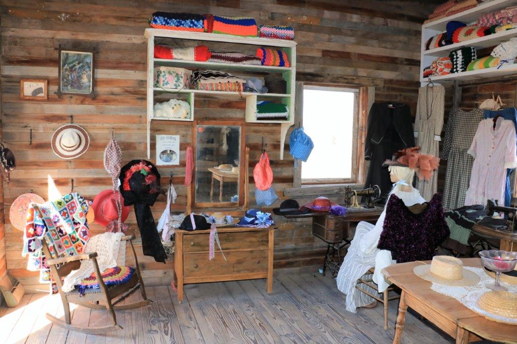
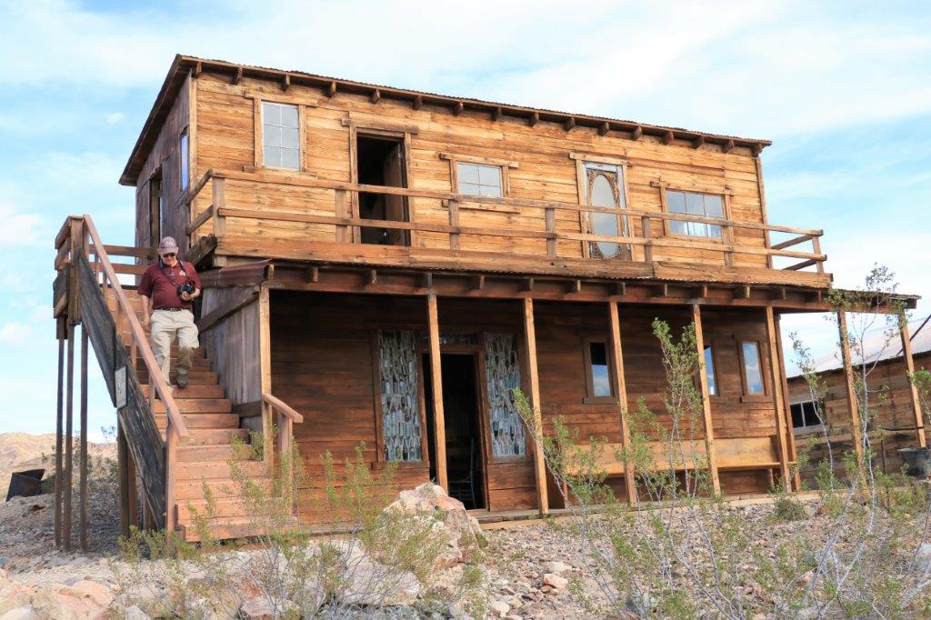
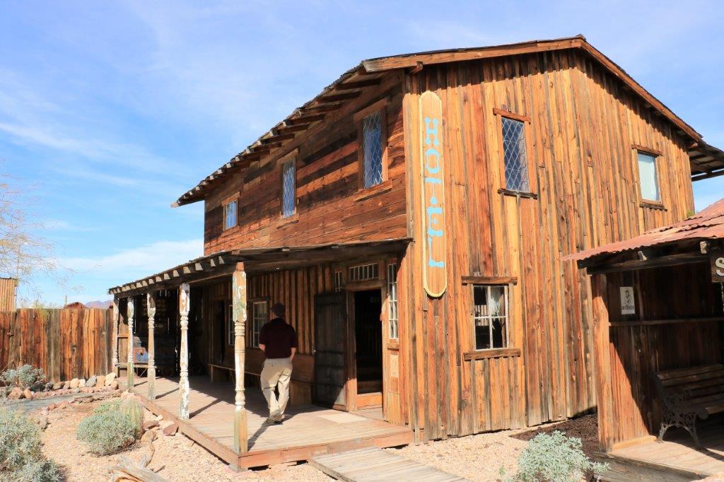
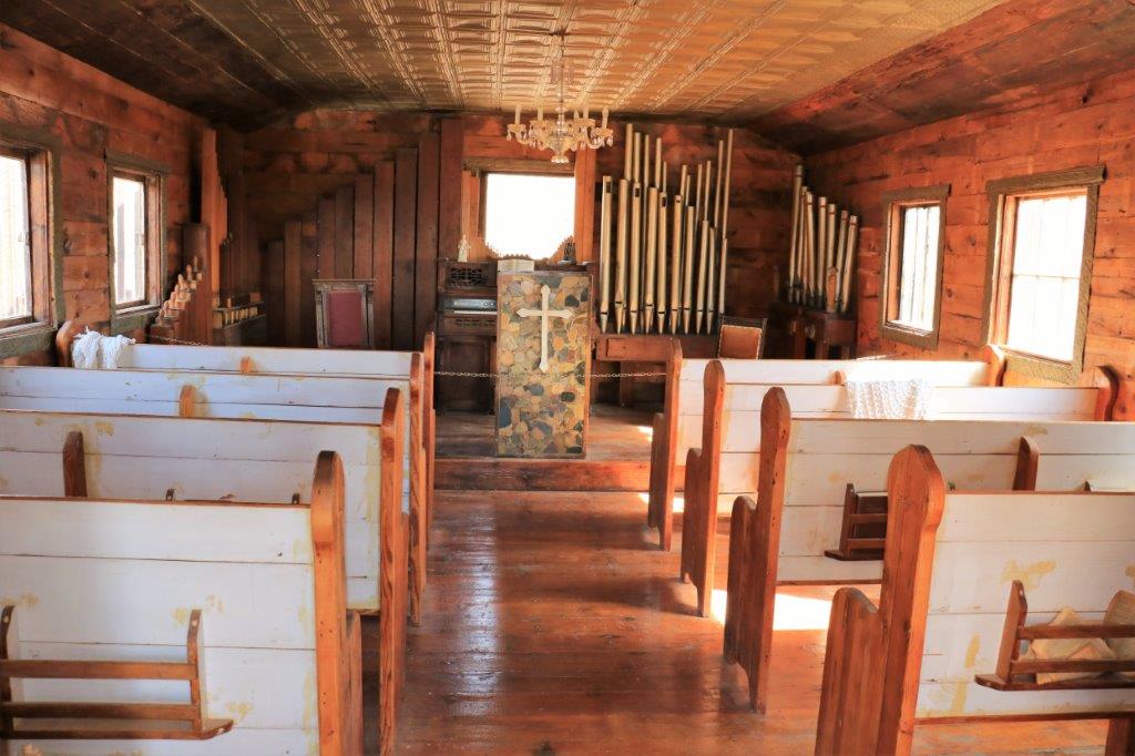
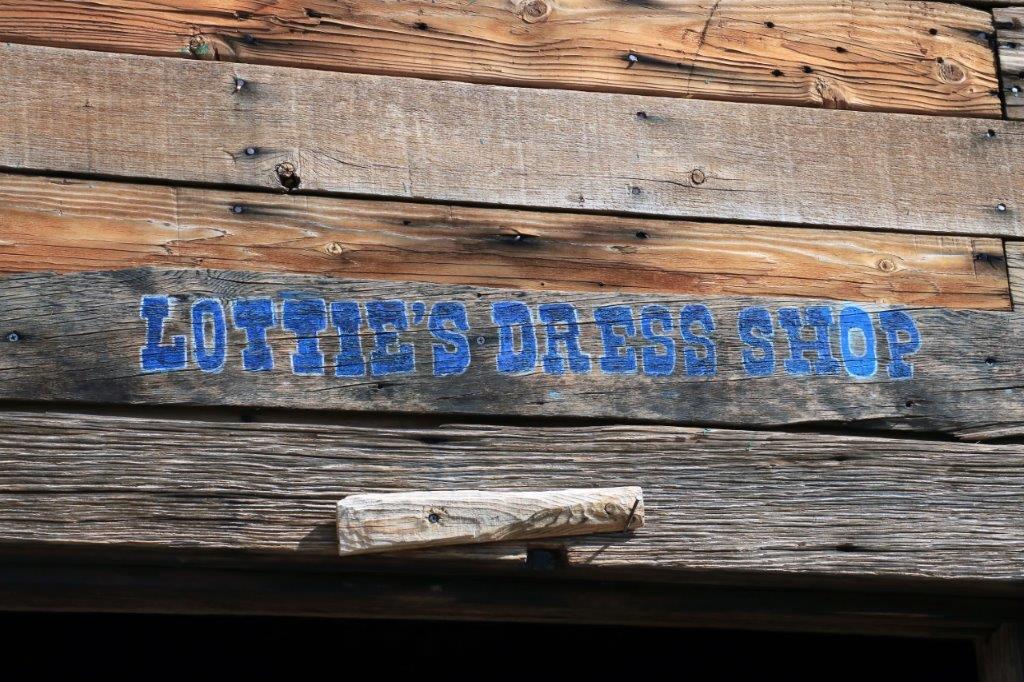
img_7664 img_7678 img_7685 img_7679 img_7680 img_7682The hotel was beside the Sheriff’s Office and the upstairs was roped of as a “Private Residence;” this is probably where the owners live.img_7665 img_7667 img_7666 img_7669img_7668 img_7670 img_7671 img_7672 img_7673 img_7676img_7675 And the church was on the other side of the Sheriff’s Office.  It had an old pump organ with the pieces in frames on the walls on either side of the pulpit.img_7688 img_7689 img_7690 img_7691 img_7686 img_7692 img_7693The Dress Shop had a roped off section at the back with what looked like authentic period costumes.  Some of the ones in the open section looked like they had been gathered from thrift stores or the like.  I liked the way they had a display of gaudy saloon girl outfits and off in the corner were the plain gingham ones for the proper ladies.  img_7694 img_7695 img_7696 img_7697 img_7698 img_7699The Blacksmith shop had a huge bellows and a large press.  It said on the placard that the largest amount of the smithies work would be sharpening the drill bits.img_7700 img_7702 img_7703 img_7705 img_7707 img_7708
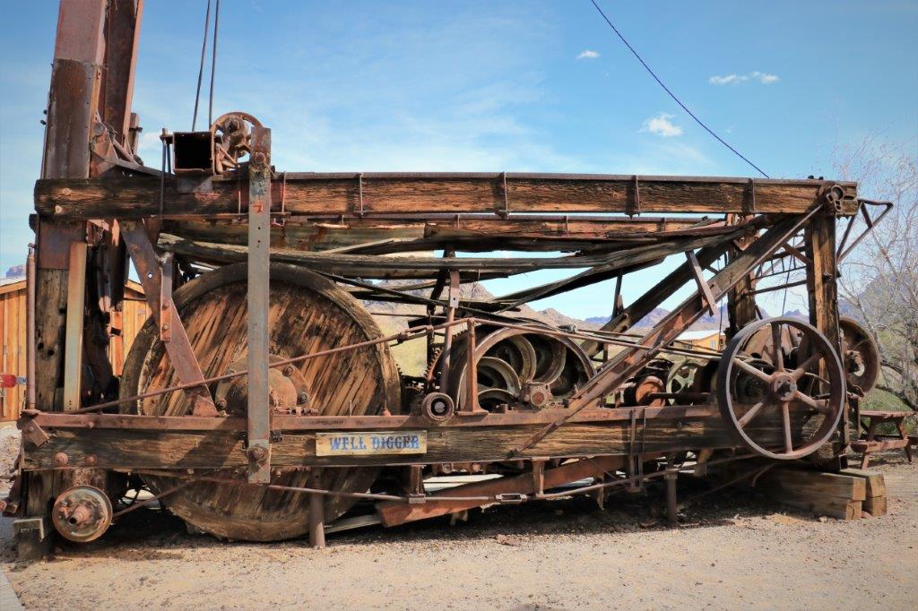
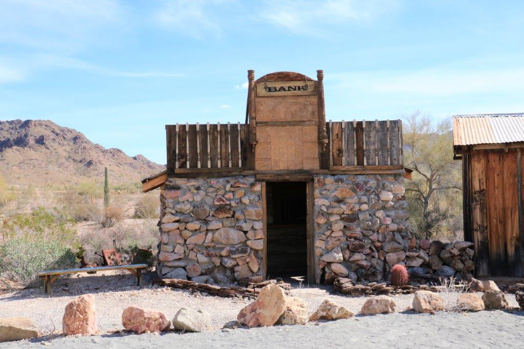
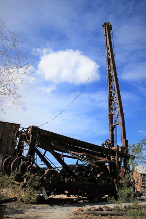
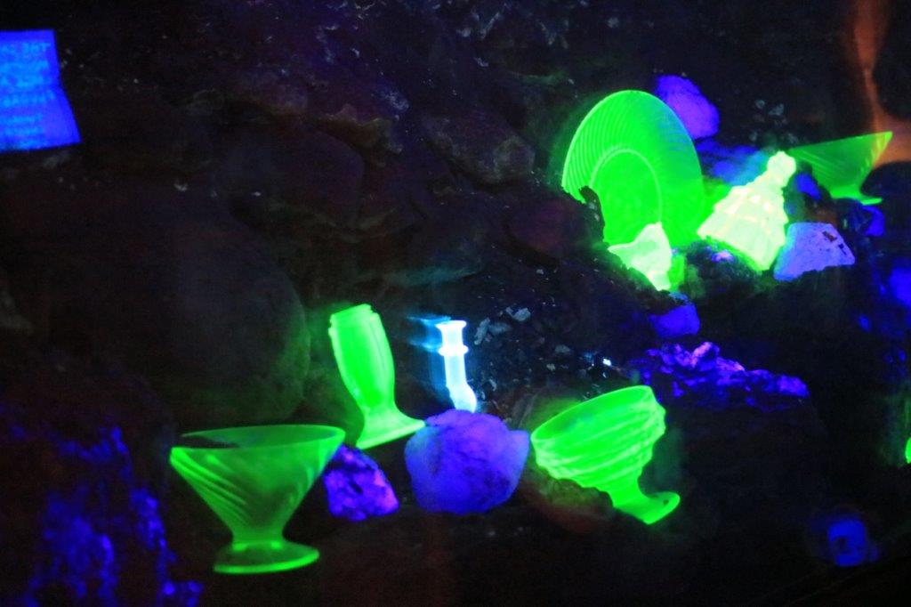
img_7709 img_7712 img_7710The Bank was the only stone building in the town.  It wasn’t very big either.img_7714 img_7717 img_7718 img_7720 img_7719Just past the bank was this gigantic digger.  I can only imagine the poor mules pulling sections of this thing into the desert.img_7721img_7725And down hill behind the digger was a mine – probably not a real one – but the interesting thing in the tunnel was the display of florescent glass objects.  The ore in the Castle Mines contained a lot of florescences and two other chemicals that glow under a black light.
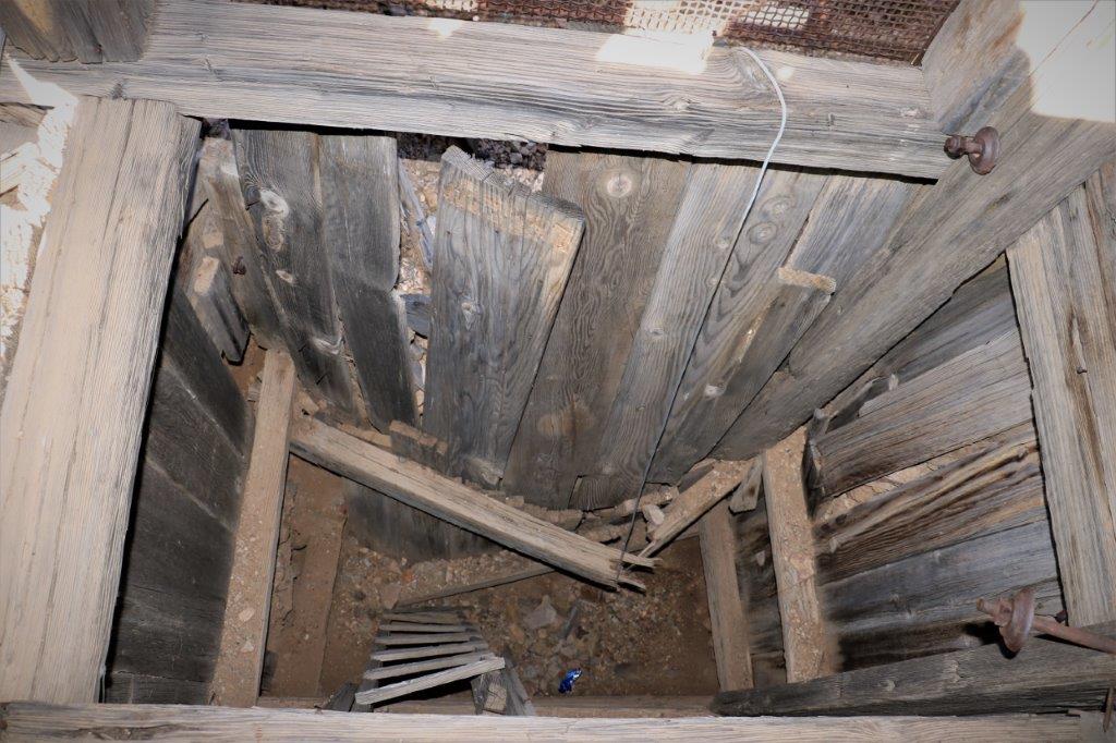
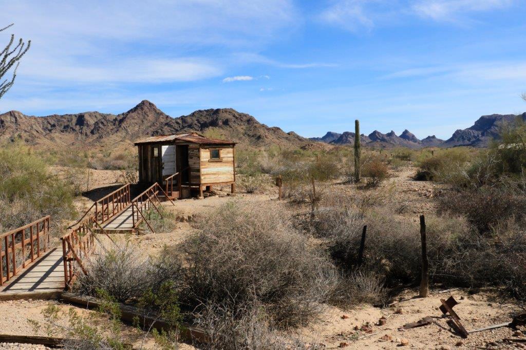
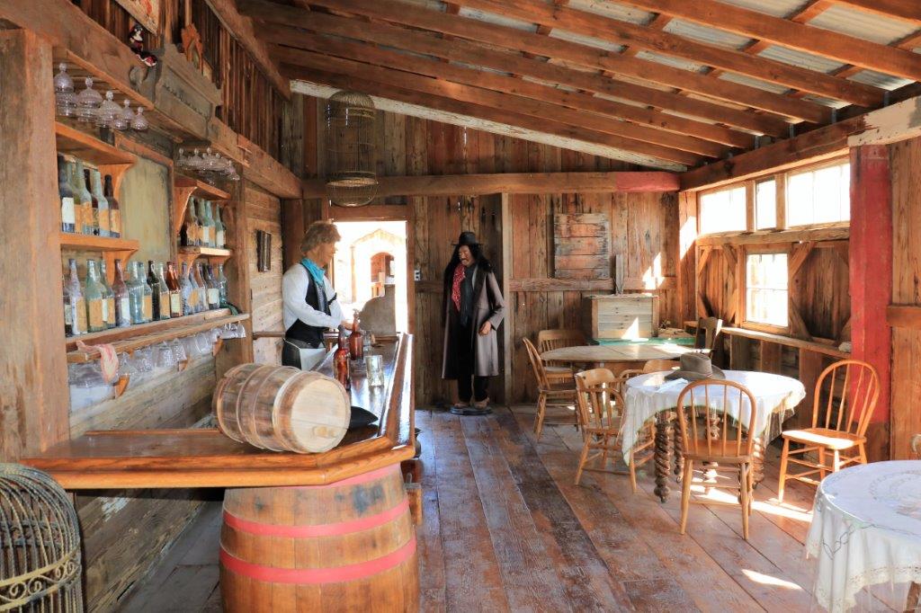
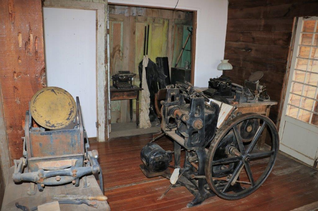
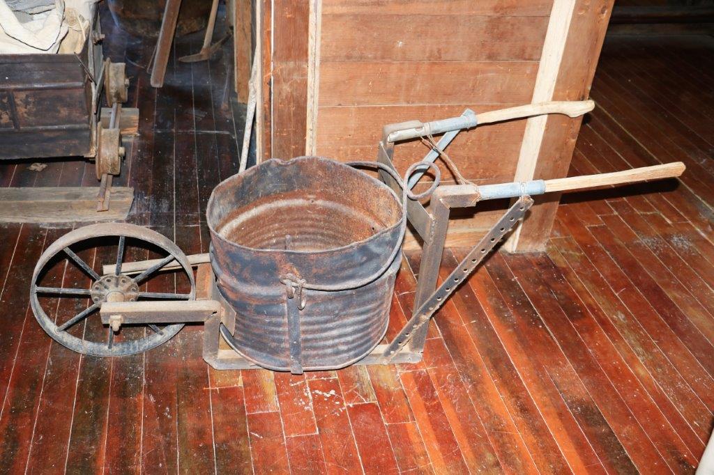
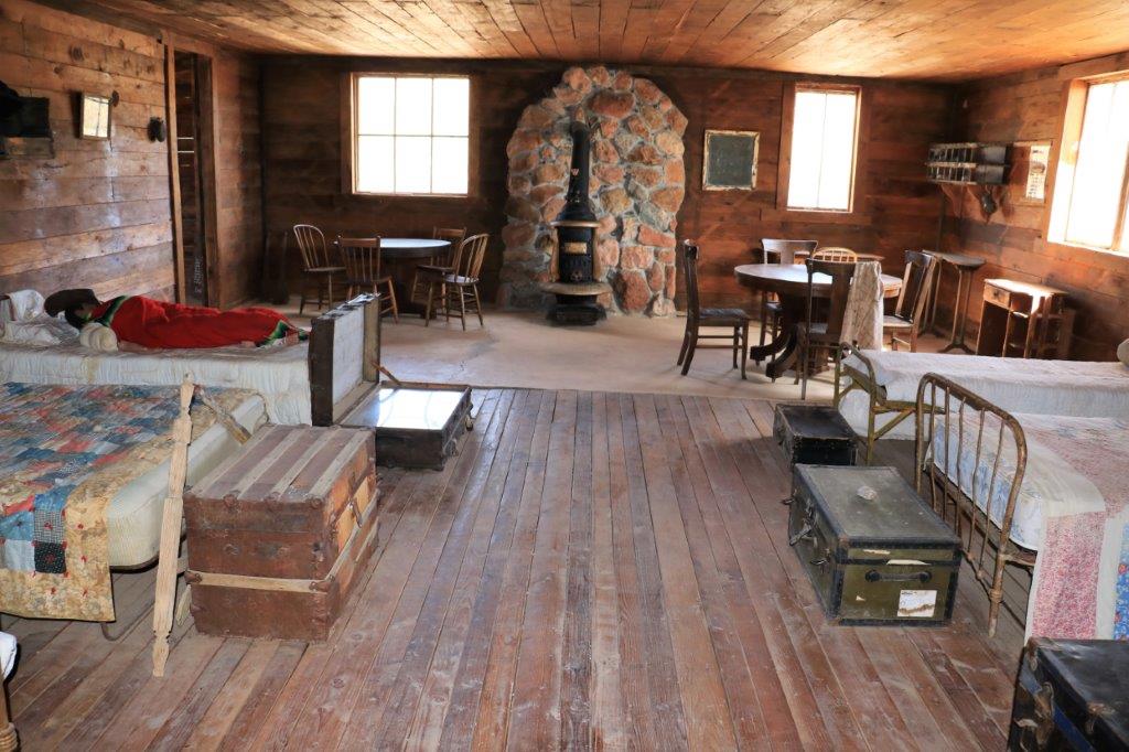
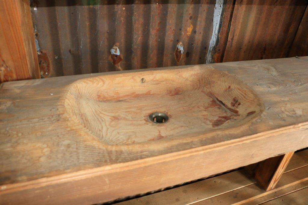
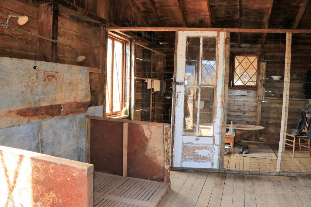
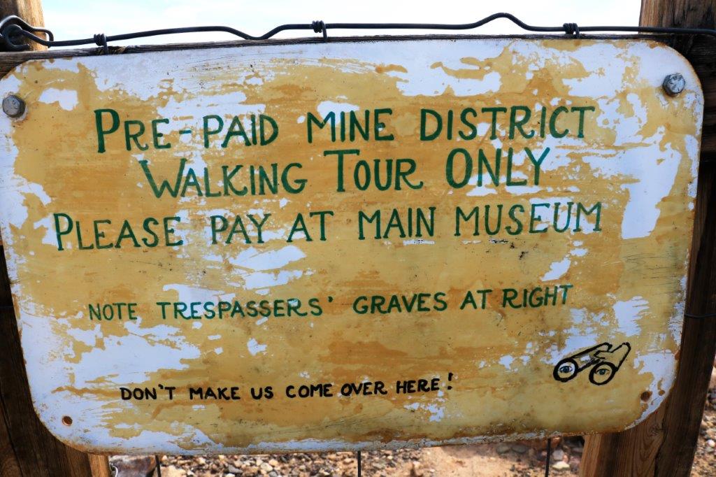
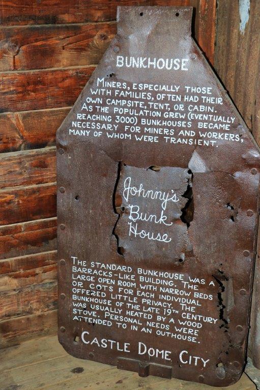
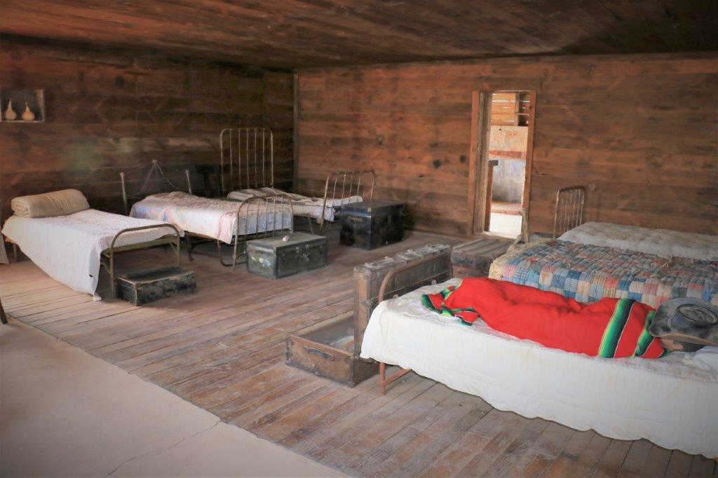
img_7722 img_7724 The last businesses in the town were in the same building; the Silver Saloon and the newspaper office.img_7726 img_7727 img_7731 img_7732img_7733 img_7734 img_7728 img_7730This is a very creatively made wheelbarrow.img_7735 img_7736 img_7737We went back to the truck had a PB&J sandwich and drove over to the mine walking tour area.  There were a lot of very deep fenced off holes in the ground.  It took us about an hour to walk around.img_7738 img_7739img_7773The bunk house was quite a large building and had a separate bathing area at the back with a big galvanized double-shower, a wood sink and tubs at the back.
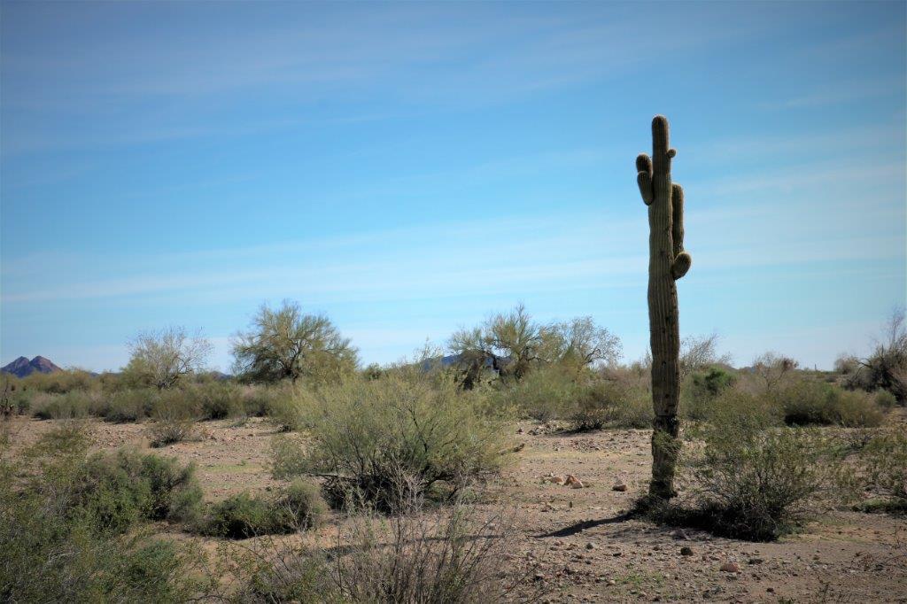
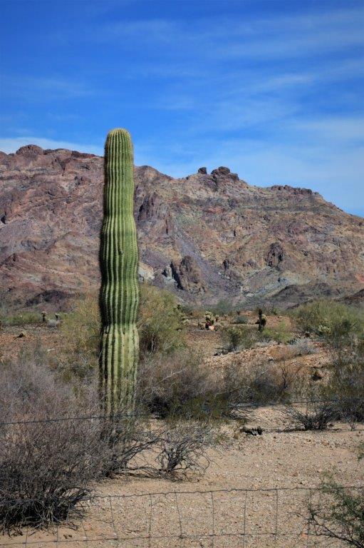
img_7742 img_7743 img_7744 img_7745 img_7746We learned the correct pronunciation for the Saguaro Cactus.  We also asked the lady at the museum if there was anyway to tell the age of a Saguaro.  She said, not really but they do know that a cactus will not sprout any ‘arms’ until it is 75 years old.  So this solid column is not over 75.  After that it is just a guess but obviously one with several large arms would be very old.

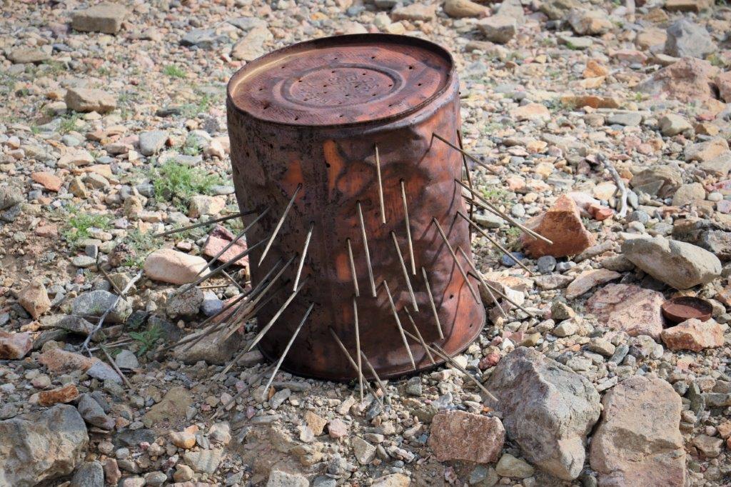
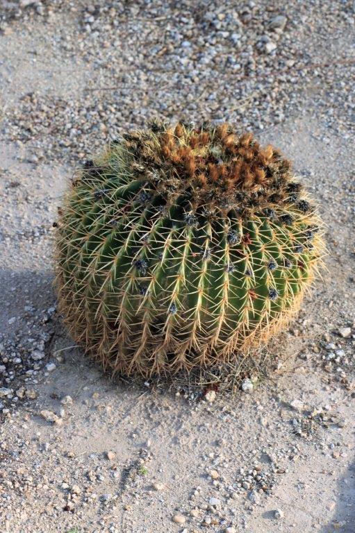
img_7747 img_7704 img_7740 img_7748                                                           I think this is a ‘barrel cactus.’

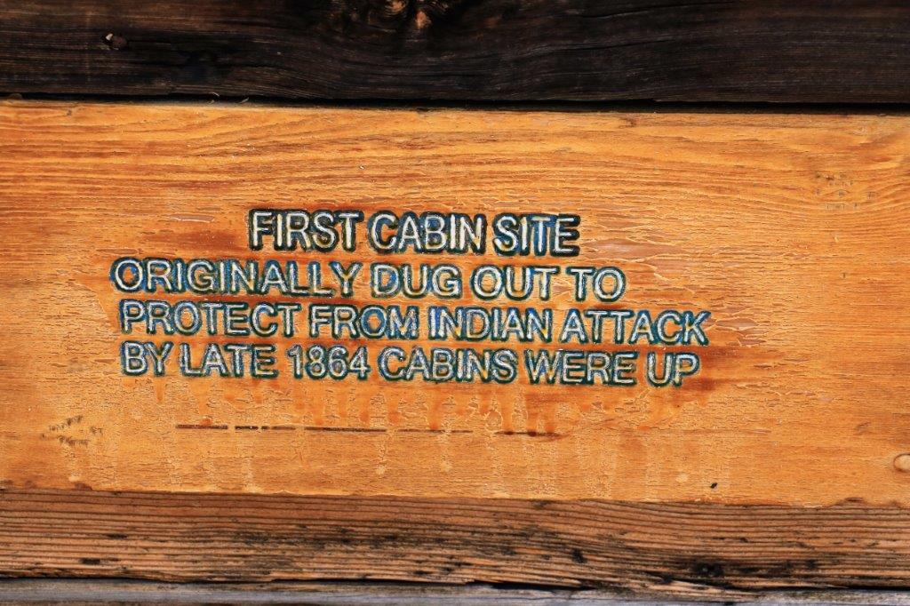
This is the location of the very first cabin at Castle Dome.img_7749 img_7750img_7752img_7757 img_7758 img_7759 Now this Saloon owner devised a very clever way to make windows without the expense or difficulty of getting panes of glass.

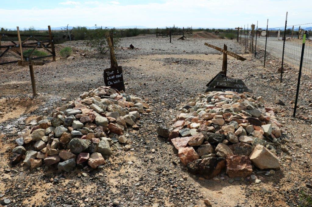
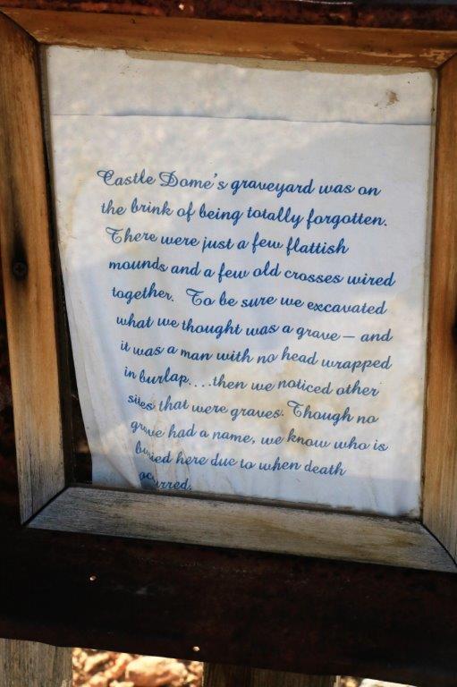
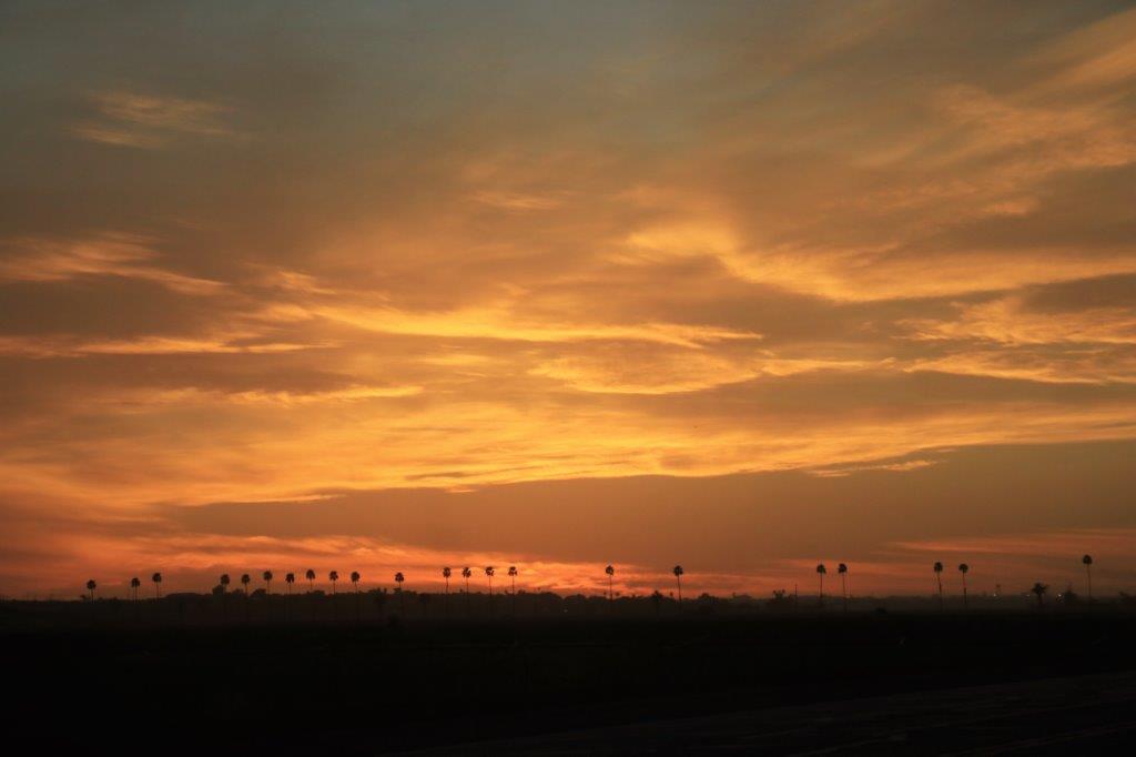
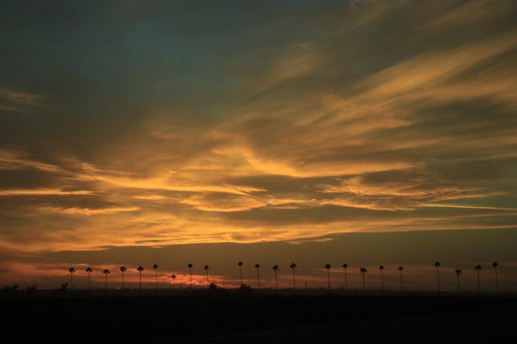
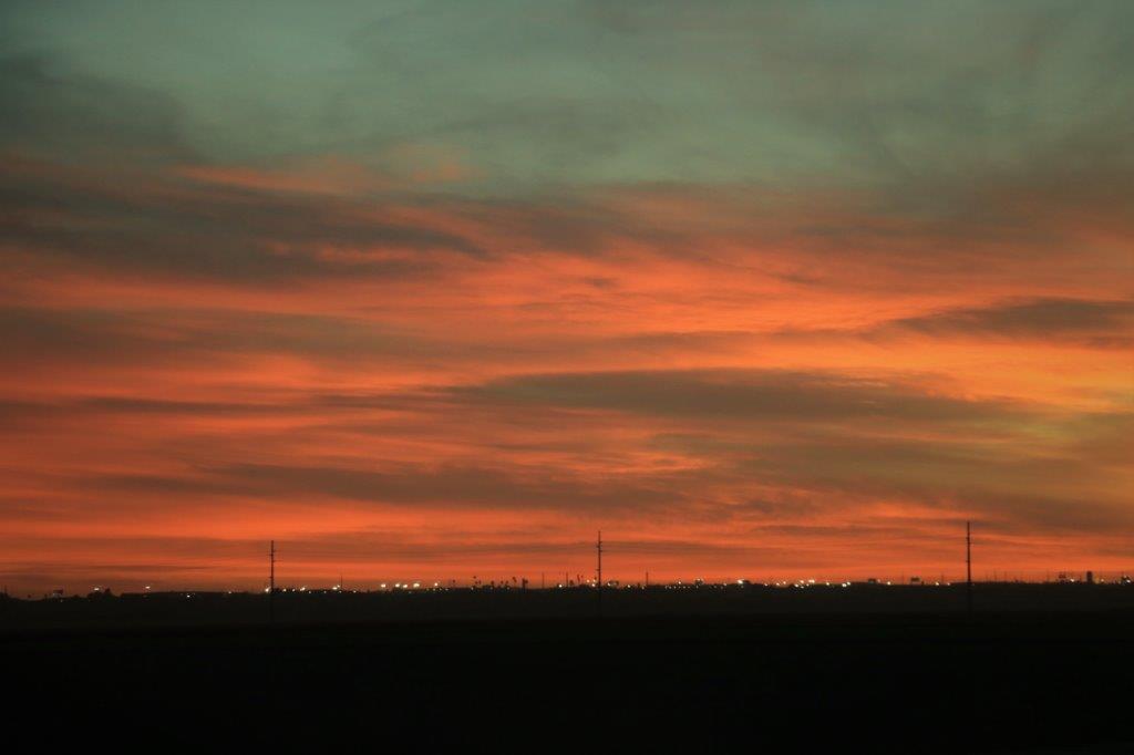
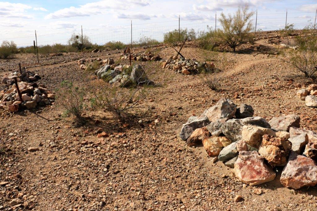
The view from the upper balcony was not bad.img_7753 img_7754 img_7763The cemetery didn’t have too many graves in it.  There were a few cards telling about the demise of some of the residents.img_7765 img_7766 img_7767 img_7768 img_7770 img_7771 img_7769This concluded our tour of the Castle Dome Museum and Mines.  It was a fun day.  img_7775There were two series of geocaches between the museum and the boundary of the Yuma Proving Grounds land (there is no stopping over that section of road) for a total of 24 geocaches.  We found them all and passed the tethered blimp on the way by.img_7776 img_7780We found one more cache right at the highway turn-off and then headed back to Yuma as the sun was setting.  We did a lot of walking so it was good to sit down to dinner and then go back to the hotel.img_7785 img_7786 img_7788 img_7790
2017 Feb 6 (CA Stay and West Coast Roads) – Day 35 – Yuma, AZ

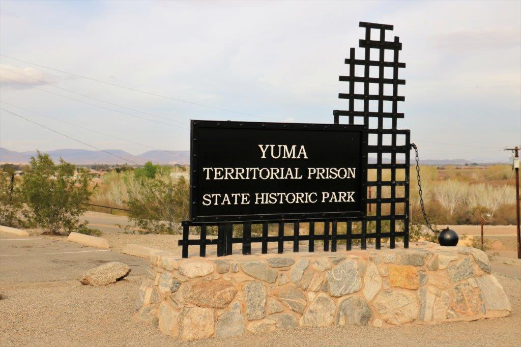
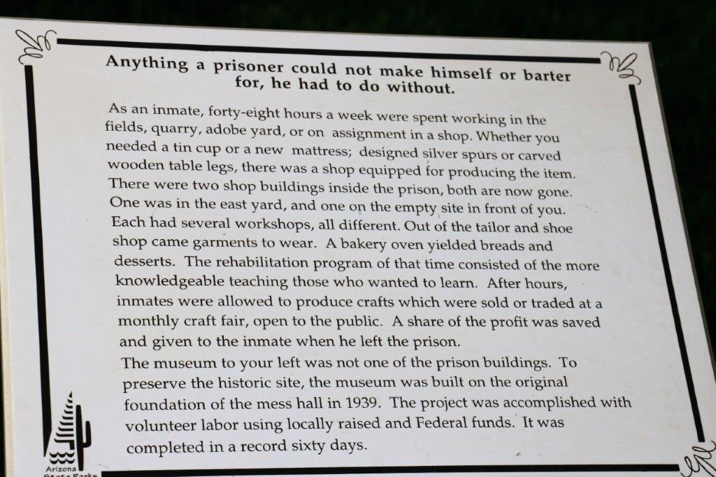
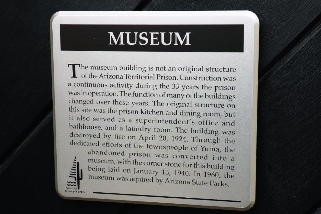
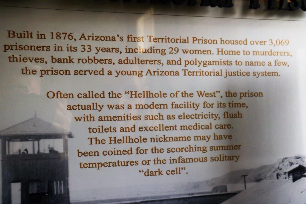
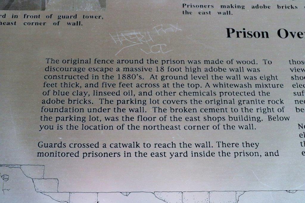
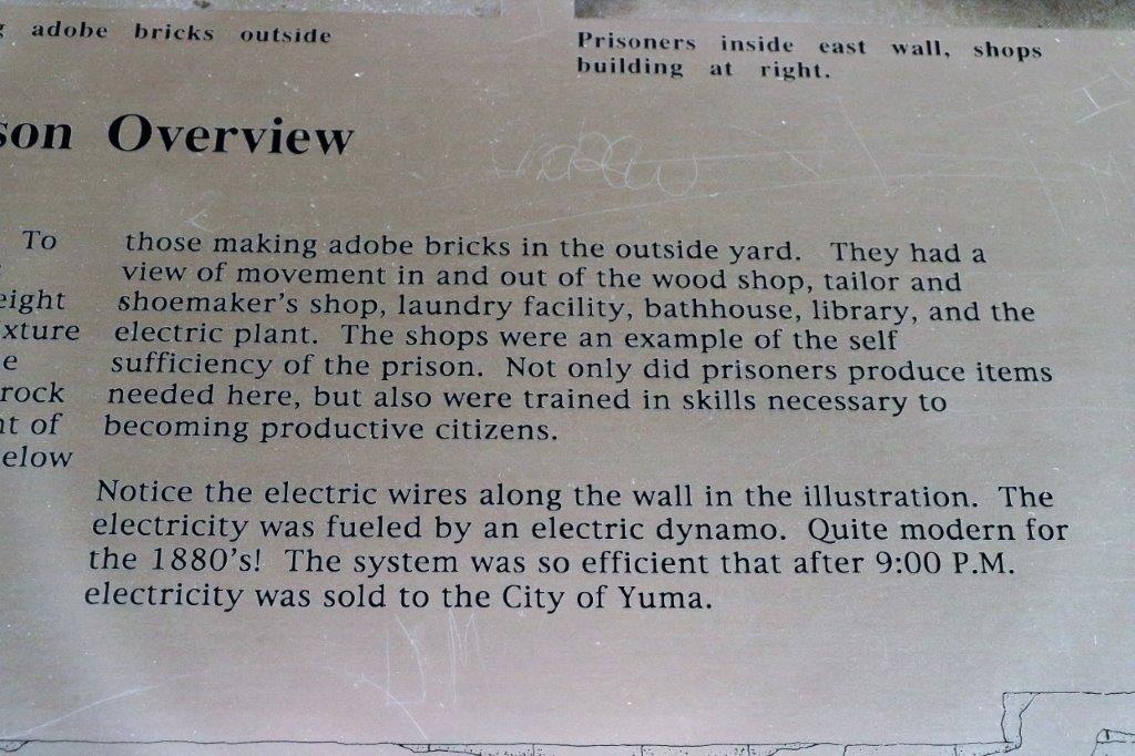
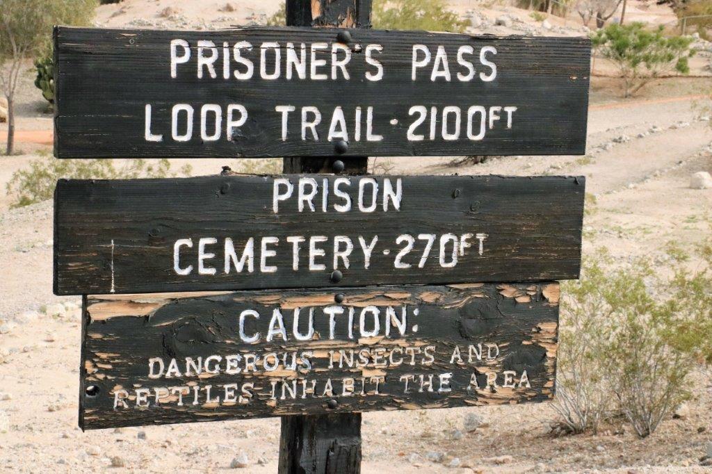
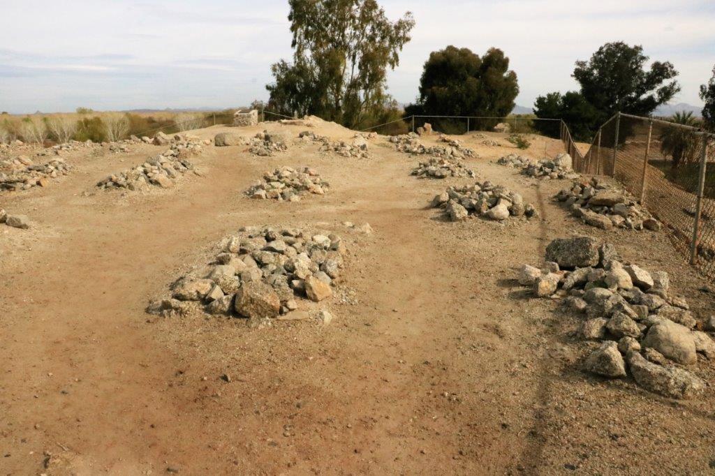
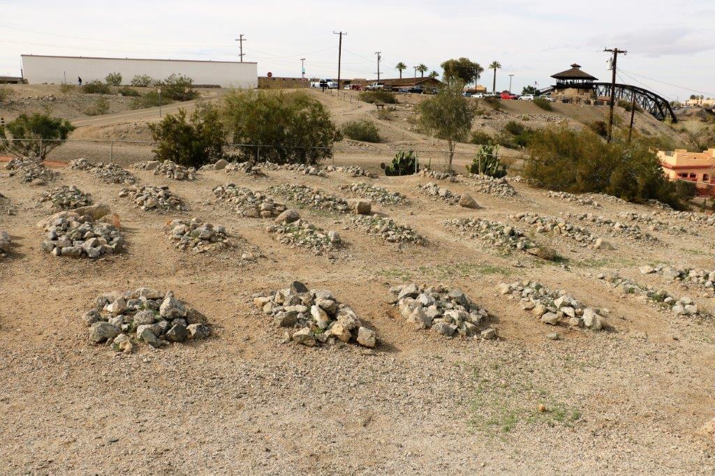
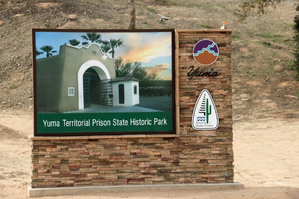
The day got off to a bit of a later start than planned because I slept until almost 10 am!  I liked that.  Does not happen very often.  We had to find a restaurant for breakfast because we missed the one provided at the hotel.  But after we were fed up and coffeed up we went to explore the Yuma Territorial Prison, which came into being because the year Arizona became a state there was a big meeting to decide the state capital (Prescott), where the university would be (Phoenix), and where the prison would be built.  When the meeting broke for lunch the representative from Yuma stayed behind in the room and he crossed out ‘Phoenix’ under the prison location on the agenda and wrote in ‘Yuma.’  When the delegates returned from lunch they wanted to wrap things up and when the question was read out with the name Yuma as the location of the Territorial Prison it passed.img_7427This blog will be very photo heavy and not very text heavy.  As has become my habit when visiting interesting historical places I take photographs of the placards; mainly because I find all the information so interesting, but it has come in handy now that I write my blog.  I just insert photos of the information and then I don’t have to type the information.  Easy for me. Easy for you too because if you don’t want to read all the info you can just skip past the photos and don’t have to scan through text.
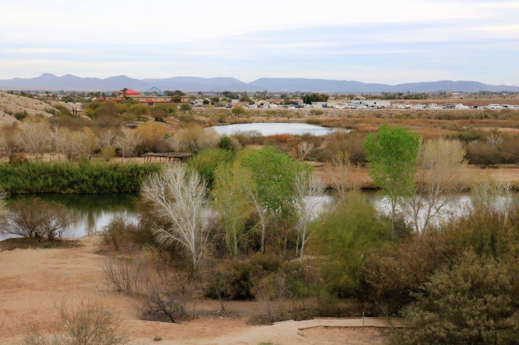
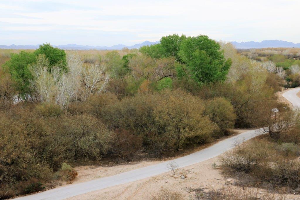
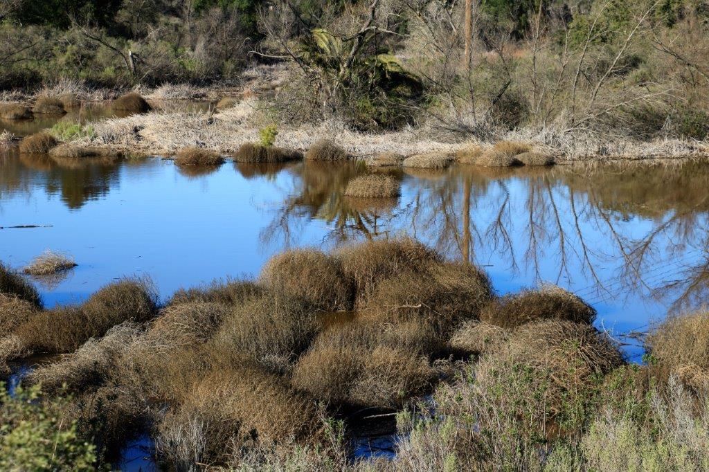
The view over the restored wetlands was pretty nice.  After the creation of all the dams on the Colorado River the wetlands in this area disappeared and the area was full of non-native invasive plants and derelict camps.  In 1992 a group of Yuma citizens began to restore the land.  They have reclaimed 3,000 acres and a further 10,000 are planned.  It is a huge community volunteer project.  The local Indian band is also involved the two groups have created walkways and parks along wetland’s shore.  Birds and other animals that historically lived in the wetlands are returning in greater numbers every year.  It is a huge success story; not just for the land but for the community.img_7304 img_7307 img_7319

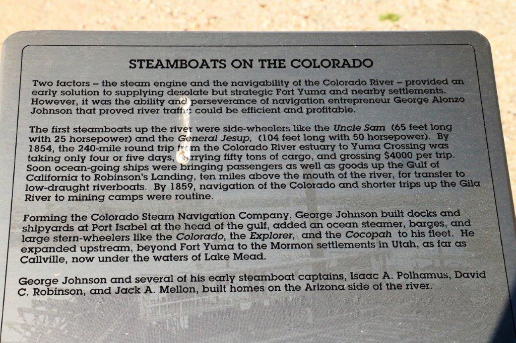
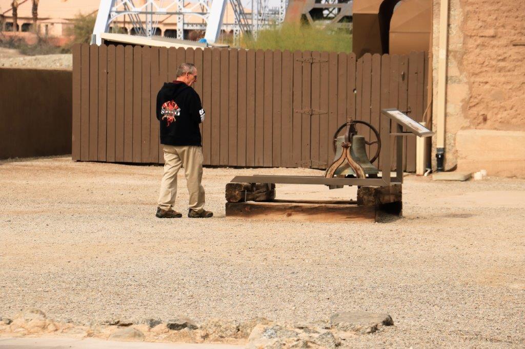
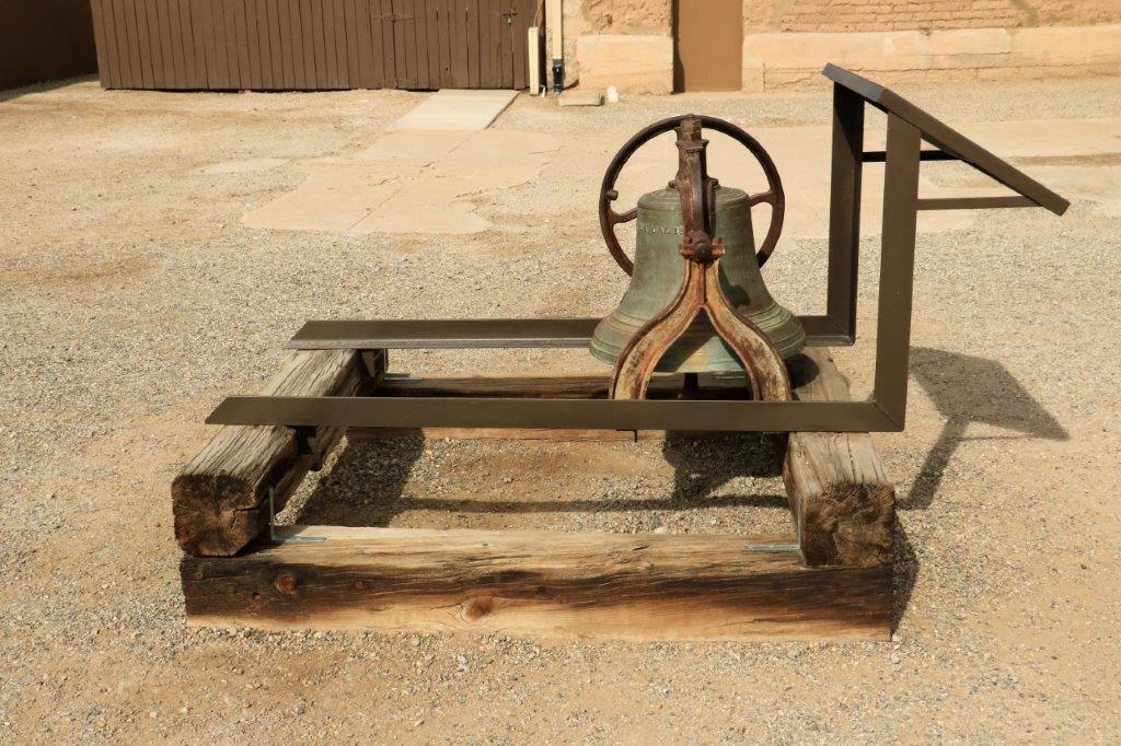
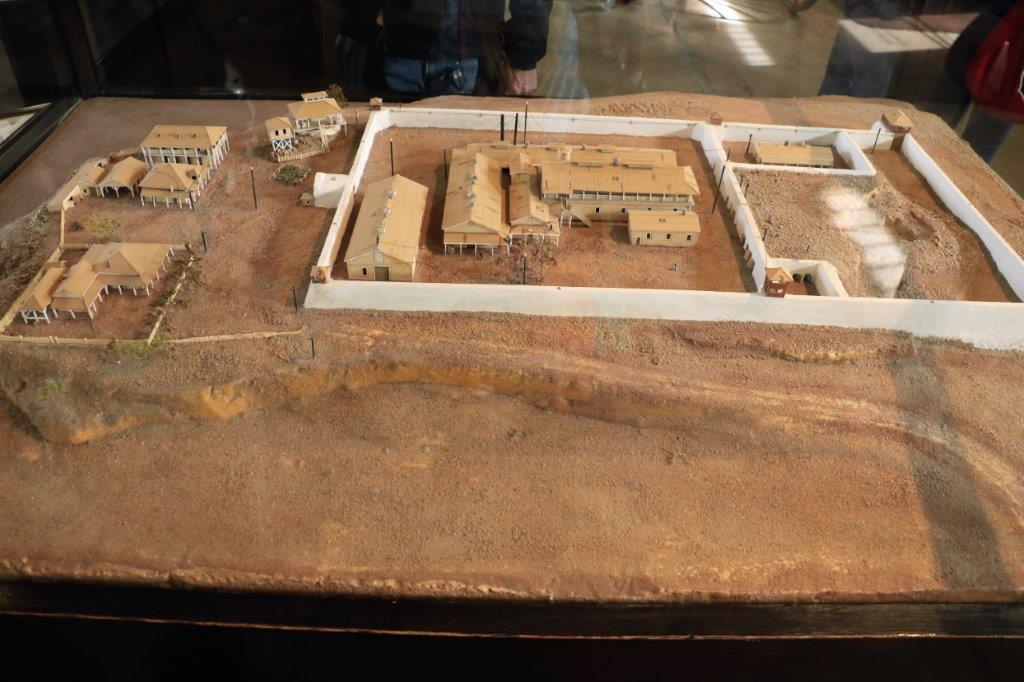
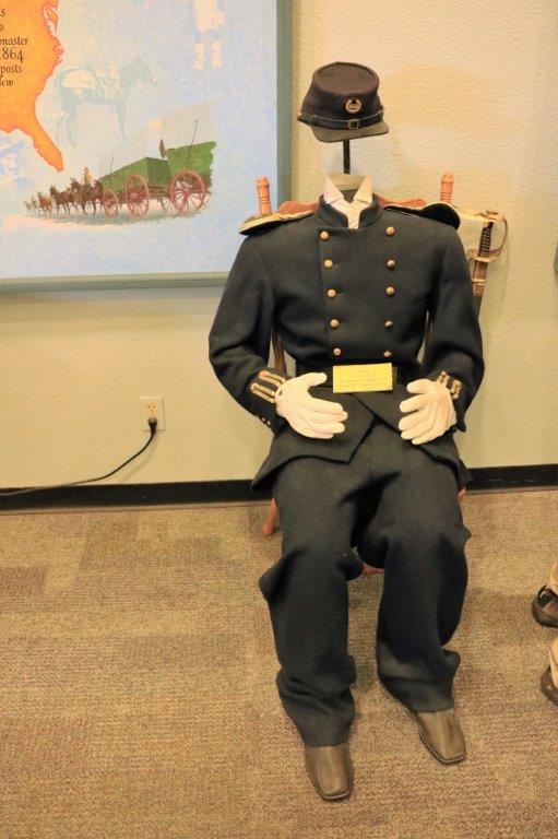
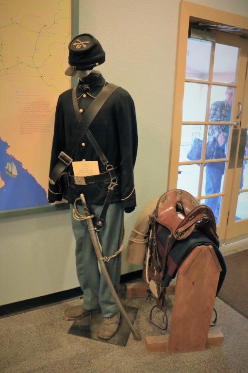
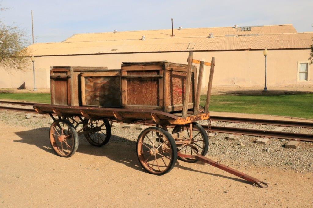
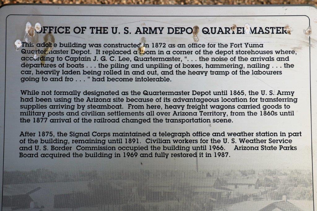
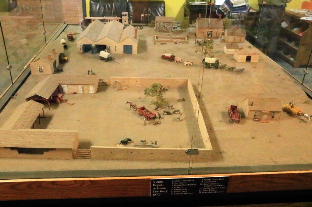
Fort Yuma (the original site is on the California side of the Colorado River – which forms the border between CA  and AZ) became a supply center for all of the forts in the south west.  Before the railway was extended this far supplies were shipped from San Francisco all the way around the Baja and then brought by steamship up the river to Yuma.  The Quartermaster’s Depot was here – we visited it after the prison – and was in charge of supplying 19 forts (I think that is the correct number) with all their needs – equipment and food.  The Depot kept 6 months supply at all times and sometimes had as many 900 mules on the premises.img_7479When the railway was built a bridge was needed to cross the Colorado.  At that time the prison was closed and over one third of it was demolished to make way for the Ocean to Ocean Bridge that connected the US from coast to coast.  The community banded together and bought the prison land and volunteers began to restore and preserve it.

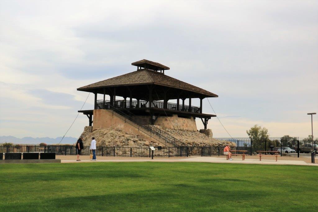
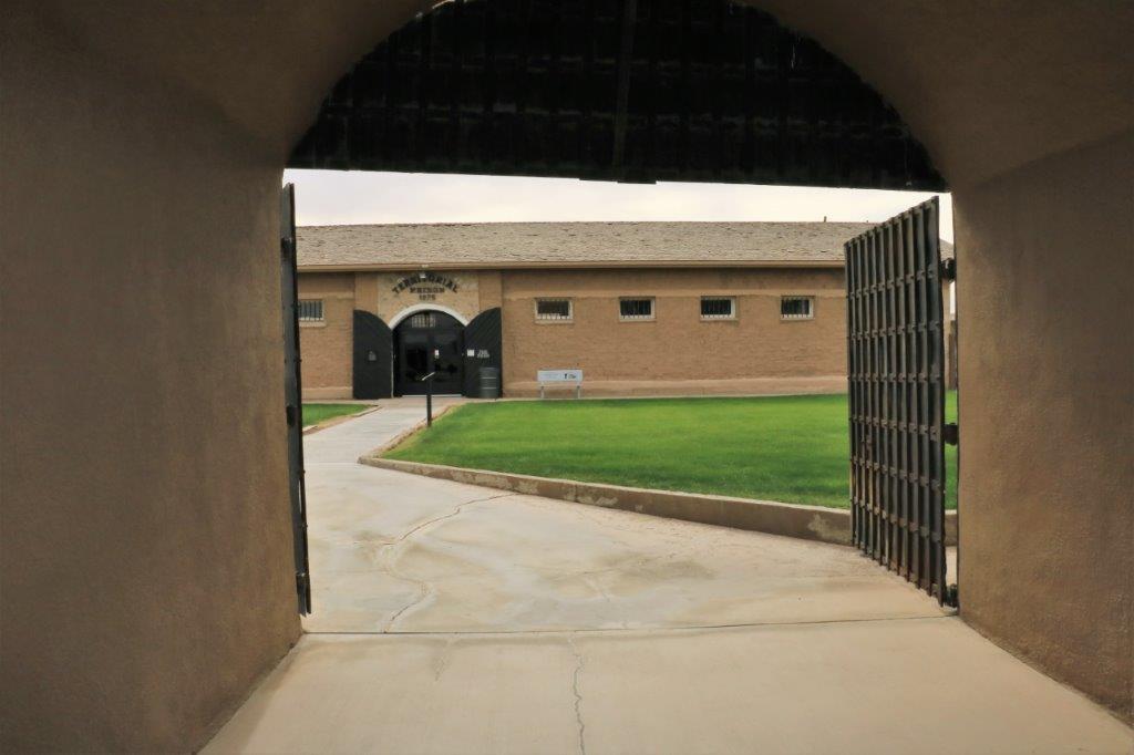
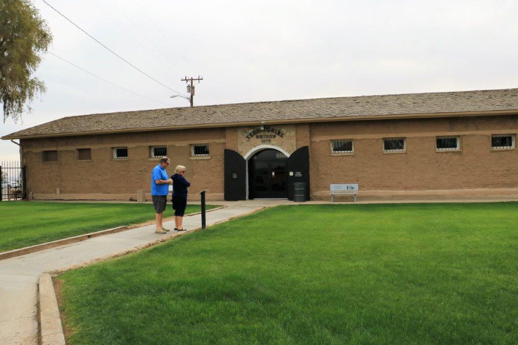
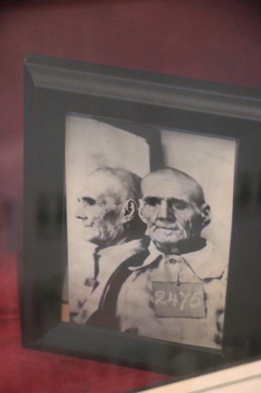
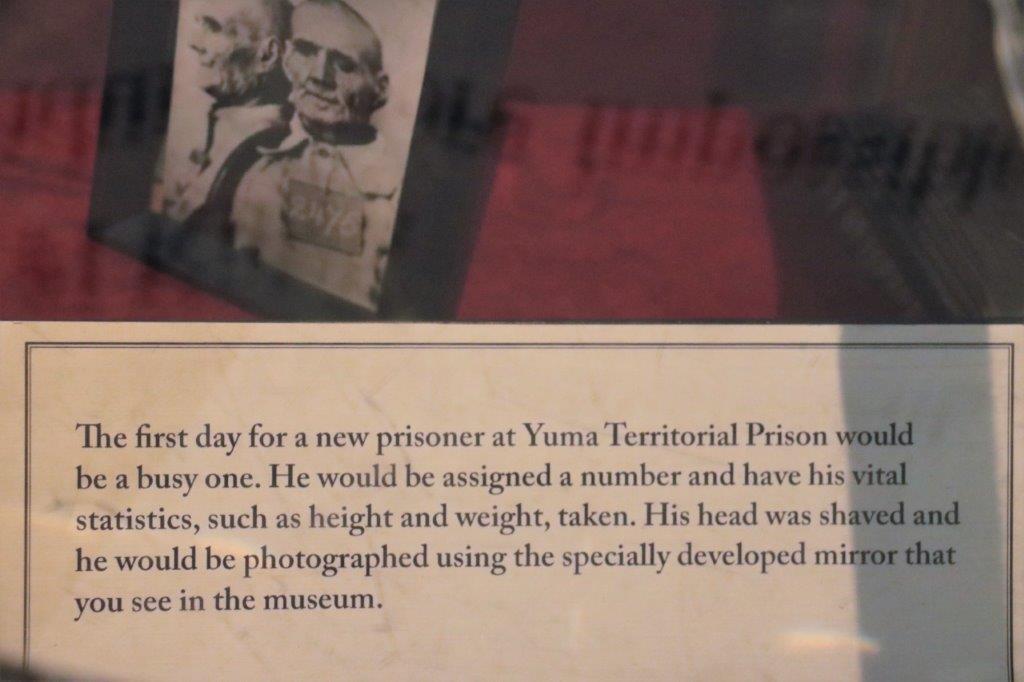
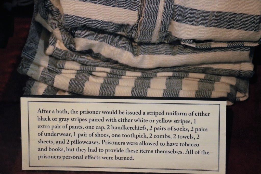
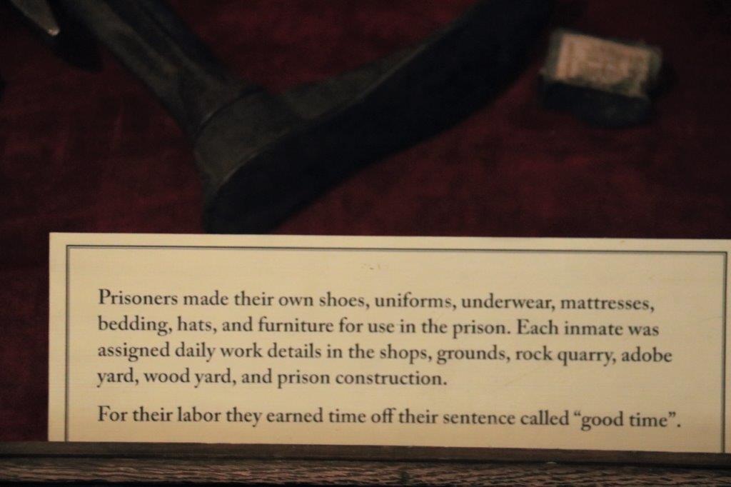
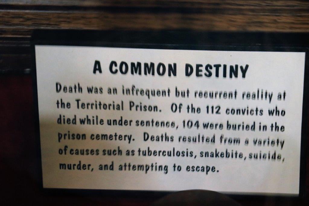
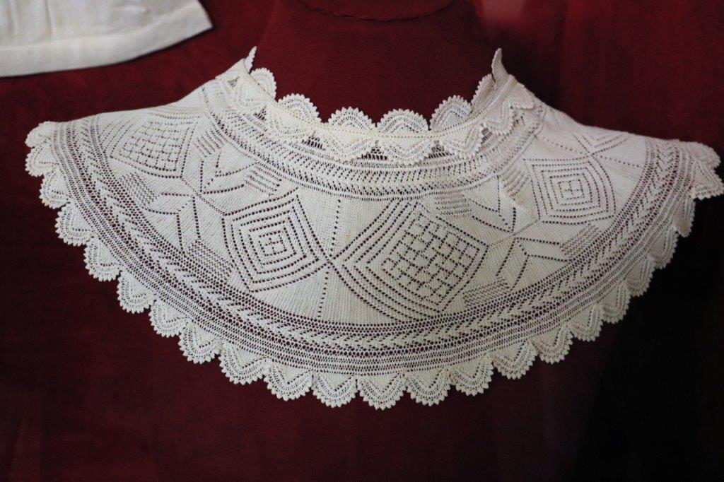
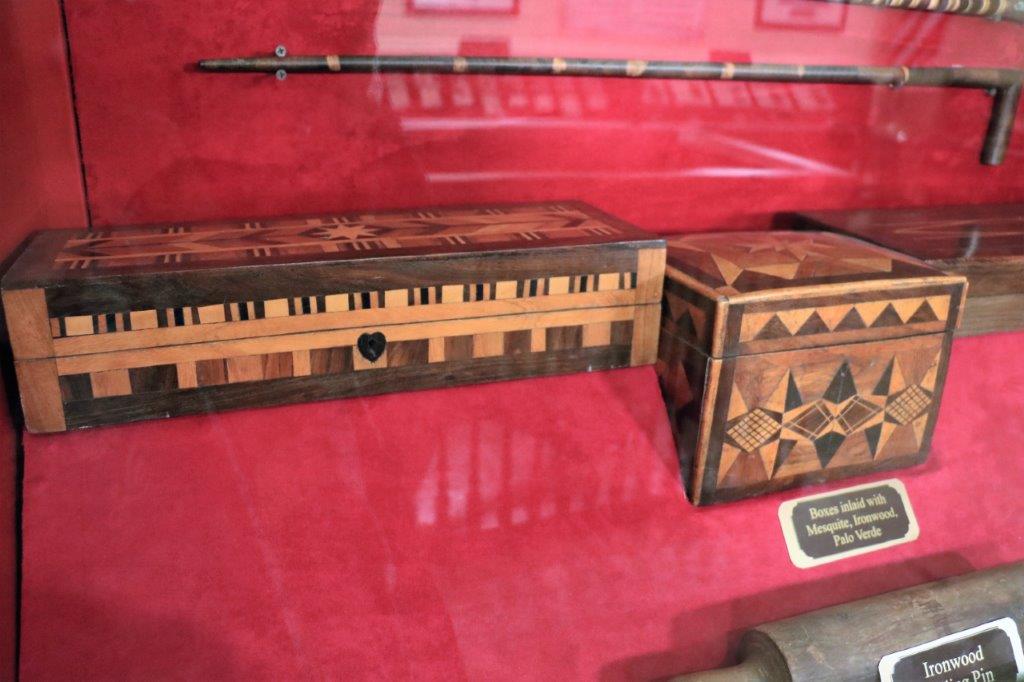
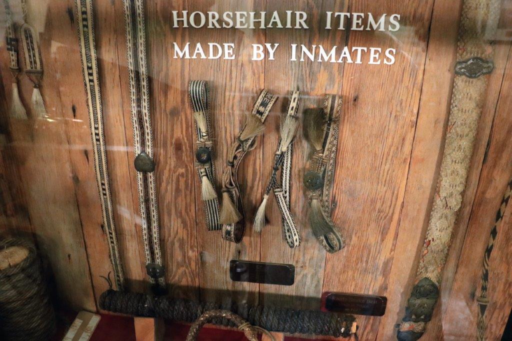
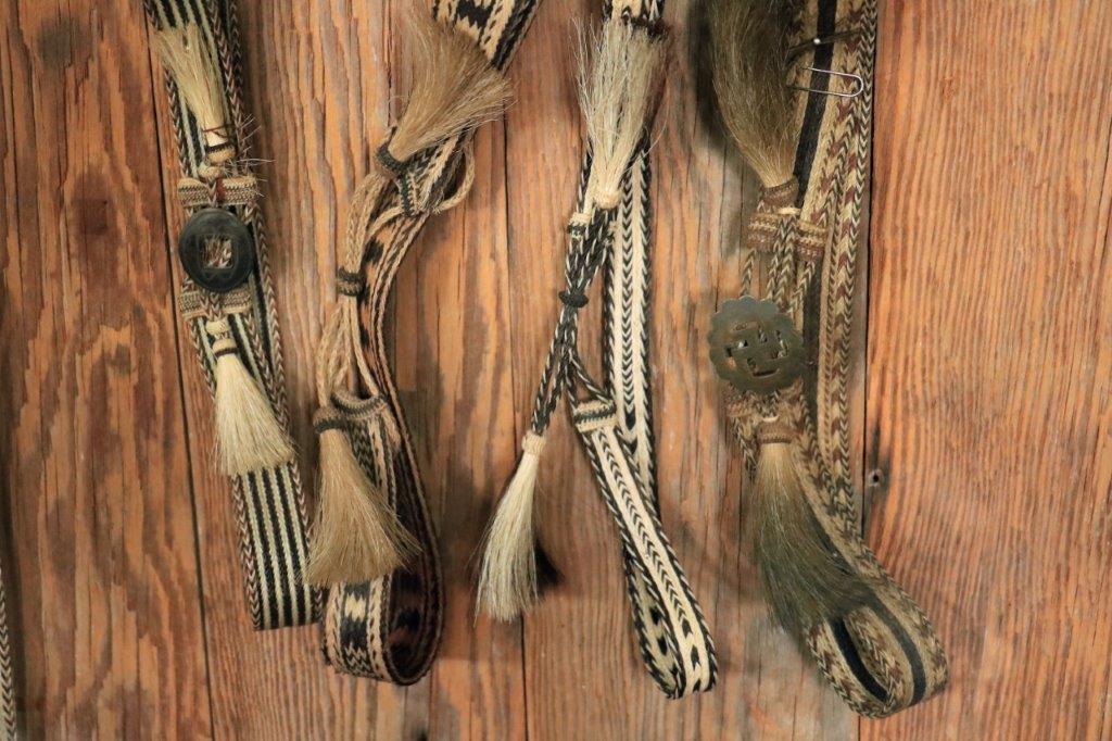
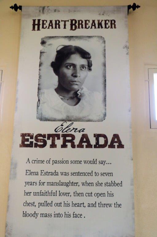
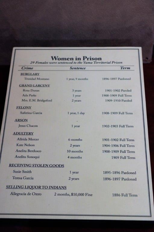
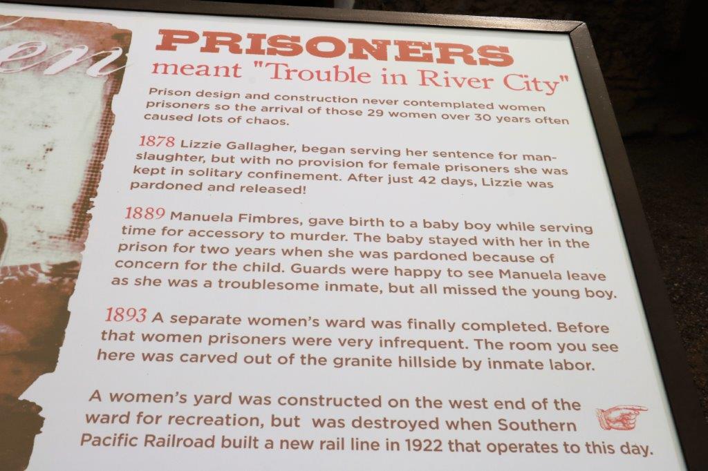
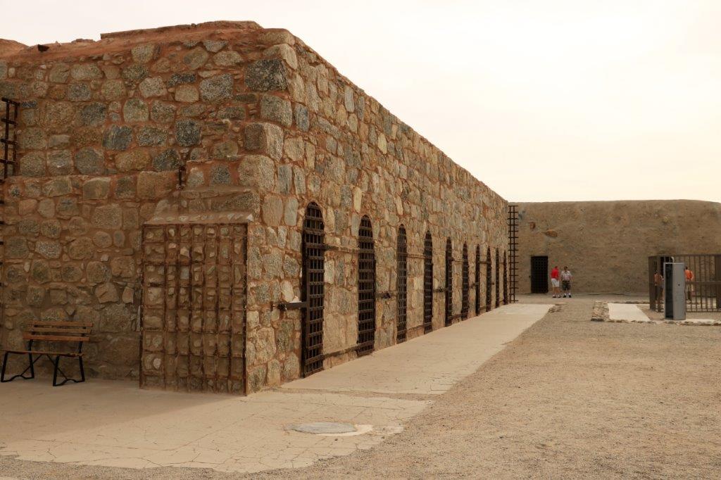
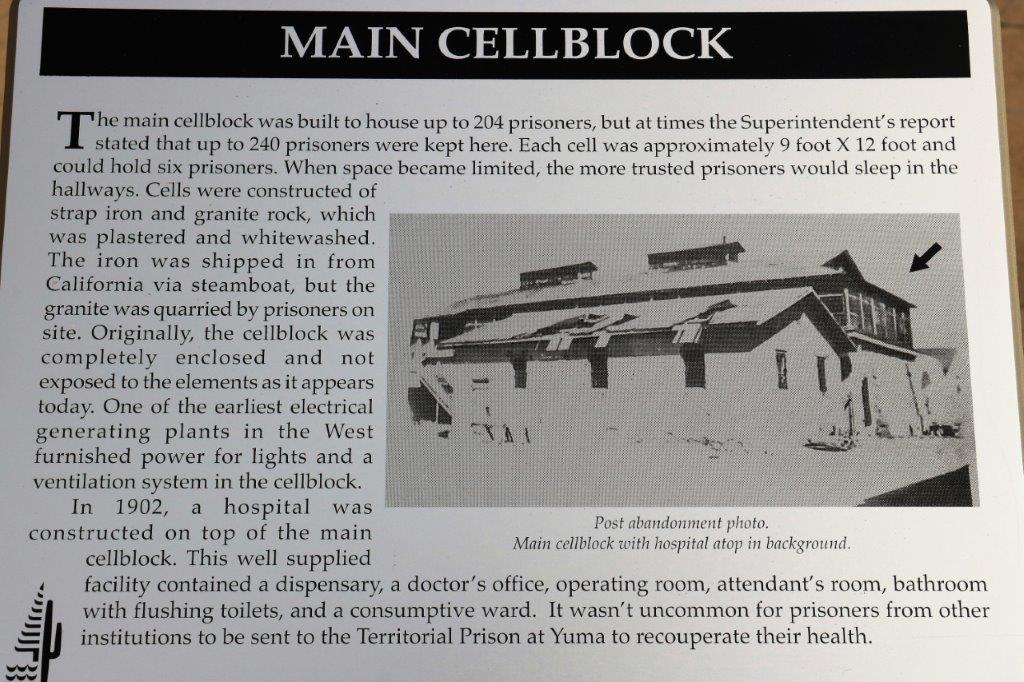
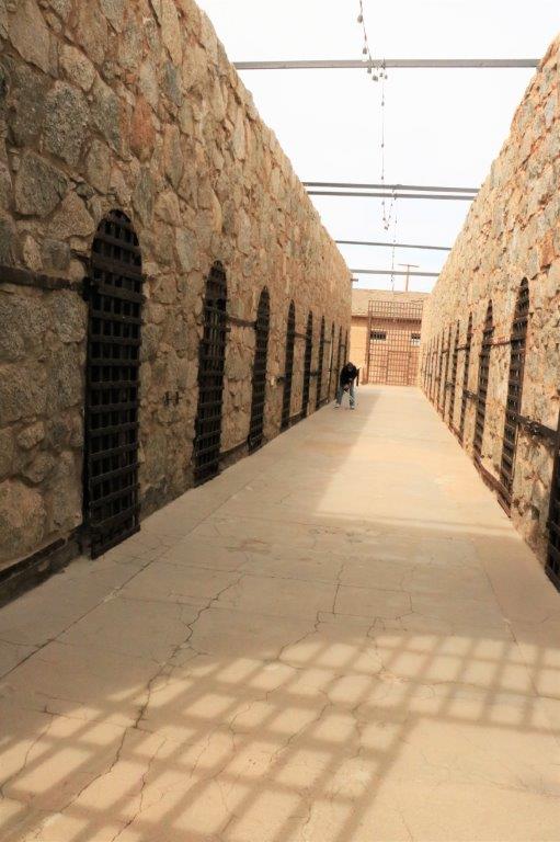
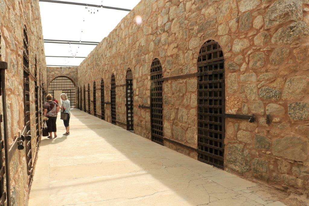
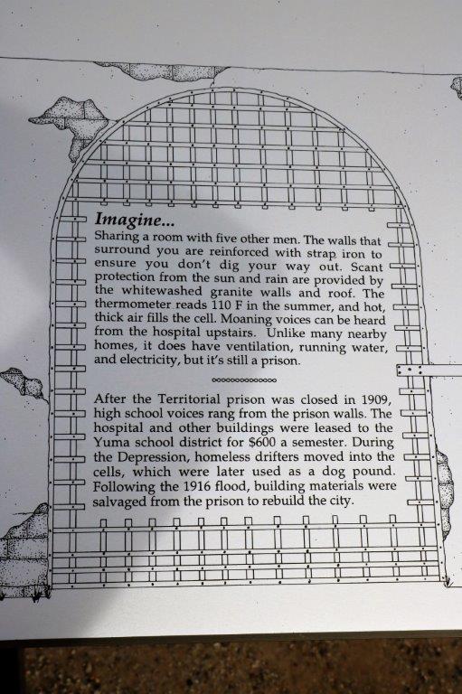
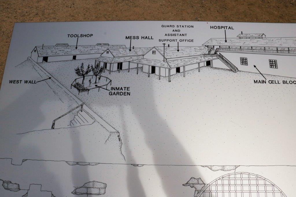
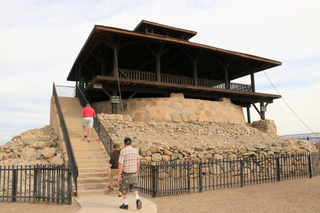
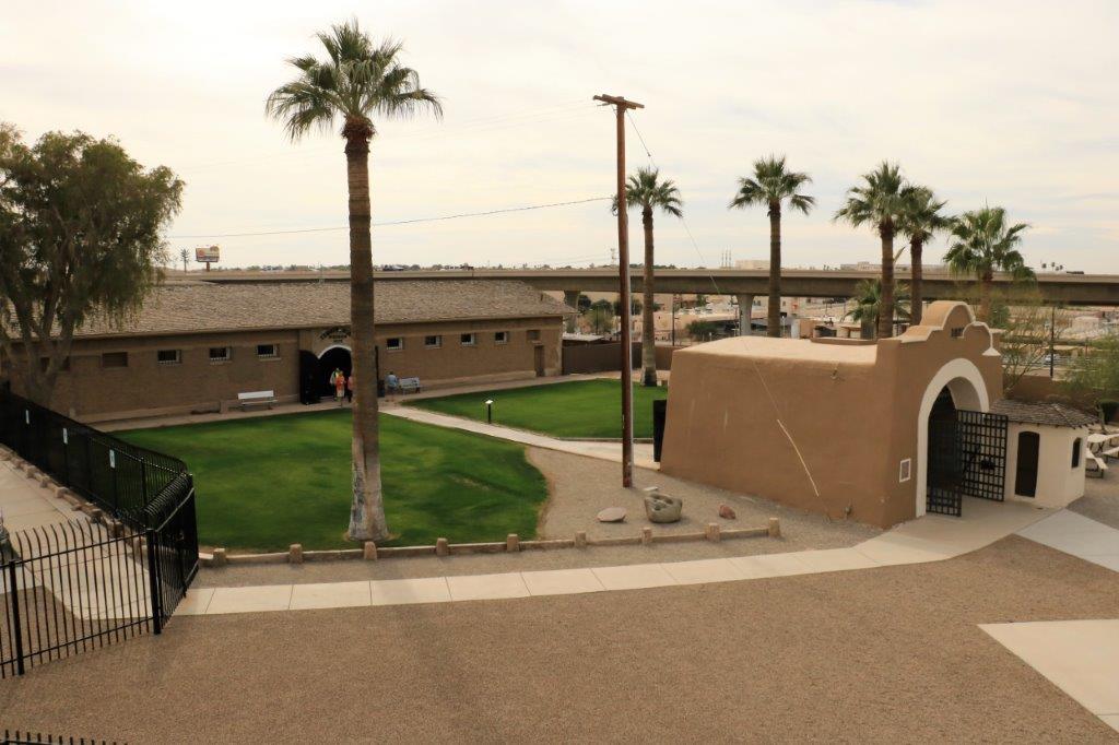
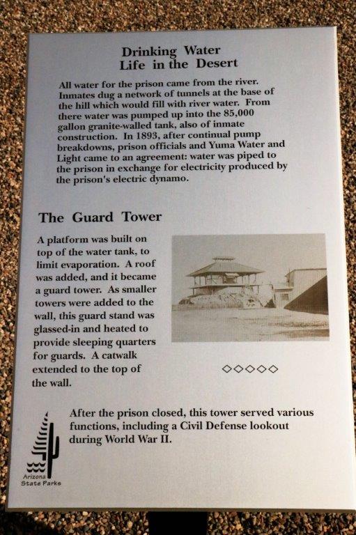
img_7315img_7320img_7321The prison cell blocks and wall were built by the first prisoners that were sent to Yuma.  In the 33 years that the prison was used until it became too overcrowded and a new larger prison was built in Florence, over 3000 men and 29 women were incarcerated.  Crimes ranged from forgery, adultery, polygamy to manslaughter and murder.img_7325The guard tower was built over the water cistern to help prevent evaporation.  It also provided an excellent view of the prison yard and the work gangs outside the wall. img_7326 img_7328 img_7329 img_7330 img_7331 img_7334 img_7335 img_7336 img_7337 img_7338 img_7341The prisoners were required to work 48 hours per week in the quarry or the various shops – for which they earned money that was kept for them until their sentence was completed.  Rule breaking would often result in forfeiture of any ‘good behaviour’ credits.   They used their ‘free’ time to make things that they needed or liked to do.  Eventually a craft market was held to sell their goods and the money earned was kept aside for them as well.
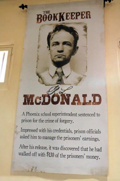
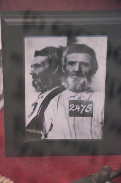
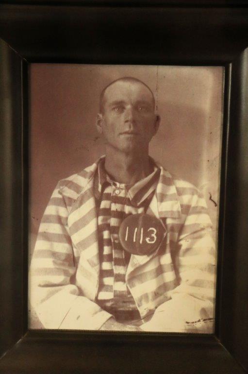
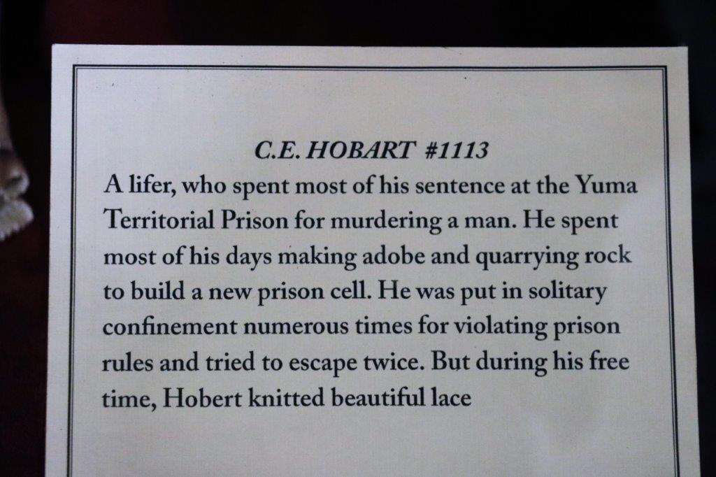
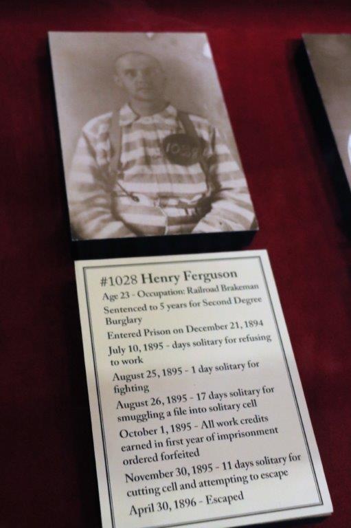
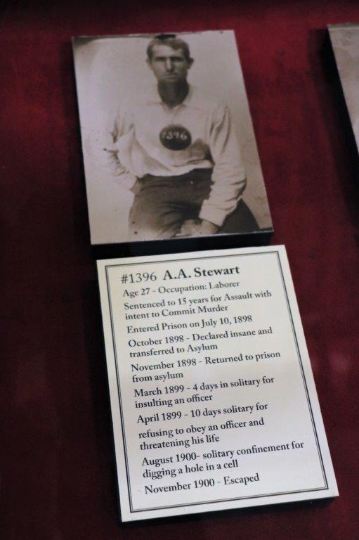
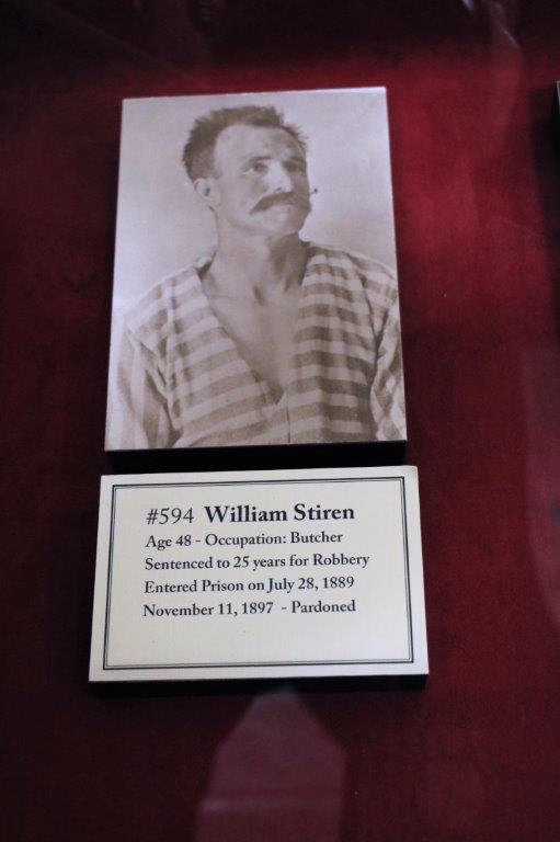
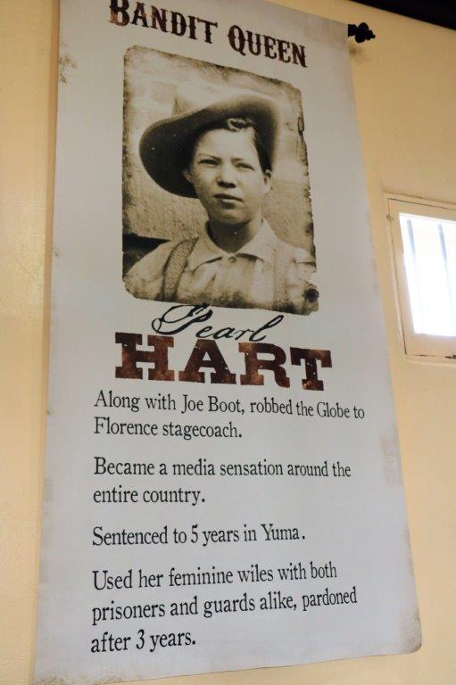
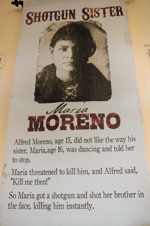
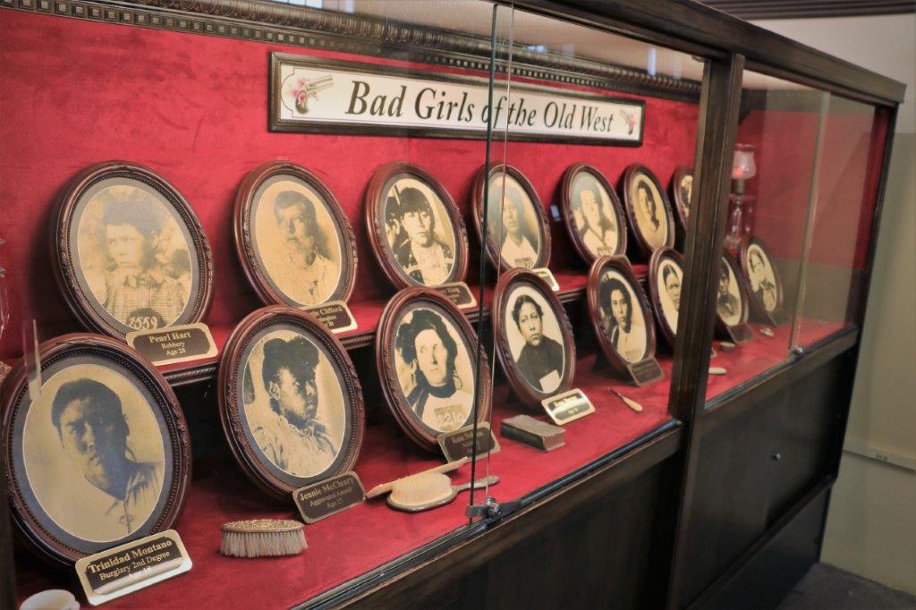
img_7342 img_7343 img_7344 img_7345 img_7346 img_7347 img_7348 img_7349 img_7350 img_7351 img_7352There were large banners on the museum walls that told about some of the prisoners and in glass cases there were bios of all the wardens, names of many of the guards and information on a dozen or so prisoners.
img_7353 img_7354 img_7355 img_7357 img_7359 img_7360There were very few successful escapes.  You could not tunnel out because the prison was built atop a granite hill and there were iron grids built into the rock walls.  If you did escape there was no where to go except the desert.  The dunes where there are no plants growing and no water are only a few miles away.  I think there were four successful escapes.  None of the men were ever heard about again.

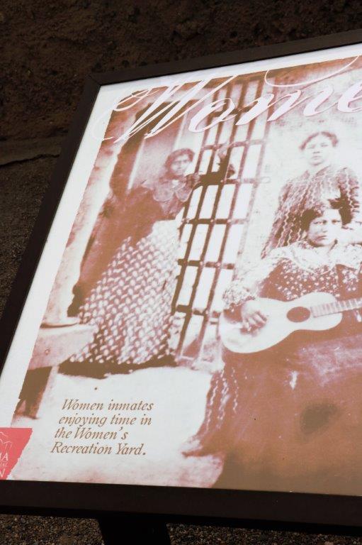
The prison was not built for women but it did have women prisoners.  A section behind the library was carved out to make cells for the women.

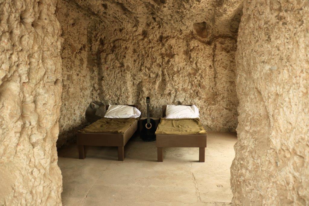
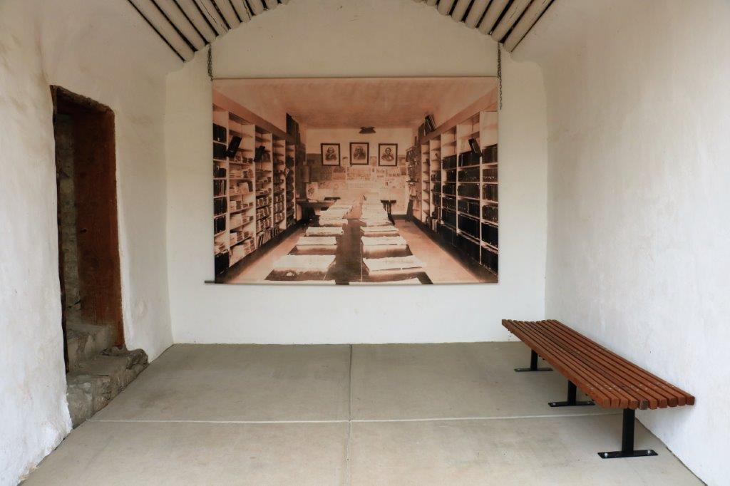
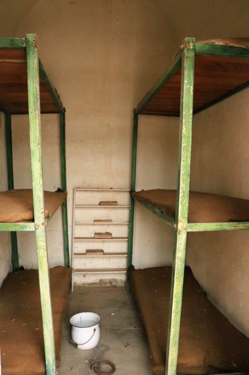
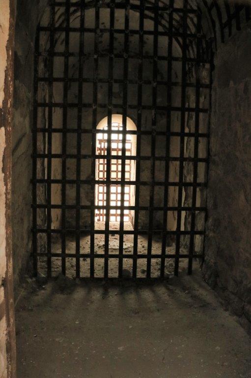
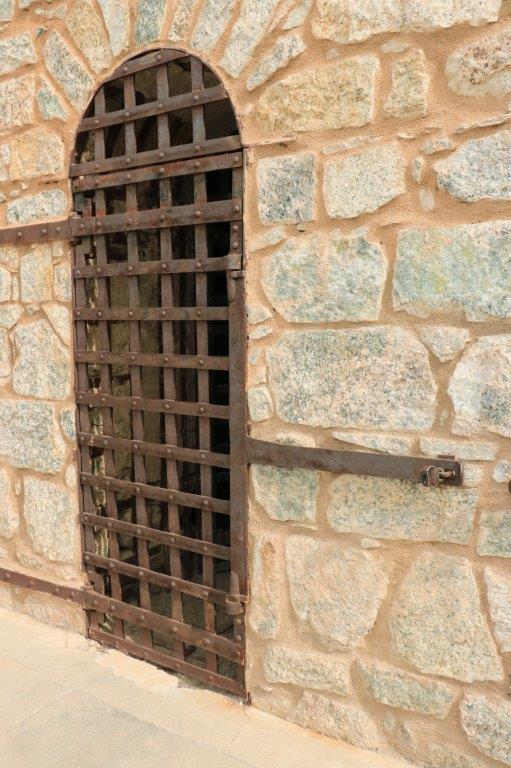
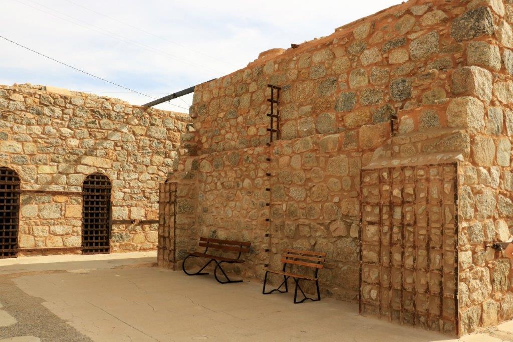
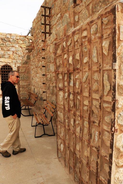
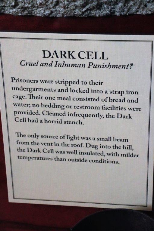
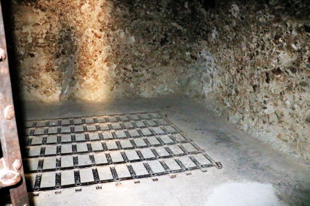
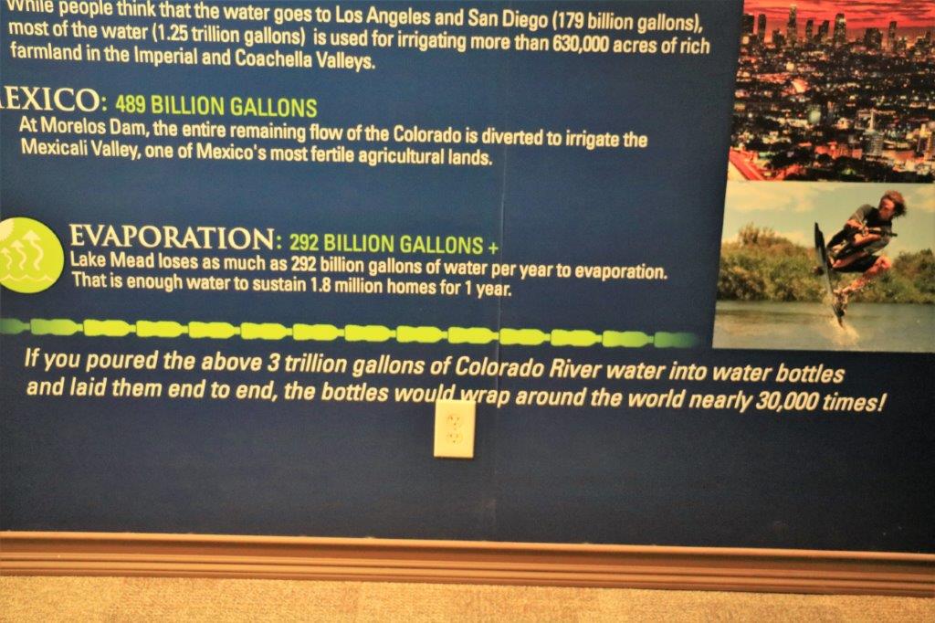
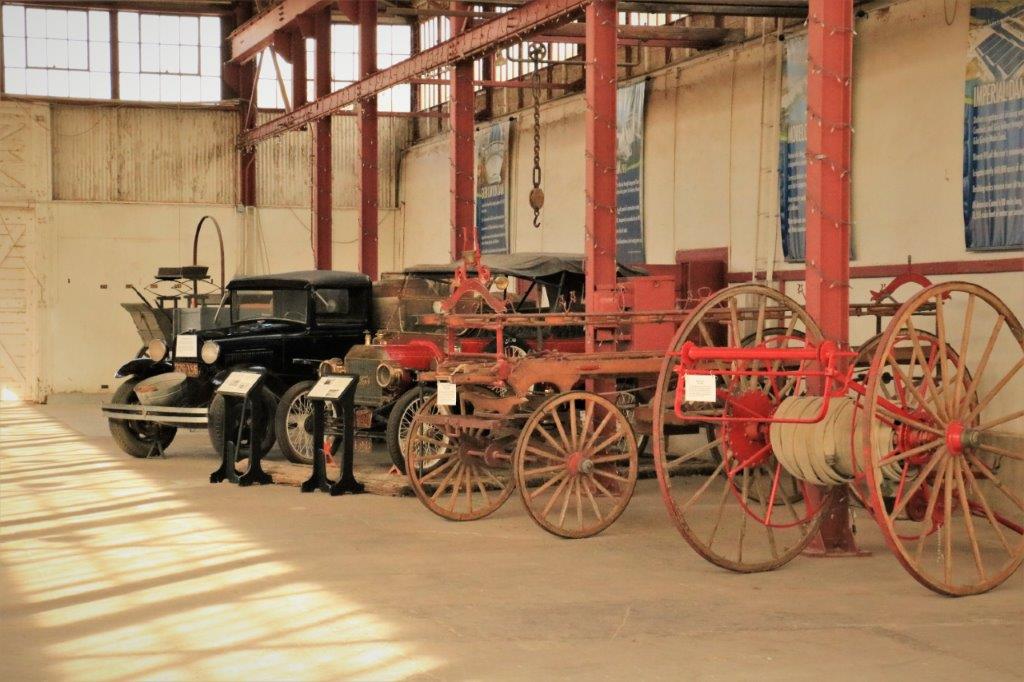
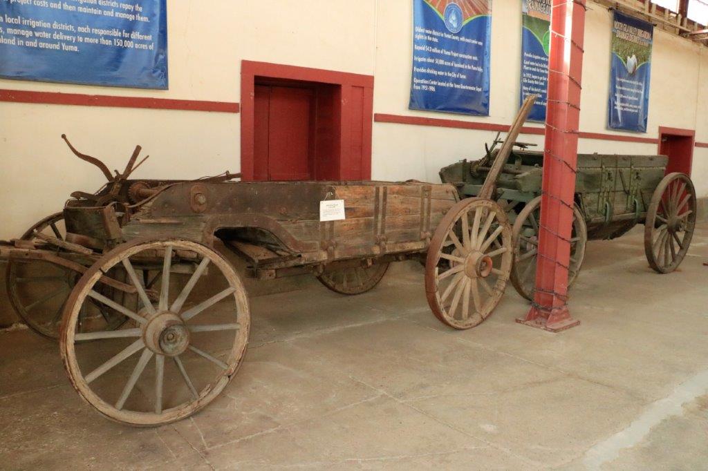
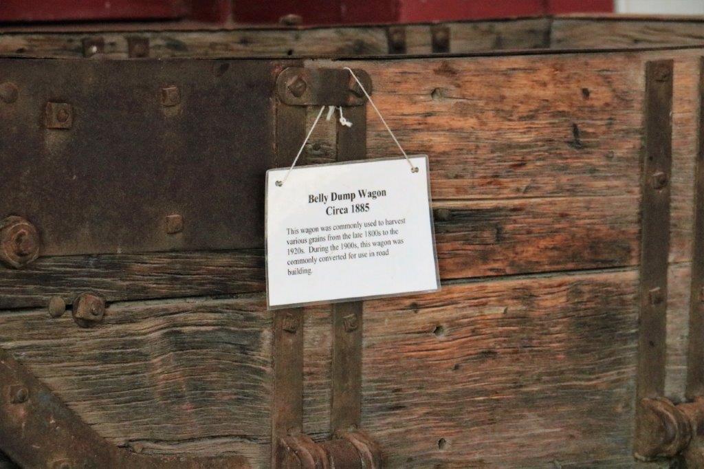
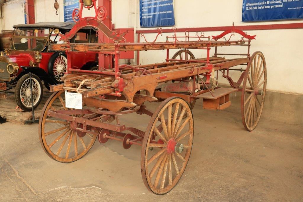
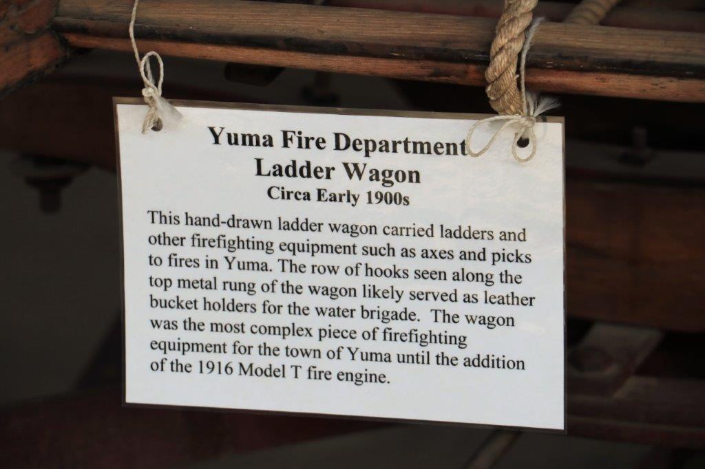
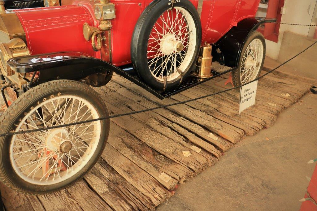
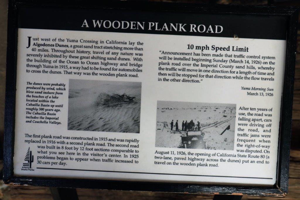
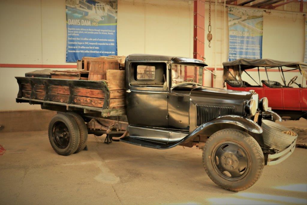
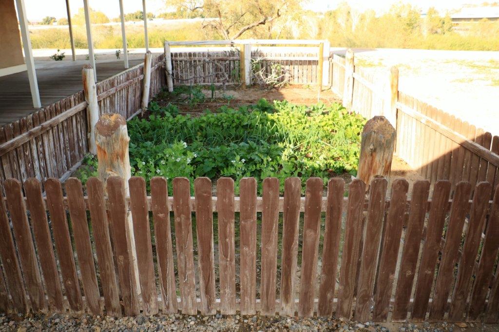
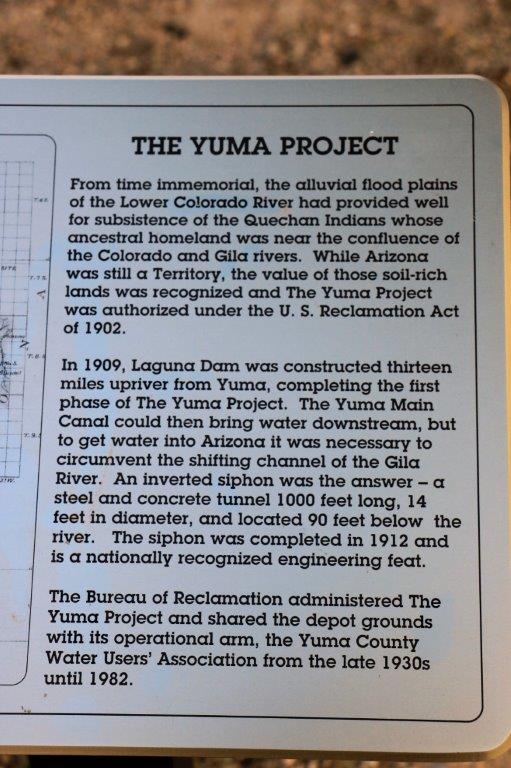
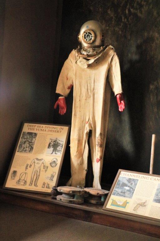
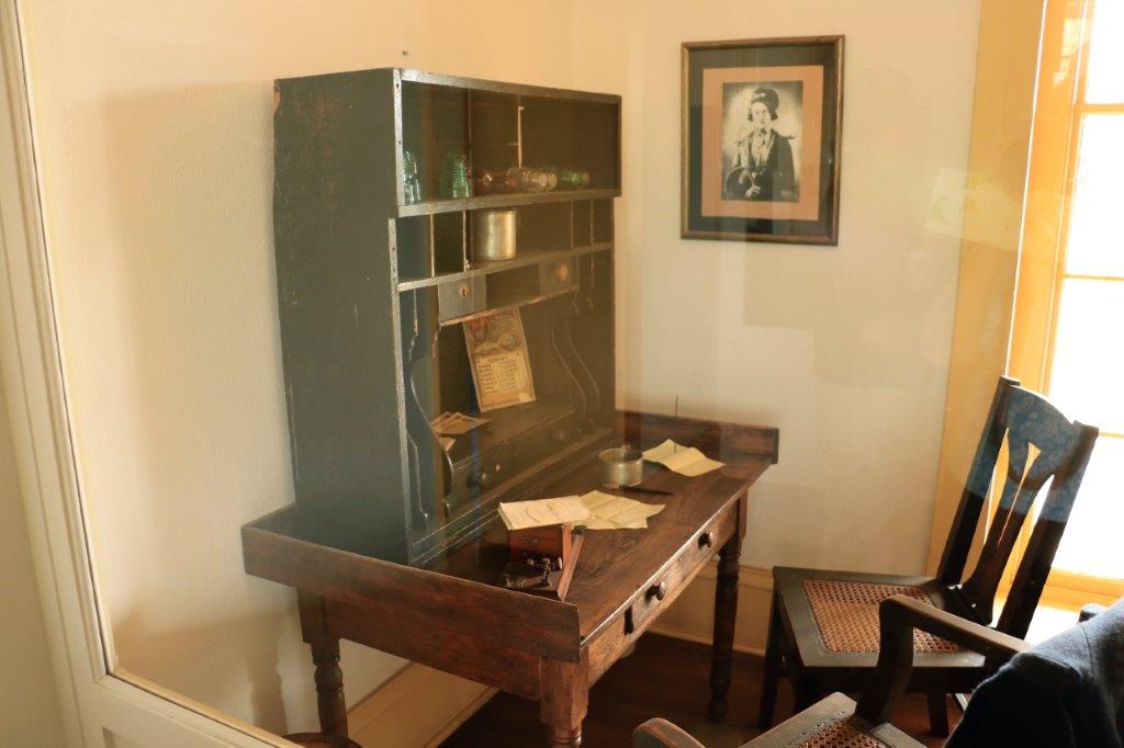
img_7363 img_7364 img_7365 img_7368 img_7366img_7382img_7387img_7388The prison had a library of 2,000 books, the most books in the entire territory.  Prisoners were taught trades and to read and write and do arithmetic.  The books in the library were very well cared for by the prisoners.img_7395There were six prisoners per 8′ x 12′ cell.  The three-tier cots were originally made of wood but were replaced with iron ones (built by the prisoners) to solve the horrible bed bug problem.img_7369 img_7374 img_7372 img_7377img_7375 img_7378img_7376You can see the iron bars built into the rocks.img_7404 img_7405 img_7399img_7397The only recorded punishment used on the prisoners was solitary confinement of various lengths of time for different offenses.  This was the Dark Cell – a large cavern cut into the granite with a tiny hole in the ceiling for ventilation.  Inside the cavern was a 8′ X 15′ iron cage.  Prisoners were stripped to their underwear.  There was no slop bucket, no light, and only bread and water once a day.img_7340 img_7380 img_7386The replica of the cage sits outside in the yard but you can see where it sat in the cell.img_7389 img_7400 img_7402 img_7406 img_7409 img_7410 img_7413 img_7414 img_7417 img_7418 img_7419 img_7420 img_7423 img_7430After we spent about three hours at the prison we drove over to the Quartermaster’s Depot.  There are five original buildings in the park which is entered through the Arizona Visitor’s Center.img_7432 img_7433 img_7436 img_7438 There was a lot of information on the dams on the Colorado River and the water that is harvested.  The Bureau of Reclamation (which is actually reclaiming water for the land not restoring land) has a display center at the Depot.  The Yuma area produces 90% of the fresh vegetables in the US.  Yes, that is correct 90%.  Virtually all winter vegetables come from here and all because of the dams and irrigation canals that harness the Colorado river. 230,000 acres of land in the Yuma area are irrigated for crops.img_7440 img_7439img_7441img_7443The first building – which was the storehouse for all the goods held at the depot for distribution to the area forts – had some really nice old vehicles in it.  Including a fire department ladder truck – pulled by hand.img_7444img_7446img_7447 img_7448 img_7449 img_7450 img_7451 img_7454 img_7455 img_7458The Quartermaster’s office has the original desk that President Roosevelt once sat at to sign some documents.  img_7460 img_7461 img_7462 img_7463 img_7465 img_7467(It is hard to get clear photos through glass with sunlight and reflections.)

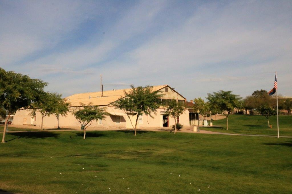
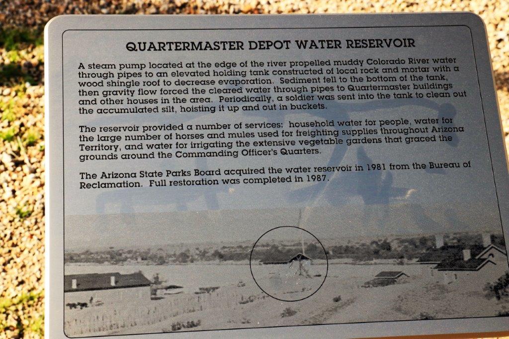
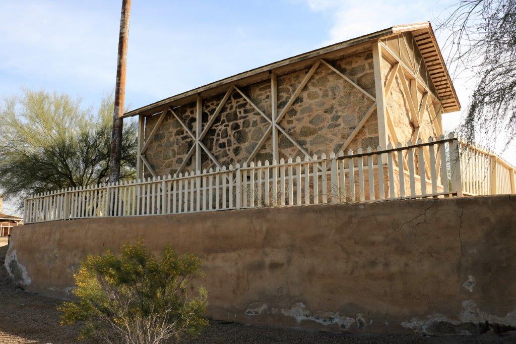
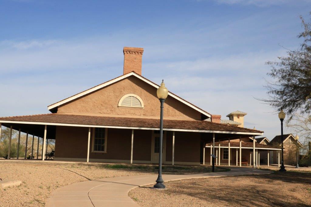
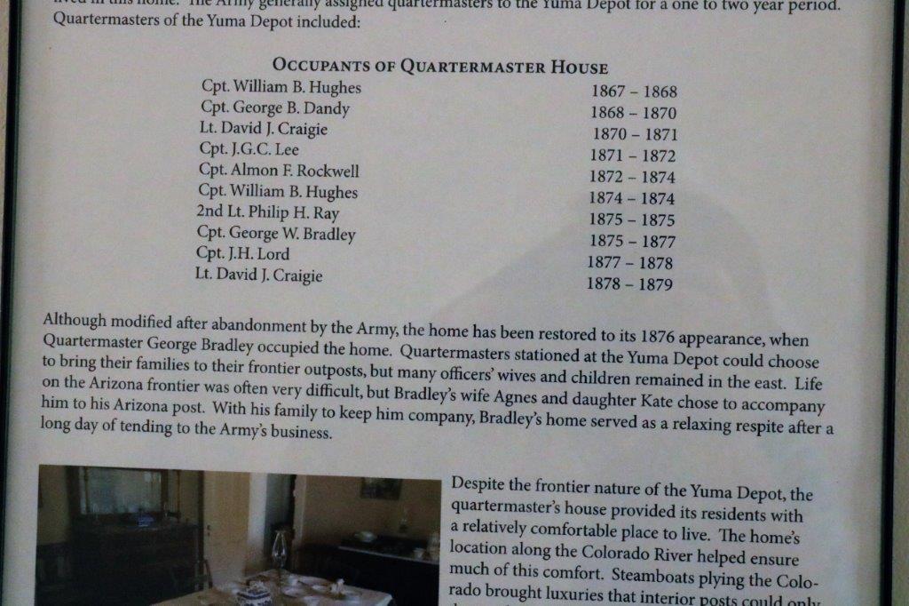
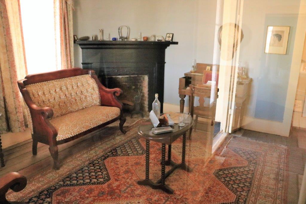
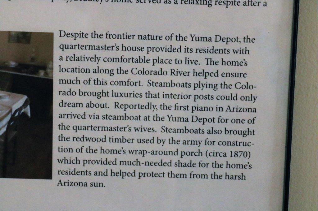
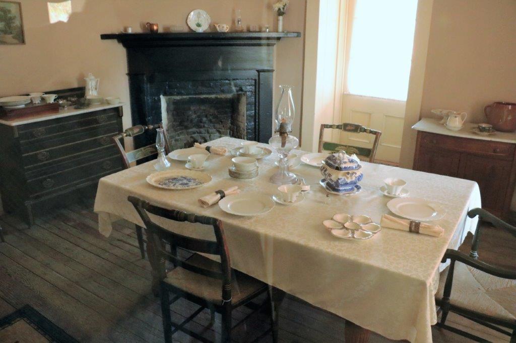
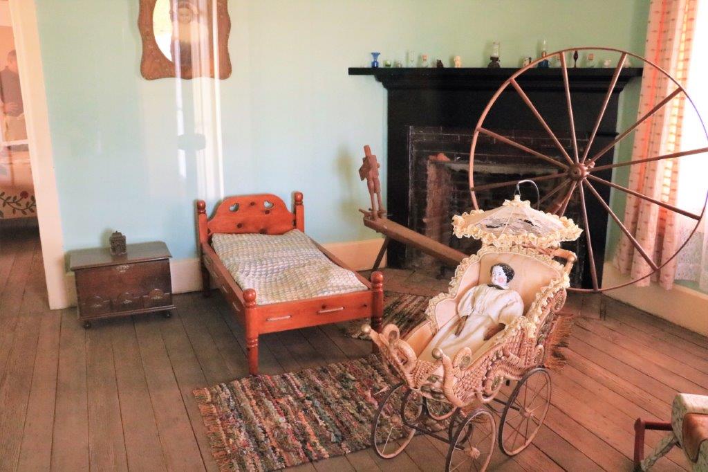
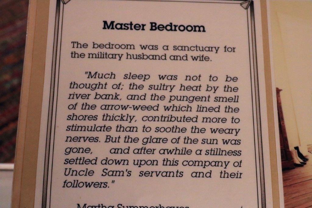
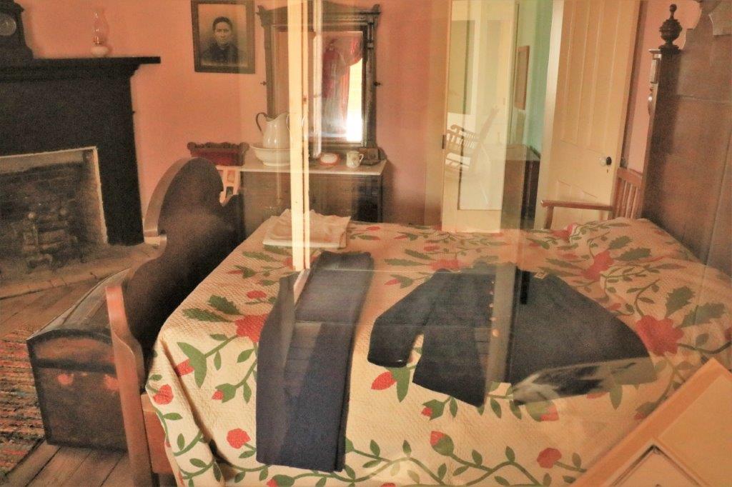
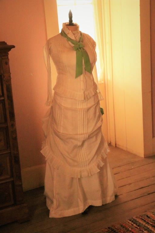
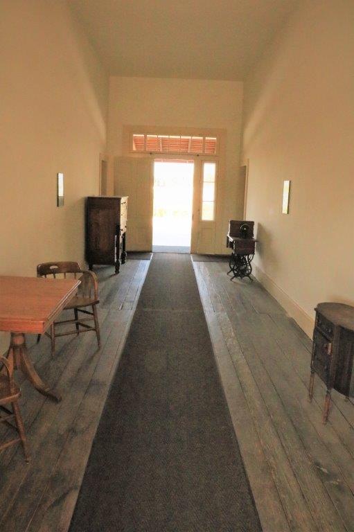
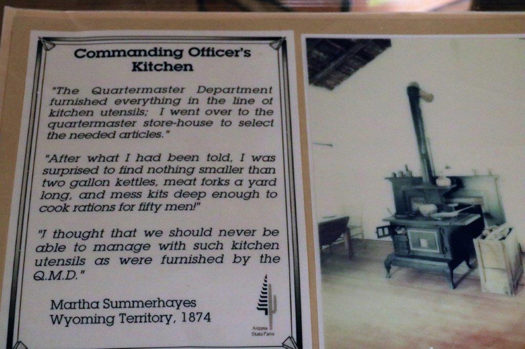
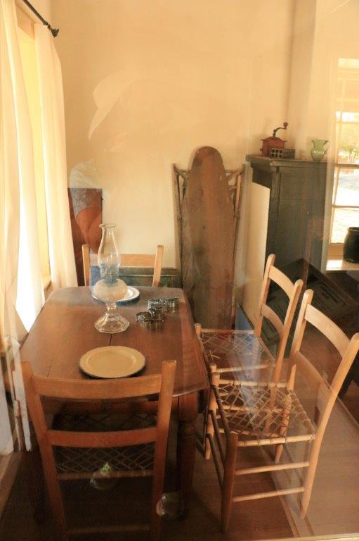
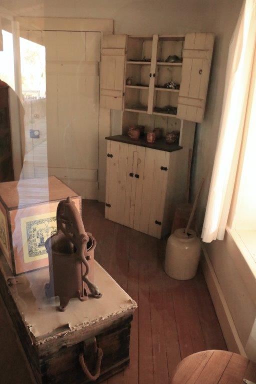
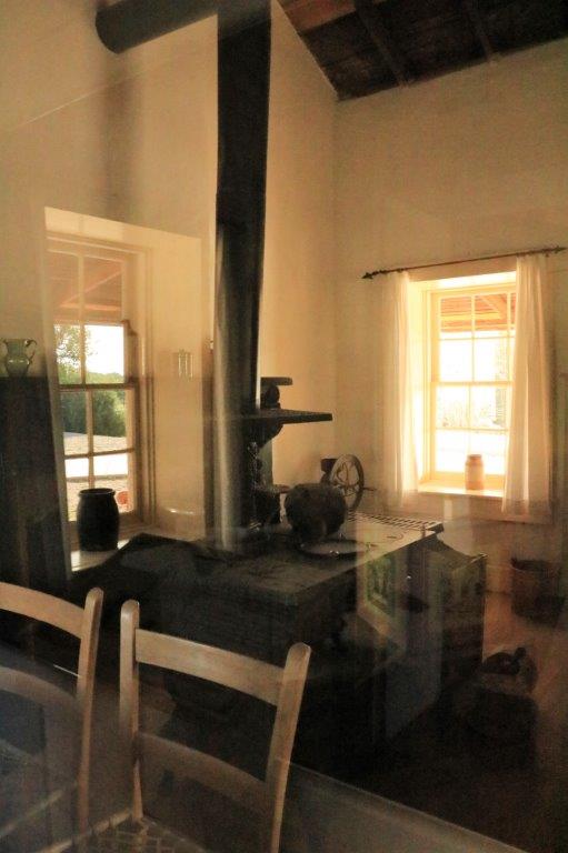
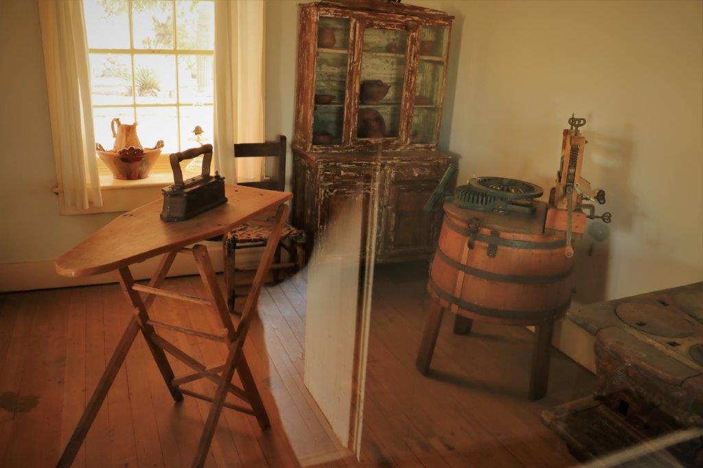
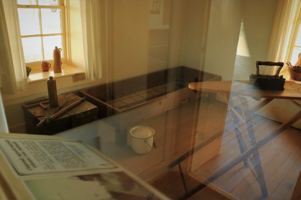
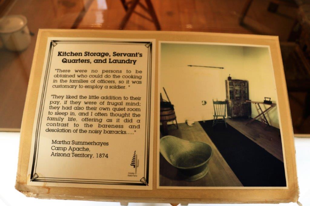
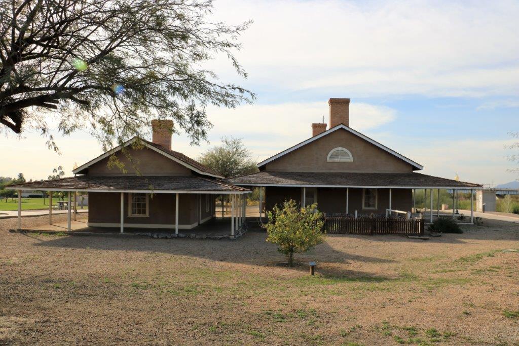
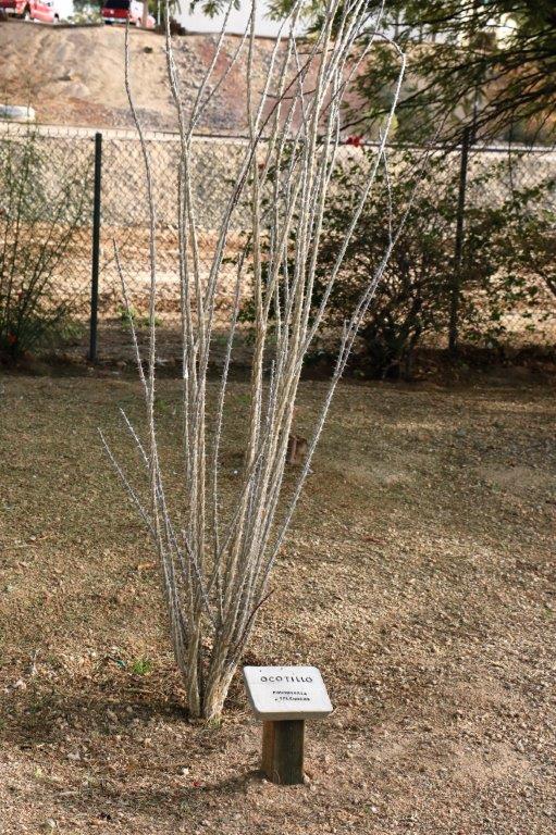
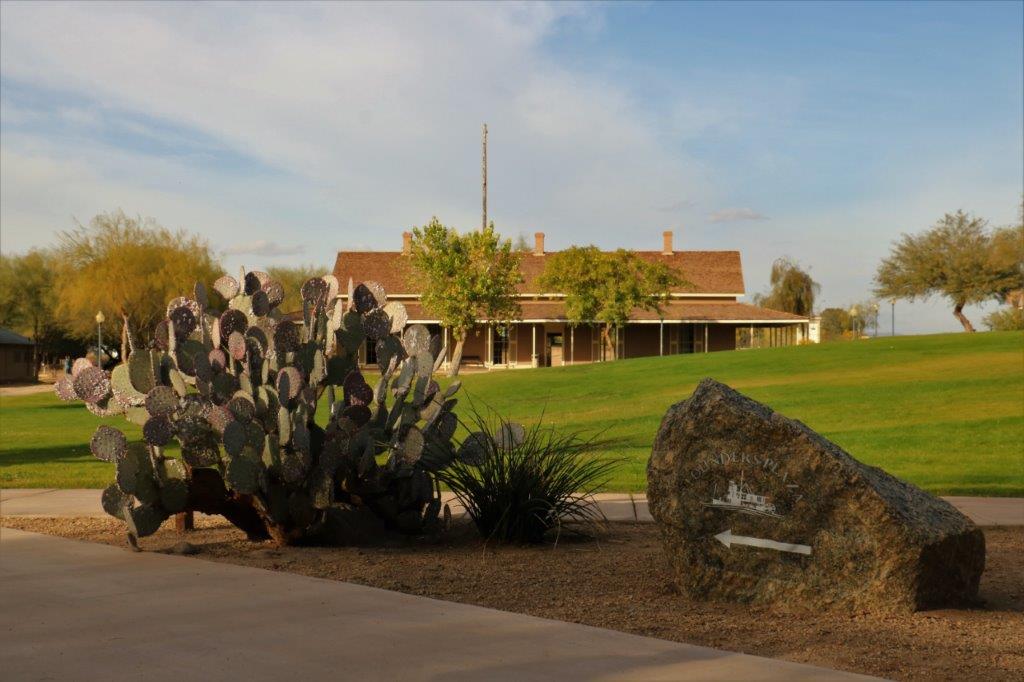
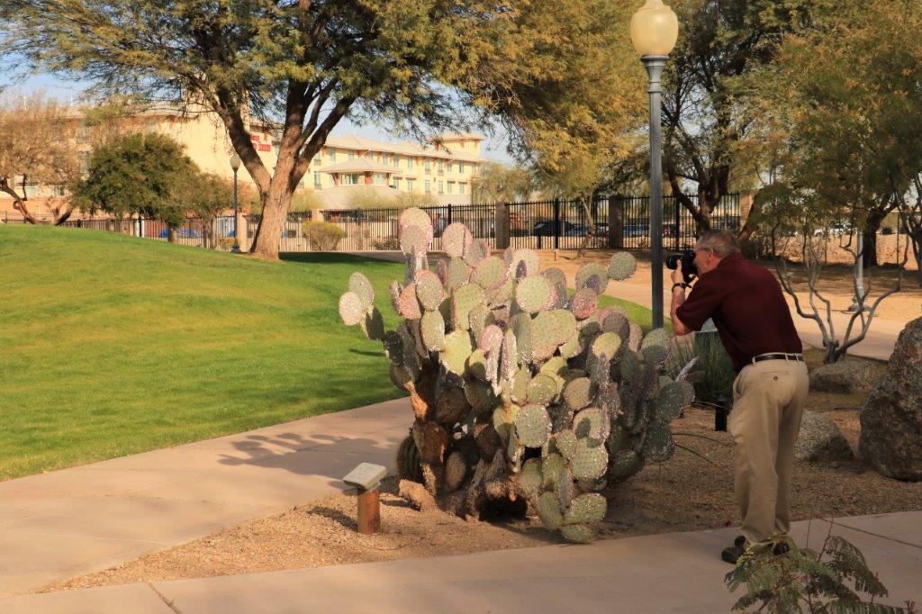
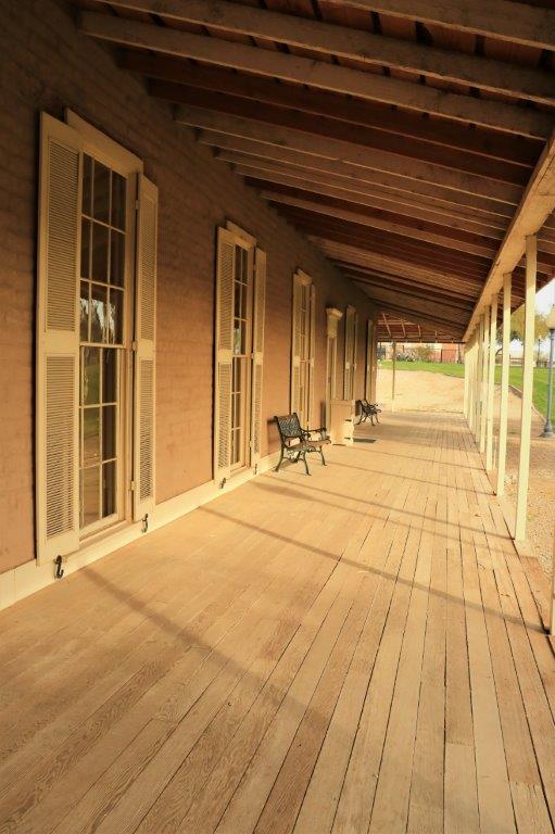
The water reservoir was behind the Quartermaster’s Offices.img_7471 img_7478The Quartermaster’s house had four rooms; a parlor, a dining room, a master bedroom and a bedroom for a child.  Two rooms on each side of a very wide hallway that separated the bedrooms from the parlor and dining room.  Even today, when it is winter down here and pleasantly warm I could understand the reason for the wide hall.  The building had covered verandas on all four sides and that shade would create a breeze that would go down the hall and help cool the house during the very hot (100-110F) summers.img_7477 img_7484 img_7483 img_7485 img_7487 img_7482 img_7480 img_7489 img_7490 img_7488 img_7492The kitchen/laundry was a separate building attached by the veranda to the main house. The cook/servant, usually a soldier, would sleep in the kitchen.img_7493 img_7495img_7494 img_7497 img_7499 img_7500 img_7498 img_7502 img_7504 img_7505All around the grounds there were native plants, mostly varieties of cactus. These few are:  purple prickly pear, golden barrel cactus and ocotillo cactus, one still bare and the other with new leaves.img_7508 img_7512 img_7523 img_7526The last building was the Bureau of Land Reclamation where there was an interesting film that explained how they channeled the water for irrigation.

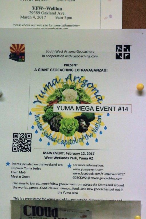
img_7520img_7530img_7531img_7532img_7528img_7529img_7539And, bummer, we found out the other day that there is a huge geocache event happening in Yuma this weekend!  And we have made plans to meet my cousin up the road in Parker on Wednesday and friends near San Francisco for the weekend.  Something to keep in mind for another year perhaps.img_7537


I love historical places.  Tomorrow we are heading out to a mine museum and ghost town.  And there just happens to be a power trail of about 30 geocaches on the road out to it.  What a coincidence!


2017 Feb 5 (CA Stay and West Coast Roads) – Day 34 – Escondido, CA to Yuma, AZ

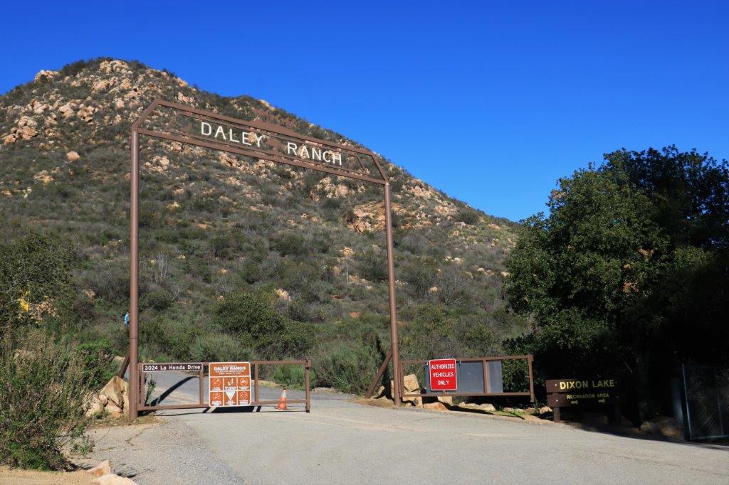
Well, all too soon our four weeks at the Welk Resort have come to an end.  We enjoyed the reading time, the writing blogs – old and new  – playing a few games, walking a lot, and hiking and geocaching every now and again.  But, alas, they are kicking us out.  What shall we do? Where shall we go?  News from home is that they received a huge snowfall the other day so we definitely don’t want to go there yet.  Let’s go east….img_7248We checked out at 10:30 and had tentatively planned to walk the Boulder Loop Trail at Daley Ranch on our way out of town.  The trail is reputed to have lovely views of Escondido.  But the sky was very overcast, almost a low fog so no views would have been apparent.  Even the lure of the five or six geocaches hidden along that trail did not call loud enough to make us go.

If you drive Highway 8 from Escondido to Yuma you can arrive in about three hours.   We pulled into the hotel parking lot at 4:30 (well 5:30 – the time zone changed).  We didn’t particularly do anything, there were no sites to see we hadn’t seen.  Even the majority of the roads we had previously driven – only two sections were new.

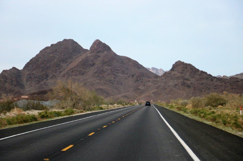
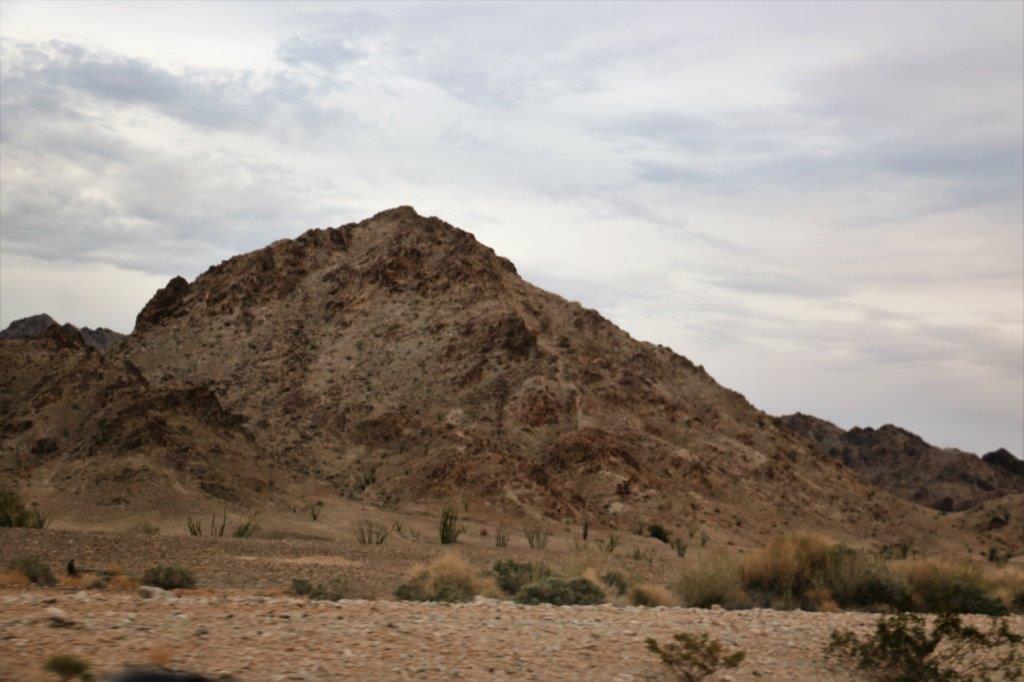
We took Highway 78 east as far as the Salton Sea, then turned south (new road section) as far as Brawley before going east again to State Road 34, (second new section) that went south to connect with Highway 8.  We only ended up doing about 30 miles of the freeway into Yuma, and it was not busy at all.  Yuma, Arizona sits smack dab in the corner of the borders with California and Mexico.  We plan to see a few of the sights before moving on Wednesday morning.

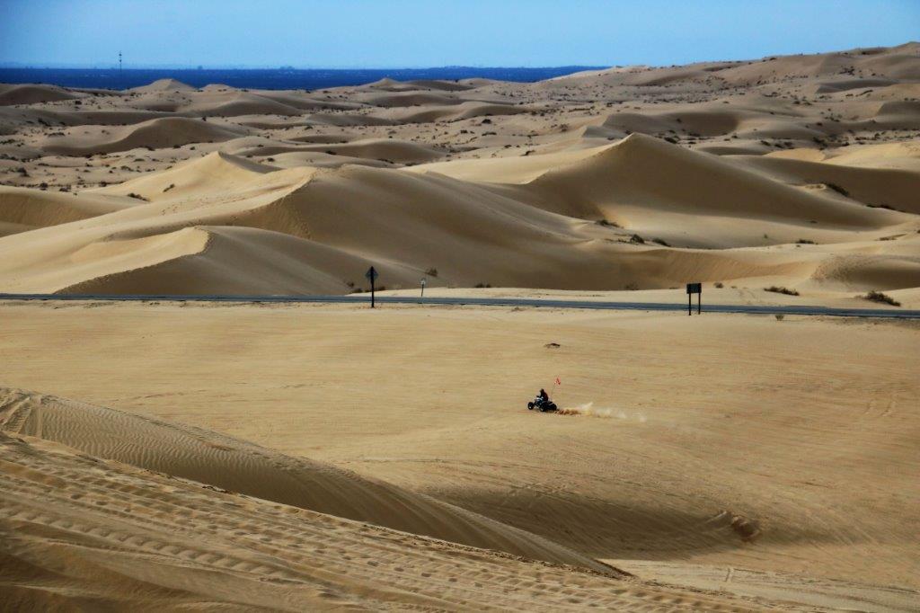
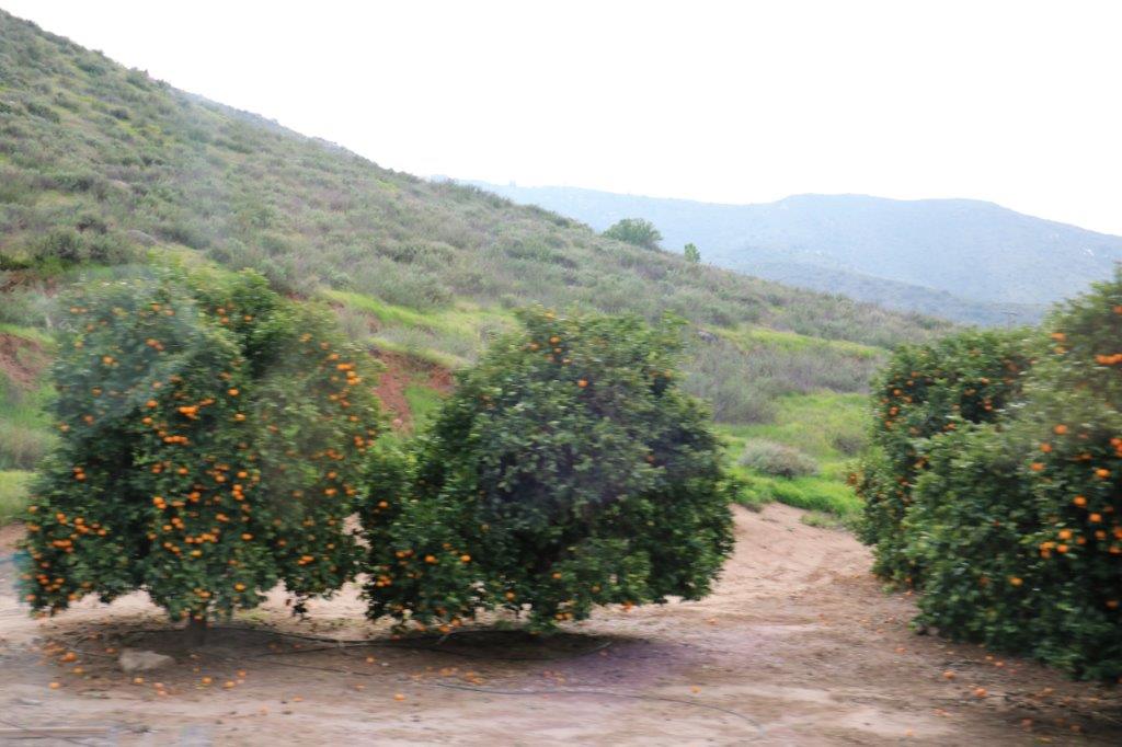
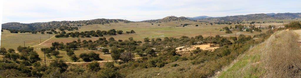
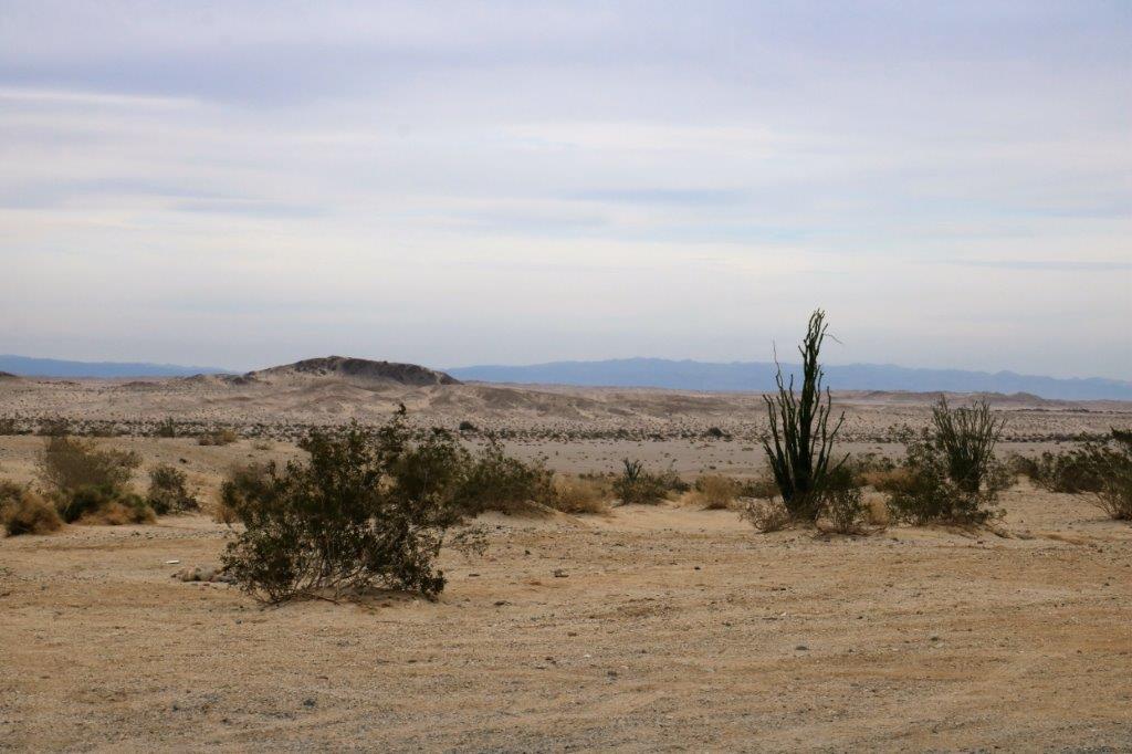
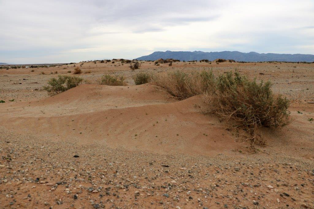
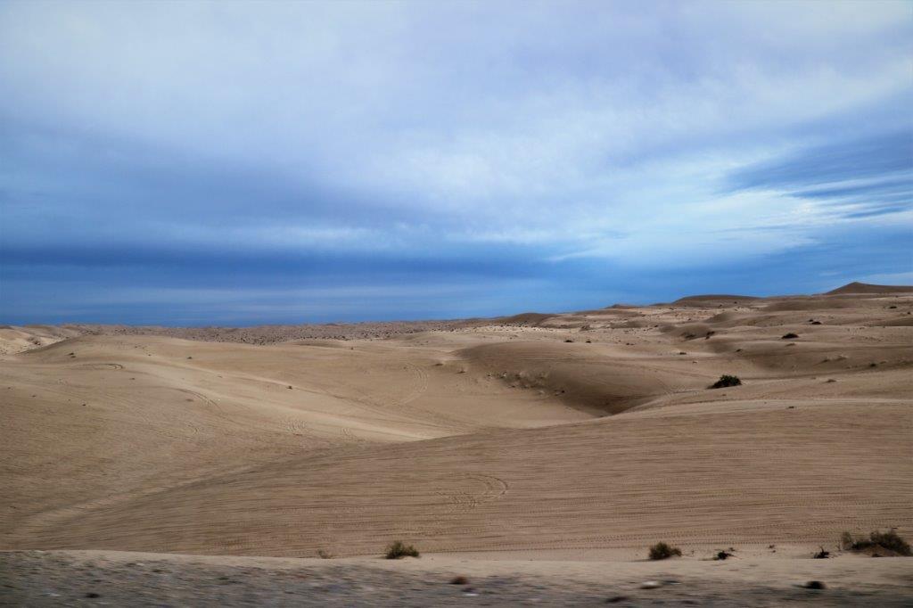
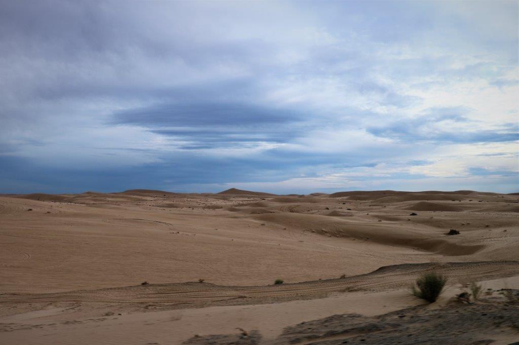
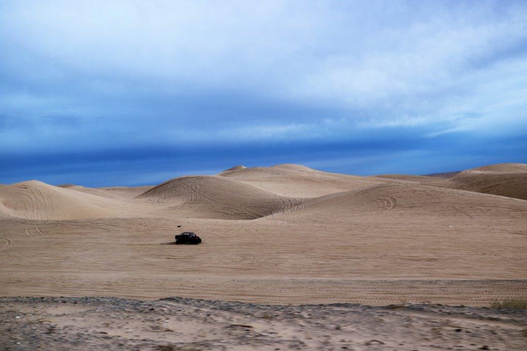
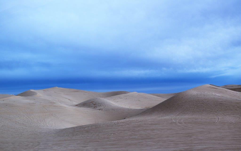
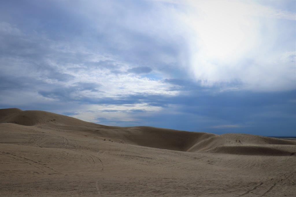
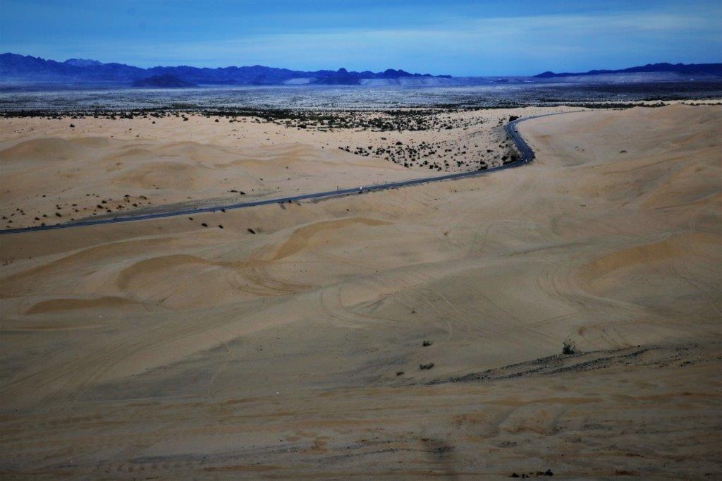
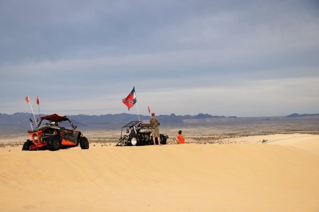
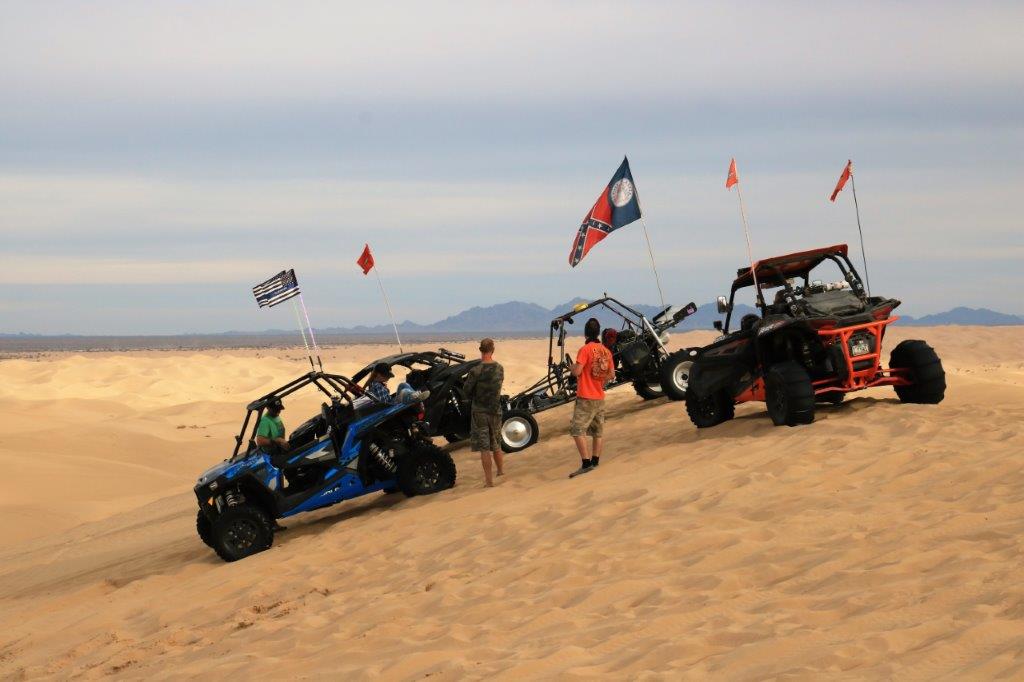
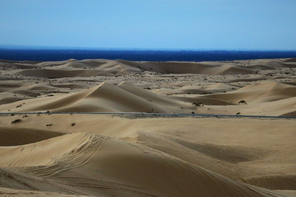
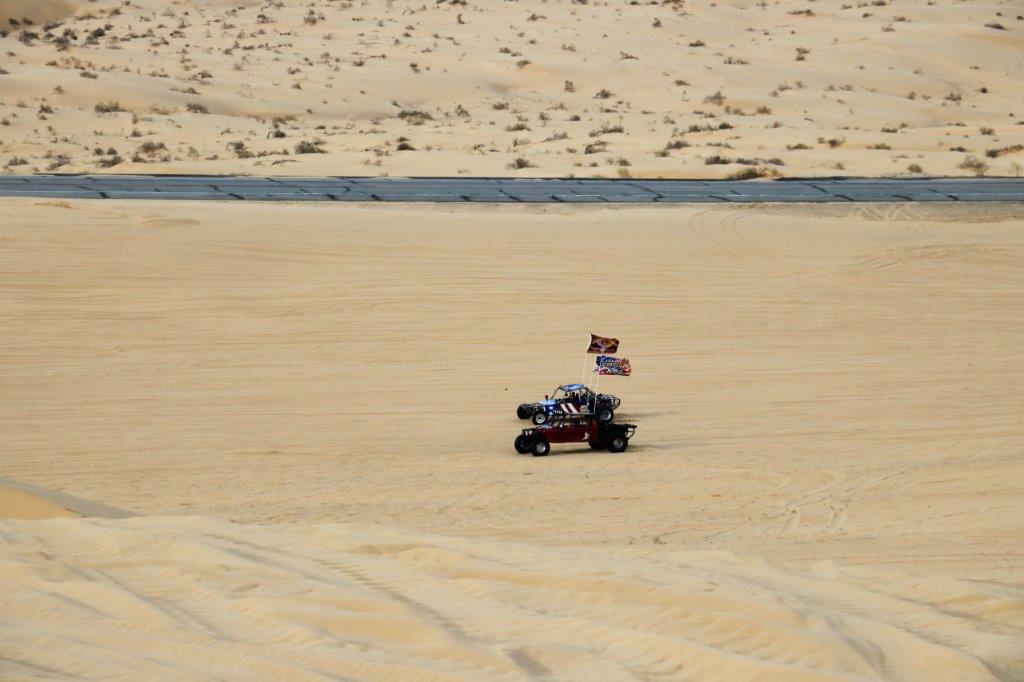
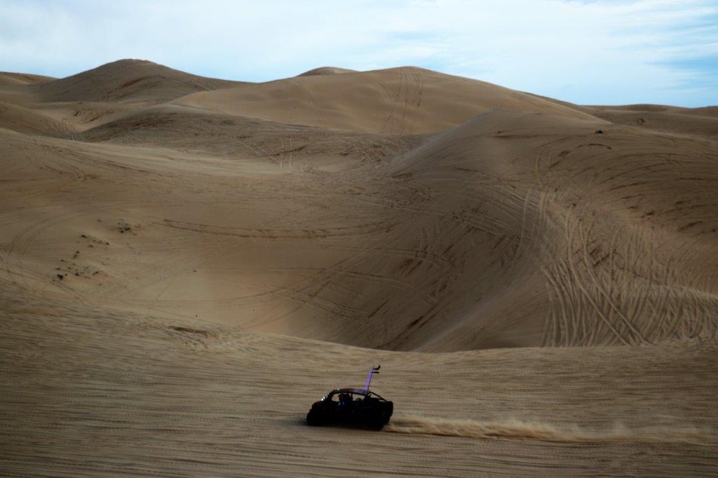
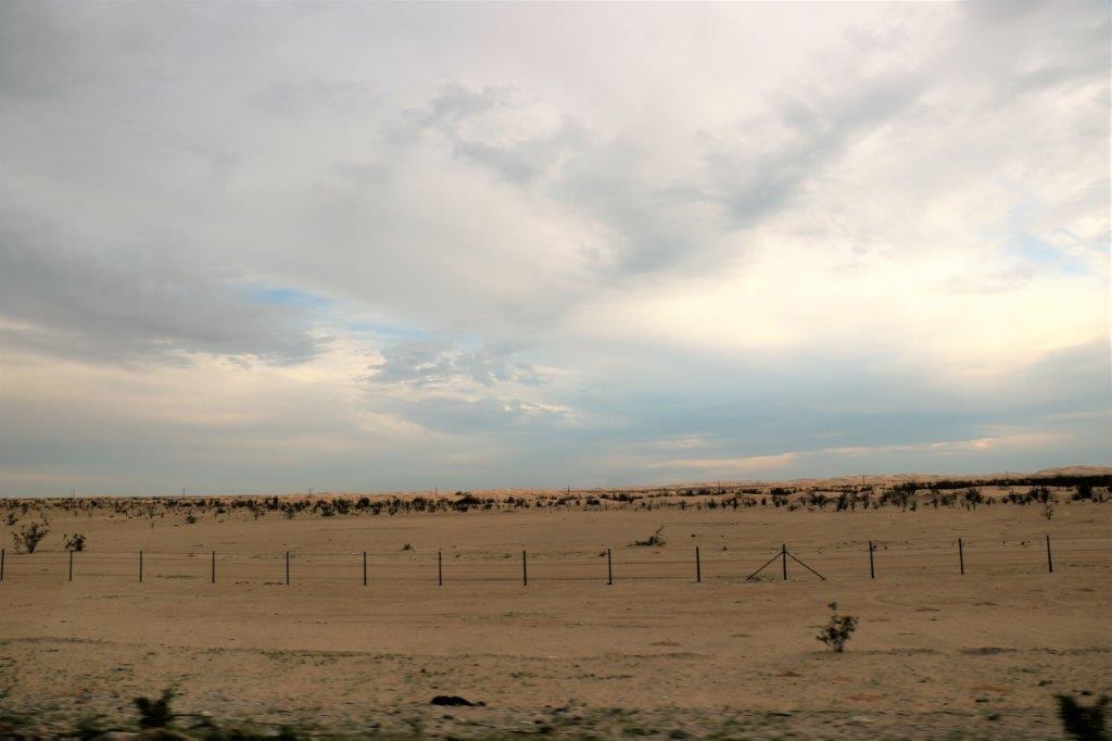
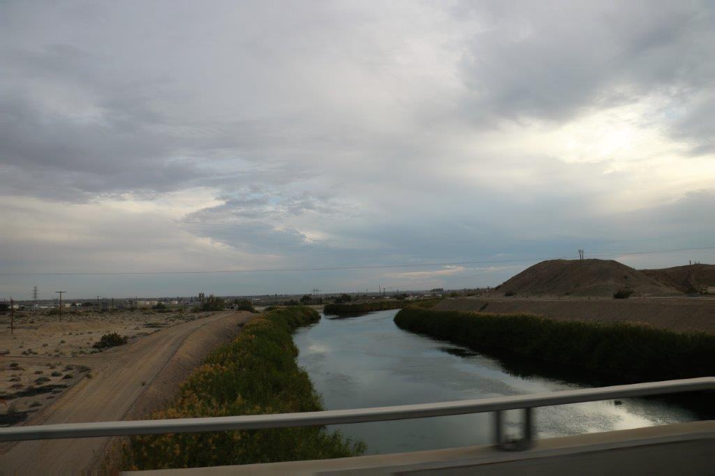
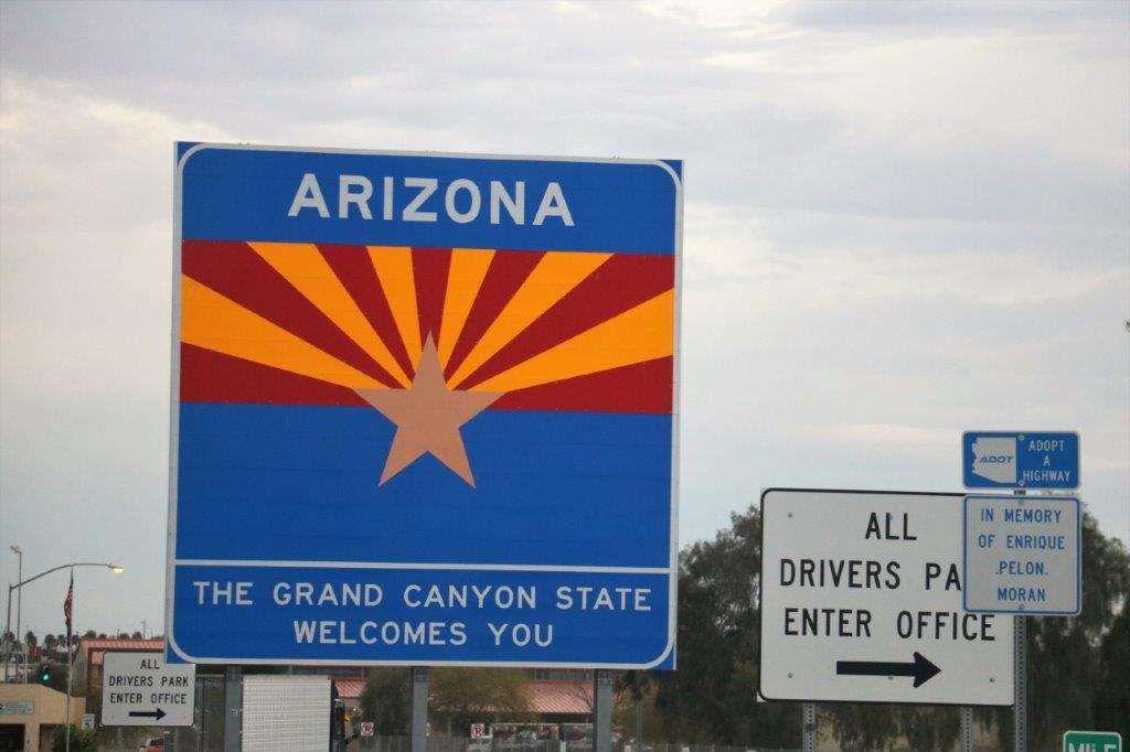
The scenery changed from scrub desert to orange groves, to scrub mountain valley to desert to agricultural land to desert again.  We found four geocaches and logged an earthcache as well, so it was a pretty good day.img_7179 img_7186 img_7196There were a few RV and ATV at the Ocotillo Wells Recreation area.img_7205 img_7208 img_7210And this not-exactly well hidden cache.  It was just sitting in the open on the side of a dune.  There are hundreds and hundreds and hundreds of geocaches hidden in the two sand dune recreation areas along the California southern border.  You would need a good ATV to find them.  Boy, oh boy, would that be a lot of fun!img_7212img_7213The big All-American Canal provides water to the lands edging the dunes and, as we know, if you provide water to sandy soil all manner of things can be grown.img_7220 img_7224 img_7227 img_7228We love to watch the ATVs roam around at the Imperial Sand Dunes Recreation Park.  The Algodones Sand Dunes of the Imperial Sand Dunes Recreation Area are the largest dunes in California.  They are 45 miles long and average 6 miles wide.  We came through here a couple of years ago and the place was just humming with ATVs on the dunes.  There were lots of motor homes, fifth-wheel trailers and campers parked on the dunes while people were out having fun.  Today was much quieter.  Super Bowl Sunday kept them at home I guess.img_7230 img_7232 img_7234 img_7237 img_7240 img_7248 img_7251 img_7242 img_7253 img_7252 img_7256 img_7257 img_7266The Algodones Dunes have been used for several movie sets including the Dune Sea of Tatooine from Star Wars, Road to Zanzibar, Extinction, Resident Evil and the TV series Stargate.img_7270 img_7274 img_7282 img_7289These, for obvious reasons, are called the Chocolate Mountains. img_7290 img_7293We crossed to border into Arizona checked in to our hotel, found a restaurant for dinner, and are now ensconced in our hotel suite for the night.  Not a terrifically exciting day, but a good one nonetheless.img_7295

2017 Feb 3 (CA Stay and West Coast Roads) – Day 32 – Escondido, CA – Daley Ranch

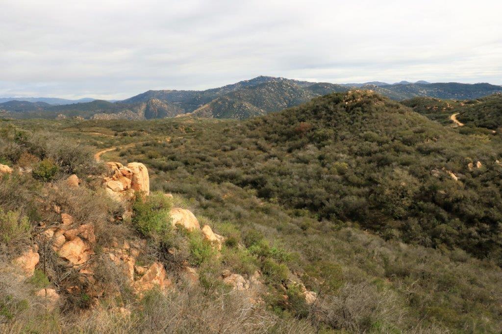
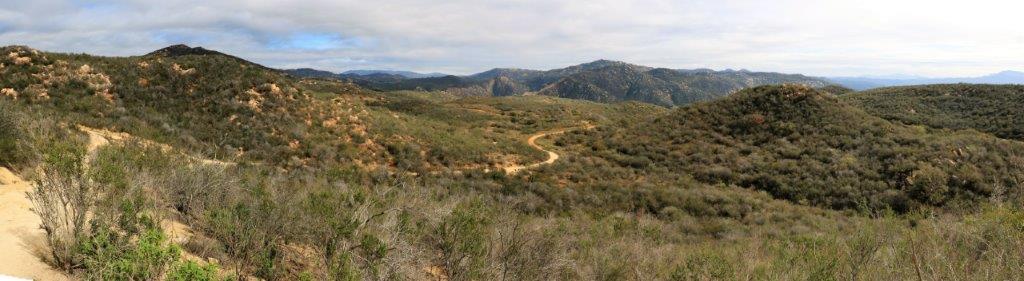
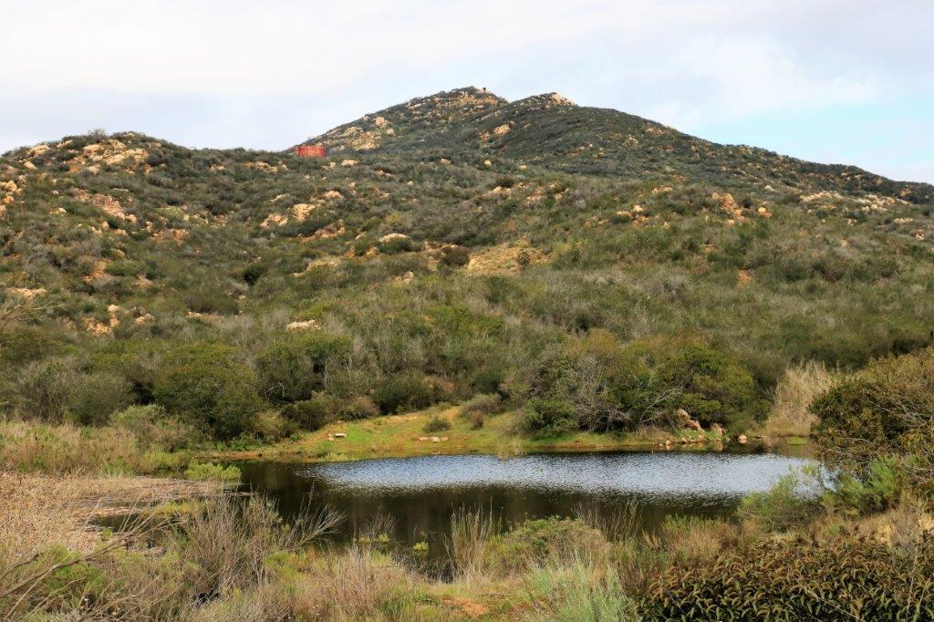
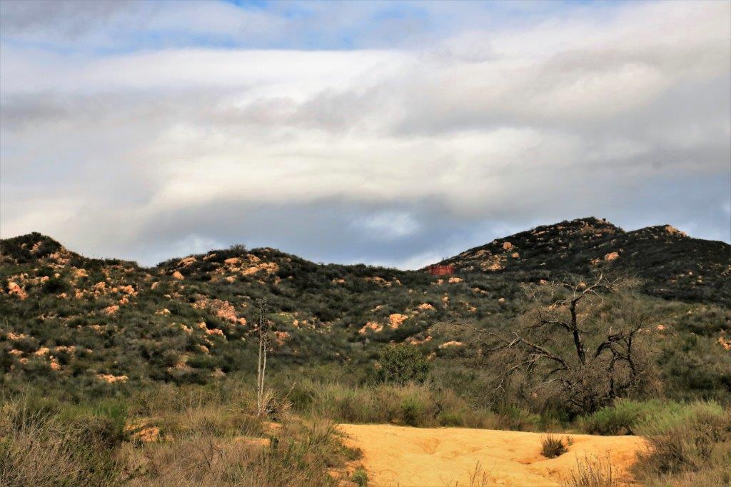
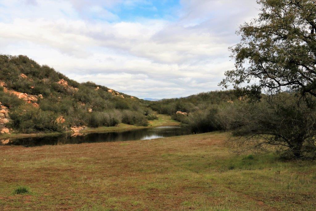
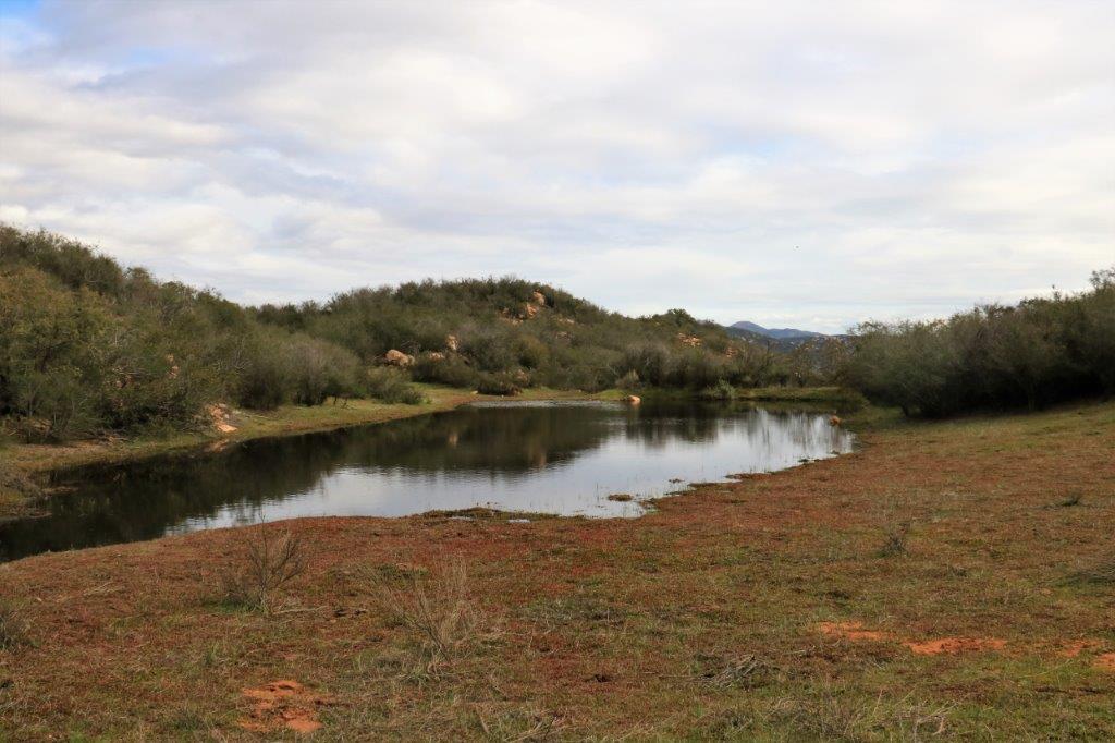
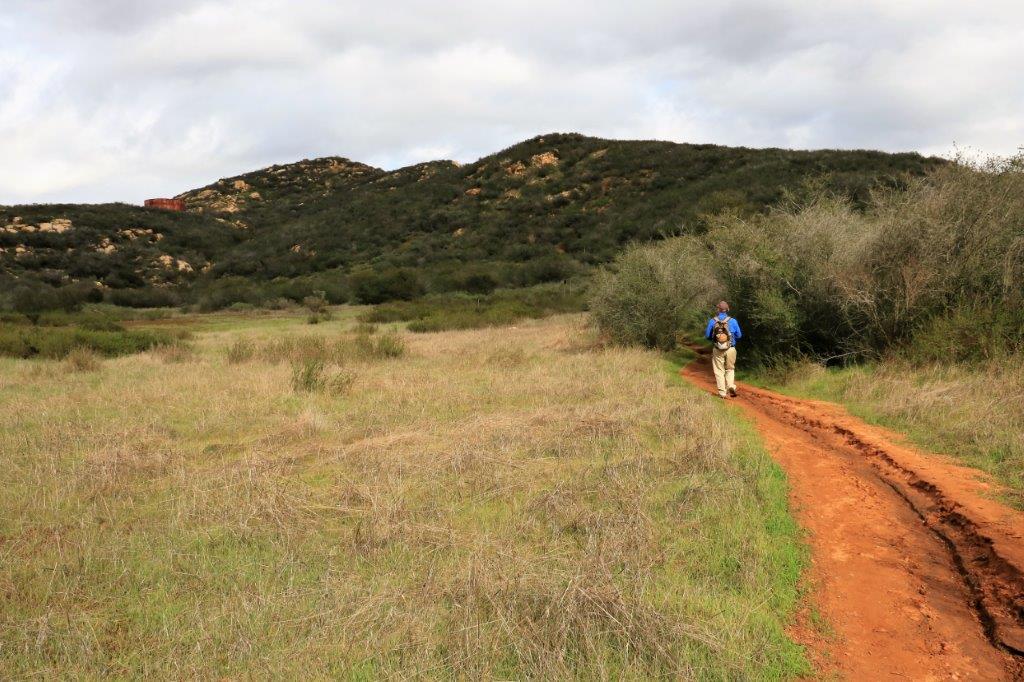
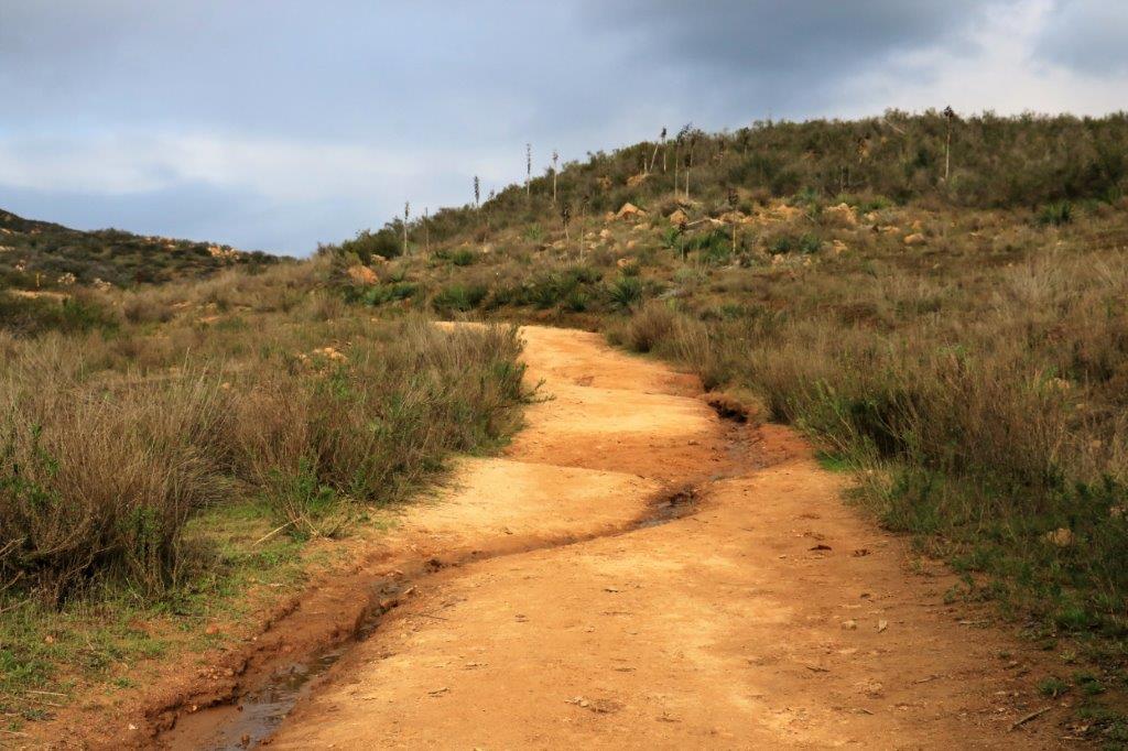
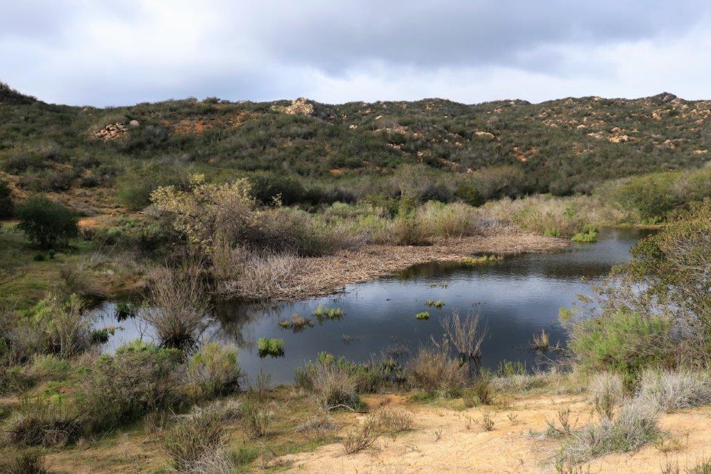
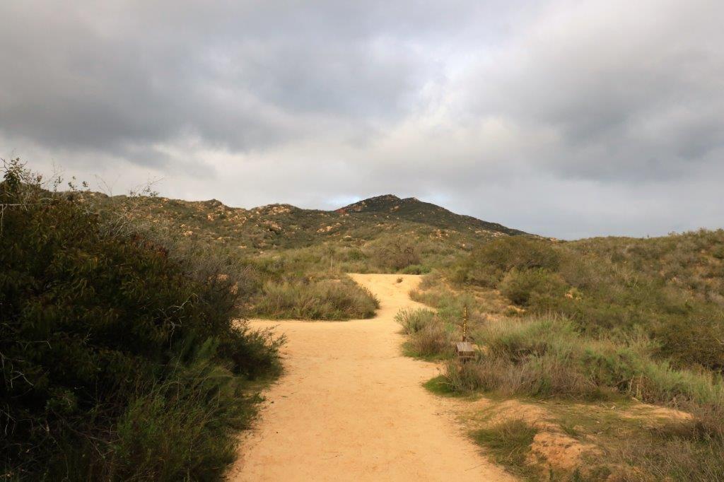
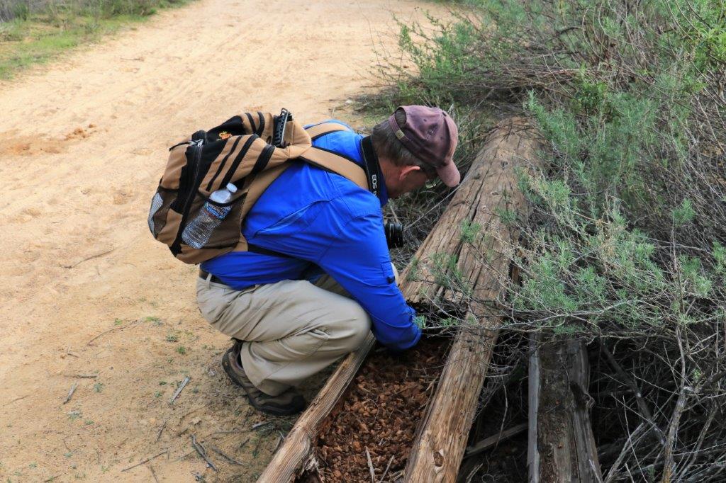
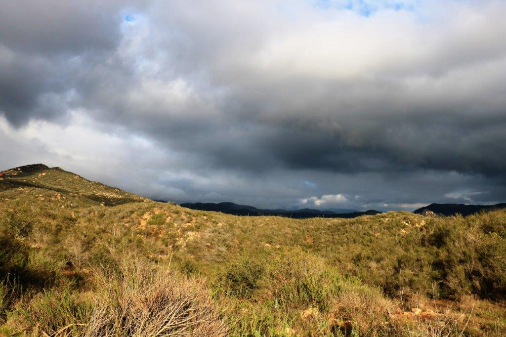
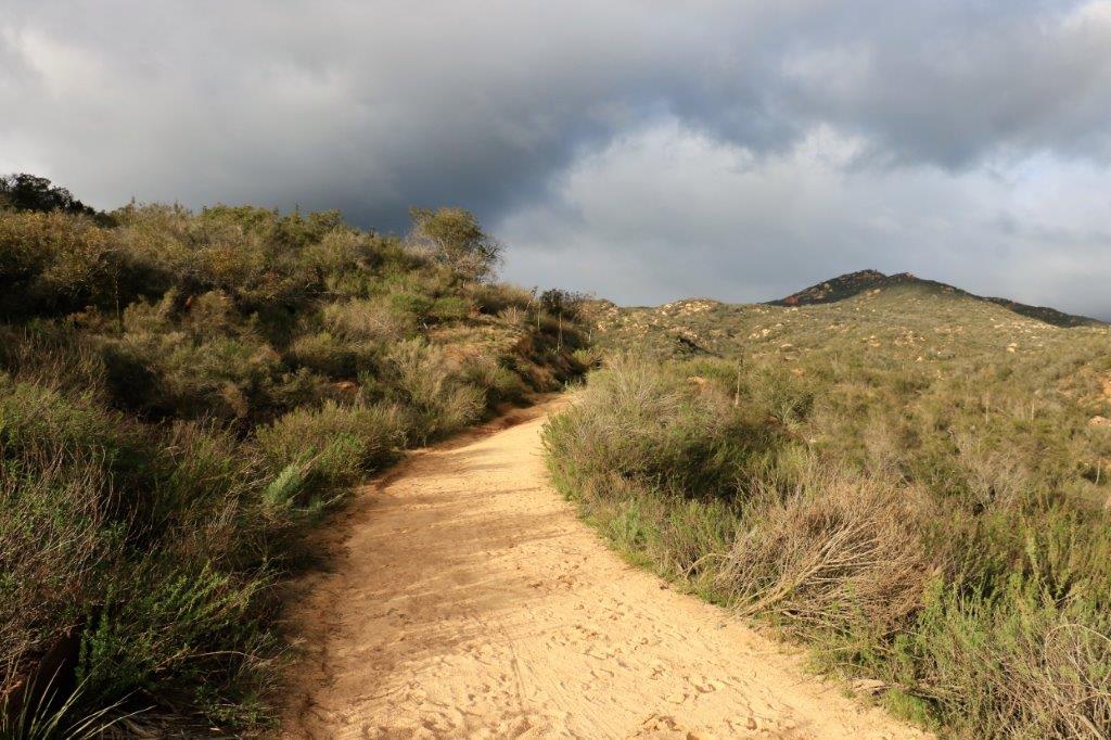
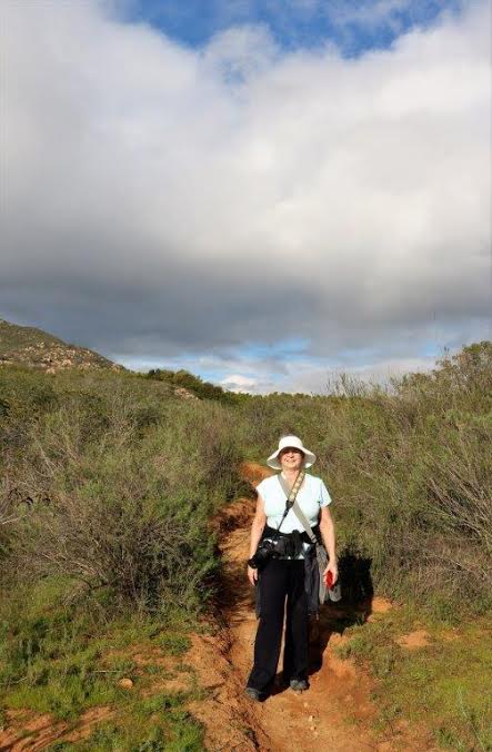
It was a nice day today.  Overcast with a slight breeze.  We decided to take another trip out to Daley (pronounced Daily) Ranch and hike some more trails.  We left the condo at 11:30 and were on the trails before noon.  We returned to the truck 4 1/2 hours and almost 8 kilometers (5 miles) later.

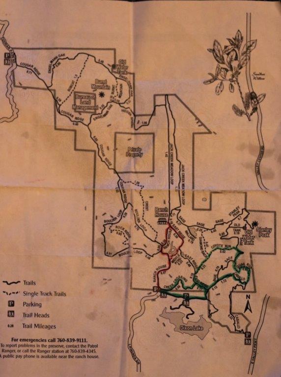
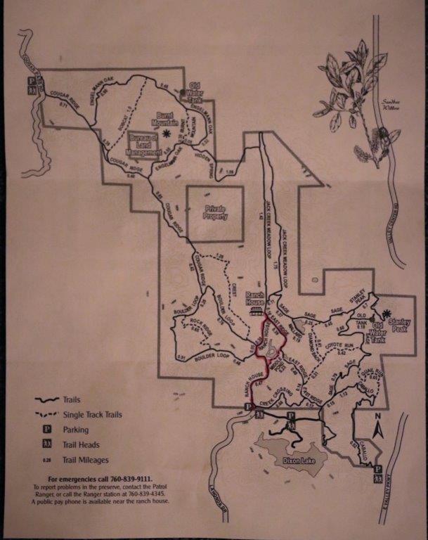
The red line is where we walked the first time we were here.  The green line is today’s route.img_7175We found 15 caches and had one DNF (Did Not Find).  And we both logged our 1600th cache!

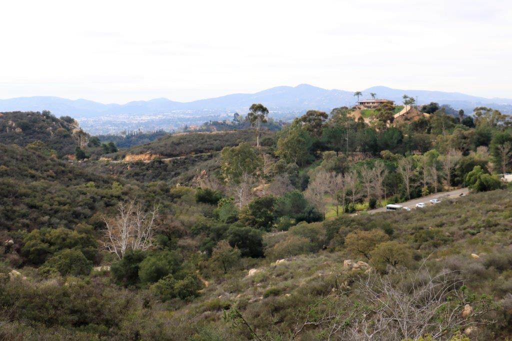
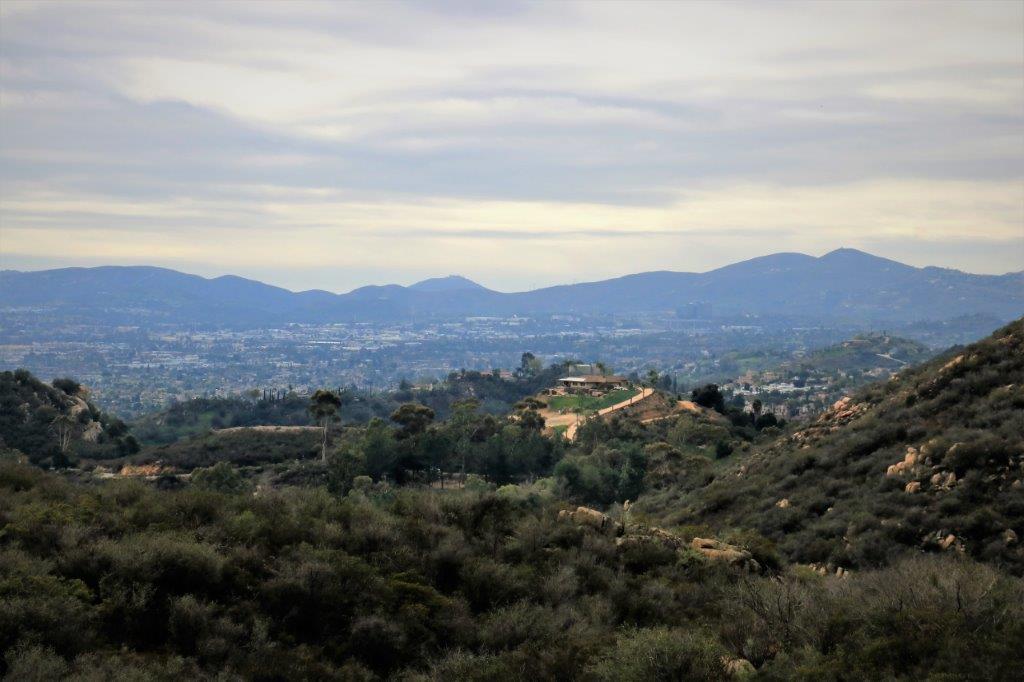
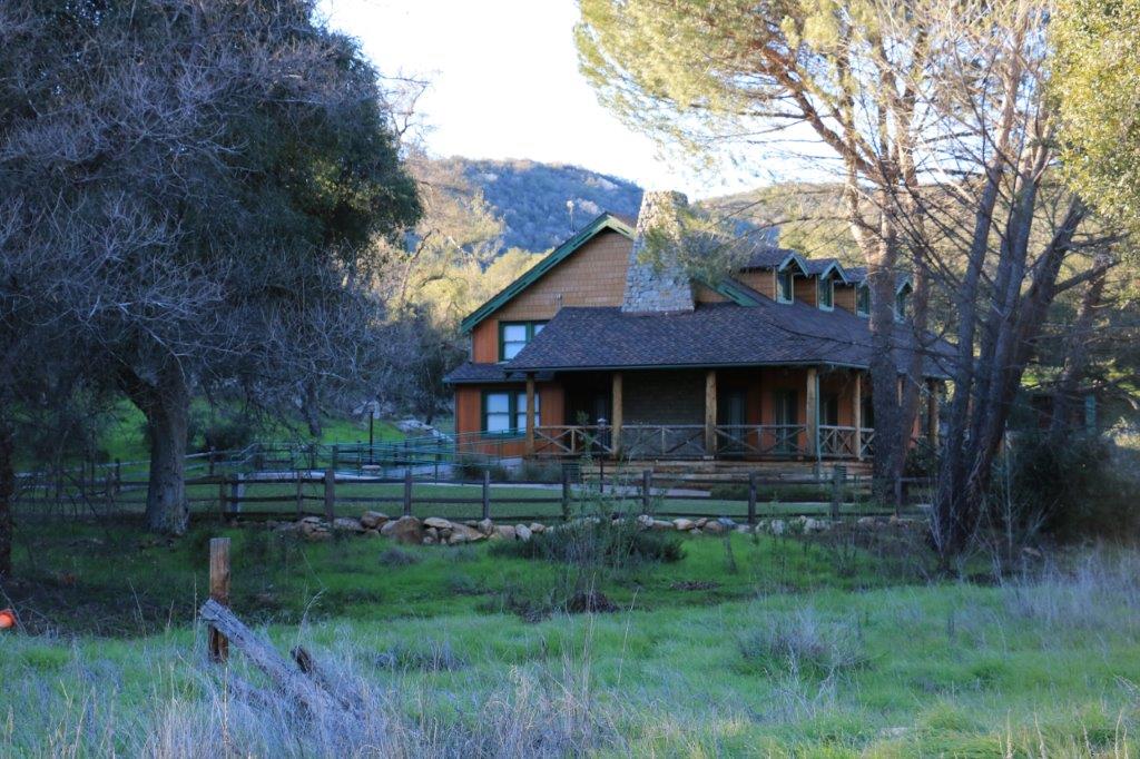
This house is across the road from the parking lot at the entrance to Daley Ranch.  You can even see vehicles parked in the lot.  Further photos will show how far from that house we hiked.  img_7092 img_7091 img_7096 img_7097 img_7100 img_7106 img_7108We made a slight error in direction and hiked .17 mile to the wrong intersection, which meant we had to hike back up the hill to take the correct fork.img_7108 img_7110Here is the house again, in the distance.  Not long after this we take a fork onto Coyote Run and head in another direction which puts the house behind the ridge.

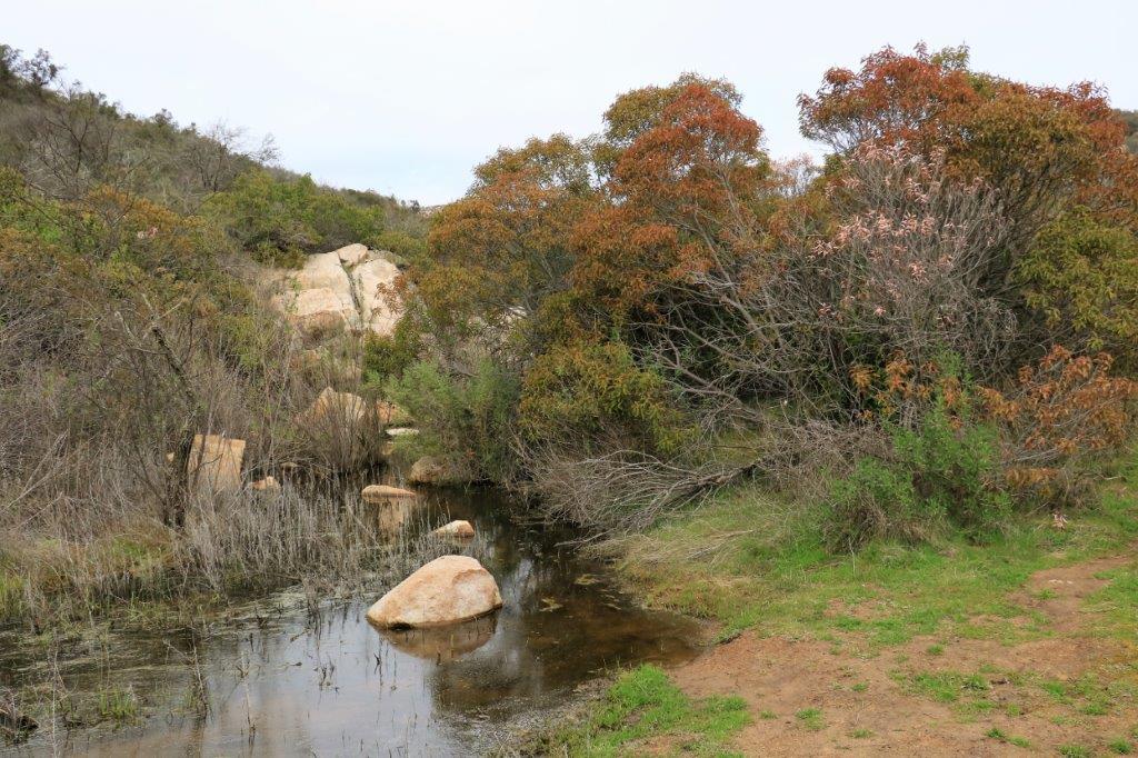
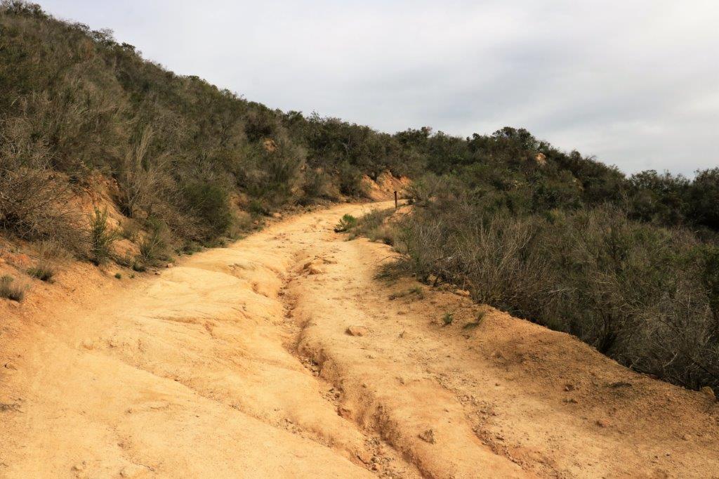
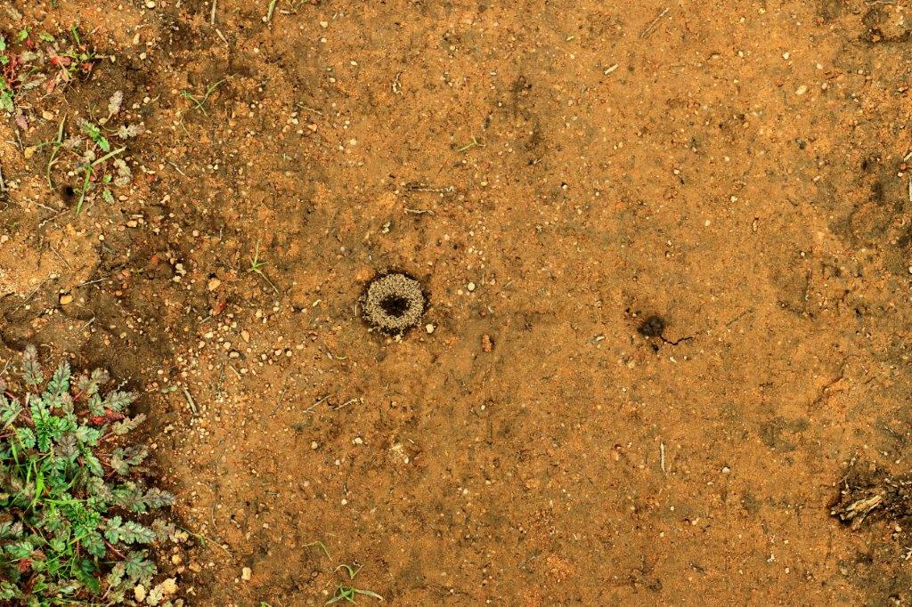
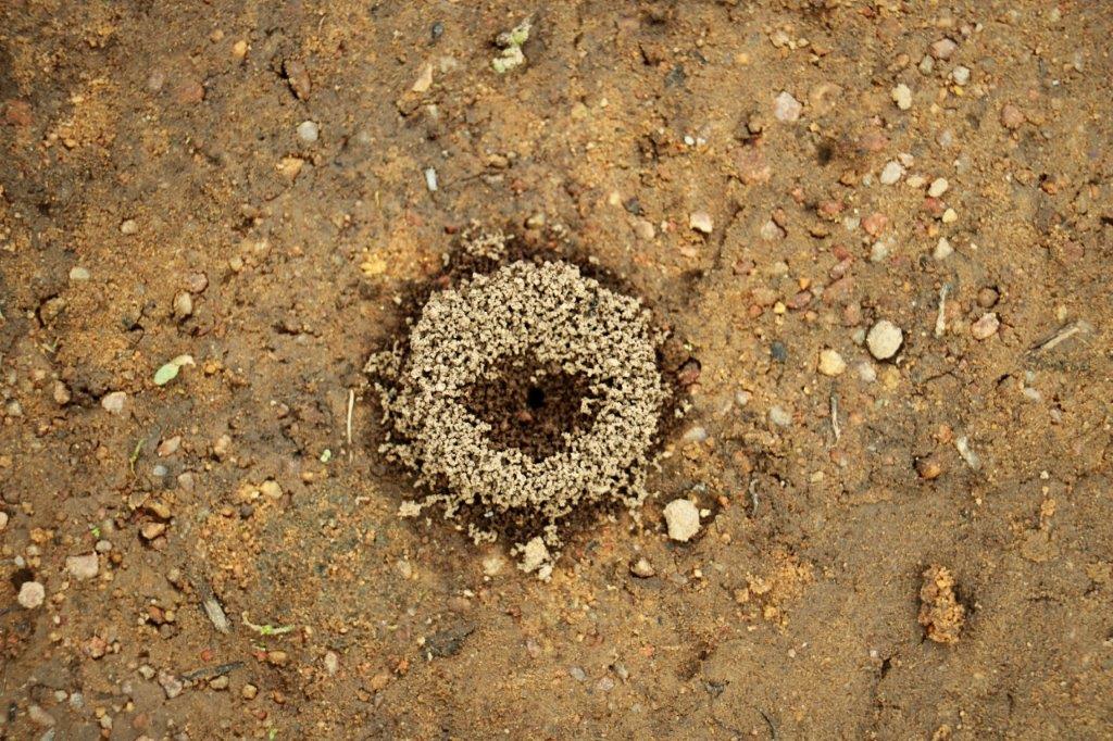
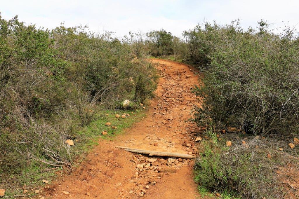
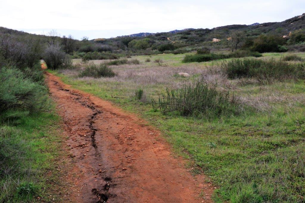
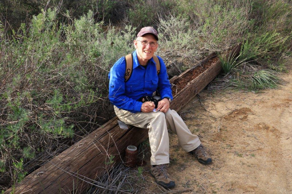
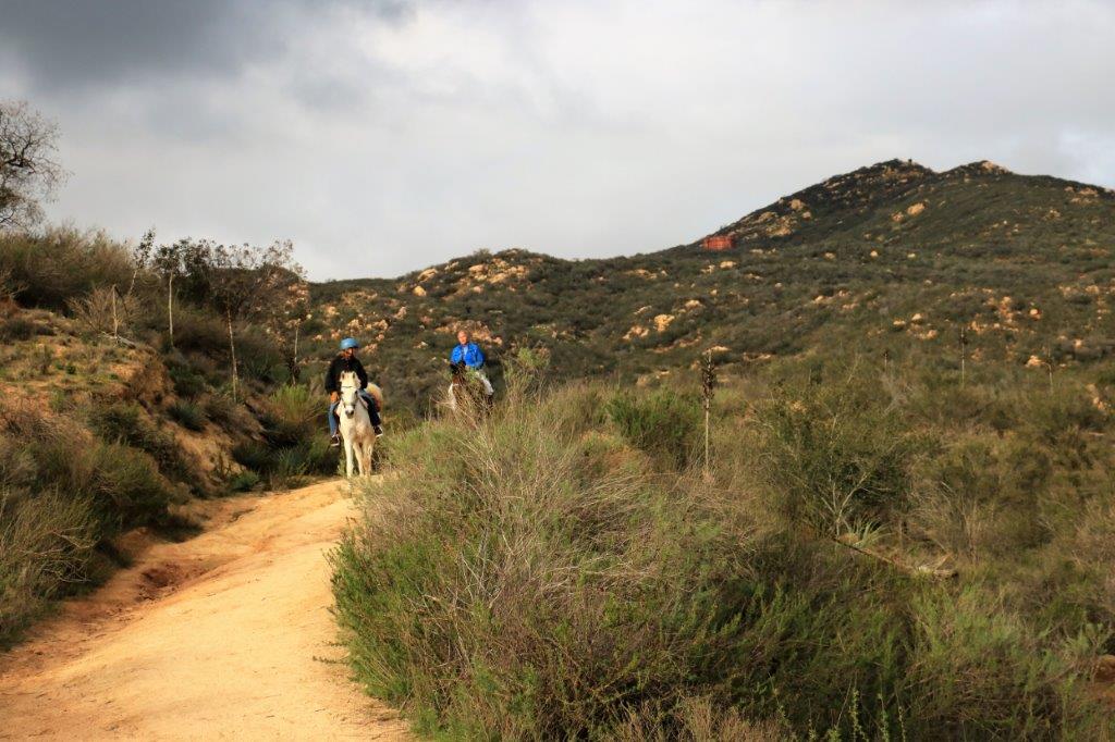
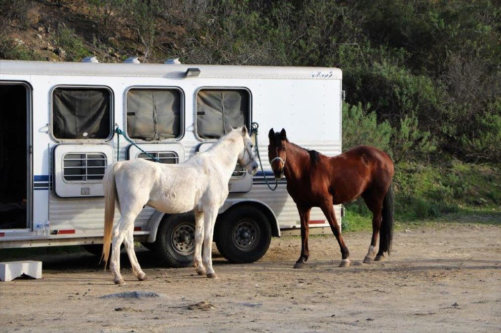
These poor tiny ants have been working diligently to dam up the entrance to their nest since all the rain.img_7119 img_7116The recent rains have really done a number on a lot of the trails.img_7111 img_7113 img_7115img_7121                                                            Lunch break.img_7123Coyote Run trail joined Sage trail just a little below the water tower in the upper left of this photo.  We leave it in the distance as well as we turn the corner toward the ranch entrance.img_7124 img_7125 img_7127We were treated to some lovely views of east Escondido as we climbed.  The house at the parking lot is now behind the ridge on the far right.img_7139 img_7142 This section of trail leads all the way down to the East Valley Road off in the far left. We didn’t go that way.  The Ranch entrance and the truck was off to the right . img_7148 img_7153 img_7154 img_7158 img_7160If you look very hard you can make out the water tower in the far middle distance.  img_7162 img_7167  As we paused to find John’s 1600th cache a couple of nice horses came by.  I have found four caches more than John so I found my 1600th a little while earlier.img_7164 img_7165img_7166 img_7168It was a nice easy curve downward to the bottom, the truck, and a hot bath once we got to the condo.img_4244 img_7169 img_7170

2017 Jan 30 (CA Stay and West Coast Roads) – Day 28 – Escondido, CA – Twin Oaks area

img_7073We got off our lazy back ends and went out to find a few geocaches.

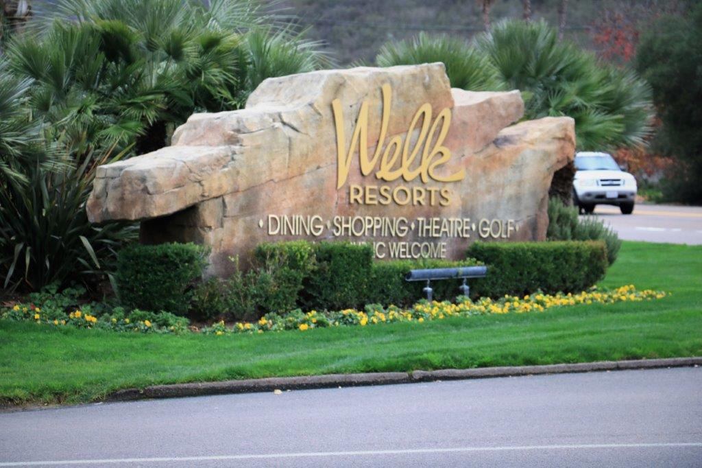
The Welk Resort is located on Champagne Boulevard, which, until the I-15 was built, was Highway 395.  There are under/overpasses along 395 to get traffic to the other side of the freeway.  A few yards past the Welk Resort entrance there is an underpass for a road that climbs up the hillside on the west.  Along this road there are a few caches and on another dead end road branching off there is a path along which there are about 8 caches.

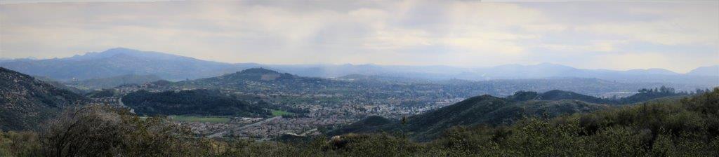
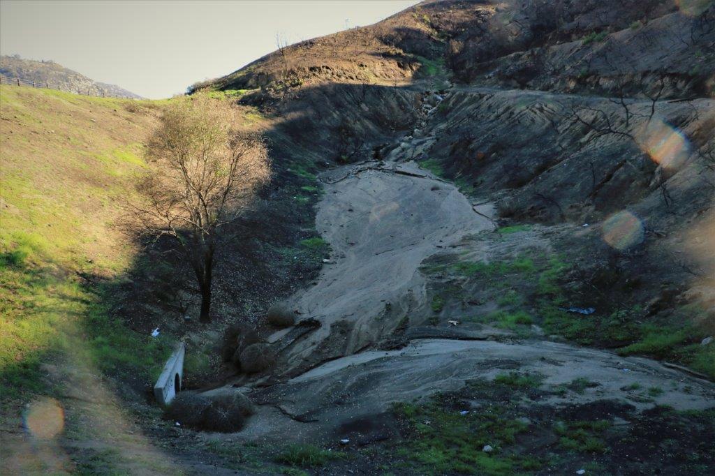
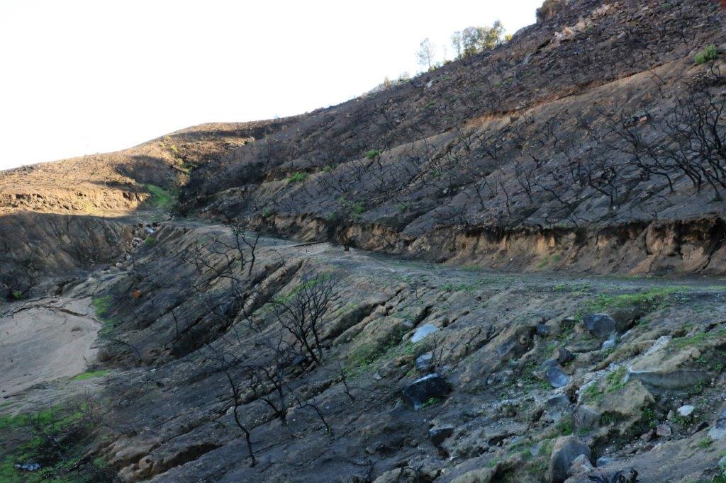
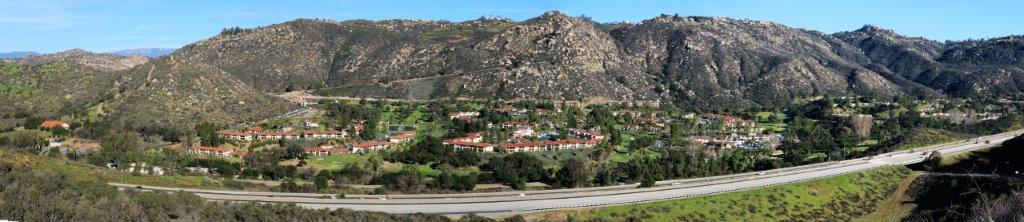
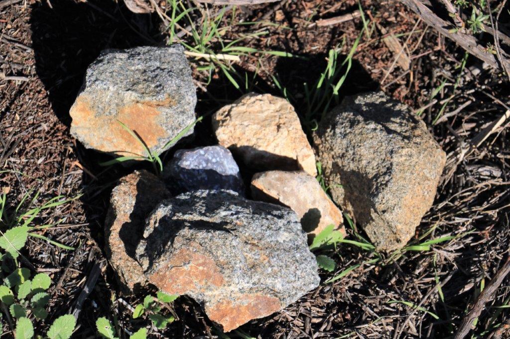
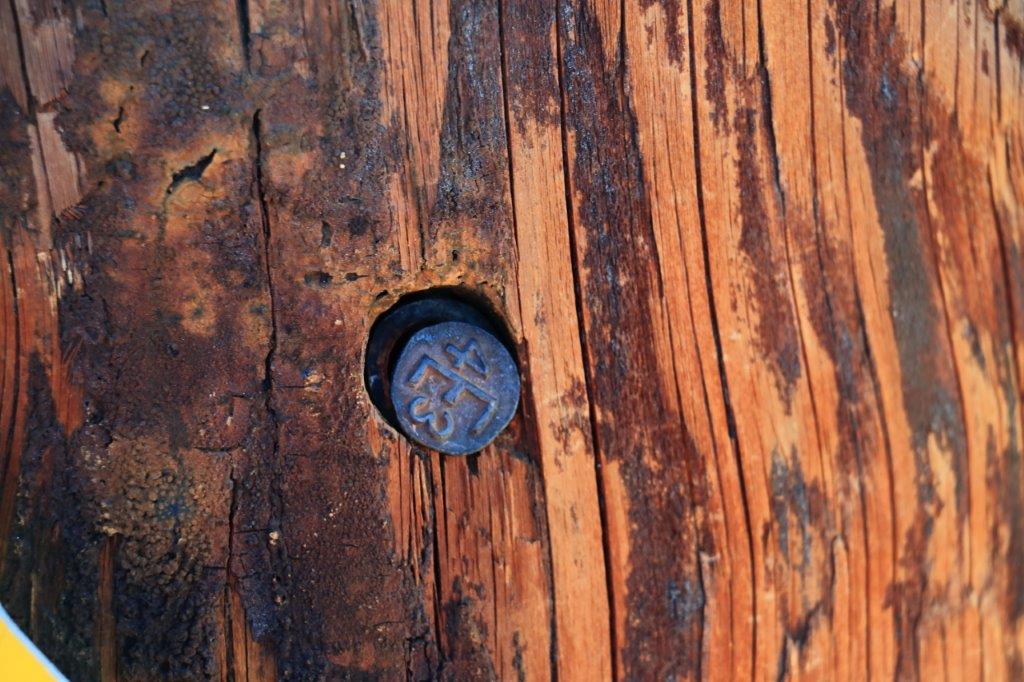
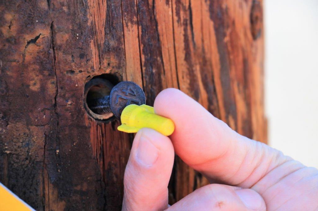
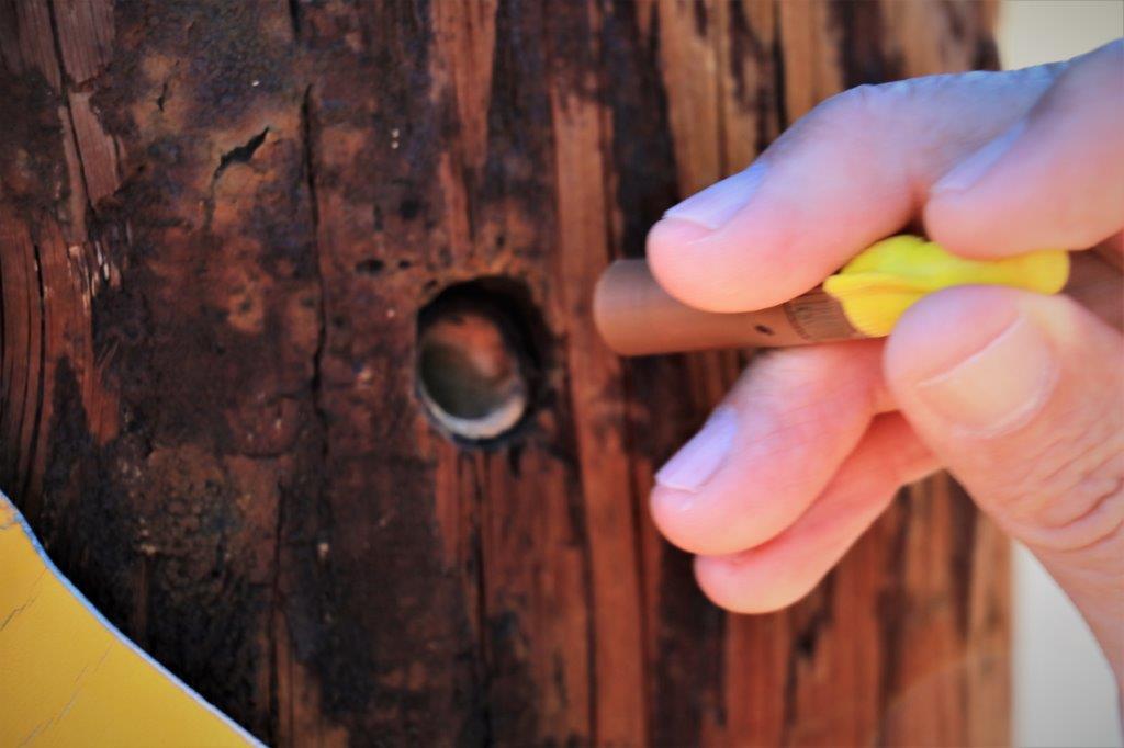
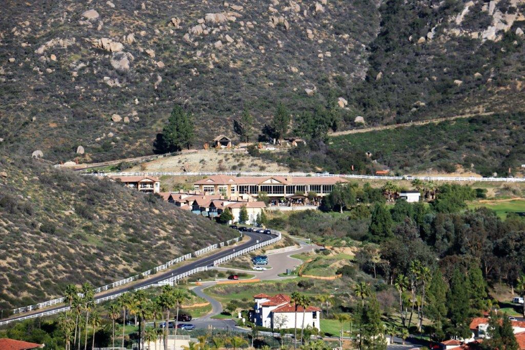
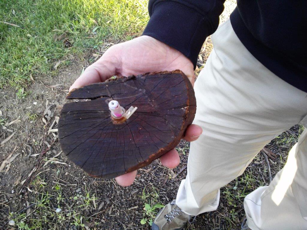
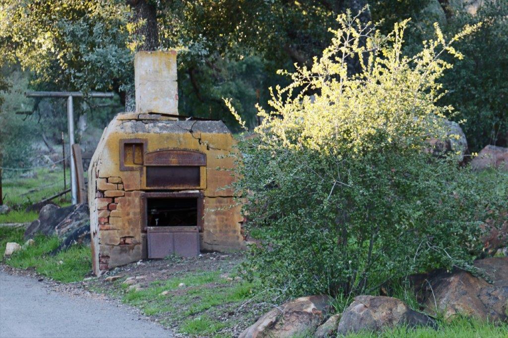
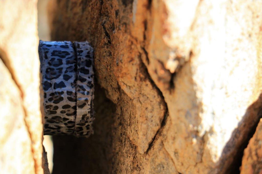
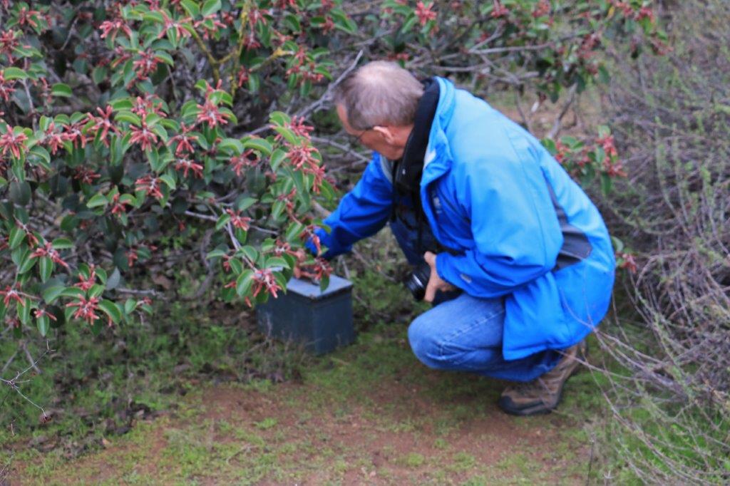
The first cache was in a tree/bush immediately through the underpass.  We had noticed prior to today that there had been a brush fire on this hill.  It must have caused quite a bit of consternation at the resort.  There was no vegetation left and the recent rain had cut a swath down the slope.img_7040img_7042The next cache was just up the hill a bit further and offered a panoramic view of the resort.img_7043The cache was very clever.  The instructions said you needed to find the key first and then the cache.  There was only some scrub brush on the side of the road and then a steep slope down to the frontage road.  I noticed a likely pile of rocks under a bush, lifted off the top rock and noticed a camo ‘rock’ lying in the middle.  img_7061The bottom of the ‘rock’ could be moved to the side.   On the inside was a small yellow marrette, or wire nut, that electricians use to ‘tie’ two wires together.  The open end of the marrette had a brass disc in it that we guessed was magnetic.  This told us the cache container would need to be coaxed from its hiding place with the magnet.img_7062The only other thing nearby was a power pole.  They will sometimes have fake tags on them and many of them have plugged drill holes.  When I looked closely at the power pole I could see that one of these plugs looked akilter.  Sure enough when John applied the marrette magnet to the top a long metal screw came out, followed by a small cylinder that contained the log papers we needed to sign.  Very, very ingenious!

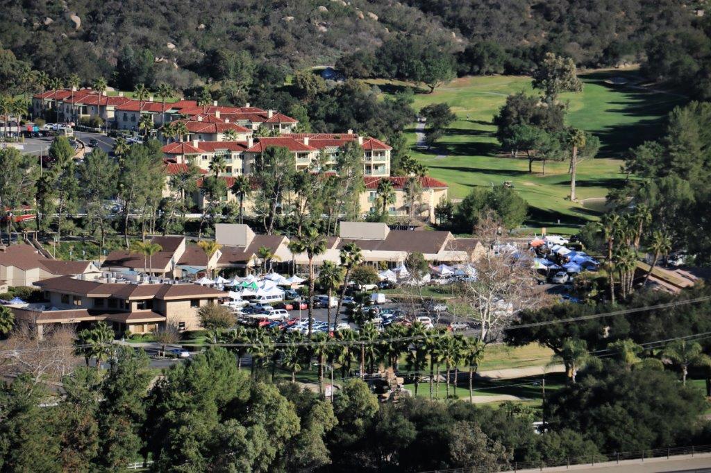
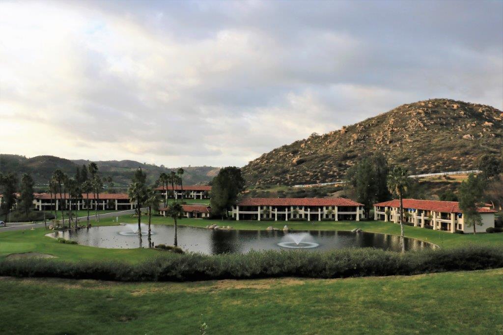
img_7053 img_7054 img_7055img_7049If you look closely at the panoramic photo you can see our condo units, Mountain Villas, in the upper middle left – but this image shows them more clearly. img_7052You can also see all the vendor tents set up for this evenings Farmer’s Market.

img_7059The large building on the left in this shot is the Administration Building for Welk Resorts.

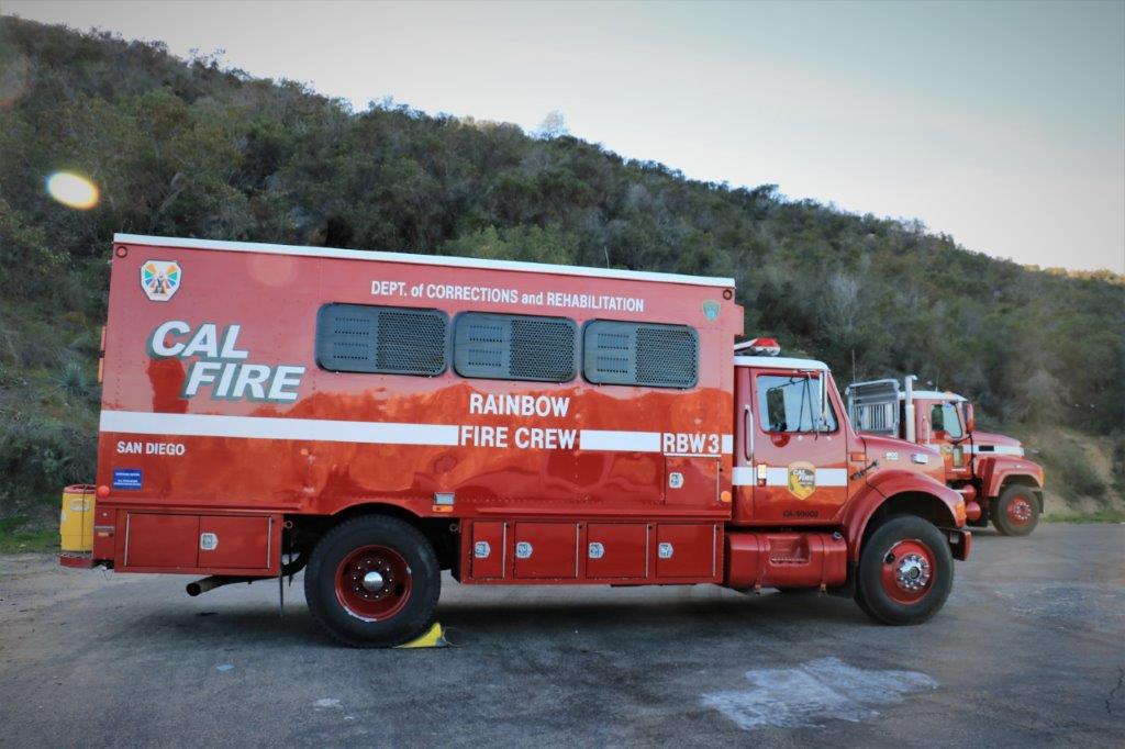
We drove up the branch road to the base of the hiking trail.  Parked in the cul-de-sac were two Rainbow Fire Department vehicles; a large van and a flat bed used for hauling backhoes or cats.  Then we noticed that the vehicles also had Department of Corrections and Rehabilitation painted on the sides.  We could hear a distant machine coming down the hill and surmised that some prisoners were working with the fire department in some capacity.img_7065There was also a locked gate and No Trespassing signs where we were to go to find the geocaches.  We don’t like ignoring that type of thing and even though someone else had found the caches a week or so ago we decided to wait for the firemen to drive their cat back to the truck and ask them if it was okay to go look for the geocaches.

We didn’t have to wait long before a caterpillar pulling a wood chipper rounded the bend and stopped on the other side of the locked gate.  Behind the cat, in an orderly single-file line were about a dozen women in dirt blackened orange jumpsuits with CD DC Prisoner printed on the back.

The women stored their chainsaws, gloves and hardhats in compartments on the truck, helped themselves to a large glass of water and climbed aboard.  Meanwhile the fire department fellows unlocked the gate, backed up the flatbed and began to load up the cat.

John talked to one of the fellows and he said the property belongs to the state (they were up there fixing some road damage caused by the recent rains) and even though posted with No Trespassing signs people go up there all the time. He would not tell us we couldn’t but warned us the terrain is steep and a rescue in the event of injury would take awhile.

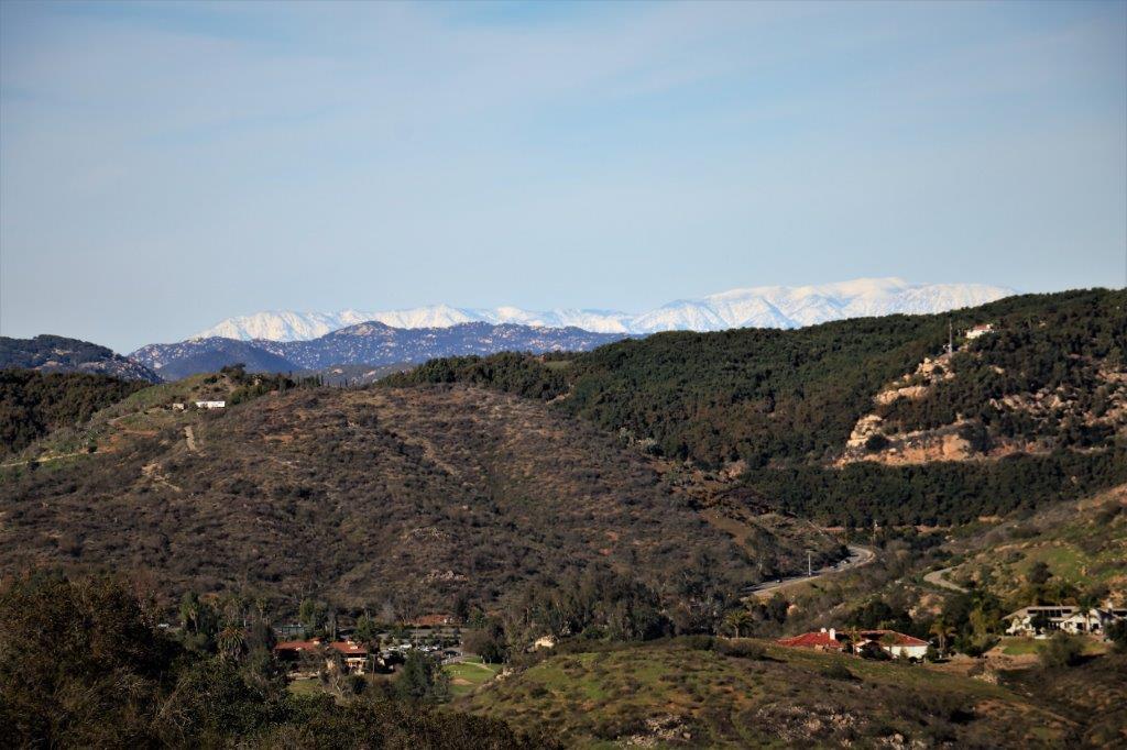
We decided to go take a look and hiked up to the first rise where the first cache was located.  Once there the compass pointed in the direction of a very steep washed-out rugged path straight up the hill.  We decided to give that a pass and walked toward the next one.  It to had a compass heading up along the ridge.  By this time it was four o’clock.  Once the sun sets on the other side of the hill it gets dark on this side pretty fast so we made the prudent decision to save hillside scrambles for an earlier-in-the-day adventure.img_7060The fireman told John that the snow-capped mountains in the distance are the San Jacinto Mountains.  And the closer dark grey ones are the Palomar Mountains.

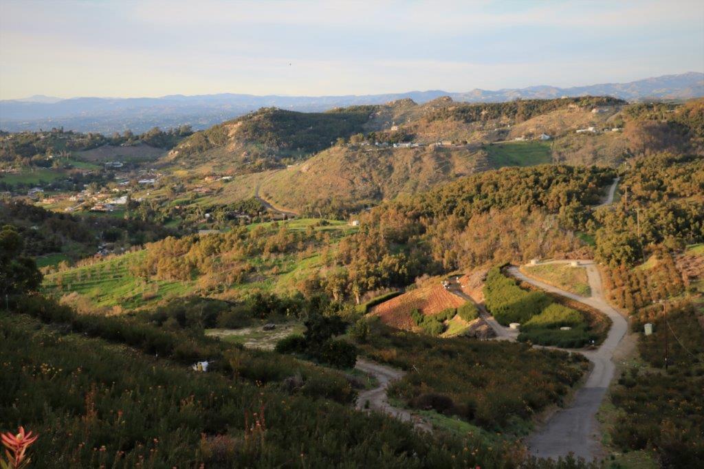
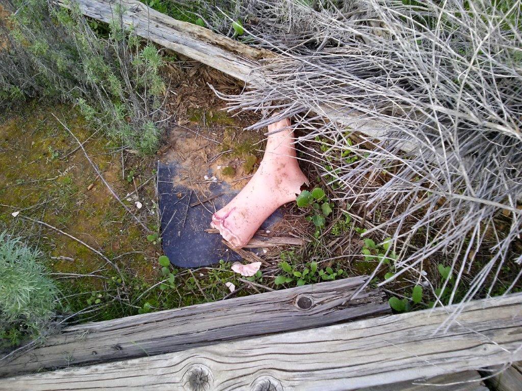
Since we were now higher up the hillside you could easily see the entire resort.img_7063We decided to continue up the road though and go for a little drive in the countryside and pick up a cache or two that was hidden along the way.img_7070We passed an big organic avocado farm and a couple of farms with dozens and dozens of huge greenhouses for growing veggies and things all year-round.  We also drove past some beautiful horses in large well-maintained paddocks.img_7076There is a cache series hidden in this area called RIP Charlie.  The cache owner made up a story about an old guy that liked to experiment with things and one day blew himself all over the valley.  We found his ‘eyes’ and one ‘foot’ today.  I don’t know how many other ‘body’ parts are in the series but we have noticed quite a few RIP Charlie cache names around here.  We may have to go find how much more of Charlie we can locate.  Some people are so ingenious.The sun was setting by the time we traveled the length of Twin Oaks Valley Road and joined the Deer Spring Road which would take us over the freeway again where we could turn onto Champagne Boulevard and get back to the resort to make dinner.cam00600We found this nicely camouflaged cache near the Von’s store the other day.  I forgot to post the pictures so thought I would tuck them in here.cam00599 cam00598However…..it was five o’clock.  The Deer Spring Road is a major feeder to the freeway from the farmlands we had traveled through.  We crawled at about 10 mph for almost 3 miles.  Good thing we had no where important we needed to be.  I can’t imagine having to navigate that everyday like so many people do.  They are not surprised at the line-up like we were; they know it will be there, but all the same I am glad I don’t have to do it.img_7082 One just never knows what one’s day will bring.


2017 Jan 28 (CA Stay and West Coast Roads) – Day 26 – Escondido, CA – Daley Ranch

Today we were blessed with sunshine again – three days in a row now.  Maybe sunny southern California will be sunny again.

Not far from Escondido is a 3,000 acre city-owned property that is criss-crossed with trails.  Daley Ranch was a working ranch until it went up for sale in 1996. Developers were interested in the site but the city felt that it was a unique area that should be protected.  They purchased the property and it is managed in perpetuity for the preservation of a biologically unique and diverse habitat area of regional importance.

img_6997The trials are open to hikers, bicyclists and horse riders from dawn to dusk every day.  There are park rangers that make patrols to make sure the rules are followed (dogs leased, no smoking, no drinking, stay on the trails) and give guided tours on certain days to explain the different plants and animals in the area.

The ranch house is open for tours the second Sunday of each month and the barns and numerous outbuildings are open for exploring.  There are over 20 miles of trails throughout the ranch, from family-friendly paved roads to more vigorous hillside scrambles.img_7017 img_7018 img_7021And, there are over 90 geocaches hidden along the trails and roads.  We went out this afternoon to check the place out and see if we could find a few of them.

img_7002We hiked a loop – took us 2 1/2 hours – and found 9 caches.  We picked up a trail map on the way out and intend to orient ourselves to where more caches are hidden for another afternoon or so of hiking/caching while we are here.img_7004 img_7008 img_7009 img_7010It was a nice afternoon.  The weather was warm, the trails were good, the caches were relatively easy to find and I got to meet lots of dogs, as Daley Ranch is a popular place to walk your dog.  What more could you want from a day?

img_7035 img_7032

2017 Jan 26 CA Stay and West Coast Roads) – Day 24 – Escondido, CA

We had our second sunny day in a row today and the chill was off the air as well. We ventured forth to do a bit of geocaching.

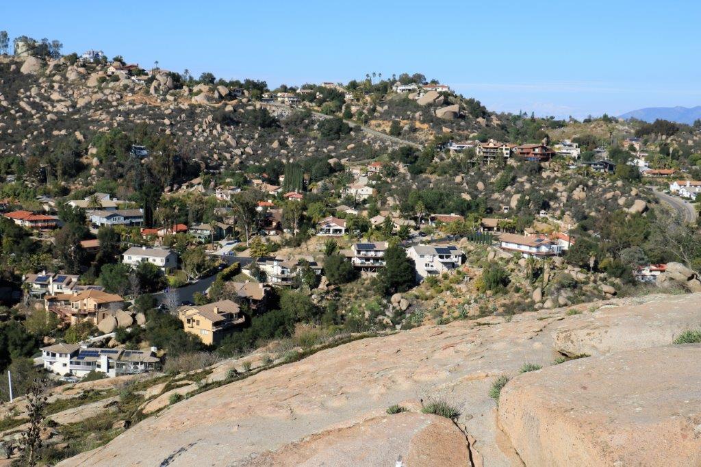
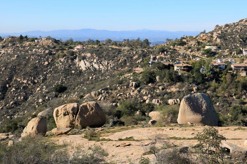
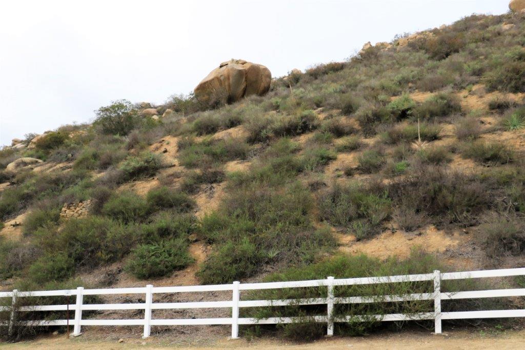
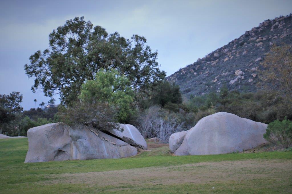
There is a residential area up on the hills south of the resort called Hidden Meadows. (They must be really well hidden meadows too because we did not see a smooth flat area all afternoon.  Plenty of gigantic boulders on hilly lots and lots of lovely, large homes.)img_6975 img_6977img_6978The road does a long loop past all the homes encircling the golf course.  There were a few caches along the route and we found them all – a total of 7.

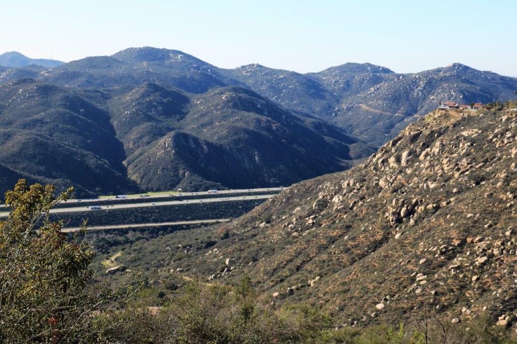
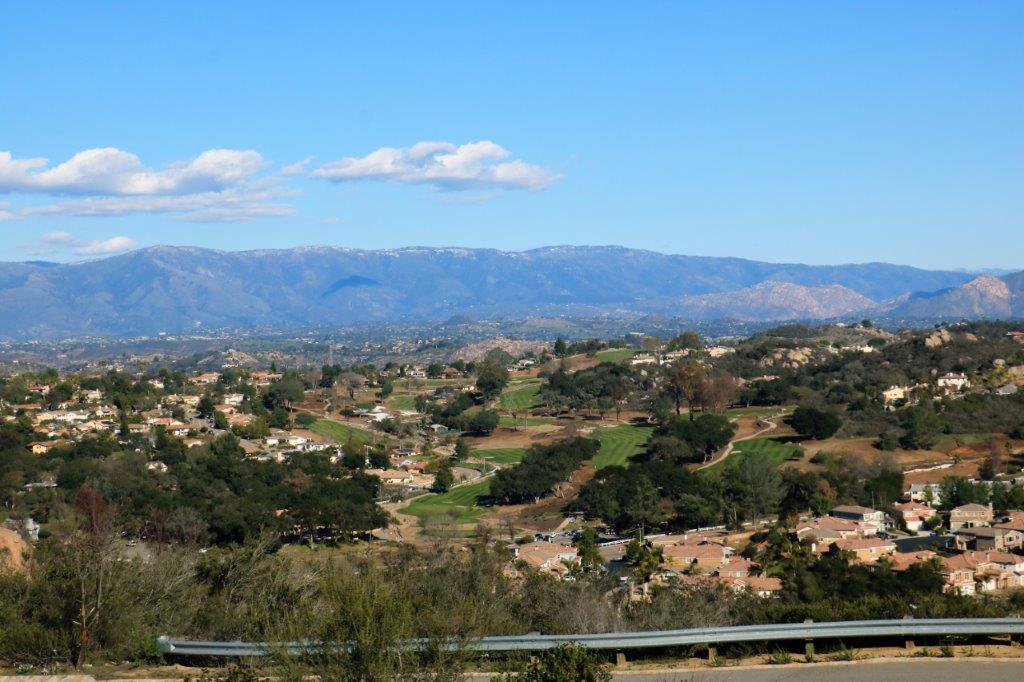
The distant view from the top was pretty nice.  And, of course, we could see the ever busy freeway.  The traffic never, ever stops on that road.

img_6976img_6979


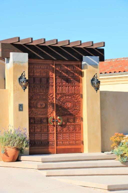
We liked the doors on this house.


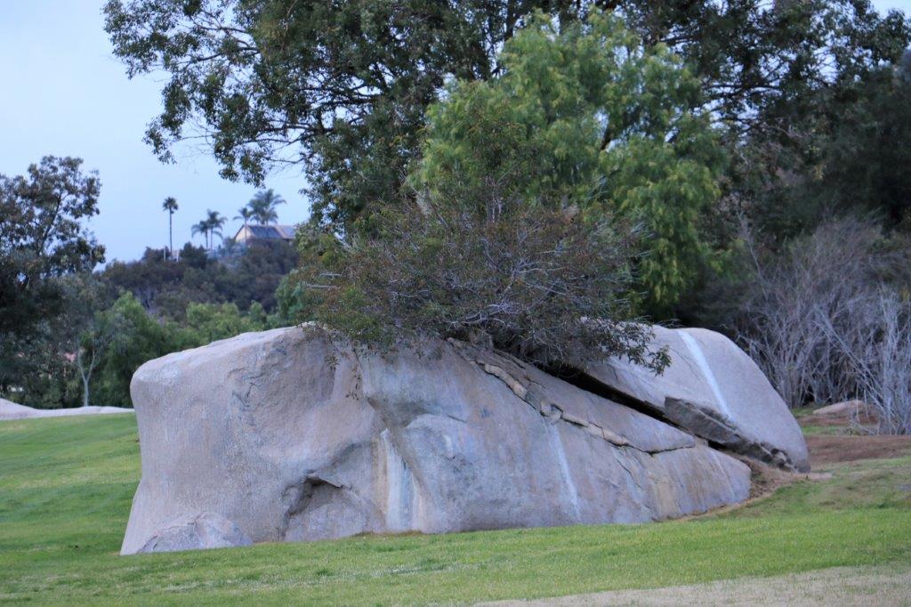
img_6980Even the rocks grow stuff after it rains.img_6982 img_6983 img_6984We found our last cache of the day at the entrance to the shopping plaza where we go to the Vons store for our groceries.  We picked up a few things we needed and headed back to the condo for dinner.

I’d say that was a very adventuresome day!

2017 Jan 19 (CA Stay and West Coast Roads) – Day 17 – Escondido, CA

As you can tell from the lack of posts recently we have been very busy doing nothing.  We are still busy doing nothing today but I thought I had better write a blog so you know we are still alive and well down here in not-so-sunny California.  We have had more days of cloud and rain than sun and not a lot of heat in the sun when it does shine.  We don’t complain though.

We spend our days reading, I work on my 2009 World Cruise blogs – which I am enjoying because it recalls so many happy times and interesting places, – we go for a walk on a big loop around the resort, eat and sleep.  So far we have been too lazy to even go geocaching.

We are enjoying the rest as our fall (especially John’s) was very busy.  We (and several other kind folks) painted the sanctuary and entrance hall in our church building, John and our friend Don changed the counter tops in the bathrooms, another friend built some cabinets for our meeting room and John helped to install them, and finally just before Christmas John and Don replaced the carpet in that meeting room and the linoleum in the entrance with new vinyl planking.  He almost had a full-time job for awhile.  So, the down time right now is working just fine.

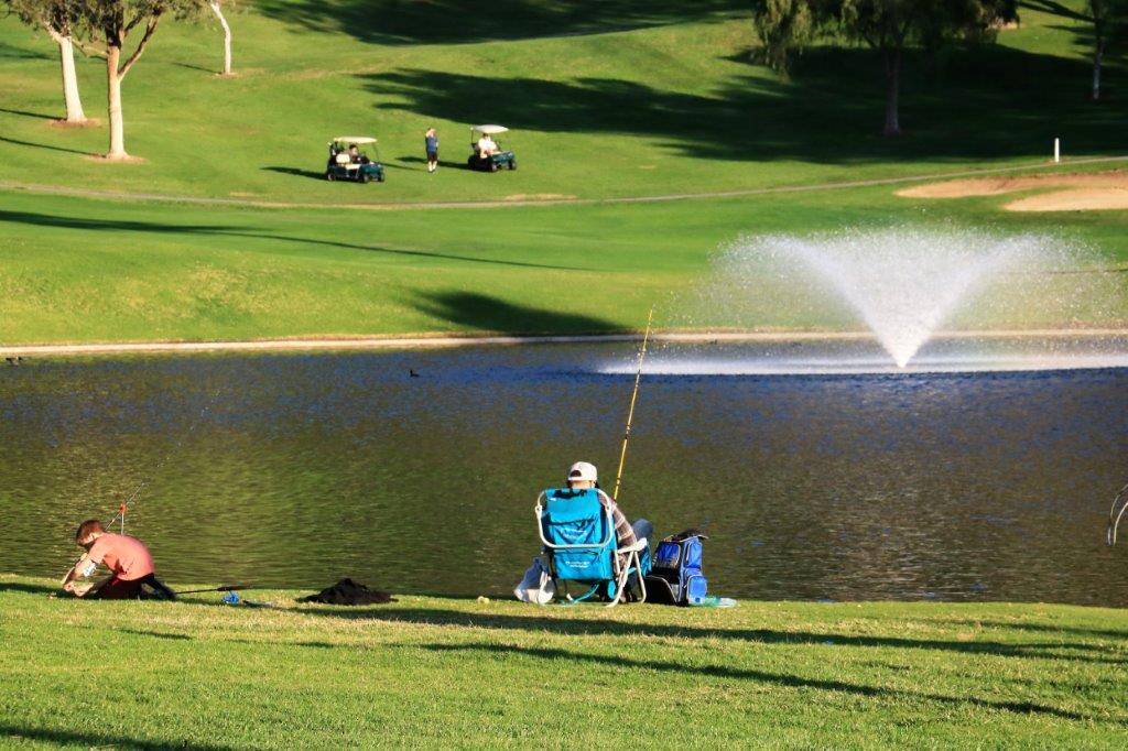
I have included several photos of the resort that I have taken on our walks.  That is as exciting as it gets these days.img_6896 img_6898 img_6899 img_6900 img_6901 img_6903 img_6912 This is the fishing pond.  It is stocked with several varieties of fish for catch-and-release.

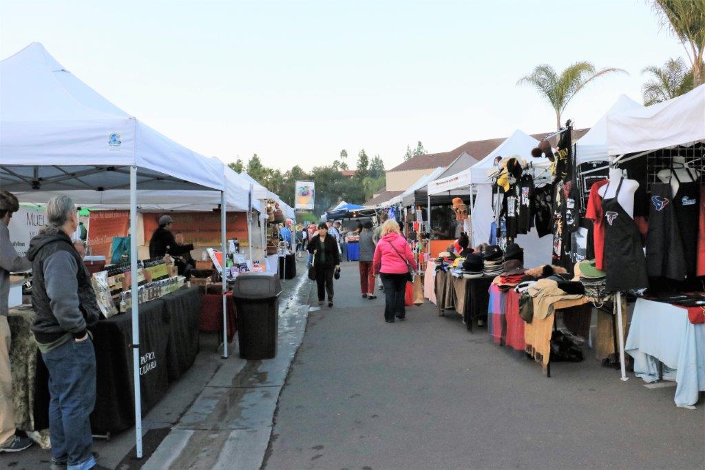
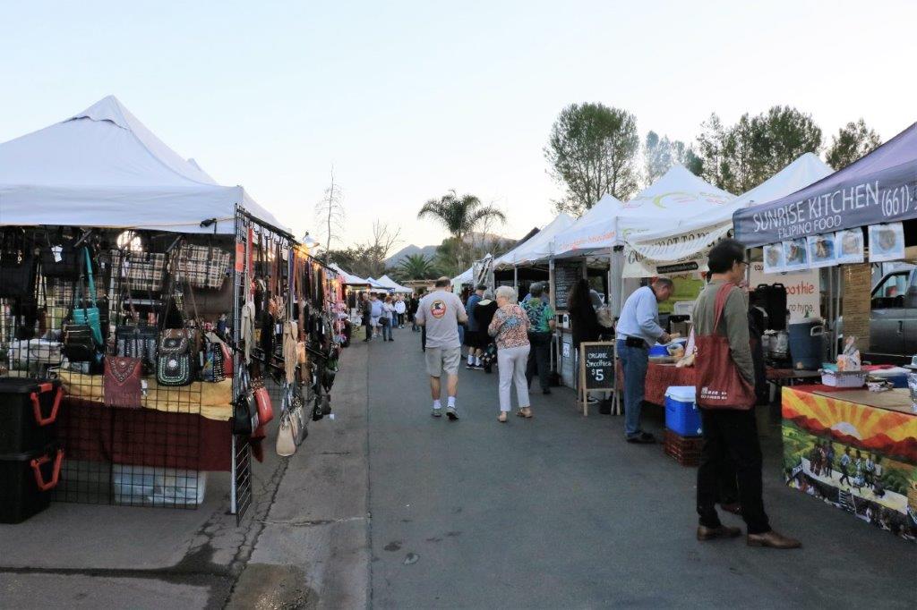
Every Monday night a huge Farmer’s Market sets up shop in the parking area near the restaurant and shops.  Many different types of Ethnic foods, baskets and bags, glassware, crystals and herbal cleansers, shoe cleaners, glasses cleaners, casual clothing, fresh fruits and vegetables, and a large variety of other items are available for purchase.  There are probably 50 or more tents.

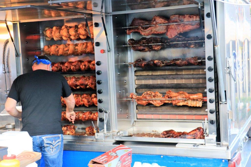
img_6920 img_6919 img_6922This fellow was doing a booming business.  He also had huge pans cooking stir-fry veggies and potatoes.  You could get a full chicken with veggies or coleslaw and potatoes for $15.

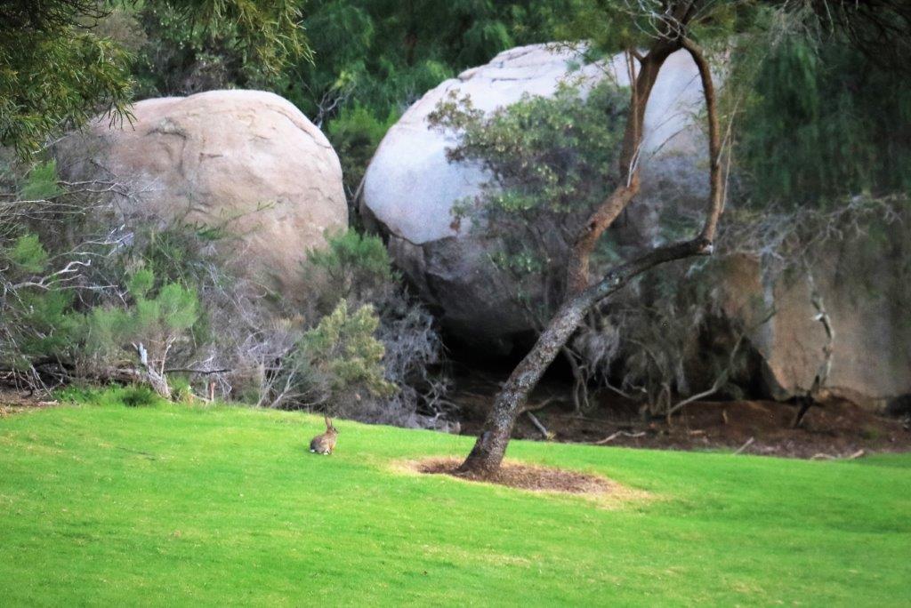
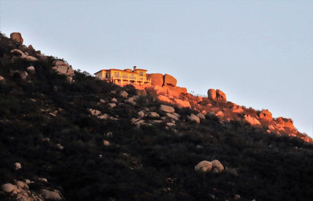
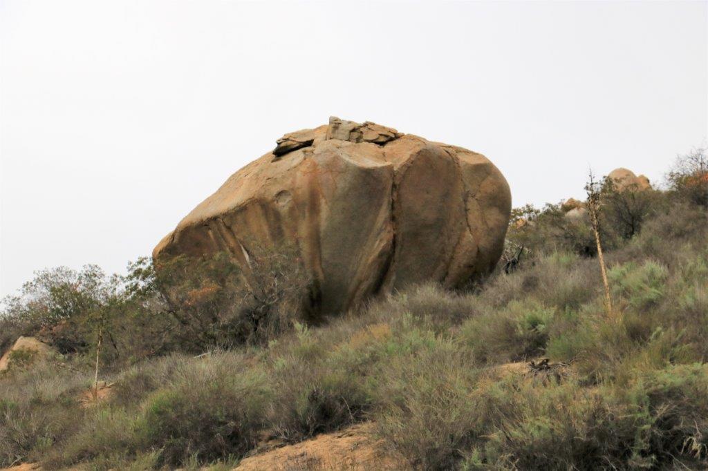
There are wild rabbits living on the grounds and we often see them crossing the path or on the lawn having dinner.img_6930This house sits way up on a bluff behind the resort.  It is a private development with large lots and huge houses.  There is a manned security kiosk at the bottom of the hill near where our condo unit is located.  I would love to get up there and see the view.  But, it is not to be.  I think I understand why the home-owners didn’t try remove the huge boulder from the lot.  It is as large as the house.img_6925

img_6926Yesterday we met our friends Bill and Lynn at the Canyon Grille here at the resort for lunch. They live in Yorba Linda (East of LA) and we met them on the 2009 World cruise.  They were on the three-day China overland excursion to see the Terra Cotta Warriors, the Great Wall and the Forbidden City.  We have kept in touch ever since and we are all booked to go on the Grand South American cruise next January.

img_6941After lunch we came back to our unit and yakked and visited and shared adventures until 7:30.  It was wonderful to see them again. Saturday we are meeting with our friends Charles and Evelyn who were table-mates on the World Cruise and who live in Westminster on the southwestern edge of LA.  We have kept in touch with several couples from that, and other, cruises.  It is really nice to touch base with the folks again when we can.

img_6906 img_6916 There is often live music playing in the clubhouse (photo on the left).  There is a huge gas-fired pit around which you can sit, visit with friends, have a drink and enjoy the evening.

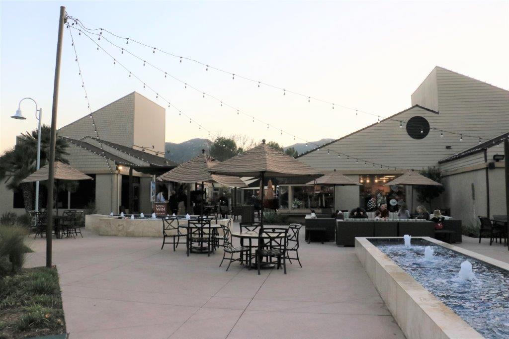
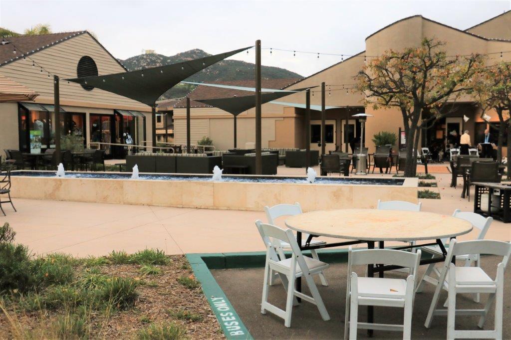
img_6923 Tuesday evenings there is Festival under the Lights in this square.  Live music for dancing, food and drinks available for purchase and opportunity to meet new people and have a nice evening under the stars.

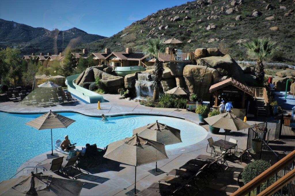
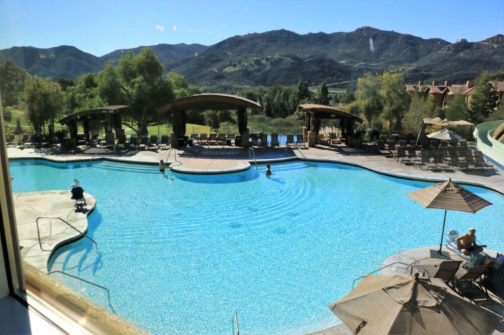
img_6931 img_6932This is the swimming pool up at Mountain Villas where our unit is located.  There are six pools on the grounds, all with water slides and a near-by activities center.

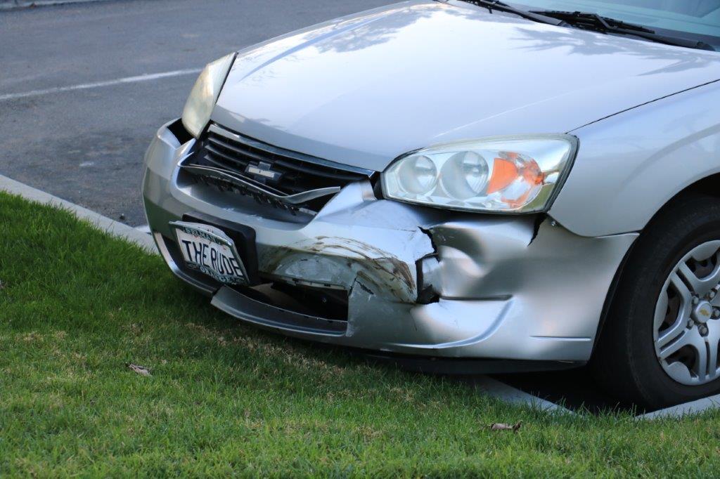
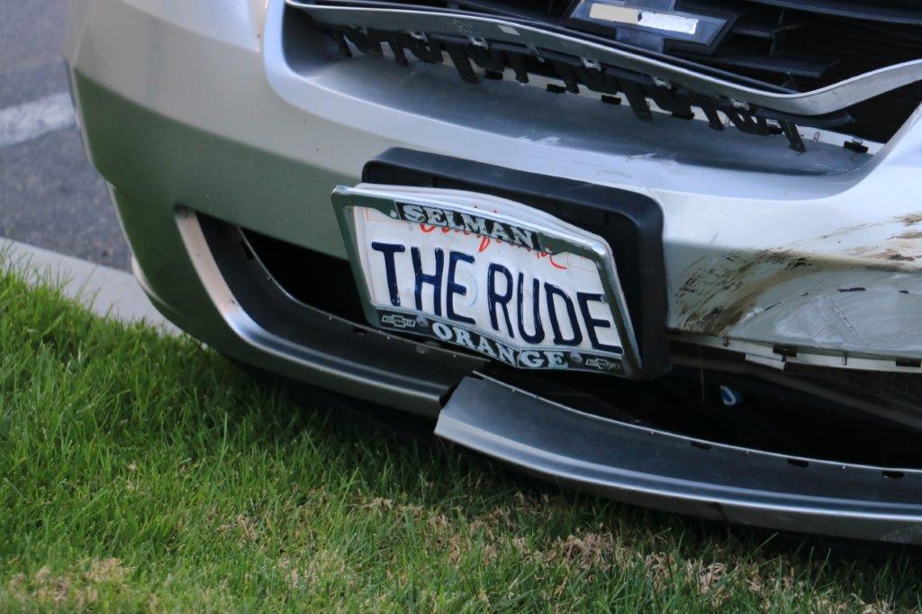
We passed this parked car in one of the lots on our walk the other day.  I don’t think the driver had a good day.  We liked the personalized plate though.

img_6938 img_6940 img_6939Today we plan to go to the store to replenish some of our grocery items and….well, that is all the plans there are actually.


2017 Jan 10 (CA Stay and West Coast Roads) – Day 8 – Escondido, CA

Yesterday was our first full day at the Lawrence Welk Resort in Escondido, CA.  We went no where and did nothing – well nothing scenic or historical or artsy.  John read and napped. I finished up the incomplete blog from Ridgecrest and did another blog for our drive from there to the resort.  I also started my new project – writing a blog about the World Cruise we took in 2009.img_6878This morning was a repeat of yesterday.  It was supposed to rain today but by mid-afternoon the clouds were still high in the sky and the rain had not arrived, so we decided to go for a walk and try find  the three geo-caches that are hidden near-by.  The first was across the road – appropriately called Champagne Boulevard –  and was an easy find.  The second was supposed to be right at the fountain at the resort entrance.  We looked and looked and looked and couldn’t find it.  Yet, someone had found it in October.  We will try again on another one of our walks.

img_6861 img_6862 img_6863While John searched through the bushes and trees I took a few photos as a distraction to all the traffic going by.

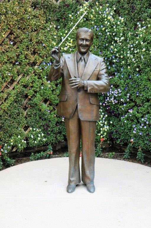
img_6865 img_6867 img_6869 img_6873 img_6875img_6879The third cache was hidden not far away from the life-size statue of Lawrence Welk that sat in the middle of the fountain in the square of the ‘village’ shops.  We confidently walked over there only to have our GPSs say we had to go forward another 20-24 meters.  Since we were here last they moved the statue to the other side of the gift shop and positioned it in front of a nice flowered lattice.  I guess people wanted to photograph the statue and photograph themselves beside it and it wasn’t possible to do so with it in the fountain.img_6884Lawrence Welk, as any Baby Boomer will recall, was an entertainer.  He played the accordian and was a big band conductor.  The Lawrence Welk  musical variety show was aired on TV for 27 years.  He retired in 1982 at the age of 79.  We used to watch his show.  It always began with the sound of a champagne cork popping out of a bottle and the TV screen showing the bubbles flowing by.

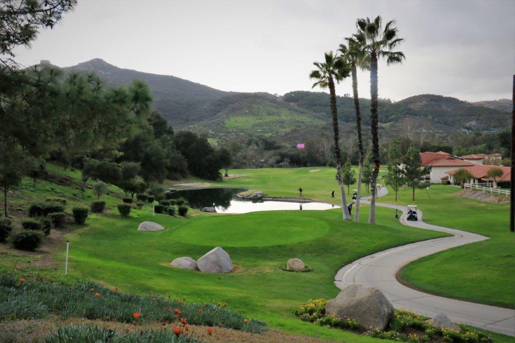
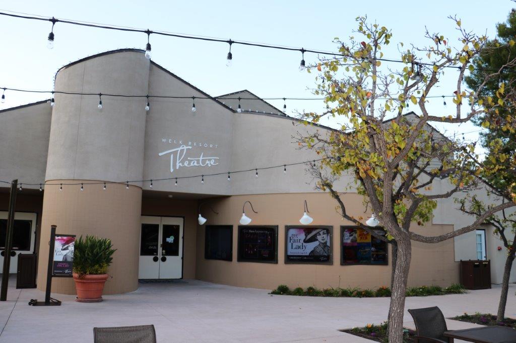
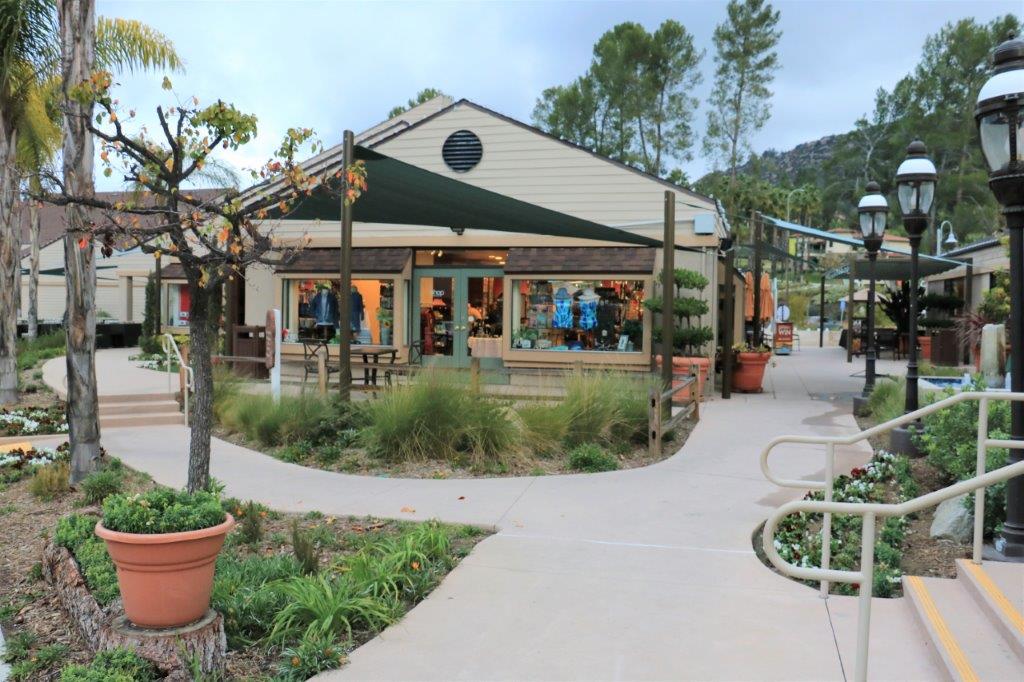
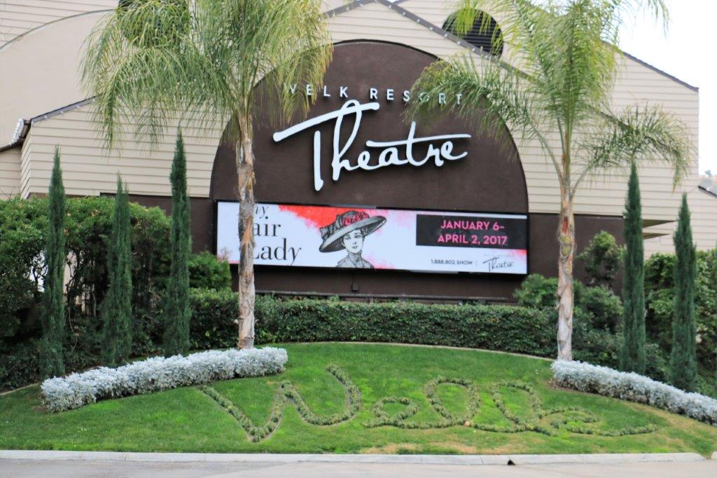
Welk purchased the property where the resort now sits for a 9-unit mobile home park.  It is now 600 acres with 4-5 sections of condo  units for vacationers; each with its own swimming pool and activity center, two golf courses, a theater, restaurant, and a gift/clothing shop.  There are 5 Lawrence Welk Resorts – Escondido (San Diego), Lake Tahoe, Branson, Cabo San Lucas and Palm Springs.img_6876 img_6882 img_6883 img_6880We will be going to see My Fair Lady on Thursday evening.

After we found the cache hidden near ‘Mr. Welk’ we walked the hill back to the condo to make dinner and relax for the evening.  A tough day in the California sun – even without the sun.

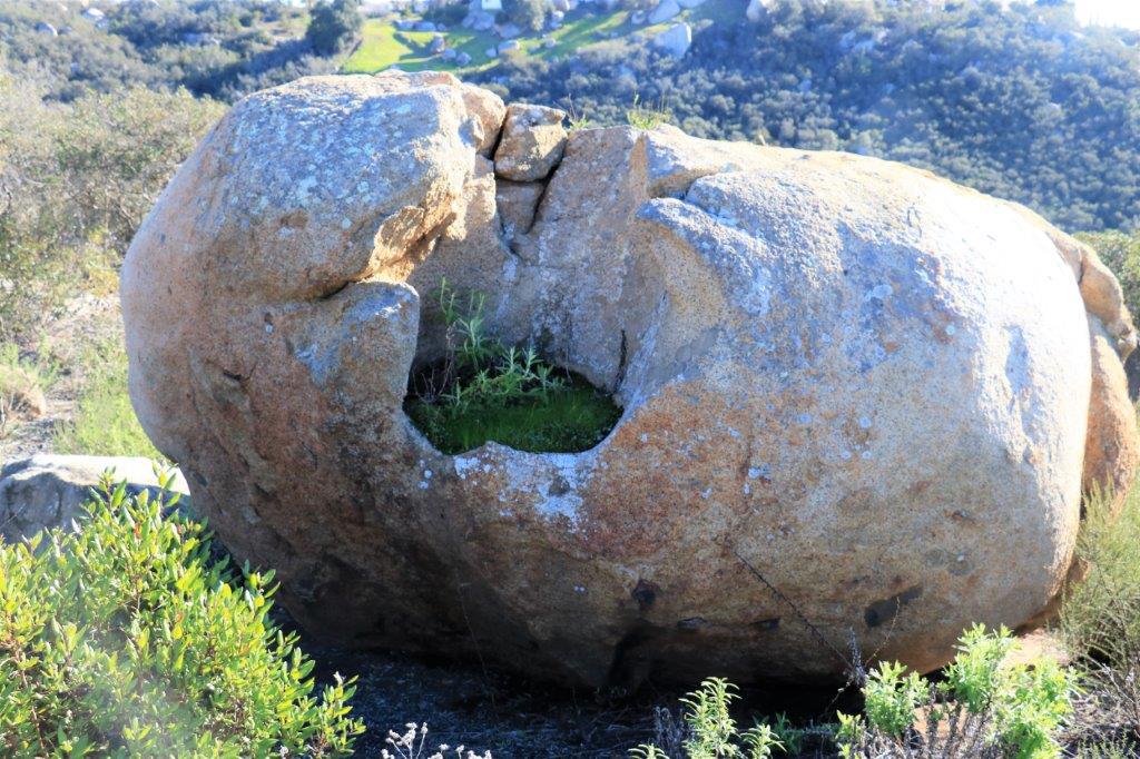
I love this bush that is growing right out of the crack in this big boulder.

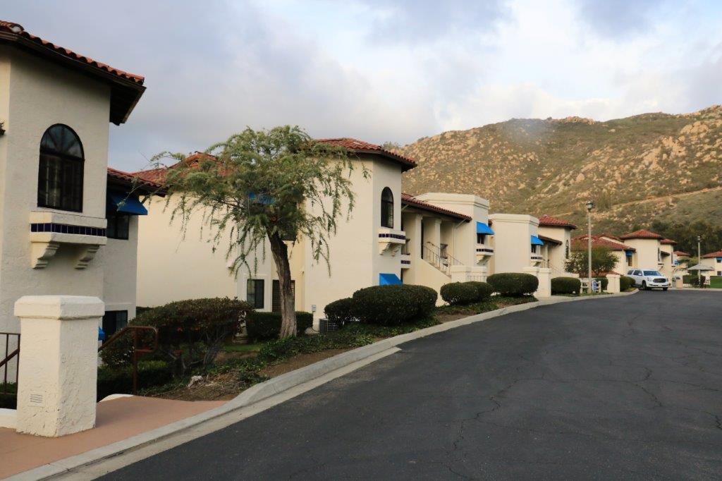
img_6886img_6887 This is our unit complex.  img_6888

2017 Jan. 8 (CA Stay and West Coast Roads) – Day 6 – Ridgecrest, CA to Escondido, CA

We have arrived at our destination safe and sound.  We checked into the Lawrence Welk Resort at about 4 pm.  Today was pretty much just a drive day.  We only stopped to look for two geo-caches – found one, didn’t find the other.

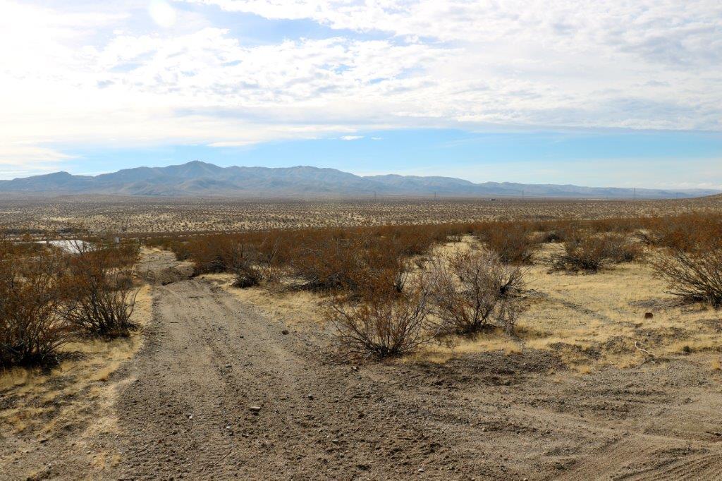
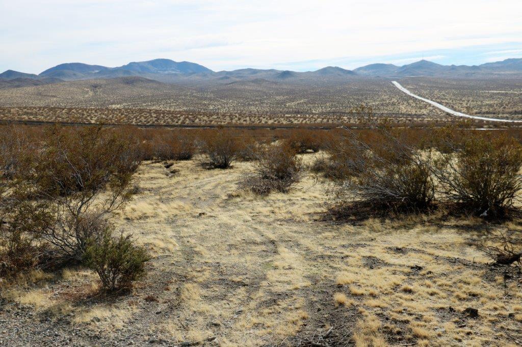
The desert scrub and long straight roads changed to distant mountains and multi-lane freeways.

We pulled off the highway onto this dirt section to find a cache.  I often take photos (or pretend to take photos) while John picks up or replaces a cache, or is busy signing the log paper.  It is a distraction for any passing ‘muggles’ – non-geo-cache folks.

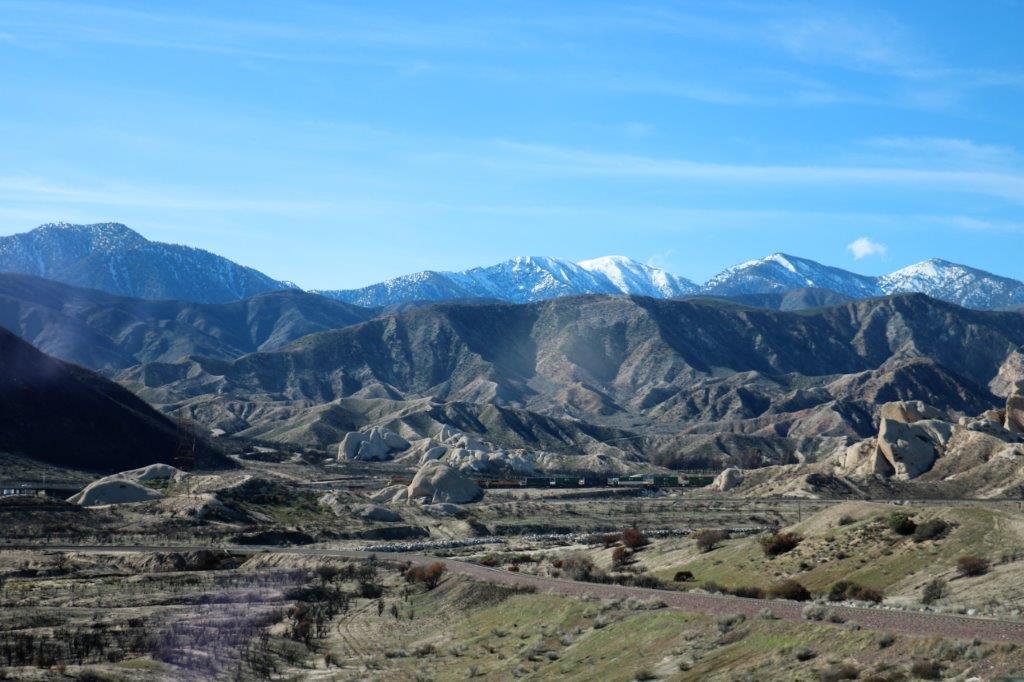
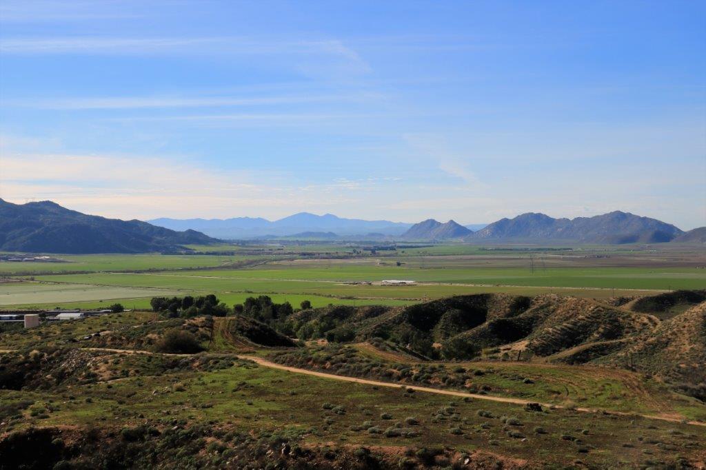
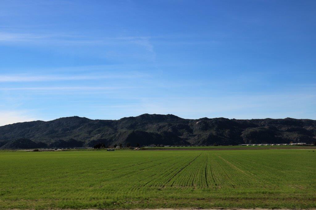
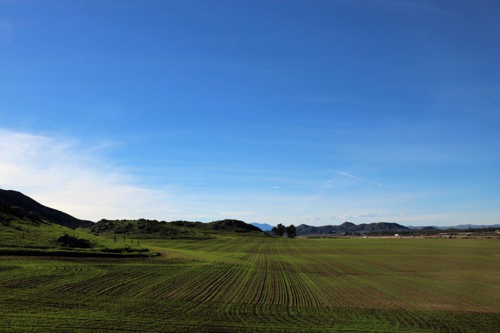
img_6780 img_6782 img_6784 img_6802 img_6804 img_6806 img_6810 img_6816I really don’t like busy freeways.  Today, being Sunday, the traffic through the San Bernardino area wasn’t too bad.  John, very kindly took the ring road around the city and drove about 10-15 miles east so we could take a quieter road through Hemet to Temecula.  This cut off about 25-30 miles of the freeway and took us through a new area.  There were a few too many stop lights for John’s liking but we passed through some very nice-looking agricultural lands.  We turned a corner after going through a bit of a rocky pass and a beautiful valley was spread out before us.

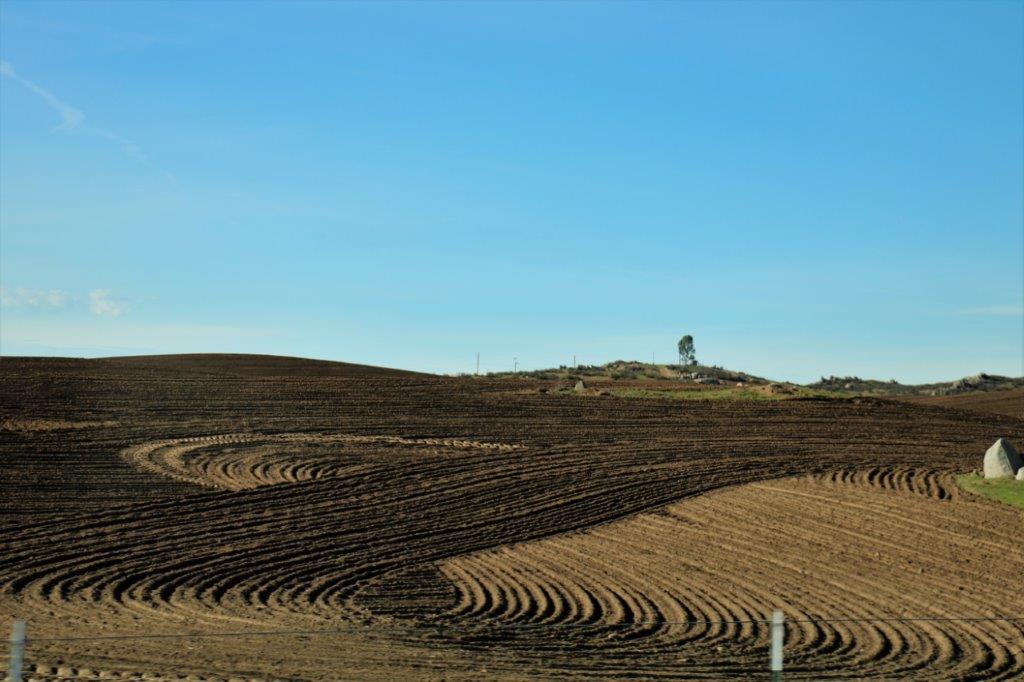
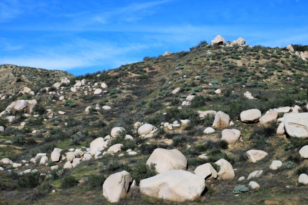
img_6821 img_6831 img_6839 img_6844There are a lot of rocks here.  One of the farmers had paths around all kinds of rock outcroppings in his fields.  The nice disc trails wound over and around and up and down navigating the rocks.img_6819When we got to Temecula we found a grocery store and stocked up on fresh fruits, veggies, meat, bread, etc.  We have learned to bring along some canned goods, pasta, rice, and other dry foods so we don’t have to buy everything and anything to make dinner.  We tend to eat in when we are staying at our time-share places.  We just make simple meals so we don’t need to get a lot of groceries; just the basics.

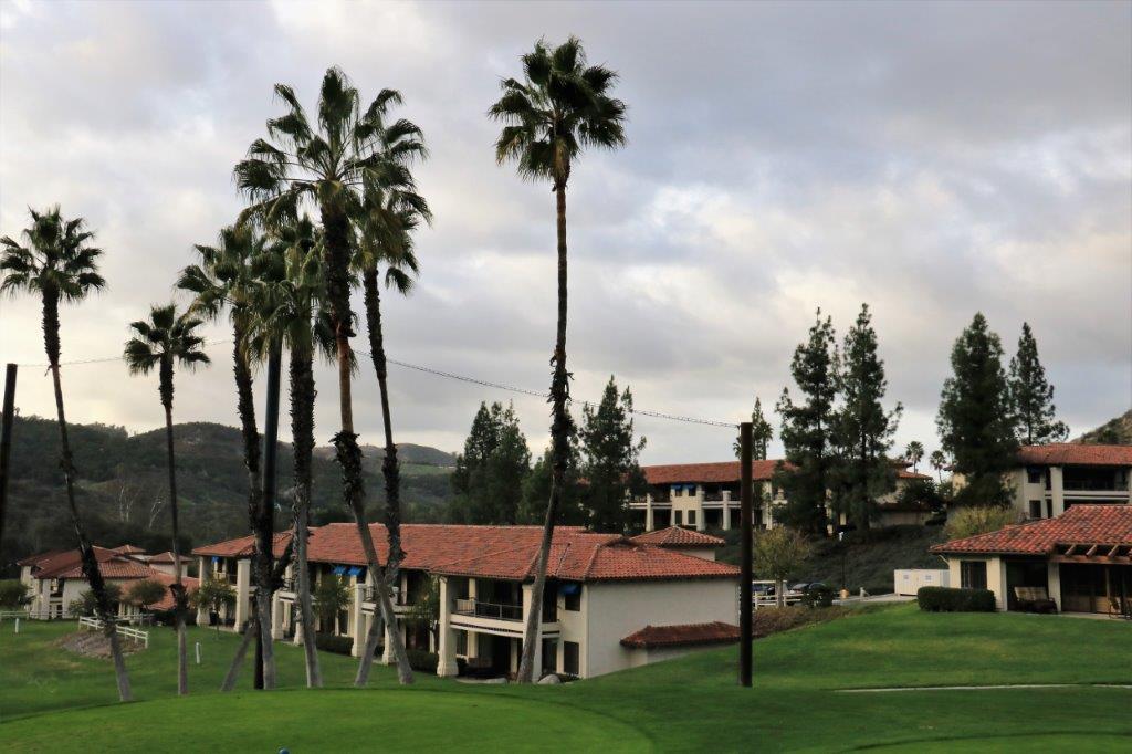
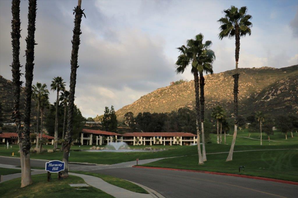
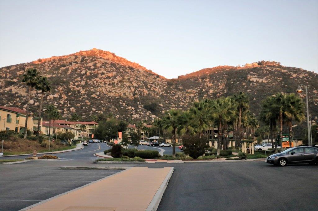
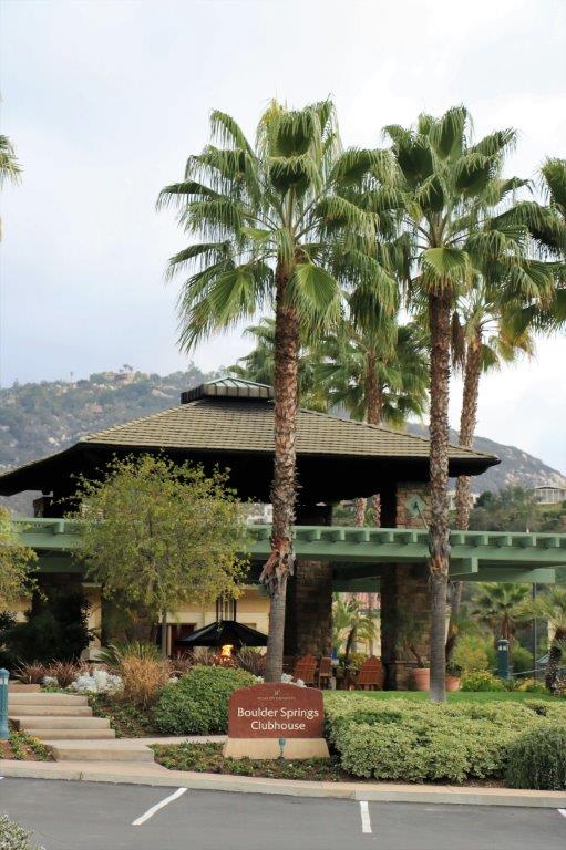
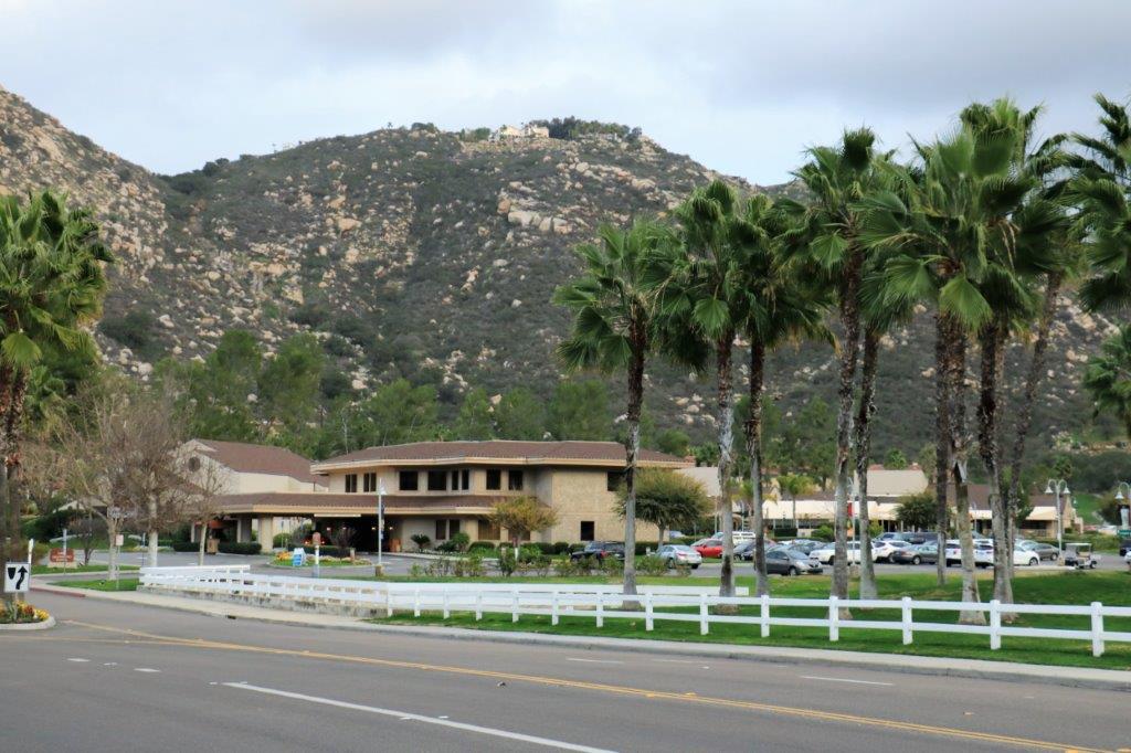
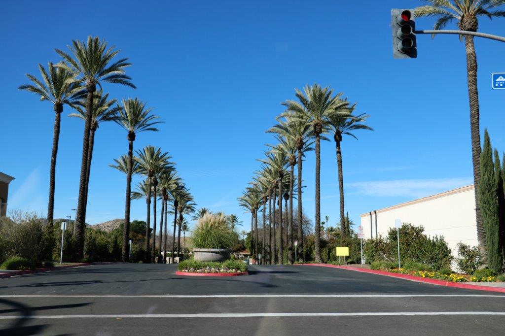
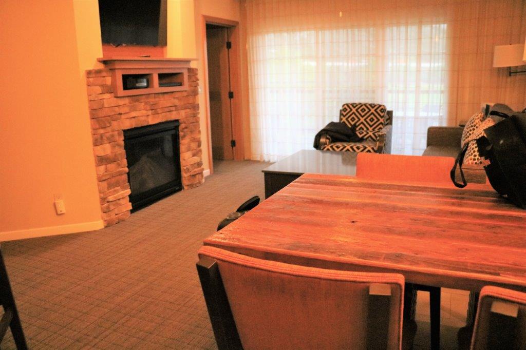
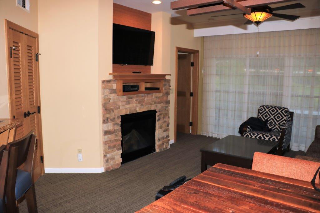
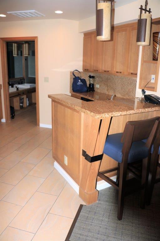
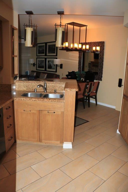
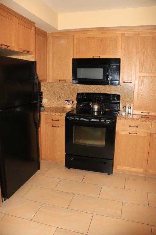
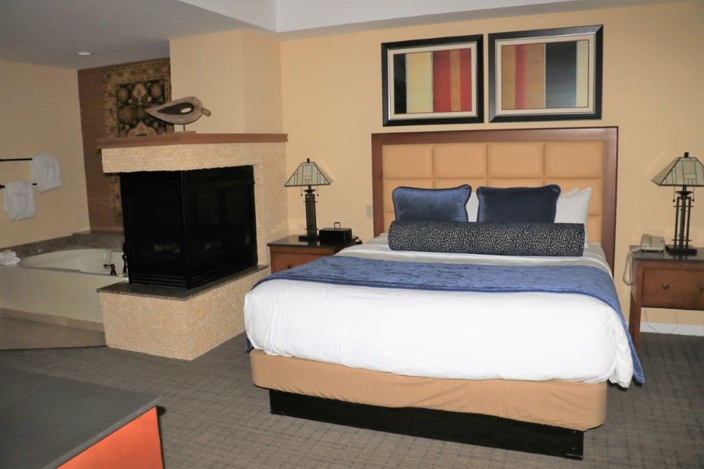
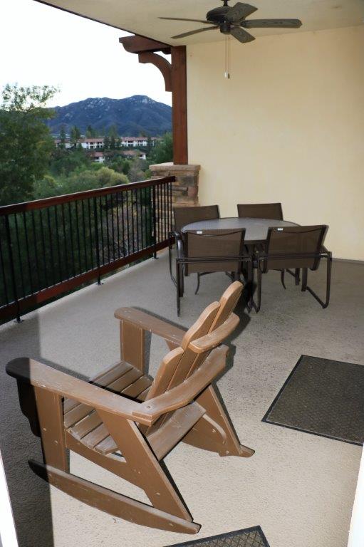
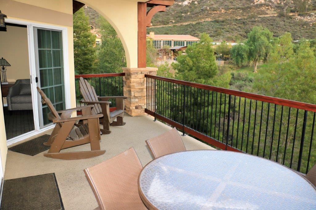
This nice palm tree-line drive led to the Temecula Four Seasons Hotel.img_6837We have been to the Lawrence Welk Resort before.  Last time our unit was down by the shops and the golf course.  This time we are up on the hillside.  We did a loop walk around the resort almost every day we were here before and walked past these buildings.  The unit is very nice.  We are on the top floor so have a nice view over the resort below.  It is a very nice one-bedroom place – we have two fireplaces; one in the living/dining area and one in the bedroom.  The kitchen has more cupboards than any condo we have stayed in before.  Usually we are shifting dishes and pots into stacks so we have somewhere to put our food.  Here, we have a pantry cupboard and lots of storage spaces in the kitchen, bathroom and bedroom.

img_6845 img_6846 img_6847 img_6848 img_6849 img_6850 img_6851 img_6853 img_6854So.  Here we are for the next four weeks.  Tomorrow will be a do-nothing day.  We probably won’t leave the condo except to go for a walk.  Blogs will only be posted on days we do something or go somewhere. And, I make no promises as to how often that will occur.