Well, all too soon our four weeks at the Welk Resort have come to an end. We enjoyed the reading time, the writing blogs – old and new – playing a few games, walking a lot, and hiking and geocaching every now and again. But, alas, they are kicking us out. What shall we do? Where shall we go? News from home is that they received a huge snowfall the other day so we definitely don’t want to go there yet. Let’s go east….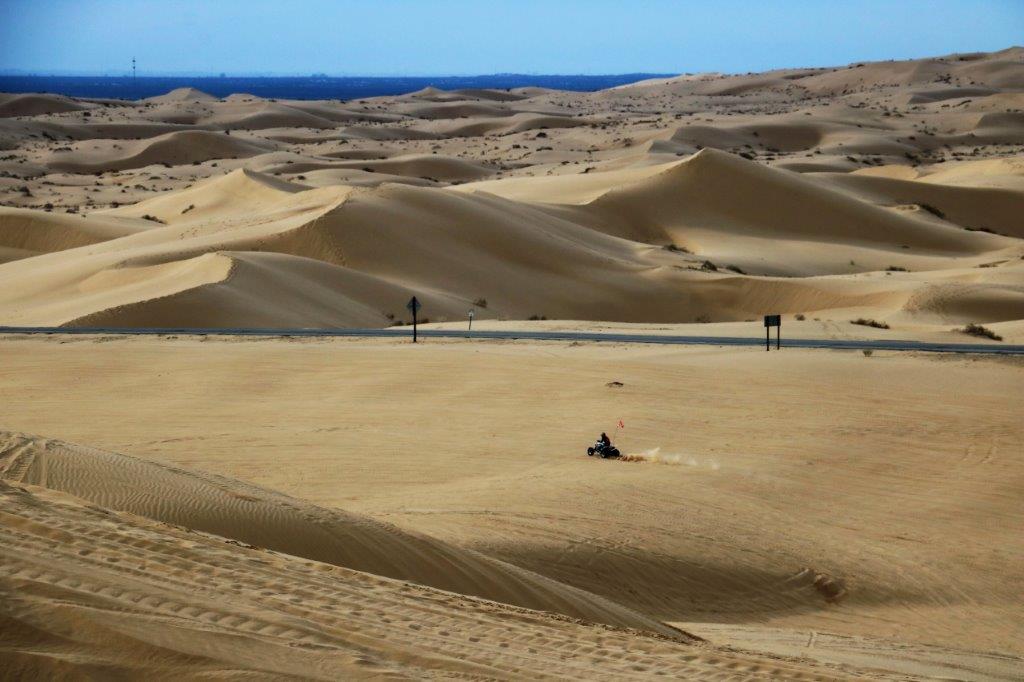 We checked out at 10:30 and had tentatively planned to walk the Boulder Loop Trail at Daley Ranch on our way out of town. The trail is reputed to have lovely views of Escondido. But the sky was very overcast, almost a low fog so no views would have been apparent. Even the lure of the five or six geocaches hidden along that trail did not call loud enough to make us go.
If you drive Highway 8 from Escondido to Yuma you can arrive in about three hours. We pulled into the hotel parking lot at 4:30 (well 5:30 – the time zone changed). We didn’t particularly do anything, there were no sites to see we hadn’t seen. Even the majority of the roads we had previously driven – only two sections were new.
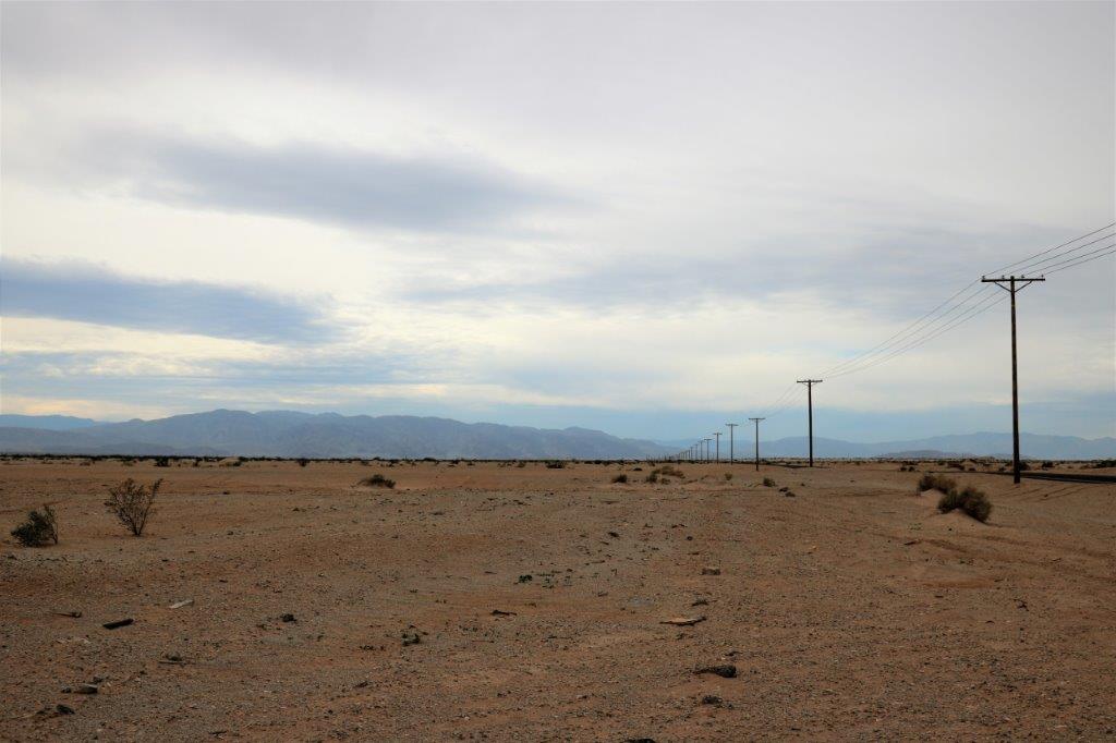
We took Highway 78 east as far as the Salton Sea, then turned south (new road section) as far as Brawley before going east again to State Road 34, (second new section) that went south to connect with Highway 8. We only ended up doing about 30 miles of the freeway into Yuma, and it was not busy at all. Yuma, Arizona sits smack dab in the corner of the borders with California and Mexico. We plan to see a few of the sights before moving on Wednesday morning.
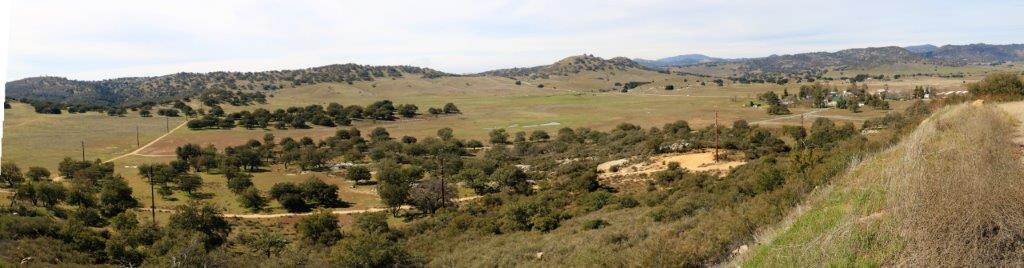
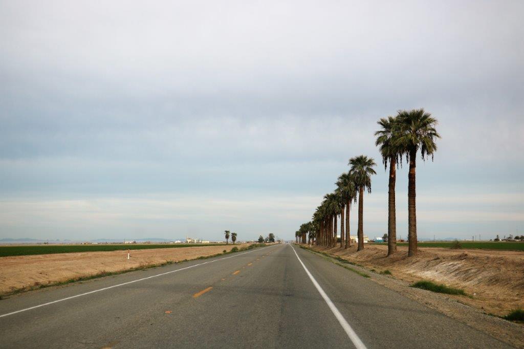
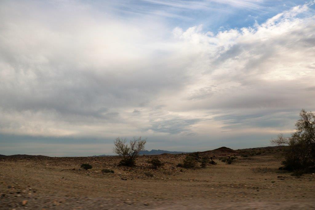
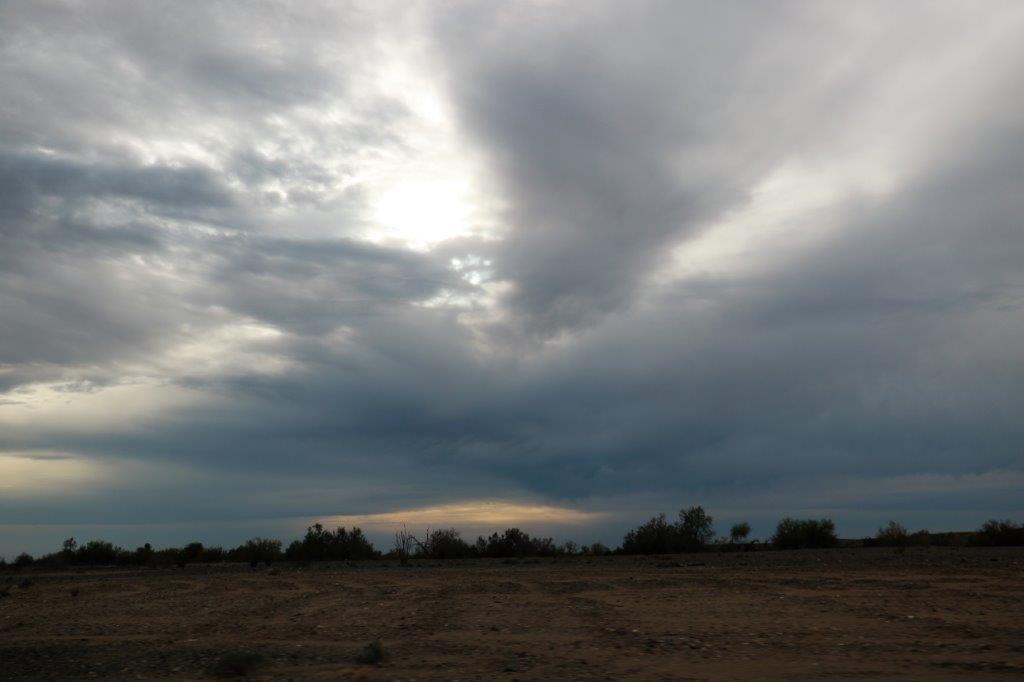
The scenery changed from scrub desert to orange groves, to scrub mountain valley to desert to agricultural land to desert again. We found four geocaches and logged an earthcache as well, so it was a pretty good day.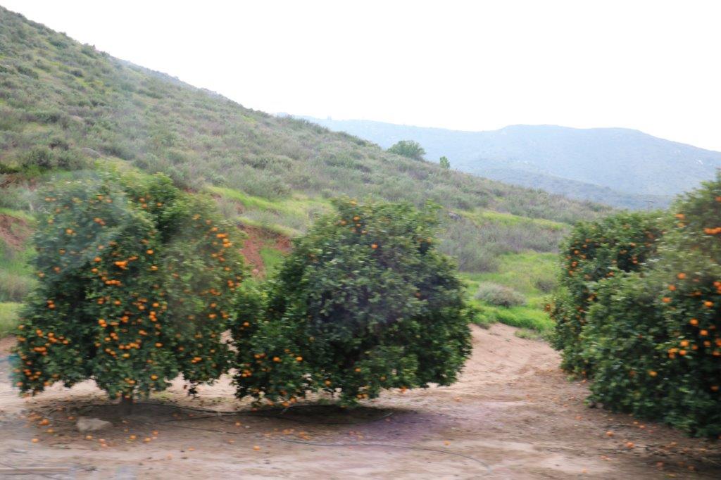
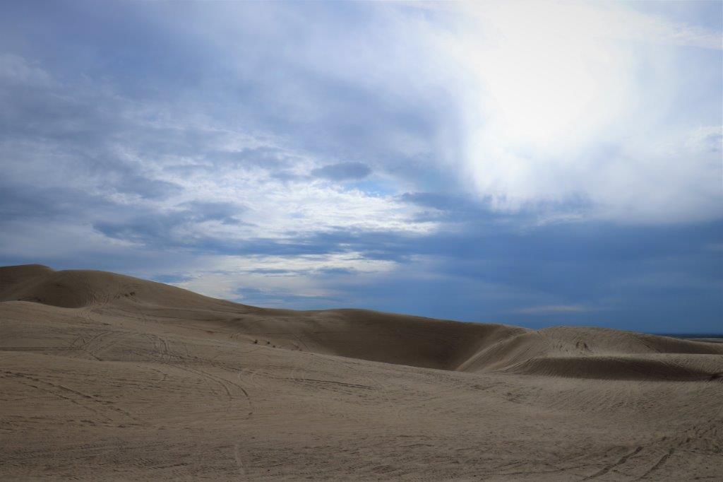
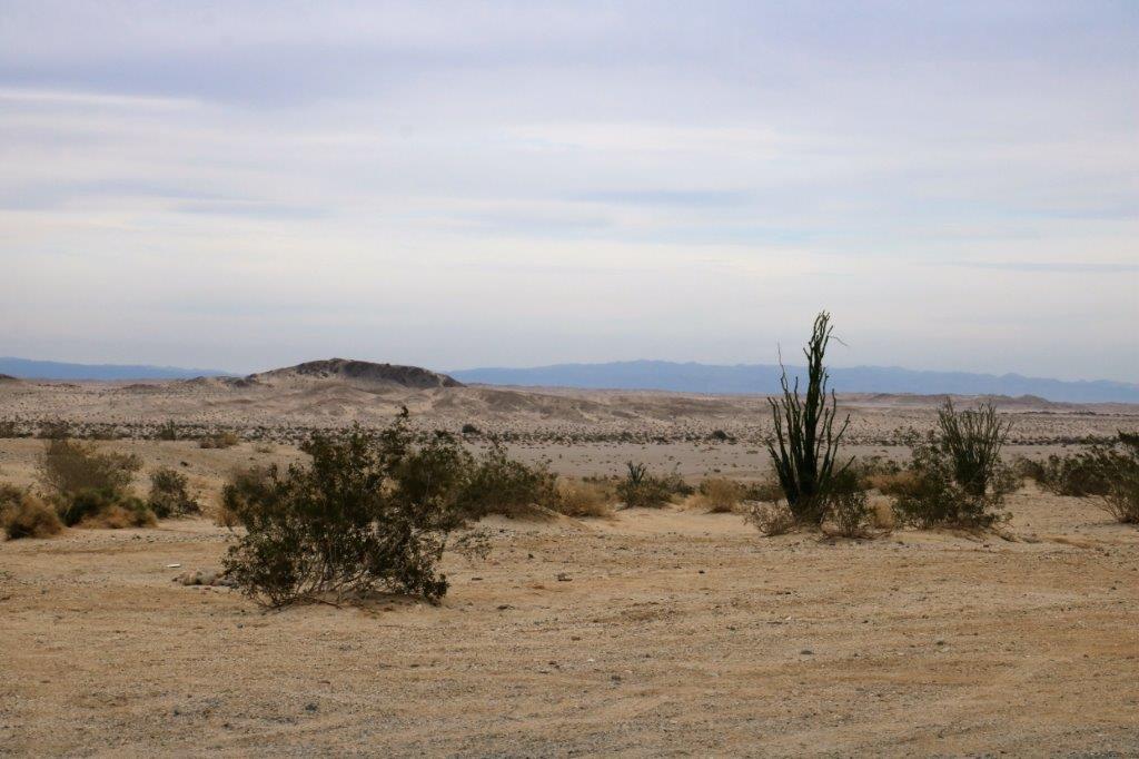 There were a few RV and ATV at the Ocotillo Wells Recreation area.
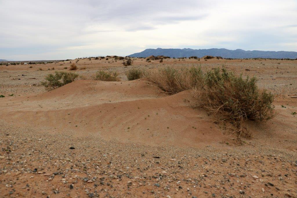

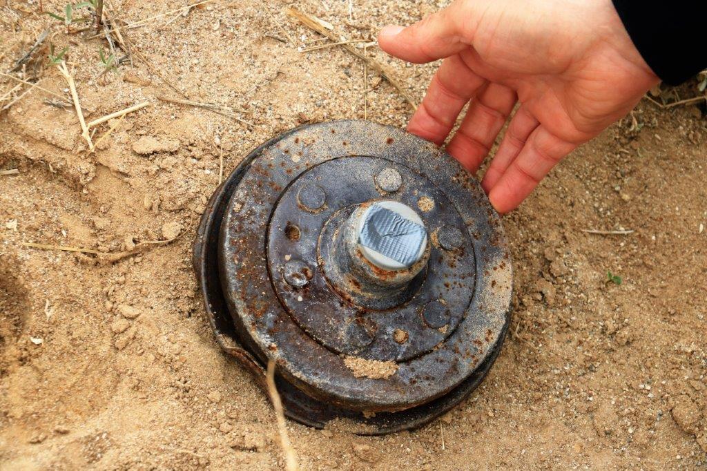
 And this not-exactly well hidden cache. It was just sitting in the open on the side of a dune. There are hundreds and hundreds and hundreds of geocaches hidden in the two sand dune recreation areas along the California southern border. You would need a good ATV to find them. Boy, oh boy, would that be a lot of fun!
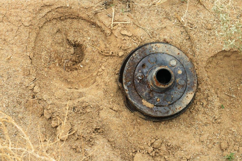
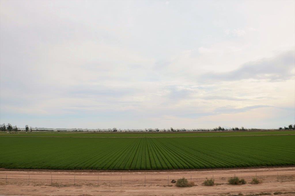
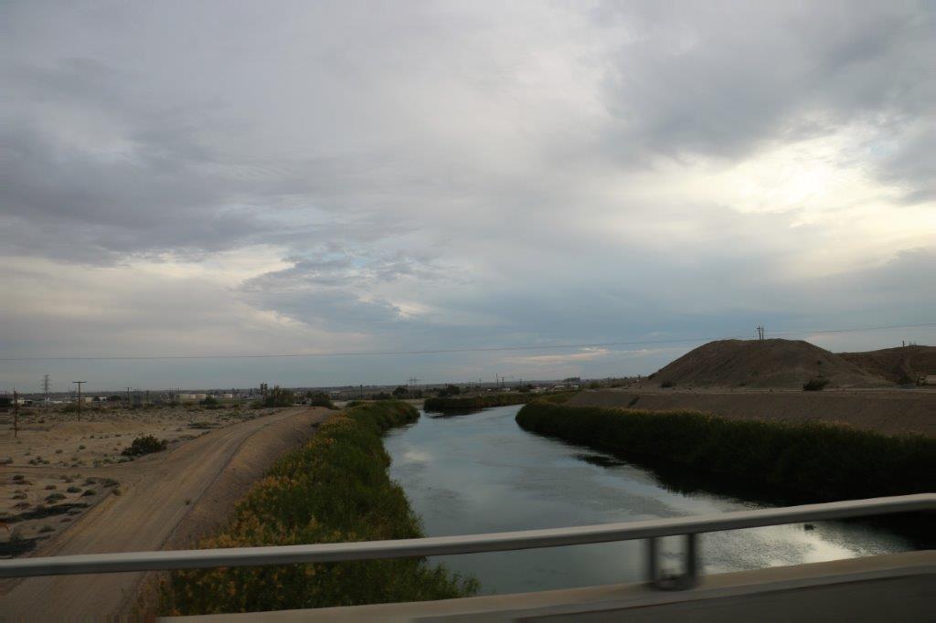
 The big All-American Canal provides water to the lands edging the dunes and, as we know, if you provide water to sandy soil all manner of things can be grown.
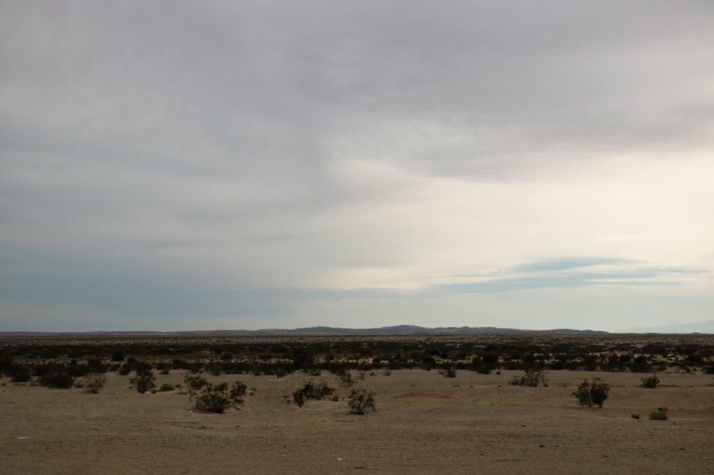

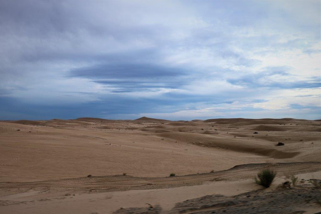
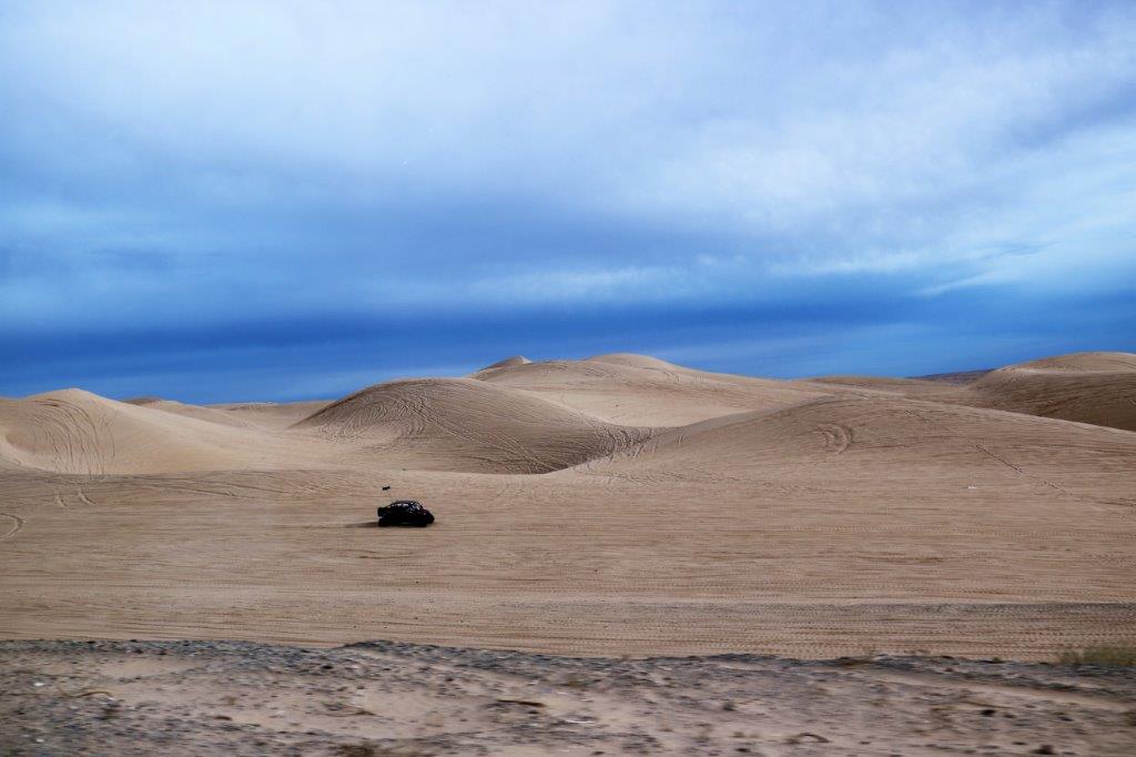
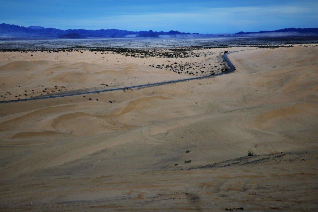
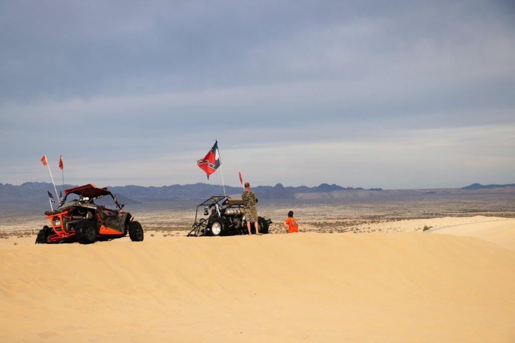
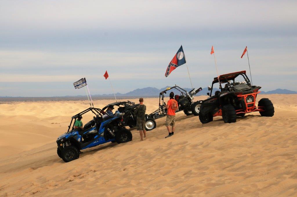
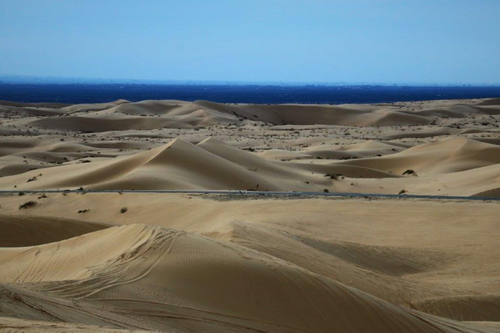
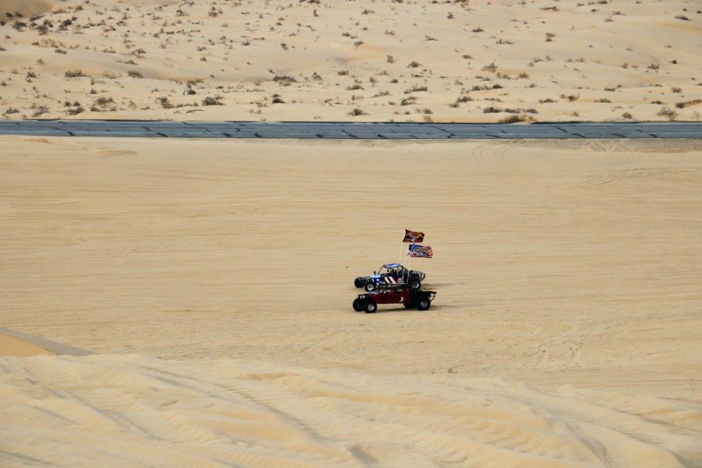
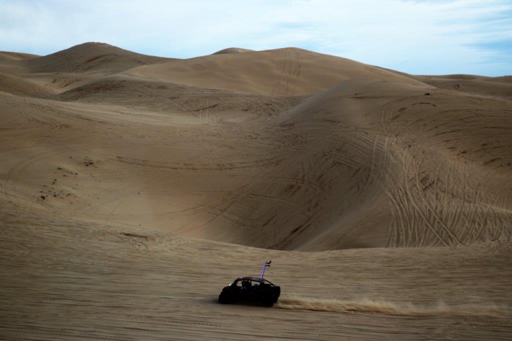
 We love to watch the ATVs roam around at the Imperial Sand Dunes Recreation Park. The Algodones Sand Dunes of the Imperial Sand Dunes Recreation Area are the largest dunes in California. They are 45 miles long and average 6 miles wide. We came through here a couple of years ago and the place was just humming with ATVs on the dunes. There were lots of motor homes, fifth-wheel trailers and campers parked on the dunes while people were out having fun. Today was much quieter. Super Bowl Sunday kept them at home I guess.
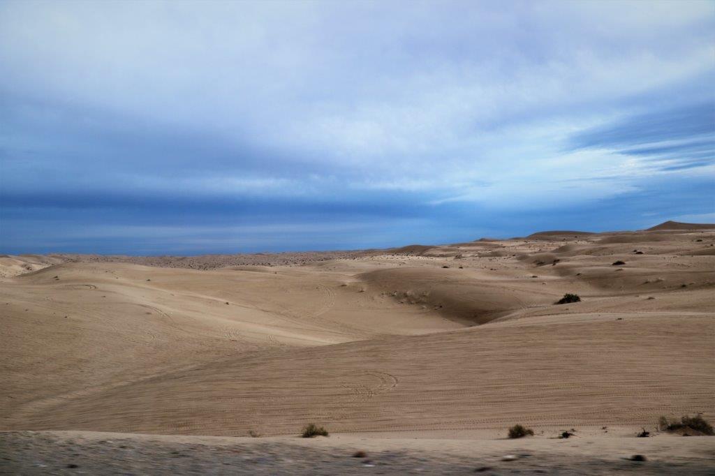

 The Algodones Dunes have been used for several movie sets including the Dune Sea of Tatooine from Star Wars, Road to Zanzibar, Extinction, Resident Evil and the TV series Stargate.
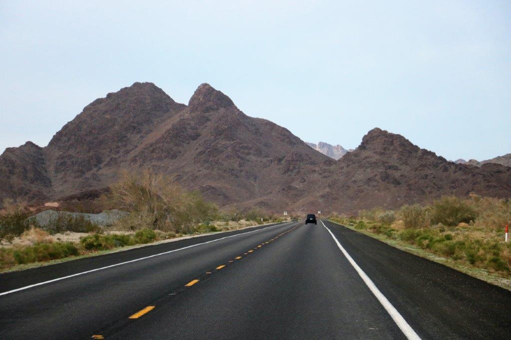
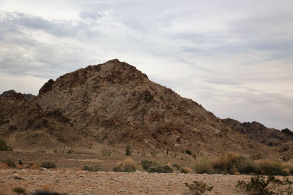 These, for obvious reasons, are called the Chocolate Mountains.
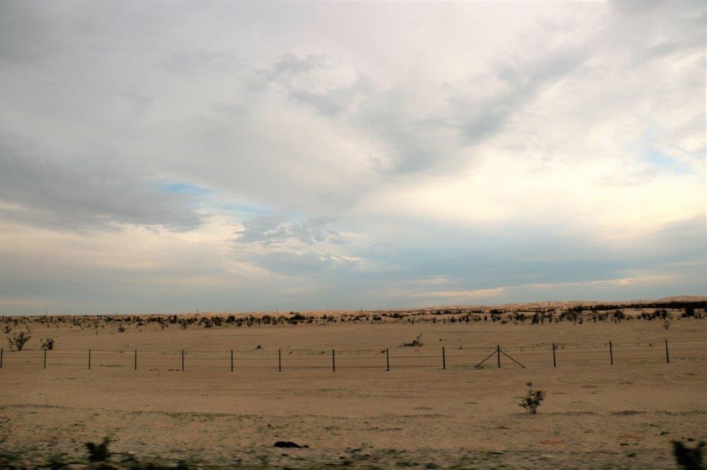
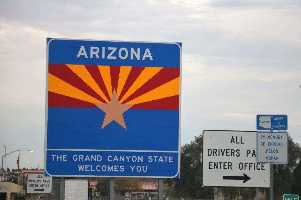
 We crossed to border into Arizona checked in to our hotel, found a restaurant for dinner, and are now ensconced in our hotel suite for the night. Not a terrifically exciting day, but a good one nonetheless.