Category Archives: Hanna Travels

2011 March 14 – Day 68 – Kingston to Adelaide, Australia

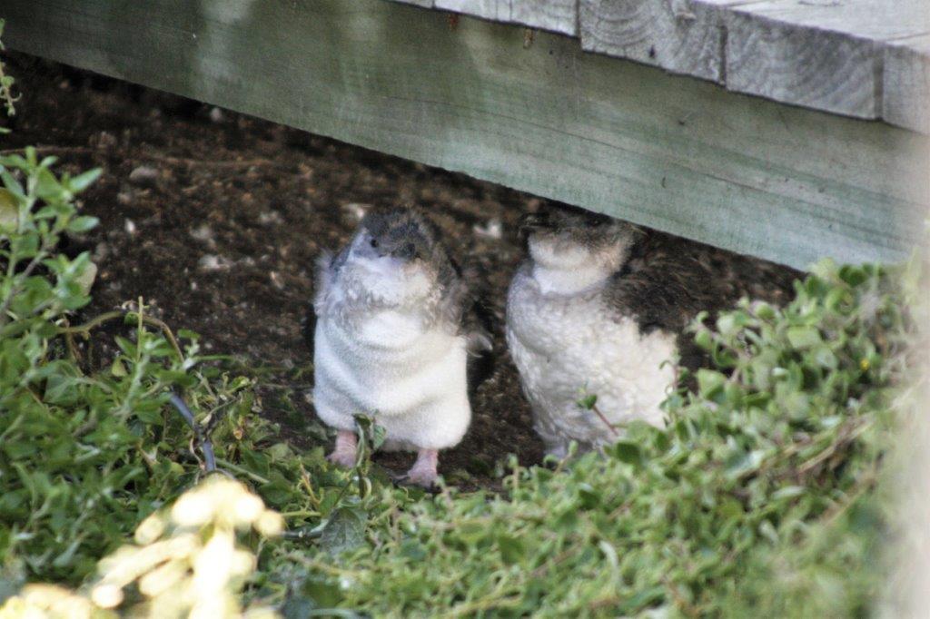
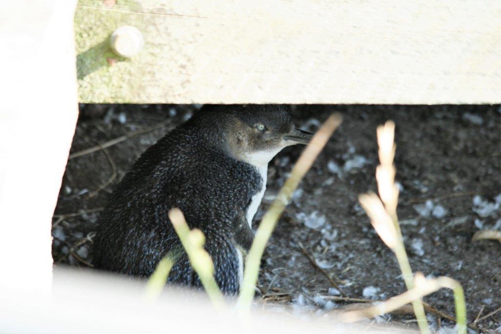
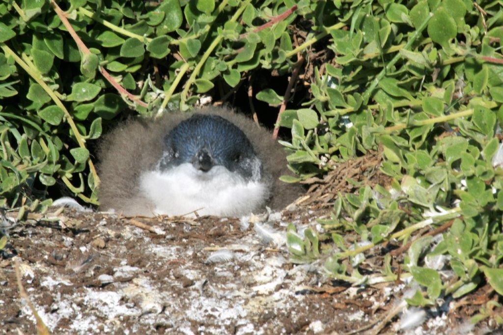
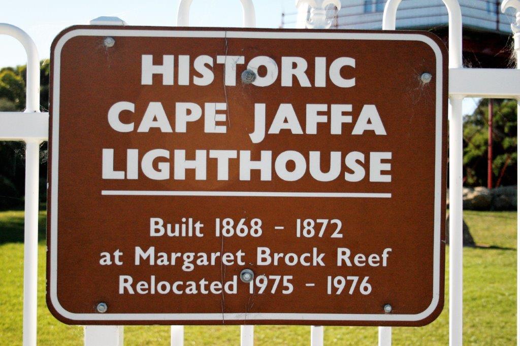
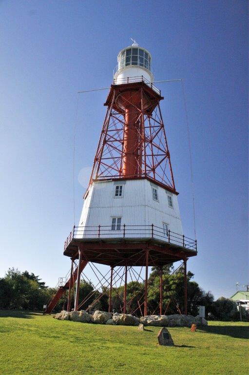
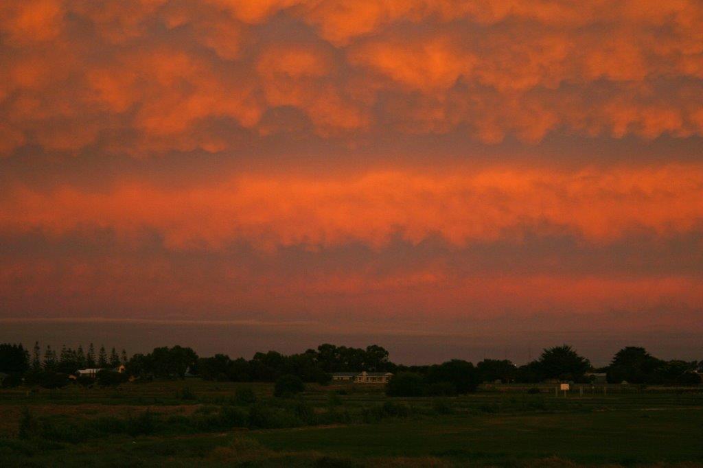
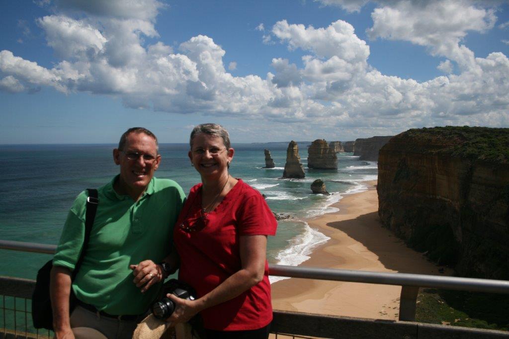
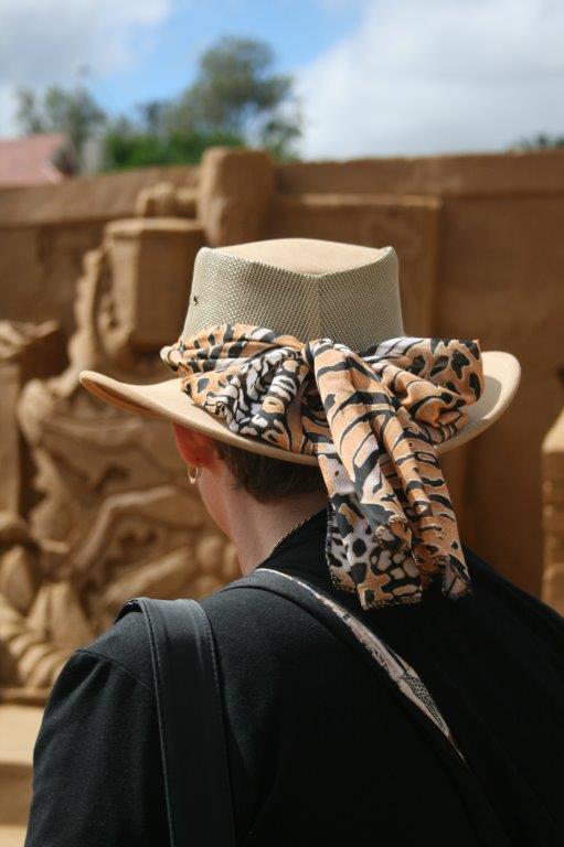
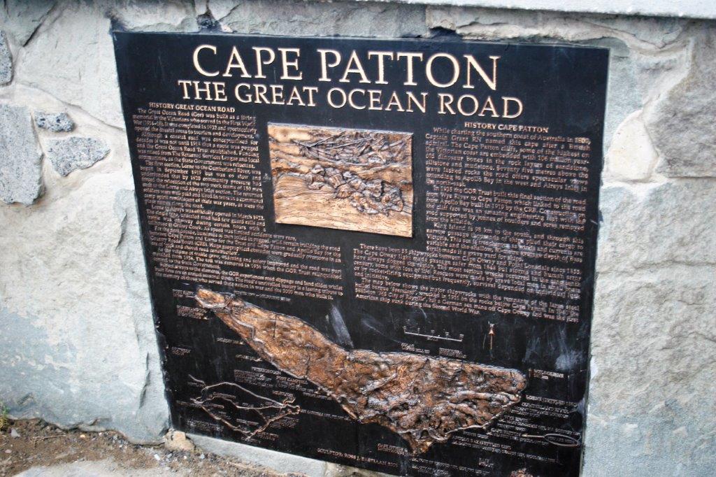
Before we left Kingston in the morning we drove to the Jaffa Lighthouse.

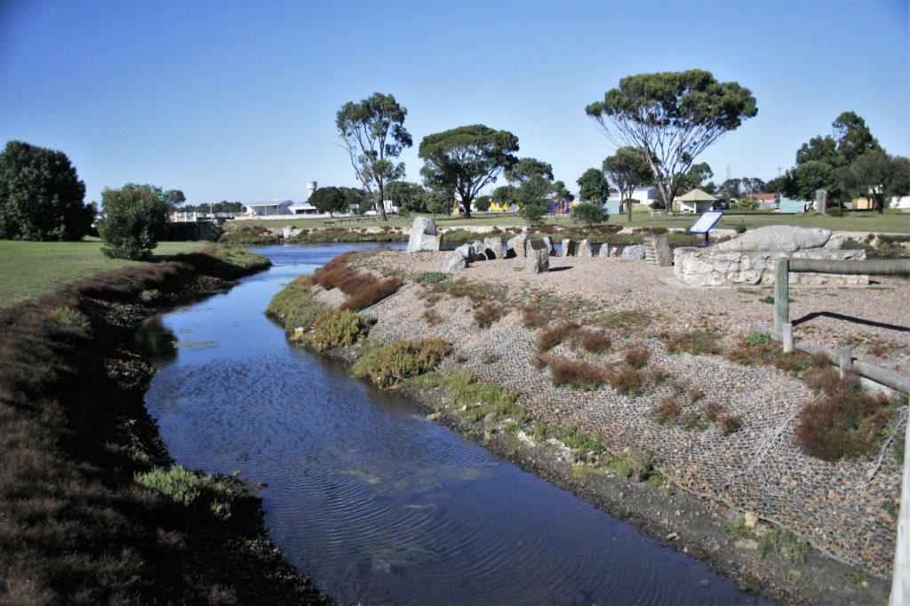
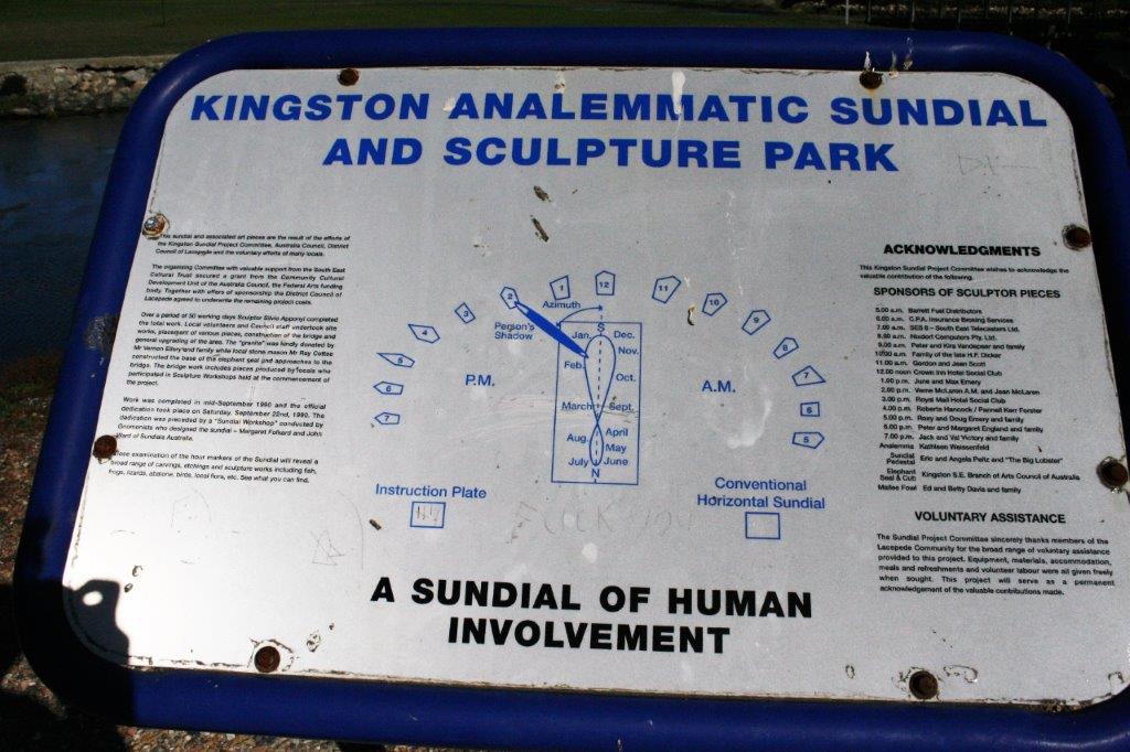
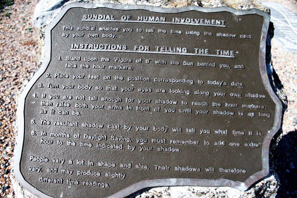
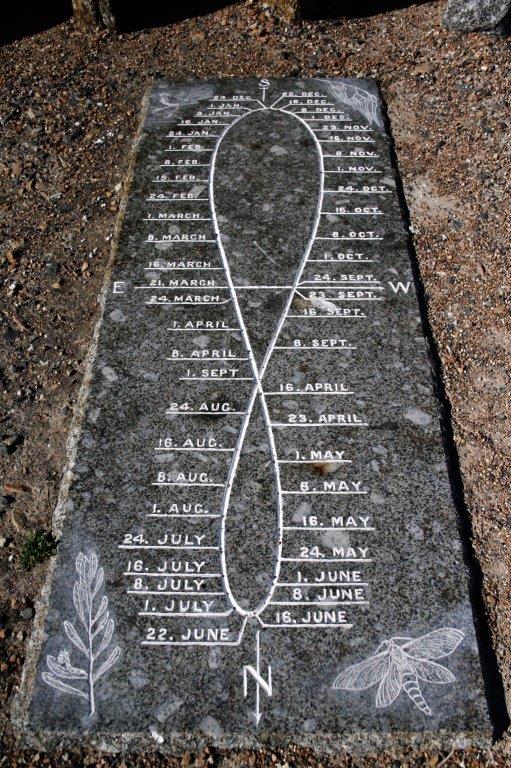
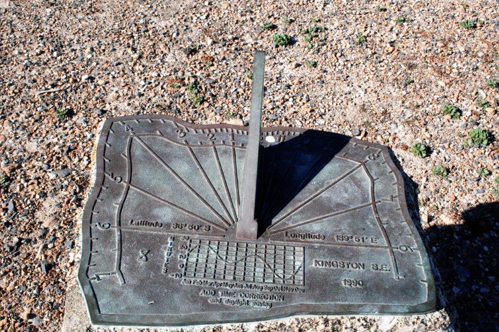
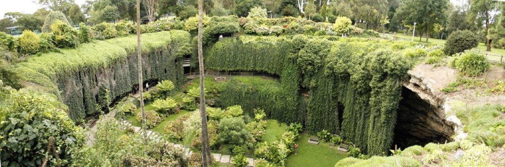
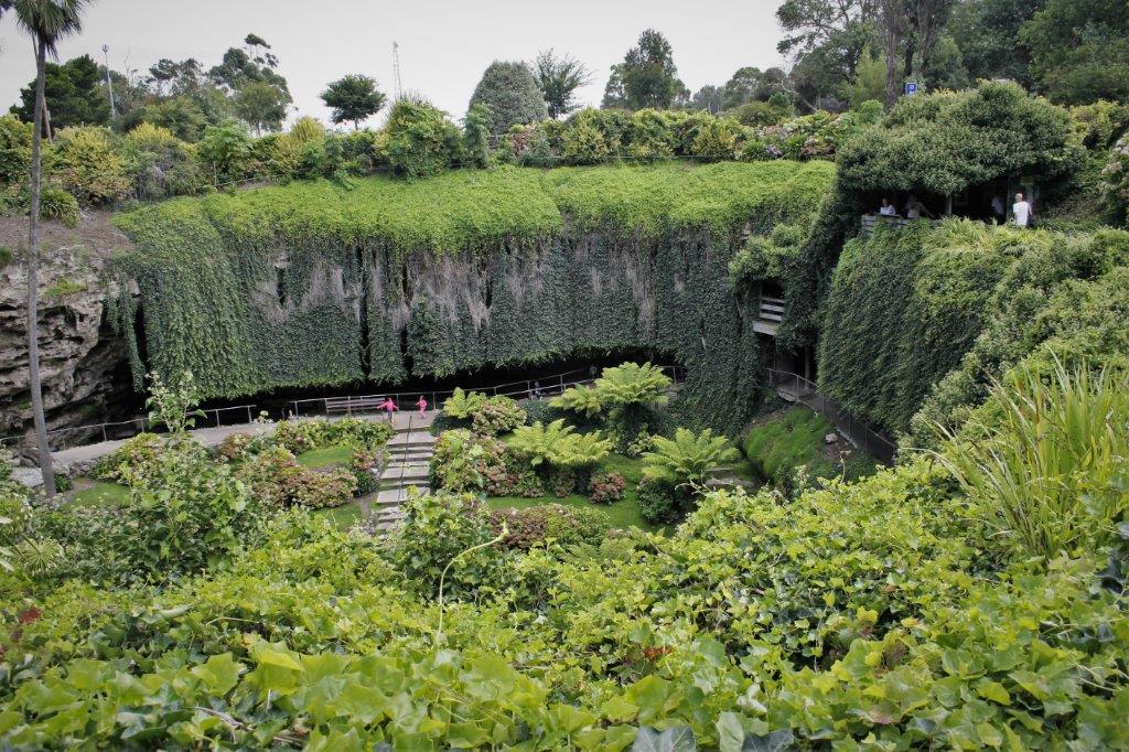
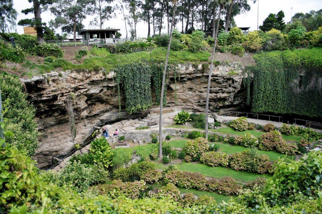
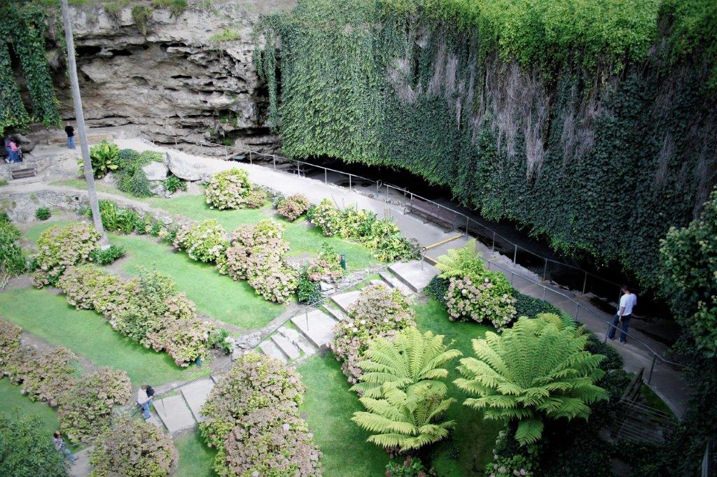
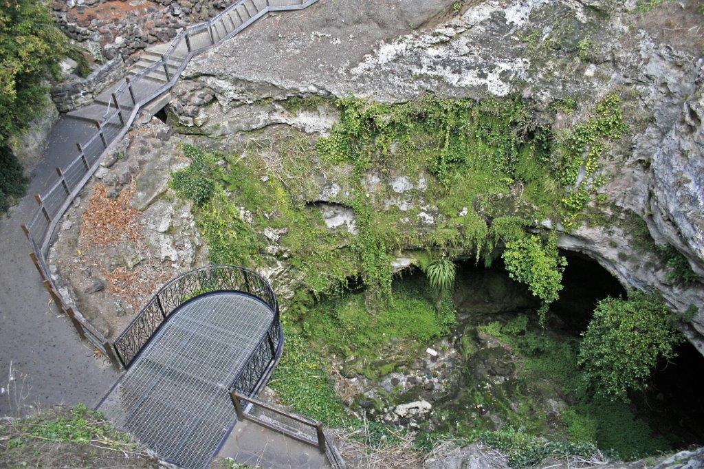
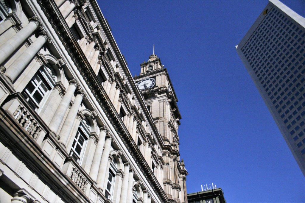
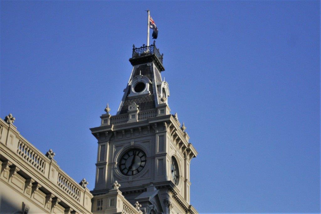
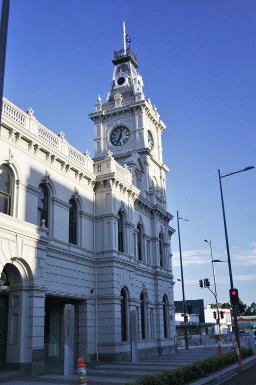
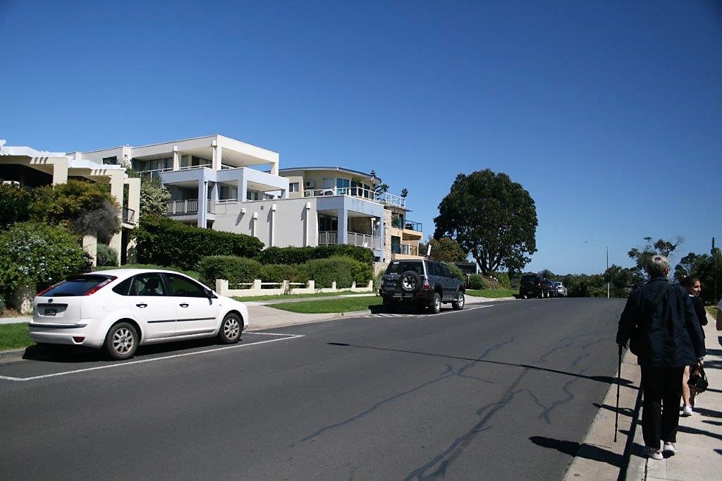
Also in Kingston was a type of sundial we had never heard of so we wanted to check it out.  We had to ask directions twice to find the park it was in.  In the process I found my very own street!
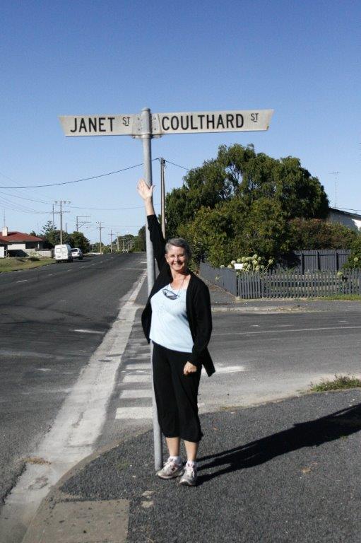
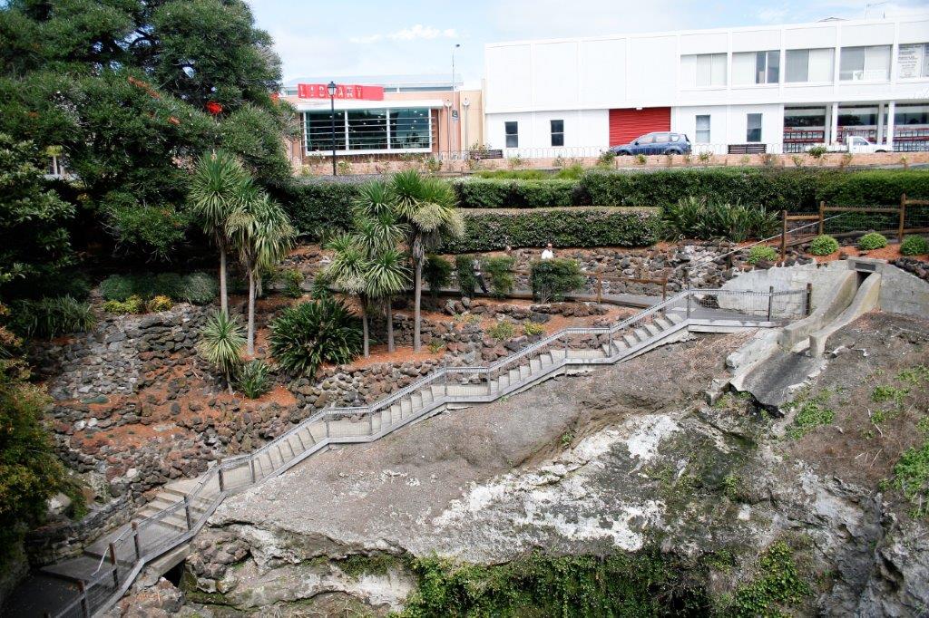
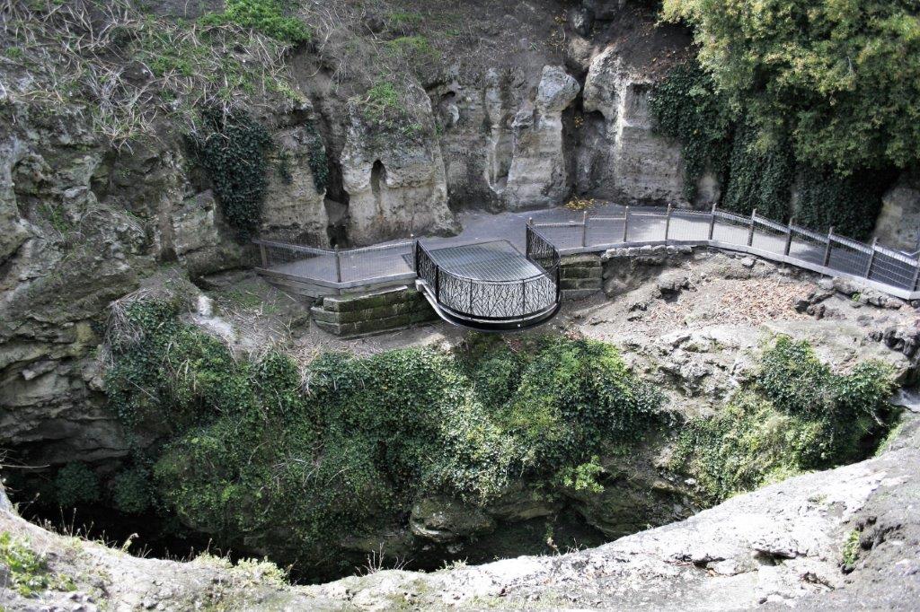
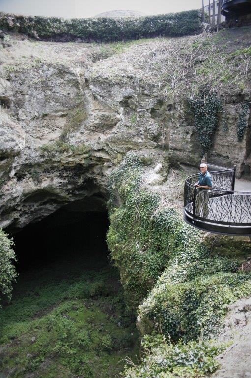
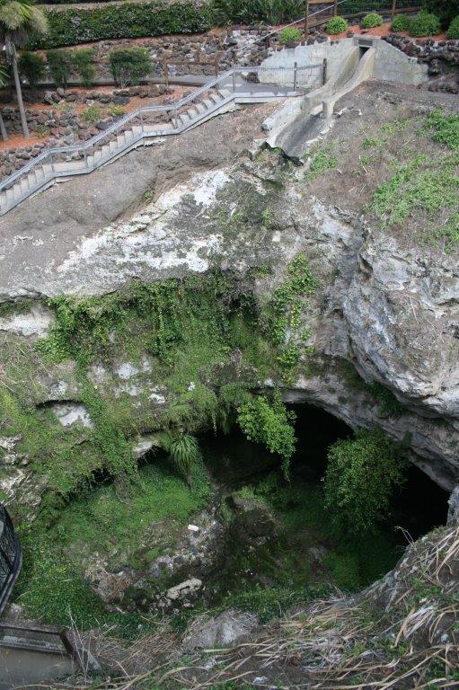
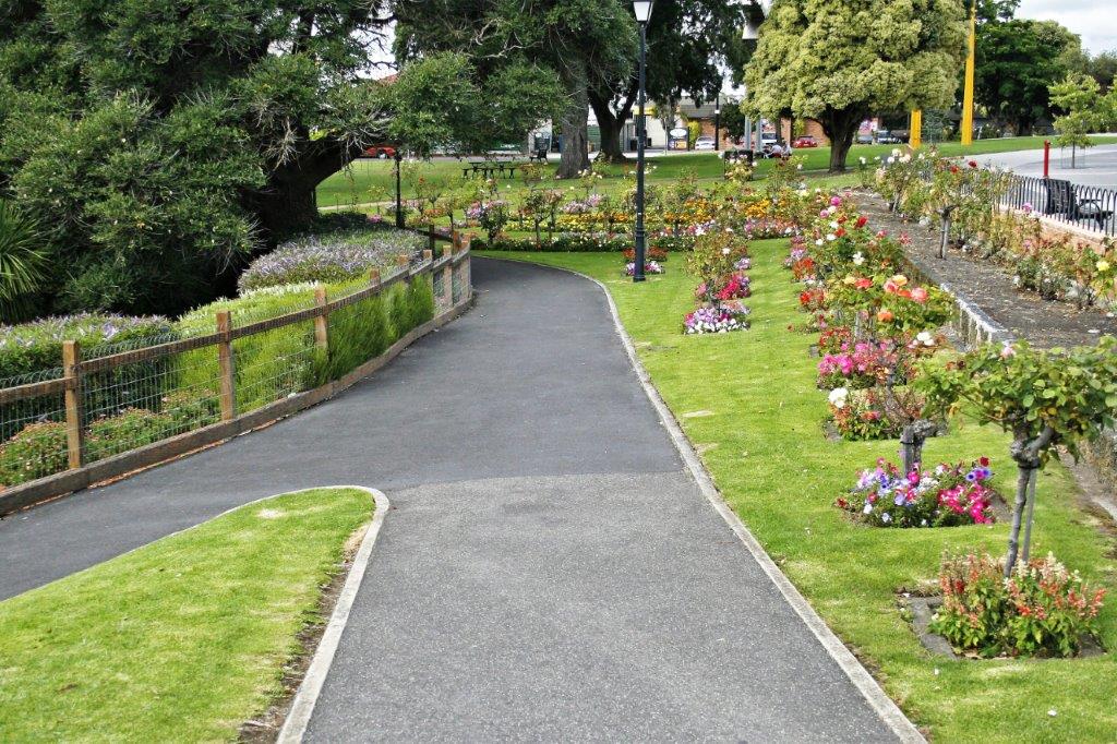
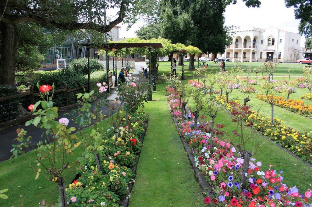
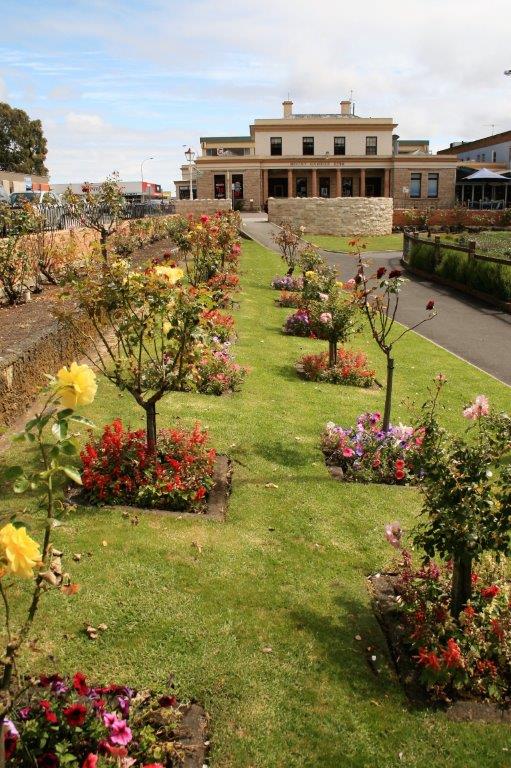
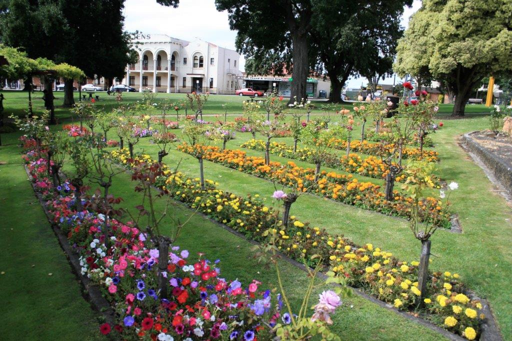
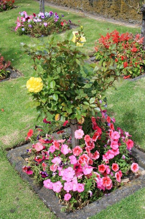
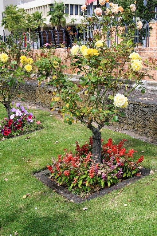
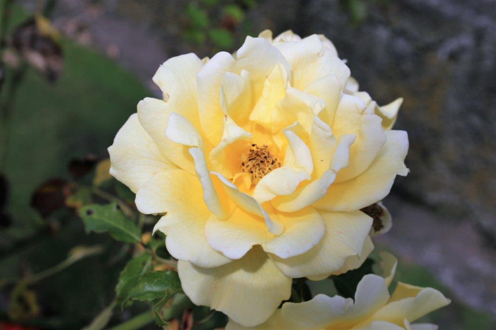
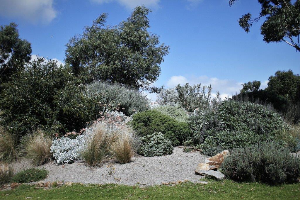
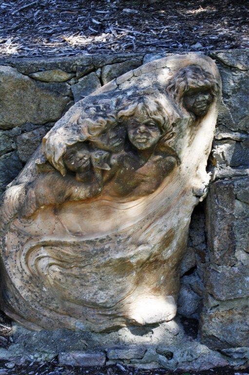
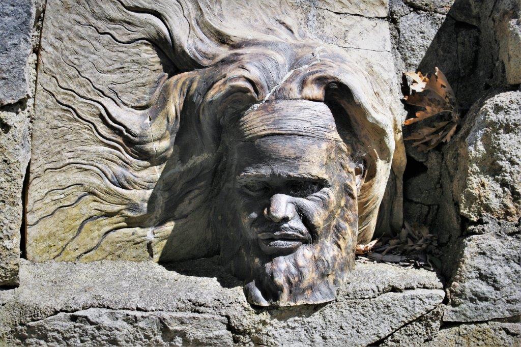
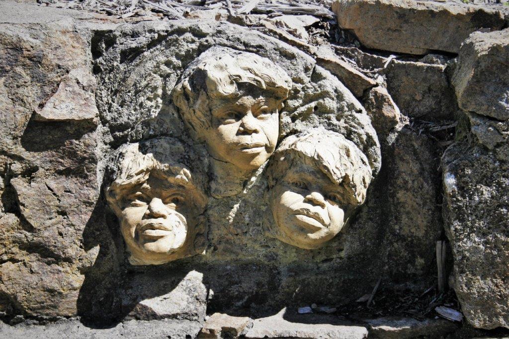
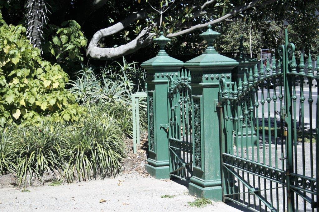
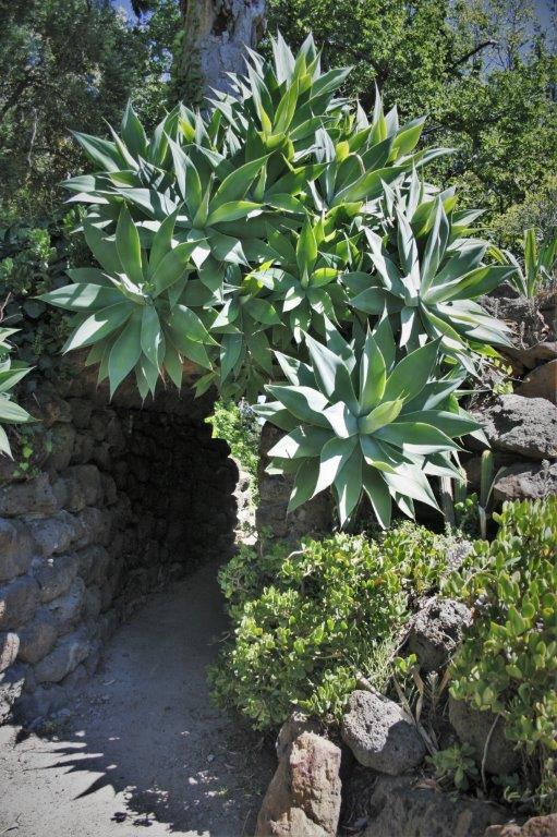
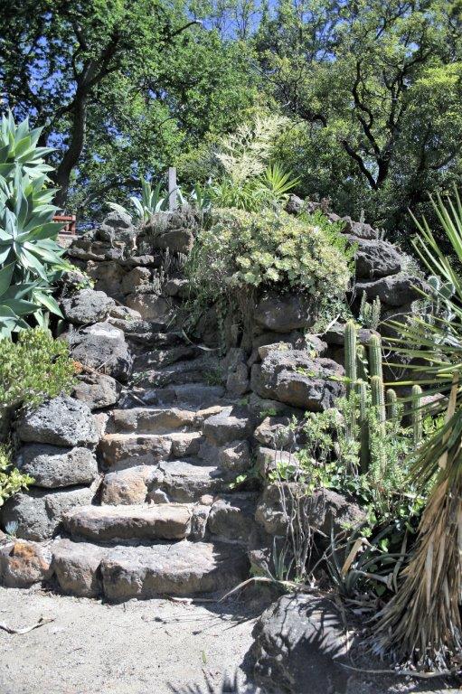
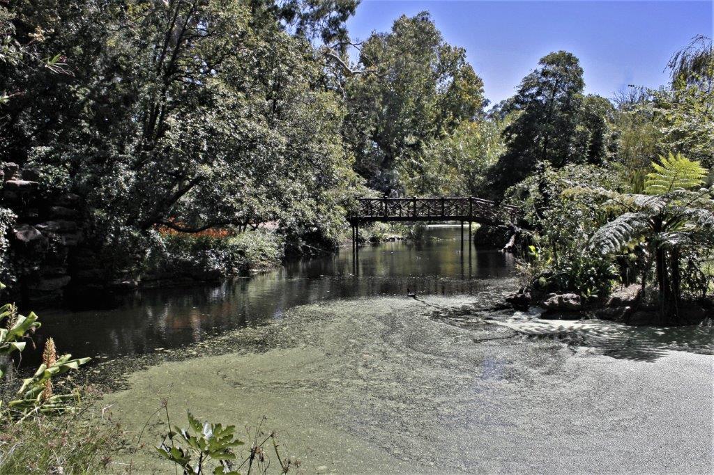
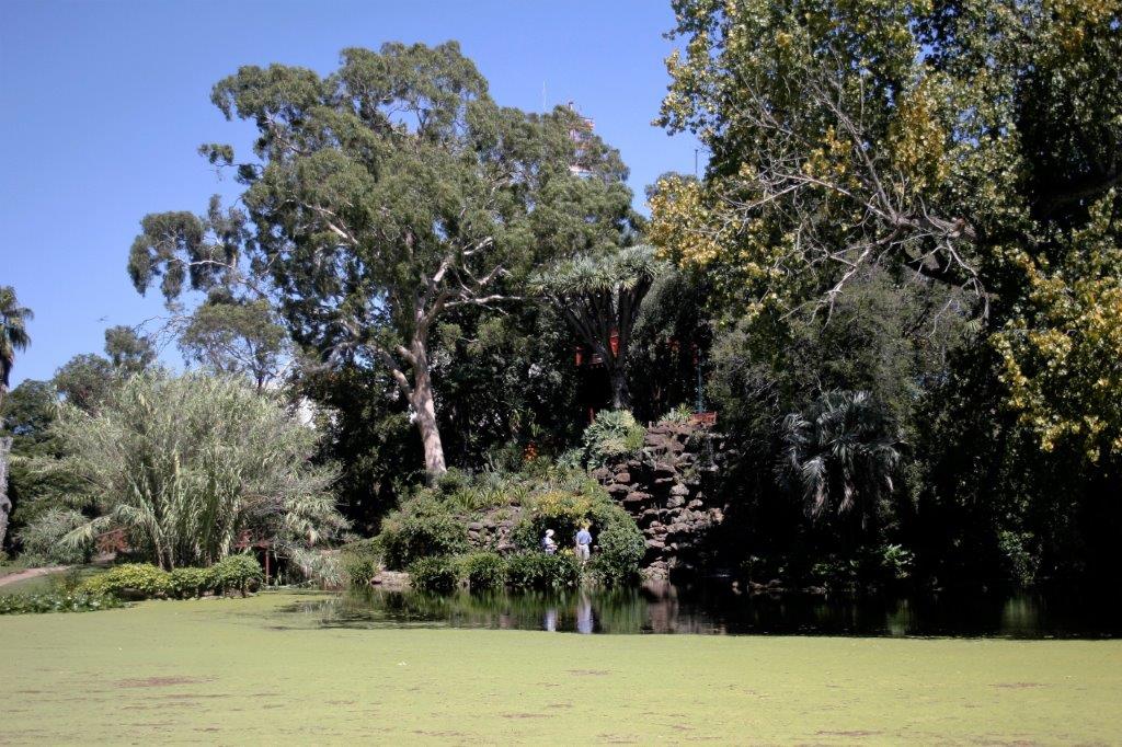
The park was very nice.
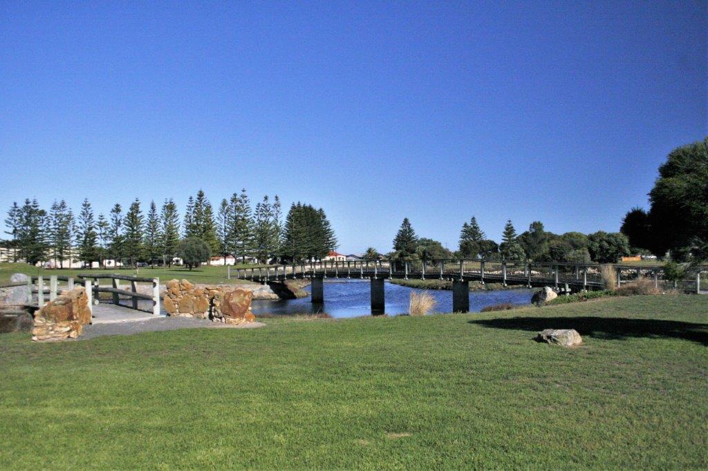
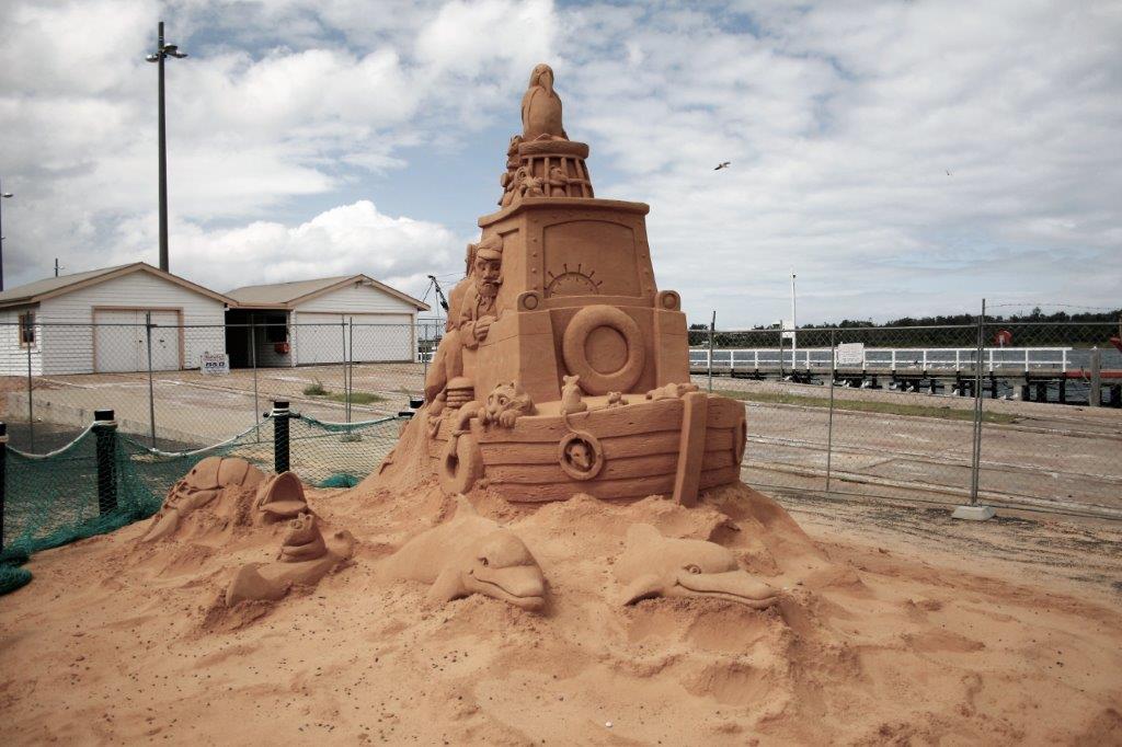
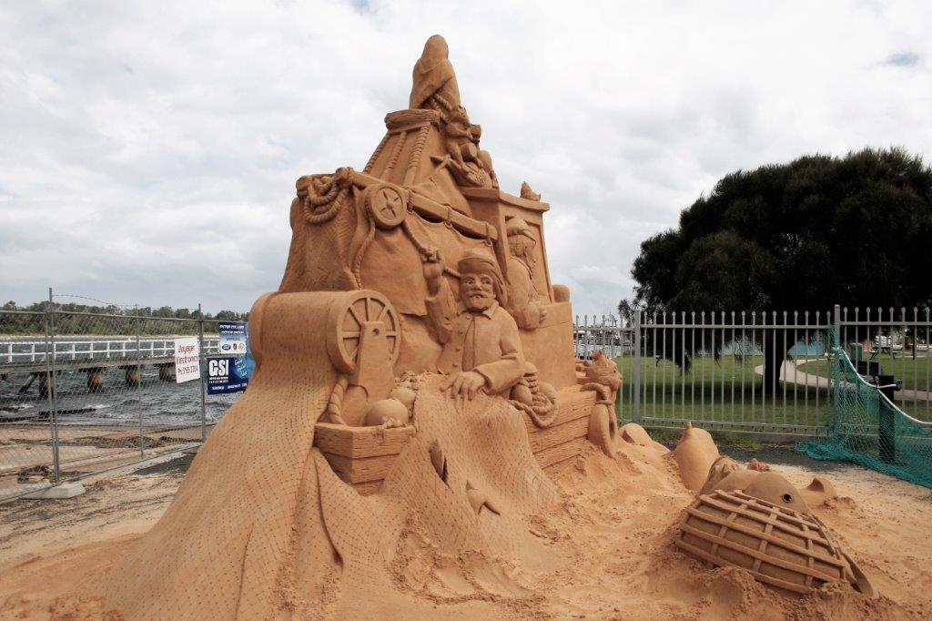
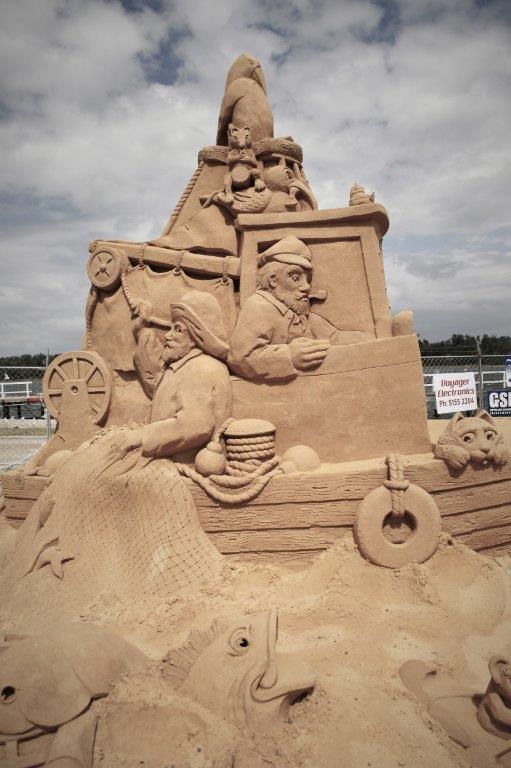
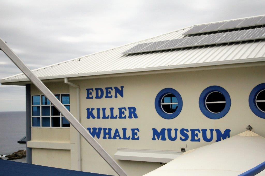
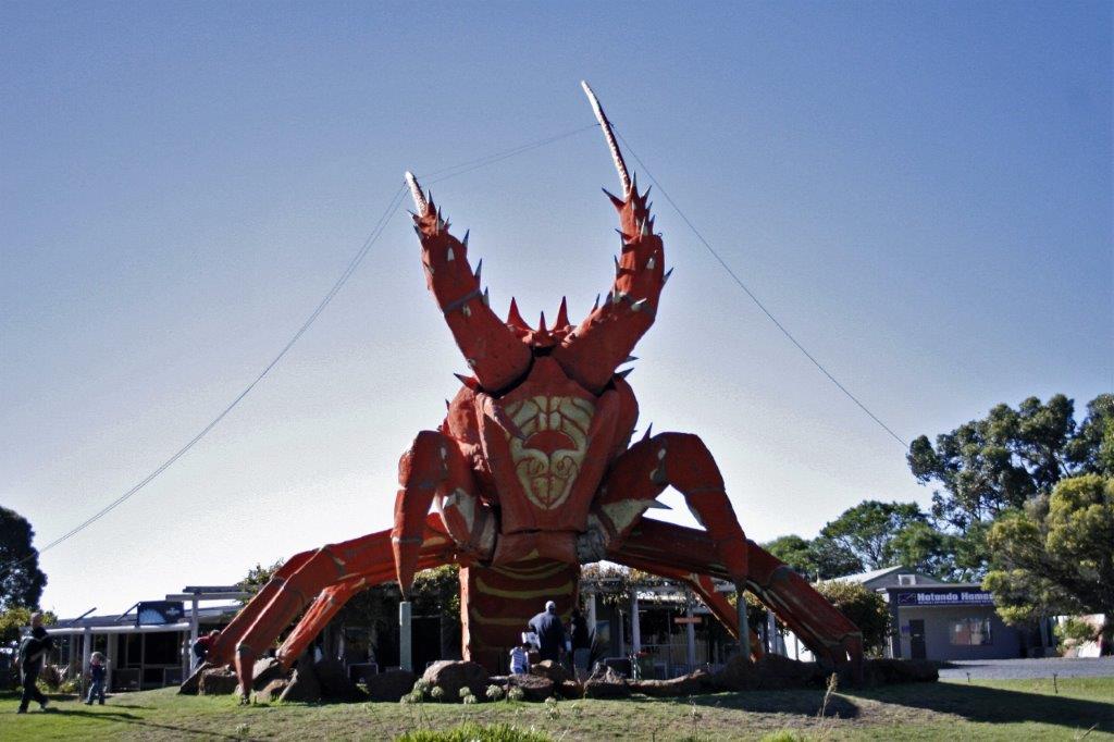
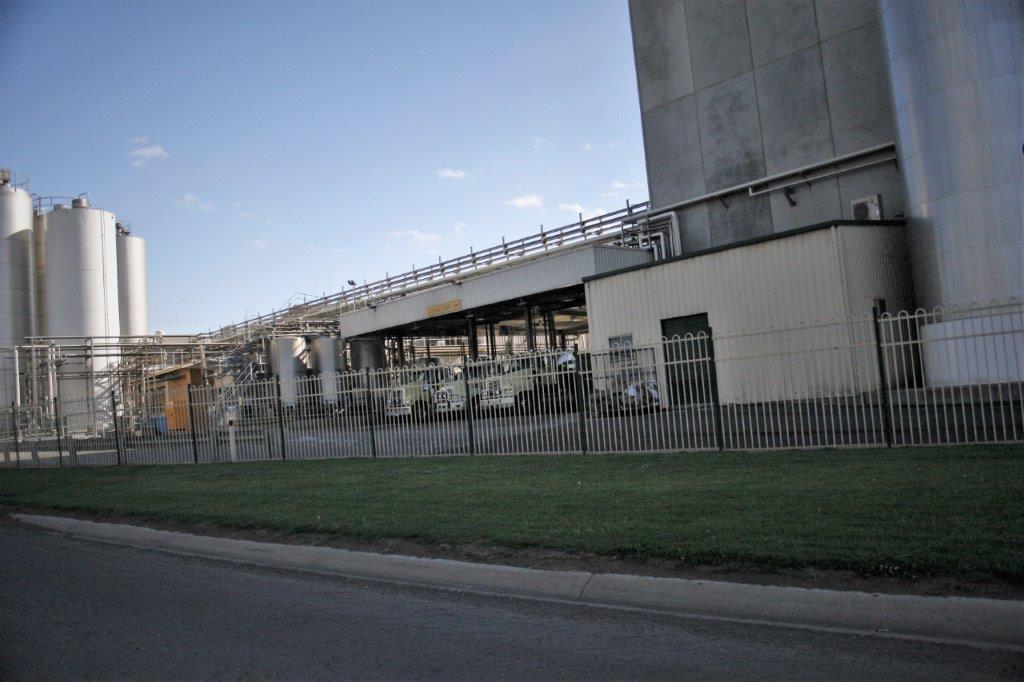
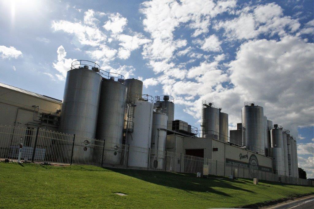
Kingston is a big lobster fishing town and Larry the Lobster was there to welcome everyone. 
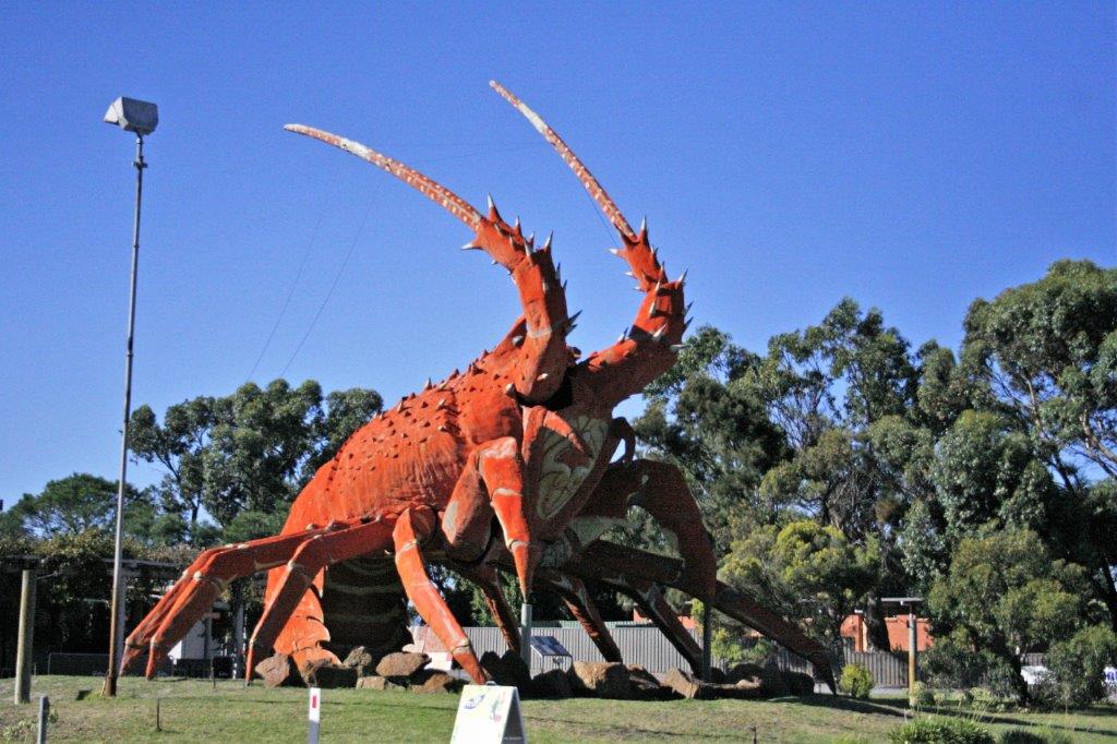
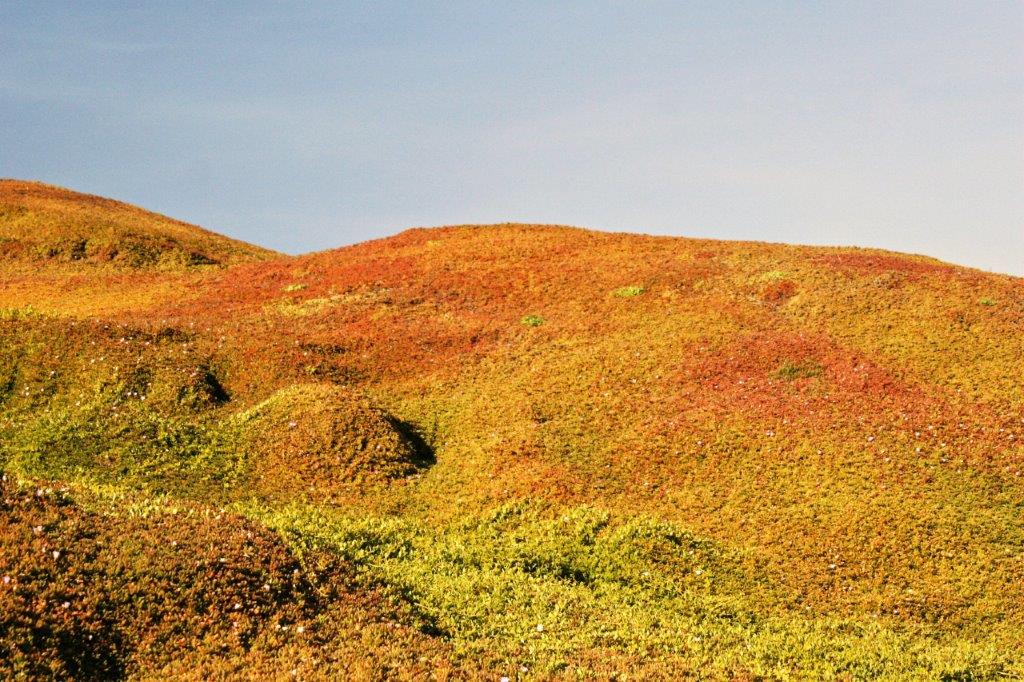
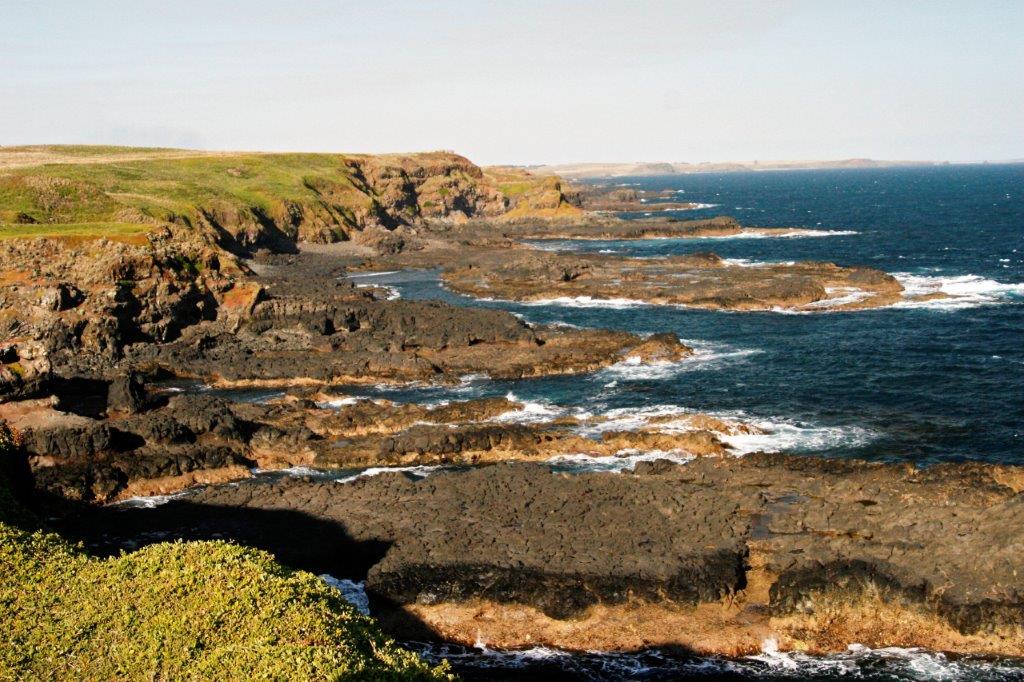
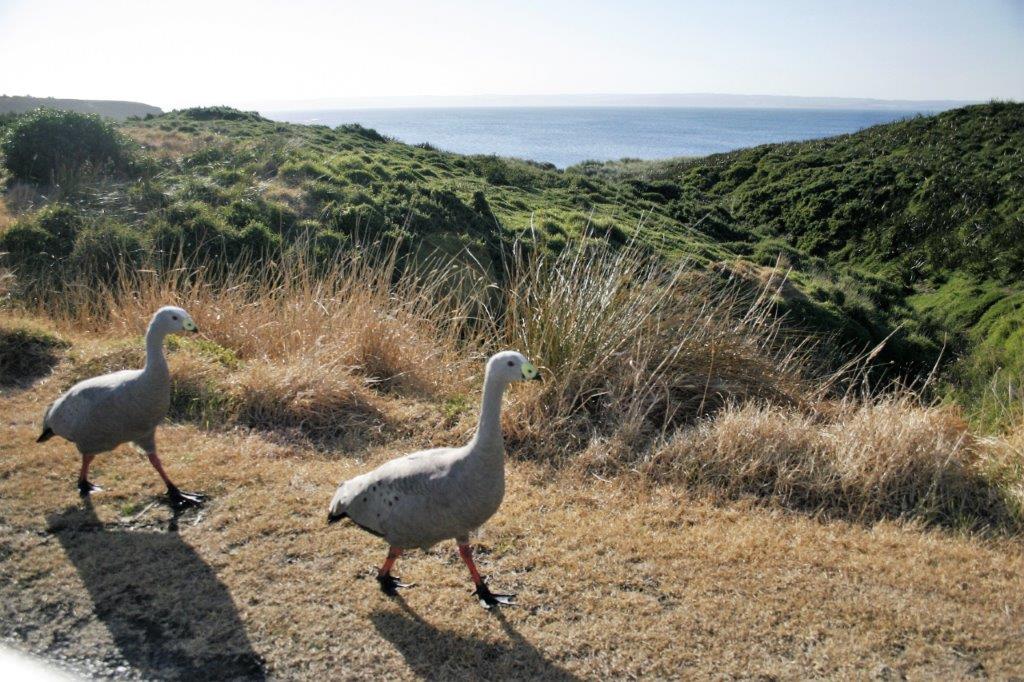
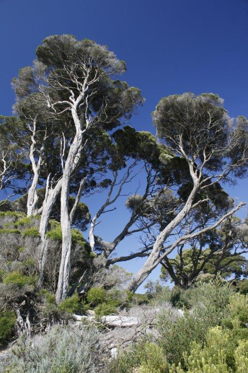
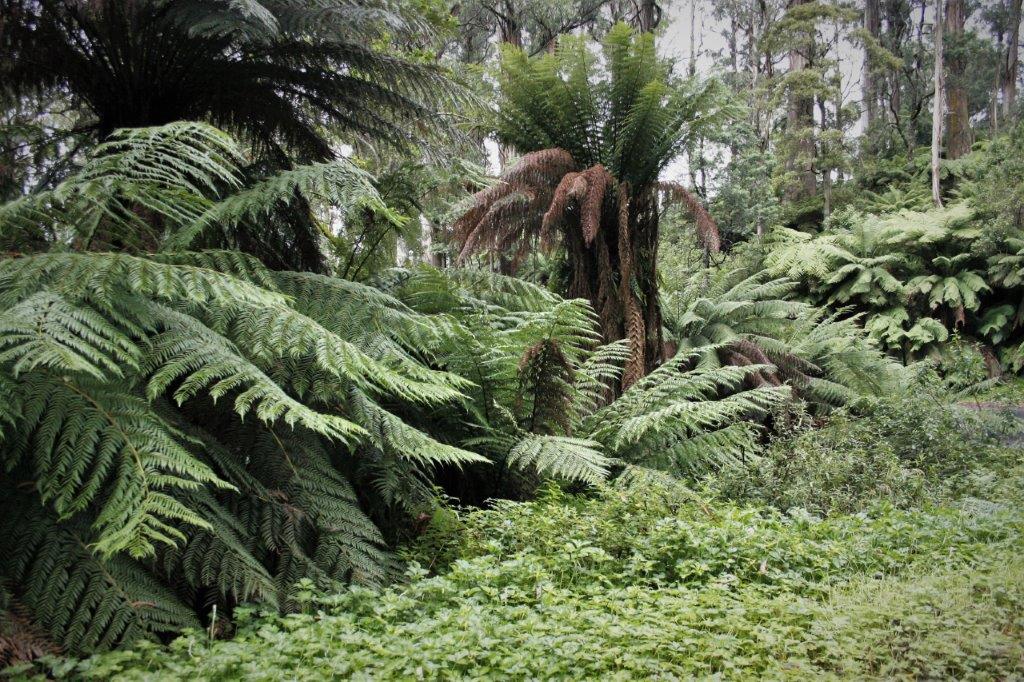
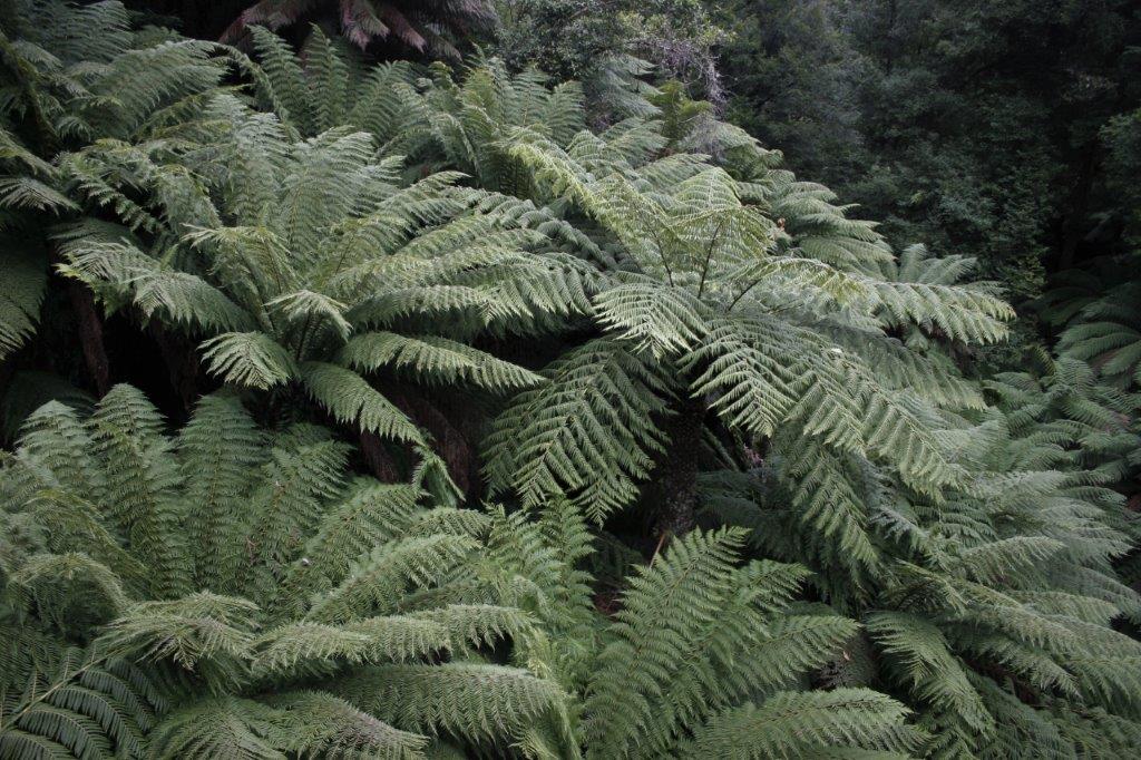
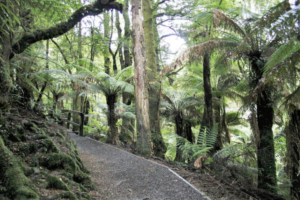
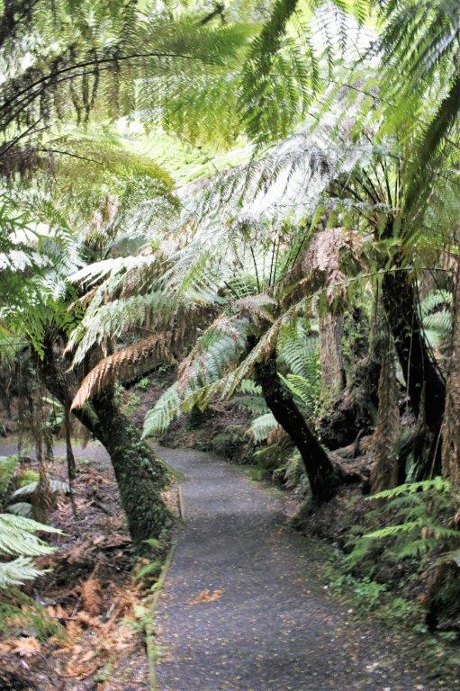
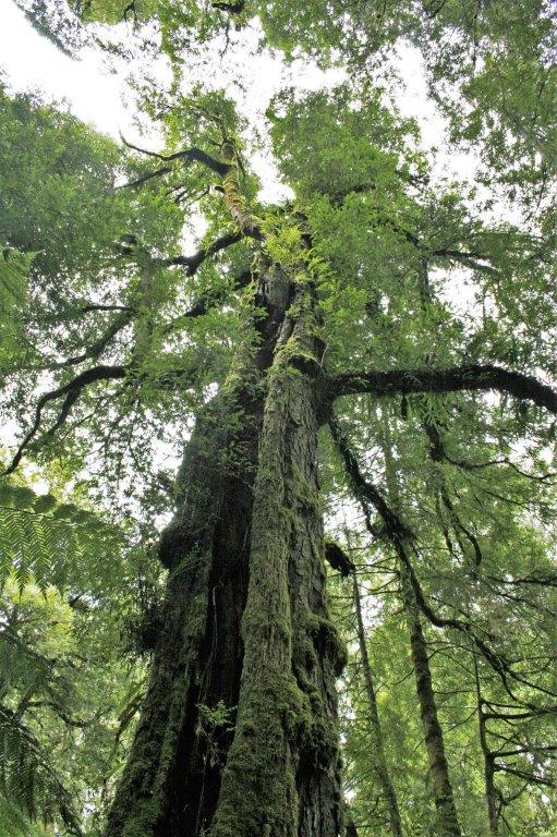
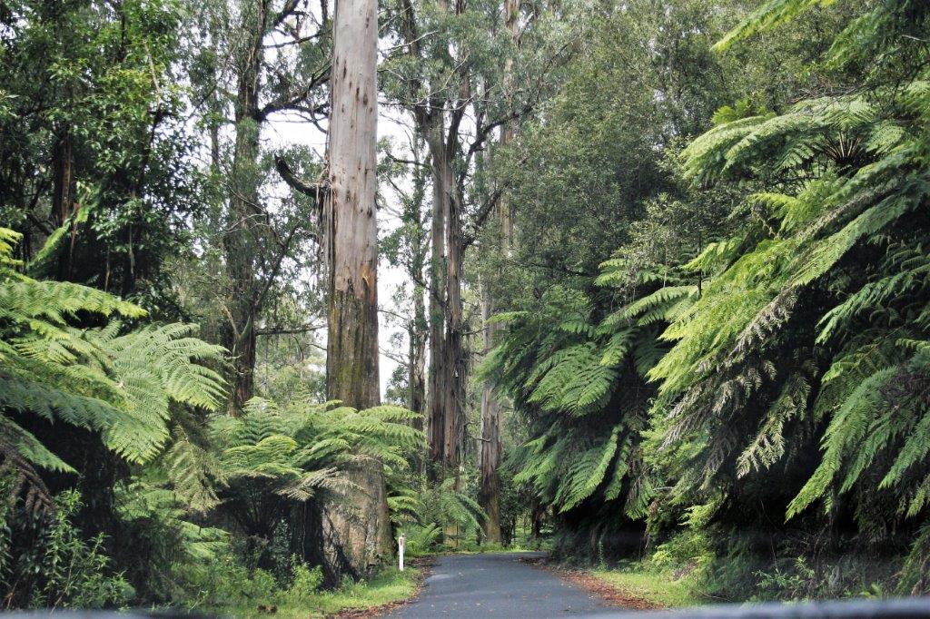
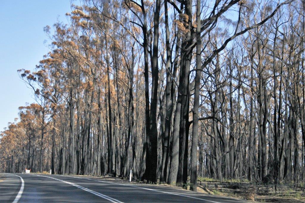
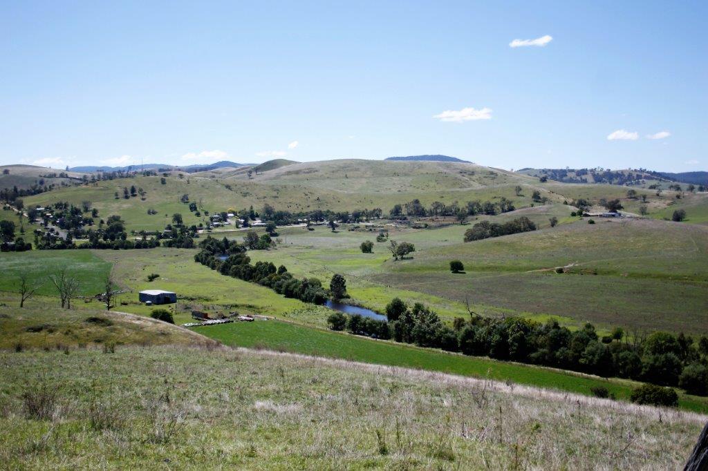
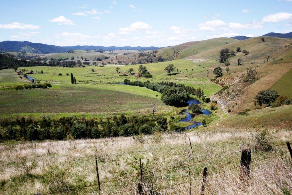
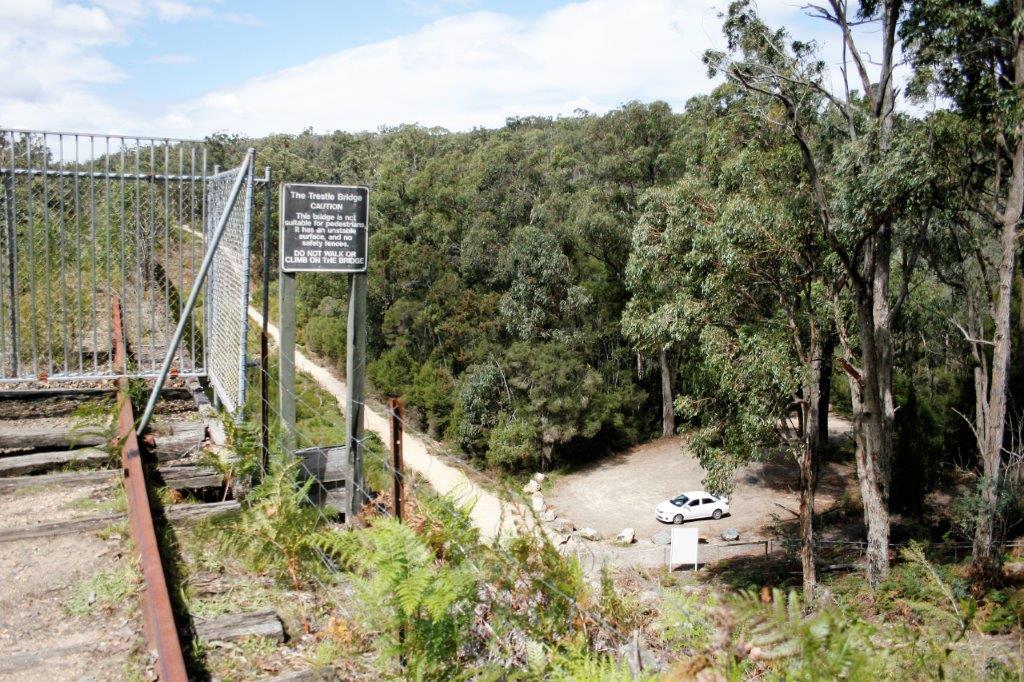
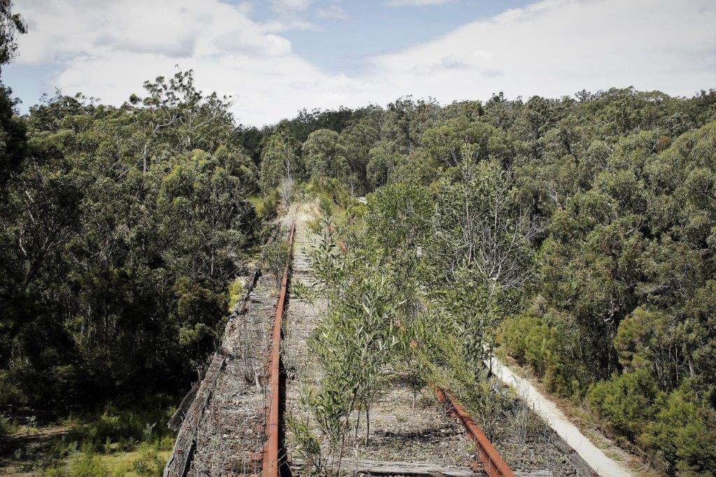
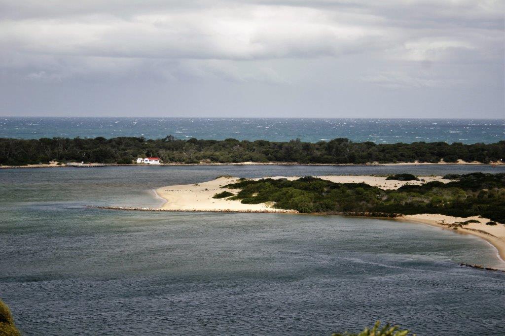
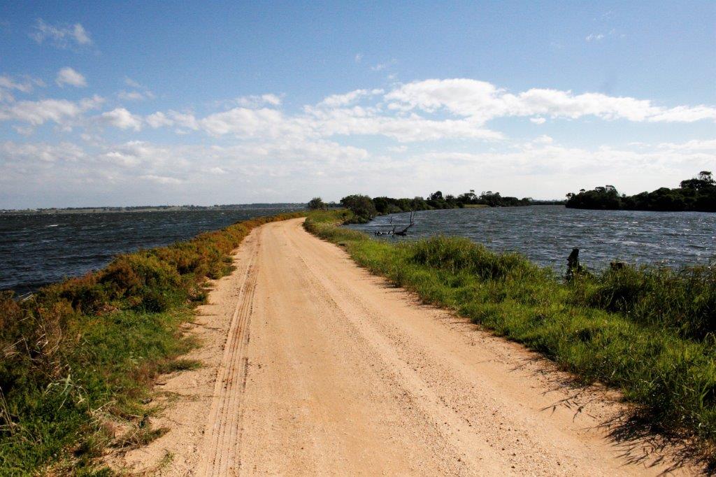
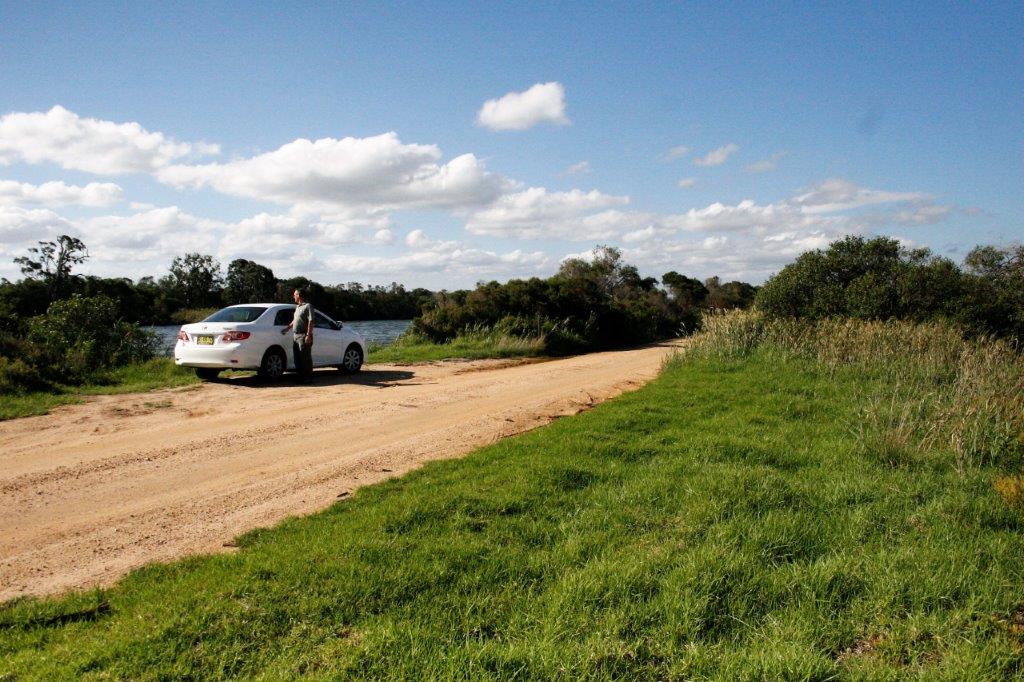
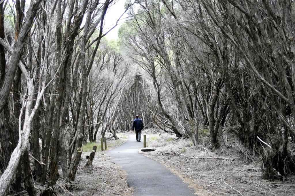
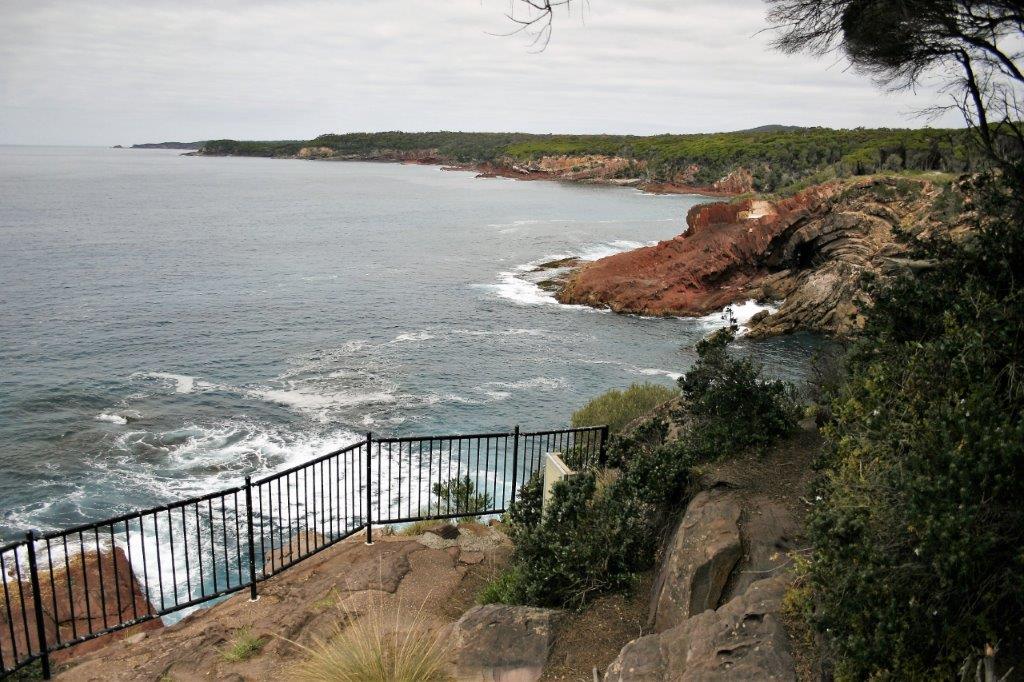
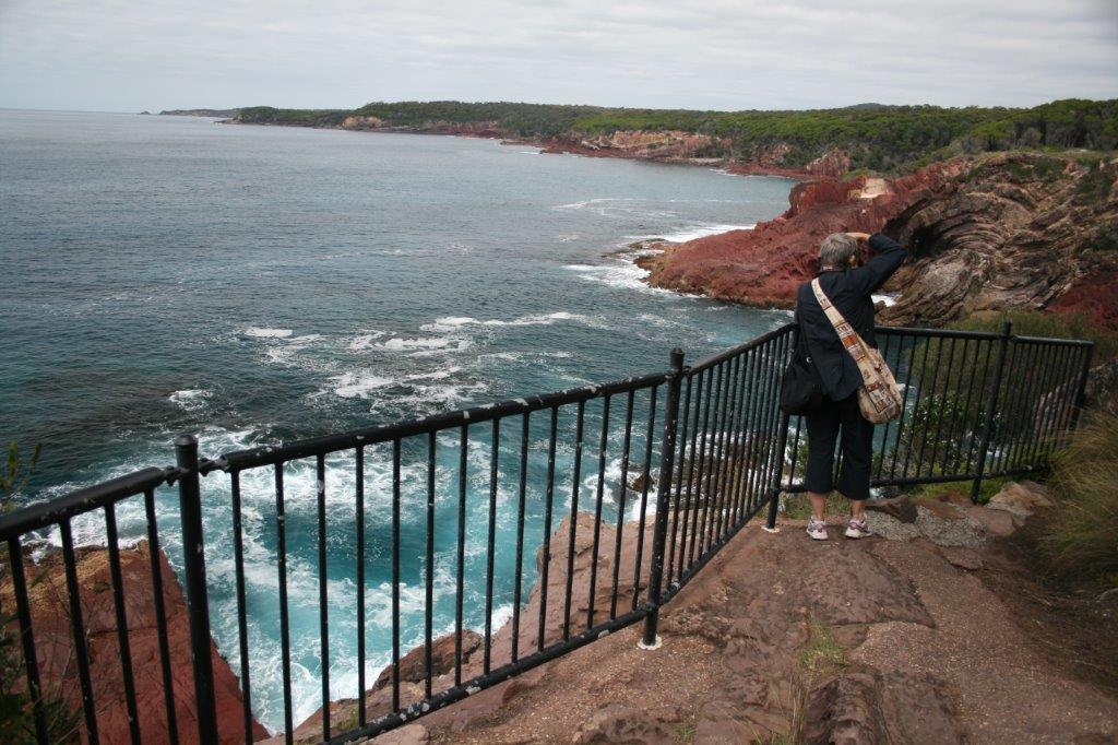
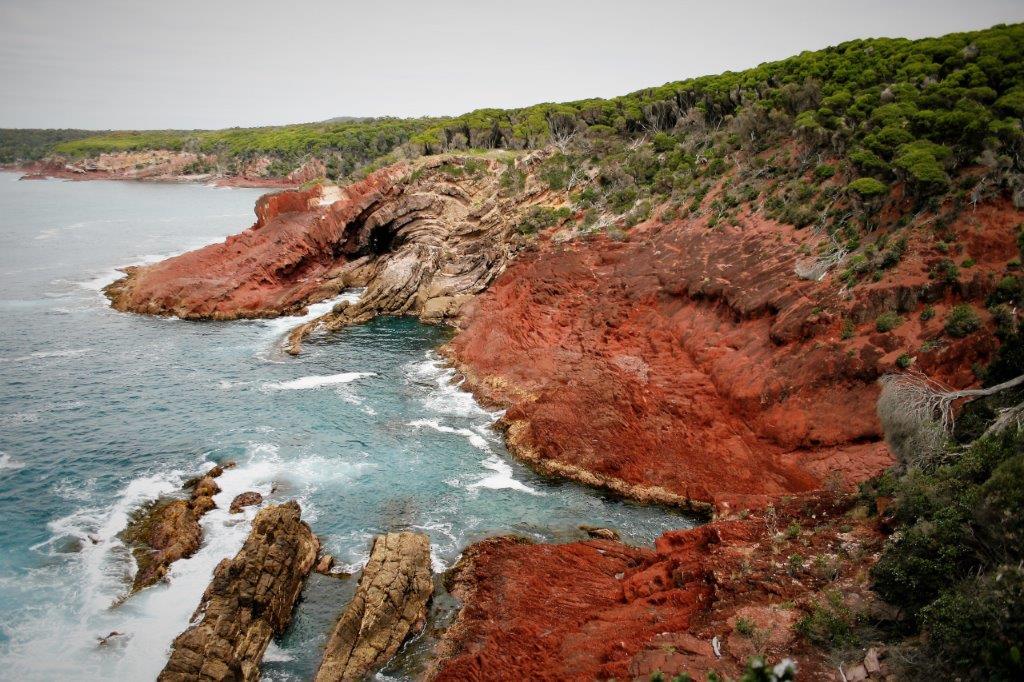
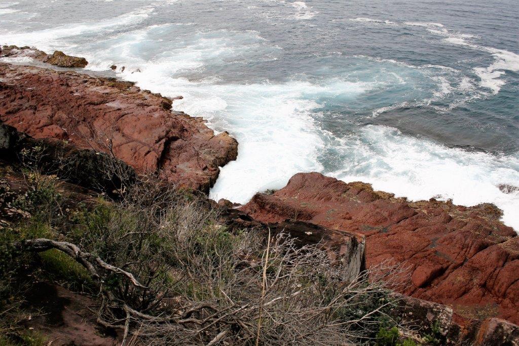
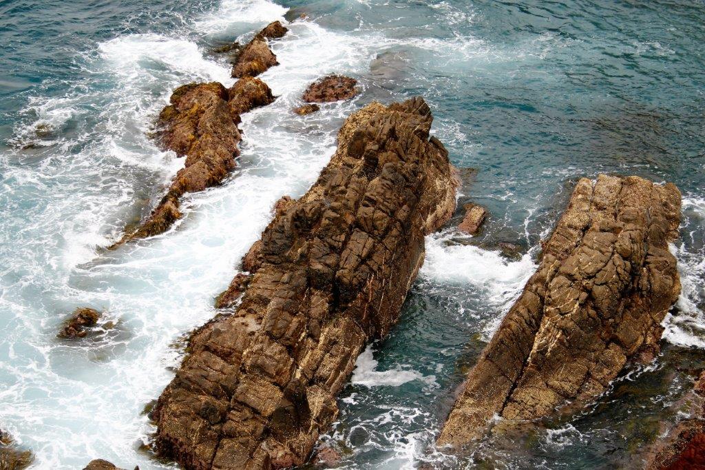
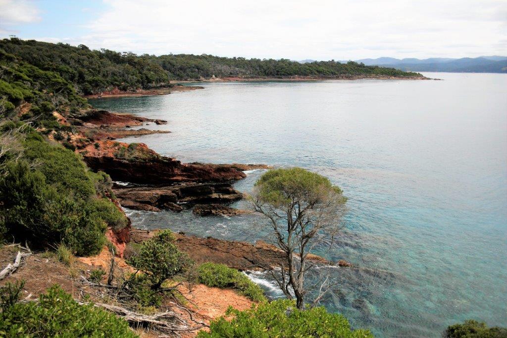
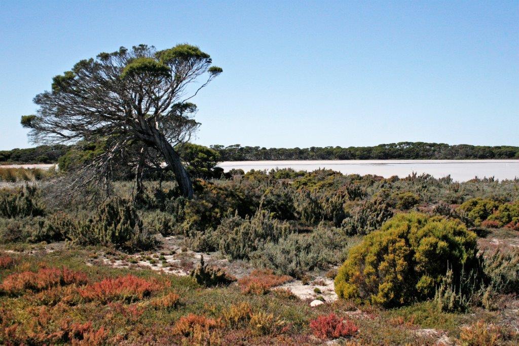
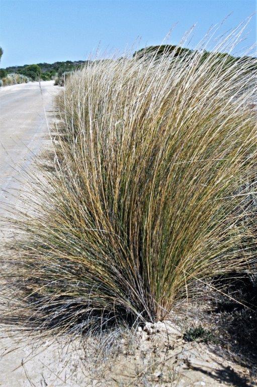
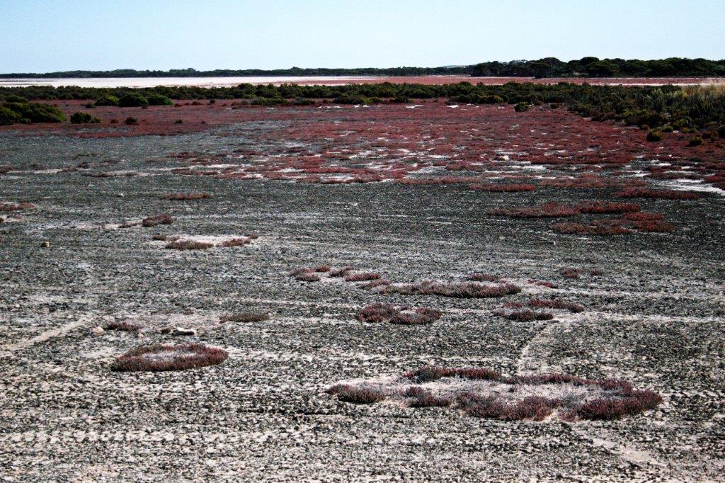
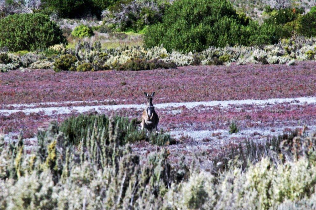
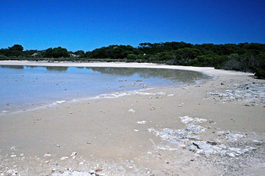
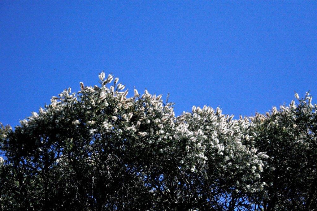
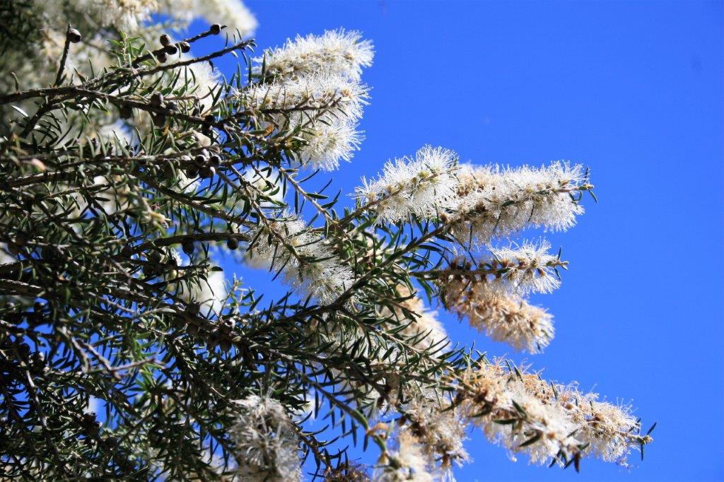
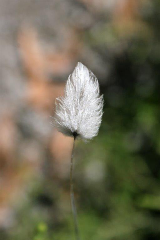
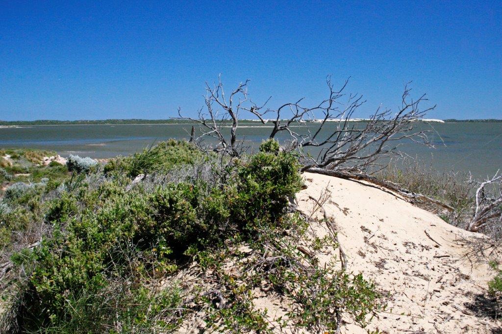
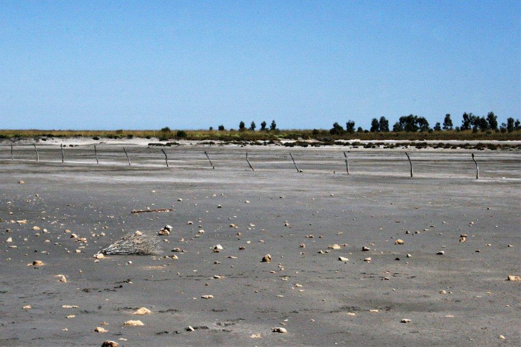
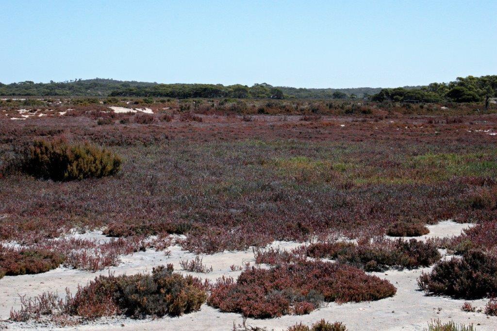
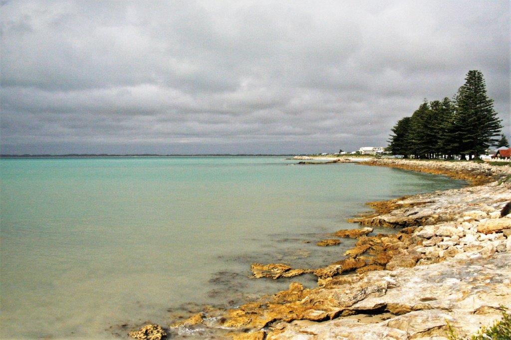
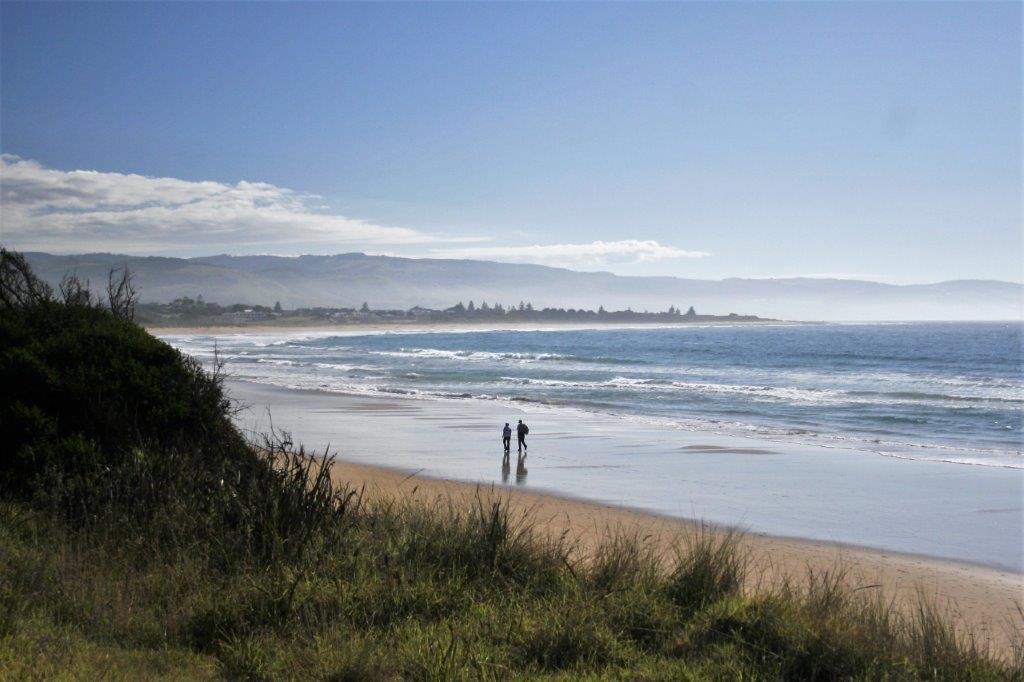
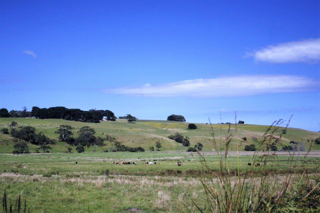
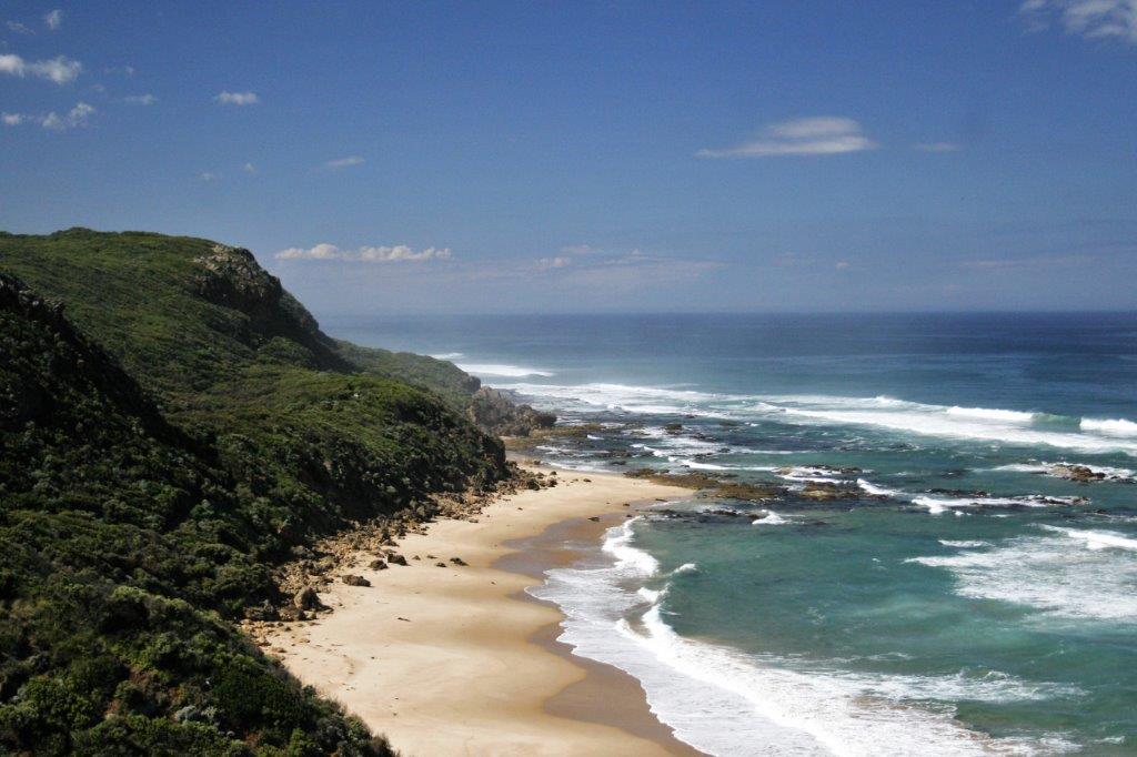
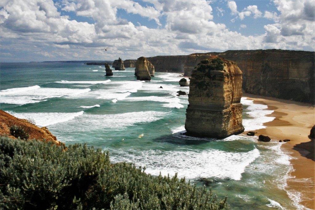
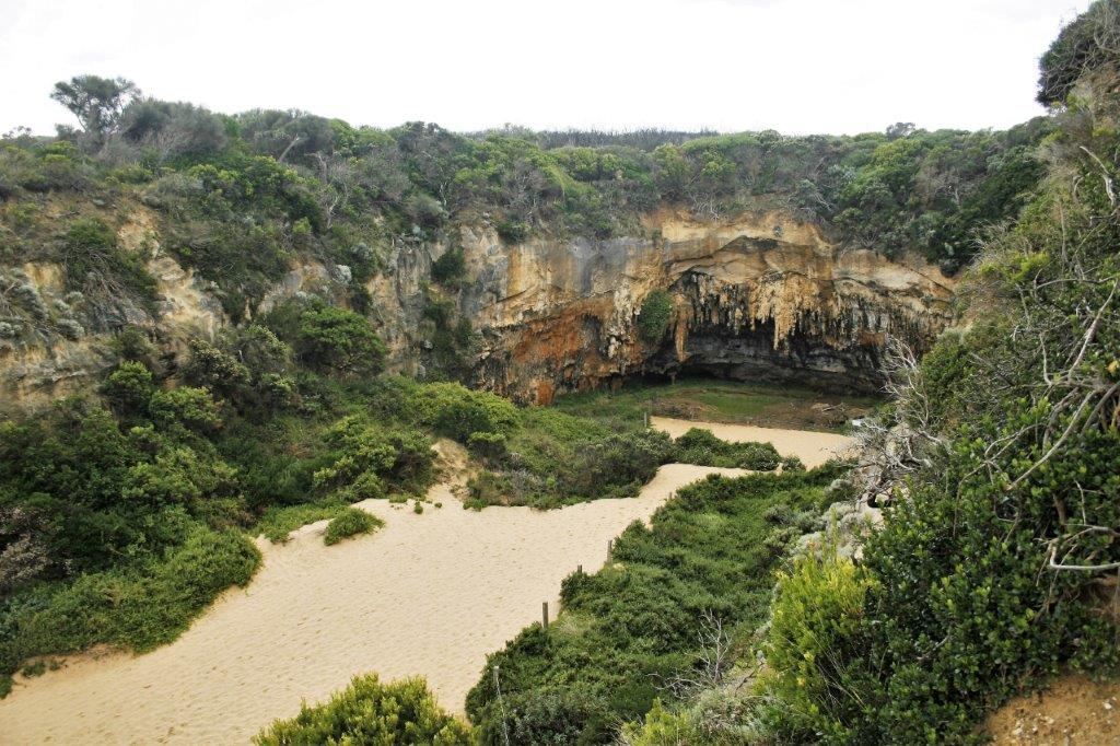
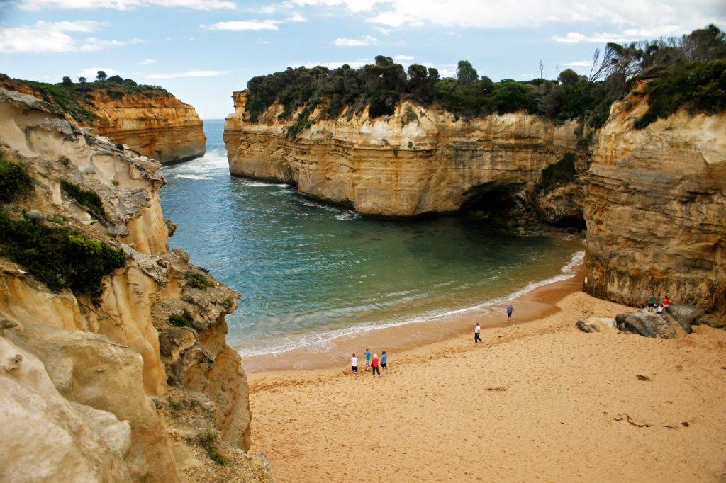
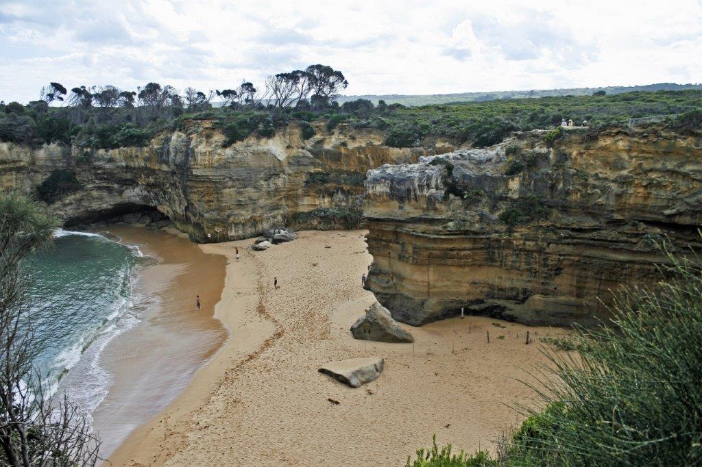
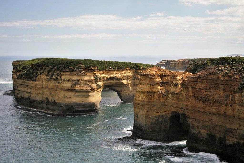
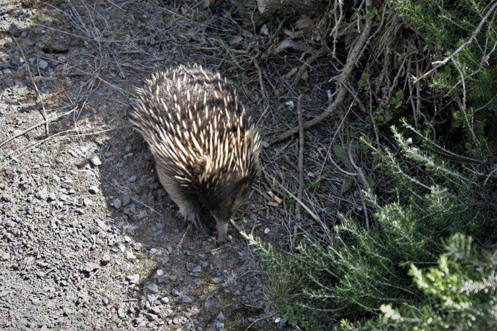
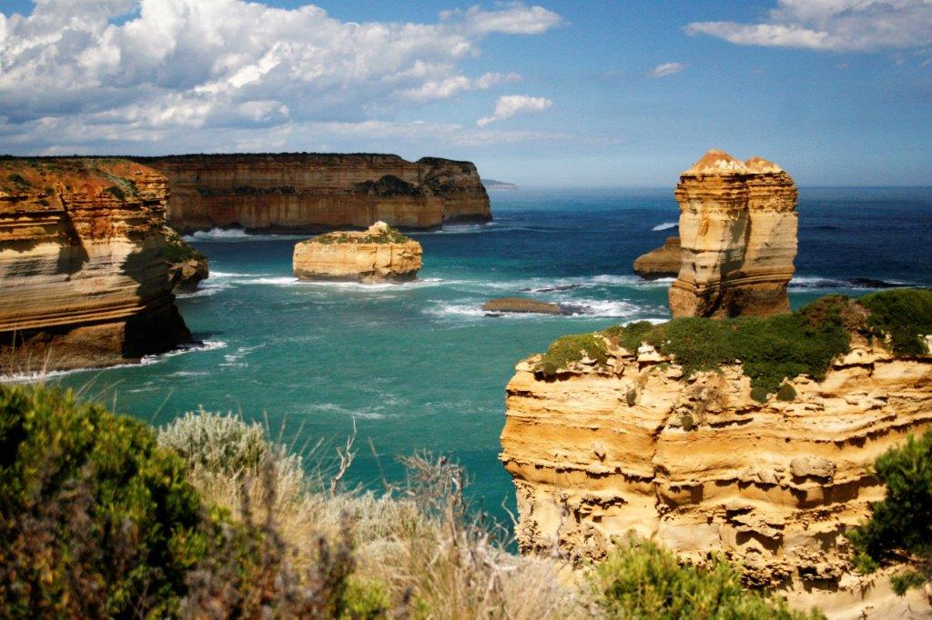
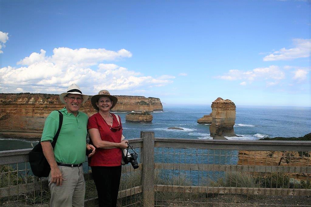
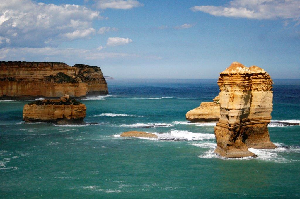
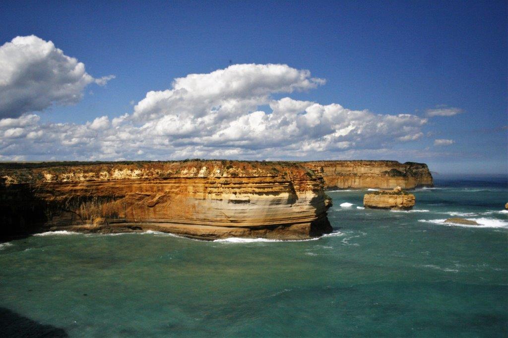
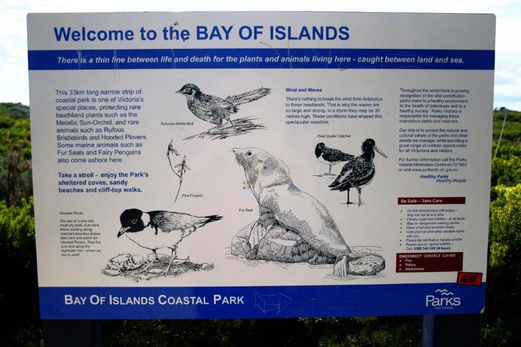
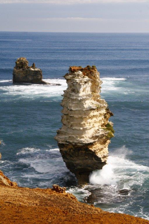
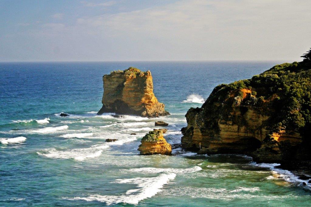
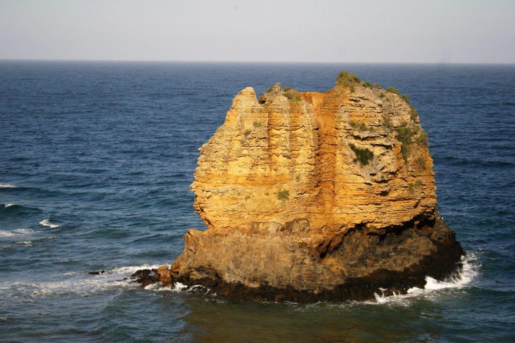
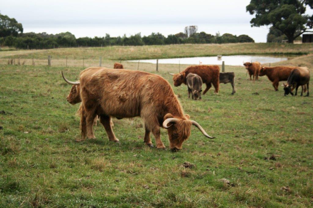
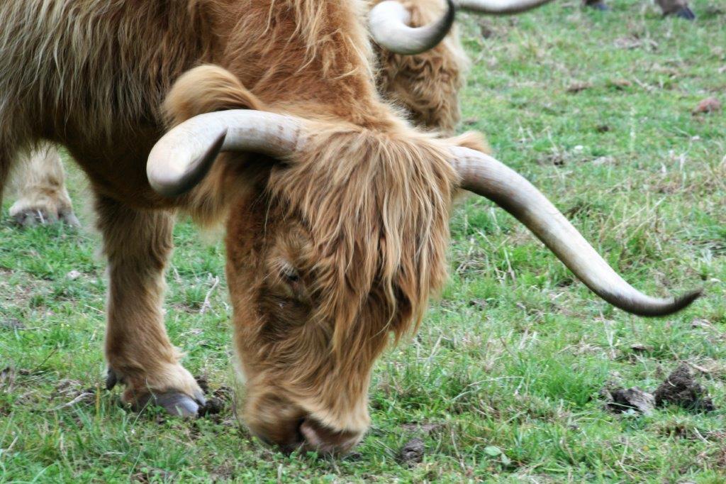
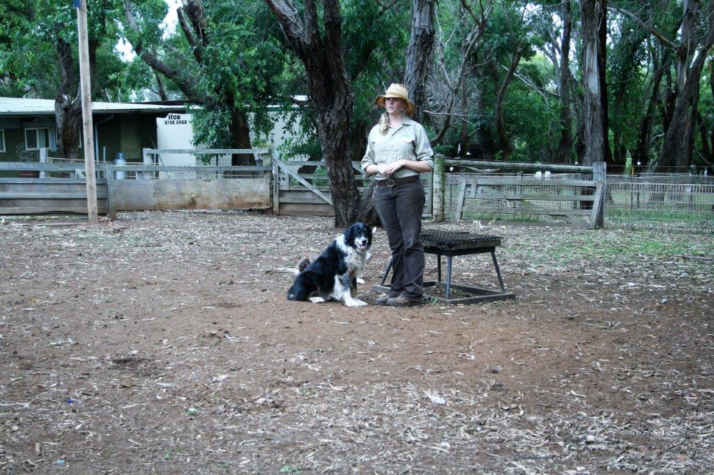
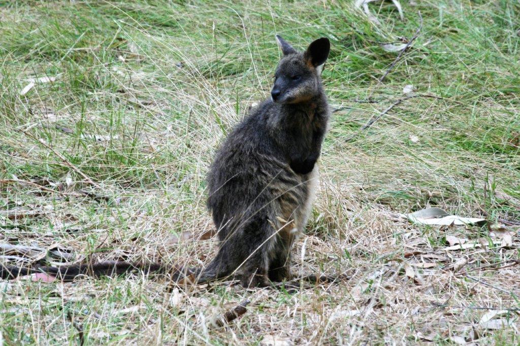
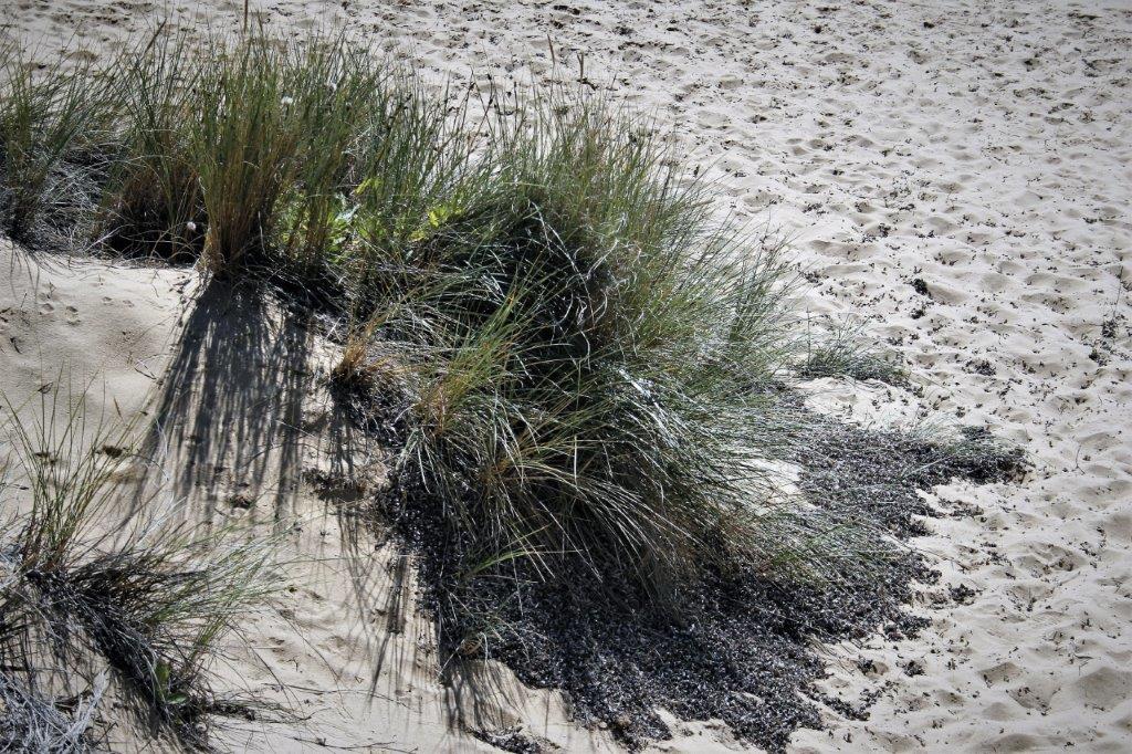
The Coorong National Park is a narrow strip of land 42 miles long that runs parallel to the coast a short distance offshore.  We wanted to see the sand dunes but were unable to find an open view of them.  We did see kangaroos in the wild though.

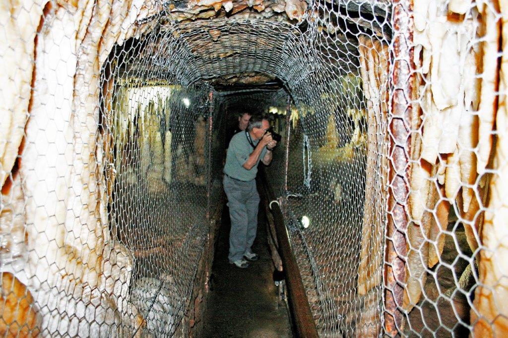
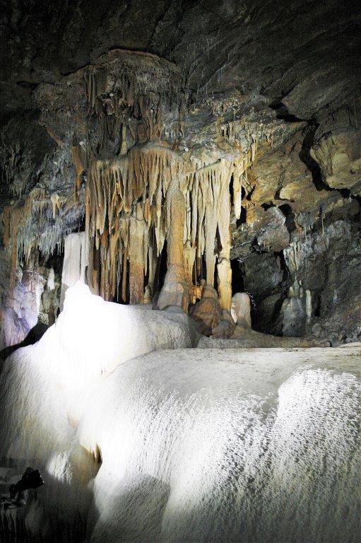
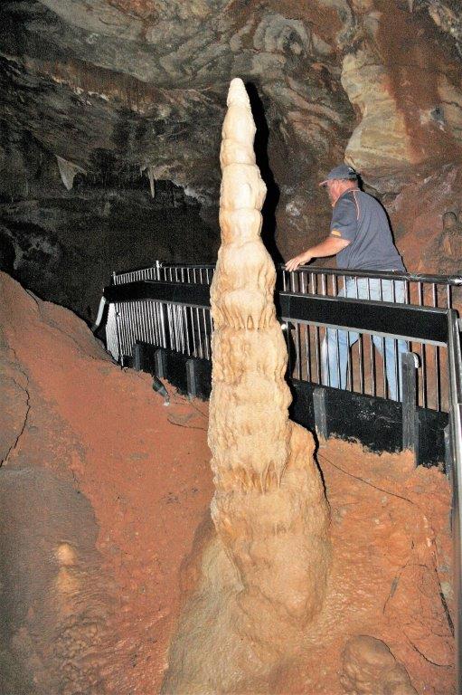
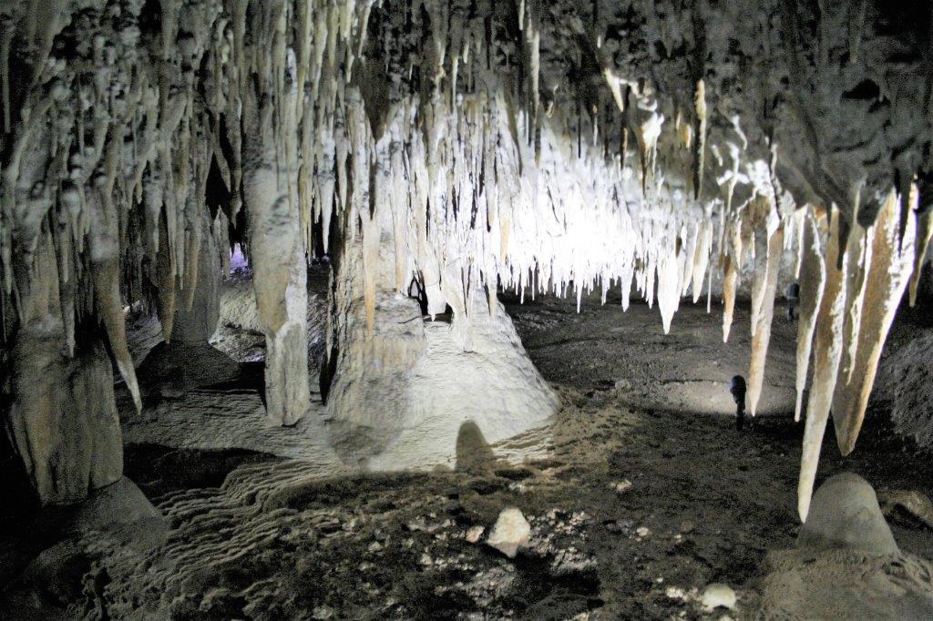
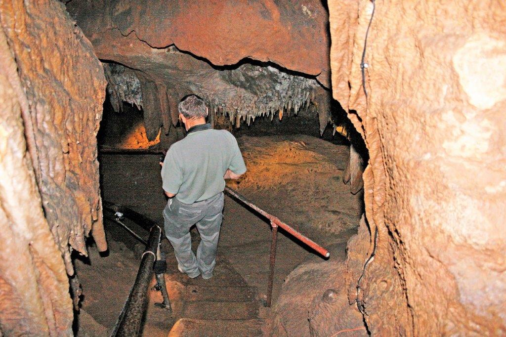
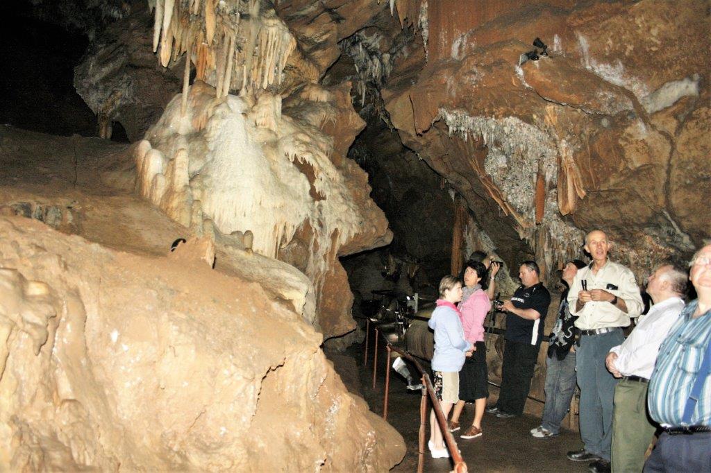
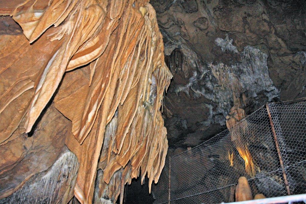
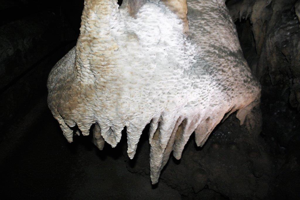
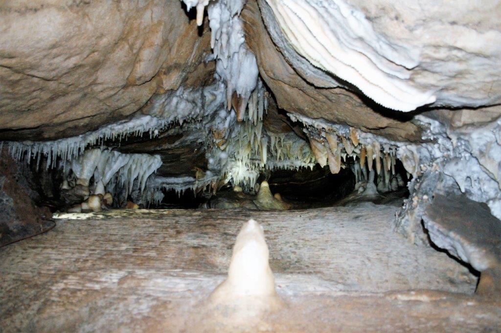
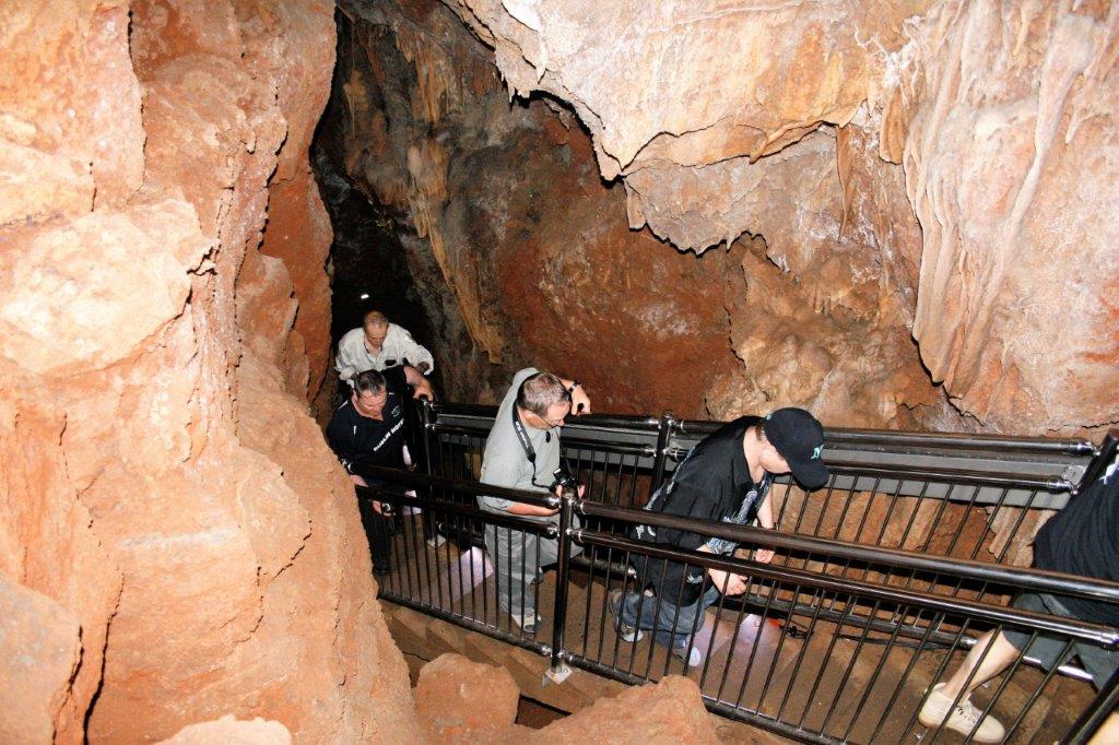
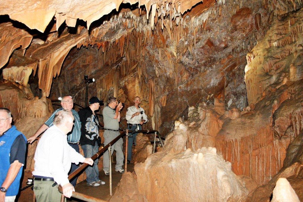
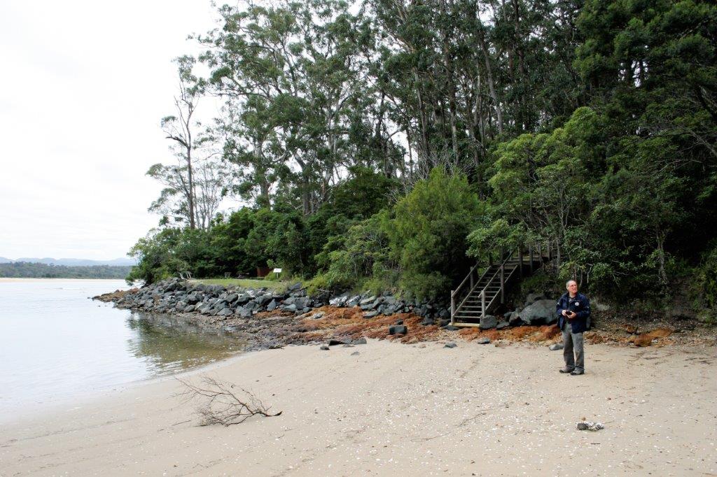
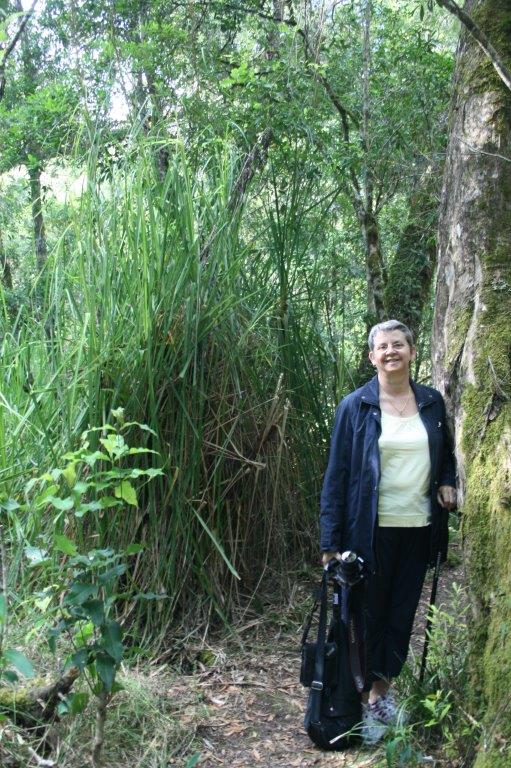
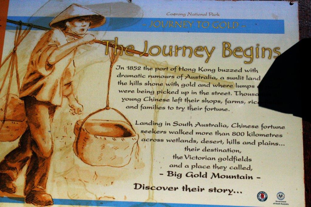
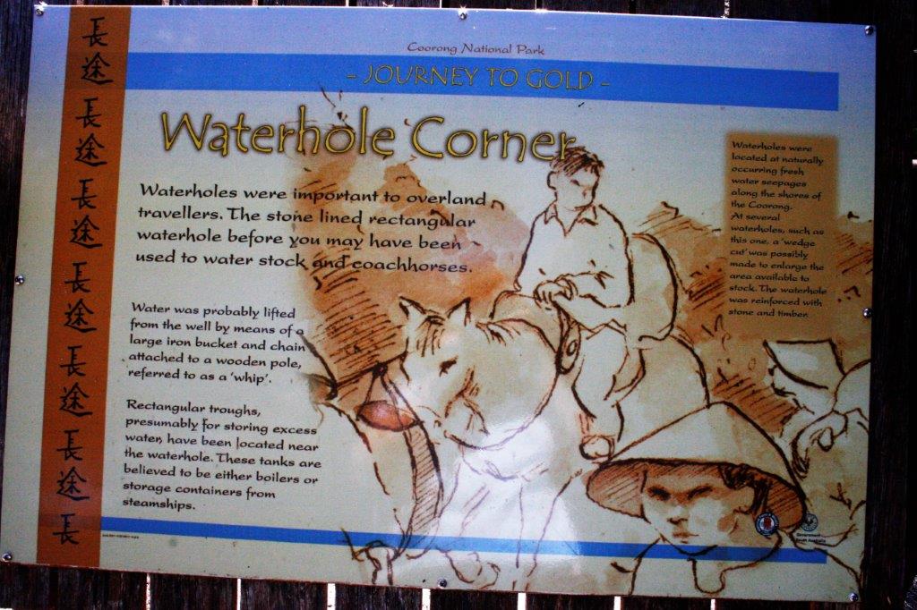
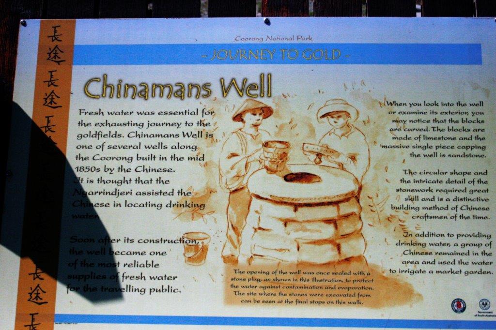
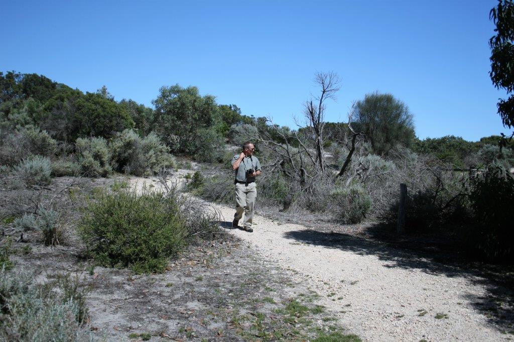
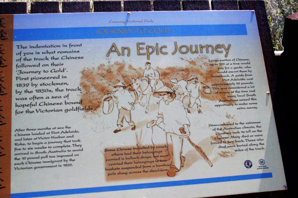
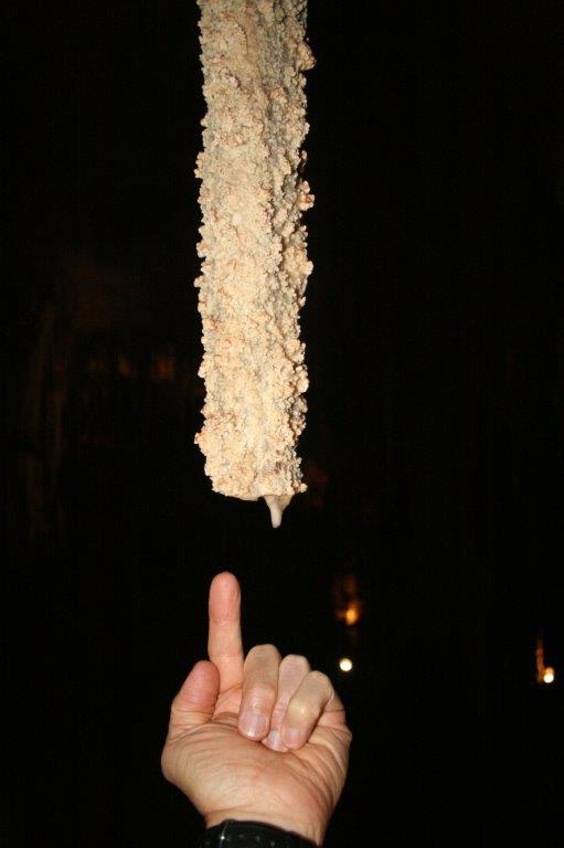
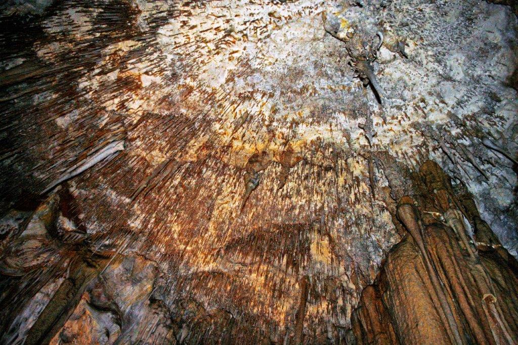
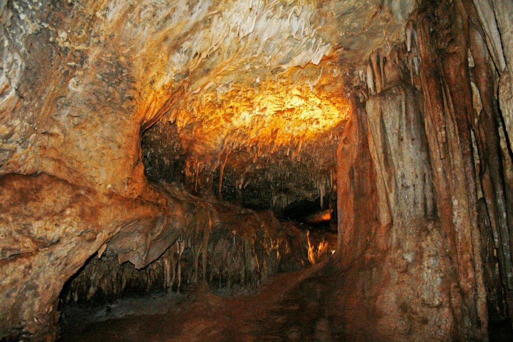
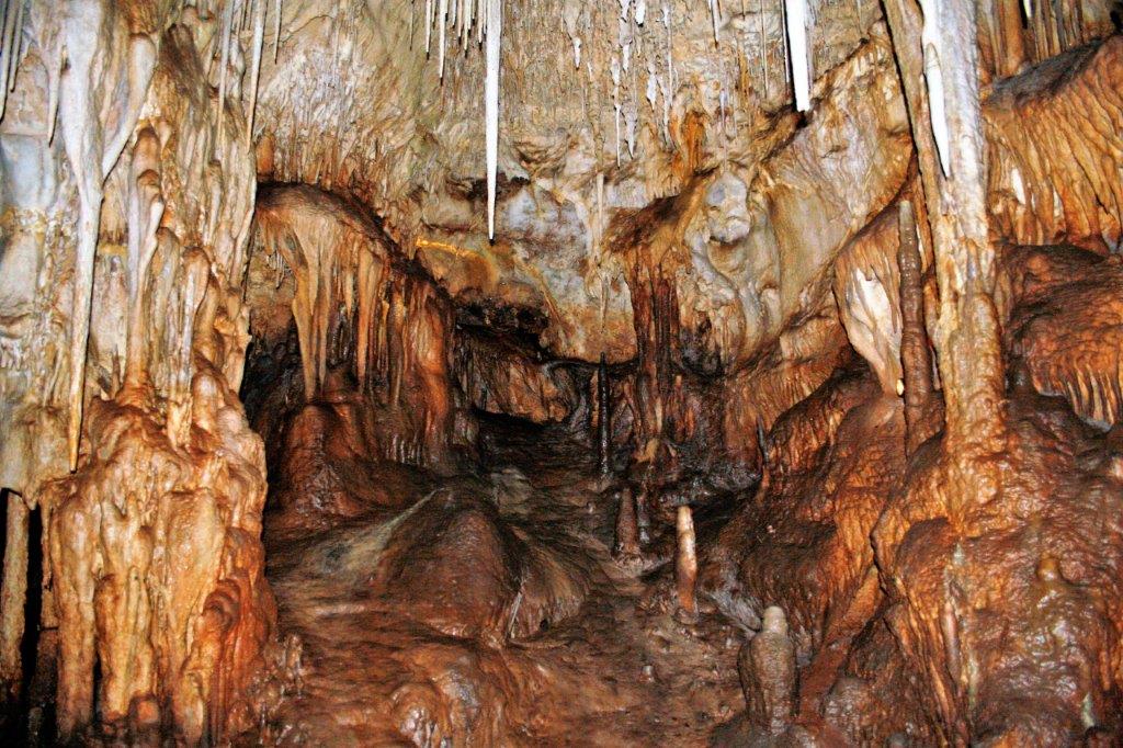
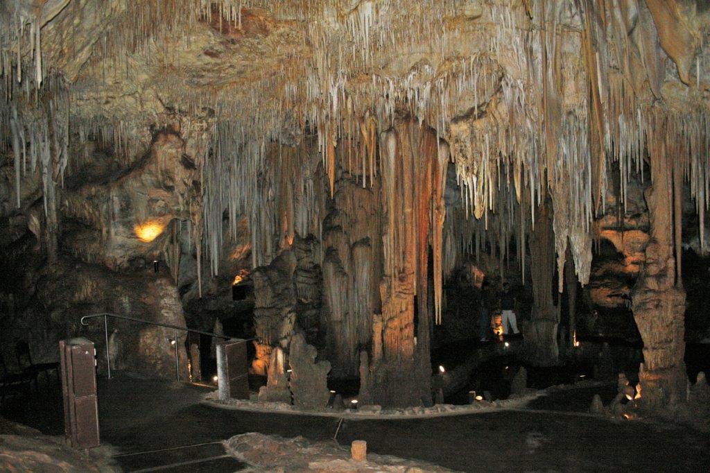
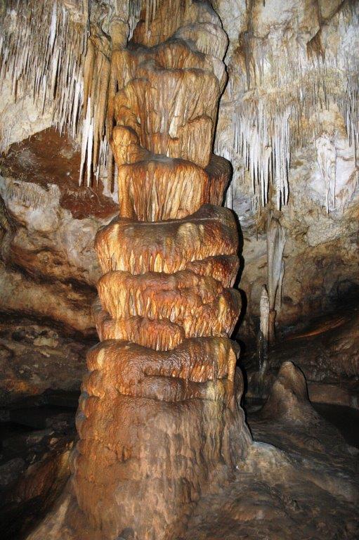
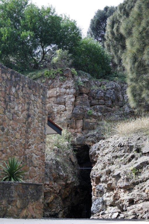
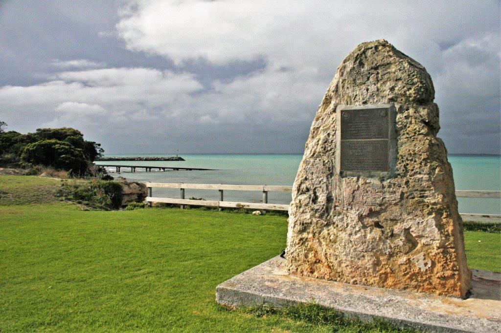
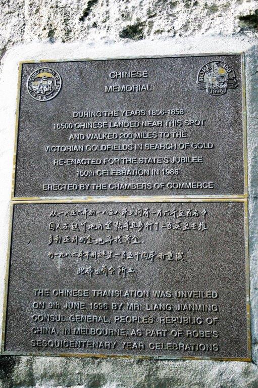
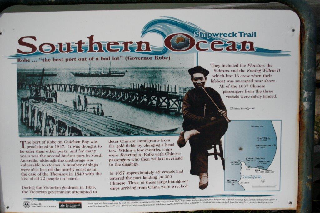
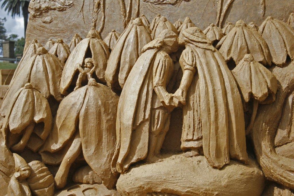
At Salt Creek we walked the interpretive trail to the Chinaman’s Well.  When the Victoria government imposed the 10 pound per head levy on Chinese as they got of the ships to go to the Ballarat Gold fields, the Chinese, in order to avoid the tax, disembarked in the state of South Australia instead.  This meant they had a 200 mile overland walk to get to the gold.  Over 16,500 men made the trip.  Along the way, obviously, they needed water, and to find food.  They dug wells (seven we were told) and hand-cut limestone blocks to line the wells and cover them.  Others planted and cared for gardens to supply food for the would-be miners passing through.  
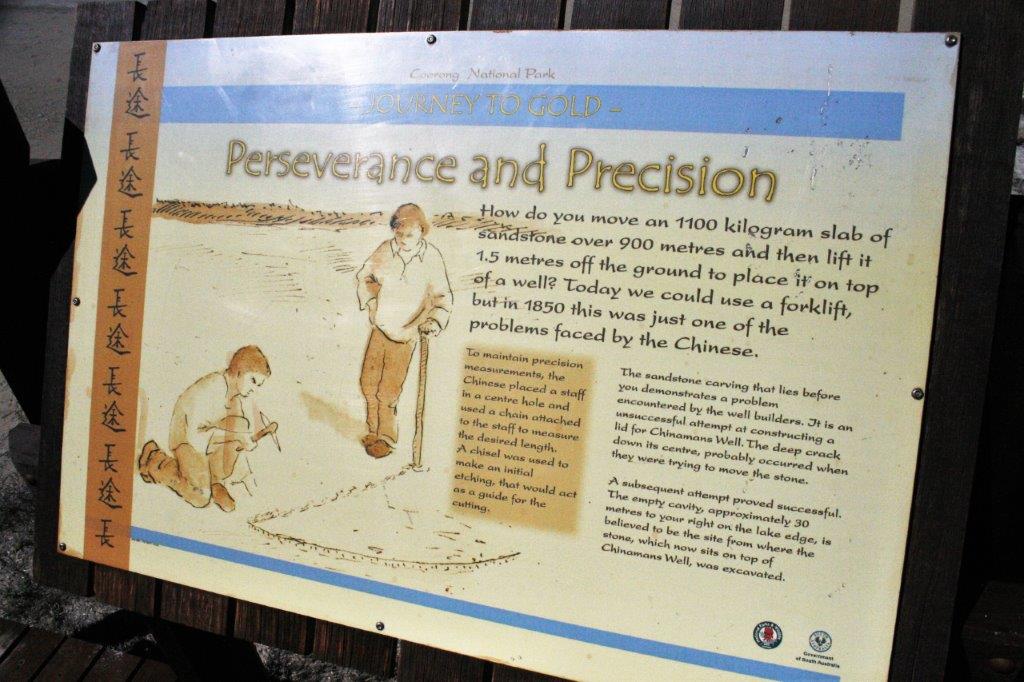
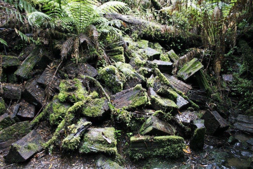
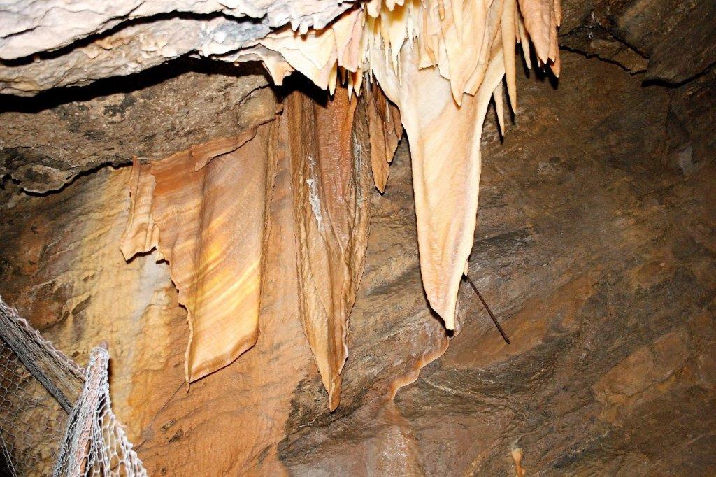
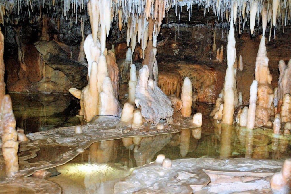
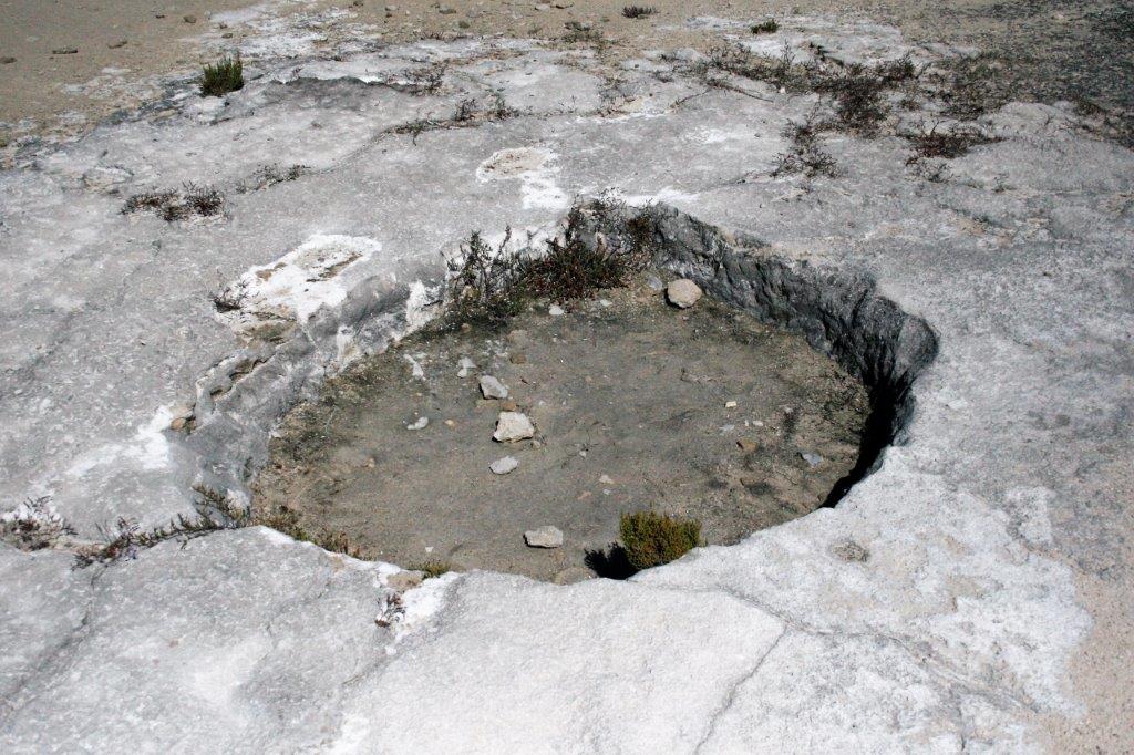
This lid cracked so was abandoned. 
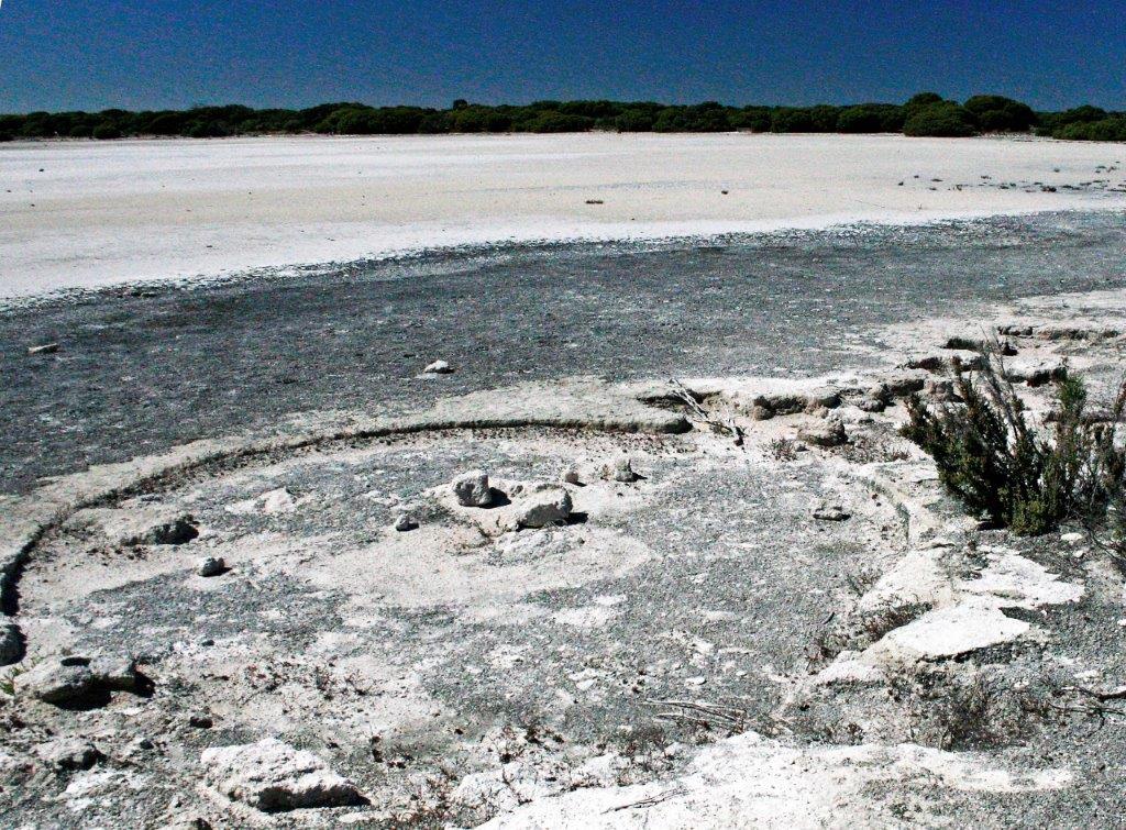
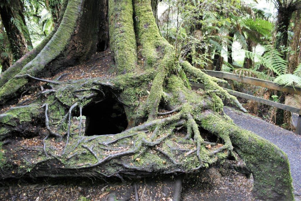
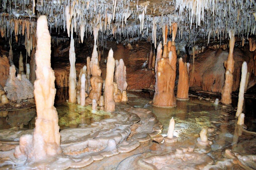
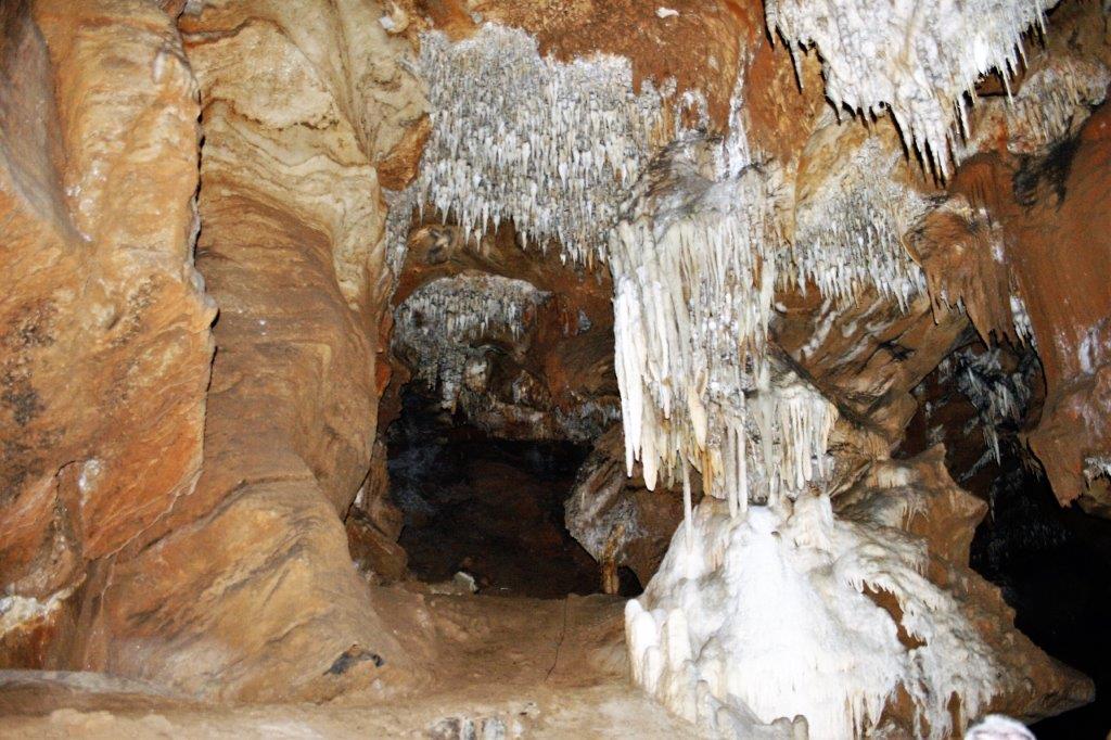
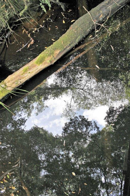
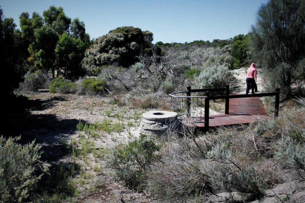
The lid was missing, but there was still water in the well.  
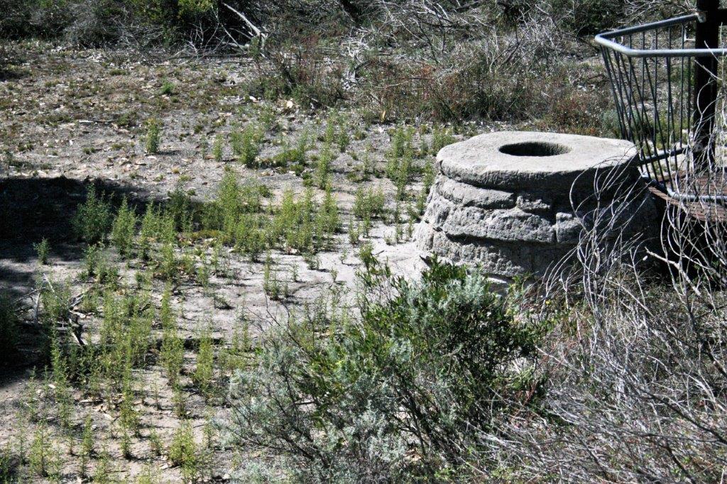
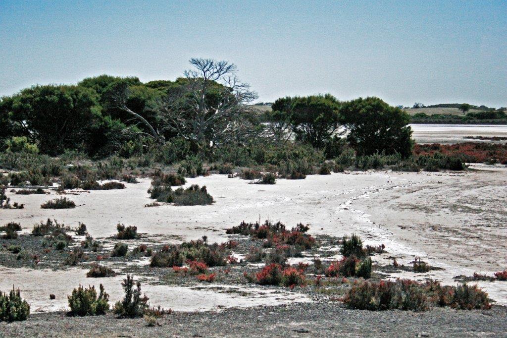
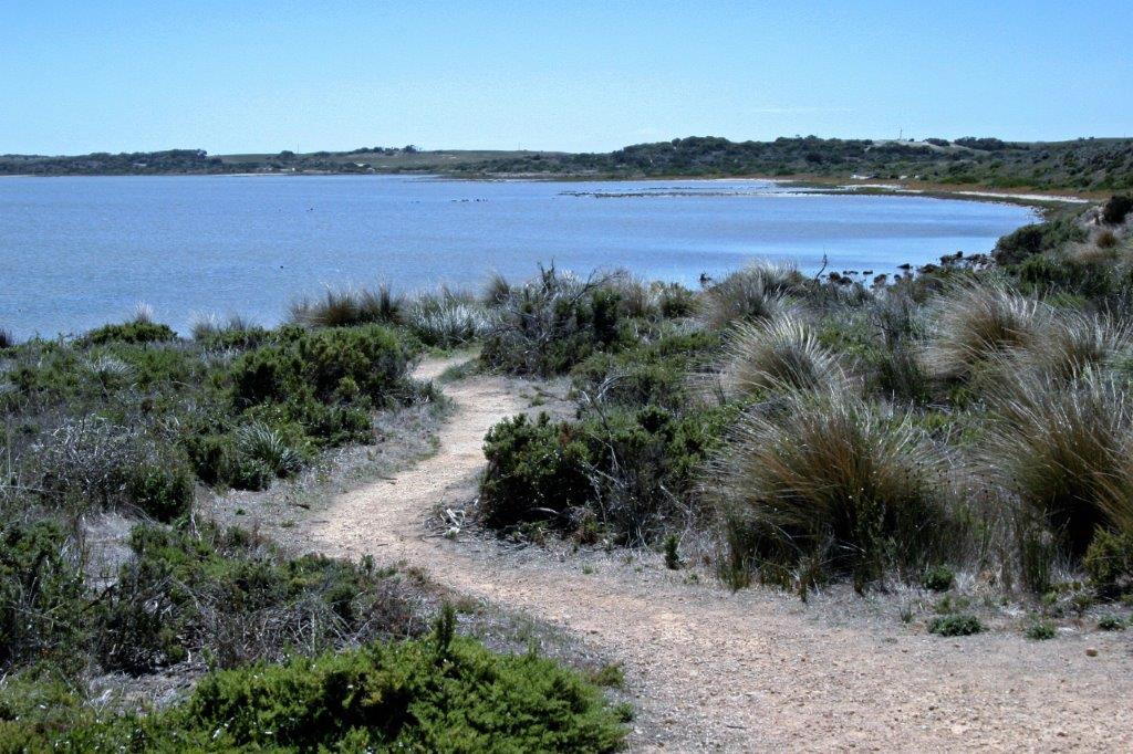
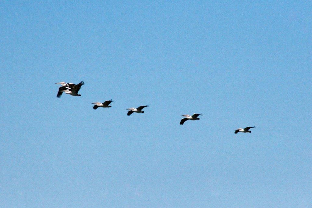
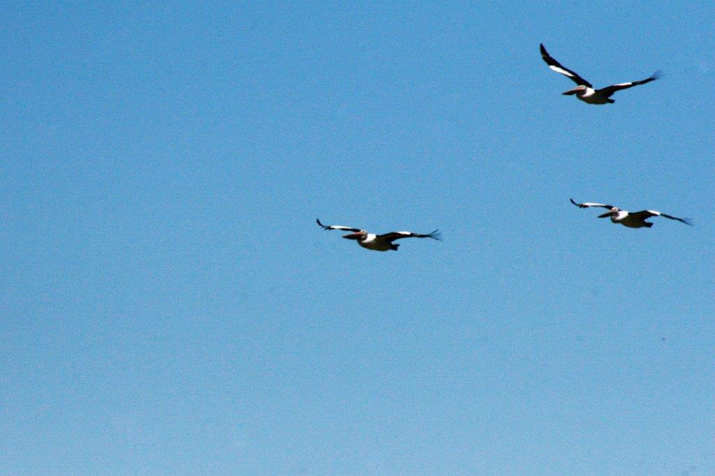
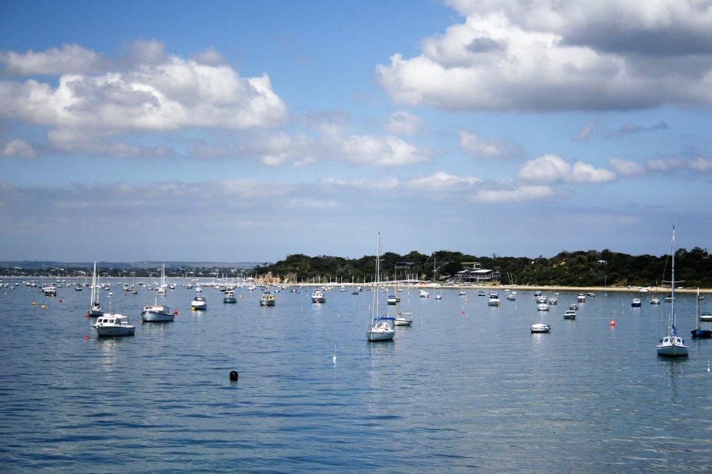
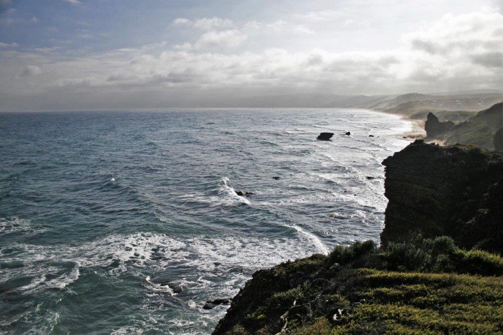
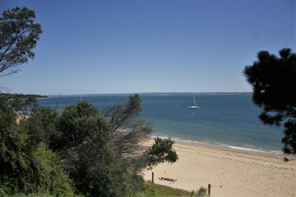
We also turned off at Policeman’s Point to walk out to the Australian Pelican nesting area.  They were not nesting then – wrong season – but there were still lots of pelicans across the bay. 
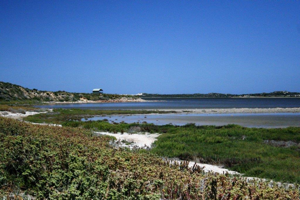
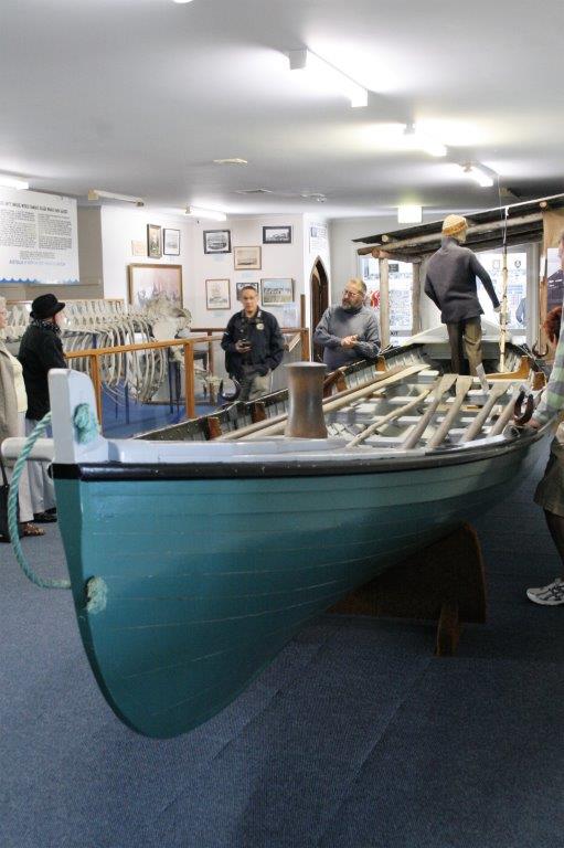
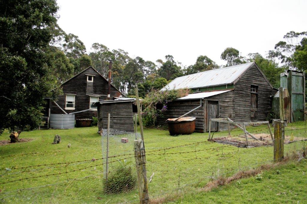
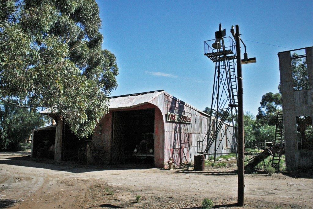
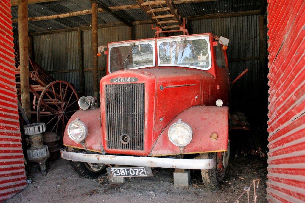
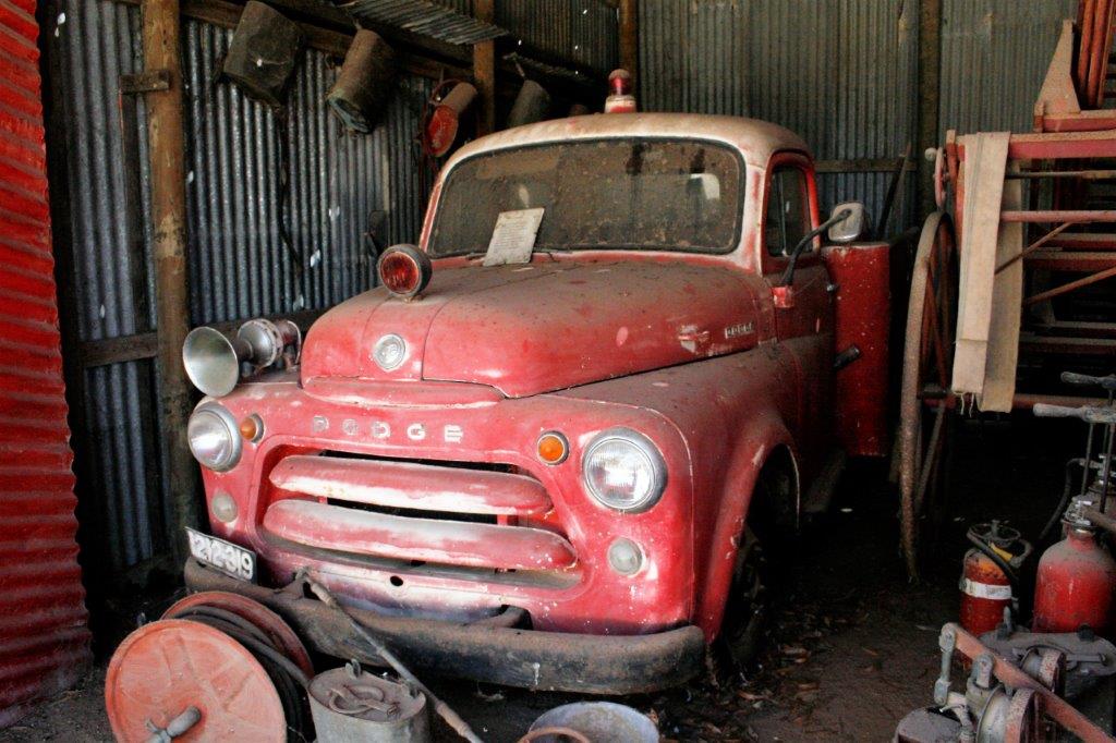
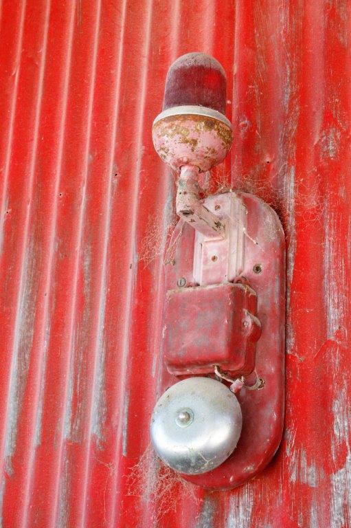
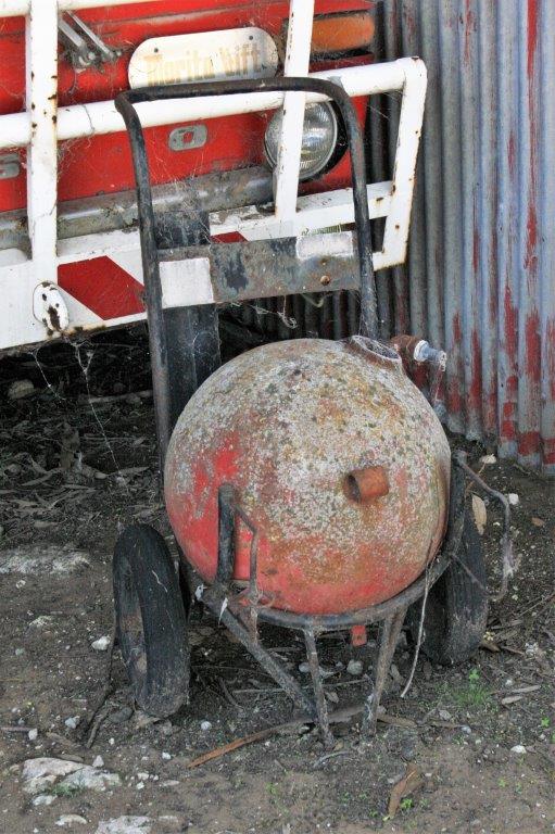
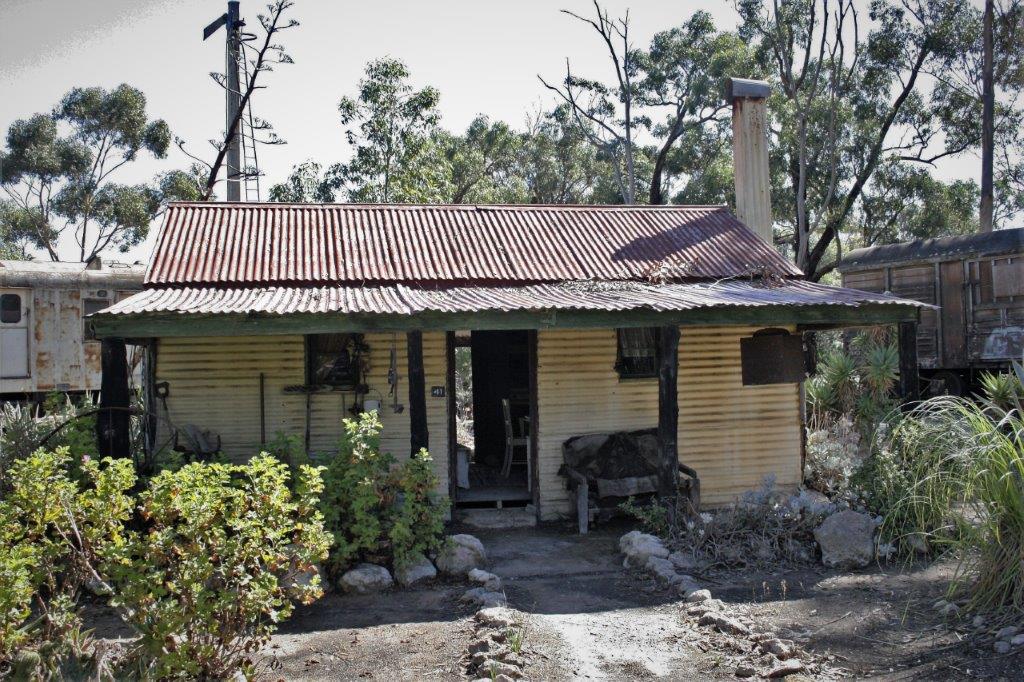
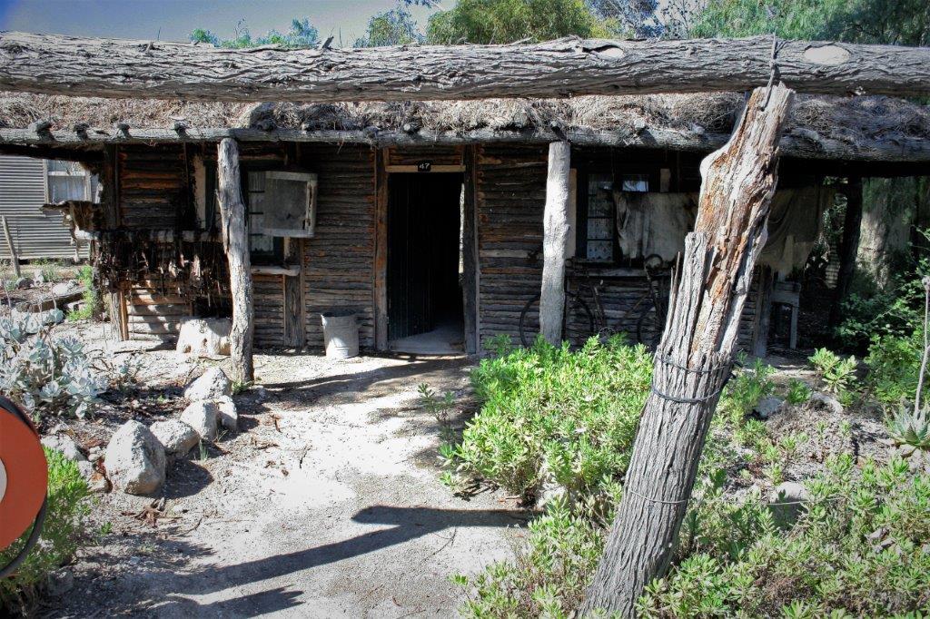
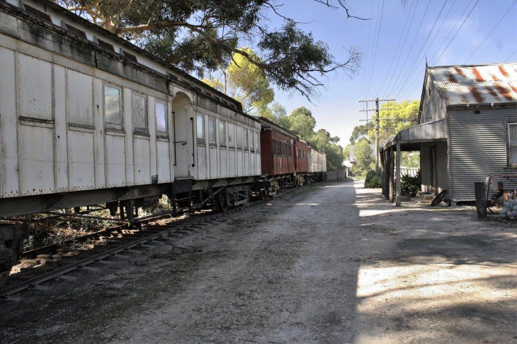
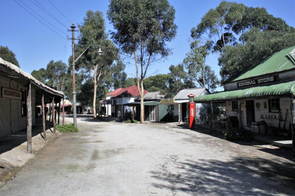
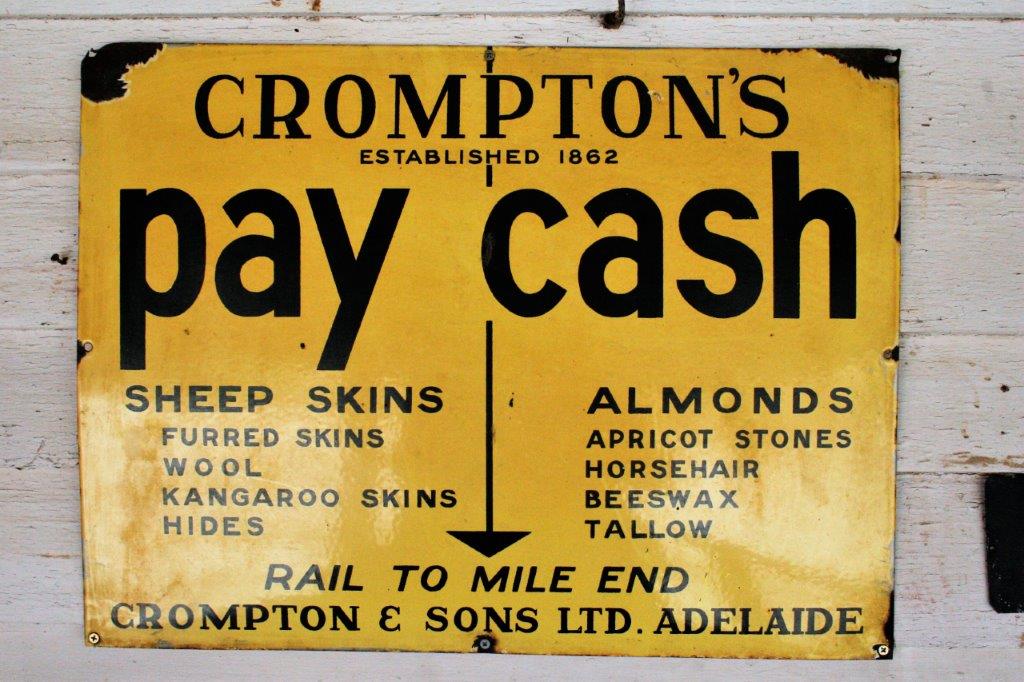
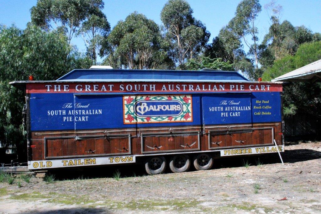
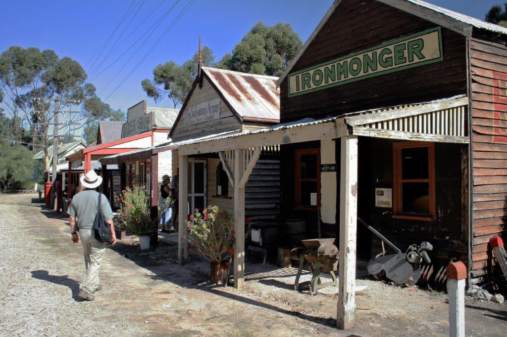
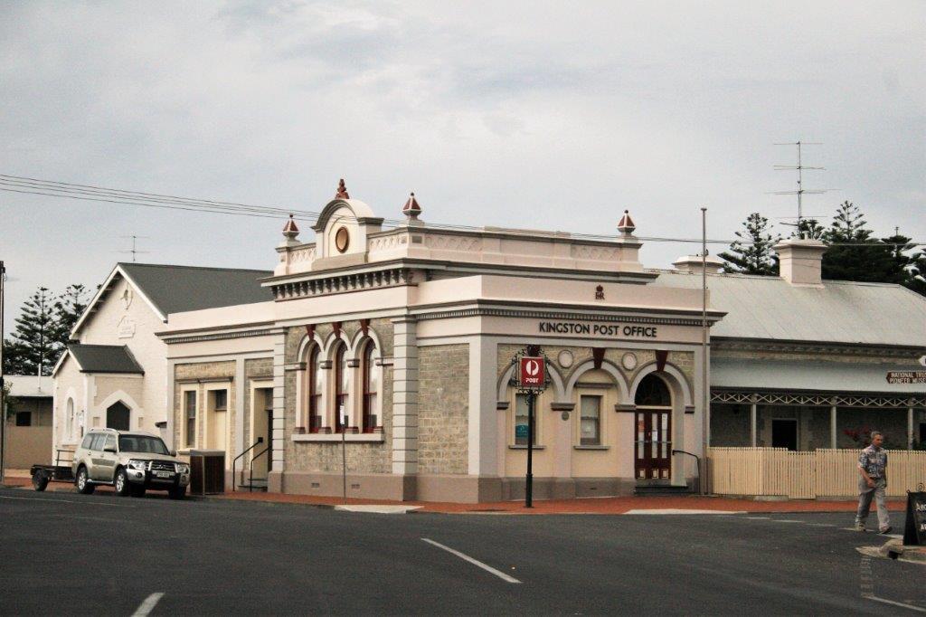
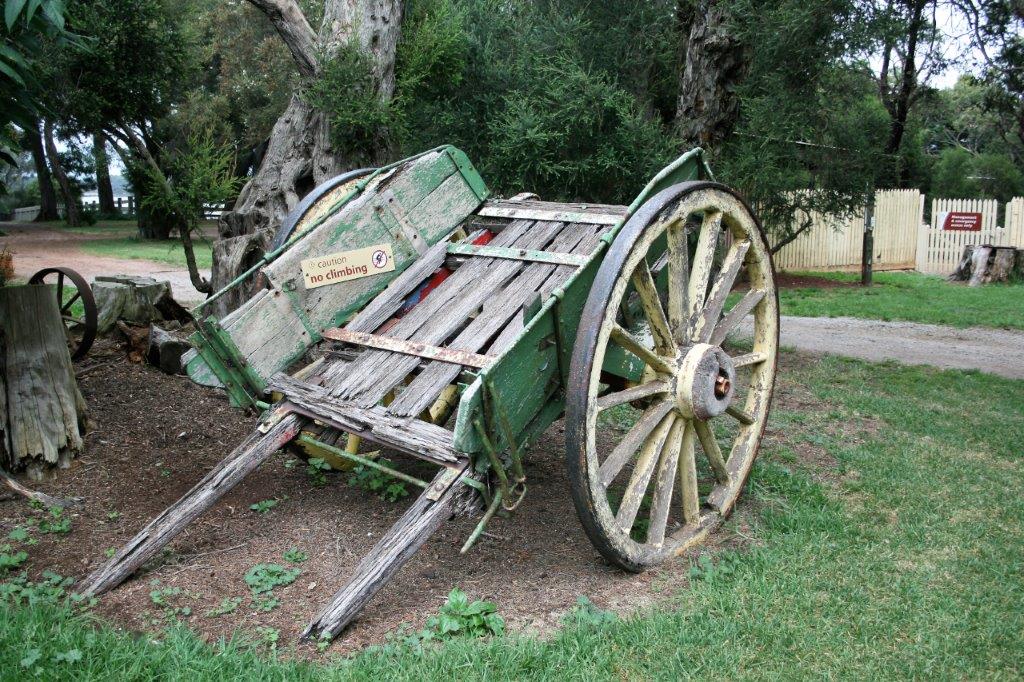
Tailem Bend, where we re-joined the main highway from Melbourne to Adelaide, was also a stop at an historic town comprised of buildings saved from demolition and moved to the site or replicated onsite.  There were 105 buildings but the plan had obviously gotten away from the owners as every building was full of very dusty stuff, and duplicate examples of items.  We saw seven printing presses inside one building and an eighth sitting on the sidewalk, so it wasn’t really a good representation of a printing shop.  It would need a lot of work to sort and clean.  Interesting, but we have certainly seen much better historic villages. 
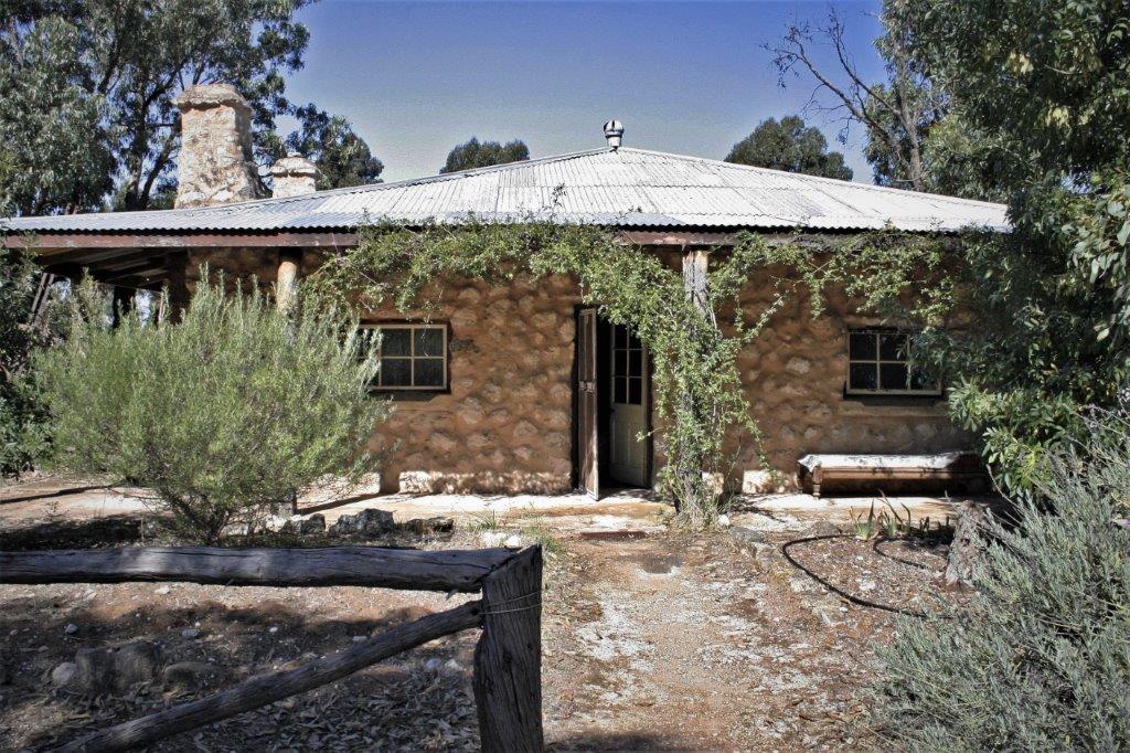
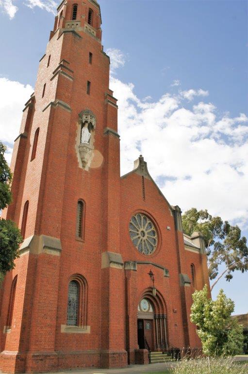
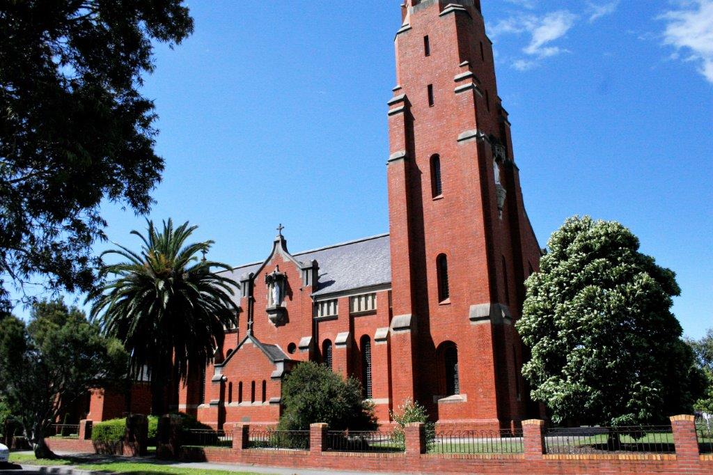
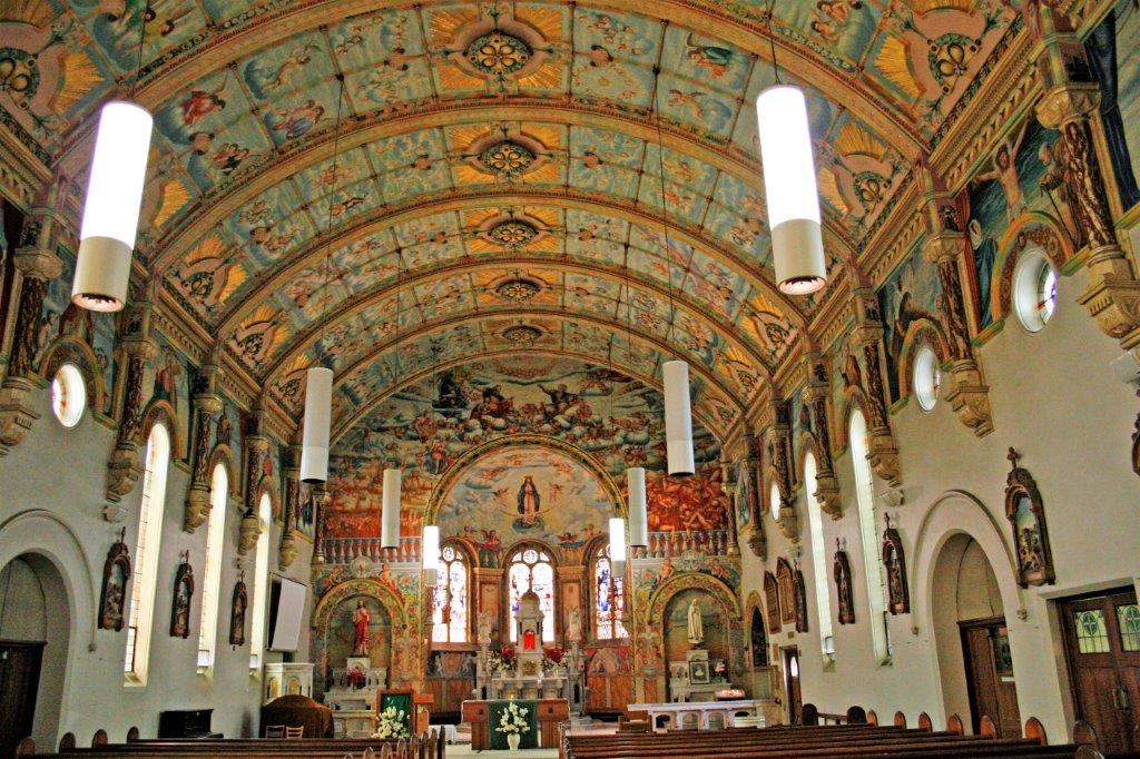
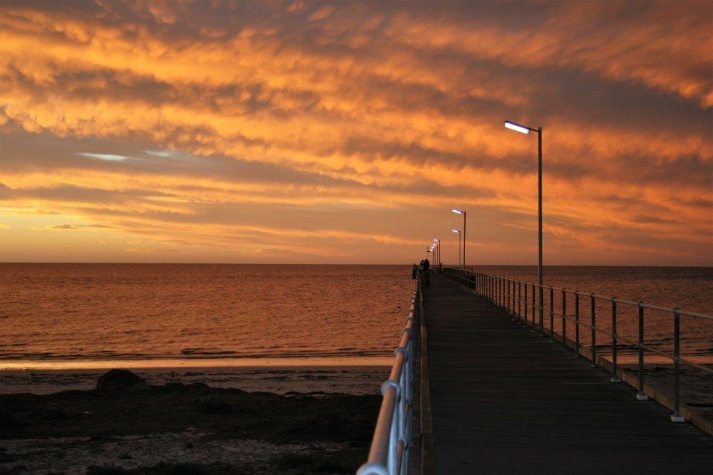
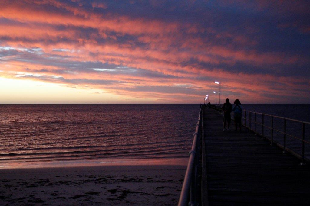
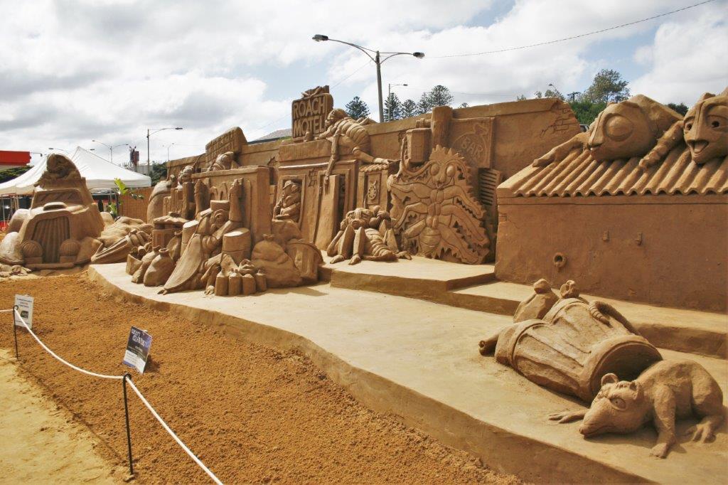
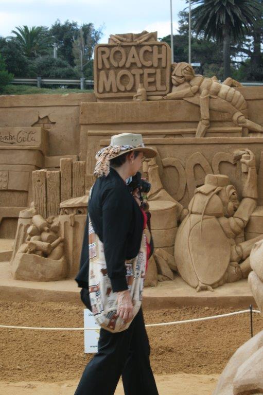
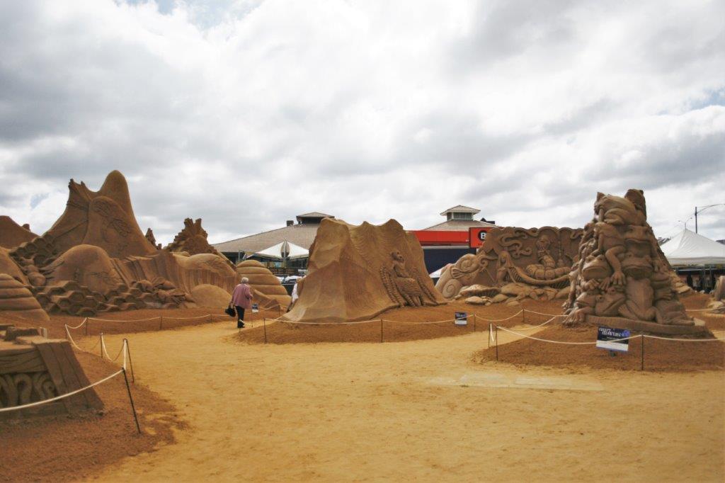
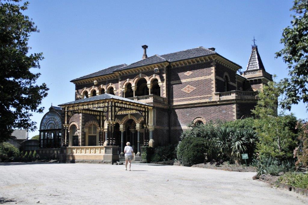
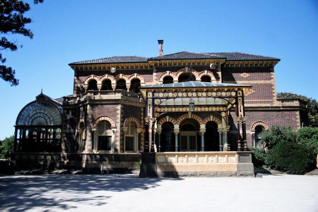
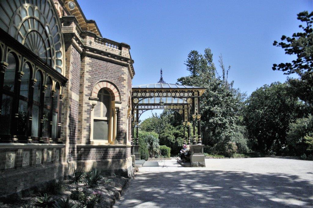
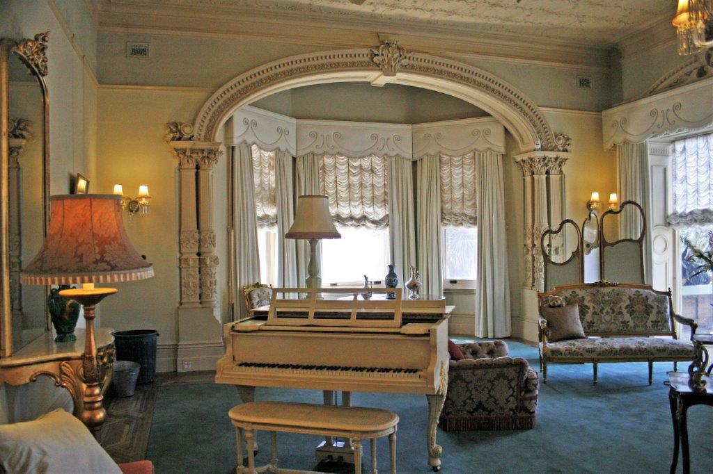
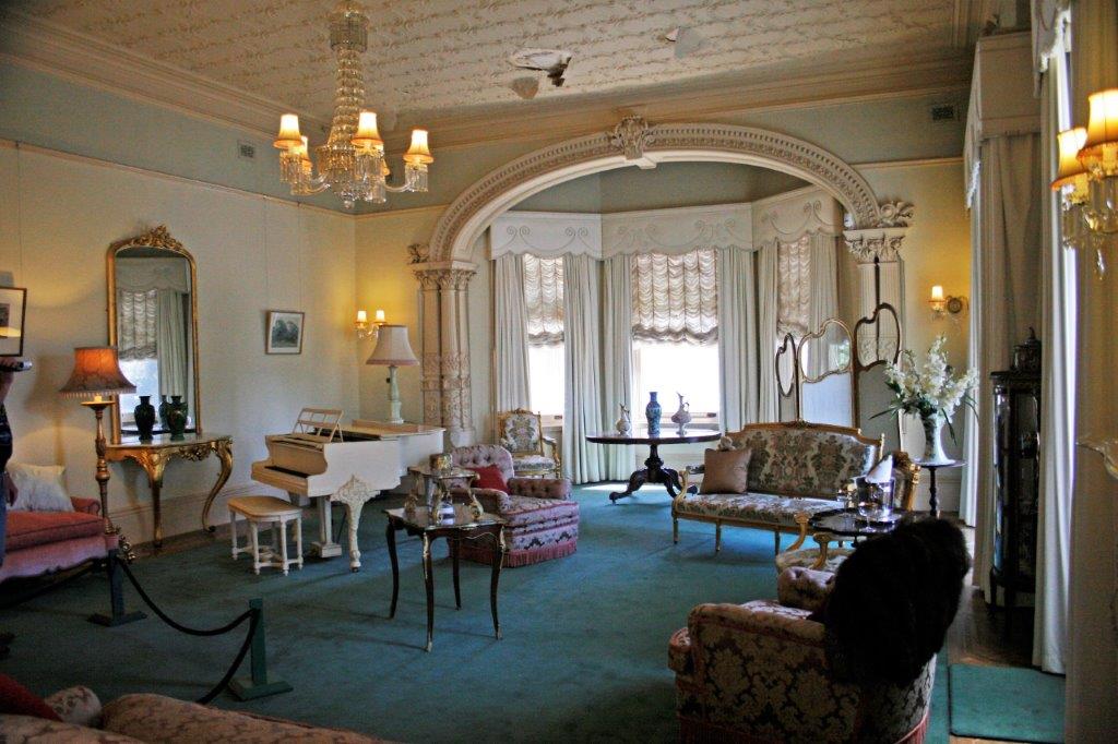
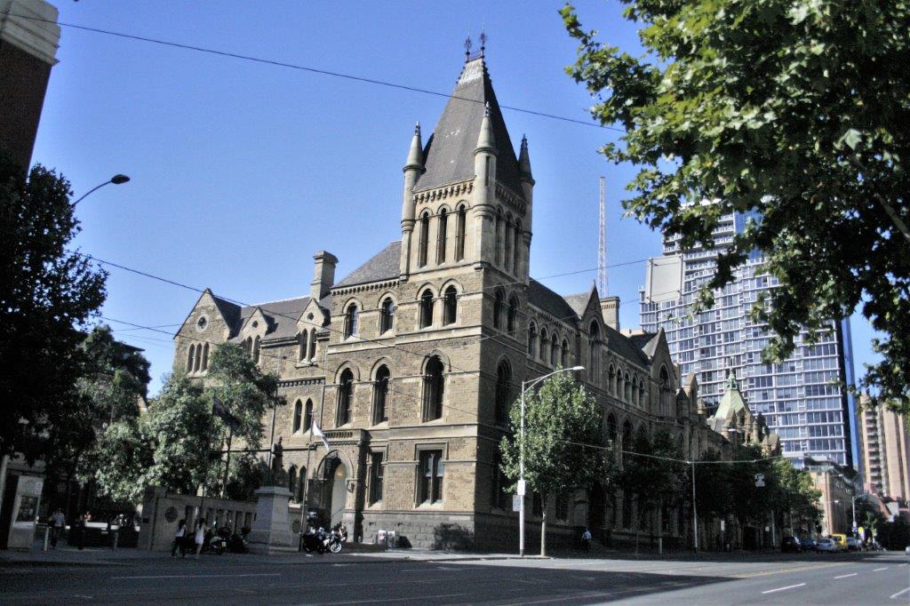
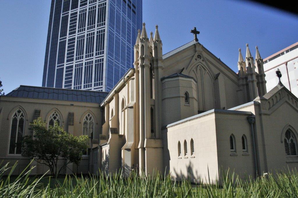
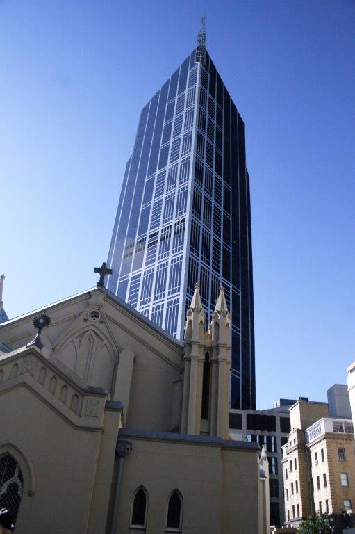
Once we left Tailem Bend we were on the freeway and it was a quick run into Adelaide.  We spent three nights and two days in Adelaide and were moderately lazy, only doing one thing each day.  But we needed to rest up for our upcoming trips into the Red Center.

2011 March 13 – Day 67 – Warnambool to Kingston, Australia

We had a longer driving day as we had hotel reservation in Adelaide the next day.  We drove 341 km (212 miles) of the 604 km (375 miles) we had to go.  Still we managed some stops to tour a sinkhole garden and another cave and an historic marker and route.  The sun we enjoyed at breakfast disappeared behind clouds that lingered the rest of the day.

We had completed the most scenic sections of the Great Ocean Road and the coastal views were much ‘tamer.’  The majority of our travels were a bit inland and halfway through the drive we crossed from the state of Victoria to South Australia and entered the Limestone Coast.  The area has a volcanic limestone base so is riddled with caves and sinkholes.  There are quarries too as the limestone is used for housing blocks.

By the time we reached Mt. Gambier we were driving through thick forests.  Trees as far as you can see on both sides of the road.  The pine trees have all been planted and the bottom branches are trimmed off to promote upward growth.  There was a large sawmill in Mt. Gambier and a big Kimberly-Clark pulp mill down the road in Robe.

Our first stop was the Blue Lake at Mt. Gambier, a volcanic caldera that filled up with water.  It was very reminiscent of Crater Lake in Oregon; only smaller. Also in Mt. Gambier we toured the Umpherston Sinkhole – Cave Garden which is a lovely garden in a collapsed cave right beside a large lumber yard.  It was originally the garden of a private residence and farm of that name back in the 1800s.  All the way around the rim of the sinkhole hangs long thick strands of ivy.  The path to the bottom circles halfway around the sinkhole under an overhanging rock shelf draped in ivy. 


There were rows and rows of Hydrangea’s that had finished blooming.
Right in the middle of downtown Mt. Gambier is another sinkhole. The grounds around the sinkhole are planted in roses that have been deliberately pruned to have a tree-like shape with other flowers planted around the base.  The idea, I guess, is that when the roses are not blooming there are still lots of colours from the other flowers. It was very tidy and pretty.  Our next point of interest was the cave at Tantanoola – one large chamber discovered in the 1950s by a 16 year-old boy hunting rabbits with his ferret.  He sent his ferret down a hole but the ferret never came back.  When he dug around the hole he realized there was a large chamber below the surface.  He went home for his brother, a rope and a flashlight and discovered the cave (and his ferret).  The boy’s family took out a lease on the property and operated it as an attraction until they turned it over to the state a few years before.  There were many fascinating formations to see. It will take years for these slow water drips to increase the length of the stalactite.

The cave entrance where the ferret disappeared is the narrow crevasse in the photo on the right.

At Robe we stopped at the Chinese Memorial which commemorates the 16,500 Chinese that came to Australia during the 1860s to go to the gold fields in Victoria State.  That government had imposed a 10 British pound per head levy on Chinese to discourage them from coming to search for gold, so they came ashore in South Australia at Robe and walked 200 miles over very desolate, dry country to get to the Ballarat Gold Fields. It was after 6 pm when we arrived in Kingston. We found a hotel right on the waterfront and after dinner we enjoyed a gorgeous sunset. 

2011 March 12 – Day 66 – Apollo Bay to Warrnambool, Australia

John and I have traveled a lot since we retired in 2007.  We have cruised around the world, sailed the Mediterranean and the Baltic, toured all over western and mid-west USA, been to London, Amsterdam, Dubai and Muscat.  We spent a month in Scotland and 16 weeks driving across Canada and back.  Among all the fabulous ruins, churches, archaeological and natural sights we have seen one of the most spectacular days we have ever had was the day we drove the main section of the Great Ocean Road in Australia!

We covered 160 km (just slightly shy of 100 miles) and it took us from 9:30 am to 5:30 pm.  We actually stopped short of our intended place – Mt. Gambier – staying instead at Warrnambool.  We discovered later that had been a fortuitious decision because a town very near Mt. Gambier, Port Fairy, had a folk music festival going and there were no rooms available in any of the neighbouring communities. Leaving Apollo Bay.

The Great Ocean Road, as I wrote in my last blog, is the world’s largest War Memorial.  It was built to commemorate the sailors and soldiers of Australia who fought and died for our freedom in WWI.  The road goes 242 km (150 miles) along the southeastern Australian coast from Torquay to Allansford just east of Warrnambool.

At the end of WWI the rugged southwest coast of Victoria state was only accessible by sea or rough bush track.  Not long after the end of the war the idea was broached to use returning soldiers to build a road that would link  many of the small coastal communities.  The surveyors began mapping the route in 1918 and work started Sept. 19, 1919.  3,000 servicemen lived in tent camps in rough terrain while they built the road.  Construction conditions were often treacherous and several deaths occured.  The steep sandstone and limestone cliffs are prone to slide and the inland portions of the road were over steep mountainous rainforest.

A large section of the road was opened in 1922 but it took a further 10 years to join Torquay to Allansford.  Originally it was a toll road to help recoup the cost for the investors but in 1936 the deed for the road was turned over to the Victoria State government and the tolls were removed.  Even though the new road linked the southcoast communites to the more populous east the road was only wide enough for a single vehicle, with very few places to pullover due to the steep cliffs.  Major upgrades were done over the years to make the Great Ocean Road (now two lanes wide) one of Australia’s top tourist attractions with over 7.5 million visitors in 2009-2010.  The road was added to the Australia National Heritage list on April 7, 2011 just 26 days after our visit, and is considered one of the world’s great scenic drives.

The first inland section of the road was through Great Otway National Park and at the lookout we saw 5 koalas in the wild, hanging out, as usual, in the euclyptus trees.  They can be hard to spot because they are so far up in the tall trees. The area around Princetown is part of Port Campbell National Park, home of the Twelve Apostles, gigantic limestone monoliths gradually getting ground down by ocean waves and currents.

Three minutes down the road from the Twelve Apostles is Loch Ard Gorge, named for the shipwreck of the clipper Loch Ard that ran aground  on Muttonbird Island at the end of a three-month journey from England in 1878 .  Of the fifty-four passengers and crew only two survived; a 19-year old man who swam into the bay and a 19-year old woman he rescued when he heard her cries.   The young man climbed the steep cliffs and went to find help.  The woman lost four family members in the shipwreck and returned to England three months later.  He stayed in Australia and died at age 49. As we were walking the trail back to our car we saw this echidna finding dinner.  The little guy would smash his long nose into the ground to displace bugs.   Next stop on the Great Ocean Road was the Razorback, a long narrow limestone cut that has been separated from the cliffside.  With the angle of the razorback parallel to the viewpoint it was hard to get a photo of it all so I did a bunch of vertical shots and stitched them together.The view looking down the coastline along the road we had travelled was lovely.  The wind and water spray cut some deep and interesting holes into the rocks.

Believe it or not, we weren’t done yet.  The Bay of Islands was next. At last, after a magnificent day, we arrived a Warnambool; a dairy town.  Dinner at an Indonesian restaurant gave me enough energy to sort the almost 300 photos I took that day.  It was nothing short of fabulous!


2011 March 11 – Day 65 – Cowes, Phillip Island to Apollo Bay, Australia

We noticed many road signs about accidents or speeding. Australia has a low tolerance for speeding and strictly enforces the highway limits.  Even 3 kmh over the posted limit will get you a ticket plus demerit points on your license.  They have some very shocking and graphic billboards – like a woman’s sheet-draped body beside a wrecked car and the banner “Only a little bit dead!”  There are also lots of rest areas and signs reminding drivers to use them.  They say, “Drive, Revive, Arrive,”  “Drowsy Drivers Die,” “Only Sleep Cures Fatigue.”  Another sign we saw said, “Don’t Tear Along the Dotted Line.”  Many North American and European tourists struggle with “driving on the wrong side of the road” so there are reminders posted along all the highways to drive on the left and to look left for traffic.We noted as well that Australia is a population of active young people.  We rarely saw an elderly person with a walker or wheelchair.  And rarer still were obese people.  It is a very outdoorsy culture with lots of walking and hiking and water sports. The country is also very ethnically diverse and you hear many languages spoken by folks as you travel around.

Especially in the cities, but notably all over, people dress well.  Working young women wear nice dresses and suits, men wear dress shirts and good pants.  Even casual wear is not down and dirty casual, but clean slacks or jeans and nice tops.  It was quite refreshing from the common North American grunge.We left Phillip Island at 11:15 and headed west to Frankston.  Frankston has an international sand sculpture competition every year and they are on display from Christmas to Labour Day (March 1st).  The theme in 2011 was Creepy Crawlies so all of the sculptures incorporated bugs, or bees, or spiders.  The artwork and details was amazing.  I took tons of photos. (If you want you can click on each image and it will go full screen so you can admire the artist’s skill. Or, if you don’t care about sand sculptures you can scroll down quickly and skip them all.)  


  My new Aussie hat.

We spent, obviously, a considerable time at Frankton but eventually we moved on down the peninsula to Dromana and up to the top of Arthur’s Seat (the highest point on the Mornington Peninsula).  We walked to the Seawinds Garden and both view points. After we drove back  to Dromana we went to Sorrento to catch the ferry across Port Phillip Bay to Queenscliff on the Bellarine, a spit of land that juts out into Port Phillip Bay on the west side.  Port Phillip Bay is the port area of Melbourne so by driving down the Morningston Peninsula and taking the ferry we could bypass the city and cut off quite a few kilometers on our way to Adelaide.  It is 890 km (553 miles) from Melbourne to Adelaide along the Great Ocean Road and we had 3 1/2 days to get there to meet our reservation.

The ferry takes about half an hour to do the crossing and a pod of dolphins chases the catamaran all the way from dock to dock.  It made for a very entertaining sailing.  They are so fast and frolic from one side to the other and underneath that it was almost impossible to get a photo of them.  I had to delete all the ones I took because they were not clear or only showed a small part of a back or tail. We traveled through the towns of Tourquay, Anglesea, Aireys Inlet, Lorne, Wye River, Kennet River, and into Apollo Bay at 7:15 pm. The lovely lighthouse at Aireys Inlet:  Just past Lorne the evening mist started to roll in obscuring our ocean views. Torquay, not far from where we got off the ferry at Queenscliff is the beginning of the Great Ocean Road, the world’s largest war memorial.  It was built to commemorate the sacrifices of the WWI Australian sailors and soldiers.  Most of our travel this day was on the famous highway, but the best section was yet to come. At Apollo Bay we had a fabulous Italian dinner, then downloaded the days photos onto the computer before going to bed.  Total distance travelled was about 250 km (155 miles).  No one can accuse us of speeding!  It was another wonderful day in Australia.

2011 March 8 – 10 – Days 62 – 64 – Cowes, Phillip Island, Australia

Our last three days on Phillip Island were spent seeing the three things we had purchased the bulk tickets for on the Sunday we had driven out to the Nobbies.

Each morning was spent doing laundry and sorting photos and reading.  On the 8th we got some groceries in the afternoon and checked maps and toll roads for our drive to Adelaide.  In the evening we drove back to the Nobbies to see the Penguin Parade.  No photos are allowed and it was dark anyway but I took photos of four post cards I bought so you can get an idea.

We sat at the very top of the bleachers at the end and when the penguins came out of the water and about 60% of them waddled right past us on their way up the bank to their burrows.About 8,000 mating pairs of Fairy Penguins live on Phillip Island. Every night a few hundred to a few thousand will leave the ocean and walk up to their burrows for the night.  The night we were there about 300 of them went past our seats.  At sunrise they will make their way back to the ocean and feed for the day, or for several days.  Penguins molt and while they are losing their feathers and growing new ones they are not waterproof and can’t go swimming for dinner.  Consequently when they are due to molt they will gorge themselves and eat as much as they can, getting very fat in the process, so they can live off the stored fat for the three weeks it takes to have new waterproof feathers.The penquins are only about 6-7 inches high and weigh 2-3 pounds.  They have very short walking strides but it only takes them 20-30 minutes to climb the steep sand bank to their burrows.  Some of them had chicks that had not fledged yet that they were bring food to, other very fat ones were heading for home to molt, and the rest were just getting out of the water for the night.  We were told to check under our cars before we left as some of them will go as far as the Visitor’s Center or the carpark.

On the 9th, after our usual morning activities, the loop drive we had planned to do was cancelled due to a thick fog on the mainland. We turned around, crossed the bridge to Phillip Island again and visited the Churchill Island Heritage Farm.

I had a nice long visit with Sophie the Clydesdale and her 5 month-old foal.

.  

Scottish Highland Cattle.

We wandered through the house and two cottages and the gardens before going to the barn.  We met another horse and watched a sheep dog demonstration before heading back to the cabin for dinner and the night. The afternoon of March 10 was spent at the Koala Conservation Center.  There are 35 koalas in this protected habitat where a breeding program is maintained.  Raised boardwalks put you a little closer to the adorable critters high up in the eucalyptus trees.  Usually koala almost never leave the treetops but most of Australia had suffered a drought for the past 10 years which meant many koalas came to the ground to find water.  Unfortunately this meant that many were hit by cars and killed.  Usually koalas get all the moisture they need from the eucalyptus leaves but there was no extra water in them due to the dry conditions. We saw 17 of the 35 koalas on our walk.  Near the end of the boardwalk we saw a momma and her joey sitting on a branch just above a railing on the walkway.  She was wide awake, holding her baby with one arm and pulling down eucalyptus leaves with the other.  I did not wish to startle her so I left my camera alone, hard as that was for me to do.After we left the Koala Conservation Center we drove to the Phillip Island Grand Prix Circuit.  This course is on the motorcycle grand prix circuit and is also used for many car races.  They have a 1/5 scale replica of the track that you can run go-karts on.  John did a ten minute run and managed 11 full laps with an average speed of 47.2 kmh.  Fastest lap was 51.8 seconds with an average speed on the lap of 52.8 kmh.  He would have liked to do the hot laps on the full track in a GP Porsche with a professional driver (who, we were told, will do his best to scare you silly) but there were no available slots until two days later.  We had to check out the next day so he couldn’t do it.  That saved us $295.00.  He would have enjoyed it though.  Still, it was a fun end to our week on Phillip Island.


2011 March 7 – Day 61 – Melbourne, Australia

Melbourne is about two hours drive from Phillip Island.  We left the cabin at 10 and spent a bit of time trying to find Rippon Lea, the Victoria Estate we wanted to tour.  The next tour began 15 minutes after we arrived so the timing was good despite our driving mis-cues. Rippon Lea Mansion was built in 1867 for Sir Frederick Sargood, a wealthy Melbourne businessman, politician and philanthropist.  The house and grounds had been extended several times during the years the Sargoods lived in it.  The family of 13 children were raised  in the house  and eventually the estate covered 45 acres (18 hectares).  After Sir Frederick died in 1903 the estate was eventually sold to a consortium that had plans to tear the house down and use the estate for a new suburb since the property was now much closer to the center of Melbourne than was the case when the Sargoods had purchased it.  They sold several parcels including the paddocks and the 2 acre vegetable garden but one of the major stockholders of the consortium died before the final plans could be undertaken.  In 1910 the house and grounds were the bought by the owners of a  local furniture business.  They made many changes to turn the house into a 1930s Hollywood style; painting the wallpaper and columns white, among other things.  The daughter of the couple inherited it and made arrangements for the house and remaining land to be turned over to the Australia National Trust on her death.

Our tour guide was a lovely Irish girl and she took us through all the main rooms of the house.
Pretty nice entry doors.

The mansion was one of the first in Australia to be lit by electricity, produced by its own generators.  Sir Frederick employed a full-time electrician to maintain the system and fixtures.

After the house tour we were free to wander the 14-acres of grounds.  We saw the fruit orchard, fernery, the man-made lake that made the estate self-sufficient for water as it was a catchment for stormwater run-off, the windmill, the lookout over the lake with a waterfall, the lawn grass maze, and swimming pool.  The grounds were beautiful. There was a lovely dahlia garden.  My daddy really liked dahlias and always grew them in his garden so I was familiary with many of the blossoms.

It was just after three o’clock when we left the mansion and headed for Albert Park – the must-see Melbourne sight for John.  Albert Park is home to the Australian Grand Prix Formula 1 race.  They were actually setting up for the race when we were there.  When we drove into the park John kept commenting that we were going the wrong way to the race circuit.  He was in luck however when we reached a barricade where the racecourse team was working and told us we had to turn around.  Now John was really stoked!  He was driving the F1 circuit and going in the correct direction! We were able to drive almost the entire course – the back portion of the track, the pit straight and four or five more corners – and I had to be sure to take lots of photos of the grandstands and advertising banners as John drove by.  He was one happy guy! We had planned to just check out Rippon Lea and Albert Park that day and go back into the Melbourne proper another day but it was still early, it was a nice day and we were very close to the main part of the city. We decided to go into town and see what we could see.  Neither of us are really big on cities.  They are all big buildings, busy traffic and rushing people.  If it weren’t for museums I probably would avoid cities all together.

We parked the car in the first carpark we found and headed out on foot up Flinders Street (one of the main streets of Melbourne – pronounced melbun, by the way) as far as Swanston Street.  We went up Swanston as far as La Trobe.  Unfortunately we were too late to tour the Old Goal but we saw St. Paul’s Anglican Church, St. Francis Catholic Church, the Town Hall,  Regent’s Theater, the Library and the Post Office.  By then we had had enough city so we went back to the car and headed out of town. Melbourne is an interesting mix of the old and the new.  It is a very clean city and has some beautiful architecture.

Rush hour traffic made the first 15 or so miles very slow but once we got to the outskirts of the city it was a nice easy drive back to Phillip Island.  We arrived ‘home’ at 8:30 and had a late dinner before bed beckoned.  It had been a beautiful, warm, sunny day and we were glad we had gone into Melbourne.  I am sure there were many wondrous things we could have seen, but I am a country girl and I like quiet roads and small towns.

2011 March 5 & 6 – Days 59 & 60 – Cowes, Phillip Island, Australia

Our first day at Cowes was spent getting the lay of the area and walking down the esplande and along the ocean shore to the end of the pier on the far side of town.  We did some grocery shopping, got our haircut, phoned home to talk with our daughter, and sorted photos; of which I am sure you have concluded – accurately – there are always many.Another beautiful Australian sandy beach.  The windy, chilly morning turned into a lovely sunny afternoon.  We enjoyed having a slow, lazy day.  Much as we love to travel around, it is nice to stay put once in awhile on our journeys.The second day we took a drive after attending church at St. John’s United; which was just up the end of the block from our cabin.

We drove south on the island road and stopped at Red Rock Beach and Lookout over the popular Cat Bay surfing beach. 
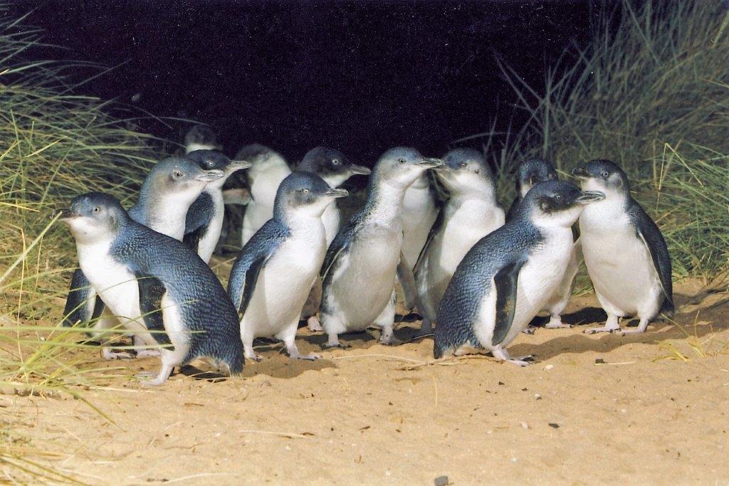
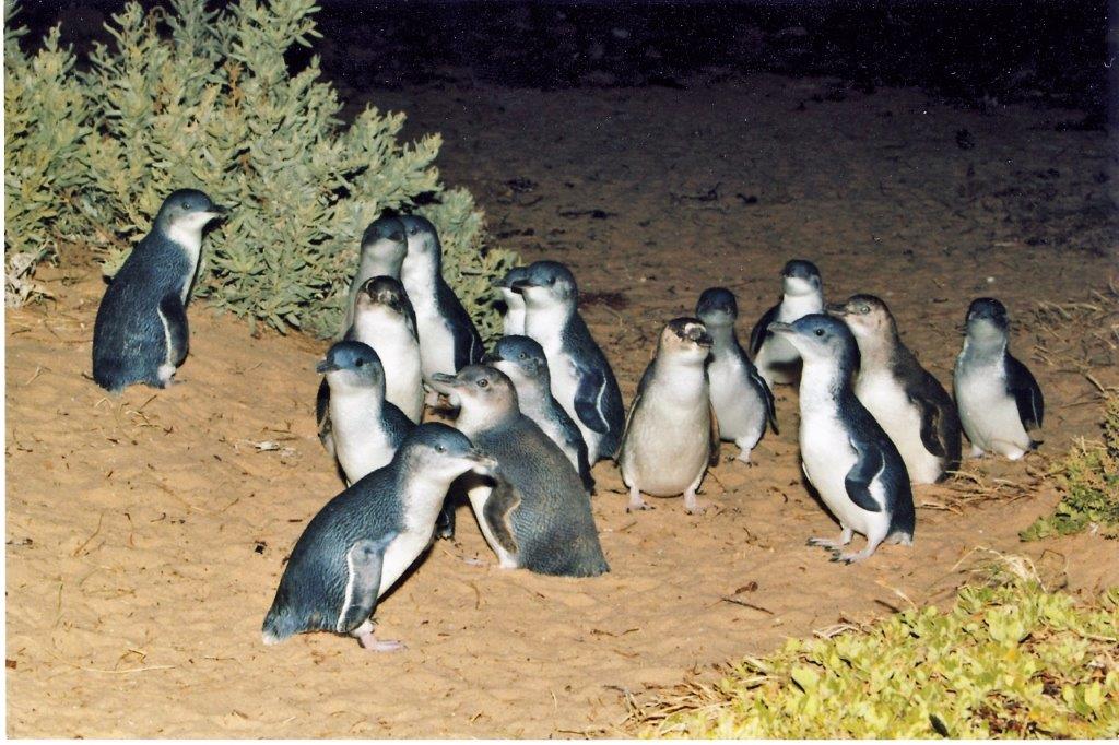
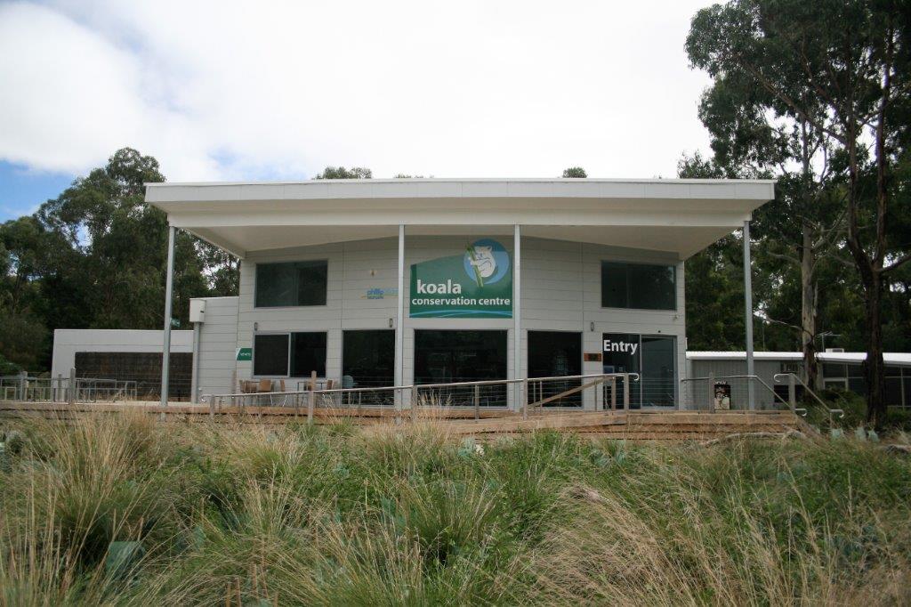
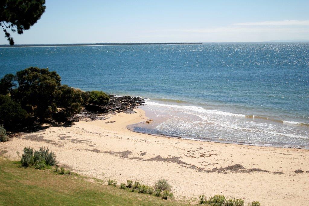
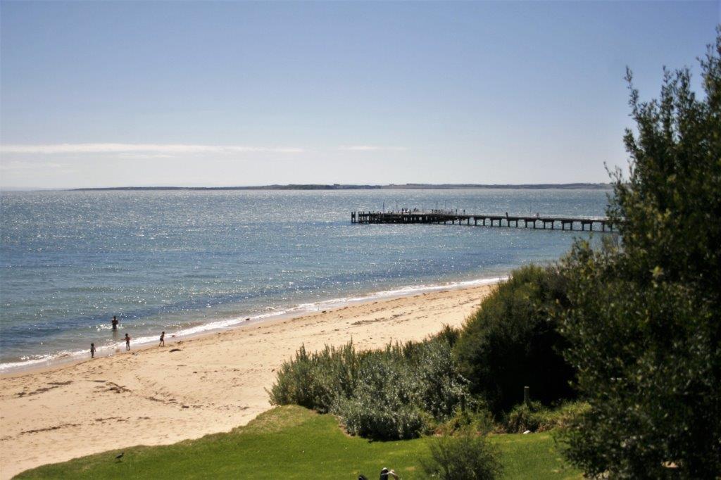
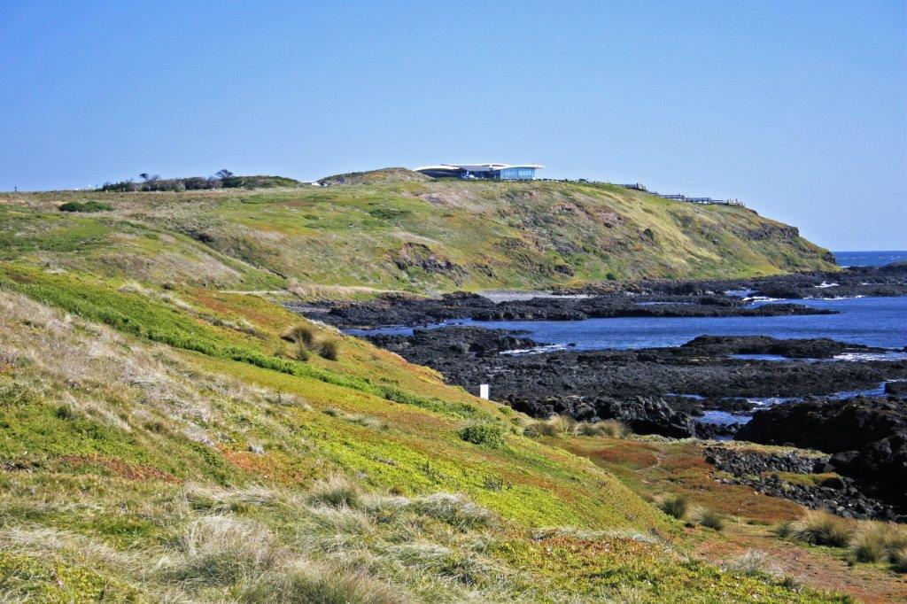
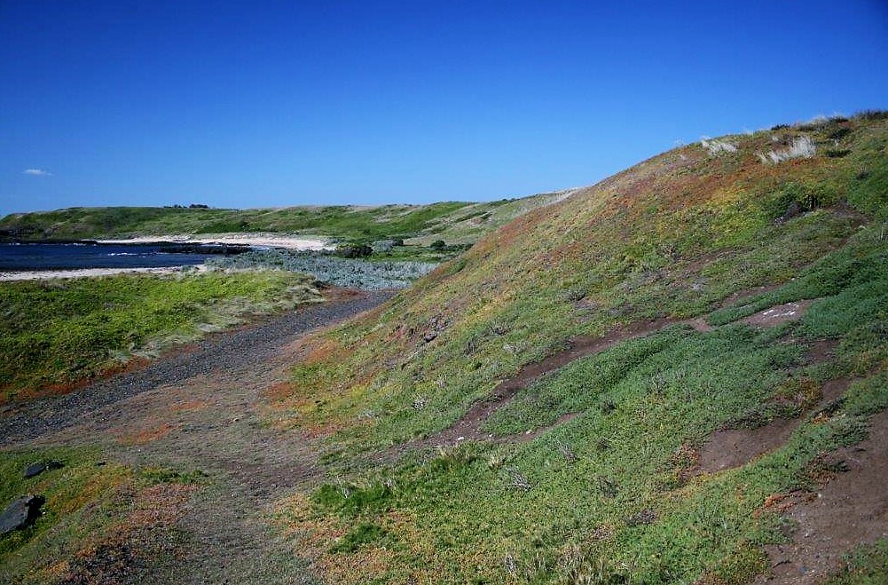
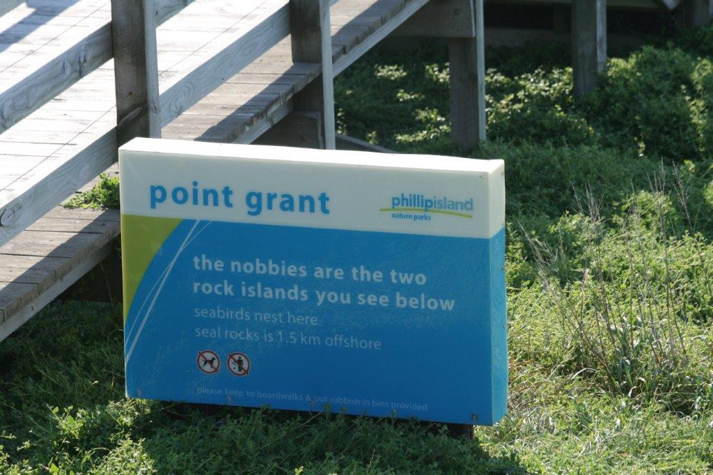
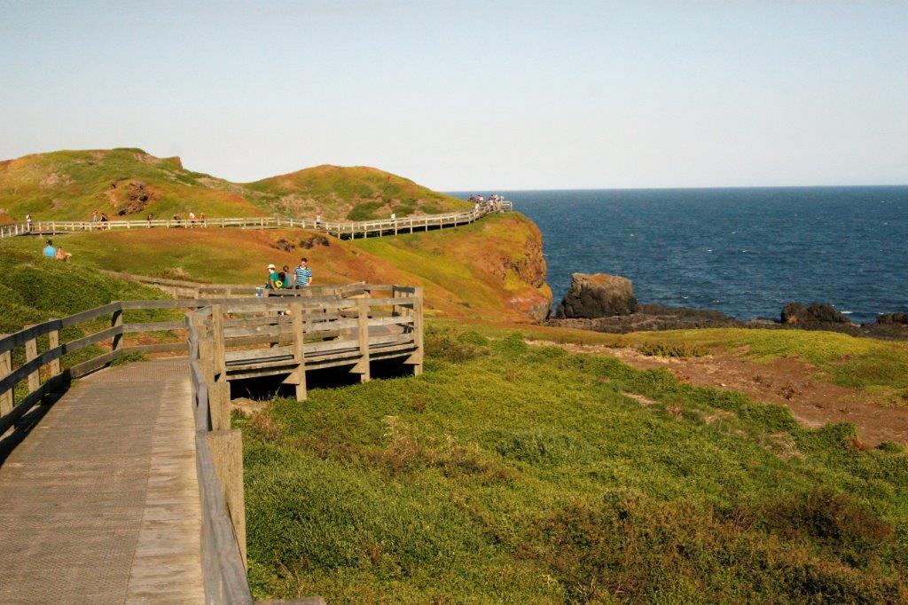
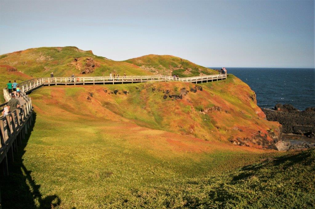
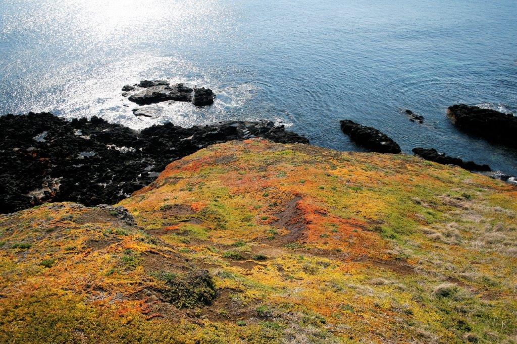
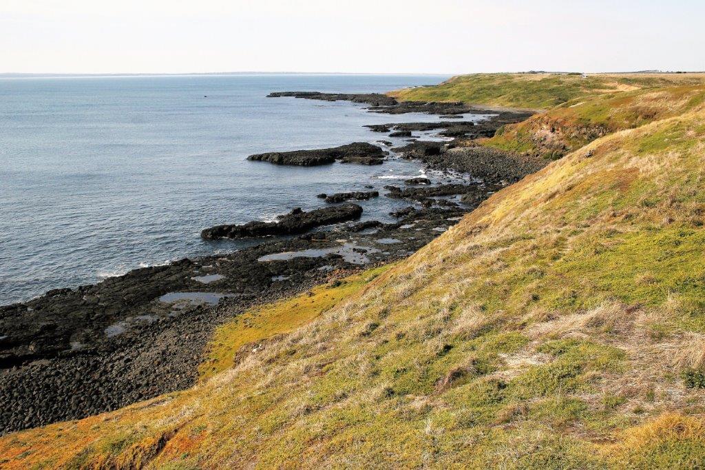
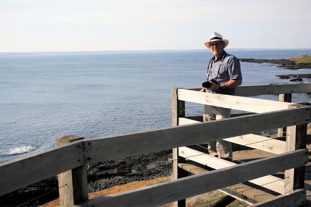
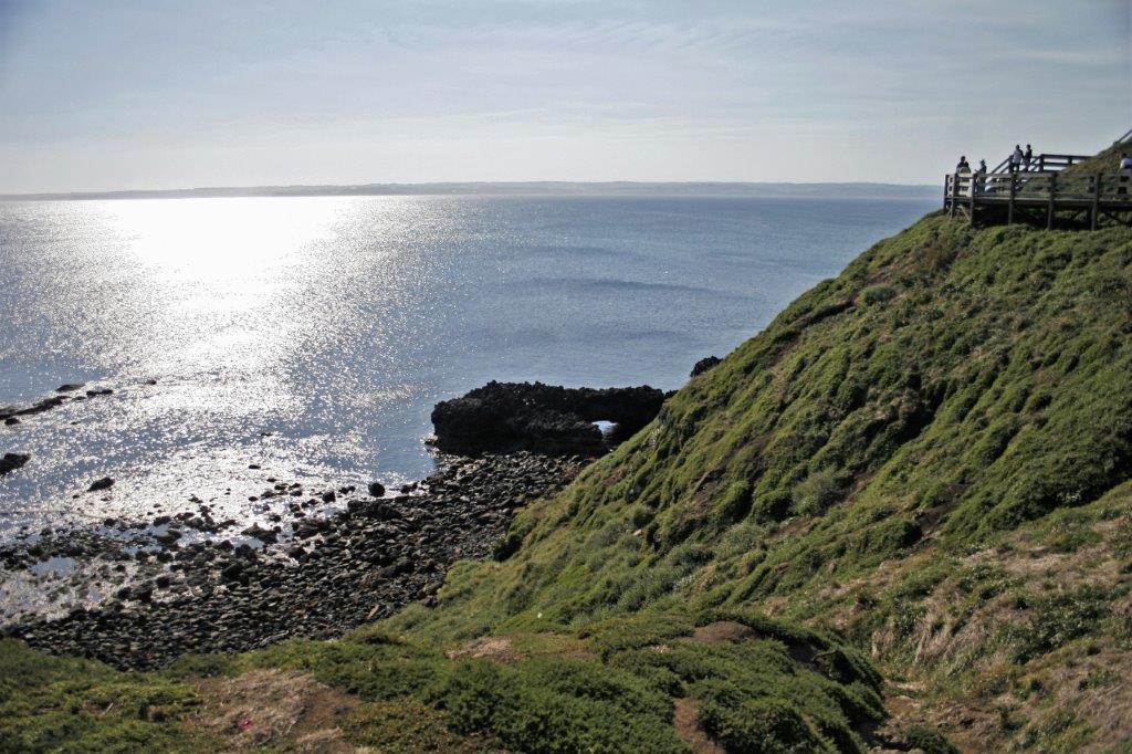
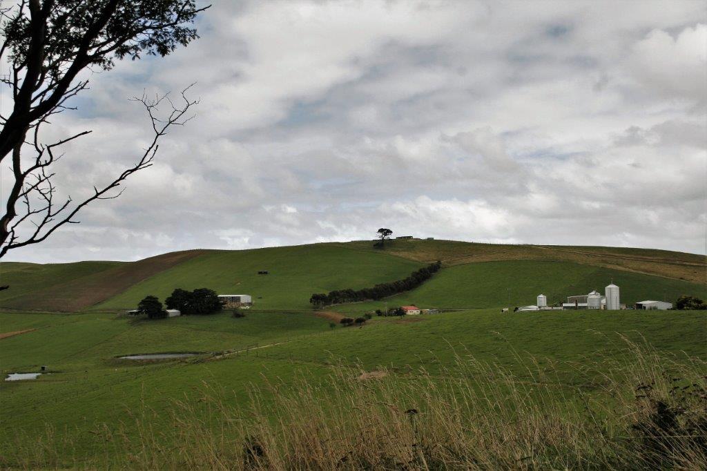
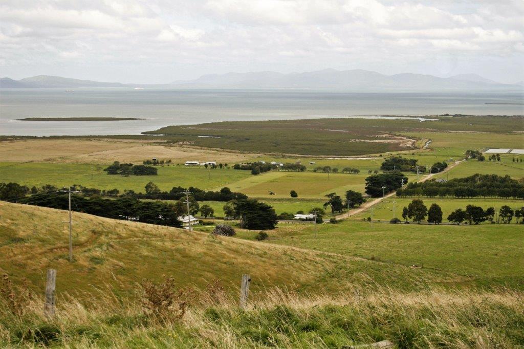
We could see the Nobbies Nature Center in the distance.

When we got down to the rocks I felt too lazy to walk the long way around the hill back up to the carpark and there was a trail that went straight up through the grass to the top.  We decided to take the steeper, but shorter, route and headed up hill.  About half-way up the trail disappeared and we had to tromp through tall grass the rest of the way.  It occured to me after a few steps that Australia is home to a lot of very venomous snakes and clambering through thick clumpy grass might not be a good idea.  Thankfully we both arrived at the car unscathed.

From Red Rock Point we drove to Point Grant at the western tip of Phillip Island and the Nobbies Nature Center.  There is an extensive network of boardwalks all around the point. After we read the above sign were were very thankful we had not encounter one of their ‘shy snakes’ when walking up the hill at Red Rock.

We even spotted several baby Fairy Penguins hiding in holes or under the boardwalk waiting for mom or dad to return from the ocean with dinner.  The adults are only about 6-7 inches tall and weigh two or three pounds so you can imagine how small the fluffy babies were. About a kilometer offshore is Seal Rock, home to Australia’s largest colony of fur seals.

As we left the Nobbies we stopped at the Visitor’s Center and purchased a three-part ticket that allowed us entry to the Penguin Parade, the Koala Conservation, and the Churchill Island Heritage Farm, all three of which we planned to visit during our week.

Then it was back to the cabin, dinner, photos, email, and bed.  The next day we drove to Melbourne, 141 km (87 miles) away.

2011 March 4 – Day 58 – Sale to Cowes, Phillip Island, Australia

March 2 when we left Eden and before we did the Drummer Rainforest Walk we crossed the state border from New South Wales into Victoria, the most southerly state in the country.  We were still travelling the Princes Highway, more or less, with diversions here and there.  The Princes Highway goes from Sydney to Melbourne and cuts across the bottom bump of east Australia.  Our destination this day was Cowes, a small town on Phillip Island which is accessible to the mainland via a short bridge.  Before we left on our trip John had booked a time share week there in a holiday cabin.  To get to Phillip Island we had to leave the Princes Highway and go south from Traralgon as far as Albertson, then go west again on Highway B440.

The driving distance from Sale to Cowes is just over 200 km (125 miles) so we did not have to hurry.  We did have to check in before 5 though so there was a bit of a time limit on our wanderings.                     More of the burned forest from a few years before.

We drove through the Tarra-Bulga National Park as we went south and did the Tree Fern Gully Walk.  It had rained overnight so all the vegetation was a lovely green.  I love tree ferns. They are awesome.
                                Tree Ferns are awesome.                       Green moss, and plants and trees and roots.  The Tarra Falls are like a long slide down a rock face.  Almost impossible to photograph with the downward/crossways slope so I have done an awkward zigzag stitch.

At Albertson we turned west and drove along  the South Gippsland Highway (B440) to Welshpool where we decided to do the Agnes Falls loop road to see the tallest single drop falls in Victoria at 59 meters (194′). We were driving through beautiful green, rolling farmland with many dairy herds.  There was nothing to indicate a tall waterfall could be in the vicinity.  Then, all of sudden there was a deep, deep rock cliff gorge with a mulit-stream waterfall plunging down from a shallow pool.  About a 1/2 mile from the waterfall the gorge evens out to join the rolling hills again.  Very cool! You couldn’t see the entire drop due to the vegetation along the sides of the gorge, but it was a very pretty waterfall nonetheless.

A photo stop at Silcock’s Hill Lookout completed our touristing for the day. We arrived at the Bayview Apartments at 4:30 and checked in to our cabin.  There were only seven units and it was an older complex but it was quiet, very clean, and our place had just been reno’d with new paint, flooring, and furniture. We were the first occupants since the upgrades.

For the first time since January 3 we had to buy groceries for our dinner, cook and do the dishes!  That was a shock.

2011 March 3 – Day 57 – Orbost to Sale, Australia

When we are on road trips it is our habit to stop at Visitor Information Centers to pick up brochures and maps so I can get ideas for what things and places we want to see.  We intended to visit the little slab hut at Orbost before we left town but it was closed.  Since the seasons in Australia are opposite to ours in Canada, February is the beginning of the school year so it is ‘off season’ for tourists and the center was closed.  It was a cute building though.

We had woken early (well, early for us  – 7:30) so we could get on the road as we had a 50-60 km drive inland to Buchan Caves.

There had been some major fires in this area the previous year so we saw lots of burned forests as we drove along.The first tour for Royal Cave started at 10 and we arrived at 9:30 so we were able to book the tours for both Royal and Fairy Cave.  There were only nine of us in the group so it gave us a little more time to see things.

In many places there was no room to spare on the paths.  This was the first cave we had toured that allowed photographs so we were happy to click away.  It is the flash they don’t like since it can damage the micro-organisms in living caves.  Our digital SLR cameras have a high enough ISO that we can take pics without flash but the colour isn’t very true.  Being allowed to use flash inside a cave was a unique experience. The temperature was a constant 17°C (almost 63°F) with 90% humidity so we were very comfortable in our shirtsleeves. This was our first encounter with ‘bacon,’ the formation that very closely resembles a piece of bacon hanging from the ceiling. After 45 minutes walking through Royal Cave we entered Fairy Cave for another 45 minute tour.                                       More bacon

 As is normal for a lot of cave systems, the landscape outside would never have you thinking that there was a cave hiding in the hillside.

 We had driven up to the caves through a town called Nowra Nowra (I love the Australian place names) and just before we got there again on our way back to the Princes Highway we took a 3 km detour to see the 1916 Stony Creek Trestle bridge.  It was damaged in a fire in the 1940s and is no longer used, but it is 35-40′ high; which, of course, one must climb.


Back on the highway it wasn’t too far to the community of Lakes Entrance.  We took a walk to see some of the chainsaw carvings that commemorate WWI soldiers and services. There was also a really nice sand sculpture with amazing details. At Jemmies Point we stopped to photograph the view. Our stop in Bairnsdale was a successful map and brochure collection place.  We also took some time to look at St. Mary’s Catholic Church which has gorgeous hand-painted walls and ceiling.  Absolutely stunning!

There was a clock museum in town but it was also a retail store so no photos.  Really cool clocks though.  They had a great sign:After a few miss turns we found the road to the silt jetties at Eagle Point.  They have been created by the ocean waves leaving silt behind.  We drove straight down the middle of one of the jetties which was just a bit wider than our car.   On the way back John drove over a Brown Snake sunning itself on the road; which happens to a lot of brown snakes we later learned. He wanted to miss it but there was no where to go on such a narrow road.  He felt bad as he doesn’t like to hit animals, but the Eastern Brown snake is the second most venomous snake in the world and over 60% of Australia’s snake bite deaths are caused by them, which meant the local folks wouldn’t have been very upset. Back on the highway once again we completed the final 62 km to Sale where we spent the night.

2011 March 2 – Day 56 – Eden to Orbost, Australia

We were up and on the road by 9 am, although we didn’t go very far.  Eden is home to the Killer Whale Museum, much of which tells the story of John’s mother’s cousin Robyn’s family (the Davidson’s) during the mid-1900s.  After the Great Depression Robyn’s uncles and father were whalers out of Twofold Bay in Eden and the remains of their old whaling station is now a national park. A lookout in Boyd Tower would spot a whale in the Bay, holler “Rusho,” and everyone would scramble for their boats.  The men would go out in 32′ rowboats oared by five guys.  There were two or three whaling crews working in the bay and the rule was that the first boat to harpoon the whale claimed the whale even if other boat crews helped to finish it off.  It only became the property of a second boat crew if the first boat’s harpoon came loose from the whale.

They would kill about 5-6 whales per year, usually Humpback or Right whales. And they had assistance from an unlikely source; a pod of Killer whales.  The Killers would work together to keep the Humpback in the bay and prevent it from diving into the water by biting it and harassing it until it was to tired to flee and the boat crew harpooned it. If the Davidson men were out whaling Old Tom and his whales would work for no other boat. The whalers would leave the dead whale to sink in the bay for the Killer Whales who only eat the soft tissue of the tongue (four tonnes), lips and soft throat tissue.  After the Killers had eaten what they wanted the dead whale would fill with gas and float to the surface where the men would haul it by rowboat to shore,

After we left the museum we drove to the site of the Davidson Whaling Station Park at Twofold Bay to see the restored old house and the Try Works where they boiled down the blubber to make oil to sell.  One whale would net about 500 pounds of oil.  Lovely Amaryllis blooming in the yard. A short distance up another fork in the road brought us to the path to Boyd Tower. Boyd was another of the Eden area whalers.  He had come from England to Australian with the intention of building an empire.  He became the largest land owner and business owner in the area within two or three years.  He designed and built an elaborate house (now a hotel), a town called Boydtown which was never finished but still exists (although we must have missed the turn-off or something because we didn’t find it), and Boyd Tower.The tower was built of sandstone brought at great expense from Sydney.  Boyd intended the tower to be a lighthouse to prevent the loss of any of his ships,  however the government did not approve the tower as a suitable lighthouse so it was only lit three times as a temporary light while awaiting the official approval that did not come.  The tower became a lookout post for the whalers.  It was never completed inside.

The shore at Boyd Tower had some spectacular red rocks being constantly crashed by big waves. Twofold Bay

As we continued down the coast we stopped to do the Drummer Rainforest Walk through a eucalyptus grove.  In Australia eucalyptus are called Gum Trees and they are huge!  Eucalyptus are the tallest flowering trees in the world: only the California Redwood, which is a conifer, is a larger tree. Very mossy, lush vegetation reflecting in the pool.

We stopped at Orbost for the night after travelling about 200 km.  Chalk up another great day down under.