Day 5 – Jan 15 – South Lake Tahoe, CA to Lone Pine, CA
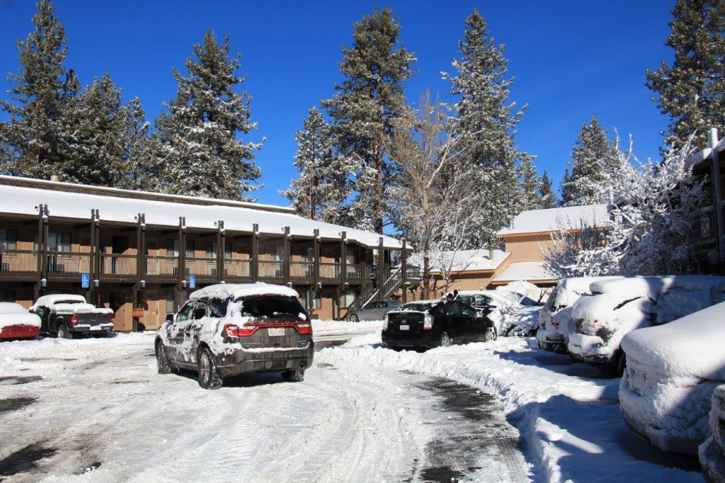
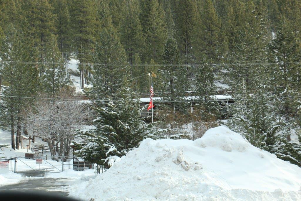
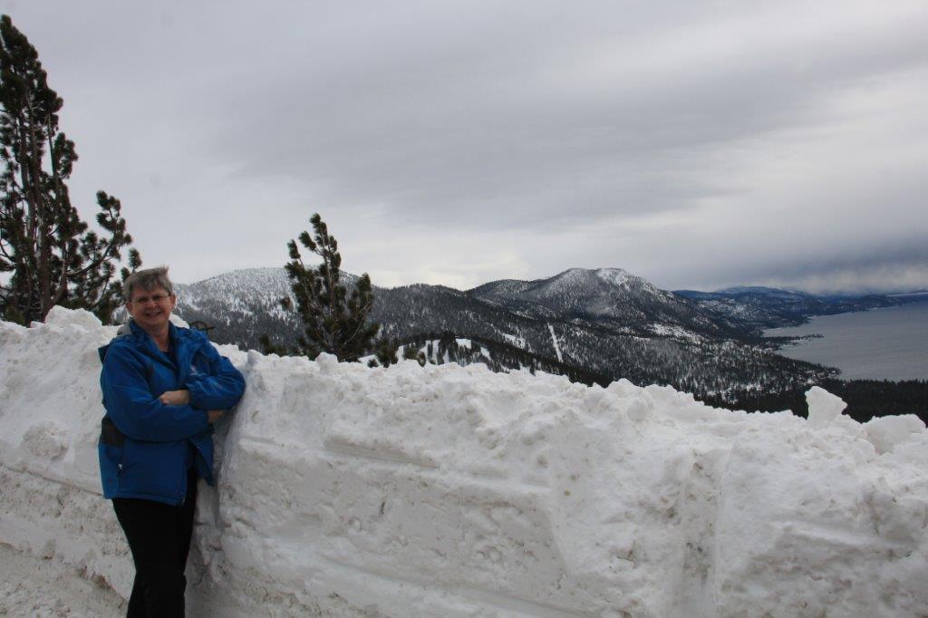
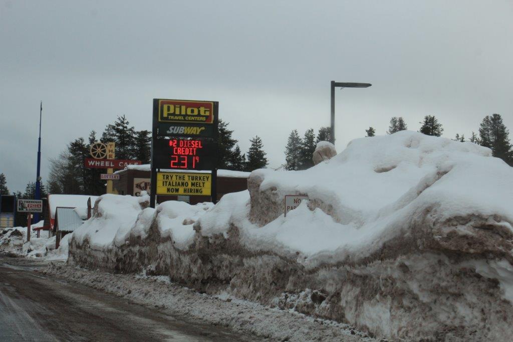
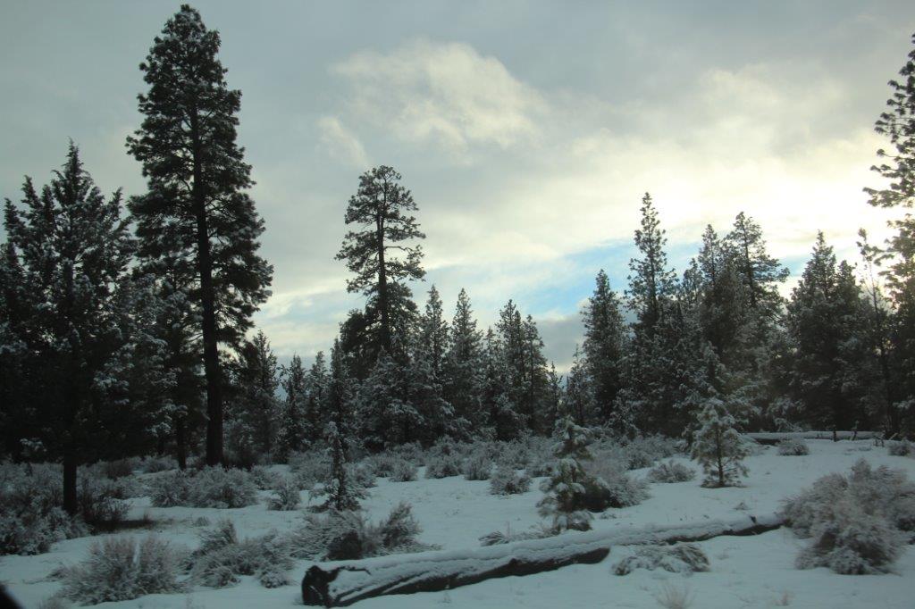
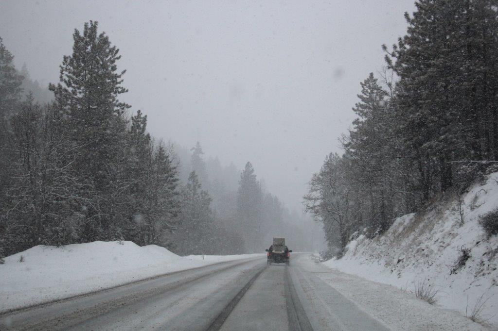
We stopped in South Lake Tahoe last night during blowing snow and spent a bit of time in our hotel room before going out to find dinner. In that short amount of time the truck had accumulated about 5 inches of snow. It stopped while we were at dinner but we woke this morning to an absolutely gorgeous winter wonderland and another 6 inches of snow on the truck.
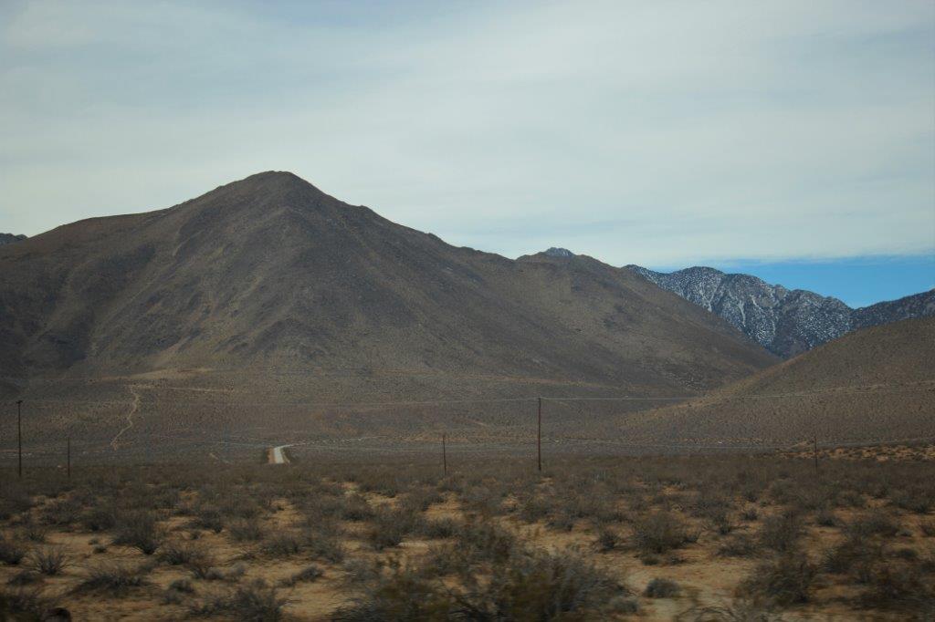
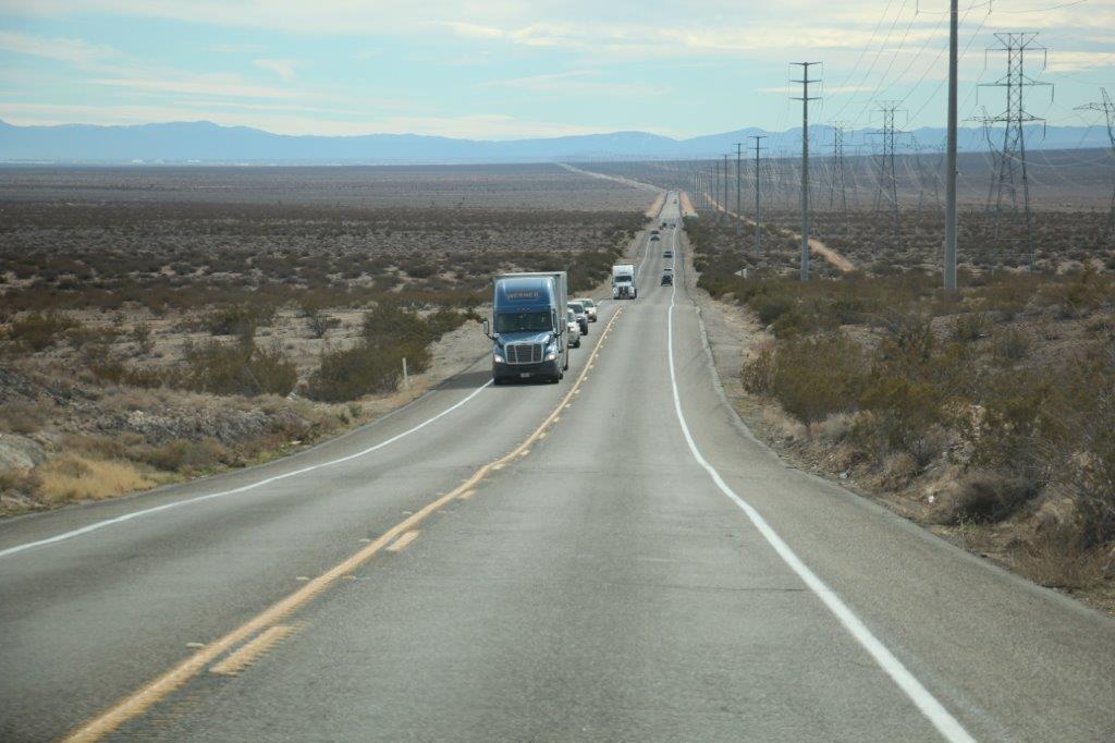
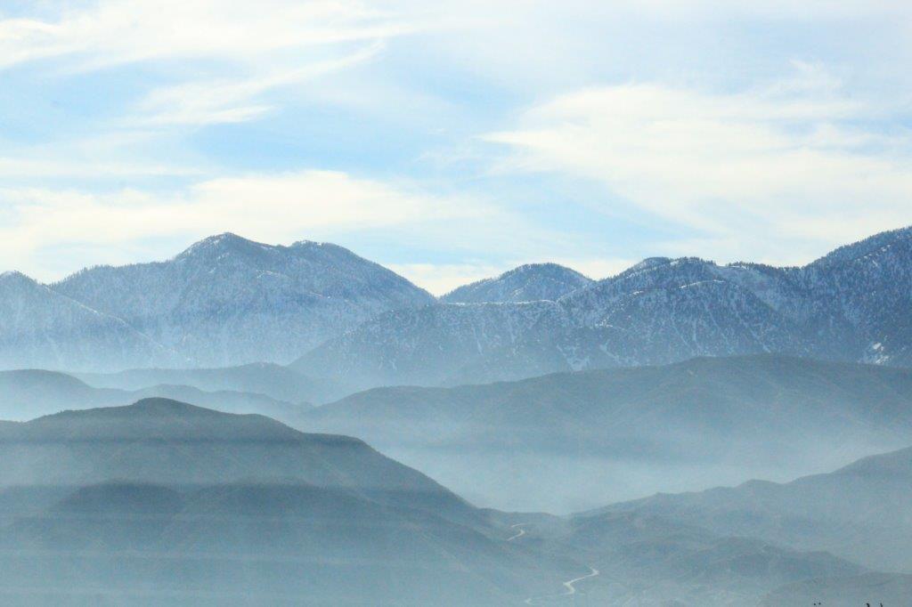
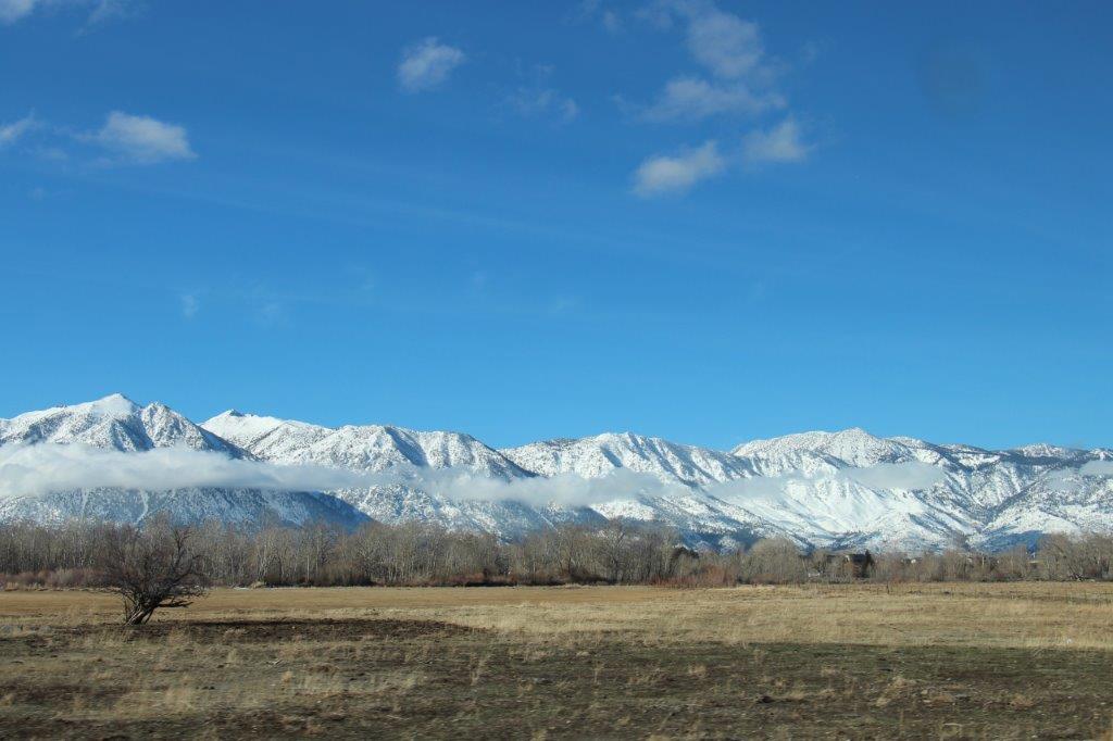
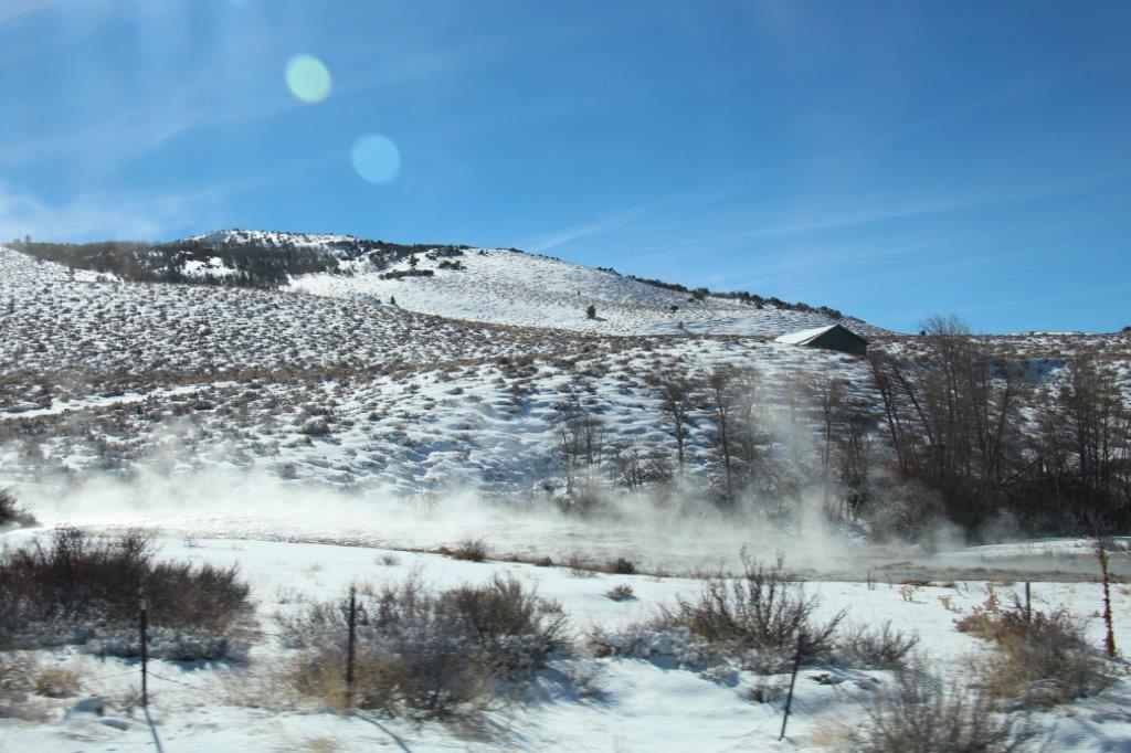
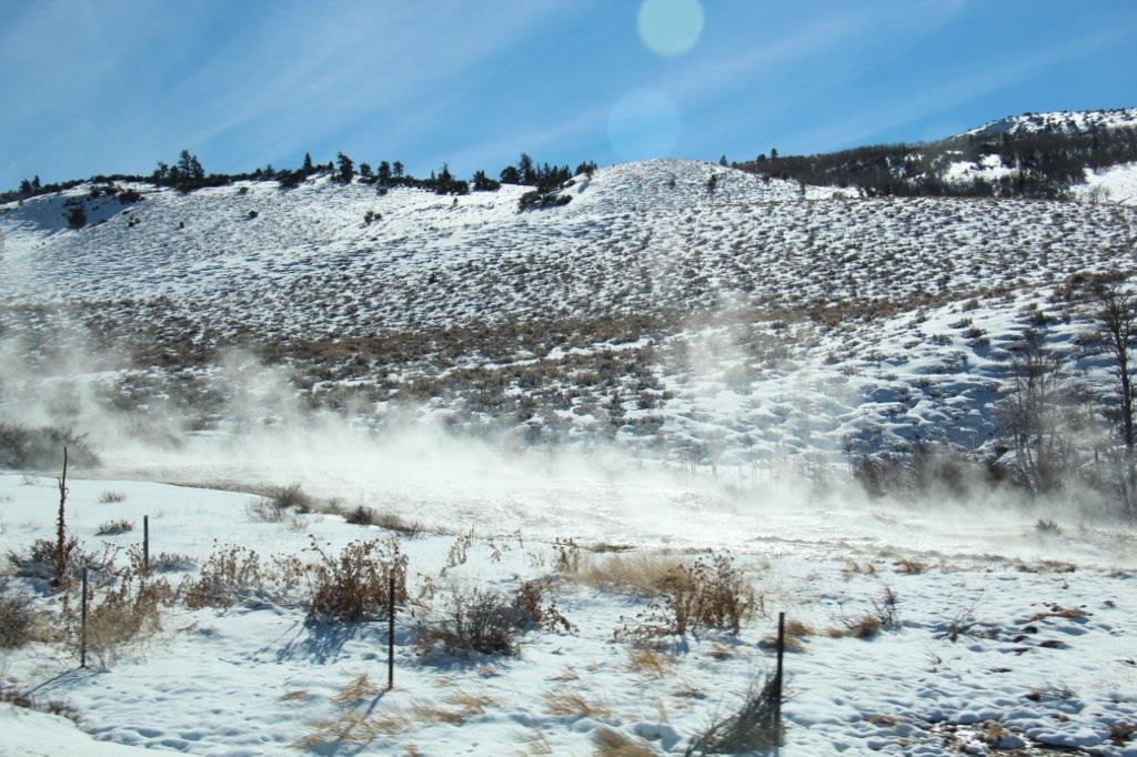
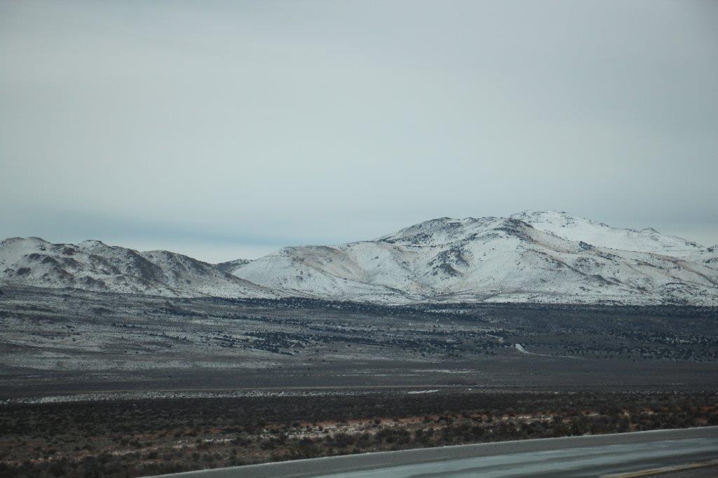
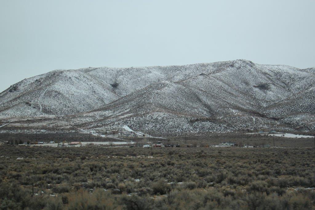
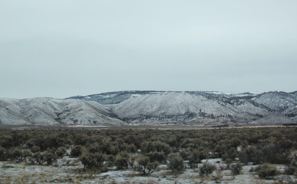
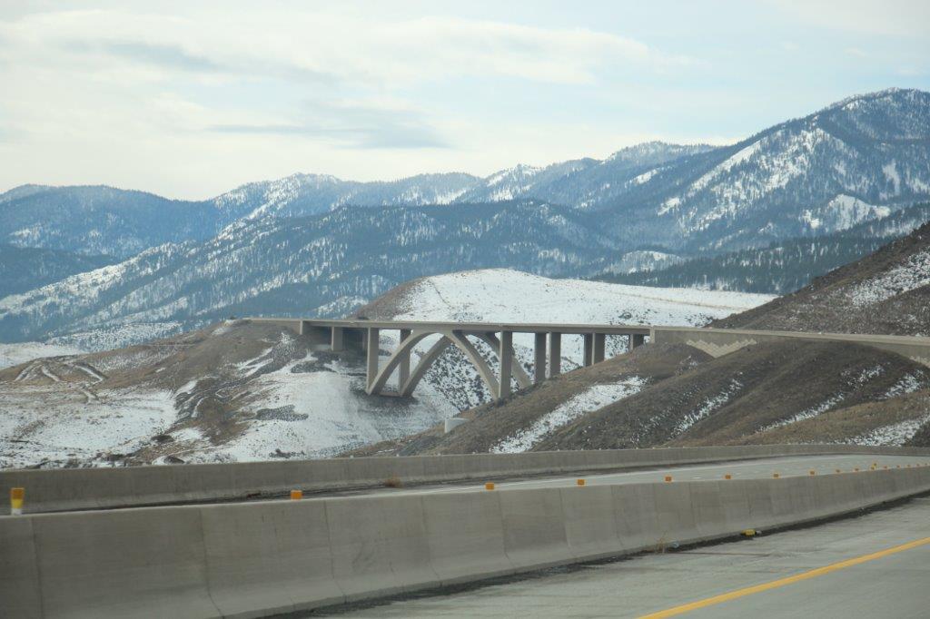
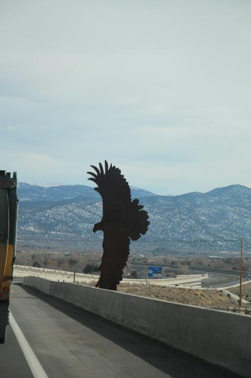
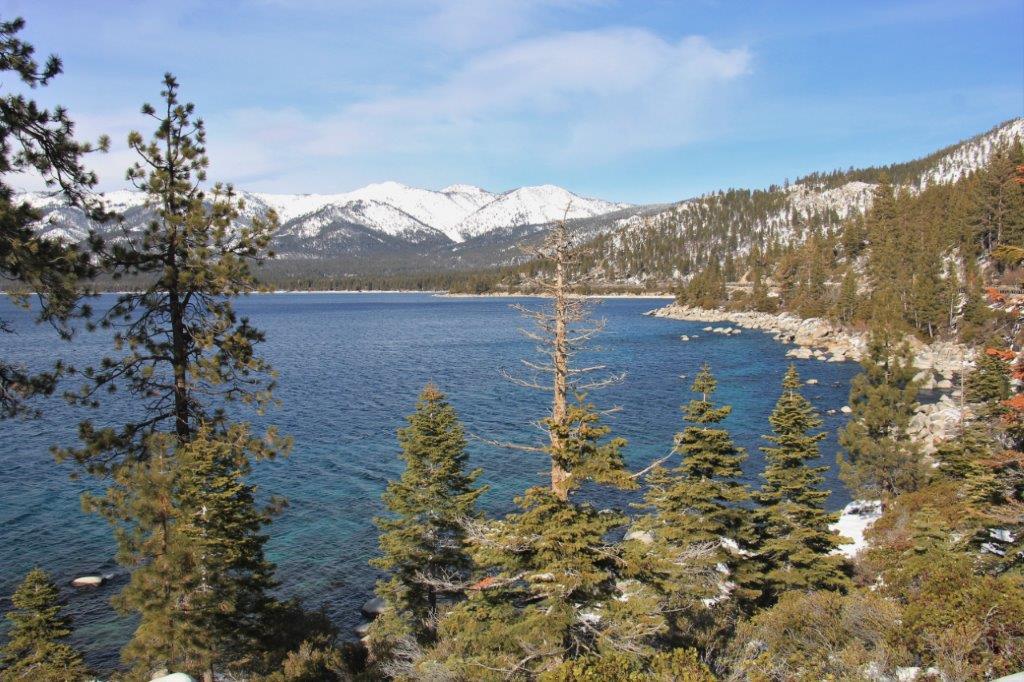
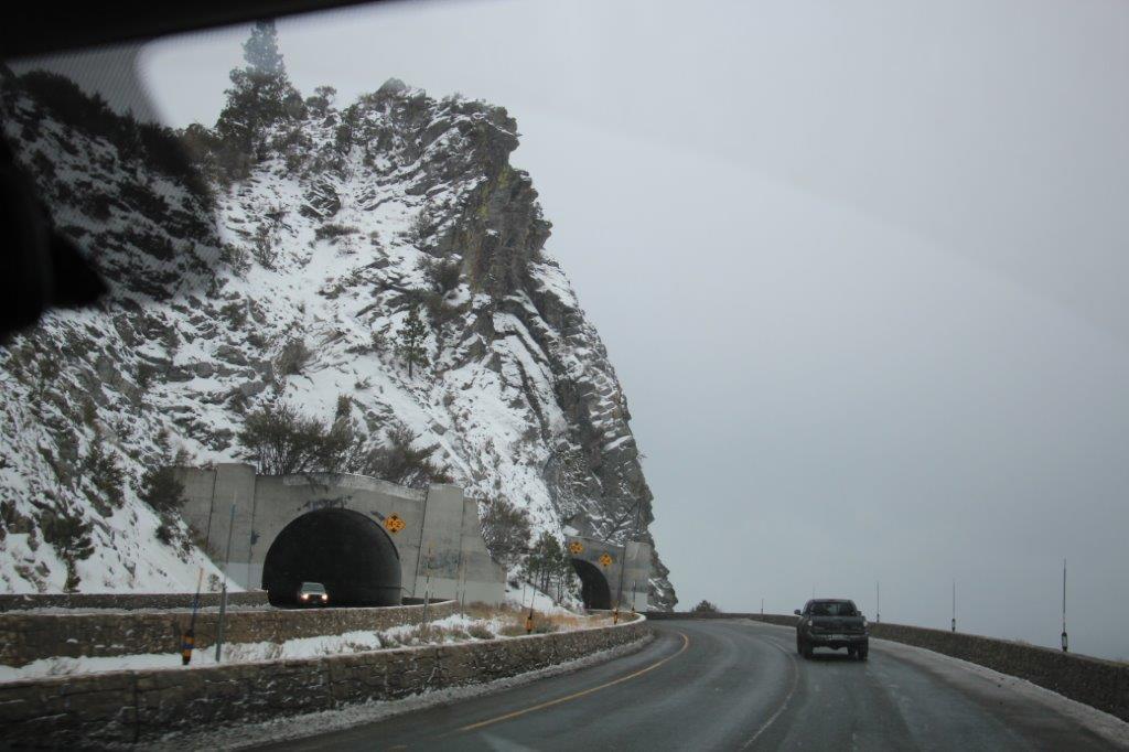
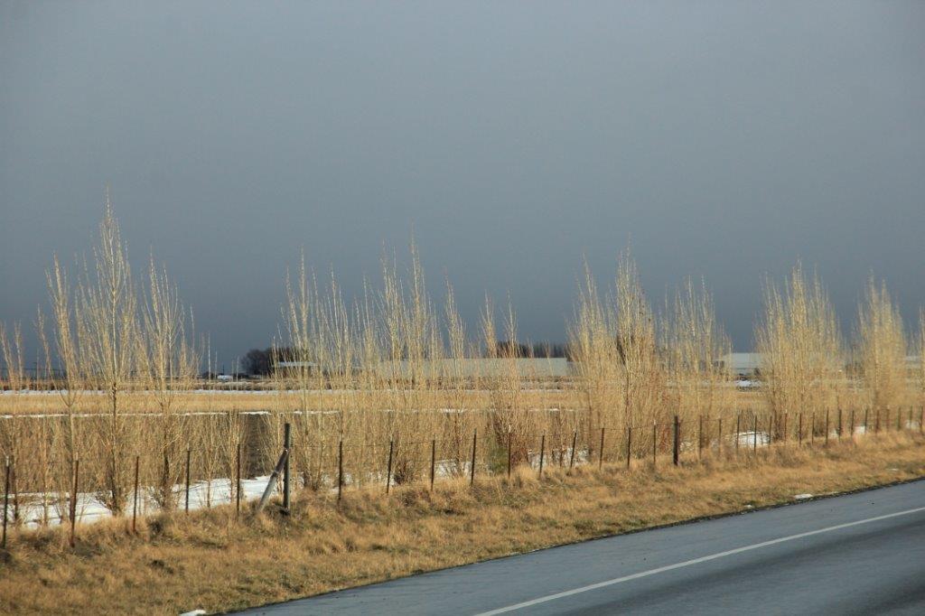
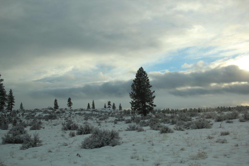
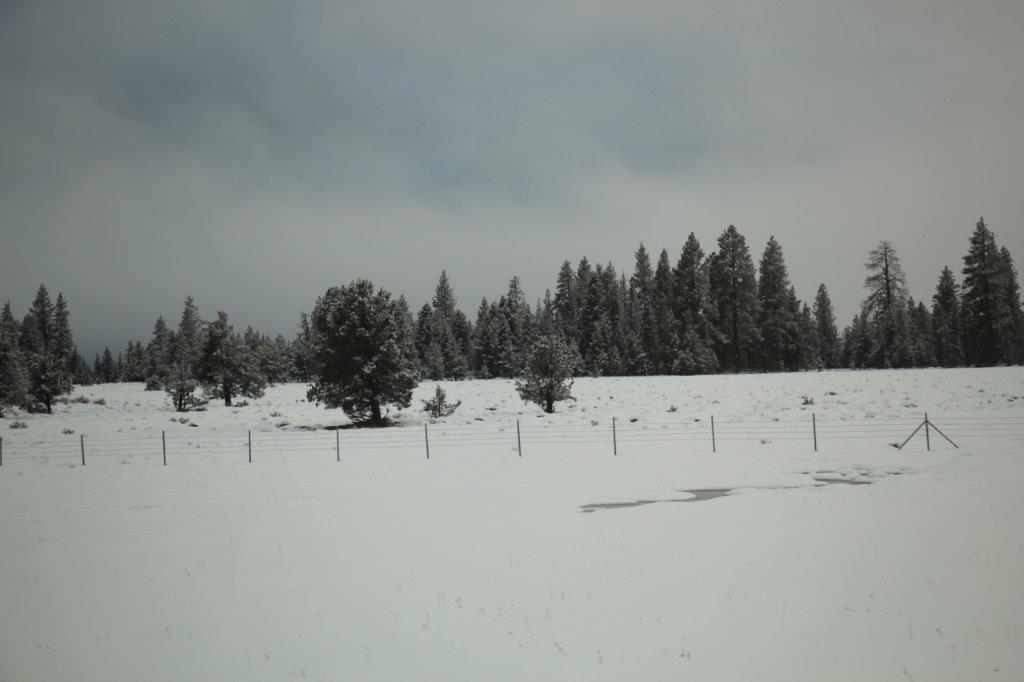
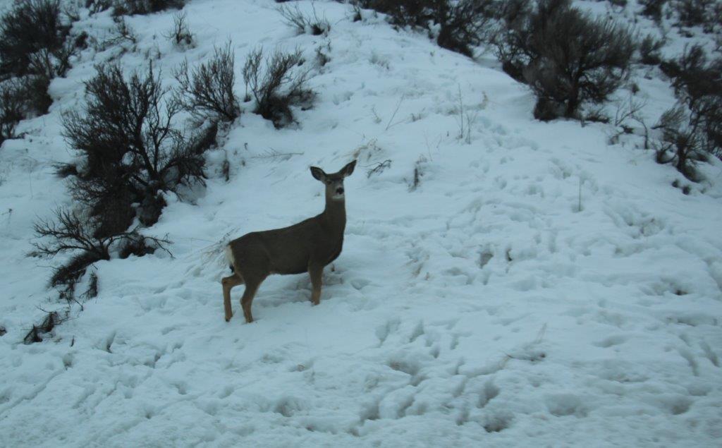
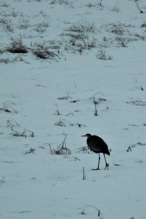
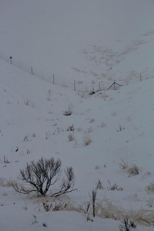
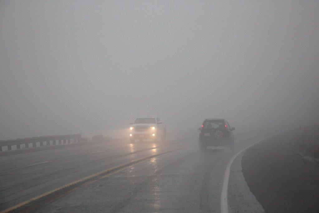
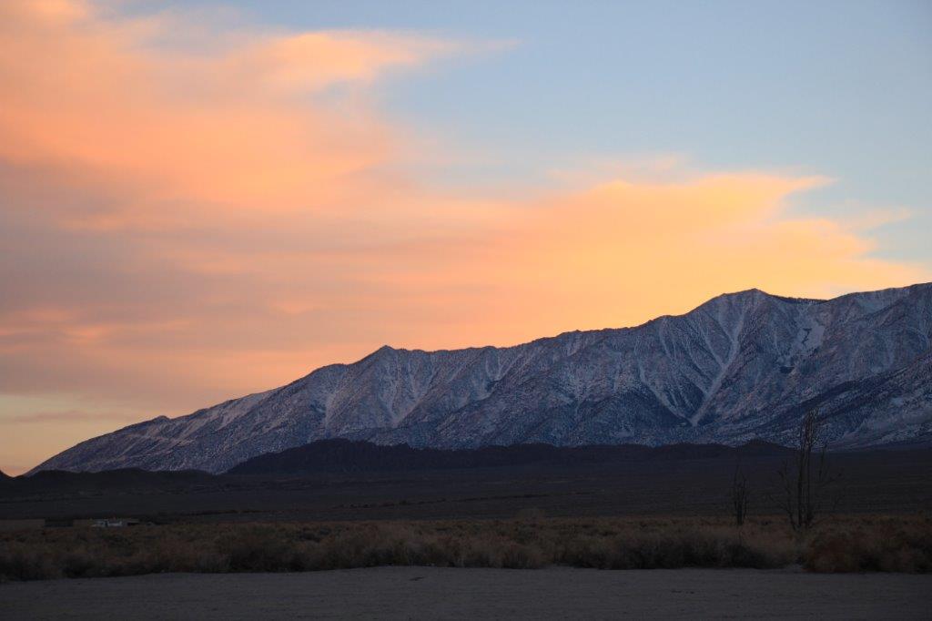
The highway pass on Route 207 out of Lake Tahoe was bare and wet all the way over the mountain and back to Highway 395. I clicked photos of blue sky and snow covered mountains and sage brush for most of the morning.

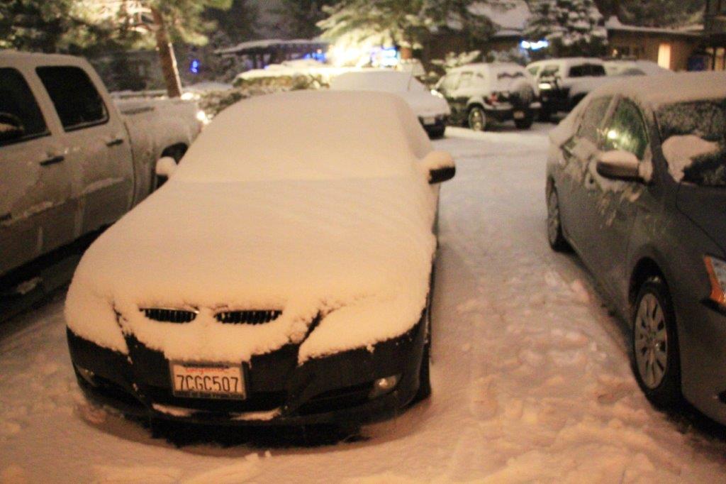
This car was parked beside our truck when we came back from dinner – just to show the amount of snow, since we had cleaned the truck off already.

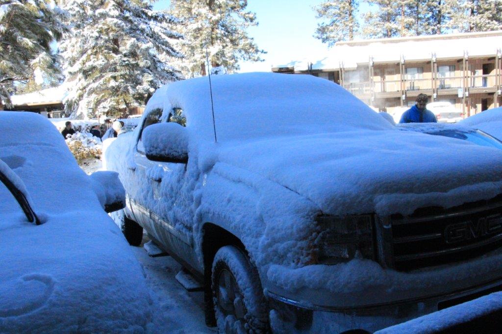
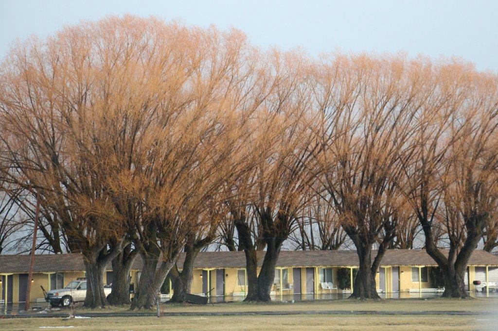
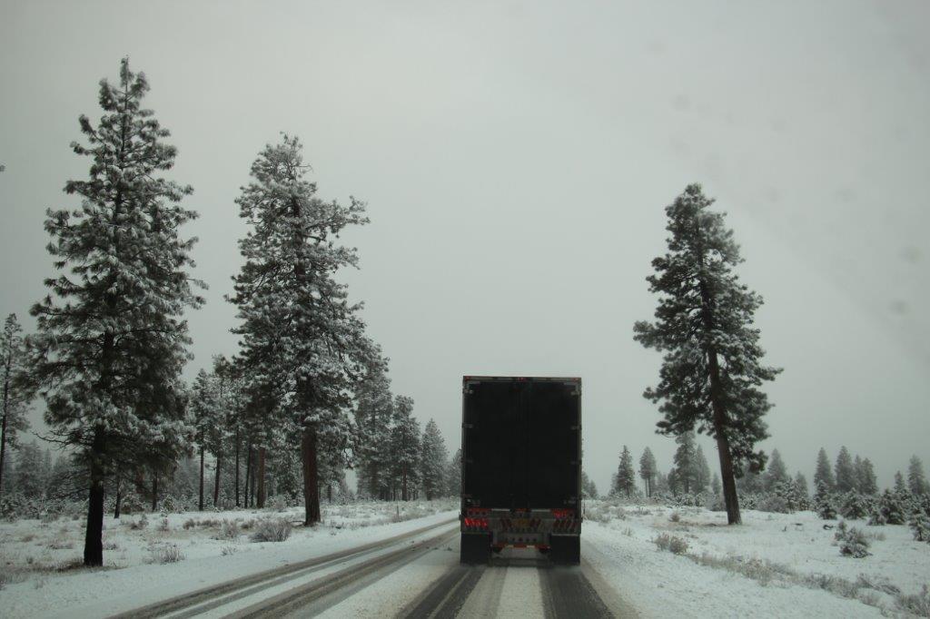
This is the truck in the morning with another layer of snow on it. Really nice powder too. This is a long weekend in the US so the ski resorts will be very busy.


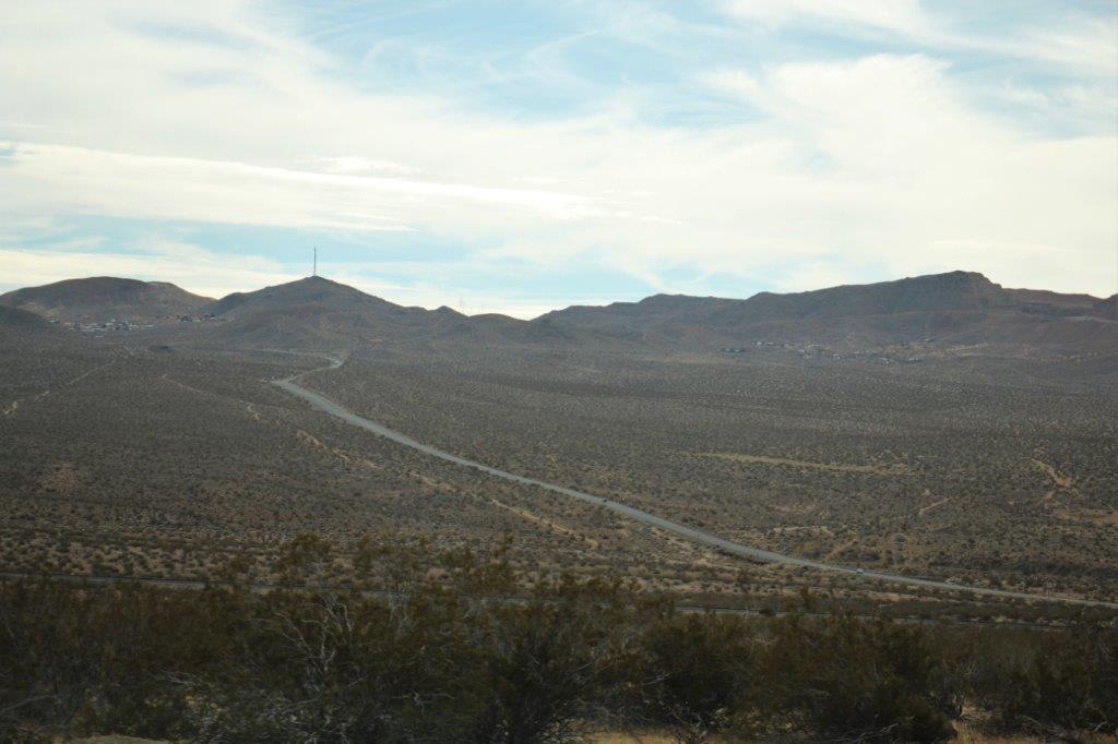
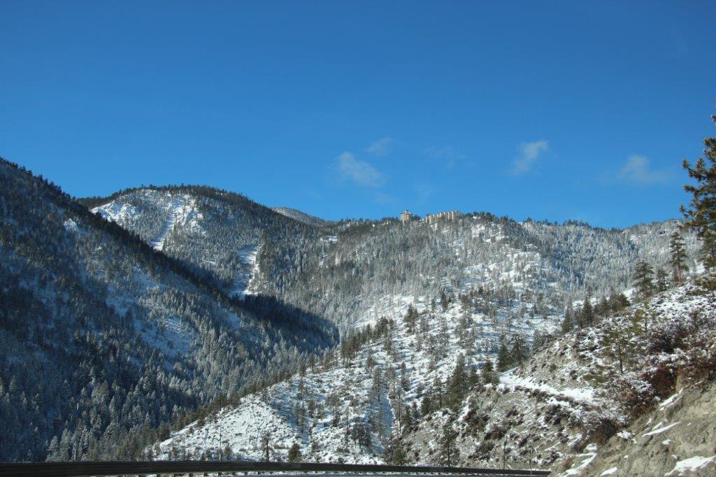
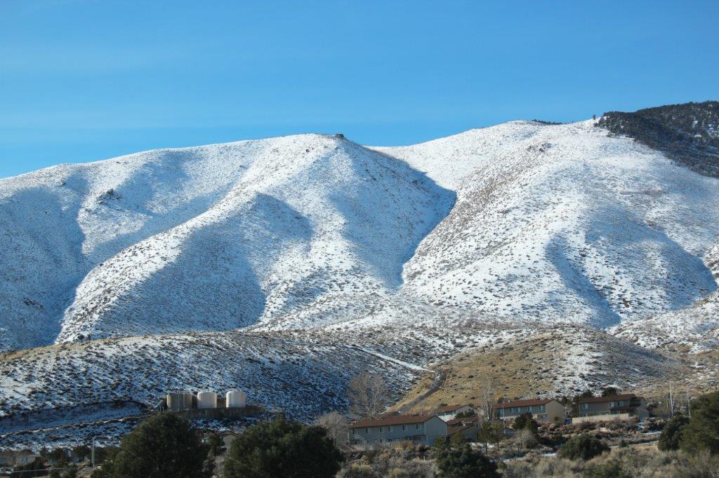
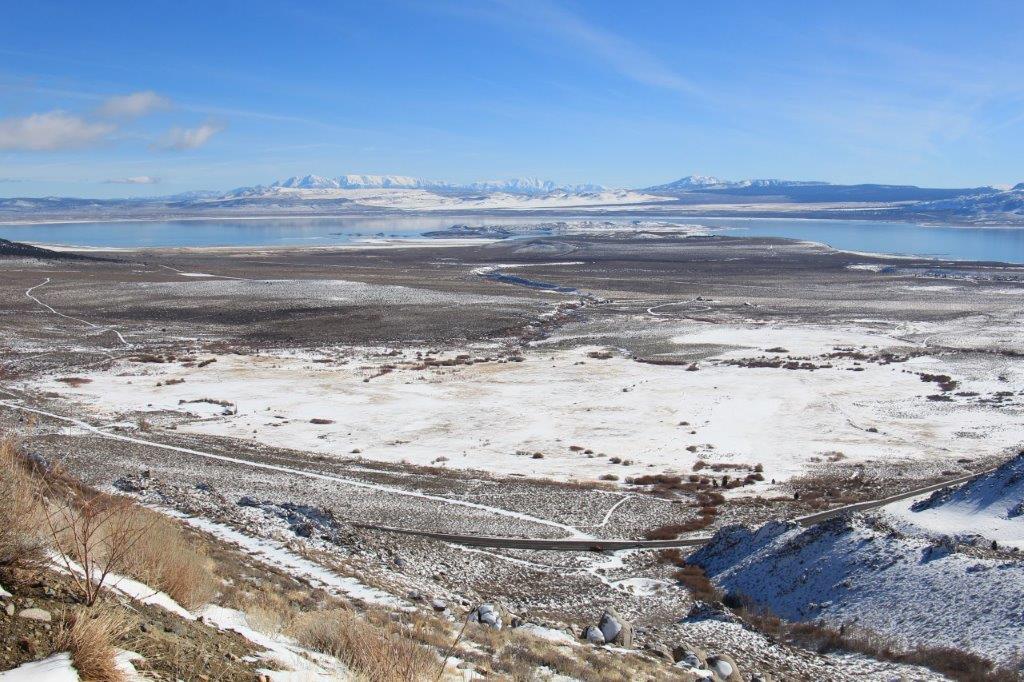
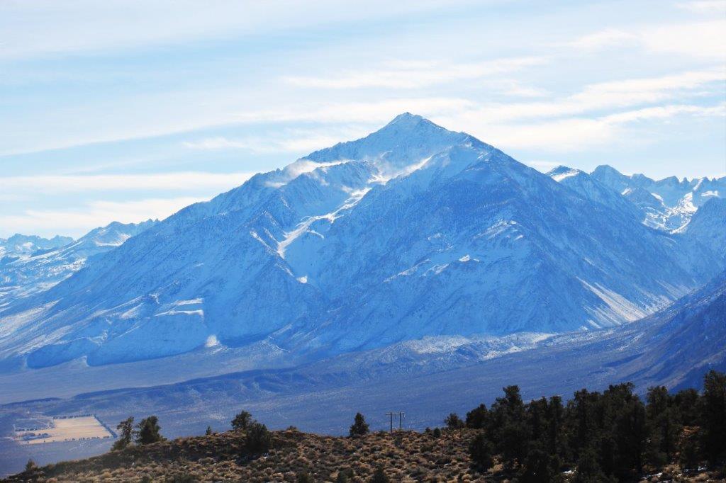
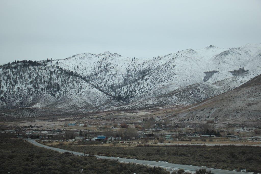
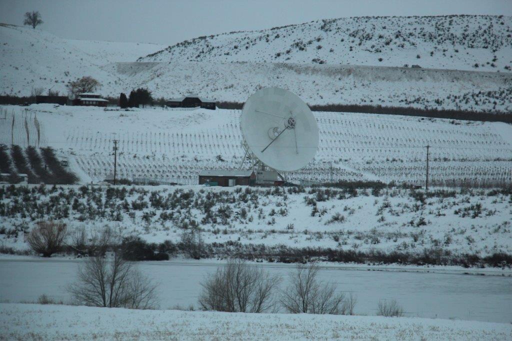
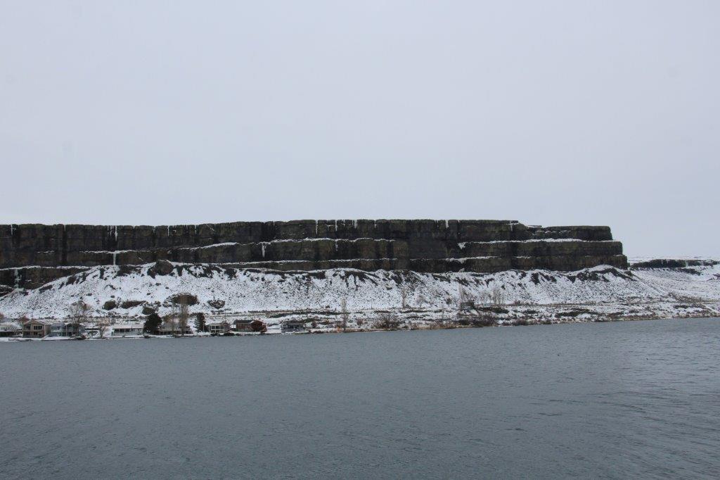
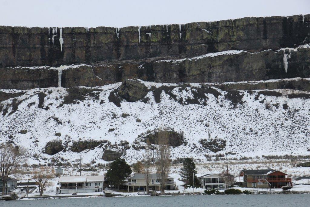
Can you see the buildings right up on top of the mountain? 
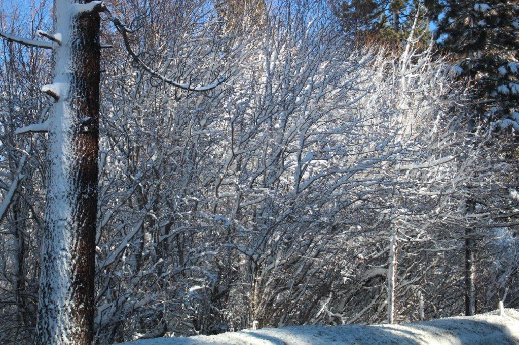
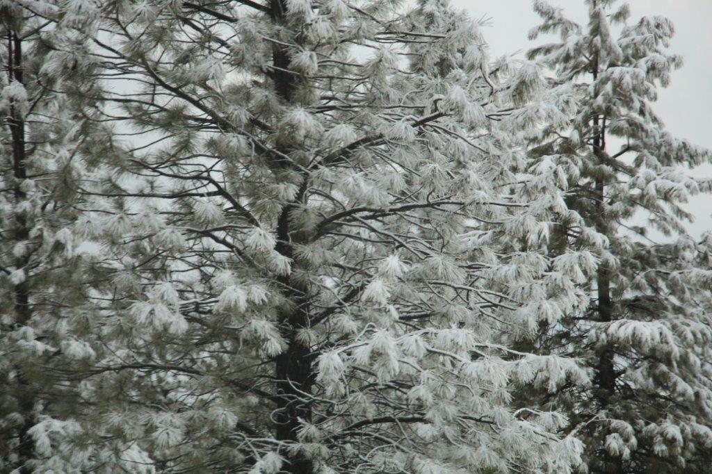
A winter wonderland indeed.
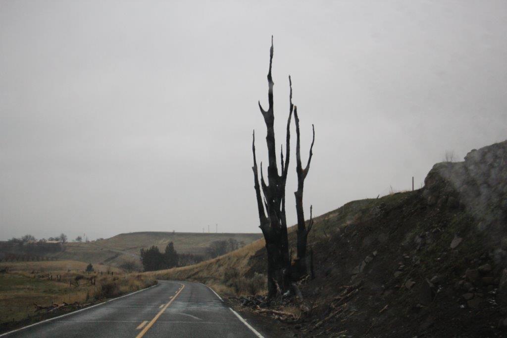
We passed Topaz Lake and, just north of Bridgeport, there was steam rising from a natural hot spring.


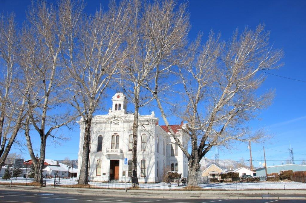
 John stopped the truck and took this nice shot of the Bridgeport Court House for me.

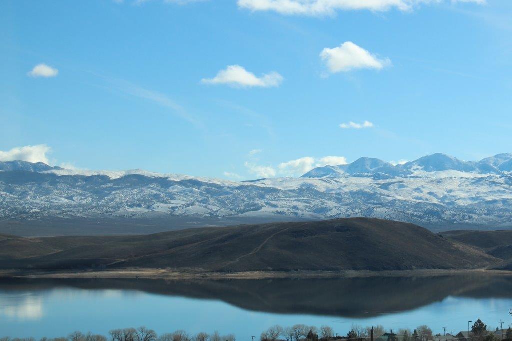
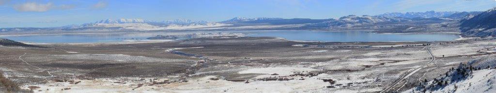
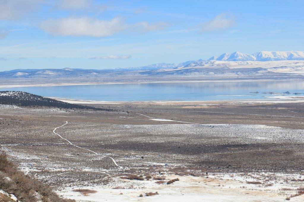
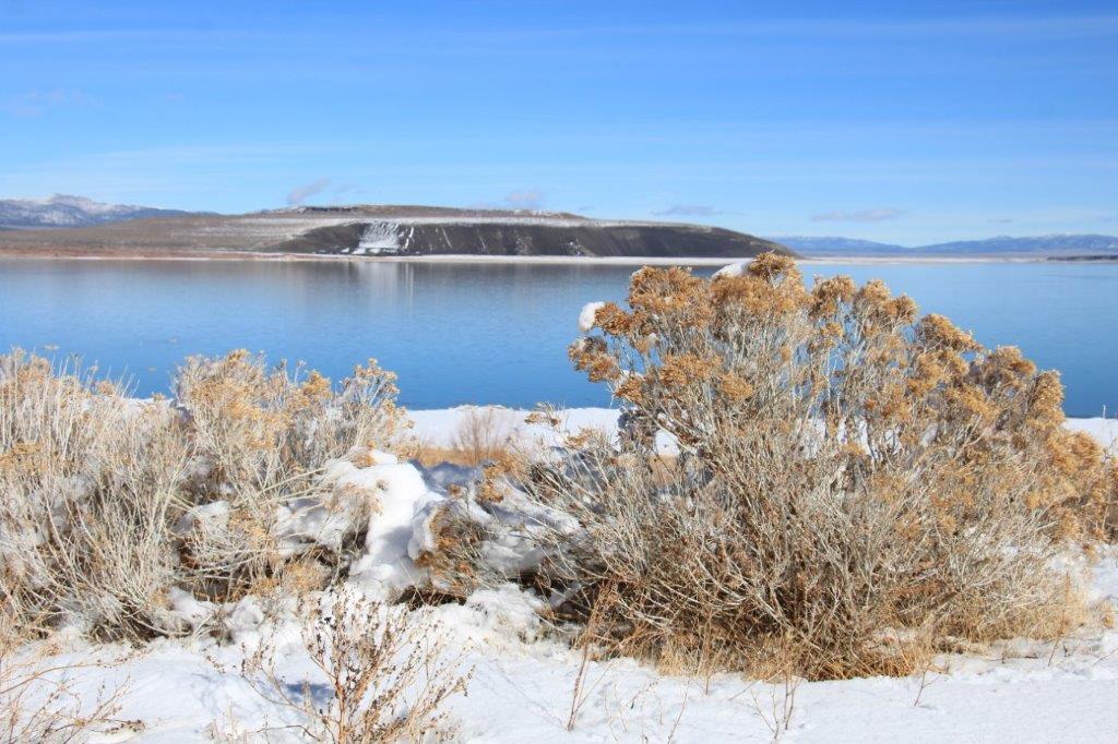
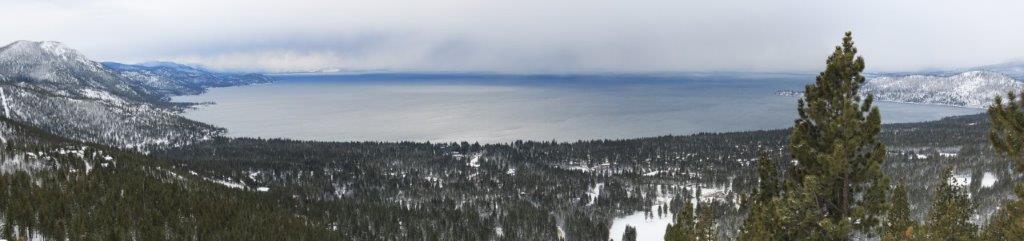
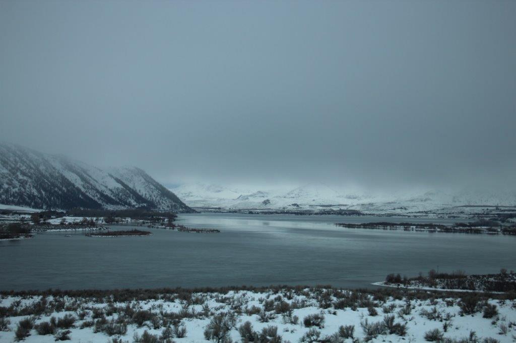
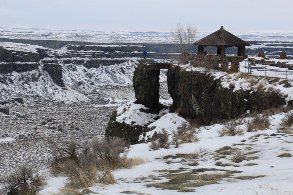
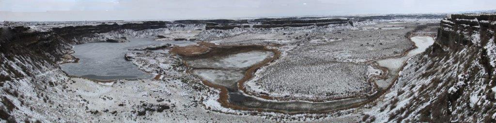
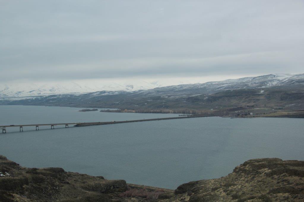
 North of another very popular ski resort, Mammoth Lakes, we stopped at the Mono Lake Basin Overlook and got out and stretched our legs for a bit. The water was a pretty baby blue and on such a beautiful day it was quite lovely.


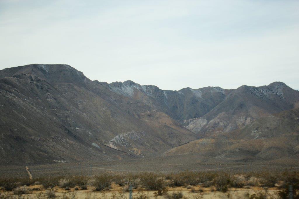
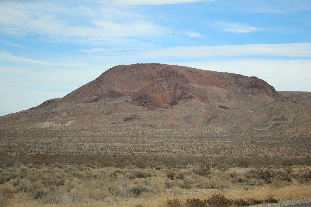
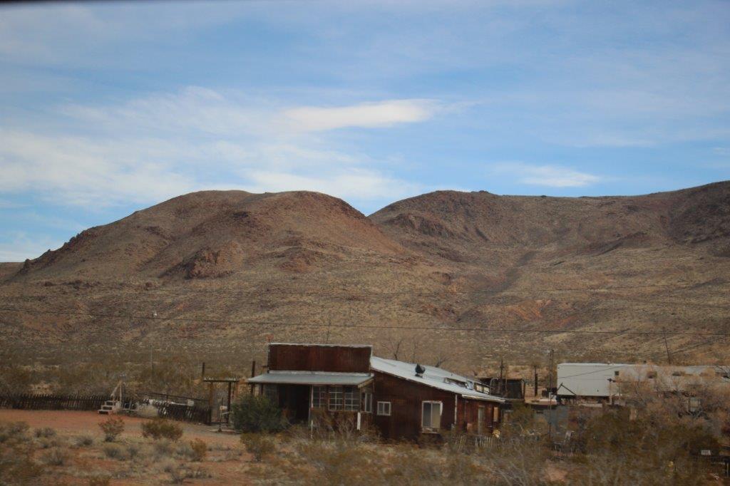
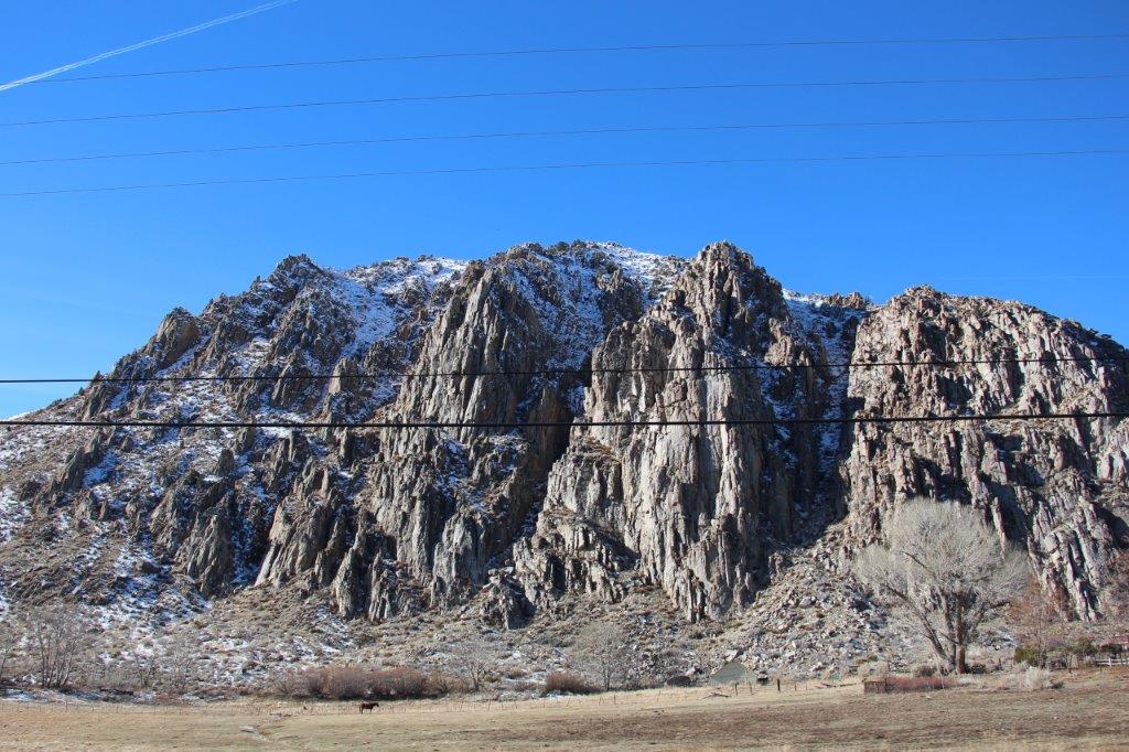
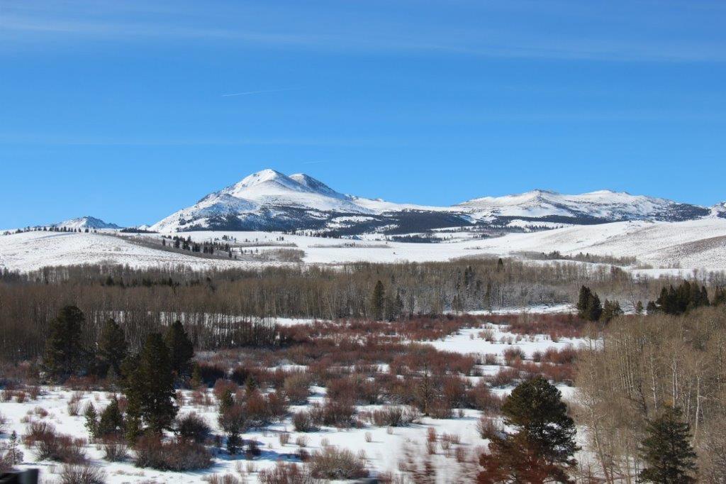
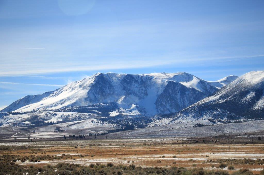
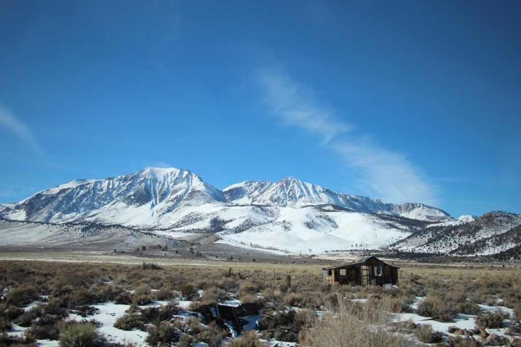
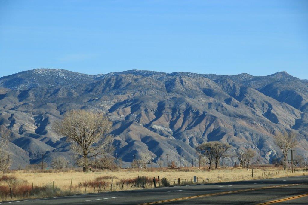
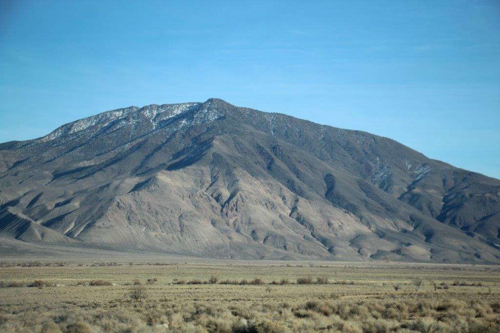
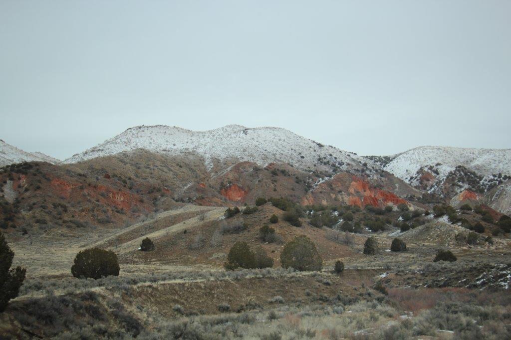
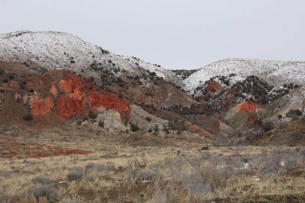
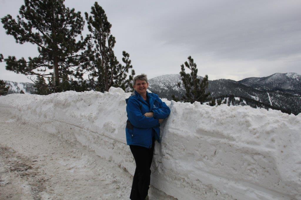
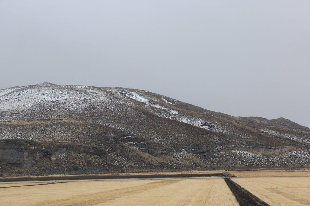
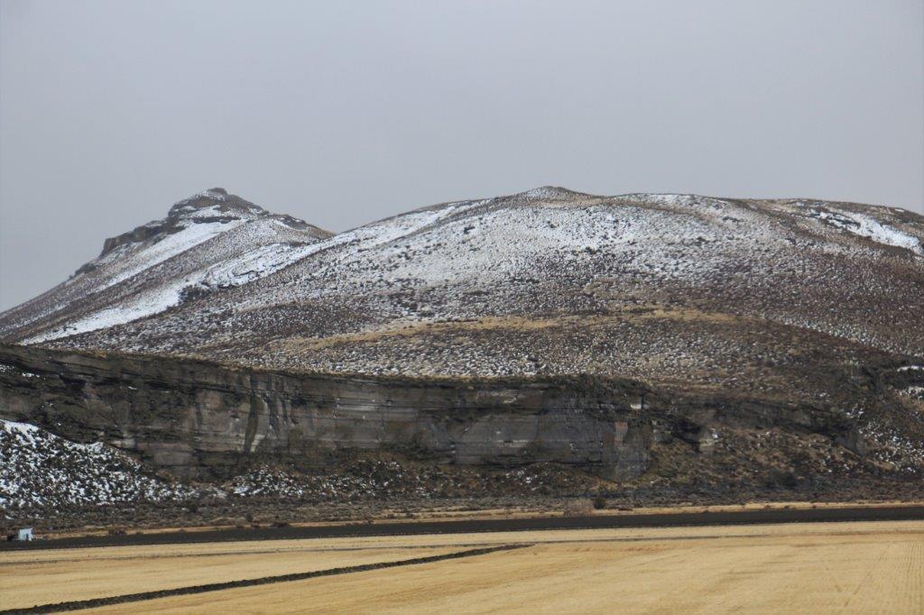
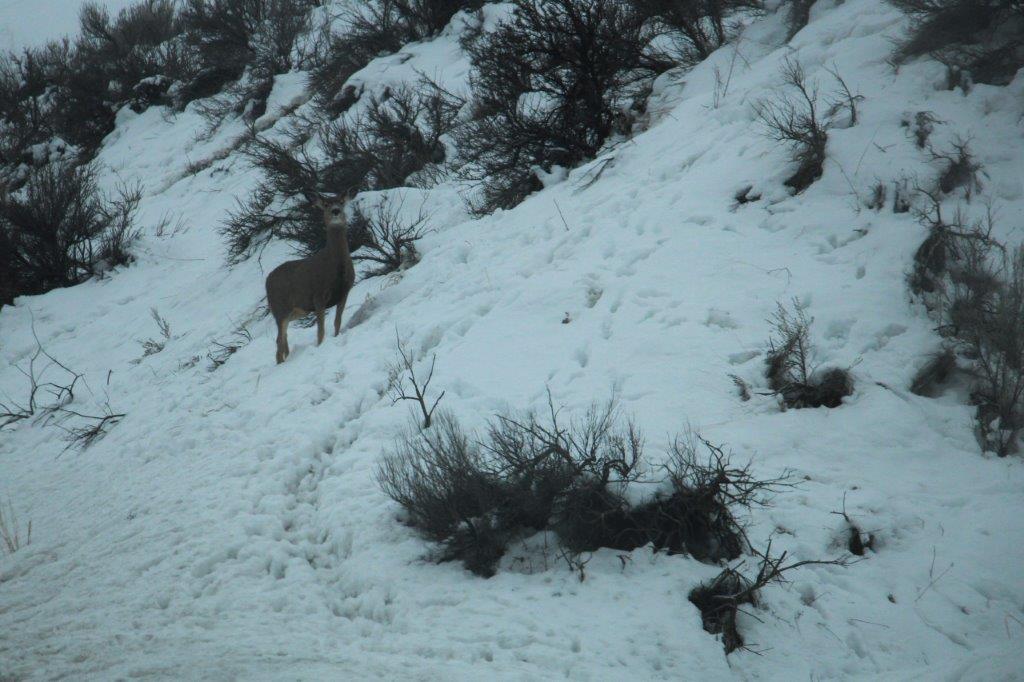
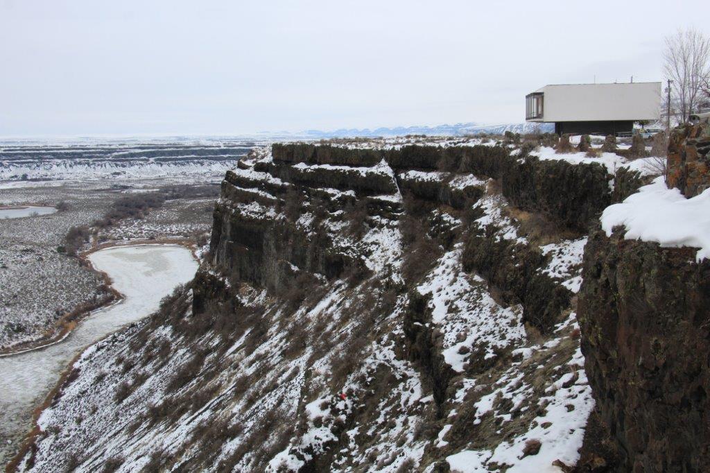
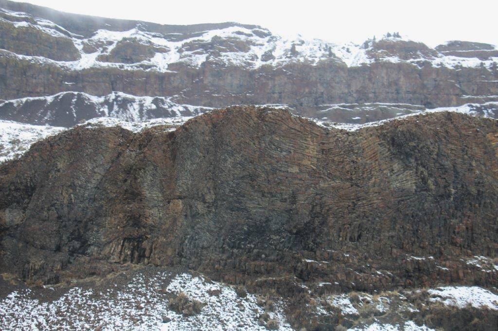
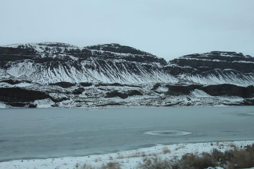
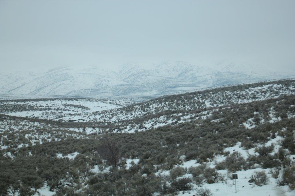
 Here are some more pretty mountain photos.

The road elevation at this point was 7000′.


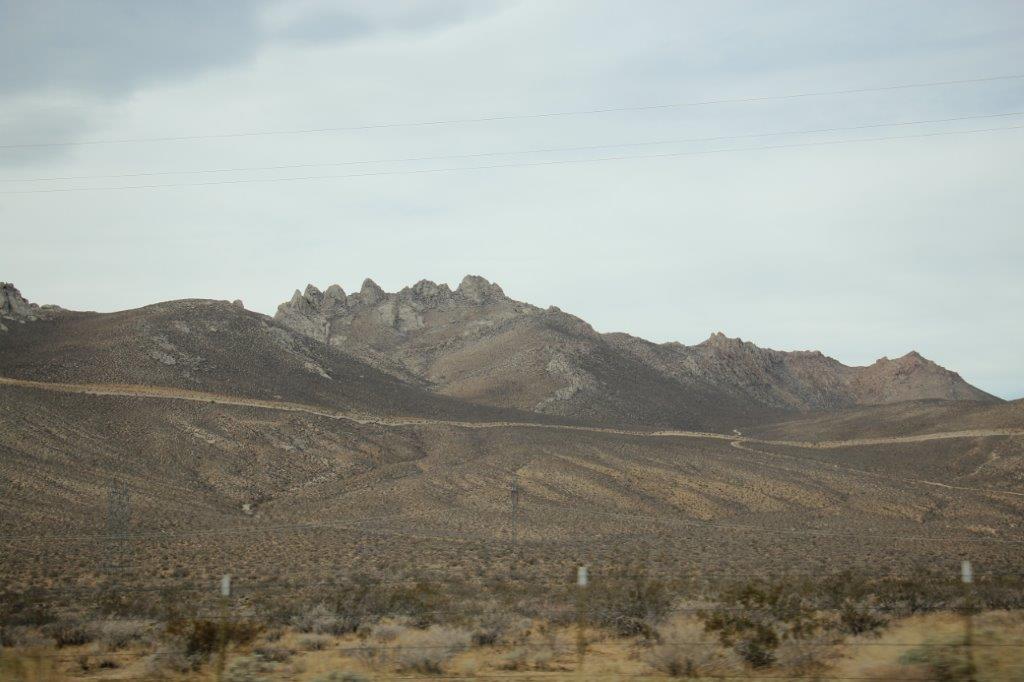
This is Mt. Tom. Elevation 13,652′ 
 The court house at the little town of Lake Vining was another nice building. We weren’t able to stop but I snapped a quick shot through the front window. Lake Vining is the eastern gateway to Yosemite National Park. The summit of the pass through the mountains from here is 9,945′ high so the road is closed in the winter.
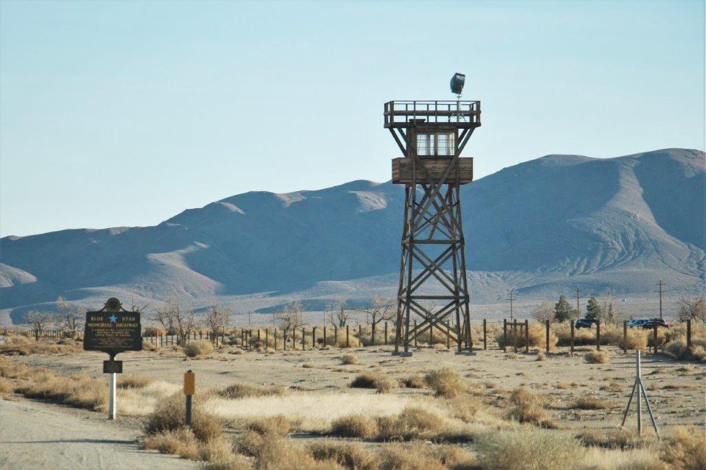
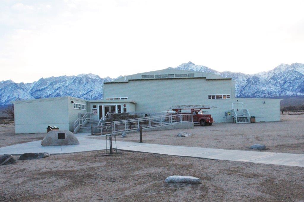
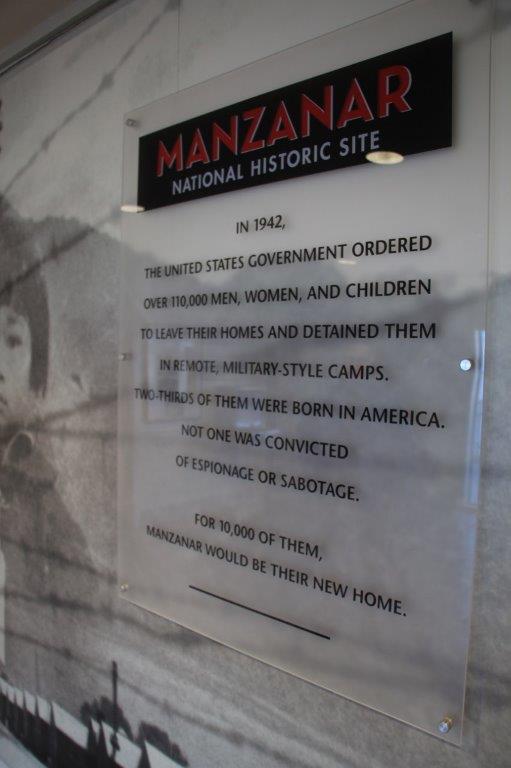
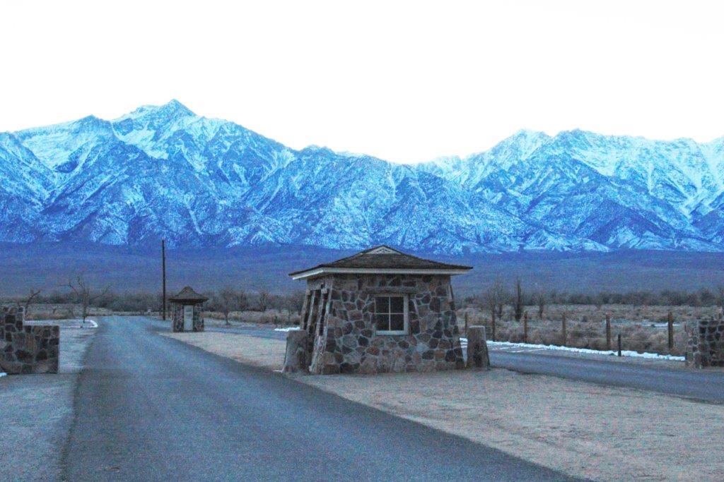
 We stopped in Bishop for lunch at 2 o’clock then went about 50 miles further down Highway 395 to Manzanar National Historic Site. This one-mile square section of desert was the location of a Japanese Relocation Camp after the bombing of Pearl Harbour. By September of 1942 over 120,000 Japanese-Americans were relocated to ten remote camps inland in the US. All three west coast states were off-limits for anyone of Japanese descent, even if born in the US and an American citizen.
We only had time to take a quick look at the museum exhibits and see the 20 minute film about the camp before closing time at the Visitor’s Center. We were able to drive the 3 mile auto route through the camp to see several points of interest. There is ongoing archeaological work being done here as most of it was buried under several feet of sand over the years.
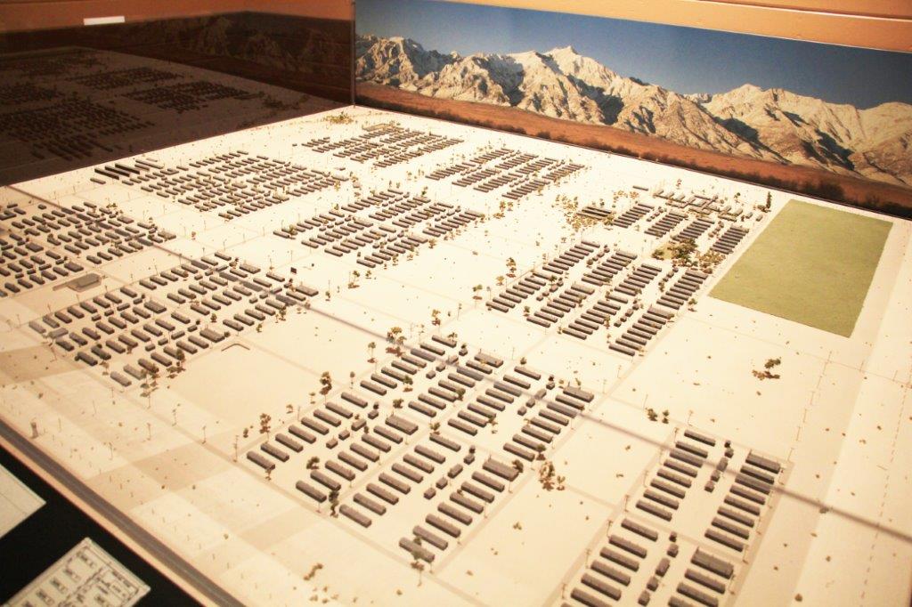
Manzanar was home to over 10,000 people, two thirds of whom were American citizens by birth. They were crowded into 504 barracks organized in 36 blocks of 14 barracks, with 200-400 people per block. Each barracks was divided into four rooms, shared men’s and women’s toilets, a laundry and a mess hall. Any combination of eight individuals was alloted a 20-by-25 foot room with an oil stove, a single hanging light bulb, cots, blankests and mattresses filled with straw. There was little or no privacy inside or out. The entire camp was enclosed by barbed wire with guard towers and armed sentries.


The auditorium is now the museum and visitors center.
This is a map of the camp.


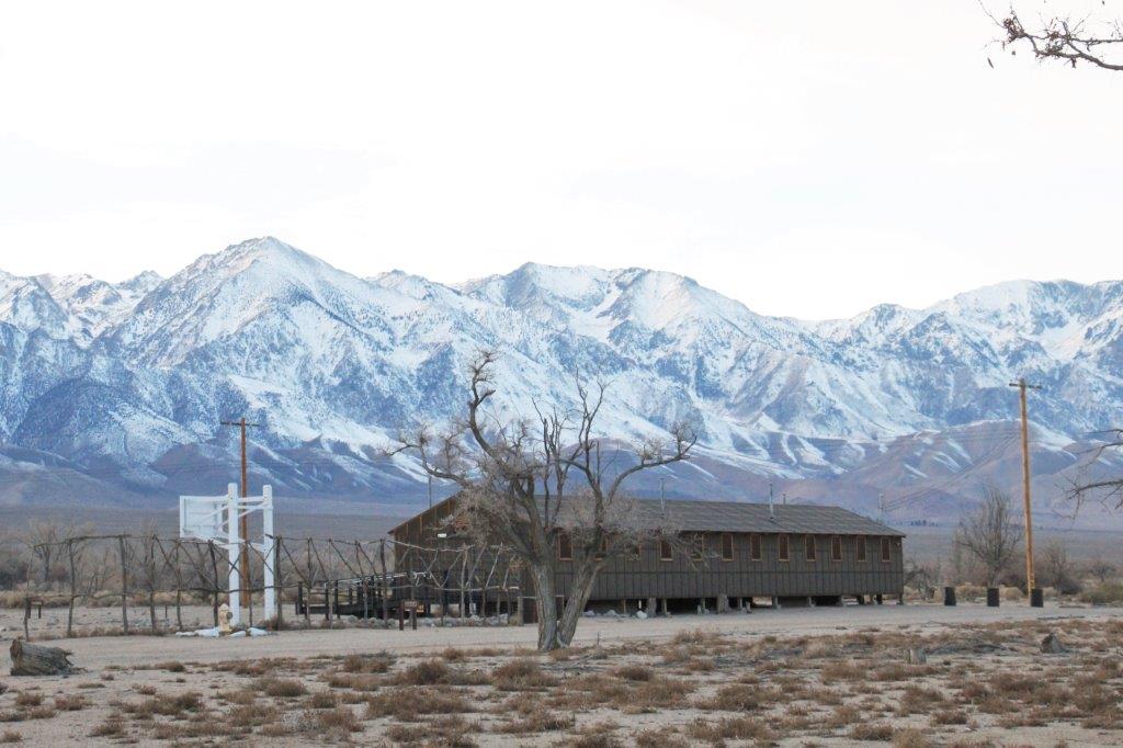
A replica of one of the barracks.
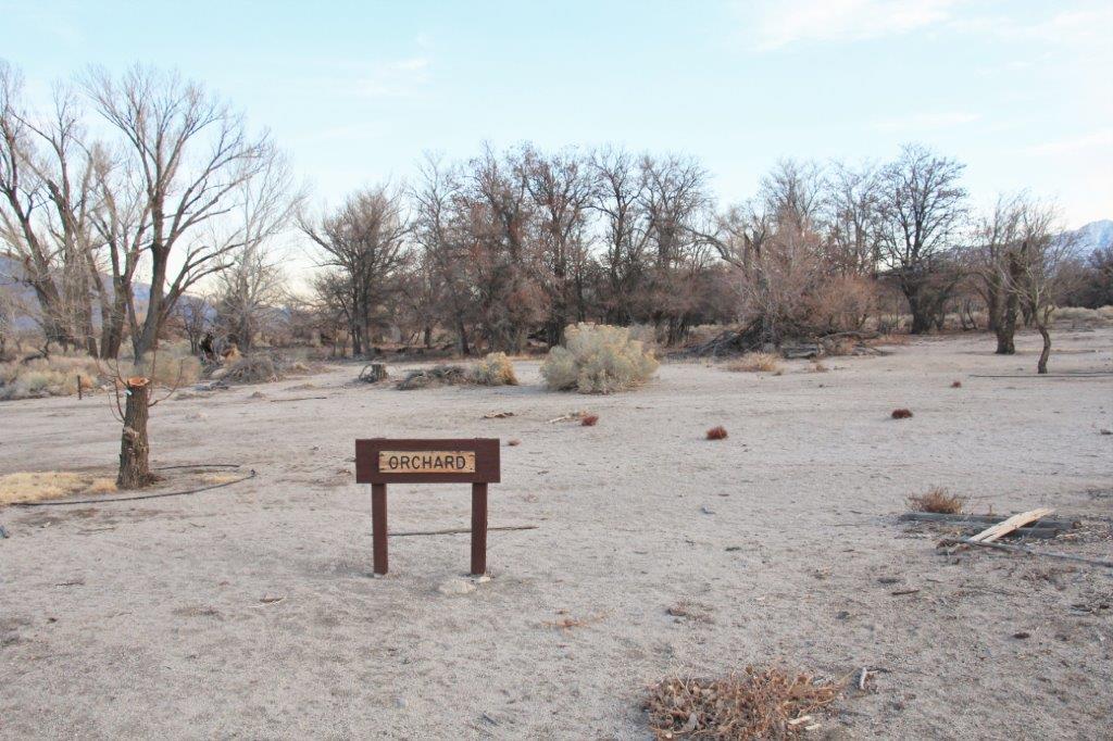
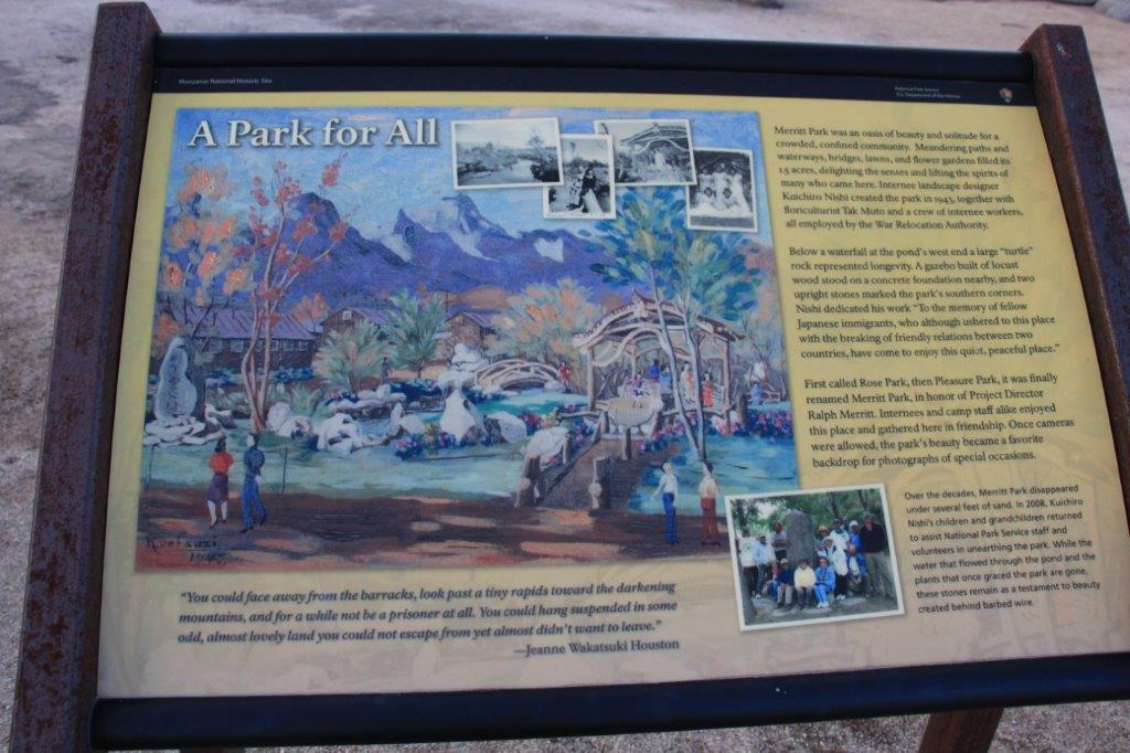
Over time the camp became an almost self sufficient town with a newspaper, hospital, chicken farm, orchards, weaving factory (they made camouflage nets for the war), a mattress factory, general store, a high school, auditorium, fire department, city hall, etc. Many of the men interred here had been landscape designers or gardeners or owned nurseries at the coast and over time about 7 or 8 gardens were created at various places in the camp.


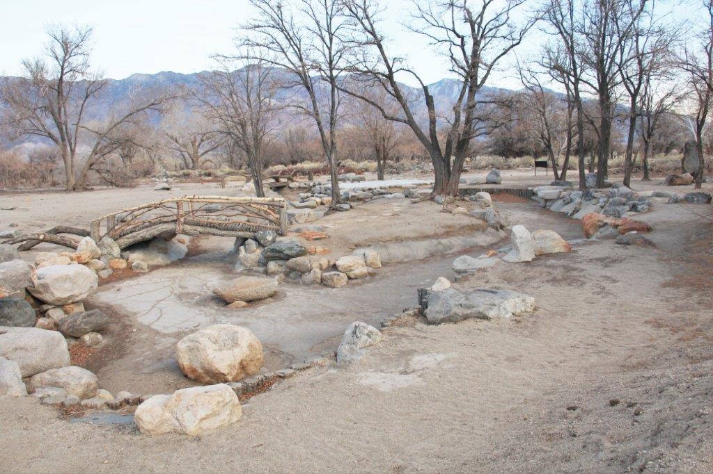
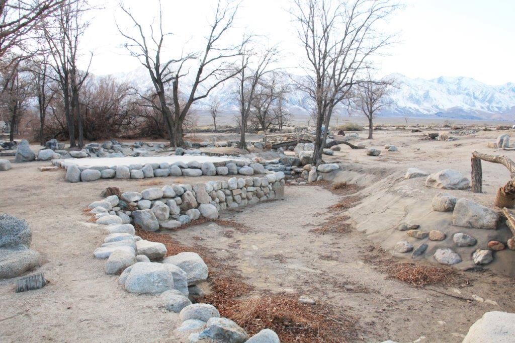
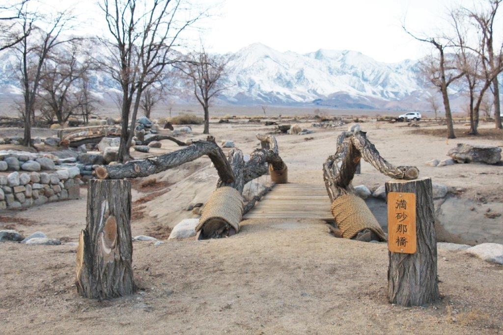
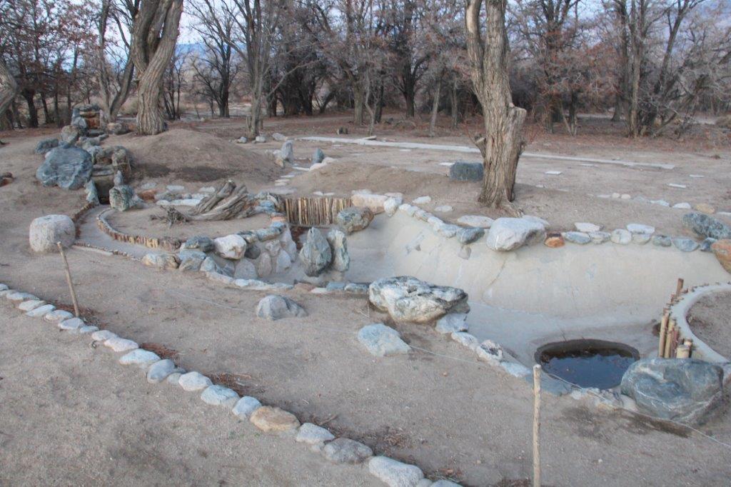
The Merritt Garden after excavation.
The two bridges are reconstructions. Everything else is original – minus the water and plants.


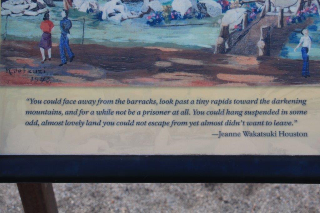
A painting of the garden during camp days.

One of the other, smaller gardens.
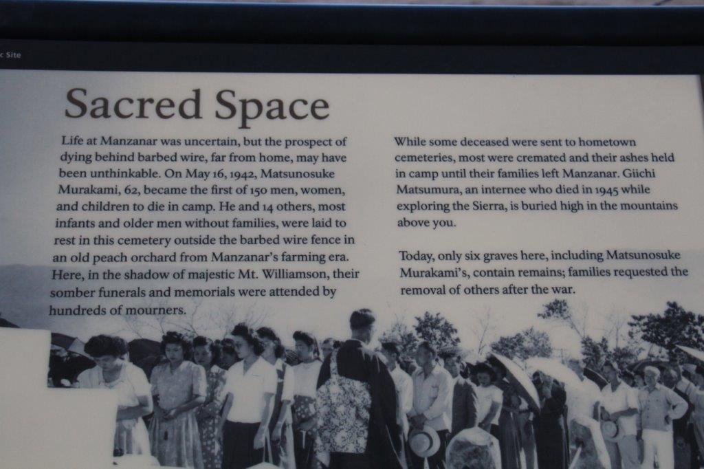
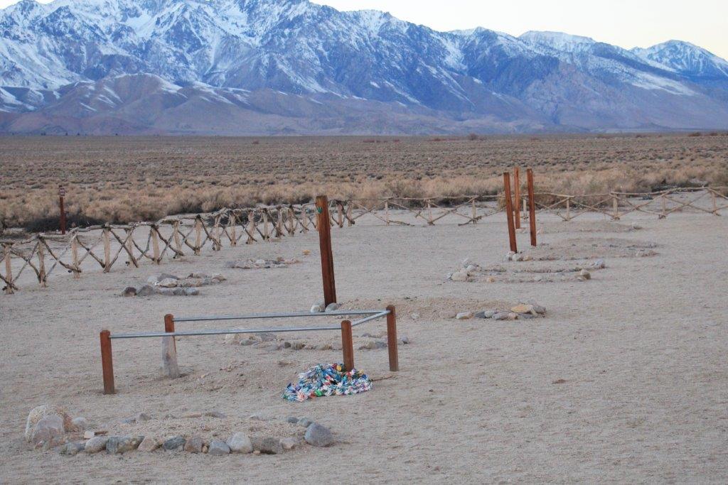
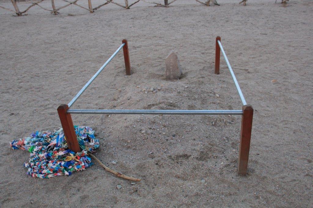
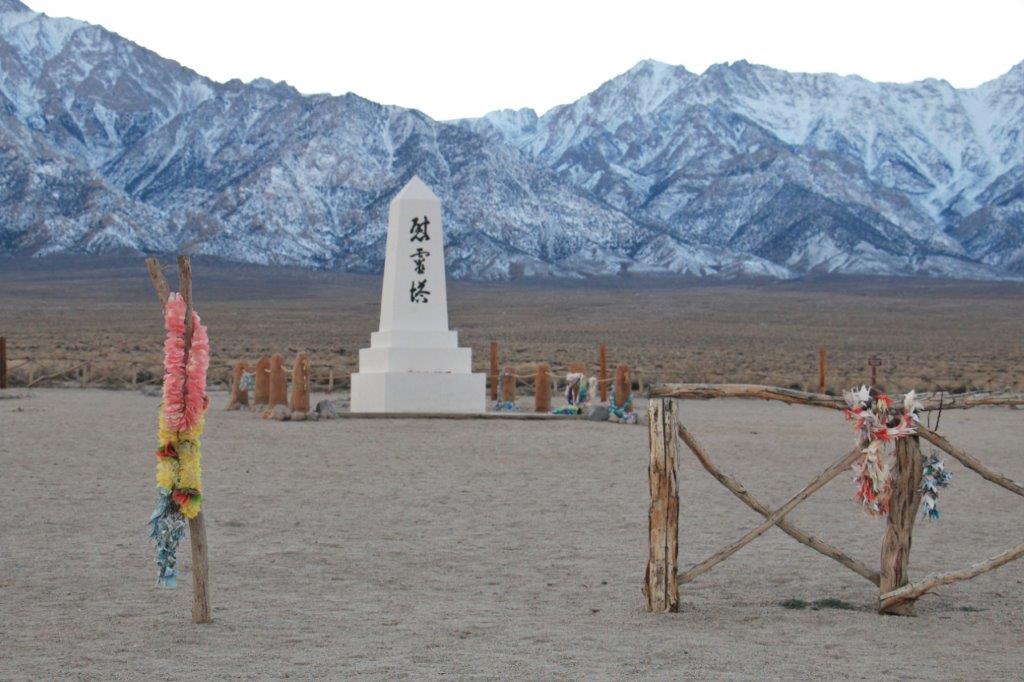
150 people died during the years of the camp and were buried in a cemetery outside the grounds – today only six graves contain remains. Family members requested the removal of the others. An obelisk was created there by a stone mason and the site is now a place of annual prilgimage for descendents of the people from the camp.


Someone created a lei of oragami cranes and hung it on the fence in remembrance and honour.
It was a very moving place to visit and such a sad decision on the part of the government at the time. It was President Ronald Reagan who expressed an apology to the people so it took quite a long time for them to get recognition and recompense for losing their homes, businesses and livelihoods and kept like prisoners for the duration of the war. When they were ‘released’ each person was given $25 and bus ticket to anywhere they wanted to go – except the three west coast states, which were still off-limits..
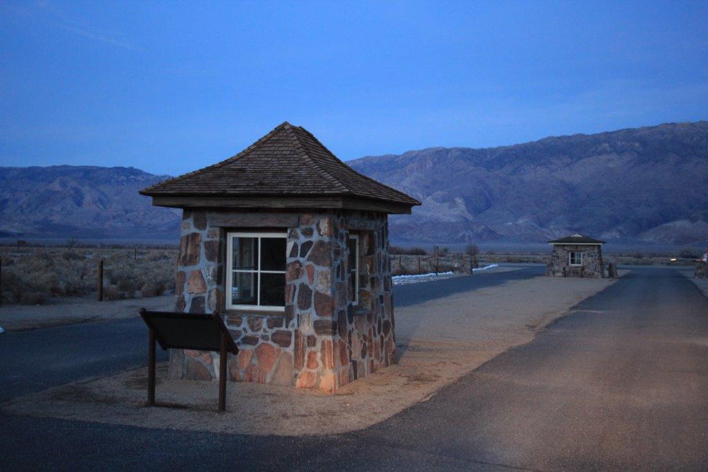
This is the original sign and original gate posts at the camp entrance that were designed and built by the Japanese.


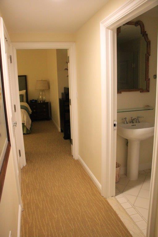
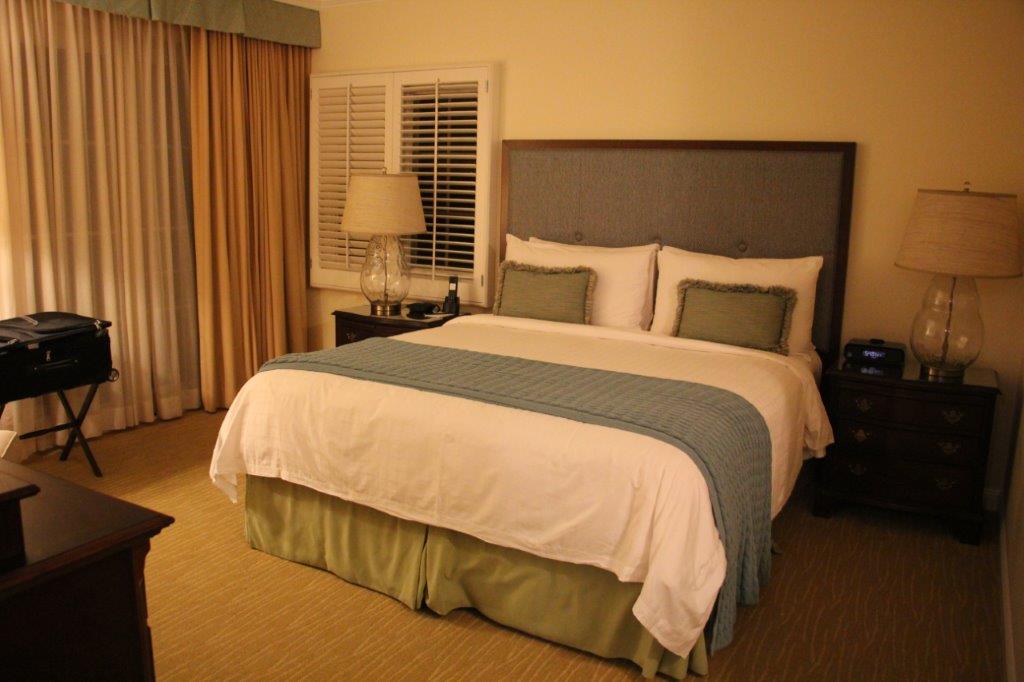
 We checked into our hotel at Lone Pine at 6 o’clock, had dinner at a very popular restaurant in town – it was inundated with families with young kids on their way to Mammoth Lakes for the long weekend – and came back to our room where I am diligently writing my blog; which, at long last, I have finished.
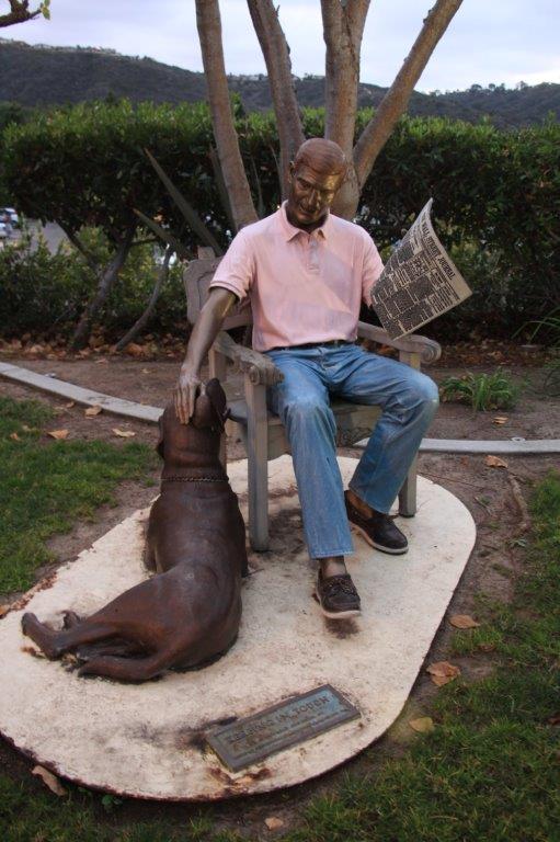
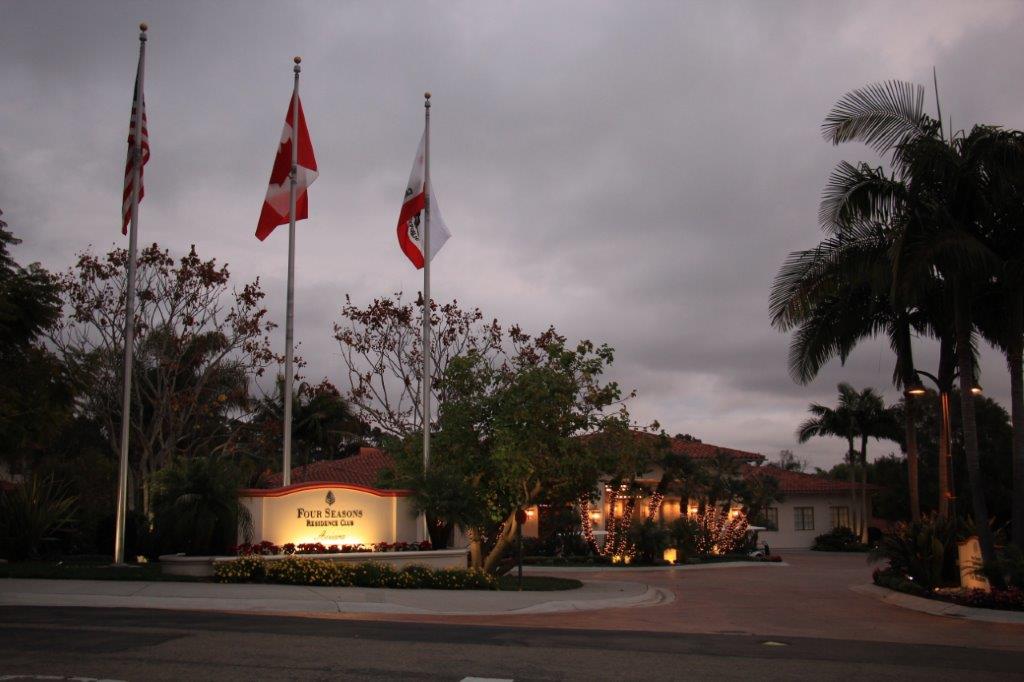
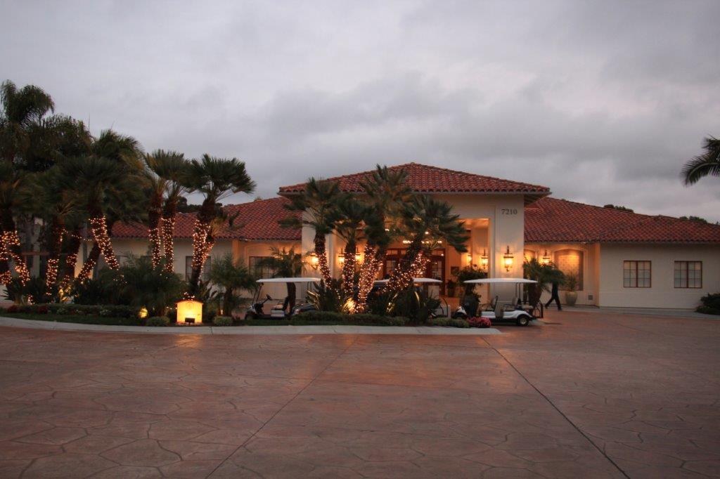
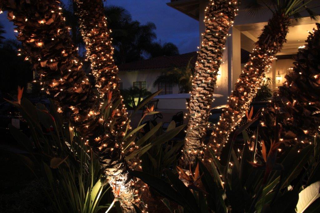
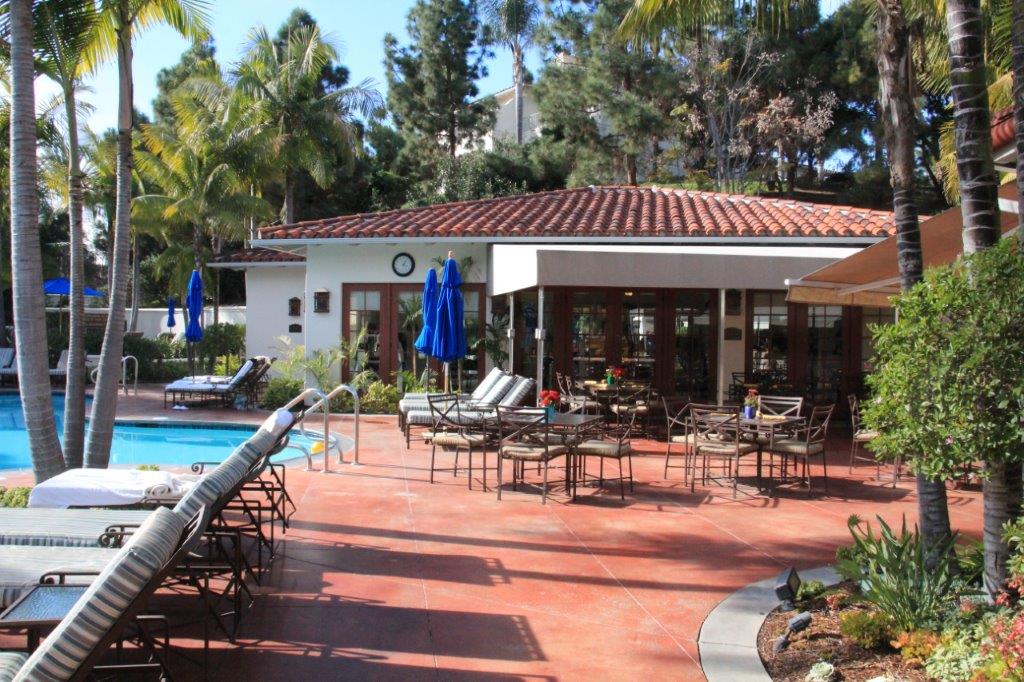
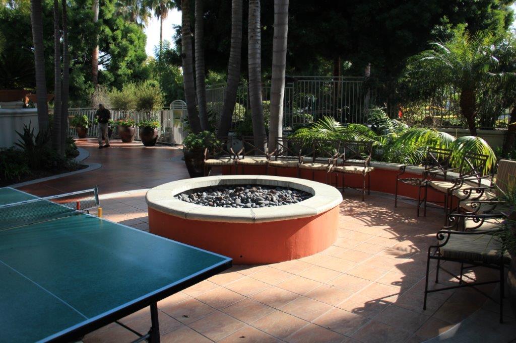
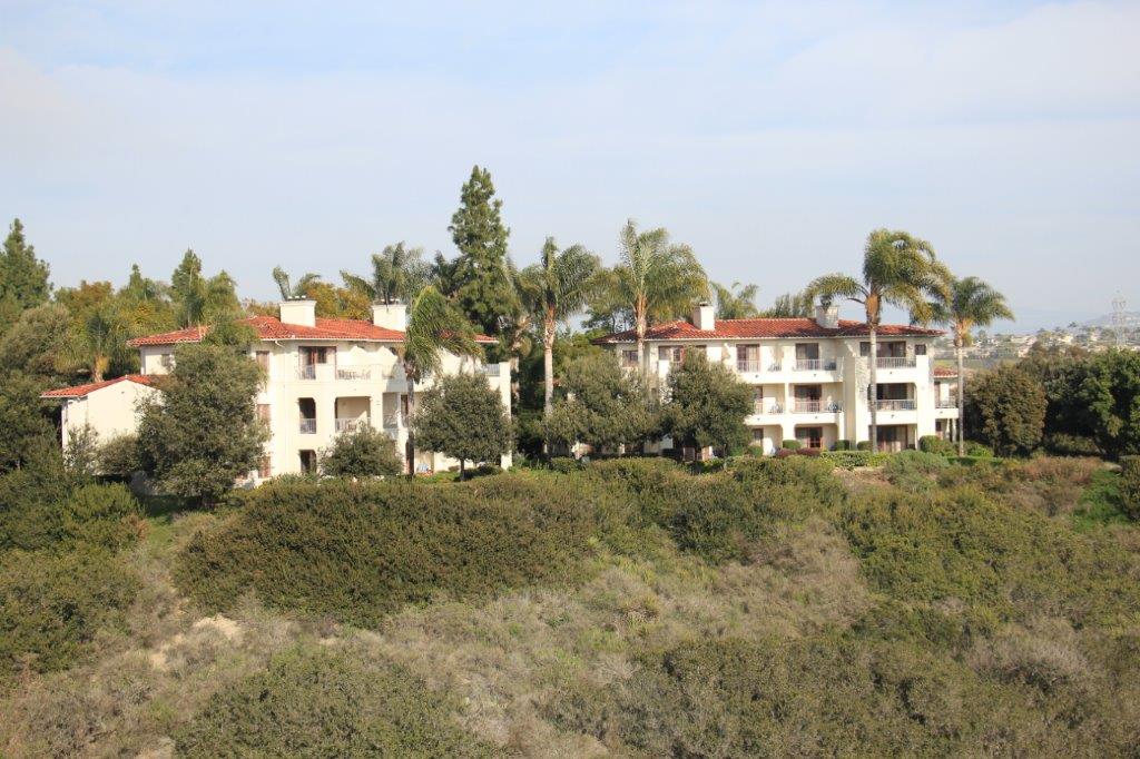
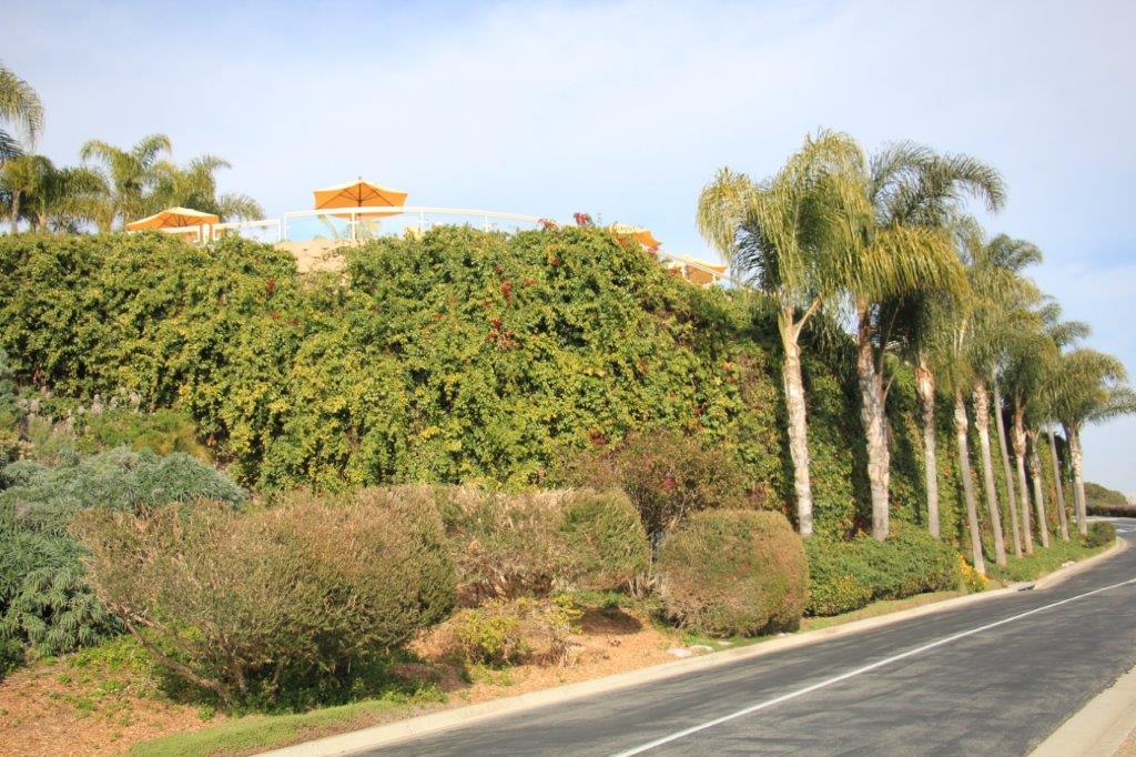
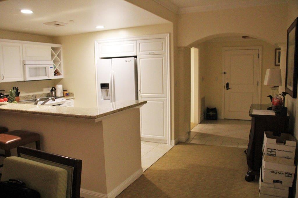
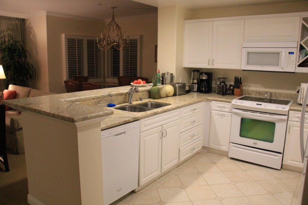
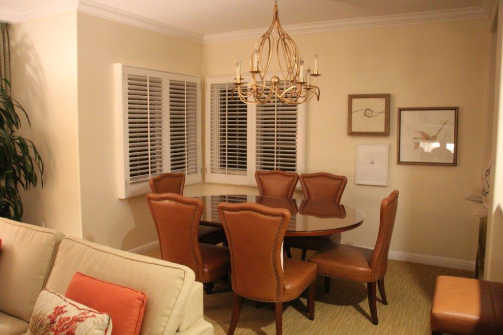
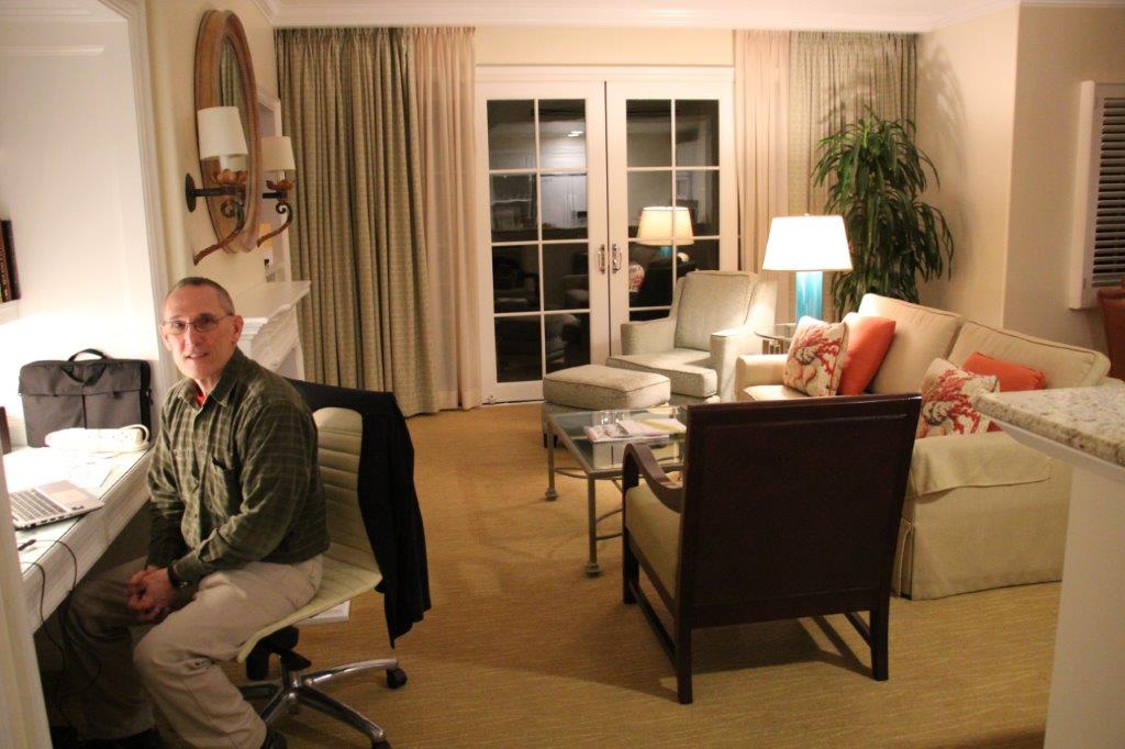
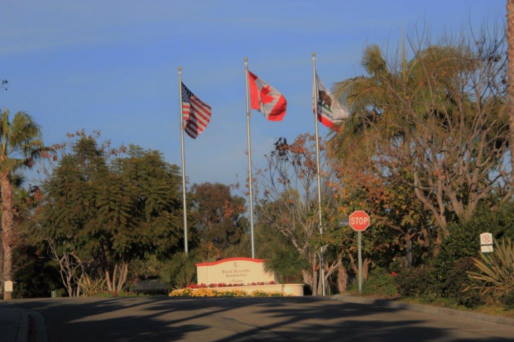 Day 10 – Jan 20 – Carlsbad, CA – Day 5
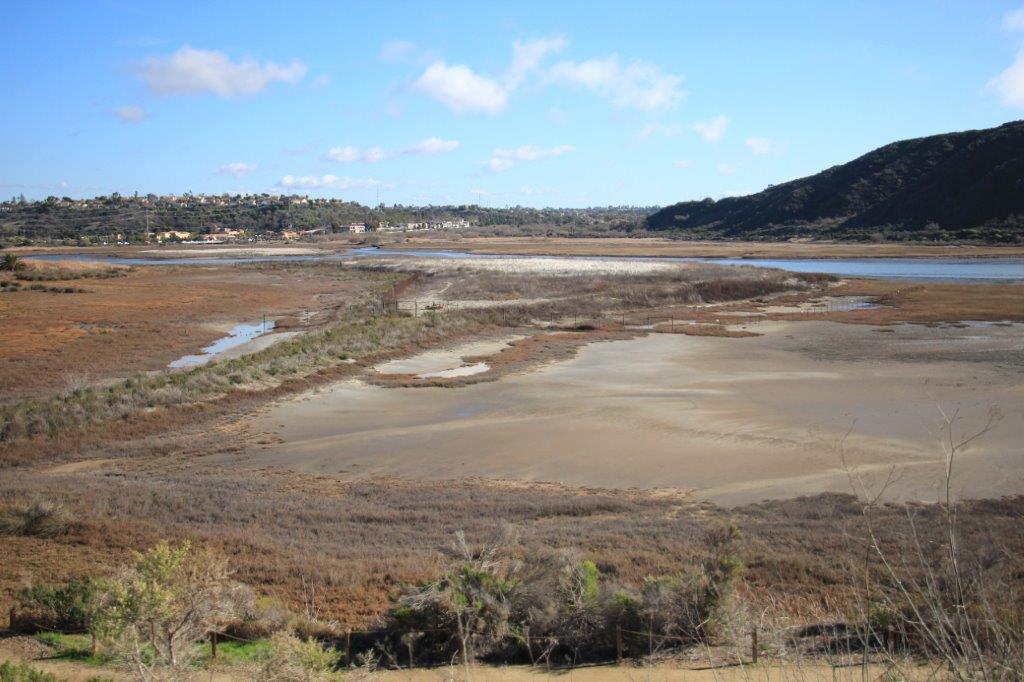
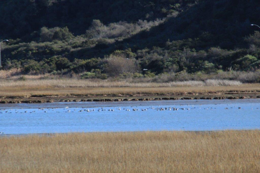
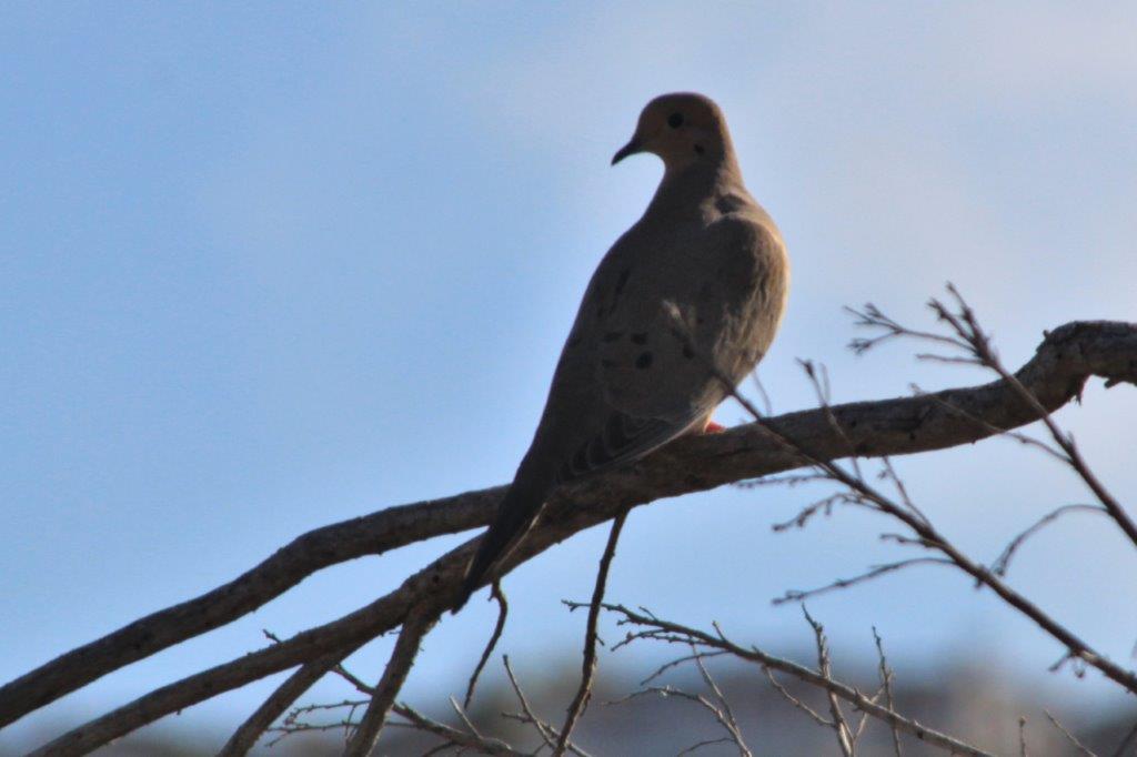
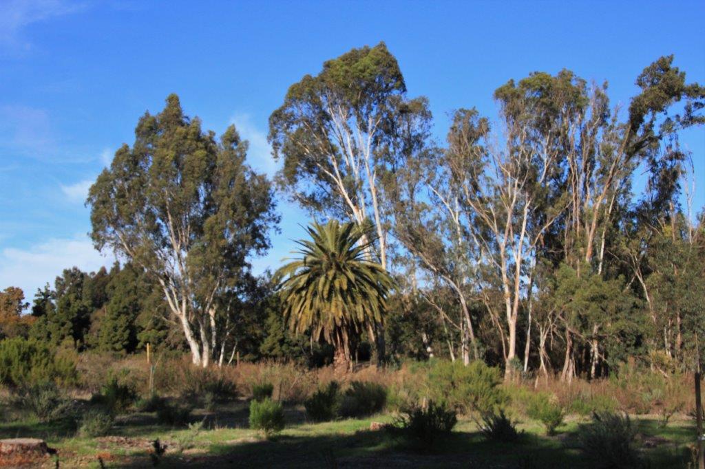
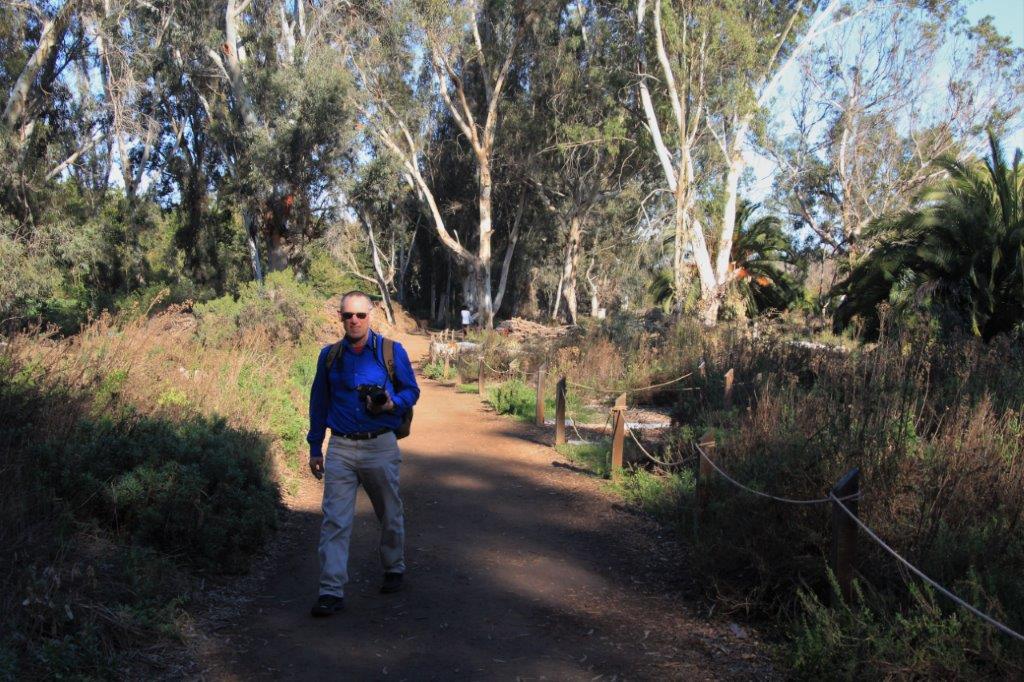
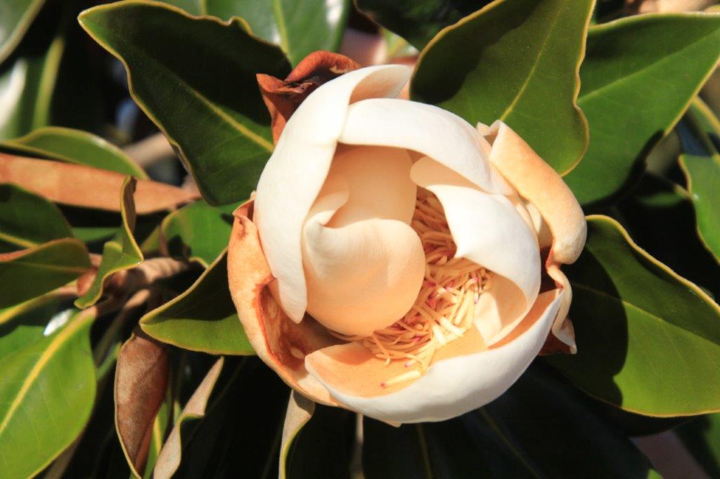
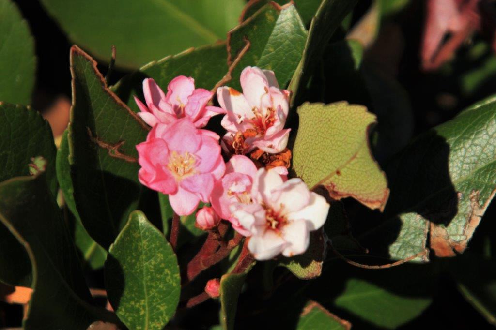
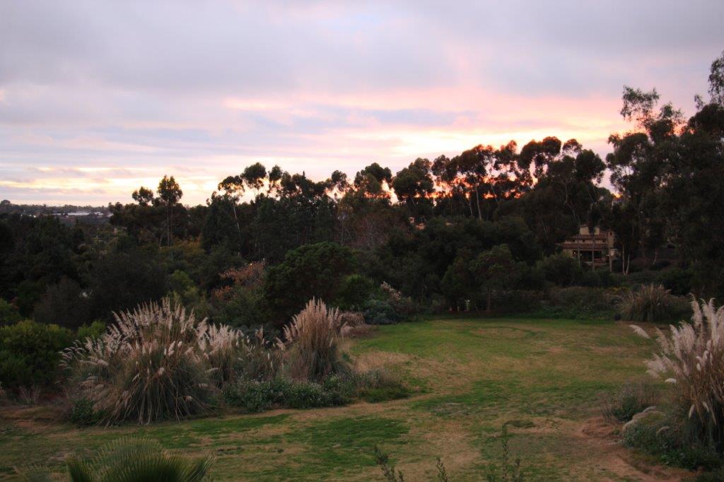
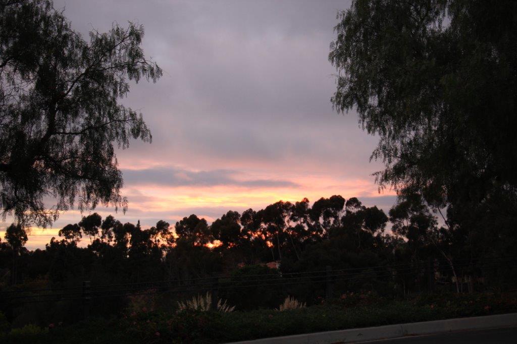
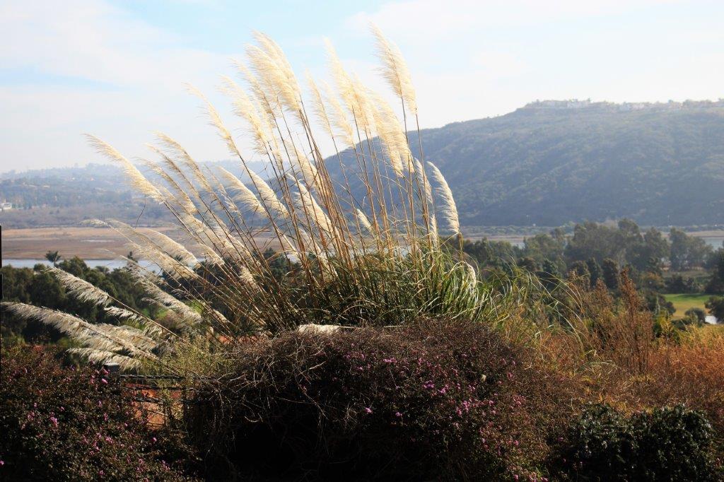
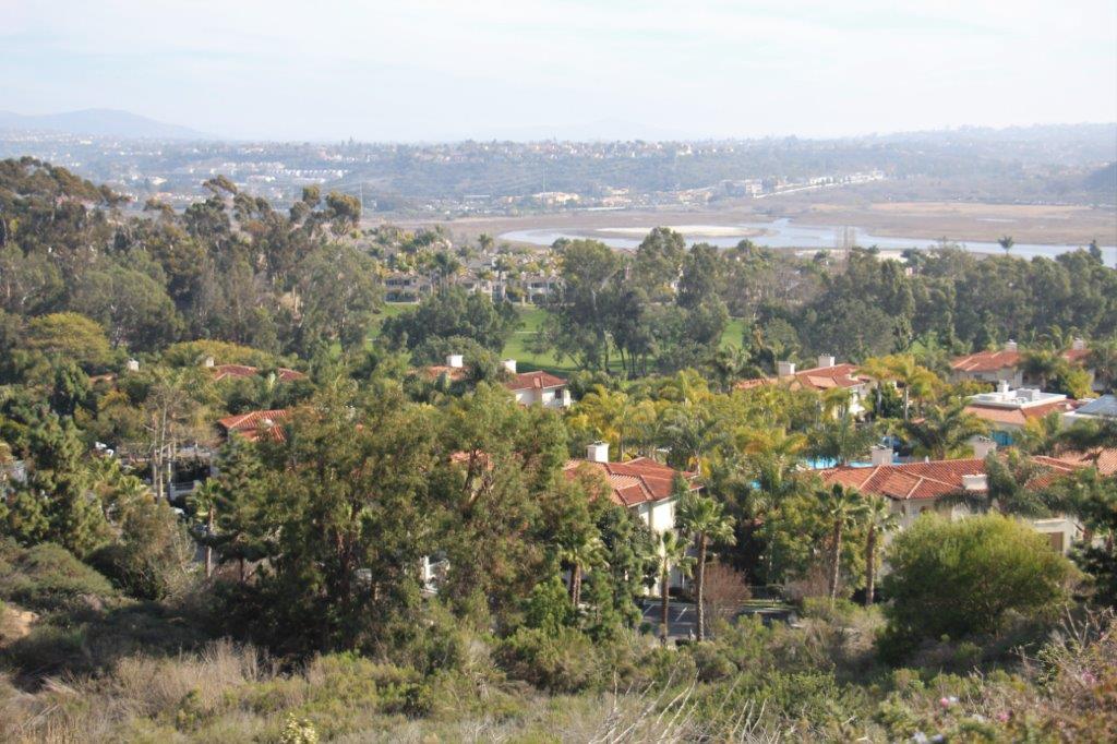
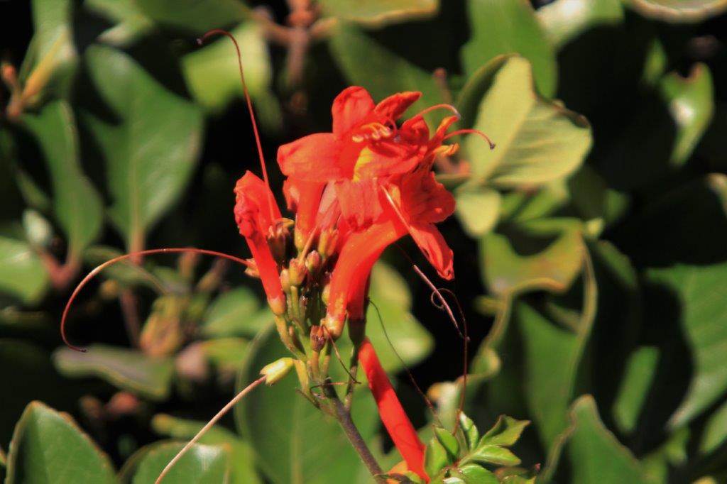 We did have success with our geo-caching and were able to locate both of the caches along the trail. The Batiquitos Lagoon Ecological Reserve is a protected salt marsh. According to the trail signs there are not many of this type of ecology left in California.
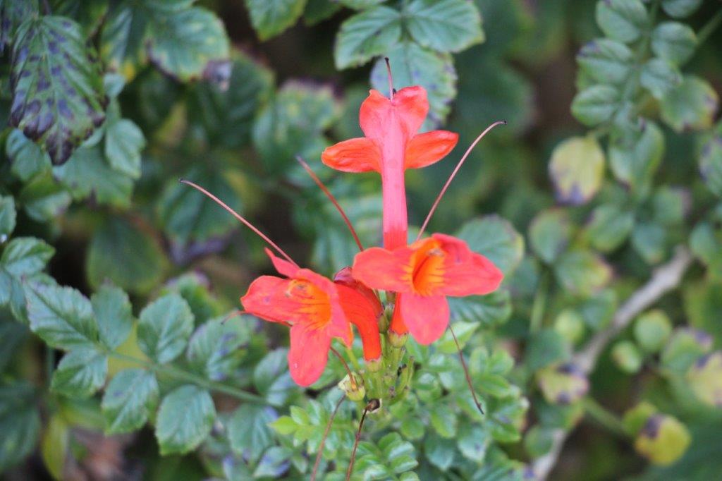
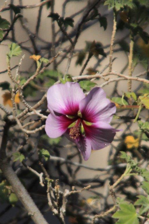
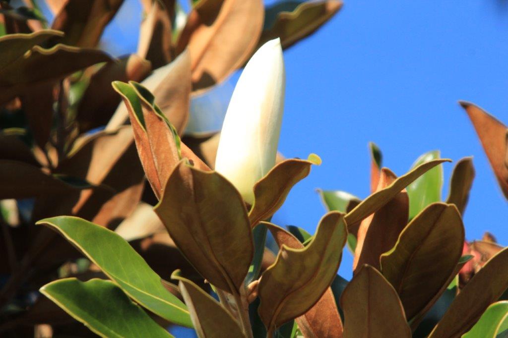
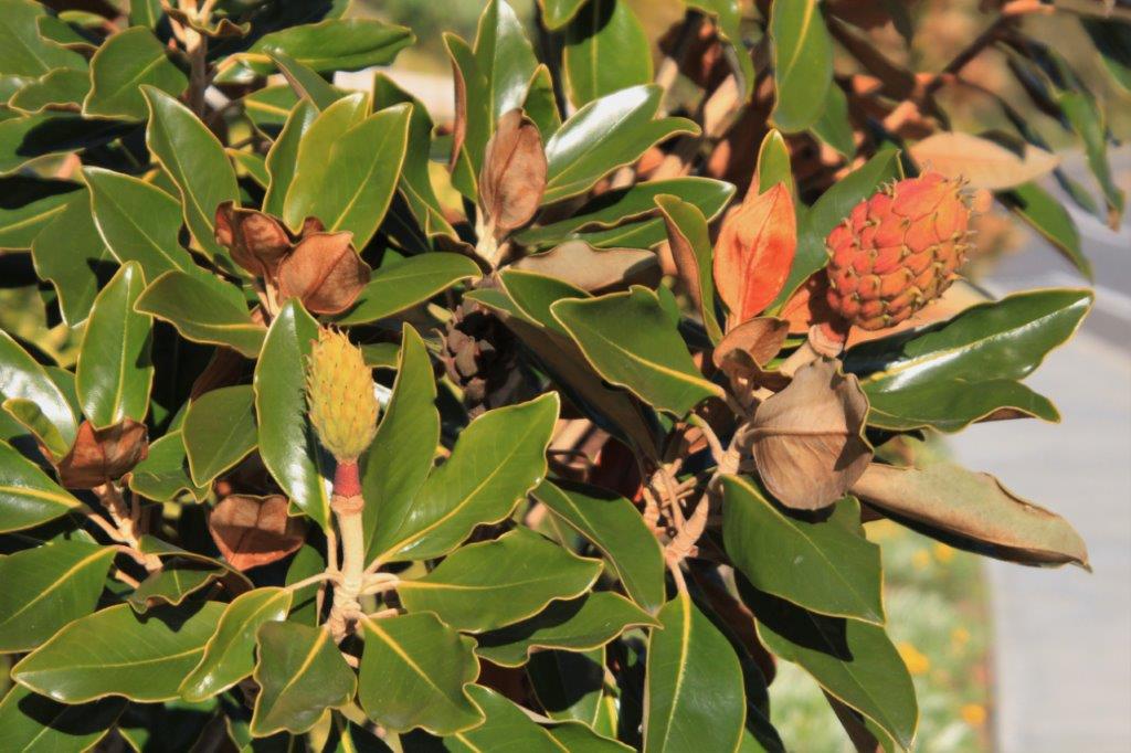
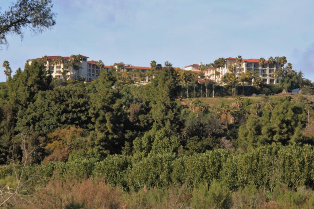 It was a nice day for a walk; sunny and just warm enough to be comfortable. We enjoyed the walk and will make the loop again while we are here.


