Day 4 – Jan 14 – Susanville, CA to South Lake Tahoe, CA.
When we arrived in Susanville last night the entire parking lot was a sheet of thin ice. I was talking to a young fellow this morning and he said they had slushy snow during the day and suddenly a cold wind blew in and froze everything. We took the long way around on the sidewalk under the upper exterior room access to get to the restaurant to avoid walking on the ice.
John told me later that when he had checked in he was chatting to the lady at the desk and told her we had come down via highway 139. She was shocked, “I thought that road was closed for the winter,” she said. So much for the local knowledge of the gas station attendant at Klamath Falls!
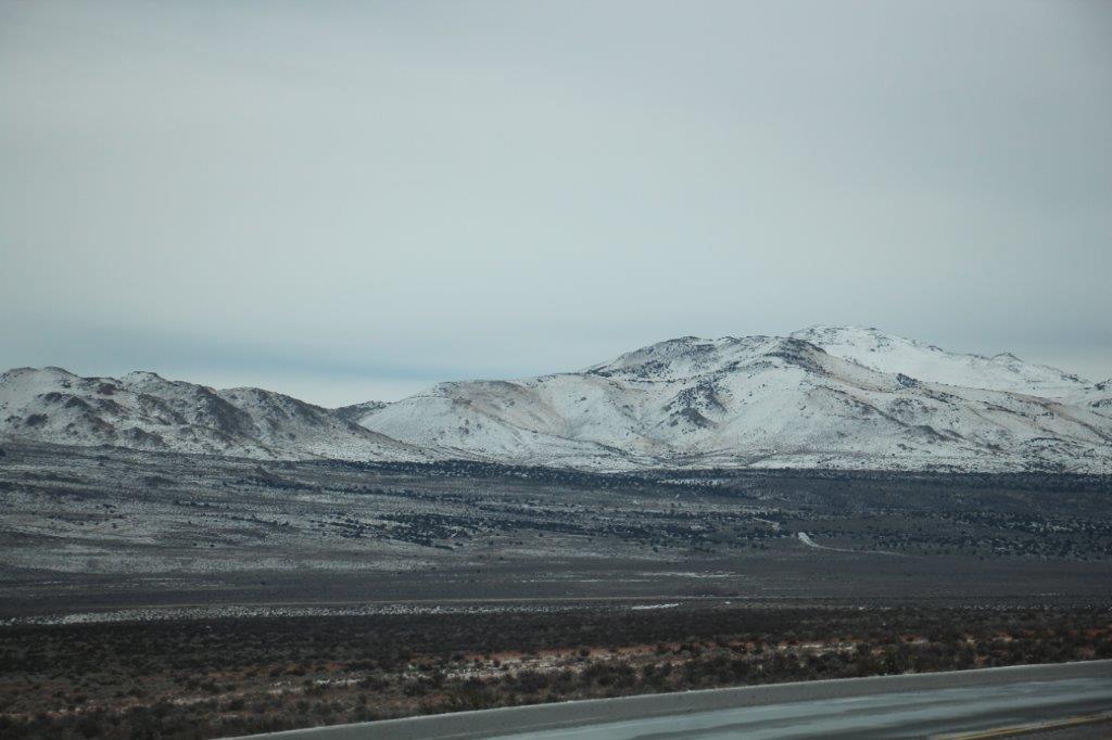
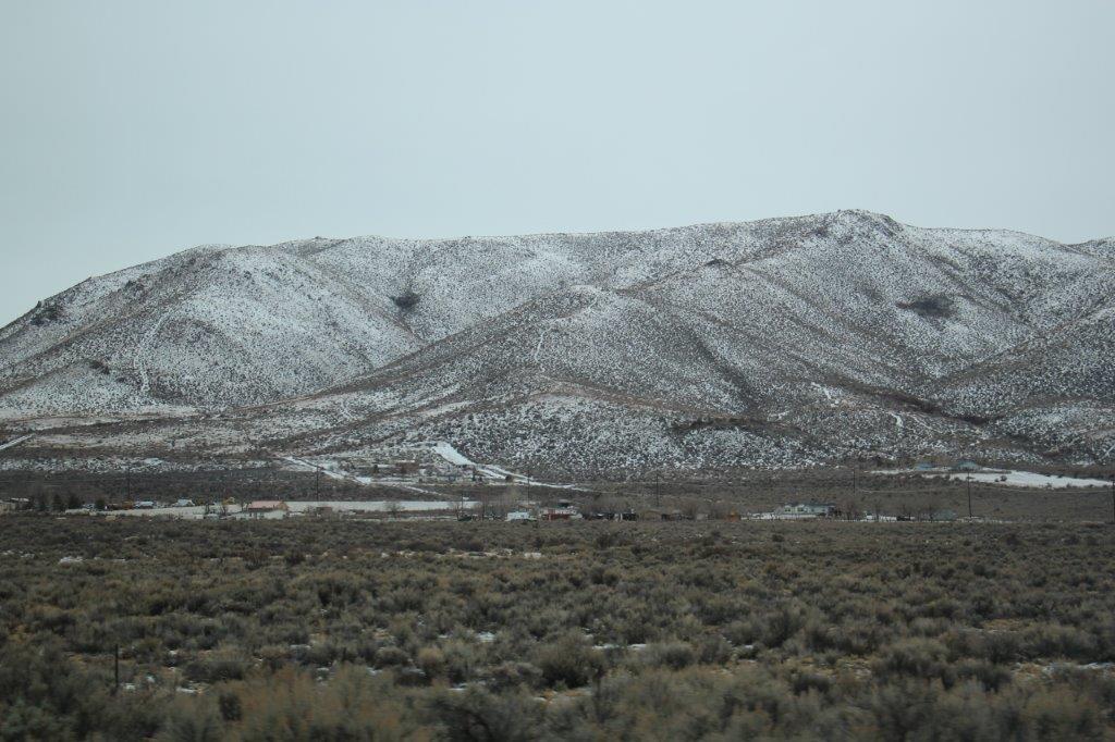
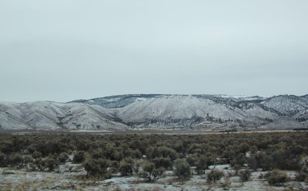
Everything was still icy this morning but it was above freezing so things were thawing and the road was bare. As we drove south the sun even tried to break through the clouds.
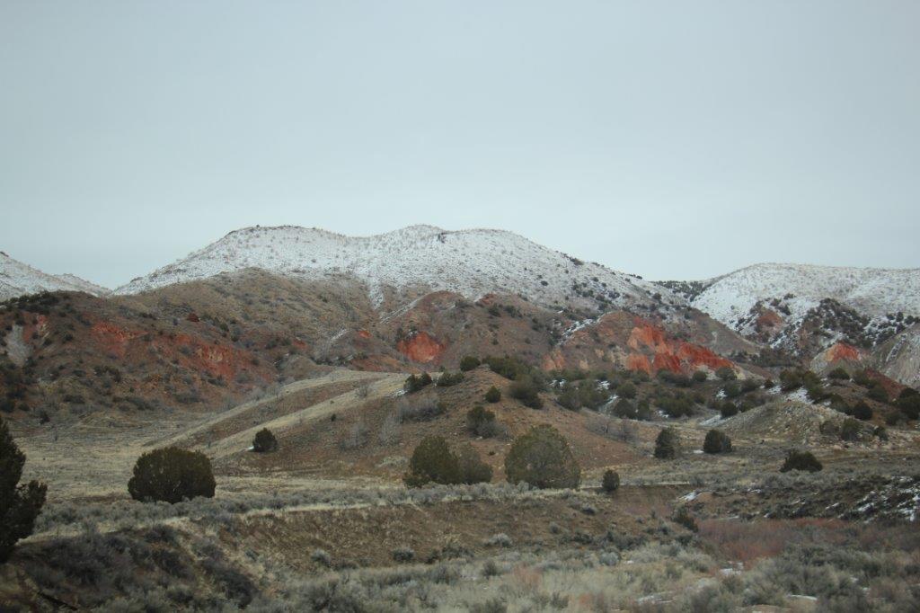
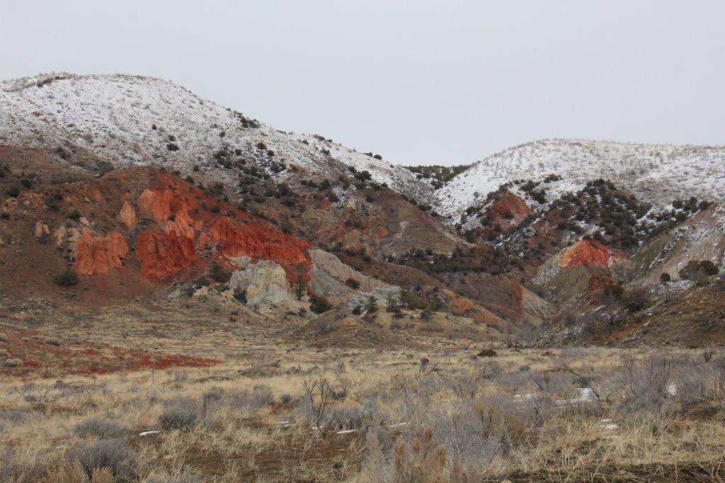
 About an hour out of Susanville we turned a corner and off in the hills was this bright red and orange rock face. John drove up the road aways and turned around so we could get a better look.
Red Rock Road went somewhere past the rock face but there was a rutted dirt turn-off so John decides to take it to see if we could get closer to the rocks. I tell him it is just a turn-around place but he drives around a bit before conceding defeat and going back to the road. I say, “Really, you won’t drive up a snow covered road that has obviously been used recently by other vehicles (this happened in Newberry Park when we were looking for a caldera), but you will off -road in the middle of the Sierra Nevada Desert?” I don’t understand men.

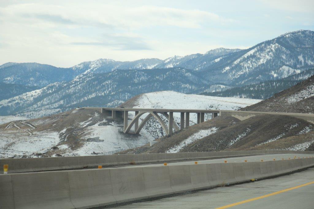
 Apparently when Nevada Highways completed the freeway linking Reno to Carson City they changed the name of Route 431 to Route 580. This we did not know so we missed our exit that would have taken us directly down to Incline Village at the north end of Lake Tahoe. Instead we drove through Carson City and went across to Lake Tahoe, coming in about half way down the east side.
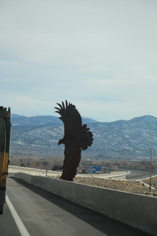
 (This huge eagle scupture was attached to the edge of the freeway at Carson City)
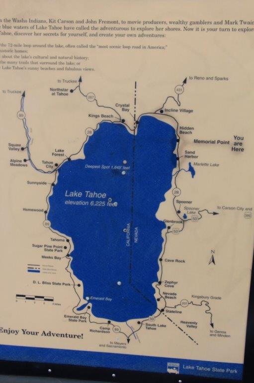
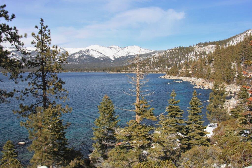
Lake Tahoe is the second deepest lake in the USA (Oregon’s Crater Lake is deeper) at 1645′ deep. It is 22 miles long and 12 miles wide and never freezes over due to the amount of water moving from the depths to the surface. A map I picked up in the Visitors Center said that 1.4 million tons of water evaporates from the surface of the lake every 24 hours, but that only lowers the level of the lake by one-tenth-of-an-inch. More water evaporates from the lake surface each day than is released from the nearby Truckee River Dam outlet.
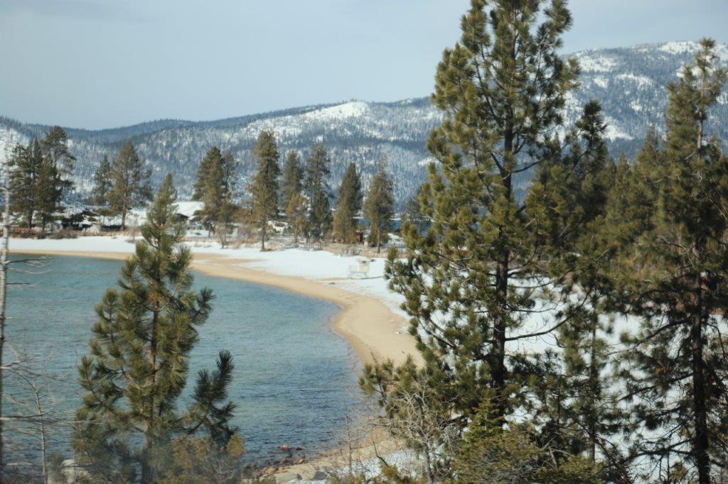
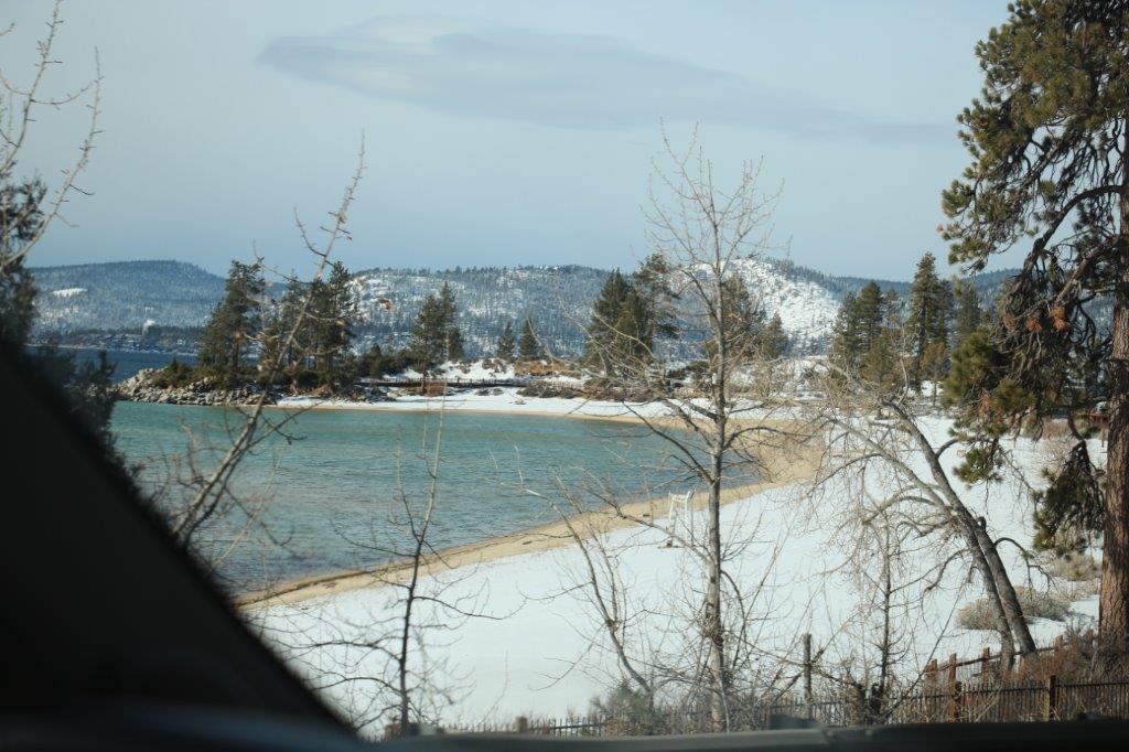
The sun had come out so the lake flashing through all the pines trees looked pretty nice. We drove northward along the east side of the lake, past the best sandy beach – Sand Harbor State Park – and the site of the Ponderosa Ranch of Bonanza fame – it is only open a couple of times a year for tours and a security gaurd protected access. The old film buildings were up high on the hillside among the pines and I could only make out a more modern building among the trees. With the help of a nice lady at the Visitor’s Center we found the correct road to take us up to the Mt. Rose Overlook. (Which, surprise, surprise was 2 miles up Highwayt 431! Helps to have the same road numbers at each end people!)
Site of the Bonanza TV show Ponderosa Ranch.
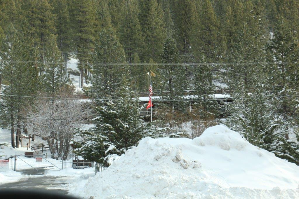
After taking some photos we drove back down the way we came up and made our way to Tunnel Creek Station Cafe for lunch where two sandwiches and two root beers cost $28 US. While we were eating our late lunch the weather changed dramatically and we exited the cafe into blowing snow. We had planned to stay the night at South Lake Tahoe just down the road but had been considering driving a little further since it was still quite early in the day. However the snow made the decision for us and we found a hotel and at 4:30 we checked for the night.
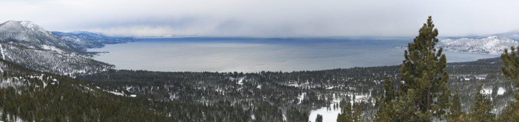
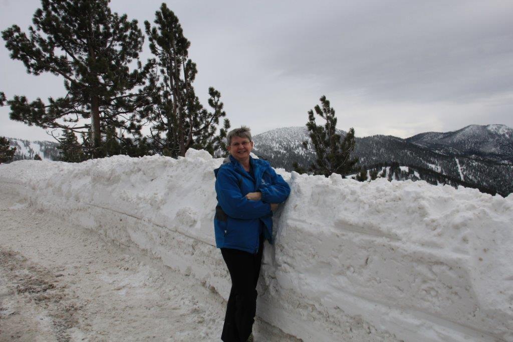
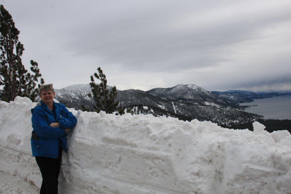 The Mt Rose Overlook is located at 7595′ above sealevel. There was quite a bit of snow plowed up at the loookout.
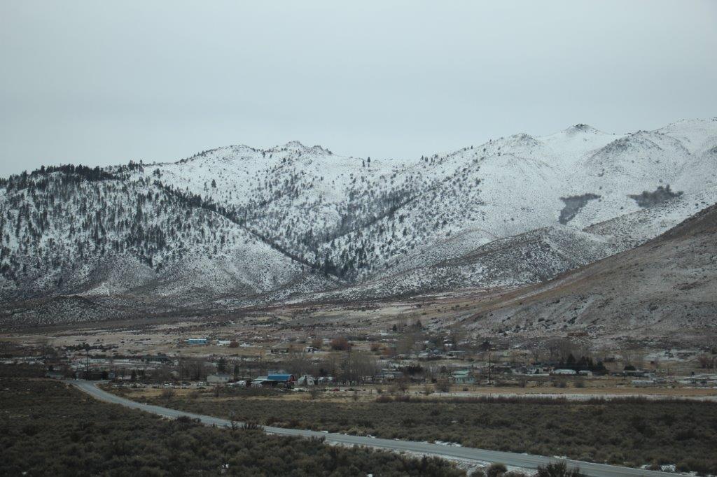
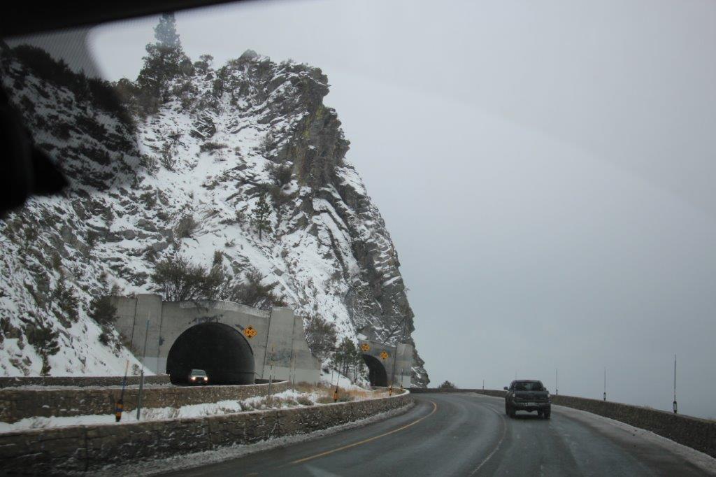 Cave Rock Tunnels on the way to South Lake Tahoe City.
Hopefully the weather will be a bit better tomorrow. Of course we are in the high mountains so until we head westward we can expect winter conditions. We knew that when we planned our route, but being used to winter driving we figured we would come and see this area since we had time to meander.
