Jan. 16 – Day 6 – Lone Pine to Carlsbad, CA
Today was strictly a destination day. We had no sightseeing plans and, besides there isn’t much to see but desert scrub.
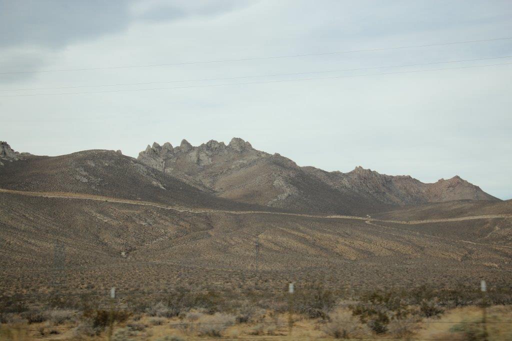
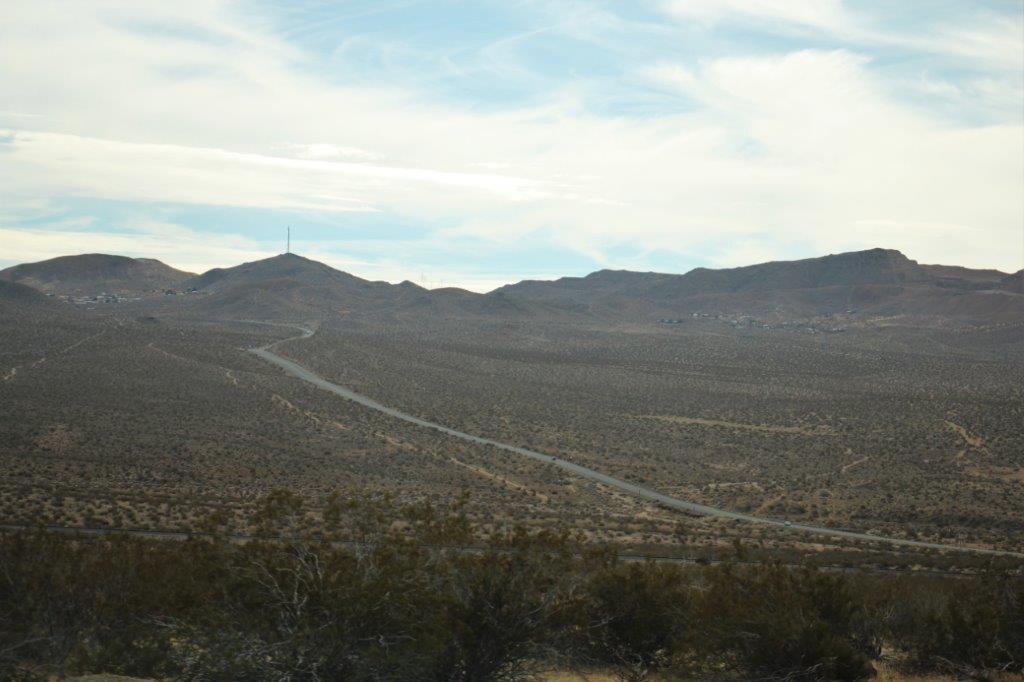
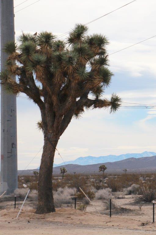
It was cloudy most of the day but as we progressed on our south-westerly course it got warmer. We were now driving through the upper edge of the Mojave Desert and you can certainly see why so many people and animals perished trying to cross it. As far as the eye can see for miles and miles is sage scrub and sand.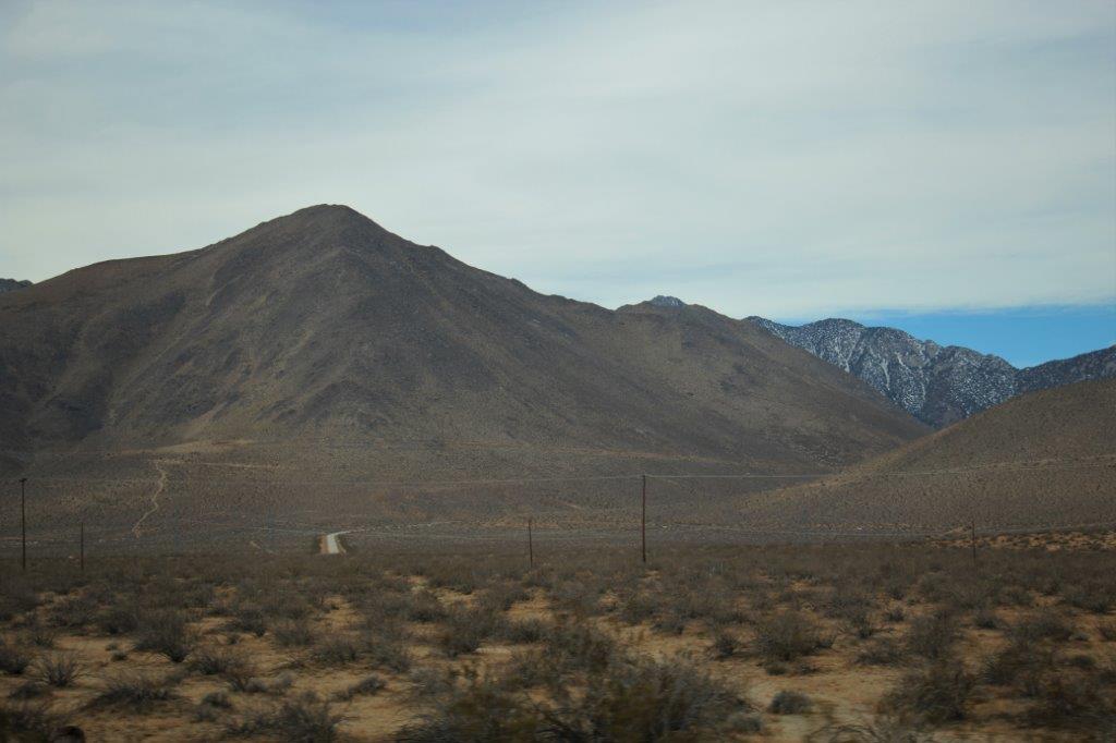
 A few miles south of Lone Pine is one of the turn-offs to Death Valley National Park and the western boundary Visitor’s Center. We had driven down the road a mile or so and I was telling John about our proposed route to enter Death Valley, which isn’t near any of the entrance Visitor’s Centers but at the western edge of the Park coming in from the south. He very wisely said, “Well, why don’t we go into the Visitor’s Center now and get a map and talk to the rangers about what to see and where to go when we get there later?” Smart man. We found a place to U-turn and went back. We had a nice chat with a friendly park ranger who gave us tips on what to see and how long the hikes or off-road drives may take and the special places to see at dusk or sunset. Then we turned back southward and continued on our way.
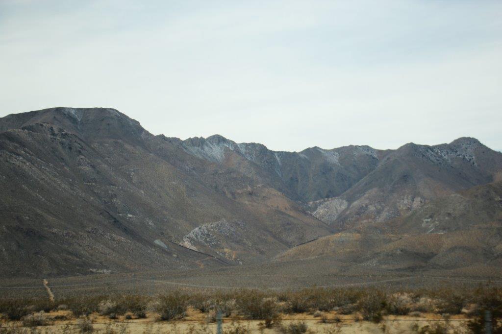
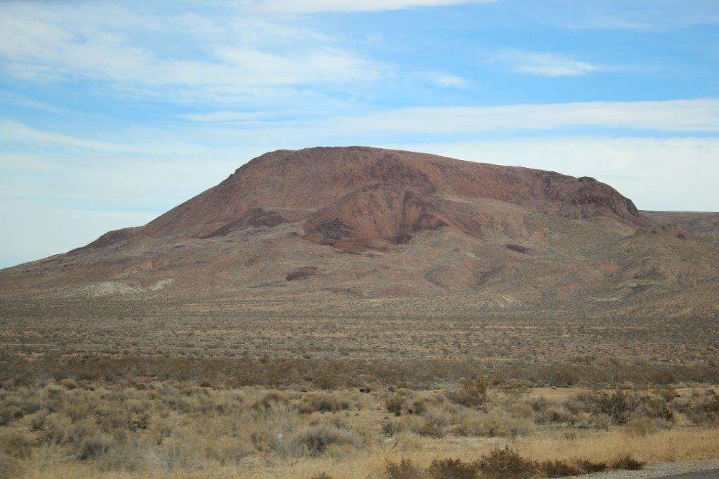
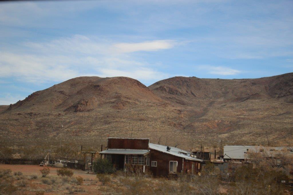
There are a couple of close-together-communities south of Ridgecrest on Highway 395. They are called Johannesburg and Red Mountain. The area and hillsides around Johannesburg do look similar to Johannesburg, South Afrrica (we stopped there for three days on our World Cruise in 2009), and it was very easy to see how Red Mountain got it’s name.
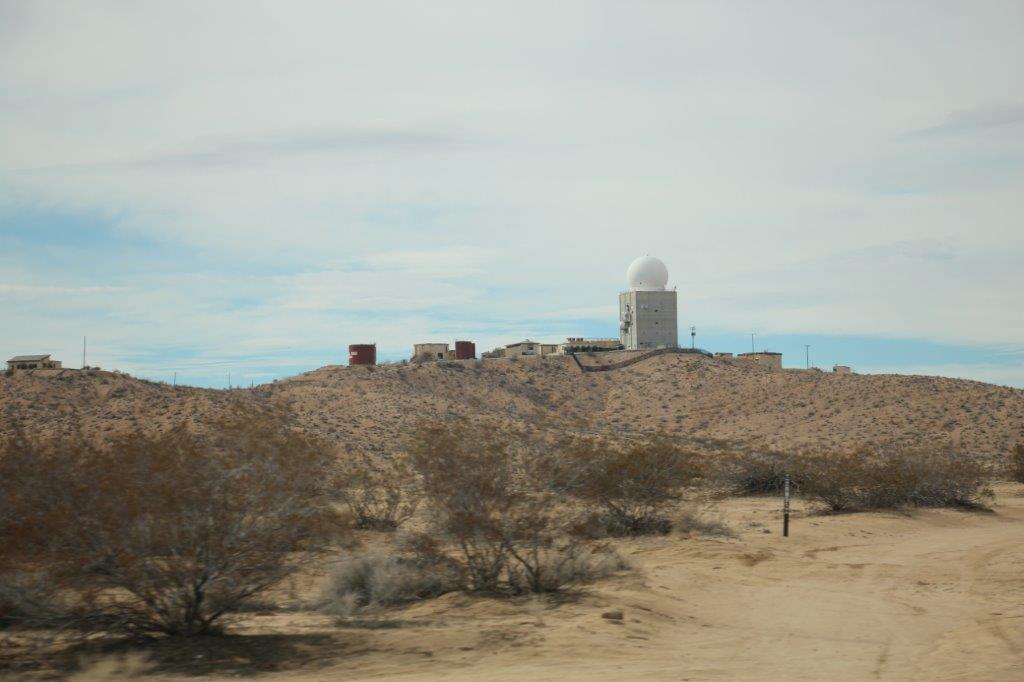
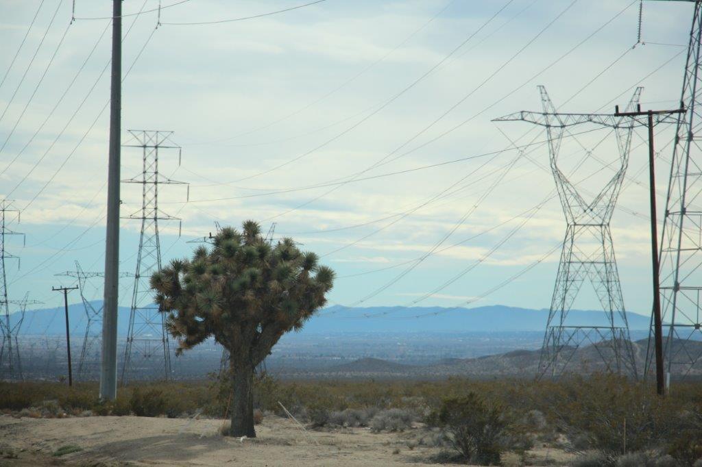
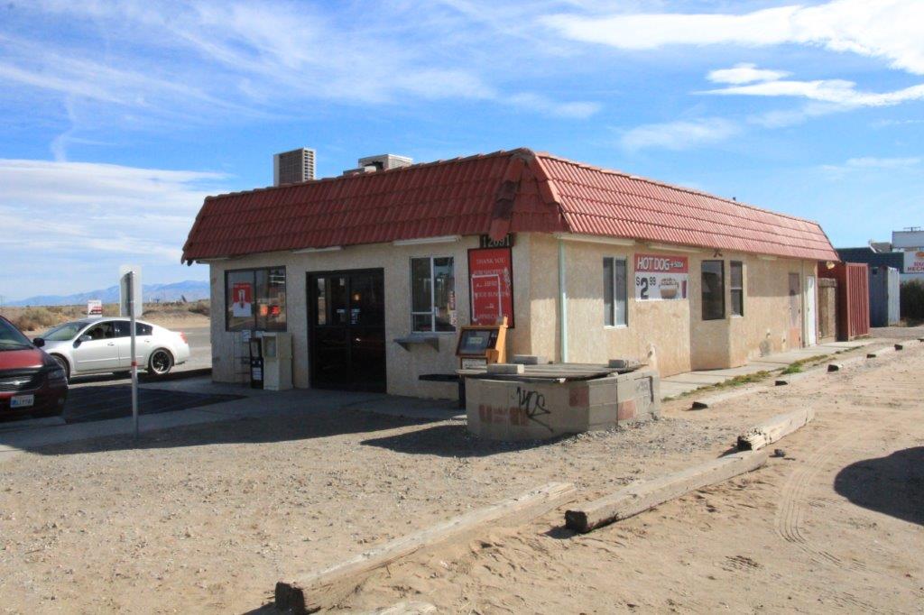
 We passed a couple of observatories on hillsides and a huge solar energy plant north of Adelanto where we stopped for lunch at a tiny one lady diner that didn’t even have a name. Good burgers though.
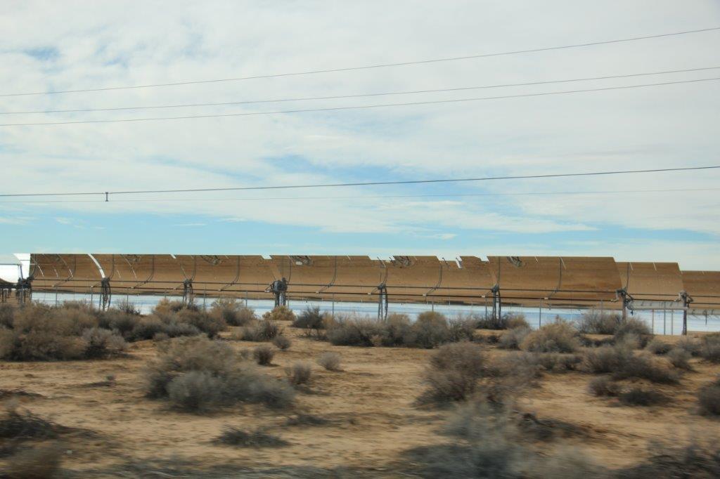

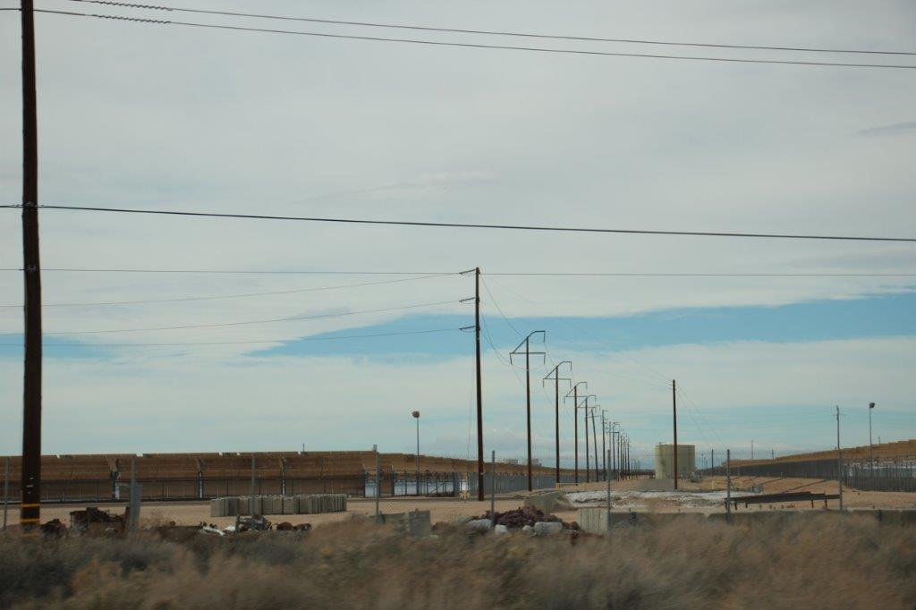
The solar collection rows covered acres and acres of the desert.
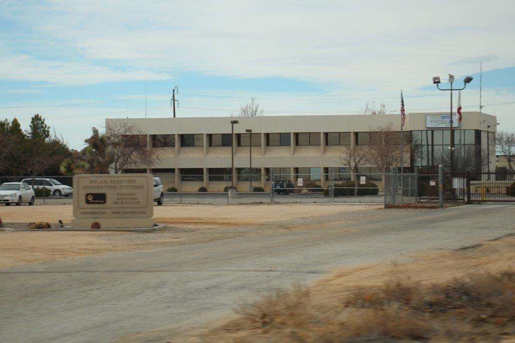
The company is called Nextera and by the look of things they have invested a huge amount of money into this project.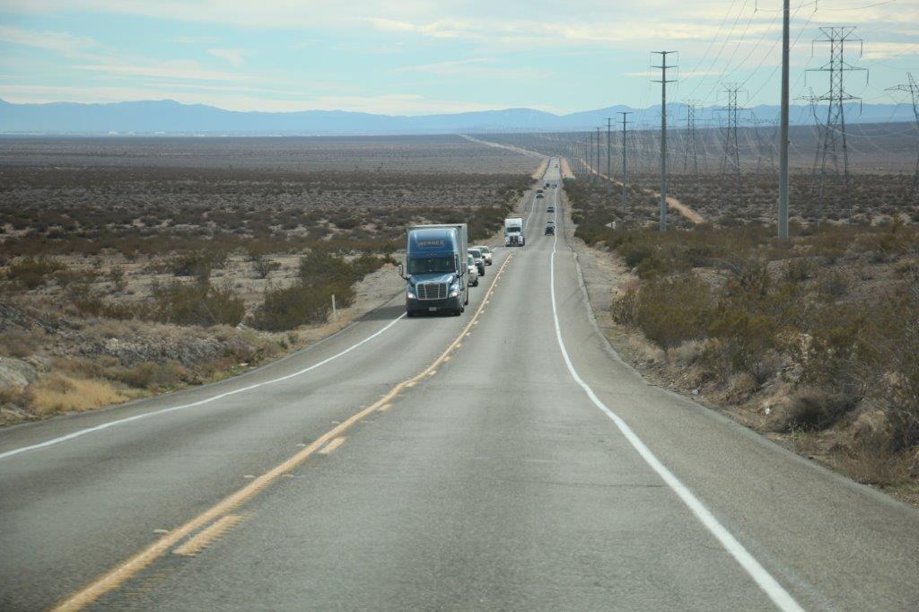
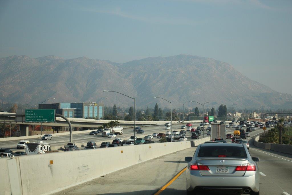
 Fifteen or so miles south of Adelanto Highway 395 joined the number 15 freeway. This was not my favorite section of travel. We drove this same road when we came down to Escondido a few years ago and there is almost no other way to get down to the San Diego area without doing a lot of zig zags. I just kept my head down and read my book. John exited 15 and drove for a few miles down the slightly less traveled Route 215 between Ridgeway and Temecula so that helped a bit. We went from five or six lanes down to three.
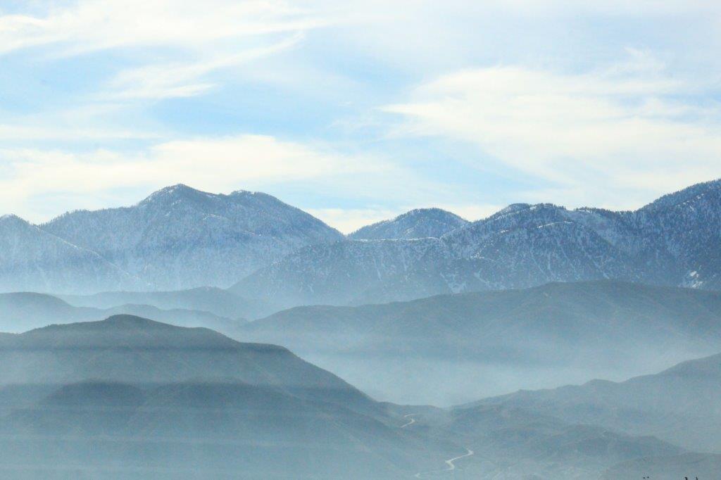 Ya’ gotta love the LA smog.
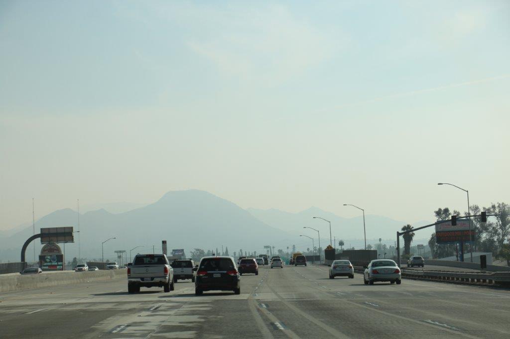
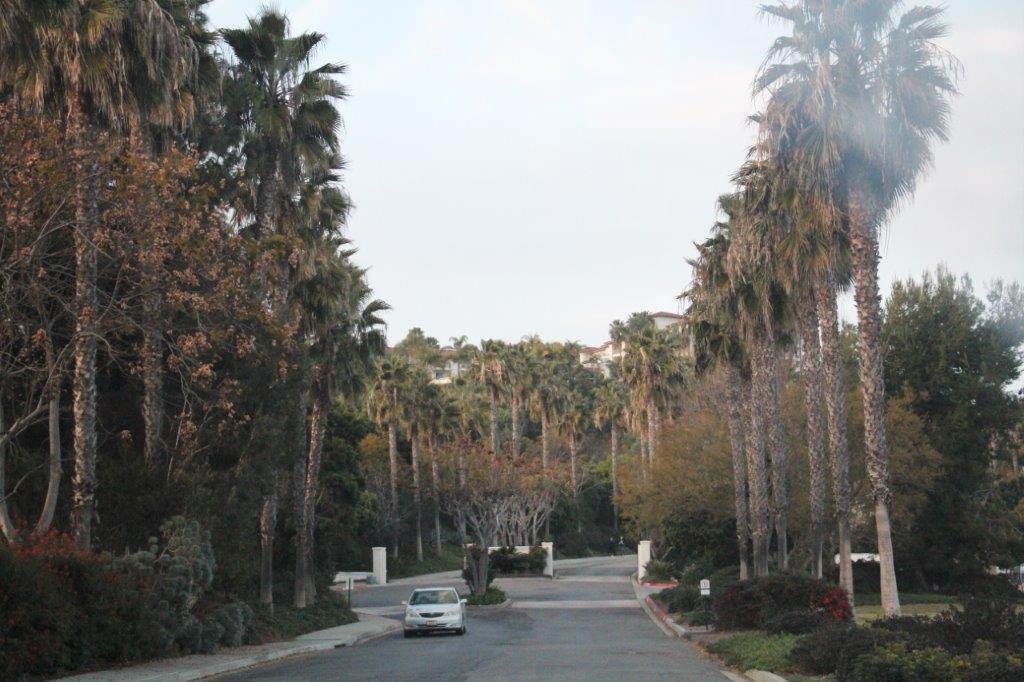
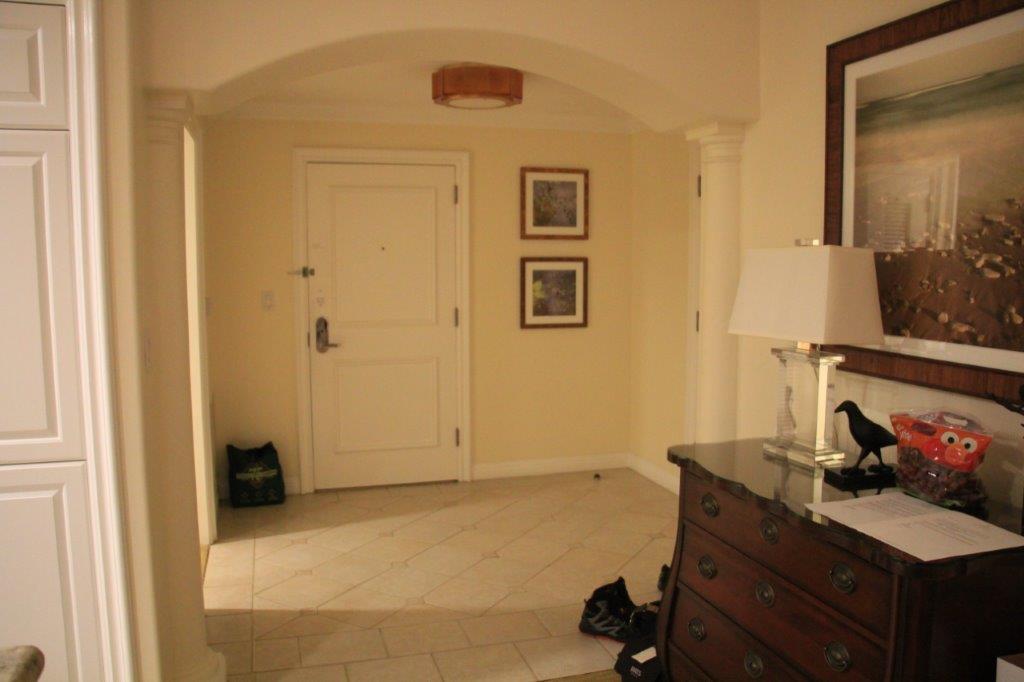
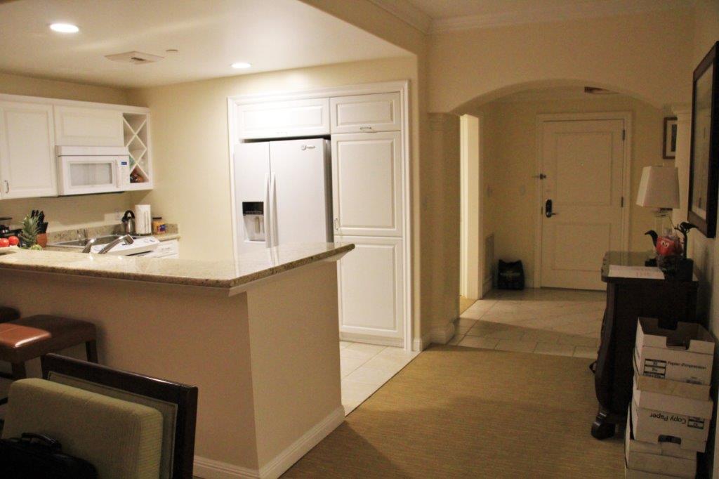
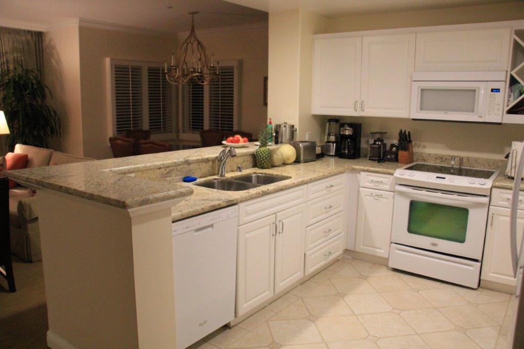
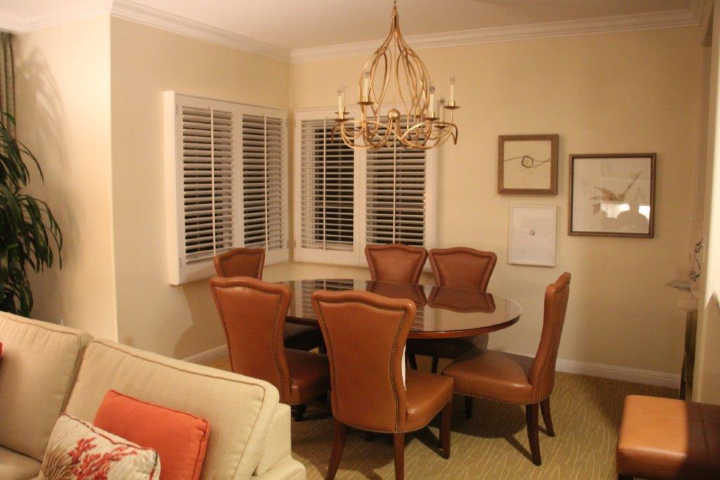
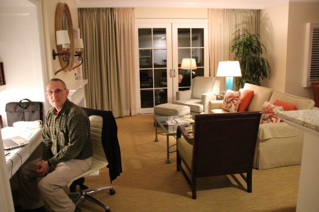
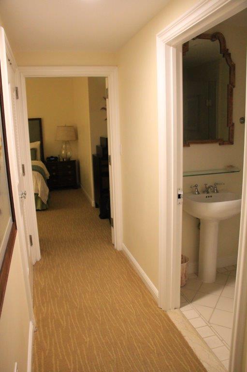
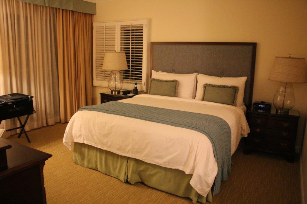
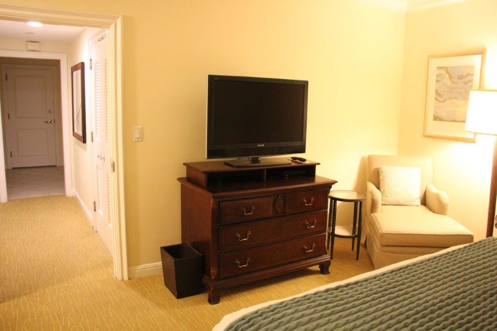
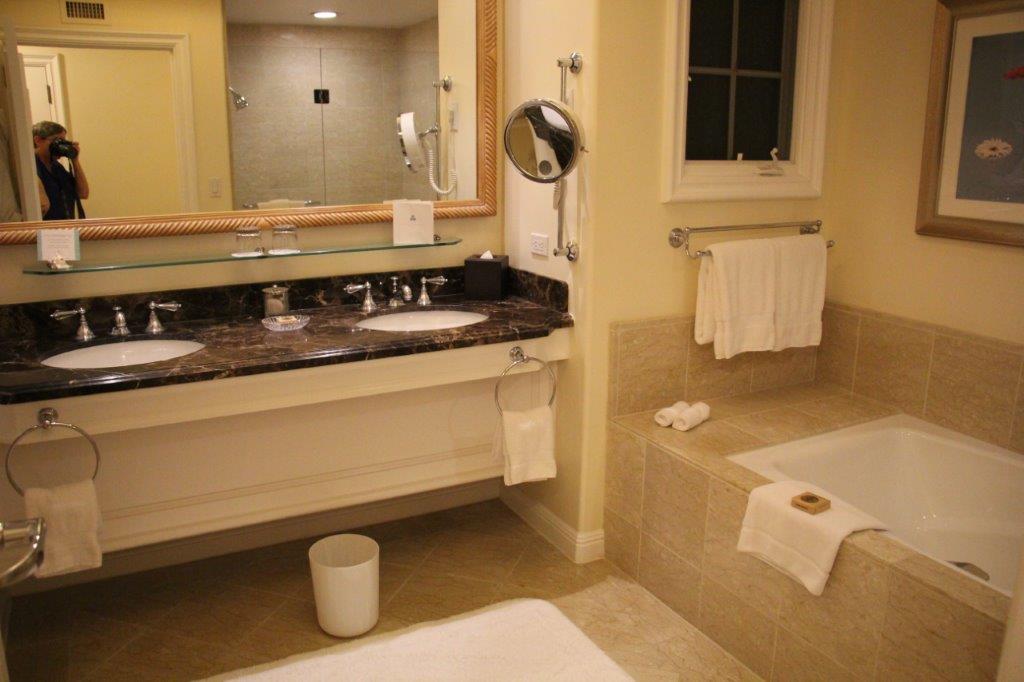
 We arrived at San Marcos about five o’clock and found a grocery store where we stocked up for our three weeks at the Aviara Four Seasons Residence Club. As you can see by the photos we will be suffering in our accomodations….


 As is normal when we use one of our time shares we laze around the condo a lot, play games, and go for walks so there will probably be some days where I will not post a blog. If we go anywhere or do anything I will let you know.
