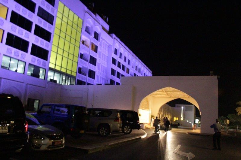
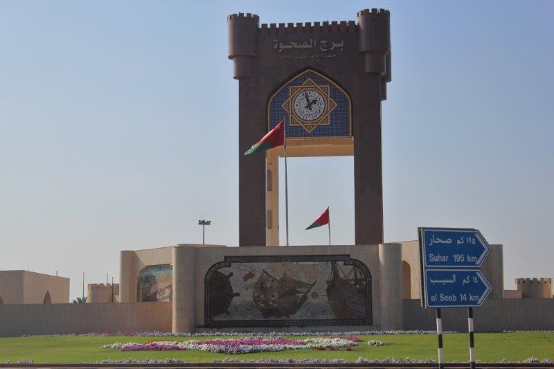
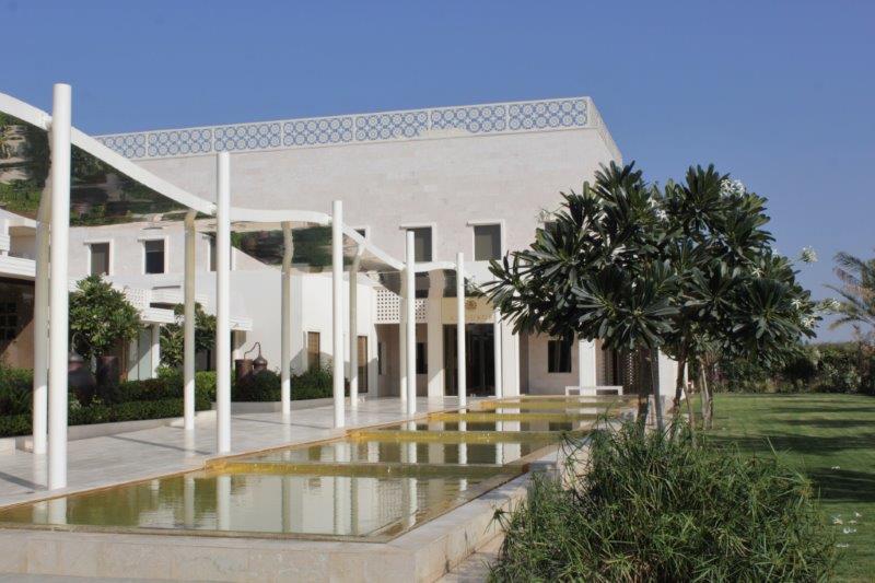
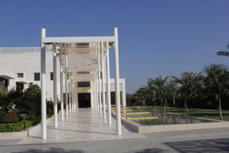
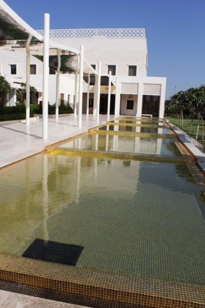
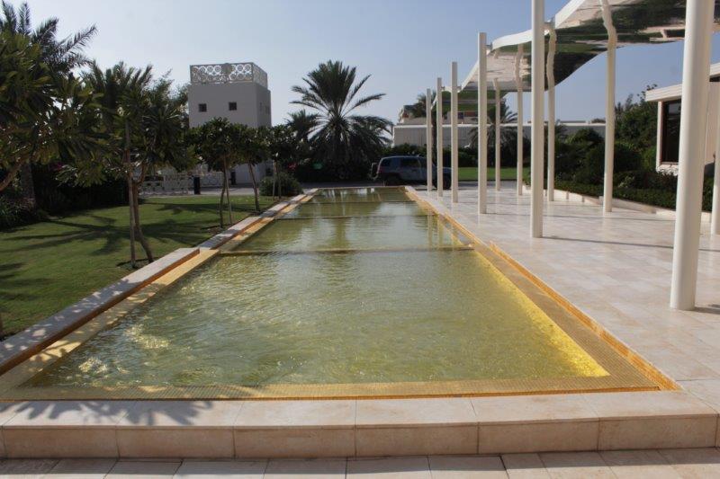
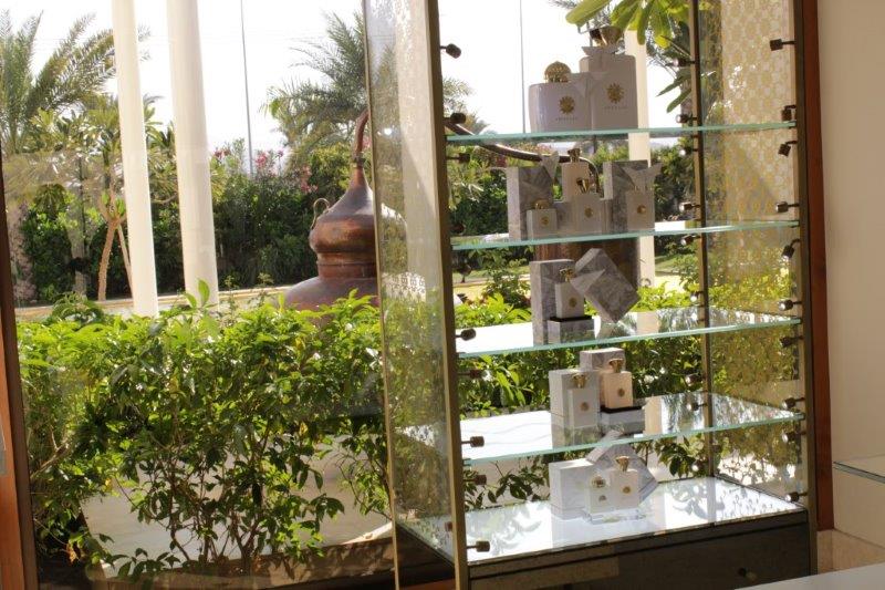
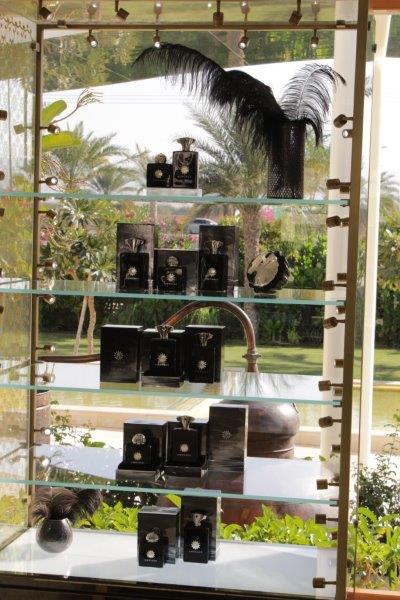
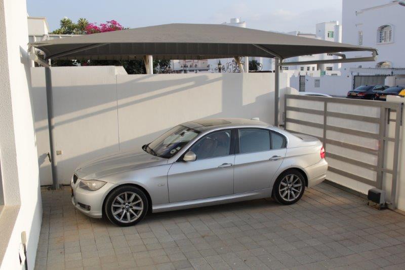
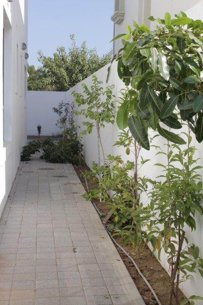
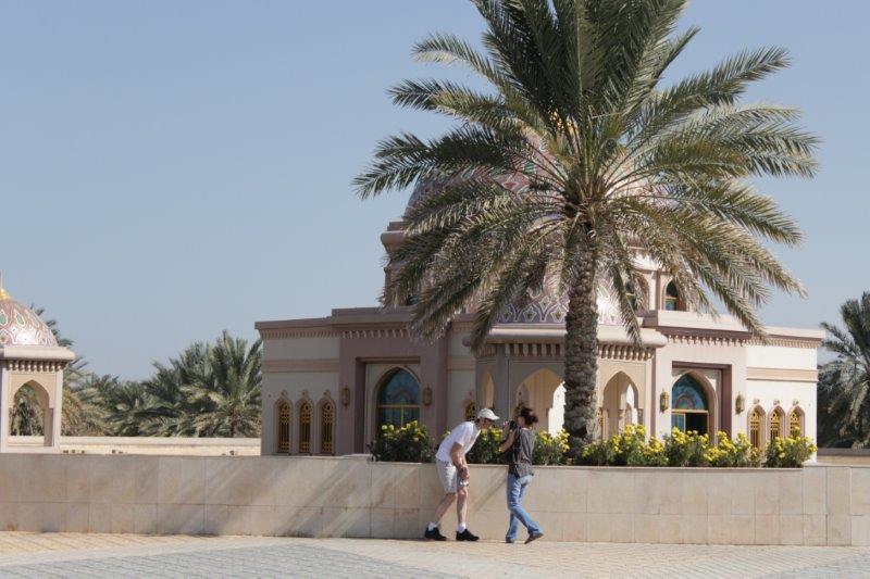
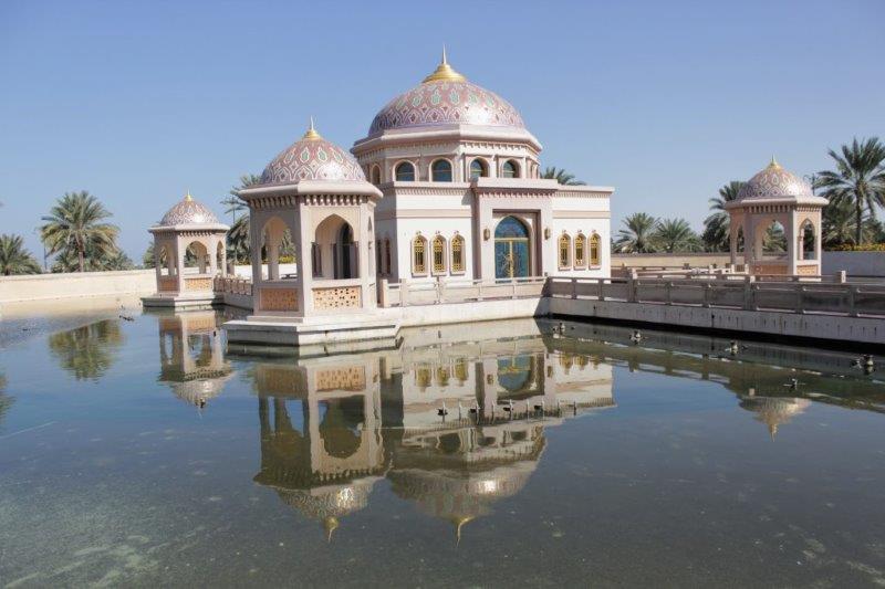
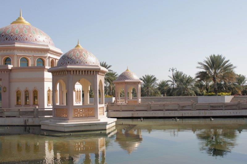
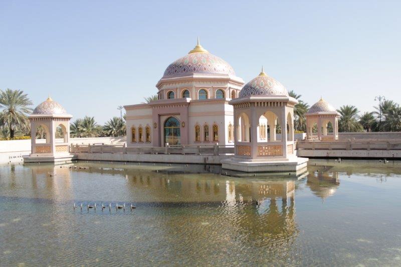
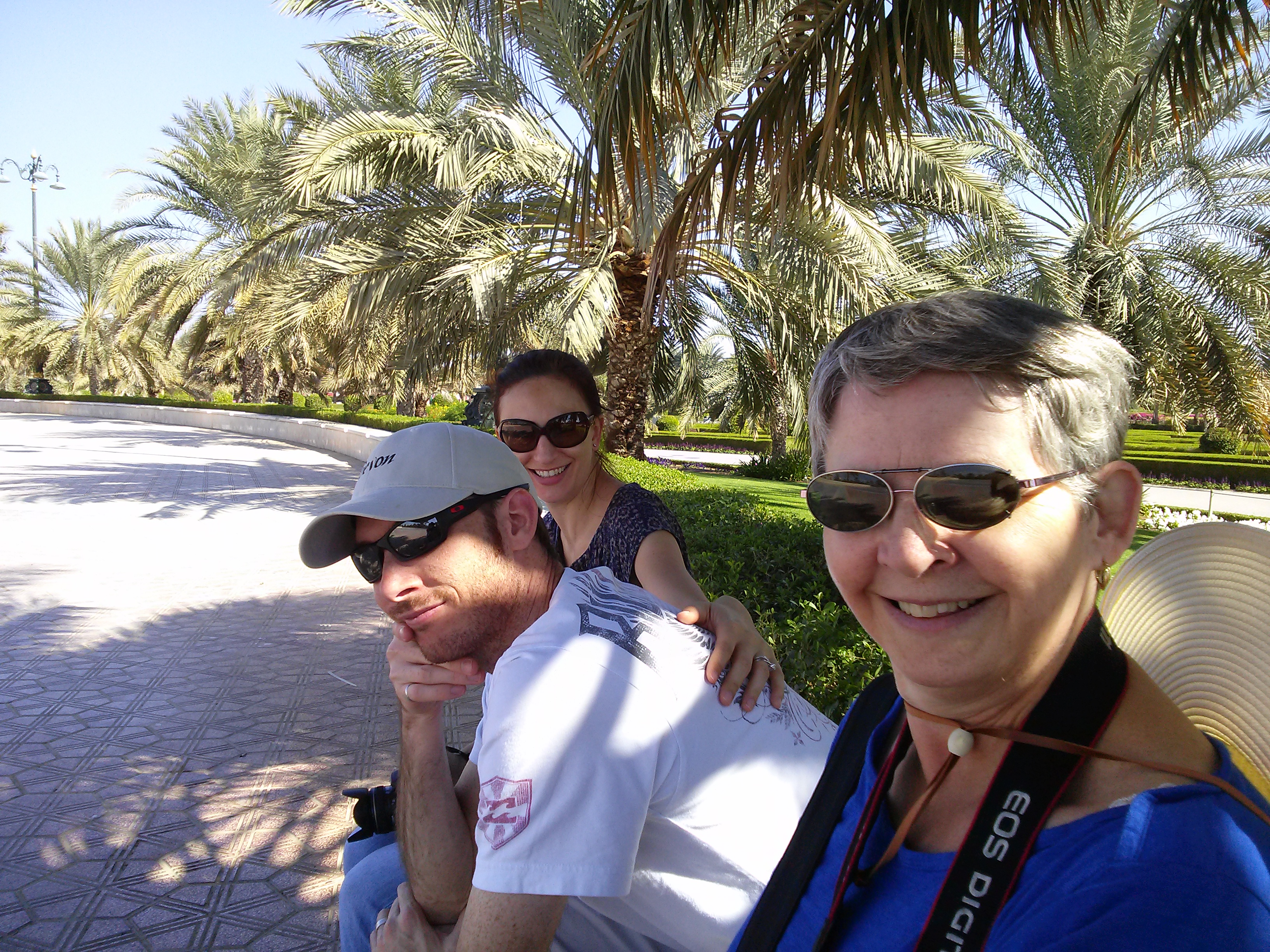
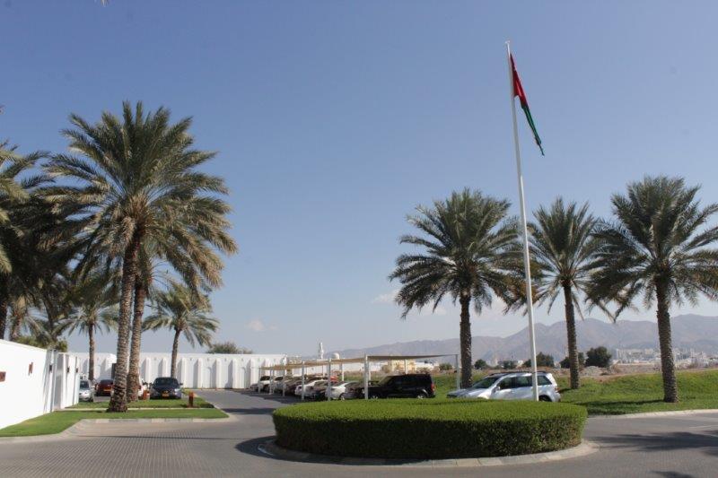
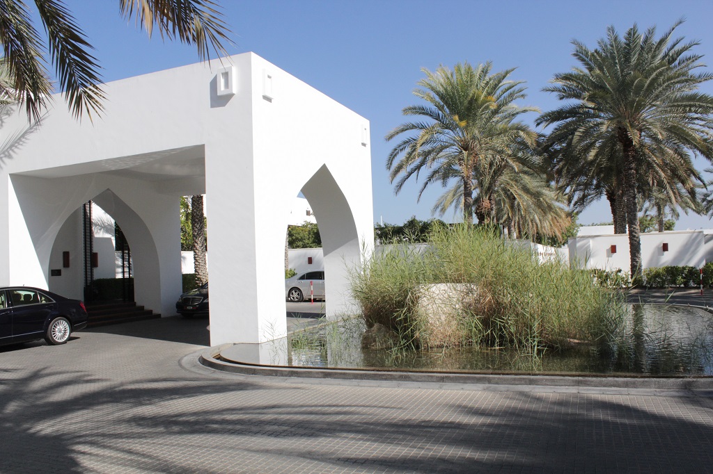
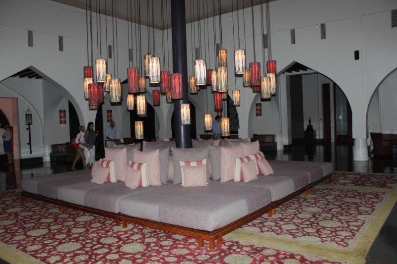
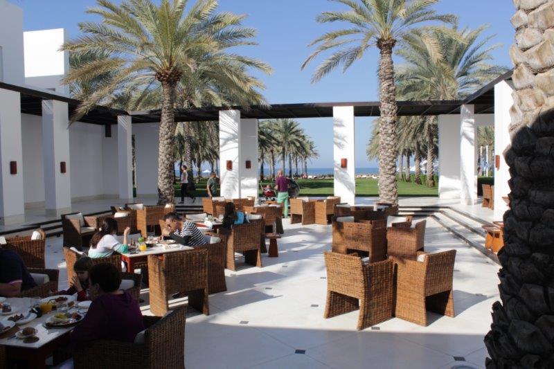
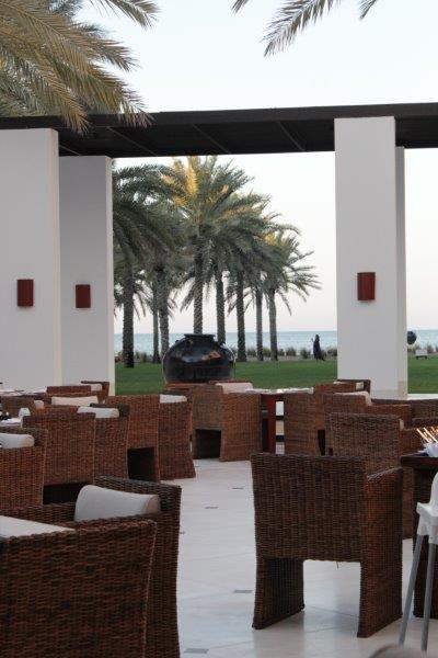
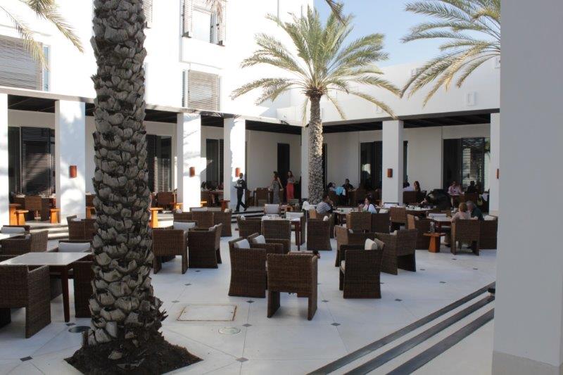
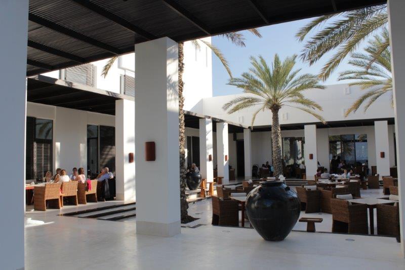
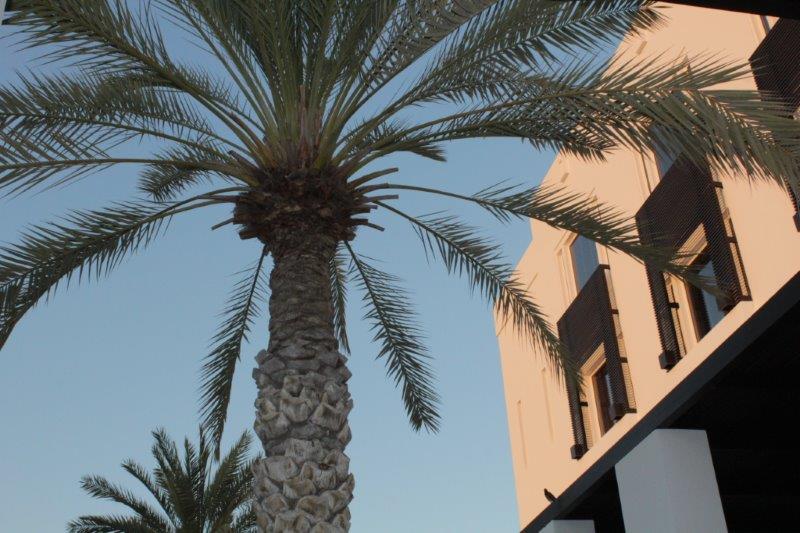
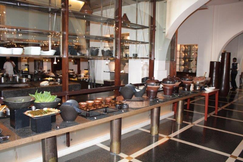
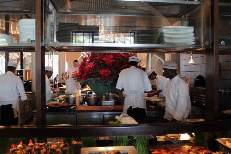
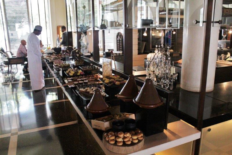
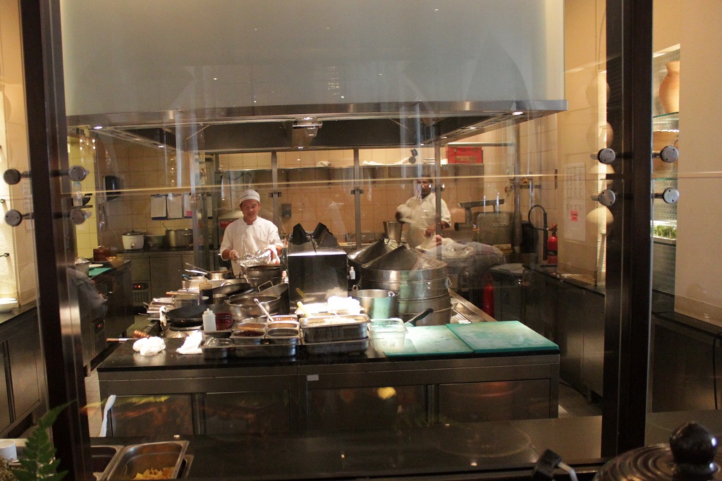
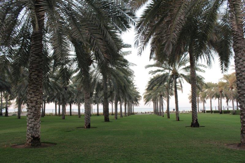
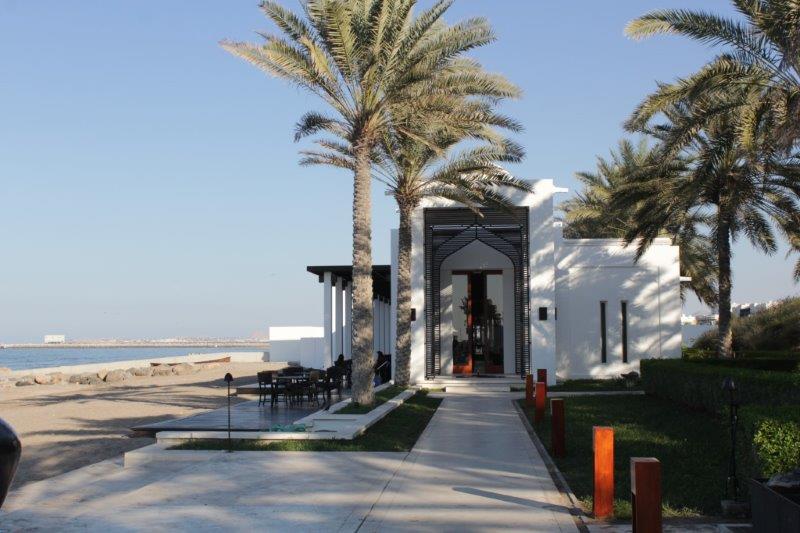
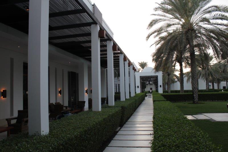
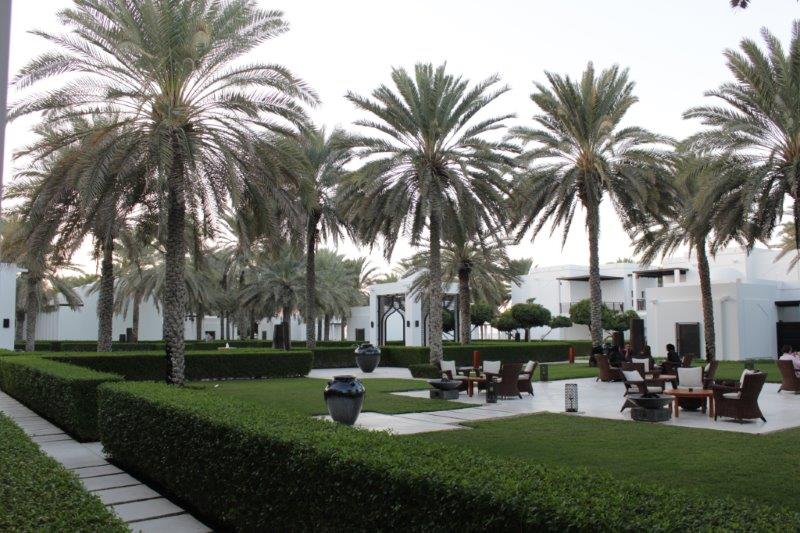
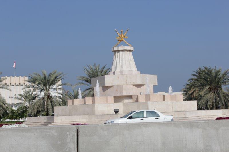
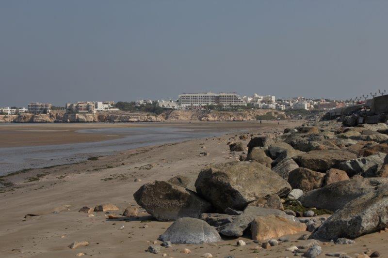
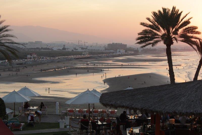
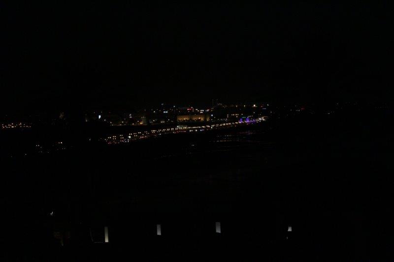
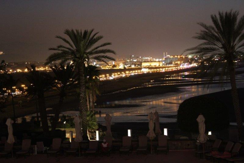
We had a normal day of eating, computers, and playing board games. Carrie had made reservations for a table on the terrace at the Crowne Plaza Hotel for this evening. The Crowne Plaza can be seen perched atop the cliff at the end of the beach at the promenade where we go for walks (which we will be doing tomorrow morning). When Bryan took Trish on a tour around Muscat to see the city lights they made a stop at the Crowne Plaza to watch the sunset. She told us to go there if we got the chance because it was a lovely view.
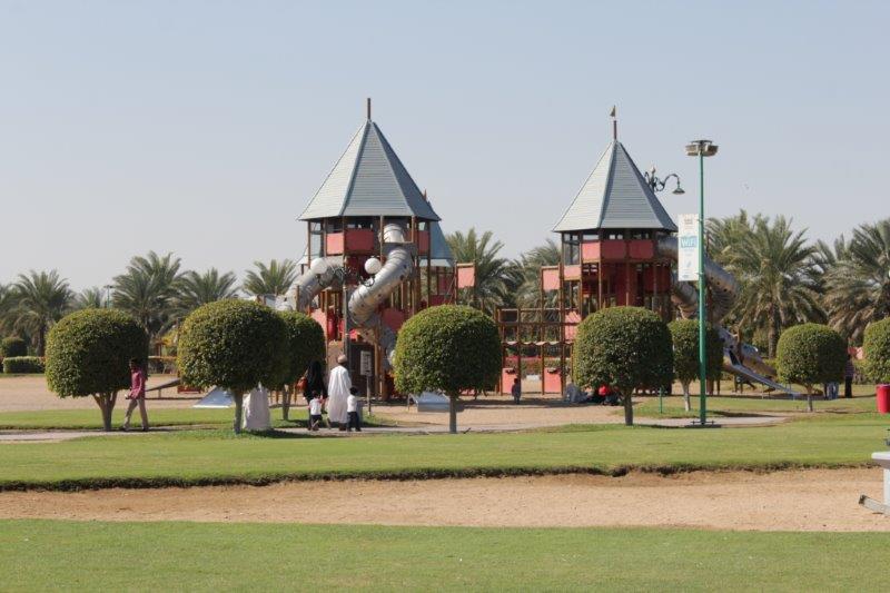
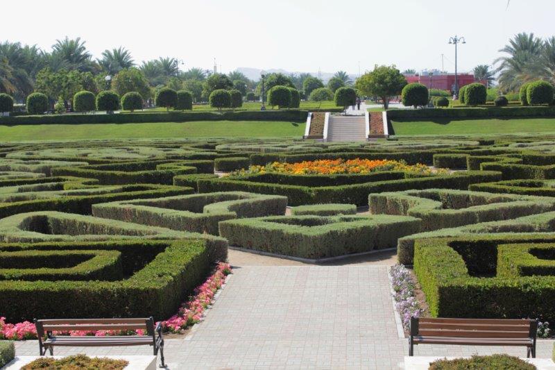
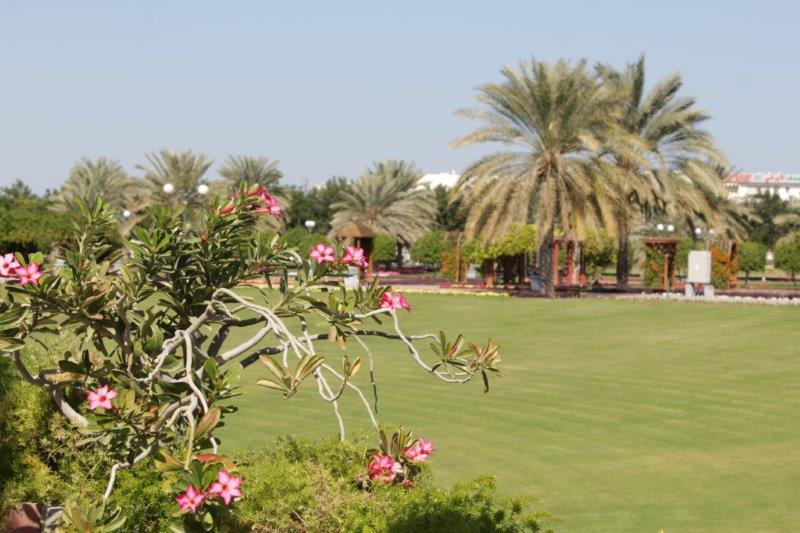
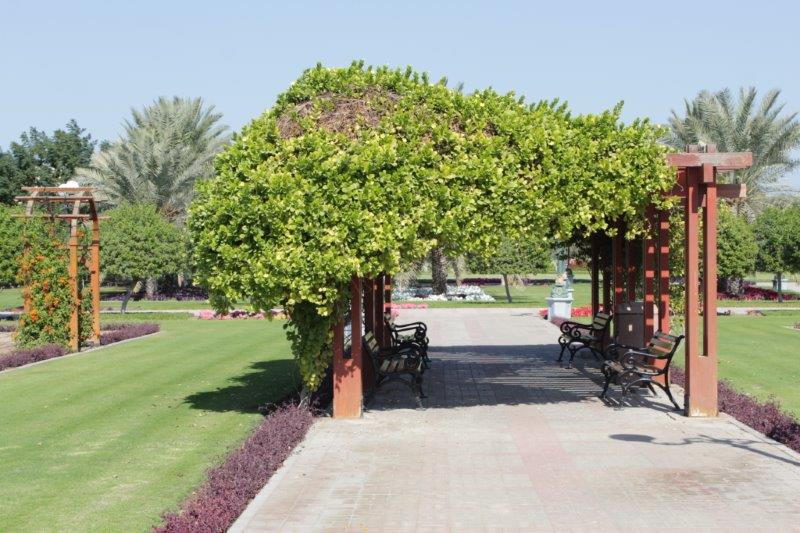
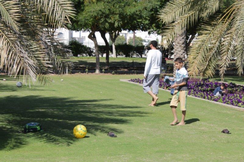
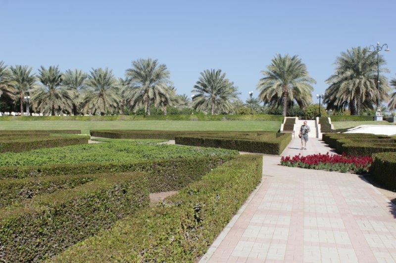
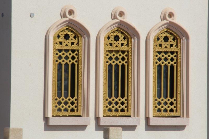
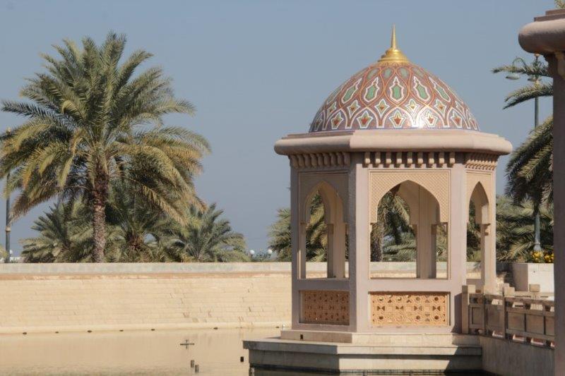
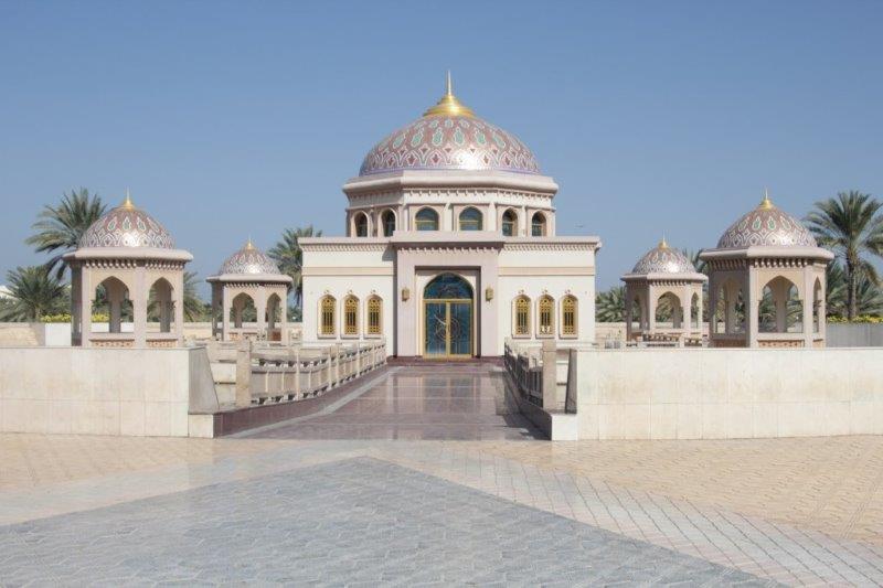
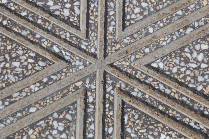
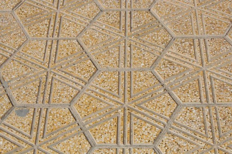
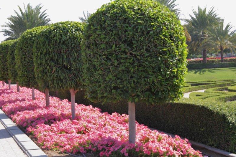
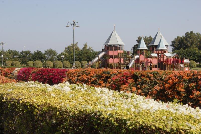
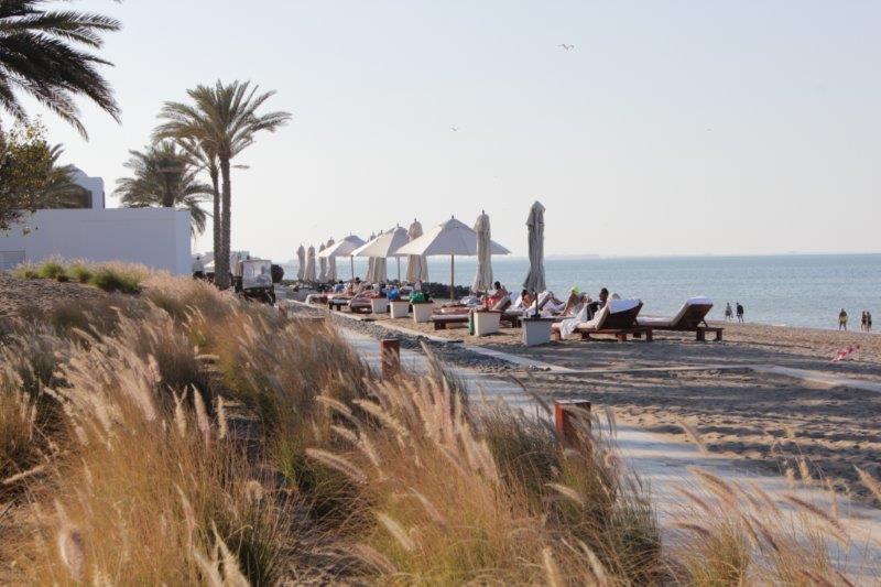
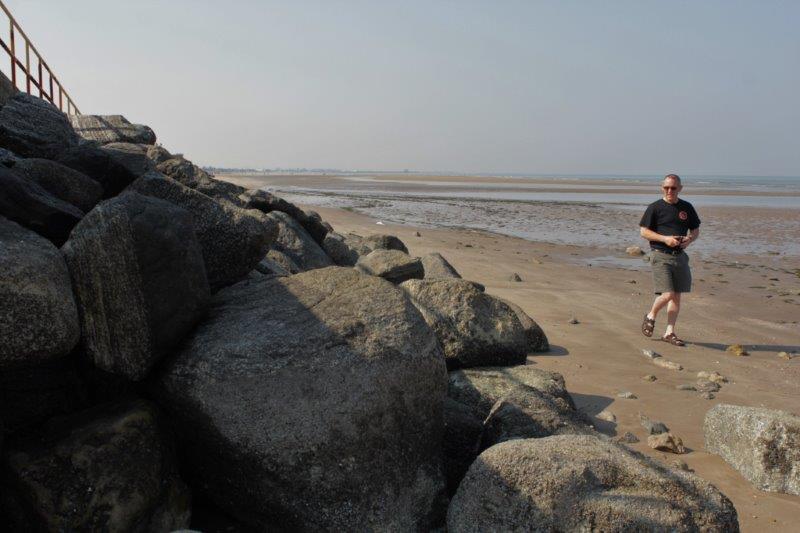
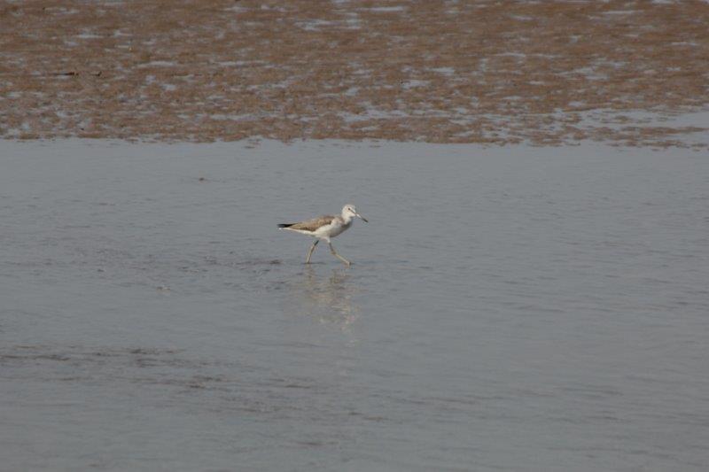
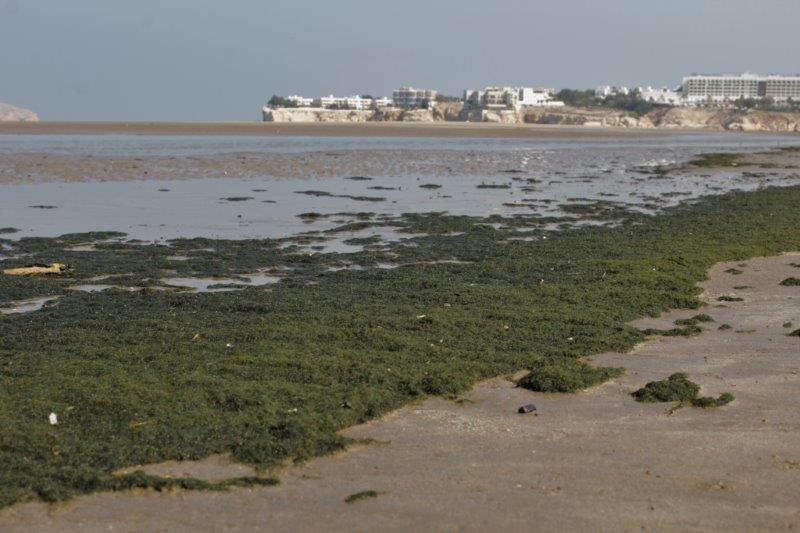
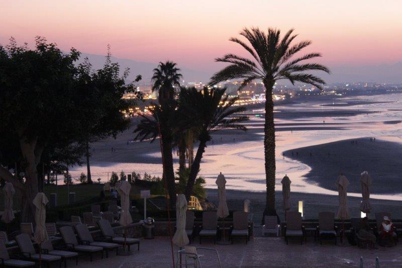
The tide was out along the Promenade beach and since it was Friday, the first day of the weekend, there were many people walking on the beach, Sea-dos roaring all over in the water, and kites flying. There were also many couples sitting on chairs at small tables they had brought with them, eating a snack or dinner along the promenade sidewalk and traffic was bumper to bumper moving at a crawl.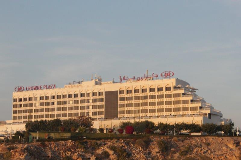

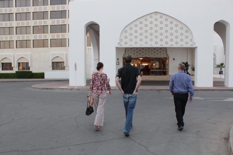

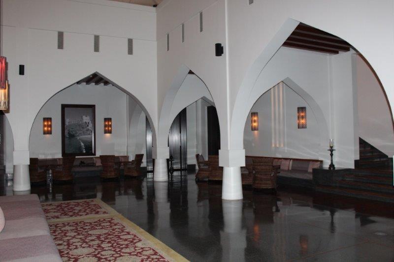
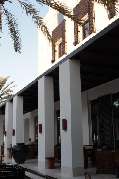
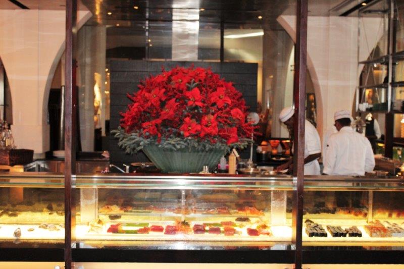
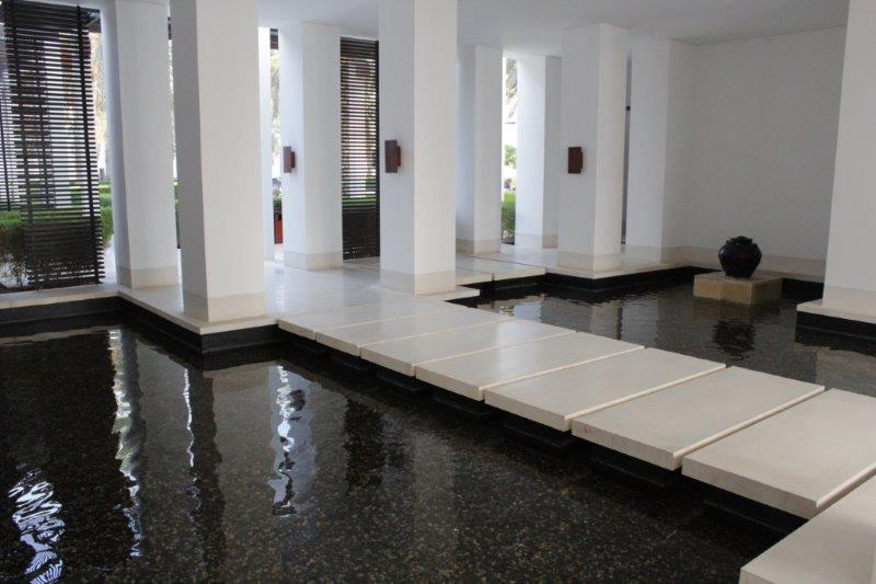
 To get to the the restaurant you walk through the pub which could have been any local pub in Britain. The dinner menu also reflected the U.K. with Bangers and Mash, Guiness and Steak Pie, and Fish and Chips on offer. It was a bit strange to see Omani men in traditional dress enjoying a drink at the bar.
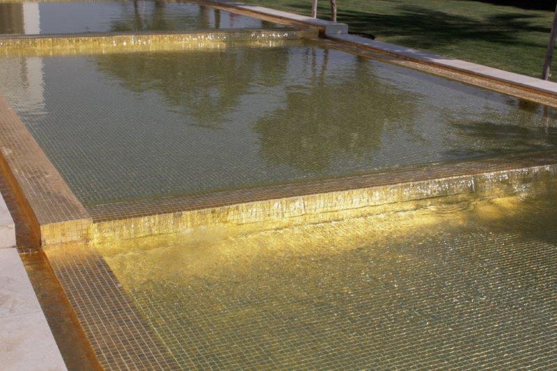
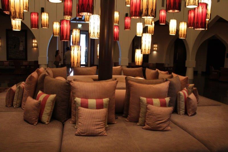
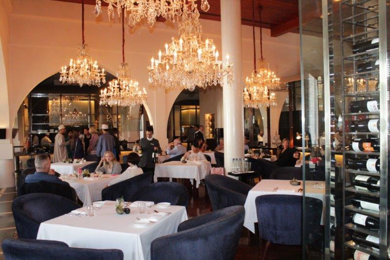
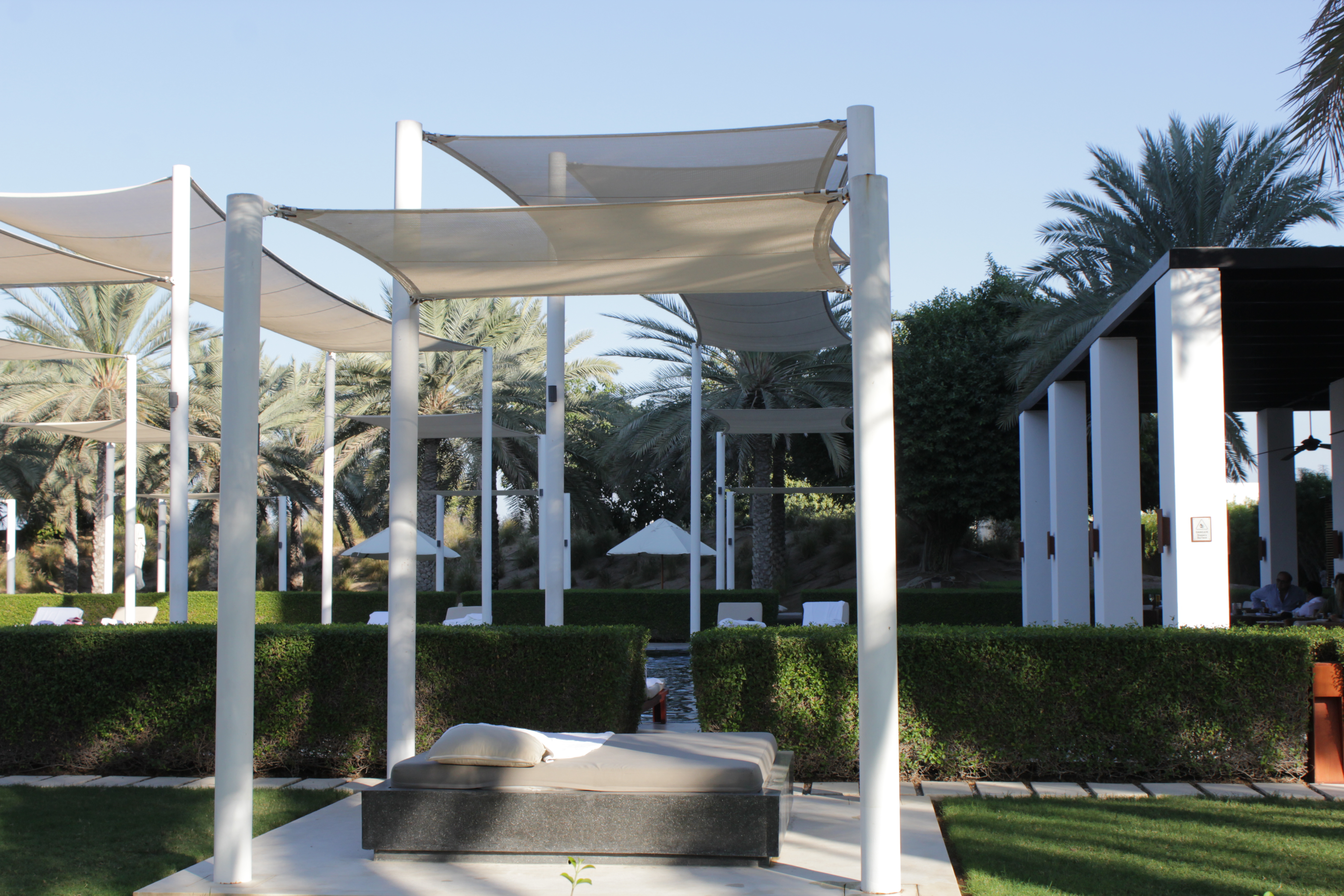
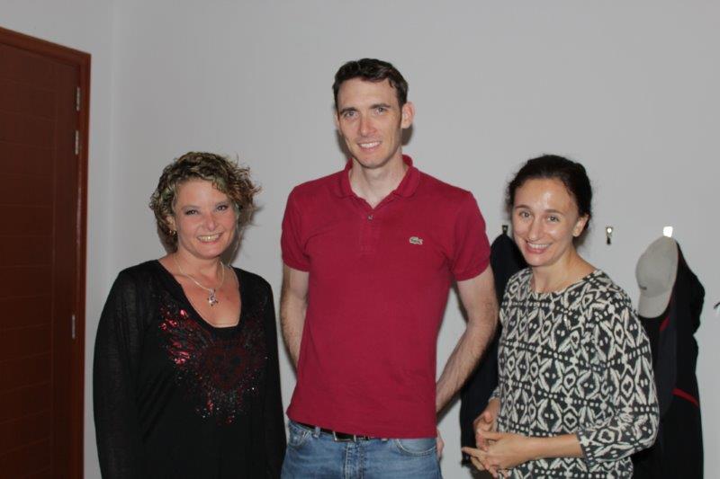
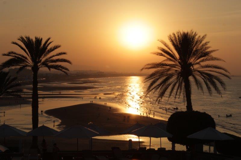
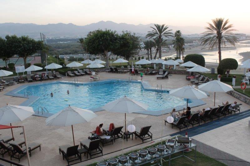
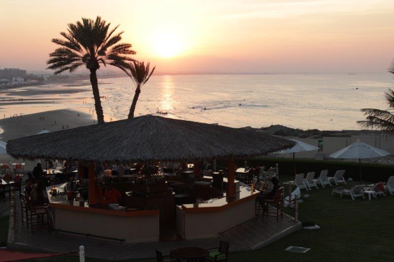
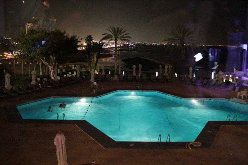
We were seated at a nice table overlooking the hotel pool with the setting sun strategically positioned between two palm trees. In typical Gulf fashion dinner was a leisurely affair and we arrived home a bit before 9 pm.

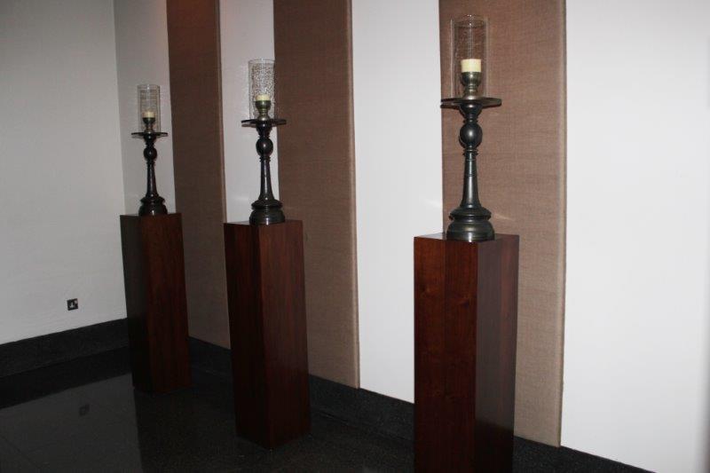
 In the lobby there was a list of Top 10 things to do in Muscat. We have done quite well, having done all but three of them, one of those being have a tennis lesson at the hotel courts, which I wouldn’t have done even if I had been staying there.
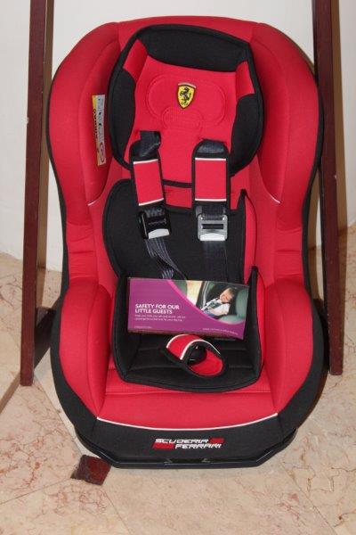
Underneath the easel that held the poster of the Top 10 list was this Ferrari child car seat. It is the law in Oman to wear your seat belt and have your children properly restrained in your vehicle, but just as people constantly drive while on their phones and texting they also drive at 140 kph with babes and young children leaning over the back seat, climbing around inside the car and even sitting on the lap of the driver. I found it a bit humourous that the hotel has car seats to loan you during your visit. The littel card on the seat says, “Safety for our little guests.” Certainly more people should borrow the car seat – or better yet buy their own – and use it!
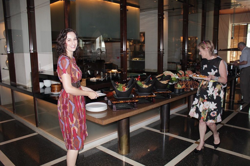
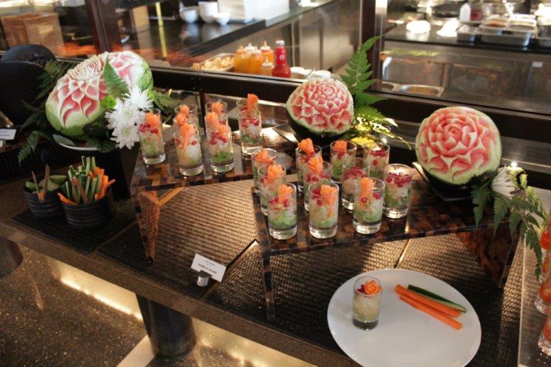
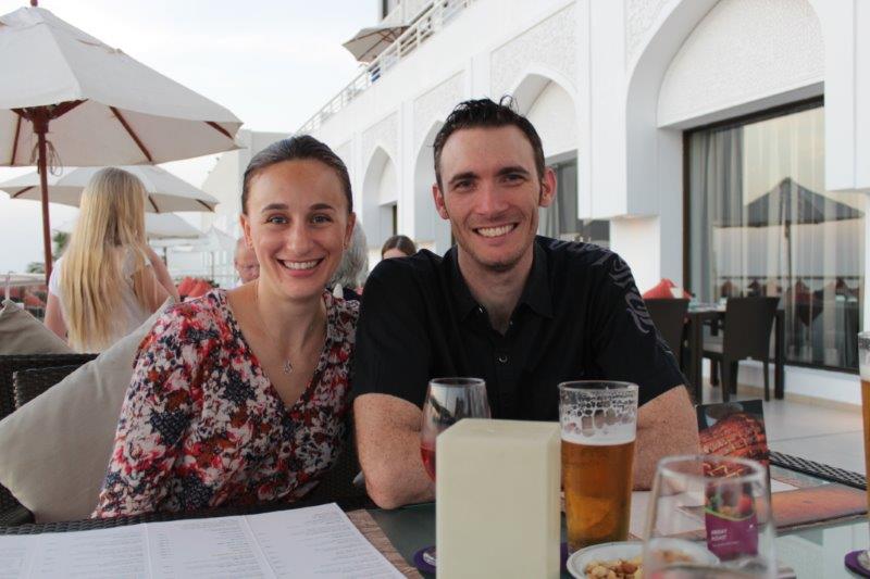
 It was indeed a lovely setting in which to have a good dinner. We have two more days to enjoy Joseph and Carrie’s company and hospitality and the warmth of an Oman winter. I am not looking forward to the snow and cold at home. Poor me. (And yes, I am aware that no one reading this sympathizes one little bit.)