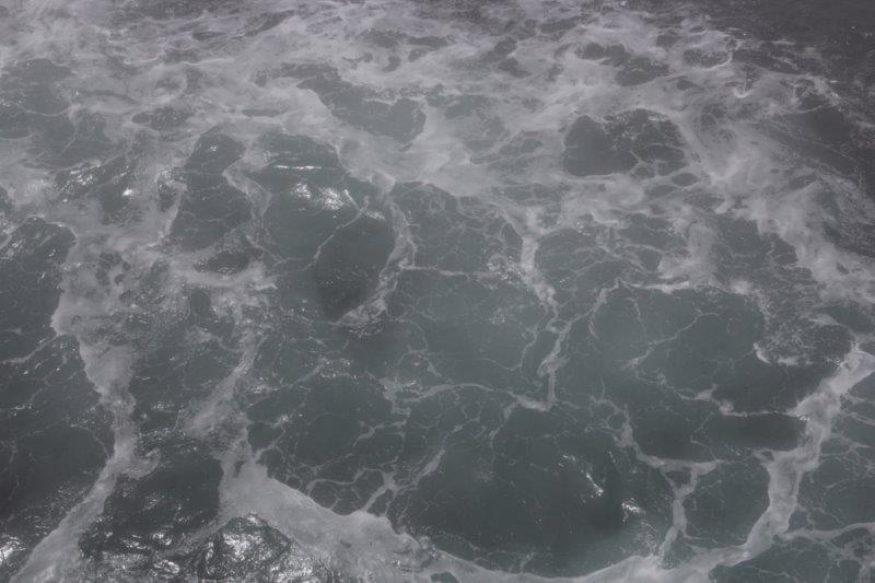
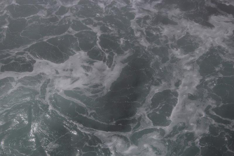
We were blessed with good weather again today. We had a 5 ½ hour tour called Picture Perfect Iceland which departed the ship at 7:30 am and returned at 12:30 – the all aboard time before the ship departs for our next port of call. We got up at 6, had room service deliver breakfast and were in the Showroom at Sea by 7:10 to await the call to board our bus.
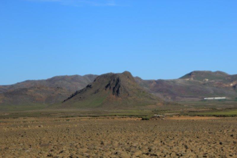
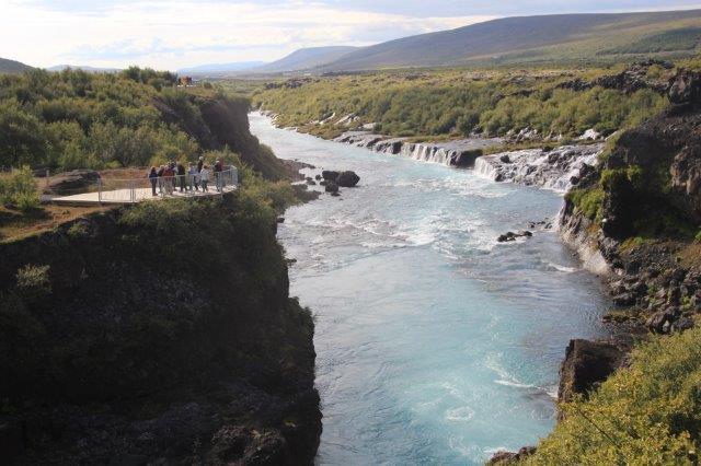
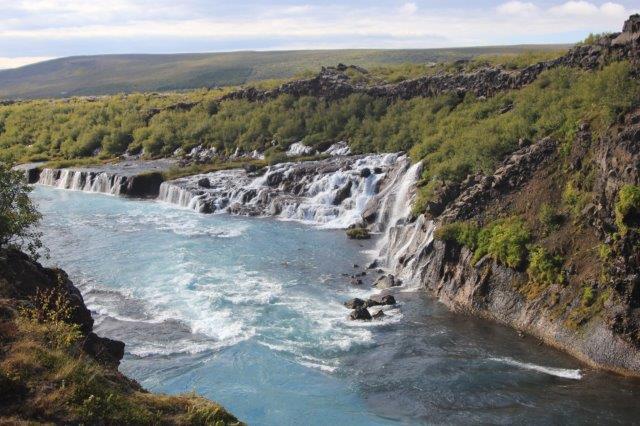
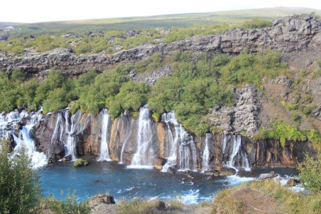
The title of the tour says it all. We were driven around the Reykjanes Peninsula with photo stops at various scenic or interesting places. Our guide was a professional photographer and would answer any questions we wanted to ask. Most people, like me, just wanted to see the sights and take pics. I am not sure the fellow answered more than two ‘photography’ questions all day.
So….again, I have a blog loaded with photos. I am burning up my internet time very quickly and will probably have to buy more before the cruise is over. I will live with that though as we don’t gamble, don’t drink, and don’t shop so we don’t spend very much money once we get aboard.
John and I found the first stop of the tour very interesting because we remember the teams on The Amazing Race having a challenge here. It was not at all a pretty place, and it stunk to high heaven but it was neat to go there after seeing it on TV. With all the traveling we have been doing lately usually it is us saying we have been there to someplace we see on TV or in a movie. A bit different to experience the opposite.
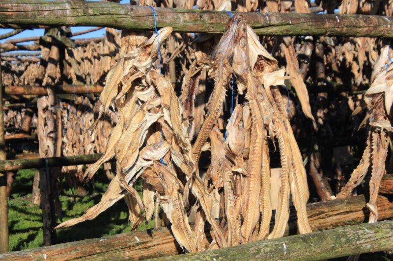
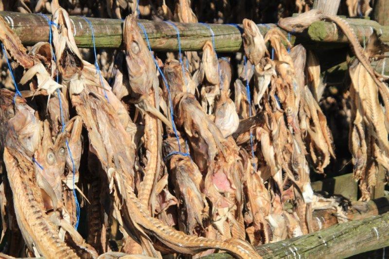
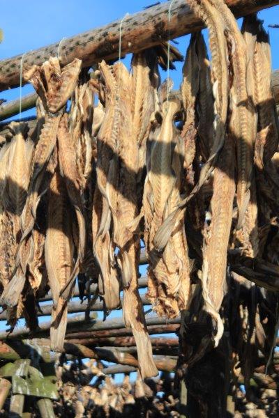
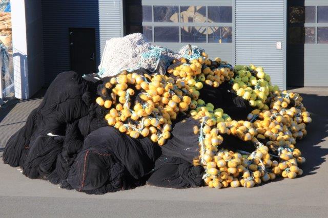
We stopped at fish drying racks. Lots of them – with thousands of fish carcasses hanging out in the sun to dry. After the fillets are removed the rest of the fish – head and skeleton – are hung on pole racks and left to dry in the sun. Iceland exports 22 tons of dried fish skeletons each year. They are sent to Africa where people boil them into a soup and to Italy where people make them into a type of starch. It was wise of the tour company to take us to the smelly, somewhat disgusting stop first because then all the rest of the nice and interesting places we saw blotted out the memory and the smell of this first one.
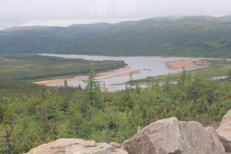
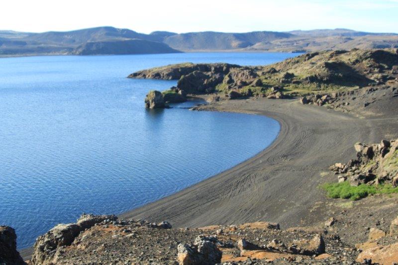
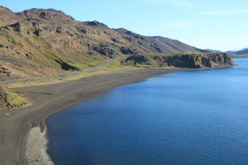
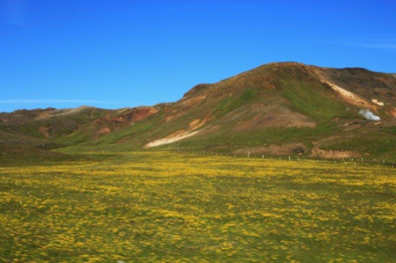
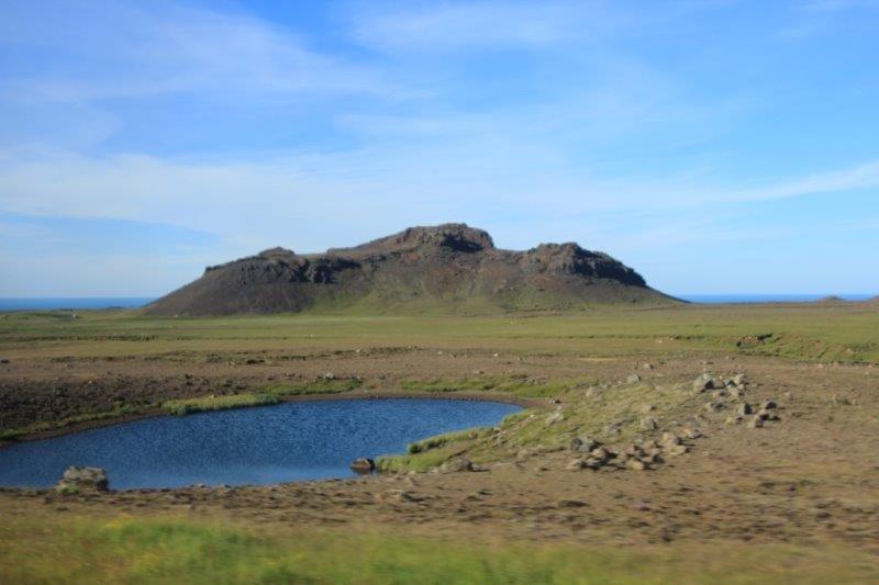
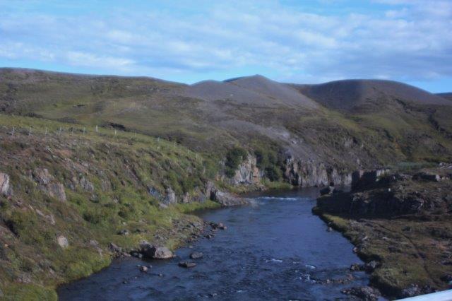
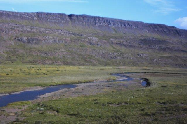
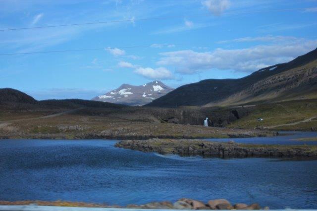
 We stopped briefly at a viewpoint overlooking the coast and backed by colourful hills. Very pretty place.


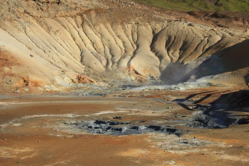
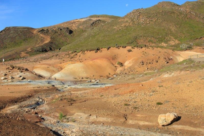
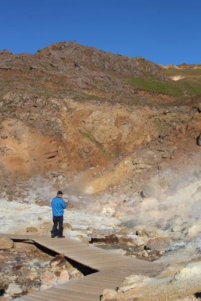
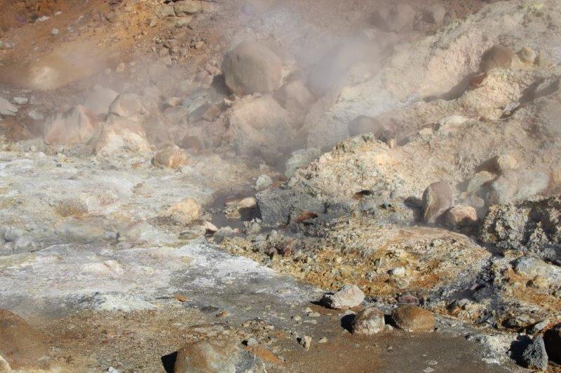
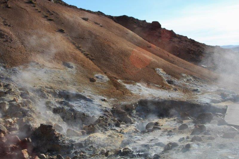
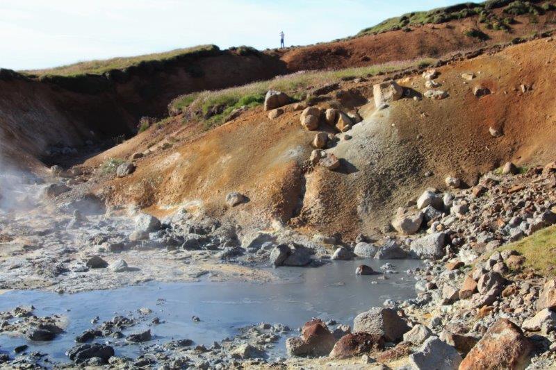
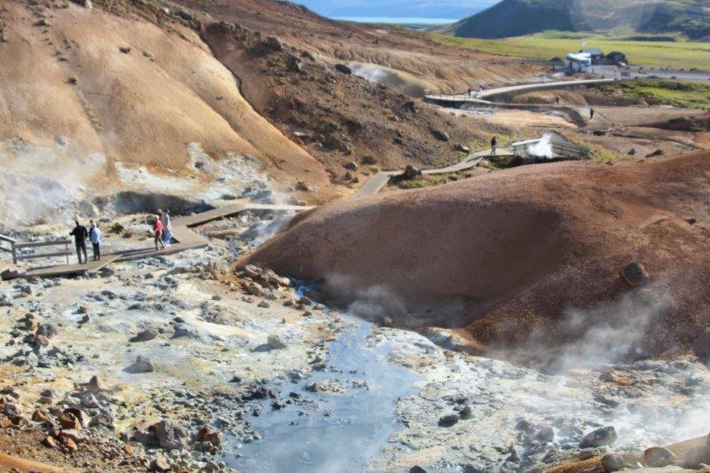
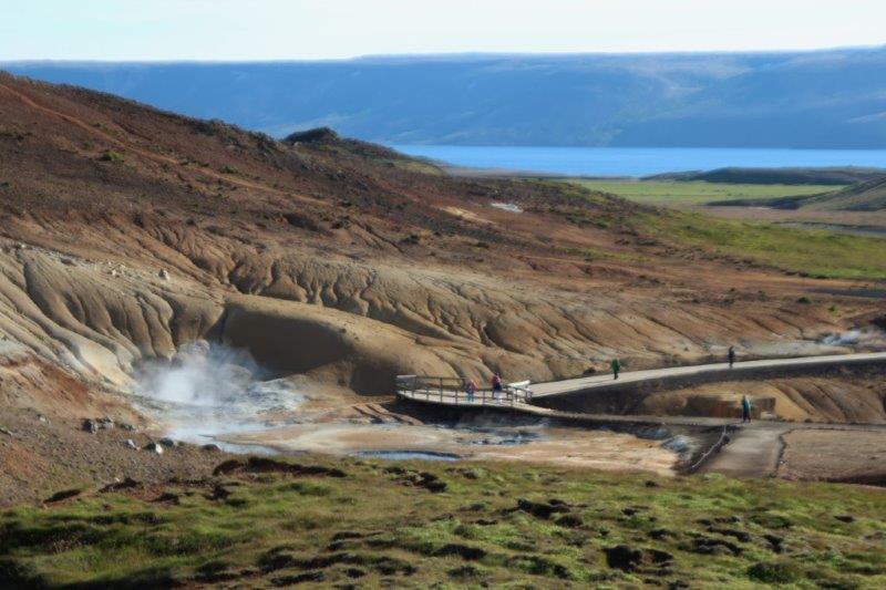
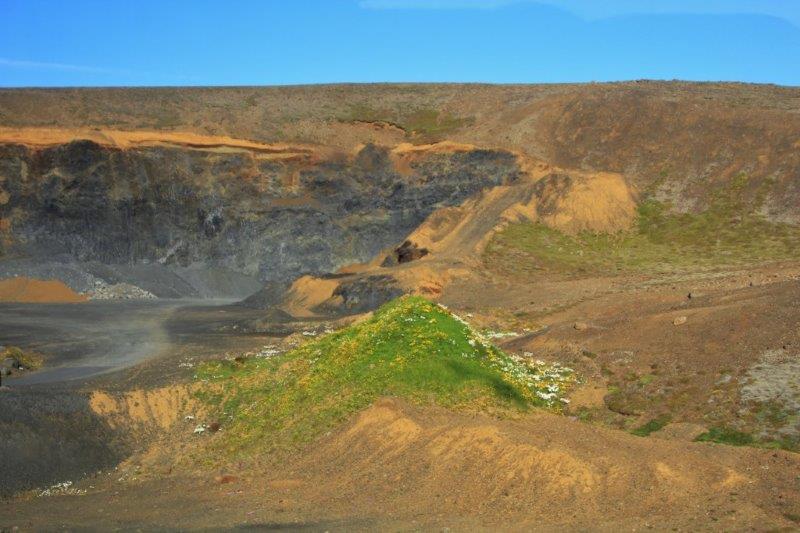
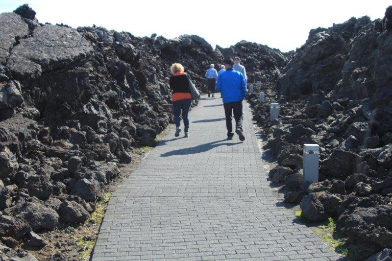
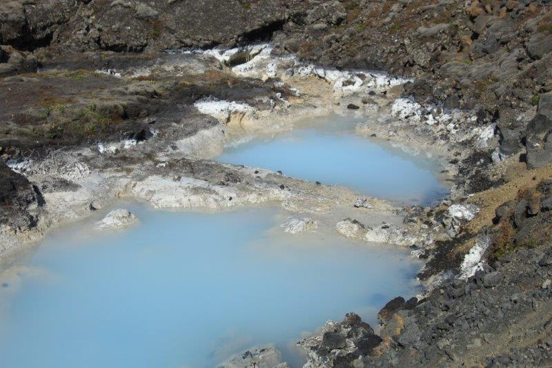
 Our next stop was at some thermal pools – just like a mini-Yellowstone. The guide warned us to stay on the boardwalk and stay on the paths because the ground may look solid around the open pools but it is likely not and the temperature of the water and mud is 100 degrees Celsius (212 degrees Fahrenheit). “We don’t want to take you back to the ship medium rare or well done,” he said. (And, as usual, with a rule, the EFM – Except For Me – contingent couldn’t resist and there were footprints in the mud near one of the mud pools). Just as I experienced in Yellowstone it was very hard to leave because there are so many colours, textures, patterns and shapes at thermal pools. I was good though and I got back on the bus at the correct time.
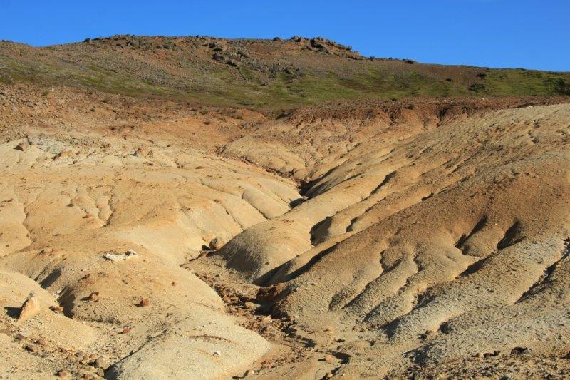


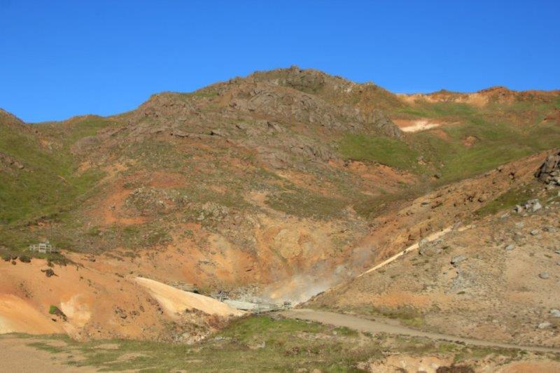

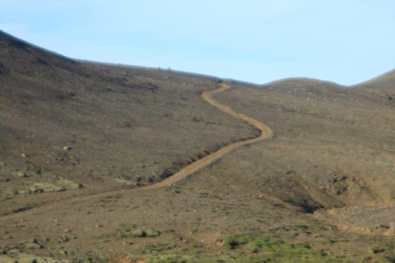
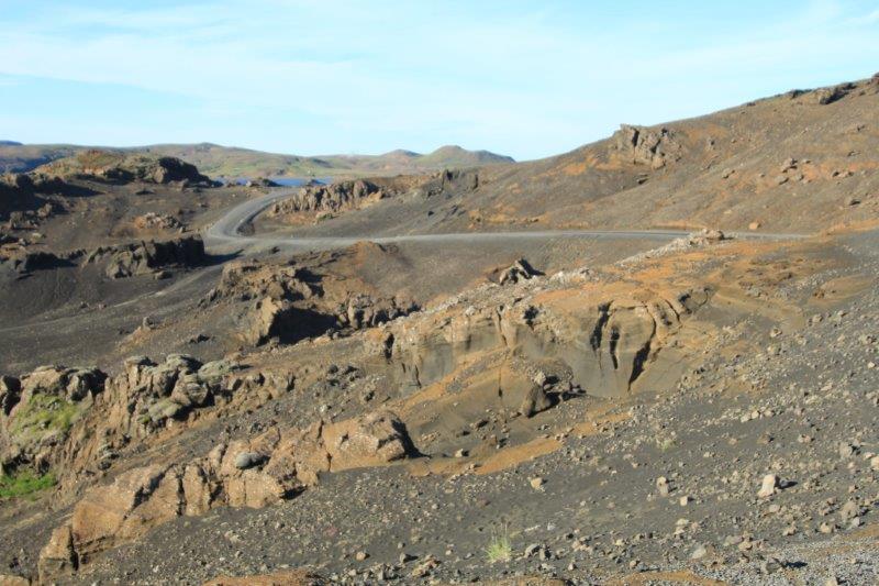
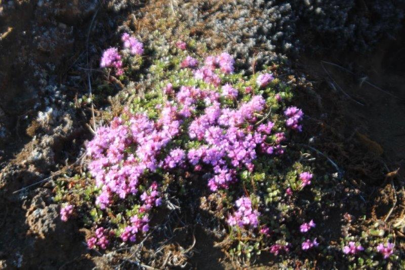
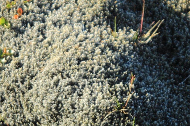
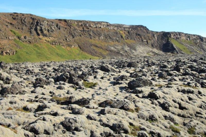
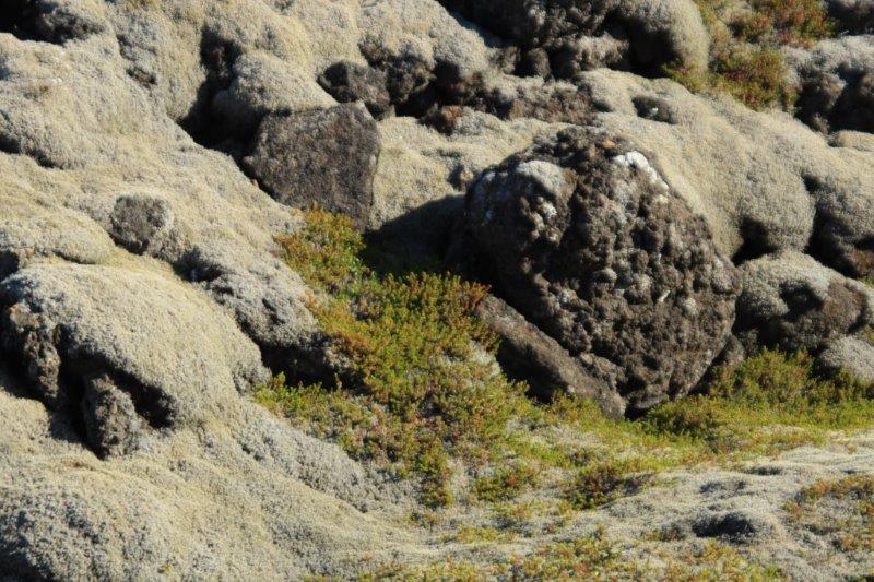
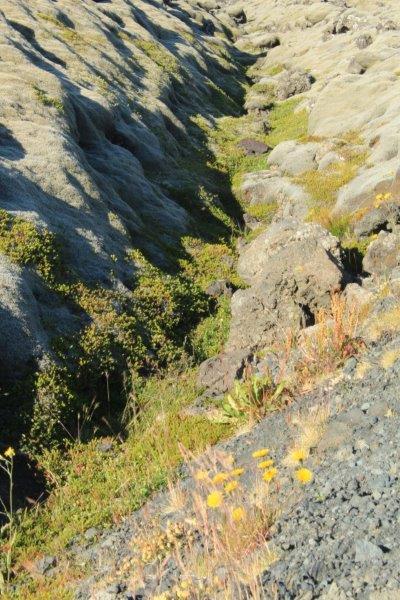
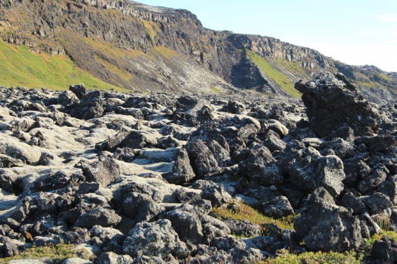
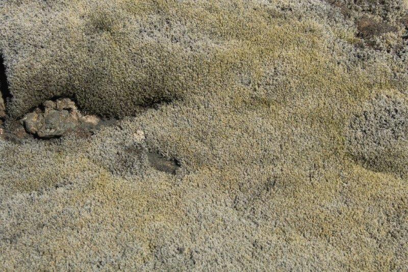
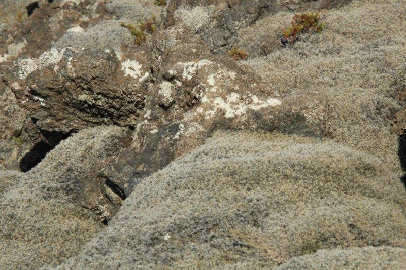
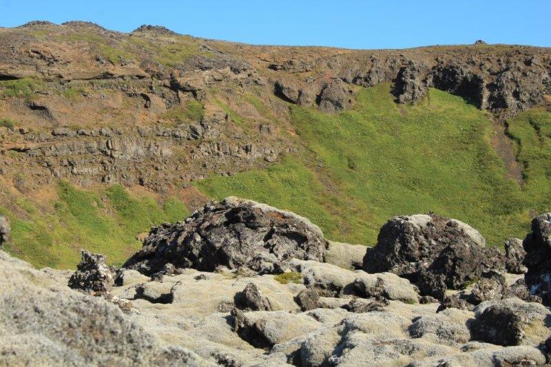
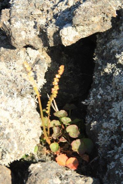
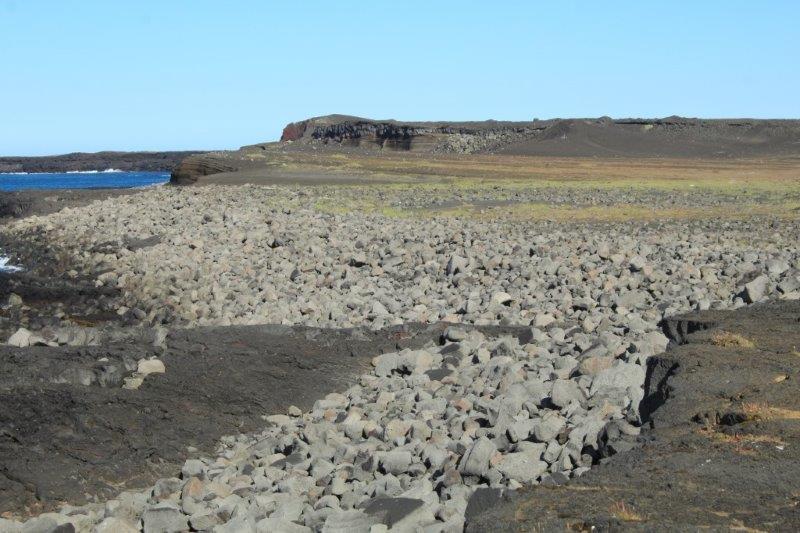
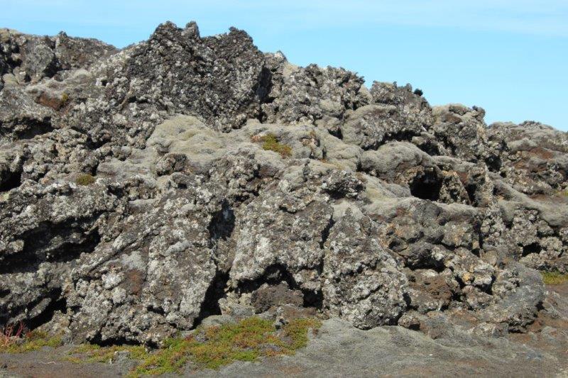
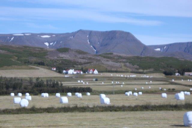
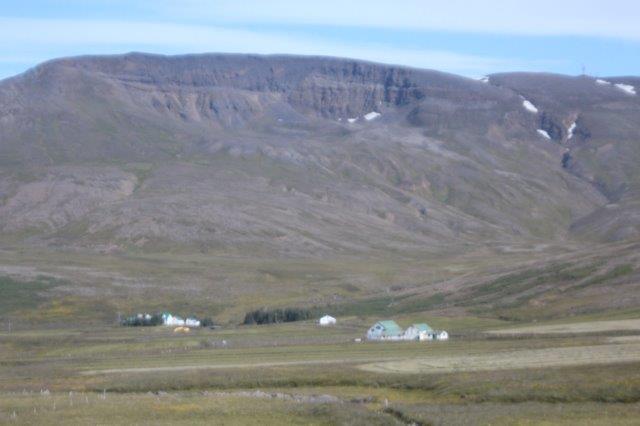
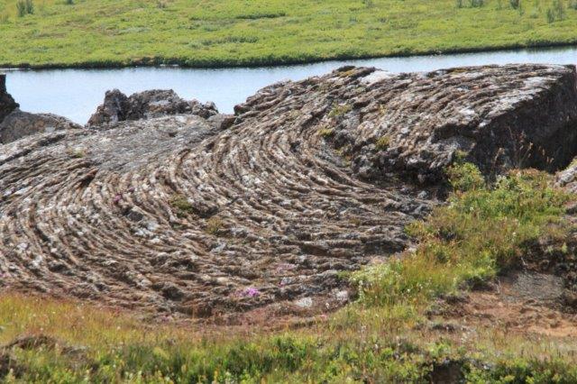
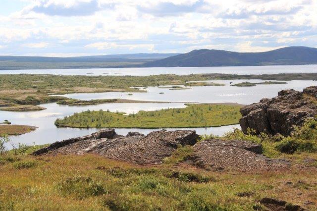
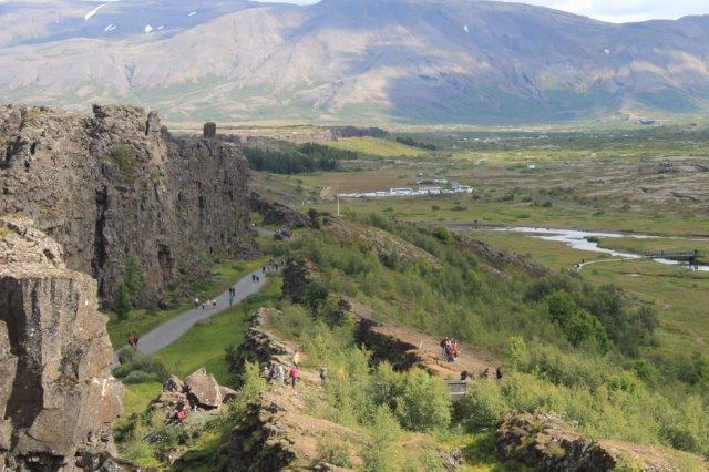
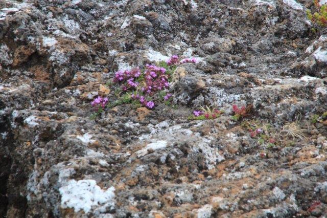
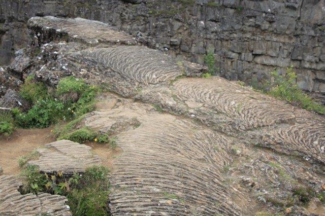
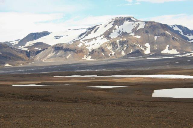
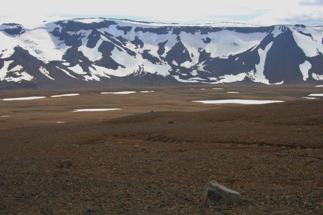
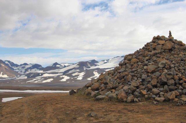
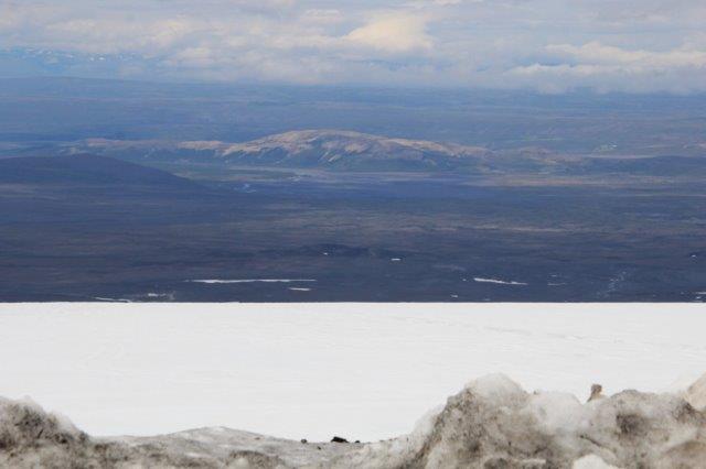
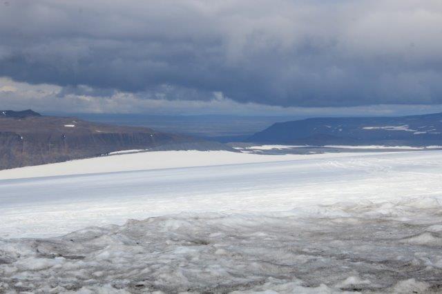
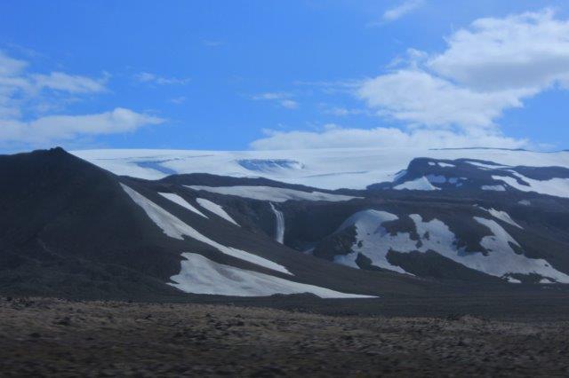
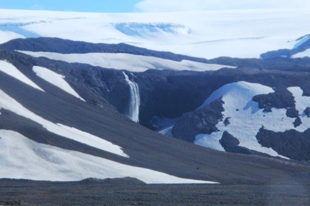
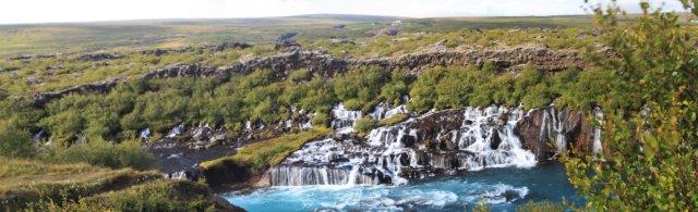
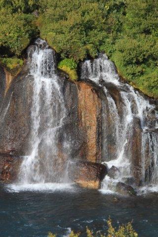
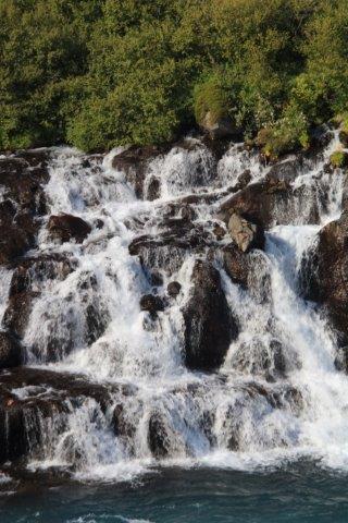
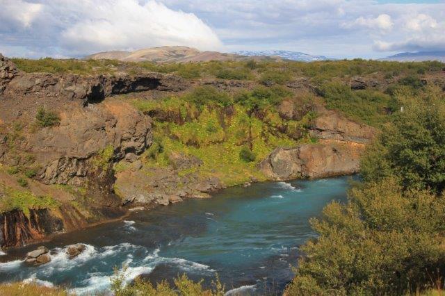
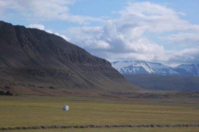
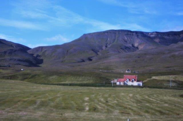
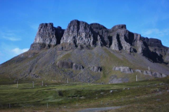
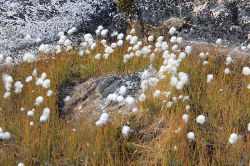
 The fourth stop was at a lava field. Now we had driven through lava fields most of the day yesterday and again this morning – The island of Iceland is, after all is said and done, a lava field – but what made this one different was the moss. All the lava rocks were covered with a thick, soft, grey moss. It stays grey until it gets rained on and then it turns green in minutes. The moss just grows over the irregular heaps of lava rock and gives them a bumpy sort of cushion appearance.
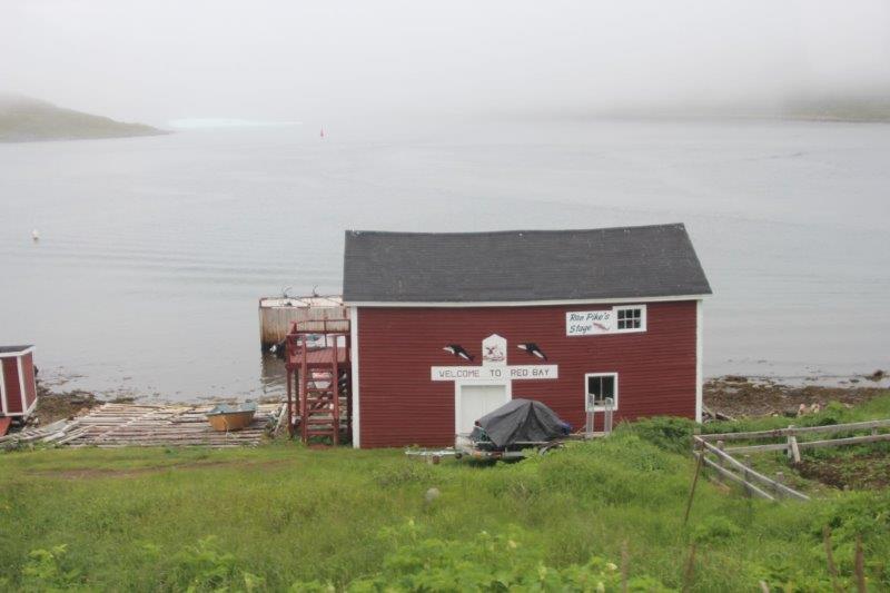
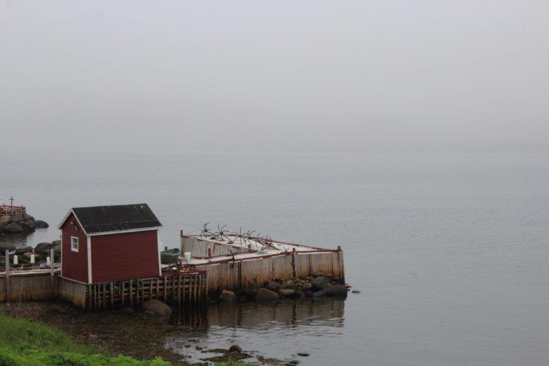
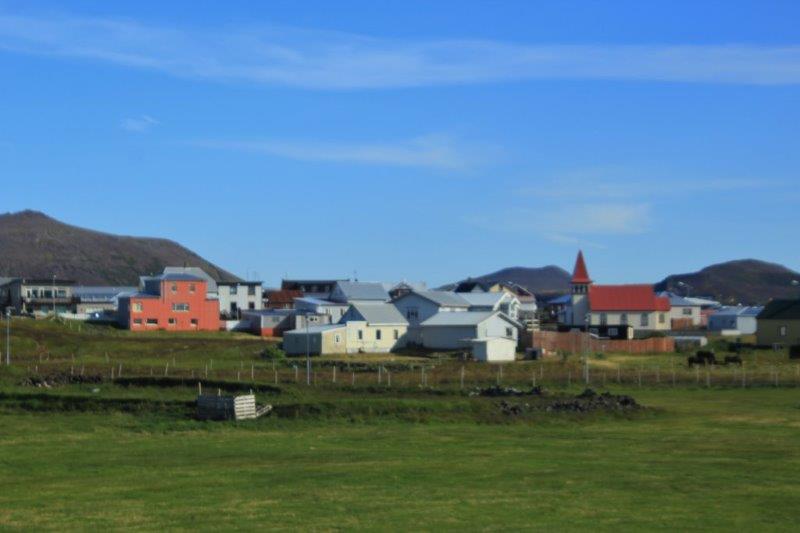
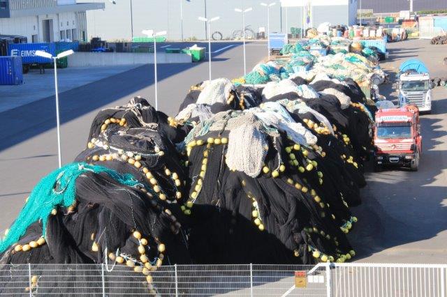
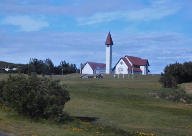
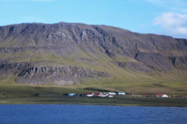
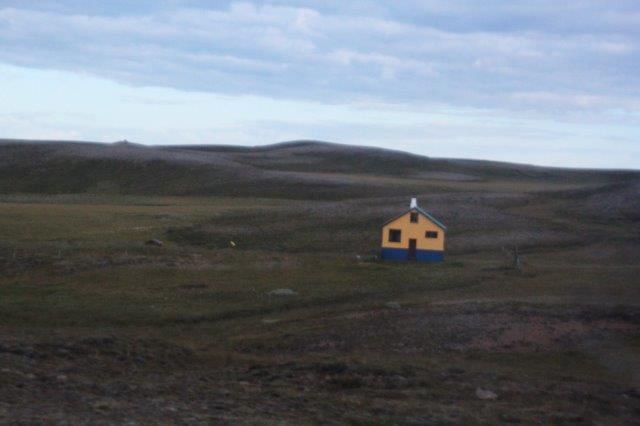
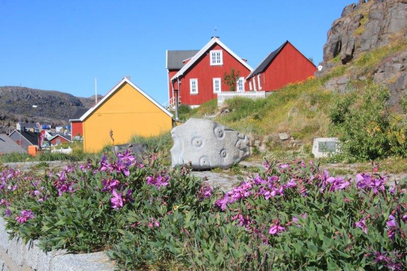
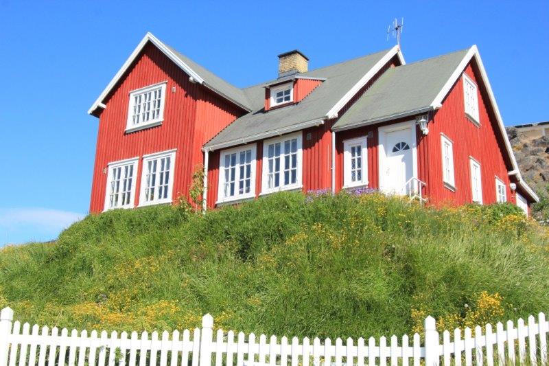
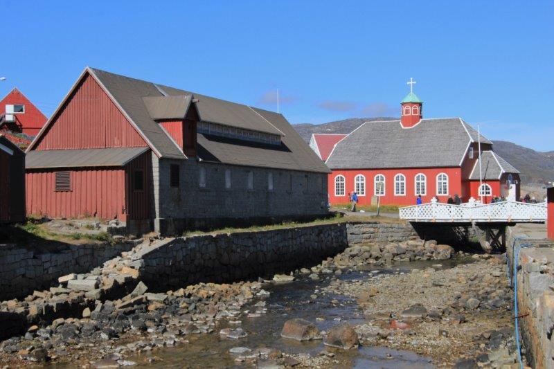
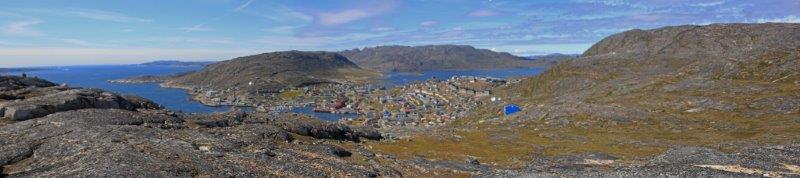
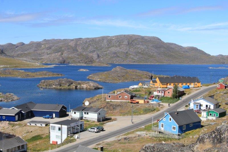
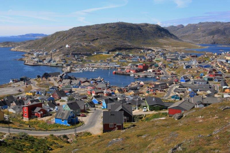
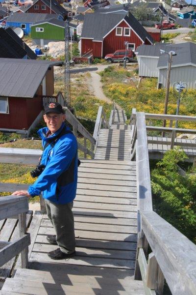
 We drove through a commercial fishing community and past one of Iceland’s few remaining little fishing villages (the large commercial vessels are ending the old ways). We didn’t stop but were able to get some shots from the bus.
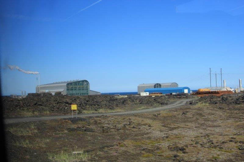
One of many geo-thermal plants to harness the steam for electricty.
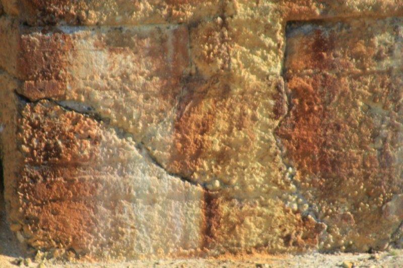
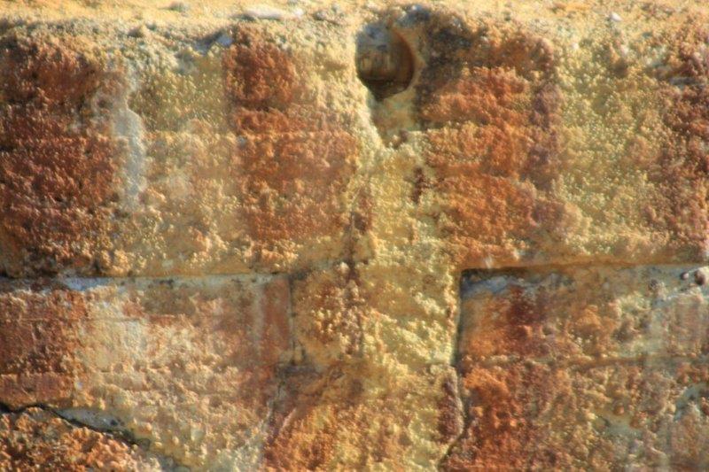
(I apologize for the quality of a lot of my photos lately. The focus ring on my wide-angle lens has jammed and will not move, therefore will not focus. I am having to take all my photos with my zoom lens and it does not focus well from a moving bus.)
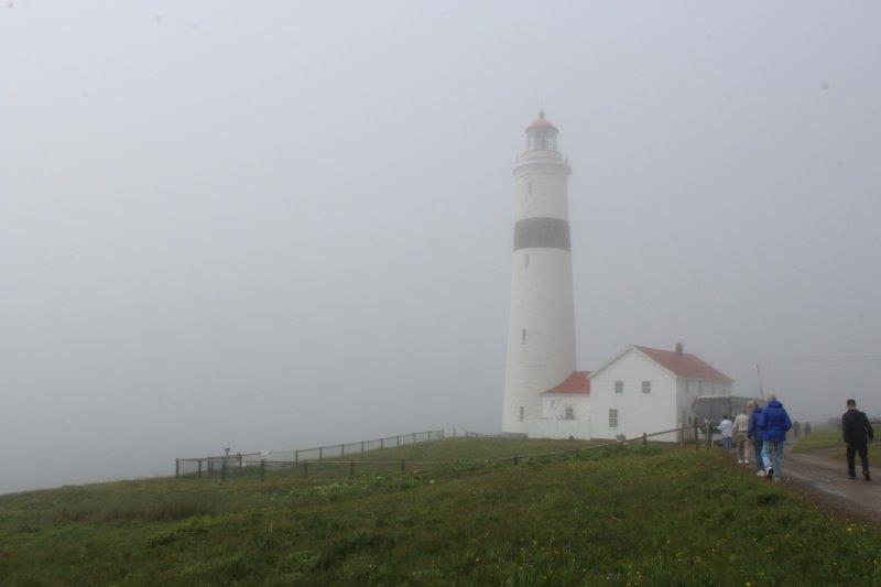
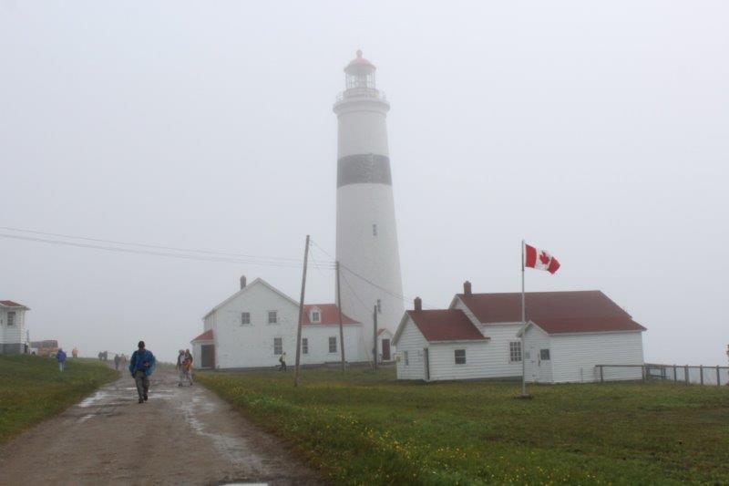
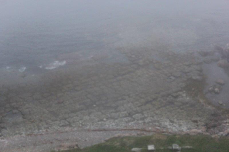
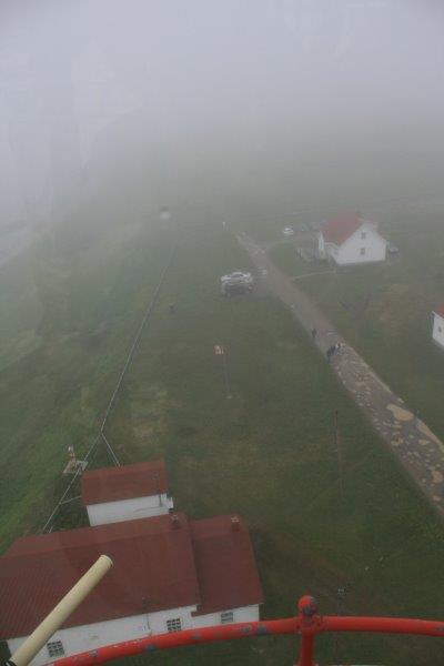
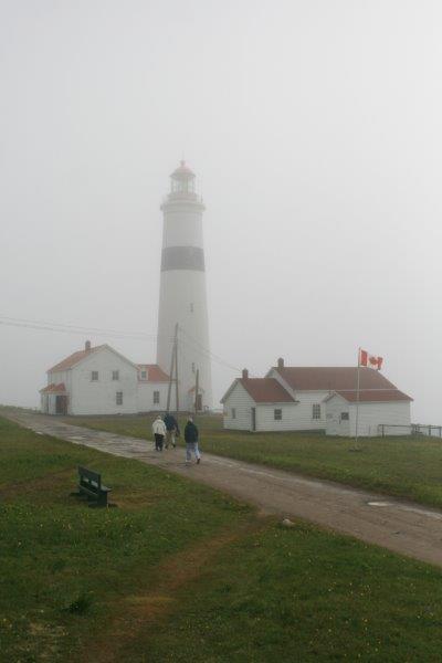
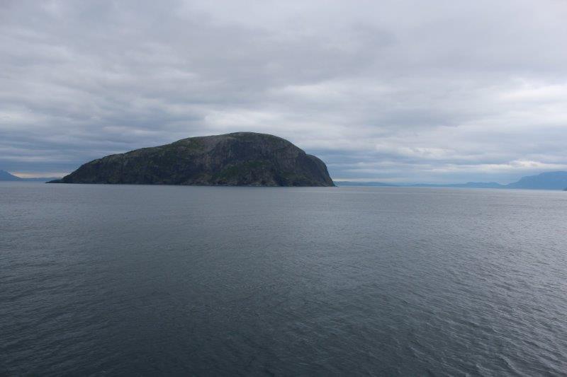
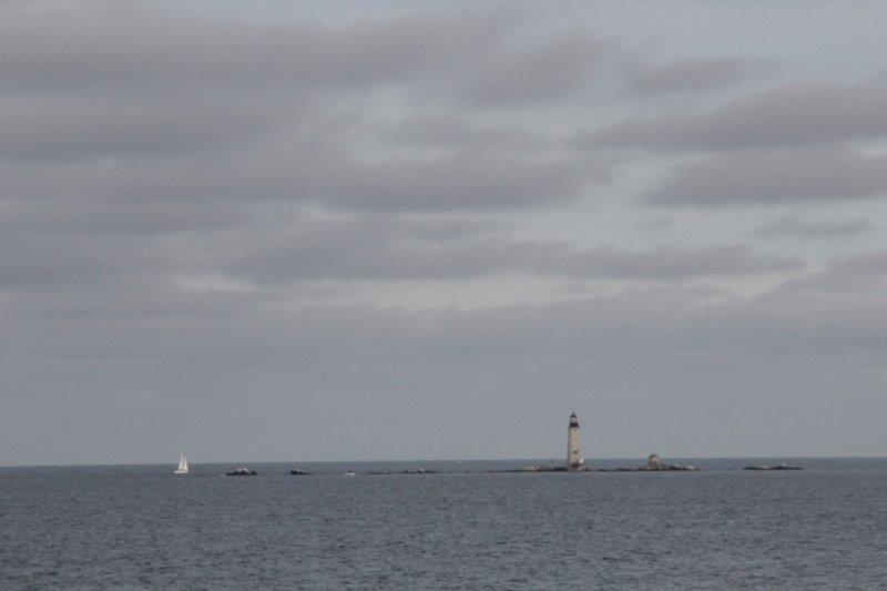
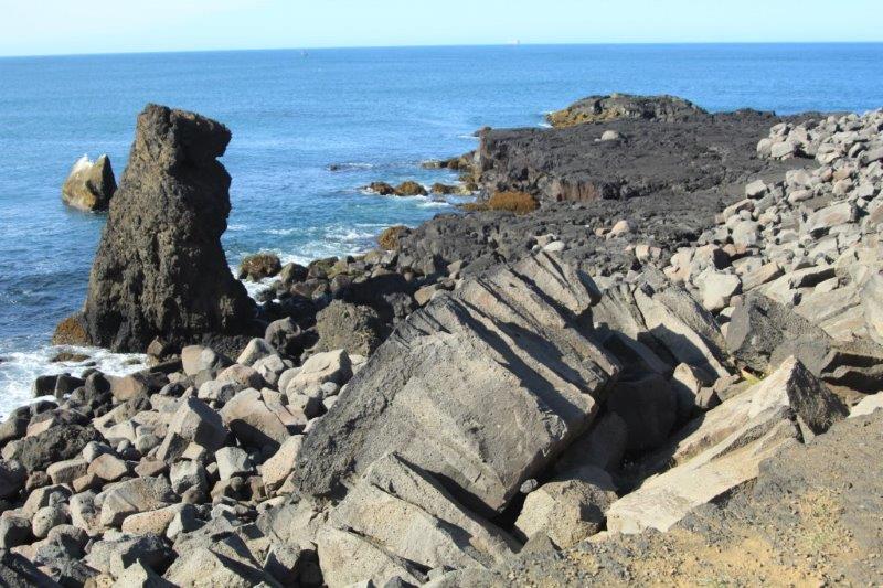
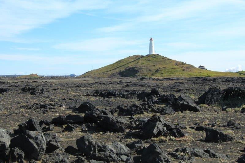
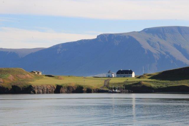
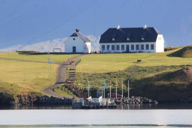
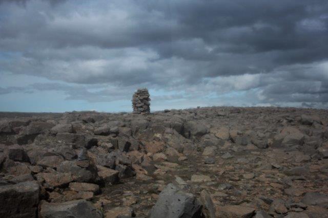
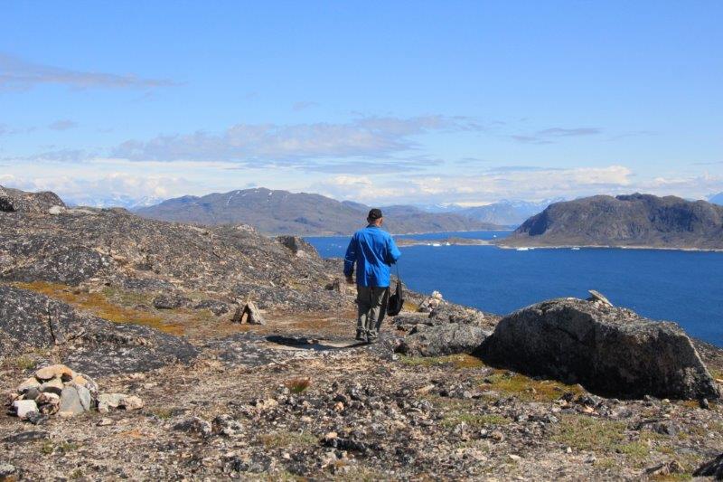
Next we took a gravel road down to Reykjanesviti Lighthouse (I sincerely hope you are pronouncing all these places correctly while you read this – I wouldn’t even attempt it.) The lighthouse was originally built on the coast but the coast kept falling into the sea so they moved it inland and built a tall mound to put it on. Nearby is a cliff-face with lots of large rocks that the sea birds roost on. There was a huge, high cliff that I really wanted to climb but there was not enough time.
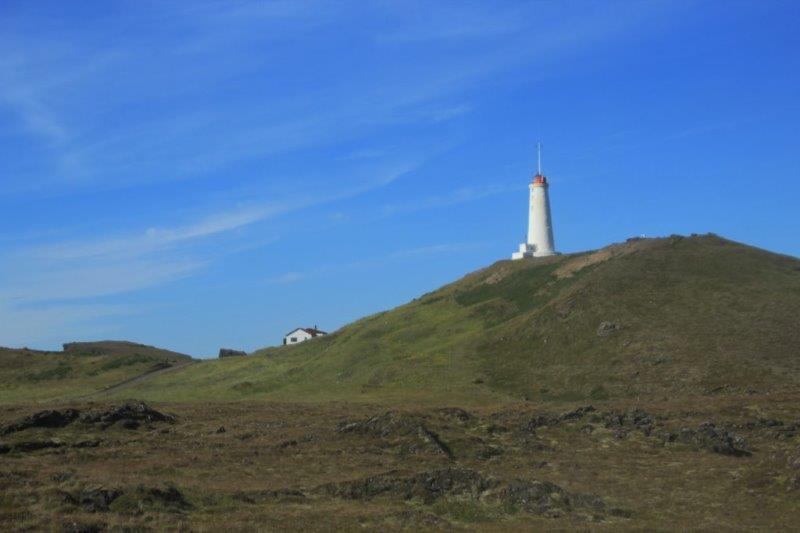


I wish there had been time to climb up this hill.
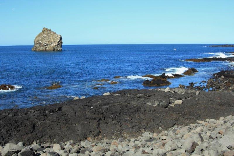
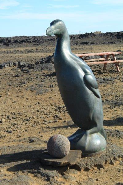
The Great Auk, now extinct, lived and nested in the North Atlantic. They were a large, flightless bird – basically the original ‘penguin’ – that was hunted for their meat but the biggest destruction was done when it was discovered that Auk feathers made great mattress stuffing. The mass killing almost wiped them out but for a few hundred that nested on one of the gigantic rocks off shore at this site. However during one of the many fissure eruptions the rock collapsed into the water leaving about 3-4 pairs. In 1844 some Danish taxidermists bribed a local farmer with huge money to row out to the islet and kill the last ones so they could stuff them for posterity. Thus ended the existence of the Great Auk. There is a larger-than-life-size sculpture of a Great Auk at the cliff edge.
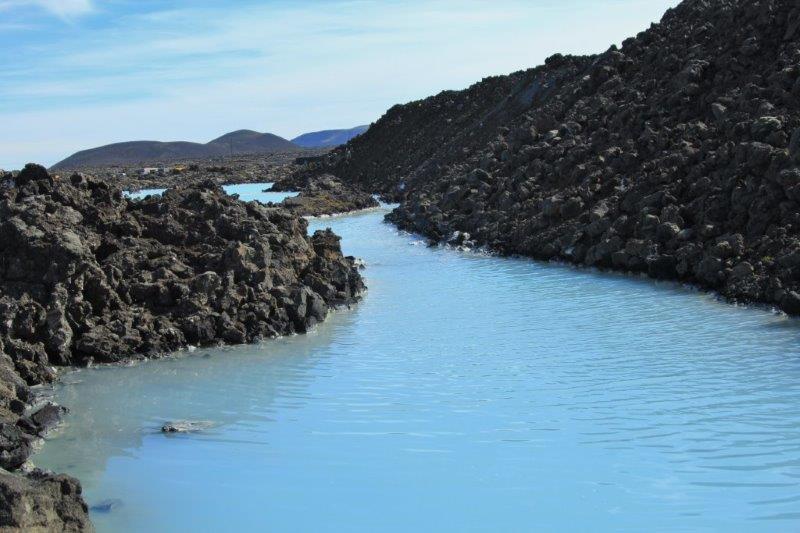
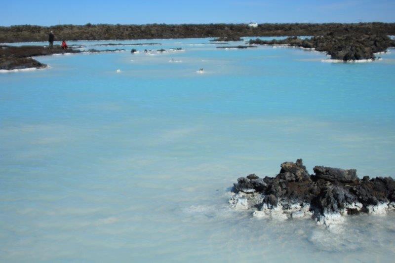
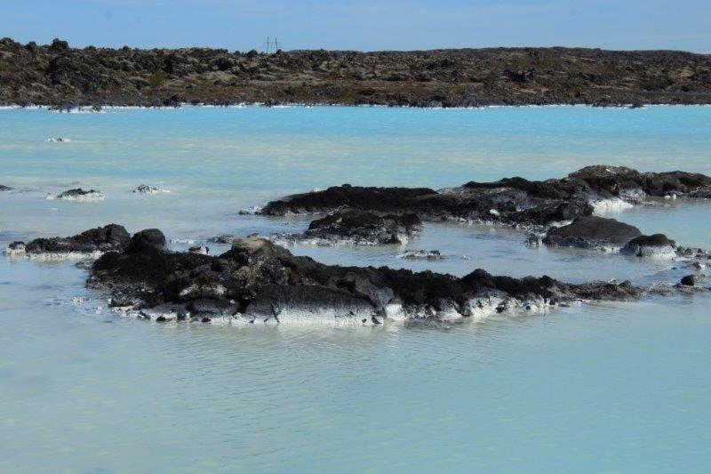
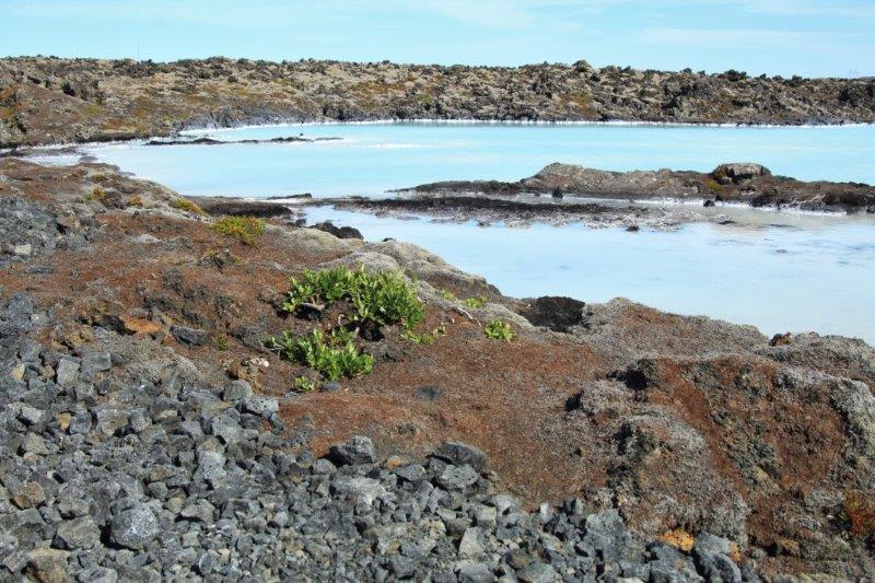
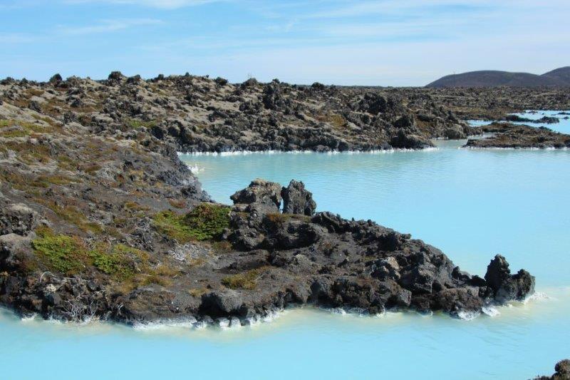
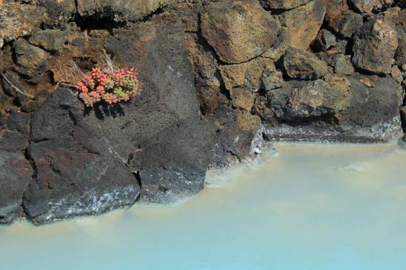
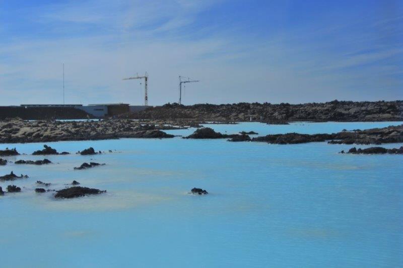
 And last but not least we went to the famous Blue Lagoon. The ship offered many different tours to the Lagoon so you could bathe in the warm healing waters. The Blue Lagoon has become the iconic Iceland tourist trap. Locals used to go there often but very few of them do anymore. The pools are not natural; they are the waste bi-product of a nearby geo-thermal plant. All of Iceland’s electricity is produced from geo-thermal energy. All of their homes are heated with hot water piped throughout the city and towns from thermal bore holes. There are over 360 heated swimming pools in the country as well. They have 80% clean energy. The only ‘dirty’ energy is from the aluminum smelting plants and the automobiles and buses.
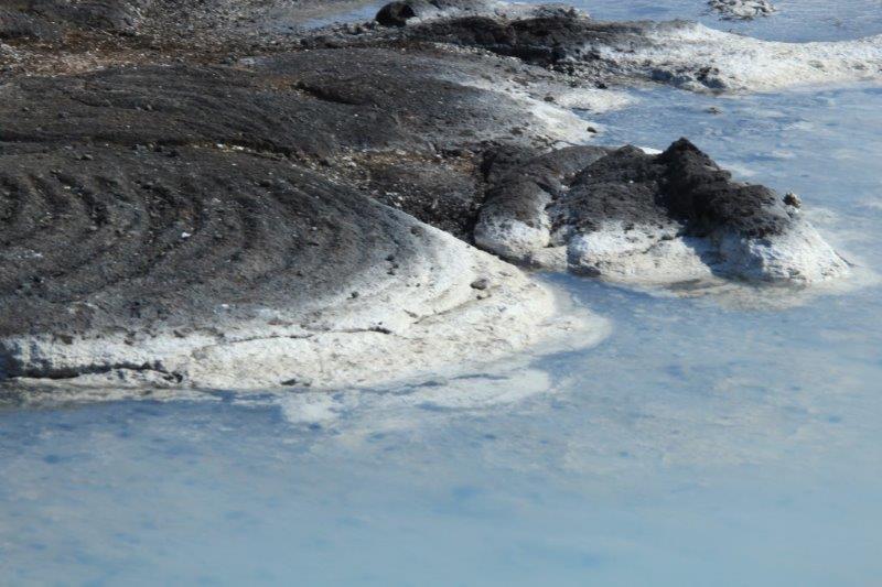
The Blue Lagoon was just a popular relaxation area but it was discovered that the warm volcanic mud had healing properties for skin conditions like psoriasis and eczema. Now thousands of people come from all over the world to slather on the mud and soak in the warm water. There is a medical center nearby that treats skin ailments. Both of our tour guides poo-pooed the place now. We didn’t go inside to see the people bathing but we did walk all around the outdoor pools. The blue color comes from the silica in the water that is left after geo-thermal electricity production.
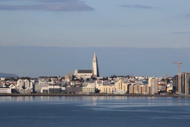
 Unfortunately, since both of our tours took us outside the city we did not have an opportunity to go into town and see the sights of Reykjavik. This is a common problem we face on cruises – too many things to see and limited time and opportunities to see them all. We have learned to choose the things we want to see the most and not fret over the things we can’t do, but it does make us want to return and check out all the things we missed.


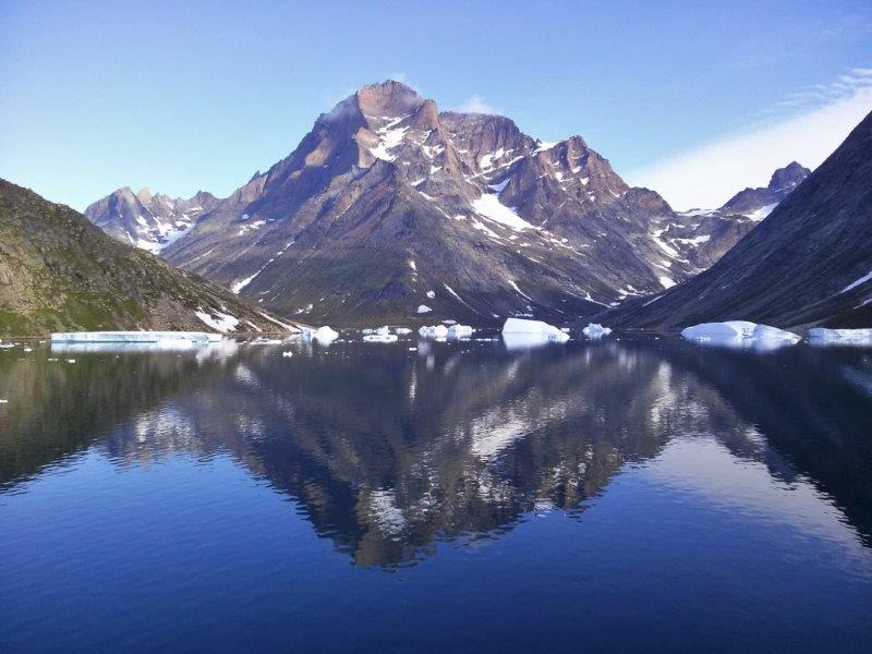
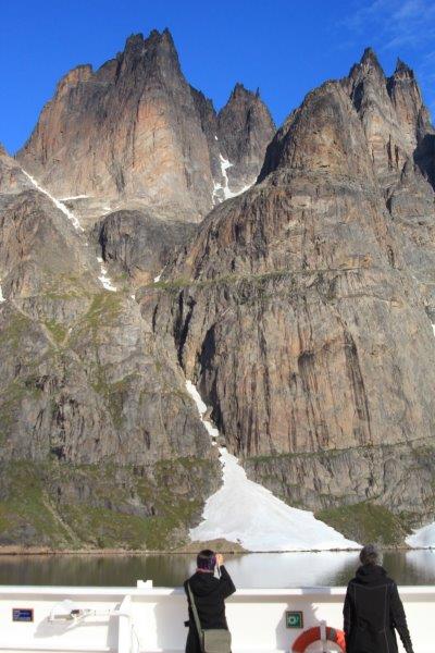

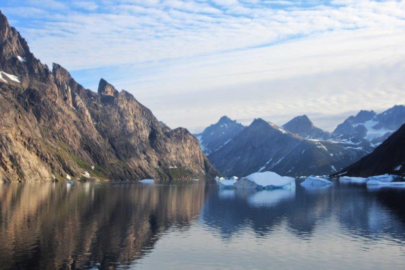


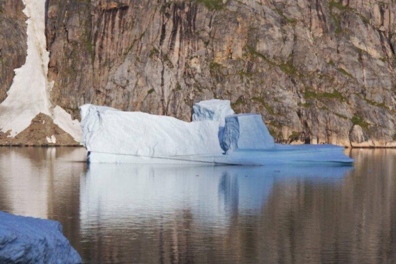
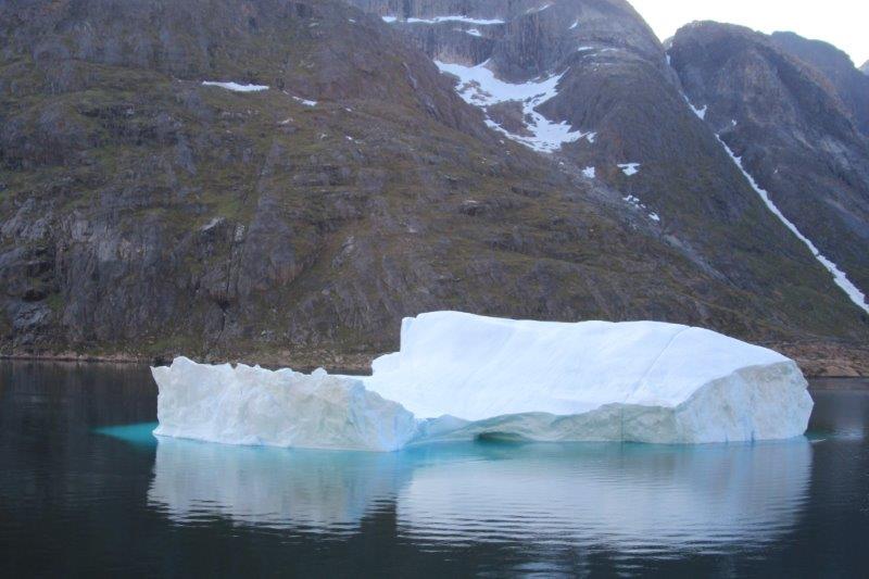
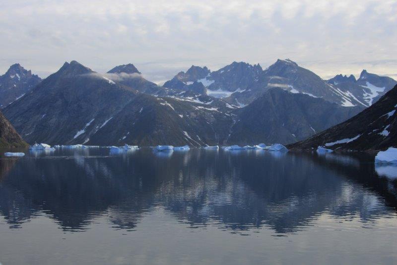
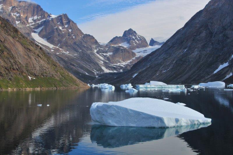
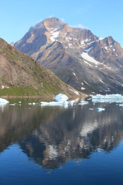
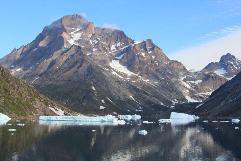
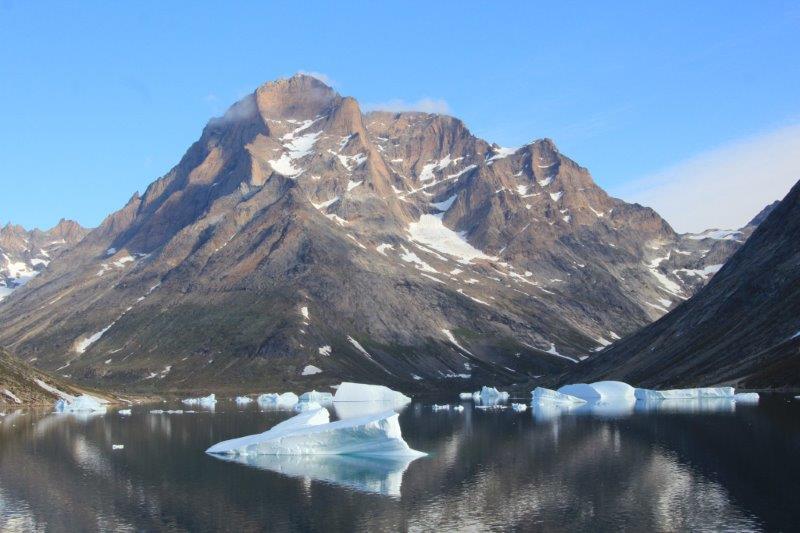

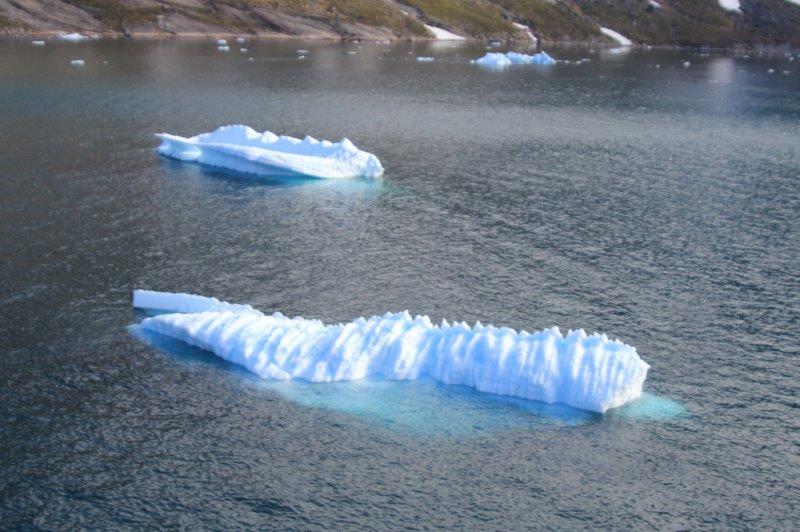
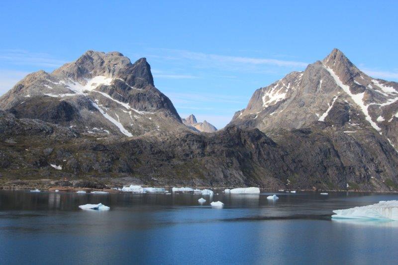
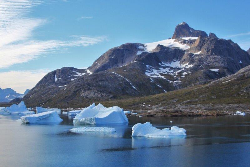
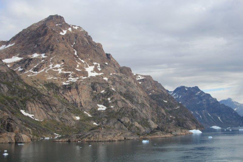
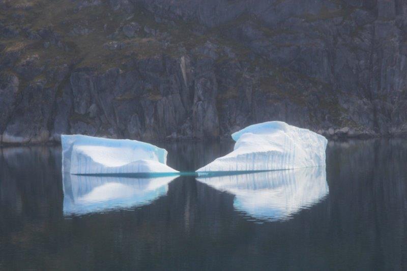
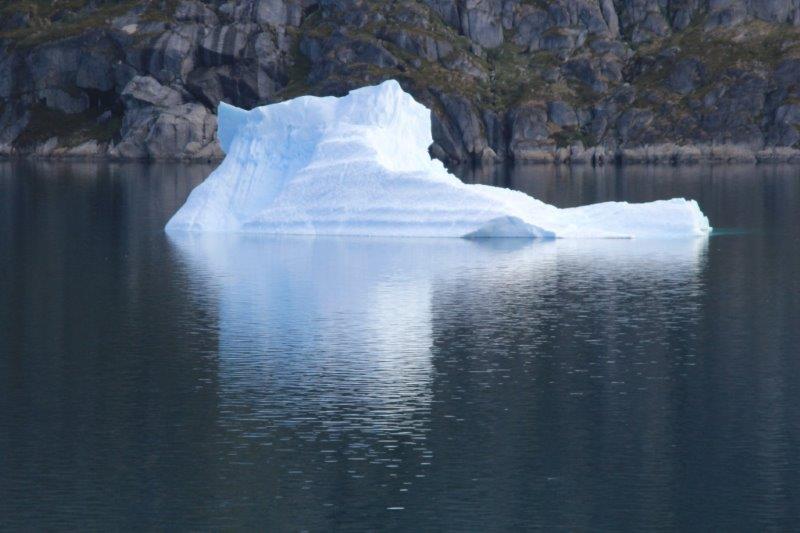
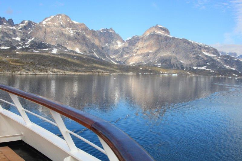

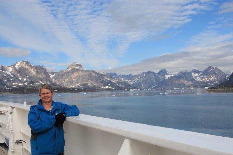
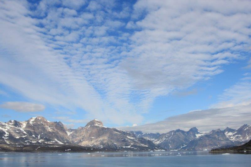
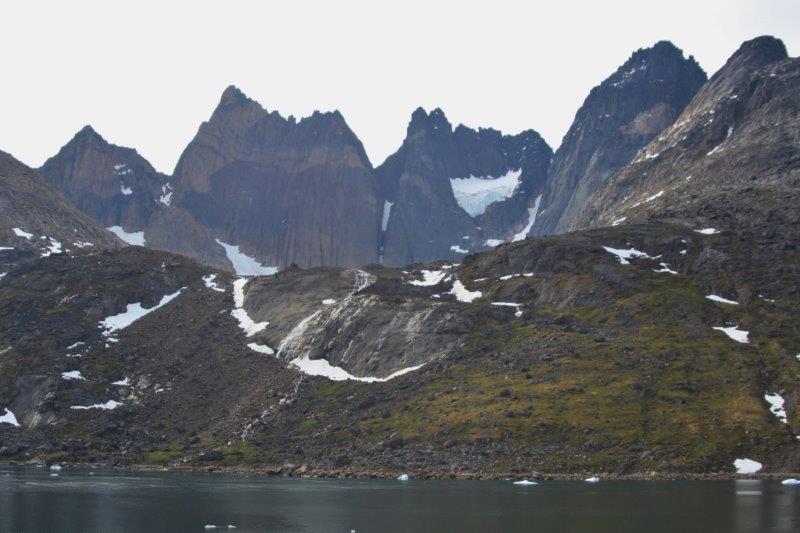

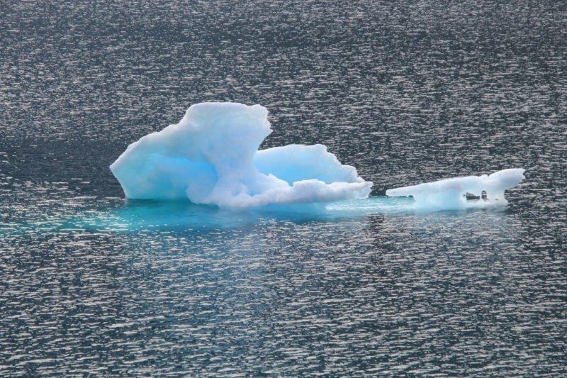
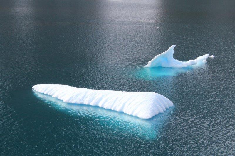
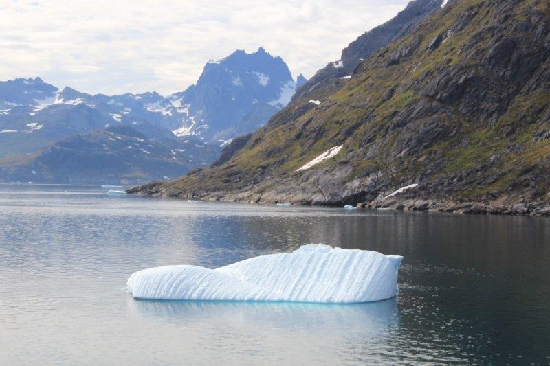
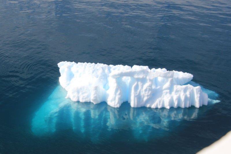
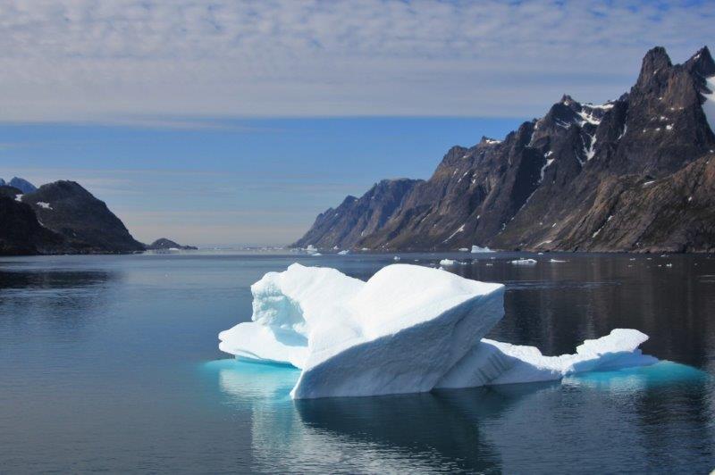
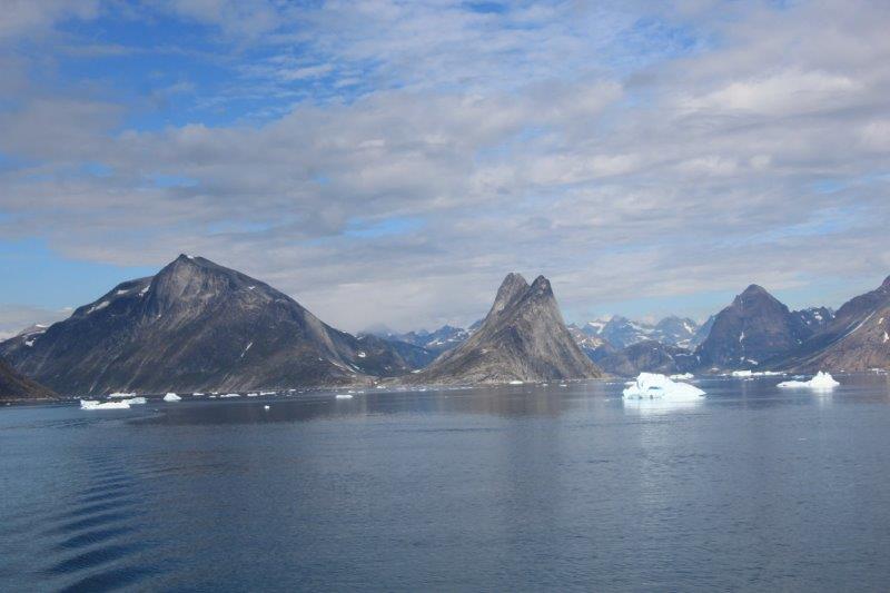
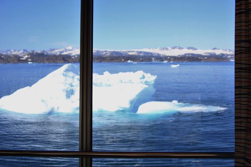

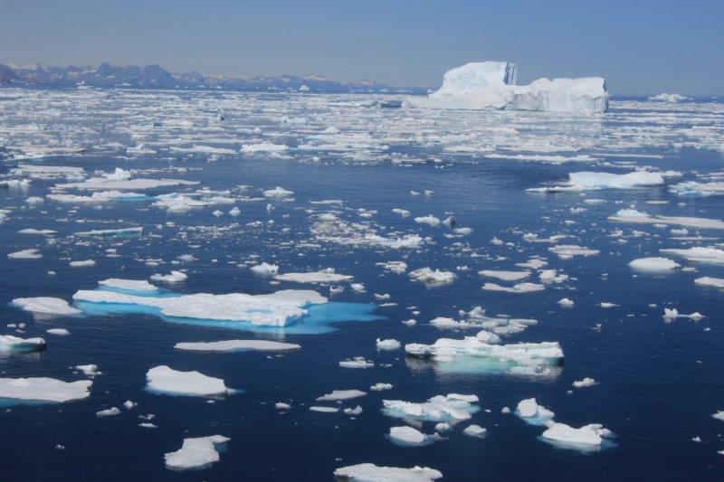

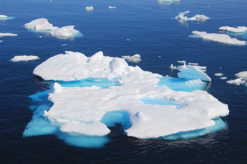
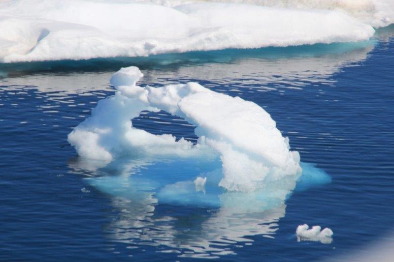
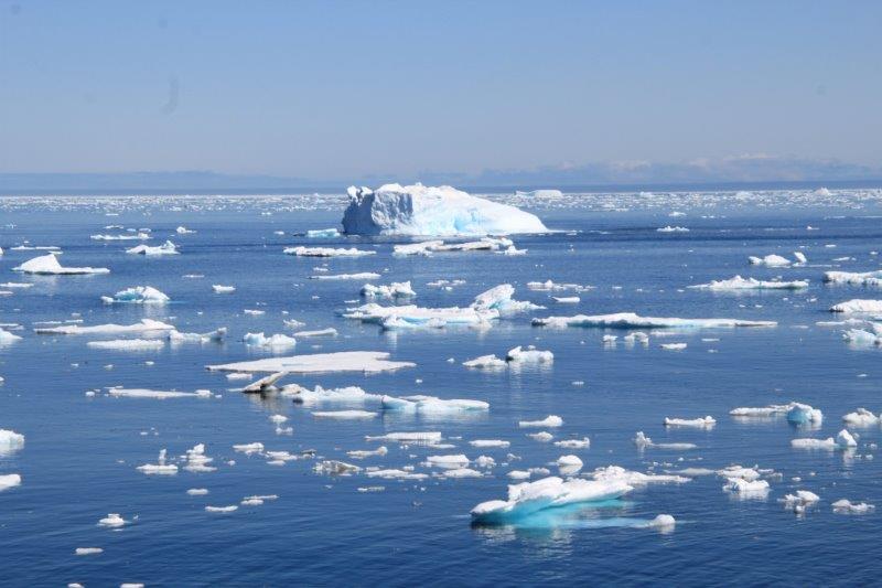
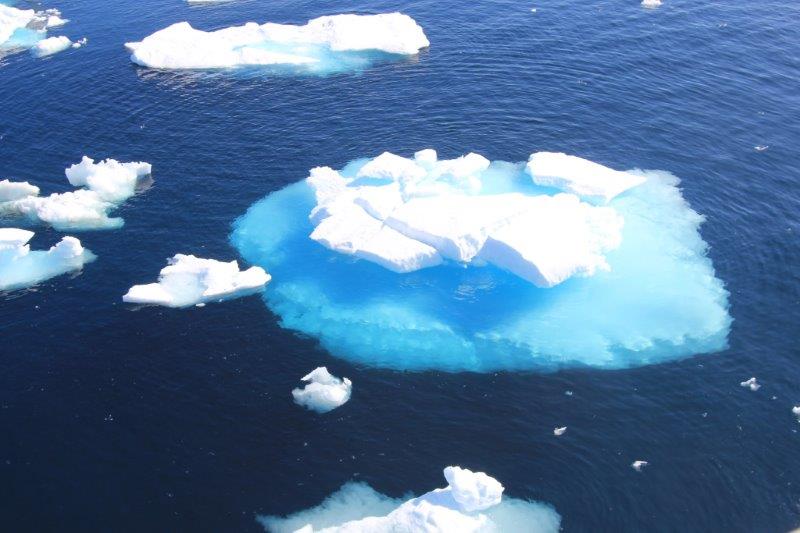
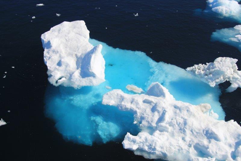


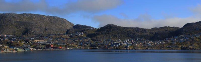
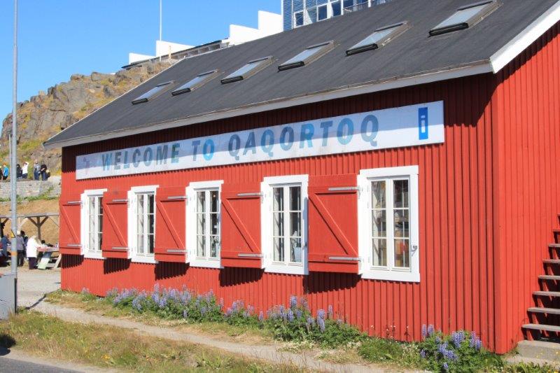
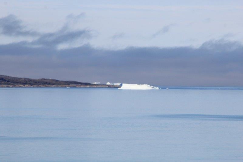
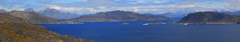
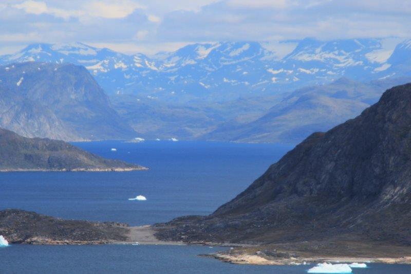
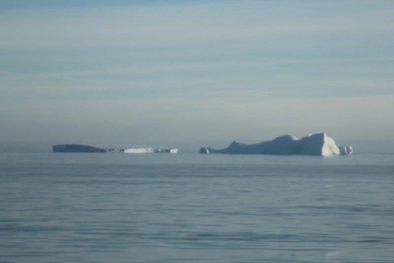
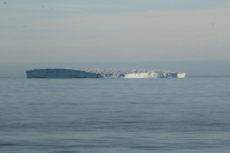
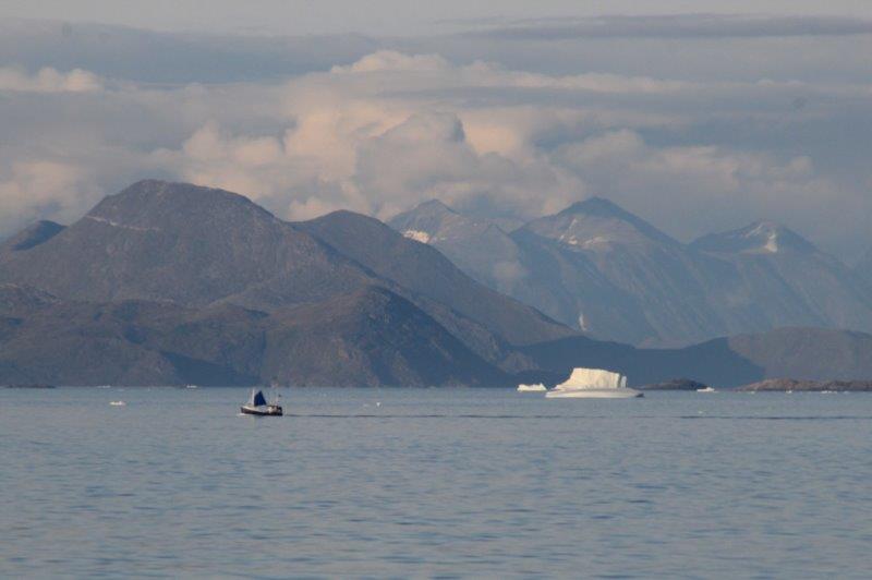
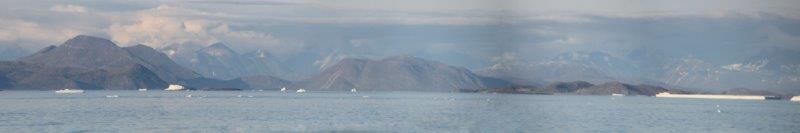
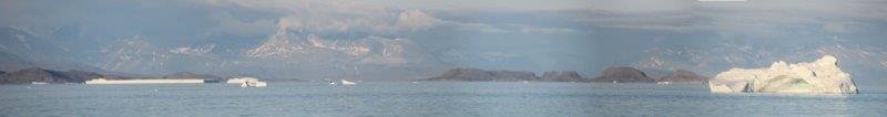
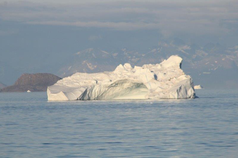
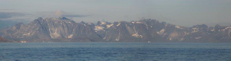
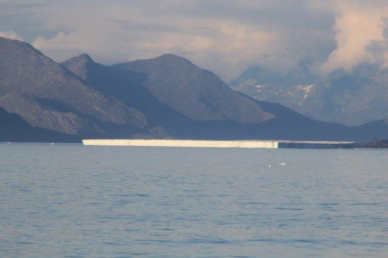
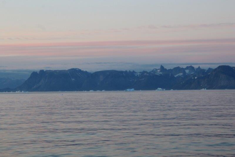
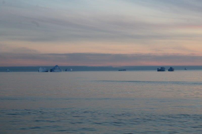
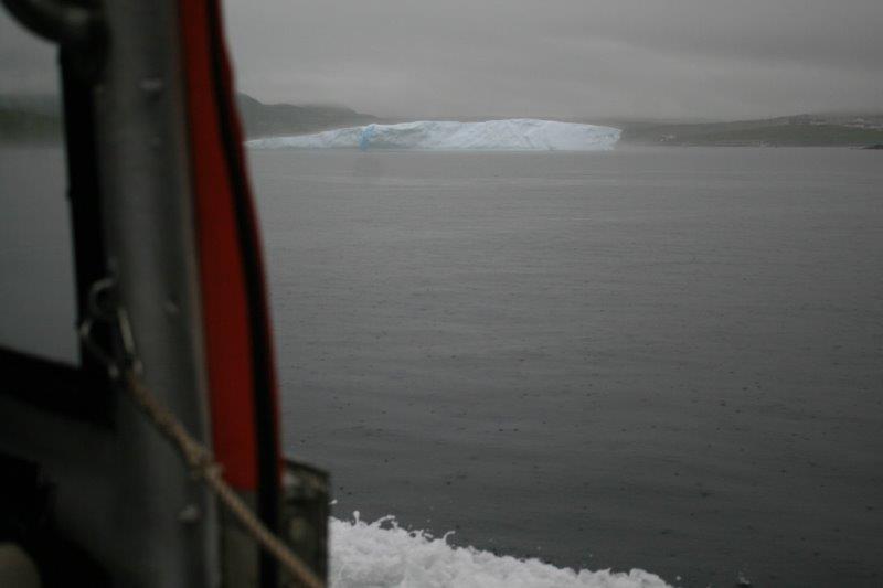
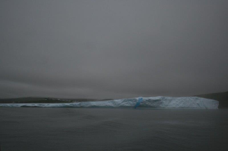
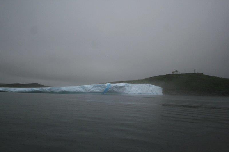
 When I woke up in the morning I opened the drapes to see the Greenland coast lit up with glorious sunshine.


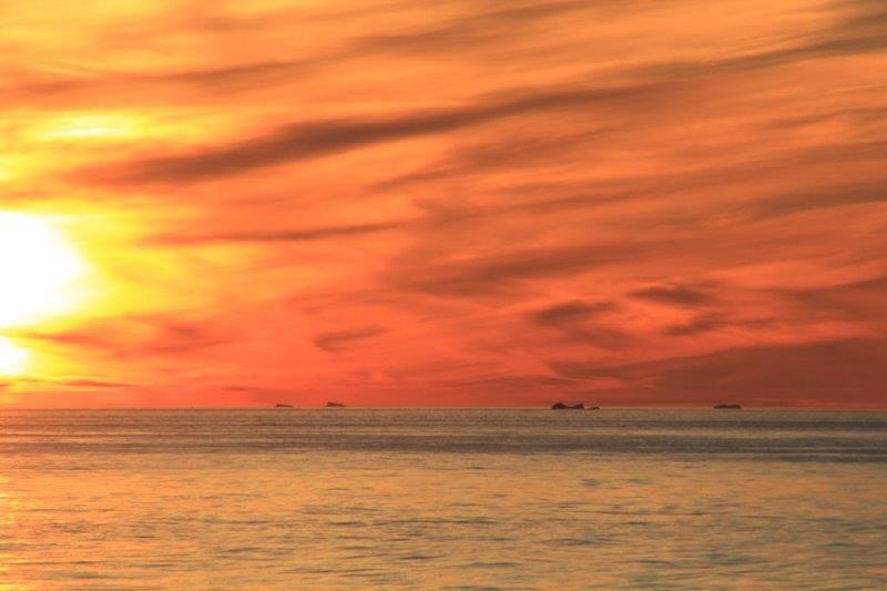
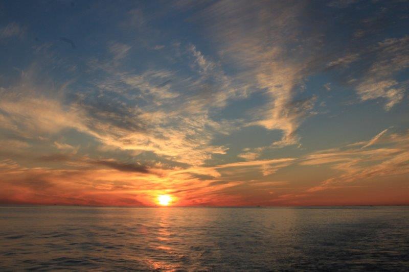
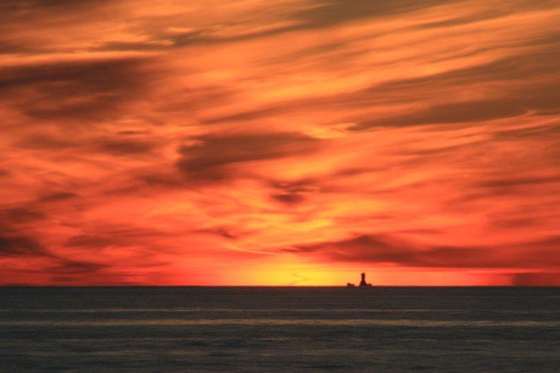
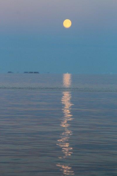
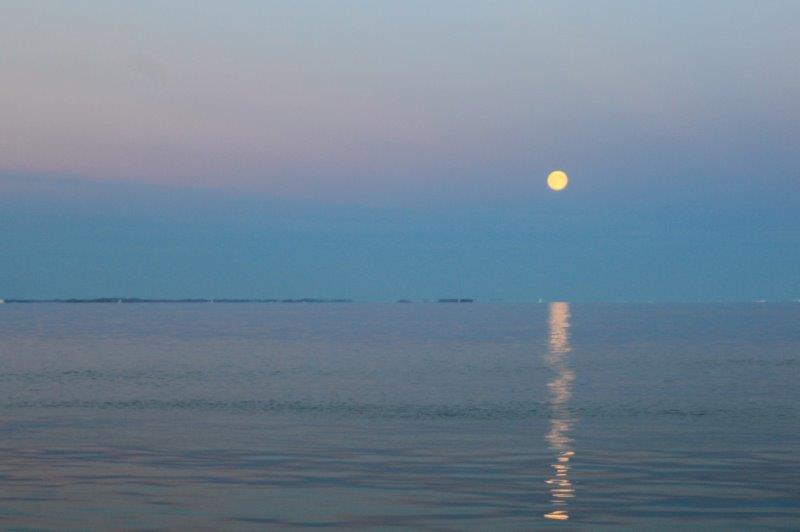
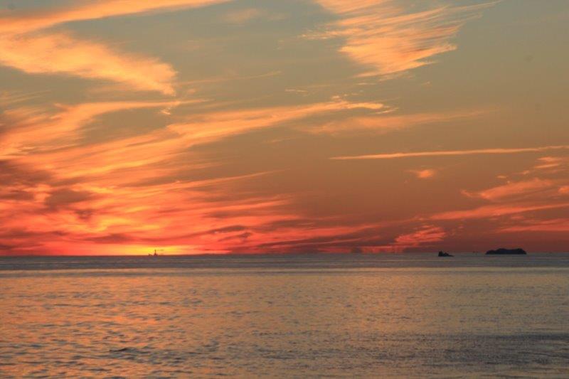
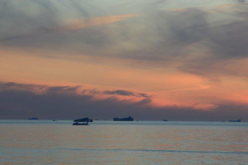
 Awhile later I went up to the stern and watched the sunset. The sky looked like it was on fire. And the moon in the other direction was almost full and throwing a glistening stream on the water. A magical end to a wonderful day.
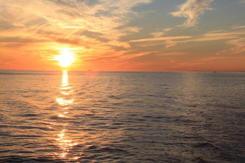


 Our tour took us on a drive along the coastal road– which, incidentally is the only road – to the Point Amour Lighthouse, bouncing regularly over the pot holes. It really brought John and I back to our time driving in Newfoundland last year. Our bus driver (she is a regular school bus driver) did the same as John would do and drove on the other side of the road to try avoid the worst of them.