2010 Aug 16 – Day 5 – Great Falls, MT to Lewiston, MT

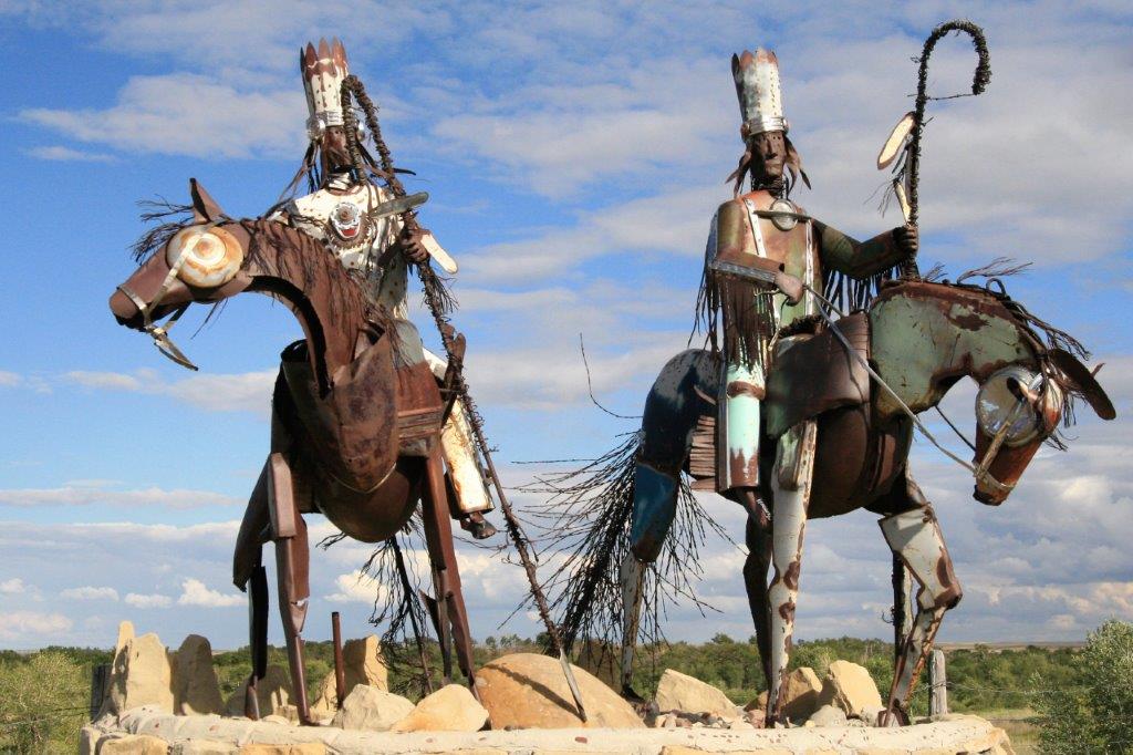
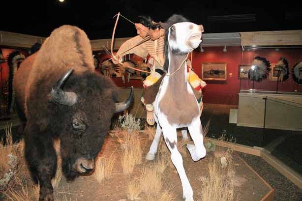
The day started at the Charles M. Russell Museum.  Charlie Russell was born in 1864 in St. Louis, Missouri.  As a youngster he drew sketches and made clay figures of animals.  He was always fascinated by the ‘wild west’ and left home at 16, finding work for a short time on a sheep ranch.  He met a hunter-trapper-turned rancher in Montana and went to work for him, learning much about the west. He also lived for a time with the Blood Indians, a branch of the Blackfoot tribe.   He only returned to Missouri once to see family before coming back to Montana where he lived until his death in 1926 at age 62.

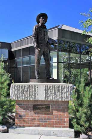
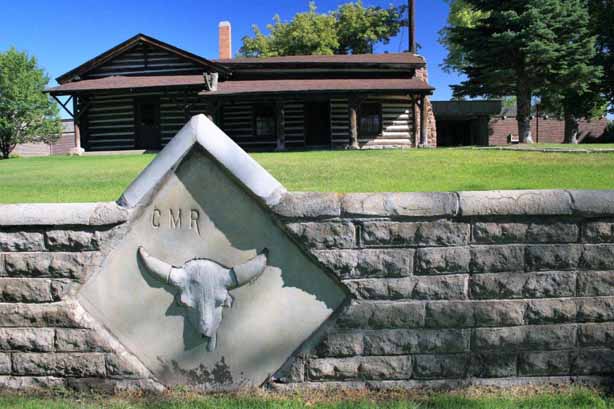
The way of the west and the life of the Indians and cowboys was changing rapidly. Russell’s paintings did much to capture that time period before it disappeared forever.  He began to make his living as a full-time artist in 1892 at the age of  28.  The museum has five galleries showcasing over 2,000 of his paintings, poems, sculptures and artifacts.  One of his paintings sold for $5.6 million in 2005.
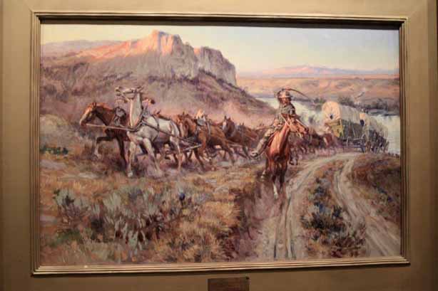
                                                                                                    The Jerkline                   
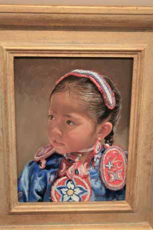
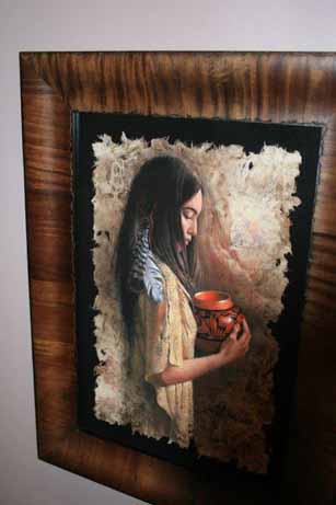
Pow Wow Ready                                                        The Hopi Pot

Russell was a prolific letter writer and maintained close correspondence with many friends and family.  His letters, post cards, poems, and Christmas cards were adorned with small sketches; often tongue-in-cheek jokes on his friends or illustrations to go along with a story he was writing about in his letter.  I purchased a book that was a compilation of many of his letters, poems and cards that friends preserved and donated to the collection.
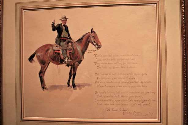
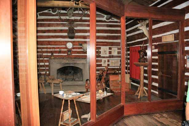
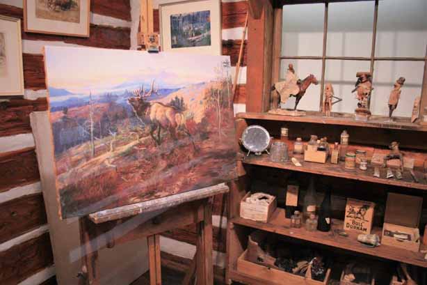
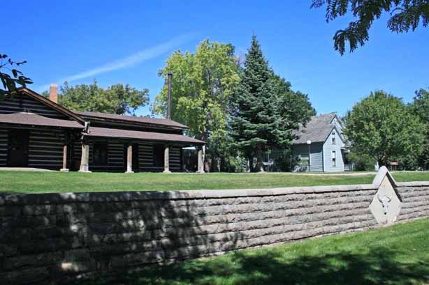
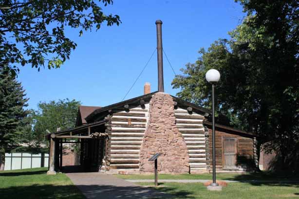
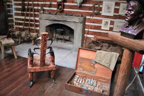
                                                                       His studio. 
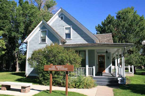
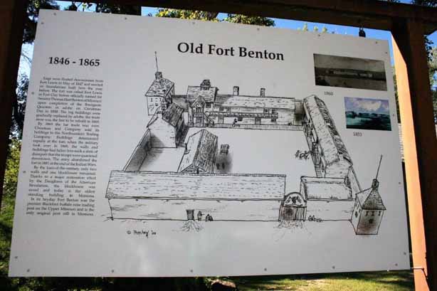
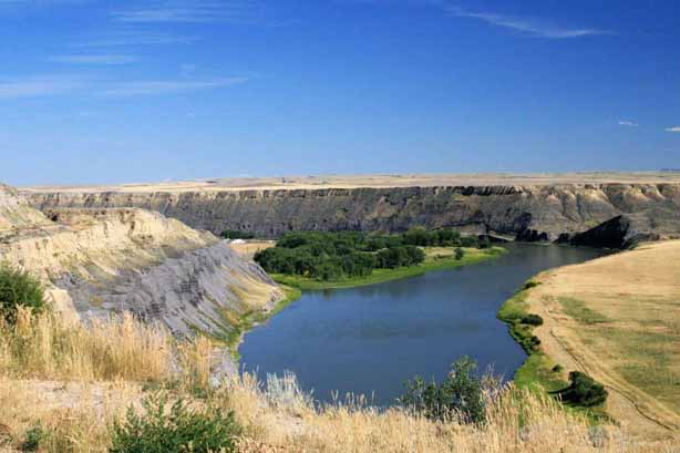
I had a wonderful time exploring it all before we got in the truck and headed east to Fort Benton.  We had hoped to explore the fort but it was closed the day we arrived.  We stopped in again on our way northward and were able to tour the fort then. 
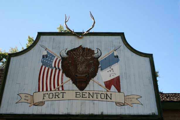
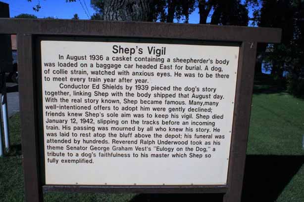
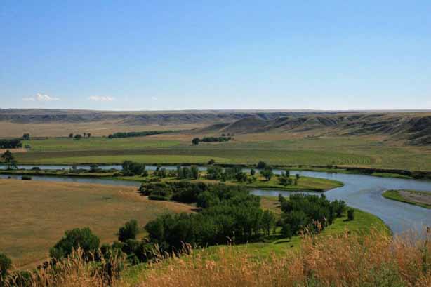
We walked the riverside trail and saw the Shep Memorial.  This was a story I knew from my youth, about the faithful dog that waited every day at the train station for his master to return. 
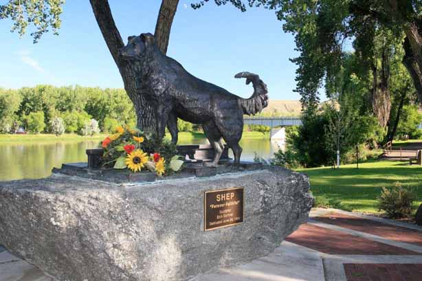
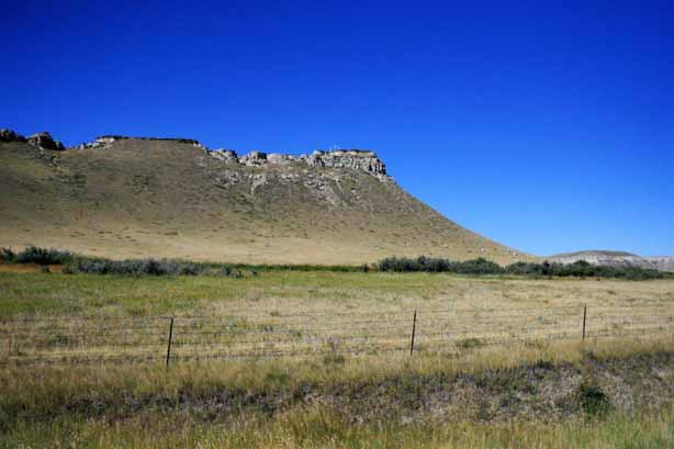
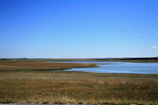
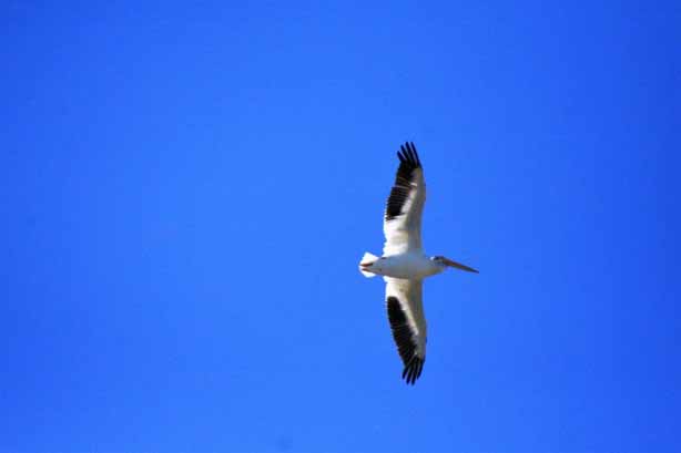
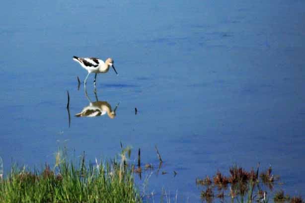
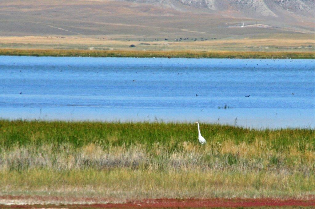
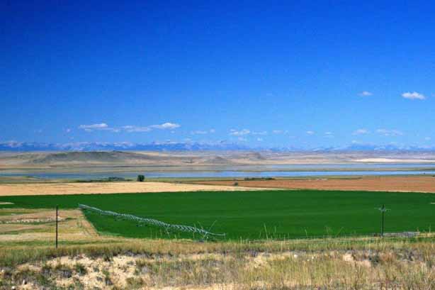
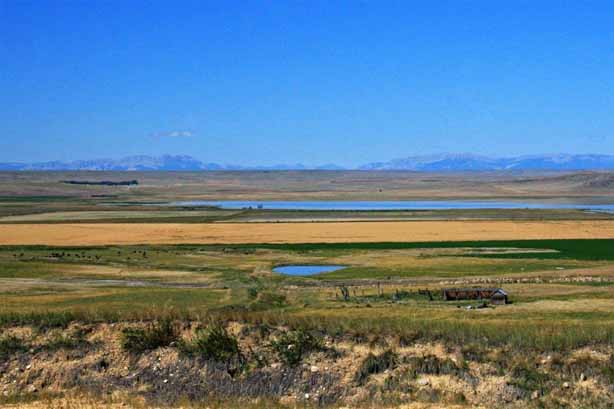
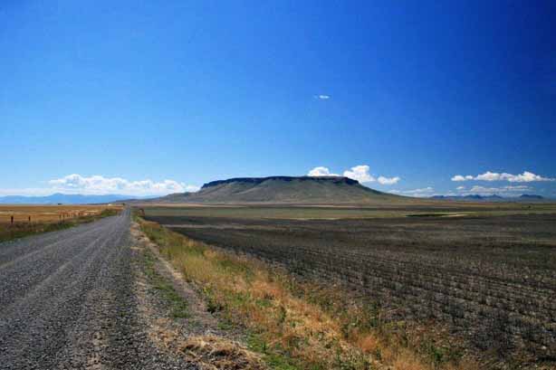
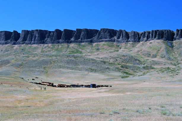
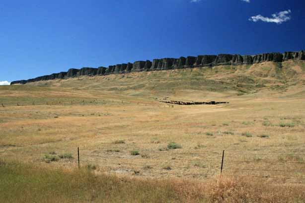
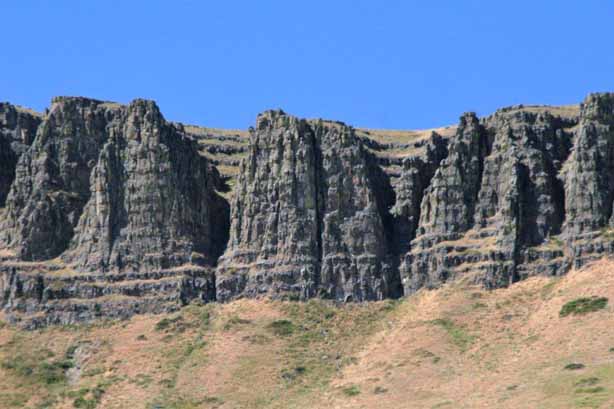
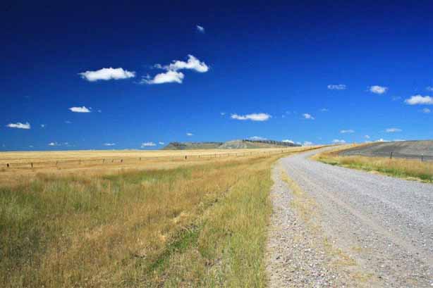
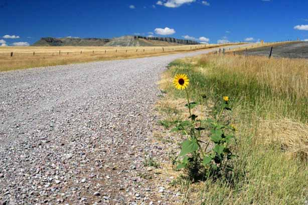
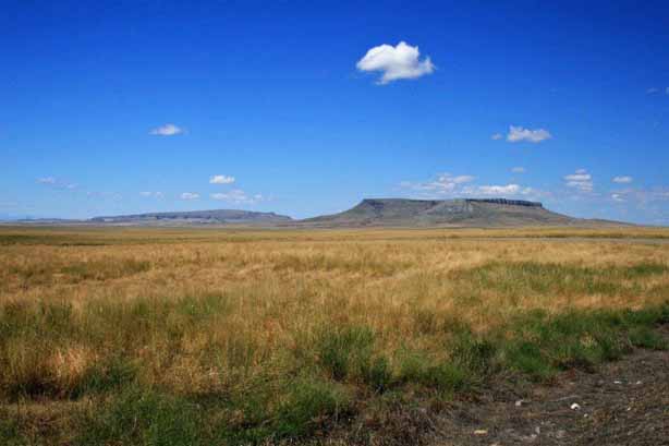
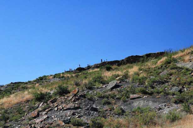
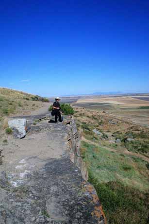
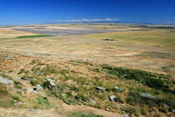
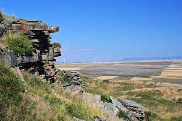
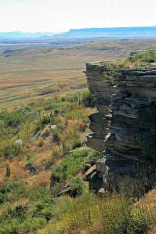
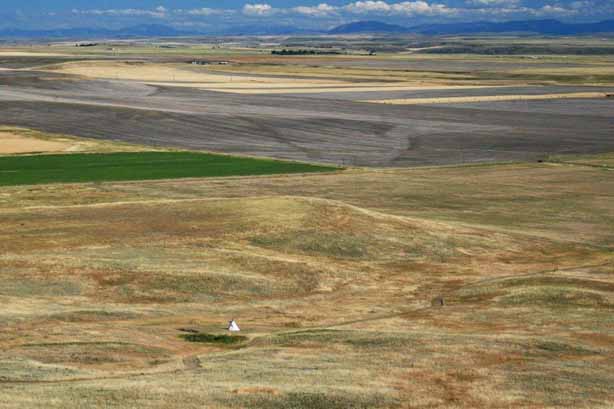
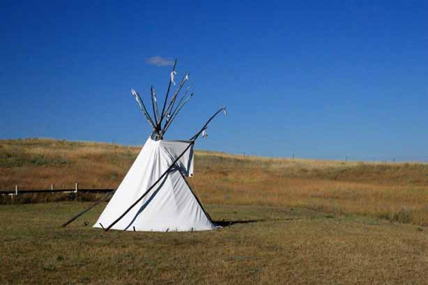
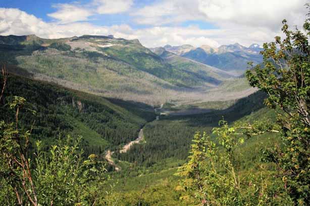
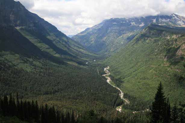
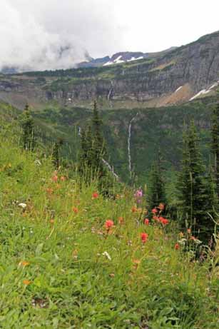
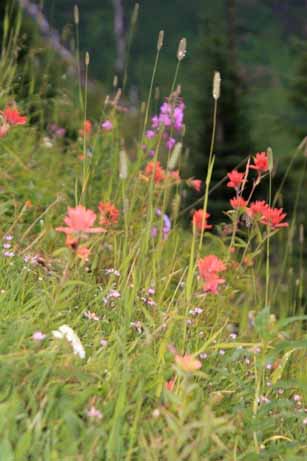
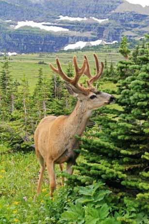
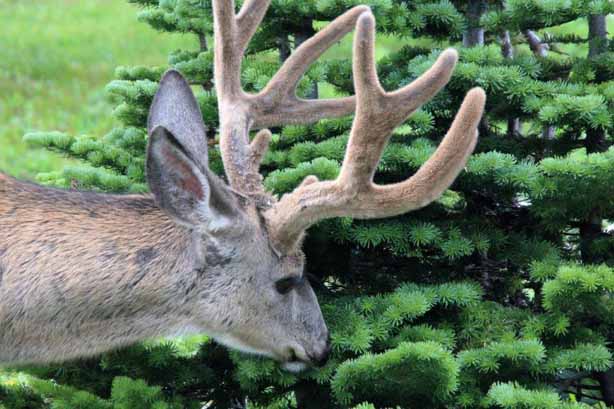
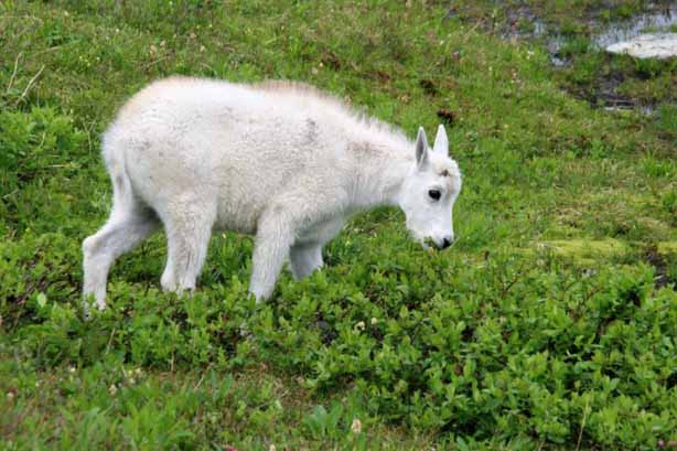
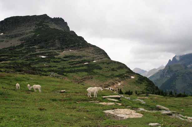
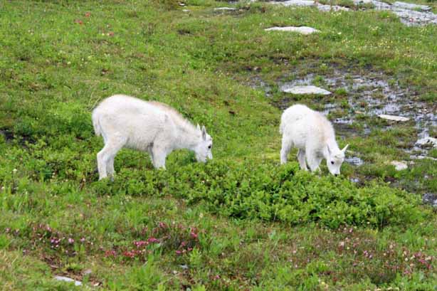
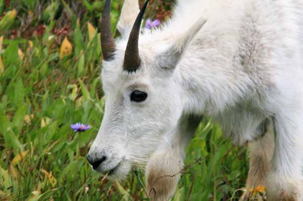
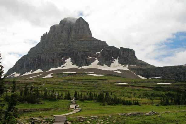
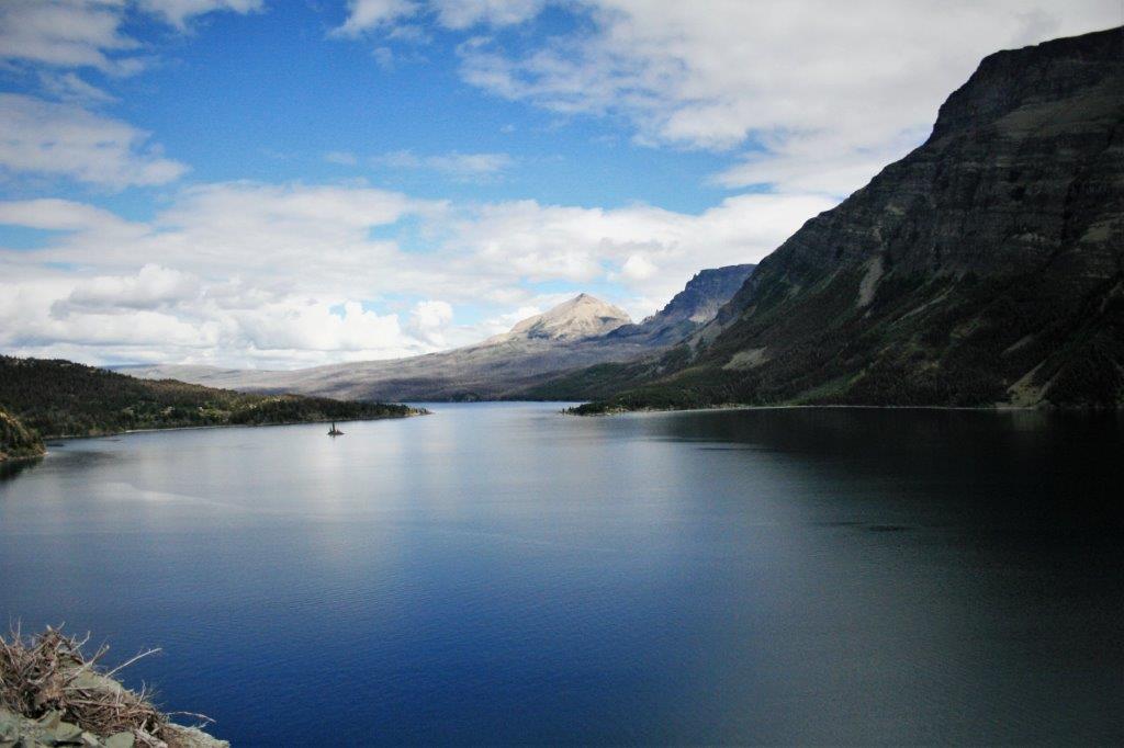
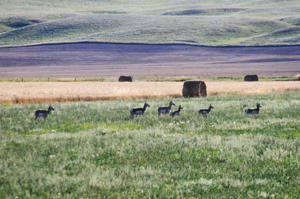
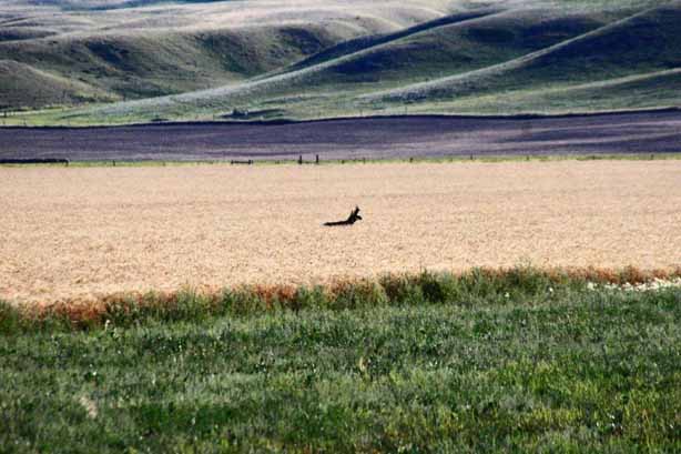
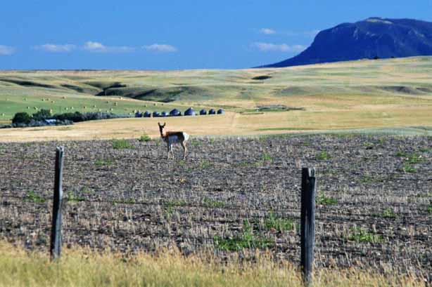
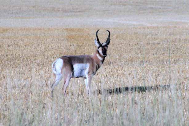
The drive that day took us through the middle of the state of Montana.  It was a lovely day and we had plenty of sightings of Pronghorn Antelope in the grain fields.

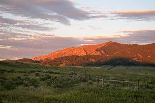
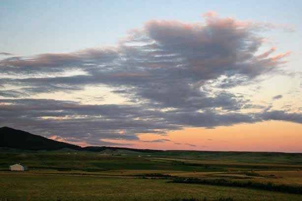
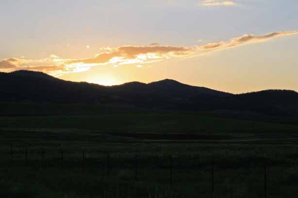
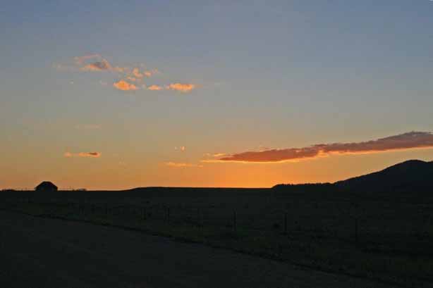
We arrived in Lewiston as the sun was setting.   We have been through Lewiston several times.  The town is named after famous American explorer Meriwether Lewis, who, with is partner William Clark, explored and mapped much of the western states before the pioneer settlers headed westward.

We spent the night in Lewsiton and headed off for Billings the next day.

2010 Aug 15 – Day 4 – Choteau, MT to Great Falls, MT (Ulm Pishkun State Park)

I think it is because I have lived my entire life surrounded by high hills and near the very high Rocky Mountains that I so love the wide open prairie.  To me there is a special beauty to all of the buttes and grasslands and distant horizon. We had spent the night at Choteau, MT which is only about 85 km (55 miles) from Great Falls which was our destination for the day.  Fifteen miles south of Choteau is the 12,000 acre Freezeout Lake Waterfowl Area.  During the spring and fall migrations as many as 300,000 snow geese and 10,000 whistling swans stop here. In order to protect the nearby farms, wheat and barley are planted on the reserve to sate the bird’s hunger.  The brochure lists the names of 227 species of birds that have been sighted at Freezeout Lake. Since it was mid-summer the migrating birds have already been through the area but we did see a nice-sized flock of American Pelicans, an avocet and an egret. A few miles south of Freezeout Lake we passed an elk ranch. We turned off the main highway onto a gravel road that would take us to Ulm Pishkun State Park which is located slightly southwest of Great Falls. John drives my Poppy truck very slowly on gravel roads to protect her paint.  Fortunately Montana is lightly populated so we didn’t meet any vehicles that threw up a rock as it went by. “Pishkun” is a Blackfoot word for buffalo jump.  For thousands of years it was a common hunting technique to stampede a herd of bison to the edge of a cliff via lanes with sides of stone.  As the firghtened animals milled around at the cliff edge the oncoming ones at the rear forced the ones at the front over the edge where they were easily dispatched if the fall didn’t kill them.  The entire tribe would work for days to get all the meat, hides, horns, and all things usable from the animals.  Only after the white man introduced the use of guns for hunting from horseback did the native way of life change.

At Ulm Pishkun there is an interpretive center with interesting displays about the culture of the Blackfoot and their hunting technique. A trail leads to the top of the cliff where there is a panoramic view of miles and miles of open prairie and agricultural fields.  This is the land of Charles M. Russell’s paintings that I so loved as a child.  The Russell homestead and studio is in Great Falls which is why we are staying the night there.  We had gone through Great Falls a few years ago and the museum was closed so I was glad to be able to go on this trip. Plants grow right out of the rock on the cliff face.  The photo above was taken looking straight down over the edge. We spent a few happy hours at Ulm Pishkun before driving into Great Falls for the night.

2010 Aug 14 – Day 3 – Whitefish, MT to Choteau, MT (Going-to-the-Sun Road)

Glacier National Park is located in Montana along the Canada-USA border south of BC and Alberta (Canada has a Glacier National Park as well, located in the Rocky Mountains – the two are unrelated).  On the Canadian side, in southwestern Alberta, is Waterton National Park.  Waterton was declared a park in 1895 and, in the US, Glacier became a national park in 1910.  In 1932 the two governments ‘joined’ the two parks as the Waterton-Glacier International Peace Park; the first of its kind in the world.  The two National Park Systems work closely to ensure the parks are managed well and the biosphere and animals are protected on both sides of the border.  (And the animals don’t even need passports or photo-ID to walk across from Canada to the USA and vice versa.)

Glacier National Park is called the Crown of the Continent and there is only one road that traverses the park through the Rocky Mountains from the west entrance to the east entrance.  This is the 80 km (50 mile) Going-to-the-Sun Road through Logan Pass.  The summit of Logan Pass sits at 2026 meters (6646′) above sea level and crosses the Continental Divide.

The Going-to-the-Sun Road follows the north shore of beautiful Lake McDonald, the largest lake in Glacier National Park at 10 miles long and one mile wide.  The water is pristine and the multi-coloured rocks on the bottom along the shore are clearly visible on a sunny day. The Sun Road was built between 1921 and 1932, officially opening the next year.  Avalanche repair work is ongoing to this day.  Logan Pass can receive up to 80′ of snow over a winter.  It takes 10 weeks to plow the roads open even with equipment that can move 4,000 tons of snow per hour.  A plow can clear about 500′ per day.  That is a LOT of snow.  Consequently the  Sun Road is only open from, usually, May to October (one year it didn’t open until mid-July) and summer traffic can be quite heavy on the narrow cliff-side pass.  There are parts of the drive that are definitely not for the faint of heart. McDonald Falls has some really nice black and white rocks along the shore line. The mountains are spectacular with the road slicing through the middle of McDonald Valley.  As you climb through the pass there are sections of the road that are literally cut out of the cliff-side with rock bridges across tumbling waterfalls and barely room for two vehicles to pass each other. Obviously there are no large RVs, trailers or trucks allowed.

At the summit of the pass there are boardwalk trails through the wild flower meadows at the base of Reynolds Mountain.  This popular stop is called the Hanging Gardens or the Garden Wall. The area is a popular lunch stop for deer, gophers and Rocky Mountain Goats.

Clement Mountain dominates the skyline. As usual, I am attracted to colours, shapes, and patterns of rocks and water.

These are air bubbles trapped in a shallow puddle.

The road down the east side from the Logan Pass summit is very similar to the climb from the west.  I think this long waterfall is called Bird Woman Falls. The eastern end of the Sun Road passes along the south shore of Lake Saint Mary. Once we left the national park boundary at St. Mary we headed south through the Blackfeet Nation and over to Choteau where we spent the night.  The sculpture at the entrance was really well done.


2010 Aug 12 & 13 – Days 1 & 2 – From Home to Whitefish, MT

I finally finished writing the blog about our 2009 cruise around the world.  As I had said when I started that one, I plan to write a blog about some of our other travel adventures as well.  We have done a lot of traveling since we retired in 2007 and I did not know about blog writing until we drove across Canada in 2014.  That was my first effort.  Before that time I just posted pictures to a photo sharing site for family members to look at.  I am hoping, over time, to write about many of those other trips and adventures beginning with our 2009 World Cruise (done) and working my way through to 2014.  (All the blogs I have written thus far can be found on this site under Hanna Travels.)

In the winter of 2010 we spent the month of January on the Big Island of Hawai’i and the month of February on Kaua’i.  We toured both of the islands extensively, interspersed with days of doing nothing.  But, much as I love Hawai’i, I am not going to write a blog about that trip.  I may change my mind later, but for now I am just going to leave that holiday in the photo files.

This blog will be about the road trip we took in August of 2010.  I do not guarantee I will will remember tons of information about where we went and what we saw – it is, after all, almost 7 years since we took the trip – but I will do my best to put some sort of narrative amidst the photographs; of which there will be plenty due to my love of taking pictures – and we saw many, many things to capture through my lens.

I have always wanted to go to Yellowstone National Park so we reserved a few days at a hotel and set off from home with plenty of time to putter our way there and plans to go elsewhere later.  We ended up spending over three weeks checking out sites in Montana, Wyoming, and South Dakota before we got back home. We packed up my Chevrolet SSR that I call Poppy and headed out the driveway on August 12.  We spent our first night in Nelson, BC; a town we like in Southern BC that is not too far from the Canada/USA border.  The next night we spent in Whitefish, Montana.  We have also been here before using some of our time-share weeks which means we have hiked around a bit and lazed around a lot more.  This day, however we took the ski-lift to the top of Big Mountain to get a bird’s eye view of the area. Everything was a lovely spring-like green due to the higher elevation and many of the alpine wild flowers were in bloom. We spent quite awhile up top wandering around and checking out the different views. In the summer, Big Mountain is a popular mountain bike locale.  To help increase year-round revenue many ski resorts have opened trails for bikes and hikers.  Whistler Resort in BC is almost as busy all summer now as it is in the winter ski season.  There were several bikers riding the trails as we took the lift back down.As we were eating our dinner at the restaurant in Whitefish, our server stopped by the table and asked if we would like to go to the Theatre.  Someone had two tickets they could not use to the 8 pm performance of the Alpine Theatre’s presentation of Rodgers and Hammerstein’s A Grand Night for Singing.  We were welcome to have them free of charge if we would like them.  Yes we would.  We made our way to the theatre after dinner and thoroughly enjoyed the show.  Thank you strangers for a lovely evening.

Our first two days were relatively relaxing drives.  We never leave our hotel at the crack of dawn – usually about 10 am – and we generally are checked in to the next place by 5 or 6.  Road trips are about seeing the sights and traveling the roads-less-traveled.

The next day we drove the Going-To-The-Sun Road (aka Logan Pass), which John has done on his motorcycle but I had not driven before.

2009 World Cruise – May 10 – Day 125 – Gustavia, St. Bart’s

This was the last port of call on our trip around the world. The red line remaining on the map is the two days to Ft. Lauderdale followed by the three days to New York City for those getting off in the Big Apple.Saint Barthélemy is an overseas collectivity of France; one of four territories among the Leeward Islands in the Caribbean that comprise the French West Indies. Christopher Columbus ‘discovered’ the island in 1493 and named it after his brother Bartholomeo.  Settlers came in 1659 and began to grow tobacco and indigo, but the islands main income came from smugglers and priates en route from South America to the Bahamas, who took advantage of the islands strategic location and well-protected harour to repair their ships and stock up on provisions. In 1784 the King of France traded the island to Sweden for trading rights in the Baltic without even consulting the people of St. Bart’s. In 1878 Swedish King Oscar II put sovereignty to a referendum and St. Barts was handed back to France.

Tourism has steadily grown over the last 30-40 years but St. Barts is still an exclusive and luxurious playground for the wealthy and famous.

We had selected an ATV ride around the island but the tour provider went out of business. The same company also offered our second choice so that, too, was a no go.  Consequently we took the tender to shore and walked up to the lighthouse, all through town, around the marina and to a lookout hill on the other side. It turned out to be a lovely, restful day with warm sunshine and soft breezes.   The last tender back to the ship was at 4 and we set sail for Fort Lauderdale at 4:30.  May 10 was Mother’s Day.  We do not usually have formal nights on port days but that night was our final fancy-dress event of the cruise.

Our friends Charles and Evelyn, Tim and Elaine and Harold and Martha.

The Wait Staff farewell was a big parade around the two levels of the diningroom with everyone singing and twirling napkins.  As happens at the end of this type of holiday, for the next two days everyone took photos of new friends, exchanged addresses and emails, expressed thanks to crew staff and finished packing their luggage.

Our Dining rooms servers André and Agus.  These guys took very good care of us for four months.  Absolute sweethearts.

Our Wine Steward Cesar who often managed to find John a Guiness, and our Cabin Stewards Totok and Taufik, who gave us fresh fruit every day, created wonderful creatures with towels on our bed every night and never forgot anything we asked of them. Terima Kasi (‘Thank you’ in Indonesian)

Although this wonderful voyage was coming to an end we were already planning our next adventure. We picked up brochures on the 2010 Grand South America and Antarctica cruise (now booked for 2018) and also the 2011 Grand World Voyage that we were considering booking the first leg of to get us as far as Sydney Australia with the intention of getting off and touring around for a few months before finding another ship to take us back to Vancouver.

As it happened, we did not sail in 2010; instead we spent two months in Hawai’i – 30 days on the Big Island and 30 days on Kauai’i.  The 2011 cruise to Australia we did do and, when the mood strikes I plan to write a blog about that trip.  We took 45 days to get to Australia, via the west coast of South America, the South Pacific and New Zealand.  We then spent two months going around the eastern half of the continent before sailing 30 days home again via the South Pacific and Hawai’i.  It was another great adventure!

2009 World Cruise – May 8 – Day 123 – Bridgetown, Barbados

We arrived in Bridgetown at seven in the morning and left the ship at 8:45 for the short drive to the boat launch where we boarded a catamaran to take us to the Atlantis submarine for our dive.  It was a beautiful sunny, hot day and the seas were calm.  There were 48 seats in the submarine; 24 on each side so people sat back to back facing large windows, but only 35 people were on board.John and I are fine in confined spaces or underwater but there were two young women accompanied by boyfriends or spouses who turned chalk-white as soon as the hatch was closed.  The sub dropped 60′ and stopped so we could look at the coral reef and fish.  A stingray swam by, which was unusual as they tend to be nocturnal.  Also a female Leatherback Turtle which also surprised our guide as the turtles have usually left the Caribbean waters by that time of year.   After we sat and watched the reef for awhile the sub went down to 145′ to a shipwreck that had been placed on the ocean floor by scuba divers to encourage fish and aquatic plants, etc.  The water was nice and clear, there was no rocking or rolling so we had a great time.  The two women however, were pale and clammy and clinging to their barf bags.  I think it was the longest hour of their lives and their menfolk will never get them to do something like that again. We returned to the ship in time for a quick lunch and then went outside the terminal where the buses loaded to see if there were spare seats on the Green Monkey Eco Tour.  As luck would have it there was room so we climbed aboard for the drive north and across the island to the Barbados Wildlife Reserve. We drove by this statue – the image on the right is a stock photo I found to show it more clearly.  It was erected by the government of Barbados in 1985 to commemorate the 169th anniversary of the island’s emancipation from slavery – not just the people were slaves of the sugar cane magnates, the entire island was subject to bondage.  Local people call it the Bussa after the leader of the slave rebellion in 1816.

The Barbados Wildlife Reserve was established in 1985 with seed money from the Canadian International Development Agency.  It is located on four acres of natural mahogany forest.  Mahogany is not indigenous to Barbados; it was introduced over 250 years ago.  A Canadian Primatologist is the head of the center and program leader.  Many of the animals have been donated – mostly the tortoises and several species of birds. The Green Monkey is originally from Africa and was brought to the island by early settlers.  They have very long tails.  Next door to the Reserve is the Grenade Hall Forest – a former dump site, now educational nature trails – and the monkeys will wander over there until 3 o’clock when they are fed fruit and vegetables at the Reserve.  They are very dextrous.

Brocket deer roam the reserve as well.  They too are an introduced species to Barbados although they are indigenous to other Caribbean islands. Brocket deer are small and shy and have very short hair.  We were fortunate enough to see a fawn as well. The most interesting animal we saw was a Hutia Conga which is indigenous to Cuba, the Bahamas, and Jamaica.  It looks like a cross between the agouti was saw on Devil’s Island and a rabbit.  Cute little thing. The prize of the reserve is the Red-footed tortoise. It was once plentiful on many neighbouring islands but is now considered scarce to endangered and more live in the Barbados reserve than all the rest of the island.  Barbados Wildlife Reserve has the best collection of these tortoise in the world.

They are fed every afternoon and they know where dinner will be laid out so they make their slow and ploddy way to the table every day.  The Brocket deer and Green Monkeys know when it is feeding time as well so all of them congregate on the hill top and grapple for goodies.  The monkeys clamber all over the backs of the tortoise and the deer stick their noses in where ever they can find a space to snatch some of the food.  It was quite entertaining to watch. The peacock decided to put on a show of his finery. An endangered iguana species from Cuba lives at the reserve as well.  They were very large with red eyes. As we were wandering the trails we saw a tortoise and a Green Monkey getting a drink in the stream, a rabbit, and three young monkeys wrestling and playing in a small courtyard. After we spent our time at the reserve our driver took us back to the ship along the south and west of the island so we had a nice overview of Barbados.  It was a hot and humid day but a really nice one and we were glad to be able to catch the green monkey tour at the last minute.We had a day at sea before our final port of call at Gustavia, St. Bart’s followed by two sea days to reach Ft. Lauderdale for the end of our cruise.

2009 World Cruise – May 7 – Day 122 – Port of Spain, Trinidad

It was a normal sea day between Devil’s Island and Trinidad.  We slept until 8am, breakfasted at the Lido Restaurant buffet, read on our verandah, walked 14 laps (3 1/2 miles) around the Promenade Deck, and, about two o’clock we had an ice cream cone and a cookie for lunch.  I went to afternoon Team Trivia while John read his book some more, we visited with some folks we had come to know, dressed for dinner, and went to the show or watched a movie after dinner before going to bed.

We docked at Port of Spain, Trinidad at 8 am under cloudy skies that turned to rain later in the day.  Port of Spain is the capital of Trinidad and Tobago.  It is one of the major shipping hubs in the Caribbean, exporting agricultural products and asphalt, along with buaxite from the Guiana and iron ore from Venezula.

There were not a lot of tour options available.  We chose to do the Port of Spain City and Cultural Show tour.  Basically it was a drive around the city with a stop at the botanical garden before stopping at a venue to see performances of Flamingo Limbo, Calypso and Steel Band, Indian dance and other musical offerings.  It was a good show.

The Queen’s Park Savannah is Port of Spains largest open space, 260 acres of former sugar land that the town council purchased in 1817.  In 1818 the Botanical Garden was begun just north of the Savannah and is considered one of the oldest botanic gardens in the world.  There are over 700 trees in the garden that have been collected from all over the world.  Only 13% of the plants are indigenuos to Trinidad.  After we toured the botanic garden we were driven to a spot on the hill overlooking the city.  Port of Spain municipal area has a population of about 38,000.  The city’s urban population was estimated to be about 128,000 with 250,000 people coming in daily for work and shopping.

We were in port from 8 am to 6 pm and then set sail for Barbados.  Trinidad was not a terrifically exciting port of call.  I suspect we would enjoy the island a lot more if we flew down there someday and stayed for a week or so.  It is lovely tropical island.  We just didn’t see a lot of the things it had to offer that day.

2009 World Cruise – May 5 – Day 120 – Devil’s Island, French Guiana

After four days at sea we anchored off Île Royale, the largest of the three Île du Salut (Islands of Salvation) and part of the infamous ‘Devil’s Island’ prison; locale of the famous book and movie Papillon.  Île du Diable is the smallest and northernmost of the islands, and the third is Île Saint-Joseph (St. Joseph).  All manner of crimes were represented among the prison population from political prisoners to murderers and traitors.  The prison soon became home to the worst criminals and repeat offenders in France.  The prison was notorious for its cruel conditions and ‘inescapable-ness.’  There were escapes but they were very few in number.  Many prisoners died from disease and the harsh environment and workloads.  It is estimated that the majority of the 80,000 men interred there died serving their sentences.  Less than 30% survived.

In 1852 under the direction of Emperor Napoleon III Devil’s Island became a French penal colony, which was officially called Bagne de Cayenne (Cayenne Penal Colony).  The prisoners began to refer to it as Devil’s Island and the name caught on and stuck.  Prisoners were  housed in various places on the mainland and the three Île du Salut islands.  St. Joseph’s was the Reclusion, where prisoners were sent for solitary confinement in seclusion and darkness as punishment for breaking various laws of the prison.  Île du Diable was used mainly for political prisoners.  Île Royale was the reception center for the general population and held the main military and prison buildings.

The islands are only 7 miles from the French Guiana mainland but the coastline is rocky, the waters are treacherous and sharks are abundant. In 1938 France stopped sending prisoners to Devil’s Island and the prison was closed in 1952.

As we approached the island group it look like one large island.  The three islands are not far apart and you couldn’t see the water between them until the ship got very close to Royal Island.   There were no organized tours on the unpopulated island but we were free to wander around and there was a nice path that went all the way around. It took about 45 minutes to do the circuit.  You could easily see the smaller St. Joseph Island.and Devil’s Island. Many of the prison buildings were derelict but a few were still in good condition and the former warden’s house is a hotel, gift shop and museum. For a small island we saw quite a few critters.  A peacock or two, lots of Howler monkeys, a spider monkey, pheasants, some agouti – a large tailless rodent, and very quick iguana. Since it is a tropical island there were also lots of pretty flowers. The humidity was such that we needed to shower when we returned to the ship in time for sail-away at 5 pm.  The captain set sail for Trinidad and a May 7 port of call at Port of Spain.

2009 World Cruise – April 30 – Day 115 – Georgetown, Ascension Island

If you think St. Helena is off the beaten track; try getting to Ascension.  The two islands are the most remote populated places on earth.  Ascension was discovered in 1501 by a Portuguese ship but was uninhabited and inhospitable so he did not even bother to mark it on his charts.  The island was ‘re-discovered’ on Ascension Day in 1503 by Alphonso d’Albuquerque, a prominent Portuguese General.  It was too dry and too barren to be of any use to the East Indies fleets so it was rarely visited.  Ascension only became strategically important 300 years later when Napoleon was exiled to St. Helena, which is 703 miles southeast of Ascension.

Ascension is closer to the African coast (1600 km-1000 miles) than St. Helena (1950 km-1210 miles) because it is located to the northwest making it nearer the bump of the continent.  With Napoleon on St. Helena, the British were worried that his supporters may try to rescue him.  Ascension is the closest land from which they could ‘launch a raid,’ even though it is 700 miles away.  A British garrison was stationed on Ascension to prevent such a possibilty.  After Napoleon died in 1821 Ascension became a military suppy base for ships fighting the slave trade.  It was a valuable naval and air station during WWII and in the years since then it has been used as a NASA tracking station and is the location of the  BBC World Atlantic Relay Station which serves South America and Africa.  The main activity is centered on the military bases at Wideawake Airfield.  The US military service their base and facilities with a regular supply ship (MV Ascension) and air transport and a limited number of commercial passenger tickets can be arranged.  There is now a hotel and cars you can rent to drive the 40 km of island roads, but tourism is in its infancy.

The evening of our sea day between St. Helena and Ascension the captain warned us that we may not be able to stop due to high seas that would prevent the tenders from docking safely.

We arrived at 8 am but anchored off shore due to the high waves.   An hour or so later the captain sent a tender over to check conditions but they were still deemed too hazardous.  At 10:30 it was decided that “the most agile” of the guesst would be able to go ashore, with the caution that the short flight of cement steps at the base of the pier would be slippery and wet. There were no formal excursions as the population of the entire island is just over 800 people and there is not much to see.  It was a very hot day and with the volcanic ash hills and the lack of trees we really noticed the heat.

We visited the museum and explored the old fort.
There is a small herd of free-roaming donkeys on the island and we had a short visit with one of them on main street.The main export items are Ascension Island Postage Stamps, first issued in 1922, and, since 2010, commemorative coins (which are legal tender but non-circulating), and commercial fishing licences for long-line tuna fishing vessels operating to ICCAT quotas (International Commission for the Conservation of Atlantic Tunas).

The  supply ship RMS Saint Helena visits Ascension Island approximately once a month linking the island to St Helena and Cape Town.  Fuel is delivered by a chartered tanker; the Maersk Rapier, which operates on an MOD resupply contract for both Ascension and the Falkland Islands every two months. Fuel for the island is transferred via a floating hose, which is connected to the on-shore depot at the island’s pier head and to the ship at anchor. The most beautiful thing about Ascension Island is the crystal clear turquoise water.  We could easily see schools of large black fish from the edge of the pier.  Many of the people who came ashore just wandered along the beach. All aboard was three o’clock.  John had to check out the fire truck and chat to the fire fighter on the way to the pier.

Once we had pulled anchor and were underway the Captain sailed close to shore as we circled around the top of the island.  The volcanic ash was very prevalent.  It is really not a very hospitable or scenic island, but I am very glad we had the opportunity to visit; not very many people have the chance to do so. As we have sail around on the world’s oceans we have often seen flying fish and sea birds.  The water around Ascension Island was a great flying fish area and we managed to get some good photos of them as they skipped over the waves.  The Gannets were very adept at catching the fish as they breeched the surface. Our journey was quickly coming to an end.  During our four days at sea before we reached the coast of South America we began to sort our belongings and pack.  We had to itemize all of the contents of our luggage for it to be shipped home at the end of the cruise.  FedEx representatives would be coming onboard in Barbados to give information and assistance.  It was a big process before we left home and would be even more time consuming since we had to pack and account for all the gifts we had recieved and all the purchase we had made.  But….hey, what else did we have to do while we sailed for four days across the Atlantic Ocean?


2009 World Cruise – April 28 – Day 113 – Jamestown, St. Helena

We left the coast of Africa and sailed west for two days to St. Helena.  It was a formal night the first night out and to honour the diamond  mining of southern Africa, the theme was the Pink Panther – the famous diamond not the movie.  Everyone was asked to wear a touch of pink. St. Helena is one of the most isolated places in the world, located more than 2000 km (122 miles) from the nearest major landmass.  There is no airport so the only access is by ship.  The island has a population of about 6,000 – mostly expatriate British – and is a British Overseas Territory; which is heavily subsidized by Britain.  Our guide said 70% of the population work for the government to support the other 30%.  The entire island is 122 sq km (47 sq miles) and potatoes and flax are the chief agricultural products.  Fishing is another main occupation but, obviously, tourism is not a major economic factor due to the remote location.

The capital is Jamestown, situated down a long narrow valley between two steep volcanic cliffs.  There are only two roads out of Jamestown, one narrow, steep, multi-switchback road on each side. The various tours available on the island used every taxi and mini-bus available.  There were no formal guides; the drivers took us to the various spots and let us off to look around. Several spots had locals who would answer questions or explain some history.

St. Helena is most renowned as the ‘prison’ island Napoleon Bonaparte was exiled to after the Battle of Waterloo in 1815.  He spent the rest of his life there and died in 1821.  There is still controversy about his cause of death.  Some say he was slowly poisoned with arsenic others say he died of cancer.

We stopped half-way up the cliff to enjoy the view before being driven to Napoleon’s Tomb.The walk to Napoleon’s tomb was about 1/2 mile.  He chose the spot himself and it was a lovely secluded glen.  His body was exhumed in 1840 and reburied near the Seine River in Paris. Longwood, the very nice nine-room house Napoleon lived in was a converted barn.  The house had a library and a billiard room which included the original cues used by Napoleon.  The surrounding gardens were filled with flowers.  Bonaparte was not in a cell.  He could travel anywhere on the island he chose; even have visitors.  He had staff to care for his needs, the house and gardens.  He just could not leave the island. A gorgeous viewpoint called Sandy Bay overlooking a valley was our next stop on the way to Plantation House the home of the island’s Governor.

At Plantation House we got to meet Jonathon, a Giant Tortoise that was brought to the island in the early 1880s, which makes him about 150 years old.  There were five tortoise ‘roaming’ the grounds.  David is about 100 and the smallest, Myrtle was only 50.   Jonathon was busy eating and couldn’t really be bothered with us but David and Myrtle loved to be petted and scratched and would stretch out their necks to encourage us to find a good spot.  Emma and another female were in the far corner of the spacious lawn so we didn’t get to meet them. Our last stop was the top of the cliff above Jamestown where we were treated to a gorgeous view of the Jamestown in the valley and our ship anchored off shore. From here we had a decision to make: we could ride the taxi down the road to the town or we could descend the 699 steps of Jacobs Ladder.  Jacobs Ladder was built in 1829 and is Jamestown’s signature landmark.  It was a supply route to get goods up to the soldiers and residents living on the clifftop without having to use the long, narrow roads.  Orignally it was a inclined plane funicular tram pulled by donkeys but it was converted to the stairway by the Royal Engineers in 1871.  There were an even 700 steps until the bottom one was covered by asphalt when they paved the street.   The Ladder rises 924 feet with an 11″ average rise of steps.  You are 602 feet above sea level at the top.  Obviously, we chose to go down Jacob’s Ladder. John’s legs were wobbling by the time we got to the bottom but we decided to walk up the street and see a bit of Jamestown before we took the tender back to the ship.

The last tender left the dock at 4.  At 2:30 we were heading back through town.  I, being somewhat OCD, did not like the idea of only going DOWN the Jacob’s Ladder.  To officially climb it, I felt, you needed to go UP and DOWN.  John had no intention of going up 699 steps so I set off on my own.  Another lady from the ship was wanting to climb as well so we went together and counted off 20 steps, rested, did 20 more, rested; all the way to the top.  She had one bottle of water which she drank quite quickly.  I had none.  At the top I was told there was a store around the corner where I could get water so I went to find some.  It was around the corner all right, and up a hill!  As if I needed that.  But I needed water.

Now there was that choice again:  take a taxi or descend the ladder back to town.  My companion opted for the taxi.  I opted to do the stairs AGAIN.  That made a total of 2097 steps on Jacob’s Ladder in the day.  In the Heritage Building at the bottom they print a certificate for you to prove you climbed all the steps.  I didn’t tell them I went down, up and down.

We never use the elevators on the ship.  We climb the stairs between decks.  Let’s just say the stairs were hard to do for the next couple of days.

We both really liked St. Helena and, if it wasn’t such a remote and difficult to get to place, we would be happy to return there.