Glacier National Park is located in Montana along the Canada-USA border south of BC and Alberta (Canada has a Glacier National Park as well, located in the Rocky Mountains – the two are unrelated). On the Canadian side, in southwestern Alberta, is Waterton National Park. Waterton was declared a park in 1895 and, in the US, Glacier became a national park in 1910. In 1932 the two governments ‘joined’ the two parks as the Waterton-Glacier International Peace Park; the first of its kind in the world. The two National Park Systems work closely to ensure the parks are managed well and the biosphere and animals are protected on both sides of the border. (And the animals don’t even need passports or photo-ID to walk across from Canada to the USA and vice versa.)
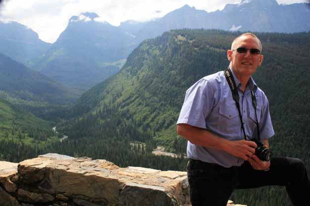
Glacier National Park is called the Crown of the Continent and there is only one road that traverses the park through the Rocky Mountains from the west entrance to the east entrance. This is the 80 km (50 mile) Going-to-the-Sun Road through Logan Pass. The summit of Logan Pass sits at 2026 meters (6646′) above sea level and crosses the Continental Divide.
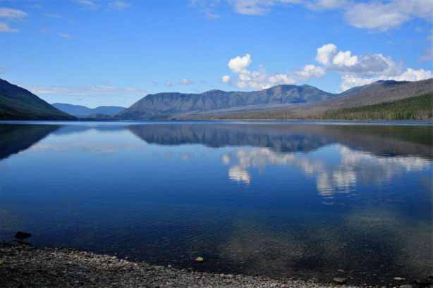
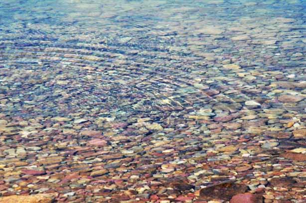
The Going-to-the-Sun Road follows the north shore of beautiful Lake McDonald, the largest lake in Glacier National Park at 10 miles long and one mile wide. The water is pristine and the multi-coloured rocks on the bottom along the shore are clearly visible on a sunny day.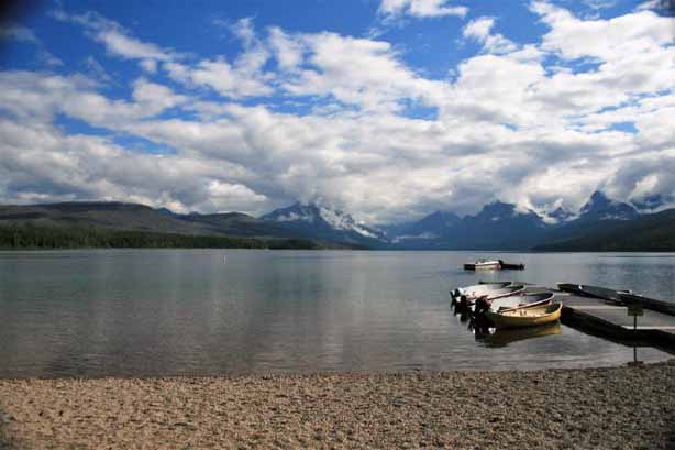
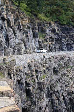
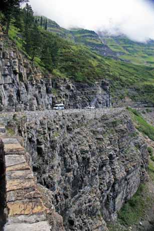
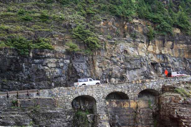
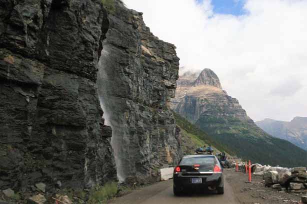
 The Sun Road was built between 1921 and 1932, officially opening the next year. Avalanche repair work is ongoing to this day. Logan Pass can receive up to 80′ of snow over a winter. It takes 10 weeks to plow the roads open even with equipment that can move 4,000 tons of snow per hour. A plow can clear about 500′ per day. That is a LOT of snow. Consequently the Sun Road is only open from, usually, May to October (one year it didn’t open until mid-July) and summer traffic can be quite heavy on the narrow cliff-side pass. There are parts of the drive that are definitely not for the faint of heart.
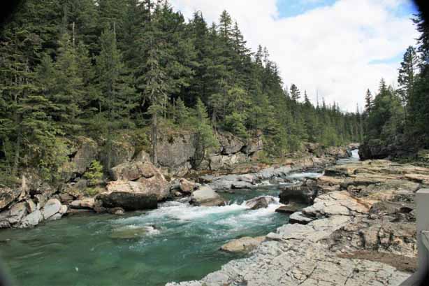
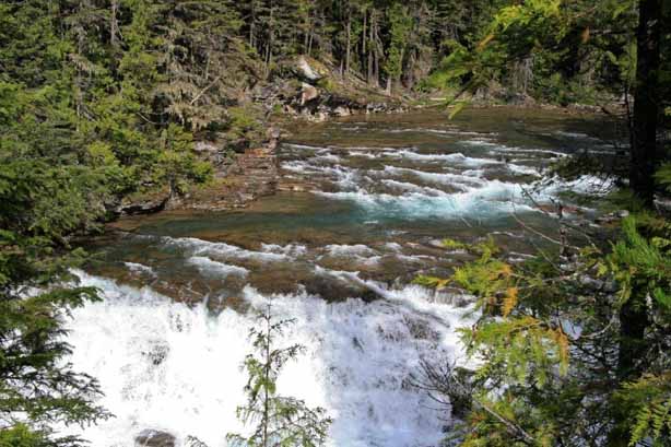

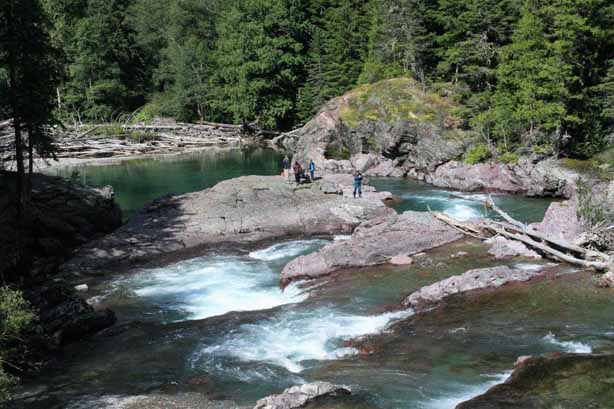

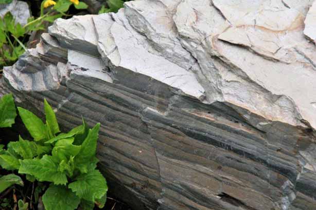
 McDonald Falls has some really nice black and white rocks along the shore line.
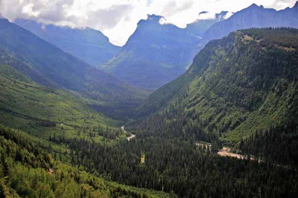
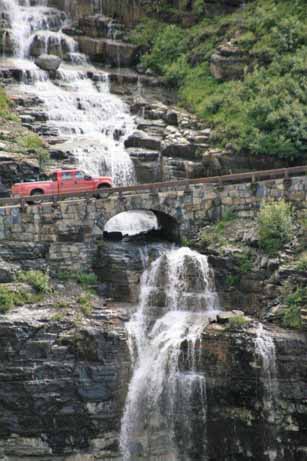
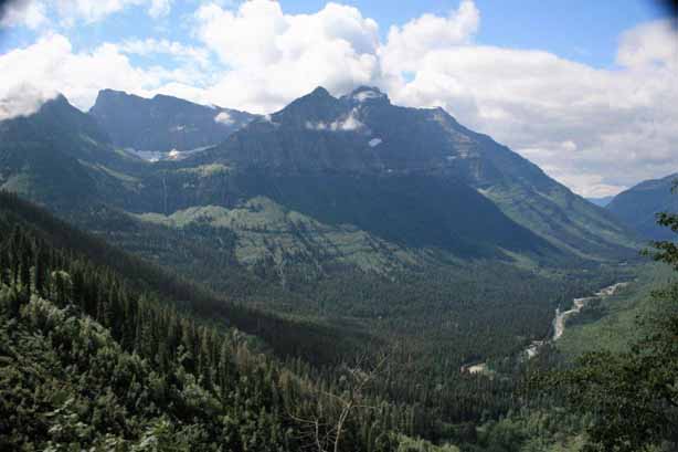
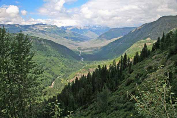
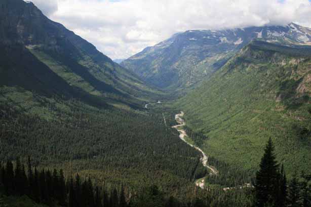
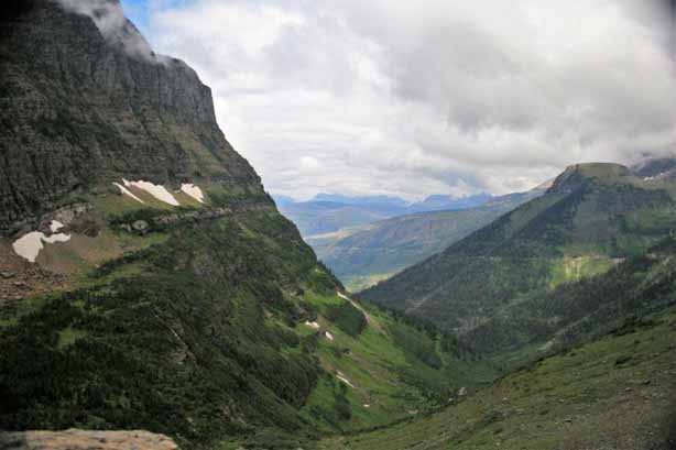
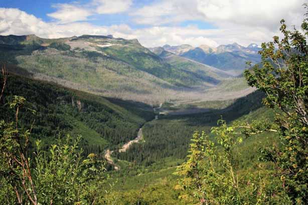 The mountains are spectacular with the road slicing through the middle of McDonald Valley. As you climb through the pass there are sections of the road that are literally cut out of the cliff-side with rock bridges across tumbling waterfalls and barely room for two vehicles to pass each other. Obviously there are no large RVs, trailers or trucks allowed.
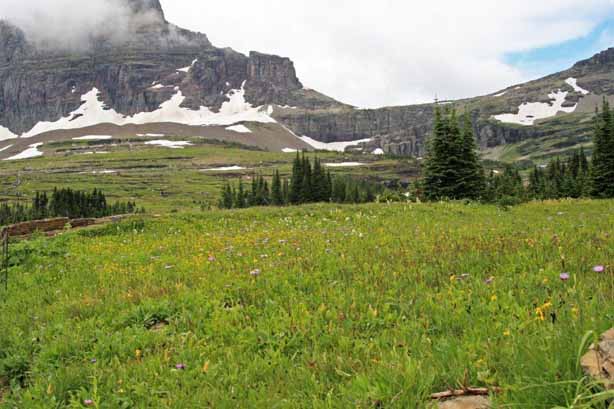
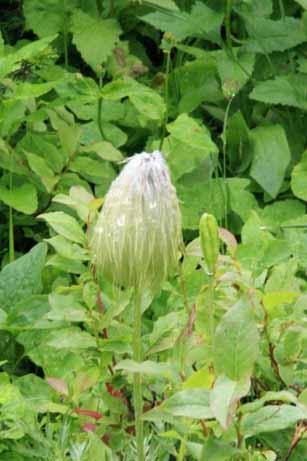
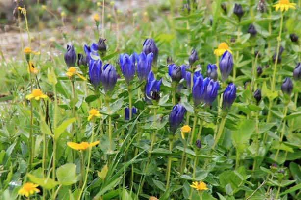
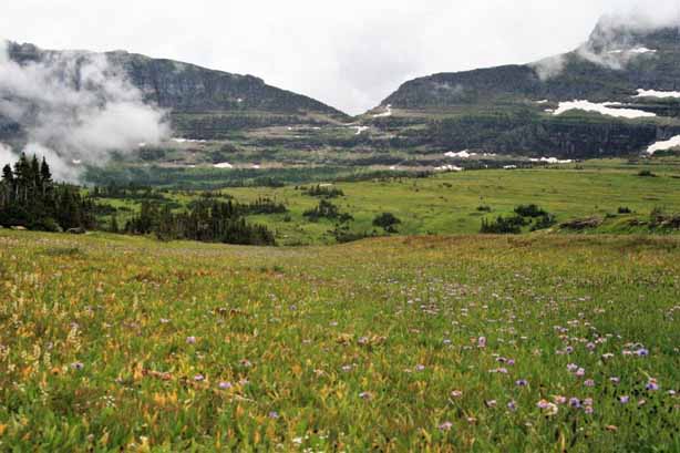
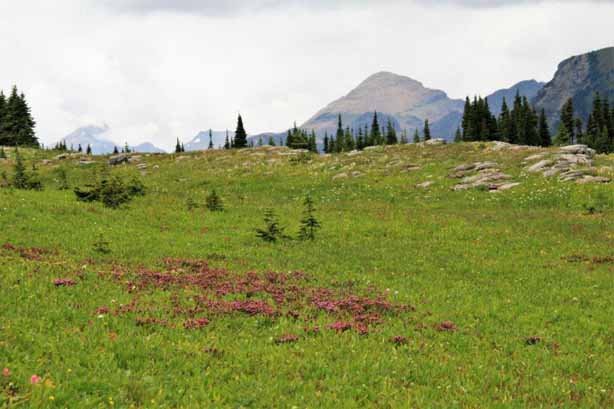
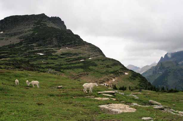
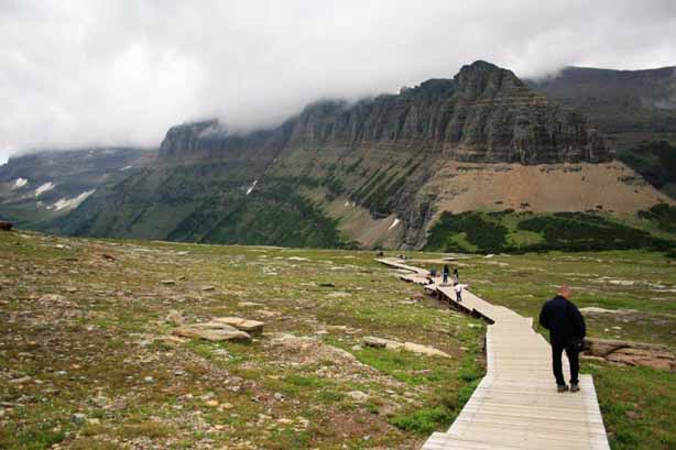
 At the summit of the pass there are boardwalk trails through the wild flower meadows at the base of Reynolds Mountain. This popular stop is called the Hanging Gardens or the Garden Wall.
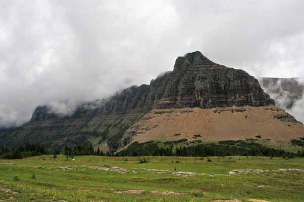
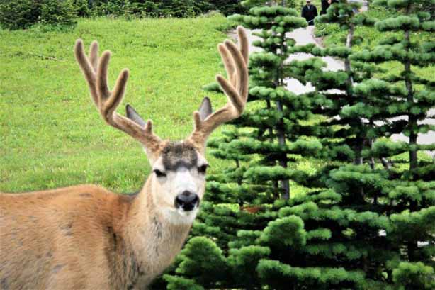
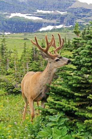
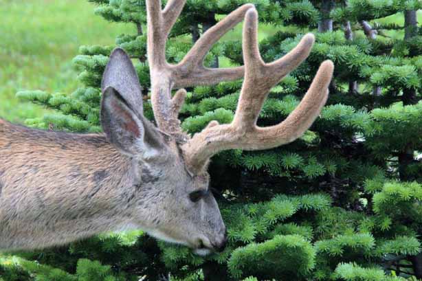
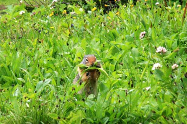
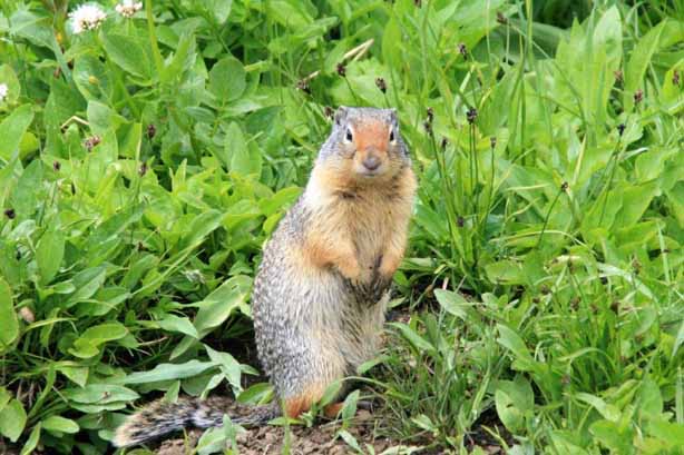
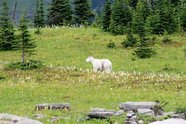
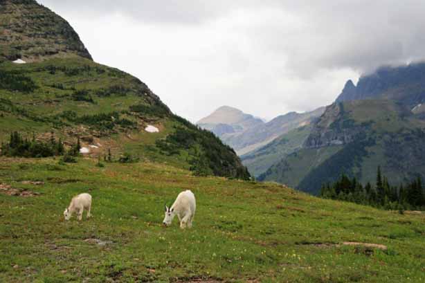
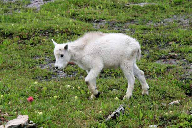
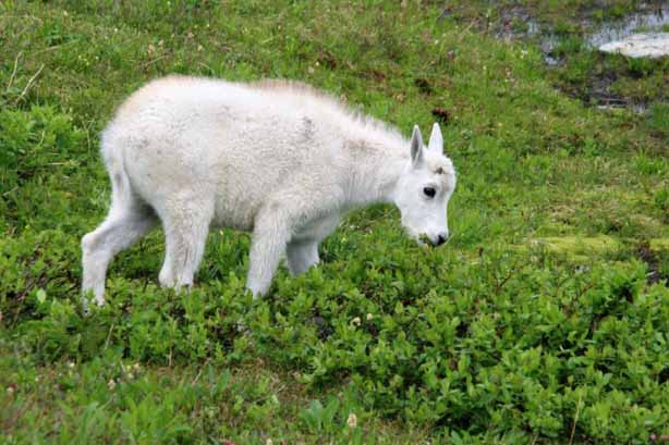
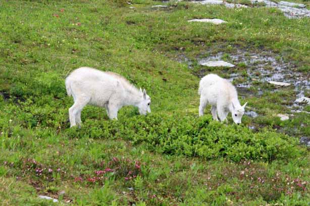
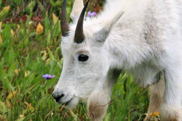
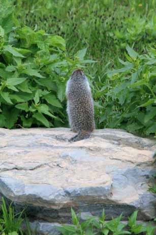
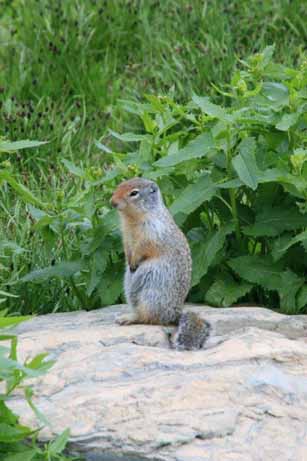
 The area is a popular lunch stop for deer, gophers and Rocky Mountain Goats.
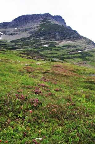
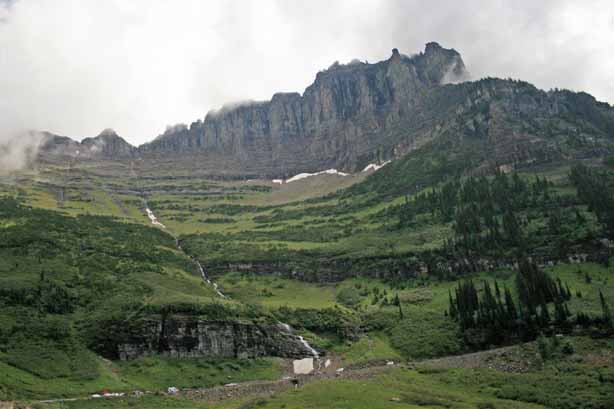
 Clement Mountain dominates the skyline.
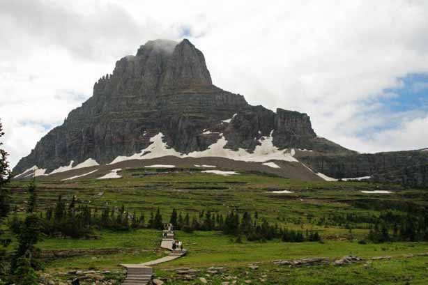
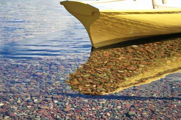
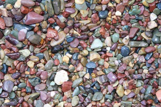
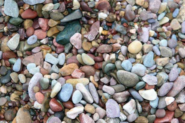
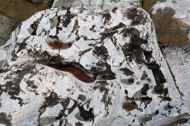
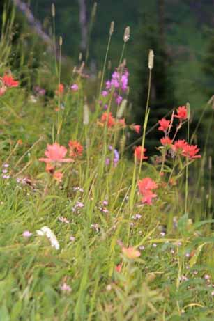
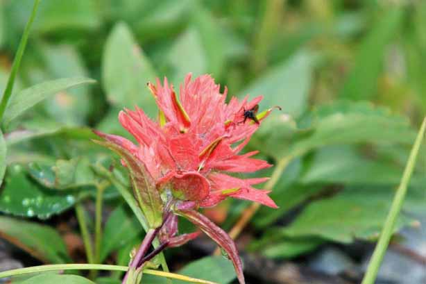
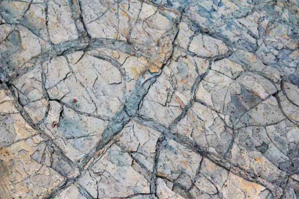
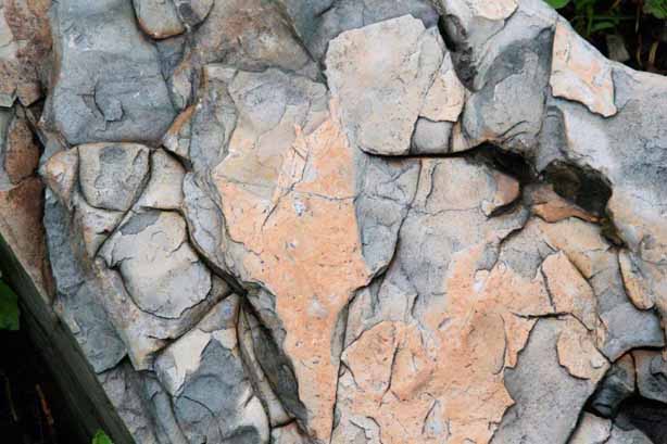
 As usual, I am attracted to colours, shapes, and patterns of rocks and water.

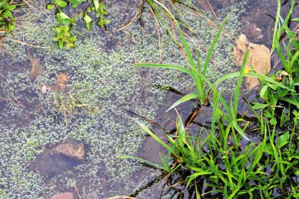
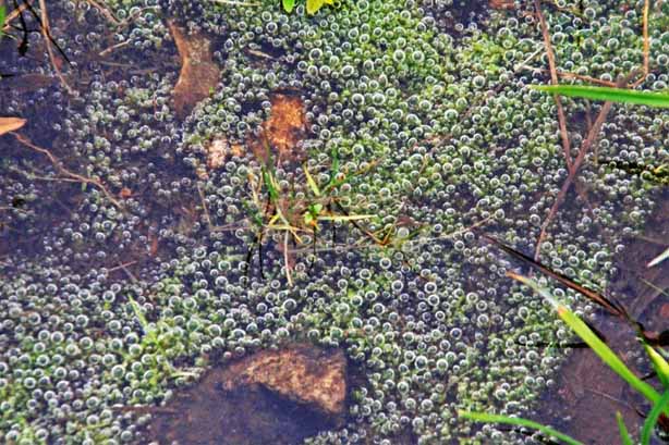 These are air bubbles trapped in a shallow puddle.
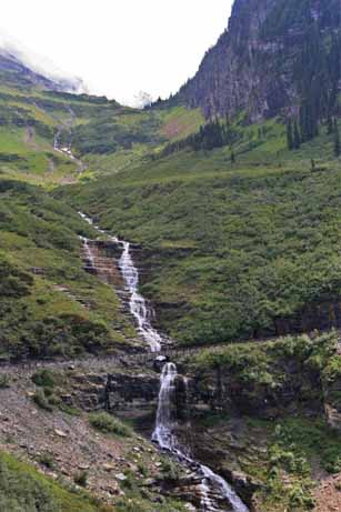
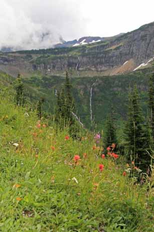
The road down the east side from the Logan Pass summit is very similar to the climb from the west. I think this long waterfall is called Bird Woman Falls.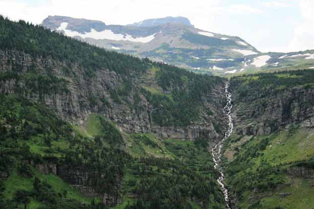
 The eastern end of the Sun Road passes along the south shore of Lake Saint Mary.
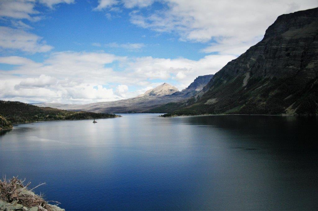
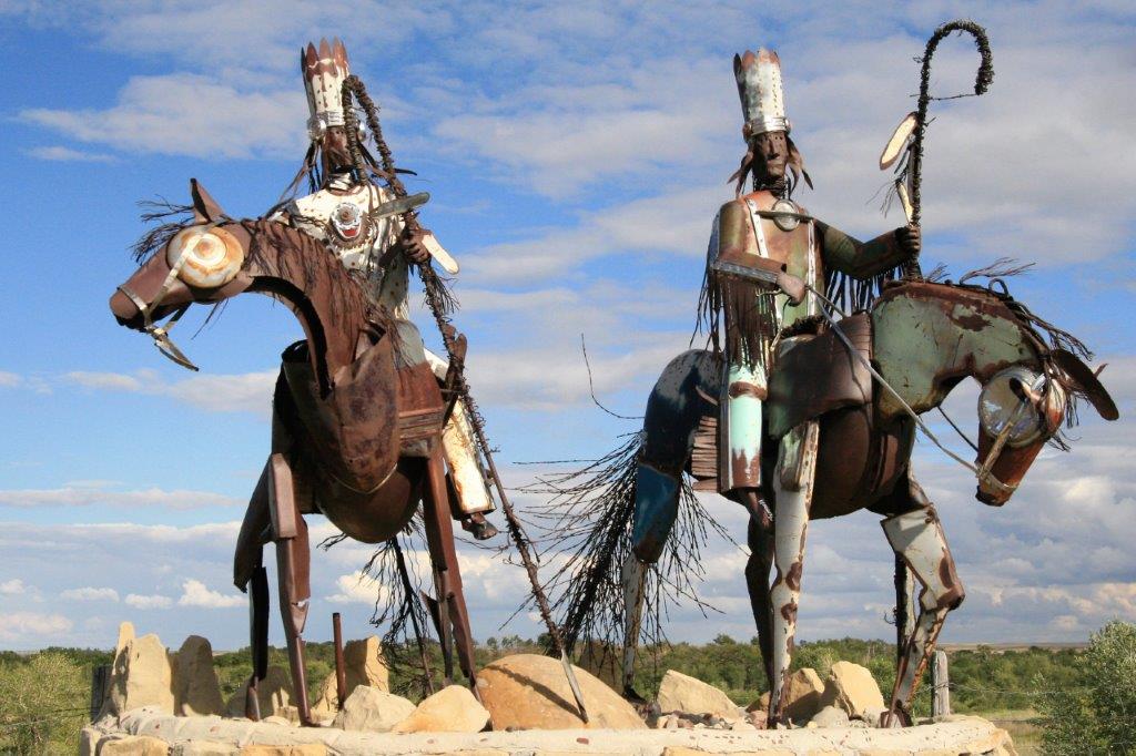
 Once we left the national park boundary at St. Mary we headed south through the Blackfeet Nation and over to Choteau where we spent the night. The sculpture at the entrance was really well done.