2019 July Journey – Haida Gwaii section – Day 20

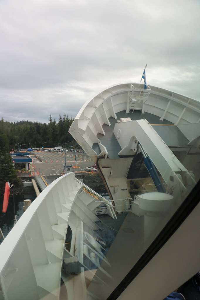
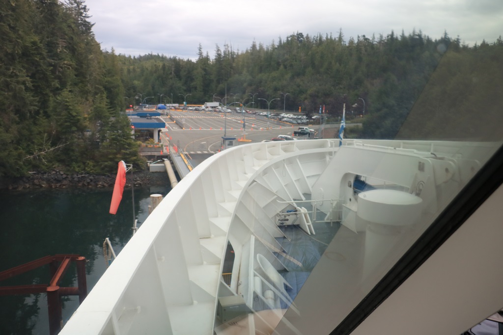
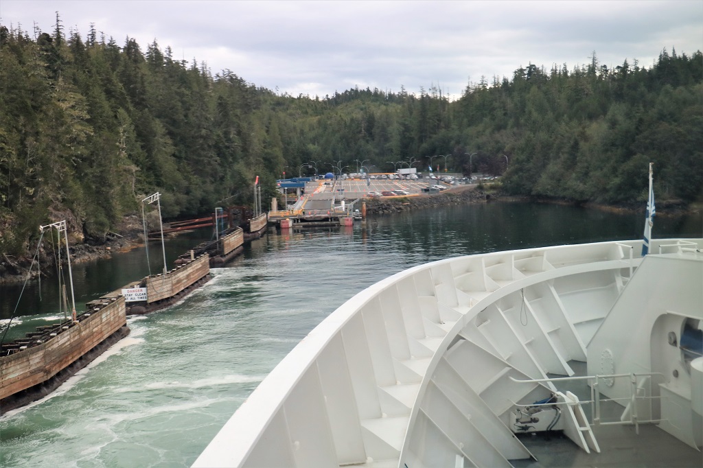
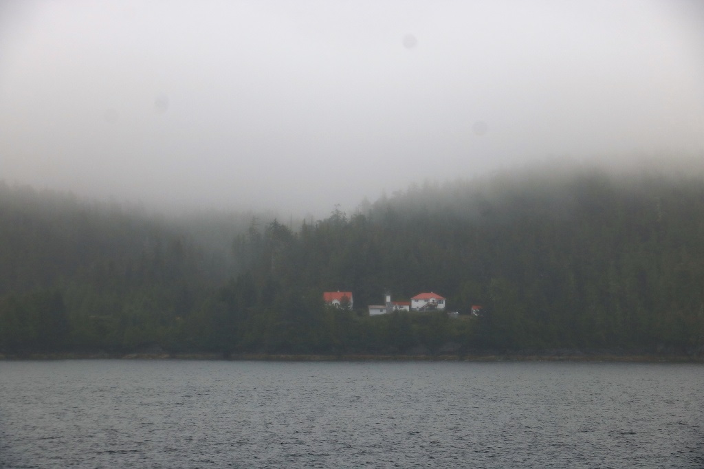
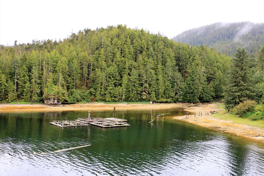
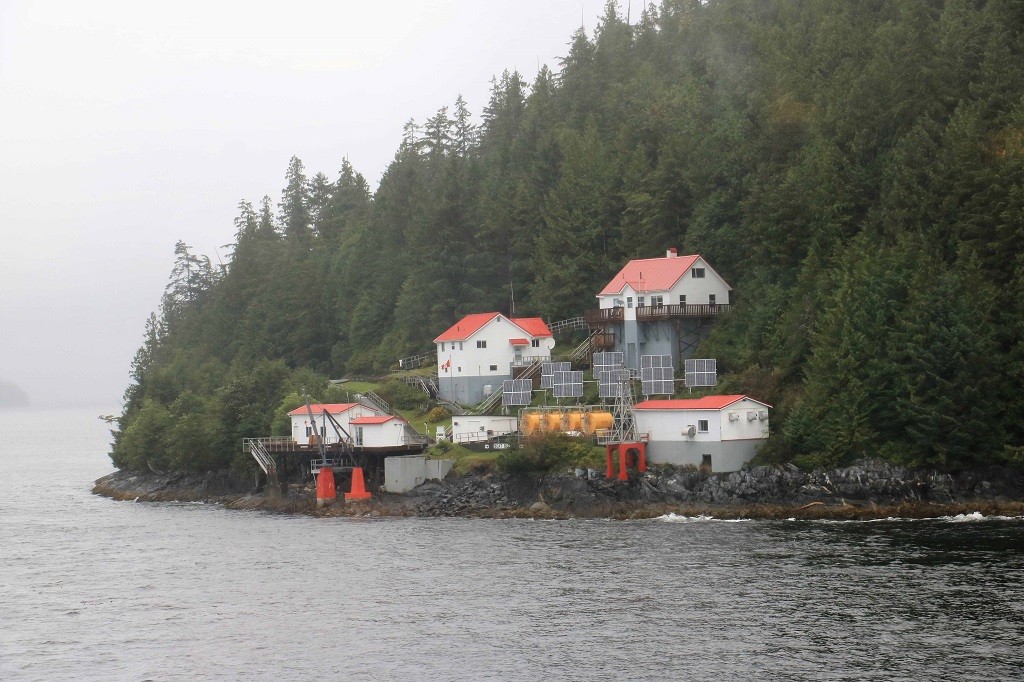
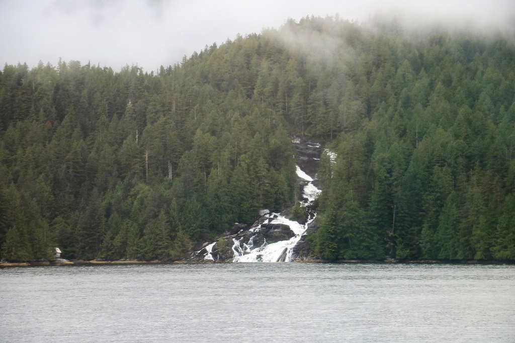
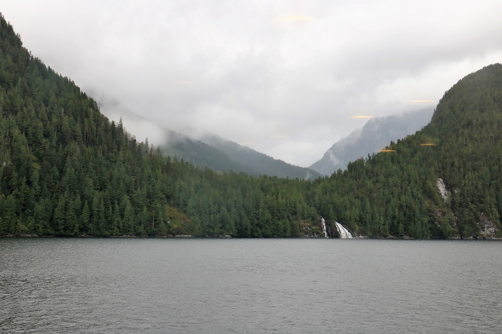
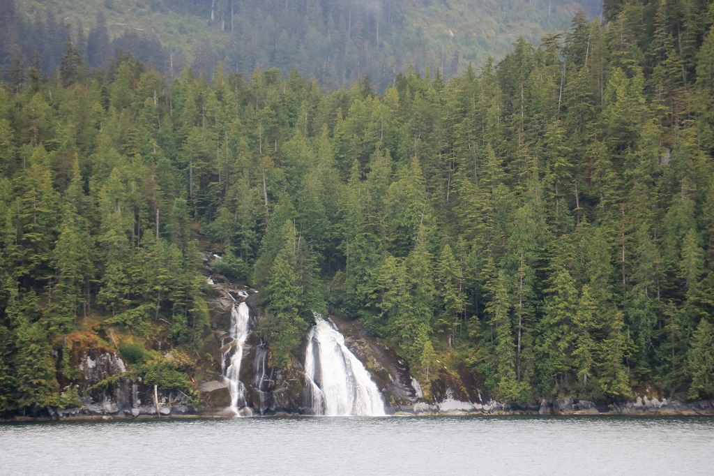
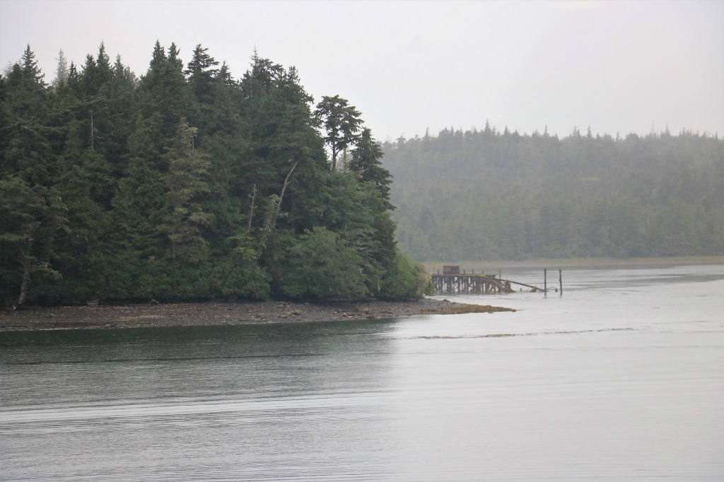
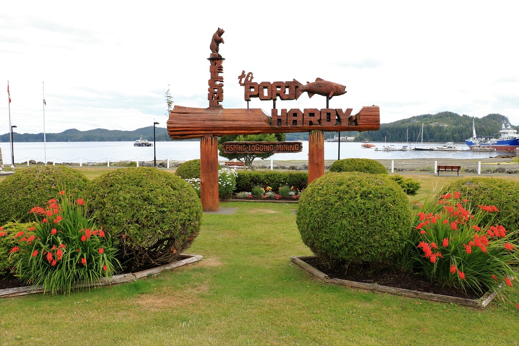
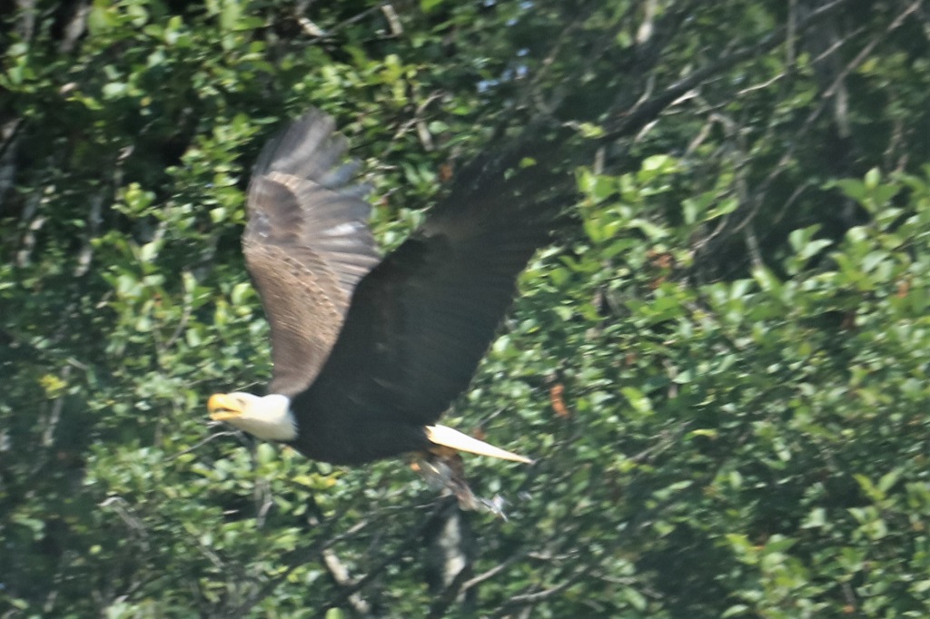
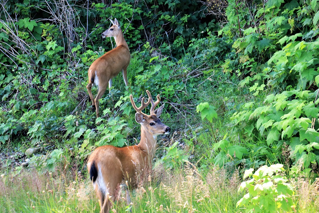
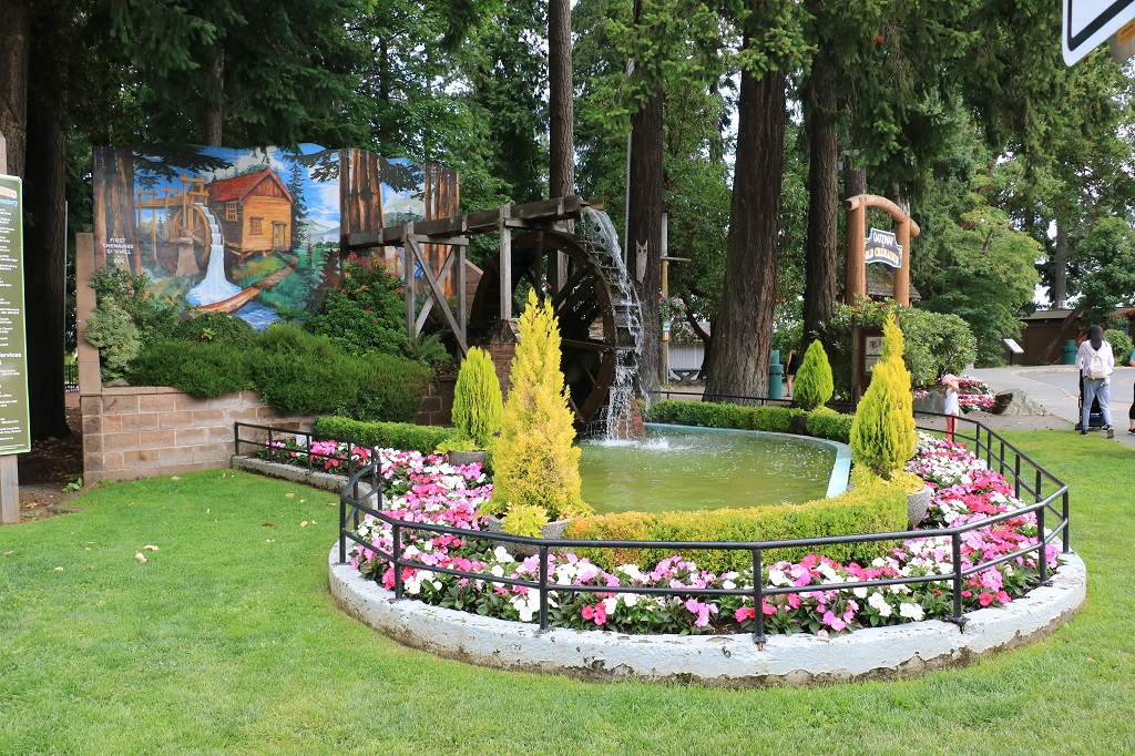
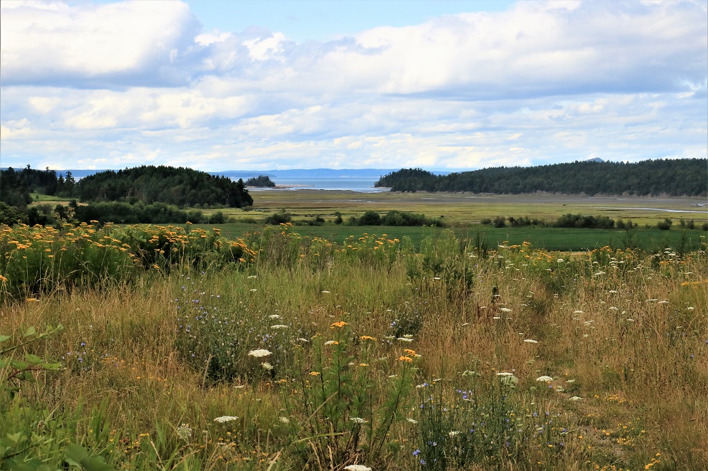
We headed out this morning to explore the communities of Skidegate, Tlell, and Port Clements.  The populations of each of these three towns is between 180-300. Skidegate is nearest to Queen Charlotte at just over 9 km up the road.

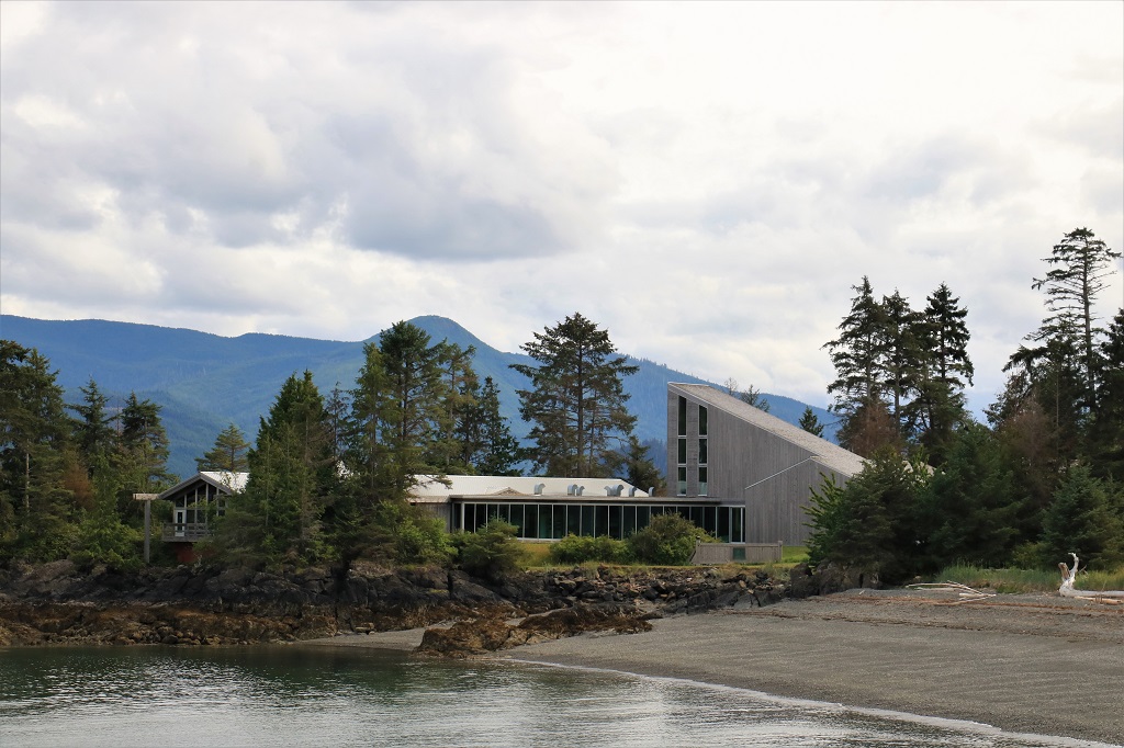
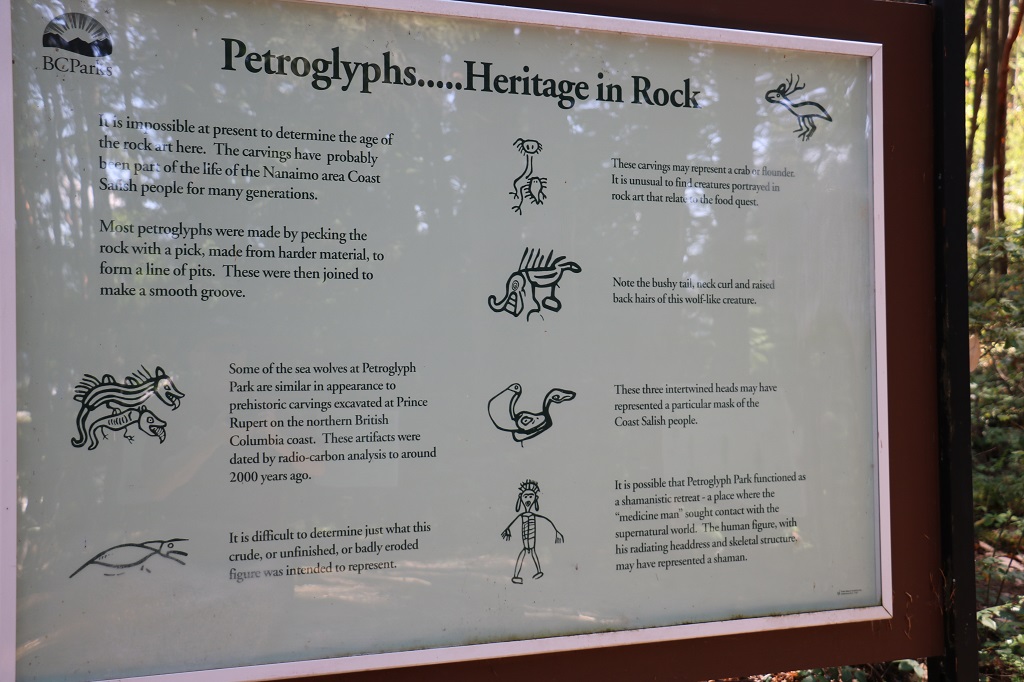
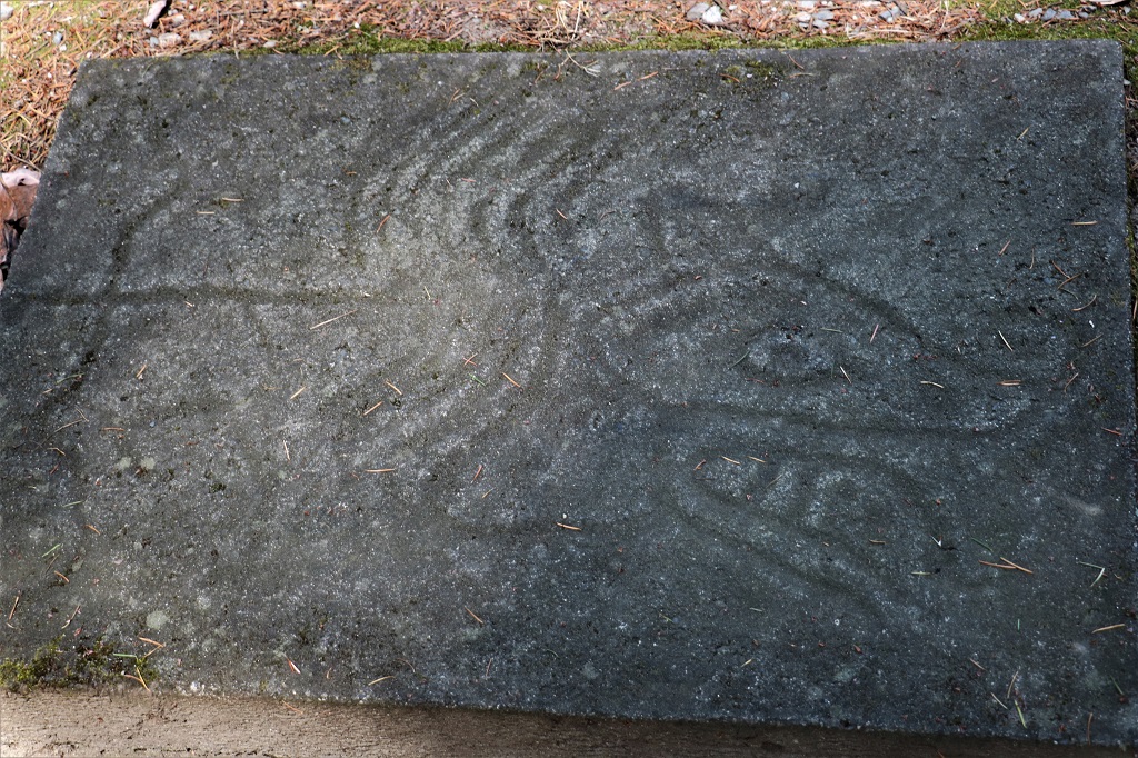
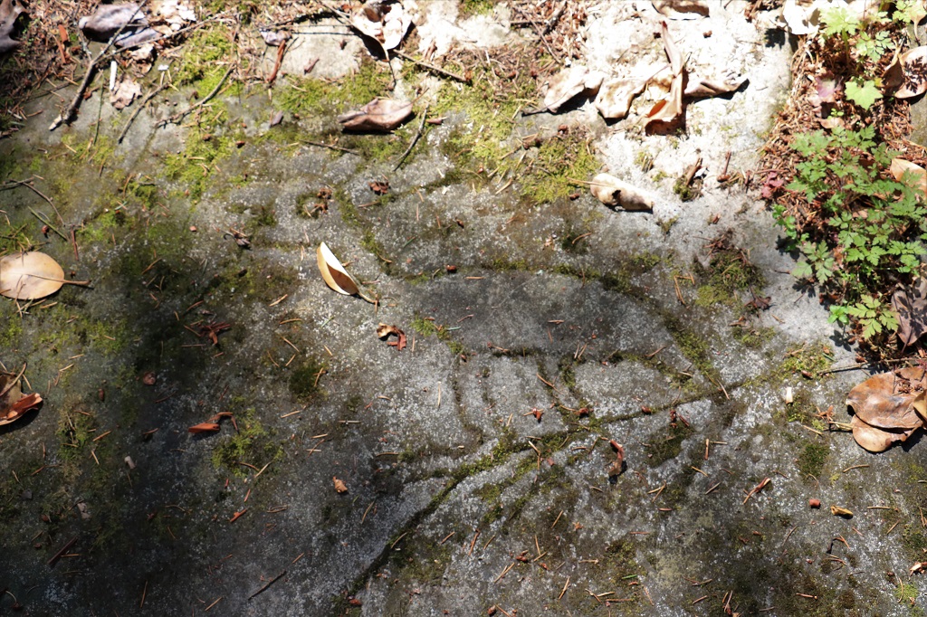
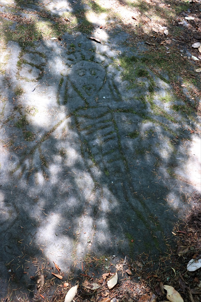
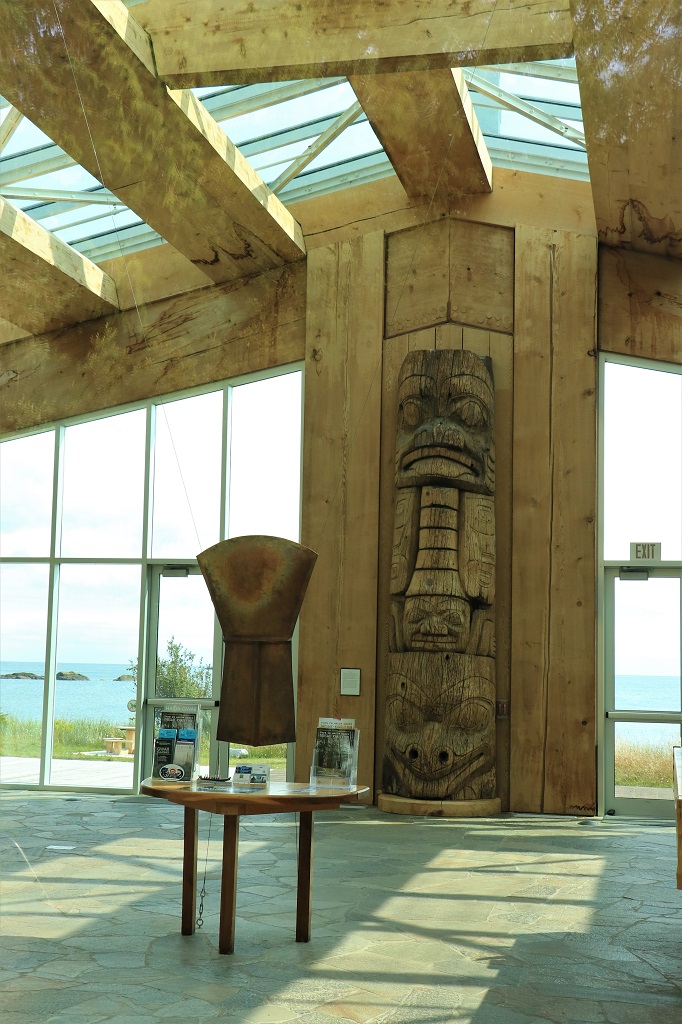
We stopped at the Hadaii Gwaii Museum only to find it was closed today with no explanation as to why.  We plan to go again tomorrow. 
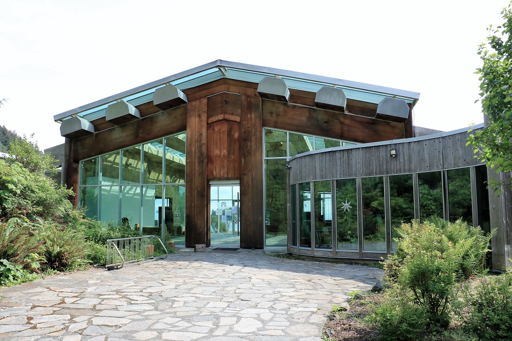
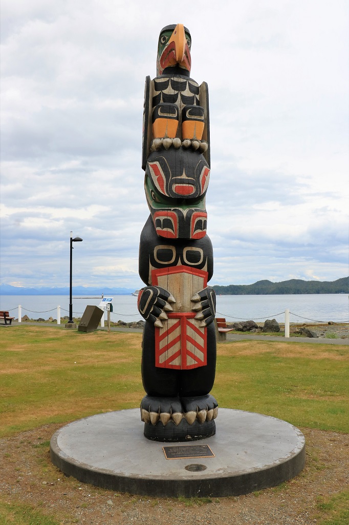
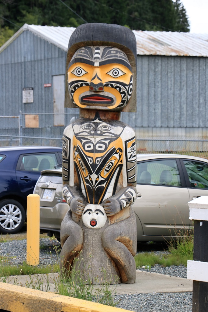
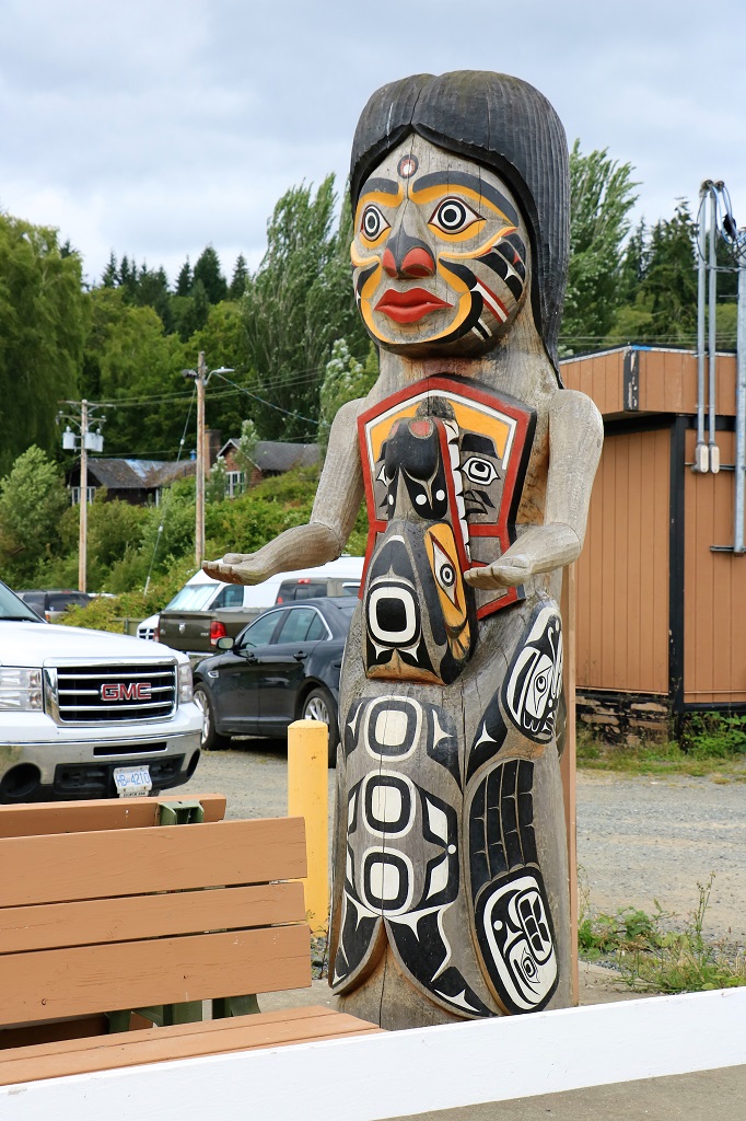
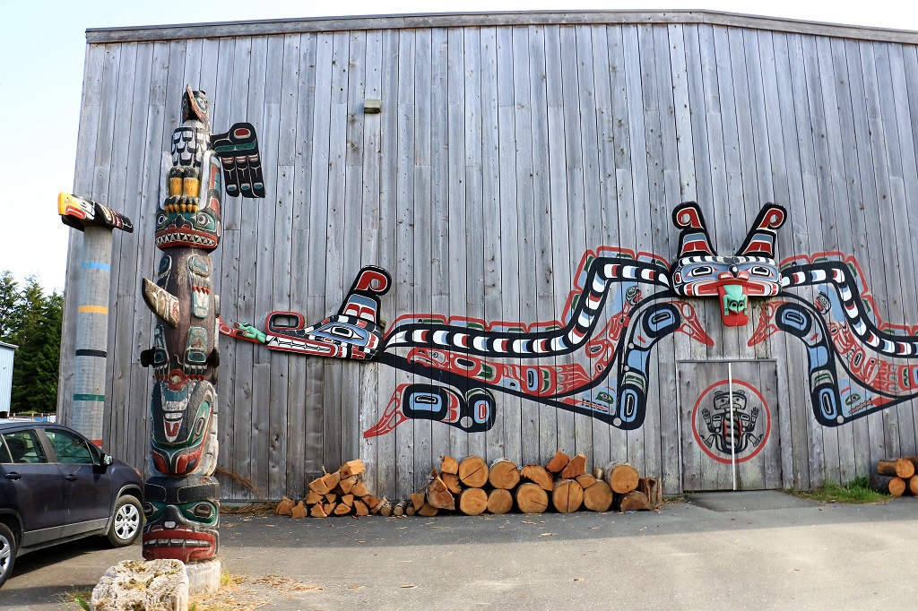
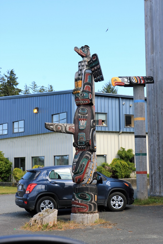
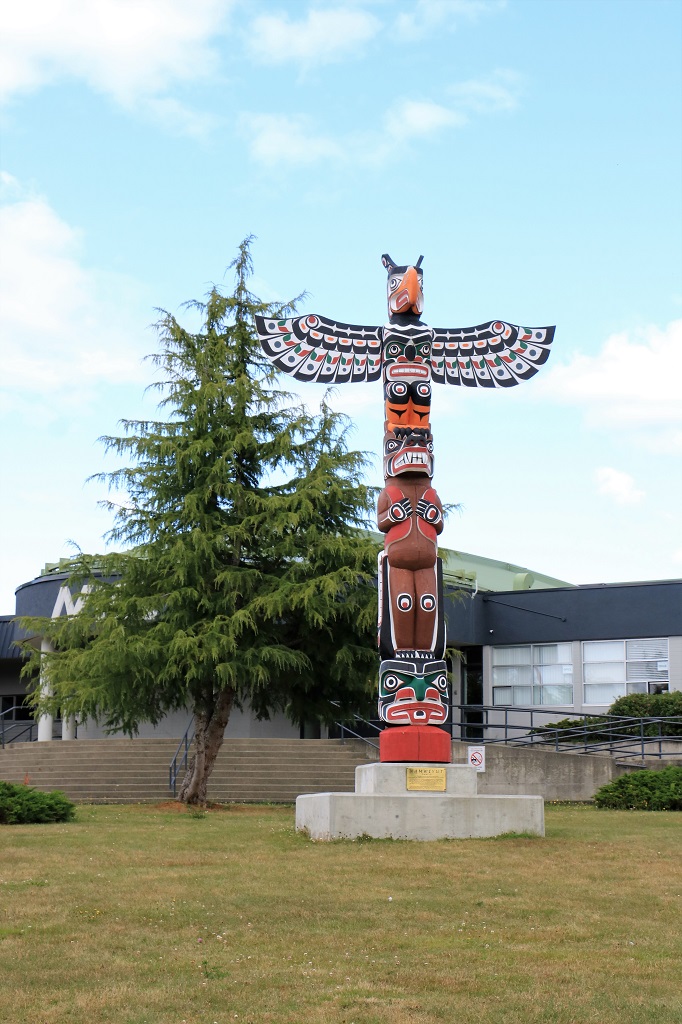
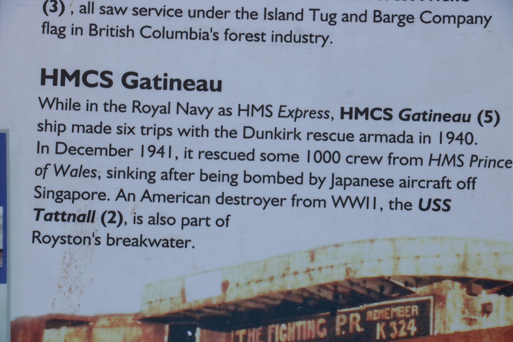
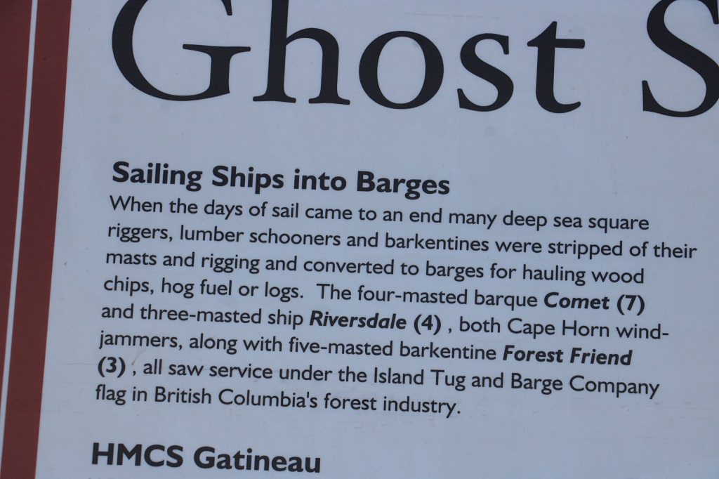
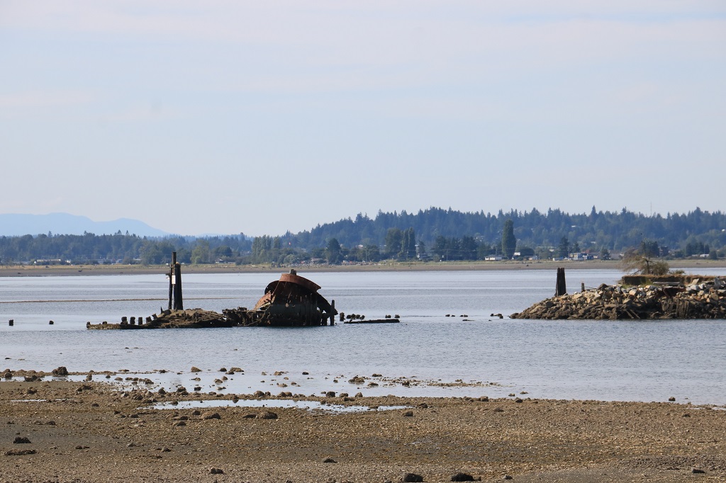
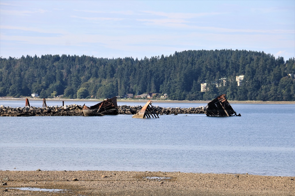
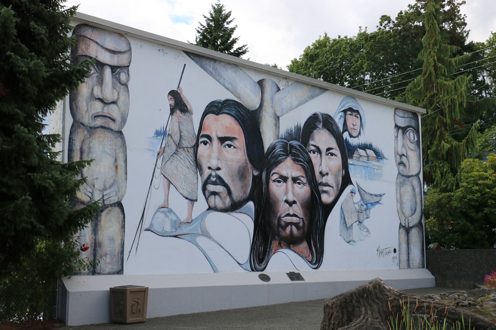
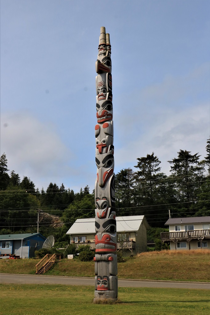
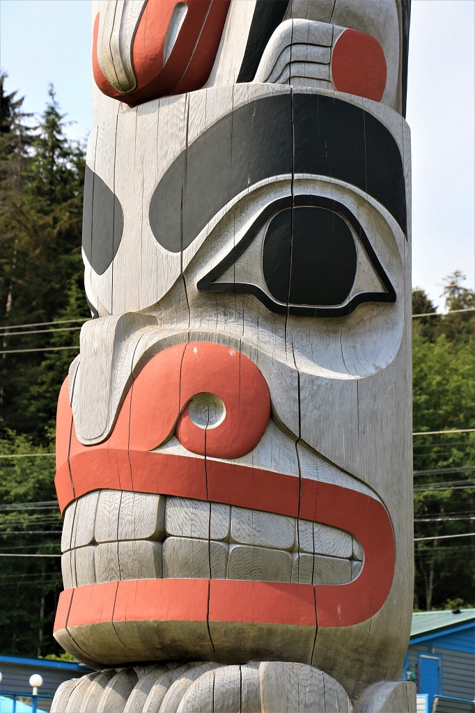
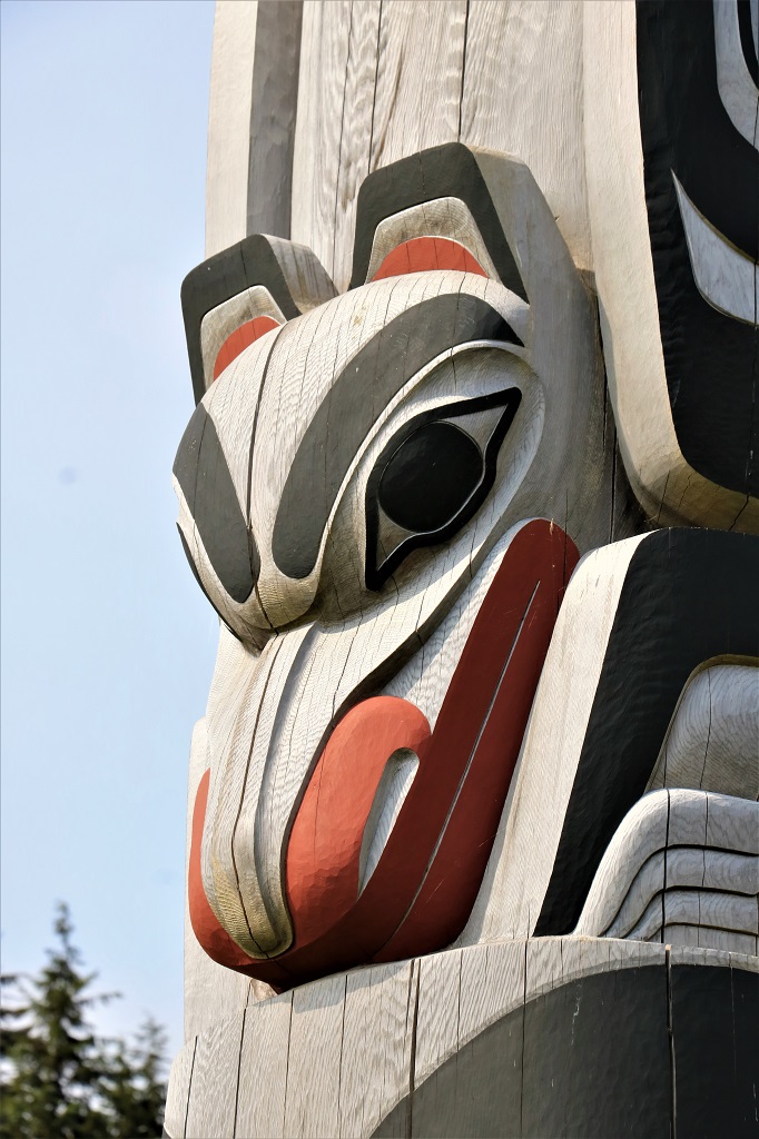
At a park on the outskirts of Skidegate we stopped to take photos of the famous carver Bill Reid’s totem.

Balance Rock is on a beach on the other side of Skidegate.  It is a moraine deposit delicately set in place by a powerful glacier.  The village of Skidegate’s primary Haida name is “Place of Stone” and Balance Rock is considered a Supernatural Being. 
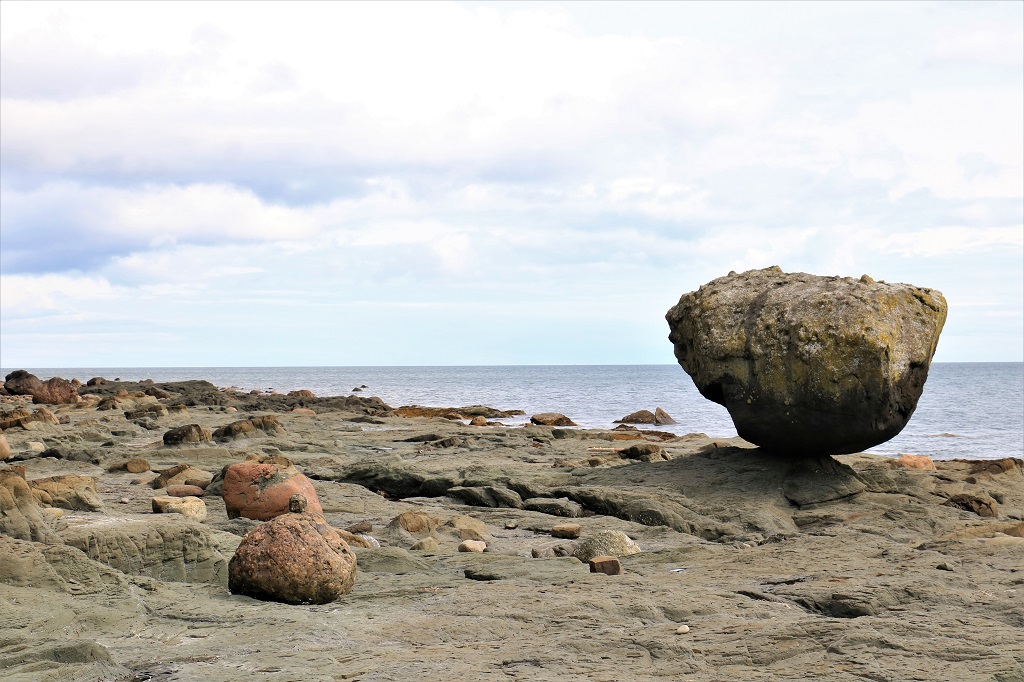
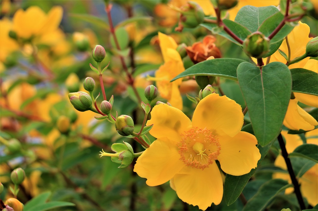
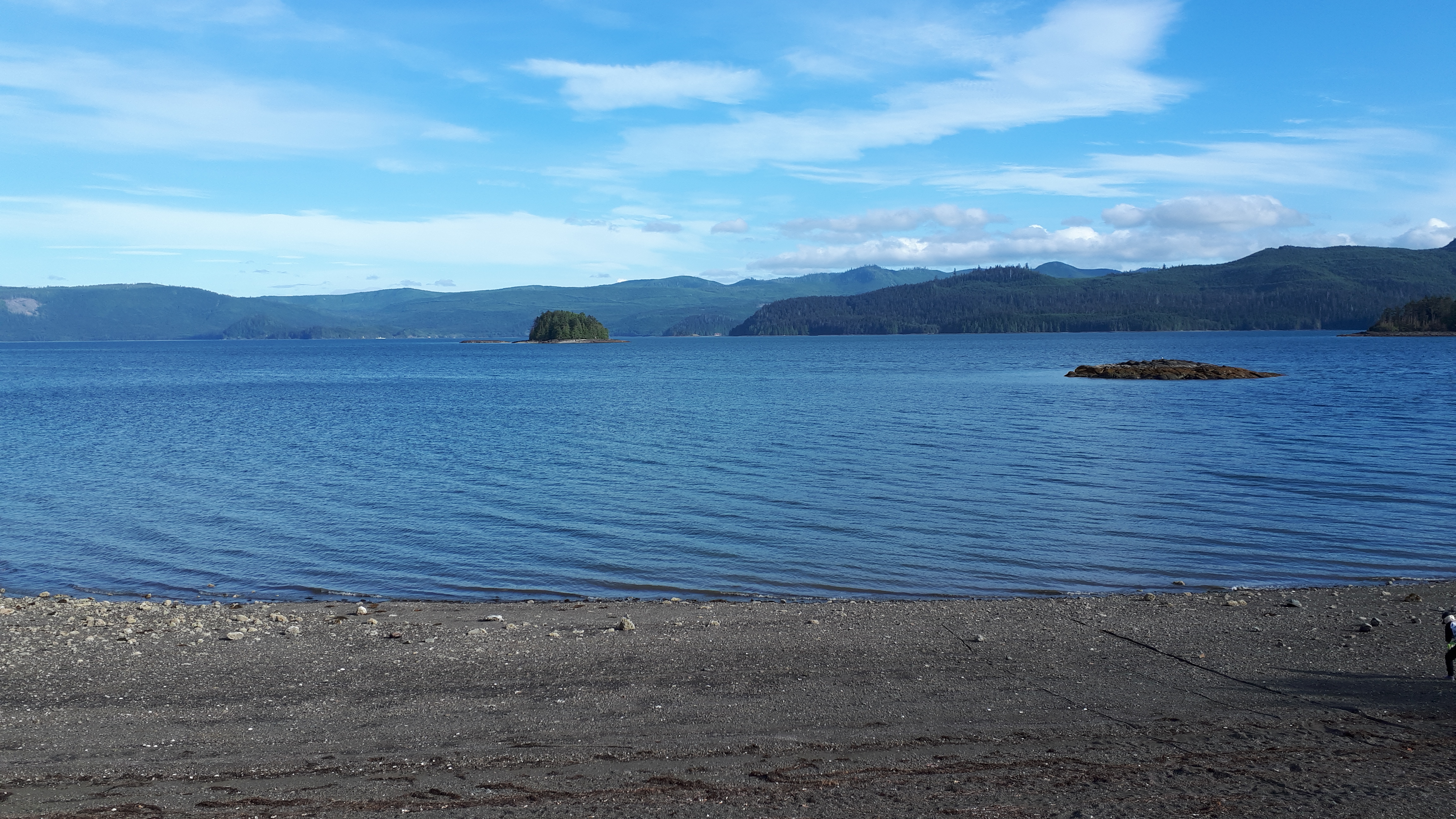
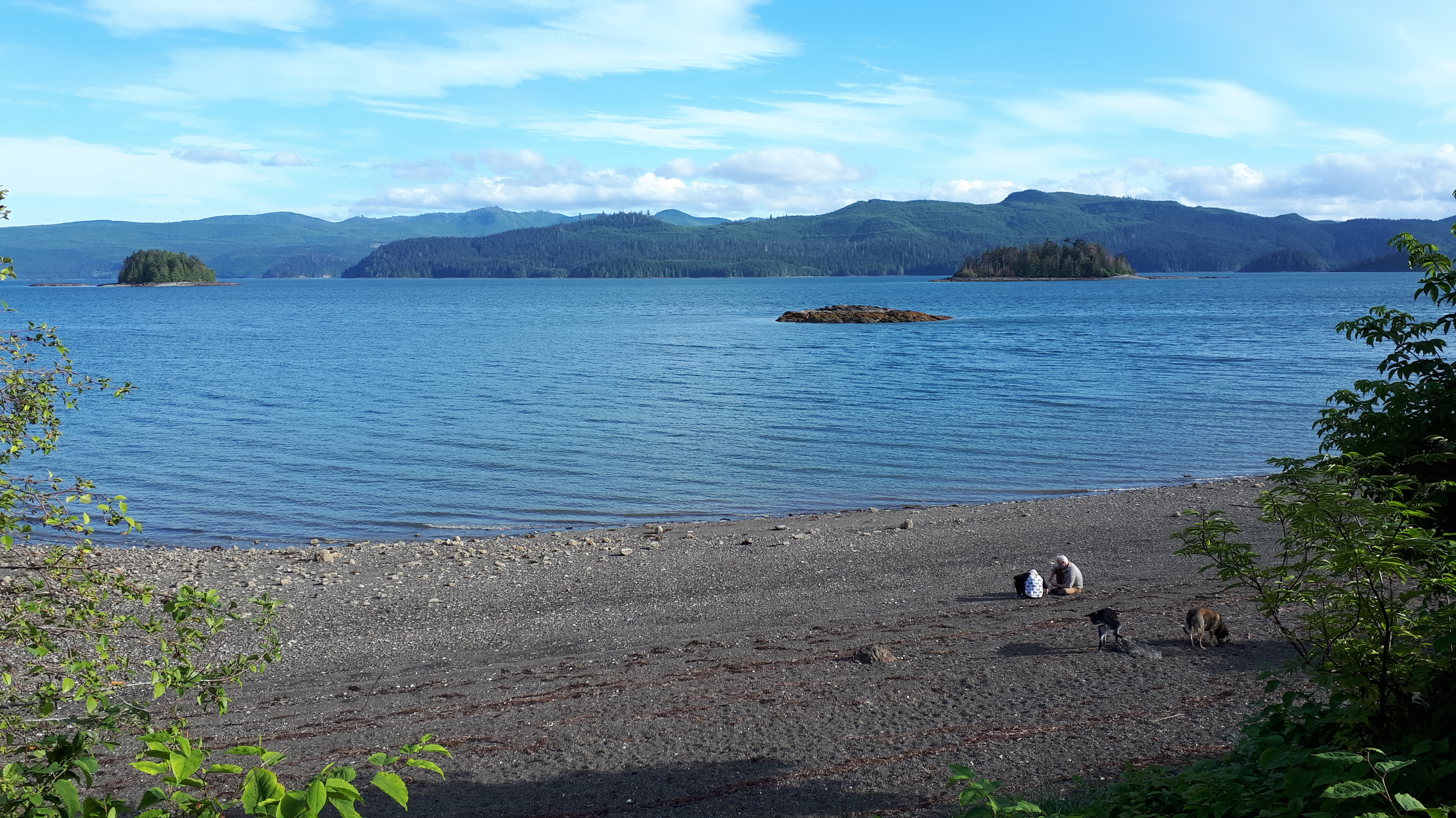
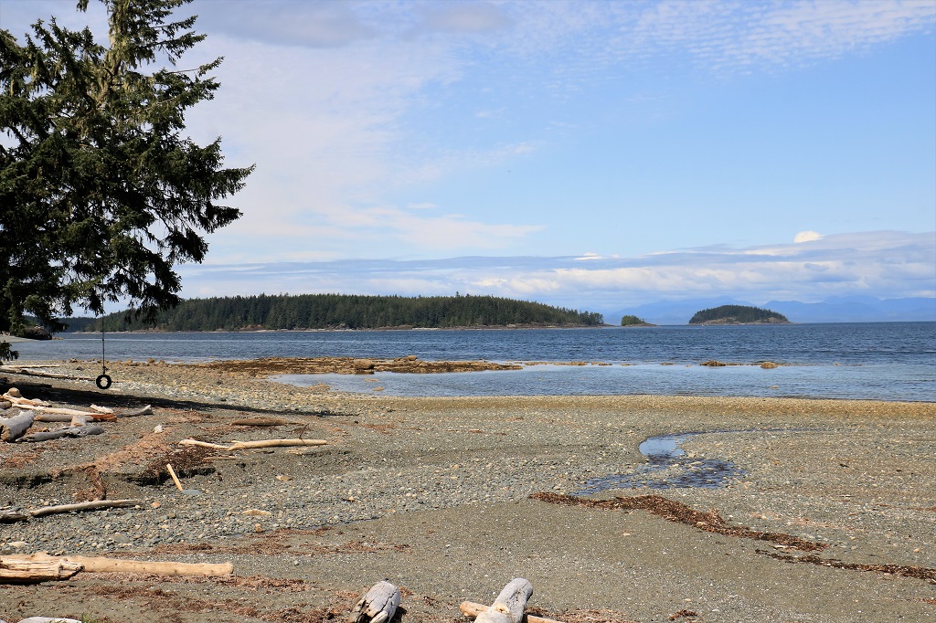
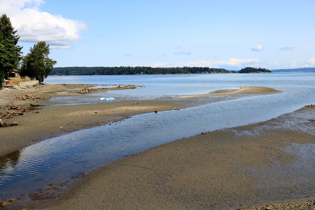
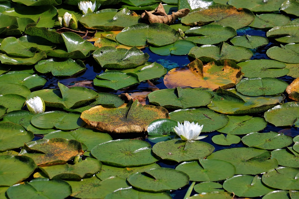
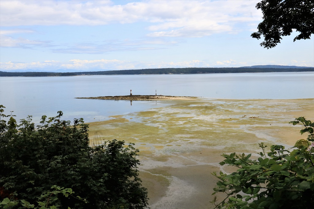
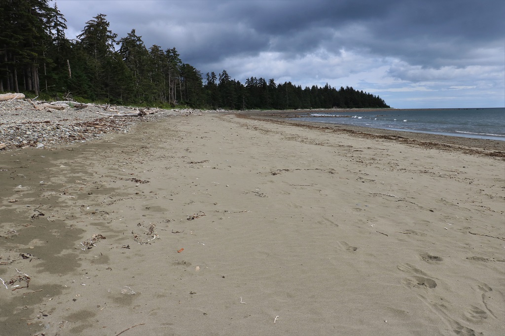
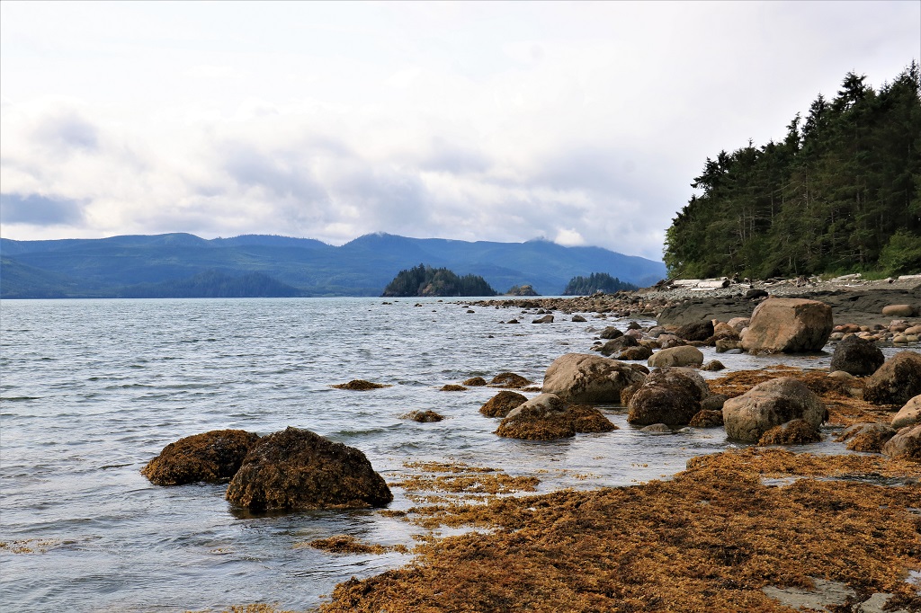
Nude Beach is a sand beach; by far the majority of Haida Gwaii beaches are rock.  The nude part is only for small children; not teens or adults. 
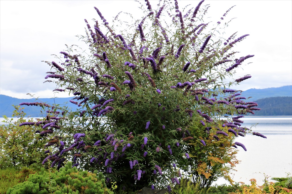
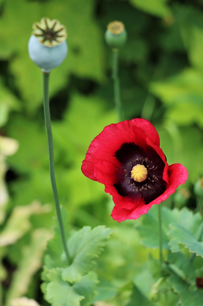
When we made our way back to the road via a different path than we entered the beach we found that someone had spread poppy seeds in the ditch on the other side of the road. 
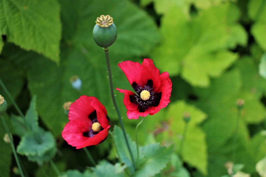
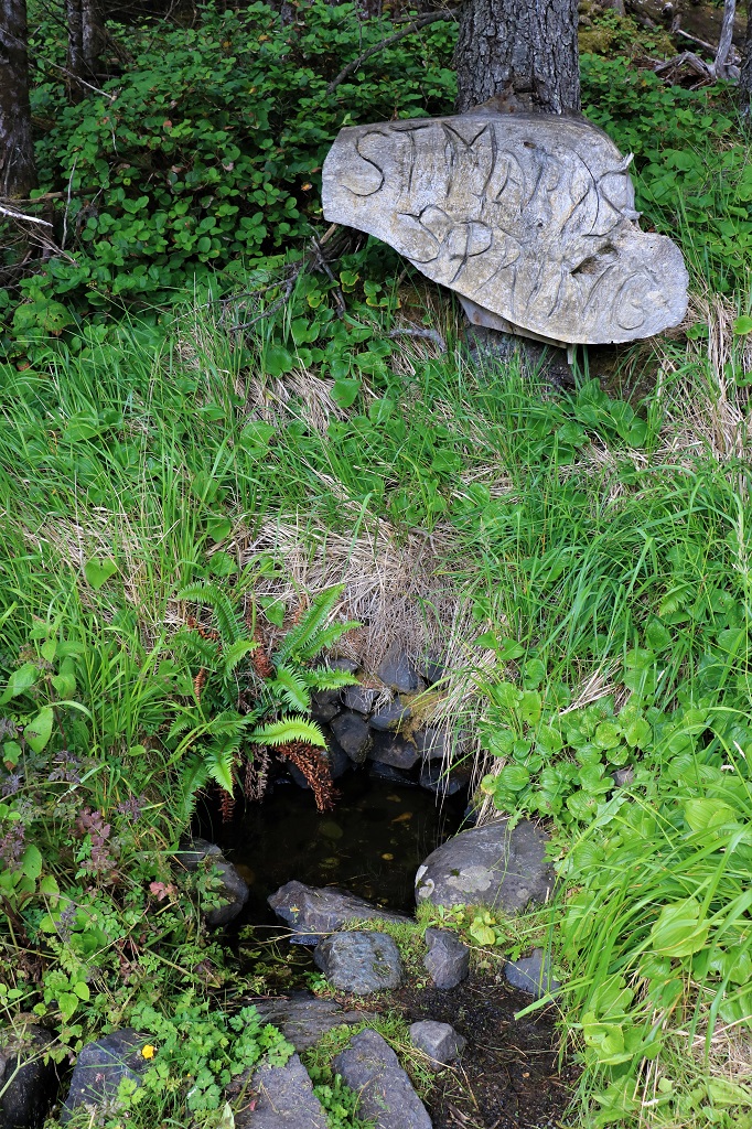
An old legend says that if you drink from St. Mary’s Spring you will someday return to Haida Gwaii.  The little pool is pretty stagnant now so they do not encourage you to drink the water.  Many folks will sprinkle themselves with it though.  The chainsaw carving that was made many years ago was stolen 30 years ago.  The authorities searched every vehicle on the departing ferry and recovered it.  People never cease to amaze me with the greedy and senseless things they do.

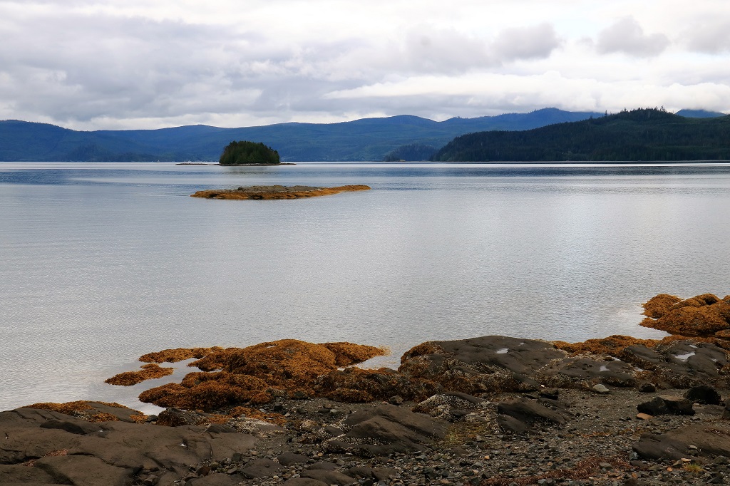
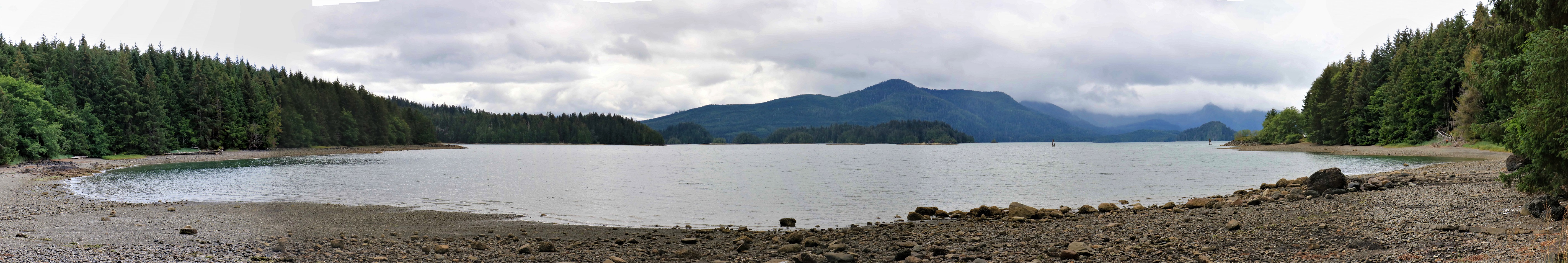
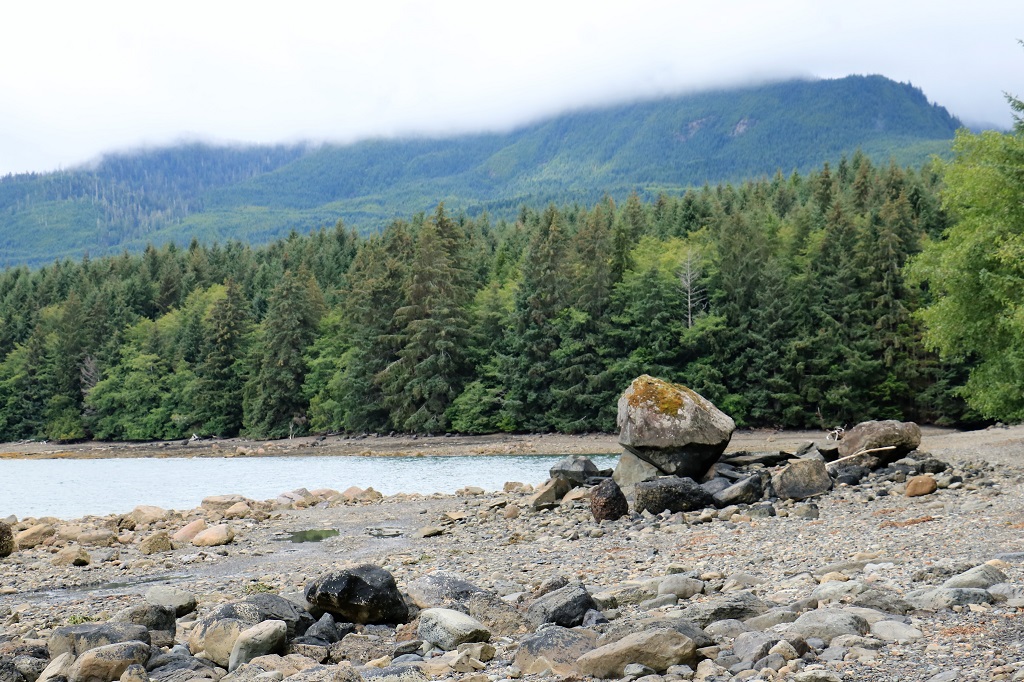
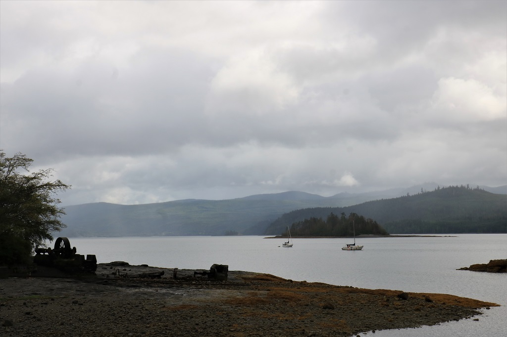
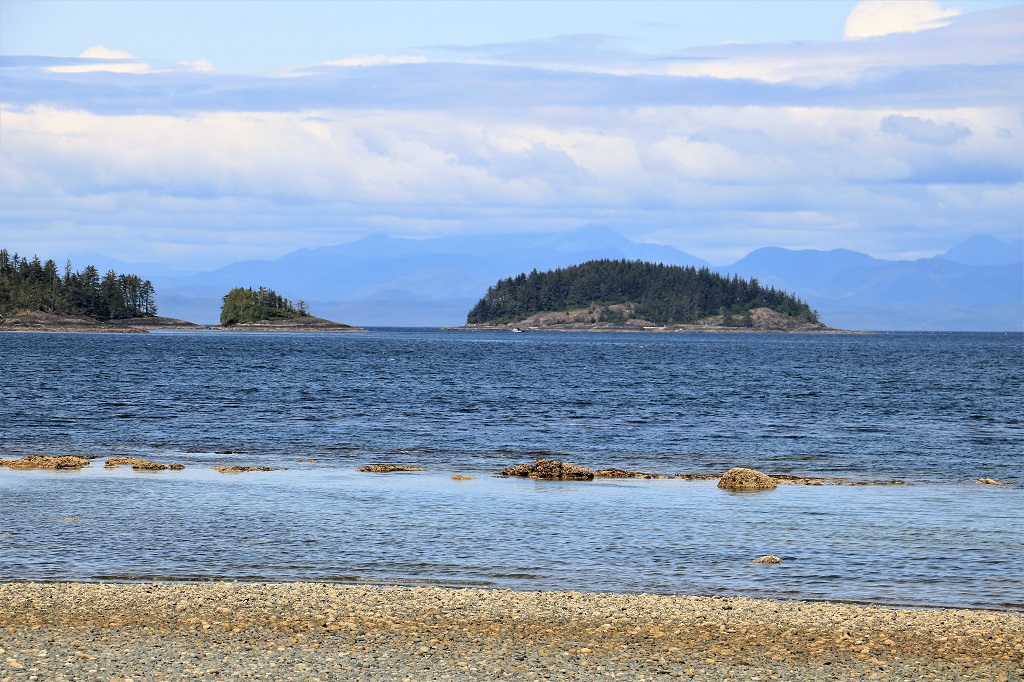
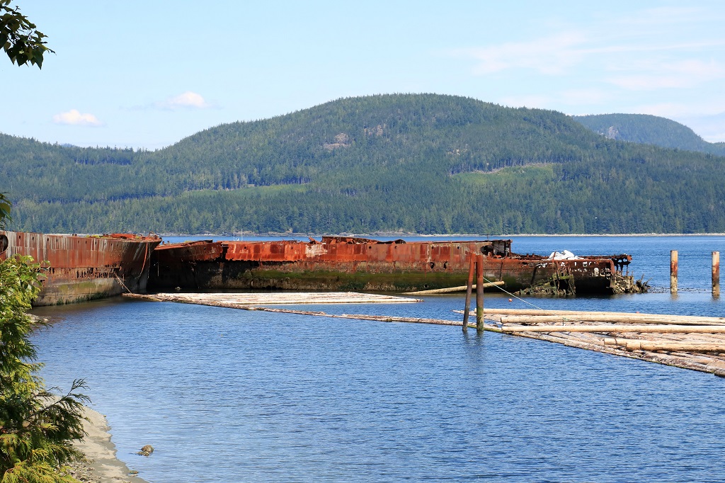
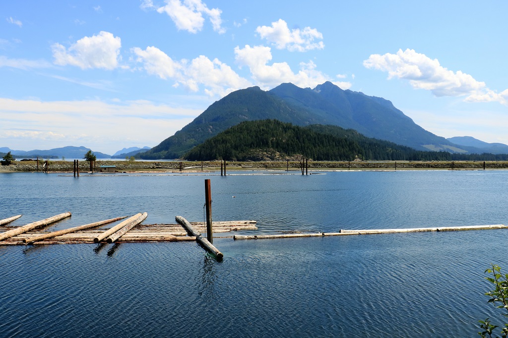
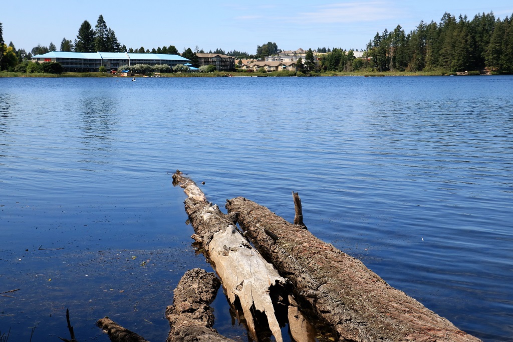
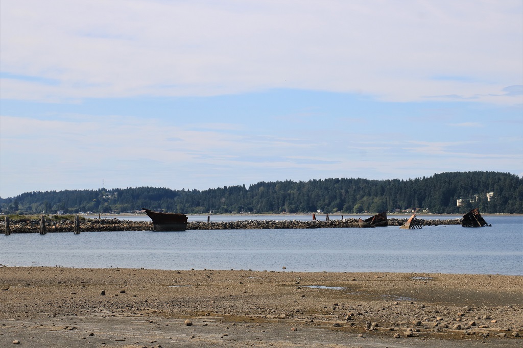
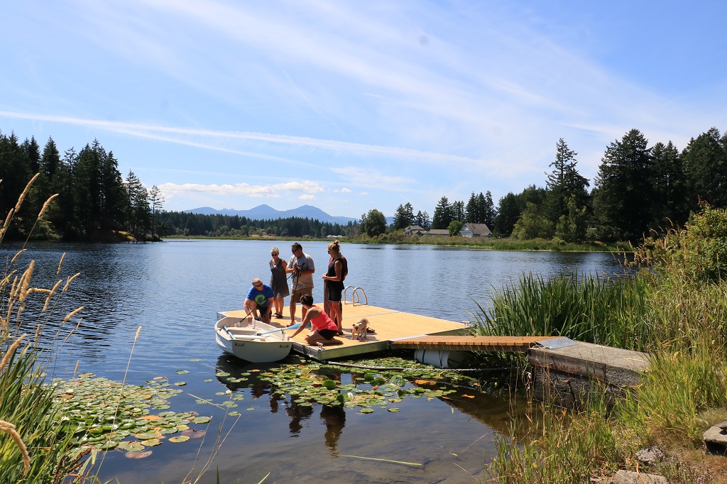
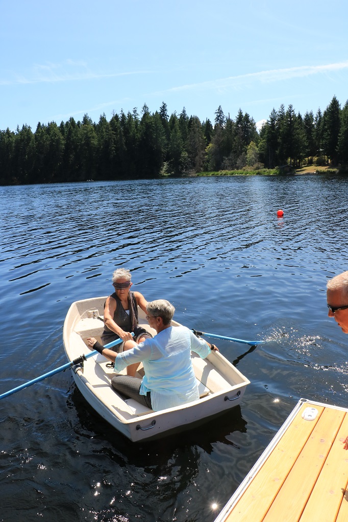
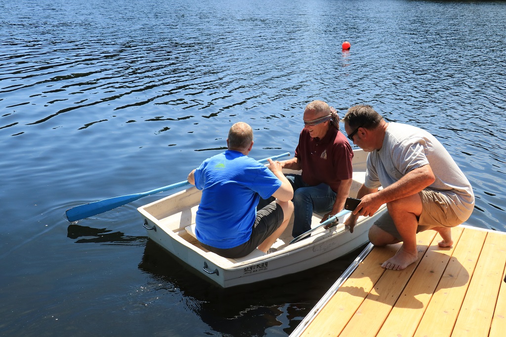
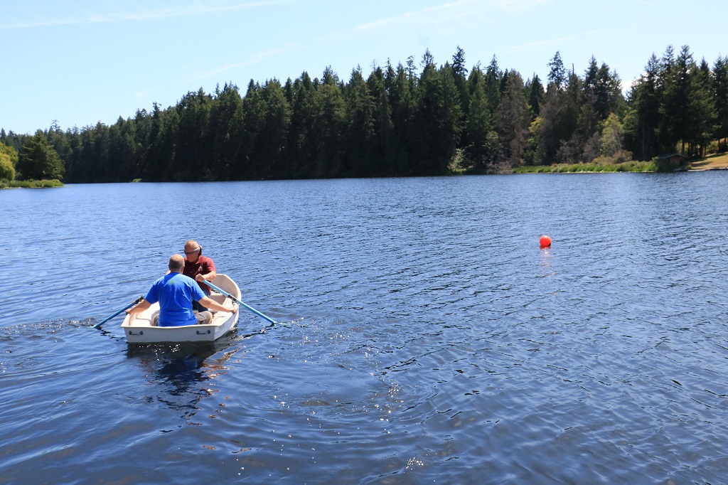
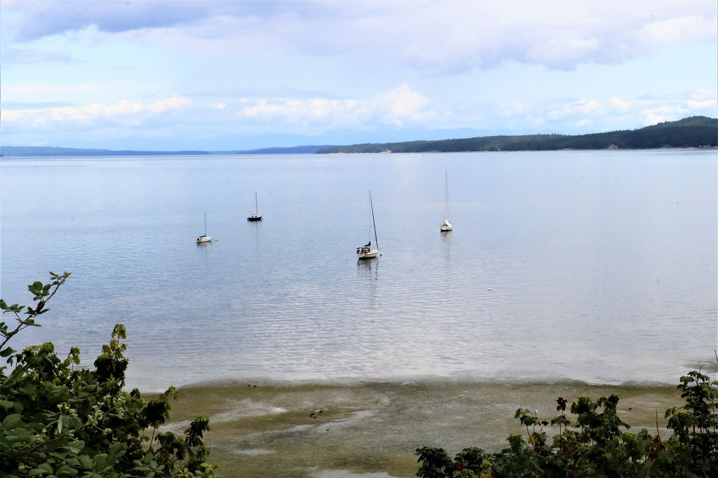
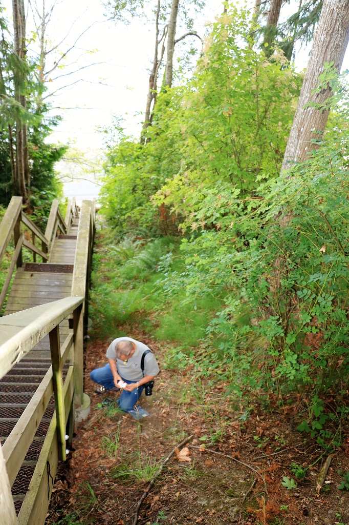
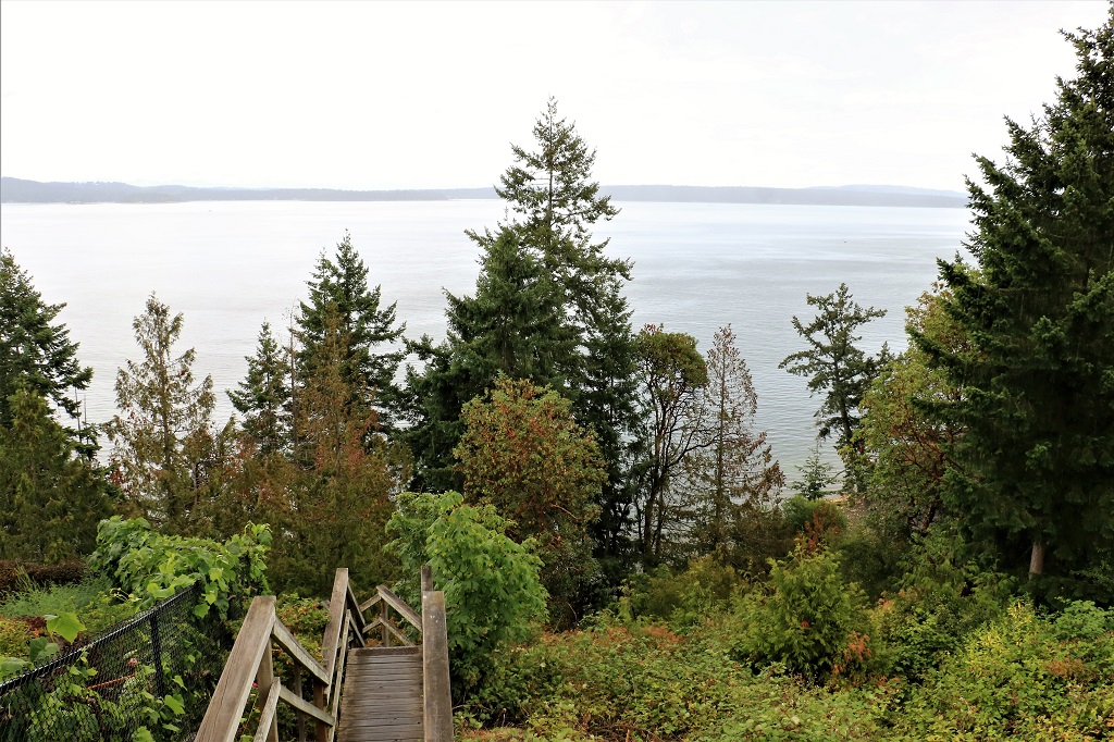
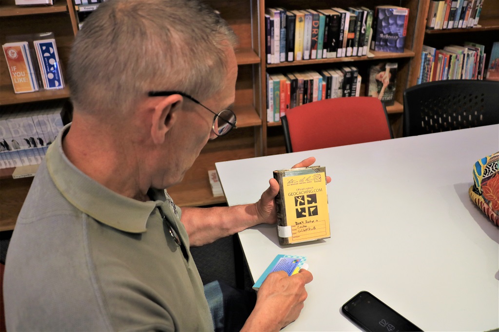
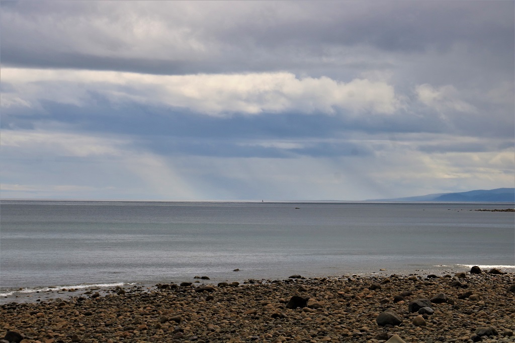
We stopped to find a geocache at the Halibut Bight Rest Stop and decided to have lunch while we were there.  We could easily see the rain falling on the water at the horizon.  We did not have any rain all day.  
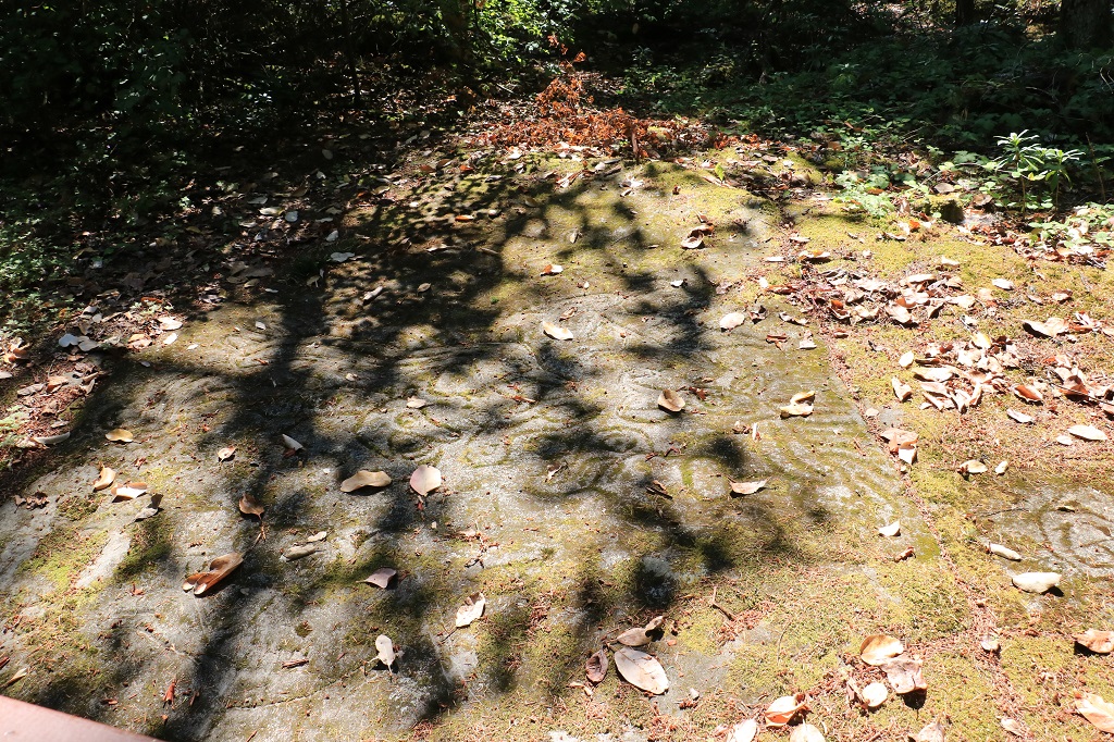
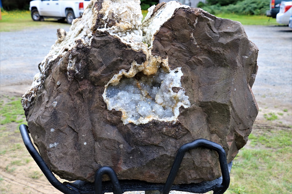
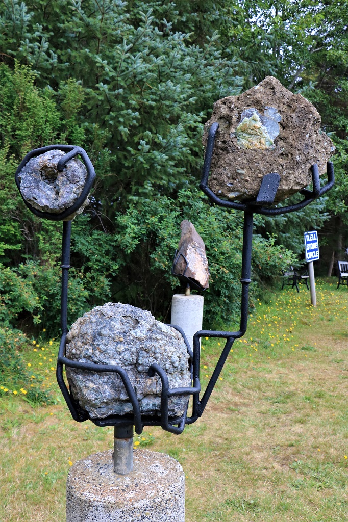
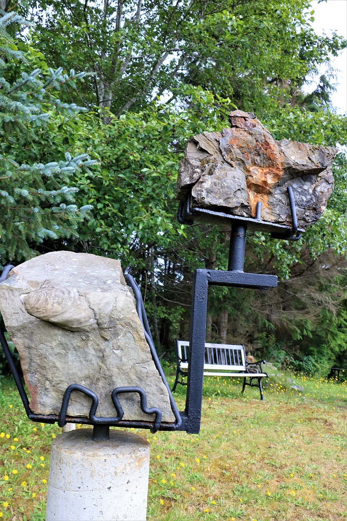
On the outskirts of Tlell we took a side road and went up to Crystal Cabin.  There is a Stone Circle outside the gallery that is made up of different geological stones that a fellow found on Haida Gwaii.  The tourist brochure had a write-up about vortexes and energy lines, etc. but we just wanted to see the different stones.  Unfortunately the fellow did not identify each of then nor say where he found them. 
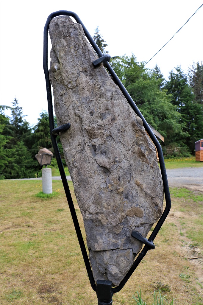
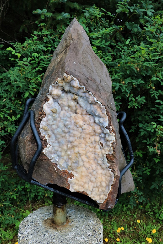
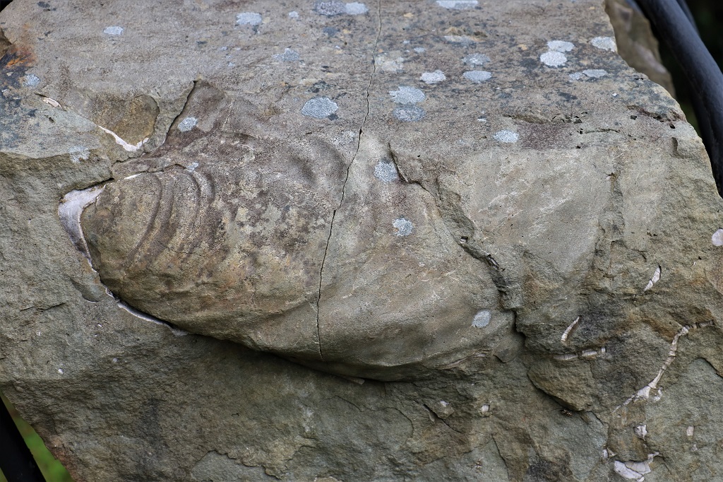
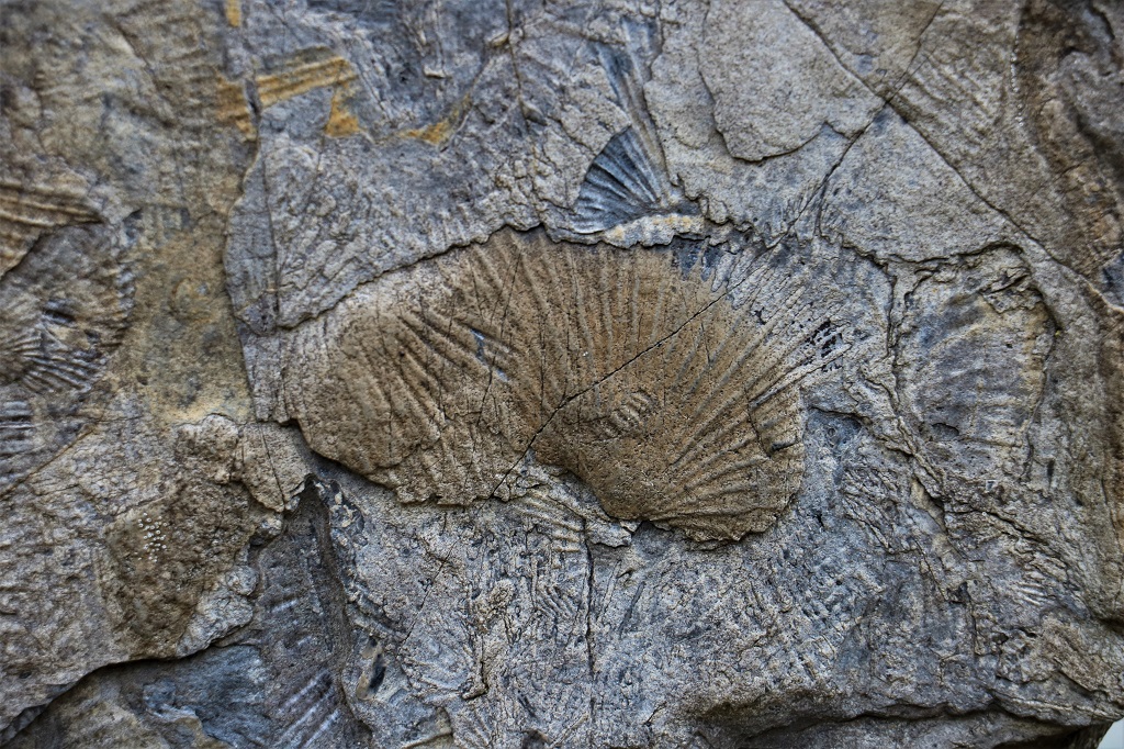
This  long  thin  rock  was  covered  with  fossil  lines.
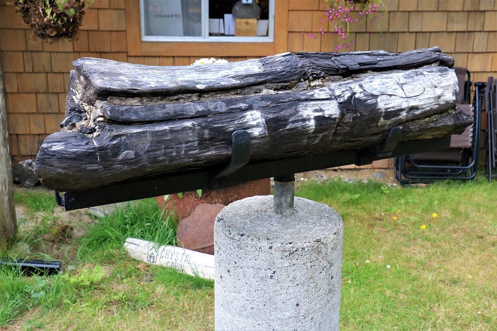
This is petrified wood.

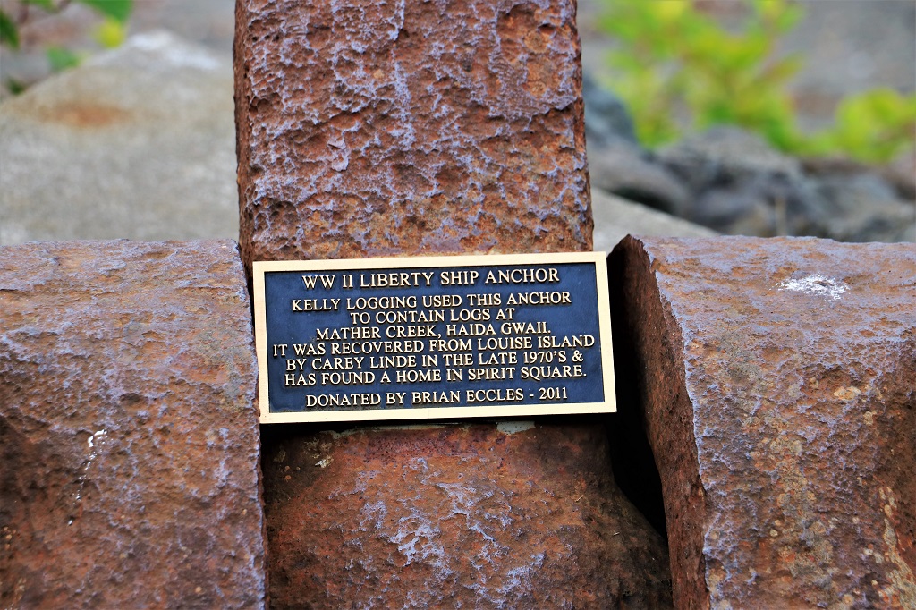
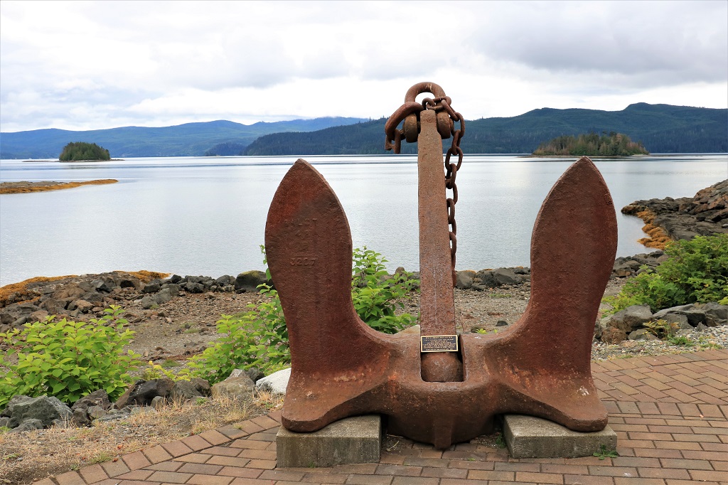
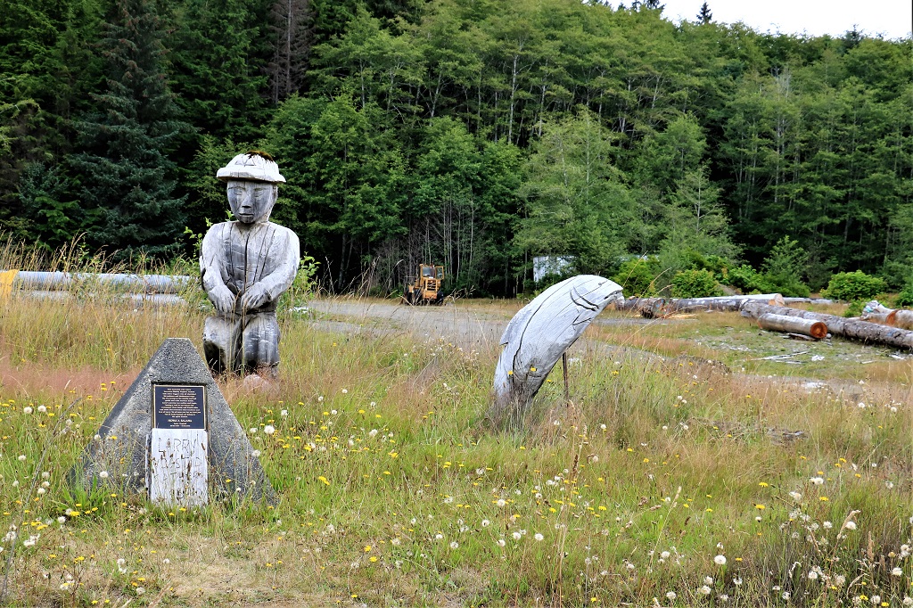
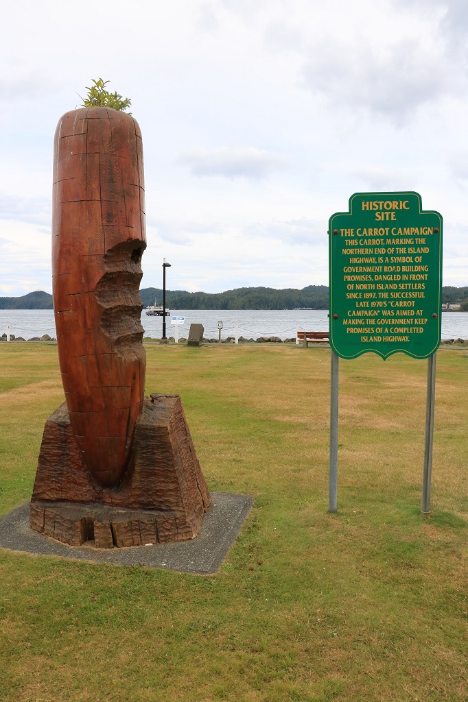
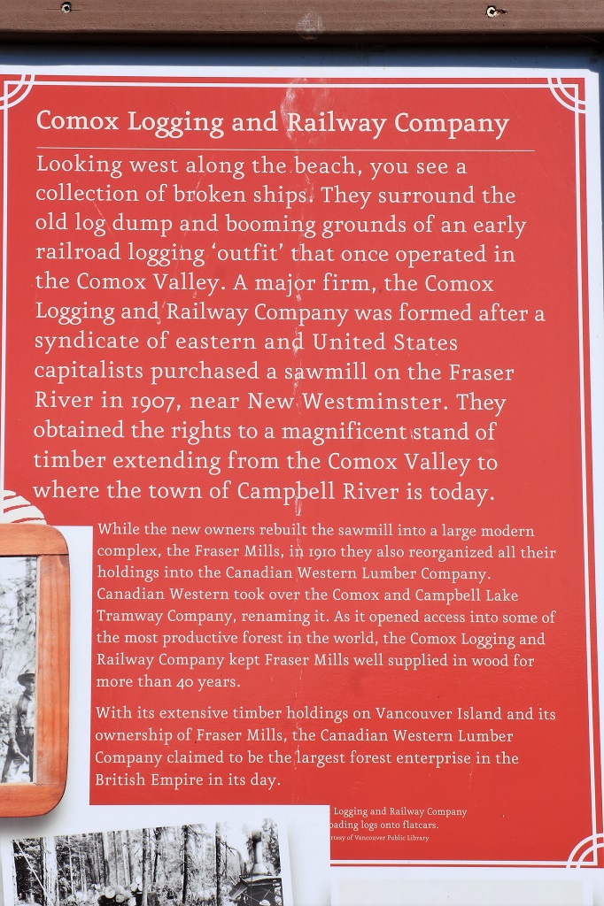
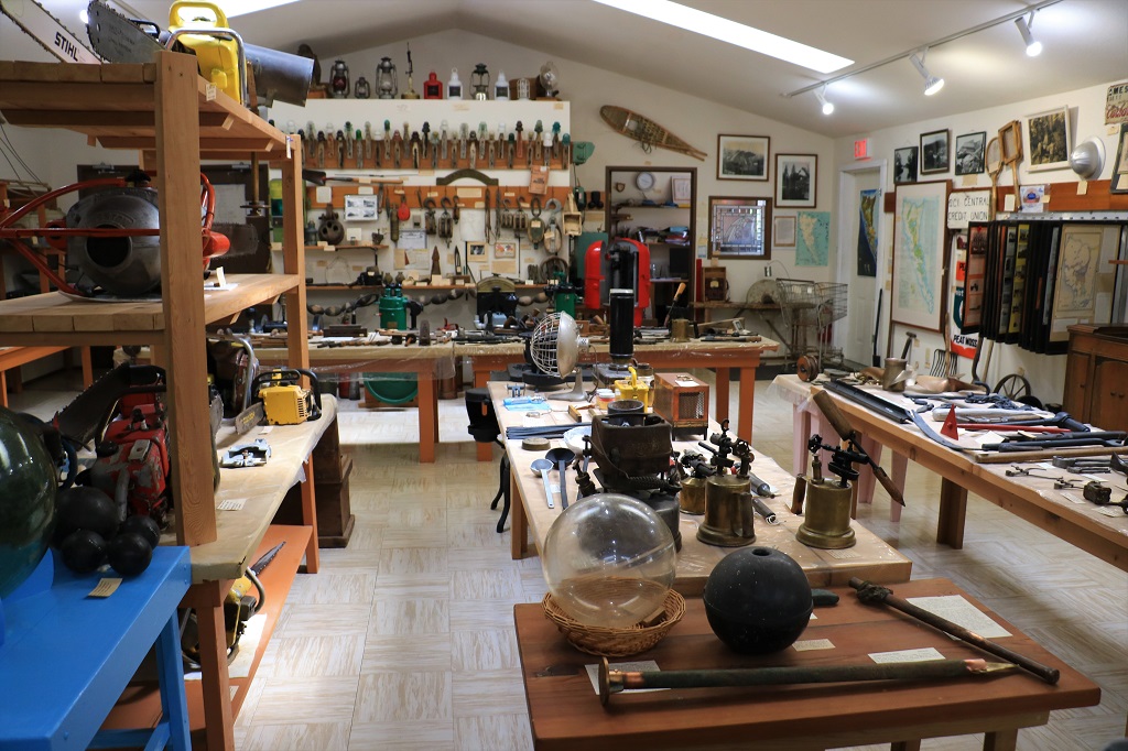
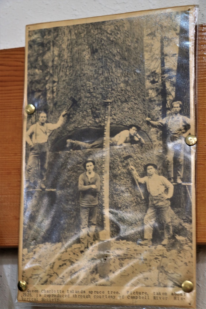
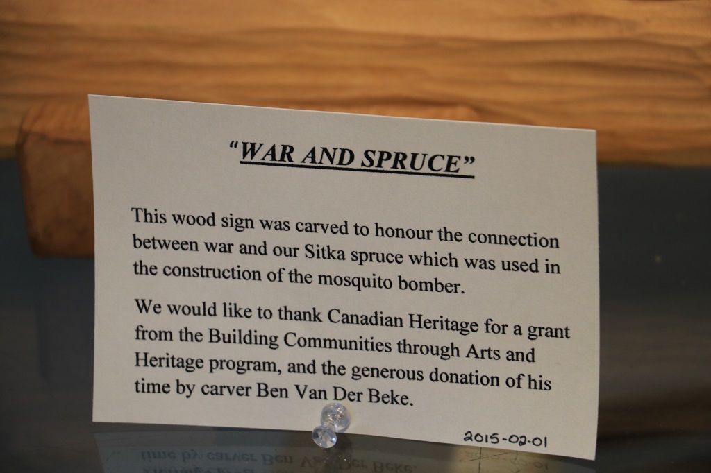
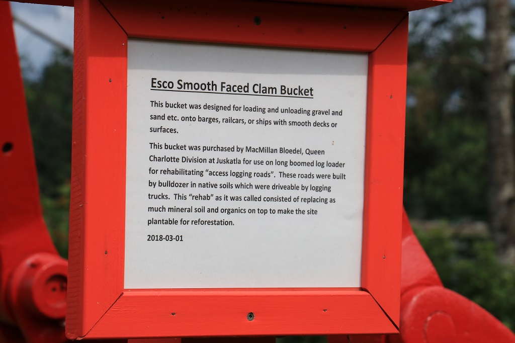
The museum at Port Clements has a lot of logging memorabilia and machinery.  The huge Justkatla logging camp was close by and many artifacts and information relating to the days of the camp were on display. 
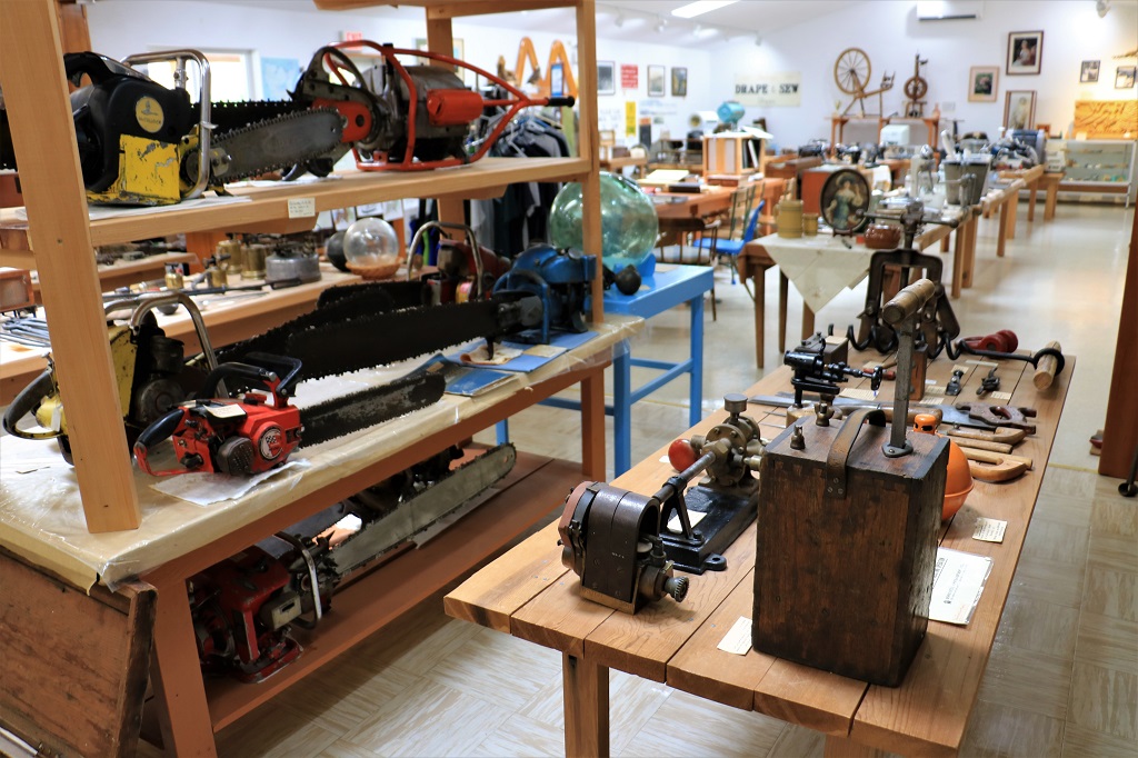
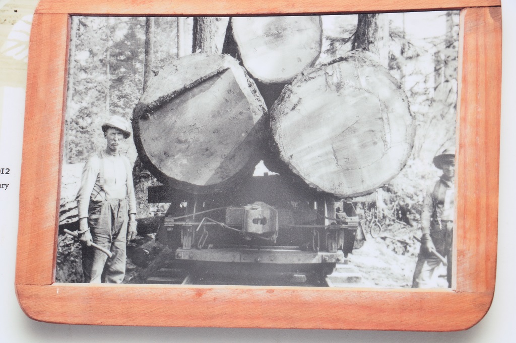
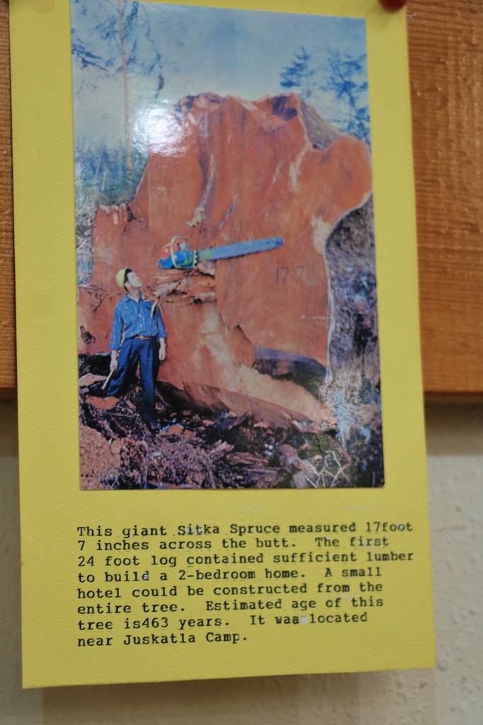
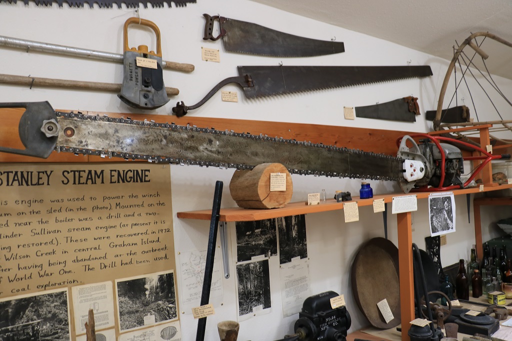
Look at the length of the blade on this chainsaw.  Then look at the photo below of two men using it. 
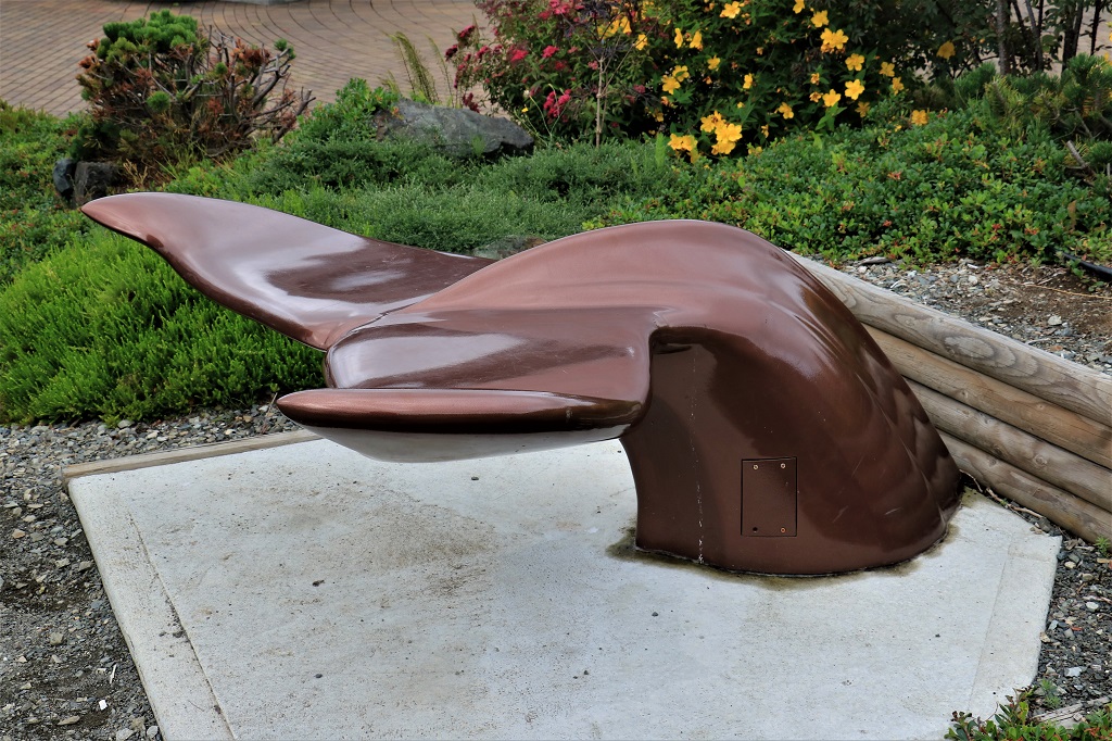
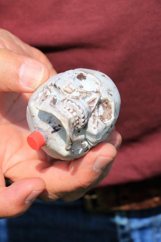
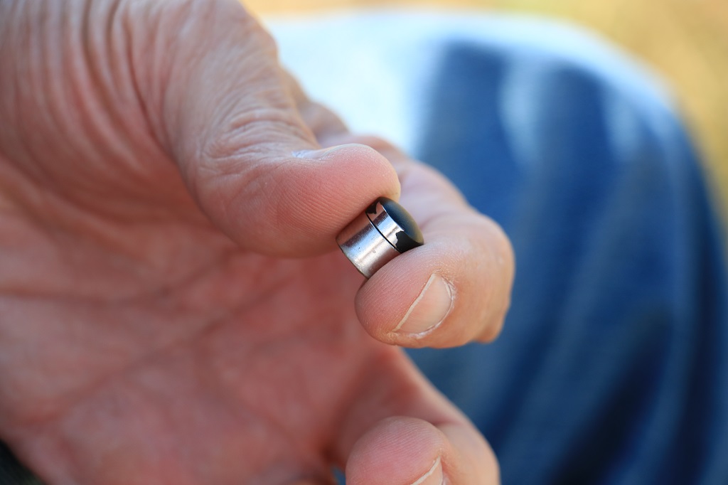
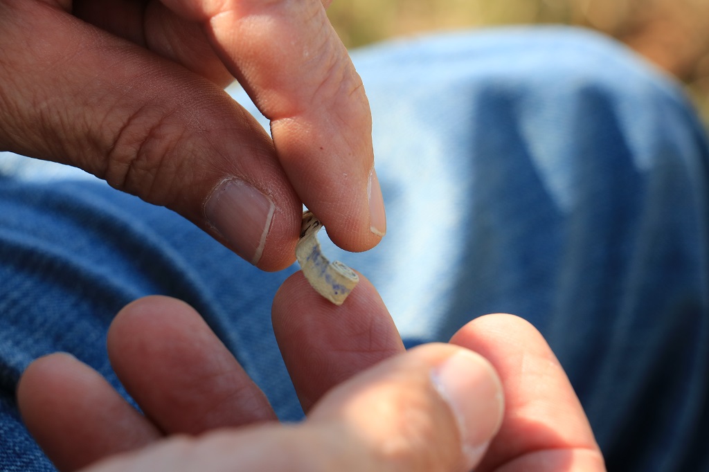
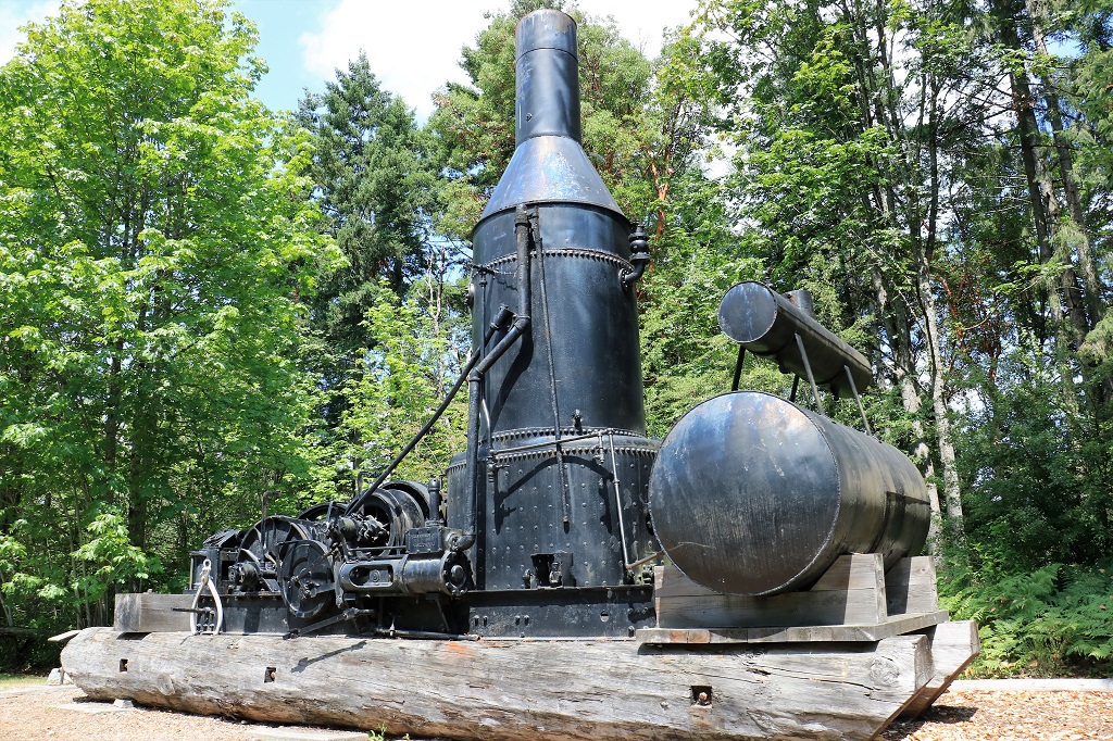
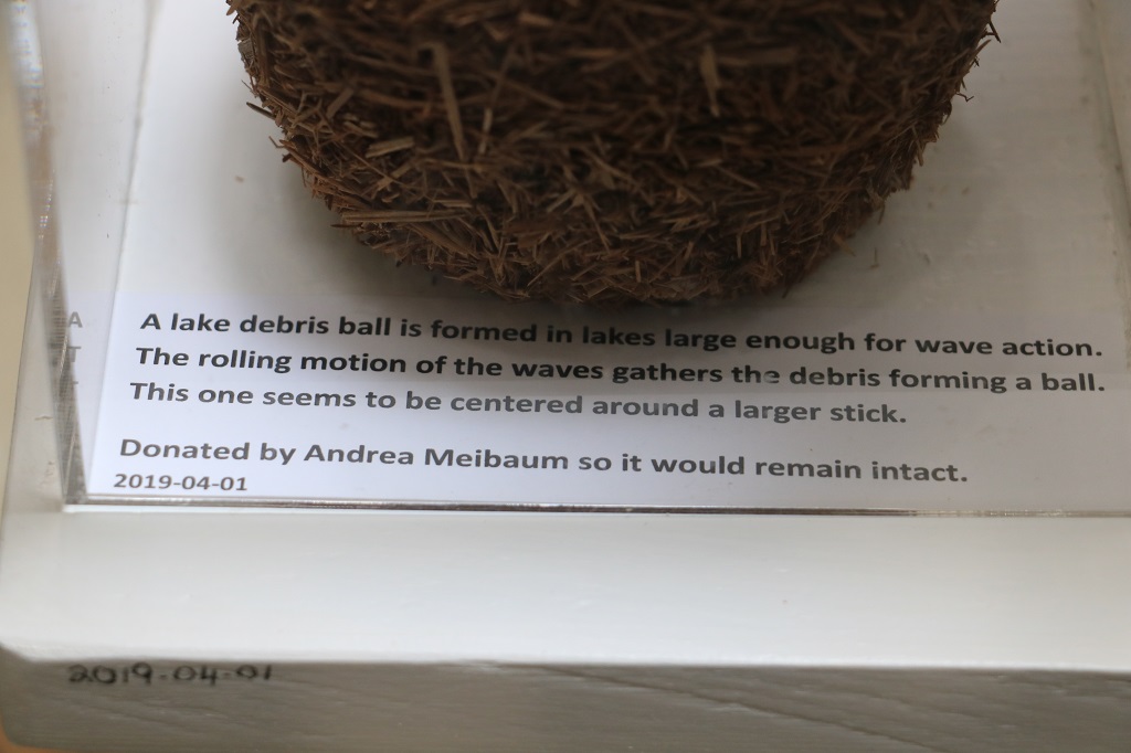
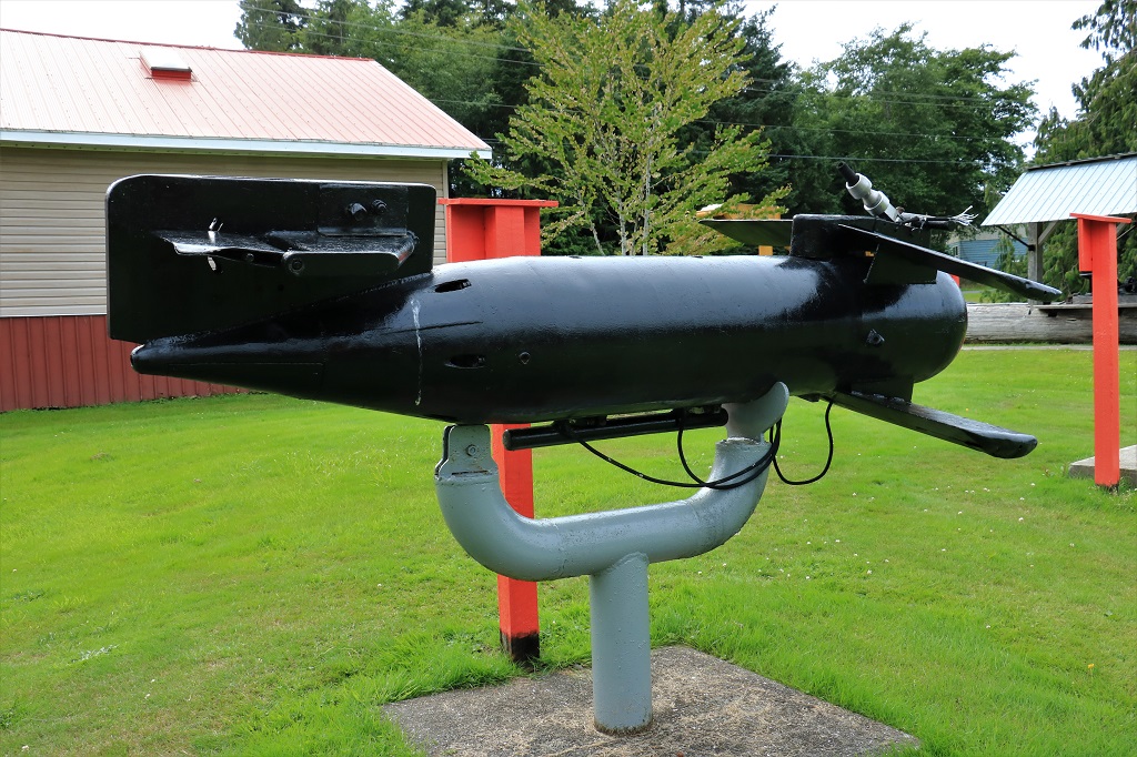
One thing I love about museums is that you so often find something you have never seen or heard of before.  Such is the case with the object below. 
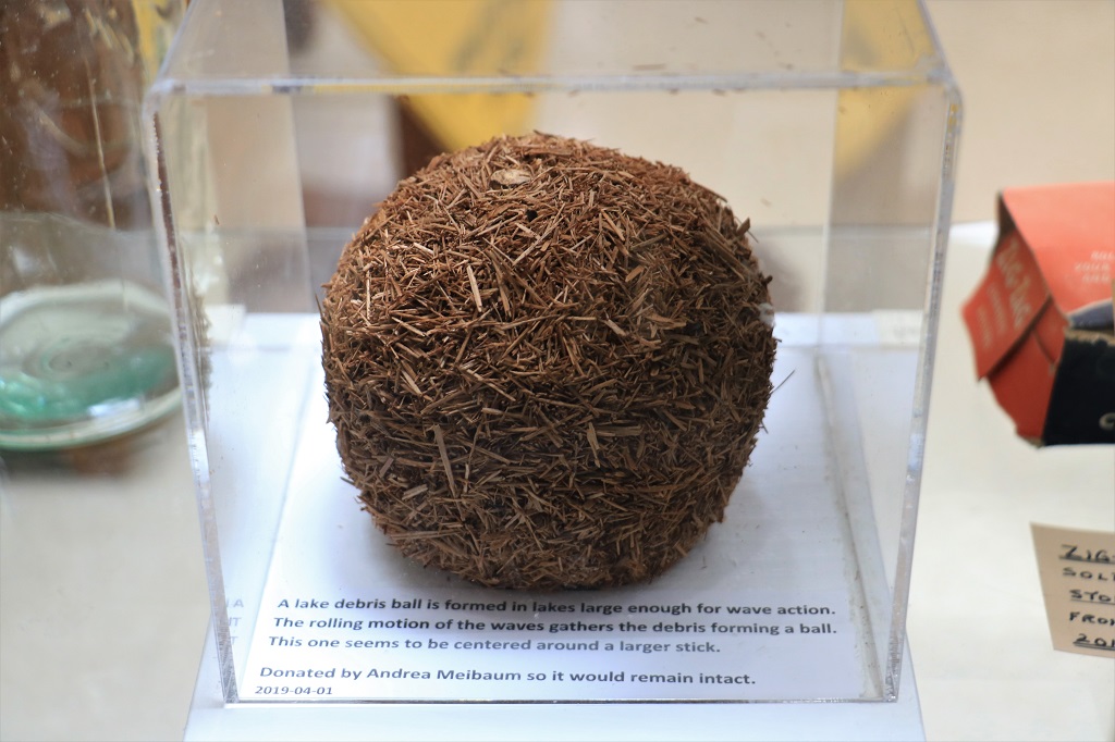
On the grounds around the museum there were many pieces of logging equipment on display.  I have  seen  most  of  it  before  so I only  photographed  a few  items  and  included  even  less  here.
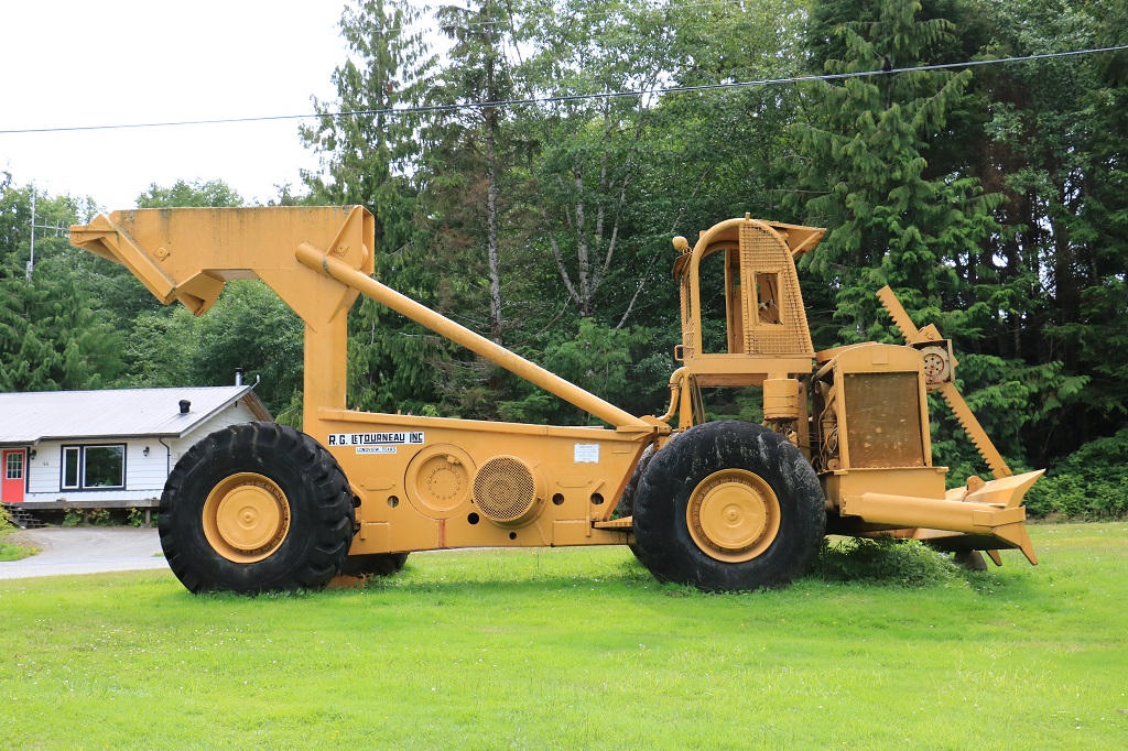
M 
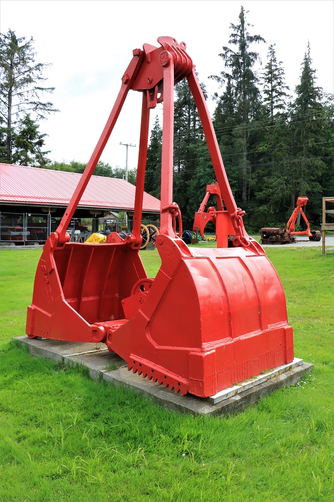
If there is an old fire truck on display I just feel I must take a picture of it.  Too many years of seeing John admire fire equipment, I guess.

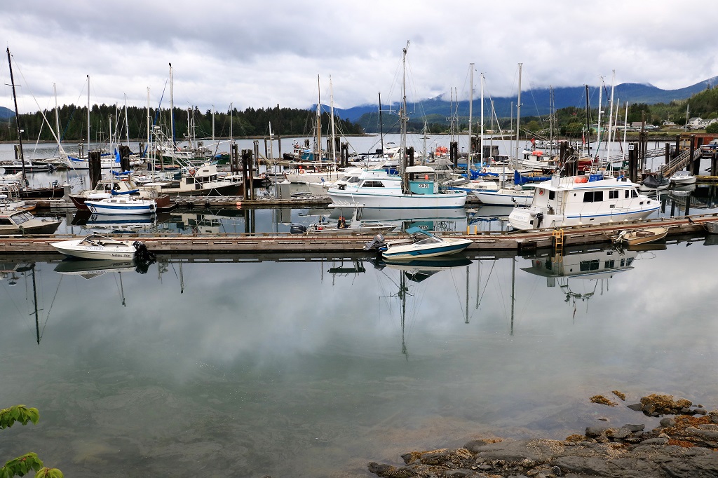
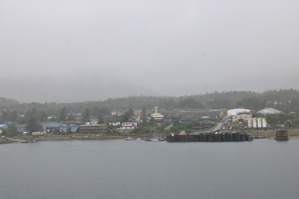
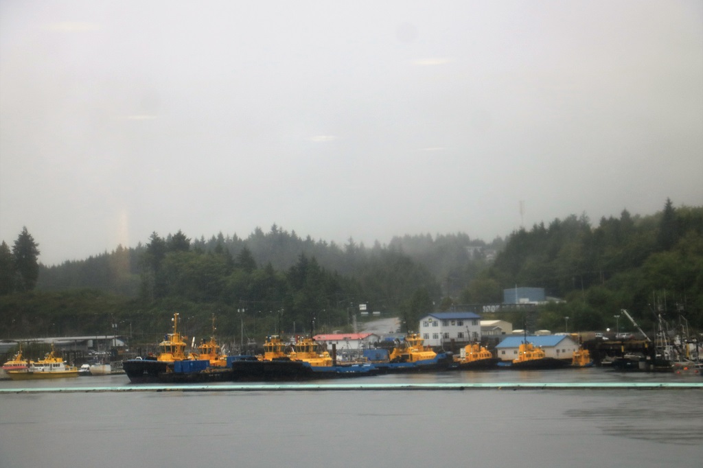
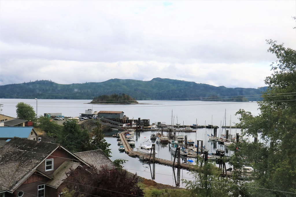
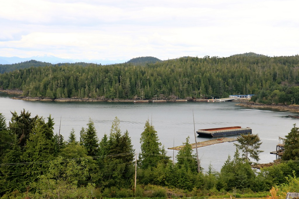
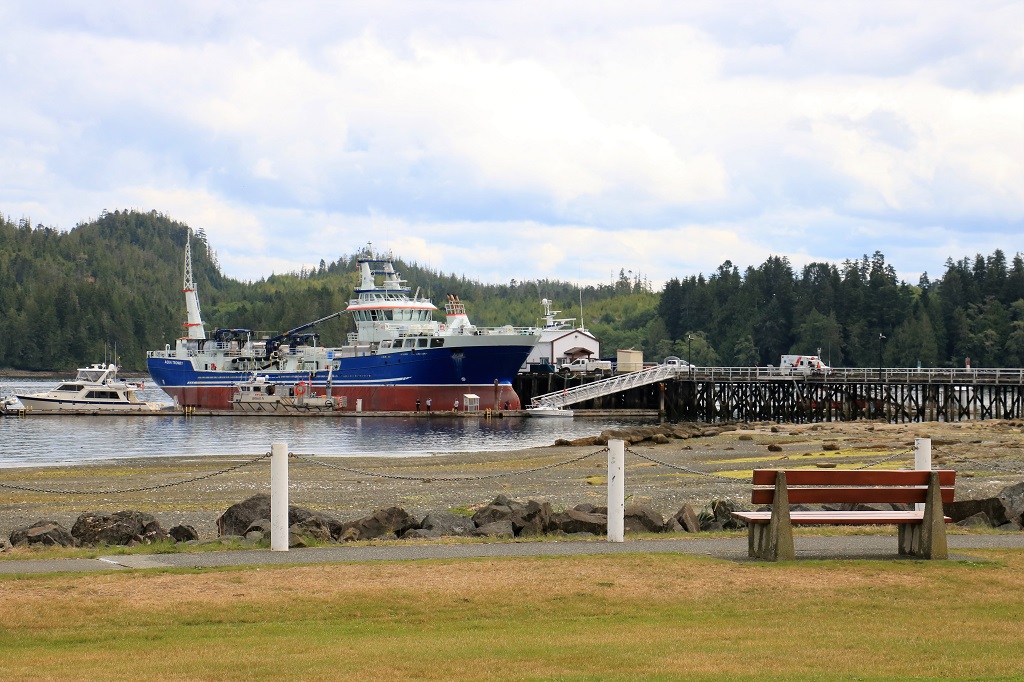
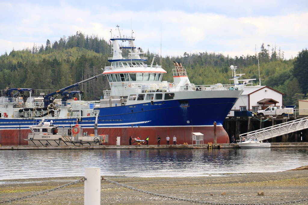
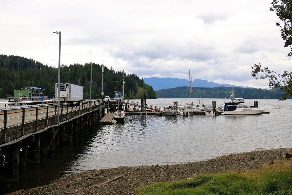
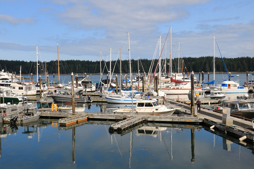
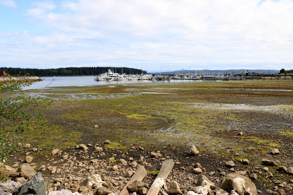
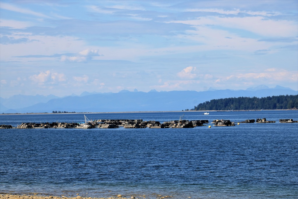
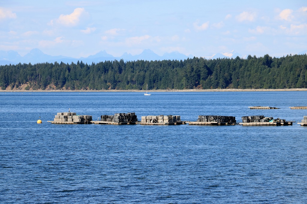
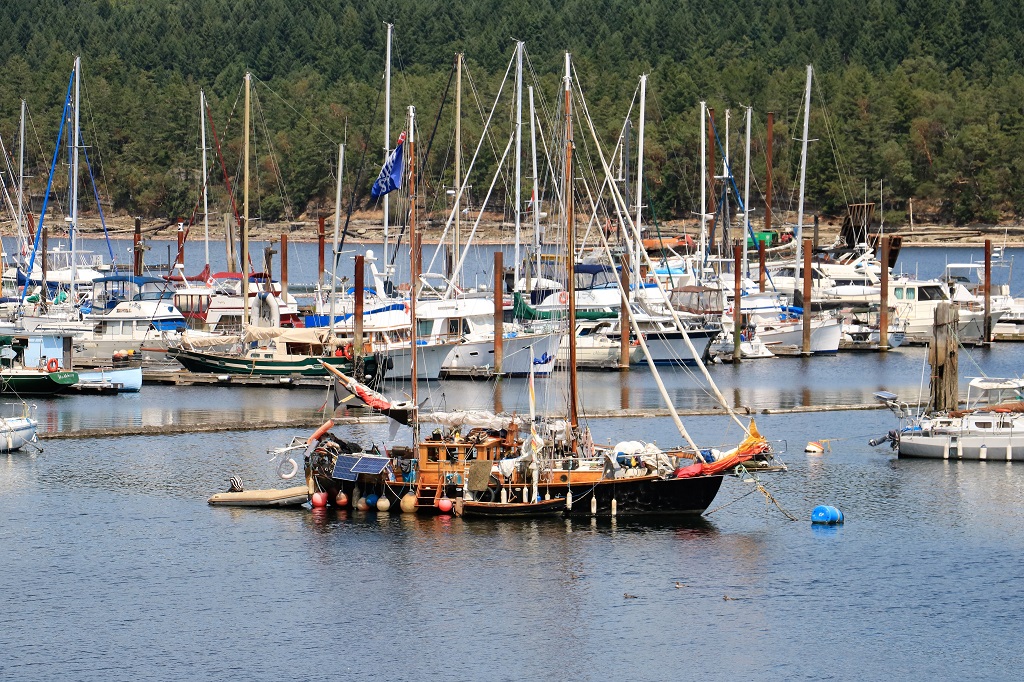
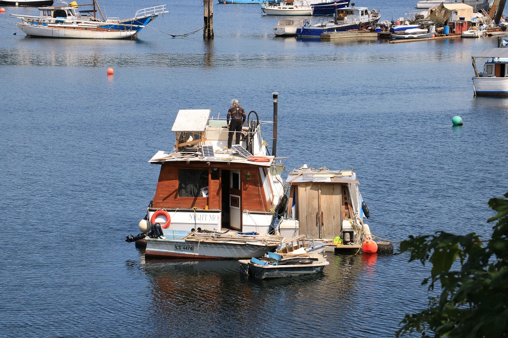
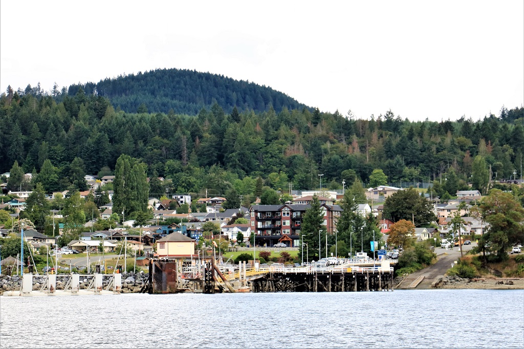
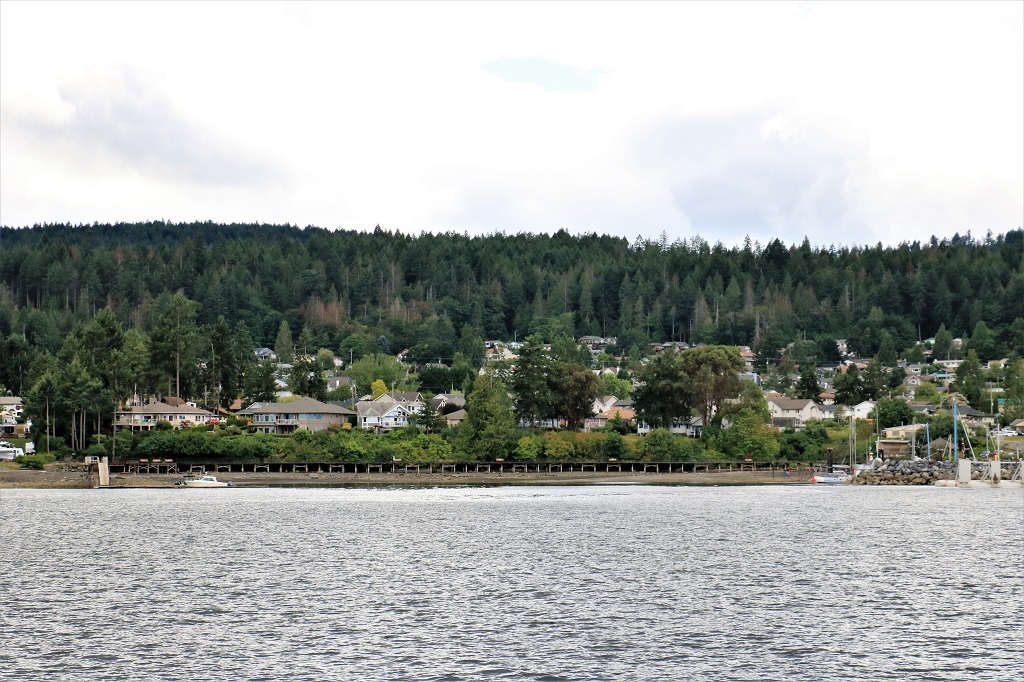
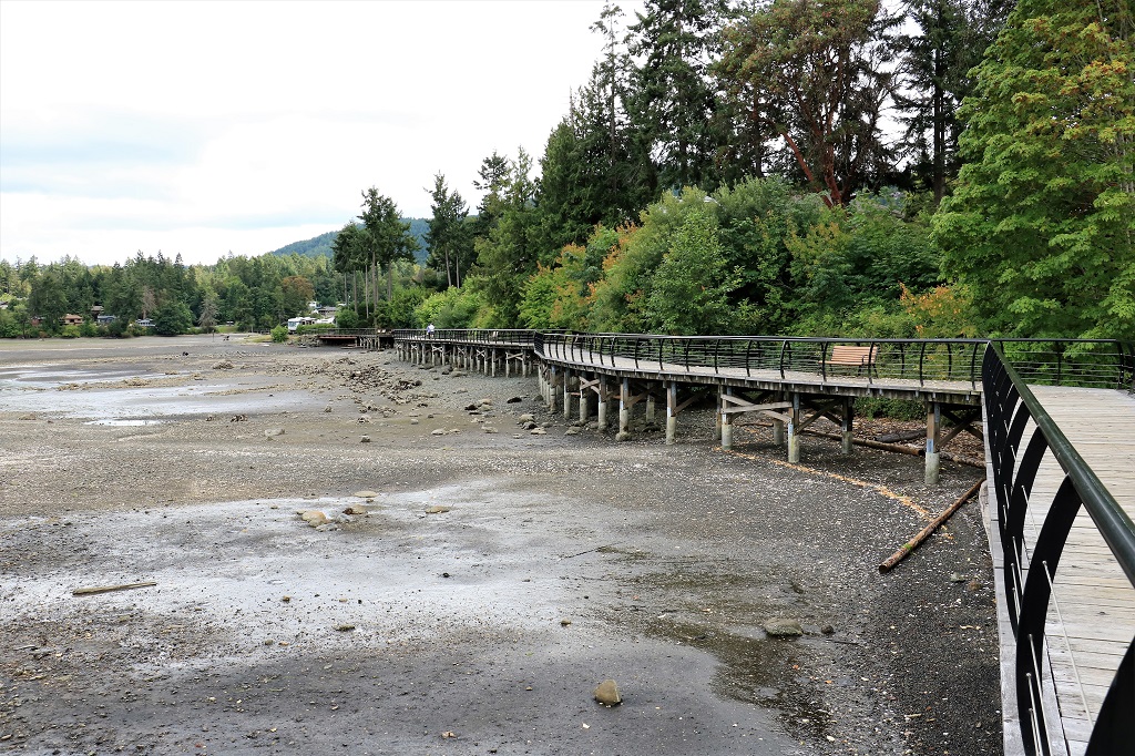
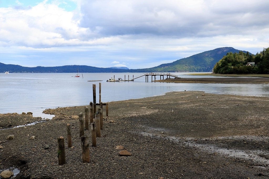
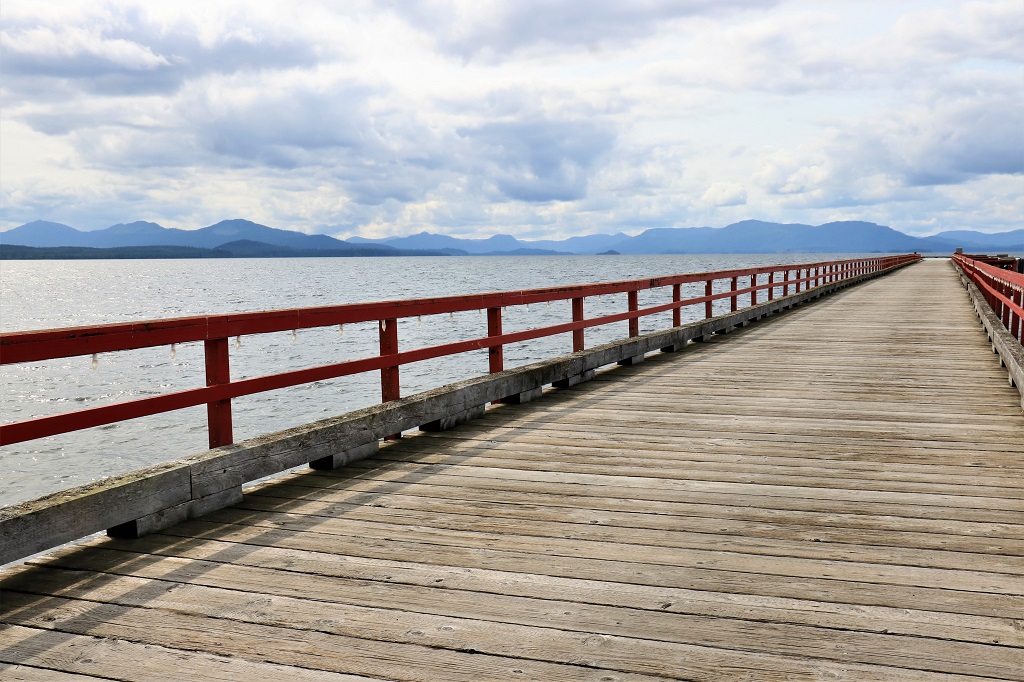
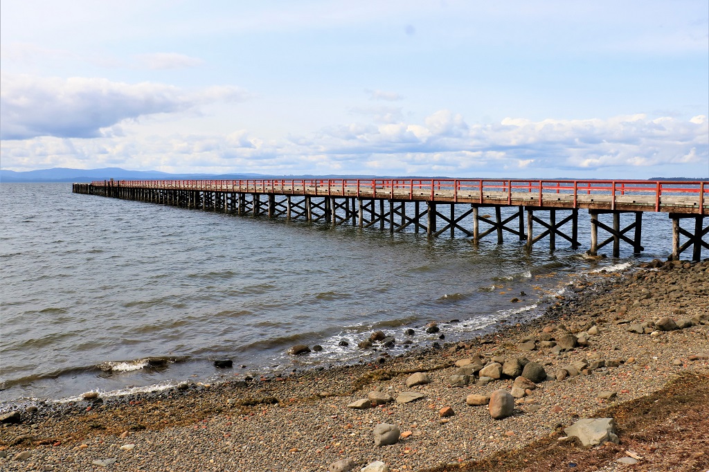
From the museum we drove down to the wharf.  There was a geocache hidden at the pub next door, but there were too many people going in and out for us to find it.

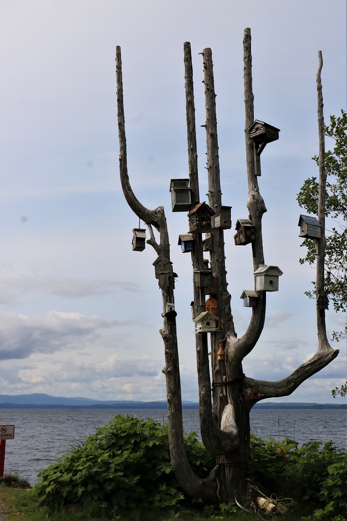
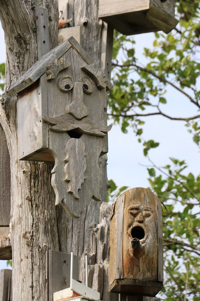
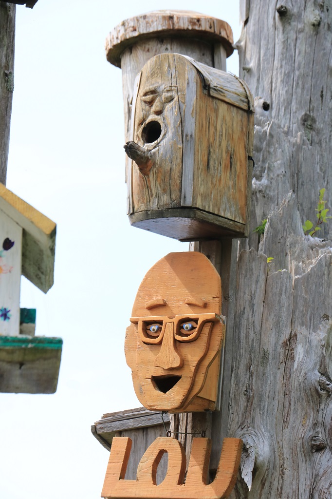
The birdhouse tree is right at the end of the wharf and has lots of different birdhouses; from log cabins to an old guitar and many others in between.  Birds even nest in many of them.

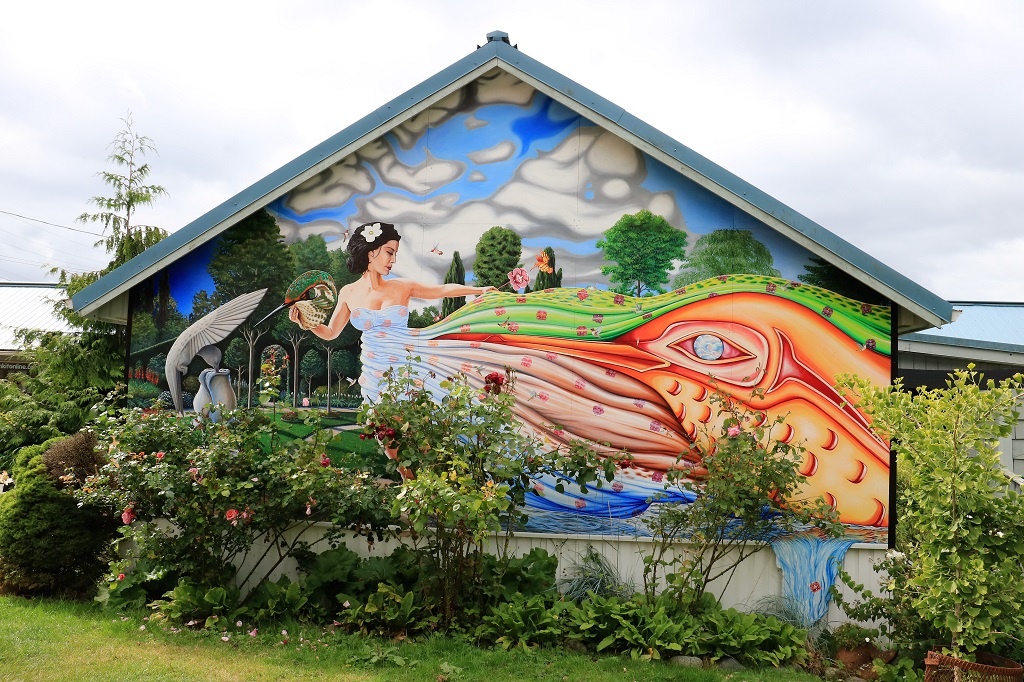
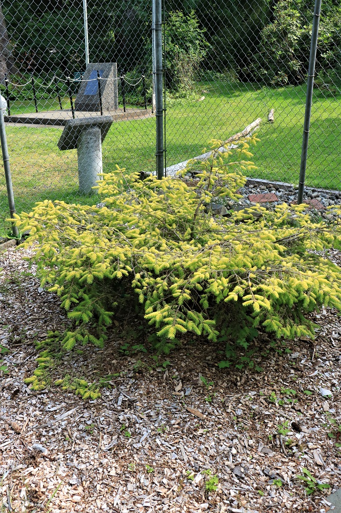
On the way out of town to head back to Queen Charlotte we stopped at the Millenium Park beside the nicely restored St. Mary’s church (which is now a gift shop and gallery).  In the park there is a seedling from the famous Golden Spruce – protected by a very high fence all around.  I remember trekking into the bush to see the Golden Spruce when I was here 50 years ago.  It was genetically an ordinary Sitka spruce tree, but for some reason it’s needles were a deep luminous gold instead of green.  The tree was estimated to be about 300-years old and it was 50 meters (165′) tall and the trunk was as wide as a car is long.  On January 20, 1997 a disgruntled foresty worker (turned radical environmental activist) went out in the middle of the night and cut it down.  The tree was a very sacred symbol for the Haida nation (they saw it as a human being transformed) and the people in the town of Port Clements and it was a devastating loss to the area.  Some cuttings were taken and one was planted at the park.

Grant Hadwin, the man that did the deed, was charged with indictable criminal mischief, which is a felony, and ordered to appear in court in Prince Rupert.  He was afraid to take the ferry because people were threatening to lynch him so he decided to paddle across 50 miles of open water in the middle of winter during a storm. Four months later his kayak, life jacket and gear was found on an isolated uninhabitated island in Alaska.  He has never been heard from nor seen since.

The loss of the tree was so significant that they actually held a funeral for it with speeches and music and ceremonies.  Of all of the trees in the forests the Golden Spruce was the only one that the Haida Nation had given a name. 
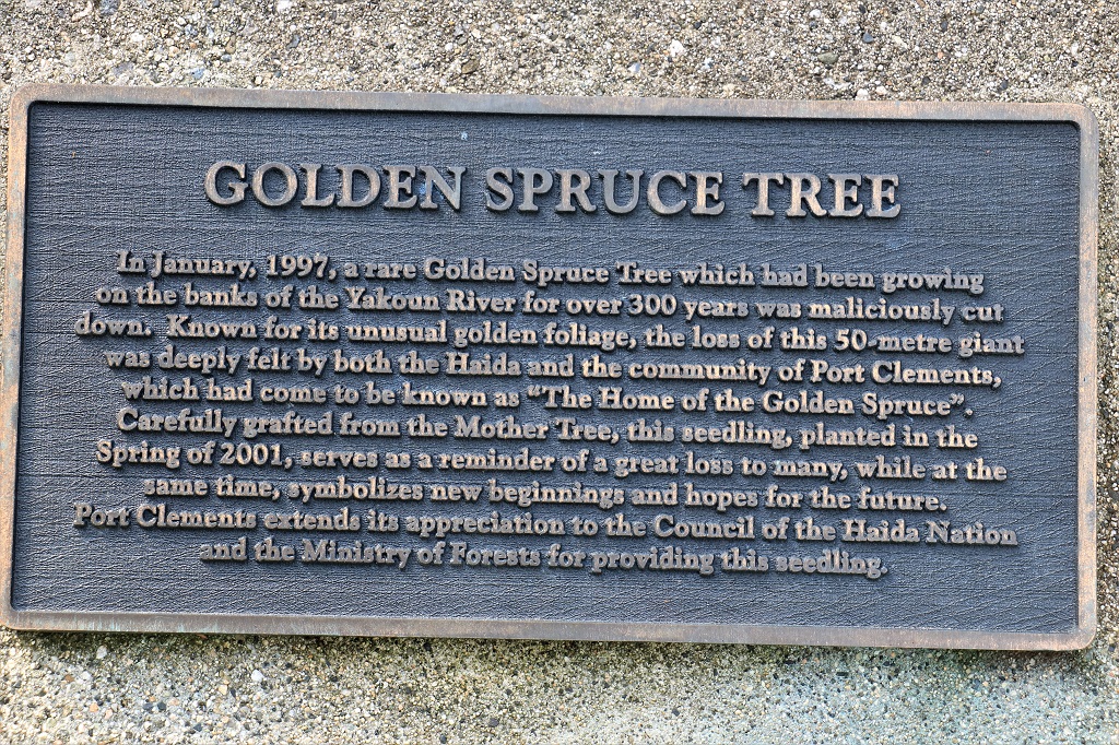
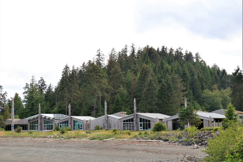
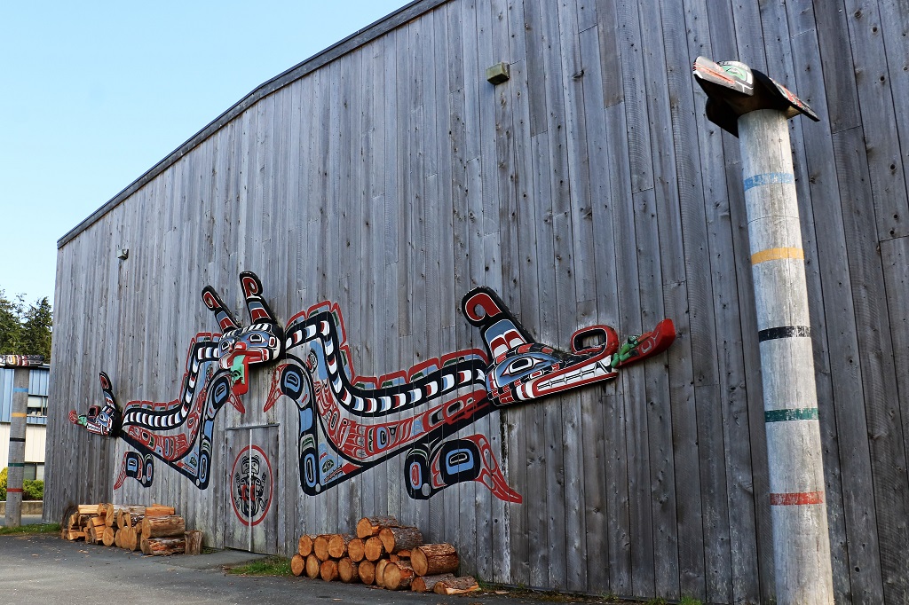
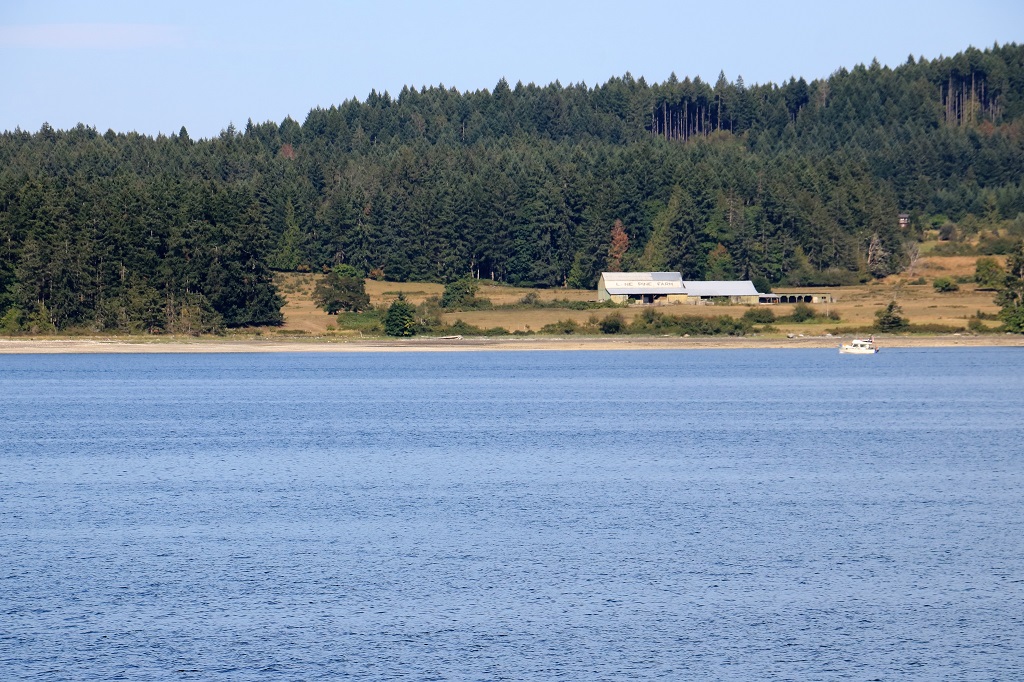
On the way back to Queen Charlotte we had a good view of the long houses and six totems that were raised in six days at the Haida Museum that we were unable to visit.  Tomorrow we will stop in again as we are heading back up island to go to Masset and Old Masset and have to pass right by.

2019 July Journey – Haida Gwaii section – Day 19

Haida Gwaii (formerly called the Queen Charlotte Islands) is an archipelago of about 400 islands located 45-60 km (30-40 miles) off the west coast of British Columbia.  The two largest islands are Moresby and Graham.  There is only one community on Moresby, Sandspit (which hosts the airport) and 20 km of paved road.  The majority of the population of 4,500 live on the northern Graham Island which boasts 120 km of highway.  It will take about 90 minutes to cover it all.  But there are numerous gravel logging roads snaking into the wilderness as well – just watch out for trucks.

The Haida First Nation have called these islands home for thousands of years.  Recent archaeological activity in the south has uncovered some of the earliest known evidence of human activity in North America.  Spear points, butchering tools and animal bones carbon dated to be about 12,500 years old have surfaced.  At one dig archaeologists found 4,000 worked-wood materials such as splitting wedges and braided cord, dated at 10,700 years old, the oldest ever found in the Pacific Northwest.

Almost the entire lower half of southern Moresby Island is protected as a National Park Reserve.  The coast of Gwaii Hanaas is an area rich in sea life and it is in the works to create a protected Marine Park that would extend 25 miles out from the land.  The park is only accessible by boat or float plane on guided tours. There are many unique plants, animals, and sea life here.  The area is temperate rainforest so plant growth is fast and thick.  Haida Gwaii receives the same amount of annual rainfall as Vancouver (48″) and has a mild winter; although it can be battered by some nasty storms.

We took our time getting up and out the door this morning.  The Misty Arms isn’t really a hotel at all, but five nicely renovated rooms and a communal kitchen located above a pizza and grill, which is above a pub, which is above a liquor store. We walked up the road and across the street to a restaurant for breakfast.  We have learned that there are very few places to dine in Queen Charlotte and you have your choice of Chinese or Koreasn cuisine or burgers and fish and chips pub fare.  That’s it.  I think by the end of our stay the communal kitchen will get used.Our room is behind the two windows on the upper left.

After breakfast we crossed the street and walked down a block to the Visitor’s Center.  There is a geocache located inside, which would be our first cache find on Haida Gwaii.  Outside the museum is a garden and Spirit Square.

We walked past the nice mural on the Queen B Cafe building and a house we overlook from our room that we both like. Then we got in the truck and headed further down Oceanview Drive, the main road and into the other ‘downtown’ section of Queen Charlotte. There is no retail core here, the town is strung out along 2 or so km of the highway with many businesses located in former houses.  The only clusters of business are those located near the new hospital and the Visitor’s Center, where we are accomodated, and those located near the post office and liquor store a short distance away.  That is the area I remember from my visit here 50 years ago.  I was able to locate the building that my eldest sister and her husband rented when I was here, but could not find the little house my other sister lived in.  I found one that was tiny enough but it was situated in a hollow and I remember being able to see right across the road to the shore.

The paved road ends about a kilometer past the post office area.  After that you are on gravel road.  It is a pretty good gravel road and travels through residential areas until you reach the forest. About 6 kilometers on the gravel road takes you to Kagan Bay, a recreation camping and picnic site.  There was a geocache hidden here but we could not find it.  It was hidden for Canada’s 150th birthday in 2017 and has only been found once.  We were hoping to be number two, but no luck.  You can camp at Kagan Bay for up to 14 days.Another 1.5 kilometers past Kagan Bay is the Dry Land Sort area where you can camp as long as you like. This is where the road ends.We turned around and took one of the logging road forks that lead to Sleeping Beauty trail.  Sleeping Beauty is the mountain cleary visible from Queen Charlotte and is a popular, but very strenous 4.5 hour continuous uphill climb.  The views are reputed to be glorious.  We did not attempt to see it for ourselves.  We went up the road to get a geocache at an opening in the forest that has a nice view overlooking Skidegate Inlet.On the way back down after successfully finding the cache we passed a bald eagle sitting in a tree right beside the road.  He just swiveled his head to keep an eye on us as we drove past.  We also saw two of the tiny deer; one as we were heading out of town and another one dashed across the road a little while after we saw the eagle.  They are only about the size of a Great Dane dog.  I hope to see another one that is not in so much of a hurry so I can get a photo.We returned to our room for a late lunch and some down time just as it began to rain.  Twenty minutes later the rains stopped and the sky slowly cleared and the clouds lifted until by the time we had finished our dinner it was a lovely evening.  That  is  what  the  weather  does  here  – changes  every  half  hour or  couple  of  hours. Tomorrow we are heading the opposite direction and making stops in Skidegate, Tlell, and Port Clements.

2019 July Journey – Haida Gwaii section – Days 17 and 18

We were up at 5:00 am and checked out of our Port Hardy cabin at 5:25.  At 5:30 we were at the ferry terminal.  You must arrive two hours before sailing so they can check your reservation and have time to get every vehicle boarded.  This is a LONG ferry.  The trip is scheduled to last 15 hours and every vehicle has the wheels chocked because it is not unsual to have some rough seas.

The entire nose of the ferry opens for the vechicles to drive in.  It is not a small boat at all.  There are lots of cabins if you wish to rent one, seating all over the place and a quiet lounge with paid seating at the bow; which is where we sat. It took over an hour to load the ferry and we were a little bit later than our 7:30 am sailing time.  When all was ready to set sail the hydraulics put the nose down.

And off we go.  It was still raining from the night before when we got up and it rained all day long without let up. This dampened (pun intended) the anticipation of the journey somewhat as the Inside Passage route along the BC coast is beautiful.  Not quite so much through rain drops and low clouds.  Still we had good water and calm sailing the whole trip so we can’t complain.  We could have been rock and rolling big time on rough seas.

There were a few points of interest along the way and whenever we approached one of them an announcement came over the public address system to tell us what to look for.

There is a lighthouse on tiny Addenbroke Island. Namu the famous orca was captured in Namu bay; an area not recommended during the autumn months because winds known as ‘willy-waws’ (whirlwinds) blow strongly over nearby mountains,The only stop between Port Hardy and Prince Rupert is the small coastal fishing and logging community of Bella Bella.  Bella Bella is not accessible by road, you must come by boat or by plane.  You can drive to Bella Coola which is at the end of a long inlet and take a short ferry ride to Bella Bella if you don’t want to take the long ferry from Port Hardy.  BC Ferries has provided year-round service to Bella Bella since 1977.The two bald eagles sat in this tall tree the entire hour we were offloading and onloading passengers at Bella Bella. Dryad Point Lighthouse was established in 1899.  Its red and white light can be seen for 29 km (18 miles).  The lighthouse is on the eastern side of Campbell Island and marks the narrow northern entrance into Lama Passage.  The narrowest point of the passage at 800′ occurs just south of Dryad Point.  We were told that the keeper at Boat Bluff will often be out and about and give a wave to the passing ferry.  He was smart enough to be inside on such a rainy day.  This light was established in 1907 and is  perhaps  the most  scenic  of  lighthouses  along  the  Inside  Passage.We saw many waterfalls tumbling down the mountainsides through the trees.  Many of them were just sections of white between the greenery, but a few of them made quite an entrance into the ocean water.

The ferry slowed down as it passed Butedale so that the ferry’s wash does not do further damage to the old cannery and fish reduction plant that was operated here until the 1960s.  Butedale was established on Royal Island in 1918 as a fishing, mining and logging area.  At its peak the community had a summer population of 400 people.  It is one of the few remaining cannery villages on the coast. I liked this waterfall. Well, not just the waterfall but the huge dip in the mountain that provides a clear view of the distant mountains behind it We were scheduled to arrive in Prince Rupert at 10:30 pm, but we were almost an hour late.  Thankfully the terminal is only 10 minutes away from our hotel.  We got into our room at midnight, set the alarm for 7 am and crawled into bed.

Once again we had to be at the ferry terminal two hours prior to the 10:30 sailing time to get to Haida Gwaii.  We were there by 8 and fell into line behind all the other vehicles.  They began boarding at 9:30 and took two hours to get all the vehicles on.  This is a much smaller ferry than the one we sailed in from Port Hardy and we learned when it was finally our time to board that all the vehicles had to BACK onto the ferry and into their lane spot.  It took so long to board because a lot of the truck and trailer units and big motorhomes had difficulty backing down the ramp and into the narrow lanes inside the ferry.  The reason they had to back in was because the ferry only has one door, not the usual door at each end so you drive on through one door and and drive off through the oppposite end.  The ‘back’ door on the Northern Adventure has been sealed.  There had been a horrible accident quite a few years ago when the ferry to Haida Gwaii got caught in a very bad storm and the back bay doors opened which caused the ferry to sink and 150 people died.  In order to prevent something like that from happening again the ferries that make the crossing to the Haida Gwaii islands only have one opening door.

Leaving Prince Rupert you pass the huge container port that was built up here a few years ago. It was lightly raining when we boarded but it stopped and started several times during the day; finally quitting altogether a couple of hours out of Skidegate.  The sky lightened more and more as the day progressed and it was quite nice by the time we arrived.  The captain more than made up the lost hour from the boarding and we arrived ahead of schedule at 5 pm.Our hotel for the next few days is located on the eastern edge of Queen Charlotte City and we have a very nice view of the harbour.  Tomorrow we begin to explore.  But not too early.  I need to rest up from the short sleeps and long hours sitting on a chair in a ferry. I am happy to be here again, 50 years since my two elders sisters who lived here at the time paid my flight to come visit them for the summer as my high school graduation gift.  I spent July with one sister and her husband and August with the other one and her husband.  John has never been here at all so we are both eager to see check things out.


2019 July Journey – Vancouver Island section 2 – Day 16

The internet was slow to non-existent in our cabin at Port Hardy.  You could get service if you sat outside but by the time we returned from puttering around and having dinner it was dark and too cold to sit outside.  So…no blog.

We didn’t even leave the cabin until 1:30 in the afternoon and it was nice to have a quiet relaxing morning.  The afternoon was spent driving various roads, walking along the waterfront and finding a few geocaches, as we usually do.

We drove out of town just to look around and took a turn into a subdivision that is up on a steep rise with unobstructed views of Port Hardy and Georgian Bay.  There were some huge, gorgeous houses up there.   Looking out from an empty lot at the view we saw a cruise ship anchored in the bay.  Cruise ships do not stop in Port Hardy as far as I know so I said to John that they probably have had a medical emergency and need to bring someone ashore for more attention than could be provided in the ship’s infirmary. We stopped along an inlet to find a geocache and took a couple of photos.Judging  by  the  amount  of  bare  ground  I will  guess  the  tide  was  out,  but  it  could  be  like  that  all  the  time.  I have  no  idea  of  tides. Back in town we wandered along the waterfront and back.My guess about the presence of the cruise ship was correct.  As we were  walking  the  sea  path  we  spotted an  ambulance  waiting  on  the  wharf.  The  tender  from  the  ship  docked  a few  minutes  later  and  we  could  see  the patient  in  the  stretcher  being  pushed  along  and  up the  ramp.  The  ambulance  did not leave  with  lights   and  sirens and  the  loading  process  took  a bit  of  time  so  I suspect  the  person  was  ill  or  had  taken a fall  and  broken  something.  It  was  a condition  serious  enough  that  the  ship  couldn’t  handle  it,  but  obviously  not  life  threatening. The totem on the left is part of the cenotaph of remembrance for WWI, WWII, and Korea veterans.  There is a traditional cross beside the totem, but it was nice to see both of the community cultures honoured..  I do like the protest sculpture of the carrot mocking the government for its constant failure to many, many years to provide a good road into the community.

From the water front we headed out of town again and turned up some logging roads to find a few geocaches.  The Western Forest Products employees are currently on strike so we had no risk of meeting a logging truck.Looking  up  river and  down  river  from bridge  the over  the  Quatse River.We ended up literally at the end of the road at the small fishing community of Coal Harbour.  They had two colourful totems at the end of the wharf. It was after 5:30 when we left Coal Harbour and drove back to Port Hardy.  We stopped at a hotel restaurant along the way and had dinner.  Then it was back to the cabin and an early night. We had to be up at 5:00 am in order to be at the ferry terminal the required two hours early to begin our journey to Haida Gwaii.  Farewell Vancouver Island – until we come back again.  The reunion and the travels were great.

2019 July Journey – Vancouver Island section 2 – Day 15

We puttered around Port McNeill for the morning; wandering along the harbourfront and checking out the boats before going to find a few geocaches. There is a cache hidden at the World’s Largest Burl.  Apparently there is another large one in town that this one from 2005 outweighed so it was relegated to second place.  We didn’t find where it was located though.  This big one was at the ball park. John was checking all the crevices in the post for the cache.We were looking for a cache at the end of one of the wharfs and a heliopter came overhead with a long cable hanging.  It landed in the lot just across the way and loaded up three barrels before flying off again.

We ventured out onto some of the logging roads in search of geocaches.  We had found one we were looking for and we just got back in the truck getting ready to move to the next one when a big bald eagle flew right towards us.  I think it has bird in its talons, but it is hard to say at I took the shot very quickly through the windshield.Literally one minutes drive down the road brought us along side three young deer feeding on the roadside. They were amazingly unsurprised by us. We left Port McNeill and headed toward Port Hardy, which is only about 50 km further up the road.  We pulled into the rest stop/picnic site at Misty Lake to find a cache and a family was at the picnic table very near the location of the cache. We walked down to the lake and took a couple of photos, then used the facilities and when we came out they were driving away so we were able to make the find.There is a series of geocaches called Headless.  I don’t know how many there are but we found #4 and #2. There were two caches hidden along the road by Storey Beach, but we couldn’t find either of them.  Yuck! We arrived in Port Hardy about 4 and took a drive around to get the lie of the land, so to speak.  We drove into First Nation village and I got a couple of shots of their meeting house and one of the totems. After that it was off to find our accomodation for the next two nights and get our bags into the cabin before going out to find some dinner.  We will be puttering around Port Hardy tomorrow and then taking the ferry north to Prince Rupert on Thursday.  It is supposed to rain both Thursday and Friday, so I really hope the weatherman is wrong and we have good weather for the sailing.  But…it is the northwest coast and it is a very wet climate zone so we have been doing really well on the weather front since we got here.

2019 July Journey – Vancouver Island section 2 – Day 14

I won’t say that today was boring, because I did enjoy it, but we saw very little but trees on both sides of the road all the way from Oyster Bay, south of Campbell River to Port McNeill.  The northern part of Vancouver Island is heavily forested and the major economic employers are logging and mills.

We did make several stops for geocaches, as we always do, but they also were hidden in the bush. Some of them so well hidden we couldn’t find them.  Rats.  I hate DNFs (Did Not Find).

Not far north of Campbell River is a pullout on the road side with information boards about Ripple Rock.   There was no view except a bit of ocean water beyond some trees, but the whole story that was told explained why there was nothing much to see.  I don’t remember ever hearing about this navigations nightmare before, but we intend to see if we can find an old showing of the explosion. The only other scenic place we saw was unintentional.  We had stopped for gas and John drove out of the station and turned right, thinking he was back on the highway north to Port McNeill, but he was instead on the side road to Sayward.  We only realized this as we drove into the town.  Sayward is right on the coast so the road ends there.  We took some photos of their ghost ship breakwater (I guess it was a populart thing back in the day).  They have five sunken vessels that protect their harbour. Not far out of Port McNeill there was a cache hidden atop a rock hill beside the road.  We clambered all over the thing and couldn’t find it.  There was supposed to be a good view of Lake Nimpkish but all we could see was a small section of water through the trees. It was after 4 pm by the time we passed the Welcome to Port McNeill totem and checked into our hotel.  And that was as exciting as our day was.  Until the sun set, which was very pretty. Tomorrow is a very short driving day – only 50 km to Port Hardy.  We will stay there for two nights before we board the ferry for the 11 hour trip up the Inside Passage to Prince Rupert.  The weather has been really nice for quite awhile now and I hope it stays for our sailing day.

2019 July Journey – Vancouver Island section 2 – Day 13

The reunion participants gathered at a local restaurant this morning for breakfast after which we and a few others returned to the home of our host and hostess.  We went back so John could download a copy of the family photo slide show that was put together by several of the folks.  We wanted to have a copy in case they were unable to upload it in a format that everyone could download at home.

We left about 1 o’clock and headed north on the Island Highway.  We made several stops for geocaches which also gave us some interesting sights to see.

Our first two stops were not far from the house.  There was an Earthcache at the Nanaimo River Estuary so we followed the trail to find the information that was required to send to the cache owner to prove we were actually there, since an Earthcache is a cache without a log paper to sign.  They are created at sites of historical or, very often, geological interest and the cache owner includes a series of questions to be answered before you can log the cache as found.  We were able to answer the questions, but we honestly were somewhat underwhelmed by the estuary itself.  Looked more like a stream with a lot of grass, but it is apparently the largest estuary on Vancouver Island and an important habitat for many types of plants, animals and migrating birds.Our second stop was also to get information for a geocache that requires questions to be answered. This time at Petroglyph Provincial Park, which is the site of some First Nations petroglyphs carved into the soft standstone in the forest.  We were somewhat disappointed with this park as many of the petroglyphs were getting covered with moss and had fir needles and fallen leaves covering them.  We met a young German toursit who had walked the three kilometers from Nanaimo just to see them and he, too, felt a bit let-down with the inability to clearly view the etchings.  Still, it was a good thing to see and learn about  – and,  since  we  were  going  his  way,  we  gave  him  a ride  back  to the hostel  where  he  was  staying. There were castings such as the two above of eight of the petroglyphs from the site and several of them were almost invisible as well.

Between the dappled light through the trees, the leaves and the moss we could not get really good images of the petroglyphs we were able to locate.

We stopped next to find a cache overlooking Wellington Beach on Long Lake.  Wellington was one of James Dunsmuir’s coal mining areas and when the coal seam was exhausted most of the homes and buildings were dismantled and moved to create the new town of Ladysmith at the his mine. We stopped at Union Bay to find a geocache that was hidden across the road from an ice cream parlour. Today was very warm and sunny so they were doing a booming business.  The size of this cache is a nano.  Nanos are SMALL and often very hard to find.  This one, however, John spotted almost immediately at the bottom of a sign post.  If the container is small, you can be sure the log paper is also small. With these types of geocaches we only sign our initials to save space.

The Denman Island ferry was just coming in as we drove by the harbour.Several areas along the coast of the Strait of Georgia between Vancouver Island and the BC mainland are oyster producers.  We passed a few mountains of shells and this large collection of traps. We took a short detour off Highway 19A to go over to Royston to see the Ghost Ships.  There were thirteen ships of various ages and types that were sunk in the bay in the 1940s and ’50s to make a safe breakwater for getting the large logs to the barges for shipping.  Due to salt erosion and time many of them are completed buried but there is enough left of several of them to make the area very hazardous so it is off limits to boats and swimmers.  I had never heard of scuttling old ships to make a breakwater. You learn something new every day. We didn’t drive really far today, but with the late start and all the stopping to look at views and find caches we did not arrive at our hotel at Oyster Bay until after 6 pm.  There was a good Chinese food restaurant about two minutes drive down the road so supper was easy to get.

Tomorrow we have to go about 200 km, which is also not really far, but knowing us we will take all day to do it.

2019 July Journey – Vancouver Island section 2 – Days 11-12

We left Chemainus mid-morning and drove north, stopping at Saltair Lagoon for a geocache.  Ladysmith is another small community on Vancouver Island and we pulled into the very popular and well equipped and maintained Transfer Beach Park.  The area was once the loading yard for several large coal mines (belonging to James Dunsmuir of Hatley Castle – see Day 4 blog).  There was a very long railway wharf out into the Strait so the coal could be transfered directly to barges without having to be unloaded from the railcars into boats, and unloaded again into the barges.  After the collieries closed the wharf fell into disrepair and was later destroyed in a fire.  The area had become a popular recreation spot and was eventually turned into a large park.

There was a huge playground, baskeball hoop, horseshoe pitch, beach, amphitheater, dog park, walking trails, picnic tables and bbqs, and lots of people enjoying the day.  We found several geocaches hidden in the park.   The last one was out at Slack Point at the end of the dog park trail.  Also called Slag Point as the area was used to wash the dust off the coal and all the soil many feet deep is contaminated.  Dust and dirt have covered it and plants have, of course, grown but there are still some large piles of coal particles and you don’t have to dig more than a 1/2″ to reach black.  Around the corner of the point there is a nice view of a marina.As we were driving out of Transfer Beach we passed an old donkey winch such as was portrayed in one of the murals in Chemainus.We pulled into a parking lot by a trail head to find two other caches and were only able to locate one of them. The trail did give us a good look at the marina we had seen from Slack Point.  Apparently it is a fderally regulated area and has several ‘sqatter’ boats anchored in the bay that people live in.  Since it is a federal area it is rarely, if ever, patroled and the local authorities have no jurisdiction to get them to move. We arrived at our hotel on the southern outskirts of Nanaimo at 3 pm and were able to check in.  We relaxed for a half hour or so and then headed out to the home of our host and hostess for the reunion. They  have  a lovely home  on  Quennelle  Lake.  All  the  gang  gathered  over  the  next  couple  of  hours  and  we  had  a great  time  catching  up  on  everyone’s  news.  Dinner  and  more  stories  and  laughter followed until  we  all  headed back  to  our  hotels  for  the  night.Everyone re-gathered at the lake Saturday morning and we spent the day visiting, eating great food and playing a few games.  One of which was a timed rowboat event.  The person with the oars was blindfolded and the other person in the little boat had to direct them around a  buoy and back to the dock.  My partner and I had the best time at 1 minute 18 seconds, until the last two teams deposed us and we ended up third.  It was great fun. A fabulous dinner of salmon, bbq beef, ceasar salad and greek salad was topped off with a delicious cake.The reunion officially ends with breakfast tomorrow morning and then everyone will make their way home.  Except us.  We still have some traveling to do.

2019 July Journey – Vancouver Island section 2 – Day 10

Apparently I can’t count.  I was lying in bed last night after posting my blog and wondering how I had arrived at day 10 when we left on the 9th and it is the 17th.  This morning I corrected all the Day tallies on the blogs.  You probably didn’t even notice, but now I feel better.

We woke to beautiful sunny skies but as the day wore on we got some scattered showers and by 3 pm it was pouring rain.  By then we had been walking streets and trails and climbing stairs since 10 am and my feet needed a break so we came back to the hotel to rest until dinner.

Chemainus is a small community of about 4,000 people.  It was founded as a logging town in 1858 and much of the employment in the area has always been based on the forest industry.  There was a large sawmill that was closed in 1980 which decimated employment opportunitues.  In the years since a smaller, more efficient mill has been built, but a major factor in the economic turn-around came in the early 80s when the idea was concieved to paint murals on many of the town buildings.  About 39 large and small murals were done and Chemainus began to bill itself as the “City of Murals.”  The increase in tourism dollars as people came to follow the yellow footprints on the sidewalk to see all the murals created many jobs and opened new businesses.  I was interested to see how the murals had fared over the 30+ years and was very happy to see dates and signatures of artists that had re-painted some of them to keep the colours bright and fresh.  Some are still original, some have been re-done two or three times.  They are still adding new ones and there are now 43 murals in town.

We wandered around town for most of the morning and checked them out.  You can get a map from the Visitor’s Center that will show you where they all are, but we just went up and down streets.  I have photos of 28 of the 43, but I am not going to post them all.  There will be lots though as I loved all the different styles and images.  The murals all portray some aspect of the history of Chemainus and area.  Here goes: This one was one of the very first to be painted and there is a nice little Heritage Park water feature and garden in front of it now. These two run side by side the full length of a long buiding. This was one of my favourites.  I really like the art style with the heavy outline on all the elements. This mural also was very long.  The information square was about double the width of the little silver car so you get an idea of how long the image is.   This was my absolute favourite of the ones we saw.  It was one of two commissioned in 1991 by the Japanese Canadian Redress Foundation and Communications Canada as part of the reunion of the Japanese community of Chemainus that lived here from 1900-1942; when they were all moved to interment camps in the interior or the north during World War II.  There were 300 Japanese millworkers, fishermen, and businessmen living here at the time.  The man whose house was next door to this mural saw me taking a photo of it and offered to back his van up a bit so I could get a better shot.  I told him not to bother, but it was very nice of him to offer.  I loved the delicacy of the image and the subtle colours used on this mural.  It commemorates a float made by the Japanese community and entered in a 50-year anniversary parade of the McMillan Lumber Company in 1939.  The float won first prize. This mural depicts several different buildings and an alleyway but it is all on the side of one building.  The shake overhang on the left is real and extends around the front to the entrance of the store.  The artist did a great job incorporating the existing building with the old history.  I cropped the information square so you can read what this mural is all about.  It is another of my favourites.

  The mural above shows an oxen team skidding a huge log out of the bush. The one below is a steam-powered ‘donkey winch’ that was used in later years. I don’t know if the real bicycle is always in front of this mural but it certainly adds a nice touch. There are hydrangeas in many yards and these had huge blossoms and were a lovely colour. As we wandered to look at the murals we also found a few geocaches.  Our parking time limit was up so we went back to the truck and drove to some of the trail heads to find a few more caches.  We found a cache hidden at the end of a baseball field and the road was a dead end.  You could see the water so we walked down to see the view. Two of the last three geocaches we found before the rain descended were on staircases down to the shore.  The first person was kind enough to hide the cache only half-way down. Looking up from where we came and down to the bottom.  John had to climb over the railing to find the cache hidden beside one of the support posts.

The second staircase had a nice ocean view from the top.  As we were approaching the stairs a woman arrived at the top and I said, “So, this is your daily exercise is it?  You climb these stairs three times a day.”  And she said yes, she did.  She had just completed the second set.  We chatted for a few minutes and off she went to do her third round. She said the most she had ever done was 7 times down and back up and she would never do that many again.

The person that hid this geocache put it in the bush off to the side at the very bottom of the wooden steps.  There is another concrete set that will take you directly to the shore.  We did not feel the need to do those.  I counted the steps on the way up and there are 156. The final cache we found was the second stage of a two-part cache.  When we found the first container it had a little piece of paper in it that said REF 623.89 SOO.  Really helpful information as to where the log paper for signing the find would be located.  The description included hours of operation for the business where it was hidden.  Reading further we learned it was in the library.  I told John the numbers were part of the Dewey decimal system for cataloging library books so when the library opened at 1 o’clock we could go find it.  Which we did.  What a very clever hide.  The municipality of Chemainus parks department has also hidden several caches around the town to encourage members of the geocaching community to come and visit.  We are finding this more and more.  There is a geocache hidden right at the Visitor’s Center in Kamloops that is maintained by the staff.  Many tourist information brochures and websites give information about how many geocaches are hidden in the area.  It is now a very popular international activity. The geocache container is a small book in the Reference section and just sits on the shelf with the rest of the books.  You can see the geocache logo at the top of the spine.  The ‘book’ opens and the log paper is inside for signing.  I loved it.

We put the book back on the shelf, drove back to the hotel and dodged the raindrops to get inside and rest my weary feet for a couple of hours.  We had a great day exploring Chemainus.  (And, if you like live theatre, Chemainus has a very active and ambitious professional theatre.  They are currently doing Mama Mia from May until the end of August.  We would like to have gone, but it is sold out every night until mid-August.  They did Sound of Music in February and have a new production every 6 weeks or so right through until Christmas; which this year is Miracle on 34th Street.  I suggest you book tickets early if you plan to attend any of the shows.)

Tomorrow we drive a short distance up the road to Cedar, a small community south of Nanaimo where will spend the weekend at a family reunion.  I will likely not post another blog for a couple of days.  I plan to be too busy visiting with some very nice people.

2019 July Journey – Vancouver Island section 2 – Day 9

We checked out of the Maple Ridge Cottages before 10 am and drove the short distance to the Vesuvius Bay ferry terminal.  When you take a ferry to Salt Spring (and, I assume others of the Gulf Islands) you pay a fare.  When you are going back to Vancouver Island the ferry is free.  Obviously they are aware you are not going to be staying on the island forever.  We planned to catch the 10:50 ferry but when we arrived at the terminal all seven lanes (which is all the boat will hold) were full and there were five or six vehicles in line ahead of us with more arriving behind us all the time.  On any day but Wednesday this would not be a problem as the ferry departs about every two hours.  However, on Wednesday the 12:05 sailing is for ‘dangerous goods’ only.  No private vechicles allowed.  Which meant we had to wait for the 1:45 sailing.  Good thing we have books  to read on our Kindles and games to play on our phones.  We did not want to risk leaving and coming back to a full terminal again.  We knew about the DG noon sailing so we were not shocked to realize we would have a long wait having missed the 10:50.

We arrived at Crofton on Vancouver Island a little after 2:30. We went looking for a couple of geocaches.  One was recently taken out of service for repairs (the neighbour came over and told us) and the other was located back near the dock along a boardwalk.  We turned the truck around and drove back to find it.  There is a large pulp mill at Crofton called Crystal Paper and the boardwalk, which went for a long distance along the shore, was called Crystal Paper Way.  I assume the company contributed some big bucks to have it built.  We took quite awhile to find the cache because it was a magnetic that had been broken and the container was tucked under a stairwell landing instead of where it was supposed to be.  Good thing the tide was out or we would not have been able to walk under the boardwalk to look for it.
I asked John if it is mandatory to have blue sail coverings on your boat?  That is the only colour I ever see.  Does only one company make them and they only do blue?  I think someone should make some out of different colours – yellow, or pink, or purple.  It would make it much easier to see your boat among all the other ones.
While we were searching around for the geocache I spotted this bird, who looked like a recent fledgling, sitting in the sunshine.  It didn’t move while I took it’s picture and then it decided to fly away.

We are spending the next two nights in Chemainus which is not very far up the island from Crofton.  We only made stops to find two geocaches before checking into our hotel at 4:30.  Now that was a short touring day, but I sure feel tired anyway.  Too much sitting and waiting, I guess.  Not  to  mention  not  being  able  to  get  to  sleep  until  about  2 am.