Category Archives: Hanna Travels

2014 Sep 10 – Day 83 – St. John’s, NL to Placentia, NL

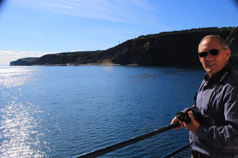
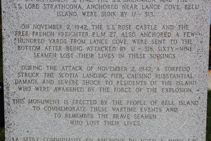
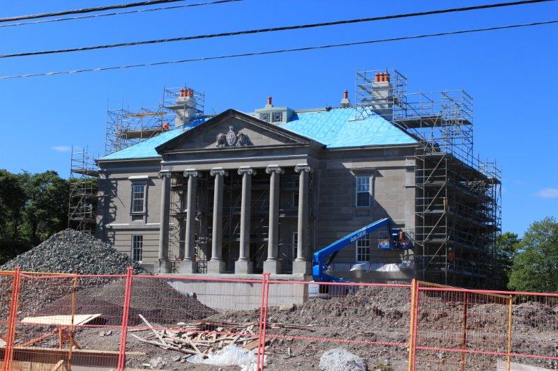
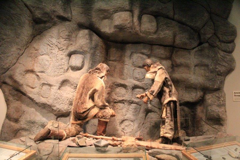
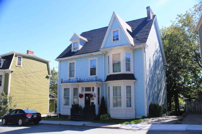
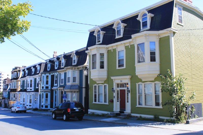
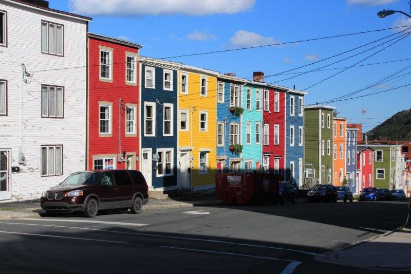
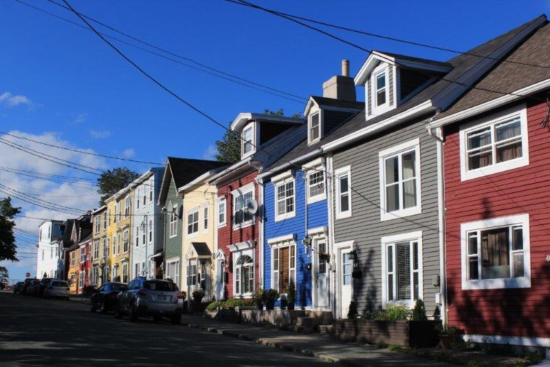
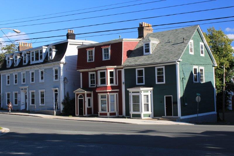
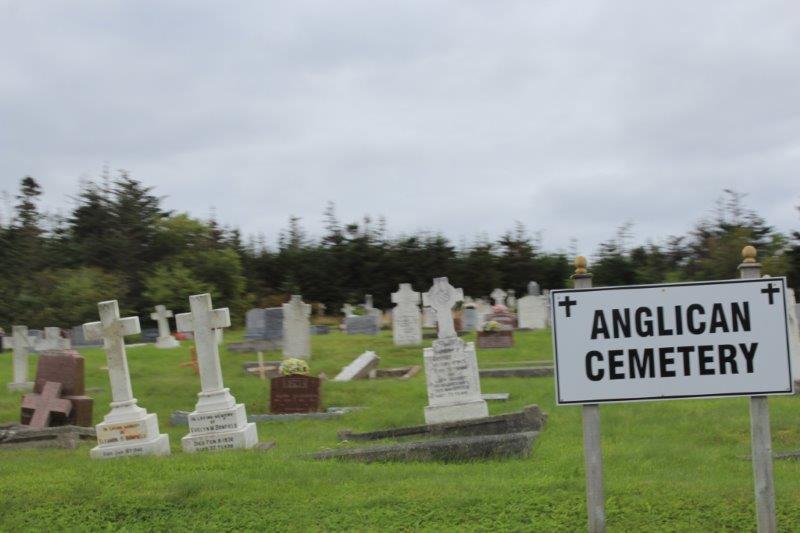
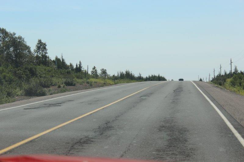
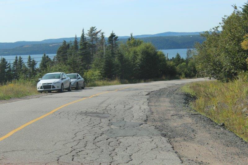
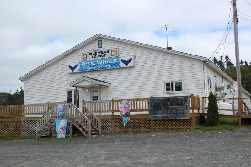
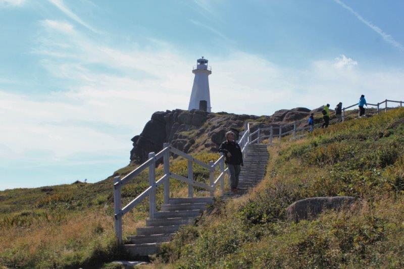
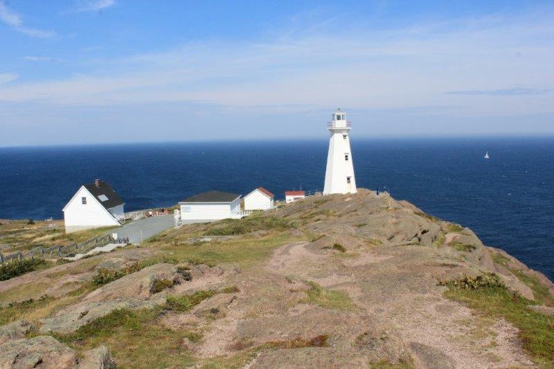
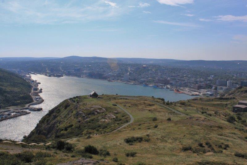
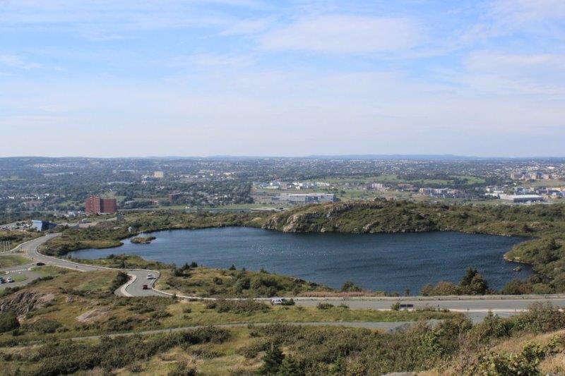
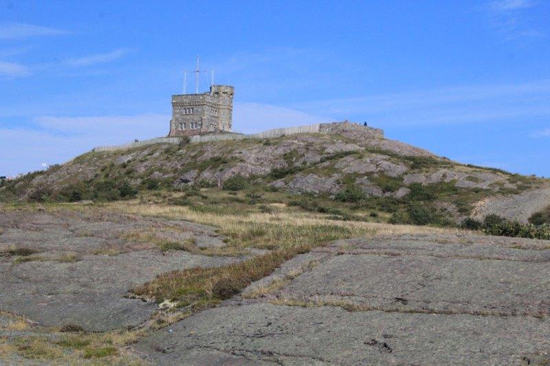
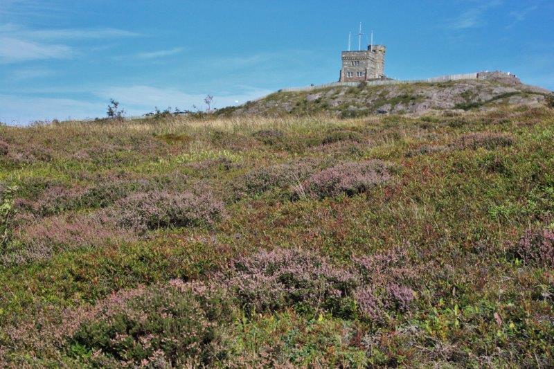
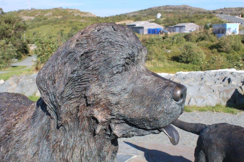
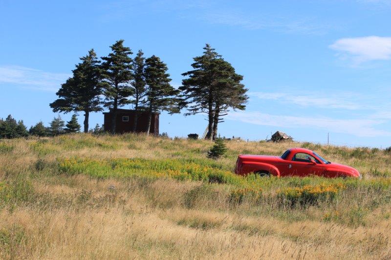
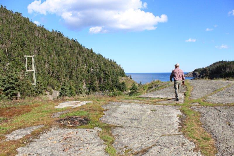
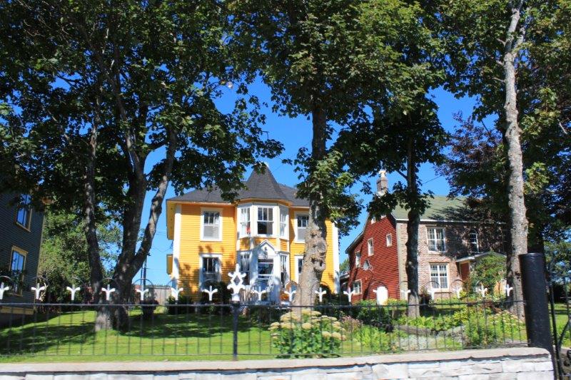
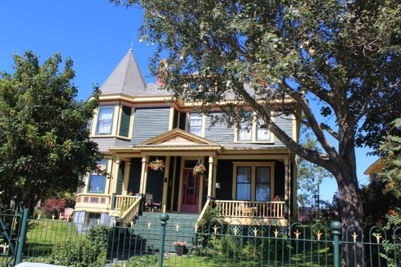
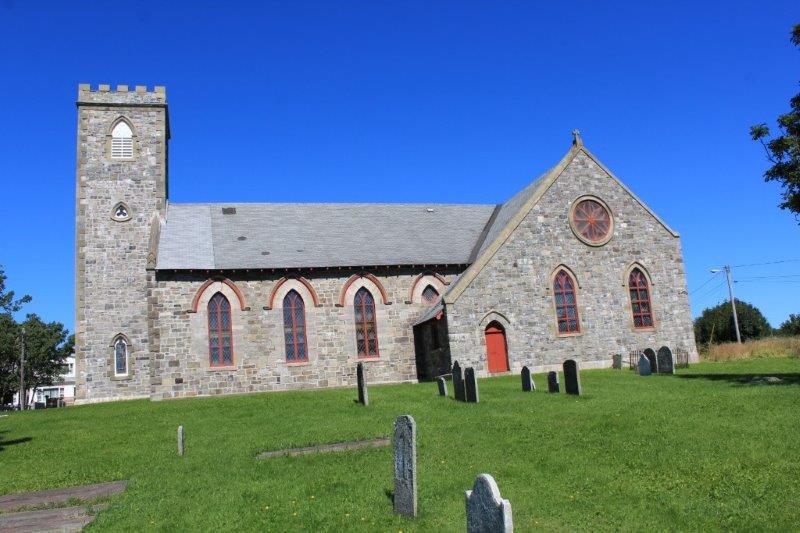
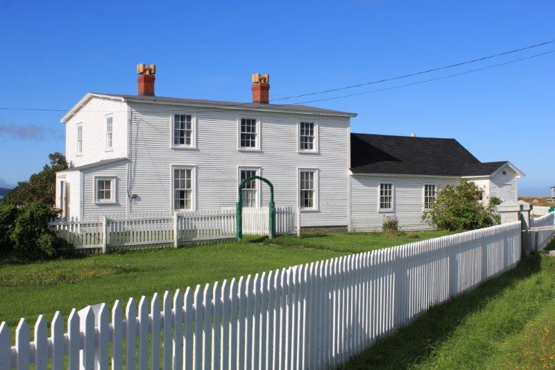
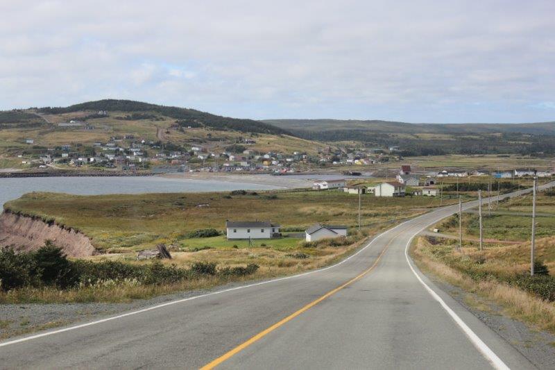
We left St. John’s in the third day of sunshine in a row – a Newfoundland record since we arrived.  We connected up with Highway 1 WEST – it was actually a bit strange to go west; we have been going east for so long.  Our plan for the day was to drive the Cape Shore and loop around to Plancentia.  Our ferry ride back to Nova Scotia leaves tomorrow afternoon from Argentia, just a couple of km further up the road from Placentia.

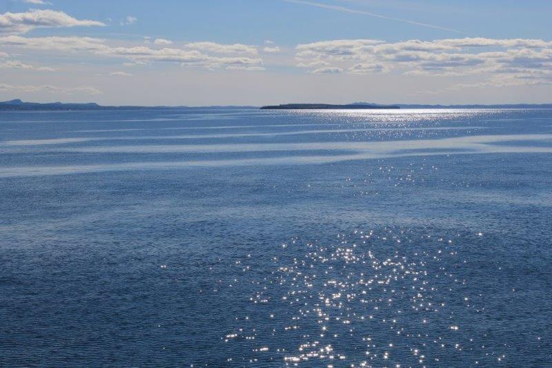
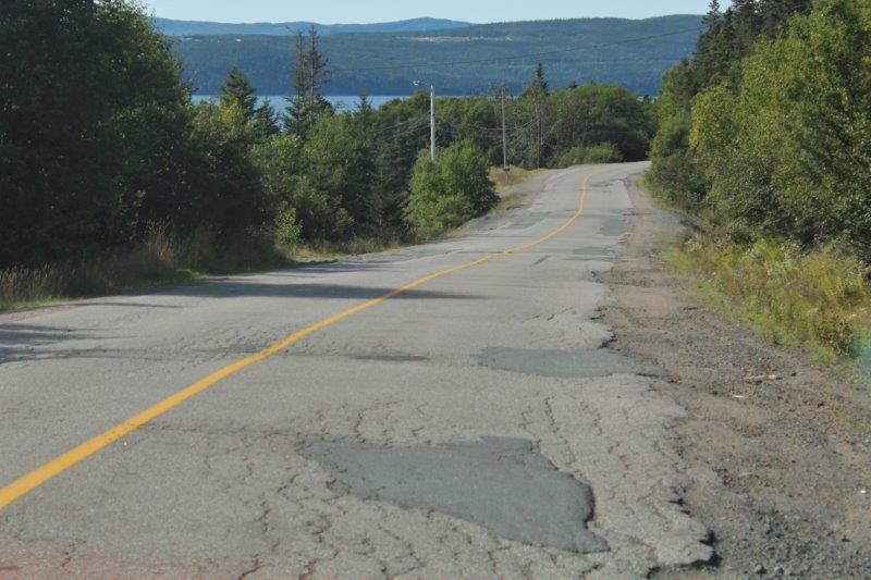
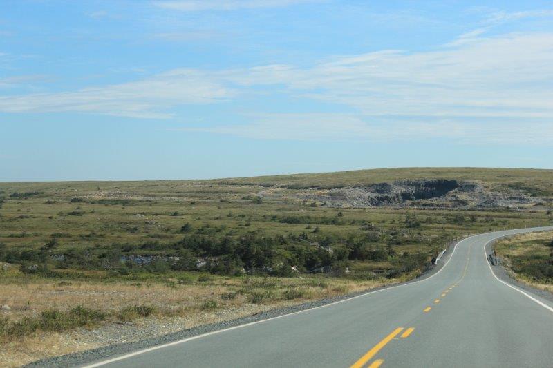
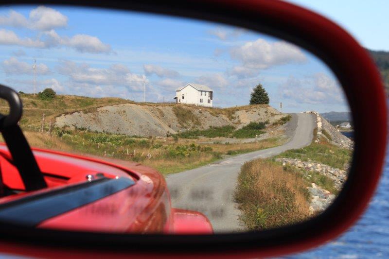
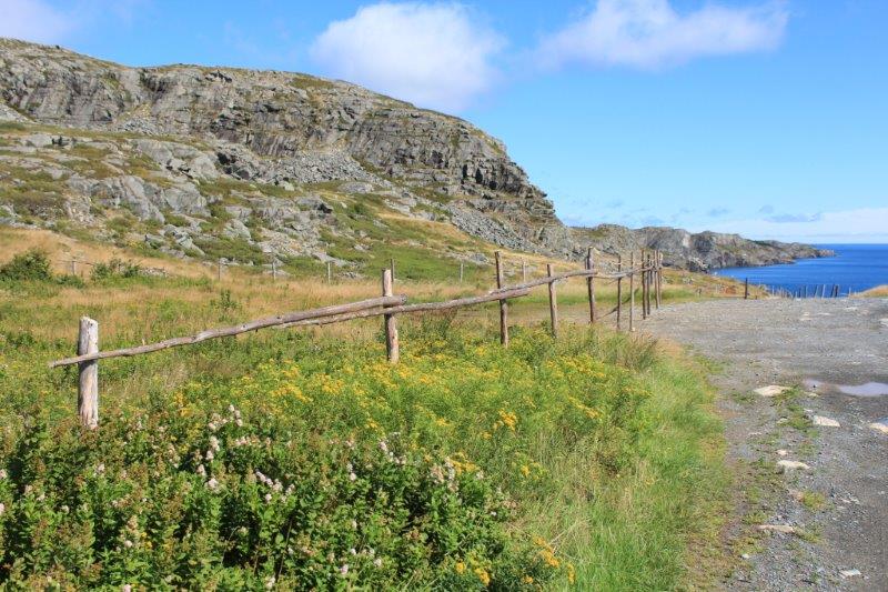
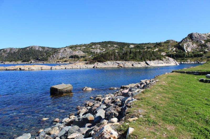
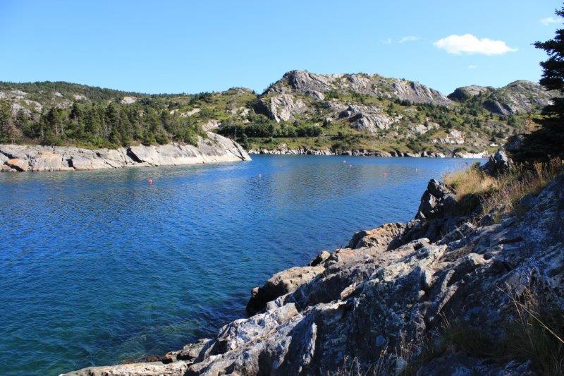
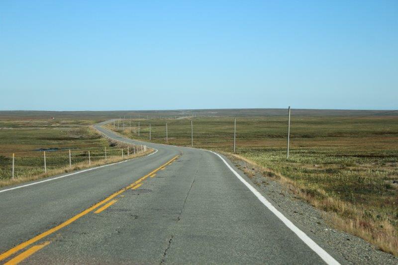
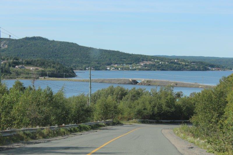
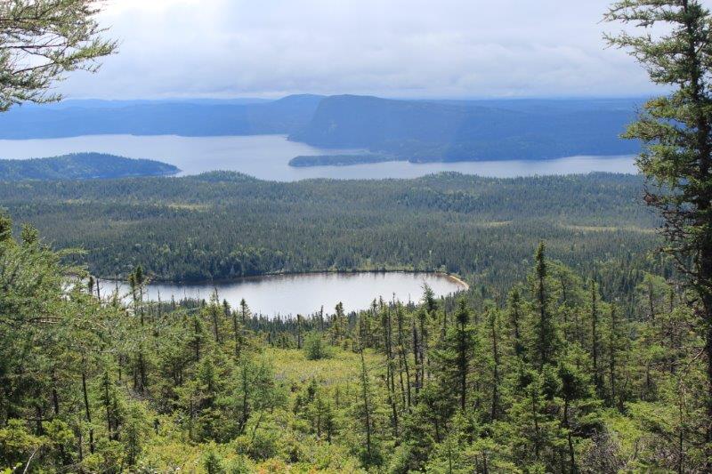
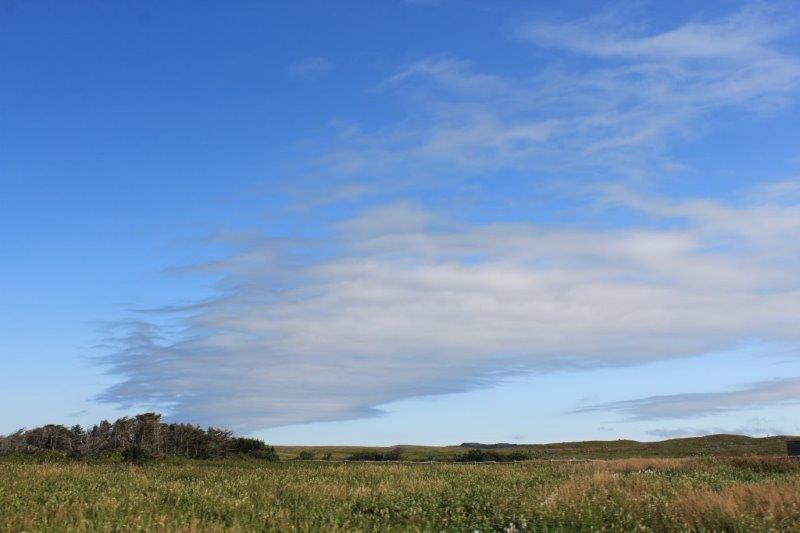
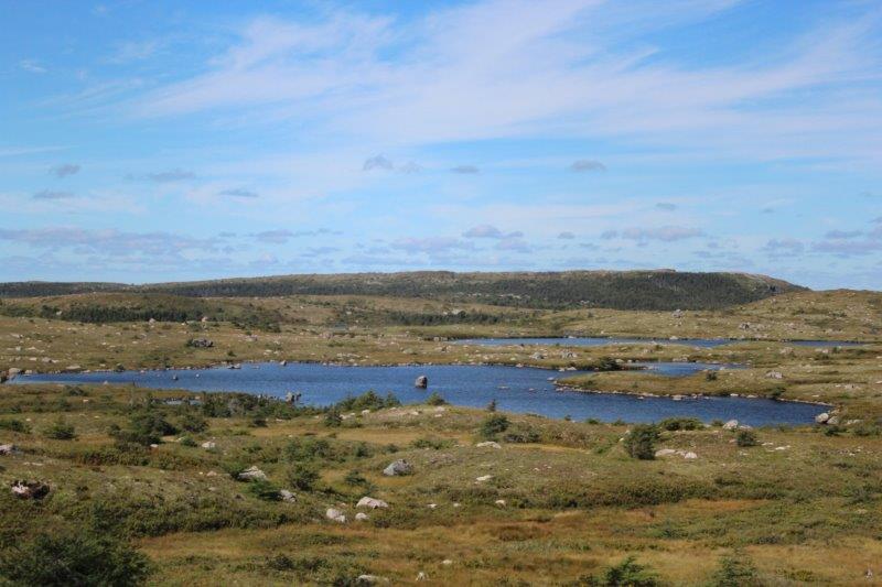
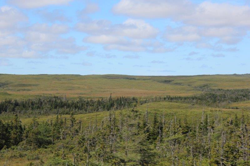
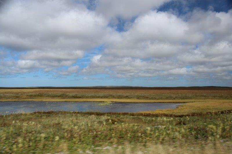
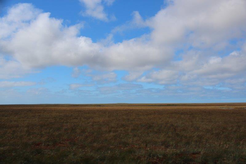
Once we left the TCH and headed down route 81 we were back in the same flat grassland we saw on the Irish Loop to Trepassey.  We were happily enjoying the view of the little lakes, with the grass and brush contrasting with the beautiful blue sky and, suddenly, the pavement ended.

IMG_9365 IMG_9375

IMG_9380
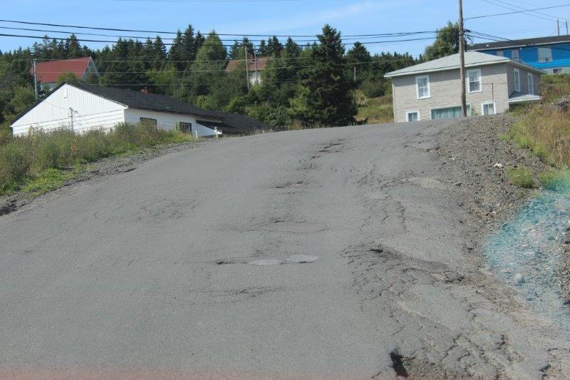
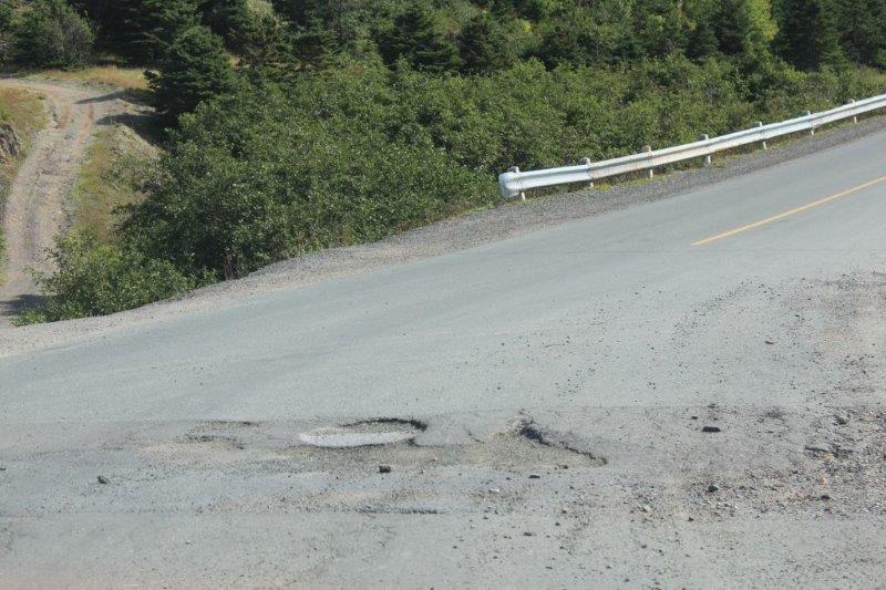
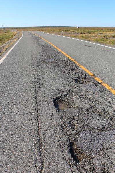
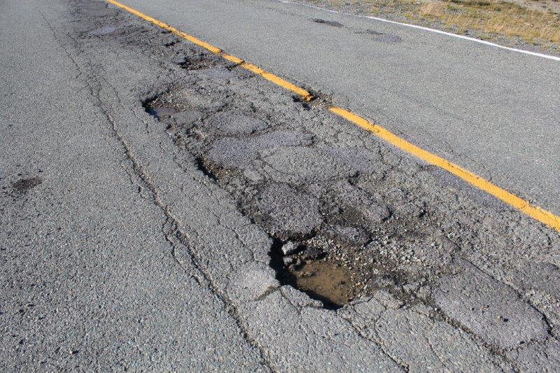
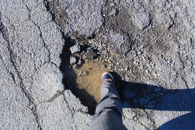
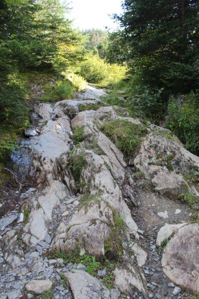
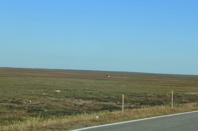
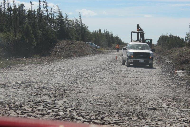
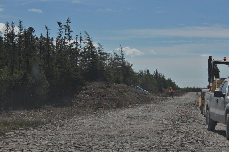
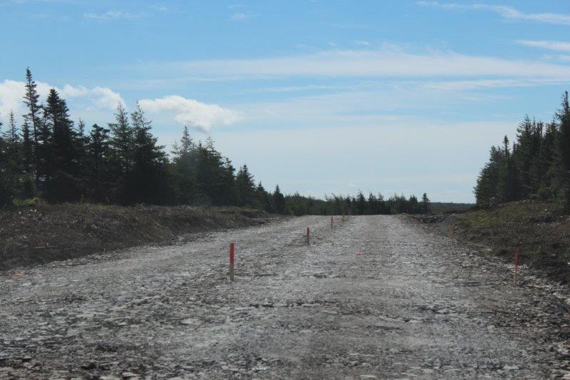
No indication on our road map that part of the road was gravel.  The sign said gravel for 8.5 km.  Well, it was pretty smooth gravel; compared to the enormous potholes and chewed up pavement we usually drive on the road was actually not too bad.  Then…..we arrived at a construction zone and we were no longer driving on gravel we were navigating a crushed rock course.  My goodness. Newfoundland wins the prize for the worst roads in Canada, hands down after today.  I kept waiting for one of poor Poppy’s tires to blow.  Needless to say that 2 km was taken very slowly!

IMG_9370 IMG_9372 IMG_9374
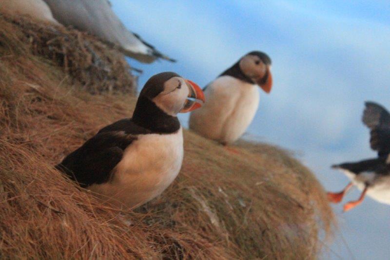
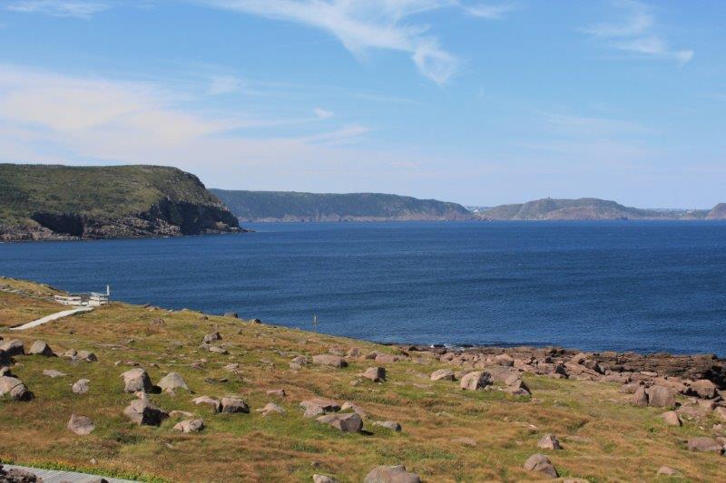
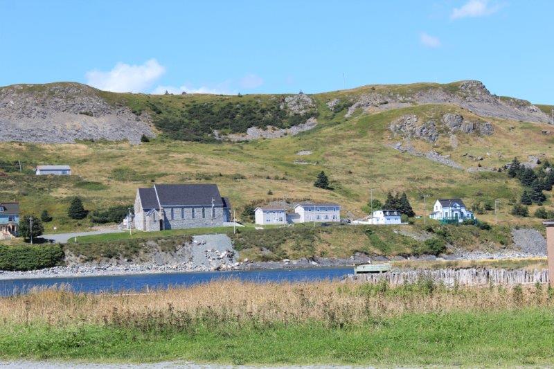
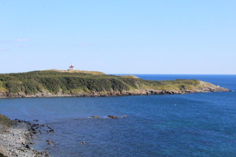
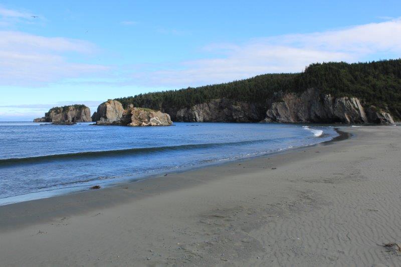
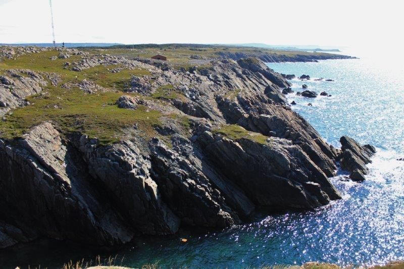
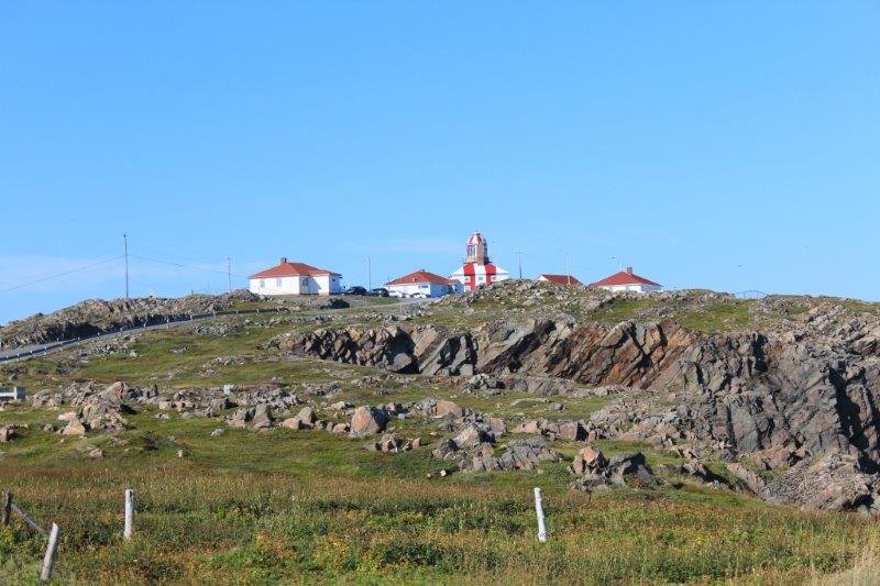
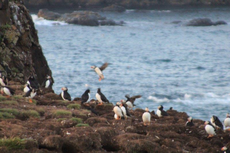
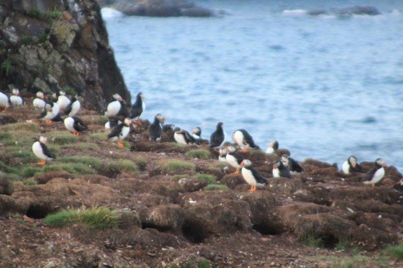
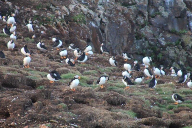
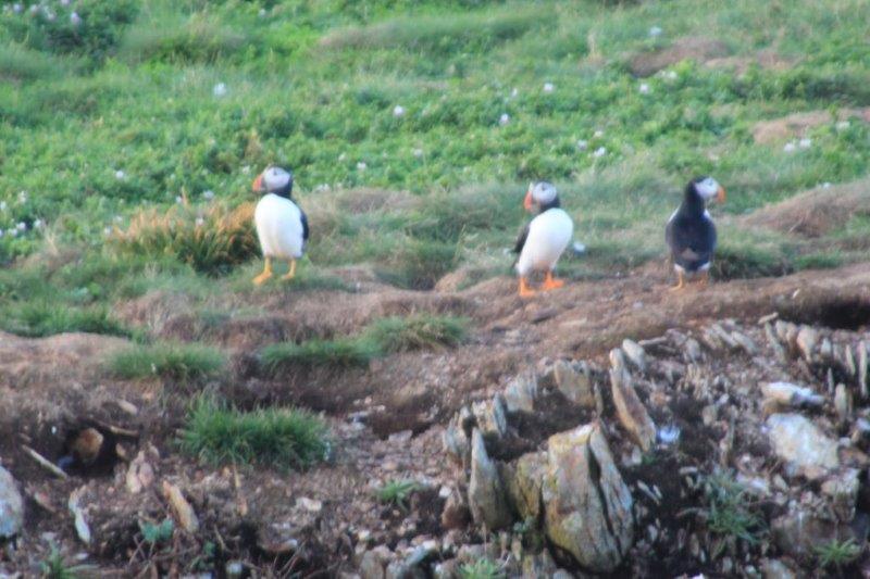
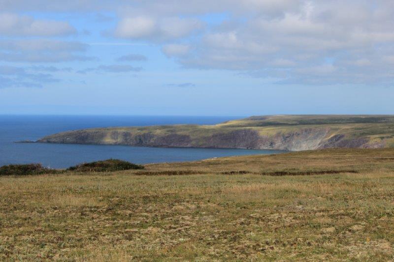
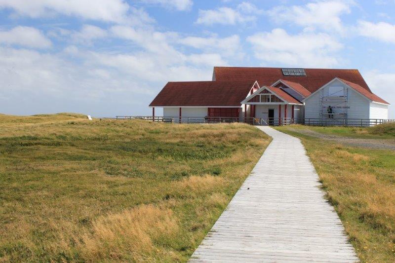
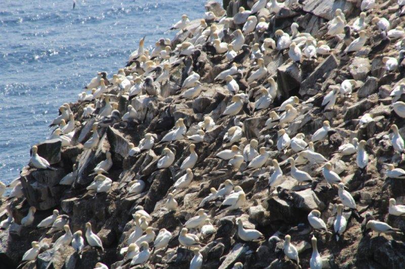
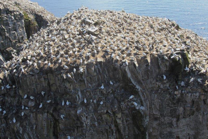
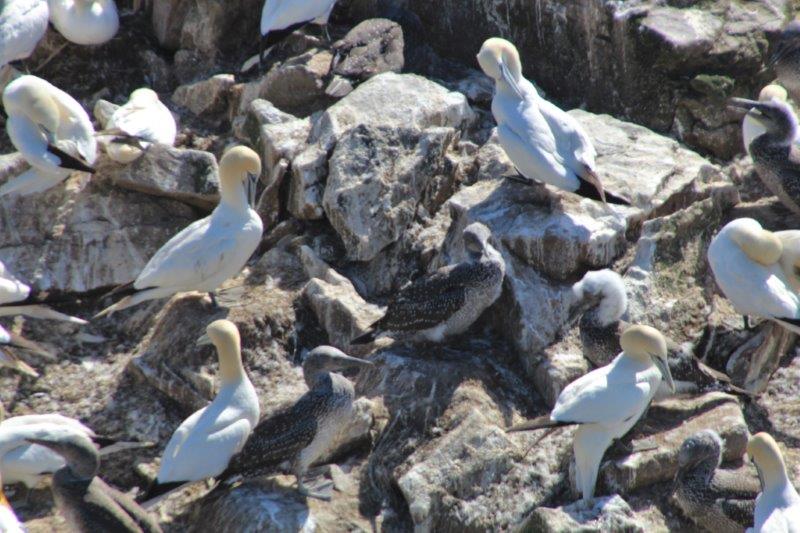
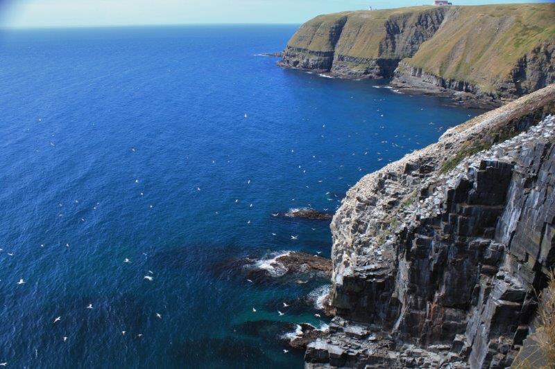
We arrived at the bottom of the spit, drove through the little town of Branch and down the side road to Cape St. Mary’s Ecological Reserve – the most accesible seabird colony in North America.  A wide variety of birds nest here in the spring but now there are only the Northern Gannets left.  The young are expected to begin flying any day now and by the middle of October all the birds will be gone.

IMG_9382 IMG_9385 IMG_9387 IMG_9391 IMG_9393 IMG_9396 IMG_9395
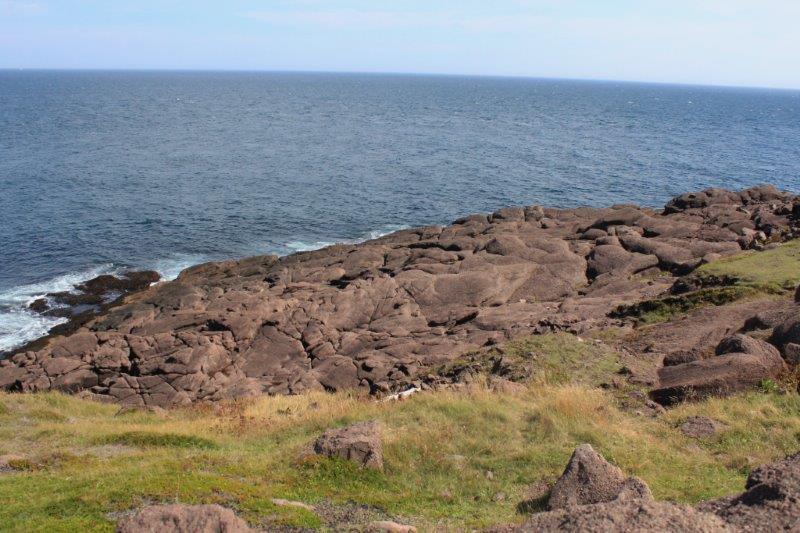
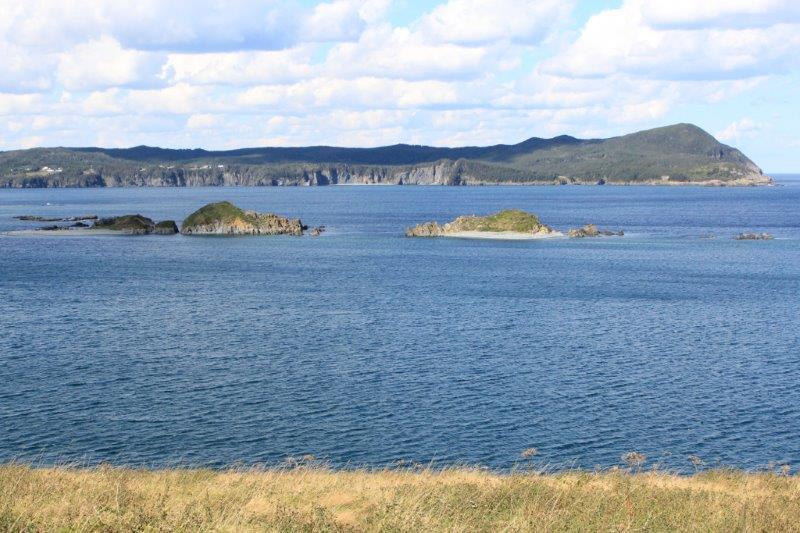
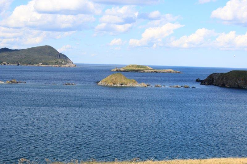
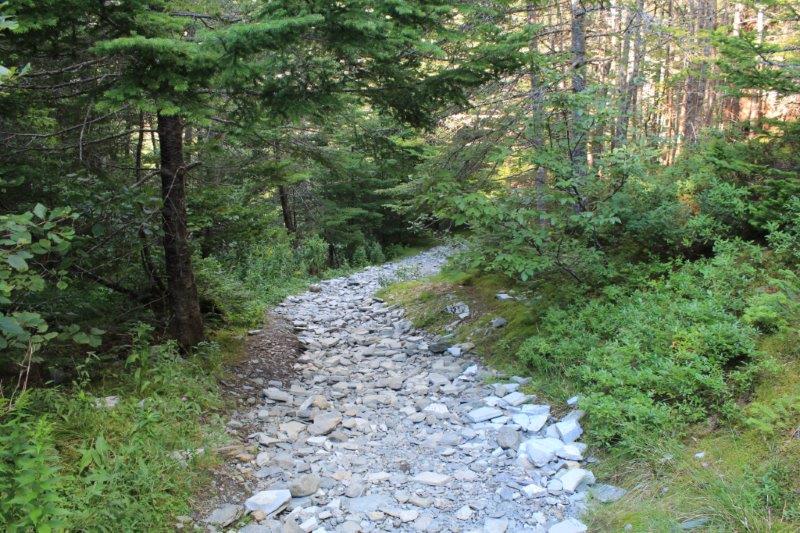
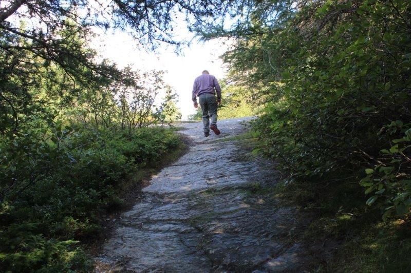
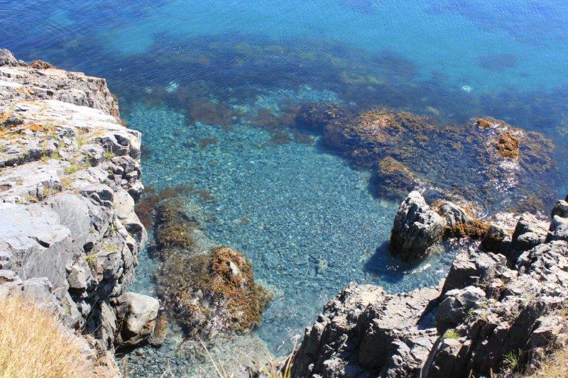
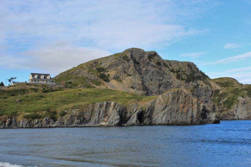
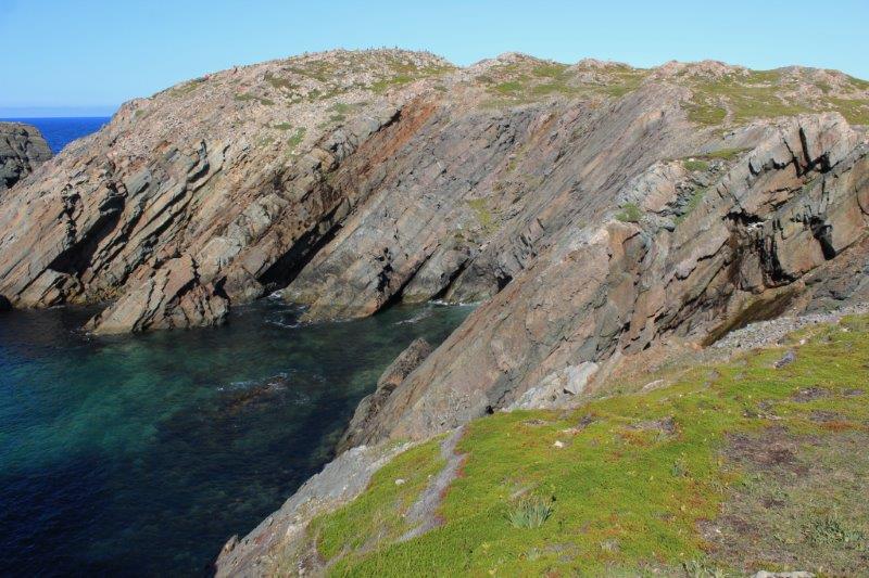
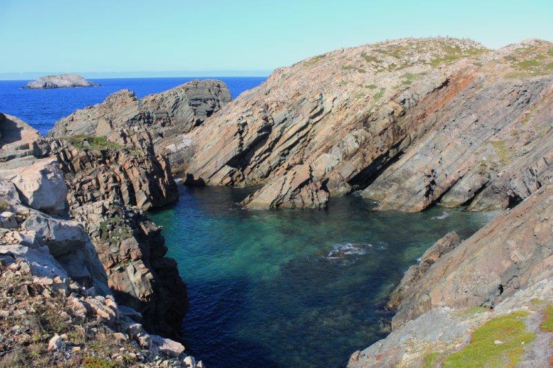
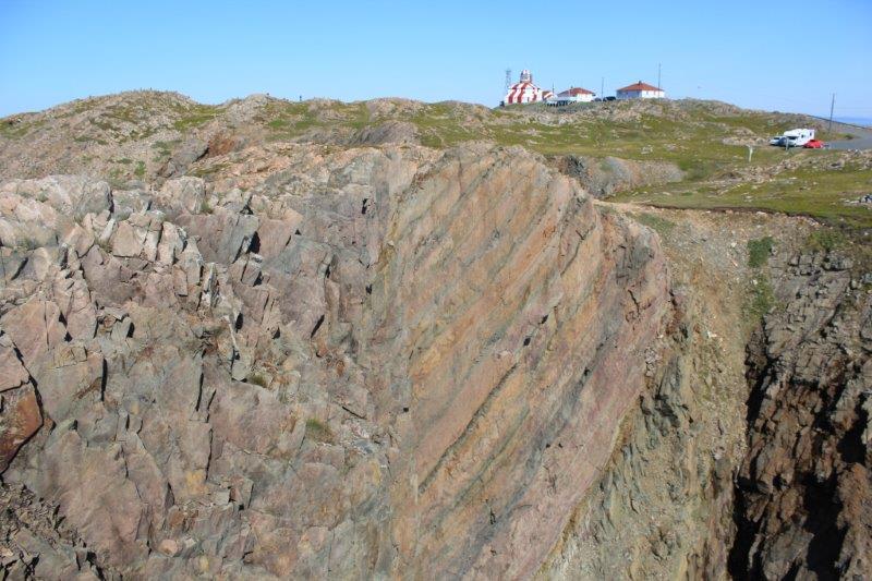
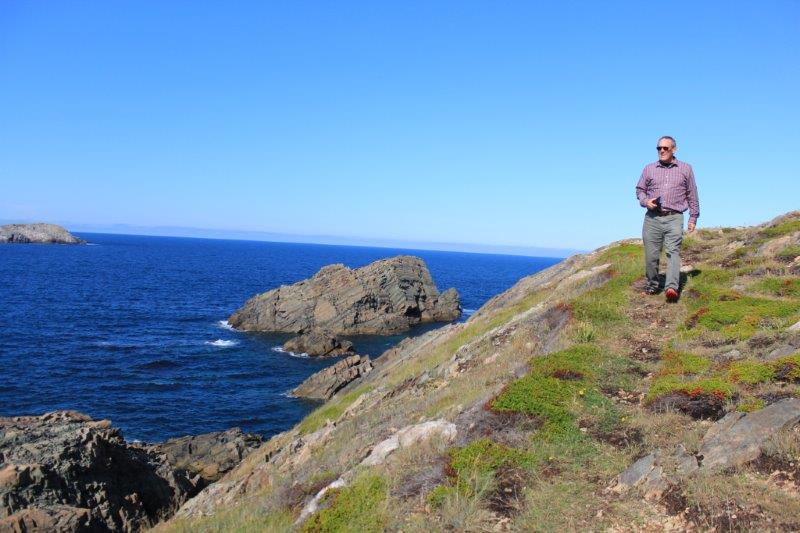
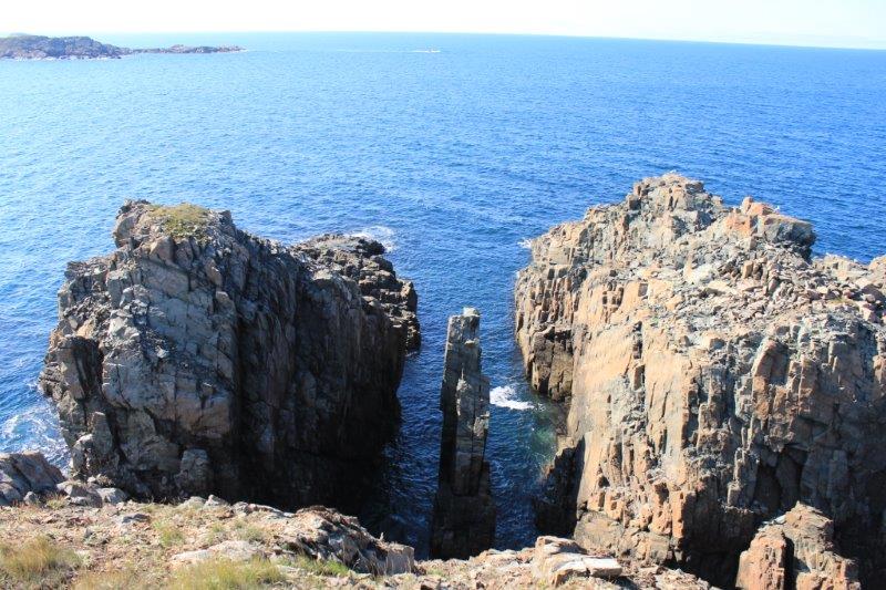
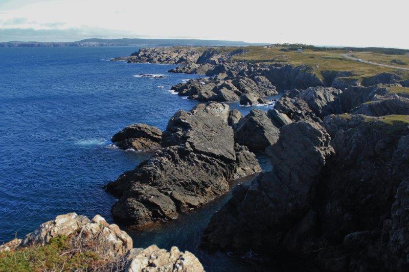
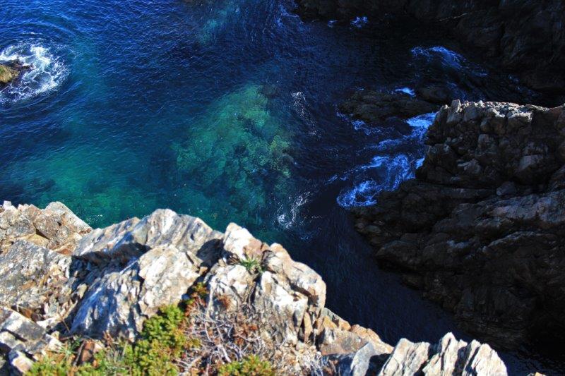
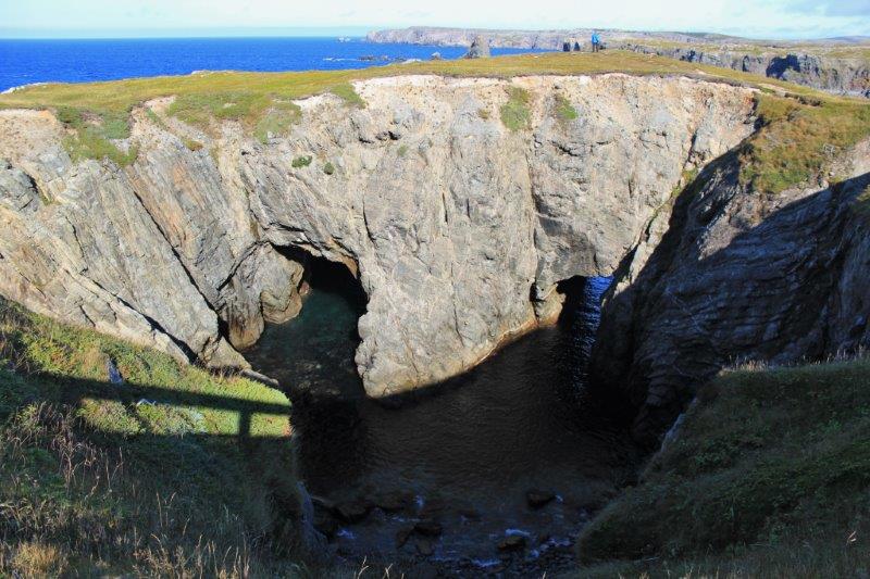
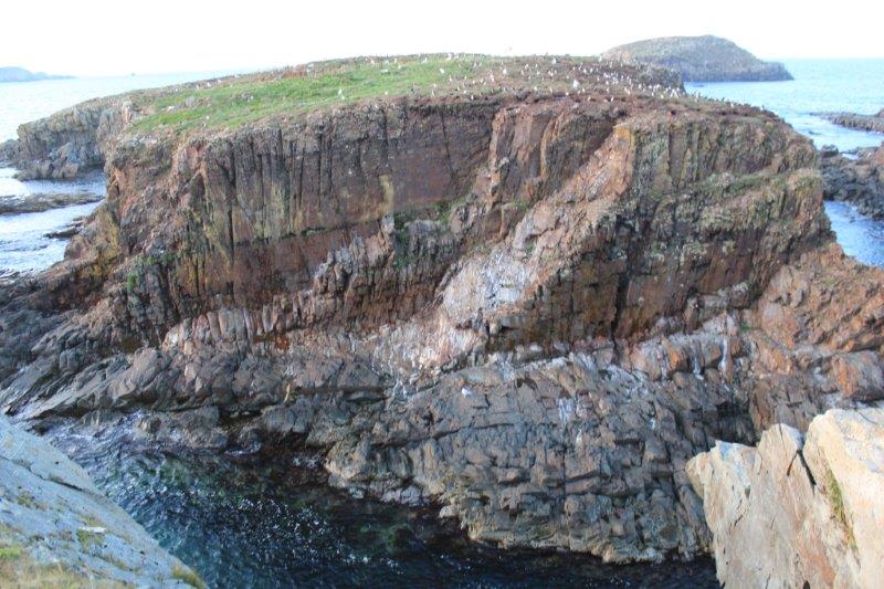
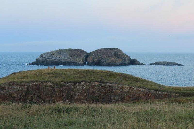
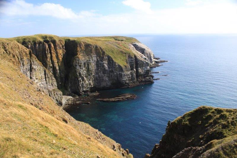
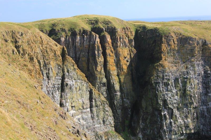
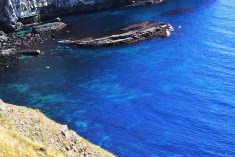
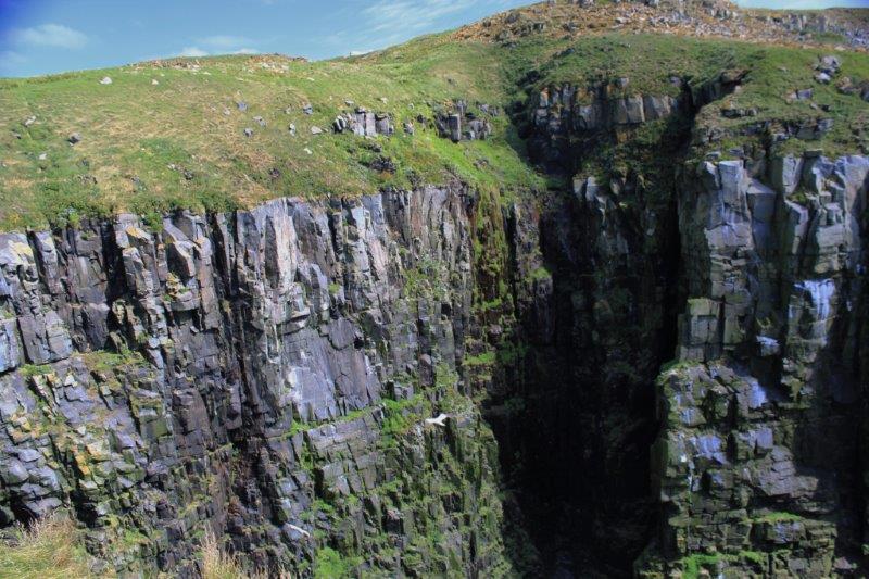
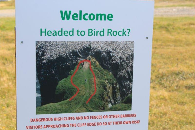
A 1.4 km trail along the cliff top leads you to Bird Rock, a 100-meter high (328 ft) sandstone bank where the birds congregate by the thousands.  The noise was incredible and it wasn’t breeding or nesting season with all the other birds around to make it worse.  So very, very cool to be about 50′ away from a bird colony and at the same level.  The space between you and them is a long sheer drop so you don’t want to go near the edge.

IMG_9402 IMG_9404 IMG_9406 IMG_9416 IMG_9419 IMG_9423  Just in case…IMG_9424 IMG_9428 IMG_9431 IMG_9441 IMG_9453 IMG_9454 IMG_9459 IMG_9461


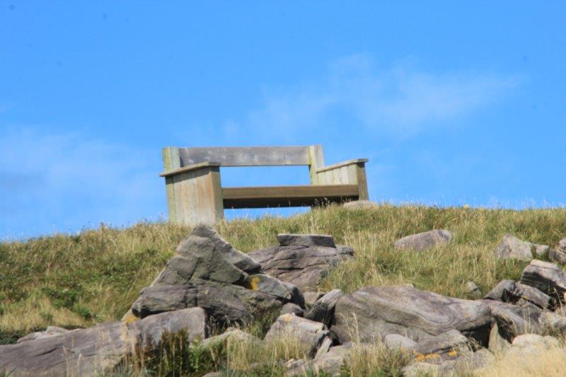
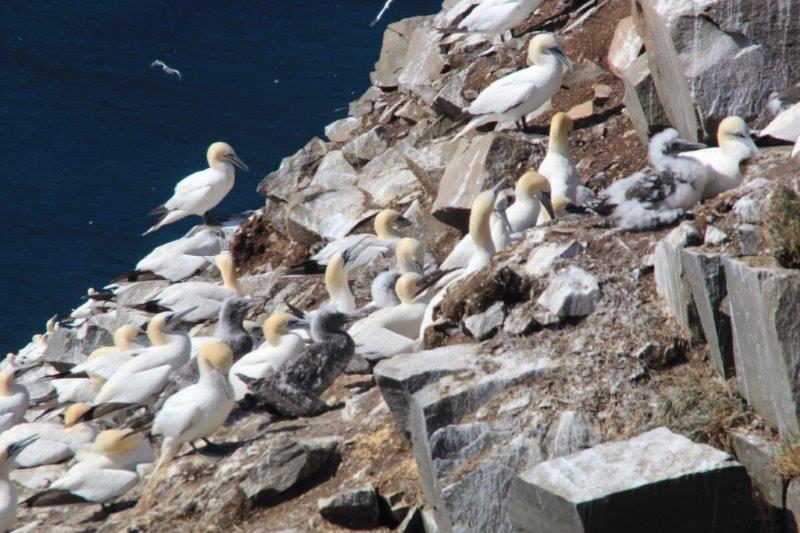
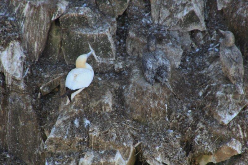
Do you see the two young ones?IMG_9465 IMG_9468 IMG_9470 IMG_9475 IMG_9480 IMG_9481 IMG_9483
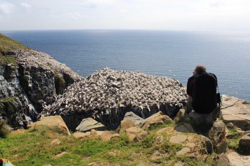
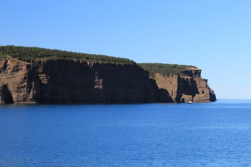
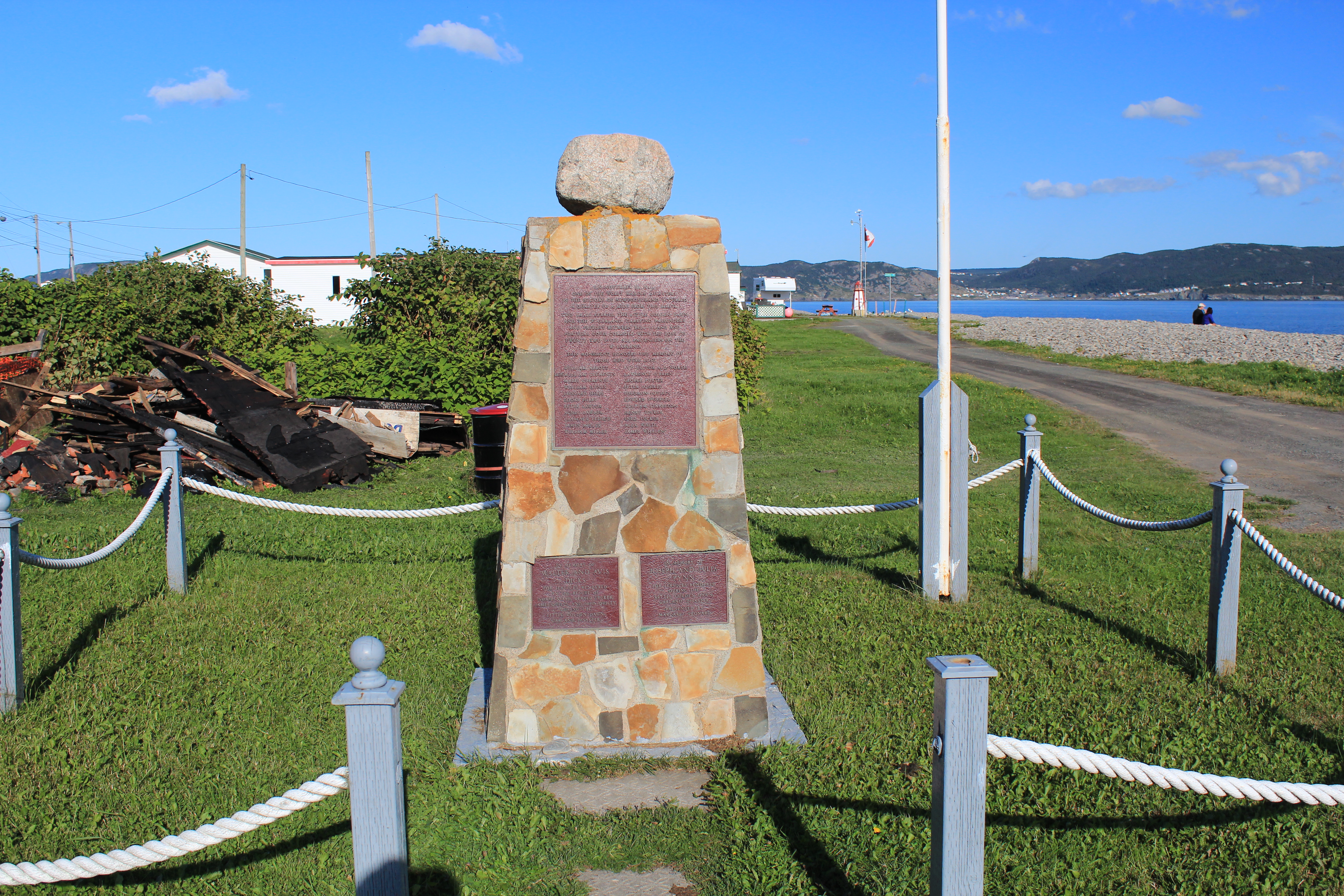
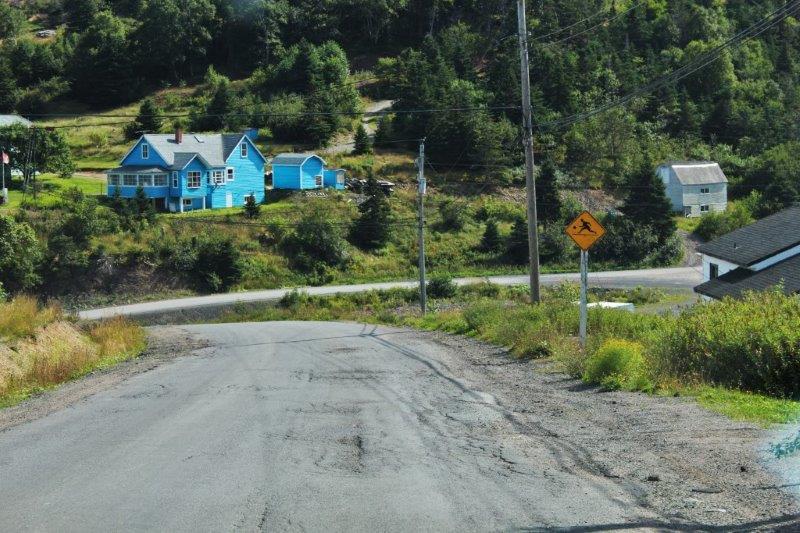
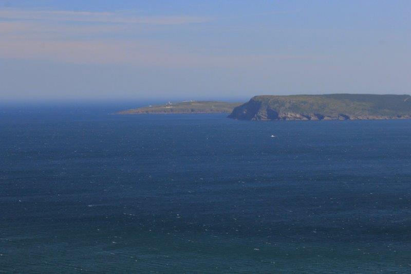
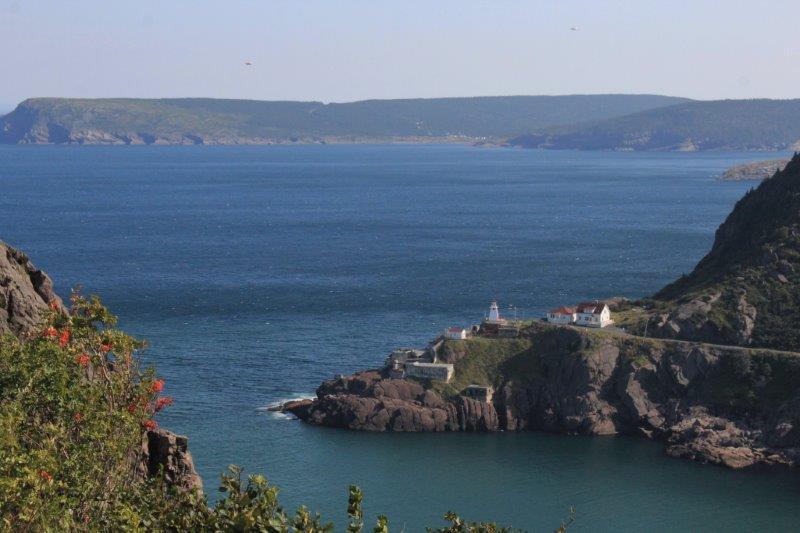
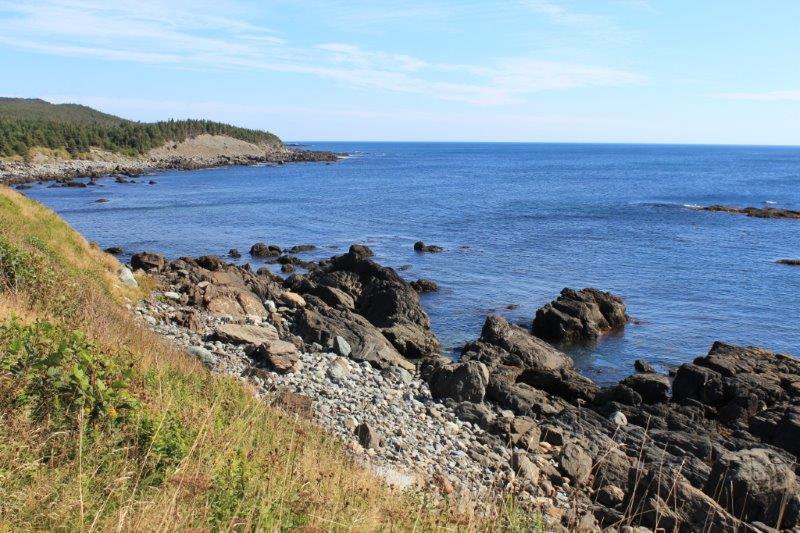
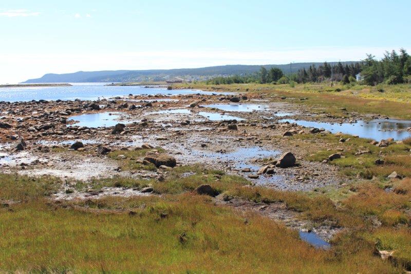
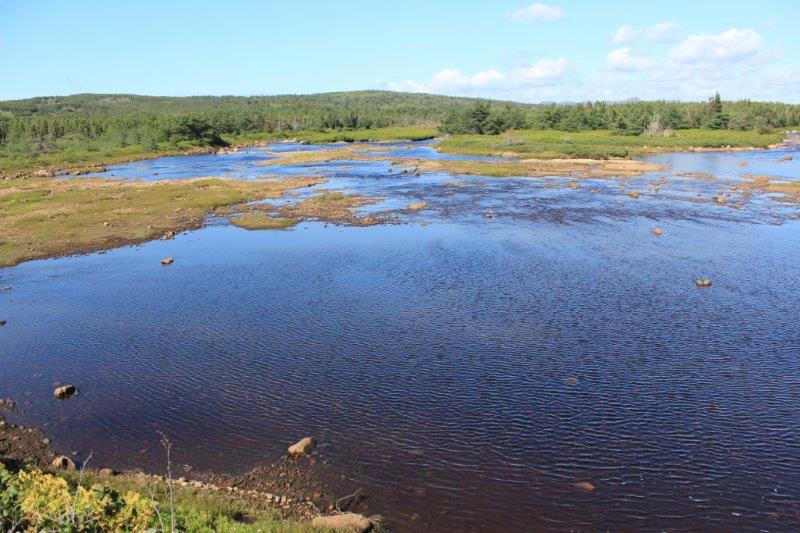
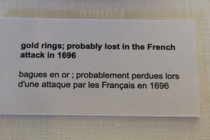
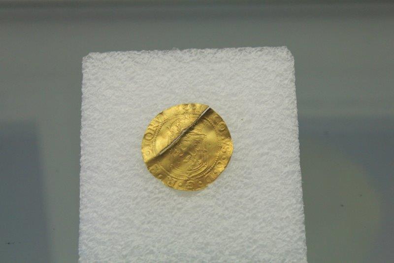
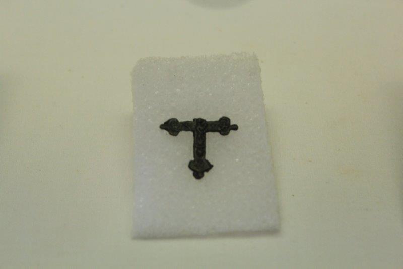
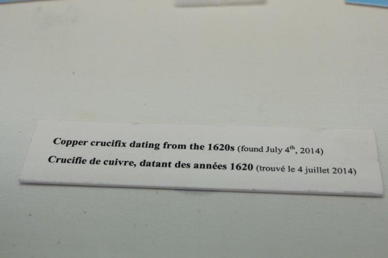
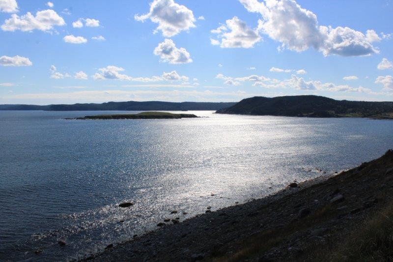
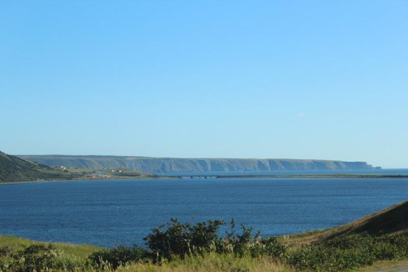
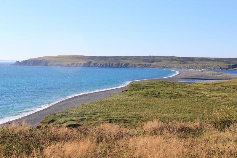
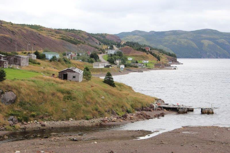
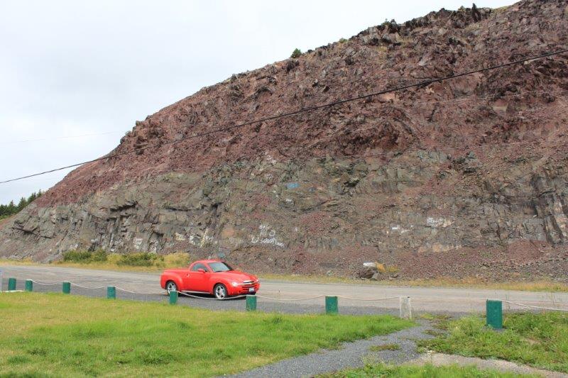
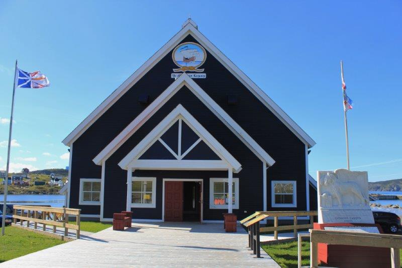
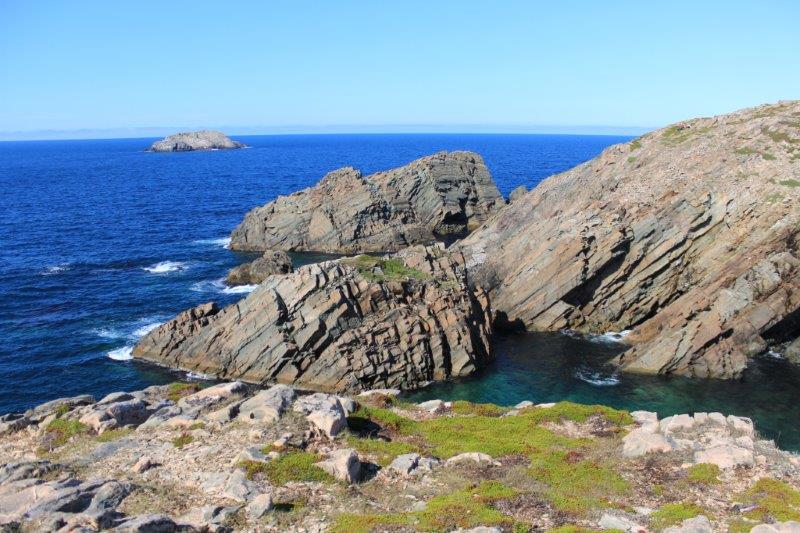
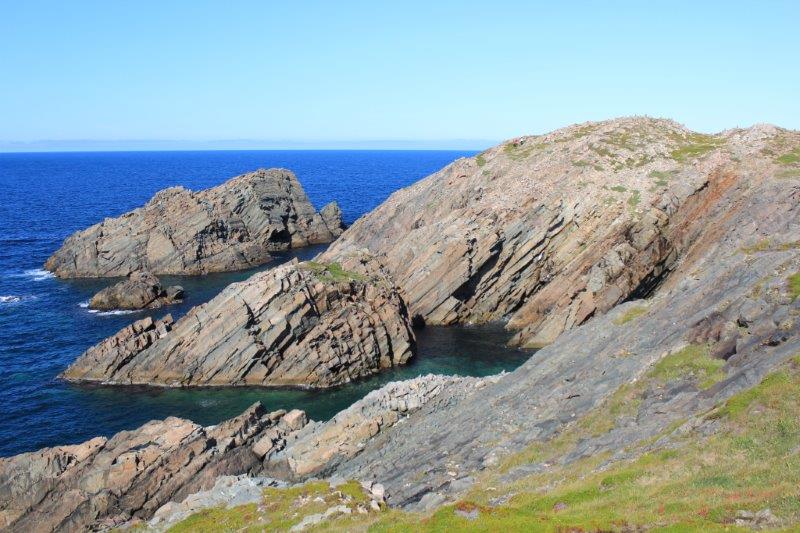
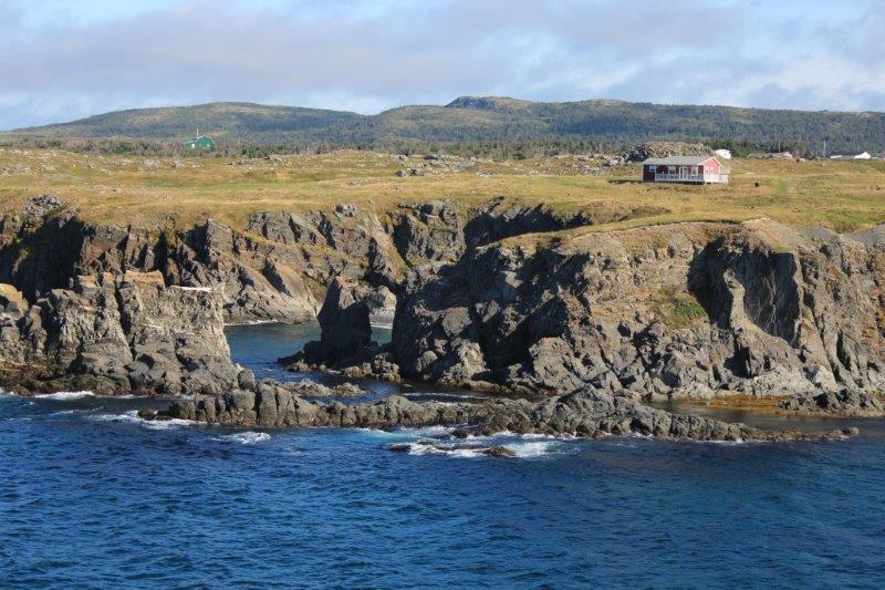
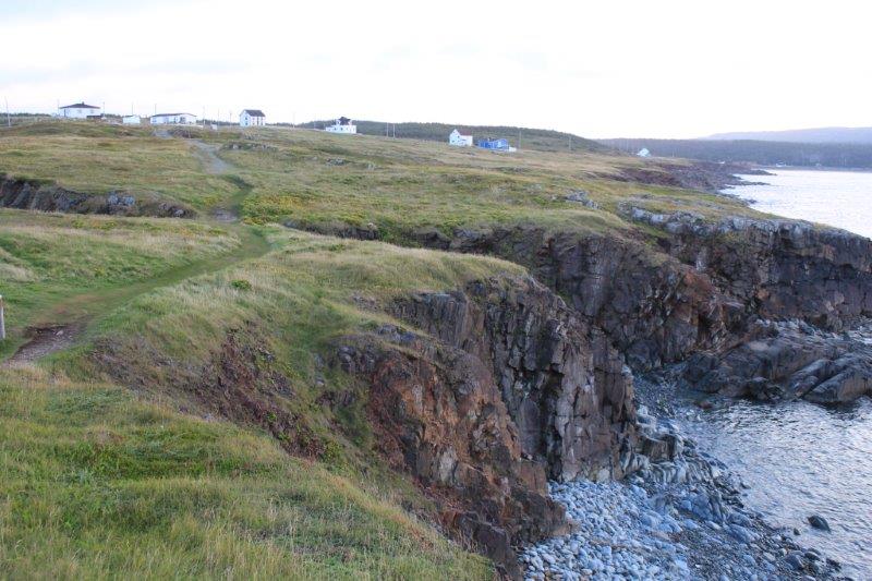
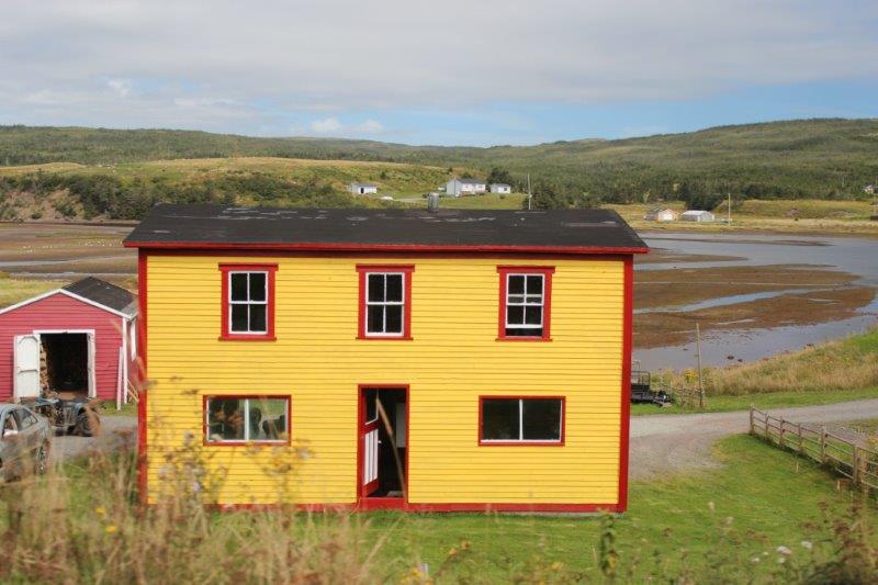
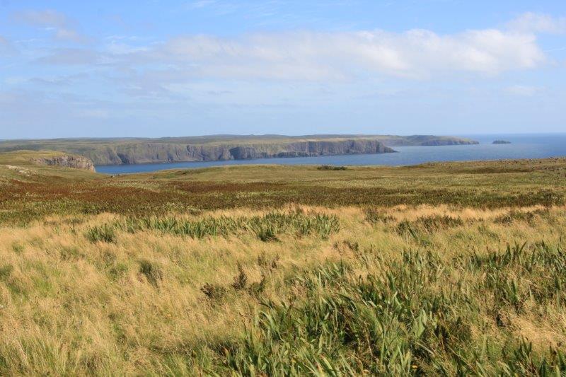
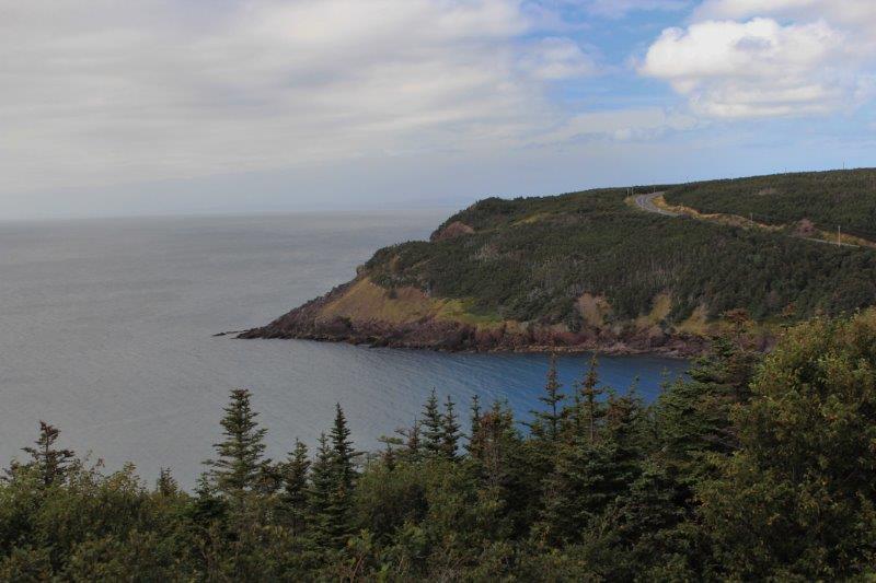
After we finished photographing the gannets we headed up the north side of the spit, past the purple-based cliffs near Gooseberry Cove.  I wanted to get into Placentia early enough to go to the National Historic Site of Castle Hill, the massive 17th century French fortification guarding their fishing community.  Today was the last day of the season it would be open; until 6 pm the brand new 2014 Newfoundland Tourist Guide informed me.  But….I guess no one informed Parks Canada because the gate was closed and locked.  Missed another one!  Oh well.  Life goes on.

IMG_9501 IMG_9503
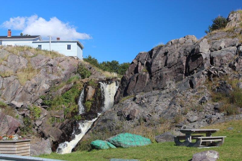
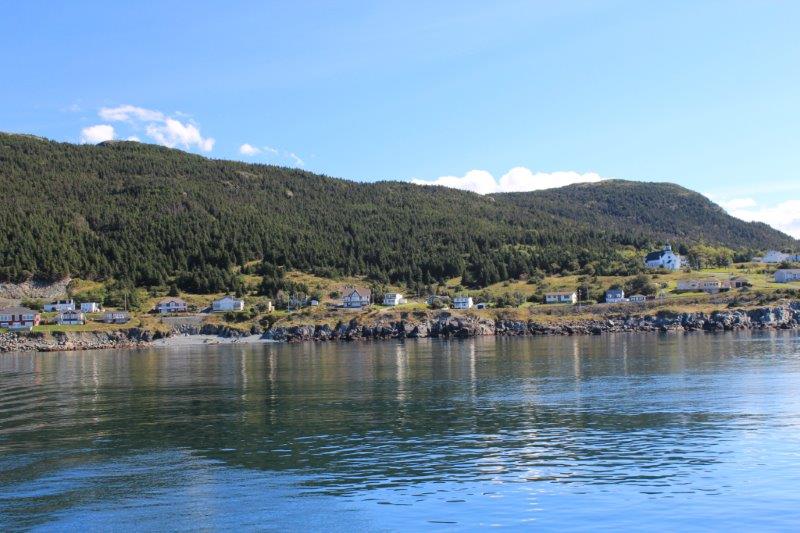
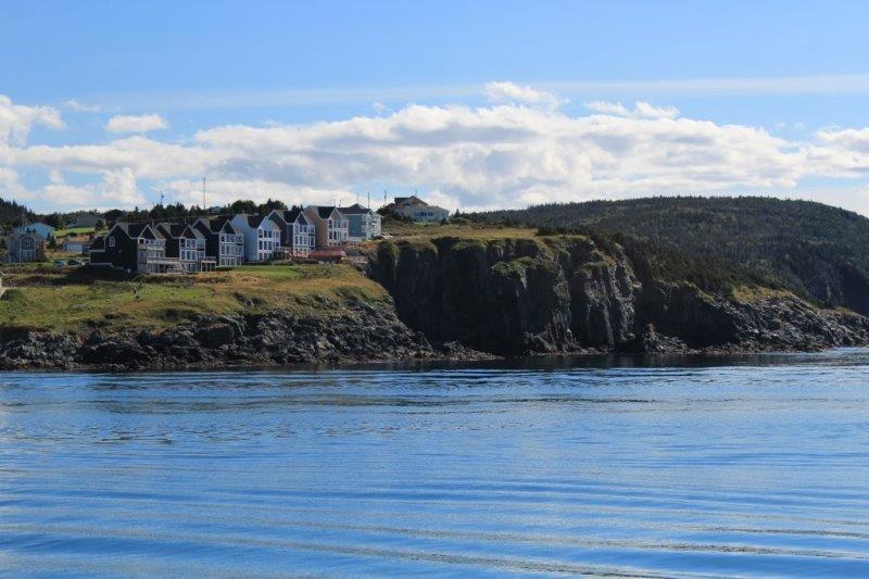
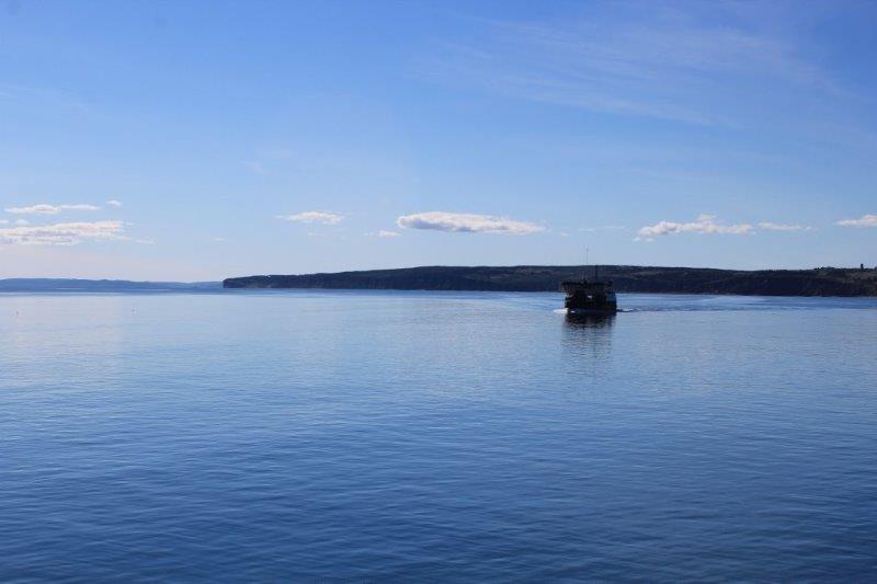
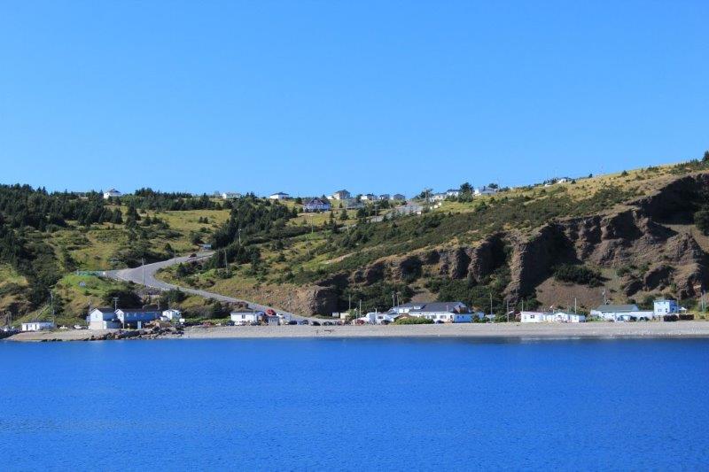
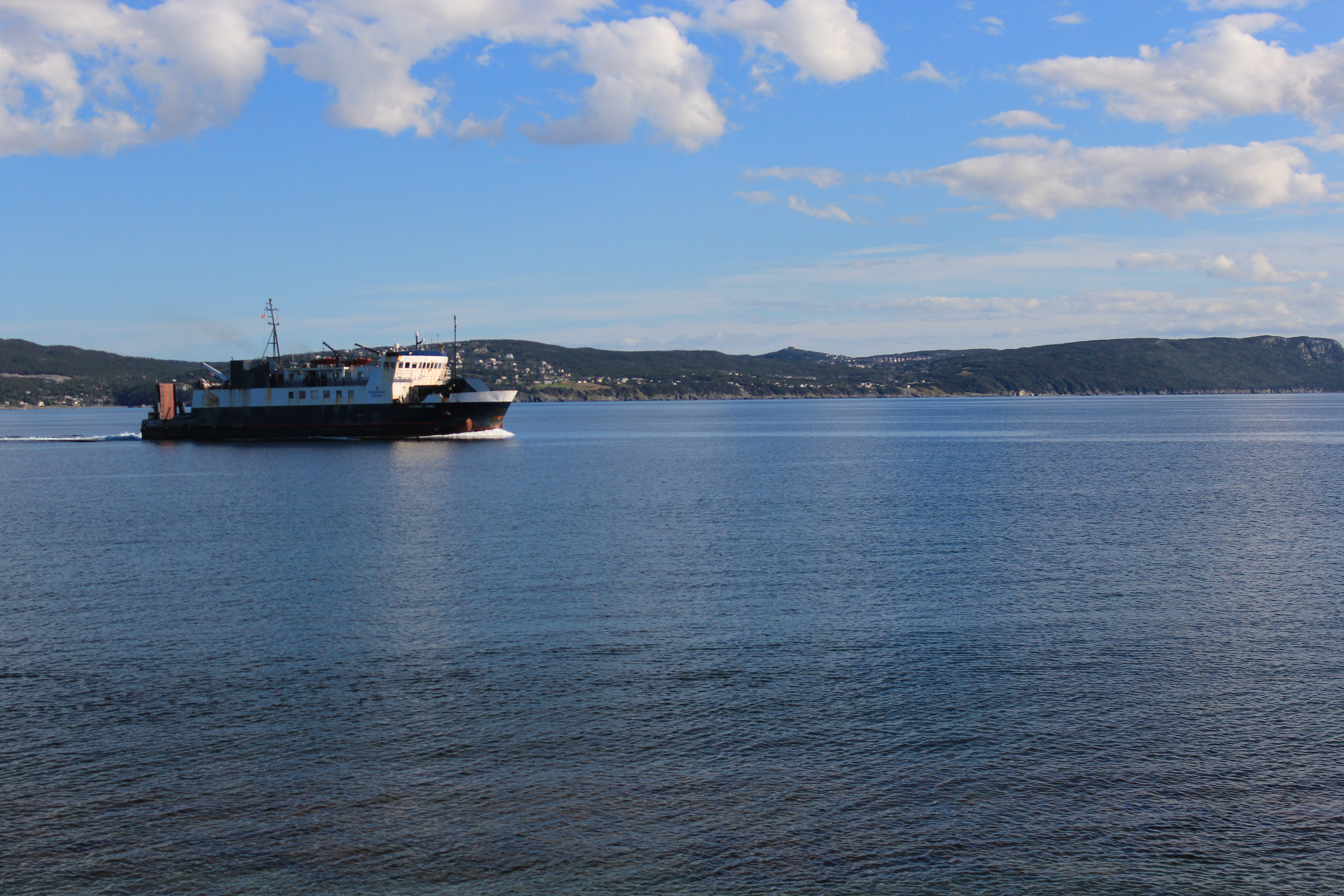
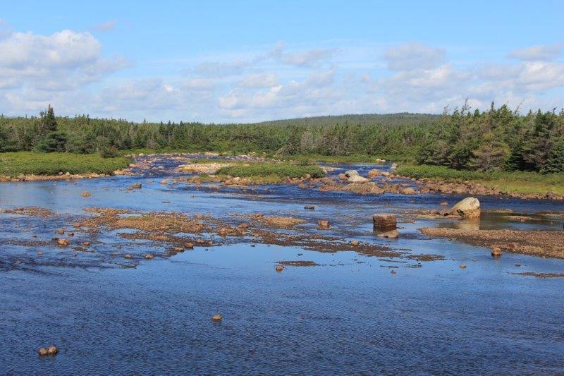
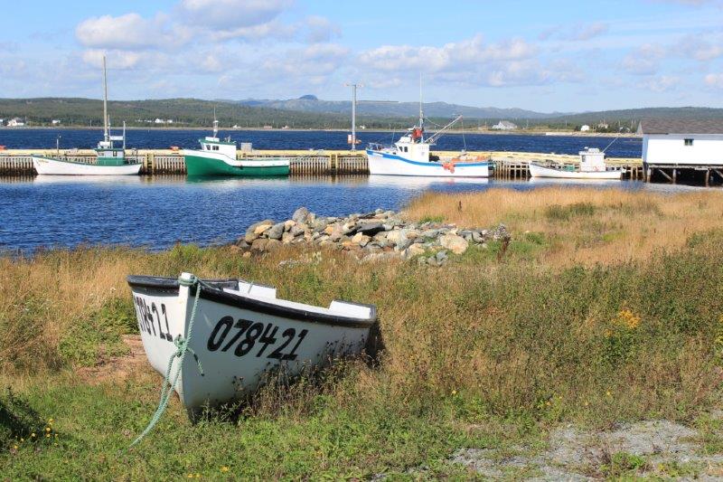
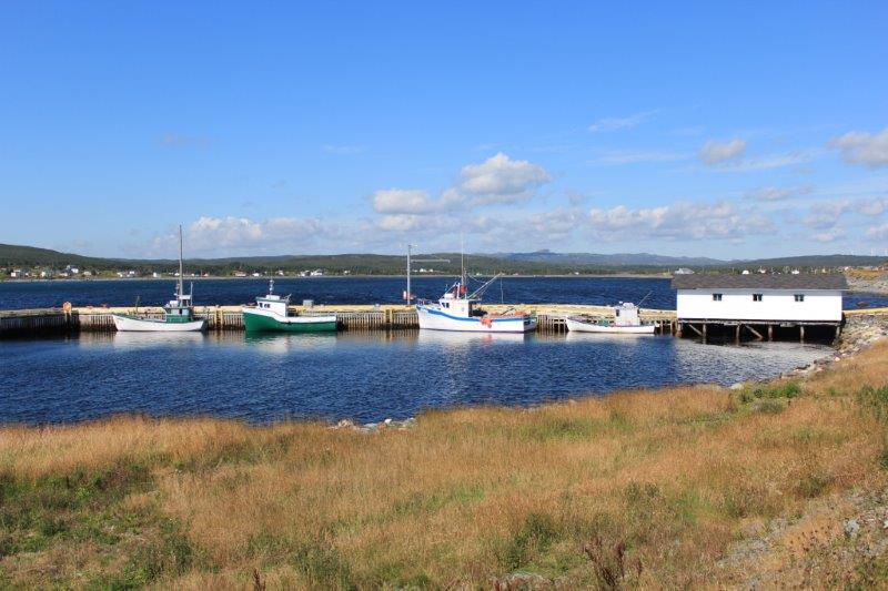
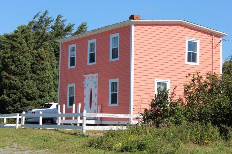
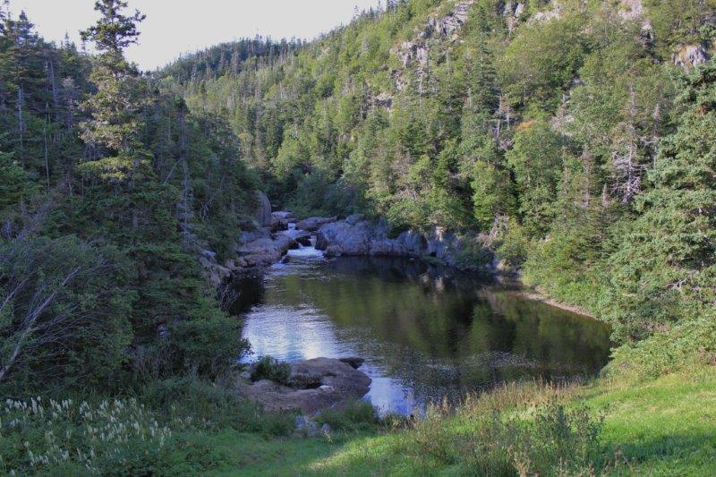
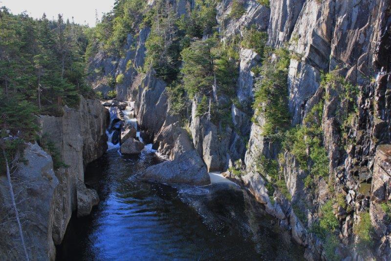
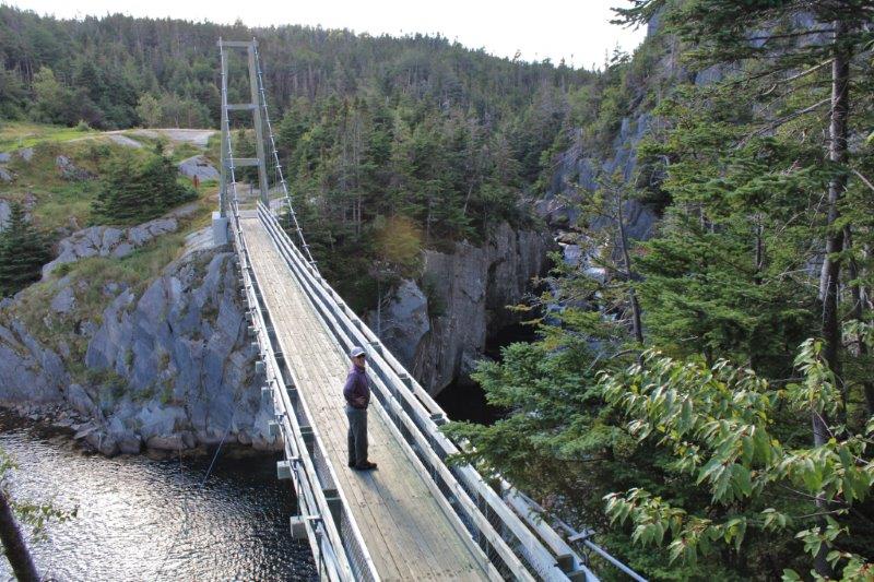
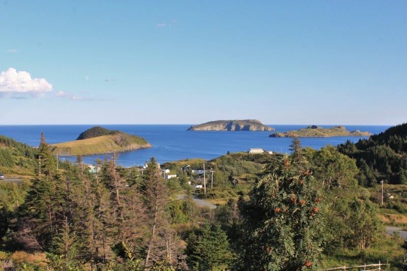
We turned around, drove back to Placentia and checked in to our hotel.  Our overnight ferry ride back to the mainland leaves Argentia at 5 pm tomorrow afternoon, but we have to be there at 3.  We plan to drive back on Route 91 to see the gorge and waterfall at Cataracts Provincail Park in the morning.  The ferry ride is 15 hours (or more if rough water slows the crossing).  We are due to arrive in North Sydney, NS about 9:45 am September 12.  From there we drive the Cabot Trail of Cape Breton – hopefully we will be blessed with another nice day.

2014 Sep 9 – Day 82 – St. John’s, NL

A lovely sunny day greeted us upon opening the curtains this morning.  We had some sightseeing in St. John’s planned; just a couple of things, and then intended to go up the coast and over to Bell Island.  Some matters at home needed to be taken care of so we had a bit later start than planned and we didn’t do the St. John’s things.  This doesn’t bother us any.  We are very fexilbe on our plans when we travel and we know, in this instance, we will be back in St. John’s for a full day next year and can pick up those couple of things easily.

We left St. John’s about 1 pm and drove up to Pouch Cove where there was a storyboard about a dramatic rescue by the local residents when a ship got caught in a violent storm and sunk.   The Captain had told people to jump onto the rocks when the ship came close and those that did so survived.  All others perished.  A very courageous man was lowered by rope to the ledges.  He brought along another rope that was tied around a survivor and other men, who had stationed themselves at various points up the cliff pulled the survivors up, one at a time, to safety,  It was quite a story.

IMG_9315

IMG_9317 IMG_9318 IMG_9321

We turned the corner at the tip of the peninsula and drove down the northern Conception Bay side to Bulaine and Portugal Cove.

IMG_9325 IMG_9326

At Portugal Cove we were just in time to catch the ferry to Bell Island, which was an iron ore mining community. Between 1895 and 1966 more than 78 million tons of ore were shipped out of the mine.  It is estimated that the area contains 3.5 billion tons of ore.  There is a mining museum where you can go 500 feet down into the mine.  Since we went on a coal mine tour in Glace Bay we didn’t plan to do another mine tour on Bell Island.

The draw for me was the cliffs.  The community of Wabana and surrounding areas are all atop very, very high, very, very sheer cliffs. I was hoping to view some of them as we drove around. My map  shows a single road encircling the small island so after we exited the ferry (the crossing takes about 20 minutes and today the bay water was as smooth as glass.  Nice blue glass at that) we drove up the steep hill to make a counter-clockwise loop around the island.

IMG_9329 IMG_9330 IMG_9328 IMG_9331 IMG_9335 IMG_9337 IMG_9338 IMG_9340 IMG_9342 IMG_9343 IMG_9344Well. the map lied. There are roads all over the place on that island. We zig zagged here and there.  Never did find the ‘Grebe’s Nest’ on the north side where the birds nest on the cliffs and caves.  We found one of the advertised giant murals depicting the island’s history – the portrait of a miner.  We found the memorial to the Seamen who died off the coast of Lance Bay on Bell Island after being attacked by German U-Boats (the German’s wanted to interrupt the shipments of ore to the allied factories).  Actually Lance Bay is the only place in North America to suffer a direct hit from a German torpedo in WWII.

IMG_9354 IMG_9352 IMG_9353 IMG_9348  I met some friendsIMG_9358 IMG_9357And back at the ferry terminal I saw the memorial to those lost in a ferry disaster in 1942 when two small ferries collided just off-shore and 22 people died – all the passangers of one of the ferries.  The only views of the cliffs were from the ferry as we arrived and departed.

IMG_9362 IMG_9364Still, it was a lovely sunny day.  The temperature was warm.  Almost warm enough for a top down day but we didn’t bother.  Tomorrow we leave St. John’s and drive around the peninsula to Placentia for the night before we catch the over-night ferry from Argentia to Sydney, NS.  That will mean farewell to Newfoundland.


2014 Sep 8 – Day 81 – St. John’s, NL

Today was a sightseeing day in St. John’s.  I have a full page list of things to see here so we probably won’t get to them all.  Since our ship stops in St. John’s on the cruise next August we figure we have a second chance to catch at least some of the missed things.

First on the list is the second-to-last Legislative Assembly Building for Canada’s Provinces – except Toronto, which we skipped on purpose (the city entirely, not the building).  We have been to both the BC and AB Legislative Buildings before this trip.  We intend to go to Fredrickton, NB as we begin our trip westward.  It will be the last except I will have to look into the official governing buildings of the Territories to complete the set some day.

IMG_9185

Getting new windows and other upgrades under the tarp.IMG_9205 IMG_9195The book on this table lists the names of those from Newfoundland who died in WWI and WWII.  There are identical books in Ottawa and France and there is a schedule that keeps all the pages turned in all three books at the same time.  11 am every third day, except for days of major battles when the pages are turned every 5th day.      IMG_9211We were given a tour by a fellow who works on the fifth floor and whose real job is recording the proceedings but who fills in on tour duty when needed.  We were taken all over the place and since there was only John and me and our guide Jeff we were able to ask all kinds of questions and chat away. It was quite different to be in a building that wasn’t built in the late 1800’s but opened for business in 1960.

When the Confederation Building was completed all the other provinces in Canada gifted Newfoundland with articles they would use in their Assembly Rooms.  Manitoba gave them a clock, other provinces gave them the House Speaker’s chair, the center table, the gavel (PEI), other chairs, etc.  BC gave them the Mace.  Newfoundland had an official mace that the British authorities gave the then-Dominion in 1833.  After they received a new one from BC in 1960 the old one was placed in storage.  It was re-discovered in the late 1990’s and refurbished.

IMG_9206Next we drove down to Government House, home of the Lieutenant Governor in the hope we could go on a tour, but it only opens for large pre-arranged groups.  We had a nice visit with the security guard (ex-RCMP fellow who reminded me strongly of our friend Don Cann, also ex-RCMP).  He told us we could just leave Poppy in the parking lot if we wanted to walk up Military Road to see the various historic buildings.  Perfect!IMG_9220 IMG_9222

This is what it looks like behind the trees.

The number two thing I really wanted to see was Commisariat House; the home of the Assistant Commisary General of the British Military stationed in St. John’s in the 1800’s.  The house was closed. Rats.  (It is now on the list to see next August on the cruise).

The Corp of Royal Engineers built the house in 1818 and it was the residence of the officer in charge of the pay, supplies and services required by the British military in St. John’s from 1821-1870.  After that it was used as a Rectory for St. Thomas Anglican (The Old Garrison) Church until 1969 (except from 1918-1921 when it was used as a nursing home and hospital).  I really hope we can tour it next year because there would be some very interesting stories I think.

IMG_9227 IMG_9225We also wanted to tour The Old Garrison Church, but it too was closed.

IMG_9228As was Colonial House, the former House of Assembly in St. John’s from 1850-1960.   Colonial House is undergoing a major interior and exterior renovation and is slated to be open next year as a museum.  Another addition to next year’s cruise stop itinerary.IMG_9233Basilica Cathedral Church of St. John the Baptist was open.  The cornerstone was laid in 1841 and the first mass was celebrated in 1850 even though the building was not completed until 1855.  It is a very large church with an ornate ceiling, lovely stained glass windows and marble floor.IMG_9241 IMG_9248 IMG_9254Our last sightseeing of the day was The Rooms; the beautiful new combination museum, art gallery and provincial archives.  We spent about 2 hours wandering around before walking back to Government House to collect Poppy and head back to the hotel for dinner and the night.

IMG_9300 IMG_9304IMG_9301

IMG_9258  Atlantic PuffinsIMG_9266 IMG_9268 IMG_9270

Of course, the province is Newfoundland and Labrador so some of these arctic critters are prevalant in the Labrador part more than the Newfoundland part.  Although polar bears wander across the ice and into St. Anthony and other towns some times.

IMG_9271 IMG_9273 IMG_9275 IMG_9276 IMG_9280 IMG_9278 IMG_9279

IMG_9286

The extinct Newfoundland Wolf.IMG_9277

A Newfoundland Black Bear.

This a display of Dorset Eskimos cutting soapstone out of the quarry at Fleur de Lys to make a pot.  We went there and I posted a photo of this same wall. IMG_9265There was also a short animated film about the 1914 Sealer’s disaster of the S.S. Newfoundland.  We visited the memorial at Elliston when we were up at Bonavista.   I love it when we come across things we have seen or read about somewhere else.

Several friends of ours who have been to Newfoundland told me that if I liked the colorful houses in Lunenburg and Peggy’s Cove in Nova Scotia I would love Newfoundland.  Until today that did not happen.  Most if the houses we have seen have been covered in vinyl siding in very similar taupe, tan, sand, sage, beige, white we get at home.  There are some lovely colors, like the pretty coral one I posted a few days ago, but not building beside building beside building.  Until today in St. John’s.  This I like.

IMG_9237 IMG_9236 IMG_9239 IMG_9230 IMG_9229 IMG_9307 IMG_9309 IMG_9313 IMG_9310 IMG_9311We have more things on the list for tomorrow.  And the weather is supposed to be nice again.  I’ll keep my fingers crossed.  It sure was nice today.

Oh.  One more thing.  In The Rooms we came across a Smith Bit in a display about Newfoundland’s oil industry.  Our son worked for Smith in Houston for 2 years and Dubai for 6 years and is now in Oman.  The company was purchased by Schlumberger a couple of years ago but the Smith Bits are still one of their products.

IMG_9295   IMG_9296 IMG_9299

Is there anything wrong with this one Joseph? Do you need to do a failure report?

2014 Sep 7 – Day 80 – St. John’s, NL (Special Edition)

Today we are in our hotel room doing nothing. It is cloudy, cool, raining and windy outside and we are feeling lazy.

For those of you who have been following my blog since the beginning of our trip (Day 1 – June 20) you may remember that I located my maternal grandparents graves when we were in Winnipeg (Day 7 – June 26).  My grandfather’s marker in the military section had no date of birth on it because he had served in WWI in the British forces (Scotland) so his full records would not have been available in Canada (although it is a bit surprising that no one thought to ask Aunty Anne – the eldest at 16 or 17 – what year her father had been born.  Of course back in 1936 it probably didn’t occur to anyone to ask a child such a thing.  And the girls may even have returned to Scotland by the time the marker was made).

Also my grandmother’s grave did not even have a marker.  John and I ordered a marker for Grandma and asked the memorial firm to request permission from the Commonwealth War Graves Commission to etch Grandpa’s year of birth on his marker (you cannot do anything to a military grave or marker without permission).

I have received photos of both of the markers now so I thought I would share them.

Young marker

******************************************************************************Speaking of cemeteries.  All over eastern Canada and the Maritime provinces the churches have cemeteries surrounding them for their members, many of the markers date back several hundred years.  And many churches here in Newfoundland have the same thing.  However cemeteries not located on church property ALSO are designated to a particular denomination and all are fenced.  Either page wire or wood usually.  On the outskirts of Roddickton we passed cemeteries for every major Christian denomination; side by side, each fenced separate from the others.  (I didn’t take photos unfortunately). I will need to ask where you get buried if you don’t attend church or belong to a different religion.

IMG_8730 IMG_8622 IMG_8623 IMG_8624Notice too, that the signs above have been paid for by a congregation member just like they donated the communion set or the baptismal font or a stained glass window.  This is a new one to me but obviously it is common practice.

We have been in Newfoundland since August 18 and I have noticed a few other things – other than cemeteries and the accent.  I love the way they turn T’s into D’s.  “How you goin’ dere?”  “Don’t go down dere, da road is turrible.”  As I mentioned in a previous blog we do hear a definite Celtic lilt.  The loop we did from  the TCHwy – after leaving Spaniard’s Bay – to Trepassey and up to St. John’s is called the Irish Loop.  At one time half of Newfoundland’s population was of Irish descent – they came here even before the great potato famine.  There are lots of Scots too.

If you drive the Trans-Canada Highway from Port aux Basque to St. John’s you will be on a nice wide road and freeway nearer the city.  The minute you digress north, south, east or west on a secondary or other road things change rapidly and drastically.  It is impossible to avoid the potholes, patches, bumps, dips, waves and worn edges.  Sections of bad roads will be many kilometers long with a short section of well-patched or smooth pavement.  Poor Poppy doesn’t know what to do sometimes.  You don’t have to go ‘off road’ to ‘off-road’ in Newfoundland.

IMG_8586 IMG_8591 IMG_8595 IMG_8597 IMG_8599 IMG_8600 IMG_8601 IMG_8895 IMG_8893 IMG_8894However the local folks tend to drive one of two ways: they either poke along several km/h below the limit (probably due to a bad experience with a pot hole at some point) or they fly like the wind – I mean 20-30km over the limit.  I can only assume the plan is to go so fast your tires and shocks don’t have time to notice the condition of the road they are driving on. I certainly would not want to hit some of the craters or washboard at 120 or 130 kmh!

But…they are polite drivers.  They will let you in or out of a driveway if there is a line of traffic.  They wave as they go by – although this may be due more to the uniqueness of Poppy than anything else.   Yesterday here in St. John’s we encountered a “Construction: right lane ends in 1 km” sign.  Now in BC all the drivers in the right lane would keep driving quickly in that lane until forced by the closed road to move to the left lane by inching in ahead of cars that are in the correct left lane.  Thus they get nearer the front of the line and can zoom ahead of everyone else at the end of the construction zone.  Not in Newfoundland.  As soon as drivers see the sign they move to the left lane – even though the right lane doesn’t end for a kilometer.  By the time we arrived at the closed lane we had a kilometer long line behind us and a vacant right lane beside us.  Everyone kept their place in the traffic flow to go through the closure area.  I was sincerely impressed!

One other thing that is distinct to this province is the stores.  Most of the little communities don’t even have stores.  You just drive to the nearest bigger place to get stuff.  The places with stores don’t have a ‘downtown.’  The different businesses are interspersed with the houses (many businesses are run from the house) stretching for quite a distance along the road.  Oftentimes there do not appear to be other streets in the little places.

Here in St. John’s the stores look like our stores at home and in the other provinces we have visited, but in Newfoundland most of the small community shops look like square box warehouses: no ‘design,’ no esthetic touches, with very few windows.

IMG_8634 IMG_8637 IMG_8641 IMG_8644 IMG_8645 IMG_8647 IMG_8648Now this makes sense to me in a place that has such harsh winters – windows loose a lot of heat after all.  And the Newfoundland people are hardy, practical folks and probably don’t see a need for fancying up a store.  Since I am a pragmatic, functional type I have no problem with this.  Many businesses, in my opinion, spend too much money on the appearance of things.  And at home, even though the store looks lovely more often than not you feel you are interrupting the staff if you want to ask something; assuming of course you can find the staff.  Not here.  In Newfoundland people greet you when you enter a restaurant or store, ask if they can help, show you where stuff is and thank you for coming as you leave.  They even take a few minutes to chat sometimes.  I really like Newfoundland and Newfoundlanders.

2014 Sep 6 – Day 79 – St. John’s, NL

Well, we have finally made it!  The most easterly point in Canada; in all of North America actually – Cape Spear – the location of the first lighthouse to be built along the Newfoundland coast in 1836.   A map shows the nearest landfalls after you step into the water here.  We have been to one of them so far.  That is Flores, The Azores, Portugal.  On our Voyage of the Vikings cruise next July we will make it to two more: Reykjanesviti, Iceland and Uummannarsuaq (Cape Farewell), Greenland.  That only leaves Tearaught Island off the coast of Ireland and Cabo de Roca, Portugal for us to get to. I’ll have to put the names on a list so I don’t forget.

IMG_9069 IMG_9073 IMG_9074  We made it!IMG_9075 IMG_9072The original lighthouse had the lightkeepers house built around the base of the light just like at Bonavista.  A new modern light was installed on the Cape in 1957.  There are trails all over the cliffs at Cape Spear.  We wandered up to both lighthouses and along the cliff face to a cove but didn’t venture to the paths on the rocks below.  It was very windy today; albeit a warm wind and I didn’t want to meet any of the rocks face to face.

IMG_9086 IMG_9088 IMG_9089 IMG_9092  Nice view.IMG_9093  Long drop!IMG_9094 IMG_9098 IMG_9101

Some more of Parks Canadas nice red chairs.

IMG_9106IMG_9125 IMG_9128During WWII a joint USA/Canada defense agreement installed two disappearing guns atop Cape Spear.  There was a complete military base built into the rocks.  From below on the cliffs (so definitely from the water) the installation was invisible.

IMG_9079 IMG_9082 IMG_9083 IMG_9085

This is what you see from below the battery.IMG_9081                                            Another nice cloud formation.

The only other place we visited today was Signal Hill.  We are supposed to get rain again in the next few days so we decided to do both of the ‘must see’ outdoor places today while the weather was still good.

Signal Hill has been an important defensive point at St. John’s since the  18th Century.  The harbour at St. John’s is considered a hidden harbour.  It has a very narrow entrance that is disguised by projecting 100′ cliffs.  The Queens’ Battery overlooking this narrow harbour entrance provided defense protection for over 100 years.

IMG_9141 IMG_9143

IMG_9149

Cabot Tower. Built between 1897-1900.

IMG_9150St. John’s harbour.  Notice the narrow entrance at the lower left.IMG_9151  Deadman’s PondIMG_9154  Cape Spear is the furthest cliff. You can just make out the lights.IMG_9169The entrance to St. John’s Harbour.

.IMG_9170 IMG_9171We thought the wind was blowing at Cape Spear, but at the top of Signal Hill we literally had to brace our feet to keep steady.  We have a few out-of-focus photos because we couldn’t keep the cameras steady.  John especially had trouble with the wind today because he has had to use his phone to take photos for a couple of weeks already.  He left his camera charger in a hotel room somewhere not long after we got to Newfoundland (none of the hotels he thought it might be in had found it).  He has had to wait until we arrived in St. John’s to buy a new generic one.  All the little towns here don’t have grocery stores or shops of any kind let alone a place to buy specialized camera equipment.IMG_9165

Just before you get to Signal Hill you pass the Geo Center where they have dug deep into the rocks and have a beautiful geology center.  We are thinking of going to check it out while we are here but haven’t decided what day.  But….the most important thing about the Geo Center – to me anyways – were the two life-size sculptures of Newfoundland’s dogs;  the Newfoundland and the Labrador Retriever.  Just in case we don’t get back here before leaving the city I insisted John stop so I could get my photo taken with the ‘dogs.’

IMG_9175 IMG_9177 IMG_9178

2014 Sep 5 – Day 78 – Trepassey, NL to St. John’s, NL

Today we made it to the east coast of Newfoundland!  It only took us 19 days to travel 902 km – a 12 1/2 hour drive – if you go straight from Port aux Basque to St. John’s.  We, however drove to the tip of the Northern Peninsula first, came back down again, then went up several of the other smaller northside peninsulas before going south and counter clockwise around the Avalon Peninsula where St. John’s is located near the northeastern end.  We will be in St. John’s for five nights after which we will drive one more peninsula – Placentia – on our way to the Argentia ferry back to Nova Scotia.   We are not going to drive the Burin Peninsula even though there are some things I wouldn’t mind seeing there.  We have tried to see many of the places and points of interest in the province but we do realize that we just can’t do it all.  Rats!

We stayed at the Northwest B & B in Trepassey last night.  The Northwest is owned by Gerard and Bertha Rousel from Ontario.  He is a retired millwright from General Motors and she was the national logisitics manager for a huge printing firm.  They have talked for many years about running a B & B.  An existing B & B in Ontario costs over $1million so they moved away from all of their family and friends to buy the Northwest B & B in Trepassey.  They plan to run it for about 5 years.  So far they are having a great time.  And we had another lovely breakfast with freshmade red currant muffins, and homemade bake apple or partridge berry jam for our toast.  Gerard does all the berry picking and Bertha’s sister-in-law makes the jam.  And we benefited nicely.  Note: just before we left Bertha took our photo with my Poppy truck and was going to put it on the Northwest B & B Facebook page.  I haven’t checked if it is there yet.

IMG_8901

We were on the road at 9:30.  It was another lovely sunny day and we made a few scenic stops on our way up the coast.  First was at a place called Cappahayden, closely followed by Renews (they think the name of Renews derived from the Portuguese words for fresh water because the bay was a regular stopping off point for trading ships to take on (renew) their fresh water for the trans-Atlantic sailing home.

IMG_8912 IMG_8907 IMG_8913

Renew is also home to many species of shore birds and harbour seals.  We even saw a couple of seals basking in the sun on the rocks.IMG_8914                                                  This is the ocean side

IMG_8917  IMG_8918

These are the two fresh water rivers that merge and flow into the bay.

IMG_8920

We also drove along the edge of Bear Cove Point trying to find a heritage site marker and Devil’s Rock but couldn’t find either. The harbour was pretty though.

IMG_8921 IMG_8922 IMG_8924 IMG_8926

The longest stop for the day, I knew, was going to be at Ferryland.  Ferryland is the sight of the 1621 English colony of Avalon and there is an active archeaological dig there just like in Cupids.  The Avalon community was much larger and they have found over 2,000,000 artifacts to date; from common clay pipes to buttons to clothing scraps to gold coins.  Significant items that tell the story of the settlement  are on display in the visitor’s center.

IMG_8936 IMG_8942 IMG_8948 IMG_8949 IMG_8951 IMG_8962 IMG_8964 IMG_8965 IMG_9010 IMG_9011 IMG_9012 IMG_9013

We watched the 10 minute film, spent over half an hour looking at the exhibits then joined three folks from England/Scotland on a 1 hour guided tour of the dig site before returning to the museum to finish looking at the artifacts.  Turns out our fellow tour members had come back to Newfoundland to see the changes that had taken place here since they had all worked for the International Grenfell Association many years ago.

We had just visited the Grenfell Center in St. Anthony and learned the story of the British doctor who built hospitals and nursing stations in Labrador and on the Northern Peninsula of Newfoundland and did much to better the lot and the care of the poor fishermen and their families.  It was very cool to talk to people who had a personal connection with the story we had so recently heard.  And they were really nice people too.

IMG_8968 IMG_8969 IMG_8972  A storage buildingIMG_8973


Lord Baltimore’s ‘mansion’ house.IMG_8976


The cobblestone courtyard at the mansion house.IMG_8978 IMG_8993 IMG_8994

There was a 2 acre vegetable garden at Avalon.IMG_8996 Walking a 400 year-old cobblestone street.  The buildings at Avalon were mostly made of slate stone with slate tile roofs.  The archaeologists have found thousands and thousands of slate tiles.

After spending over 3 hours at Ferryland we thought we would drive out to the Ferryland lighthouse but it was a deeply rutted single-lane gravel road and we turned around after a couple of kilometers. The views were lovely along the way though.

IMG_9014 IMG_9015 IMG_9016 IMG_9017 IMG_9018

We continued up the road to La Manche Provincial Park to walk to the abandoned village and the 500′ suspension bridge.We were told by the gate keeper at the La Mance Provincial Park that the trail was just down the road to the left at the end of the gravel road and a 20 minute walk.  Wrong!

Trail!  Are you kidding me? It was an obstacle course for heaven sake!  Rocks, rocks and more rocks.  Loose rocks, huge solid rocks, mud puddles and downhill all the way.  I am sure it took us close to 40 minutes to get to the old village.  Most of that time was my fault of course because I don’t like loose downhill rocks since my hip was replaced and I traverse them slowly.  It did only take us 27 minutes to walk back out.  But that was a ridiculous ‘trail.’

IMG_9027 IMG_9028 IMG_9029 IMG_9044IMG_9046

IMG_9032 IMG_9033 IMG_9034 IMG_9035 IMG_9038 IMG_9039 IMG_9042

IMG_9050

We arrived at St. John’s at 6:30 so today was one of our longer travel days.  We met people today that plan to do the major points of the whole province in 4-5 days!  Good luck to you folks.  You will be driving a lot. And I really mean A LOT!


2014 Sep 4 – Day 77 – Spaniard’s Bay, NL to Trepassey, NL

We spent last night at the Stonewall Inn, a B & B in Spaniard’s Bay.  Breakfast was served at 8:15, beginning with beautifully arranged mixed fruit, followed by scrambled eggs, sausages and toast.  Just as we were finishing the other couple staying at the B & B returned from seeing their granddaughter off to her first day of kindergarten. The B & B is run by Ian.  He  retired to Spaniard’s Bay after his wife died, thought he should have something to do and converted his house to a B & B for the summer season.  It has turned into a year-round business and he hasn’t had a holiday in 6 years.  His 98-year-old mother doesn’t like it when he is away so he figures he will travel later.  He sat down at the table with us all and we all had a great visit.  We didn’t get on the road until 10:30.

IMG_8761 IMG_8763 IMG_8764 IMG_8769

We had thought of driving back up to Carbonear to walk the boardwalk around the pond but since we were late leaving we just went the 7 km to Harbour Grace.  Harbour Grace airfield was the take-off  or landing spot for many of the early trans-Atlantic flights, including Amelia Earhart’s solo flight in 1932 to become the first woman to do so.  She was also the first woman passanger to cross the Atlantic in an airplane the year before.

IMG_8780 IMG_8781 IMG_8783 IMG_8787 IMG_8789

Harbour Grace’s Water Street is a Heritage Street with lots of lovely big Victoria houses.  Also along Water Street is the museum which was the ‘fortress’ house of the pirate Phillip Eastman who made the town his base from 1610-1614.

IMG_8818 IMG_8819IMG_8802 IMG_8804

IMG_8813 IMG_8811

The town is also home to the oldest stone church in Newfoundland, St. Paul’s Anglican built in 1835.  We wandered around the cemetery for awhile.  Located there is the only known grave of an officer of the Royal Newfoundland Regiment who died at age 40 on July 17, 1799.

IMG_8797

After we left Harbour Grace we drove down highway 60 to Cupid’s and the archaeolgical dig.  The first English settlement was established in Cupid’s in 1610 when John Guy and 48 colonists came to the New World.  The historians, from researching record,s were sure that Cupid’s was the location of the settlement but it wasn’t know exactly where until 1995.  There has been an ongoing dig here ever since and they find artifacts every day.

IMG_8823 IMG_8826 IMG_8831 IMG_8832 IMG_8835 Cemetery with 10 gravesIMG_8846


They think this foundation was from a wharf building.  The water would have been to this level back then. All the road and shore outside the fence are man made since the settlement.

We were going to go to the Legacy Center just up the road to see the artifacts and hear how they are cleaned and treated but there was a funeral at the church next door and all the Center’s parking spots were full as was both sides of the road for over 1/4 mile in each direction. It was getting late we had one more stop before we began our drive to Trepassey so we decided to get moving.

There is a National Historic Site at the next town of Brigus – home of a famous seafaring captain who sailed with Admiral Peary to the North Pole.  We drove all over the place looking for it; found a nice little garden and a lovely family park, but not Hawthorne Cottage until we were on our way out of town.  And it was closed for the season!

IMG_8849 IMG_8852IMG_8851 IMG_8855 IMG_8862 IMG_8865 IMG_8868 IMG_8869 IMG_8871 IMG_8872 IMG_8873

After we left Brigus we drove down Highway 90 to the southern tip of the Avalon Peninsula to Trepassey.  The drive was through typical rocky shrub forest interspersed with many little ponds and lakes until we drove across a causeway at the bottom.  Suddenly we were in a whole new place – we were in Saskatchewan or Manitoba.  Flat, flat, flat.  No trees, just grass and bushes as far as the eye could see.  It was quite surreal!  The coastline and the bays were lovely in the late afternoon sunlight.

IMG_8874 IMG_8882 IMG_8889 IMG_8891

We arrived at the Northwest B & B in Trepassey at  quarter to 6, went for dinner and then came back to check our photos (and for me to write my blog) and settle in for the night.

John and I have talked about the Celtic lilt we hear in the Newfoundland accent and I mentioned it to him again after speaking to our hostess for a few minutes.  “She sounds so Irish,” I said.  Well, it turns out she is Irish!  But we still hear that lovely lilt in the way the locals speak.


2014 Sep 2 – Day 76 – Clarenville, NL to Spaniard’s Bay, NL

Today was a busy day although we didn’t go very far.  We drove from Clarenville to Spaniard’s Bay on the Baccalieu Trail.  We stopped at a couple of lookout’s but didn’t do any hikes.

Our first lookout was in Sunnyside but since it was a cloudy grey day the view wasn’t very interesting.  We decided to drive to the end of the road.  The main road in Newfoundland goes from west to east but with all the peninsula’s and inlets there are off-shoot roads all over; a lot of which go a few kilometers to a small community and stop at the water’s edge.

At the end of the road in Sunnyside you could see the two hills on either side of the inlet and in the middle of the water between was a platform with five or six large cranes on it and many small floating platforms around it.  We couldn’t figure out what it was so John stopped on the way back and asked a fellow coming out of his driveway on his ATV (lots of people use ATV’s to drive around in their town and as soon as the snow falls they switch to snowmobiles). The big platform was a 4 1/2 year construction project of a gravity base for an oil drilling rig.  When completed it will be towed out to the Grand Banks and a rig will be put on it.  Newfoundland currently has 4 oil platforms and they are pumping 500,000 barrels of oil a day in the Grand Banks.

IMG_8617 IMG_8618 IMG_8620Our second lookout stop was at Arnold’s Cove.  We didn’t hike here but Poppy had to do a 1/2 mile of off-roading.  The view was over the Placentia Bay and on a clear day you could see many of the islands.  But today it was pretty grey and hazy so the view wasn’t too good.  The interesting part, especially for John, was the view of the oil refinery on one side and the six gigantic oil storage tanks and two oil tankers docked at the shore.  John loves that industrial stuff – that and nice farm land are his two favorite views, I think.

IMG_8629 IMG_8630 IMG_8627 IMG_8628We were on the Trans-Canada Highway for quite awhile today but did a little jog south to the town of Whitbourne to see the railroaders memorial.  61 men lost their lives during Newfoundland’s railroad years. The railroad has been abandoned for years and no trains run here at all. But the railway line from Port aux Basques to St. John’s (900+ km) is now  the T’Railway walking route

.IMG_8631 IMG_8632

IMG_8650 Shag Rock Our next stop was by far the most interesting.  We were at Heart’s Content about halfway up Highway 80 on the Baccalieu Peninsula and stopped at the Provincial Historic Site Cable Station.  In 1866 the trans-Atlantic cable came ashore at Heart’s Content from Valencia, Ireland and linked Europe with North America; thus providing instant communication between the continents.

IMG_8723 IMG_8718 IMG_8721

Heart’s Content was a two-class town pretty much – the local fishing families and the cable families.  The Cable company built housing, provided entertainment, arranged outings and events and did many other things for its employees but the local people were not invited or offered any of the benefits.  During the war with so many of the young men overseas they began to hire women and they were so good at the work typing the messages and relaying them to other stations that they continued to keep them and hire them even after the war was over. The women were given the same wages, benefits and advancement opportunities.  One 15 year old girl became a supervisor at 17.  But…you had to quit if you go married.   At the heyday of the Cable Station it employed 300 people.  When the station closed in 1965 (Marconi’s wireless made cable obsolete) there were only 18 still working at the Station.

All the equipment was still in the original building as was the pool table in the lounge.  There was tons of equipment with knobs and dials and wires and who-knows-what-all.  I have no idea what most of it did but it was amazing engineering.IMG_8683 IMG_8684 IMG_8685 IMG_8688 IMG_8690 IMG_8693 IMG_8695 IMG_8700 IMG_8702 IMG_8703 IMG_8704 IMG_8705 IMG_8711 IMG_8713IMG_8707 SwitchboardIMG_8715IMG_8717The wires attached to the switchboard!

The last stop was at Salmon Cove to see the 500′ heart-shaped grey sand beach.  By then there was a bit of blue sky and the steep cliffs and rocks in the bay made a lovely scene.  I took off my hiking boots and socks and waded into the Atlantic.  It was freezing but crystal clear.

IMG_8753 IMG_8752 IMG_8751 IMG_8748 IMG_8746IMG_8742IMG_8744 John didn’t do as well!

2014 Sep 2 – Day 75 – Bonavista, NL to Clarenville, NL

Horror of horrors we had to get up early today!  Well, not really early, but earlier than I usually get up.  The lady at our B & B in Bonavista serves breakfast between 7 and 8 am.  I usually get up between 8 and 8:30!  But we made it to the table at 5 to 8.  Actually our host Preston had said it would be fine to come to breakfast as late as 8:30 so we did well I think.

We only had 100 km to drive today although we had quite a few things to see.  But we wanted to see a couple in Bonavista before we left town.

First we went over to the Mockbeggar Plantation, a Provincial Heritage Site.  No one is quite sure why the property has this name but the name is found in several places in Britain and the first owner was an out-port merchant, Joseph White of Poole, England from 1685-1771.  There were several owners of the house; the last being Mr. F. Gordon Bradley and his family.  Mr. Bradley was a politician as well as a successful merchant – fish, cod liver oil and various other enterprises – and was a strong proponent of Newfoundland joining Confederation.  The house is restored to 1939 but was originally built in 1871 probably from timbers used in a previous dwelling.

IMG_8530 IMG_8539 IMG_8552Located around the house are several outbuildings that housed Mr. Bradley’s businesses.  One in particular, a two and a half story triangle-shaped structure is considered the oldest building in Newfoundland.  It has been examined by archaeologists and dated about 1730.  There isn’t even a hint of sway in the roof!

IMG_8553 IMG_8555IMG_8556

Our next stop just down the road was Ye Matthew Legacy. The Matthew was John Cabot’s ship that made landfall at Bonavista in 1497.  In 1997 a replica of the Matthew was build in Bristol, England and sailed by 20 men (the same size as Cabot’s crew) for 34 days to make landfall in Bonavista to commemorate the 500th anniversary of Cabot’s historic journey.  Queen Elizabeth II was on hand for the ‘landing.’  The ship was sailed back across the Atlantic and is anchored in Bristol.

IMG_8559 IMG_8564

The citizens of Bonavista decided after this event to make their own Matthew.   Local shipbuilders and craftsmen took 18 months to build her.  The ship usually is berthed in the bay each spring and summer and housed in the specially built boathouse during the winter but she needs some repair work done and, for now, stays inside.

IMG_8563 IMG_8581

Look at these stats.  That ship was not at all big.

We were able to wander around on the vessel and go below.  It is tiny!  The crowsnest is 76′ tall (BC tree) but it is a little over 63′ long and only 18′ wide.  The captain and the first mate had miniscule cabins, the rest of the crew would sleep on the supplies and the rock and gravel ballast in the hold.  What adventuresome fellows!

IMG_8567 IMG_8568 IMG_8570 IMG_8572 IMG_8573 IMG_8574

What I didn’t remember from my school history lessons is that two years after Cabot’s first voyage to the New World, British King Henry VII, also authorized and financed Cabot’s second trip.  Cabot never returned and was never heard from again; his fate unknown to this day.

IMG_8577 IMG_8579 IMG_8582 IMG_8583We left Bonavista at about 11;30 and drove down Highway 230 toward Clarenville.  Our plan was to stop at the little town of Trinity where there were many things I had made notes to see.  However we missed the signs and the turn and had almost reached Clarenville before I commented on how long it was taking to get to Trinity.  By then we were 70 km down the road and we decided not to go back.

We did go back as far as the turnoff to Random Island though; a backtrack of about 7 km.  We drove across the causeway and to the end of the road, past Britannia and onto a nice little bay at Petley.

IMG_8606 IMG_8588  IMG_8593We were blessed with another lovely day and interesting sights.  But I found one sight distressing today:IMG_8603 a tree turning color!  Well 1/2 of it is anyway.  But nevertheless it is a reminder of the coming change of season.

2014 Aug 31 & Sep 1 – Days 73 & 74 – Gander, NL to Bonavista, NL

Day 73 was a down day.  We did nothing and went no where.  Day 74, Labour Day, was sunny and warm all day.  Yay!

We left our hotel in Gander at 10 am, stopped briefly to see the mural at Gander airport, then continued east on Hwy 1, driving through Terra Nove National Park.  We made two stops within the park boundary – both to lookouts.

First was Blue Hill which was located 7 km from the highway up a gravel road.  There was a great view over the forests punctuated with lakes and ponds (Ponds in NL are small lakes, not marshy water – although some places called Ponds are bigger than some places called Lakes – go figure).

IMG_8334 IMG_8335IMG_8301IMG_8313Parks Canada places these nice red chairs at many of their lookouts.IMG_8320The second lookout was Ochre Hill; this too was a lengthy drive up a gravel road.  From the parking lot we walked up the path and the steps and along the boardwalk looking out over the forest and to the open Atlantic water at the end of Clade Sound.  There is a forestry fire watch tower that we were able to climb as far as the last stairwell below the tower hut.  With the day so lovely it was well worth it.

IMG_8339 IMG_8341

More red chairs.

IMG_8344 IMG_8345 IMG_8346 IMG_8348Not too far from the park’s southeastern boundary we turned off onto Highway 233 drove up the Bonavista Peninsula. IMG_8359 IMG_8366 IMG_8370

IMG_8376We arrived in the town of Bonavista at 3 o’clock so had time to check out the Cape Bonavista Lighthouse.  The light keepers two story house was built around the base of the lighthouse tower – first time we have seen that.IMG_8406 IMG_8407 IMG_8408

The light was first used in the Isle of May lighthouse in Scotland in 1816.  When Scotland was changing their lights to a newer kind Newfoundland bought the catoptric light and set it into the lighthouse at Harbour Grace Island in 1837.  It was moved to Bonavista in 1895 and used until 1962 when the light was automated – 146 years of service.  It is the only remaining light of its type and one of the few lighthouses in the world that you can see an original seal oil fueled light as was used in the 19th century.

IMG_8413

We saw so many lovely boulders and rocks in the shallow shore waters on Saturday but today’s rocks created huge cliffs or stone islands. The coast around Bonavista Lighthouse is very rugged with sheer drops of 100′.  Wandering around the clifftops was really cool.

IMG_8381 IMG_8382 IMG_8384 IMG_8385 IMG_8387 IMG_8392 IMG_8394 IMG_8395 IMG_8401 IMG_8403 IMG_8417 IMG_8424 IMG_8425 IMG_8430Memorial commemorating John Cabot’s landfall at Bonavista May 1497IMG_8432 IMG_8434 IMG_8437After we left the Cape we drove 2 km along a gravel road to The Dungeon Provincial Park where there is a collapsed ocean cave; creating a huge bowl with two open arches to the water.

IMG_8440 IMG_8442 IMG_8445IMG_8439We then checked into our B & B but only stayed long enough to drop off our stuff.  Our host had recommended a couple of restaurants and had explained some of the sights around Bonavista he thought we may be interested in seeing.

The one that caught my attention immediately was a spot just down the road past Elliston at Marberly where there was a good chance we could see some Atlantic Puffins.

We had planned to go to Elliston after dinner because when we had stopped in Summerville to have some lunch (parked in front of the Cenotaph) the fellow from across the street, who had been mowing his lawn, came over to chat.  After he heard we were on our way to Bonavista he suggested we go a few kilometers further to Elliston.  “There is a very nice memorial to the Sealer’s at Elliston,” he said. “It is well done and definitely worth a visit.”

John had stopped at the restaurant Preston had recommended to make a reservation but the lady said she had a table available now if we wanted to eat right away.  It was 5:30 so we ate first and then drove to Elliston and the Sealer’s Memorial.

The Sealer’s Memorial commemorates two separate disasters that claimed the lives of 251 men in the winter of 1914.  March 30, 1914 166 men left their ship, the SS Newfoundland, to walk 7 miles across the ice to the SS Stephano.  A storm blew up and 34 turned back. The rest decided to press on and were lost in a vicious blizzard for two days during which each of the two captains assumed the men had reached safety on the other vessel.  78 died.

The second disaster occurred during the same storm when the SS Southern Cross sunk with all hands.  The names off all who died and all who survived are engraved on the two sides of the memorial and the statue shows one of the men holding his dying son in his arms until he too perished.  There were many father’s and sons names engraved on the stone.

IMG_8457 IMG_8464

IMG_8455Typical Newfoundland-style ‘Salt Box’ house.

After visiting the memorial we drove another kilometer to Maberly. We walked the path to the cliff edge as the sun was beginning to set. Just off shore there is a gigantic rock that is a popular hangout for the Atlantic Puffin (also known as the common puffin) who breed and nest in Newfoundland every spring and summer.  They are small members of the Auk family.

IMG_8468 IMG_8478 IMG_8480 IMG_8500IMG_8490

IMG_8507 IMG_8515

The sunset was pretty nice too.

IMG_8466 IMG_8509 IMG_8514 IMG_8516