A lovely sunny day greeted us upon opening the curtains this morning. We had some sightseeing in St. John’s planned; just a couple of things, and then intended to go up the coast and over to Bell Island. Some matters at home needed to be taken care of so we had a bit later start than planned and we didn’t do the St. John’s things. This doesn’t bother us any. We are very fexilbe on our plans when we travel and we know, in this instance, we will be back in St. John’s for a full day next year and can pick up those couple of things easily.
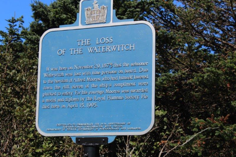
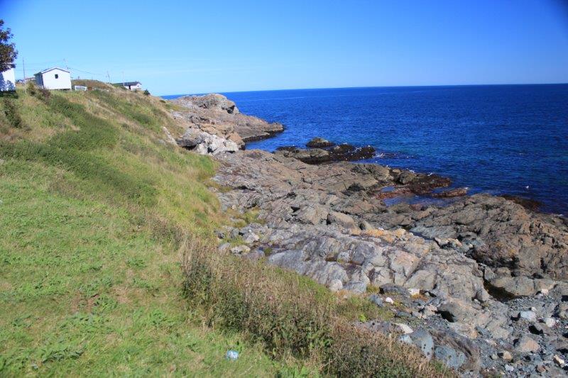
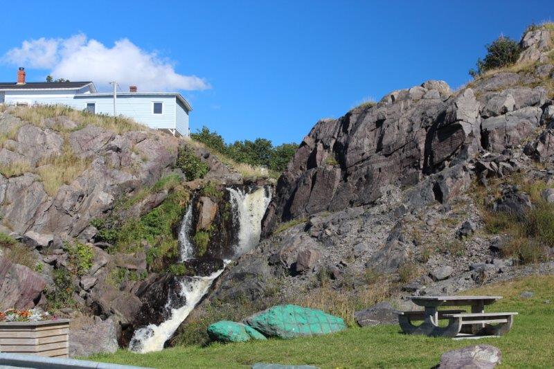
We left St. John’s about 1 pm and drove up to Pouch Cove where there was a storyboard about a dramatic rescue by the local residents when a ship got caught in a violent storm and sunk. The Captain had told people to jump onto the rocks when the ship came close and those that did so survived. All others perished. A very courageous man was lowered by rope to the ledges. He brought along another rope that was tied around a survivor and other men, who had stationed themselves at various points up the cliff pulled the survivors up, one at a time, to safety, It was quite a story.

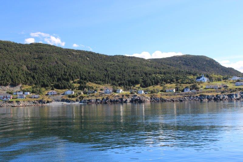
We turned the corner at the tip of the peninsula and drove down the northern Conception Bay side to Bulaine and Portugal Cove.
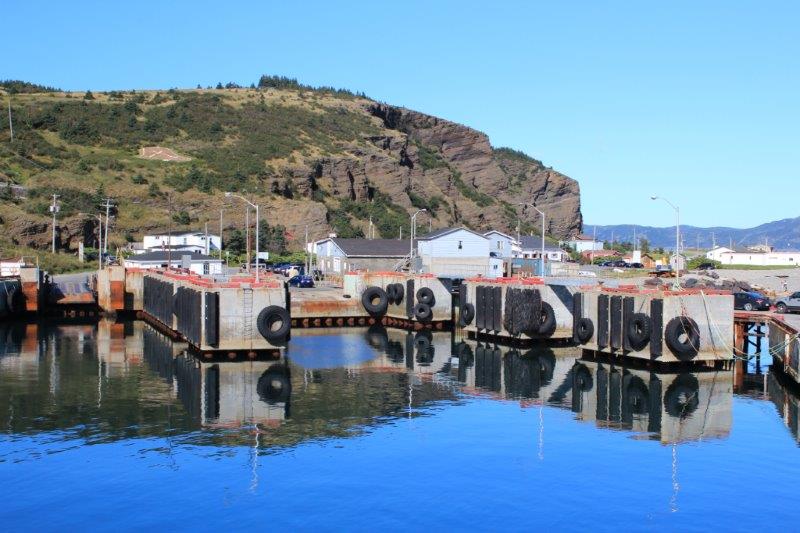
At Portugal Cove we were just in time to catch the ferry to Bell Island, which was an iron ore mining community. Between 1895 and 1966 more than 78 million tons of ore were shipped out of the mine. It is estimated that the area contains 3.5 billion tons of ore. There is a mining museum where you can go 500 feet down into the mine. Since we went on a coal mine tour in Glace Bay we didn’t plan to do another mine tour on Bell Island.
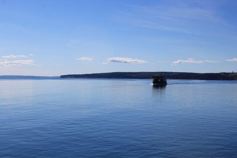
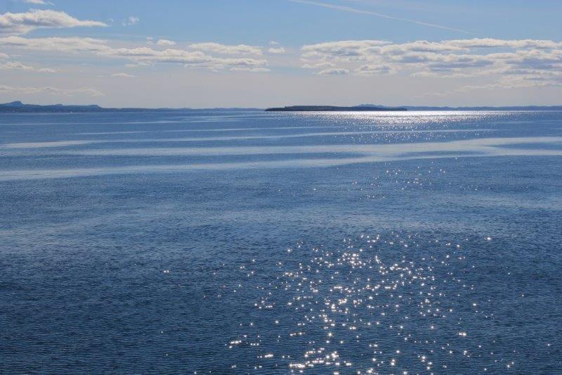
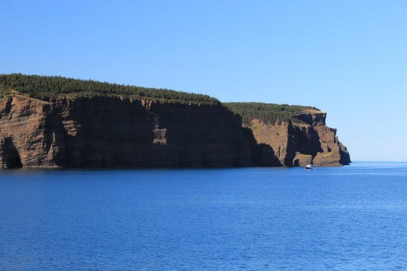
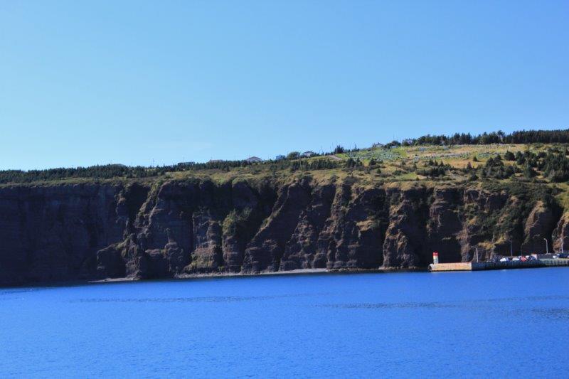
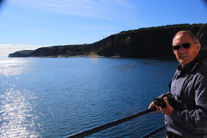
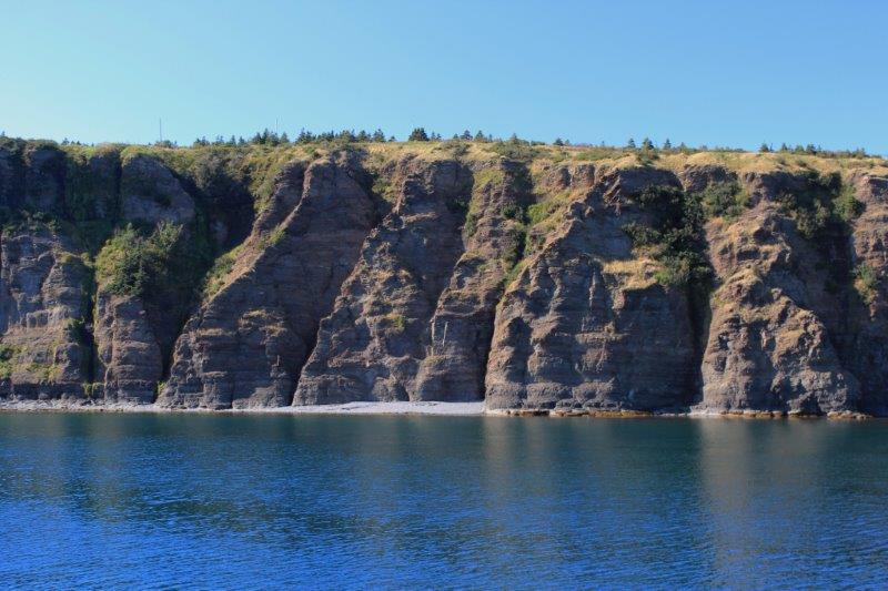
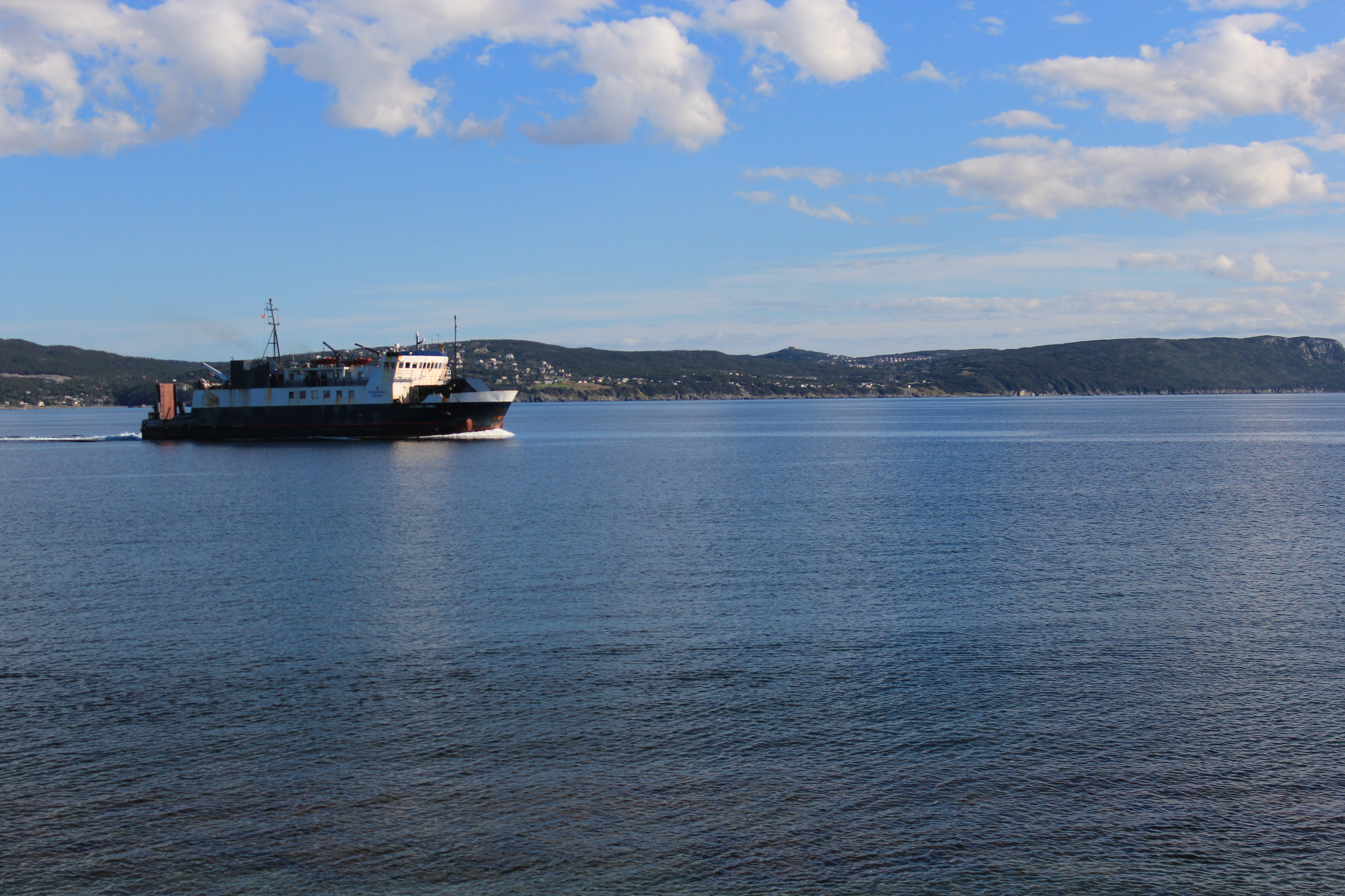
The draw for me was the cliffs. The community of Wabana and surrounding areas are all atop very, very high, very, very sheer cliffs. I was hoping to view some of them as we drove around. My map shows a single road encircling the small island so after we exited the ferry (the crossing takes about 20 minutes and today the bay water was as smooth as glass. Nice blue glass at that) we drove up the steep hill to make a counter-clockwise loop around the island.
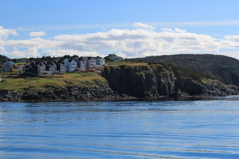

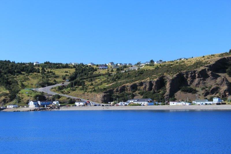
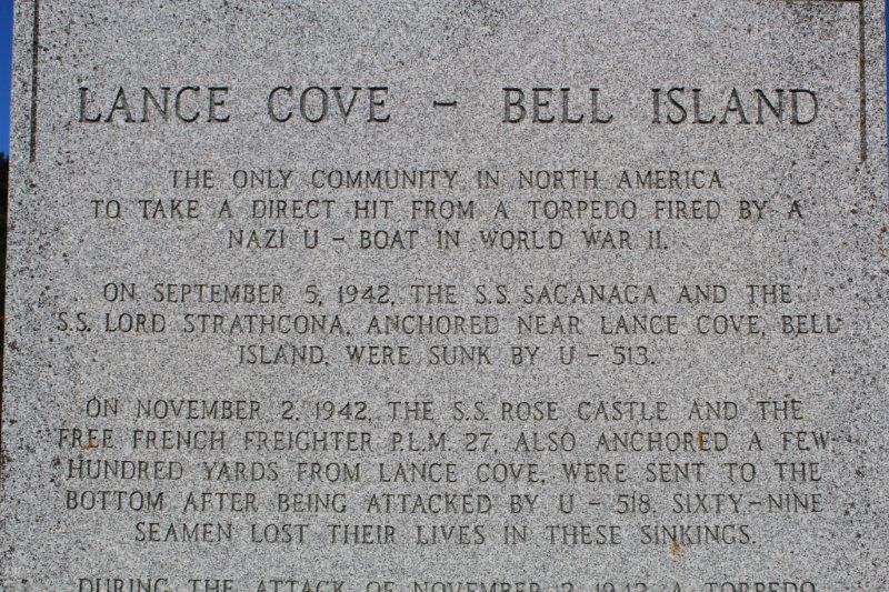
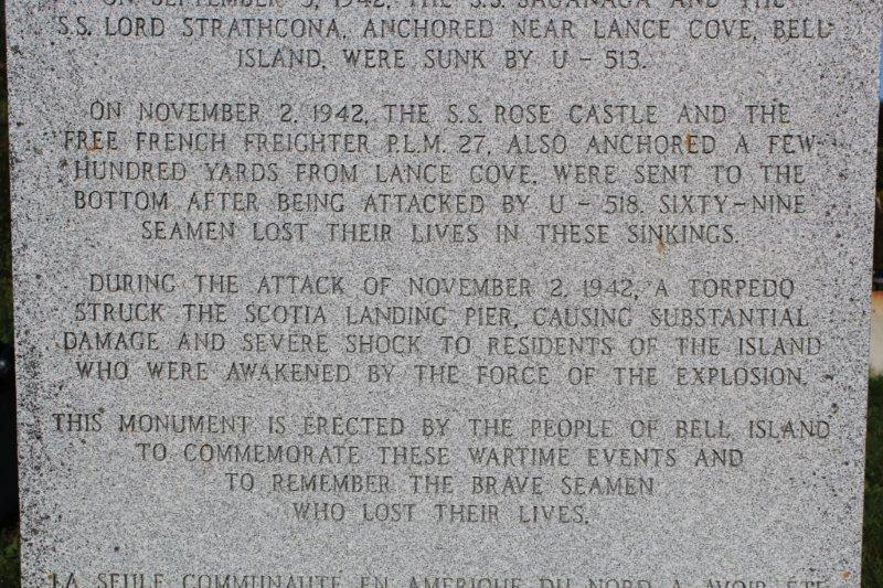
 Well. the map lied. There are roads all over the place on that island. We zig zagged here and there. Never did find the ‘Grebe’s Nest’ on the north side where the birds nest on the cliffs and caves. We found one of the advertised giant murals depicting the island’s history – the portrait of a miner. We found the memorial to the Seamen who died off the coast of Lance Bay on Bell Island after being attacked by German U-Boats (the German’s wanted to interrupt the shipments of ore to the allied factories). Actually Lance Bay is the only place in North America to suffer a direct hit from a German torpedo in WWII.

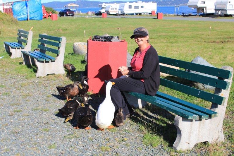 I met some friends
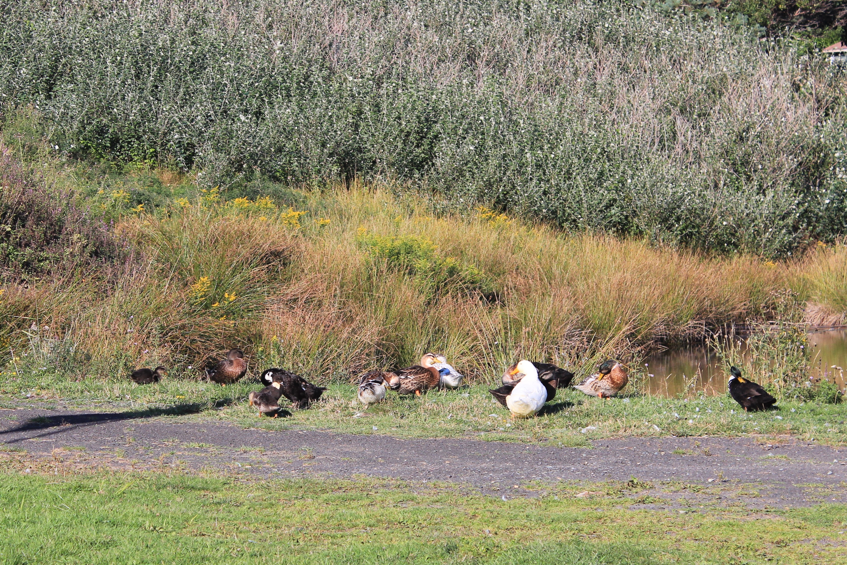
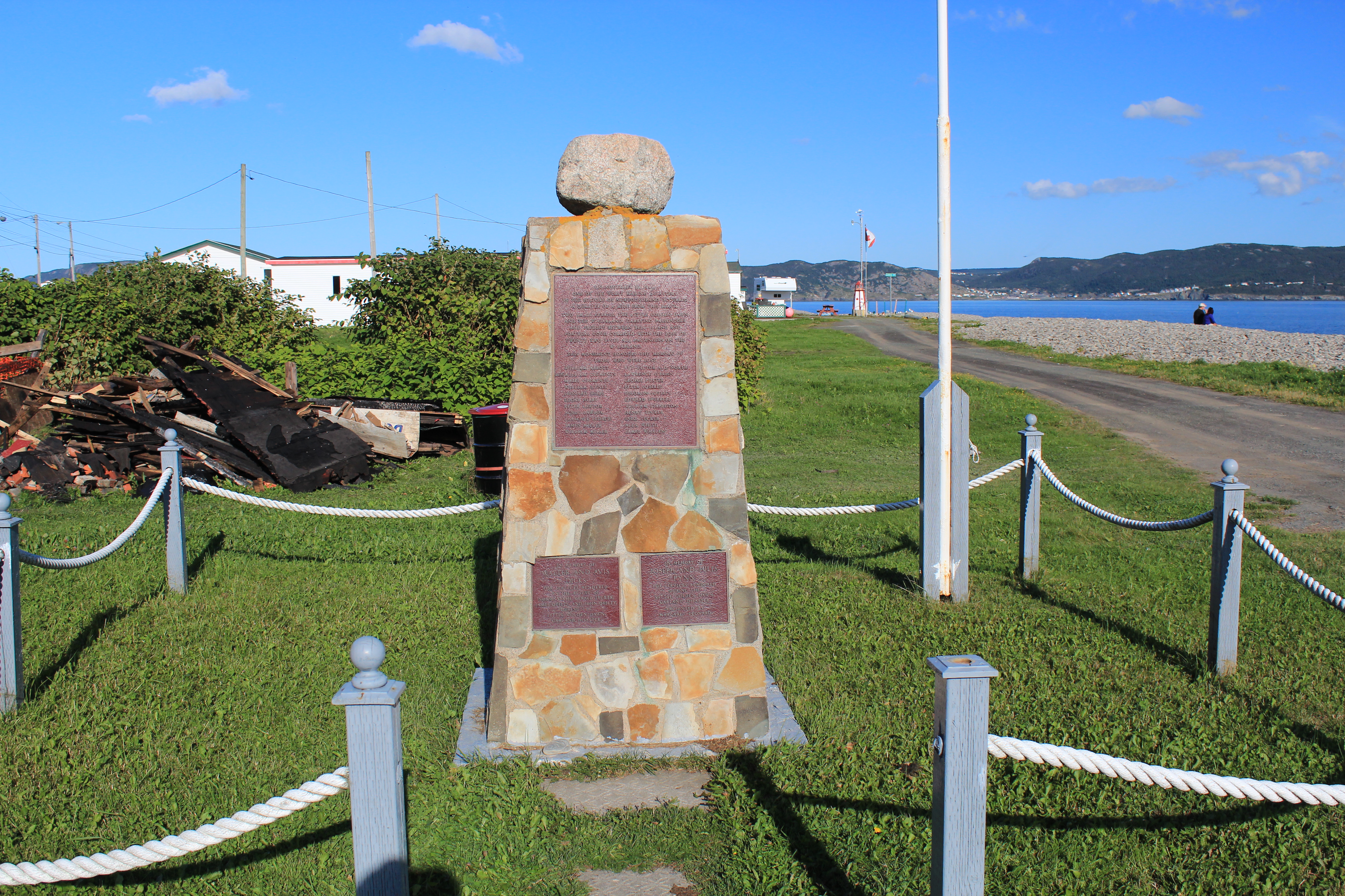
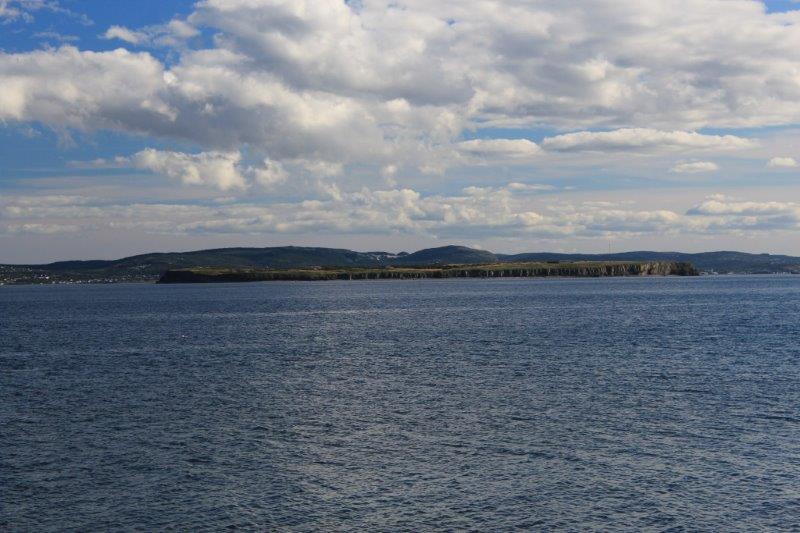 And back at the ferry terminal I saw the memorial to those lost in a ferry disaster in 1942 when two small ferries collided just off-shore and 22 people died – all the passangers of one of the ferries. The only views of the cliffs were from the ferry as we arrived and departed.
 Still, it was a lovely sunny day. The temperature was warm. Almost warm enough for a top down day but we didn’t bother. Tomorrow we leave St. John’s and drive around the peninsula to Placentia for the night before we catch the over-night ferry from Argentia to Sydney, NS. That will mean farewell to Newfoundland.
