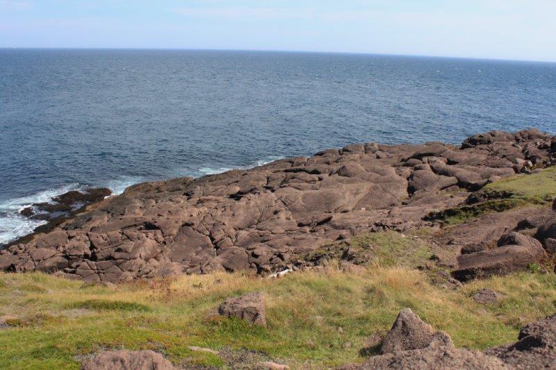
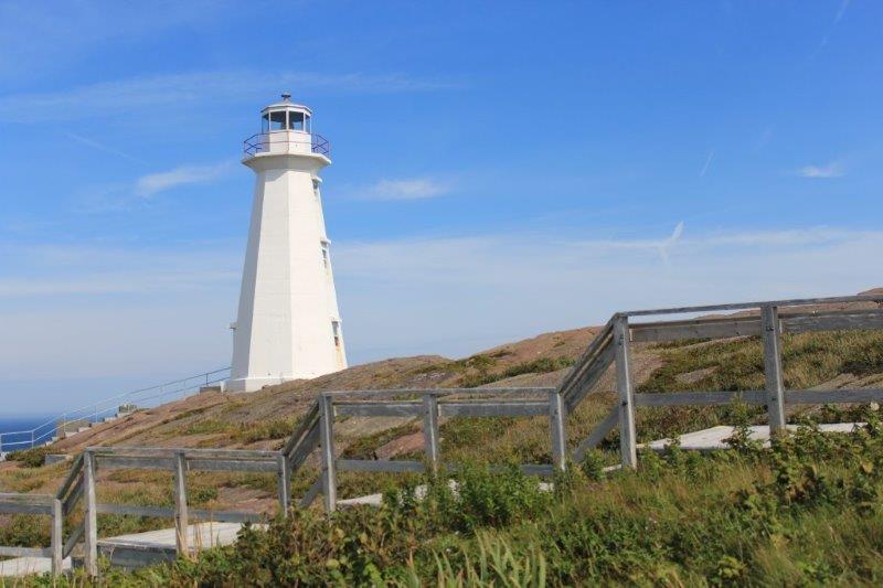
Well, we have finally made it! The most easterly point in Canada; in all of North America actually – Cape Spear – the location of the first lighthouse to be built along the Newfoundland coast in 1836. A map shows the nearest landfalls after you step into the water here. We have been to one of them so far. That is Flores, The Azores, Portugal. On our Voyage of the Vikings cruise next July we will make it to two more: Reykjanesviti, Iceland and Uummannarsuaq (Cape Farewell), Greenland. That only leaves Tearaught Island off the coast of Ireland and Cabo de Roca, Portugal for us to get to. I’ll have to put the names on a list so I don’t forget.
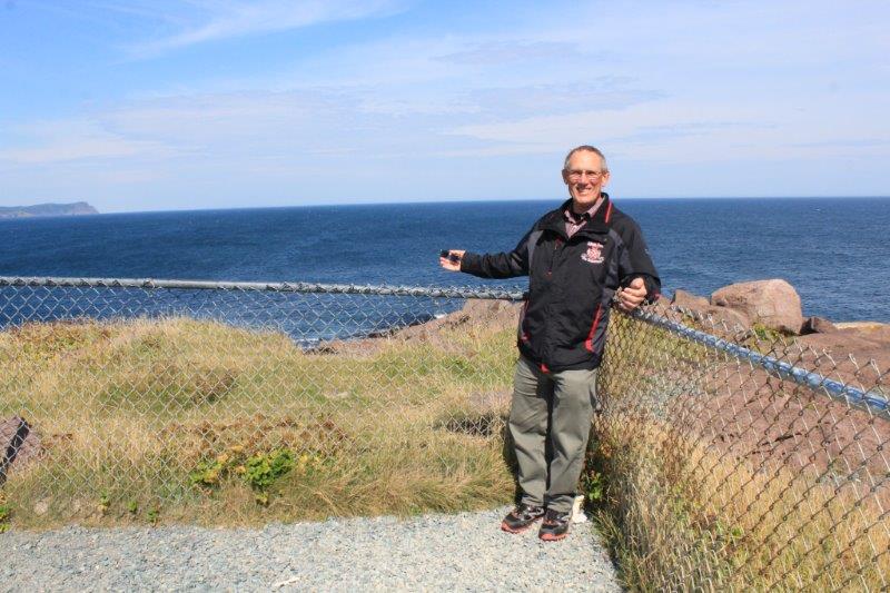 We made it!
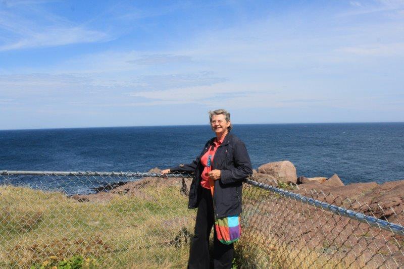
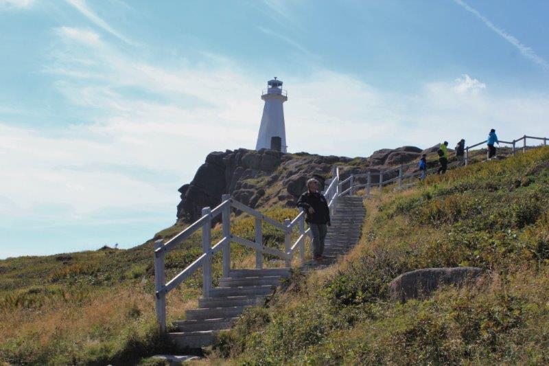
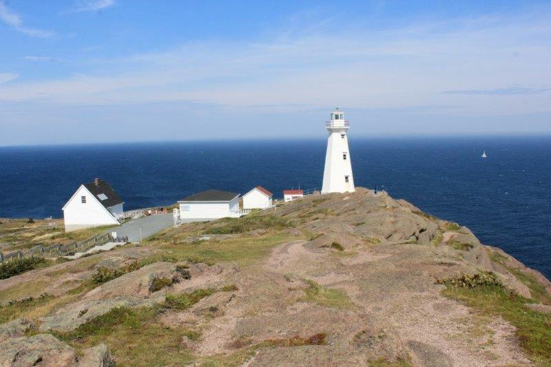
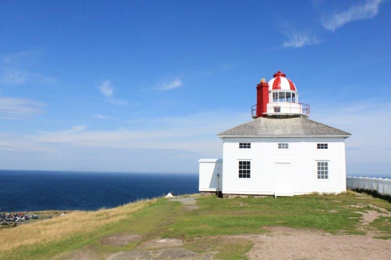
 The original lighthouse had the lightkeepers house built around the base of the light just like at Bonavista. A new modern light was installed on the Cape in 1957. There are trails all over the cliffs at Cape Spear. We wandered up to both lighthouses and along the cliff face to a cove but didn’t venture to the paths on the rocks below. It was very windy today; albeit a warm wind and I didn’t want to meet any of the rocks face to face.


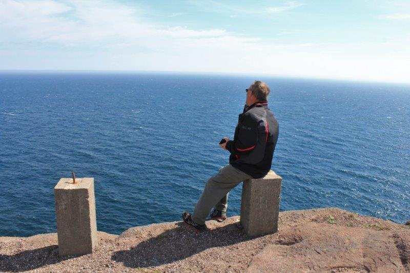 Nice view.
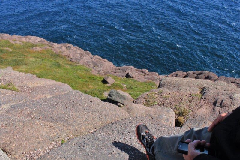 Long drop!

Some more of Parks Canadas nice red chairs.

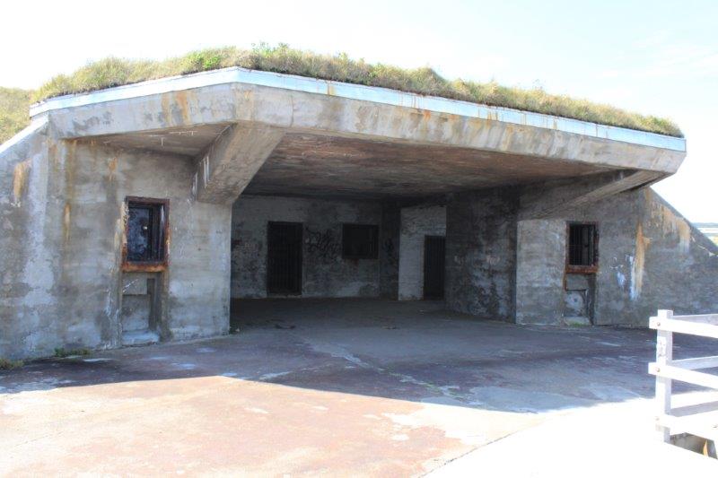
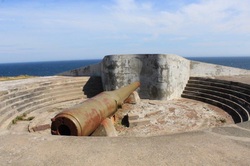
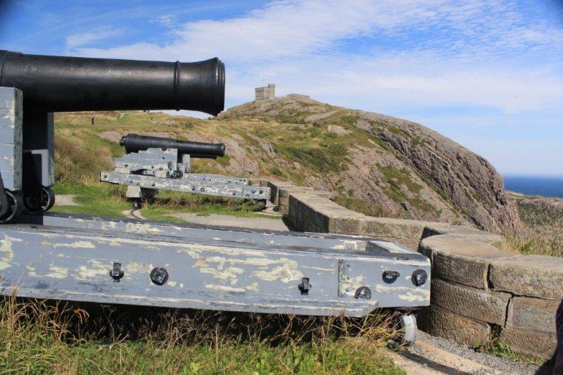
 During WWII a joint USA/Canada defense agreement installed two disappearing guns atop Cape Spear. There was a complete military base built into the rocks. From below on the cliffs (so definitely from the water) the installation was invisible.
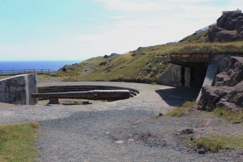

This is what you see from below the battery.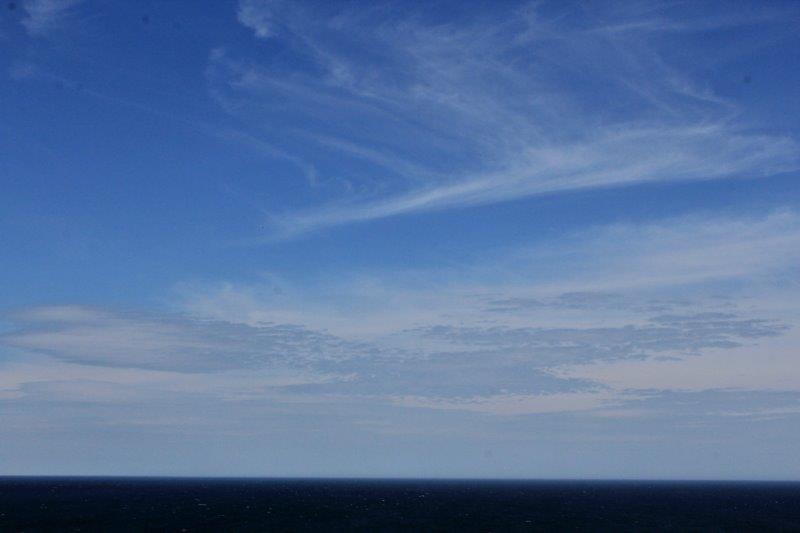 Another nice cloud formation.
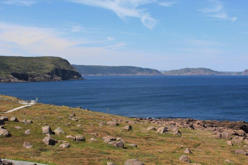
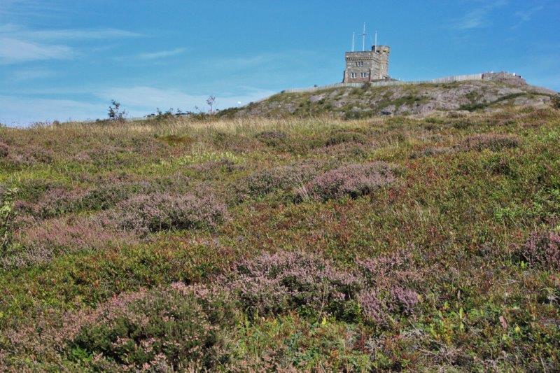
The only other place we visited today was Signal Hill. We are supposed to get rain again in the next few days so we decided to do both of the ‘must see’ outdoor places today while the weather was still good.
Signal Hill has been an important defensive point at St. John’s since the 18th Century. The harbour at St. John’s is considered a hidden harbour. It has a very narrow entrance that is disguised by projecting 100′ cliffs. The Queens’ Battery overlooking this narrow harbour entrance provided defense protection for over 100 years.

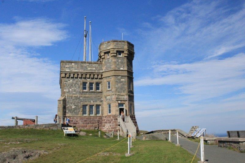
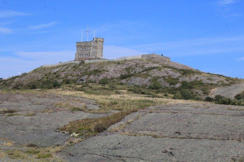
Cabot Tower. Built between 1897-1900.
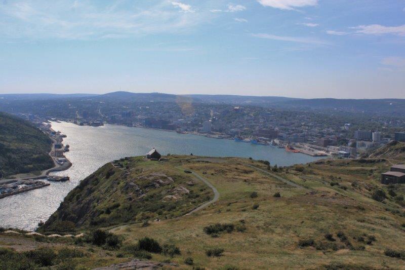 St. John’s harbour. Notice the narrow entrance at the lower left.
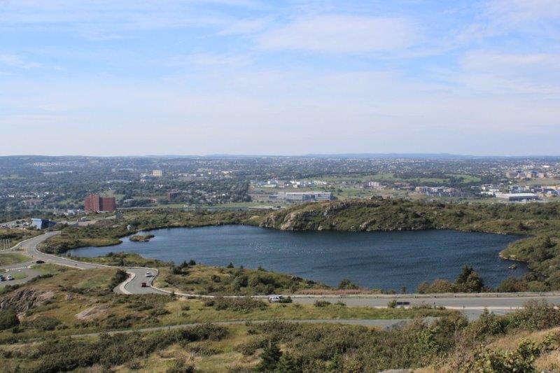 Deadman’s Pond
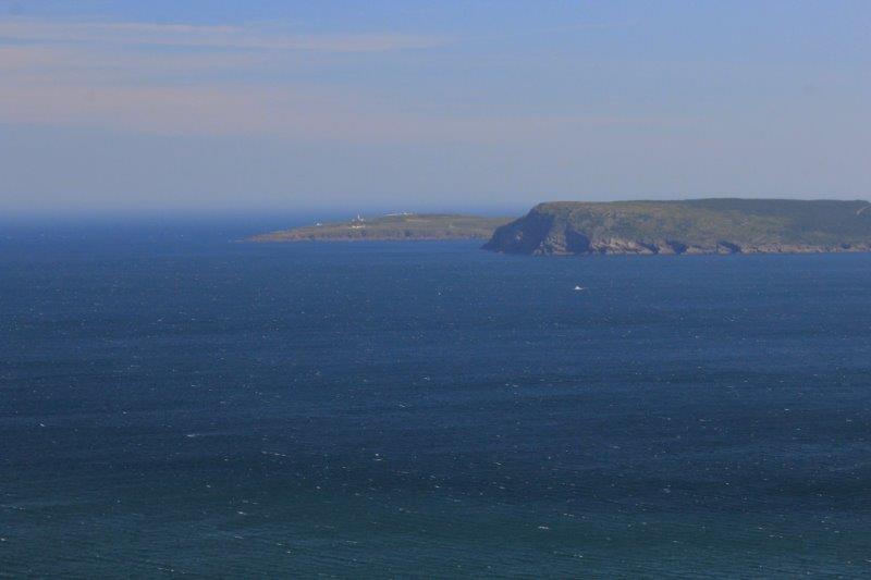 Cape Spear is the furthest cliff. You can just make out the lights.
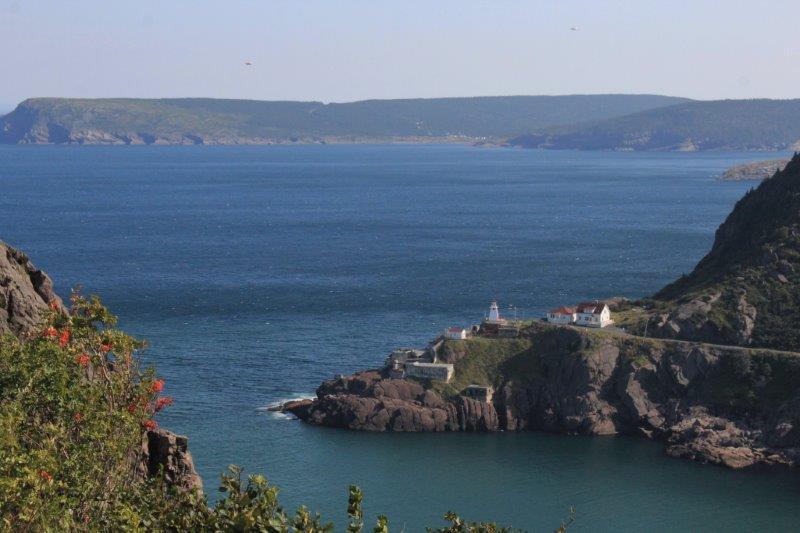 The entrance to St. John’s Harbour.
.
 We thought the wind was blowing at Cape Spear, but at the top of Signal Hill we literally had to brace our feet to keep steady. We have a few out-of-focus photos because we couldn’t keep the cameras steady. John especially had trouble with the wind today because he has had to use his phone to take photos for a couple of weeks already. He left his camera charger in a hotel room somewhere not long after we got to Newfoundland (none of the hotels he thought it might be in had found it). He has had to wait until we arrived in St. John’s to buy a new generic one. All the little towns here don’t have grocery stores or shops of any kind let alone a place to buy specialized camera equipment.
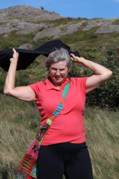
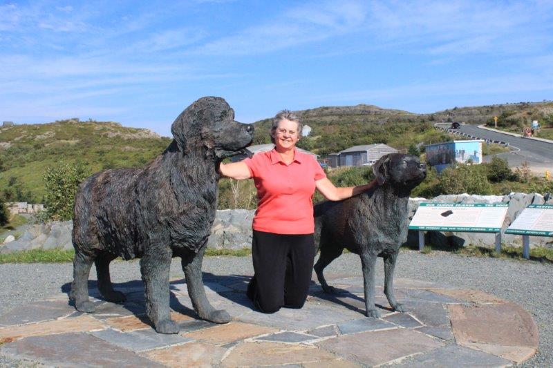
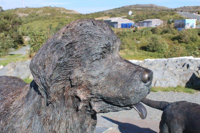
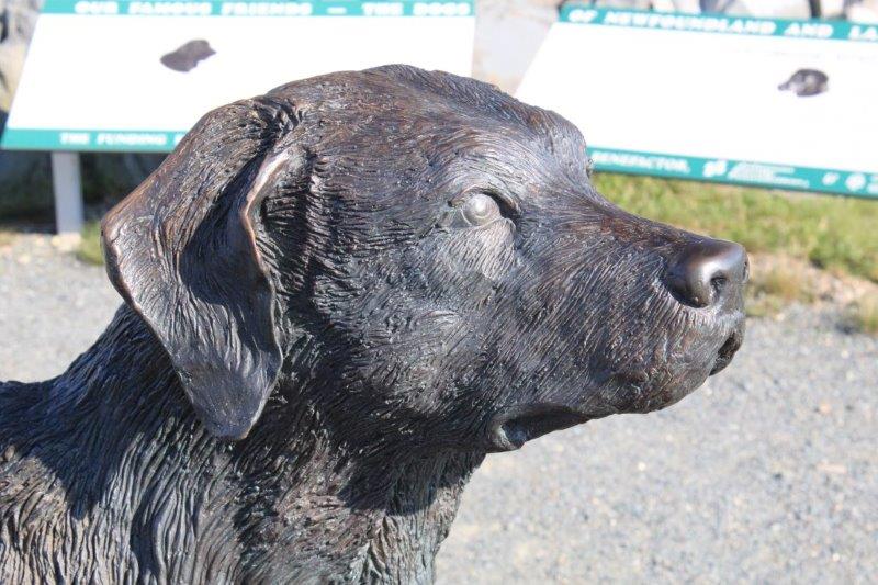
Just before you get to Signal Hill you pass the Geo Center where they have dug deep into the rocks and have a beautiful geology center. We are thinking of going to check it out while we are here but haven’t decided what day. But….the most important thing about the Geo Center – to me anyways – were the two life-size sculptures of Newfoundland’s dogs; the Newfoundland and the Labrador Retriever. Just in case we don’t get back here before leaving the city I insisted John stop so I could get my photo taken with the ‘dogs.’