Category Archives: Hanna Travels

2016 Jan 23 & 24 – Days 13 & 14 – California and Beyond

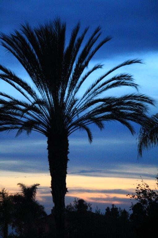
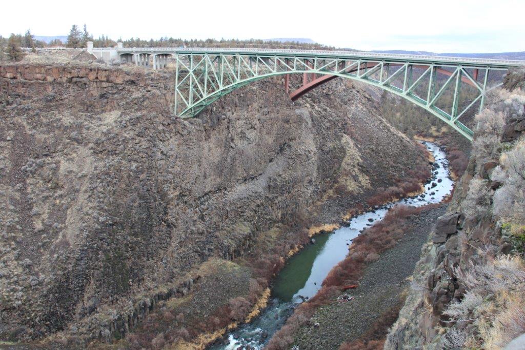
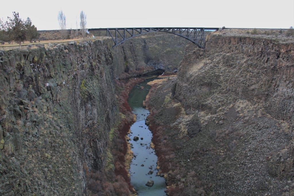
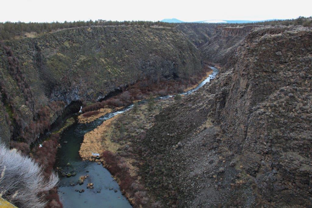
Days 13 & 14 – January 23 & 24 – Carlsbad, CA – Days 8 & 9

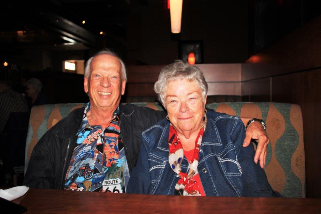
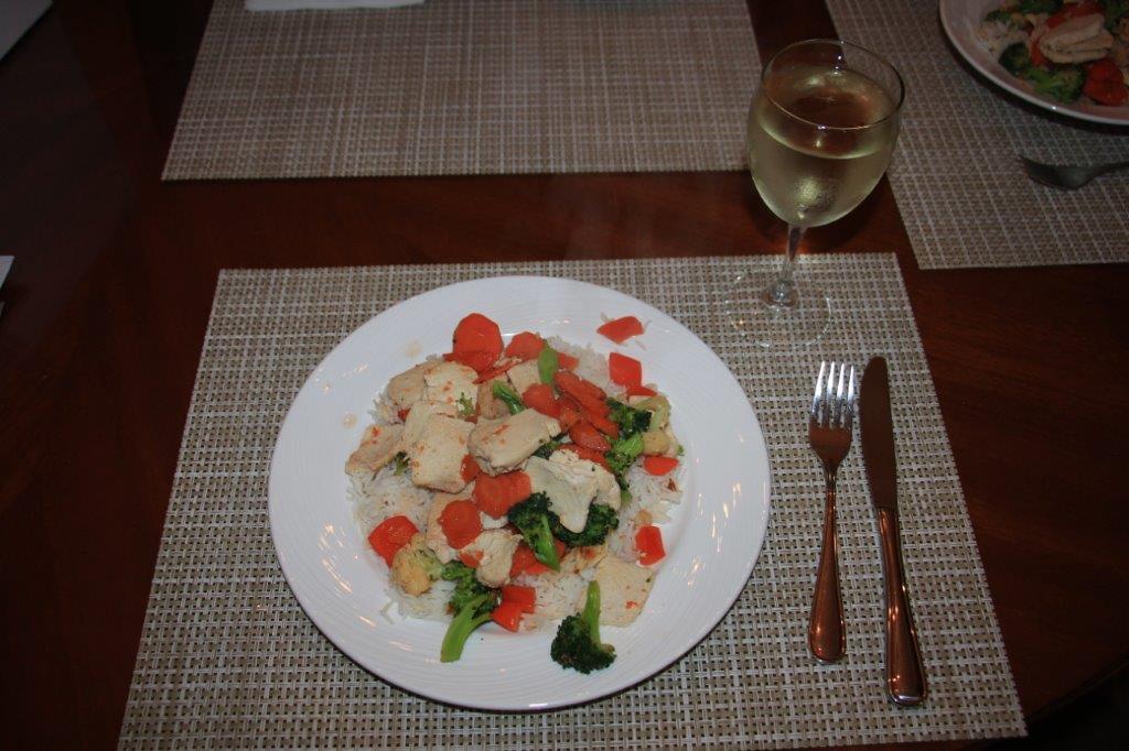
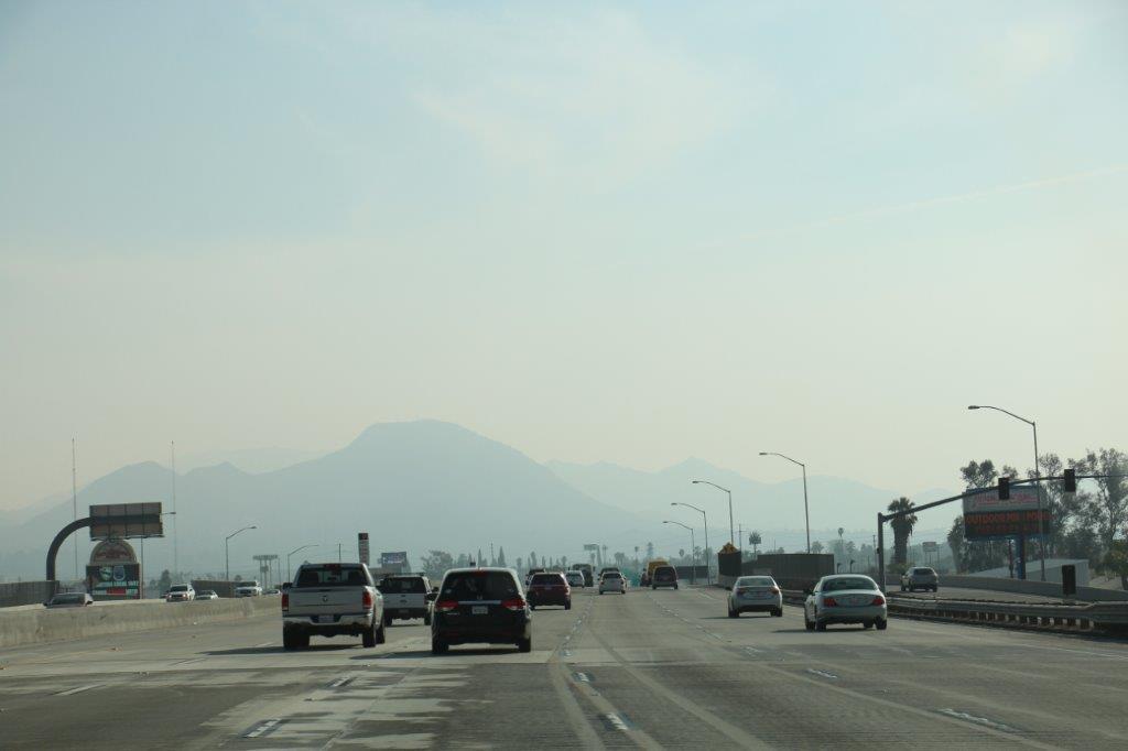
On Saturday the 23rd we drove north to the West Bistro restaurant, 15 minutes from our condo, and met our friends Charles and Evelyn who live in Westminster, CA in southwest LA. We met Charles and Evelyn in 2009 when they were seated at our table in the ship’s dining room for the World Cruise.

In early January 2009 we had flown to Fort Lauderdale, FL and boarded the Holland America ship MS Rotterdam to cruise through the Panama Canal and up to LA before the ship embarked on a 114-day cruise around the world.  The World Cruise that year began in Los Angeles and ended in New York City.  However, being somewhat OCD it did not compute with me to sail around the world by starting on one side of a continent and ending on the another.

The ship had been sailing a cruise route in the Caribbean and there was a ‘regular’ 14-day cruise to sail from Ft. Lauderdale, through the Panama and up to LA where the World Cruise officially started.  The second to last port of call at the end of the cruise was in Fort Lauderdale, so we added the 14-day Ft. Lauderdale to LA cruise onto our World Cruise and then got off in Ft. Lauderdale at the end and flew home again, thereby making an actual circumfrence of the globe.

Charles and Evelyn, since they live in the LA area, boarded the ship at the  beginning of the World Cruise.  We sat at the same table for almost 4 1/2 months with another couple from Florida. We all had a great time; lots of fun and laughter.  We met up with them again in 2012 when we both did the 67-day Grand Mediterranean cruise.

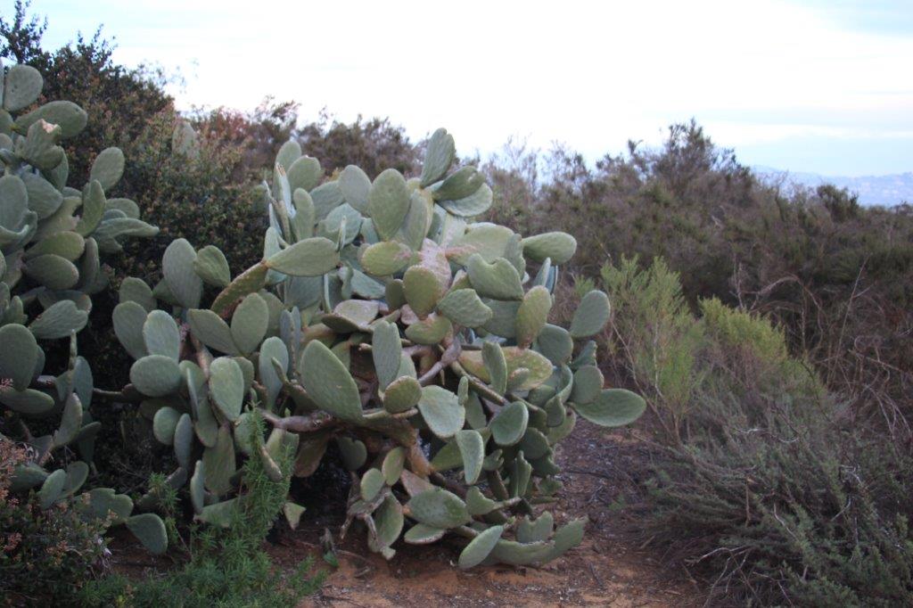
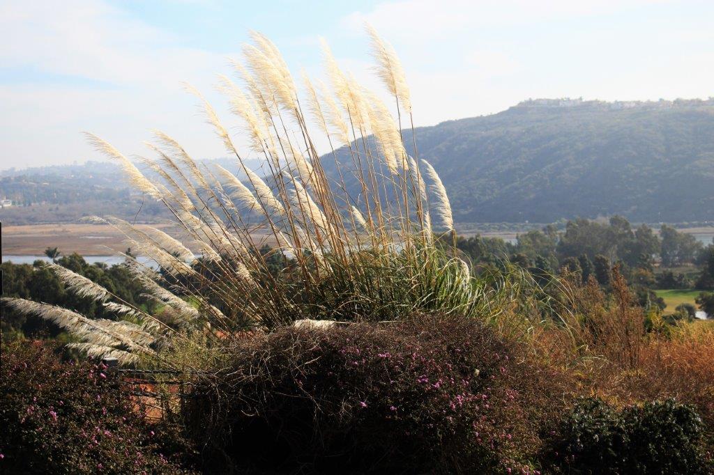
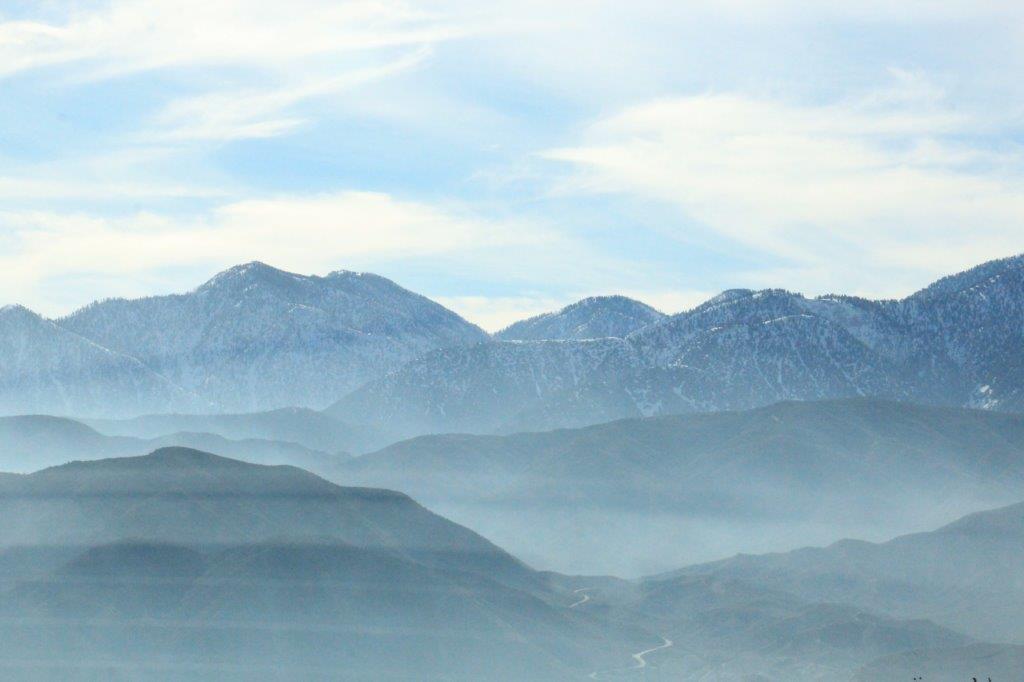
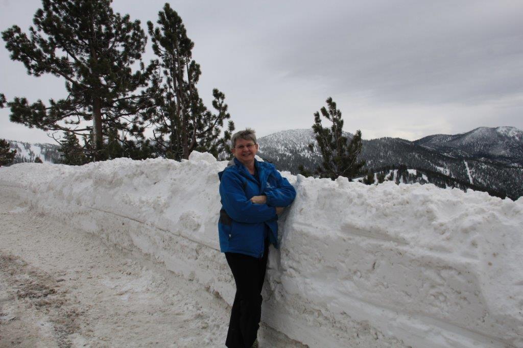
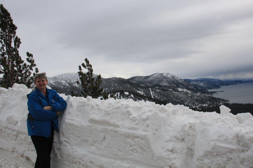
In January 2013  we drove down to Escondido, CA on one of our extended road trips and drove up the California coast from San Diego to LA and spent the night with Charles and Evelyn before driving over to the Grand Canyon and all the fabulous National Parks in southern Utah.

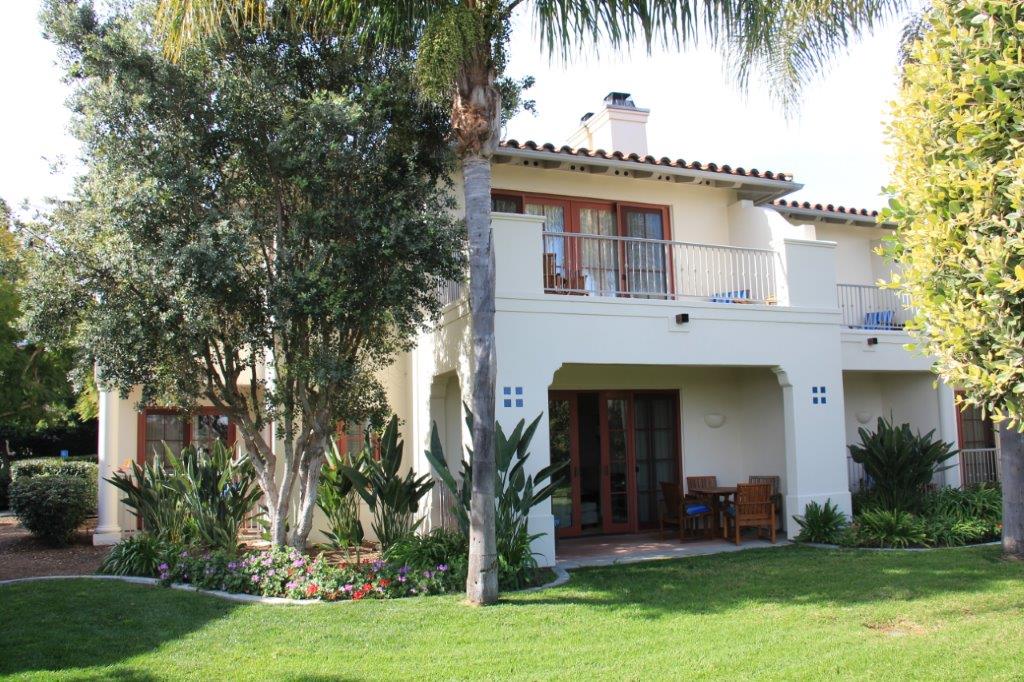
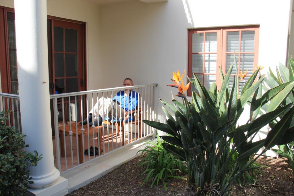
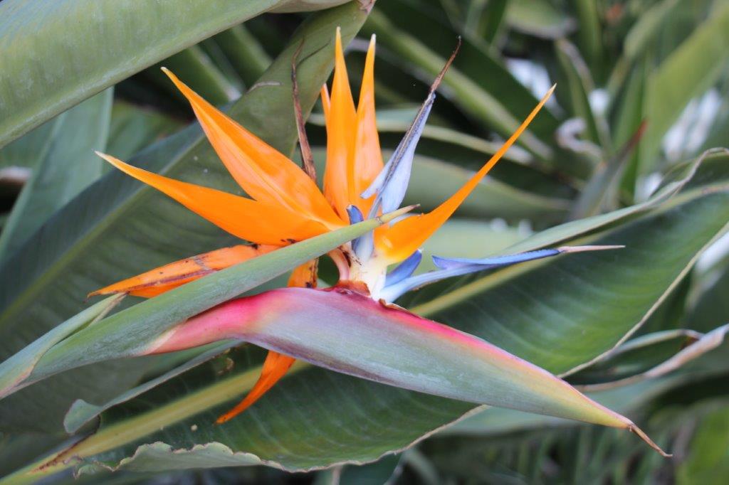
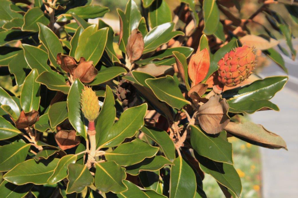
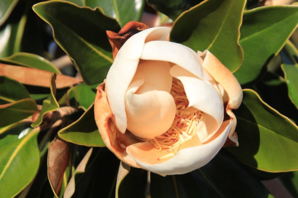
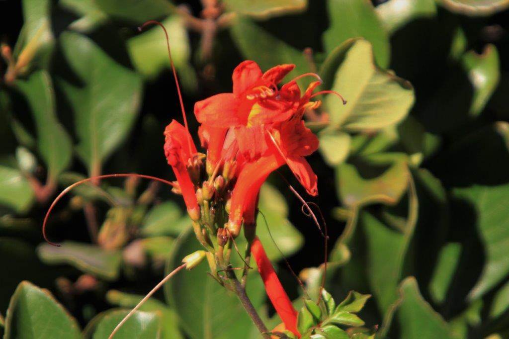
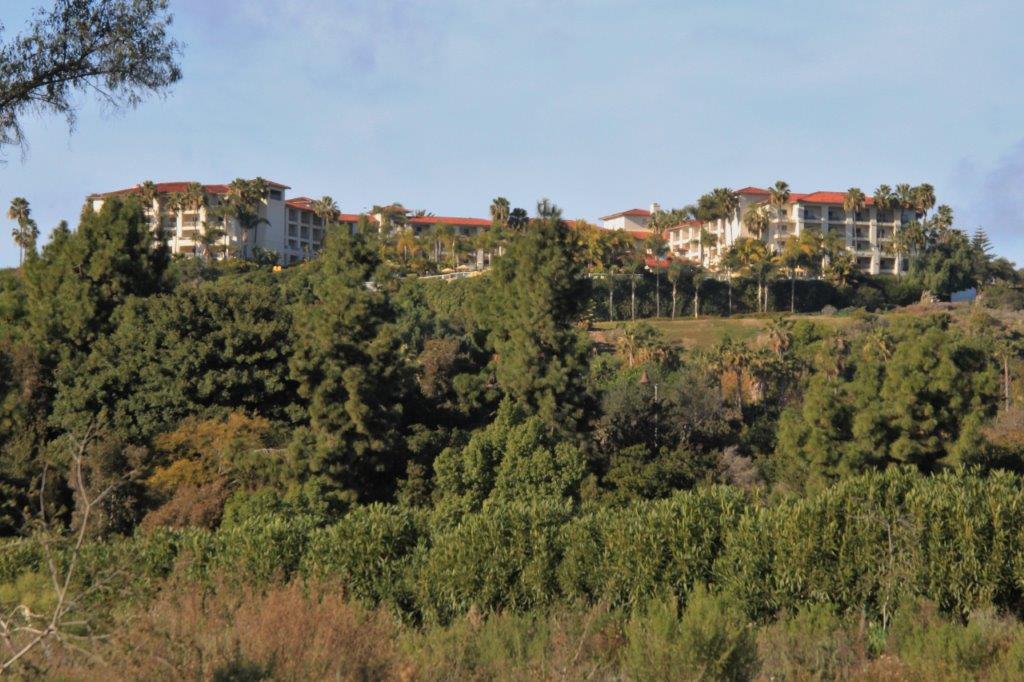
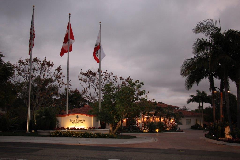
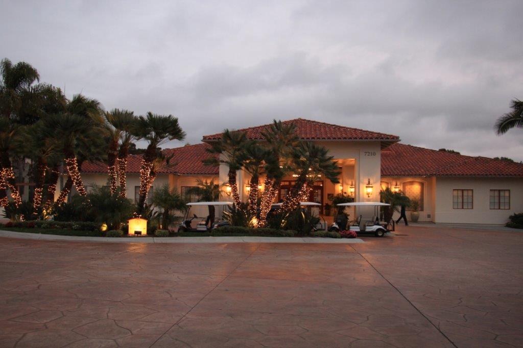
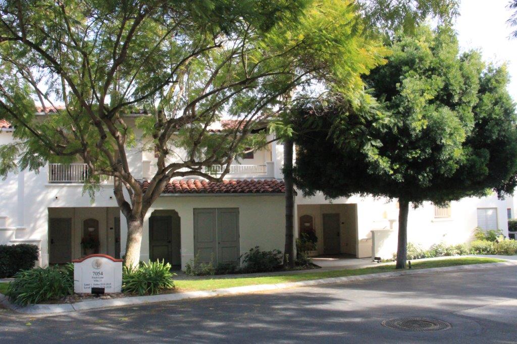
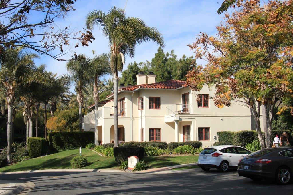
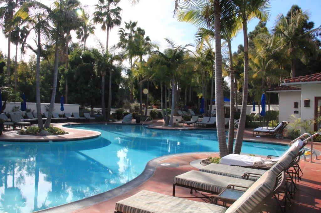
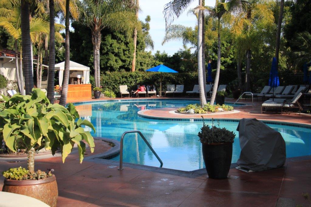
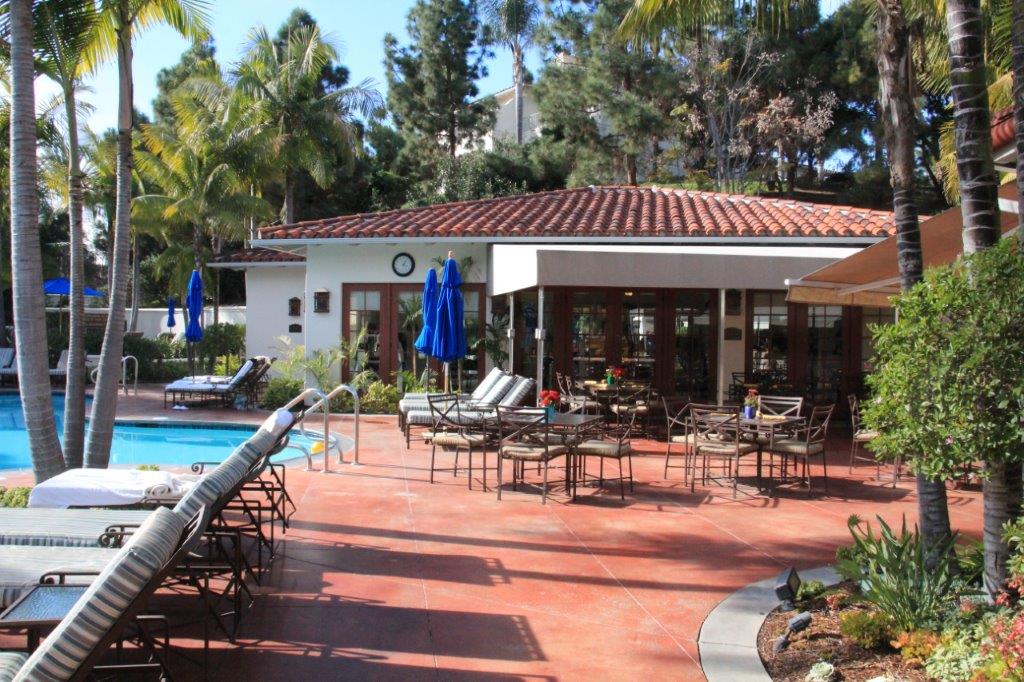
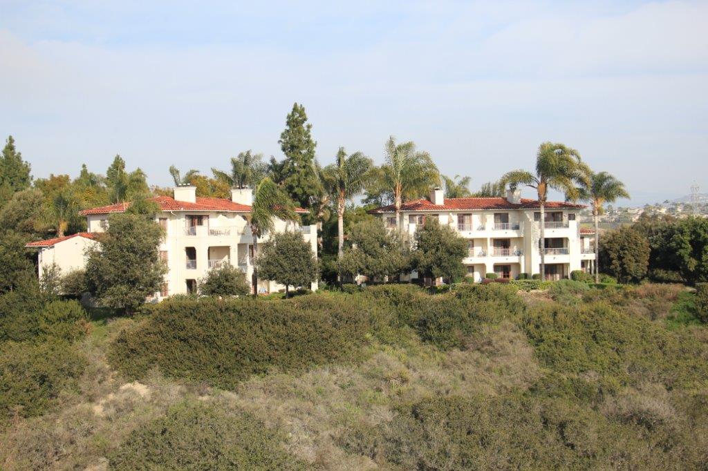
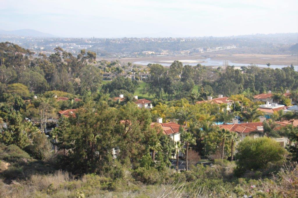
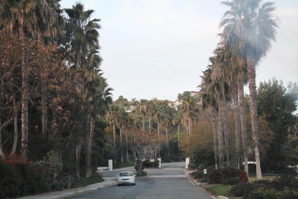
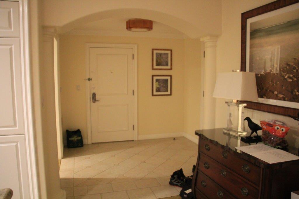
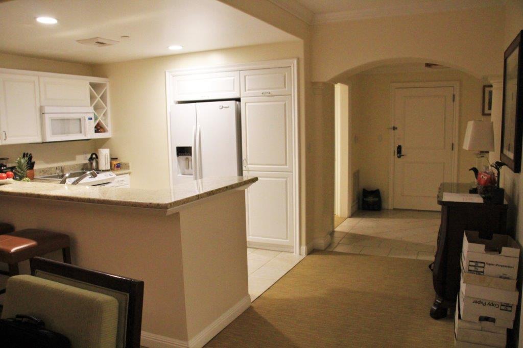
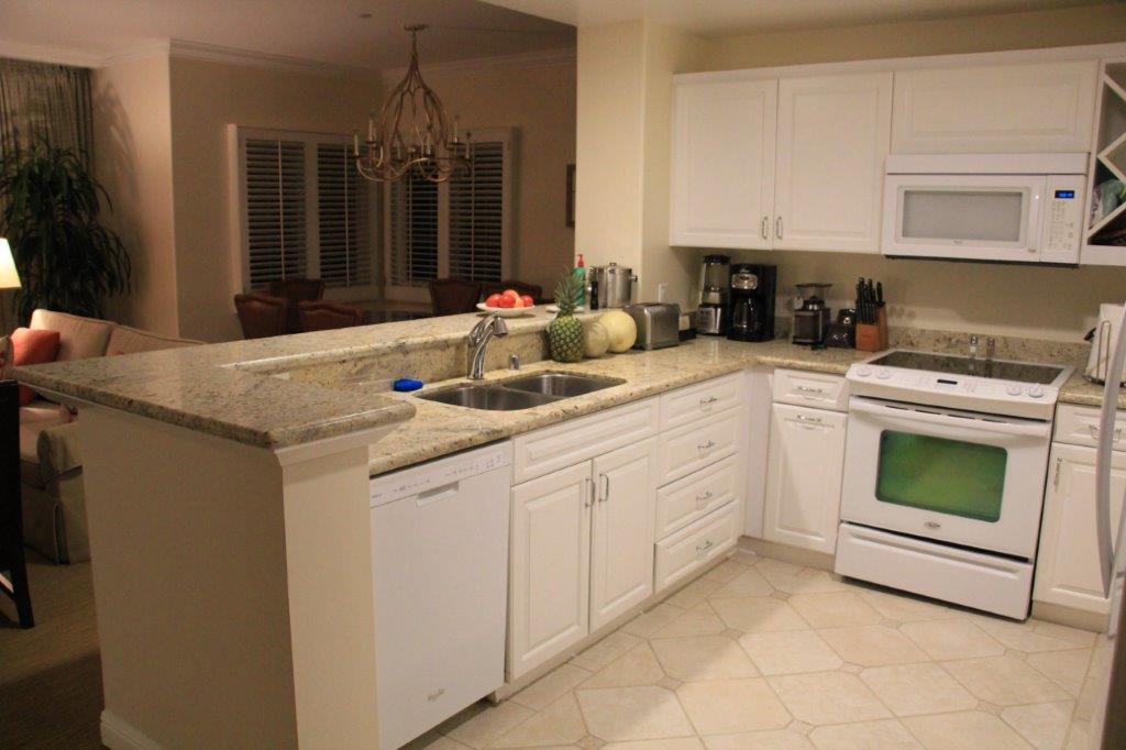
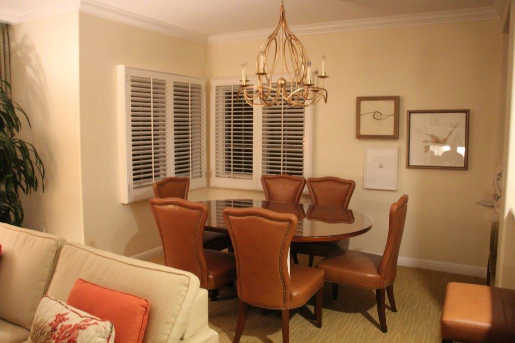
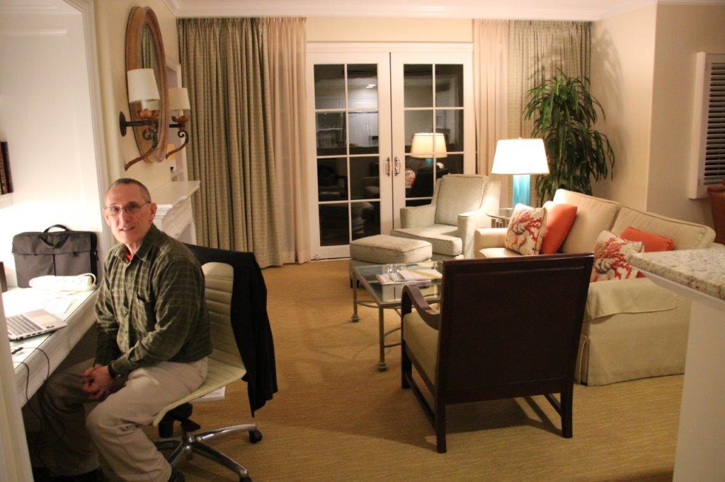
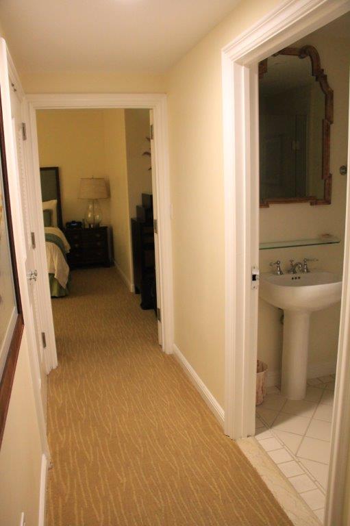
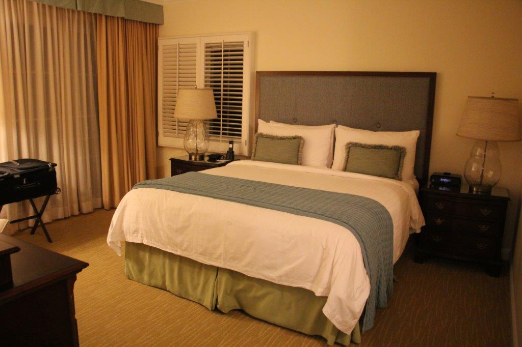
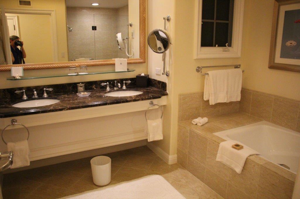
We had a two-hour lunch at the bistro and then they followed us back to the Four Seasons Aviara to check out our digs and continue our visit.

IMG_4610
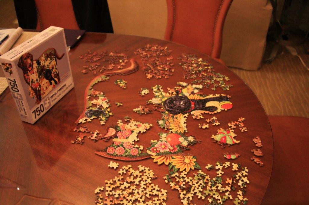
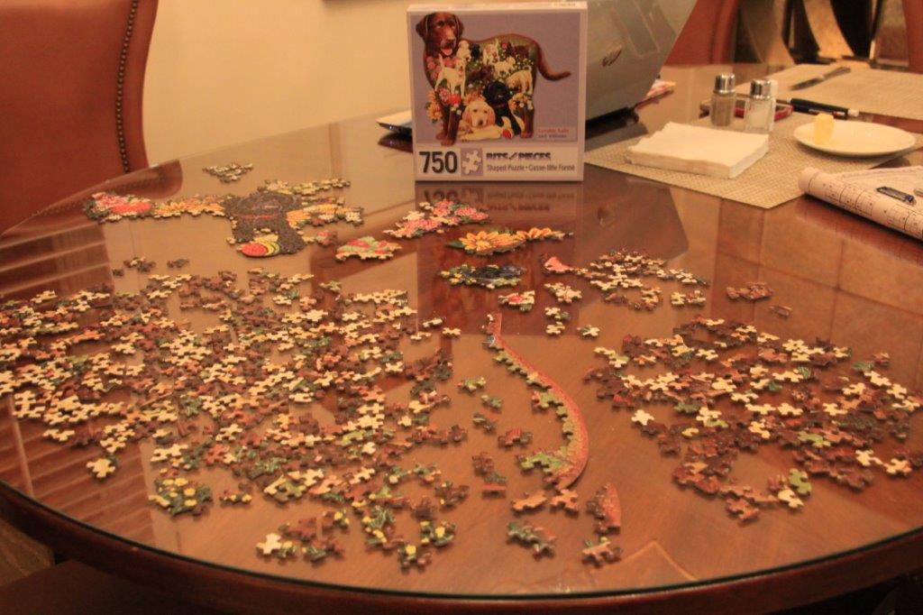
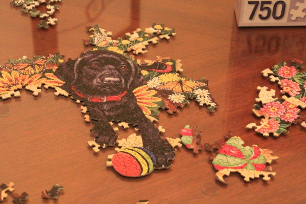
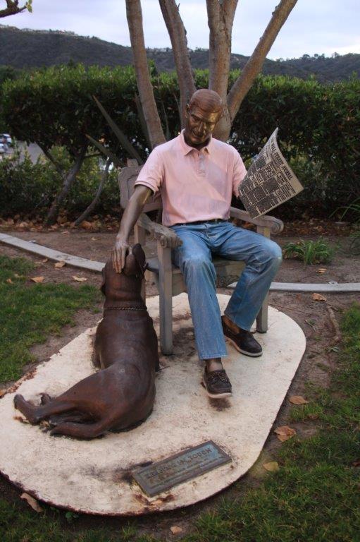
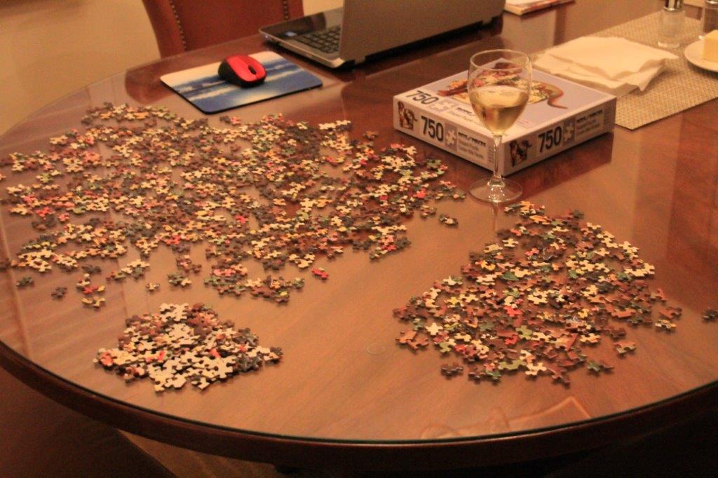
After Charles and Evelyn left to drive home John and I spent the rest of the afternoon working on the jigsaw puzzle. We only need to complete the head, legs and upper body of the Chocolate Lab whose outline forms the puzzle and it will be finished.

IMG_4617
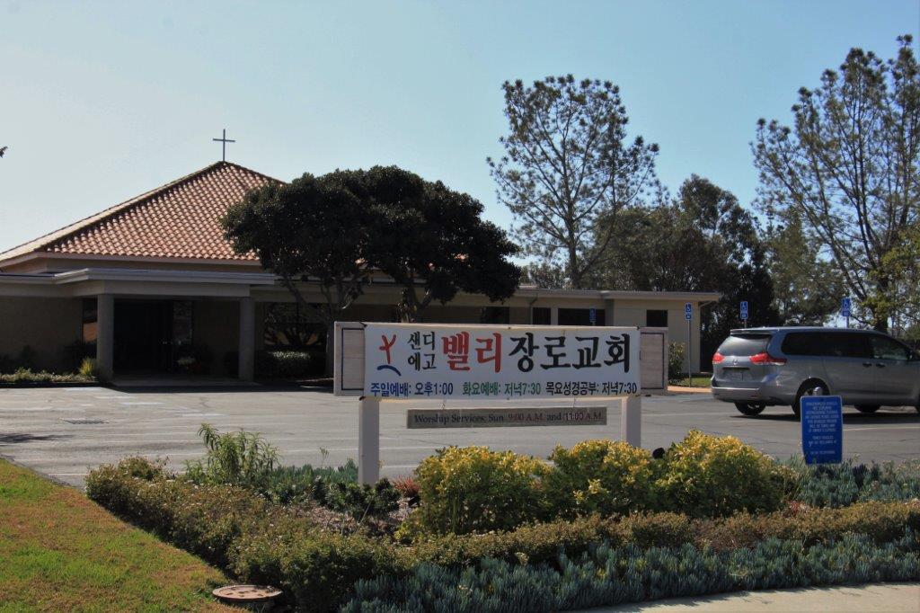
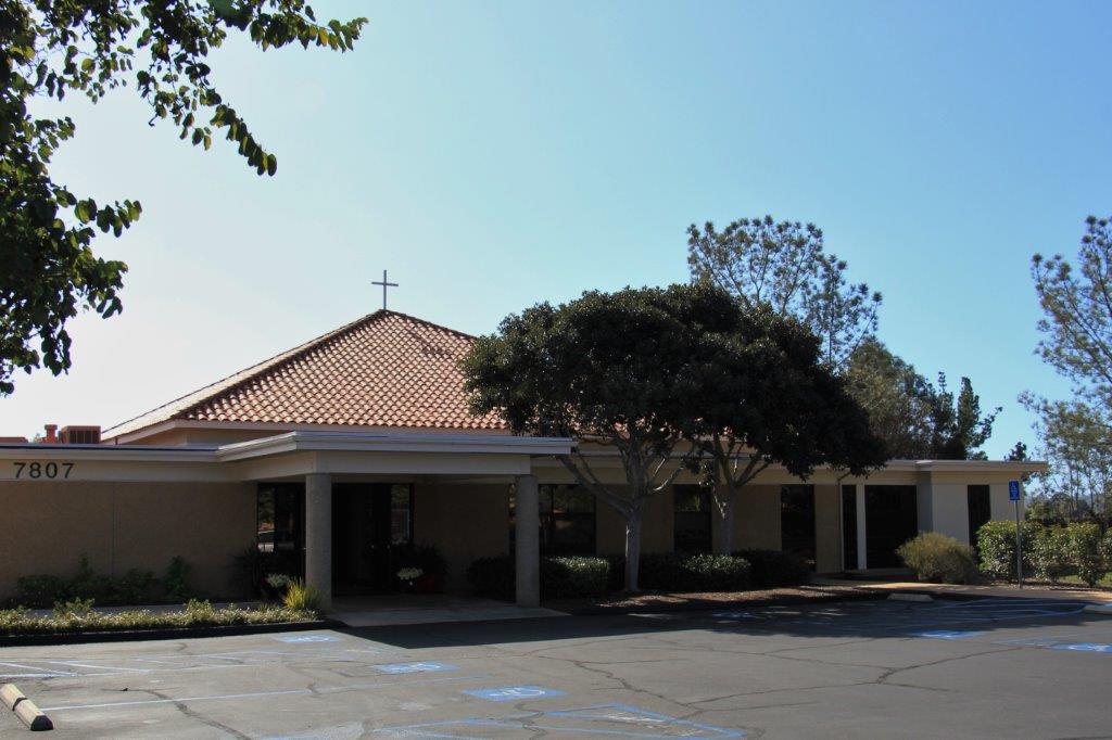
John had done an internet search and located Christ Presbyterian Church in the La Costa area of Carlsbad.  It was only a 15 minute drive from our resort. They have three services at Christ Presbyterian; a contemporary service at 9, a traditional service at 11 and a Korean congregation uses the building from 1-4.

CPC has an extensive child and youth program with Sunday School for all ages as well as weekday bible studies and fellowship groups. Between the contemporary and traditional services an open coffee bar is set up on the patio located between the church building and the fellowship/Sunday School building.

IMG_4614 IMG_4612 IMG_4611
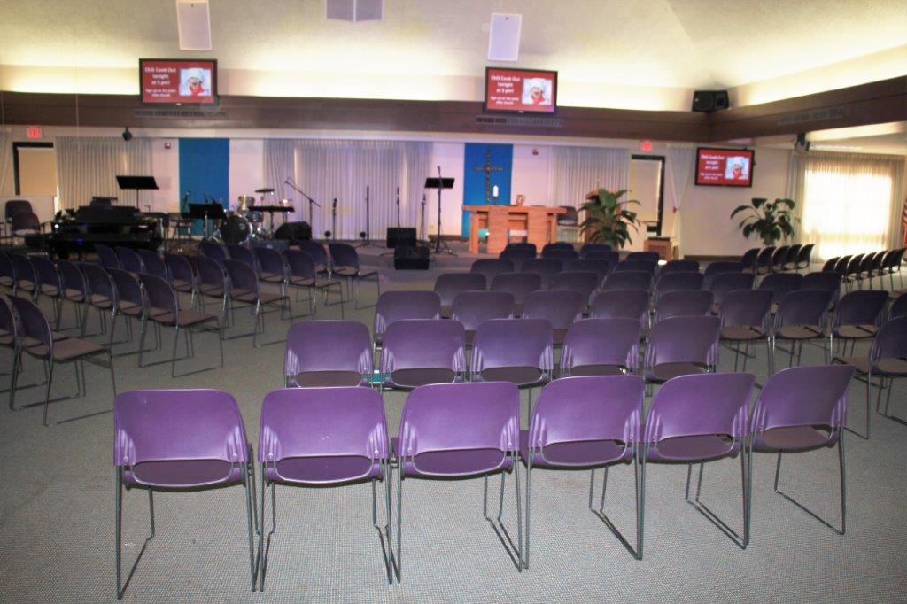
The minister has only been with the congregation for a year after having spent 23 years ministering in a congregation in Chicago.  Last January he challenged the members of the congregation to chose “one word” to be their spiritual focus during 2015.  In his sermon this morning he talked about how he put his word – embrace – into practice last year and shared some of the other words chosen by members and how they used their words for ministry or spiritual growth.

(All of the words chosen by people in 2015 were incorporated into this image in the bulletin. The largest words were chosen by the most people.)IMG_4621
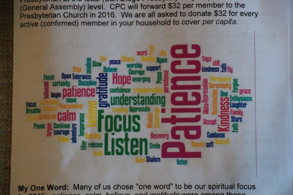
Next Sunday he will reveal his ‘one word’ for 2016 and the people have again been challenged to chose a word or short phrase for themselves for the year.  The object is to write out your word and post it on your fridge, your computer, your mirror – somewhere you will see it regularly and then direct the aspects of your life to utilize the word for the Lord.  I think it is a really good concept.  Even if you are not a person who attends a church it would be a good focus point for an area or aspect of your life where you would like to have improvement .  What would be your word for 2016?

2016 Jan 22 – Day 12 – California and Beyond

Day 12 – January 22 – Carlsbad, CA – Day 7

When one wants to sit in the sunshine and read one’s book and the deck off the livingroom is in the shade, one must move to the bedroom deck and find the unshaded space. Ya gotta’ do what ya gotta’ do.

IMG_4541IMG_4539

Meanwhile I was hard at work on the Loveable Labs puzzle.IMG_4606An unanticpated urge for some exercise had us leaving the condo at four o’clock.  We had noticed on the geo-cache map that there were several caches in a row just off the Aviara Parkway; which is a main road that runs along the top end of the resort.  We walked up the hill to the Parkway only to discover that the caches appeared to be inside a gated community.

We decided to walk up the road  aways and see if there was another access.  Just across the street there was a steep stairway going up the bank. At the top was one of the many trails in the area. We took note of the warning sign and, remaining mostly on the main path, we set out to find the caches.

IMG_4557 IMG_4542The view at the top of the first point was pretty nice even with the evening smog rolling in.

IMG_4543We were only able to find two of the four caches that were hidden along this trail.  For the two we were unable to find there were a lot of DNFs (Did Not Find) posted on the geo-cache log site so we think they have been muggled (picked up by non-geo-cache folks – credit to J.K. Rowling for the word) or moved, or perhaps buried under some hydro-seeding that has taken place here recently.

IMG_4551IMG_4554IMG_4553IMG_4566There had obviously been a fire in the area as there were many gnarly, blackened shrubs and bushes.

IMG_4577 IMG_4579 IMG_4581 IMG_4586 IMG_4564 IMG_4563We walked to the end of the trail and used the geo-cache maps on our phones to find the route back to the condo.  We travelled a nice loop actually and had a good walk.

As is usual for me I had to take photos of some pretty flowers along the way.

IMG_4558 As I was taking a picture of this flower the driver of a truck that had just come out of a nearby storage yard pulled over and asked me if I knew the name of the plant.  When I said no he told me it was called a Lemonade Plant as the Indians used it to make a lemonade-like drink.  
IMG_4587  IMG_4588 IMG_4590 IMG_4593 IMG_4596By the time we were almost home the sun had set and it was getting dark.  This did create some nice silhouettes of the palm trees though.

IMG_4598IMG_4600It didn’t take us long to chop some veggies, dice some chicken and make a yummy stir-fry for dinner.

IMG_4609

2016 Jan 21 – Day 11 – California and Beyond

Day 11 – January 21 – Carlsbad, CA – Day 6

We left the condo at 11 to allow housekeeping to come in and do their thing.  We drove over to Hosp Grove Park where, I had read, you could wander around on the many trails and have a panoramic view from the top of the hill.

When we parked the truck in the parking lot we saw a sign pointing the way to the Buena Vista Lagoon Ecological Reserve and decided to cross the road and take a look.  We wandered up and down the only pathway we could find and realized the entire small wetland was fenced to protect the birds and plants from humans.  Fair enough.

IMG_4535 IMG_4537 IMG_4538We wanted to check for some geo-caches while we were at Hosp Grove but for some reason neither of our phones would load them.  Oh well, another day I guess. We walked along several trails and never did find one leading to a place with  a nice view; there were always tall eucalyptus trees in the way.

On the way back to the truck I saw a brochure for the park lying on the ground.  Turns out there are two sections to Hosp Grove Park.  I don’t know if the view was visible from the other part or not. We may come back and explore again.

The smog from LA rolled in while we were at Hosp Grove so the stop to watch the surfers and the beachcombers on the way back to the condo was also delayed until another a day.

Hosp Grove Park, by the way, was the first park in Carlsbad to have its trails created by volunteers.  The grove was created in 1908 by a nurseryman named F. P. Hosp who, along with some investors, planned to plant 219 acres of  eucalyptus trees to harvest for railway ties for the every-expanding-westward railways.  After they had planted 40,000 trees they learned that the wood of the eucalyptus – a fast growing, drought-tolerant tree – was not suitable for railway ties. Oops.

Over the years portions of the original acreage were sold for residential development.  In 1986 the City of Carlsbad purchased the remaining 53 acres for the city park and trail system.

Thus concludeth our excursion for the day.

2016 Jan 20 – Day 10 – California and Beyond

IMG_4533Day 10 – Jan 20 – Carlsbad, CA – Day 5

Today was a half-do-nothing-day and a half-do-something-day.

As usual we took our time over breakfast and worked on the puzzle a bit, played computer games a bit and generally did nothing for a bit.

Somewhere around noon we decided to go for a walk down to the marsh we had been told about.  We knew the middle of the day would not be the best time to see many birds but we figured we would enjoy the walk and perhaps find the two geo-caches that were hidden along the pathway.

IMG_4496

IMG_4502 IMG_4501

IMG_4506 IMG_4509

IMG_4505


This palm needs a frond cut.


We were correct in thinking we wouldn’t see many birds.  We could hear some little ones chirping in the eucalyptus and acacia trees but we couldn’t see them.  There was some waterfowl paddling in the lagoon but we were not close enough to try identify them either; not that we know the names of a lot of bird species.

Nor do we know the names of hundreds of flower species, but I always enjoy taking photos of flowers.  Flowers always remind me of my Daddy.  He loved to grow flowers and he loved to photograph flowers.  I don’t grow many  but I love flowers and I love to take their picture as well.

IMG_4493 IMG_4494 IMG_4520 IMG_4521

I don’t know what this plant is. It may be a camillia, but I am not sure.  The flower bud is the size of a small banana and the ‘fruit’ or seed is like a cone. IMG_4523 IMG_4526

This is the only one we saw open and it looks like it is on the far side of the bloom.IMG_4528 IMG_4531We did have success with our geo-caching and were able to locate both of the caches along the trail.  The Batiquitos Lagoon Ecological Reserve is a protected salt marsh.  According to the trail signs there are not many of this type of ecology left in California.

We could see the Park Hyatt Hotel up on the hill as we headed back along the road to the resort driveway.  This shows how farl I needed to climb to get home because our condo is further up the hill behind the hotel..IMG_4507It was a nice day for a walk; sunny and just warm enough to be comfortable.  We enjoyed the walk and will make the loop again while we are here.


2016 Jan 18 & 19 – Days 8 & 9 – California and Beyond

Days 8 & 9 – January 18 &19 –  Carlsbad, CA – Days 3 & 4

This is a short blog that contains nothing of interest.  We have done nothing the last two days but laze around the condo.

I have been working on the 750 piece jigsaw puzzle I brought with me.  I thought it wouldn’t be too hard. I was wrong.  It is a shaped puzzle so there is no straight border; the edge follows the outline of the dogs.  Also every piece is different and most pieces overlap two or more dogs, flowers, etc. so it has been taking a long time to get anything done.

IMG_4489 IMG_4491We didn’t even leave the condo yesterday. Today we connected with two couples that live in the LA area that we met on the World Cruise in ’09 and made arrangements to have lunch with them – Charles and Evelyn this Saturday and Bill and Lynn next Saturday. It will be really good to see them all again.  I sent them a copy of the resort map so they would know where to find us,

IMG_4467We walked down the hill to the Residence Check-in building to buy a stamp to send a sympathy card home.  The sun was setting as we walked down so it was quite nice.

IMG_4470IMG_4472This sculpture sits on the lawn just where you turn into the Residences Check-in.  The fellow is holding a copy of The Wall Street Journal in one hand and petting his dog with the other.  It is called, “Keeping in Touch.”

IMG_4479

IMG_4473 IMG_4480 IMG_4482We uploaded a bunch of geo-caches in the area. As a matter of fact there are a couple of them down in the marsh we plan to visit tomorrow. We will combine some sightseeing with bird-watching  and geo-caching.

So.  That’s about it folks.  I warned you there would be days like this.  And….I promise; there will be more of them during our three week stay.


2016 Jan 17 – Day 7 California and Beyond

Day 7 – January 17 – Carlsbad, CA – Day 2

We slept in, lingered over our coffee after breakfast, and played/read stuff on our laptops for awhile.  I checked the visa charges (ouch!  That Cdn/US dollar exchange is a killer right now!) and paid some bills.  Then we got energetic and went for a walk around the resort to see what was what.IMG_4444

Home – Unit 2115 is the door on the right inside the alcove.

IMG_4453There is a very nice swimming pool just up the road – the water was actually warm – with a hot tub and nearby shallow pool for little ones; and a coffee shop/bar if you want a drink.  In the same area is a large gas-fed fire pit for evenings.

IMG_4446IMG_4449IMG_4447IMG_4448IMG_4451The resort has three sections – The Summits; where our unit is, Osprey and Meadows.  We climbed the stairs from Summits to Osprey then wandered down the main road past the Park Hyatt Aviara  Hotel and almost to the Residences Check-in before turning around a walking back up the hill and home for some lunch.

IMG_4452 IMG_4455 IMG_4462 IMG_4460 IMG_4461 IMG_4463

The Park Hyatt Hotel sits up on the hillside.


We met another walker on the way up and she told us about a State Park marsh down by the golf course.  A staff member told us there are over 160 species of birds that winter here so we will take a walk all the way down and check it out someday.

I also overheard one of the check-in gals telling some people about some lava caves you can walk through that are not too far from here.  I will look into that as well.  We have been to Sea World in San Diego which is only about 40 miles south of us but I would like to go to the world famous San Diego Zoo.  See, we have lots of things to do!  But not today.

Besides, I have plans for this evening.

IMG_4465

2016 Jan 16 – Day 6 – California and Beyond

Jan. 16 – Day 6 – Lone Pine to Carlsbad, CA

Today was strictly a destination day.  We had no sightseeing plans and, besides there isn’t much to see but desert scrub.

It was cloudy most of the day but as we progressed on our south-westerly course it got warmer.  We were now driving through the upper edge of the Mojave Desert and you can certainly see why so many people and animals perished trying to cross it.  As far as the eye can see for miles and miles is sage scrub and sand.IMG_4362IMG_4363IMG_4365IMG_4371IMG_4372A few miles south of Lone Pine is one of the turn-offs to Death Valley National Park and the western boundary Visitor’s Center.  We had driven down the road a mile or so and I was telling John about our proposed route to enter Death Valley, which isn’t near any of the entrance Visitor’s Centers but at the western edge of the Park coming in from the south.  He very wisely said, “Well, why don’t we go into the Visitor’s Center now and get a map and talk to the rangers about what to see and where to go when we get there later?”  Smart man.  We found a place to U-turn and went back.  We had a nice chat with a friendly park ranger who gave us tips on what to see and how long the hikes or off-road drives may take and the special places to see at dusk or sunset.  Then we turned back southward and continued on our way.

There are a couple of  close-together-communities south of Ridgecrest on Highway 395.  They are called Johannesburg and Red Mountain.  The area and hillsides around Johannesburg do look similar to Johannesburg, South Afrrica (we stopped there for three days on our World Cruise in 2009), and it was very easy to see how Red Mountain got it’s name.

IMG_4377 IMG_4378We passed a couple of observatories on hillsides and a huge solar energy plant north of Adelanto where we stopped for lunch at a tiny one lady diner that didn’t even have a name.  Good burgers though.

IMG_4391IMG_4392IMG_4394

IMG_4395

The solar collection rows covered acres and acres of the desert.

IMG_4400

The company is called Nextera and by the look of things they have invested a huge amount of money into this project.IMG_4407

IMG_4411 IMG_4415IMG_4416IMG_4417Fifteen or so miles south of Adelanto Highway 395 joined the number 15 freeway.  This was not my favorite section of travel. We drove this same road when we came down to Escondido a few years ago and there is almost no other way to get down to the San Diego area without doing a lot of zig zags.  I just kept my head down and read my book.  John exited 15 and drove for a few miles down the slightly less traveled Route 215 between Ridgeway and Temecula so that helped a bit.  We went from five or six lanes down to three.

IMG_4418 Ya’ gotta love the LA smog. IMG_4422IMG_4424We arrived at San Marcos about five o’clock and found a grocery store where we stocked up for our three weeks at the Aviara Four Seasons Residence Club.  As you can see by the photos we will be suffering in our accomodations….

IMG_4429 IMG_4430 IMG_4442 IMG_4441 IMG_4440 IMG_4439 IMG_4438 IMG_4437 IMG_4443IMG_4432IMG_4433IMG_4435 IMG_4434 As is normal when we use one of our  time shares we laze around the condo a lot, play games, and go for walks so there will probably be some days where I will not post a blog.  If we go anywhere or do anything I will let you know.

2016 Jan 15 – Day 5 – California and Beyond

Day 5 – Jan 15 – South Lake Tahoe, CA to Lone Pine, CA

We stopped in South Lake Tahoe last night during blowing snow and spent a bit of time in our hotel room before going out to find dinner.  In that short amount of time the truck had accumulated about 5 inches of snow.  It stopped while we were at dinner but we woke this morning to an absolutely gorgeous winter wonderland and another 6 inches of snow on the truck.

The highway pass on Route 207  out of Lake Tahoe was bare and wet all the way over the mountain and back to Highway 395.  I clicked photos of blue sky and snow covered mountains and sage brush for most of the morning.

IMG_4186

This car was parked beside our truck when we came back from dinner – just to show the amount of snow, since we had cleaned the truck off already.

IMG_4187

This is the truck in the morning with another layer of snow on it.  Really nice powder too.  This is a long weekend in the US so the ski resorts will be very busy.

IMG_4188

IMG_4191IMG_4204 IMG_4196

Can you see the buildings right up on top of the mountain? IMG_4192


A winter wonderland indeed.


We passed Topaz Lake and, just north of Bridgeport, there was steam rising from a natural hot spring.

IMG_4208 IMG_4217 IMG_4216 IMG_4214 IMG_4210John stopped the truck and took this nice shot of the Bridgeport Court House for me.

IMG_4223 (2) IMG_4231 (2)North of another very popular ski resort, Mammoth Lakes, we stopped at the  Mono Lake Basin Overlook and got out and stretched our legs for a bit. The water was a pretty baby blue and on such a beautiful day it was quite lovely.

IMG_4233 (2)IMG_4234 (2)IMG_4247 (2)IMG_4250 (2)IMG_4258 (2)Here are some more pretty mountain photos.

IMG_4263 (2)

The road elevation at this point was 7000′.IMG_4275 (2)IMG_4269 (2)IMG_4278 (2)

This is Mt. Tom.  Elevation 13,652′ IMG_4292 (2) IMG_4283 (2) The court house at the little town of Lake Vining was another nice building.  We weren’t able to stop but I snapped a quick shot through the front window. Lake Vining is the eastern gateway to Yosemite National Park.  The summit of the pass through the mountains from here is 9,945′ high so the road is closed in the winter.

IMG_4293 (2)
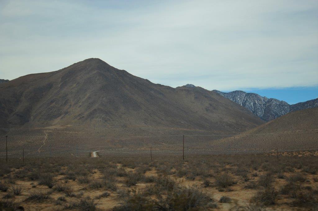
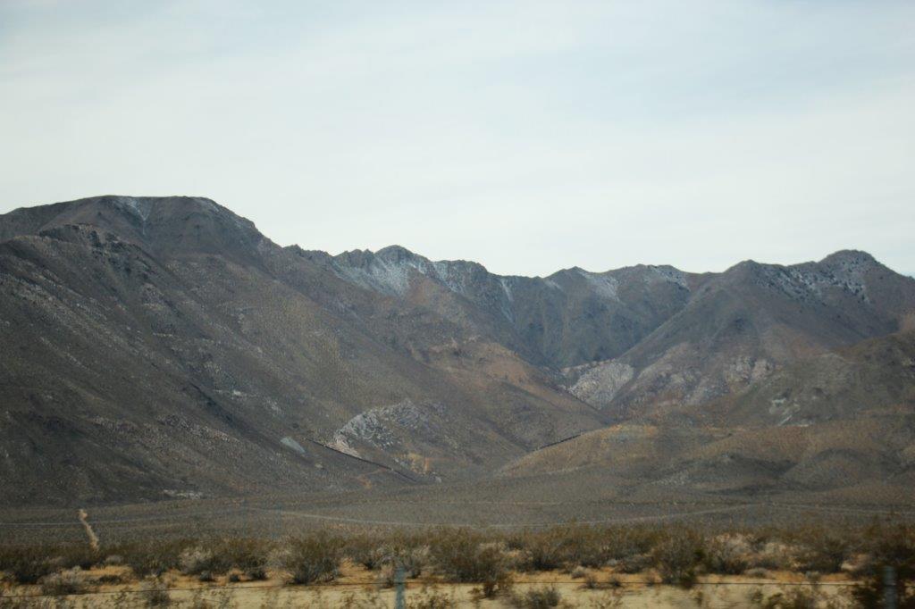
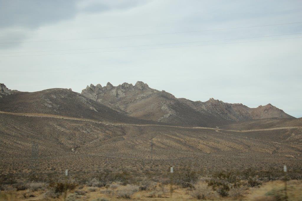
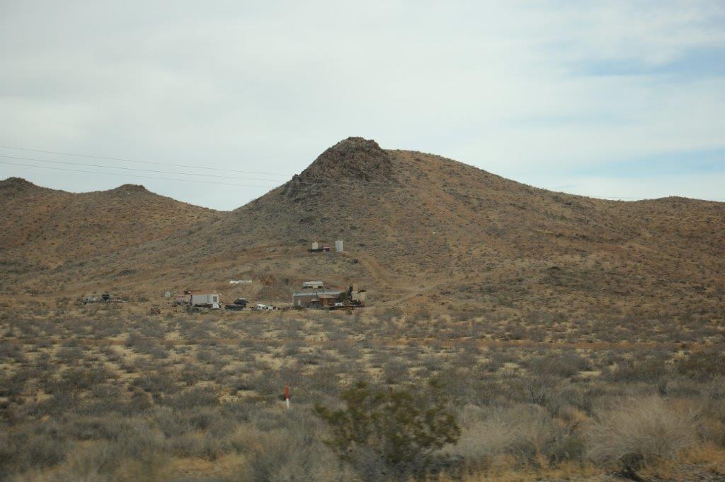
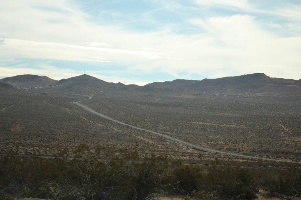
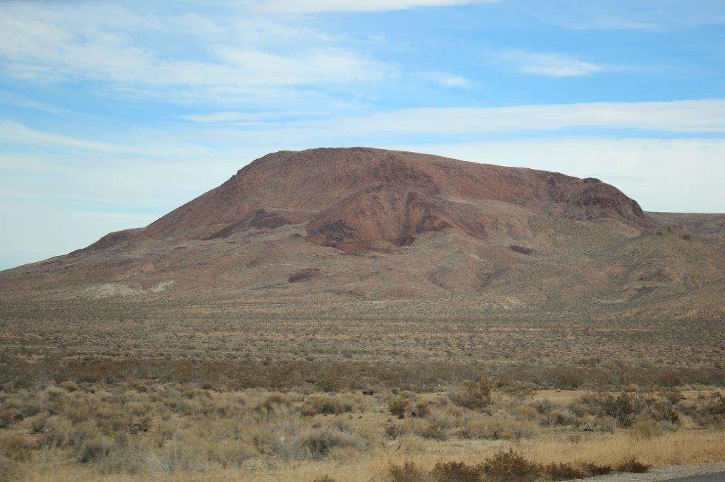
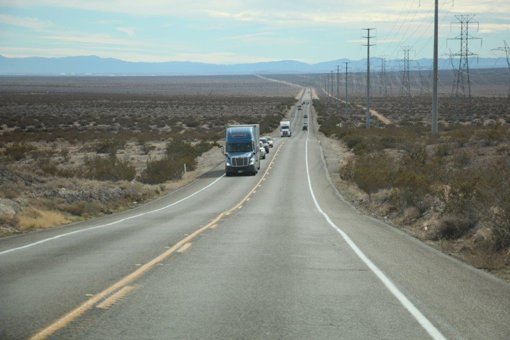
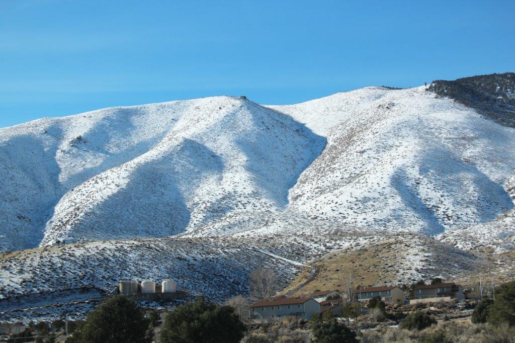
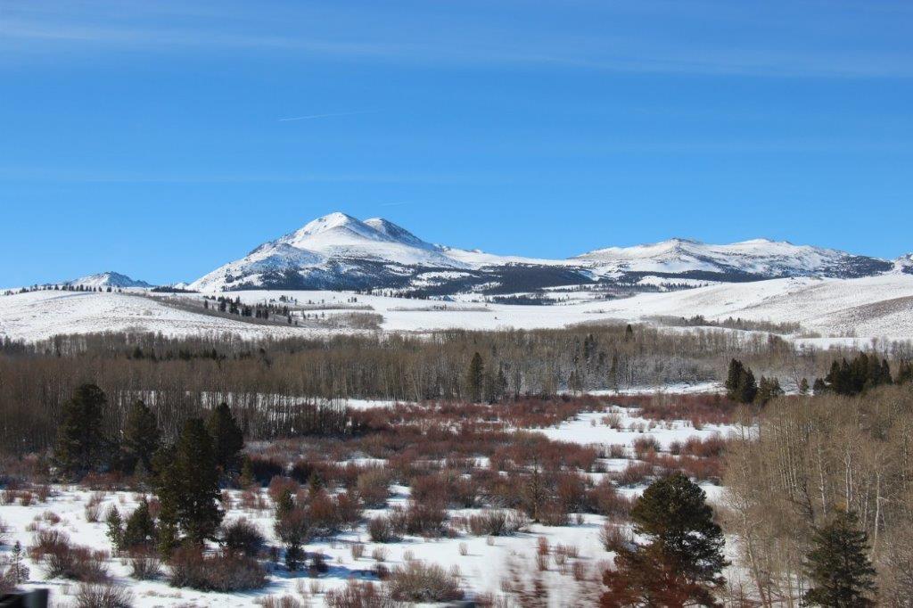
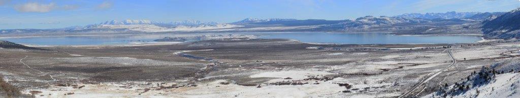
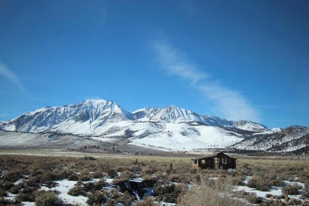
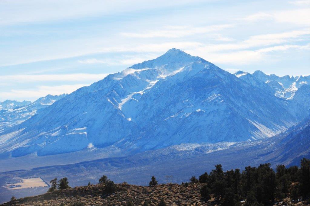
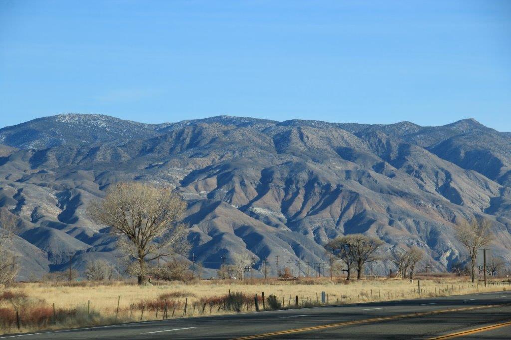
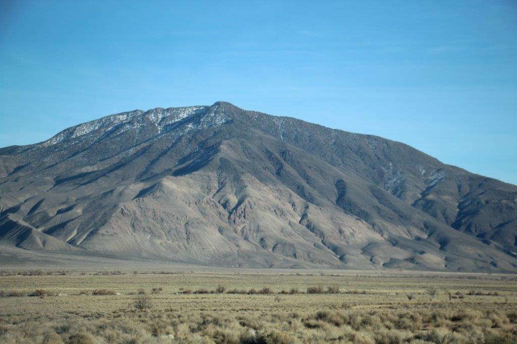
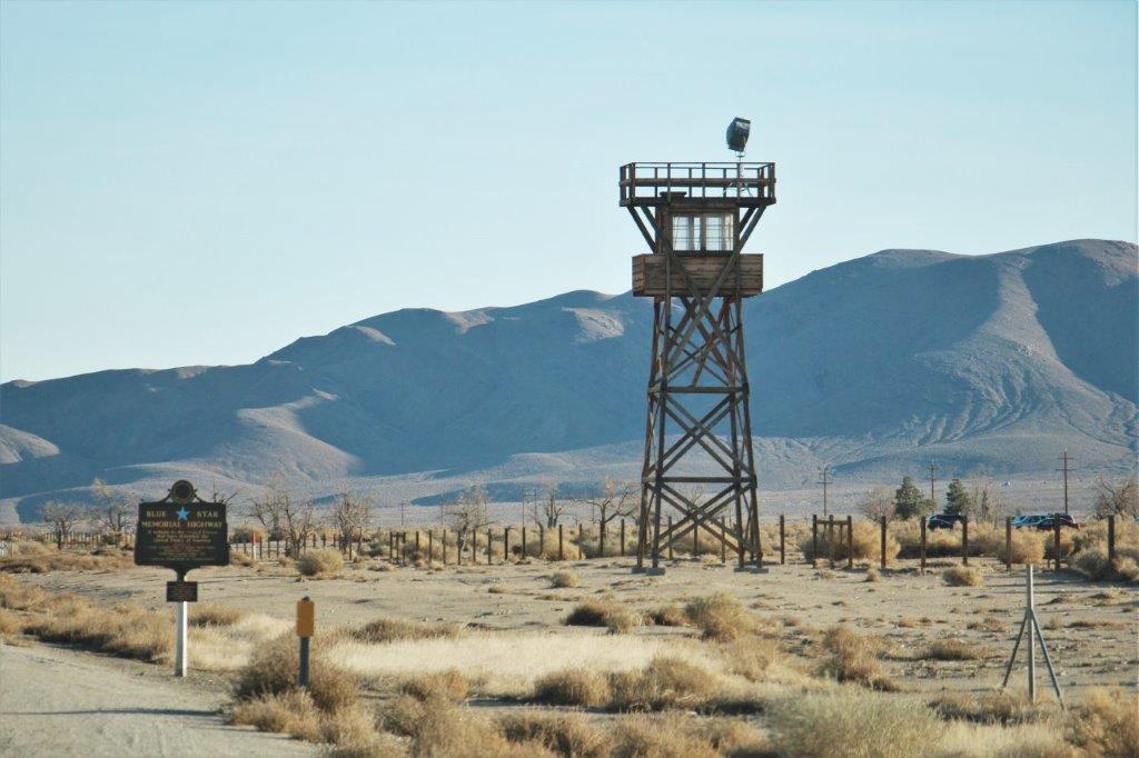
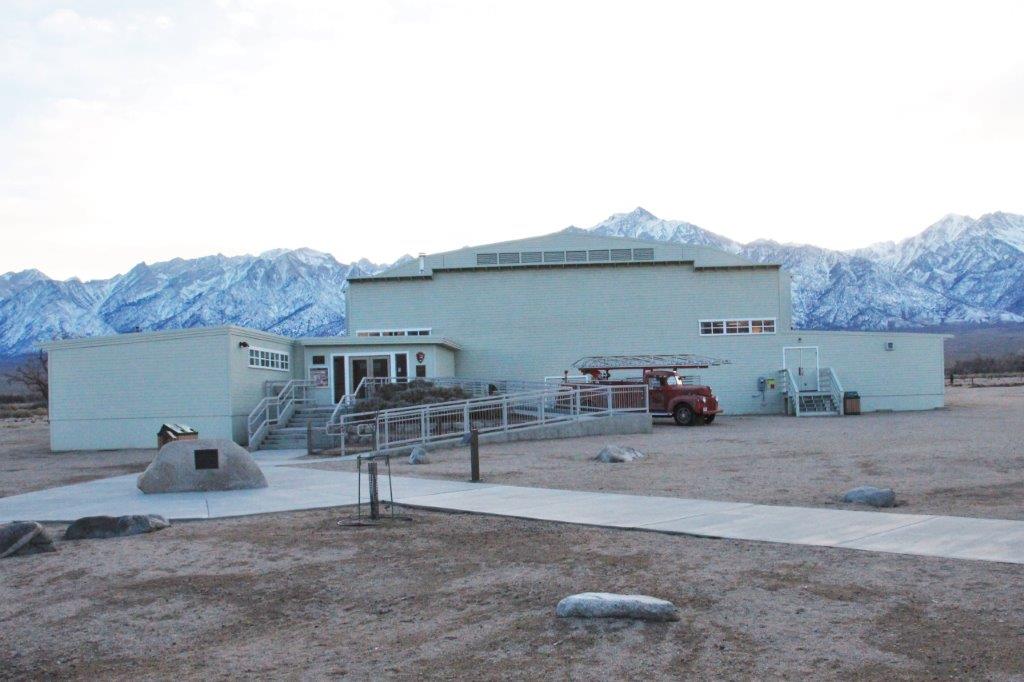
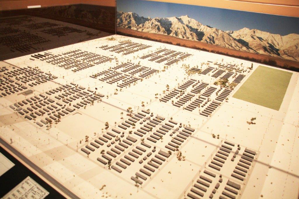
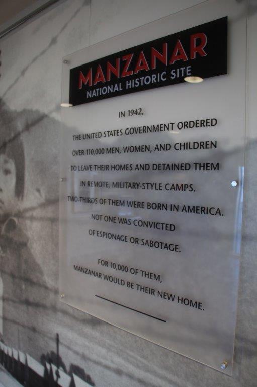
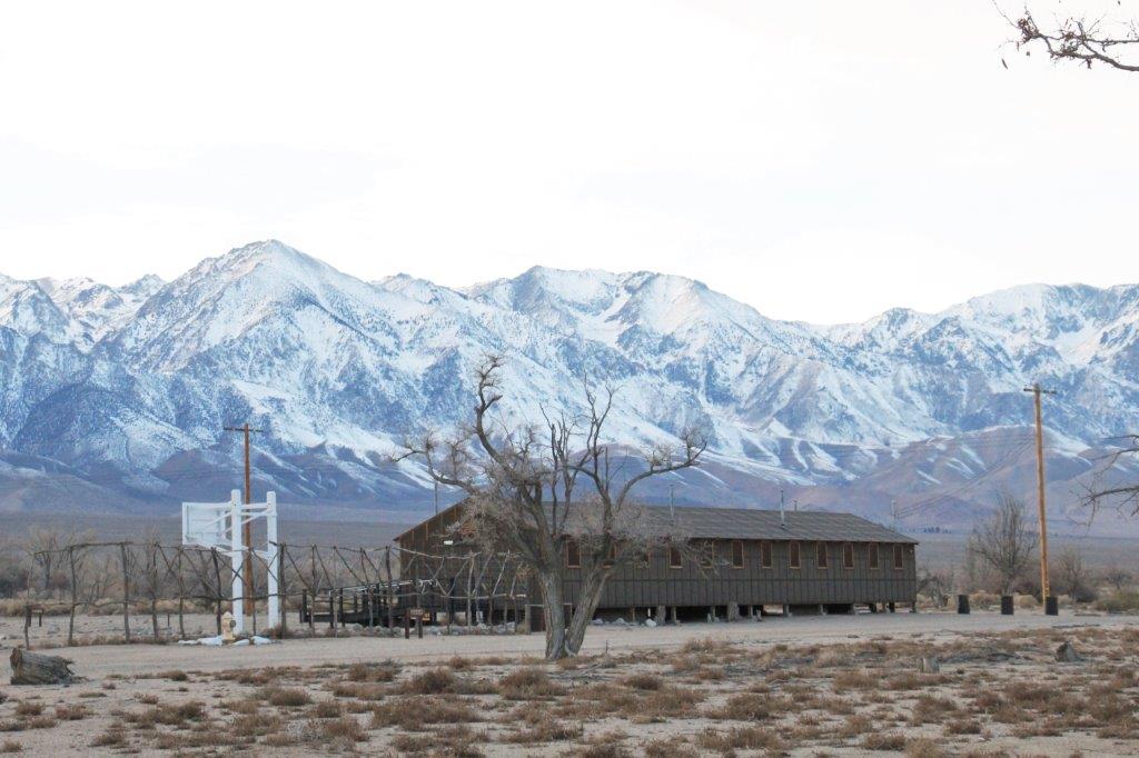
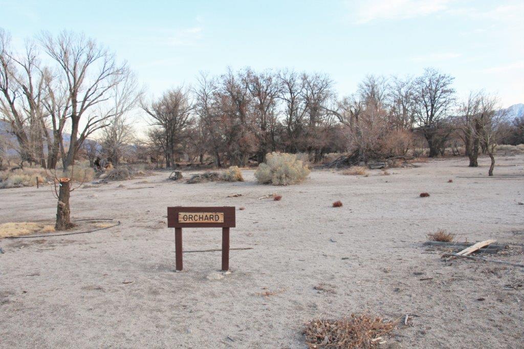
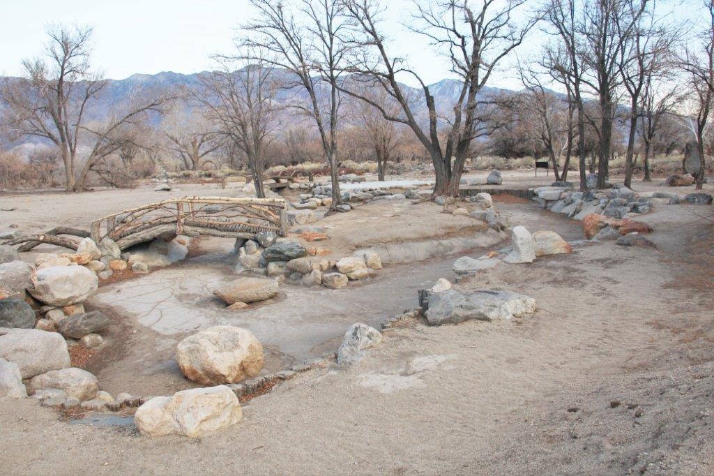
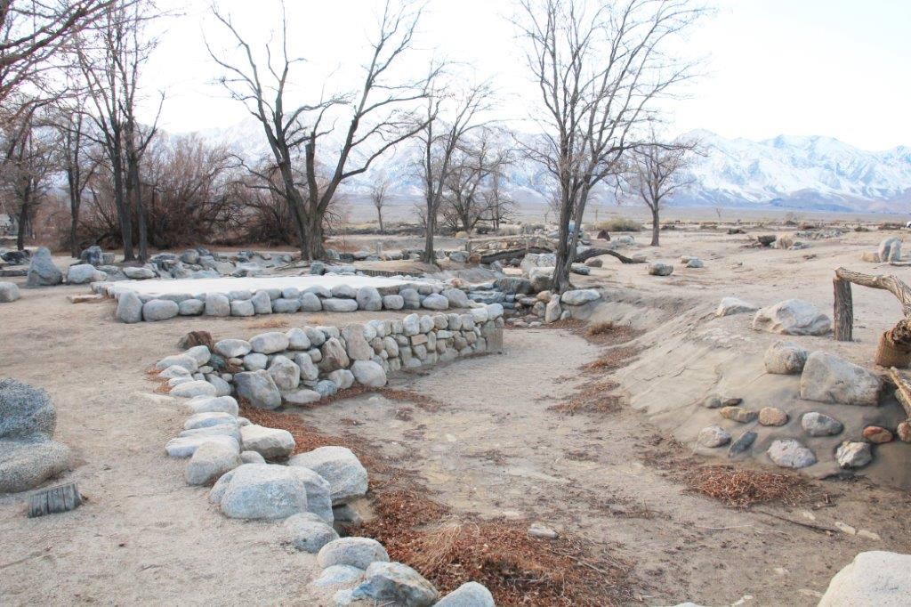
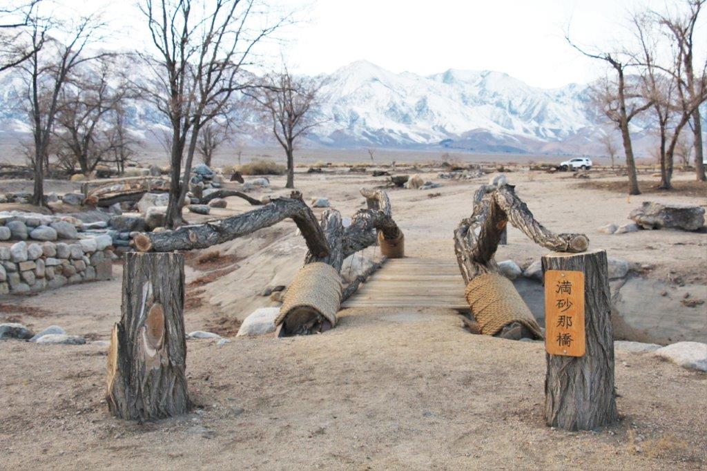
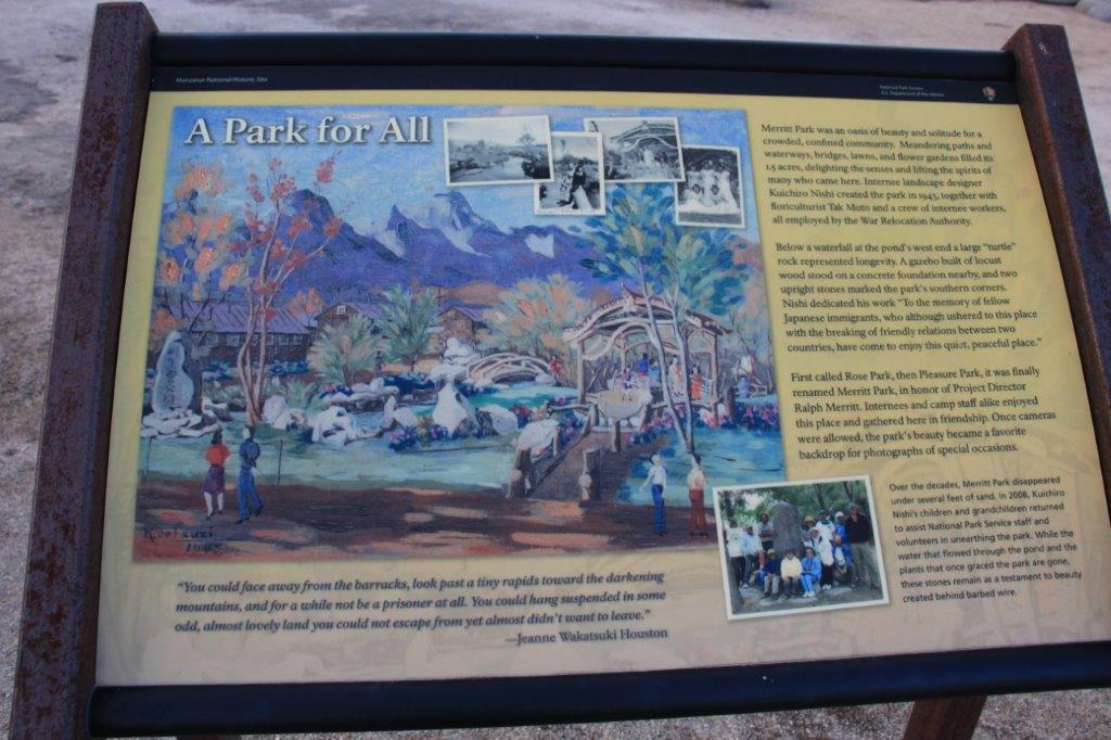
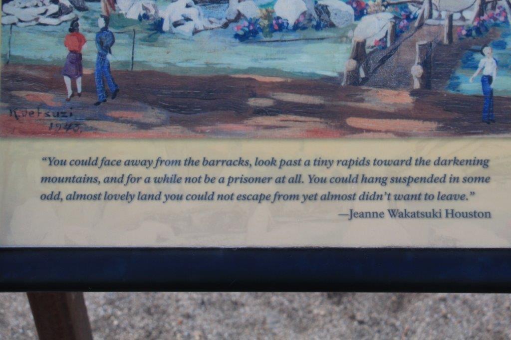
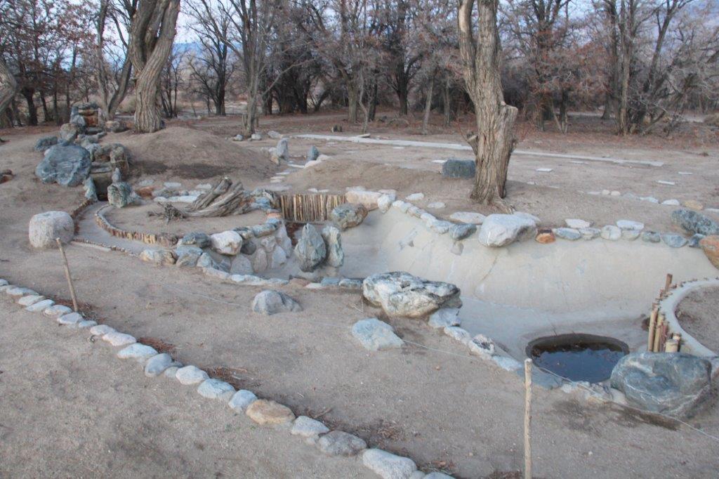
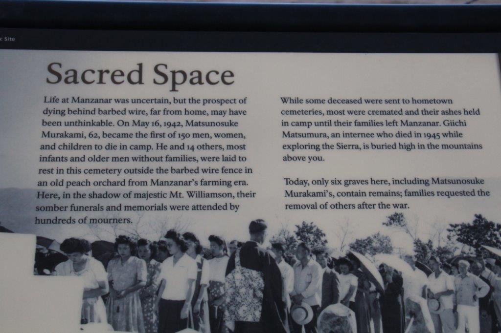
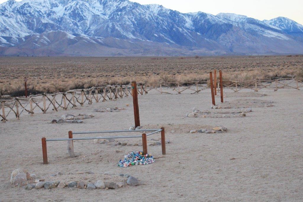
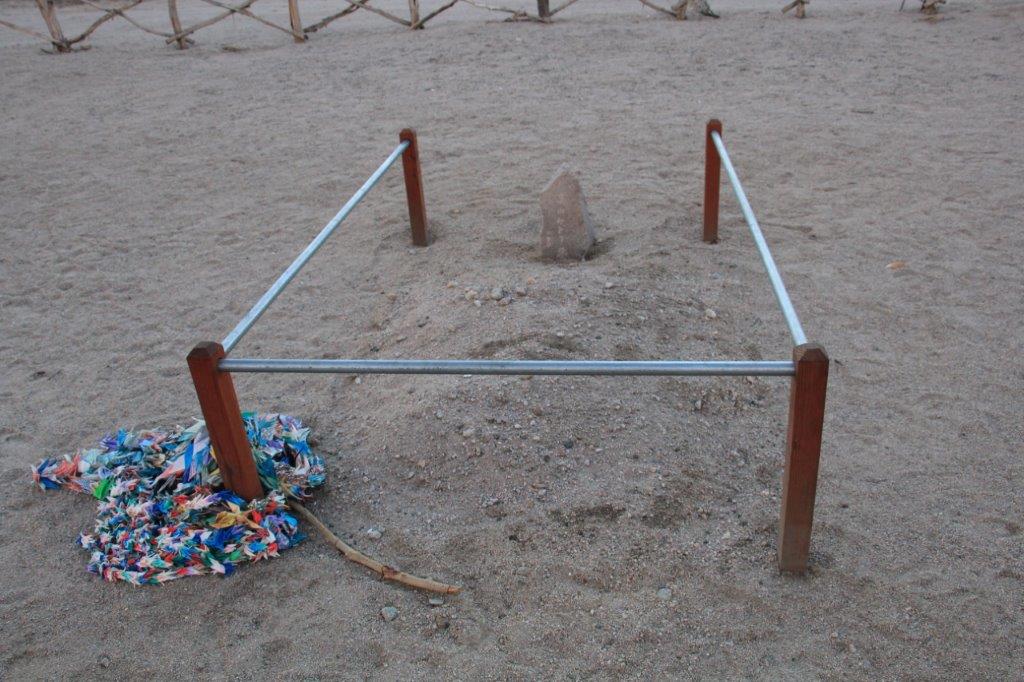
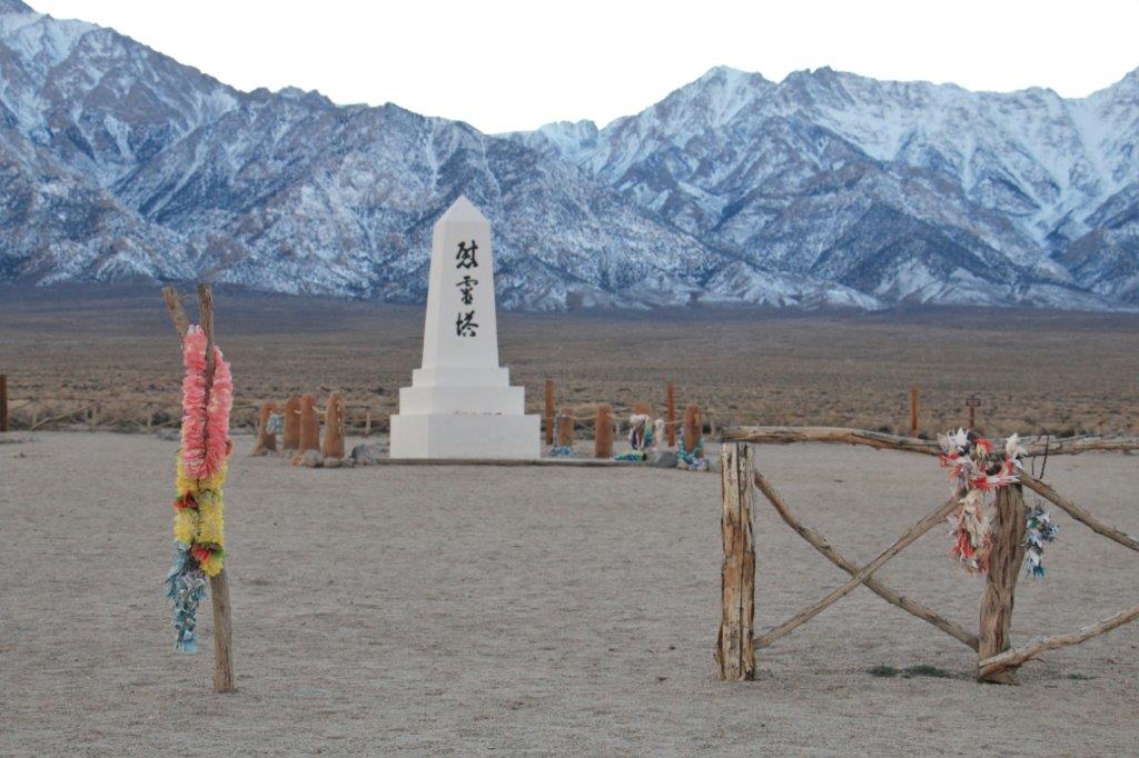
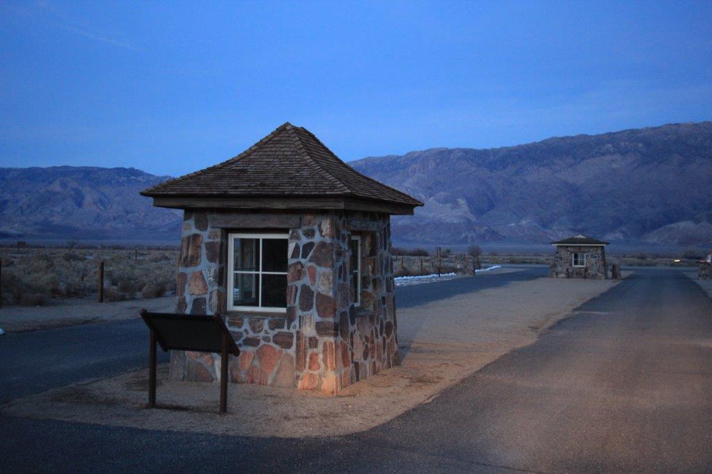
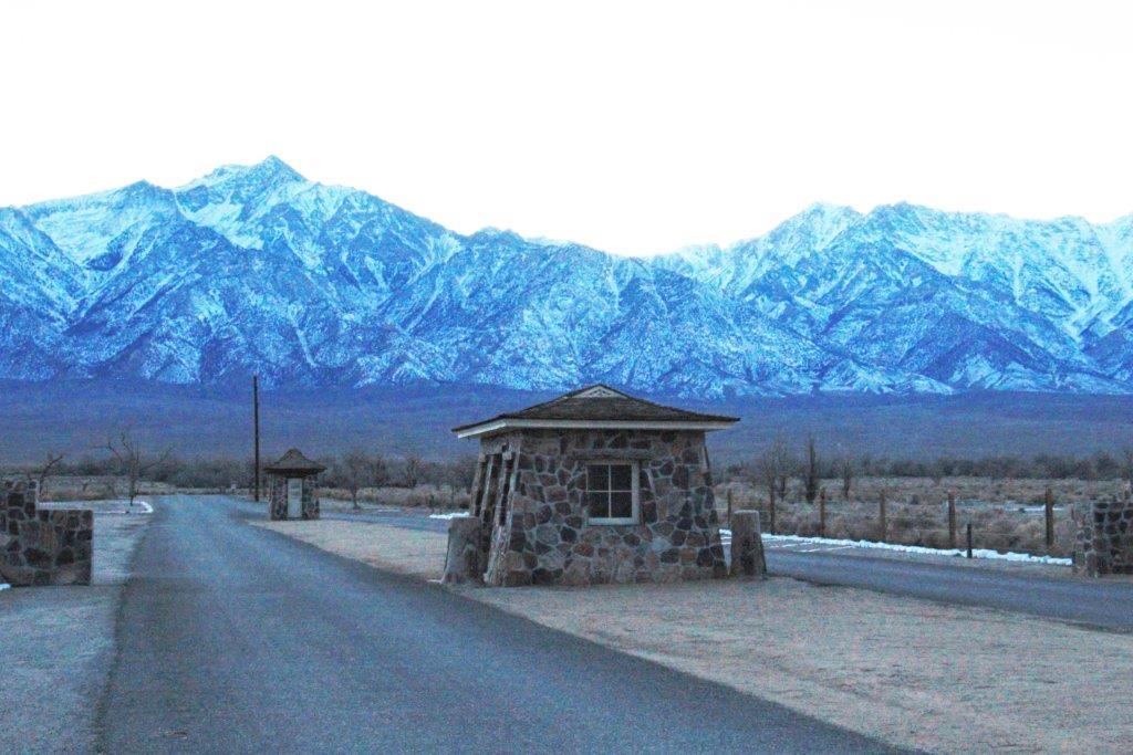
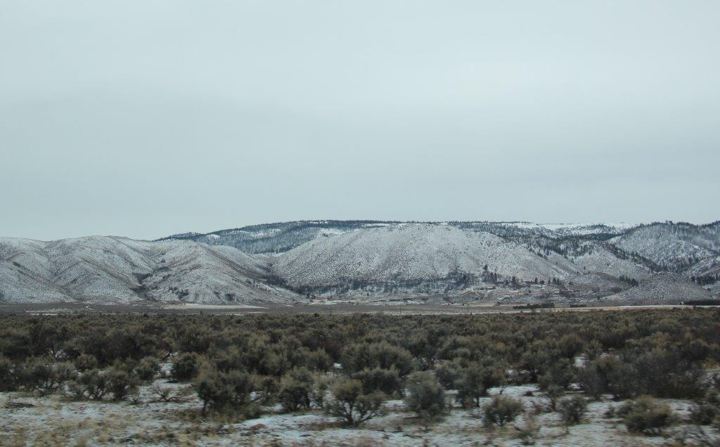
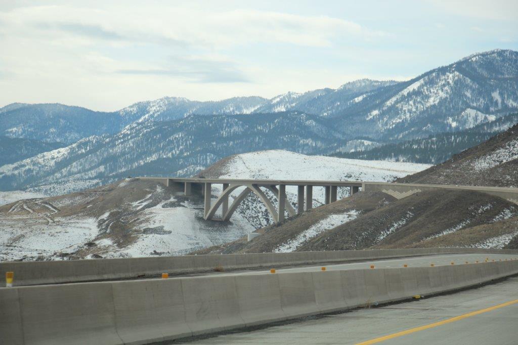
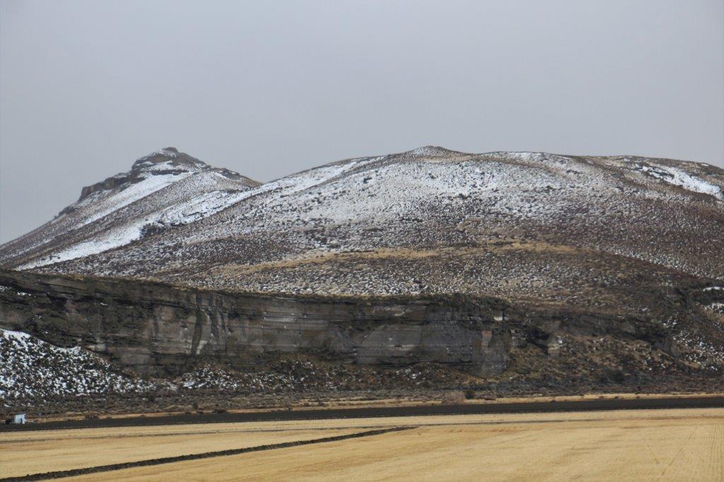
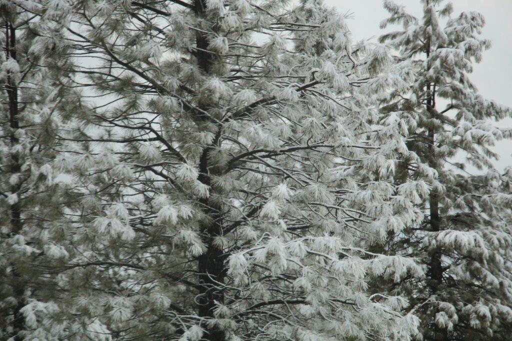
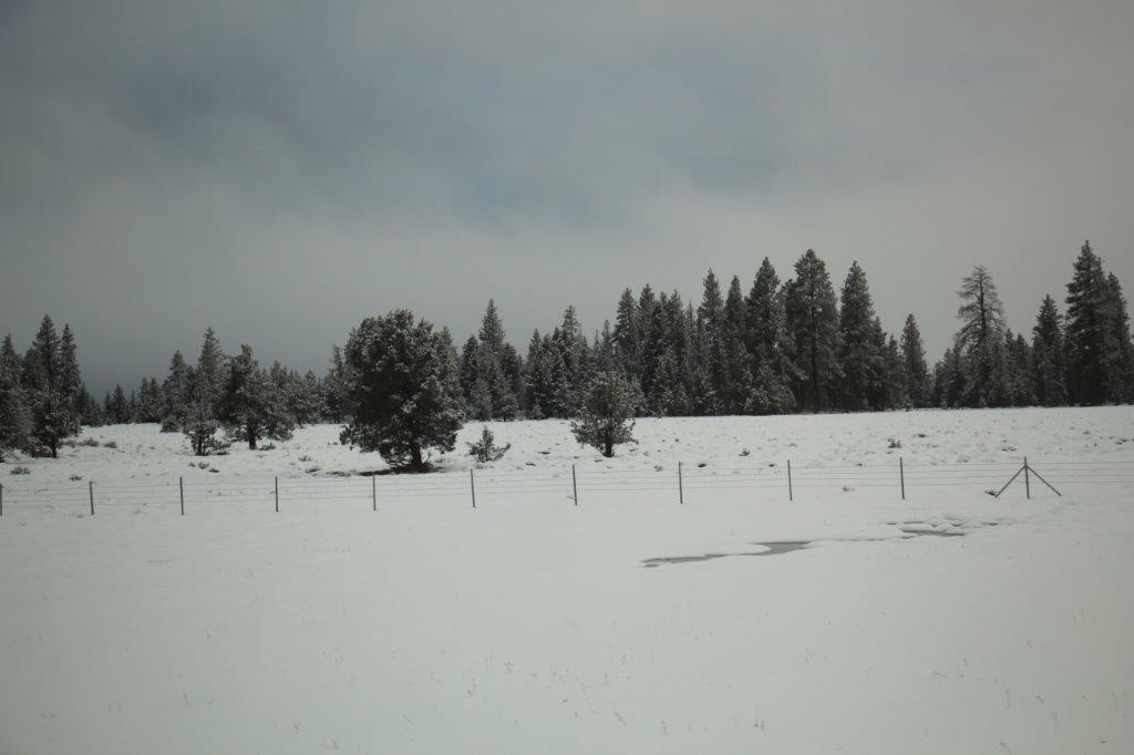
We stopped in Bishop for lunch at 2 o’clock then went about 50 miles further down Highway 395 to Manzanar National Historic Site.  This one-mile square section of desert was the location of a Japanese Relocation Camp after the bombing of Pearl Harbour.  By September of 1942 over 120,000 Japanese-Americans were relocated to ten remote camps inland in the US.  All three west coast states were off-limits for anyone of Japanese descent, even if born in the US and an American citizen.

We only had time to take a quick look at the museum exhibits and see the 20 minute film about the camp before closing time at the Visitor’s Center.  We were able to drive the 3 mile auto route through the camp to see several points of interest.  There is ongoing archeaological work being done here as most of it was buried under several feet of sand over the years.

Manzanar was home to over 10,000 people, two thirds of whom were American citizens by birth. They were crowded into 504 barracks organized in 36 blocks of 14 barracks, with 200-400 people per block.  Each barracks was divided into four rooms, shared men’s and women’s toilets, a laundry and a mess hall.  Any combination of eight individuals was alloted a 20-by-25 foot room with an oil stove, a single hanging light bulb, cots, blankests and mattresses filled with straw.  There was little or no privacy inside or out. The entire camp was enclosed by barbed wire with guard towers and armed sentries.IMG_4296 (2)

IMG_4294 (2) IMG_4302

The auditorium is now the museum and visitors center.IMG_4300


This is a map of the camp.


IMG_4298 (2)

IMG_4303


A replica of one of the barracks.


Over time the camp became an almost self sufficient town with a newspaper, hospital, chicken farm, orchards,  weaving factory (they made camouflage nets for the war), a mattress factory, general store, a high school, auditorium, fire department, city hall, etc.  Many of the men interred here had been landscape designers or gardeners or owned nurseries at the coast and over time about 7 or 8 gardens were created at various places  in the camp.

IMG_4307 IMG_4323

The Merritt Garden after excavation.


The two bridges are reconstructions. Everything else is original – minus the water and plants.

IMG_4314IMG_4313IMG_4317

A painting of the garden during camp days.IMG_4318

IMG_4345


One of the other, smaller gardens.


150 people died during the years of the camp and were buried in a cemetery outside the grounds – today only six graves contain remains.  Family members requested the removal of the others.  An obelisk was created there by a stone mason and the site is now a place of annual prilgimage for descendents of the people from the camp.

IMG_4325IMG_4337 IMG_4334IMG_4330IMG_4329 IMG_4340


Someone created a lei of oragami cranes and hung it on the fence in remembrance and honour.


It was a very moving place to visit and such a sad decision on the part of the government at the time. It was President Ronald Reagan who expressed an apology to the people so it took quite a long time for them to get recognition and recompense for losing their homes, businesses and livelihoods and kept like prisoners for the duration of the war.  When they were ‘released’ each person was given $25 and bus ticket to anywhere they wanted to go – except the three west coast states, which were still off-limits..

This is the original sign and original gate posts at the camp entrance that were designed and built by the Japanese.

IMG_4358

IMG_4350 IMG_4360

IMG_4341
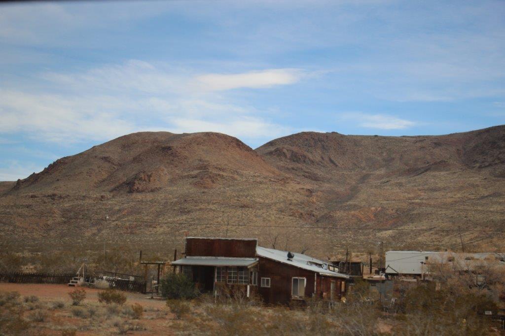
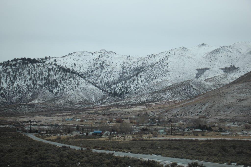
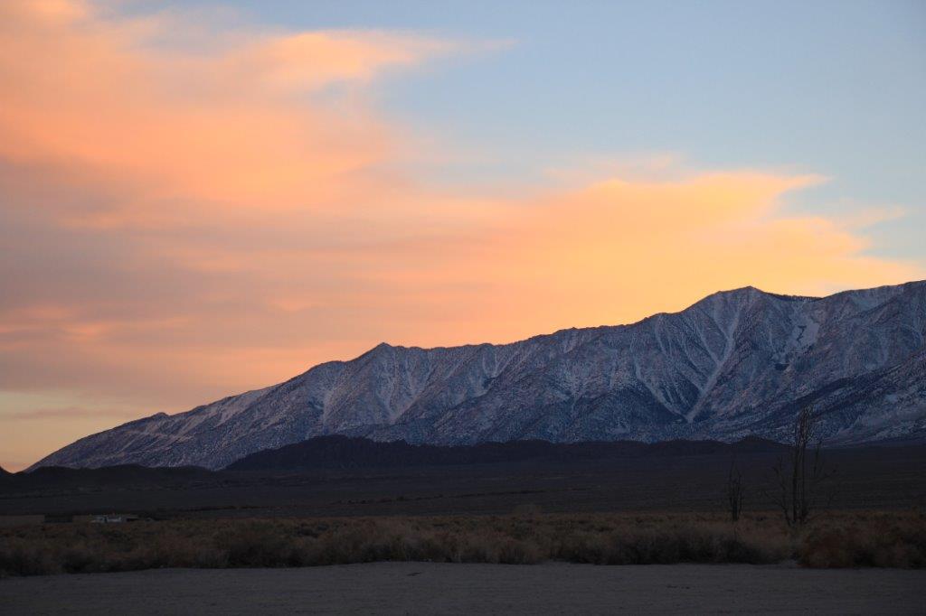
We checked into our hotel at Lone Pine at 6 o’clock, had dinner at a very popular restaurant in town – it was inundated with families  with young kids on their way to Mammoth Lakes for the long weekend – and came back to our room where I am diligently writing my blog; which, at long last, I have finished.


2016 Jan 14 – Day 4 – California and Beyond

Day 4 – Jan 14 – Susanville, CA to South Lake Tahoe, CA.

When we arrived in Susanville last night the entire parking lot was a sheet of thin ice. I was talking to a young fellow this morning and he said they had slushy snow during the day and suddenly a cold wind blew in and froze everything.  We took the long way around on the sidewalk under the upper exterior room access to get to the restaurant to avoid walking on the ice.

John told me later that when he had checked in he was chatting to the lady at the desk and told her we had come down via highway 139.  She was shocked, “I thought that road was closed for the winter,” she said.  So much for the local knowledge of the gas station attendant at Klamath Falls!

Everything was still icy this morning but it was above freezing so things were thawing and the road was bare.  As we drove south the sun even tried to break through the clouds.

IMG_4128 IMG_4139 IMG_4136 IMG_4132About an hour out of Susanville we turned a corner and off in the hills was this bright red and orange rock face.  John drove up the road aways and turned around so we could get a better look.

Red Rock Road went somewhere past the rock face but there was a rutted dirt turn-off so John decides to take it to see if we could get closer to the rocks.  I tell him it is just a turn-around place but he drives around a bit before conceding defeat and going back to the road.  I say, “Really, you won’t drive up a snow covered road that has obviously been used recently by other vehicles  (this happened  in Newberry Park when we were looking for a caldera), but you will off -road in the middle of the Sierra Nevada Desert?”  I don’t understand men.

IMG_4143IMG_4142 IMG_4148Apparently when Nevada Highways completed the freeway linking Reno to Carson City they changed the name of Route 431 to Route 580.  This we did not know so we missed our exit that would have taken us directly down to Incline Village at the north end of Lake Tahoe.  Instead we drove through Carson City and went across to Lake Tahoe, coming in about half way down the east side.

IMG_4152 IMG_4154 IMG_4166(This huge eagle scupture was attached to the edge of the freeway at Carson City)

Lake Tahoe is the second deepest lake in the USA (Oregon’s Crater Lake is deeper) at 1645′ deep.  It is 22 miles long and 12 miles wide and never freezes over due to the amount of water moving from the depths to the surface.  A map I picked up in the Visitors Center said that 1.4 million tons of water evaporates from the surface of the lake every 24 hours, but that only lowers the level of the lake by one-tenth-of-an-inch.  More water evaporates from the lake surface each day than is released from the nearby Truckee River Dam outlet.

The sun had come out so the lake flashing through all the pines trees looked pretty nice. We drove northward along the east side of the lake, past the best sandy beach – Sand Harbor State Park – and the site of the Ponderosa Ranch of Bonanza fame – it is only open a couple of times a year for tours and a security gaurd protected access.  The old film buildings were up high on the hillside among the pines and I could only make out a more modern building among the trees.  With the help of a nice lady at the Visitor’s Center we found the correct road to take us up to the Mt. Rose Overlook.  (Which, surprise, surprise was 2 miles up Highwayt 431!  Helps to have the same road numbers at each end people!)

IMG_4157 IMG_4159IMG_4163 IMG_4167

Site of the Bonanza TV show Ponderosa Ranch.


After taking some photos we drove back down the way we came up and made our way to Tunnel Creek Station Cafe for lunch where two sandwiches and two root beers cost $28 US.  While we were eating our late lunch the weather changed dramatically and we exited the cafe into blowing snow.  We had planned to stay the night at South Lake Tahoe just down the road but had been considering driving a little further since it was still quite early in the day.  However the snow made the decision for us and we found a hotel and at 4:30 we checked for the night.

4169a IMG_4178 IMG_4179The Mt Rose Overlook is located at 7595′ above sealevel.  There was quite a bit of snow plowed up at the loookout.IMG_4180                                Cave Rock Tunnels on the way to South Lake Tahoe City.


Hopefully the weather will be a bit better tomorrow.  Of course we are in the high mountains so until we head westward we can expect winter conditions.  We knew that when we planned our route, but being used to winter driving we figured we would come and see this area since we had time to meander.

2016 Jan 13 – Day 3 – California and Beyond

Day 3 – January 13 – Madras, OR to Susanville, CA

We were quite excited to see some sunshine this morning.  However it didn’t last and before long we were driving under cloudy skies and rain.

IMG_4064Our first stop of the day was at Crooked River Bridge and Gorge.  The first bridge across this chasm wasn’t  built until 1911 even though the area was explored in 1825.  It is a 300′ sheer drop on both sides.  There are three bridges across the chasm; one railroad bridge, the original bridge and a new bridge that opened in 2001 to accomodate the greater amount of traffic.

IMG_4075

IMG_4071 IMG_4083

IMG_4080

IMG_4081


 When they were constructing the first bridge the workers had to climb down 300′ hanging ladders on one side and up the other side.


You can just see tiny workers on the top gantry as the bridge is approaching the center.


We planned to see several ice caves and craters in Newberry National Volcanic Monument south of Bend but everything was closed for the season.  We took several exits off the highway to check out the different things and even drove several miles up a snow-covered narrow road in the woods before giving up and heading down Highway 97.  Our plan was to branch off onto Highway 31 at La Pine but we had taken so much time going in and out of Newberry that John decided to stay on the more direct Highway 97 as far as Klamath Falls to make up some time.

We stopped for lunch at Chemalt;where there is LOTS of snow.  This is normal for the area.  As a matter of fact they have sled dog races there this weekend.

IMG_4085At Klamath Falls we stopped to fill the gas tank and asked the young fellow if he knew the conditions along Highway 139 to Susanville, CA.  We were uncertain whether to stick to 97 or branch off onto the shorter but more untraveled 139.  He said he hadn’t been on the road for a month or so but at this time of year we would encounter rain rather than snow, the elevation would drop, there would be very few big trucks and we would reach Susanville in about 3 hours.

The fellow was WRONG on all counts!  Three times we reached elevations of over 5000′,  we drove through blowing snow on and off almost the entire way, and semi-trucks were almost the only vehicles we saw.  He was closest on the arrival time – we arrived in Susanville in just over 3 1/2 hours.

IMG_4092 IMG_4096IMG_4100IMG_4102
IMG_4113IMG_4116IMG_4115

IMG_4117

IMG_4119

The snow had dusted all the pines making them look like a fairy-land.IMG_4122Our last couple of hours driving to Susanville were in the dark. We drove around the huge Goose Lake, a very popular holiday and fishing spot.  I suspect the views would have been gorgeous in daylight.  The descent into Susanville would also have been great in daytime. There appeared to be some pretty sheer drops off the road side; first on one side then on the other.  The twists and turns near the bottom had mileage speeds of 25 and 30 mph.  I think we will have to come back another time and drive that road during the day.

Even though we didn’t get to see any of the things I had planned to see and we drove through a lot of snow, it never accumlated significantly, the roads were well plowed or bare and the sun did peak through the clouds every hour or so.  All in all, I think it was a pretty good day.